The Yewdale Fells - Thursday 27 May 2021
Route
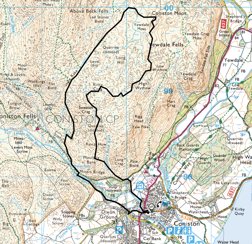
Coniston - Mouldry Bank - Rascal How - Sweeten Crag - Kitty Crag - Long Crag - High Wythow - Low Wythow - Coniston Moor (Brackeny Crag) - Hole Rake - Miners Bridge - Coniston
Parking
Plenty of parking in Coniston
Mileage
7 miles
Terrain
Good approach paths to the ridges and on the descent via Hole Rake. However these are seldom visited fells therefore some of the paths en route and between the summits are intermittent and unclear.
Weather
Warm and sunny with light breezes on the ridges
Time Taken
5hrs 25mins
Total Ascent
2171ft (662m)
Map
OL6 - The English Lakes (South Western Area)
Walkers
Dave, Angie & Fudge
|
GPX File
|
| ||
If the above GPX file fails to download or presents itself as an XML file once downloaded then please feel free to contact me and I will send you the GPX file via e-mail.
Route Map
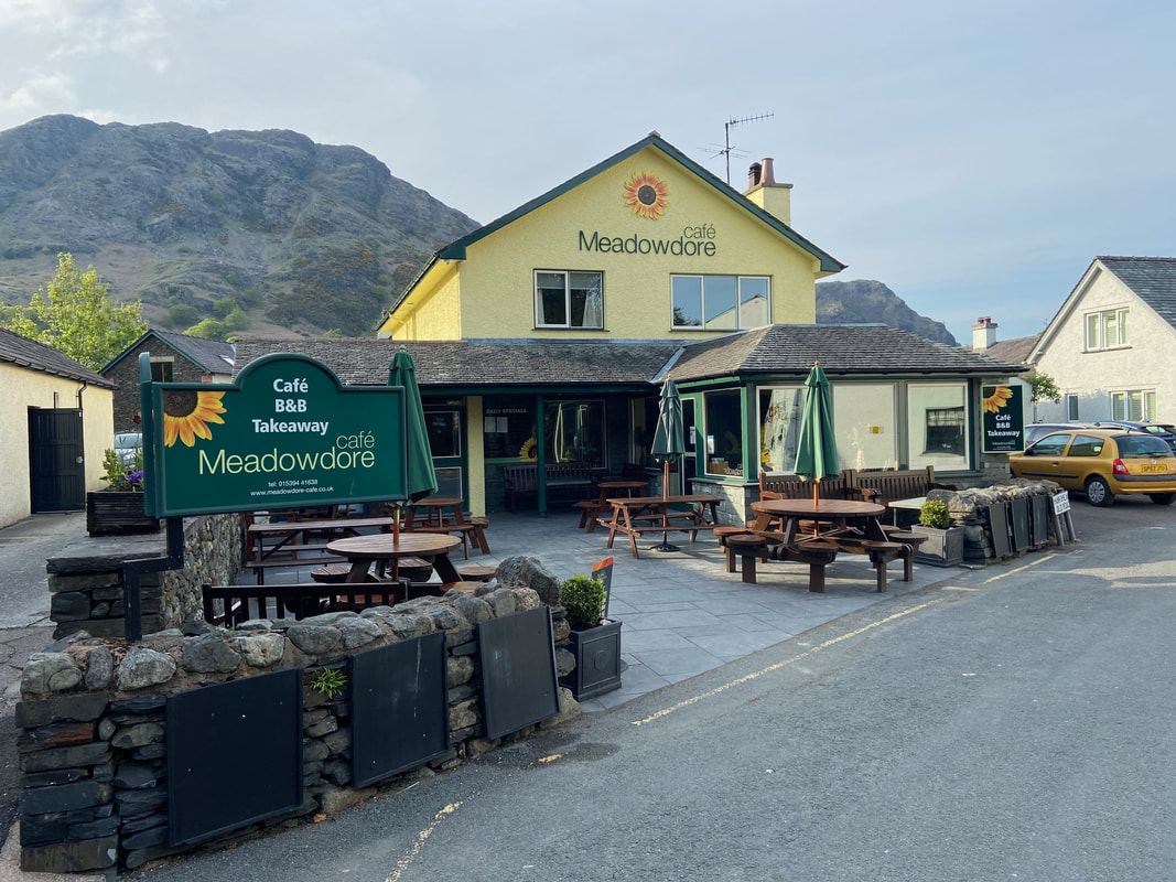
The Meadowdore Cafe in Coniston - a pleasant way to start any walk from the village is by having something to eat or drink here and therefore support local businesses - we had a very nice lunch today and have eaten here many times. Today's gig lurks in the distance.
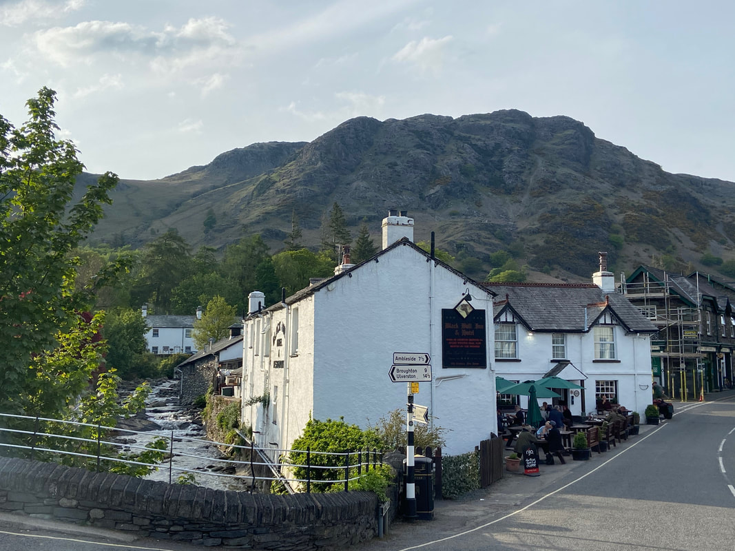
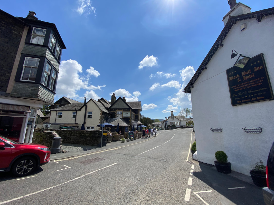
The famous Black Bull Inn, Coniston from the bridge over Church Beck - home to one of my favourite beers, Coniston Bluebird. Todays route passes the pub and turns left by the scaffolding.
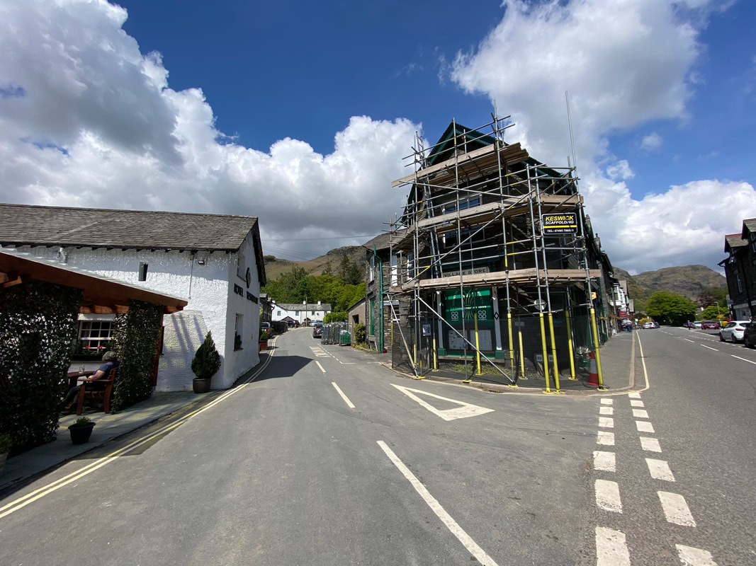
The left turn off Yewdale Road just after The Black Bull with Coniston Co-op clearly getting a bit of a facelift.
Looking back into Coniston from the turning with The Yewdale Inn on the left
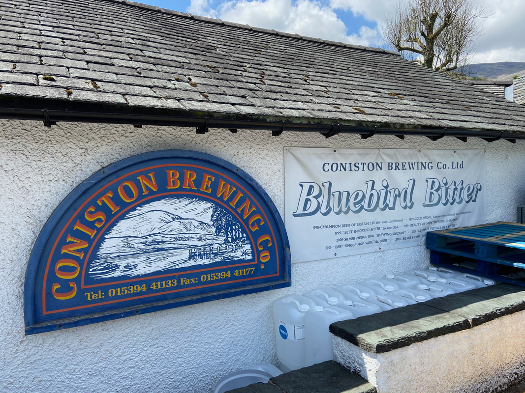
And very nice it is too - I've only ever seen it in a handful of Lakeland Pubs and along with Loweswater Gold is an excellent brew
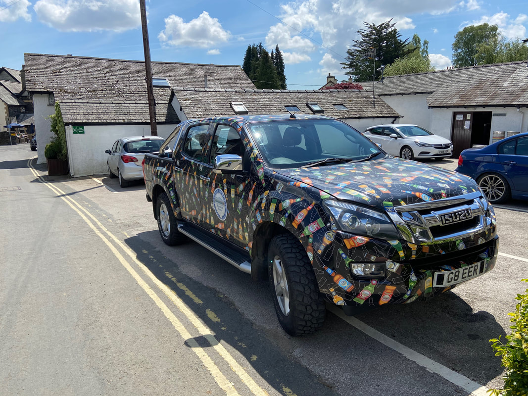
A fantastic bit of advertising complete with personalised number plate
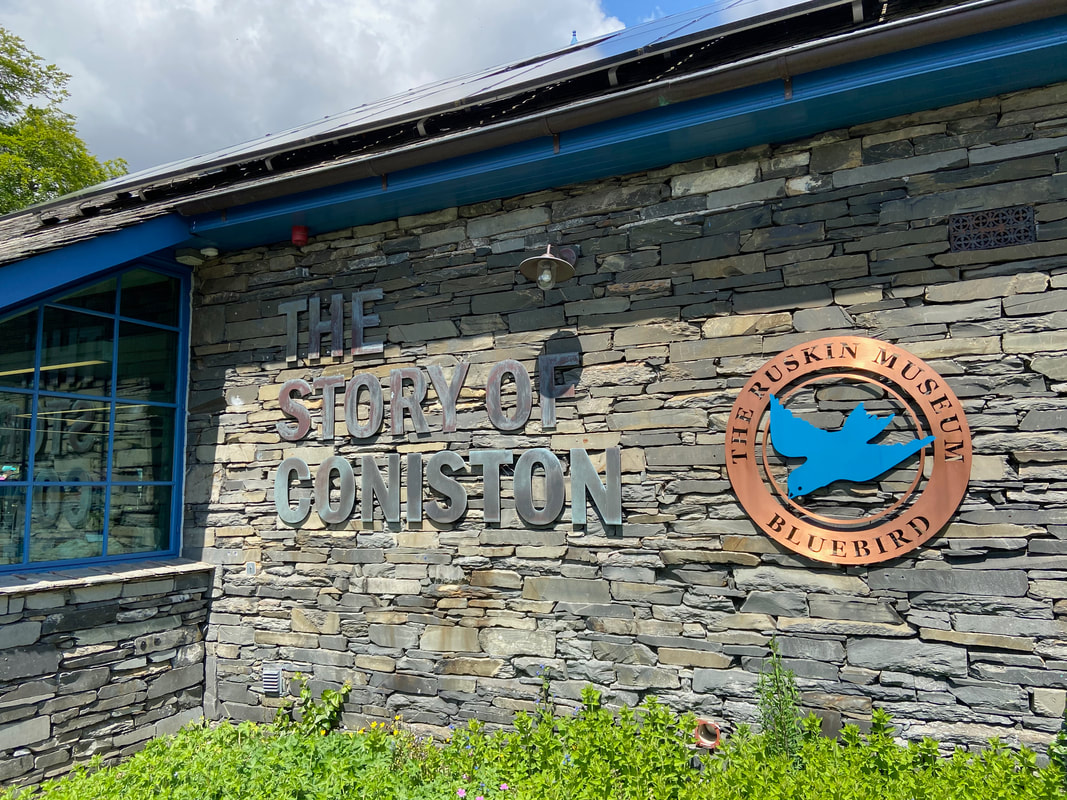
The route passes the Ruskin Museum, established in 1901 by W G Collingwood, an artist and antiquarian who had worked as secretary to art critic and polymath John Ruskin. The building is both a memorial to Ruskin and a local museum covering the history and heritage of Coniston Water and the Lake District.
In addition to collections to the life and work of Ruskin & Arthur Ransome (Swallows & Amazons), a specialist collection covers the achievements of Donald Campbell, who died while attempting a new water speed record on Coniston Water in 1967. In December 2006, his daughter Gina Campbell donated the salvaged remains of Bluebird K7 to the Ruskin Museum on behalf of the whole Campbell family. There is now uncertainty about the future of the boat, partly due to the conflicting desires of both parties. The Bluebird Project wishes to be able to exhibit it on water periodically, as a working racing speedboat, and the museum, in contrast, wishes to keep it as a permanent exhibit as per the wishes of the 2006 deed of gift. The original recovered material is now the property of the museum while the restored and replaced parts of the boat remain under the control of The Bluebird Project who retain ownership of their materials.
In addition to collections to the life and work of Ruskin & Arthur Ransome (Swallows & Amazons), a specialist collection covers the achievements of Donald Campbell, who died while attempting a new water speed record on Coniston Water in 1967. In December 2006, his daughter Gina Campbell donated the salvaged remains of Bluebird K7 to the Ruskin Museum on behalf of the whole Campbell family. There is now uncertainty about the future of the boat, partly due to the conflicting desires of both parties. The Bluebird Project wishes to be able to exhibit it on water periodically, as a working racing speedboat, and the museum, in contrast, wishes to keep it as a permanent exhibit as per the wishes of the 2006 deed of gift. The original recovered material is now the property of the museum while the restored and replaced parts of the boat remain under the control of The Bluebird Project who retain ownership of their materials.
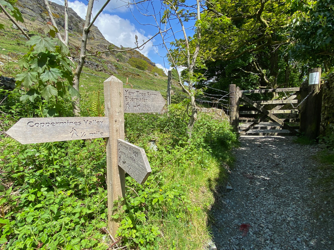
The road out of Coniston reaches a signpost - left to Coppermines Valley and right to Elterwater. Our route today could have taken either path - we headed to the right and then immediately turned left to walk steeply up the fell side.
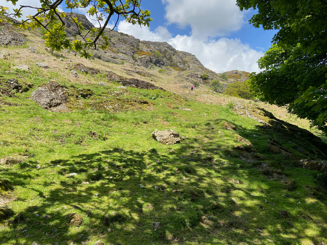
A rough path heads steeply upwards towards Long Crag - roughly where I am the route turns sharp left to pass under the crags.
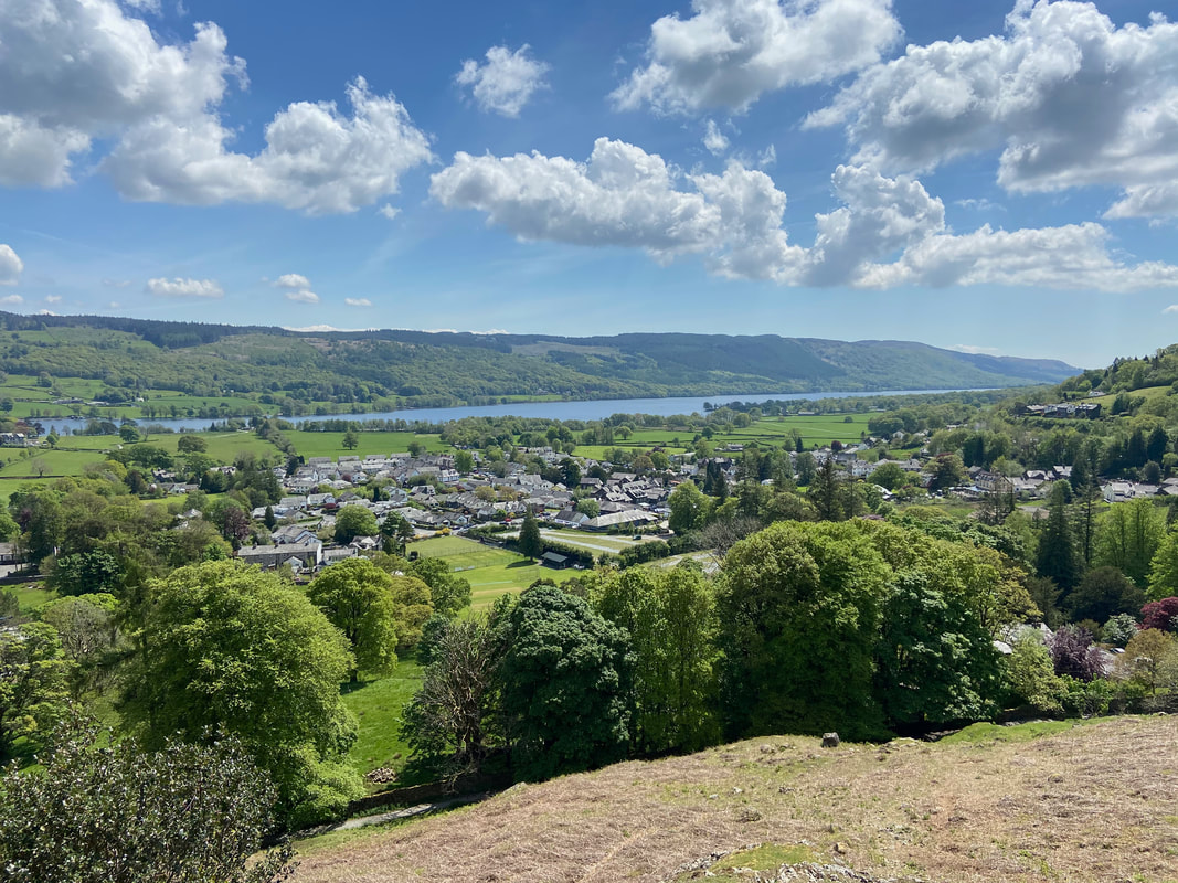
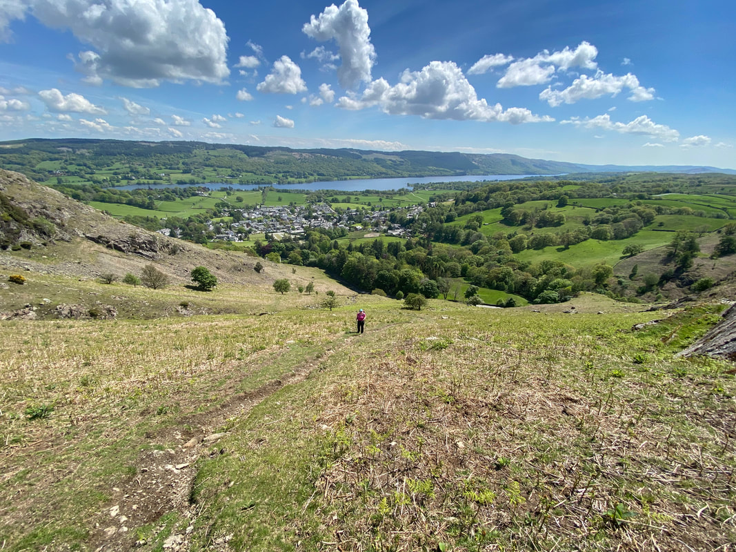
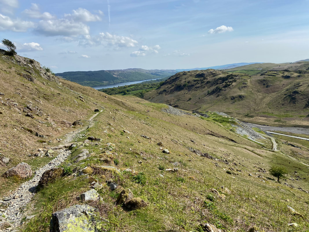
The glorious view back to the village & Coniston Water
The Bell
Crossing Mouldry Bank Beck looking to Rascal How
Climbing Mouldry Bank gives glorious views back to Coniston
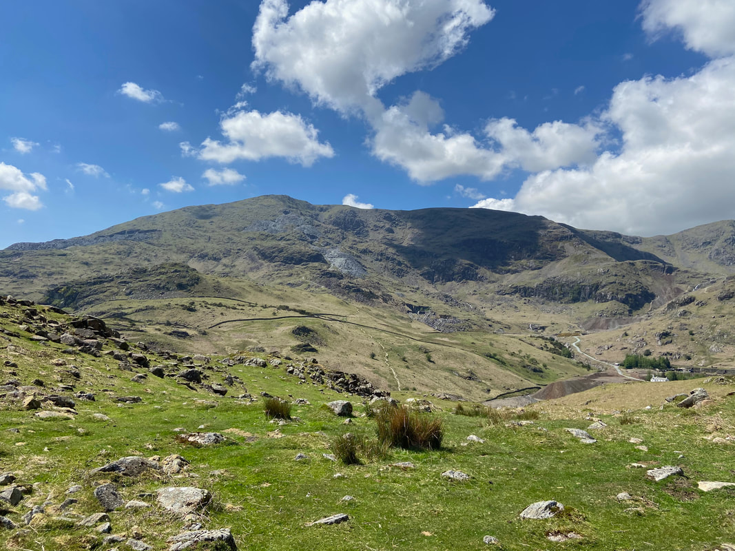
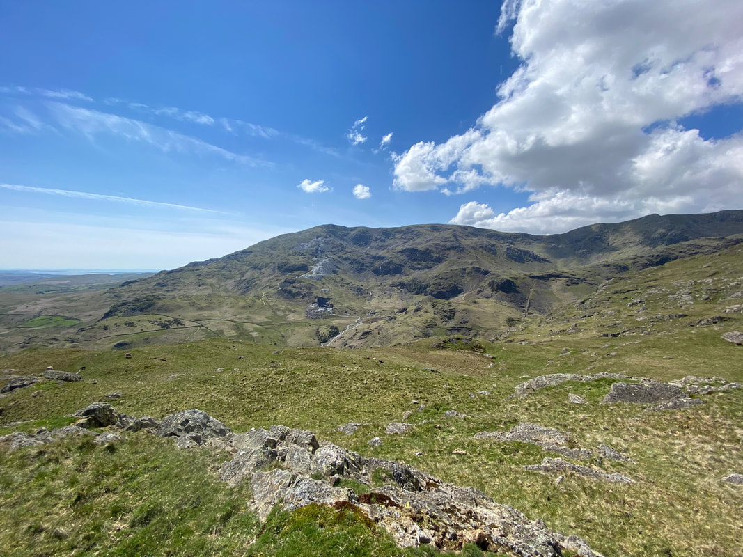
Coniston Old Man & Brim Fell across the Coppermines Valley
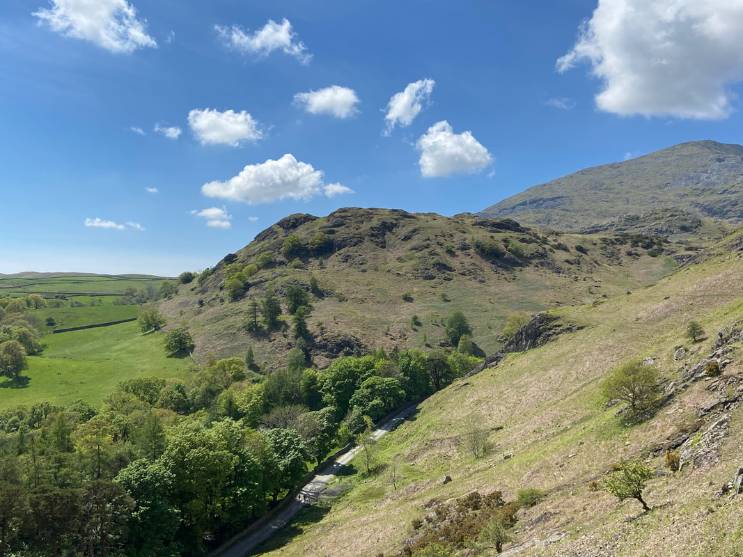
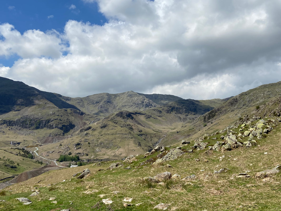
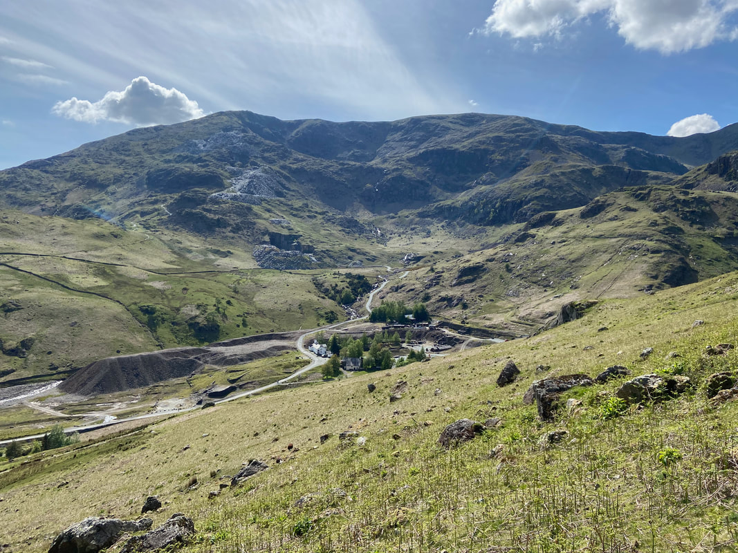
Another view of the Coppermines Valley. Mining for copper in the valley dates back to the 16th century and the area continued to be mined until the 1950s. The valley is part of the newly listed UNESCO World Heritage Site, is included in The Schedule of Ancient Monuments and is also a Site of Special Scientific Interest. The white building on the left on the valley floor is the former mine manager's house and in 1931 became part of theYouth Hostel Association's network of hostels. It was their first hostel in the Lake District.
The ridge in the centre of shot leads to Black Sails just below Wetherlam with Prison Band leading to Swirl How behind that.
The ridge in the centre of shot leads to Black Sails just below Wetherlam with Prison Band leading to Swirl How behind that.
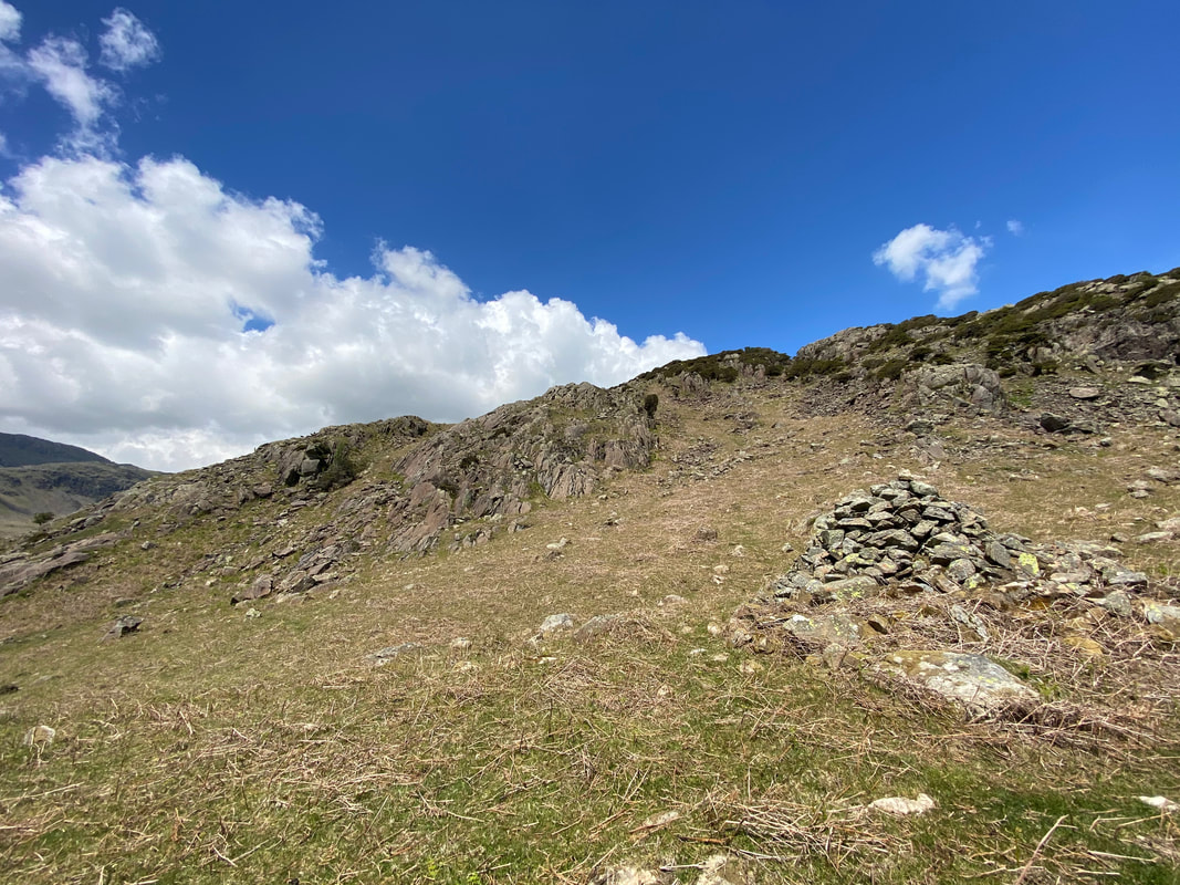
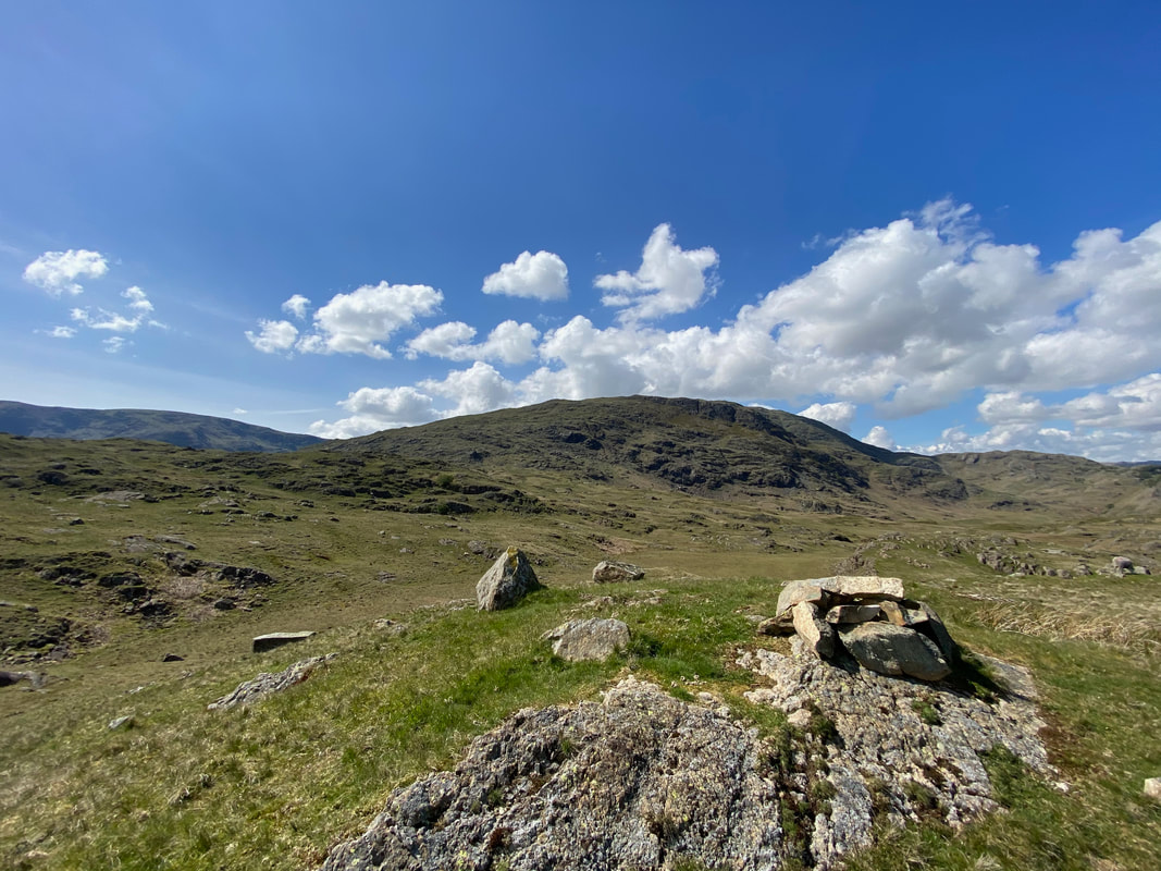
Heading for Kitty Crag. A large cairn is reached just below Sweeten Crag and from here the route heads up a grassy rake centre right.
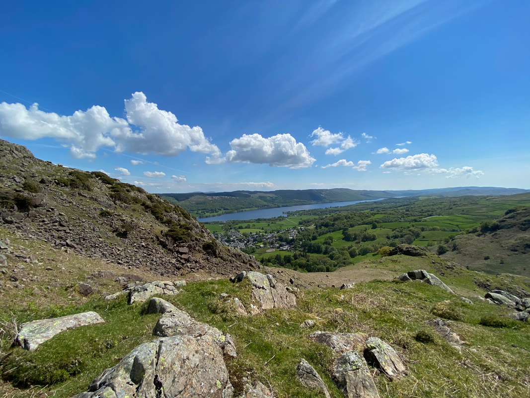
The top of the grassy rake looking to Coniston
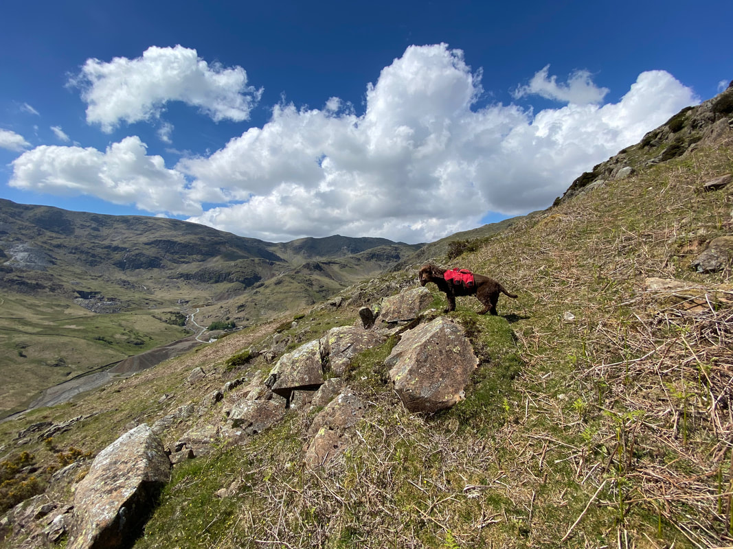
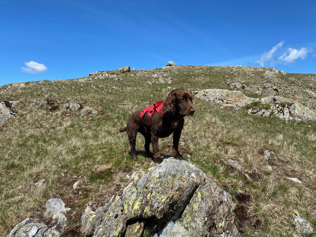
Fudge surveys his kingdom from the top of the grassy rake
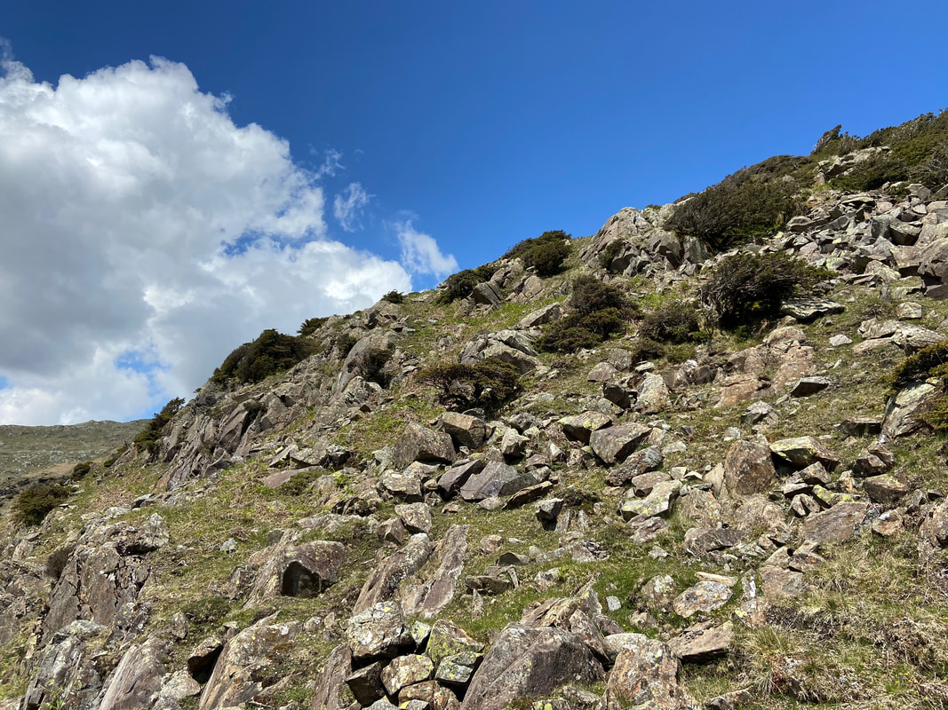
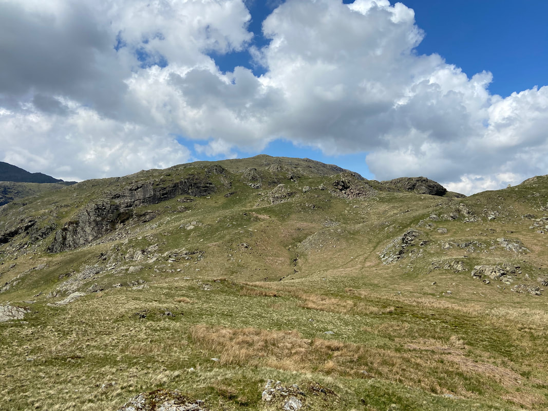
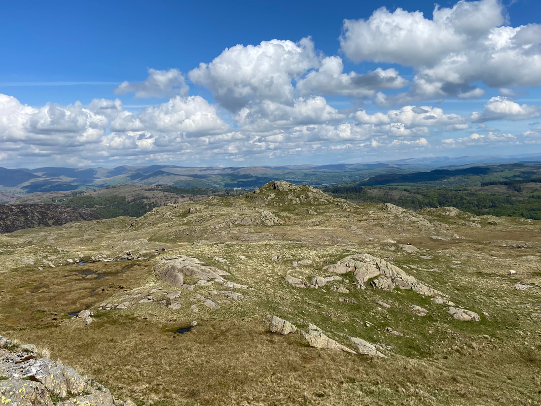
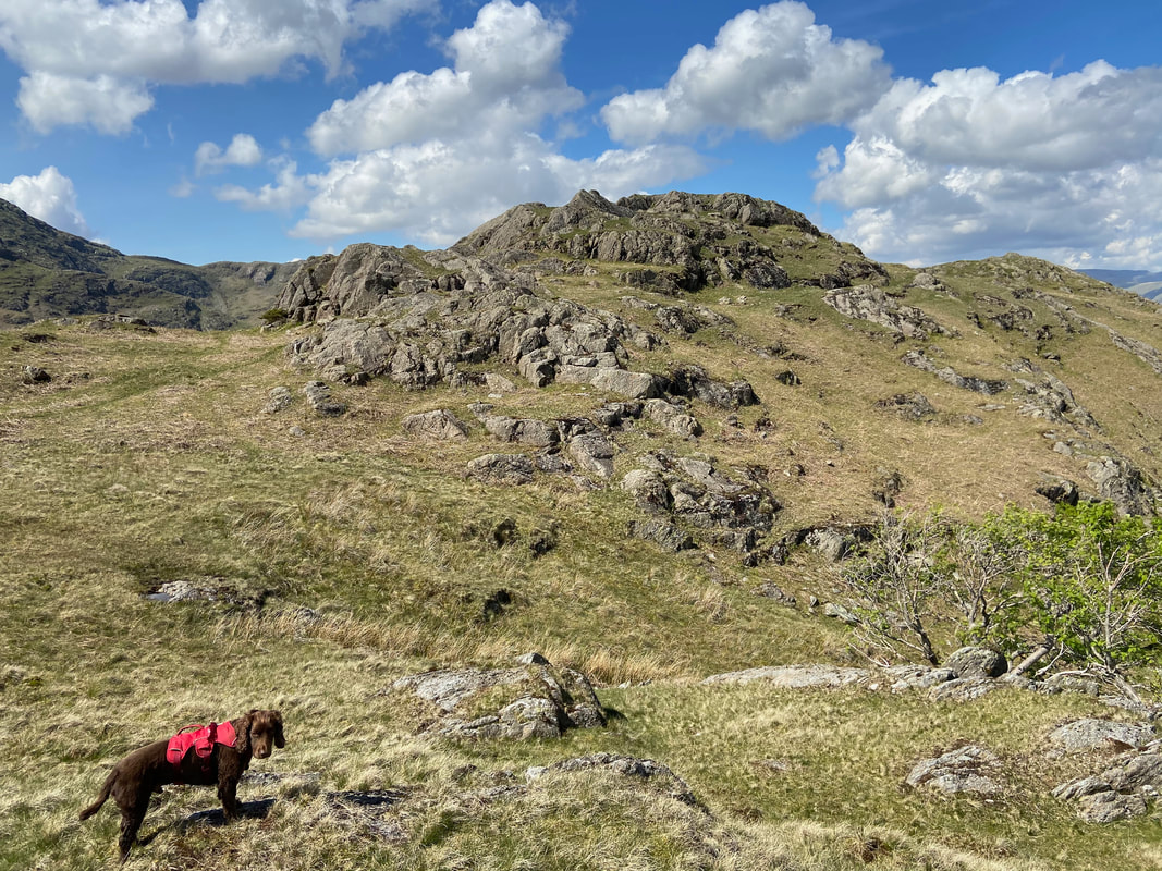
Pathless terrain as we continue on to Kitty Crag - it was just a question of picking a route through the stones.
Looking across Hole Rake to Lad Stones on Wetherlam
With Fudge on the summit of Kitty Crag. We ascended to the summit via the grassy rake to the left however the right hand side can also be used.
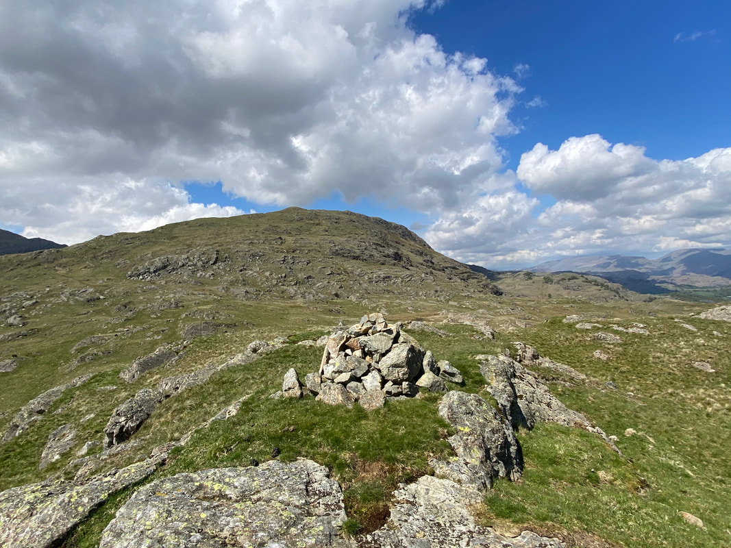
The summit of Kitty Crag
For a modest climb, Kitty Crag gives exceptional views.
Coniston Old Man & the Coppermines Valley from Kitty Crag
Long Crag from Kitty Crag - no path as such therefore we made our way over there via the odd sheep trod and despite its marshy appearance the going was surprisingly good.
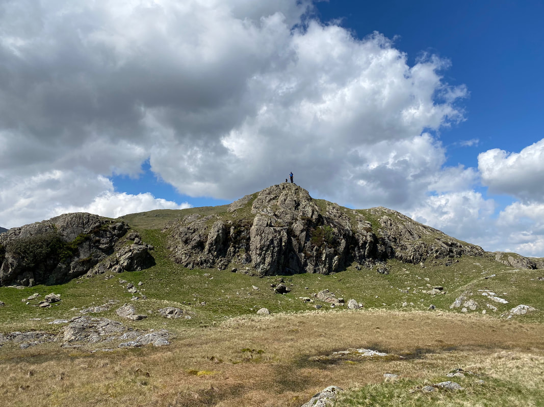
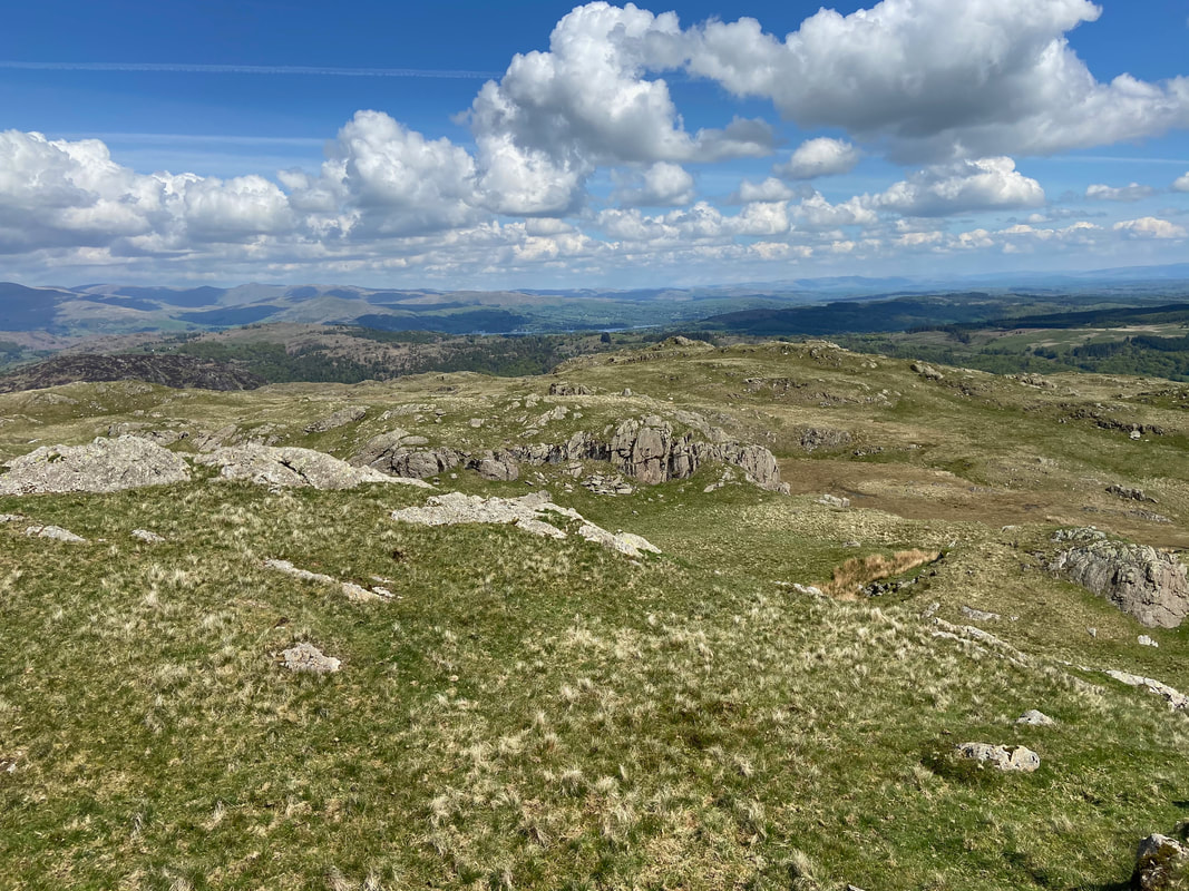
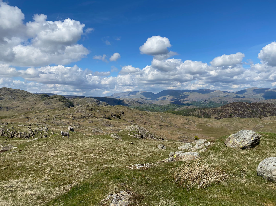
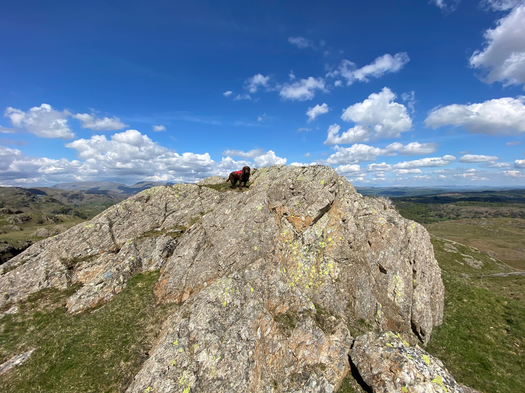
The rocky outcrop which marks the summit of Long Crag with the Eastern Fells in the distance
Angie & Fudge on the summit of Long Crag - Fudge is adopting his "have it" pose
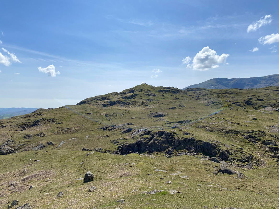
High Wythow from Long Crag - we made our approach from the right
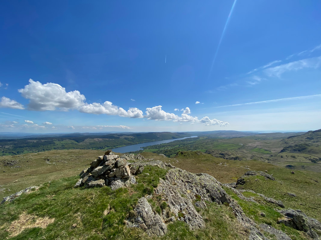
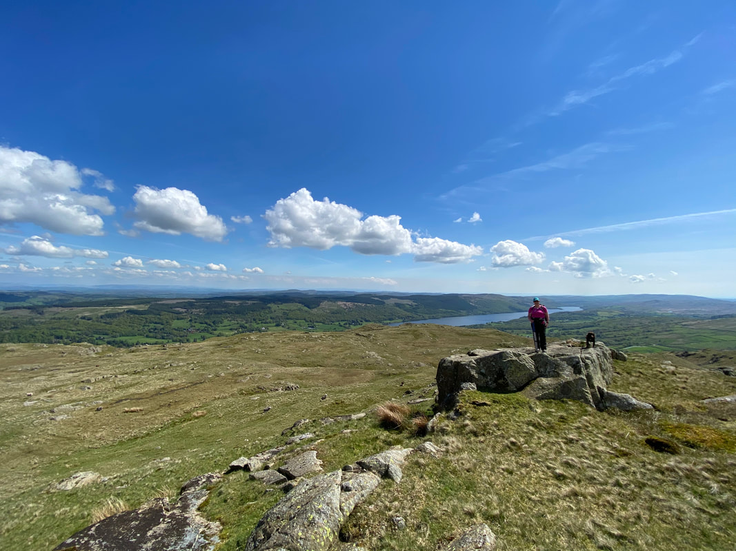
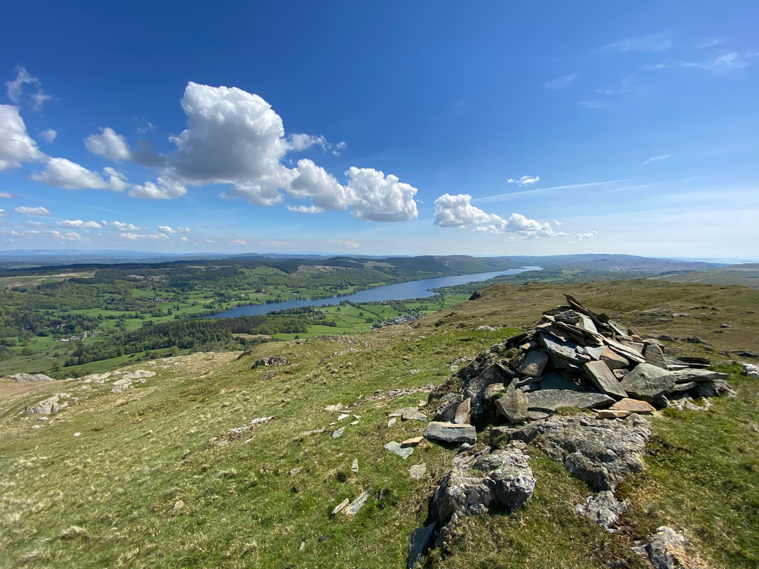
The summit of High Wythow looking to Coniston Water
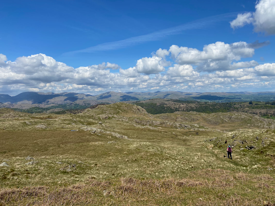
A path of sorts as we leave High Wythow for Low Wythow - just look at that view and absolutely nobody here
It was safe to say that the little fella was having an absolute blast today
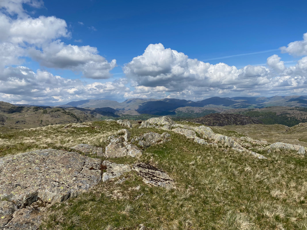
The summit of Low Wythow looking to Wetherlam
Coniston Moor from Low Wythow - another mostly pathless transit over good ground
High Wythow from the summit of Low Wythow
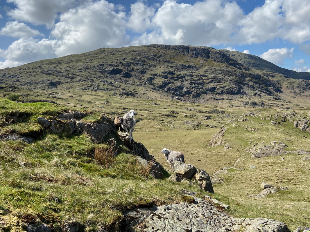
Another view of Wetherlam this time with a local family who didn't mind posing for us
Looking to the highest point on Coniston Moor (well someone is). The summit is known as Brackeny Crag but is not marked as such on the OS Map. To gain the summit involves some mild scrambling but nothing technical.
Fudge on the summit of Brackeny Crag, the highest point on Coniston Moor.
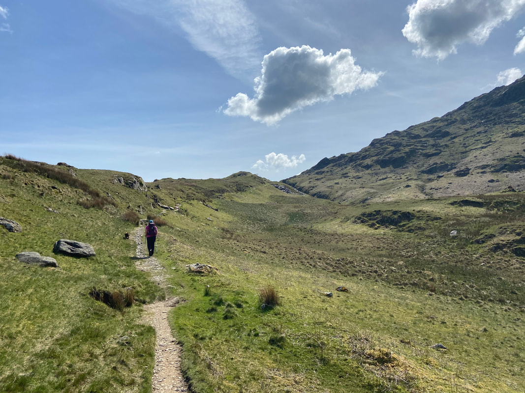
From Brackeny Crag a vague path leads to the route we would use to transit down to Hole Rake and back to Coniston. We would turn left here - turning right would take you to Tilberthwaite.
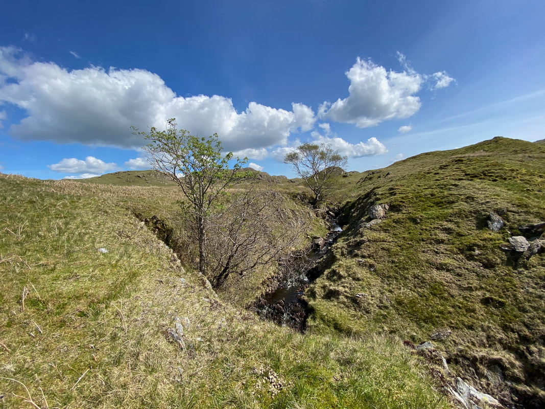
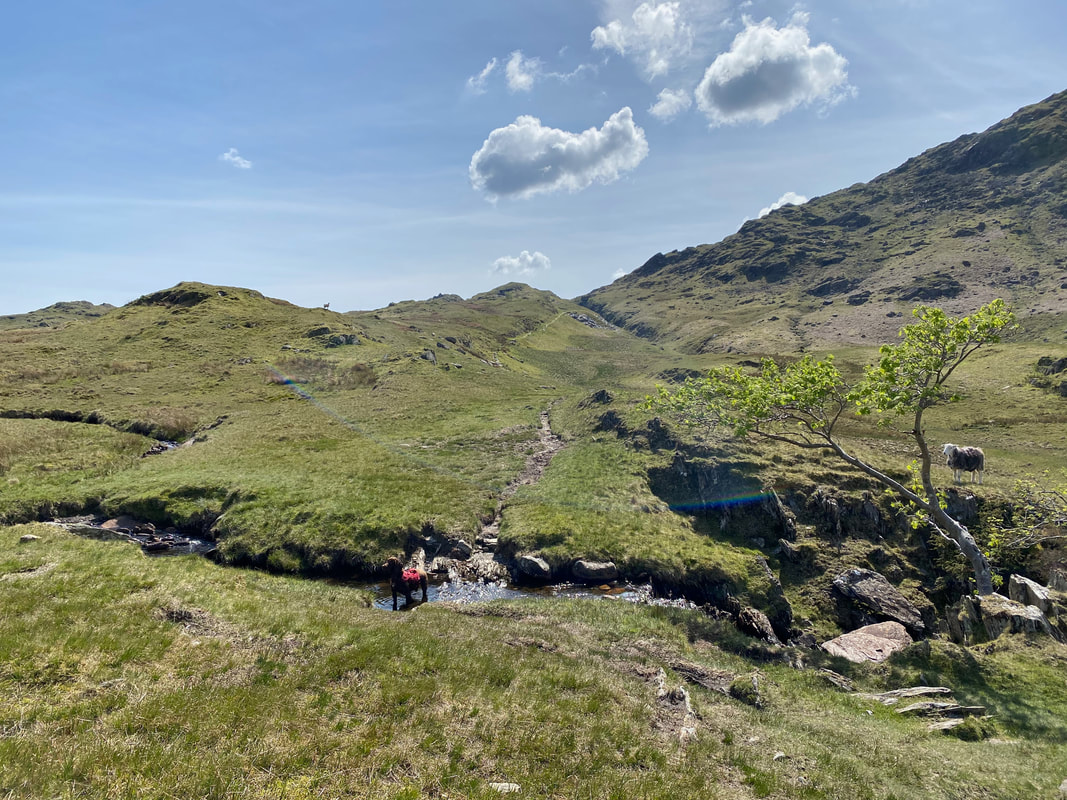
The Yewdale Fells from a small gill that leads to Crook Beck...................
............ which was a welcome plunge pool for a warm pooch
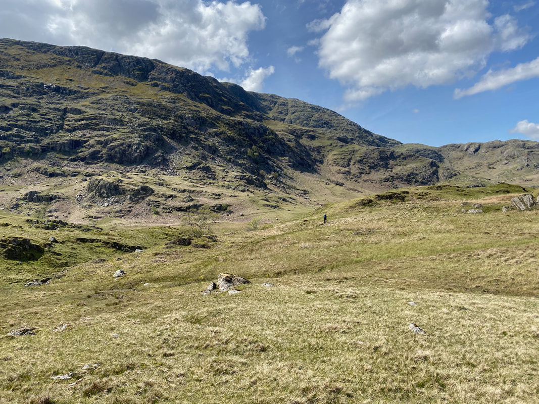
From the main path between Coniston & Tilberthwaite the route across the ground becomes much clearer - the path cuts across the small lump in the centre which is the beginning of Hole Rake.
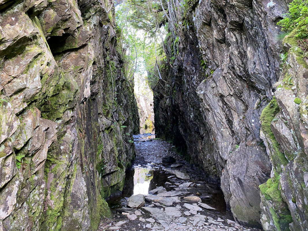
Disused quarry works near Hole Rake
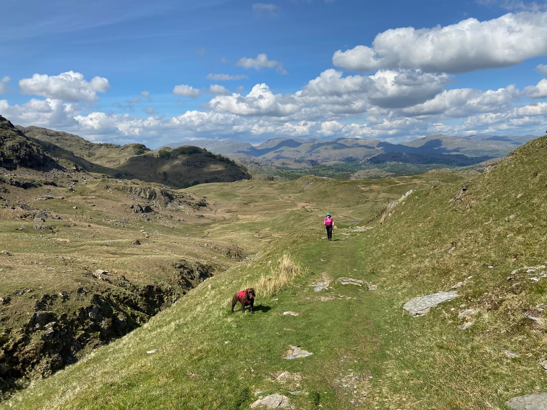
Transiting along Hole Rake on what was an absolutely stunning day
The route eventually emerges above Coppermines Valley once more
The descent from Hole Rake swings over to the right to reach the Coppermines Valley access road - seen here to the right.
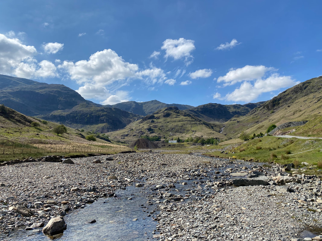
Church Beck & the Coppermines Valley
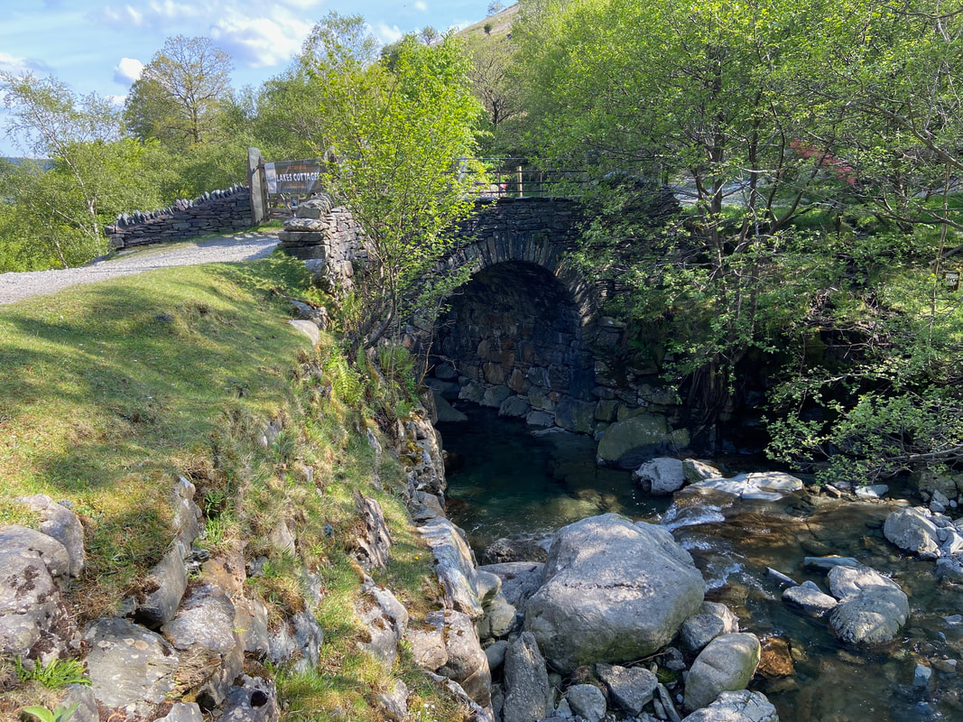
The Miners Bridge. There are two paths here which run along either side of Church Beck. We crossed the bridge to take the right hand path...............
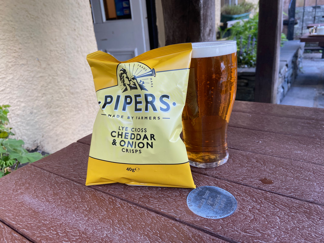
................ which eventually leads to The Sun Inn for some post walk refreshment of a pint of Loweswater Gold and my favourite accompaniment.
