Helvellyn, Catstycam & Birkhouse Moor via Striding Edge - Tuesday 13 September 2016
Route
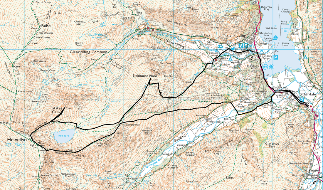
Patterdale - Grisedale Bridge - Hole in the Wall - High Spying How - Striding Edge - Helvellyn - Swirral Edge - Catstycam - Red Tarn - Birkhouse Moor - Mires Beck - Glenridding - Patterdale
Parking
Patterdale (Free spaces and Car Parks) - Grid Ref NY397158
Mileage
10.5 miles
Terrain
Well established mountain paths.
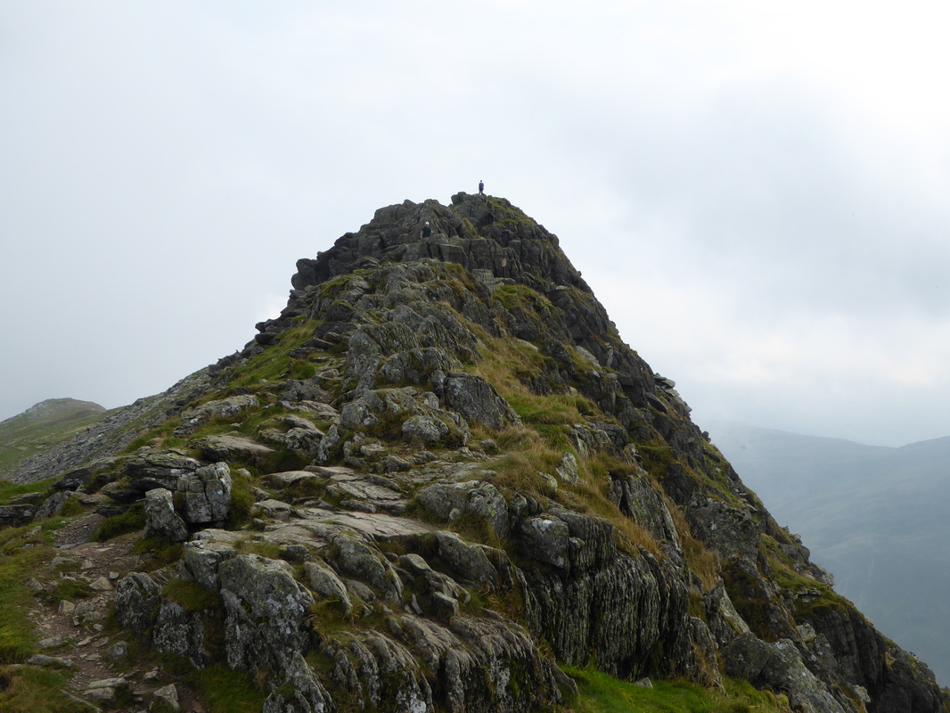
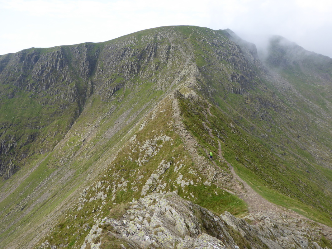
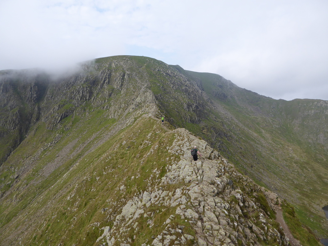
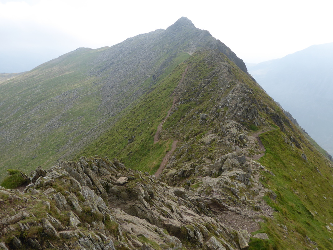
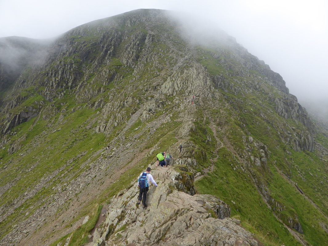
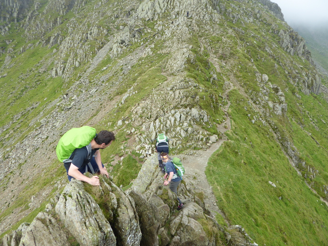
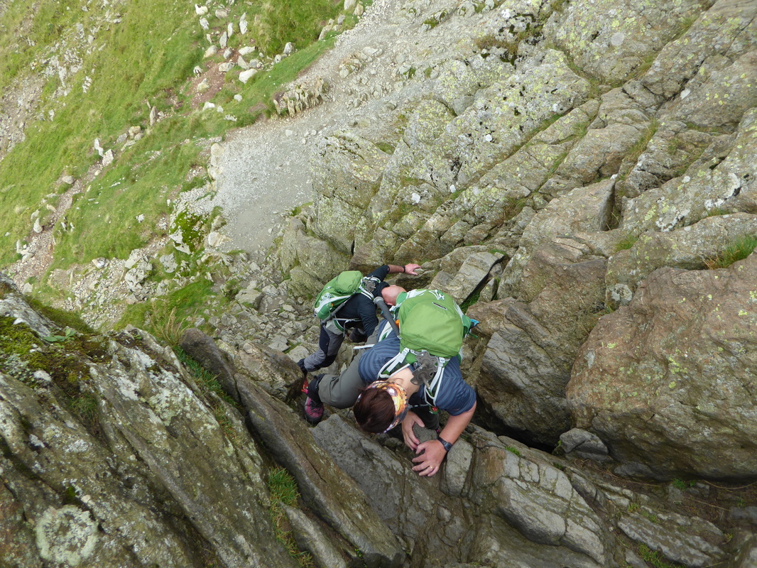
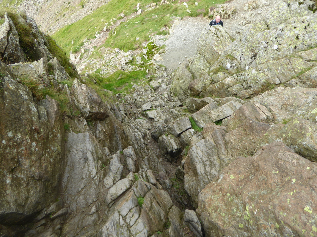
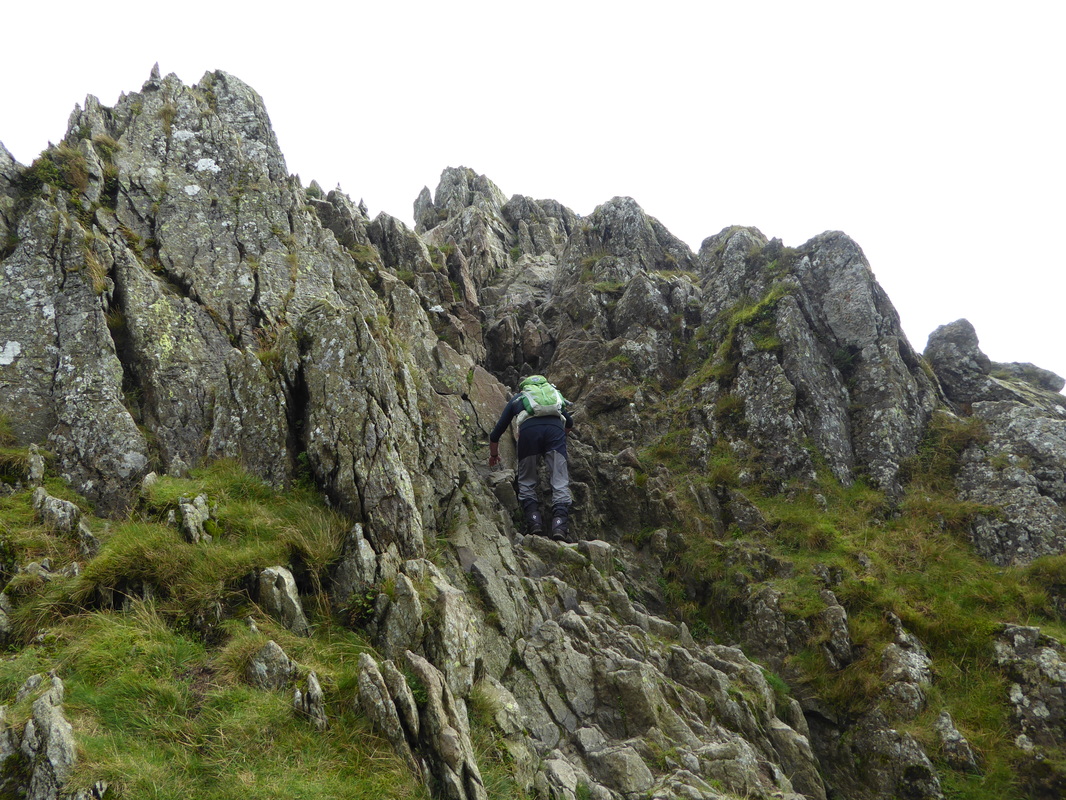
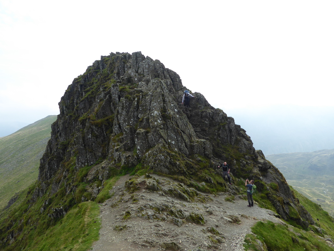
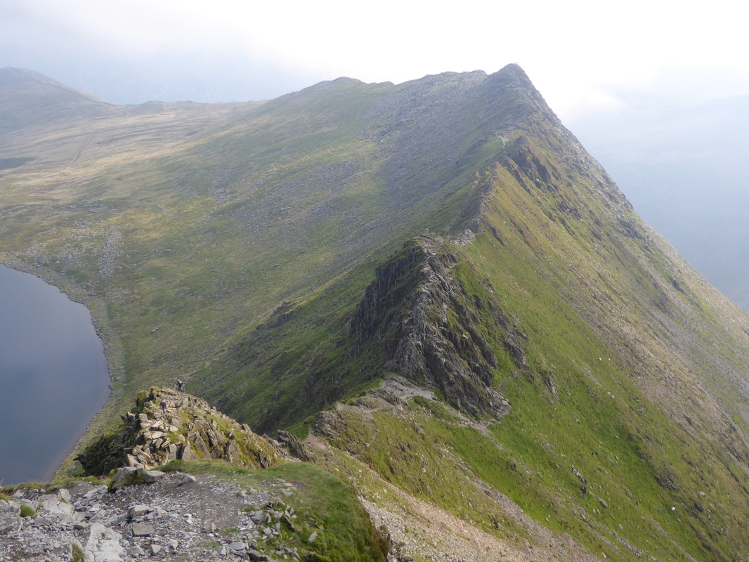
Crossing the shattered arete of Striding Edge in benign conditions (dry, windless days) is a fantastic experience. In my opinion, it should not be attempted in high winds, snow or ice and then only by experienced mountaineers with the correct kit - people have died up there. There is a sense of exposure when transiting the ridge, however there is the option of a less exposed path below the crest. There is a tricky scramble at the Helvellyn end where an 8 metres or so rock tower known as The Chimney needs to be negotiated (see pictures below). The same can be said of the descent of Swirral Edge although there are no alternative paths off the crest. Anyone with any doubt as to their ability to ascend or descend both Striding & Swirral Edge should really not attempt to do so.
Weather
Overcast with sunny spells.
Time Taken
7hrs
Total Ascent
4091ft (1247m)
Wainwrights
3
Map
OL5 - The English Lakes - North Eastern Area
|
GPX File
|
| ||
If the above GPX file fails to download or presents itself as an XML file once downloaded then please feel free to contact me and I will send you the GPX file via e-mail.
Walk Description
We have climbed up Helvellyn a fair few times now and have been unfortunate to have the weather close in on us on each occasion resulting in virtually no views from the summit - our last visit spookily enough was 3 years ago to the day (a link to the walk is here). Today, hopefully, was going to be different as the intention was to take in the arêtes of Striding & Swirral Edge. Having consulted MWIS and Lakeland Weather, which promised good visibility for the day, we took a chance and parked in Patterdale full of anticipation.Today's walk is a classic and has much to get excited about - the transit over the shattered, knife edge arête of Striding Edge being the highlight.
Leaving Patterdale we headed out of the village towards Glenridding before turning off at the Grisedale Bridge no through road. This route is the popular way up onto Striding Edge but luckily was quiet today therefore we saw few people as we made our way along the long transit across the lower slopes of the Grisedale Valley to reach the gap known as "The Hole in the Wall". From here it was a pleasant transit, firstly over Low Spying How and then to High Spying How from where the cloud cleared and the entire arête of Striding Edge spread out before us. It was time for us to split up now as Angie & Fudge were not coming over with me - instead they were off down to Red Tarn and would meet me later at the base of Swirral Edge. As I started my crossing of the arête it was pleasing to see that the visibility remained clear although there was some wispy cloud on Helvellyn that soon headed to the north thankfully.
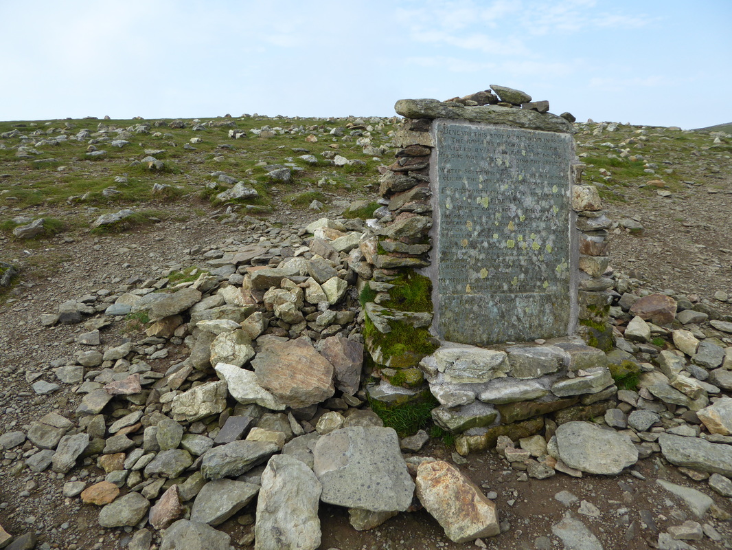
There were a handful of people ahead of me as I started the crossing and I felt lucky that the conditions were as perfect as they could be - no wind, dry underfoot and the sun was out. The arête was a delight and I soon arrived near the end above The Chimney - a scramble descent of 8 metres or so which requires a bit of concentration although there are plenty of hand holds and places to put your feet as you make the descent. I waited above the drop as a few others descended and then made my way down - I took my time and was soon at the bottom. Leaving The Chimney it was time to start climbing again and there now began a tough ascent to the summit via The Abyss - a lung buster which popped me out up on the summit ridge at the Gough Memorial - in memory of the artist of the romantic movement who died on Helvellyn in 1805.
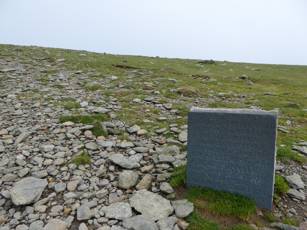
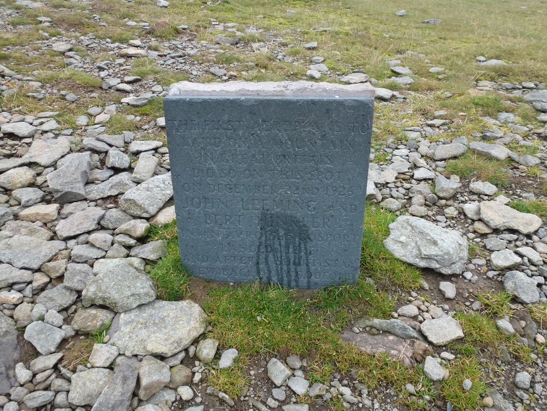
From the Memorial it was a short walk up to the summit, firstly passing the plaque commemorating the landing of a plane on the summit in 1926, then the impressive shelter before reaching both the Trig Point and the summit cairn itself. There were a few people about enjoying the superb views therefore after a few photographs I headed further along the ridge to reach the cairn at the top of Swirral Edge. At this point my old friend the cloud had started to return but luckily for me it just seemed to push up against the north face of Swirral Edge. It stayed there thus giving me a clear view of my descent over the arête which I achieved with no problems to meet Angie & Fudge at the path junction below Catstycam.
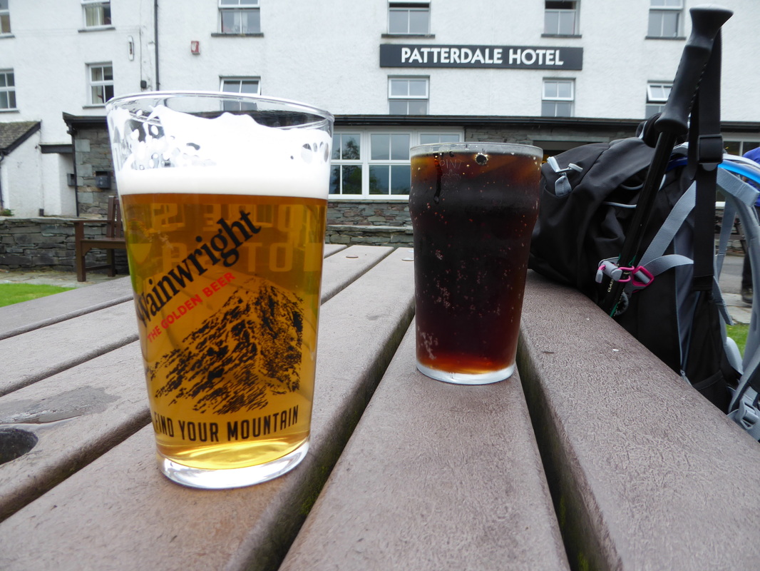
From the junction the path to Catstycam rises gently to reach the summit where there are fantastic views over to The Dodds, Helvellyn and down to Red Tarn. Retracing our steps to the junction we then joined the path back to Red Tarn which in turn leads to below The Hole in the Wall from where there is a delightful transit over Birkhouse Moor. We visited both summits before the long descent via Mires Beck to Glenridding and then along the road to the finish at Patterdale. A couple of cold drinks were enjoyed sat outside The Patterdale Hotel that finished off this superb walk perfectly. Another exceptional day out.
Sheffield Pike & Glenridding Dodd from Patterdale
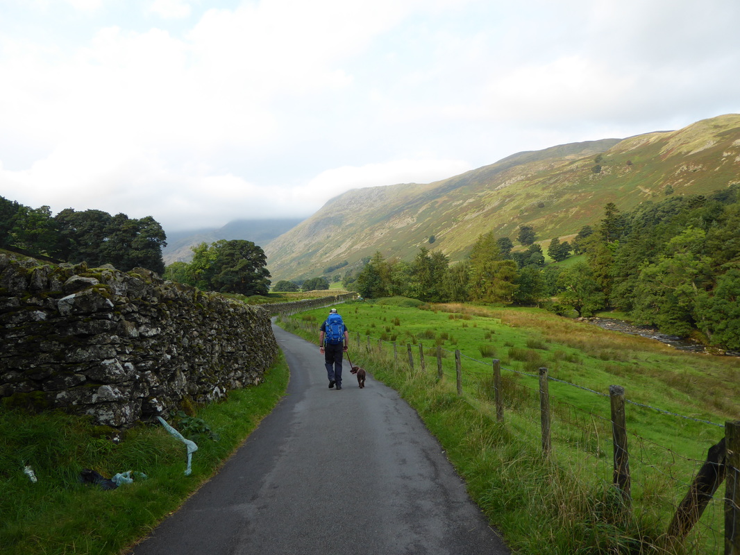
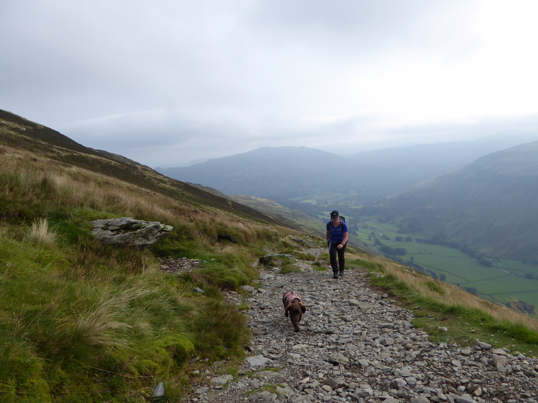
A nice easy start as we head along the Grisedale Valley.
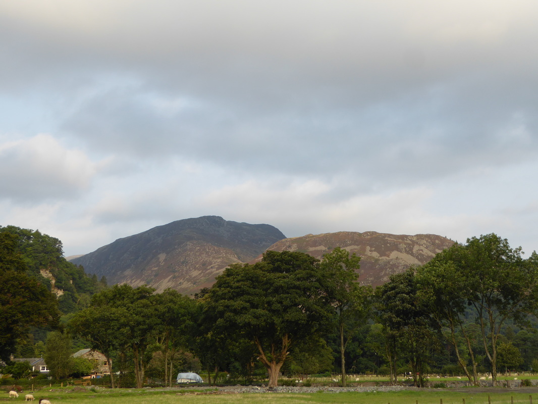
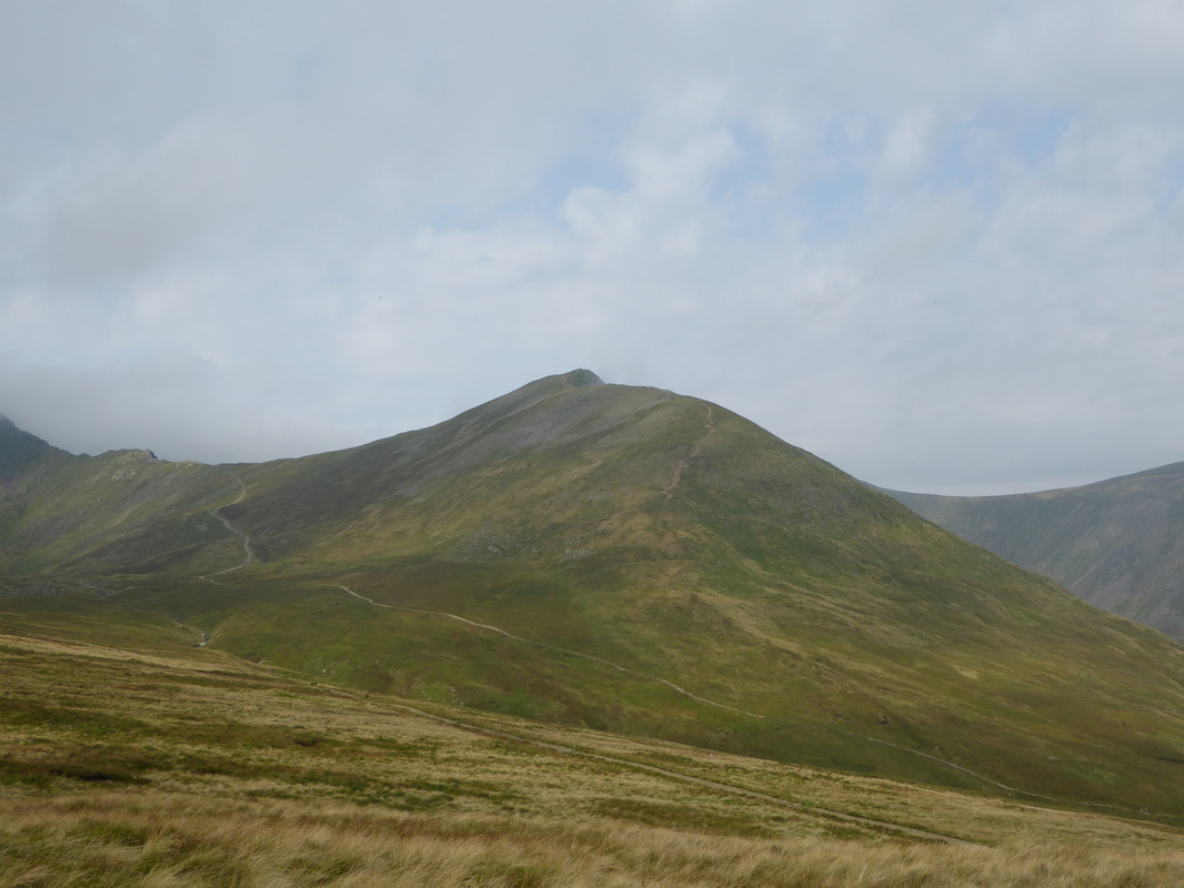
I must admit at this point Striding Edge & Helvellyn were looking a bit clagged in
I must admit at this point Striding Edge & Helvellyn were looking a bit clagged in
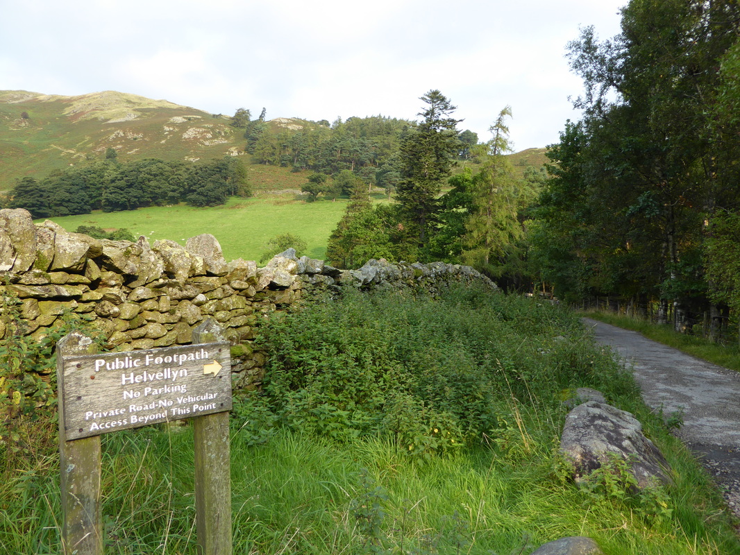
Arriving at a junction the route heads right to join the main thoroughfare to the Hole in the Wall
Above the Grisedale Valley looking back to Place Fell.
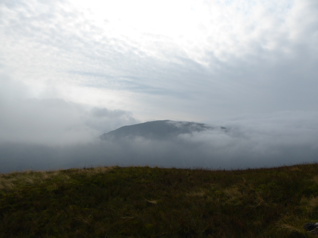
At this point it still wasn't looking too promising that we would have any sort of view on Helvellyn today
At this point it still wasn't looking too promising that we would have any sort of view on Helvellyn today
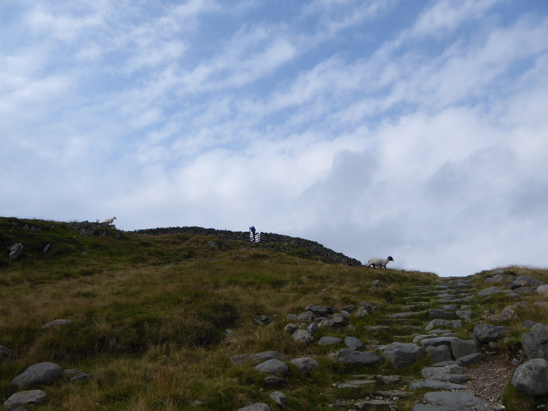
Getting my leg over at The Hole in the Wall
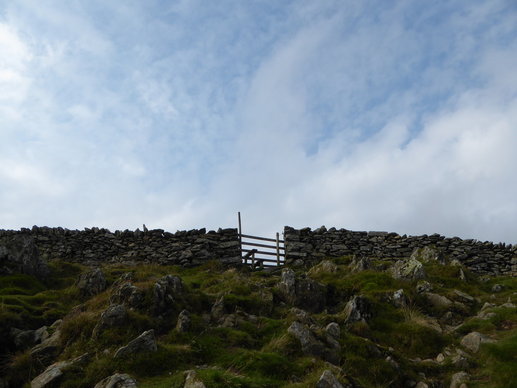
The stile known as "The Hole in the Wall" which gives access to the transit over to Striding Edge
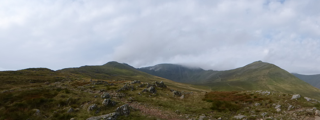
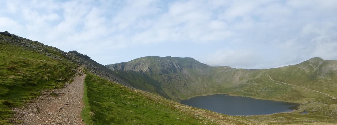
A panoramic view from The Hole in the Wall to Low & High Spying How, Helvellyn & Catstycam
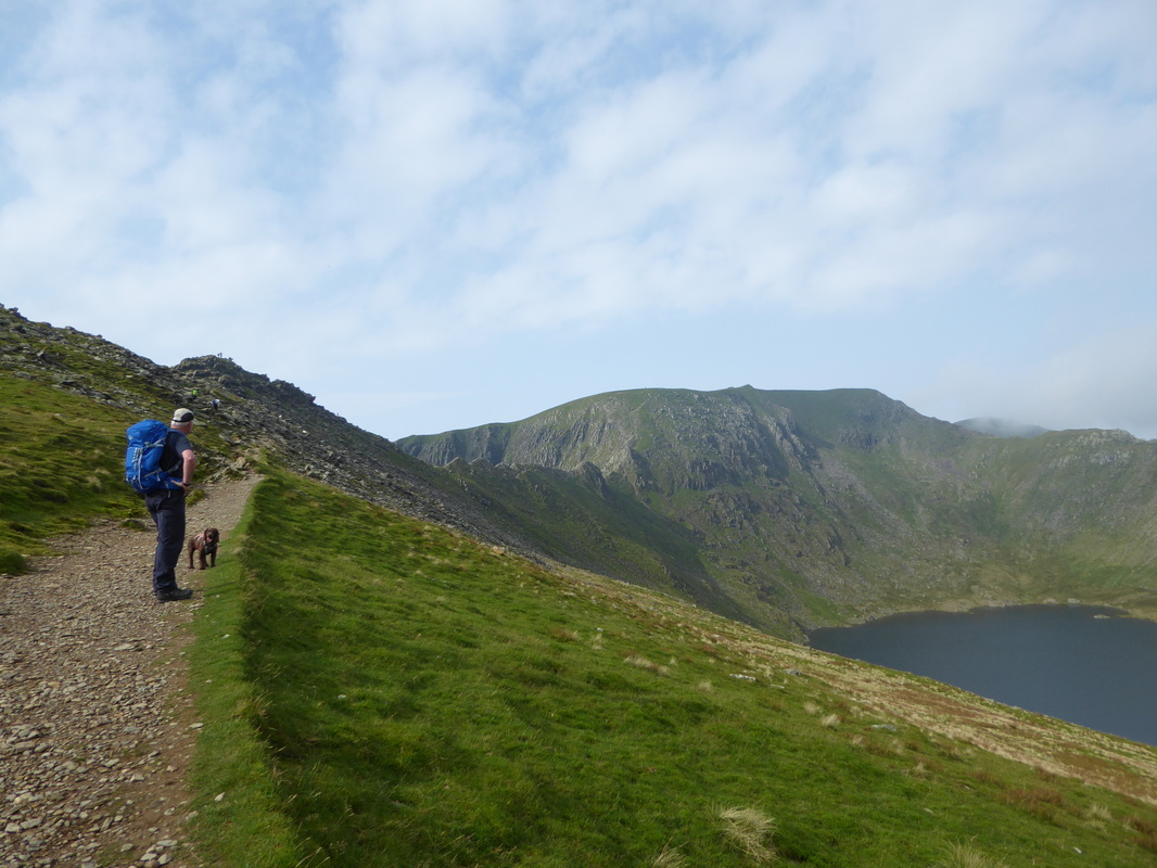
Swirral Edge & Catstycam - our route of descent from Catstycam was from the left hand side of the shot where the path can clearly be seen. There are two options from here - both paths take you to Glenridding although the left hand side (as you look at it) is better for Patterdale
The visibility still looked awful as we peered over the Grisedale Valley towards St Sunday Crag
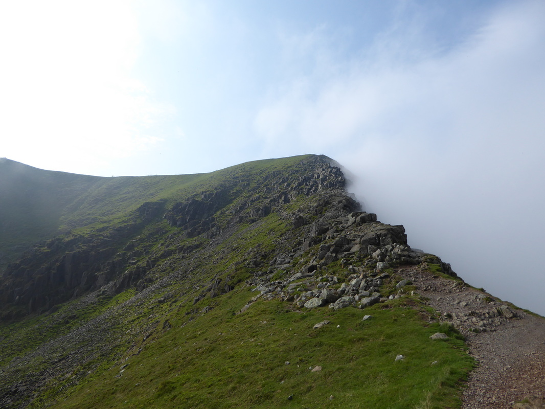
Hang on a minute - we might be in luck here. All of a sudden the cloud buggered off and we were afforded this superb view of the walk ahead
Fudge & I contemplate Striding Edge - little did he know it but he was off to Red Tarn with his Mum
A Helvellyn panorama
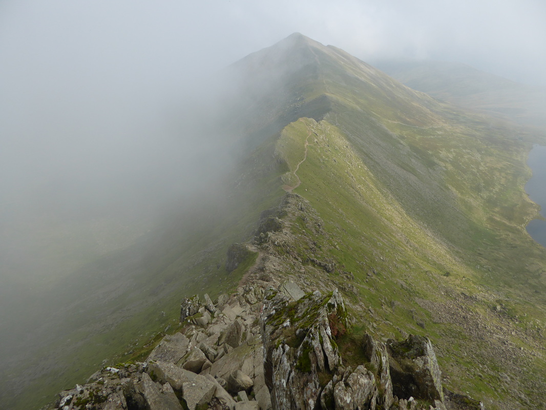
Striding Edge
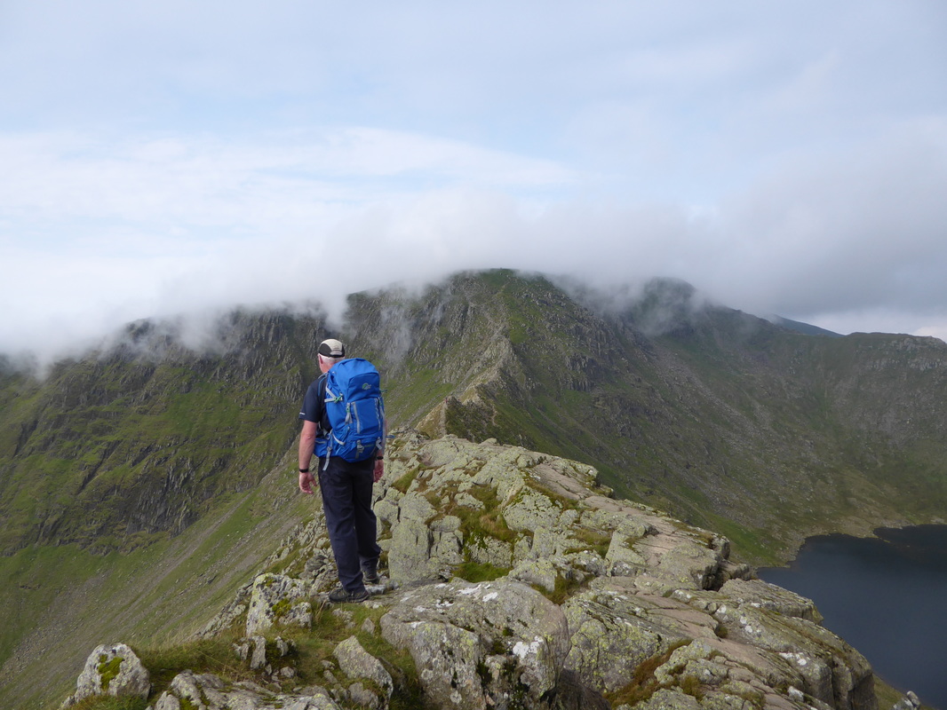
The cloud was still lurking as I started my crossing of Striding Edge - luckily this was just the left overs
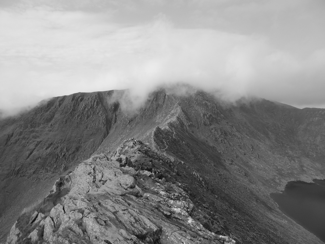
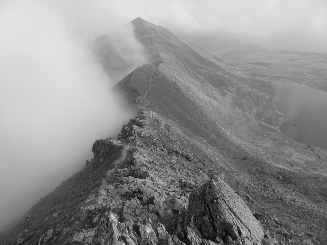
Striding Edge in mono
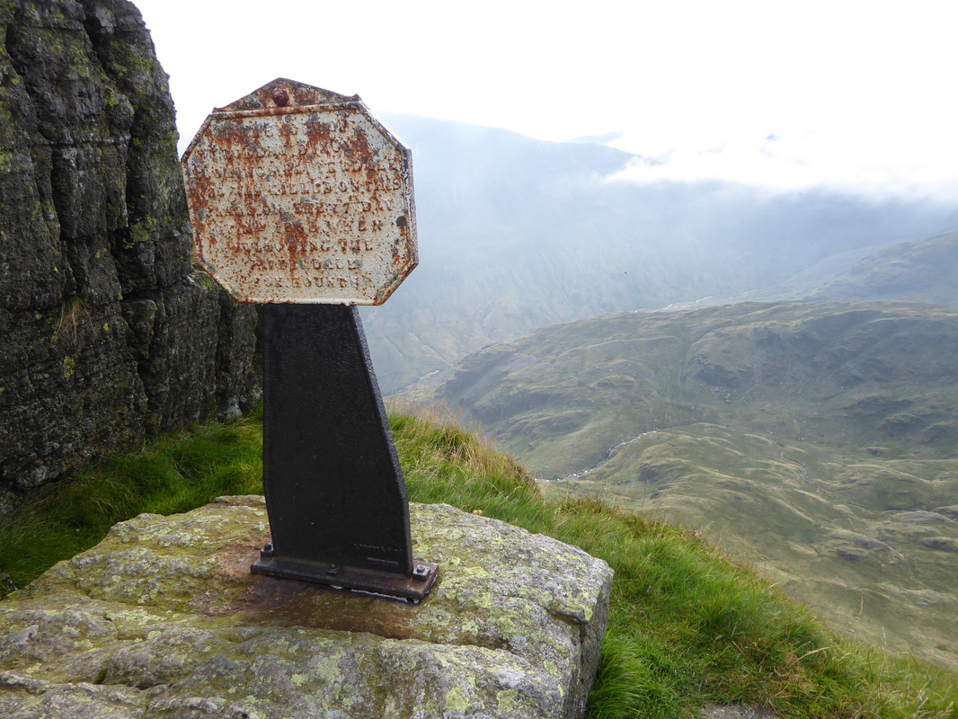
The Dixon Memorial below High Spying How
Looking back to Angie on the top of High Spying How
Here we go then - the crossing of Striding Edge
Nethermost Pike, Helvellyn & Catstycam across Striding Edge
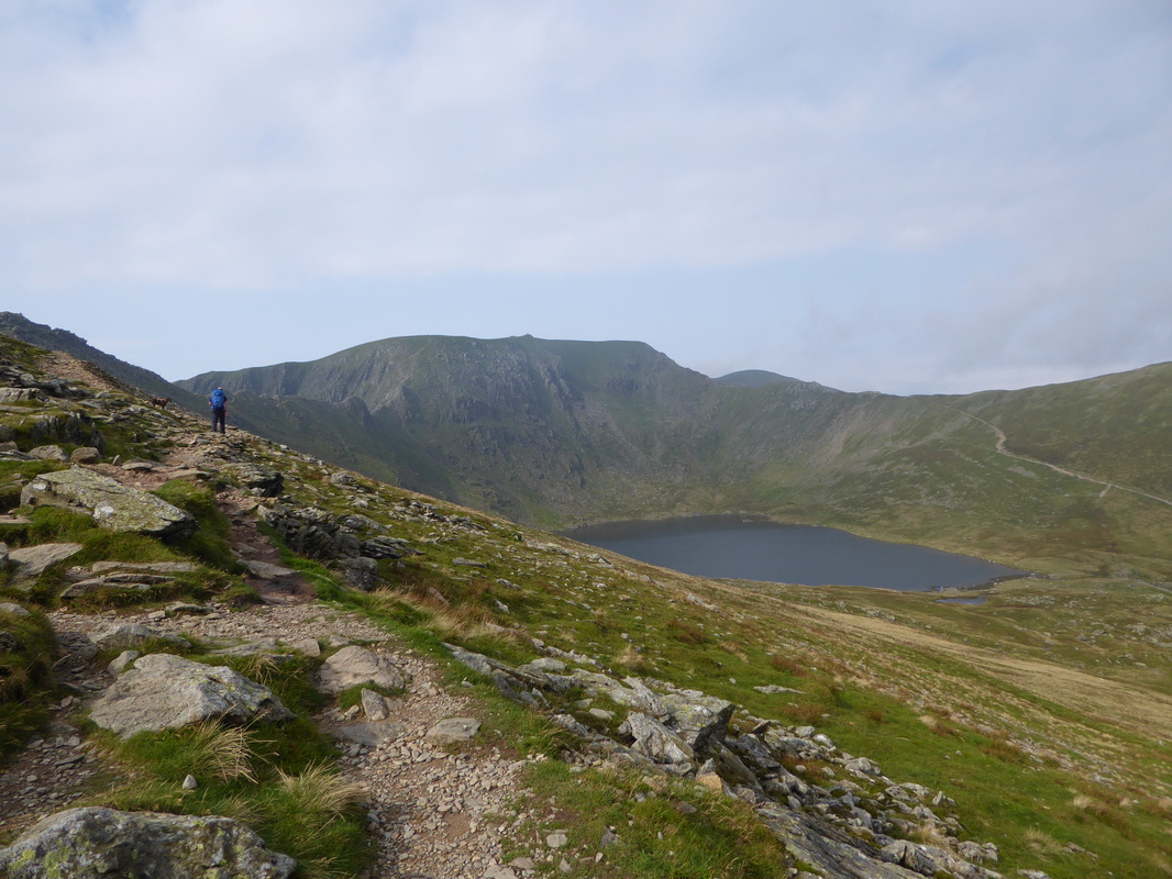
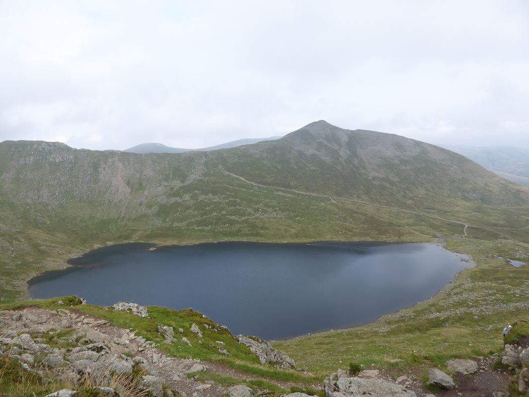
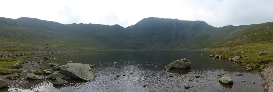
Red Tarn & Catstycam - I could hear Fudge barking as he was having so much fun in the water
Can anyone spot the inflatable canoe?
Can anyone spot the inflatable canoe?
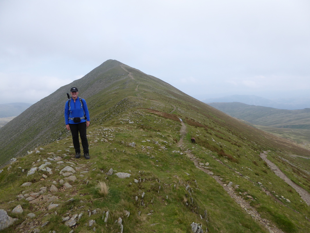
Further along Striding Edge - luckily the arete was pretty quiet when I crossed. I would not like to be on here in the height of summer.
Looking back to High Spying How
There were about 4 or 5 people ahead of me as we approached The Chimney
The access point of The Chimney
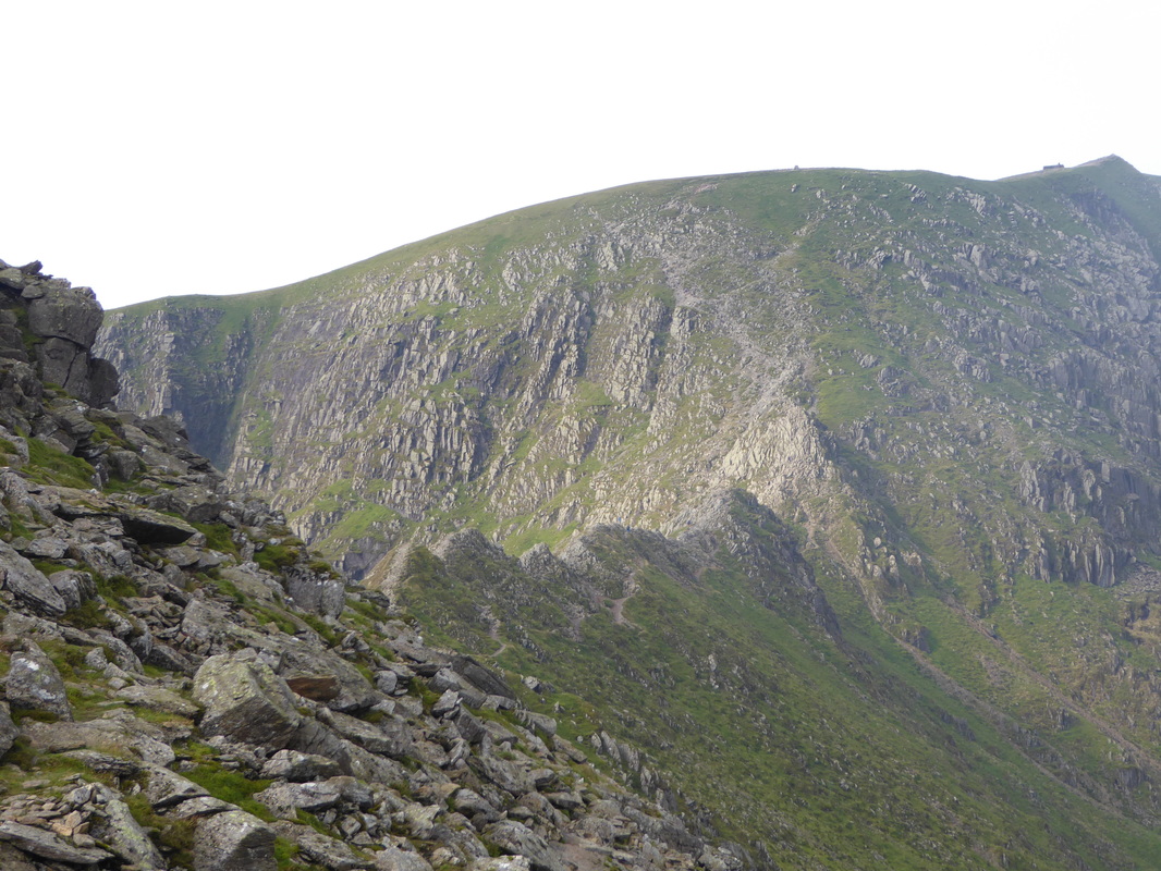
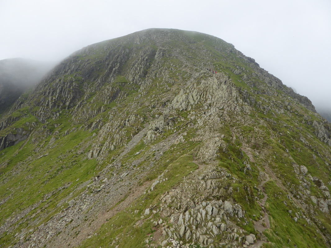
Whilst I waited for The Chimney to clear I had a good long look at the final approach to the summit.
This area of rocky ascent was described by the guide book writer W A Poucher as "The Abyss"
This area of rocky ascent was described by the guide book writer W A Poucher as "The Abyss"
The descent of The Chimney
A clearer view of The Chimney - it looks daunting but there are plenty of hand & foot holds.
I waited until it was totally clear then simply took my time. I would not like to descend this in the wet or with ice about.
I waited until it was totally clear then simply took my time. I would not like to descend this in the wet or with ice about.
The Chimney from below
The Chimney from further back
A superb view looking back along the shattered arete of Striding Edge as I make my ascent of The Abyss
The Gough Memorial on Helvellyn's summit ridge
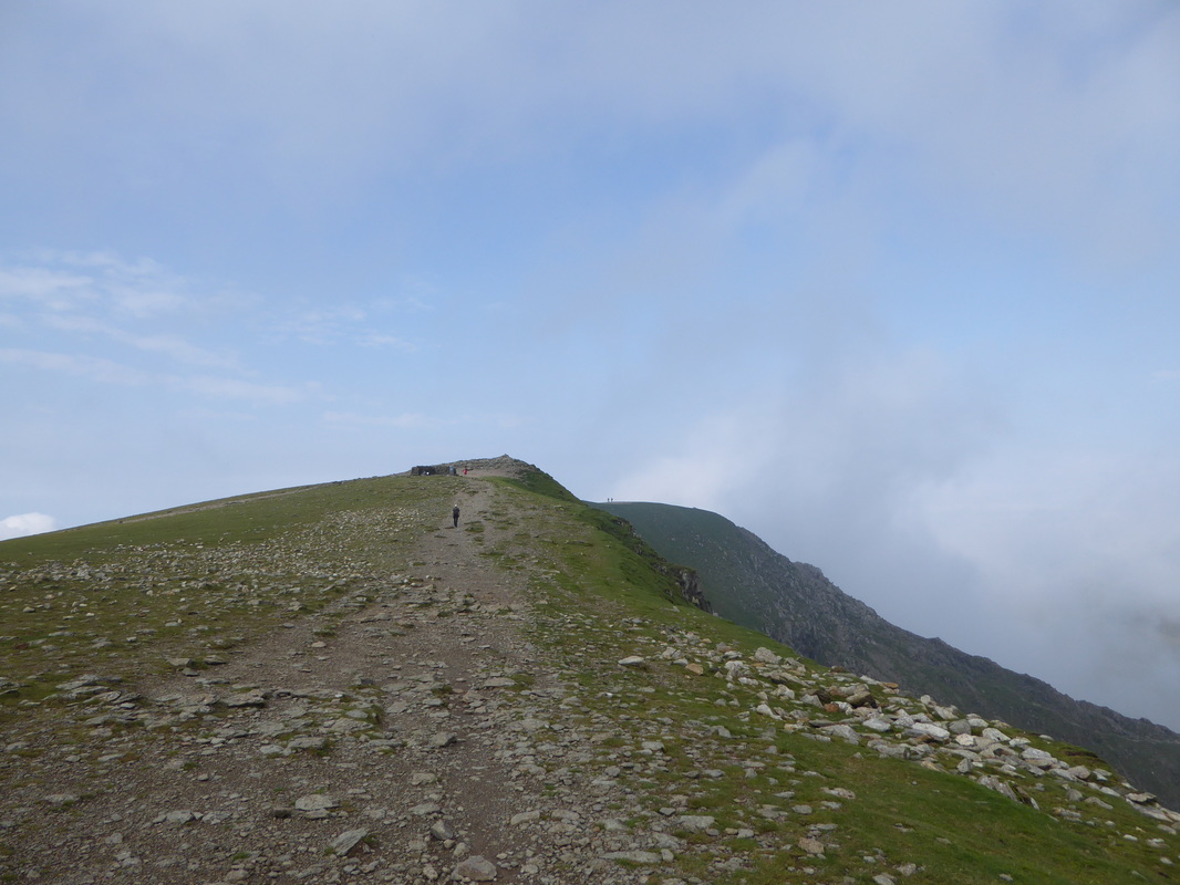
Once on the ridge it is a short walk to Helvellyn's summit
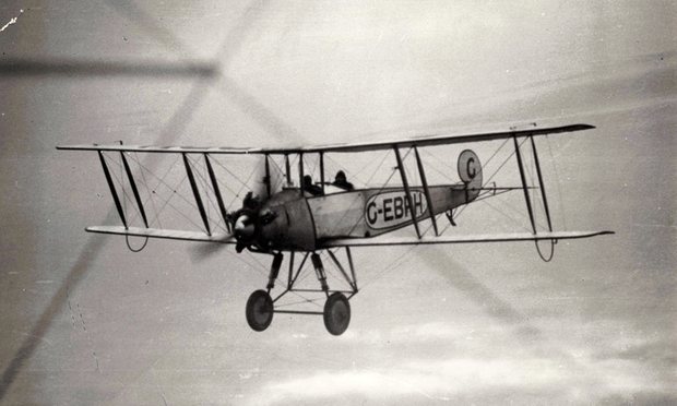
The plaque commemorating the successful landing of an AVRO aeroplane on Helvellyn's summit in 1926.
You can tell from the different photos (taken 3 years apart) that Fudge was not with me on the summit today!!
You can tell from the different photos (taken 3 years apart) that Fudge was not with me on the summit today!!
... and here it is
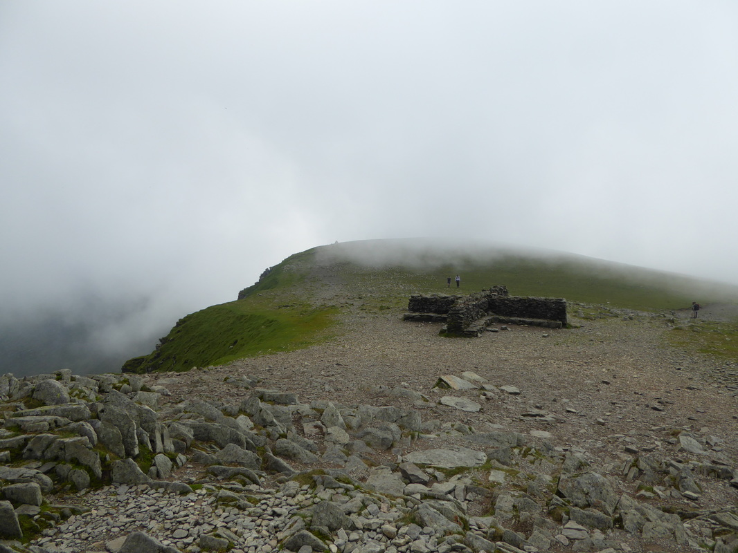
The impressive summit shelter on Helvellyn
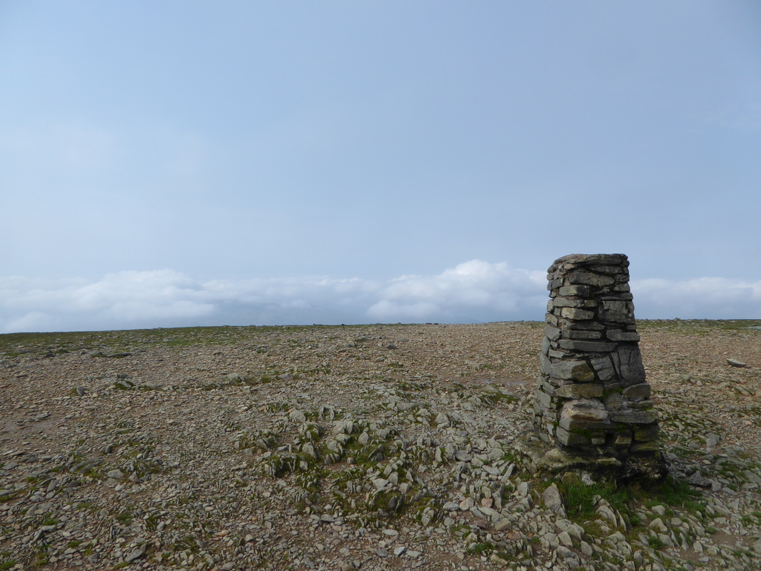
The summit of Helvellyn looking to Swirral Edge
The Trig Point on the summit of Helvellyn
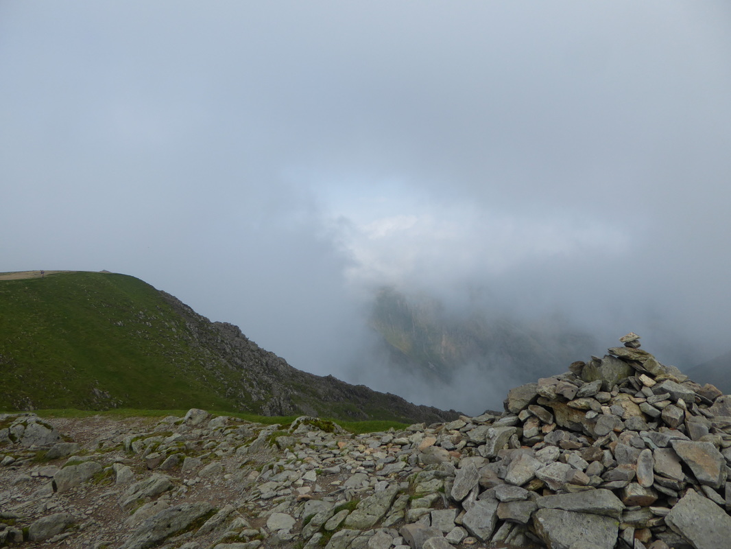
Swirral Edge - here comes that cloud again
Swirral Edge in mono
Looking back up Swirral Edge - the cloud just seemed to sit up against the northern face of the edge
Back with Angie & Fudge again as we look to Catstycam
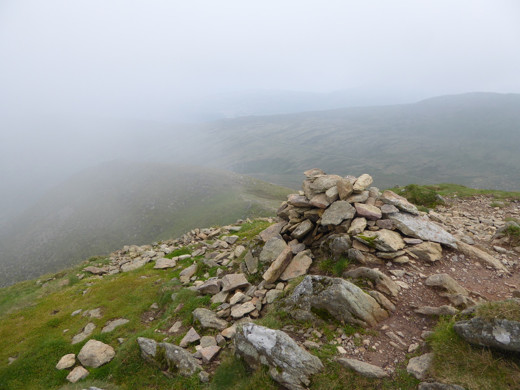
The summit of Catstycam - Helvellyn was now shrouded in cloud
Red Tarn with Helvellyn above
Catstycam, Raise & The Dodds
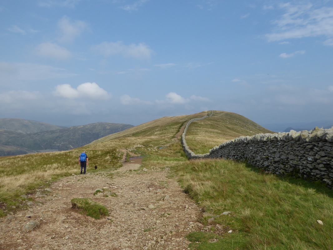
Heading for Birkhouse Moor
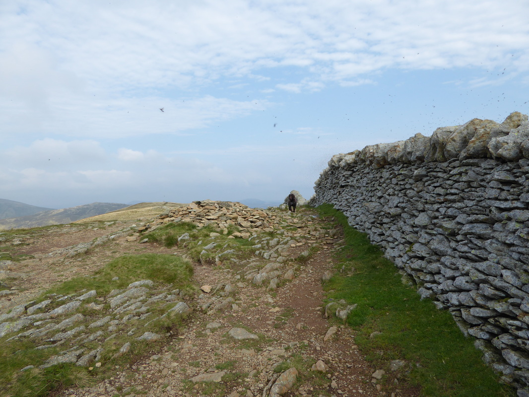
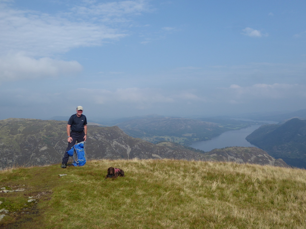
Fudge & a few of his annoying mates on the summit of Birkhouse Moor - the North Top lies about a quarter of a mile away
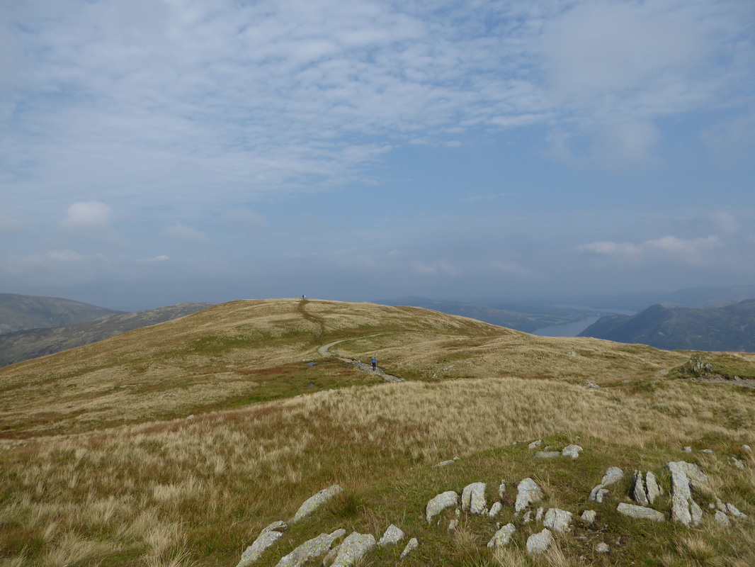
Heading for Birkhouse Moor's North Top - Ullswater comes into view
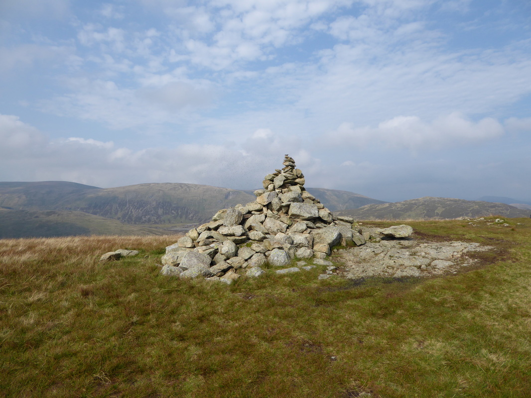
The North Top of Birkhouse Moor with Stybarrow Dodd, Green Side and Hart Side to the rear
Great view of Ullswater from Birkhouse Moor's North Top
A panorama of The Dodds, amongst others
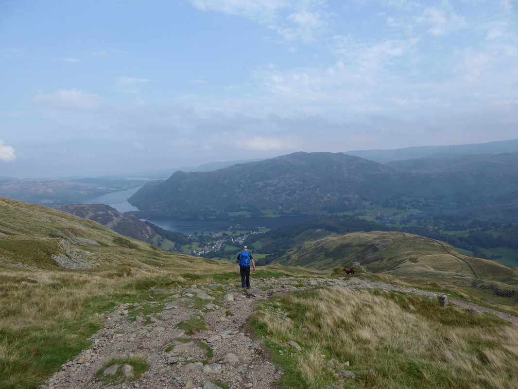
Making our descent to Glenridding - the path drops down to the right and hugs the wall
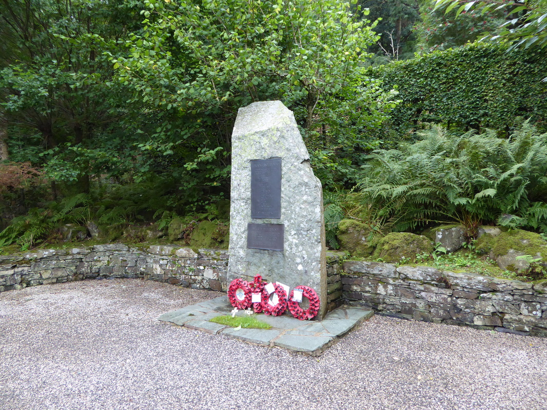
The War Memorial between Patterdale & Glenridding
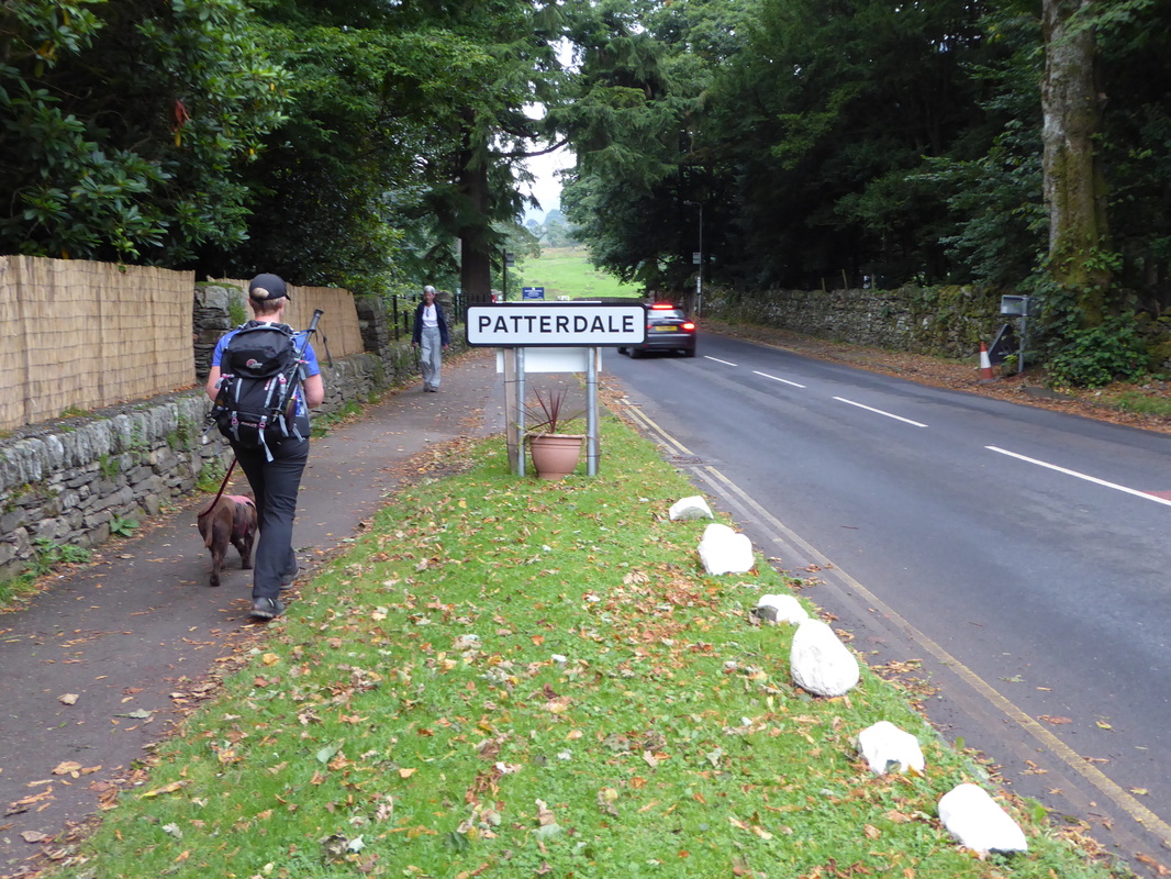
Almost there now - I can smell Beer
A perfect end to a fantastic day
