Fleetwith Pike, Haystacks, Brandreth & Grey Knotts - Friday 18 March 2022
Route
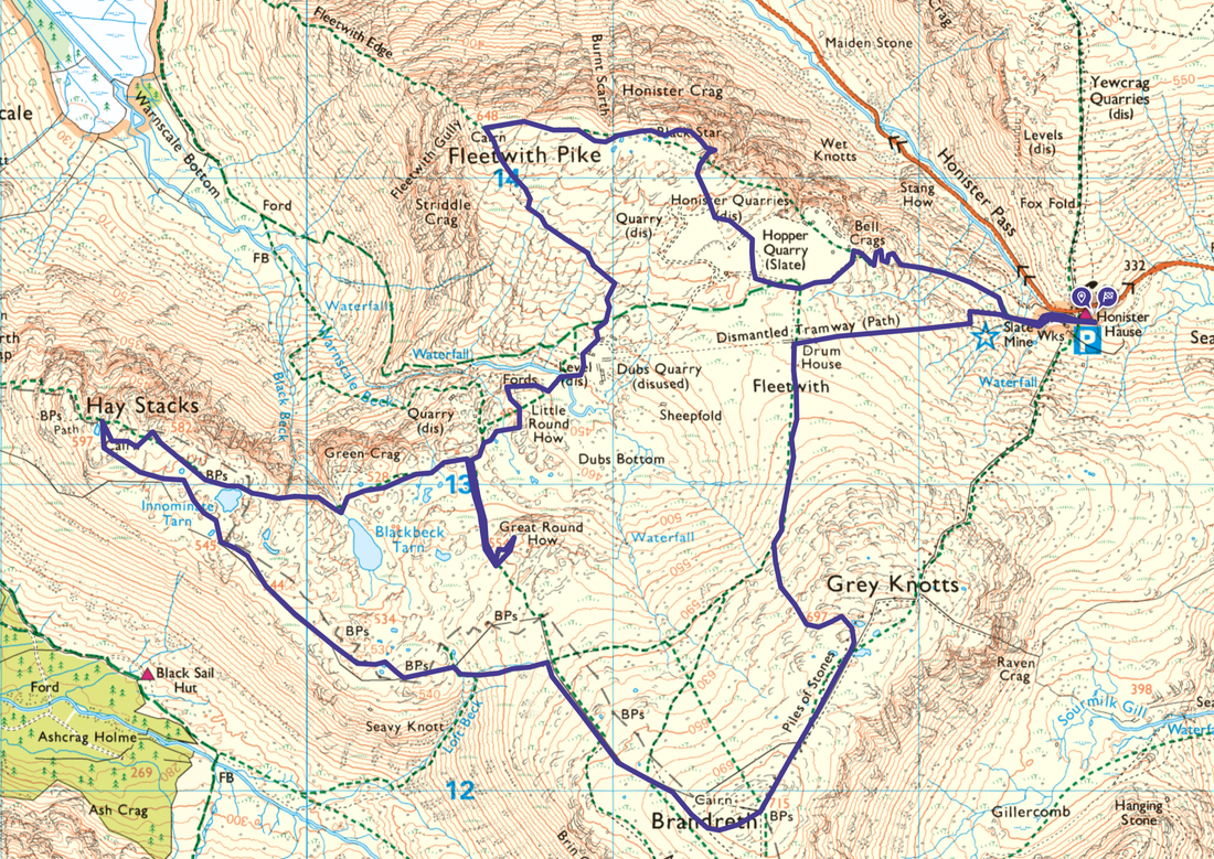
Honister - Bell Crags - Hopper Quarry - Black Star (Honister Crag) - Fleetwith Pike - Dubs Hut - Little Round How - Great Round How - Blackbeck Tarn - Innominate Tarn - Haystacks - Loft Beck - Brandreth - Grey Knotts - Drum House - Honister
Parking
Honister Slate Mine (£5 all day, pay in the shop) - Grid Reference NY 22458 13538. Nearest postcode is CA12 5XN which will take you to Seatoller however the Slate Mine is 1.4 miles further on up the B5289 (Honister Pass). There is also a National Trust Car Park next door to the Slate Mine.
Mileage
9.2 miles
Terrain
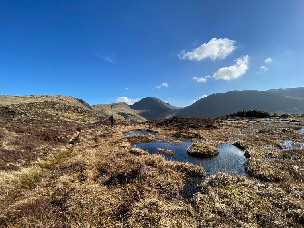
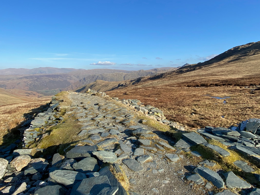
Good mountain paths for the most part. The path on the section from south of Innominate Tarn to the top of Loft Beck is intermittent in part and it is just a question of keeping the fence line on your right hand side as much as possible.
Weather
Wall to wall sunshine with the odd stiff breeze.
Time Taken
6hrs
Total Ascent
2539ft (774m)
Wainwrights
4
Map
OL4 - The English Lakes (North Western Area)
Walkers
Dave, Angie & Fudge
|
GPX File
|
| ||
If the above GPX file fails to download or presents itself as an XML file once downloaded then please feel free to contact me and I will send you the GPX file via e-mail.
Route Map
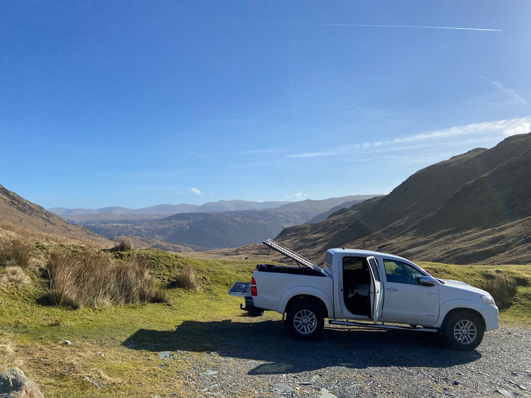
Not a bad view from the National Trust Car Park at Honister - looking down into Borrowdale on a beautiful day
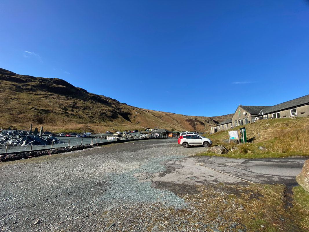
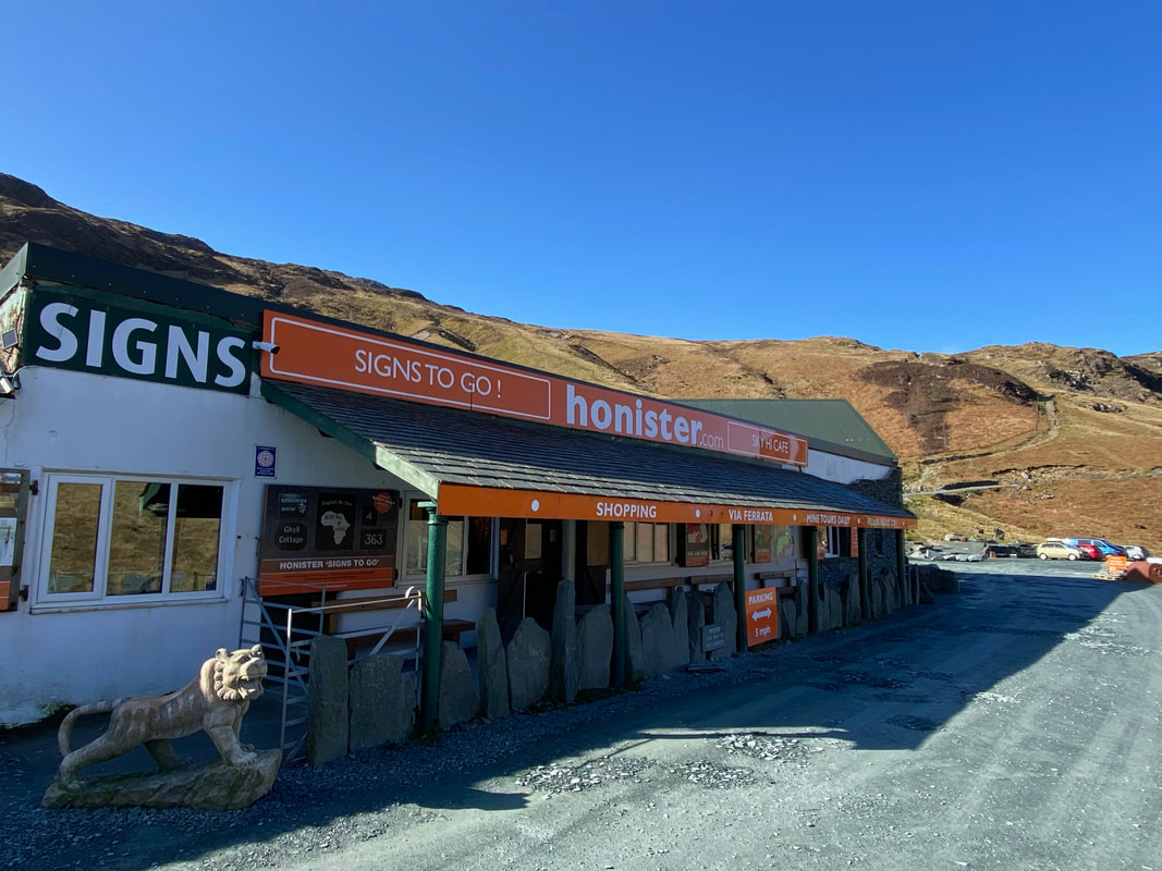
The National Trust Car Park sits below Honister Youth Hostel and a few yards east of the main entrance to Honister Mine
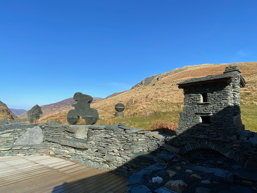
Just a few examples of the superb slate art work on show at Honister. The building on the right is a slate model of The Bridge House at Ambleside.
Mining of Westmorland Green Slate has been taking place at Honister since at least 1728 and most likely well before that. After closing in 1966 the mine briefly reopened between 1981 & 1989 however on closing once more it remained derelict until 1997. Local businessman Mark Weir bought the mine and set about redeveloping the mining side of the business as well as introducing a tourism element. Sadly Mark died in 2011 however the business continues to thrive under the management of Mark's family. A link to the Honister Mine website is here - I can very strongly recommend the mine tour.
Bell Crags from the western end of Honister's Car Park. Our path of ascent up the mine road can be seen to the left.
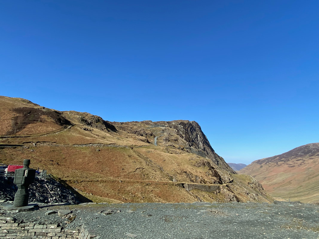
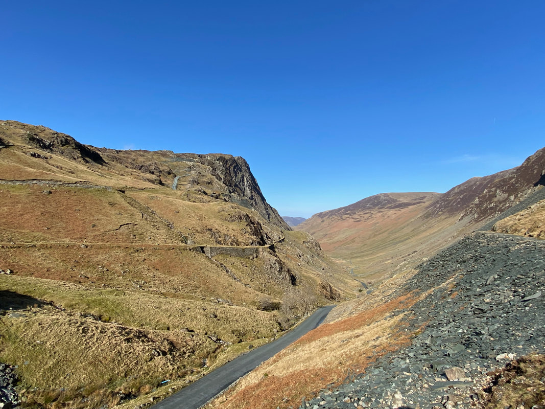
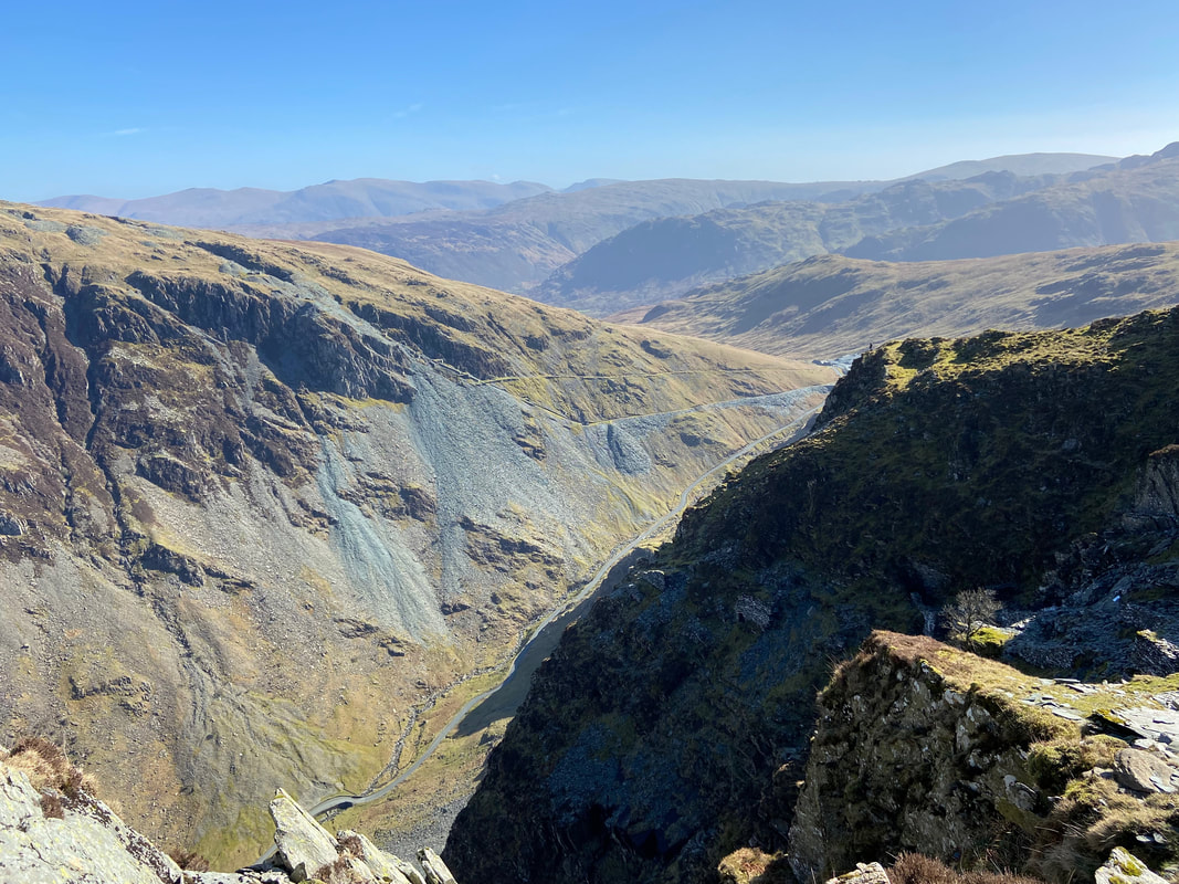
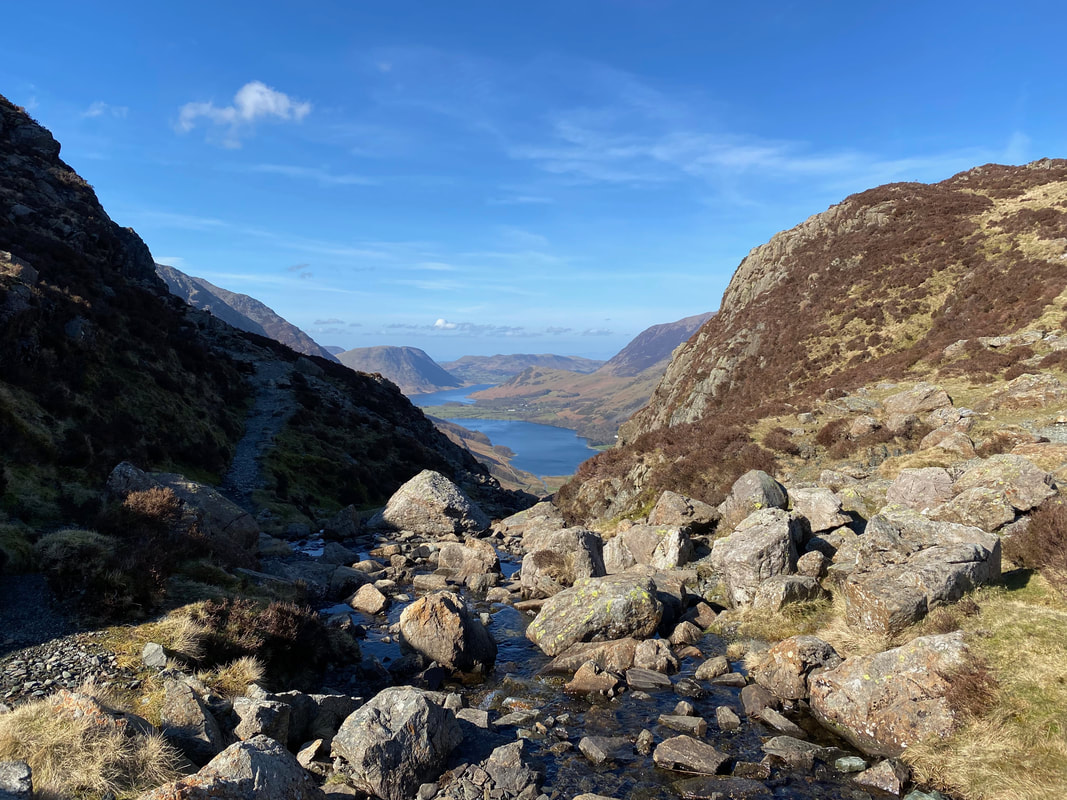
Before leaving Honister I crossed over to the other side of the road to capture this fantastic view down the Honister Pass
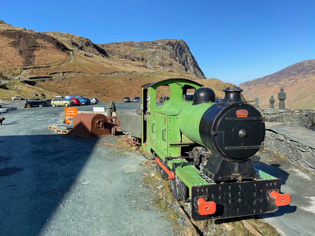
Near the entrance to the shop & cafe is this Baguley Steam Outline Locomotive. When is a steam locomotive not a steam locomotive? Well - when it is actually a diesel! This 2ft gauge loco No 3236 was built in 1947 by Baguley for the amusements at Sheerness, but since 1998 is now on static display outside the entrance.
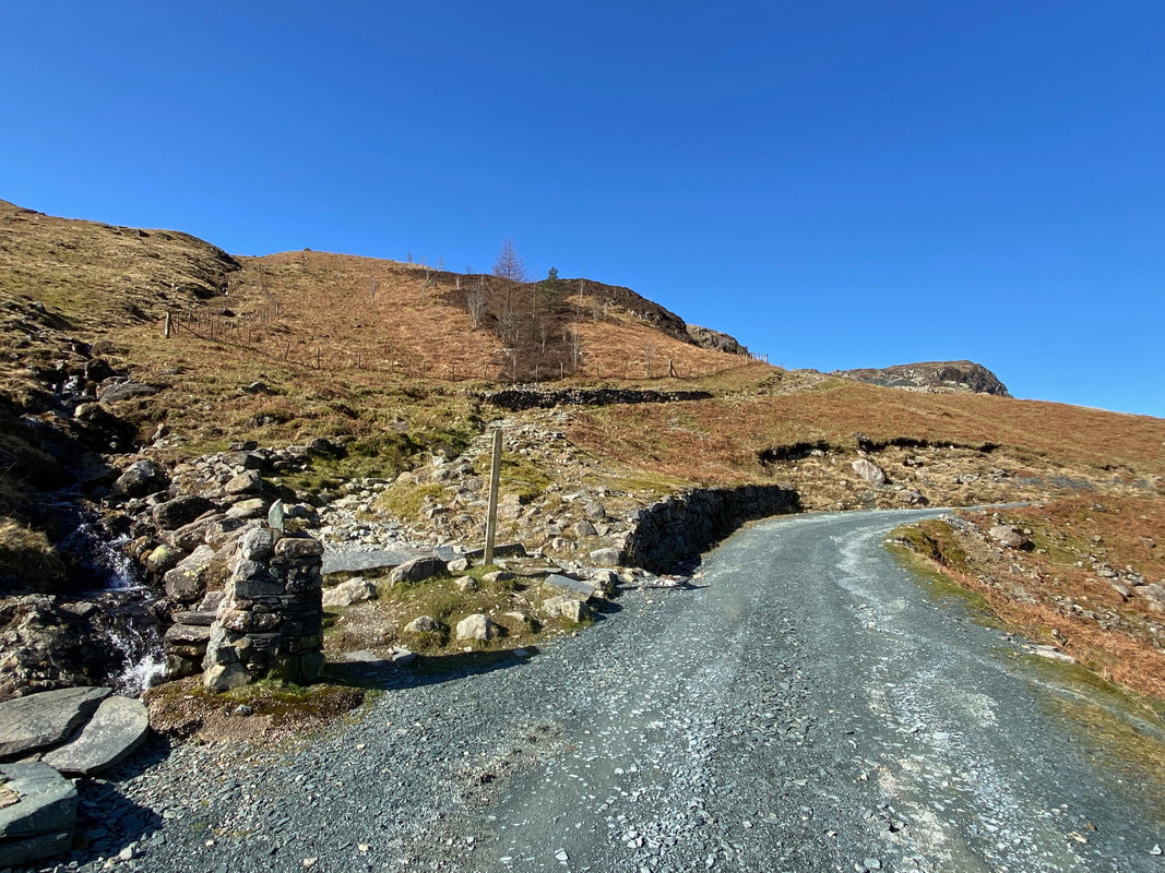
Our route heads off up the mine access track to the right. To the left is our return route which is the Coast to Coast path coming down from the Drum House.
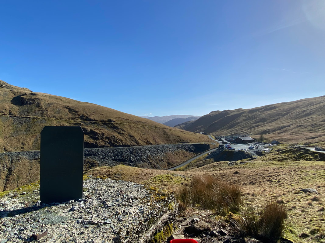
Looking down to Honister from the Celia Taylor-Weir plaque dedicated to her by her family. Celia was Mark Weir's mother and she sadly died in 2020. The slate plinth is inscribed with Rudyard Kipling's poem "IF"
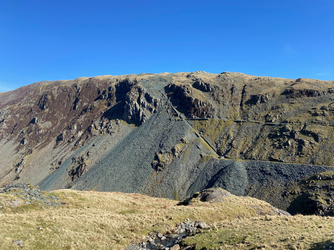
Looking across the Honister Pass to the Yewcrag Quarry levels
The path forks and we headed to the left to continue the steep ascent. The path to the right leads to the start of the Mine Tour Entrance and is accessed via a shuttle bus.
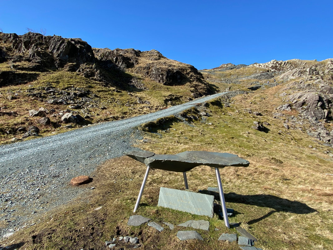
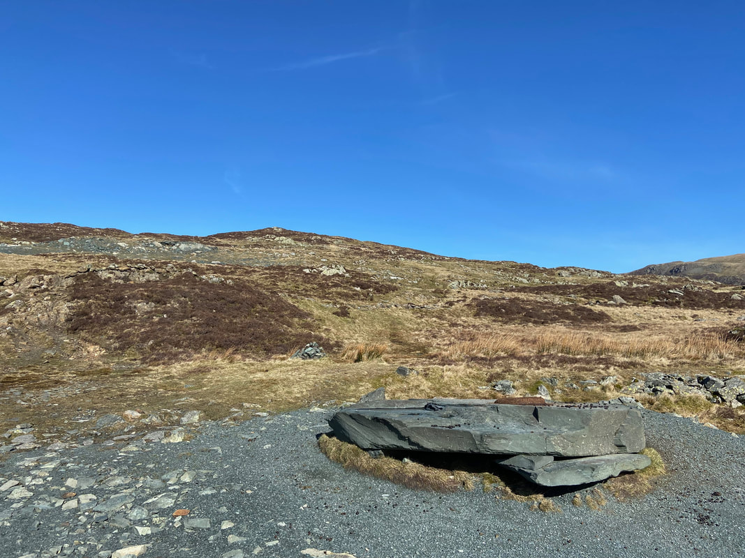
The slate tablet and table that commemorates the re-opening of the mine in 2001 by HRH The Duke of Edinburgh
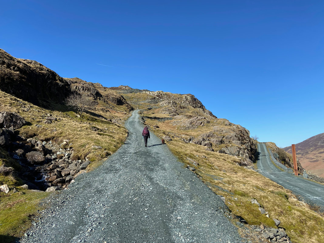
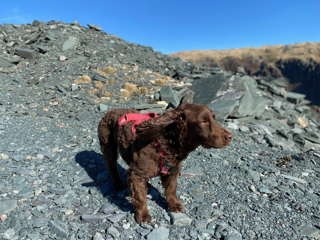
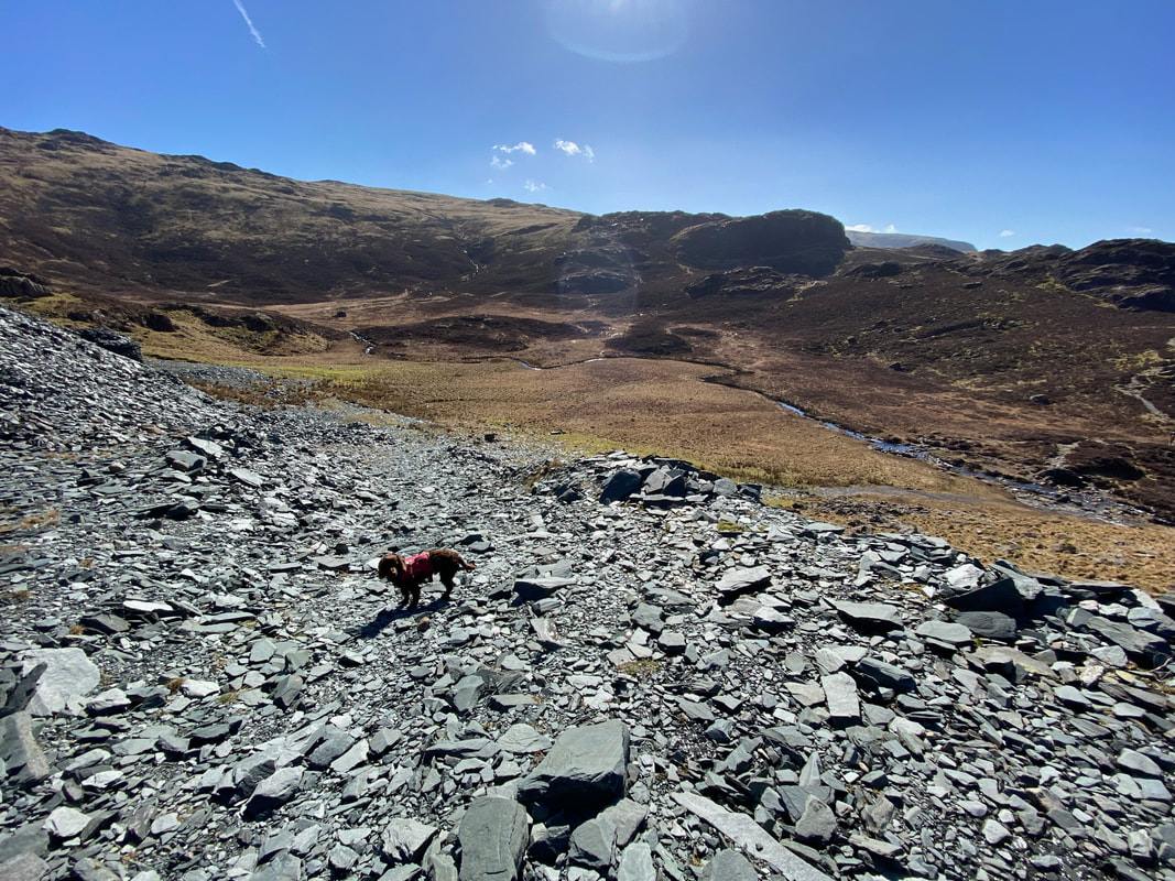
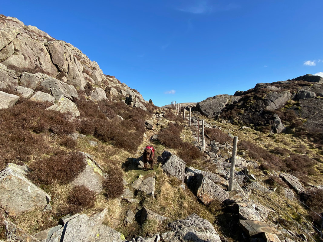
With the wind in his ears Fudge contemplates what time his next meal is
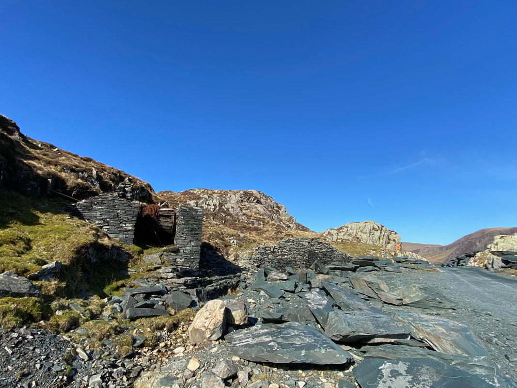
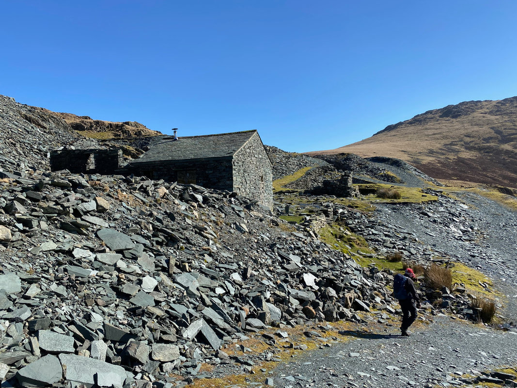
At some old mine buildings the route swings away to the left
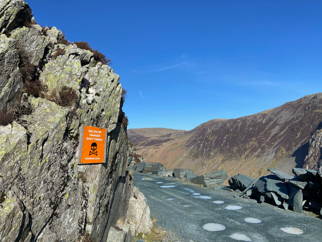
A little further on from the mine buildings a sign warns people not to proceed any further should they miss the path swinging left
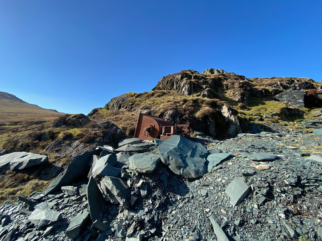
Just off path is a rather forlorn and very rusty old quarry wagon
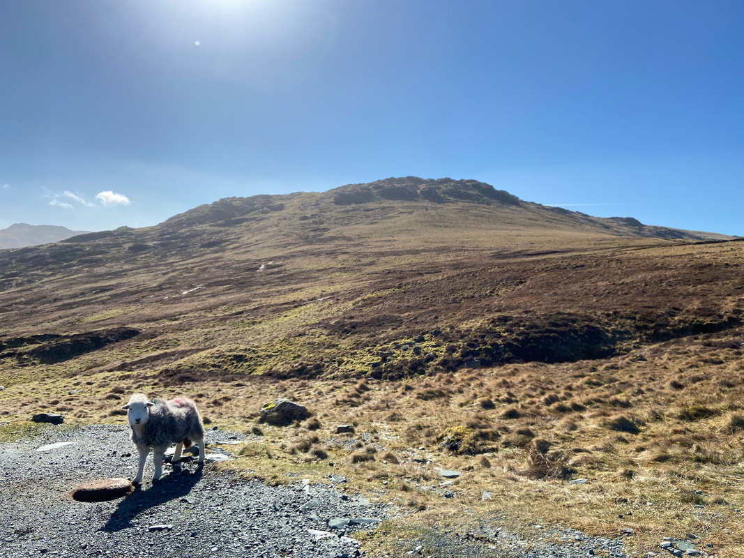
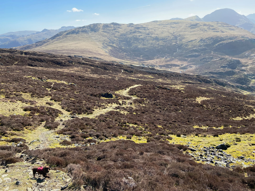
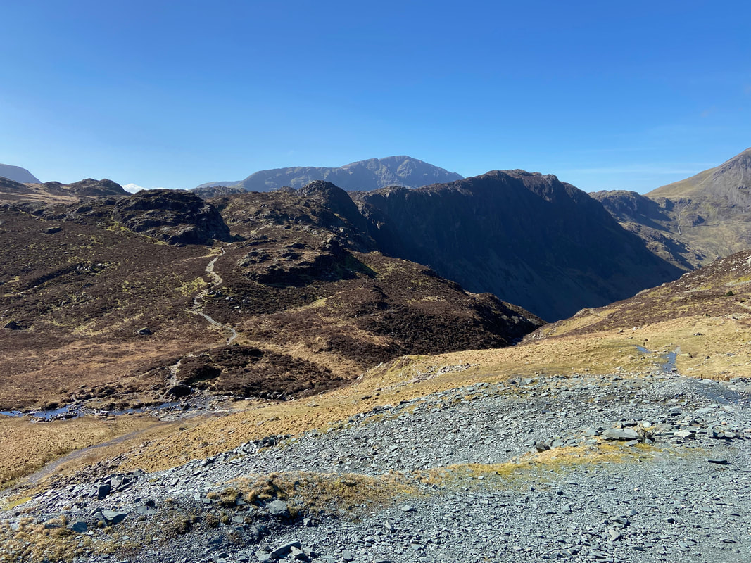
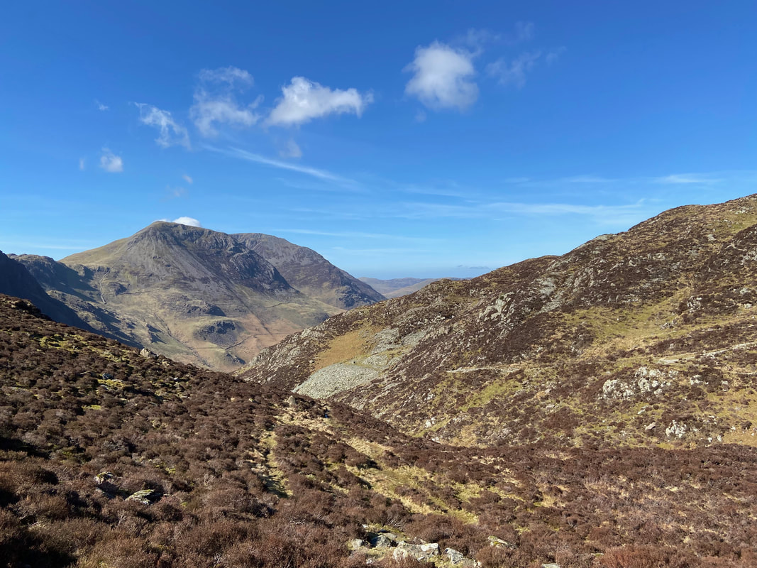
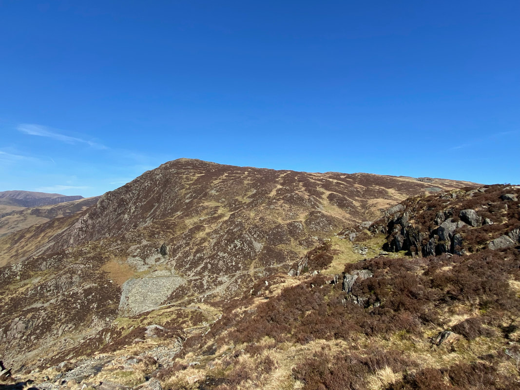
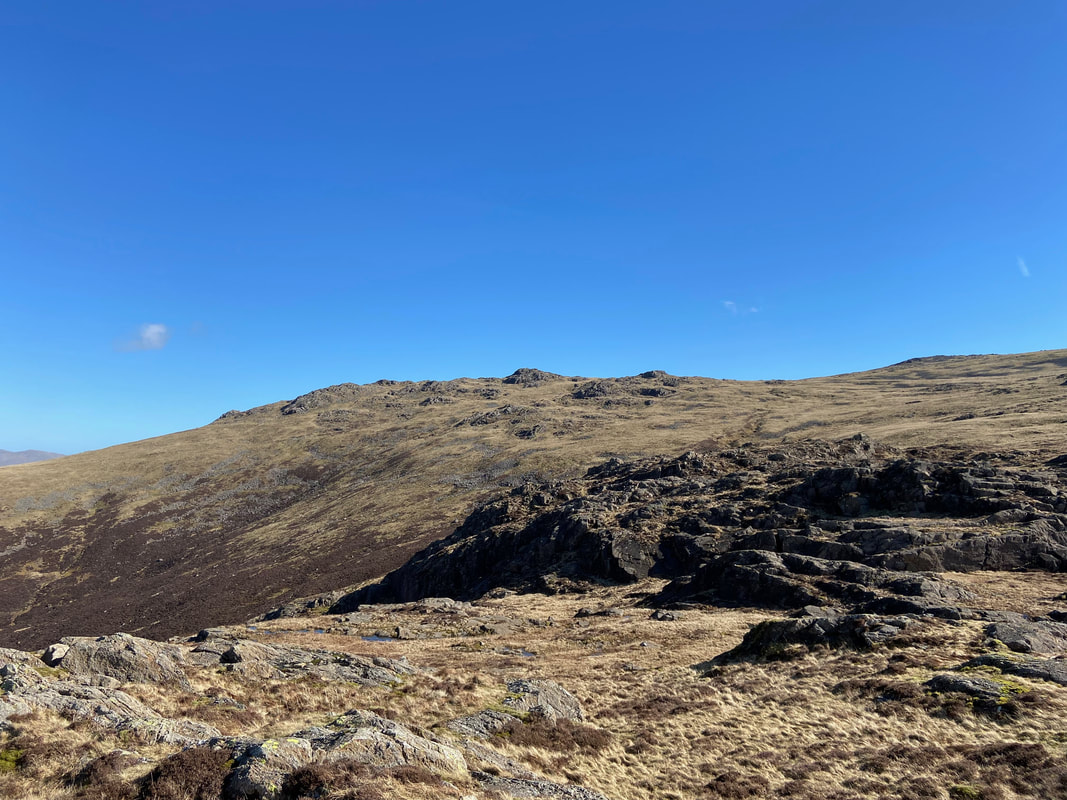
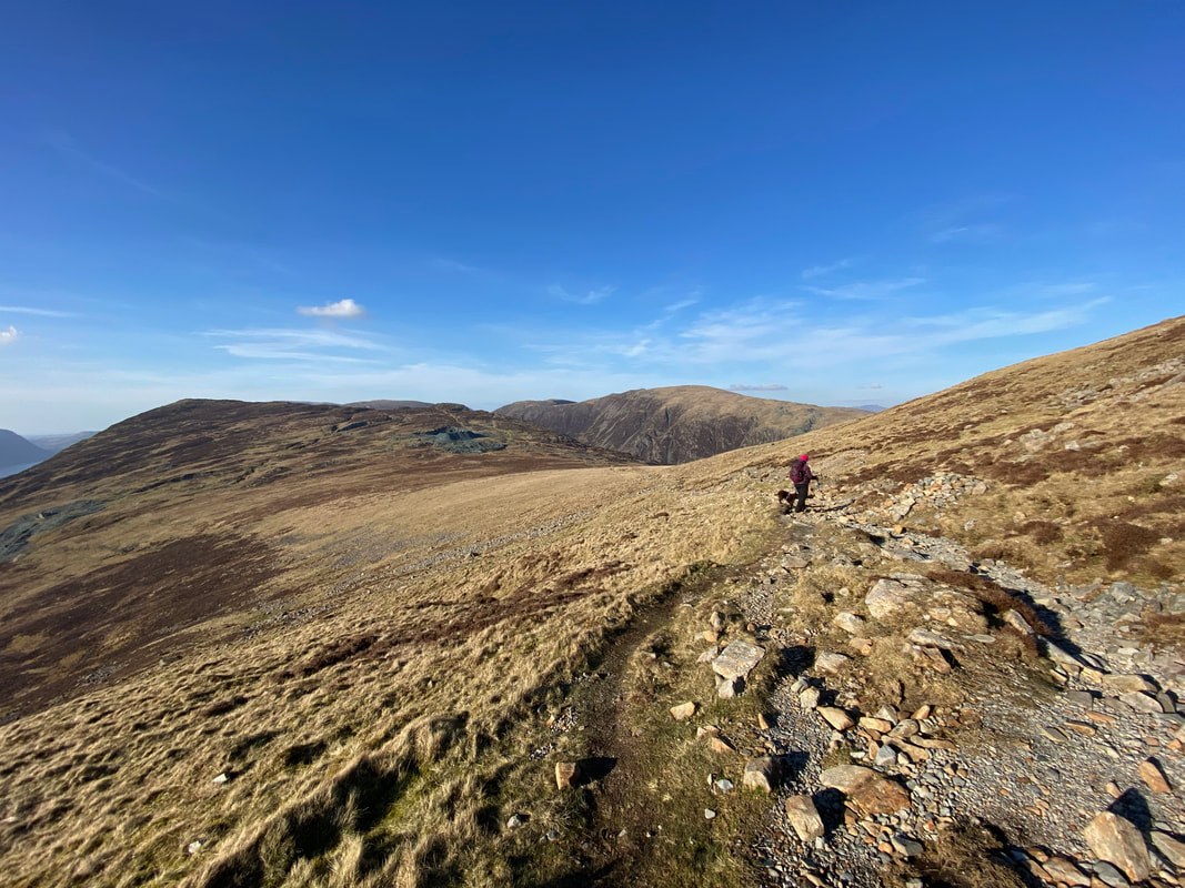
Passing one of the locals the track continues on its way towards the Hopper Quarry with a fine view of Grey Knotts over to the left. This would be our return route with our path just about in view coming over from right to left.
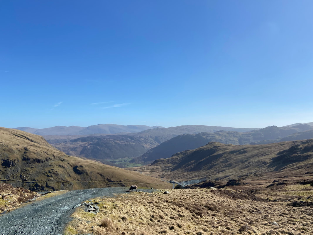
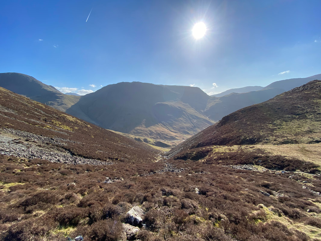
The superb view back down towards the mine and Borrowdale
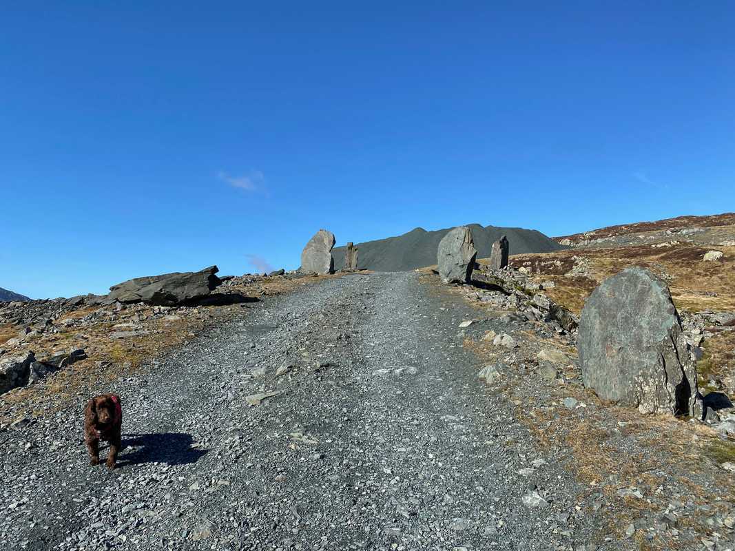
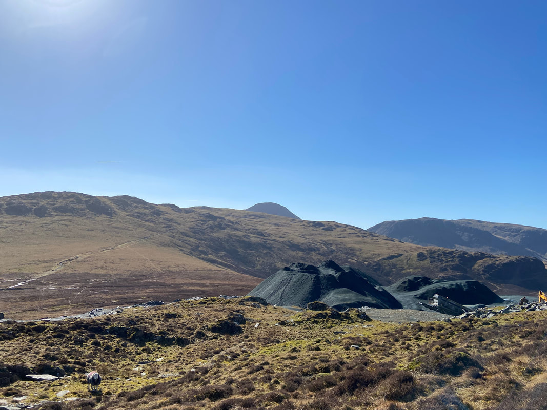
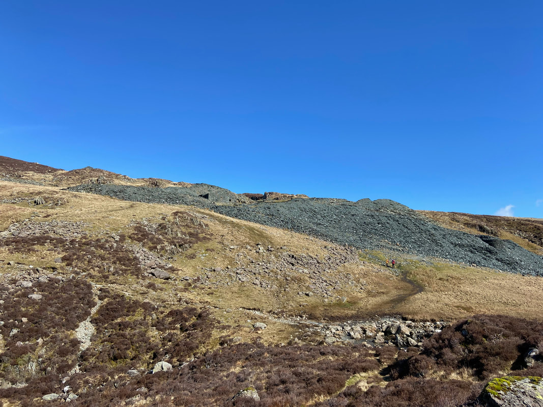
The route passes through several slate monoliths as we continue along the Hopper Quarry access track. The large feature in the distance is an ever growing spoil heap of green slate.
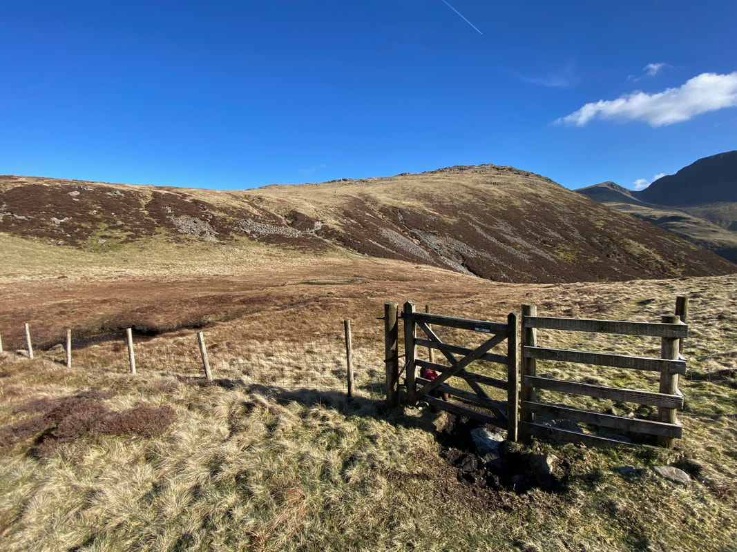
The route leaves the access track on the right at Grid Reference NY 21463 13678 which is marked by a large flat stone with a small cairn just beyond.
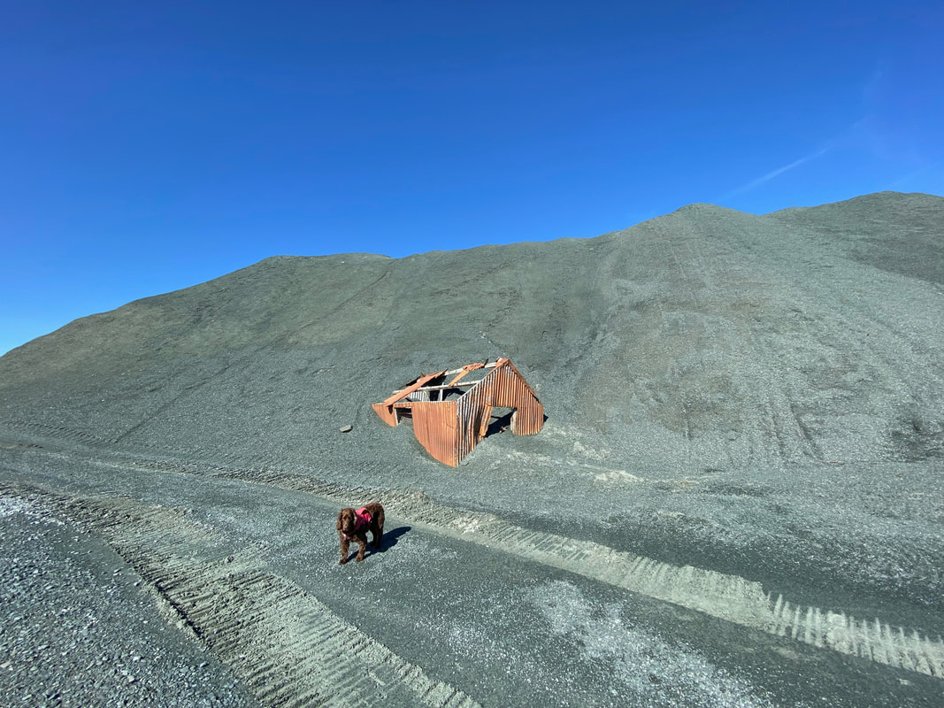
Prior to leaving the access track we headed up to the mountain of slate spoil which before too long will engulf this rusting hut. Wainwright said of Honister in Book Seven that "there is no beauty in despoliation and devastation but there can be dramatic effect and interest and so it is here" (Fleetwith Pike 5)
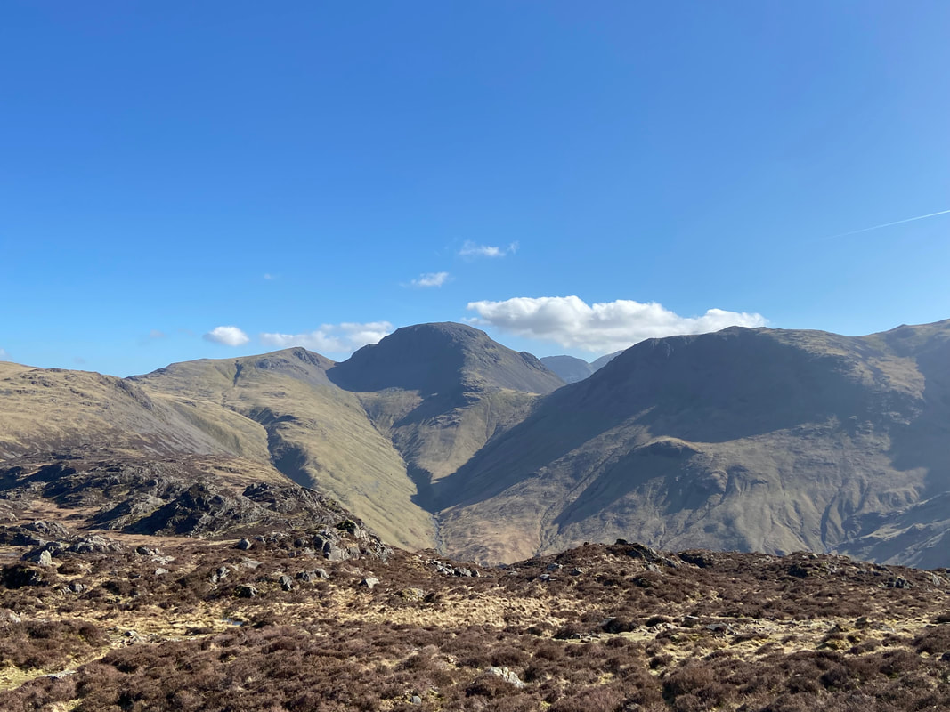
Great Gable now in view in the centre over the Hopper Quarry with Grey Knotts to the left
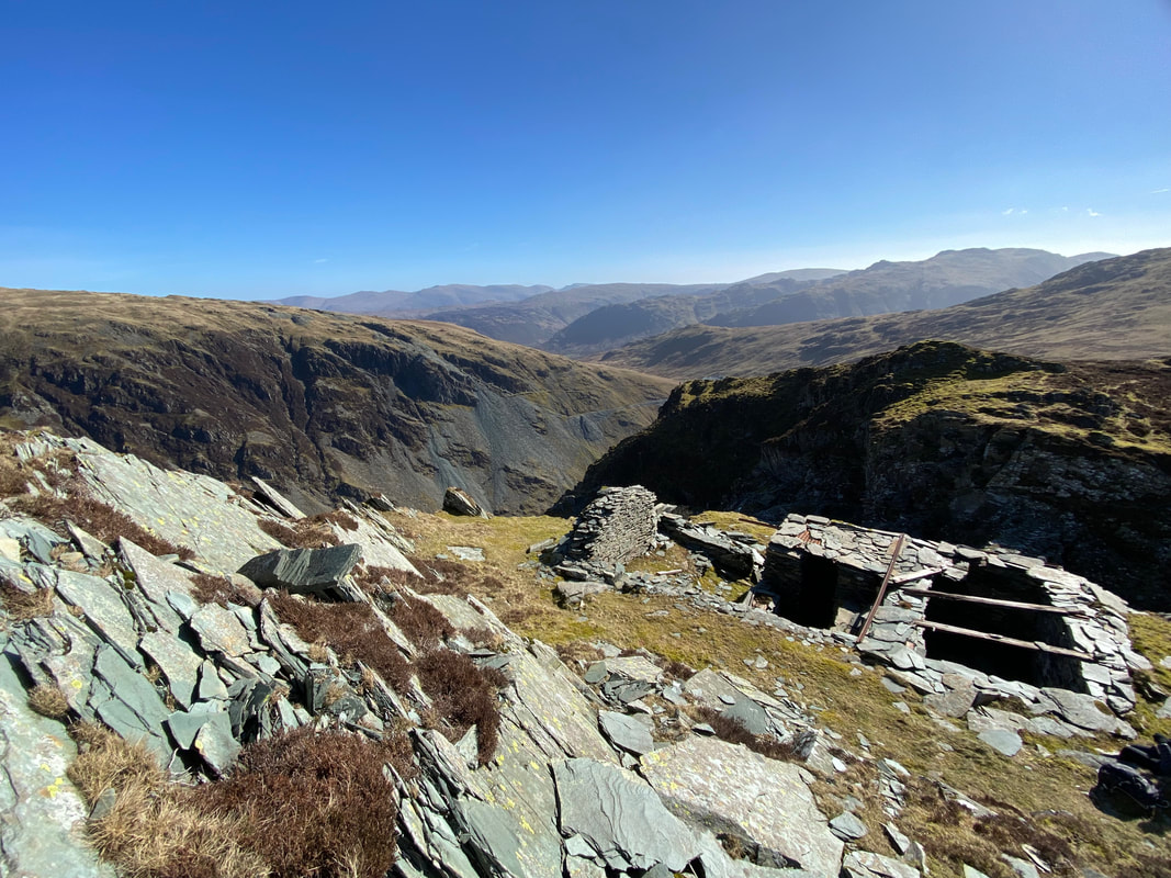
Just off the path there were more mine ruins as we continued the ascent of Honister Crag (Black Star)
The view down to the Honister Pass from Honister Crag - a walker can just about be seen on Bell Crags
The summit of Honister Crag (Black Star)
Dale Head across the Honister Pass
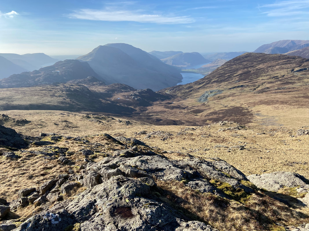
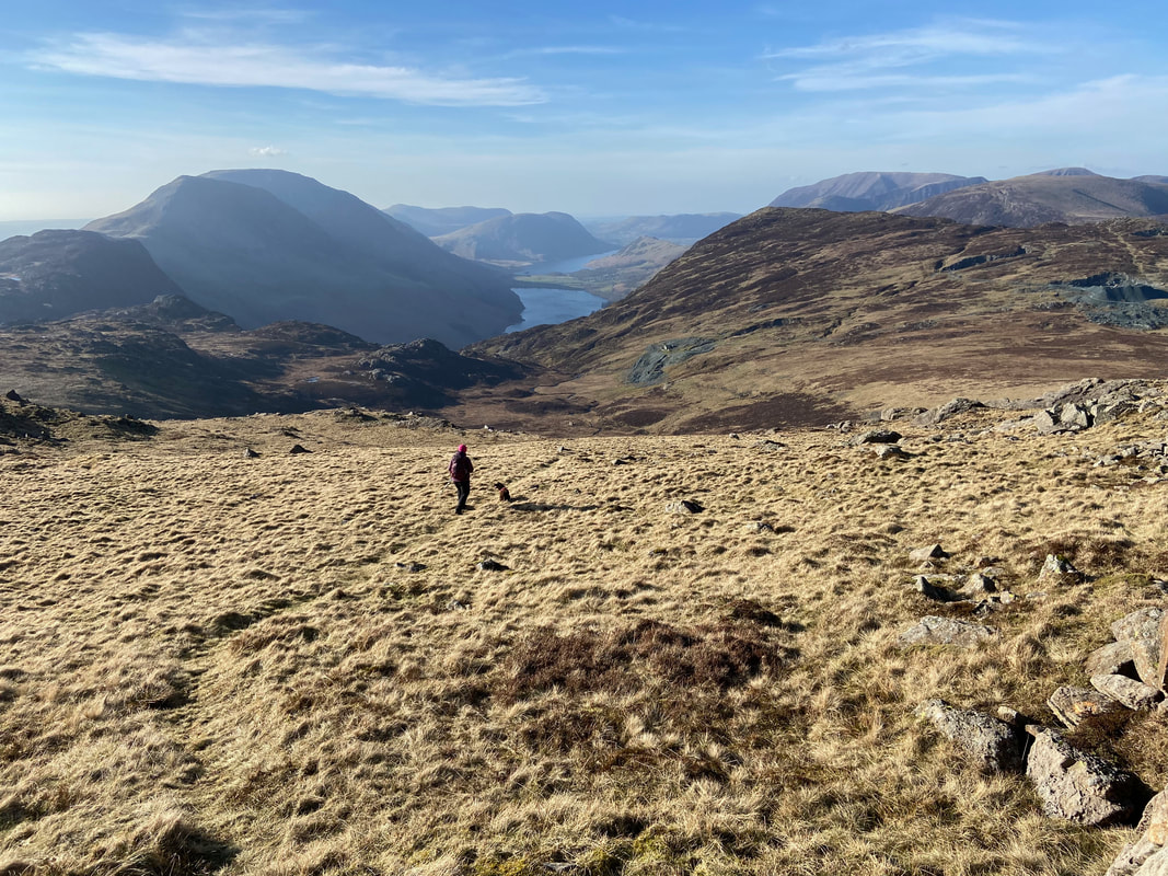
Looking north west from Honister Crag with Buttermere & Crummock Water to the left. Mellbreak sits above Crummock with Grasmoor, Robinson, Hindscarth & Dale Head in view.
The route over to Fleetwith Pike stretches out in front of us with the High Stile ridge beyond
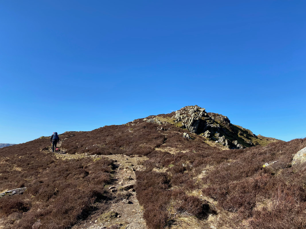
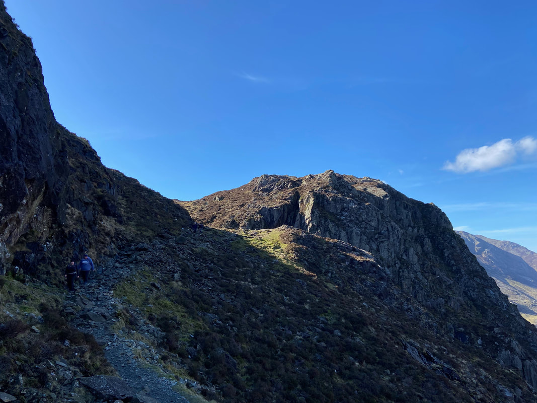
The final approach to Fleetwith Pike
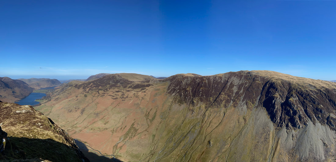
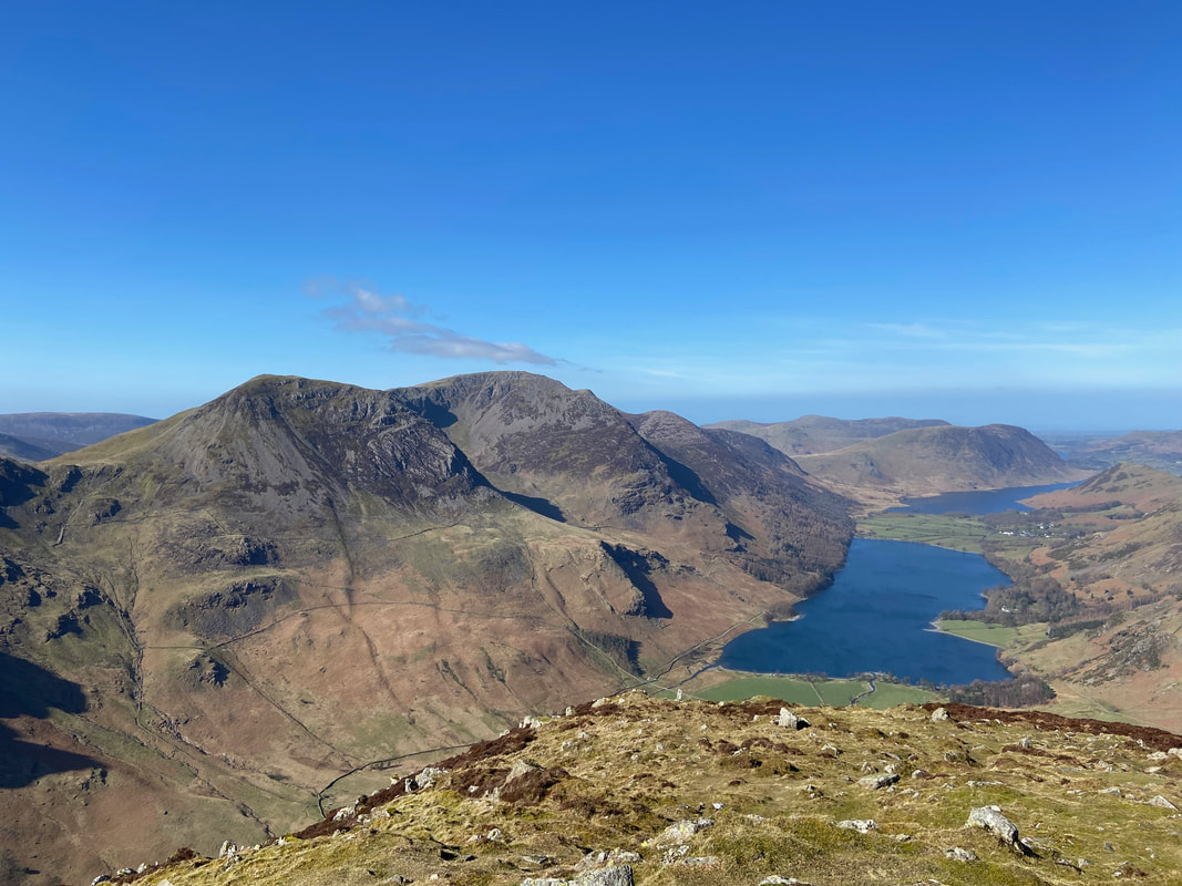
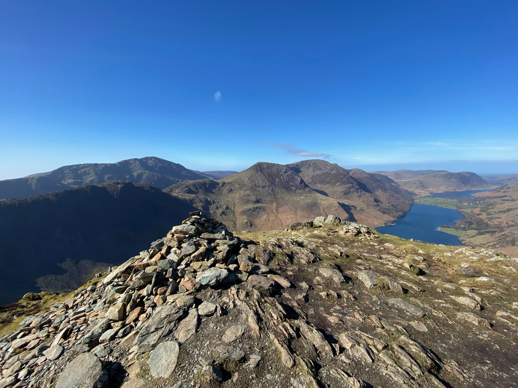
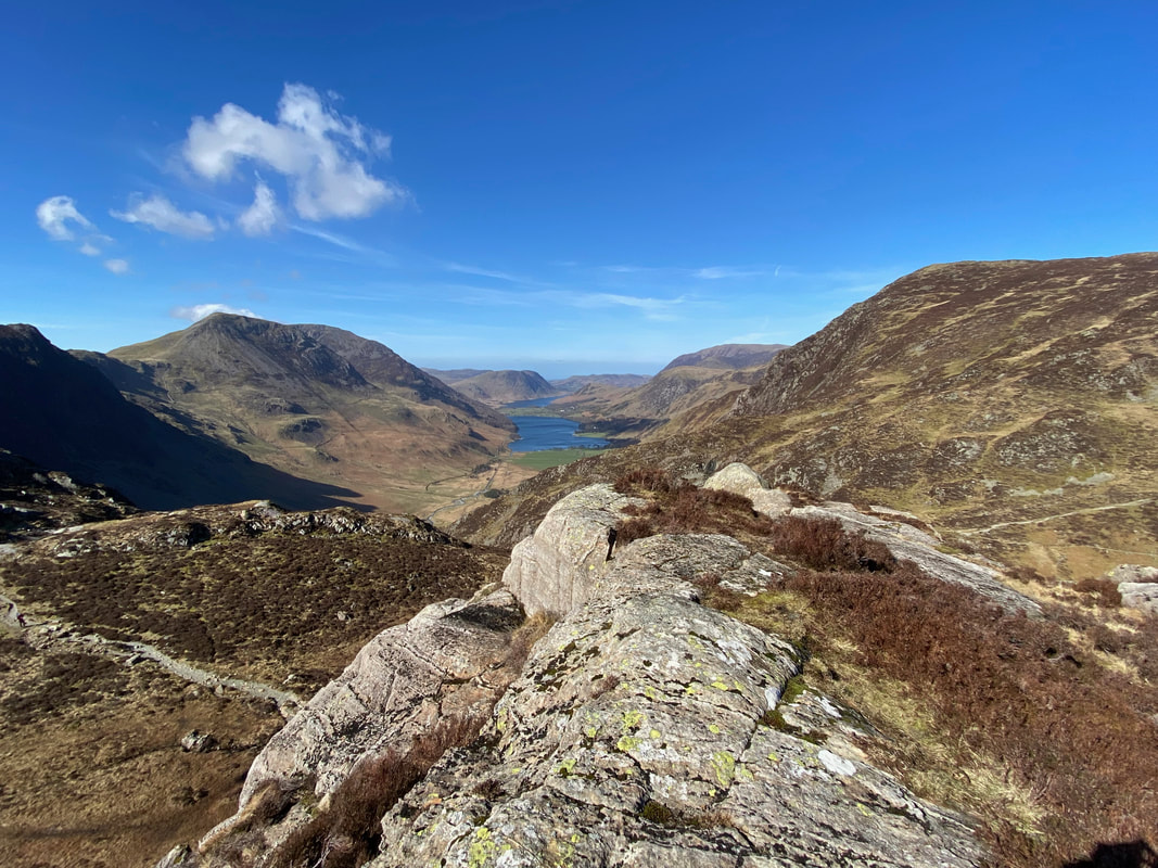
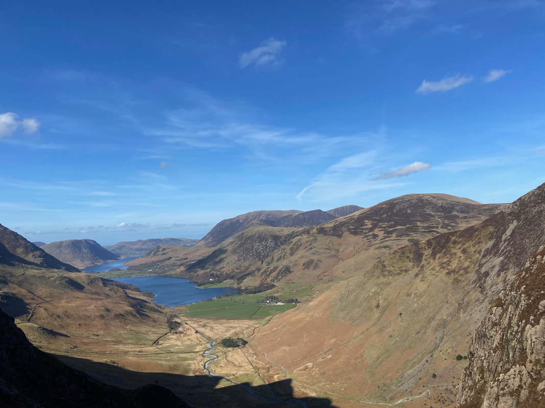
Looking down Fleetwith Edge from the summit of Fleetwith Pike to Buttermere & Crummock Water. Over to the left are Gamlin End, High Crag, High Stile, Red Pike & Dodd with Mellbreak sitting above Crummock Water.
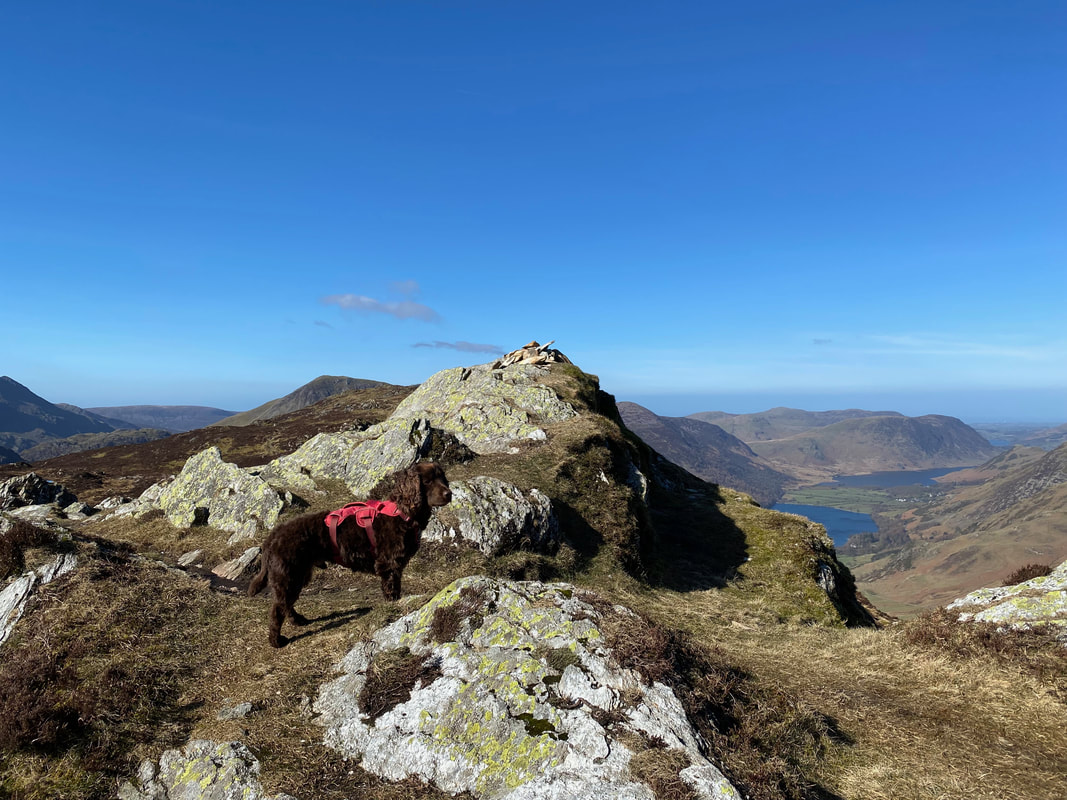
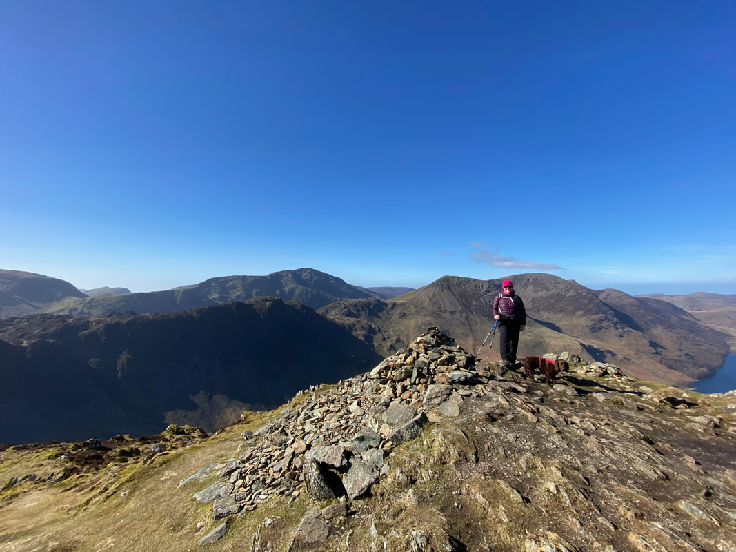
Angie & Fudge on the summit of Fleetwith Pike with Haystacks to the left with Pillar beyond
For very little effort from Honister, Fleetwith Pike has some amazing views
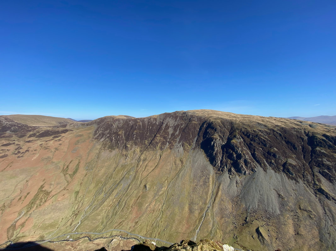
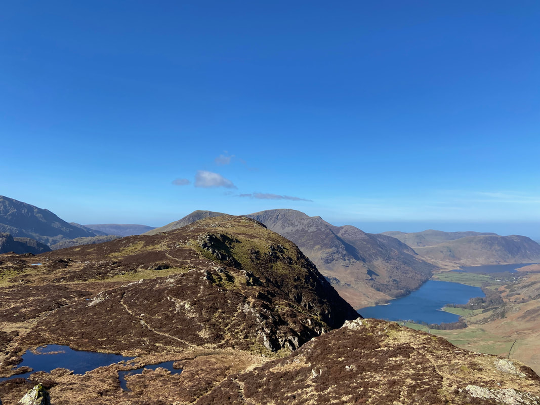
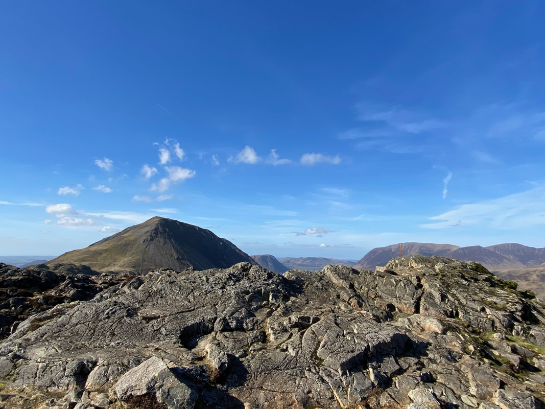
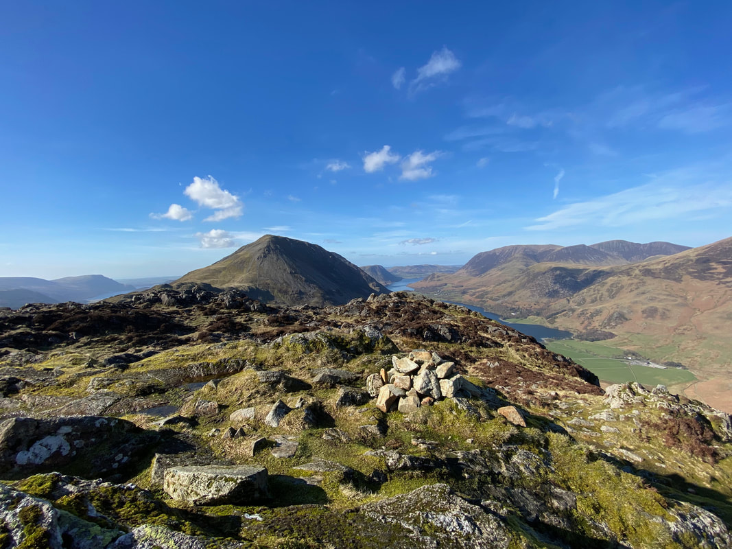
Haystacks impressive northern face from Fleetwith Pike. The small fell to the right is Seat with mighty Pillar beyond.
The view from Fleetwith Pike (click Play to view)
From Fleetwith Pike we would now be heading to Haystacks via Dubs Hut on a good path with a gentle gradient
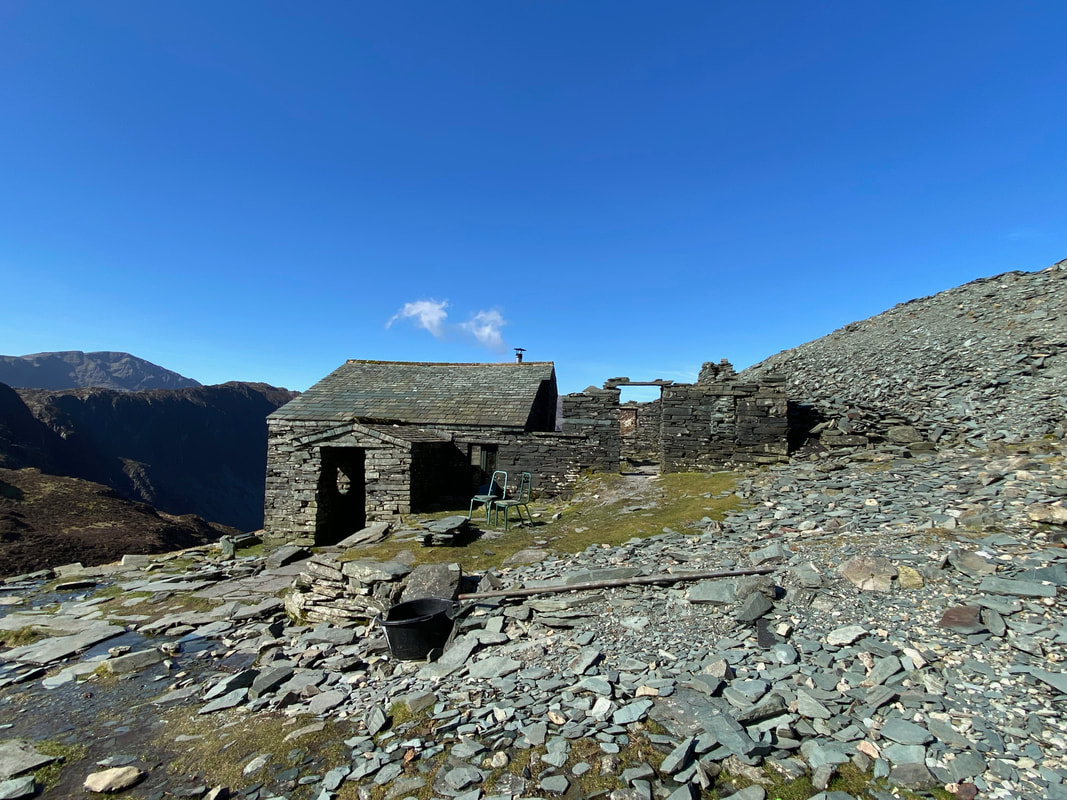
Approaching Dubs Hut
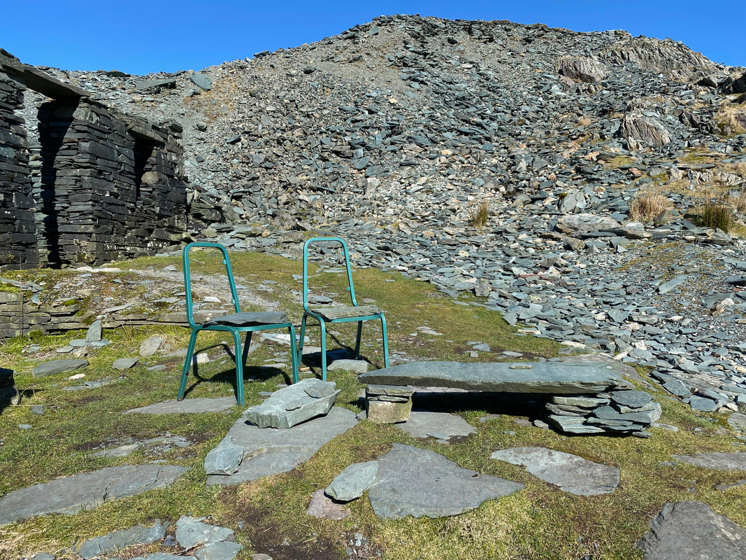
Dubs Hut complete with alfresco dining area (and seating)
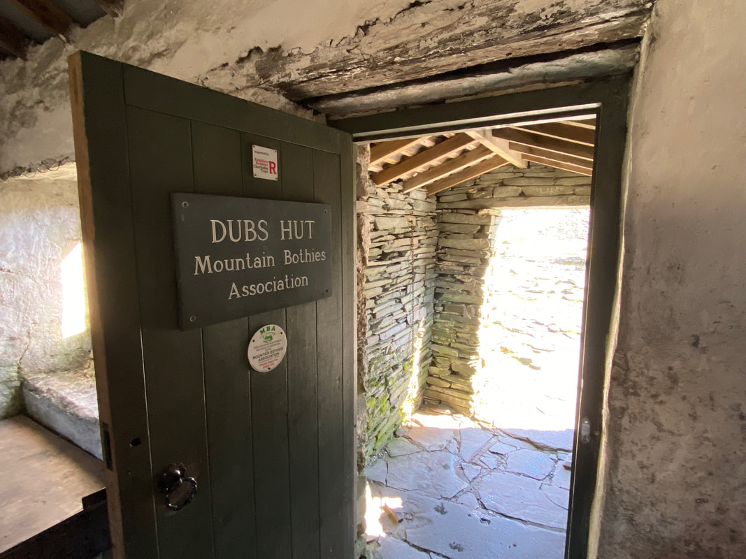
It is always nice to stop here and chat to whoever is inside. The bothy is a former Mining Hut and was restored in 2017 by the Mountain Bothies Association with the help of Honister Slate Mine who own the building. It is one of two bothies in this area - the other more well known one is at Warnscale about 1/4 of a mile to the west.
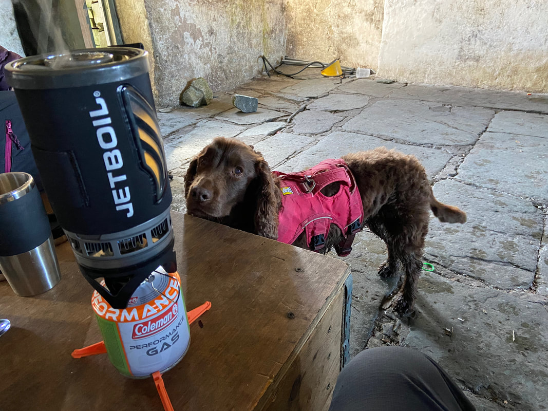
As much as you put on "the face of longing & starvation" there is absolutely no chance of you getting any of this Fudge
It was a little breezy outside therefore we ate indoors rather than make use of the "Table for Two". The slate cushions on the seats looked very comfy!
The path from Dubs Hut snakes its way down to cross Warnscale Beck and continue on to Haystacks. Our next climb up on to Little Round How is over to the left. The obvious path heads straight on however we headed on the vague path to the right to look at the view into Warnscale.
The stony path down to Dubs Bottom and Warnscale Beck
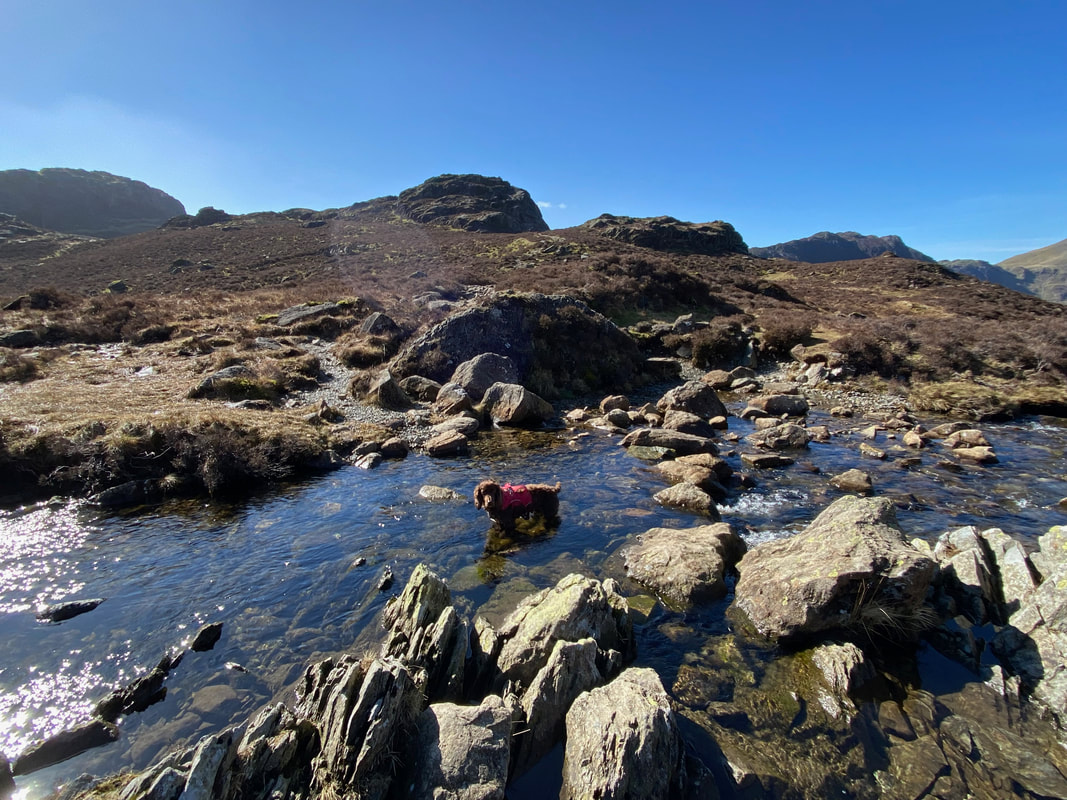
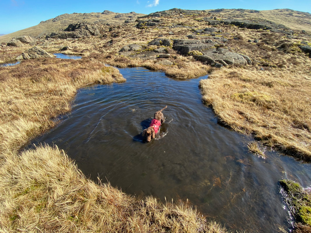
Time for a dip in the beck eh Fudge?
Looking back to Dubs Quarry & the Bothy from the path to Little Round How
Looking into Warnscale Bottom
Little Round How
The summit of Little Round How looking to Warnscale Bottom & Buttermere
Angie making the descent from Little Round How - between the two outcrops is a rake which we used to leave the summit.
Fleetwith Pike across Warnscale from near Little Round How
Fudge disturbs a muddy horrible mess meaning it's a shower job when we get home later
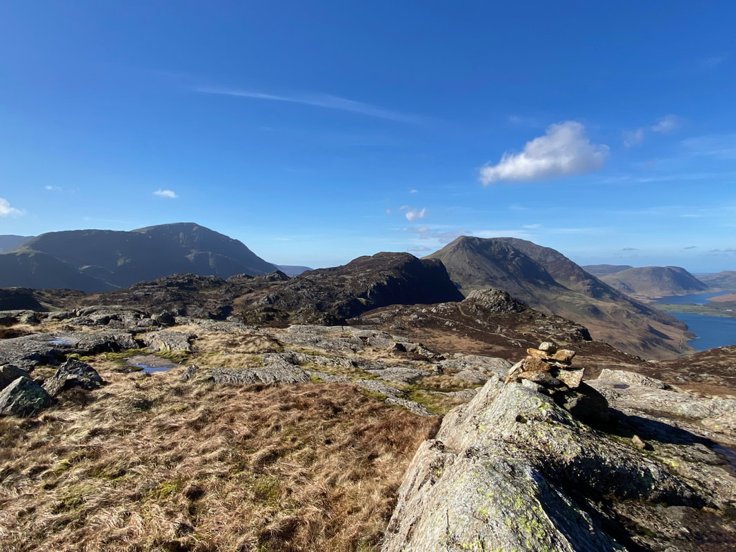
The summit of Great Round How looking to Pillar, Haystacks, High Crag & High Stile
It is worth making the effort to seek out Great & Little Round How as the views from both fells are superb
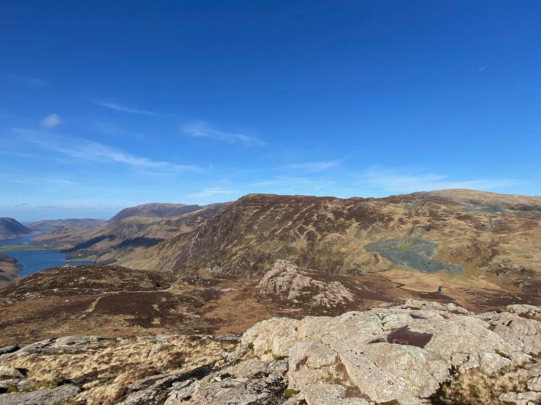
Grey Knotts from Great Round How
Great Gable, Green Gable & Kirk Fell from Great Round How
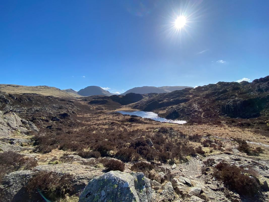
Blackbeck Tarn from the path to Haystacks near Black Beck
The route crosses Black Beck with our onward path on the left. This is a lovely stop for a break or lunch.
Whilst at first sight the path to Haystacks looks precipitous, it is actually easy going
Another look into Warnscale Bottom with Gatesgarth Farm below near the edge of Buttermere
And it's a quick wave from me
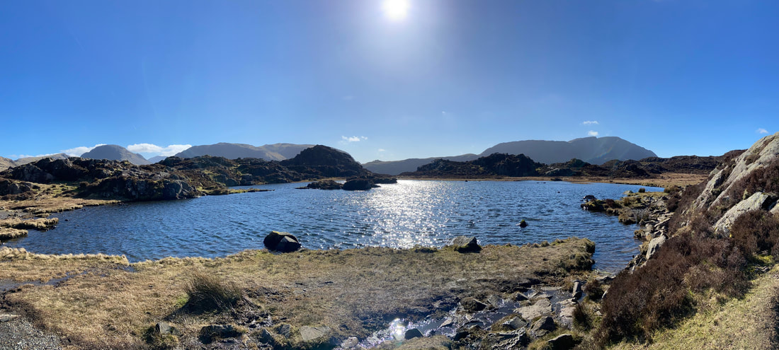
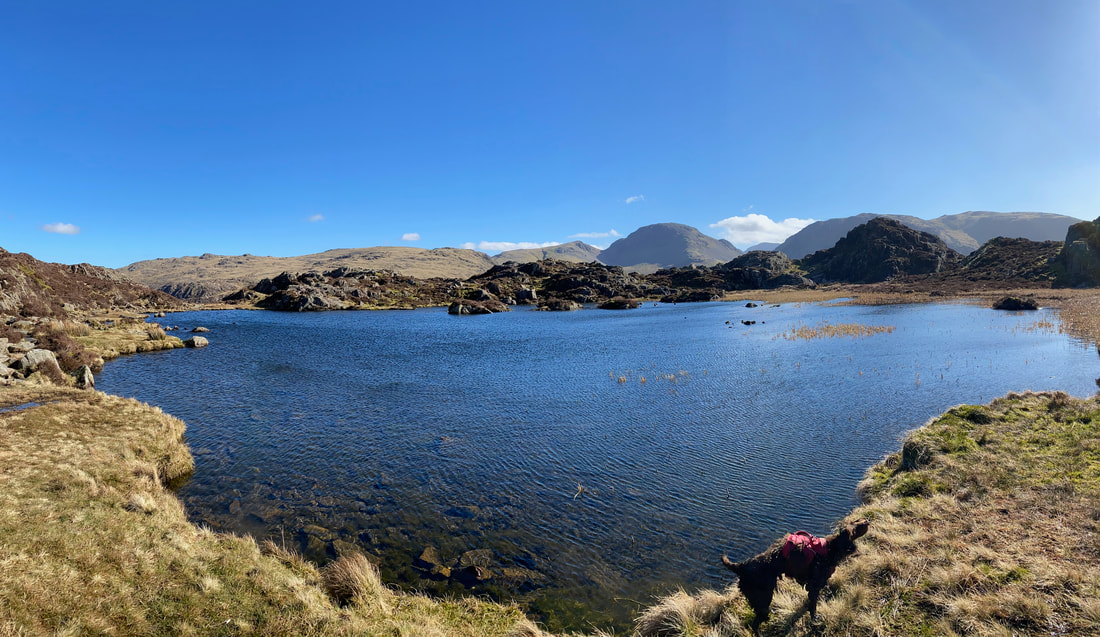
A panorama of Innominate Tarn. Alfred Wainwright, creator of the Seven Lake District Pictorial Guides loved this place - so much so he had his ashes scattered here following his death in 1991. Shortly before his death, Wainwright said of Innominate Tarn:
All I ask for, at the end, is a last long resting place by the side of Innominate Tarn, on Haystacks, where the water gently laps the gravelly shore and the heather blooms and Pillar and Gable keep unfailing watch. A quiet place, a lonely place. I shall go to it, for the last time, and be carried: someone who knew me in life will take me and empty me out of a little box and leave me there alone. And if you, dear reader, should get a bit of grit in your boot as you are crossing Haystacks in the years to come, please treat it with respect. It might be me."
Memoirs of a Fellwanderer (A Wainwright, 1990)
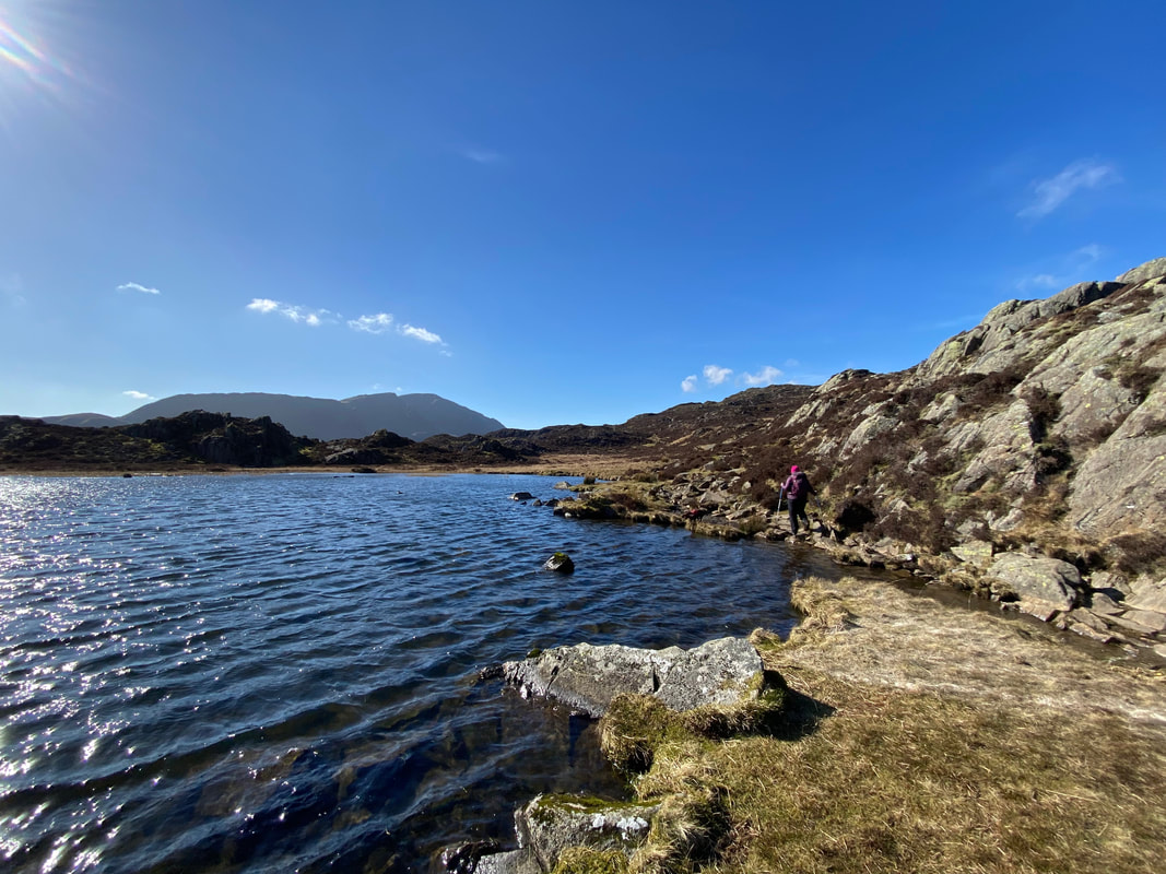
The path hugs the shoreline of Innominate Tarn
Fudge in mid shake at the northern end of Innominate Tarn - because the photo is a panorama he seems to have turned into the dog out of Toy Story.
Innominate Tarn (click Play to view)
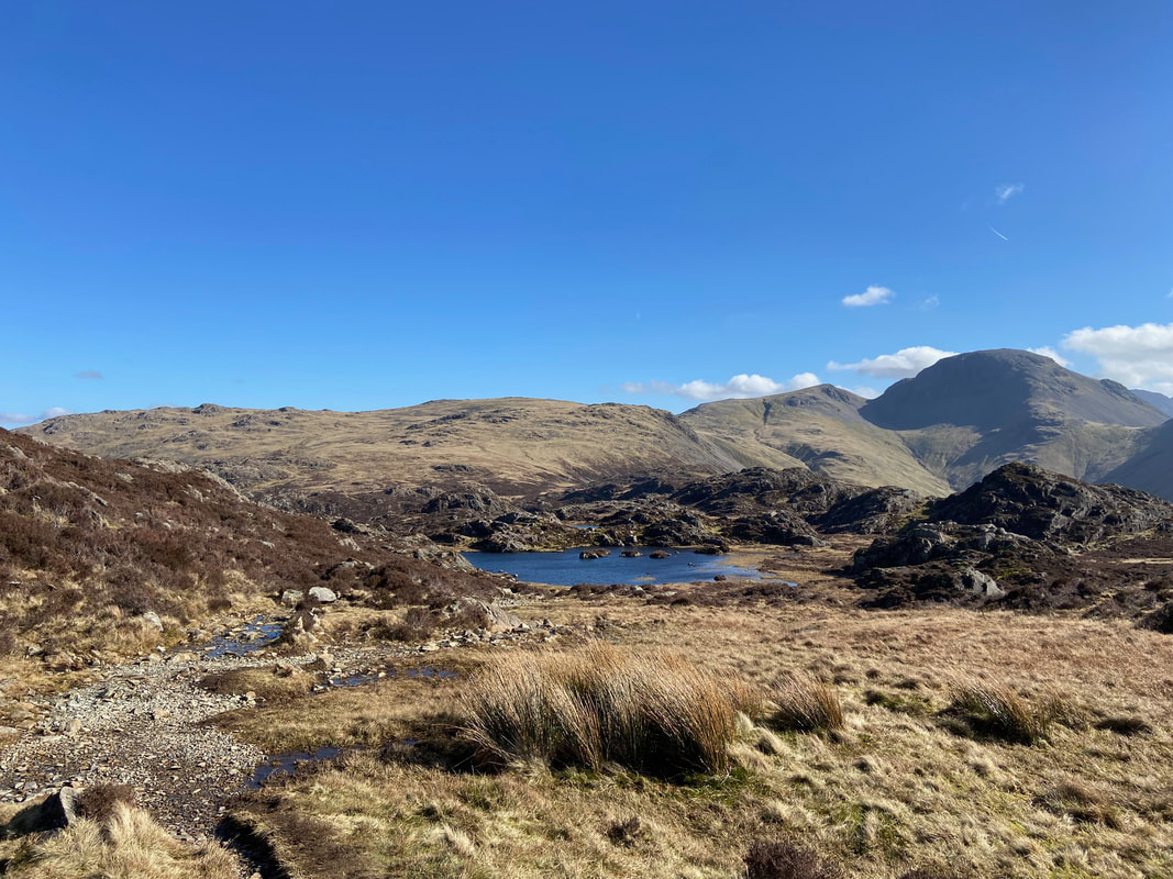
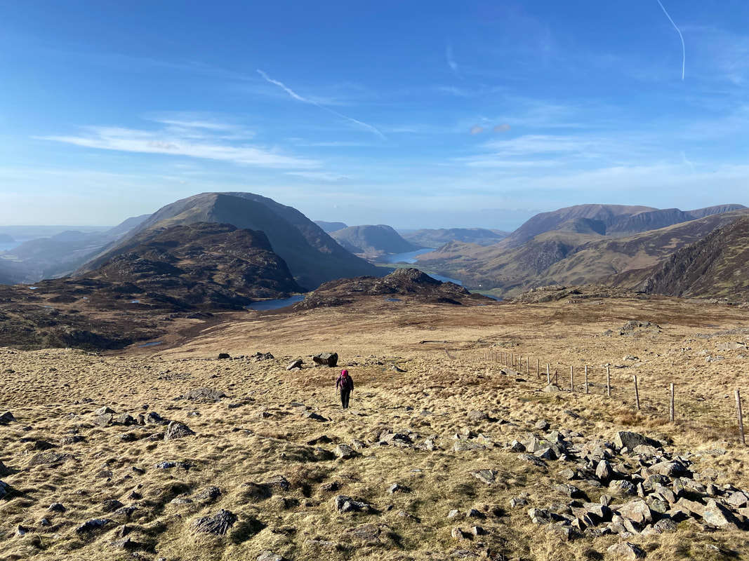
Looking back to Innominate Tarn from the ascent to Haystacks. The fells to the rear are Grey Knotts, Brandreth, Green Gable & Great Gable.
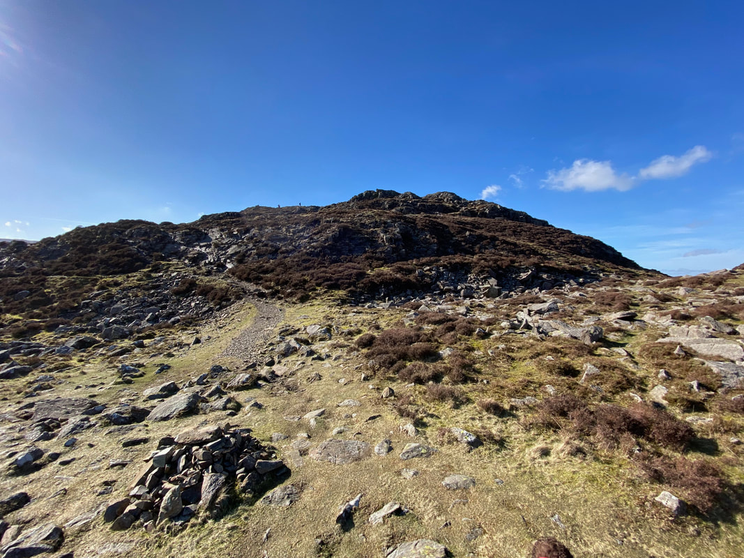
Approaching the summit of Haystacks
The glorious view to the Tongue, Green Gable, Great Gable & Kirk Fell with the Scafells to the rear
Finally up on the summit of Haystacks - we always enjoy coming up here, particularly on a day like today.
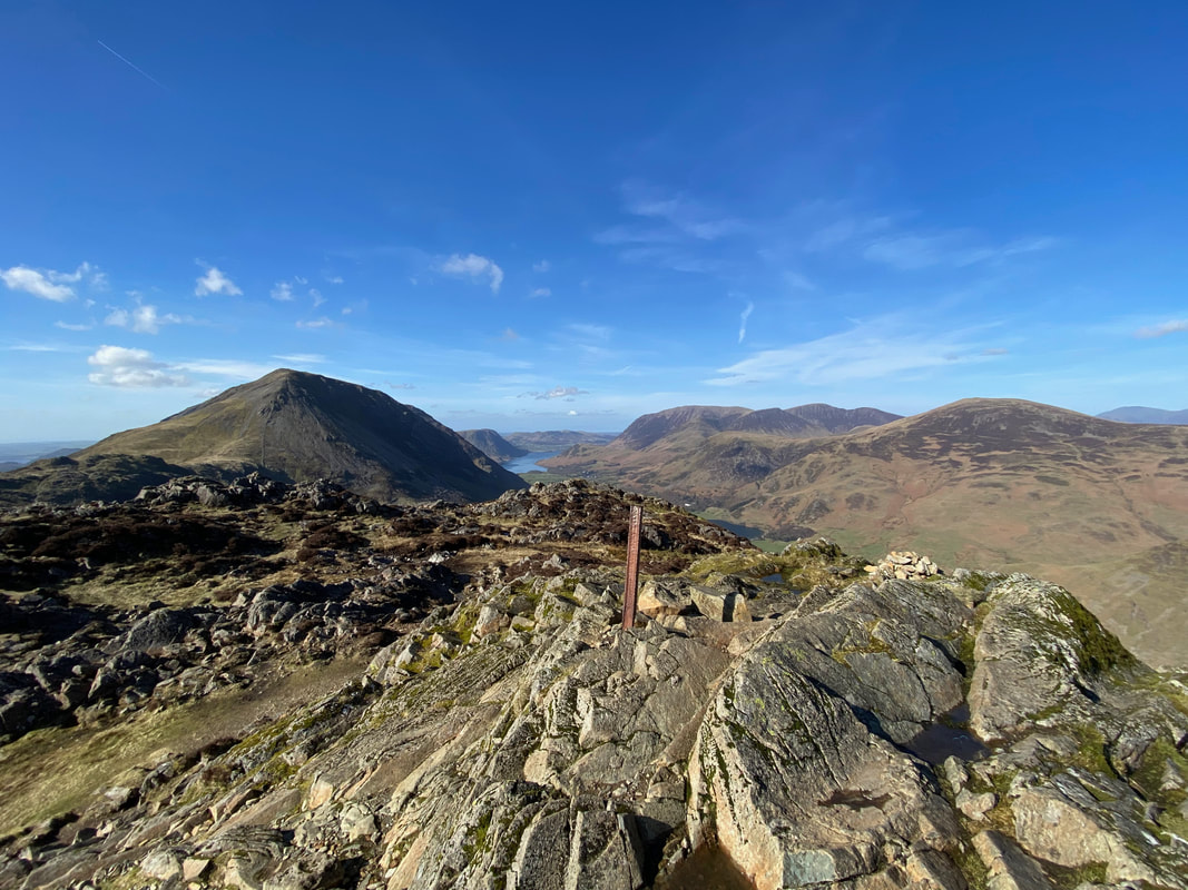
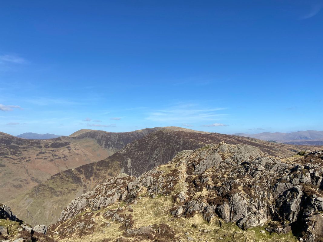
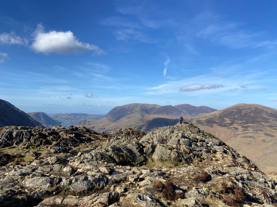
The summit ridge of Haystacks. There are two cairns on the summit, one at either end. Many an argument has taken place as to which is the higher but it is generally accepted that they are at approximately the same elevation (1959ft, 597m). Instead of arguing pointlessly about it, walkers should simply just visit both.
Wainwright said of Haystacks in Book 7 that it was "in fact the best fell-top of all - a place of great charm and fairyland attractiveness" and that "one can forget even a raging toothache on Haystacks" (Haystacks 10)
Wainwright said of Haystacks in Book 7 that it was "in fact the best fell-top of all - a place of great charm and fairyland attractiveness" and that "one can forget even a raging toothache on Haystacks" (Haystacks 10)
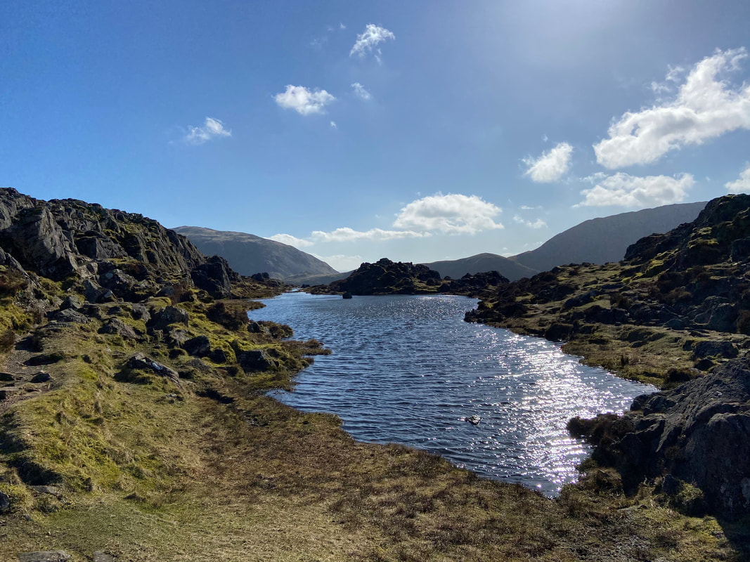
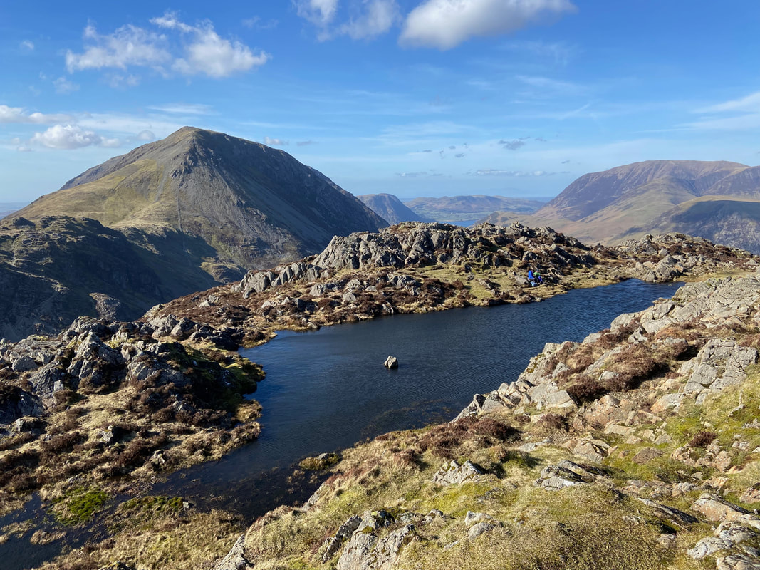
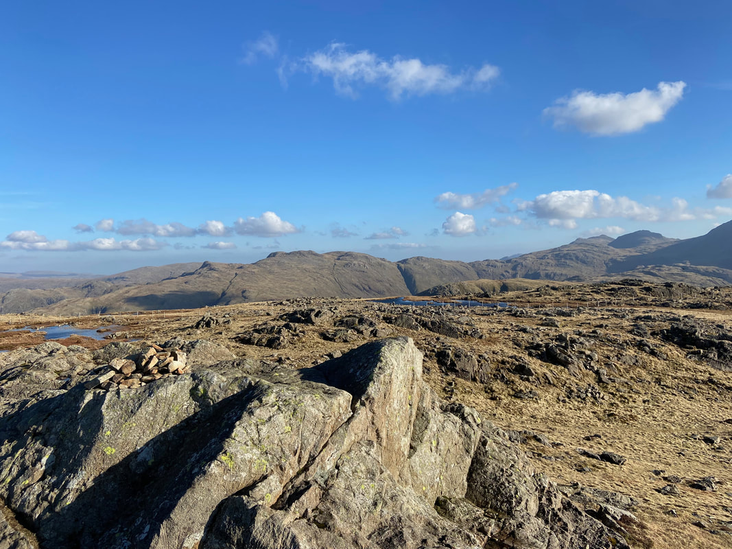
Looking to the south from the idyllic tarn on the summit of Haystacks
The cairn on the northern end of Haystack's summit
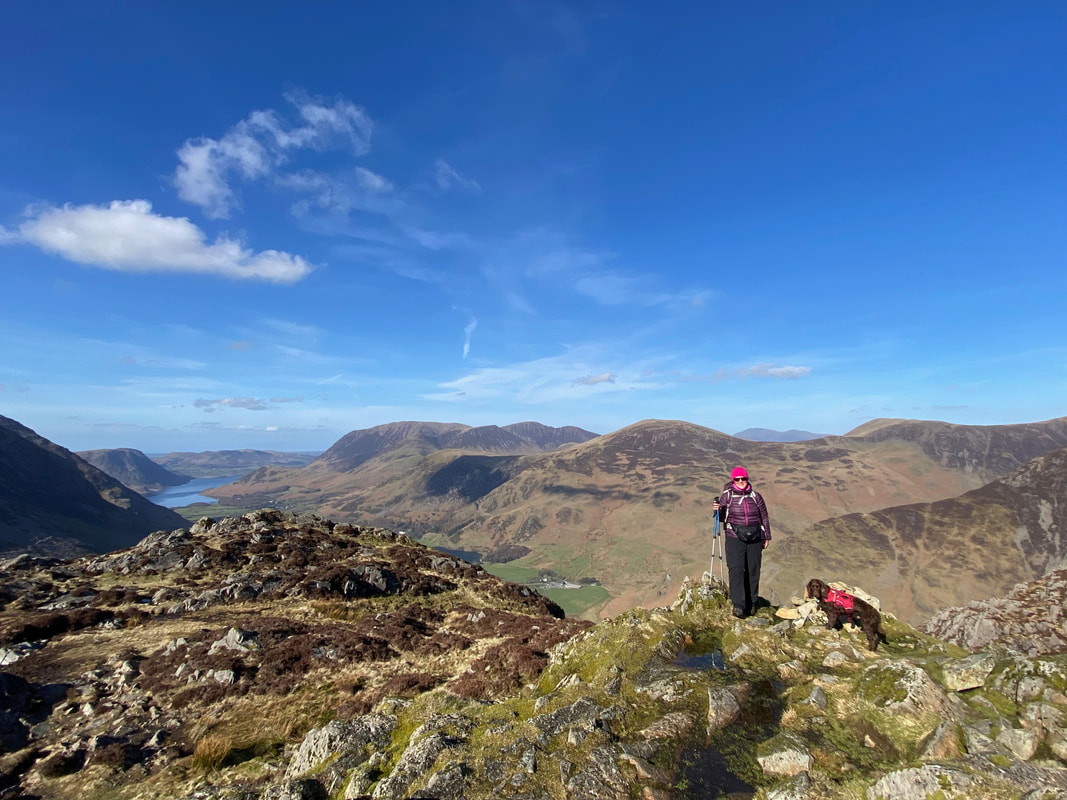
Angie & Fudge on Haystack's summit ridge at the northern cairn. Rannerdale Knotts sits above Crummock Water with Grasmoor just left of centre. To the right of Grasmoor are Whiteless Pike, Wandope, Crag Hill and Sail. The fells in the far distance are the Skiddaw range.
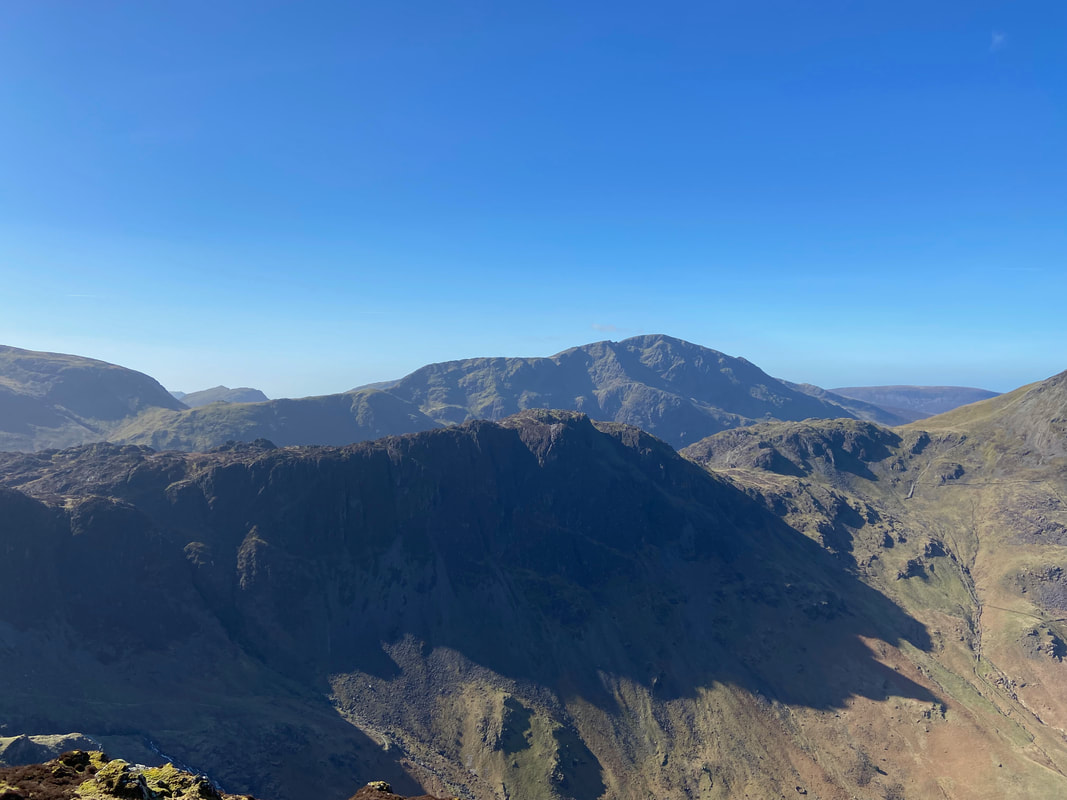
Fleetwith Pike and Dale Head from Haystacks
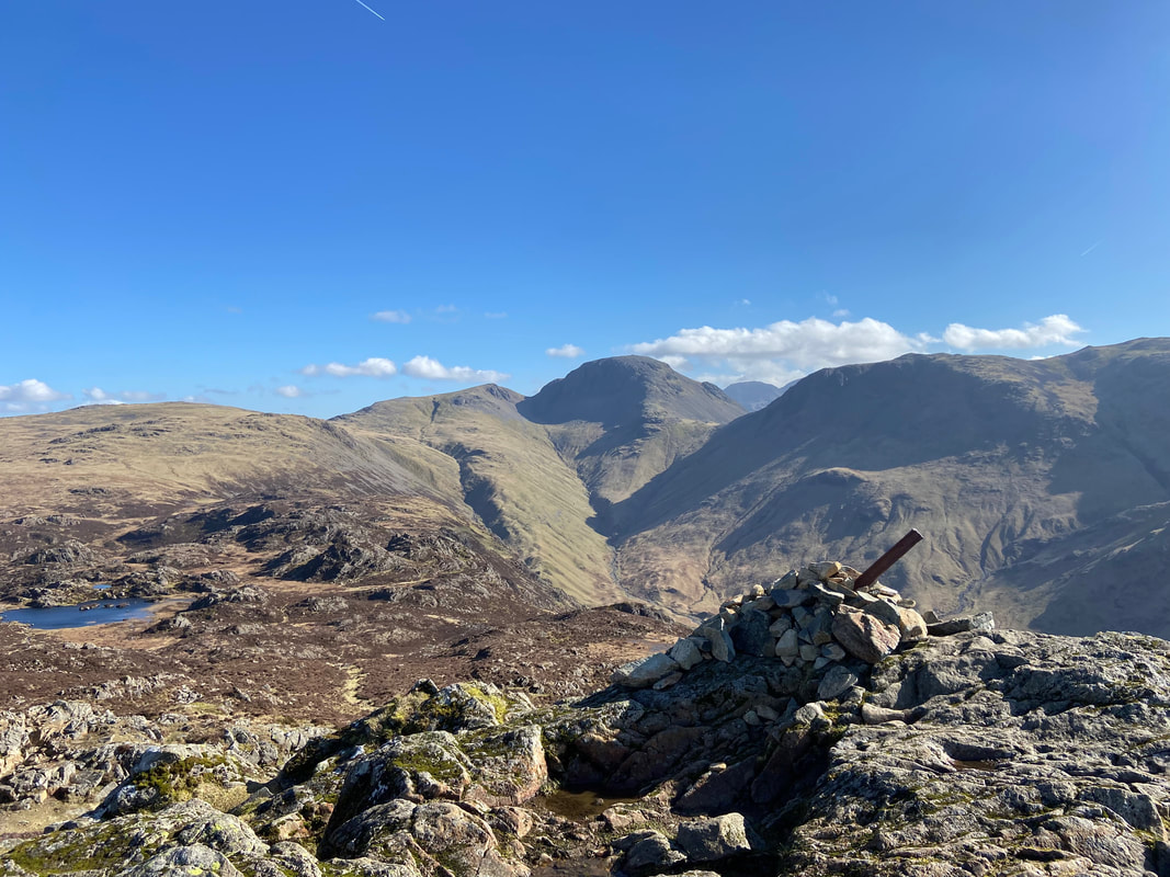
Another view to the Tongue and Great Gable this time from the southern cairn on Haystacks
Looking to the north cairn from the southern top - and what a view that is!
The tarn on Haystacks as viewed from the southern cairn with Seat, Gamlin End & High Crag to the rear left
A short film from Haystacks summit (click Play to view)
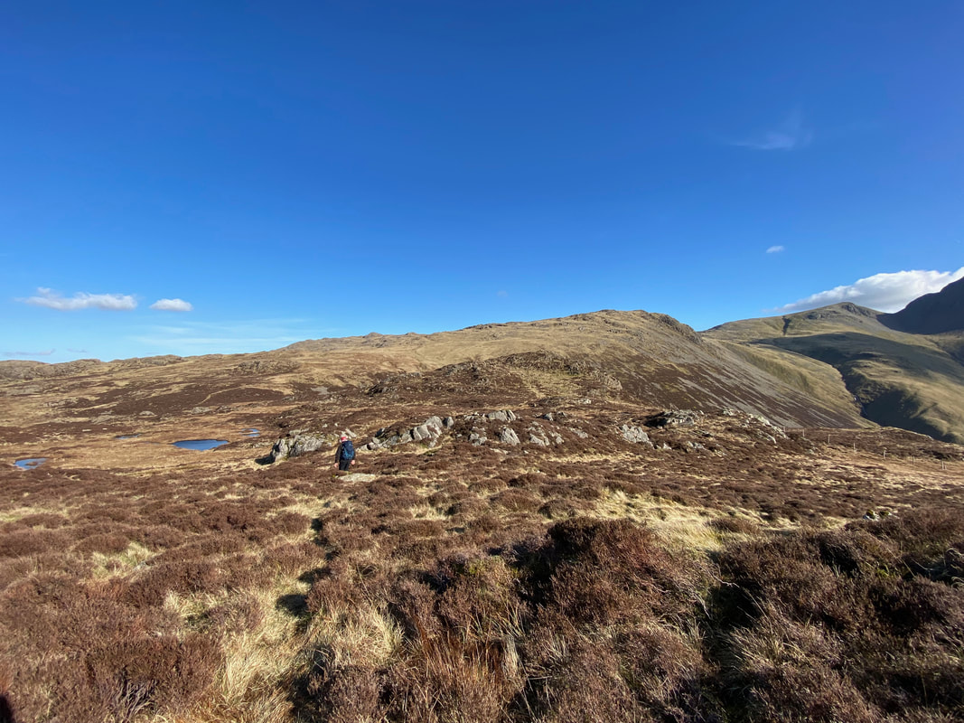
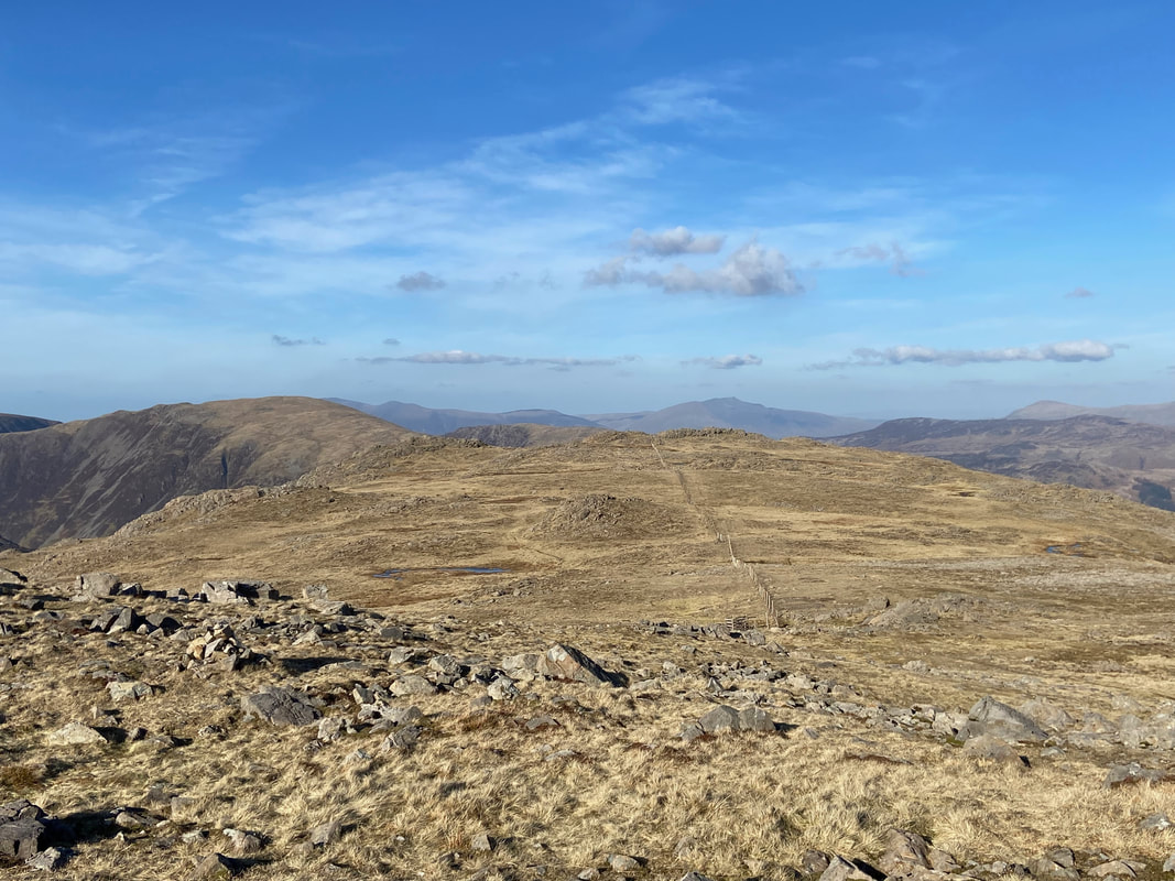
Our route to Brandreth (centre right) returns the way we ascended for a few hundred yards but instead of heading directly for Innominate Tarn swings to the right to handrail the fence line.
At Grid Reference NY 19612 13008 the path splits and we head right towards the fence line
The Brandreth Fence - we would follow this all the way to the summit
The path leaves the fence line for easier ground but soon rejoins it the other side of the outcrop ahead
With the views on offer, this was the perfect day to do this particular walk
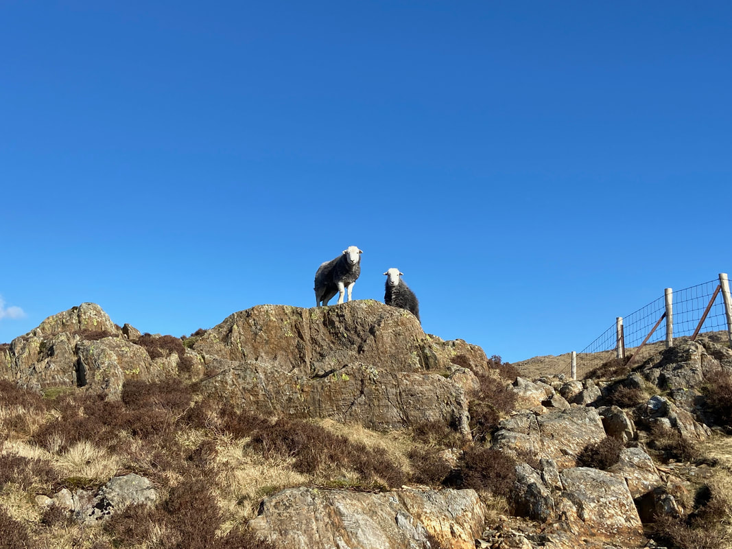
Back on the fence line now as we bump into more of the locals - a couple of young Herdwicks
The route passes through a hand gate and continues following the fence line - this time on the opposite side as we near the top of Loft Beck. As can be seen, Fudge has been able to limbo underneath the gate.
The top of Loft Beck looking down into the head of Ennerdale with Kirk Fell to the rear. The ascent of Loft Beck is one of the highlights of Day 2 of the Coast to Coast as it makes its way from Ennerdale Bridge to Rosthwaite.
From the top of Loft Beck there is what seems a never ending climb to eventually reach Brandreth
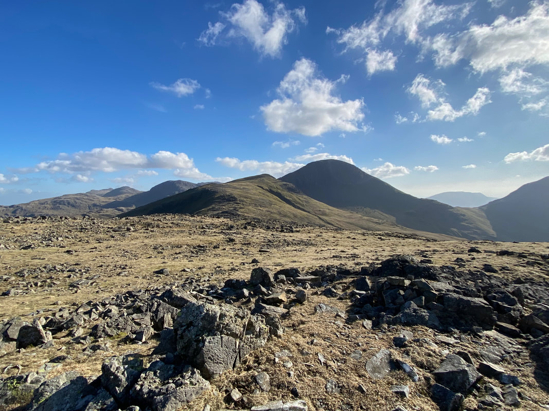
The summit of Brandreth looking to Green Gable & Great Gable with Allen Crags, Bowfell, Esk Pike & Great End over to the left
From Brandreth it is a simple case of rejoining the fence line to reach Grey Knotts which is ahead
The summit of Grey Knotts looking to Glaramara
Crag Fell, Ennerdale Water, Haystacks, the High Stile Ridge, Buttermere, Crummock Water, Mellbreak, Grasmoor & Fleetwith Pike from the summit of Grey Knotts.
Descending from Grey Knotts to join the Coast to Coast path between Loft Beck and the Drum House. A direct descent can be made to Honister to the north east but that route is extremely steep and is best used as an ascent.
Heading for the Drum House on the Coast to Coast path
The remains of the Drum House. This structure housed a wooden drum and cable with the braking system operated manually. The system controlled the ascent and descent of the trucks that were deployed to transport the slate down to the processing sheds below.
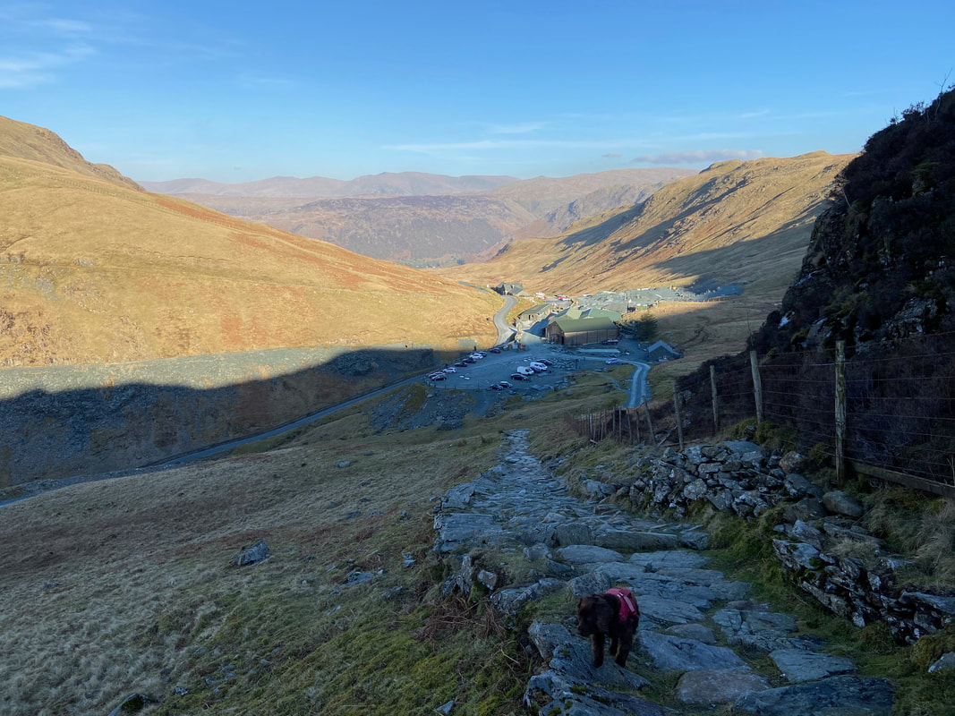
Honister now in view as we descend steeply on a good path back to the car
The easiest way to tell if Fudge has had a good day out on the fells - snoozing his head off after a shower and his tea
