Simonside - Wednesday 18 September 2019
Route
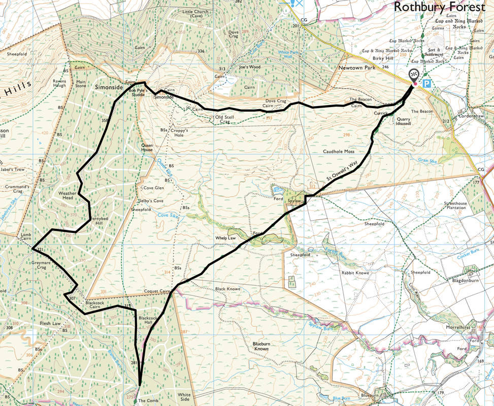
Lordenshaw - St Oswald's Way - Spylaw - Whelp Law - Coquet Cairn - The Comb - Weather Head - Bob Pyle's Studdie - Simonside - Dove Crag - The Beacon - Lordenshaw
Parking
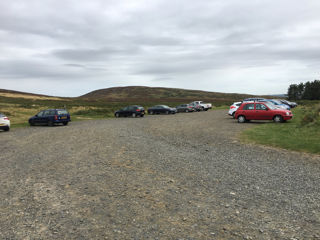
Forestry Commission Car Park at Lordenshaw (Free) - Grid Ref NZ 052988. The nearest postcode is NE61 4PU. To reach the car park take the B6342 South out of Rothbury. After about 2 miles, turn right on the sharp bend near the National Park boundary sign, onto a single track road. Follow this road for just over 3/4 of a mile and the Car Park is on the right.
Mileage
7 miles
Terrain
Mountain paths & forest tracks.
Weather
Overcast for the entire walk.
Time Taken
3hrs 30mins
Total Ascent
898ft (274m)
Map
OL42 Kielder Water & Forest (Bellingham & Simonside Hills)
Walkers
Dave, Angie & Fudge
|
GPX File
|
| ||
If the above GPX file fails to download or presents itself as an XML file once downloaded then please feel free to contact me and I will send you the GPX file via e-mail.
Route Map
Today's walk started from the Forestry Commission Car Park at Lordenshaw. The route leaves to the left however to the right is a path that leads to an Iron Age Hill Fort.
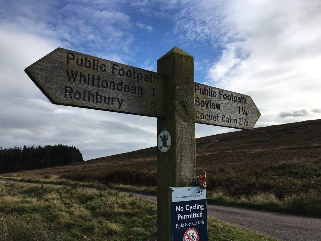
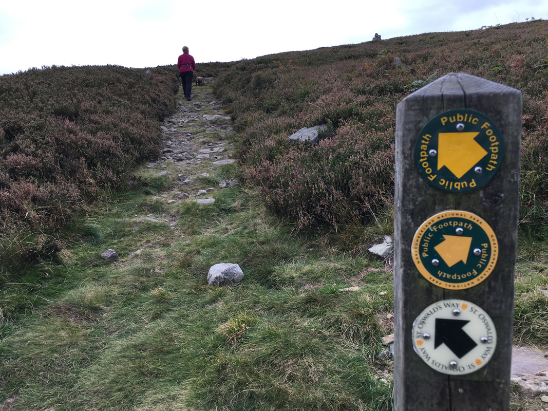
We were off to Simonside via Spylaw & the Coquet Cairn. We were now on The St Oswald Way, a 96 mile long distance trail from Holy Island to Heavenfield on Hadrian's Wall.
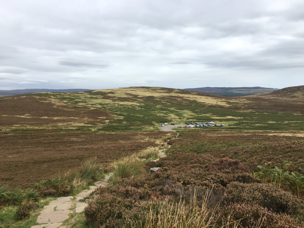
Looking back to Lordenshaw Car Park from the path to Spylaw. The Iron Age Hill Fort is on the mound to the rear of the Car Park.
Continuing on to Spylaw. 400 yards from the road the path splits and we took the left hand fork whilst the right hand path heads to The Beacon & Simonside - this would be our return route.
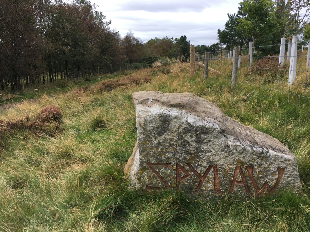
Arriving at Spylaw
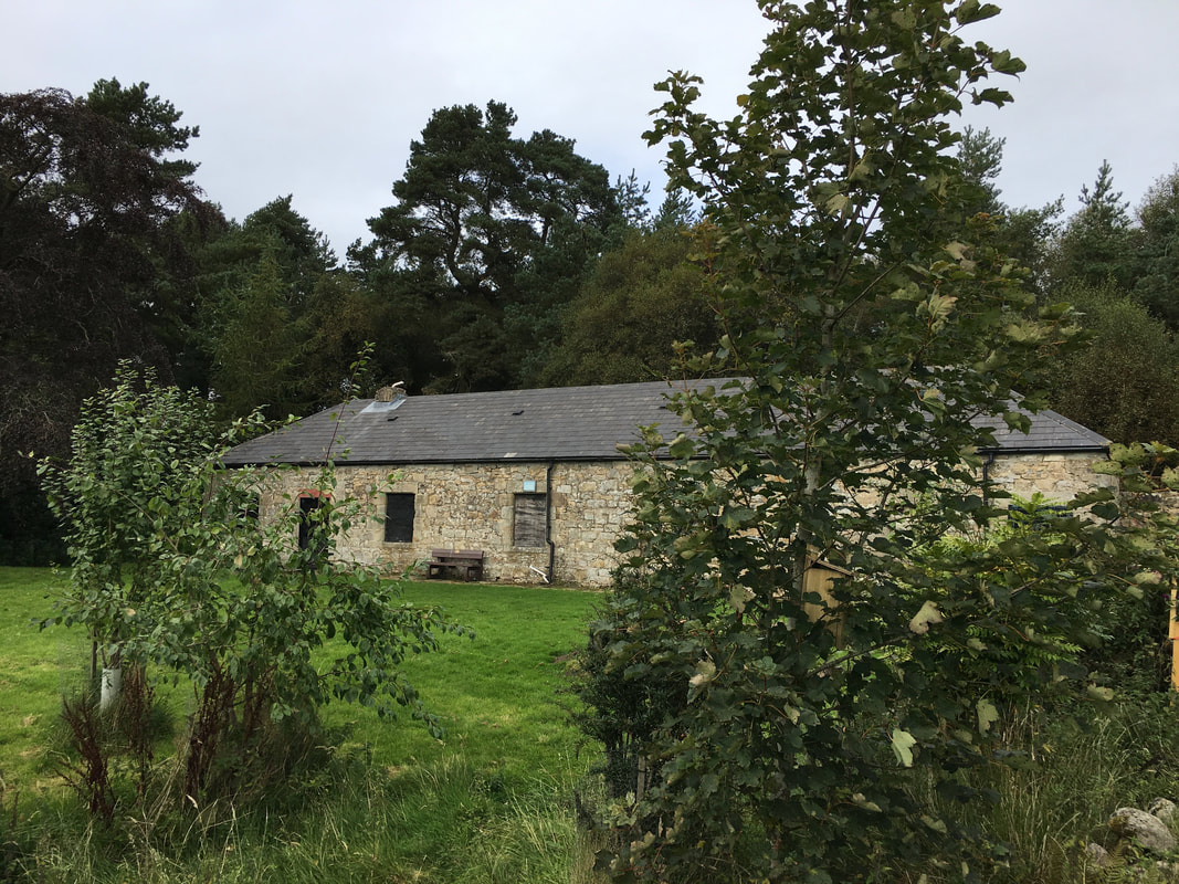
The former shepherd's cottage at Spylaw. The building is owned by The Scouts organisation and is maintained & run by the Blyth Valley group.
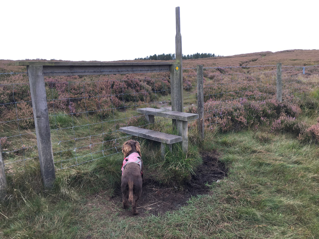
A bit too high to get off over eh Fudge? Wait a minute and I'll lift you over.
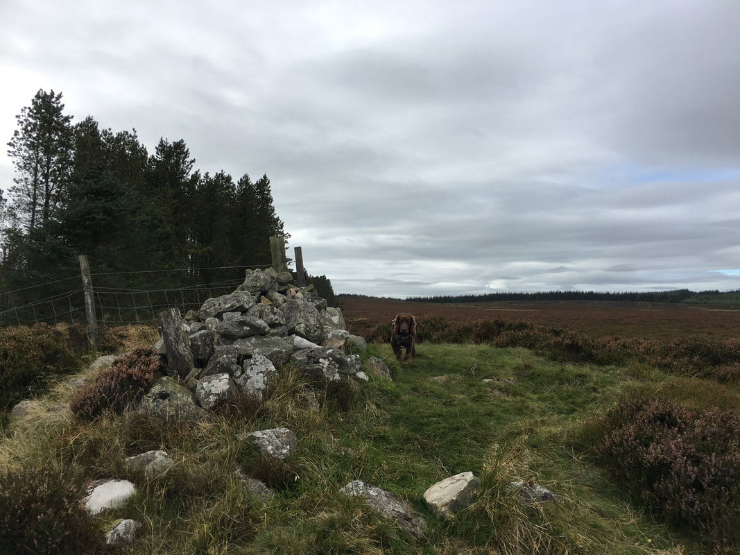
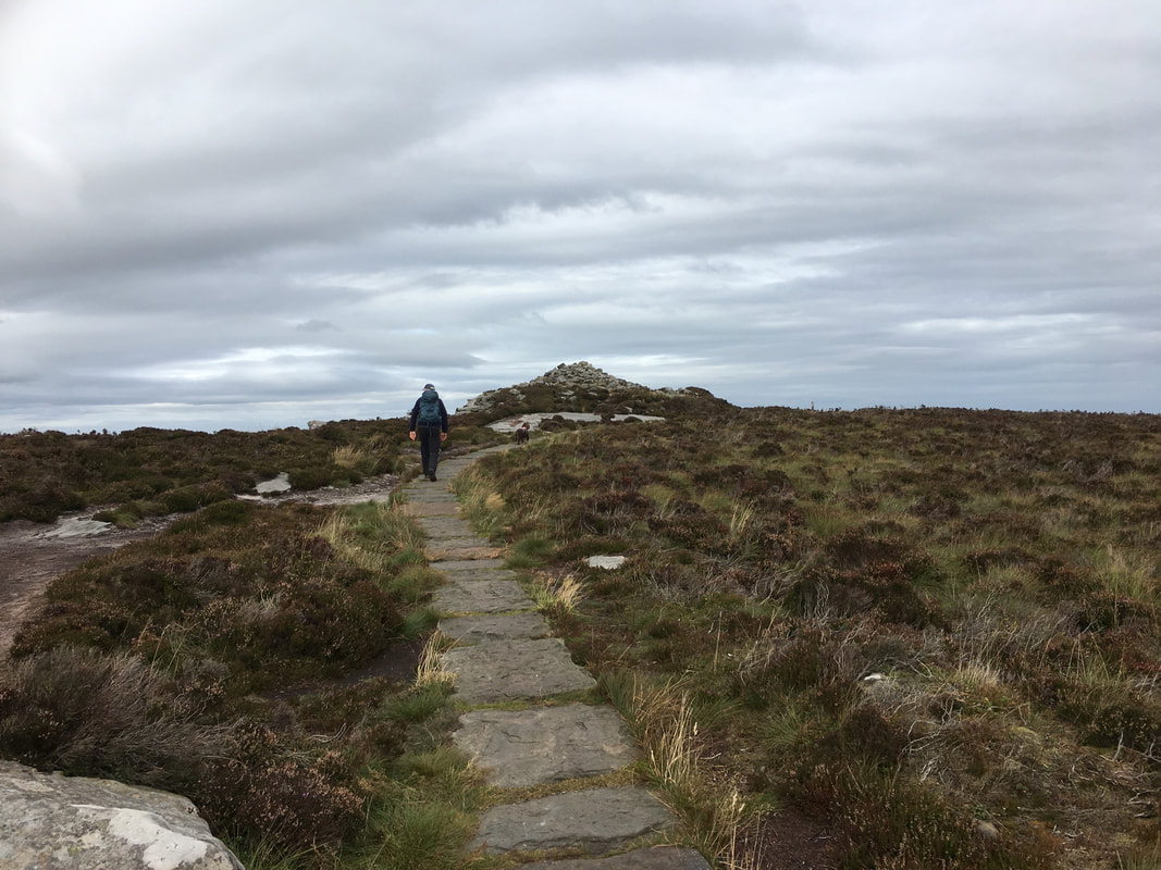
The Coquet Cairn. The cairn is a natural turf-covered mound which has a small walker’s cairn sitting on top. It lies on the boundary of the Northumberland National Park.
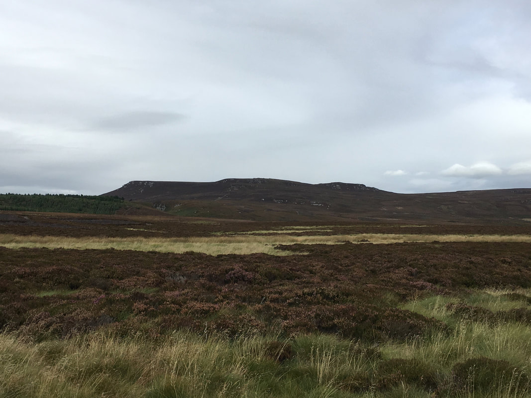
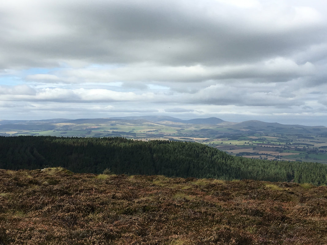
The Simonside Hills from the Coquet Cairn
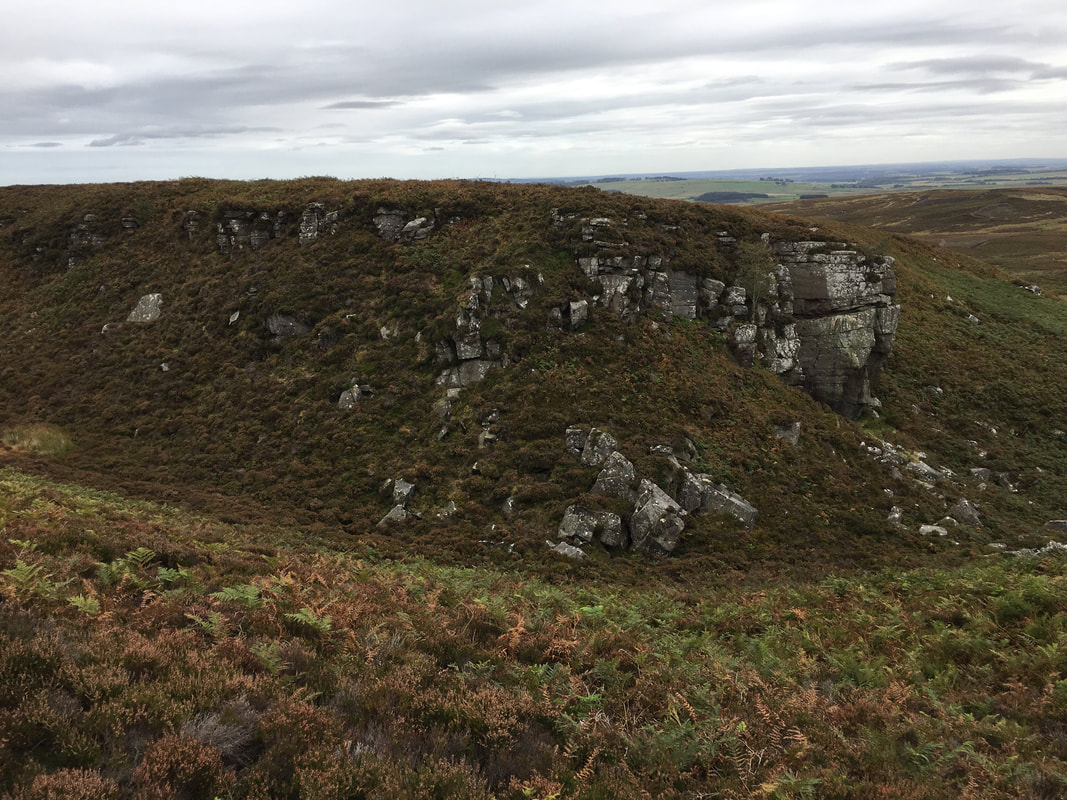
Greymare Crag
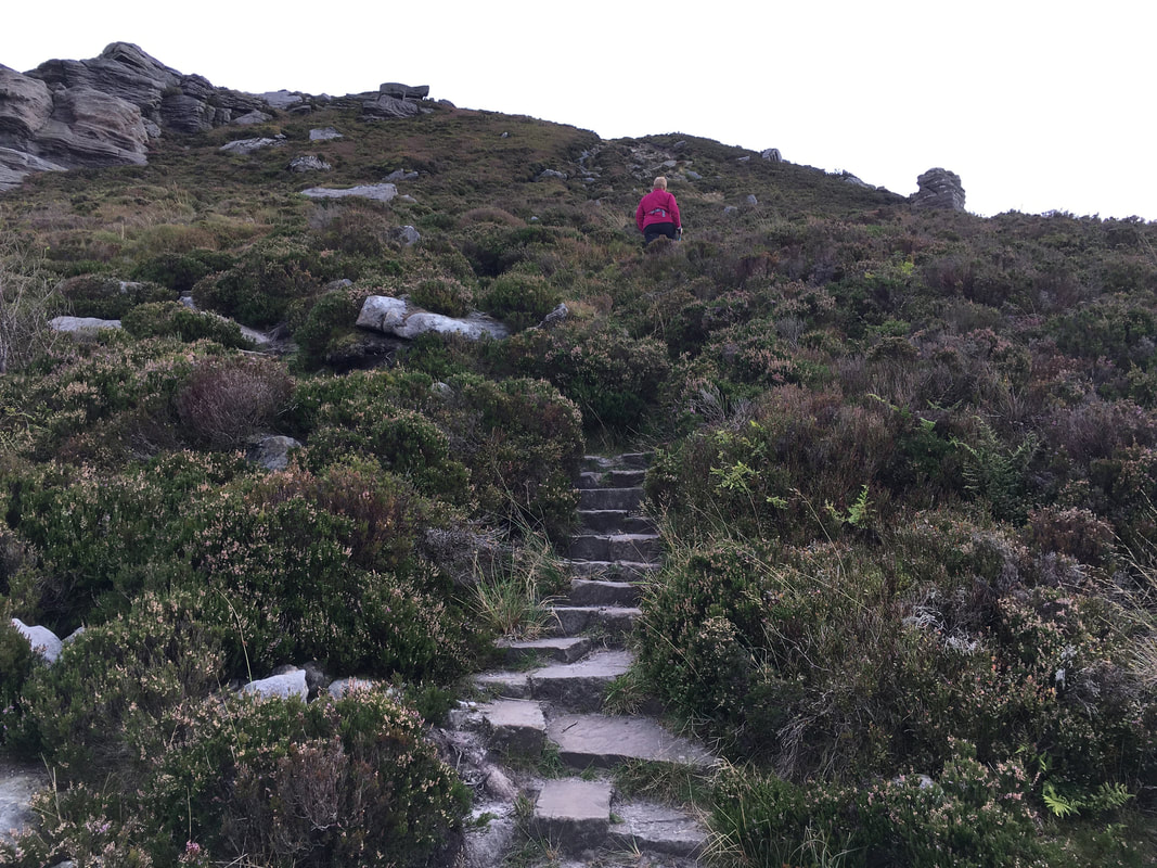
Ascending Simonside from Bob Pyle's Studdie
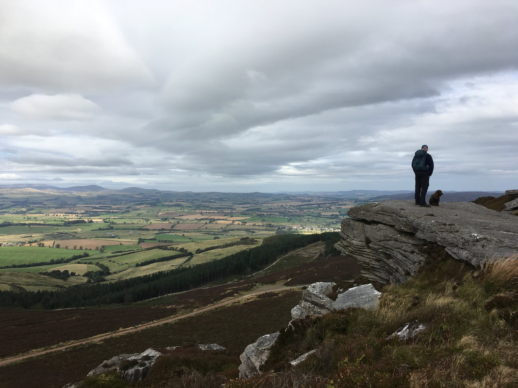
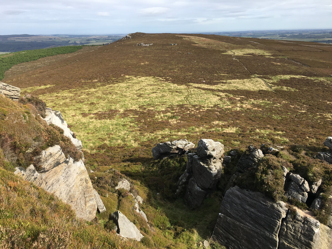
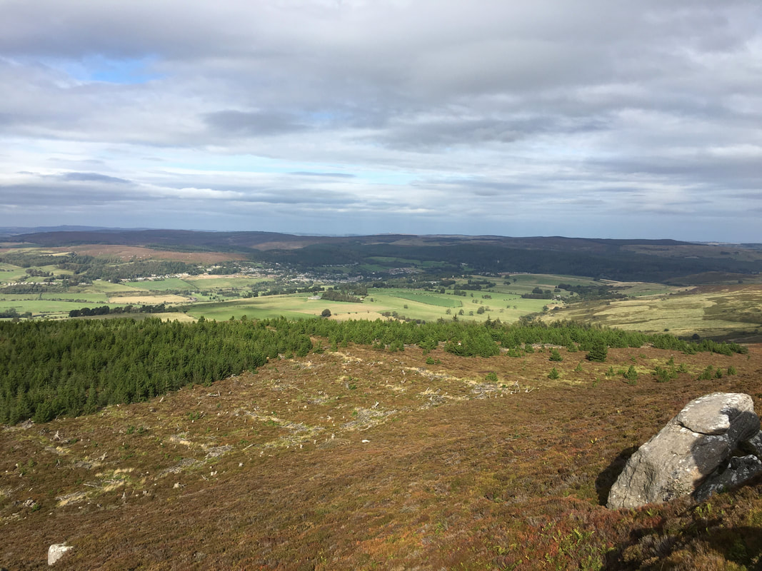
Looking towards Rothbury from the summit of Simonside
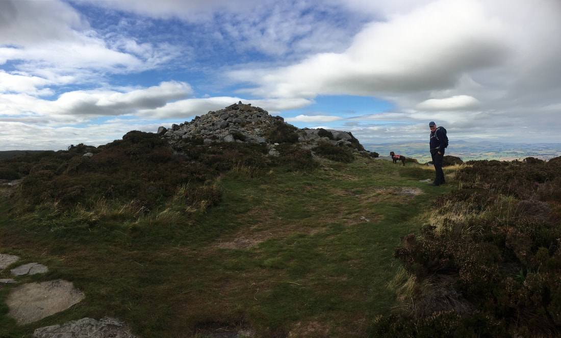
The summit of Simonside
Simonside Summit - the weather was trying really hard but unfortunately it remained overcast
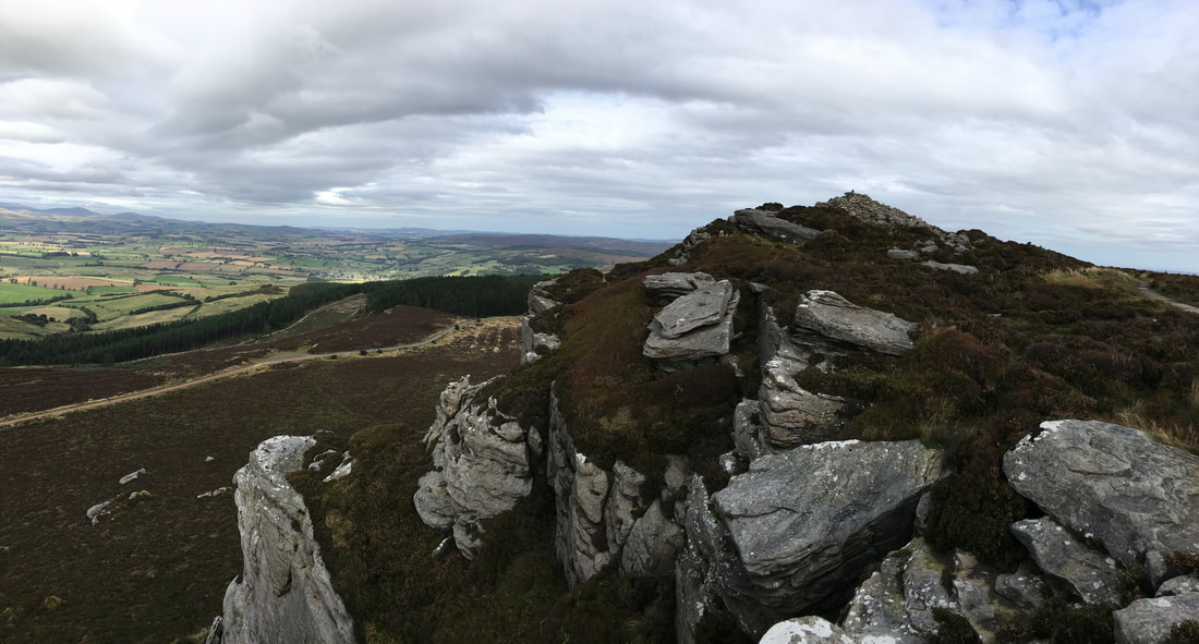
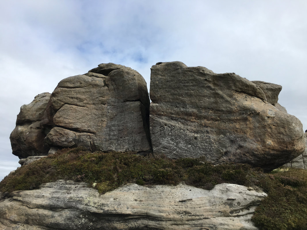
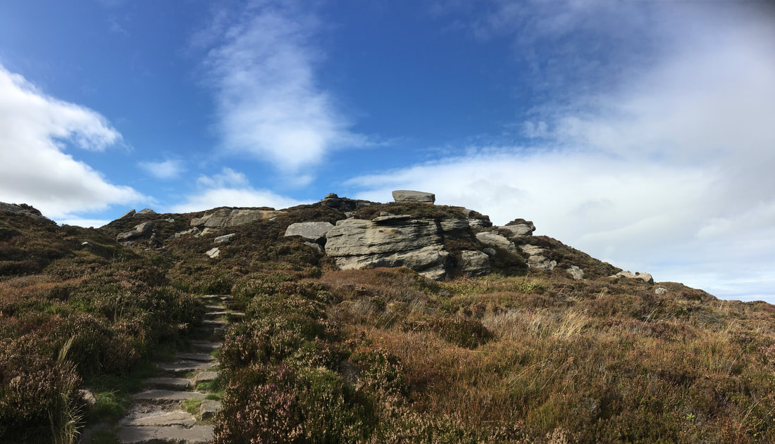
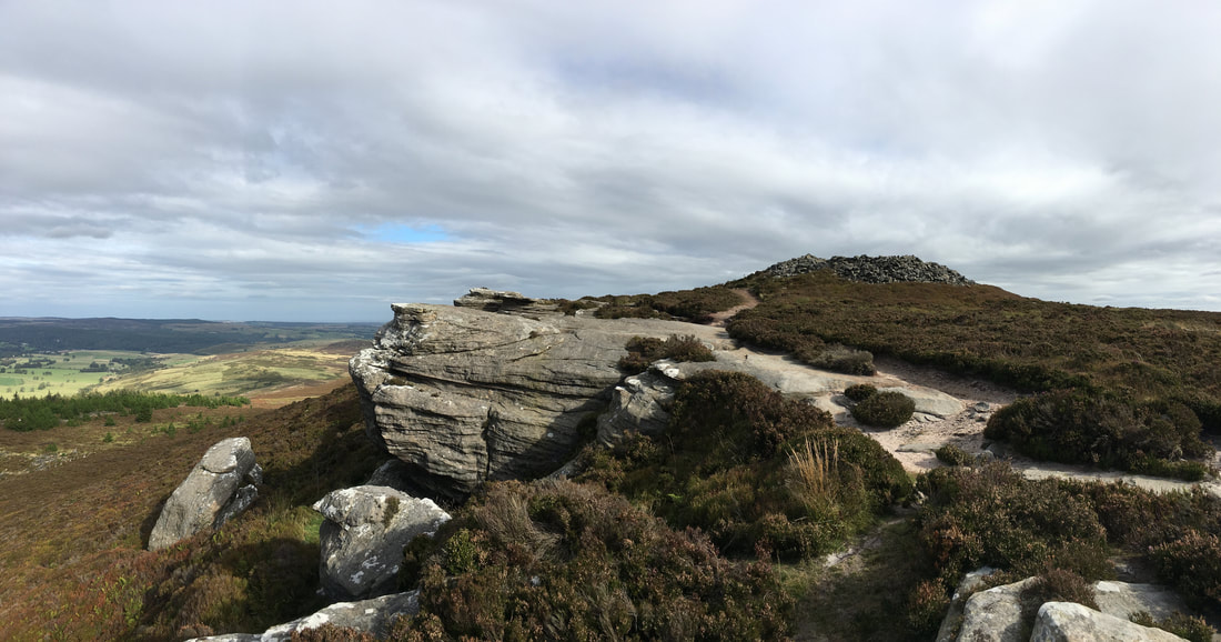
Sandstone rock formations on Old Stell Crag
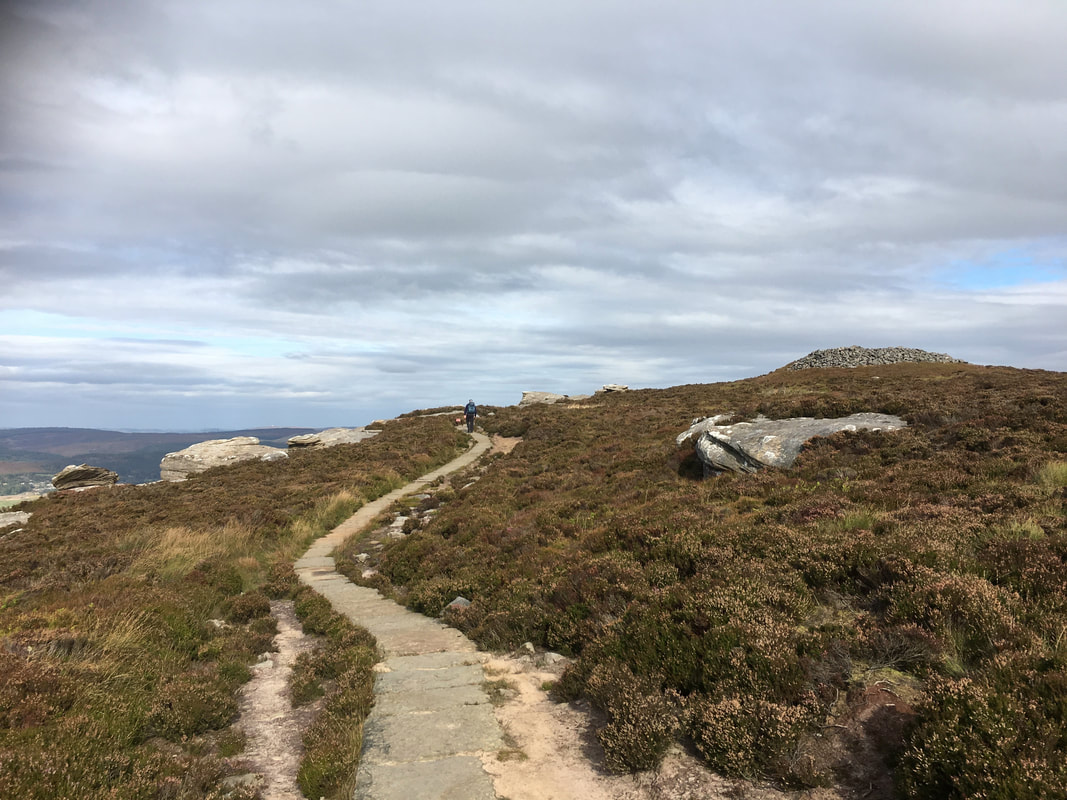
There are several large cairns on Simonside's summit ridge - this one is near Old Stell Crag
Old Stell Crag on Simonside looking to Dove Crag
Old Stell Crag
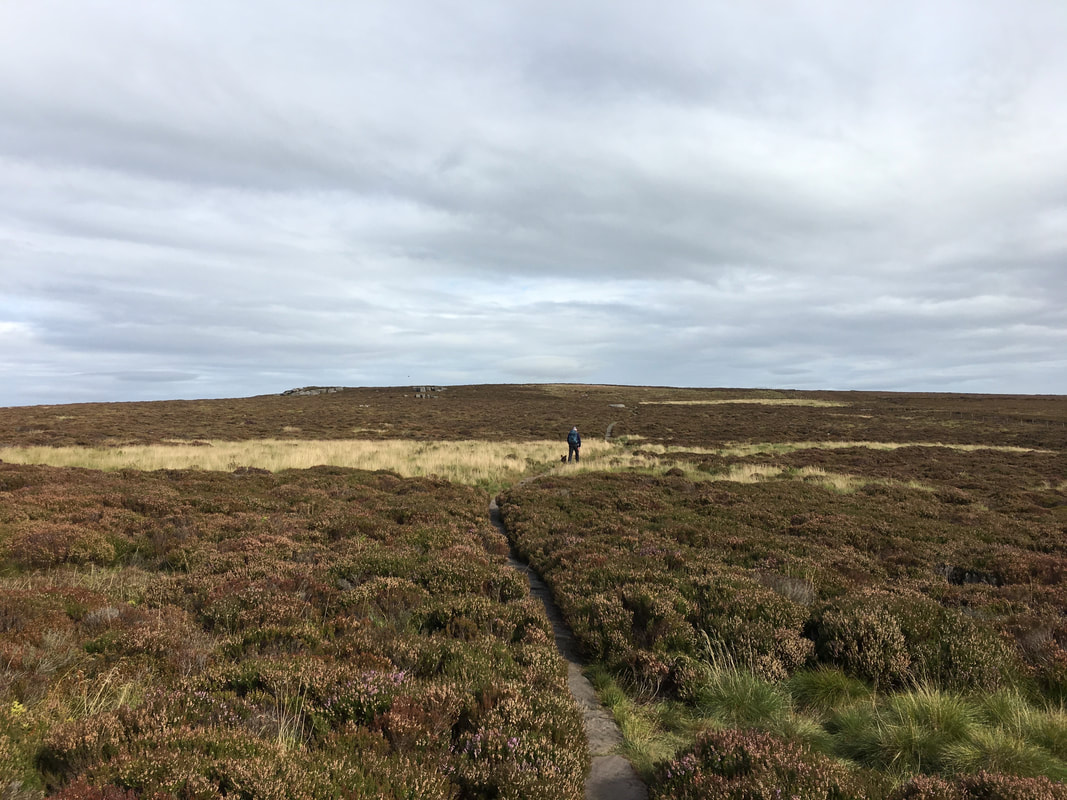
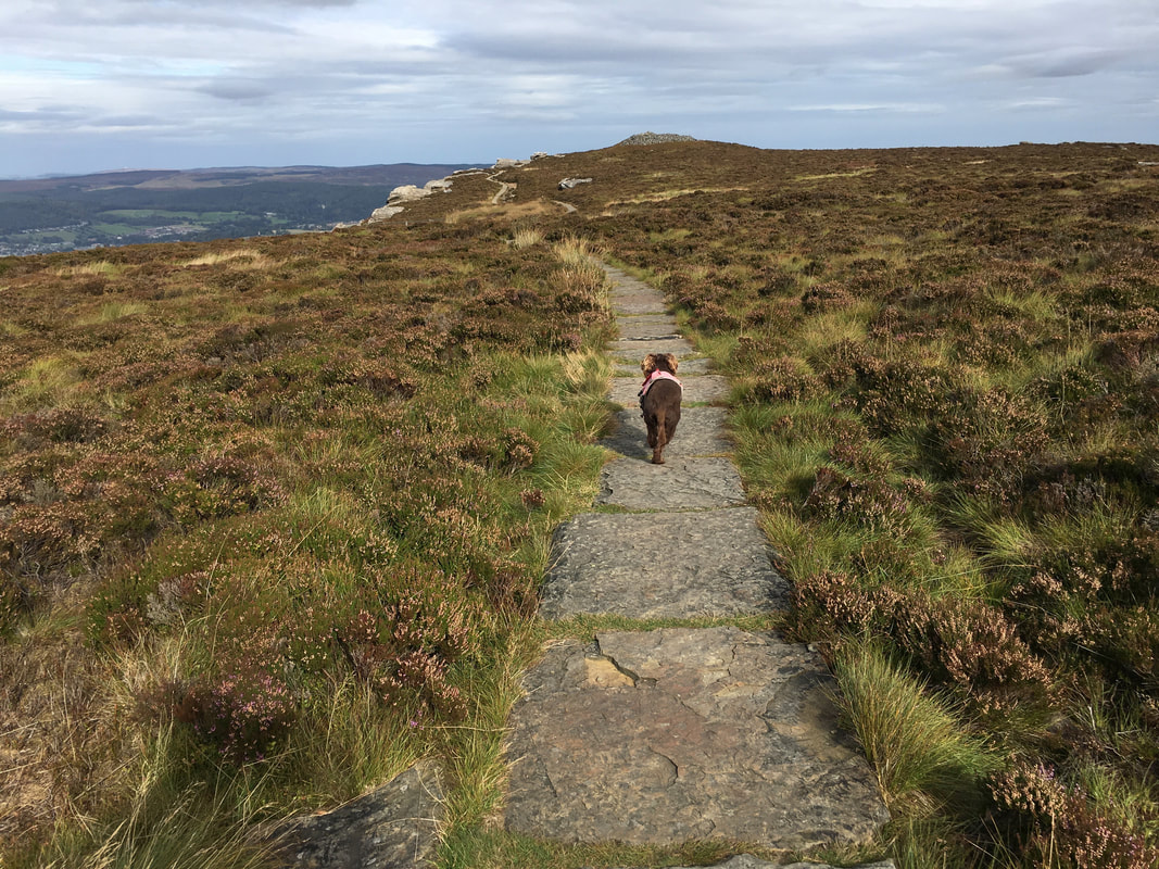
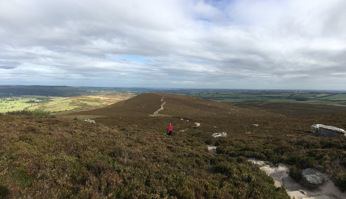
This was delightful walking today as we head to Dove Crag
The Cheviots from near Dove Crag
Fudge changes down a gear to "trundle mode" as we approach Dove Crag
Approaching Dove Crag
Rothbury from Dove Crag
The summit of Dove Crag
From Dove Crag we had another heathery transit over to the last summit of the day - The Beacon
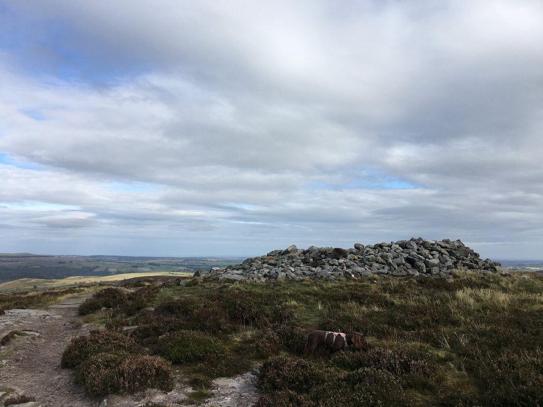
The Beacon - used to warn of Scots invaders during the Tudor times. Fudge has a sniff around in case there are any still hereabouts.
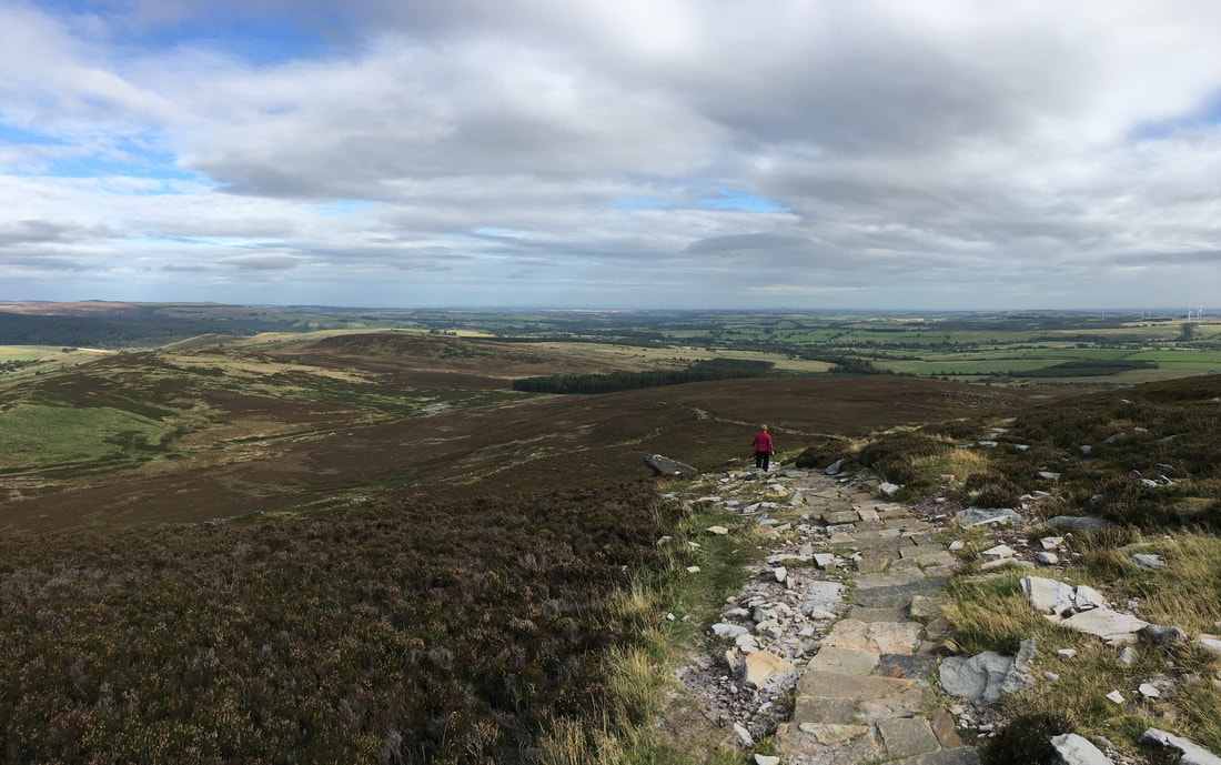
From The Beacon the route heads downhill on a good path to reach the Car Park
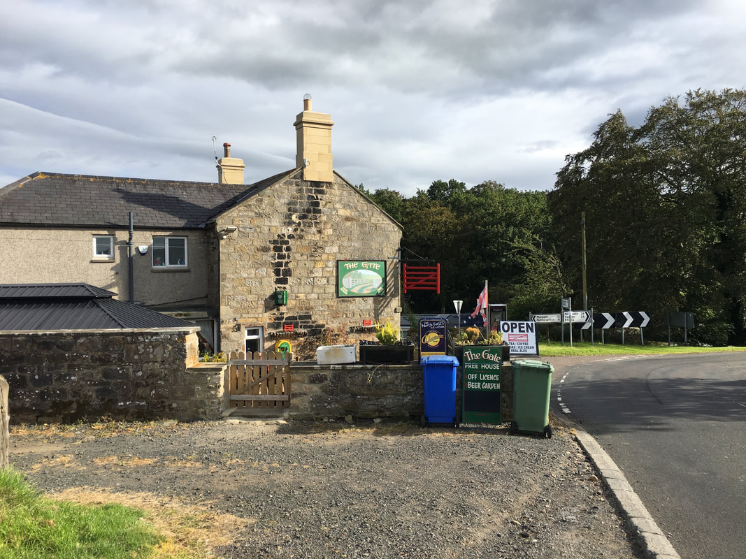
Of course the most important part of the walk is the debrief on completion - this time at The Gate, Forestburn
