Seat Sandal, Fairfield, St Sunday Crag, Birks & Arnison Crag - Friday 15 February 2019
Route
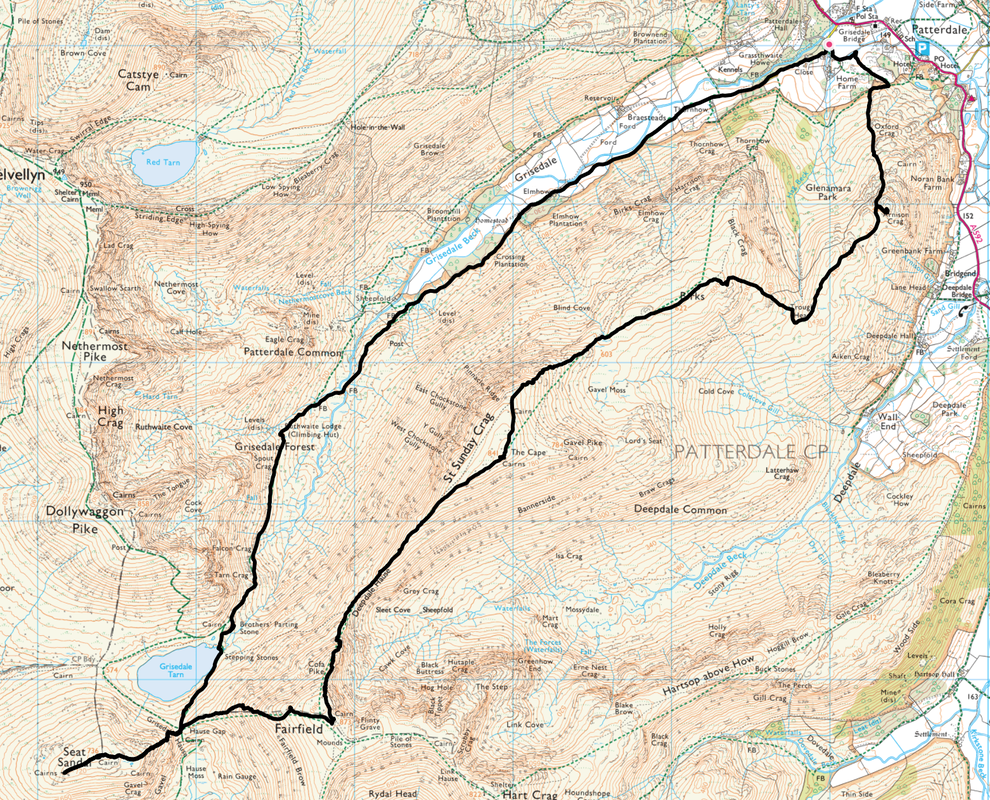
Patterdale - Grisedale - Ruthwaite Lodge - Brothers Parting Stone - Grisedale Tarn - Hause Gap - Seat Sandal - Hause Gap - Fairfield - Cofa Pike - Deepdale Hause - St Sunday Crag - Birks - Trough Head - Arnison Crag - Patterdale
Parking
Lots of parking in Patterdale - £3 all day at King George V Car Park (opposite Patterdale Hall) - GR NY390160
Mileage
11.4 miles
Terrain
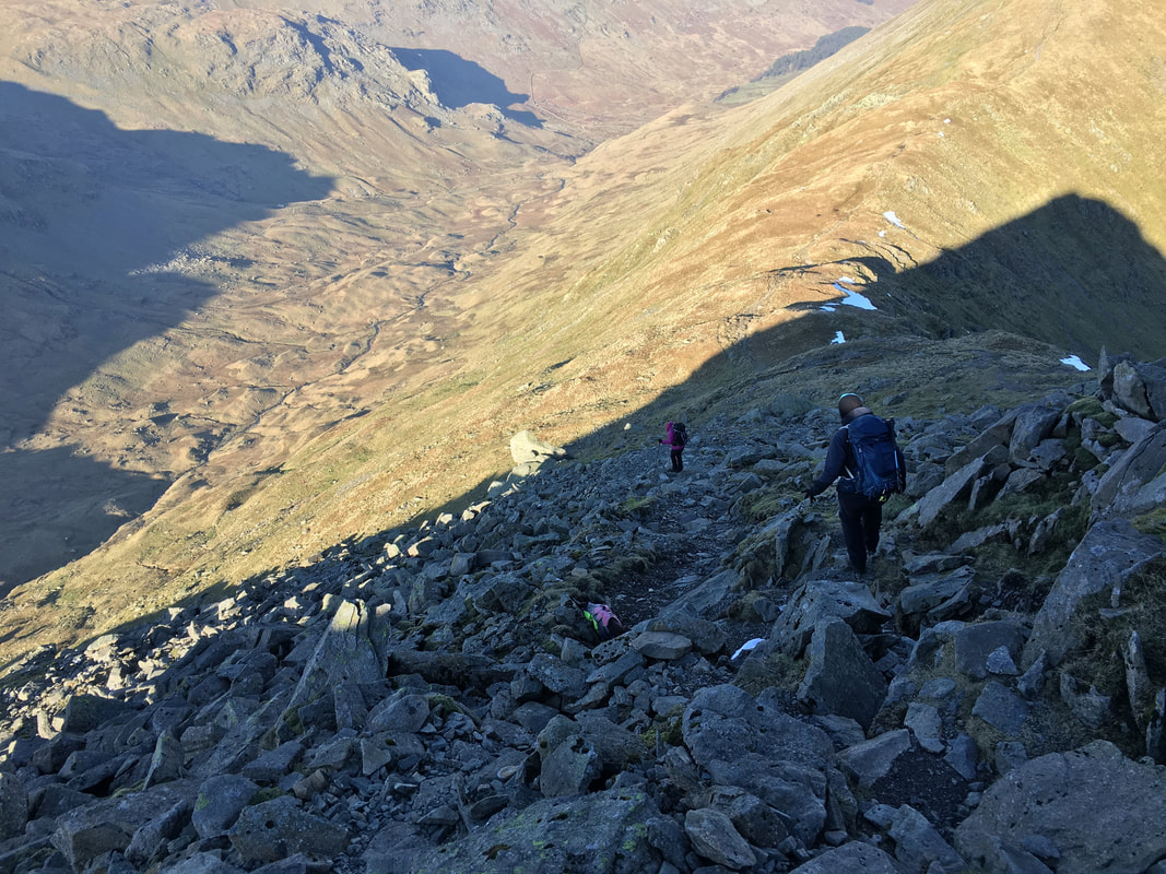
Good mountain paths for the most part. The ascent of Fairfield is steep in places and on loose scree for some of the climb. Please be aware that the summit of Fairfield is an extremely confusing place in mist & low cloud. Care needs to be taken on the steep descent from Cofa Pike to Deepdale Hause.
Weather
Good visibility, sunny spells and strong winds, particularly on St Sunday Crag
Time Taken
7hrs 45mins
Total Ascent
3645ft (1111m)
Wainwrights
5
Map
OL5 - The English Lakes - North Eastern Area
Walkers
Dave, Angie & Fudge with Lee & Karen
|
GPX File
|
| ||
If the above GPX file fails to download or presents itself as an XML file once downloaded then please feel free to contact me and I will send you the GPX file via e-mail.
Route Map
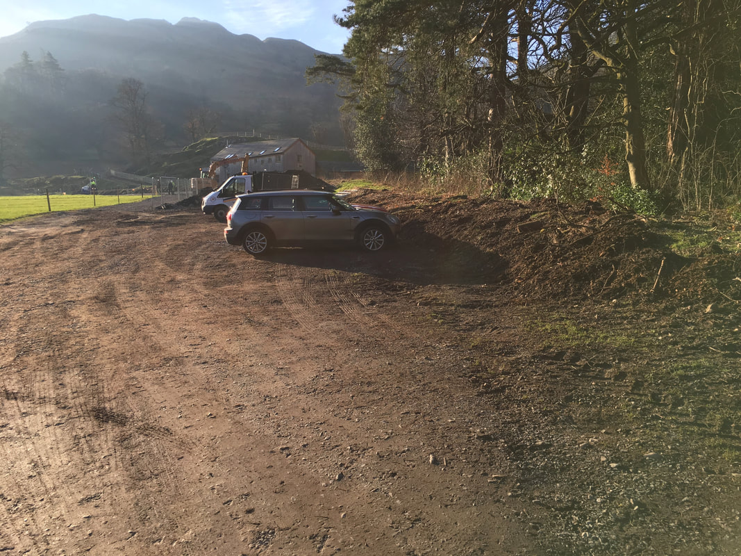
The walk started from the Sports Field Car Park in Patterdale located up the lane to Grisedale Bridge opposite Mountain Rescue.
As of 2019 the charge is £3 per day by donation and all proceeds go to the upkeep of the facilities.
As of 2019 the charge is £3 per day by donation and all proceeds go to the upkeep of the facilities.
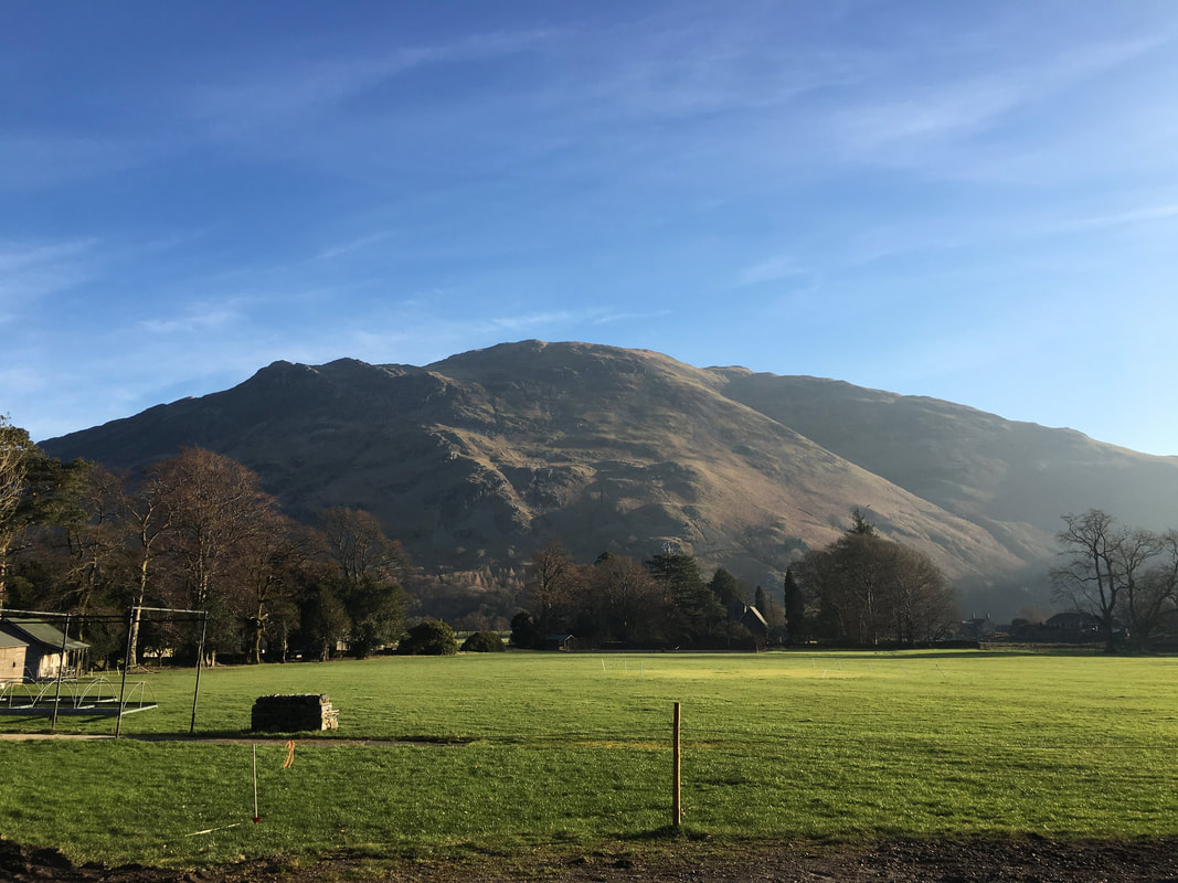
Place Fell
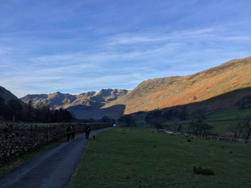
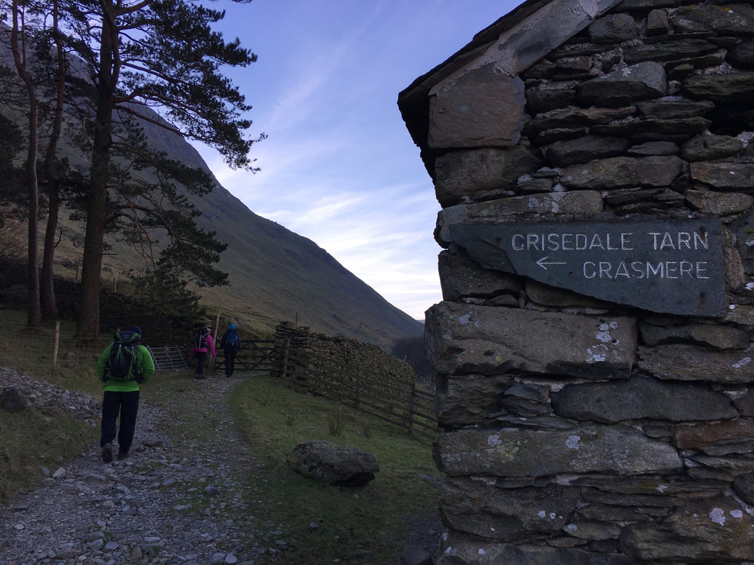
Heading along the access track through the Grisedale Valley - Birkhouse Moor is above us to the right with the Helvellyn range ahead
The path continues along the valley floor in the direction of Grisedale Tarn
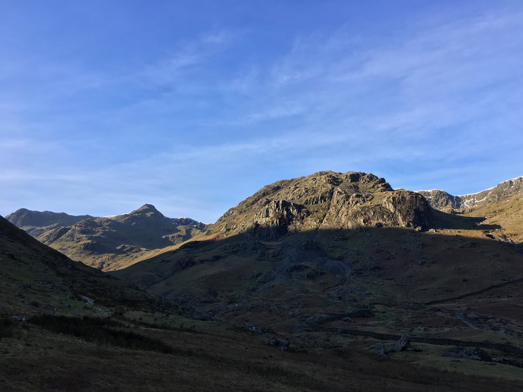
Eagle Crag dominates the view ahead with The Tongue on Dollywagon Pike to the left
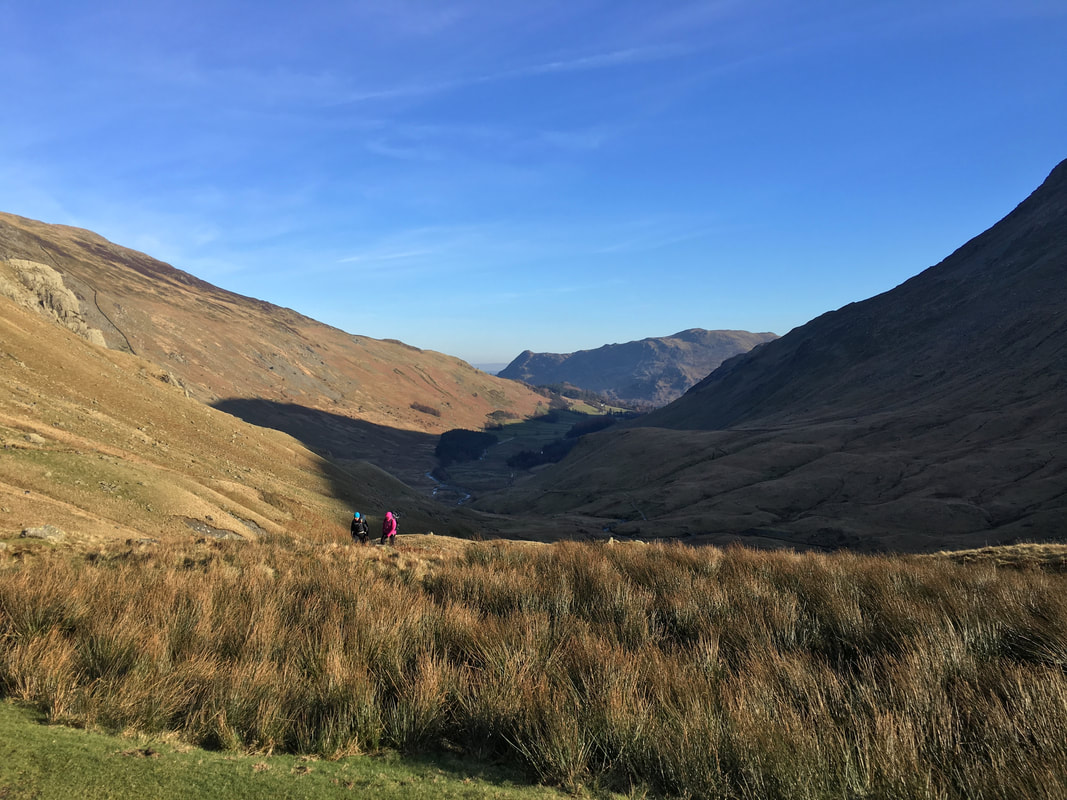
Approaching Ruthwaite Lodge looking back down the Grisedale Valley
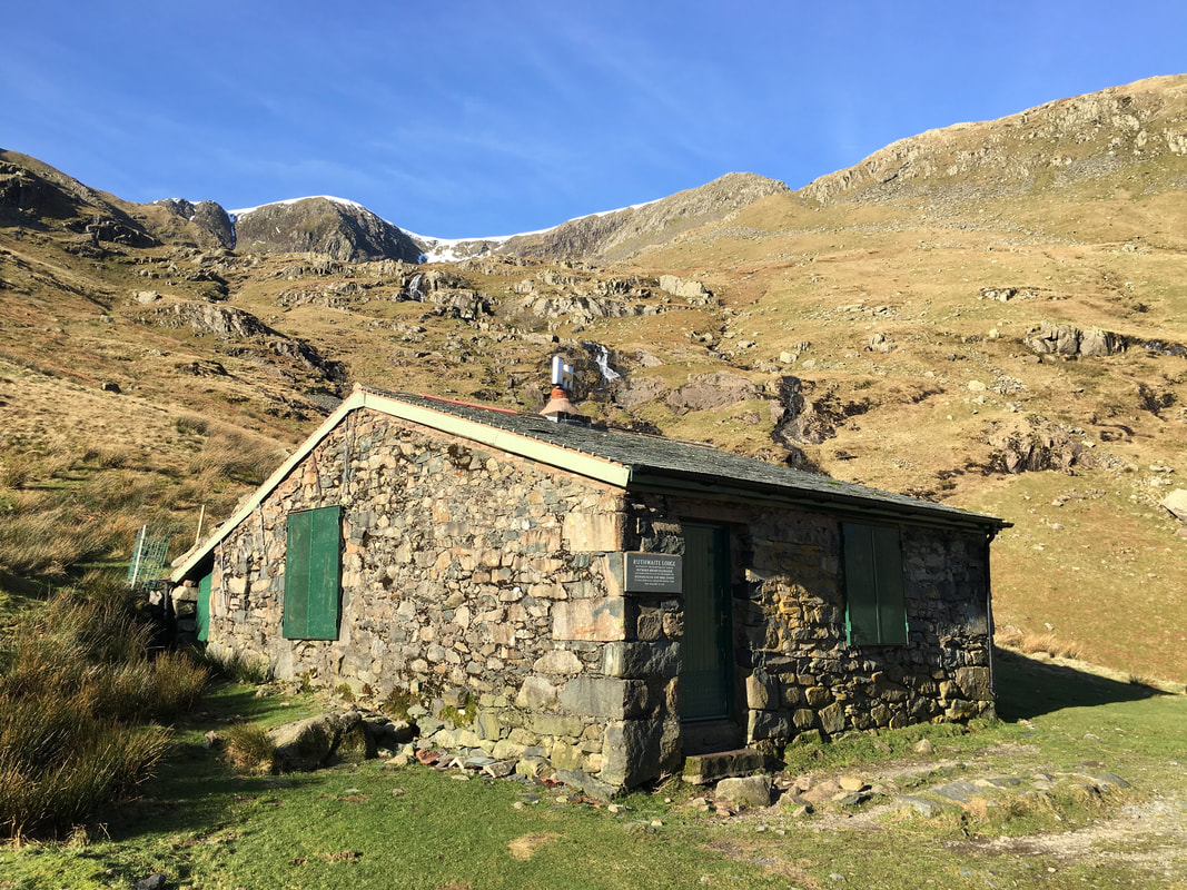
Ruthwaite Lodge near Grisedale Tarn
The climbing hut was restored in 1993 in memory of the bravery of two climbers from Outward Bound Ullswater, who lost their lives climbing Mount Cook in New Zealand. The plaque to the left of the door commemorates this.
The climbing hut was restored in 1993 in memory of the bravery of two climbers from Outward Bound Ullswater, who lost their lives climbing Mount Cook in New Zealand. The plaque to the left of the door commemorates this.
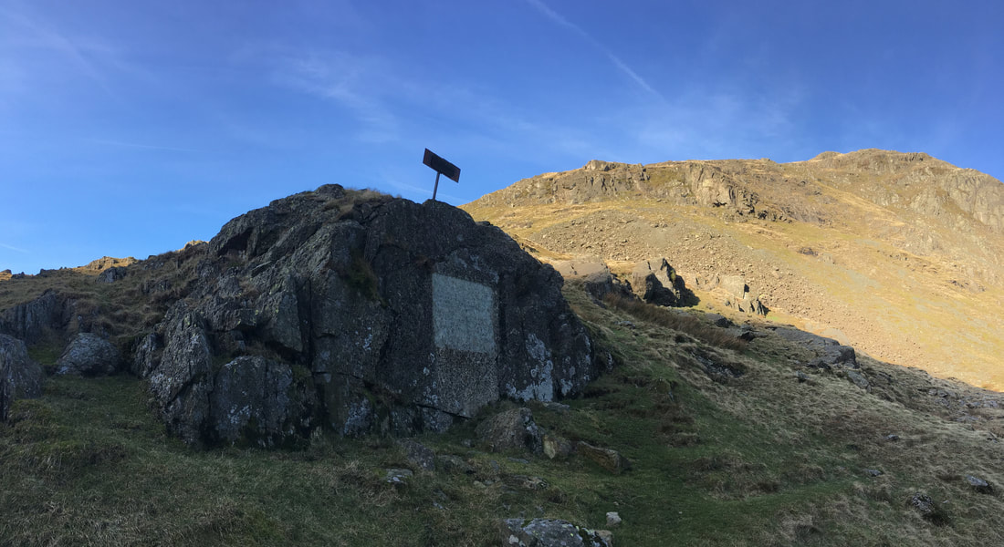
The Brothers Parting Stone
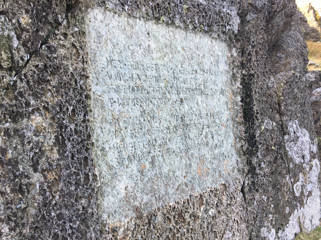
The stone is located just off the main path at Grid Reference NY 35237 12339. It marks the place at which William & Dorothy Wordsworth last saw their brother John on 29 September 1800. John was on his way to command his ship the Earl of Abergavenny which belonged to the East India Company. He was drowned, along with 250 other men when the ship sank off Portland on 5 February 1805. The stone is engraved with an inscription (barely legible) which is taken from the Elegiac Verses that Wordsworth wrote in memory of his brother in 1805 although they were not published until 1842.
The inscription reads:
Here did we stop; and here looked round
While each into himself descends,
For that last thought of parting Friends
That is not to be found.
Brother and friend, if verse of mine
Have power to make thy virtues known,
Here let a monumental Stone
Stand–sacred as a Shrine
A close up of the inscription on the Brothers Parting Stone
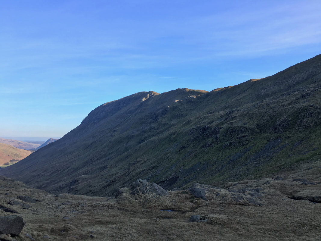
Looking back to St Sunday Crag
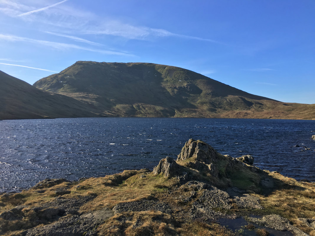
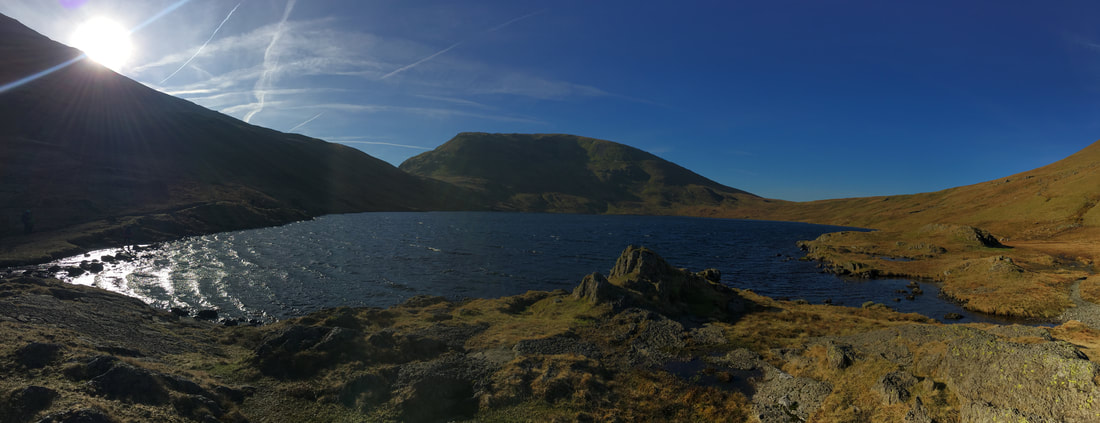
Looking over Grisedale Tarn to Seat Sandal
When it is quiet this is one of the loveliest spots to simply sit and take in that view.
Our path to the foot of Seat Sandal is around to the left above the lake shore.
Our path to the foot of Seat Sandal is around to the left above the lake shore.
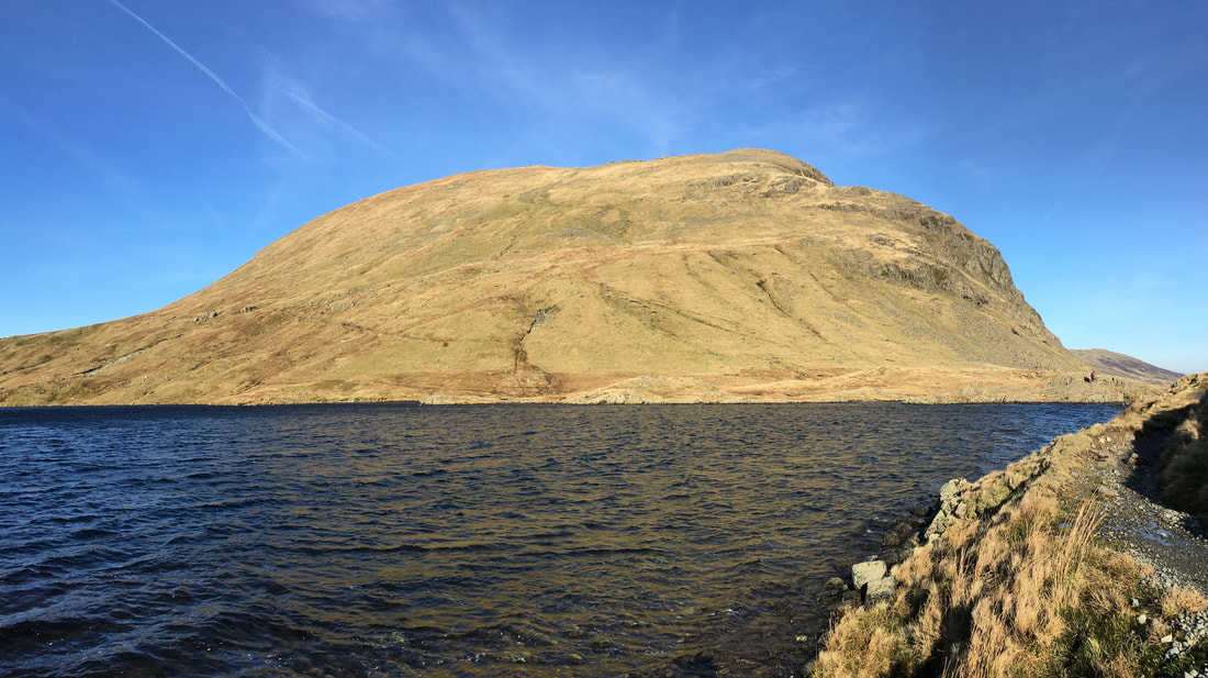
Heading along the eastern side of Grisedale Tarn looking back to Dollywagon Pike
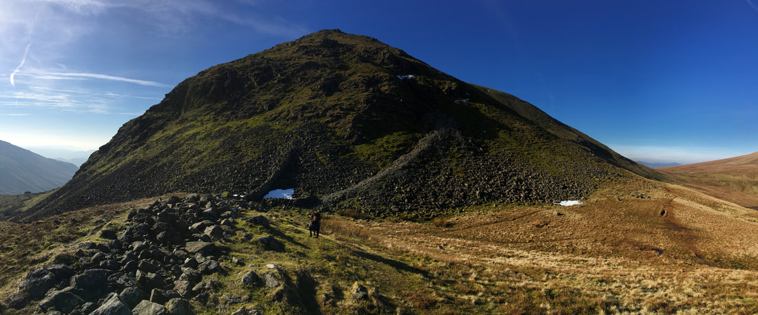
At Hause Gap looking to Seat Sandal - the first part of the path heads up the scree sloping from left to right
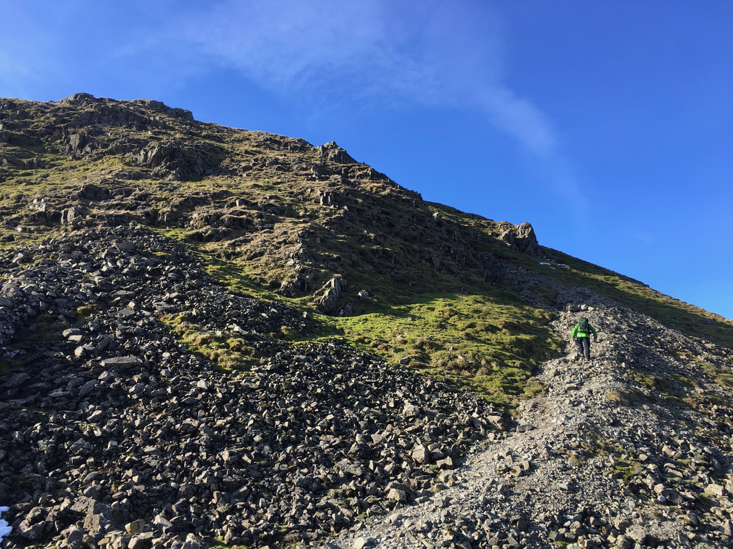
Up we go on the ascent of Seat Sandal. The scree path turns to the left where a wall is then followed to reach the summit plateau
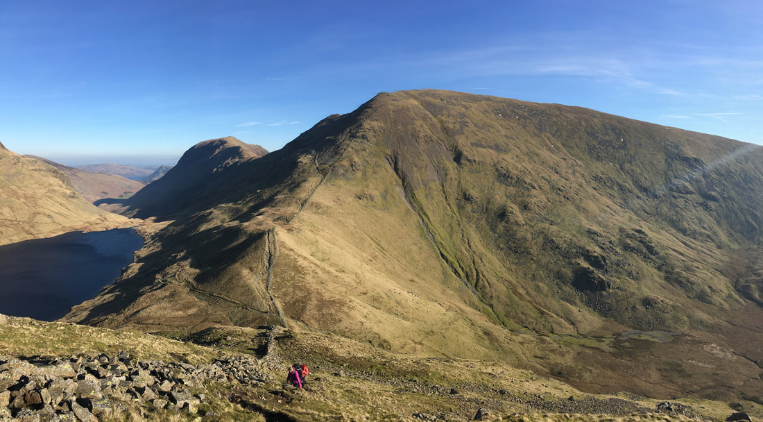
Whilst all eyes are on the steep ascent of the fell, remember to look back at this superb view of Fairfield & St Sunday Crag
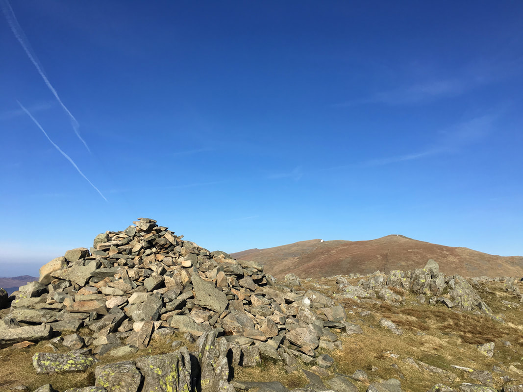
The summit of Seat Sandal looking to High Crag & Dollywagon Pike
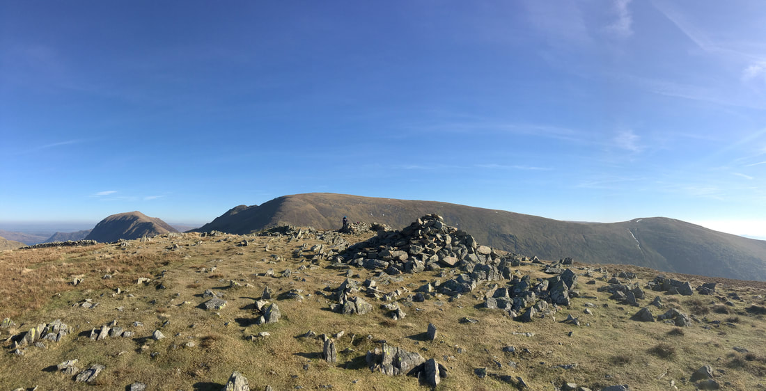
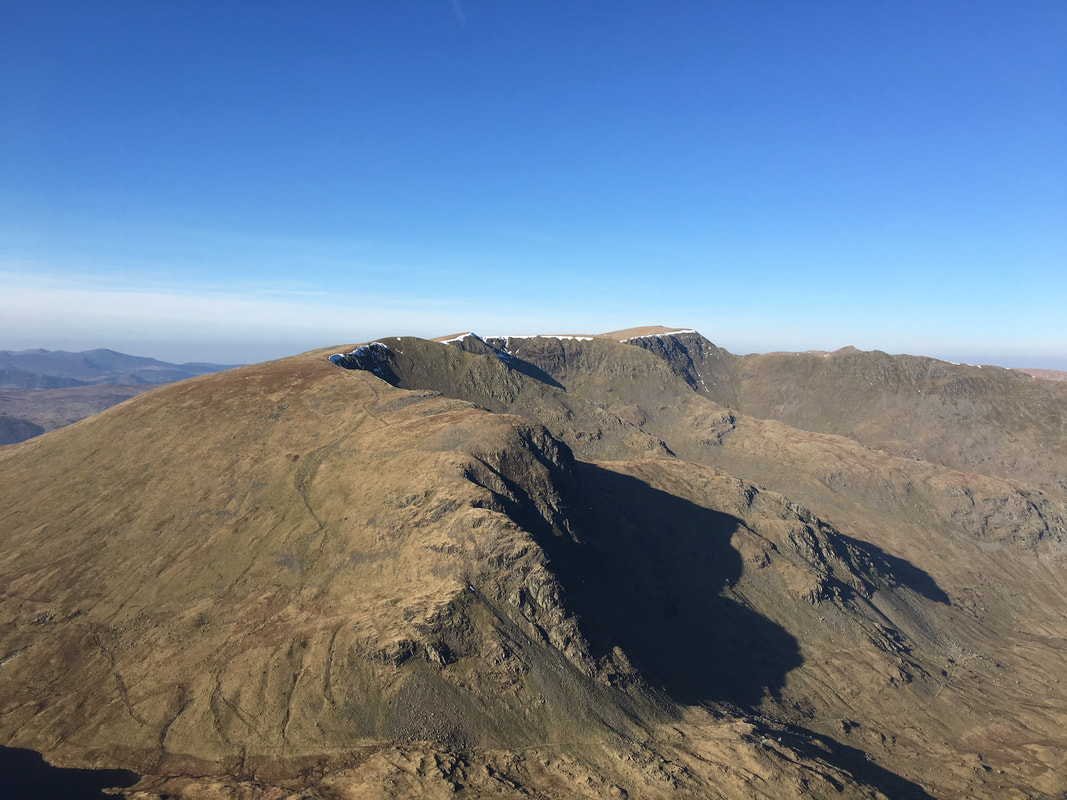
Seat Sandal summit looking to St Sunday Crag, Cofa Pike, Fairfield and Great Rigg
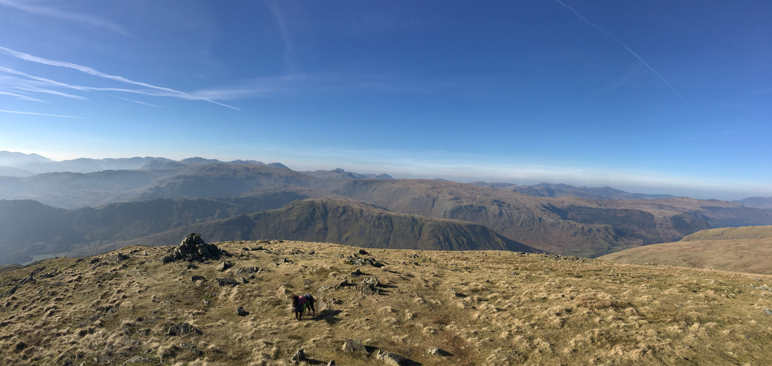
Whilst my walking companions remained on the summit of Seat Sandal, Fudge and I had a walk over to the south western cairn
It was certainly worth it for the view
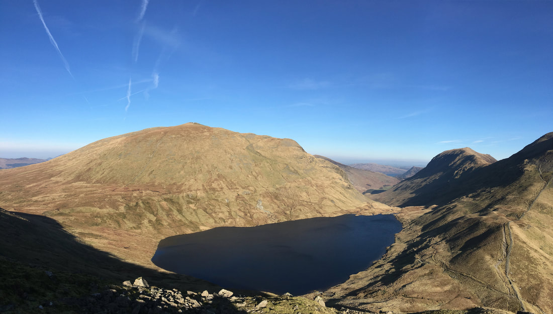
Dollywagon Pike & Grisedale Tarn from the descent of Seat Sandal.
We descended back the same way to Hause Gap to continue on up to Fairfield. Our path of ascent can be seen to the right of picture.
We descended back the same way to Hause Gap to continue on up to Fairfield. Our path of ascent can be seen to the right of picture.
Looking back to Seat Sandal from the ascent of Fairfield.
Our route of ascent up Seat Sandal can just about be seen - scree path followed by handrailing the wall
Our route of ascent up Seat Sandal can just about be seen - scree path followed by handrailing the wall
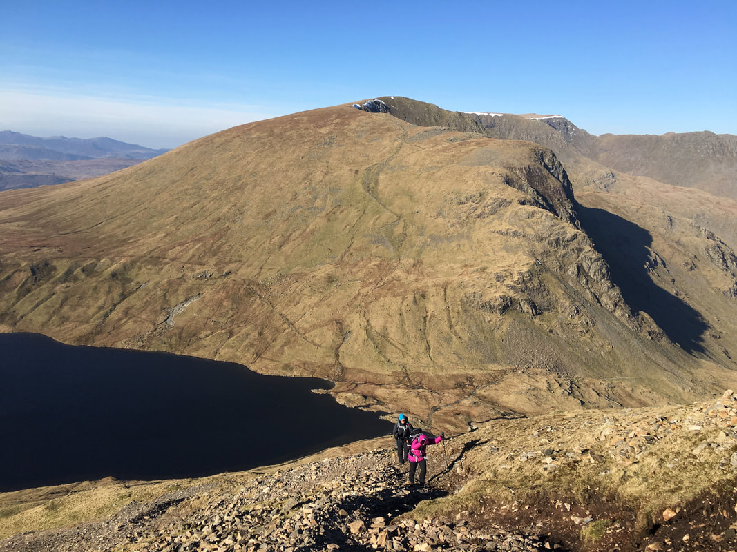
For the most part the ascent of Fairfield is extremely steep and on loose scree however the views make up for this
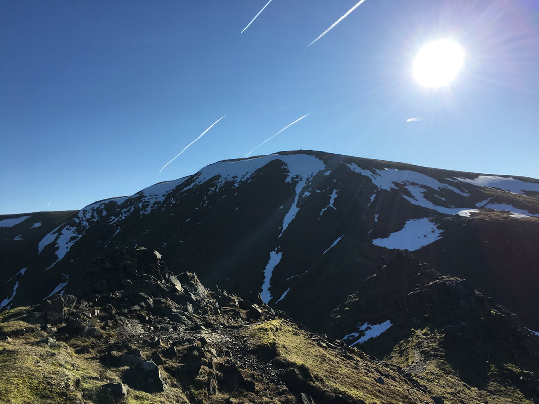
Dollywagon Pike, Nethermost Pike, Helvellyn & Striding Edge from the ascent of Fairfield
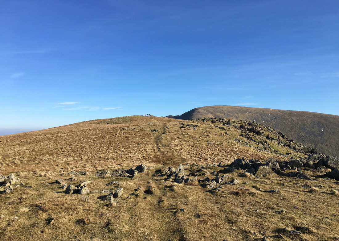
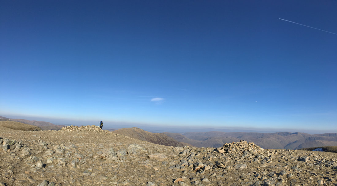
The summit plateau on Fairfield - in mist this is can be a very confusing place.
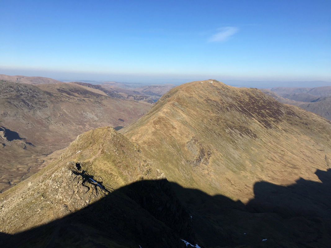
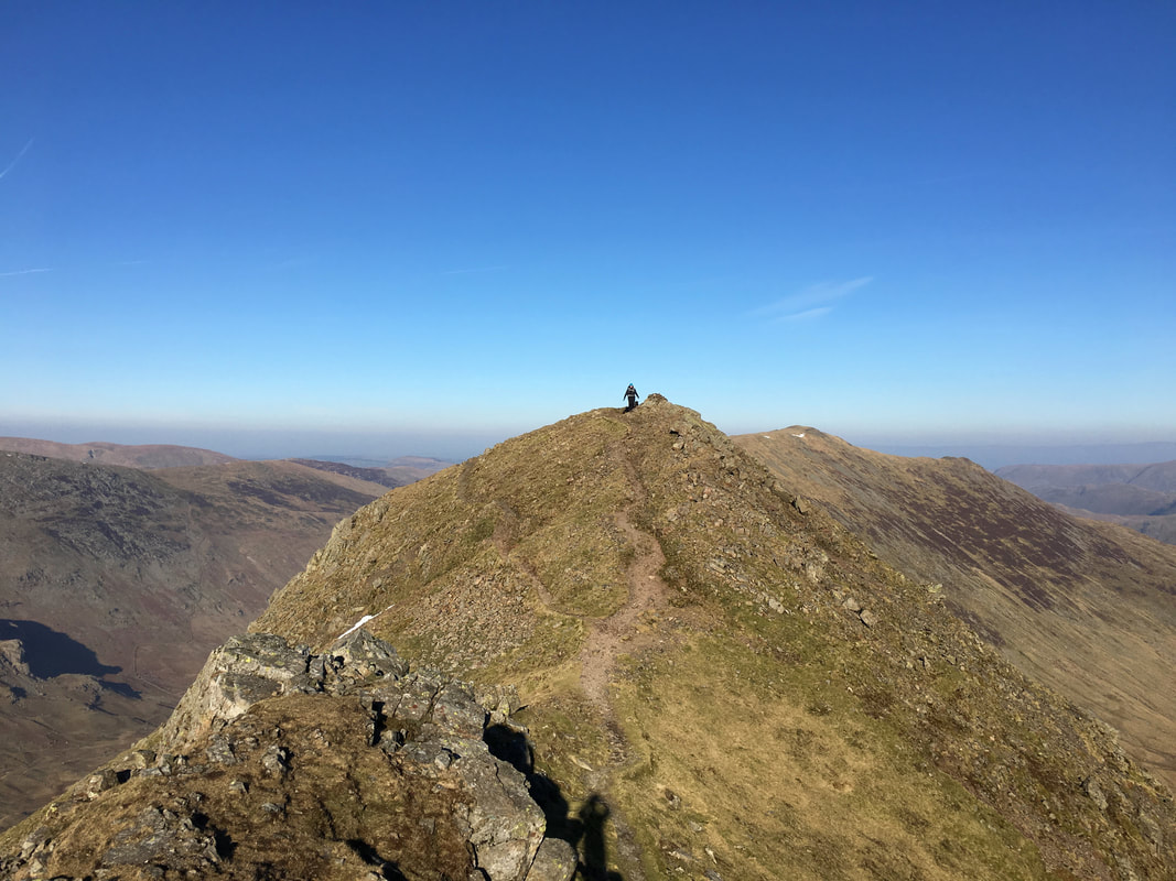
Looking to our onward route over Cofa Pike & St Sunday Crag from Fairfield
My walking companions on the summit of Cofa Pike
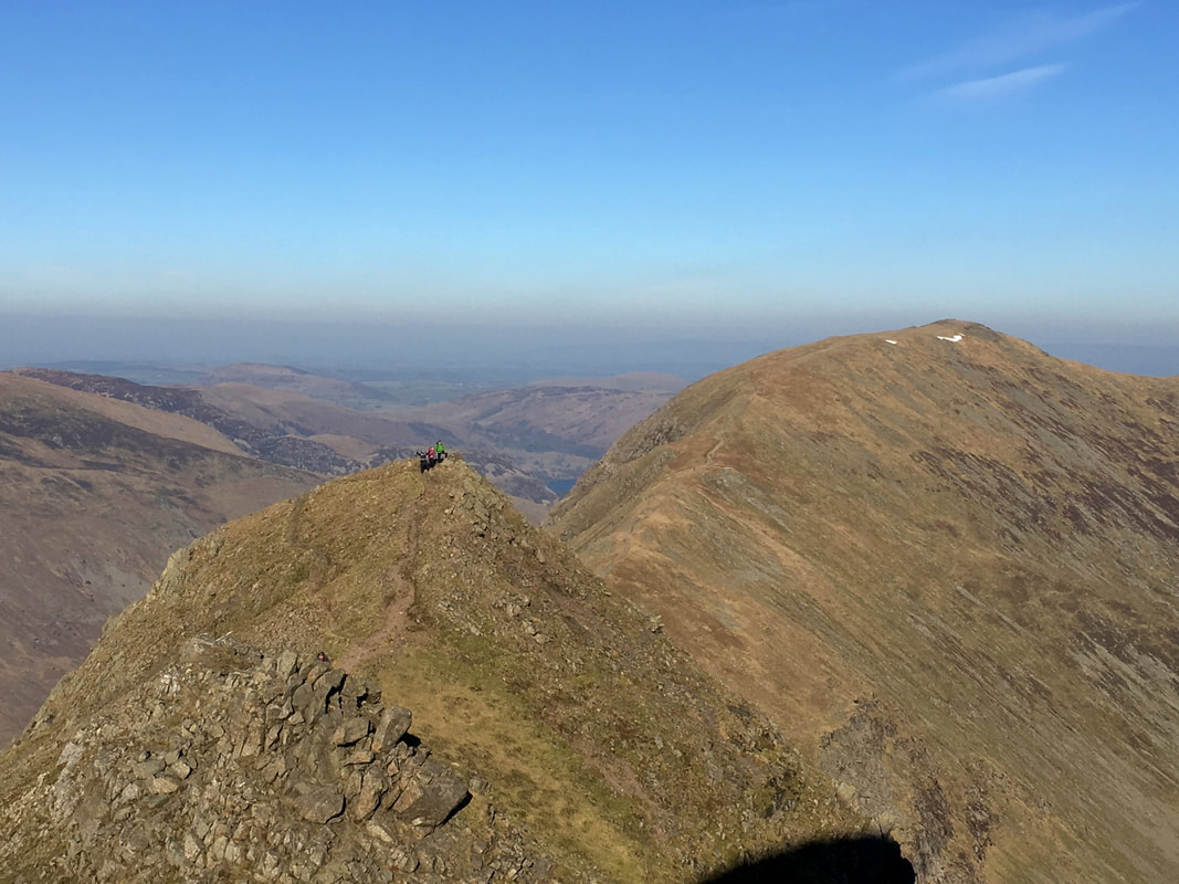
The final part of the ascent on to the summit of Cofa Pike - in my opinion a very underrated fell
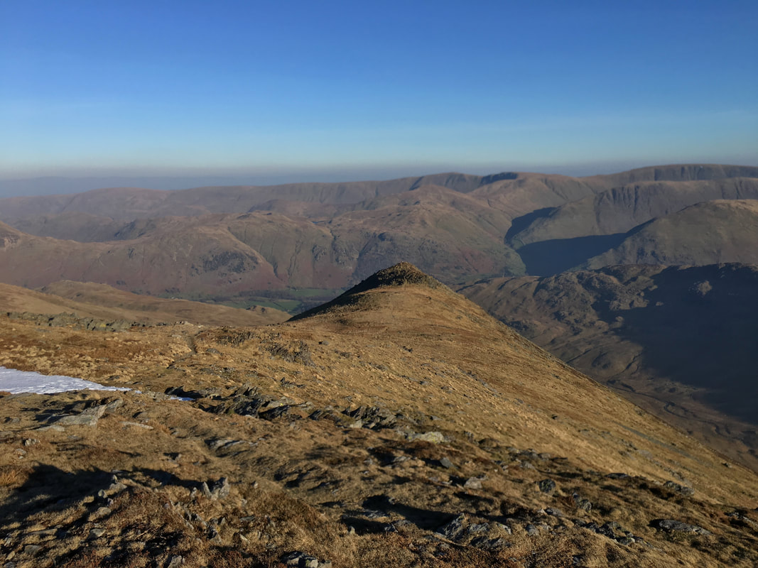
Looking back towards the Fairfield range from the summit of Cofa Pike
Descending to Deepdale Hause - the path down is steep but not overly difficult and just requires care to be taken
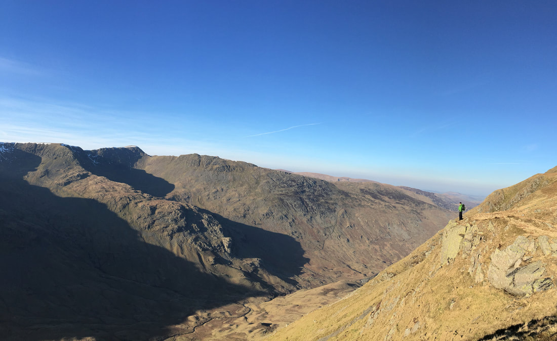
Not a bad view eh? Near Deepdale Hause looking over to Helvellyn & Striding Edge
Gavel Pike from St Sunday Crag - although we didn't today, it is well worth a visit
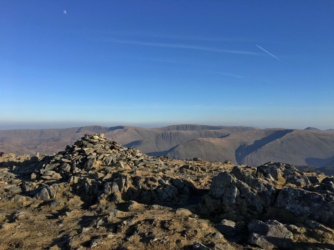
The summit of St Sunday Crag looking to the Far Eastern Fells
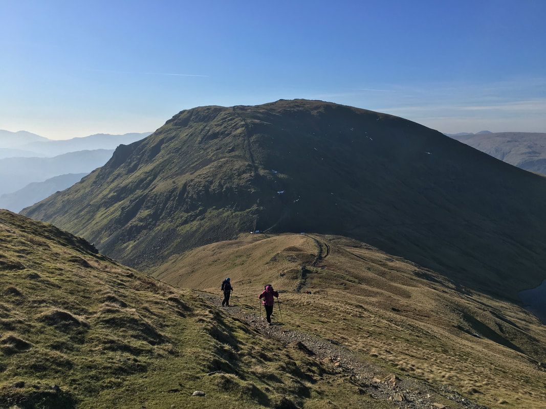
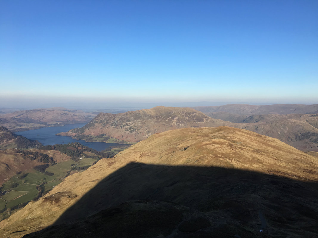
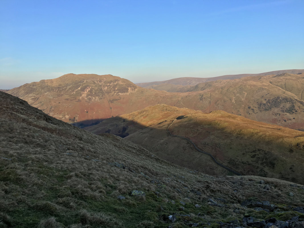
The shadow of St Sunday Crag hangs over our transit to Birks ahead with Ullswater & Place Fell providing the backdrop
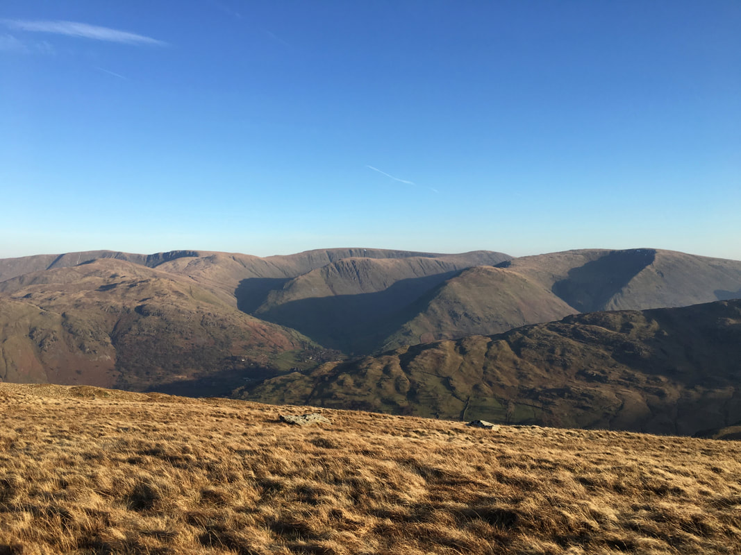
Fells galore to the east as we head to Birks
L to R are Brock Crags, Rest Dodd, Rampsgill Head, The Knott, High Street, Grey Crag, Hartsop Dodd, Thornthwaite Crag & Caudale Moor
The fell sloping in the foreground is Hartsop Above How
L to R are Brock Crags, Rest Dodd, Rampsgill Head, The Knott, High Street, Grey Crag, Hartsop Dodd, Thornthwaite Crag & Caudale Moor
The fell sloping in the foreground is Hartsop Above How
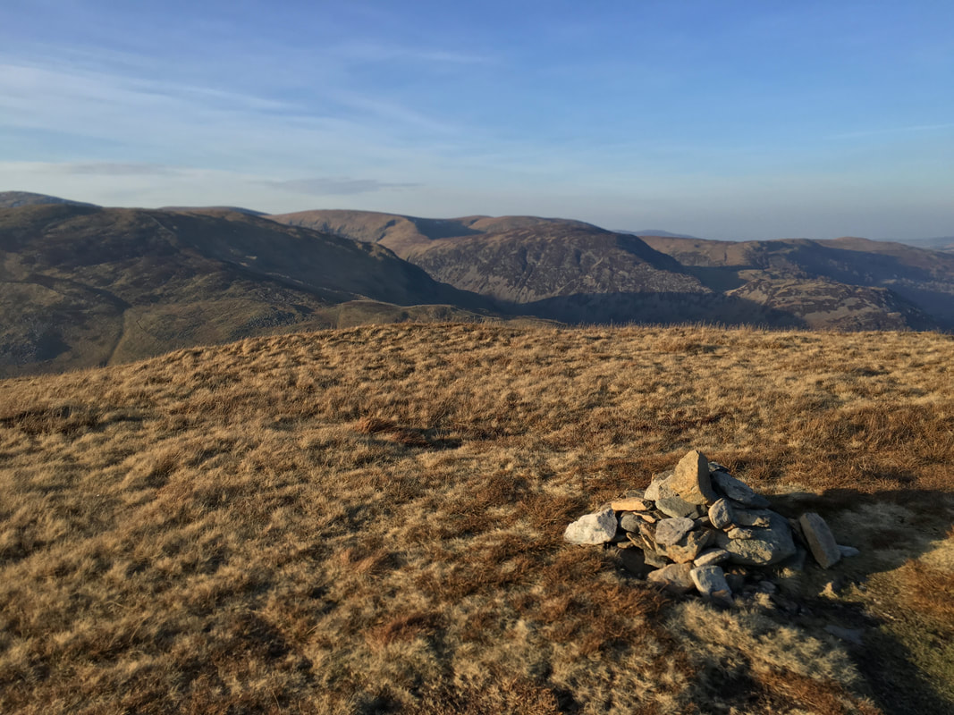
The understated summit of Birks
The descent from Birks to Arnison Crag which is in the centre of shot with Place Fell to the rear left
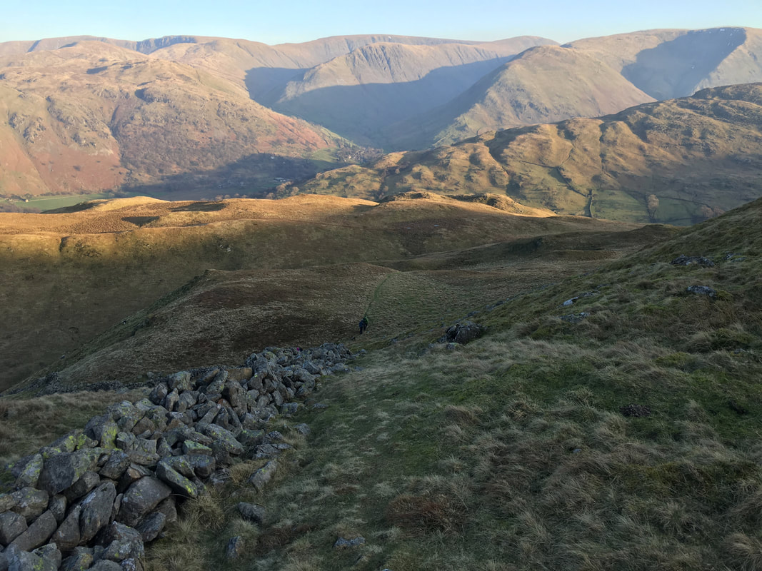
The descent down to Trough Head follows a broken wall, swings right then left to then transit the ridge over to Arnison Crag
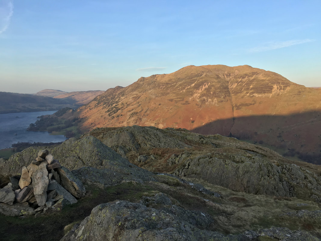
The summit of Arnison Crag looking to Ullswater & Place Fell
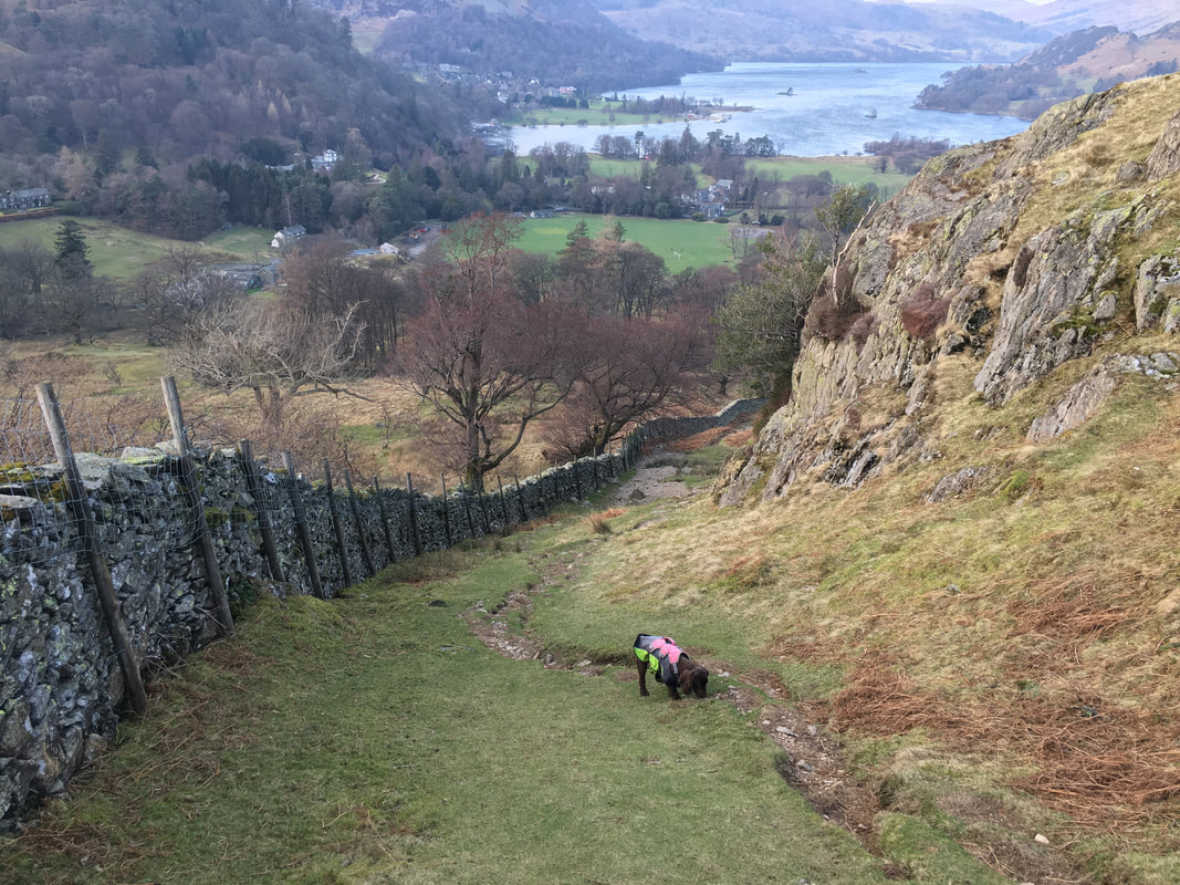
Heading back to Patterdale from Arnison Crag
