Moel Fferna & Pen Bwlch Llandrillo Top - Sunday 4 September 2016
Route
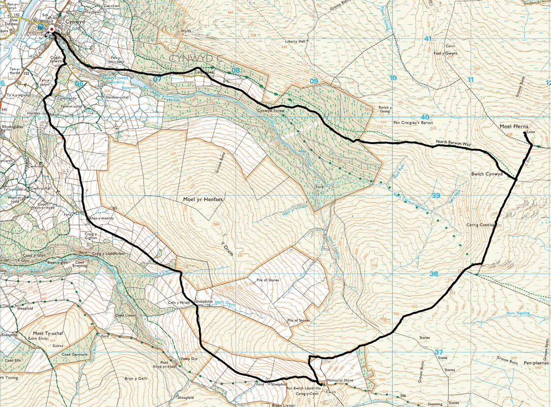
Cynwyd - Cynwyd Forest - Celyn Coed Isaf - North Berwyn Way - Bwlch Cynwyd - Moel Fferna - Pen Bwlch Llandrillo - Bwlch Llandrillo - Cefn y ffridd - Cynwyd
Parking
Roadside parking in the village of Cynwyd which is 2 miles south west of Corwen on the B4401. The nearest postcode is LL21 0LD.
Mileage
12.3 miles
Terrain
Farm tracks with mountain and moorland paths.
Weather
Dreary & overcast with low cloud above 550m.
Time Taken
5hrs 50mins
Total Ascent
2647ft (807m)
Map
OS 255 Llangollen & Berwyn
Walkers
Dave, Angie & Fudge
|
GPX File
|
| ||
If the above GPX file fails to download or presents itself as an XML file once downloaded then please feel free to contact me and I will send you the GPX file via e-mail.
Route Map
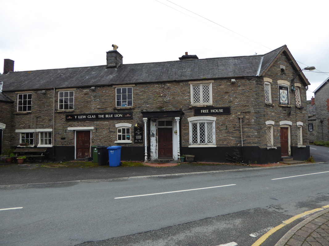
We parked near The Blue Lion in the centre of Cynwyd.
At the time of our visit (Sep 2016) the pub was looking very sorry for itself and was clearly closed for the foreseeable future. Thankfully it has now been given a new lease of life (Jan 2021) therefore if you are about then please support it by popping in for a drink or meal pre or post walk.
At the time of our visit (Sep 2016) the pub was looking very sorry for itself and was clearly closed for the foreseeable future. Thankfully it has now been given a new lease of life (Jan 2021) therefore if you are about then please support it by popping in for a drink or meal pre or post walk.
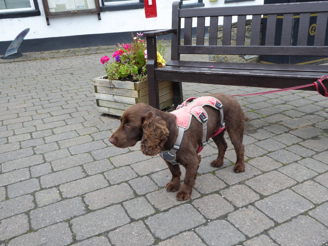
Fudge psyching himself up for a walk over unknown territory
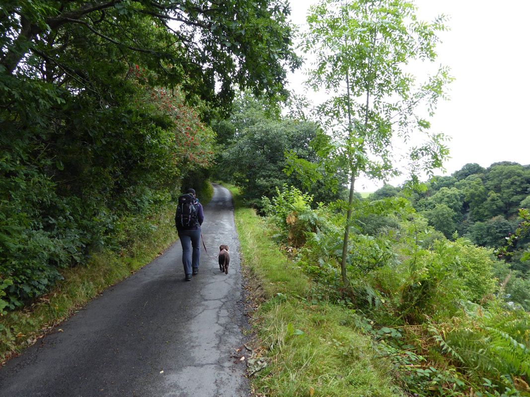
A quiet lane heads east out of Cynwyd towards Cynwyd Forest
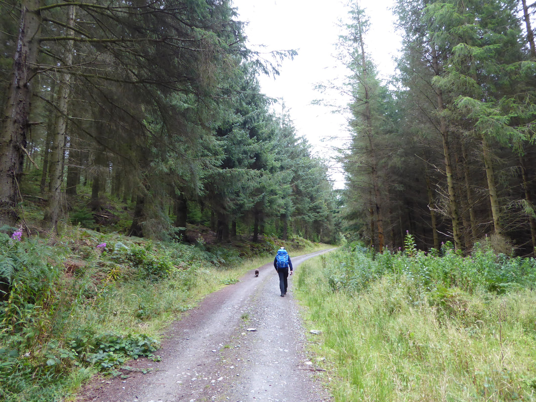
After just over a mile the lane becomes a delightful forest track
The forest track continues for another 2 miles to then exit onto open heathery moorland
Looking back towards Cynwyd Forest
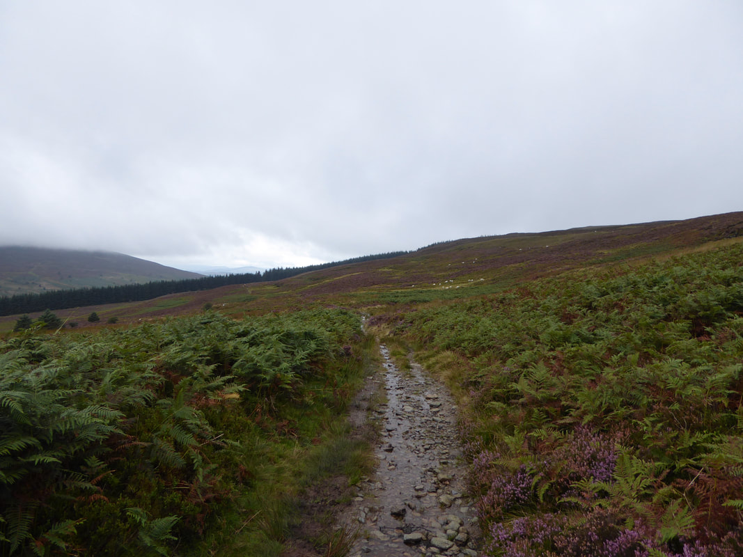
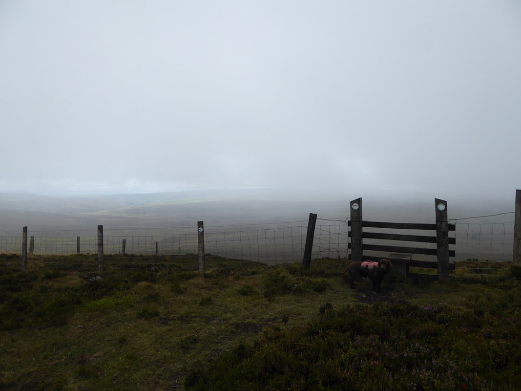
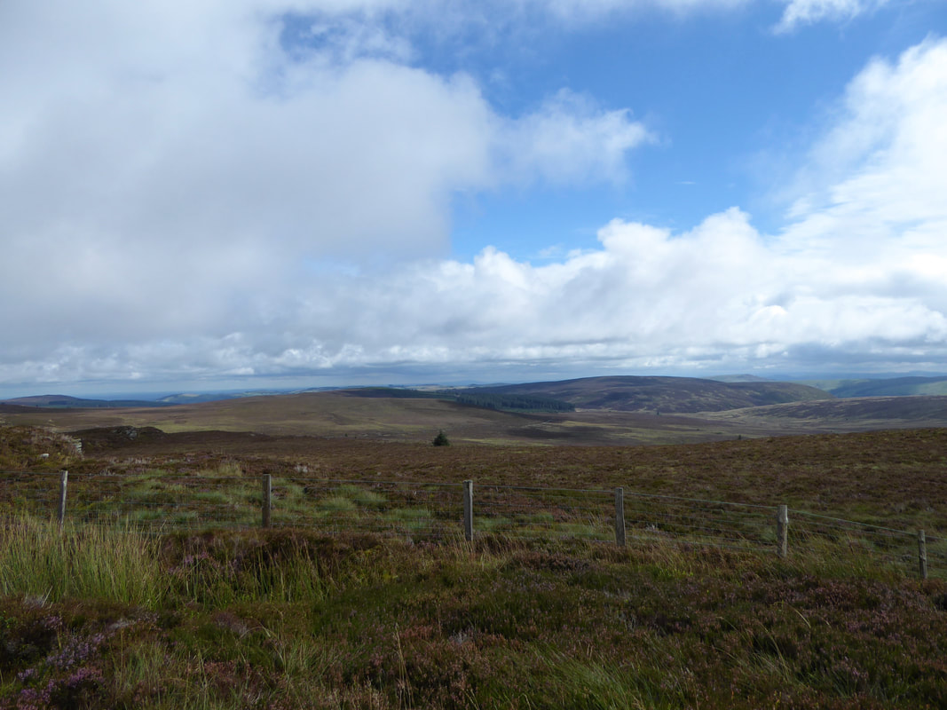
As can be seen we were not blessed with the best of weather today and unfortunately the low cloud hung about for virtually all of the walk.
As can be seen we were not blessed with the best of weather today and unfortunately the low cloud hung about for virtually all of the walk.
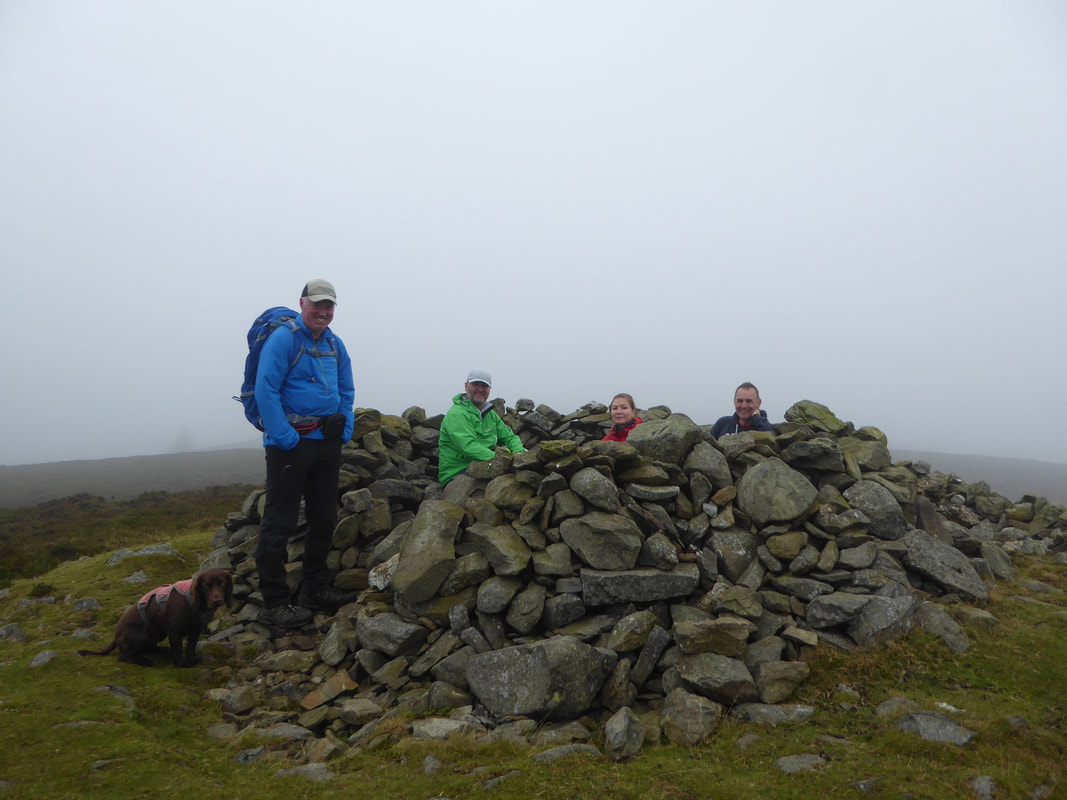
On the summit of Moel Fferna we chatted to 3 people who were taking part in the Corwen Walking Festival.
The festival takes place each year and offers many guided walks which are all free of charge although a small donation is encouraged but not mandatory. The event is completely funded by contributions from the business community in Corwen who see the benefit of people experiencing the delights of Corwen via the walking festival. A link to the festival's website is here.
The festival takes place each year and offers many guided walks which are all free of charge although a small donation is encouraged but not mandatory. The event is completely funded by contributions from the business community in Corwen who see the benefit of people experiencing the delights of Corwen via the walking festival. A link to the festival's website is here.
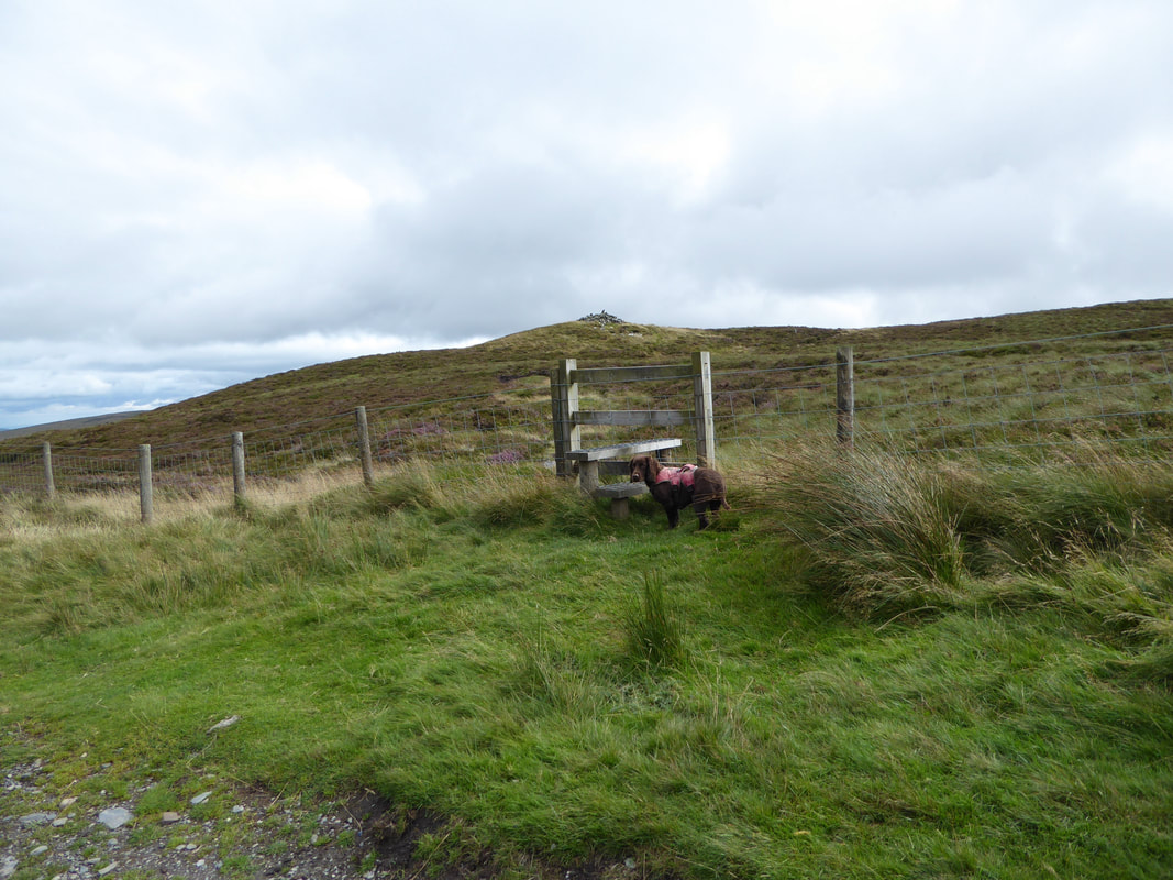
From the summit we crossed the stile to retrace our steps to rejoin the col at Bwlch Cynwyd
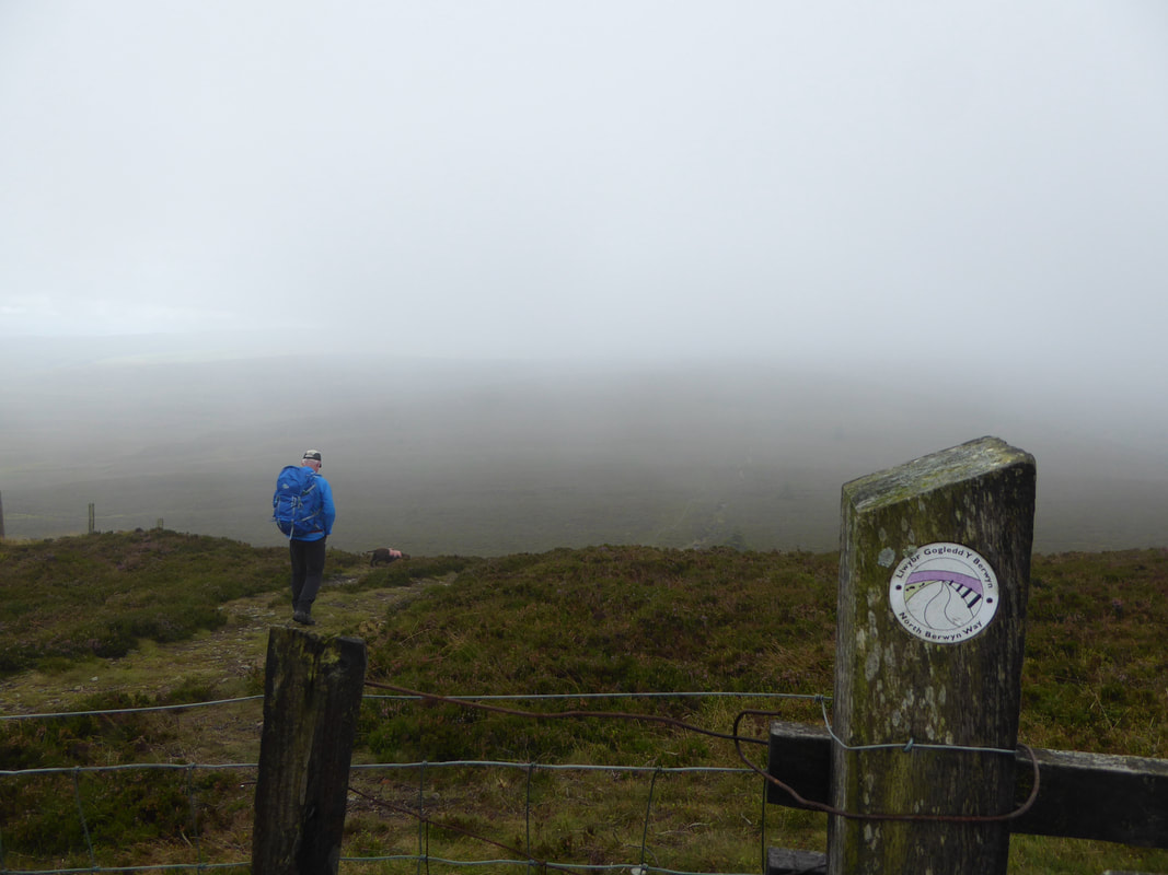
The stretch of the walk between Cynwyd & Moerl Fferna is part of the North Berwyn Way.
The North Berwyn Way is a waymarked 15 mile linear route between Corwen & Llangollen. Moel Fferna is the highest point on the route.
The North Berwyn Way is a waymarked 15 mile linear route between Corwen & Llangollen. Moel Fferna is the highest point on the route.
From the col at Bwlch Cynwyd there now begins a pleasant 3 mile walk to Pen Bwlch Llandrillo Top.
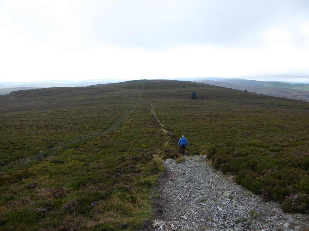
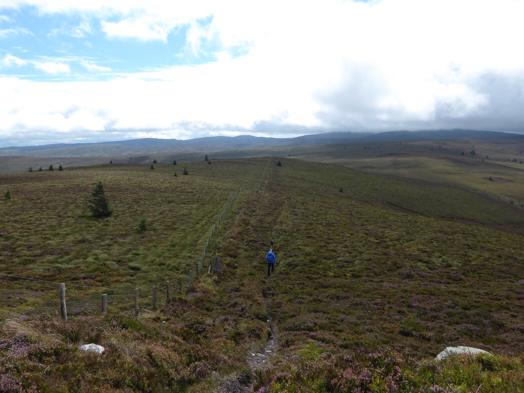
The transit is over heathery moorland via a fairly good path and handrails the fence virtually all the way to the summit.
The transit is over heathery moorland via a fairly good path and handrails the fence virtually all the way to the summit.
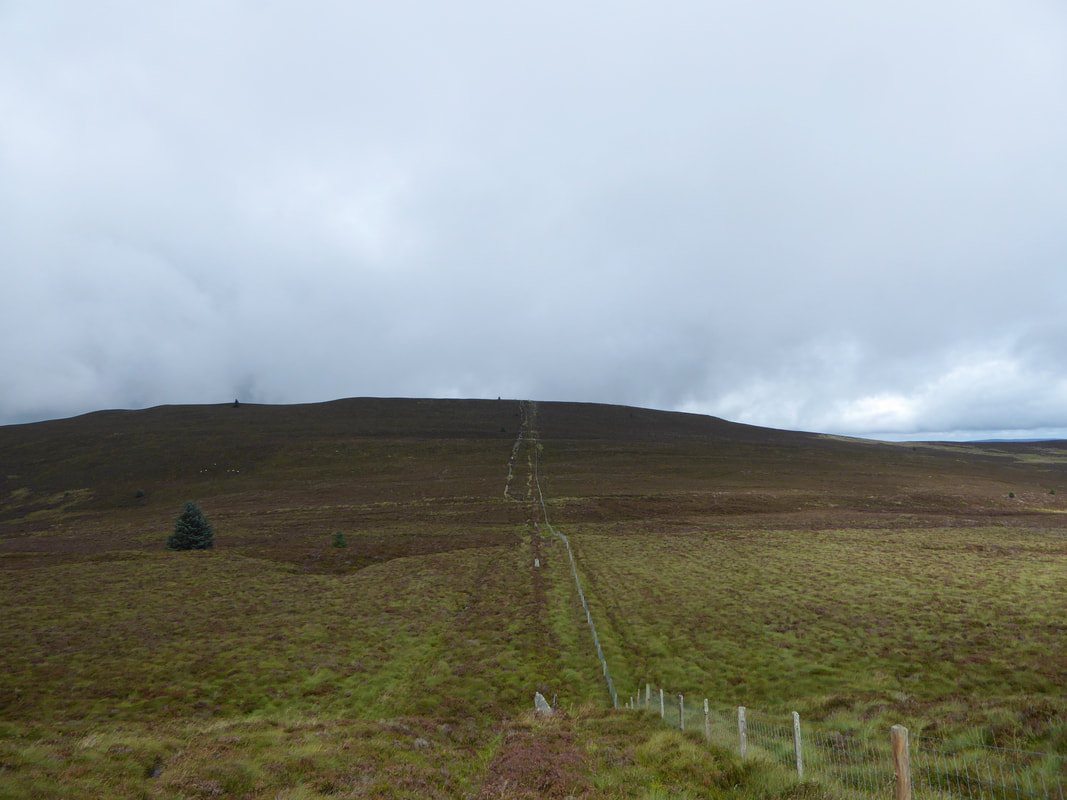
Looking back along the fence line towards Moel Fferna
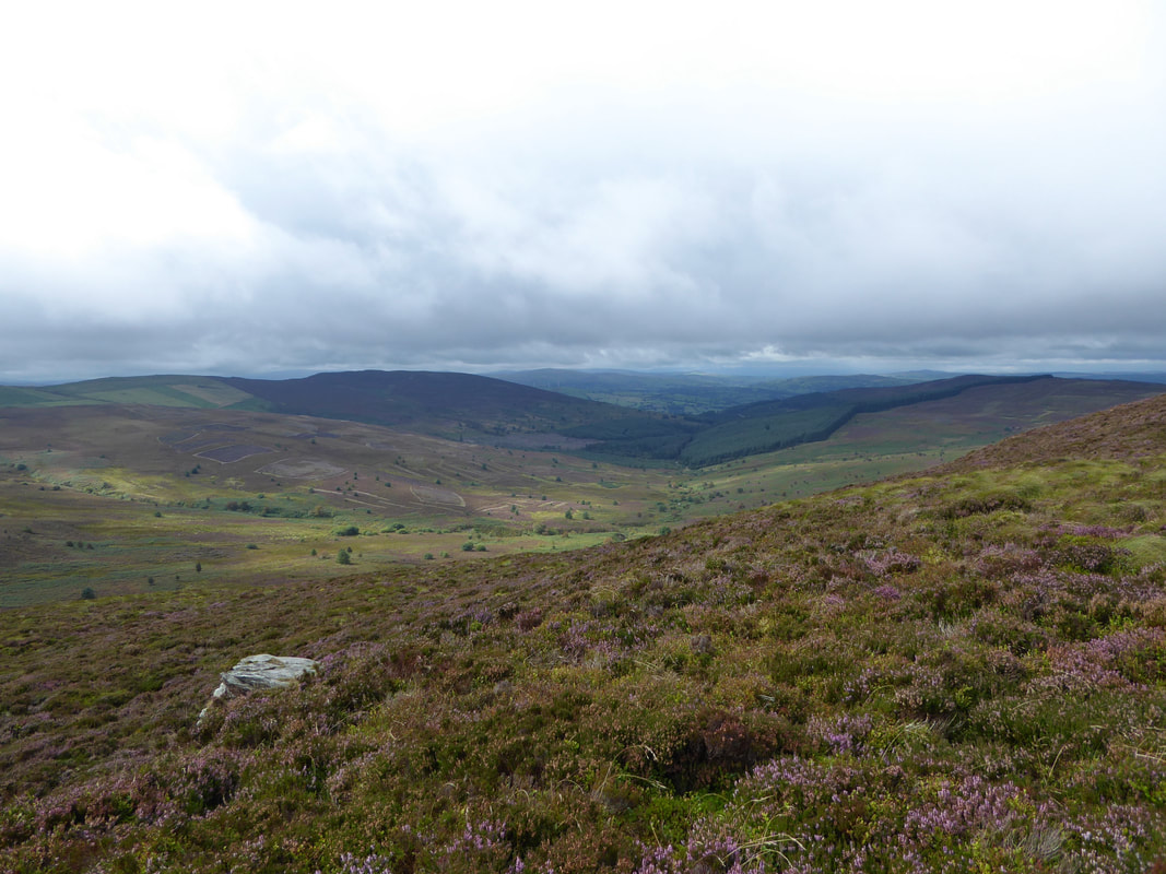
We did get the odd break from the low cloud but this was few and far between
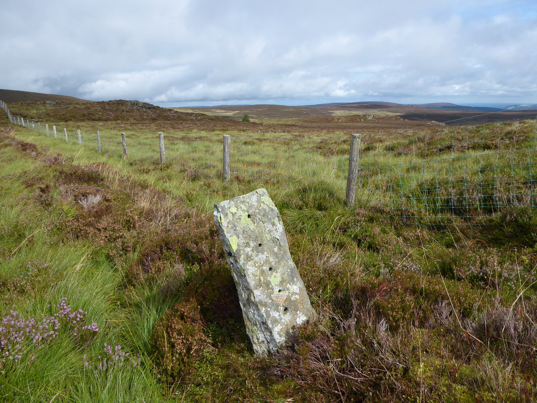
Before the use of wooden fences become more common and cheaper these flat stones were used instead of wooden stakes. Obviously they are now redundant but serve as a reminder of the past - it must have been quite a job threading 3 miles of wire through all 6 holes.
Clear evidence of heather management to the left as we head towards Pen Bwlch Llandrillo Top.
As heather and grass plants become older, they become less palatable and less nutritious. The process of burning small areas removes the older growth and allows the plants to regenerate after the burn. New heather and grass shoots follow, and these, along with the flush of plants such as bilberry or blueberry, are key food for red grouse, deer, mountain hares and livestock. Burning patches of heather in different years in this way provides a patchwork of areas of heather of different heights. This mosaic provides areas that are suitable for feeding, breeding and cover in close proximity to each other, and is beneficial not only to grouse but also to other moorland birds.
As heather and grass plants become older, they become less palatable and less nutritious. The process of burning small areas removes the older growth and allows the plants to regenerate after the burn. New heather and grass shoots follow, and these, along with the flush of plants such as bilberry or blueberry, are key food for red grouse, deer, mountain hares and livestock. Burning patches of heather in different years in this way provides a patchwork of areas of heather of different heights. This mosaic provides areas that are suitable for feeding, breeding and cover in close proximity to each other, and is beneficial not only to grouse but also to other moorland birds.
This was a long old 3 miles along the fence line but very pleasant all the same
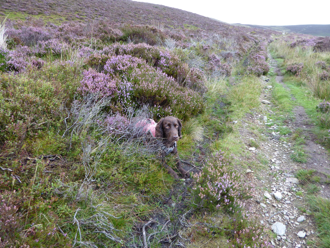
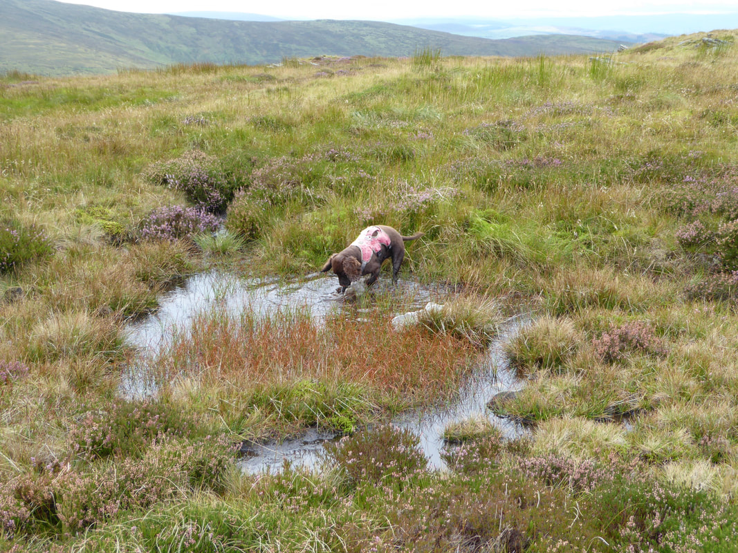
Any chance he gets and he is in the water - no matter how small the area.
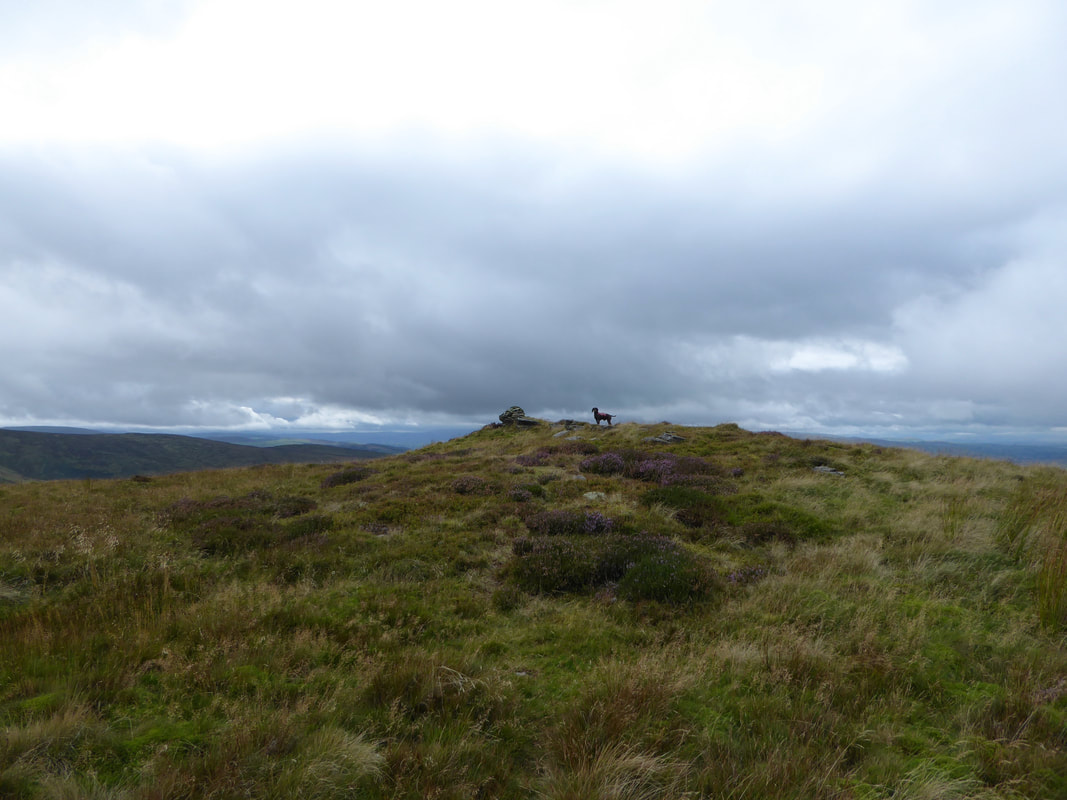
Fudge on the summit of Pen Bwlch Llandrillo Top (Head of the Llandrillo Pass).
The summit was one of 2 Welsh Nuttalls (over 2000ft in height) we visited today - the other one being Moel Fferna.
The summit was one of 2 Welsh Nuttalls (over 2000ft in height) we visited today - the other one being Moel Fferna.
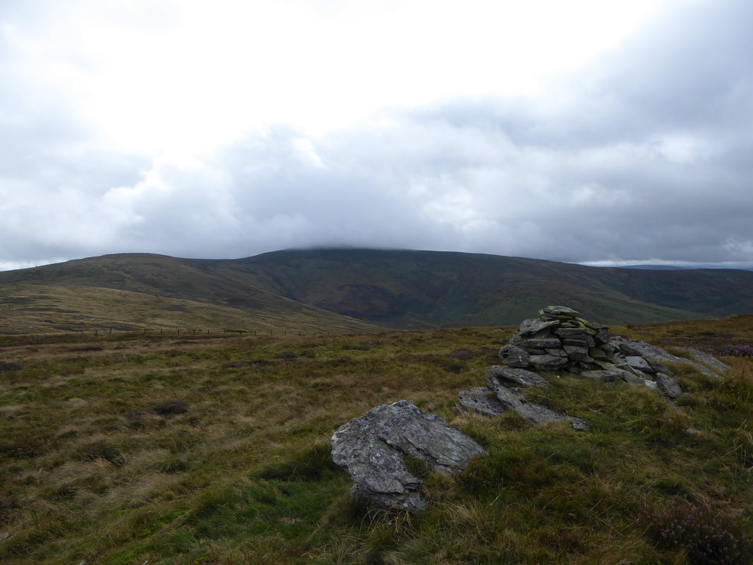
The summit of Pen Bwlch Llandrillo Top looking to a cloudy topped Cadair Bronwen.
The summit is also known as Moel yr Henfaes (bare the old field)
The summit is also known as Moel yr Henfaes (bare the old field)
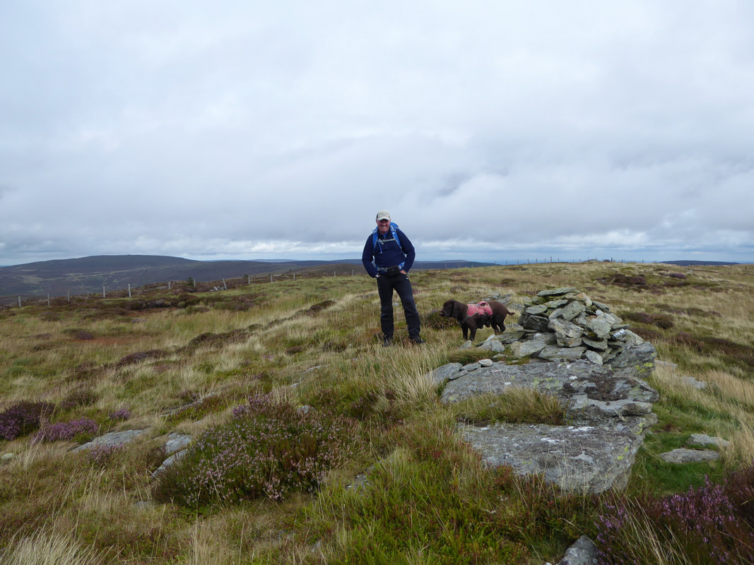
Despite the gloominess of the day it was still good to be out as Fudge and I pose on the summit looking back to Moel Fferna
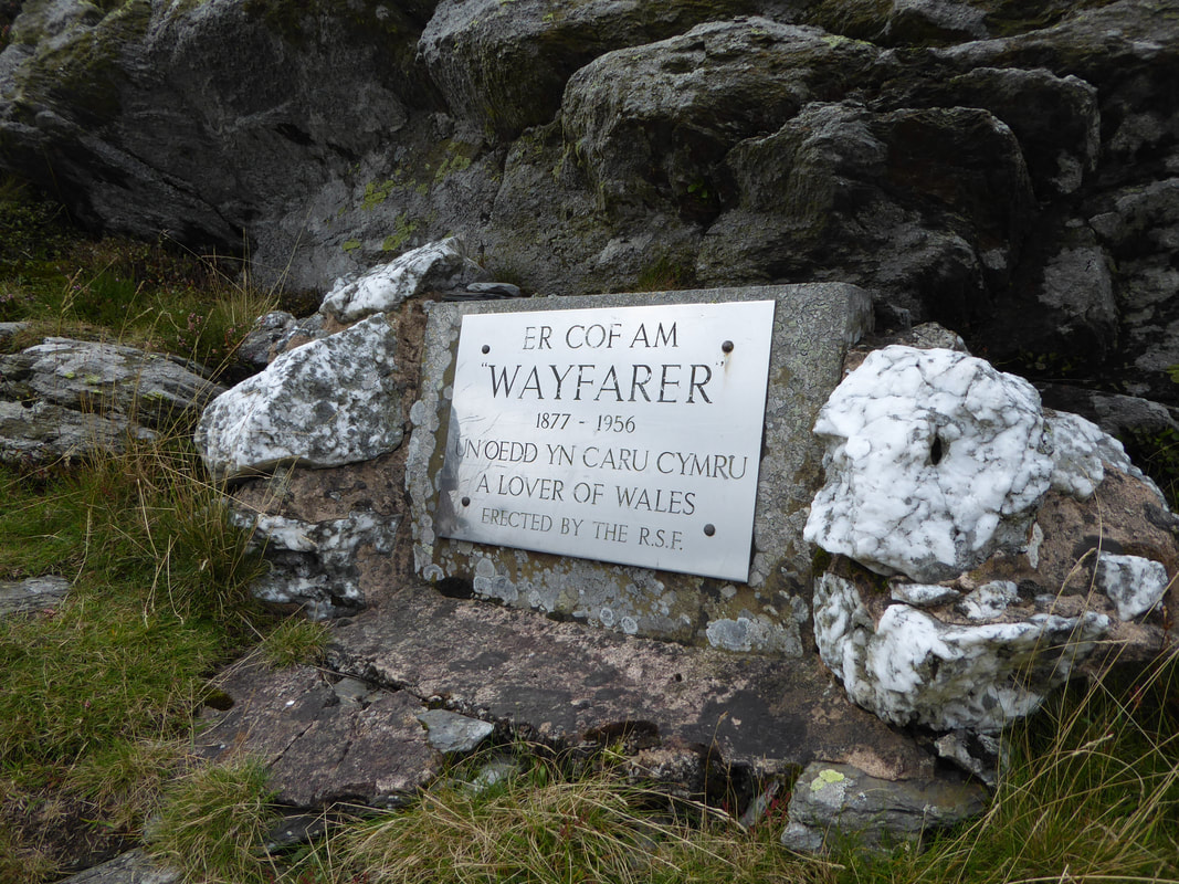
The Wayfarer Memorial at the top of the pass just below the summit of Pen Bwlch Llandrillo.
One of the pioneers of rough stuff cycling was Walter MacGregor Robinson from Anfield near Liverpool, who, writing under the pen-name of Wayfarer, commanded a devoted band of followers in the years following the Great War. An article about 'Wayfarer' can be found here.
One of the pioneers of rough stuff cycling was Walter MacGregor Robinson from Anfield near Liverpool, who, writing under the pen-name of Wayfarer, commanded a devoted band of followers in the years following the Great War. An article about 'Wayfarer' can be found here.
No Fudge - that is Careg-y-caws and we are not going there matey
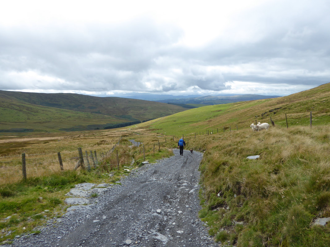
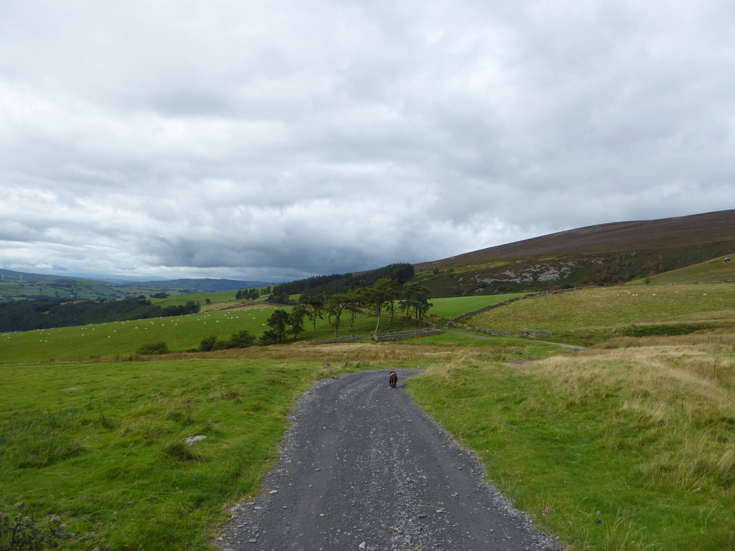
After taking the right hand turning at a fork an excellent track leads most of the way back to Cynwyd
"Trundle mode"
