Darling Fell, Low Fell & Fellbarrow - Saturday 12 October 2019
Route
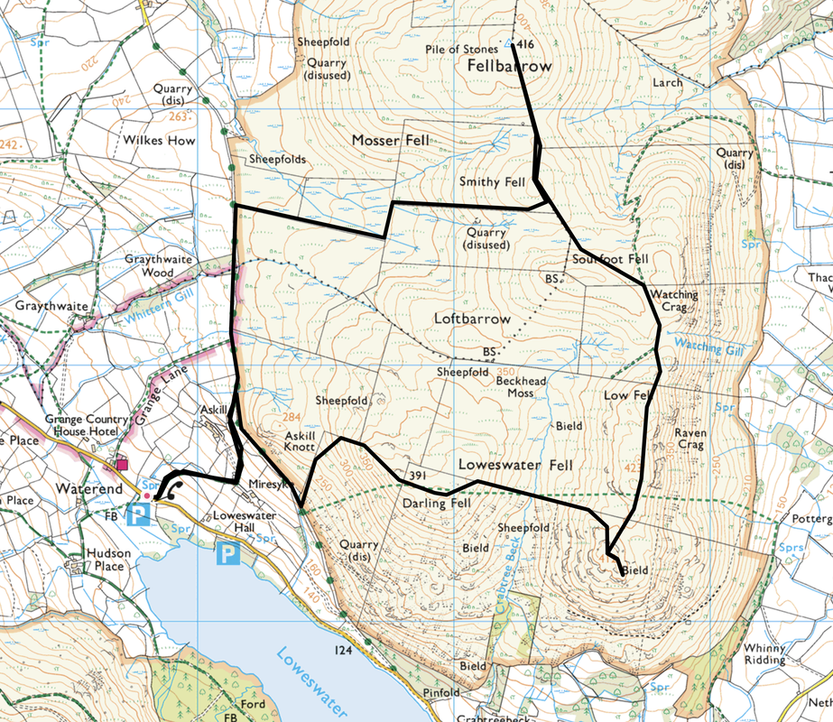
Waterend - Askill - Mosser Fell Road - Darling Fell - Low Fell - Watching Crag - Sourfoot Fell - Smithy Fell - Fellbarrow - Smithy Fell - Mosser Fell Road - Askill - Waterend
Parking
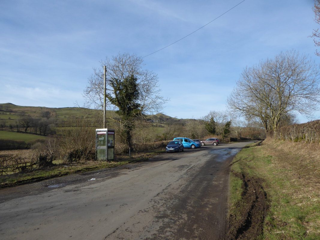
Verge parking for a dozen or so cars at Waterend at the north western end of Loweswater (Free) - the Grid Ref is NY118225 and the nearest postcode is CA13 0SU.
Mileage
5 miles
Terrain
Good mountain paths although the section between Smithy Fell and the Mosser Fell Road can be very boggy after rain.
Weather
Overcast with sunny spells.
Time Taken
3hrs 20mins
Total Ascent
1663ft (507m)
Wainwrights
2
Map
OL4 - The English Lakes (North Western Area)
Walkers
Dave, Angie & Fudge with Ian Price & Chester the Sprocker
|
GPX File
|
| ||
If the above GPX file fails to download or presents itself as an XML file once downloaded then please feel free to contact me and I will send you the GPX file via e-mail.
Route Map
The walk starts from the verge parking area at Waterend near the north western tip of Loweswater
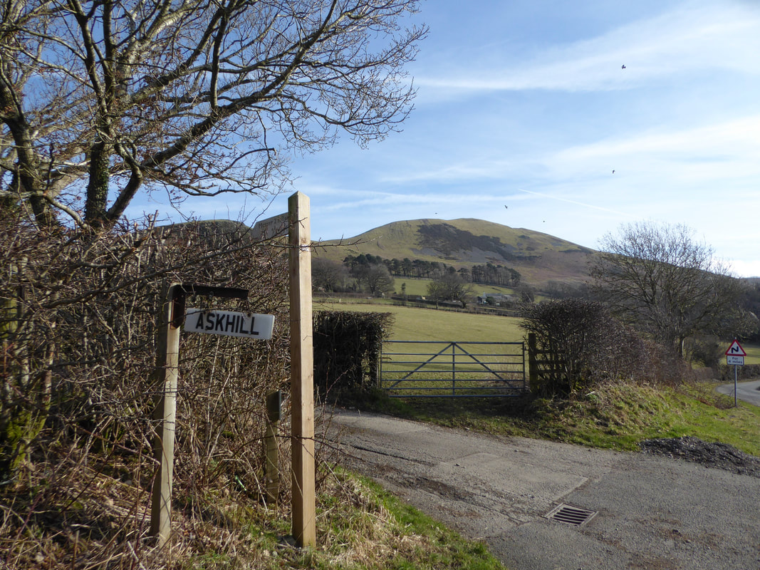
From the parking area cross over the road and head up the lane towards the farm at Askill.
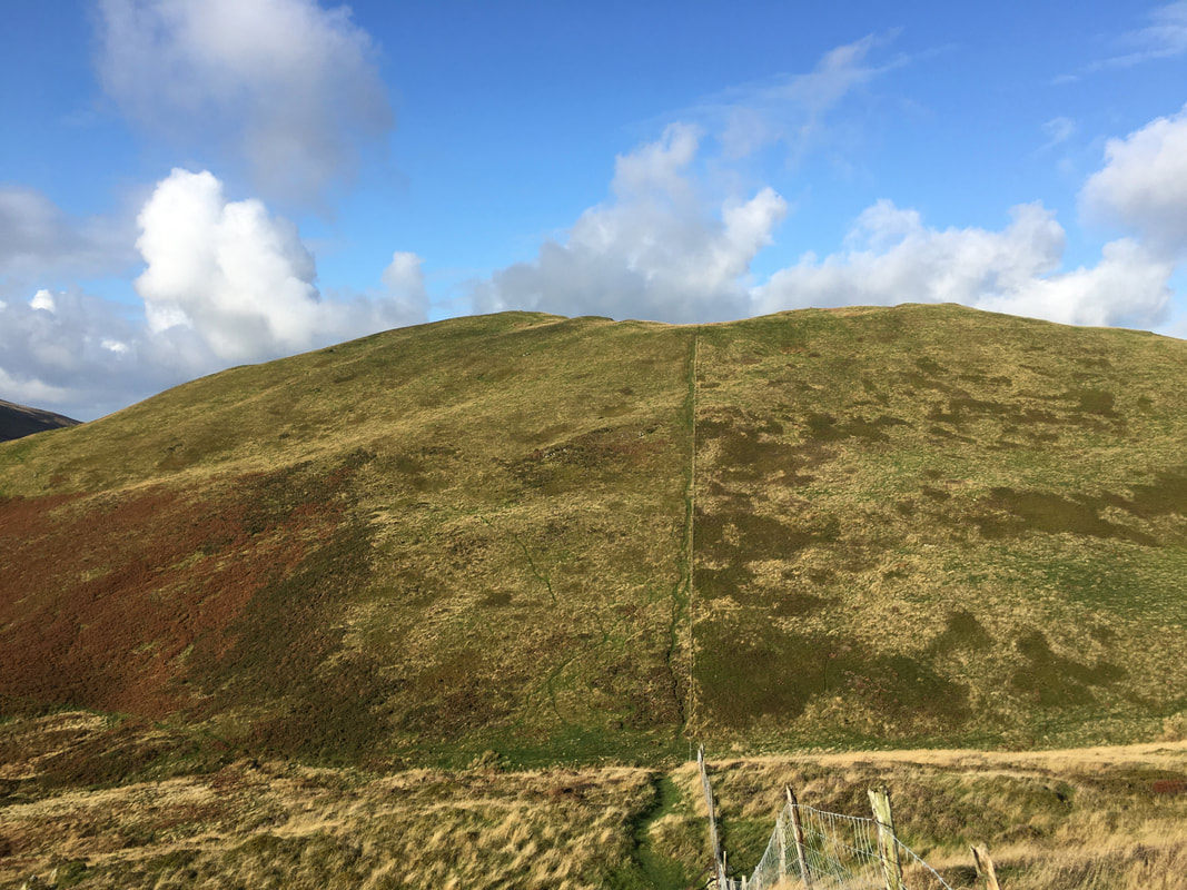
Our first climb of Darling Fell awaits us in the background.
Our first climb of Darling Fell awaits us in the background.
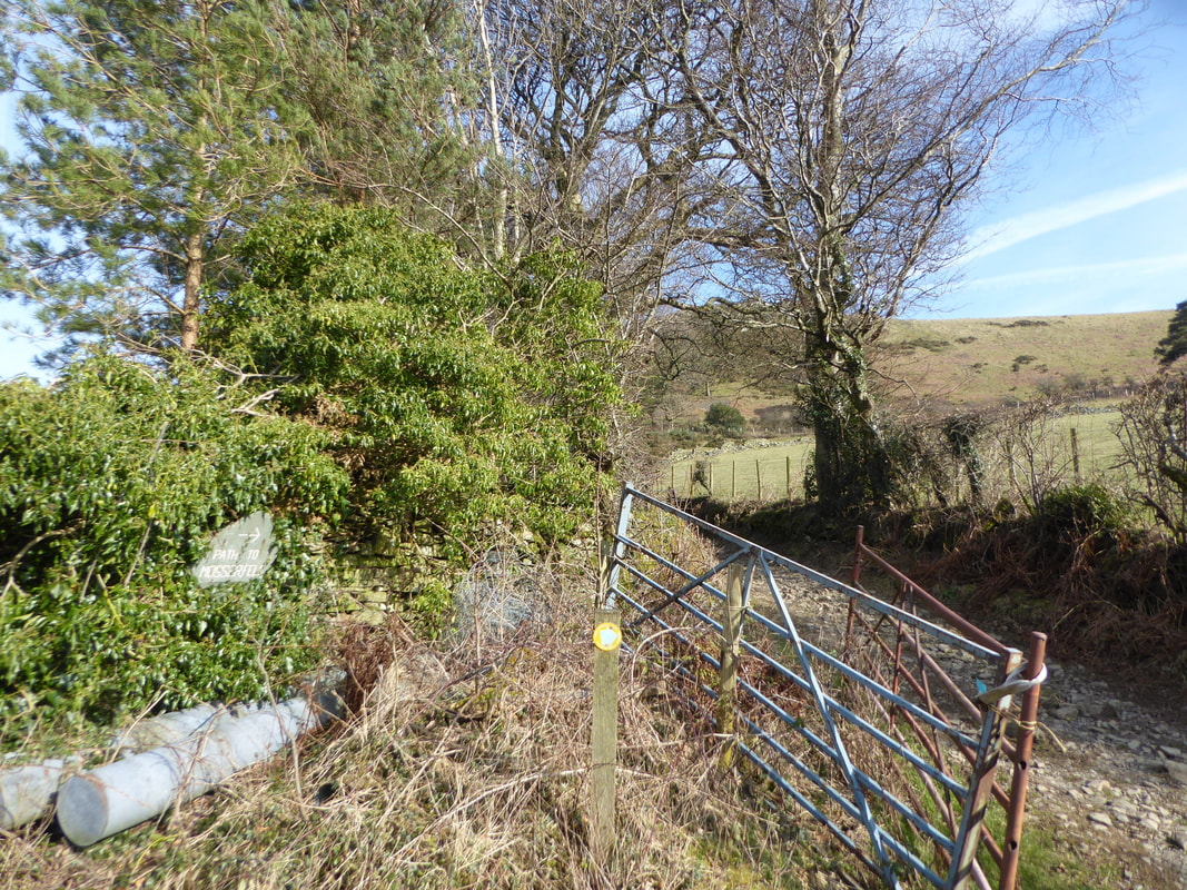
The lane meanders its way uphill and at a sharp bend a bridleway heads off to the left which leads to the Mosser Fell Road.
Carling Knott & Burnbank Fell from the bridleway
The bridleway continues uphill through two fields and then joins the Mosser Fell Road
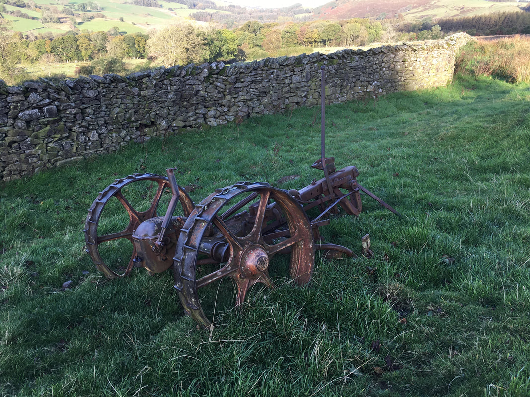
In the second field are the remains of an old Bamford mower.
Bamfords was established in Uttoxeter in 1871 and ceased trading in 1987.
Bamfords was established in Uttoxeter in 1871 and ceased trading in 1987.
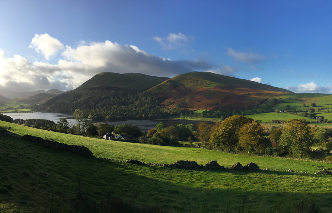
A little higher up and there is another superb view over Loweswater to Carling Knott & Burnbank Fell
Looking to Askill Knott from the ascent of Darling Fell
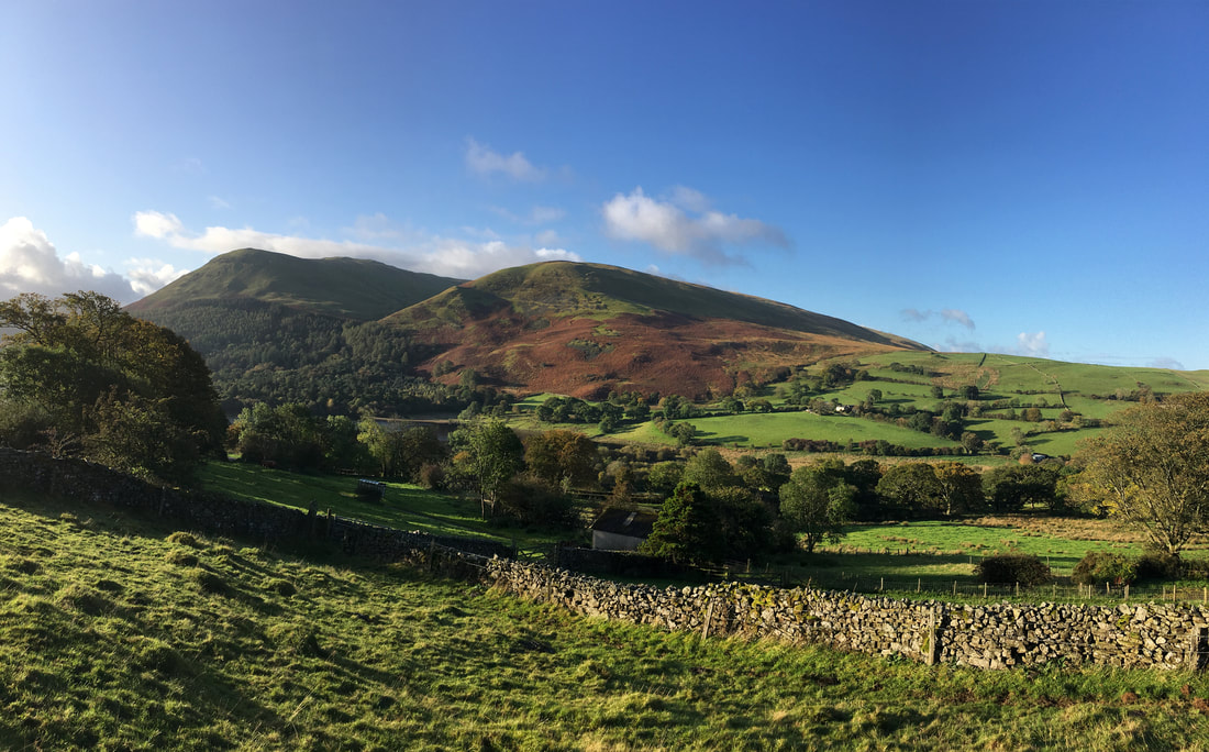
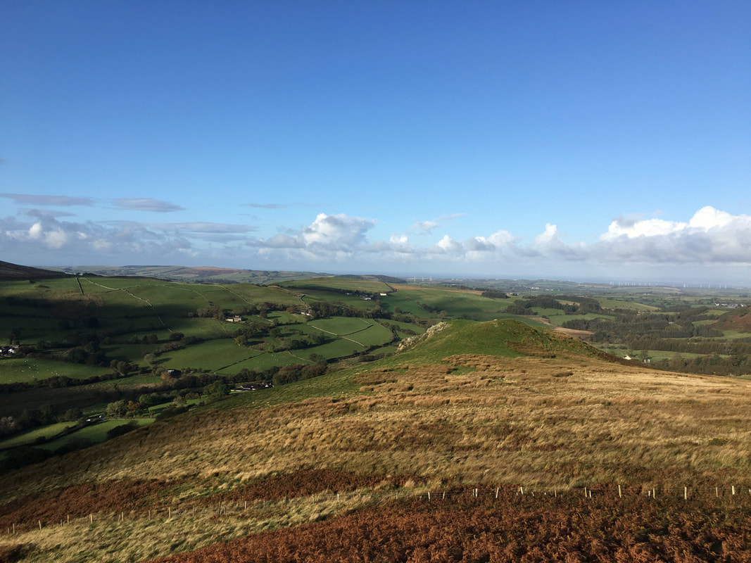
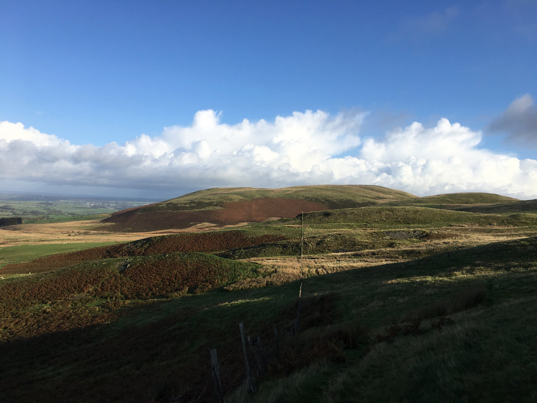
Looking to Fellbarrow with Smithy Fell to the right
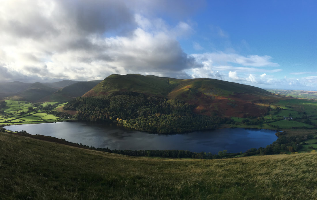
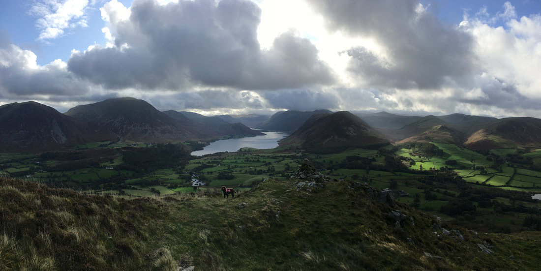
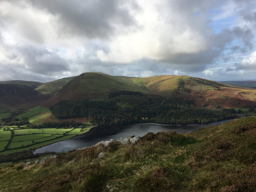
From the ascent of Darling Fell a lovely panorama opens up over Loweswater
Mellbreak & Crummock Water from the summit of Darling Fell
Low Fell from Darling Fell
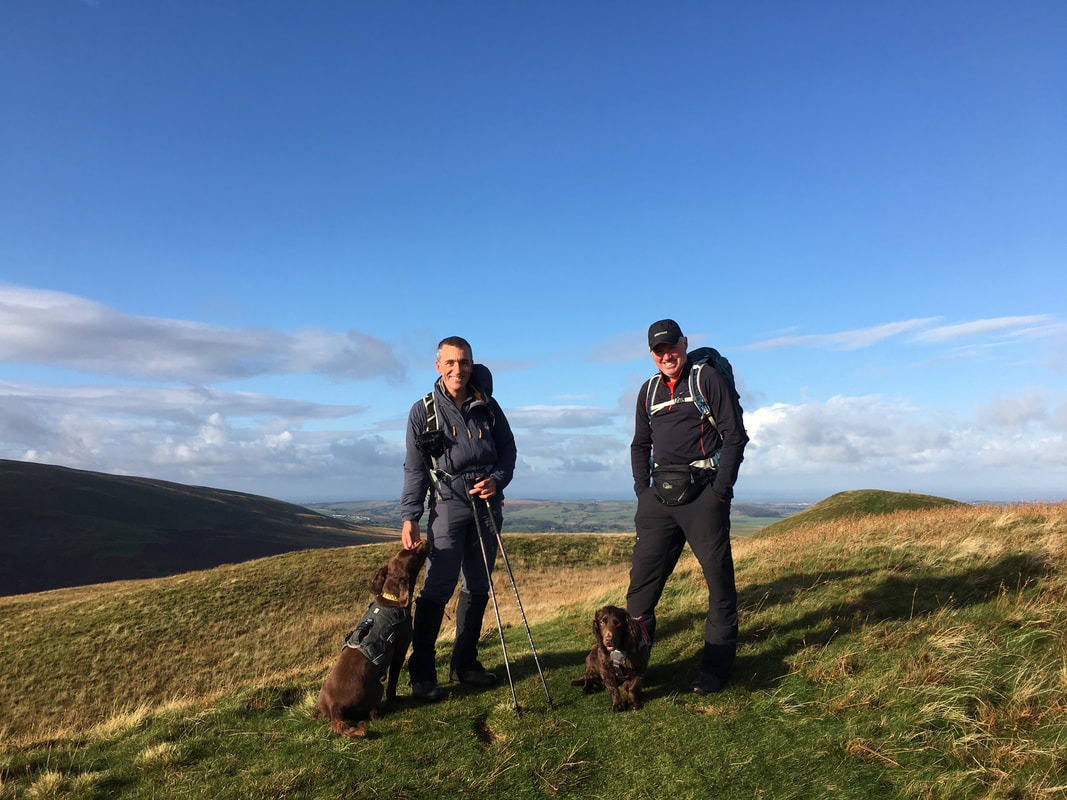
With Ian, Fudge & Chester on the summit of Darling Fell
The summit of Darling Fell
From Darling Fell the route drops very steeply to the col at Crabtree Beck - and of course a steep climb to gain Low Fell awaited us!
Looking back to our descent from Darling Fell from the ascent of Low Fell
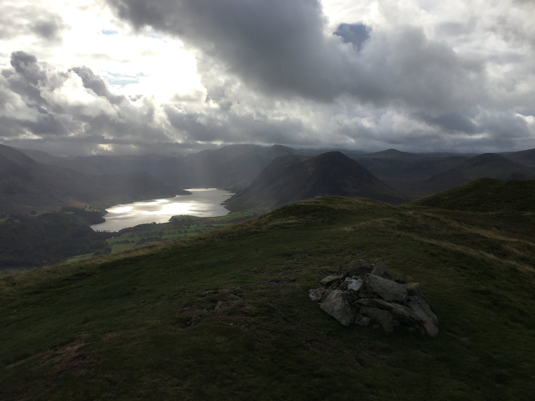
The glorious view down Crummock Water from Low Fells's summit ridge
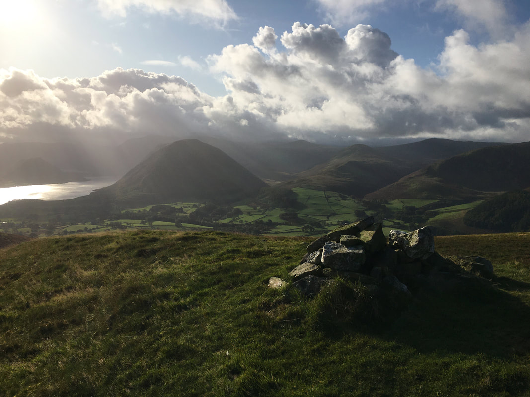
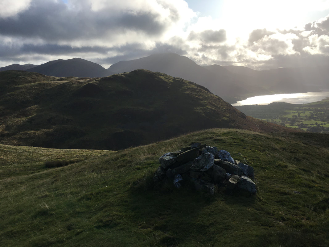
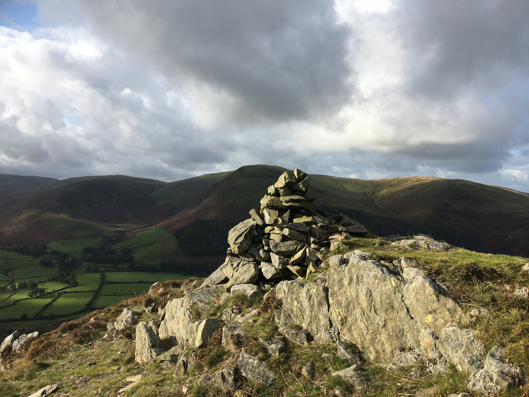
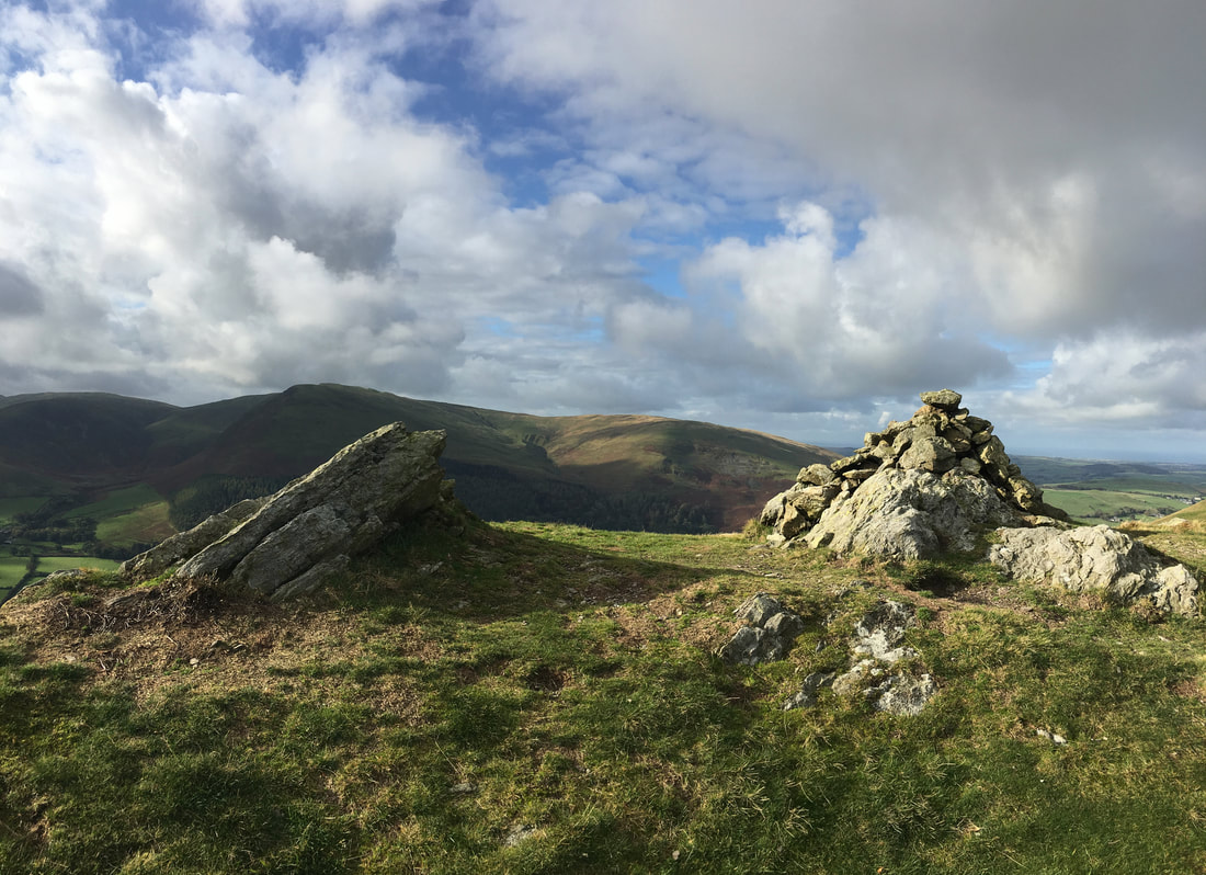
The cairn marking the southern summit of Low Fell.
Whilst not the highest point on the fell, in his eyes Wainwright regarded this as the summit although the north top is higher by an eye watering 36 feet!
Whilst not the highest point on the fell, in his eyes Wainwright regarded this as the summit although the north top is higher by an eye watering 36 feet!
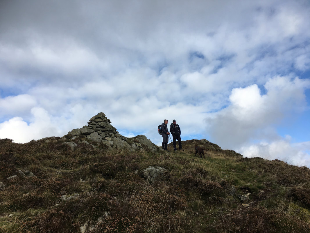
Ian and I discuss the merits, advantages & benefits of military retirement on Low Fell's southern summit
The view to Carling Knott, Loweswater & Burnbank Fell from Low Fell
Helm Crag in miniature on the south top of Low Fell
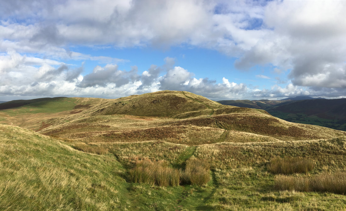
The pleasant transit over to the north top of Low Fell
Chester & Fudge pose on the summit of Low Fell
Crummock Water from the summit of Low Fell
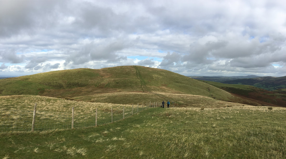
After passing over Sourfoot Fell & Smithy Fell, a fence line is followed all the way to Fellbarrow
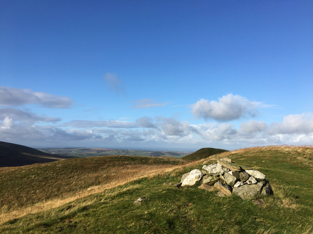
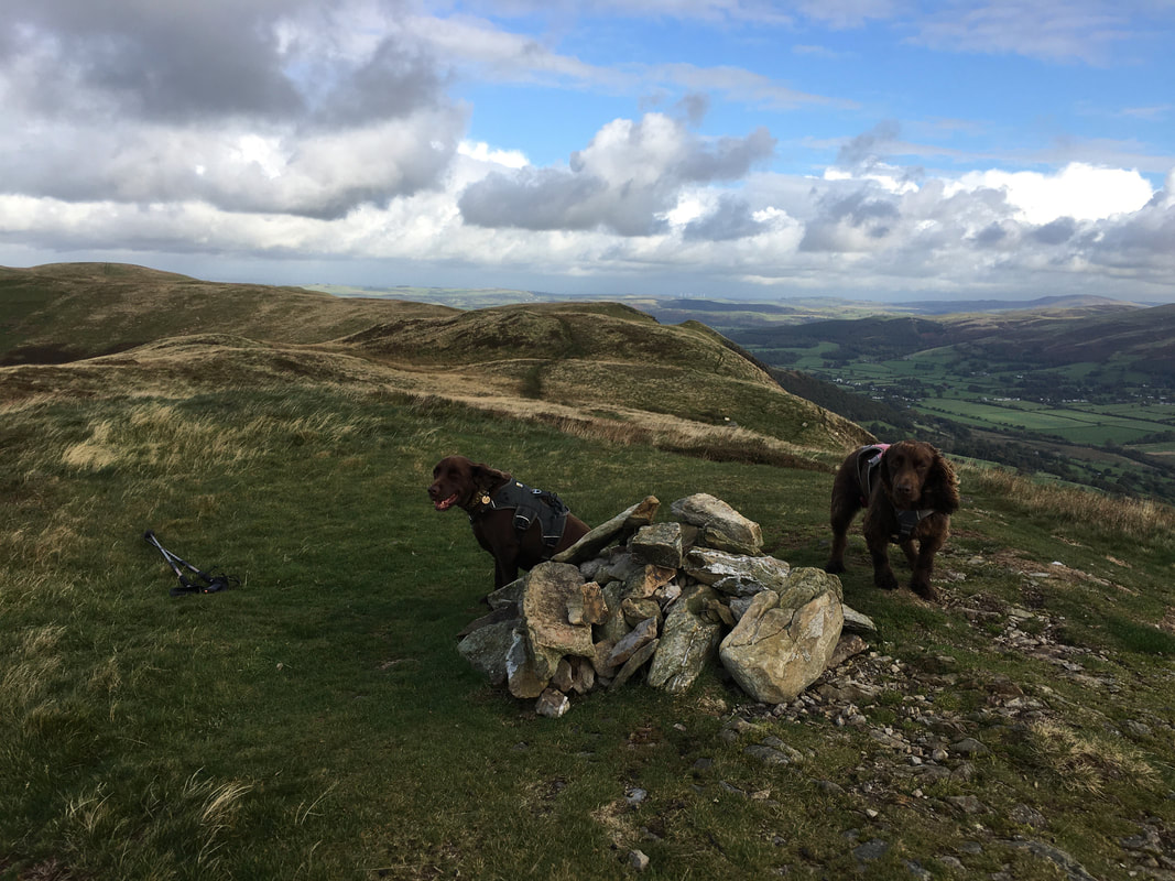
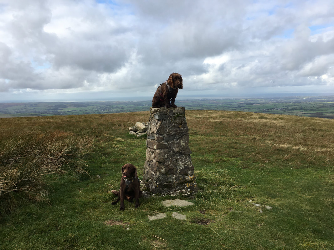
The summit of Fellbarrow - as can be seen Chester pulls tongues at the cameraman
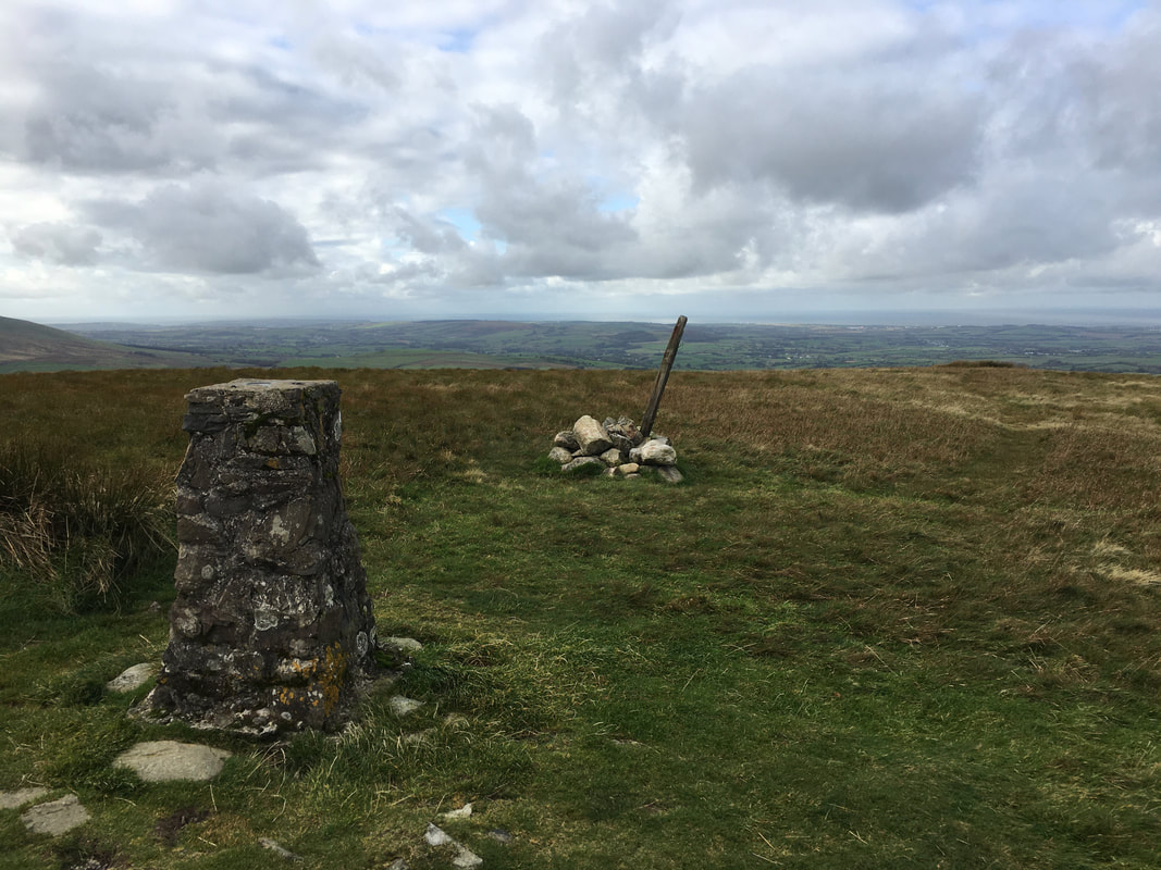
The summit of Fellbarrow
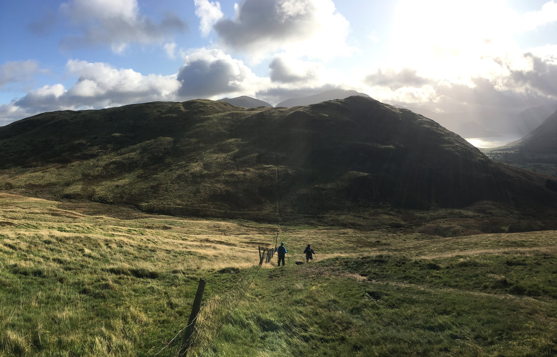
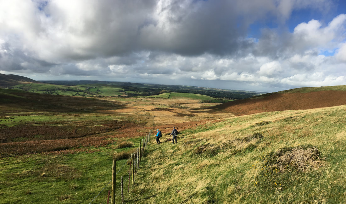
Heading down from Smithy Fell to the Mosser Fell Road.
The route follows the fence to a corner then turns sharp left for a few hundred yards. It then turns right to follow a rough track to reach the Mosser Fell Road.
The route follows the fence to a corner then turns sharp left for a few hundred yards. It then turns right to follow a rough track to reach the Mosser Fell Road.
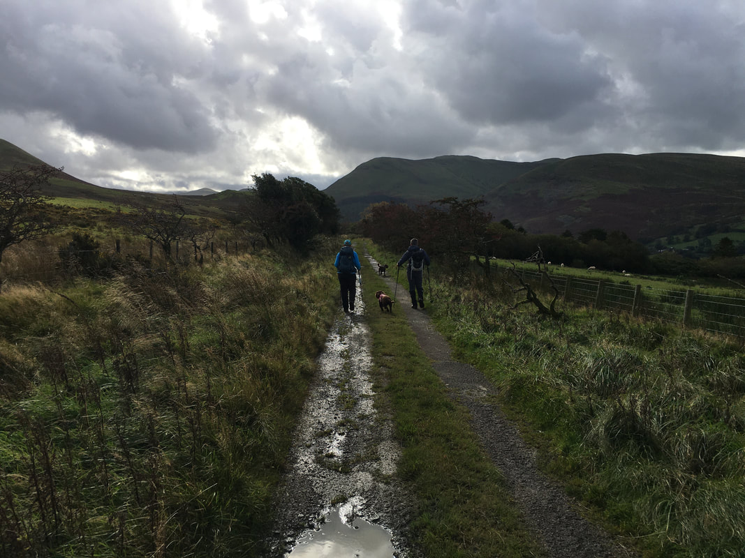
Heading back down the Mosser Fell Road to Waterend
