Bowscale Fell, Bannerdale Crags, Blencathra & Souther Fell - Tuesday 1 December 2020
Route
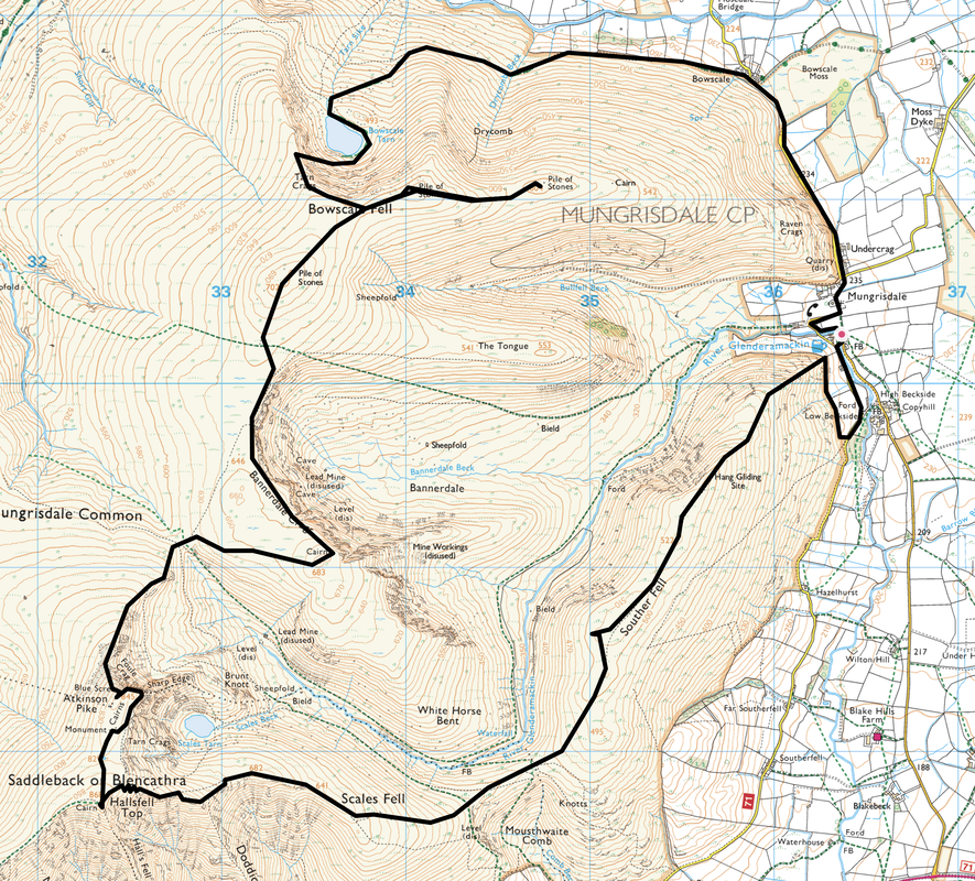
Mungrisdale - Bowscale - Bowscale Tarn - Tarn Crags - Tarn Crags Top - Bowscale Fell Far East Top - Tarn Crags Top - Bowscale Fell - Bannerdale Crags - Foule Crag - Atkinson Pike - Blencathra - Doddick Fell - Scales Fell - Souther Fell - Low Beckside - Mungrisdale
Parking
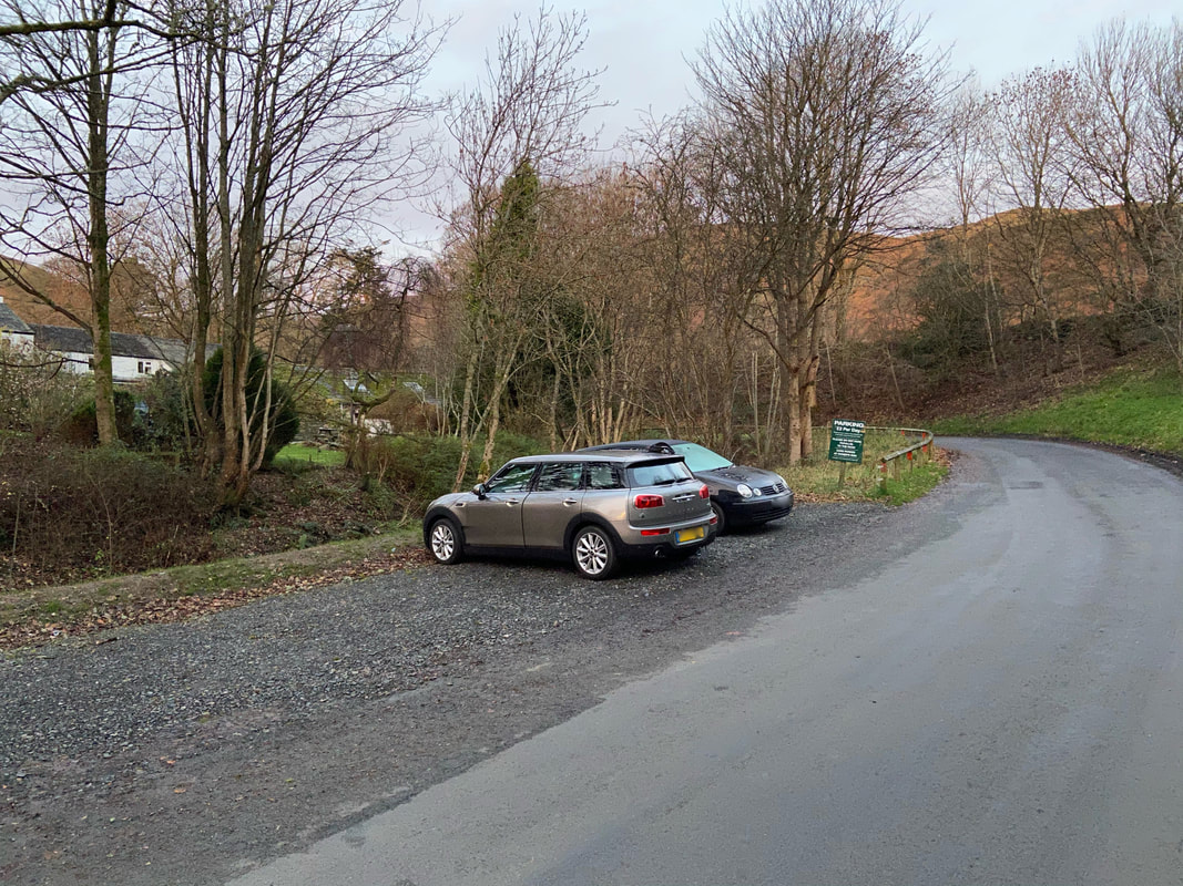
Opposite the Village Hall in Mungrisdale (Donation) - Grid Ref NY364302 (Nearest Postcode is CA11 0XQ)
Mileage
12.8 miles
Terrain
Good mountain paths throughout. The descent from Souther Fell's north ridge to Mungrisdale is extremely steep therefore care needs to be taken.
Weather
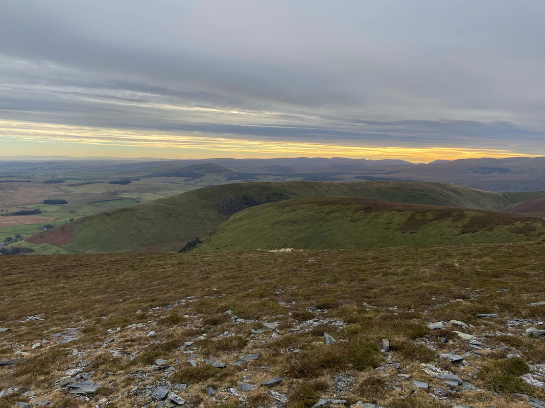
Extremely cold on the ridges. Whilst overcast for most of the day we did have some sunshine whilst up on Blencathra's summit plateau.
Time Taken
7hrs
Total Ascent
3126ft (953m)
Wainwrights
4
Map
OL5 - The English Lakes (North Eastern Area)
Walkers
Dave, Angie & Fudge
|
GPX File
|
| ||
If the above GPX file fails to download or presents itself as an XML file once downloaded then please feel free to contact me and I will send you the GPX file via e-mail.
Route Map
The walk starts from the Car Park opposite Mungrisdale Village Hall. The honesty box is located by the main door and as of 2020, parking was £2 for the day - an absolute bargain. Just goes to prove that not everywhere in the Lake District rips people off.
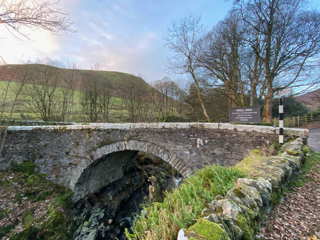
The bridge over the River Glenderamackin in Mungrisdale
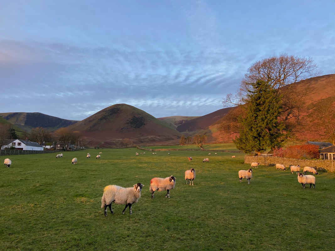
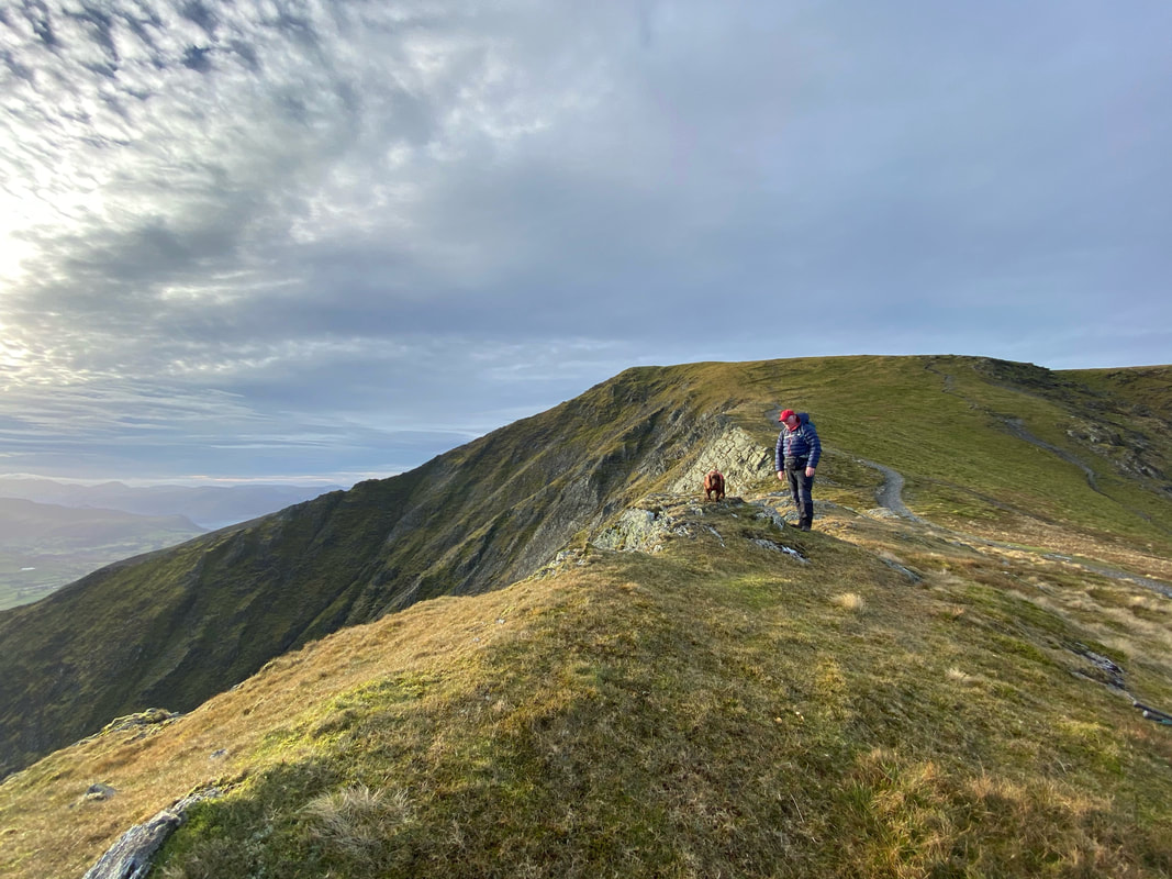
An early start today and there was a lovely glow at sunrise.
Bannerdale Crags is to the left, The Tongue centre and Bowscale Fell to the right.
Bannerdale Crags is to the left, The Tongue centre and Bowscale Fell to the right.
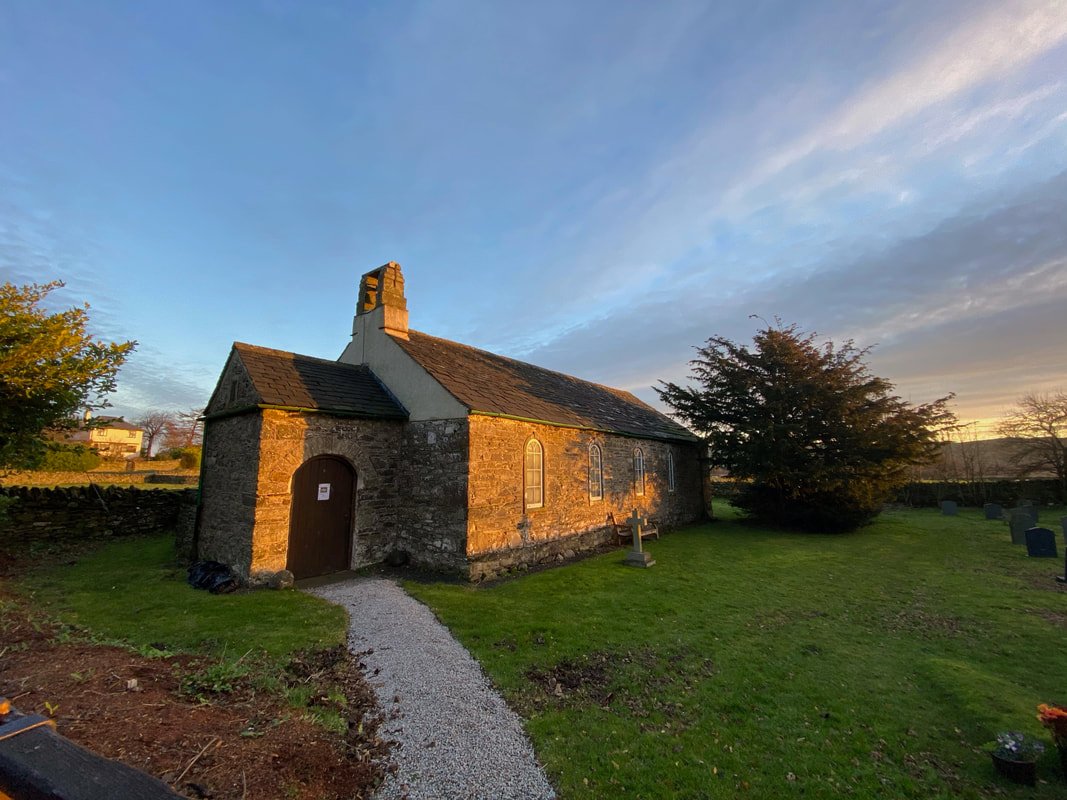
St Kentigern's Church, Mungrisdale.
There have been several buildings on this site with the present Church being built in 1756. It is a simple structure with thick rubble stone walls. The interior is simple but contains some interesting features amongst which is a three decker pulpit.
There have been several buildings on this site with the present Church being built in 1756. It is a simple structure with thick rubble stone walls. The interior is simple but contains some interesting features amongst which is a three decker pulpit.
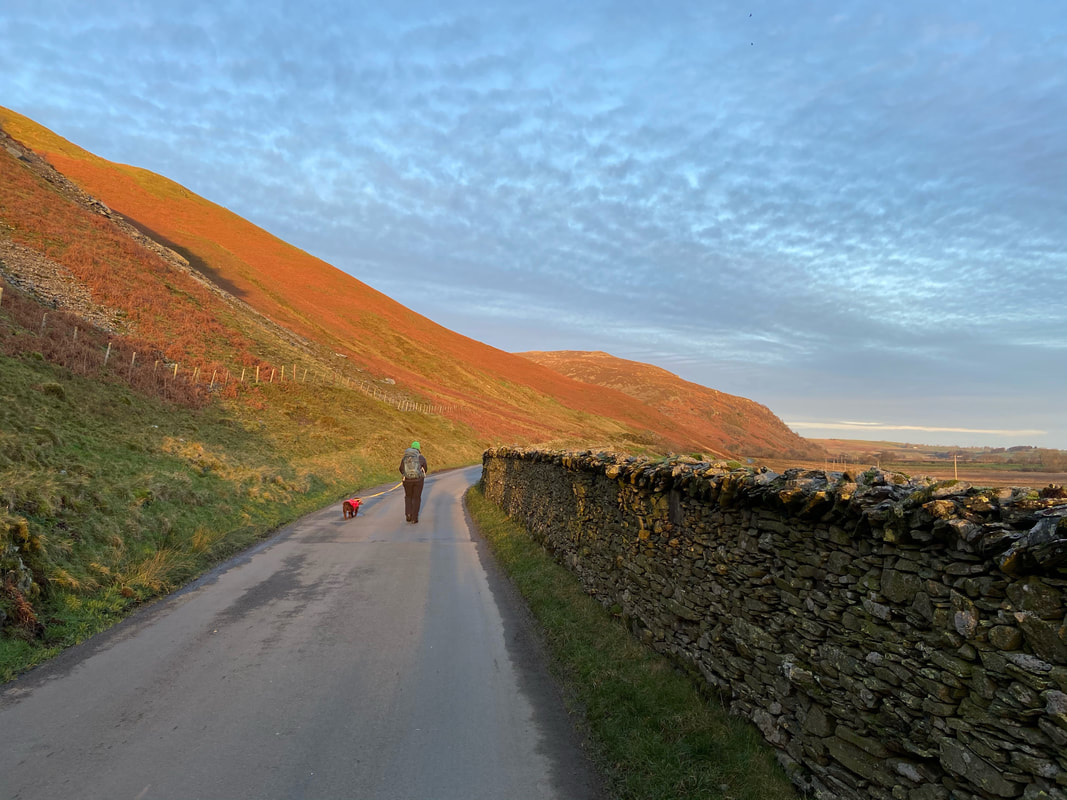
From Mungrisdale the route heads along the road towards the hamlet of Bowscale
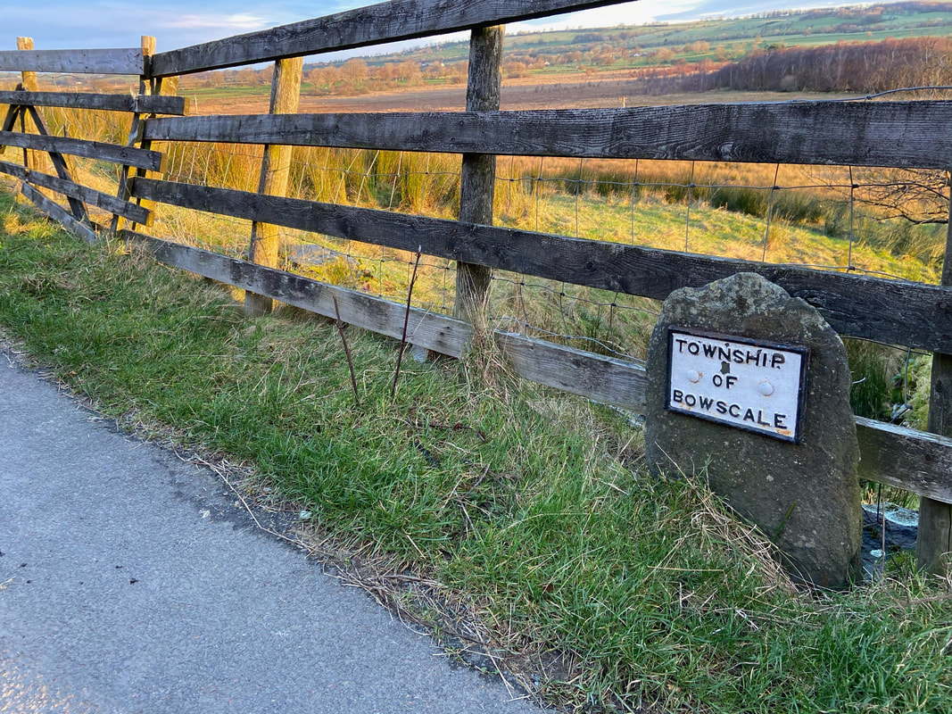
The boundary stone marker as we cross from Mungrisdale into Bowscale
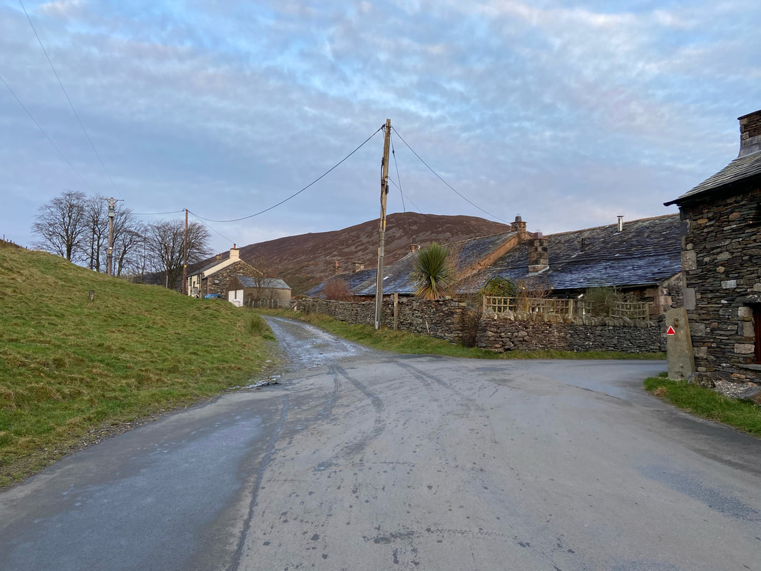
From Bowscale the route leaves the road .....................
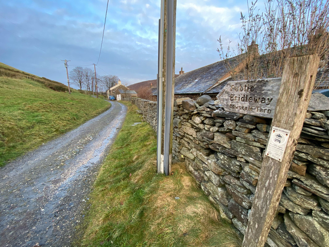
..............and continues along a track past a few cottages to reach a gated bridleway. This route leads to Bowscale Tarn which in Victorian times was a very popular tourist spot - so much so that the "holiday makers" were transported there by pony.
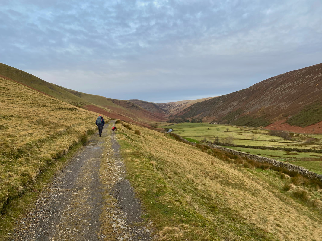
Heading along the bridleway with a cracking view of the Caldew Valley for company
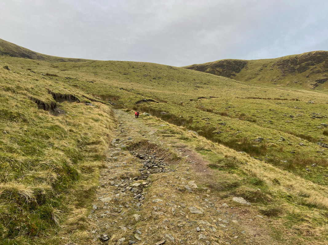
Nearing Bowscale Tarn with Tarn Crags visible to the right.
The main path to the tarn heads around the moraine to the right however just above Fudge's head a faint path heads to the left. This leads to the eastern end of the tarn. The path split is at Grid Ref NY 33850 31644.
The main path to the tarn heads around the moraine to the right however just above Fudge's head a faint path heads to the left. This leads to the eastern end of the tarn. The path split is at Grid Ref NY 33850 31644.
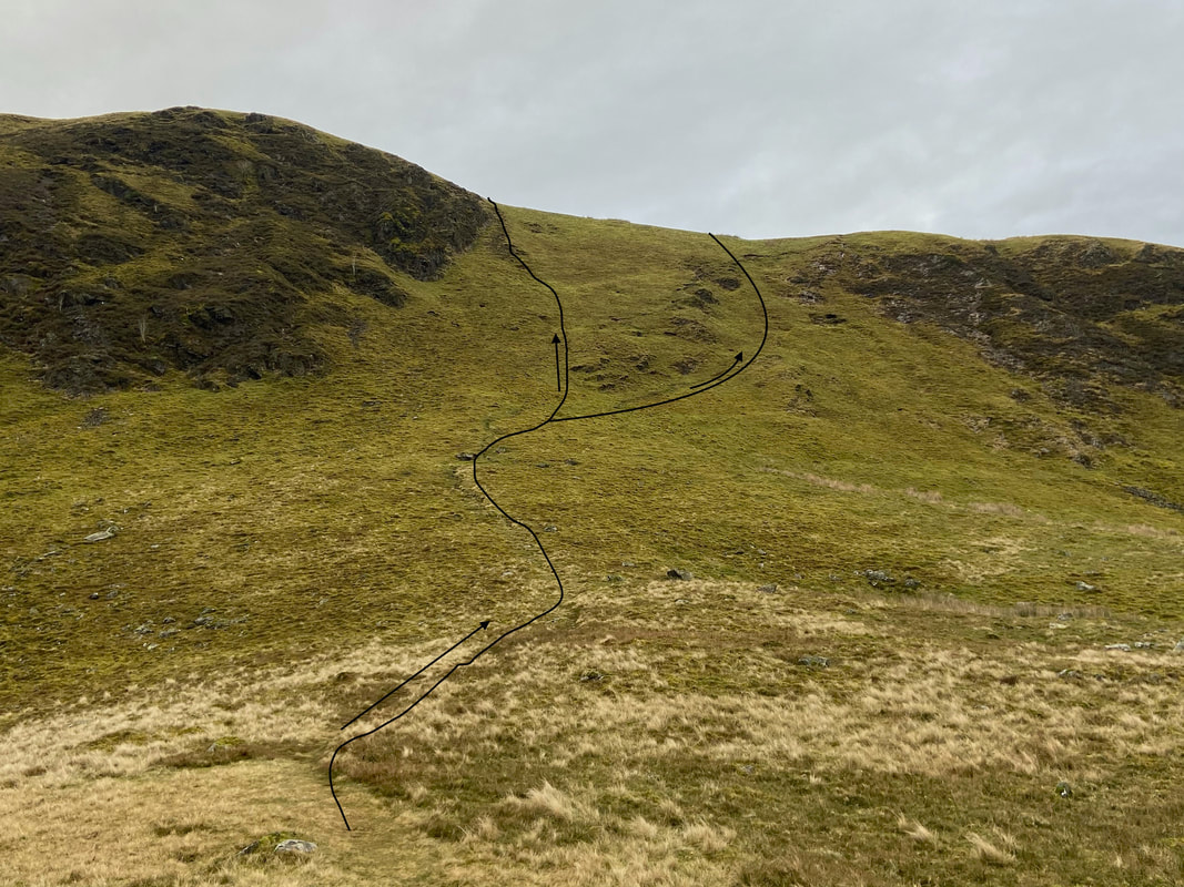
Reaching the tarn there are several options to attain the north ridge of Bowscale Fell. The grassy rake pictured is perhaps the quickest way up and I have detailed the main path up the rake with two options. The other two ways up on to the north ridge are to the left around the tarn (the route I took today which will be explained shortly) or heading to the right from here to the base of the north ridge.
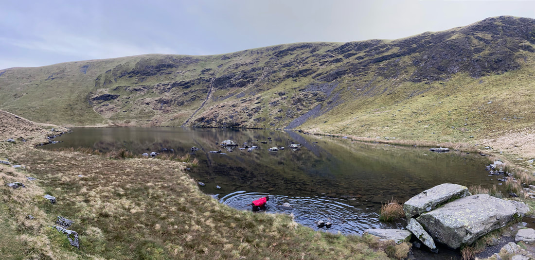
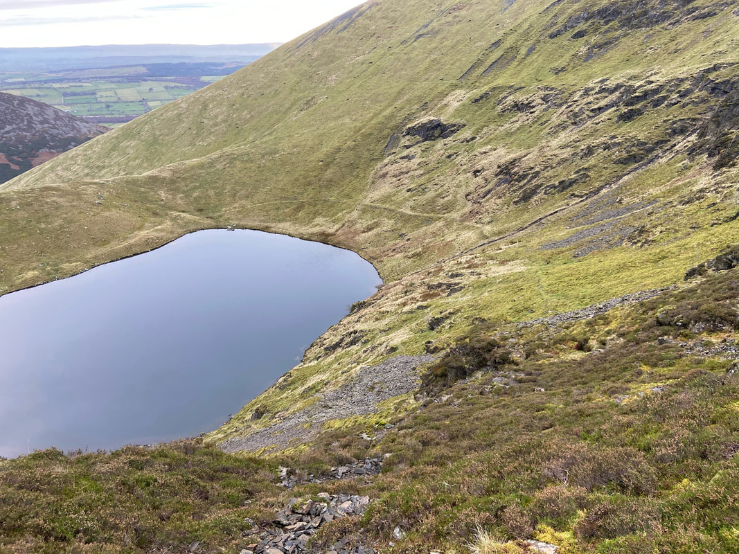
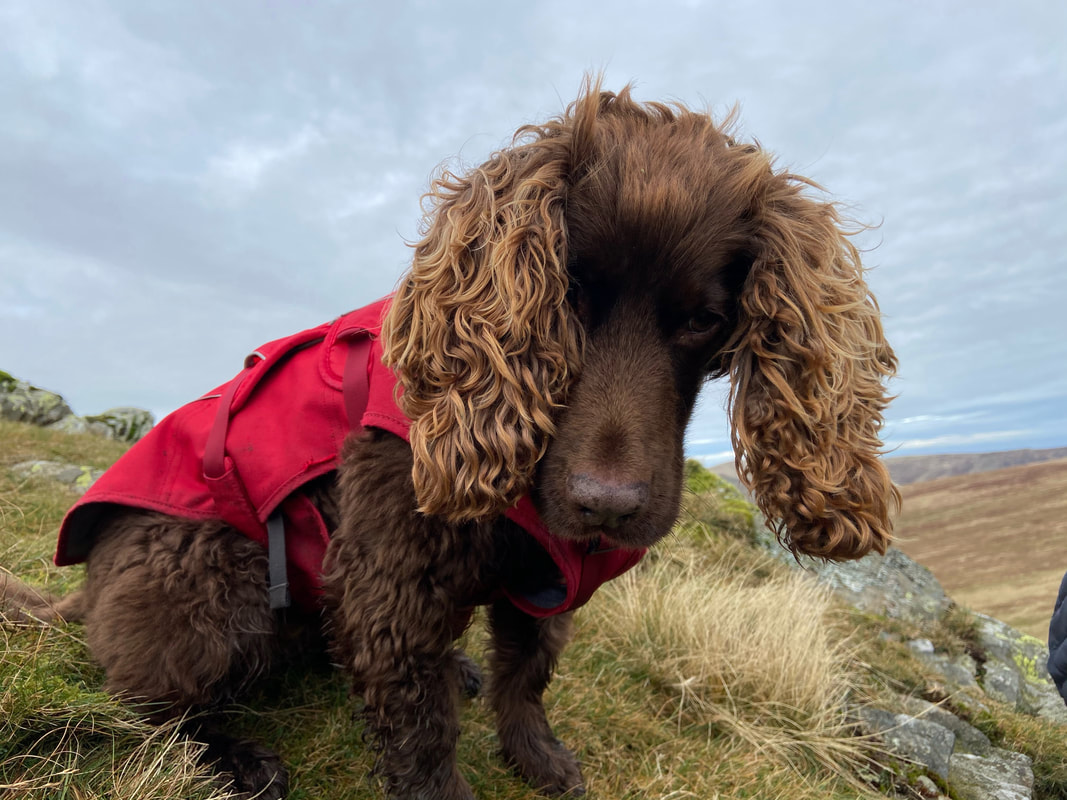
Bowscale Tarn and a very happy Working Cocker Spaniel
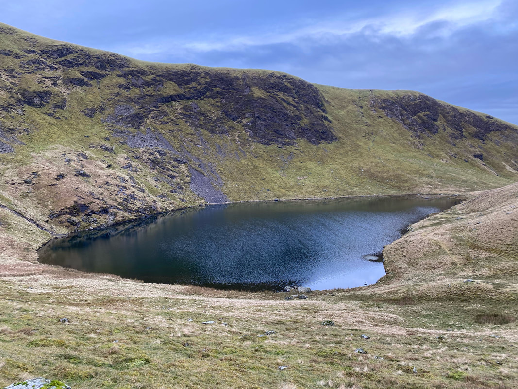
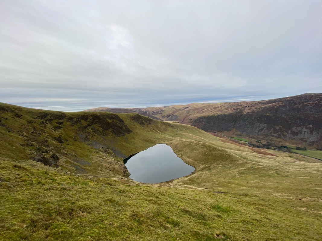
Bowscale Tarn from the eastern end.
There is a story that the tarn contains two immortal fish and they were famous enough for Wordsworth to include them in his poem “Feast of Brougham Castle”
Both the undying fish that swim
In Bowscale tarn did wait on him;
The pair were servants of his eye
In their immortality;
The “him” they were waiting on was Lord Clifford (the Shepherd Lord).
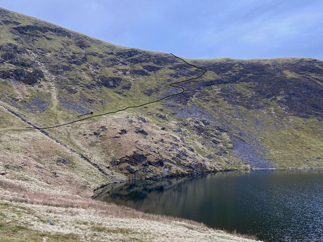
My route up on to the north ridge of Bowscale Fell.
It should be noted that whilst this route is actually a path on the ground, it is not marked on the OS Map.
It should be noted that whilst this route is actually a path on the ground, it is not marked on the OS Map.
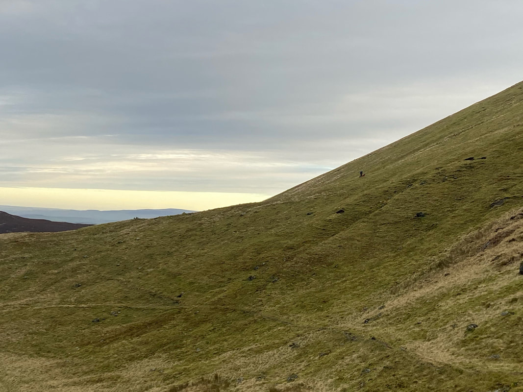
The path heading around to my route from the tarn which is out of shot to the left. Angie and Fudge took the more direct route up on to the ridge and would meet me on the top.
A clearer look back at my route of ascent. I had come all the way around the tarn on a faint but nevertheless easy to follow path.
The lower slopes of Skiddaw to the left then Great Calva with Knott to the right
A Bowscale Tarn panorama taken by Angie from her direct ascent up the fell. The large lump to the right of the tarn is known as a glacial moraine and was formed by the retreating ice sheet leaving debris behind.
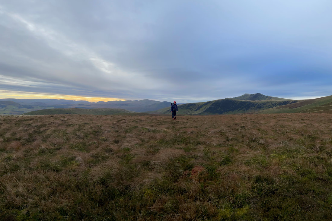
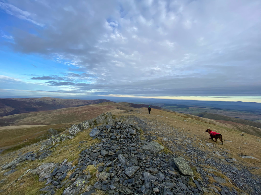
Tarn Crags Top - Bowscale Fell's subsidiary summit. We were off to the Far East Top next which can be seen in the distance.
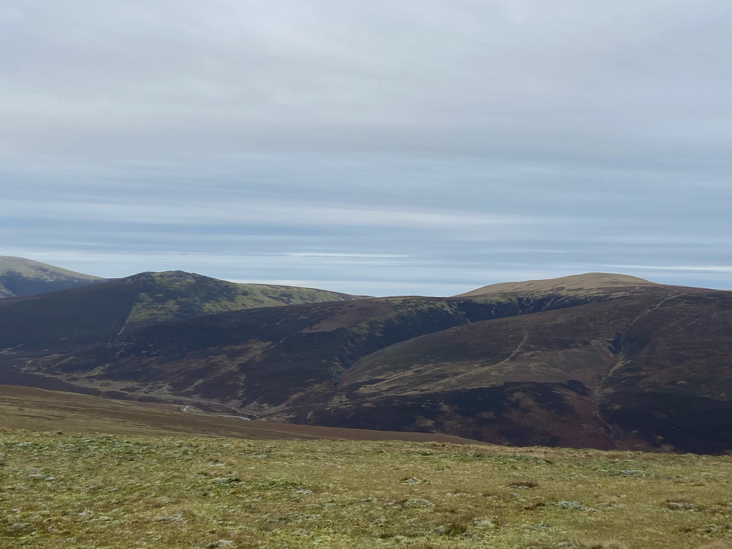
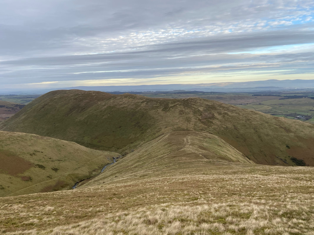
The Tongue and Souther Fell
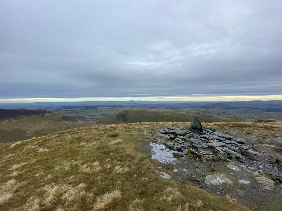
Nothing to see here as we reach the summit of Bowscale Fell Far East Top - no cairn or stone, just nowt
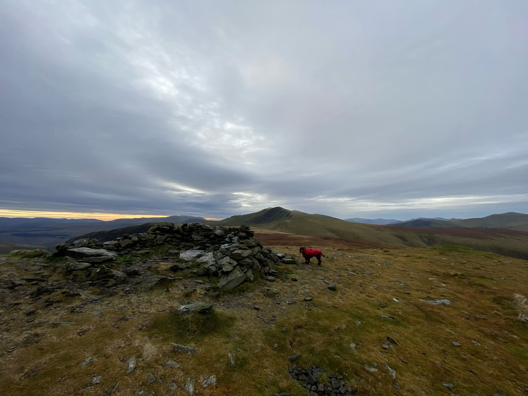
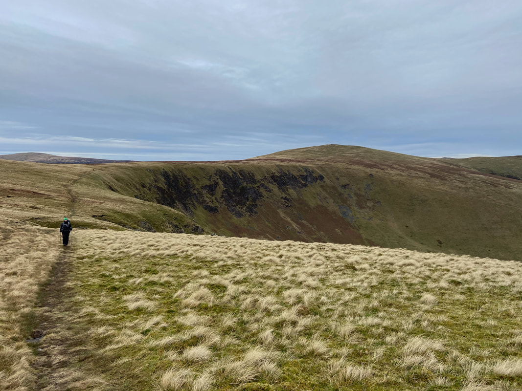
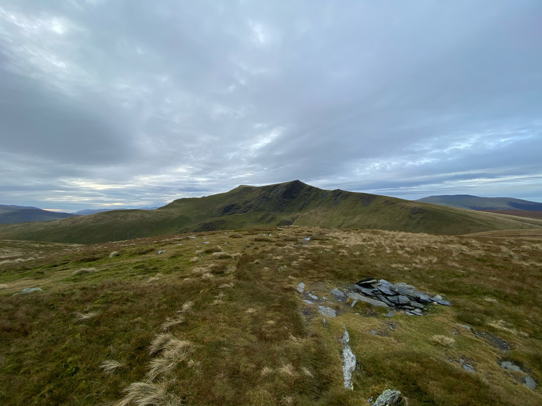
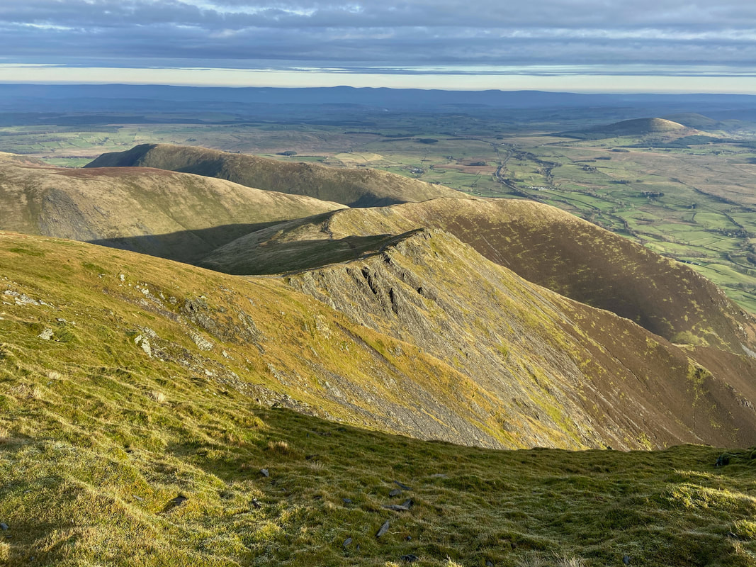
From the Far East Top we retraced our steps back along the ridge to reach the stone shelter which marks the summit of Bowscale Fell. Blencathra is in the centre with our next objective of Bannerdale Crags a mile and a quarter distant over the top of the shelter.
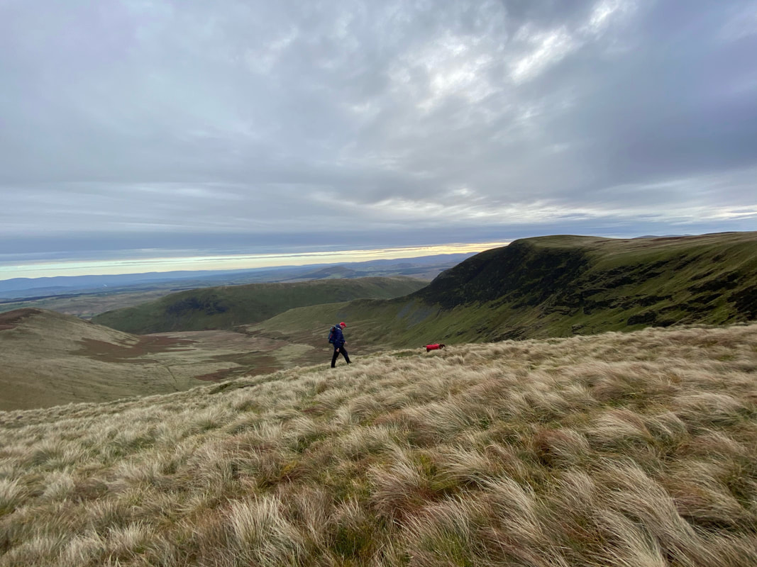
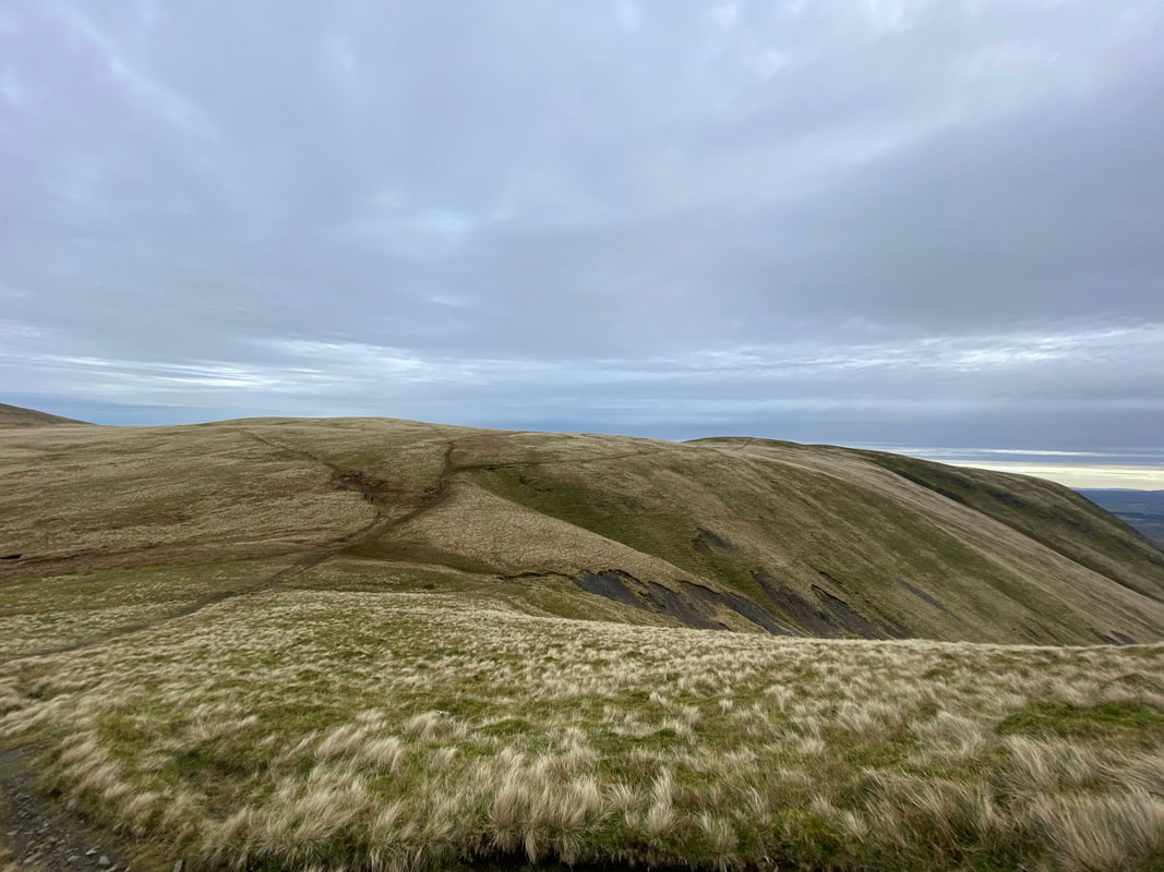
Crossing the head of Bannerdale
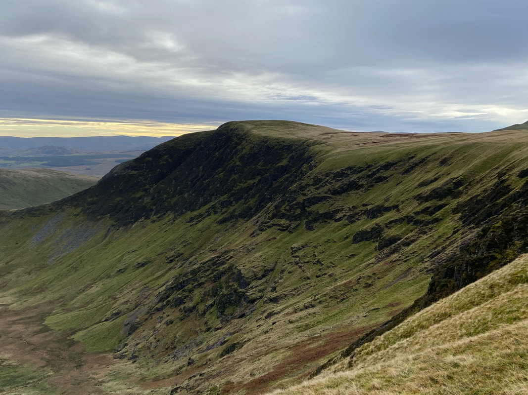
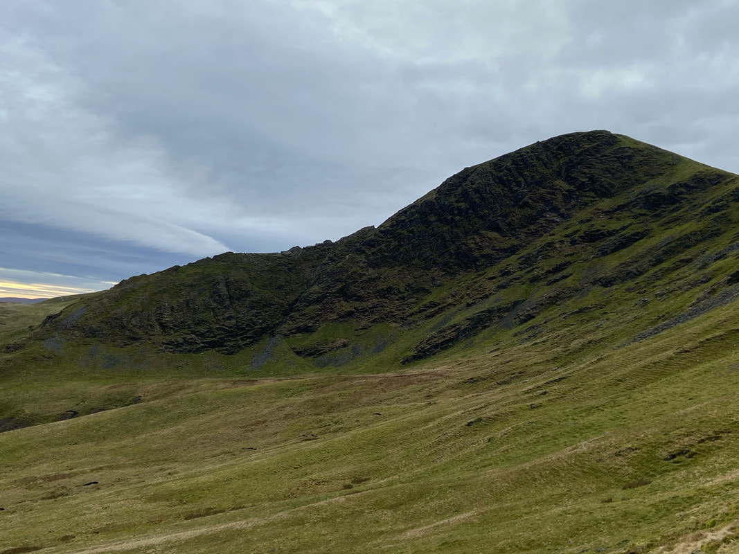
Bannerdale Crags
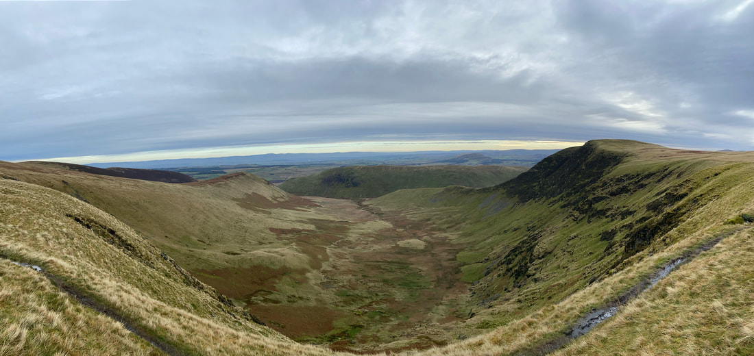
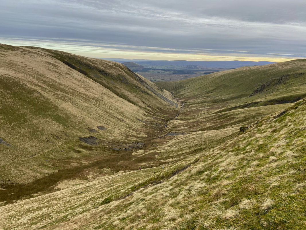
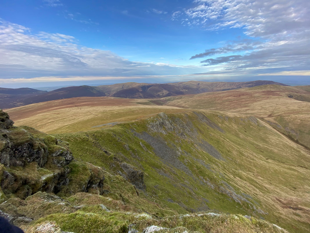
A panorama of Bannerdale - we saw very few people up here today
Bowscale Fell and the head of Bannerdale from near Bannerdale Crags
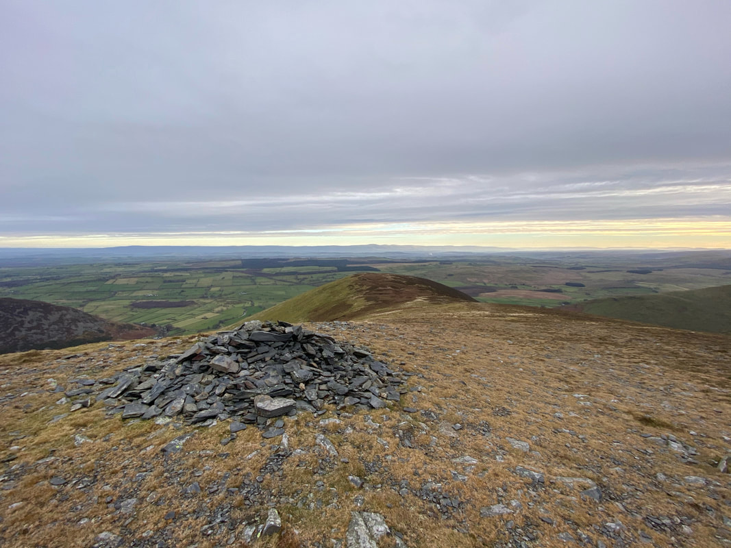
The Wainwright summit of Bannerdale Crags. Wainwright described this cairn as 'sited near the edge of the great downfall into Bannerdale" (Bannerdale Crags 8). The highest point of the fell lies about a hundred yards to the west.
Blencathra from the cairn marking the highest point on Bannerdale Crags
Looking back to Bannerdale Crags from our ascent to Blencathra
Looking towards Mousthwaite Col and the River Glenderamackin.
There are two paths that leave from the col between Bannerdale Crags & Blencathra and straddle the river. The path to the left leads to the footbridge near Mousthwaite Col whilst the path to the right leads to the foot of Sharp Edge at Scales Tarn.
There are two paths that leave from the col between Bannerdale Crags & Blencathra and straddle the river. The path to the left leads to the footbridge near Mousthwaite Col whilst the path to the right leads to the foot of Sharp Edge at Scales Tarn.
Having scoffed his lunch the hairy farter was now in "beg mode"
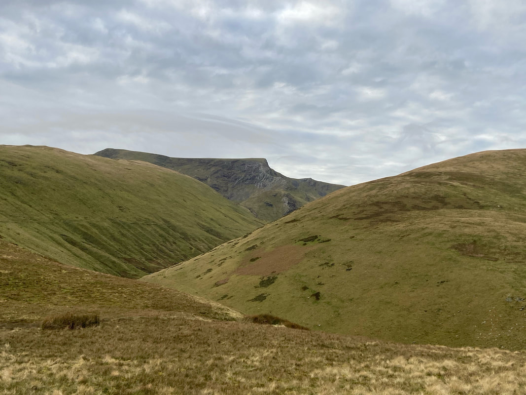
Sharp Edge & Foule Crag on Blencathra
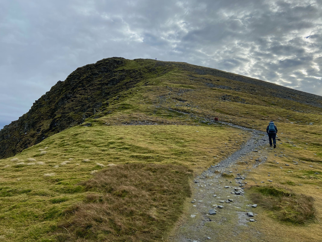
Heading up to Atkinson Pike - this is a delightful way up on to Blencathra
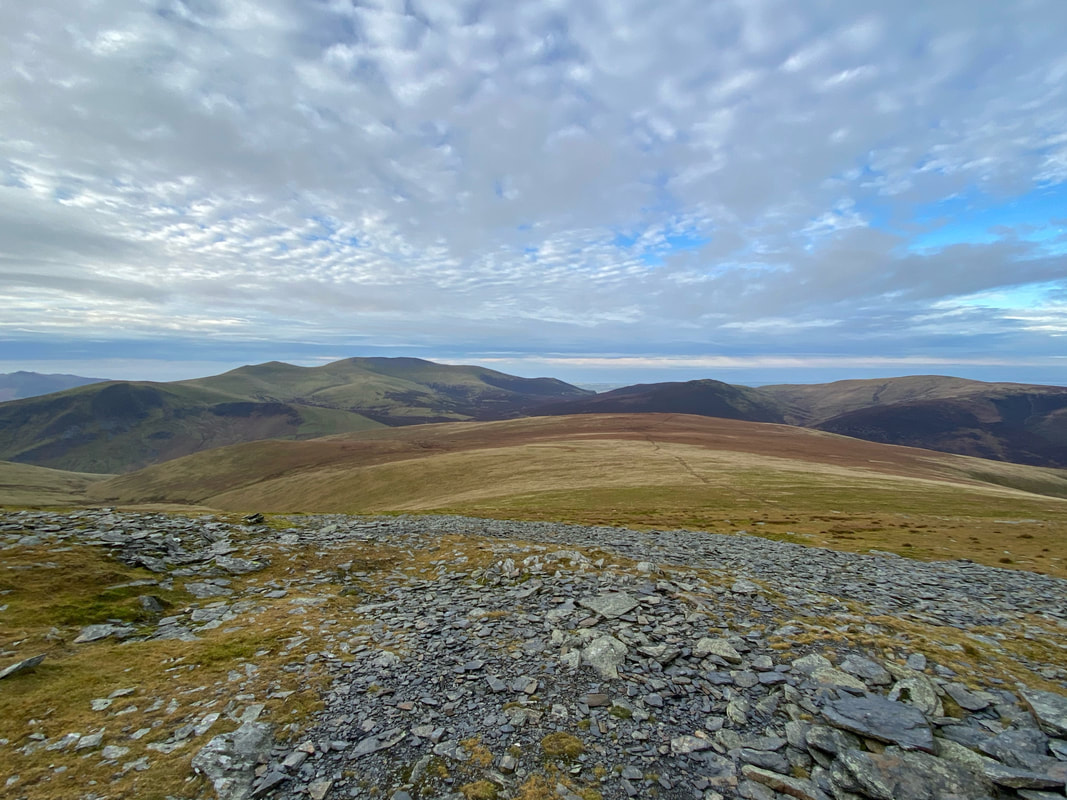
The Skiddaw range in the distance with the large expanse of Mungrisdale Common in the foreground
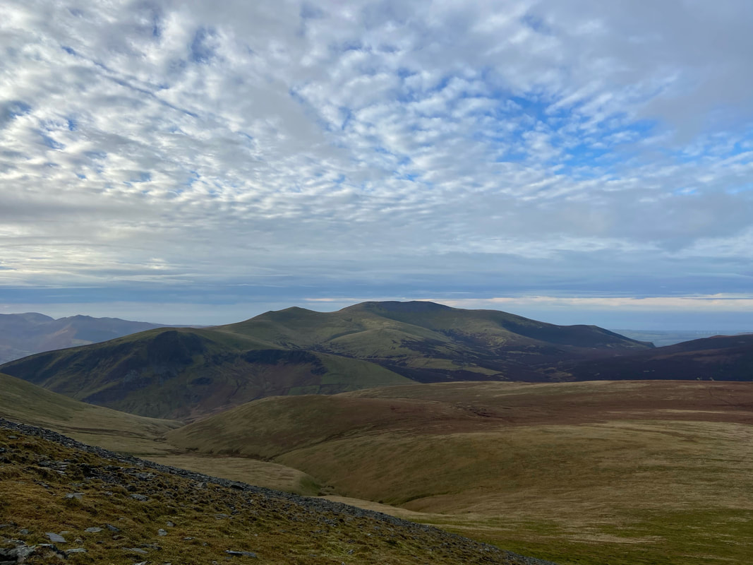
A closer look at Skiddaw with Lonscale Fell to the left
The summit of Atkinson Pike
A look back at our route of ascent from the col which can be seen to the right
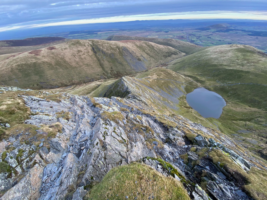
Before heading for Blencathra we headed over to have a look down Sharp Edge and Scales Tarn
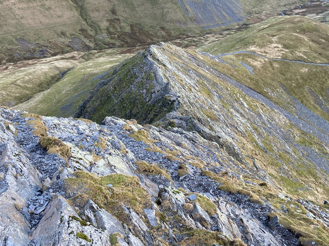
A closer look at Sharp Edge - not many people on it today
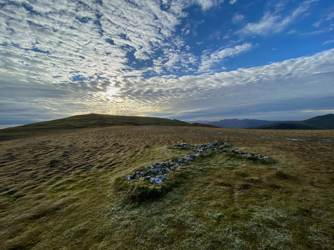
Cirrocumulus clouds over Blencathra
The White Cross just north of The Saddle
On a good day the White Cross can clearly be seen from Blencathra's summit. The cross is made up of many crystallised white stones and owes its existence to Harold Robinson of Threlkeld. The original cross was much smaller than this and was first placed here to commemorate a walker who lost his life on an adjacent rough slope. Mr Robinson collected more stones of locally veined quartzite and extended the cross to its present size. (Blencathra 33)
On a good day the White Cross can clearly be seen from Blencathra's summit. The cross is made up of many crystallised white stones and owes its existence to Harold Robinson of Threlkeld. The original cross was much smaller than this and was first placed here to commemorate a walker who lost his life on an adjacent rough slope. Mr Robinson collected more stones of locally veined quartzite and extended the cross to its present size. (Blencathra 33)
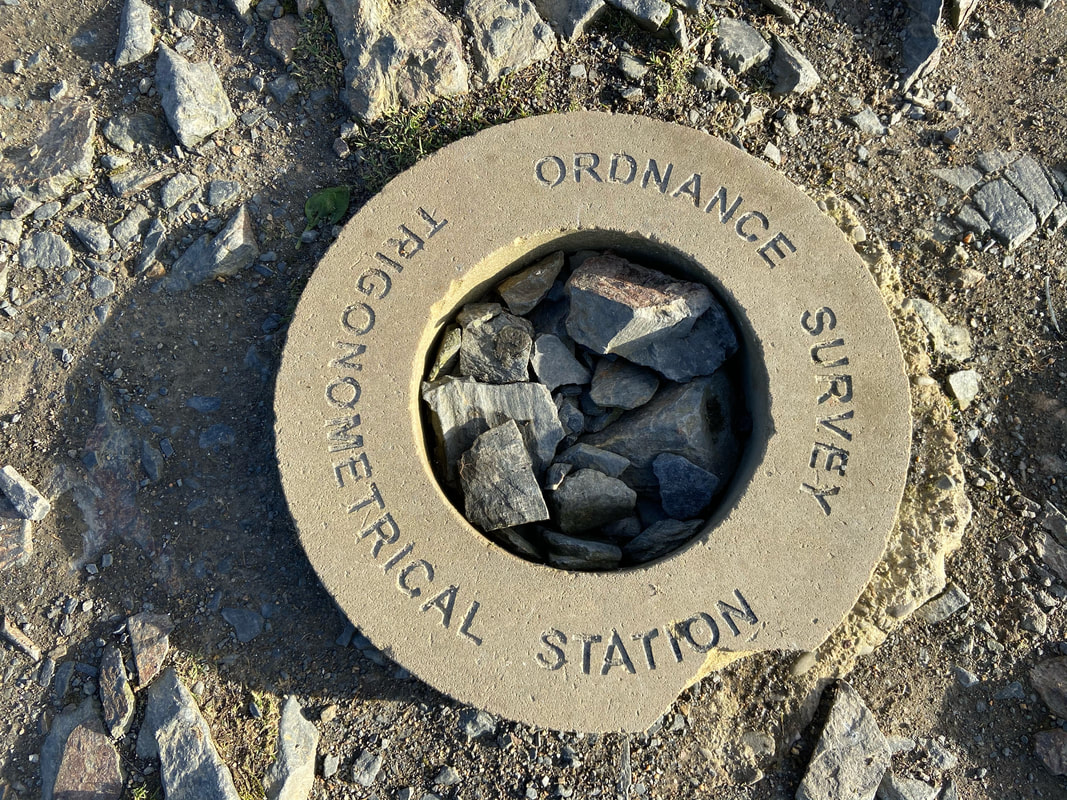
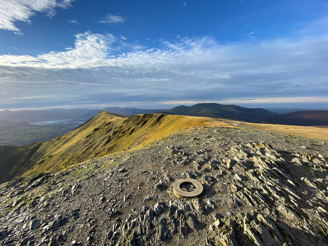
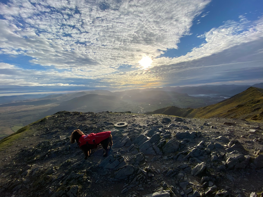
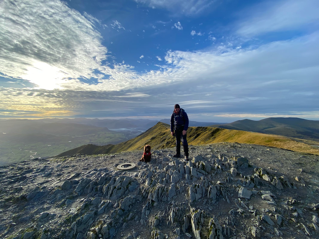
The summit Trig "Doughnut".
The Trigonometrical Station was replaced recently as a result of a Crowdfunding Appeal when the original was stolen.
The Trigonometrical Station was replaced recently as a result of a Crowdfunding Appeal when the original was stolen.
Hallsfell Top, the summit of Blencathra
Looking to our route of descent from the summit of Blencathra. White Horse Bent is to the left with Souther Fell over the top of it. In the centre is Doddick Fell & Scales Fell with Great Mell Fell right distant.
Gategill Fell from the summit of Blencathra
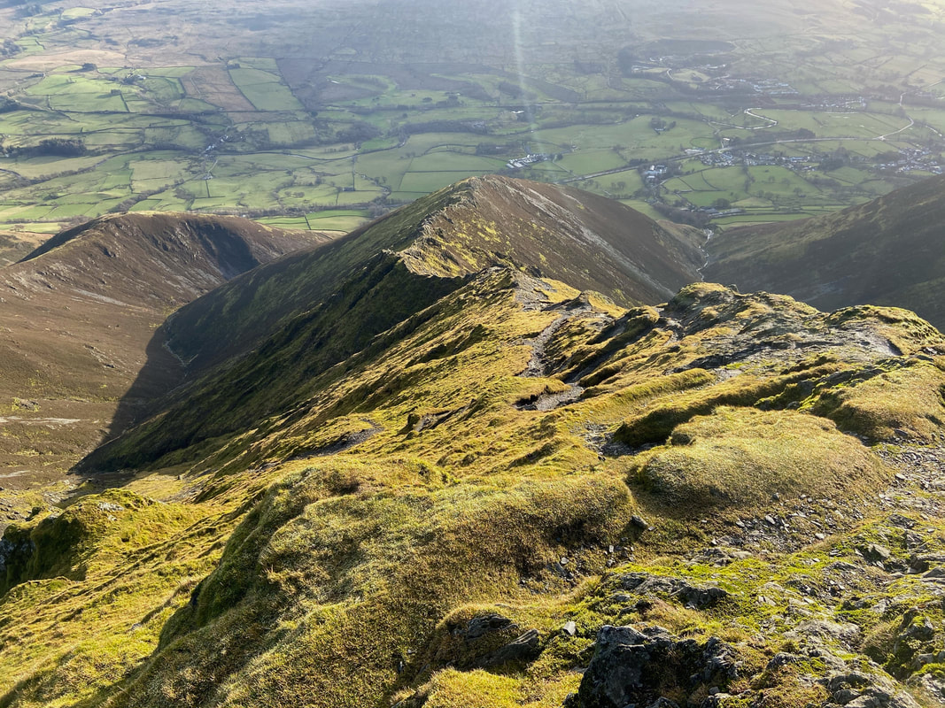
Looking down Halls Fell ridge
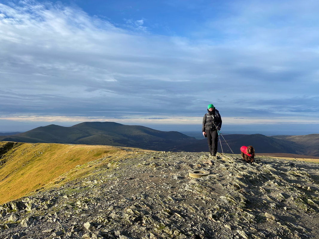
Angie & Fudge on the summit of Blencathra looking to Skiddaw
It was great to have the summit of Blencathra to ourselves today
With Fudge on Blencathra's summit
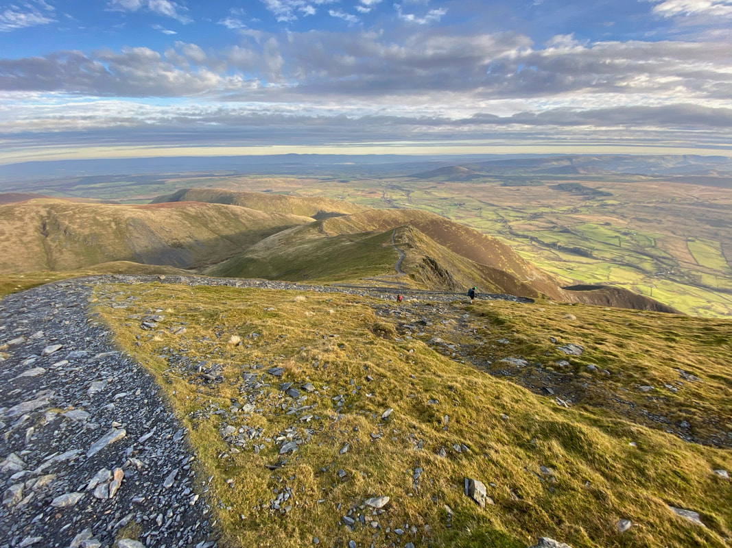
The zig zag path to Doddick Fell
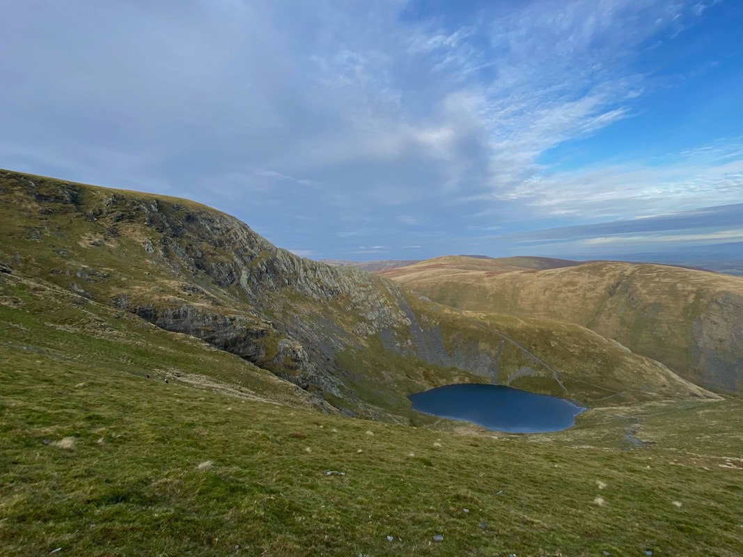
Sharp Edge & Scales Tarn from Doddick Fell
The understated summit of Doddick Fell
At Grid Ref NY 33728 27625 the path splits with the left hand path heading for Mousthwaite Col and Souther Fell (our route) and the right hand path heading over Scales Fell.
Mousthwaite Col & Souther Fell
Sharp Edge & Blencathra from Mousthwaite Col
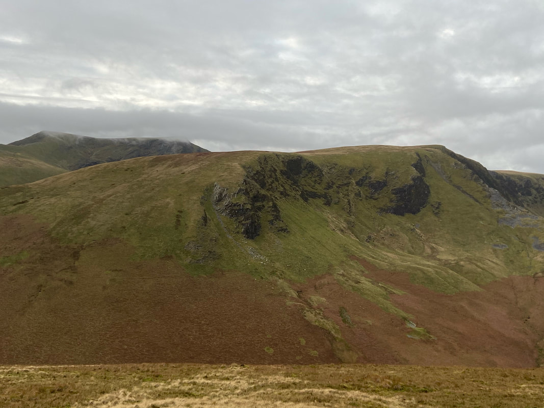
Bannerdale Crags from the approach to Souther Fell
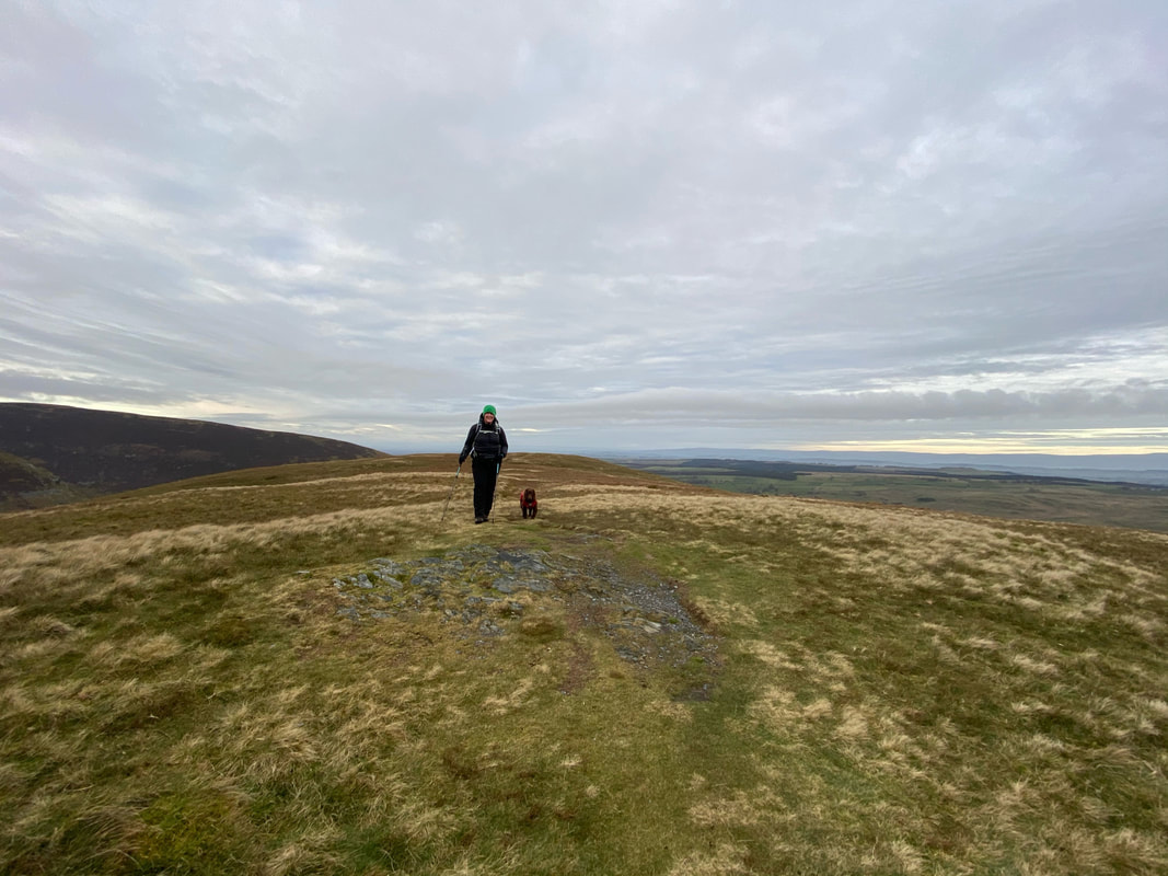
The understated summit of Souther Fell - this was Fudge's very first Wainwright way back in 2013
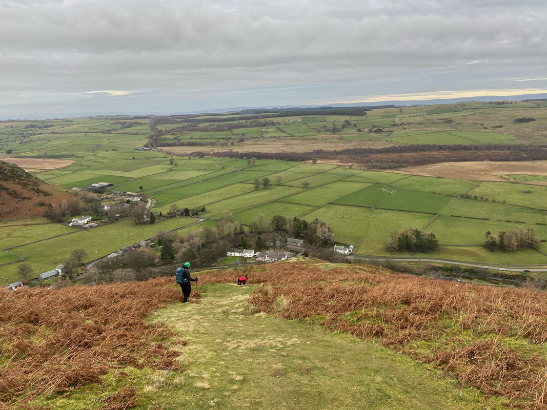
The steep descent from Souther Fell's north ridge with Mungrisdale below
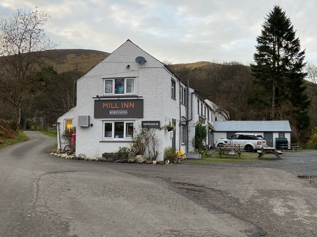
Another cracking Lakeland pub - The Mill Inn, Mungrisdale
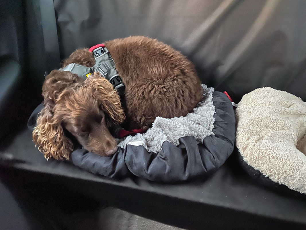
We can always tell when he has a good day on the fells - asleep even before we start the car to go home.
