Whin Rigg, Illgill Head & Boat How - Sunday 1 December 2019
Route
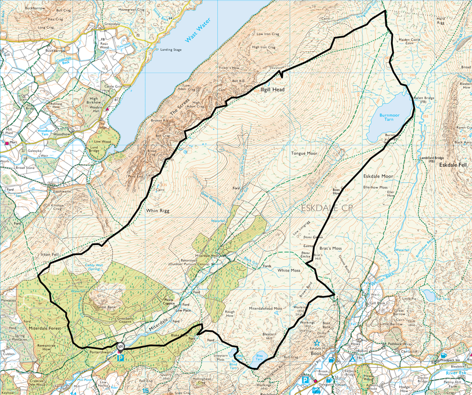
Porterthwaite - Miterdale Forest - Irton Fell - Whin Rigg - Illgill Head - Maiden Castle - Bulatt Bridge - Burnmoor Tarn - Boat How - Brats Moss - Blea Tarn - Siney Tarn - Porterthwaite
Parking
Large parking area at Porterthwaite (Free) - Grid Reference NY 1466 0117
Mileage
11.6 miles
Terrain
Good mountain paths for the most part. The latter stages of the descent from Illgill Head to Maiden Castle can be boggy as can the transit to Bulatt Bridge.
Weather
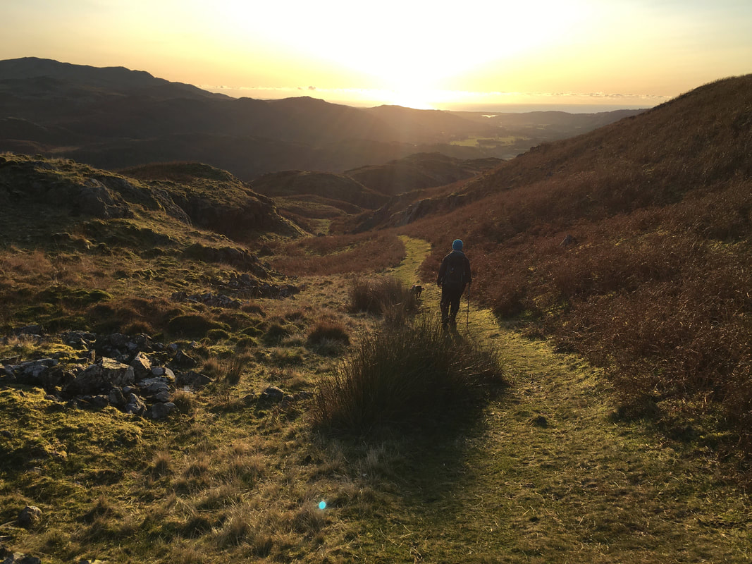
Perfect weather conditions - sunshine & light breezes with excellent visibility.
Time Taken
6hrs 45mins
Total Ascent
2417ft (737m)
Wainwrights
2 plus 1 Outlying Fell
Map
OL6 - The English Lakes (South Western Area)
|
GPX File
|
| ||
If the above GPX file fails to download or presents itself as an XML file once downloaded then please feel free to contact me and I will send you the GPX file via e-mail.
Route Map
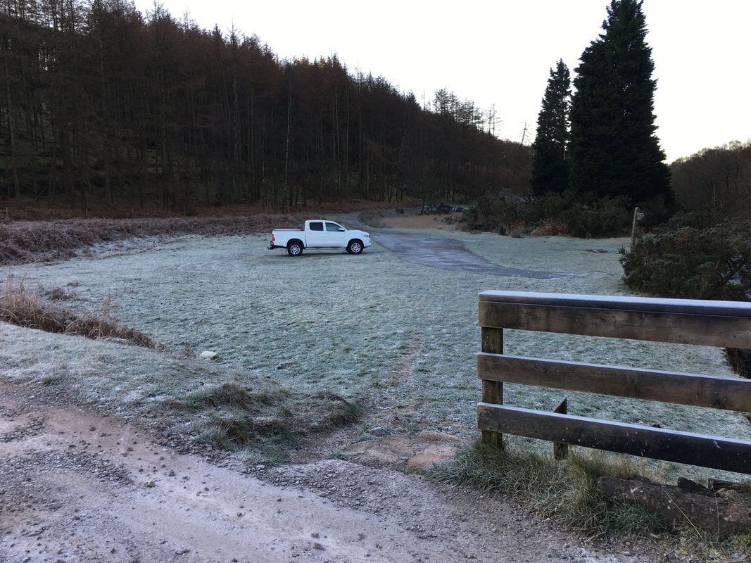
Plenty of room at Porterthwaite - the Car Park is reached off the road between The Bower House Inn & Eskdale Green
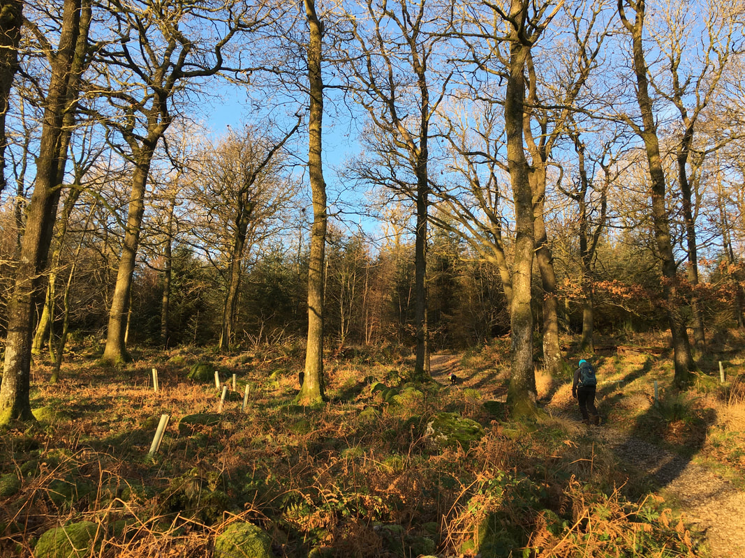
Heading through Miterdale Forest - the path is good all the way to the edge of the forest
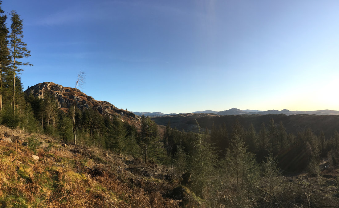
Looking to Great Bank
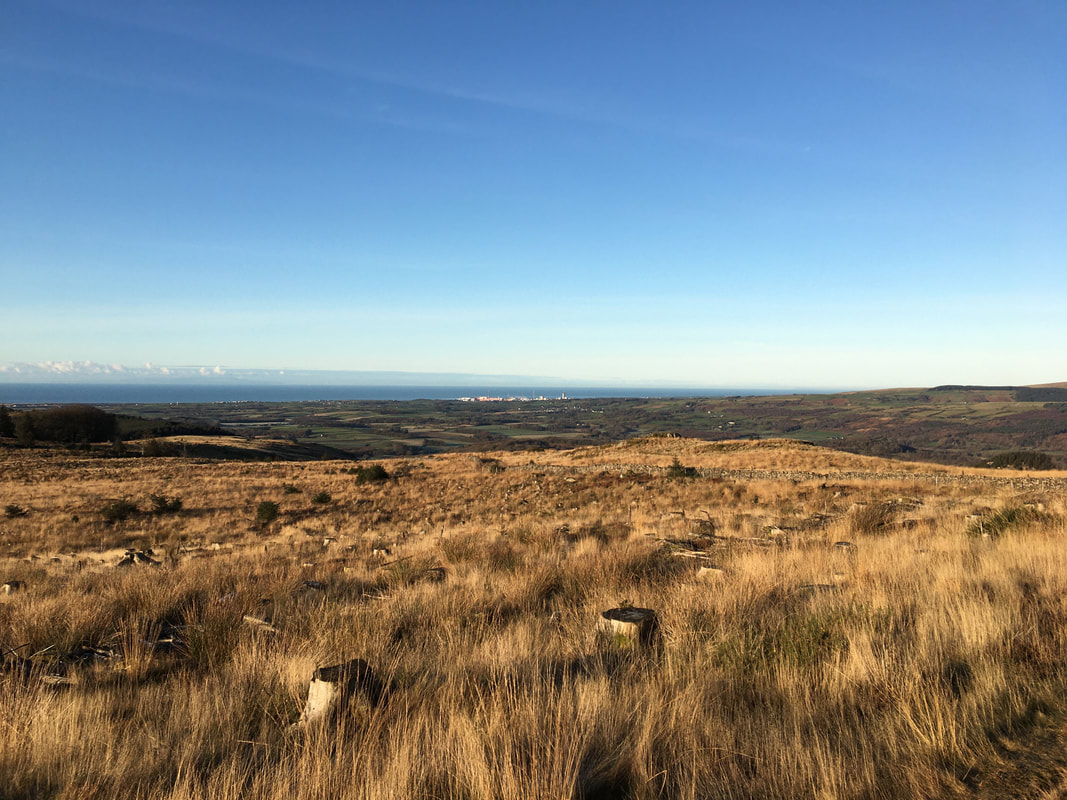
Free from the tree canopies the views open out towards Sellafield and the West Cumbrian coast
The summit of Irton Fell looking to Whin Rigg
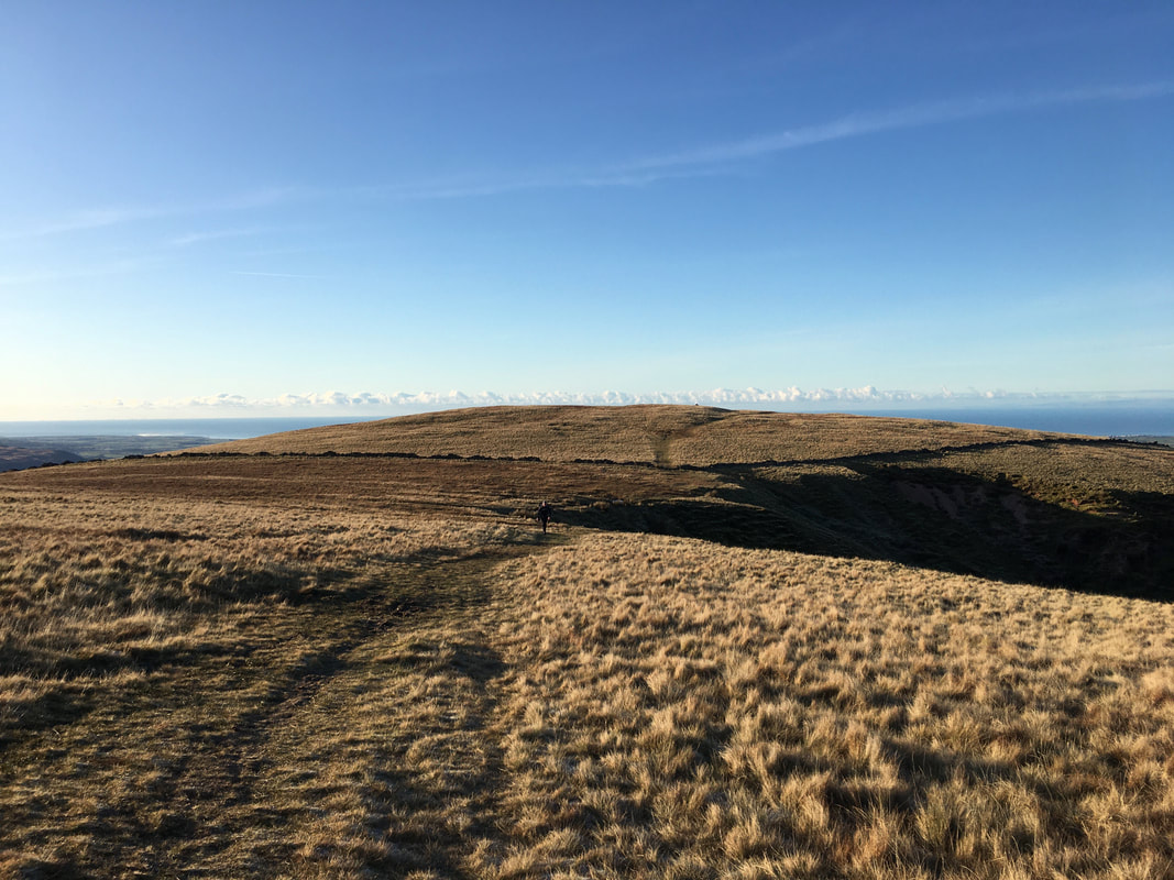
I have heard people say that the transit over the ridge from Irton Fell all the way to Illgill Head is a 'bog fest' - I think that is vastly over exaggerated
The summit of Whin Rigg
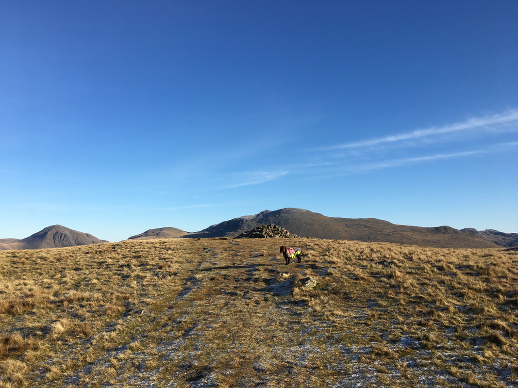
The connecting ridge to Illgill Head.
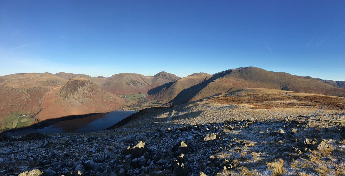
With the visibility as good as this it is best to keep as far left as you can from here. There is a path heading right which continues on as the one in the centre of shot to the summit of Illgill Head. However for the best views into Wasdale and The Screes keep to the left path - it can be seen sloping to the left from the centre of shot. Left to right are the slopes of Red Pike, Pillar, Yewbarrow, Kirk Fell, Great Gable, Illgill Head, Scafell Pike & Scafell
With the visibility as good as this it is best to keep as far left as you can from here. There is a path heading right which continues on as the one in the centre of shot to the summit of Illgill Head. However for the best views into Wasdale and The Screes keep to the left path - it can be seen sloping to the left from the centre of shot. Left to right are the slopes of Red Pike, Pillar, Yewbarrow, Kirk Fell, Great Gable, Illgill Head, Scafell Pike & Scafell
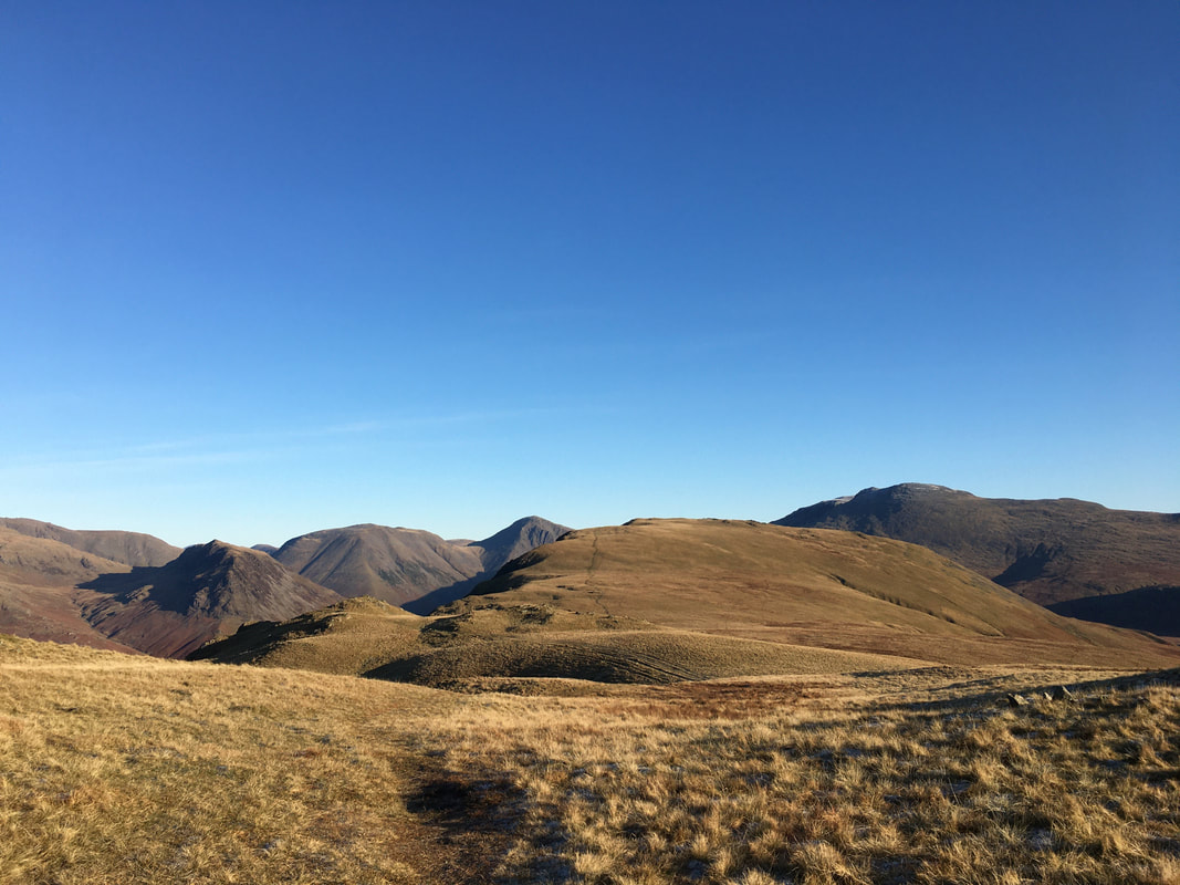
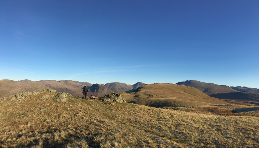
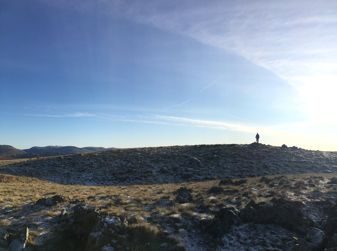
A bit further on towards Illgill Head - the views today were just glorious and better still there was nobody else here
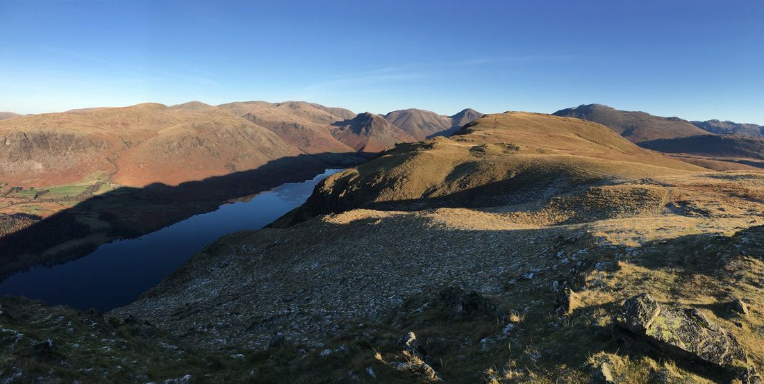
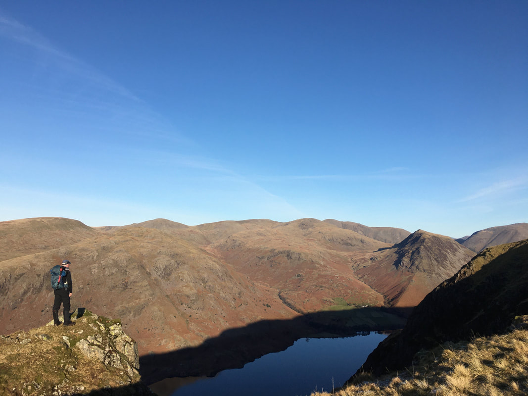
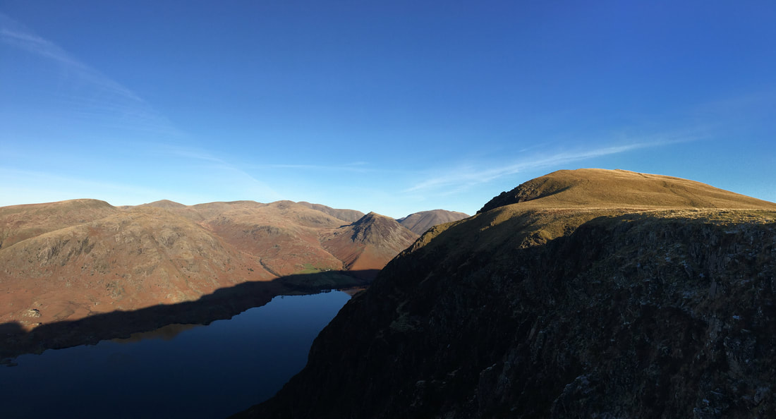
Wastwater comes into view as we head over to the left
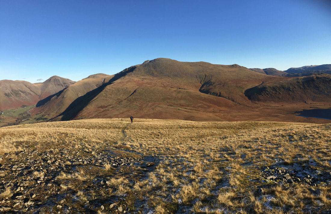
Looking back to Whin Rigg with the left hand path we took (when looking from Whin Rigg) clearly visible
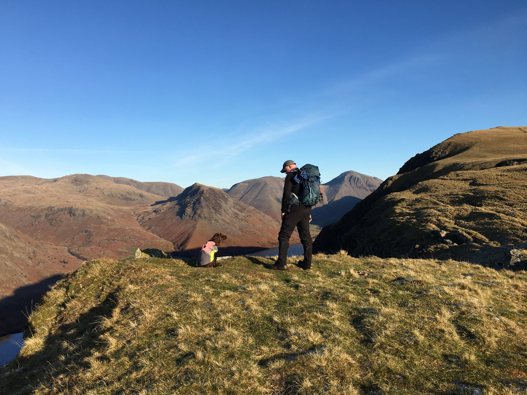
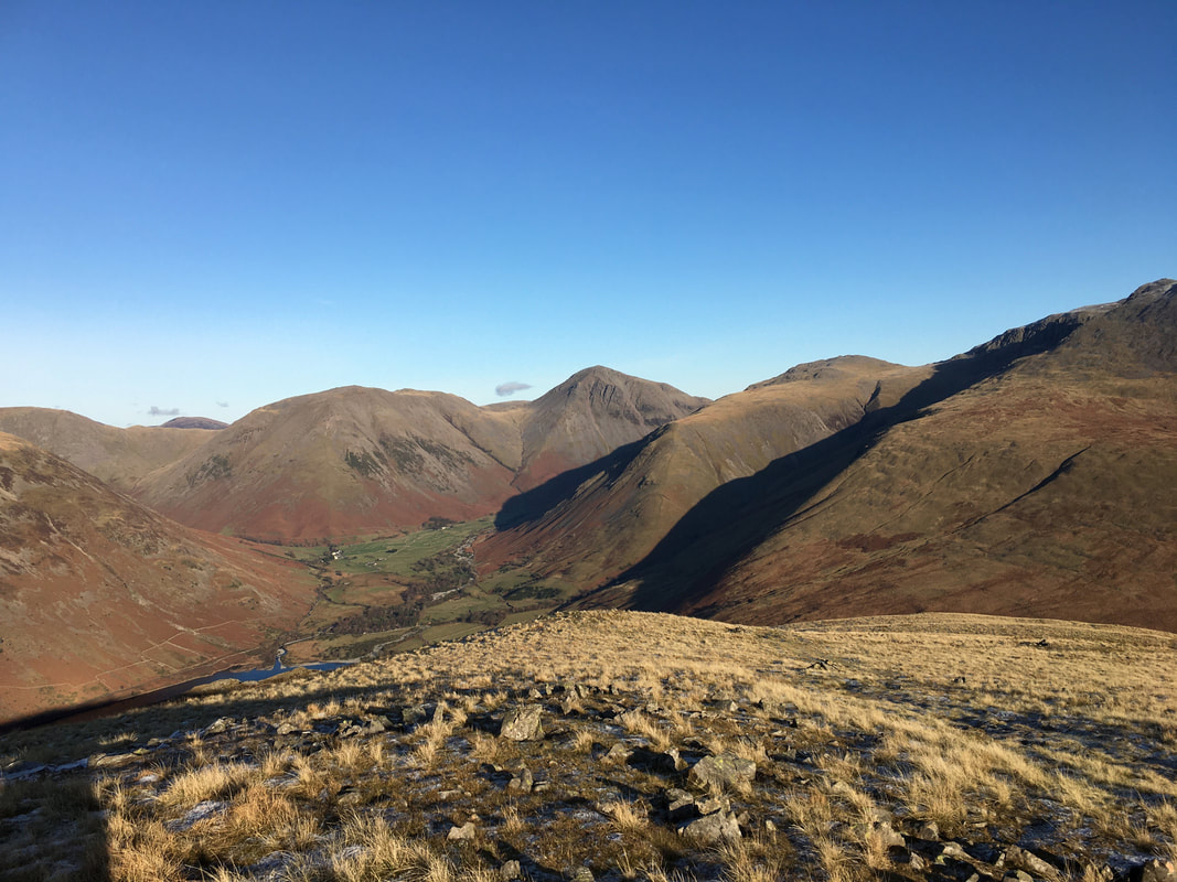
Discussing with Fudge where to go for our post walk pint - is there a better place to discuss this other than looking at Yewbarrow's majestic southern face
What a cracking view that is - Seatallan, Middle Fell, Haycock, Scoat Fell, Red Pike, Pillar, Yewbarrow and Kirk Fell
Coming a bit further around to also encompass Illgill Head
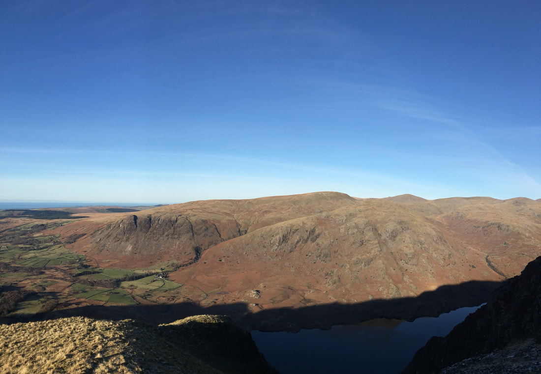
Looking over Wastwater to Buckbarrow, Seatallan, Middle Fell, Haycock & Scoat Fell
Approaching the western cairn on Illgill Head
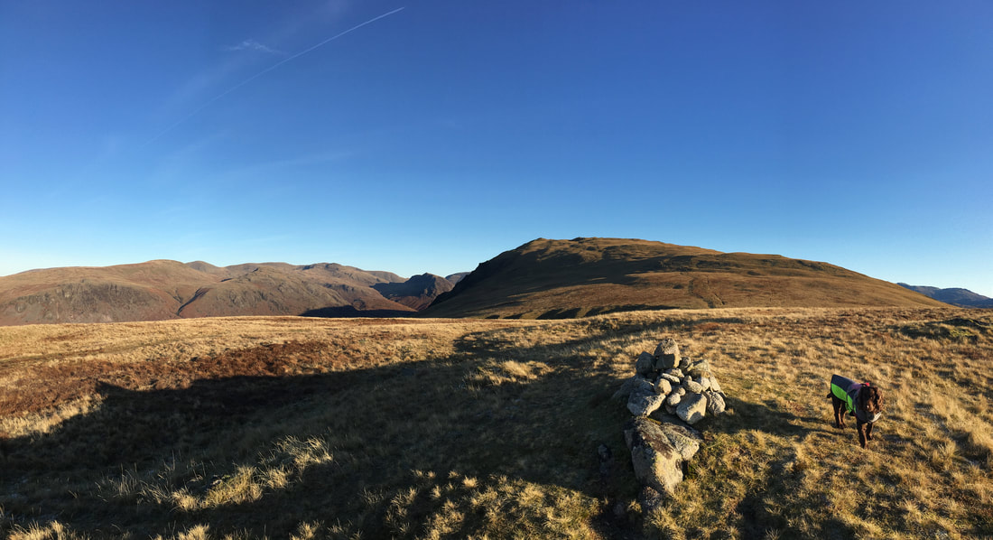
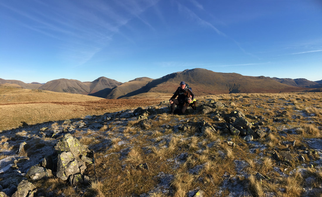
There are two summits on Illgill Head - people generally accept that the true summit (the highest point) is the cairn shelter overlooking Wasdale however Wainwright regarded the eastern top (where Fudge and I are above) as the true summit. Either way, do what we did and visit both - after all what else have you got to do?
Angie on the eastern summit of Illgill Head
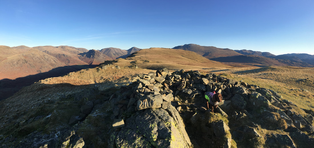
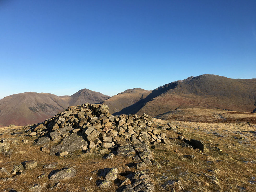
The western summit of Illgill Head looking to Kirk Fell, Great Gable, Lingmell, Scafell Pike & Scafell.
The cairn has been made hollowed out to make a shelter. Wainwright said of the western summit "if it is omitted the whole ascent becomes purposeless" (Illgill Head 7)
The cairn has been made hollowed out to make a shelter. Wainwright said of the western summit "if it is omitted the whole ascent becomes purposeless" (Illgill Head 7)
The descent from Illgill Head is gentle at first - gives you a chance to enjoy that view for a while
The gradient steepens as Wasdale Head comes into view below Kirk Fell
The path continues to drop steeply with Scafell looming large as we head down - Burnmoor Tarn is now in view to the right
Harter Fell over Burnmoor Tarn with Green Crag to the right
Scafell & Slight Side
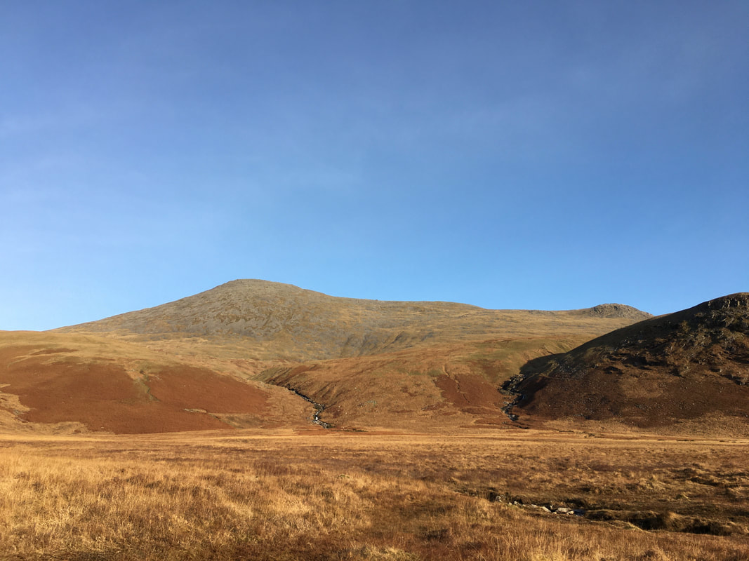
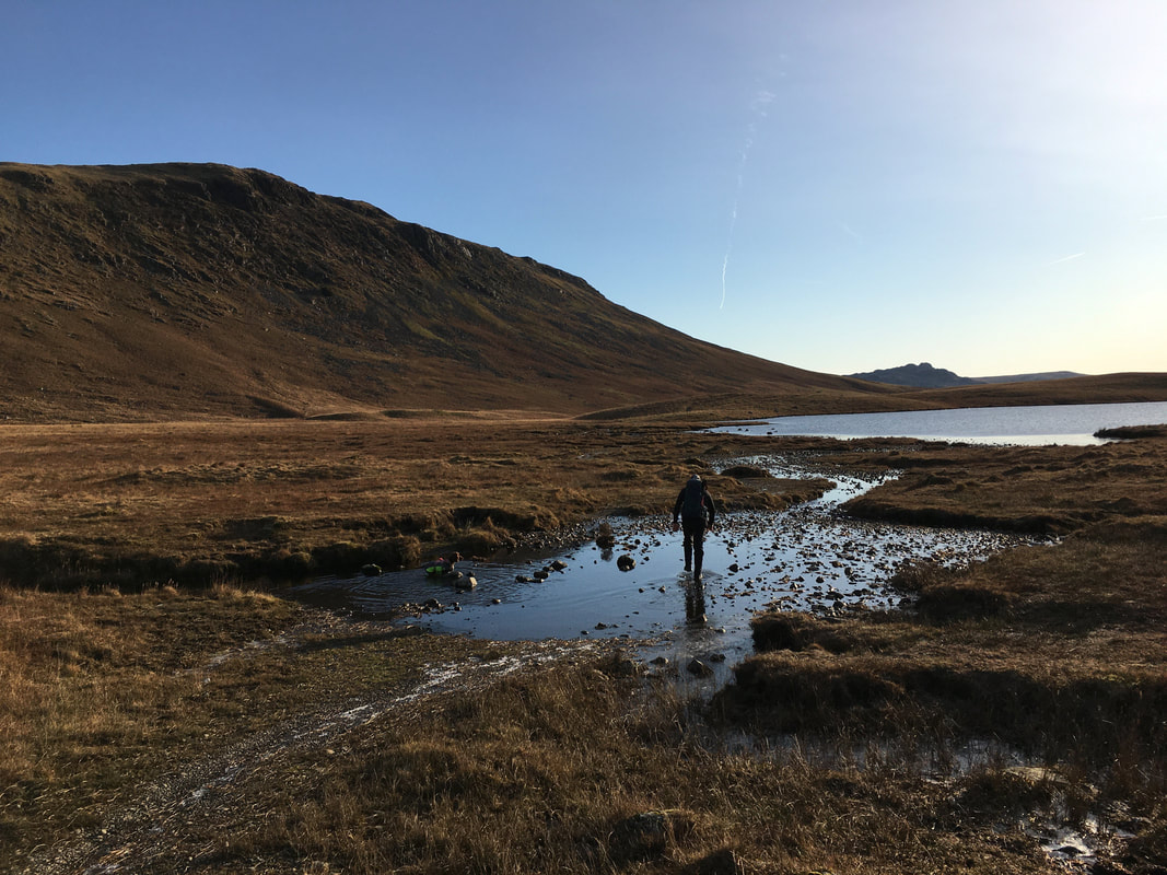
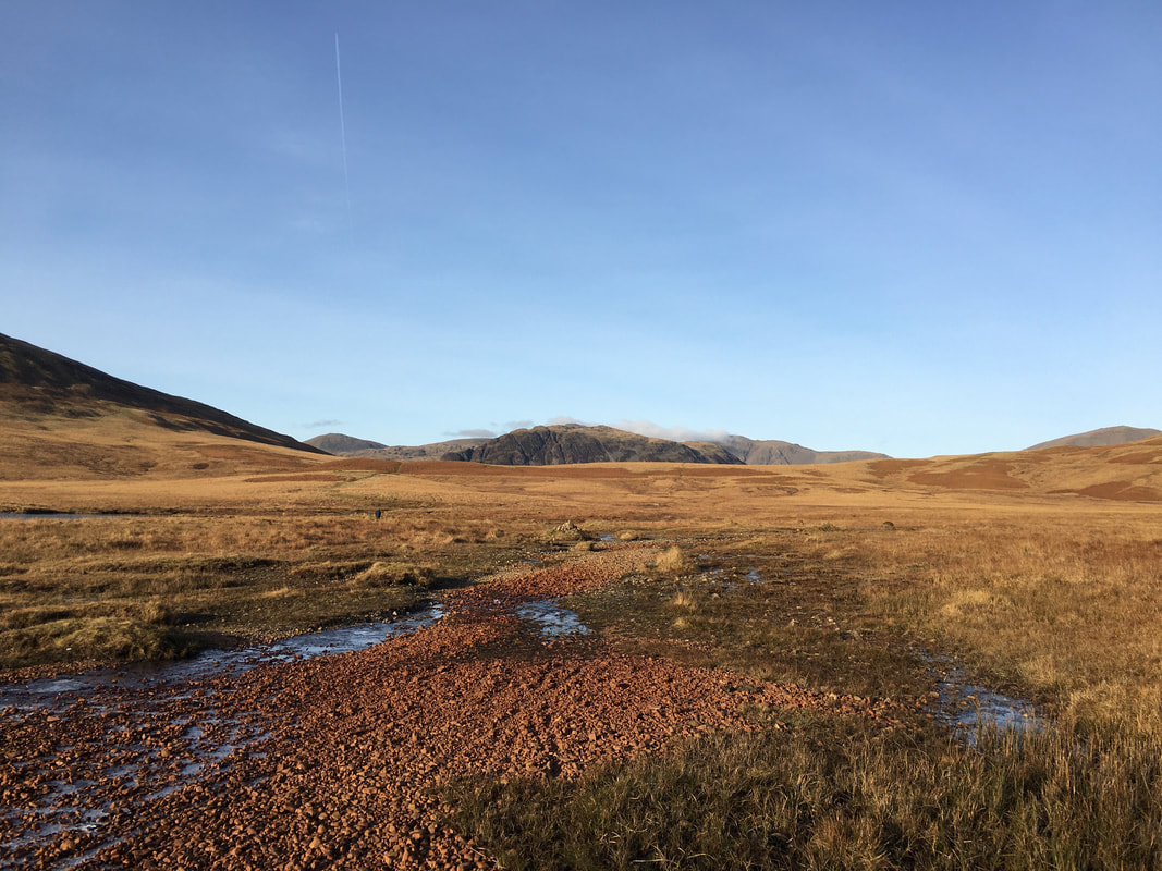
Heading for Bulatt Bridge & Burnmoor Tarn with Great How to the right
Looking back towards our descent route - the slopes of Illgill Head are to the left
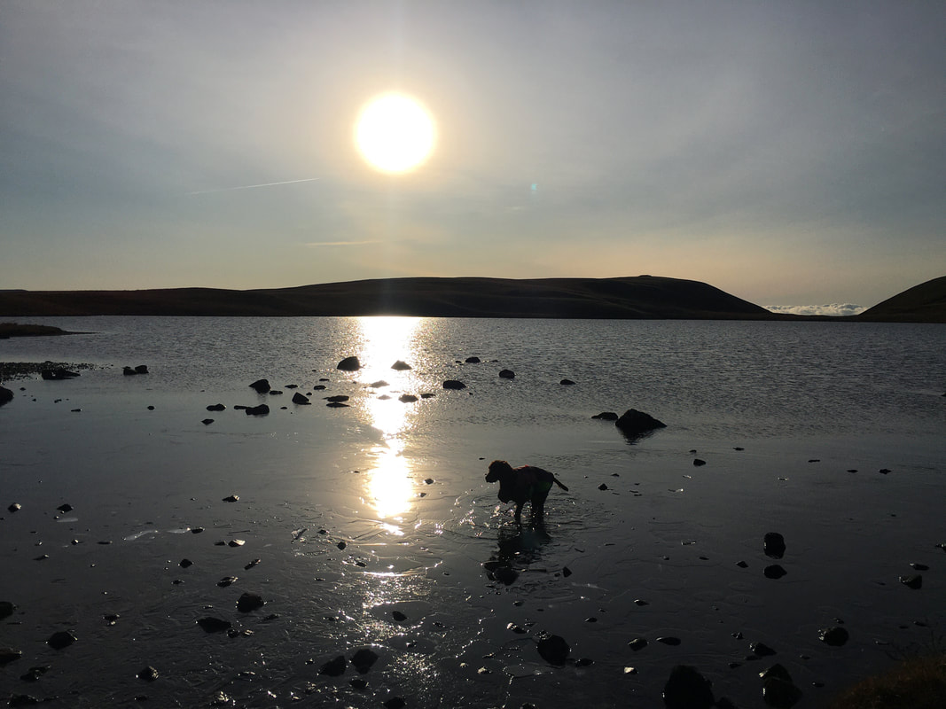
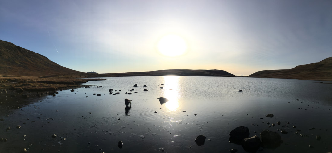
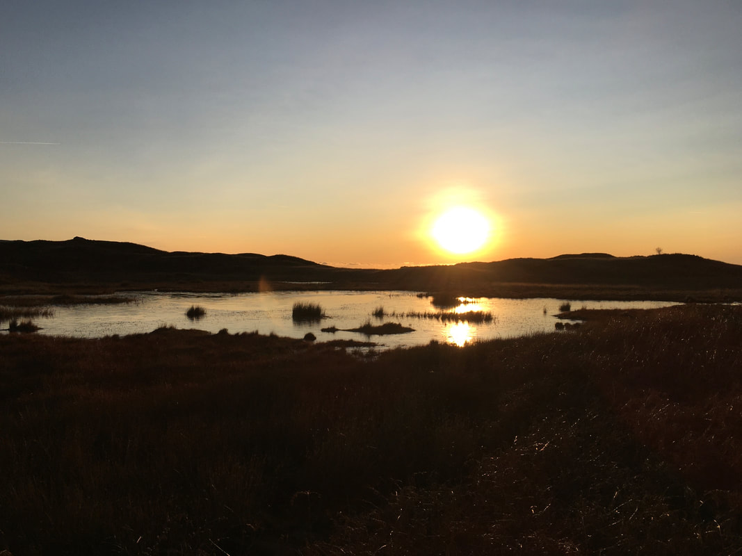
The sun sets as Fudge paddles about in Burnmoor Tarn
This is a special place - always love coming here
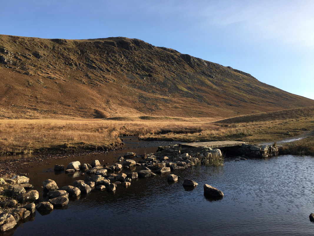
Bulatt Bridge & Great How
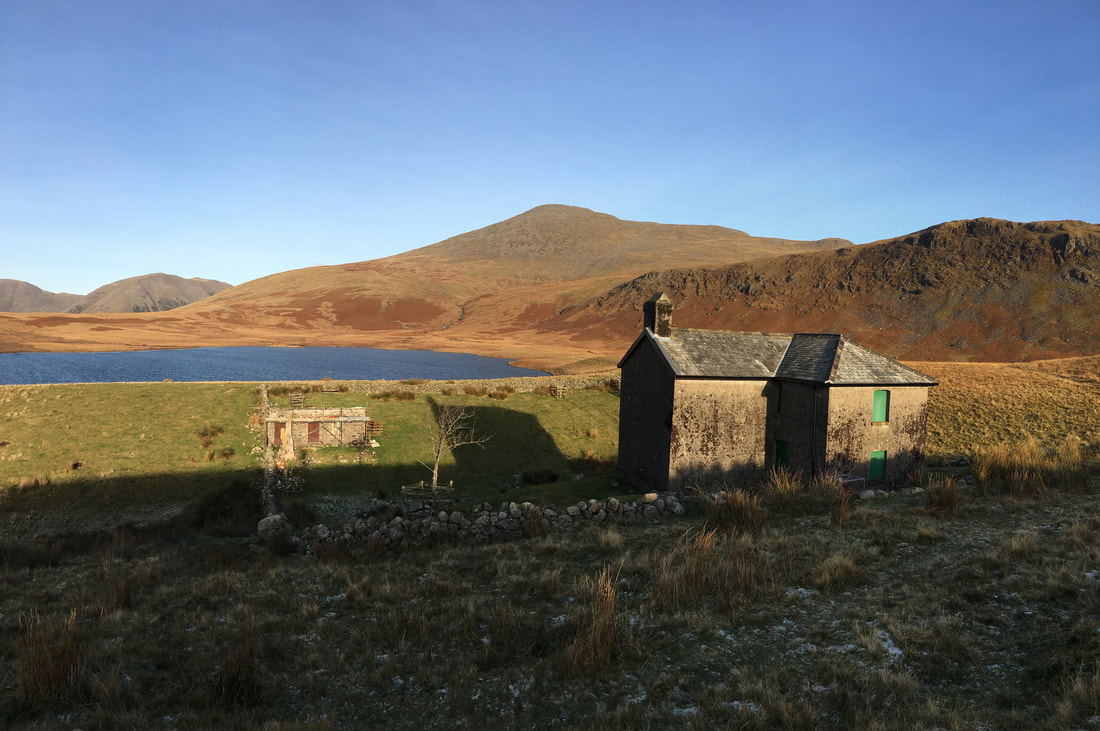
Burnmoor Lodge
The lodge is run by The Burnmoor Lodge Club who aim to safeguard the future of Burnmoor Lodge and to increase its use
The lodge is run by The Burnmoor Lodge Club who aim to safeguard the future of Burnmoor Lodge and to increase its use
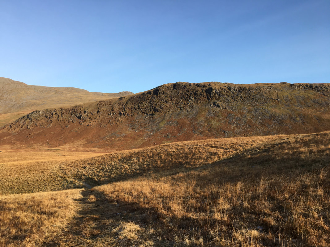
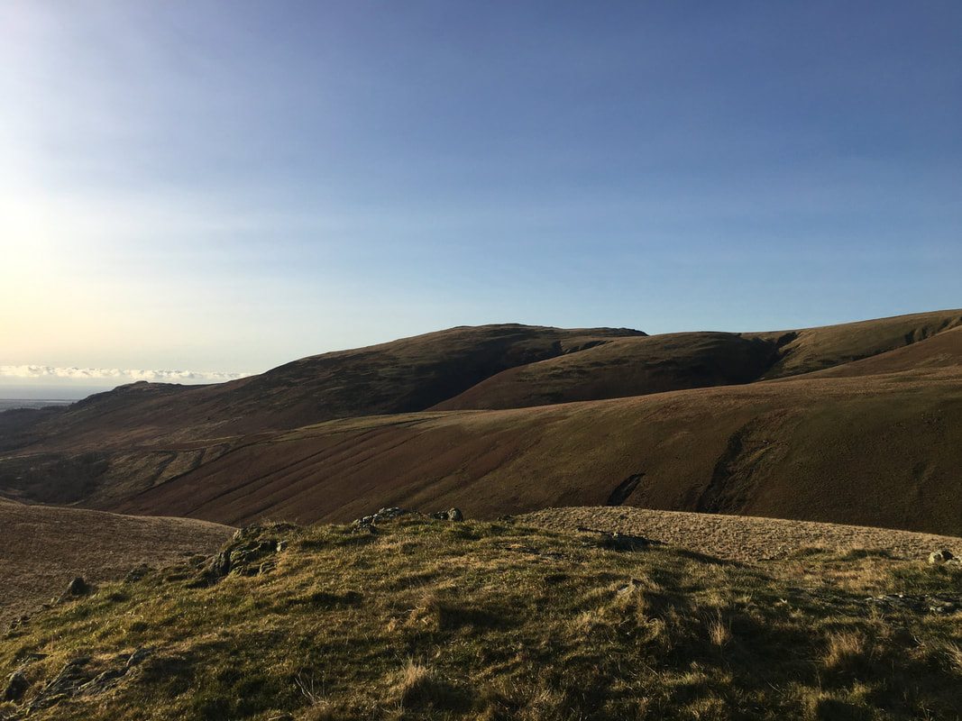
Great How from the ascent of Boat How
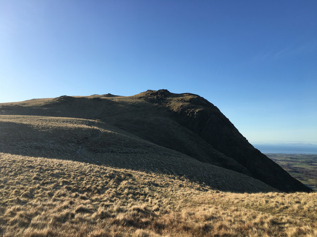
The summit of Boat How looking to Whin Rigg
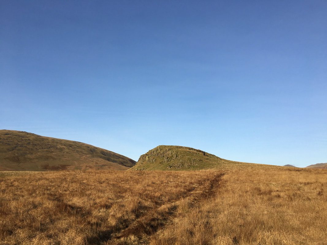
Looking back to Boat How
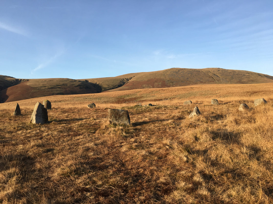
One of a few stone circles in and around the area of Brats Moss
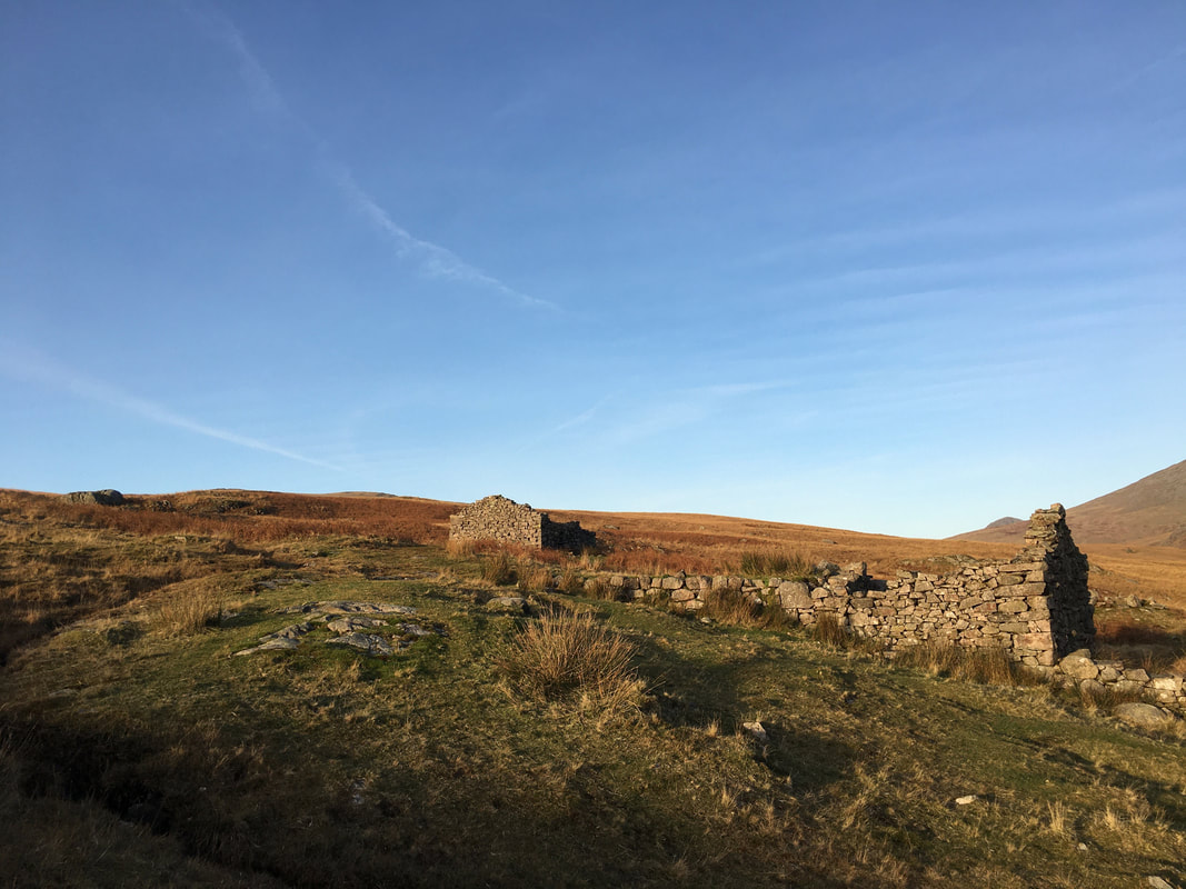
Disused mine buildings near Brown Band
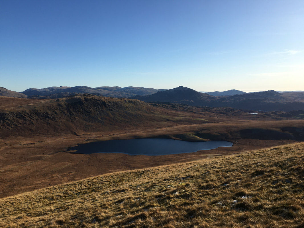
Descending towards one of the many "Blea Tarns" in the Lake District
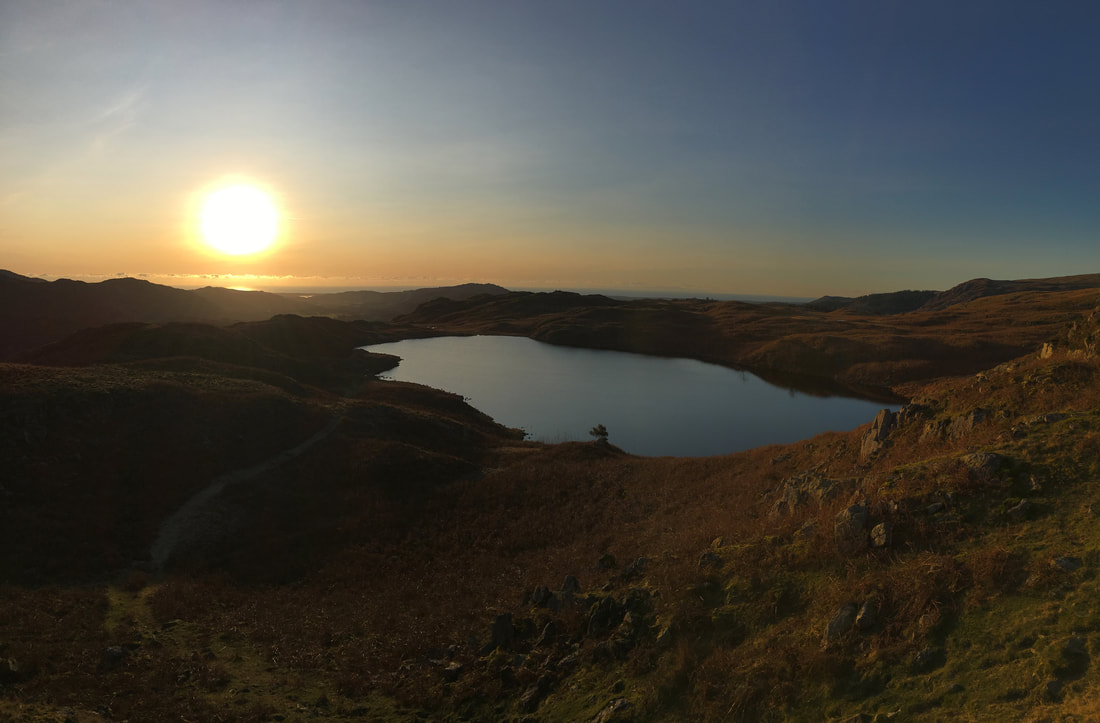
Blea Tarn as sunset approaches
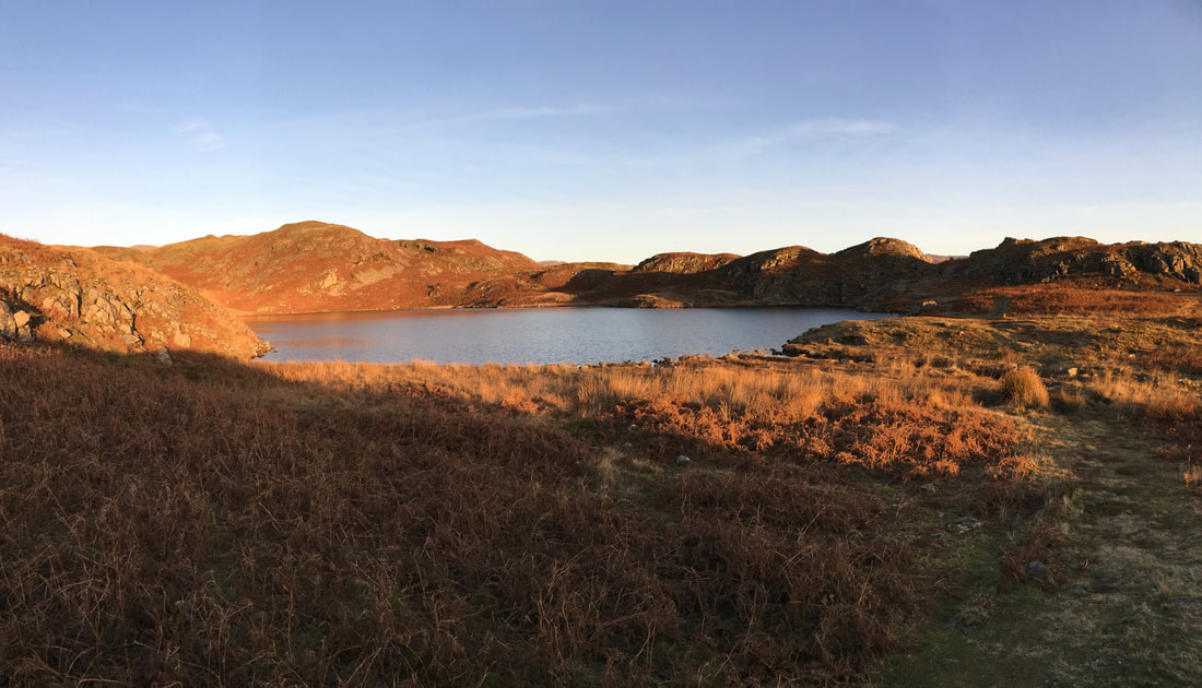
Looking back across Blea Tarn to Bleatarn Hill, Hollinghead Bank & Bull Crag
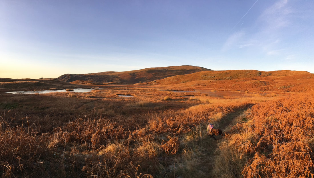
Blind Tarn & Siney Tarn - it was so quiet & peaceful here
Sunset over Blind Tarn
