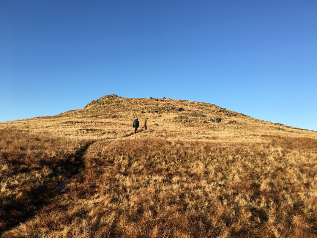
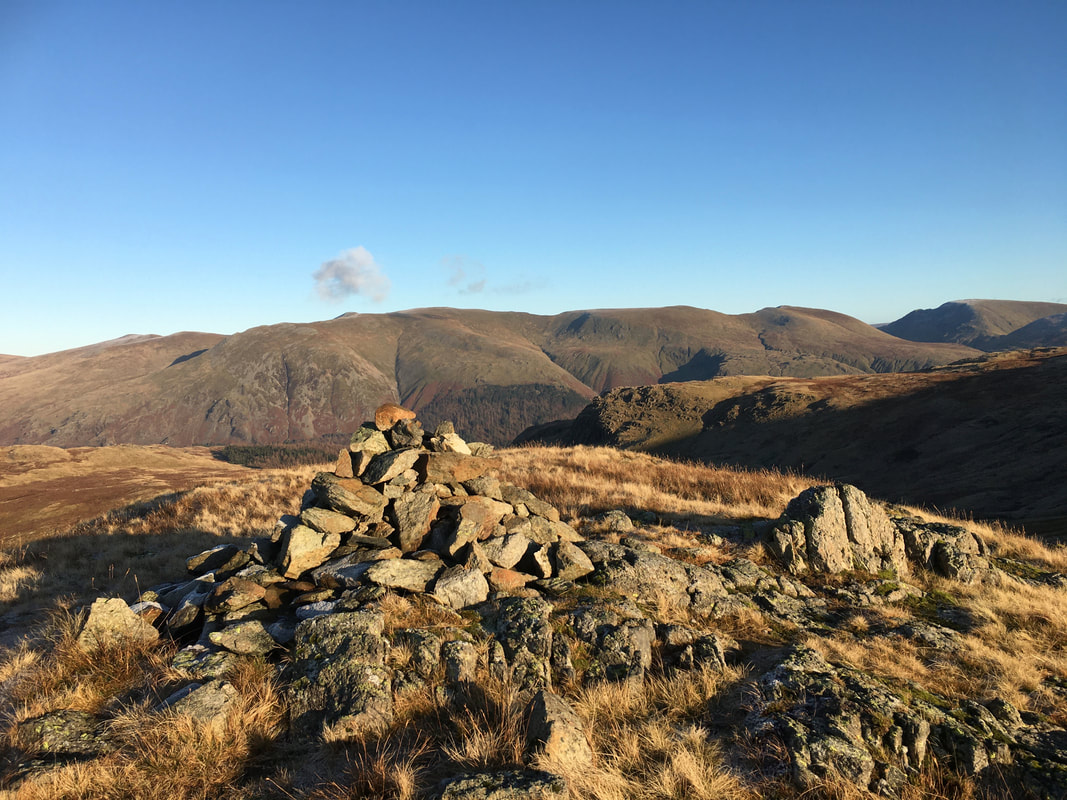
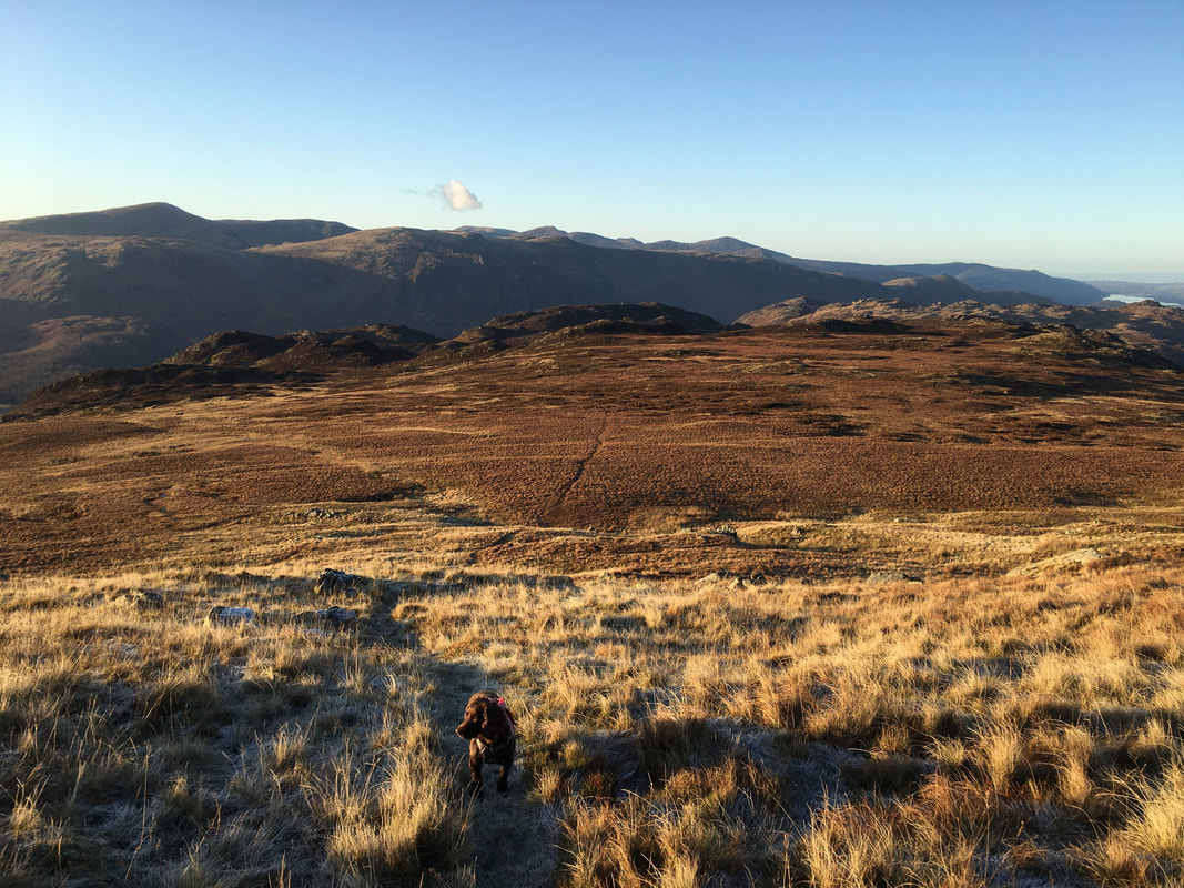
Eagle Crag, Sergeant's Crag, High Raise & Ullscarf - Friday 29 November 2019
Route
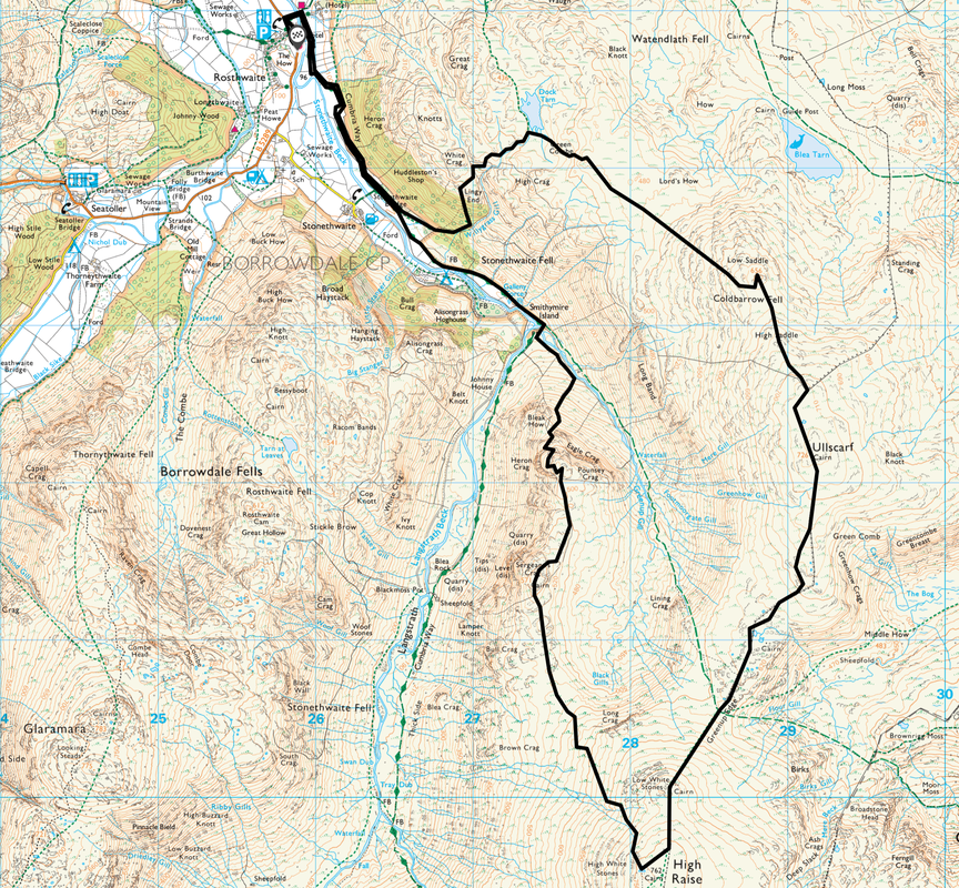
Rosthwaite - Stonethwaite Bridge - Smithymire Island - Bleak How - Eagle Crag - Sergeant's Crag - High Raise - Low White Stones - Greenup Edge - Ullscarf - High Saddle - Low Saddle - Dock Tarn - Lingy End - Stonethwaite Bridge - Rosthwaite
Parking
Scafell Hotel Main Car Park (Charge, Pay in Hotel before starting your walk) - Grid Reference NY 2590 1478, nearest postcode CA12 5XB
Mileage
11.4 miles
Terrain
Good mountain paths for the most part. Care needs to be taken between Bleak How & Eagle Crag as the terrain is rocky, pathless in part and walkers need to stay well clear of the precipitous crags in order to gain the summit of Eagle Crag. The transit from Sergeant's Crag to High Raise can be boggy and the path peters out near Long Crag therefore ensure you have a bearing on High Raise. The terrain from Low Saddle to Dock Tarn is on a path at the start however this peters out and therefore it is best to set a bearing on Dock Tarn and head in that general direction, making your way as best you can. Take your time descending Lingy End - the path is extremely steep.
Despite the route appearing to be bit of a challenge it never felt like it - this was an enjoyable walk over sometimes pathless terrain but not difficult.
Weather
Sunny yet cold with excellent visibility
Time Taken
7hrs 30mins
Total Ascent
3031ft (924m)
Wainwrights
4
Map
OL4 - The English Lakes (North Western Area)
Walkers
Dave, Angie & Fudge
|
GPX File
|
| ||
If the above GPX file fails to download or presents itself as an XML file once downloaded then please feel free to contact me and I will send you the GPX file via e-mail.
Route Map
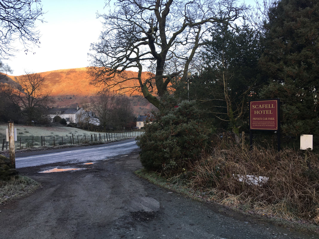
There are a few places in Rosthwaite to park but we always park at The Scafell Hotel - after all, it is near the post walk pint venue!
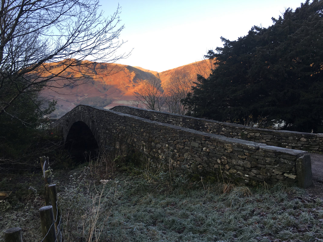
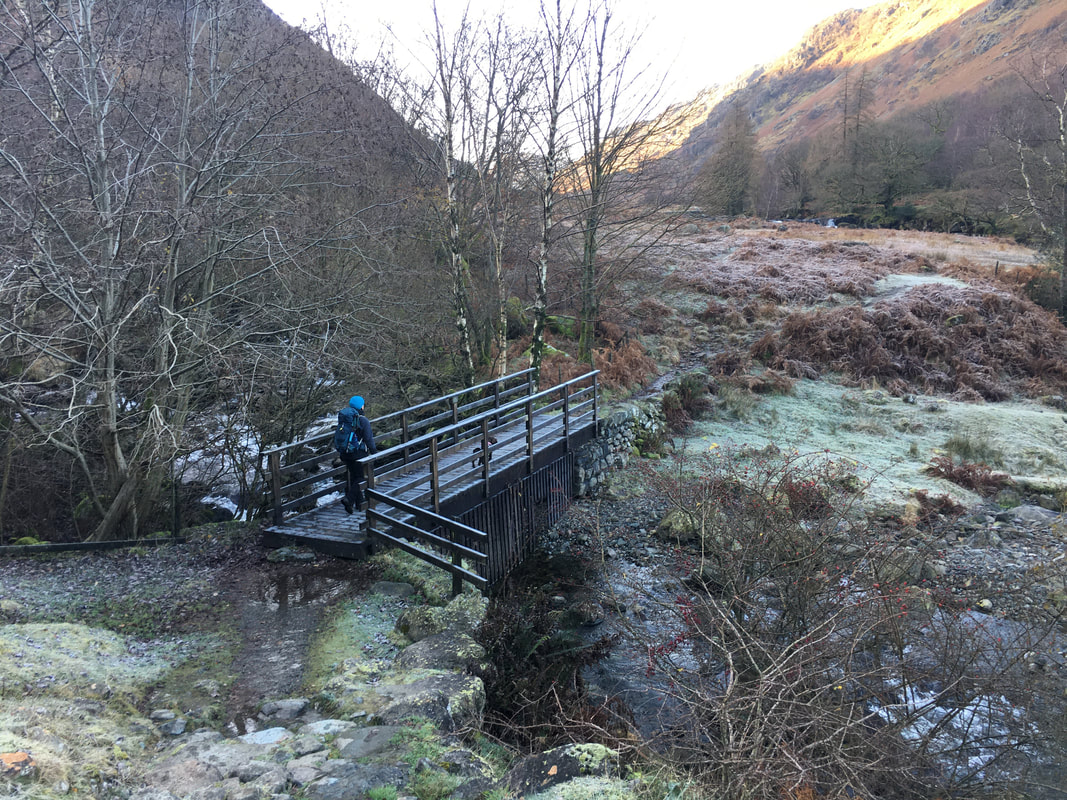
The bridge at Rosthwaite that crosses Stonethwaite Beck - Dale Head & High Spy are in sunlight behind
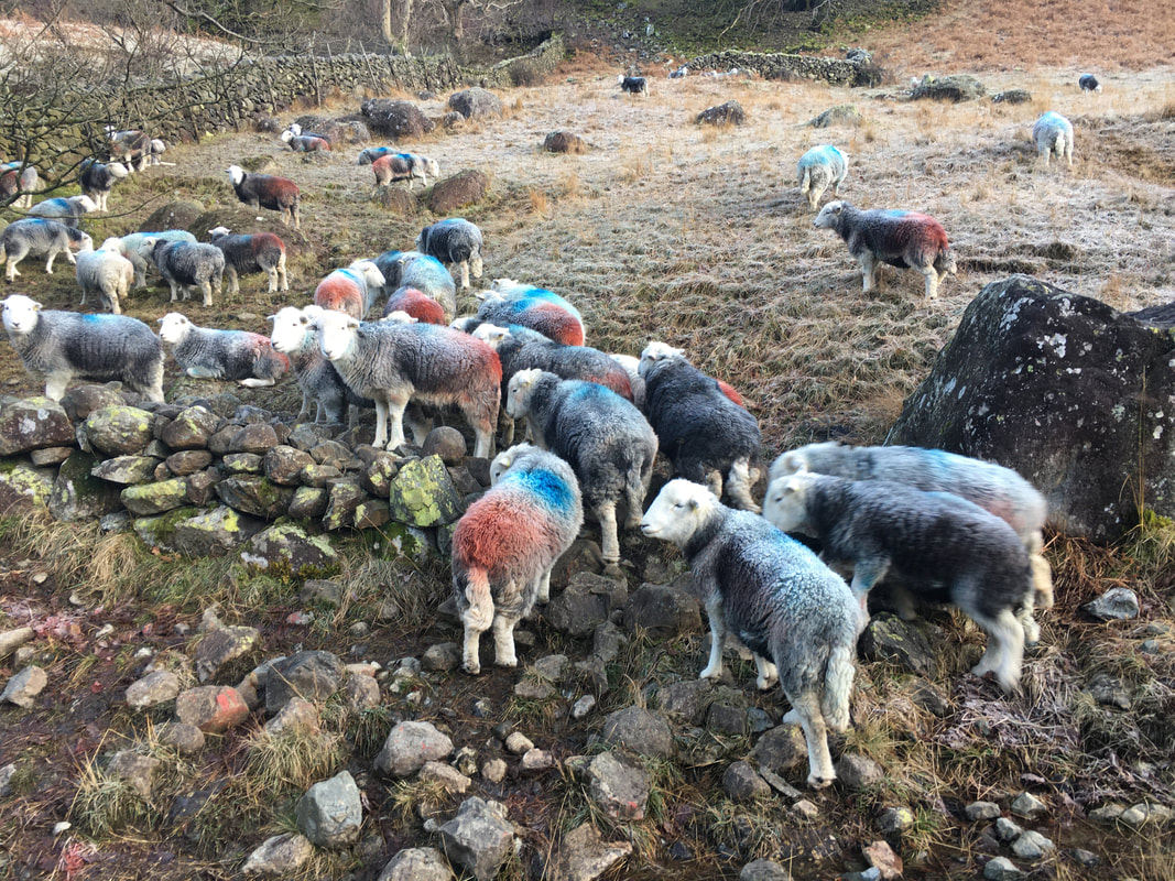
Inquisitive Herdwicks as we head out of Rosthwaite
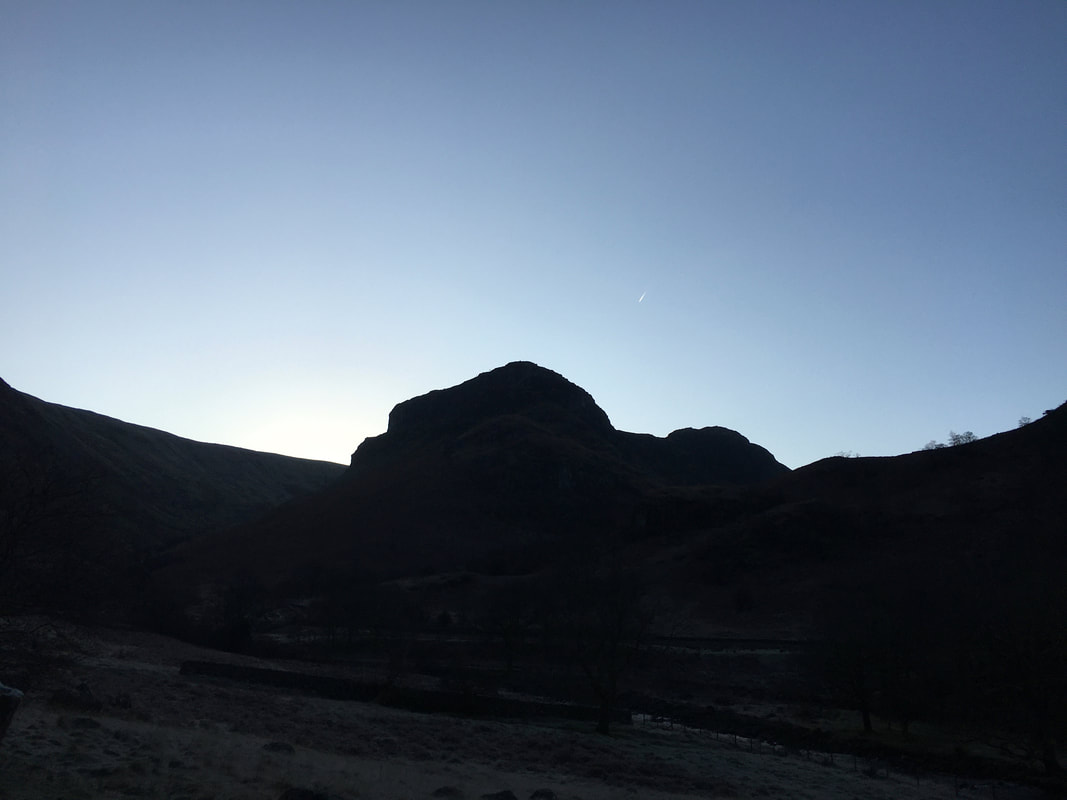
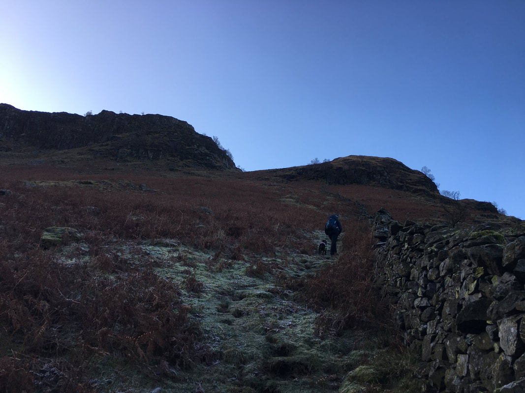
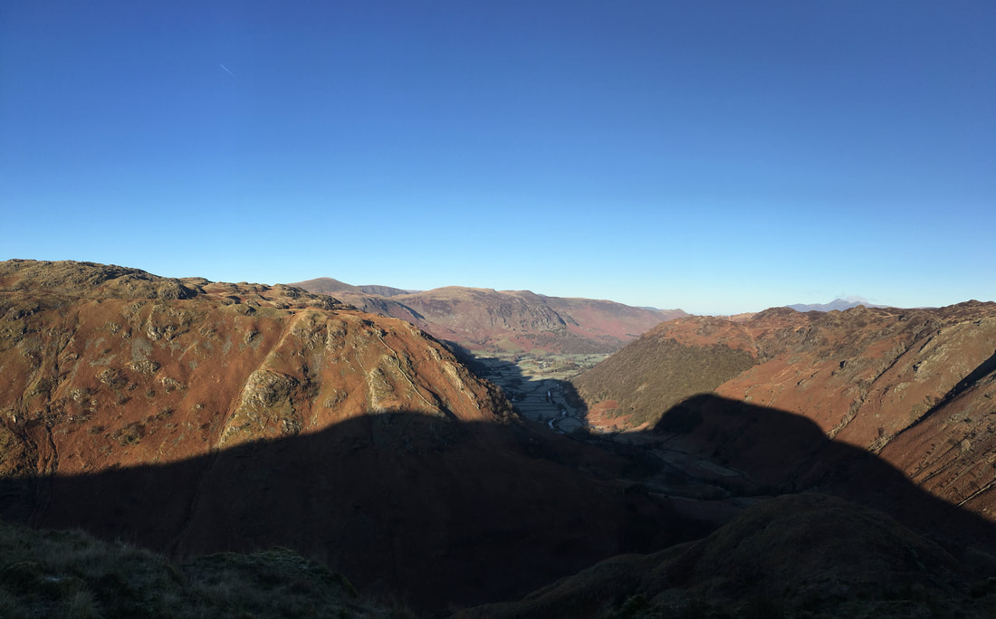
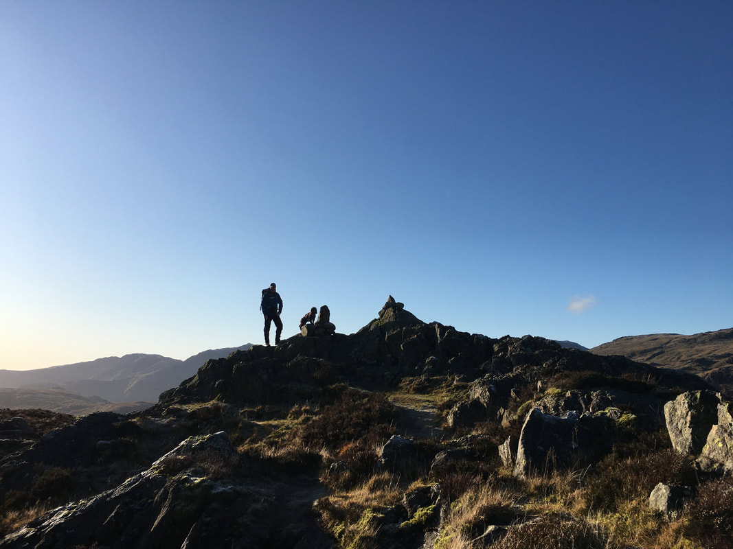
The silhouetted shapes of Eagle Crag & Sergeant's Crag
Crossing the footbridge near Smithymire Island at the convergence of Stonethwaite Beck, Langstrath Beck & Greenup Gill
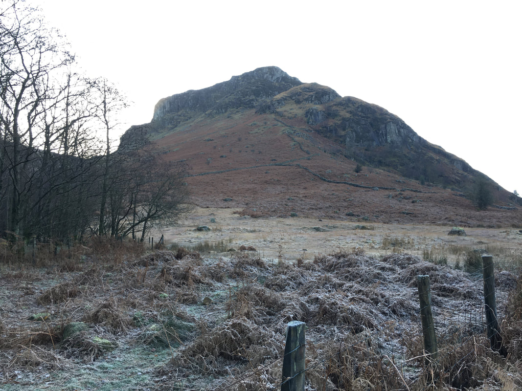
Eagle Crag from near the footbridge - from here it does not look like there is a way up but there is
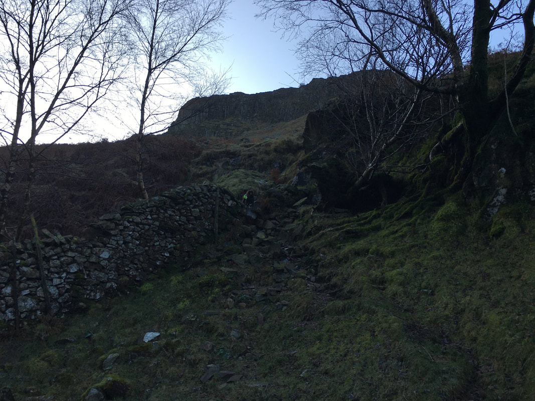
The broken wall at the eastern end of the second pasture. The path crosses the wall and heads immediately uphill.
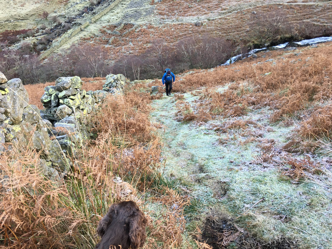
Heading up alongside the wall with Eagle Crag to the left & Bleak How to the right - the route heads between the two
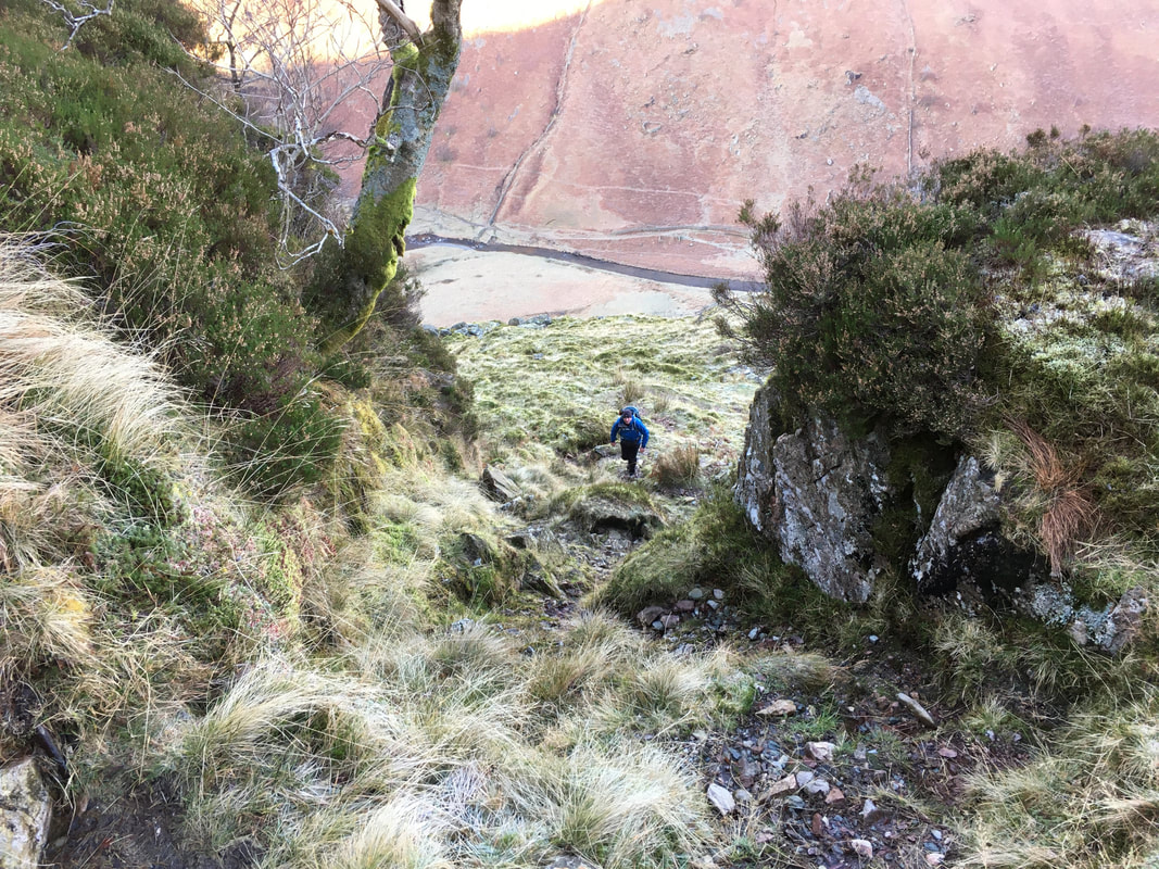
Fudge waits patiently as I climb steeply with Greenup Gill below
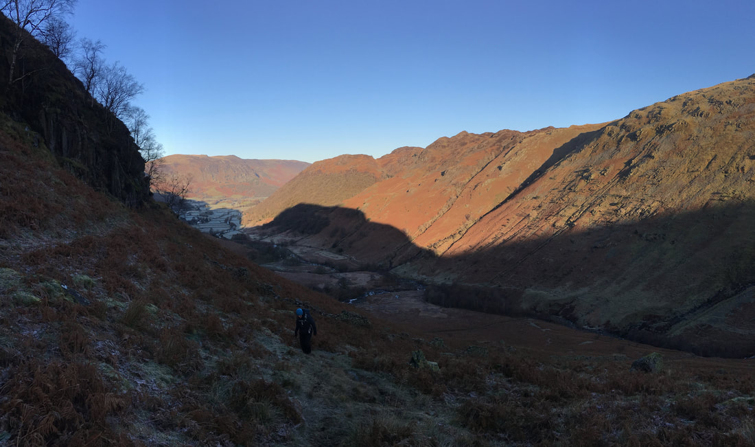
The path levels out below Bleak How. Looking back, High Spy is to the left with Lingy End & High Crag on Stonethwaite Fell to the right
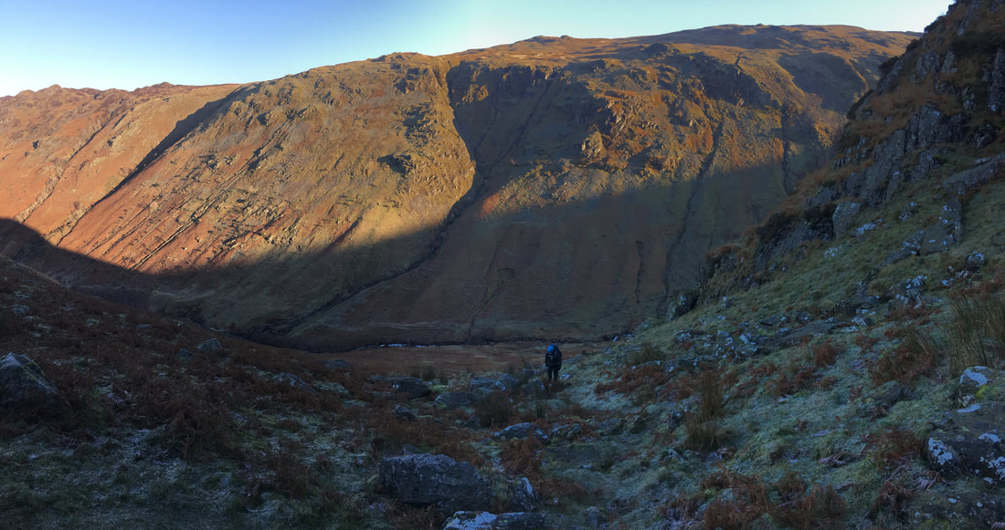
Heading up the gap between Bleak How & Eagle Crag with Ullscarf to the rear
|
2014
|
2019
|
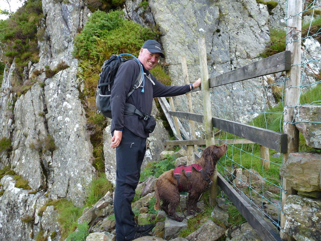
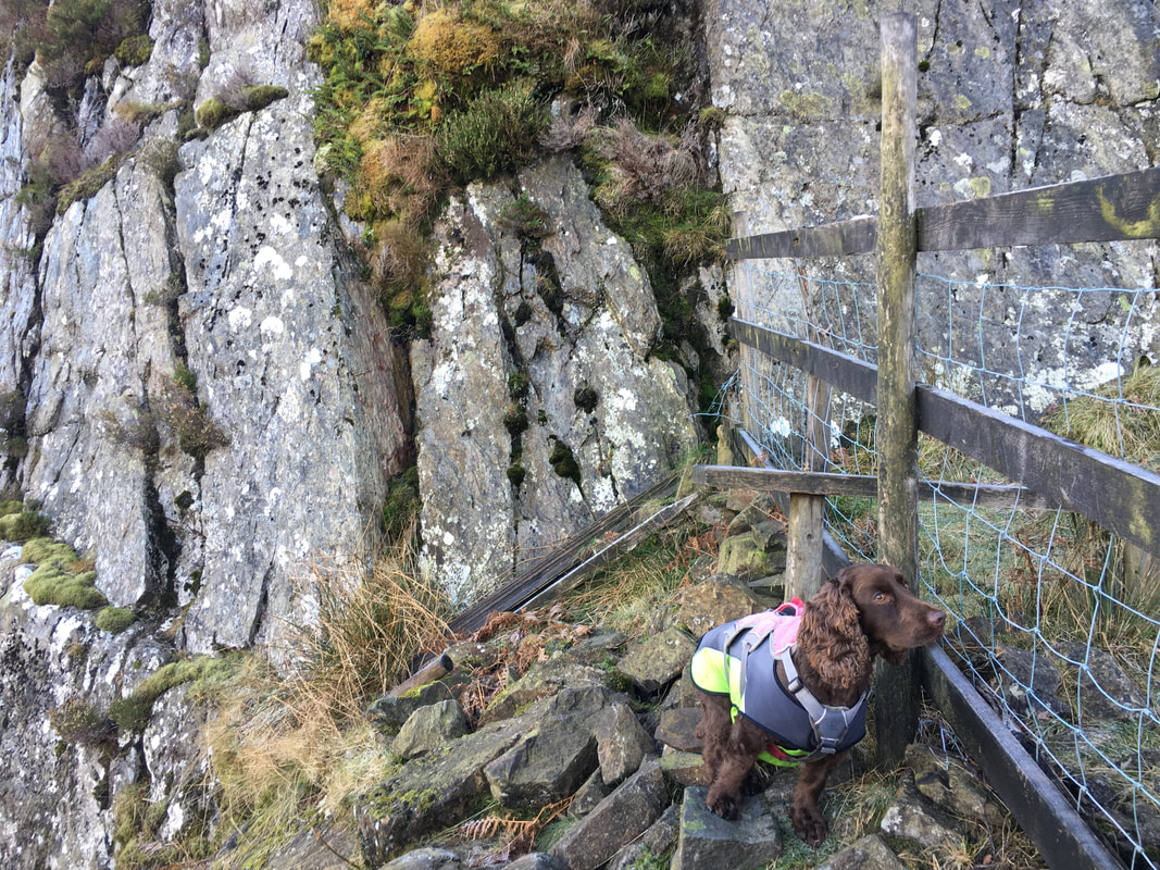
Taken at exactly the same spot at the stile in the wall but 5 years apart. We don't think Fudge has changed that much - just dafter.
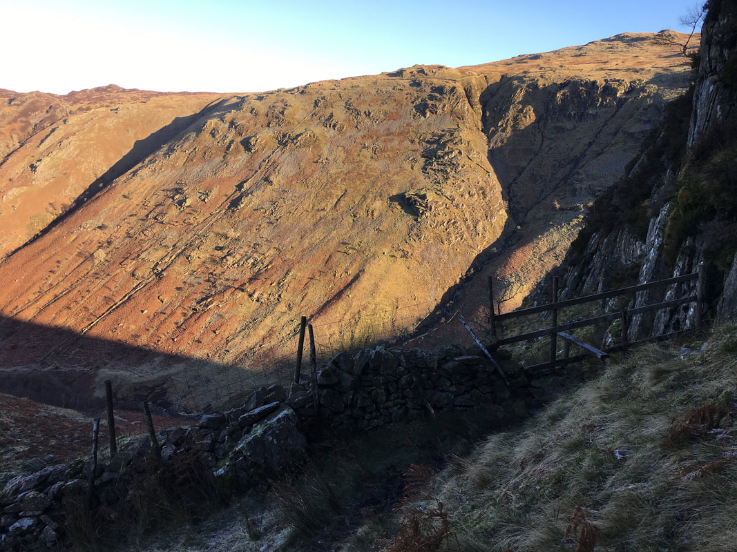
Looking back to the stile in the wall
Glaramara & Rosthwaite Fell across Langstrath
Looking into Borrowdale to Alisongrass Crag, Dale Head, Hindscarth, High Spy & Lingy End
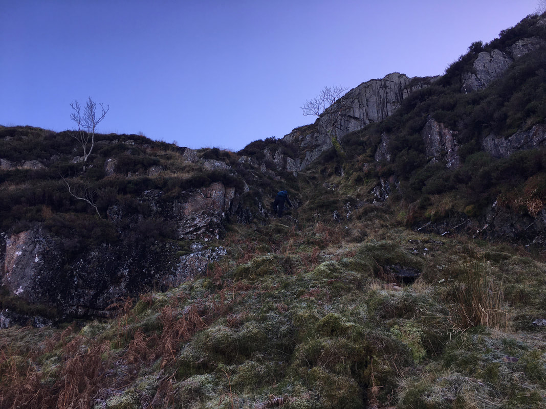
As Wainwright stated in Book 3 (Eagle Crag 4) this short gully "is the key to the ascent"
The scramble is steep but is easily negotiated, keeping to the left of the right hand Rowan Tree. Once flat ground is reached at the top of the climb a path heads right which then zig zags up to the summit.
The scramble is steep but is easily negotiated, keeping to the left of the right hand Rowan Tree. Once flat ground is reached at the top of the climb a path heads right which then zig zags up to the summit.
Looking back down the gully into Langstrath with the Rowan Tree this time on the left
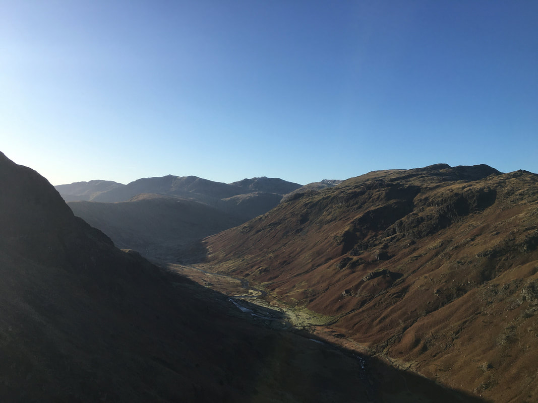
A glorious view into Langstrath to Crinkle Crags, Bowfell, Esk Pike & Glaramara
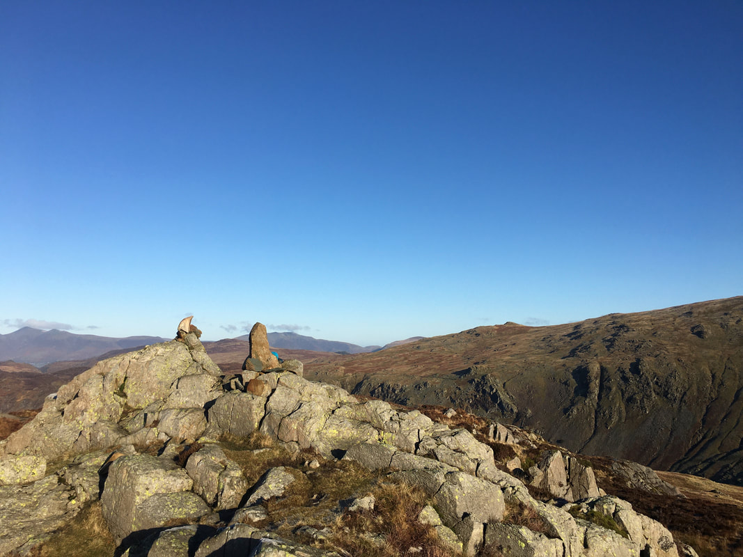
The summit of Eagle Crag is atop a large tilted slab of rock
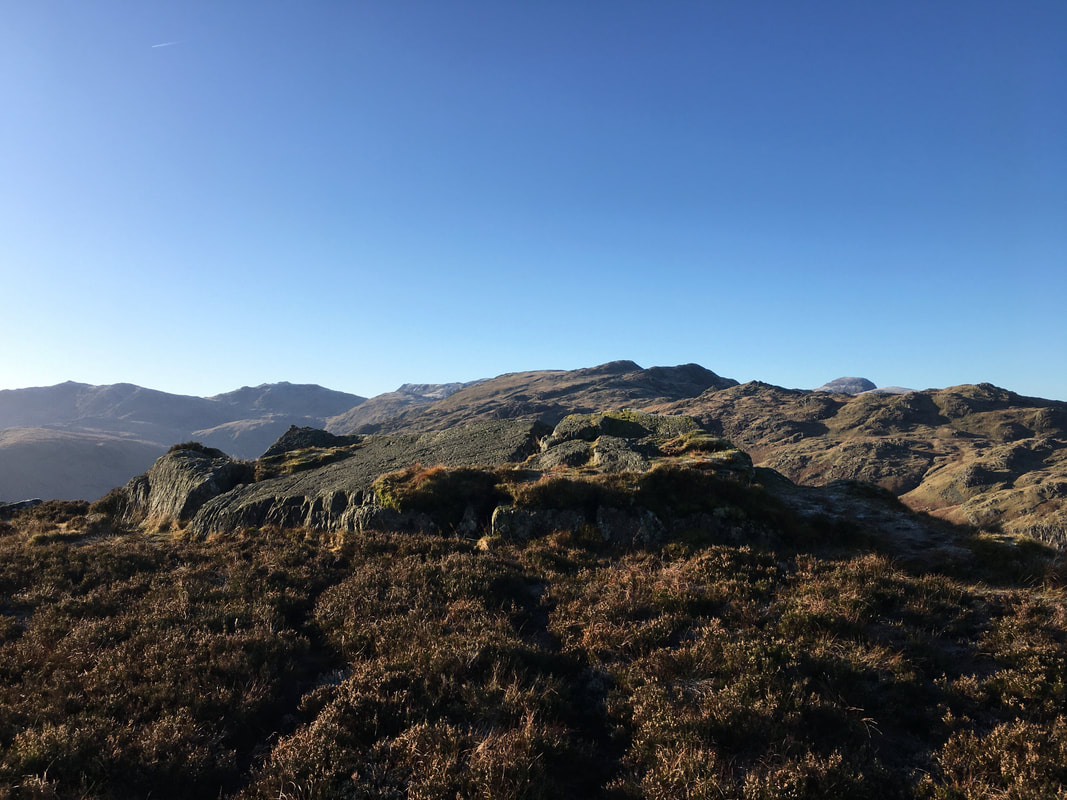
The summit of Eagle Crag looking to Bowfell, Esk Pike, Ill Crag, Glaramara and the domed shape of Great Gable
Great Gable to the left over Rosthwaite Fell
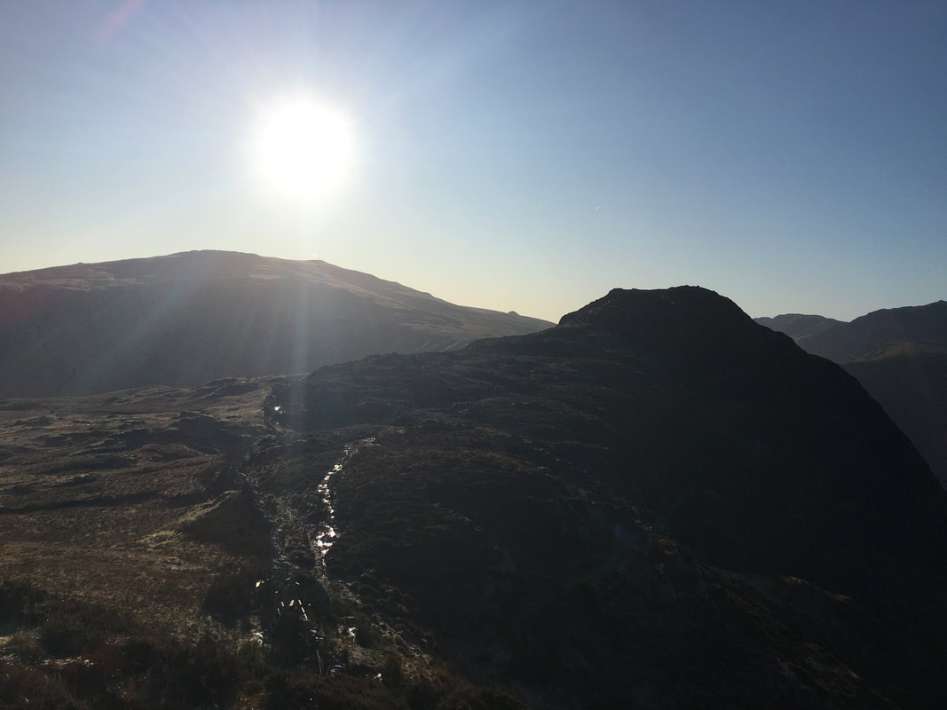
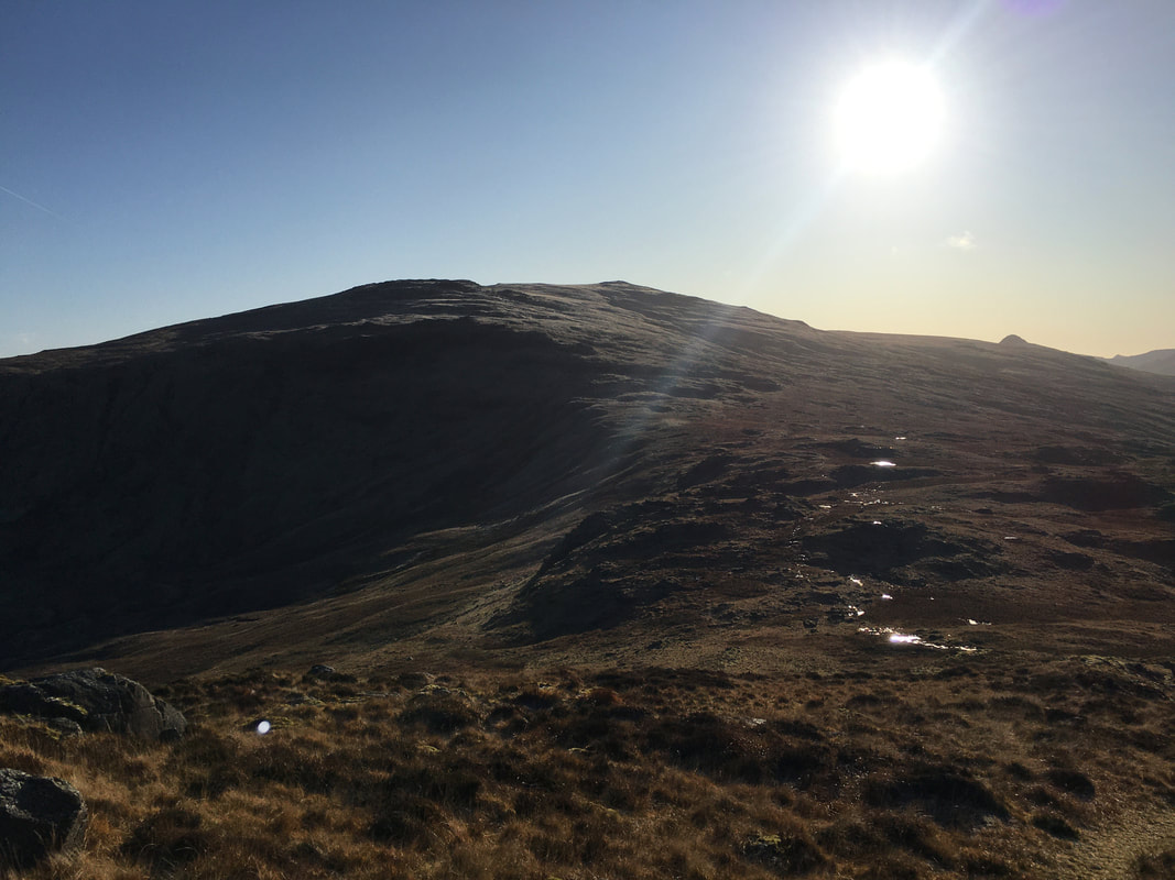
Looking into the sun over to High Raise and the next objective of Sergeant's Crag
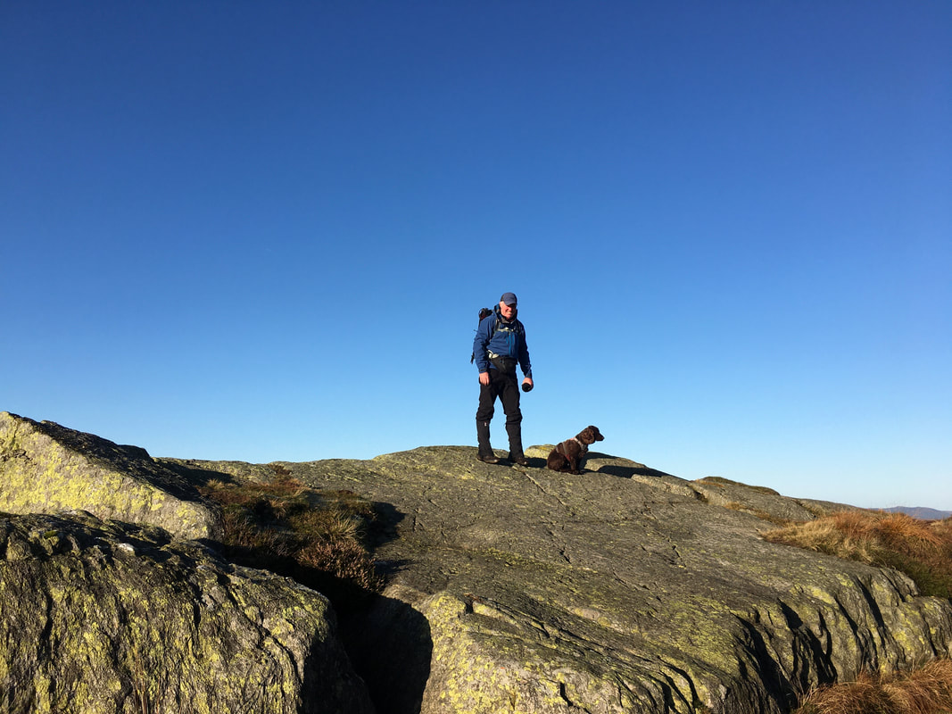
Fudge and I on the summit of Sergeant's Crag
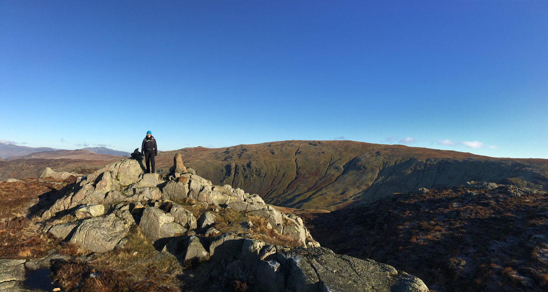
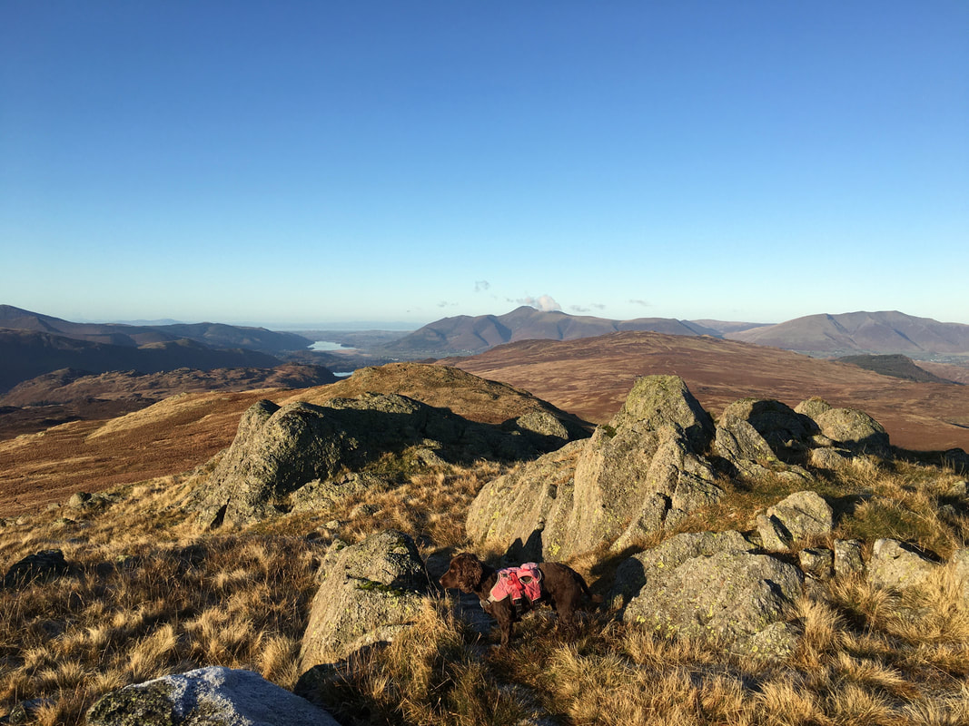
The summit of Sergeant's Crag with Skiddaw left, Blencathra centre and Low Saddle right - we would be over on the latter later
Angie on the summit of Sergeant's Crag with Ullscarf to the rear
Into the sun again as we look to Low White Stones & High Raise which was our next objective - Pike O'Stickle peeps out to the right
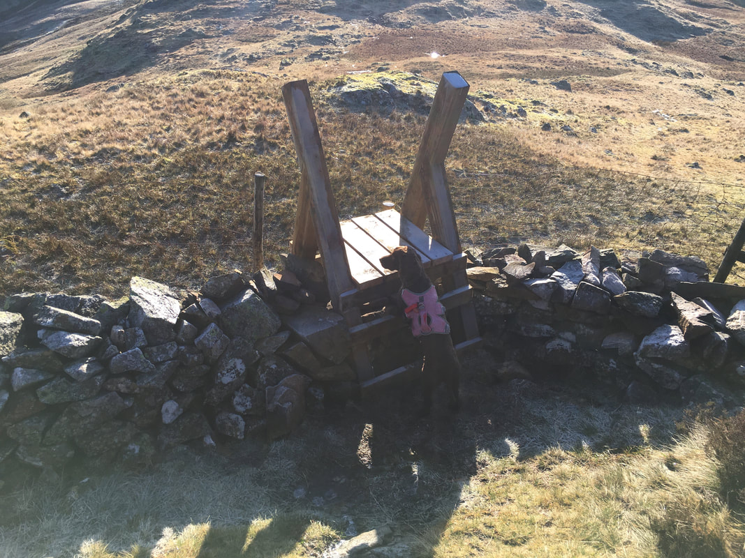
Fudge waiting for the Command "over"
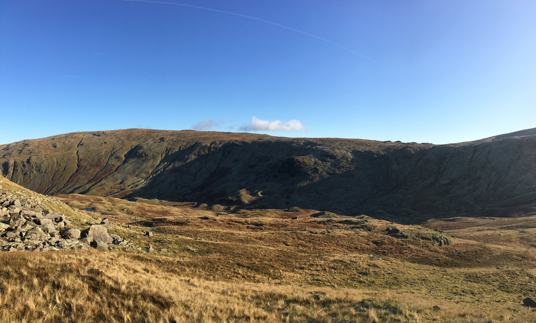
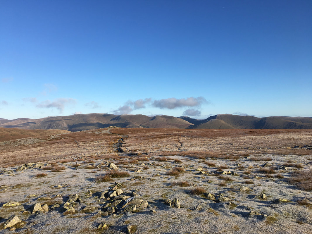
Ullscarf, Lining Crag & Greenup Edge
Looking to Sergeant's Crag back across our route - the terrain wasn't too bad if I'm honest.
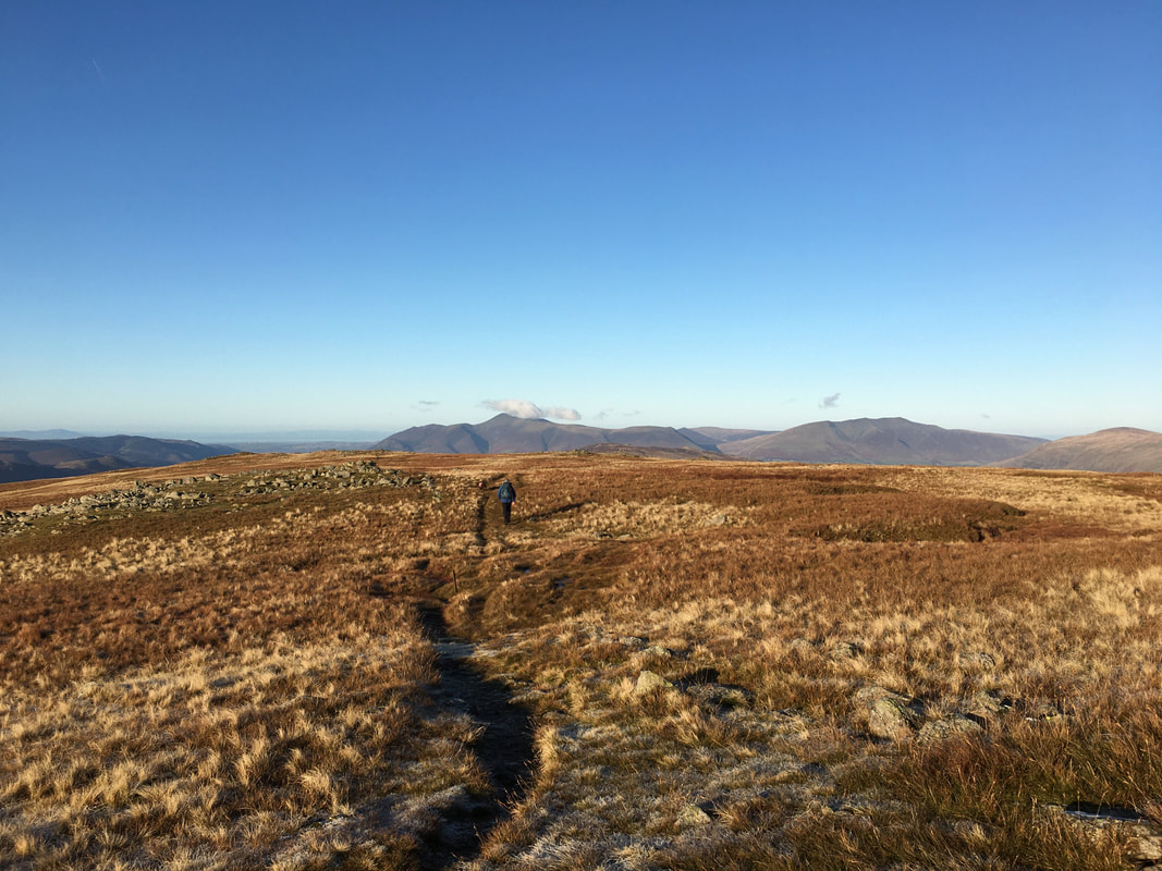
It is not that well travelled and the path was vague in part but pleasant all the same.
It is not that well travelled and the path was vague in part but pleasant all the same.
Glaramara from the ascent to High Raise
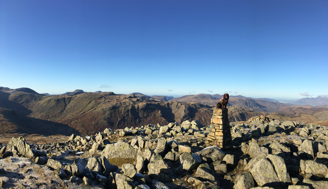
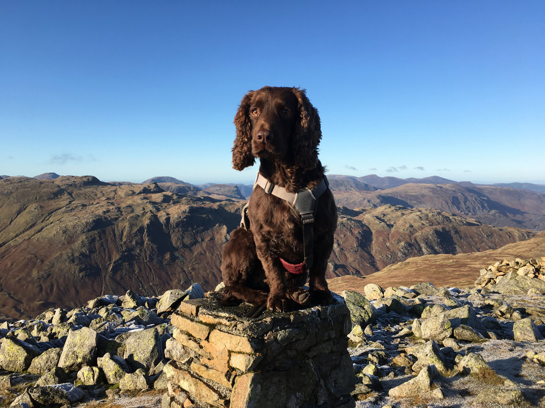
As is tradition - Fudge on the summit of High Raise. This has got to be one of the best views in Lakeland.
Our beautiful boy Fudge on High Raise
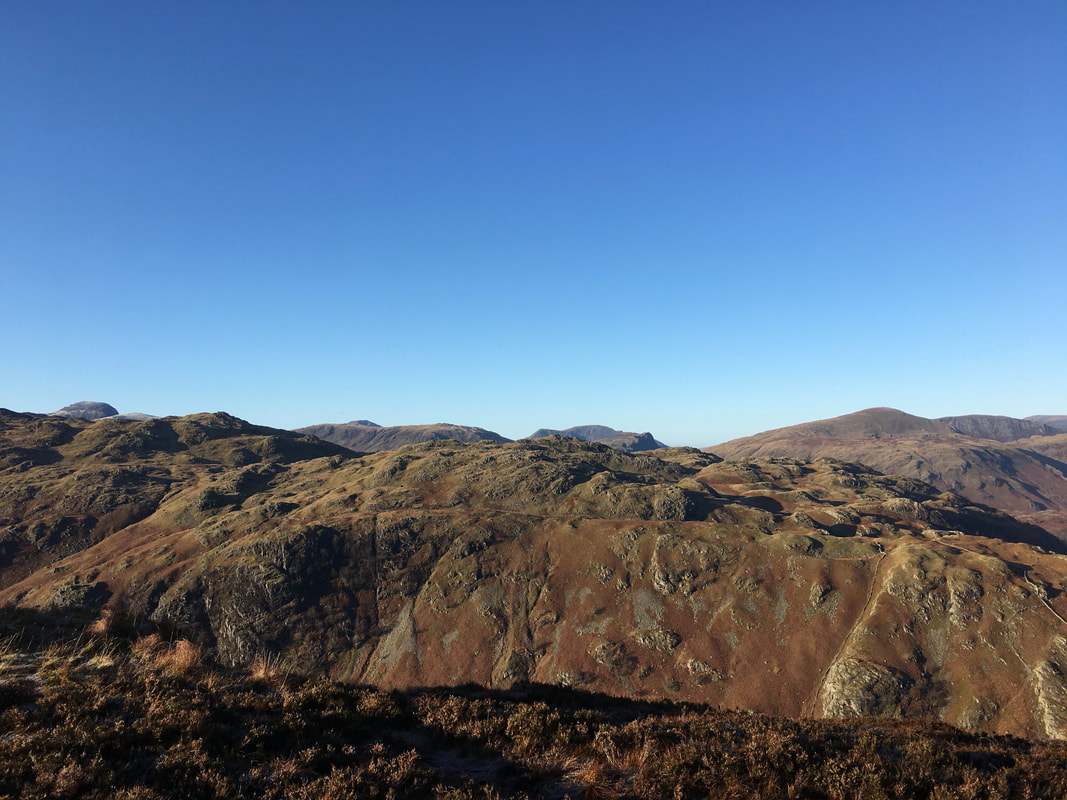
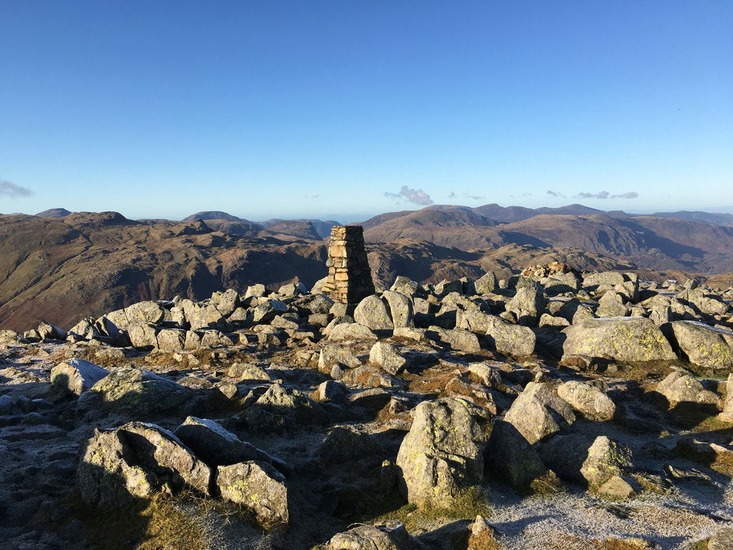
The summit of High Raise looking to the North Western Fells
Looking back to High Raise from the path to Low White Stones
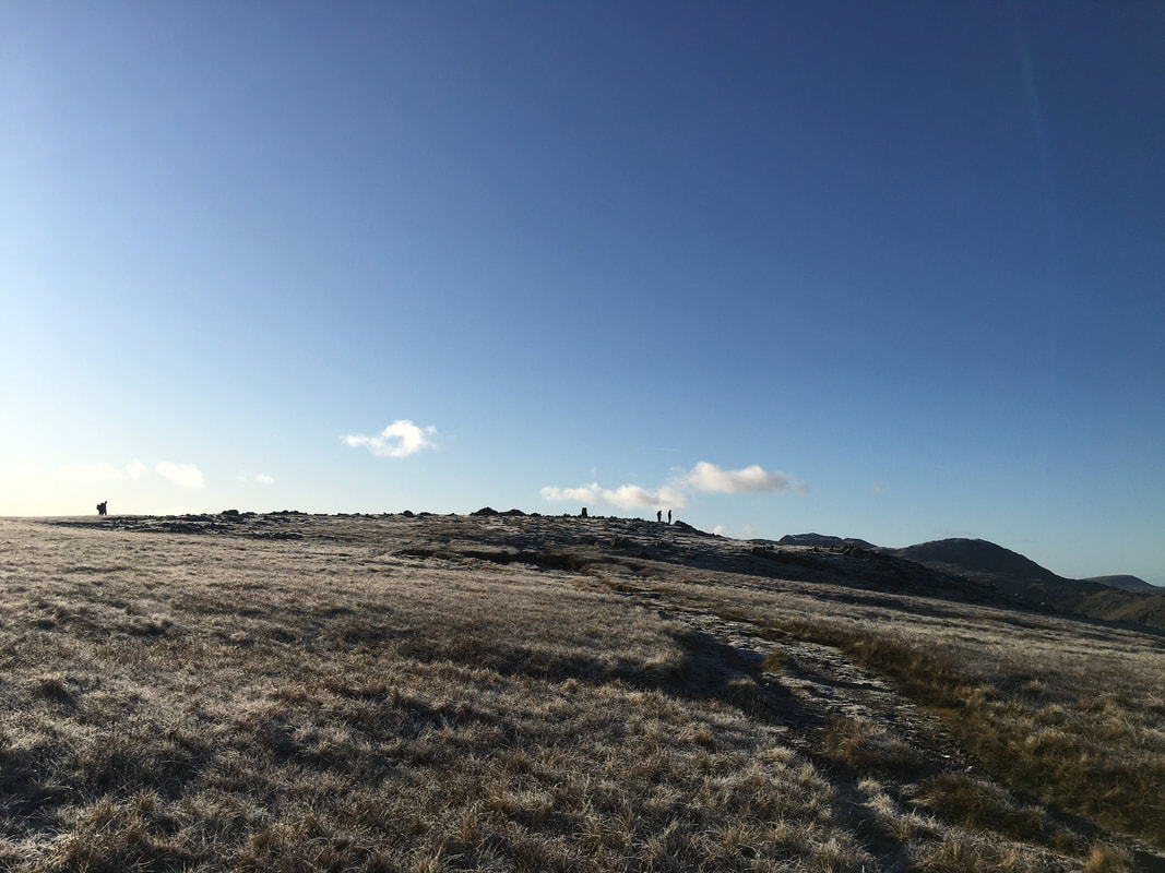
The path to Low White Stones
Low White Stones ahead
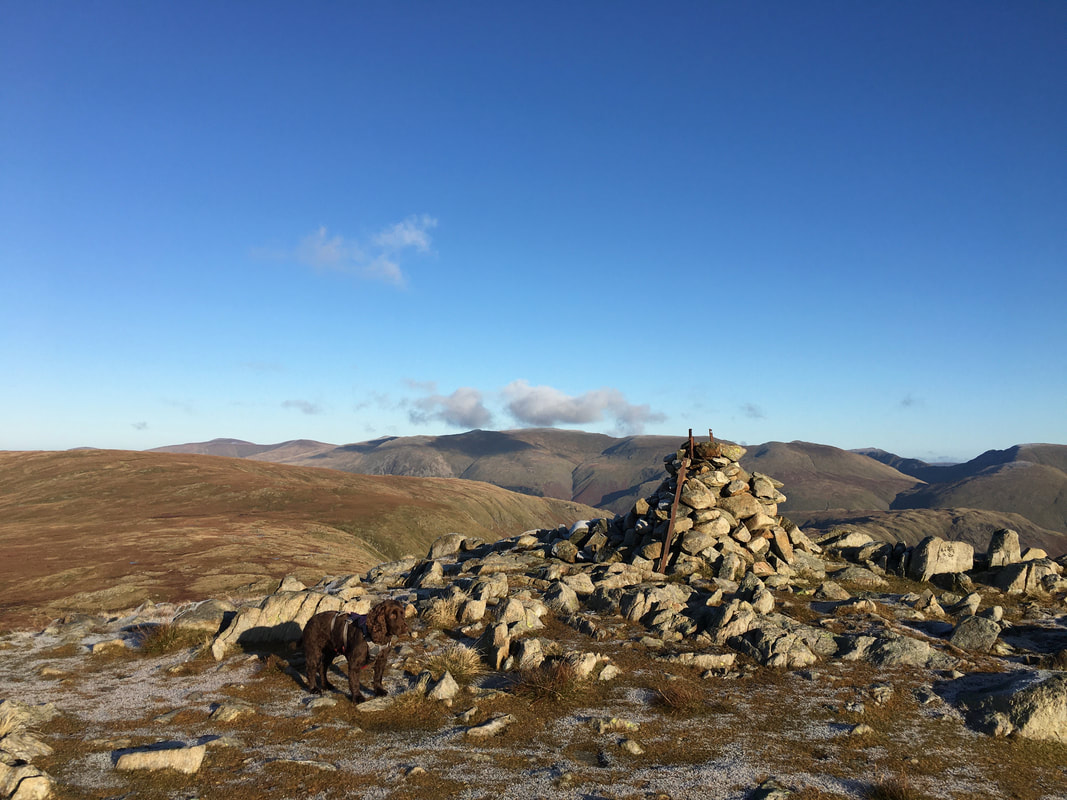
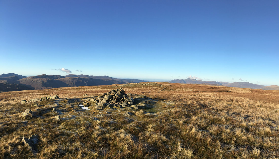
The summit of Low White Stones
Descending from Low White Stones to Greenup Edge - our route to Ullscarf stretches away in front of us
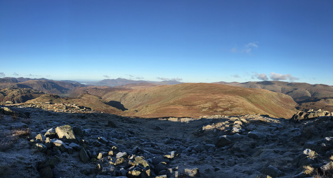
The Eastern Fells from above Greenup Edge
Wide ranging views aplenty as we head to Greenup Edge - Bassenthwaite Lake can be seen in the distance
Down on Greenup Edge
The summit of Ullscarf - first time we have been here in good weather
The path from Ullscarf to High Saddle
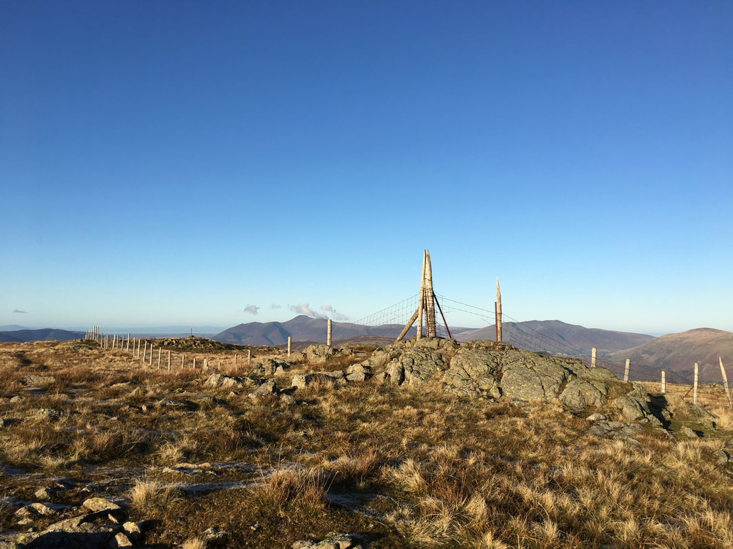
The fence corner above High Saddle - following the fence to the right heads to Standing Crag however we were going straight on
The summit of High Saddle
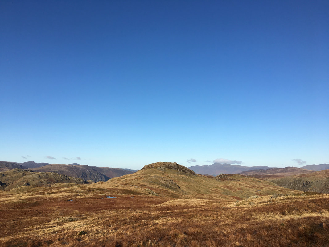
Low Saddle from High Saddle - one of the many Lake District "Blea Tarn's" is to the right with High Tove middle distance
Approaching Low Saddle
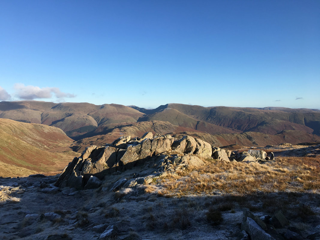
The summit of Low Saddle looking over to the Helvellyn range
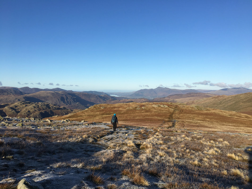
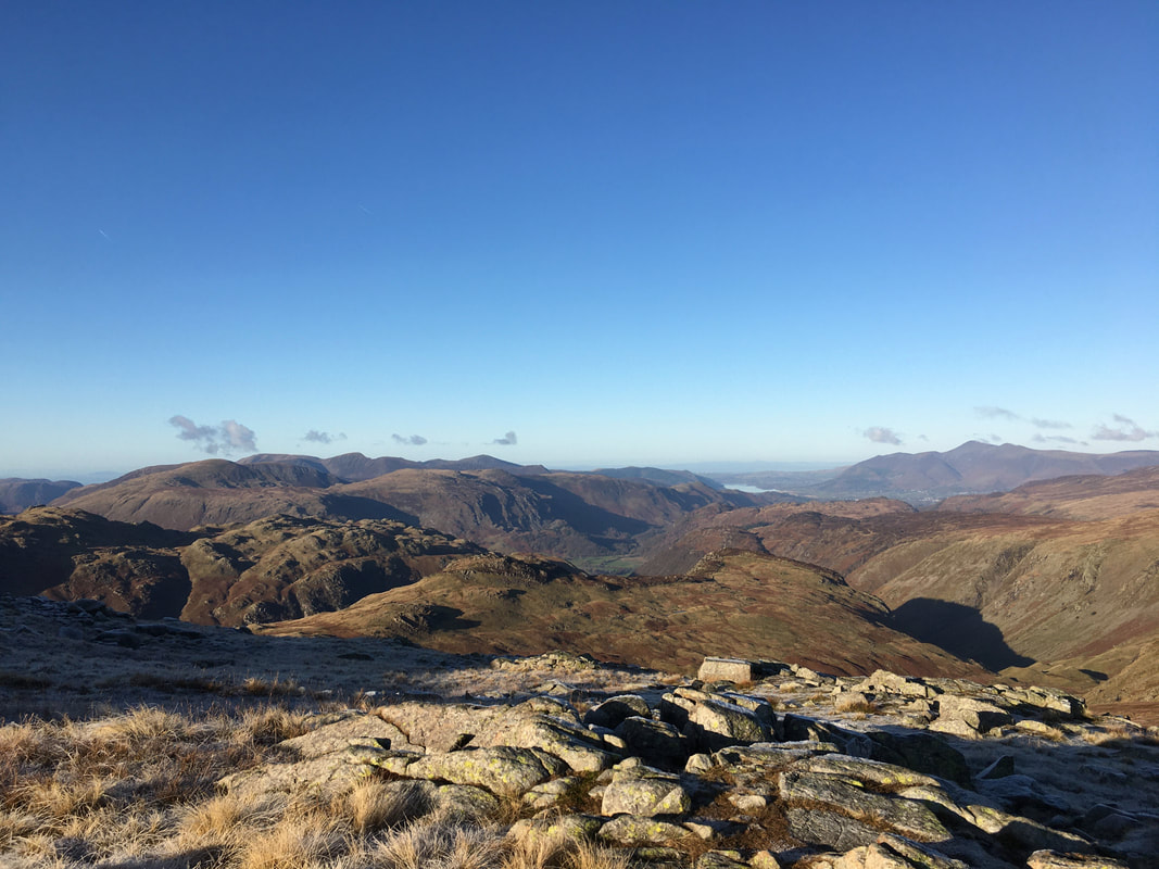
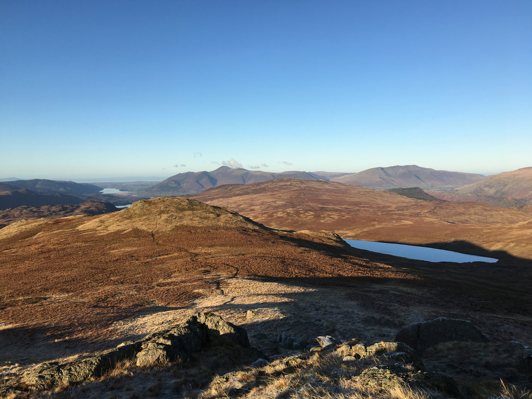
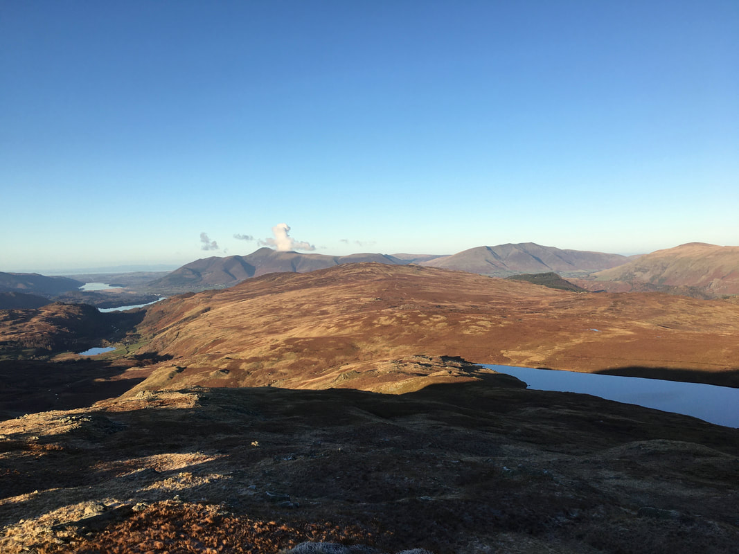
Heading down from Low Saddle Watendlath and its lovely tarn come into view. Derwent Water is above the tarn with Bassenthwaite Lake distant.
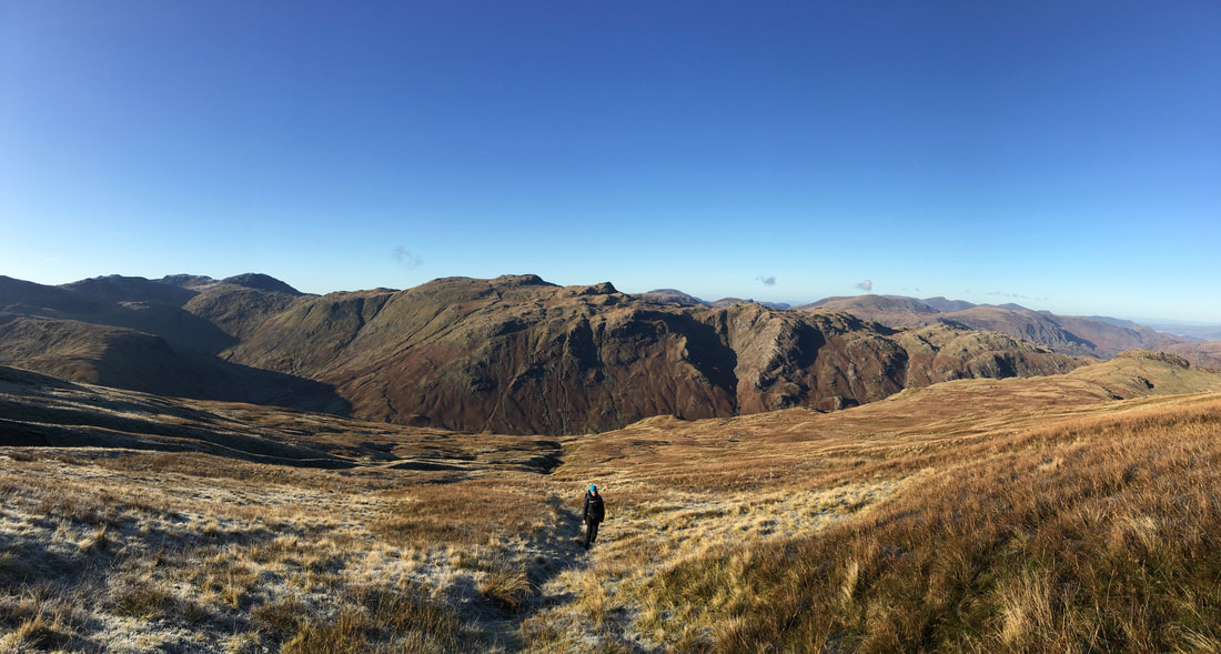
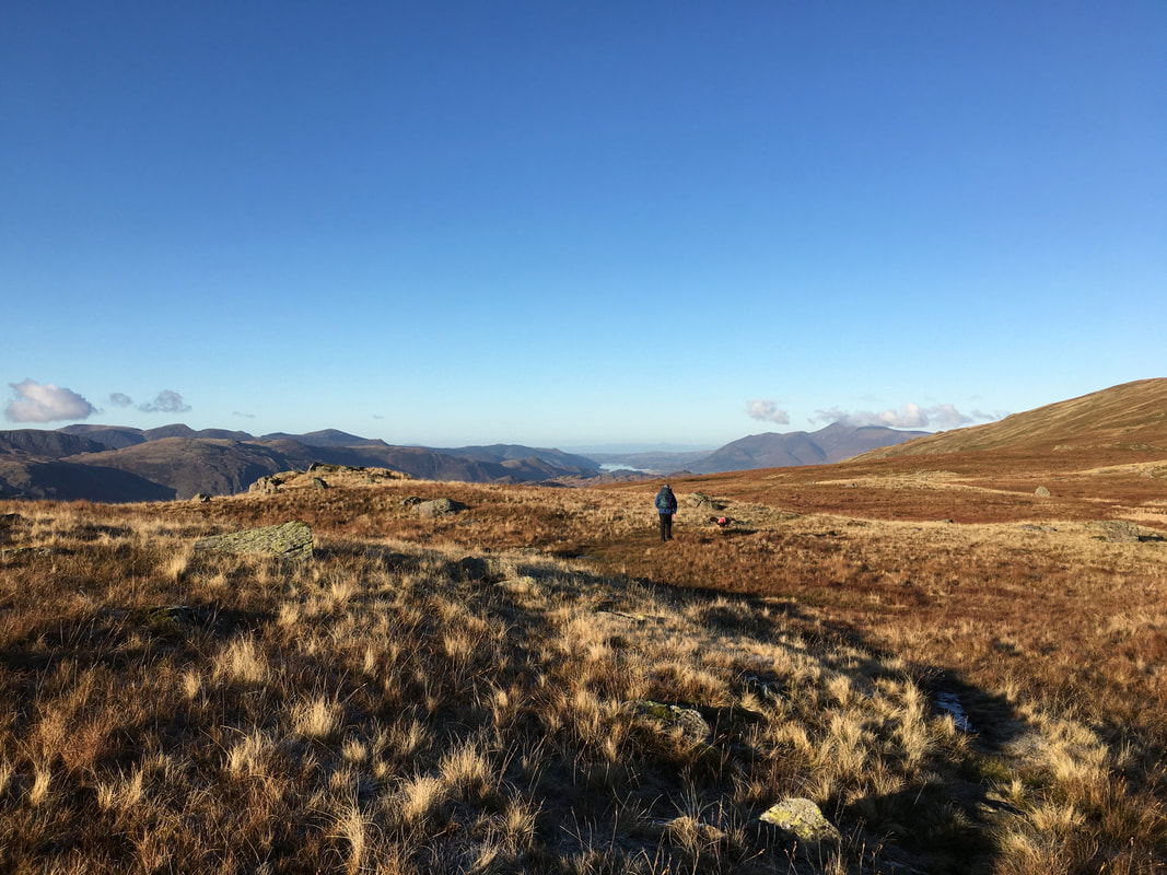
Our route of descent from Low Saddle looking to Great Crag.
The path is clearly visible as it stretches away but soon peters out as Dock Tarn comes into view.
The path is clearly visible as it stretches away but soon peters out as Dock Tarn comes into view.
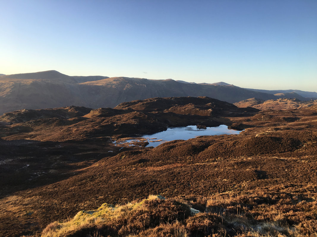
Dock Tarn - take a bearing on the left hand edge of the tarn and go for it
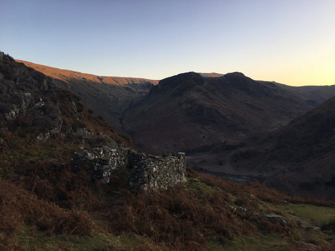
Eagle Crag & Sergeant's Crag from the descent to Lingy End
