Moel Siabod - Monday 11 October 2021
Route
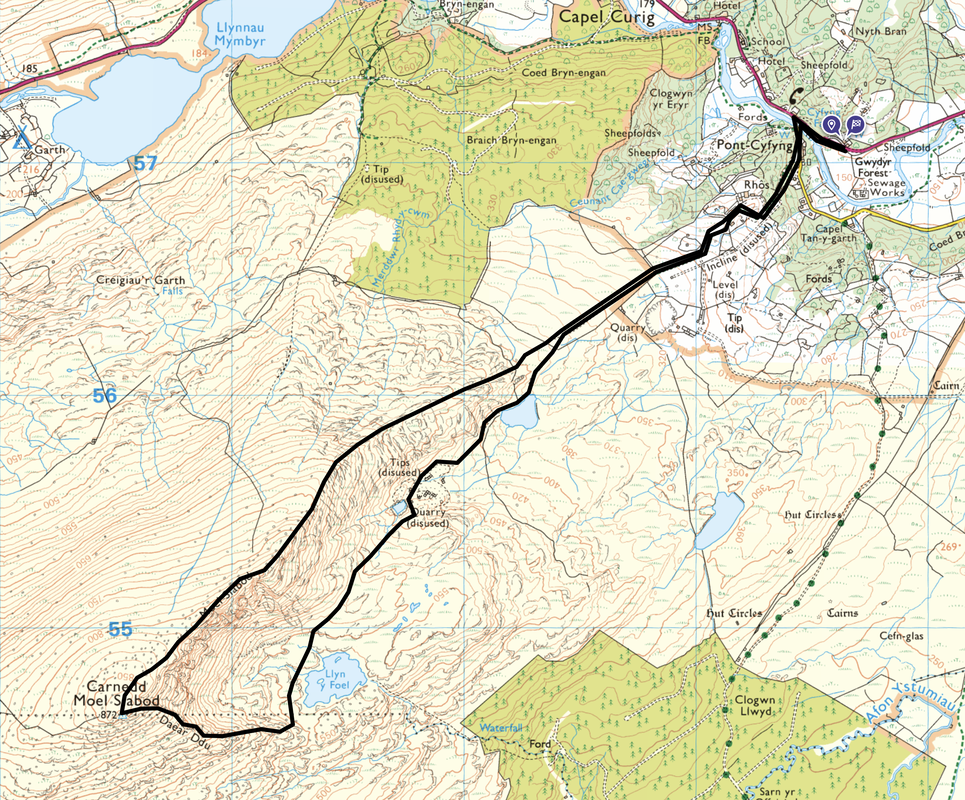
Bryn Glo - Afon Llugwy - Pont Cyfyng - Llyn y Foel - Daear Ddu Ridge - Moel Siabod - North East Ridge - Pont Cyfyng - Afon Llugwy - Bryn Glo
Parking
The Car Park at Bryn Glo (Free) on the A5 approximately 3/4 of a mile south east of the Moel Siabod Cafe in Capel Curig. The Grid Reference is SH 73634 57072 and the nearest postcode is LL24 0DT. There is room for approximately 25 cars however in the summer months & at weekends it usually fills up quickly so get there early to grab a space.
Mileage
6.5 miles
Terrain
Good mountain & woodland paths. There is a sustained scramble up the Daear Ddu ridge to the summit and the transit over the north east ridge is airy but not exposed.
Weather
Perfect - sunshine & light breezes with excellent visibility.
Time Taken
5hrs 10mins
Total Ascent
2545ft (776m)
Maps
OL17 - Snowdon & Conwy Valley
OL18 - Harlech, Porthmadog & Bala
Walkers
Dave, Angie & Fudge with Jeff Nagle
|
GPX File
|
| ||
If the above GPX file fails to download or presents itself as an XML file once downloaded then please feel free to contact me and I will send you the GPX file via e-mail.
Route Map
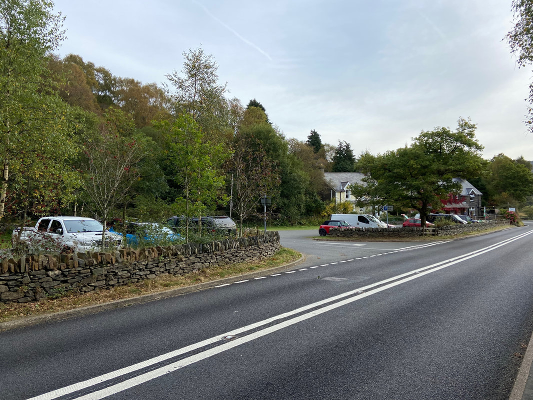
The walk starts from the free Car Park on the A5 at Bryn Glo situated between Capel Curig & Betws y Coed
We have climbed Moel Siabod many times but have never descended via the north east ridge - we were therefore looking forward to this walk. Following a hearty breakfast at the Moel Siabod Cafe just up the road (link here), we set off accompanied by our walking buddy & Army Veteran Jeff Nagle who would be joining us today.
We have climbed Moel Siabod many times but have never descended via the north east ridge - we were therefore looking forward to this walk. Following a hearty breakfast at the Moel Siabod Cafe just up the road (link here), we set off accompanied by our walking buddy & Army Veteran Jeff Nagle who would be joining us today.
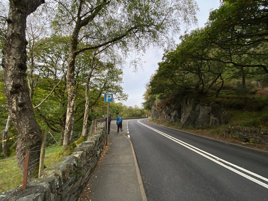
From the Car Park we crossed the A5 and headed along the road in the direction of Capel Curig. About 200 yards from this point is a turning to the left which leads to a bridge over the Afon Llugwy which is a popular route to climb Moel Siabod.
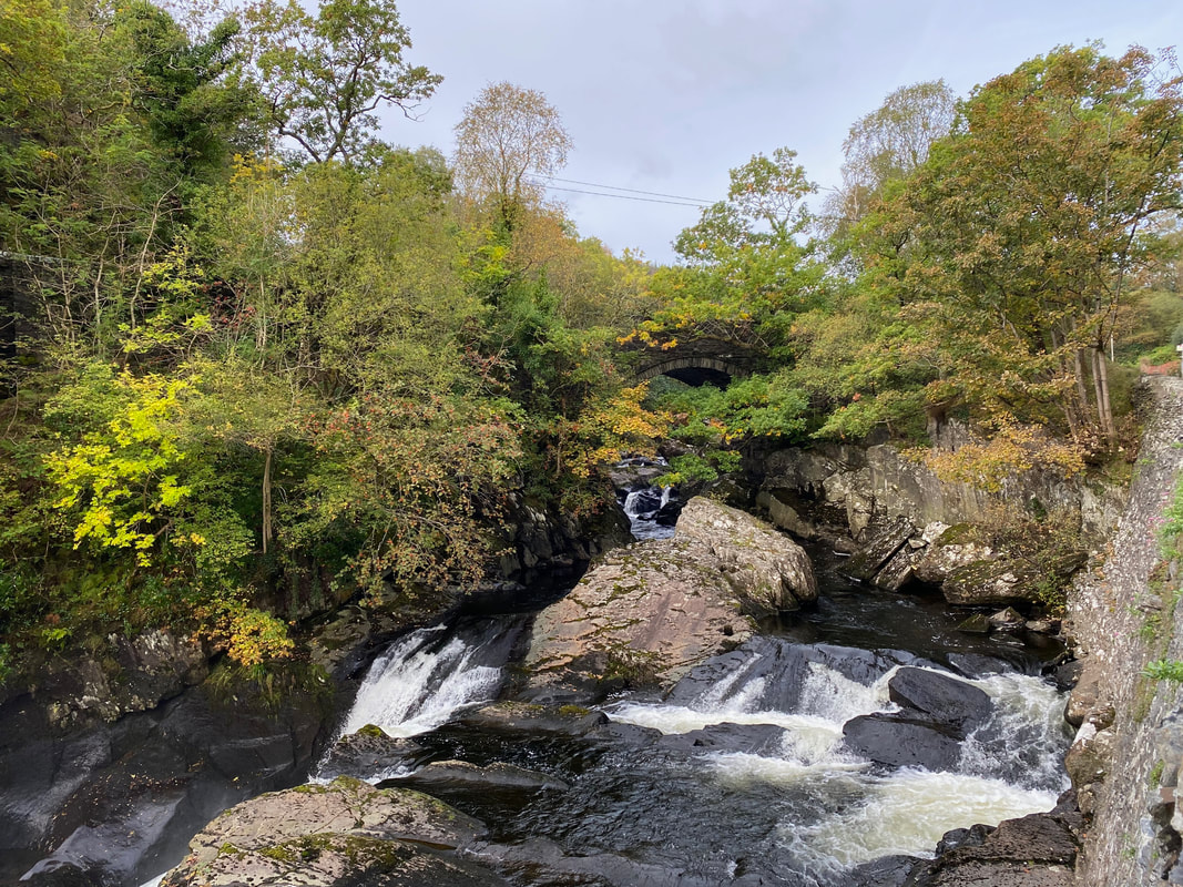
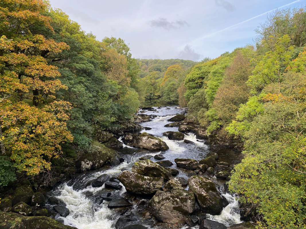
The falls of the Afon Llugwy. Having walked in the rain quite often around these parts it comes as no surprise to me that the average annual rainfall in the catchment of the Llugwy is the highest recorded in England and Wales. Just about visible through the foliage is the bridge we would cross from the A5 in order to access the path to Moel Siabod.
Looking west from the bridge over the Afon Llugwy
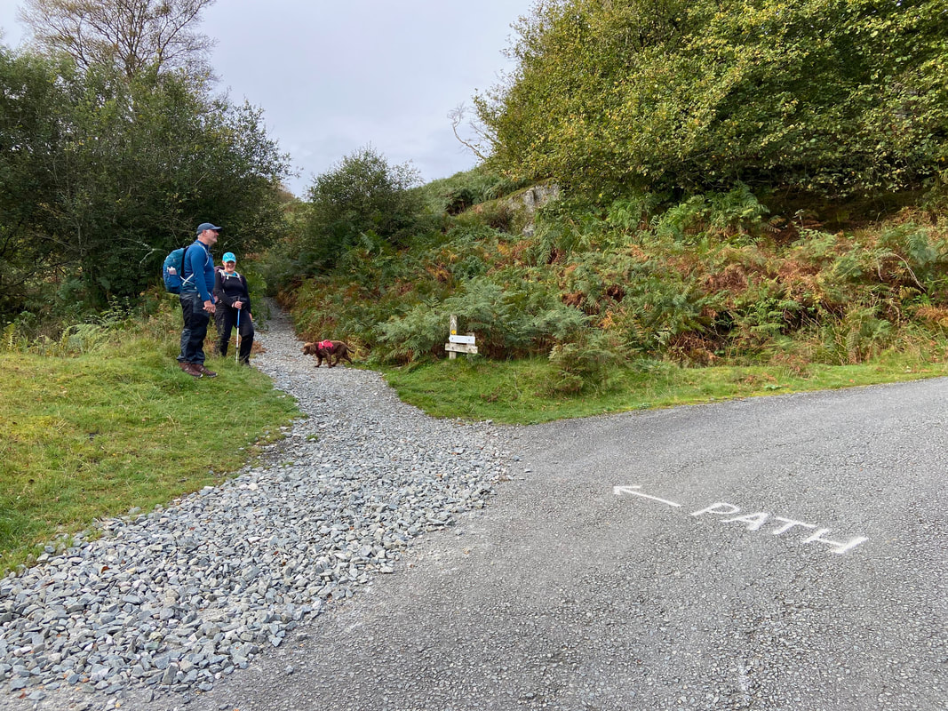
The route follows the access track to the farm buildings at Rhos but leaves this on the left after approximately 1/4 of a mile from the bridge. Meanwhile Fudge slinks about waiting for me whilst Angie laughs at one of Jeff's jokes.
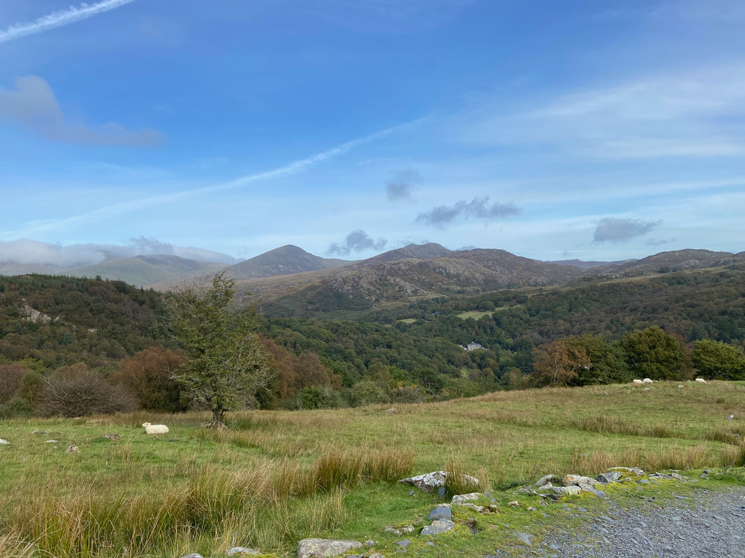
As height is gained the views open out and Pen Llithrig y Wrach comes into view
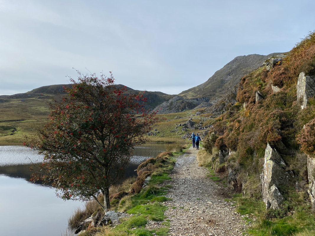
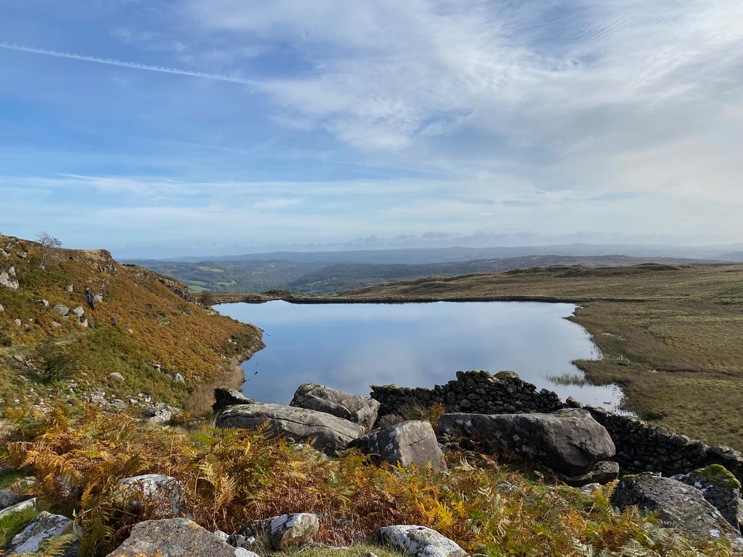
The route heads to the right of an unnamed llyn towards the disused Rhos Slate Quarry
Looking back to the unnamed llyn with our outward path to the left
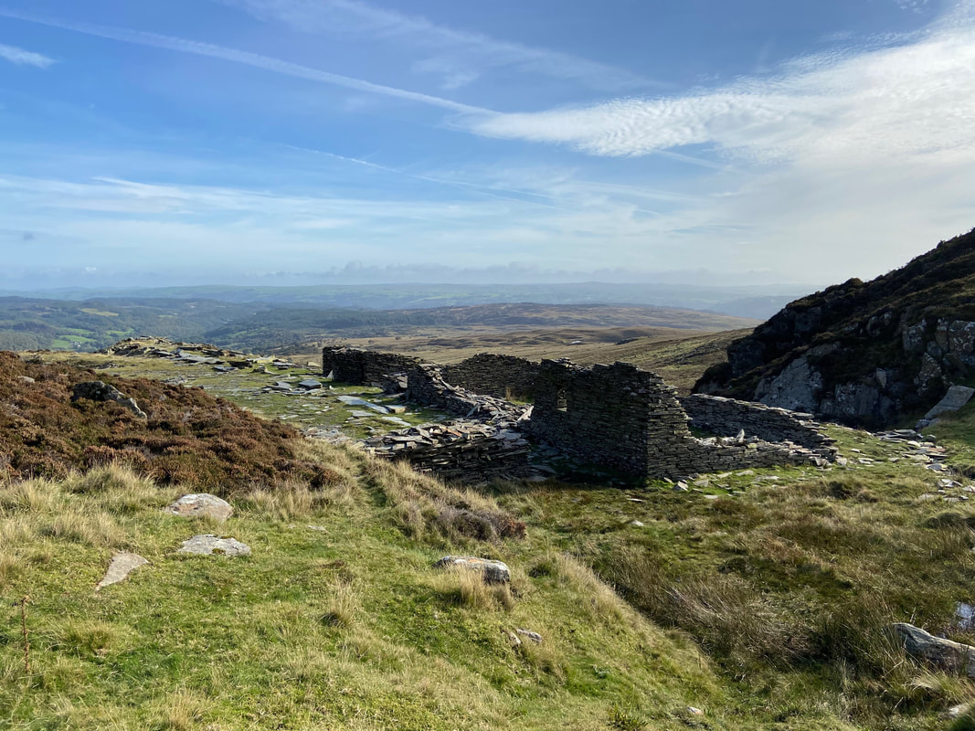
A disused mine building amongst the spoil
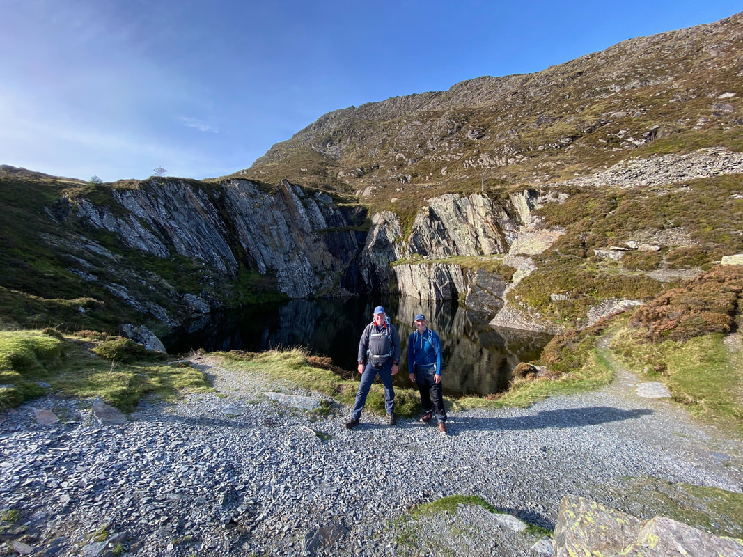
Army & Navy at the quarry lake
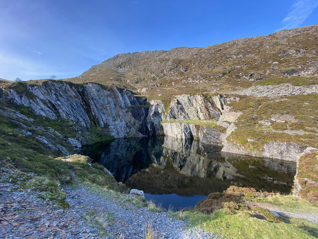
A closer look at the quarry lake. The water was like glass giving a fantastic reflection of the rock on the water
Looking back down our route of ascent to the unnamed llyn and the disused quarry. The path is clear enough on the ground but is not marked on the OS Map.
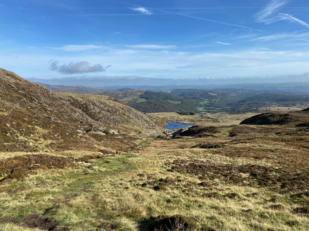
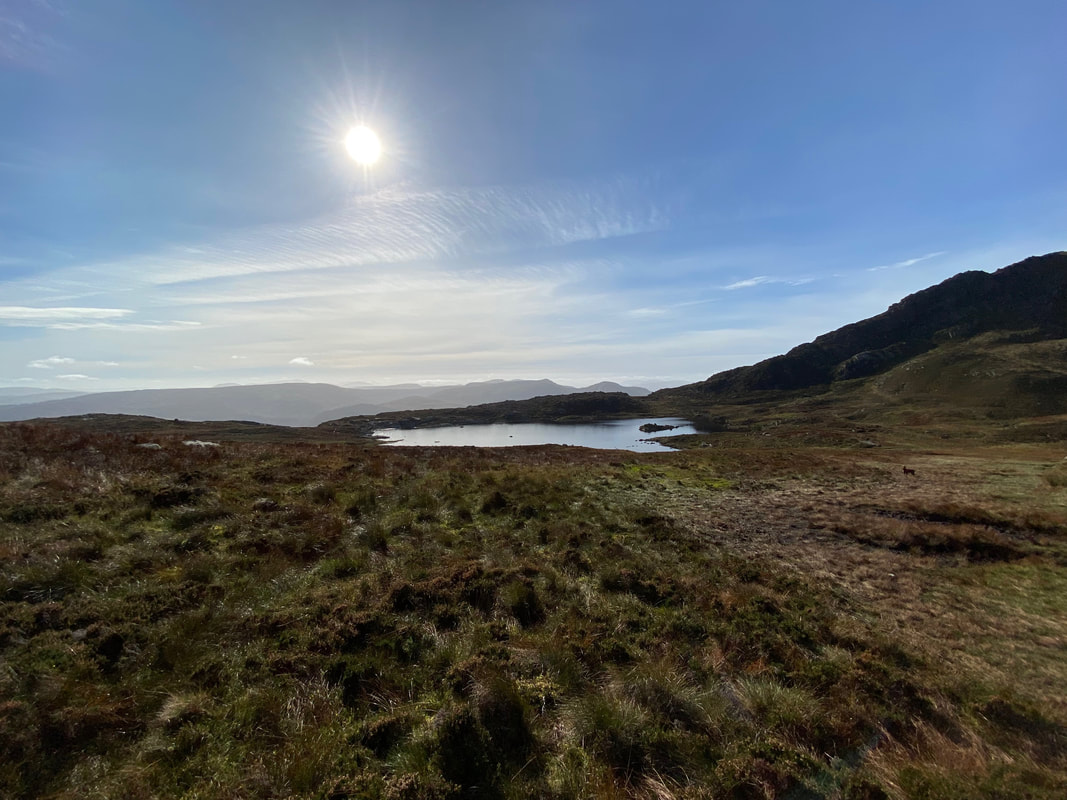
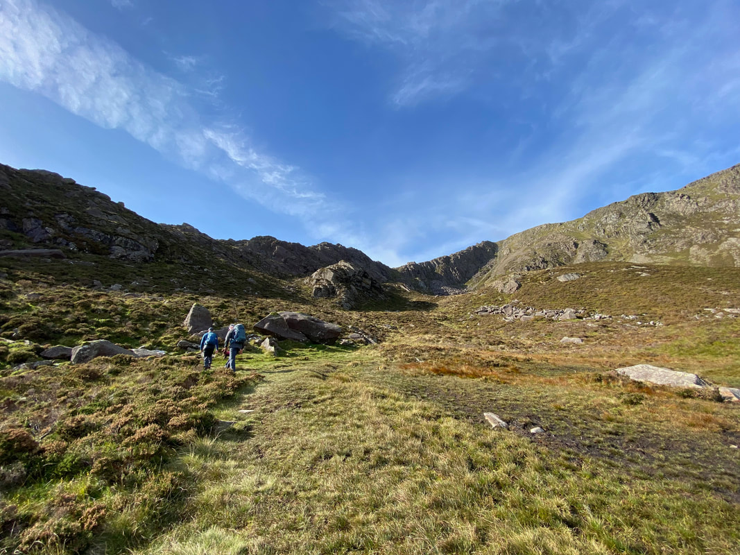
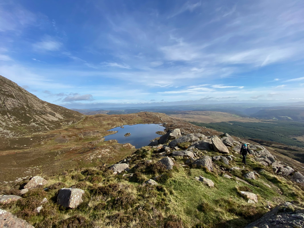
Approaching Llyn y Foel with the start of the Daear Ddu ridge to the right
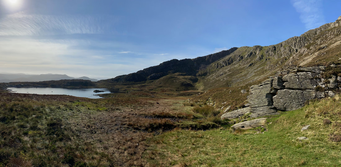
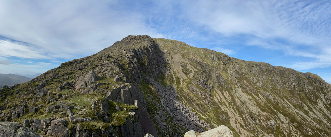
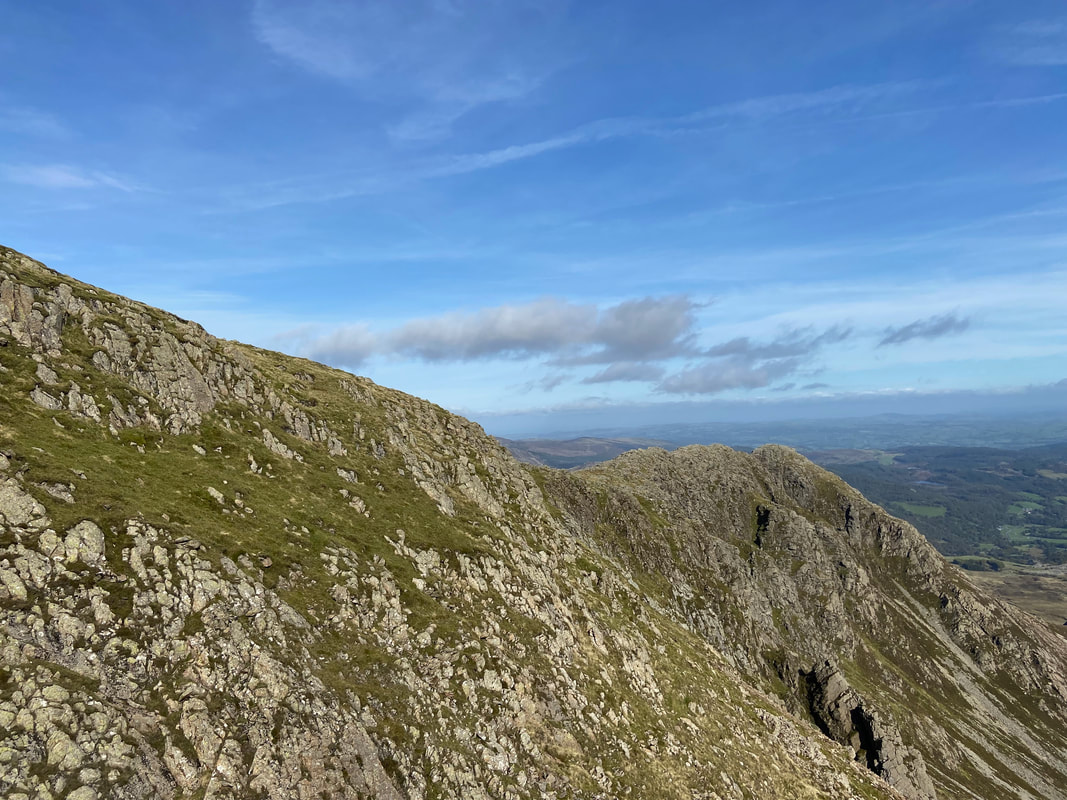
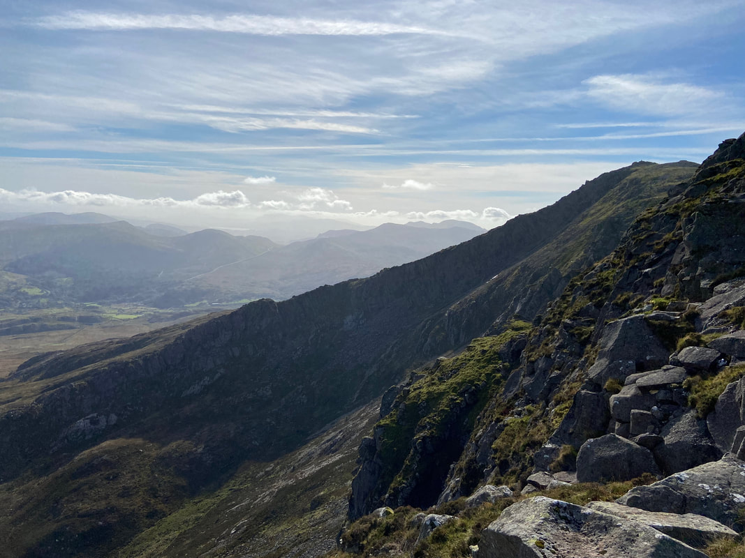
A wider view of both our route of ascent & descent of Moel Siabod. The ridge going from left to right above the llyn is the Daear Ddu ridge and is an exhilarating climb. The ridge on the extreme right is the north east ridge and would be our route of descent.
A view of the Daear Ddu and north east ridges from the llyn
Where Jeff & I are walking is a junction of paths. If the Daear Ddu ridge is not to your liking then there is an alternative route along a lower path that joins the ridge near the summit. We walked this lower path in April 2011 and a link to the walk report is here.
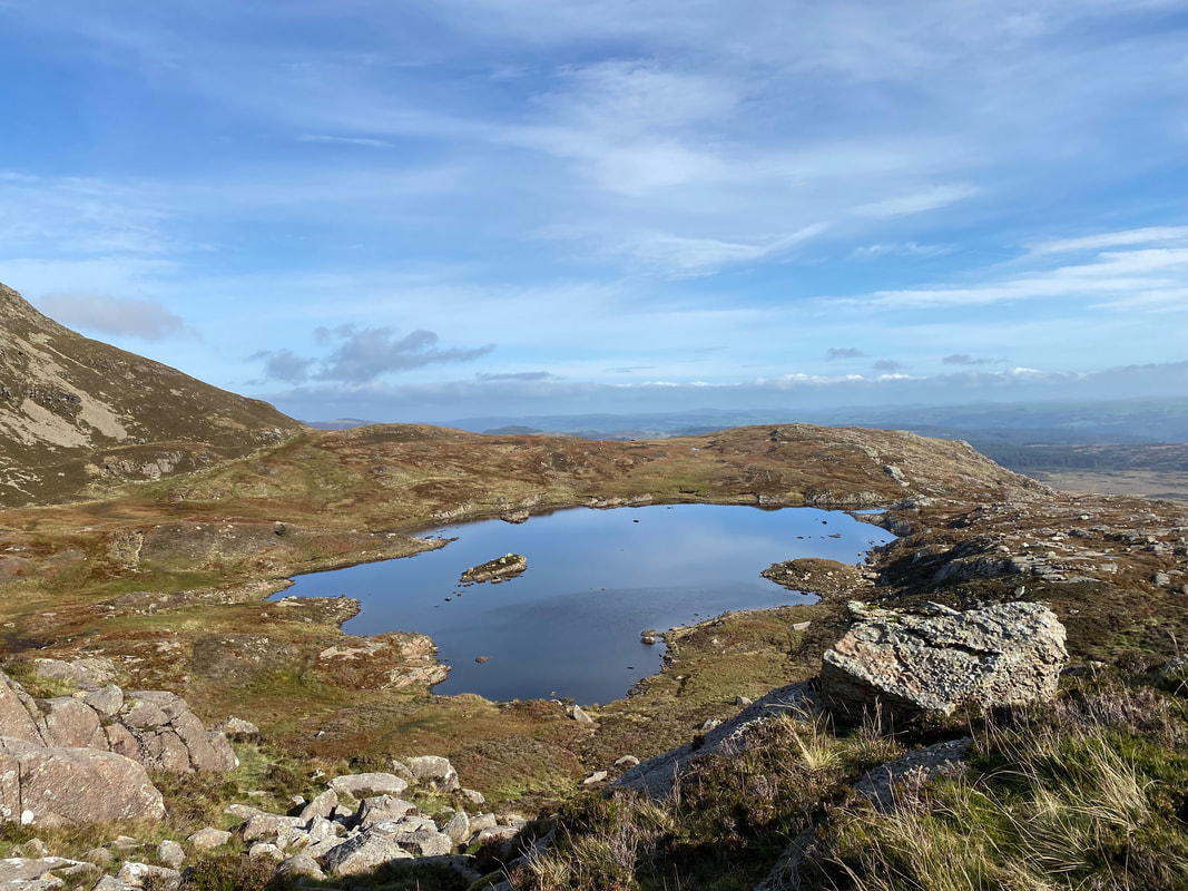
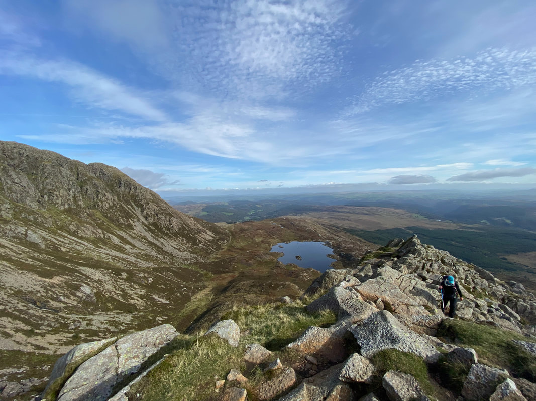
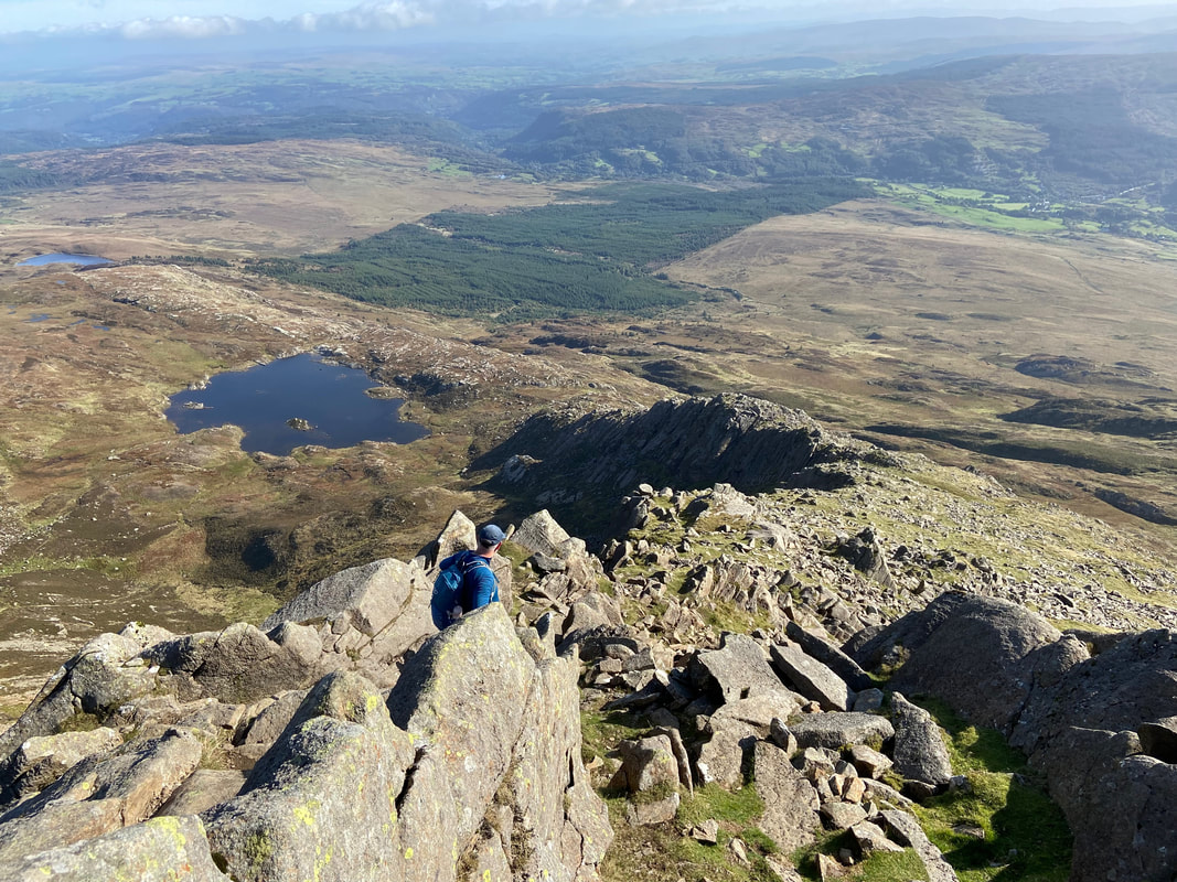
Looking down to Llyn y Foel from the start of the ascent of the Daear Ddu ridge
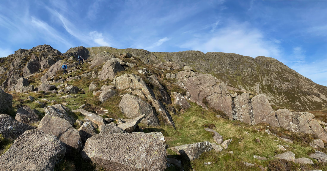
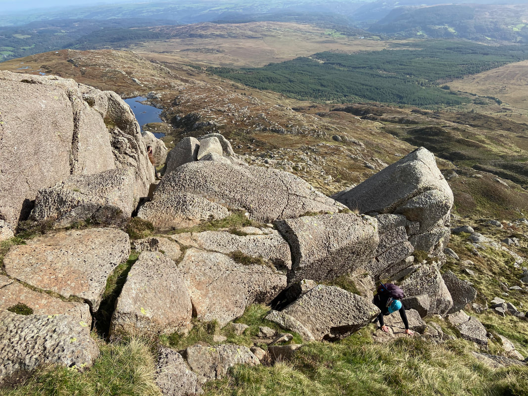
Up we go. Although the path sometimes peters out through bouldery sections, in clear visibility the route up is never really in doubt.
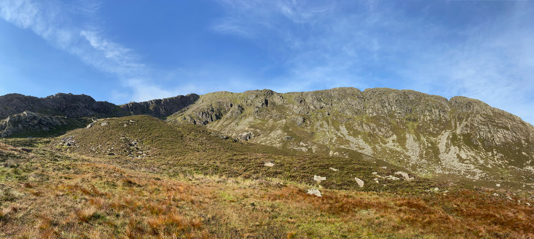
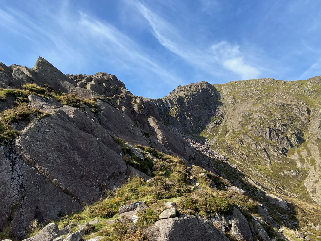
The upper part of the Daear Ddu ridge now in view. From here it looks a difficult arête but appearances can be deceiving. The lower path mentioned earlier can be seen below the ridge wall.
Angie makes her way up to join Jeff and I with Llyn y Foel getting smaller below
As the path steepens there is the opportunity to get some hands on rock and do some scrambling
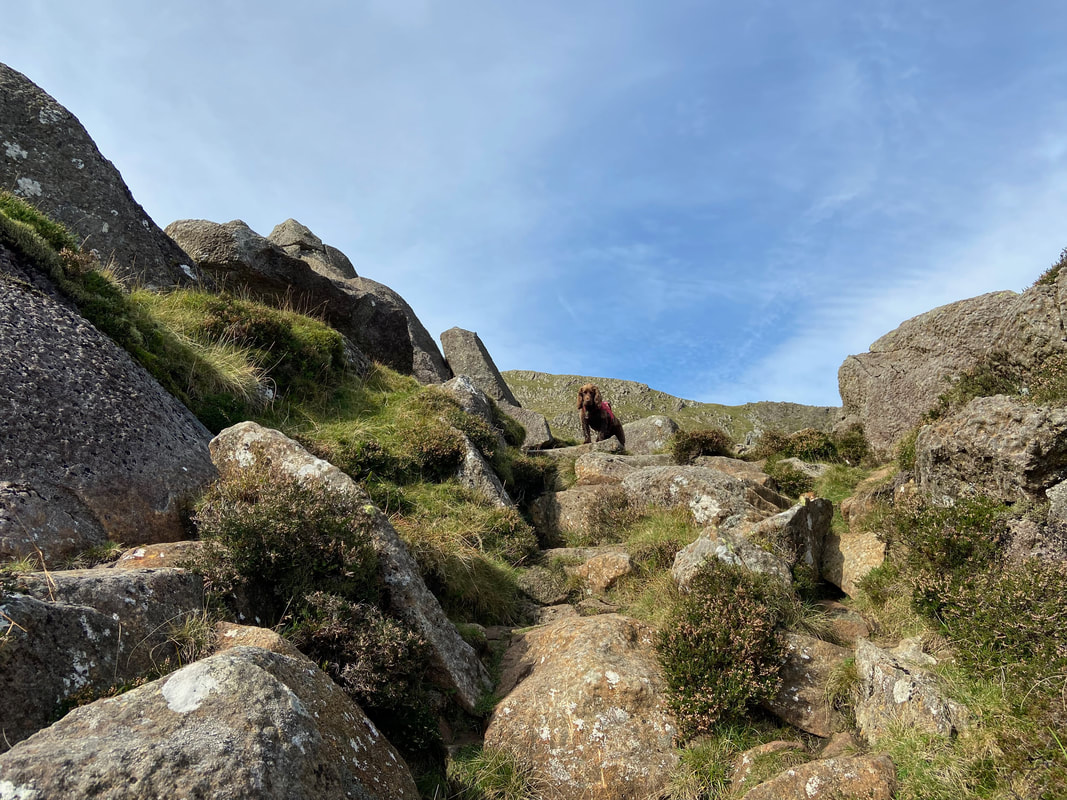
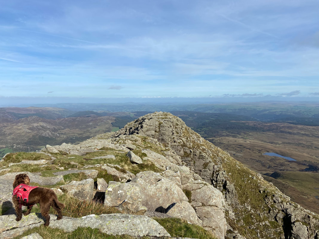
Fudge meanwhile wonders what all the fuss is about with his "4 Paw Drive"
The gradient eases as we arrive at the base of the upper part of the ridge.
A panorama of both the Daear Ddu and north east ridges
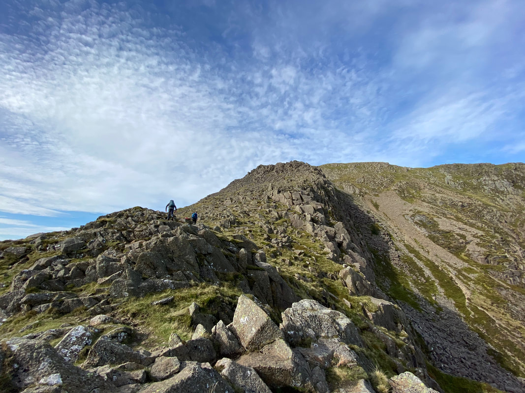
Jeff and I making our way up the Daear Ddu - this section can be made as difficult or as easy as you want it
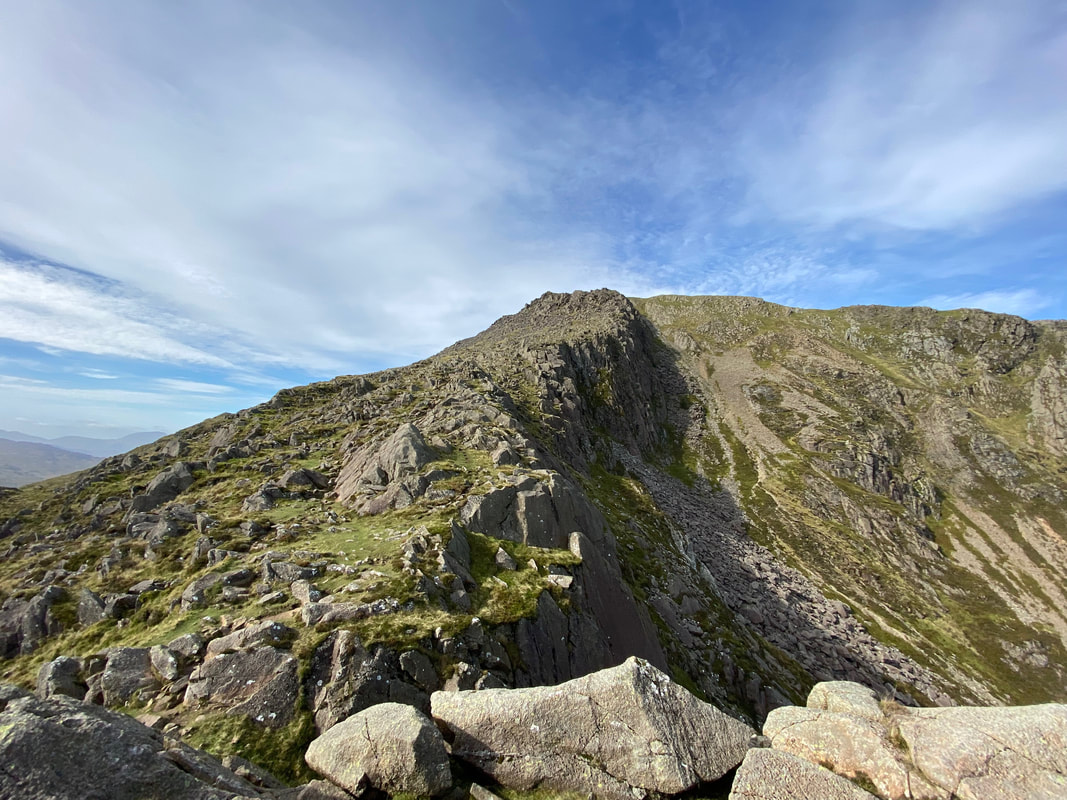
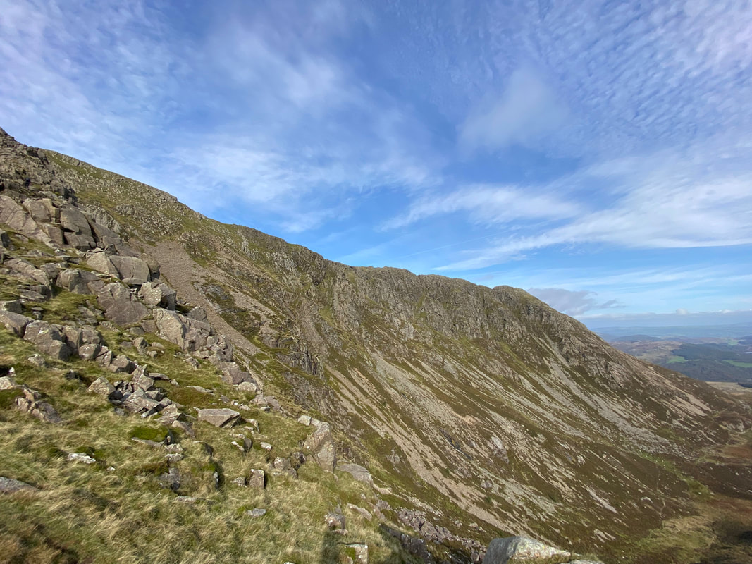
Another view of the north east ridge - we were looking forward to getting over there later
Continuing the ascent up the ridge
Not far to go now
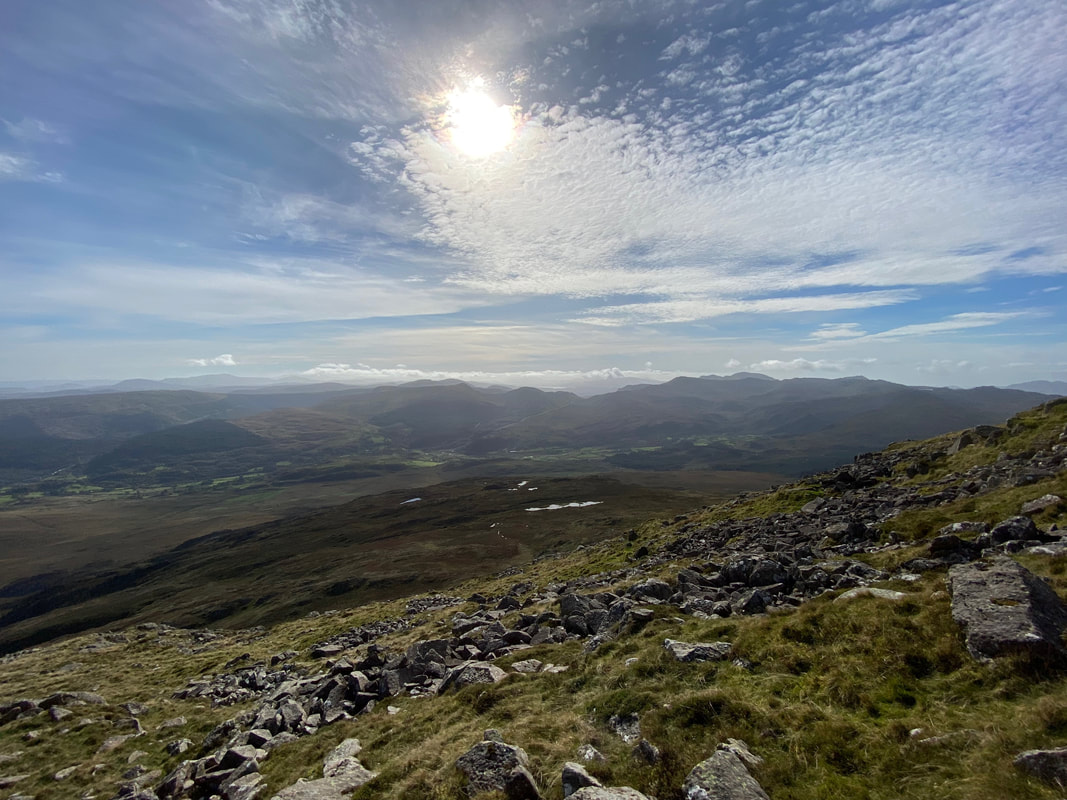
What a view that is - looking south west towards Cnicht & The Moelwyns
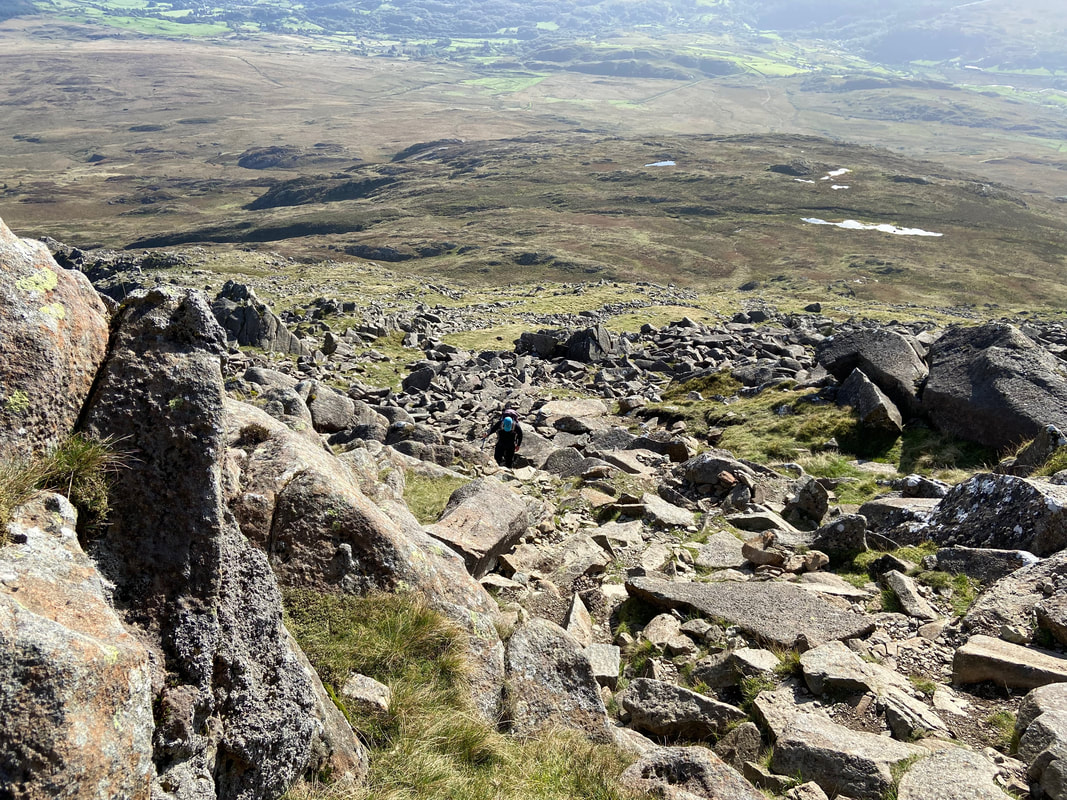
Looking back down almost the full extent of the Daear Ddu
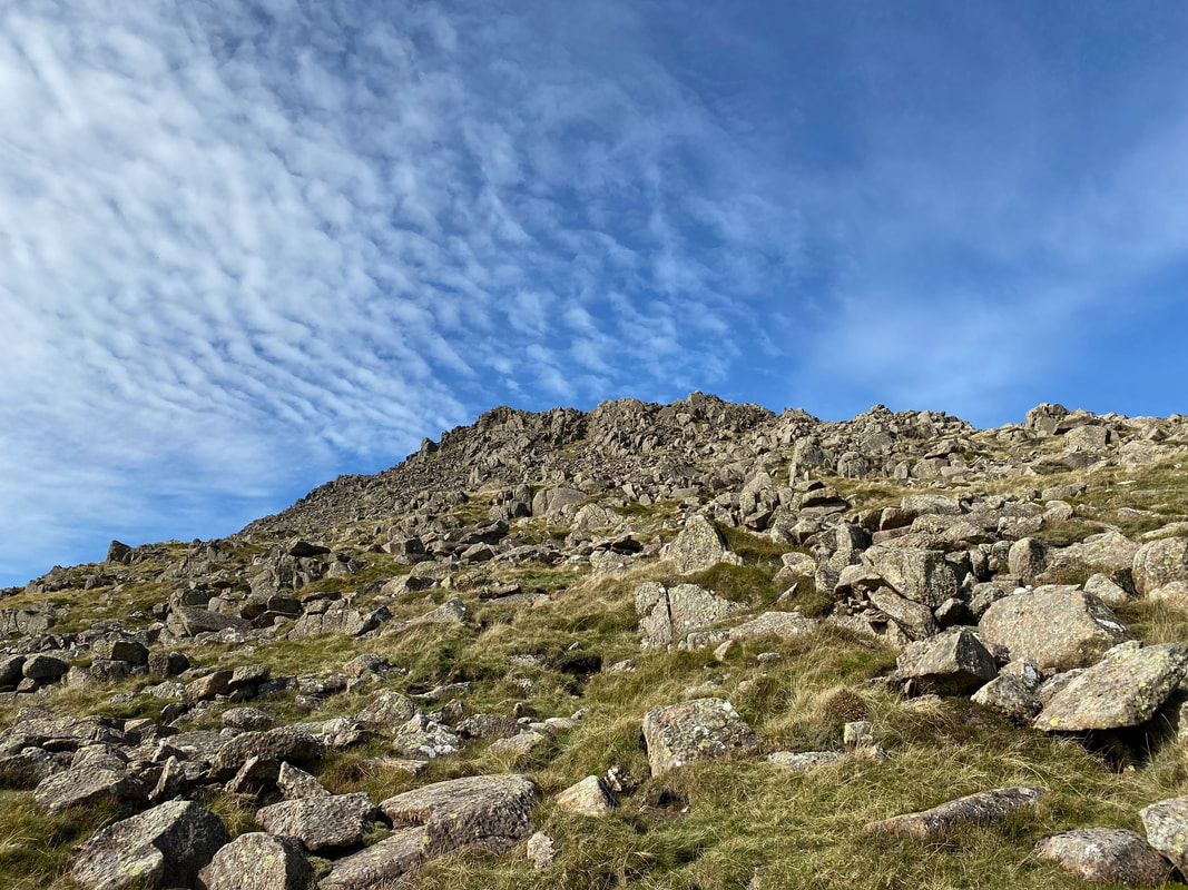
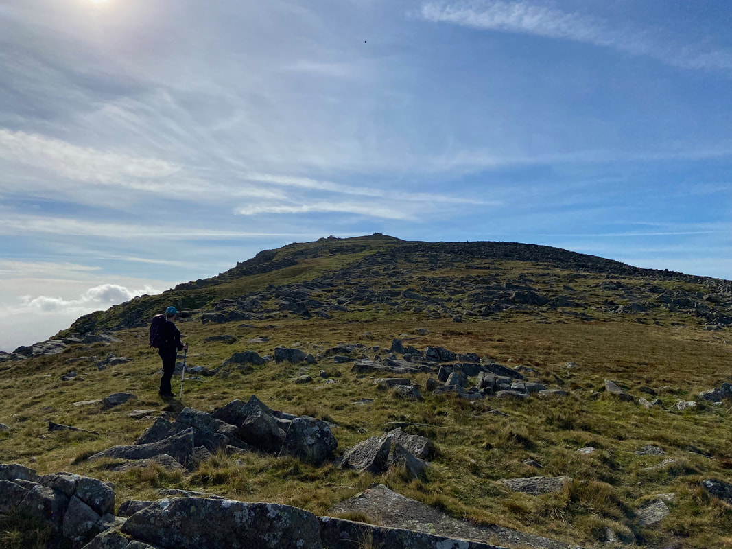
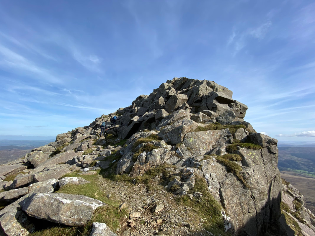
Angie on the final approaches to Moel Siabod - as the summit gets nearer the terrain becomes more bouldery
A clearer view of the north east ridge
The Daear Ddu ridge from near the summit of Moel Siabod
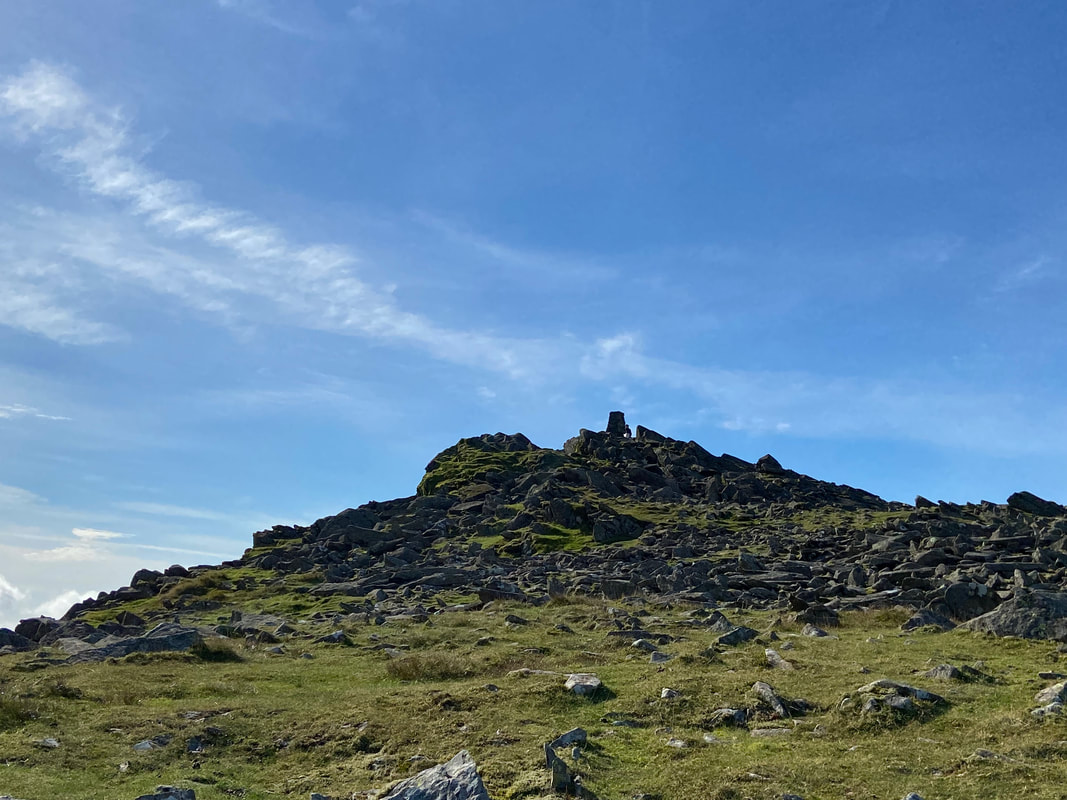
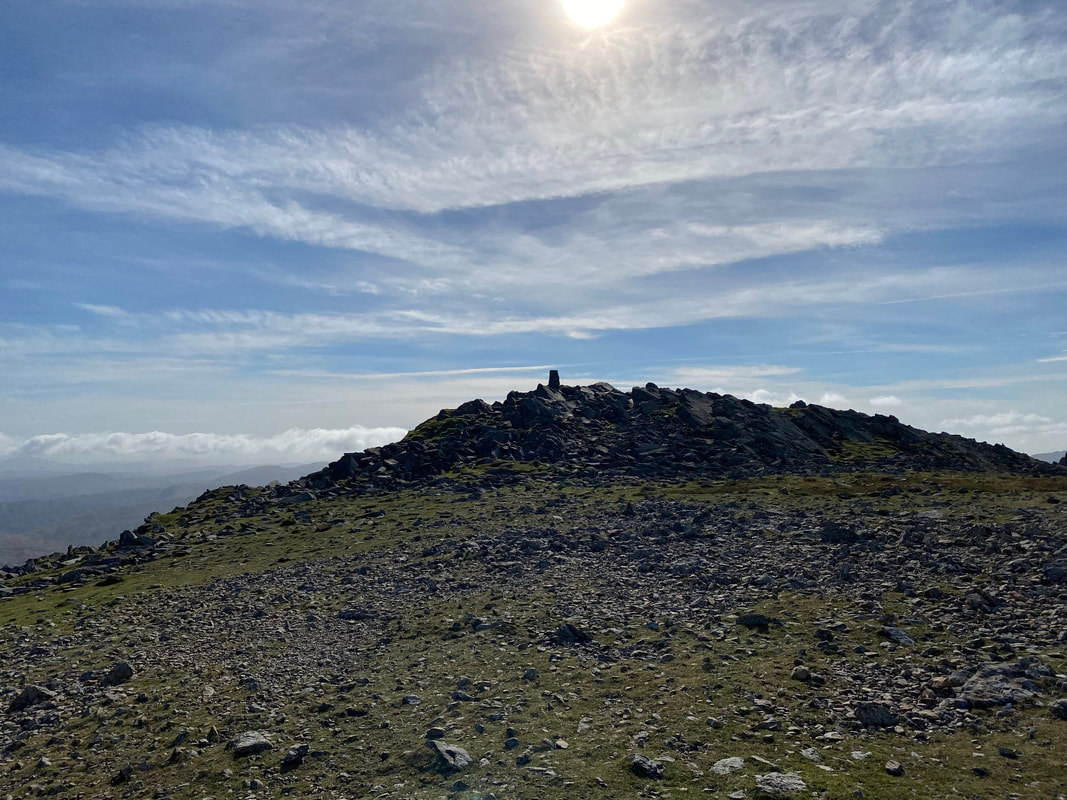
The summit Trig Point now in view
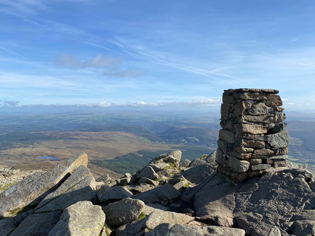
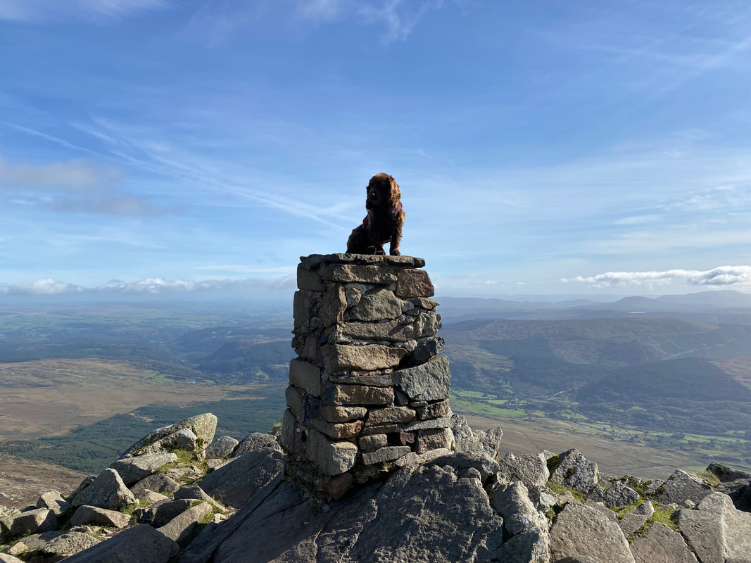
The summit of Moel Siabod
As is tradition
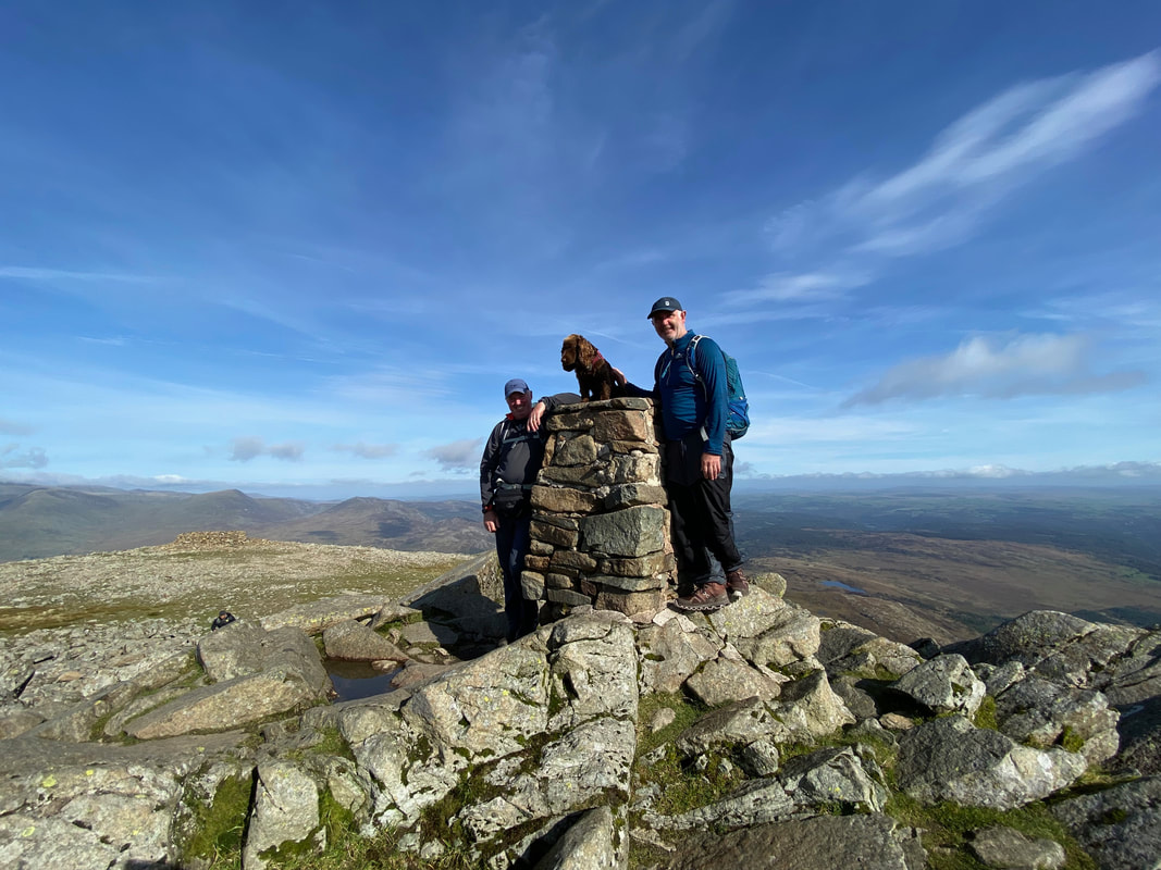
With Jeff & Fudge on the summit of Moel Siabod
The stony summit plateau of Moel Siabod
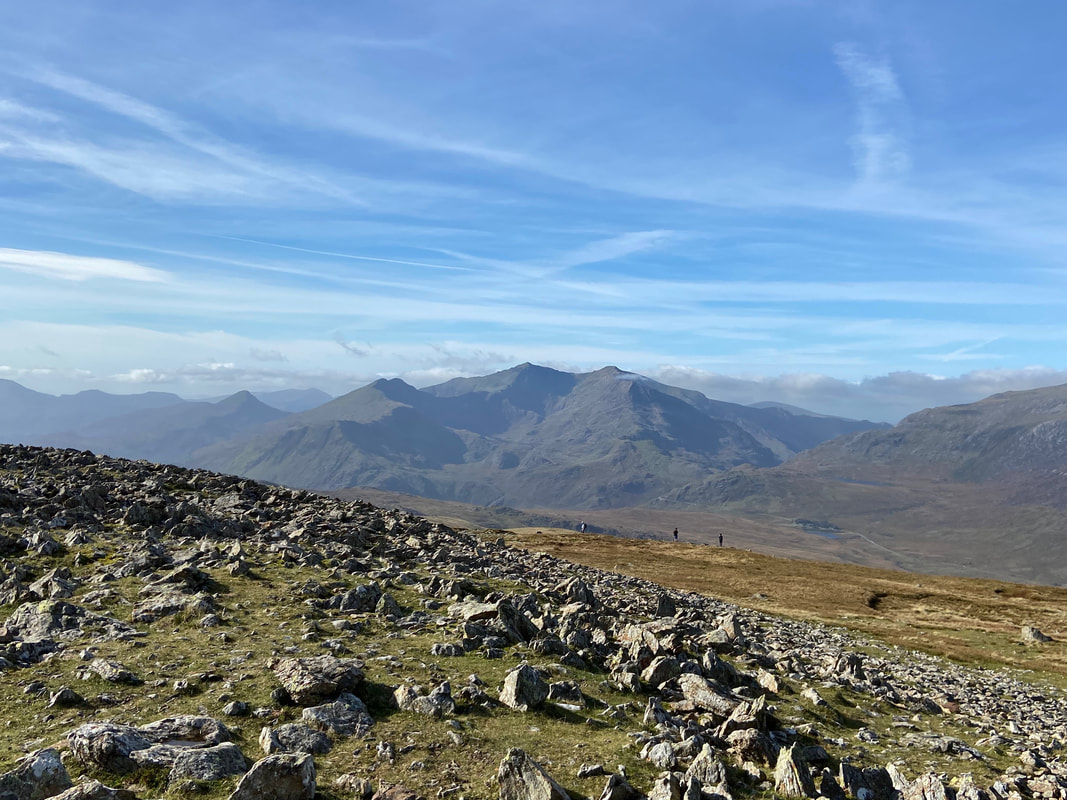
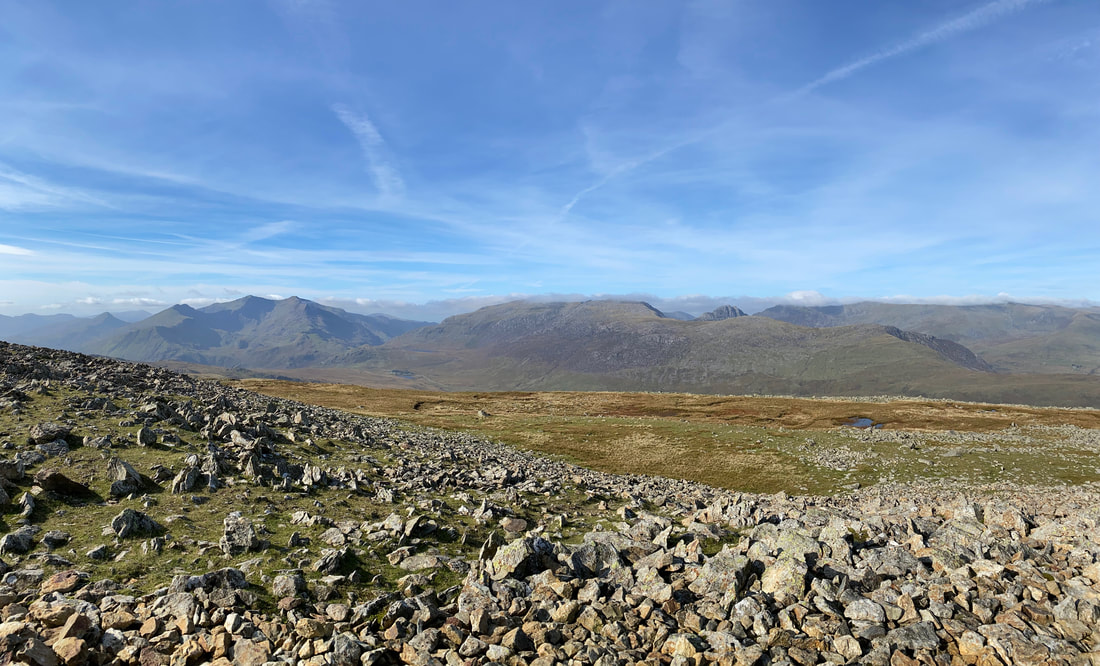
Snowdon dead centre of shot
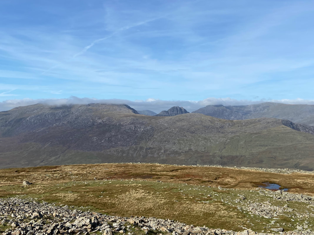
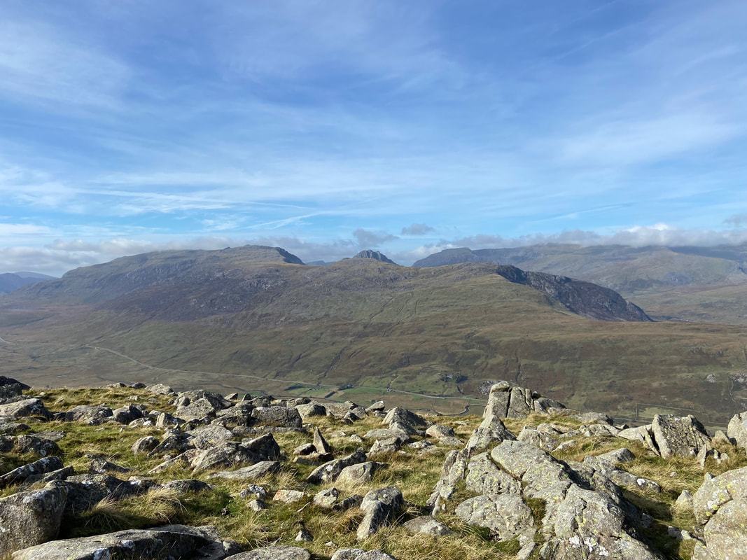
The unmistakable outline of Tryfan centre with The Glyders to the left & The Carneddau to the right
A panorama of the view to the west from Moel Siabod
The view to the Snowdon Range, Tryfan, The Glyderau & Carneddau from the summit of Moel Siabod (click Play to view)
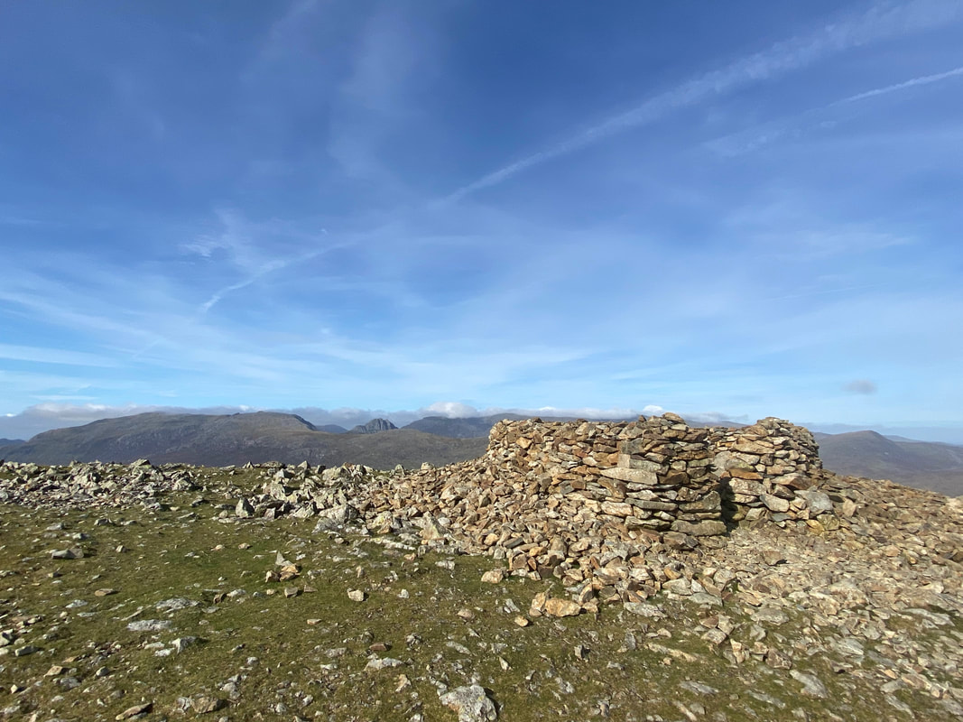
A few yards to the north is a stone shelter
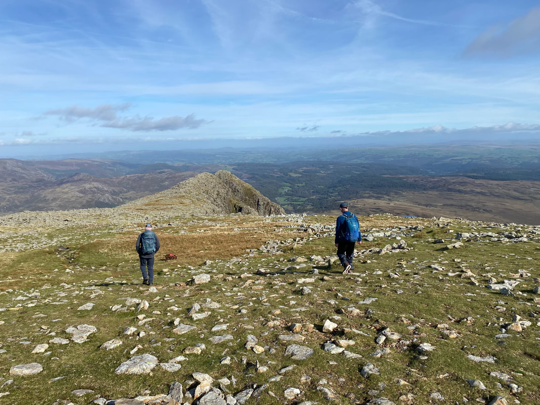
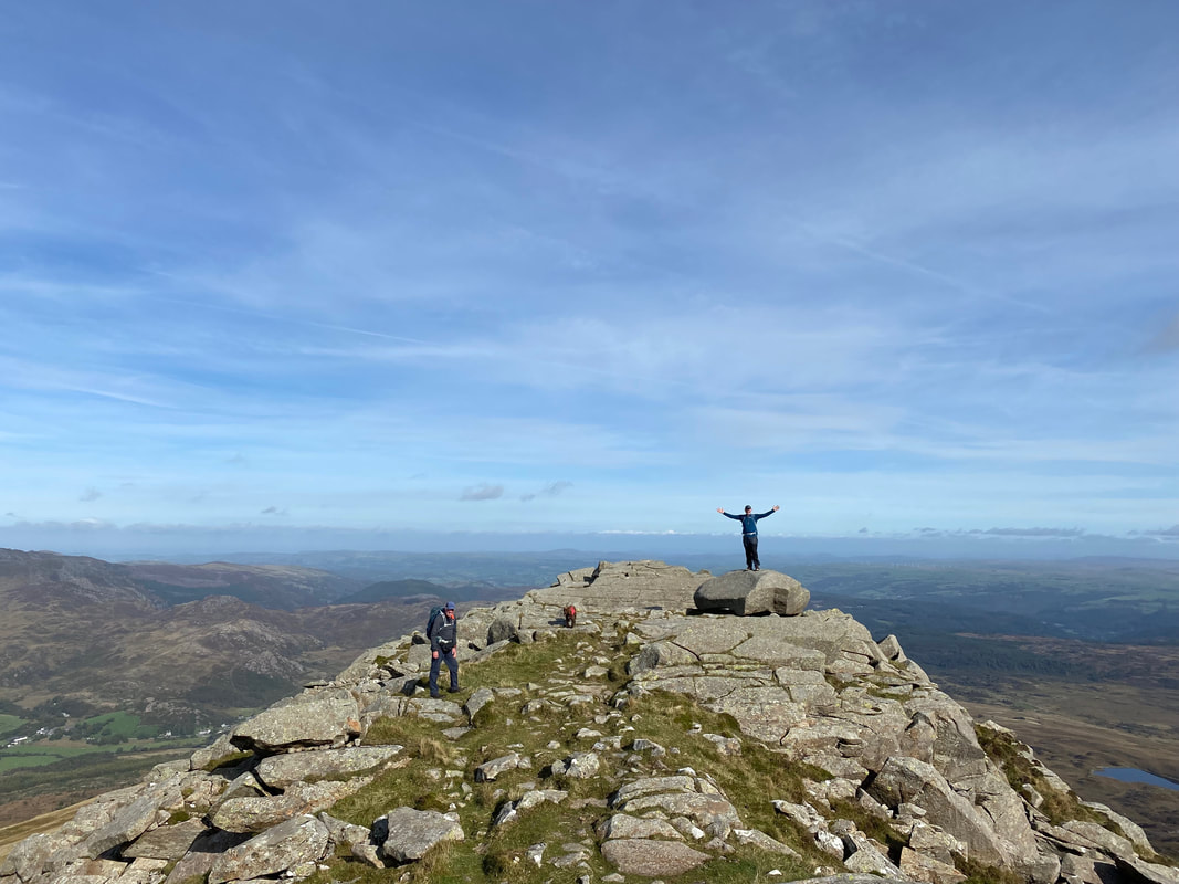
The start of the descent down the north east ridge
Looking back to the summit - it's a bit busier up there now
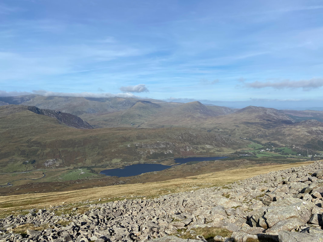
Llynnau Mymbyr sits below us as does the popular path down to Capel Curig
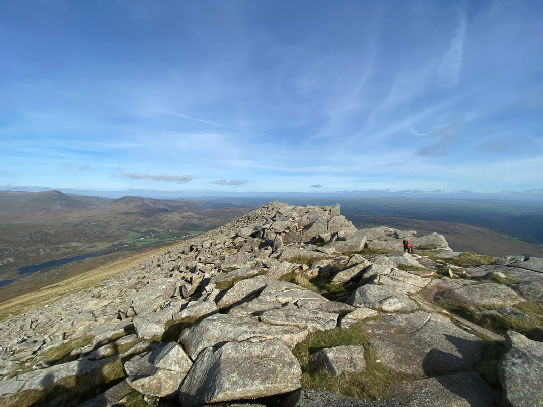
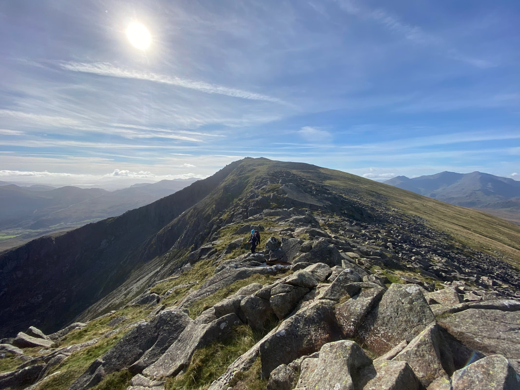
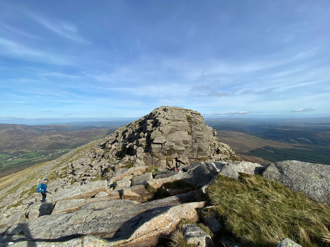
The transit over the north east ridge is over rocky boulders for the most part
This was fantastic walking
Angie in silhouette as we continue along the ridge
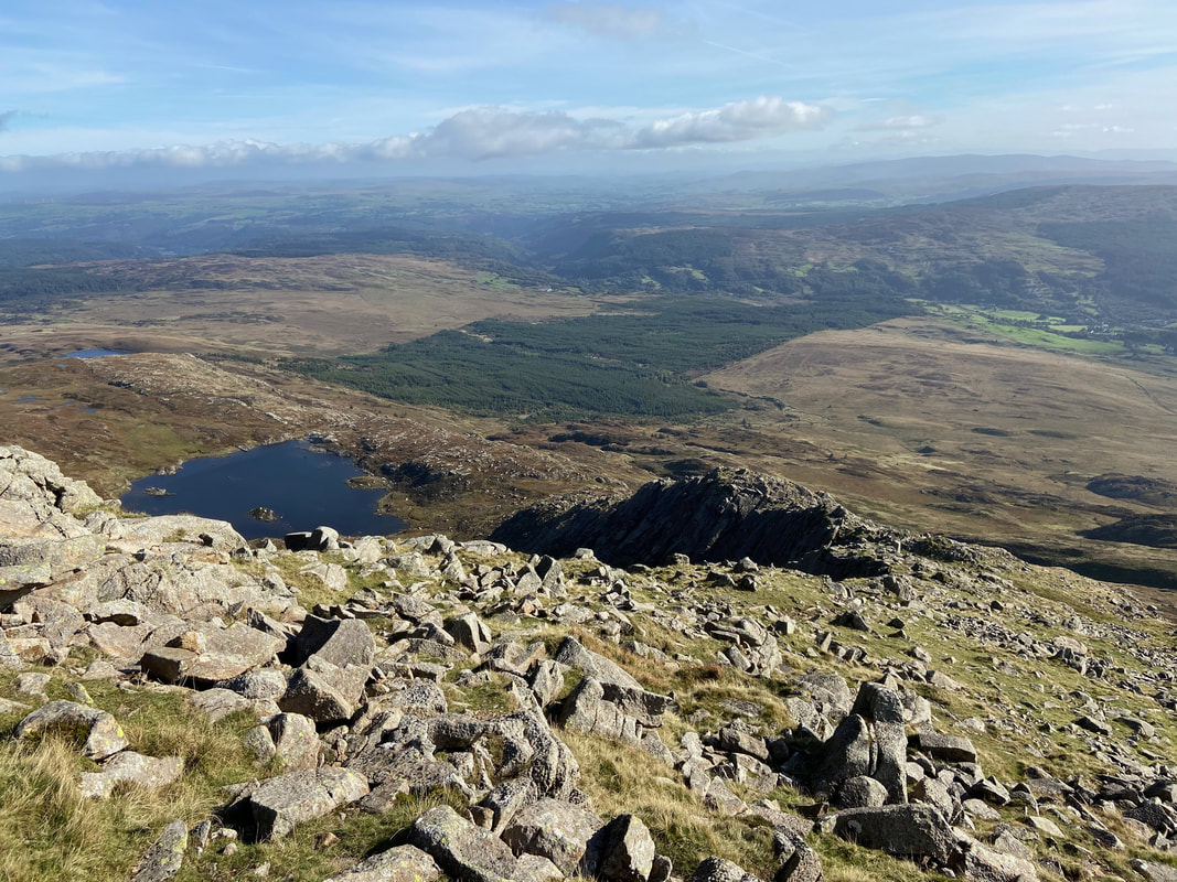
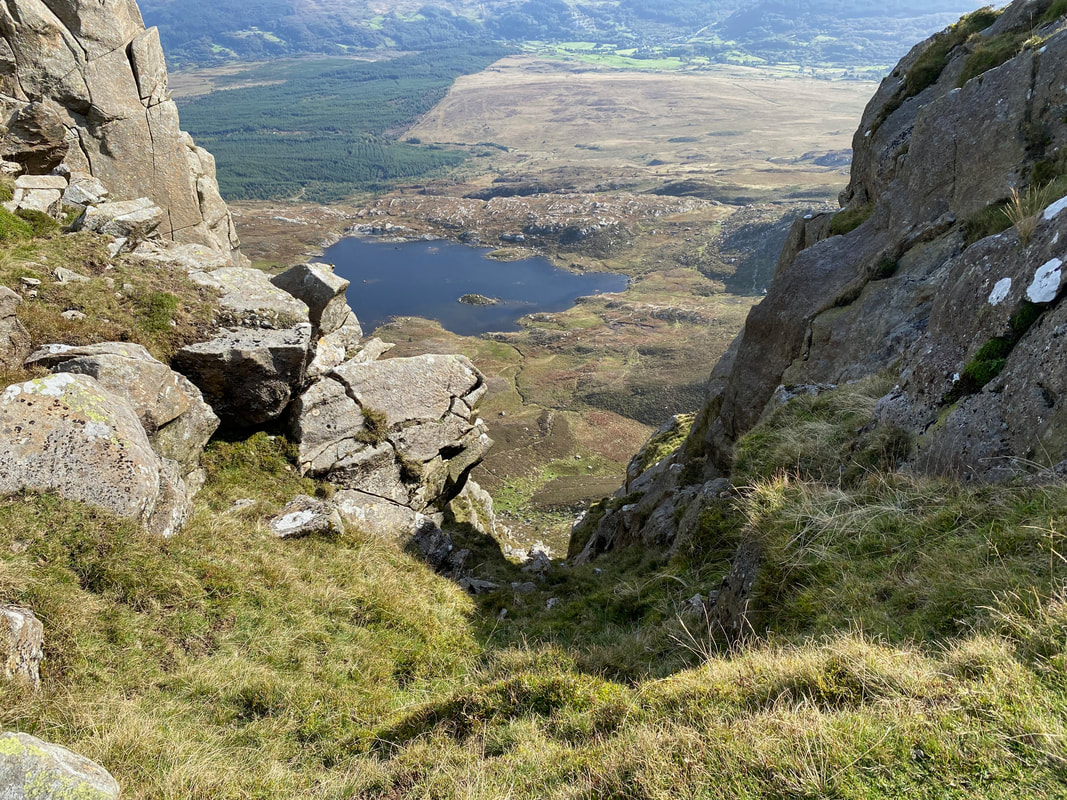
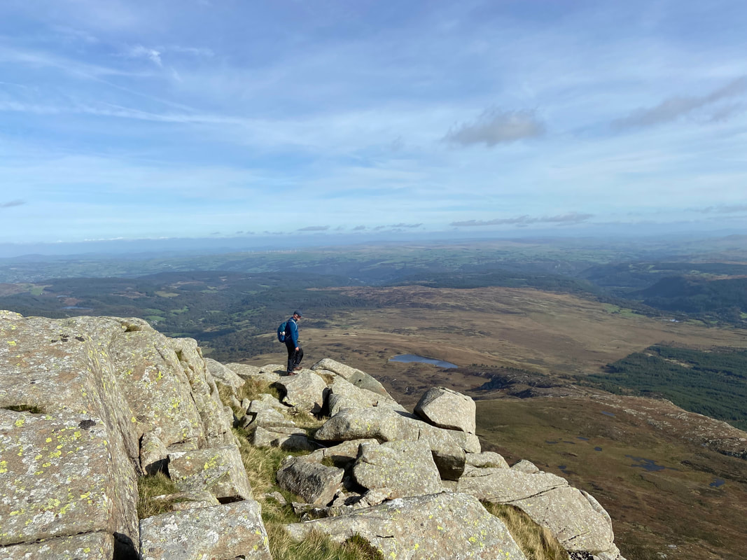
It's a long way down to Llyn y Foel from here
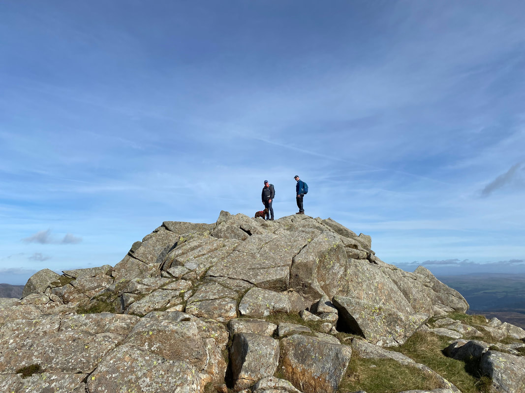
With Jeff & Fudge on one of the many little summits along the ridgeline
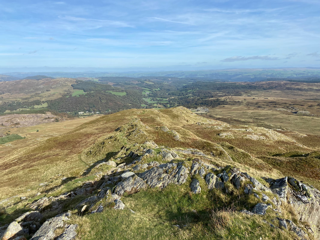
Looking back along the ridgeline to the summit
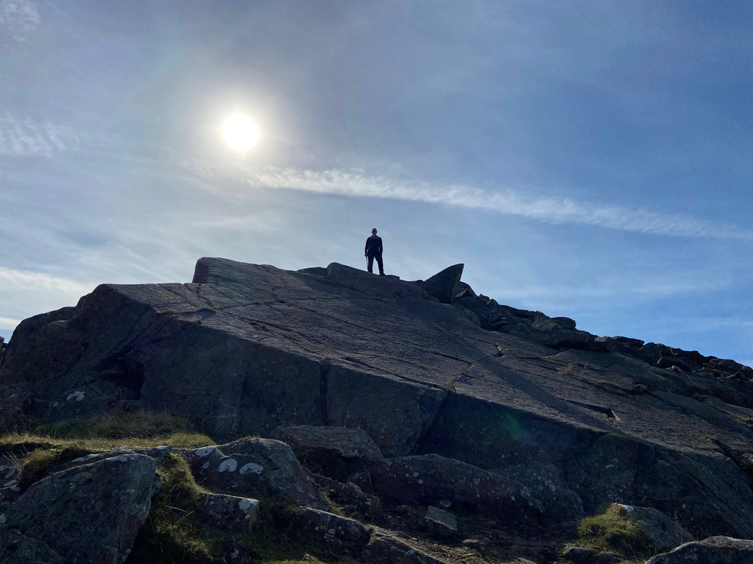
Not a bad day to be out
Fudge looks on as we approach the final part of the ridge before we start the steep descent
The Daear Ddu ridge
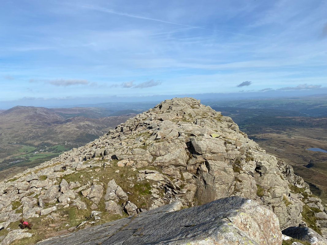
The final part of the upper ridge - we would be taking the route around to the left
Heading around the left hand side of the final rocky section
Time to begin the steep descent but not before a final look at that superb view
A last look at The Glyders, Tryfan & The Carneddau
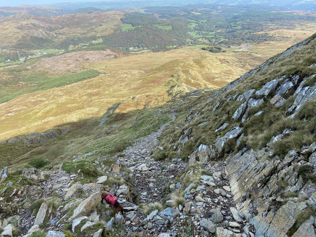
The initial part of the descent down the north east ridge is steep & over loose stone where a bit of care needs to be taken
The steepness gradually eases and just below this rocky knoll the terrain becomes easier
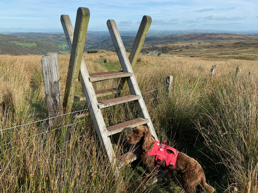
As usual His Lordship waits for a lift up as we arrive at the junction with our outward route. What an absolutely cracking walk this is.
