Carrock Fell, High Pike & Knott - 9 December 2018
Route
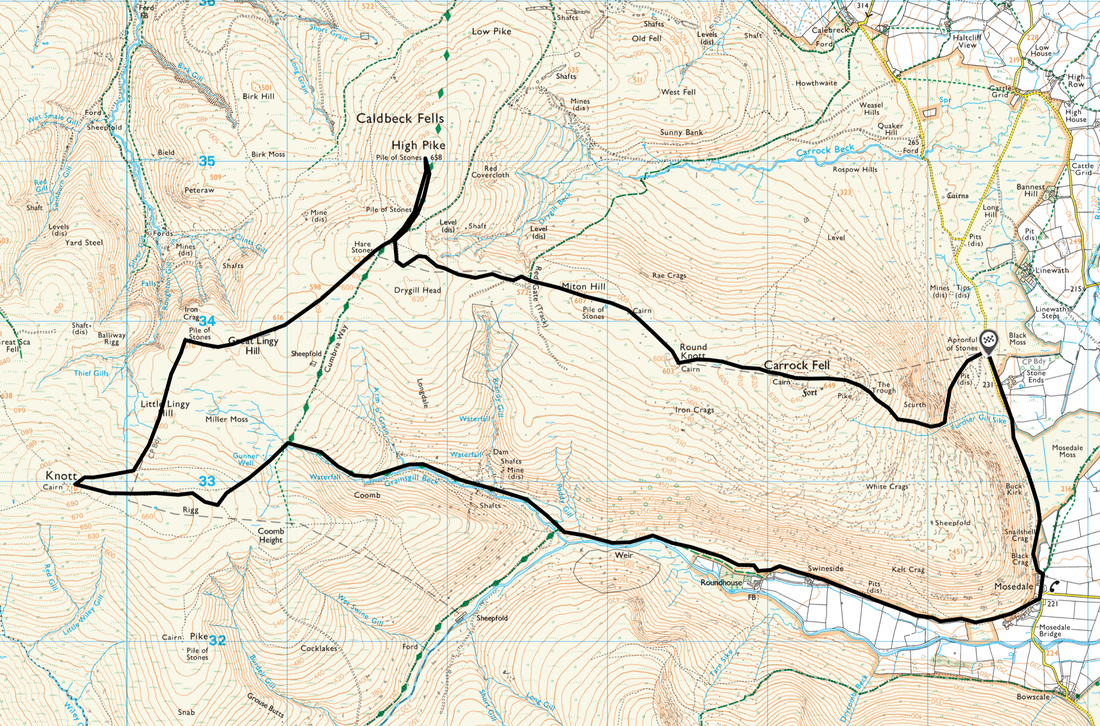
Apronful of Stones - The Trough - Carrock Fell - Round Knott - Miton Hill - High Pike - Hare Stones - Great Lingy Hill - Miller Moss - Little Lingy Hill - Knott - Grainsgill Beck - Roundhouse - Mosedale - Apronful of Stones
Parking
Verge Parking at Apronful of Stones (Free) on the road between Mosedale and Calebreck - Grid Reference is NY 3537 3381. The nearest postcode is CA11 0XQ.
Mileage
11.1 miles
Terrain
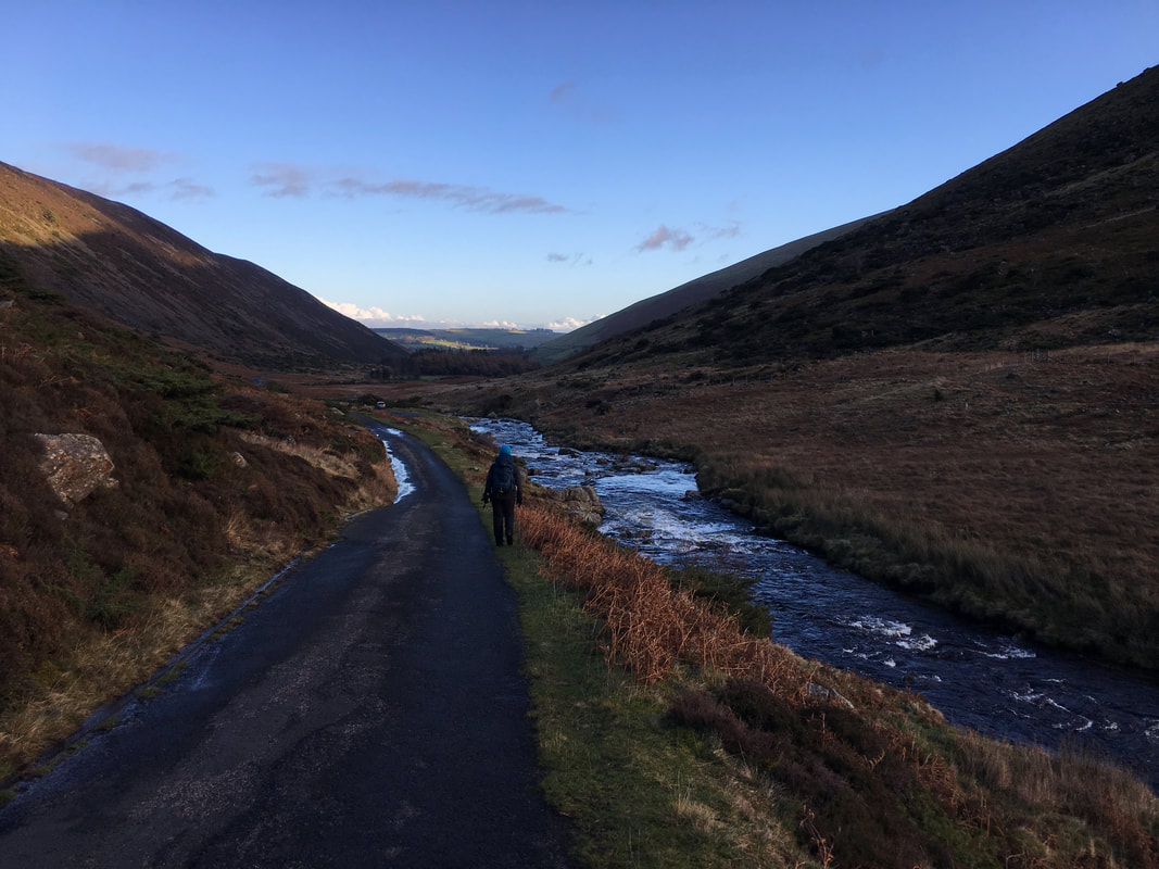
Good mountain paths as far as Hare Stones. Between Hare Stones and Knott is pathless for the most part and the ground in and around Miller Moss and over to Knott can get quite boggy after rain. From Mosedale back to the start at Apronful of Stones is along a quiet road.
Weather
A game of two halves. In the morning it was glorious however the afternoon was walked in low cloud for the most part.
Time Taken
5hrs 40mins
Total Ascent
2221ft (677m)
Wainwrights
3
Map
OL5 - The English Lakes (North Eastern Area)
Walkers
Dave, Angie & Fudge
|
GPX File
|
| ||
If the above GPX file fails to download or presents itself as an XML file once downloaded then please feel free to contact me and I will send you the GPX file via e-mail.
Route Map
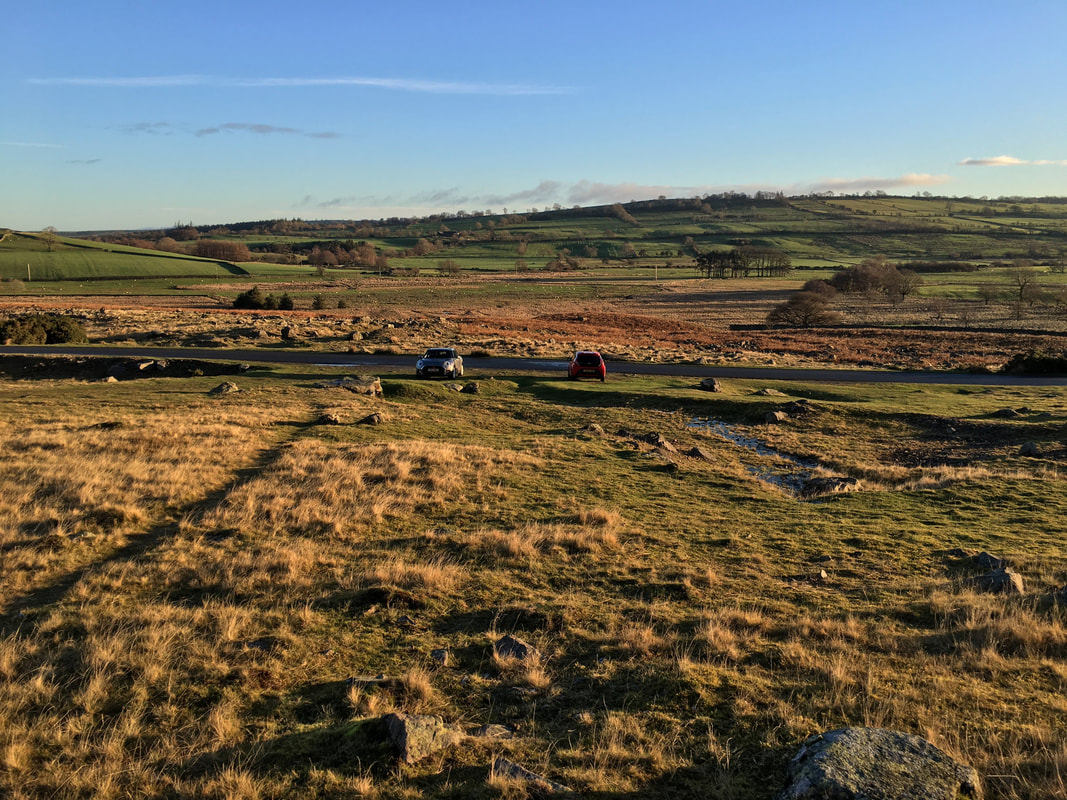
The walk starts from the rough verge parking at Apronful of Stones north of Stone Ends Farm
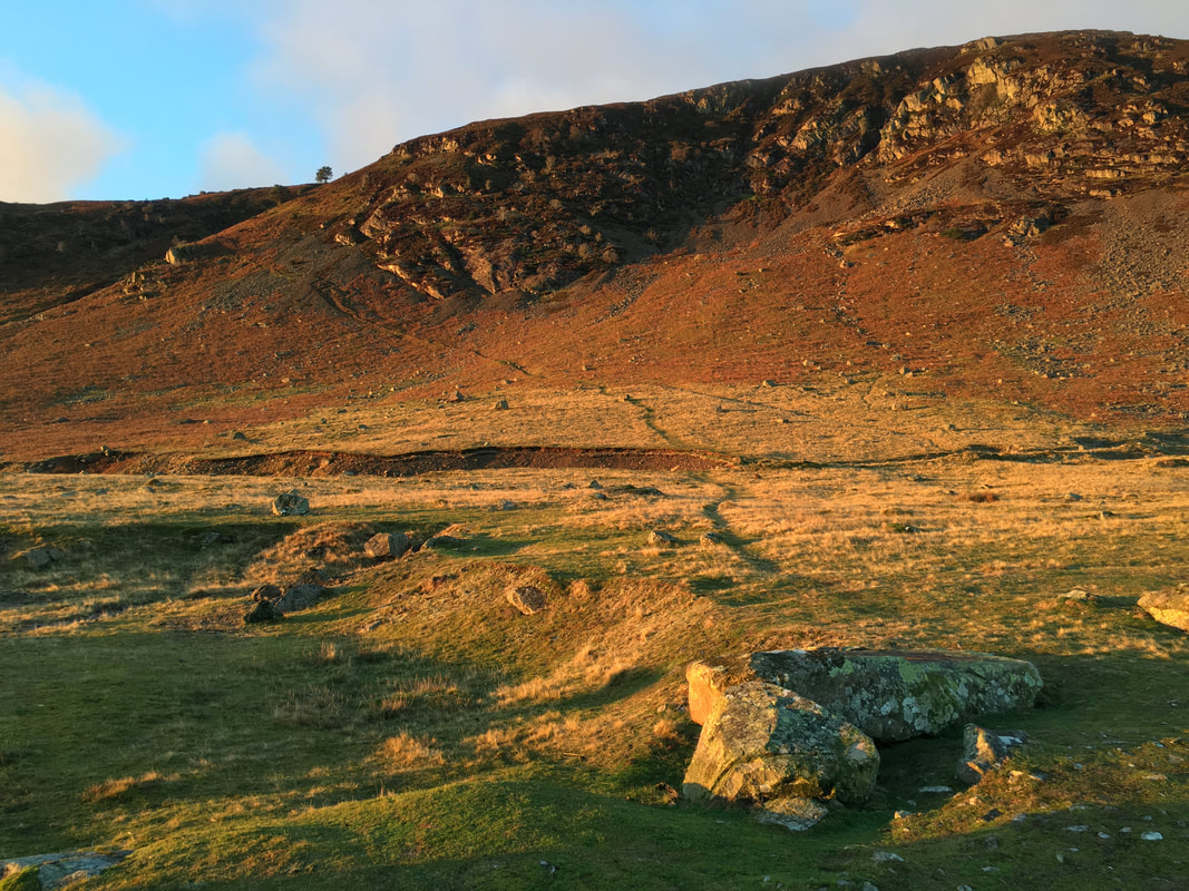
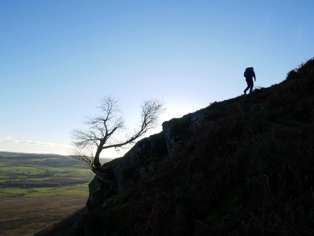
From Apronful of Stones the route heads up Rake Trod seen here sloping across from right to left
The start of Rake Trod
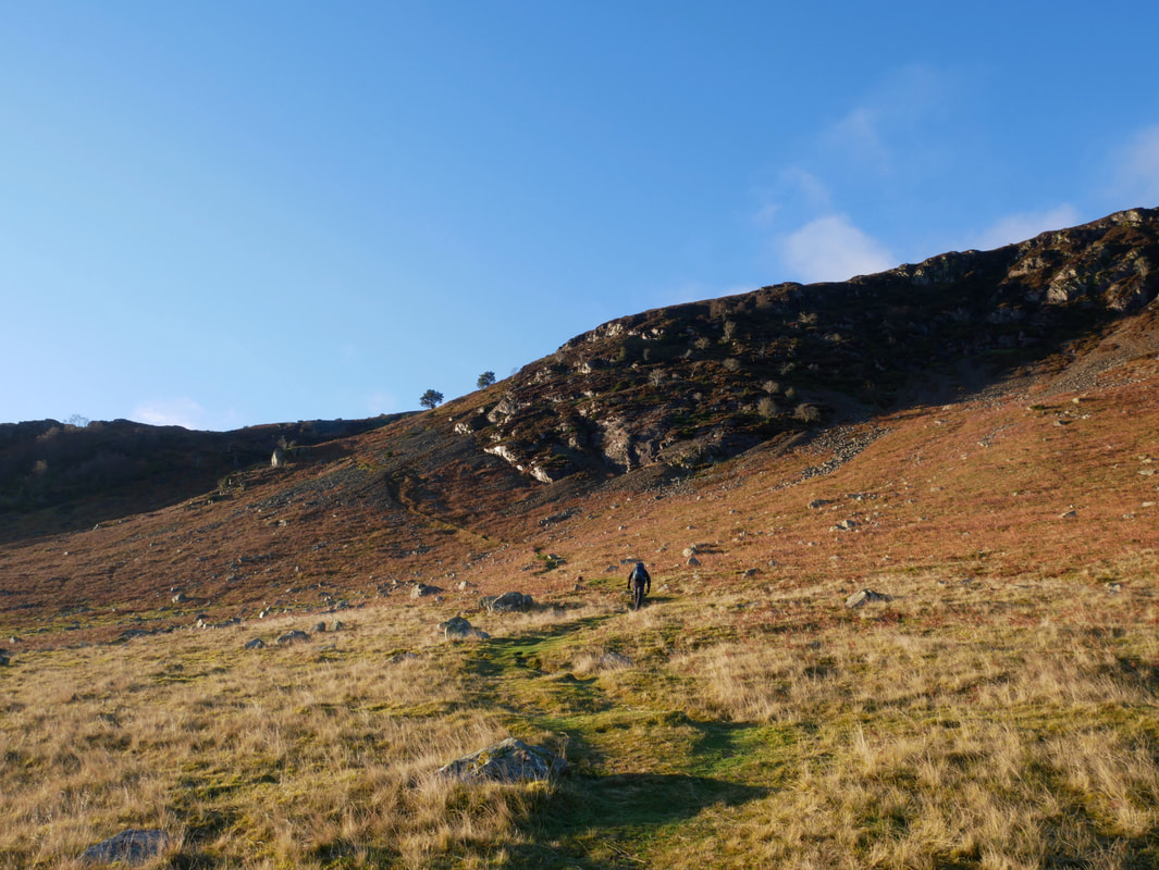
At the top of Rake Trod the path swings to the right
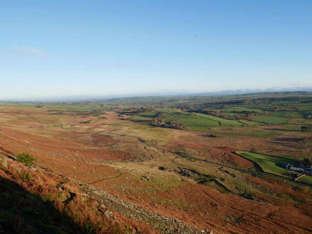
Looking back down to Apronful of Stones from Rake Trod with Stone Ends Farm to the right
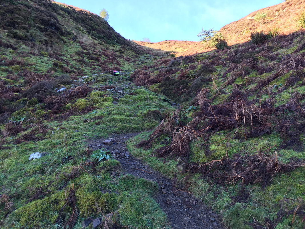
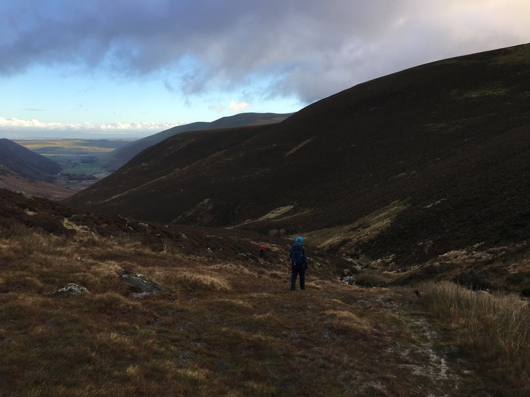
From Rake Trod the route enters the gully of Further Gill Sike. This is a rough transit but not technically difficult.
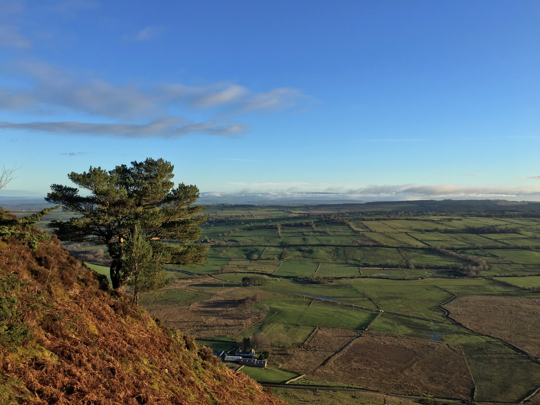
Looking across to the Pennines from Further Gill Sike
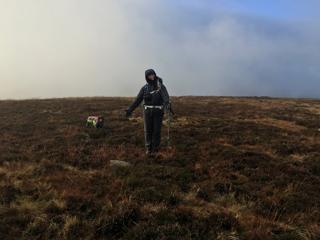
We certainly had the best of the weather this morning but would it hold - let's wait and see eh!
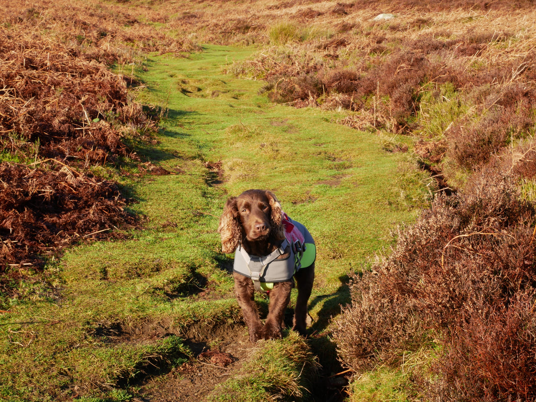
Fudge at the top of Further Gill Sike. The rough and stony path gives way to a grassy swathe.
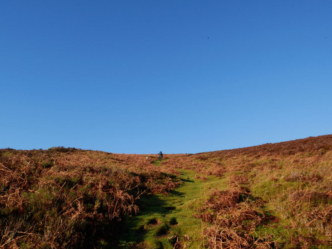
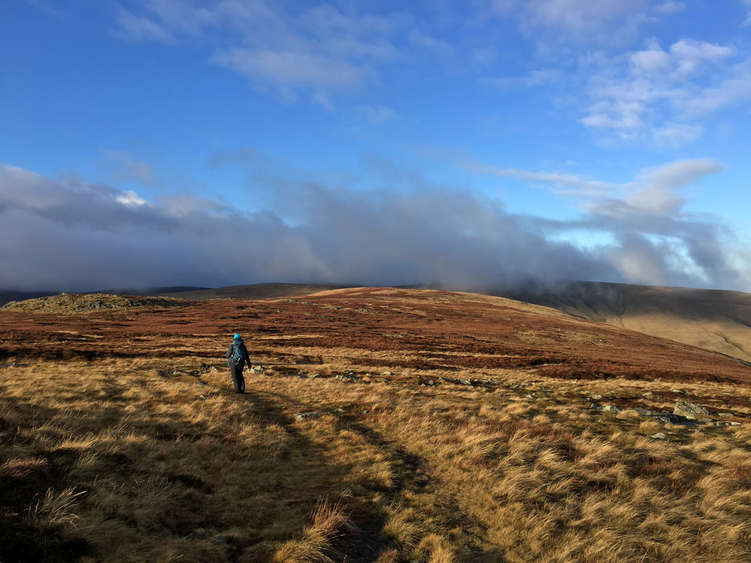
Whilst still relatively steep, the gradient eases as we press on towards the top of the ridge.
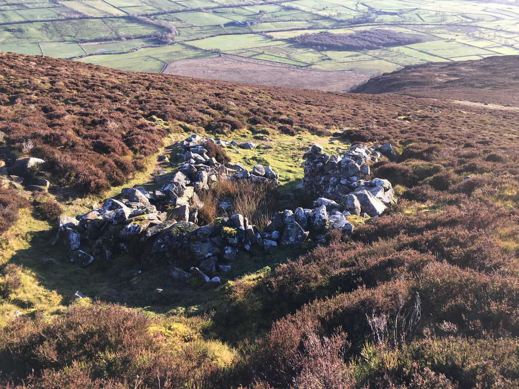
The route passes an old sheepfold near the top of the ridge
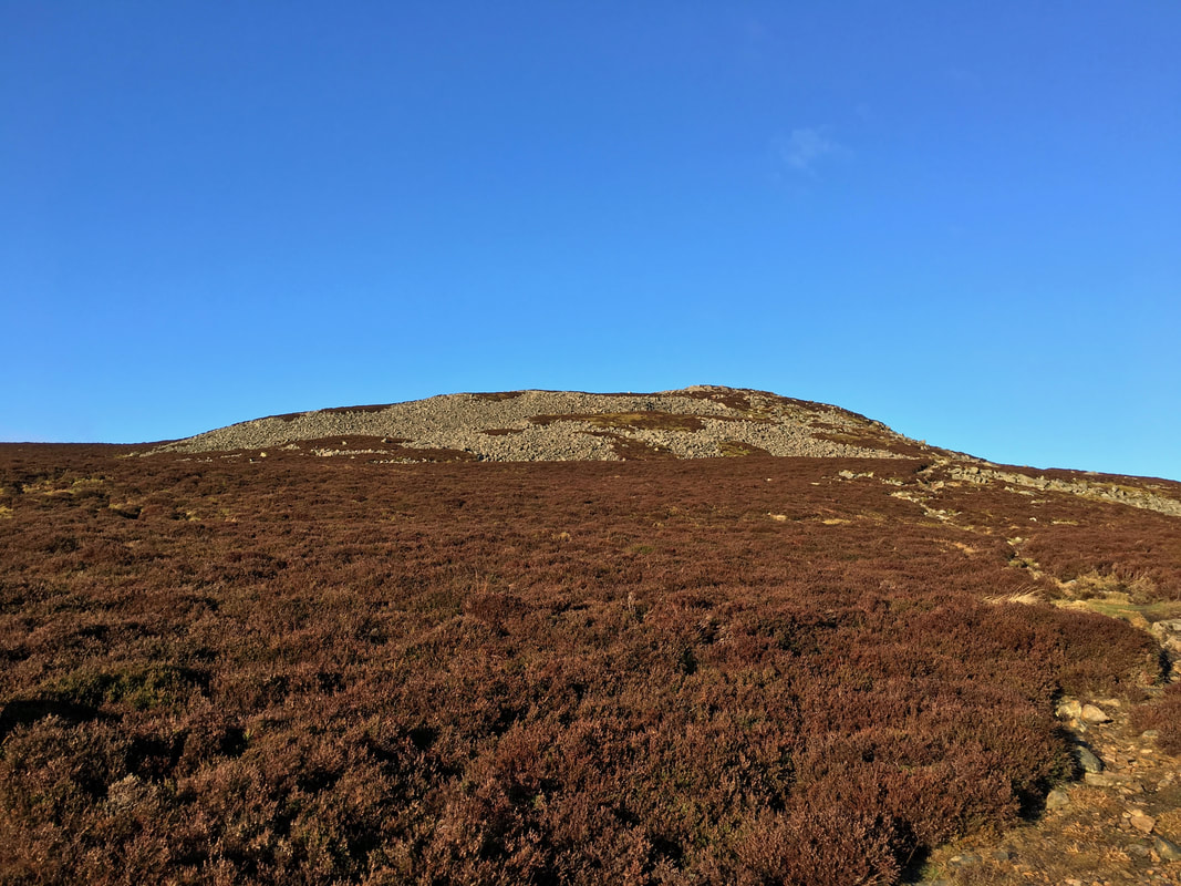
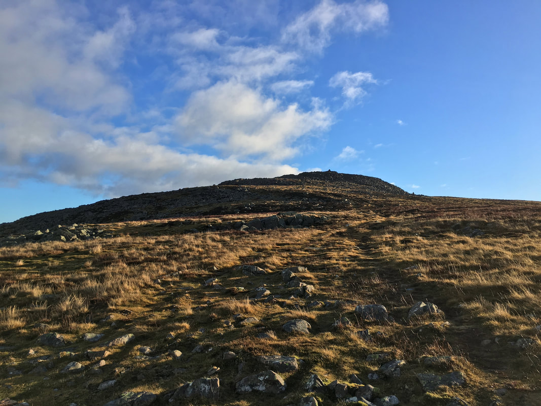
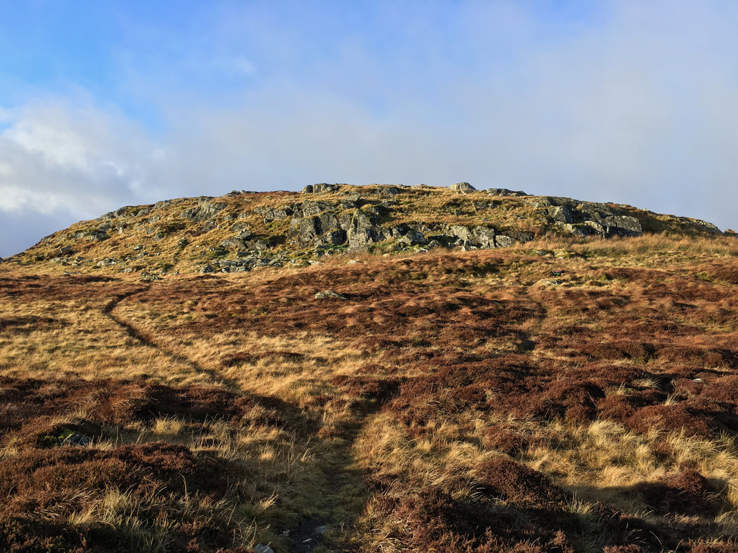
Once past the sheepfold the eastern top of Carrock Fell comes into view
The eastern top of Carrock Fell
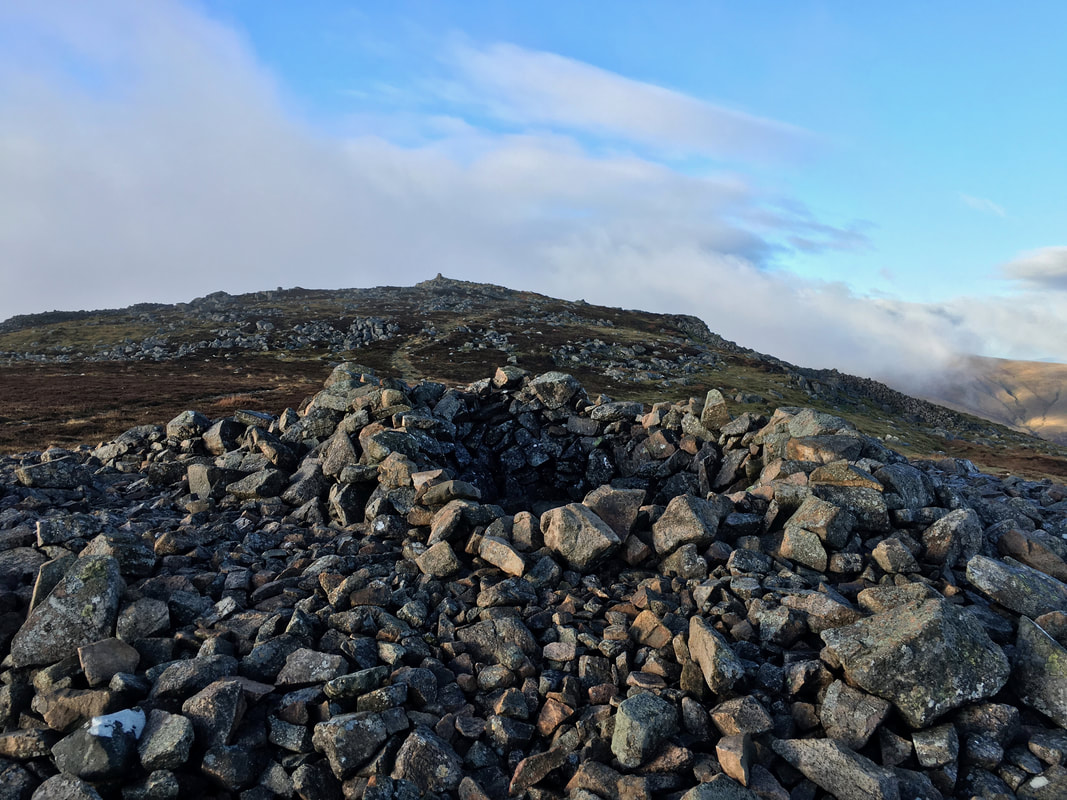
With the summit now in sight the path passes a deep stone shelter
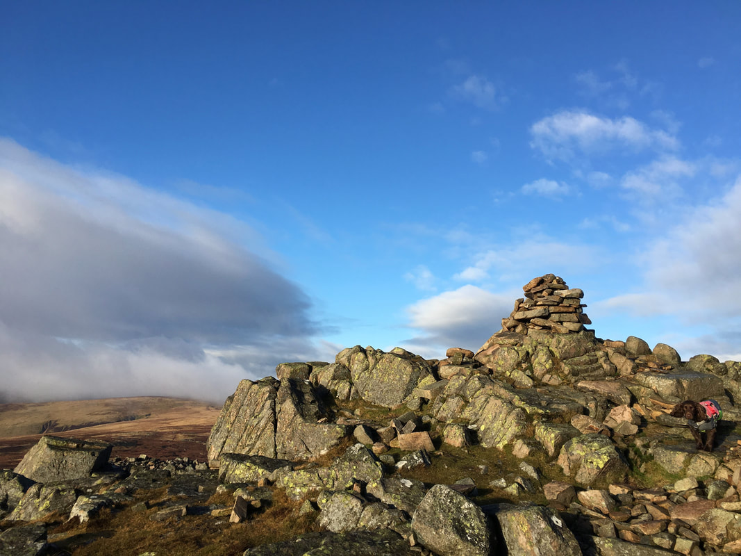
The summit of Carrock Fell
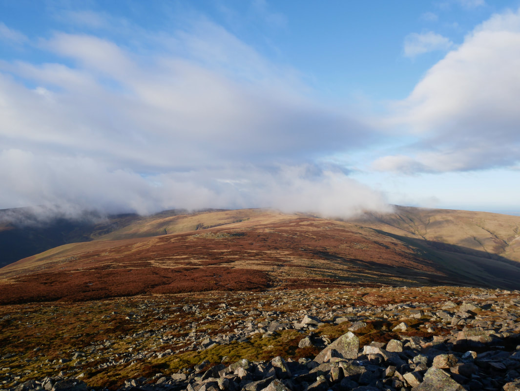
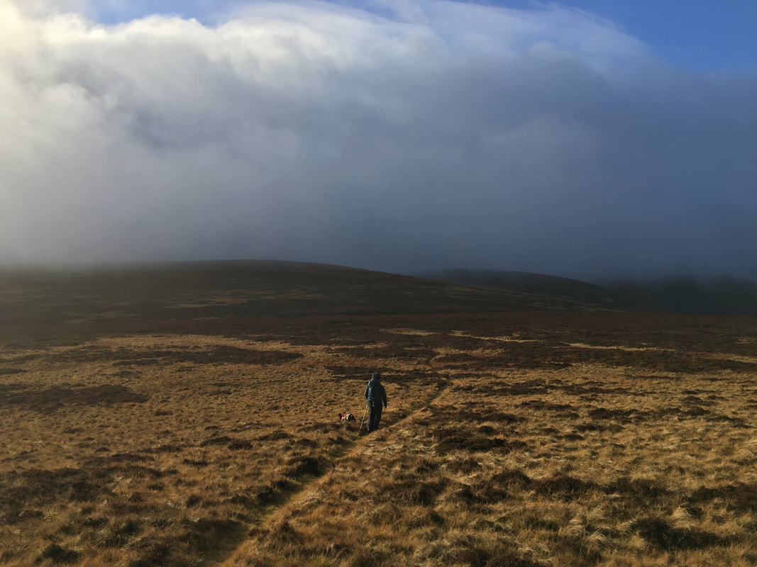
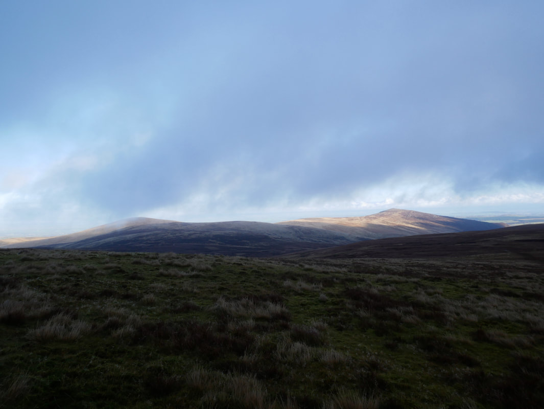
Looking to our onward route over to Miton Hill - I don't like the look of that cloud
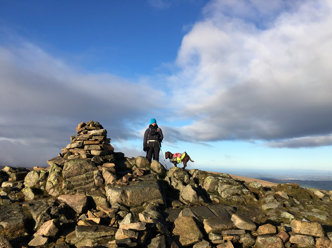
Angie & a precarious looking Fudge on the summit of Carrock Fell
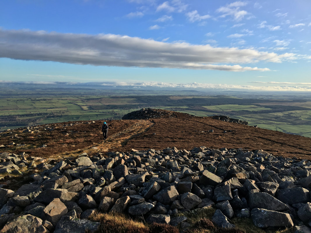
Carrock Fell from the path to Round Knott & Miton Hill
Approaching Round Knott which is to the left and Miton hill to the right
Round Knott - well worth the ever so slight detour
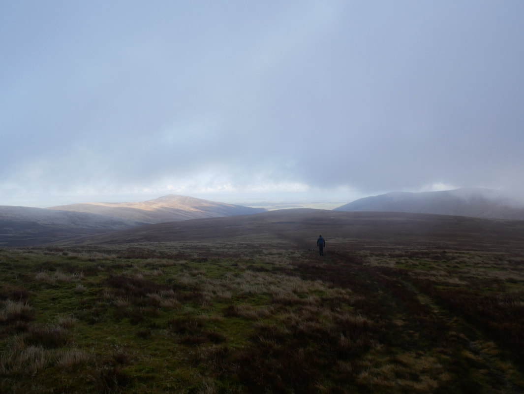
The summit of Miton Hill - it looked like our luck had run out with the weather
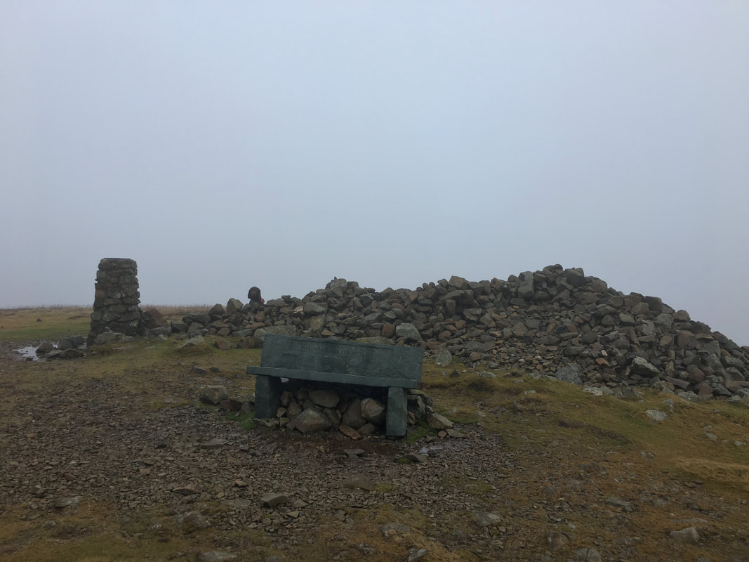
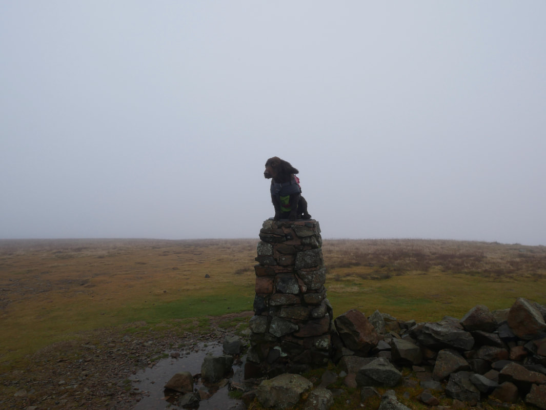
The summit of High Pike. From Miton Hill to the summit of High Pike was over featureless ground. The stone seat is a memorial and replaced a wooden one that once sat in the very same spot.
As is tradition
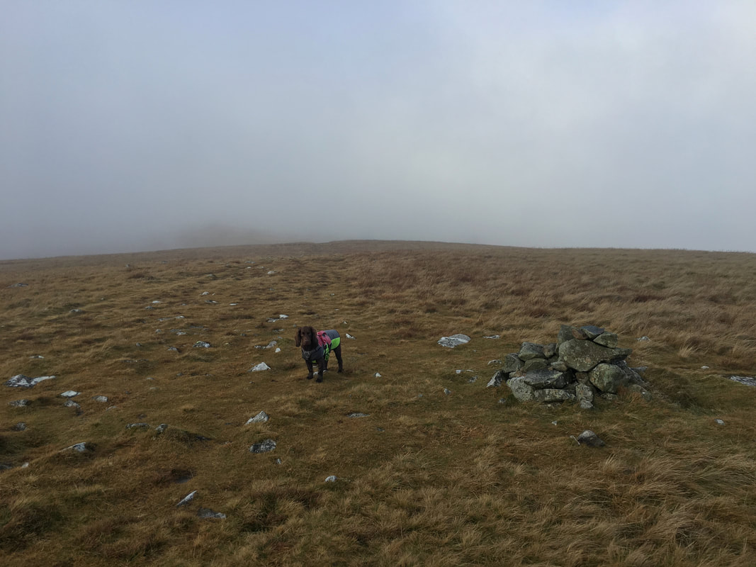
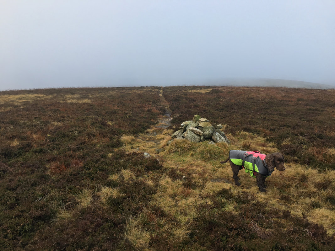
The understated summit of Hare Stones and an unimpressed pooch
Heading for Great Lingy Hill
The summit of Great Lingy Hill
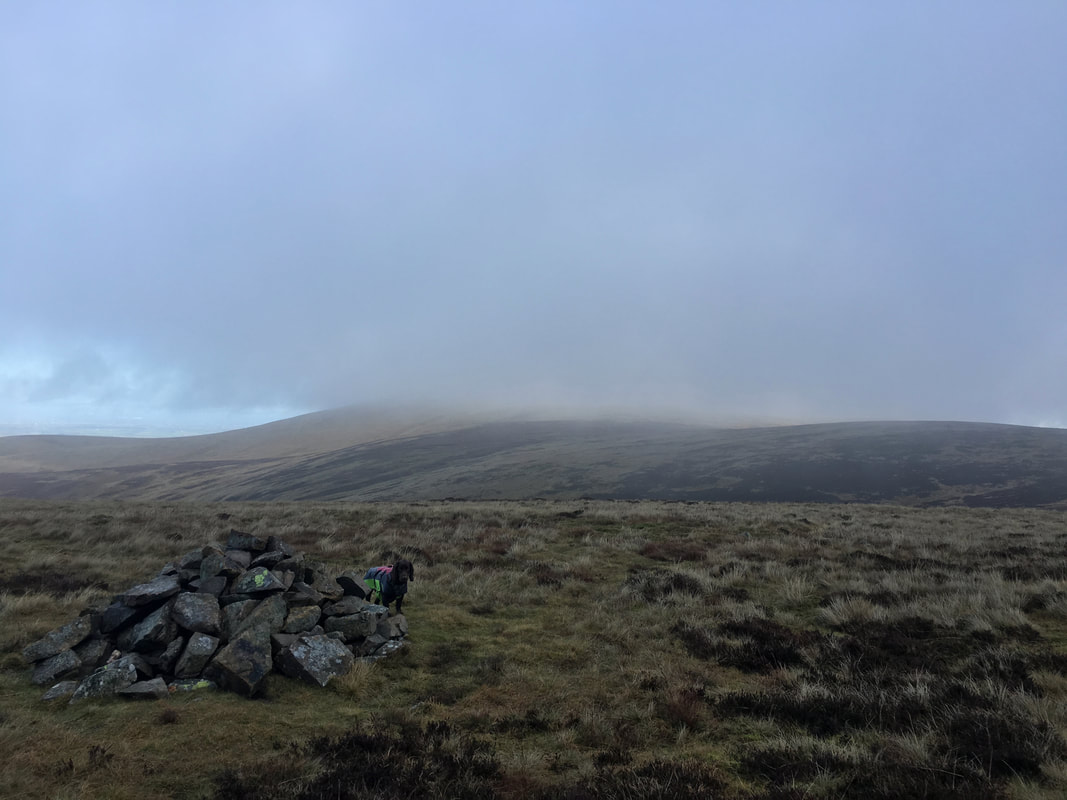
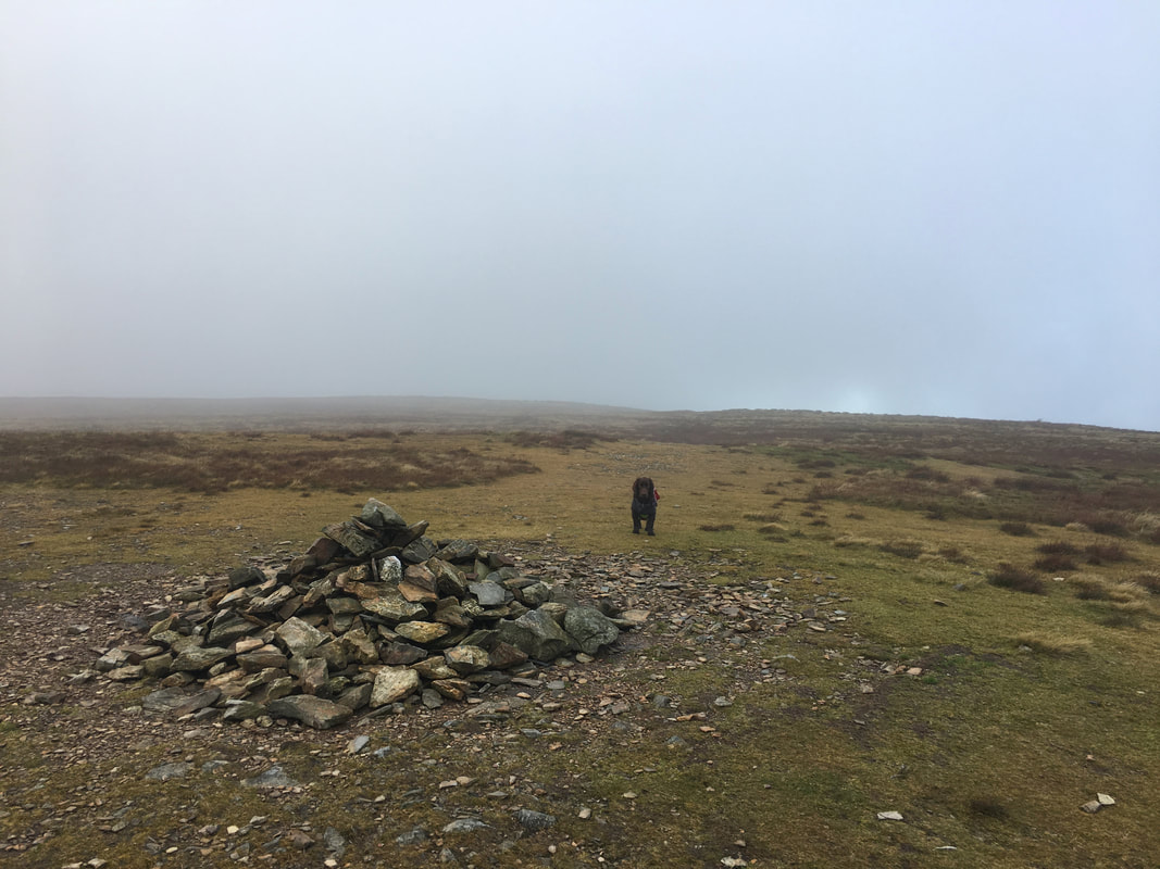
The summit of Miller Moss. The fell is now classified as a Nuttall (2000ft or over) having been remeasured on 1 August 2018.
On the summit of Knott
High Pike & Carrock Fell from Knott
The cloud was doing its best to dissipate as we head down to join The Cumbria Way at Grainsgill Beck
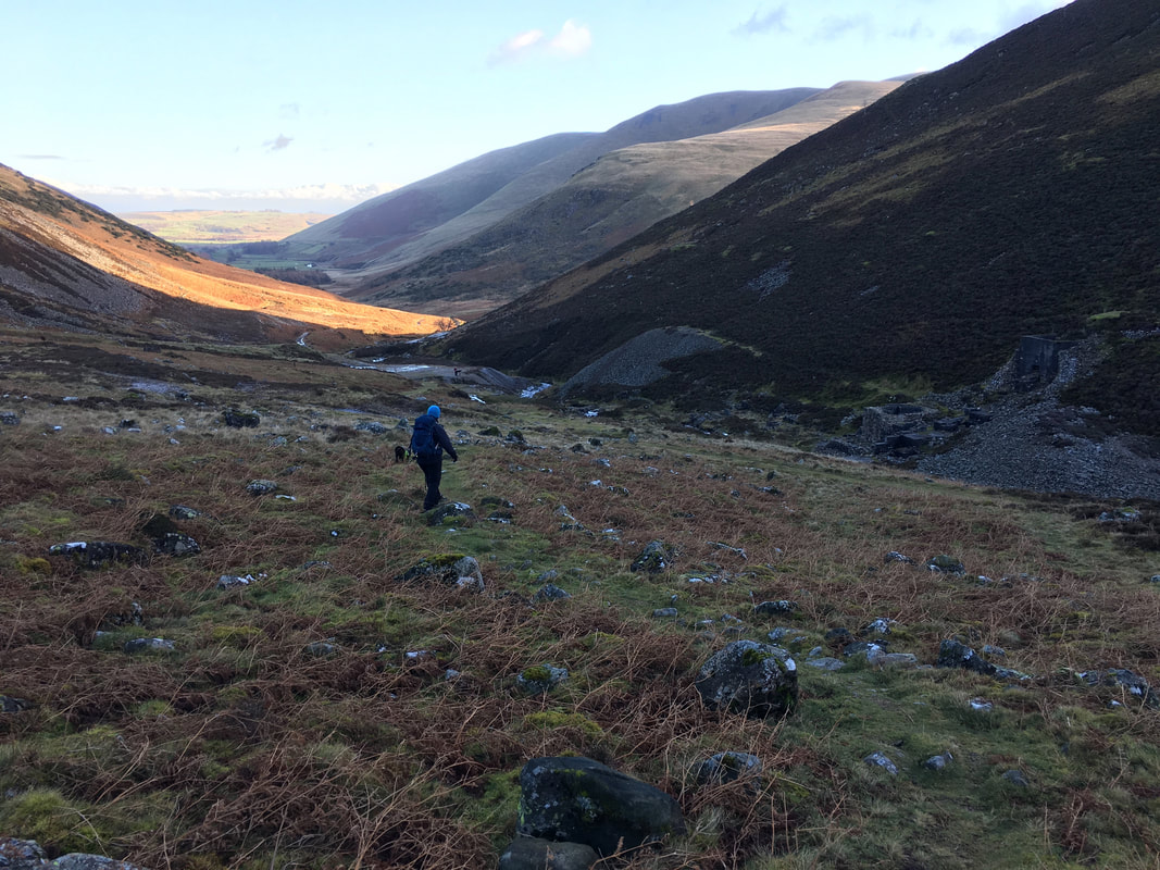
Grainsgill Beck and the beginning of our descent down to Mosedale
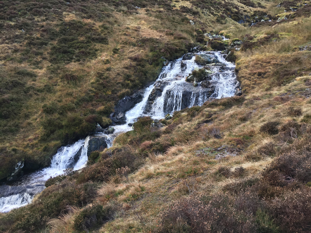
The gentle cascades of Grainsgill Beck
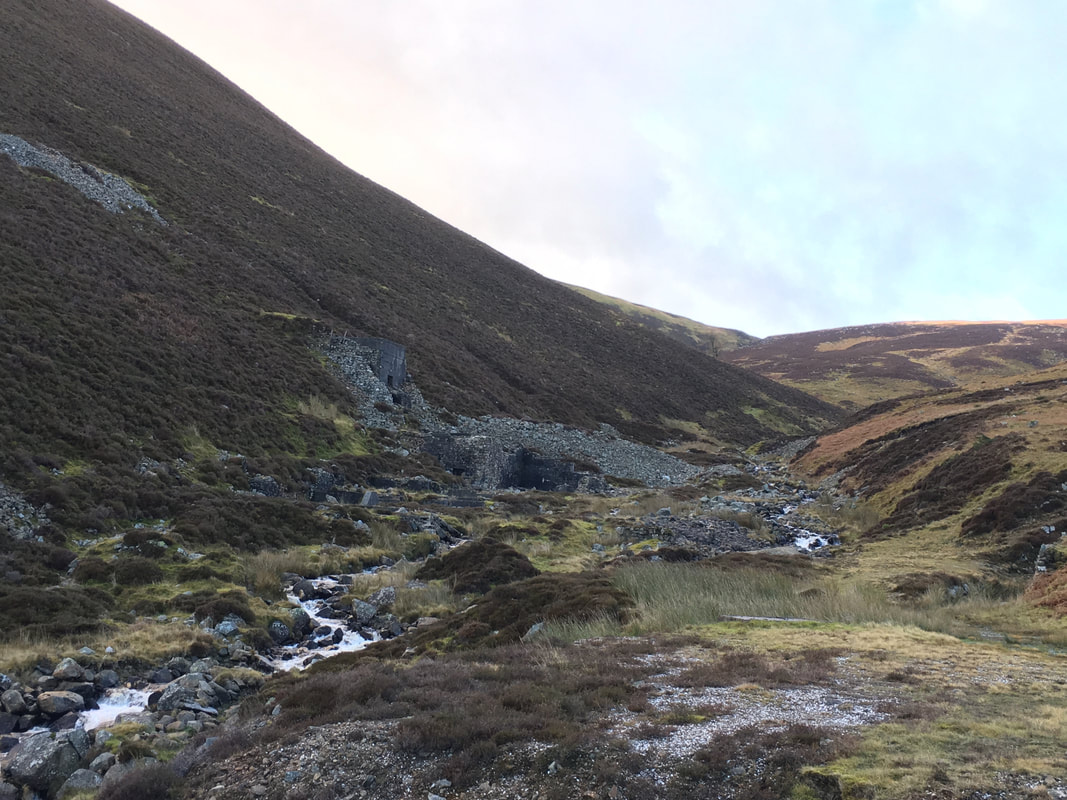
Approaching the Carrock Mine ruins
The ruins of Carrock Mine
Wolfram was mined at Carrock Mine. The mine was the only locality outside of Cornwall and Devon to have produced wolfram. Along with Castle-an-Dinas Mine, near St Austell in Cornwall, it was the only mine in the country where wolfram was the sole ore produced. Wolfram and scheelite are the chief ores of tungsten. The mine has worked spasmodically since 1854, but never for very long, as mining is only viable when the price of tungsten is at its peak. The last period of working finished in October 1981.
Wolfram was mined at Carrock Mine. The mine was the only locality outside of Cornwall and Devon to have produced wolfram. Along with Castle-an-Dinas Mine, near St Austell in Cornwall, it was the only mine in the country where wolfram was the sole ore produced. Wolfram and scheelite are the chief ores of tungsten. The mine has worked spasmodically since 1854, but never for very long, as mining is only viable when the price of tungsten is at its peak. The last period of working finished in October 1981.
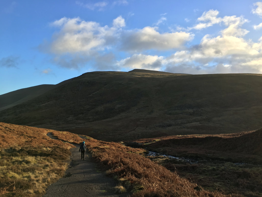
Walking towards Mosedale with Bowscale Fell up to the right
The road to Mosedale handrails the River Caldew
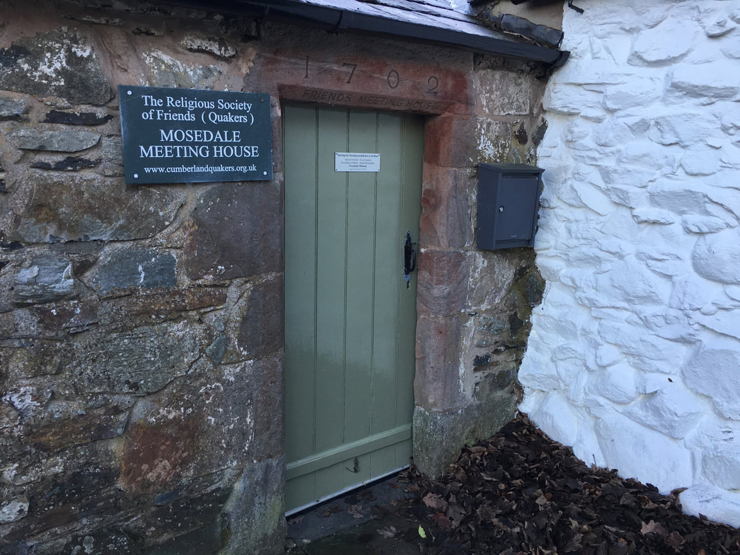
The Quaker Meeting House in Mosedale. Meetings are held weekly in summer and fortnightly in winter. The meeting house was created in 1702 from an earlier building, was used for regular meetings until 1865, became an Anglican chapel of ease 1936–1970, and was restored for use by Quakers in 1973.
