Berwick-upon-Tweed to Belford - Saturday 21 September 2019
Route
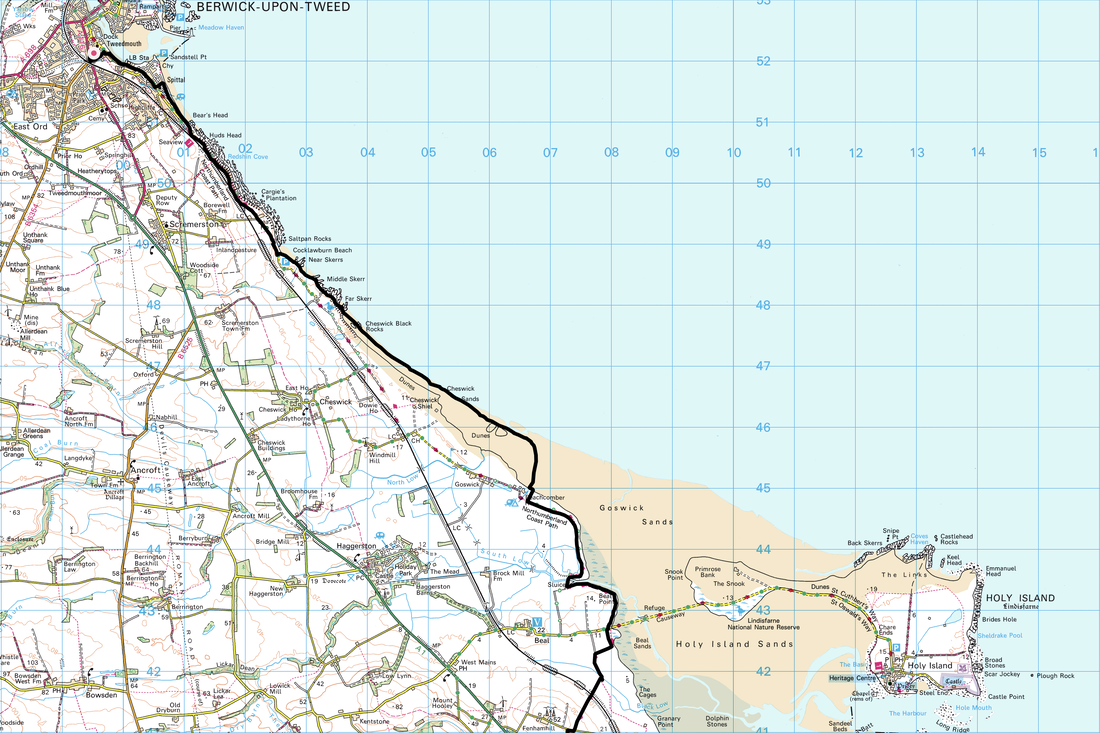
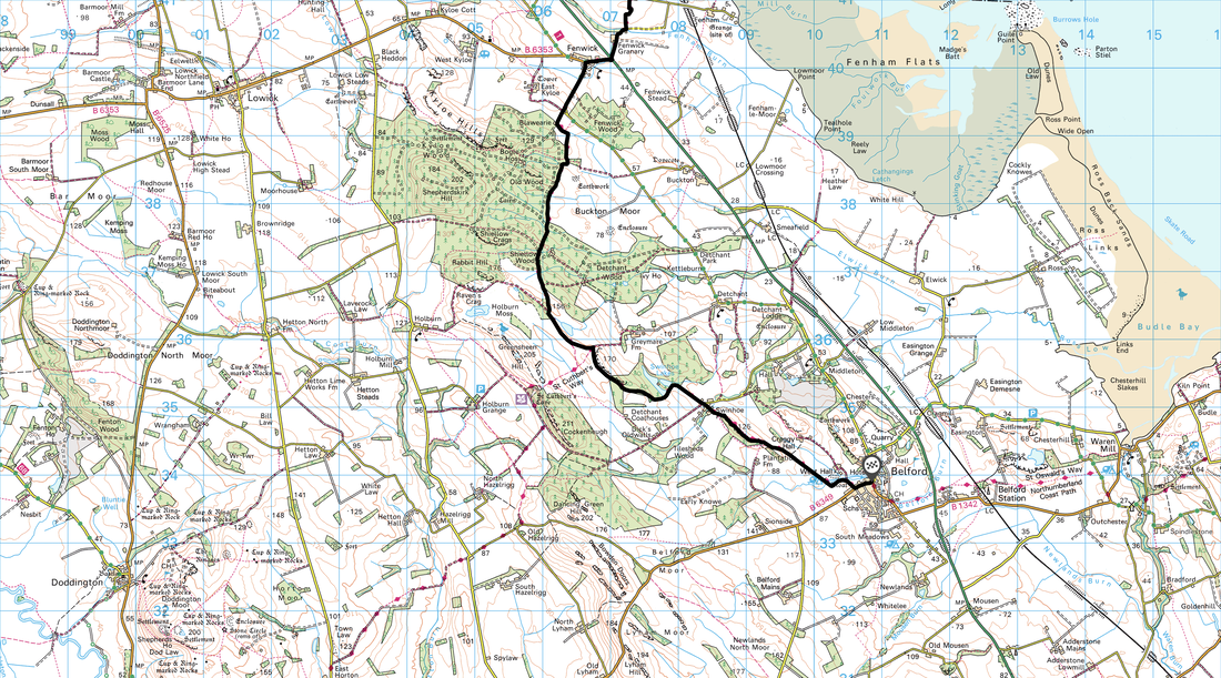
Berwick-upon-Tweed - Spittal - Cocklawburn Beach - Cheswick Sands - Goswick Sands - Beal Point - Holy Island (Lindisfarne) Causeway - Fenham Hill - Fenwick - Shiellow Wood - Swinhoe Farm - Belford
Parking
We parked in Belford where there is free parking opposite The Blue Bell Inn at Grid Ref NU 109339. The nearest postcode is NE70 7NG. We then caught the X15 Bus to Berwick-upon-Tweed and started our walk from near the Asda in Tweedmouth - Grid Ref NT994520.
Mileage
18.6 miles
Terrain
Sandy beaches and woodland paths with some tarmac walking along Spittal Promenade and quiet country lanes.
Weather
Gloriously sunny with light breezes.
Time Taken
8hrs
Total Ascent
1033ft (315m)
Map
OS 346 Berwick-upon-Tweed
Walkers
Dave, Angie & Fudge
|
GPX File
|
| ||
If the above GPX file fails to download or presents itself as an XML file once downloaded then please feel free to contact me and I will send you the GPX file via e-mail.
Walk Description
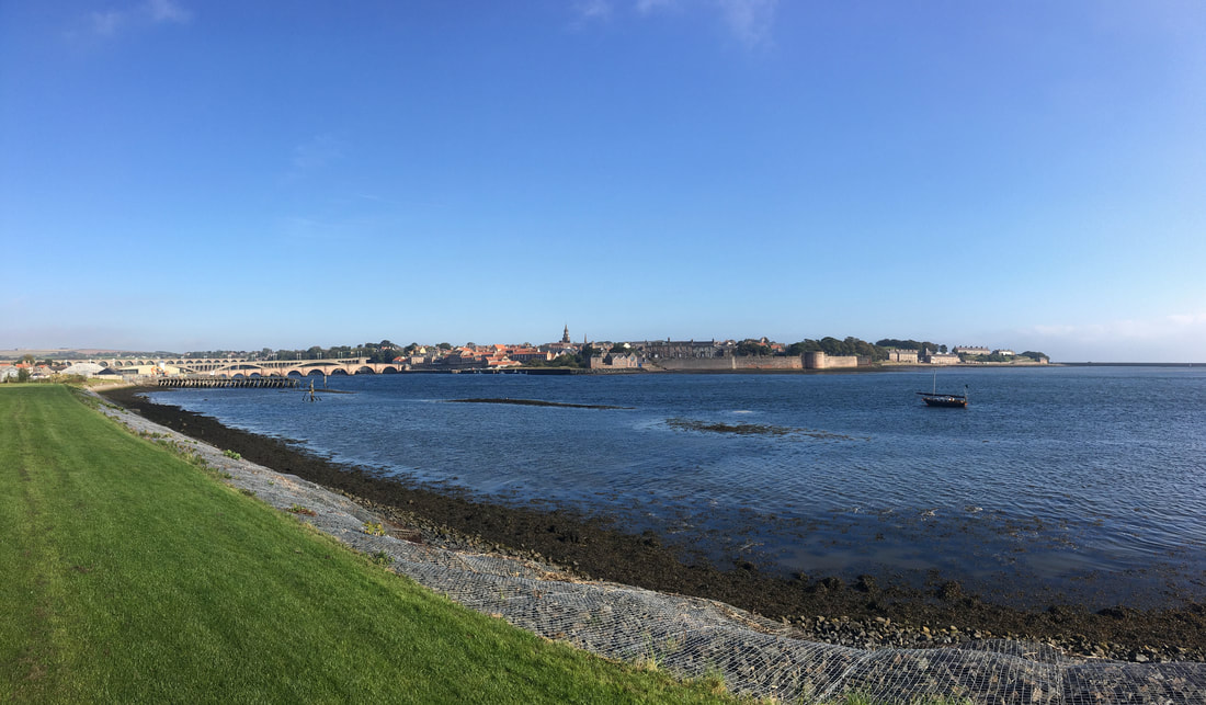
Looking to Berwick-upon-Tweed from Tweedmouth
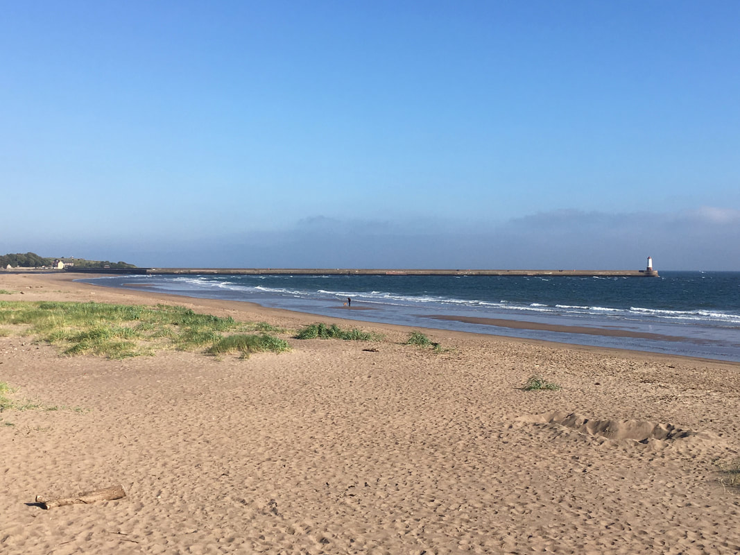
The lighthouse & breakwater of Berwick-upon-Tweed.
The sandstone breakwater was built between 1810 & 1825 with the lighthouse added in 1826.
The sandstone breakwater was built between 1810 & 1825 with the lighthouse added in 1826.
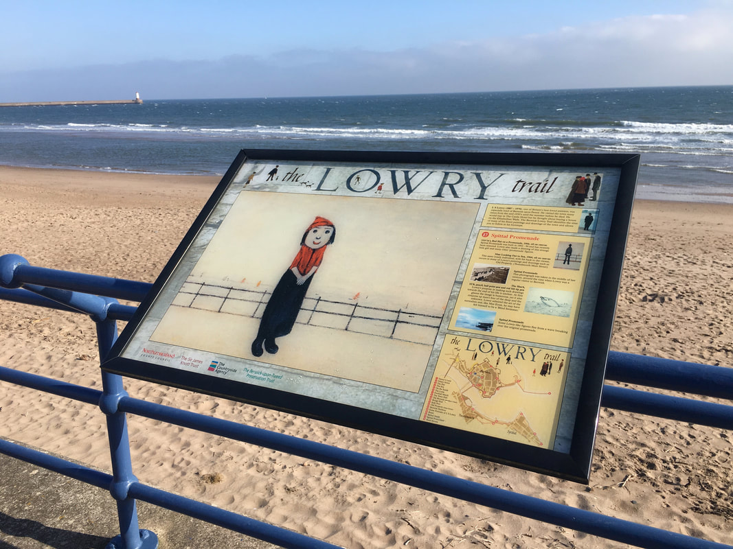
The painter L S Lowry (1887 - 1976) was a frequent visitor to Berwick-upon-Tweed.
The Berwick Lowry Trail identifies the sites of many of his finest paintings and drawings of the town and allows the visitor to follow in his footsteps. Altogether Lowry produced a fascinating group of more than thirty drawings and paintings of the Berwick area.
The Berwick Lowry Trail identifies the sites of many of his finest paintings and drawings of the town and allows the visitor to follow in his footsteps. Altogether Lowry produced a fascinating group of more than thirty drawings and paintings of the Berwick area.
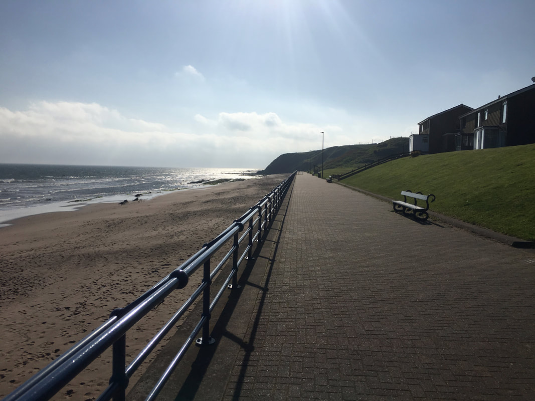
The promenade at Spittal
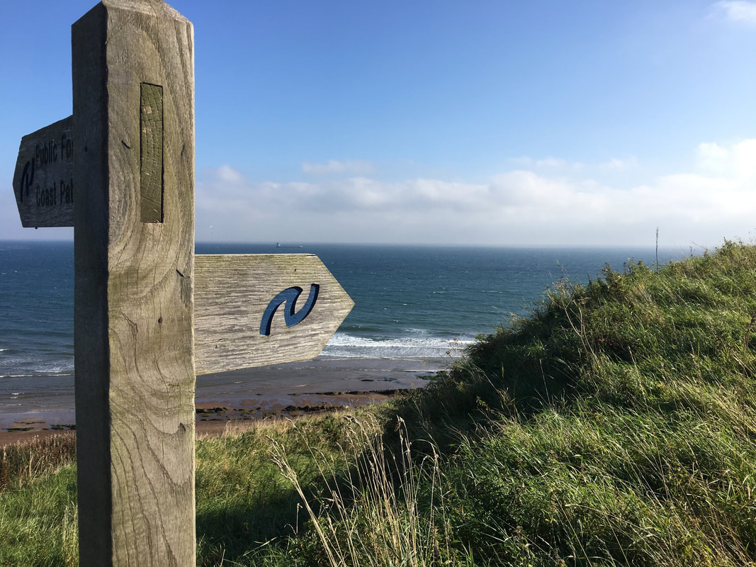
We were now on the Northumberland Coast Path.
The Northumberland coast offers some of the finest coastal walking in Europe. The path follows this stunningly beautiful coastline for 62 Miles from Cresswell in the south to Berwick-upon-Tweed in the north. Alongside sandy beaches, over rocky headlands, past dramatic castles and through attractive coastal villages, the Northumberland Coast Path offers a constantly changing landscape which is a pleasure to explore.
The Northumberland coast offers some of the finest coastal walking in Europe. The path follows this stunningly beautiful coastline for 62 Miles from Cresswell in the south to Berwick-upon-Tweed in the north. Alongside sandy beaches, over rocky headlands, past dramatic castles and through attractive coastal villages, the Northumberland Coast Path offers a constantly changing landscape which is a pleasure to explore.
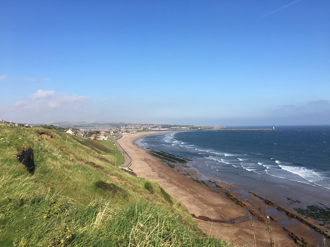
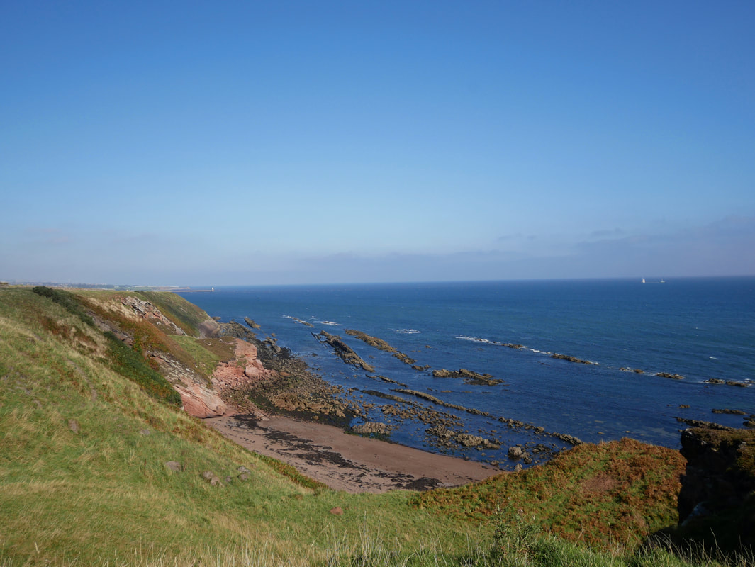
From Spittal the route now climbed above the shoreline
Redshin Cove
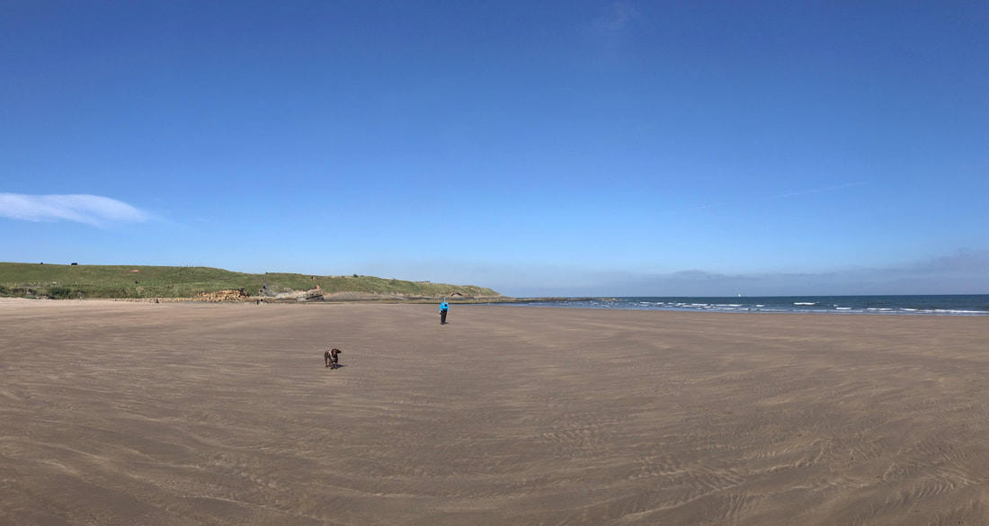
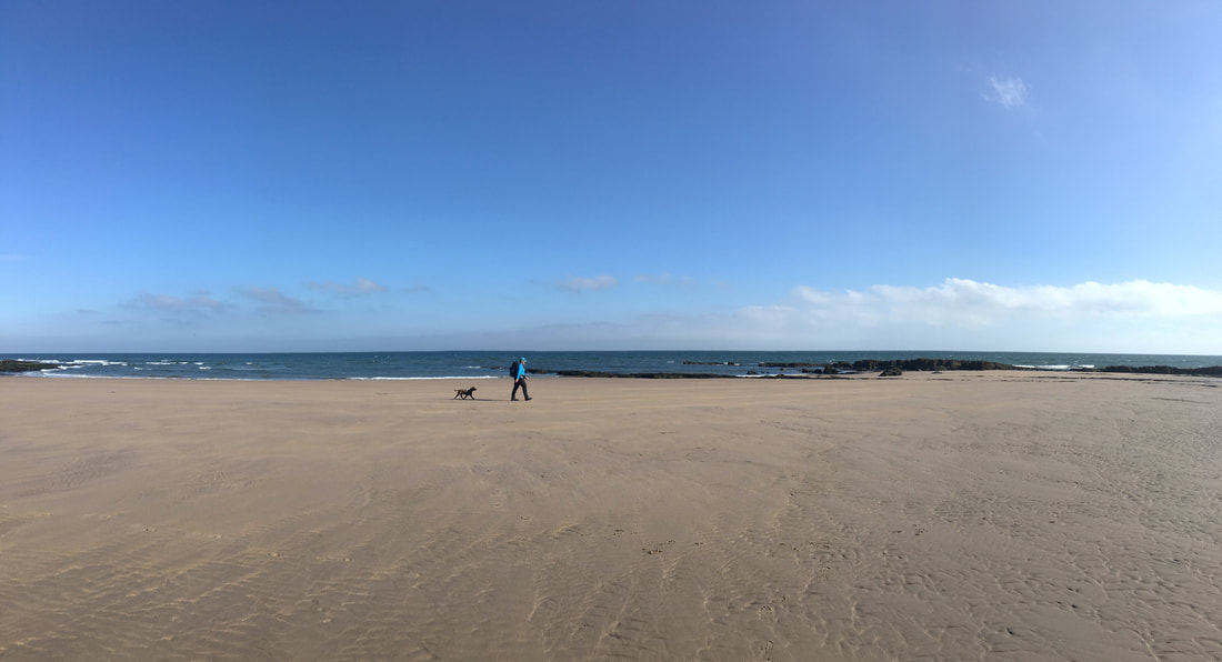
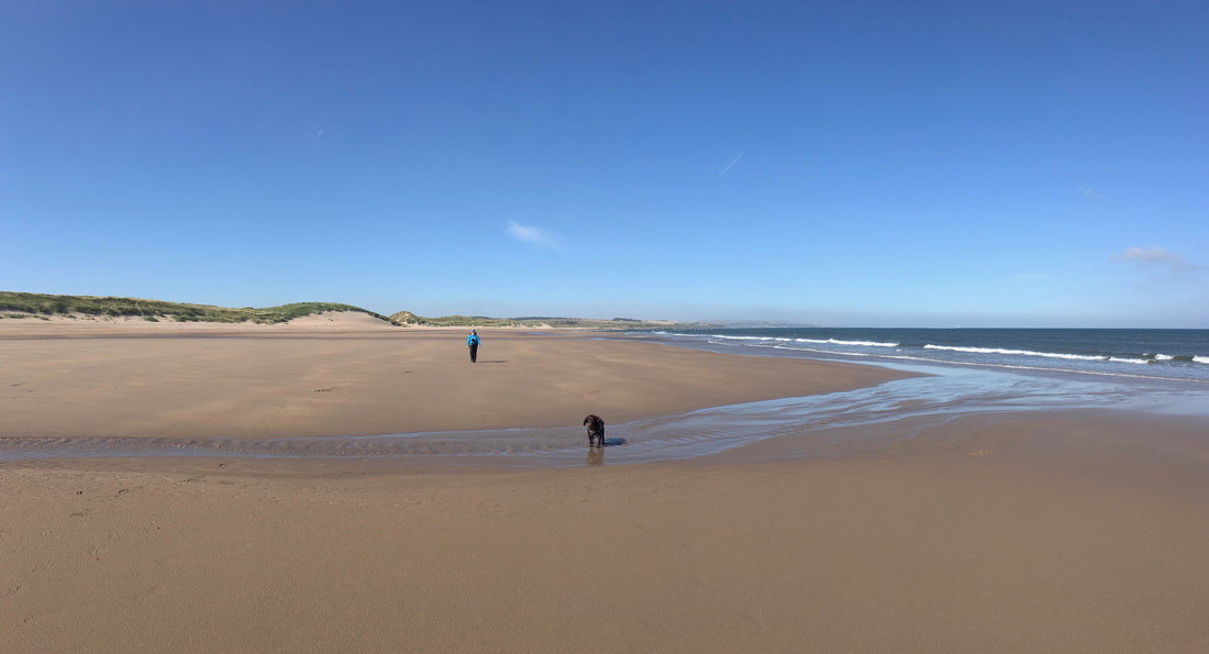
Cocklawburn Beach - Saturday morning and nobody here
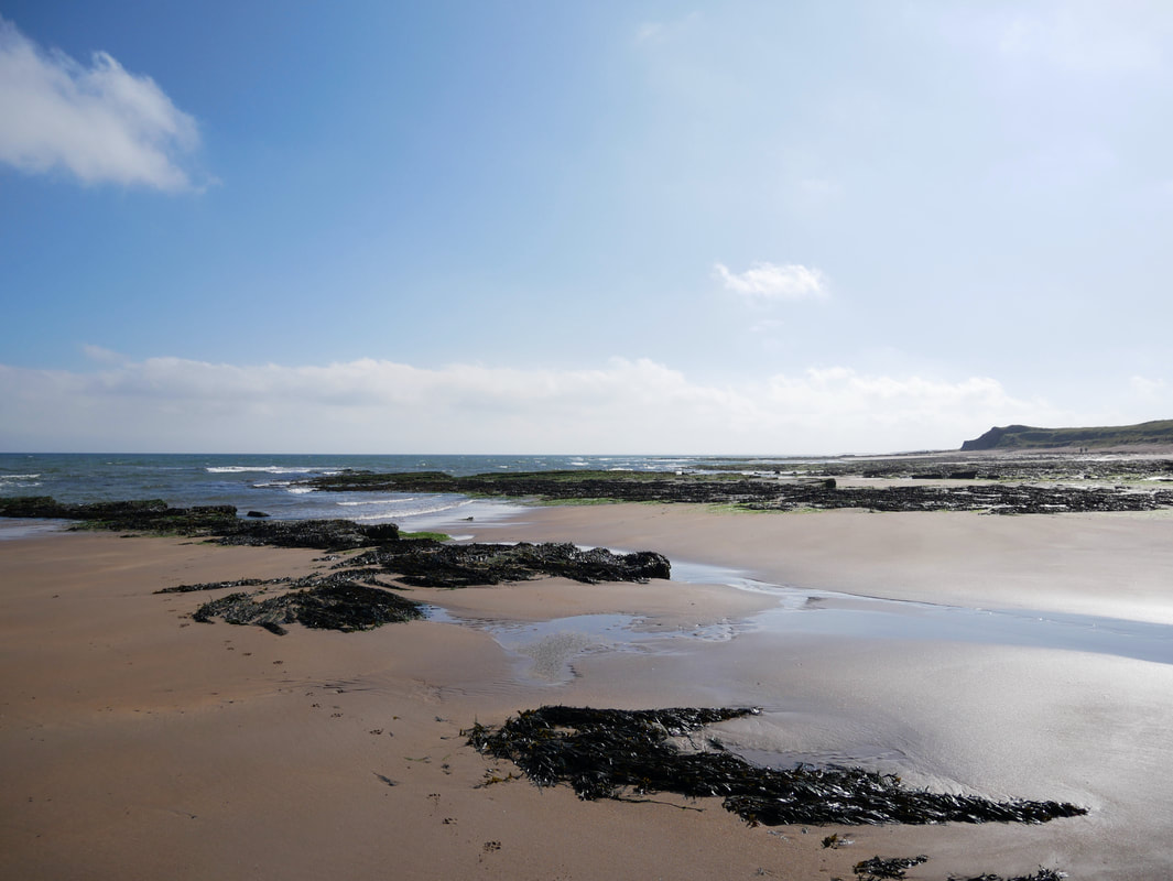
Cocklawburn Beach looking south to Far Skerr
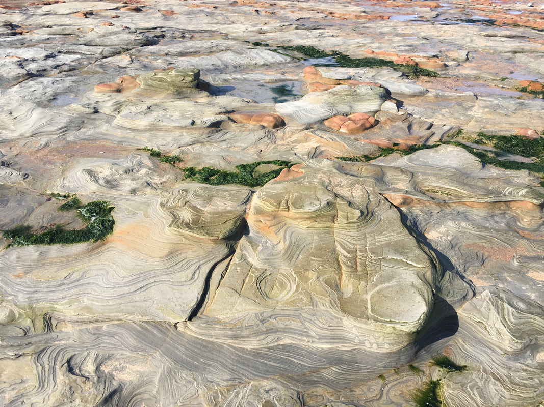
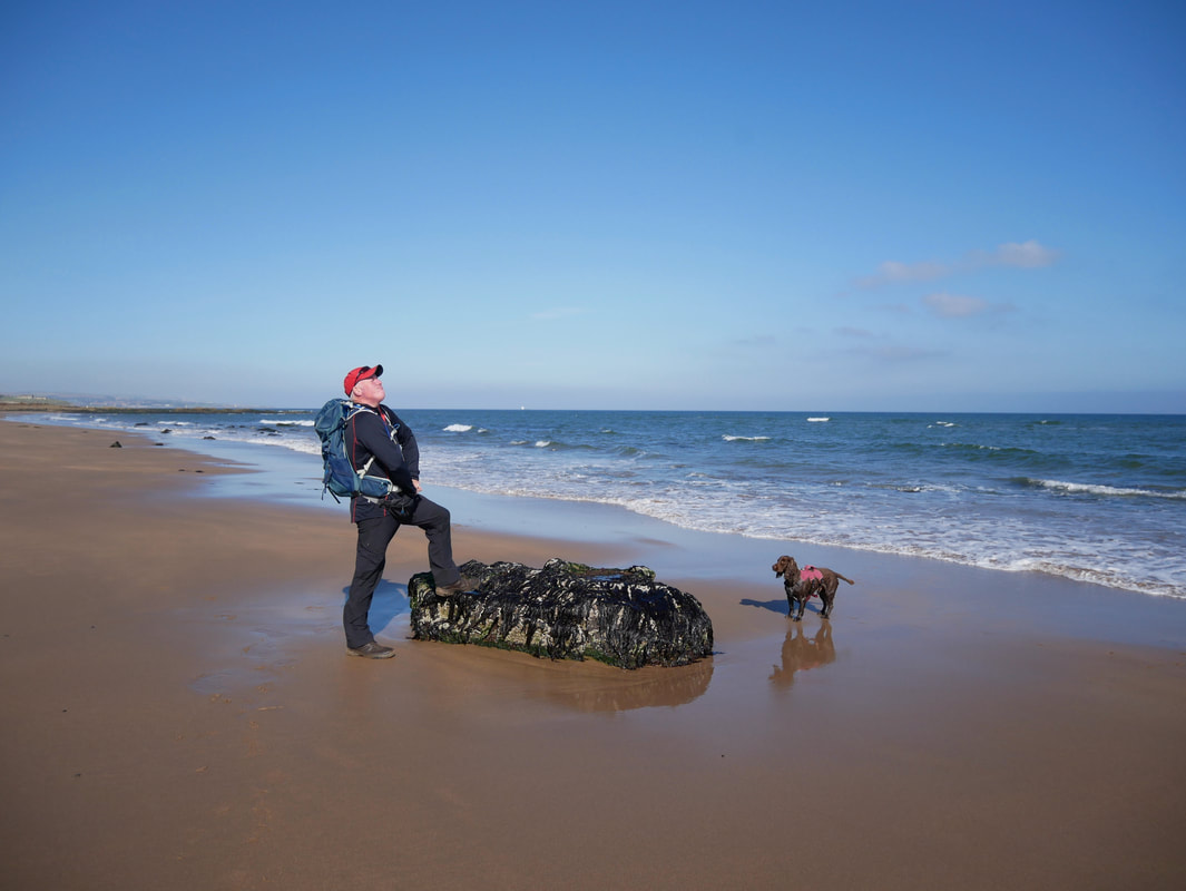
I had never come across this type of geology on a beach until today.
The rock layers appear to be folded and therefore the shapes and strata were extremely unusual and beautiful.
The rock layers appear to be folded and therefore the shapes and strata were extremely unusual and beautiful.
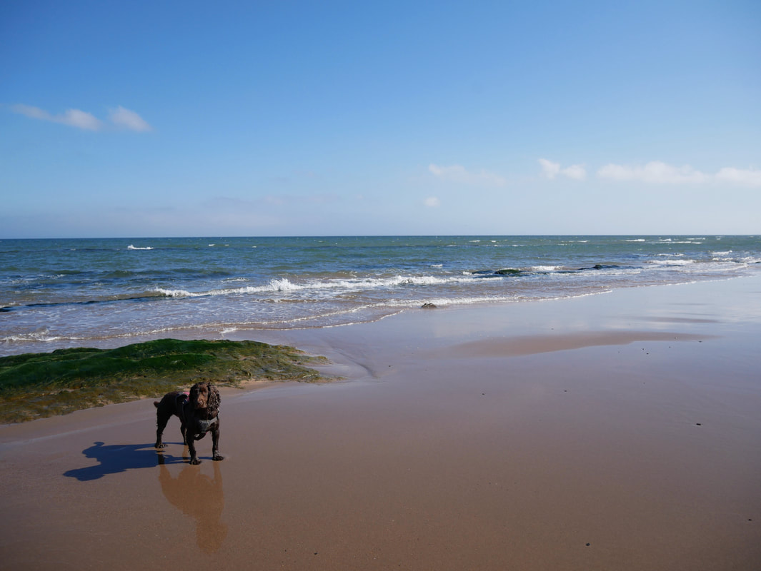
Continuing our transit over Cocklawburn Beach - this was just superb
Pleased to conquer my first hill of the day for which Fudge was not so impressed.
For such a beautiful day it was surprising how few people were out and about - Northumberland is so quiet
From Cocklawburn Beach we headed onto Cheswick Sands
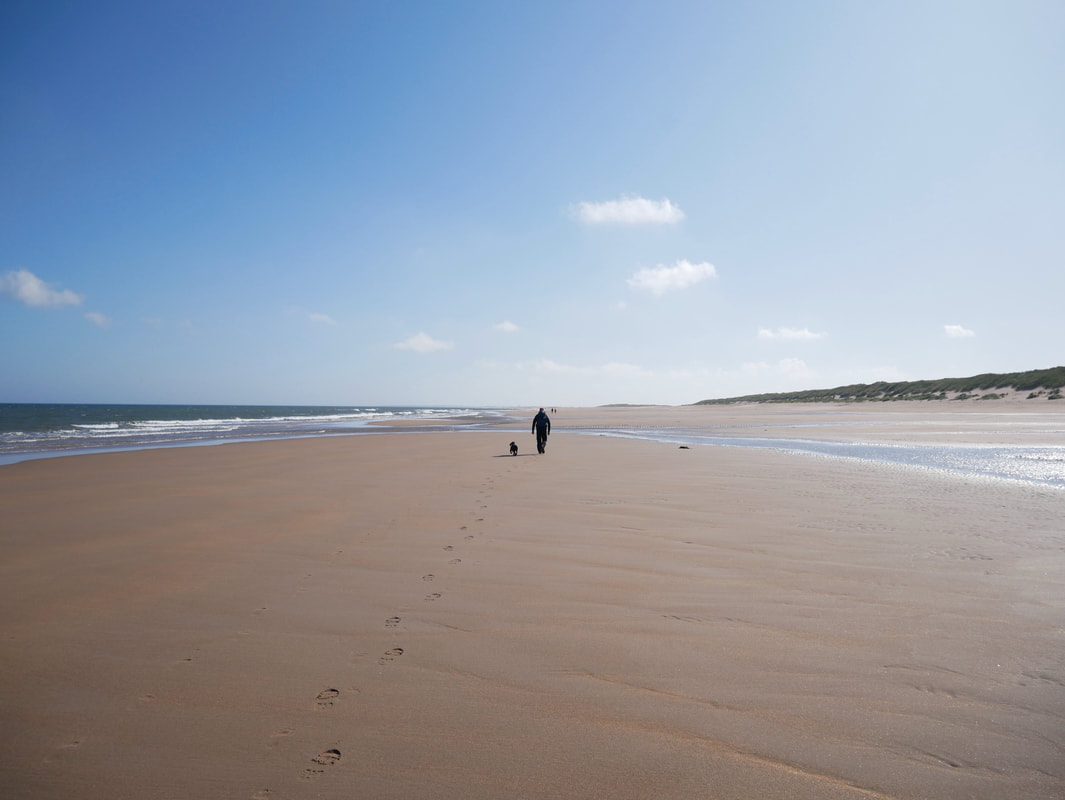
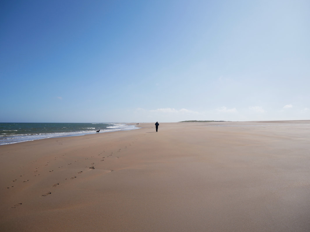
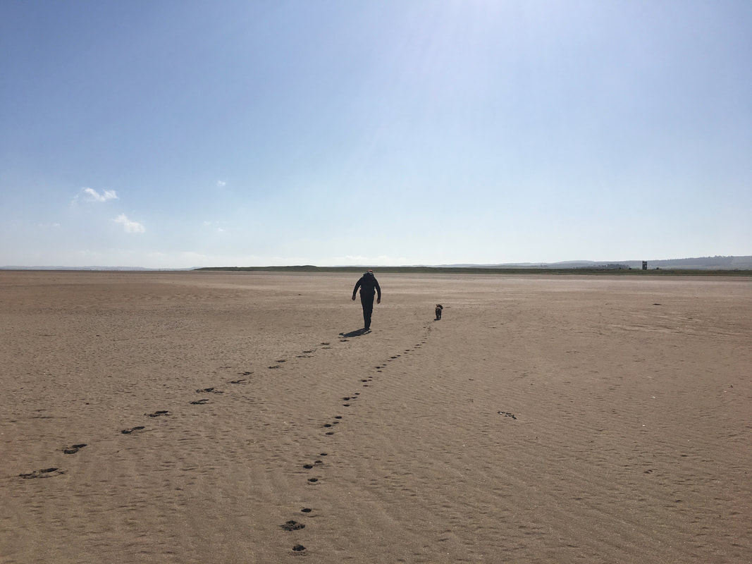
Apart from the odd walker, we had this entire stretch to ourselves
Continuing along Cheswick Sands - the two walkers ahead were the first people we had seen for a while.
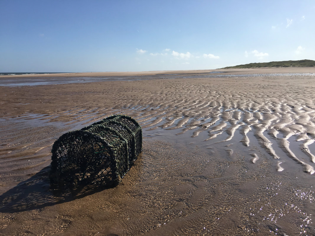
There was nothing in it unfortunately
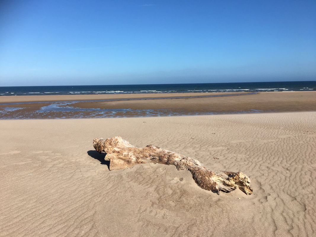
One of many pieces of driftwood lying along this stretch of beach
Once around the dunes it was time to head inland over Goswick Sands back on to the coastal path - we were aiming for the tall building on the right.
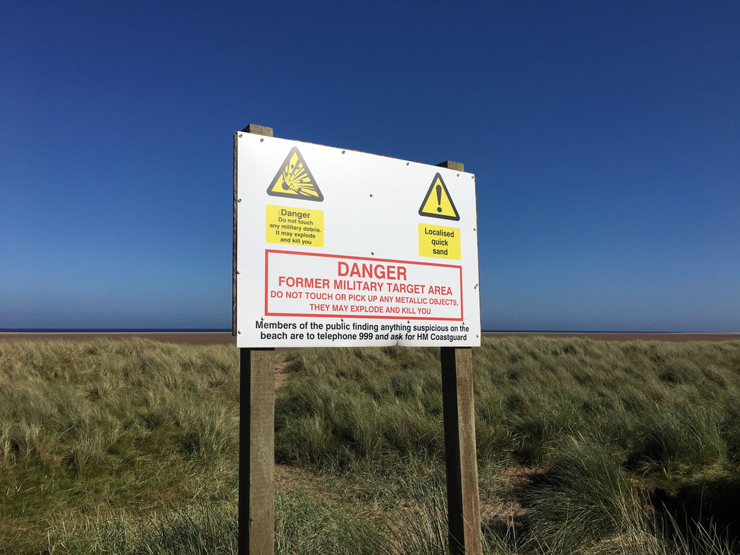
Ordnance Warning Sign at Goswick Sands
During the last war this area was highlighted as the likeliest area of attack by the German Forces from their bases in Norway therefore it was highly defended. It was also used as a practice bombing range by the RAF flying out of Millfield Airfield near Wooler in Typhoons and resulted in a plethora of ordnance buried in the beaches, much of it unexploded. Through time this found its way to the surface and in 2009 seven 500lb devices were discovered here not far from the Holy Island causeway. They were found by an RAF disposal team which works in the area to detect live wartime ordnance and disposed of in 4 separate explosions.
During the last war this area was highlighted as the likeliest area of attack by the German Forces from their bases in Norway therefore it was highly defended. It was also used as a practice bombing range by the RAF flying out of Millfield Airfield near Wooler in Typhoons and resulted in a plethora of ordnance buried in the beaches, much of it unexploded. Through time this found its way to the surface and in 2009 seven 500lb devices were discovered here not far from the Holy Island causeway. They were found by an RAF disposal team which works in the area to detect live wartime ordnance and disposed of in 4 separate explosions.
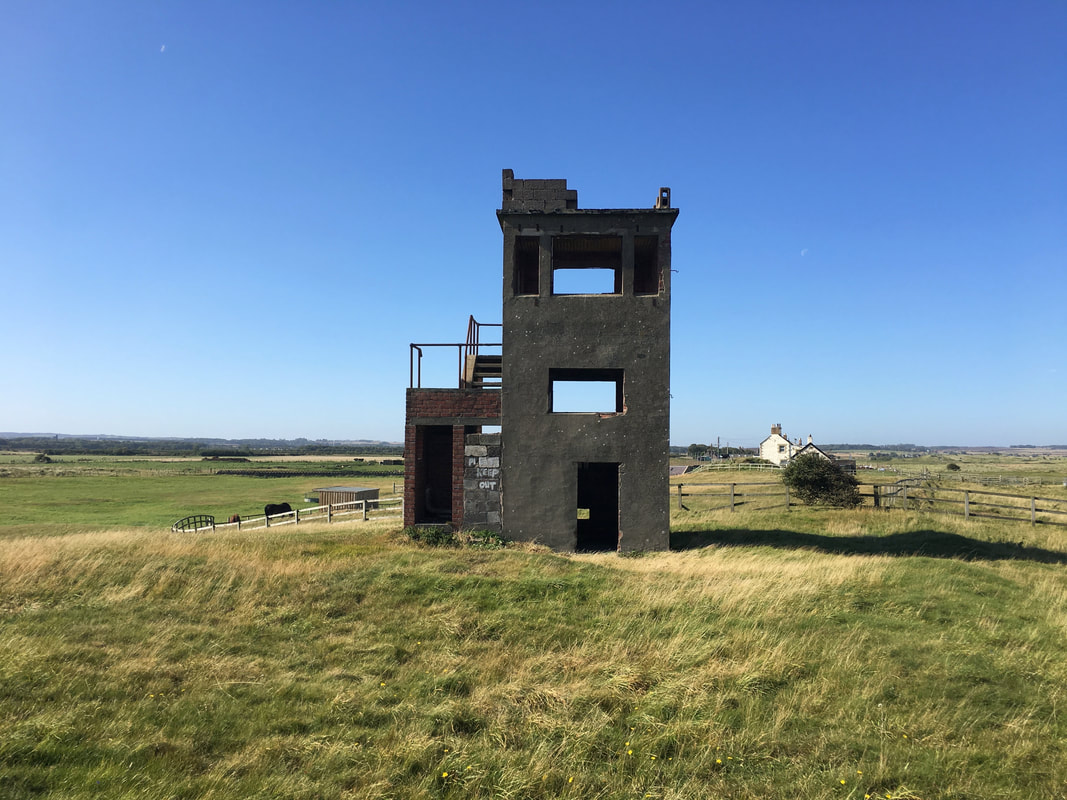
The somewhat derelict Goswick Sands Range Tower
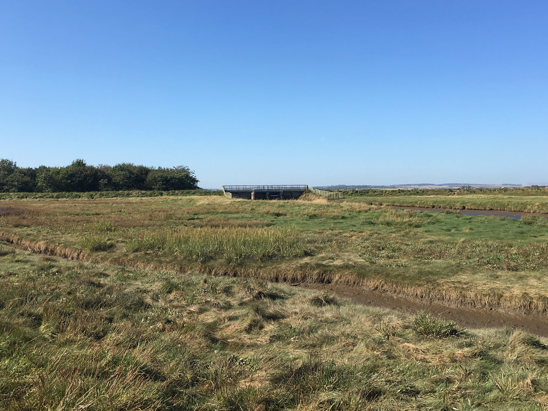
The sluice gates at Beal Point
A useful crossing point of a watercourse which drains a large low lying area behind the dunes.
A useful crossing point of a watercourse which drains a large low lying area behind the dunes.
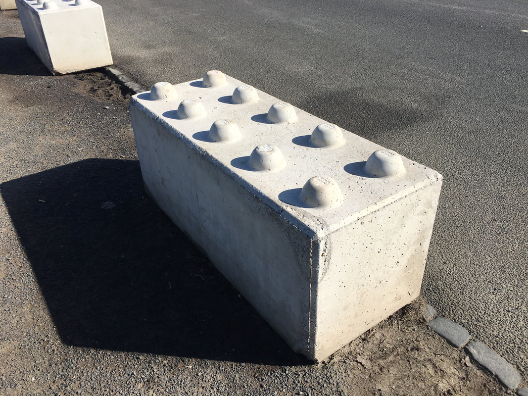
Oversize Lego pieces at the beginning of the causeway to Holy Island (Lindisfarne).
These have been placed here to stop people parking on the causeway.
These have been placed here to stop people parking on the causeway.
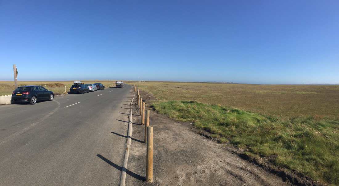
The causeway leading to Holy Island - despite the Lego Bricks cars still park on the road unfortunately.
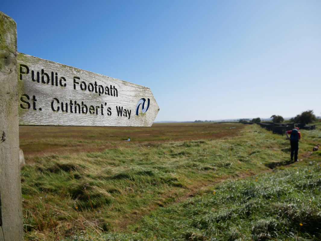
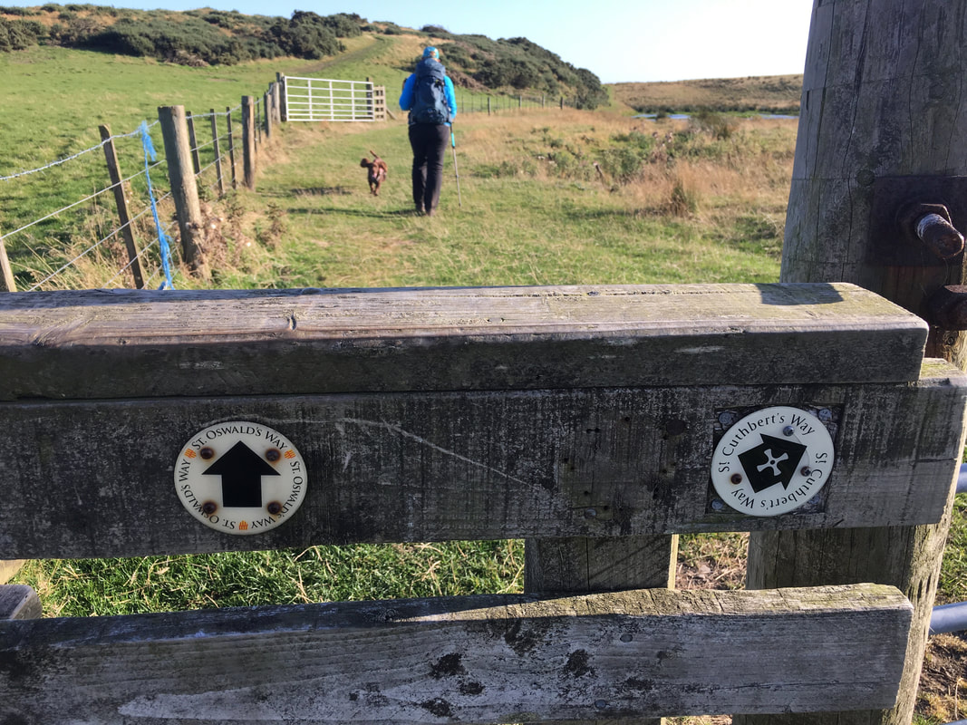
From the causeway we joined The St Cuthbert's Way which we would remain on until Fawcet Hill
..... and we did
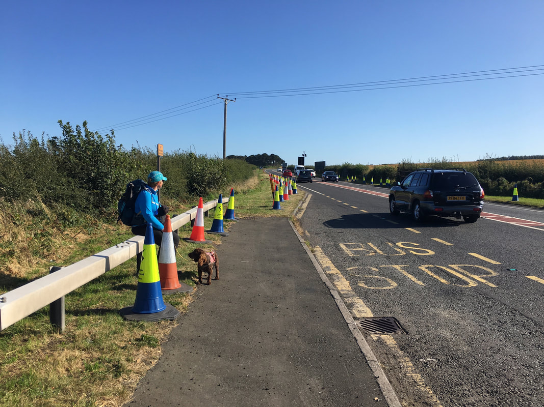
Crossing the busy A1 near Fenwick Granary
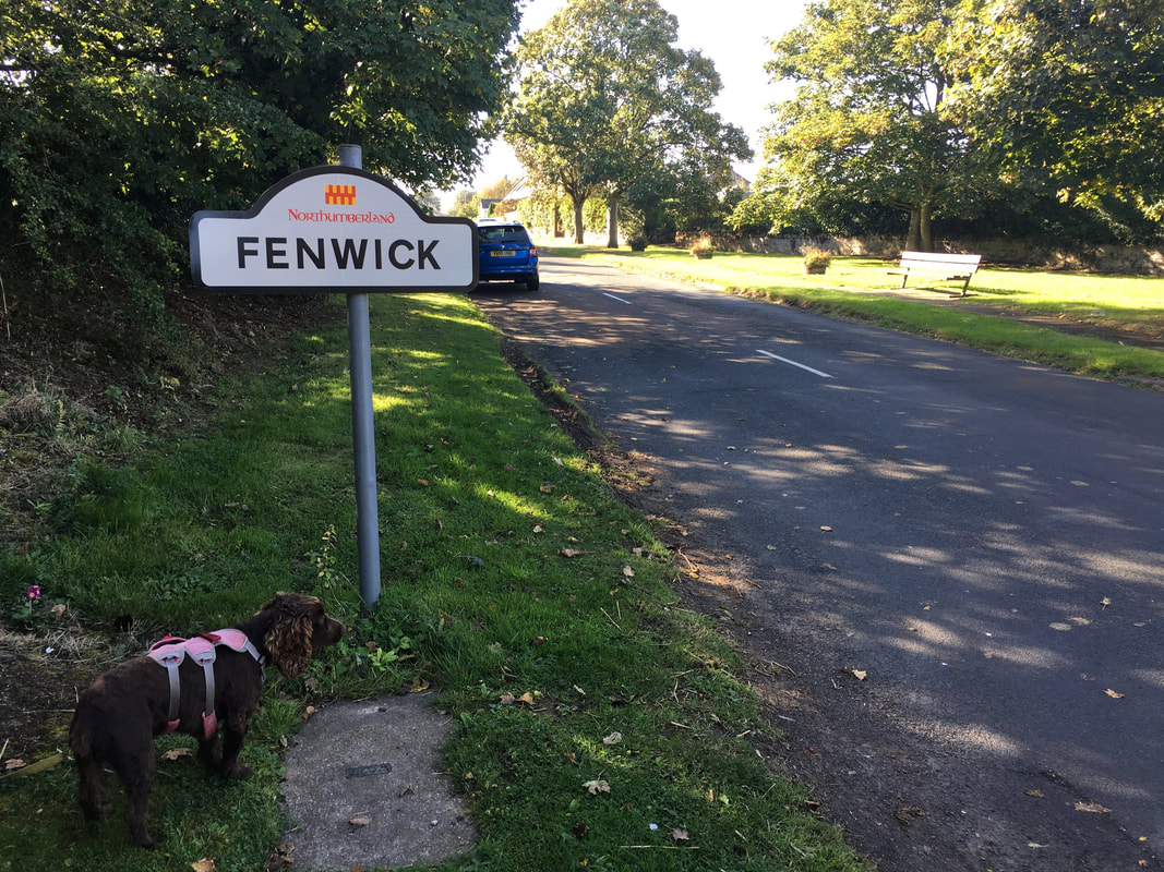
Once we had negotiated the A1 we entered the pretty village of Fenwick
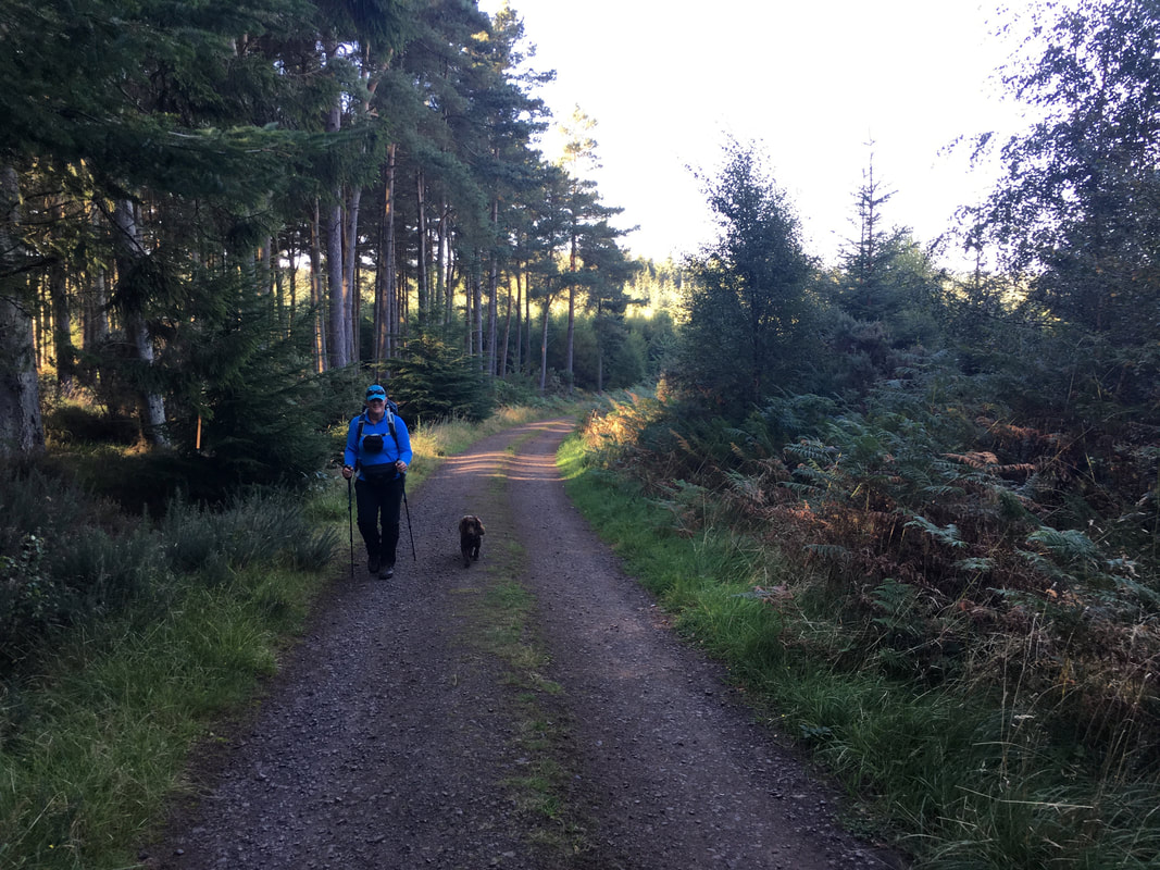
As we headed through Shiellow Wood Angie was still smiling although I am not too sure about Fudge
Wrong direction for us unfortunately
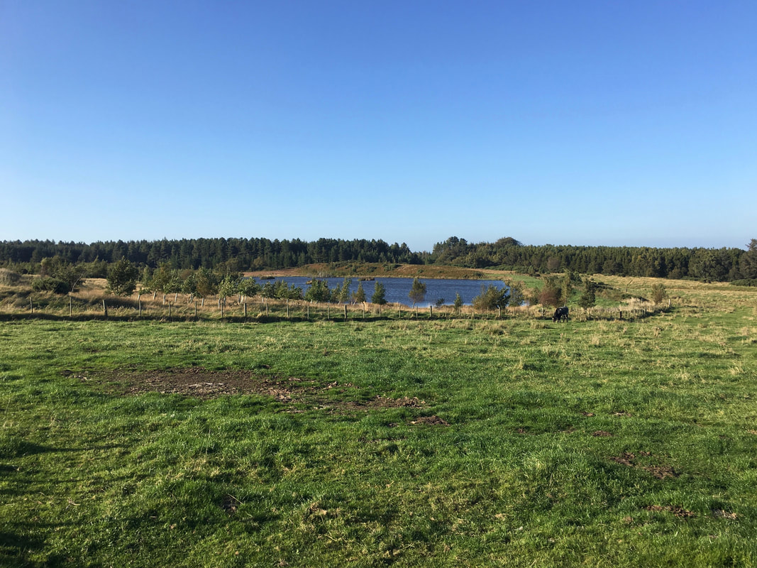
Passing the unnamed tarn near Dow Crag
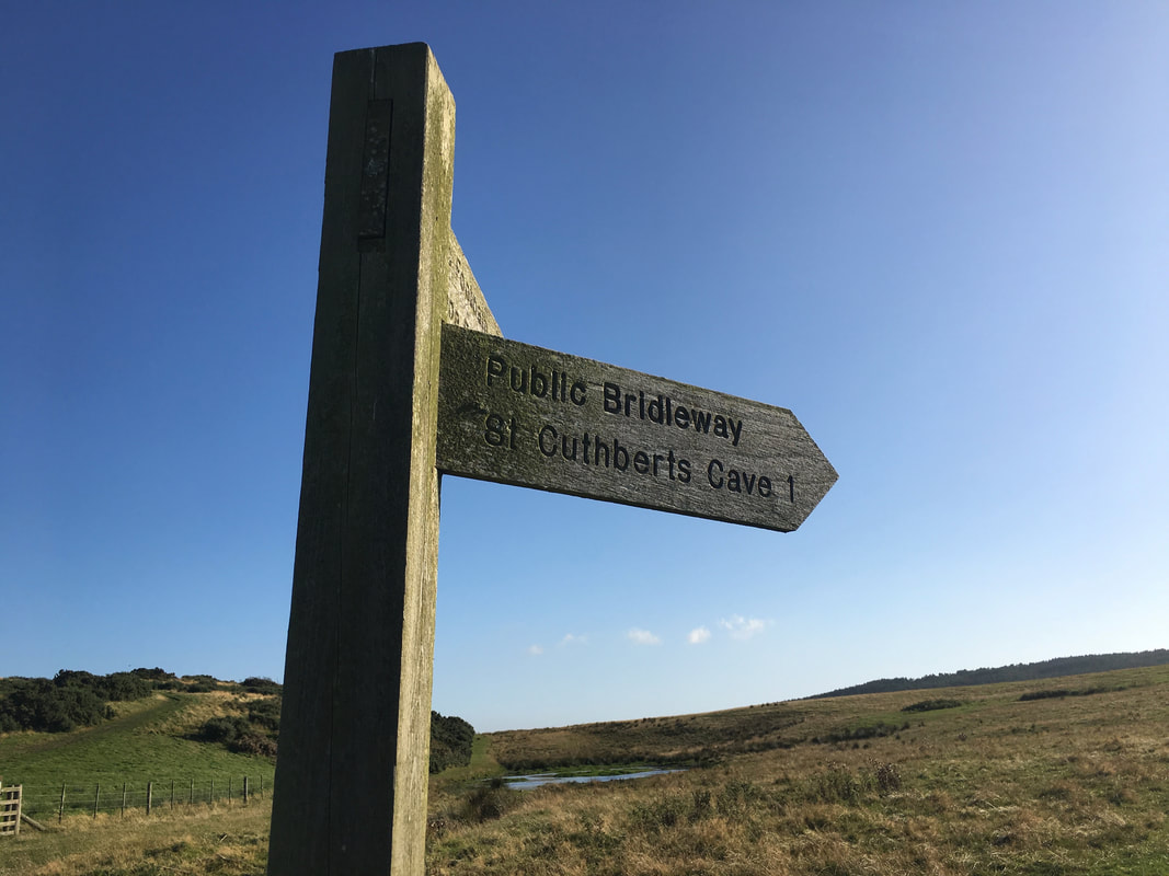
Tempting as it was to divert the mile to St Cuthbert's Cave we had been there before therefore we pressed on.
A blog of our walk to St Cuthbert's Cave from Holburn Grange which we did in 2016 can be viewed at this link here
A blog of our walk to St Cuthbert's Cave from Holburn Grange which we did in 2016 can be viewed at this link here
From the junction of paths we now followed The St Oswald's Way which would take us all the way to journey's end at Belford.
The St Oswald's Way is a 97 mile route starting at Holy Island and finishing at Heavenfield on Hadrian's Wall.
The St Oswald's Way is a 97 mile route starting at Holy Island and finishing at Heavenfield on Hadrian's Wall.
Approaching Belford
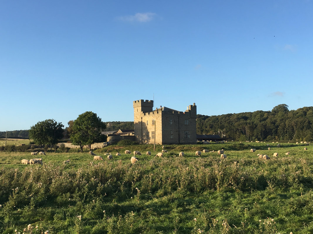
Westhall Farm
Westhall is a privately owned 19th-century castellated house now in use as a farm. It is on a site with older historical associations. The present house was built in 1837 in a castellated Gothic style. It has been suggested that Westhall is the site of a much earlier Motte & Bailey Castle however this is disputed as it is considered there is a more dramatic, better defended but still easily accessible site at Chapel Hill a quarter of a mile to the north.
Westhall is a privately owned 19th-century castellated house now in use as a farm. It is on a site with older historical associations. The present house was built in 1837 in a castellated Gothic style. It has been suggested that Westhall is the site of a much earlier Motte & Bailey Castle however this is disputed as it is considered there is a more dramatic, better defended but still easily accessible site at Chapel Hill a quarter of a mile to the north.
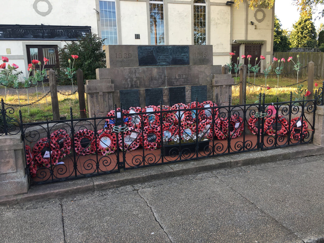
The War Memorial in Belford
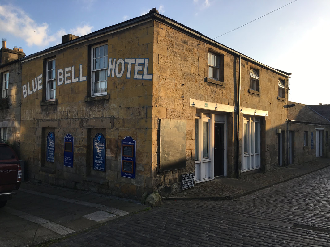
The Blue Bell Hotel in Belford - dating back to the 1700's.
I love the faded paint advertising "Luncheons, Teas & Dinners"
I love the faded paint advertising "Luncheons, Teas & Dinners"
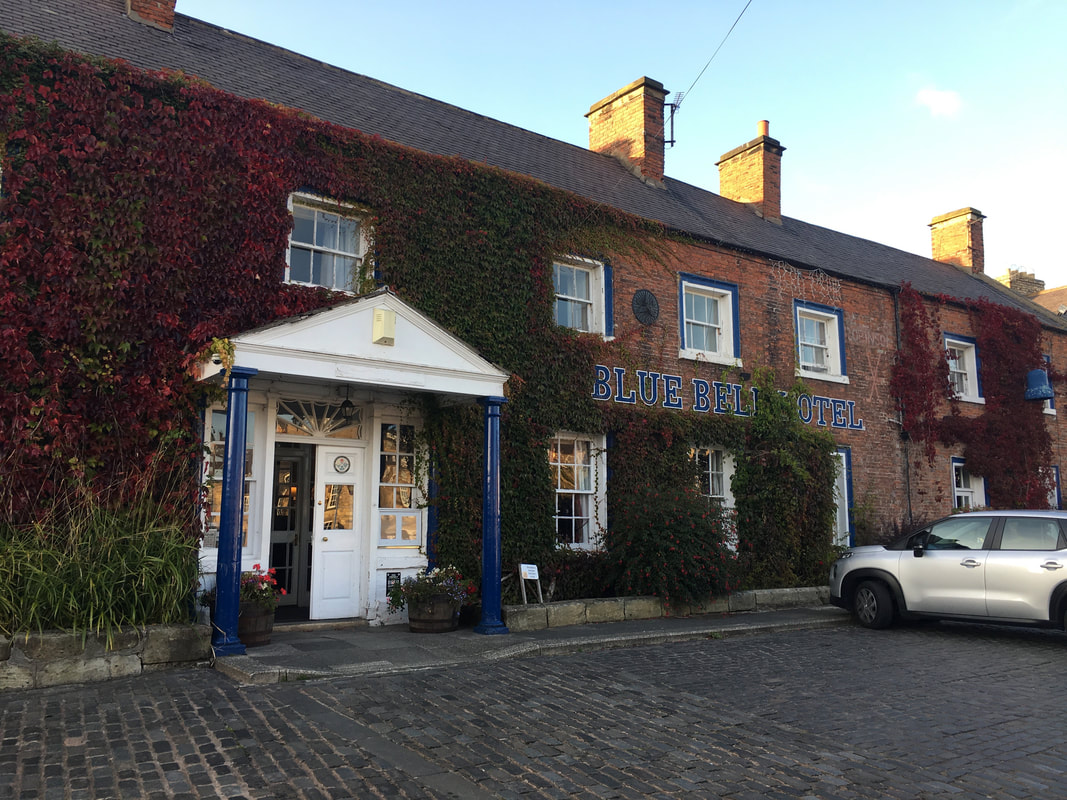
The main building of The Blue Bell Hotel - love the 1970s signage
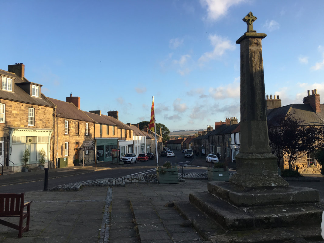
The Market Cross in Belford complete with the Northumberland County flag
The Church of St Mary in Belford
Zzzzzzzzz - I iz knackud and just want to sleepy fingy
