A Coledale Horseshoe - Saturday 17 September 2016
Route
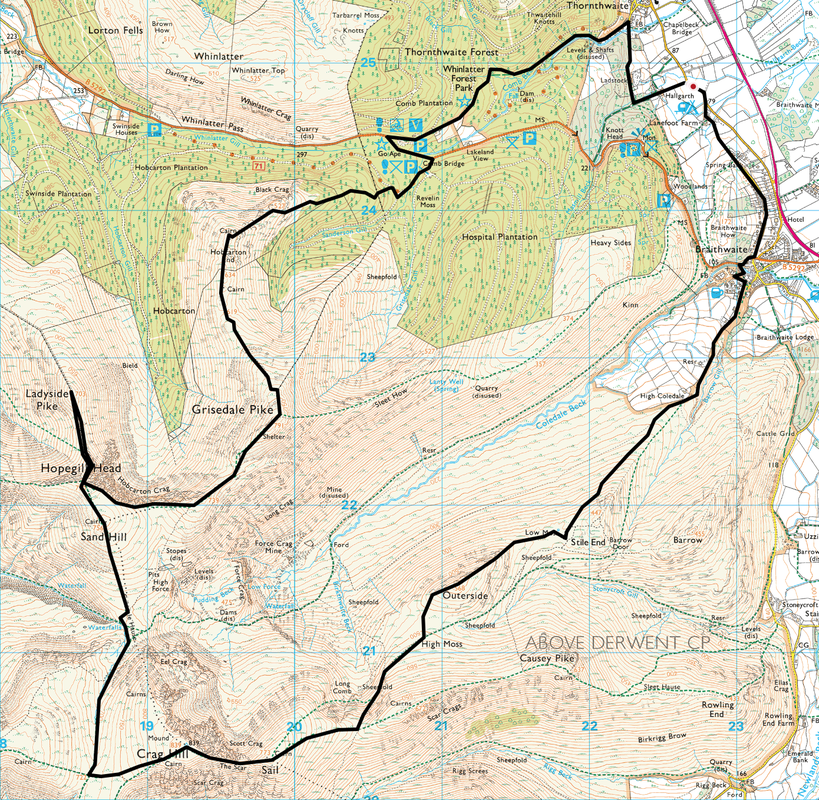
Hallgarth - Thornthwaite - Whinlatter Forest Visitor's Centre - Comb Bridge - Black Crag - Hobcarton End - Grisedale Pike - Hobcarton Crag - Hopegill Head - Ladyside Pike - Hopegill Head - Sand Hill - Coledale Hause - Crag Hill - Sail - Sail Pass - Outerside - Stile End - High Coledale - Braithwaite - Hallgarth
Parking
South of Thornthwaite in the lay by near the access road to Hall Garth Farm (Free) - Grid Ref NY227249
Mileage
13.5 miles
Terrain
Due to Forestry Operations some paths were inaccessible in Whinlatter Forest (Sep 2016). The remainer of the walk is on good mountain paths apart from some scrambling descending/ascending Hopegill Head to/from Ladyside Pike and care will be required when this is wet or icy. The transit over High Moss to the foot of Outerside is boggy in part. There is a small amount of road walking near the end of the walk on a quiet lane between Braithwaite & Hallgarth.
Weather
Clear skies for most of the day with superb visibility.
Time Taken
8hrs 15mins
Total Ascent
5416ft (1651m)
Wainwrights
5
Map
OL4 - The English Lakes (North Western Area)
|
GPX File
|
| ||
If the above GPX file fails to download or presents itself as an XML file once downloaded then please feel free to contact me and I will send you the GPX file via e-mail.
Walk Description
The Coledale Horseshoe also known as The Coledale Round, is a walk over the Wainwright Fells (and others) surrounding the glacial hanging valley of Coledale not that far from Keswick. We played around with our route today to encompass some other fells but the meat of the Coledale Horseshoe was still there - Grisedale Pike, Hopegill Head, Crag Hill, Sail & Outerside which is usually considered the bones of the round. Depending on the light and your stamina, the route can be lengthened to include Grasmoor, Wandope, Scar Crags, Causey Pike and then finishing the day on Barrow.
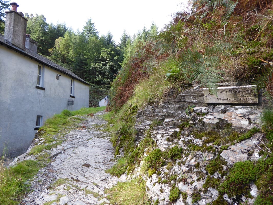
The walk today started over near Thornthwaite at Hallgarth where there is a layby for a few cars - if this is full then there is additional parking in the village. The route leaves the main road in the direction of Hall Garth Farm and once the outbuildings are passed then heads to the right into the woods to pass behind Ladstock Hall to reach Thornthwaite. Heading through the village, the route then enters the eastern edge of Whinlatter Forest Park to handrail Combe Beck. Eventually a forest track is reached and this is followed all the way to the Whinlatter Visitor's Centre. Given that it was a sunny Saturday the Centre was extremely busy with cyclists and we stopped here for a drink (an extremely expensive one!) before heading to Comb Bridge.
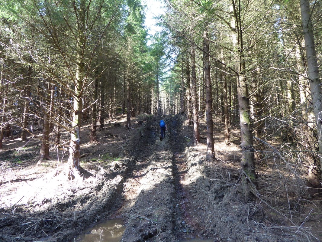
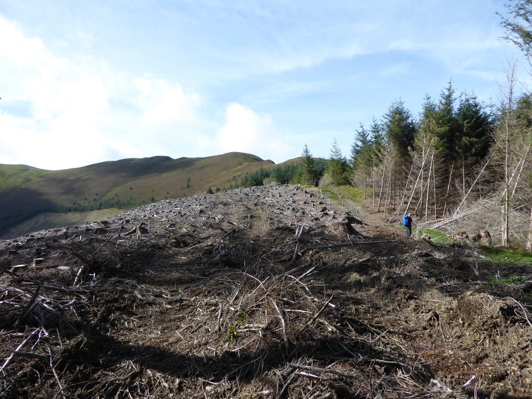
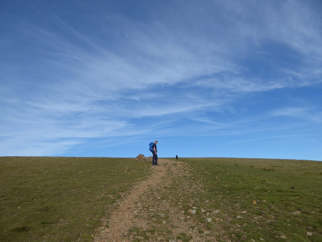
After the bridge the route continued through the forest and it was here we realised that there were major forestry operations going on as our intended path was no more - just upturned waymarks. Had it been a weekday there was no way we could have continued with our present route as the forestry workers would have been on site but as it was a weekend there was nobody about and no signs to restrict our progress. We therefore headed up a muddy vehicle track in the general direction of where our initial route would have exited the forest to rejoin the original route, emerging into sunshine just to the east of Black Crag.
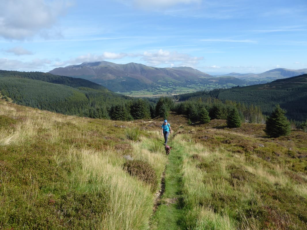
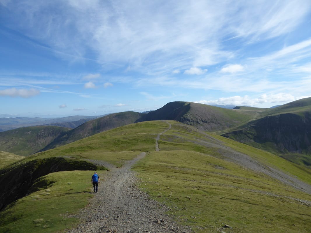
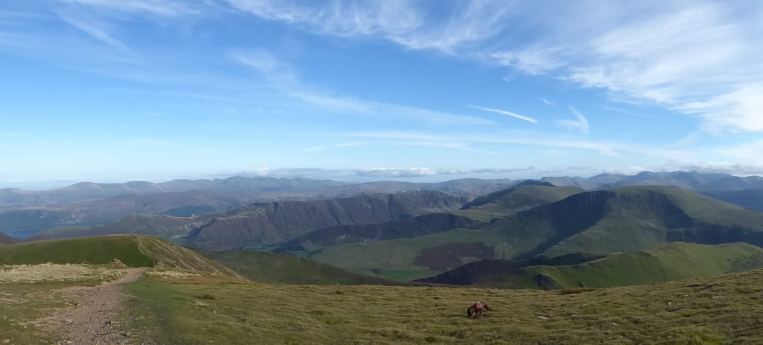
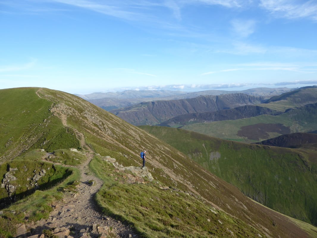
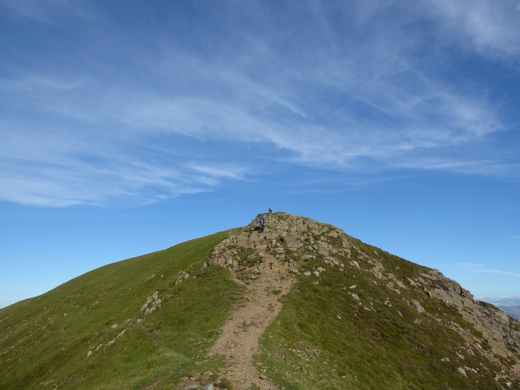
There was now an easy walk to gain the Nuttall of Hobcarton End from where we could see the long sweeping ascent up to Grisedale Pike. Most people ascend Grisedale Pike via Sleet How which is a steep pull but in ascending via Hobcarton End the climb is a gradual one and a very pleasant stroll which gives lovely views over to Skiddaw to the left and Ladyside Pike to the right. Crossing the broken wall near the top we could look over to see a few people ascending via Sleet How as we made our final few hundred yards to the summit. It was glorious up on the top as the view opened out to a superb Lakeland panorama - the fells were everywhere.
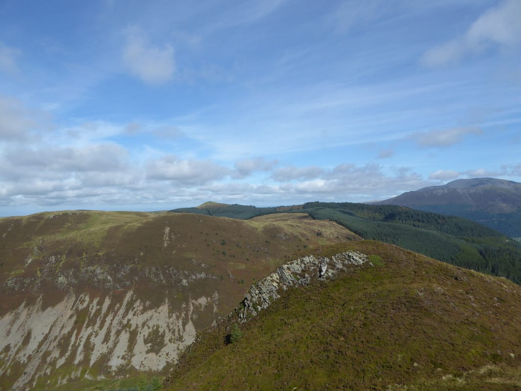
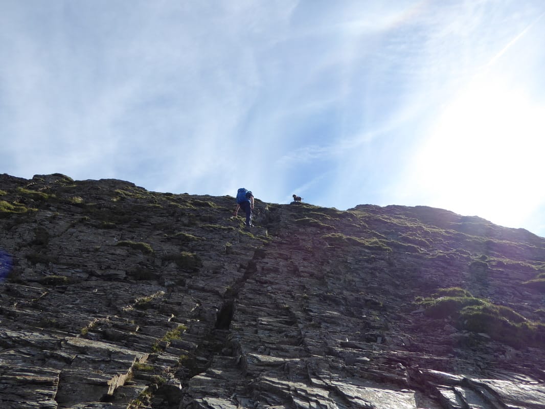
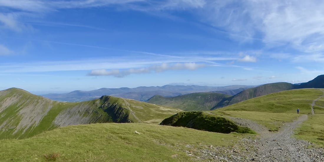
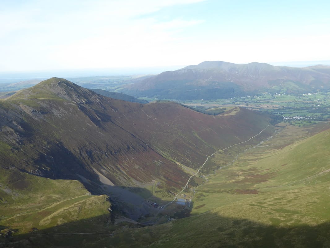
Leaving the summit we dropped into a small col to then ascend gradually to reach Hobcarton Grag to then climb again up to the top of Hopegill Head. This was another glorious viewpoint, in particular the view across to Whiteside which is a fabulous transit across an airy ridge - but not today. There was now an out & back to bag Ladyside Pike which involved a steep descent over angled rock slabs that could be troublesome in the wet or ice - as it was we took our time down this section and soon ended up on the gently rising path to Ladyside Pike's summit. Returning the same way, the angled slabs back up to Hopegill head were an enjoyable scramble as we then dropped down to the summit of Sand Hill then on to Coledale Hause. At the Hause there is a superb view down into Gasgale and also the walk can be shortened here by dropping down steeply to Force Crag Mine and following the mine road back to Braithwaite.
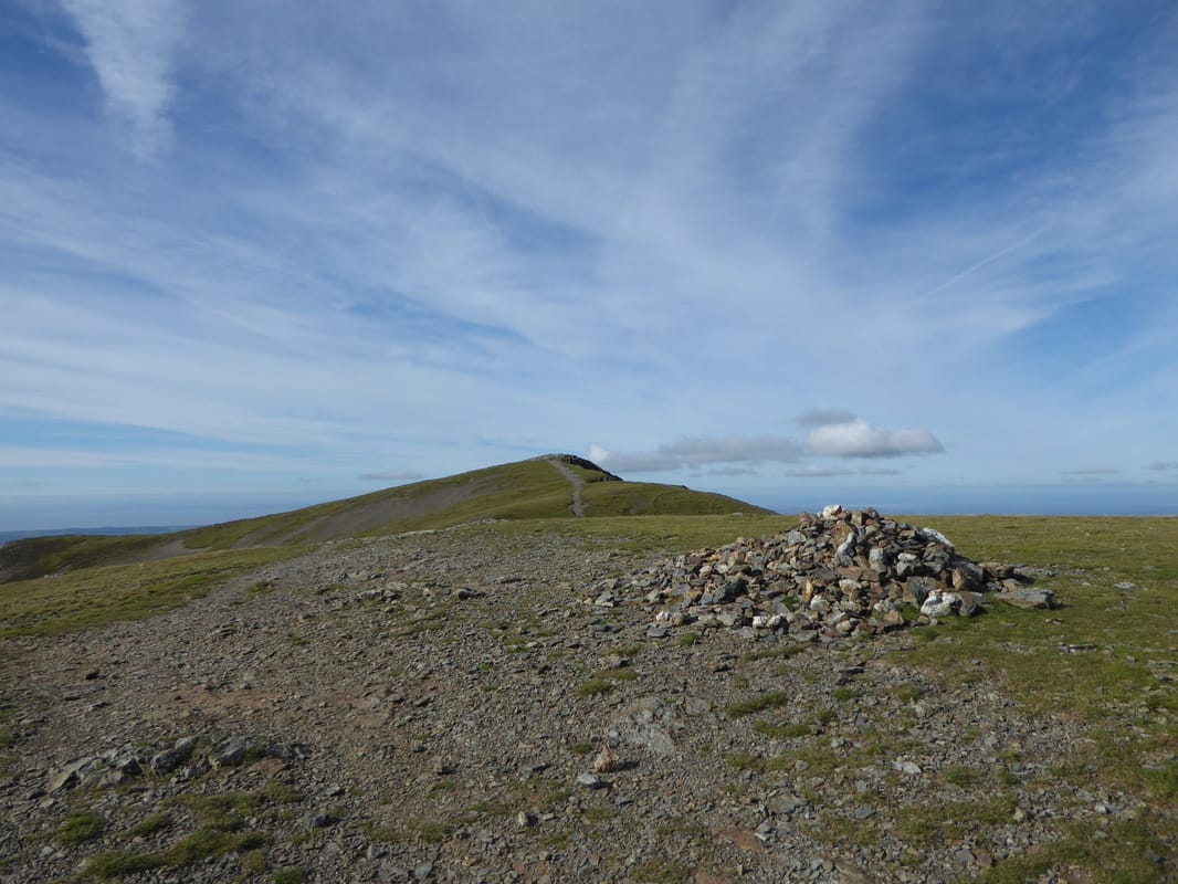
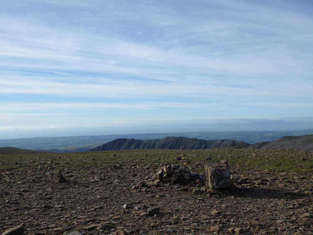
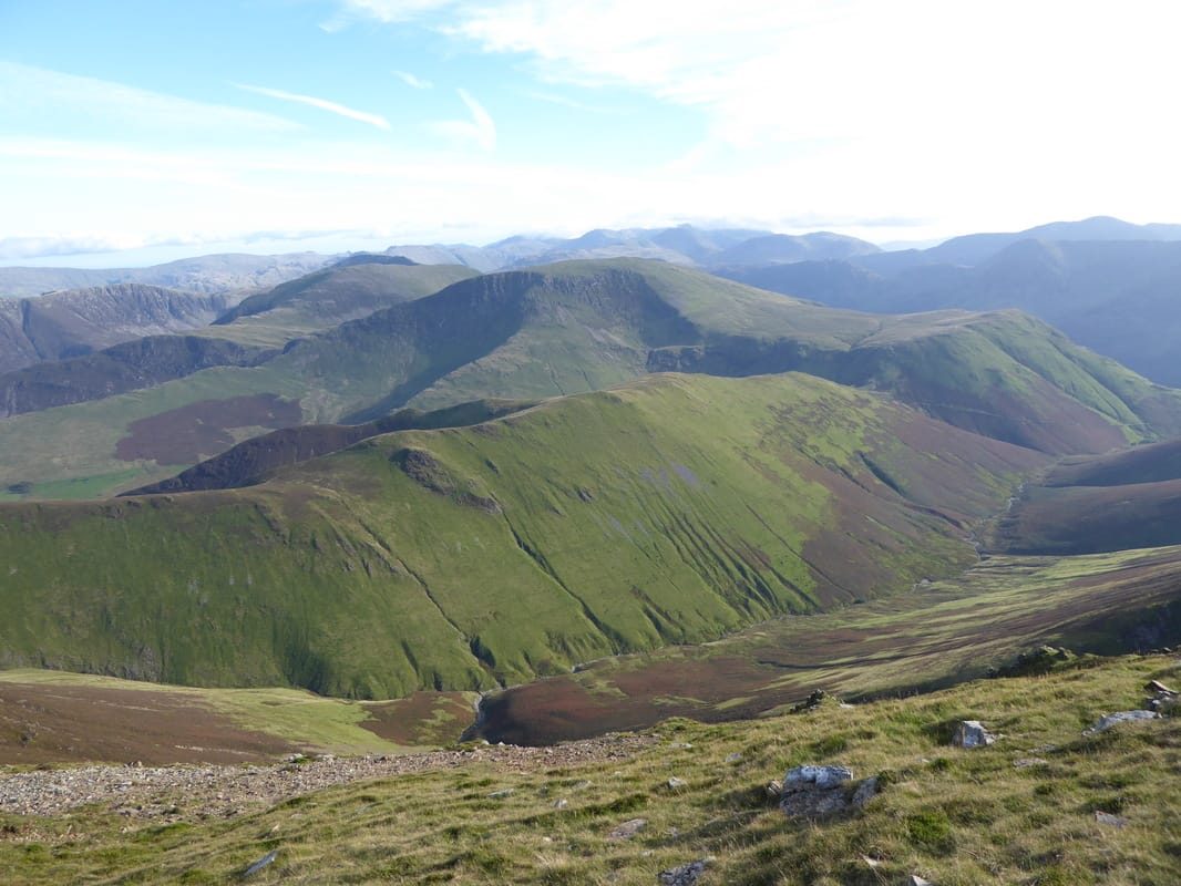
From Coledale Hause the route rises gently on a good path to reach a col and there is an option to climb steeply to Grasmoor to the left, go straight on to Wandope or as we did turn left to make the ascent up to Crag Hill. The summit is a big flat expanse marked by shelters and a broken Trig Point (now repaired) - in mist it would be easy to become confused here. Keeping in an easterly direction, the cairned path led us to the steep descent of The Scar to then climb again to reach the summit of Sail - the views from The Scar, particularly to the right were amazing. With Sail visited we then descended down the contentious zig zagging path to Sail Pass, turning left to travel over a slightly boggy High Moss to climb up to the stony summit of Outerside. At this point it was our original intention to head over to Barrow Door and climb up to Barrow. However, we decided to take the shorter route over Stile End and drop down into Braithwaite from where we walked along a quiet road back to the start at Hallgarth.
On a day like we had today with superb visibility the Coledale Round is a fantastic walk. The views from all summits are right up there with the best and it is a walk worth taking your time over. There are plenty of options to shorten or lengthen the route we did today. Either way you are bound to enjoy what it has to offer.
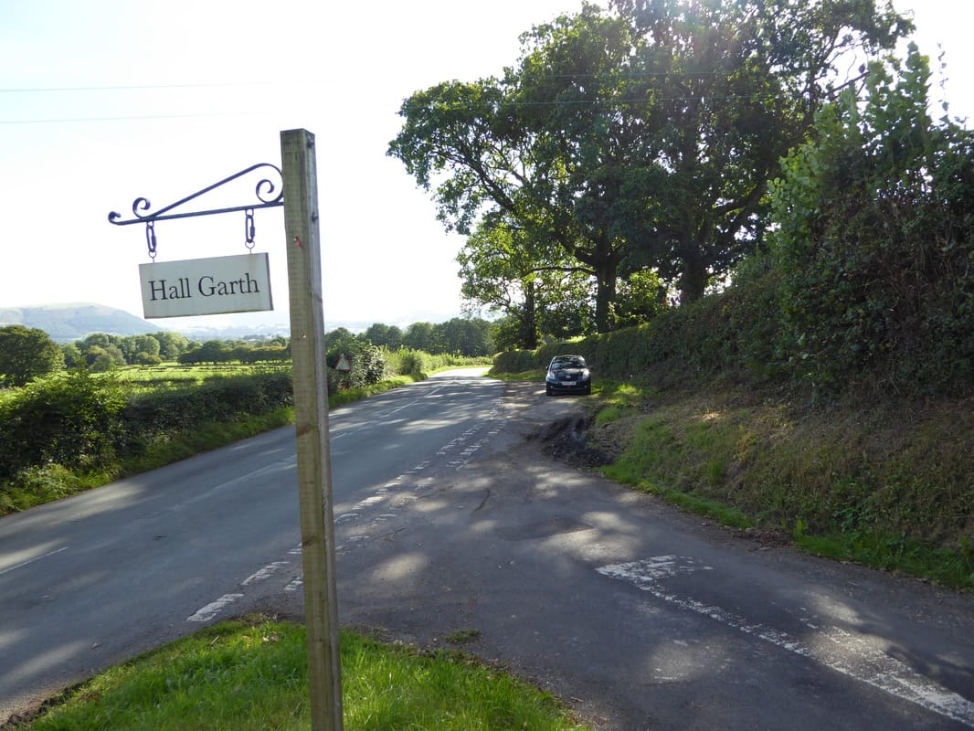
The walk starts at the entrance to Hall Garth Farm, south of Thornthwaite
The route enters the Whinlatter Forest Park near Thornthwaite
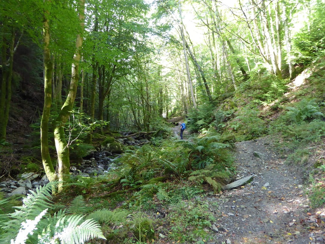
Combe Beck
Forestry Operations had been taking place in Whinlatter Forest therefore it was just a question of finding a track
heading upwards in order to keep the exit near Black Crag as close to us as possible
heading upwards in order to keep the exit near Black Crag as close to us as possible
Eventually we rejoined the original path - Hobcarton End is ahead
Out in the open again as we head to Hobcarton End - Skiddaw provides the backdrop
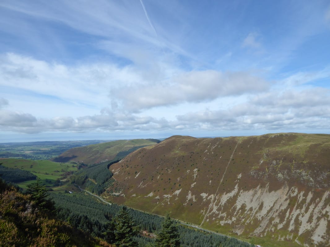
Black Crag & Whinlatter
Brown How & Whinlatter Top
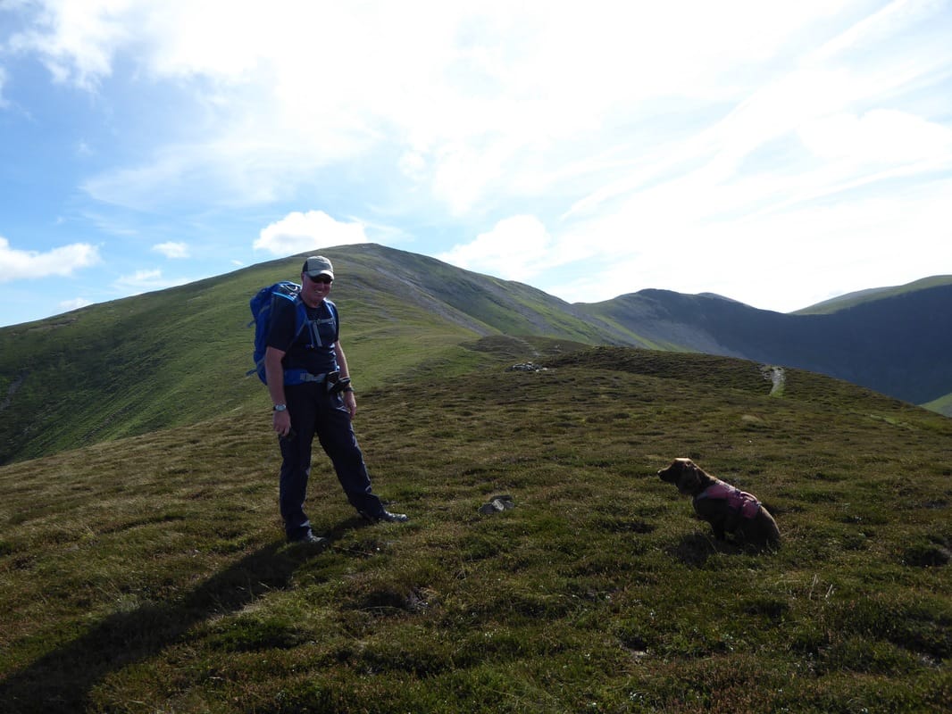
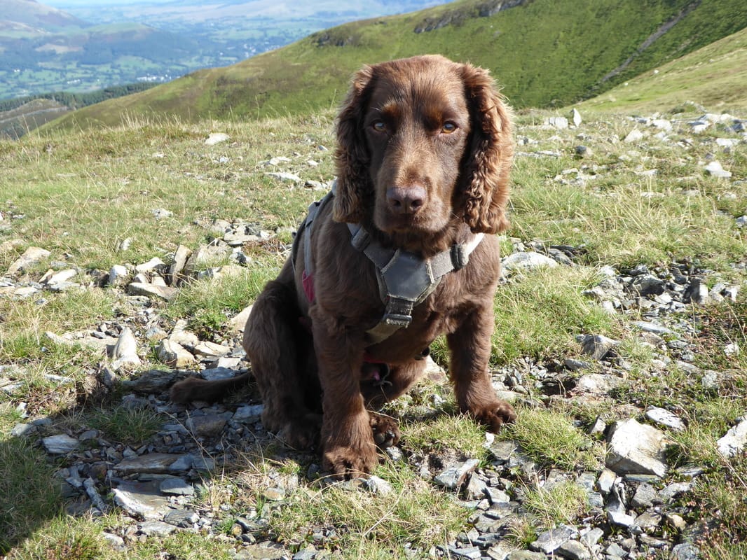
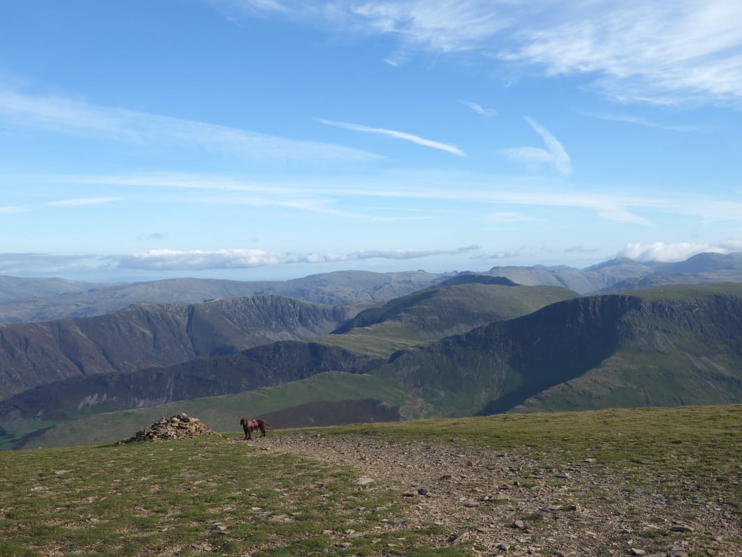
With Fudge on Hobcarton End
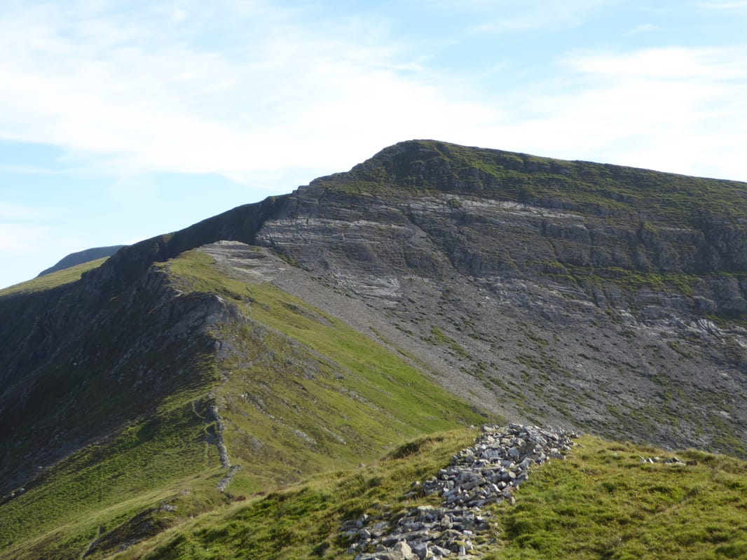
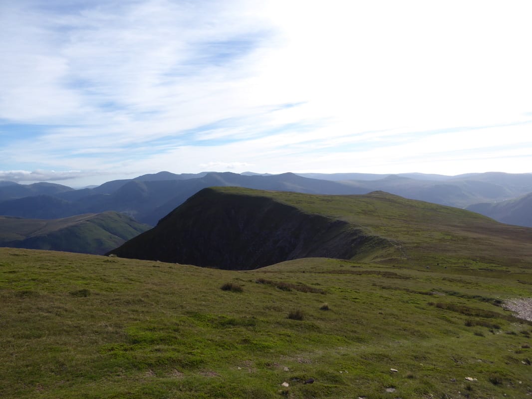
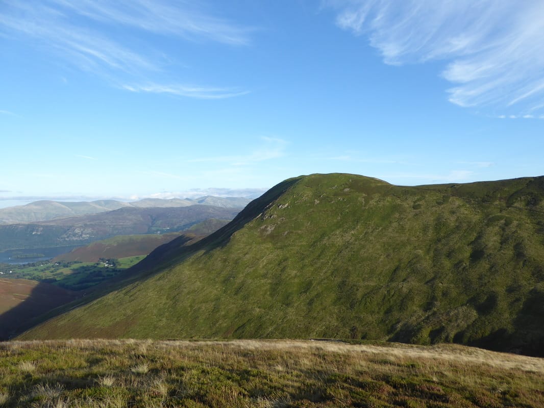
Hobcarton End looking to Grisedale Pike
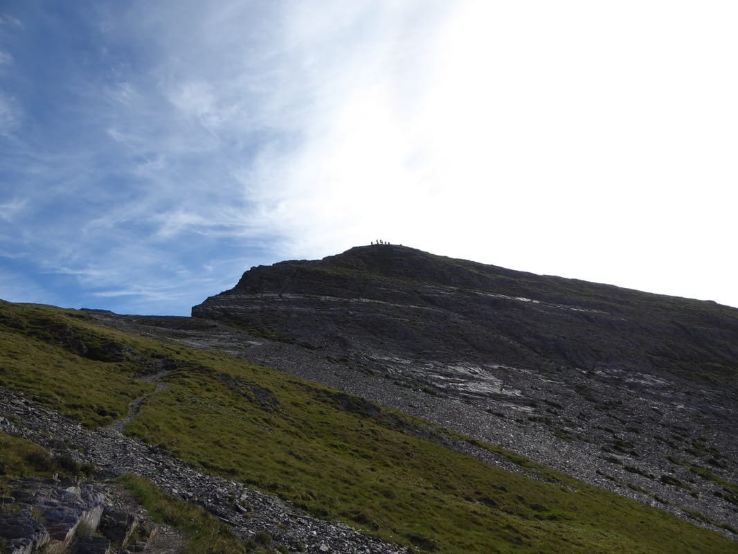
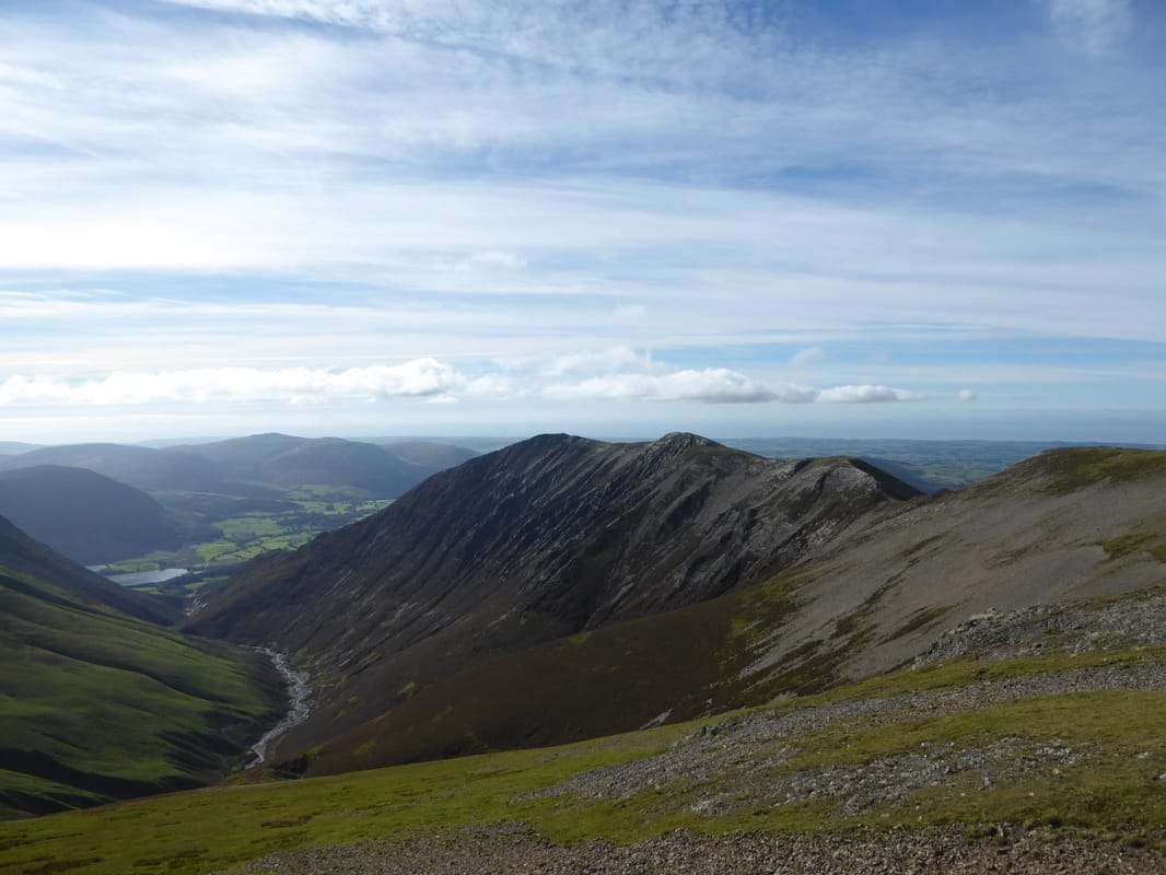
Hobcarton Crag, Hopegill Head & Ladyside Pike
Fudge has his "please not another photo" gob on him
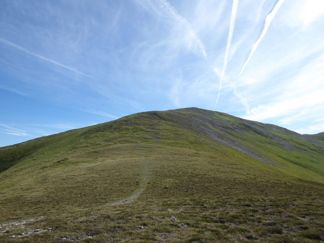
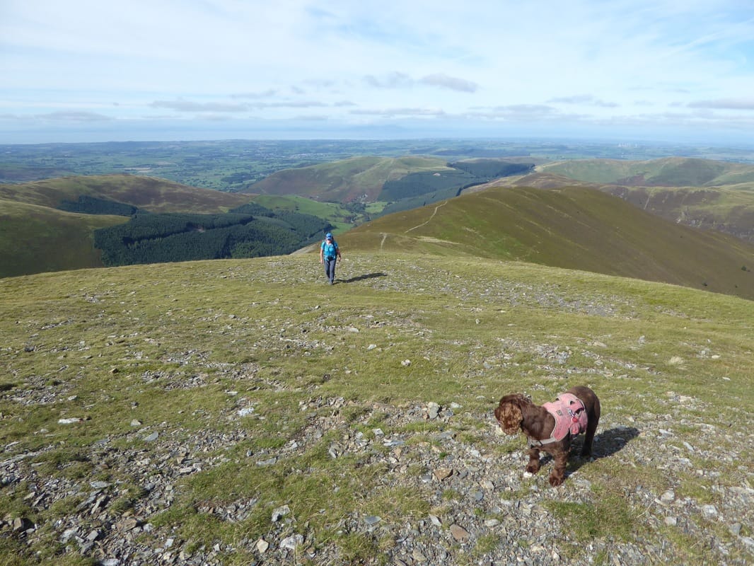
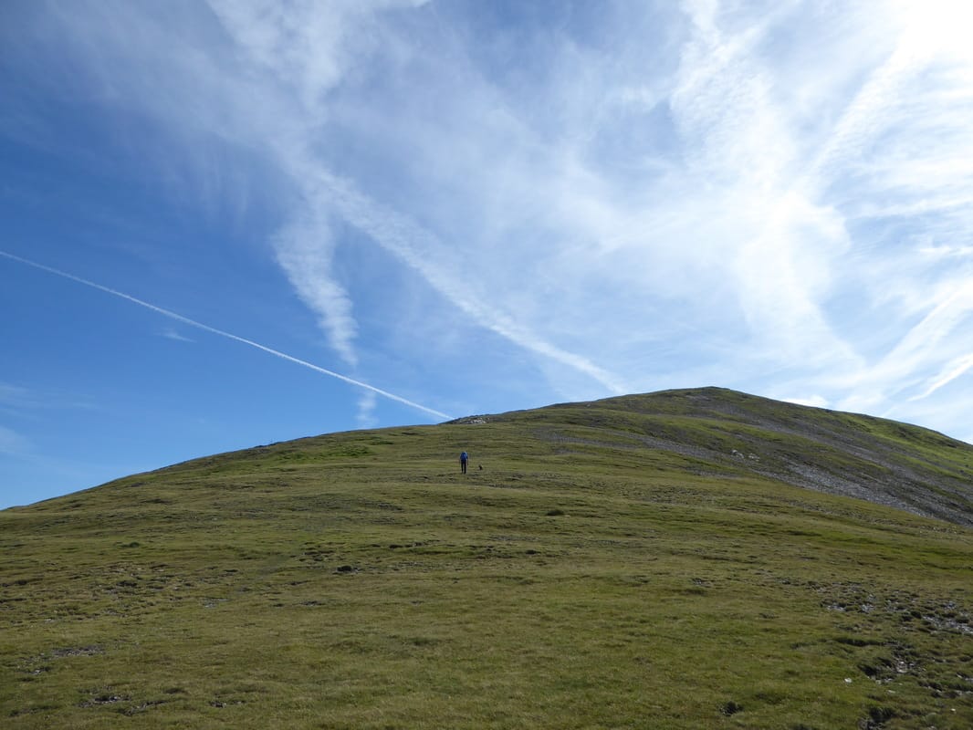
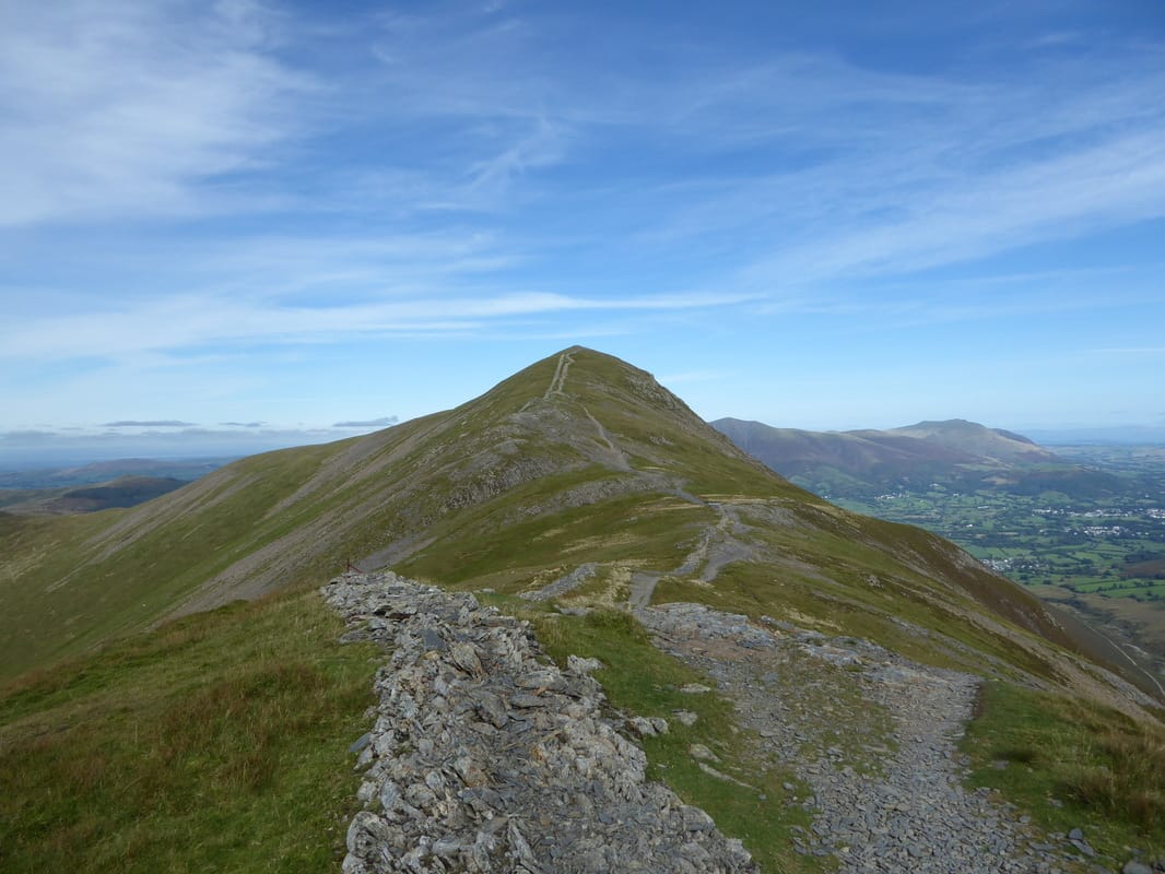
The ascent of Grisedale Pike - nice and gradual
Looking back to Hobcarton End from the ascent of Grisedale Pike
Heading up to Grisedale Pike - Eel Crag, Hobcarton Crag & Grasmoor come into view
Hopegill Head, Whiteside & Ladyside Pike
This was a lovely part of the walk up to the summit of Grisedale Pike
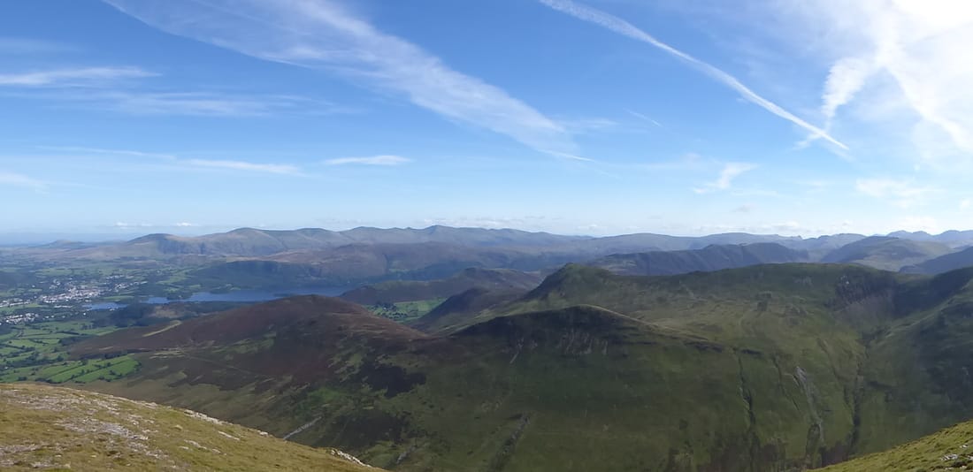
Just before the summit the route passes over a broken wall to reveal a superb view down to Keswick & beyond
The Sleet How path coming up from Braithwaite
The summit of Grisedale Pike
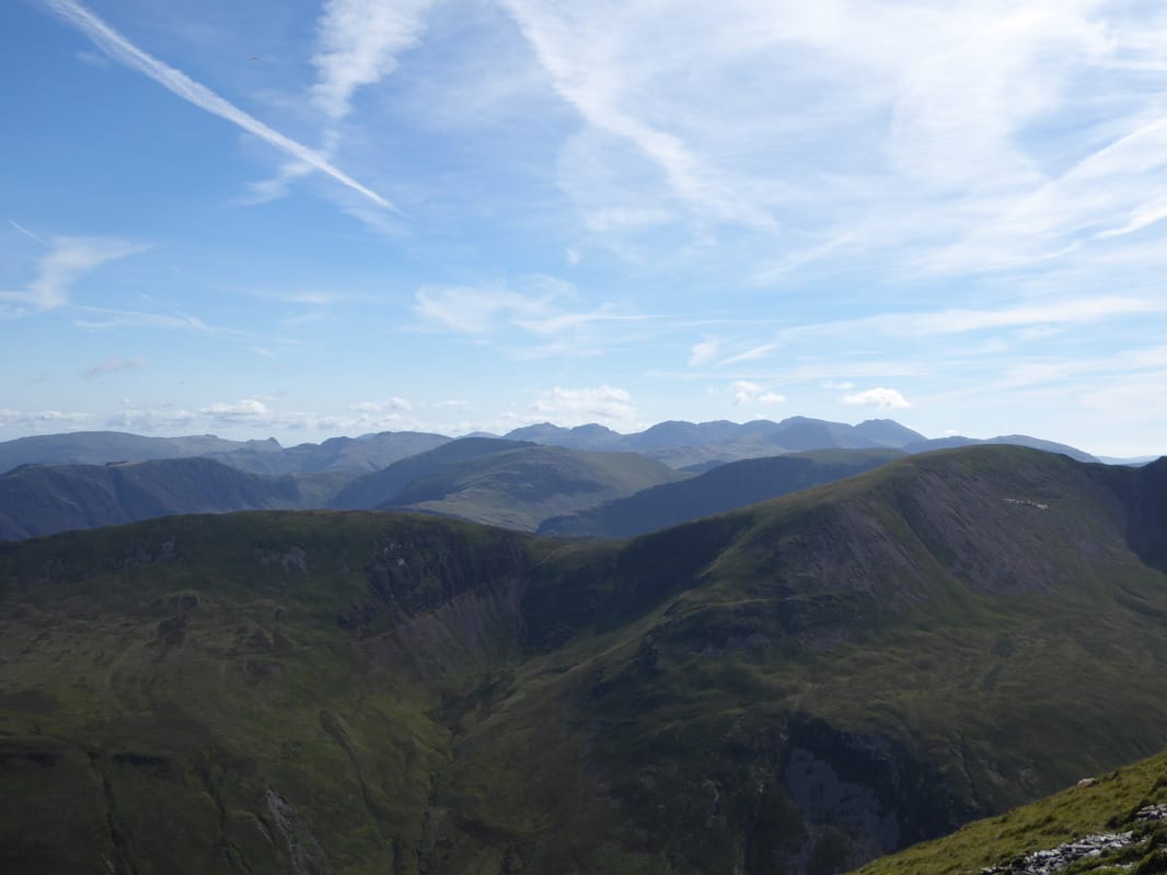
Fells everywhere from Grisedale Pike's summit
Barrow, Outerside & Causey Pike
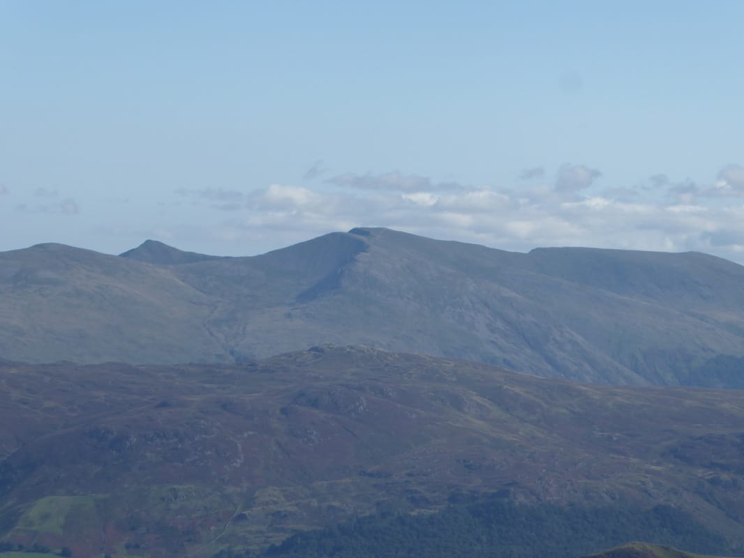
Zooming right in on Helvellyn
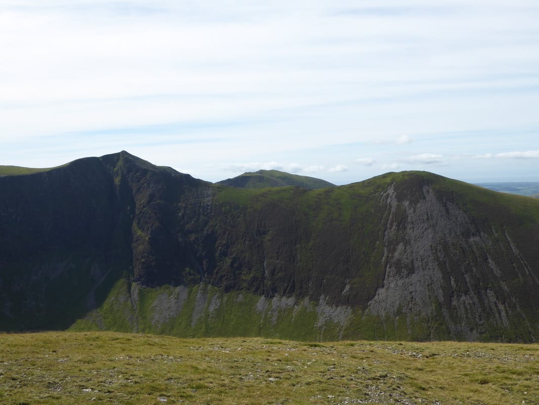
The rocky summit of Grisedale Pike - Crag Hill & Eel Crag are to the left with Grasmoor centre above Coledale Hause.
To the right are Sand Hill & Hopegill Head.
To the right are Sand Hill & Hopegill Head.
See you shortly - Hopegill Head & Ladyside Pike
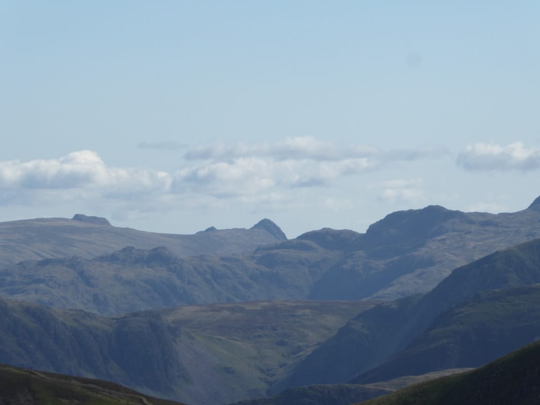
Harrison Stickle & Pike O'Stickle peeping out
Looking back up to Grisedale Pike from near Hobcarton Crag
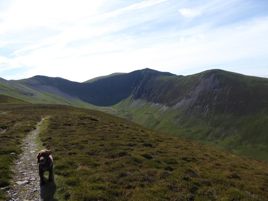
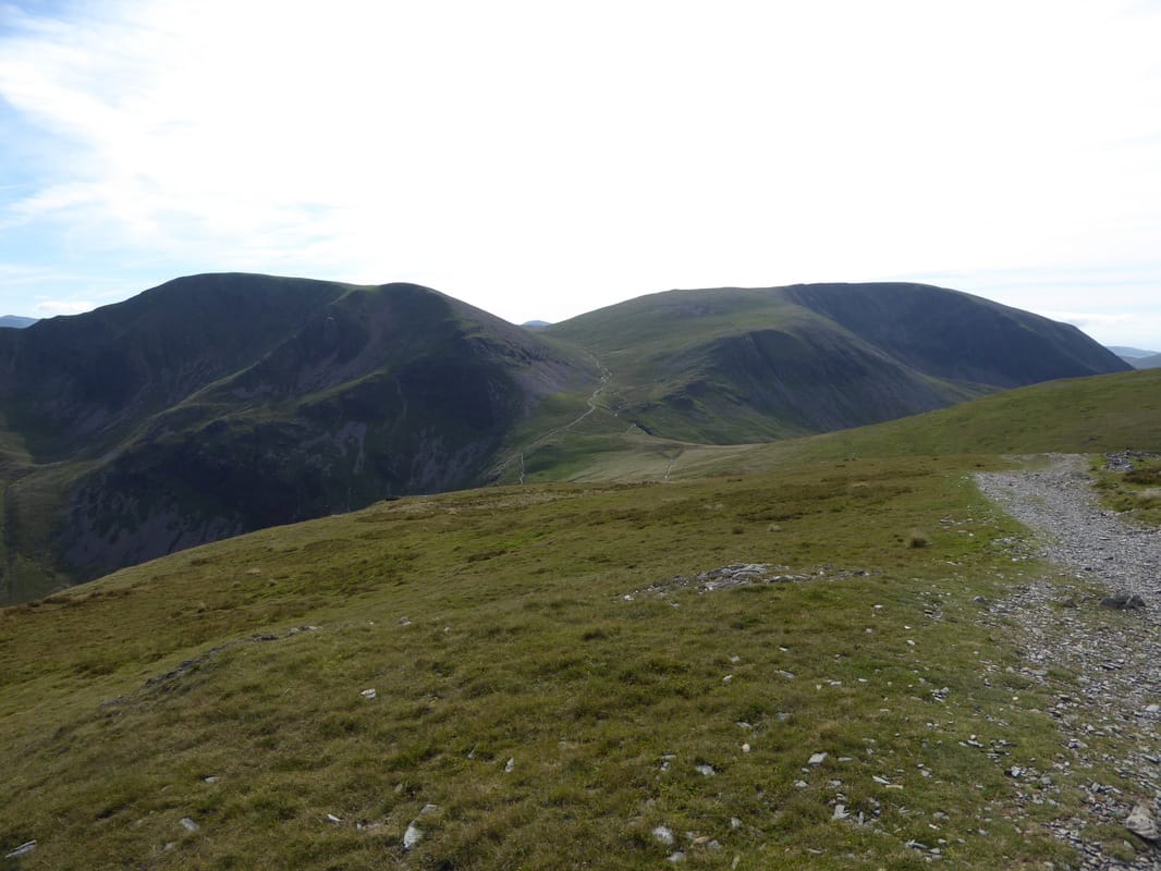
Coledale Hause with Crag Hill, Eel Crag & Grasmoor
The path around the edge of Hobcarton Crag leading to Hopegill Head - Fudge doesn't believe my Nav - again!
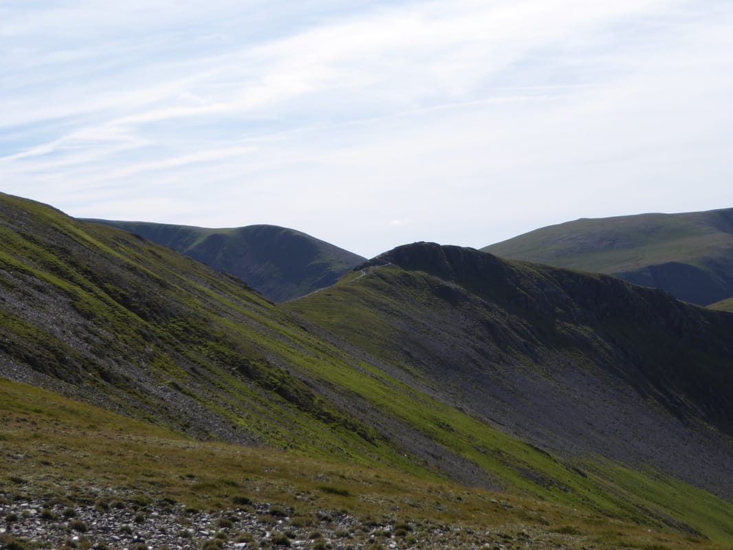
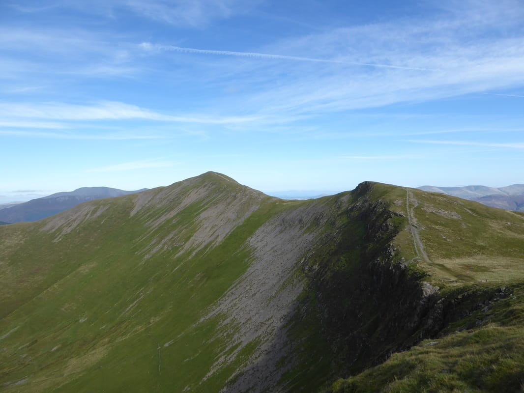
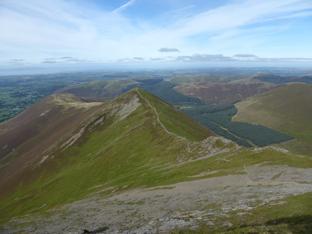
Another super view back to Grisedale Pike with the serrated edge of Hobcarton Crag also visible
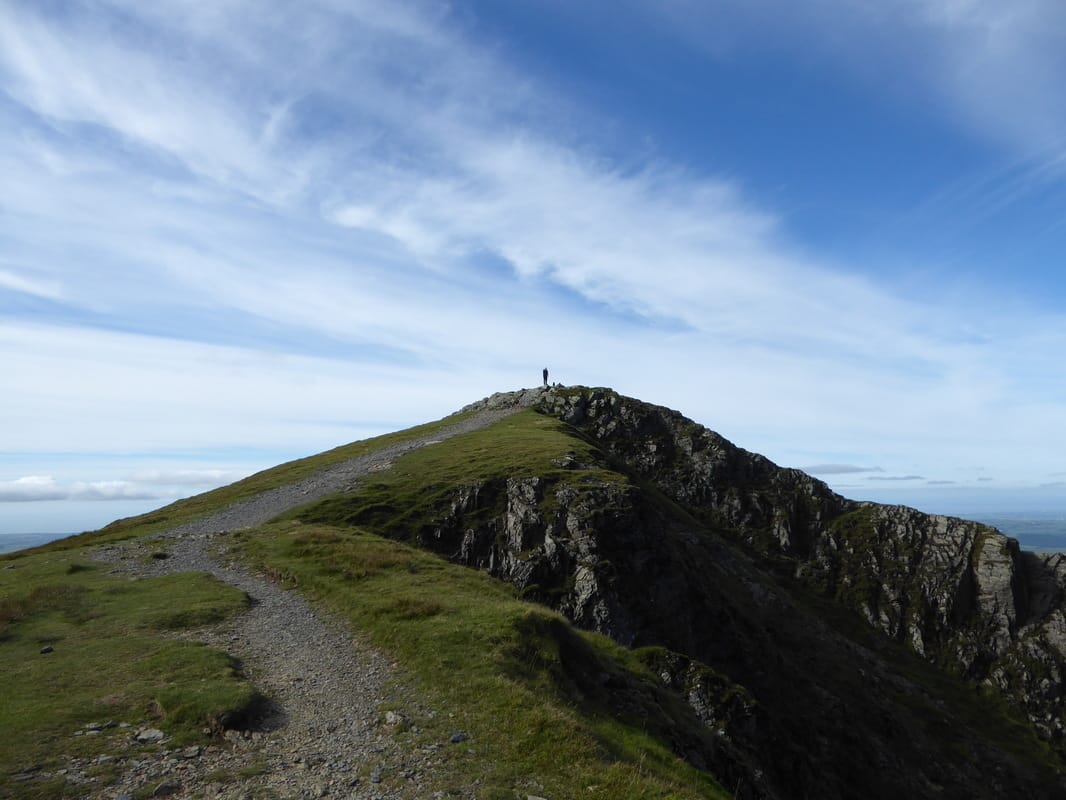
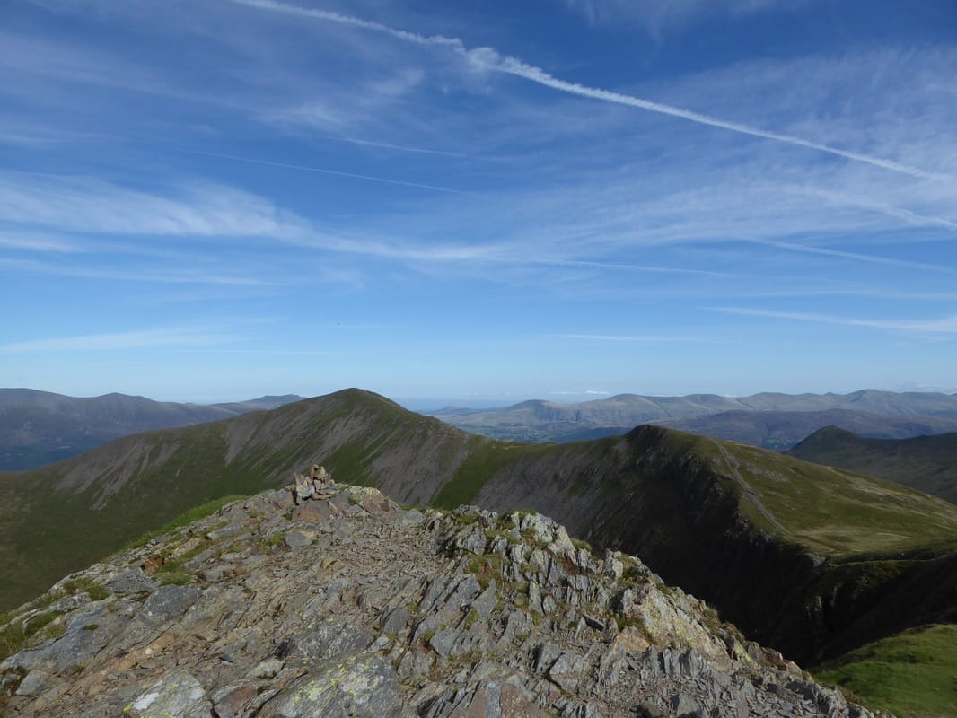
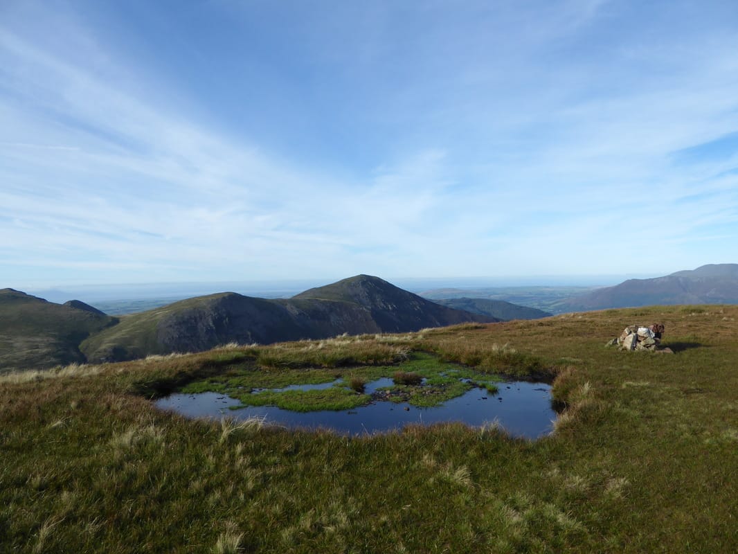
The summit of Hopegill Head
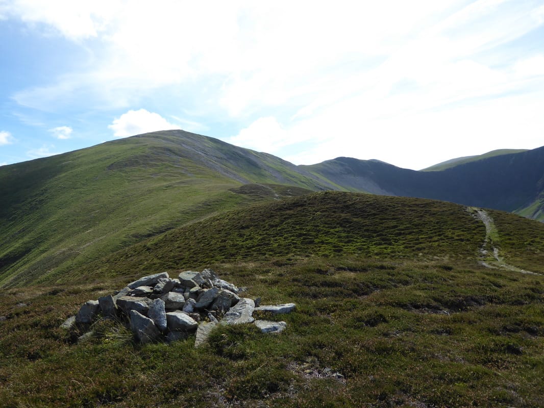
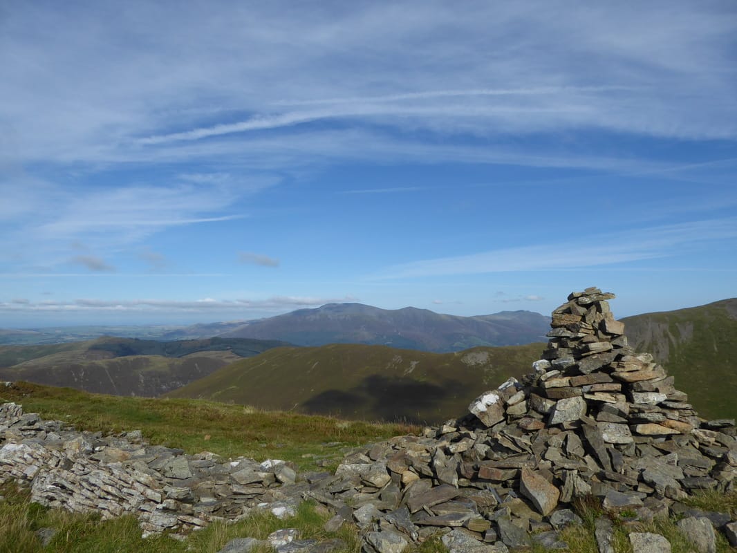
The tiny cairn on Hopegill Head looking back to Grisedale Pike
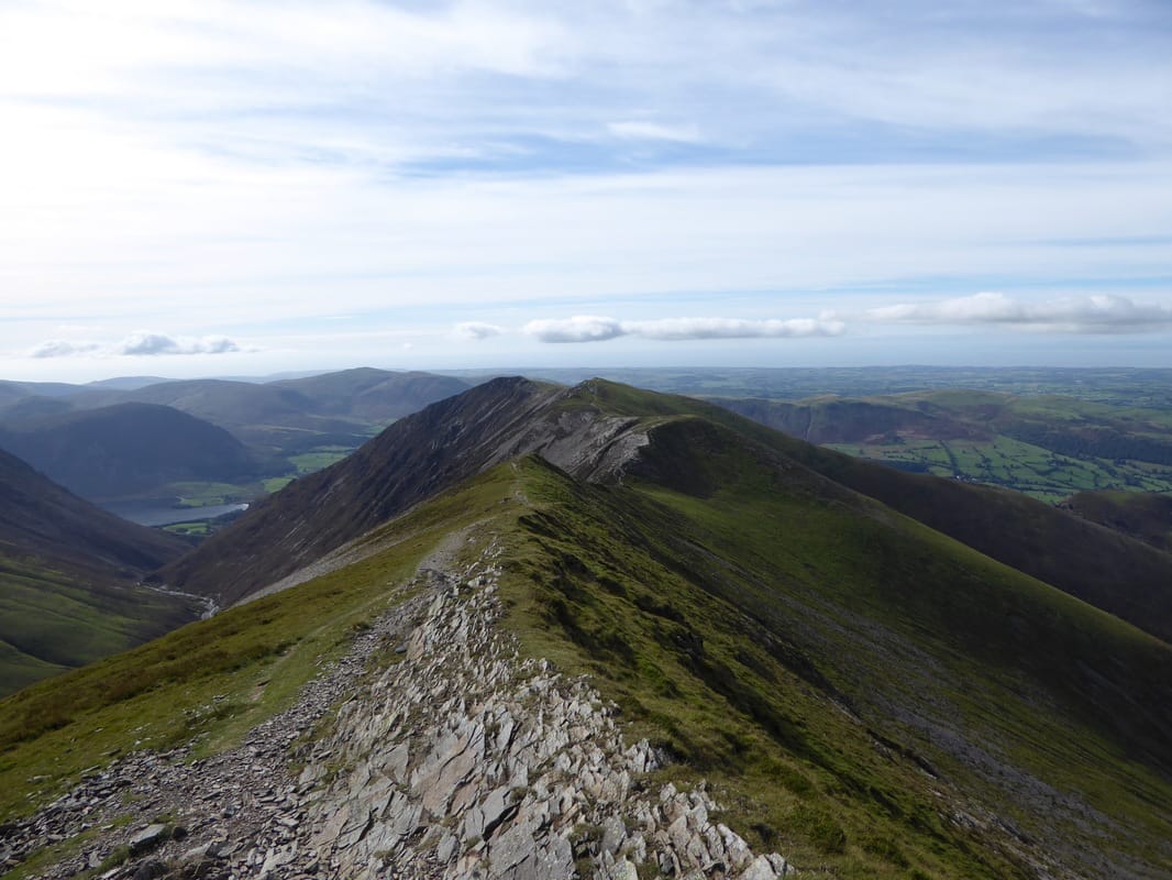
The superb ridge walk over to Whiteside from Hopegill Head - not today unfortunately
Ladyside Pike - our next summit
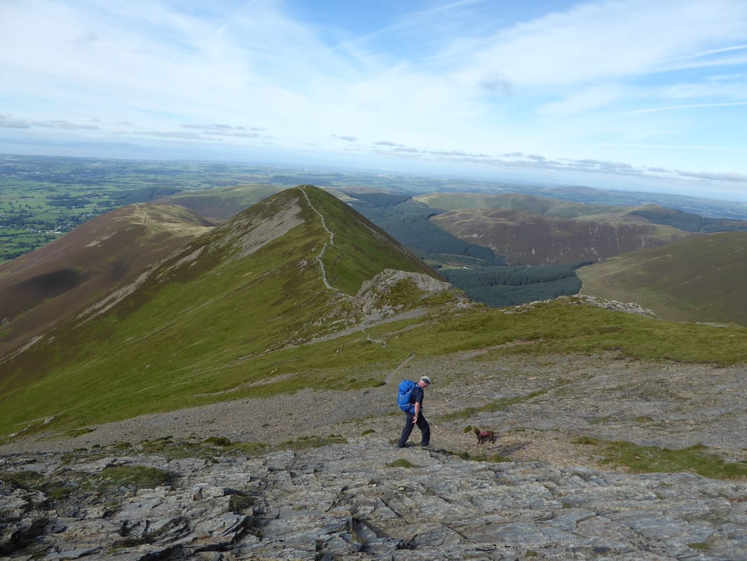
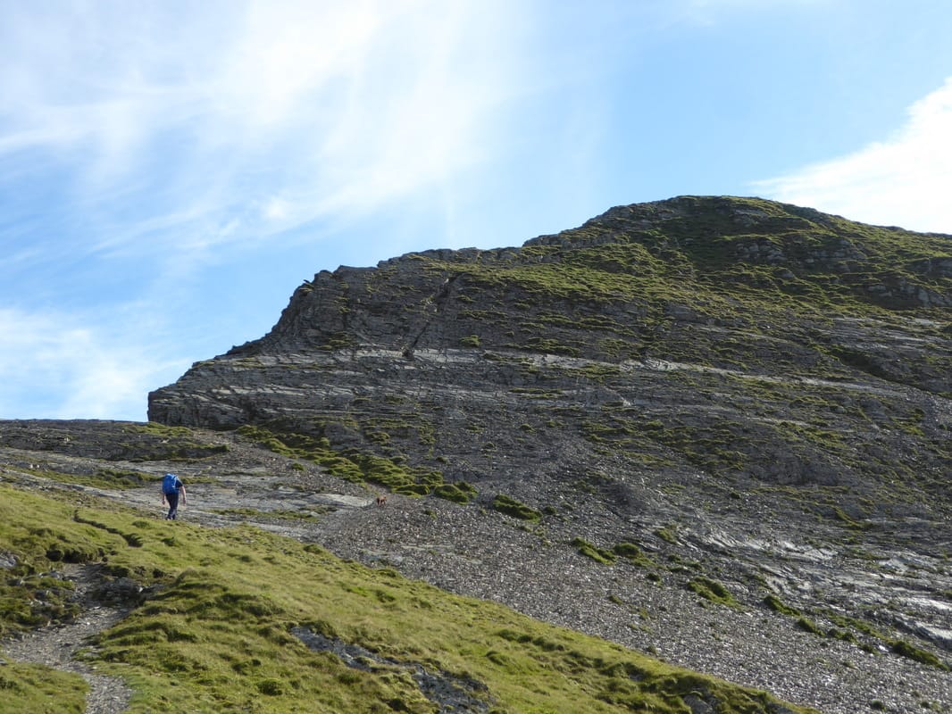
The stony descent to Ladyside Pike - this would need a fair bit of care to be taken in the wet and ice
Looking back up to Hopegill Head
The summit of Ladyside Pike
A view back along the full transit from Hopegill Head - looks difficult and in different conditions it probably would be
Time for a bit of minor scrambling to regain Hopegill Head
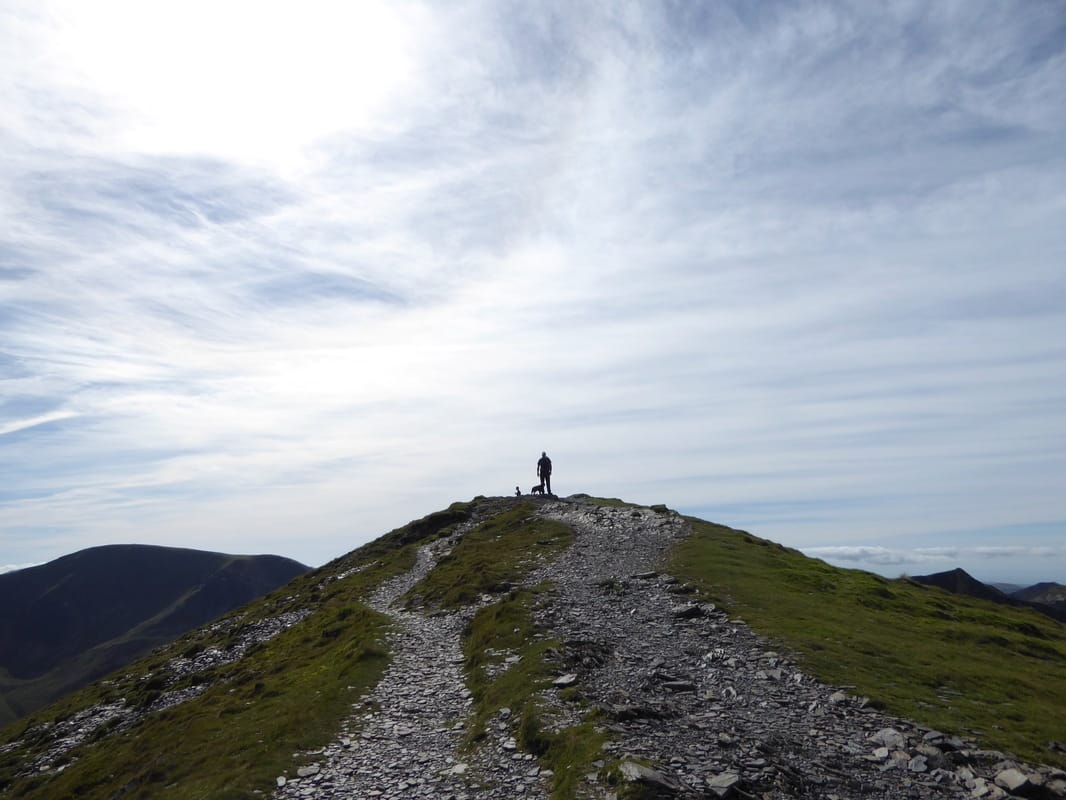
Almost there - Fudge as usual is first up on the ridge
Heading for Sand Hill
Just glorious out here today
Sand Hill looking to Hopegill Head
Gasgale Gill, Gasgale Crags & Whiteside - the Northern end of Crummock Water peeps out below Mellbreak
Dropping down from Sand Hill to Coledale Hause
Whiteside & Sand Hill
Wandope above Addacomb Hole
Heading for Crag Hill
Force Crag Mine and Coledale
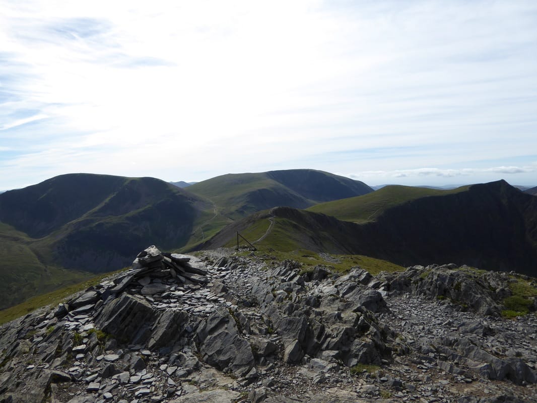
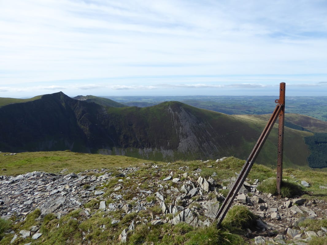
Another one bites the dust - Crag Hill Trig Point. I guess it has just had one too many people climbing al over it.
Thankfully it has now been repaired.
Thankfully it has now been repaired.
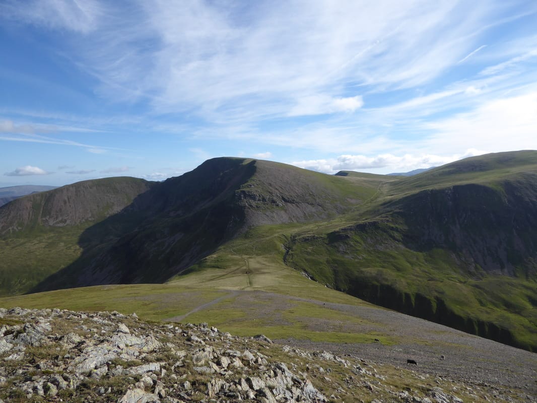
A cairned path marks the route to The Scar & Sail
Fells as far as the eye can see from just above The Scar
Robinson above Newlands Hause with Knott Rigg in the foreground
Heading along The Scar with the ascent of Sail ahead
Approaching the summit of Sail
The summit of Sail
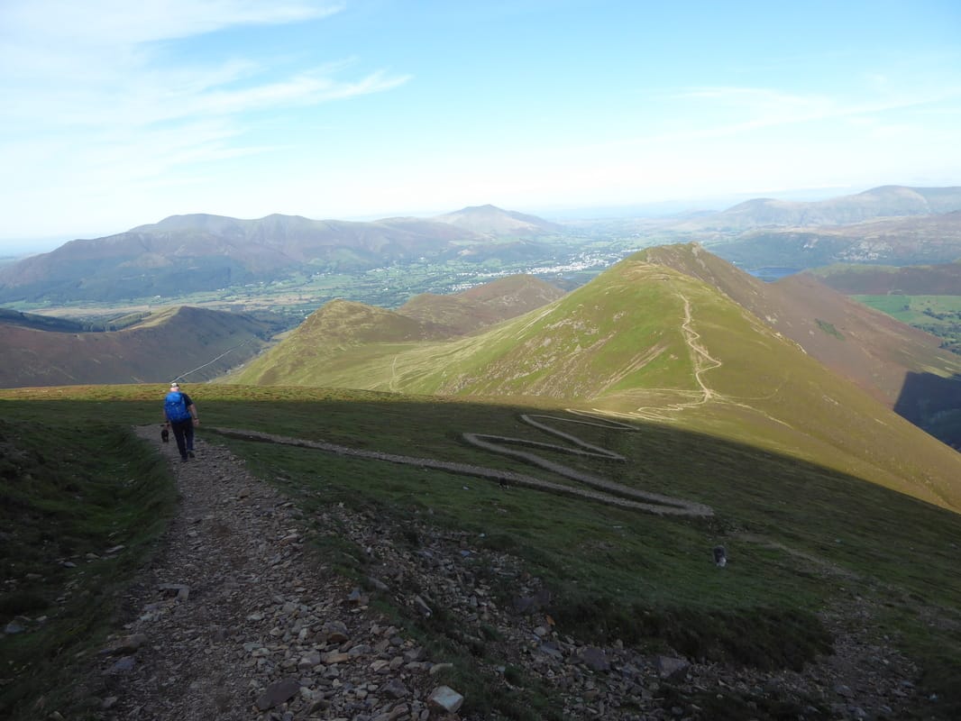
People have come to blows discussing the zig zag path down from Sail to Sail Pass.
Fix the Fells constructed the path to help ease the erosion caused to the landscape on this ascent and having seen the path before it was repaired, something clearly needed to be done. Whilst to some it is unsightly, hopefully it will eventually blend in.
Fix the Fells constructed the path to help ease the erosion caused to the landscape on this ascent and having seen the path before it was repaired, something clearly needed to be done. Whilst to some it is unsightly, hopefully it will eventually blend in.
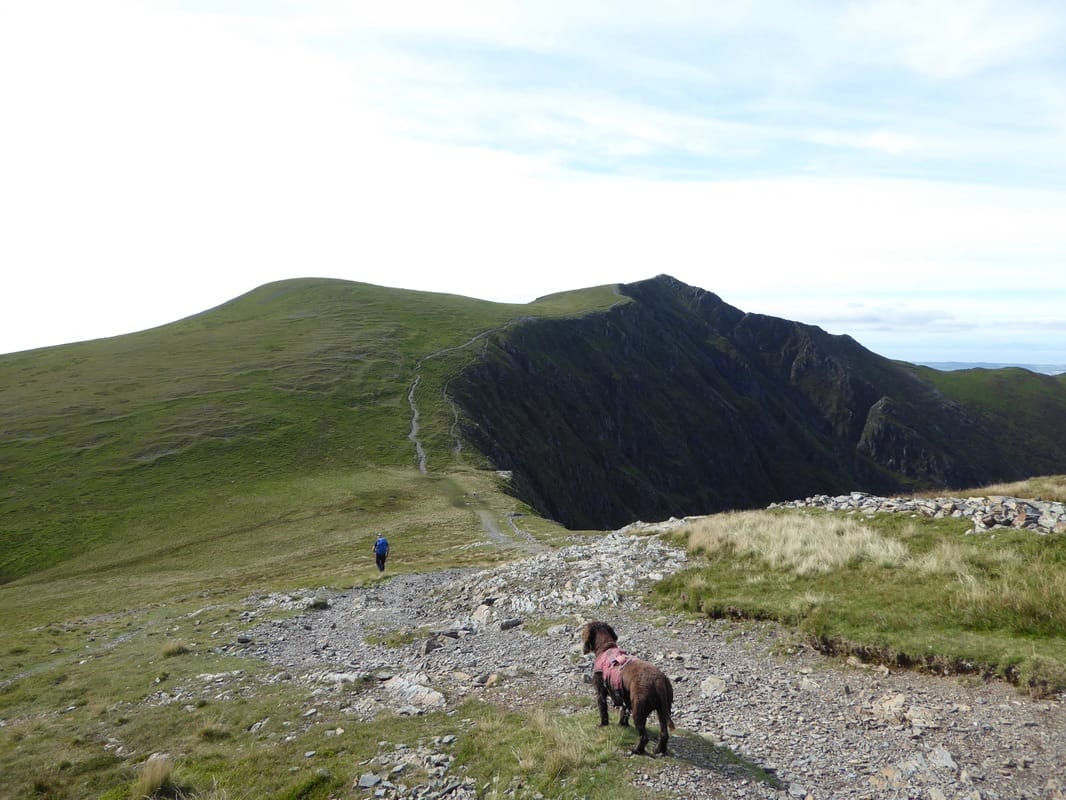
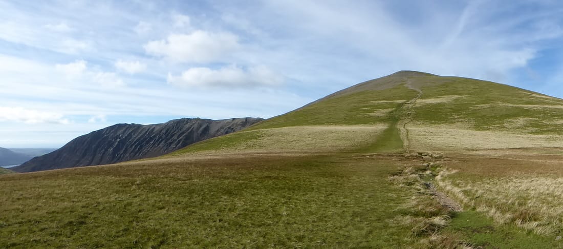
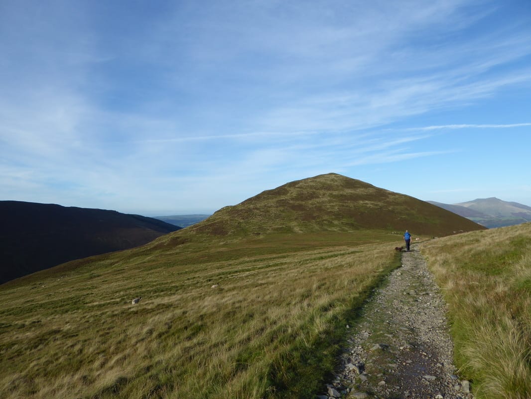
Outerside ahead
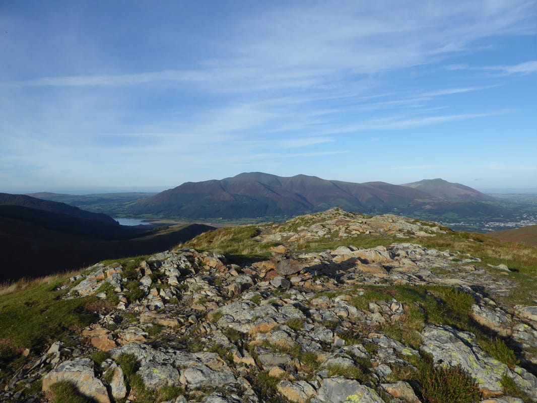
The rocky summit of Outerside - last time we were here we could see diddly squat.
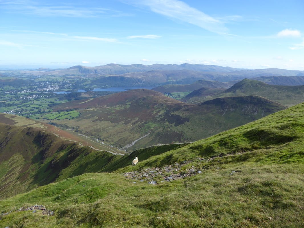
The Skiddaw group dominates the view ahead with Bassenthwaite Lake to the left.
The Skiddaw group dominates the view ahead with Bassenthwaite Lake to the left.
Causey Pike from Outerside
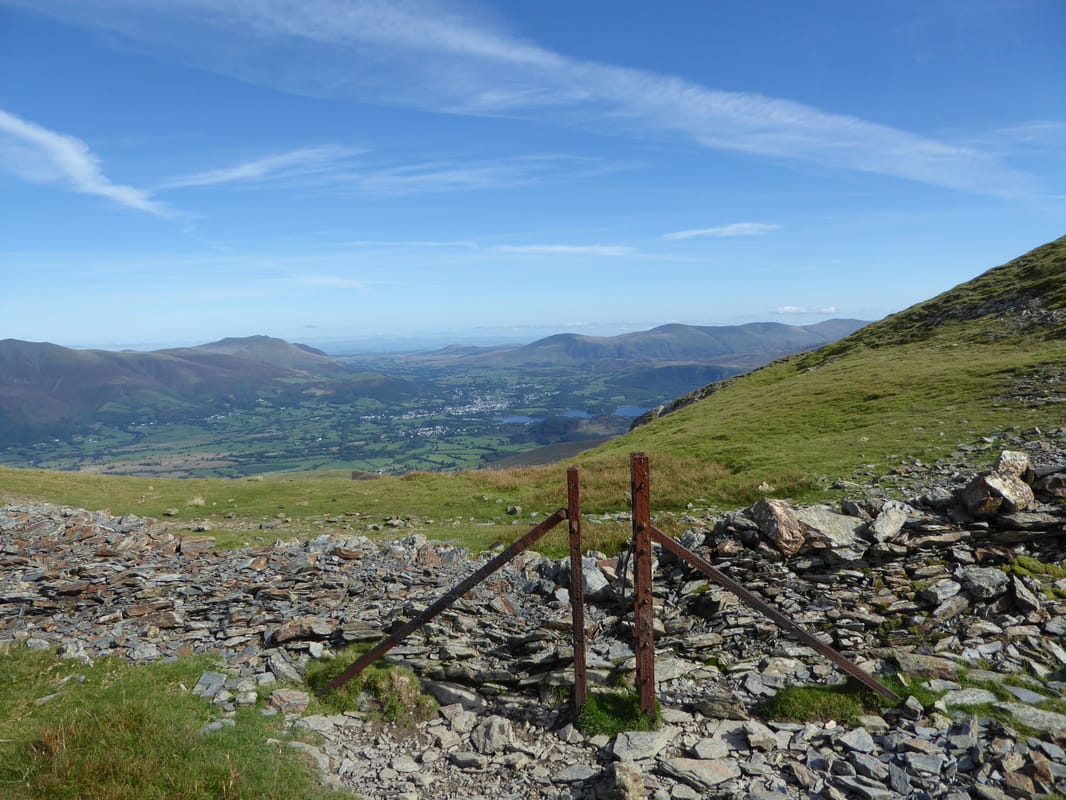
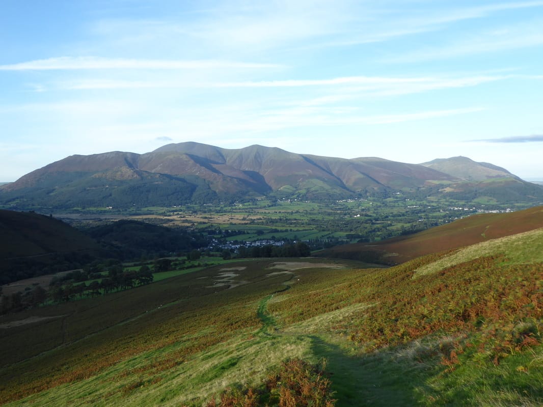
Heading down to Braithwaite from Stile End with the Skiddaw group ahead
