Linton Falls, Hebden, Cupola Corner & Linton - Wednesday 29 September 2021
Route
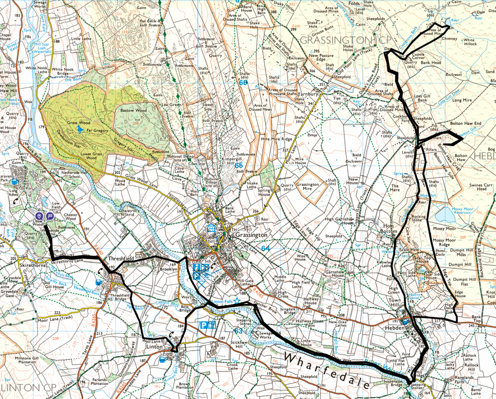
Threshfield - Grassington - Linton Falls - Hebden - Hole Bottom - Bolton Haw - Duke's New Road - Cupola Corner - Mossy Moor - Edge Top - Hebden - Linton Falls - Linton - Threshfield
Parking
We started the walk from the Caravan & Motorhome Club Site at Threshfield however this walk can be started direct from either Grassington or Hebden.
Mileage
17.4 miles
Terrain
Good woodland, farm tracks and paths throughout. The only pathless section was the ascent & descent of Bolton Haw. There is some road walking, mostly on quiet lanes.
Weather
Sunny with light breezes.
Time Taken
7hrs 10mins
Total Ascent
2355ft (718m)
Map
OL2 - Yorkshire Dales (Southern & Western Areas)
Walkers
Dave, Angie & Fudge
|
GPX File
|
| ||
If the above GPX file fails to download or presents itself as an XML file once downloaded then please feel free to contact me and I will send you the GPX file via e-mail.
Route Map
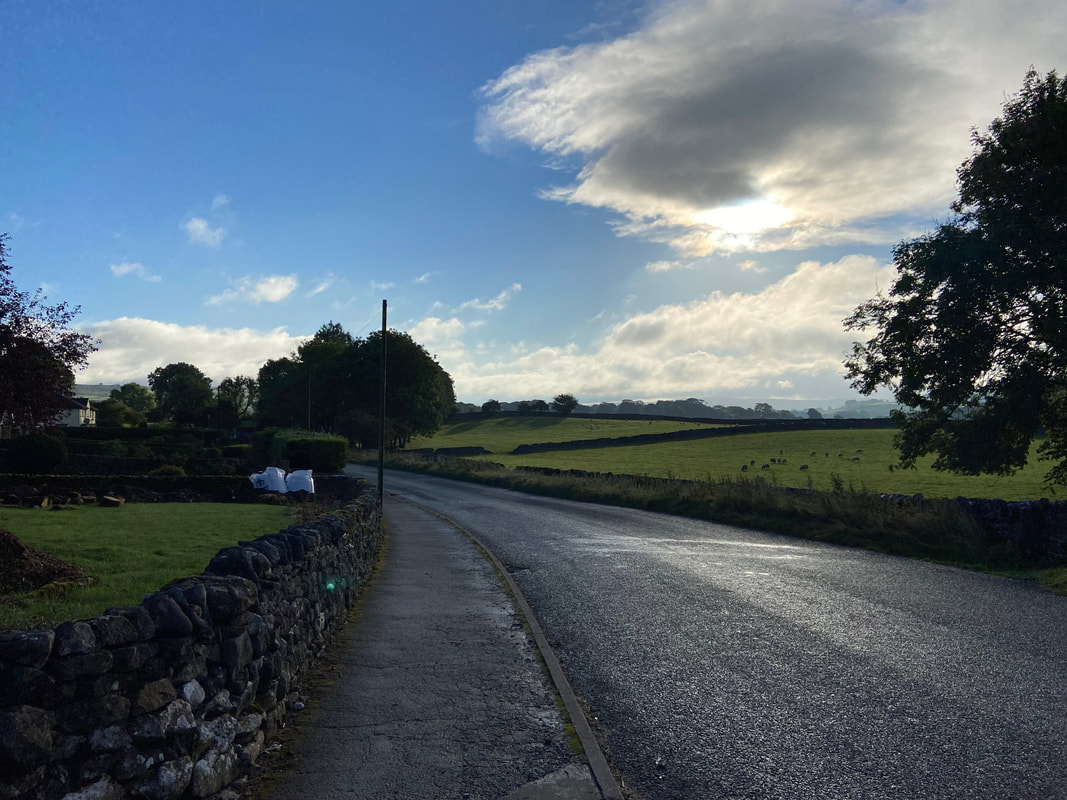
Early morning as we head along Skirethorns Lane towards Threshfield & Grassington - looks like it is going to be a nice day
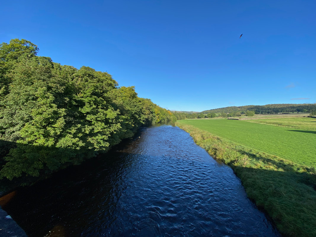
Crossing the River Wharfe via Grassington Bridge
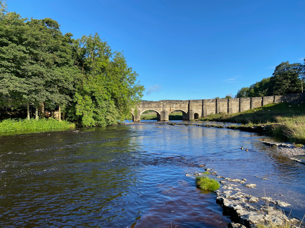
Grassington Bridge from the eastern bank of the River Wharfe. The bridge is Grade 2 listed and dates from the 17th Century.
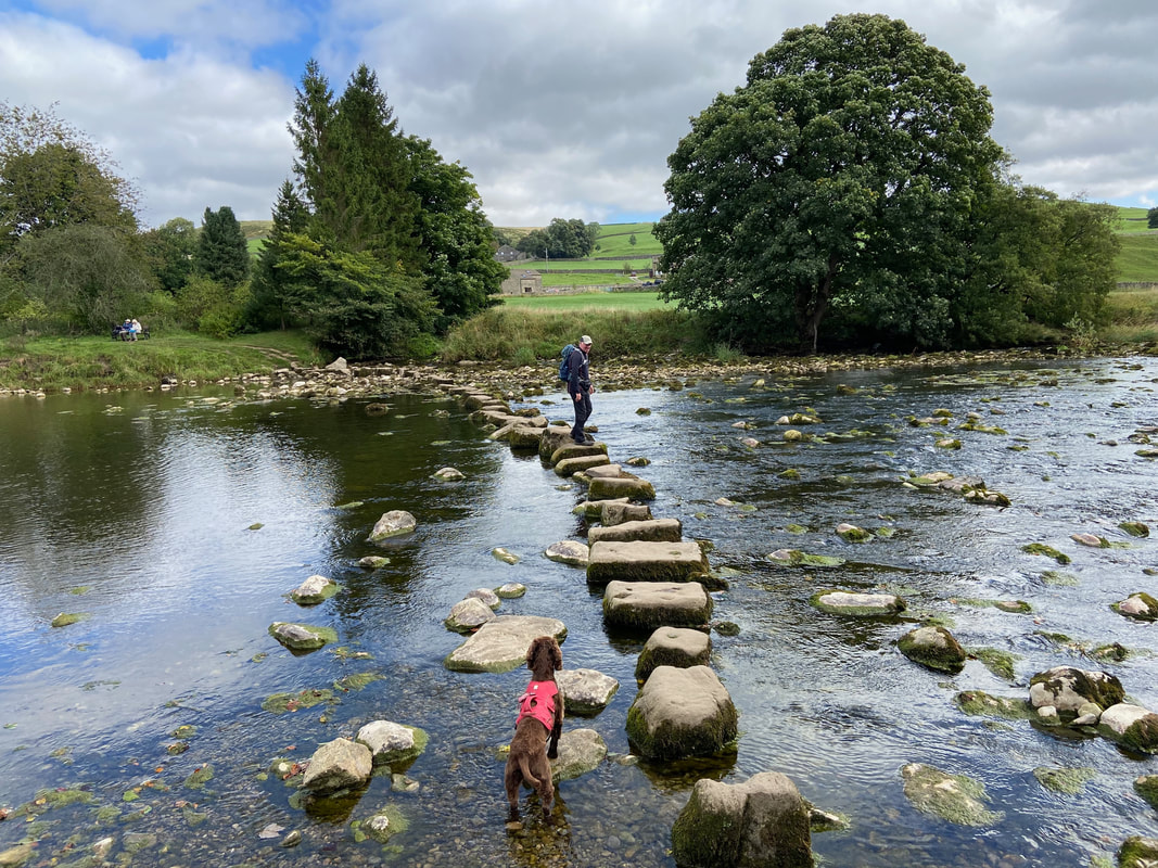
The stepping stones over the River Wharfe below Fletcher Brow. There was too much water in the river to see them clearly.
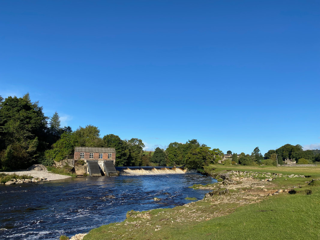
The weir at Linton Falls Hydro (click Play to view)
Linton Falls Hydro is a hydroelectric generating power station. The station is is located on the same site as a hydroelectric scheme that was first opened in 1909, but had closed by 1948. The new scheme, which opened in March 2012 uses the original building which is now a scheduled monument.
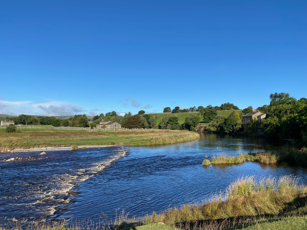
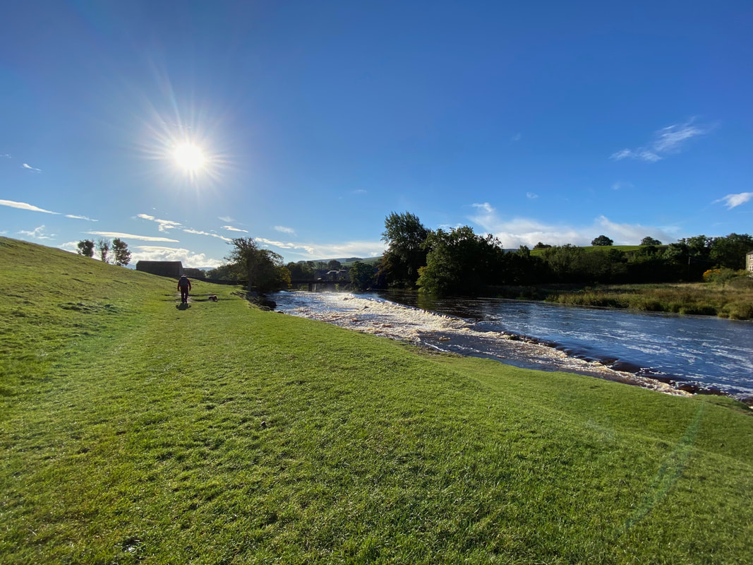
Approaching Linton Falls. This was glorious walking and is one we have done many times.
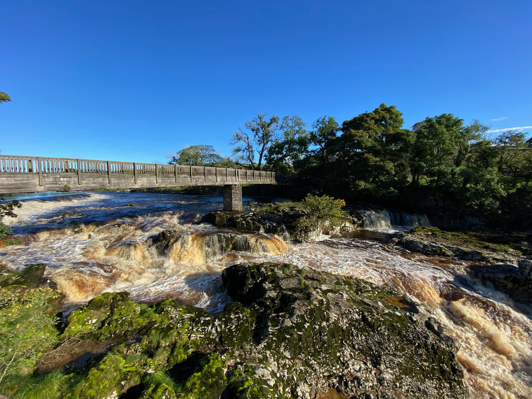
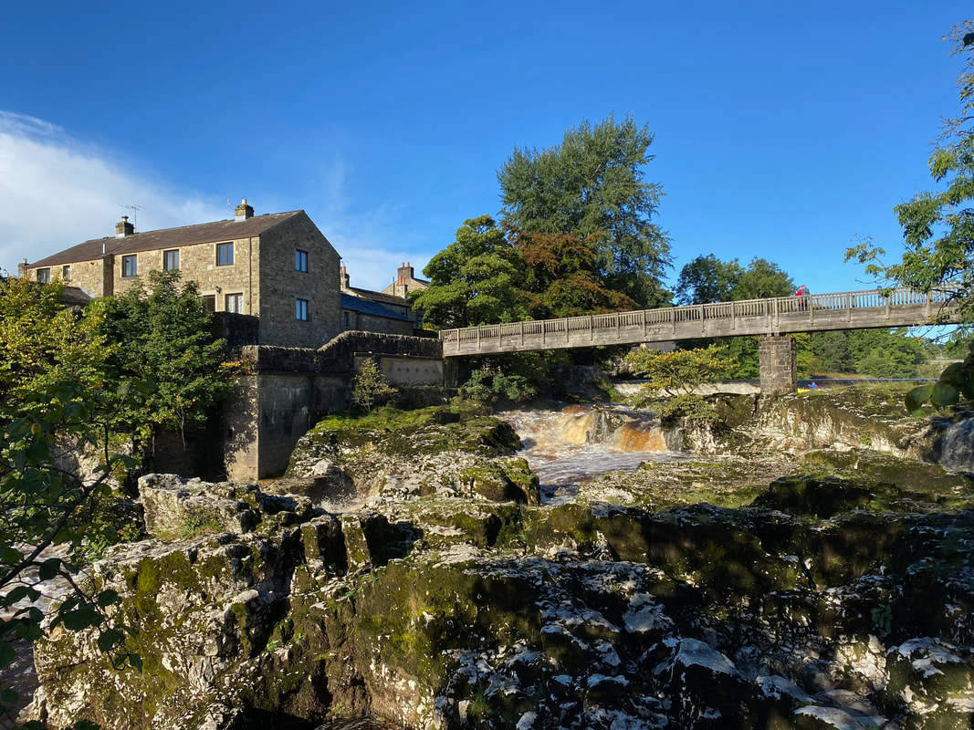
Linton Falls from the western side of the River Wharfe. Our route did not cross the bridge until our return however I crossed the bridge to get a decent photo before the crowds arrived this afternoon.
The rising waters of the Wharfe at Linton Falls from the western bank (click Play to view)
Meanwhile Angie had carried on to just below the falls. Care needs to be taken along the river bank as the rocks are slippy. The bridge crossing Linton Falls is known as the Tin Bridge and was originally built in 1814 by Jonathan Verity however a second bridge was then built by his son in 1860. This one was made of massive pine beams with narrow sides. When this wore away it was patched up with beaten-out oil containers from the mill - hence it was named the 'Tin Bridge'.
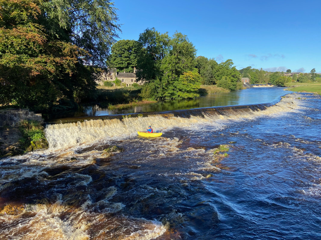
The view upstream from Linton Falls to a second weir with the Linton Hydro further up. We watched the canoeist do his run down the falls and had a chat with him as he was exiting the river further down. He was a Police Officer from Manchester out canoeing on his day off.
We managed to capture the canoeist's run down the falls (click Play to view)
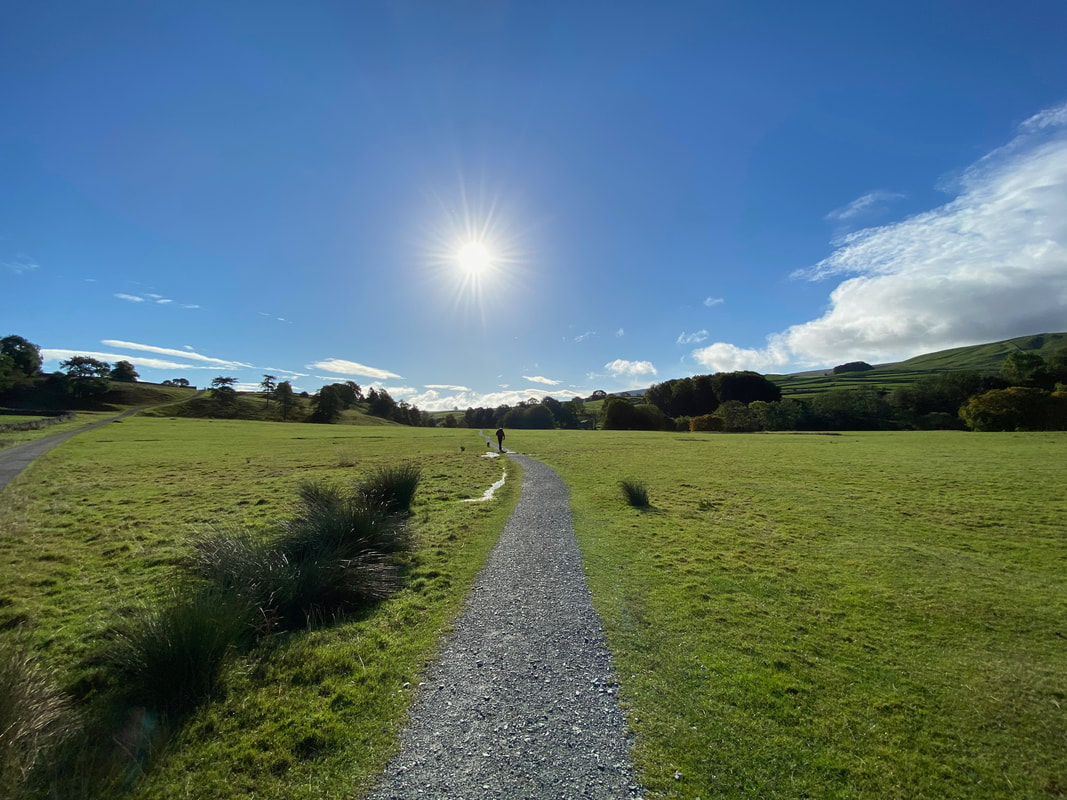
Heading towards Hebden on what was turning out to be a stunning day. From Linton Falls we were now on the Dales Way which we completed in 2014. A walk report on this walk can be found here.
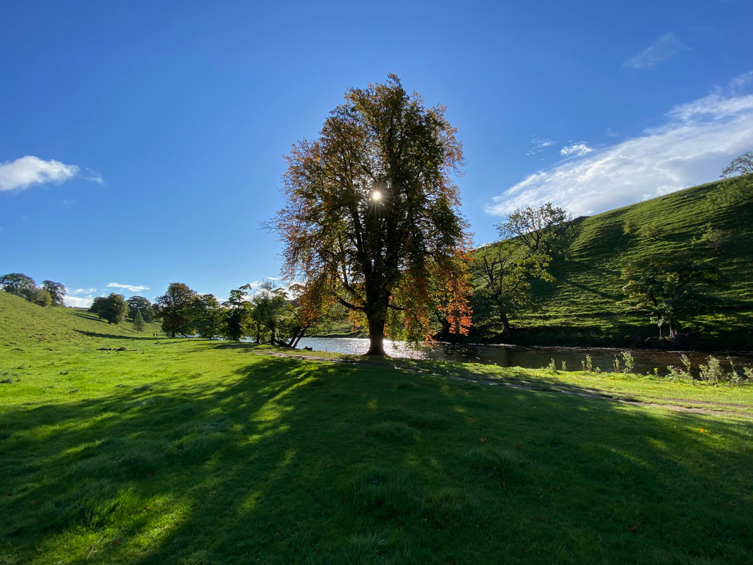
Just by accident Angie caught the sun shining through the leaves of the tree as we continue along the River Wharfe towards Hebden
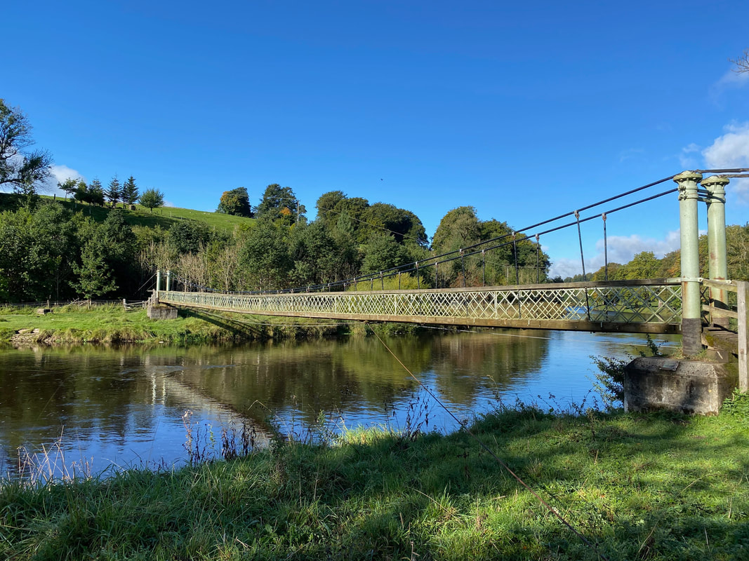
The Hebden Suspension Bridge across the River Wharfe
It is popularly believed that Hebden Suspension Bridge was built after a man named Joseph Slack was drowned when crossing the stepping stones just a short distance from where the bridge stands today (see pic below). The bridge was built by the Hebden blacksmith William Bell in 1885 largely from materials recycled from the lead mines. Strangely, for a suspension bridge it initially had a central support however this was damaged during a flood in 1937, and the bridge was raised and the support removed. The base of the support can still be seen when river levels are low.
It is popularly believed that Hebden Suspension Bridge was built after a man named Joseph Slack was drowned when crossing the stepping stones just a short distance from where the bridge stands today (see pic below). The bridge was built by the Hebden blacksmith William Bell in 1885 largely from materials recycled from the lead mines. Strangely, for a suspension bridge it initially had a central support however this was damaged during a flood in 1937, and the bridge was raised and the support removed. The base of the support can still be seen when river levels are low.
|
22 September 2021
|
29 September 2021
|
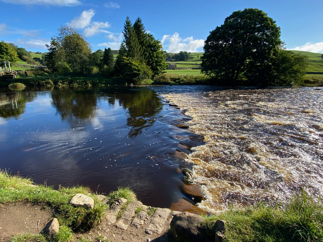
Whilst today's route did not cross the Suspension Bridge I wandered over to the southern bank of the Wharfe to capture the difference a few days of rain can make to the level of water in a river. The two photographs were taken a week apart from roughly the same spot.
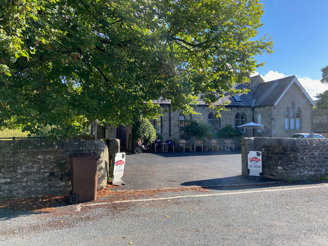
The Old School Tea Room in Hebden - very, very, highly recommended.
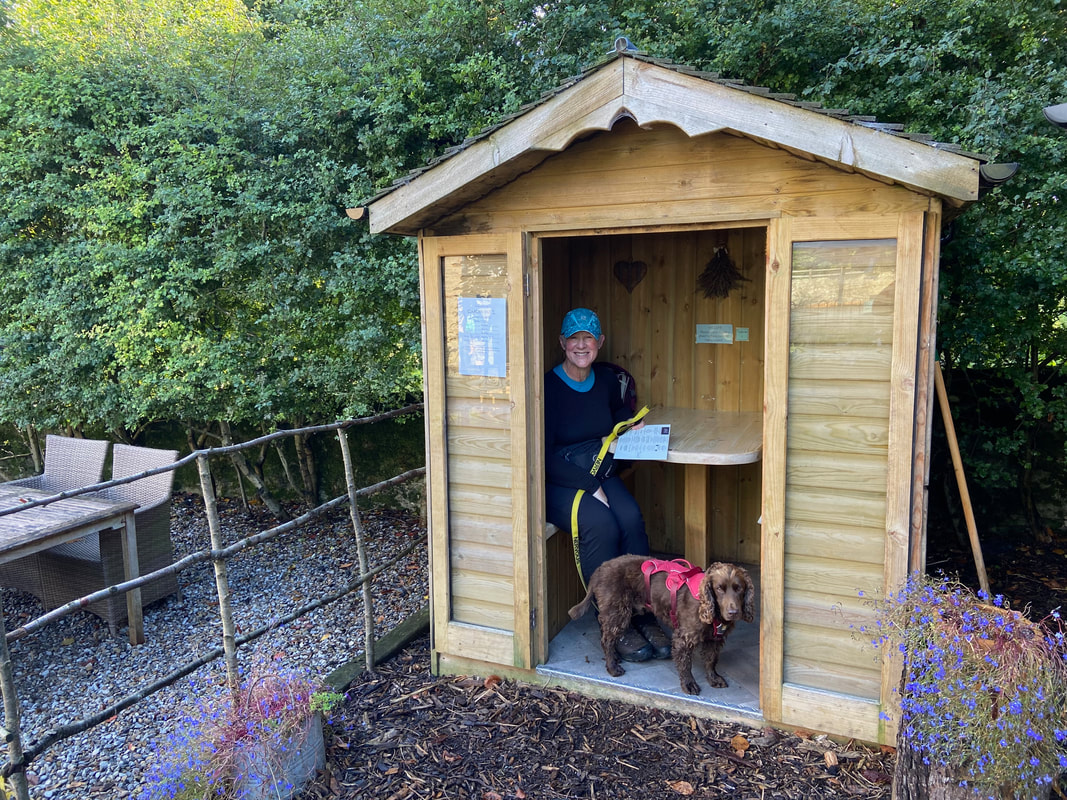
We settled into one of the Tea Room's outdoor tables to have a spot of breakfast and very nice it was too. Fudge limbers up & readies himself for some top level scrounging once our Breakfast arrives..
Fans of Clint Eastwood will probably get the joke (click Play to view)
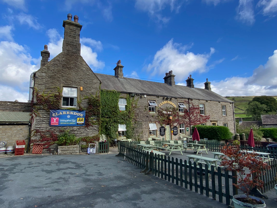
The Clarendon pub in Hebden - not been in here for a while
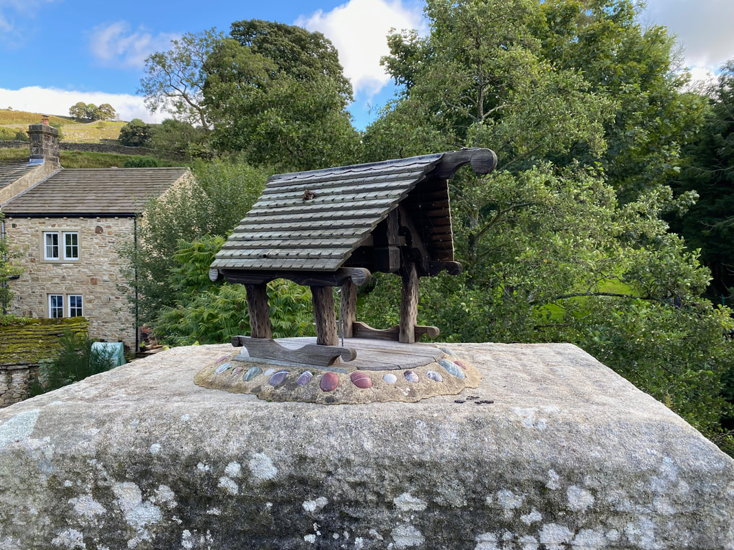
Not sure what this represents but it was a pretty little structure sat atop a wall near the bridge
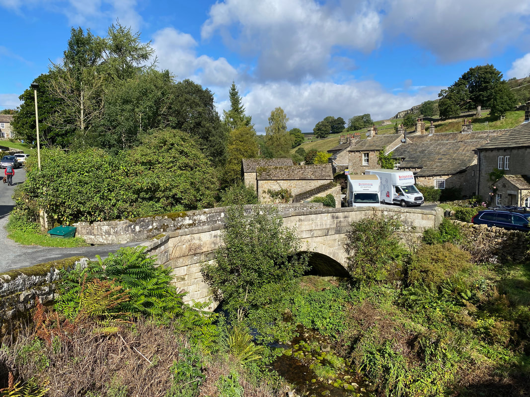
The scenic bridge over Hebden Beck - just a shame the removal vans spoil the view. Fudge and I bimble on to the left as Angie takes the shot.
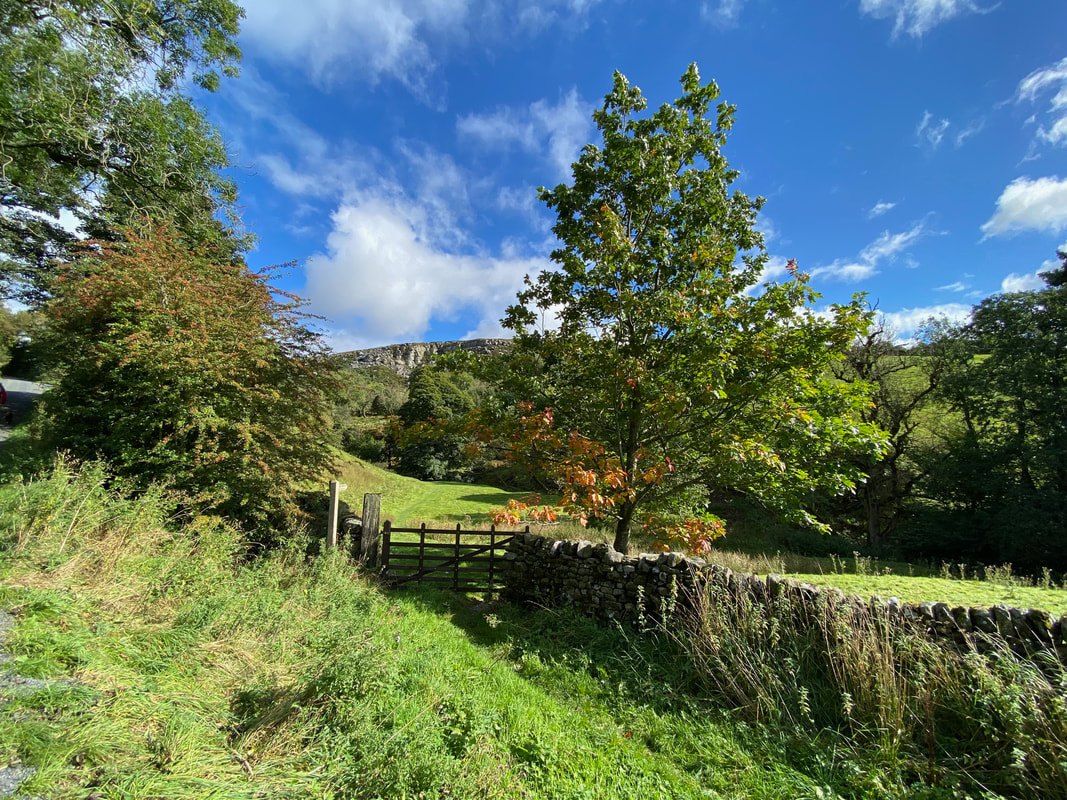
Looking to Care Scar from near Hole Bottom
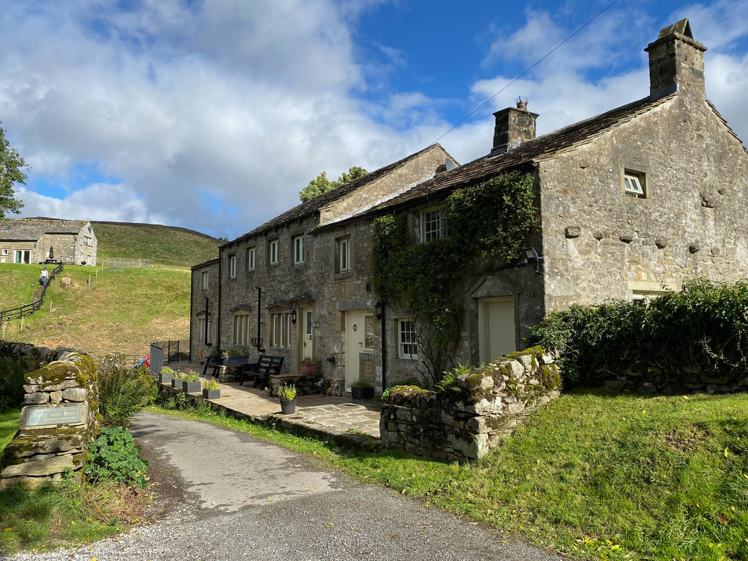
Very attractive holiday cottages at Hole Bottom
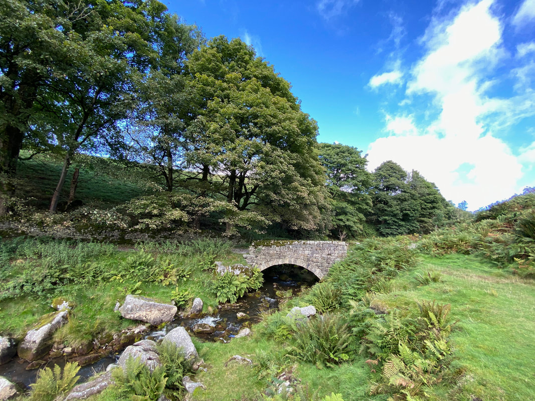
Another lovely bridge over Hebden Beck
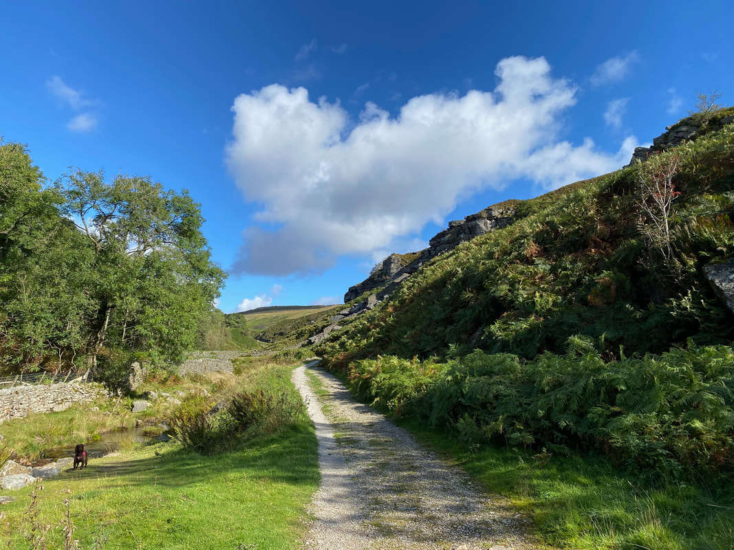
The route follows a clear track that handrails Hebden Beck
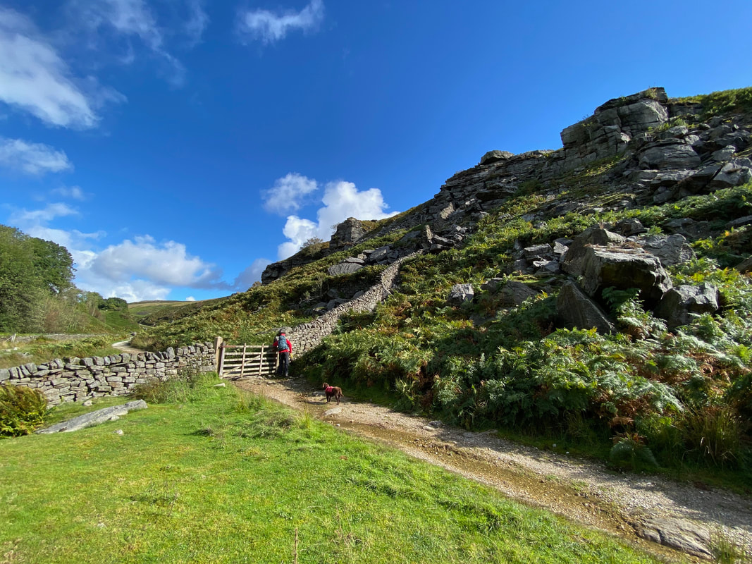
The route continues along the track to reach a gate
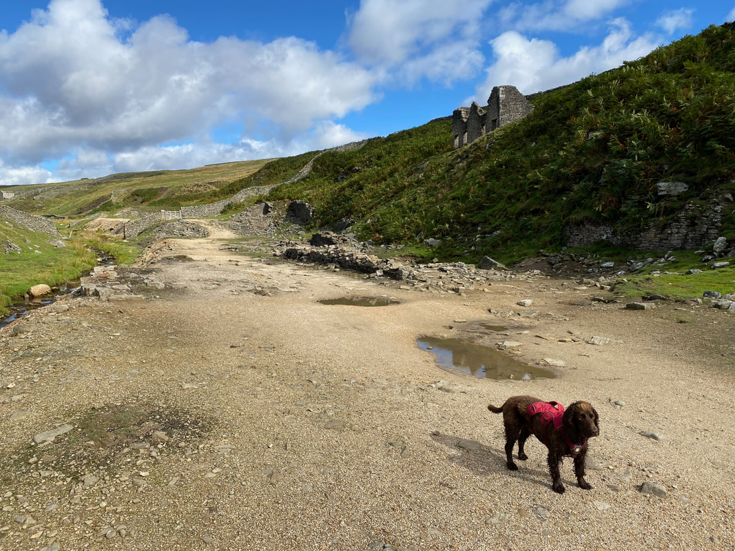
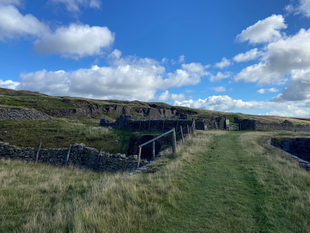
Passing through the gate we soon arrive at ruined mine buildings
Bolton Gill Engine Shaft. The shaft was pumped by a waterwheel, high on Bolton Haw Side.
Looking into the Engine Shaft
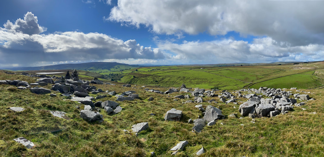
From the Engine Shaft we detoured off route to visit Bolton Haw which gave us a superb panorama from the summit
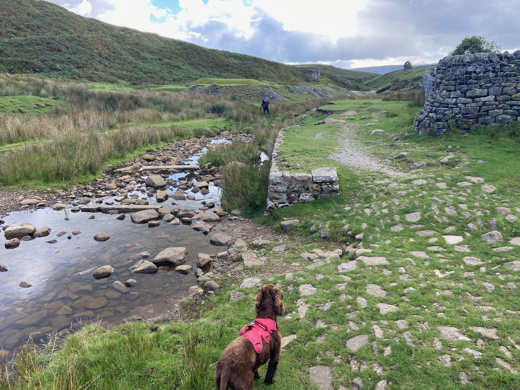
Fudge looks on anxiously as Angie crosses Hebden Beck
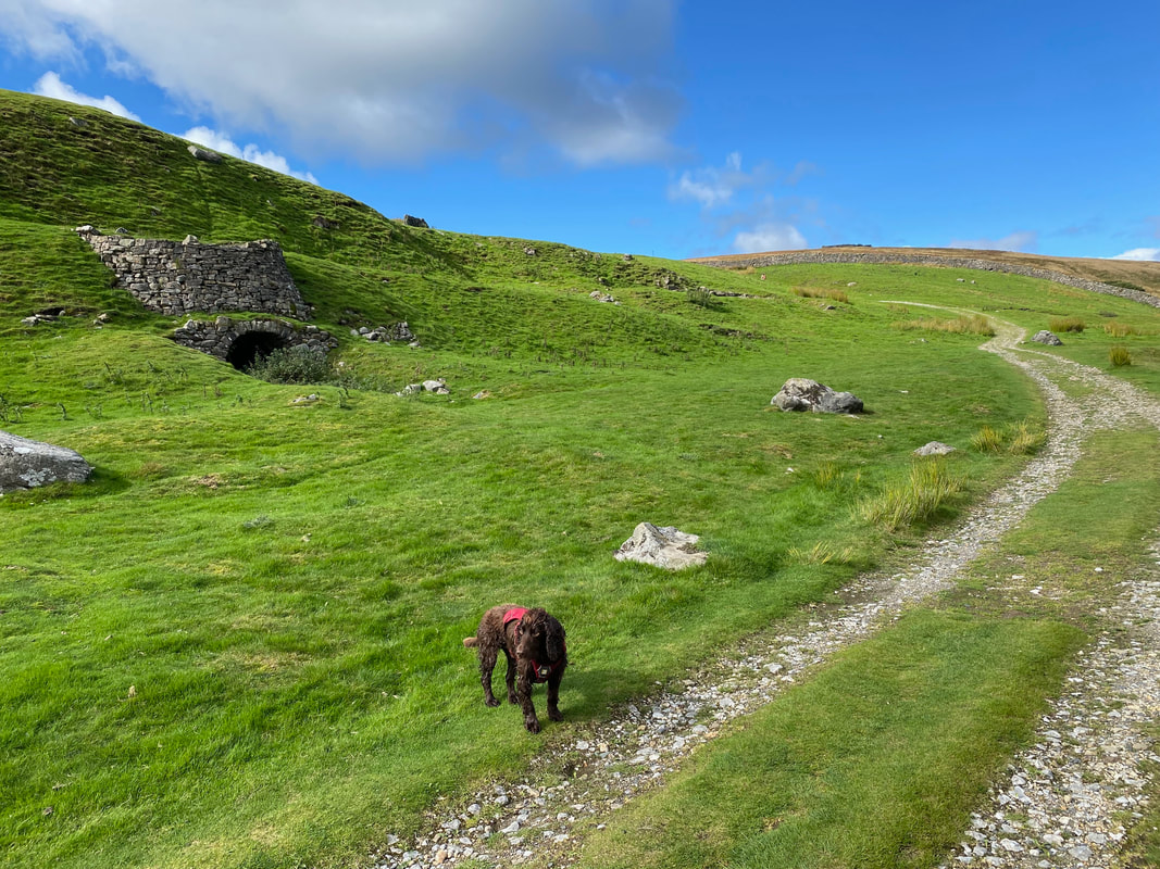
Continuing on we pass an old derelict lime kiln
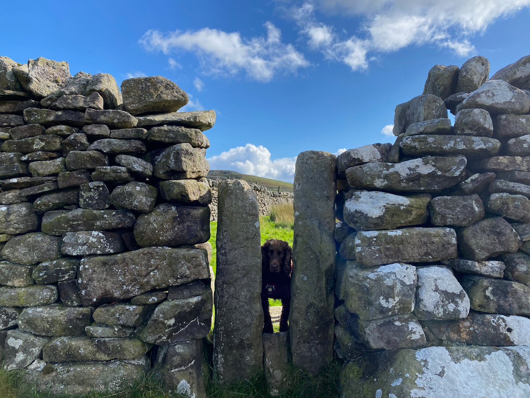
I know what he's thinking - probably something along the lines of "I can't wait to see you two try and pass through this gap"
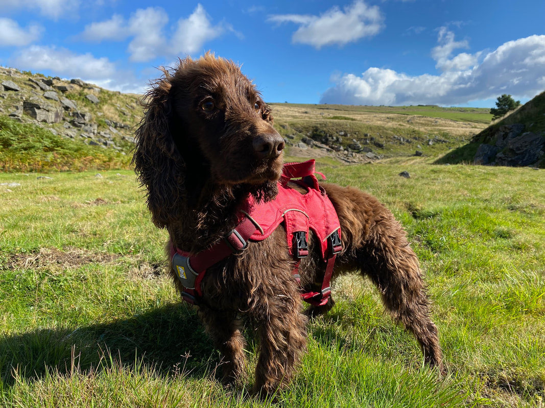
I think somebody needs a fur cut
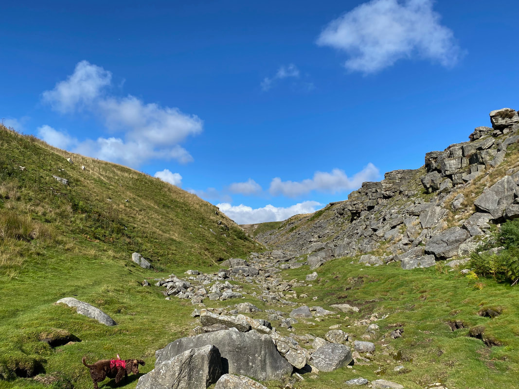
The final approach to Cupola Corner is via a stony chasm
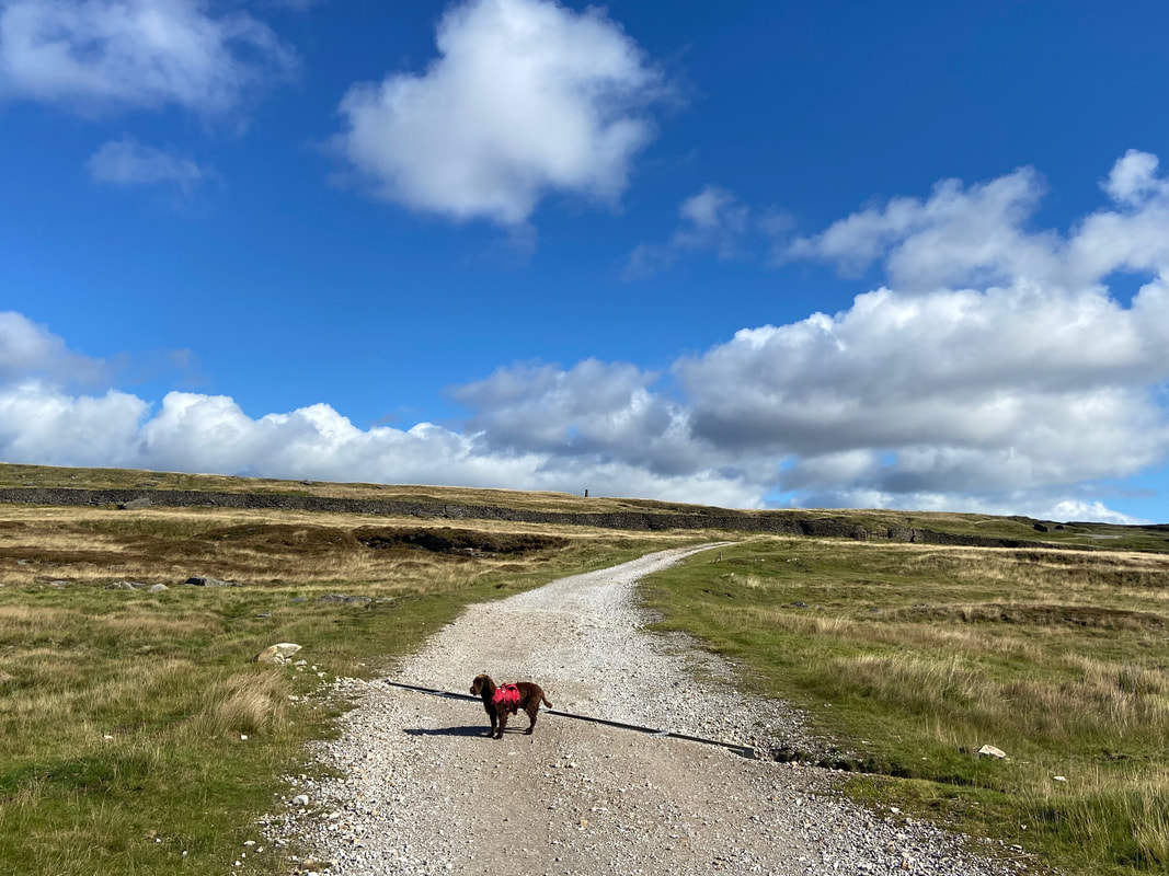
Above the chasm the route joins a track known as Duke's New Road
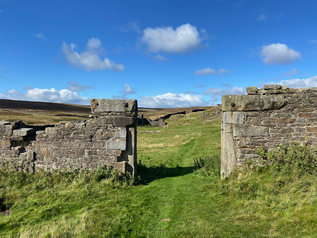
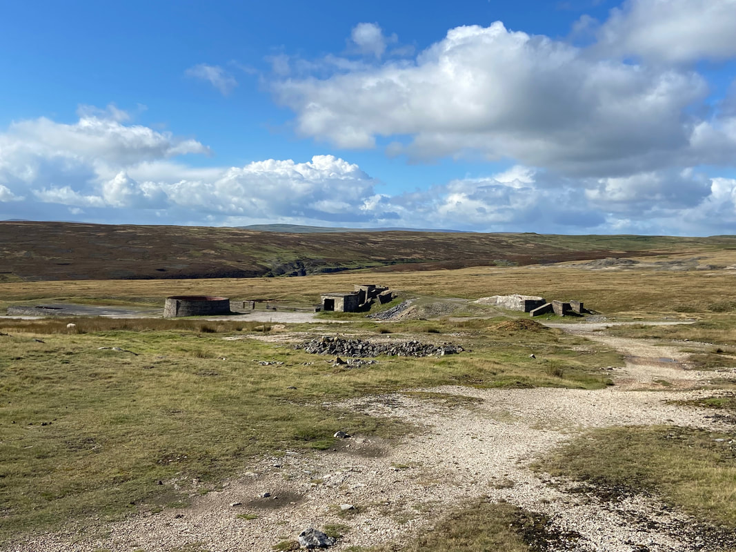
The entrance to Cupola Smelt Mill. This is the start point for an interesting trail through the workings, derelict buildings and fascinating history of this mine. Each stance is supported by information boards explaining the process. The mill was built by the Duke of Devonshire in 1792 and had two reverbatory (cupola) furnaces that could run continuously and replaced two less efficient mills which had peat and wood fuelled ore hearths.
The trail exits the mine buildings and heads towards the Chimney
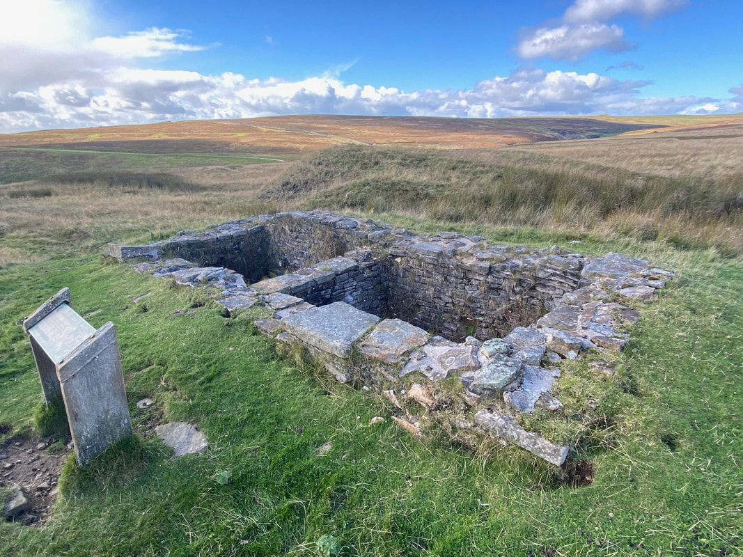
The remains of the Condenser House. When lead is smelted, some escapes as tiny particles called "fume" in the waste gases from the furnaces. Condenser Houses were built to slow down these waste gases and make it easier to collect the lead fume for re-smelting.
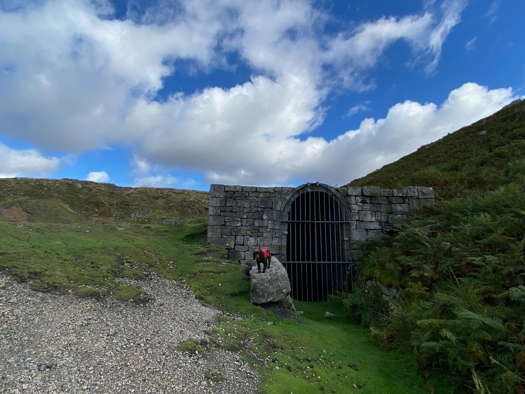
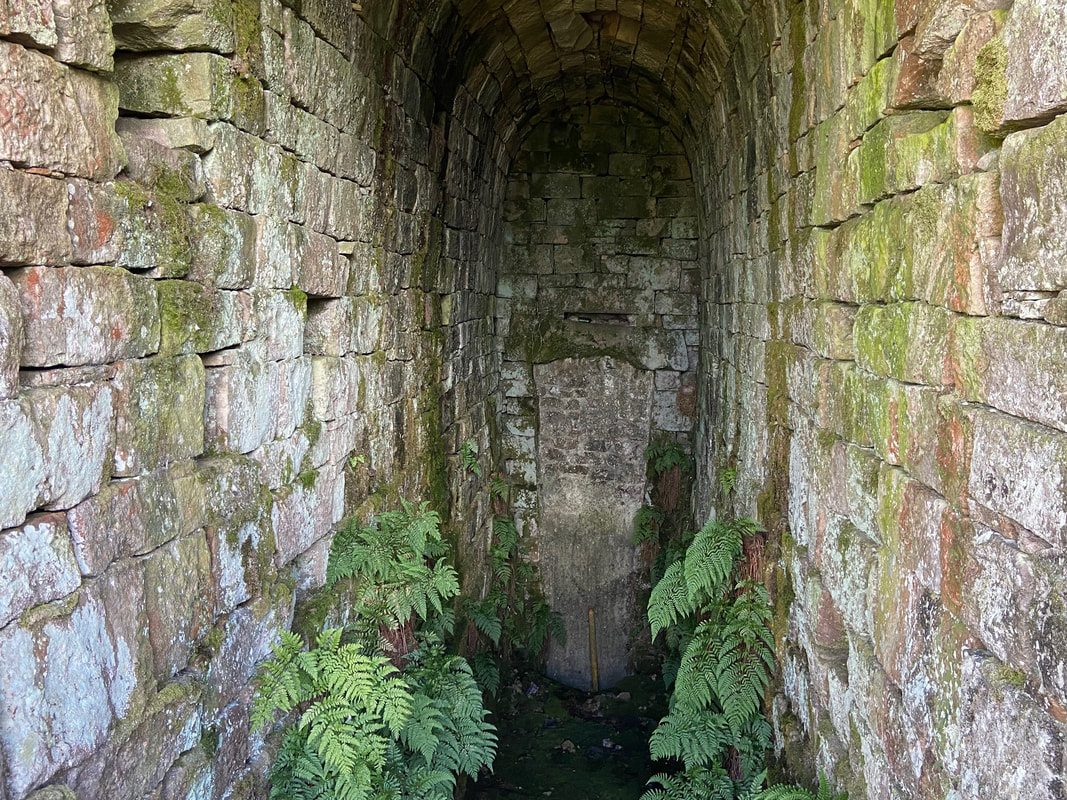
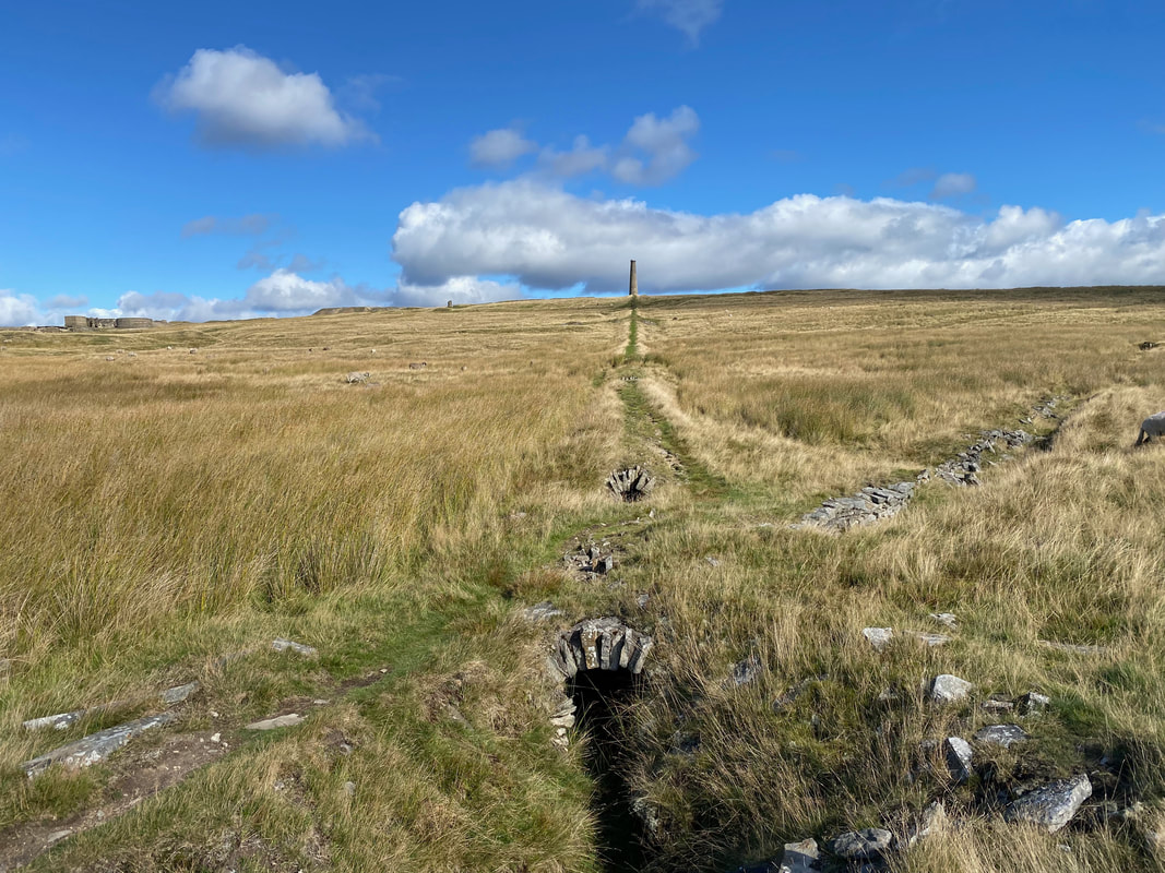
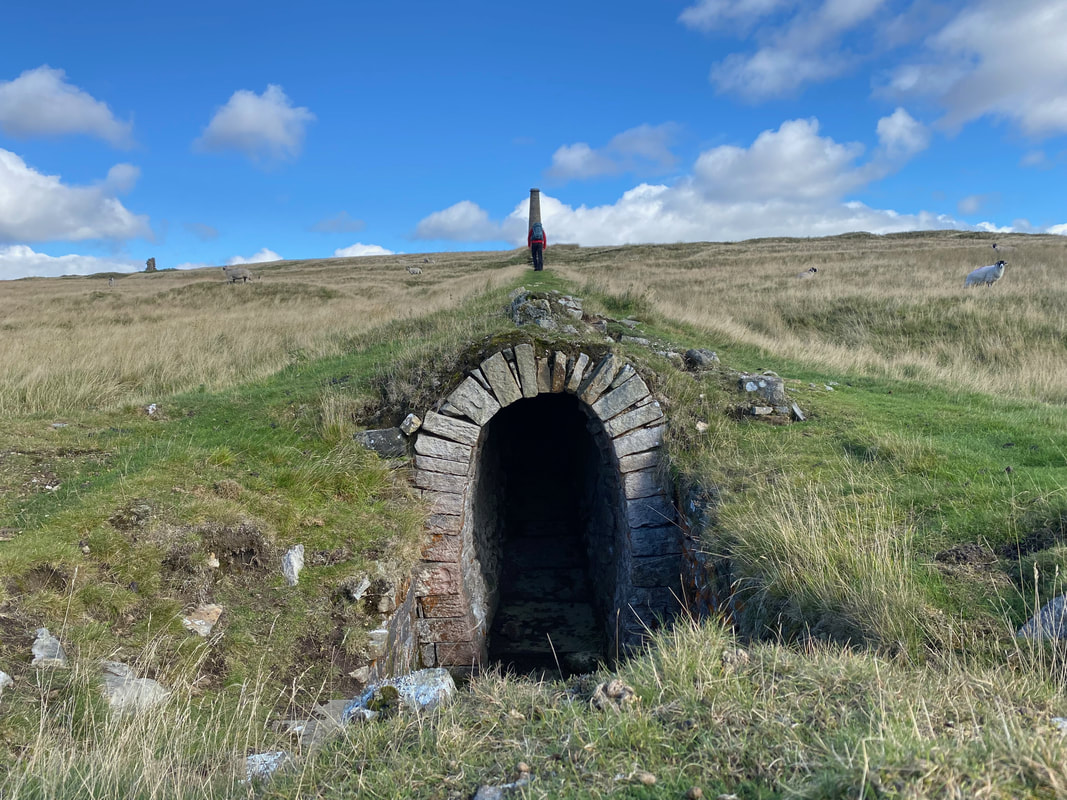
The bottom of the Chimney Flue. The total length of the flues on Grassington Moor is over 1.7km and it is the most complex flue system in the Yorkshire Dales. The earth covering the stone arches helped keep the flues airtight. Lead fume from the smelt mill settled on the sides of the chimney and was regularly collected by washing out the flue. The waste lead ended up in settling ponds near the end of the flue which were eventually emptied and scraped out to recover the lead.
Heading over the top of the flue to the Chimney
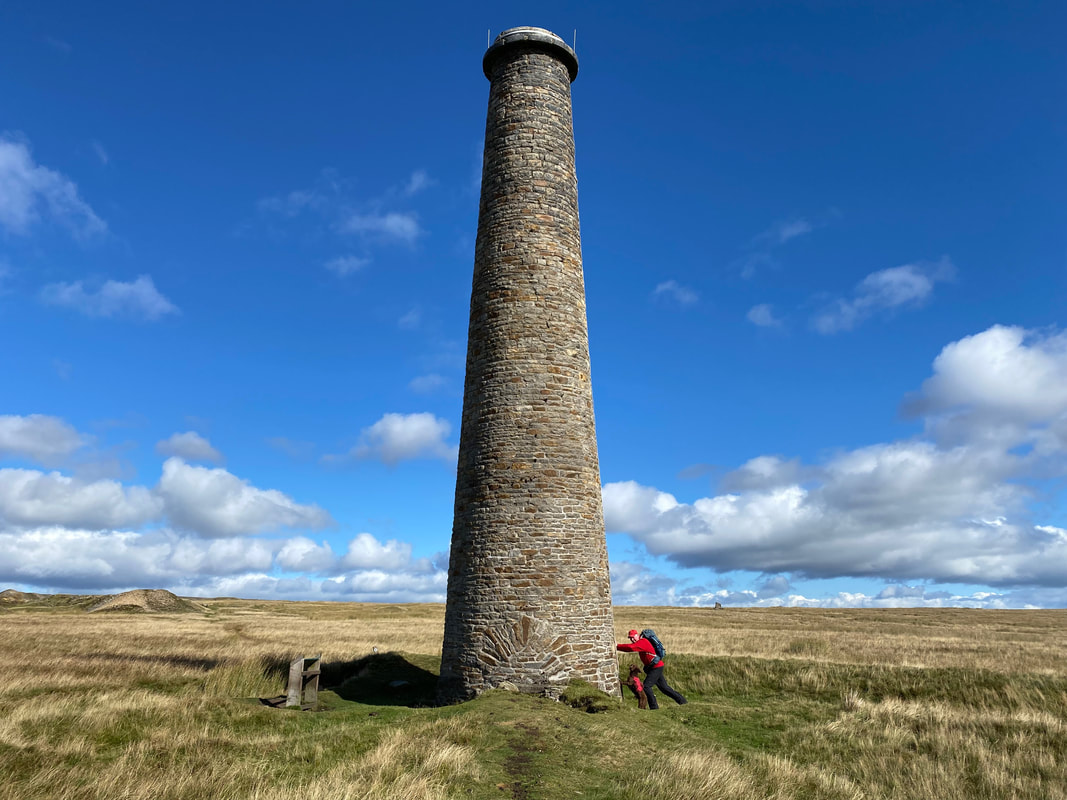
Fudge gives me a hand to try and topple the Chimney. The large brick feature was saved by the Earby Mines Research Group which undertook major repairs to it in 1966 & 1971. It is both a local landmark and a monument to the great industry it once served.
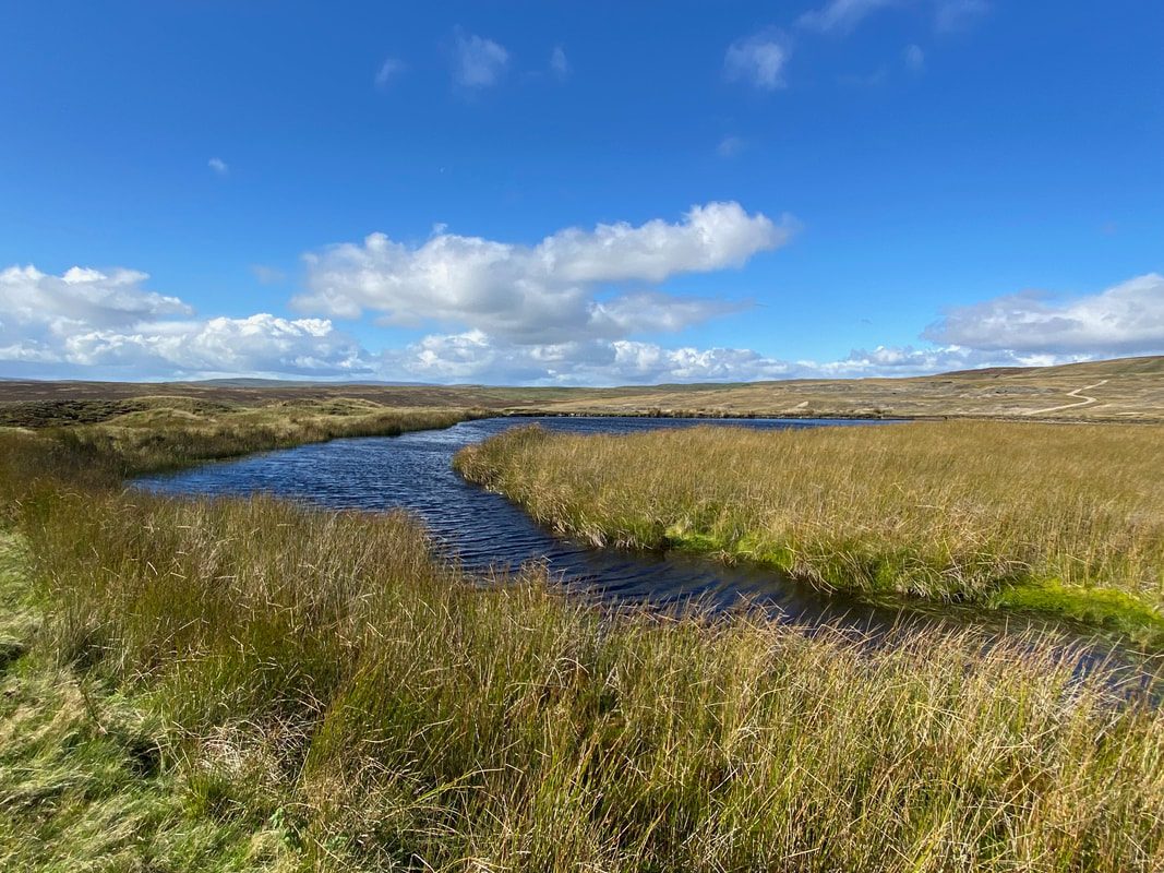
Coalgrovebeck Reservoir. Water from the Duke's High Water Course was stored here and used to drive machinery at the High Grinding Mill and at the High Winding House nearby.
Heading down to the High Grinding Mill & the remains of the High Winding House
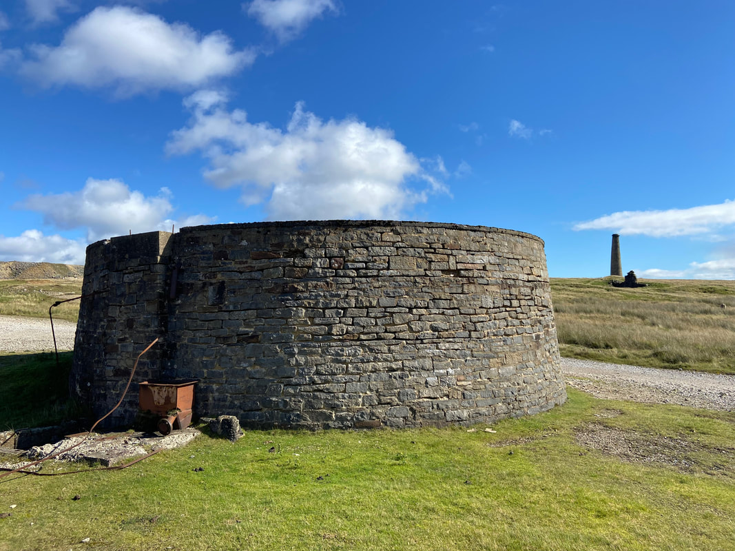
The High Grinding Mill with the Chimney to the rear. The mill began in 1825 and housed a water-powered roller crusher for dressing the lead ore and in 1830 stamps were added. The crushed material was treated in hatching tubs, buddles and slime pits to separate out the smaller particles of lead ore.
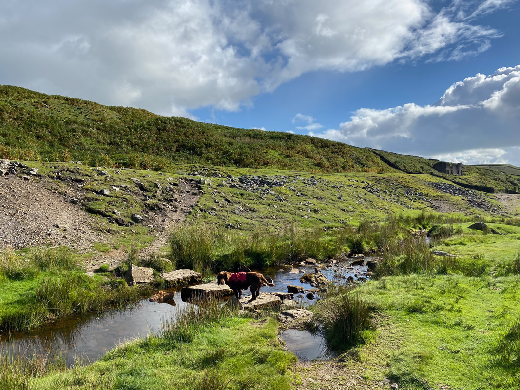
From the smelt mill we headed back the same way to cross the stepping stones once more
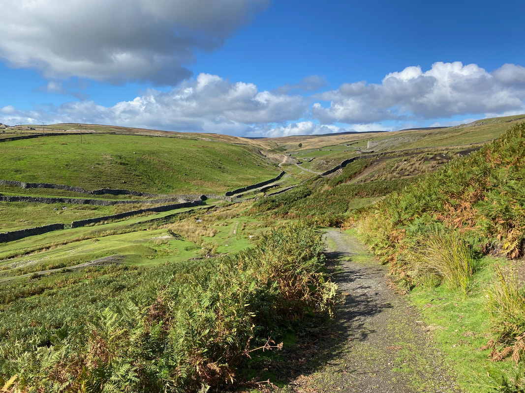
Looking back to Cupola Corner from the path to Hebden via Mossy Moor
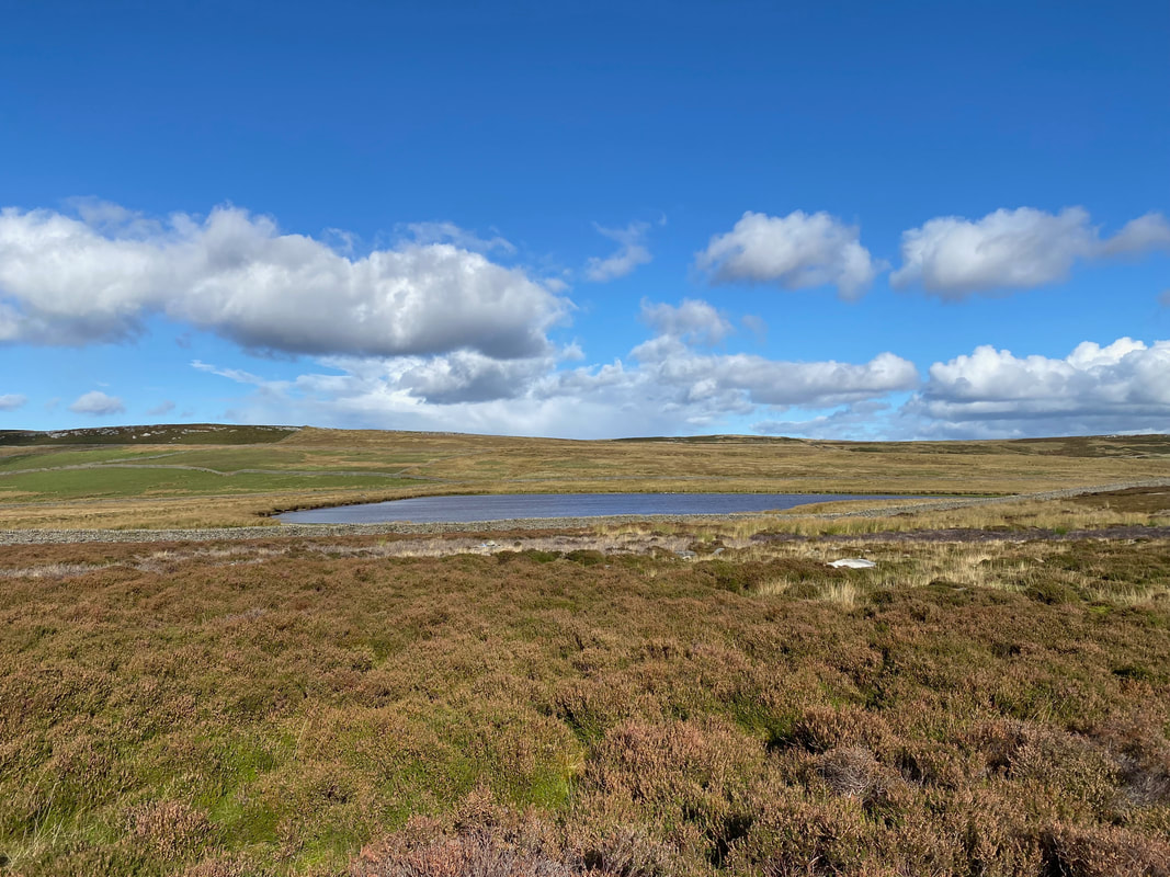
Mossy Moor Reservoir
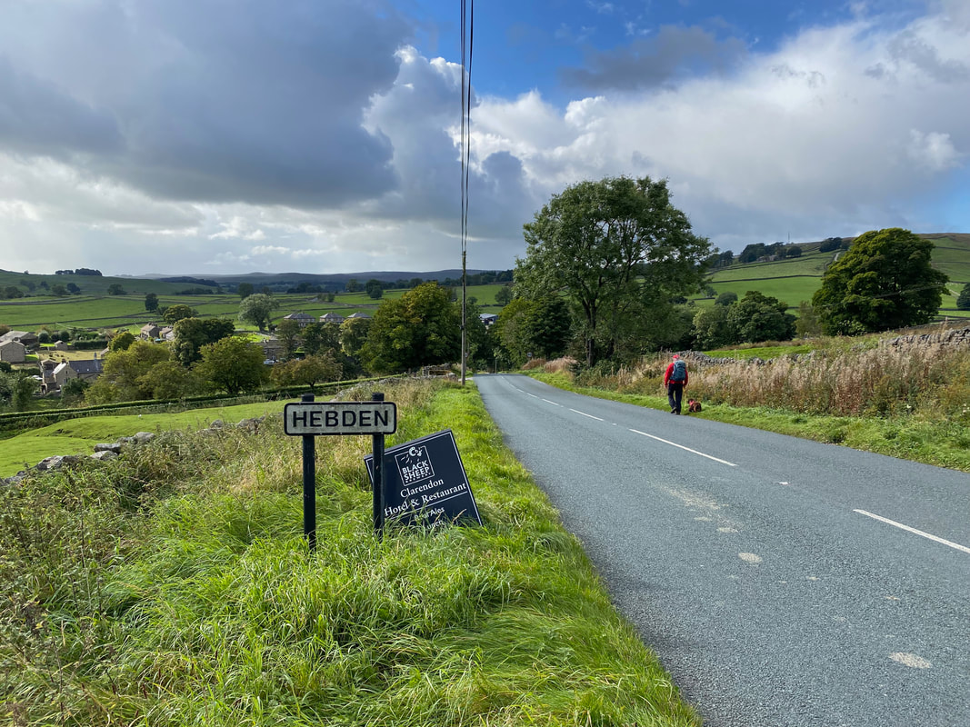
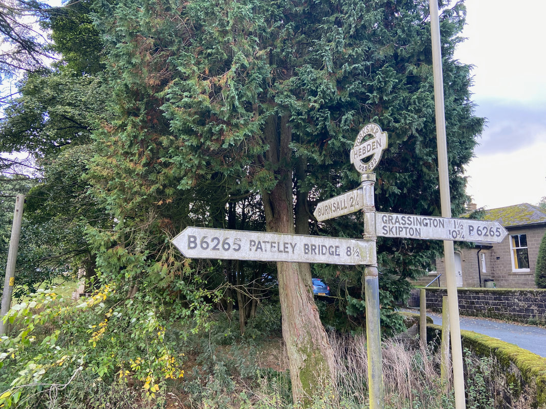
The route reaches the B6265 and turns right to drop down into Hebden
Back in Hebden once more - we would be heading towards Burnsall and the River Wharfe
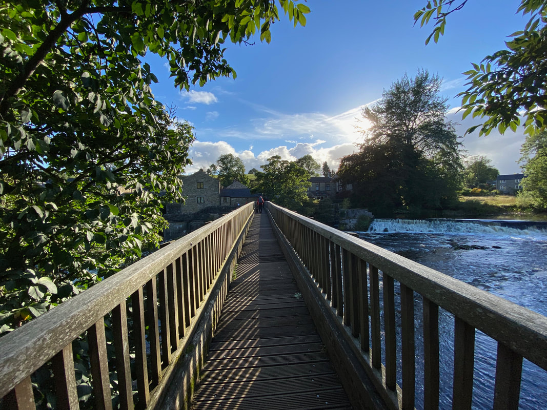
Crossing the Tin Bridge over Linton Falls and the River Wharfe
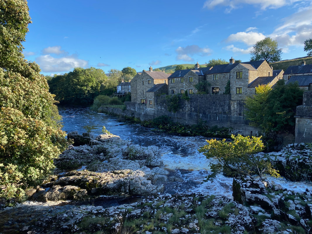
Another view of Linton Falls
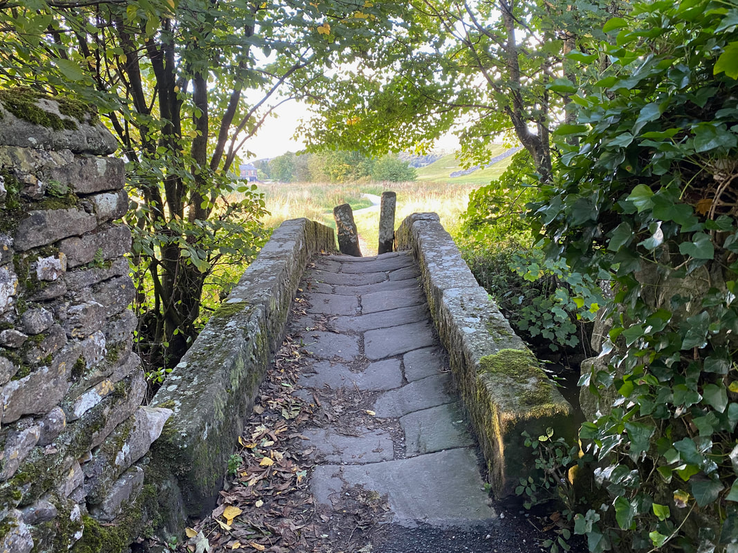
The old bridge over Captain's Beck near Linton Falls. The bridge is known locally as "Li'le Emily's Bridge". Emily was one of the local Norton children, a wealthy family that owned lands in Wharfedale and were Catholic supporters during the reign of Queen Elizabeth I.
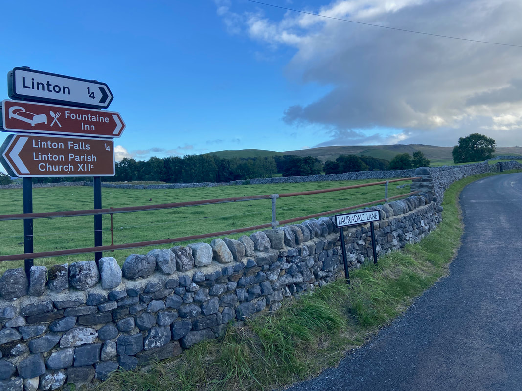
Leaving Linton Falls the path heads up Lauradale Lane towards the village of Linton
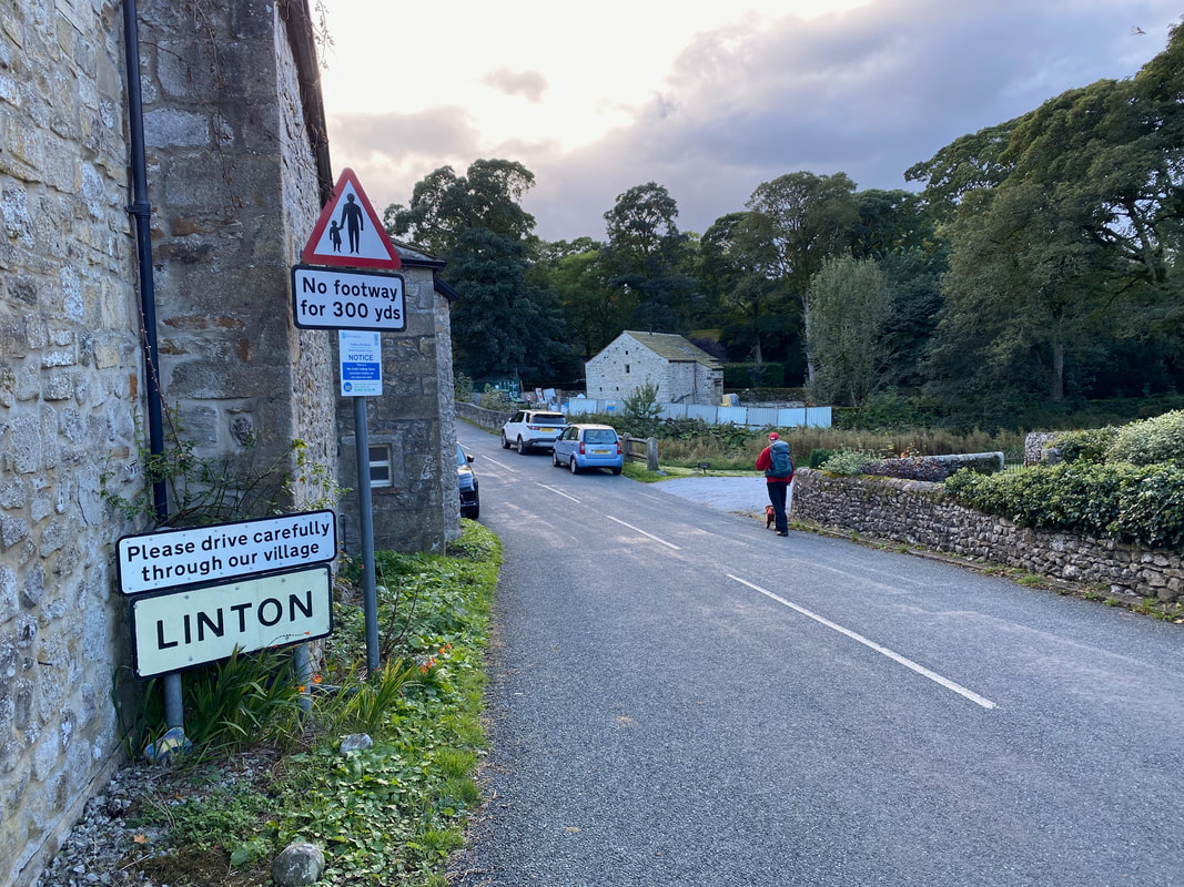
Arriving in the beautiful village of Linton
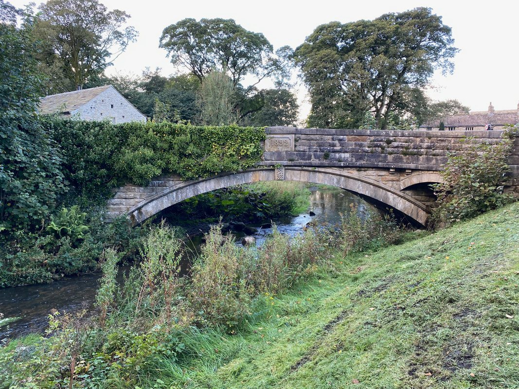
One of two bridges that cross Linton Beck in the village
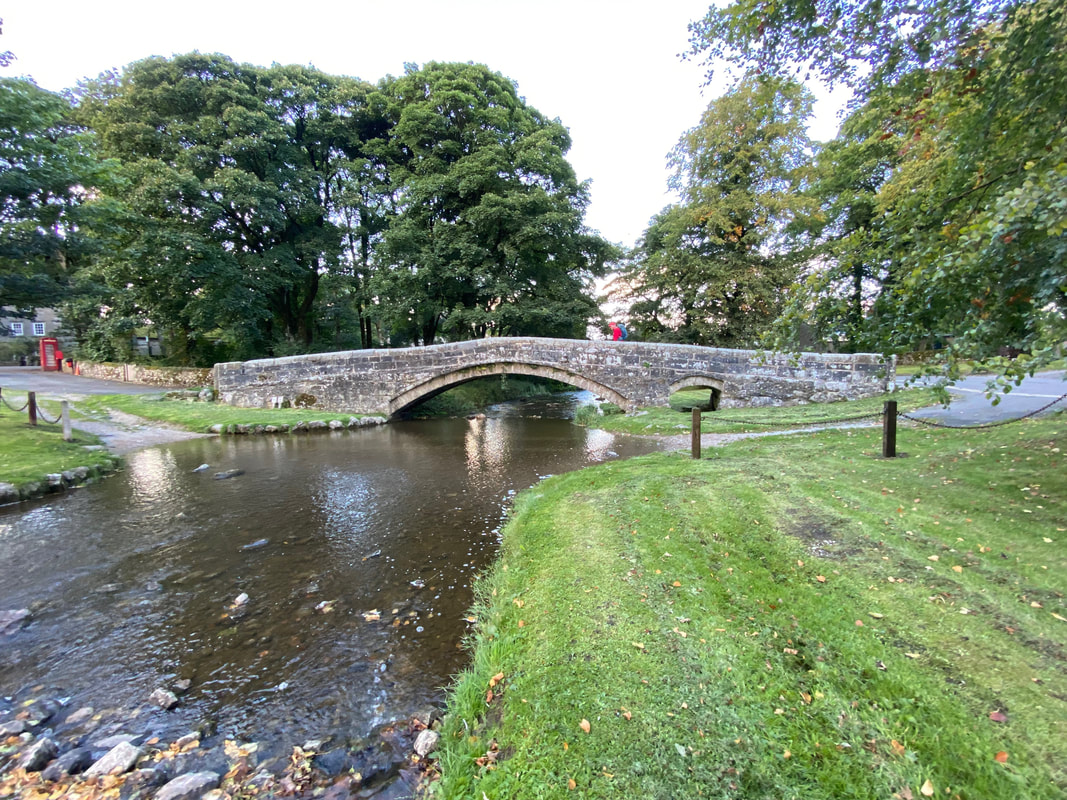
The second and smaller bridge crossing Linton Beck
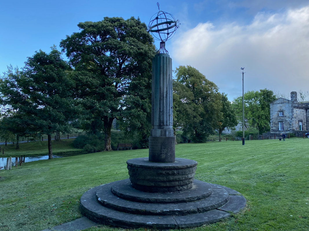
The sundial monument on the village green in Linton. The sundial was built to celebrate the village being judged "the finest village in the North" in 1949 by the News Chronicle. The building to the rear right is The Fountaine Hospital, founded by local man Richard Fountaine and is an Almshouse, providing accommodation for residents and still following the model set out by its 17th Century benefactor.
Another tough day to the office for the furry chap
