Dollywaggon Pike, Nethermost Pike, Helvellyn & White Side - Tuesday 22 June 2021
Route
A591 - Swirls - Squirrel Trail - Red Brow - Raise Beck - Grisedale Tarn - Dollywaggon Pike - High Crag - Nethermost Pike - Helvellyn - Lower Man - White Side - Brown Crag - Thirlspot - A591
Parking
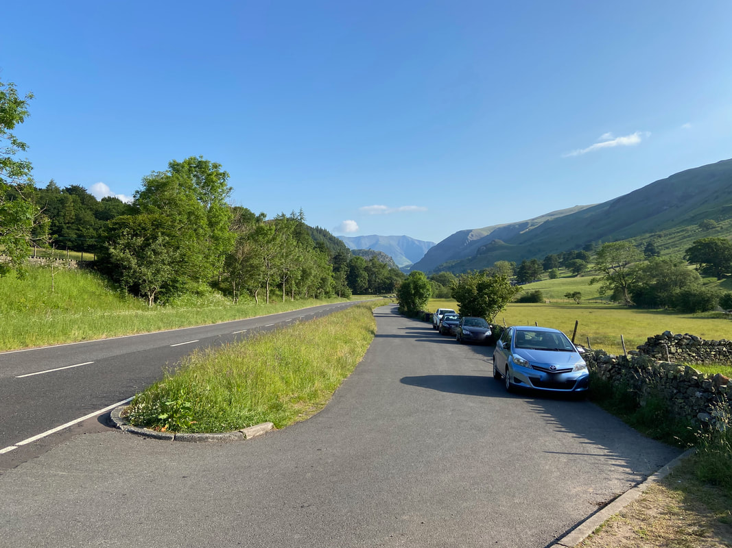
Free parking in the lay by on the A591 between The King's Head at Thirlspot and Swirls Car Park. The grid reference is NY316173 and the nearest postcode is CA12 4TN.
Mileage
10.7 miles
Terrain
Generally good mountain paths throughout although I descended directly from Brown Crag to Thirlspot to meet the Browncove Crags path coming in from the left. It is easier to continue on the path north west from Brown Crag towards Fisherplace Gill to reach Thirlspot. I just fancied an off piste descent today.
Weather
Superb visibility for most of the day - warm & sunny in the morning then overcast towards the end of the walk.
Time Taken
6hrs 15mins
Total Ascent
3425ft (1044m)
Wainwrights
4
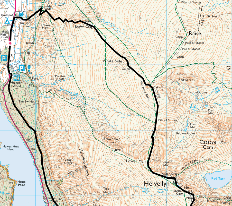
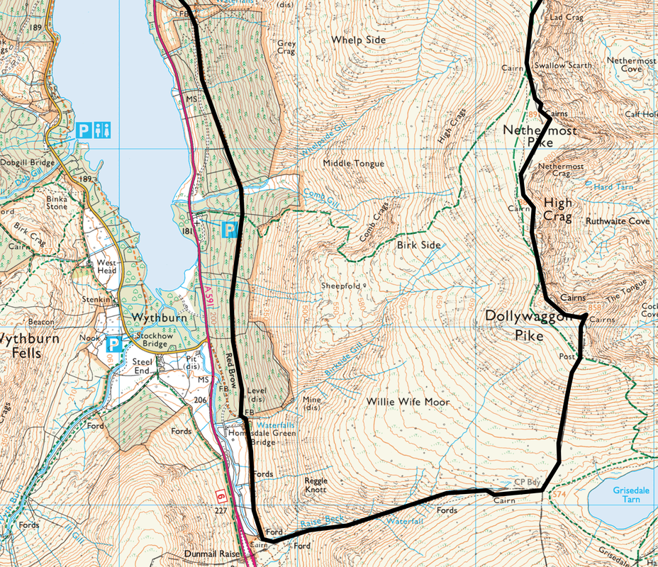
Map
OL5 - The English Lakes - North Eastern Area
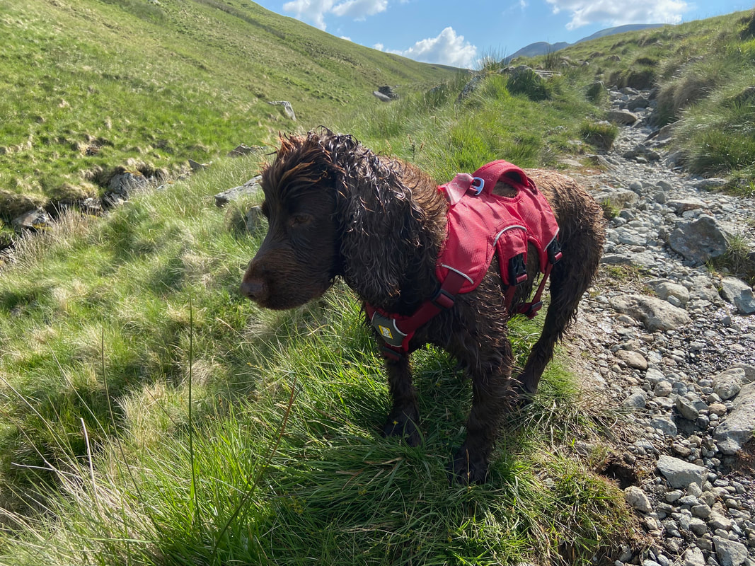
Walkers
Dave & Fudge
A591 - Swirls - Squirrel Trail - Red Brow - Raise Beck - Grisedale Tarn - Dollywaggon Pike - High Crag - Nethermost Pike - Helvellyn - Lower Man - White Side - Brown Crag - Thirlspot - A591
Parking
Free parking in the lay by on the A591 between The King's Head at Thirlspot and Swirls Car Park. The grid reference is NY316173 and the nearest postcode is CA12 4TN.
Mileage
10.7 miles
Terrain
Generally good mountain paths throughout although I descended directly from Brown Crag to Thirlspot to meet the Browncove Crags path coming in from the left. It is easier to continue on the path north west from Brown Crag towards Fisherplace Gill to reach Thirlspot. I just fancied an off piste descent today.
Weather
Superb visibility for most of the day - warm & sunny in the morning then overcast towards the end of the walk.
Time Taken
6hrs 15mins
Total Ascent
3425ft (1044m)
Wainwrights
4
Map
OL5 - The English Lakes - North Eastern Area
Walkers
Dave & Fudge
|
GPX File
|
| ||
If the above GPX file fails to download or presents itself as an XML file once downloaded then please feel free to contact me and I will send you the GPX file via e-mail.
Route Map
It was clear to see we were in for a glorious Lakeland day as we parked up north of Swirls Car Park on the A591. With Angie travelling down to the South Coast to visit her Mum, it was just Fudge and I out today. Blencathra is to the rear and was looking extremely tempting as we travelled over, however we plumped for Helvellyn today.
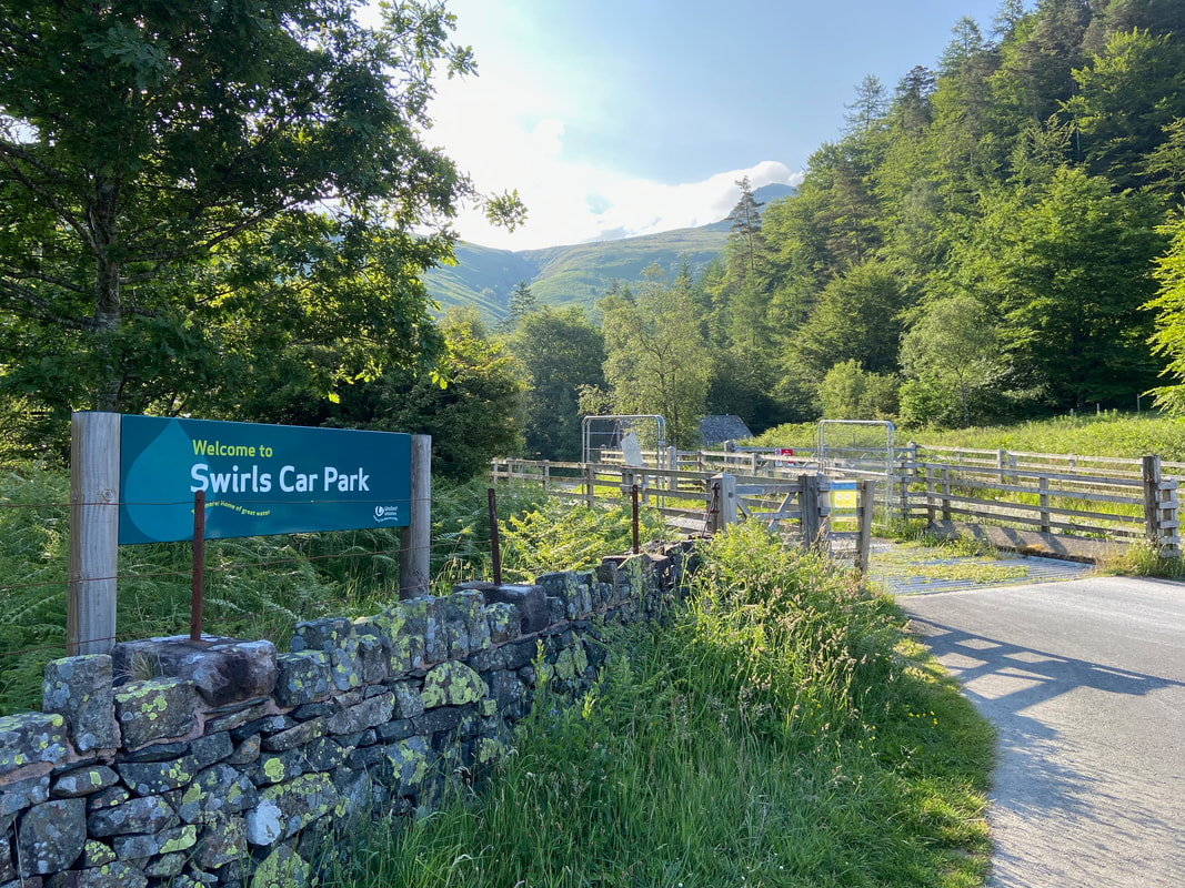
The route enters the main entrance of the ever popular Swirls Car Park...........
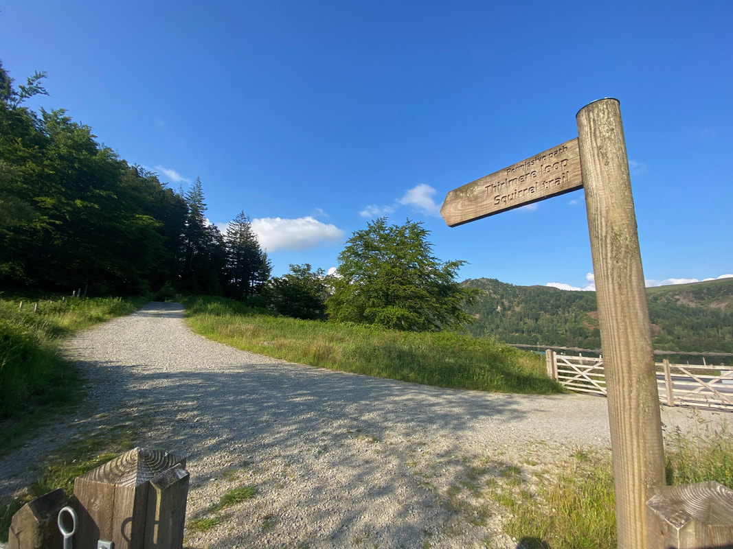
....... and immediately turns right on to the Thirlmere Loop Squirrel Trail through Highpark Wood and The Swirls.
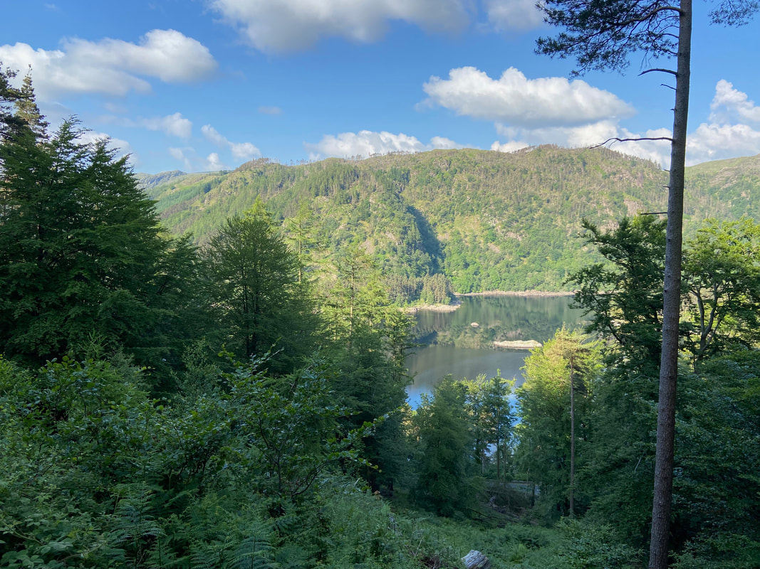
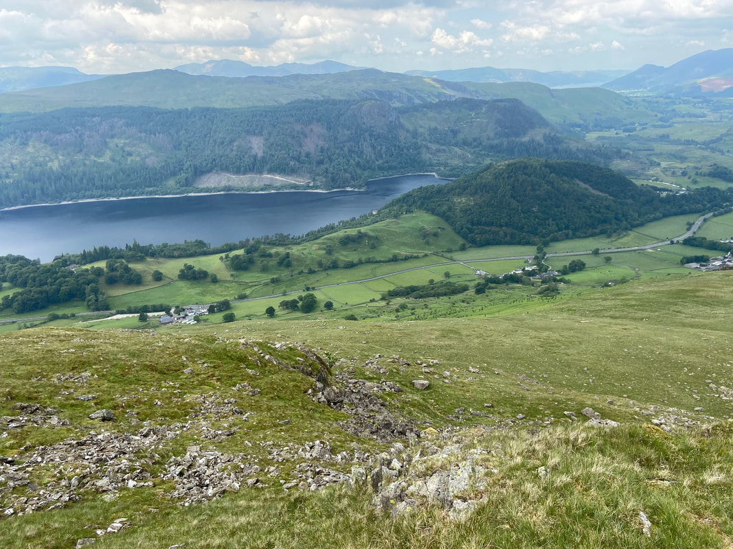
Fisher Crag over Thirlmere
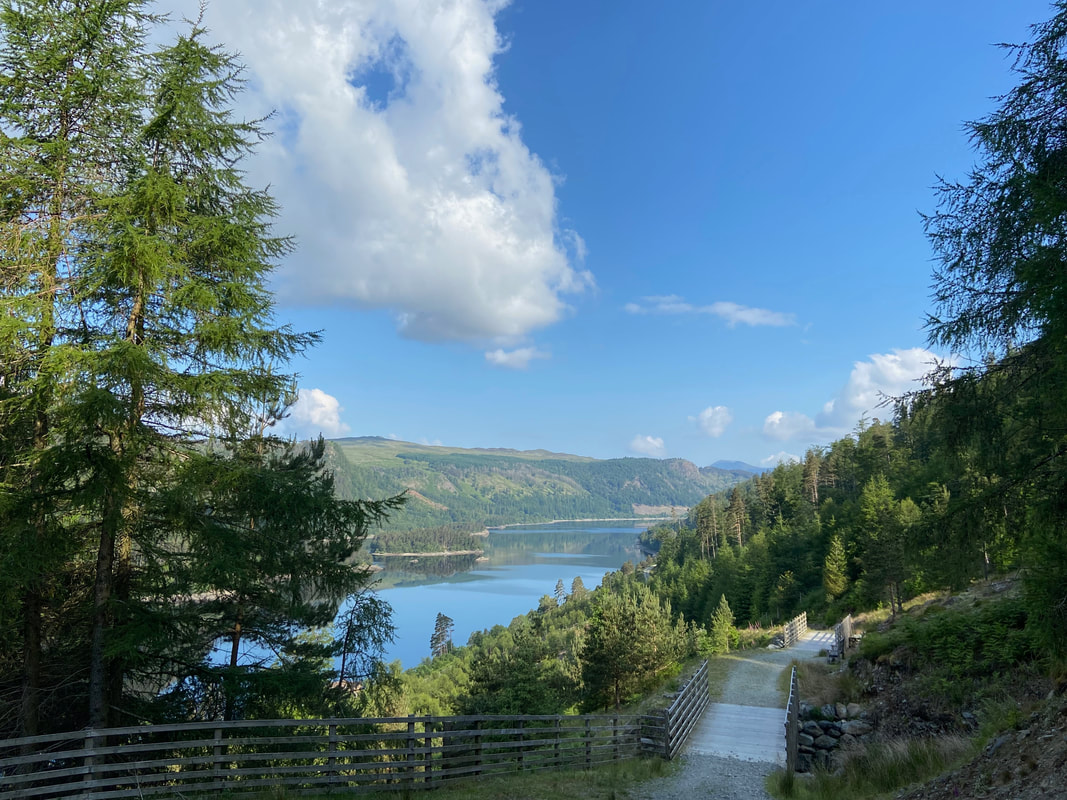
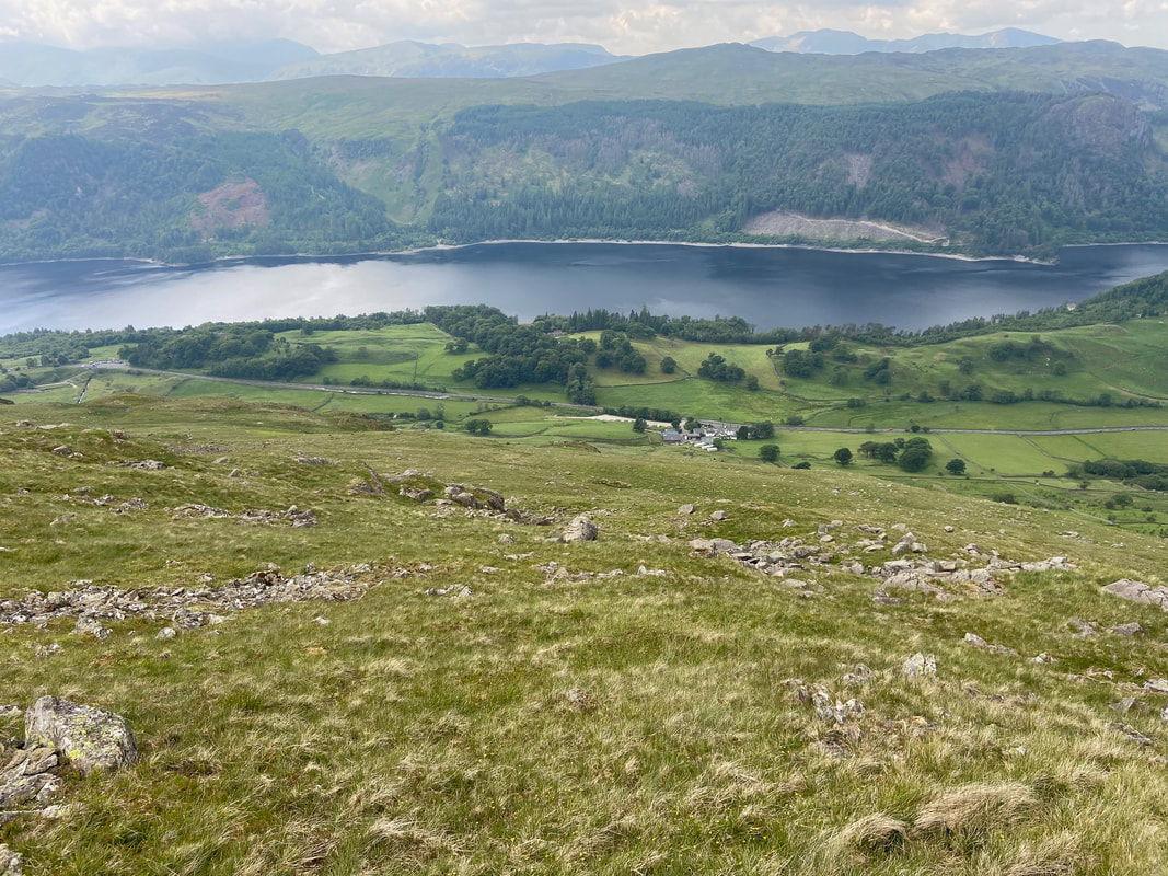
Walking along the trail the views became a bit clearer over Thirlmere as height was gained
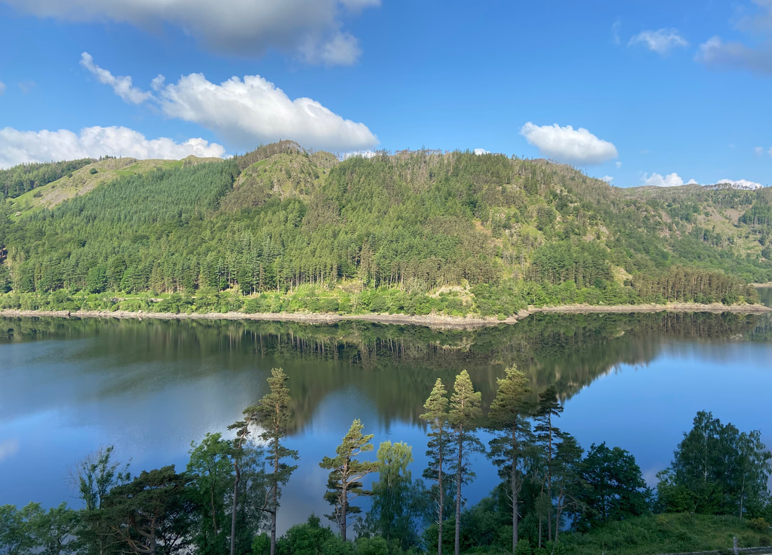
Looking down Thirlmere to Steel Fell which is left of centre. The castle like structure in the foreground is a Straining Well and originally contained gauze strainers which filtered the water before it entered the aqueduct. The water is now piped through the well which is dry.
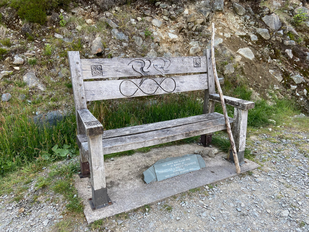
The memorial seat to brothers Christian & Niggy Townend who were killed in December 2010. They were cycling home to Cockermouth when they were hit by a coach on the A595 near Moota.
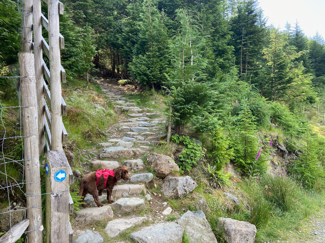
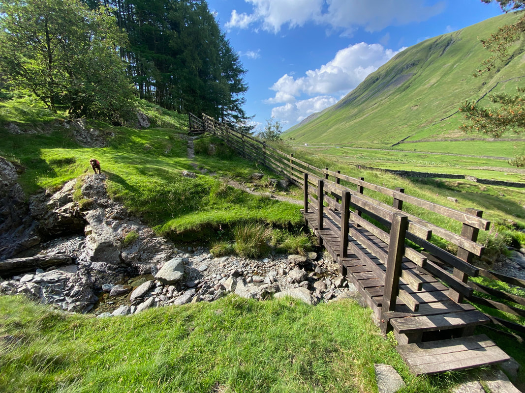
The route crosses two bridges as it continues past Whelp Side
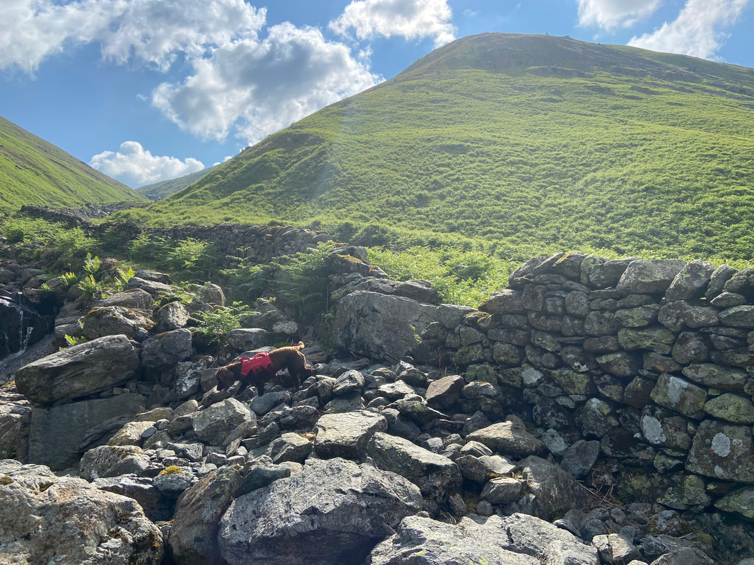
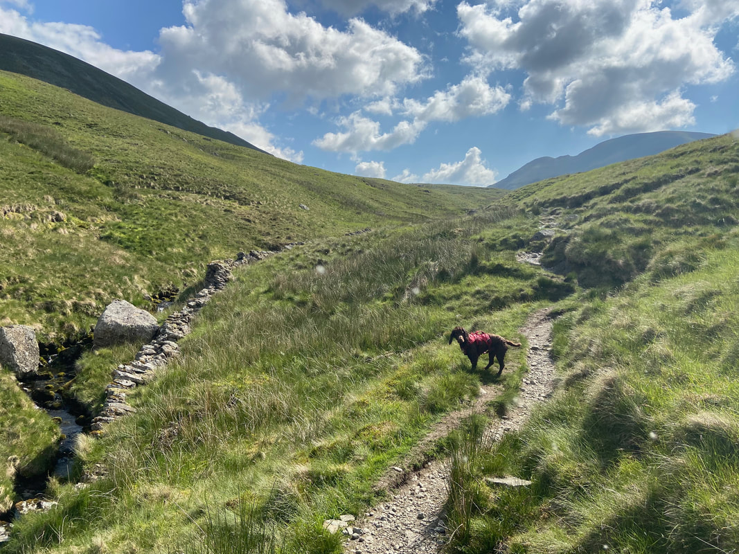
No Fudge not that way - that was the route we took last time we were here. Fudge is attempting to take me via the path coming up from Wythburn that goes to Comb Crags & Birk Side.
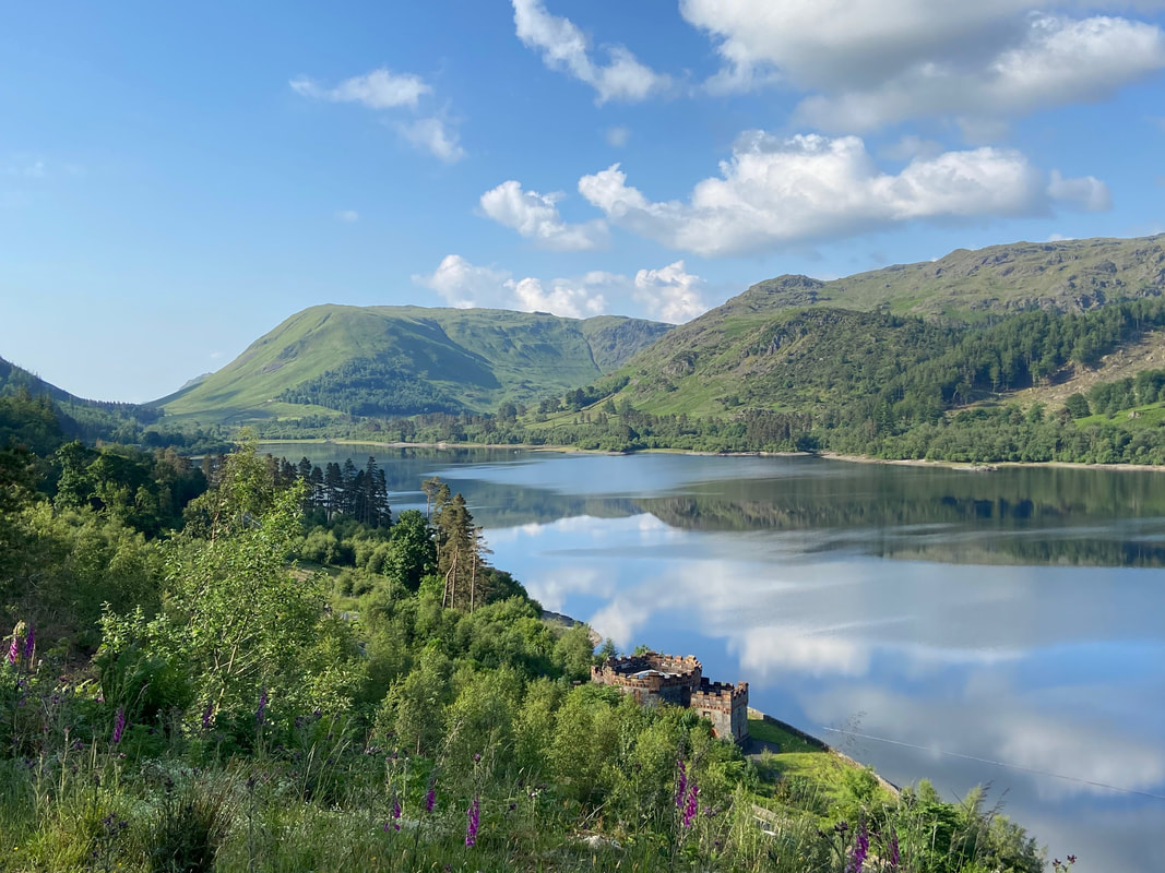
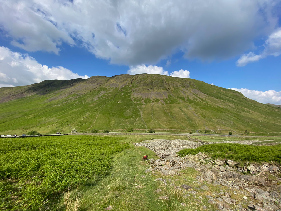
Steel Fell across Dunmail Raise
The footbridge over Birkside Gill. Fudge is contemplating doing a double pike with twist but thought better of it as there was hardly any water in the gill today.
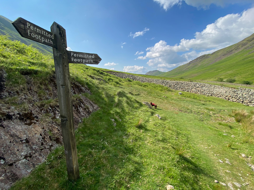
Arriving at Dunmail Raise and the bottom of Raise Beck. We would now head up the beck to the left to begin our ascent - ignore the sign to the right as it leads nowhere.
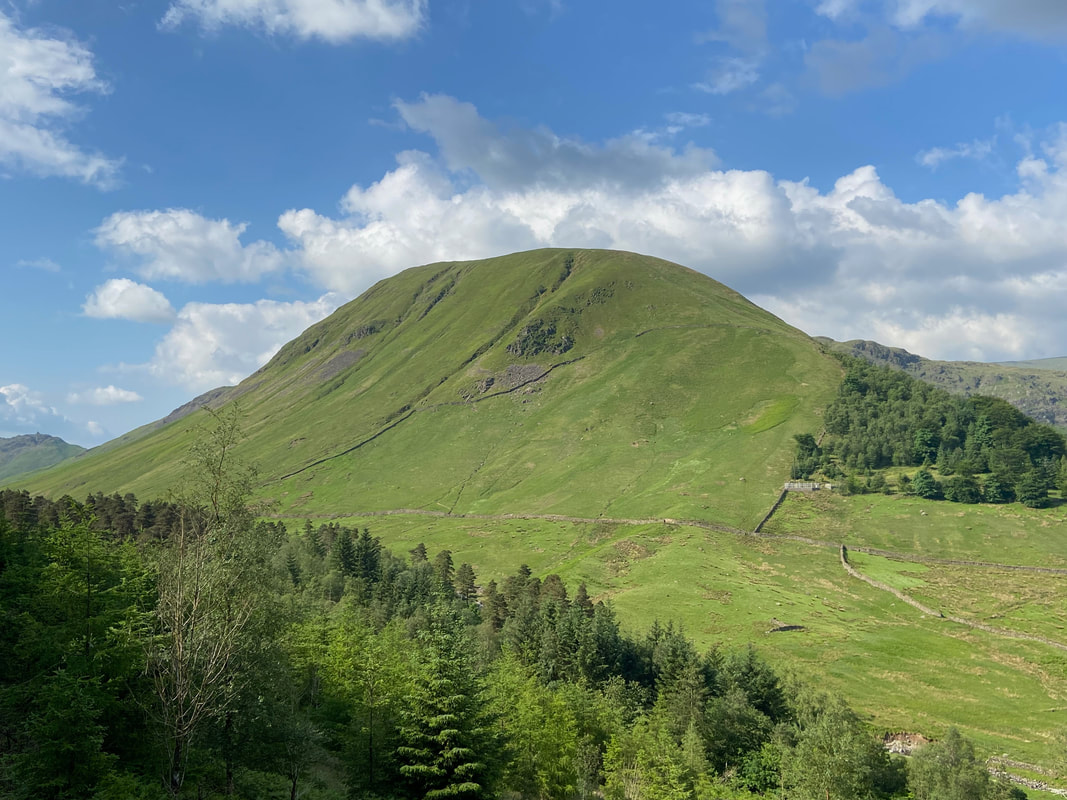
Looking into the sun as we begin our ascent of Raise Beck with Seat Sandal to the right & Willie Wife Moor to the left. Initially the path heads up the left hand side of the beck but soon crosses over to the right.
Steel Fell & Dunmail Raise from our ascent of Raise Beck
The crossing point from the left hand side of Raise Beck to the right
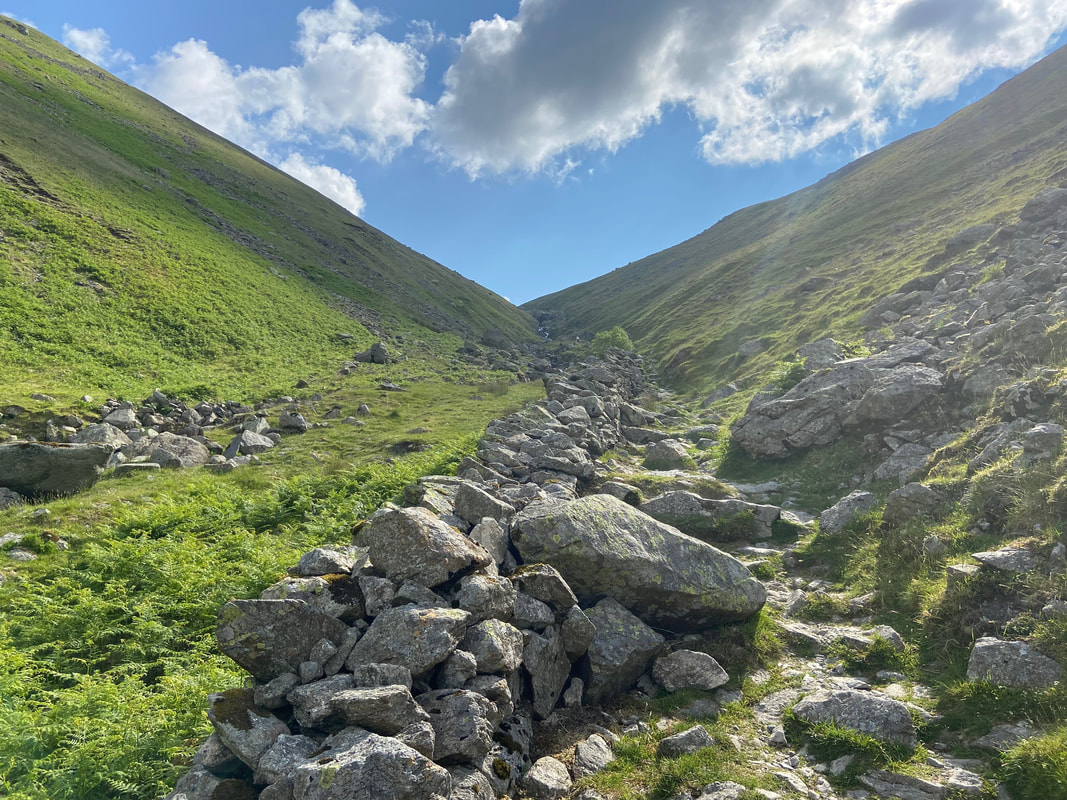
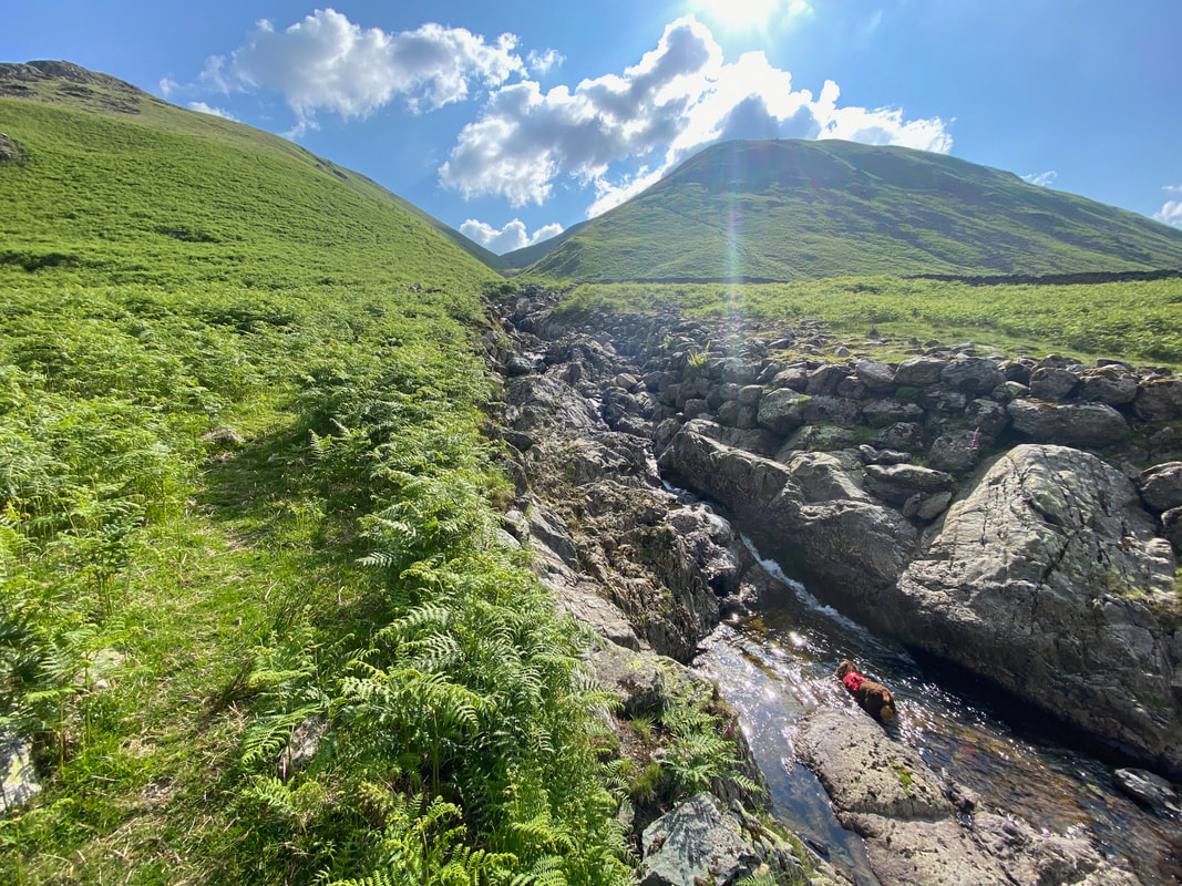
And so it begins - the superb walk up the gentle gradient of Raise Beck
Well when I say 'gentle', to be fair it did get quite steep in the middle section
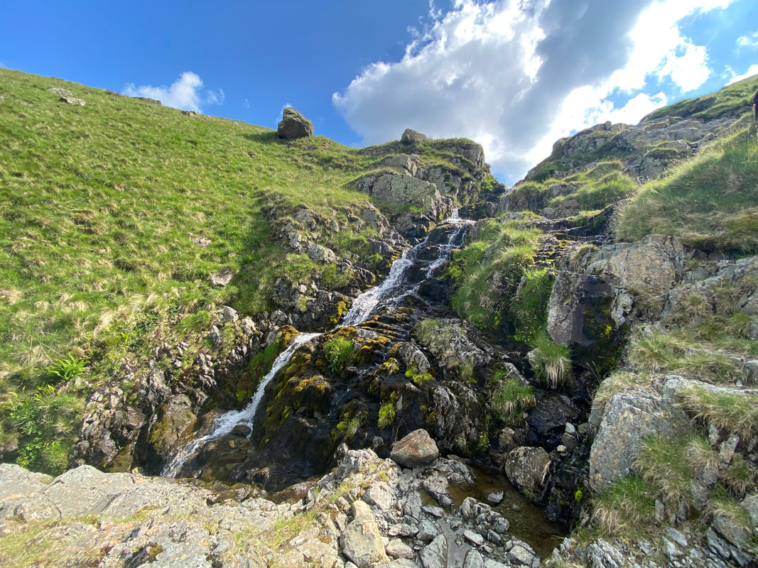
Lovely cascades all the way up made for a really enjoyable transit..........
........ as Fudge can confirm.
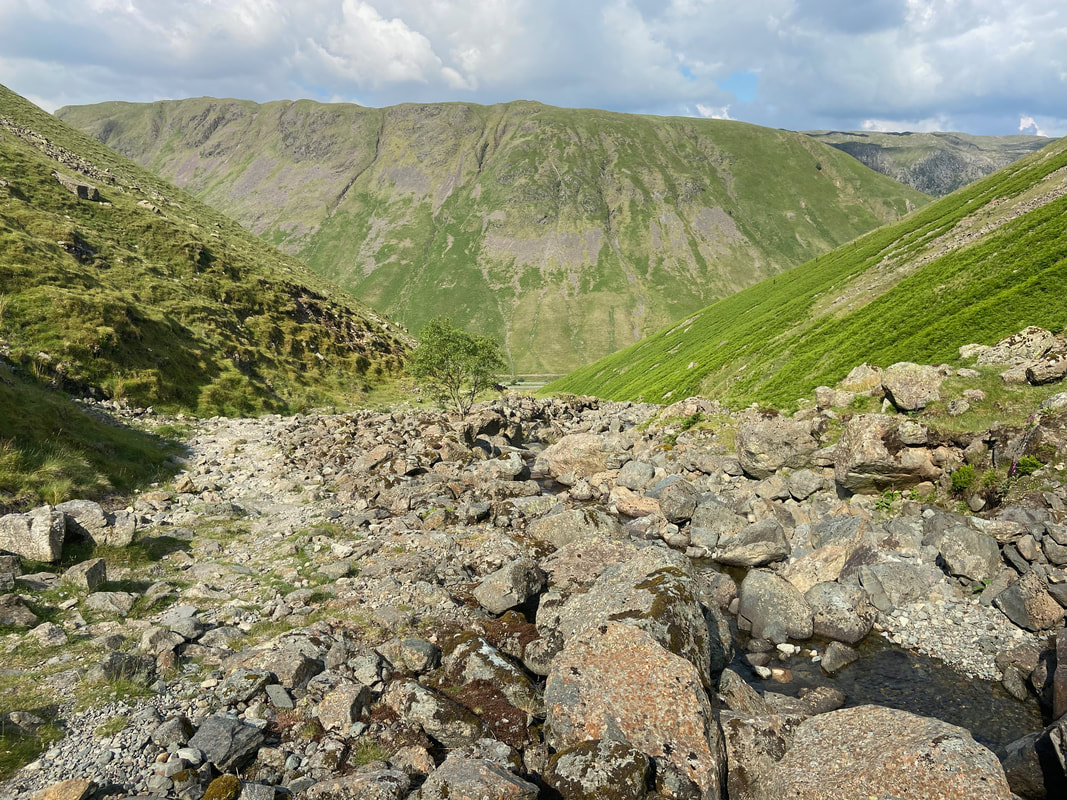
Finally the steep gradient relented and the path flattened out - St Sunday Crag, Cofa Pike & Fairfield can be seen to the right
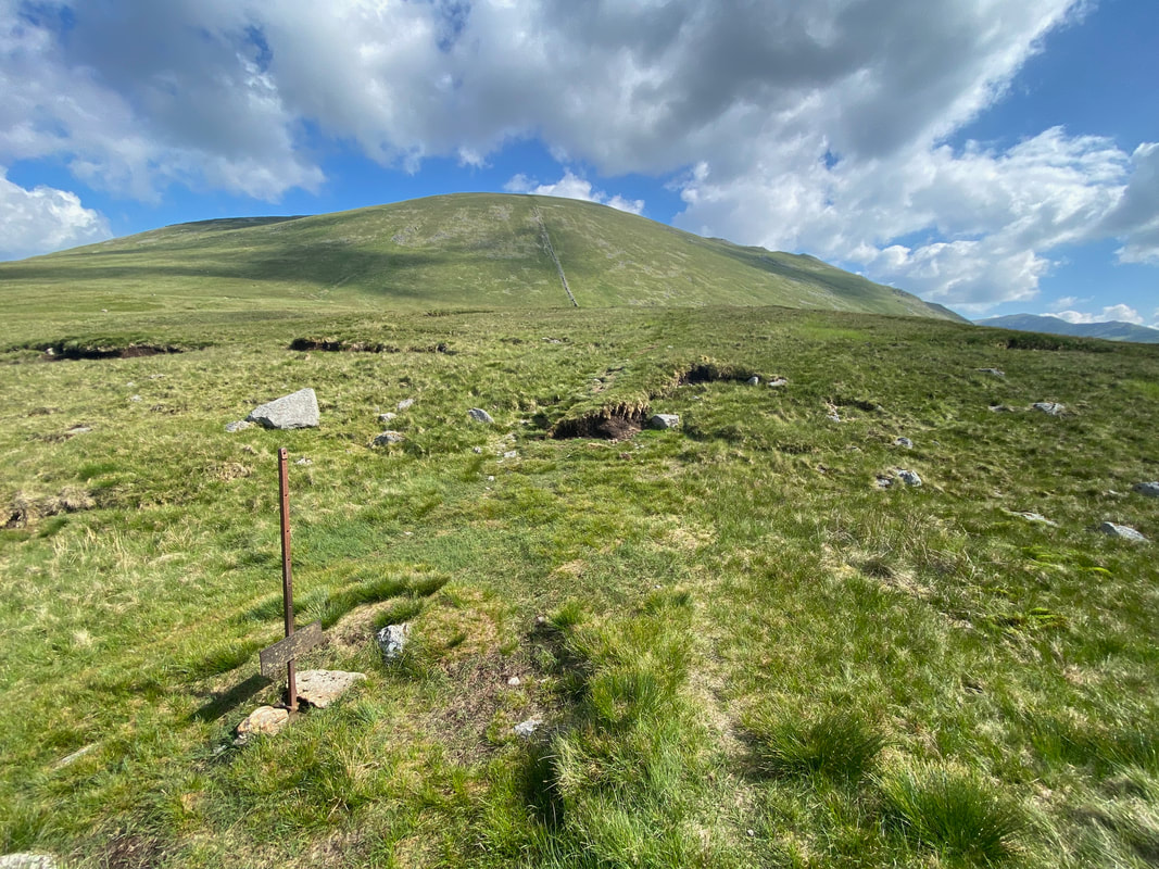
A metal post marks the point where we turned to the left to start the ascent of Dollywaggon Pike which can be seen ahead. The climb is very steep however there is the option to carry on to Grisedale Tarn and climb up the popular zig zag path that leaves from near the tarns outflow.
Looking back to the point where we turned left with Seat Sandal to the rear
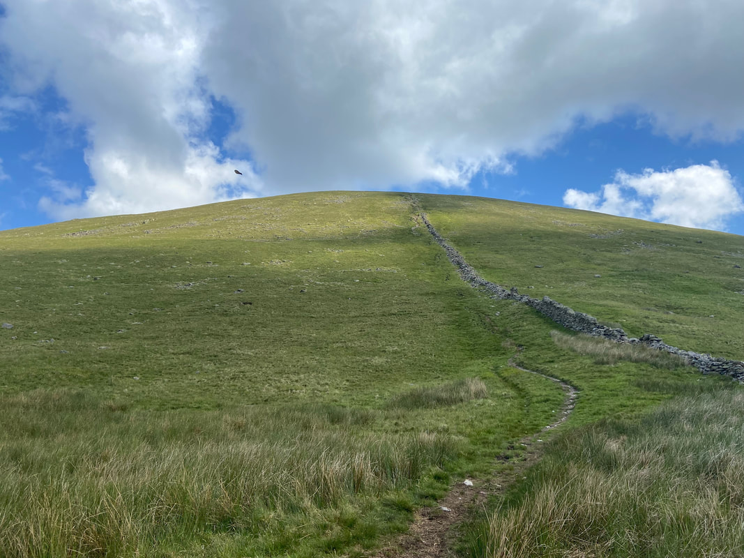
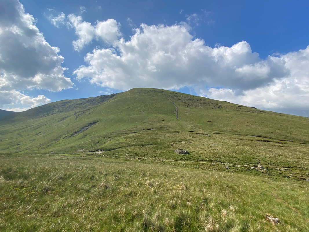
The path to Dollywaggon Pike - believe me it is steeper than it looks from this shot
As height is gained Grisedale Tarn comes into view with Great Rigg beyond Grisedale Hause
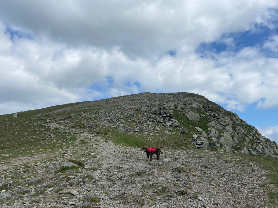
After a steep climb I was glad to reach the metal post and the junction with the zig zag path coming up from Grisedale Tarn. The path behind Fudge leads to Nethermost Pike & Helvellyn however we were off to the right to climb the last 200 or so yards to reach Dollywaggon Pike's summit.
The glorious view over the Grisedale valley to St Sunday Crag
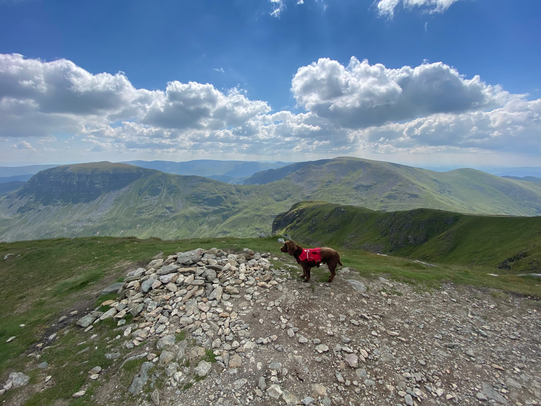
The summit of Dollywaggon Pike looking to St Sunday Crag & Fairfield
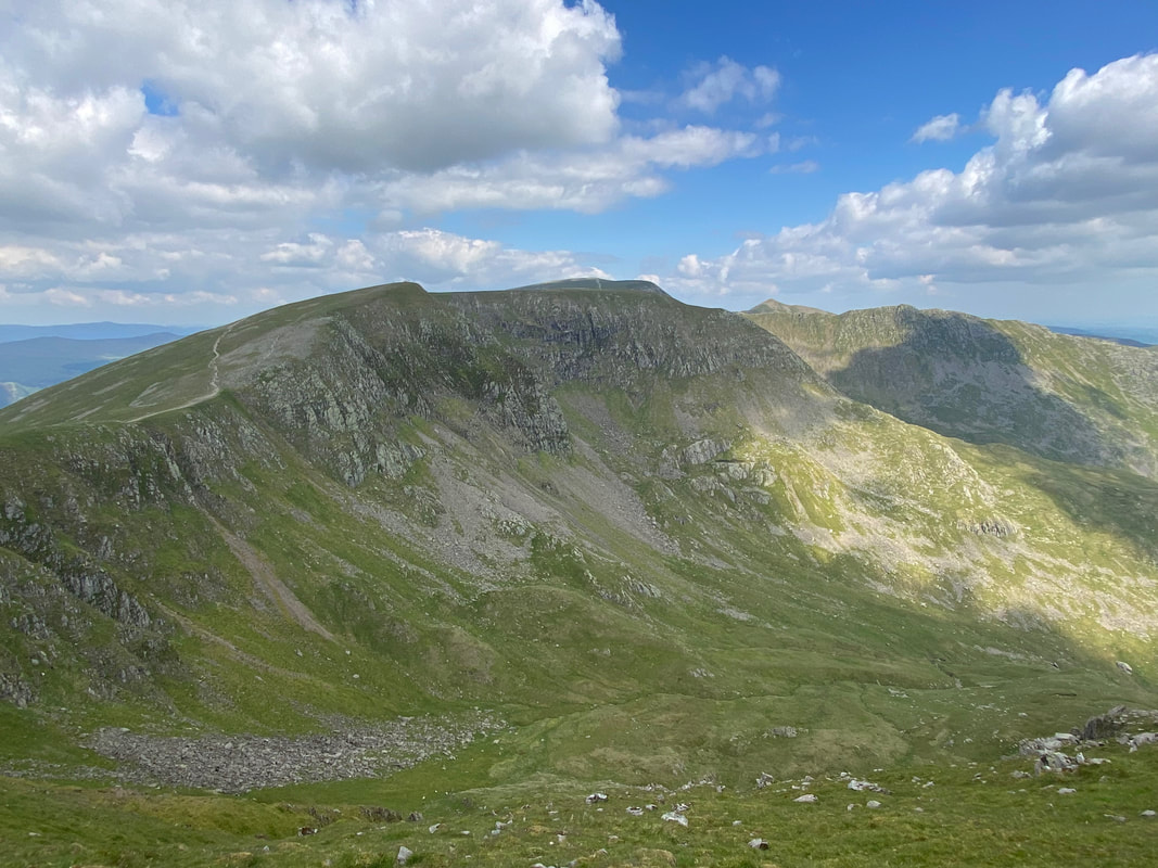
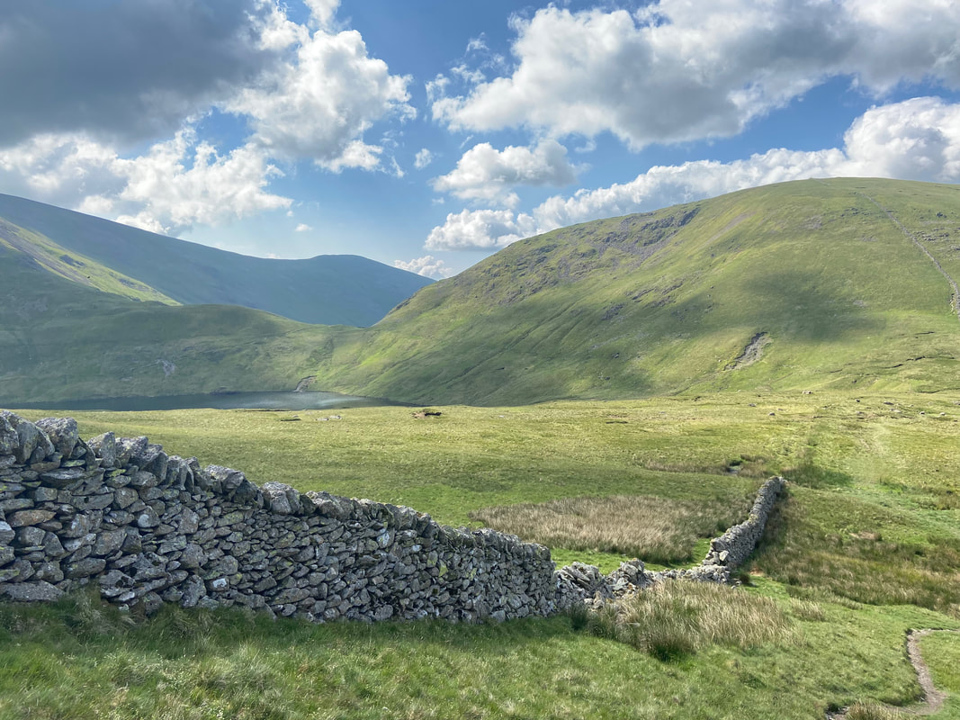
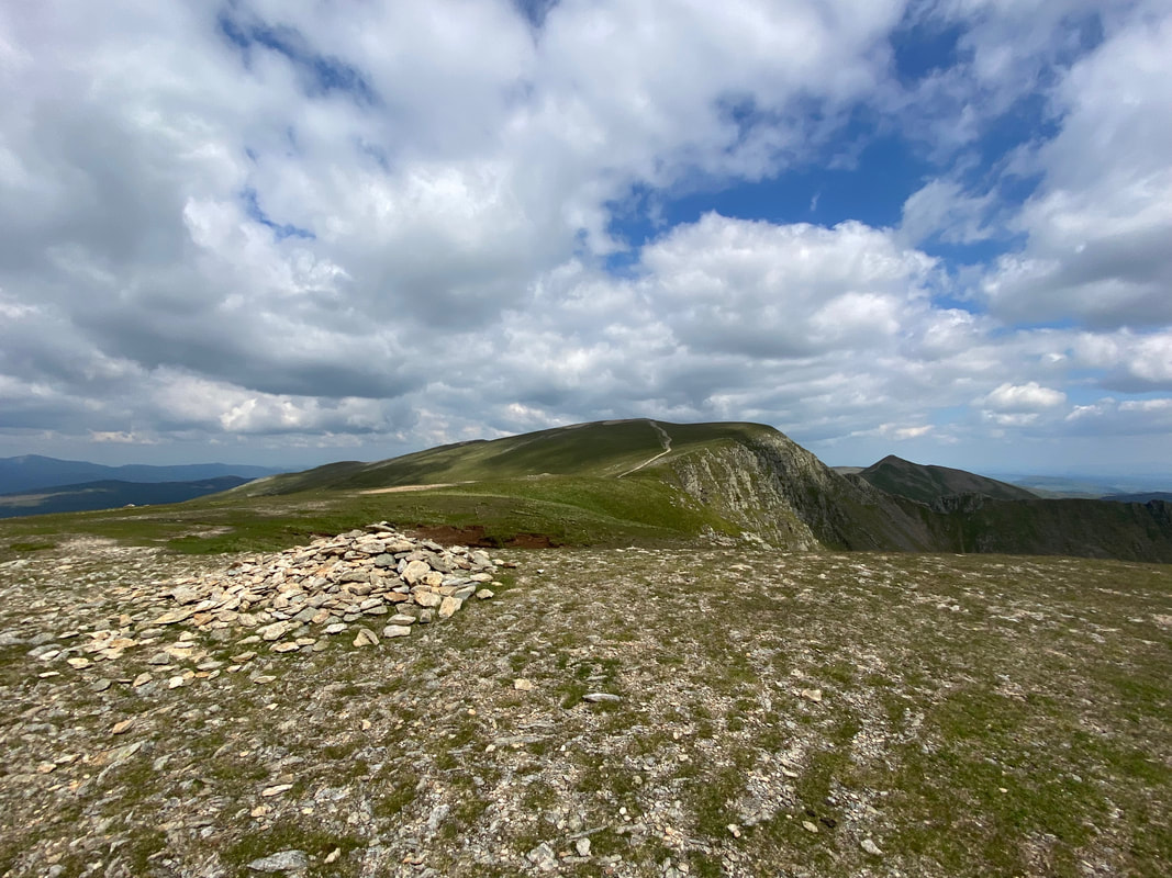
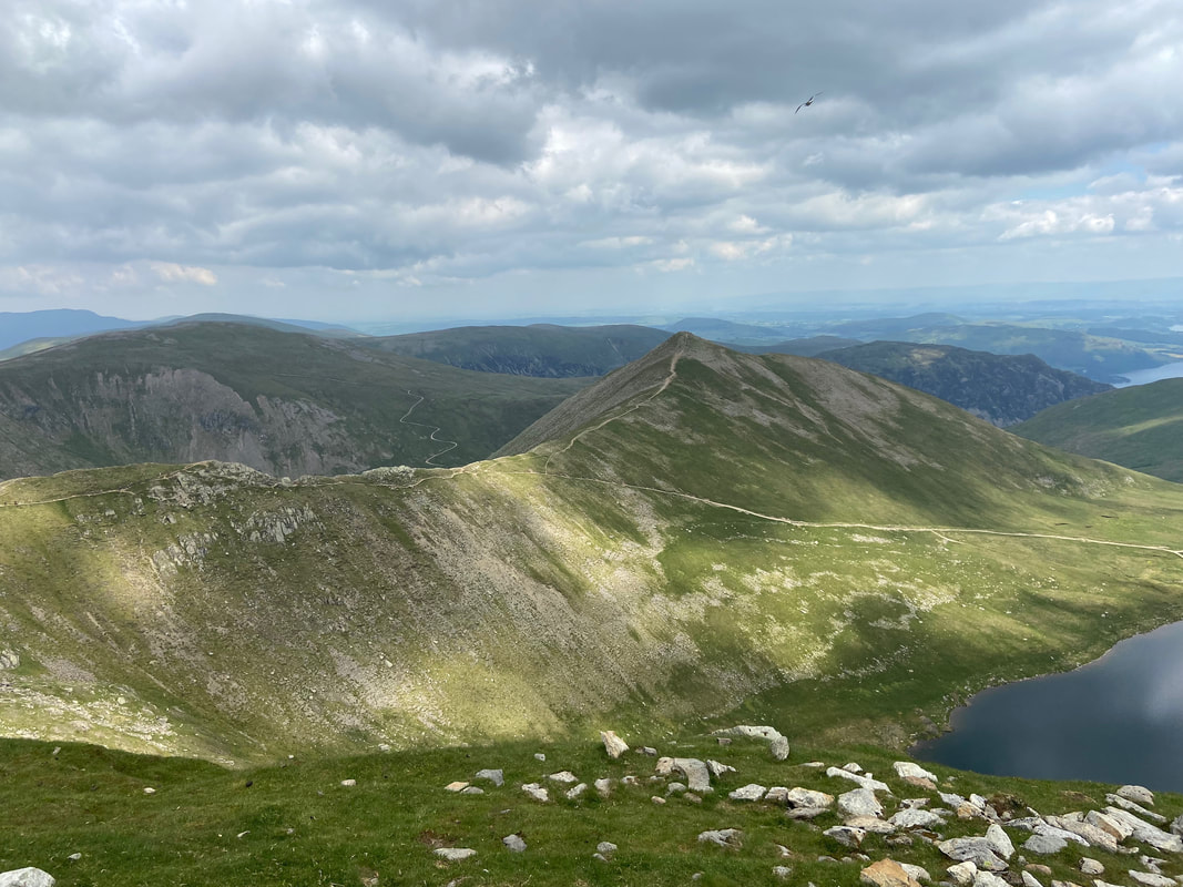
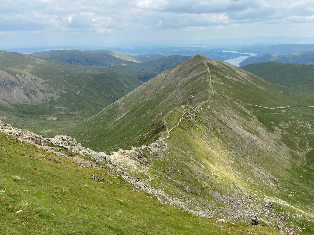
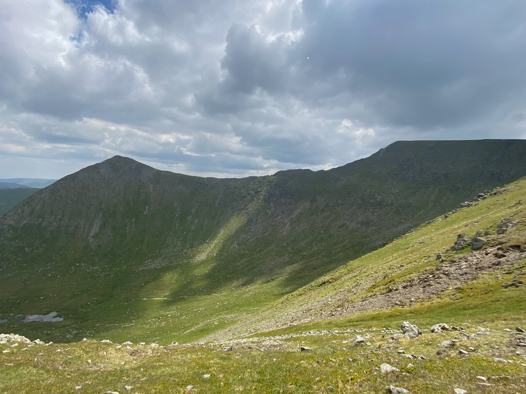
Looking across Ruthwaite Cove and our onward route. High Crag, Nethermost Pike, Helvellyn, Catstycam & Striding Edge are all in view.
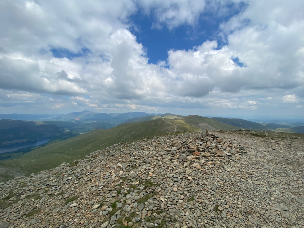
Near the western cairn on Dollywaggon Pike
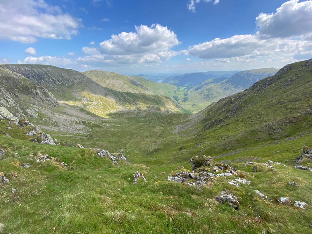
Ruthwaite Cove
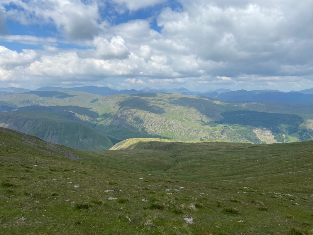
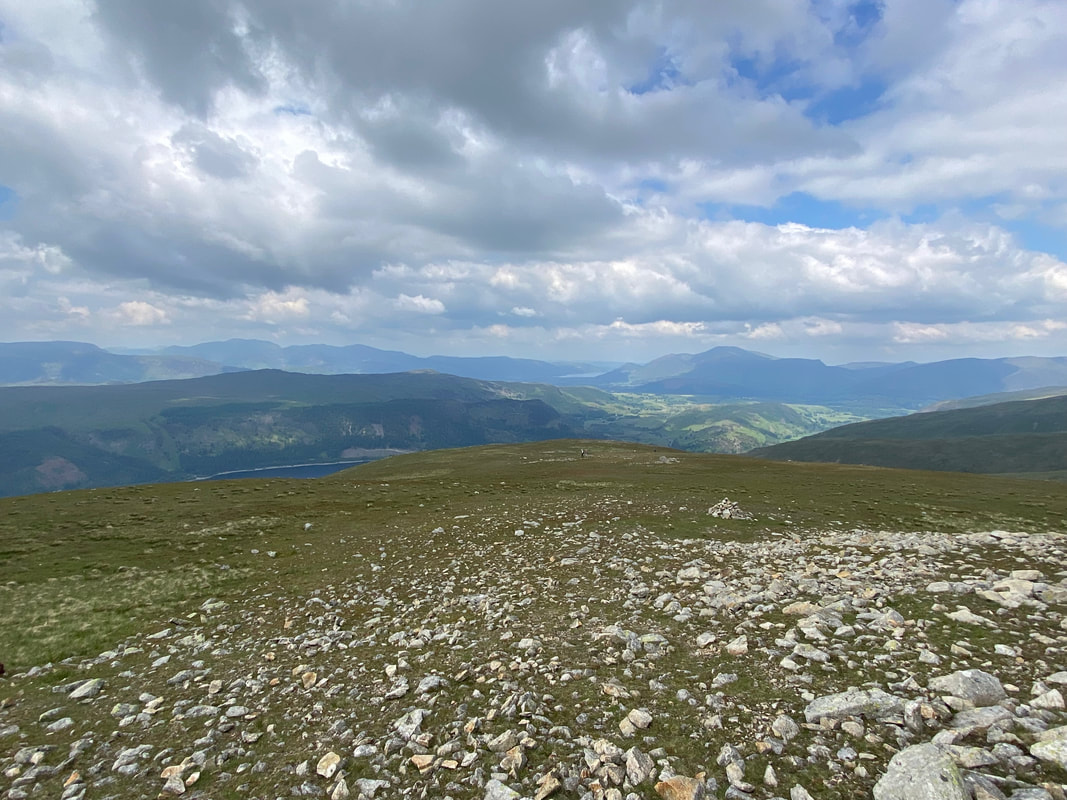
Fells everywhere and too numerous to mention
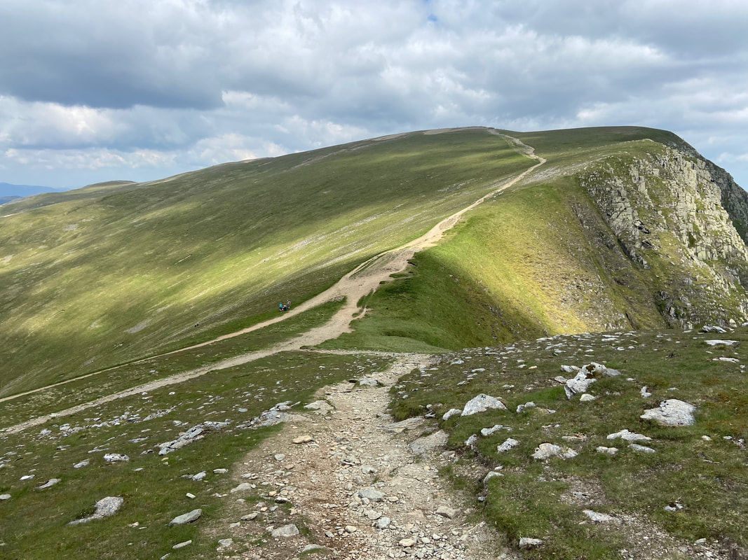
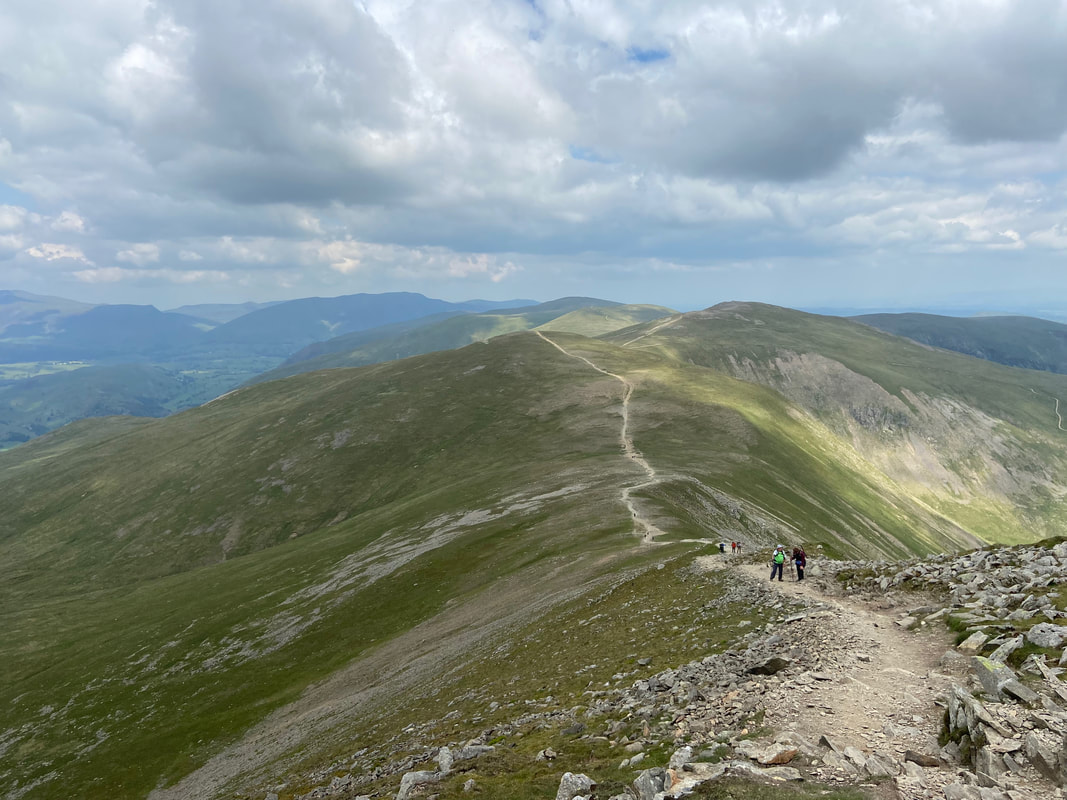
We were now back on the main path to Helvellyn but would soon leave it to climb up to High Crag
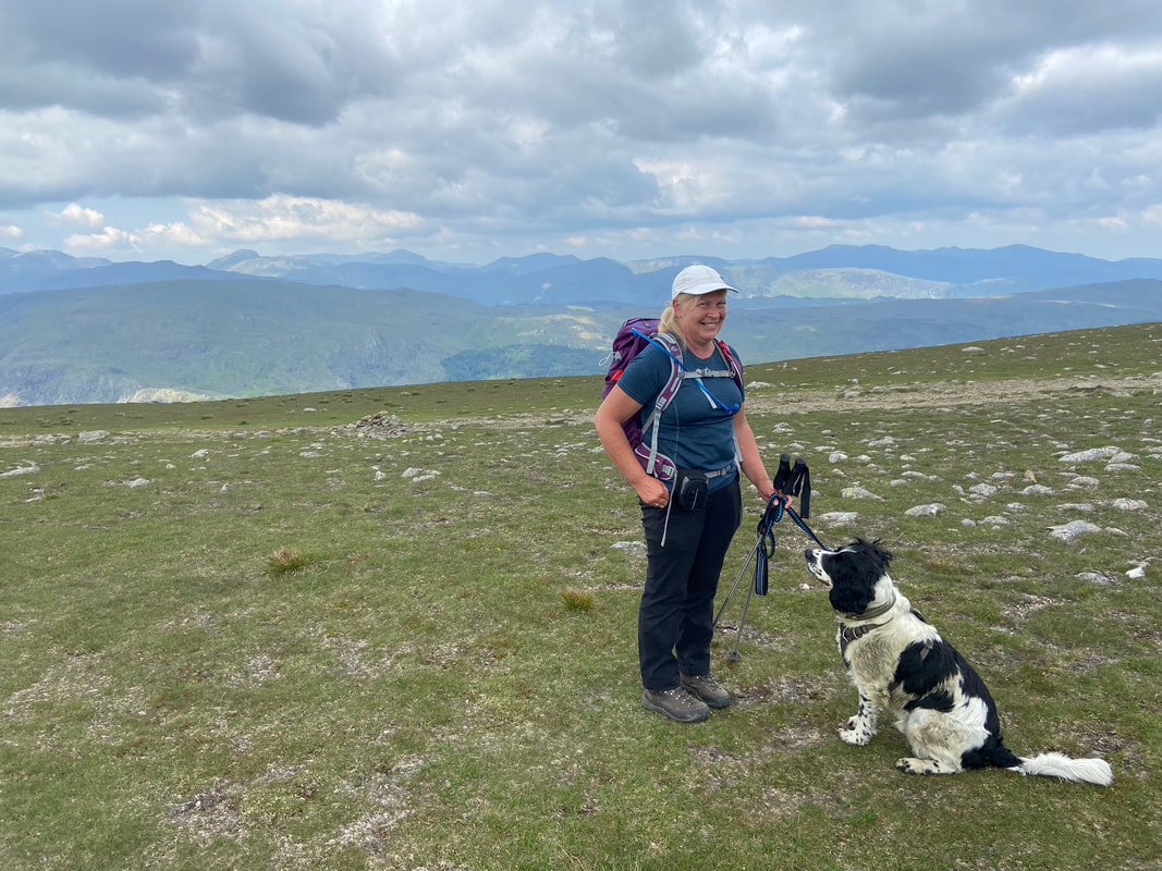
I knew Carol & Stan were up on Helvellyn today and therefore it was really nice to bump into them both on High Crag. Stan was wearing his very distinctive after shave 'Eau du Cow Shit"
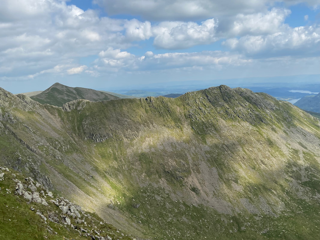
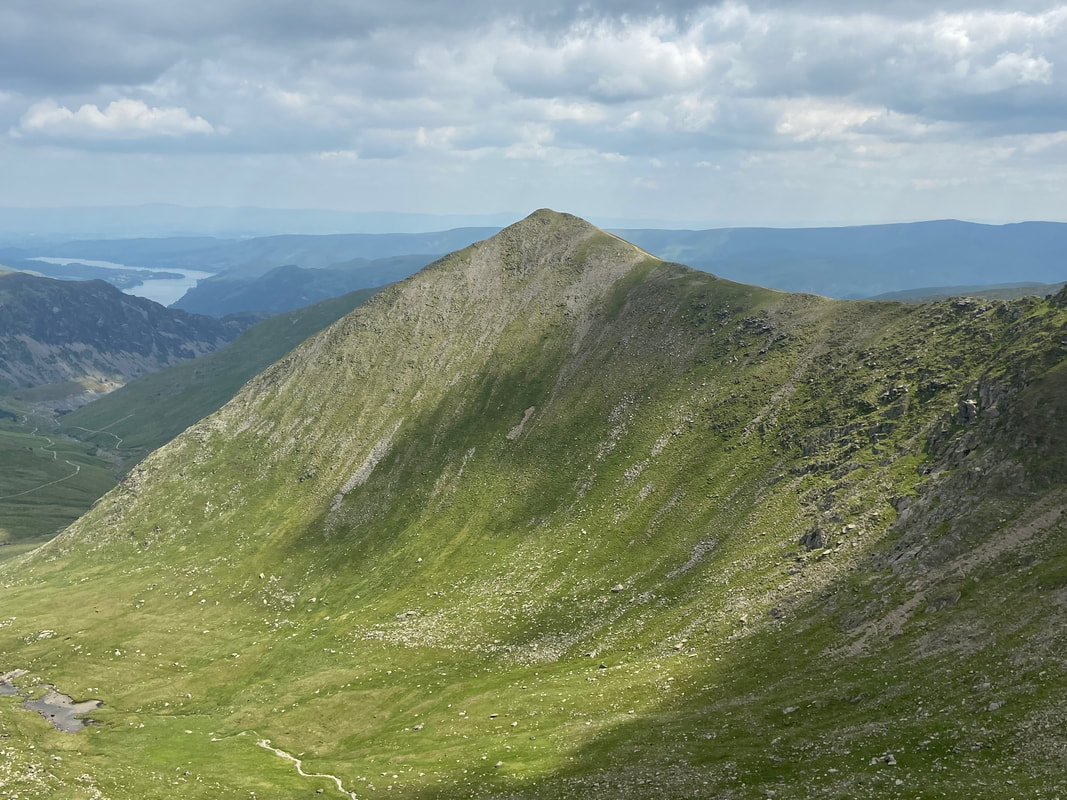
Catstycam and Striding Edge from Nethermost Pike
The summit of Nethermost Pike looking to Helvellyn
From Nethermost Pike I dropped down to the main path to make my way to Helvellyn
I detoured off the main path to sit & watch people coming up from Striding Edge
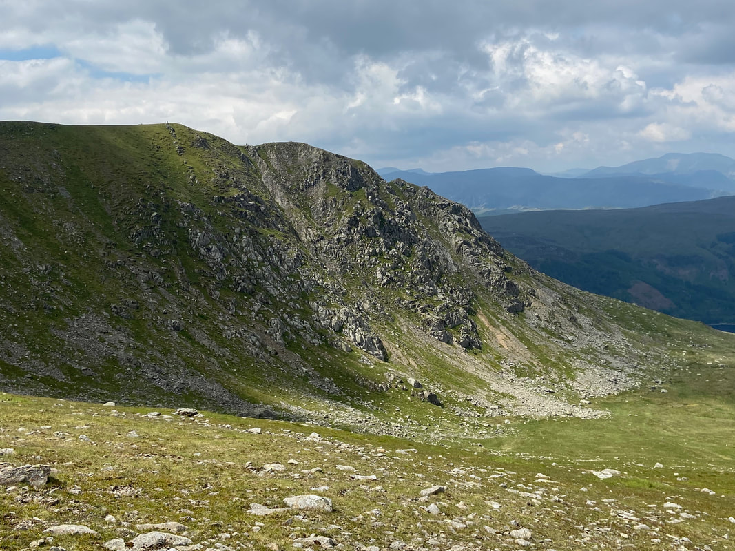
The Gough Memorial at the top of Striding Edge. The Memorial commemorates a fatal fall down the east face of Helvellyn in wintry conditions in the spring of 1805. Charles Gough was a Manchester artist who set out to climb Helvellyn with only his faithful dog Foxie for company. He failed to return. At the beginning of the 19th century, fell-walking and mountaineering for pleasure were relatively new pursuits and Gough, alone on the mountains had no specialist clothing or kit. Three months later a shepherd came across a dog barking and beside her lay the remains of her unfortunate master. Foxie, an Irish Terrier, loyal to the end had remained with her master and some accounts report that not only had the dog survived but had a pup that didn’t make it. A Carlisle newspaper had reported: ‘The bitch had pupped in a furze near the body of her master.’ On a darker note, the same report concluded that the dog ‘shocking to relate, had torn the clothes from his body and eaten him to a perfect skeleton.’ Some reports speculated that ravens had attacked the body, while others stated that the body was untouched by mountain animal or bird.
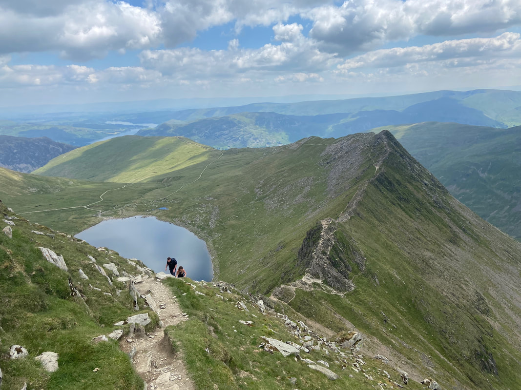
Swirral Edge & Catstycam from near Helvellyn's summit - Red Tarn sits below to the right.
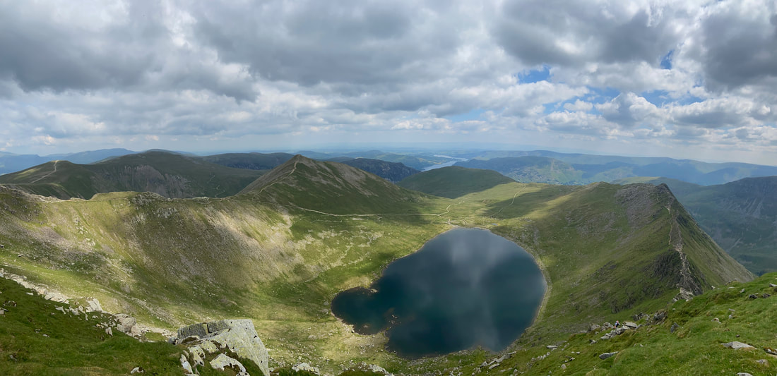
The panorama east from the summit of Helvellyn to Swirral Edge, Catstycam, Red Tarn & Striding Edge - one of my favourite views.
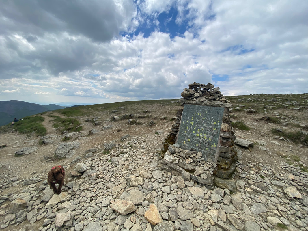
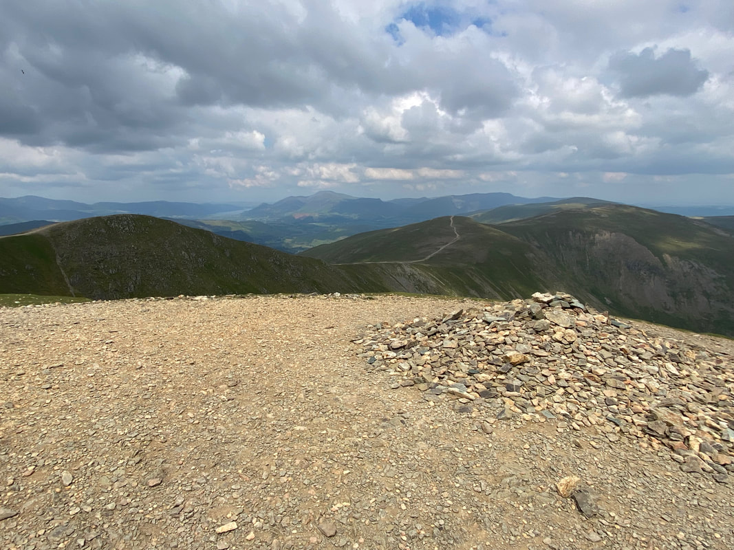
The summit of Helvellyn
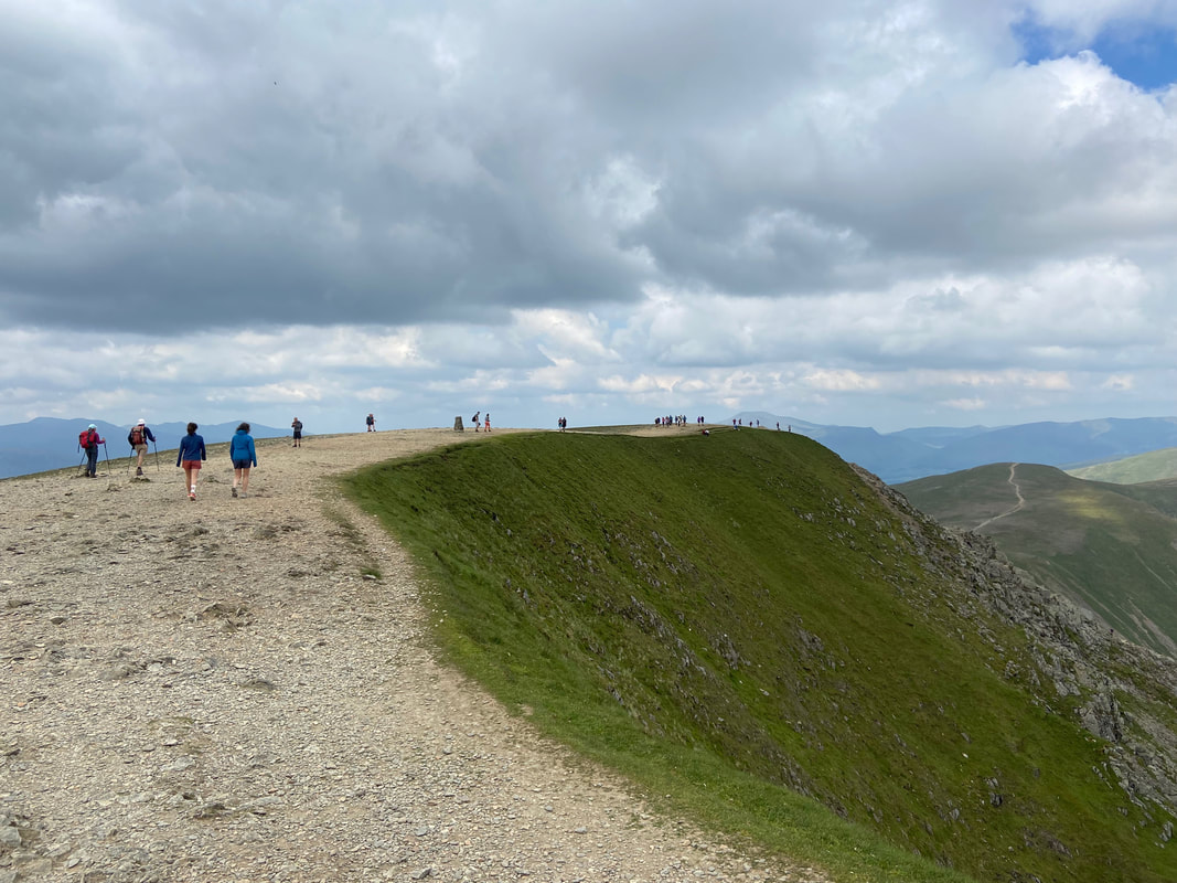
As can be seen, it was a bit busy up on the summit plateau therefore Fudge & I did not hang about
Swirral Edge & Catstycam from Helvellyn's summit plateau
The large cairn at the northern end of Helvellyn's summit plateau that marks the access point to Swirral Edge
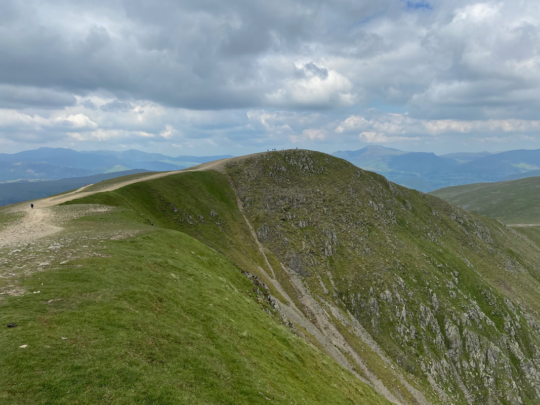
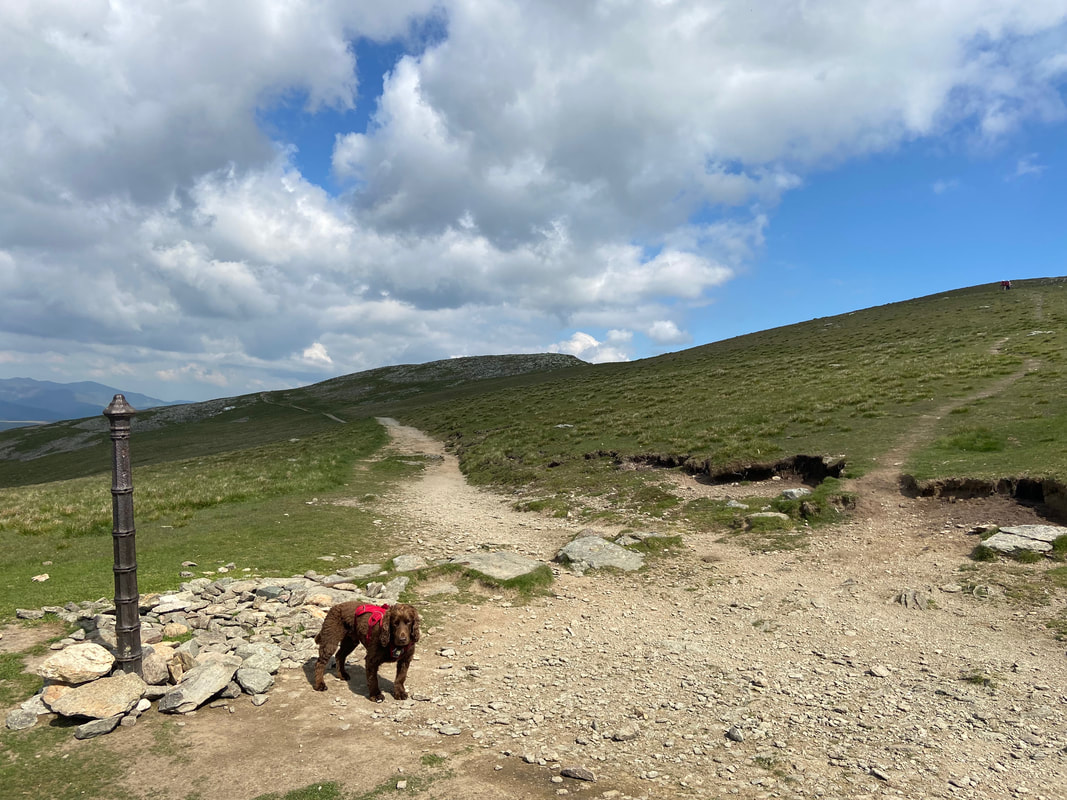
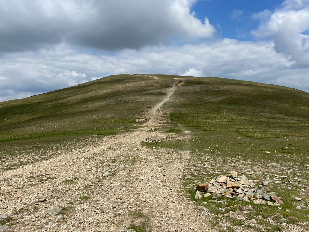
Helvellyn Lower Man - we were off there next
Browncove Crags from Helvellyn Lower Man
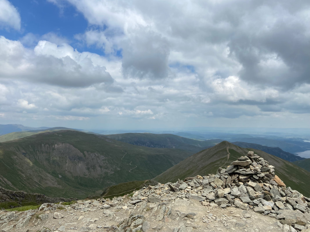
The summit of Helvellyn Lower Man looking to White Side & Raise
Descending Lower Man to White Side
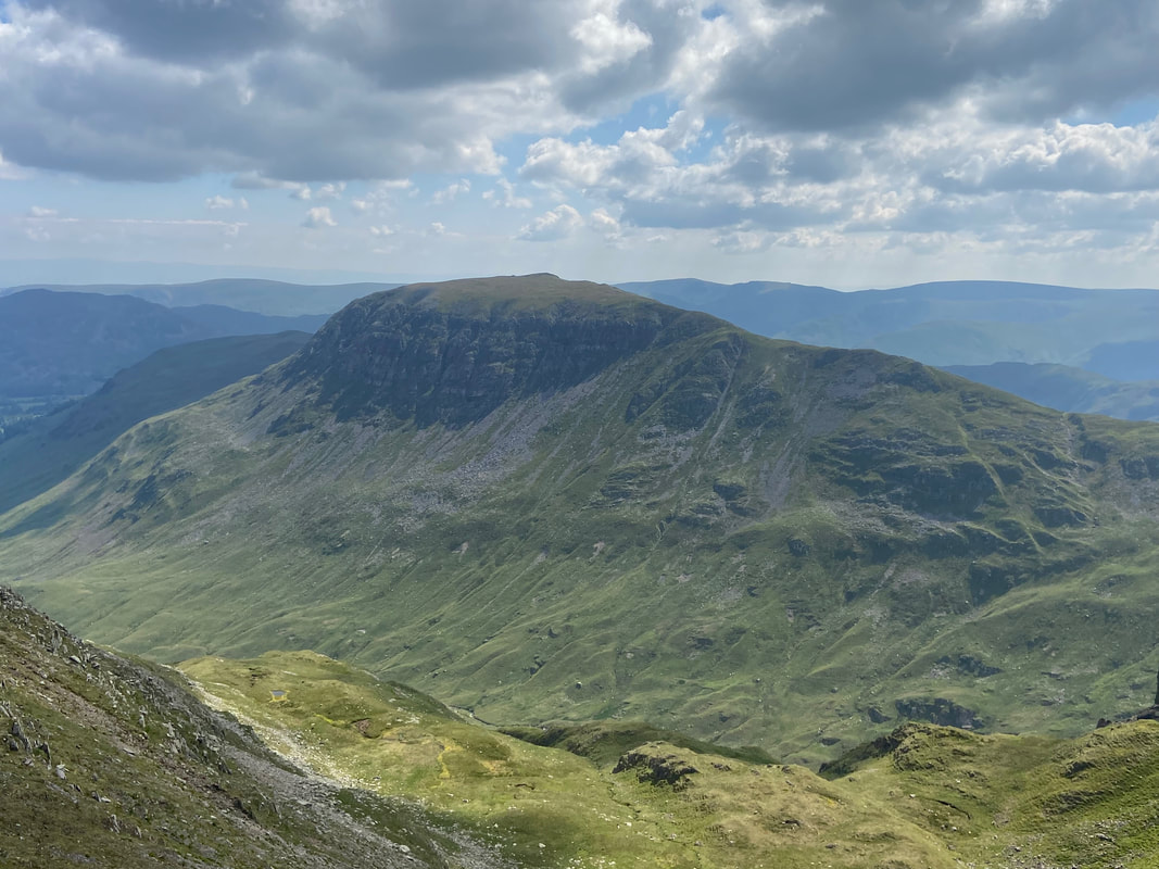
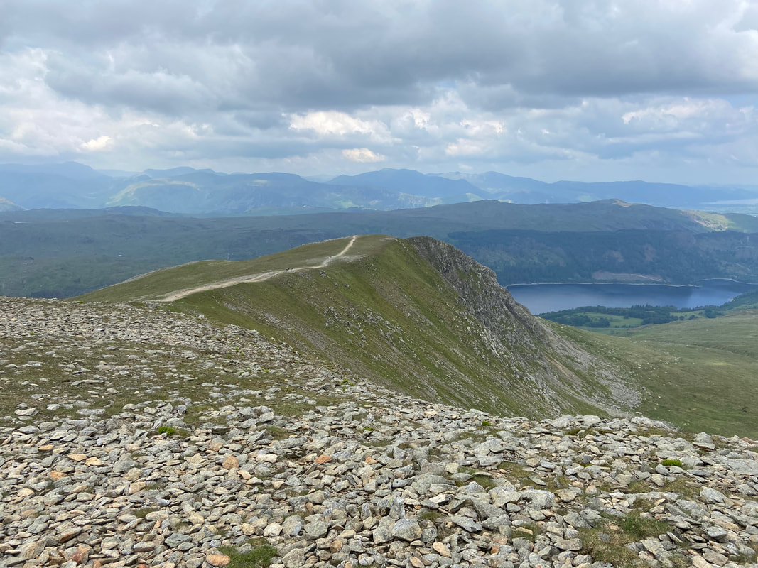
Catstycam across Brown Cove - the steep north west ridge is to the left and is a fantastic way to climb this superb fell. The blog of when we did it can be found here
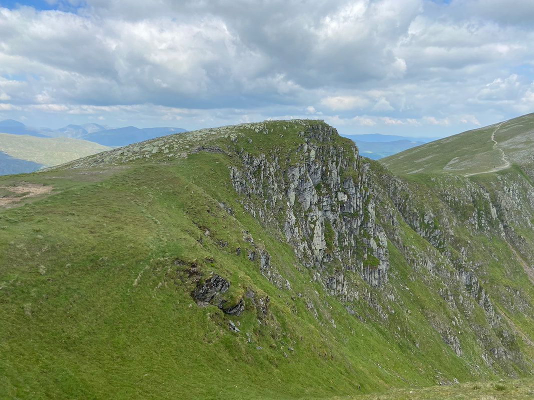
Browncove Crags
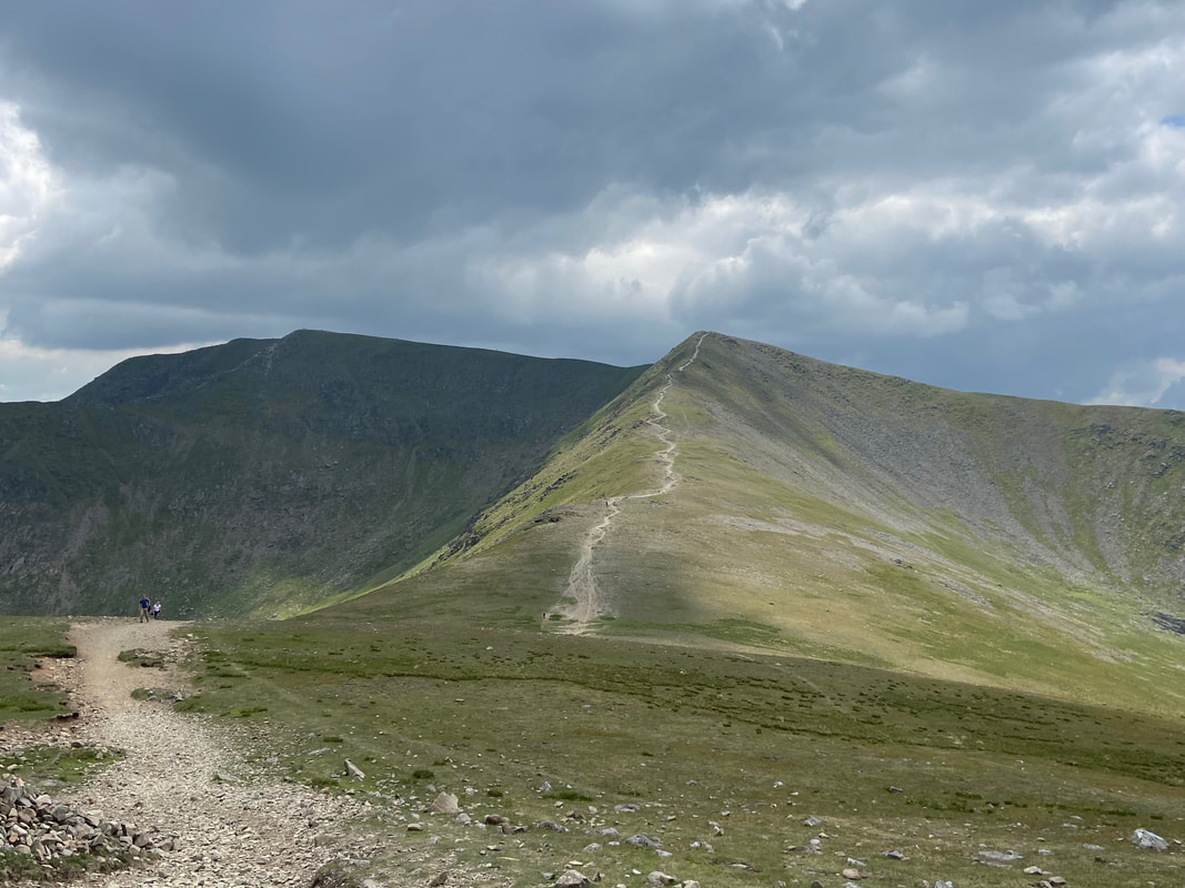
Nearing White Side and the full extent of Swirral Edge can be seen leading to Catstycam
The col between Helvellyn Lower Man & White Side
Ascending White Side looking back to Lower Man & Helvellyn
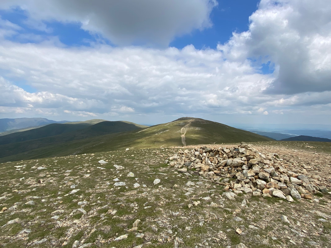
The summit of White Side looking to Raise
From White Side I made my descent to the north west towards Brown Crag - the path down is intermittent and vague and is marked by the odd small cairn. In poor visibility this route is best avoided.

Descending to Brown Crag which sits below
Thirlspot sits below to the left and rather than head off towards Fisherplace Gill I made a direct descent down the fell side
Approaching Thirlspot - whilst off piste I had good visibility and the going was extremely good
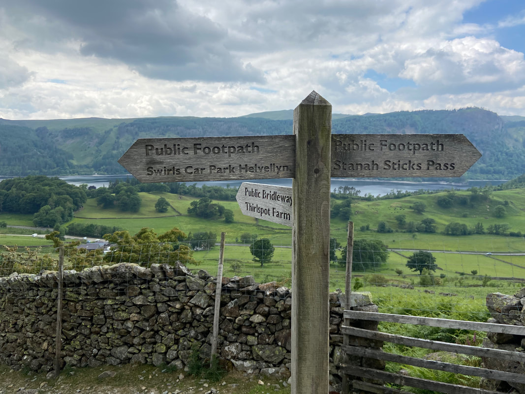
After an enjoyable descent I reached the junction of paths just above Thirlspot Farm
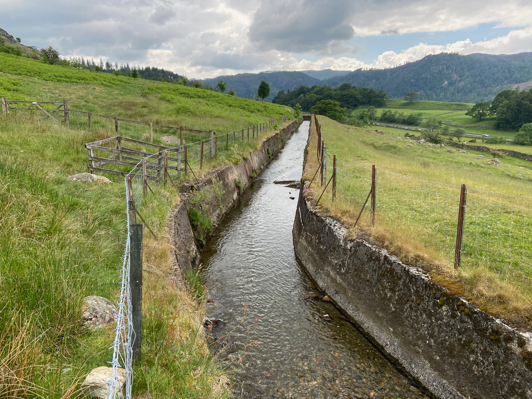
A leat near Thirlspot which is used to divert water into Thirlmere