Watlowes, Malham Cove, Janet's Foss & Gordale Scar - Monday 26 September 2022
Route
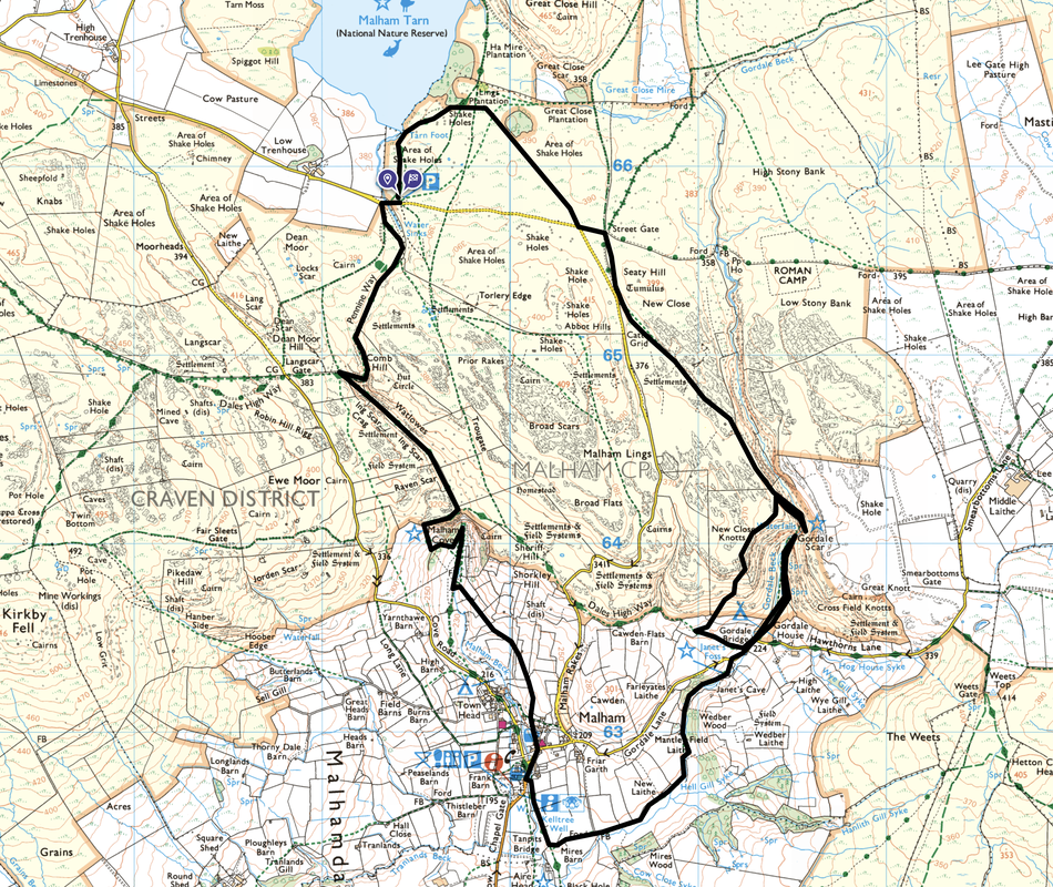
Water Sinks - Pennine Way - Watlowes - Malham Cove - Malham - Mires Barn - Janet's Foss - Gordale Bridge - Gordale Scar - Gordale Bridge - New Close Knotts - Street Gate - Malham Tarn - Water Sinks
Parking
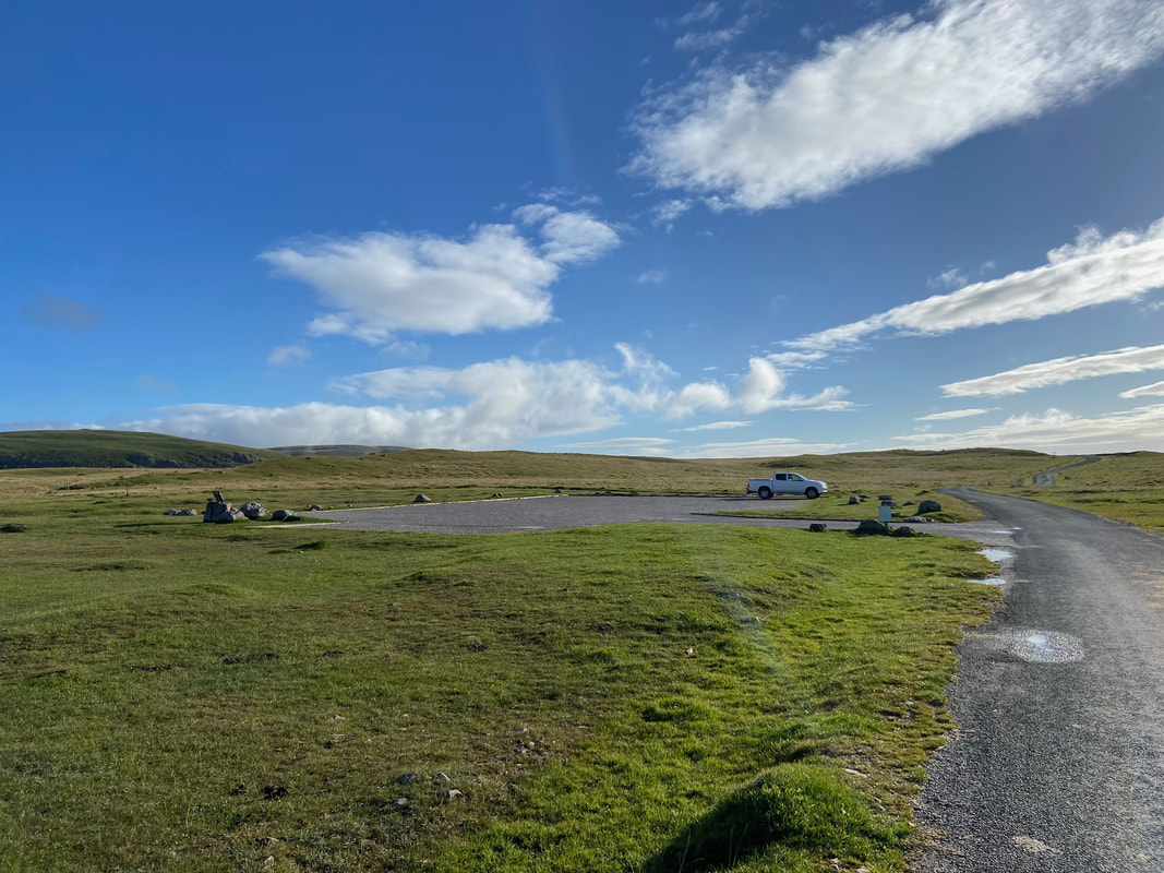
Water Sinks Car Park (Free) which is a quarter of a mile south of Malham Tarn on the minor road between Low Treehouse & Street Gate. The Grid Reference is SD 89417 65820 and the nearest postcode is BD24 9PT.
Mileage
9.1 miles
Terrain
Good paths throughout with a small amount of road walking on very quiet tracks & lanes.
Weather
Sunny with the odd stiff breeze
Time Taken
5hrs
Total Ascent
1700ft (518m)
Map
OL2 - Yorkshire Dales (Southern & Western Areas)
Walkers
Dave, Angie & Fudge
|
GPX File
|
| ||
If the above GPX file fails to download or presents itself as an XML file once downloaded then please feel free to contact me and I will send you the GPX file via e-mail.
Route Map
Water Sinks Car Park near the southern edge of Malham Tarn. There are several parking areas along this minor road where the walk can be started from.
The Car Park's name originates from the nearby outflow of water from Malham Tarn. At the south end of the tarn, water which is destined to become the infant River Aire sets off on its long journey to the North Sea. The journey is complicated because, just a few hundred yards from leaving the tarn the river mysteriously vanishes through deep fissures in its limestone bed at a place called, quite appropriately "Water Sinks". For many years it was believed that this river was the same as Malham Beck, reemerging further down the valley at the base of Malham Cove (i.e. the most obvious course: simply tracing the route of the dry valley which leads from Water Sinks down to the cove itself - and which way the water would have almost certainly flowed before finding the route underground). However, this is in fact not the case, as flourescene dye tests have now proved that the river disappearing underground at Water Sinks does not actually reemerge until much further downstream, the point of debouchure being a place which is called Aire Head Springs south of Malham village. It is clear that, whatever routes are actually taken by these streams underground, an extensive network of cave systems still lies waiting to be discovered, despite the valiant efforts of cave divers to penetrate the depths of the submerged boulder crawl which lies beneath Malham Cove.
(Source: www.yorkshire-dales.com)
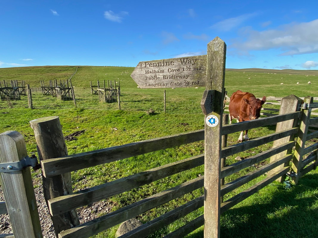
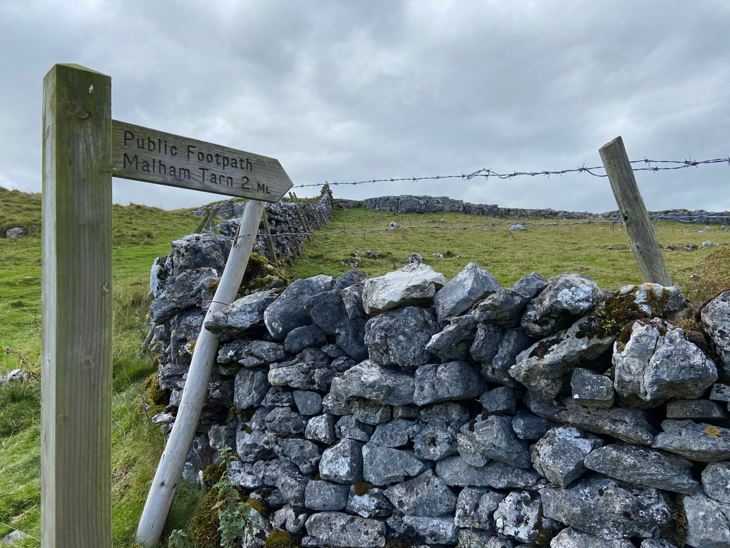
On the other side of the minor road a sign points the way over fields towards Malham Cove - we were now on familiar territory having passed here on our Pennine Way walk in 2015. A link to our Pennine Way walking journal can be found here.
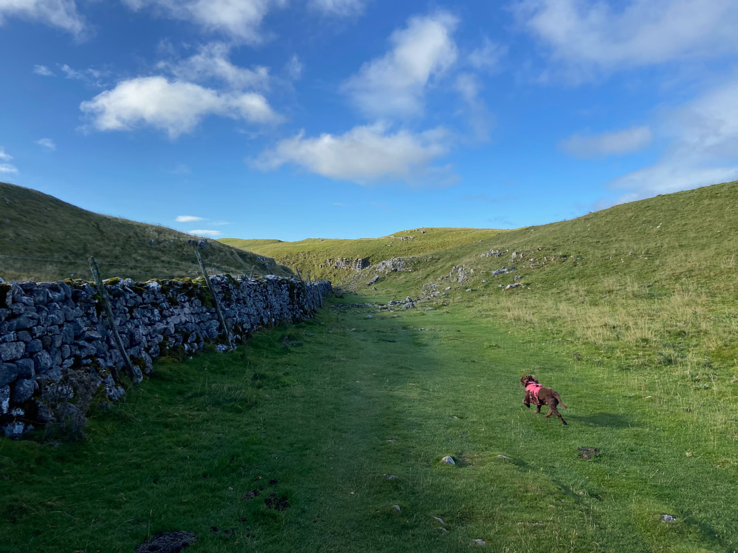
Fudge stretches his legs & paws as we head towards the dry valley of Watlowes
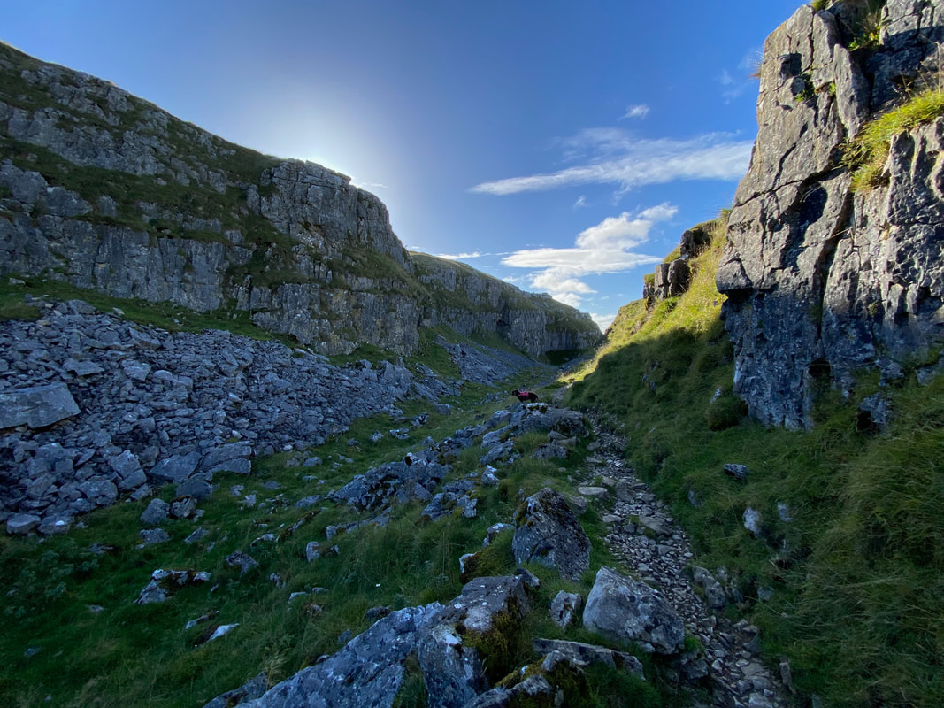
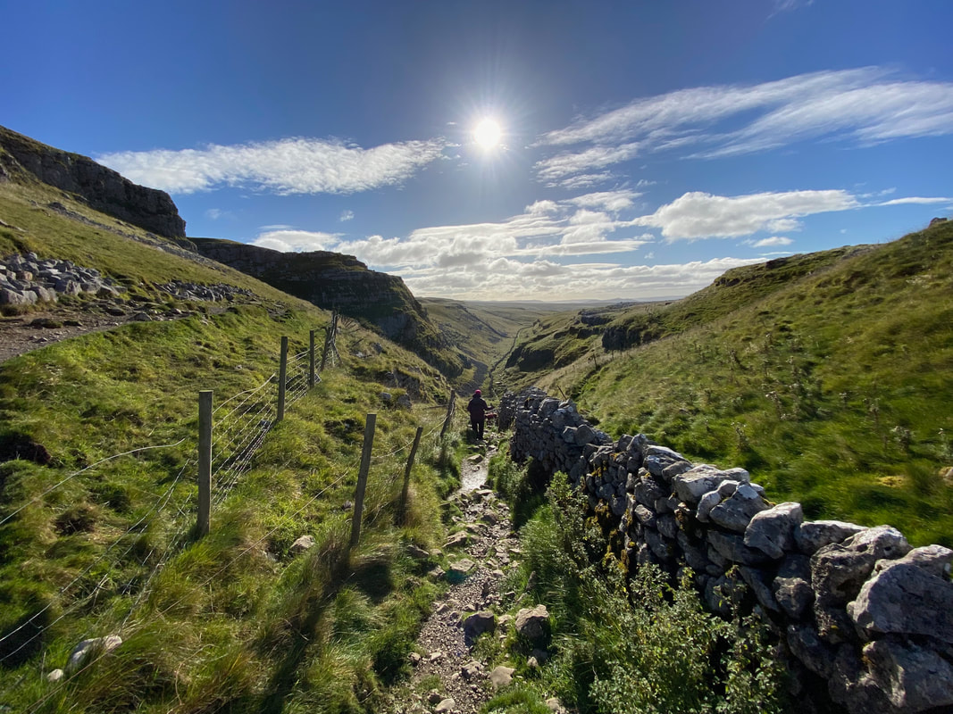
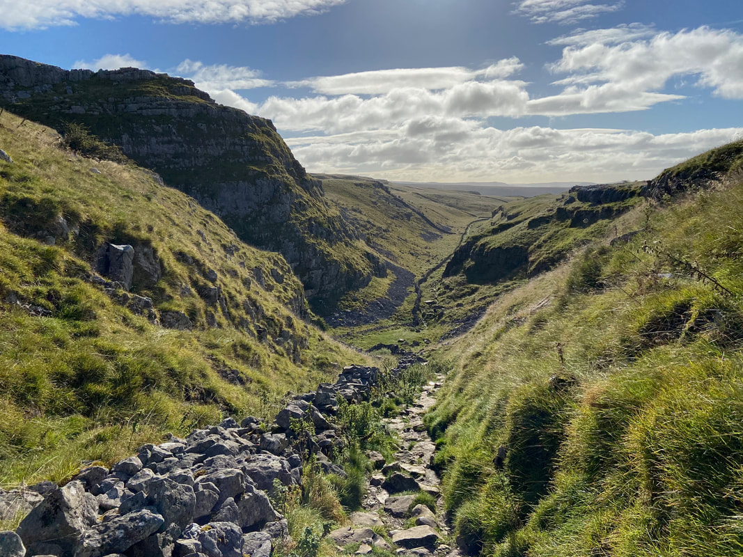
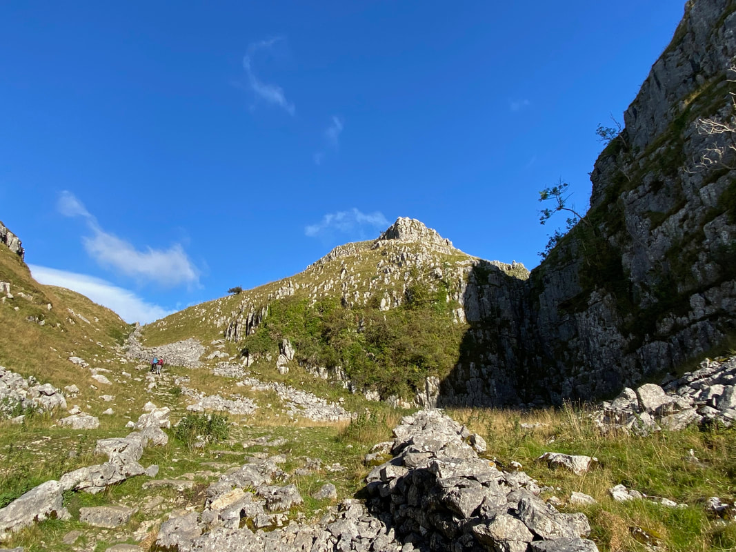
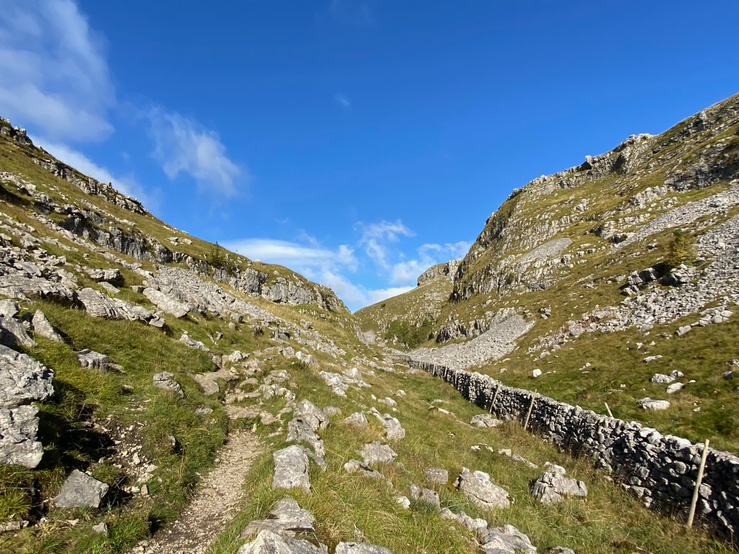
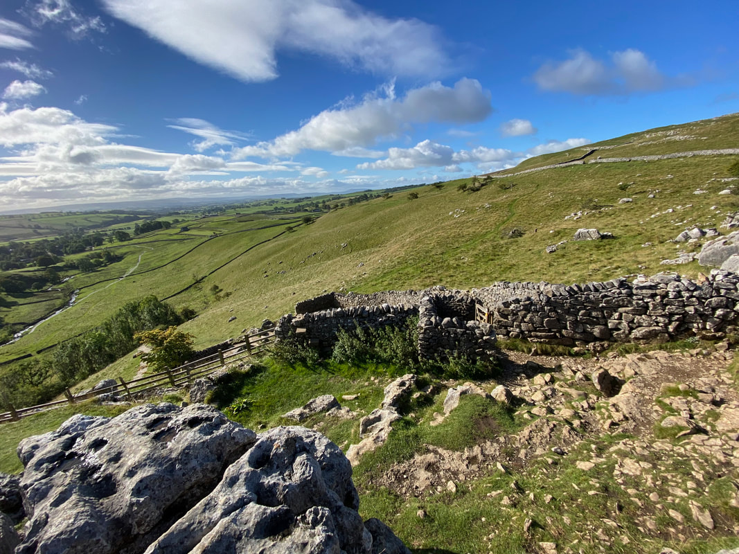
Below Water Sinks lies a deep limestone canyon which is known as the Dry Valley, or Watlowes Valley. The valley was almost certainly carved out by the glacial overspill from Malham Tarn flowing to what was once England's highest waterfall at Malham Cove. Now the valley is dry and contains some most impressive limestone features, with plenty of exposed and weathered rock. Whilst notably "dry", in early December 2015 heavy rains from "Storm Desmond" caused flooding in the Yorkshire Dales and there were extraordinary scenes as waters once again flowed through the Watlowes to reach the cove where a spectacular waterfall developed.
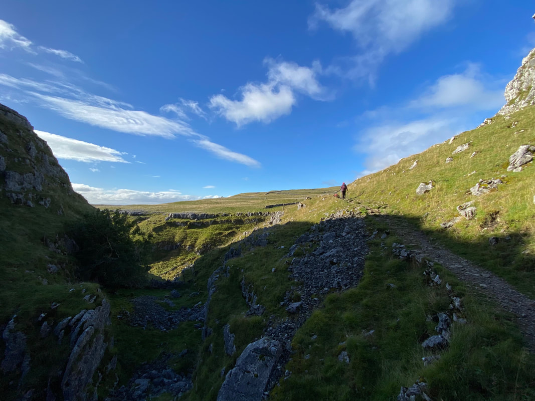
The path heads above the dry valley in the direction of Malham Cove
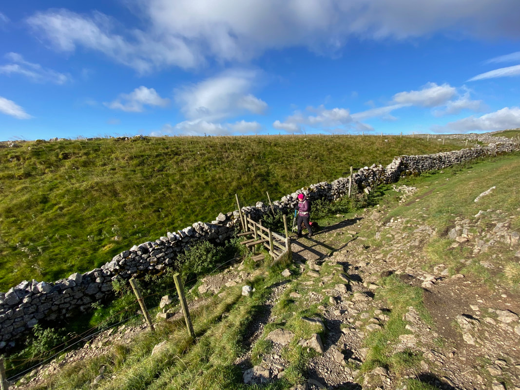
From the escarpment above the dry valley the route switches back on itself to reach a stile
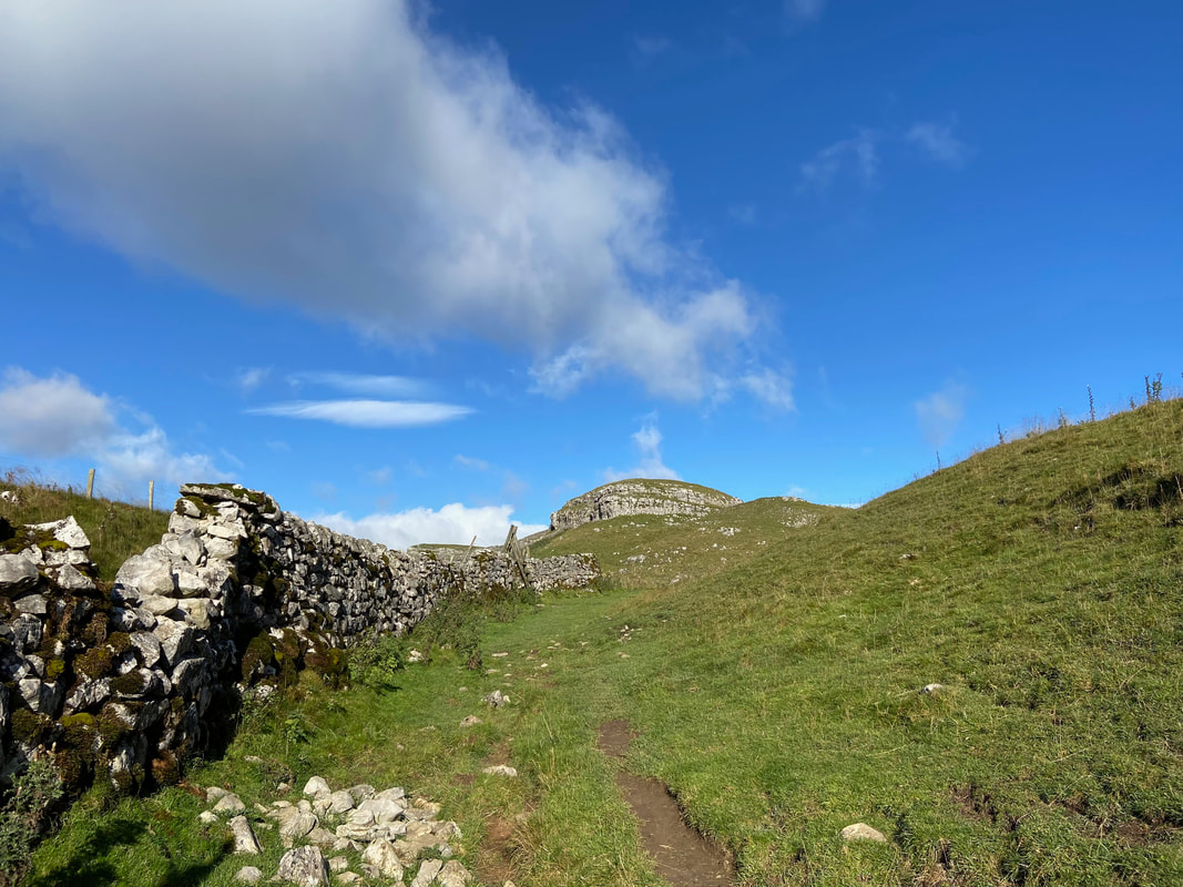
Looking back to Dean Scar from the stile
It was an absolutely beautiful day as we begin to descend into Watlowes
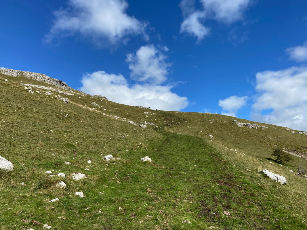
The valley floor is reached via a gradual descent on a rough stone path
Our route of descent with Comb Hill providing the backdrop
The dry valley floor of Watlowes
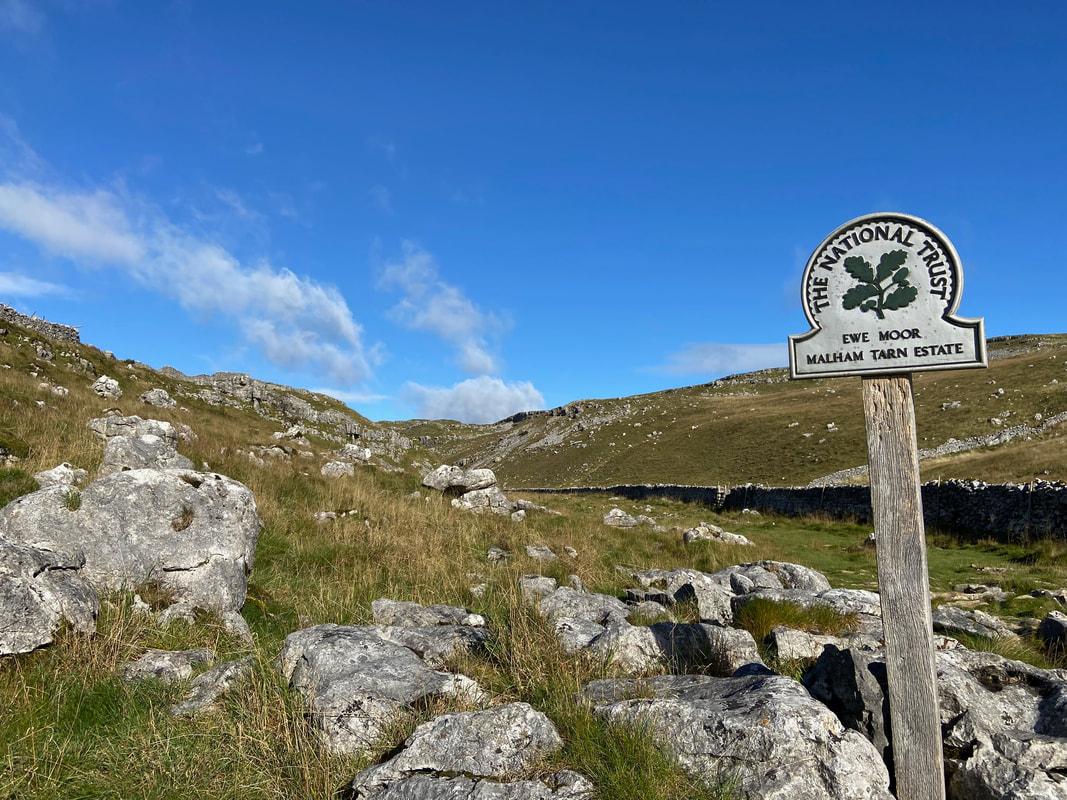
The Malham Tarn Estate comprises some of the most dramatic upland limestone landscape in the country, with Malham Tarn forming a natural focal point. The Trust is responsible for managing some 2,900 hectares of land, 65 of which are woodland, mainly around the Tarn, six farm holdings, a number of parcels of land which are leased to local farmers and two holiday cottages.
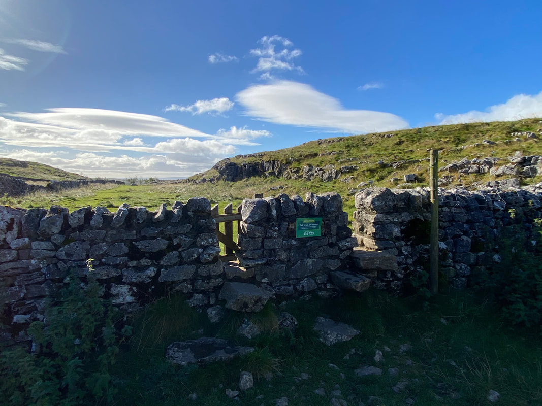
With Malham Cove almost in sight the route exits Watlowes via a gated stile or a wall gap
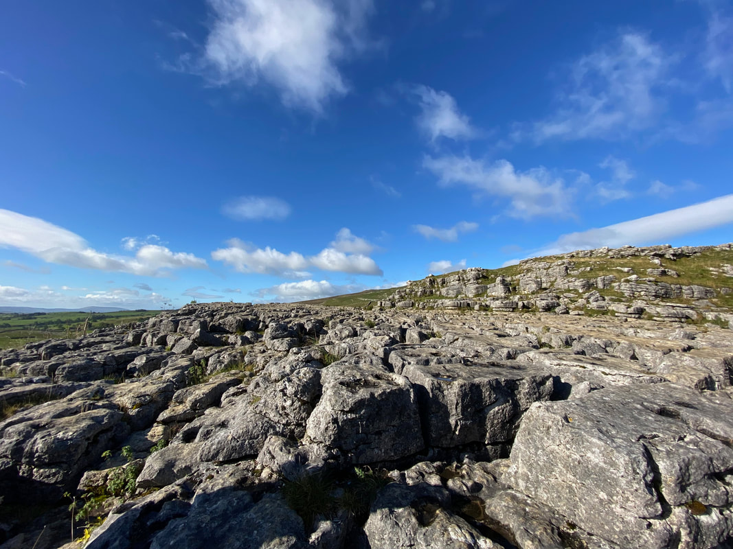
The beautiful but deeply eroded limestone pavement above Malham Cove
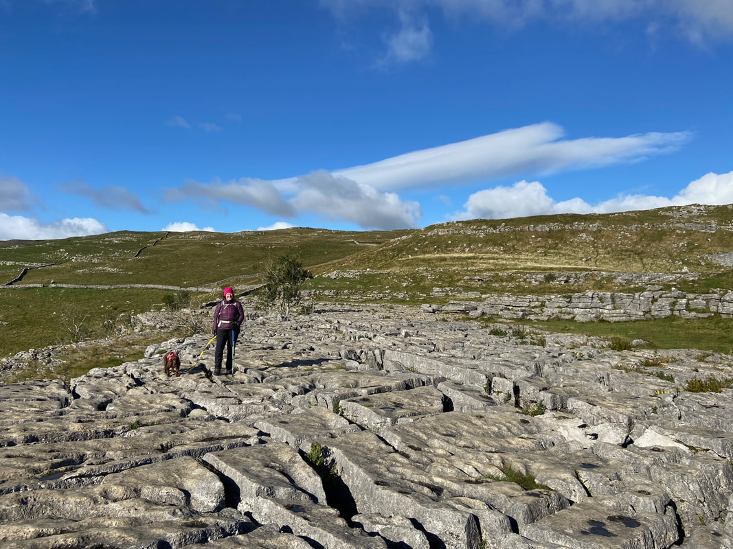
Angie & Fudge on the limestone pavement above Malham Cove
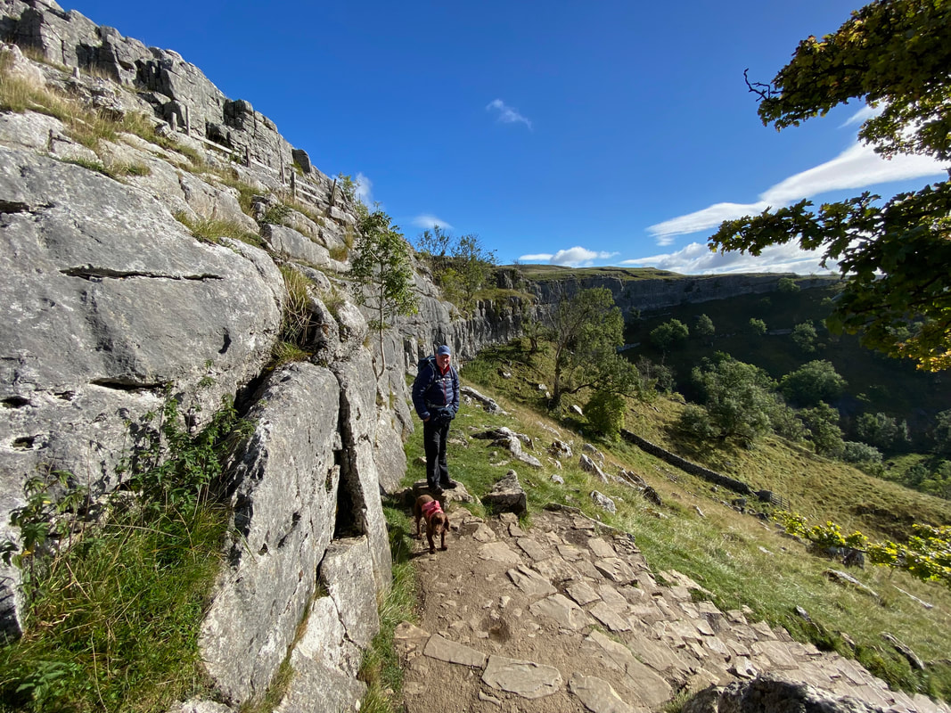
From the limestone pavement a gate on its western side leads to a path heading down to the cove
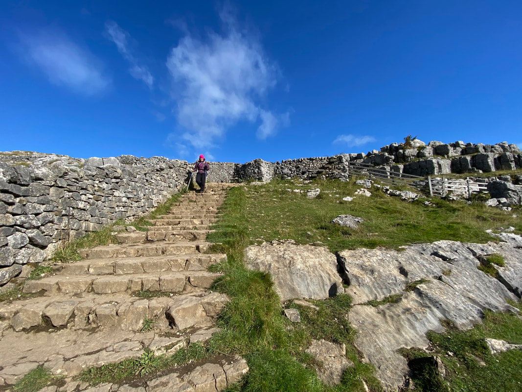
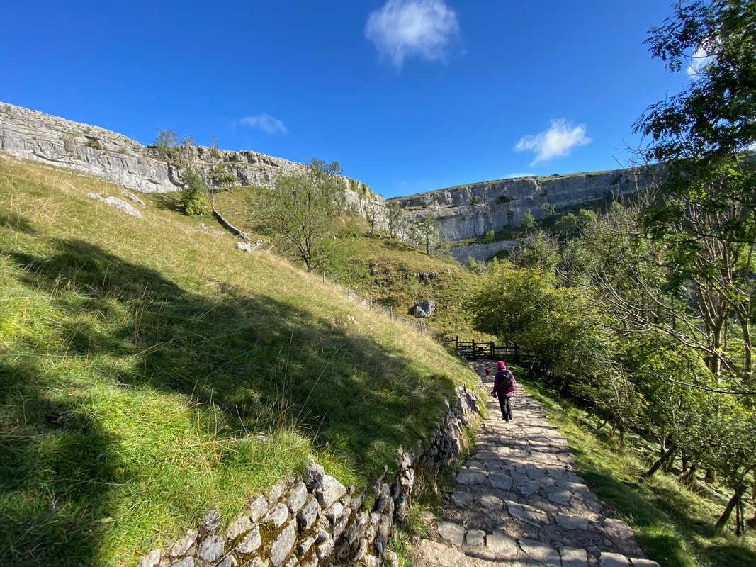
And so begins the descent of the 421 steps down to Malham Cove
The upper part of Malham Cove is now visible as we make our descent
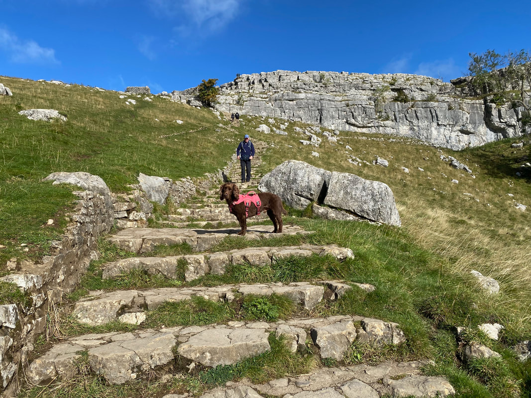
Fudge once again appears to mock my progress down the descent
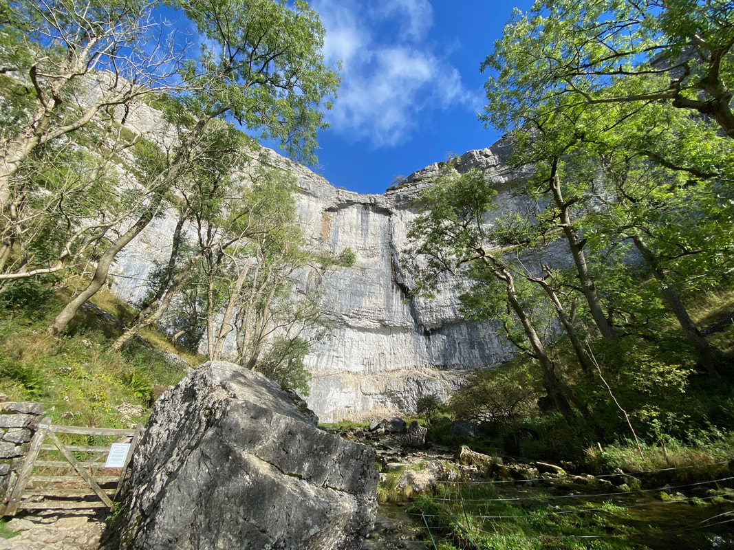
Almost down now as we near the access gate
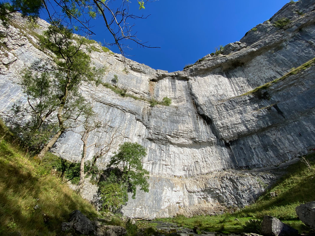
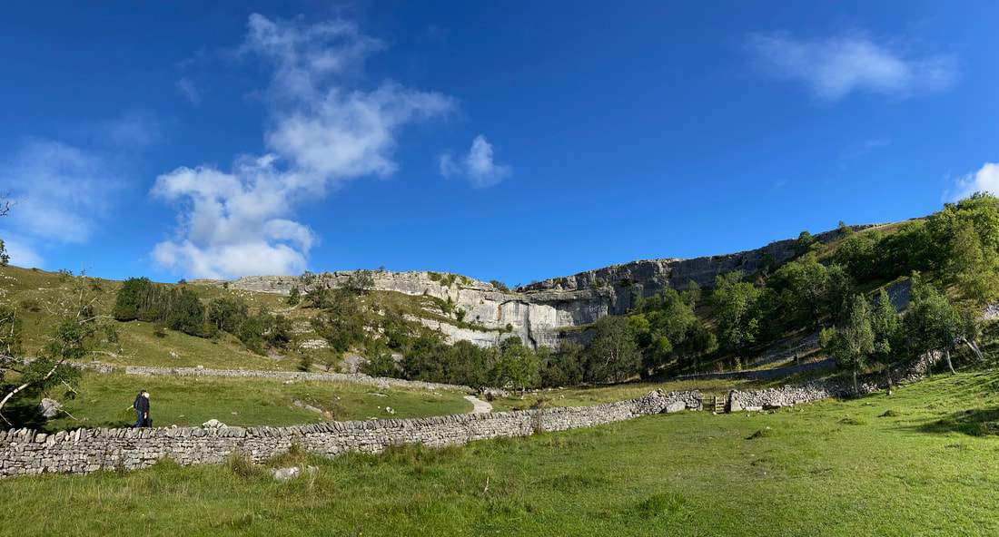
Malham Cove
Malham Cove is a huge curving amphitheatre shaped cliff formation of limestone rock. The vertical face of the cliff is about 260 feet high. The majesty of Malham Cove looks out over the Village of Malham and has been attracting visitors for centuries.
Malham Cove is a huge curving amphitheatre shaped cliff formation of limestone rock. The vertical face of the cliff is about 260 feet high. The majesty of Malham Cove looks out over the Village of Malham and has been attracting visitors for centuries.
Malham Cove (click Play to view)
The cove from a little further back
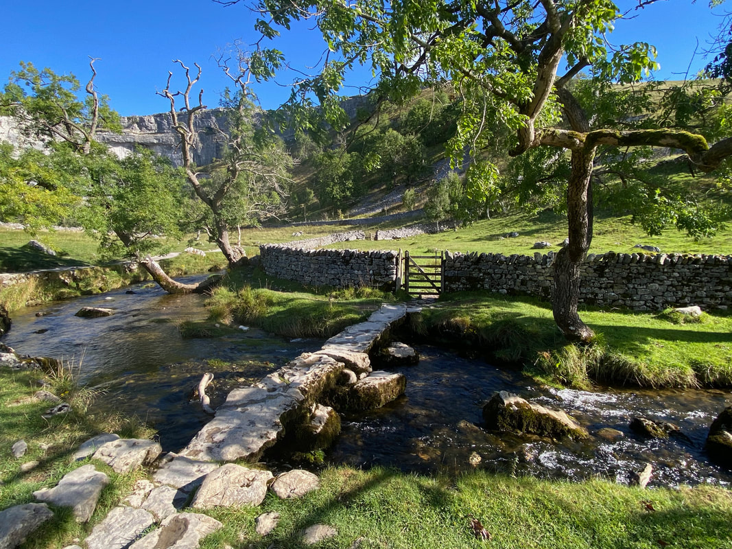
From Malham Cove the route crosses Malham Beck via a stone footbridge
A last look at Malham Cove before we head to the village
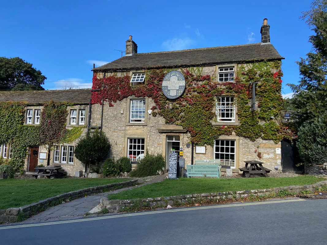
At the top of the village is one of Malham's two inns, firstly The Lister Arms.................
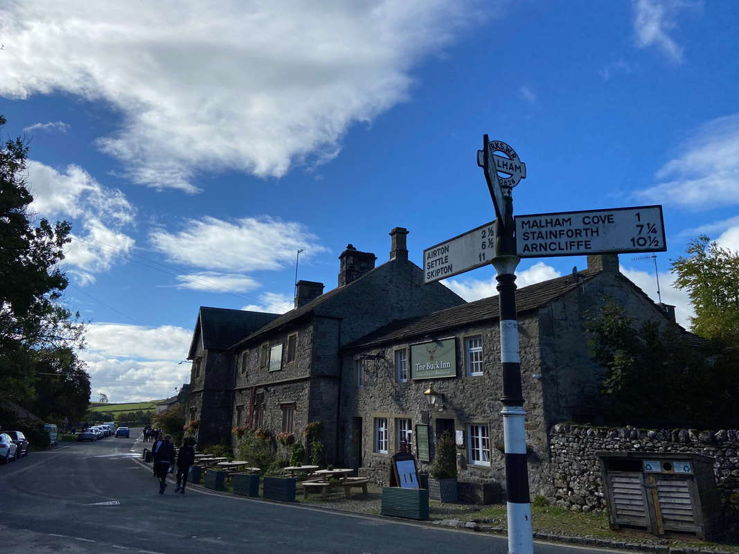
........... and secondly The Buck Inn
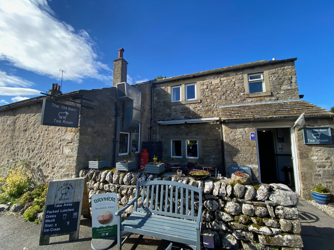
We had a late breakfast at The Old Barn in Malham - having eaten here before I think we caught them on a bad day
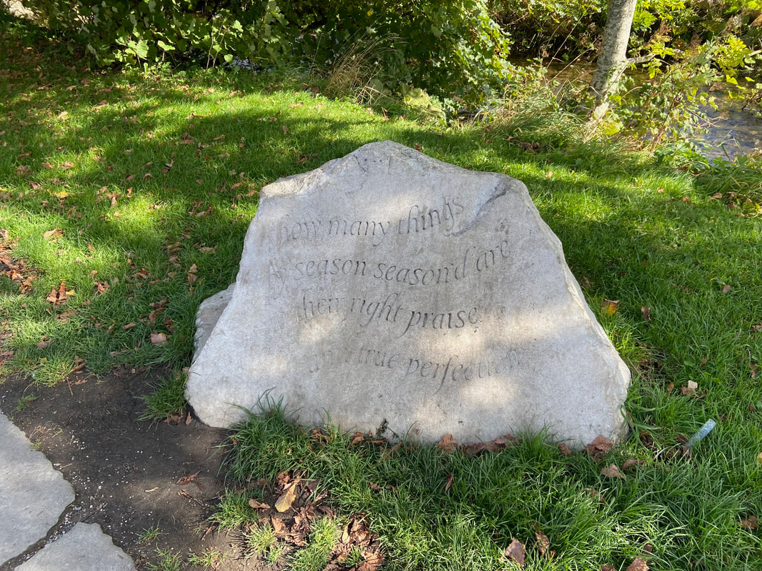
Near the Smithy Bridge is a carved limestone boulder
The boulder was carved by Yorkshire Sculptor & Letter Cutter Richard Watts of Sheffield and commissioned by Polly James. The quote is from William Shakespeare’s Merchant of Venice and is a conversation between Portia & Nerissa. “How many things by season season’d are, To their right praise and true perfection!” The stone is Hopton Wood Limestone from Derbyshire as it is more suited to carving than the local stone. Polly James has a long association and love for Malham and has donated the stone to the village and contributed to the forthcoming improvements to the beck side footpath.
The boulder was carved by Yorkshire Sculptor & Letter Cutter Richard Watts of Sheffield and commissioned by Polly James. The quote is from William Shakespeare’s Merchant of Venice and is a conversation between Portia & Nerissa. “How many things by season season’d are, To their right praise and true perfection!” The stone is Hopton Wood Limestone from Derbyshire as it is more suited to carving than the local stone. Polly James has a long association and love for Malham and has donated the stone to the village and contributed to the forthcoming improvements to the beck side footpath.
Crossing Smithy Bridge with the Old Smithy on the left
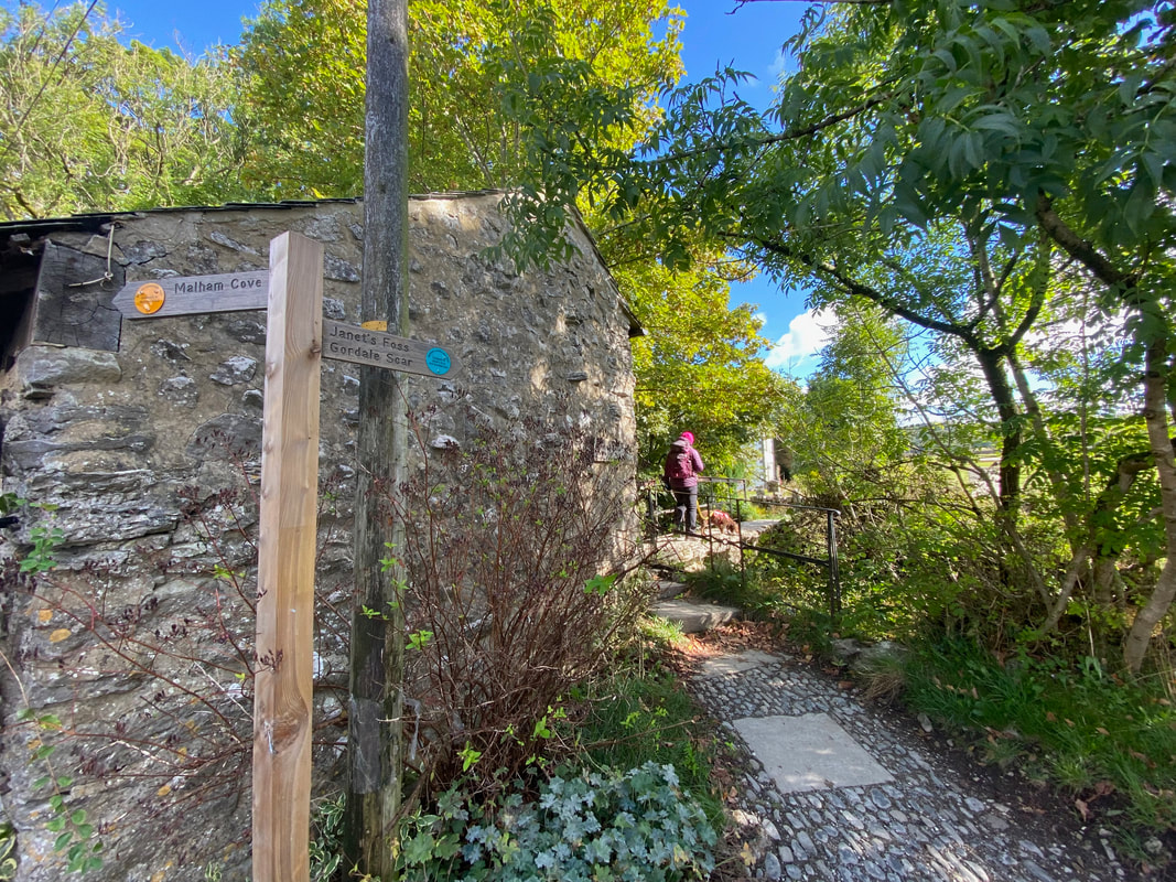
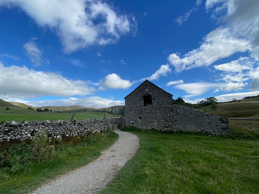
Leaving Malham we were now on the footpath to Janet's Foss. To the right of the path is Mires Barn.
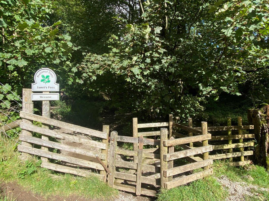
The gate leading to Janet's Foss
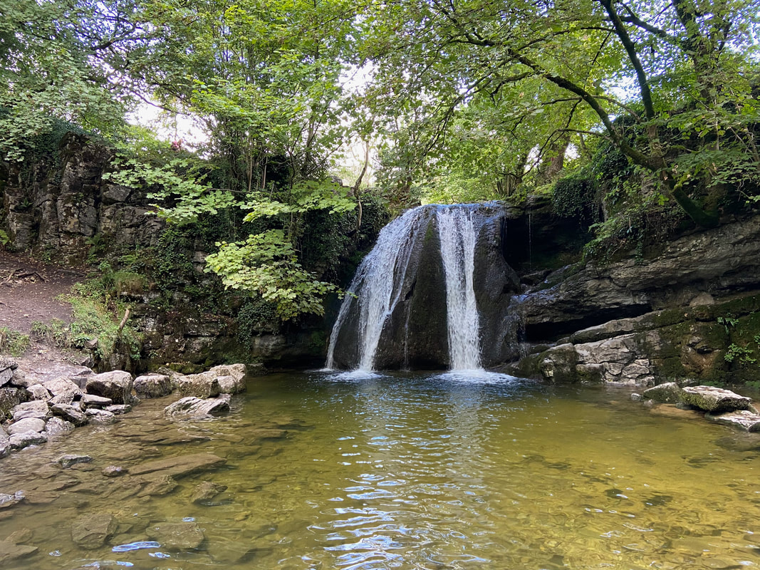
Janet's Foss
The origin of the name is that Foss is the old Scandinavian name for waterfall. According to legend, Janet (or Jennet), queen of the fairies, lived in a cave behind the waterfall.
The origin of the name is that Foss is the old Scandinavian name for waterfall. According to legend, Janet (or Jennet), queen of the fairies, lived in a cave behind the waterfall.
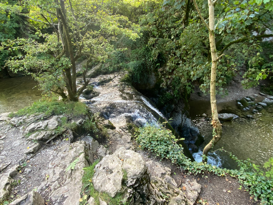
Above Janet's Foss
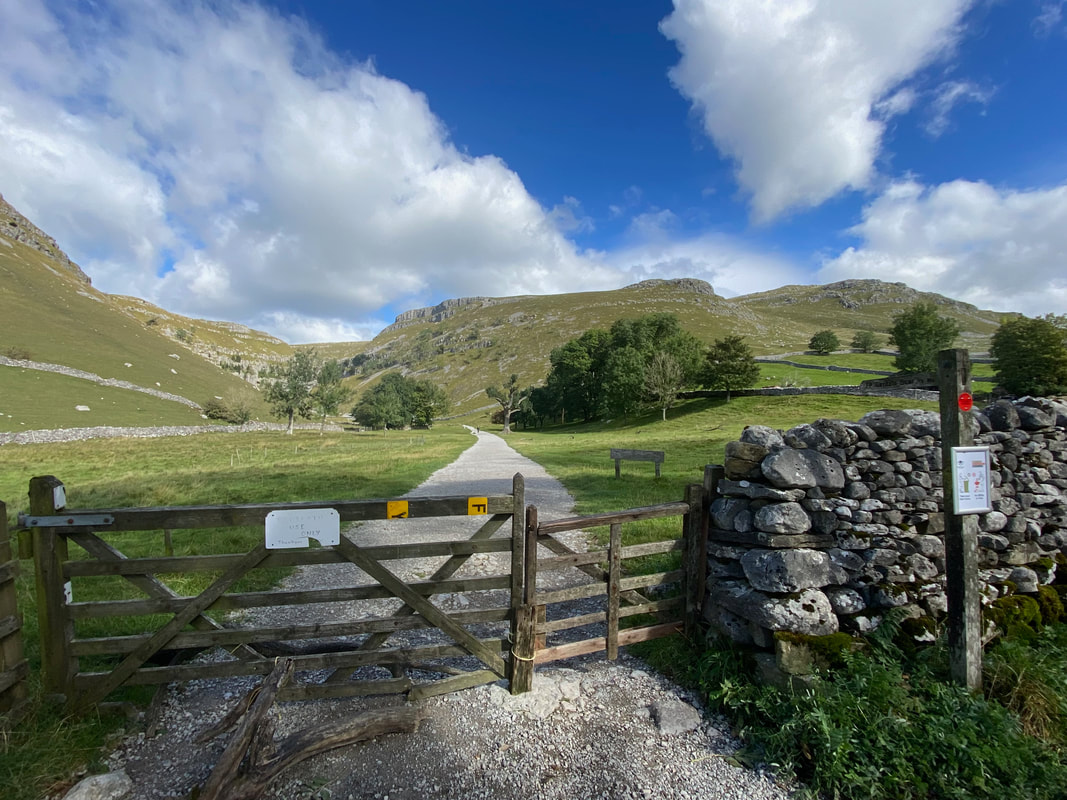
Leaving Janet's Foss the route crosses Gordale Lane. After passing Gordale Bridge a gate is reached on the left which is the access point for Gordale Scar.
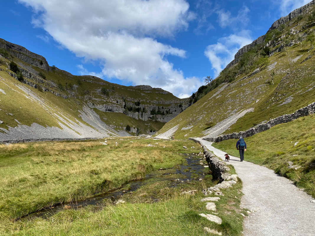
Approaching Gordale Scar. The route passes along a very good path that runs alongside Gordale Beck.
The approach to Gordale Scar (click Play to view)
Fudge looks totally underwhelmed as Gordale Scar comes into view
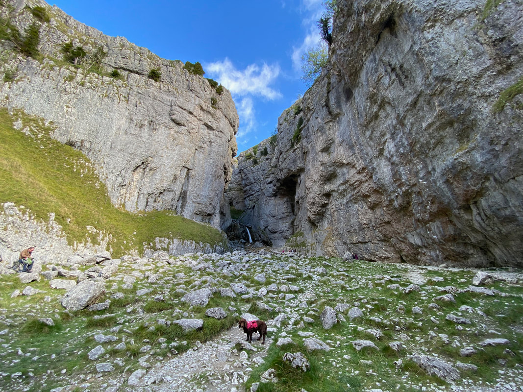
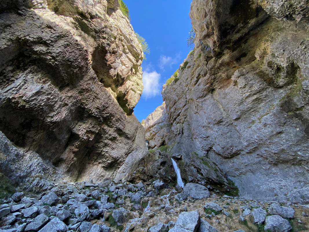
Gordale Scar (can anyone spot Fudge?)
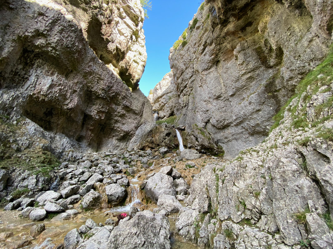
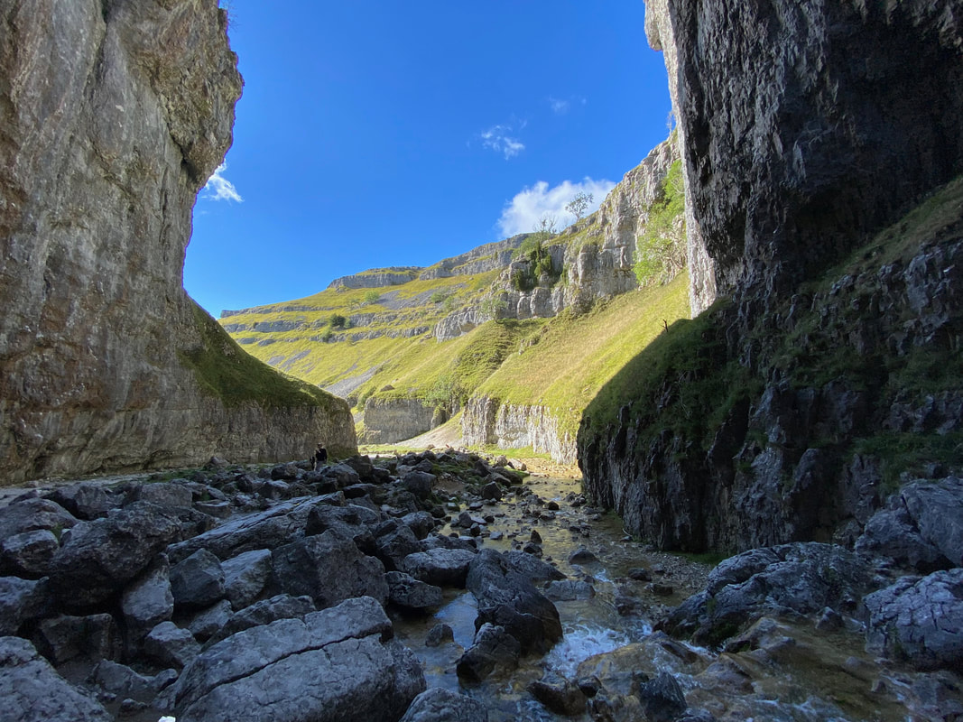
Gordale Scar is a limestone ravine. It contains two waterfalls and has overhanging limestone cliffs over 330 feet (100 m) high. The gorge was more than likely formed by water from melting glaciers or a cavern collapse. Gordale Beck flows through which on leaving the gorge passes over Janet's Foss to then join Malham Beck 2 miles (3 km) downstream to form the River Aire.
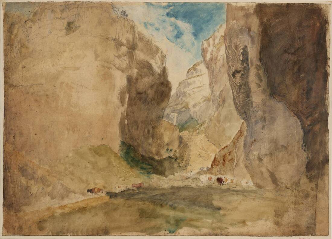
Notable visitors to Gordale Scar include the poet William Wordsworth who wrote in the sonnet Gordale, "let thy feet repair to Gordale chasm, terrific as the lair where the young lions couch". The painter J M W Turner also painted a picture of it in 1816 which can be seen in the Tate Britain.
Gordale Scar by J M W Turner (1808)
Gordale Scar (click Play to view)
Looking out from the waterfall to our approach to Gordale Scar
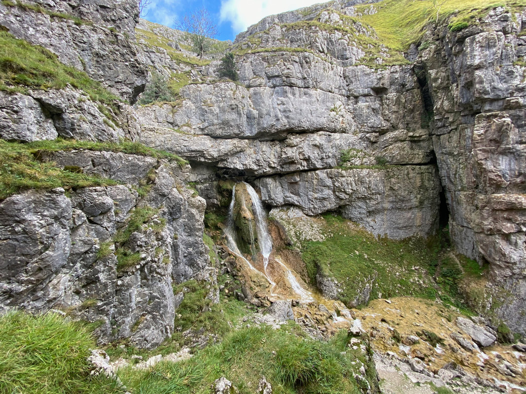
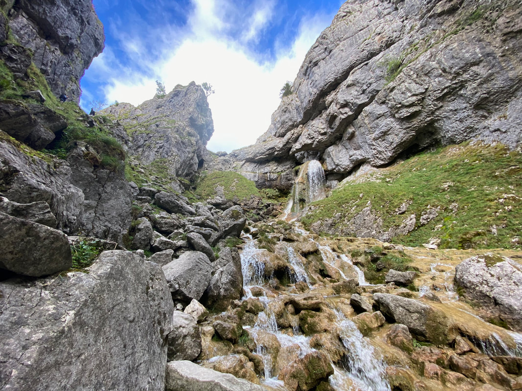
Not much water in the scar today. For the adventurous, there is a route out of the scar from here and that is by scrambling over the tufa to the left hand side. Even with the lack of water today, it is still a difficult scramble to get to the upper chamber.
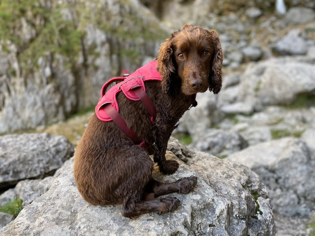
Anyway, Fudge wasn't up for it and just wanted to relax and have his lunch
Leaving the Scar we headed back to Gordale Bridge to then make our way to above the Upper Chamber via New Close Knotts
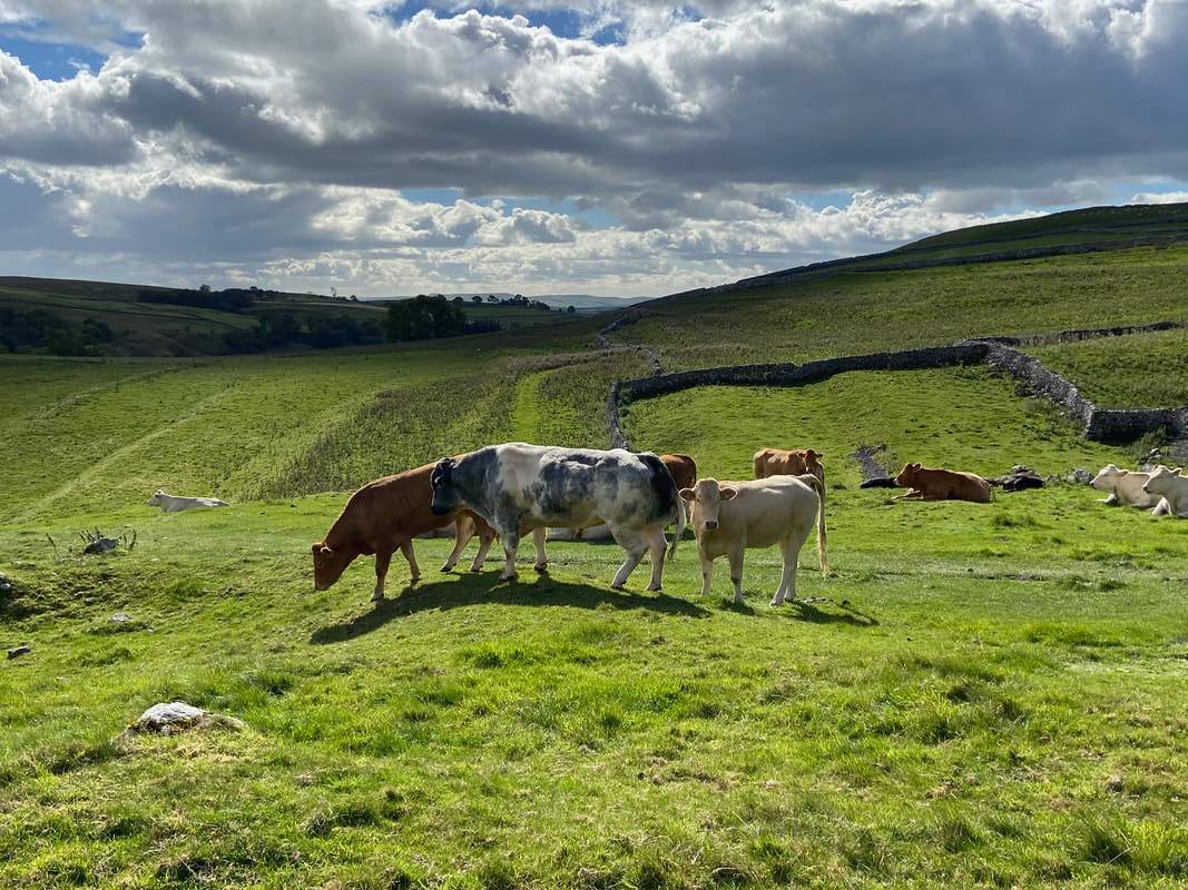
Some of the locals were in attendance as we made our way up the hillside
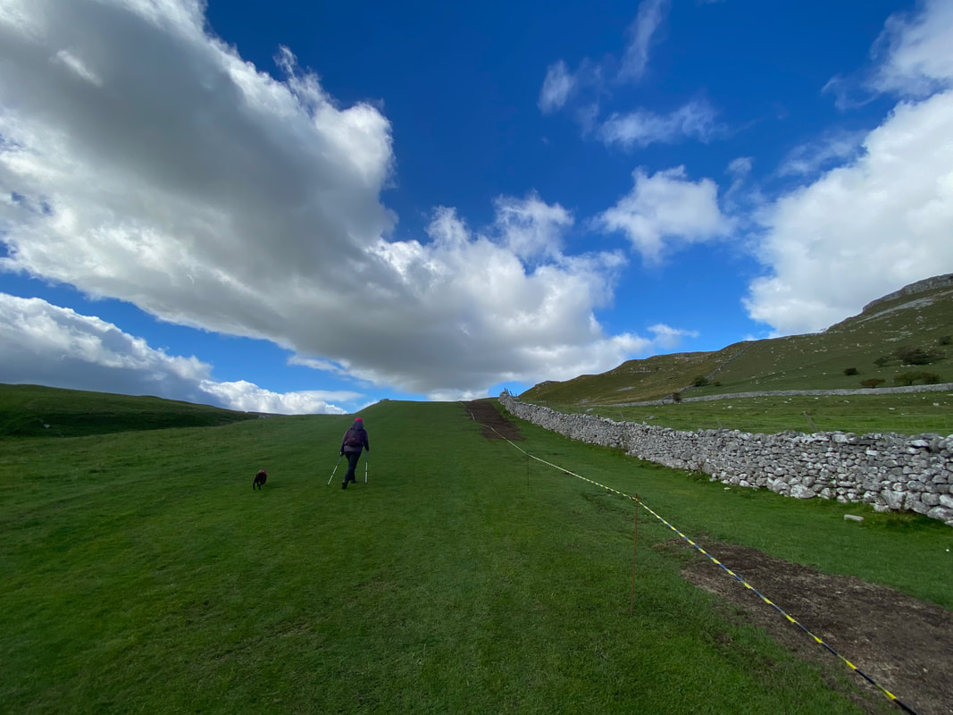
Near New Close Knotts as we continue the climb to reach the point above the Upper Chamber
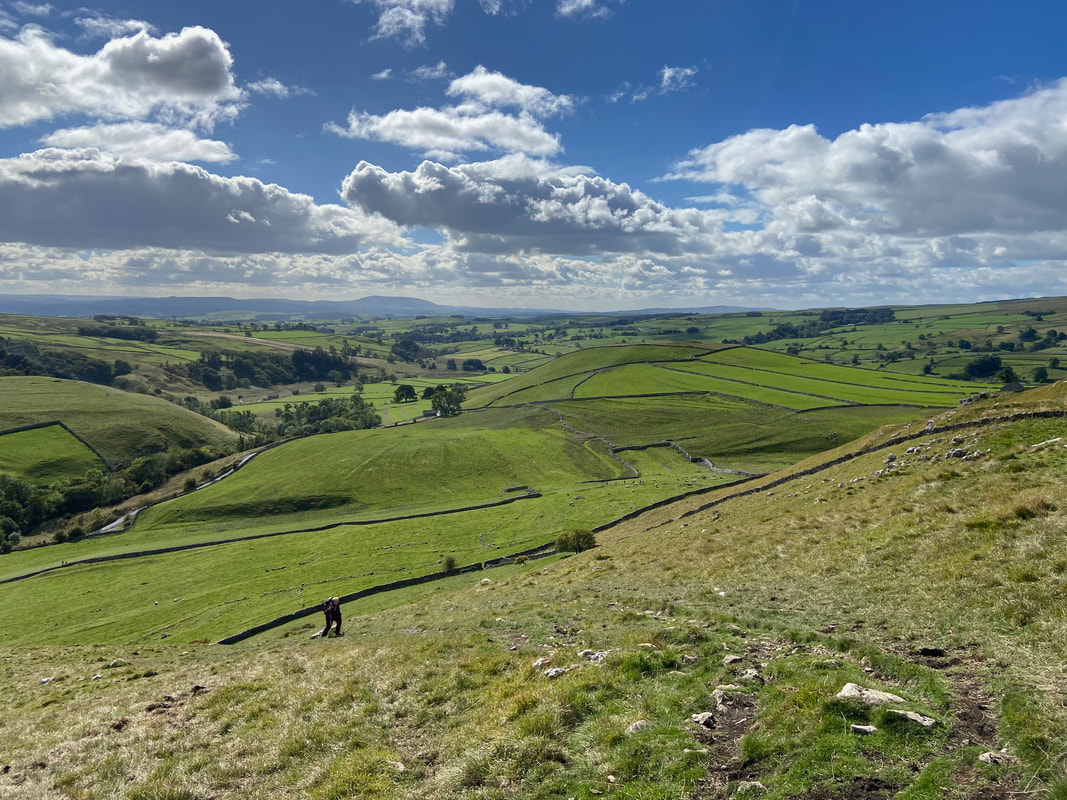
Looking back down our route of ascent towards Malham
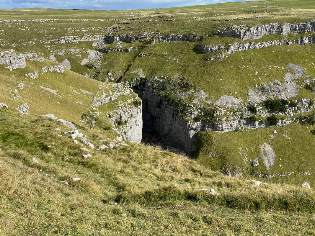
Above Gordale Scar now as the Lower Chamber comes into view
Looking down on the Upper Chamber of Gordale Scar
The Upper Chamber of Gordale Scar (click Play to view)
The Upper Chamber Waterfall in slow motion (click Play to view)
Leaving Angie & Fudge at the top I made my way down into the Upper Chamber. It was here that a couple of people asked me if they could get down to the bottom of the scar from this point. I said that with some difficulty you could climb the other way up but going down over wet tufa was not advisable. Thankfully they took my advice.
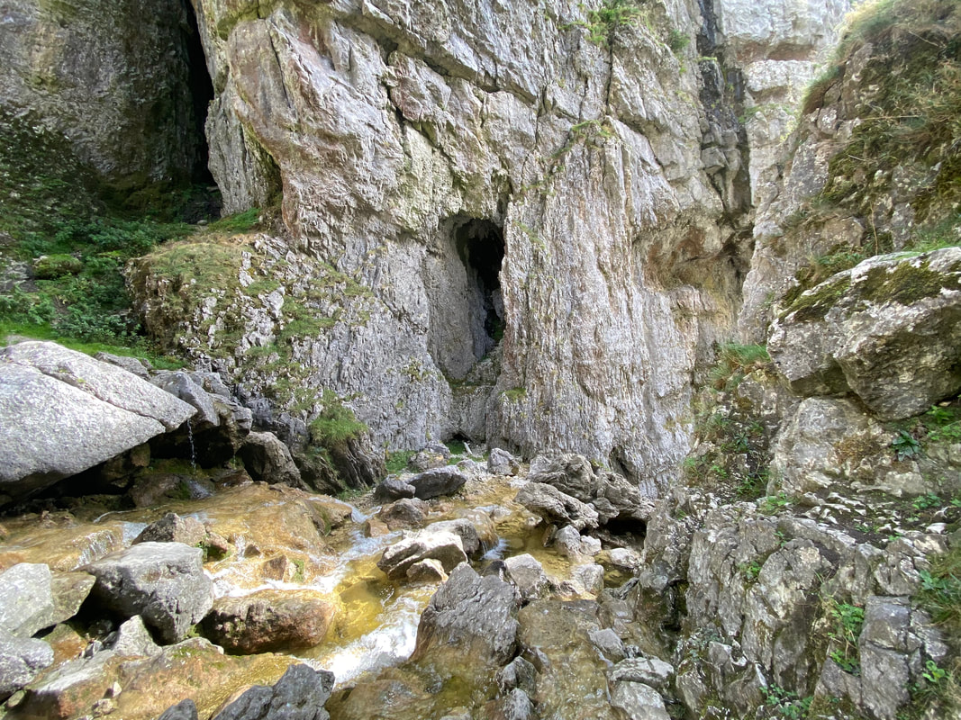
This was about as far as I wanted to go - the lower chamber is just over the lip of rock ahead. The rock formations were just stunning.
From New Close Knotts it was a leisurely and flat 2 miles back to the start
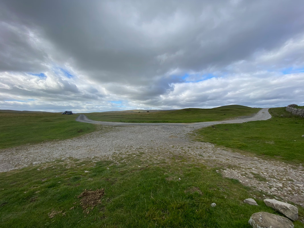
Street Gate
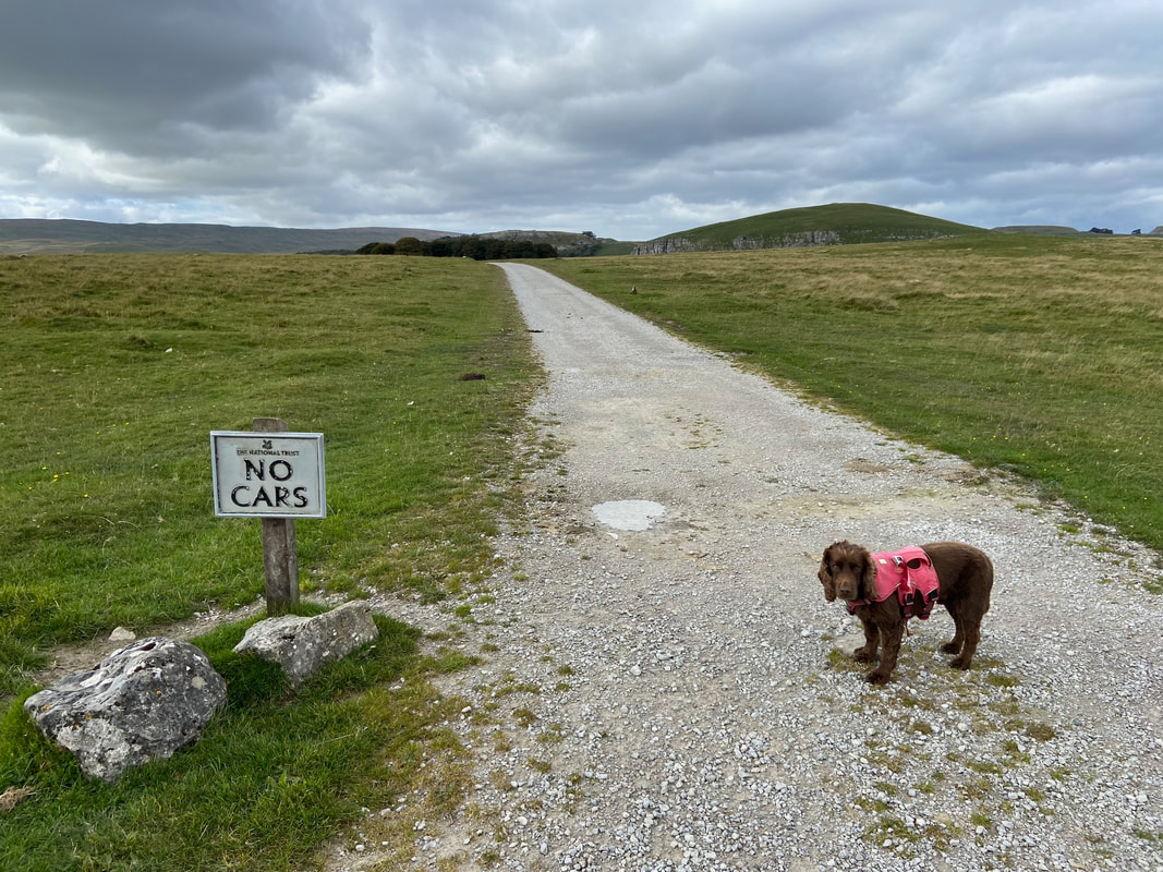
Dogs are allowed though Fudge
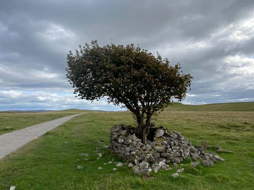
Near Malham Tarn are some young trees which have stone walled protection from sheep and cattle. As can be seen, it doesn't stop the livestock having a bit of a go at the structure.
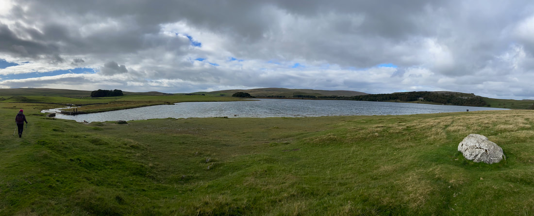
Malham Tarn - the lake is glacial and is owned by the National Trust
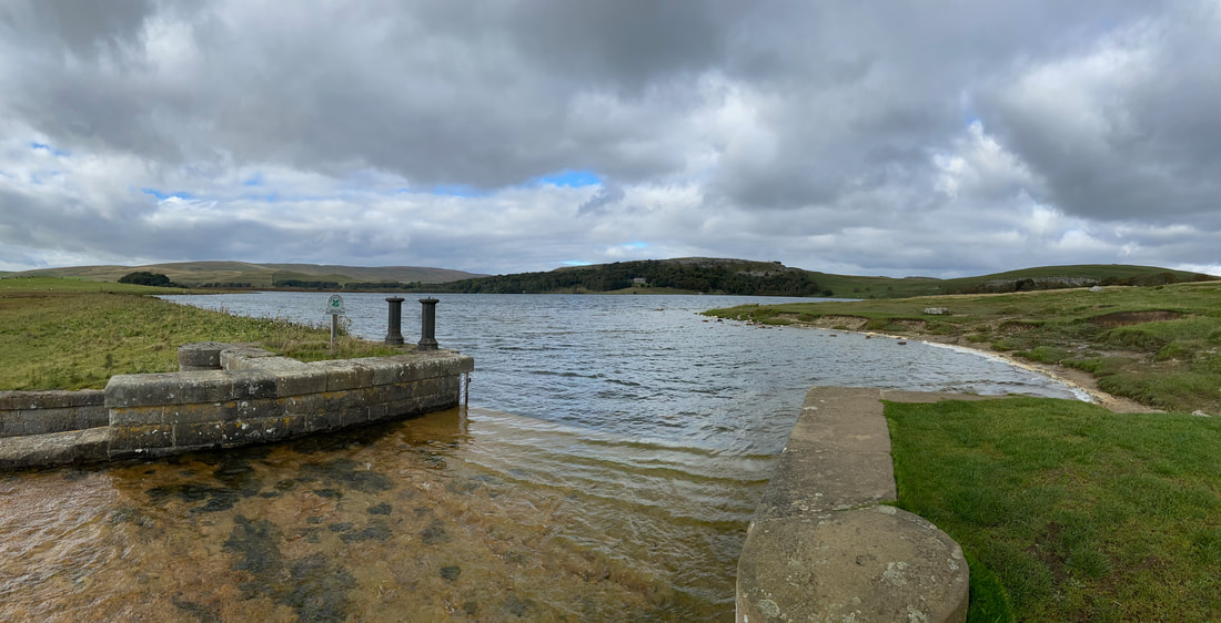
The outflow at the southern end of Malham Tarn - ready to travel underground at Water Sinks and make its way downstream of Malham Cove in order to be one of the sources of the River Aire.
