The Schil - Friday 20 June 2014
Route
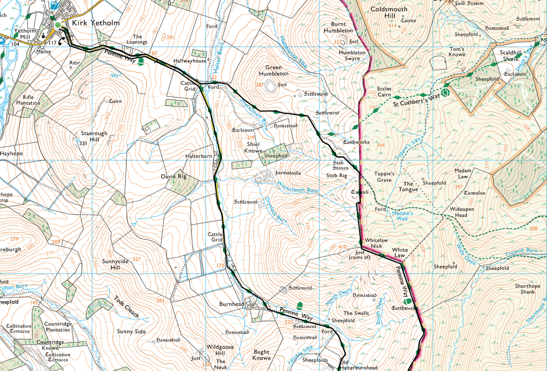
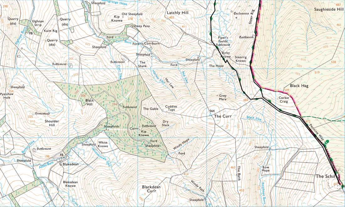
Kirk Yetholm - White Law - Steer Rig - The Schil - Old Halterburnhead - Burnhead - Kirk Yetholm
Parking
Plenty of parking in Kirk Yetholm (Free)
Mileage
11 miles
Terrain
Road walking to Halter Burn then a mixture of good grassy and stony paths.
Weather
Warm & sunny with good visibility.
Time Taken
4hrs 50mins
Total Ascent
2664ft (812m)
Map
OL16 - The Cheviot Hills (Jedburgh & Wooler)
|
GPX File
|
| ||
If the above GPX file fails to download or presents itself as an XML file once downloaded then please feel free to contact me and I will send you the GPX file via e-mail.
Walk Description
We decided to walk a section of the Pennine Way today from the walks end at Kirk Yetholm up to The Schil via the high route on the way out and returning via the low route. The weather was perfect and we enjoyed solitary walking apart from a couple of Pennine Way finishers we saw on the summit of The Schil.
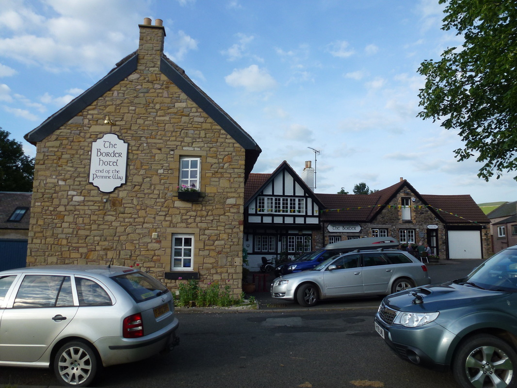
There is plenty of parking in Kirk Yetholm and we left the car near The Border Hotel and made our way out of the village on the combined Pennine Way & St Cuthbert's Way path. At the Stob Stones the paths split with the St Cuthbert's Way heading off to the left and the Pennine Way moving to the right. There now begins a glorious walk up to White Law along the border wall separating England from Scotland. The ridge continues to Black Hag and on to The Schil and there are fantastic views over The Cheviots throughout.
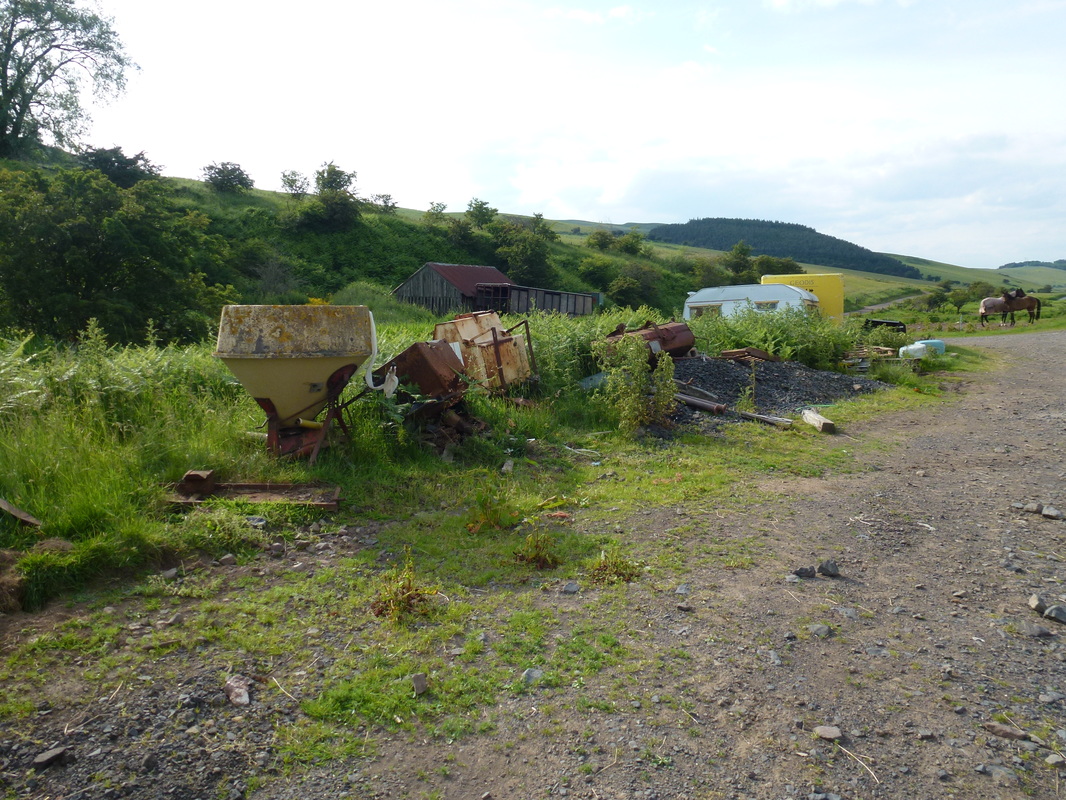
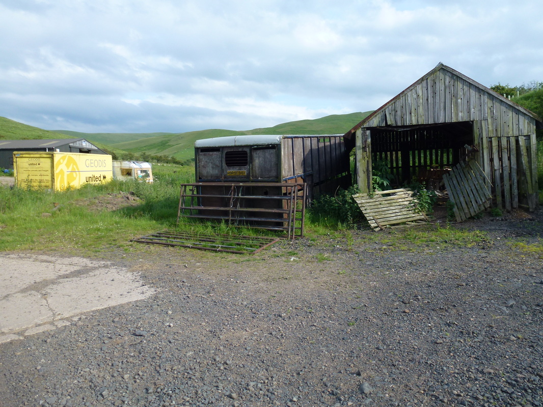
The route returns back on itself as far as Black Hag where we chose to return via the Pennine Way low route which to be honest is not a patch on the high route but is still pleasant nonetheless, apart from a hideously ugly farmyard near the end of the walk. Once back at Kirk Yetholm we availed ourselves of The Border Hotel for a cool drink and a nice supper - a great end to a really super day in The Cheviot Hills.
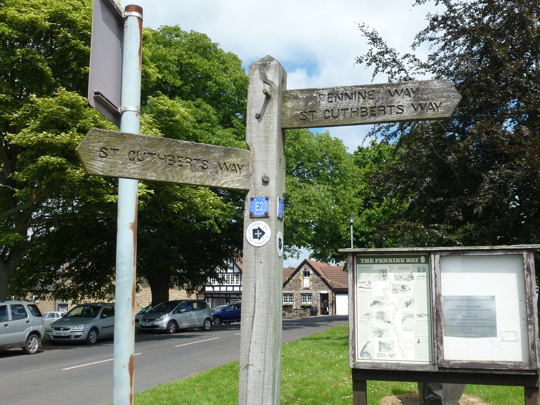
Kirk Yetholm - the end of the Pennine Way and also on the St Cuthbert's Way
Looking back towards Kirk Yetholm where the Pennine Way & St Cuthbert's Way split not far from the Stob Stones
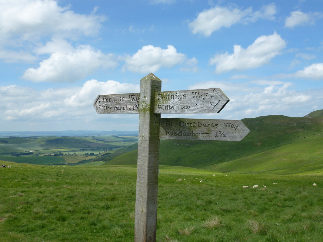
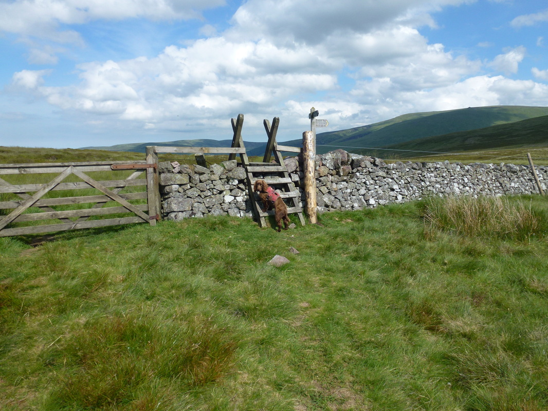
And the signpost telling you it does - we were heading towards White Law
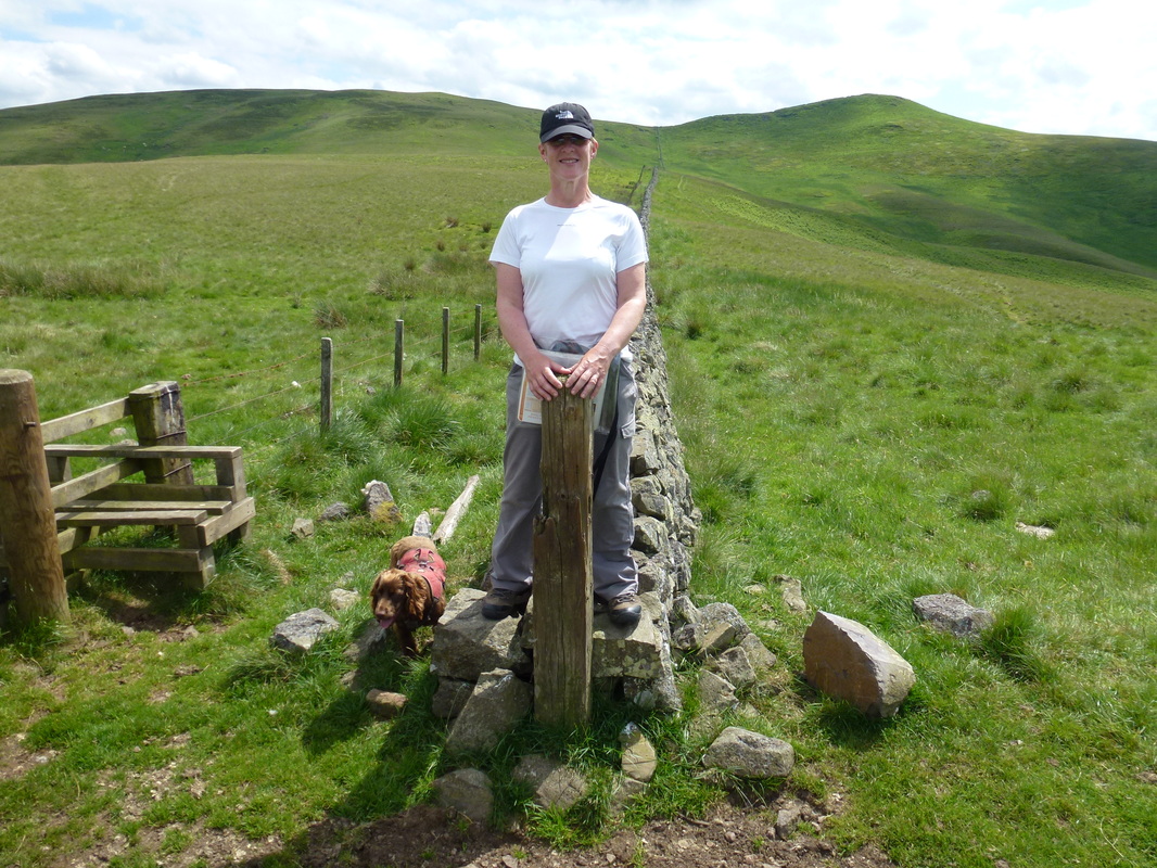
Fudge is in Scotland and Angie is half in England. White Law is to the left with Whitelaw Nick ahead
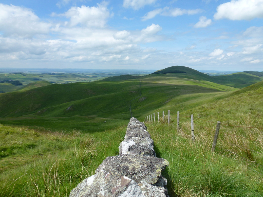
Looking back down the border wall to Coldsmouth Hill
Heading along Steer Rig to Black Hag
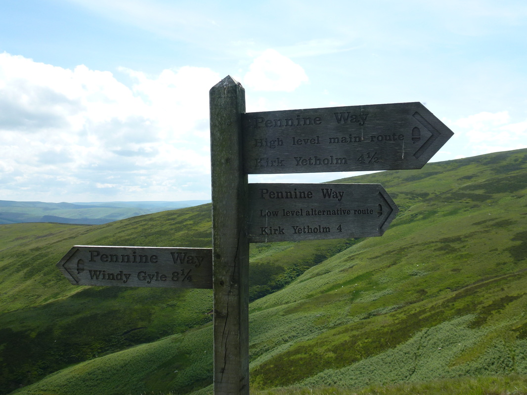
You take the high road and I'll take the low - near Black Hag, Pennine Way walkers have a choice of route for the last few miles of the walk. Today we came out on the high and walked back on the low
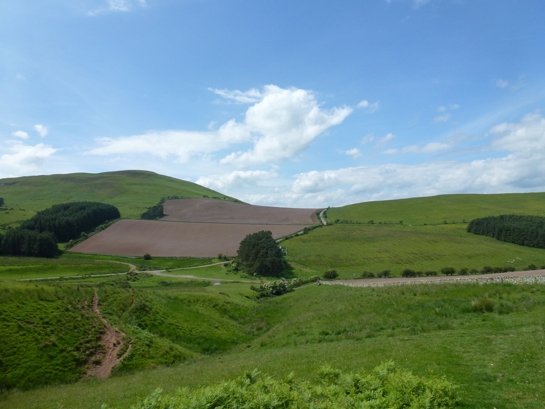
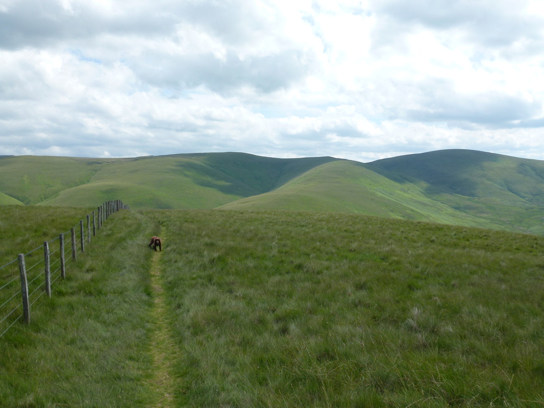
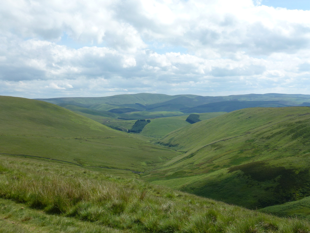
Glorious views over The Cheviots
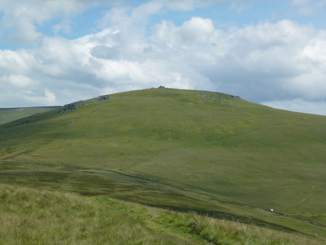
A close up of our first view of The Schil
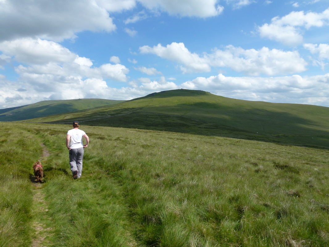
There were good springy paths for the most part today - here we are heading over to The Schil
The path junction where you turn right for the ascent up to The Schil
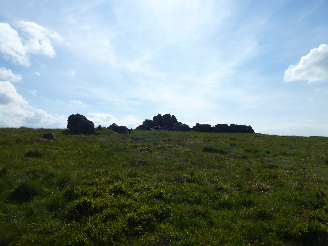
The summit of The Schil
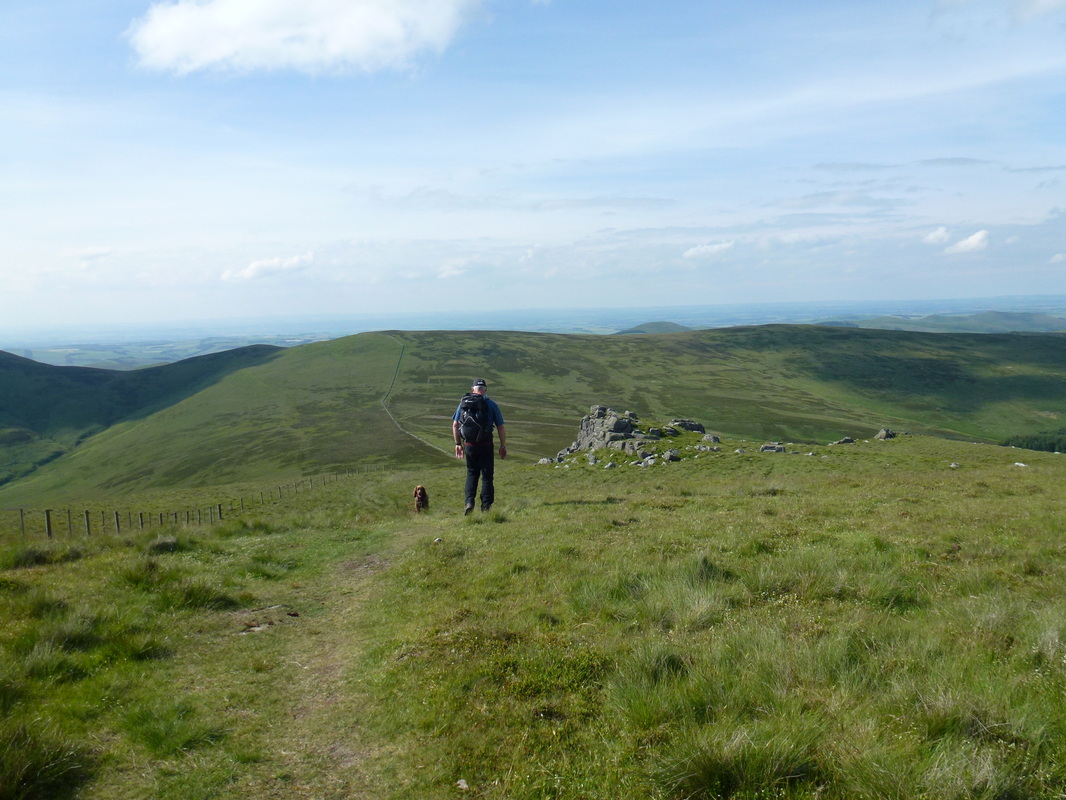
About turn and head back down the hill to the path junction
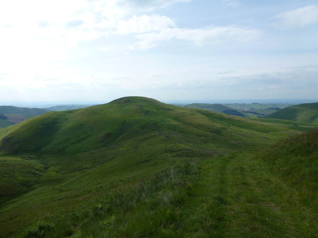
The Curr
Unfortunately we have seen this all too often on our walks - such a shame farmyards get left like this
The Border Hotel - the official end of The Pennine Way
