Sour Howes, Sallows, Yoke, Ill Bell, Froswick & Thornthwaite Crag - Friday 26 September 2014
Route
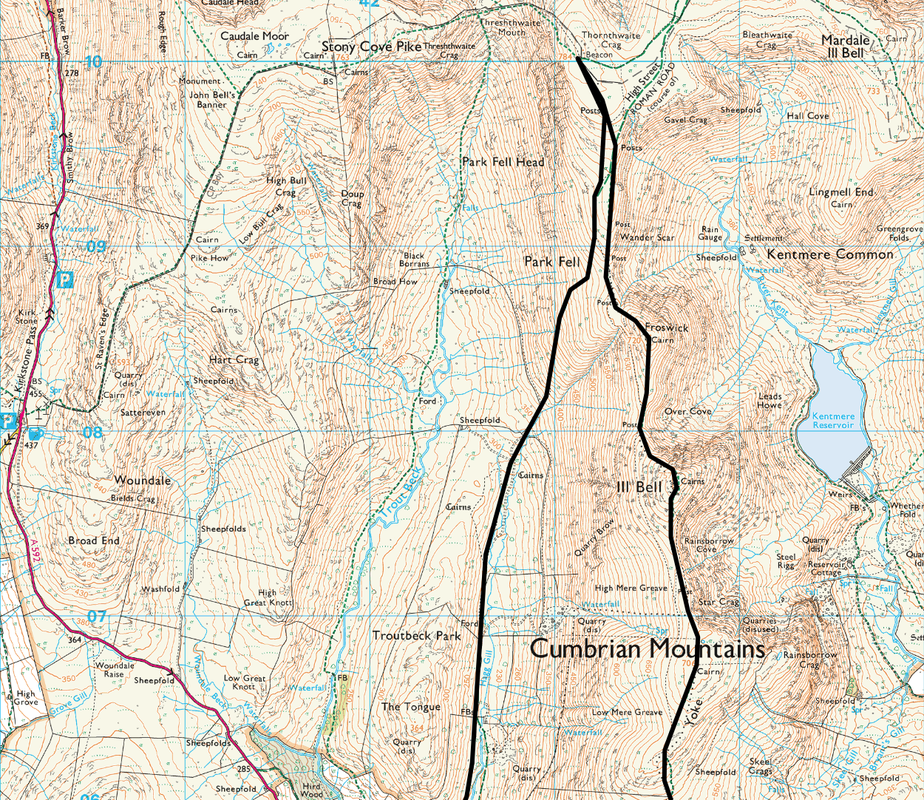
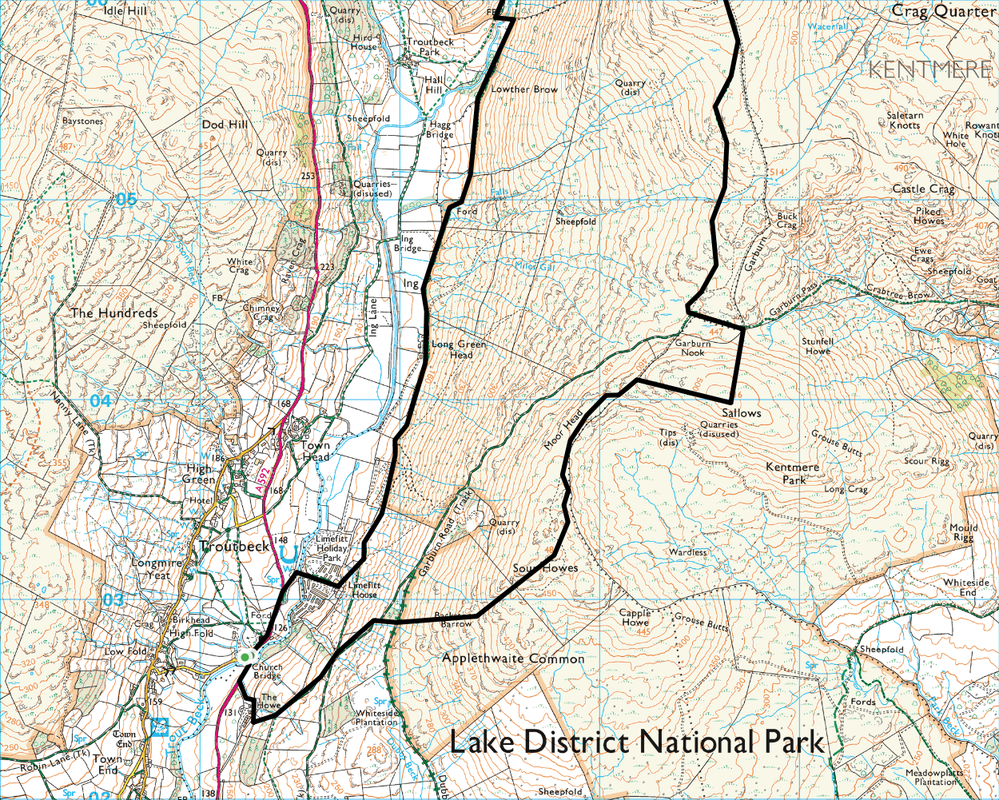
Troutbeck - Garburn Road - Sour Howes - Sallows - Yoke - Ill Bell - Froswick - Thornthwaite Crag - Park Fell - Troutbeck Park - Limefitt - Troutbeck
Parking
Troutbeck near the Church (Free) - Grid Ref NY 412027
Mileage
12.5 miles
Terrain
Generally good mountain paths. The descent from Ill Bell needs care, particularly in mist.
Weather
Overcast with sunny spells and generally good visibility. Very windy on the summits.
Time Taken
6hrs
Total Ascent
3740ft (1140m)
Wainwrights
6
Map
OL7 - The English Lakes - South Eastern Area
|
GPX File
|
| ||
If the above GPX file fails to download or presents itself as an XML file once downloaded then please feel free to contact me and I will send you the GPX file via e-mail.
Walk Description
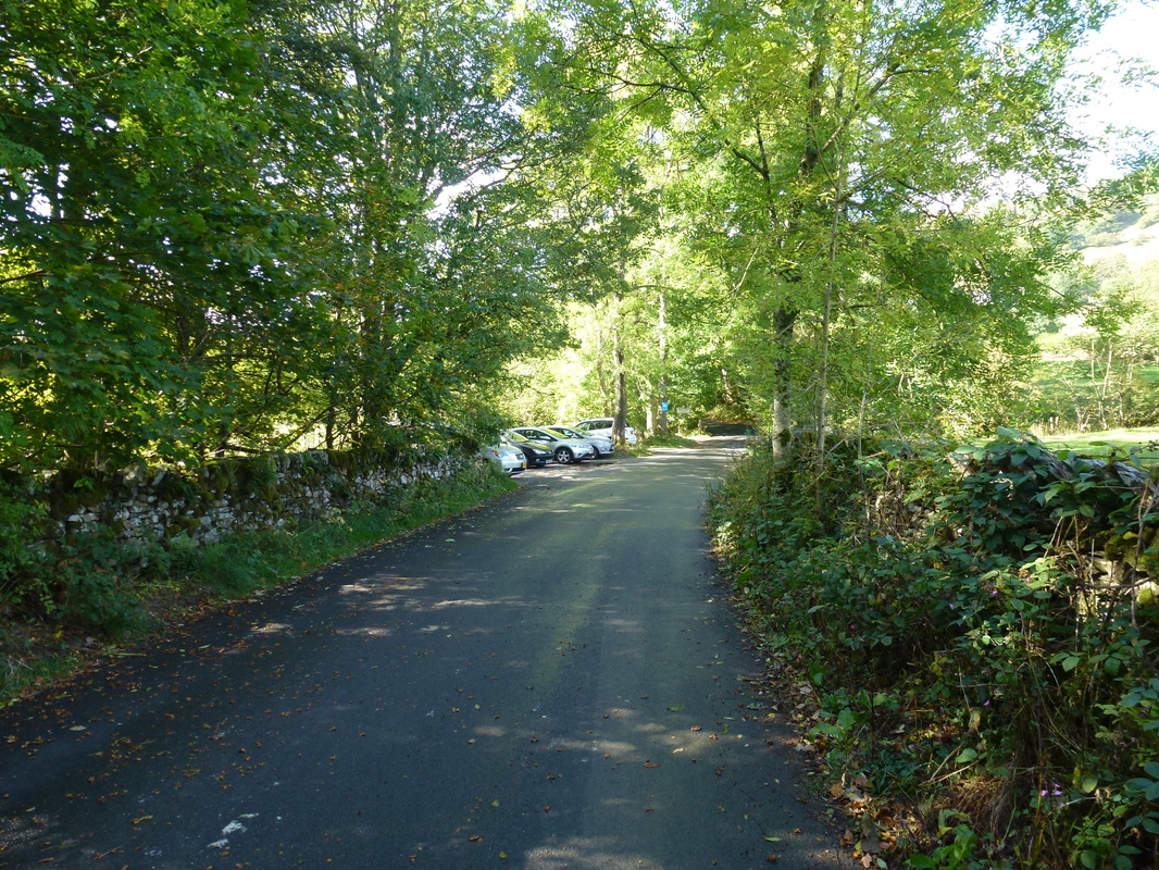
Drove over to Troutbeck from Threlkeld to do another of our favourite walks. The majority of this walk forms part of the well-known Kentmere Horseshoe and is an extremely popular route. Despite this being a Friday and not starting until just after midday there was plenty of spaces available outside the church and up the side road at Church Bridge.
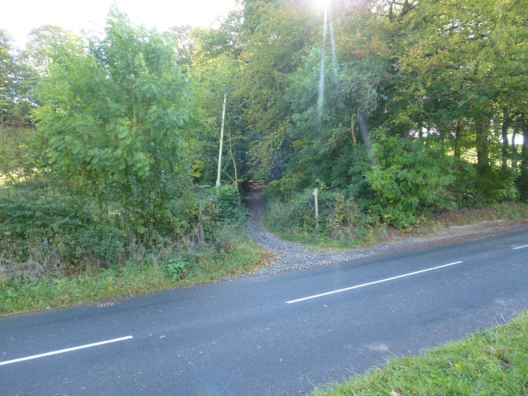
The route starts by walking about 200 yards along the A592 towards Bowness and turning up the path on the other side of the road signposted to Kentmere.
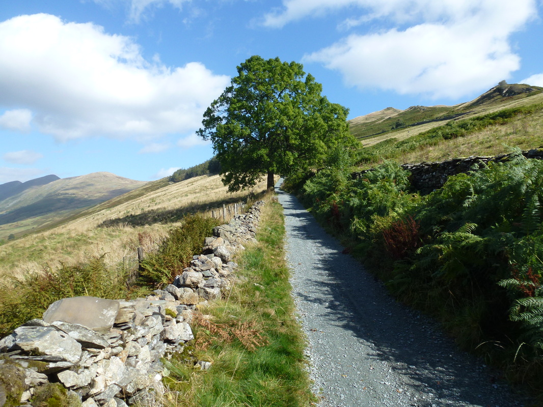
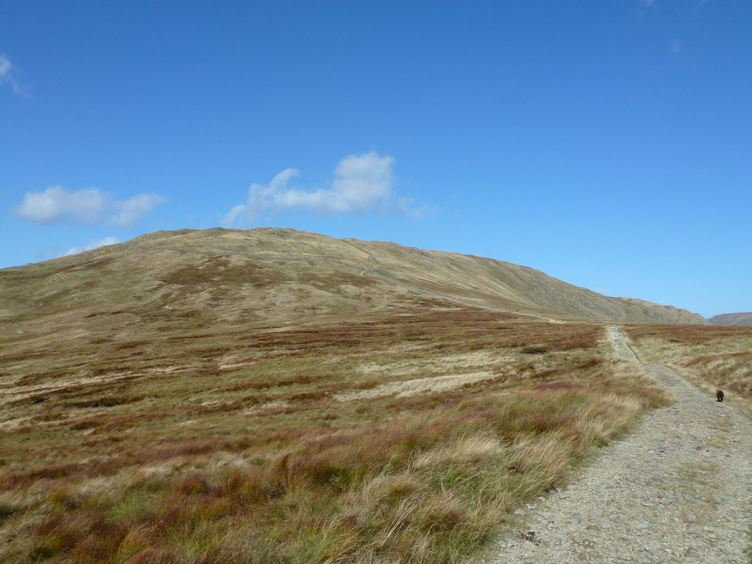
This is the Garburn Road and we followed this for a short while before turning off to Sour Howes. From the summit the path over to Sallows is in full view and if you did not fancy visiting these two Wainwrights then you quite simply stay on the Garburn Road until reaching the gate at the start of the path to Yoke.
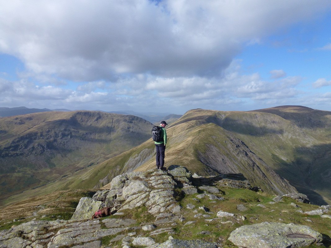
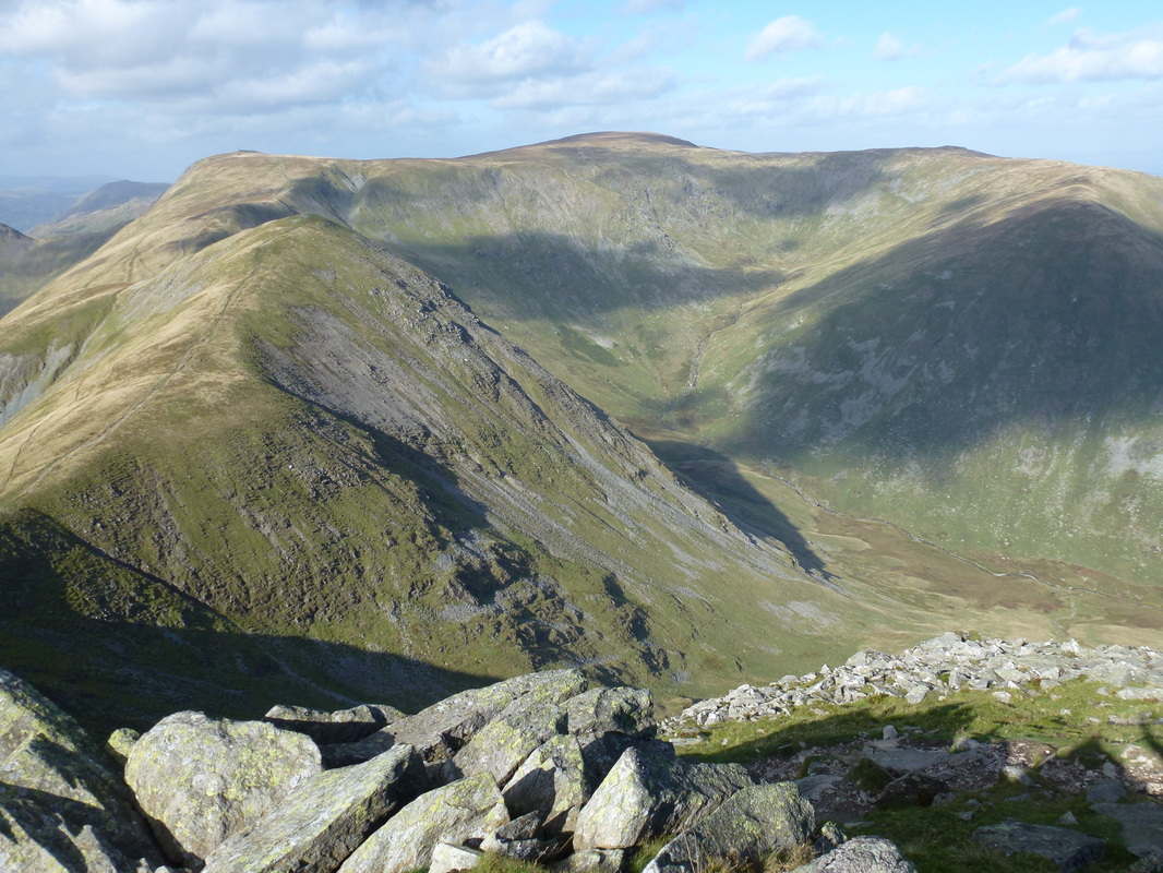
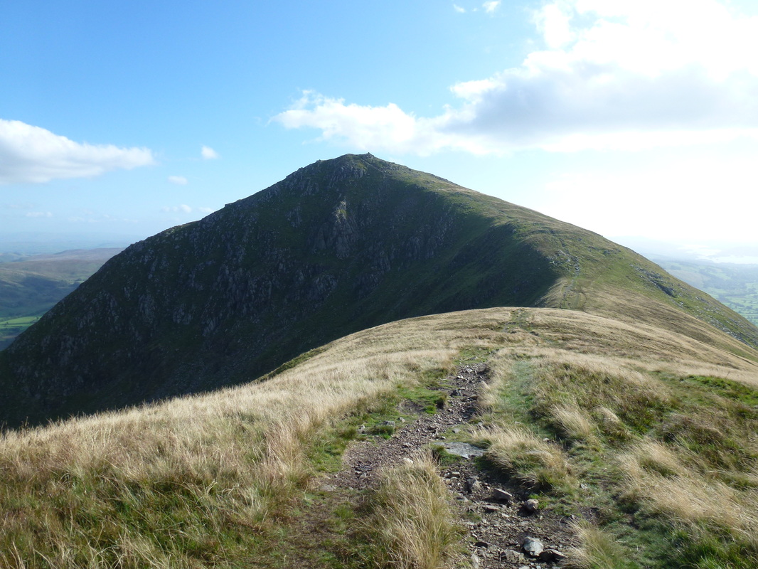
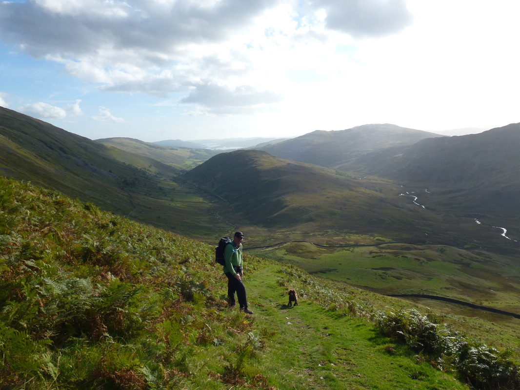
Leaving Sallows, the path is sometimes intermittent and there is no obvious access back on to the Garburn Road therefore we climbed over the fence at a suitable low point. There now begins a long but enjoyable walk up to the summit of Yoke from which the views over the rest of the walk really open out. On reaching Ill Bell the views get even better and it is easy to see why the Kentmere Horseshoe attracts so many walkers and why people think it one of the best circular routes in the Lake District.
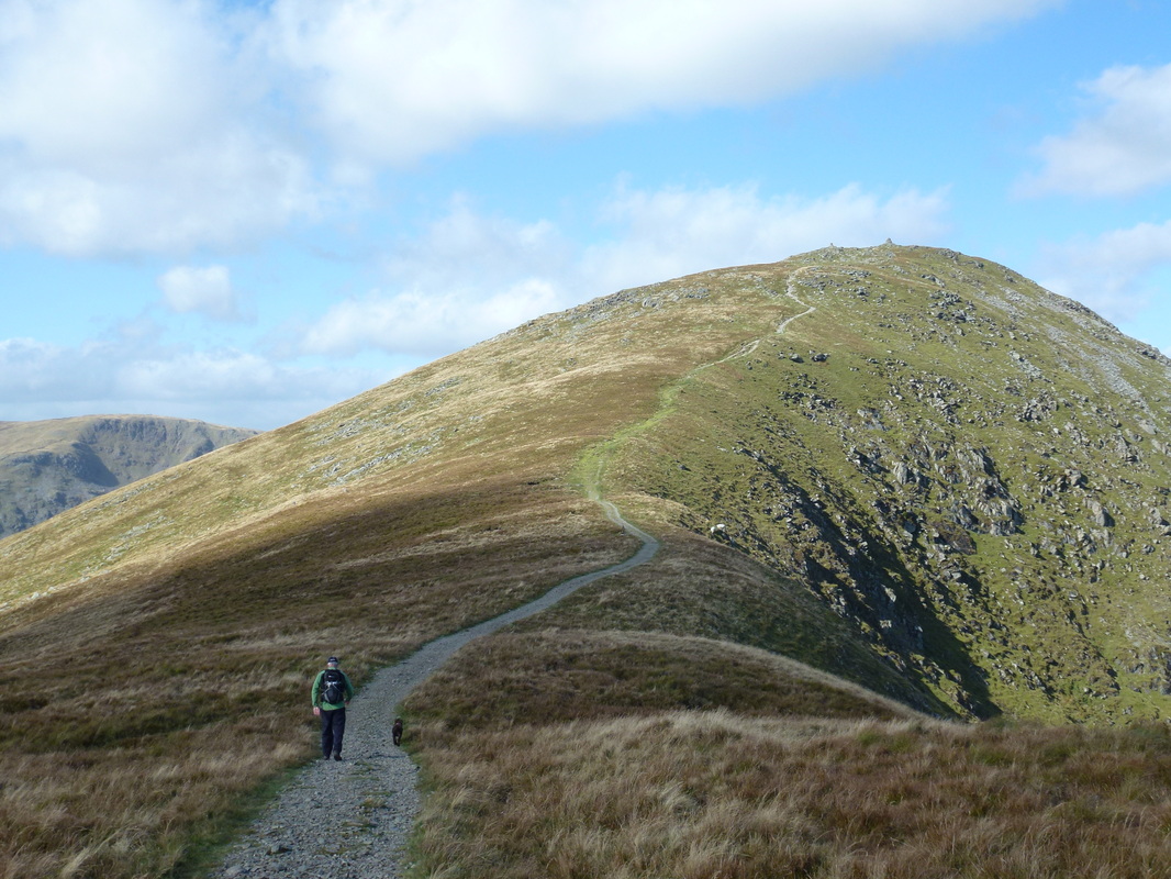
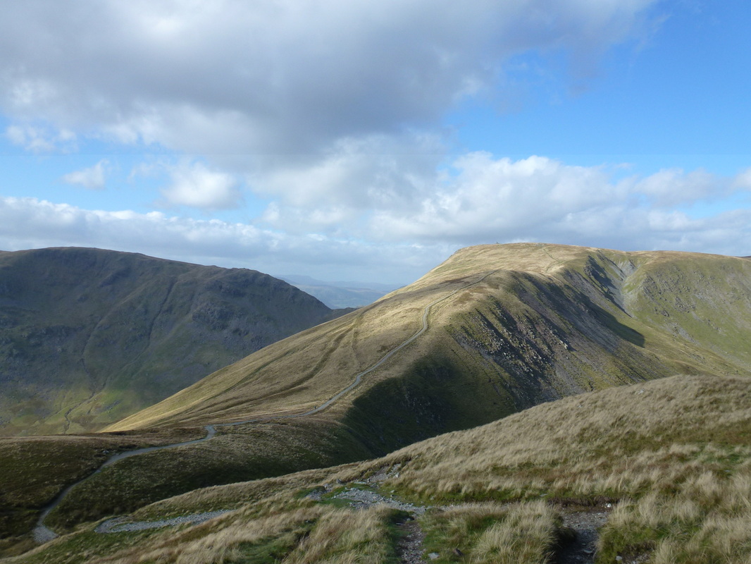
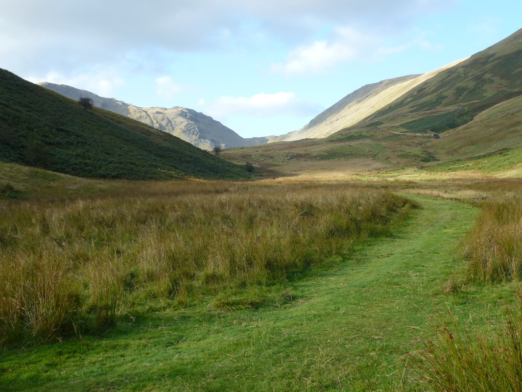
Leaving Ill Bell there is a short hop over to Froswick before the long trudge up to the large beacon on Thornthwaite Crag - we did intend to carry on to Gray Crag and maybe try and make it over to High Street also but decided to get back down to the valley floor before the light started to fade. The path is very good down Park Fell and on reaching the valley bottom there then begins a delightful, but very long ramble back to the start point via Limefitt.
This is one of those walks that when the visibility is good you would want to do over and over again - the views are fantastic.
The parking area on the road up to Low & High Fold just off the A592
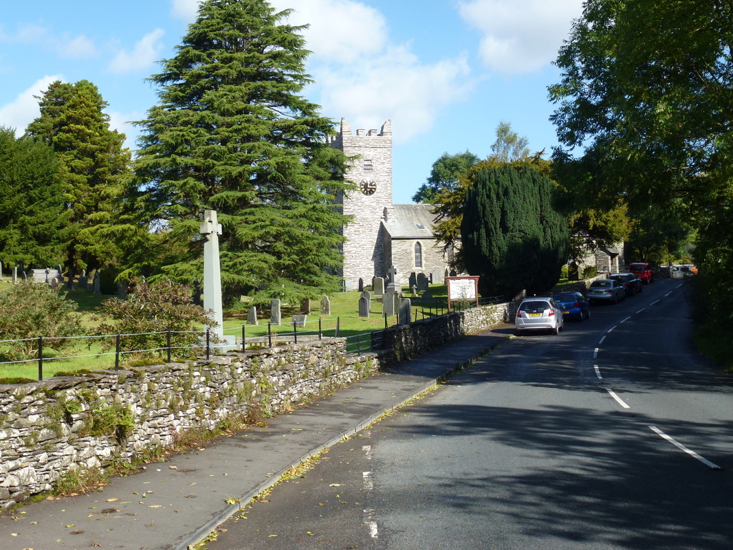
Jesus Church, Troutbeck
The path leaves the A592 about 200 yards from Church Bridge
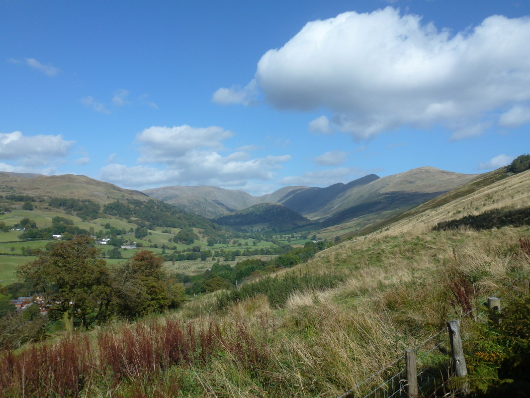
On the Garburn Road, Troutbeck Tongue and Threshthwaite Mouth come into view
Garburn Road with Yoke, Ill Bell and Froswick to the left
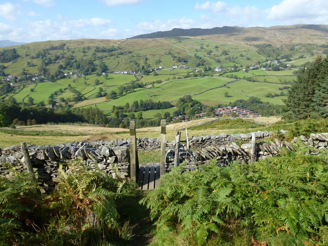
Looking over Troutbeck to Wansfell
The summit of Sour Howes
Sallows from Sour Howes
The summit of Sallows
Red Screes
The path to Yoke
The summit of Yoke with Ill Bell ahead - Caudale Moor is to the left
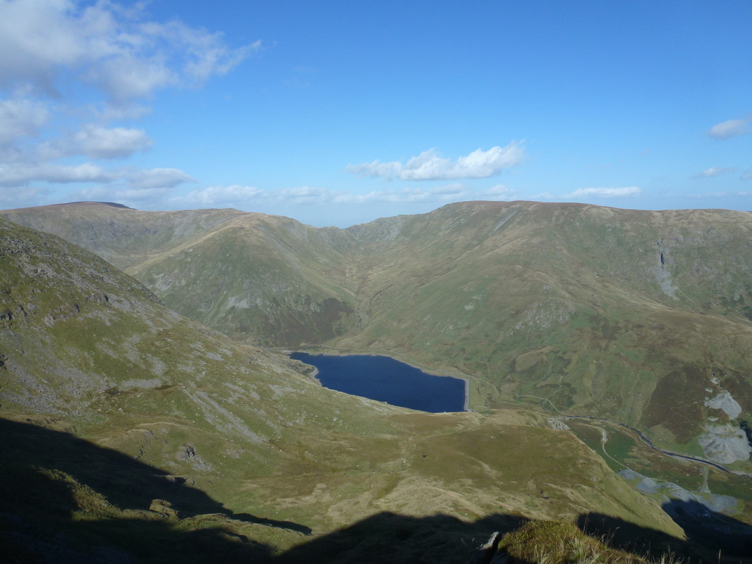
Kentmere Reservoir, Mardale Ill Bell & Harter Fell
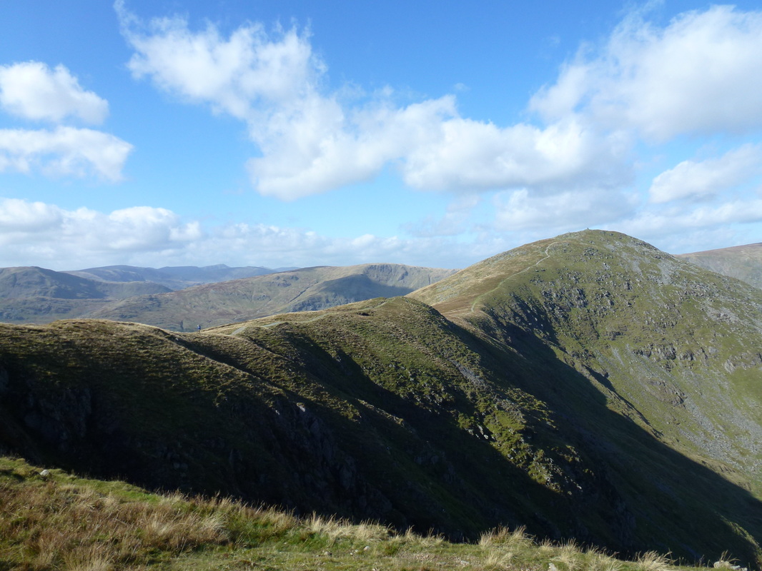
Ill Bell
The long trudge up to Ill Bell
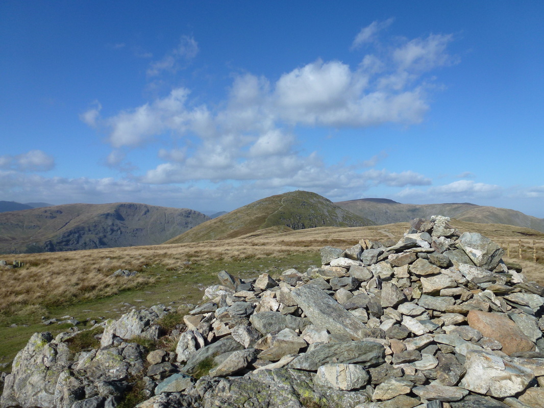
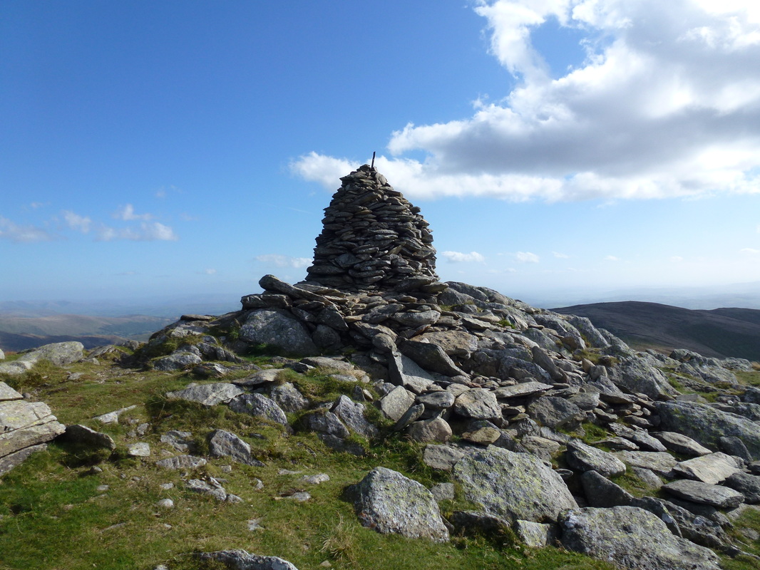
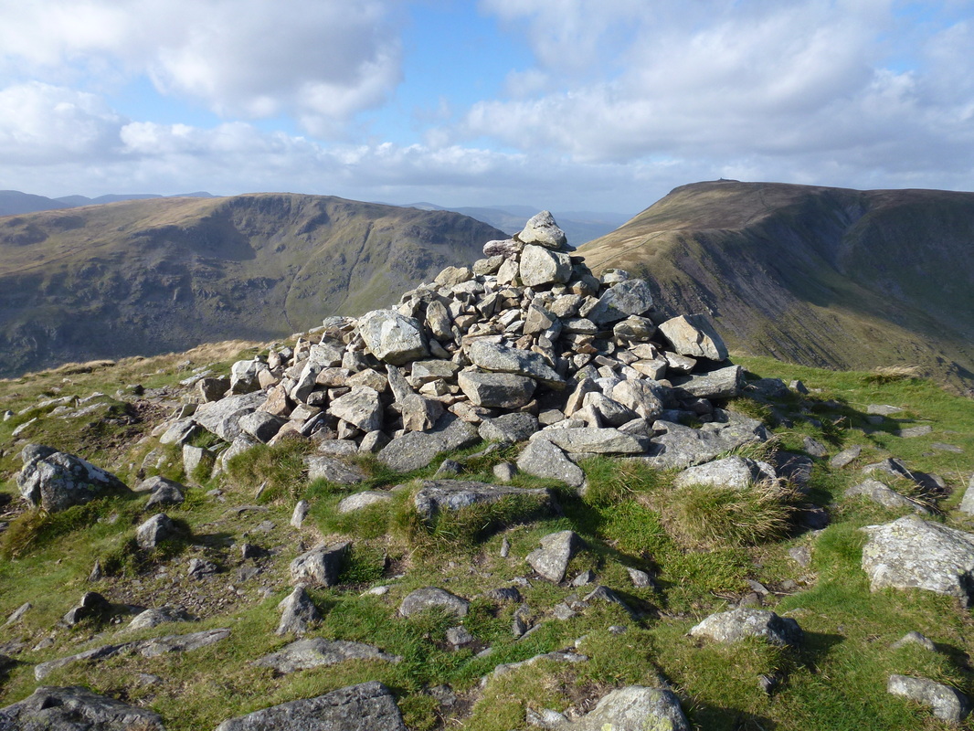
The summit cairn on Ill Bell
Ill Bell looking to Threshthwaite Mouth & Caudale Moor
The two large cairns on Ill Bell
Great views from here to Froswick & Thornthwaite Crag with High Street to the right
Froswick, Thornthwaite Crag, High Street & Mardale Ill Bell
Looking back to Ill Bell
The summit of Froswick
The route off Froswick to Thornthwaite Crag
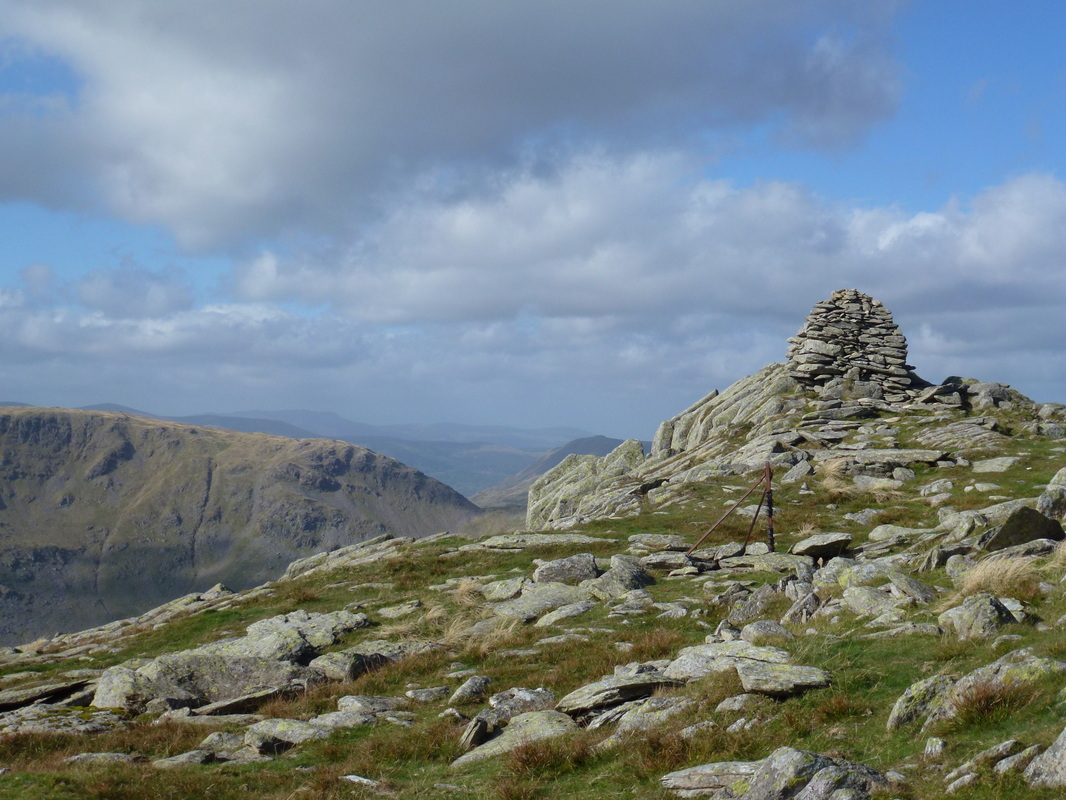
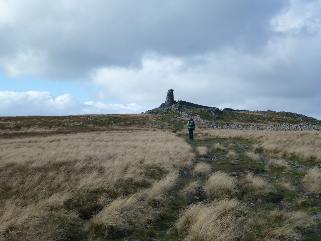
Approaching the beacon on Thornthwaite Crag
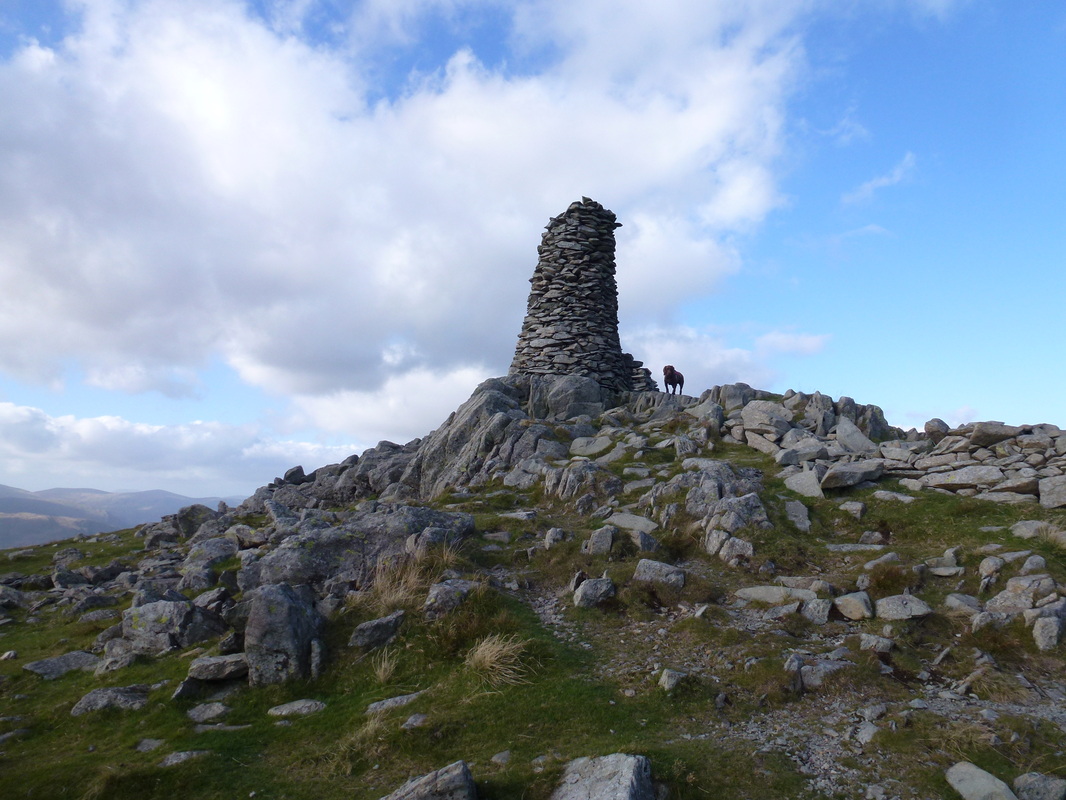
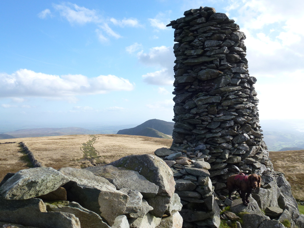
The 14ft beacon on the summit of Thornthwaite Crag. The actual highest point of the fell is 148ft (45m) north of the beacon.
Looking back to Ill Bell
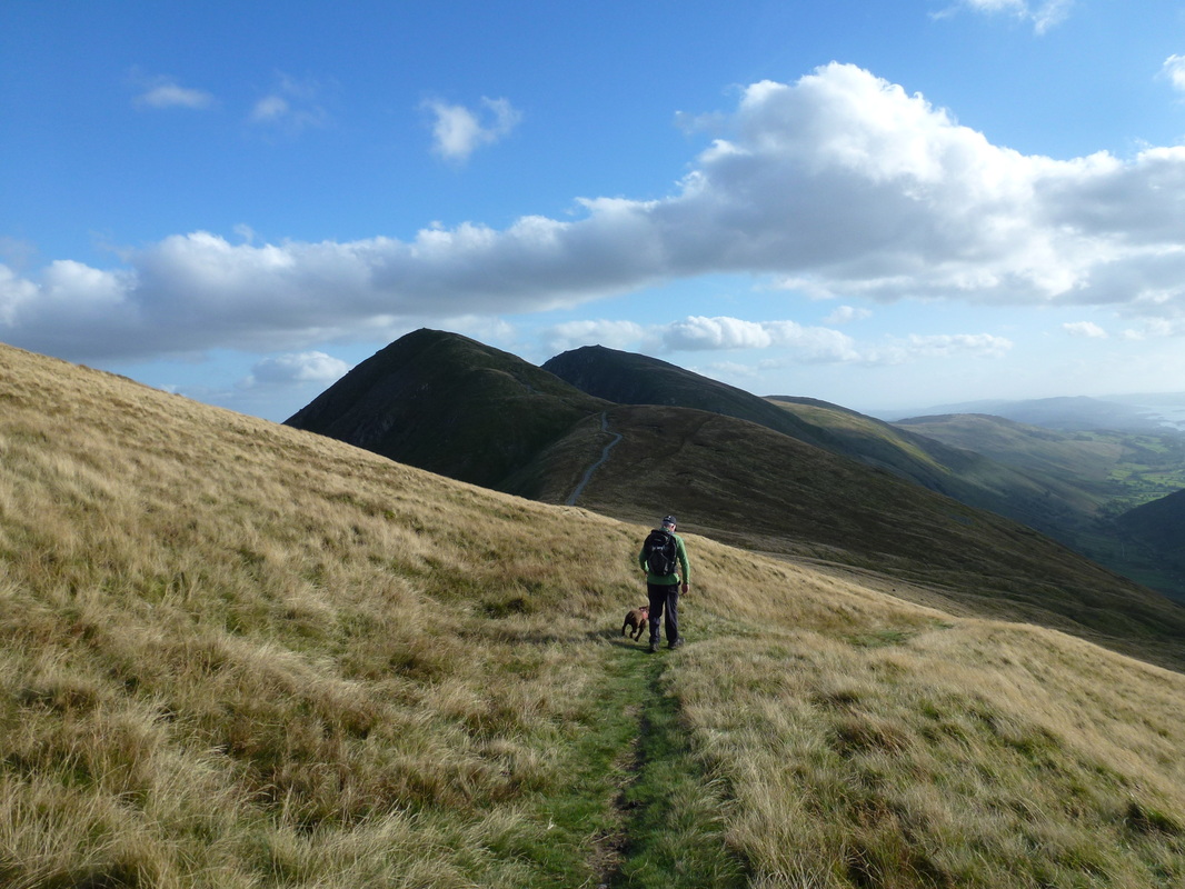
Heading back towards Froswick - the path down over Park Fell to Limefitt is to the right
Caudale Moor
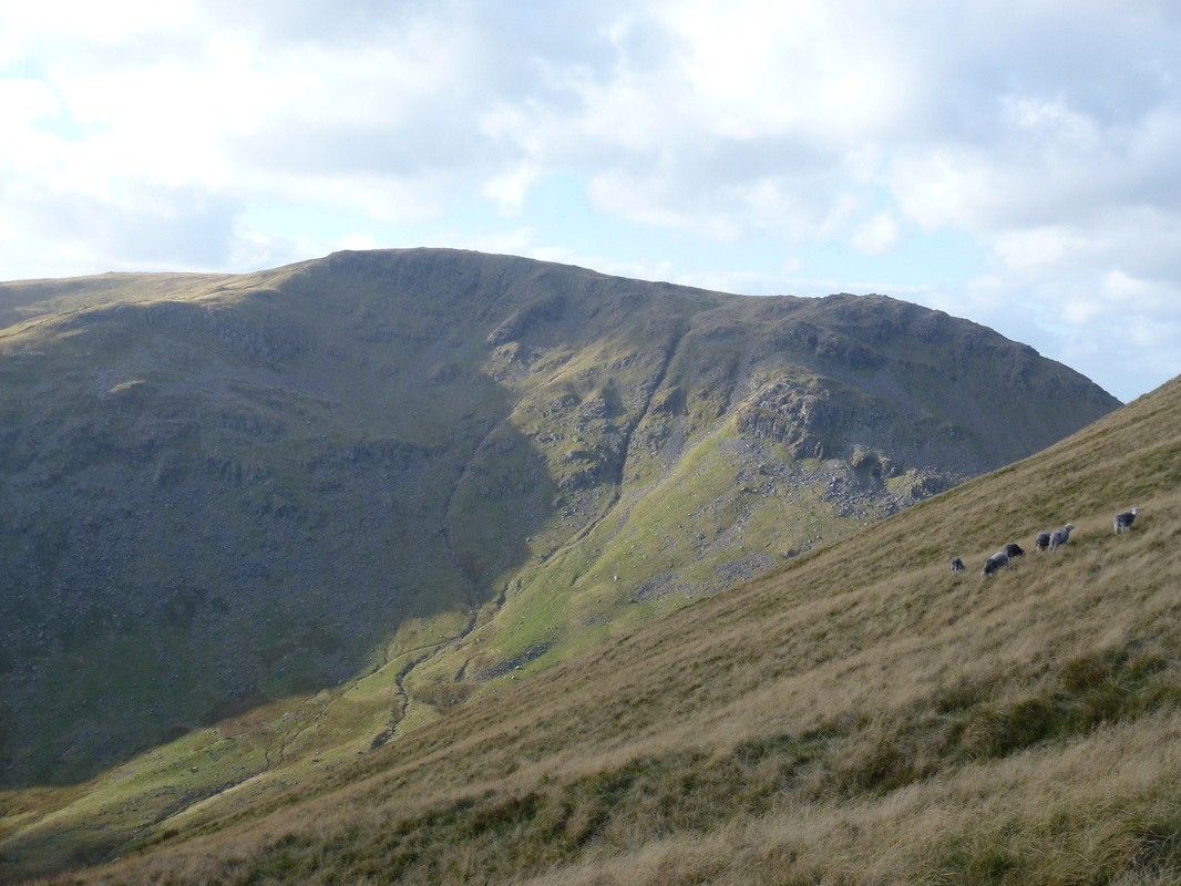
Park Fell looking to Troutbeck Tongue
Looking back to Threshthwaite Mouth
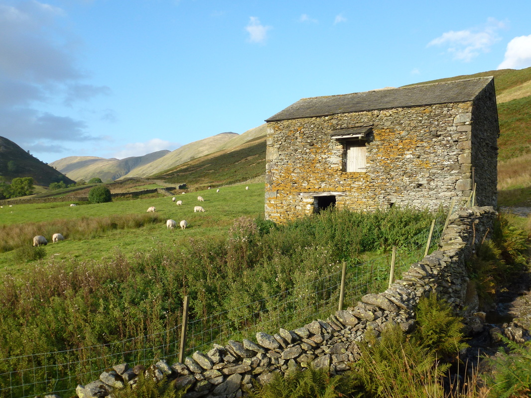
The barn near Ing Farm
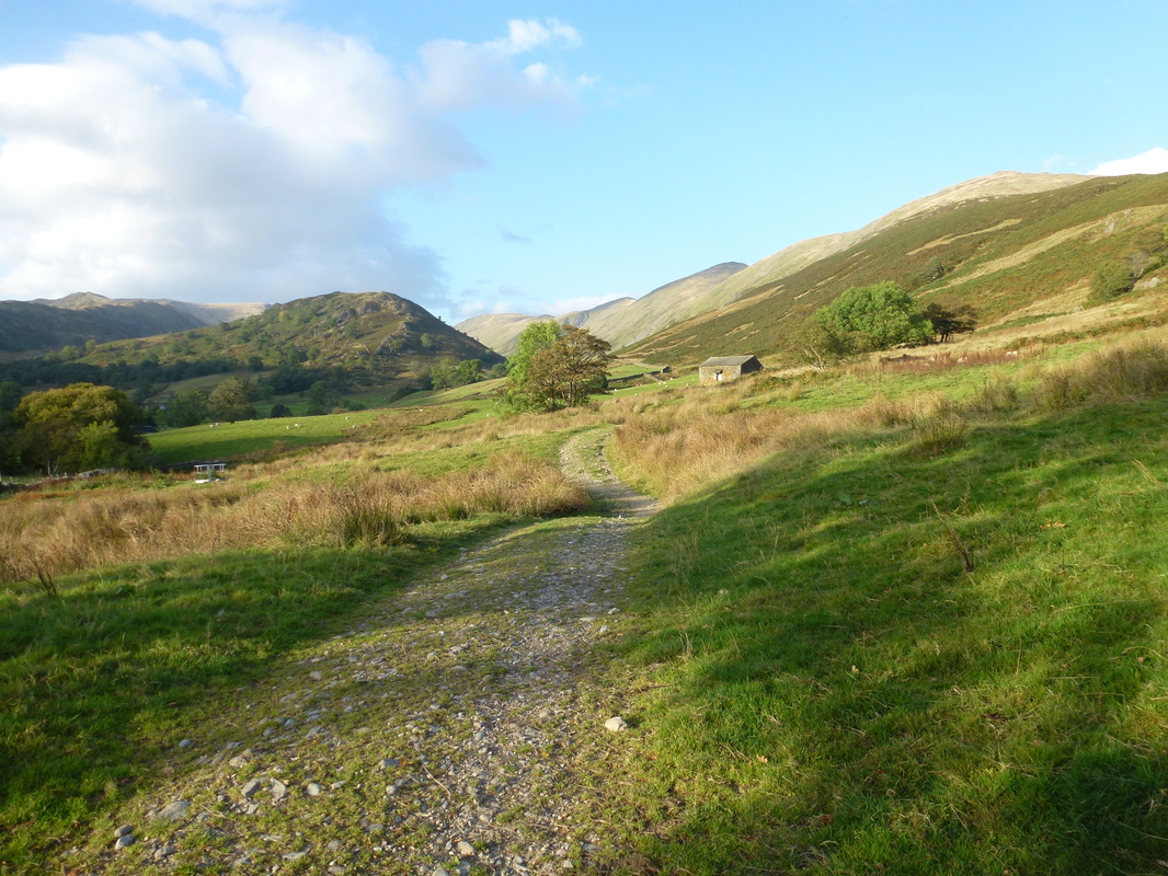
Looking back to Troutbeck Tongue in the early evening sun
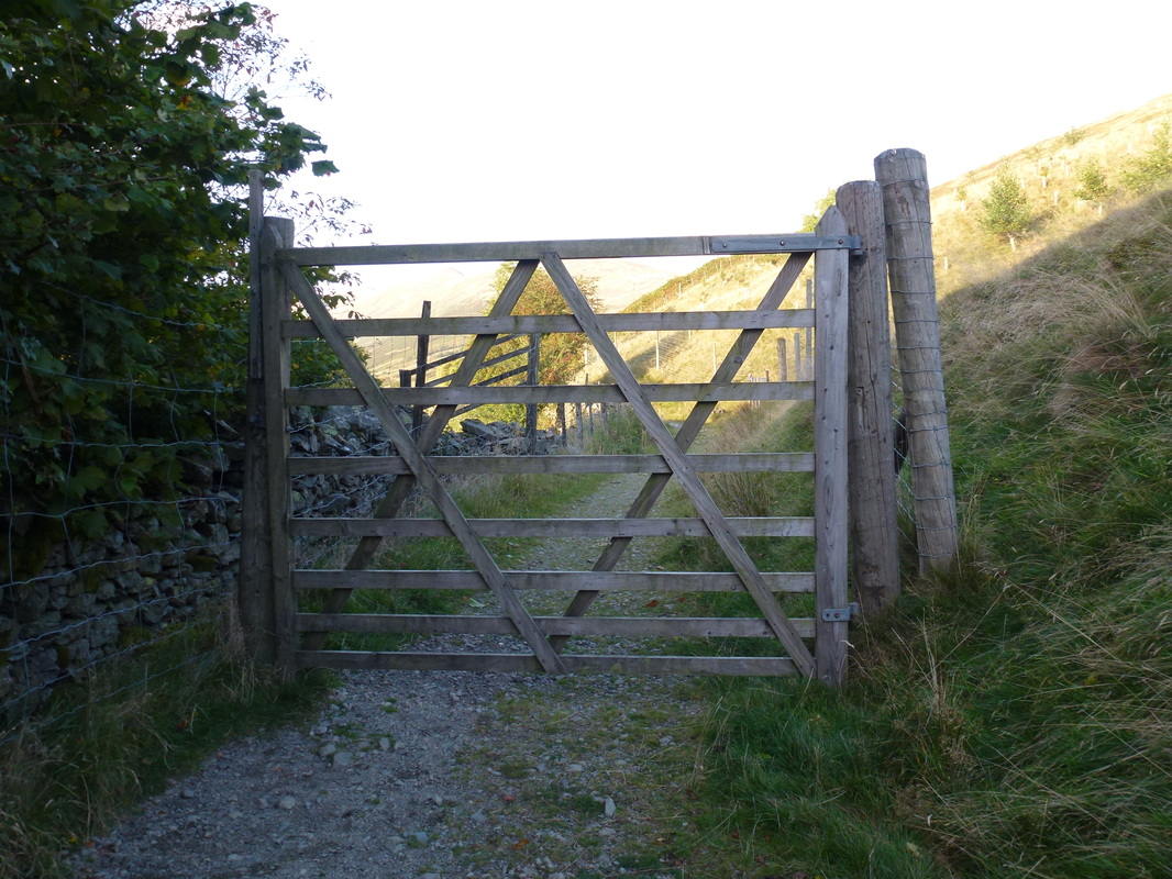
Now that's what I call a gate
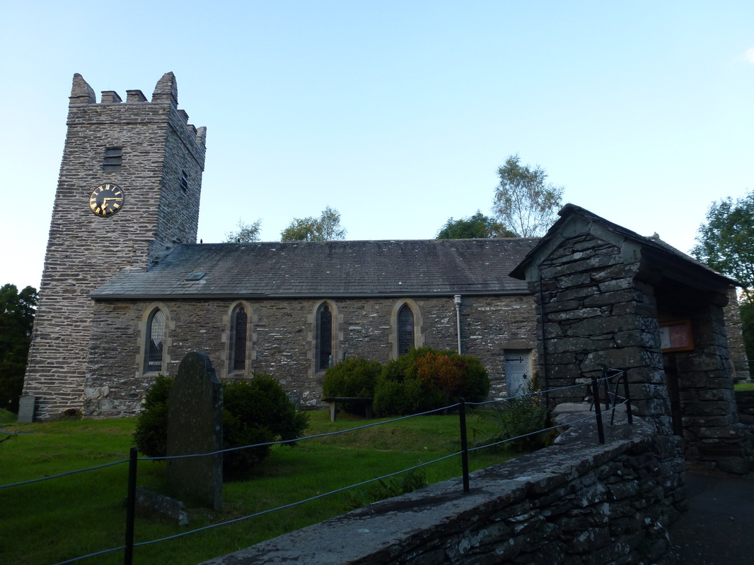
Troutbeck Church
