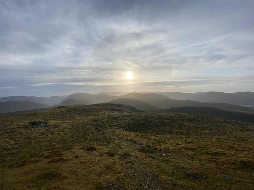
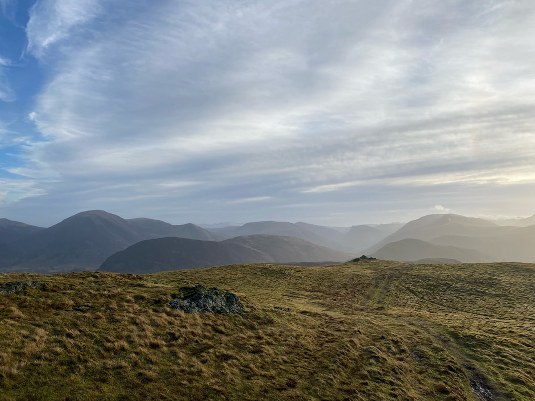
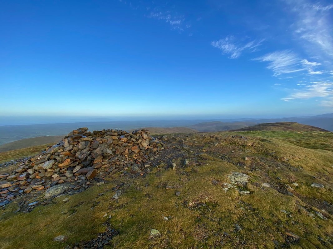
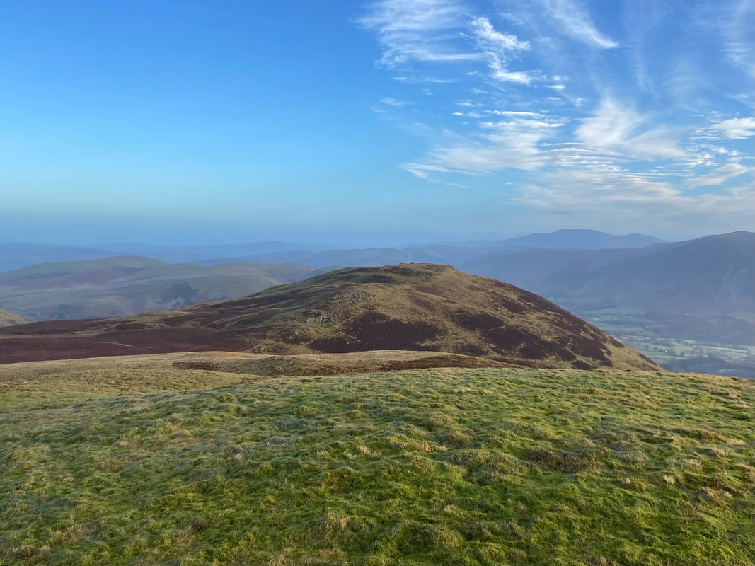
Blake Fell & Gavel Fell - Tuesday 11 January 2022
Route
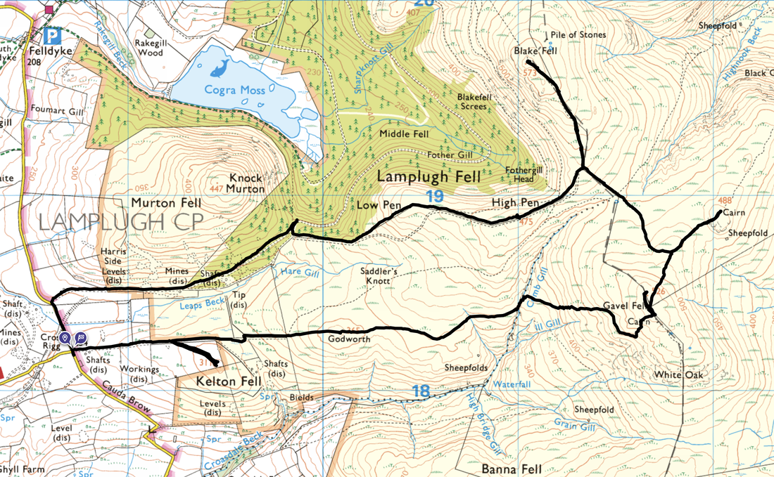
Cross Rigg - Low Pen - High Pen - Blake Fell - Gavel Fell North Top (High Nook) - Gavel Fell - Comb Gill - Godworth - Kelton Fell - Cross Rigg
Parking
Verge parking at Cross Rigg on the Lamplugh/Ennerdale road (Cauda Brow) - Grid Ref NY 0871 1820. The nearest postcode is CA26 3YE.
Mileage
7 miles
Terrain
Good mountain paths and forest tracks. The route between the col below Blake Fell and Gavel Fell North Top (High Nook) is pathless for the most part. Also from Gavel Fell & east of Godworth is on an intermittent path. Both sections should not be attempted in mist unless you are able to navigate competently.
Weather
Cold on the ridges, sunny with excellent visibility.
Time Taken
3hrs 50mins
Total Ascent
1656ft (505m)
Wainwrights
2
Map
OL4 The English Lakes (North Western Area)
Walkers
Dave, Angie & Fudge
|
GPX File
|
| ||
If the above GPX file fails to download or presents itself as an XML file once downloaded then please feel free to contact me and I will send you the GPX file via e-mail.
Route Map
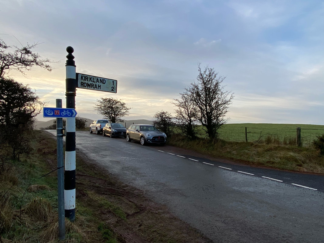
The parking area at Cross Rigg on Cauda Brow where there is verge parking for about a dozen cars. The road ahead leads to Ennerdale via Croasdale with the turning on the right heading down to the village of Kirkland. Behind me is the road to Lamplugh village & onward to Cockermouth via the A5086.
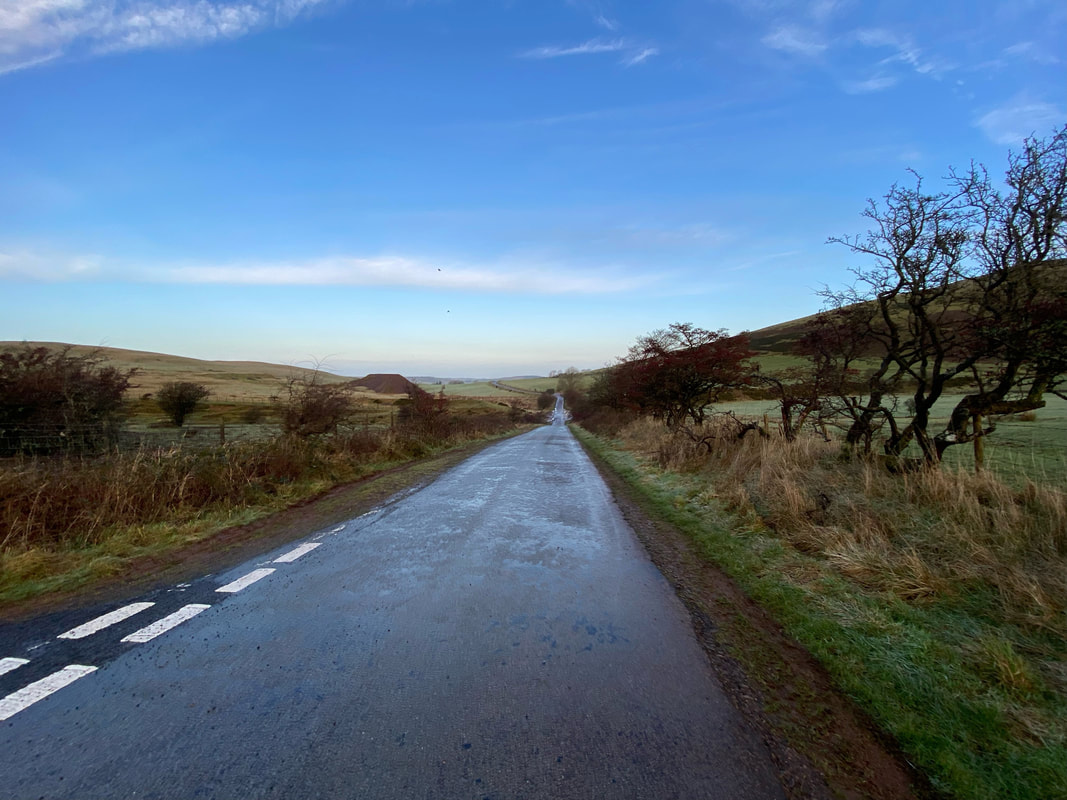
From the start the route heads north down Cauda Brow in the direction of Lamplugh
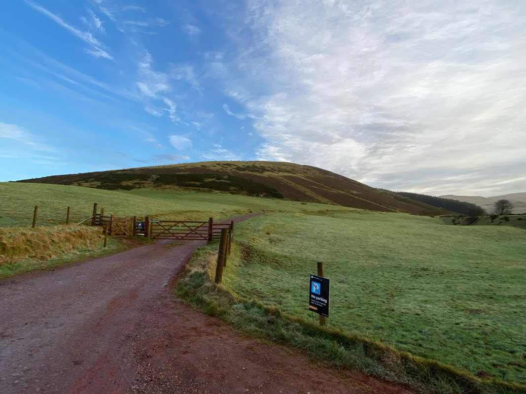
After 300 yards a gate on the right leads to a forest track - the hill ahead is Harris Side on Knock Murton
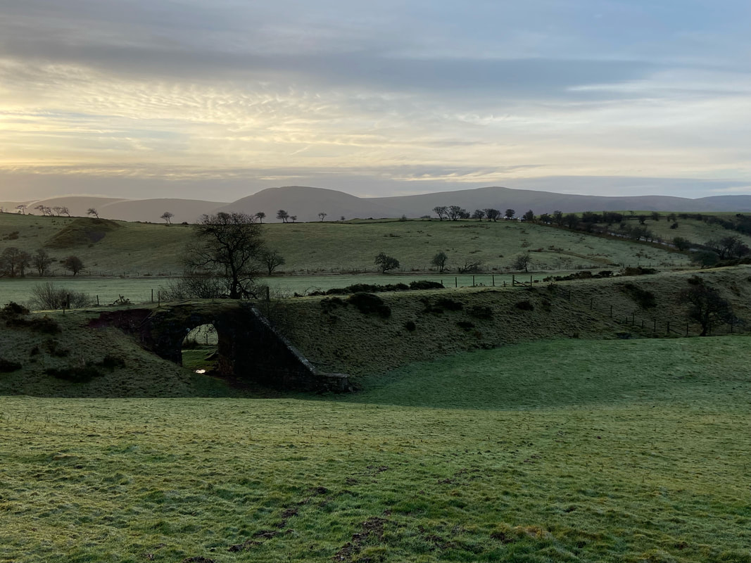
Along the track over to the right are the remnants of an old railway bridge and line which were part of the Rowrah & Kelton Fell Railway. The line ran south from Rowrah to Sheriff Gate where it branched into three. One line ran south-west to Salter Hall Quarry; a second ran south to Stockhow; a third ran east to Kirkland, for Bankstead mine. The Kirkland branch continued east to Kelton Fell and Knockmurton mines, of which the disused line above is part. The line closed in 1926. The hills to the rear are Lank Rigg, Whoap, Crag Fell & Grike.
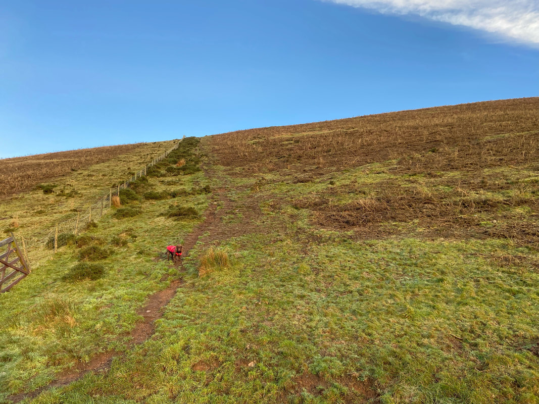
To the left of the track is a path up to the lovely summit of Knock Murton via Harris Side. Just before the crest the path swings right to reach the summit. The initial path is steep and by the look of Fudge, he was up for a visit but not today little chap.
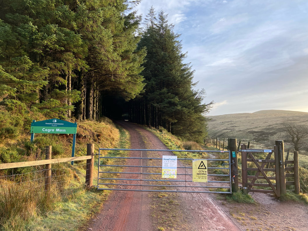
Entering Cogra Moss. There are two paths here that lead to the same place - you can either continue along the forest track or take a path to the right along the fence line. We opted to follow the forest track today.
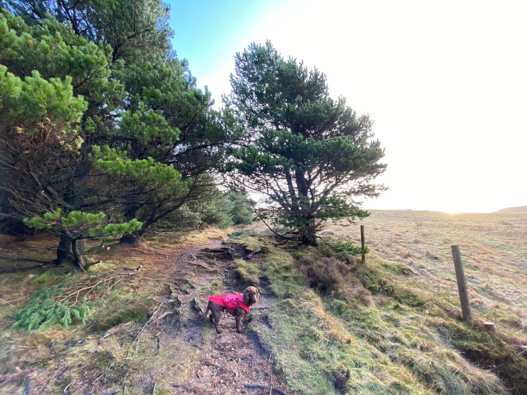
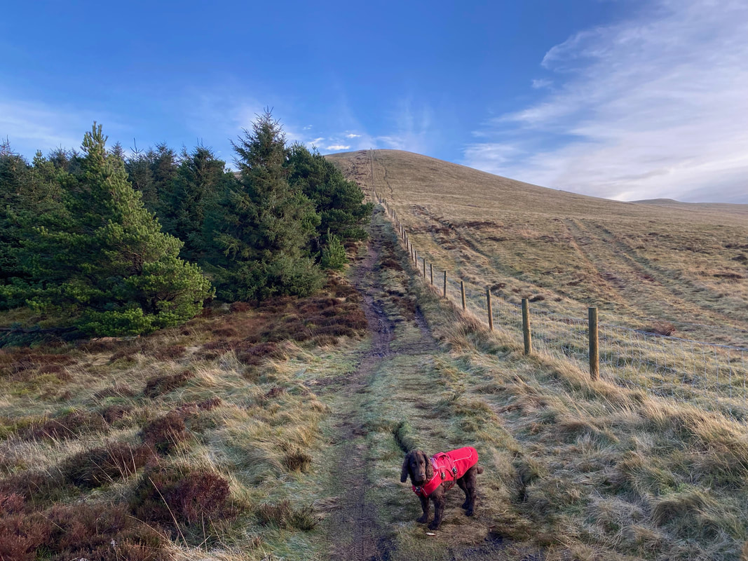
On the forest track at Grid Ref NY 098 188 a path appears to the right. This path heads along the edge of woodland towards Low Pen.
Continuing towards Low Pen as we follow the fence steeply up on a good path
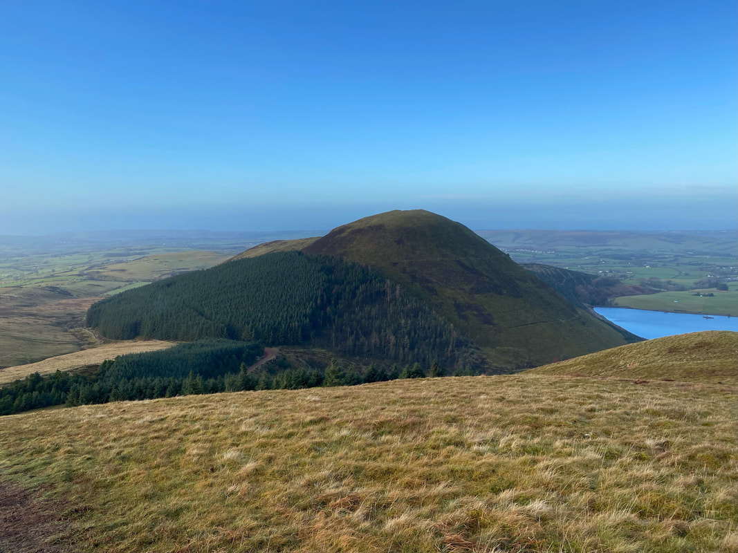
Knock Murton and Cogra Moss from near Low Pen. Cogra Moss is an artificial water, retained by a substantial dam across Rakegill Beck. It was created as a reservoir in about 1880 and discontinued as a public water supply in 1975. The tarn is stocked with brown & rainbow trout and fishing is controlled by the Cockermouth Angling Association.
Looking over Banna Fell to Herdus & Great Borne
The understated summit of Low Pen with Blake Fell centre and Sharp Knott to the left
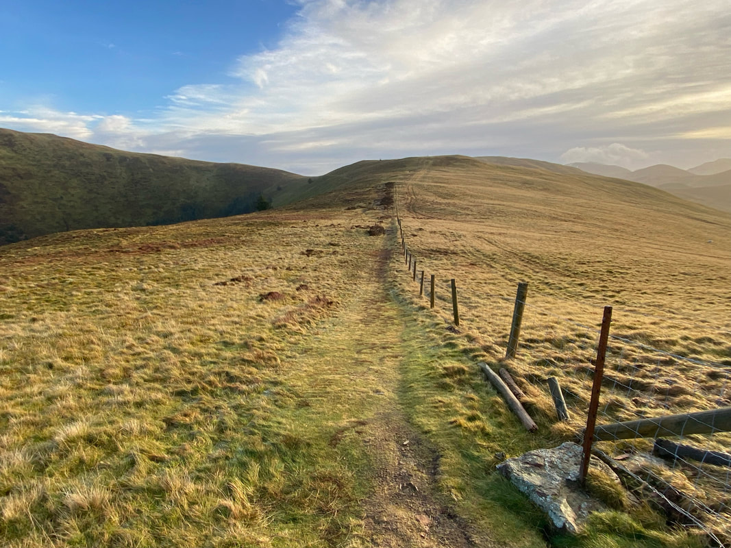
To reach High Pen it is a simple case of following the fence line
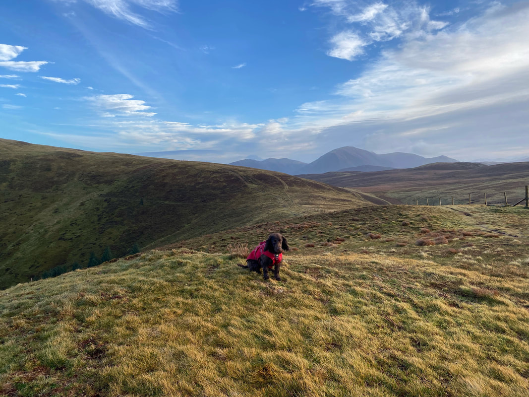
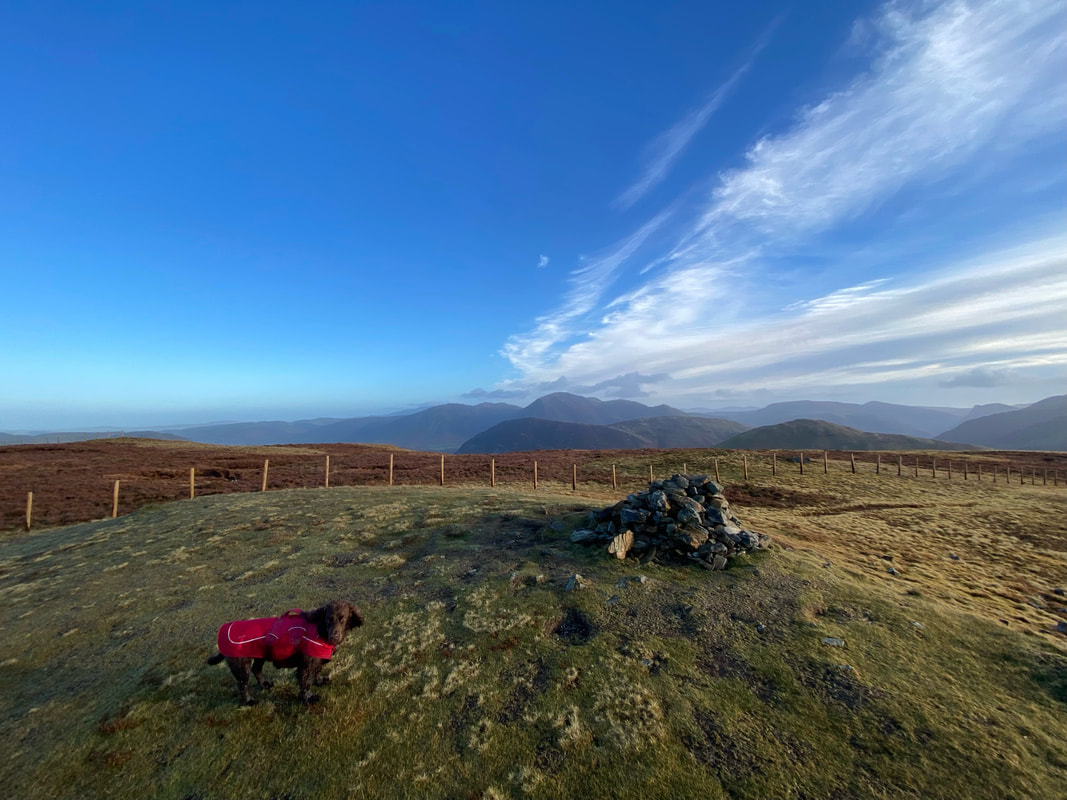
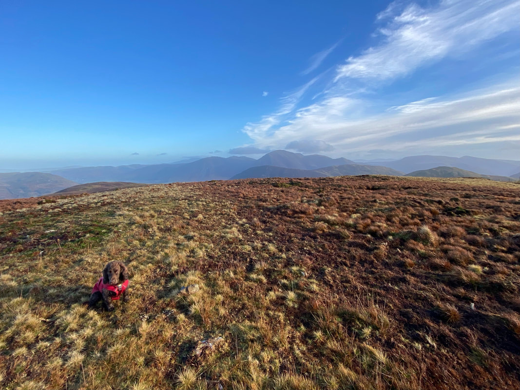
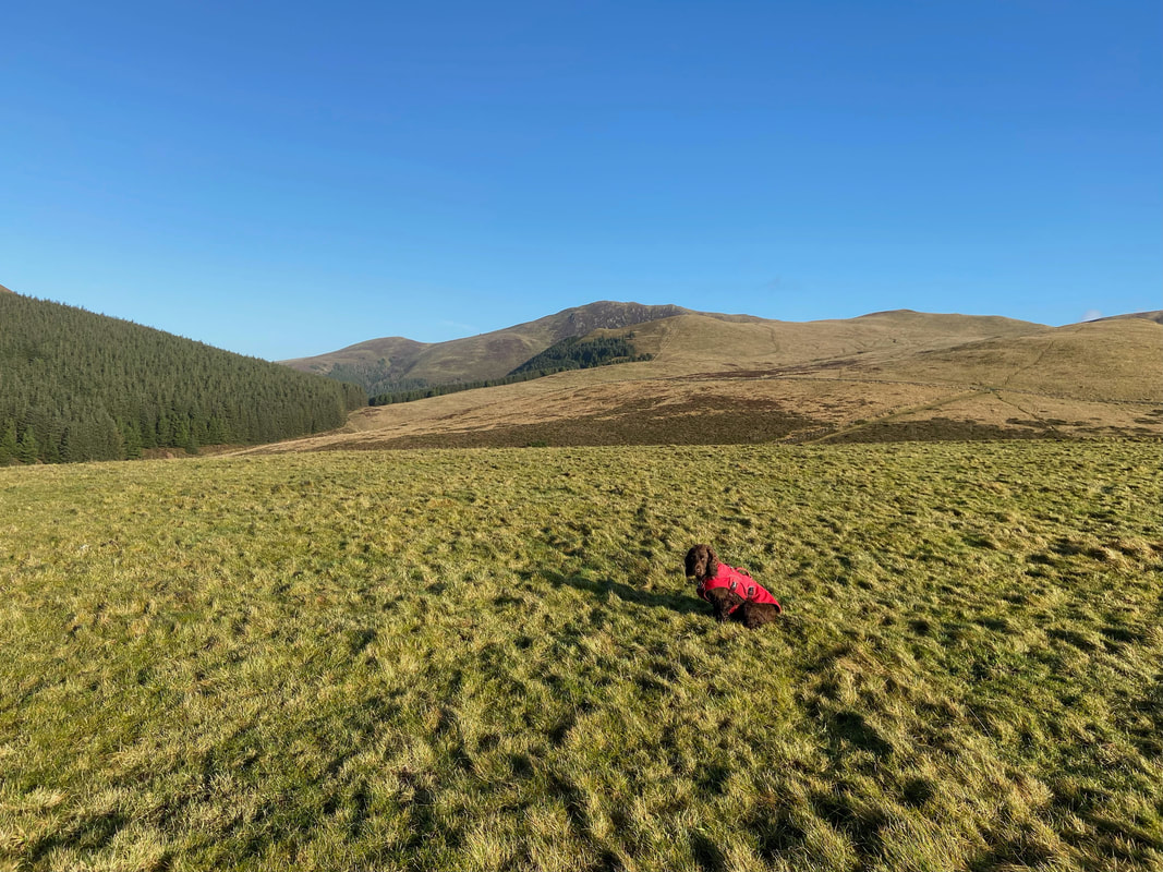
One of Fudge's jobs is to mark the highest point of the fell when there is no cairn or Trig Point present. Here he is proudly sitting on the summit of High Pen. To reach Blake Fell we would continue on and then sweep around to the left.
Looking back to Low Pen & Knock Murton from High Pen
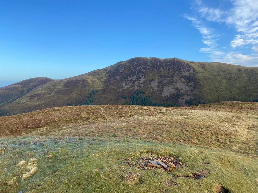
The summit of High Pen looking to Blake Fell
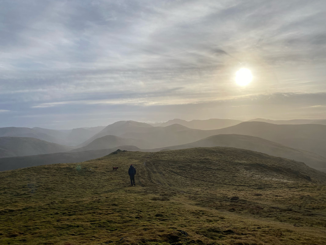
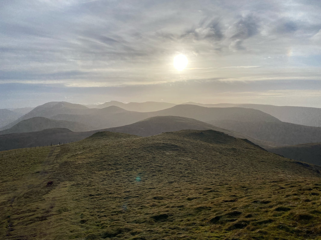
Layers & layers of fells as we make our ascent of Blake Fell
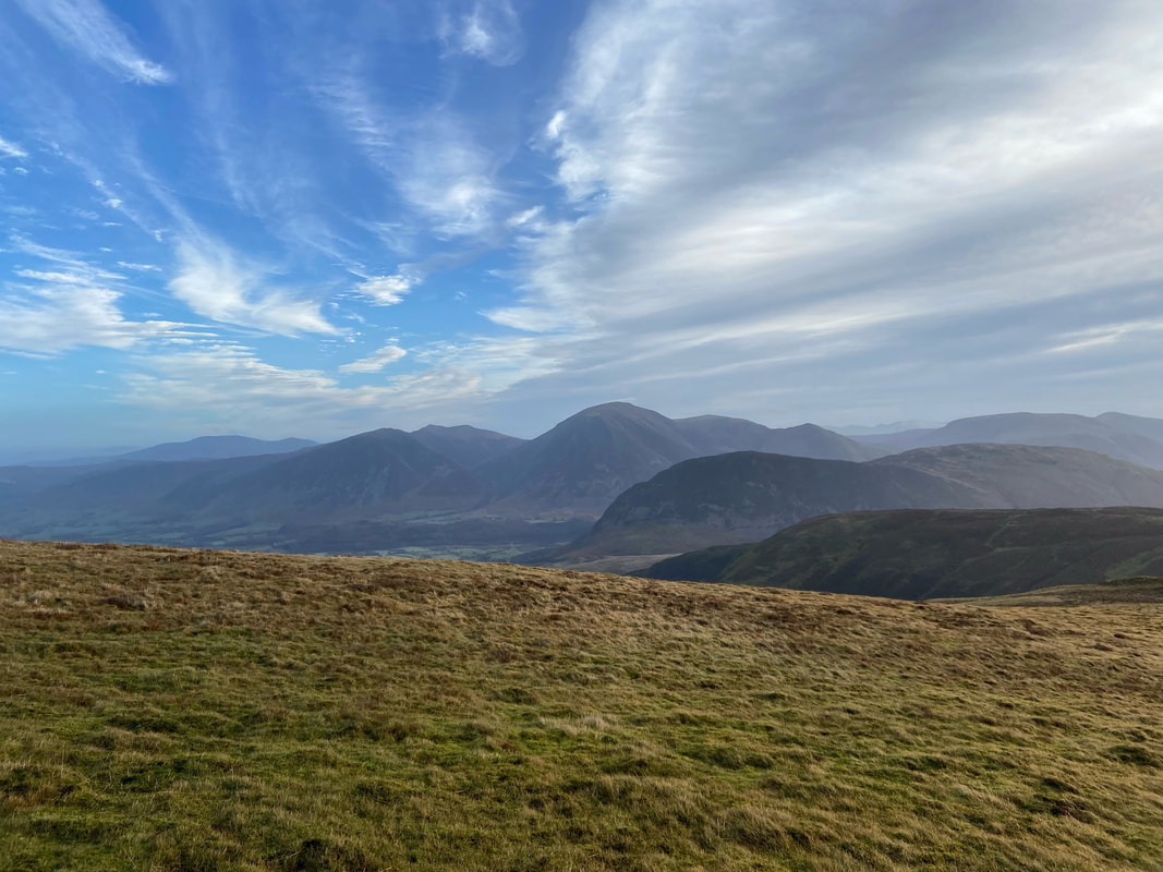
Looking north from the ascent of Blake Fell to Skiddaw in the extreme far left distance. To the right of Skiddaw are Whiteside, Hopegill Head, Grasmoor, Wandope and Whiteless Pike. In the foreground centre right are Mellbreak & Hen Comb.
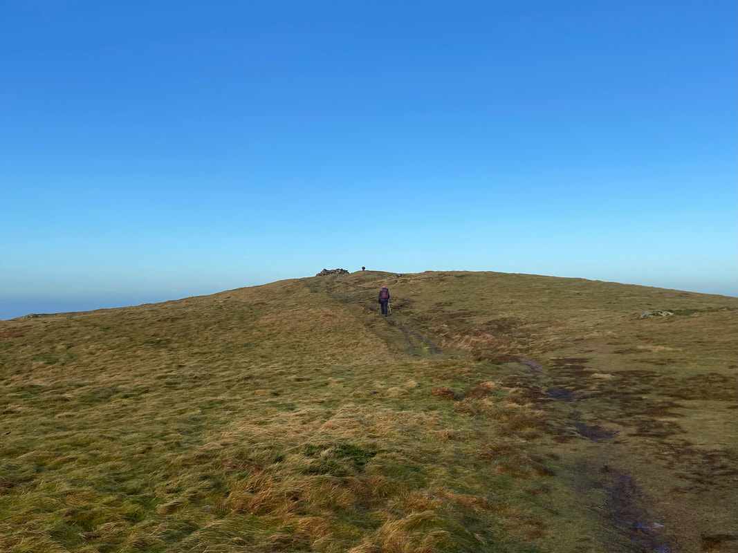
The final approach to Blake Fell's summit - as can be seen Fudge is already sniffing on the top.
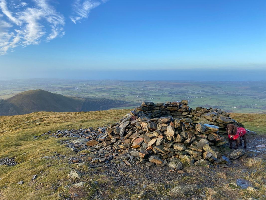
The large stone shelter that marks the summit of Blake Fell
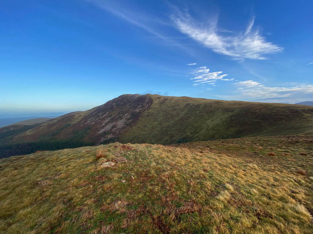
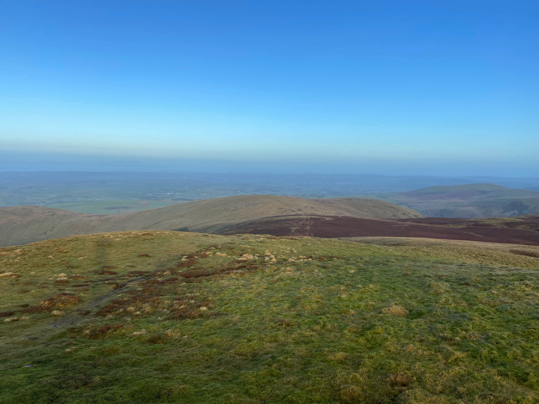
The view to the south from Blake Fell
Leaving Blake Fell via the same route. We were now off to Gavel Fell - well Fudge and I were as Angie would make her way back to the car via The Pens as she had a hair appointment in Frizington.
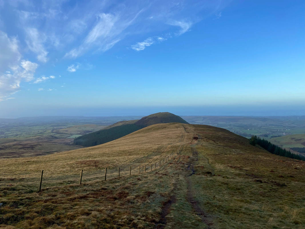
The summit of Blake Fell looking to Burnbank Fell with Carling Knott to the right
A closer look at Carling Knott as we depart Blake Fell. If time allows it is well worth a wander to the summit as the views down over Loweswater are very impressive.
Burnbank Fell from Blake Fell
Heading down from Blake Fell
The view from Blake Fell - click Play to view
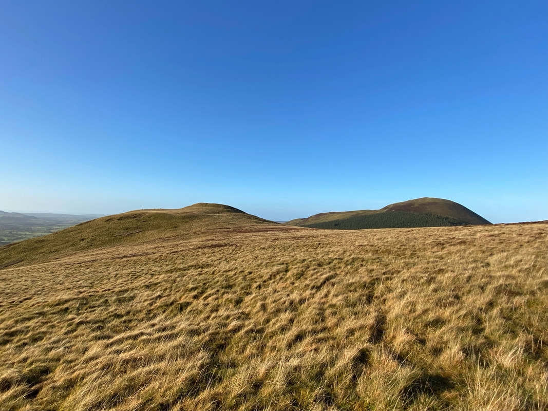
Gavel Fell dead centre however we were off to the North Top (High Nook) first which is over to the left
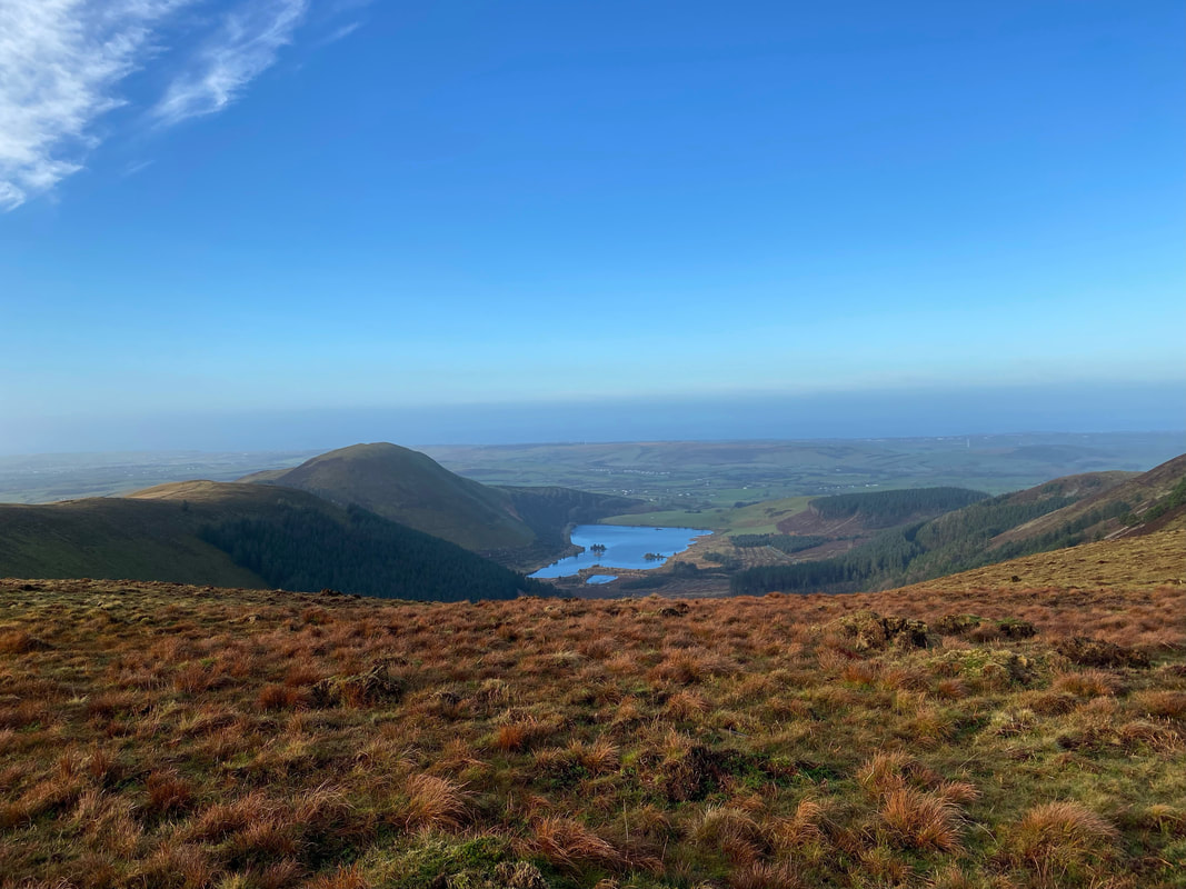
Cogra Moss Reservoir now in full view below Knock Murton
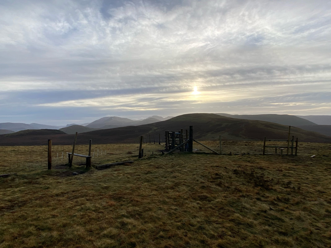
Angie and I part company at the stiles and gate which grants access to the Gavel Fell path
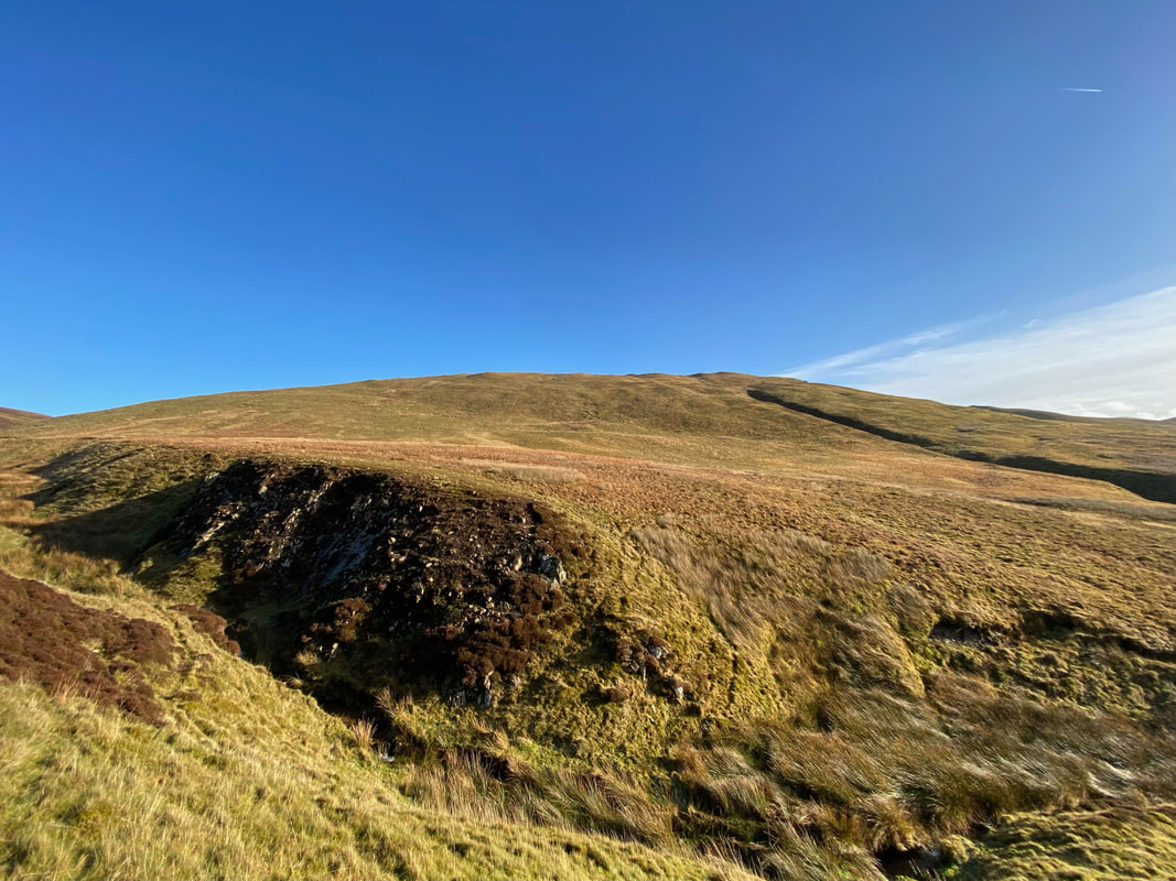
Gavel Fell North Top ahead. As mentioned at the start, the route over to the North Top is mostly pathless.
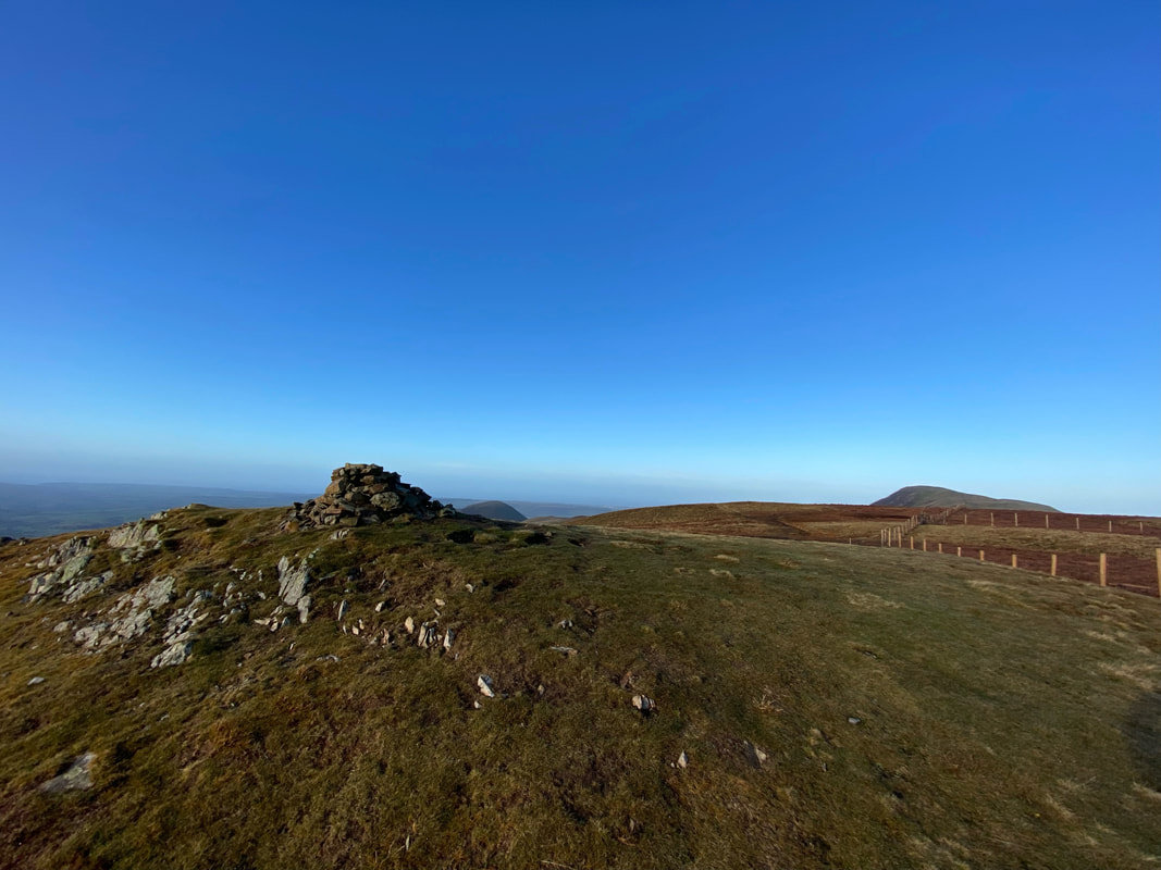
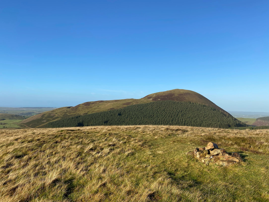
The summit of Gavel Fell North Top (High Nook) looking to Gavel Fell
From the North Top to Gavel Fell is on a vague path but it is clear enough on the ground
The large cairn on the summit of Gavel Fell. According to my Hill Lists App the highest point of the fell is 125 yards to the north over a fence. Whenever I have been up here I have always visited both.
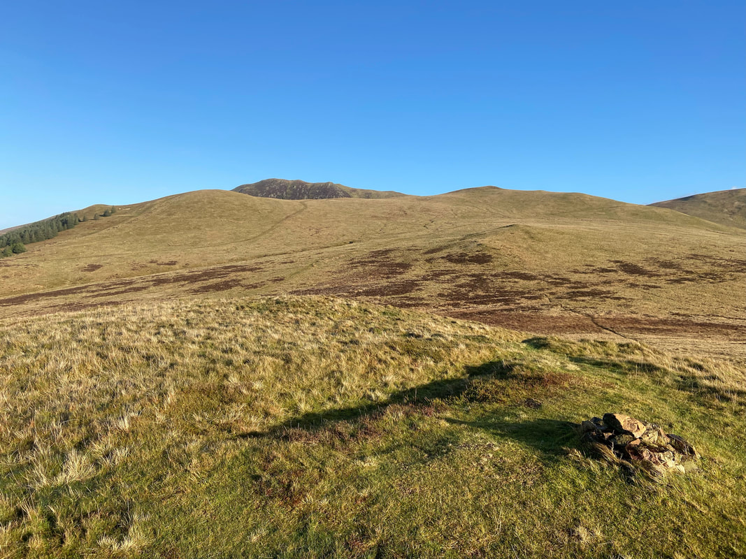
The summit of Gavel Fell with Blake Fell a distant right. The highest point of the fell is over the fence to the right of shot.
The highest point on Gavel Fell which is marked on the OS Map as such. Fudge acts as the unofficial summit marker for the second time today. The question is - would he bag his hat trick??
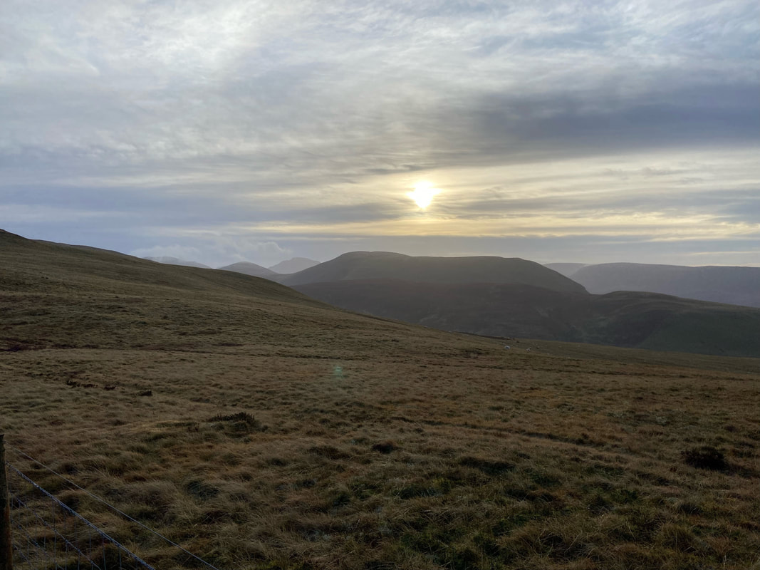
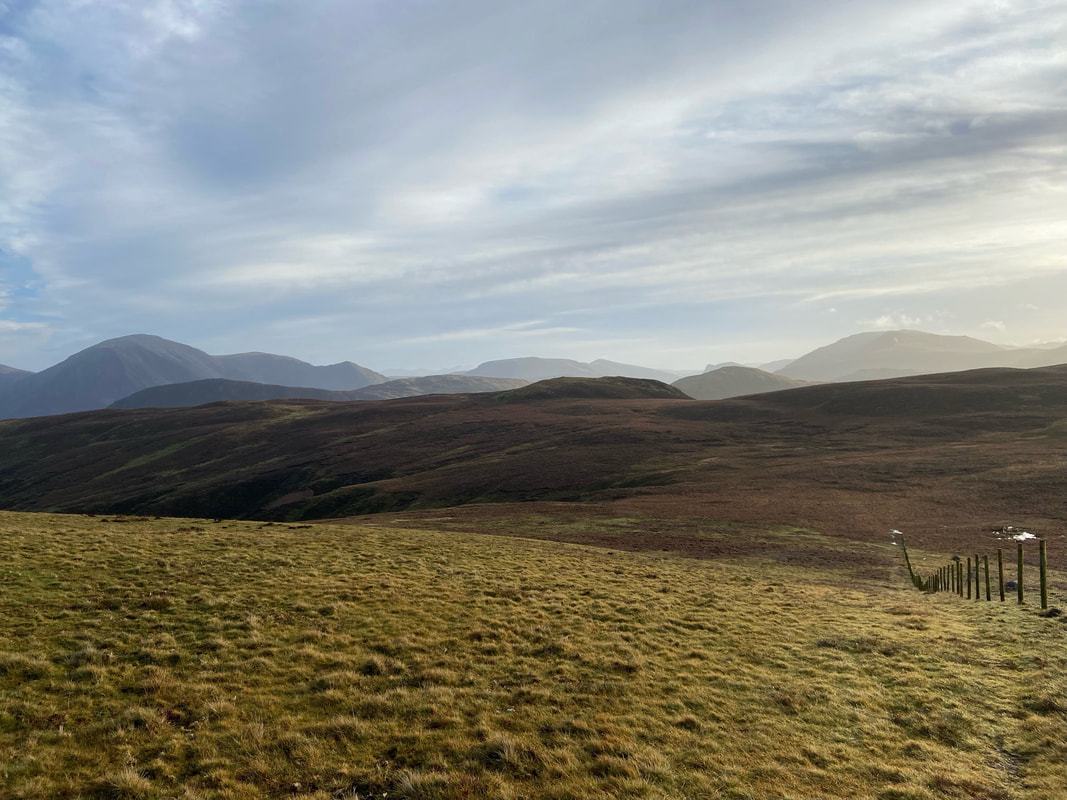
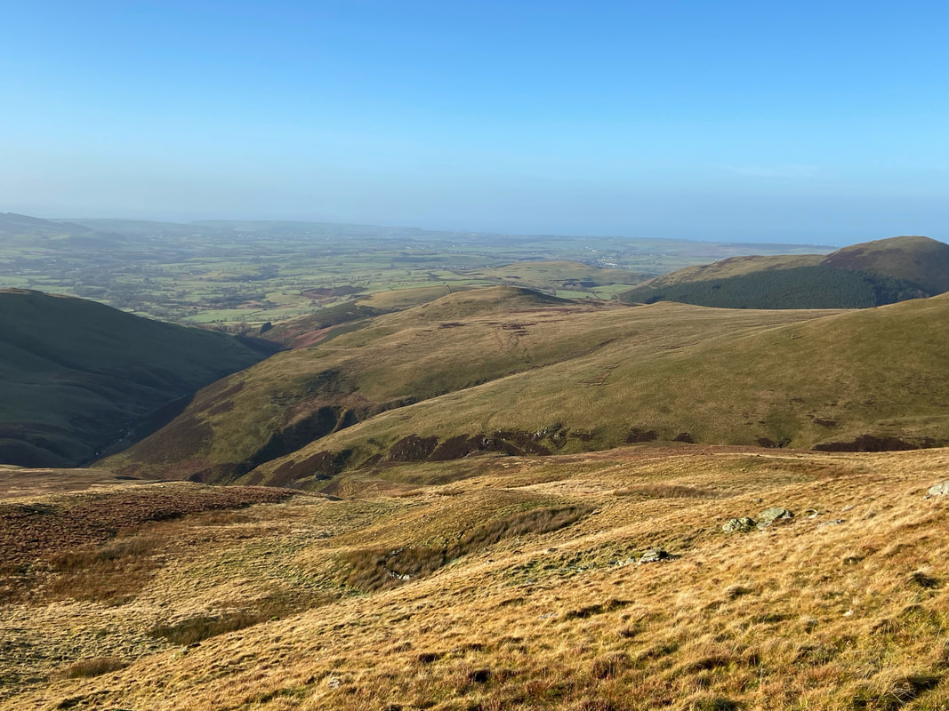
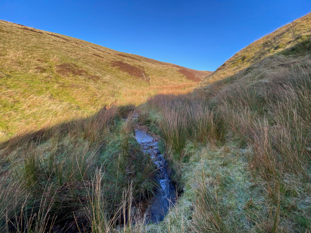
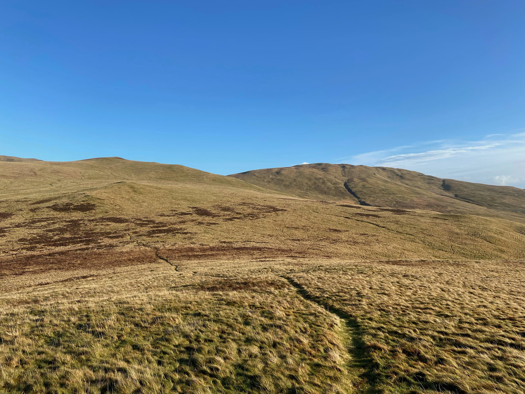
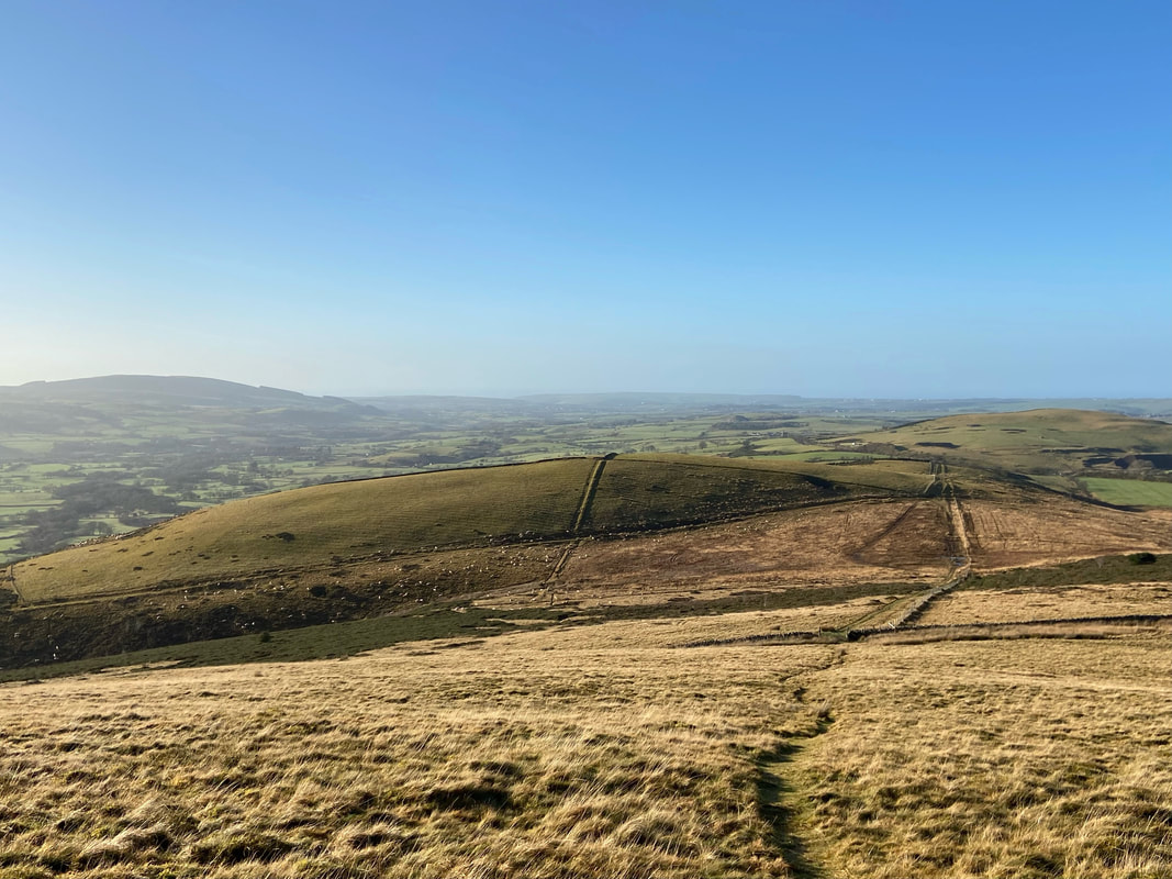
My route back to the start stretches out before me as I depart Gavel Fell. I would be aiming for Godworth which is in the centre of the shot and rough paths point the way. As stated earlier, these are intermittent and therefore an ability to navigate in mist is essential.
Crossing Comb Gill as I head for Godworth
Looking back to Gavel Fell from near Comb Gill
Crossing rough ground as I near Godworth
Gavel Fell distant now with High Pen to the left as I approach Godworth which is behind me
The summit of Godworth looking to Knock Murton
The Pens (Low & High) with Blake Fell distant from Godworth's summit
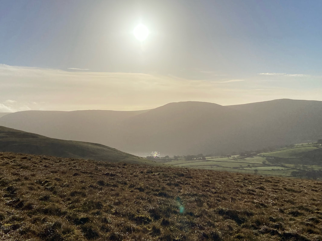
A hazy Ennerdale Water with Crag Fell sitting above
The path was now clear as I leave Godworth for Kelton Fell which is in the centre of shot
It's a hat trick for Fudge as he marks the summit of Kelton Fell
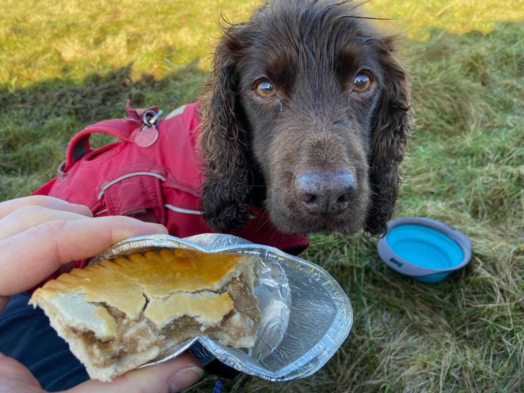
But having scoffed down his dinner he was still not getting any of my pie
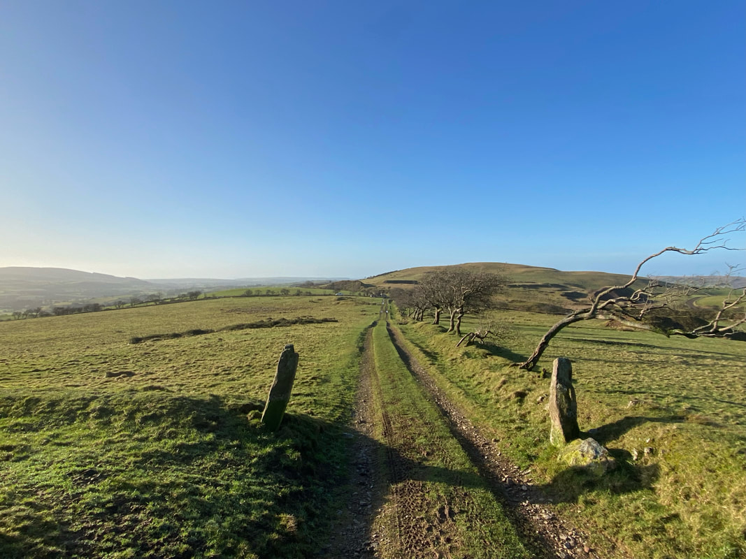
From Kelton Fell the route returns to Cross Rigg via an old mine road
