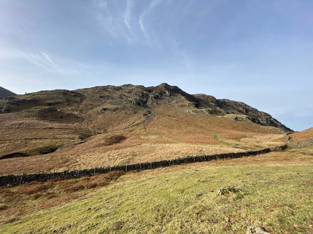
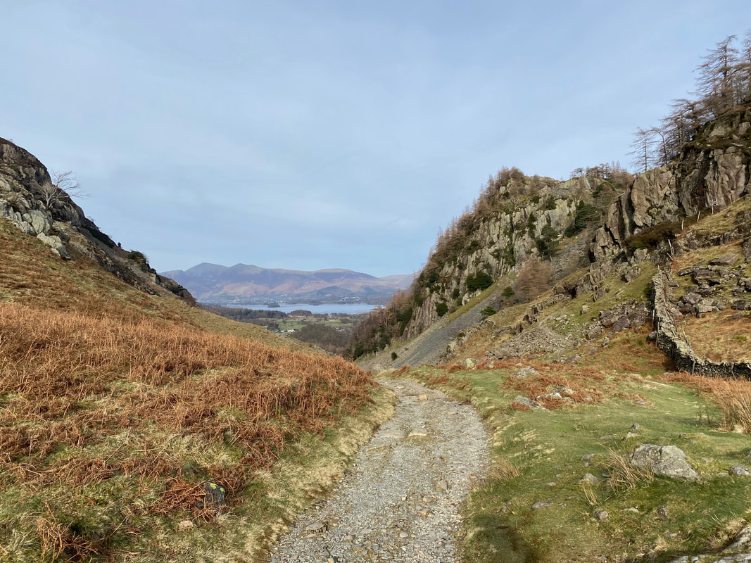
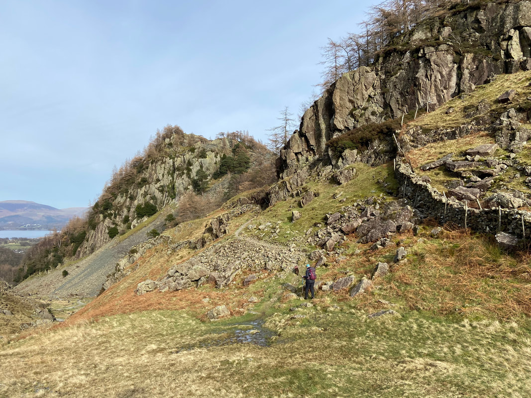
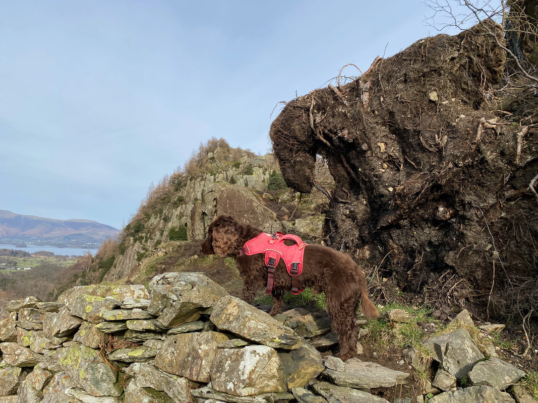
Great Crag, Castle Crag & Millican Dalton's Cave - Thursday 23 February 2023
Route
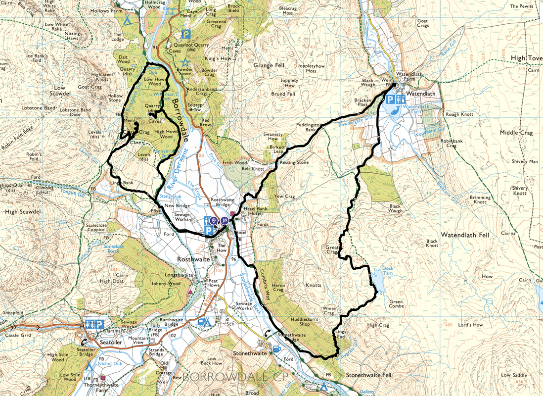
Rosthwaite - Rosthwaite Bridge - Stonethwaite Bridge - Willygrass Gill - Lingy End - Dock Tarn - Great Crag - Watendlath - Puddingstone Bank - Birkett's Leap - Hazel Bank - Rosthwaite Bridge - Rosthwaite - New Bridge - Lingy Bank - Castle Crag - Gowder Dub - Millican Dalton's Cave - New Bridge - Rosthwaite
Parking
The National Trust Car Park in Rosthwaite (Charge but free for NT Members). The Grid Reference is NY 25787 14863 and the nearest postcode is CA12 5XB. There are other Car Parks in Rosthwaite such as the Borrowdale Institute next door to the NT Car Park and the overflow parking area at The Scafell Hotel (Charges apply to both).
Mileage
10 miles
Terrain
Good mountain paths throughout. The ascent of Castle Crag is over steep scree both up and down therefore care needs to be taken, particularly after rain.
Weather
Mild, sunny, no wind and with excellent visibility.
Time Taken
6hrs 45mins
Total Ascent
2391ft (729m)
Wainwrights
2
Map
OL4 - The English Lakes (North Western Area)
Walkers
Dave, Angie & Fudge
|
GPX File
|
| ||
If the above GPX file fails to download or presents itself as an XML file once downloaded then please feel free to contact me and I will send you the GPX file via e-mail.
Route Map
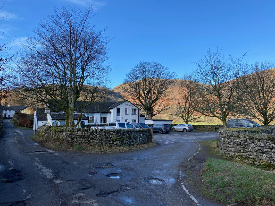
The National Trust Car Park in Rosthwaite - the starting point for today's walk. Just the other side of the wall is the Borrowdale Institute (the white building) which has several parking spaces for a nominal charge.
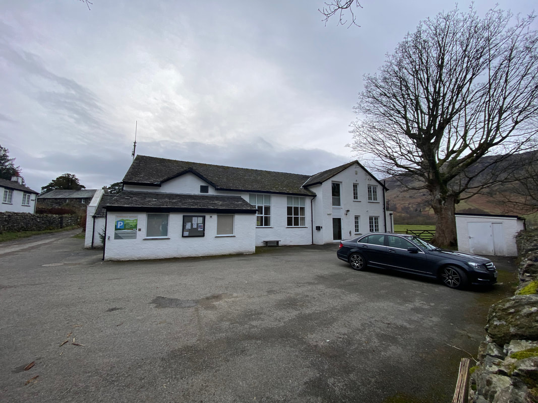
The parking area at The Borrowdale Institute
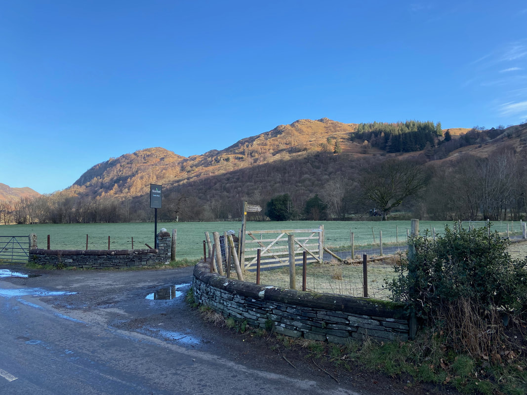
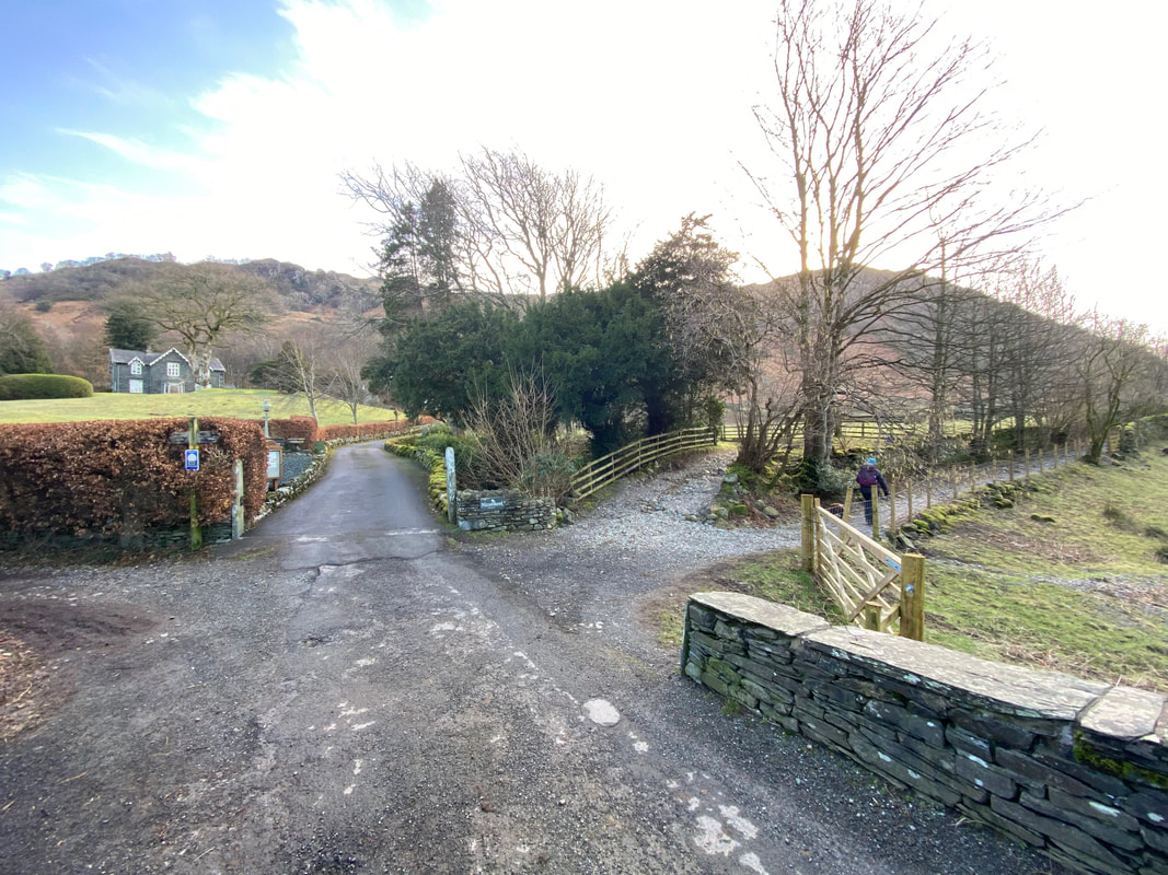
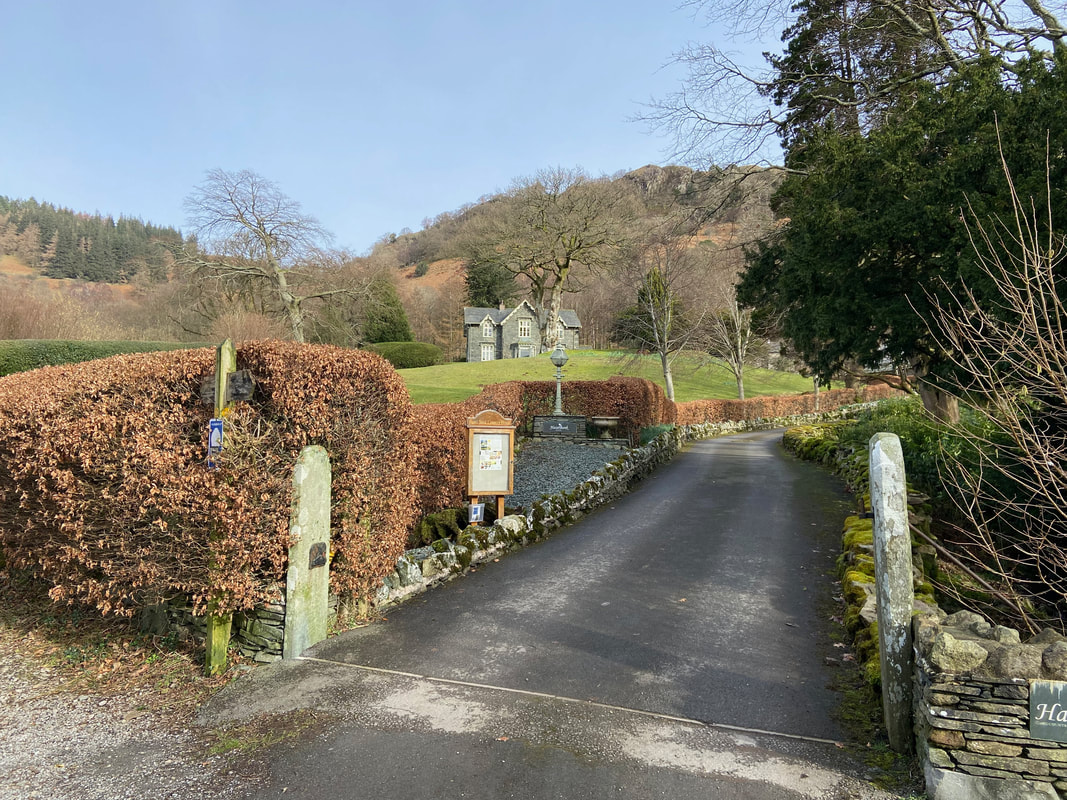
From the Car Park the route crosses the B5289 and heads up the access road to Hazel Bank
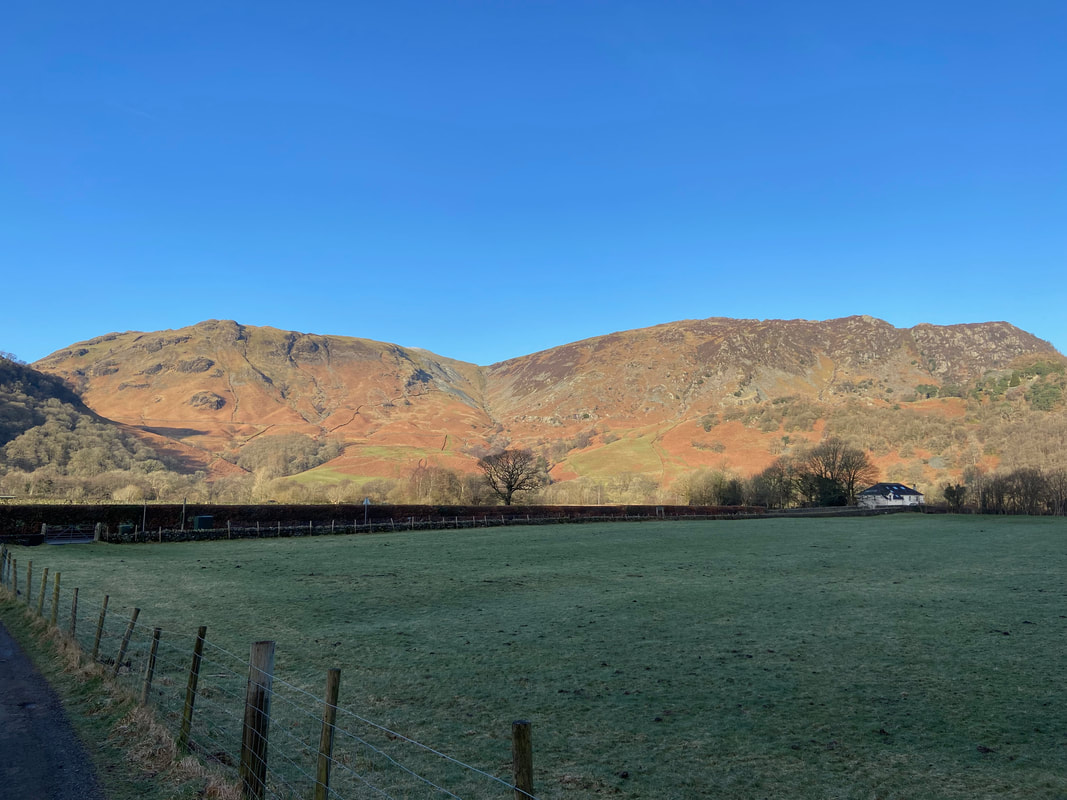
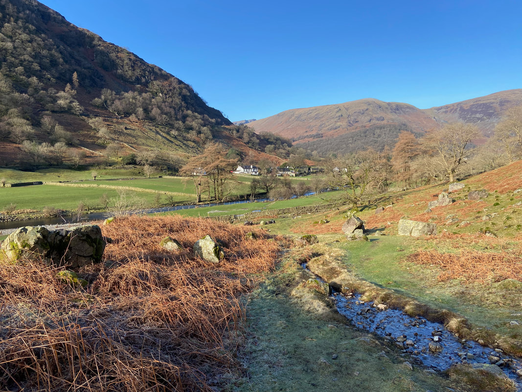
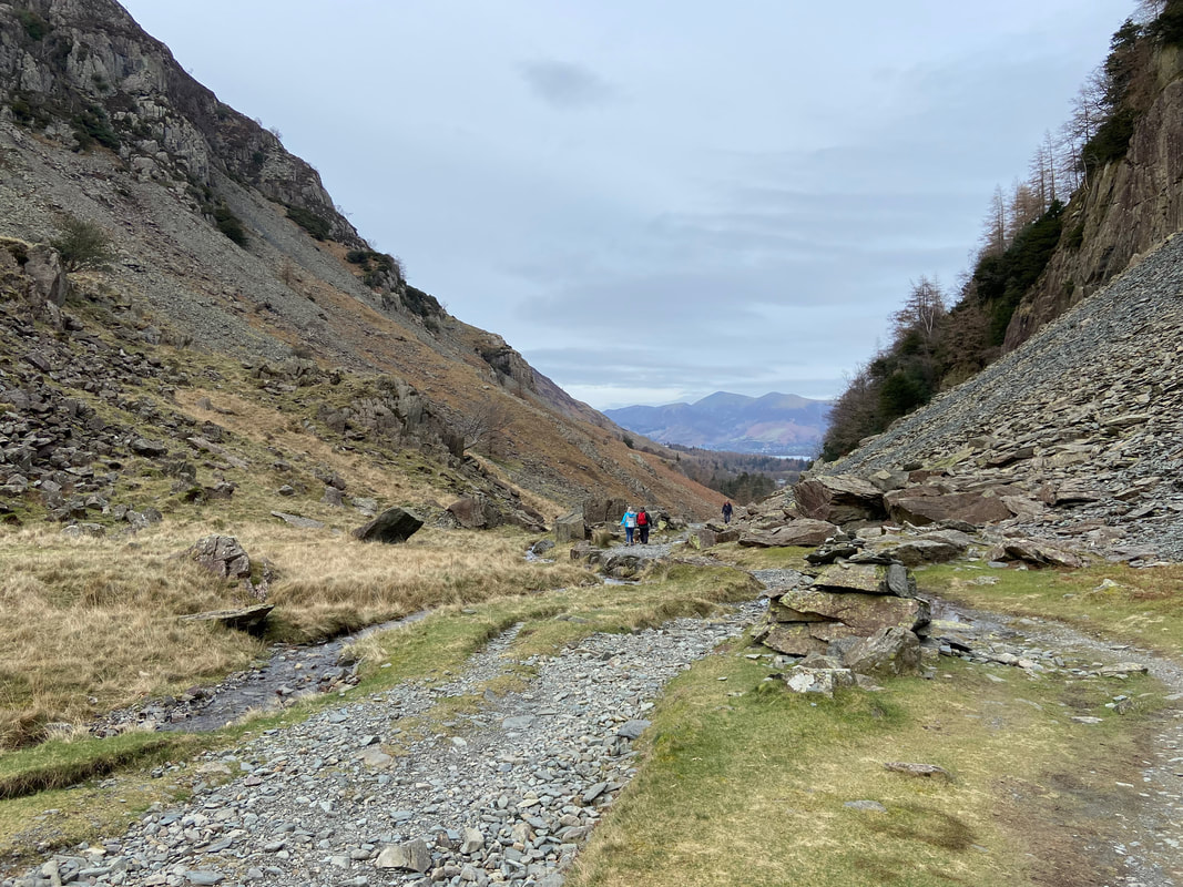
From the access road there is a fine view back to High Scawdel on the left, Rigghead Quarries centre and High Spy to the right
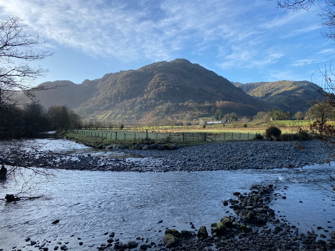
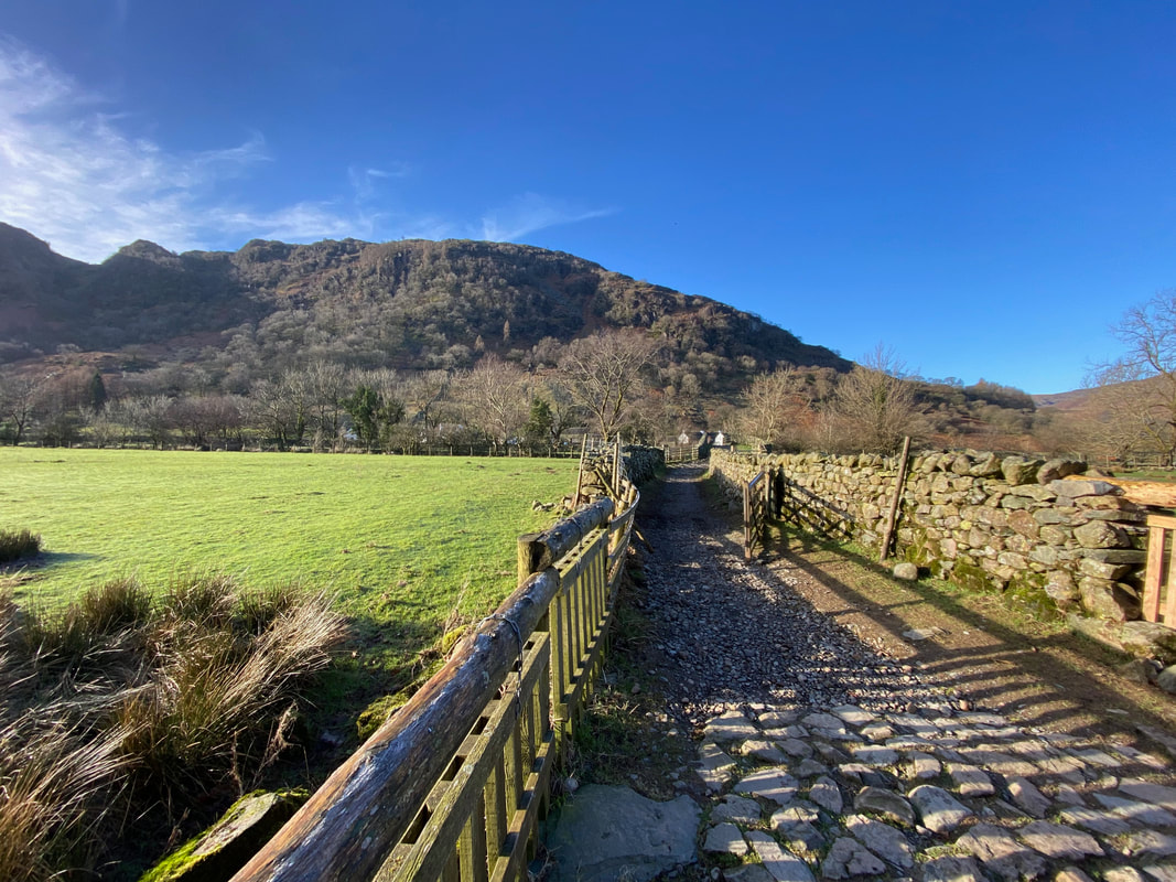
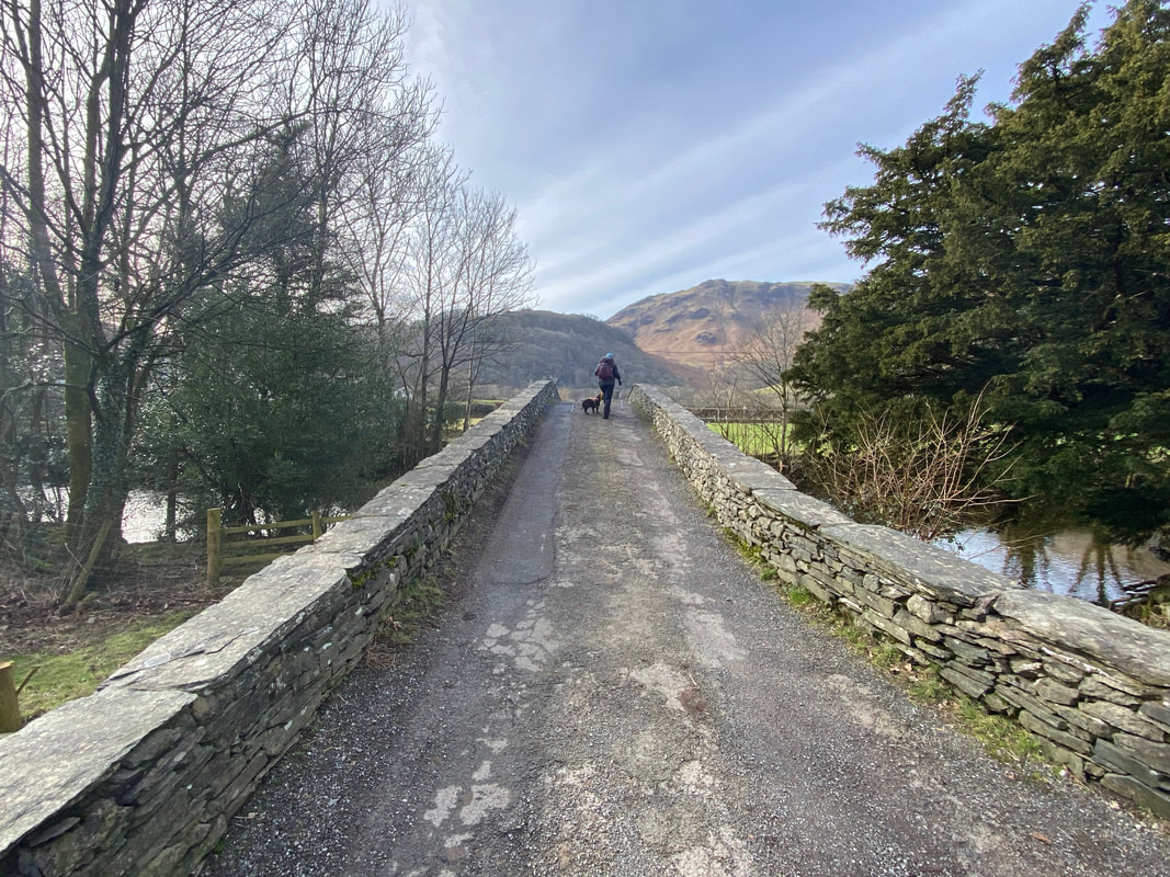
With Hazel Bank ahead, we crossed Stonethwaite Beck via Rosthwaite Bridge. We turned right here on to a stony path and continued along the Coast to Coast route towards Stonethwaite.
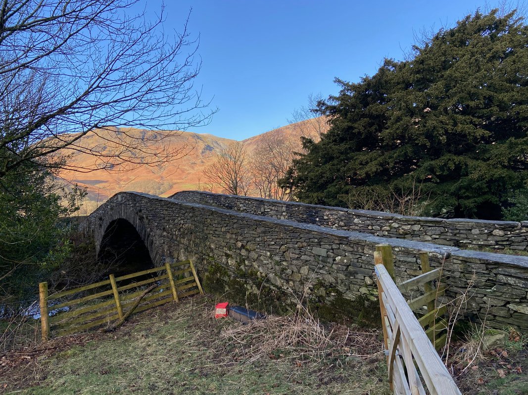
Rosthwaite Bridge
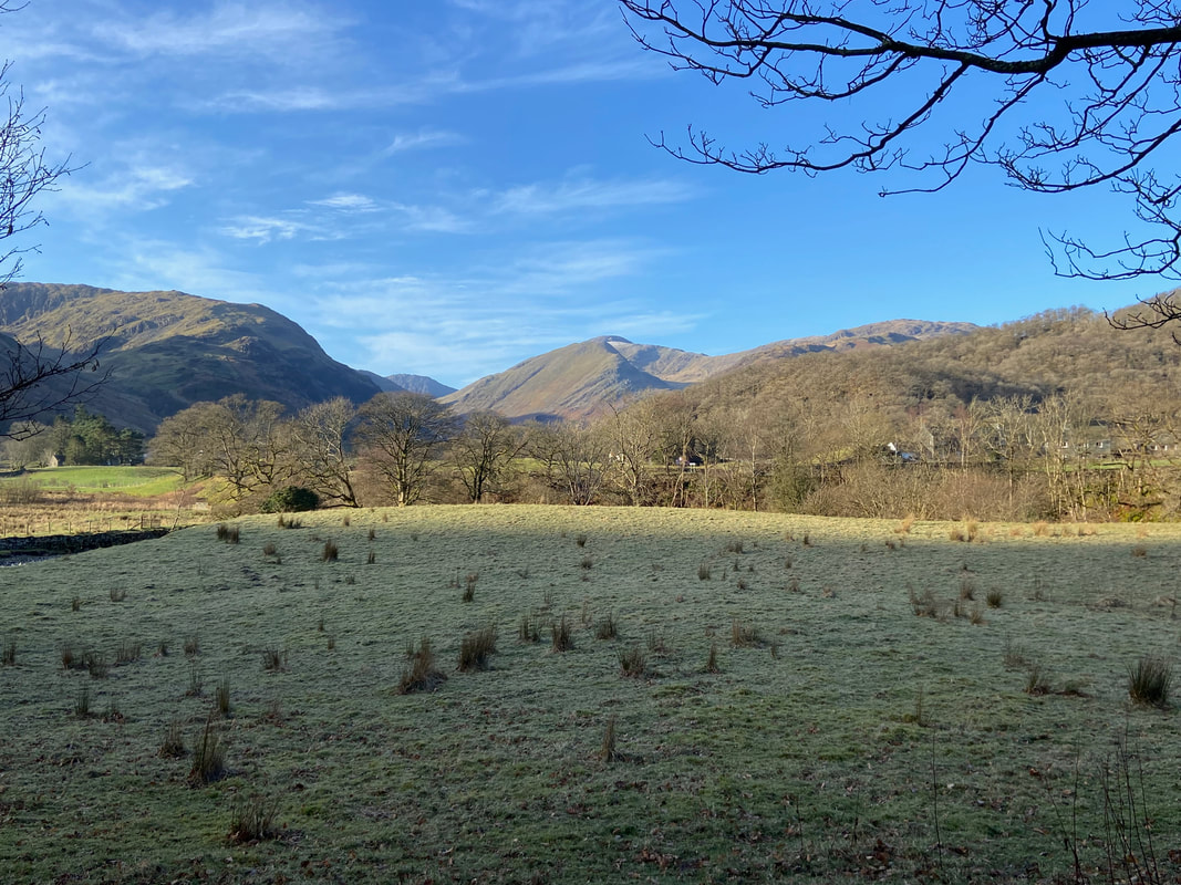
Great Gable just about pokes its summit out in the centre of shot above Base Brown
Rosthwaite Fell over Stonethwaite Beck
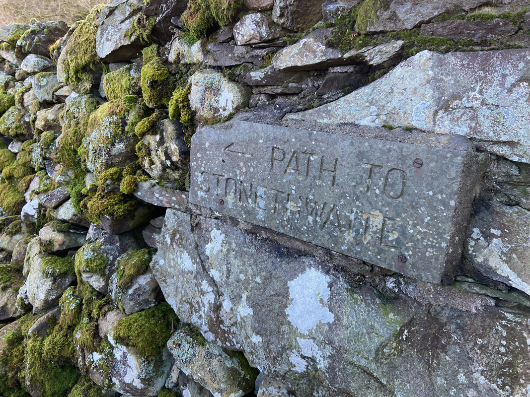
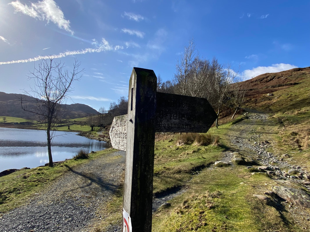
The way ahead is never really in doubt but a helpful stone sign points the way
Further along the route the path passes the turning for Stonethwaite which is accessed by crossing the bridge ahead
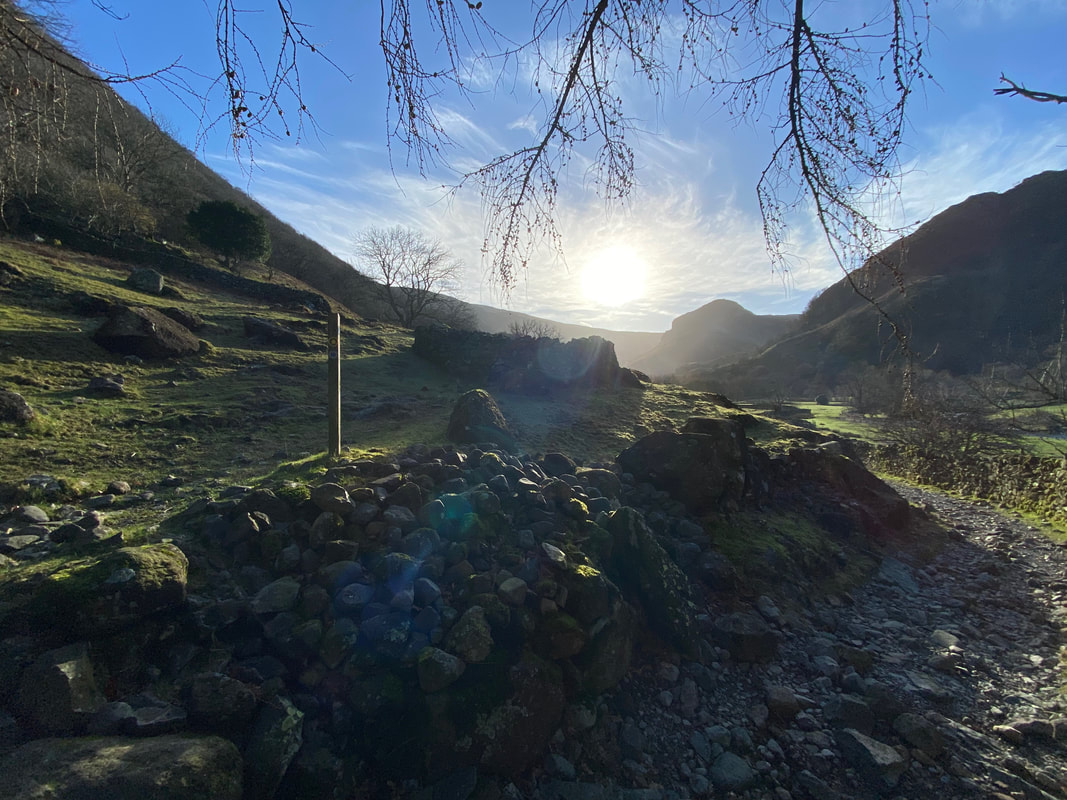
Approximately 250 yards on from the Stonethwaite Bridge turning a way mark is reached. We would be heading up the fell side to the left in the direction of Lingy End, whilst the Coast to Coast path continues on to the right. The path junction is at Grid Reference NY 26535 13715.
Looking back to the path junction with Stonethwaite beyond as we begin the climb up Lingy End
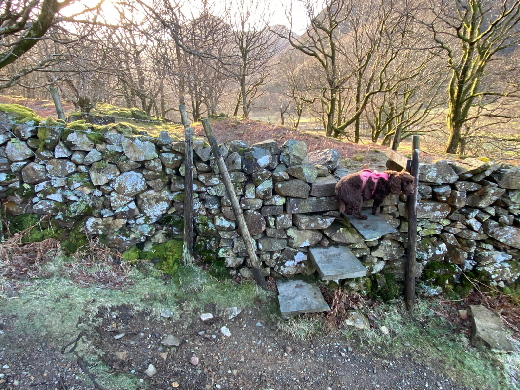
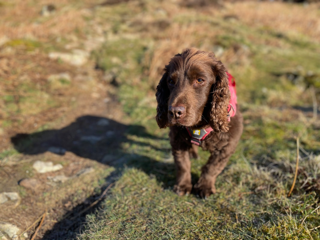
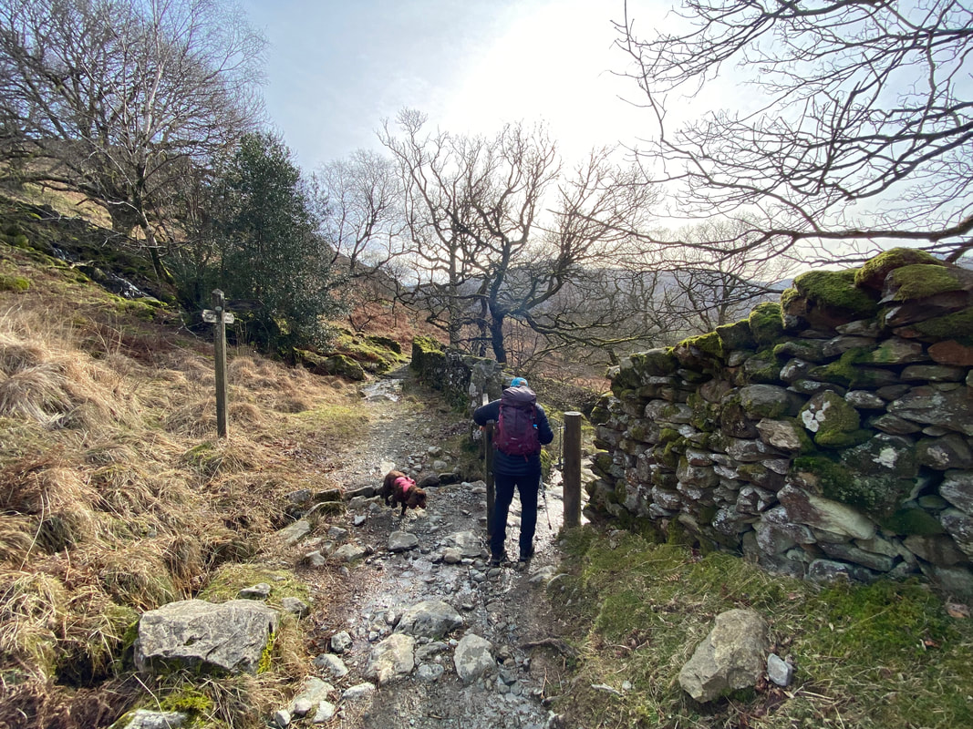
The route reaches a stone stile as Fudge waits for permission to pass through to the other side
Willygrass Gill (Click Play to view)
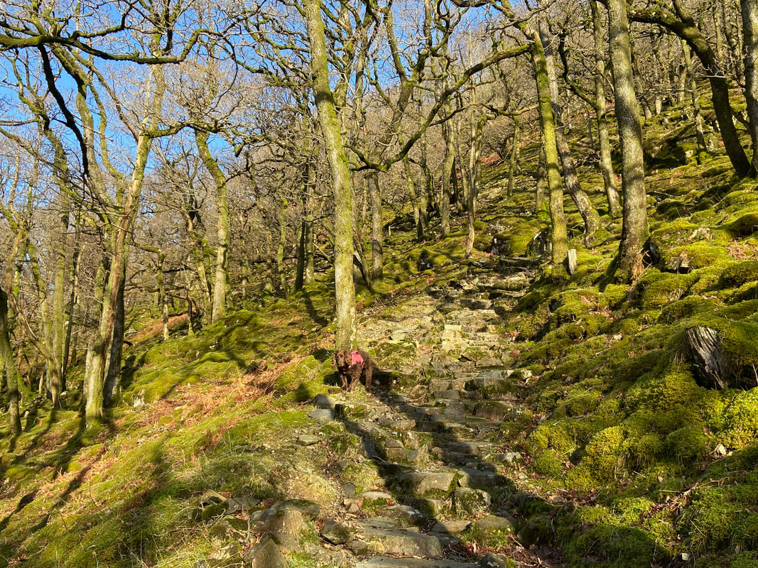
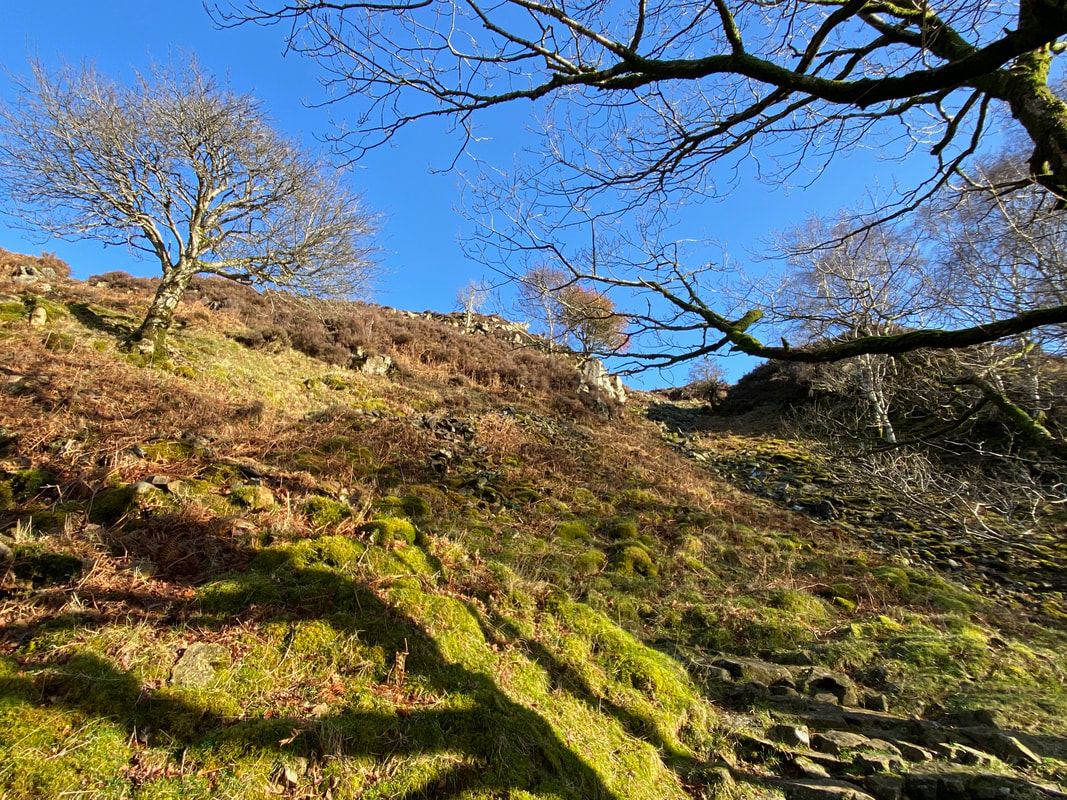
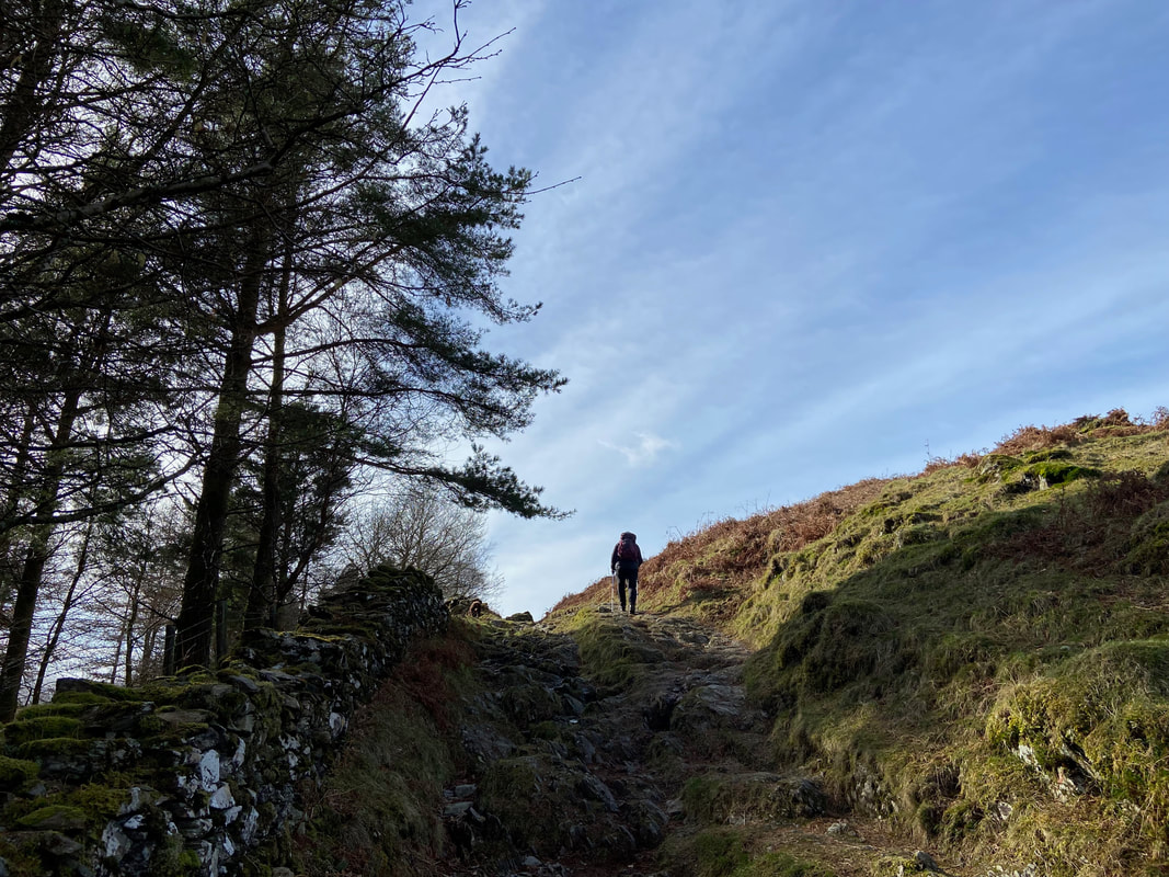
The steep staircase of Lingy End which winds its way up the fell side
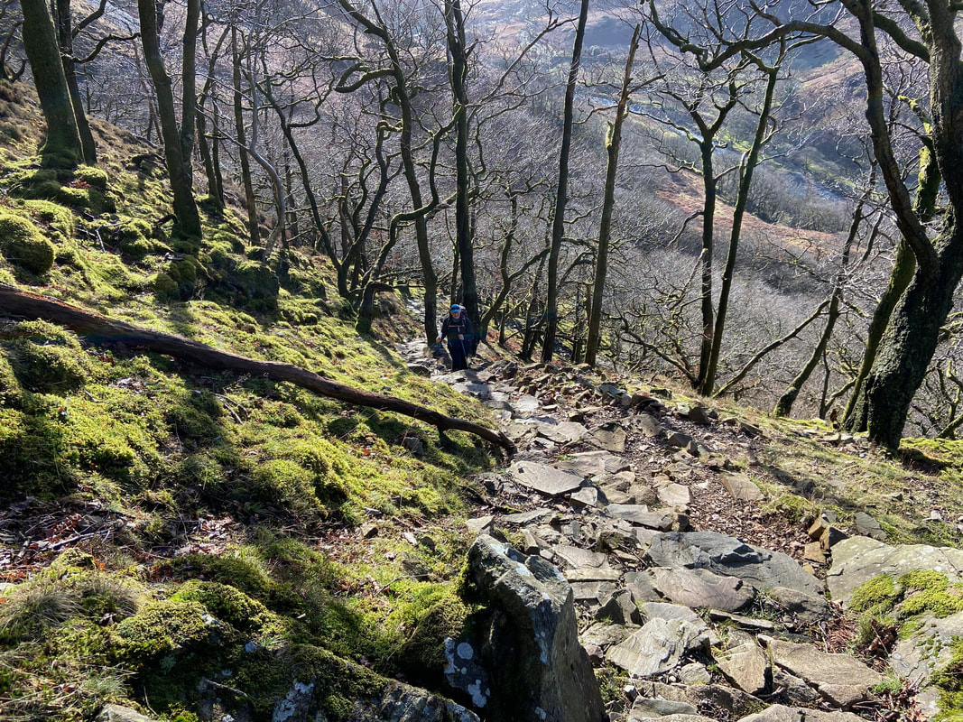
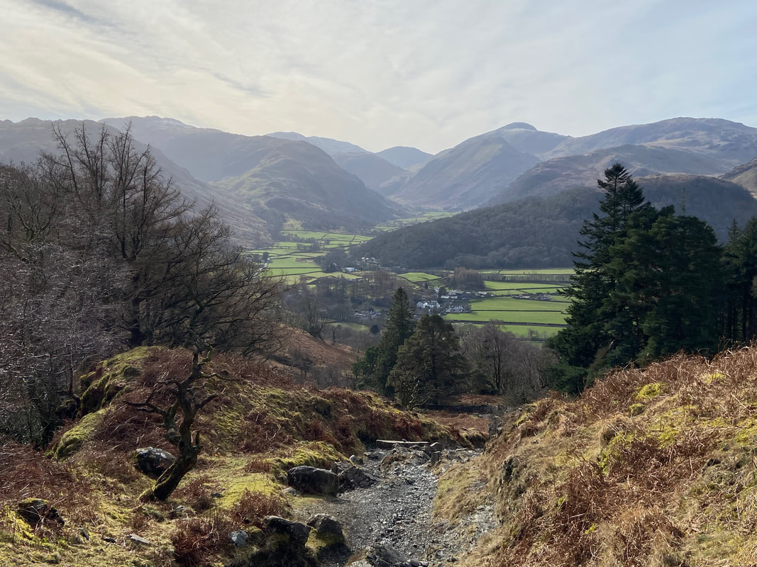
Looking down the steep path up Lingy End
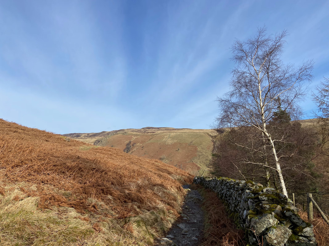
As the gradient starts to ease, the path emerges from the woodland
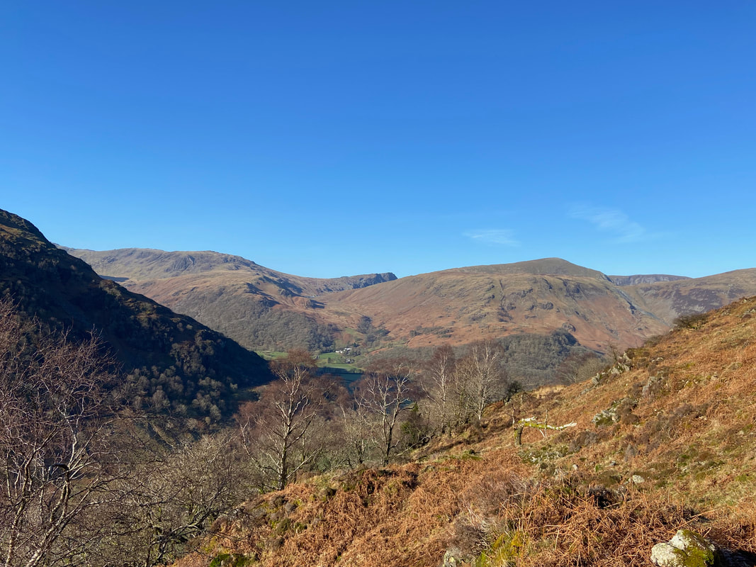
Grey Knotts, Honister Crag, Dale Head & High Scawdel from near the top of Lingy End
Almost at the top of Lingy End. Greenup Edge is centre distant with Ullscarf over to the left and Eagle Crag & Sergeant's Crag on the centre right.
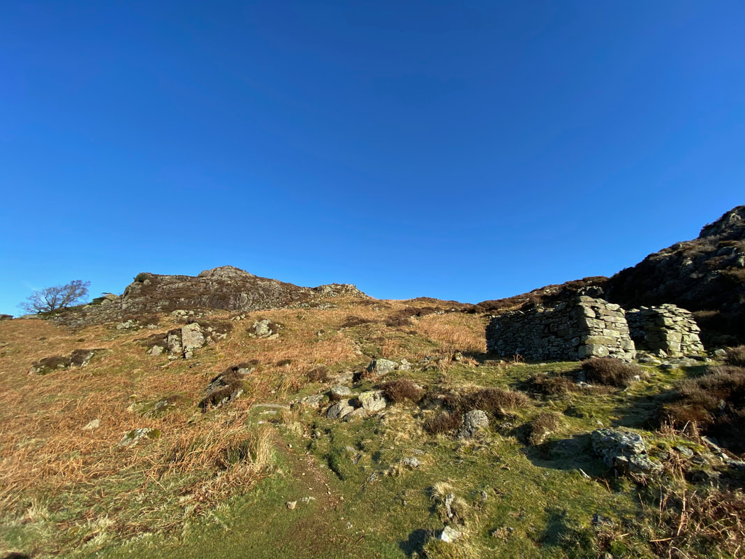
At the top of Lingy End the route arrives at a ruined former Shepherd's Bothy
Rosthwaite Fell & Big Stanger Gill
We are 90 minutes in to the walk and I am getting the "hungry eyes"
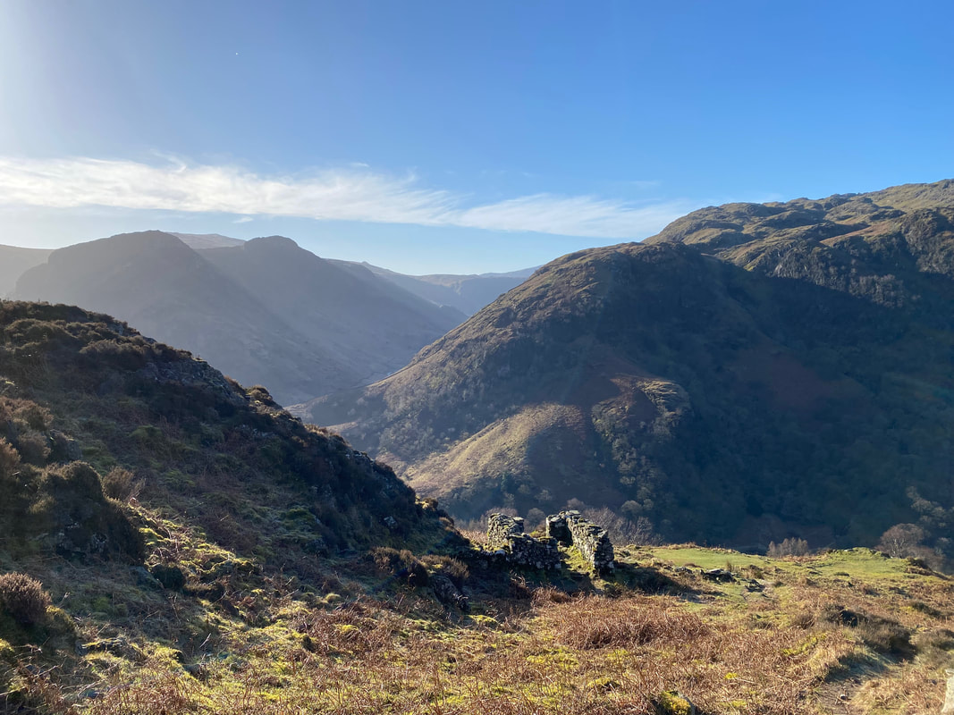
Looking down to the ruined Shepherd's Bothy
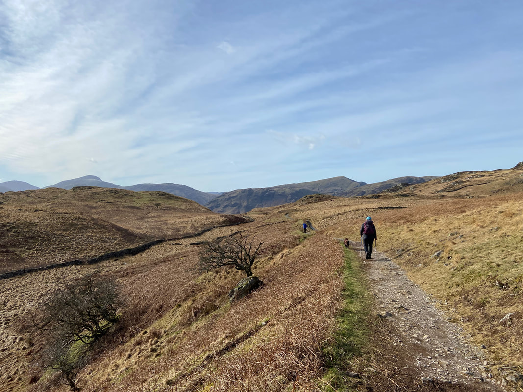
From the bothy the steepness abates and the gradient now rises gently as we make our way towards Dock Tarn
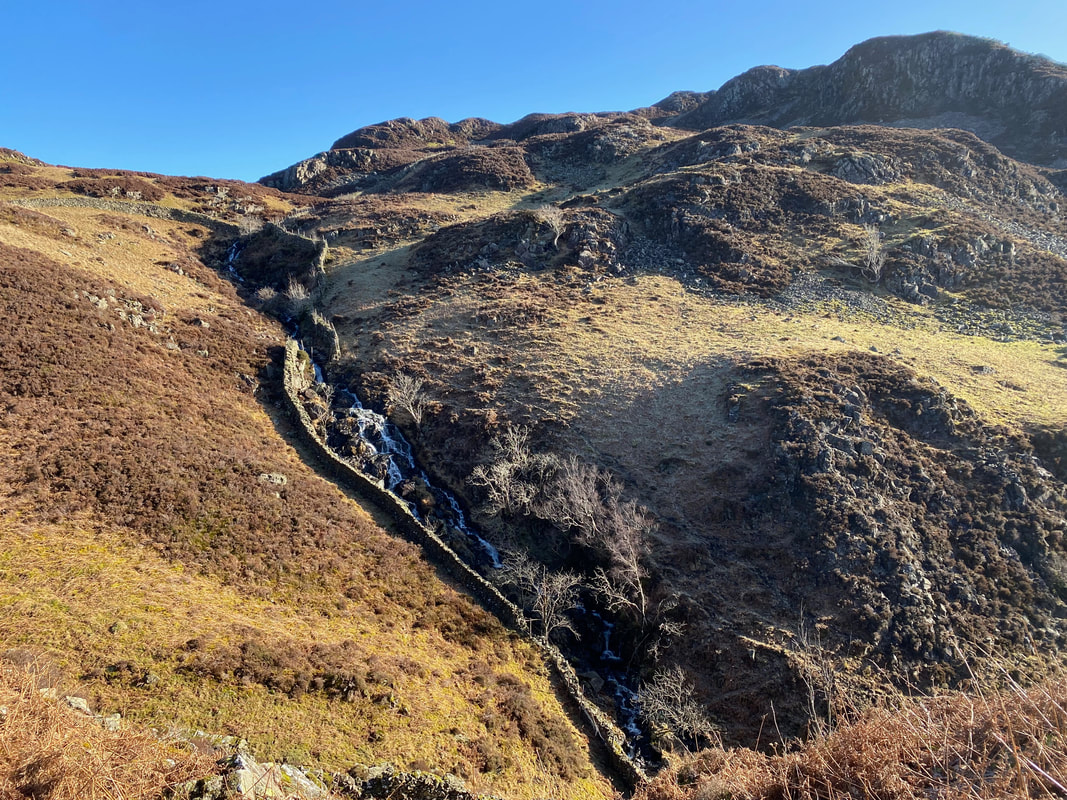
The stepped water cascades of Willygrass Gill - hats off to the builders of that wall up the left hand side of the gill
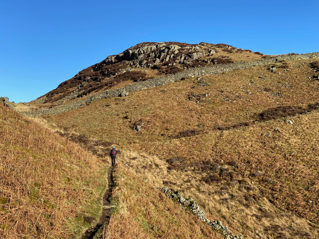
Level going now as the path heads towards White Crag to then turn sharp right ahead
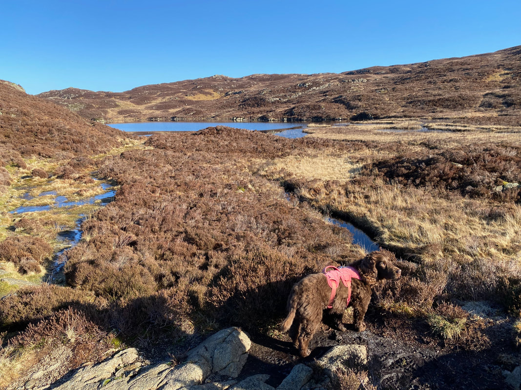
Dock Tarn now in view
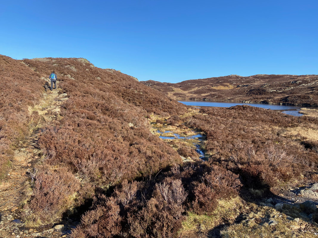
At Grid Reference NY 27345 14202 the path splits - the left hand path contours the tarn higher up whilst the right hand path hugs the shoreline. We opted for the higher path today.
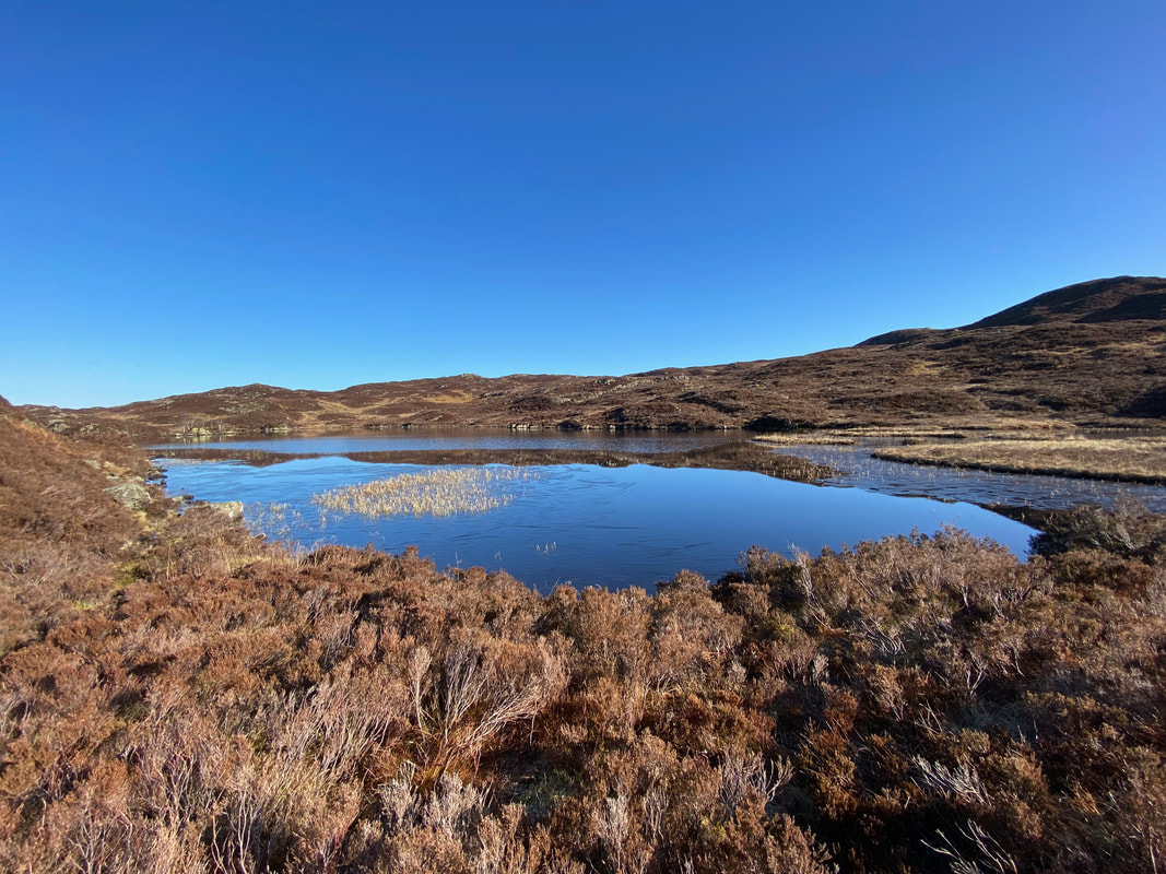
Dock Tarn from the upper path
The upper path eventually drops down to meet the shoreline one and gives this stunning view back to the tarn
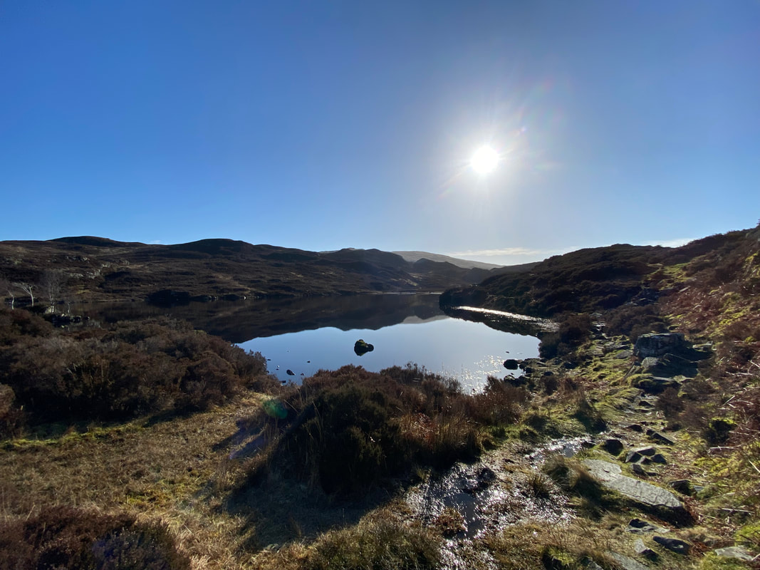
The idyllic Dock Tarn (Click Play to view)
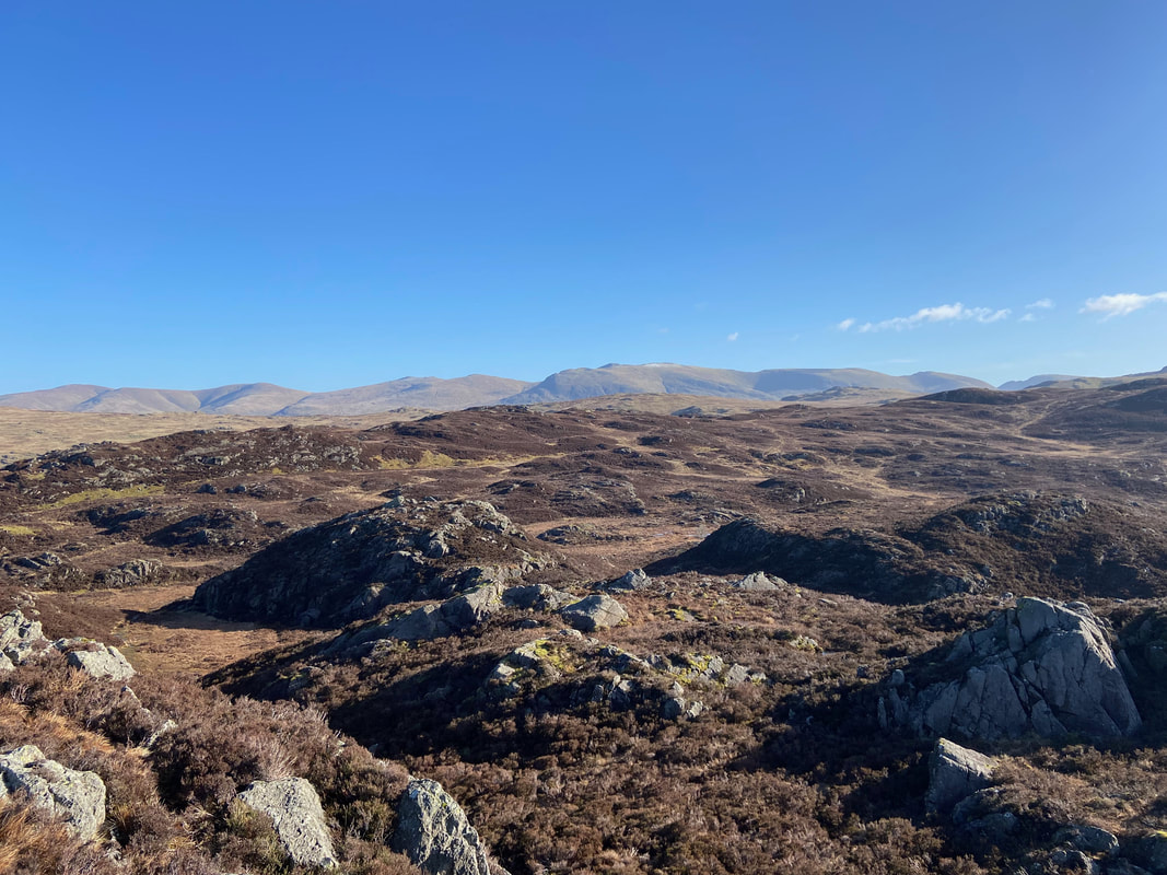
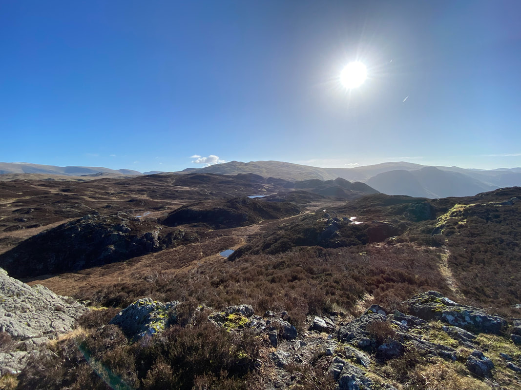
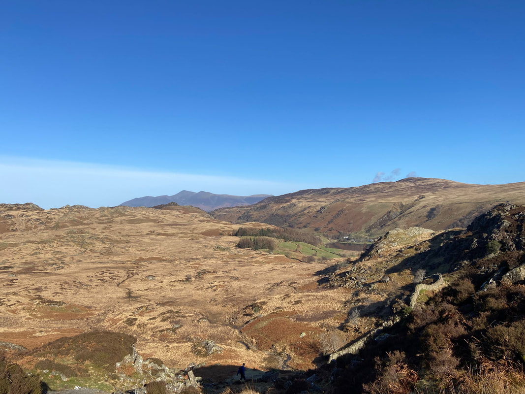
Looking back towards Dock Tarn from the approach to Great Crag. As Wainwright stated in Book 3 of his Pictorial Guides "There is no continuous path to the cairn, but it is fun to link up the many intermittent tracks in the heather, and worth doing because, away from the tracks, the ground is rough and walking difficult" (Great Crag 3).
We have been up Great Crag a few times now and have never taken the same approach twice.
We have been up Great Crag a few times now and have never taken the same approach twice.
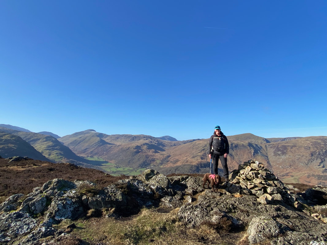
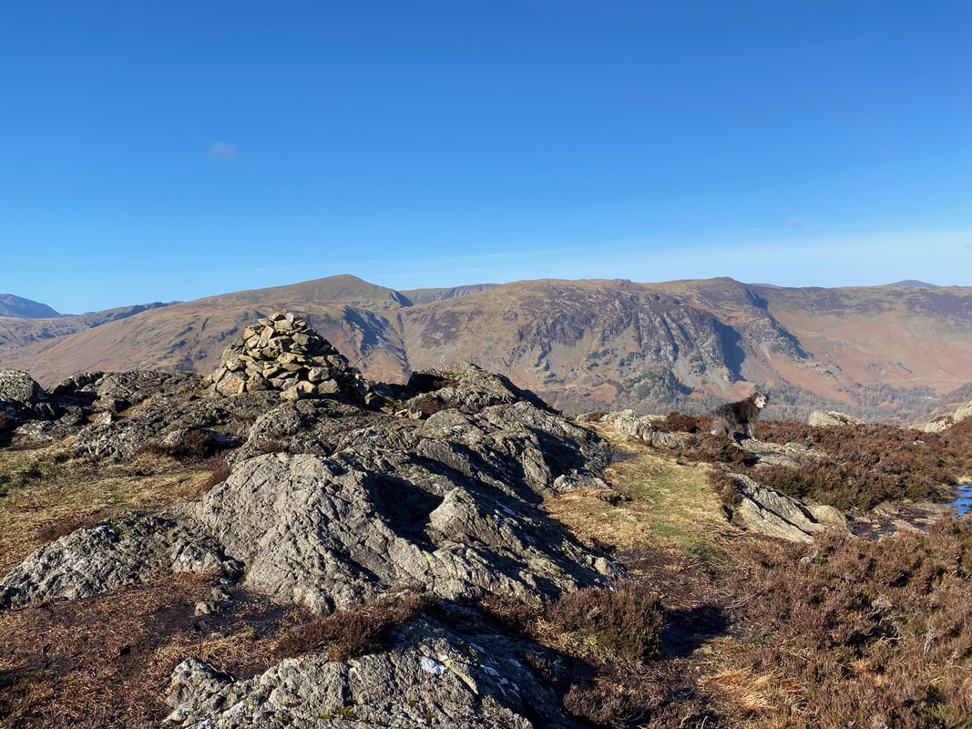
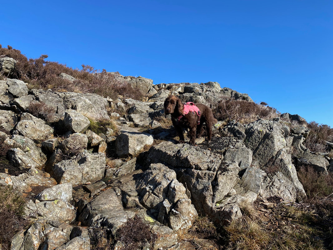
Angie & Fudge on the summit of Great Crag
Dock Tarn just about visible from Great Crag's summit
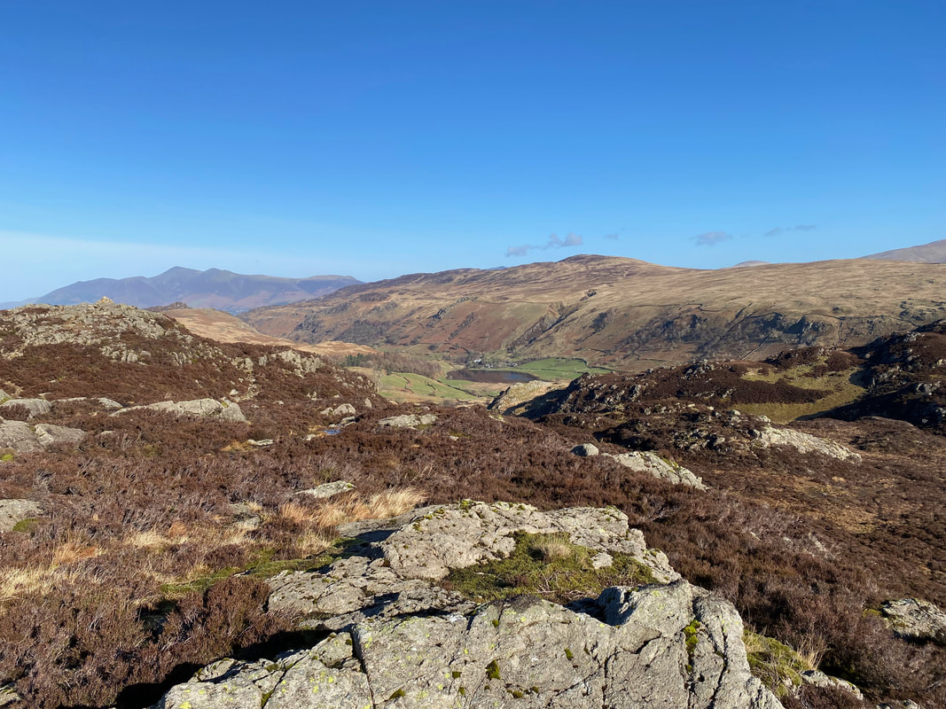
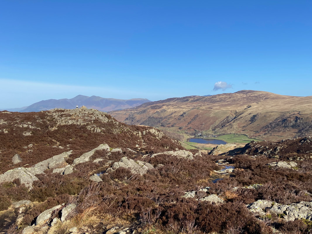
Looking down to Watendlath from the summit of Great Crag with Bleaberry Fell and High Seat beyond and Skiddaw to the left
Dale Head & High Spy from the summit of Great Crag
There are two distinct tops to Great Crag with the southern top considered the true summit of the fell. Approximately 100 yards to the north across a hollow lies a subsidiary summit - both tops are worthy of a visit.
Fudge on the ascent to Great Crag's North Top
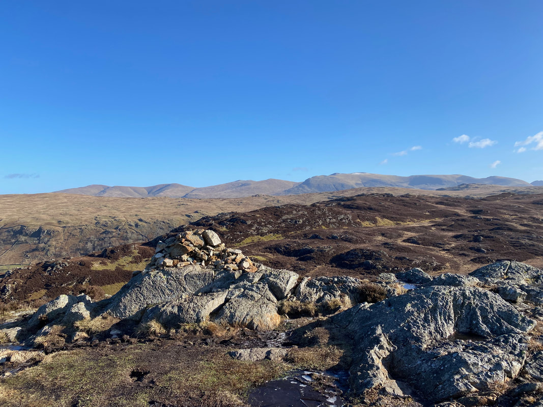
The North Top of Great Crag looking to Great Dodd, Stybarrow Dodd, Raise, White Side & Helvellyn
The summit of Great Crag across the hollow from the North Top
From the North Top the path descends steeply down to Watendlath
After an initially steep descent the ground levels out just forward of where the walker is
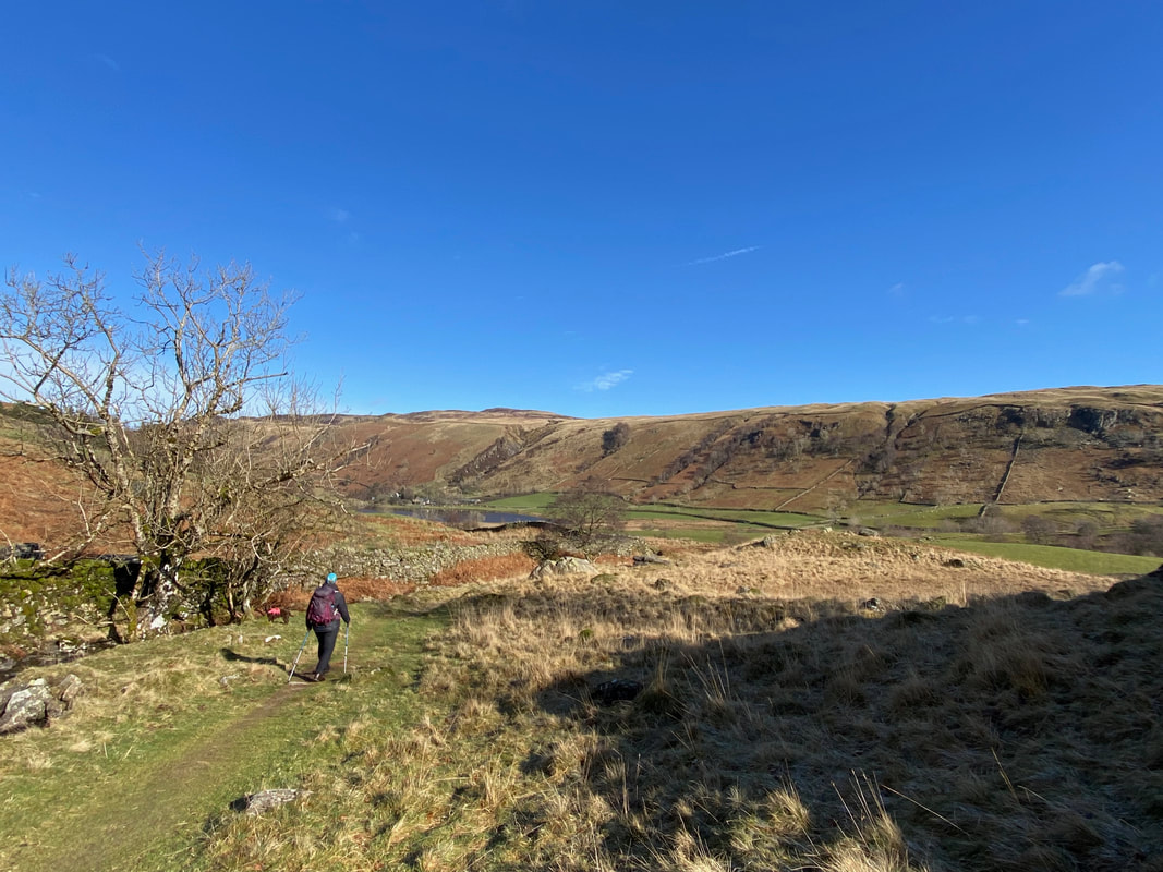
The approach to Watendlath
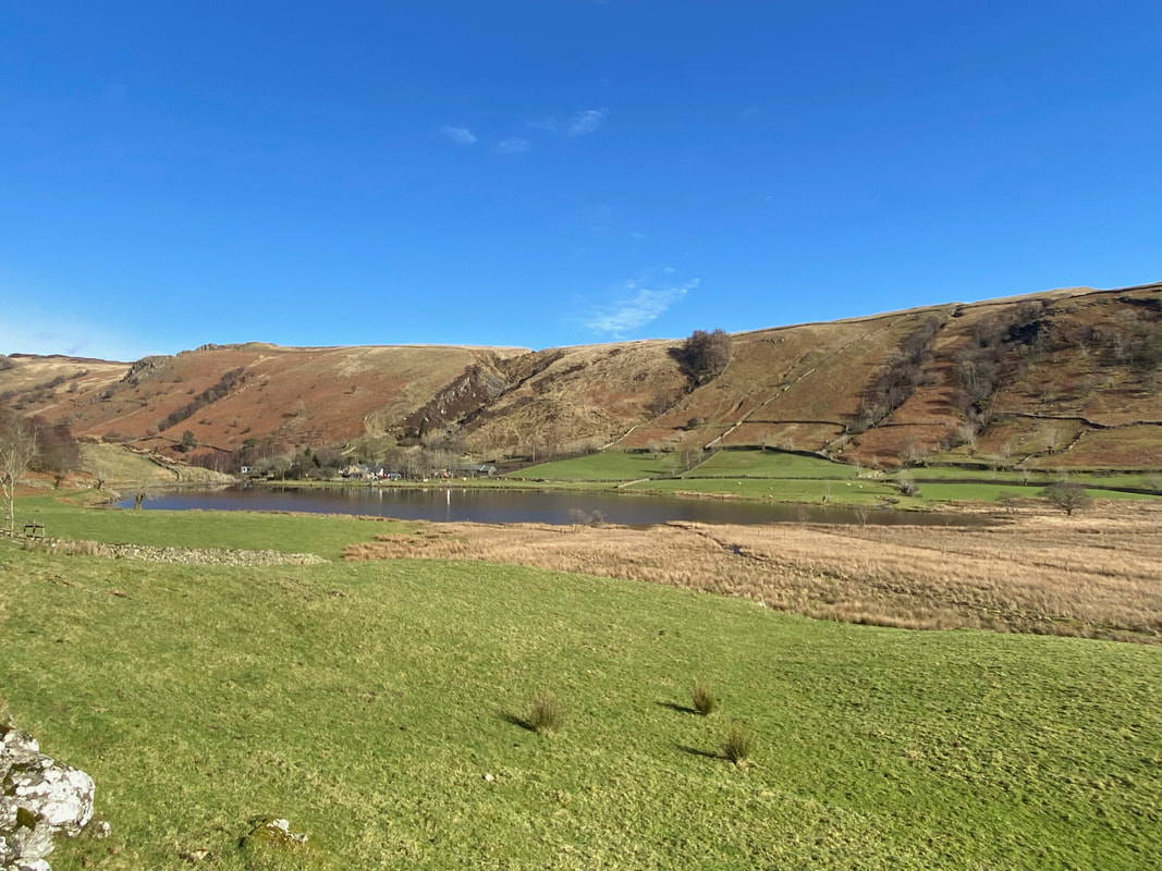
Watendlath Tarn
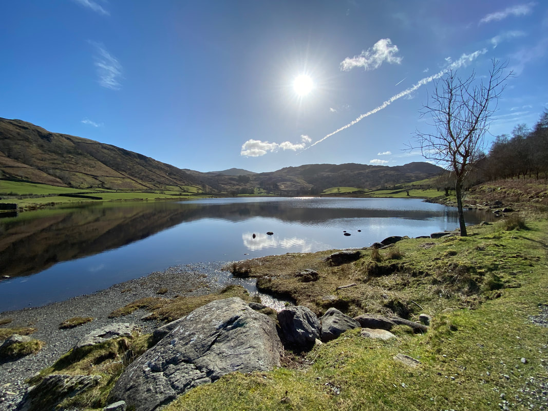
Looking south across Watendlath Tarn
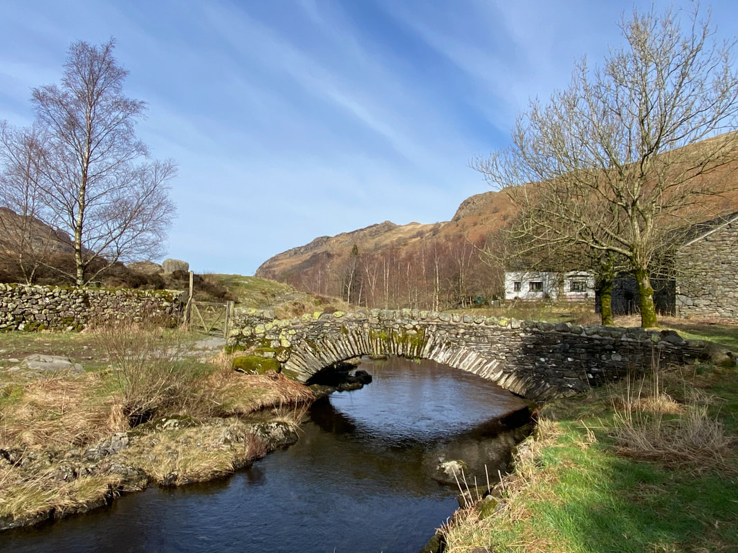
The old packhorse bridge over Watendlath Beck
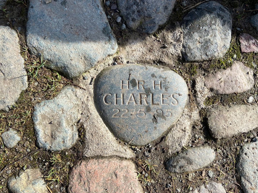
On the western side of the bridge is a stone embedded in the ground commemorating the visit of Prince Charles in 1995. What many people may not know is that our King was a frequent visitor to the area before his accession to the throne.
After a short stop in Watendlath it was now time to head back towards Rosthwaite
From Watendlath the route climbs steeply towards Puddingstone Bank
Looking back to High Seat from the top of the rise
With the climbing now out of the way we headed along Puddingstone Bank towards Rosthwaite
Descending into Rosthwaite - this path is steep and stony therefore care should be taken
Just above Hazel Bank a junction of paths is reached at a gate - straight on leads to Stonethwaite and through the gate continues down to Rosthwaite
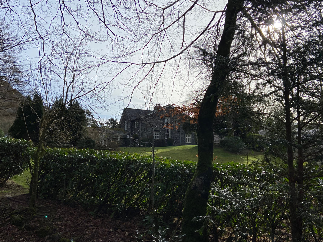
Hazel Bank Country House
The route passes in front of the driveway of Hazel Bank and then...............
....................... crosses over Rosthwaite Bridge
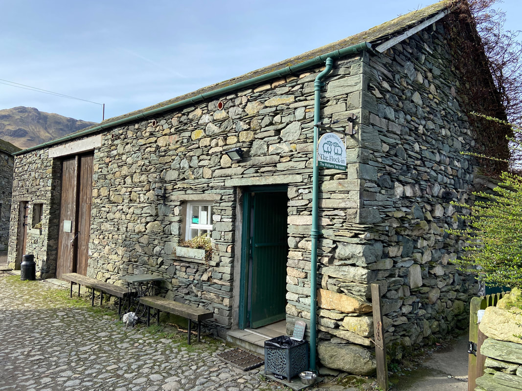
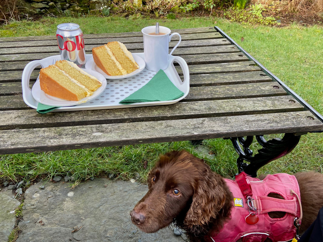
Arriving in Rosthwaite the route passes the National Trust Car Park, therefore if you have had enough then the walk can be finished here. Failing that carry on past the Borrowdale Institute and avail yourselves of Tea & Cake at The Flock-In Cafe before pressing on with the second part of this walk.
Having scoffed his treats Fudge furtively waits for some of ours - no chance my furry little dustbin
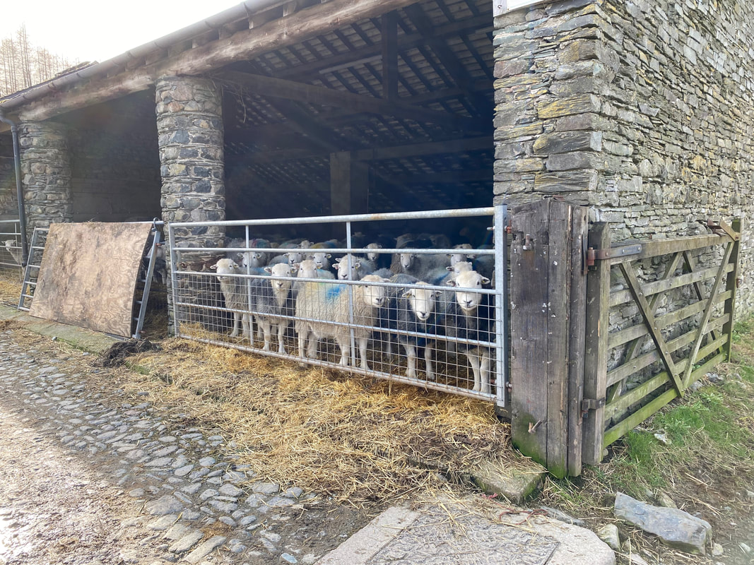
Some of the residents of Yew Tree Farm
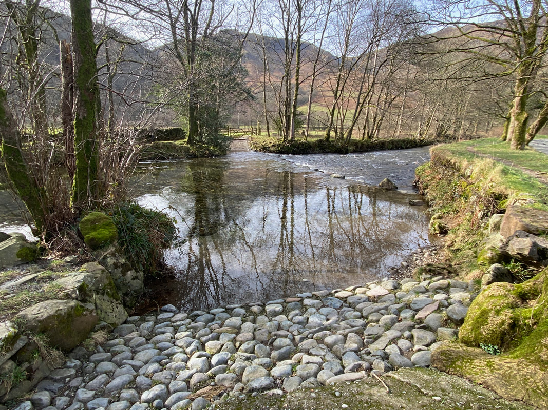
The stepping stones over the River Derwent - impassable today unfortunately therefore we proceeded downstream to New Bridge
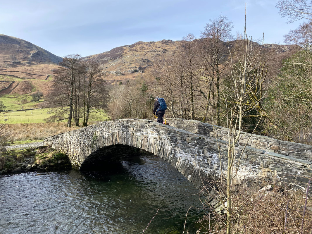
Crossing New Bridge - the bridge itself is not all that "New" having been built well over a hundred years ago to replace one that had been swept away
Shortly after crossing New Bridge the route arrives at a pair of field gates. We would be heading left to climb Lingy Bank - the gate on the right would be our return route.
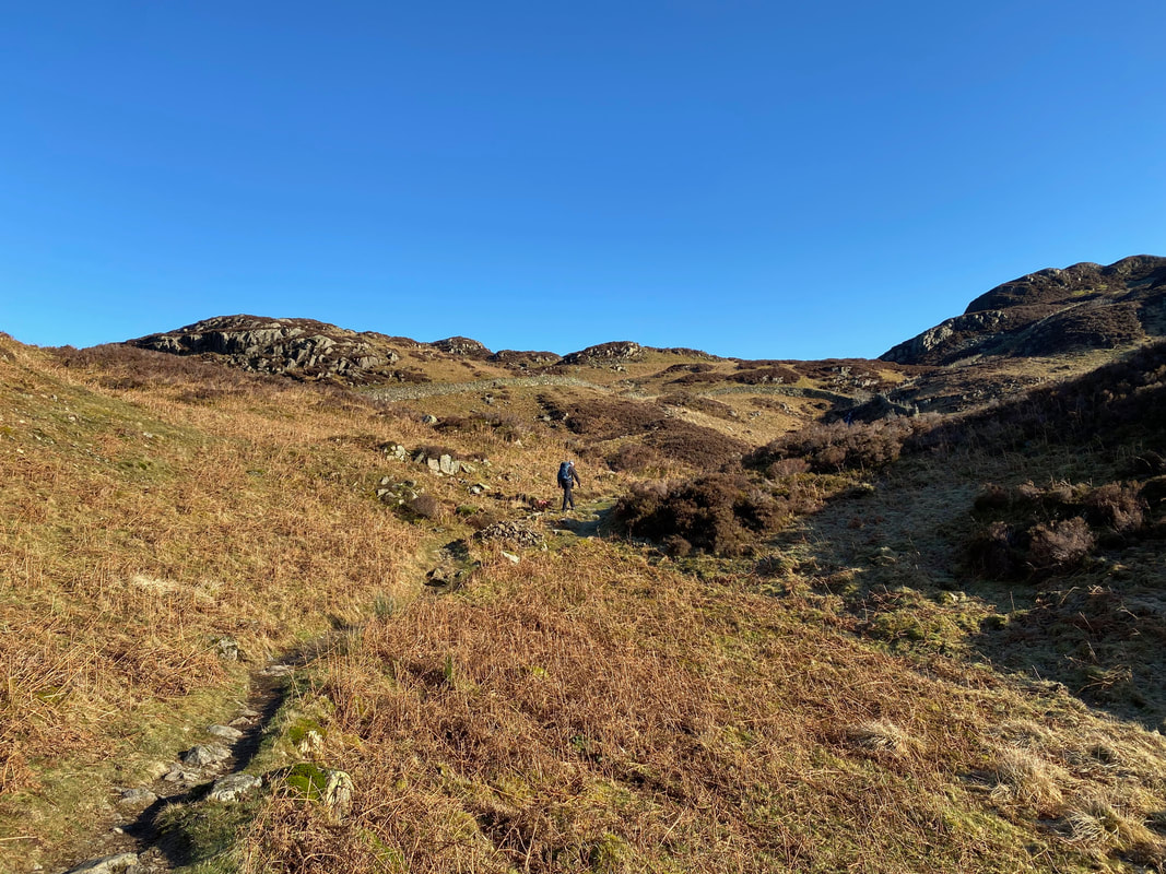
Heading up Lingy Bank
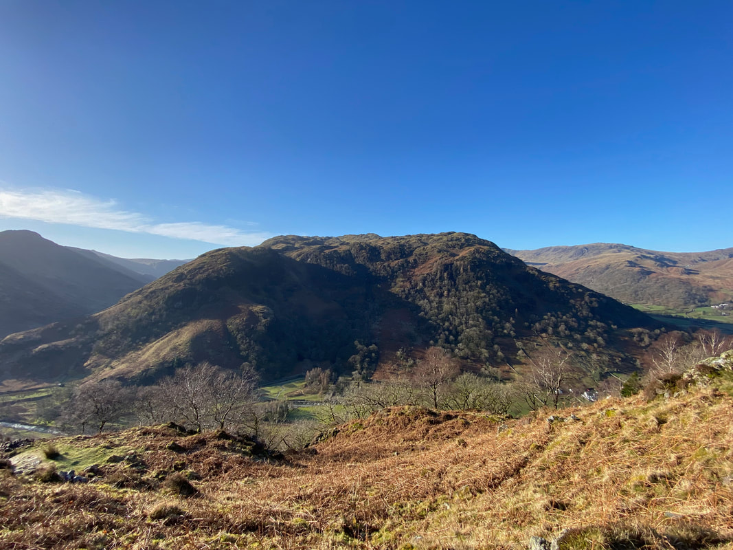
Looking back to Rosthwaite with Great Crag towering above - Stonethwaite is over to the right with Ullscarf in the centre distance
Lingy Bank steepens as we look back to High Doat, Thornythwaite Fell & Glaramara with Great End to the right
Reaching the top of Lingy Bank, the gate on the right gives access to the path which would take us to Castle Crag. The path is an old quarry road that runs between Grange & Little Gatesgarthdale near Honister.
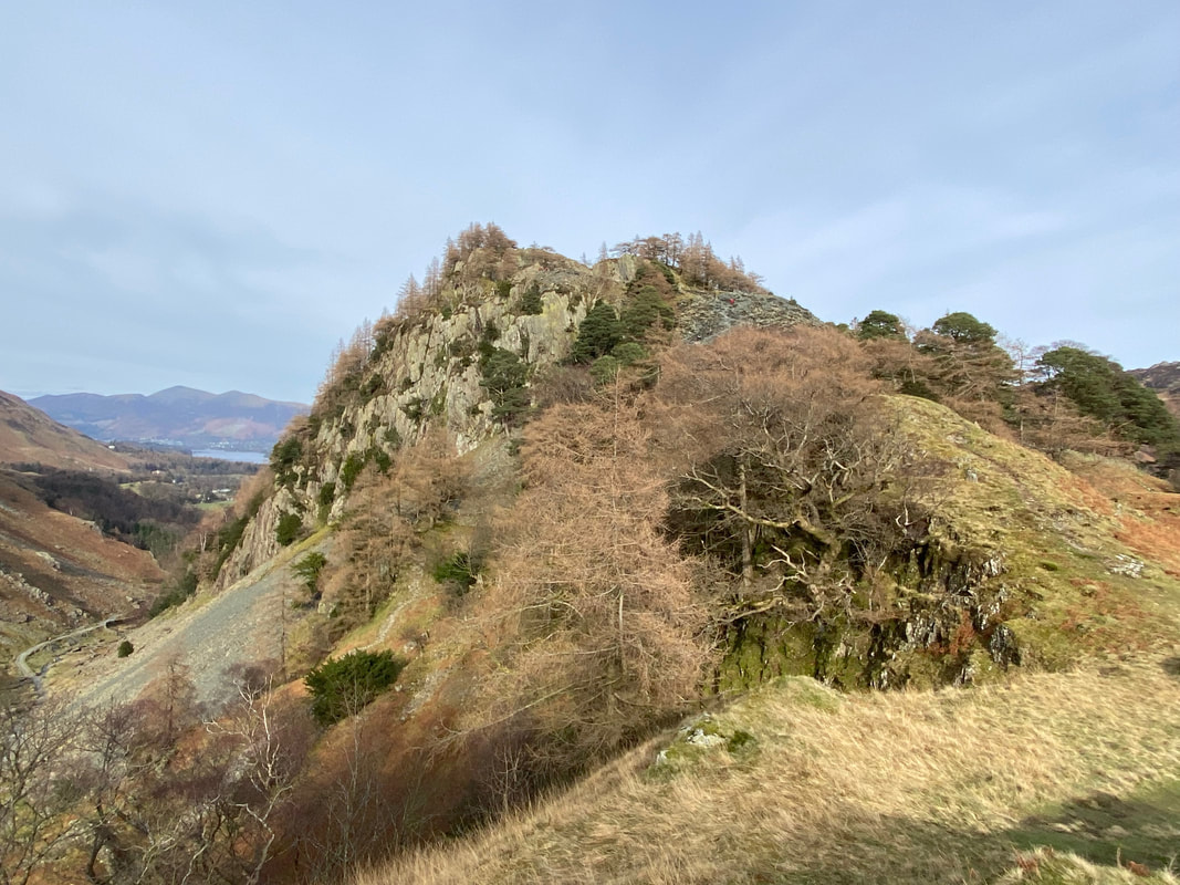
Castle Crag now in view to the right with Derwentwater and Skiddaw beyond
A path appears on the right which is the start of our ascent to Castle Crag. There is another path further on which would be the latter part of our descent to rejoin the quarry road. This ascent is better in my humble opinion.
Fudge poses alongside his Doppelgänger - he enjoys going back to his roots (I'll get my coat)
At the top of the incline the path levels out for a few hundred yards to cross a grassy col
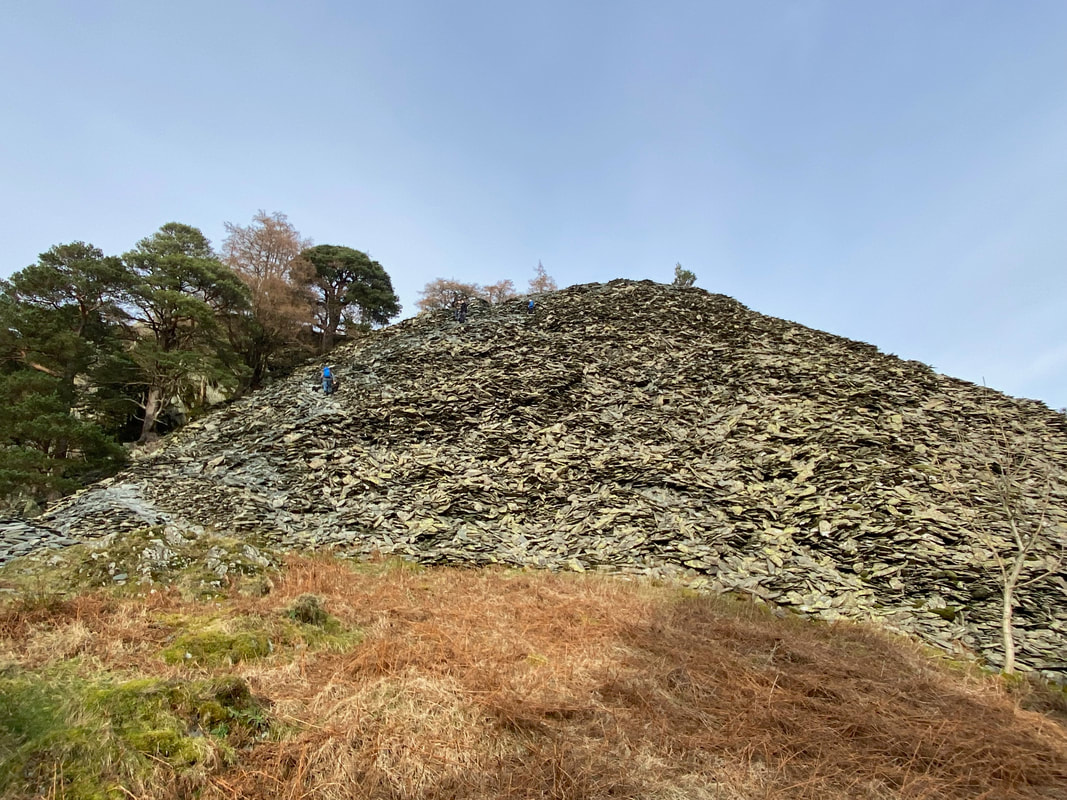
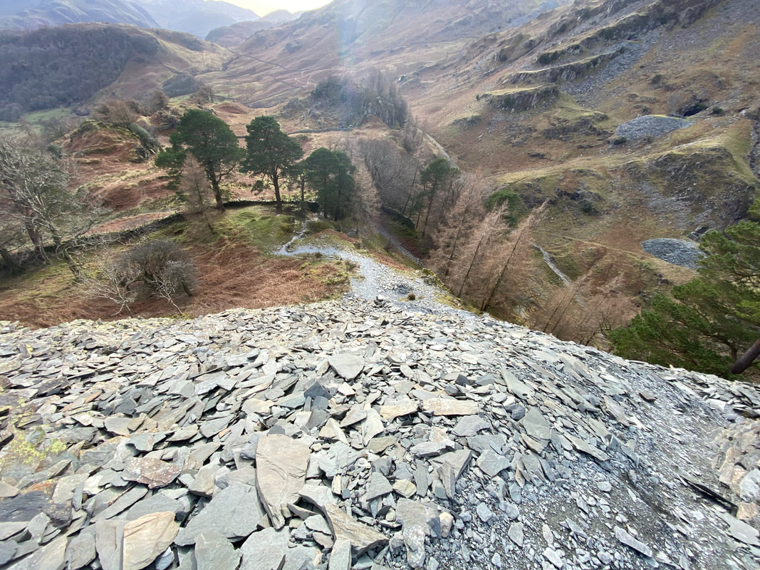
The start of the scree path up through the quarry spoil - whilst it may not look like it, there is a path
Low Scawdel from the ascent of Castle Crag
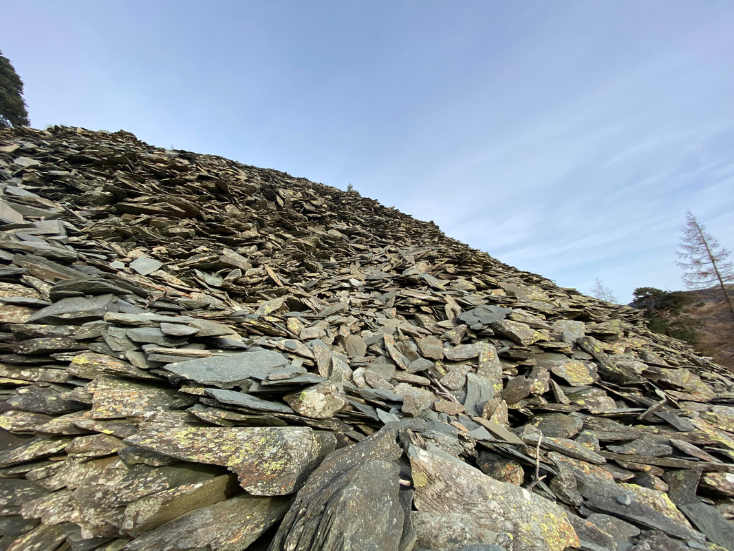
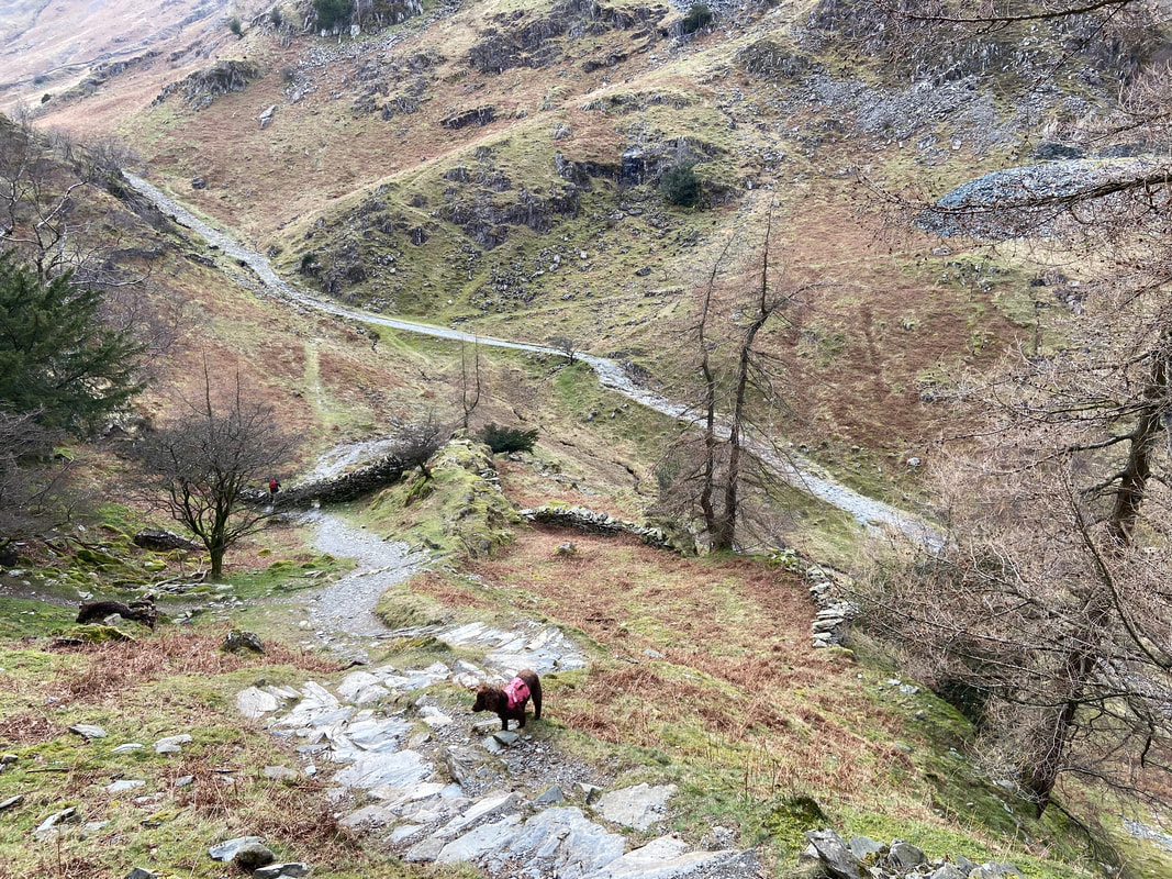
The scree path at close quarters - easy enough going up but you need to be careful in descent.................
........... as can be seen from this view
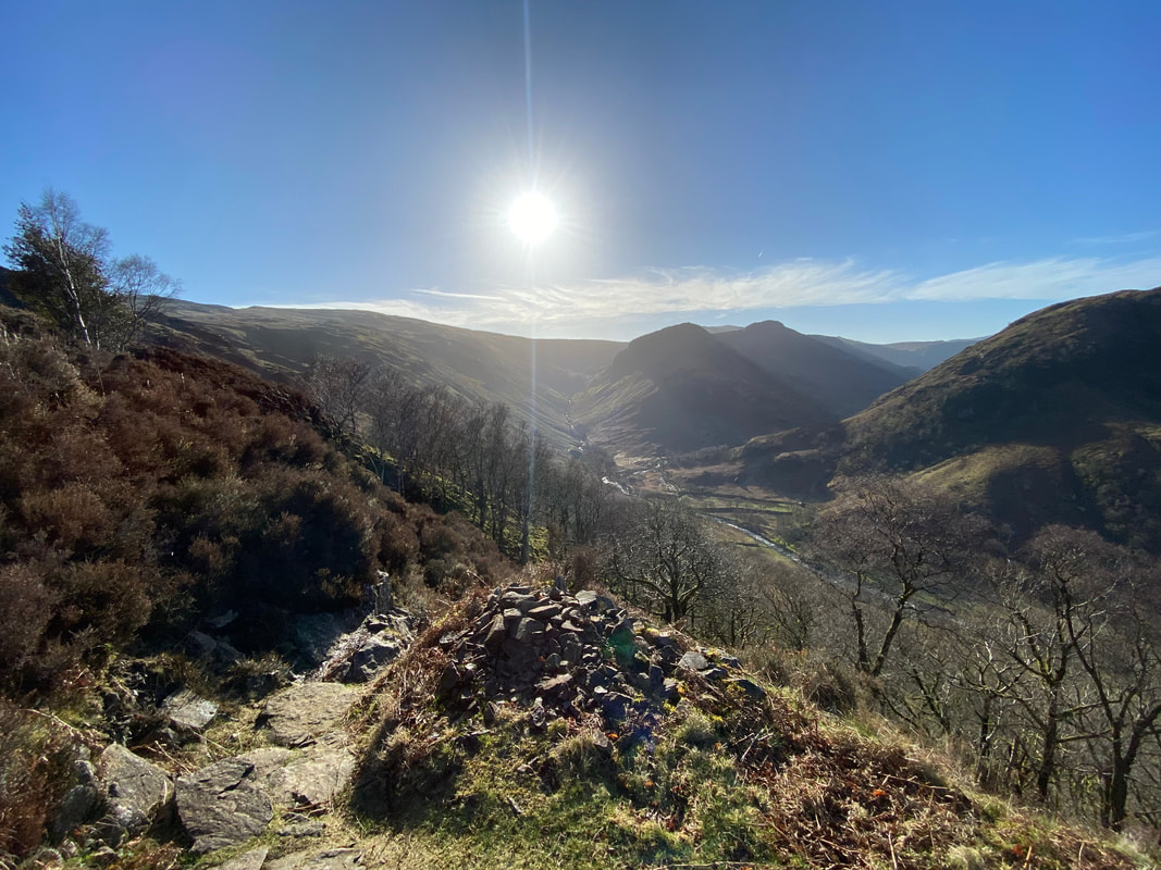
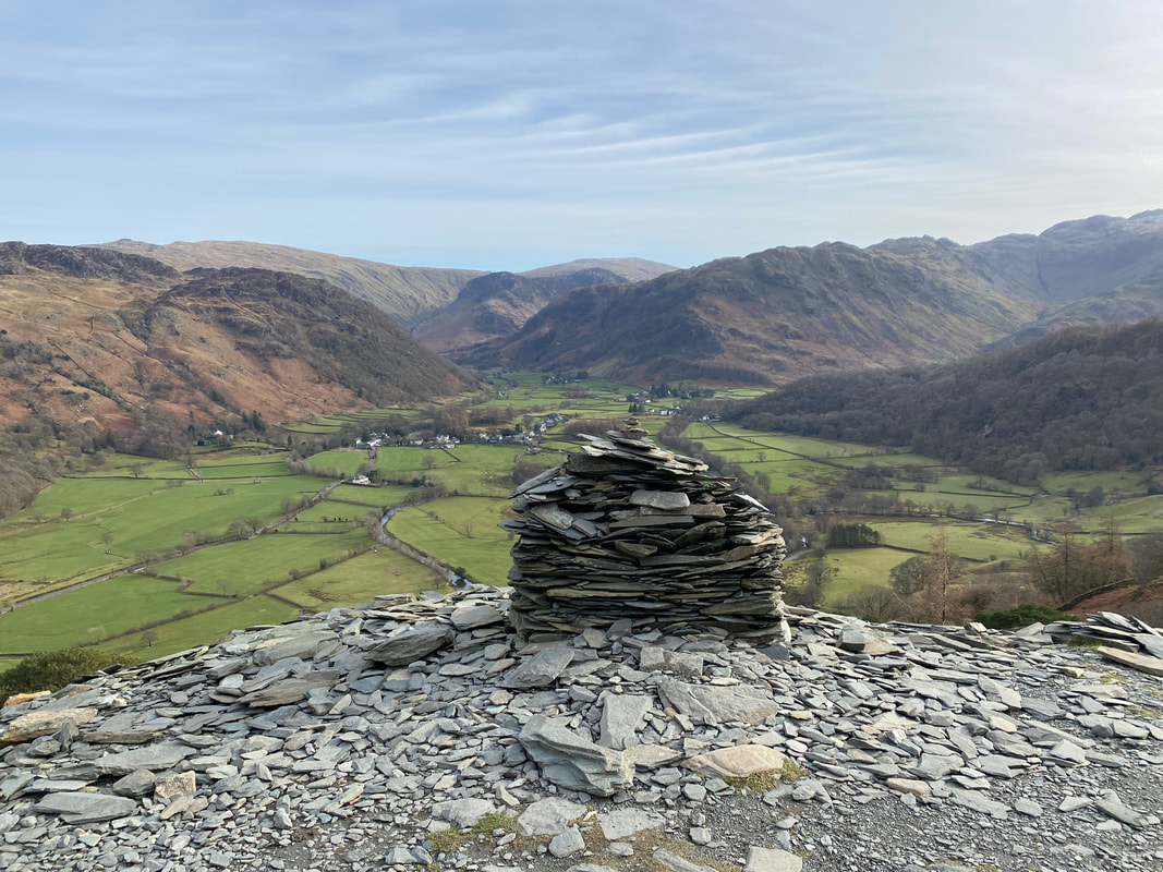
Rosthwaite & the head of Borrowdale from the large cairn near the summit of Castle Crag
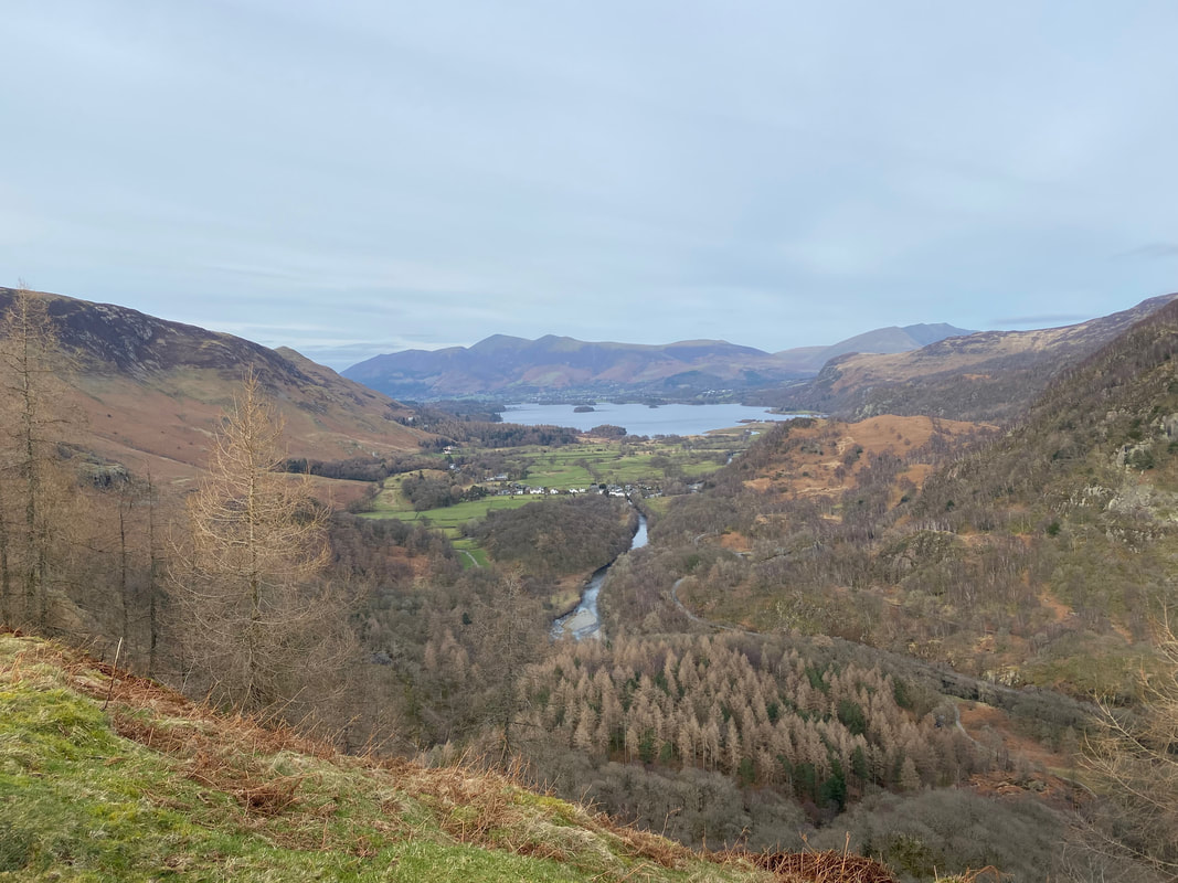
The view north to Grange, Derwentwater, Keswick & Skiddaw from just below the summit of Castle Crag
Grange Fell from Castle Crag - King's How to the left with Brund Fell to the right
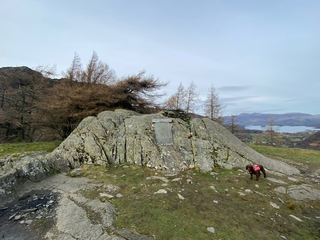
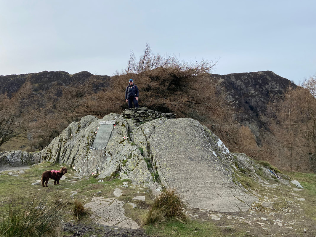
The large rock outcrop and wind shelter that marks the summit of Castle Crag
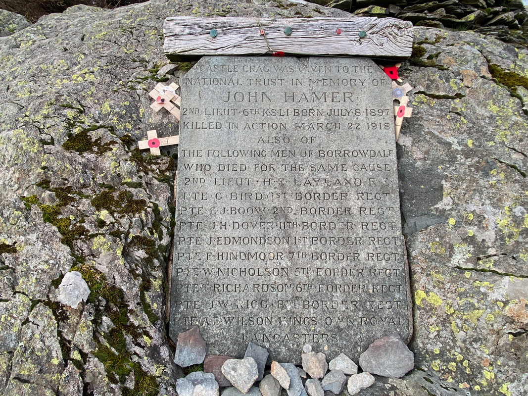
The slate memorial inset into the rocky outcrop on Castle Crag. The plaque commemorates and remembers the men of Borrowdale who made the ultimate sacrifice during the Great War of 1914 - 1918. They shall never, ever be forgotten.
Angie on the summit of Castle Crag while Fudge looks on with mild amusement
Having safely negotiated the scree we joined the northern path back down to the the old quarry road
Back on the old quarry road which heads to the village of Grange
Gowder Dub - the point at which Broadslack Gill flows into the River Derwent. This was as far north as we would go today as we turned right here to follow the river back to Rosthwaite.
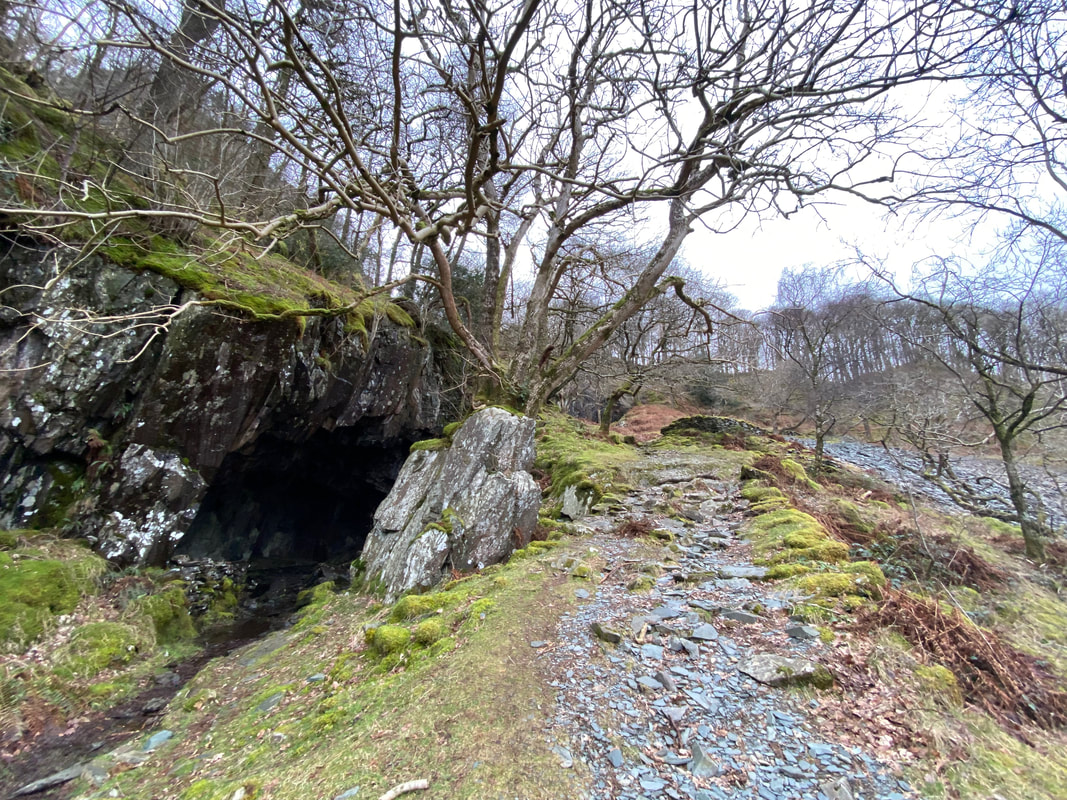
Looking down to the path junction leading to Millican Dalton's Cave which is behind me. The path junction is at Grid Reference NY 25200 16076 - we had come in from the left. The path to the right continues on to Rosthwaite.
Millican Dalton was an eccentric character who self styled himself "the Professor of Adventure" and it is said "was more likeable if you were standing down wind of him". Rather than type a preamble to him, an article explaining all about this Lake District legend can be found by clicking here
Millican Dalton was an eccentric character who self styled himself "the Professor of Adventure" and it is said "was more likeable if you were standing down wind of him". Rather than type a preamble to him, an article explaining all about this Lake District legend can be found by clicking here
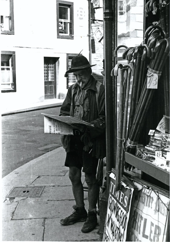
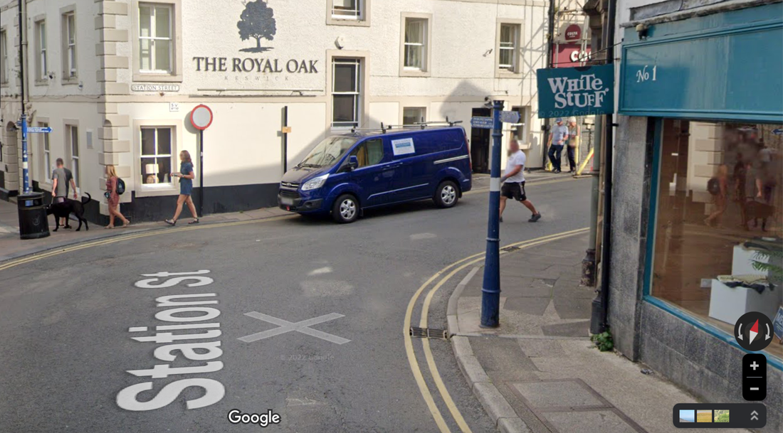
Millican Dalton reading the Daily Herald outside Dixons the Newsagents on the corner of Station Street and St John Street in Keswick
The exact same spot as of July 2022. Dixons the Newsagents finally closed its doors in 2006 after 80 years in the town.
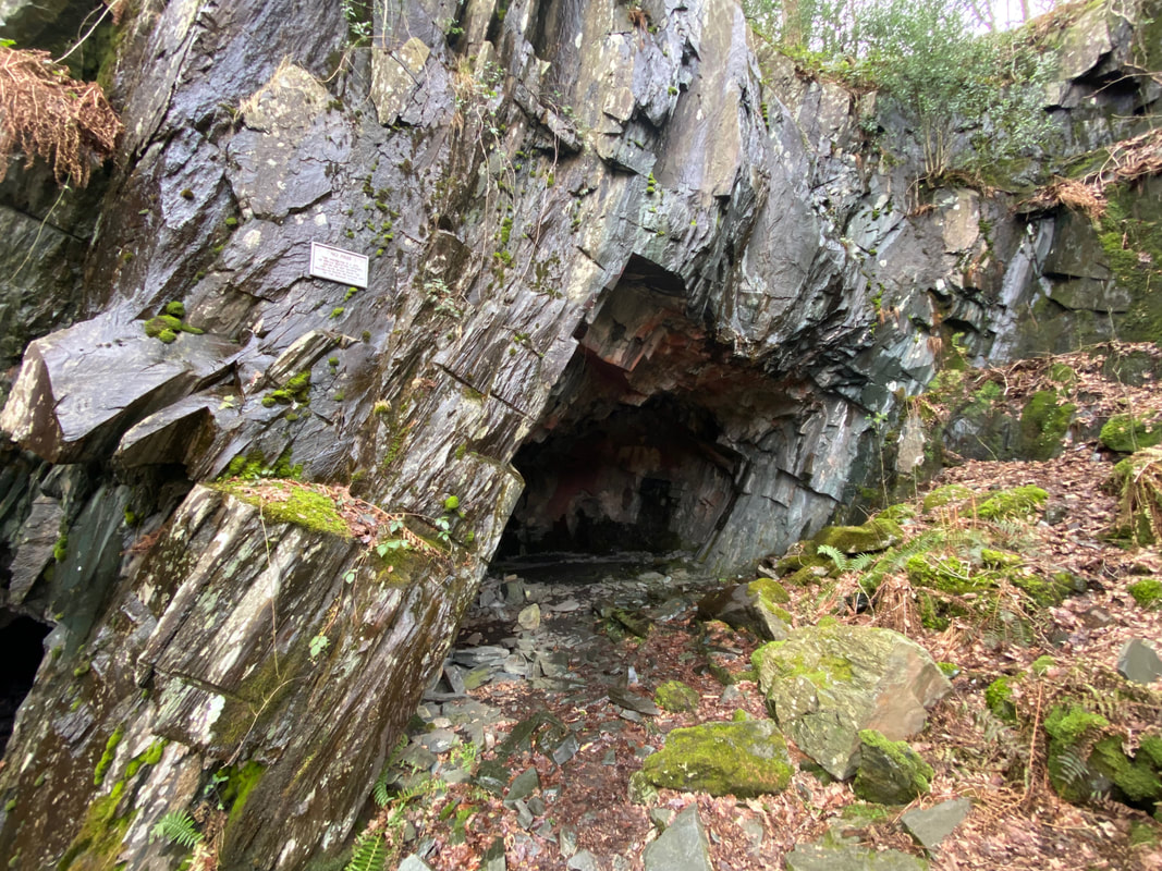
The lower chamber of Millican Dalton's Cave - the path to the right leads to the Upper Chamber
The entrance to the Upper Chamber which is known as "The Attic"
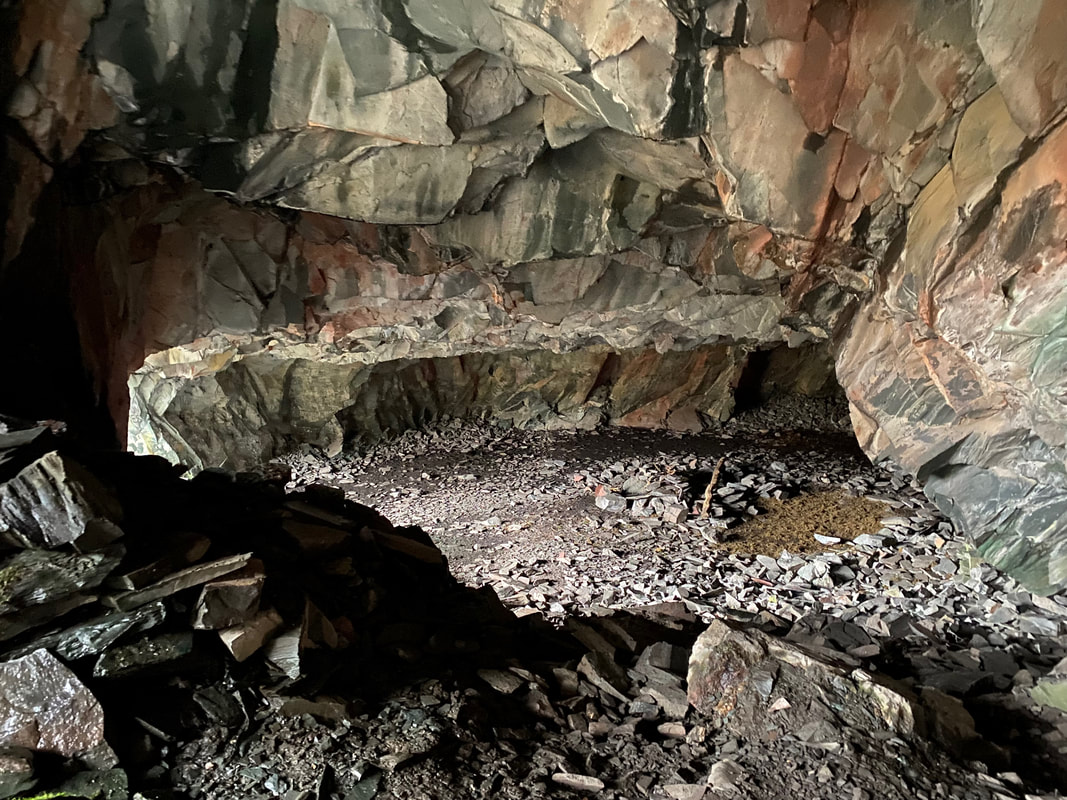
Inside the Upper Chamber - it is difficult to comprehend that Millican Dalton actually lived in here off and on for 50 years
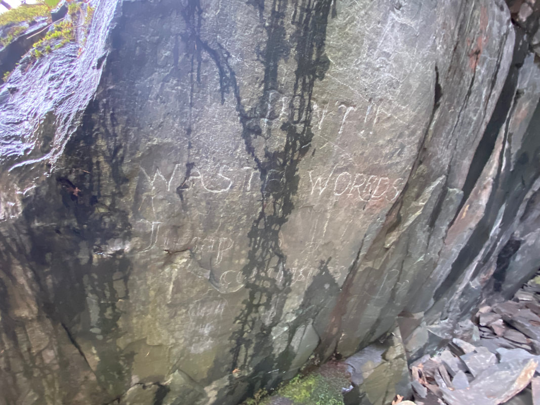
Graffiti on the wall of the cave attributed to Millican Dalton - "Don't waste worrds (sic) jump to conclusions"
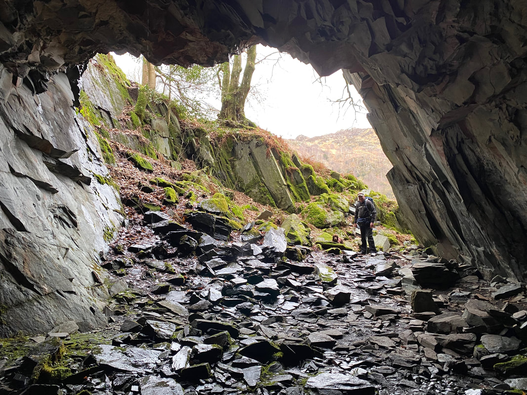
Looking out from inside the Upper Chamber
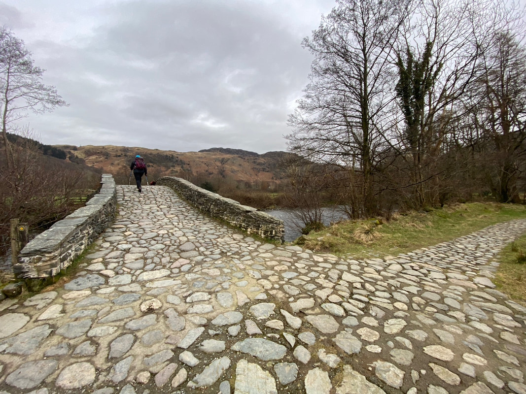
Crossing New Bridge as we head back to Rosthwaite
