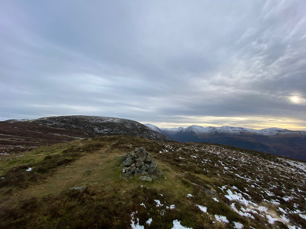
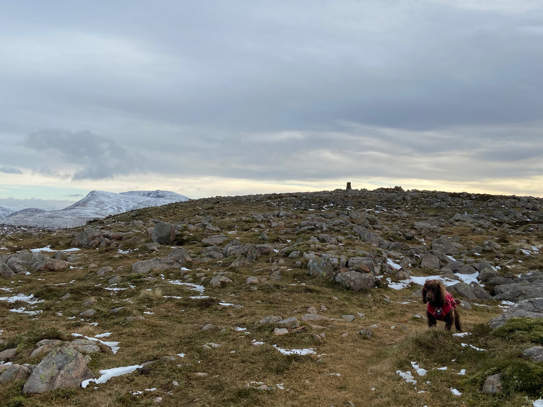
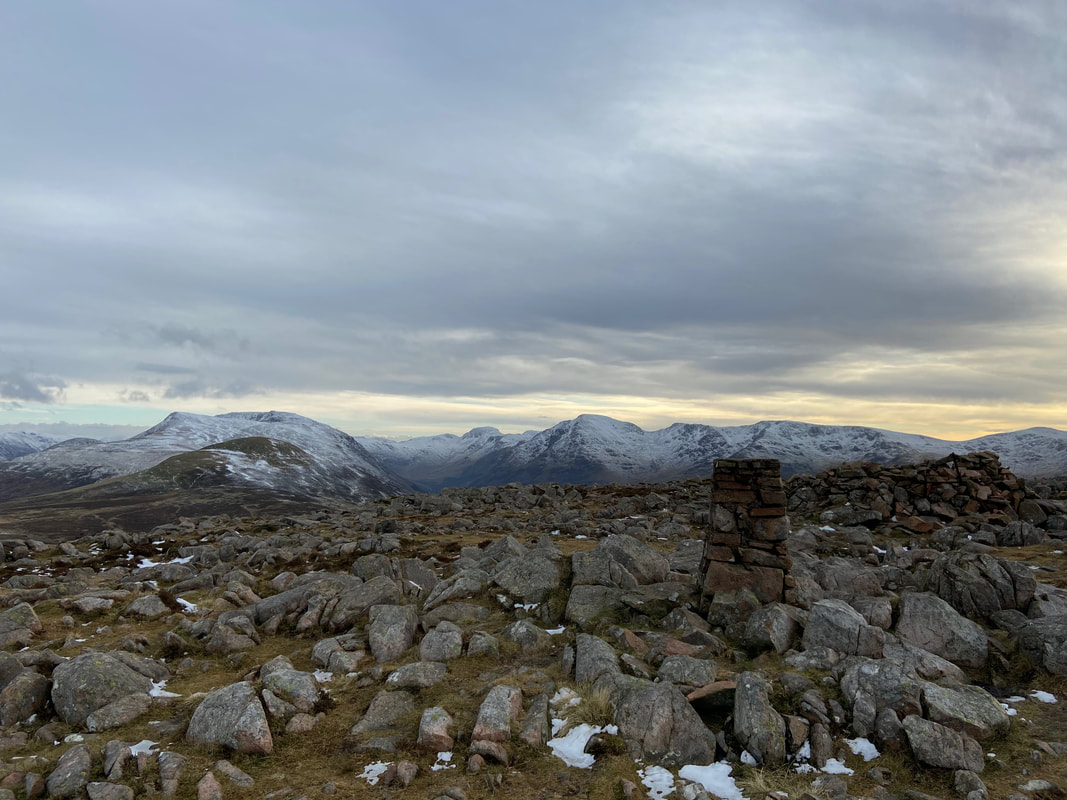
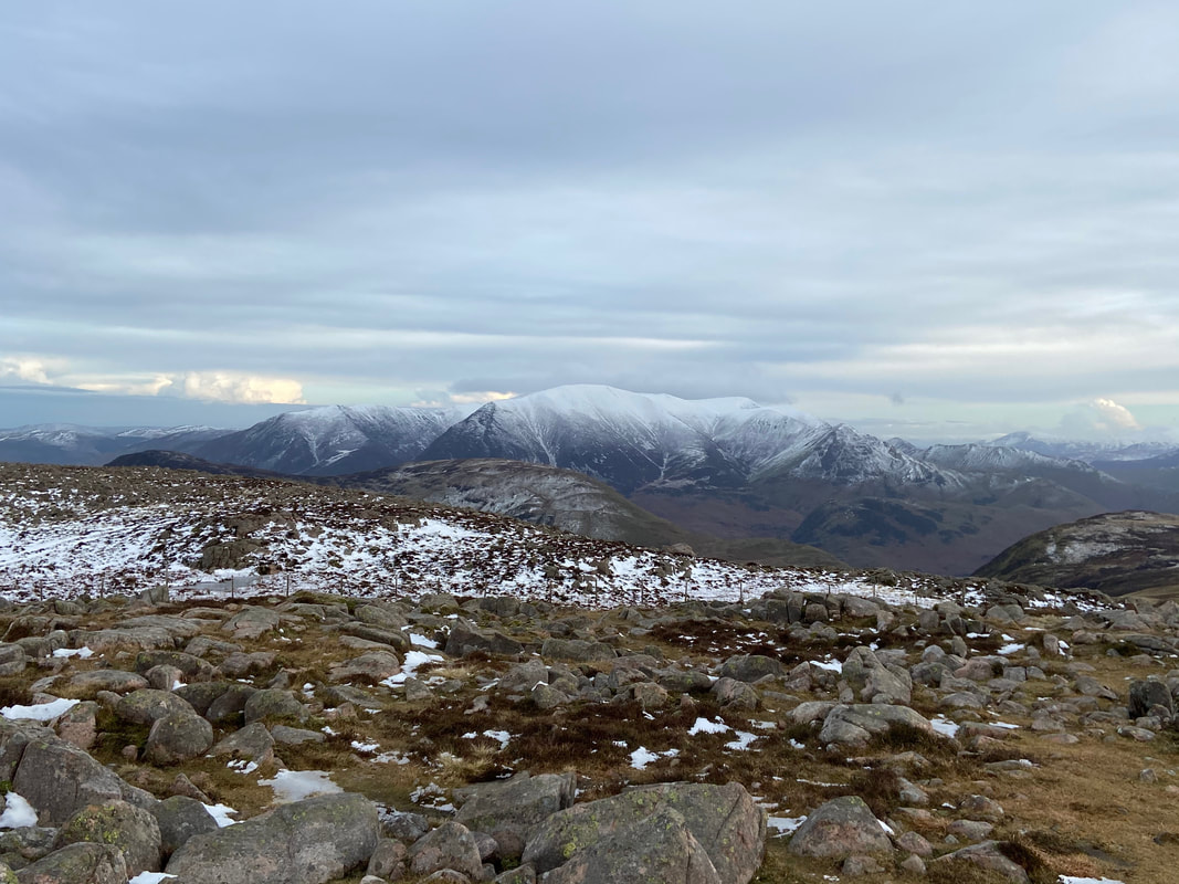
Great Borne, Starling Dodd & Red Pike - Saturday 5 December 2020
Route
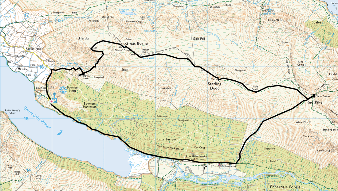
Bowness Knott Car Park - Brown How - Rake Beck - Herdus - Great Borne - Starling Dodd - Little Dodd - Red Pike - Gillilinter Beck - High Gillerthwaite - Low Gillerthwaite - Char Dub - Bowness Knott Car Park
Parking
Forestry Commission Car Park at Bowness Knott (Free) - Grid Ref NY 1094 1541 (Nearest postcode is CA23 3AU).
Mileage
9.1 miles
Terrain
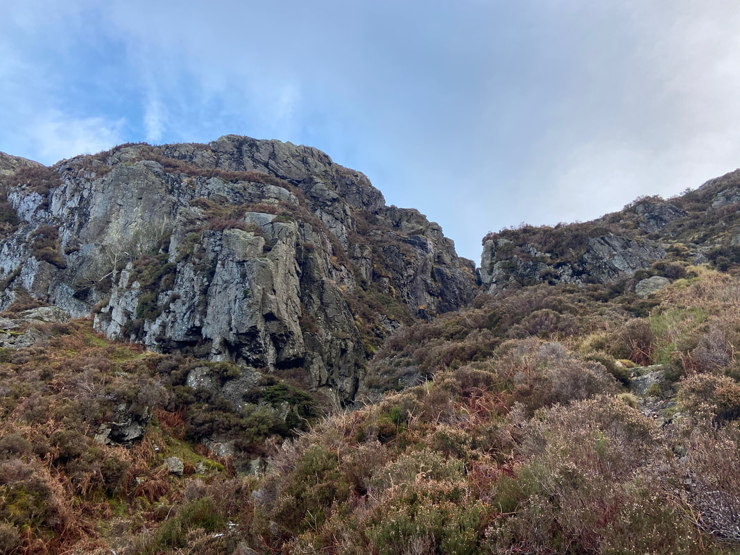
Good mountain paths and forest tracks. The path to Great Borne via Rake Beck is steep and transits up the side of a ravine therefore care needs to be taken.
Weather
Superb conditions - excellent visibility with snow on the ground on the upper slopes and ridges.
Time Taken
6hrs 50mins
Total Ascent
3061ft (933m)
Wainwrights
3
Map
OL4 The English Lakes (North Western Area)
Walkers
Dave, Angie & Fudge
|
GPX File
|
| ||
If the above GPX file fails to download or presents itself as an XML file once downloaded then please feel free to contact me and I will send you the GPX file via e-mail.
Route Map
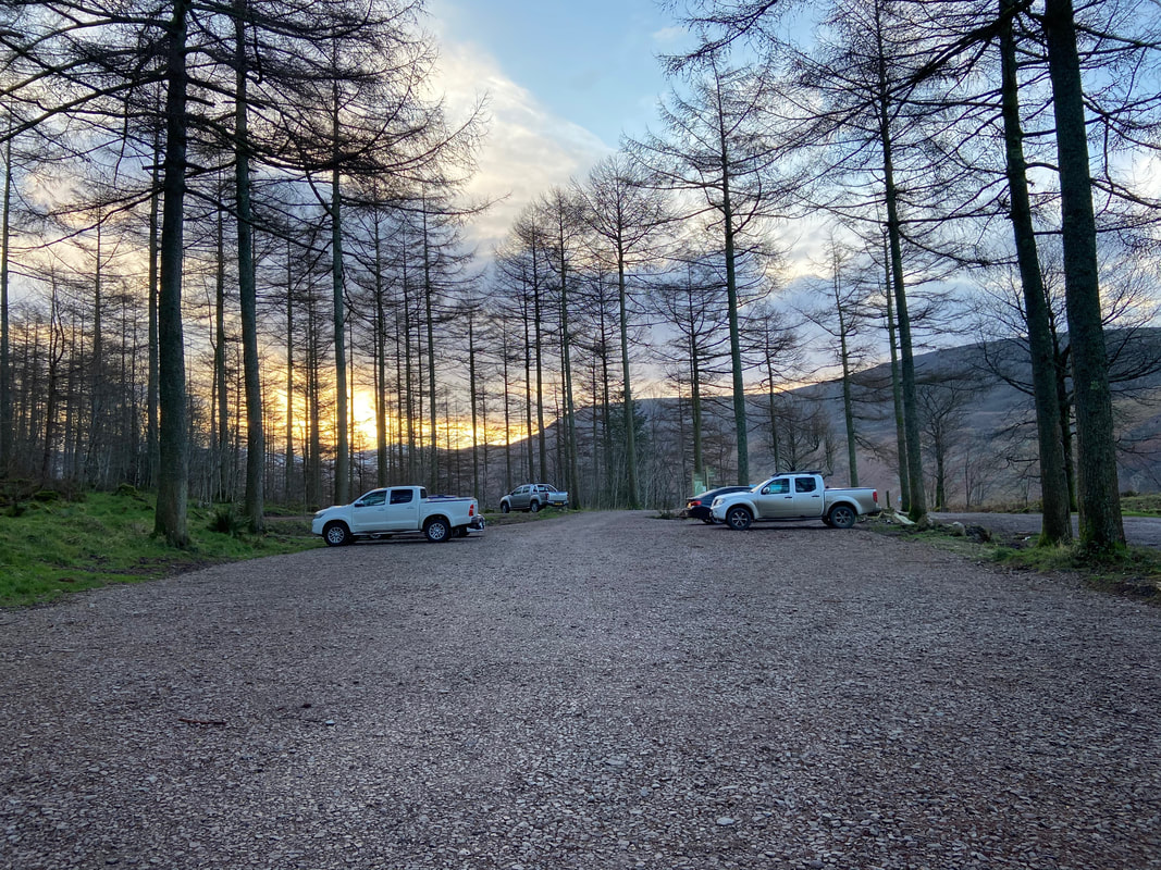
Bowness Knott Car Park at 0830. It was pretty quiet and by the look of that sun poking through the trees, it is going to be a good day.
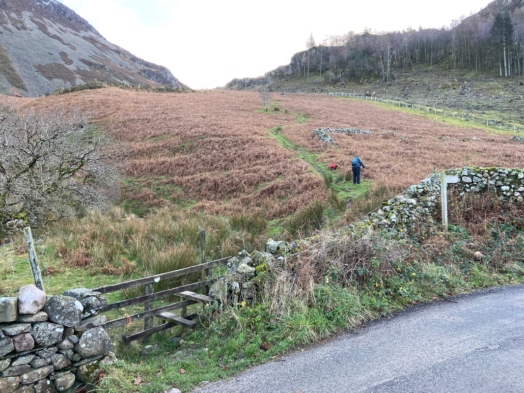
From the Car Park we walked back along the road for just under half a mile where a stile on the right gives access to the fellside.
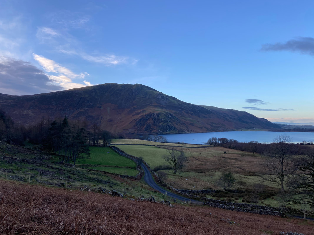
Crag Fell & Anglers Crag across Ennerdale Water
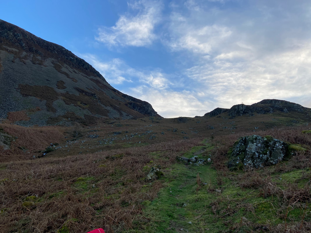
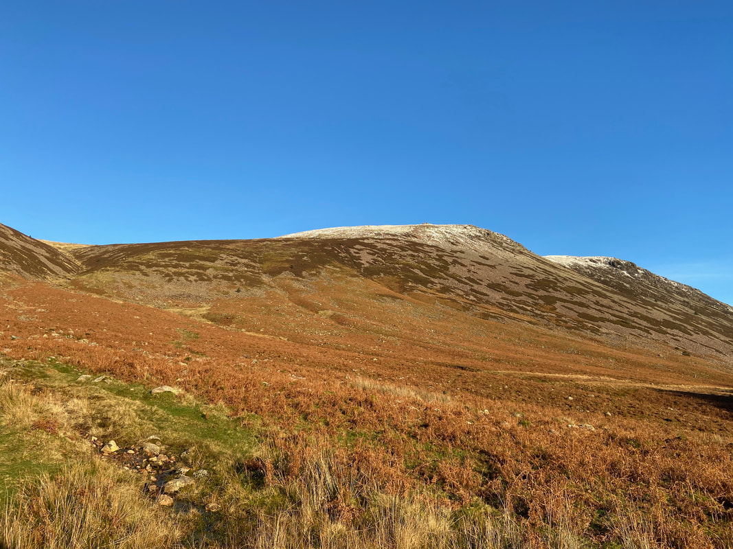
The path from the stile heads steeply uphill to the col between the screes of Herdus Scaw on the left & Brown How to the right.
Herdus Scaw
Bowness Knott from the summit of Brown How
The weather drifted in and out of overcast conditions & sunshine as we ascended to Herdus via Rake Beck. The head of Ennerdale Water can be seen to the right. To the left is High Stile with Pillar centre, Black Crag, Steeple & Haycock to the right.
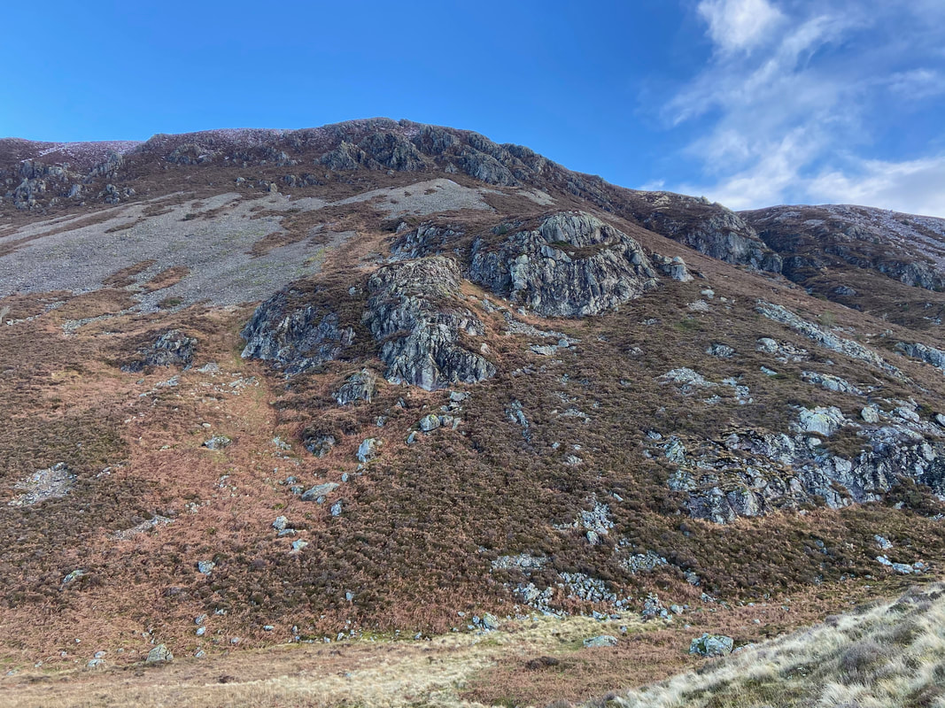
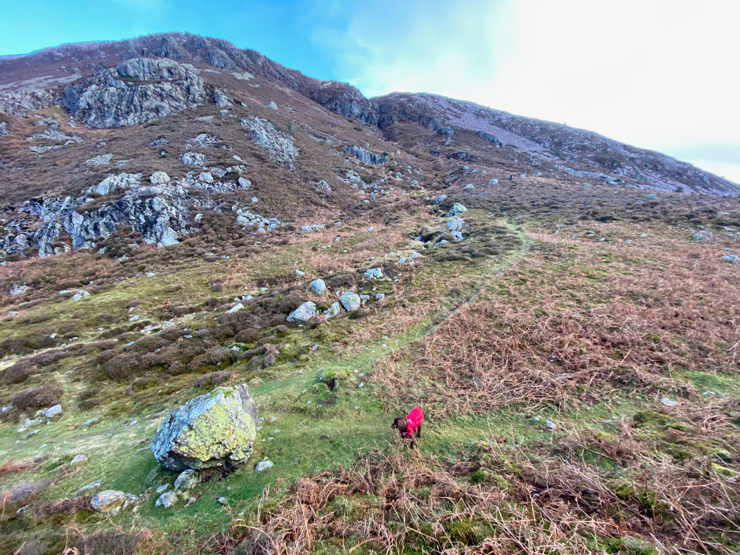
From Brown How the path drops down to a col marked by a large stone. The route continues steeply upwards alongside Rake Beck with the ravine clearly seen in the centre of shot.
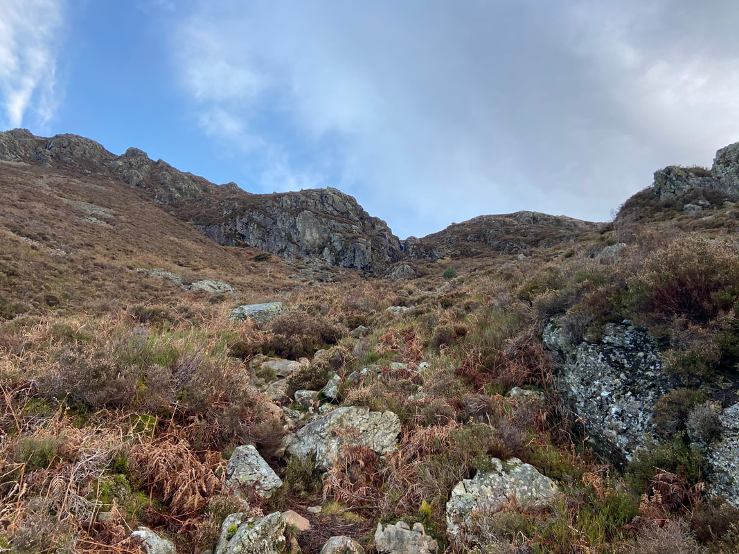
The ravine from a little further up the path. Whilst it does not look like it from here, the path was pretty clear on the ground.
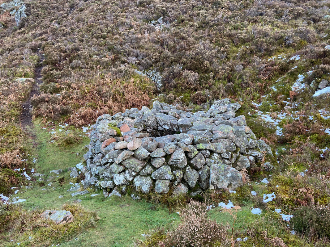
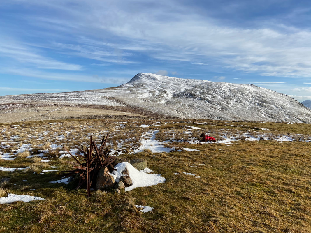
Wainwright described this feature as "a curious circular structure" (Great Borne 5). It is in fact a fox trap - it was pretty deep!
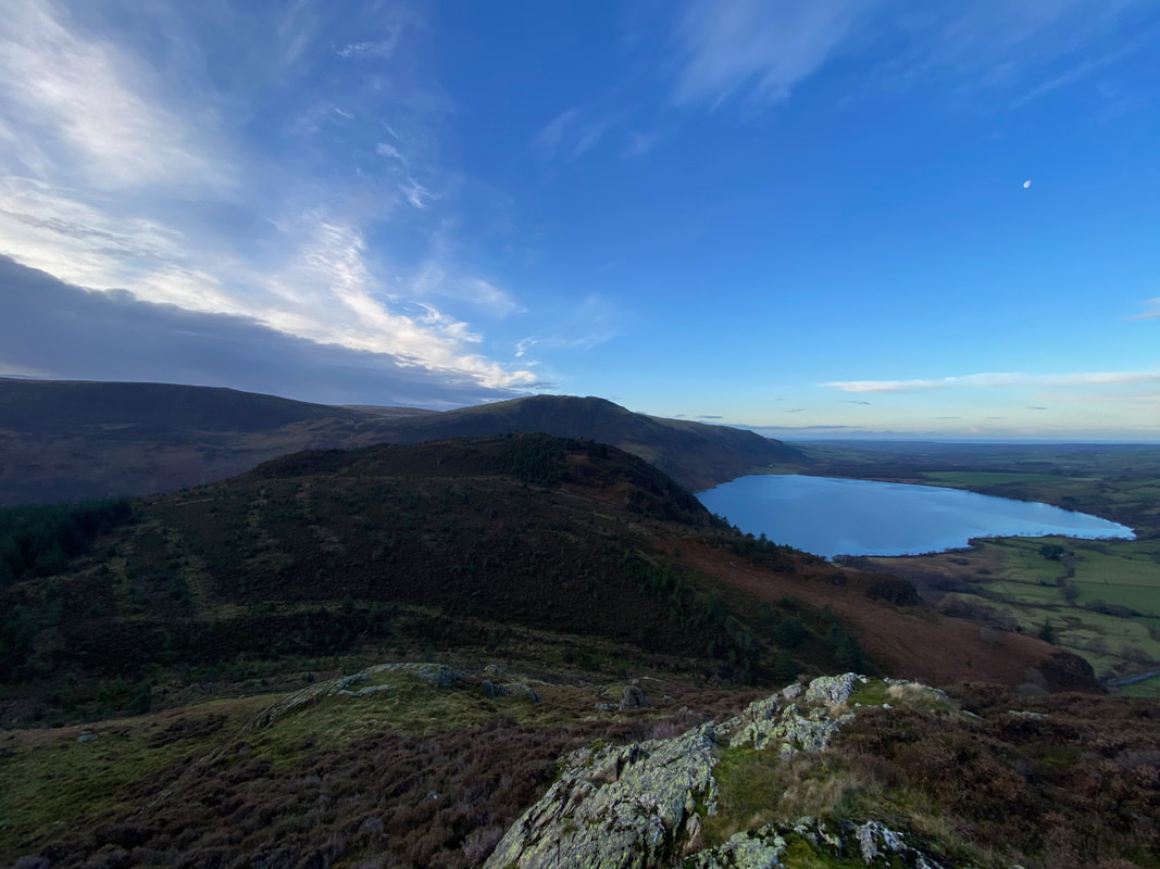
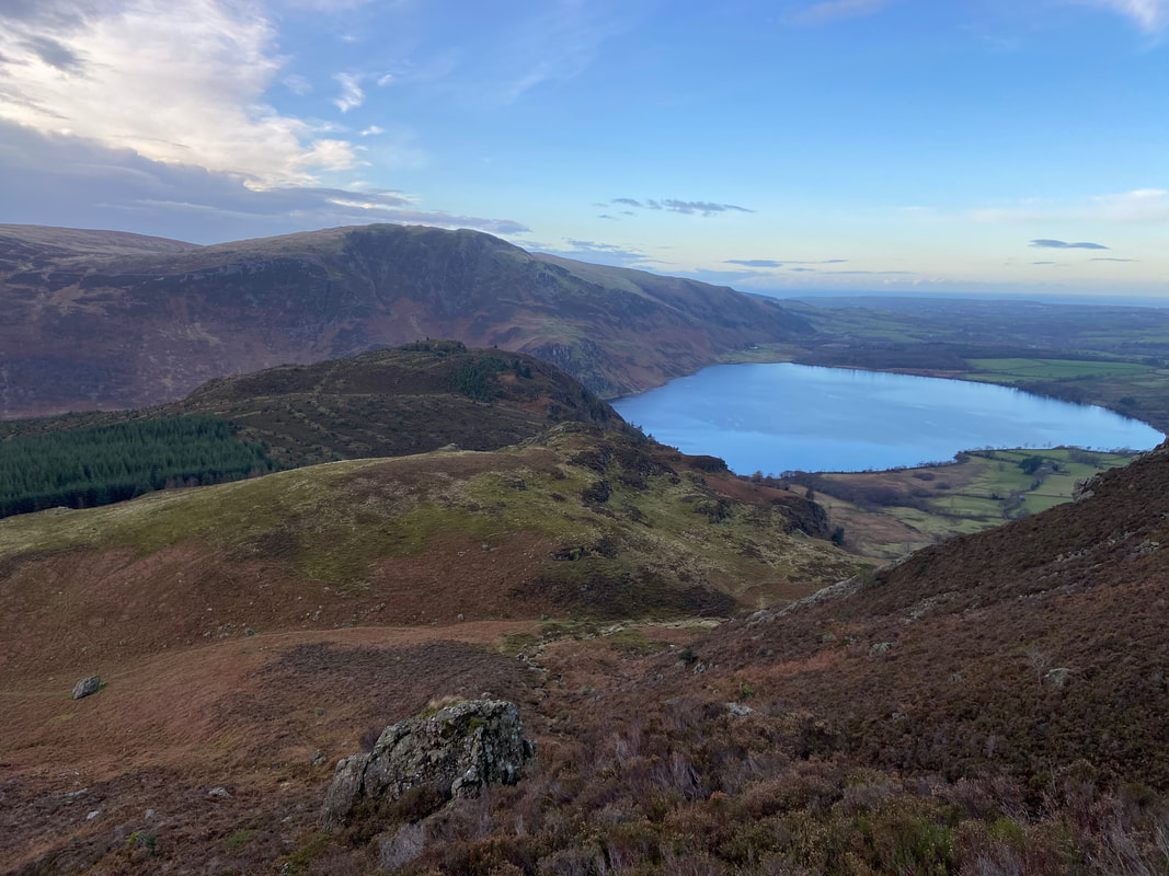
Looking back down our route of ascent to Brown How, Bowness Knott, Crag Fell & Ennerdale Water
Near the top of the ravine - just before the rocks ahead the path heads to the right
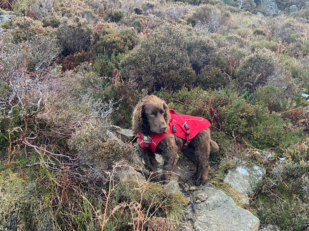
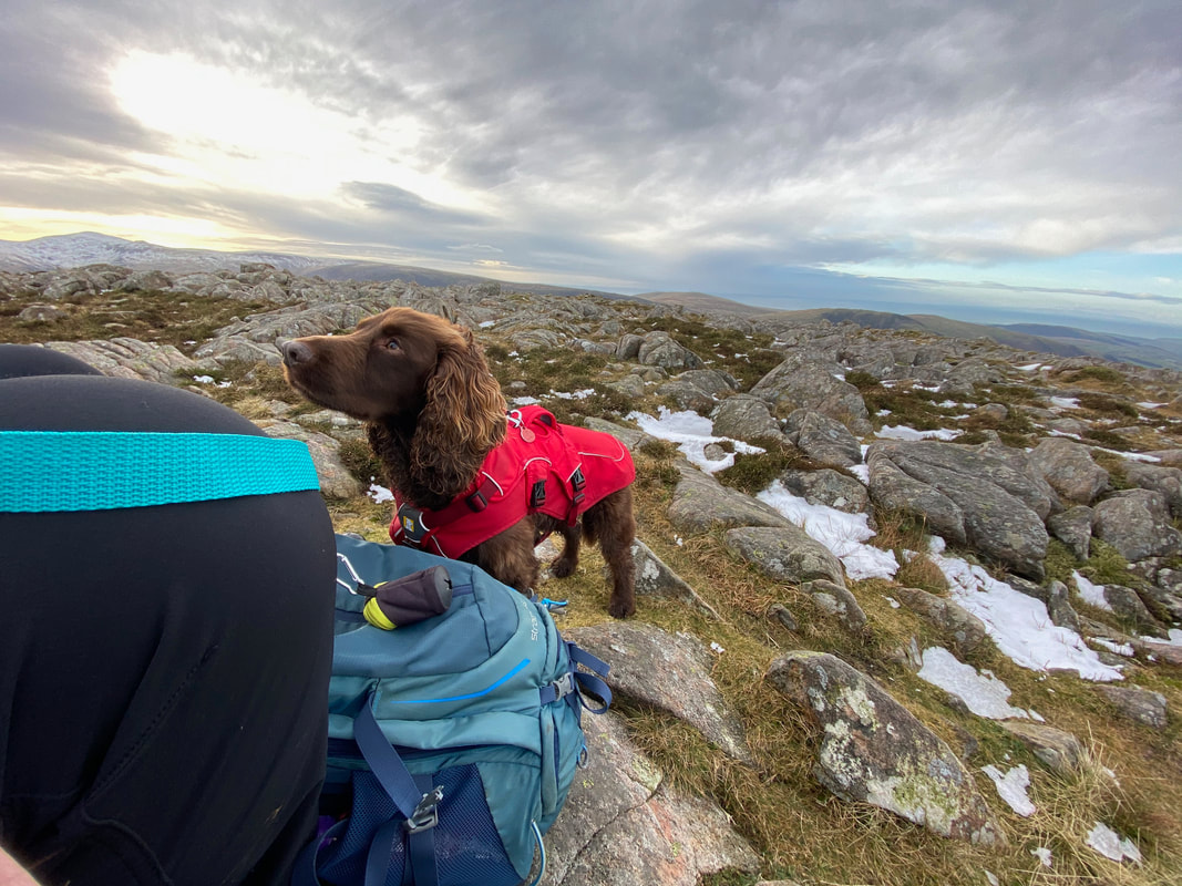
Fudge was in his element today - hilly terrain, lots of scrambling & snow later on
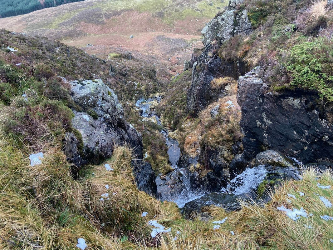
Top of the ravine and the start of the waterfall
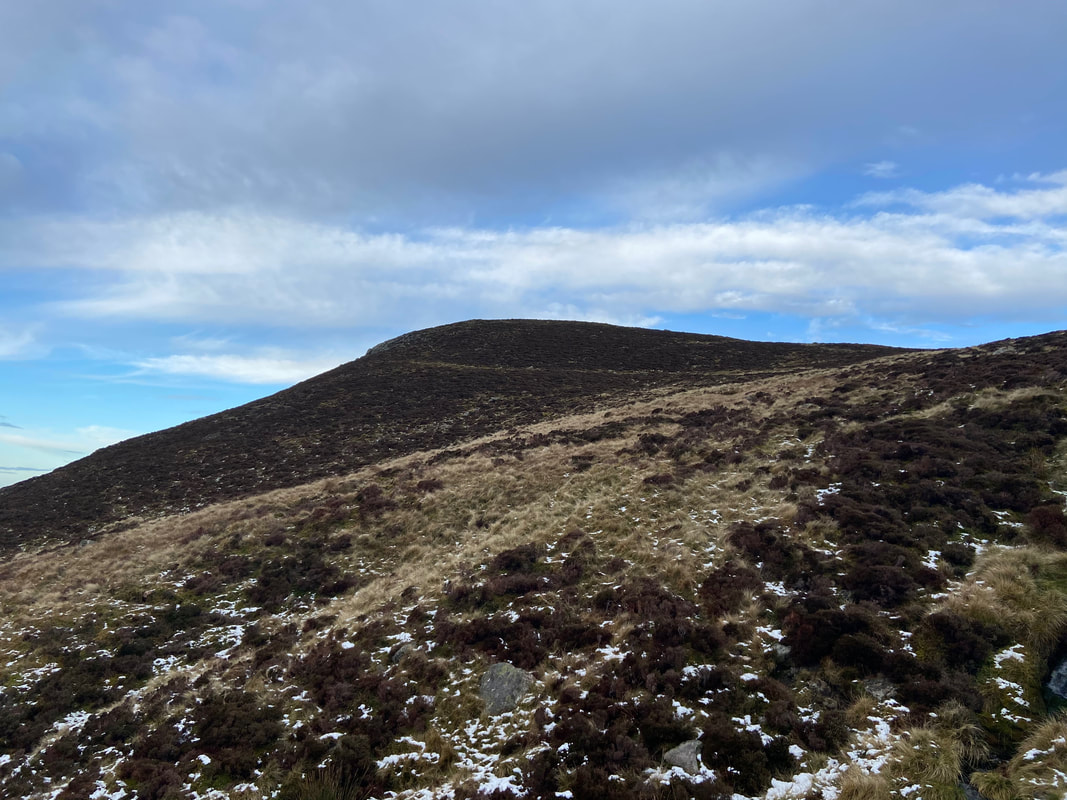
Once clear of the ravine the terrain became easier and less steep as we look over to Herdus
The summit of Herdus looking to Great Borne. The name Great Borne only really applies to the fell's summit area with most West Cumbrians actually referring to the fell as Herdus. However Bill Birkett writing in his Complete Lakeland Fells gives Great Borne and Herdus the status of separate fells. The name Herdus is an abbreviated form of Herdhouse.
From the summit of Herdus it is a short stroll over pathless & rocky terran to the summit of Great Borne
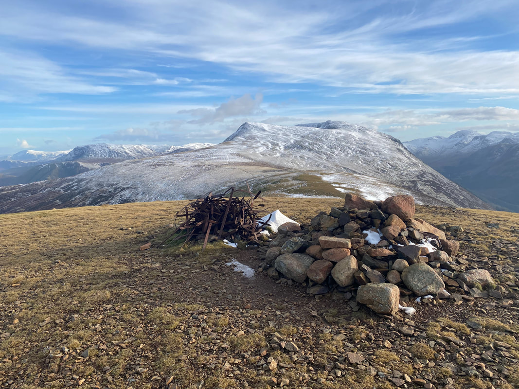
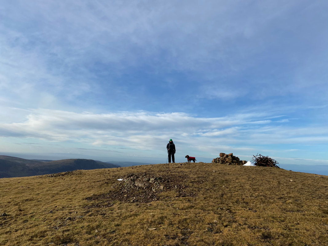
The summit of Great Borne
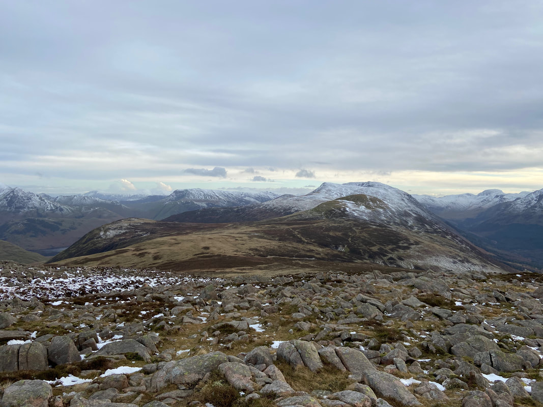
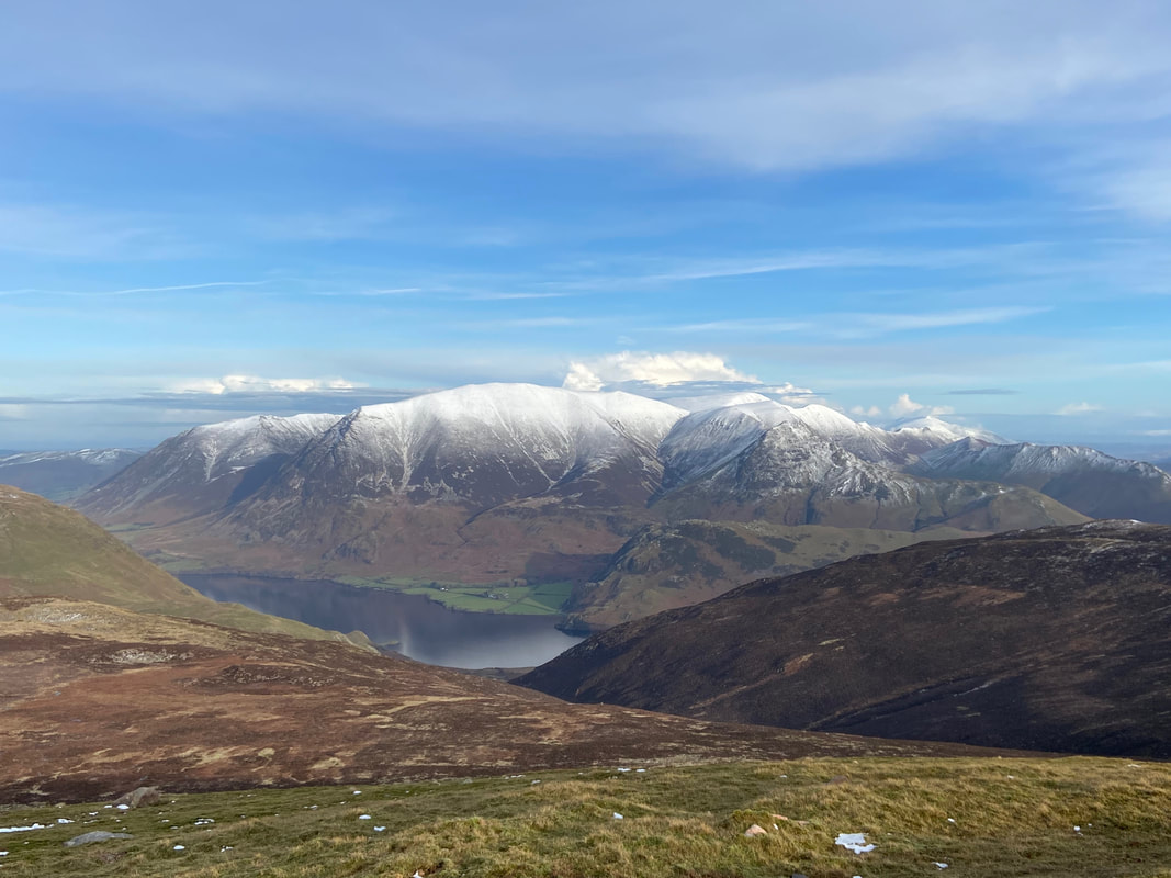
Looking to the North Western Fells from the summit of Great Borne. The huge bulk of Grasmoor is central.
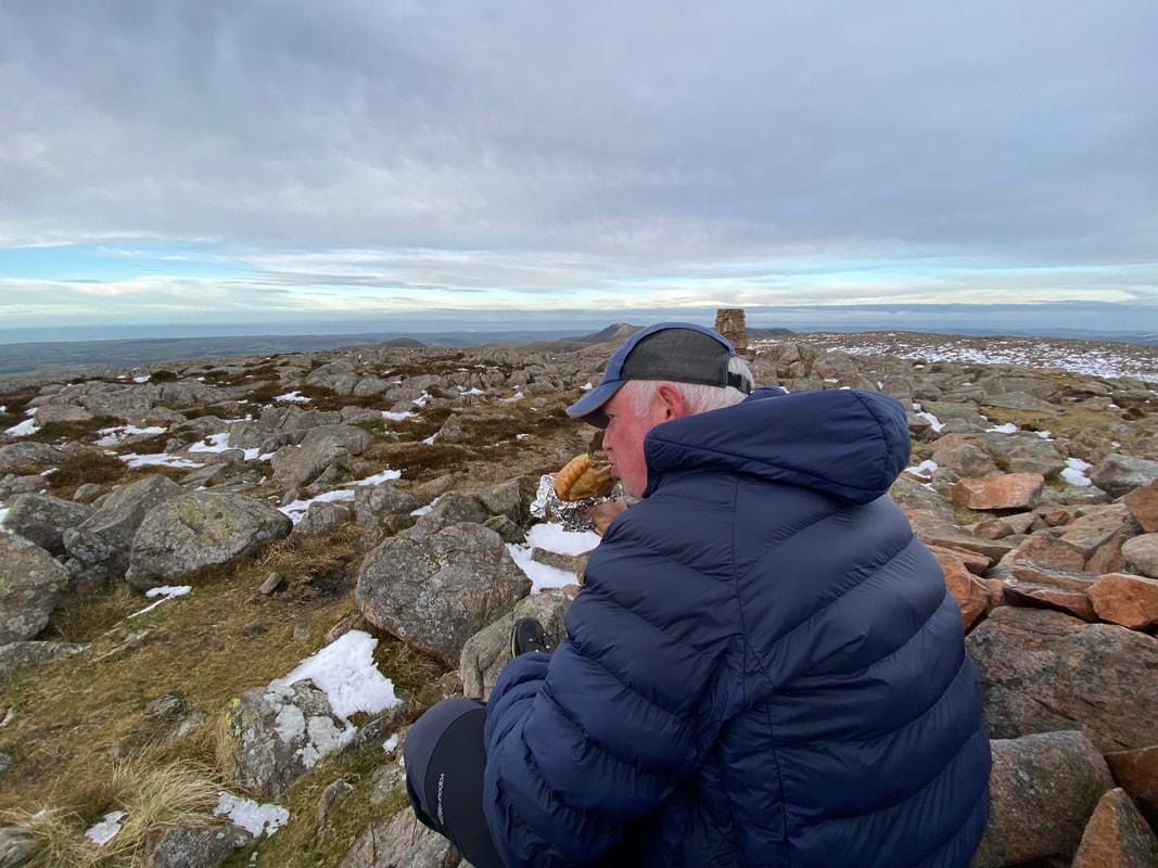
Lunch on the summit of Great Borne - a Janner's Mouth Organ complete with an audience
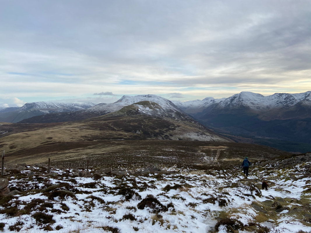
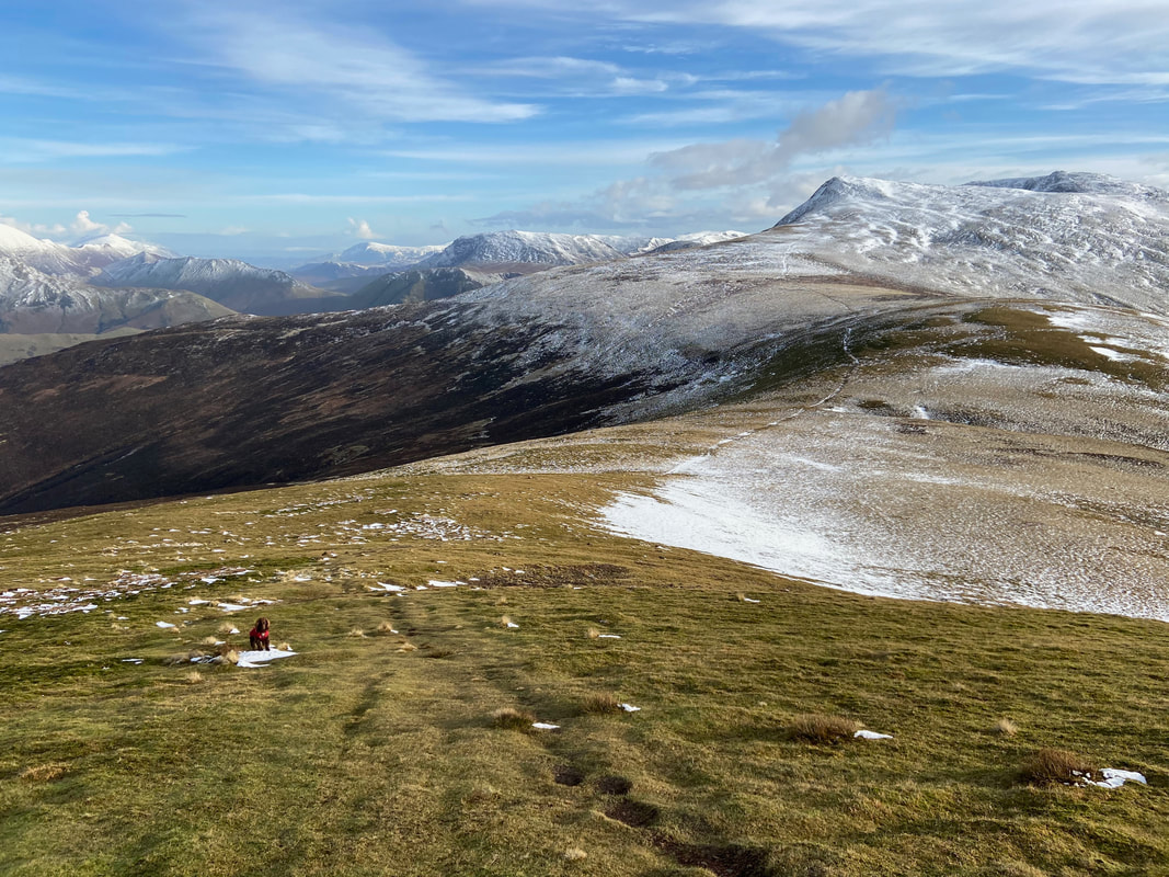
Our route to Starling Dodd from Great Borne - a distance of about a mile and a half.
The route to Starling Dodd handrails a fence for most of the way
All of a sudden the overcast conditions improved and the sun made an appearance. Crummock Water, Whiteside, Grasmoor, Whiteless Pike & Rannerdale Knotts. The ridge to the right is Lingcomb Edge.
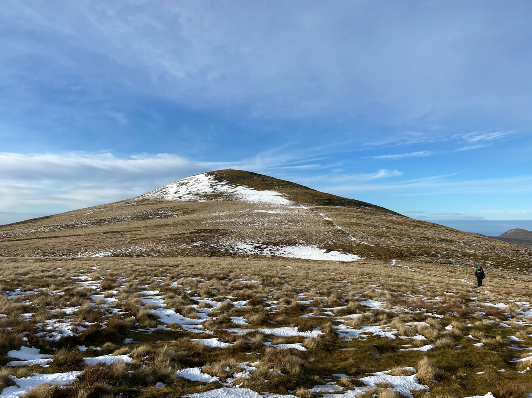
The grassy domed summit of Starling Dodd. The fell was the final one to be written up and completed by Wainwright so ending his work on the 7 pictorial guides. He described Starling Dodd as "a shy, remote fell" (Starling Dodd 4).
The summit of Starling Dodd looking to Robinson, Dale Head, Red Pike & High Stile with Great Gable to the right.
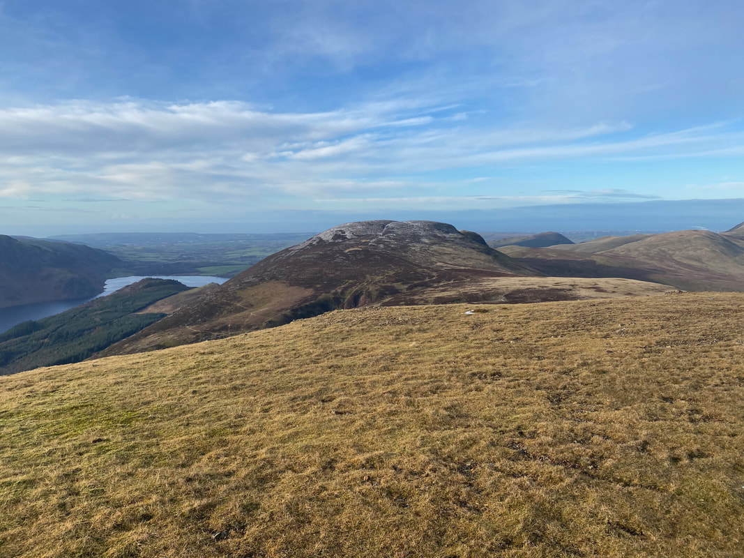
Great Borne from Starling Dodd
Angie & Fudge on the summit of Starling Dodd
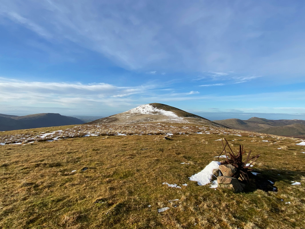
From Starling Dodd it was just over a mile to Red Pike via the pimple of Little Dodd, seen here on the right
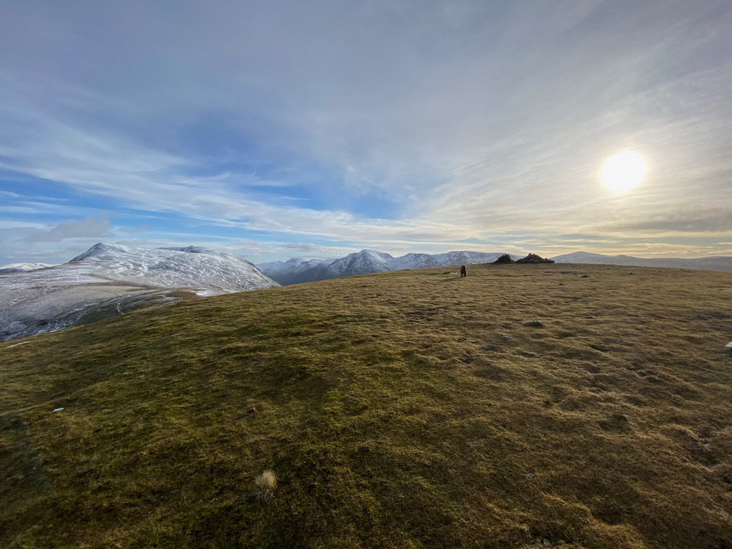
With Fudge heading for Little Dodd & Red Pike
Starling Dodd from near the summit of Little Dodd. To reach Little Dodd means leaving the main path for a hundred yards or so.
The summit of Little Dodd and a chilled out pooch. The main path can be seen over to the left.
Starling Dodd from Little Dodd
Back on the main path and our transit to Red Pike.
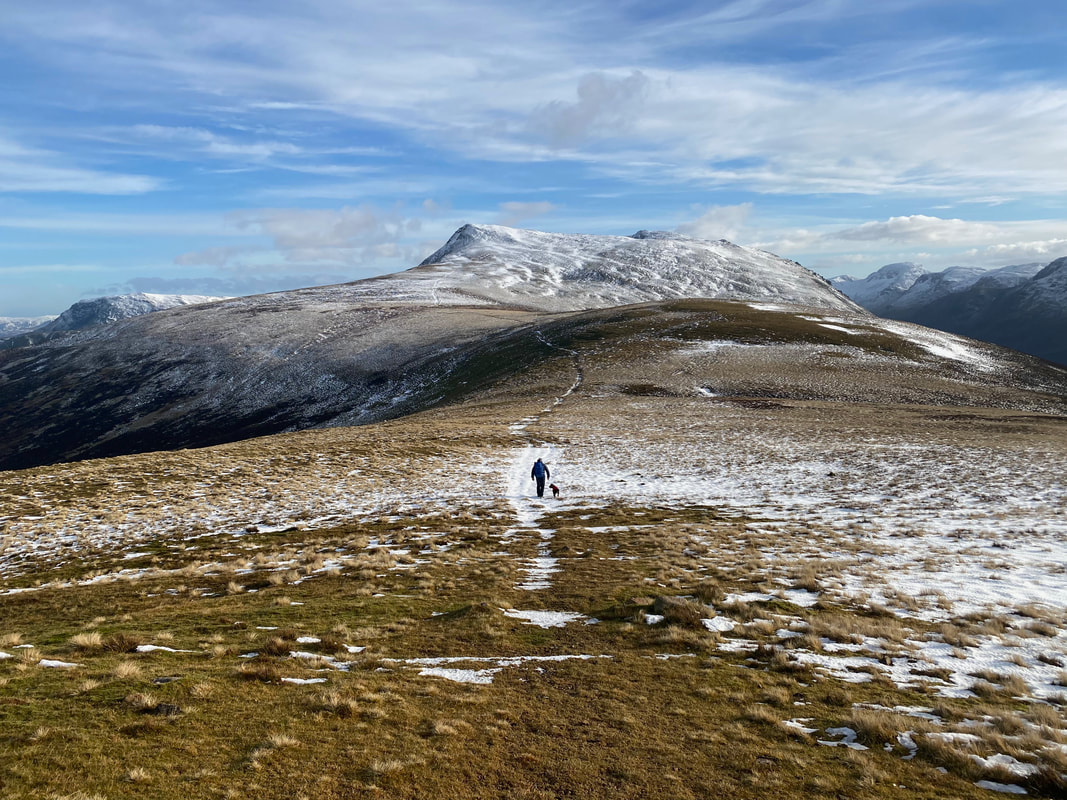
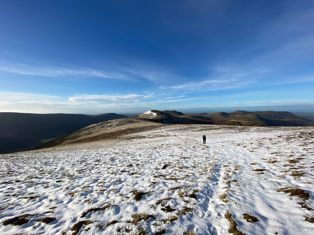
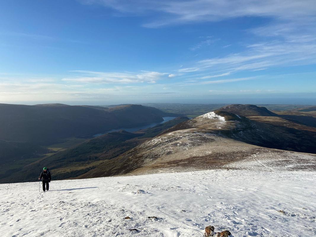
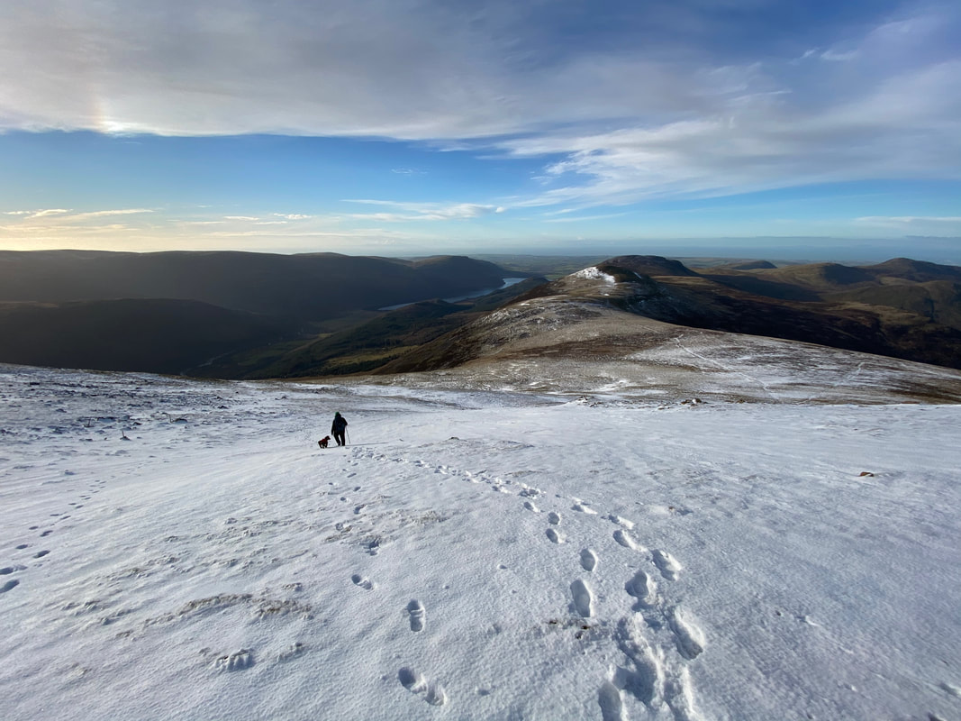
A look back along the ridge as we make our ascent to Red Pike
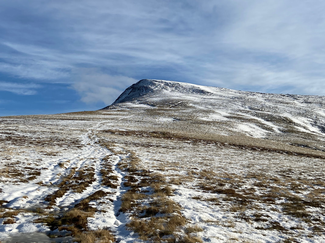
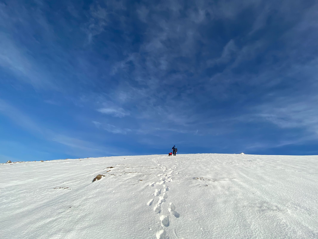
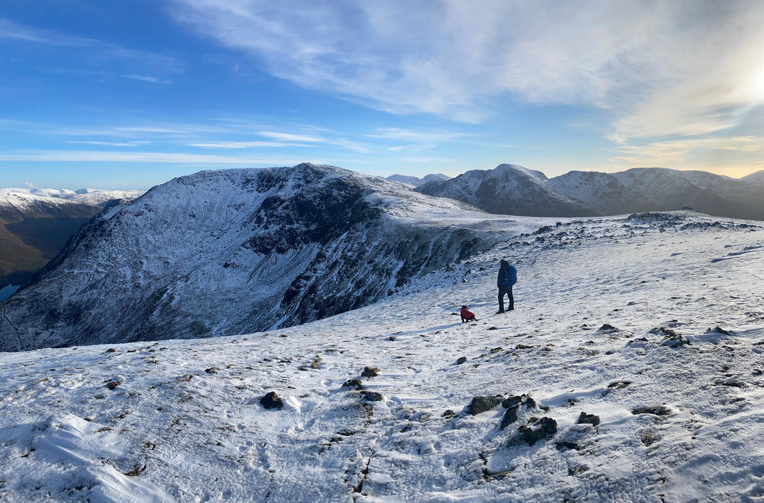
Almost there now as we plough through the snow to the summit
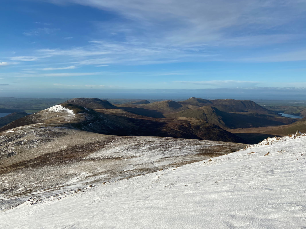
The Loweswater Fells of Knock Murton, Gavel Fell, Blake Fell, Hen Comb and Carling Knott
The final approach to Red Pike and what a glorious day it was turning out to be
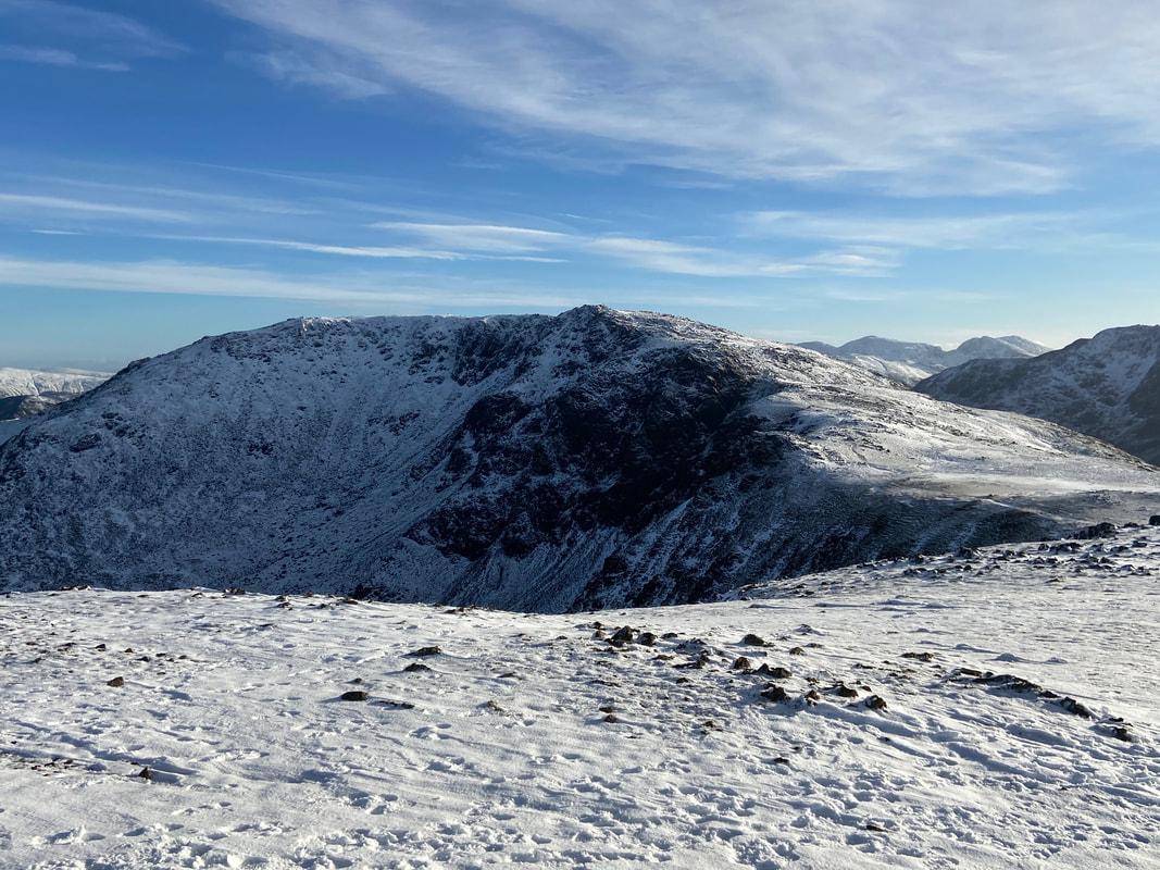
High Stile from Red Pike
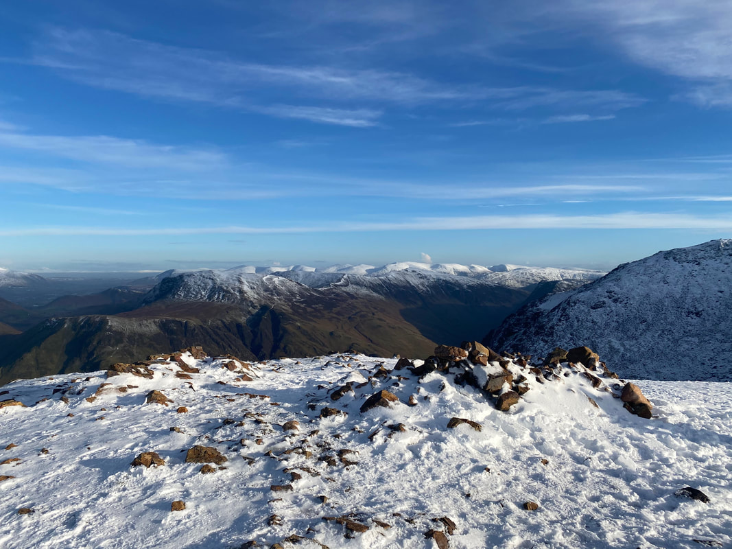
The summit of Red Pike with the Helvellyn range on the distant horizon
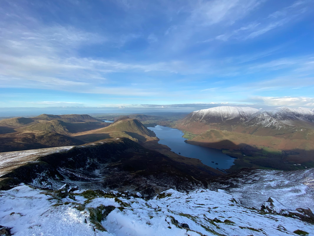
Lingcomb Edge, Mellbreak, Crummock Water & Grasmoor from Red Pike
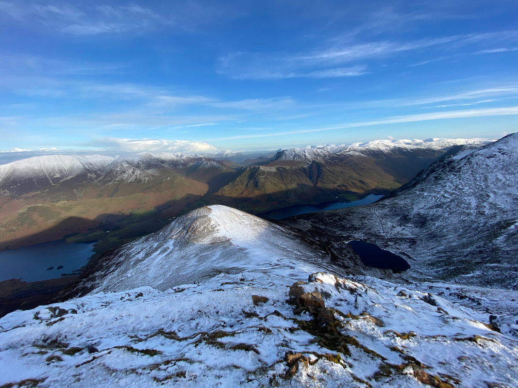
Dodd & Bleaberry Tarn from Red Pike
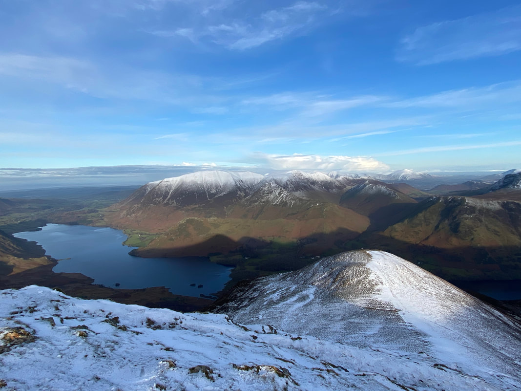
Crummock Water, Dodd & the North Western Fells from Red Pike
It was just fantastic up here today as Fudge & I look to High Stile
From Red Pike it was now time to get back down to the valley floor via the Coast to Coast high route to Low Gillerthwaite.
Looking back to Red Pike from near Gillilinter Beck
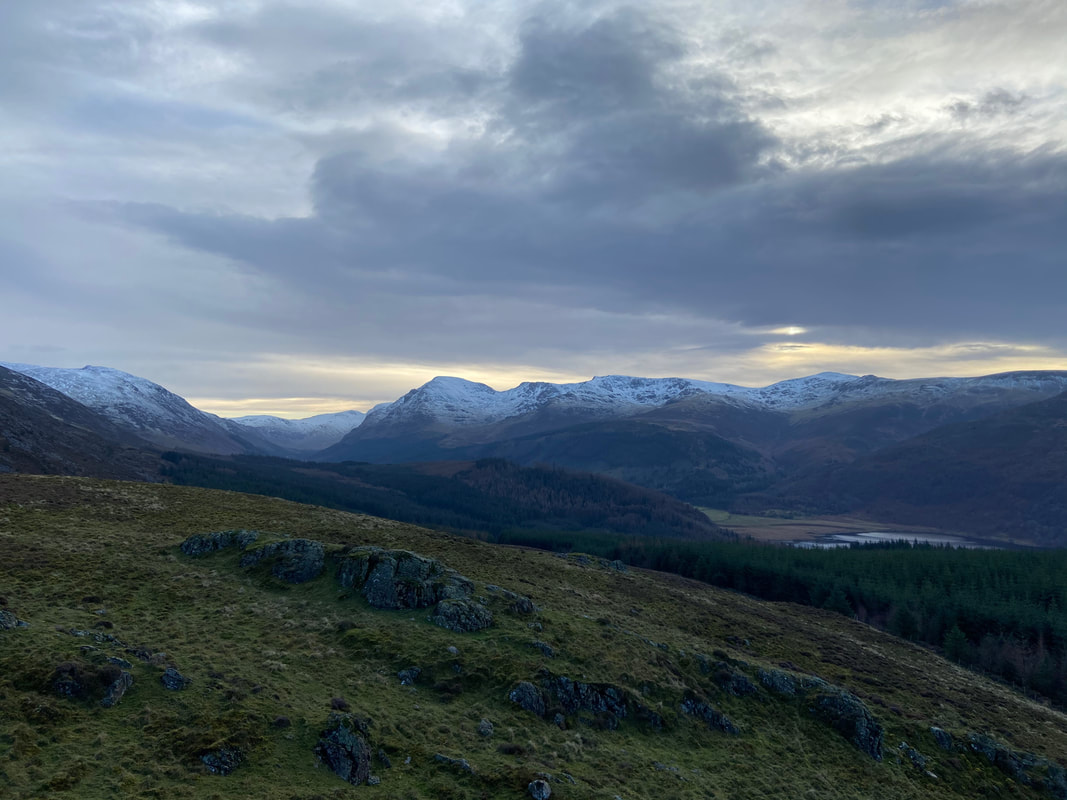
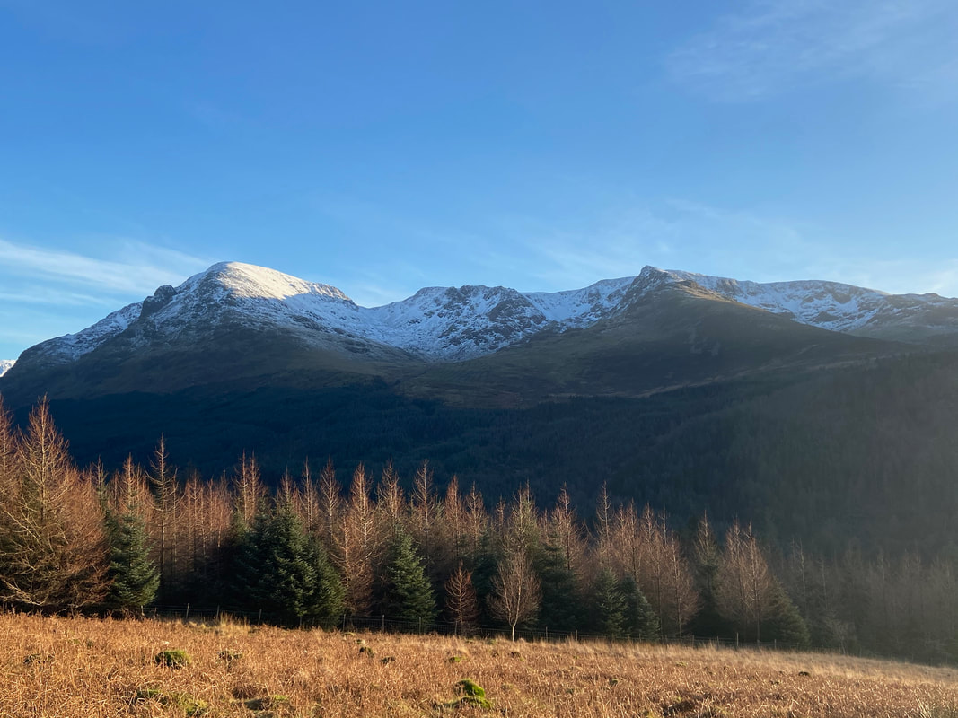
Pillar Rock, Pillar, Wind Gap, Black Crag, Scoat Fell & Steeple
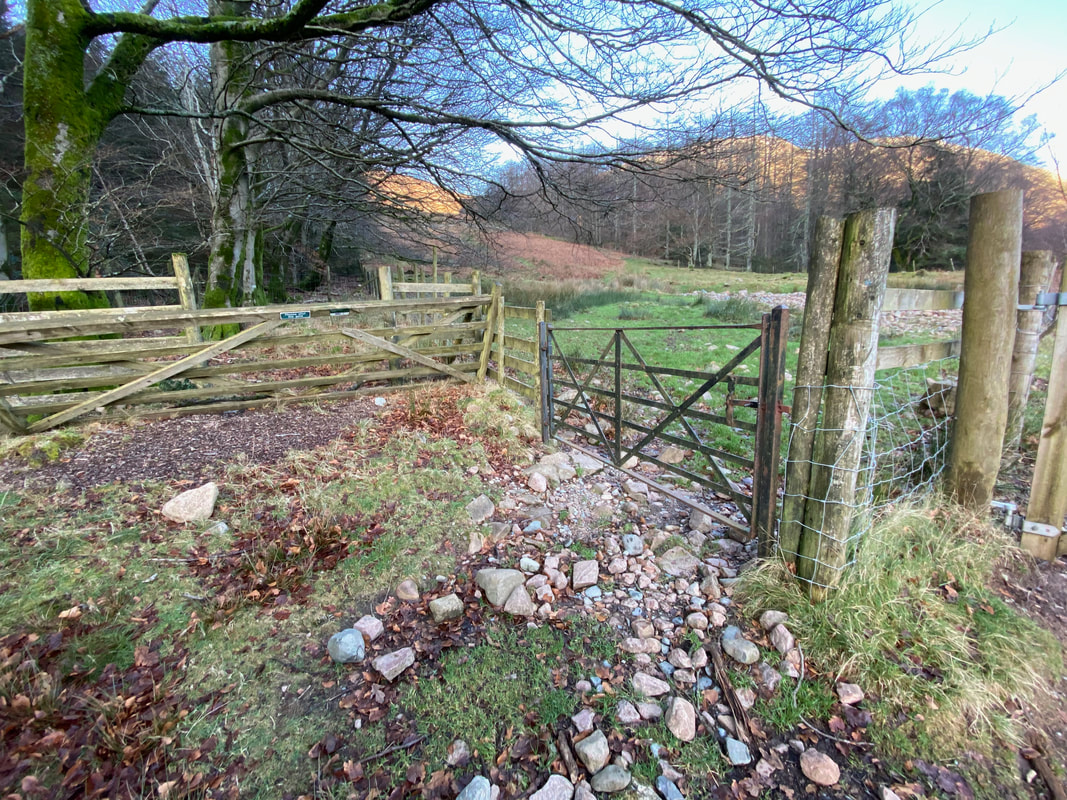
The descent reaches a gate leading to the forest track that runs between Bowness Knott & Black Sail Hut
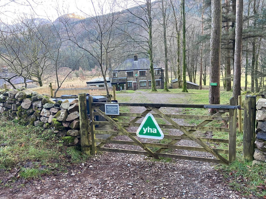
The Youth Hostel at High Gillerthwaite
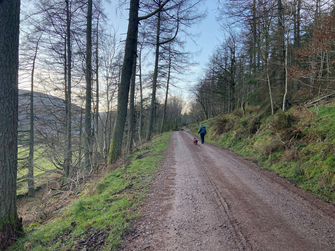
All that remained now was to follow the forest track all the way back to Bowness Knott
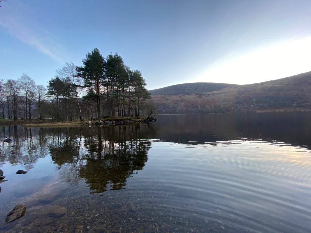
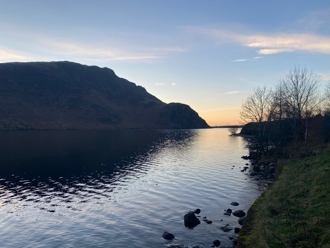
Ennerdale Water was like a millpond as dusk approached
Crag Fell & Anglers Crag as the sun fades
