Great Calva & Bakestall - Monday 10 August 2020
Route
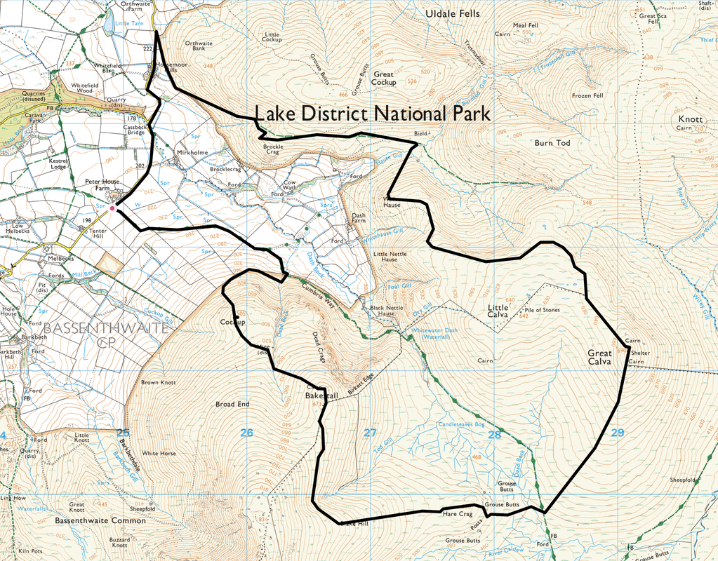
Peter House Farm - Cassbeck Bridge - Horsemoor Hills - Brockle Crag - White Hause - Great Calva - Cumbria Way - Hare Crag - Blake Hill - Bakestall - Cockup - Cumbria Way - Peter House Farm
Parking
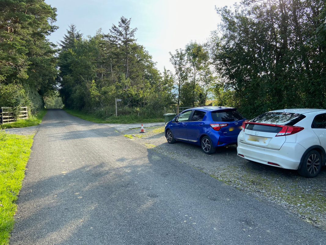
Peter House Farm (Donation - see below) - Grid Ref NY249323. Nearest Postcode is CA12 4QY. There are two verge parking areas 100 yards apart with room for a total of approximately 14 cars.
Mileage
10.4 miles
Terrain
Farm tracks and good mountain paths for the majority of this walk. There is a small amount of road walking at the start between Peter House Farm & Horsemoor Hills. From Hause Gill to the summit of White Hause was pathless as was the section from The Cumbria Way over Hare Crag, to the west of Blake Hill and south of Bakestall.
Weather
Warm with good visibility if a little hazy.
Time Taken
6hrs 35mins
Total Ascent
2624ft (800m)
Wainwrights
2
Map
OL4 - The English Lakes (North Western Area)
Walkers
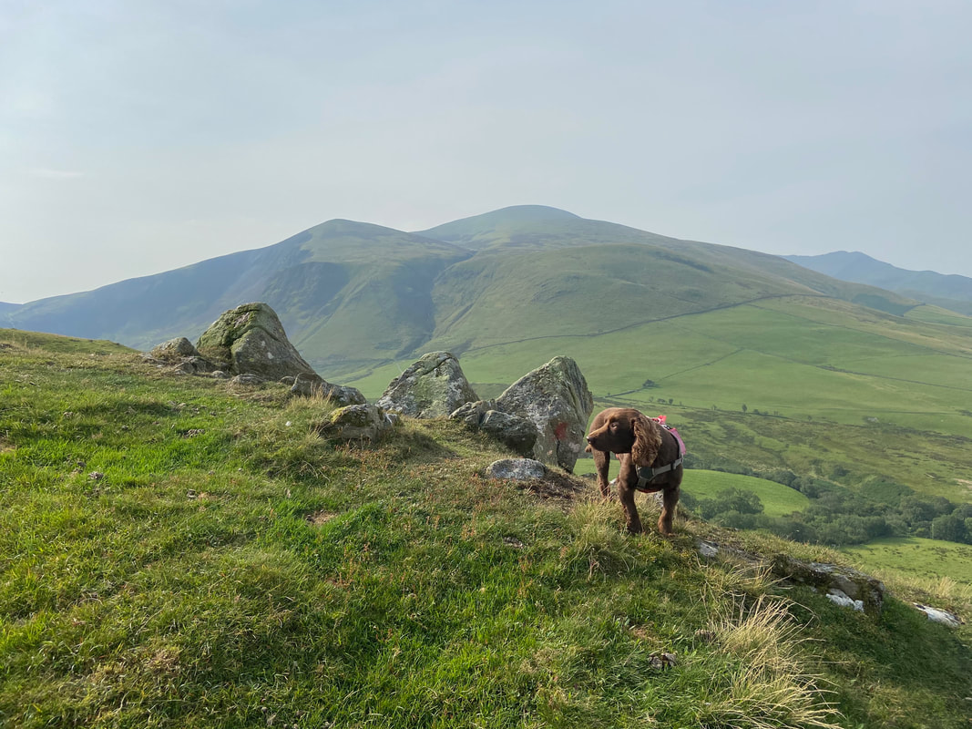
Dave, Angie & Fudge
|
GPX File
|
| ||
If the above GPX file fails to download or presents itself as an XML file once downloaded then please feel free to contact me and I will send you the GPX file via e-mail.
Route Map
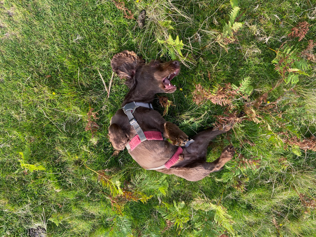
Fudge's Birthday therefore what better way of celebrating than a lovely walk in the Northern Fells of the Lake District
The southern of the two parking areas near Peter House Farm. From here we would head along the road ahead towards Orthwaite which passes the second of the two parking areas which is 150 yards away.
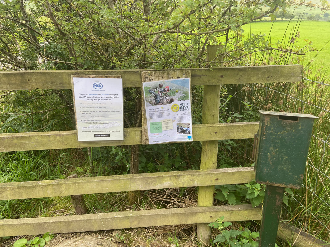
At the gate leading to Dash Falls is an honesty box - just slip a few quid in before you set off.
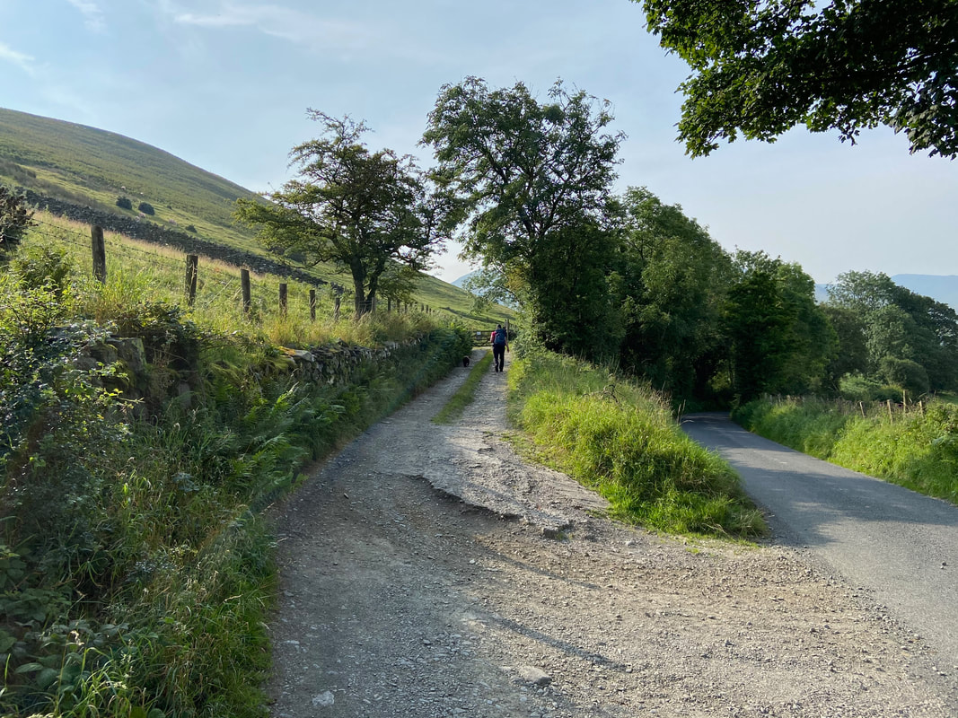
The road leading up from Peter House Farm is to the right. The route leaves the road to join a farm track and immediately switches back on itself to head up to a gate.
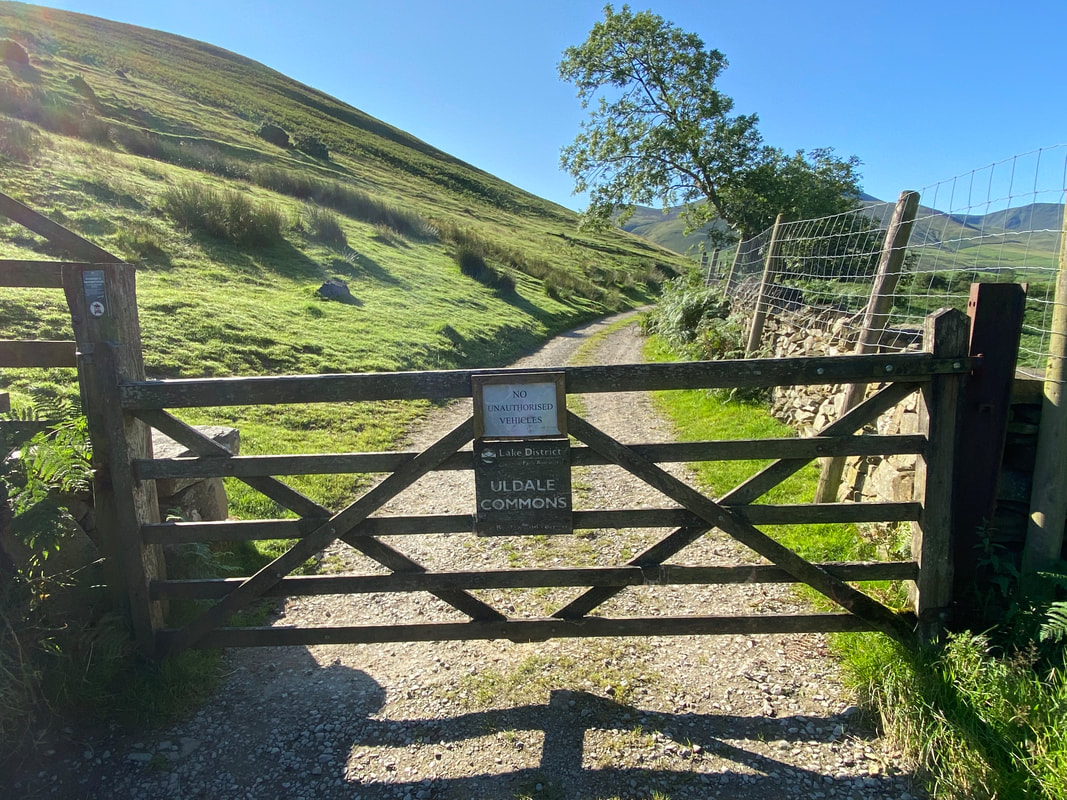
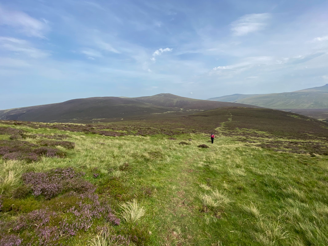
At the gate the route joins Uldale Commons and heads along the bridleway
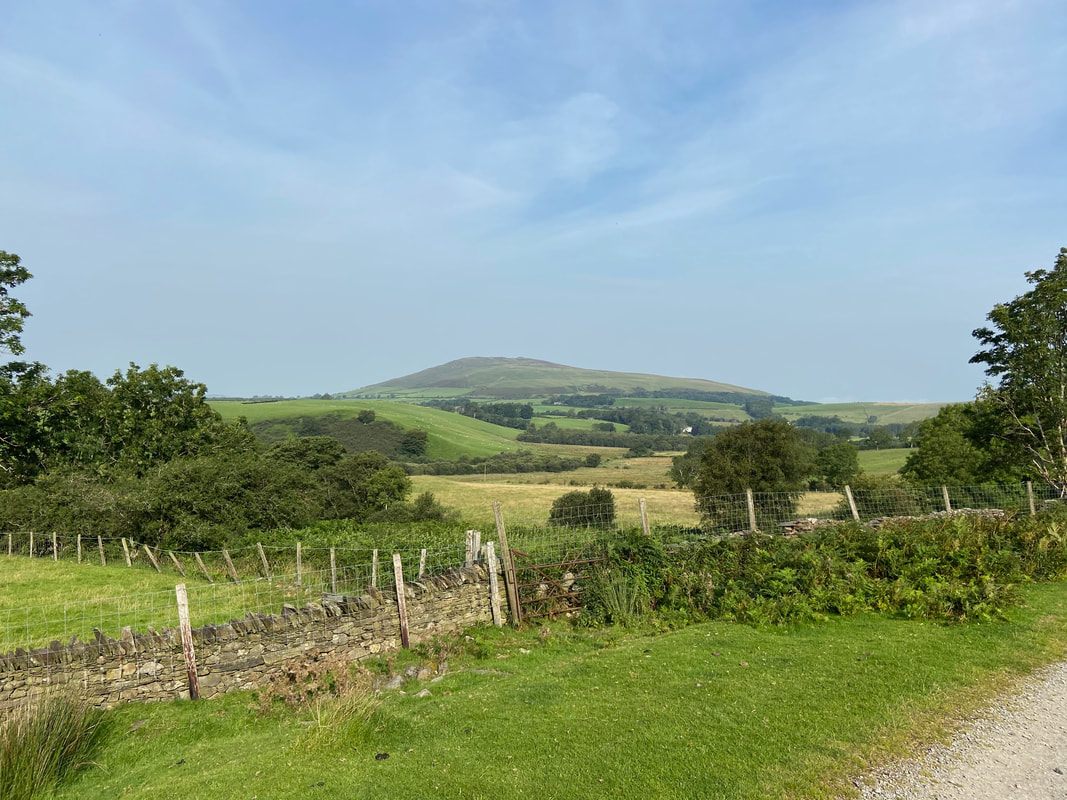
Binsey
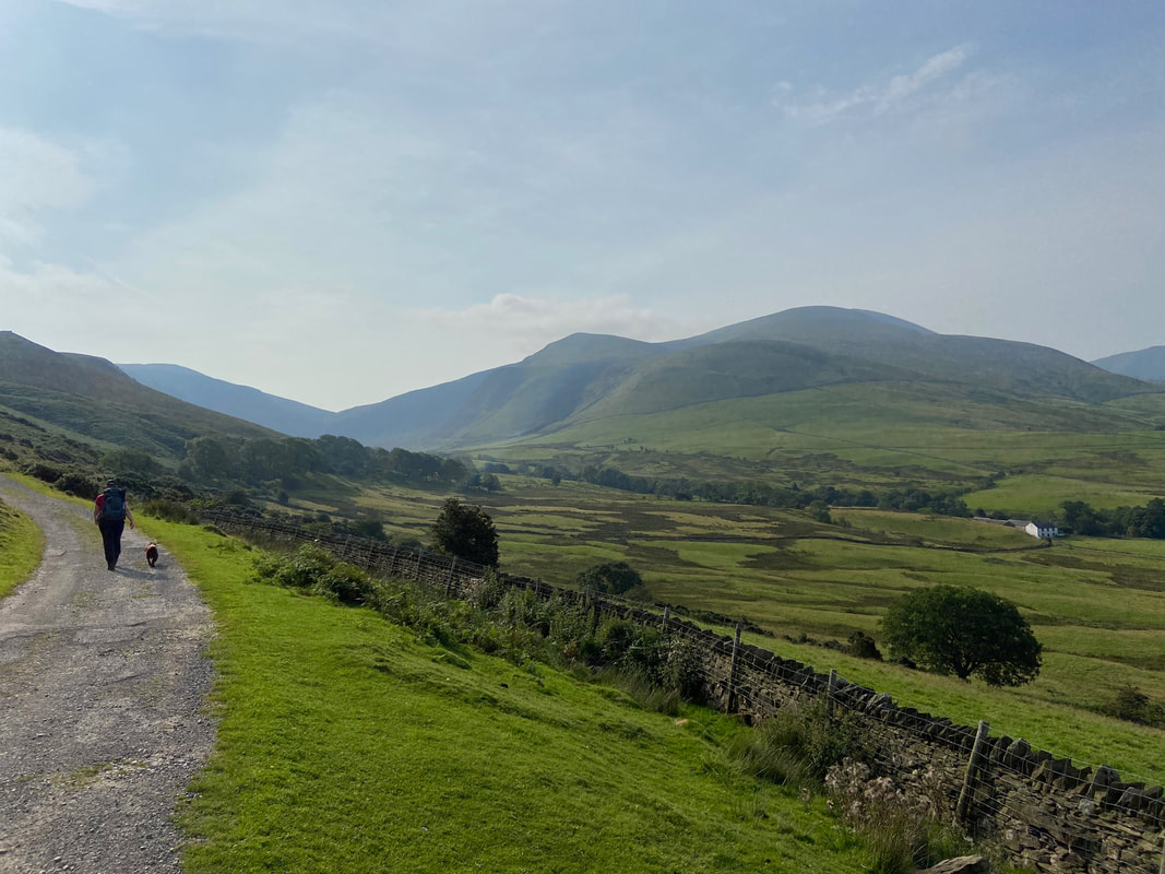
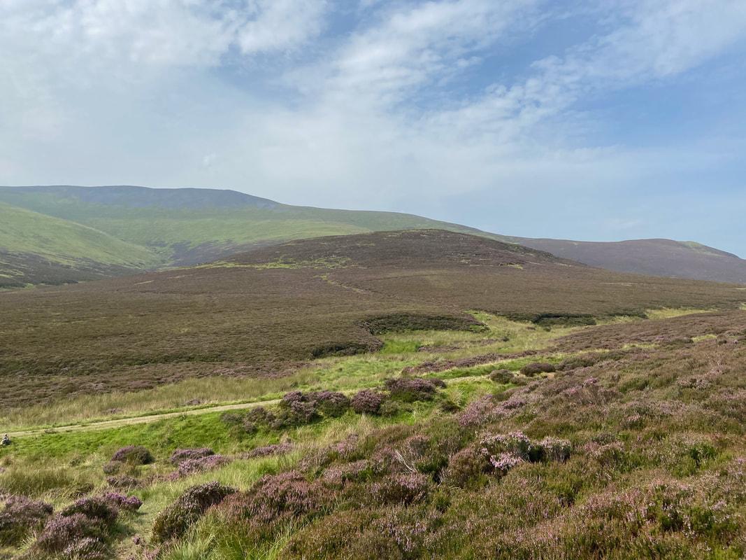
Looking right to Bakestall, Skiddaw & Cockup
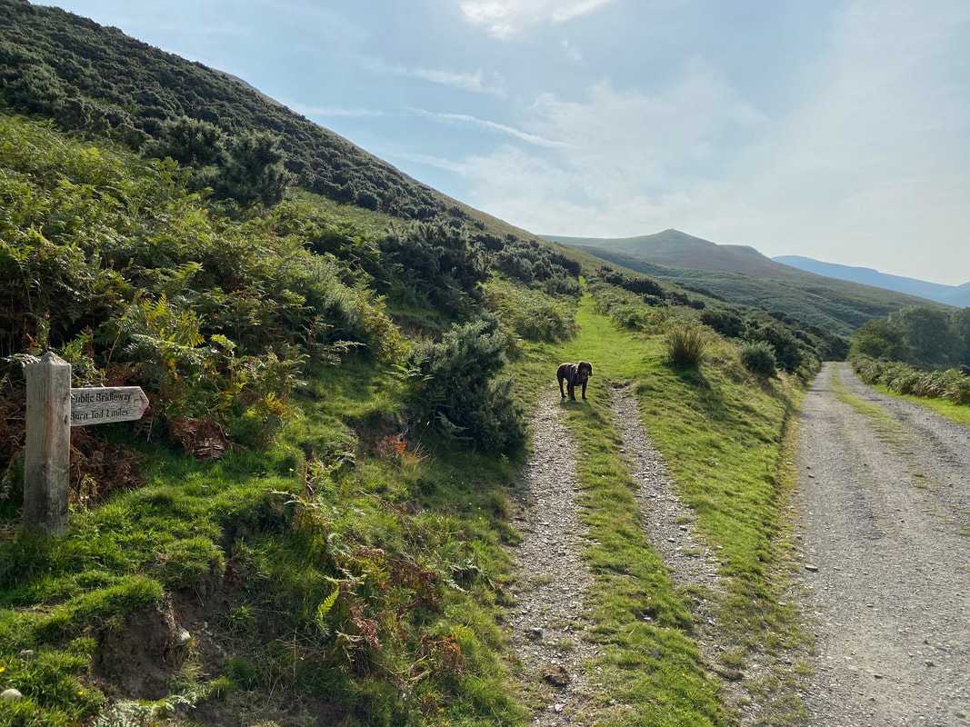
The route leaves the bridleway on a good path signposted to Burn Tod
It's my birthday therefore I can arse about as much as I want today so there!
The summit of Brockle Crag looking to Bakestall, Skiddaw & Cockup
To reach Brockle Crag it is necessary to leave the main path however the summit is only a short distance away,
Looking back towards Orthwaite and our route to Brockle Crag
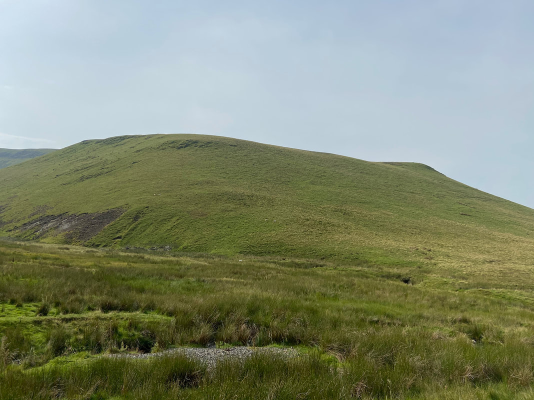
The Birkett of White Hause from Hause Gill. There is no path to White Hause and it is just a question of making your way up the fell side as best you can - the going is easy enough.
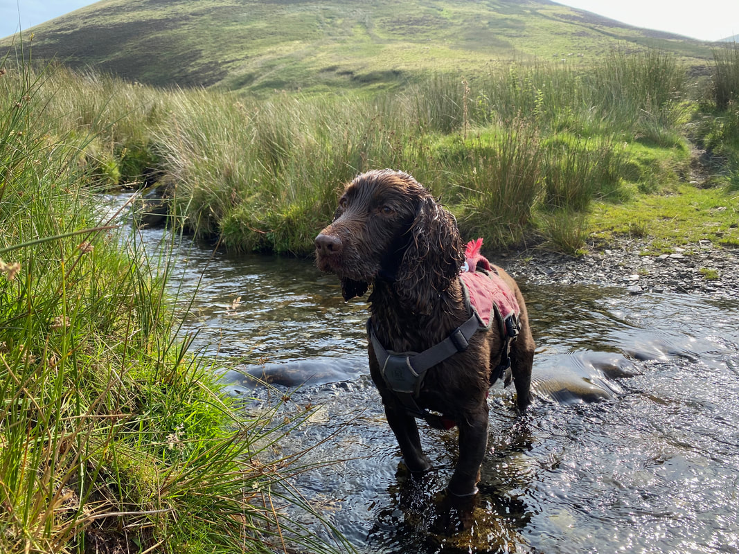
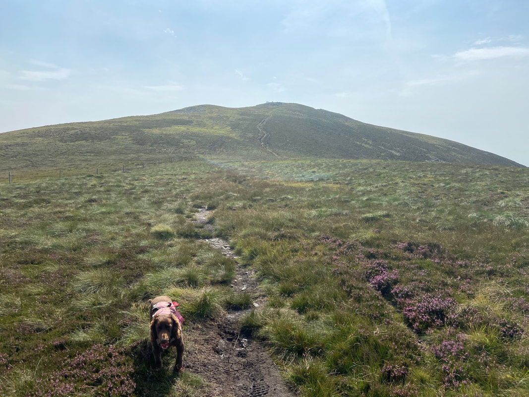
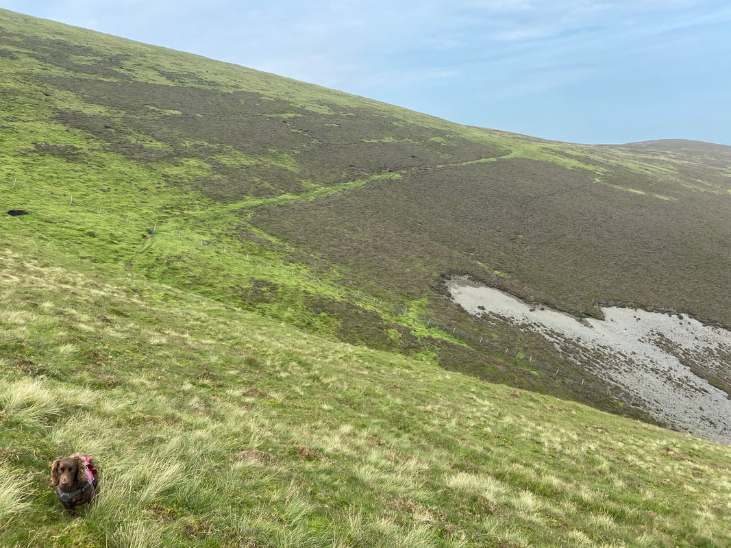
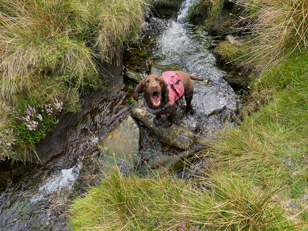
The birthday boy in Hause Gill
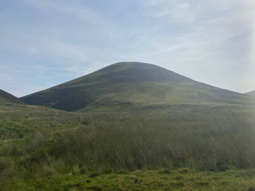
Burn Tod from Hause Gill
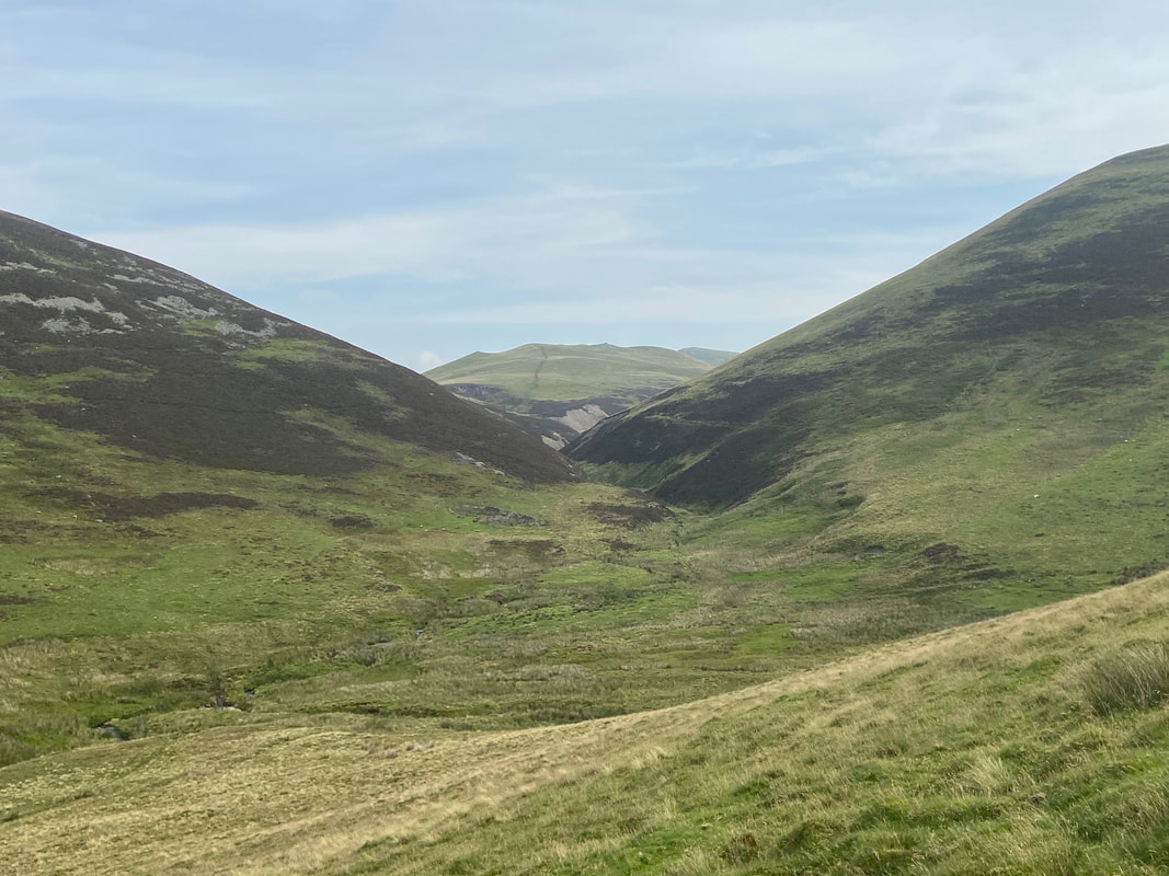
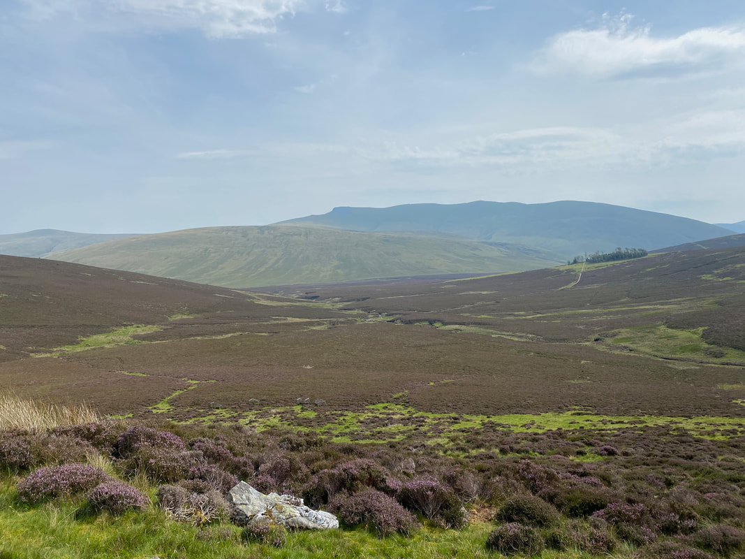
Looking to Burntod Gill, Trusmadoor & Meal Fell with the slopes of Great Cockup to the left & Burn Tod to the right.
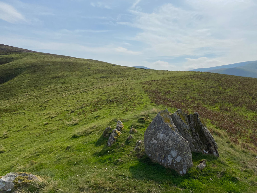
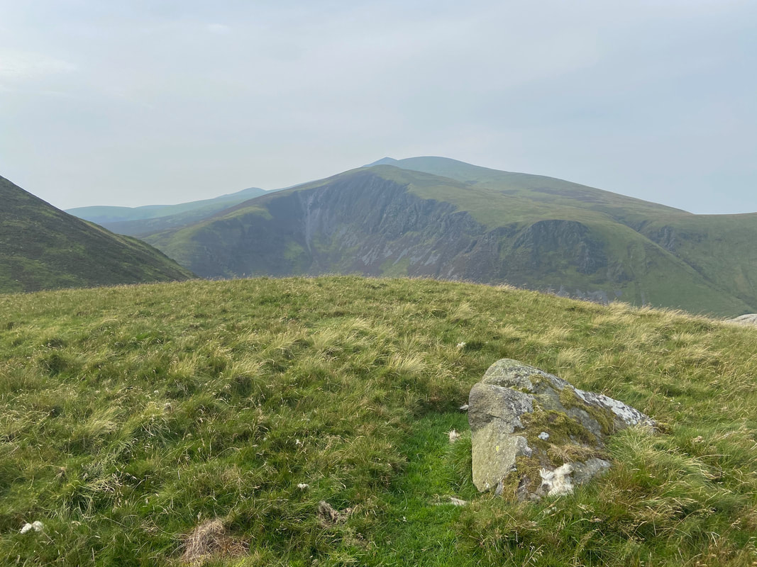
The summit of White Hause which is marked by a "boulder of volcanic origin". Dead Crags on Bakestall are in the centre of shot with Birkett Edge to the left and Skiddaw to the rear.
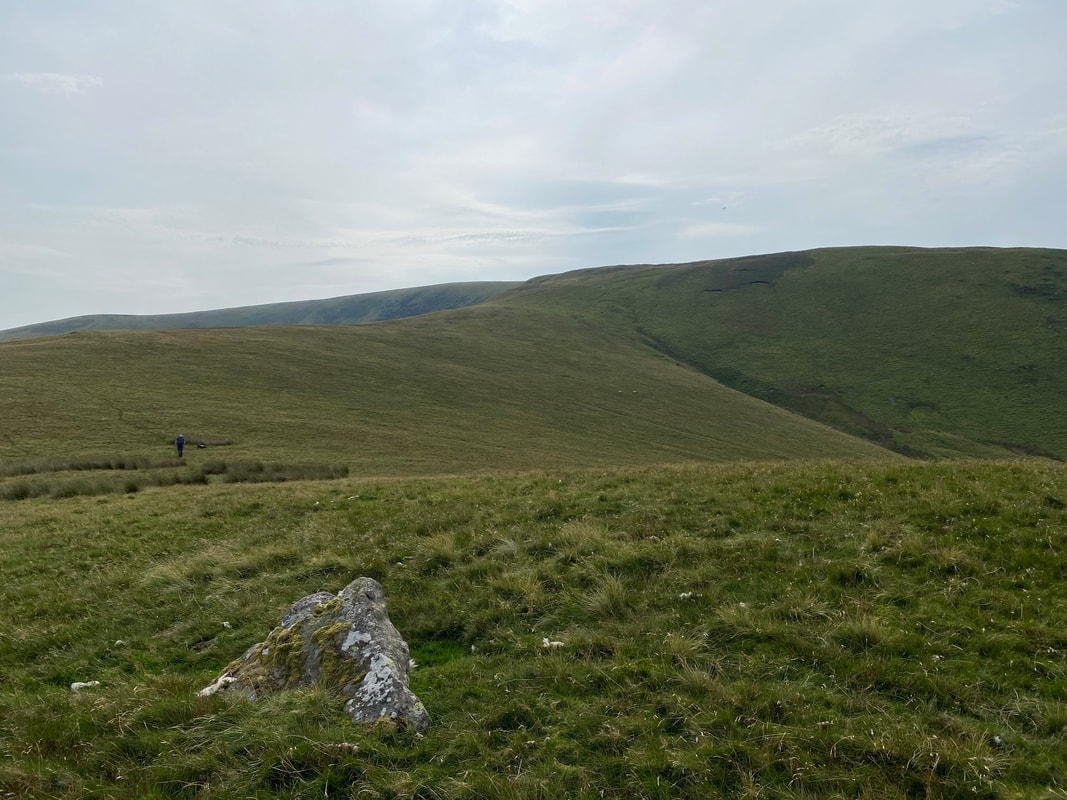
From White Hause there is a path of sorts heading in a south easterly direction to meet up with the path coming over from Knott
Looking to Knott from the path junction. Our route over from White Hause met the Knott to Great Calva path at Grid Ref NY 28559 31998.
I wonder where my birthday cake is?
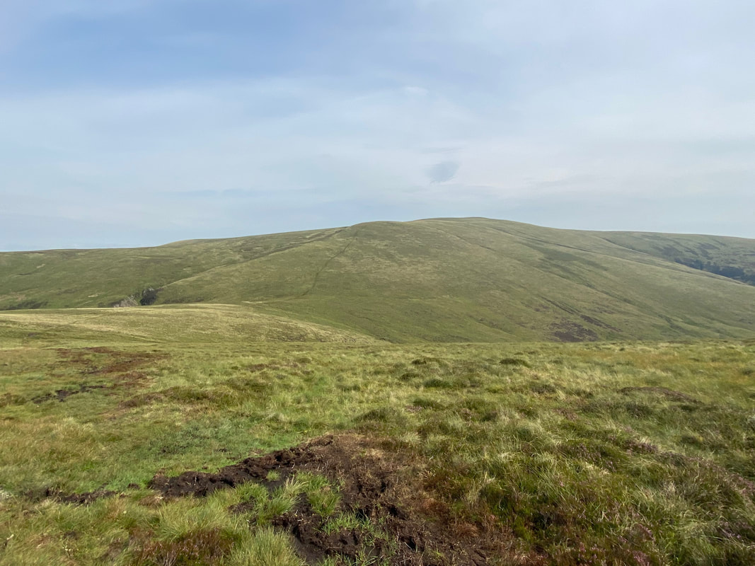
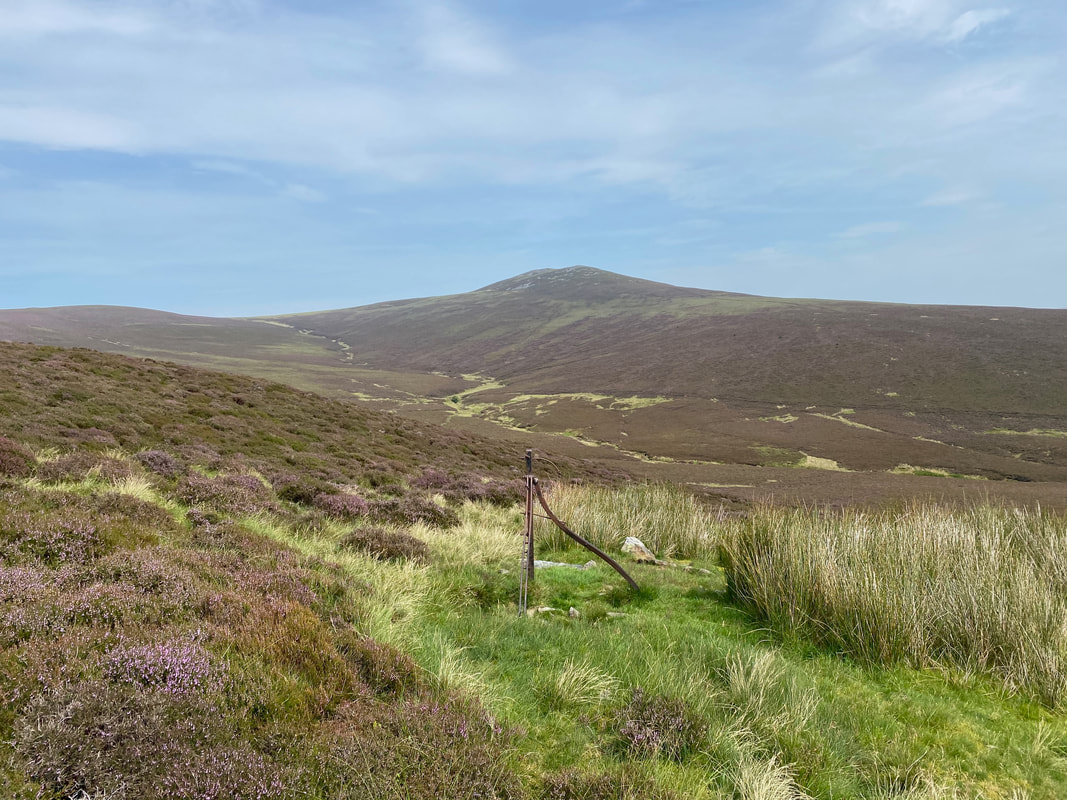
Looking to Great Calva from the path junction over from White Hause. Wainwright described this path to Great Calva as "tedious" but to be honest it's not that bad in my opinion (Great Calva 5)
Looking back down our route of ascent with Little Calva on the left and Binsey distant. The path from Knott sweeps in from the right.
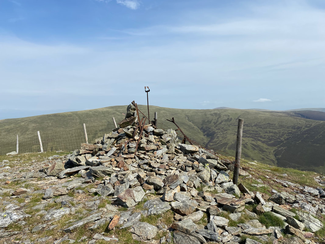
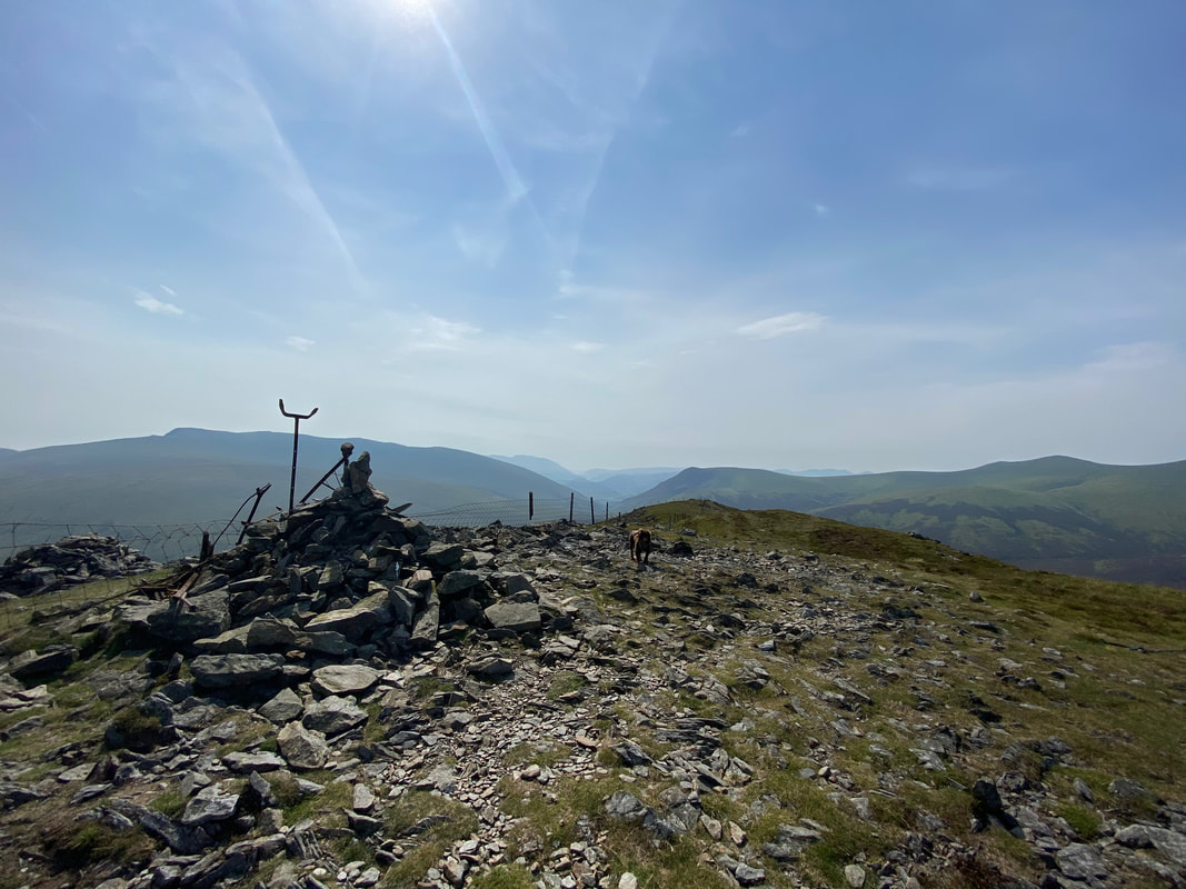
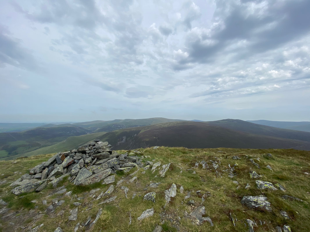
The summit of Great Calva
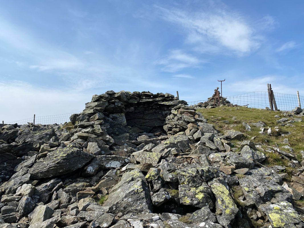
A few yards over the fence is a very good wind shelter. Carrock Fell is in the distance over the ridges of Pike and Combe Height with the slopes of Bowscale Fell to the right.
The summit of Great Calva with Blencathra & Mungrisdale Common to the left with Lonscale Fell centre
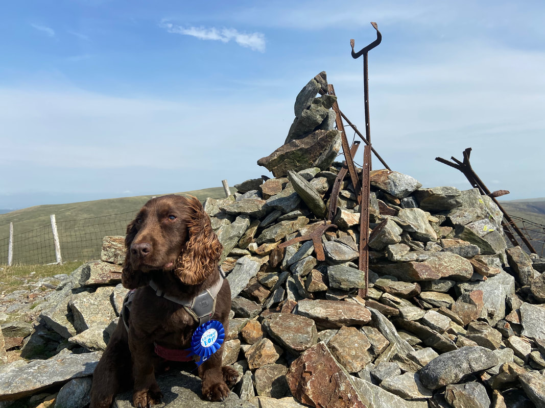
The Birthday Boy sporting his badge on the summit of Great Calva
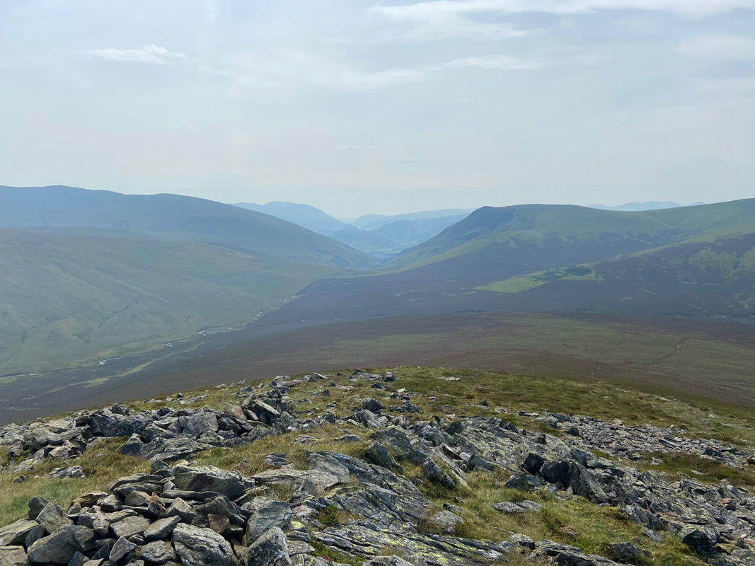
Looking down the "The Great Central Fault" from Great Calva's summit. Wainwright described this geological fault line as:
"....a deep trough running north & south across the district. The lakes of Windermere, Rydal Water, Grasmere and Thirlmere lie in this trough and the main road north of Ambleside takes advantage of the simple passage it affords, Dunmail Raise at 782ft being the highest point. The rift continues through the Vale of St John's and the Glenderaterra valley to Skiddaw Forest where, situated exactly at its head, sits Great Calva. (Great Calva 10)
"....a deep trough running north & south across the district. The lakes of Windermere, Rydal Water, Grasmere and Thirlmere lie in this trough and the main road north of Ambleside takes advantage of the simple passage it affords, Dunmail Raise at 782ft being the highest point. The rift continues through the Vale of St John's and the Glenderaterra valley to Skiddaw Forest where, situated exactly at its head, sits Great Calva. (Great Calva 10)
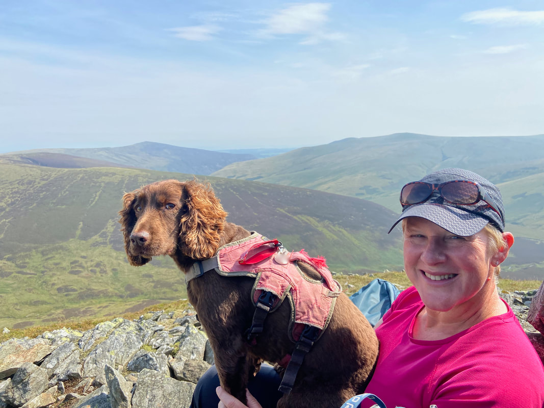
Fudge eyes me suspiciously as I take a quick pic of him and his Mum sat in the wind shelter on Great Calva
Whilst not that windy today this shelter would provide you with adequate protection from the elements
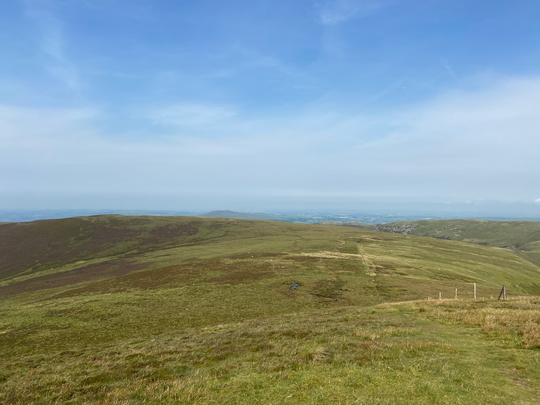
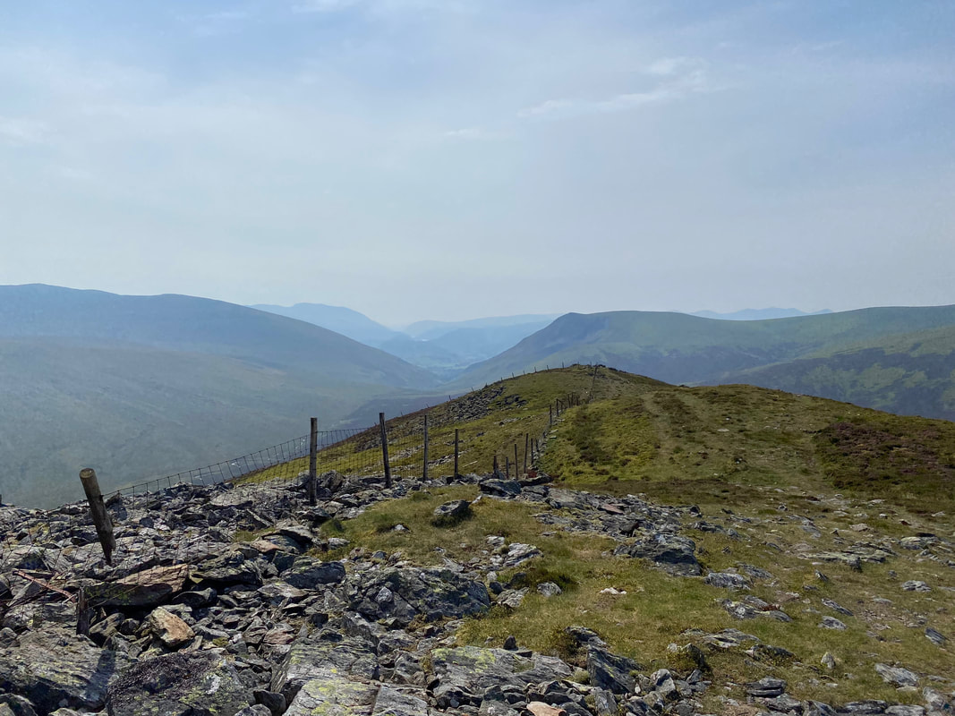
From the edge of the fence line on Great Calva looking down on our route of descent.
A hazy Skiddaw range from the descent of Great Calva
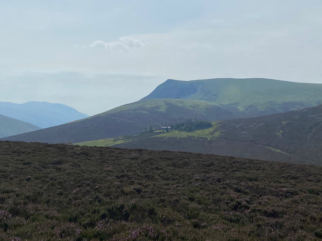
Skiddaw House with Lonscale Fell to the rear
Skiddaw House is an independent hostel. It was built as a gamekeeper's lodge in the 1800s and first began providing accommodation to walkers, runners and bikers in 1987. The House was leased in 1986 by John Bothamley who had already created the YHA Carrock Fell Hostel a few miles away. A new staircase was built, several internal walls and three doorways were knocked through to convert the two dwellings into one. After much effort and expense the building was handed over to the YHA and operated as a simple hostel until 2002, when it closed and began to fall into disrepair again. But with the help of the previous hostel manager, many volunteers and the Skiddaw House Foundation (a registered charity), the hostel was renovated and reopened in 2007. It has been welcoming guests ever since, operating as an independent hostel affiliated to the YHA.
The hostel's website can be found here
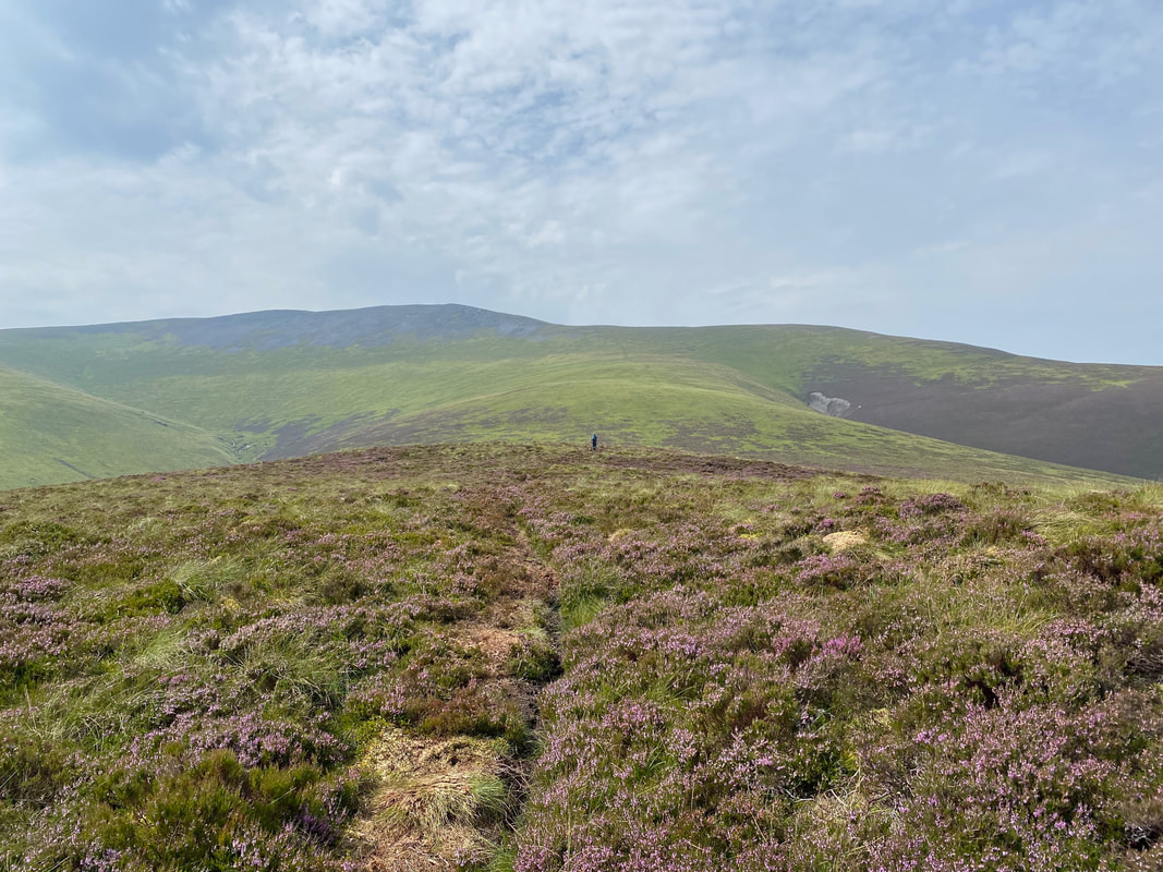
The Birkett of Hare Crag with Bakestall to the right. The path running below is on the Cumbria Way.
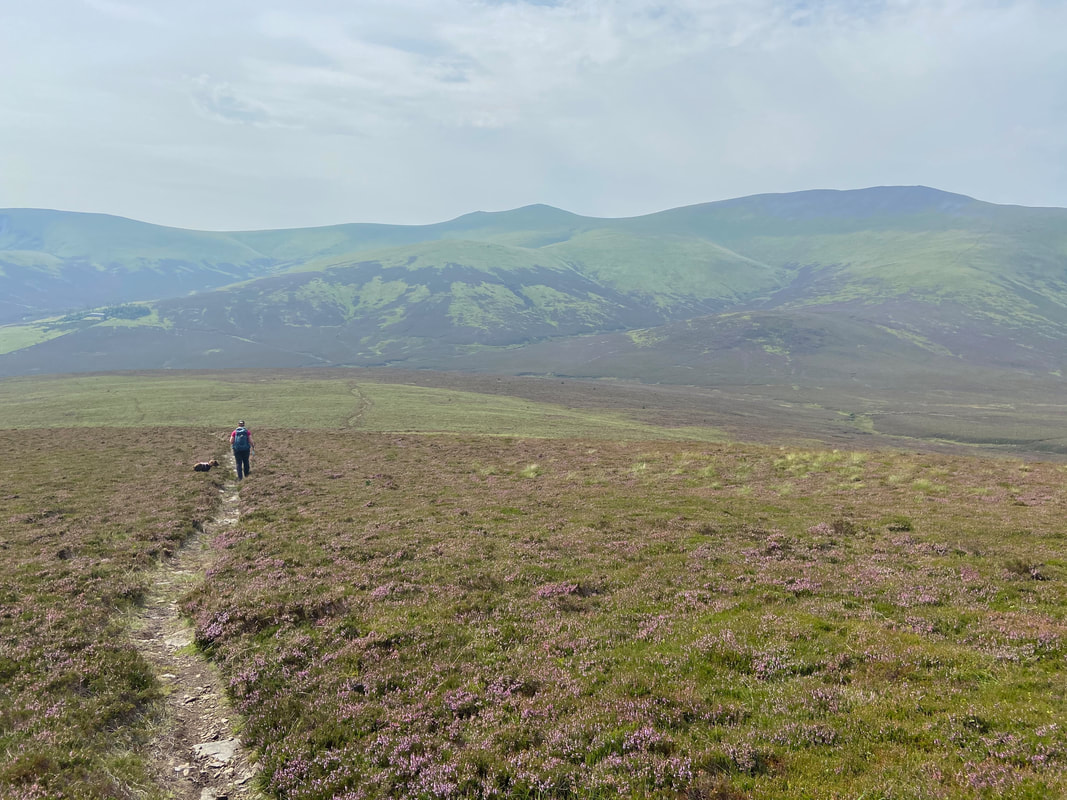
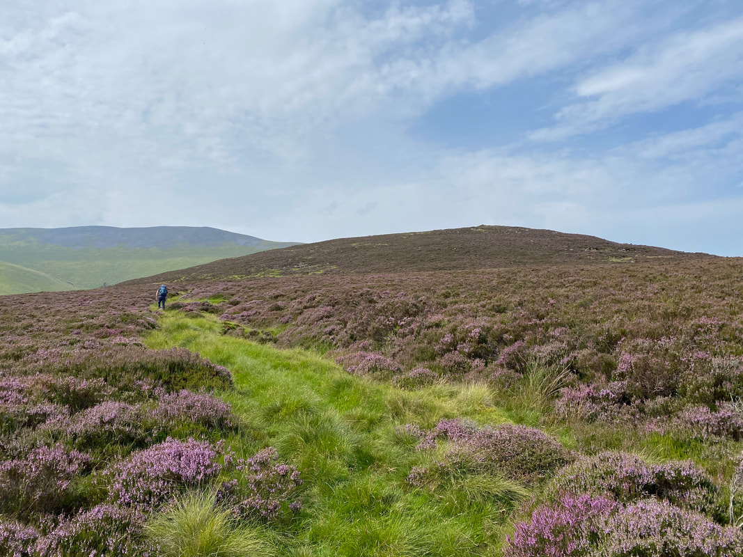
Heading for Hare Crag - not much of a path but the going was easy enough
Looking along the Cumbria Way to Skiddaw House, Mungrisdale Common and Blencathra
Great Calva from the slopes of Hare Crag
The heathery summit of Hare Crag - our route over to Bakestall heads above the ravine of Tod Gill to the right
Looking back to Hare Crag, Little Calva & Great Calva
The path to Bakestall above the unseen Tod Gill
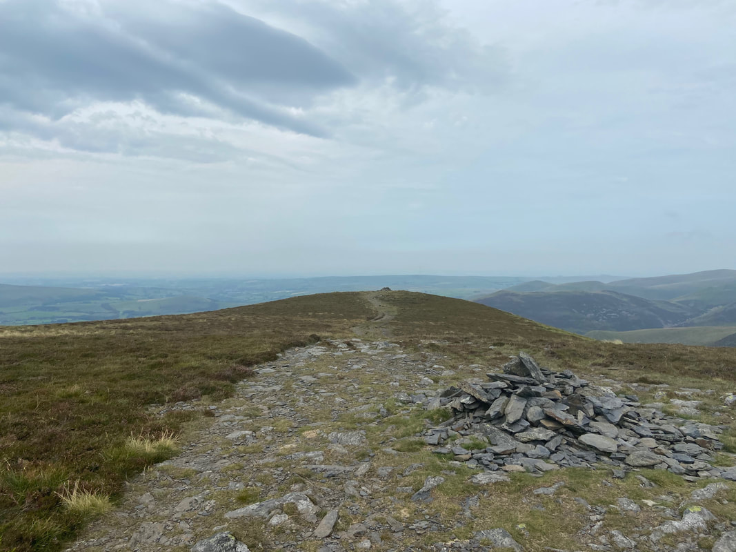
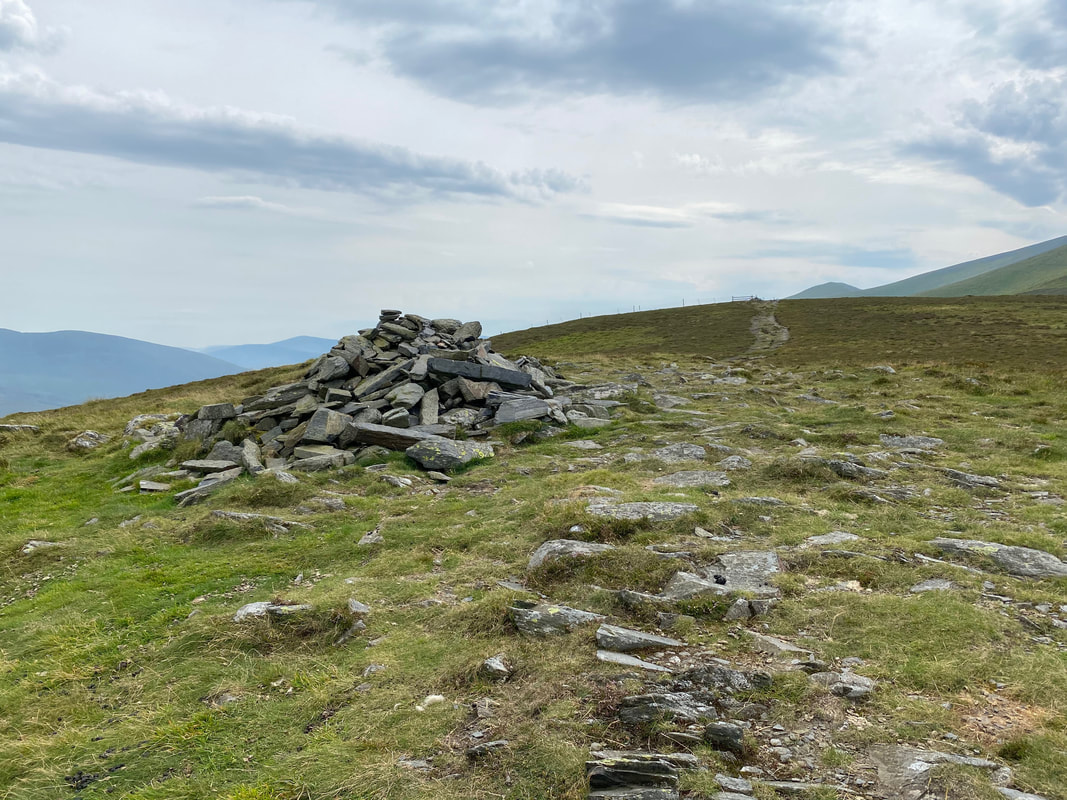
The highest point on Bakestall is marked by a cairn at the angle of the fence coming up from Birkett Edge
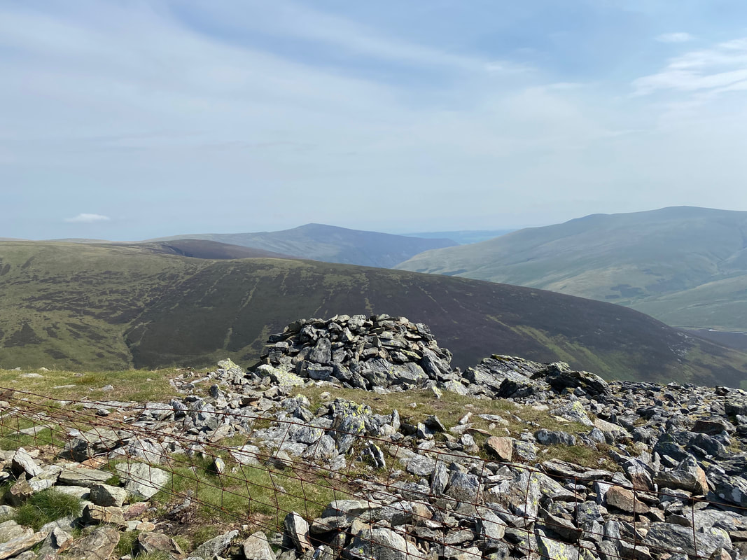
The northern cairn on Bakestall which affords the better views
Looking back to the summit of Bakestall and the angle of the fence from the northern cairn
Leaving Bakestall for the Birkett of Cockup which can be seen right of centre
Who are yer?
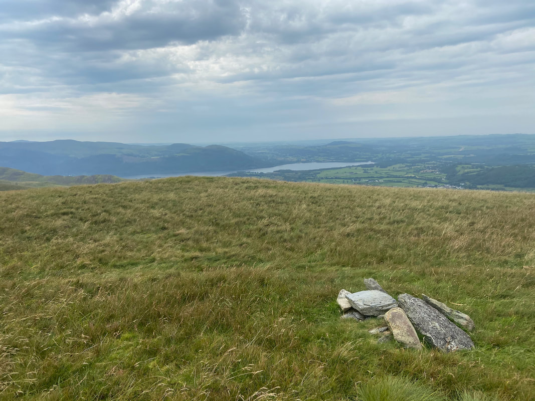
The summit of Cockup looking to Bassenthwaite Lake
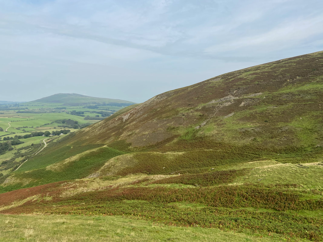
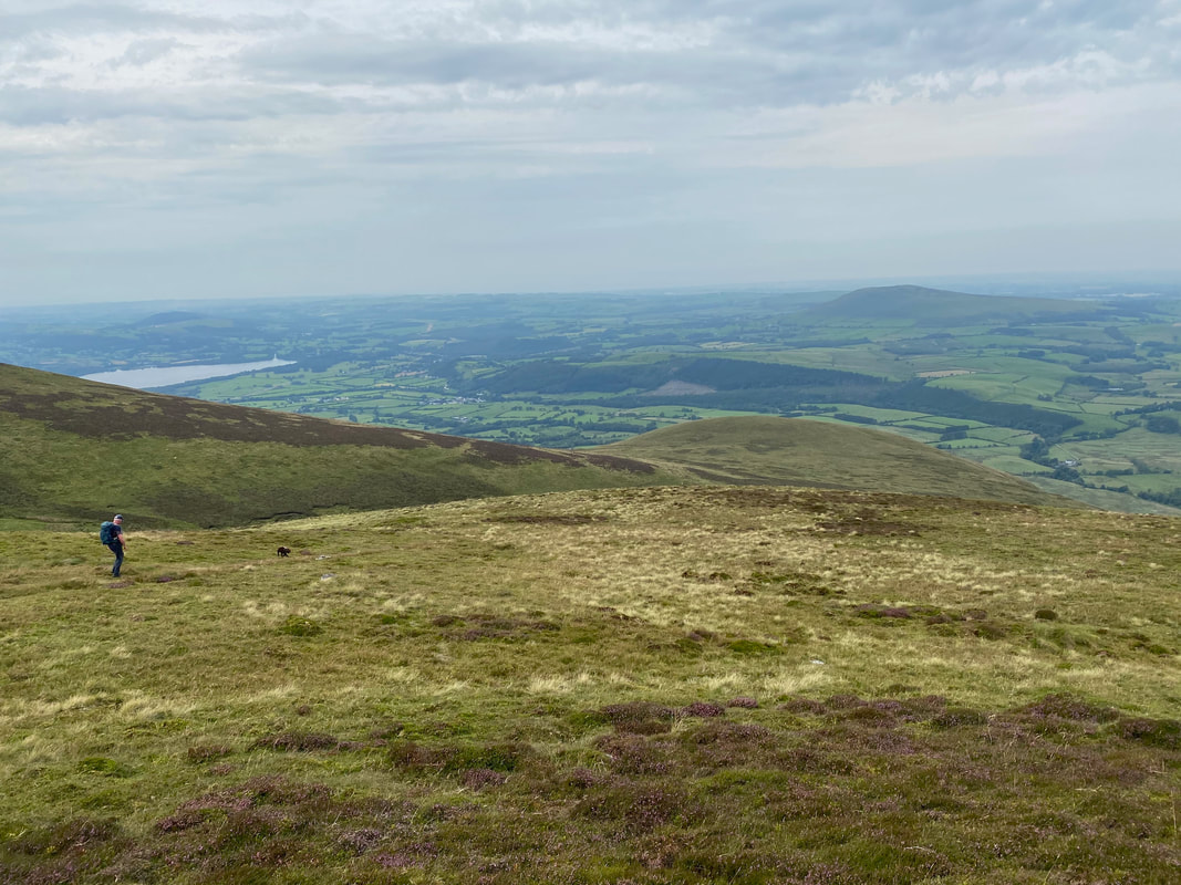
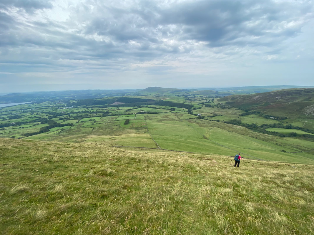
Descending steeply from Cockup - we were aiming for the wall running left to right below
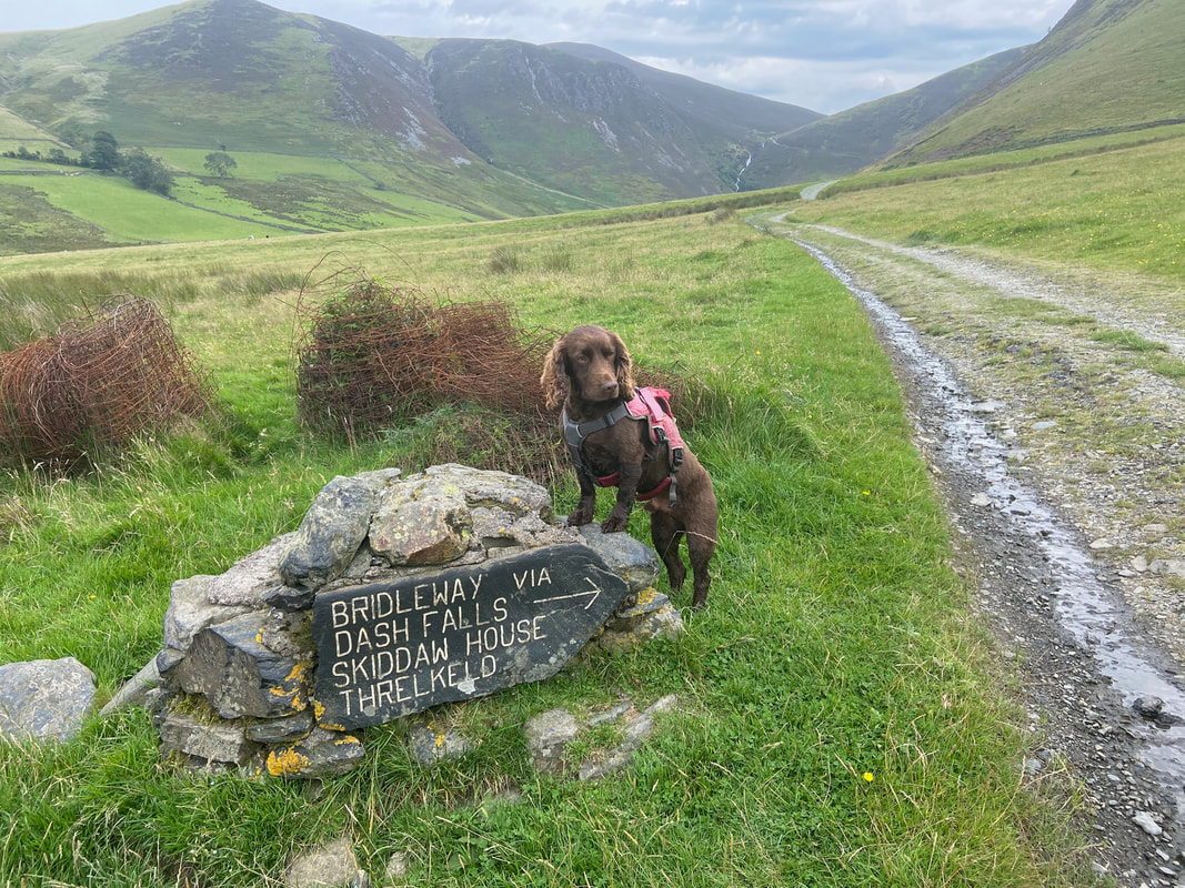
Safely back on The Cumbria Way looking back to Dash Falls
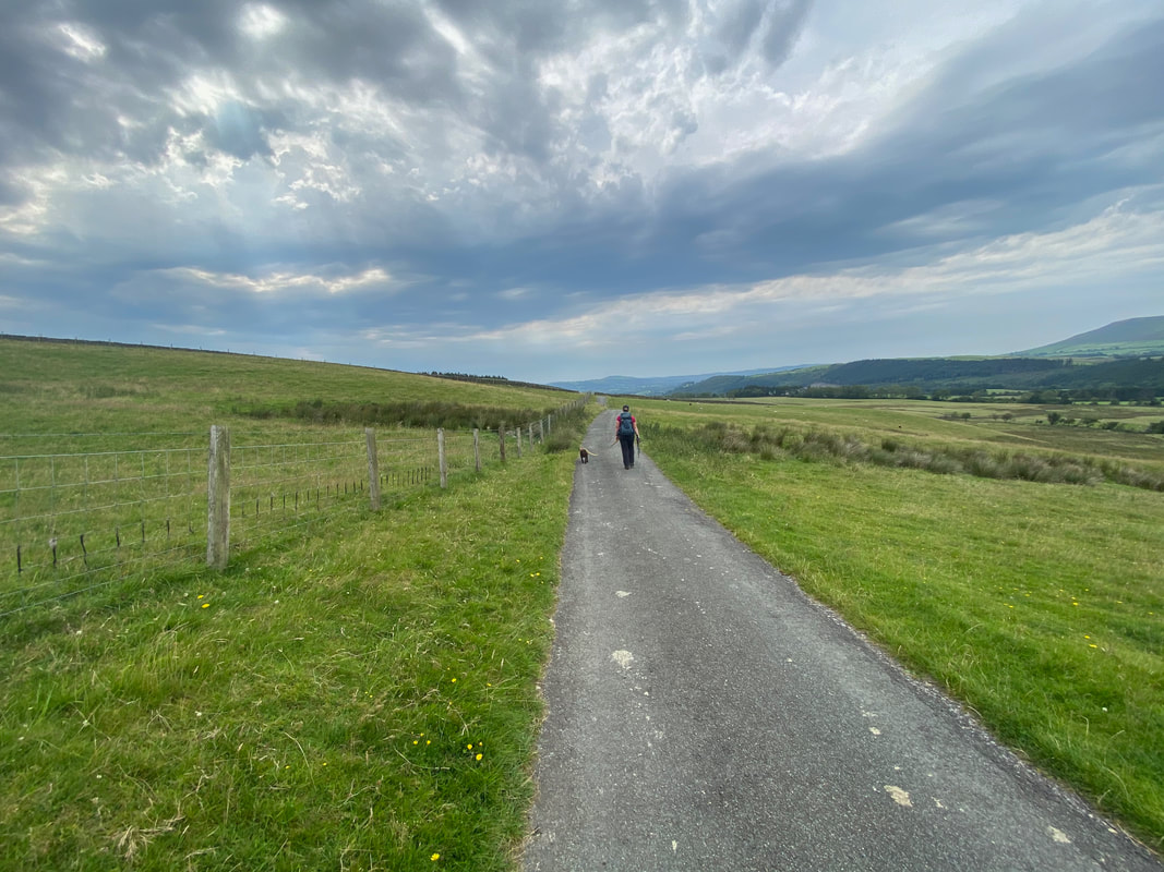
All that remained was to walk back to Peter House Farm via the metalled road
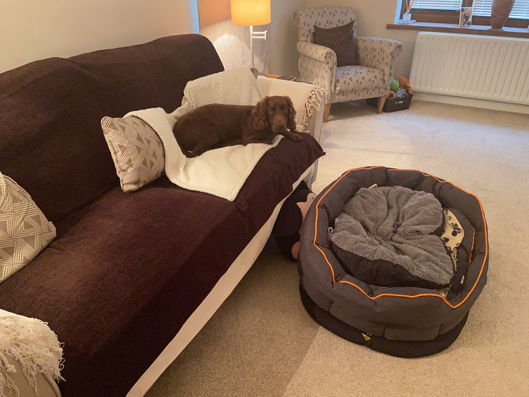
Waiting "patiently" for his birthday cake - massive comfy bed but prefers the settee
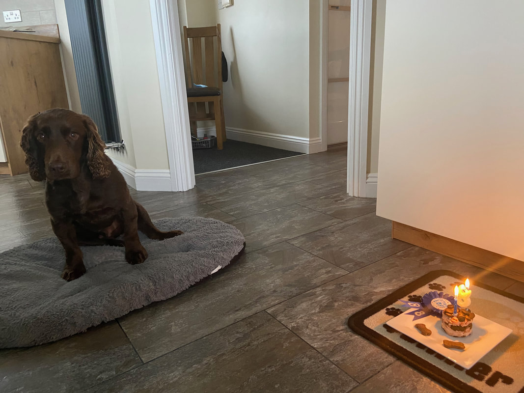
8 today - we hope you have many more years with us little chap
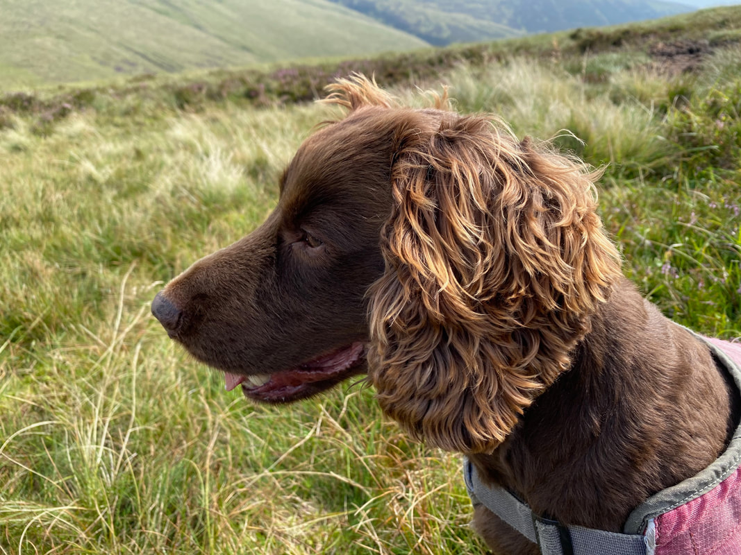
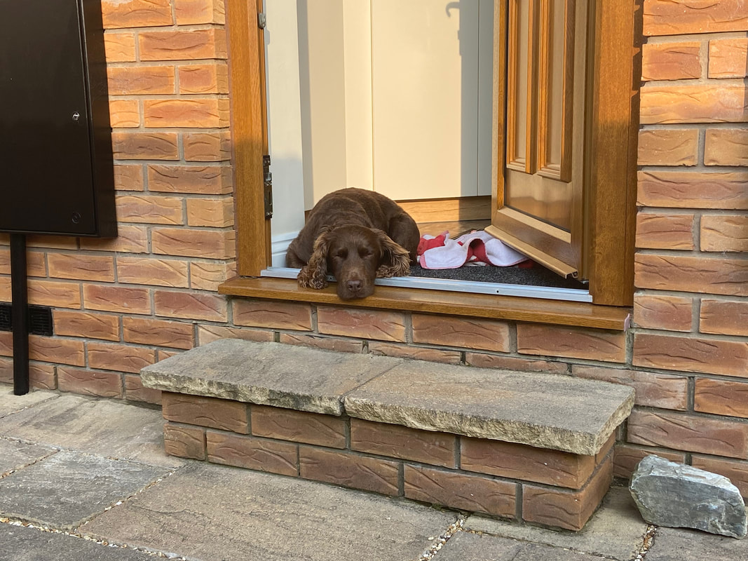
One contented pooch
