Lathkill Dale - Sunday 11 March 2018
Route
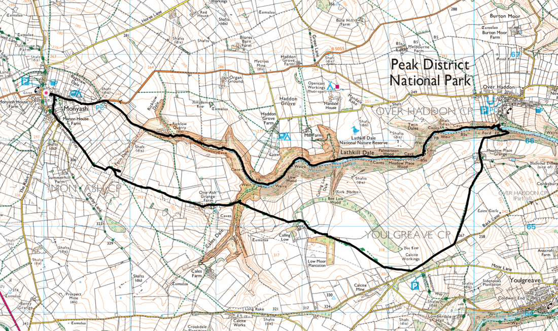
Monyash - One Ash Grange Farm - Cales Dale - Over Haddon - Lathkill Dale - Ricklow Quarry - Monyash
Parking
Plenty of roadside parking in Monyash
Mileage
9 miles
Terrain
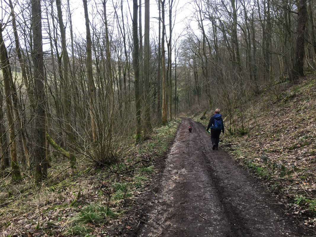
Rolling fields and farm tracks with some muddy sections after rain. There are a couple of short sections of steep sided wooded banks through the gorge but nothing that is overly technical or difficult to negotiate.
Weather
Mild and overcast
Time Taken
4hrs
Total Ascent
2444ft (745m)
Map
OL24 - The Peak District (White Peak Area)
Walkers
Dave, Angie & Fudge
|
GPX File
|
| ||
If the above GPX file fails to download or presents itself as an XML file once downloaded then please feel free to contact me and I will send you the GPX file via e-mail.
Route Map
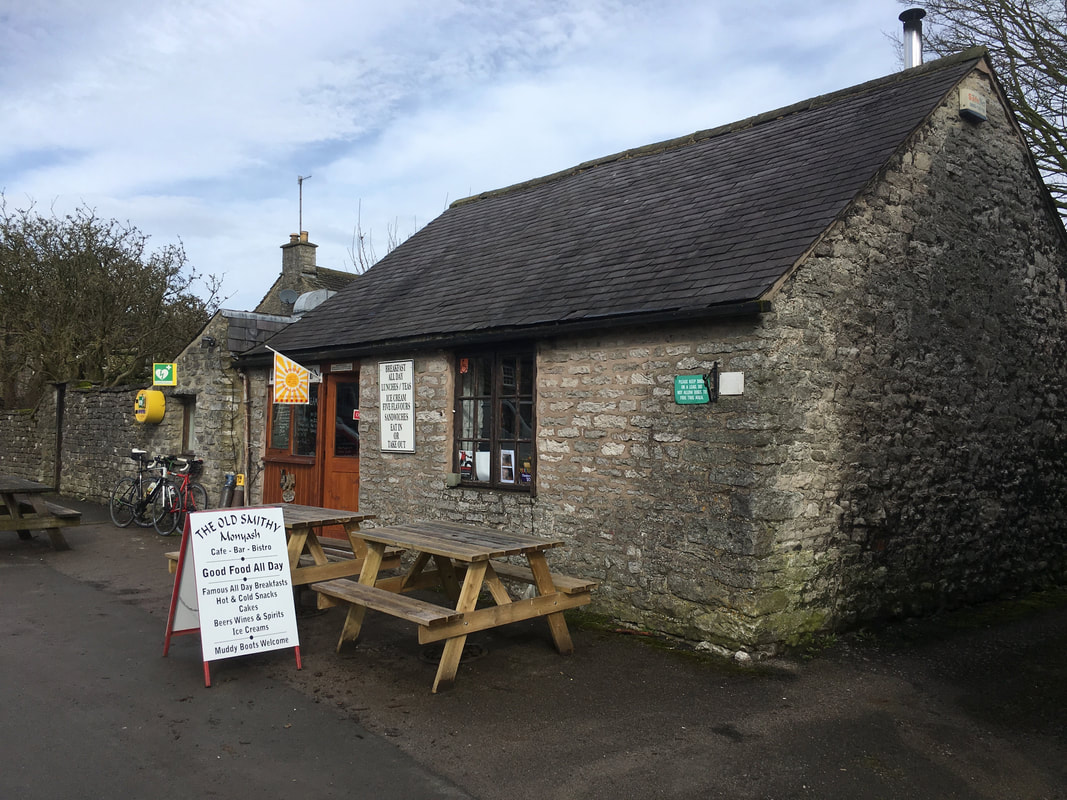
The walk started from the lovely village of Monyash near Bakewell, which as you can see has a cafe called The Old Smithy.
The cafe is fantastic and does a mean "Full English" which we partook of in order to provide us with sustenance for the day ahead.
The cafe is fantastic and does a mean "Full English" which we partook of in order to provide us with sustenance for the day ahead.
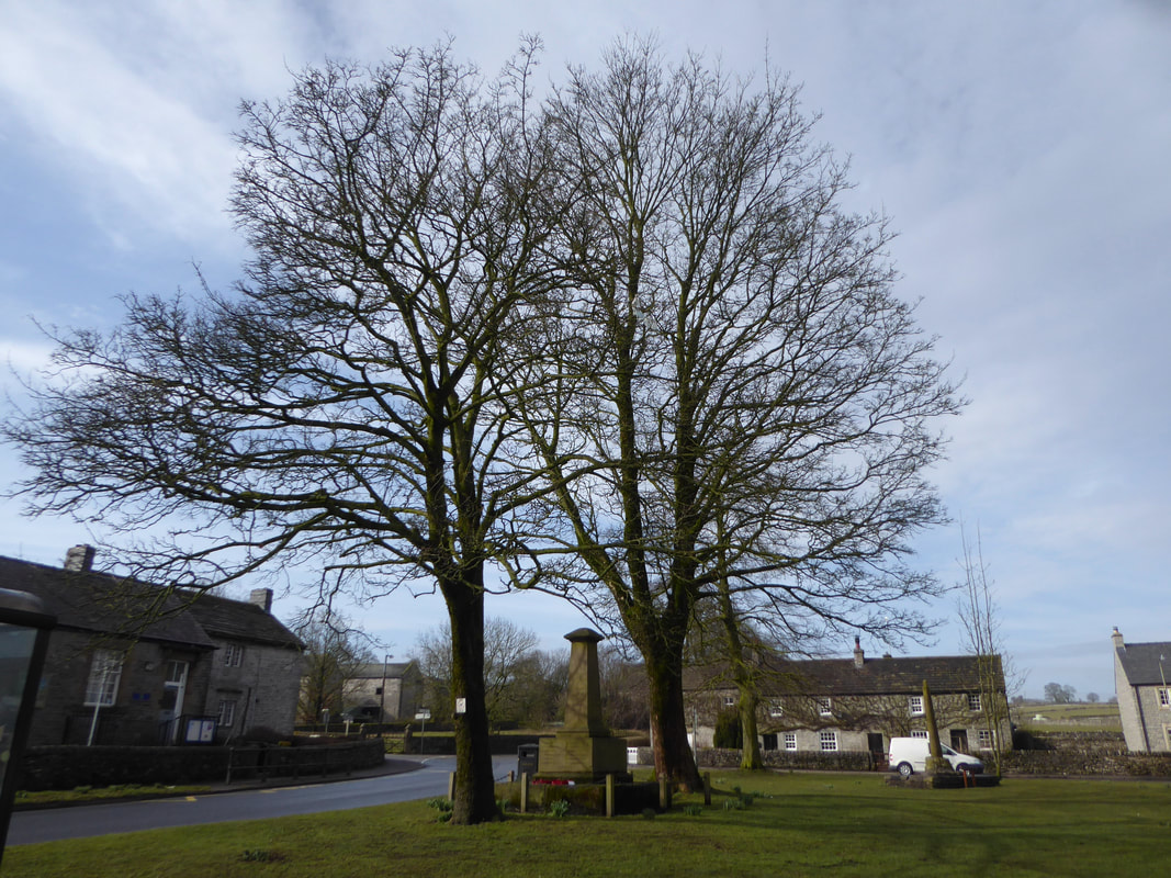
The War Memorial on the green at Monyash
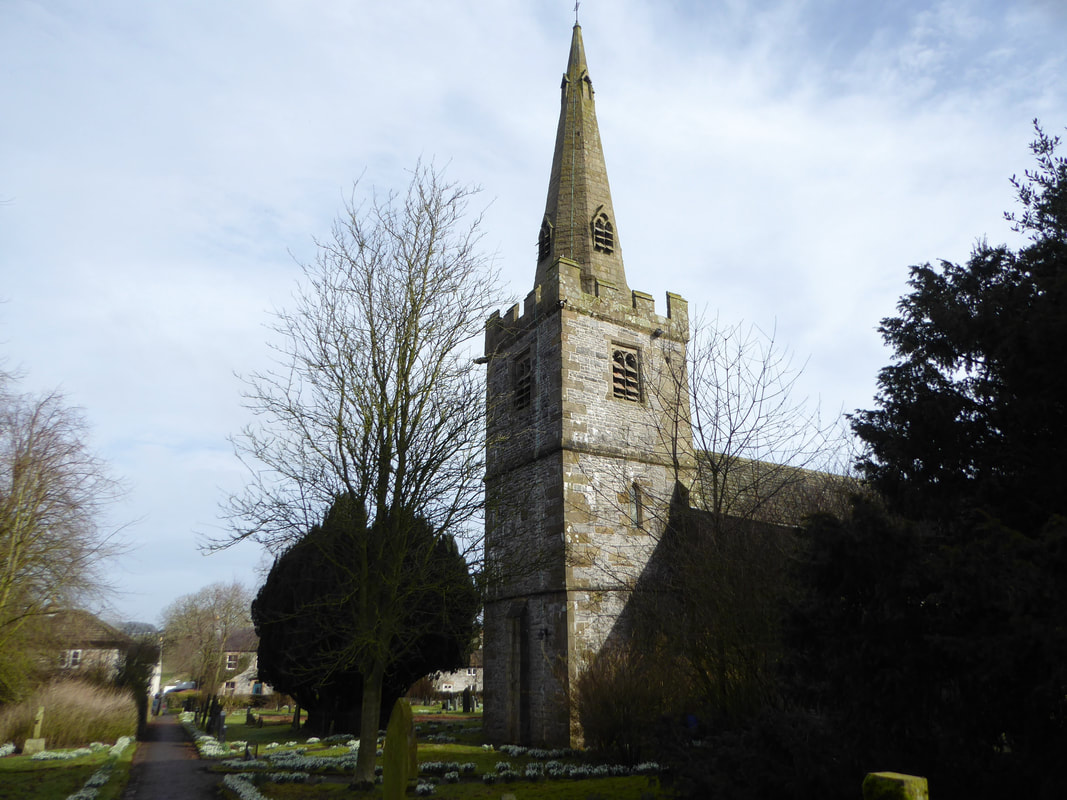
The route heads through the Churchyard of St Leonard's church in Monyash
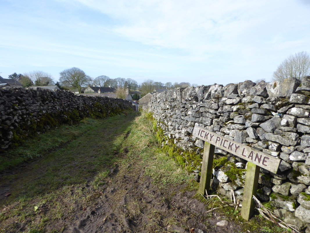
Just after the churchyard the route joined the delightfully named "Icky Picky Lane" ........................
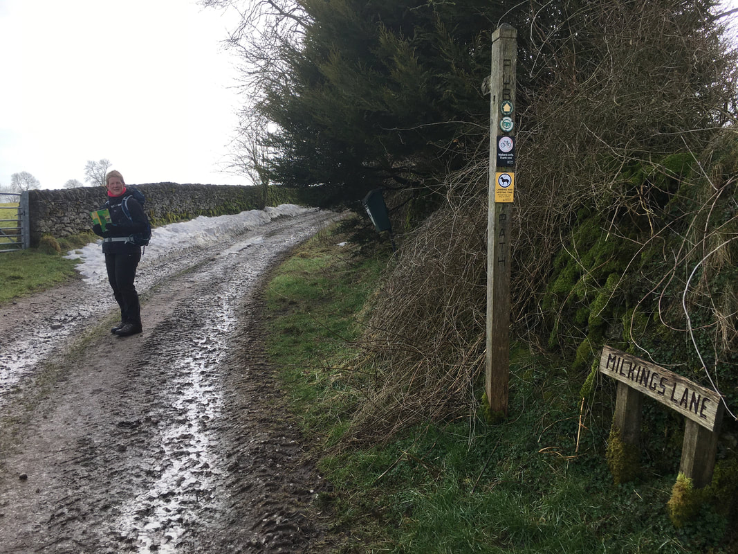
........ to then shortly head up Milkings Lane where we joined The Limestone Way. Mrs W eyes me quizzically for some reason?
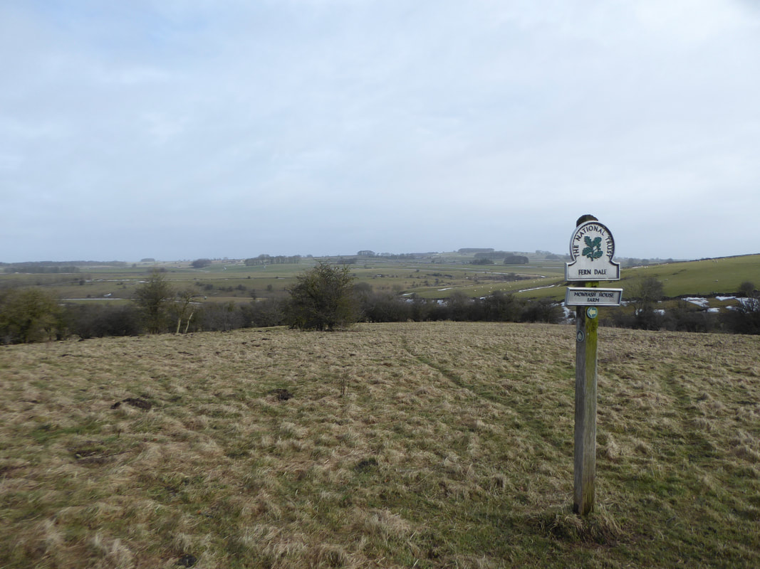
The route continued to pass through Fern Dale
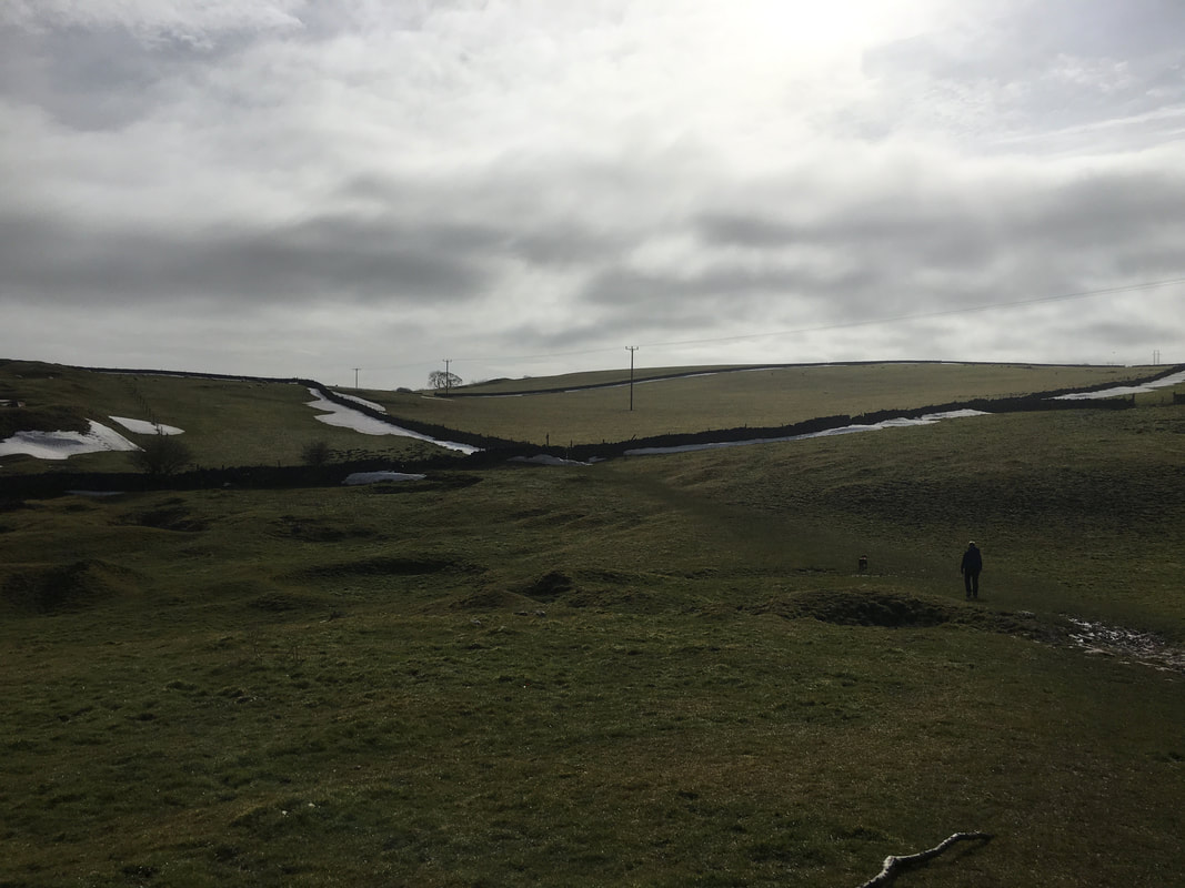
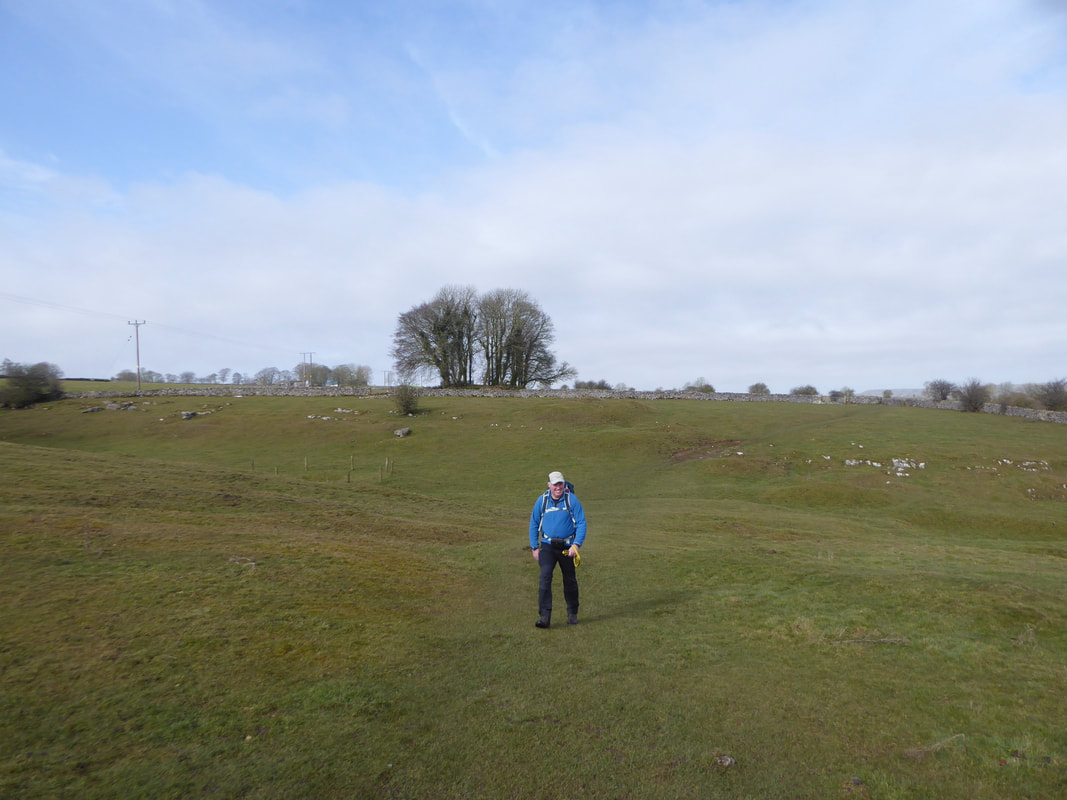
Out in the open now as we head along field paths towards Cales Dale
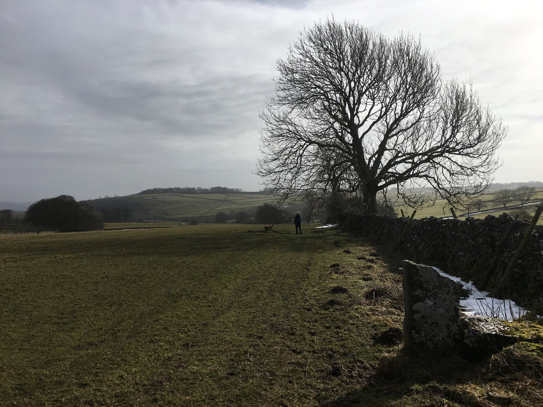
This was delightful walking and although the light was not brilliant it was still good to be out
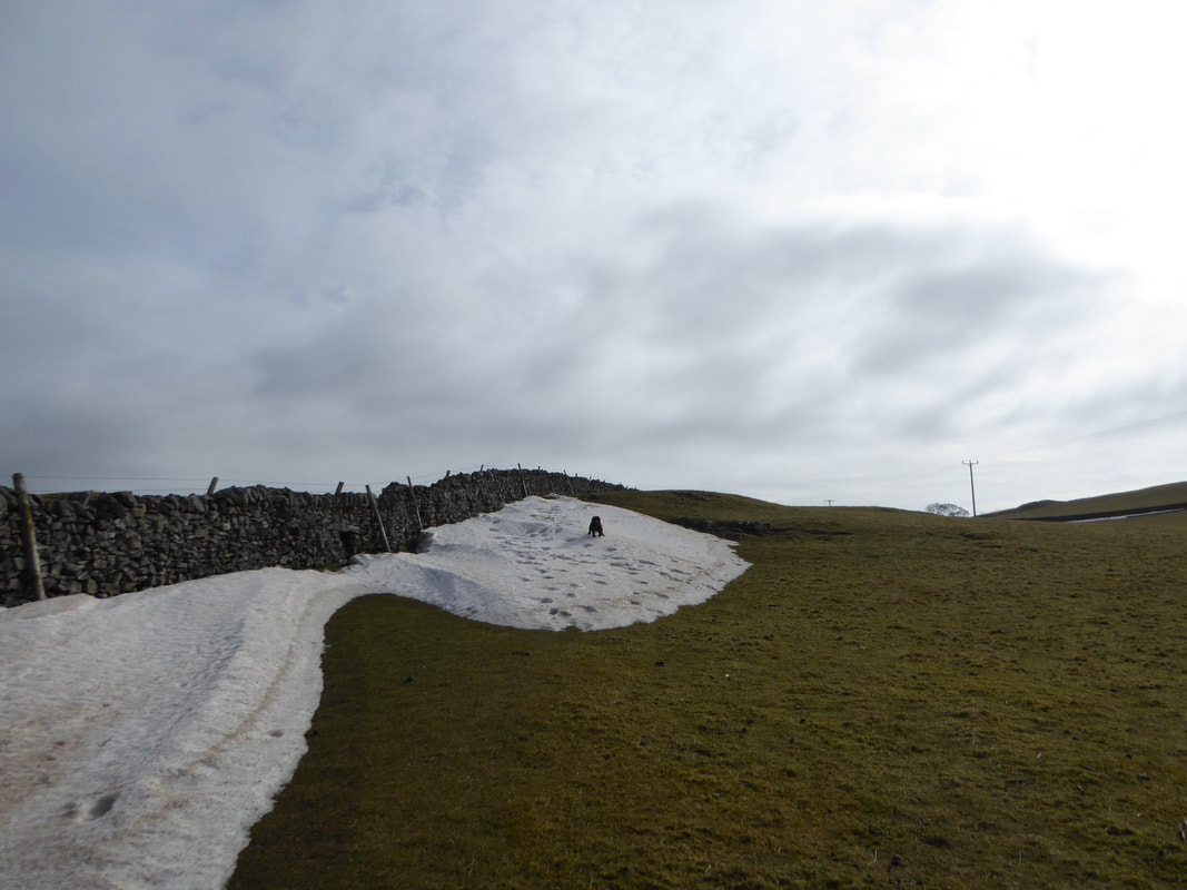
And of course cheeky boy wanted to have a play in what was left of the snow
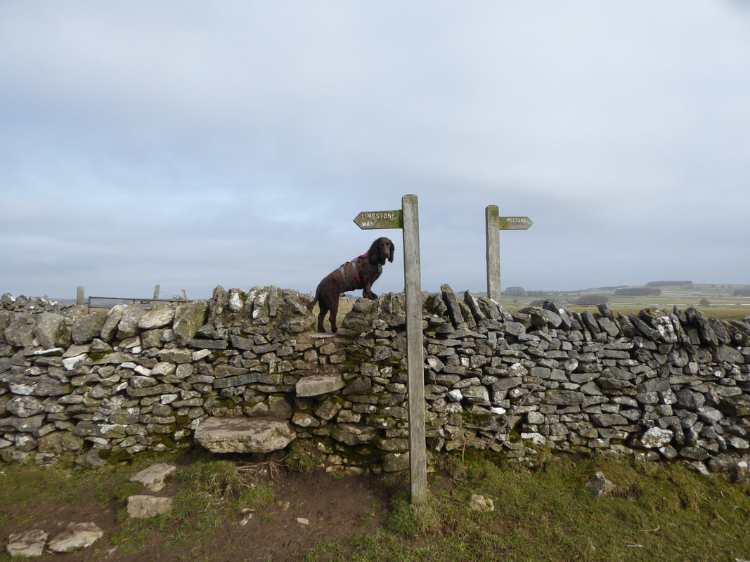
Fudge leads the charge as we continue along The Limestone Way
More farmland paths as we near One Ash Grange Farm
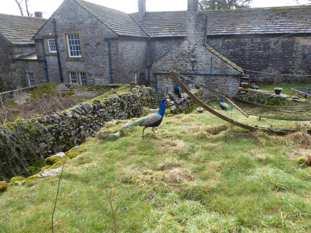
Peacocks galore at One Ash Grange Farm
As the name indicates the farm was once a monastic grange owned by Roche Abbey near Rotherham
As the name indicates the farm was once a monastic grange owned by Roche Abbey near Rotherham
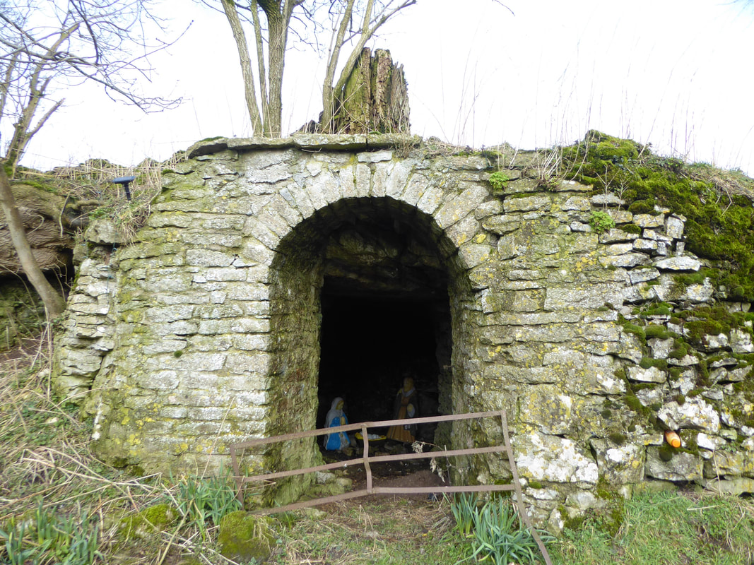
A nativity scene as we leave One Ash Grange Farm.
The building housing the scene is a larder or dairy store, built into the low scar below the cool of an overhanging limestone slab.
The building housing the scene is a larder or dairy store, built into the low scar below the cool of an overhanging limestone slab.
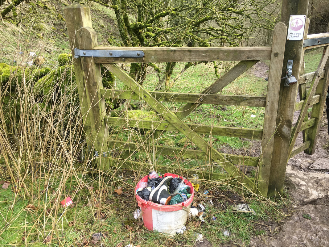
I do wish people wouldn't do this - just leave their crap everywhere
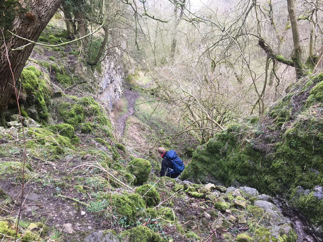
Descending into the gorge of Cales Dale - this is steep therefore take your time and be careful
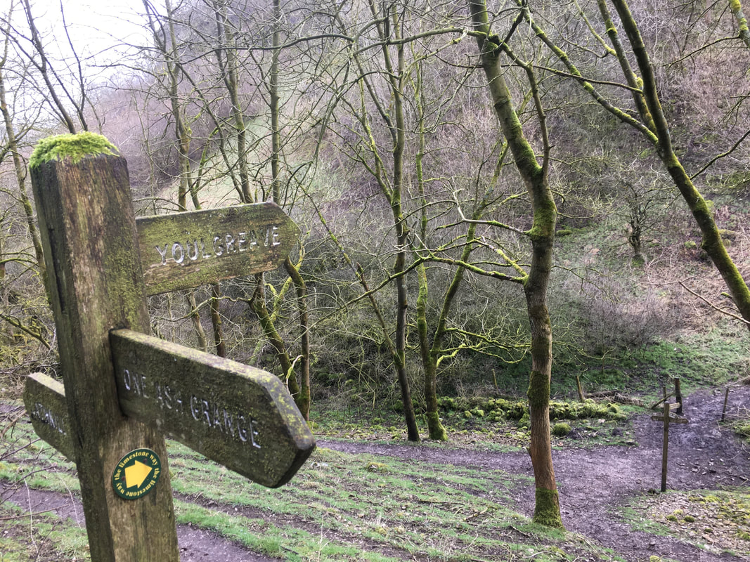
Once in the gorge the route continues on in the direction of Youlgreave
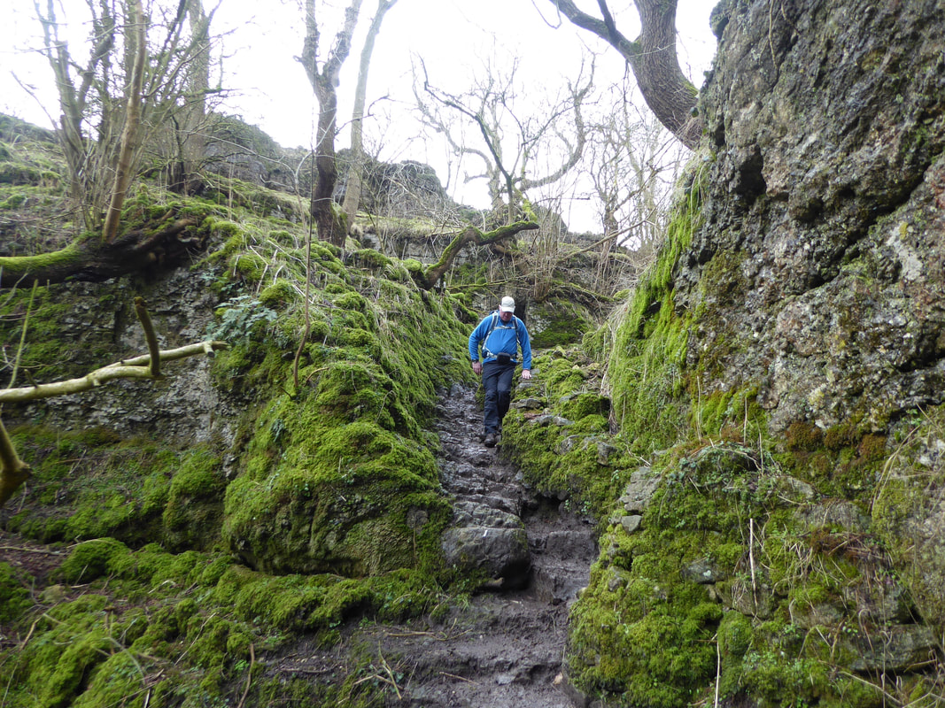
The route continues to drop into the gorge - the rock here was extremely slippy therefore we took our time
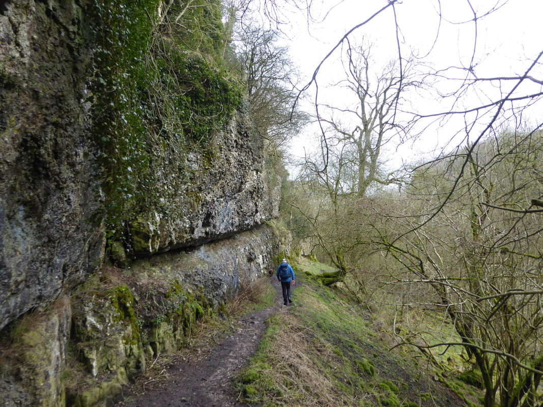
The path continues along a shelf beneath a limestone cliff
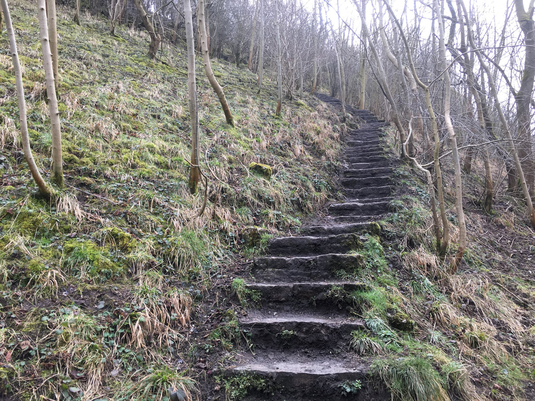
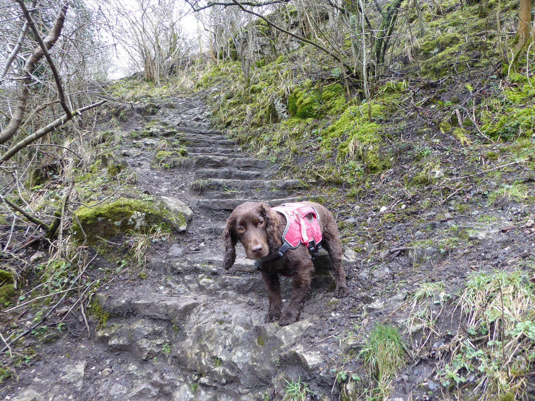
We exited the gorge via these steep stone steps
"Can we go and play in the water now?"
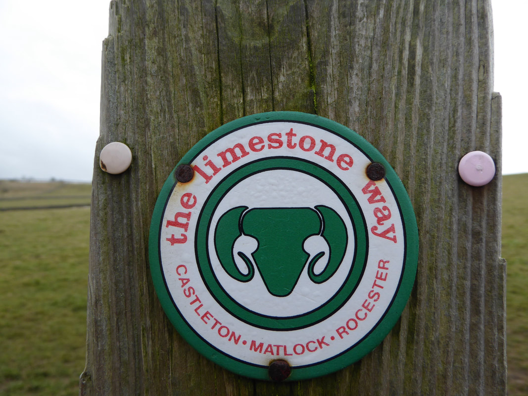
The Limestone Way marker near Low Moor Wood
The Limestone Way runs for 46 miles through the White Peak of the Peak District in Derbyshire from Castleton south to Rocester in Staffordshire.
The trail is named for the superb limestone scenery along its route. It was devised by Brian Spencer of Matlock Rotary Club and developed and opened in 1986. It originally ran to Matlock but was extended to its current, longer route in 1992 to join up with the Staffordshire Way.
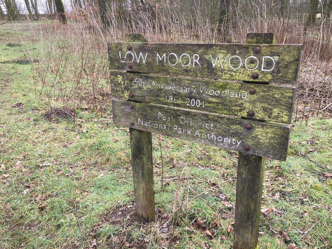
The route enters the small plantation of Low Moor Wood
Passing through the farm at Meadow Place Grange.
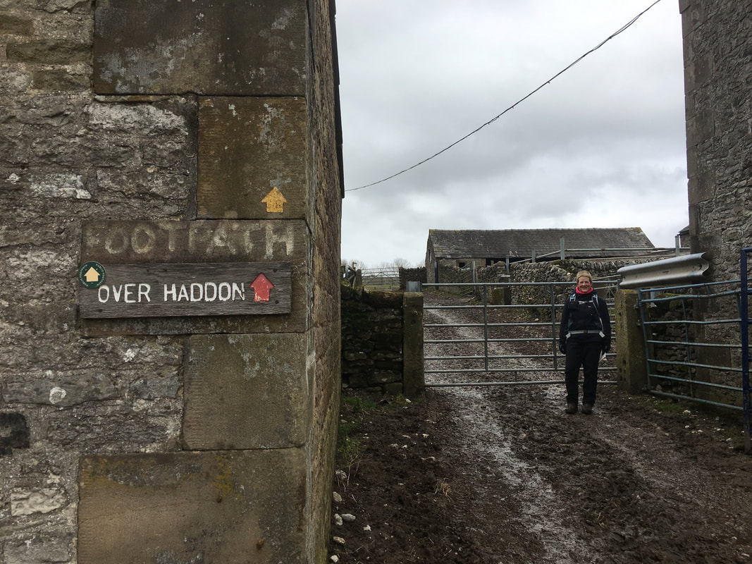
Mrs W is smiling because I have just told her we can go to Chatsworth for a piece cake after the walk.
Mrs W is smiling because I have just told her we can go to Chatsworth for a piece cake after the walk.
Just before Over Haddon the route heads down a steep track on the side of the gorge
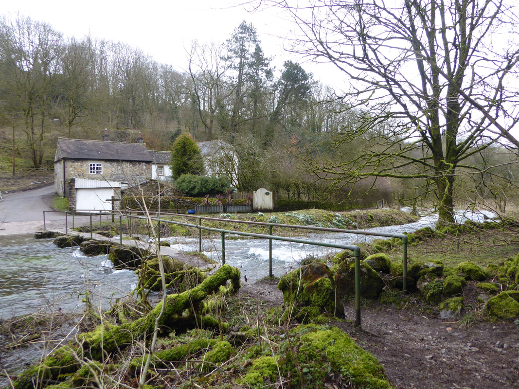
The road to Over Haddon at Lathkill Lodge and the bridge across the River Lathkill
Lots of evidence of mining activity as we passed through the gorge
The bridge that gives access to Bateman's House which can be seen through the trees/
The house is an old miner's dwelling built on top of the shaft.
The house is an old miner's dwelling built on top of the shaft.
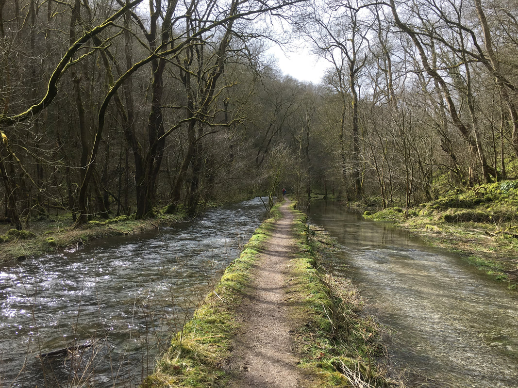
Continuing through the beautiful Lathkill Dale
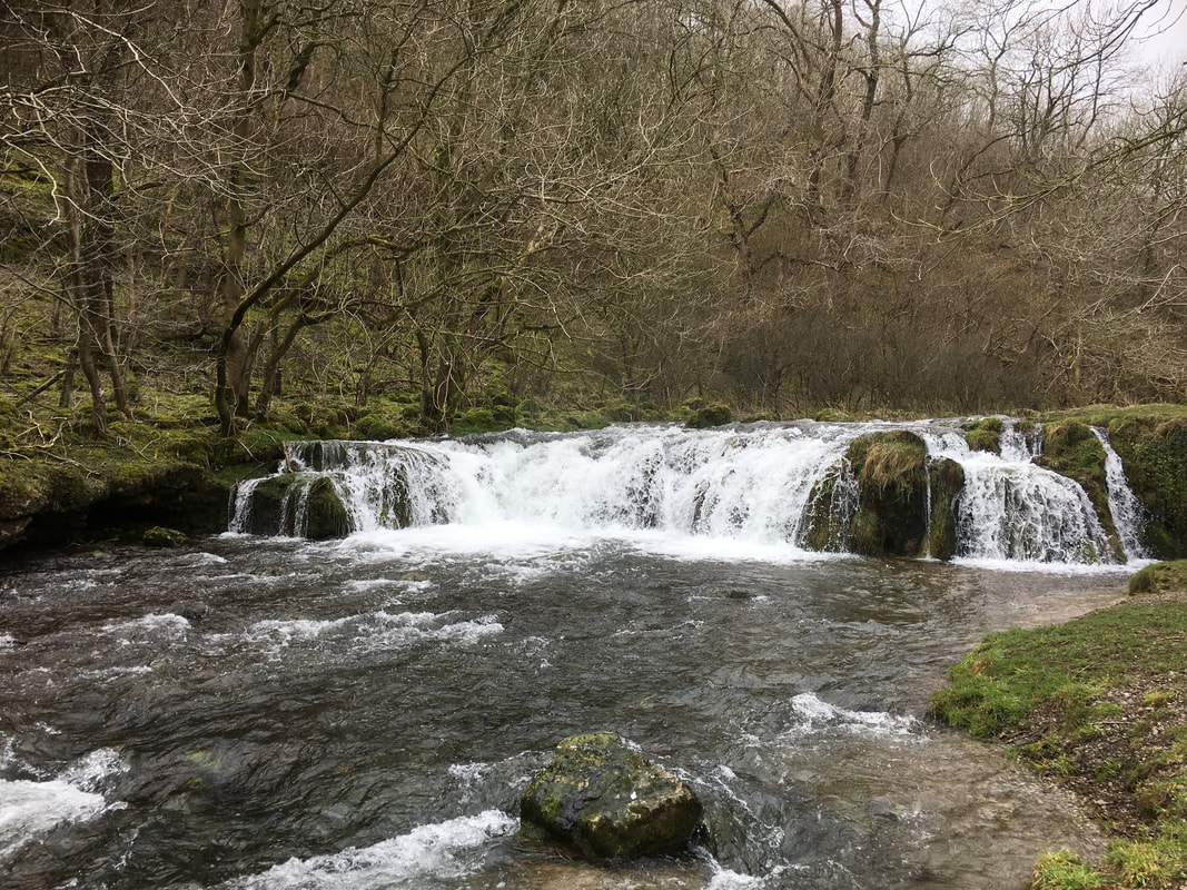
There were lots of little weirs and waterfalls along the river
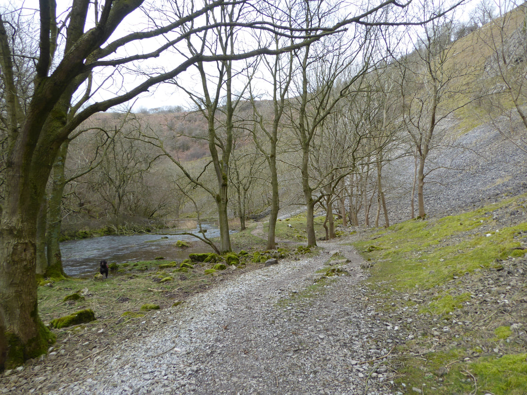
The path improves as progress is made through the gorge
This was just glorious walking through the dale with very few people about
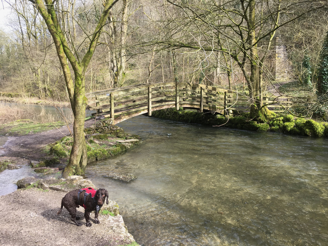
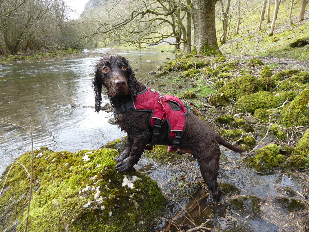
The brown furry one had an absolute blast today in all this water
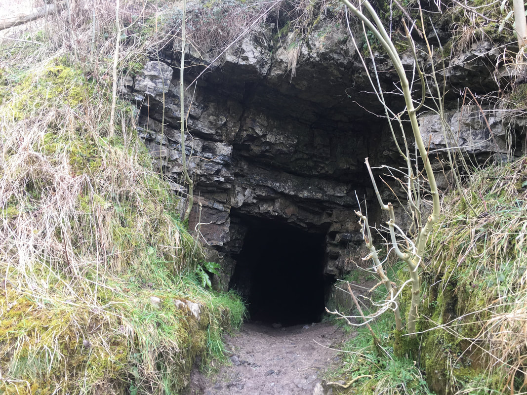
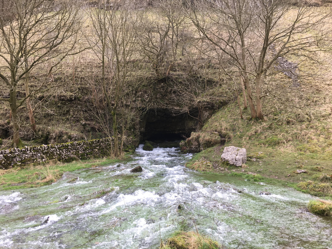
The entrance to Lathkill Head Cave
This large natural arch is often dry in Summer but in Winter a strong river issues from its flooded depths.
This large natural arch is often dry in Summer but in Winter a strong river issues from its flooded depths.
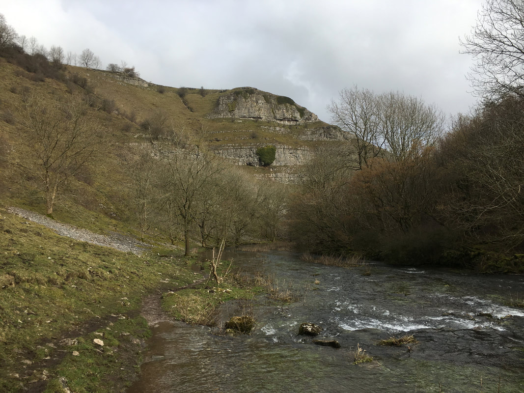
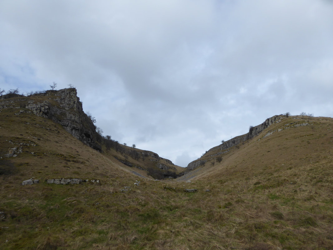
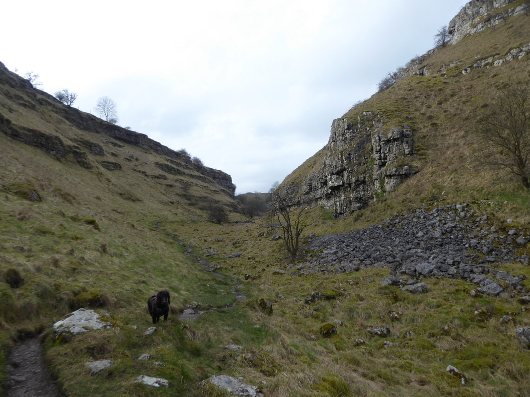
Nearing Monyash the gorge narrowed as we headed below Ricklow Quarry
The path rises out of the gorge towards Monyash where the terrain became rockier
Safely back in Monyash after what was a fantastic if a little overcast walk
