Grasmoor Wild Camp Day 2 - Tuesday 29 June 2021
Route
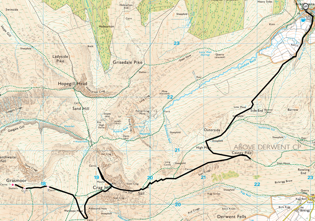
Grasmoor - Wandope Moss - Wandope - Addacomb Hole - Crag Hill - Eel Crag - Crag Hill - The Scar - Sail - Sail Pass - Scar Crags - Causey Pike - High Moss - Low Moss - Stile End - Braithwaite
Mileage
7 miles
Terrain
Well established mountain paths throughout.
Weather
Glorious - warm with gentle breezes.
Time Taken
4hrs
Total Ascent
859ft (262m)
Wainwrights
5
Map
OL4 - The English Lakes (North Western Area)
Walkers
Dave, Angie & Fudge
|
GPX File
|
| ||
If the above GPX file fails to download or presents itself as an XML file once downloaded then please feel free to contact me and I will send you the GPX file via e-mail.
Route Map
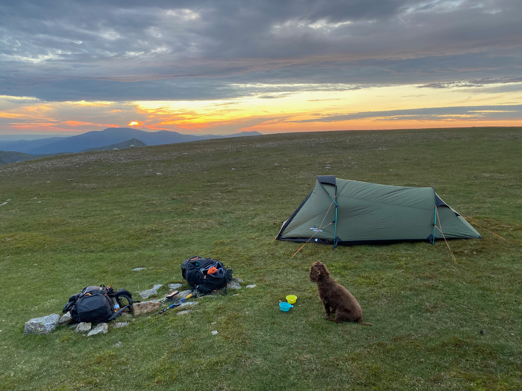
It is 0445 in the morning, Fudge has already wolfed down his breakfast and is wondering how long it will be until he eats again
Looks like it is going to be a warm walk back to Braithwaite. Once the tent was packed up you would never know anyone had camped here - the wild camping ethos being arrive late, depart early and leave no trace.
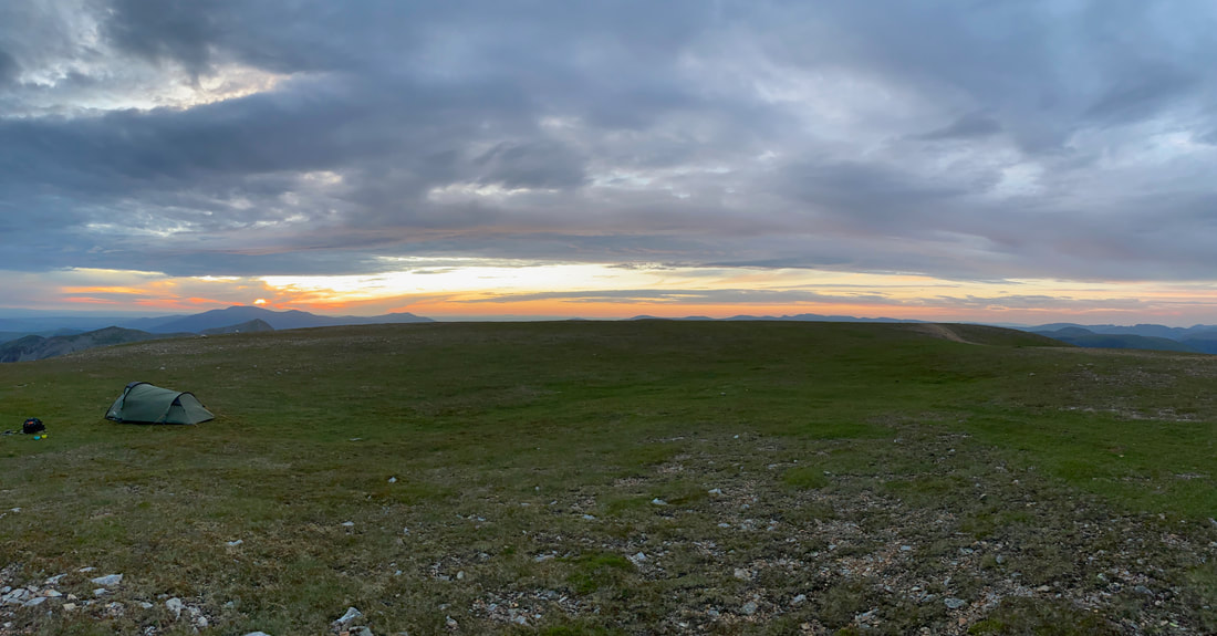
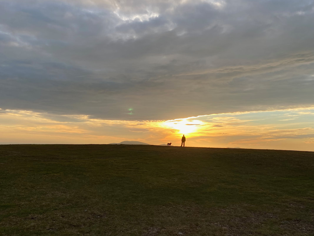
Sunrise on Grasmoor
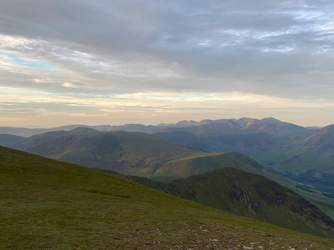
The glorious morning light over Whiteless Pike, Robinson & High Snockrigg looking to the Scafells
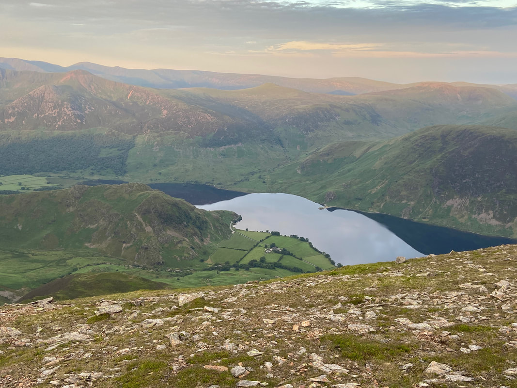
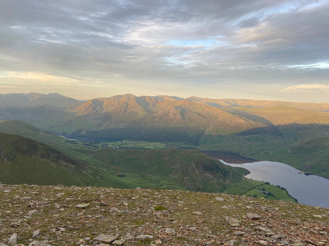
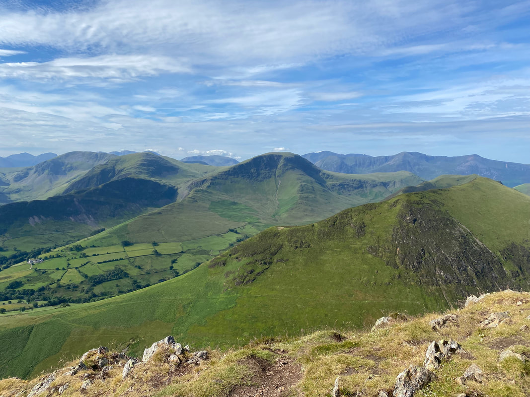
Rannerdale Knotts sits below with Crummock Water for company. To the rear are Dodd, Red Pike, Lingcomb Edge, Starling Dodd, Great Borne & Mellbreak. In the far distance left to right are Scoat Fell, Haycock, Little Gowder Crag, Caw Fell & Lank Rigg.
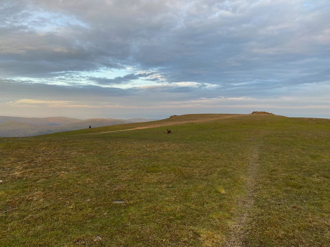
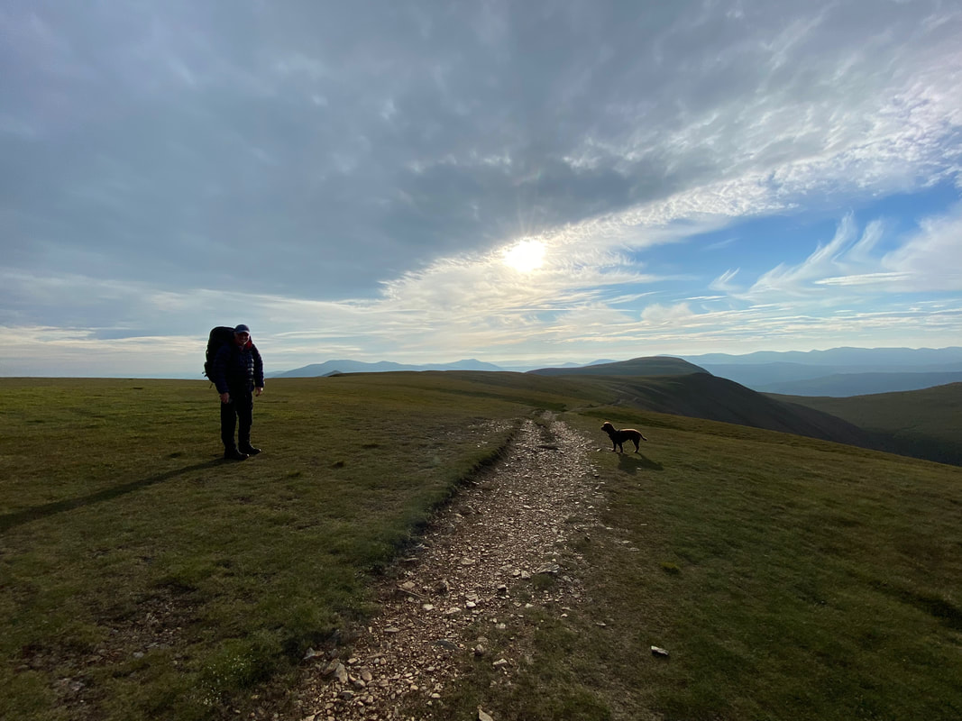
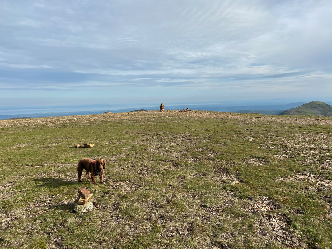
It may be early but it doesn't take long for Fudge to wake up and go into full "arsing about" mode
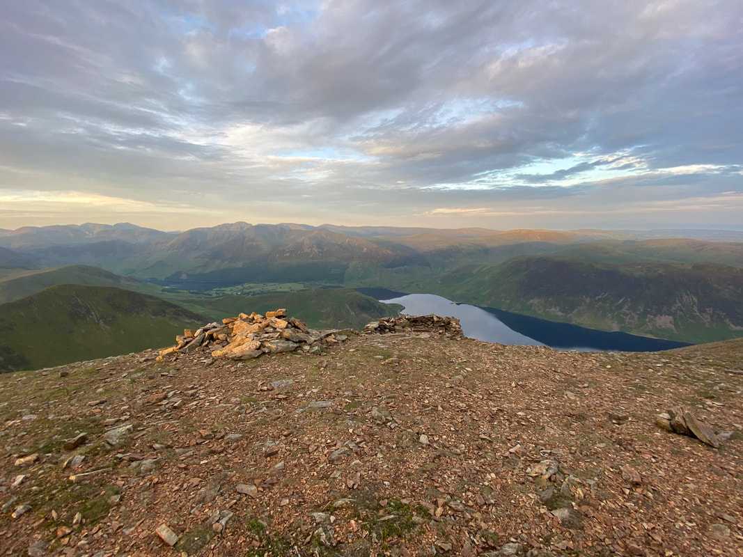
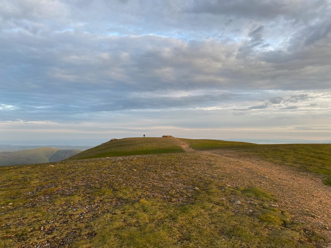
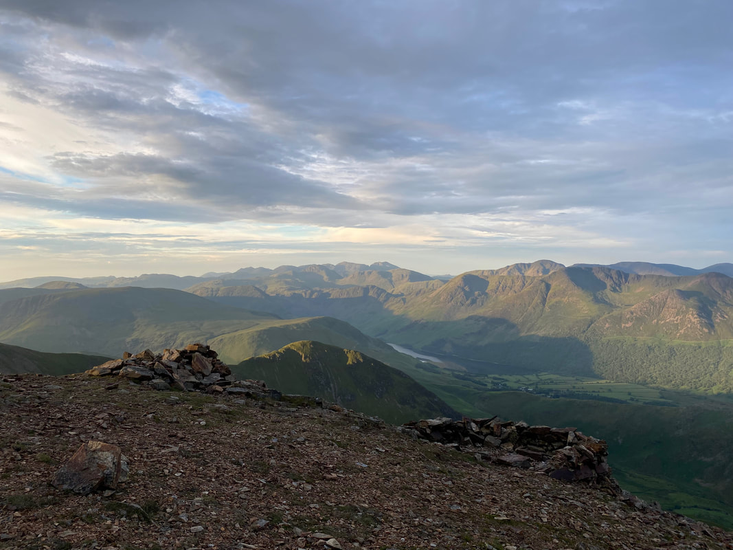
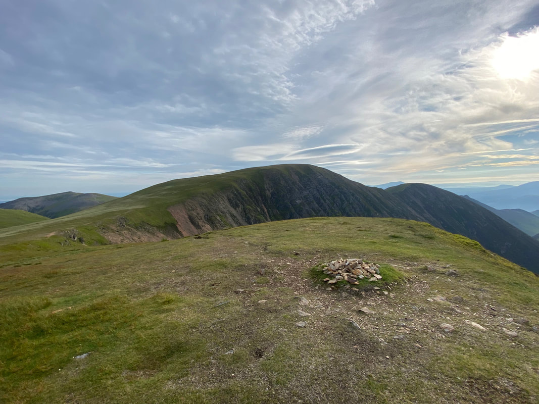
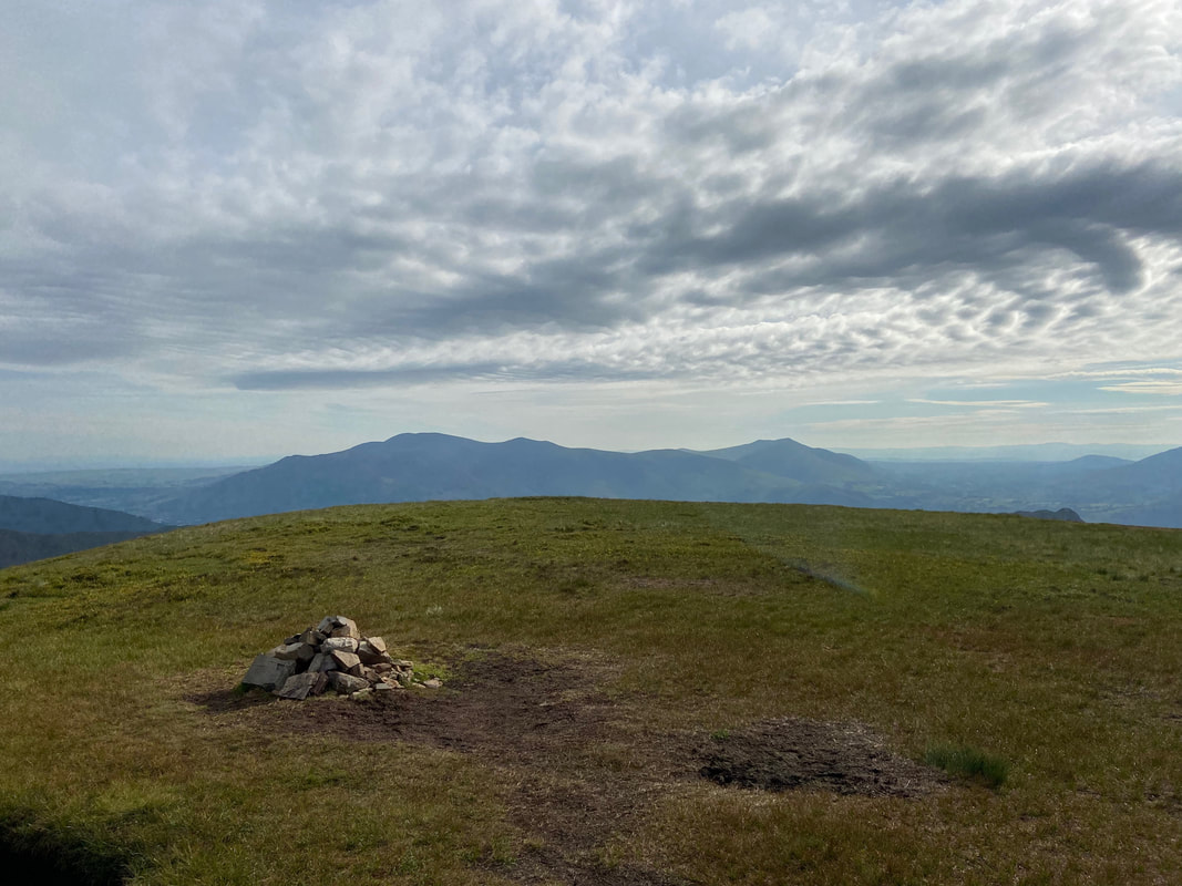
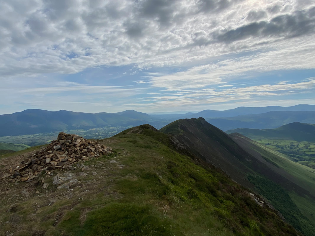
The cairn and shelter on the southern side of Grasmoor's summit
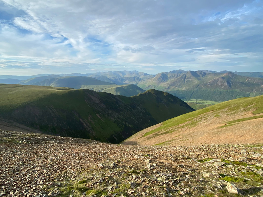
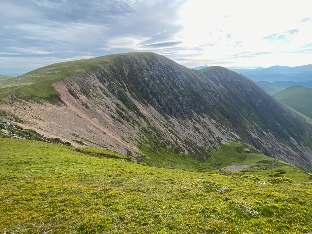
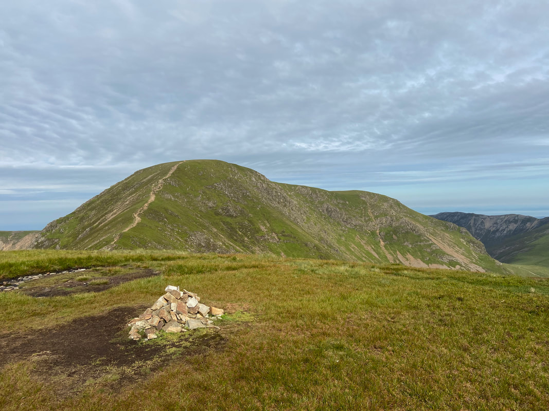
Grasmoor's summit from near the start of the Lad Hows descent
The best thing about being on top of a mountain at sunrise is the clarity of the light and how it changes as the sun appears
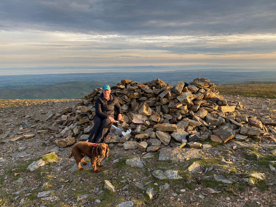
It was Angie's birthday today and we started off the celebrations with Bacon Sarnies on Grasmoor's summit. Fudge meanwhile doesn't give a tinker's cuss whose birthday it is as long as he gets a piece of Bacon.
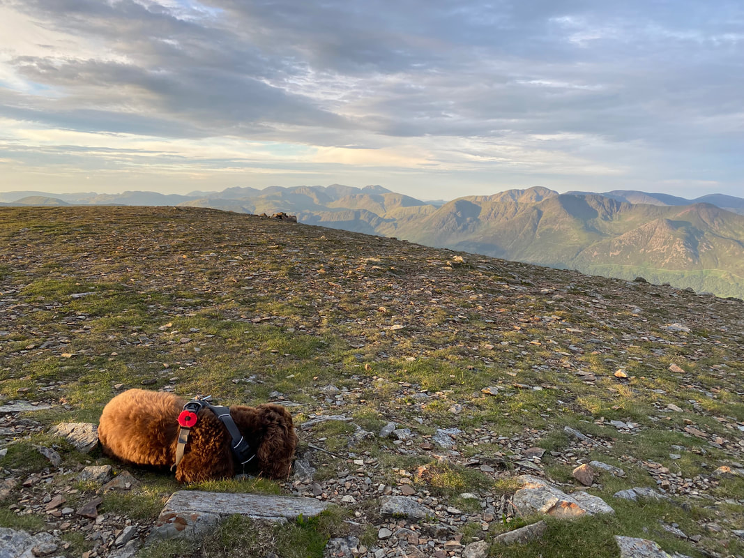
Bacon scrounging over, Heap Little Brown Cloud ponders if we will really make him wait a whole 7 hours for his lunch
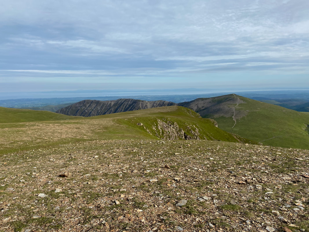
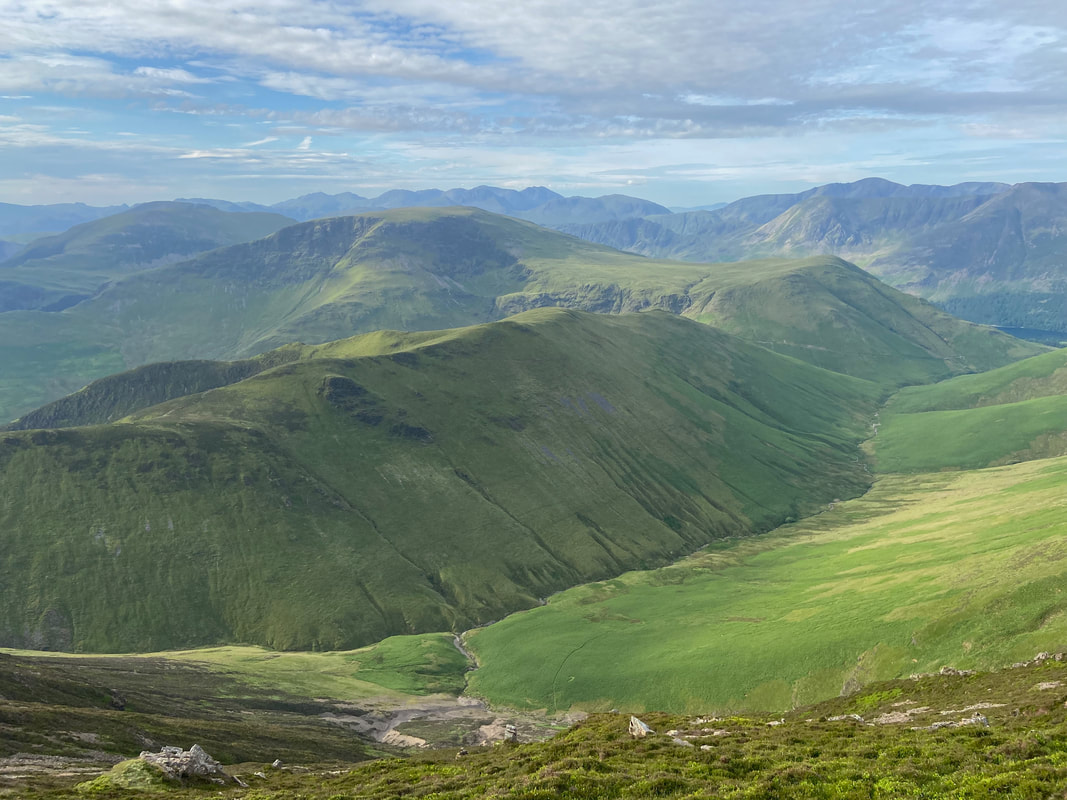
Before leaving Grasmoor to the east it was time to look to the south once more and take in that view
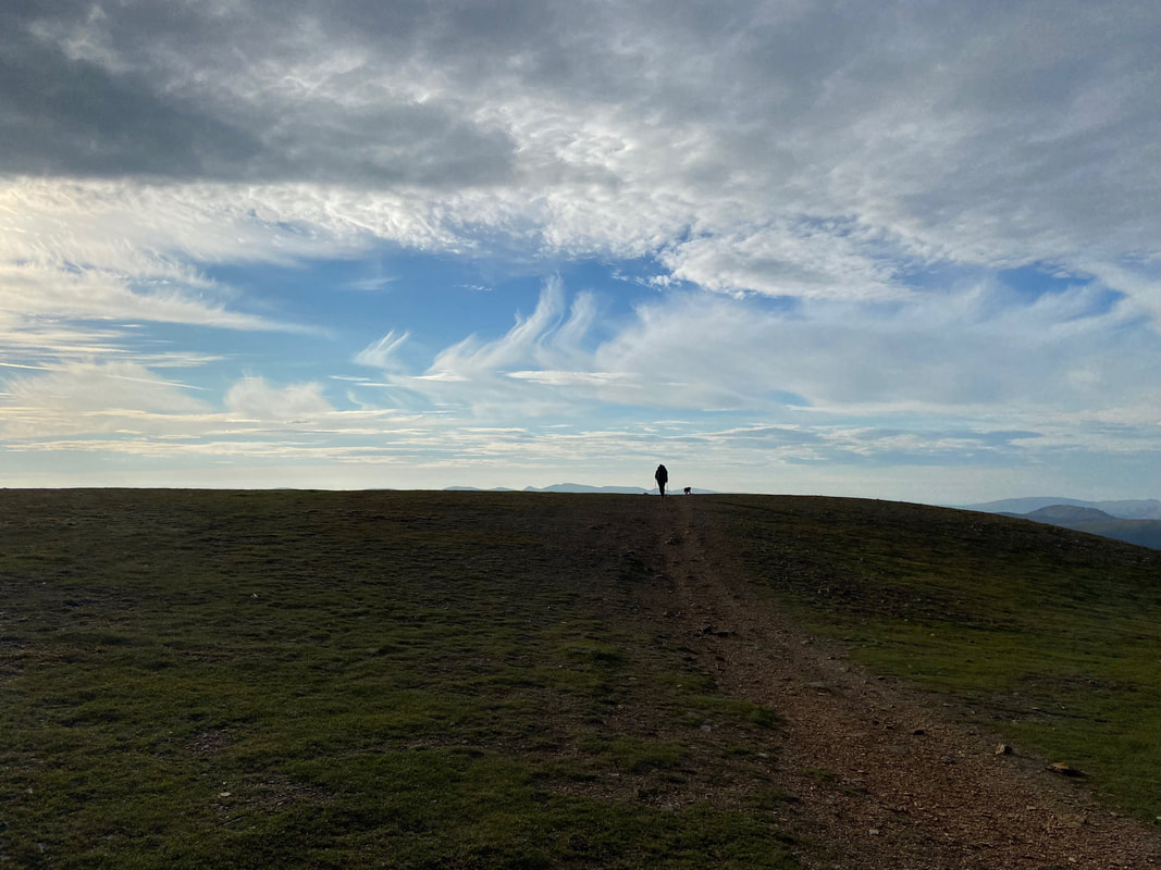
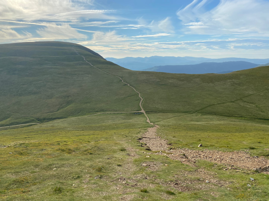
Heading reluctantly off Grasmoor - next stop was Wandope
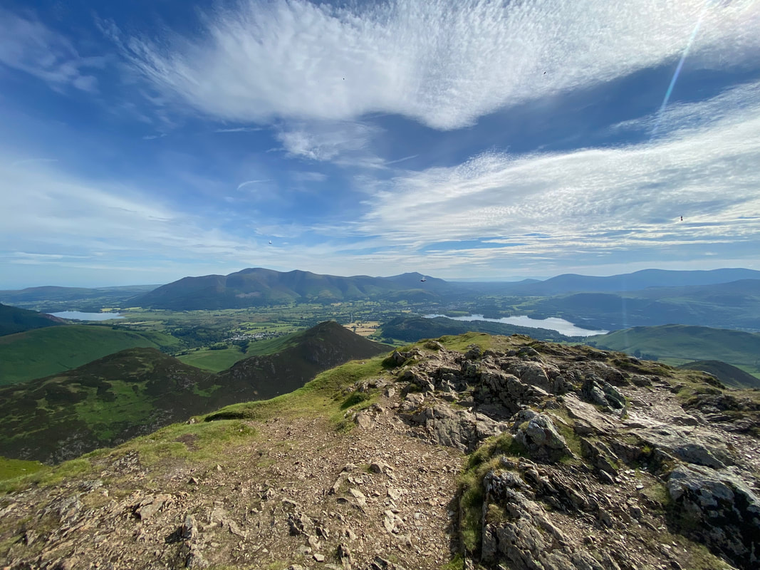
Looking east as the sun rises - in the far distance are Skiddaw & Blencathra with Crag Hill to the right
Looking to Thirdgill Head Man, Whiteless Edge & Whiteless Pike from Grasmoor's summit plateau.
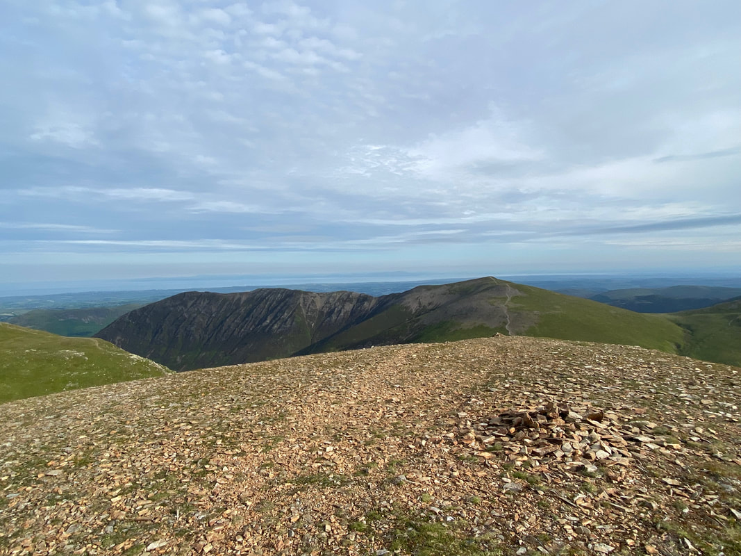
Looking back to Grasmoor's summit
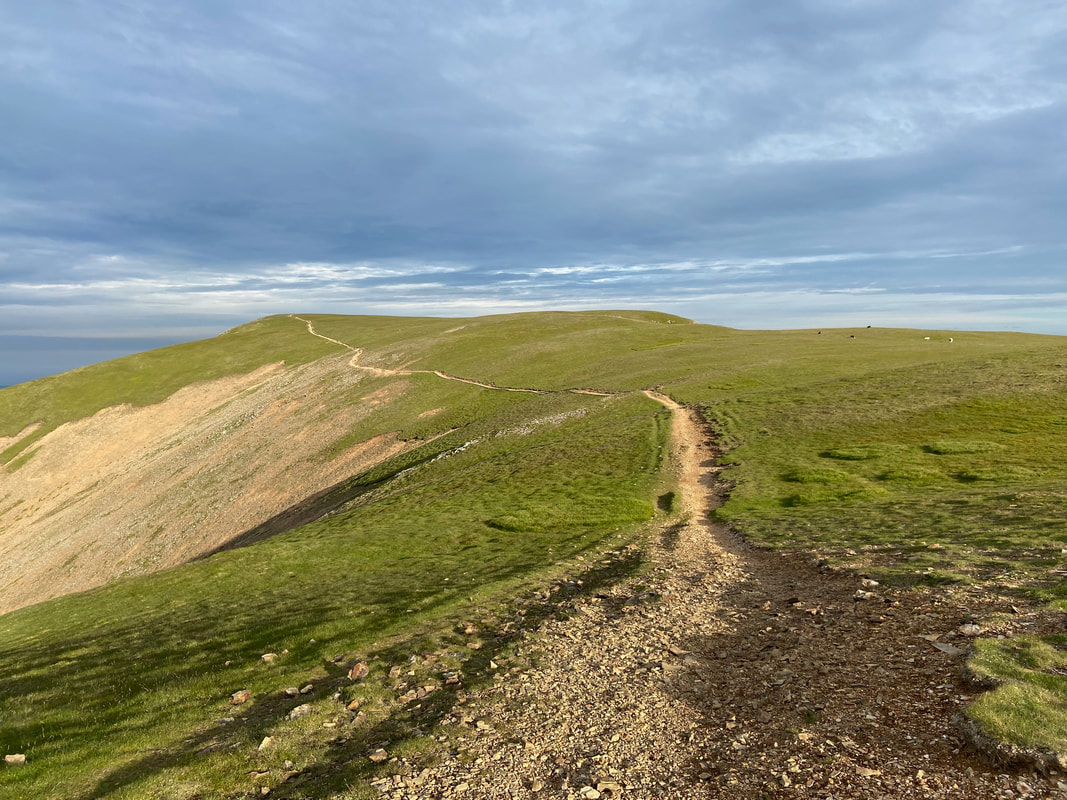
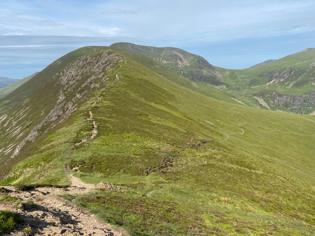
The descent down to the col from the eastern cairn on Grasmoor. The left hand path leads to Coledale Hause whilst straight on is Crag Hill. We would be taking the sloping path heading uphill to the right which leads to Wandope with the lower path going over to Thirdgill Head Man and on to Whiteless Pike.
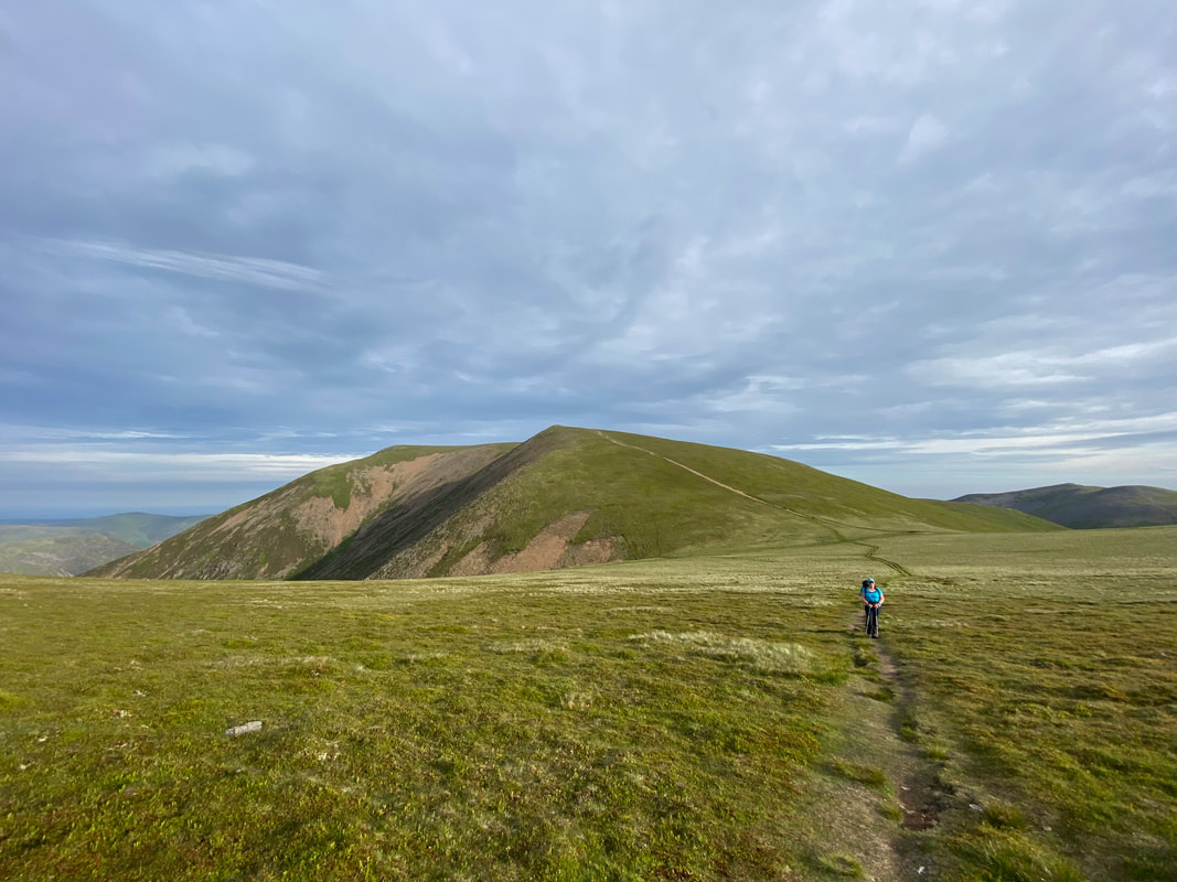
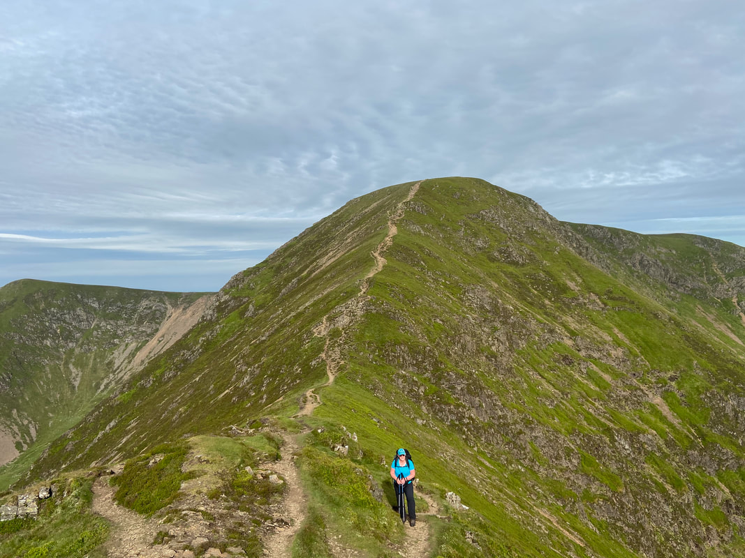
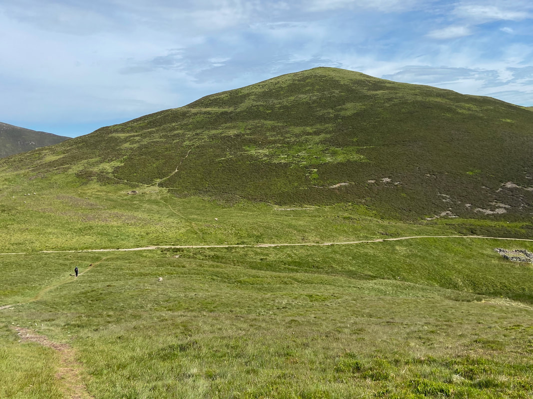
Heading to Wandope with Grasmoor to the rear
The summit of Wandope with Addacomb Hole behind. To the left in the distance are Hopegill Head & Sand Hill with Crag Hill centre and Sail to the right.
Addacomb Hole, Crag Hill & Sail
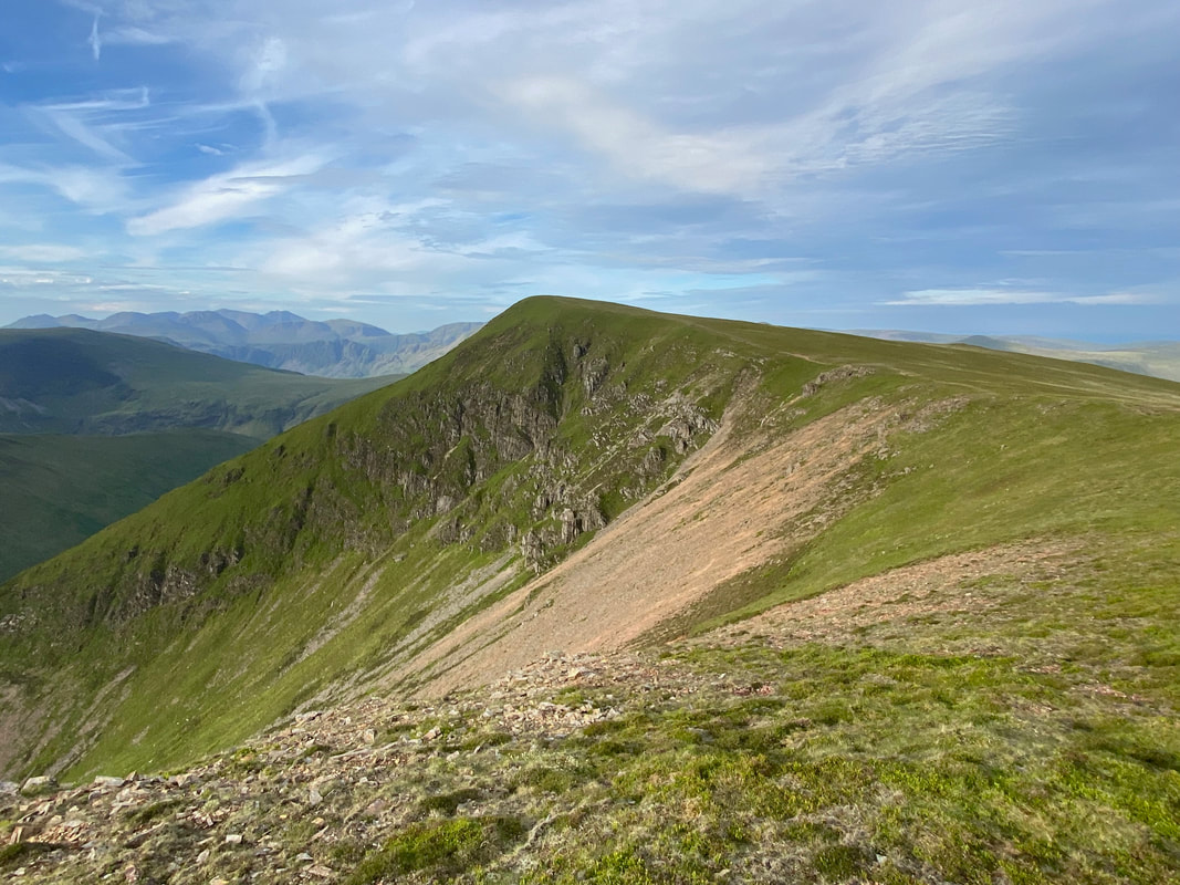
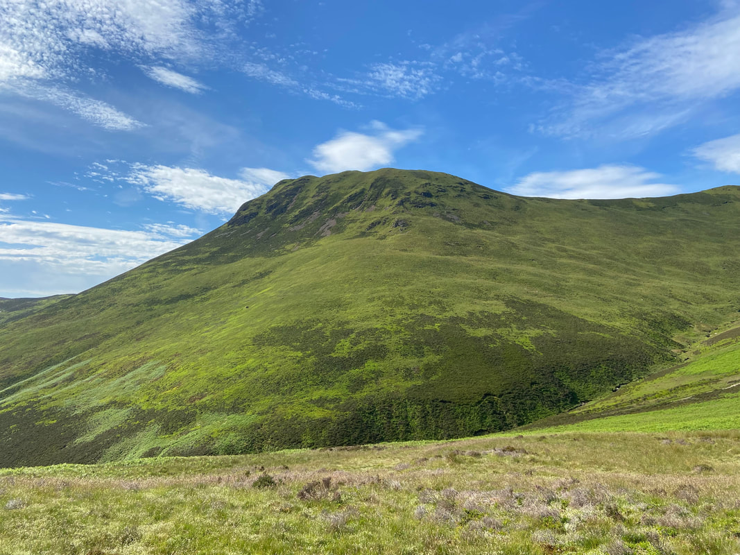
Wandope from above Addacomb Hole just below the start of the ascent to Crag Hill
The summit of Crag Hill. Whilst marked as such on the Ordnance Survey Map, Wainwright in his guides states that they are wrong and that "the name of the fell is unfortunate & inaccurate" and therefore in his guides "Eel Crag it will remain" (Eel Crag 2)
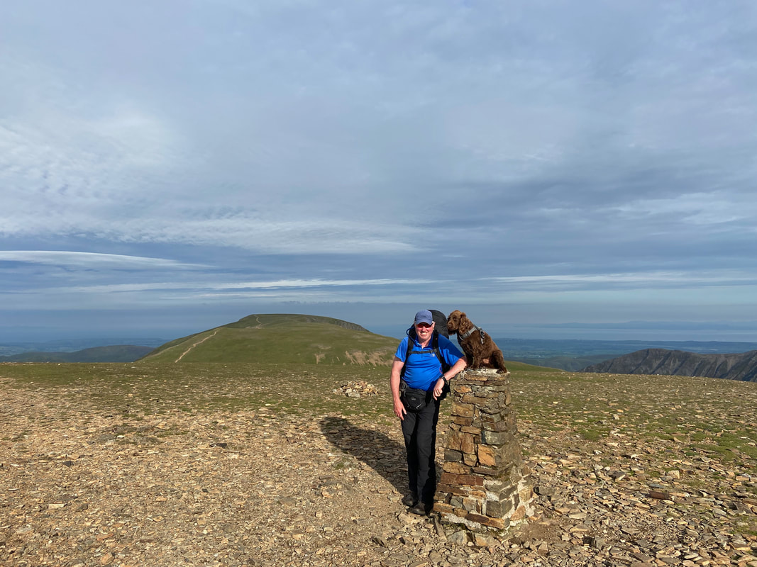
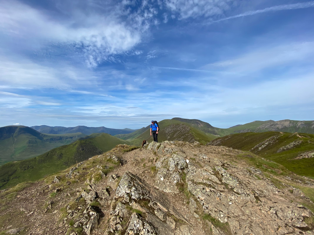
As is tradition, we pose for a pic on the Trig Point on Crag Hill. It was now 0740 and it was getting warm already.
Whilst on Crag Hill we decided to have a wander over to Eel Crag - the transit is pretty level and gives a lovely view over to Whiteside & Hopegill Head
The Coledale Valley from Eel Crag - Grisedale Pike is to the left with Skiddaw & Blencathra distant
The summit of Eel Crag (as marked on the OS Map)
The transit from Crag Hill to Sail is via a path known as The Scar
Knott Rigg with Robinson & High Snockrigg over Newlands Hause
The col on The Scar with Crag Hill behind and Wandope to the left
The summit of Sail - there is normally a small tarn here but as you can see it has been a bit warm lately!
Crag Hill, The Scar & Eel Crag from the summit of Sail
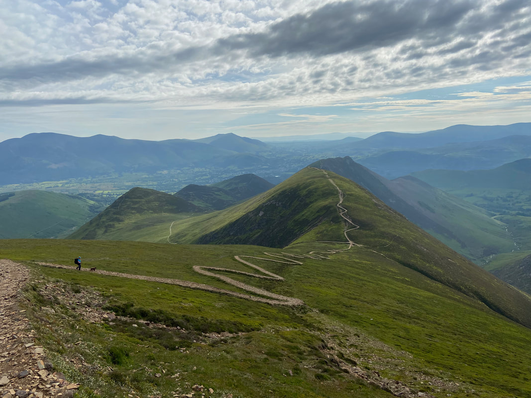
The zig zagging path down from Sail to the Sail Pass - our route to Scar Crags is the other side of the pass with Causey Pike further on.
Sail Pass - turn left to descend to High Moss & Outerside, right to Ard Crags & Newlands Hause or straight on to Scar Crags
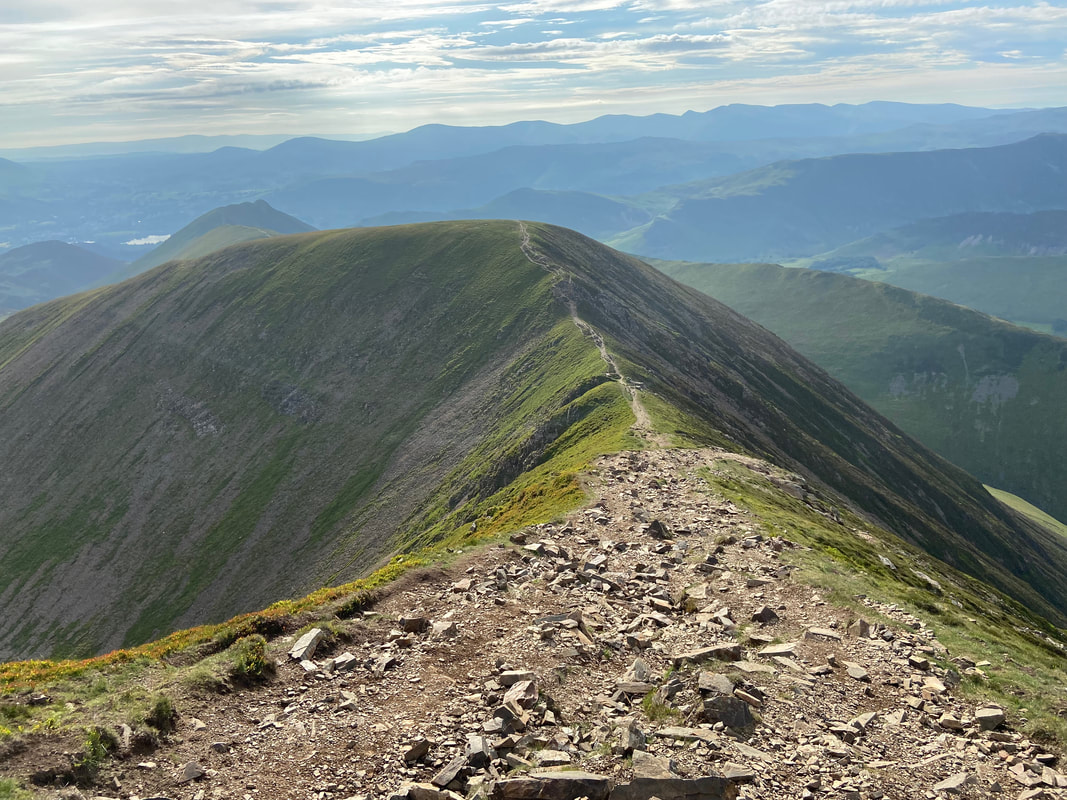
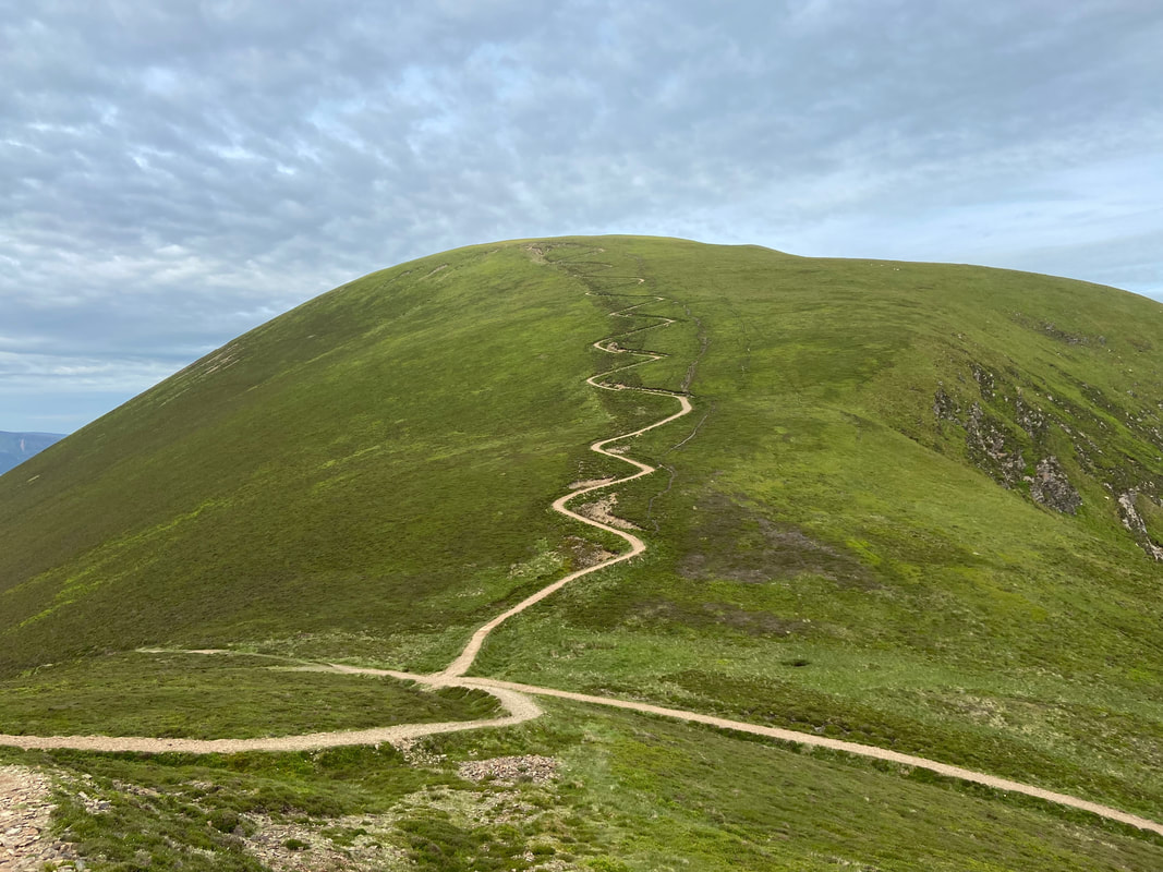
Looking back to the zig zagging path to Sail - I suppose it will blend in one day
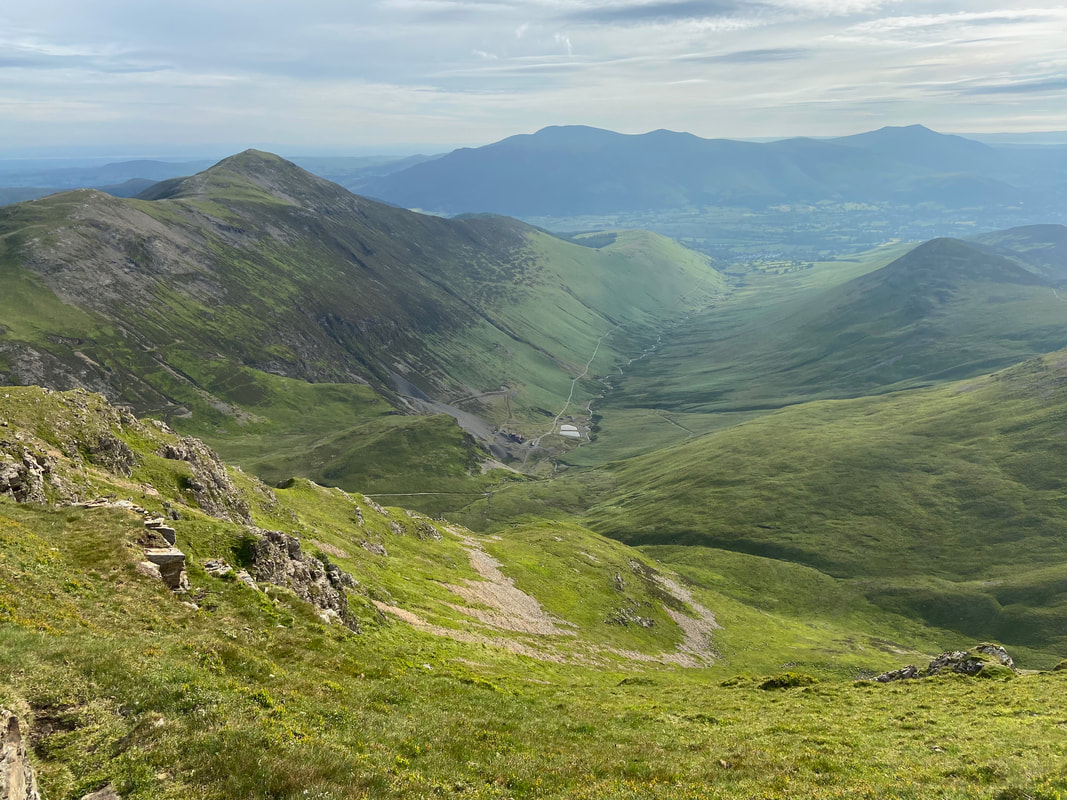
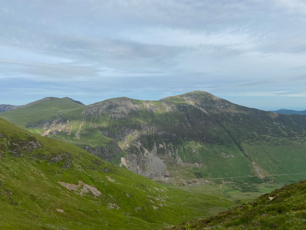
Hobcarton Crag, Grisedale Pike & Force Crag Mine across the Coledale Valley
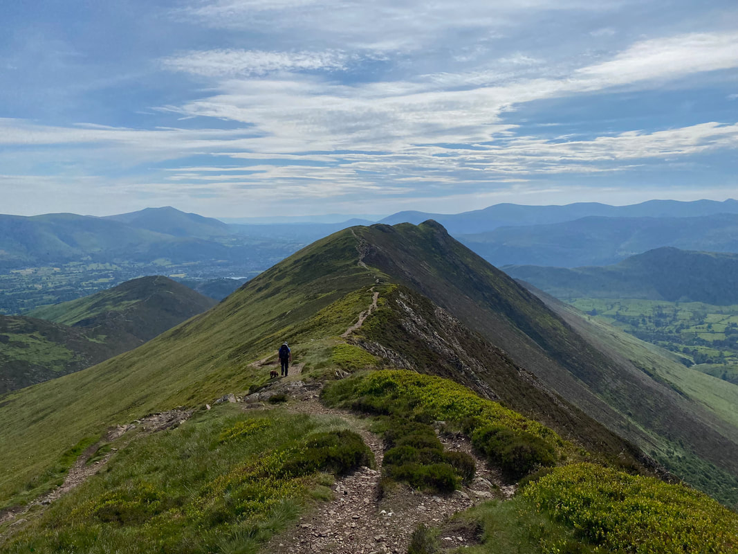
The summit of Scar Crags with Causey Pike beyond
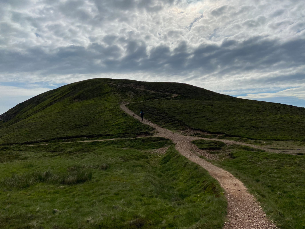
Heading for Causey Pike - this is a delightful transit
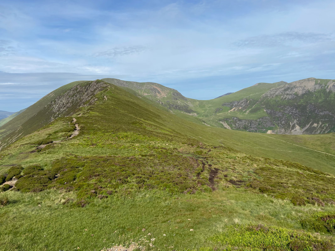
Scar Crags, Crag Hill, Eel Crag, Coledale Hause, Sand Hill, Hopegill Head & Hobcarton Crag from near Causey Pike
The summit of Causey Pike at 0920 in the morning - best time to be here
Causey Pike provides fantastic views in all directions - in the foreground are Dale Head, Hindscarth, Robinson, High Snockrigg with Ard Crags in the immediate foreground to the right.
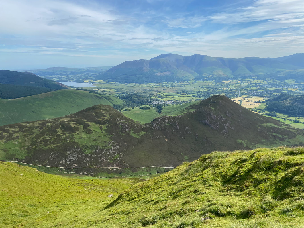
Bassenthwaite Lake, Skiddaw, Blencathra & Derwent Water from Causey Pike's summit
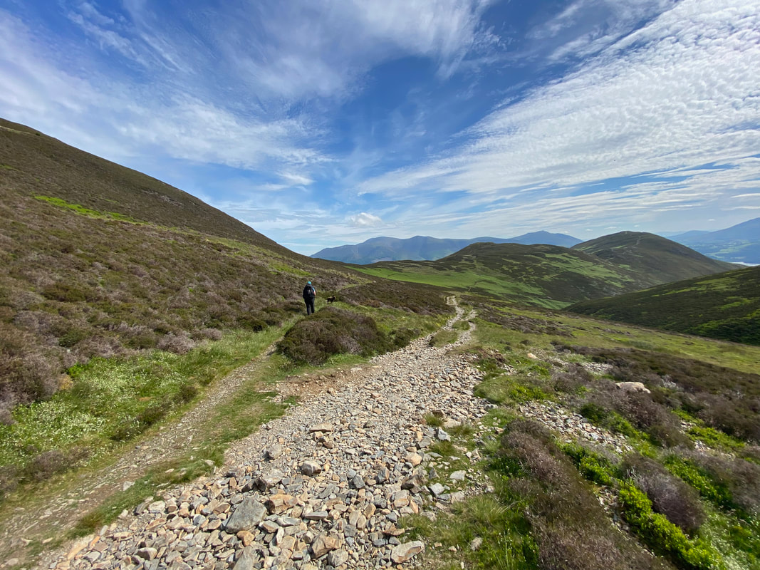
From Causey Pike we headed back on ourselves to a path junction which would take us down to High Moss below Outerside. Whilst the path is not marked on the OS Map it is clear enough on the ground (sloping left to right down the fell side) and is marked by a cairn seen here. The cairn is at Grid Reference NY 21556 20879.
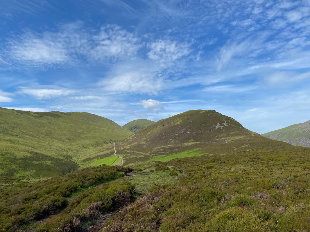
Kinn, Stile End & Barrow across Coledale with Skiddaw providing the backdrop
Outerside & High Moss - we would be heading to the right
After a few hundred yards the path splits. We would be heading to the left back to Braithwaite via Stile End whilst the right hand path heads to either Barrow Door or Stair.
Causey Pike
Approaching Stile End
Scar Crags, Sail & Outerside from Stile End
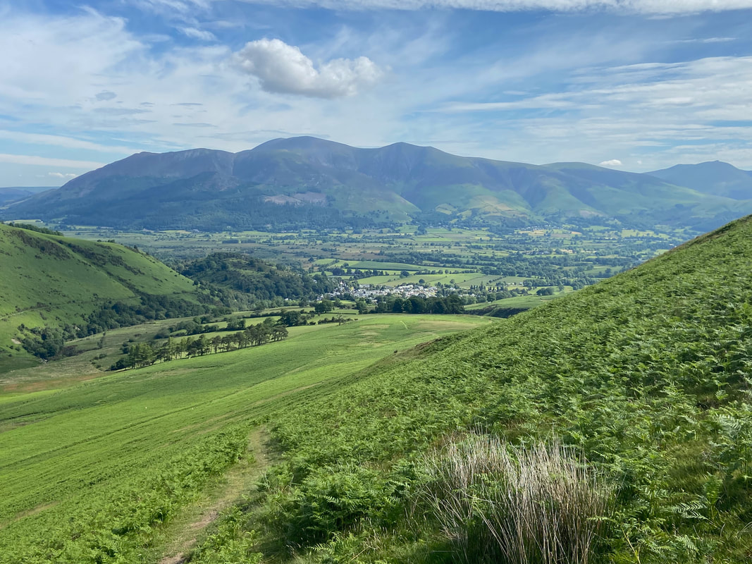
Braithwaite ahead as we transit below Barrow and the end of a superb two days walking
