Sugar Loaf - 6 January 2016
Route
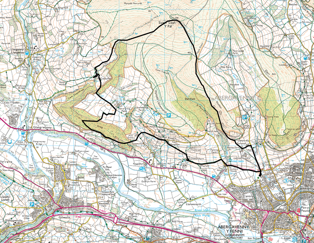
Pentre Road - Pentre Lane - Tyrewen Farm - Llanwenarth Breast - Graig - Pen-y-Graig Farm - Cwm-cegyr - Sugar Loaf - Twyn Gwyn - Rholben - Pentre Road
Parking
Roadside parking about 1/2 a mile off the A40 at the junction of Chapel Lane & Pentre Road near Abervagenny (Grid Ref SO291153). The nearest postcode is NP7 7BN.
Mileage
9.8 miles
Terrain
Quiet lanes, farm tracks, grassy & stony mountain paths. After a lot of rain some of the terrain will be boggy.
Weather
Crisp and sunny however the cloud was low on the summit of Sugar Loaf
Time Taken
5hrs 30mins
Total Ascent
3412ft (1040m)
Map
OL13 Brecon Beacons Eastern Area
Walkers
Dave, Angie & Fudge
|
GPX File
|
| ||
If the above GPX file fails to download or presents itself as an XML file once downloaded then please feel free to contact me and I will send you the GPX file via e-mail.
Route Map
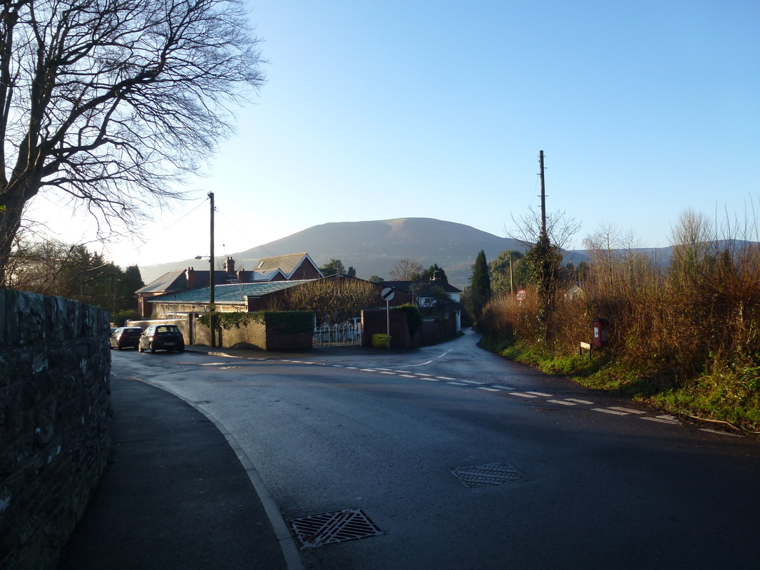
The walk started from the junction of Chapel Road (left) and Pentre Road (right).
From the junction the route heads behind me to a left turning on to Pentre Lane.
From the junction the route heads behind me to a left turning on to Pentre Lane.
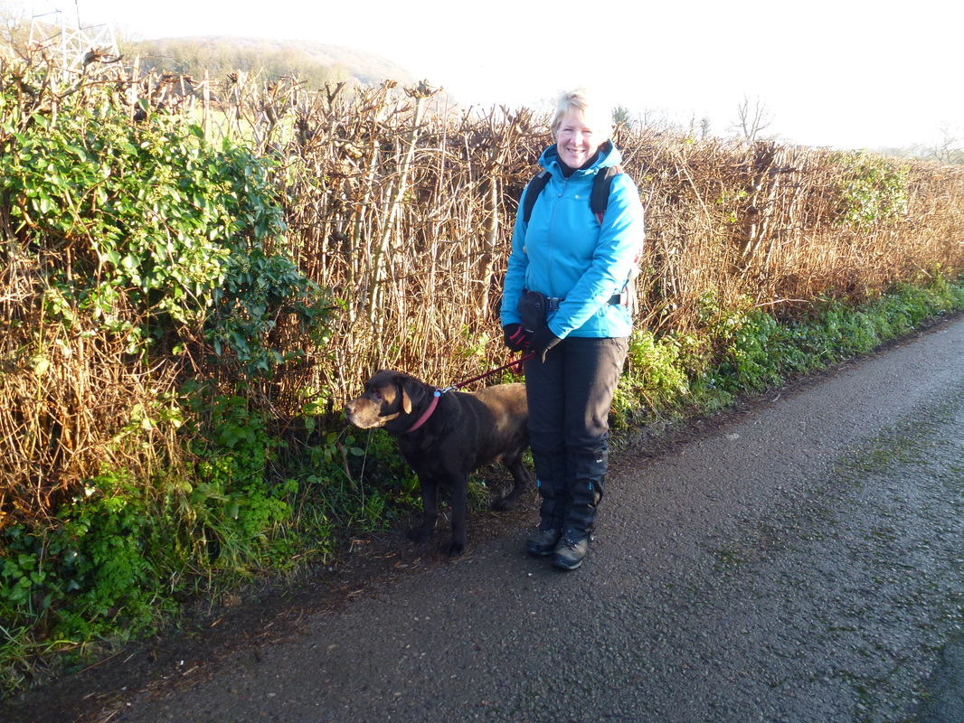
Half way along Pentre Lane we were approached by this little chap who appeared out of nowhere.
We put Fudge's lead on him and contacted his owners who thankfully came and got him.
We put Fudge's lead on him and contacted his owners who thankfully came and got him.
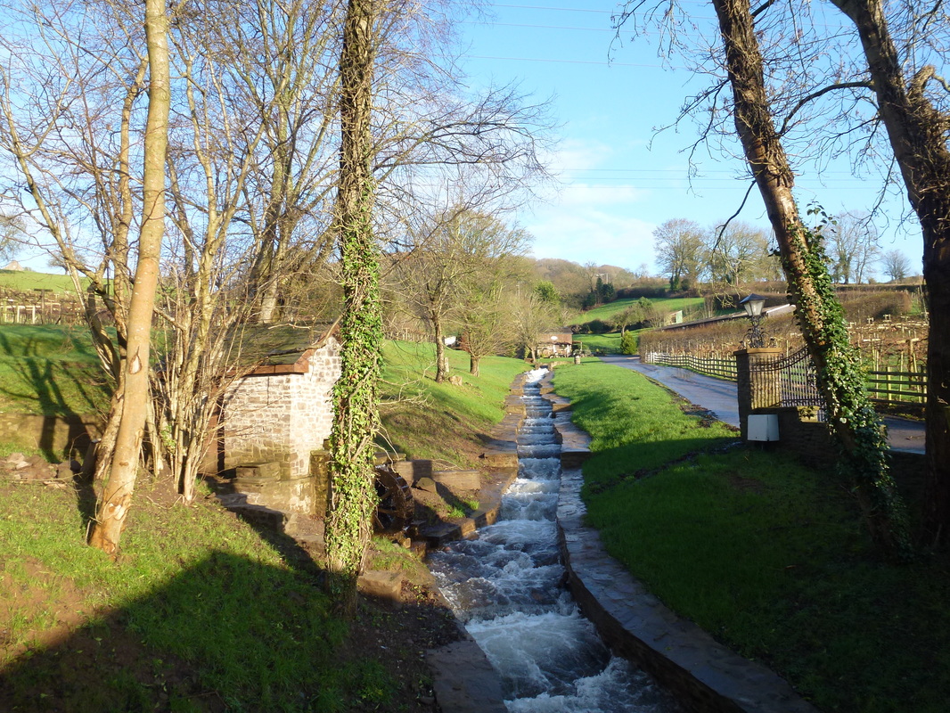
The lovely watery cascade at Sugar Loaf Vineyards
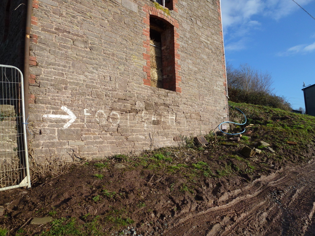
Easy to follow sign at Tyrewen Farm
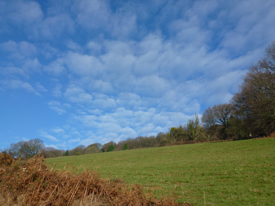
A lovely dappled sky as we head to Llanwenarth Breast
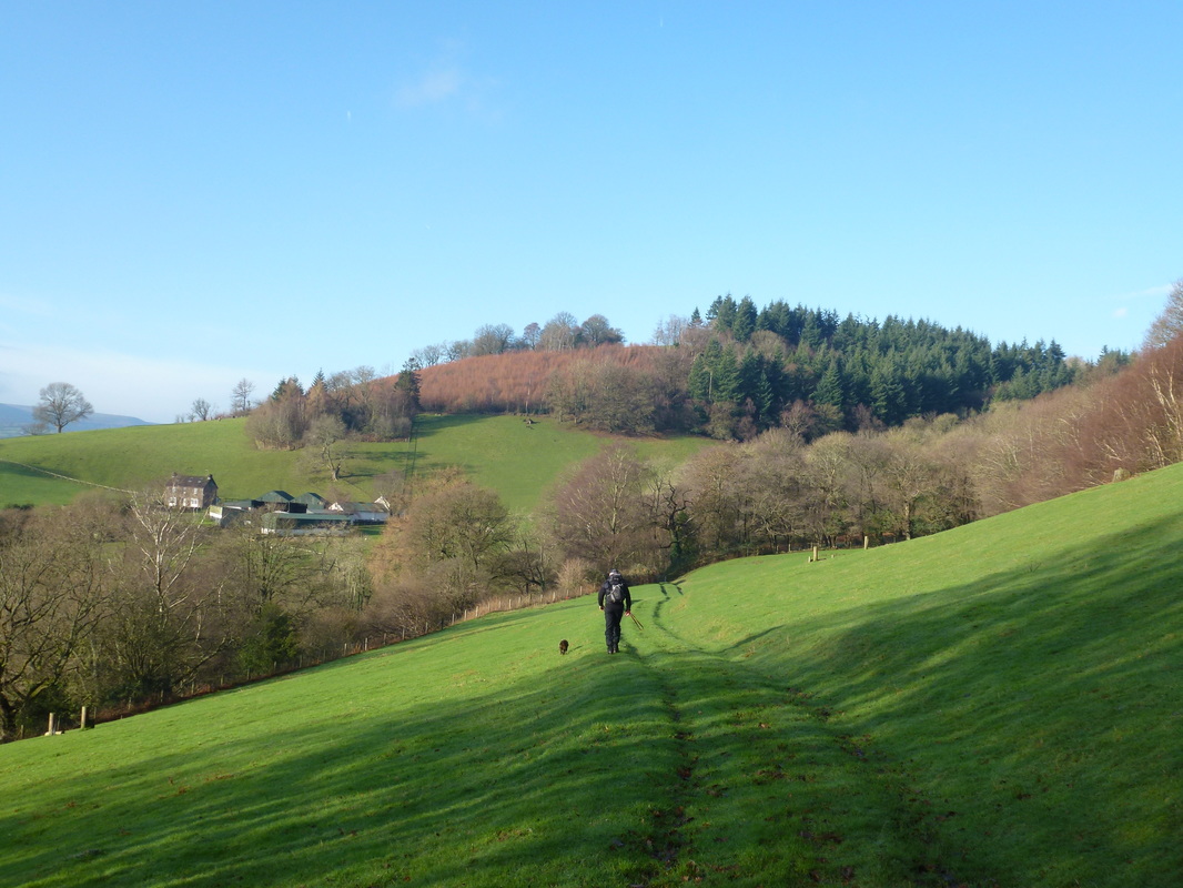
Heading across Llanwenarth Breast towards Pine Grove
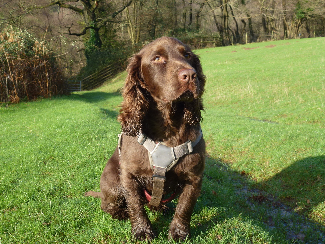
Someone was enjoying himself although to look at his gob you wouldn't think it
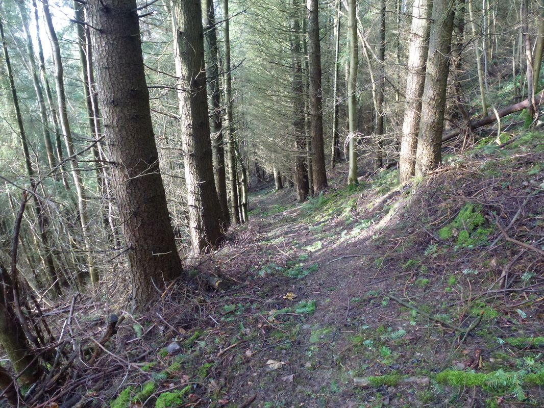
Care should be taken in finding the path that rises uphill through the trees at Graig.
There is no marker post and it is difficult to spot the path making its way up into the forest - the junction is at Grid Reference SO254164
There is no marker post and it is difficult to spot the path making its way up into the forest - the junction is at Grid Reference SO254164
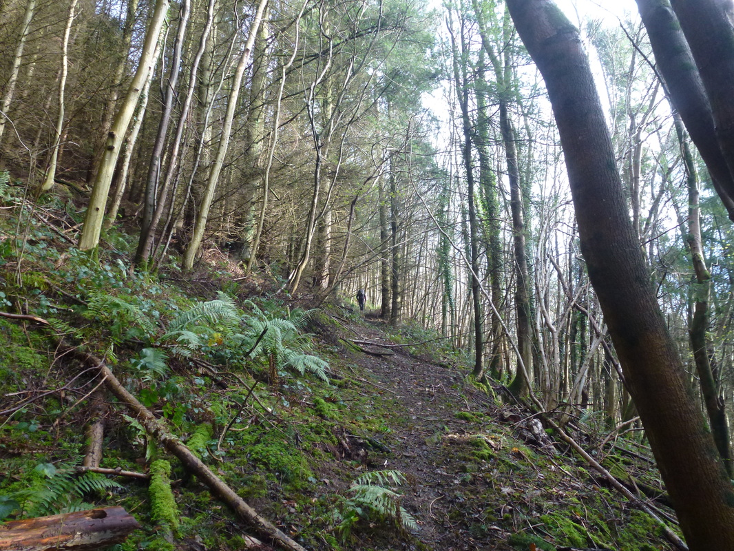
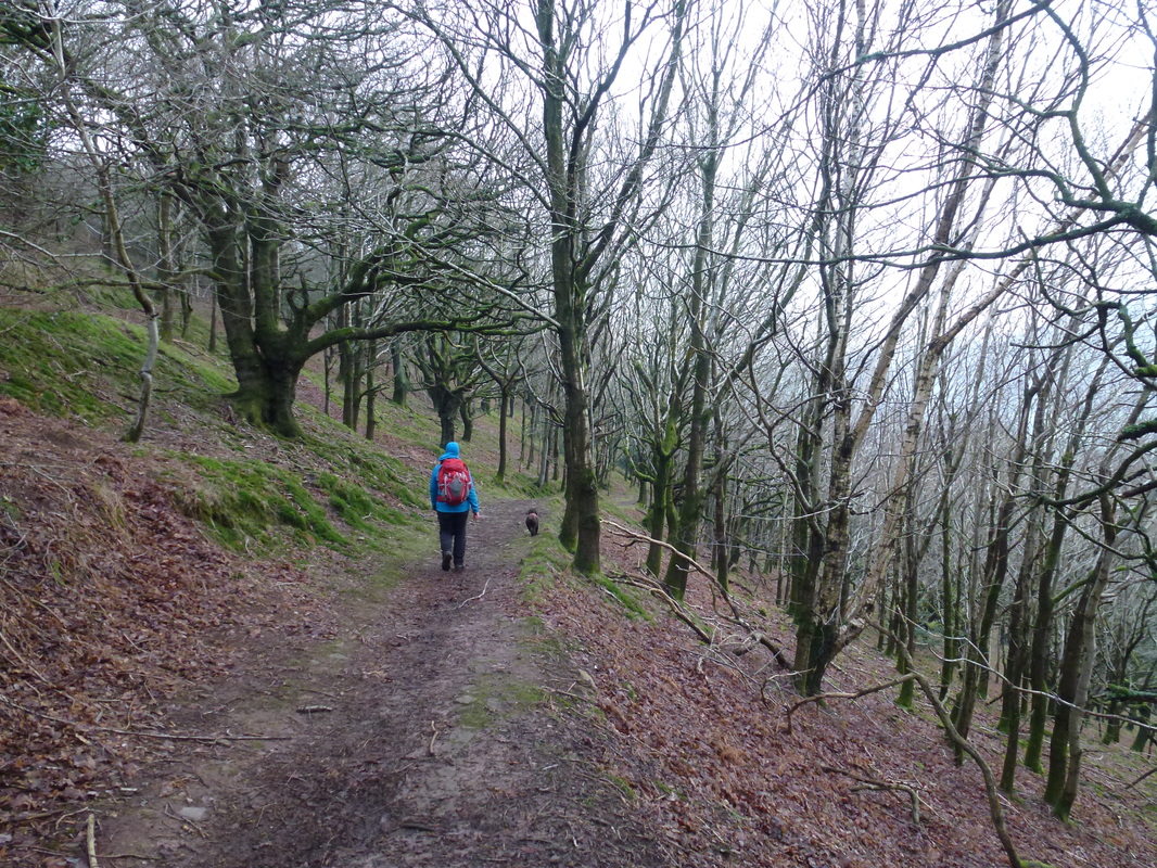
Continuing up the slanting path through Graig
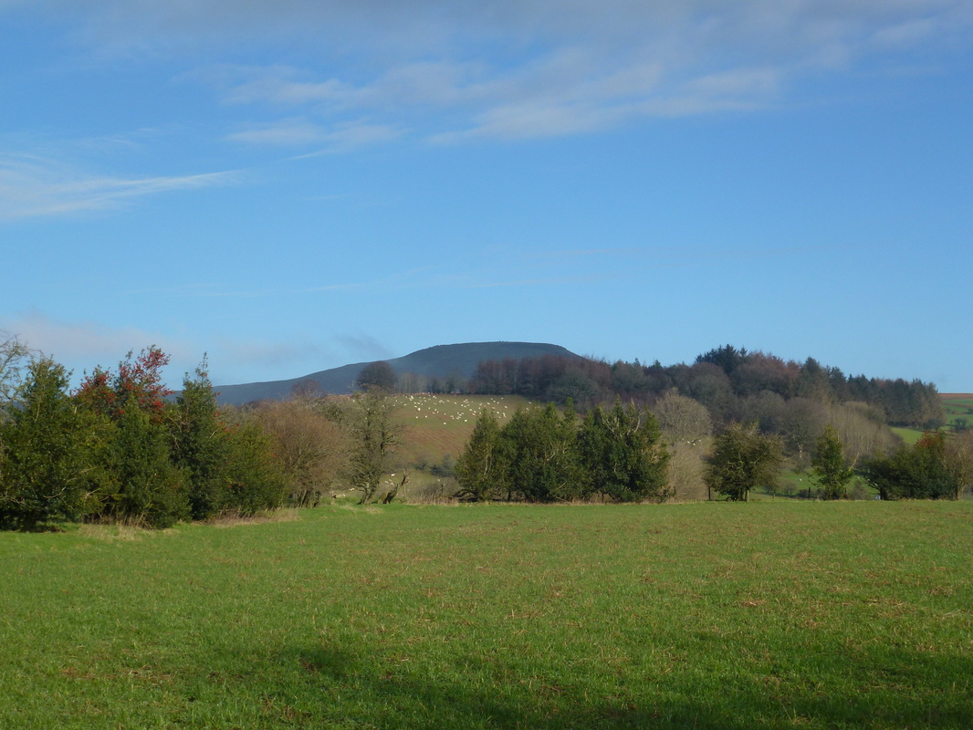
Once out of the trees Sugar Loaf comes into view
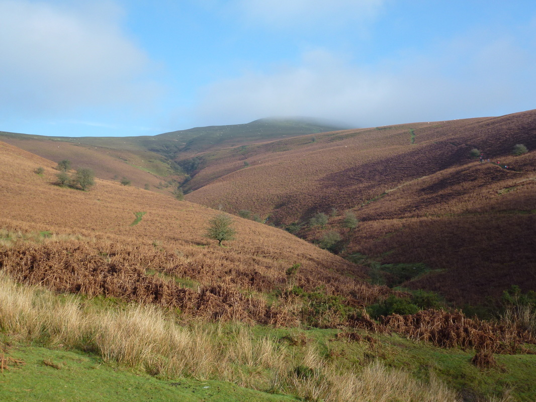
Uh oh - I don't like the look of that low cloud.
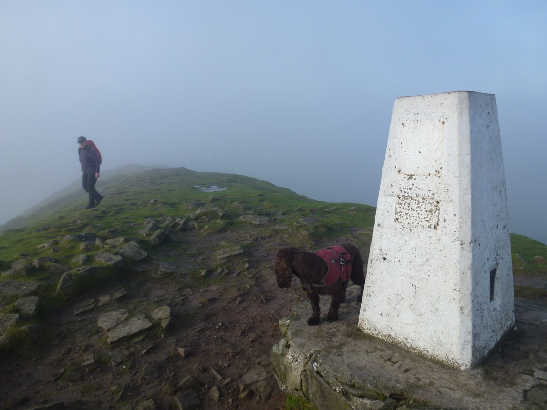
Once up on the summit we could see absolutely nothing - no matter, we had been here before and therefore imagined the view instead.
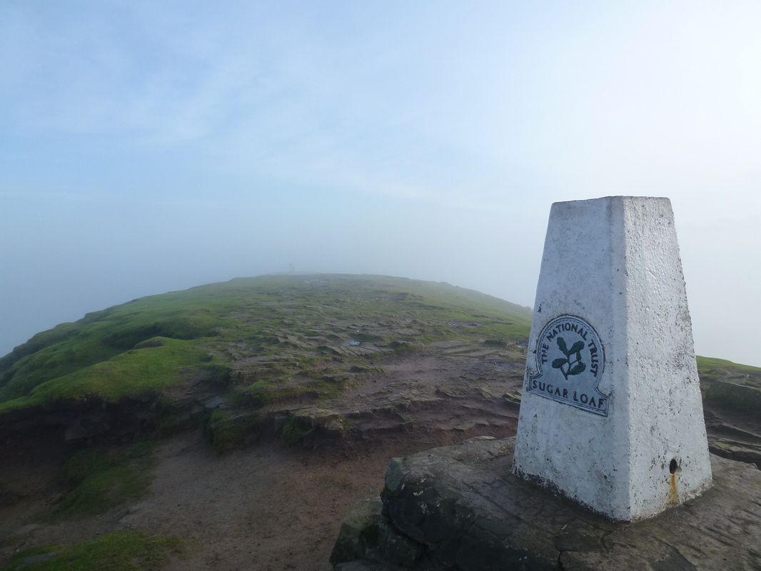
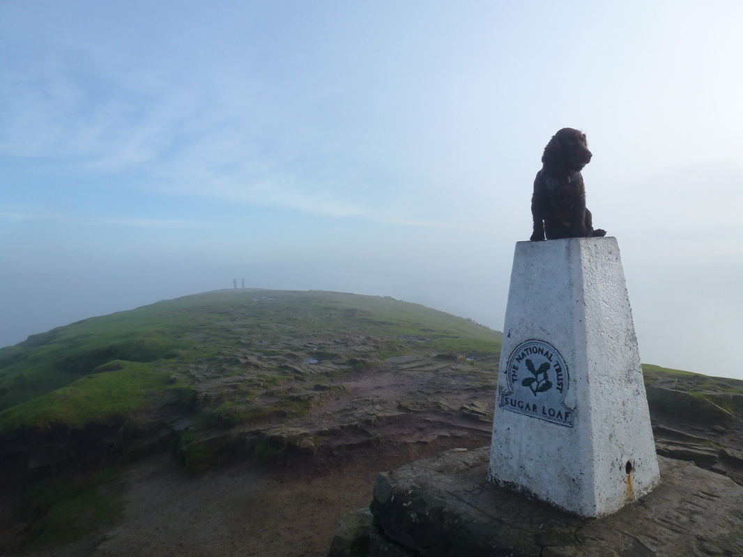
The Trig Point on the summit of Sugar Loaf complete with NT marker in case you are not sure where you are.
As is tradition
We hung about for a bit but the clag was not about to "do one" despite several requests to do so.
Heading back to the car via Rholben
