Wild Boar Fell & Swarth Fell - Thursday 14 September 2017
Route
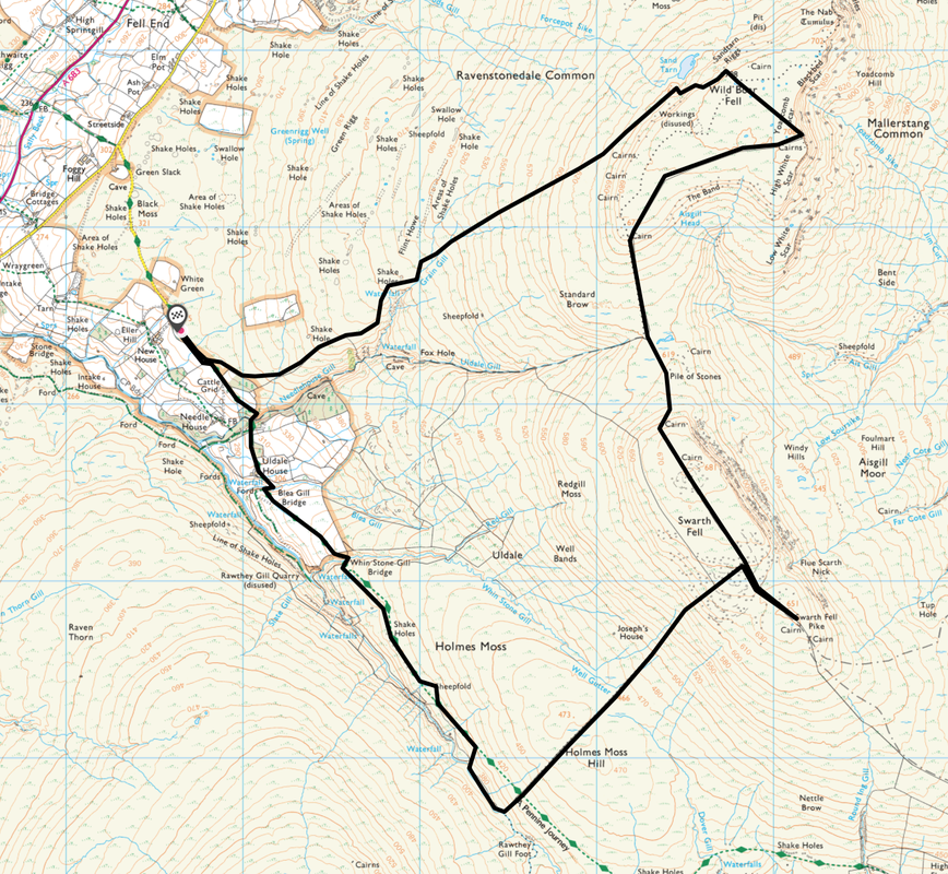
New House Farm - Flint Howe - Sand Tarn - Wild Boar Fell - High White Scar - The Band - Swarth Fell - Swarth Fell Pike - Holmes Moss Hill - Rawthey Gill - Whin Stone Gill Bridge - Uldale House - New House Farm
Parking
Grass verge parking approximately 150 yards to the south of the farm track turning to New House Farm - Grid Ref SD 72651 97413 (Nearest Postcode is CA17 4LN)
Mileage
9.5 miles
Terrain
Pathless moorland terrain for the most part. The descent from Swarth Fell to Rawthey Gill was extremely boggy. On this walk the ability to navigate in poor visibility is extremely important.
This walk should not be attempted by those who are not confident of being able to navigate with a map and compass in mist or low cloud.
Weather
Overcast with sunny spells. The visibility was good.
Time Taken
5hrs
Total Ascent
2142ft (653m)
Map
OL19 - Howgill Fells & the Upper Eden Valley
Walkers
Dave, Angie & Fudge
|
GPX File
|
| ||
If the above GPX file fails to download or presents itself as an XML file once downloaded then please feel free to contact me and I will send you the GPX file via e-mail.
Walk Description
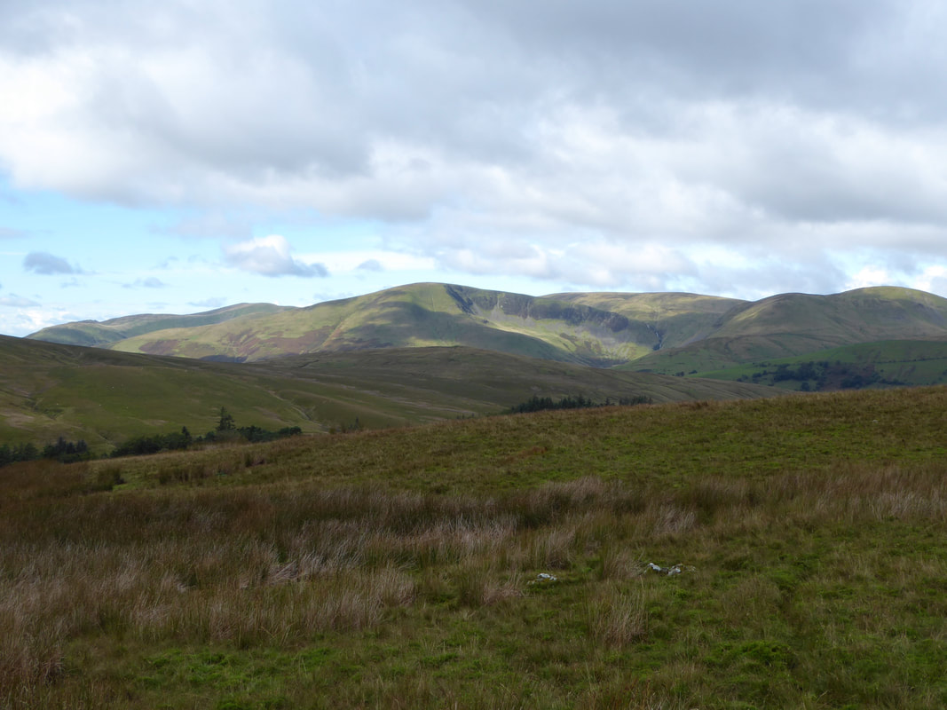
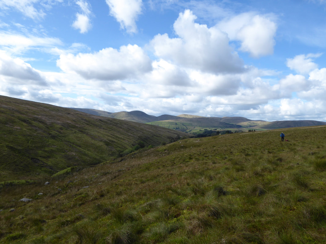
Looking to The Howgills from the start of the walk
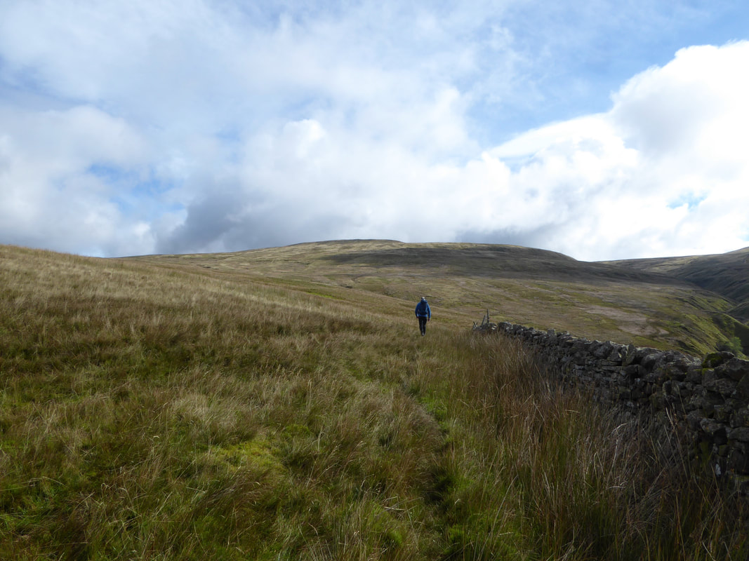
From the parking area the route handrails a wall above Needlehouse Gill on Flint Howe. Wild Boar Fell can be seen ahead.
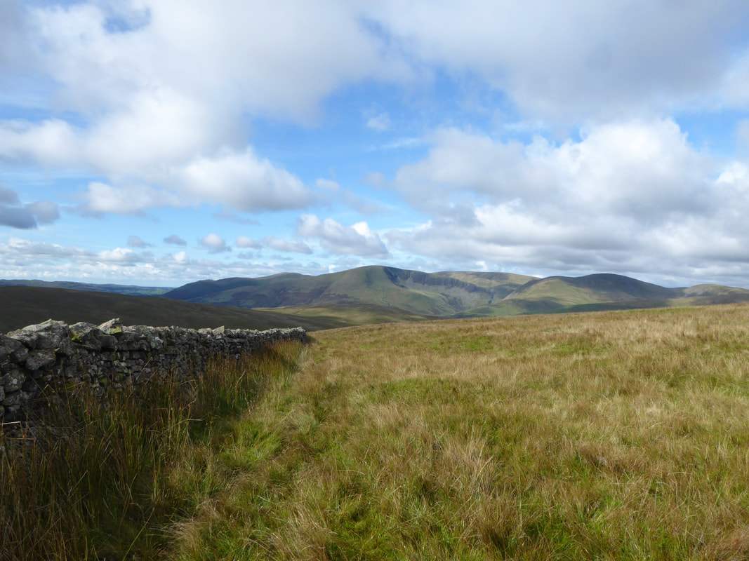
Another view of The Howgills from the wall
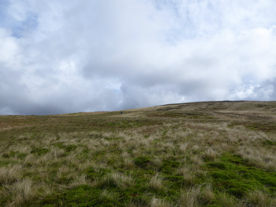
Once leaving the wall the terrain becomes pathless and featureless for a while
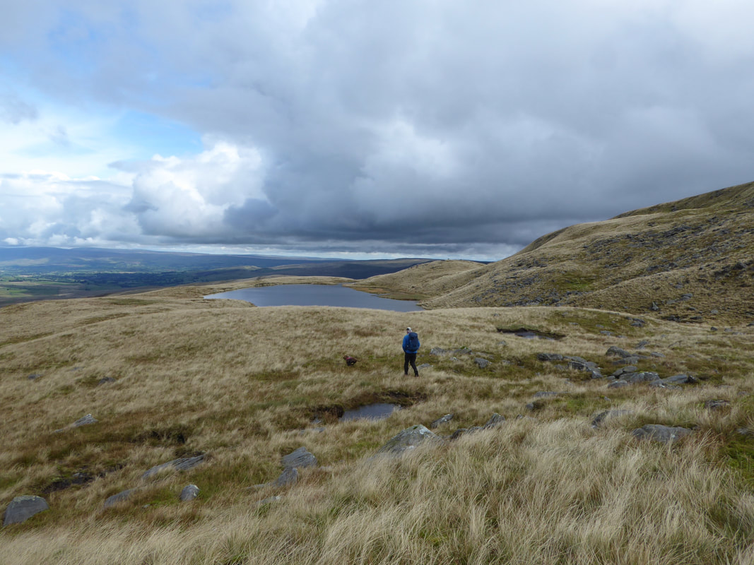
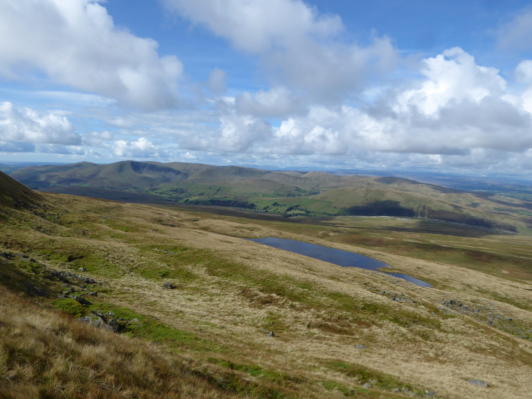
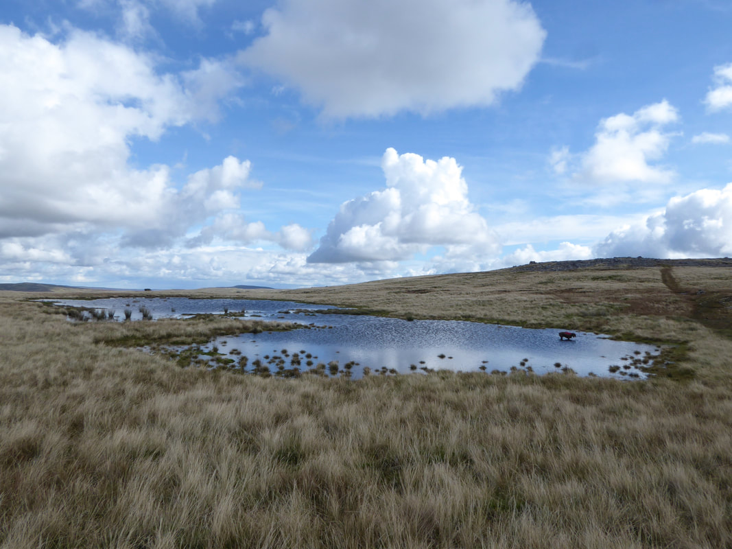
Approaching Sand Tarn below Wild Boar Fell - Fudge has spotted a watery playground
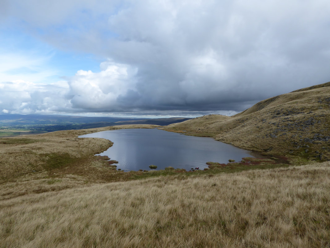
Sand Tarn
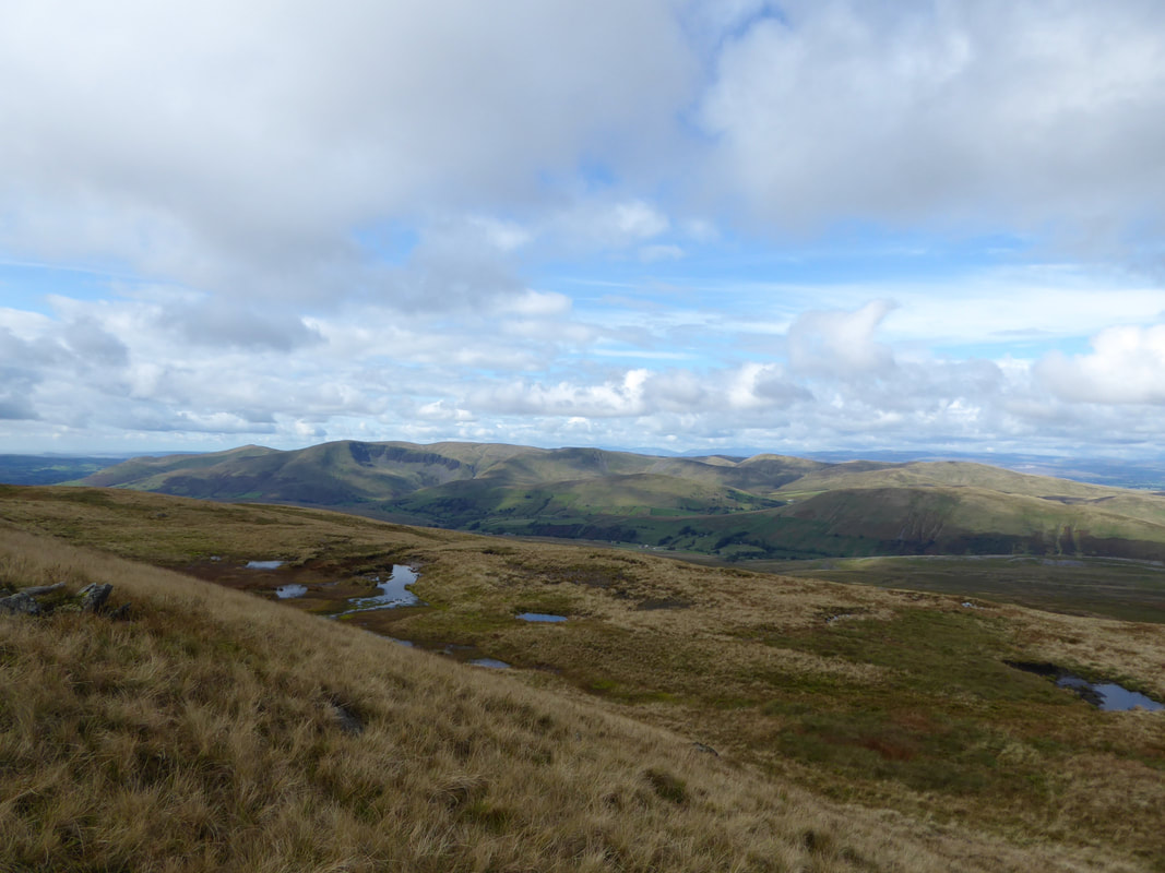
The Howgills from Sand Tarn
From Sand Tarn the route heads up Sandtarn Riggs, the lower slopes of Wild Boar Fell
Sand Tarn & The Howgills from Sandtarn Riggs
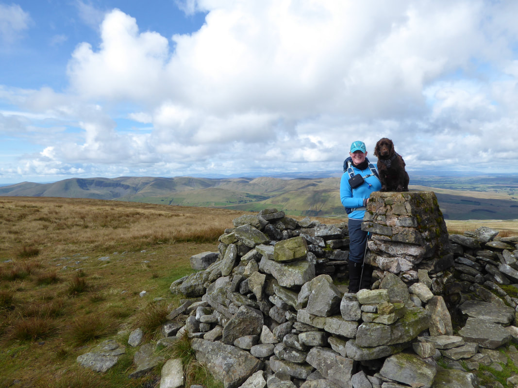
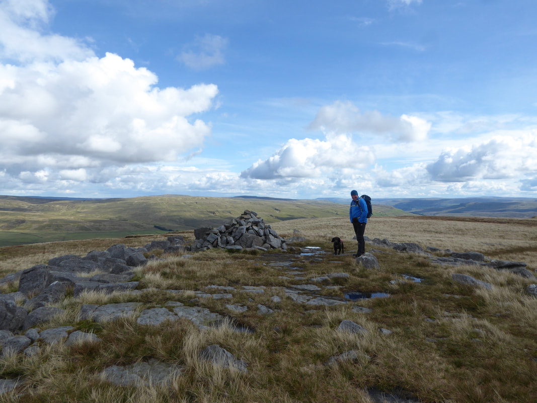
Angie & Fudge on the summit of Wild Boar Fell with The Howgills providing the backdrop
The stone shelter on Wild Boar Fell which incorporates the summit Trig Point.
Whilst the fell forms part of the Yorkshire Dales National Park it is actually in Cumbria.
Whilst the fell forms part of the Yorkshire Dales National Park it is actually in Cumbria.
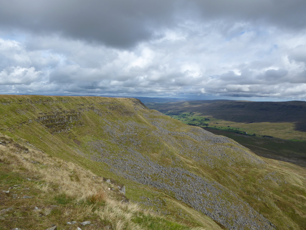
From Wild Boar Fell it is a short transit over to the stone features that line the edge of High White Scar
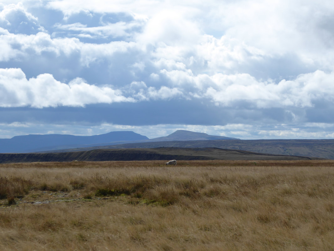
Ingleborough & Whernside from High White Scar. Pen y Ghent is just out of shot the left.
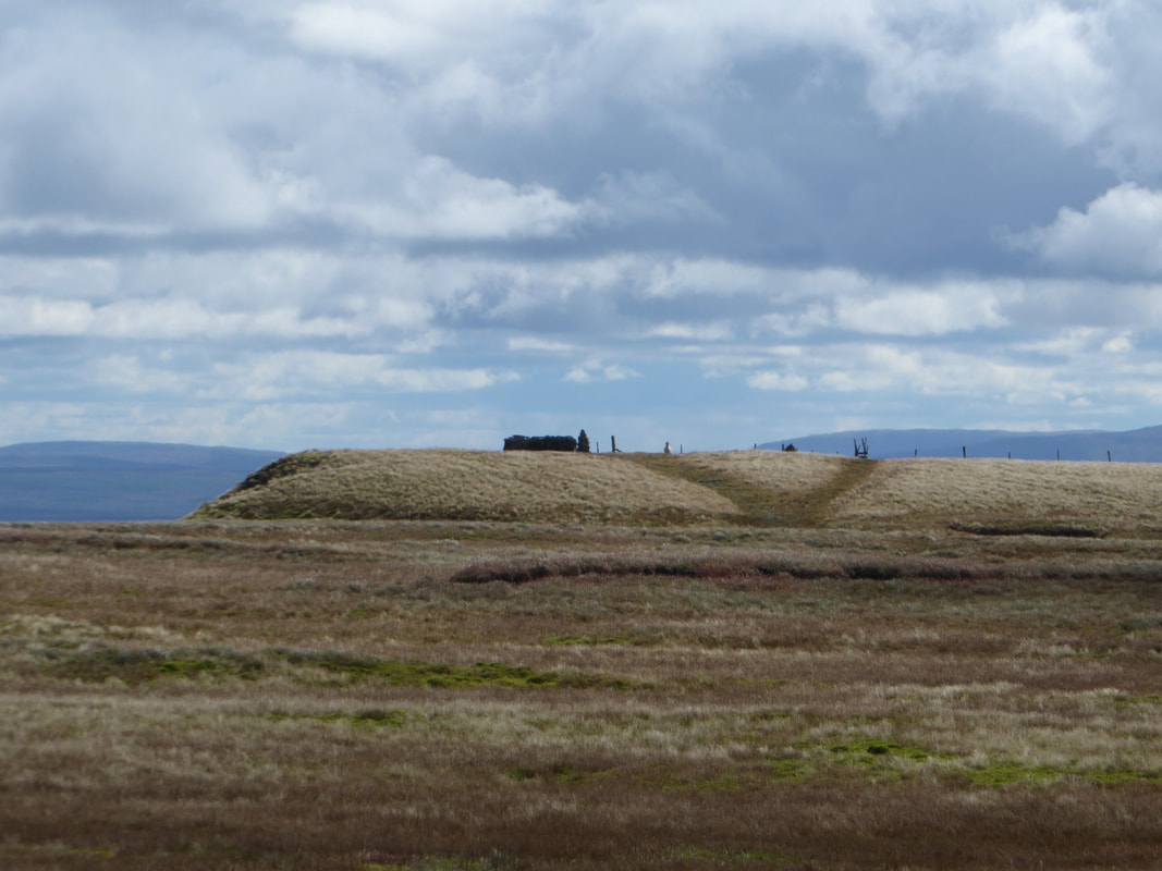
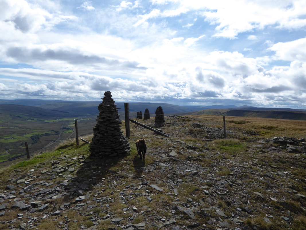
The row of tall cairns, or standards that line the rim of High White Scar.
Whilst not quite as picturesque as nearby Nine Standards Rigg, they are nevertheless impressive.
Whilst not quite as picturesque as nearby Nine Standards Rigg, they are nevertheless impressive.
Looking North to The Nab
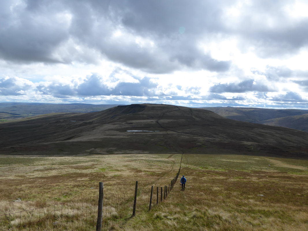
Our next objective of Swarth Fell
From the cairns on High White Scar a fence is followed which heads over a boggy depression to join a wall leading to the summit of Swarth Fell
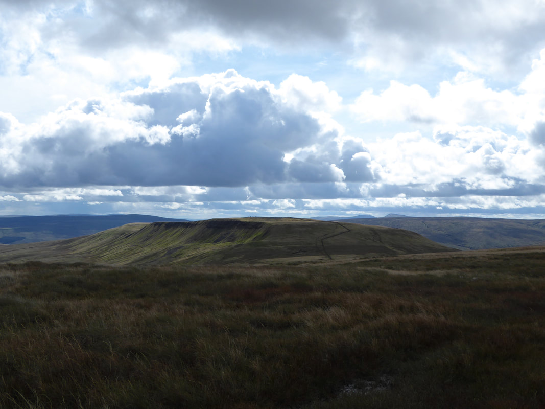
Looking back to Wild Boar Fell, The Band & High White Scar
The water magnet strikes again to easily find the unnamed tarn near Swarth Fell
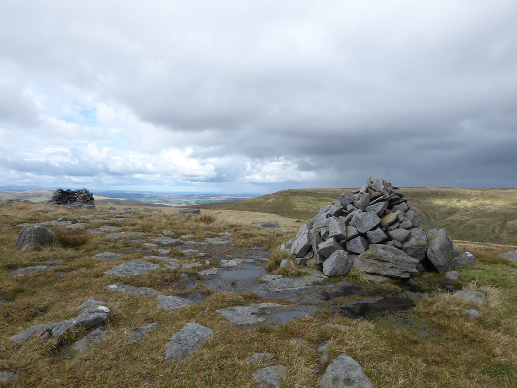
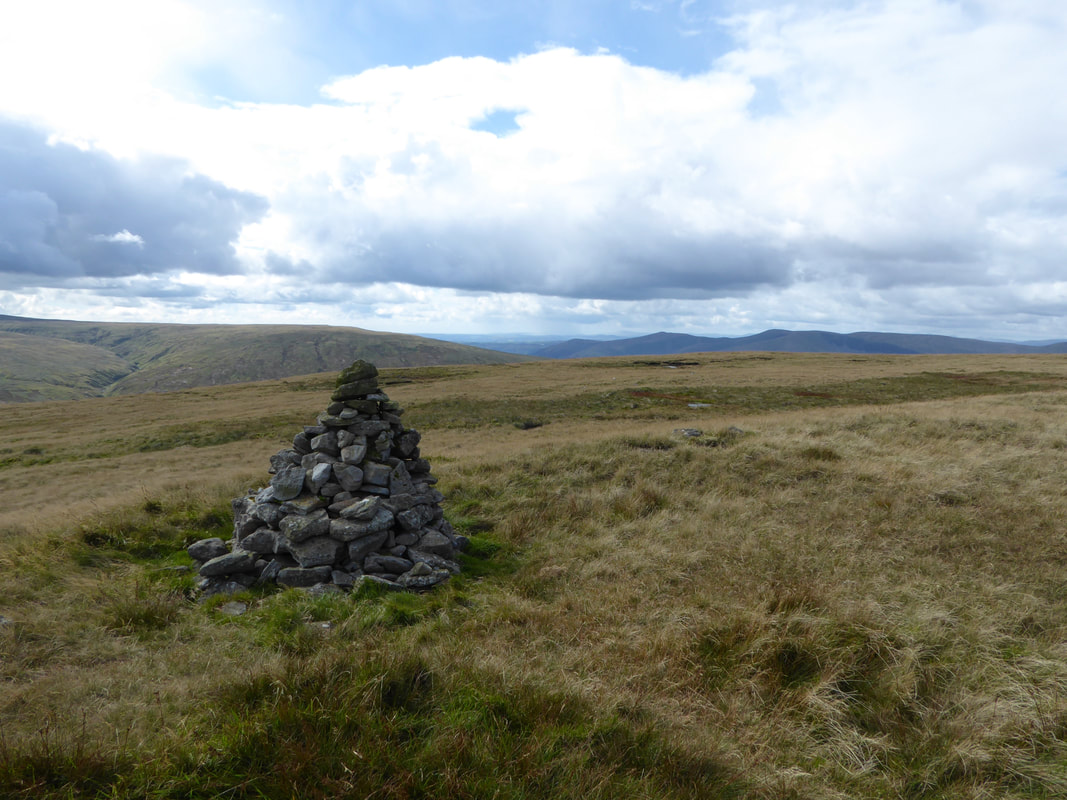
The summit cairn on Swarth Fell
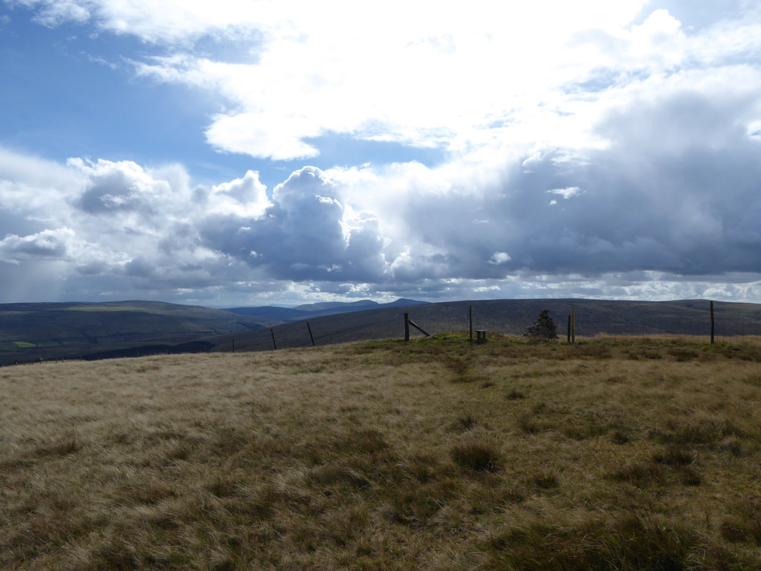
The summit of Swarth Fell looking to Wild Boar Fell.
The fell is mostly within Cumbria however the boundary between Cumbria & North Yorkshire runs along its length, just to the west of the highest point.
The fell is mostly within Cumbria however the boundary between Cumbria & North Yorkshire runs along its length, just to the west of the highest point.
The summit cairn and stone shelter on Swarth Fell
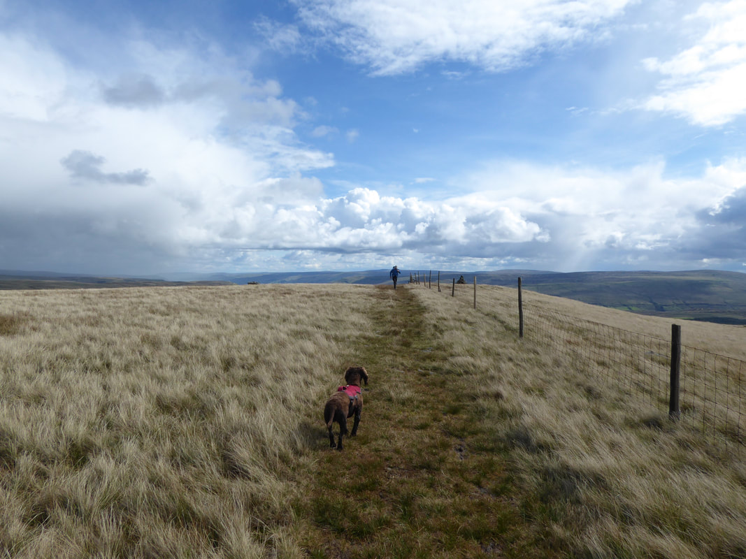
From Swarth Fell a path continues south east towards Swarth Fell Pike
From the point where we needed to turn south west to head back to the start it was a short walk of about 800 yards out & back to visit the cairn on the summit of Swarth Fell Pike. The summit cairn was a quick hop over the fence via the stile.
The summit of Swarth Fell Pike
Fudge in his impatient "don't you realise it is nearly tea time" mood as I make my return from Swarth Fell Pike
From Swarth Fell Pike we dropped down over Holmes Moss Hill to Rawthey Gill.
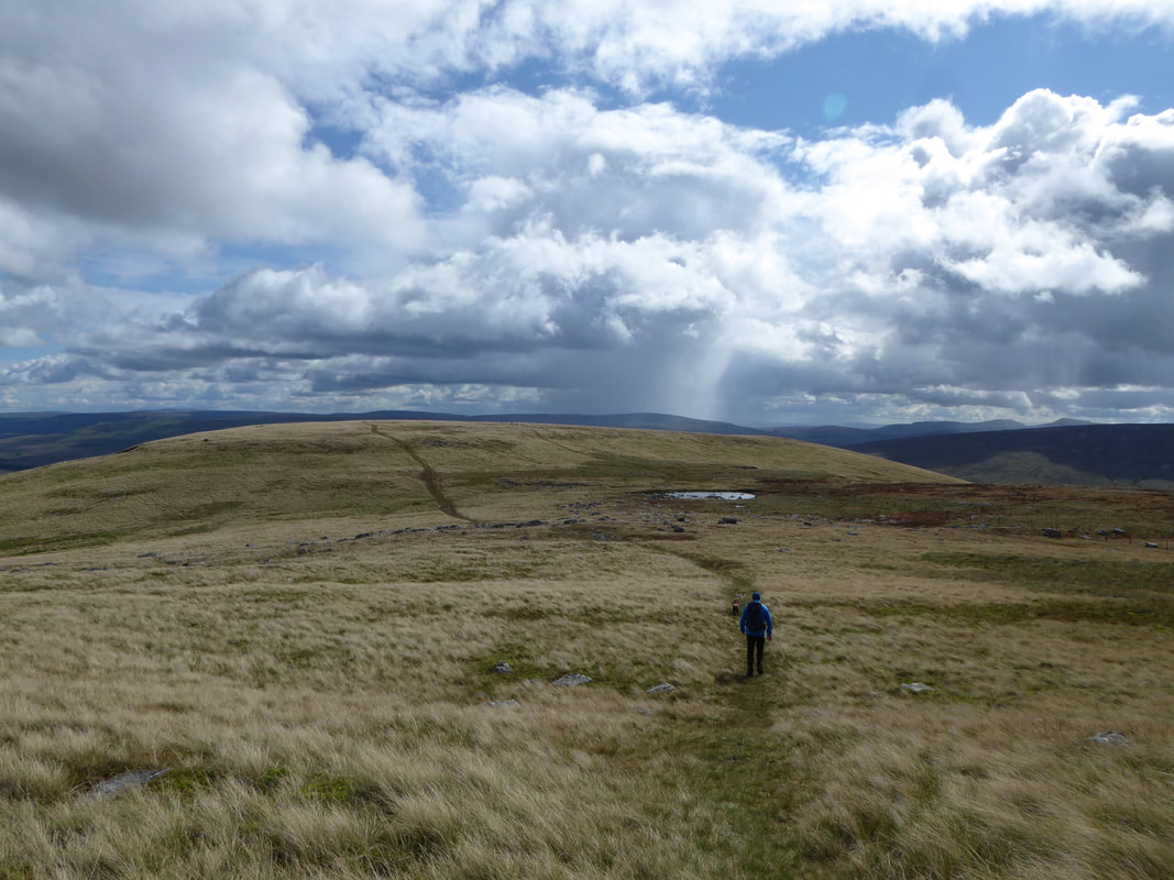
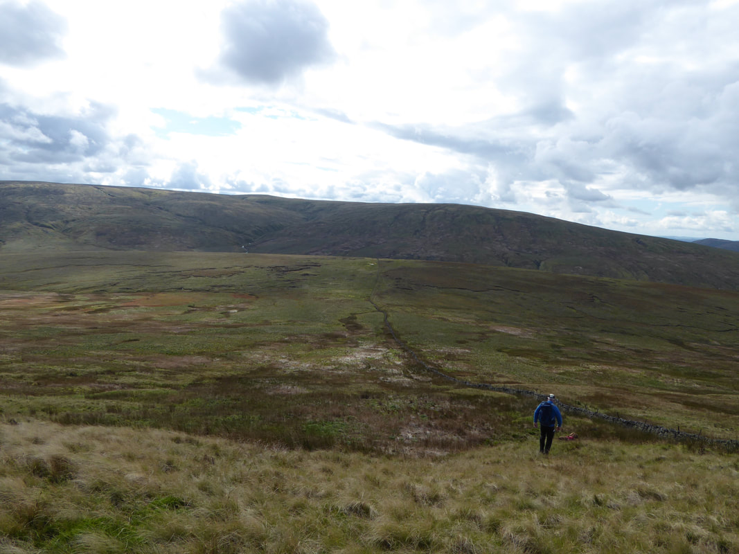
As can be seen ahead, this was an extremely boggy section of the walk and is not for the faint hearted. Baugh Fell is in the distance.
As can be seen ahead, this was an extremely boggy section of the walk and is not for the faint hearted. Baugh Fell is in the distance.
After dropping down to the waterline, the route climbs above Rawthey Gill to head back to the start along pathless terrain for the most part.
From Uldale House the final half mile is along quiet and thankfully dry tarmac!
