Beda Fell, Steel Knotts & Hallin Fell - Saturday 8 April 2023
Route
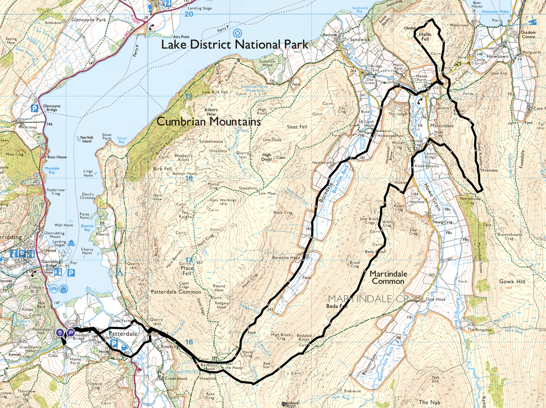
Patterdale - Rooking - Boredale Hause - Bedafell Knott - Beda Fell - Beda Head - Christy Bridge - St Martin's Church - Steel Knotts (Pikeawassa) - Birkie Knott - The Coombs - Hallin Fell - St Peter's Church - Howegrain Beck Bridge - Garth Heads - Boredale - Boredale Head - Boredale Hause - Rooking - Side Farm - Patterdale
Parking
Patterdale where it is £5 all day (2023) at King George V Car Park (opposite Patterdale Hall) - Grid Ref NY390160 (Nearest Postcode is CA11 0PX)
Mileage
13 miles
Terrain
Good mountain paths throughout with some road walking on quiet lanes
Weather
A gloriously sunny day with no wind. Visibility was excellent
Time Taken
8hrs
Total Ascent
3864ft (1178m)
Wainwrights
3
Map
OL5 - The English Lakes - North Eastern Area
Walkers
Dave, Angie & Fudge
|
GPX File
|
| ||
If the above GPX file fails to download or presents itself as an XML file once downloaded then please feel free to contact me and I will send you the GPX file via e-mail.
Route Map
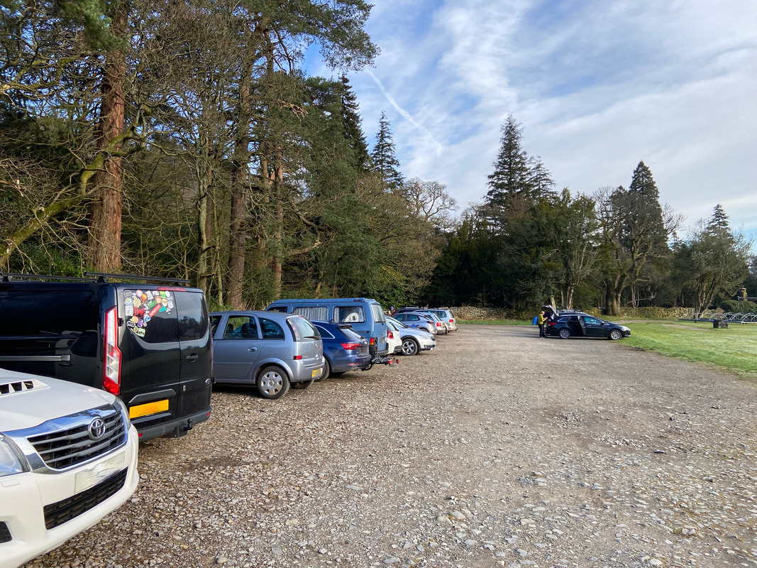
Today's walk started from the Car Park adjacent to the King George V Sports Field in Patterdale and as of 2023 the parking per day was £5. Today was Easter Saturday and though we arrived fairly early, it was already starting to fill up.
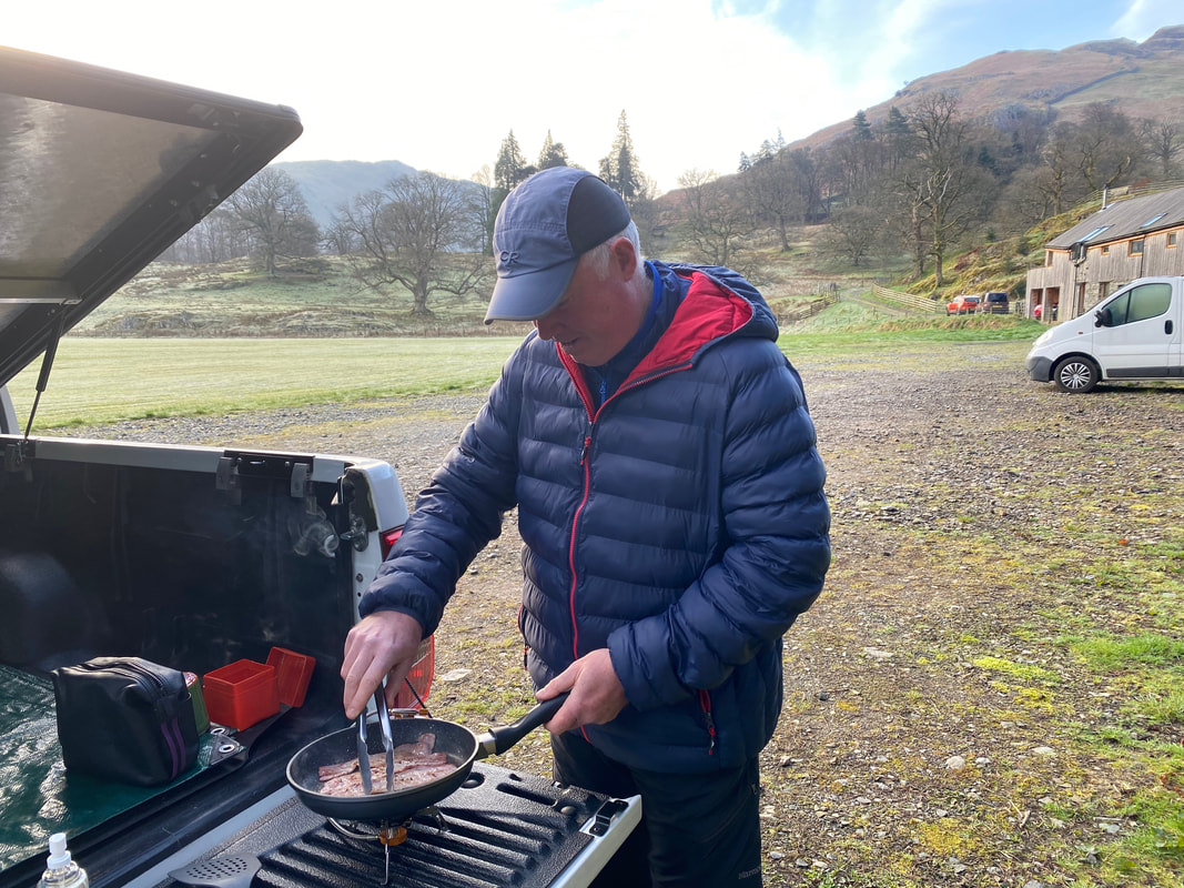
Having left the house at whip crack sparrow fart this morning, we assembled "Walshy's Kitchen" and cooked our breakfast prior to setting off on this long day.
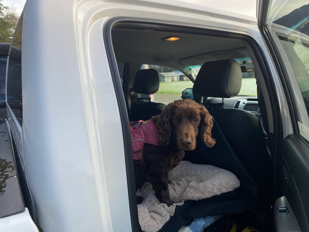
"Is someone cooking bacon?"
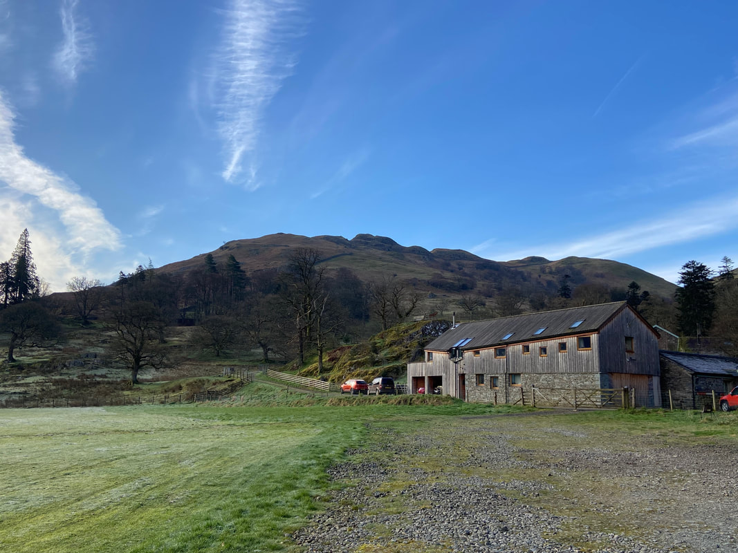
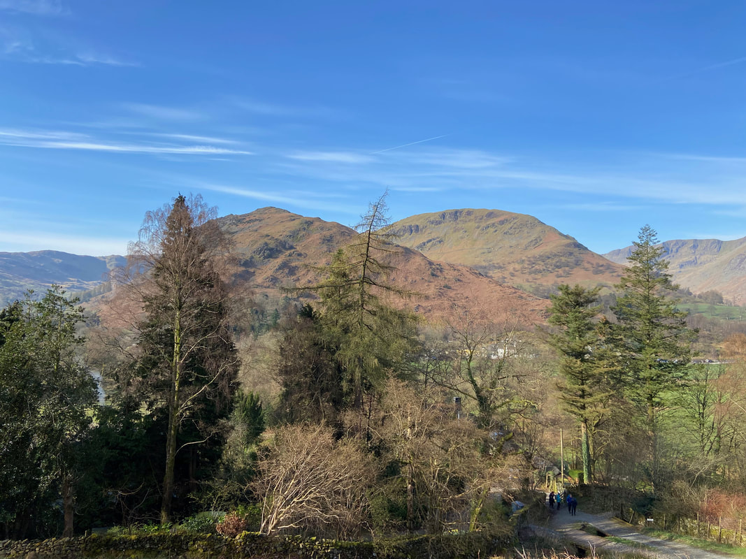
Arnison Crag from the Car Park
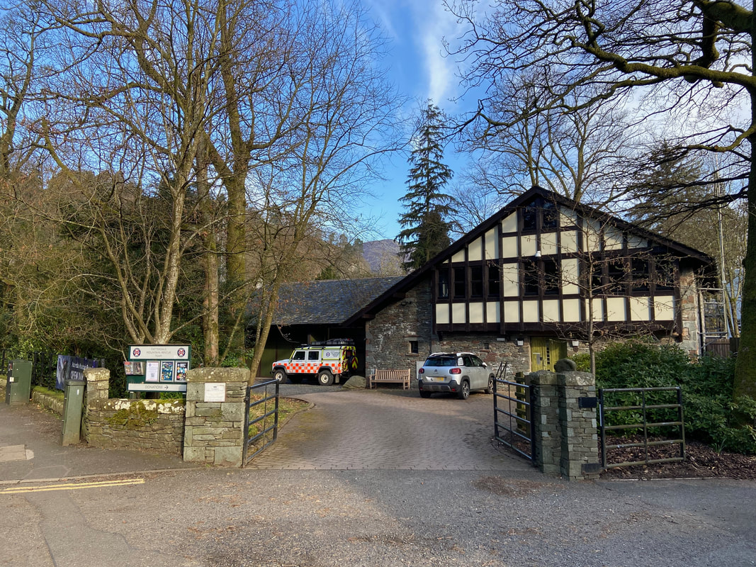
Leaving the Car Park, at Grisedale Bridge the route crosses the A592 to reach the HQ of Patterdale Mountain Rescue Team
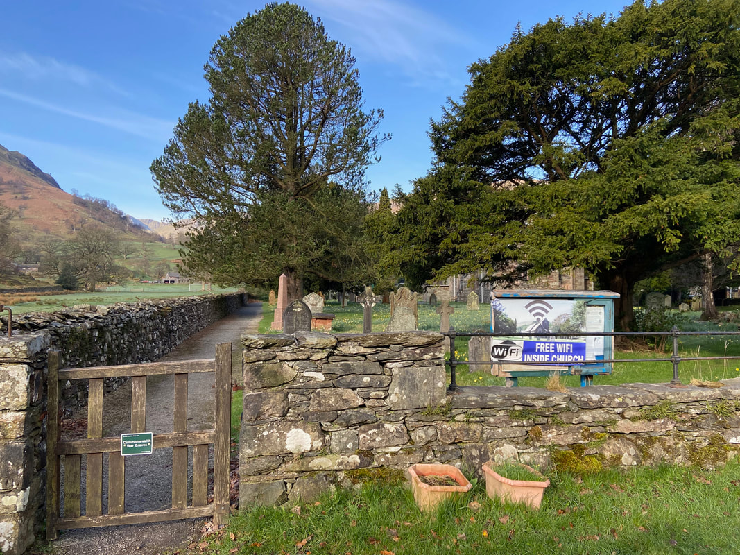
Passing St Patrick's Church, Patterdale - free WiFi don't ya know!
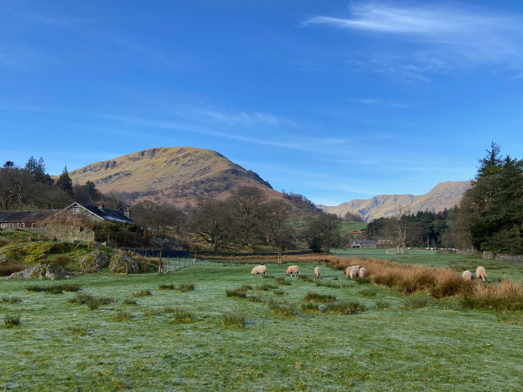
Looking across to Birks from the A592
Goldrill Beck looking to Glenridding Dodd, Heron Pike & Sheffield Pike
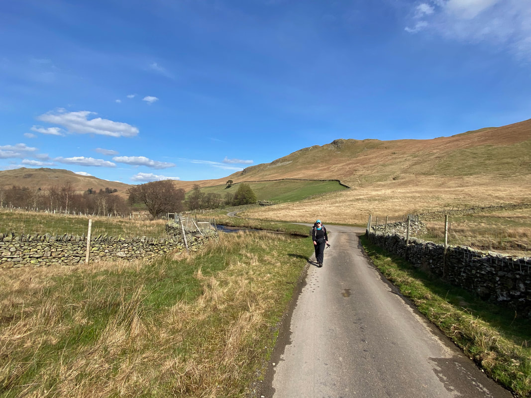
Crossing Goldrill Beck, the route heads up the lane to the hamlet of Rooking
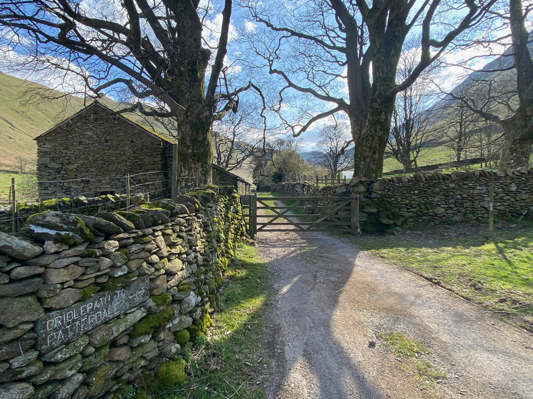
Between Rooking & Side Farm a track leaves off to the right which is the Coast to Coast route to Boredale Hause & Angle Tarn then onwards to Shap
Now, now Fudge, we don't want to get into trouble now do we - the footpath is over to the right!
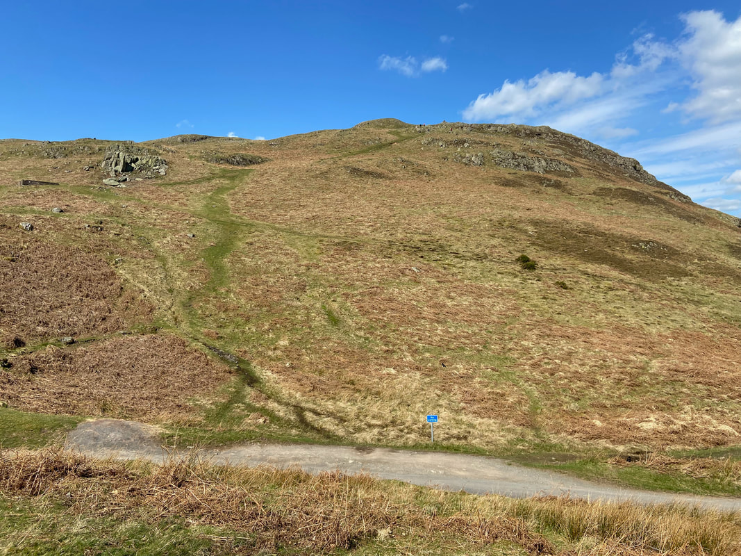
Oxford Crag, Arnison Crag & Birks from the base of the path to Boredale Hause. At this point there is a choice of two paths, an upper and a lower which both converge just before the top of the Hause.
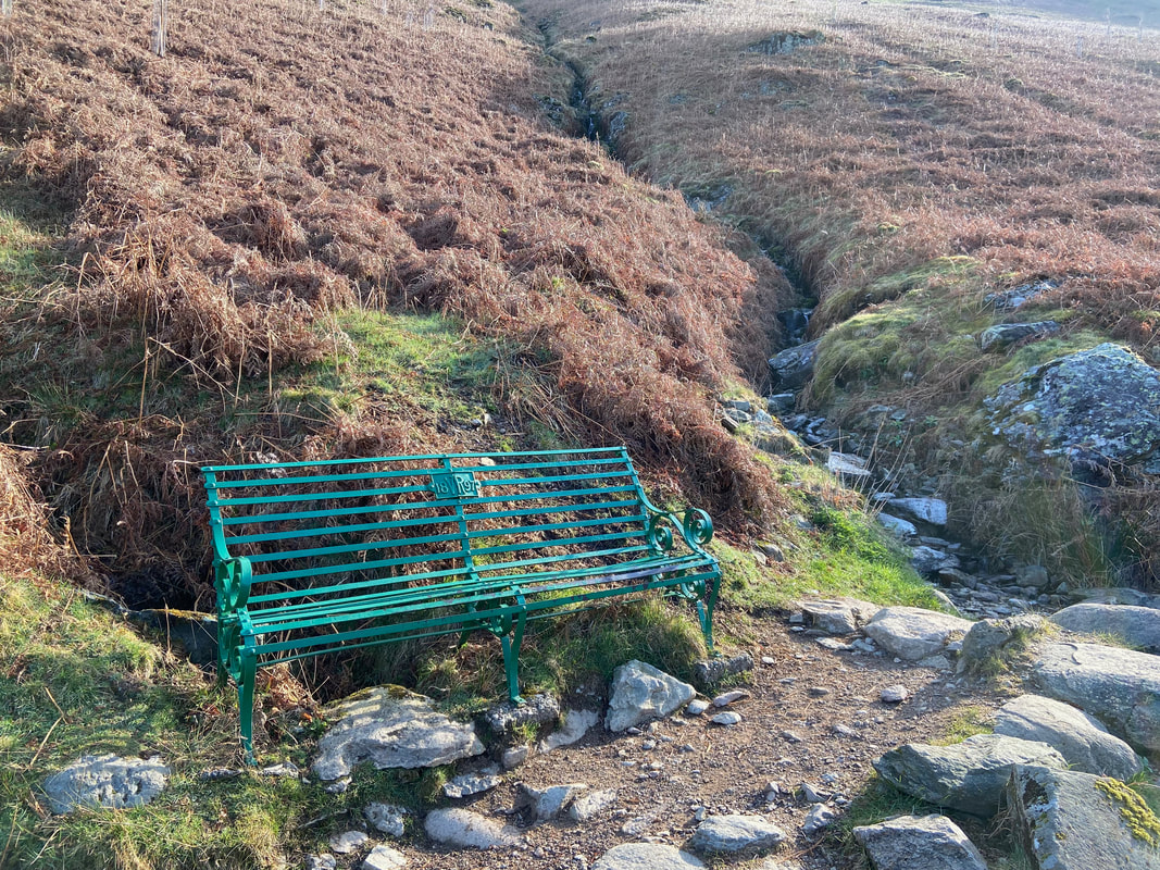
Just above the path split is a bench that commemorates the Diamond Jubilee of Queen Victoria
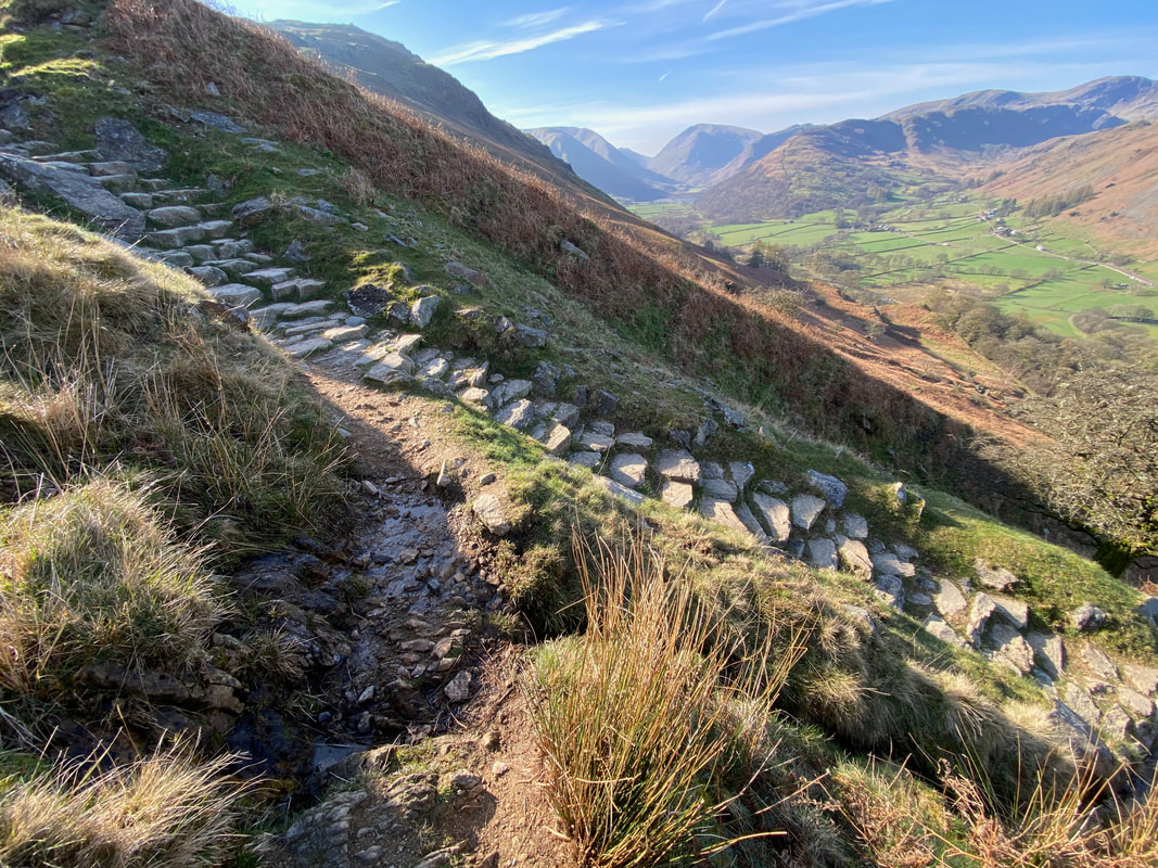
The steep climb to Boredale Hause comes with splendid views west to the Fairfield & Helvellyn ranges
The junction with the lower path
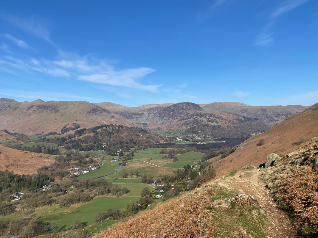
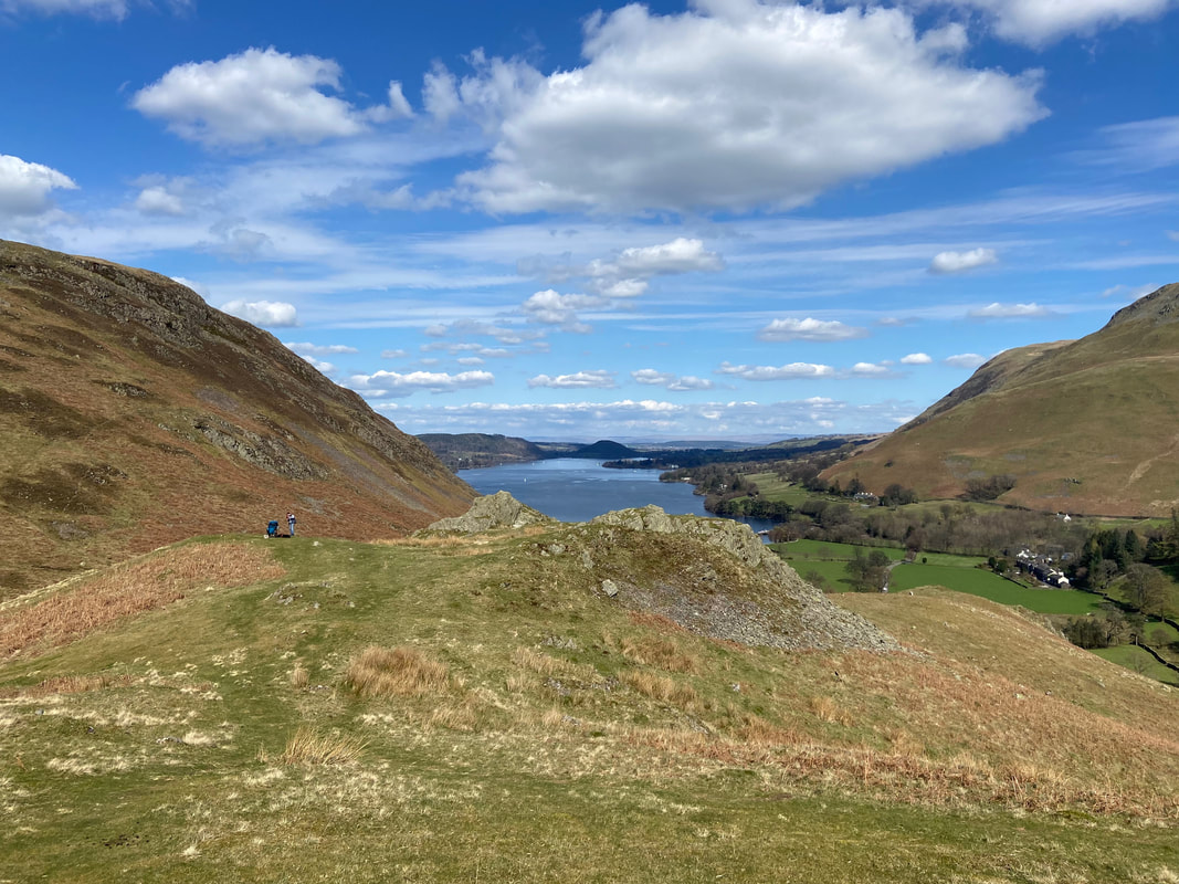
Patterdale, Glenridding & Ullswater from just below Boredale Hause with Helvellyn, Catstycam, The Dodds, Sheffield Pike & Glenridding Dodd providing the backdrop
Near the top of Boredale Hause the path coming up from Hartsop comes into view with Red Screes beyond
Boredale Hause and what a fantastic view
Looking to Round How and the path to Place Fell
Looking to Boredale Hause with the Coast to Coast path to Angle Tarn heading from centre to the left
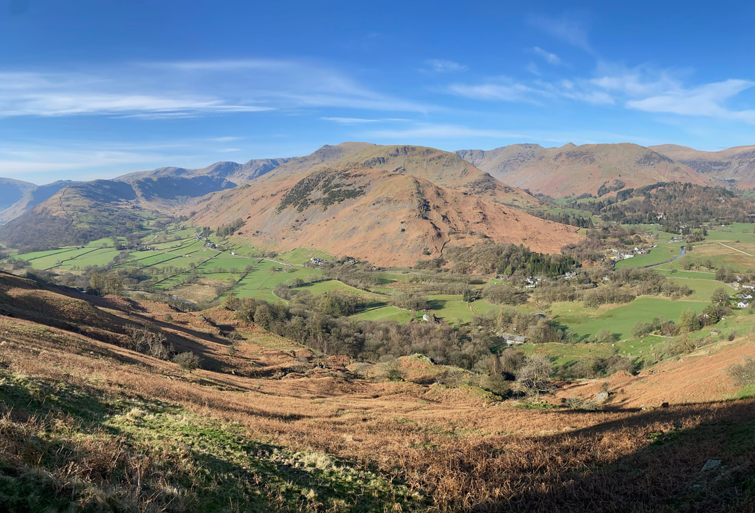
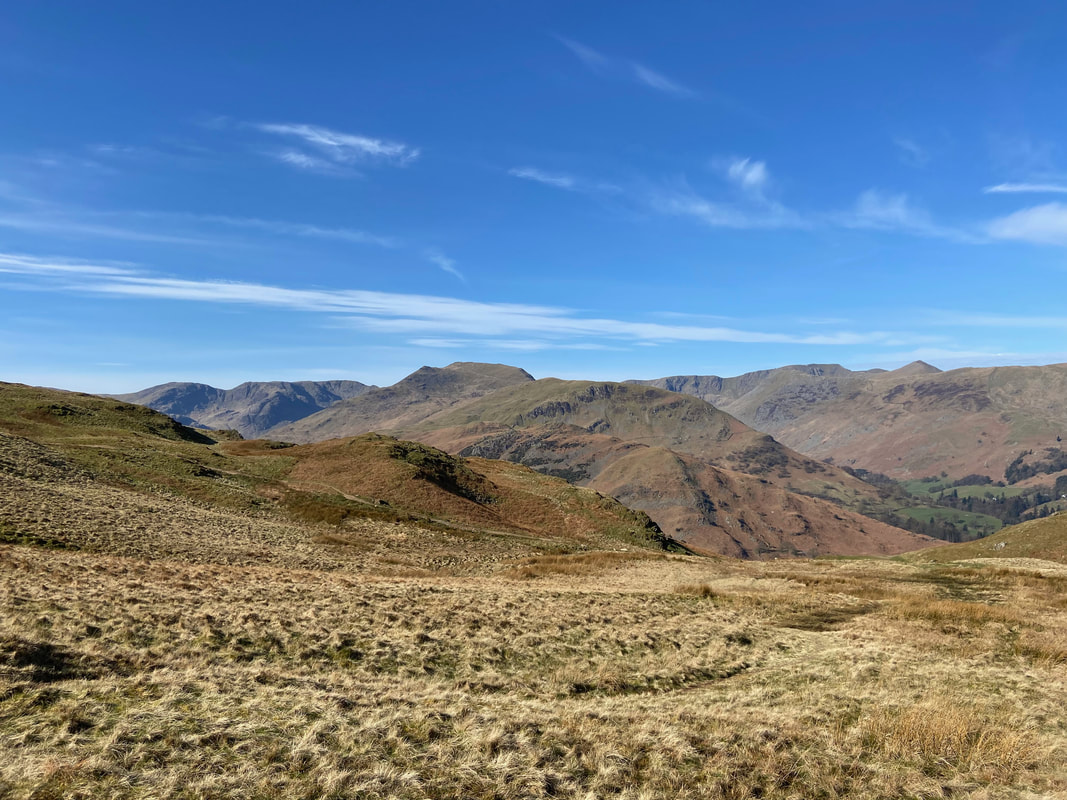
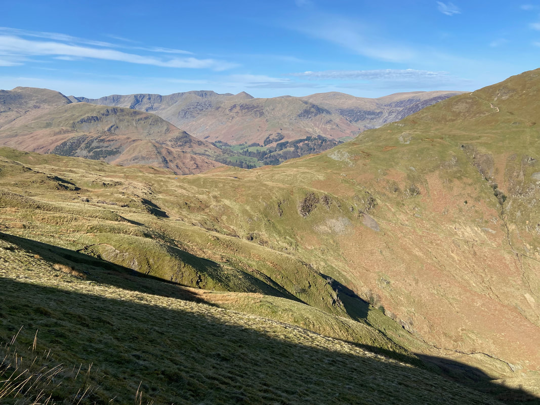
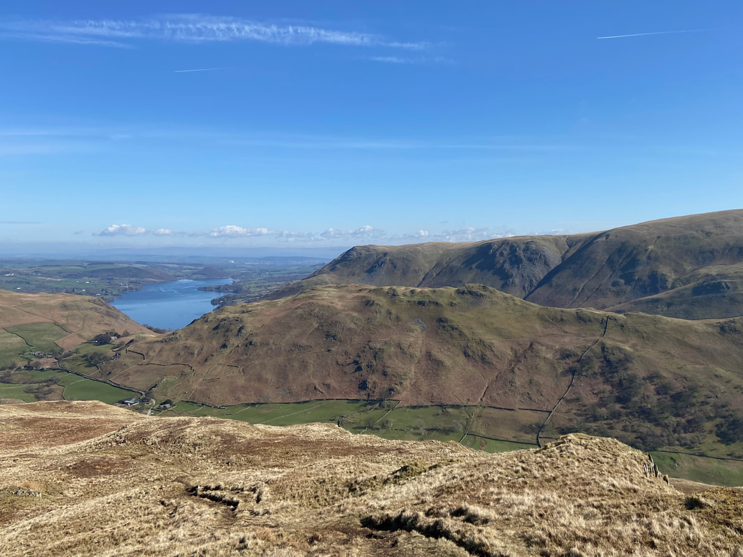
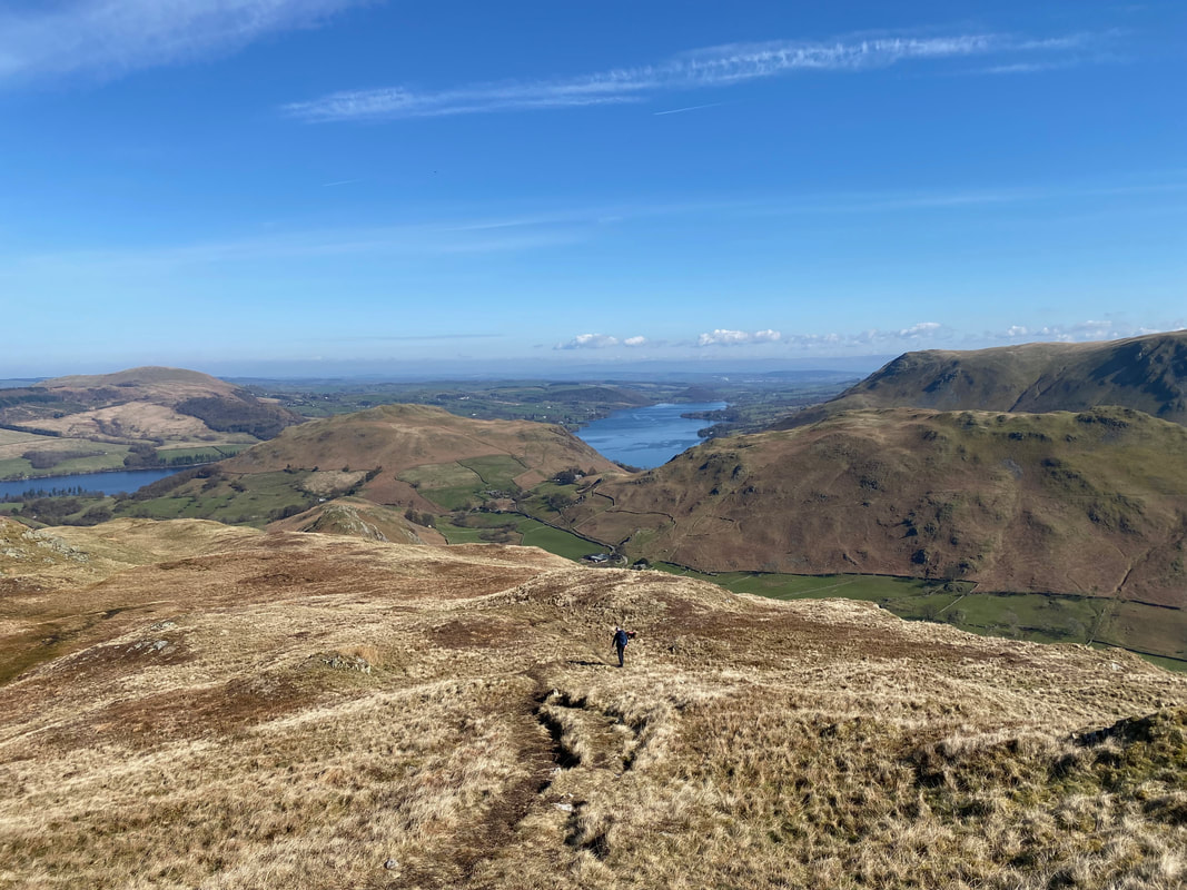
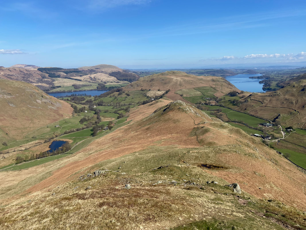
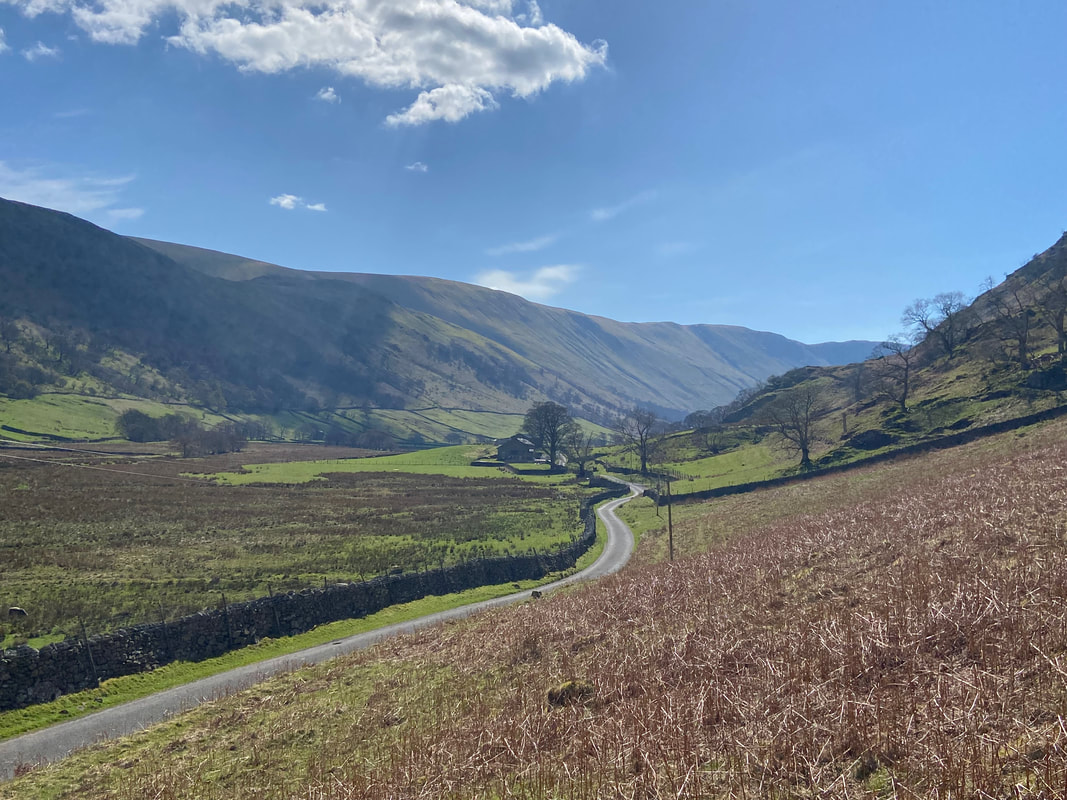
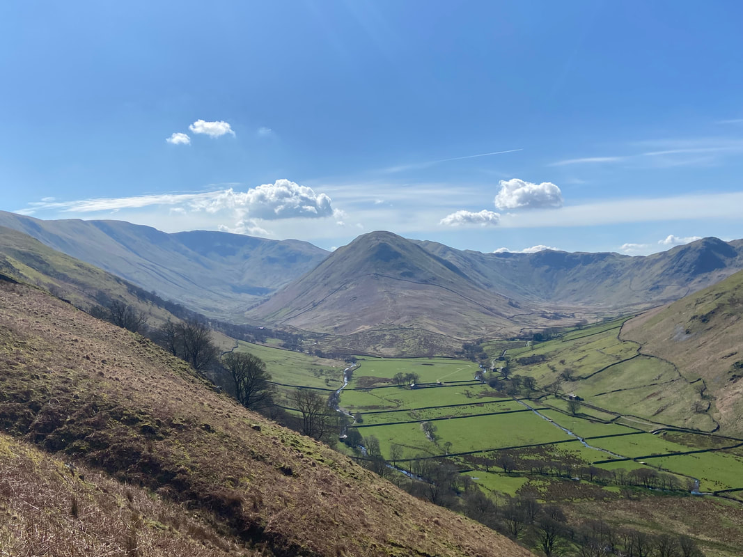
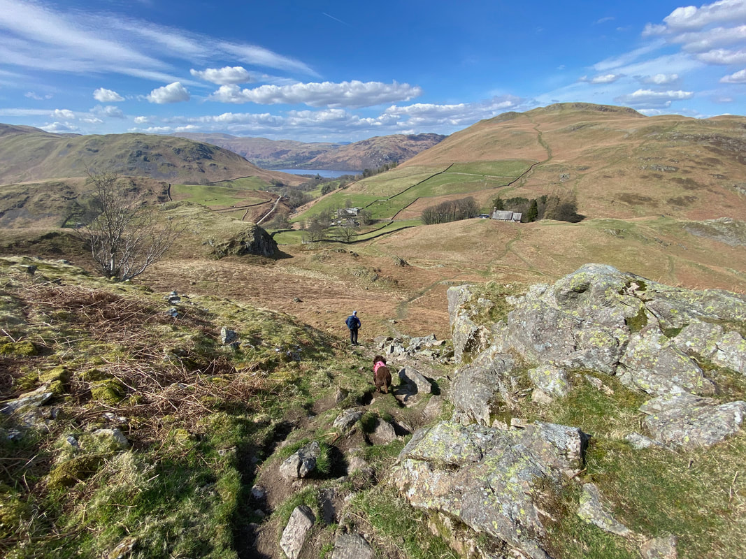
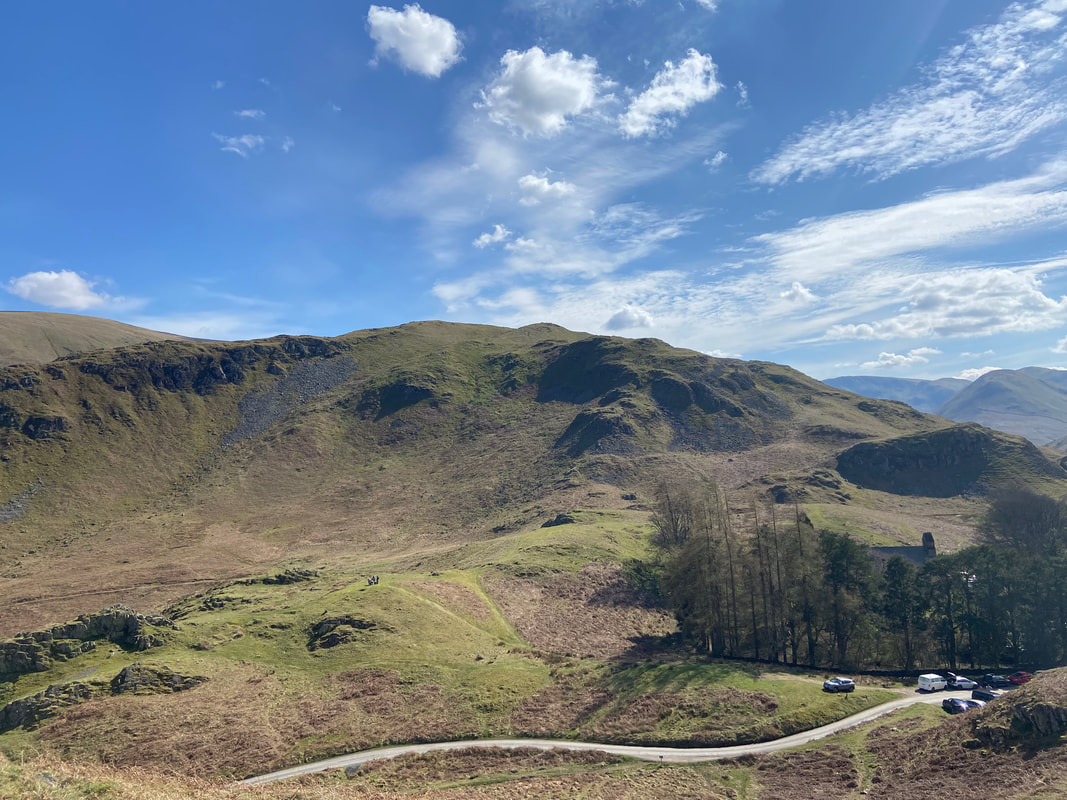
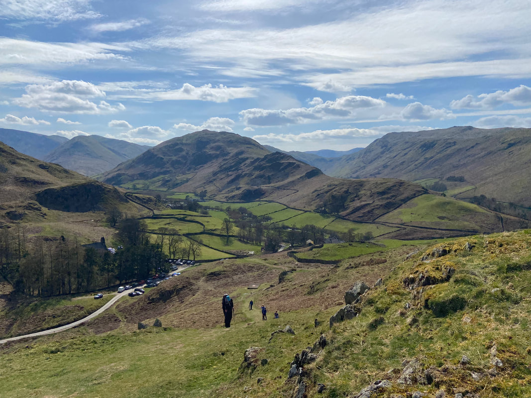
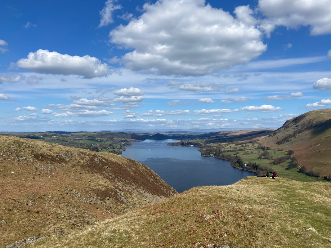
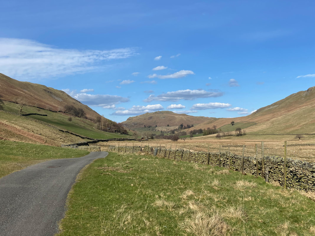
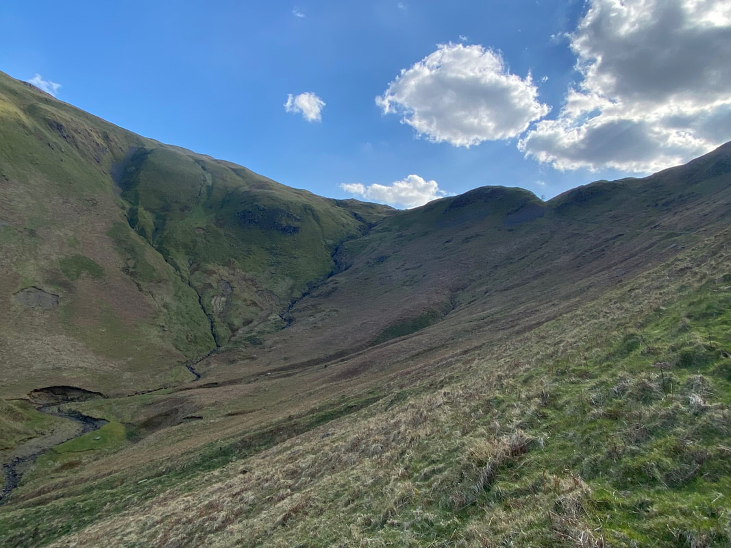
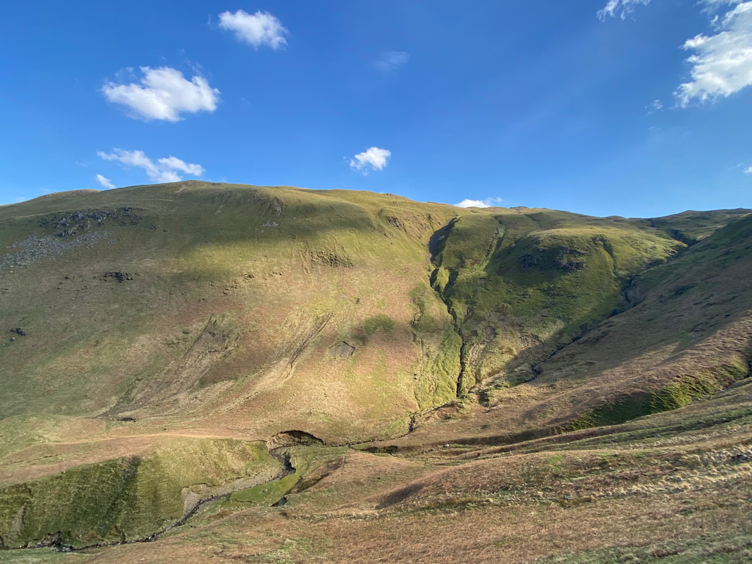
The valley of Boredale which would be our return route today. Place Fell is to the left, Hallin Fell centre and Beda Fell to the right.
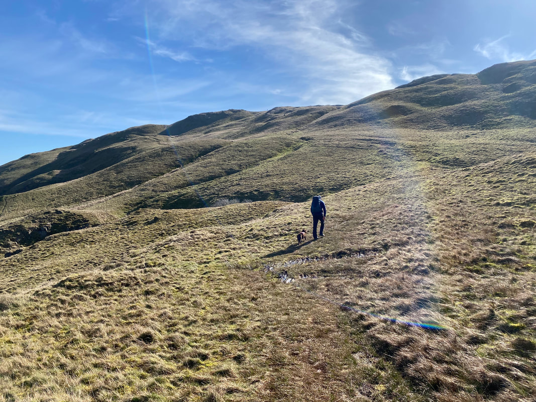
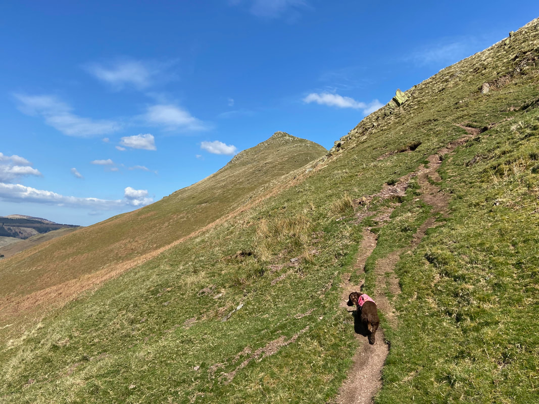
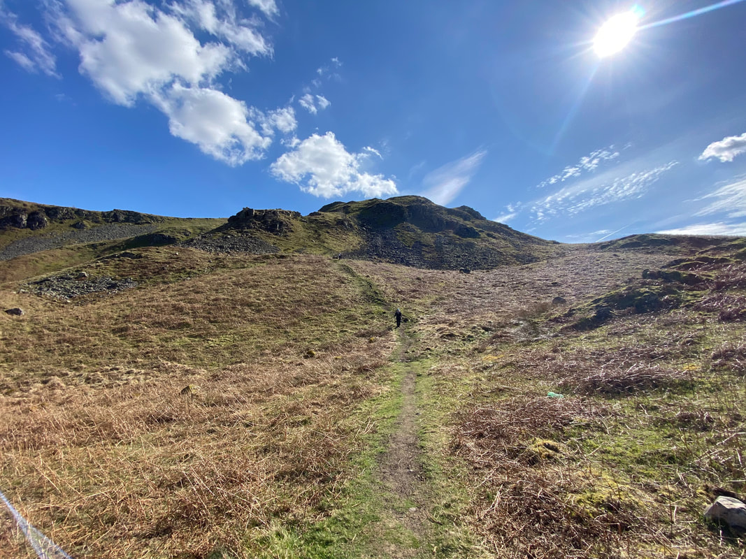
The sun hits the lens as we climb to the Beda Fell ridge via Red Scar
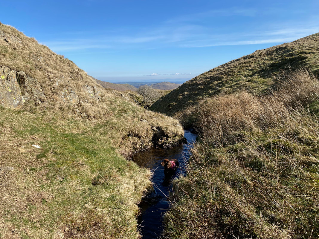
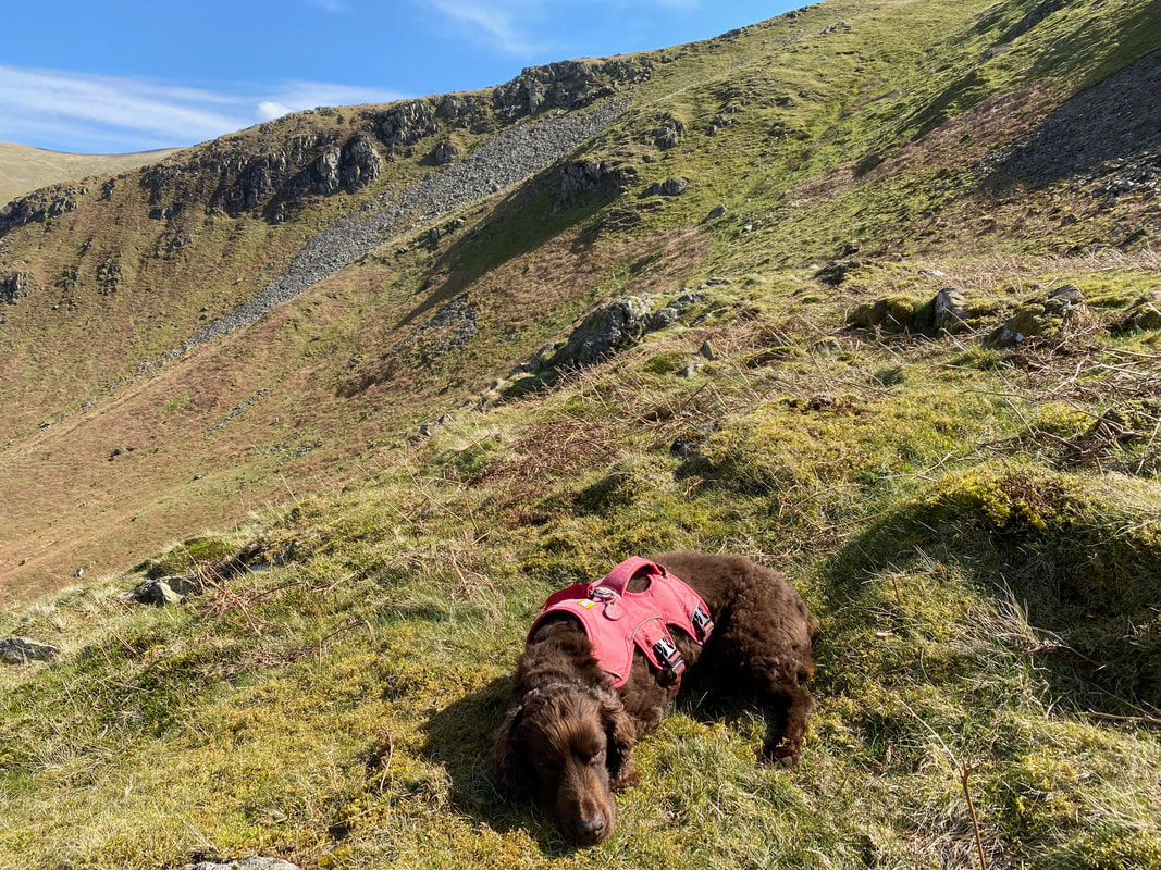
Any opportunity and he is in the wet stuff
Another look back to Boredale Hause with the Helvellyn group distant
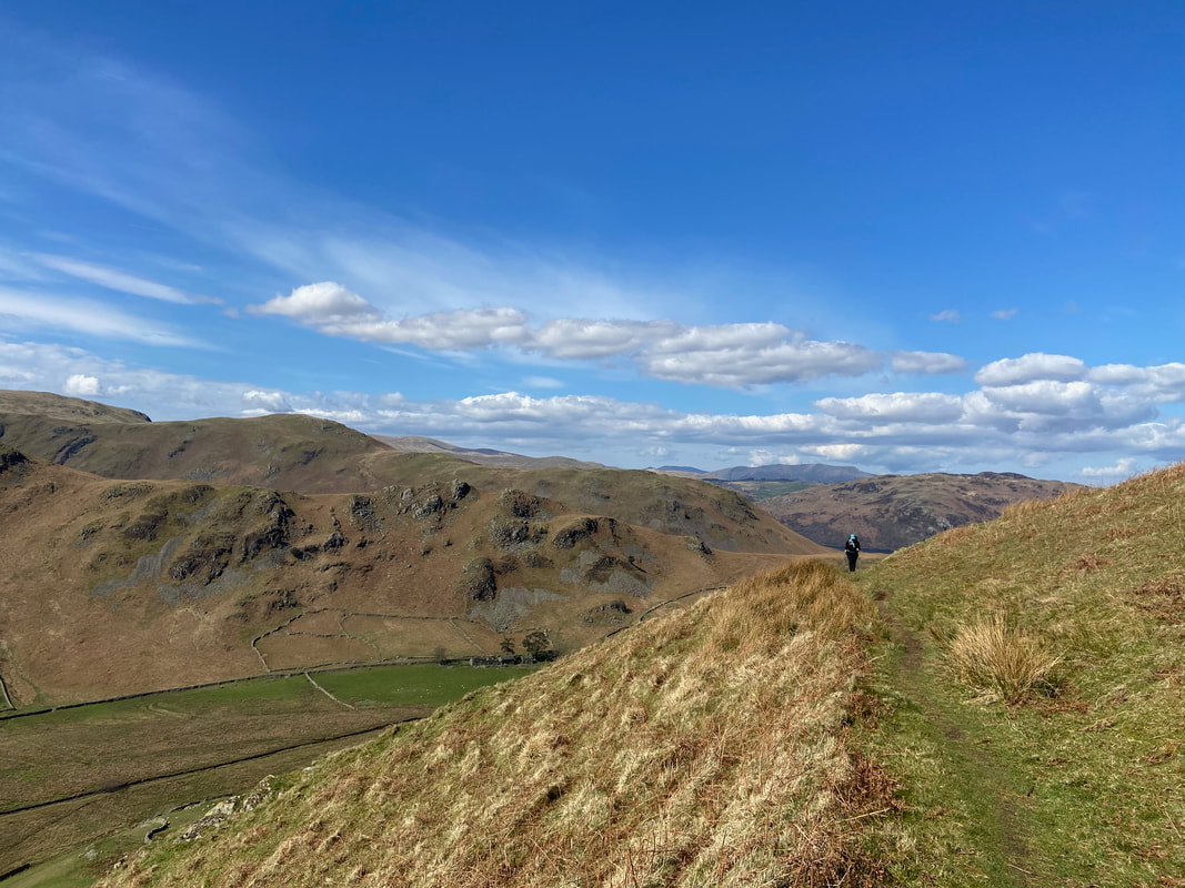
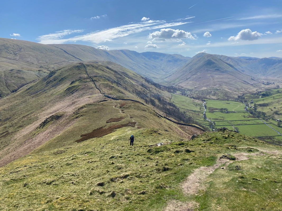
Up on the Beda Fell ridge just below Bedafell Knott - there now begins a delightful wander of just under a mile along the crest to reach the summit
Place Fell across Boredale - our return path can be seen sloping across the fell
Up on the ridge (Click Play to view)
Boredale
The name of the valley translates to "valley with the herdman's hut or storehouse”, the linguistic source of this uncertain, coming either from the Old Norse word "bur" or the Old English word "bir". Wainwright in his book “In The Valleys Of Lakeland” refers to Boredale as “unexciting but heaven is glimpsed on the approach and exit”. The great man was obviously entitled to his opinion but "unexciting" - really??
The name of the valley translates to "valley with the herdman's hut or storehouse”, the linguistic source of this uncertain, coming either from the Old Norse word "bur" or the Old English word "bir". Wainwright in his book “In The Valleys Of Lakeland” refers to Boredale as “unexciting but heaven is glimpsed on the approach and exit”. The great man was obviously entitled to his opinion but "unexciting" - really??
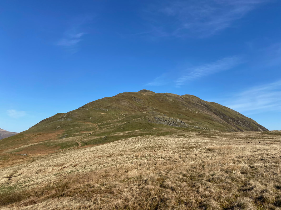
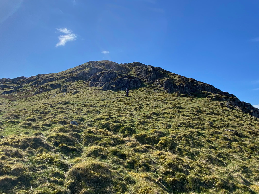
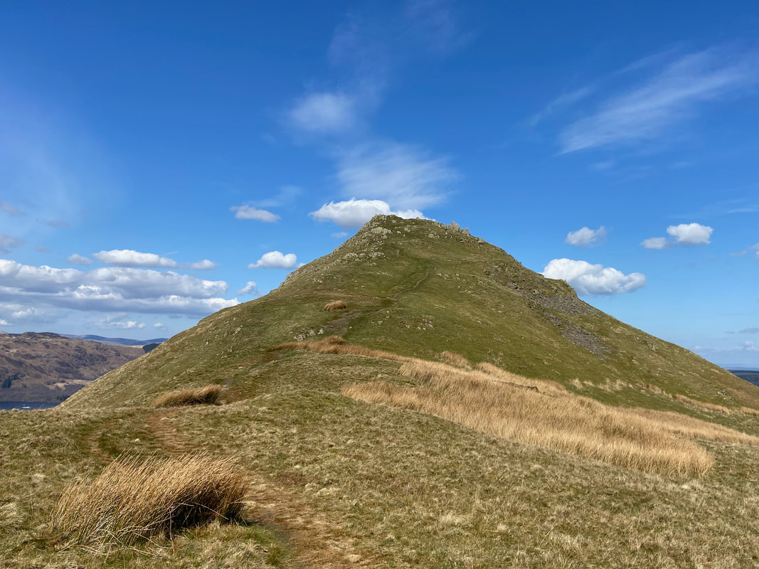
The final approach to the summit of Beda Fell
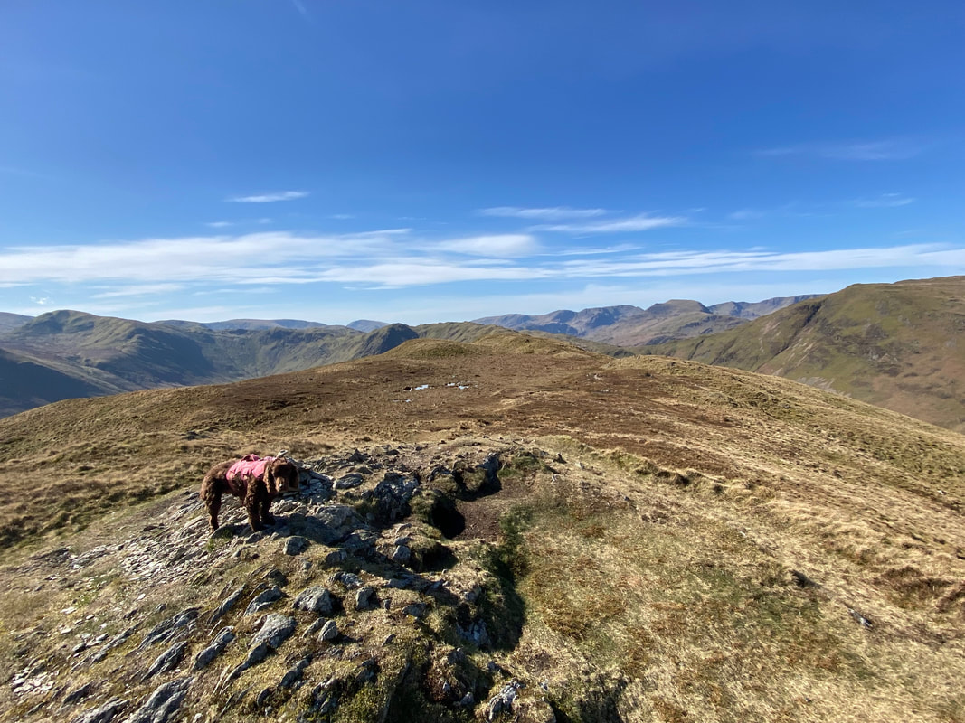
Looking back along the ridge from the 509m spot height - the summit is just a little further on behind me
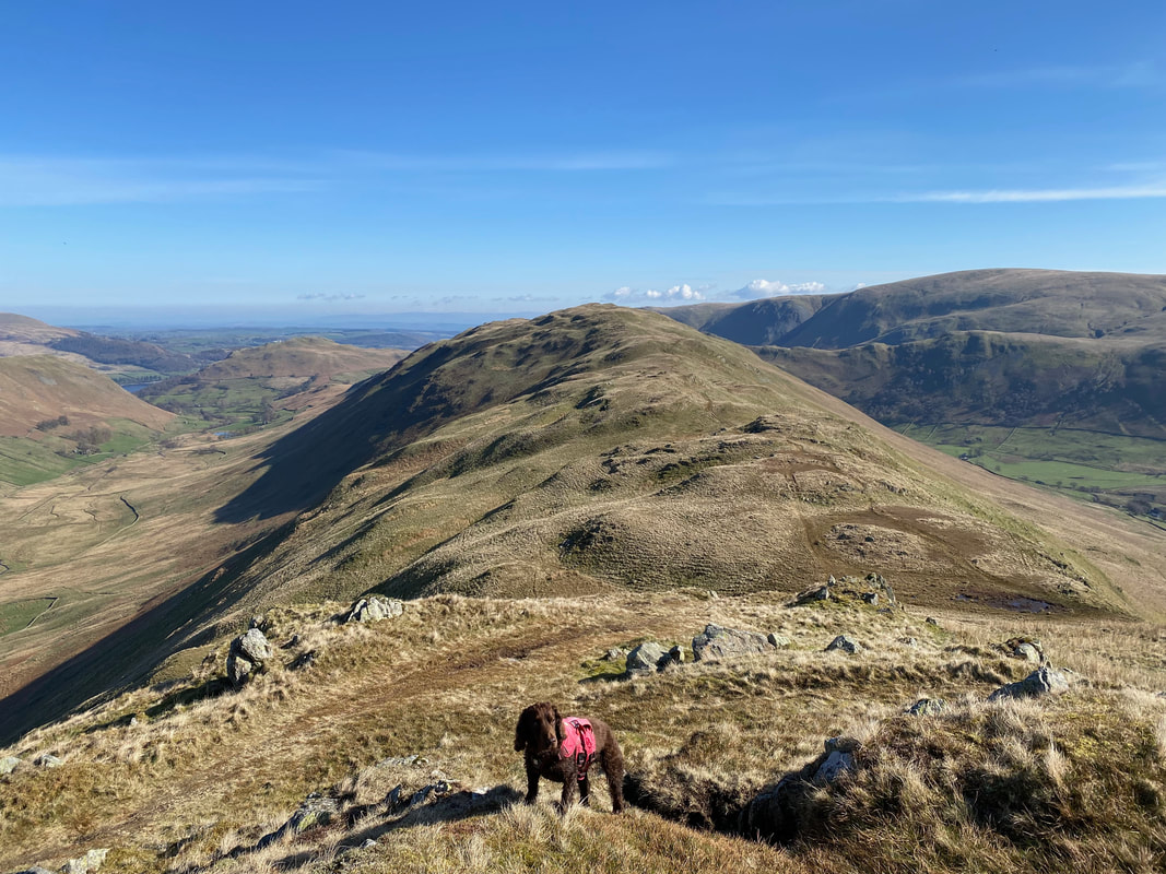
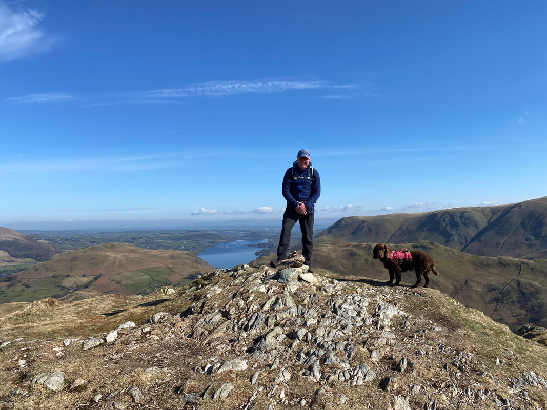
With Fudge on the summit of Beda Fell looking to Hallin Fell, Ullswater, Bonscale Pike & Steel Knotts
Howe Grain below as we drop down from Beda Fell to climb Steel Knotts
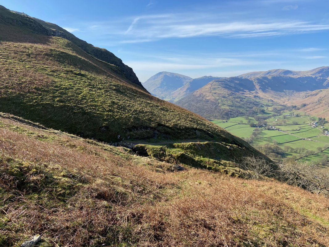
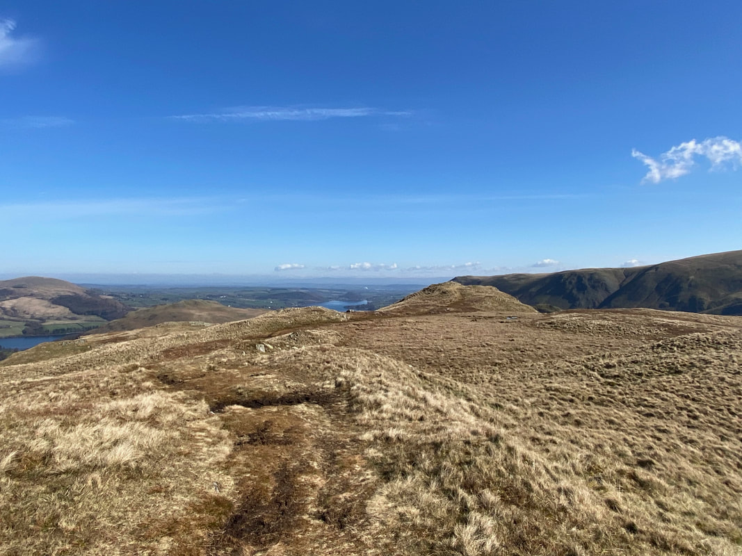
The descent from Beda Fell is gradual at first but would soon steepen - Little Mell Fell is now in view to the left
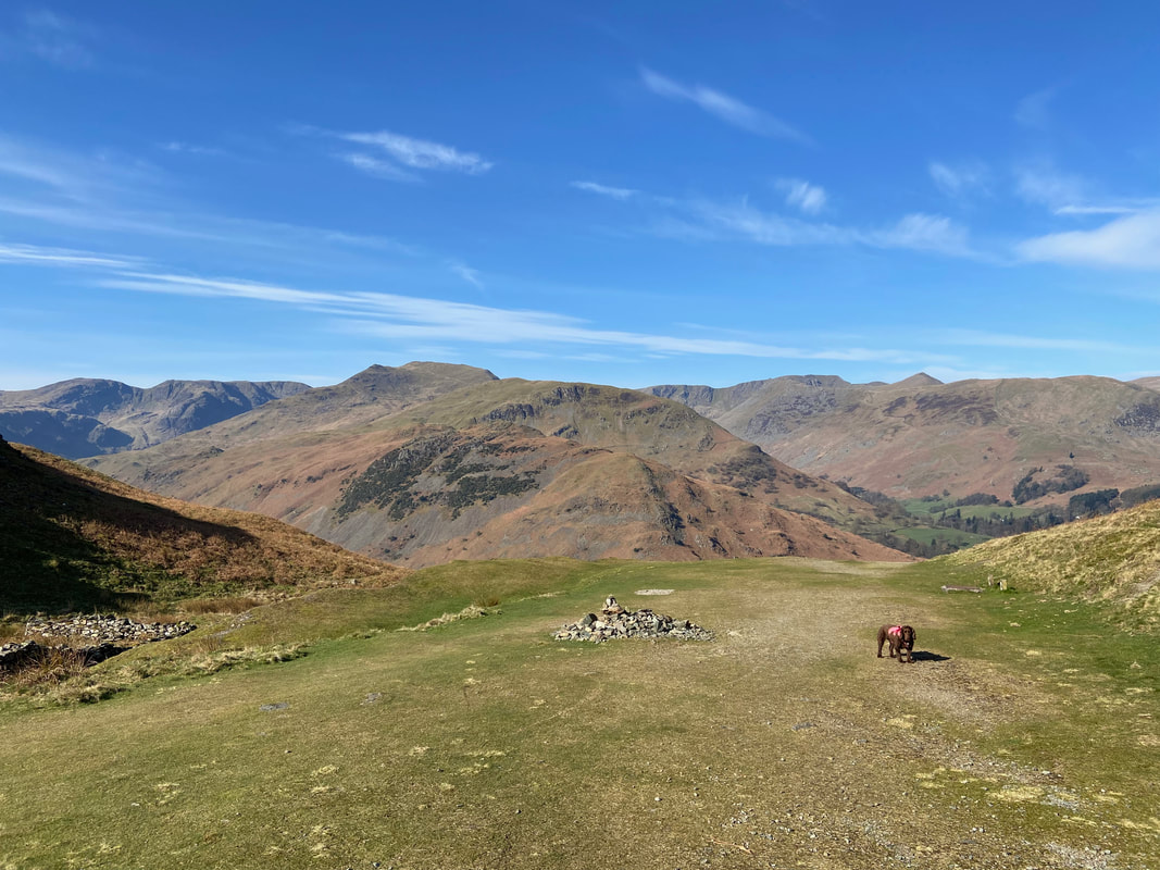
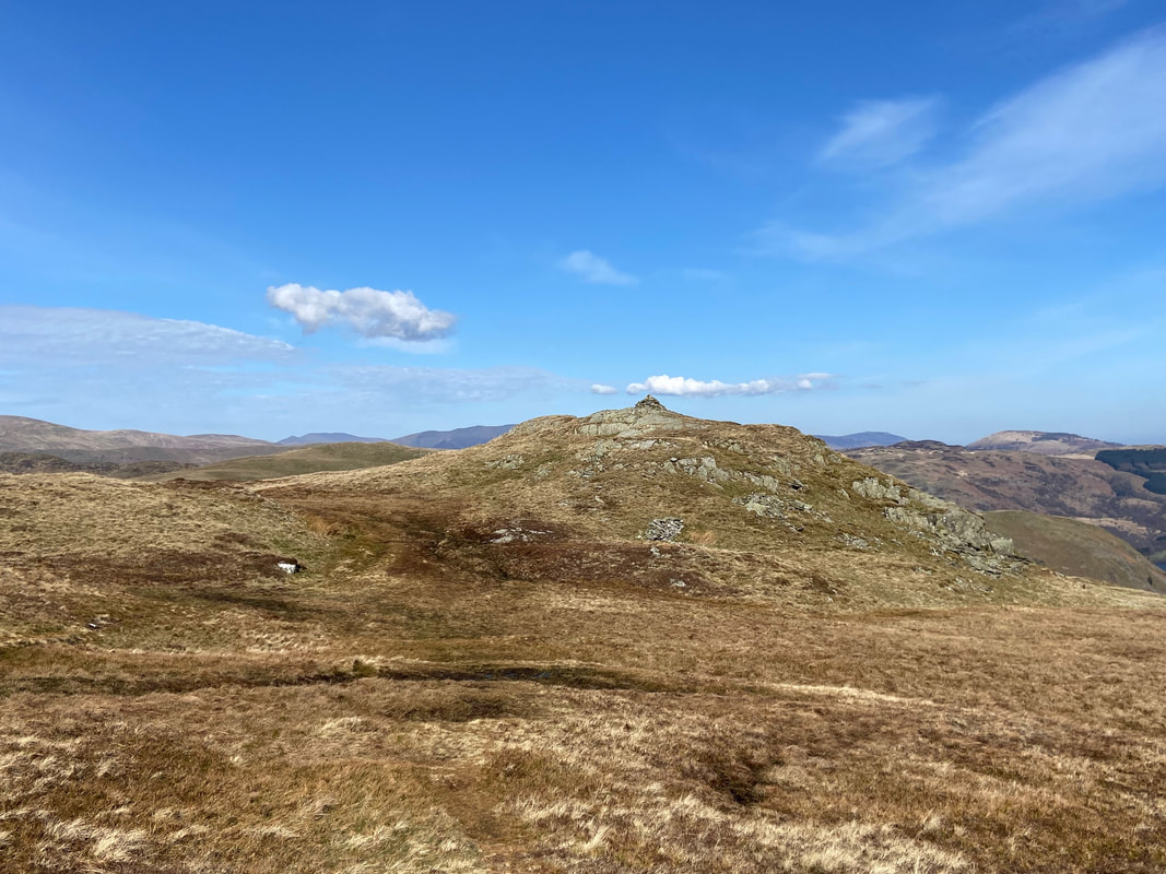
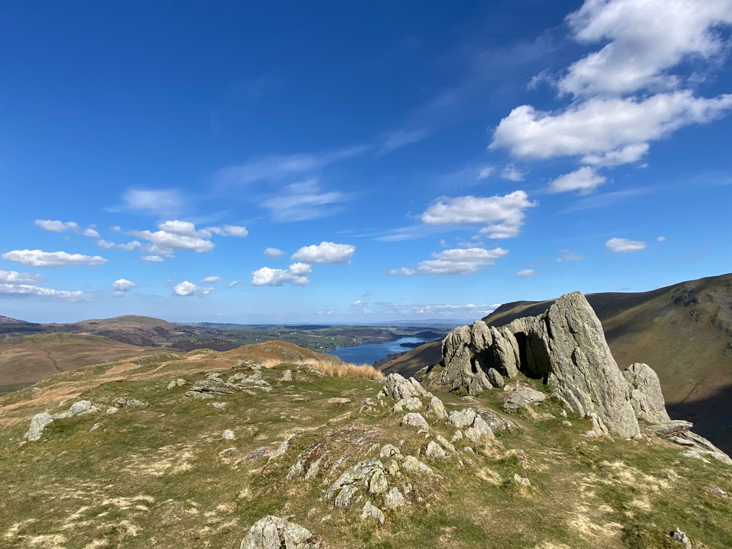
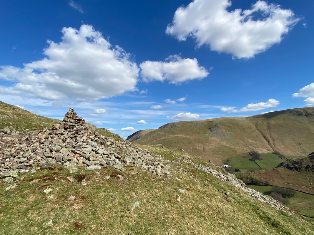
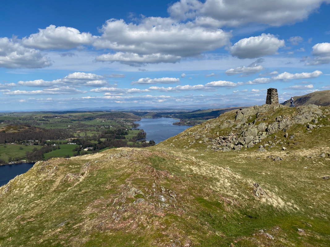
A prominent cairn sits above a rocky outcrop at the end of the ridge
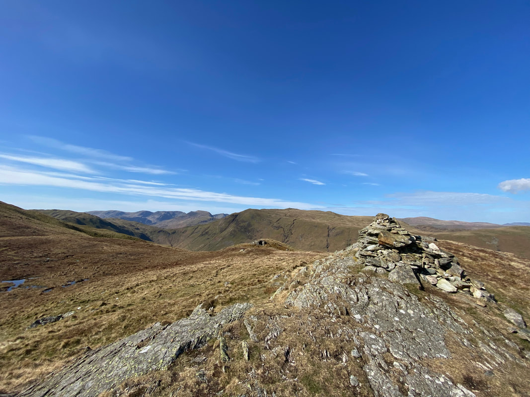
Atop the rocky outcrop and the prominent cairn. Over to the west is a shelter built into an outcrop.
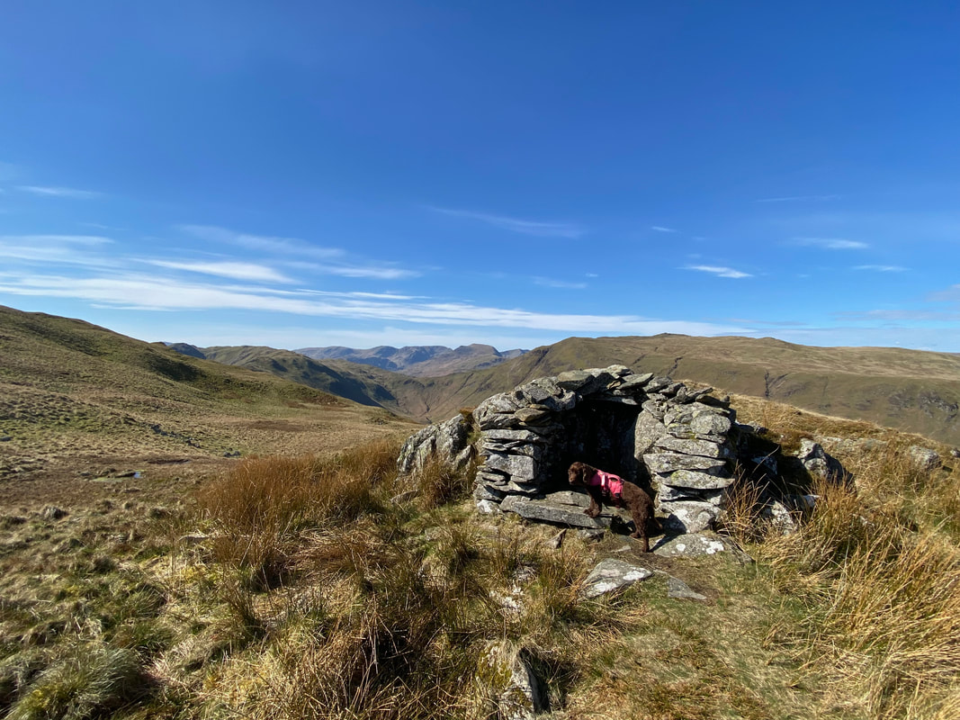
The wind shelter built into a rocky outcrop - the shelter can be found at Grid Reference NY 42802 17322
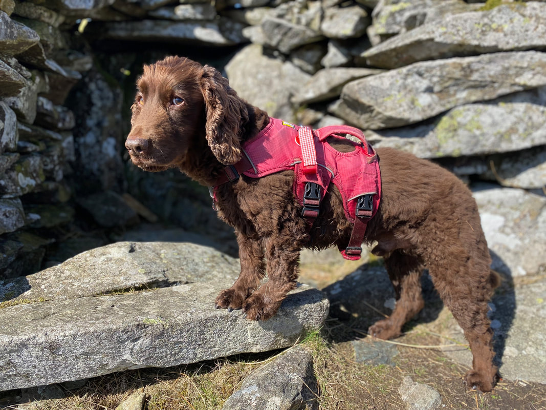
As ever, Fudge always looks the grumpiest thing on the planet when he is forced into staying still for a photograph
Winter Crag ahead - we would be turning off to the right soon at Nickles
Descending the ridge below Low Brock Crags
At Nickles a rough path heads off to the right at Grid Reference NY 42960 17910. After a short transit the path turns sharply to the left to drop down to the access road for the farms of Winter Crag, Thrang Crag & Dale Head.
The farm access road with Thrang Crag farm up ahead - we would be turning left once we reached the road
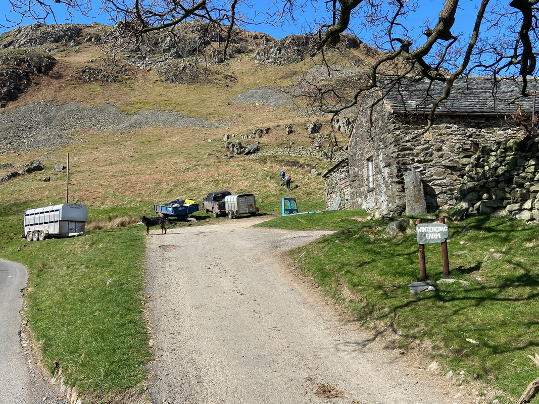
The road passes Winter Crag Farm complete with a resident gobby canine concierge. The walkers above the farm building are heading to Winter Crag.
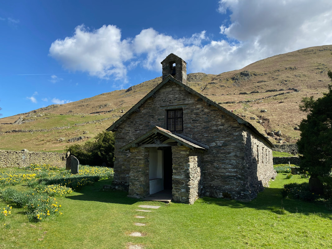
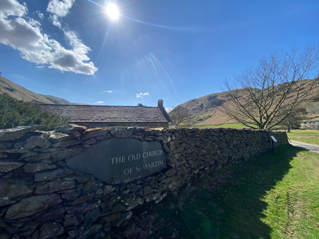
The Old Church of St Martin in Martindale. The reason it is referred to as "The Old Church" is to avoid confusion with the nearby St Peter's Church which is situated half a mile down the valley. The Church has existed since at least the year 1220.
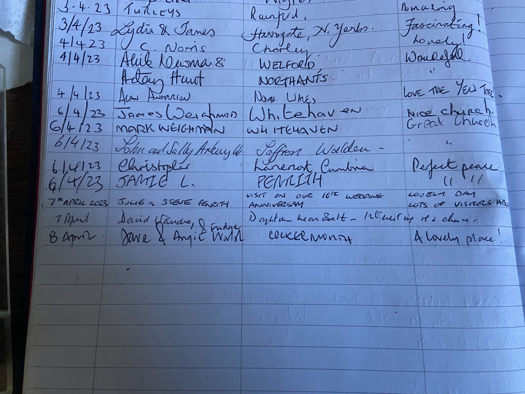
It's always nice to sign the Visitors Book
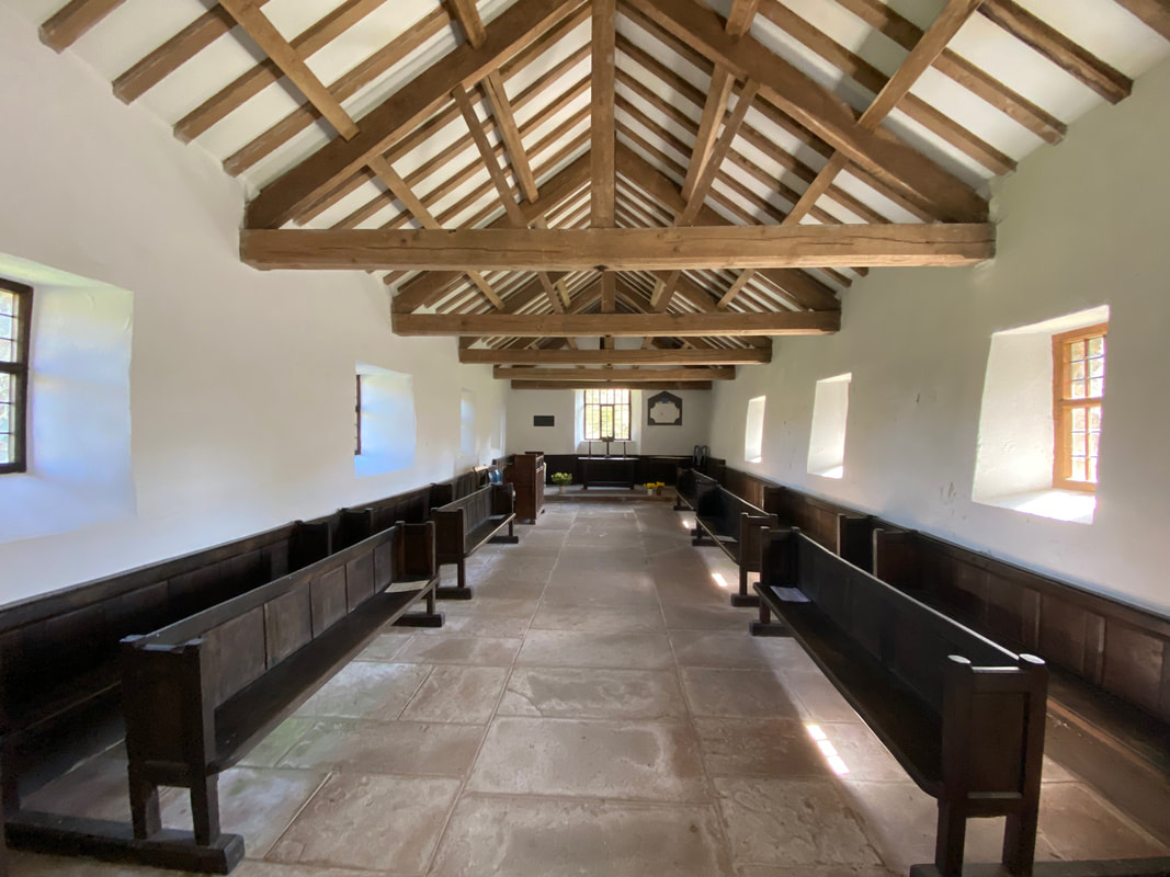
The sparse but well kept interior of The Old Church. For those wishing to visit, the church is always open and Evensong is normally held on the last Sunday of each month from May to September, usually at 1730.
This is a beautiful spot to stop a while and appreciate the solitude of Martindale and visit one of its two churches
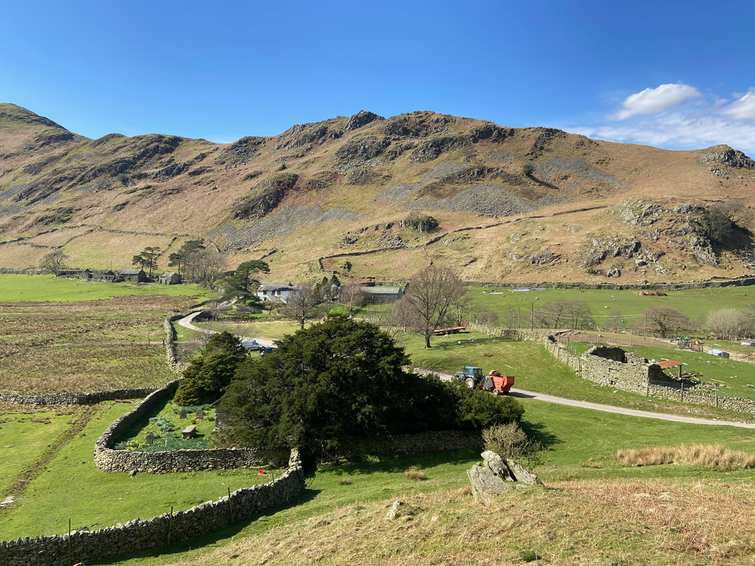
Looking down on The Old Church as we start the climb to Steel Knotts. The Yew Tree in the Churchyard is reputed to be over 1300 years old.
The ascent of Steel Knotts with Winter Crag to the rear and High Dodd at the end of the Place Fell ridge behind that. In the far centre right distance is Blencathra.
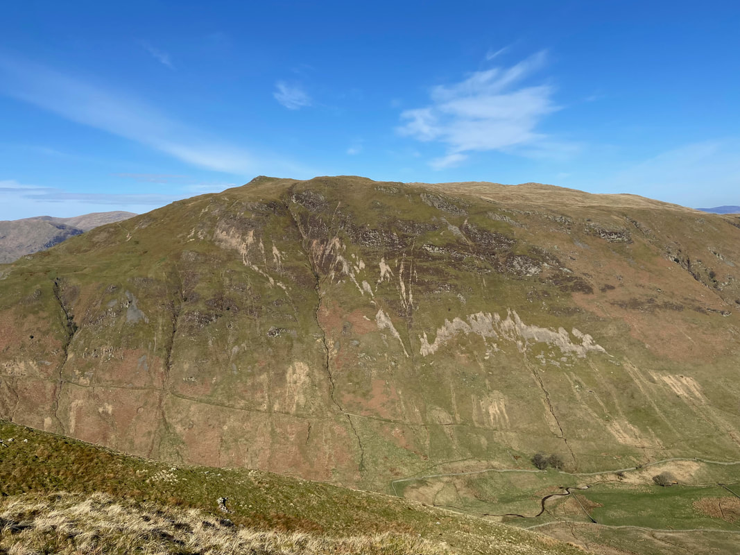
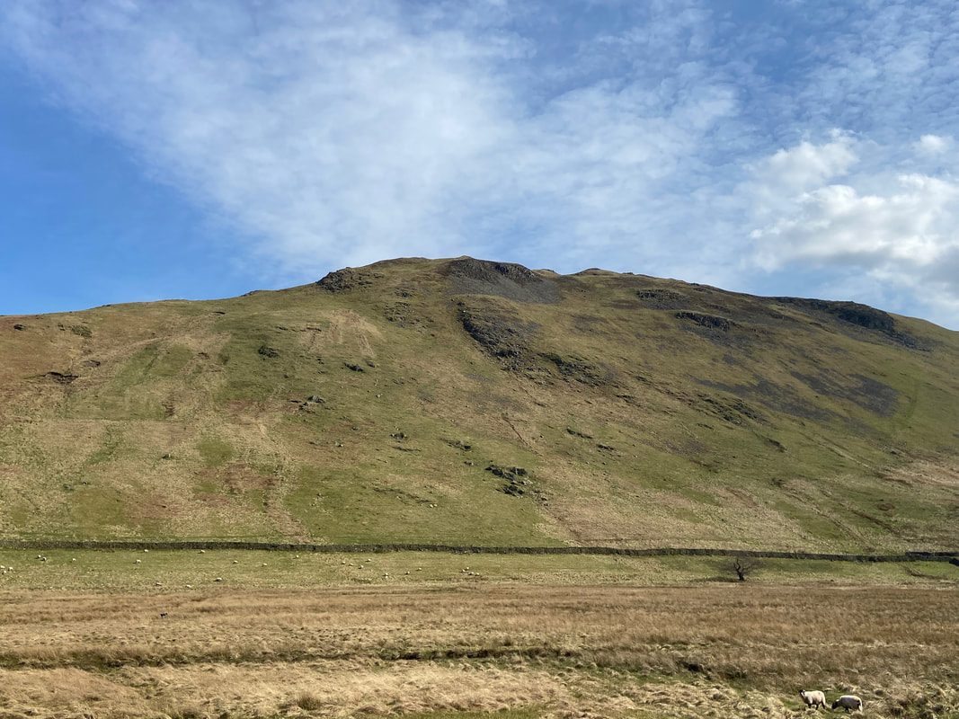
Beda Fell from the Steel Knotts ascent
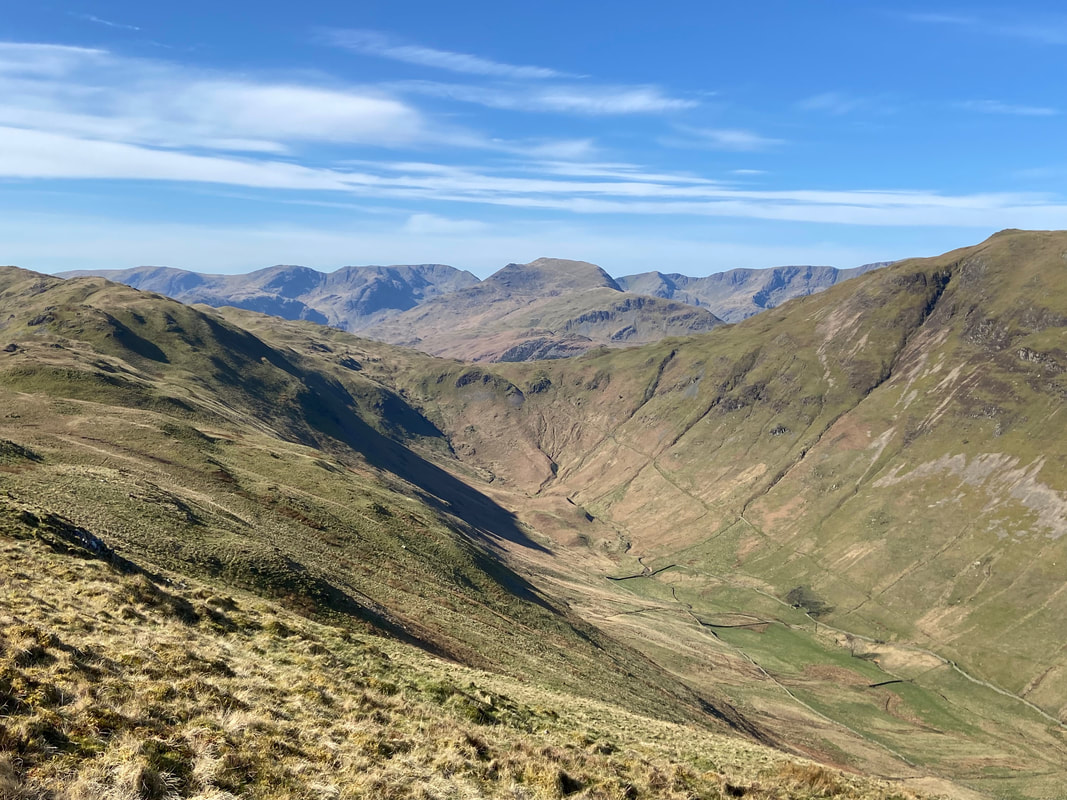
The Nab centre with the valleys of Ramps Gill left and Bannerdale to the right
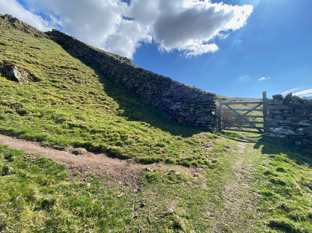
After a level stretch a wall is reached - the path to Steel Knotts switches back on itself to the left
From the switch back the gradient increases and the summit comes into view
The final approach to Steel Knotts
Angie makes her approach behind me as we look back along the connecting ridge to Brownthwaite Crag and onward to Gowk Hill. We walked along this ridge a few years ago and an account of that walk can be found here
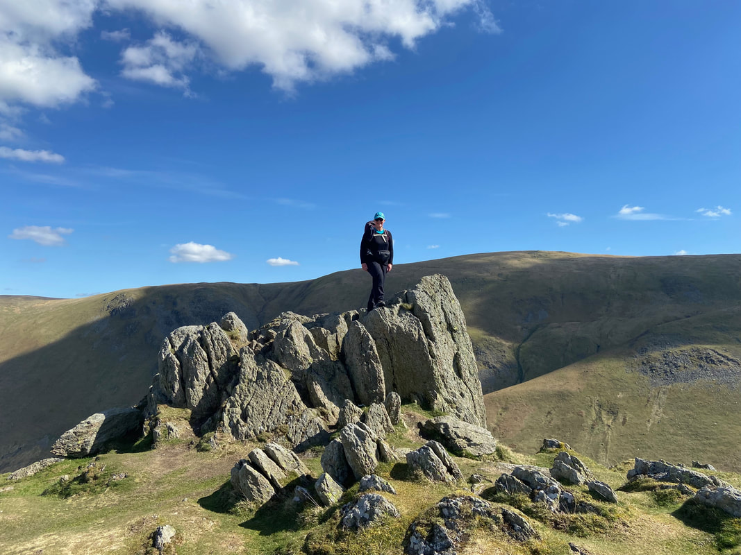
The rock tor known as Pikeawassa, the summit of Steel Knotts
Of course, no ascent is complete without actually climbing to the top of the fell
Descending from Birkie Knott to St Peter's Church with Hallin Fell rising above
Just below Birkie Knott we stopped for a break which allowed Fudge to get some zeds in
Looking back to Birkie Knott
Crossing The Coombs with Ullswater beyond
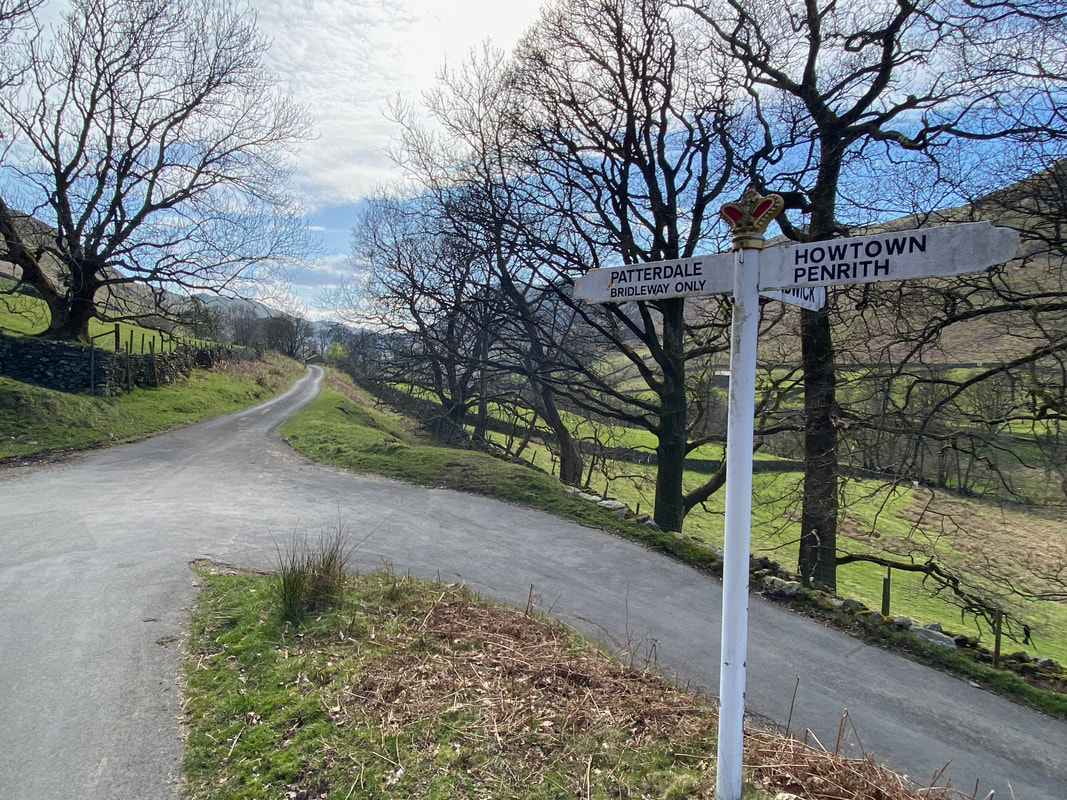
From The Coombs, the route crosses the road coming up from Howtown. Hallin Fell can be climbed one of two ways from here - either turn left and head to St Peter's Church then turn right on to the popular path or carry straight on over the road and circle the fell from the east to then make the climb up from the north. We did the latter and returned to St Peter's Church by the popular path (see route map).
Steel Knotts and The Coombs from our ascent of Hallin Fell
For its modest height, Hallin Fell provides some fantastic views
The large cairn overlooking Howtown which Wainwright mentions in Book 2 (Hallin Fell 2)
Grand views down Ullswater as we approach the final climb
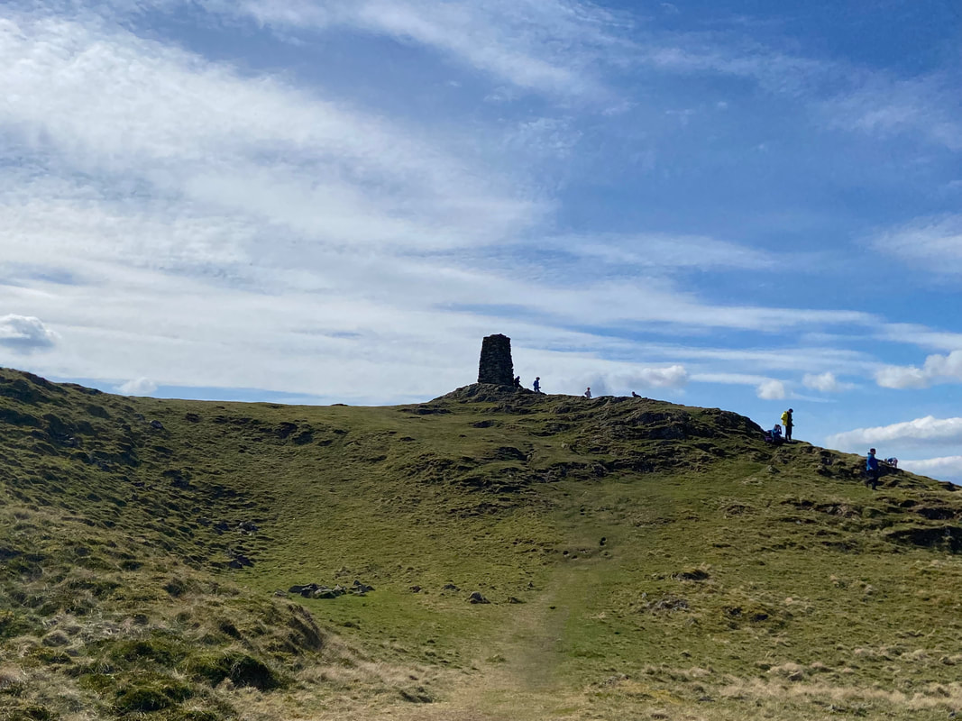
Approaching the summit of Hallin Fell - it is considered an easy fell to climb hence the myriad of people about
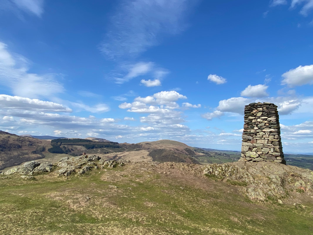
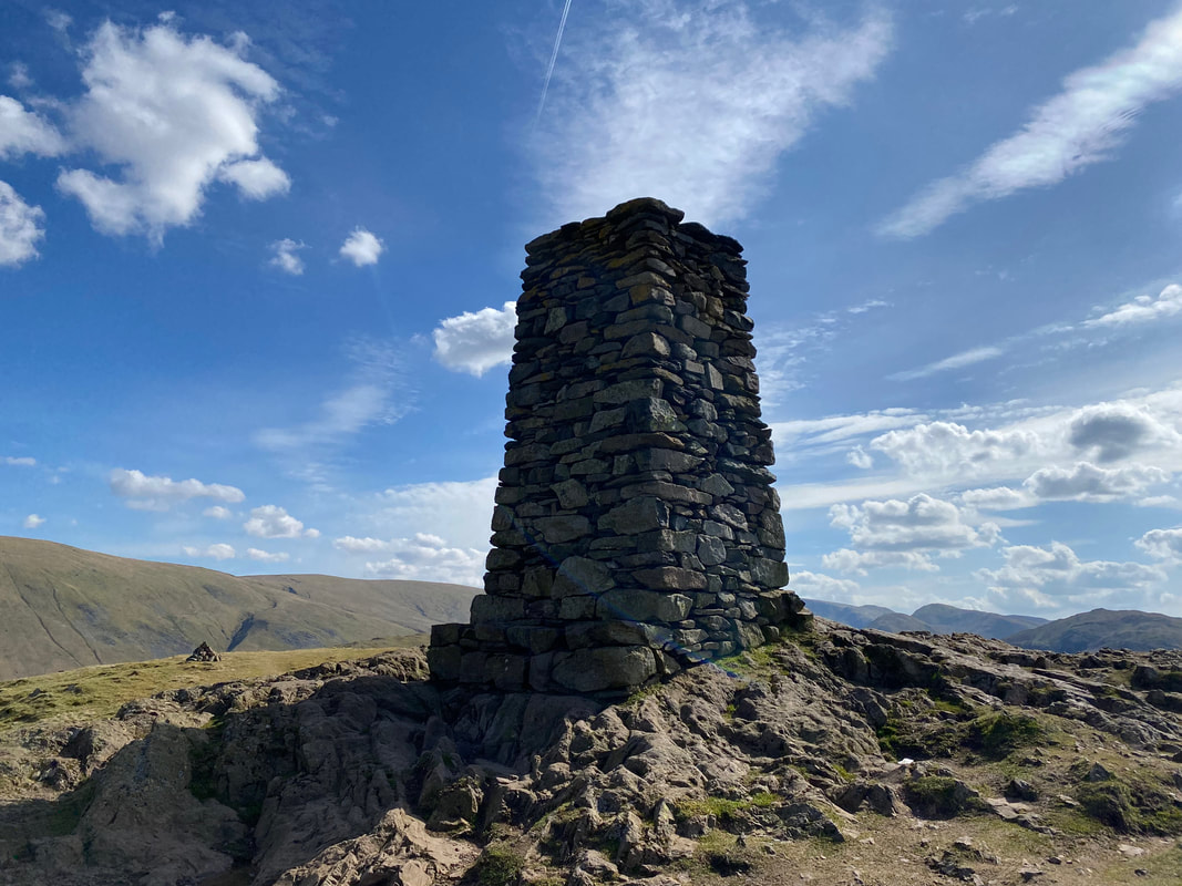
The 12ft obelisk that marks the summit of Hallin Fell
Close up and personal with the summit of Hallin Fell
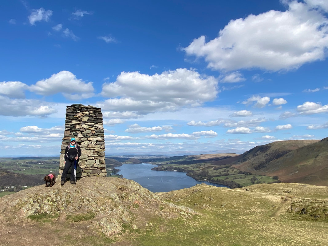
Angie & Fudge on the summit of Hallin Fell with Ullswater providing the backdrop.
Wainwright said of Hallin Fell - "it can be ascended comfortably in bare feet" (Hallin Fell 2). A tad tongue in cheek perhaps but coupled with Binsey to the north it is probably the easiest of the 214 fells to reach.
Wainwright said of Hallin Fell - "it can be ascended comfortably in bare feet" (Hallin Fell 2). A tad tongue in cheek perhaps but coupled with Binsey to the north it is probably the easiest of the 214 fells to reach.
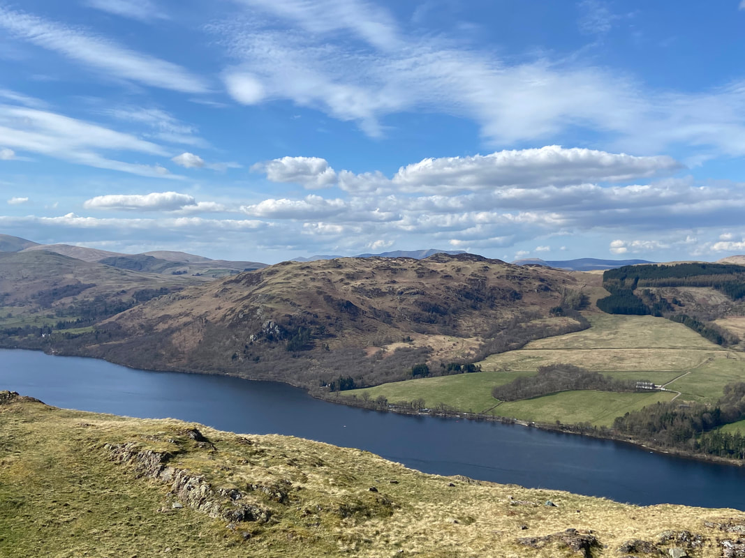
Gowbarrow Fell across Ullswater
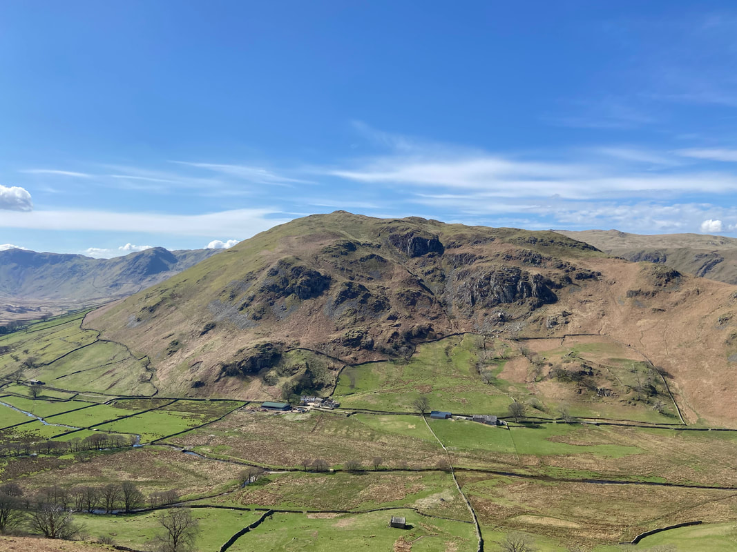
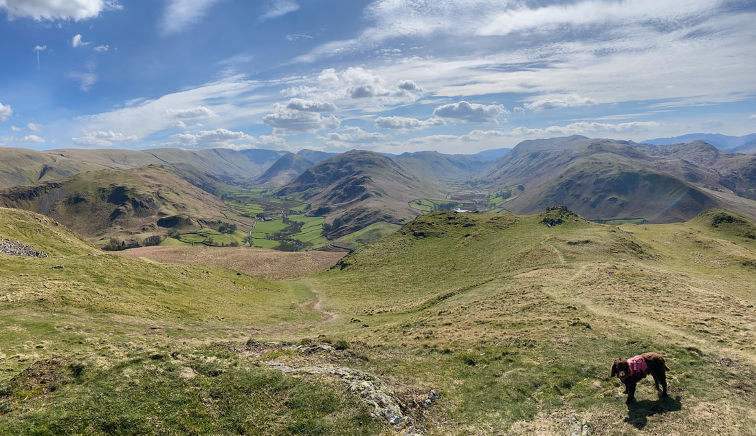
Some 70 yards SSW of the obelisk is this glorious view down to the twin valleys of Martindale & Boredale - Steel Knotts is to the left, Beda Fell centre and Place Fell to the right
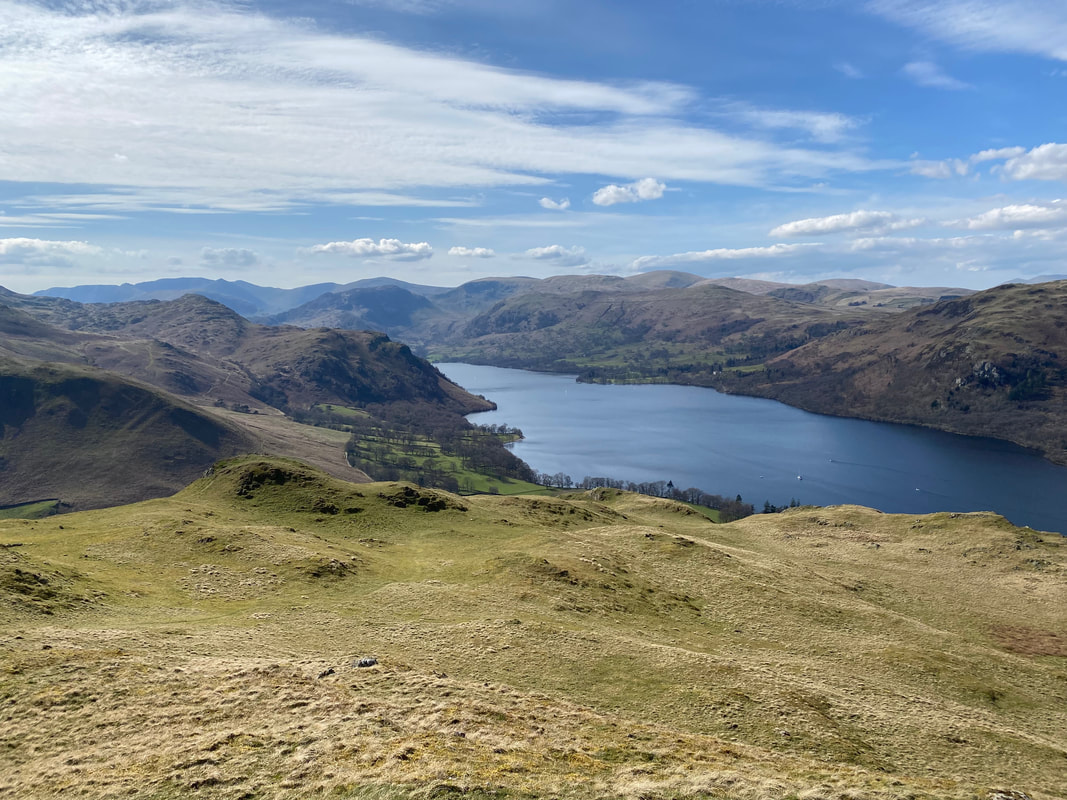
Looking down Ullswater towards Patterdale & Glenridding
The summit of Hallin Fell from the viewpoint
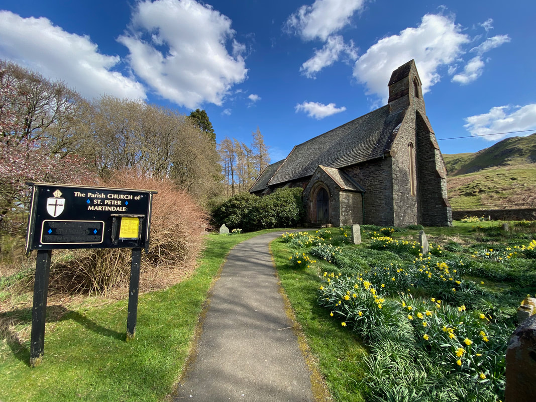
The second of Martindale's two churches can be found at the foot of Hallin Fell. Work started on building the church in 1880 and it was consecrated 2 years later. Both churches are just half a mile apart.
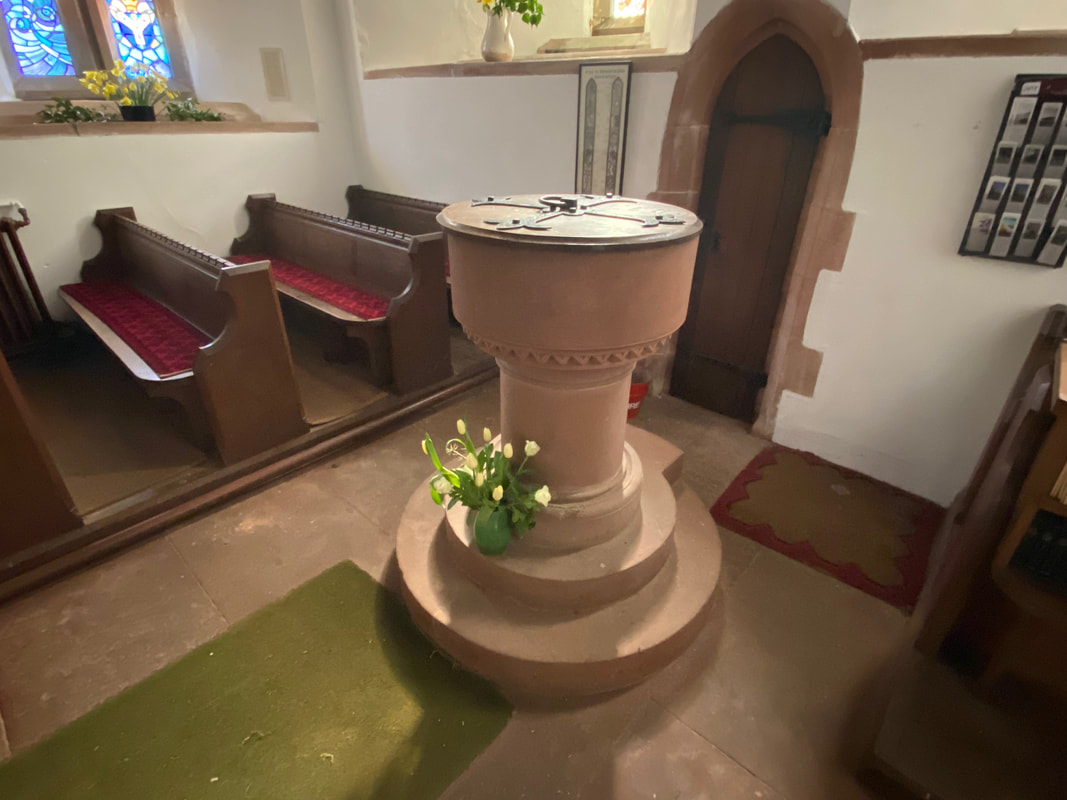
The font of St Peter's Church
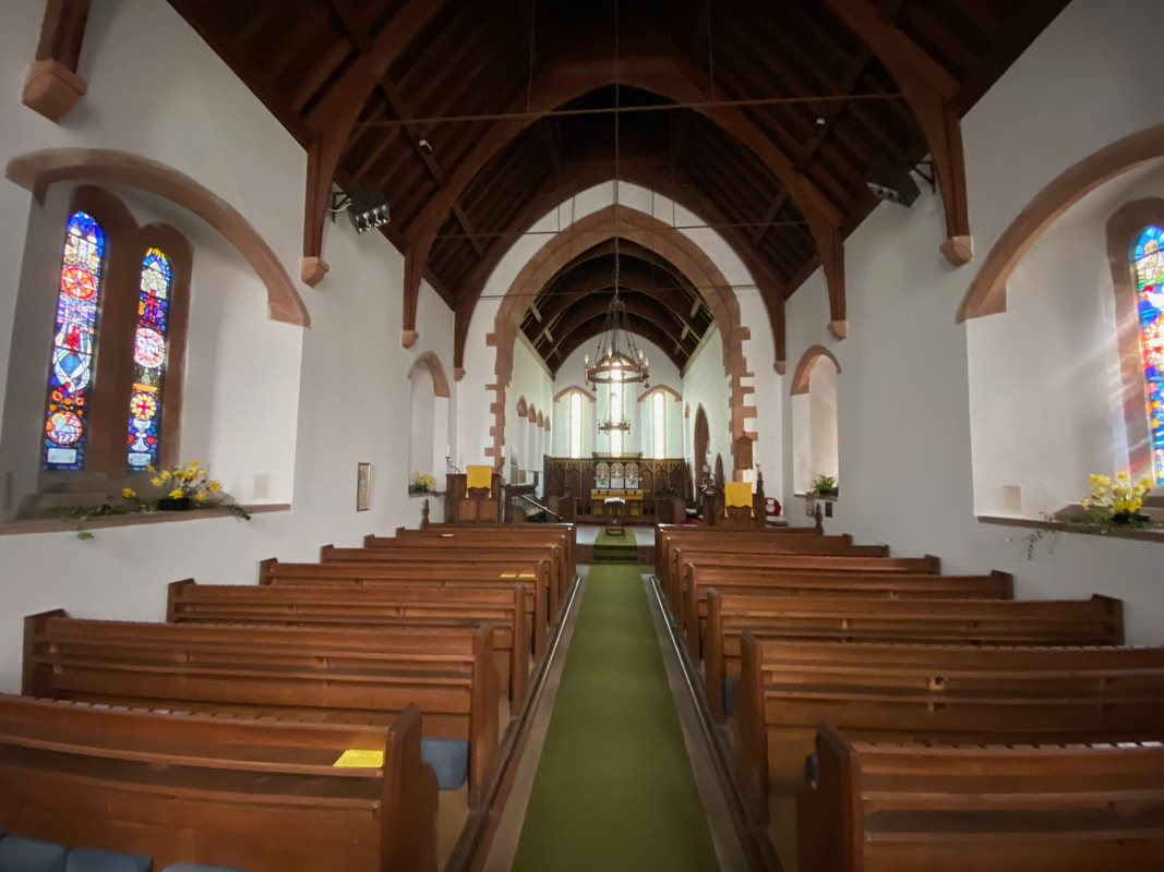
The interior of St Peter's Church - a bit grander than the one down the road
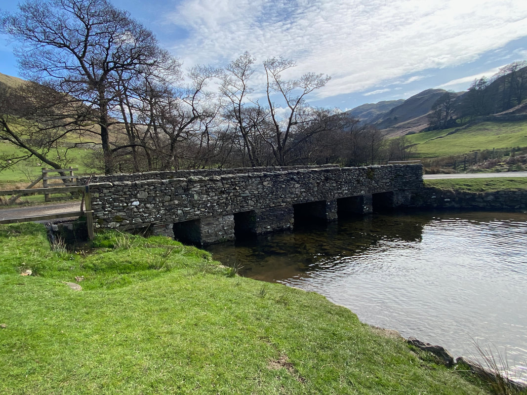
The bridge over Howegrain Beck
At a junction we continued straight on towards Patterdale which eventually becomes a track through Boredale
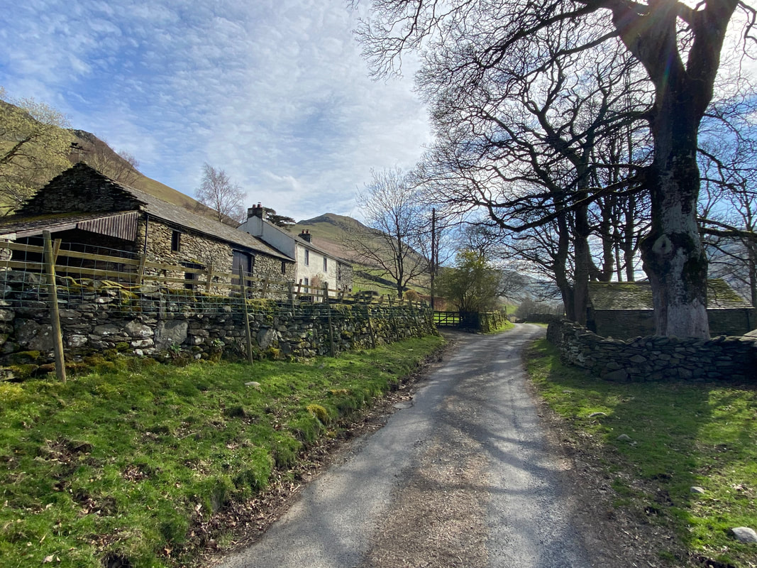
The farm at Garth Heads
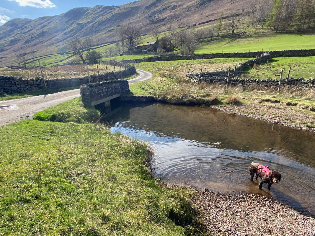
Fudge cools off his paws in Boredale Beck with the farm buildings of Nettleslack above
Winter Crag in the background as we continue to head up Boredale. As can be seen, Fudge has put on his invisibility cloak.
Looking across Boredale to Beda Fell
Hallin Fell from Boredale
As the road reaches the farm buildings at Boredale Head it becomes a track and eventually a rough stone path
The head of Boredale
Looking over to the start of our outward journey along the Beda Fell ridge
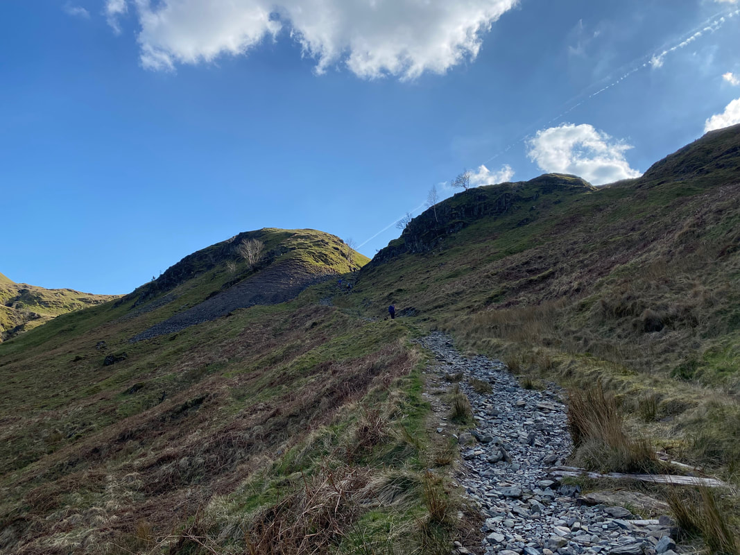
Climbing to Boredale Hause with Hause Crag ahead - the people ahead of us were mountain bikers who we didn't envy one jot!
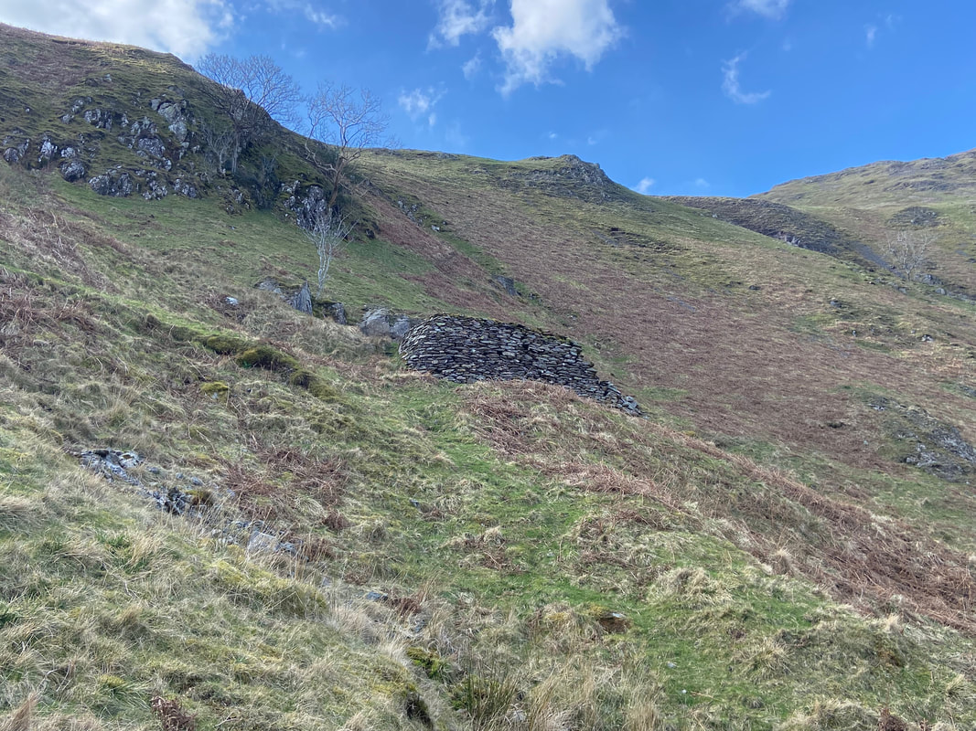
A little way up to the right is a stone structure. The jury is out as to what this actually is. It could be either a bricked up water tank that formed part of the Hayeswater to Penrith aqueduct or a retaining wall to stop slippage. Either way, it appears solid and well built.
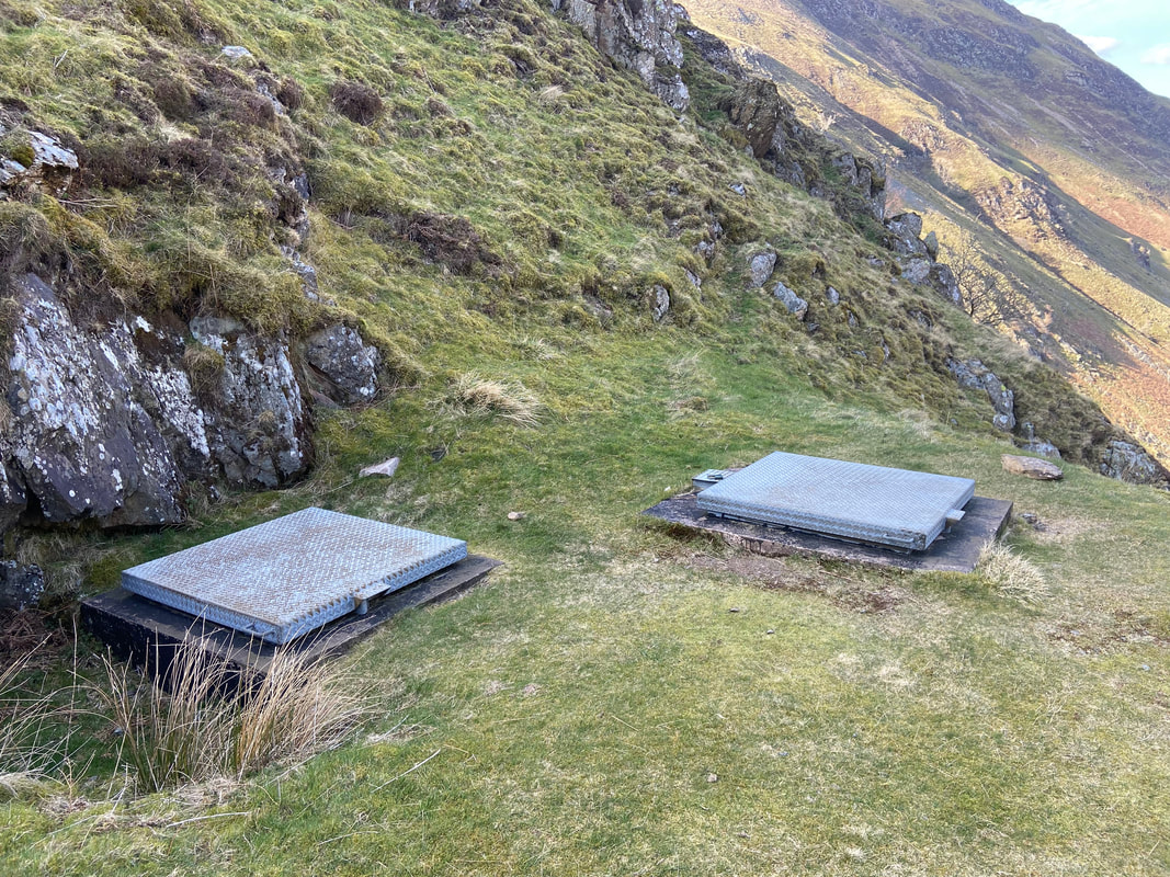
Nearby are two metal tank lids which more than likely give access to the old aqueduct pipeline
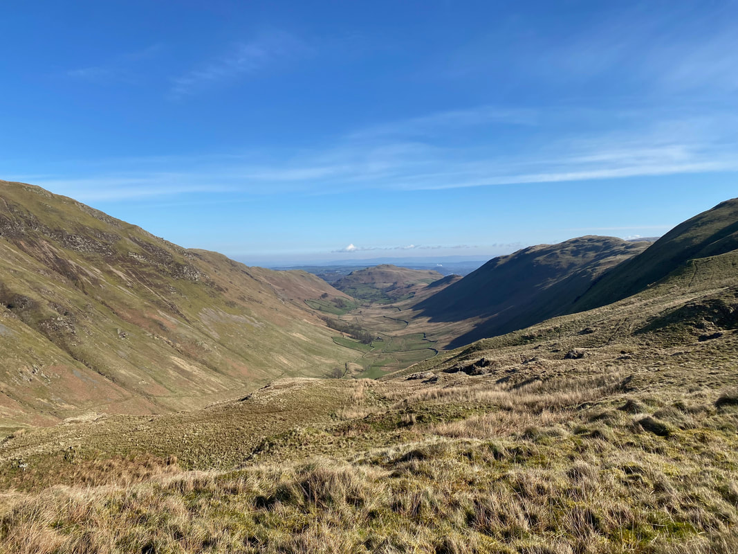
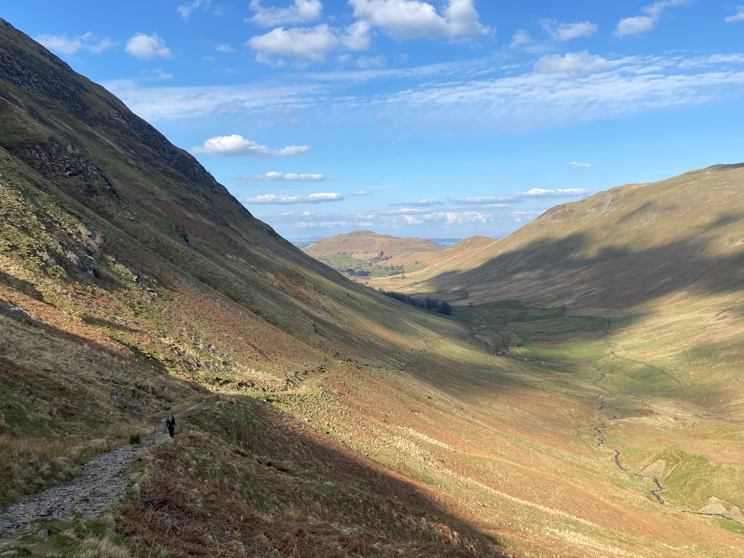
Looking back along Boredale - this really is a lovely walk
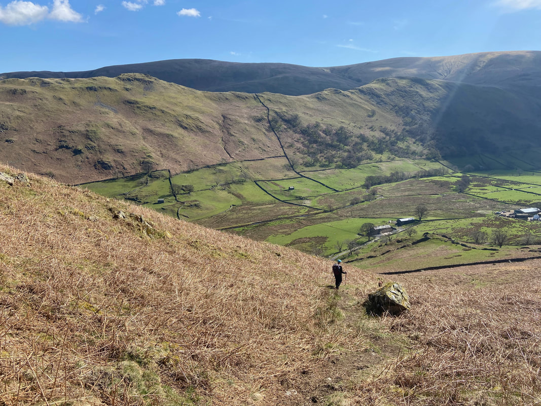
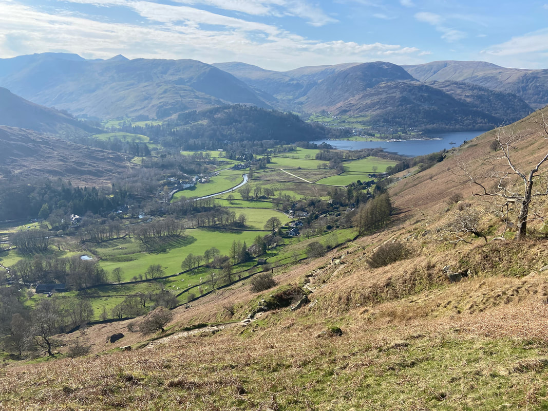
Descending back to Patterdale
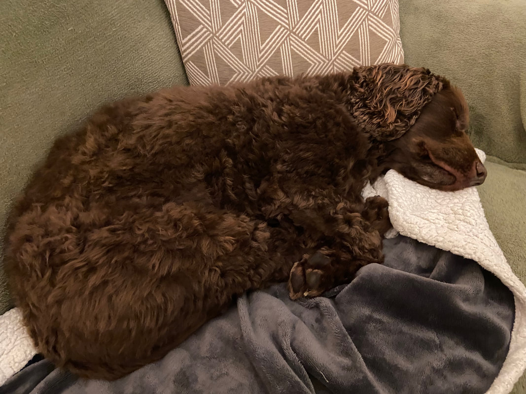
Someone has had a really good day on the fells
