Pumlumon - Saturday 15 August 2015
Route
Nant y Moch - Y Garn - Pumlumon Fawr - Pumlumon Fach - Pen Pumlumon Llygad-bychan - Pen Pumlumon Arwystli - Llyn Lleigad Rheidol - Nant y Moch
Parking
Grass verge at Nant y Moch Reservoir (Free) - Grid Ref SN767871
Mileage
10.3 miles
Terrain
Rough pathless moorland, mountain paths and farm tracks.
Weather
Overcast initially followed by bright sunny spells. Light breezes on the summits.
Time Taken
6hrs
Total Ascent
2467ft (752m)
Map
OS Explorer 213 - Aberystwyth & Cwm Rheidol
|
GPX File
|
| ||
If the above GPX file fails to download or presents itself as an XML file once downloaded then please feel free to contact me and I will send you the GPX file via e-mail.
Walk Description
We are lucky to only live about a 45 minute drive away from the start of today's walk. Pumlumon (meaning 5 peaks, all Welsh Nuttalls) is the highest point in the Cambrian Mountains and Mid Wales. It is a massif that dominates the countryside of northern Ceredigion. The walk begins just past the Pumping Station on the eastern side of the Nant y Moch reservoir. There are plenty of grass verges that can accommodate 2 or 3 cars. To reach the start, leave the A44 at the sign for Nant y Moch and be then prepared for a long drive down a single track road to eventually arrive at the Reservoir.
We left the road at the Pumping Station and made a beeline for Y Garn, the first summit. There is no easy way up the first half mile and we found ourselves struggling over the lumpy terrain but soon hit level ground and from near Drum Peithnant we were able to relax and enjoy the transit to Y Garn's summit. From the large cairn on the top there are superb views over Nant y Moch and the route to Pumlumon Fawr. From Y Garn the route headed due east along the top edge of the forest of Dyll Faen before turning north east to make the delightful transit up on to the plateau summit of Pumlumon Fawr. There is a Trig Point on the top and a large cairned shelter where we enjoyed a pleasant lunch.
The next Nuttall of Pumlumon Fach would be difficult to find in mist however today was fairly straightforward. We had to drop down into a col and then take a path to the North West that rises to the summit where there is a small cairn. Leaving the top it would have been navigationally sound to return to Pumlumon Fawr and then be back on the ridge however we took a shorter route around the flank of Pumlumon Fawr, thus regaining the ridge just beyond the eastern cairn. There was now a good path to the point where we would reach the summit of Pen Pumlumon Llygad-bychan where there were good views to be had. Leaving the summit, it was now a question of remaining on the path from Pumlumon Fawr in order to climb up to Pen Pumlumon Arwystli although we deviated slightly to reach a subsidiary summit of Pen Pumlumon Llygad-bychan for more excellent views.
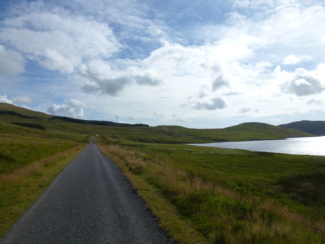
From the summit of Pen Pumlumon Arwystli we reached a decision that we couldn't really be bothered to walk down to the Source of the Severn (we had been before anyway) which was an hours round trip. We therefore made our way back the way we came before heading over rough ground on the flank of Pen Pumlumon Llygad-bychan. We were then able to pick up a path that headed steeply downhill to the shores of Llyn Lleigad Rheidol - a lovely spot. The remainder of the route back to the start consisted of a long 3 mile trudge along a track - pleasant walking in good weather.
We saw few people today in an area which is unfortunately seldom visited - people are missing out on Pumlumon's remoteness, beauty and solitude. It really is a beautiful area to walk in.
We left the road at the Pumping Station and made a beeline for Y Garn, the first summit. There is no easy way up the first half mile and we found ourselves struggling over the lumpy terrain but soon hit level ground and from near Drum Peithnant we were able to relax and enjoy the transit to Y Garn's summit. From the large cairn on the top there are superb views over Nant y Moch and the route to Pumlumon Fawr. From Y Garn the route headed due east along the top edge of the forest of Dyll Faen before turning north east to make the delightful transit up on to the plateau summit of Pumlumon Fawr. There is a Trig Point on the top and a large cairned shelter where we enjoyed a pleasant lunch.
The next Nuttall of Pumlumon Fach would be difficult to find in mist however today was fairly straightforward. We had to drop down into a col and then take a path to the North West that rises to the summit where there is a small cairn. Leaving the top it would have been navigationally sound to return to Pumlumon Fawr and then be back on the ridge however we took a shorter route around the flank of Pumlumon Fawr, thus regaining the ridge just beyond the eastern cairn. There was now a good path to the point where we would reach the summit of Pen Pumlumon Llygad-bychan where there were good views to be had. Leaving the summit, it was now a question of remaining on the path from Pumlumon Fawr in order to climb up to Pen Pumlumon Arwystli although we deviated slightly to reach a subsidiary summit of Pen Pumlumon Llygad-bychan for more excellent views.
From the summit of Pen Pumlumon Arwystli we reached a decision that we couldn't really be bothered to walk down to the Source of the Severn (we had been before anyway) which was an hours round trip. We therefore made our way back the way we came before heading over rough ground on the flank of Pen Pumlumon Llygad-bychan. We were then able to pick up a path that headed steeply downhill to the shores of Llyn Lleigad Rheidol - a lovely spot. The remainder of the route back to the start consisted of a long 3 mile trudge along a track - pleasant walking in good weather.
We saw few people today in an area which is unfortunately seldom visited - people are missing out on Pumlumon's remoteness, beauty and solitude. It really is a beautiful area to walk in.
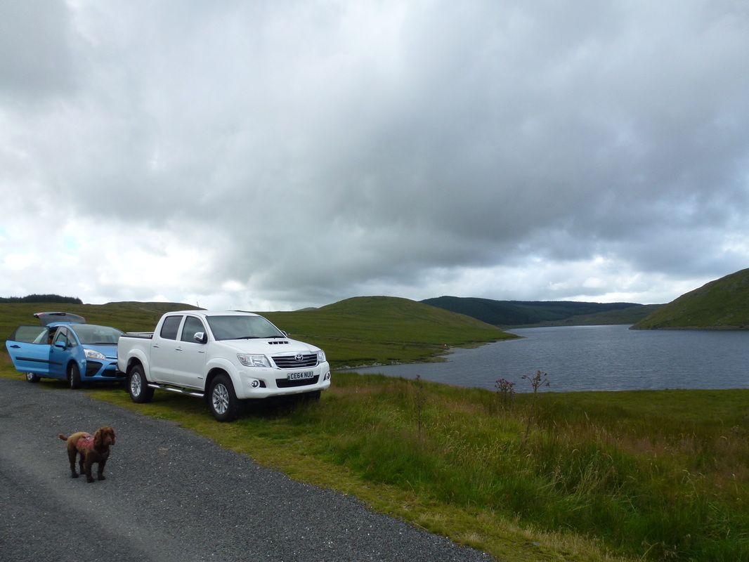
The grass verge on the eastern side of Nant y Moch Reservoir is the start point for the walk
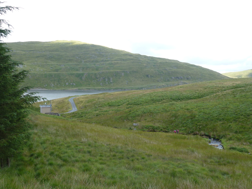
Looking back to the start with the Pumping Station to the left. There is no easy way on to the Y Garn path and it was just a case of head down and try to get up to the short stuff as quickly as possible. Drosgol is the hill in the background.
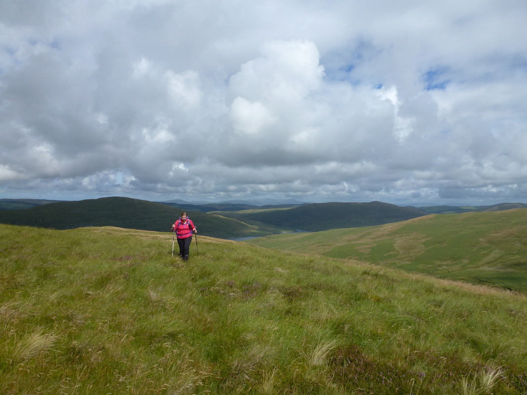
Once height is gained then the going becomes easier
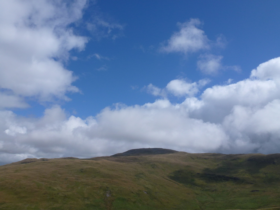
Pumlumon Fawr comes into view as we near Y Garn
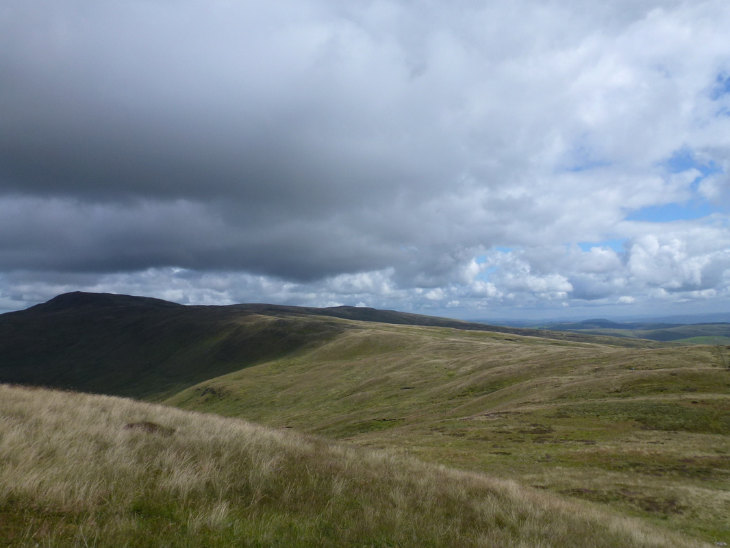
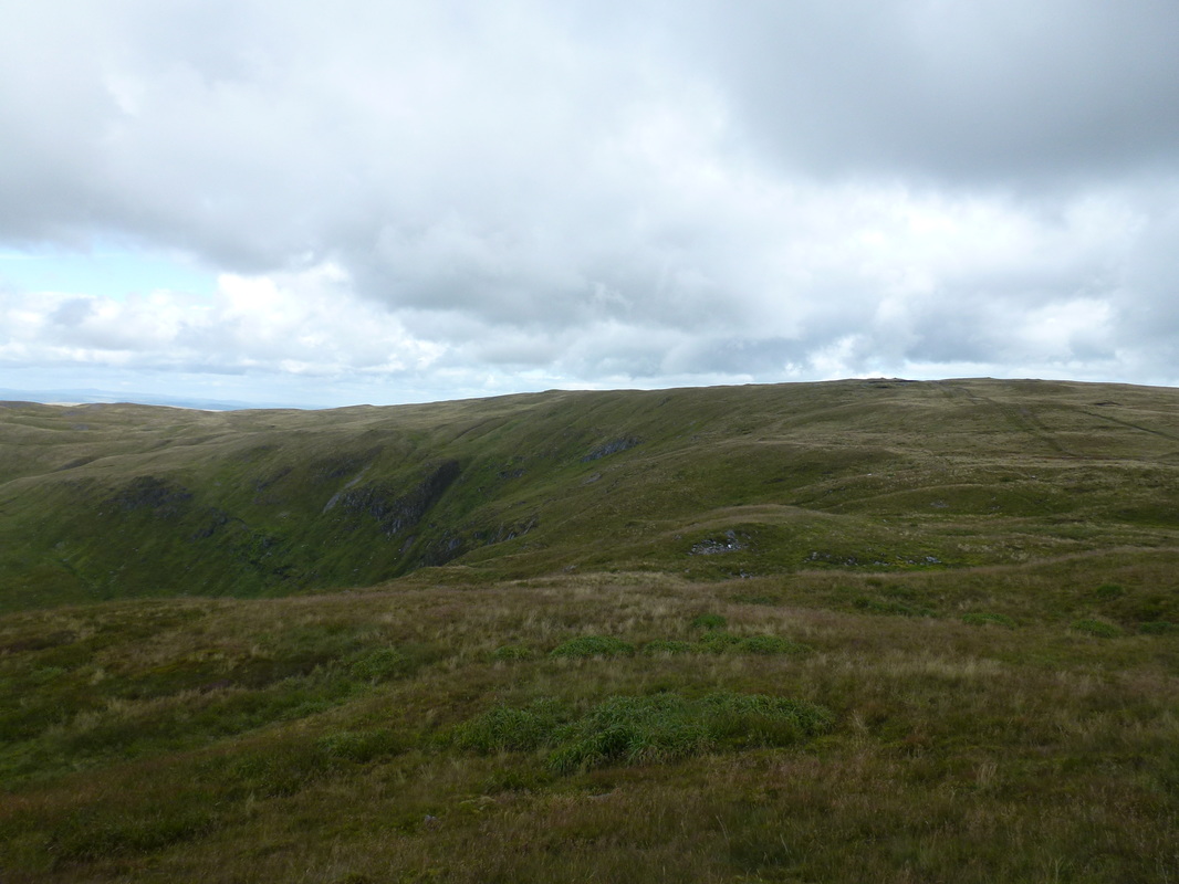
Great views back down the route of ascent to Nant y Moch & Drosgol
The summit of Y Garn looking to Pumlumon Fawr
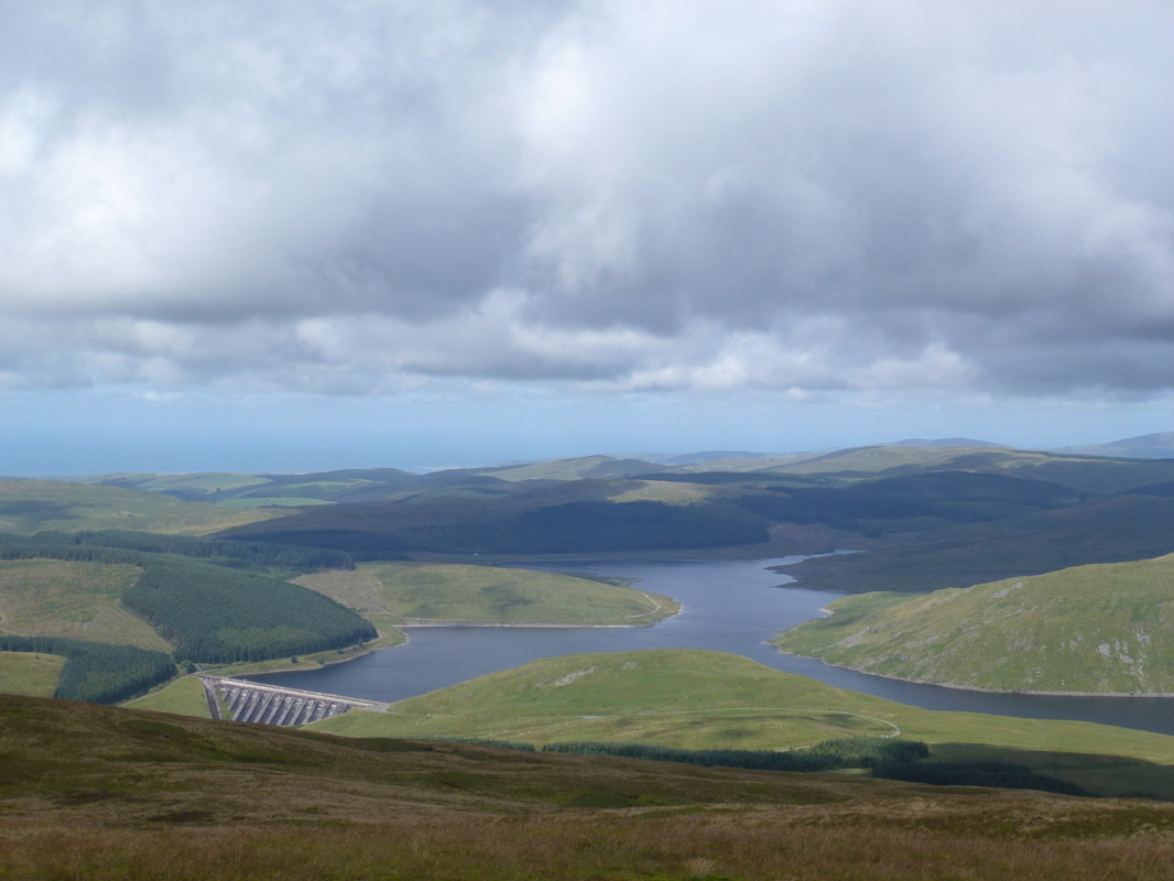
The view to the dam at Nant y Moch from the summit of Y Garn
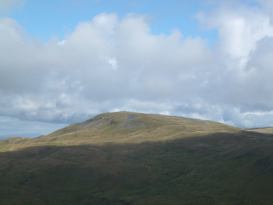
Pumlumon Fawr from Y Garn
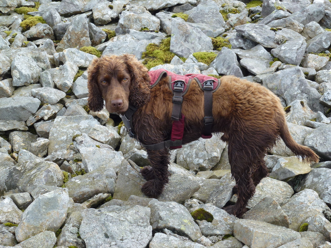
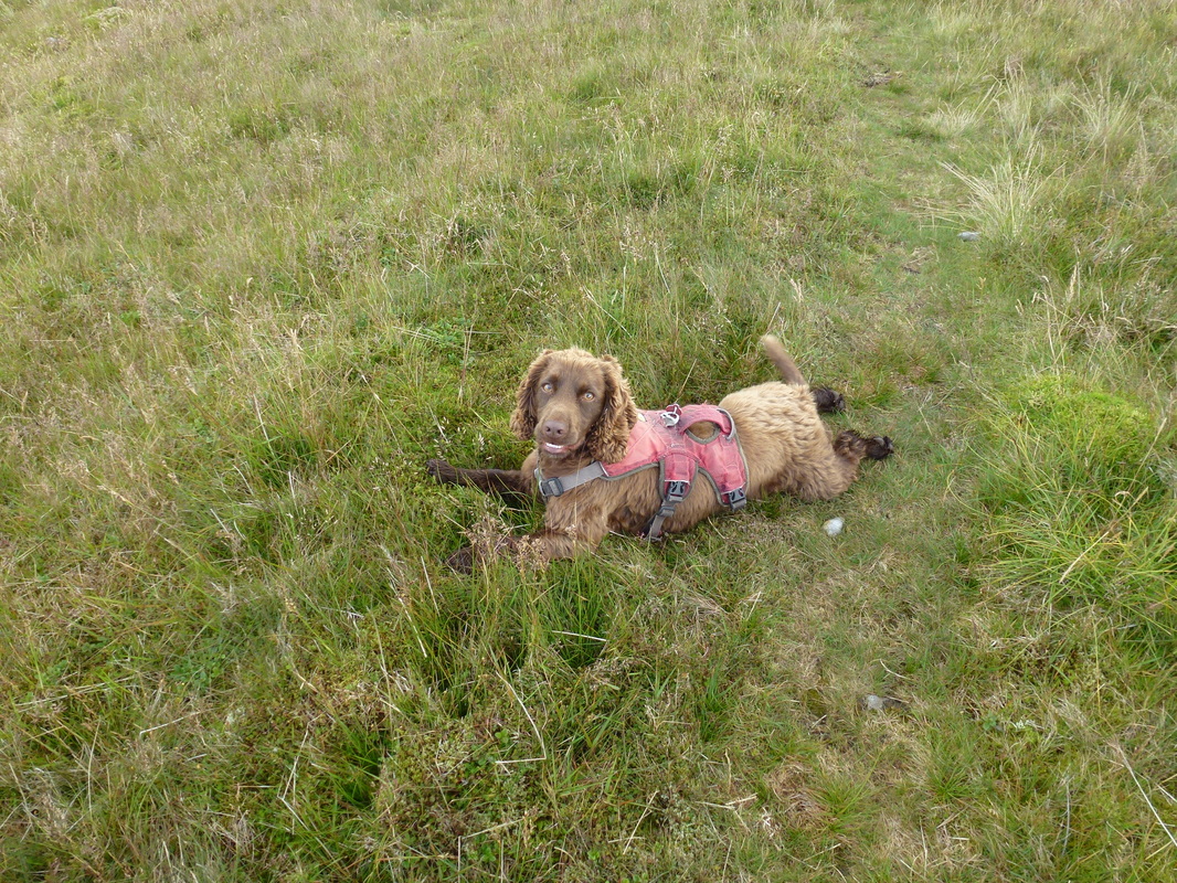
Someone has been in the mucky stuff
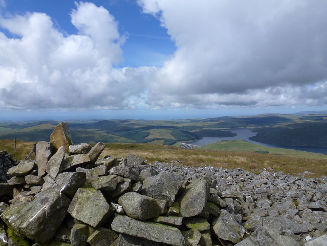
Y Garn summit and Nant y Moch
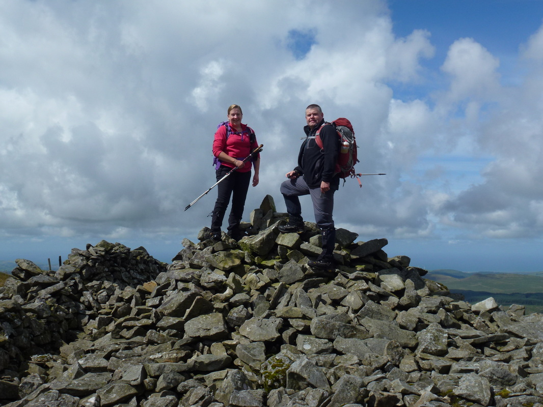
Team Chips on Y Garn summit
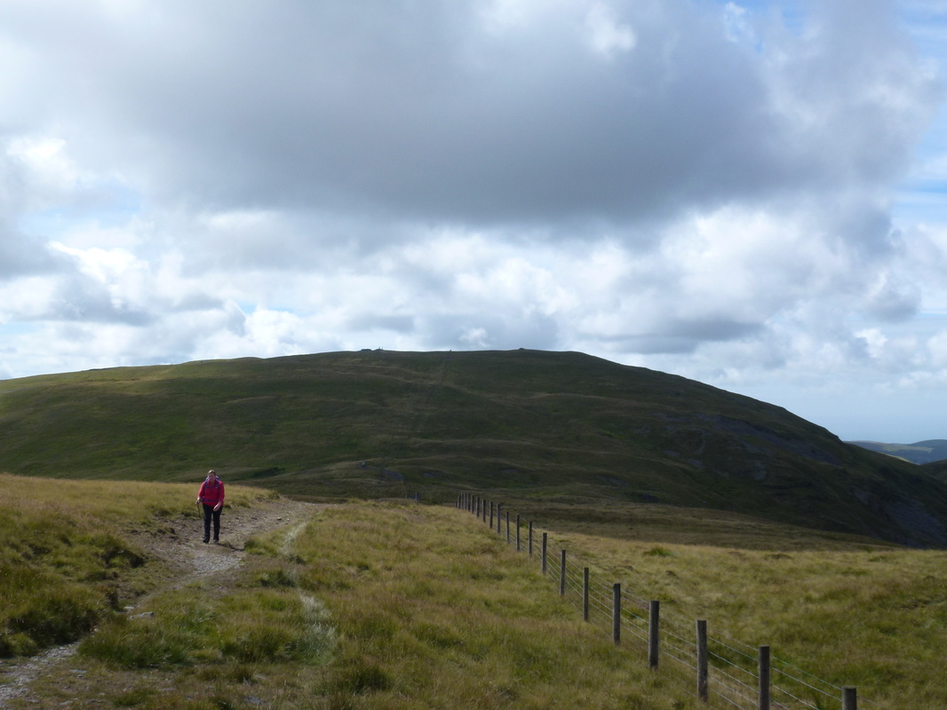
Leaving Y Garn the path heads away to the east before striking north to reach Pumlumon Fawr
Either side of the fence will do once the junction is reached - we chose the right hand lane
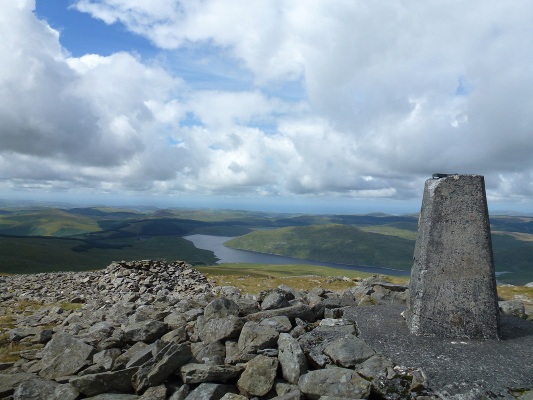
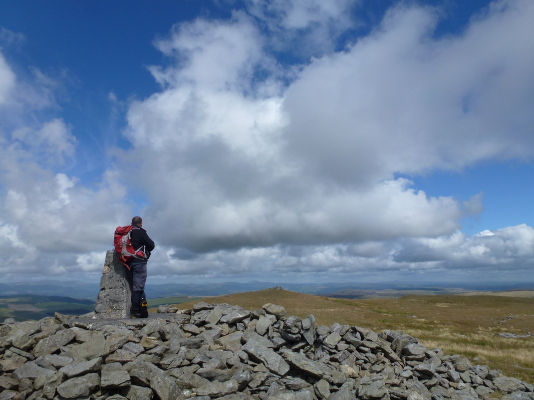
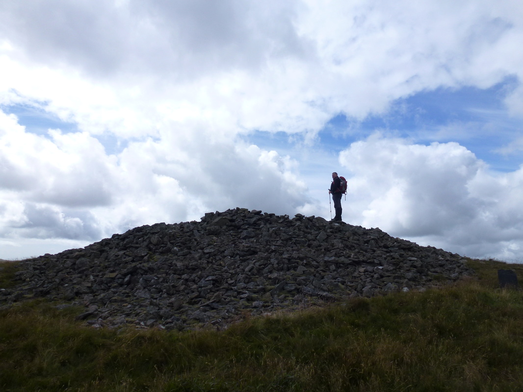
The summit of Pumlumon Fawr
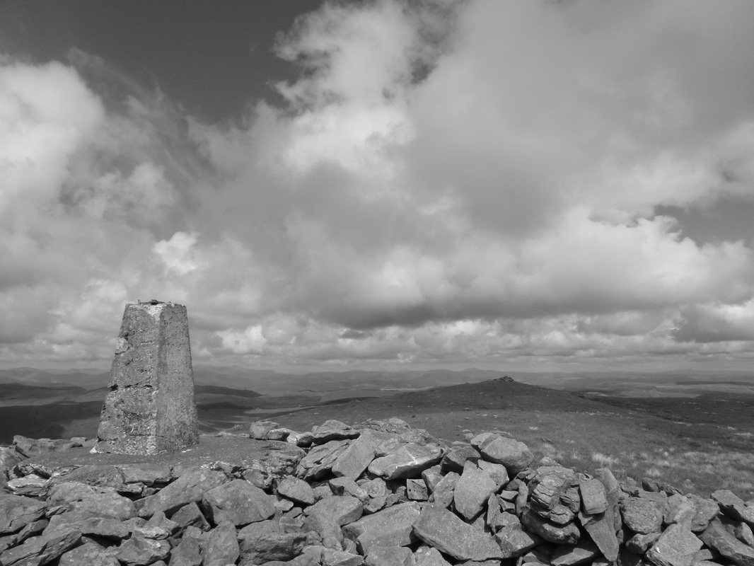
The summit of Pumlumon Fawr mono
It was great to be out today - just look at that view
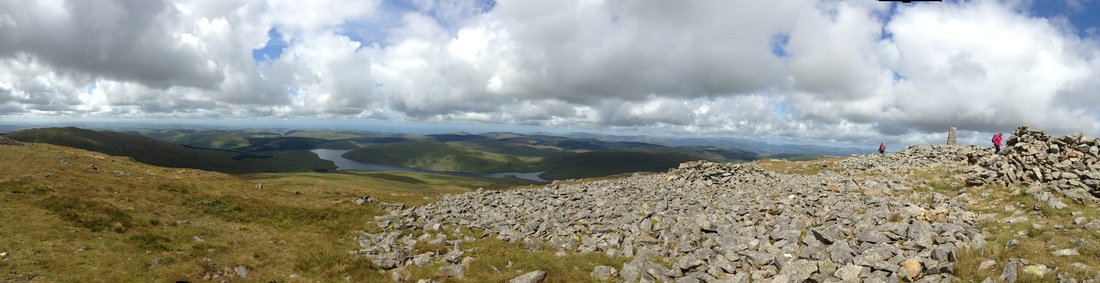
Pumlumon Fawr panoramic
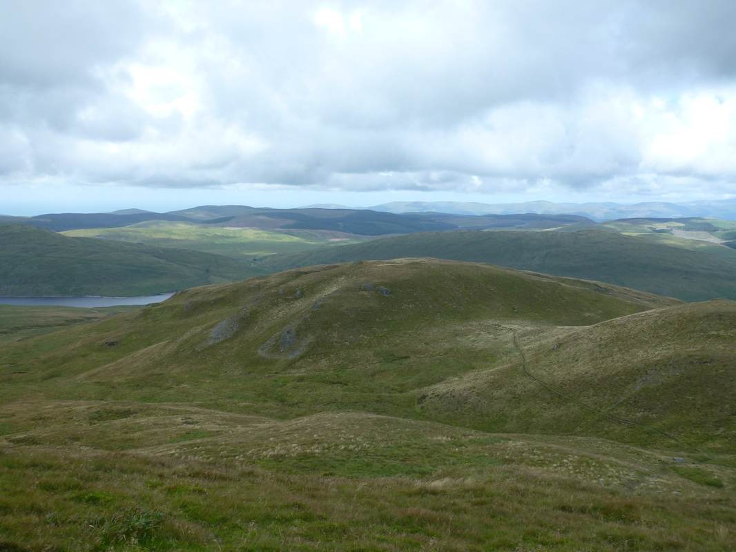
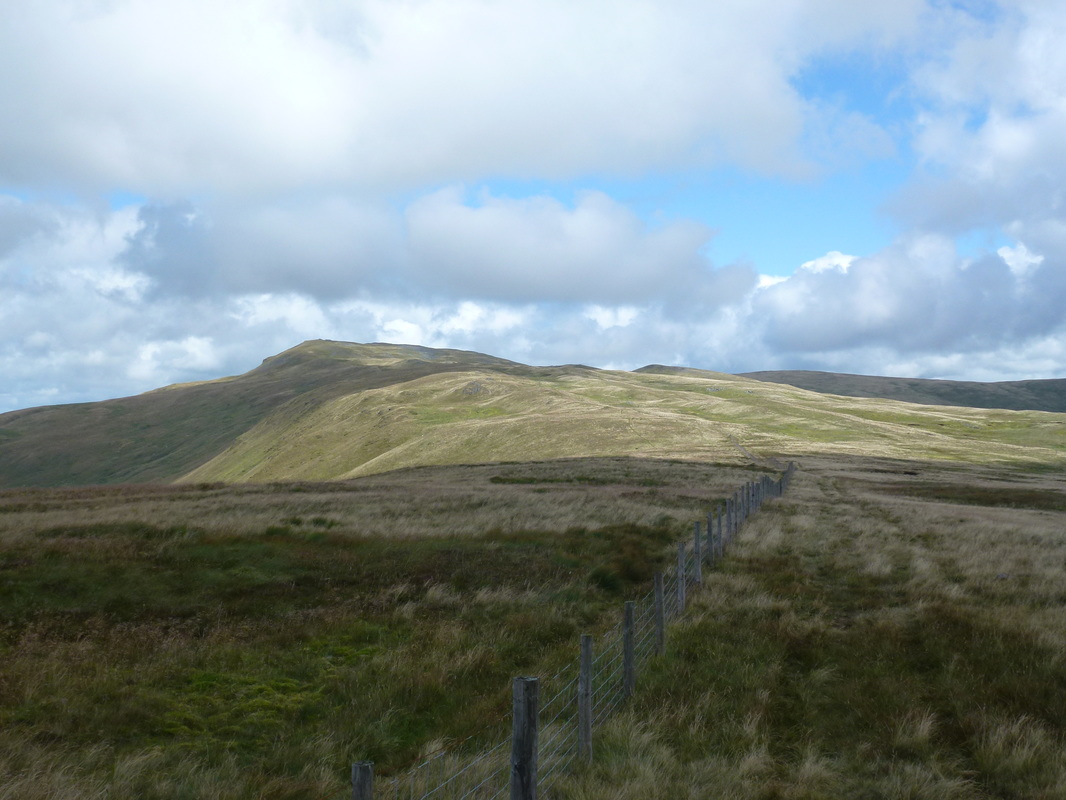
Looking down to Pumlumon Fach - the path to the top can be seen to the right
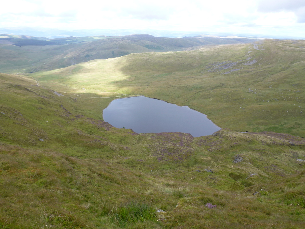
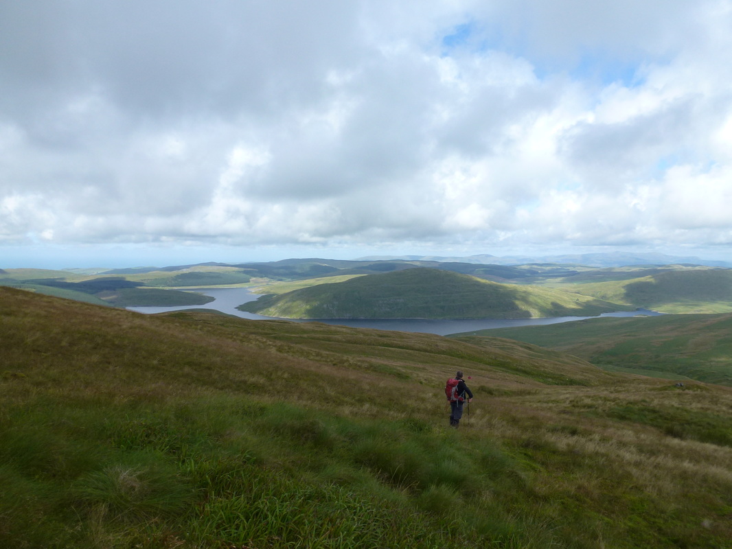
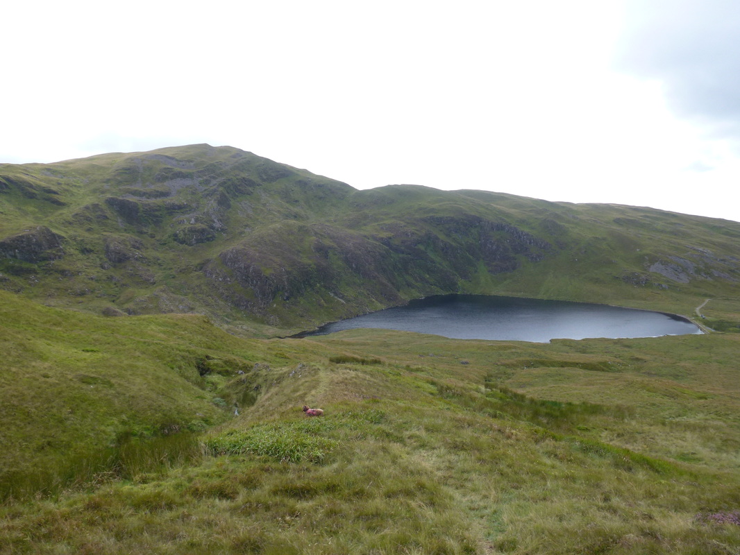
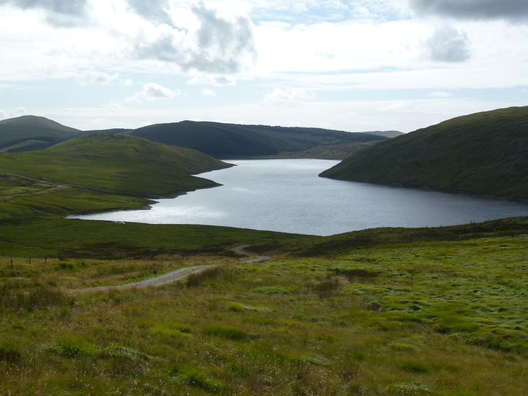
Llyn Lleigad Rheidol - our route down from Pen Pumlumon Arwystli is to the right
Leaving Pumlumon Fach we regained the ridge to head over to Pen Pumlumon Llygad-bychan
Be afraid, be very afraid
Looking back to Pumlumon Fawr from the path over to Pen Pumlumon Llygad-bychan
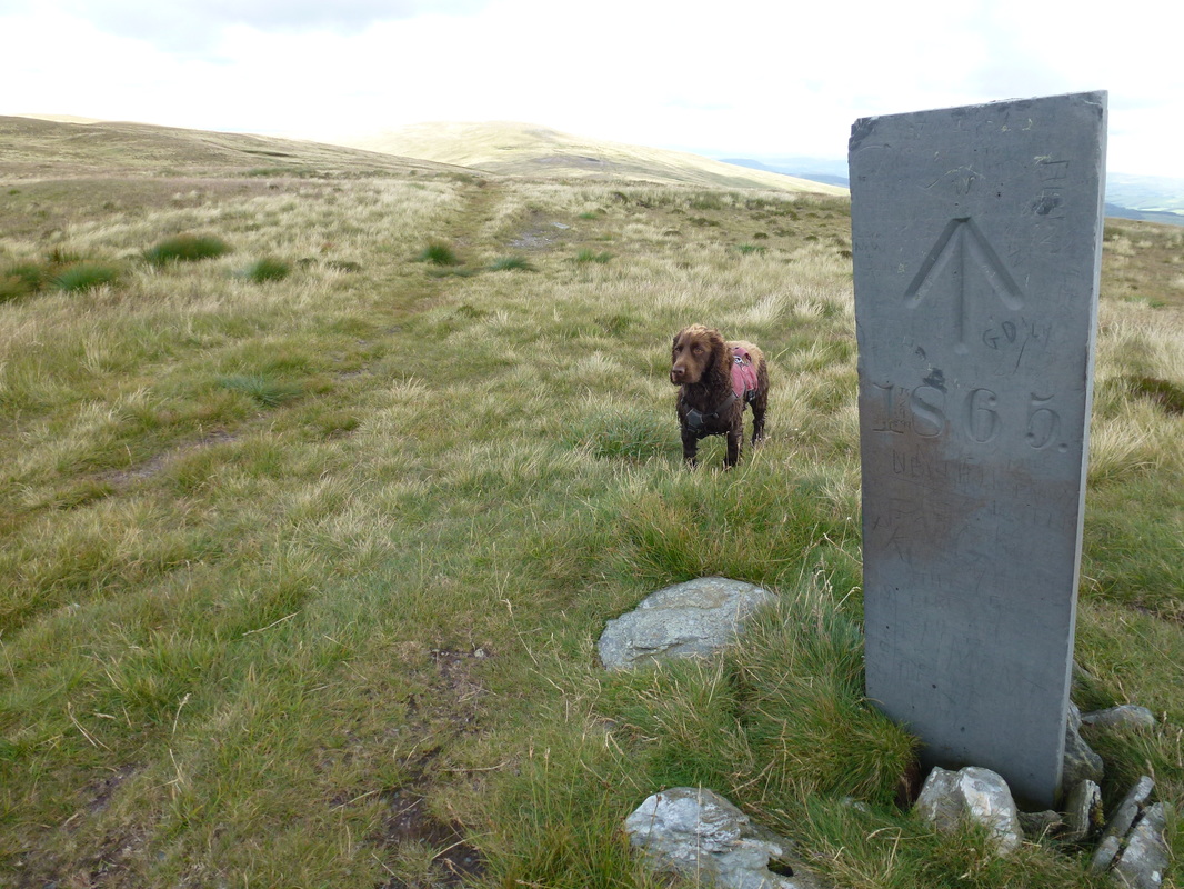
There were a few of these slate boundary stones up here
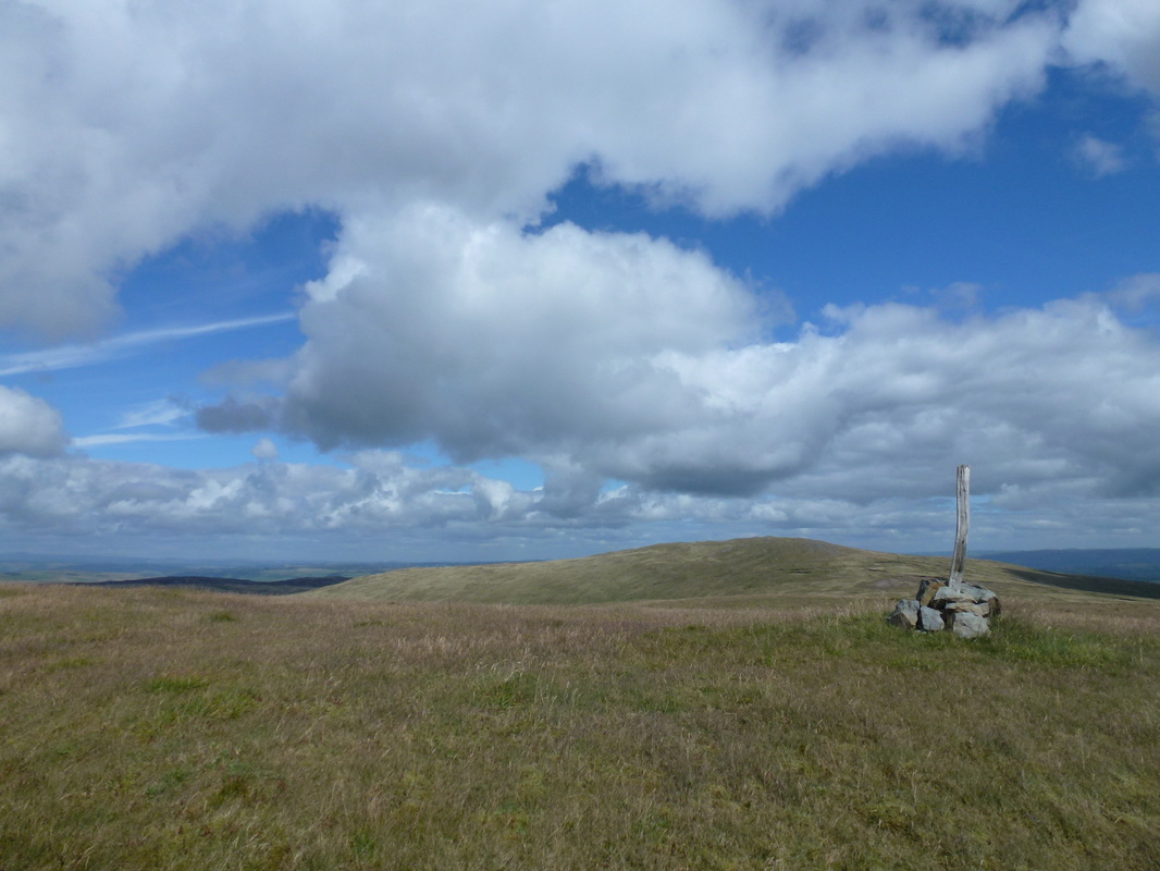
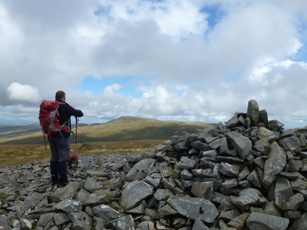
The subsidiary summit of Pen Pumlumon Llygad-bychan looking to Pen Pumlumon Arwystli
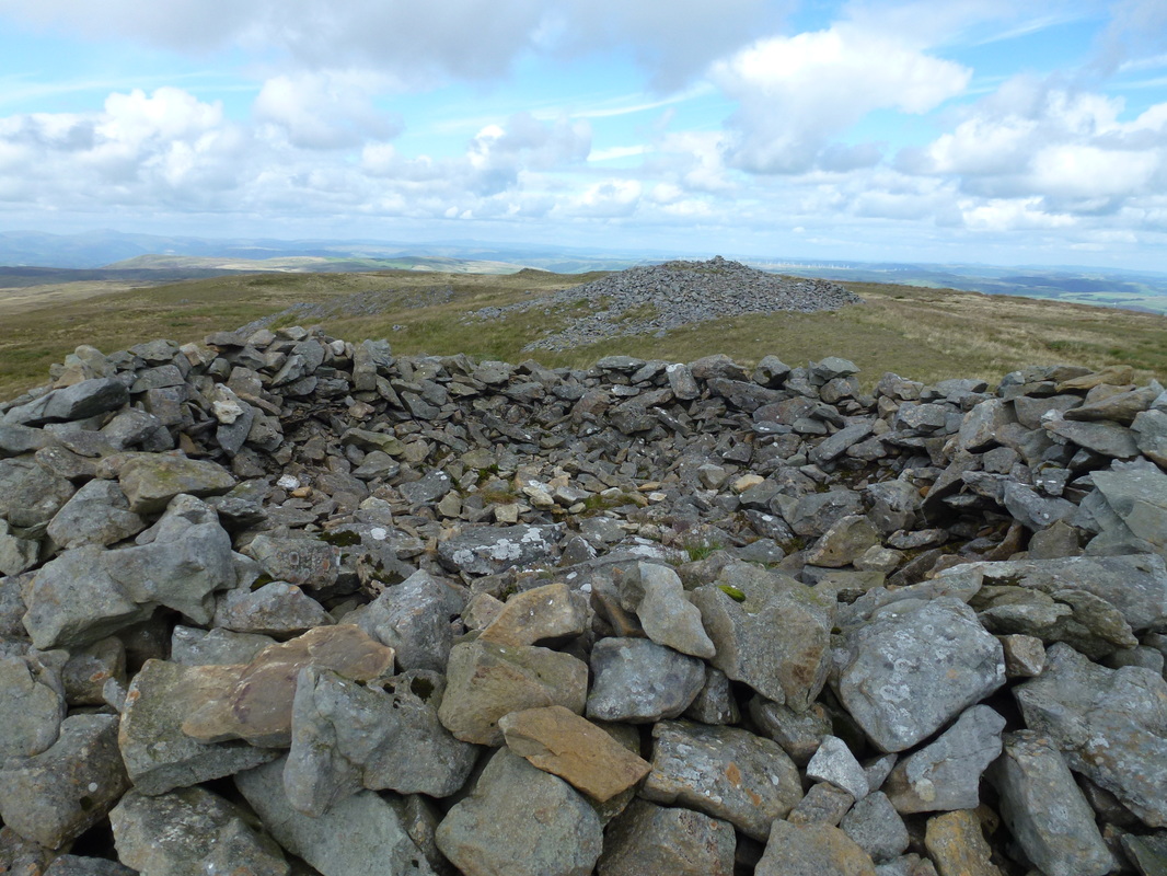
The massive stone shelter on the summit of Pen Pumlumon Arwystli
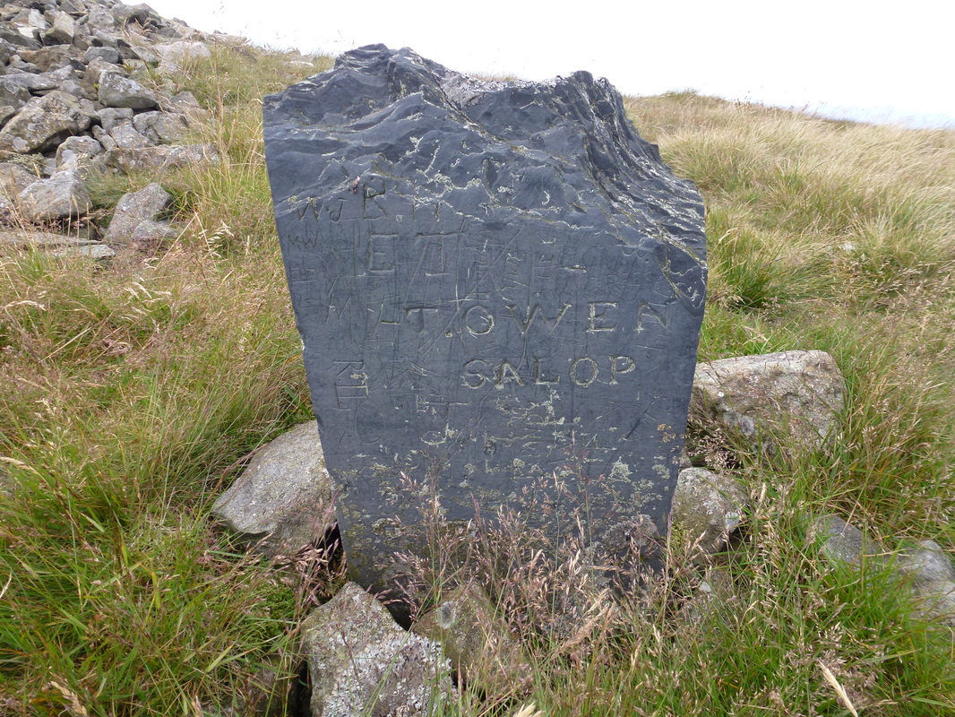
Another stone marker this time near the summit of Pen Pumlumon Arwystli - it says "Towen Salop".
Not sure of its origin and I know Salop is the abbreviated form for Shropshire - any ideas?
Why do idiots feel the need to graffiti things like this?
Not sure of its origin and I know Salop is the abbreviated form for Shropshire - any ideas?
Why do idiots feel the need to graffiti things like this?
The summit of Pen Pumlumon Arwystli
Our descent to Llyn Lleigad Rheidol - we were heading to the right hand edge of the Llyn
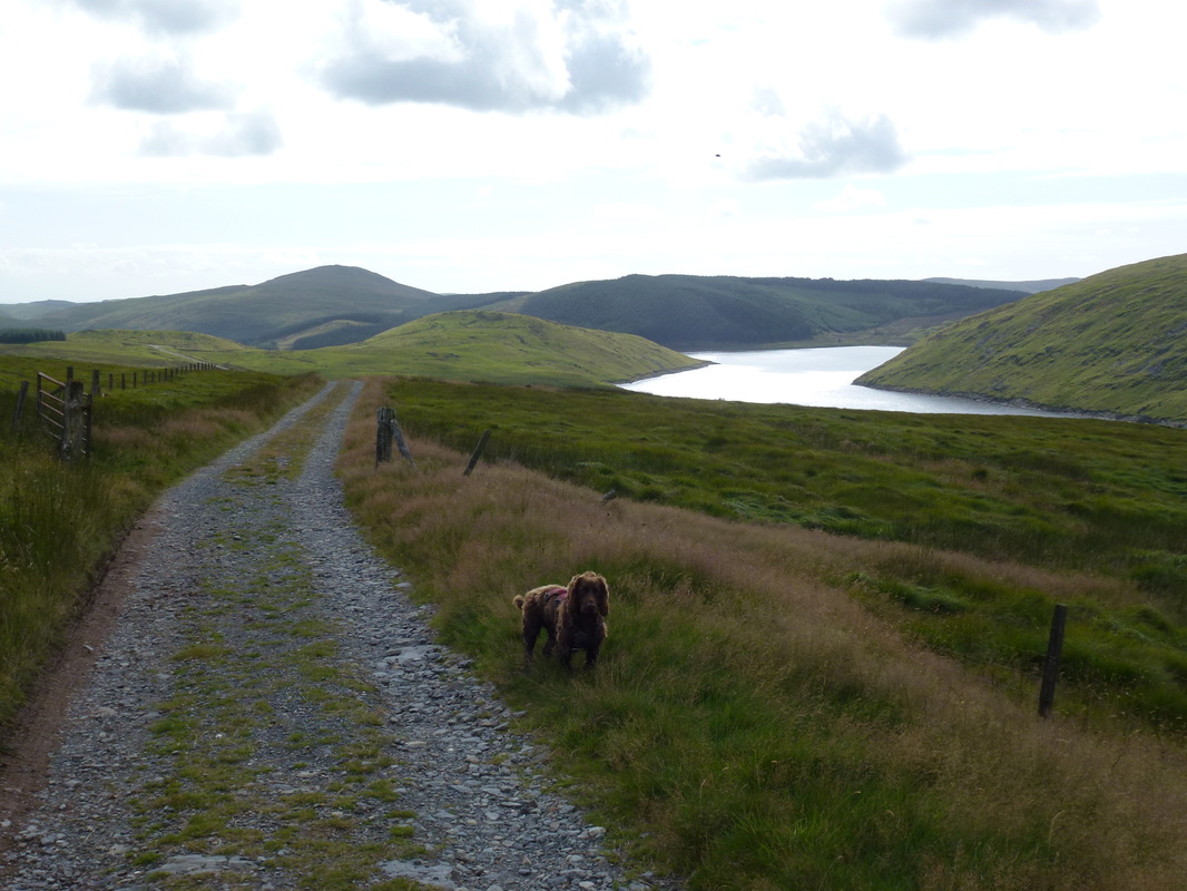
On the long, long, long track back to the start
This was a long old trudge but the end was in sight once we could see Nant y Moch
Last bits - the car is in sight!