Wainwright's Pennine Journey - 8 to 29 May 2019
Introduction
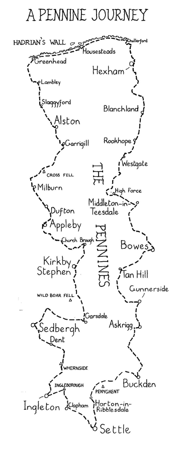
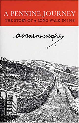
In September 1938 with the country on the brink of conflict, Alfred Wainwright the legendary fell walker, guide book author and illustrator undertook a solitary walk up through the Pennines. His journey started in the market town of Settle in Yorkshire and worked its way up the eastern side of the Pennines to Hadrian’s Wall. He then made his way along the Wall to Greenhead to then transit down the western side of the Pennines back to Settle. One year later he wrote up a personal account of his journey titling the book "A Pennine Journey - The story of a long walk in 1938". He showed the draft to nobody except a few work colleagues and even though they approved of the writing, he then stuck the manuscript away in a drawer for almost 50 years until 1986 when it was then published in as original form as the day he completed it.
The book is an absorbing read and captures beautifully what it was like to walk in an era where the motor car did not disrupt route finding and walking was easier, quieter and obtaining accommodation was as simple as knocking on somebody's door late at night and asking for a bed and possibly a meal. It is quite simply one of my favourite books and I have read through it many times.
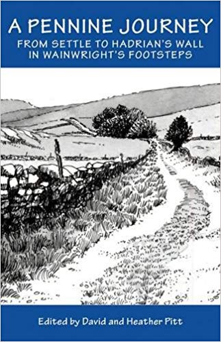
Following on from the original route, a re-creation of the walk was devised by The Wainwright Society based on a route put together by David & Heather Pitt. The walk and route have been adapted for today's roads and changes in rights of way and at 247 miles long divides itself into bite size chunks that can be adapted as the individual sees fit. Coupled with Ron Scholes detailed pen & ink route maps, David & Heather's book (and their helpful advice by way of many e-mails) was an important source of information and research for us when planning our walk. The book is also filled with beautiful black & white sketches by Colin Bywater.
Read on to see how we got on in both the planning stages and the walk itself.
Click on the book or the link button below
(Links to each individual day are below however just click on "Itinerary" or the book above to start the story of the walk)


