Wetherlam, Swirl How, Great Carrs, Grey Friar, Brim Fell & The Old Man of Coniston - Wednesday 26 May 2021
Route
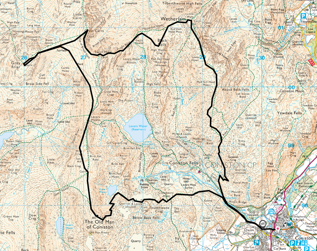
Coniston - Miners Bridge - Hole Rake - Red Gill Head Moss - Lad Stones - Wetherlam - Red Dell Head Moss - Black Sails - Swirl Hawse - Prison Band - Swirl How - Top of Broad Slack - Great Carrs - Fairfield - Grey Friar - Fairfield - Levers Hawse - Brim Fell - The Old Man of Coniston - Low Water - Miners Bridge - Coniston
Parking
Plenty to choose from in Coniston both free and Pay & Display.
Mileage
11.2 miles
Terrain
Good mountain paths throughout.
Weather
A mixed bag - dismal in the forenoon however this improved from Swirl Hawse onwards.
Time Taken
7hrs 40mins
Total Ascent
3966ft (1209m)
Wainwrights
6
Map
OL6 - The English Lakes (South Western Area)
Walkers
Dave, Angie & Fudge with Ian Garmory
|
GPX File
|
| ||
If the above GPX file fails to download or presents itself as an XML file once downloaded then please feel free to contact me and I will send you the GPX file via e-mail.
Route Map
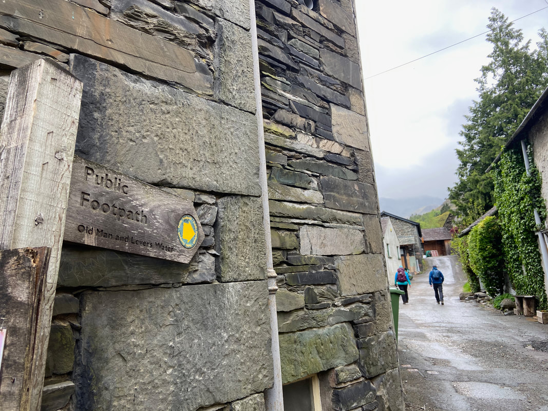
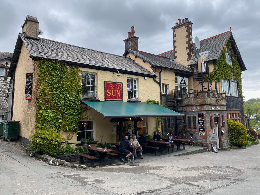
Just past The Sun Inn a signpost points the way to Levers Water and the popular and well used route to The Old Man of Coniston
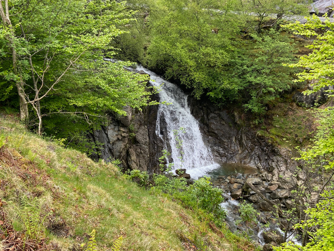
Church Beck waterfall just below the Miners Bridge
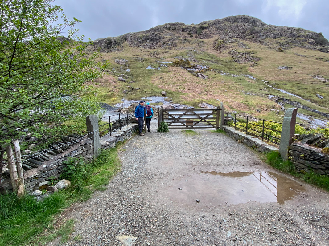
After an initial gradual pull up the side of Church Beck the route crosses the Miners Bridge
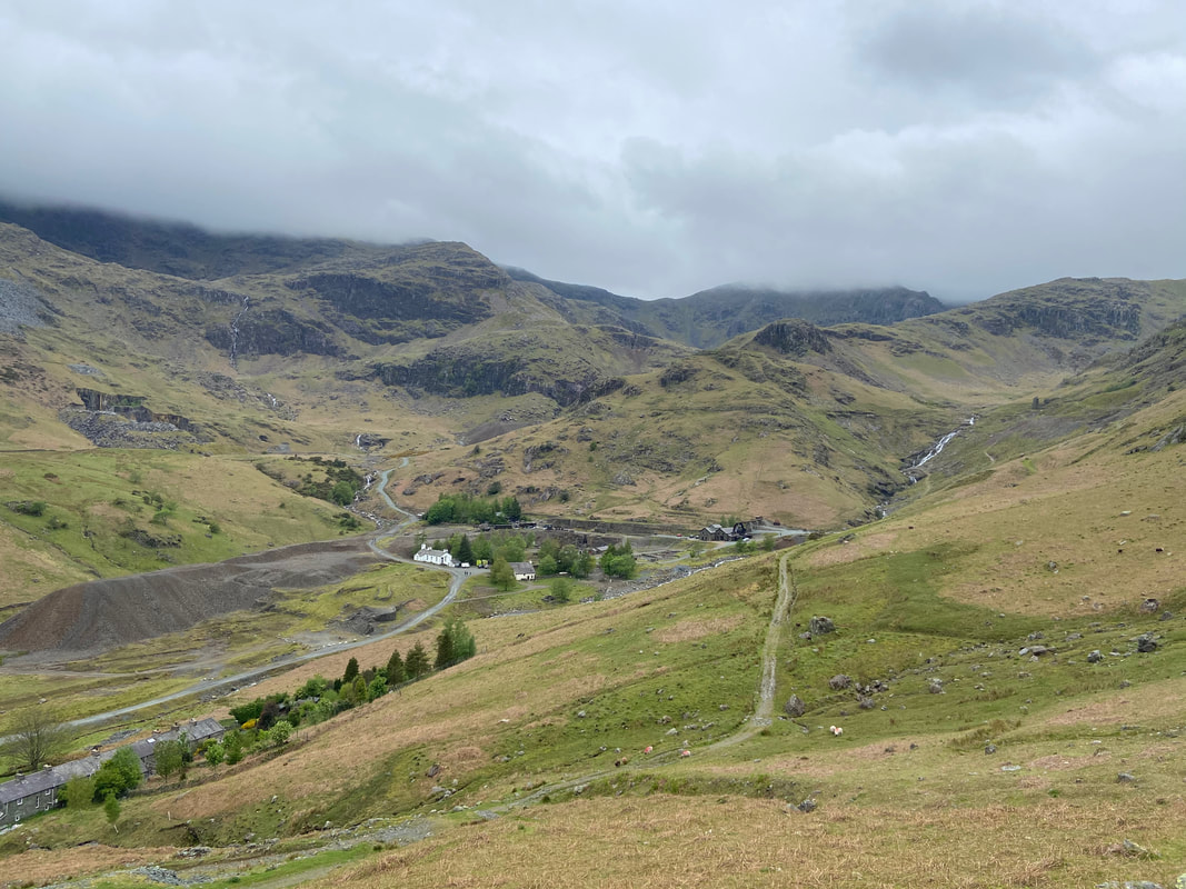
It was a bit of a dreary outlook for the forenoon as we started our ascent of Wetherlam via the Lad Stones path. The view below is of the Coppermines Valley - a fascinating place to have a good old mooch around. The Coppermines Museum is here as well as a Youth Hostel (the white building on the left).
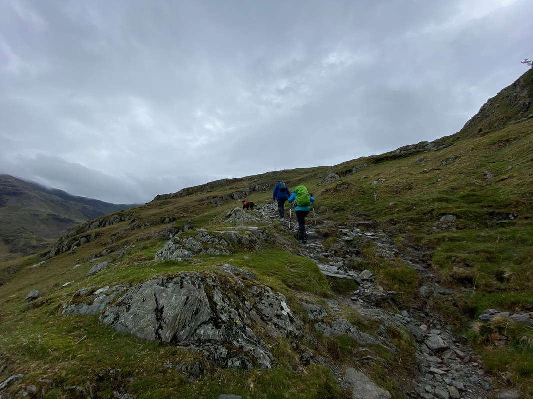
Starting our ascent of the Lad Stones path to Wetherlam
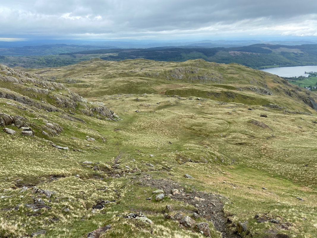
Looking back to our route of ascent with the Yewdale Fells and Coniston Water to the rear. A link to a lovely walk over the Yewdale Fells is here.
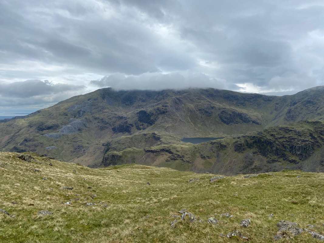
Looking across to Levers Water with Brim Fell in cloud above the lake
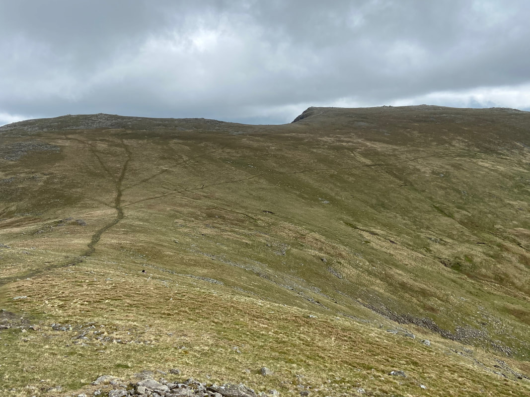
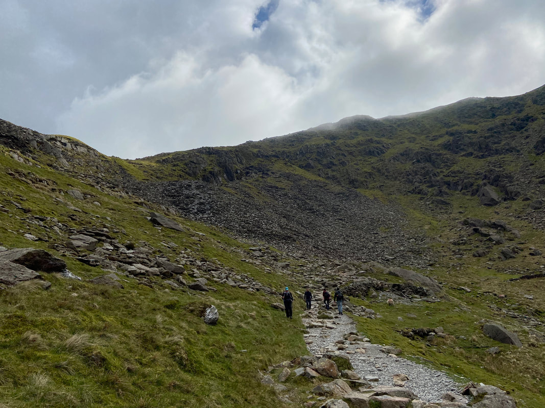
After an initial steep ascent the gradient eases as the summit of Wetherlam is approached
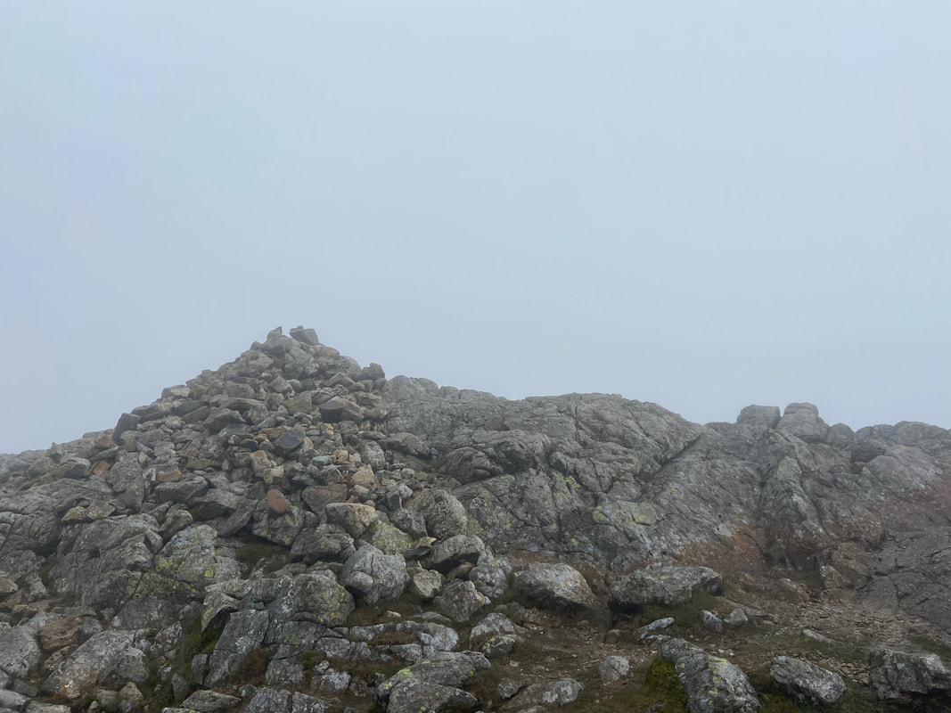
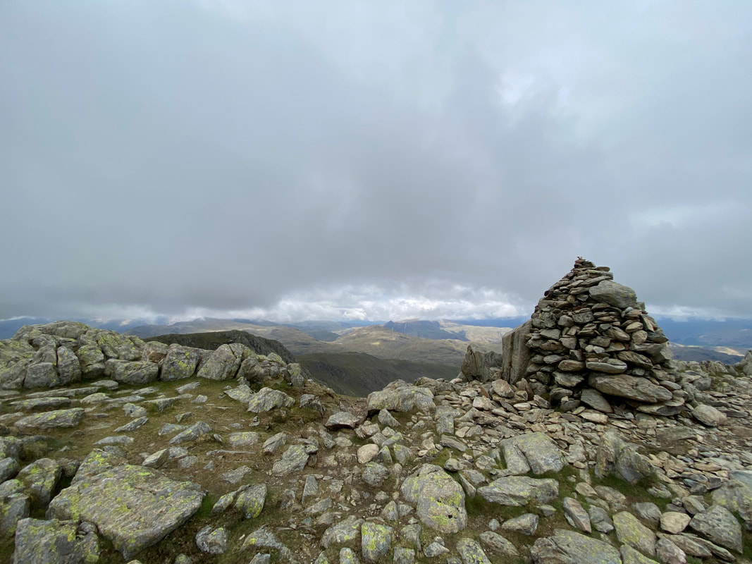
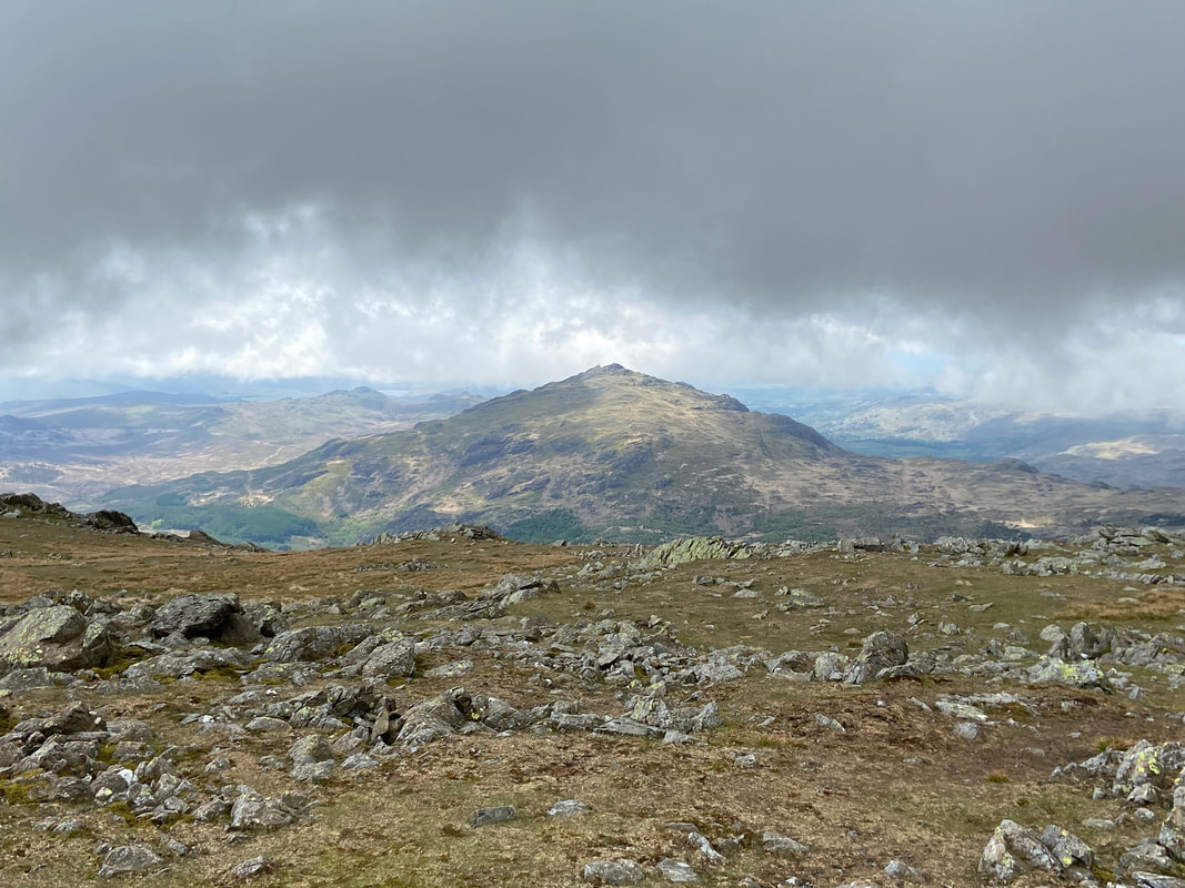
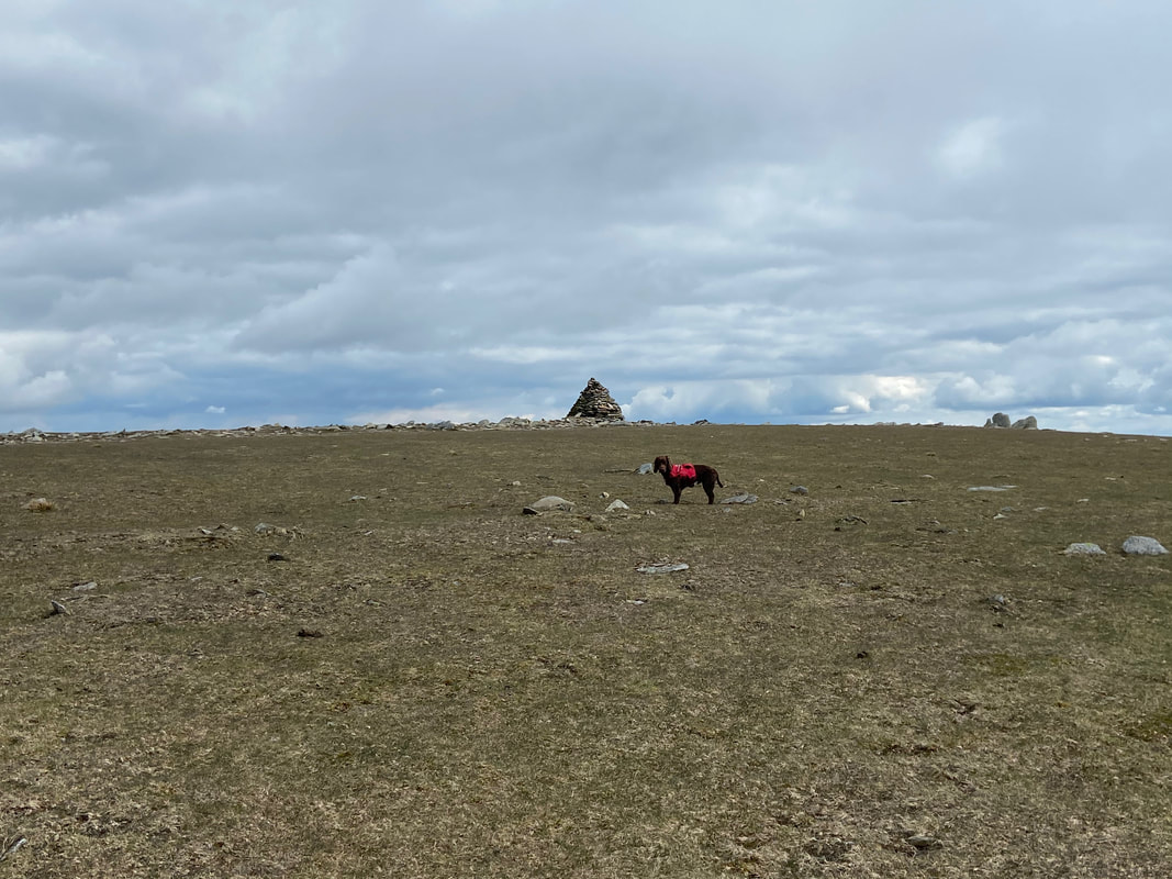
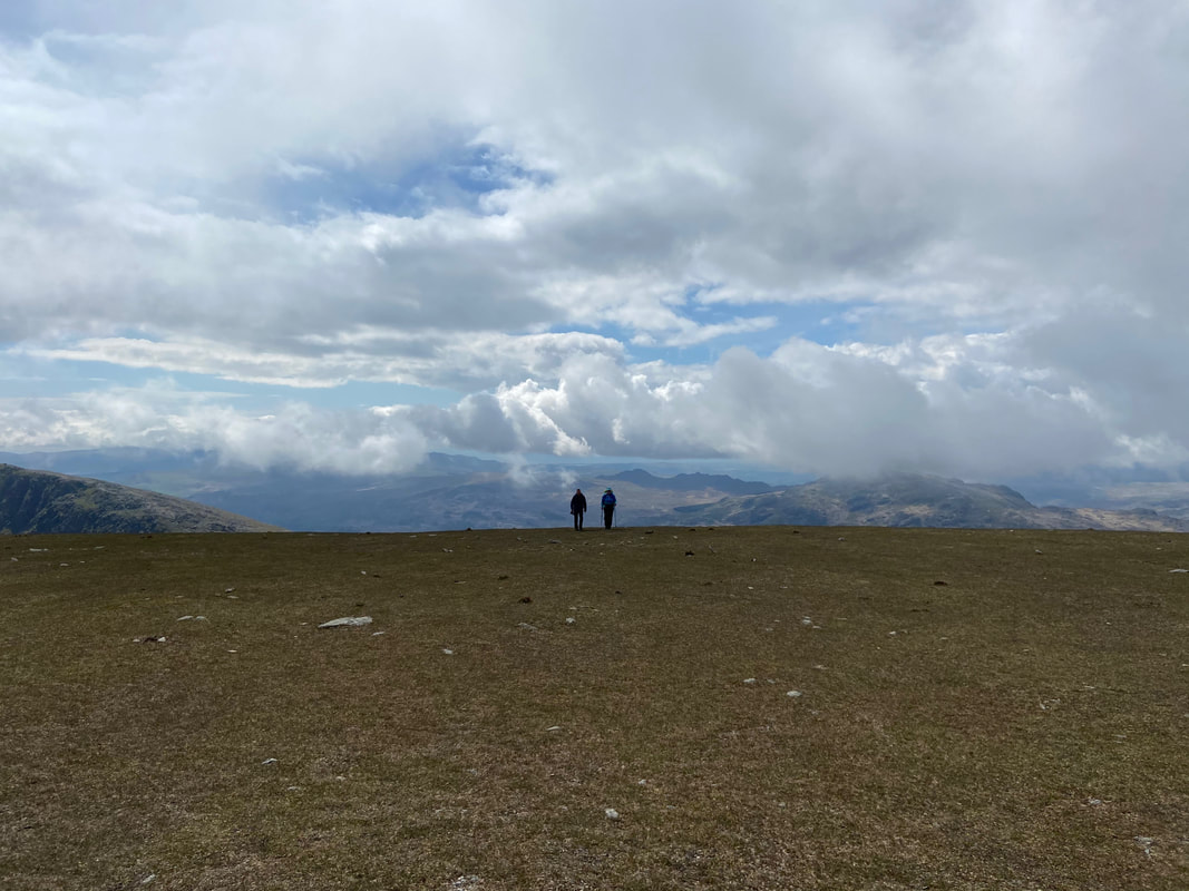
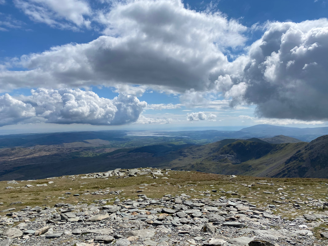
The summit of Weatherlam. Of course given the conditions this could be a photo of any summit but rest assured it is Wetherlam.
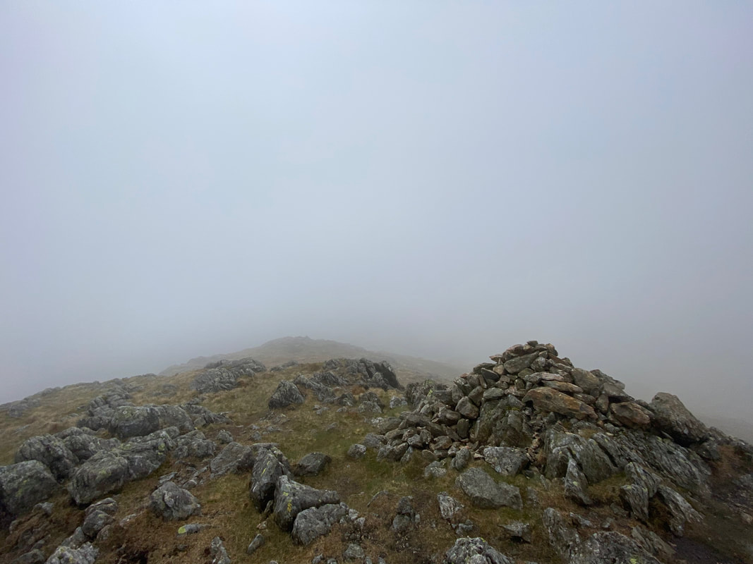
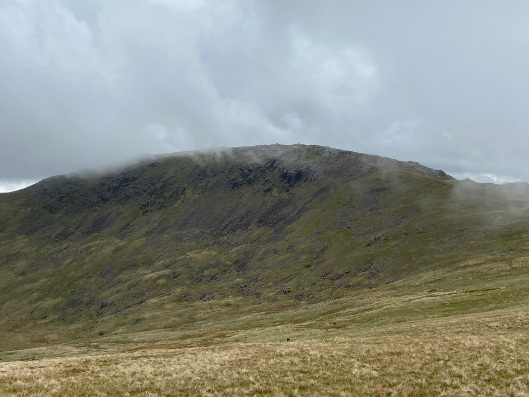
The summit of Black Sails. On a clear day instead of heading straight down off Wetherlam it is a lovely walk over to Black Sails - we made the effort today although to be honest we should have just cracked on as the conditions were still that of thick grey soup unfortunately.
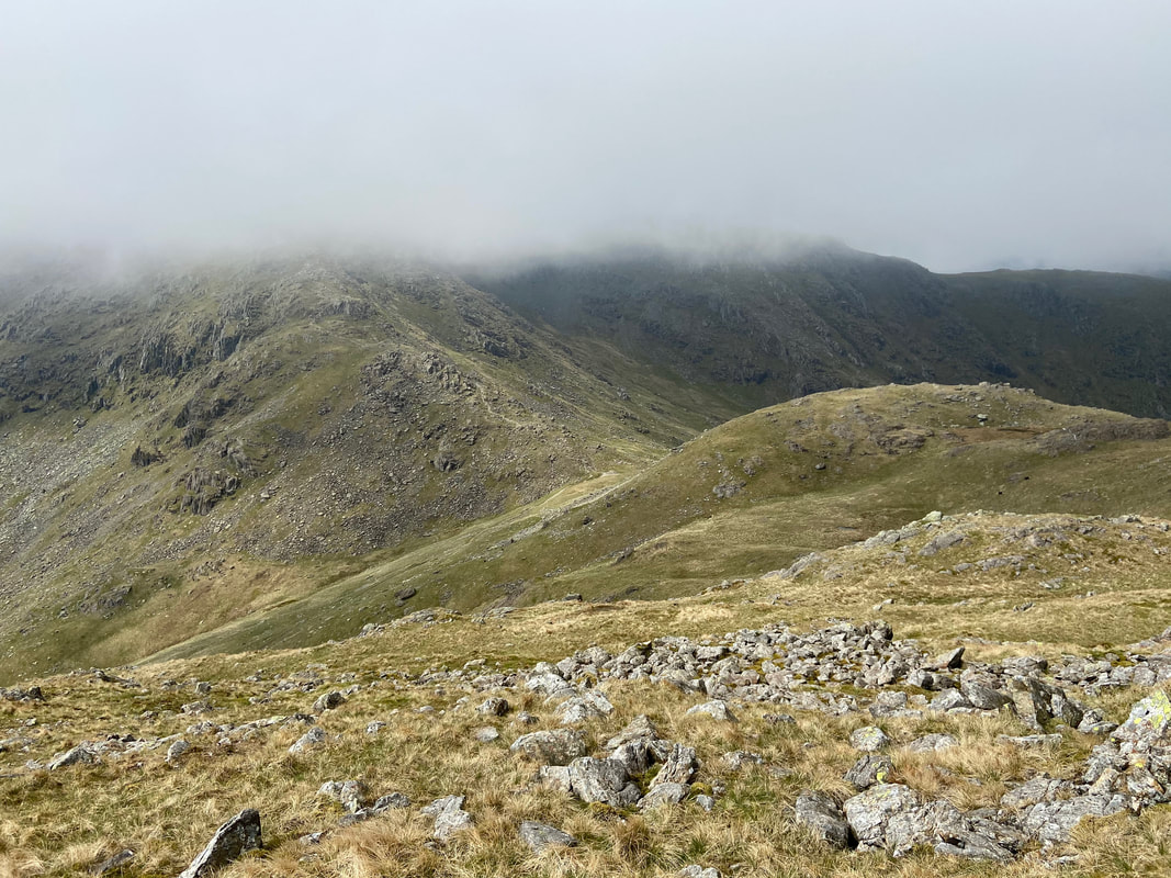
Heading down to Swirl Hawse from Black Sails with Prison Band rising up above the col. Swirl How and Great Carrs are in cloud and hopefully by the time we had chugged up Prison Band they would be free of cloud. Would we be in luck - read on and find out.
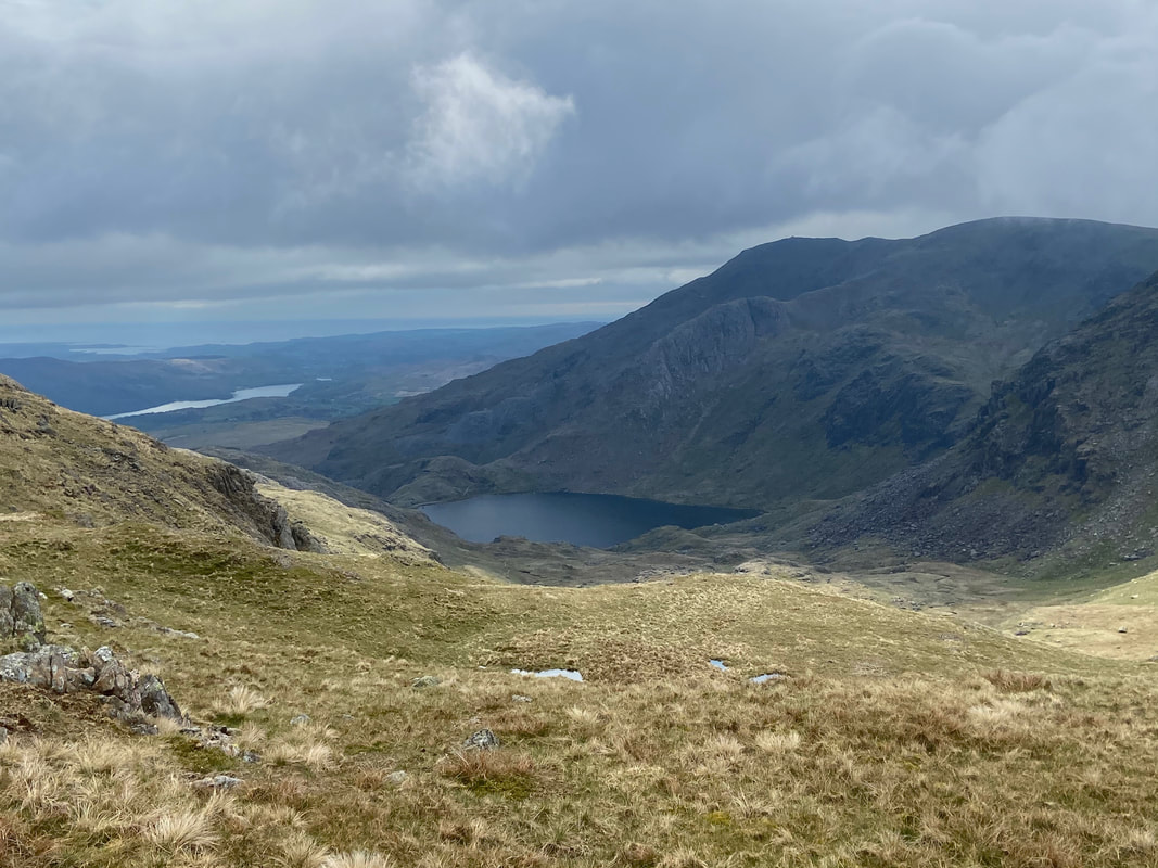
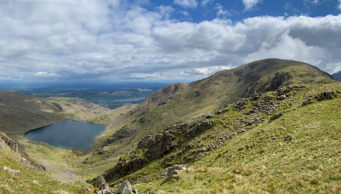
Levers Water sits below through the murk with The Old Man of Coniston in the far distance and Brim Fell to the right
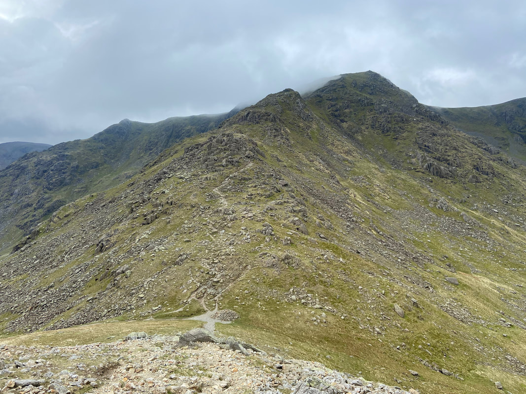
Swirl Hawse below with the fantastic walk up Prison Band ahead of us - Swirl How is now free of cloud. If by any chance you have had enough at this point then the path to the left will return you to Coniston via Levers Water.
Great Carrs across Broad Slack
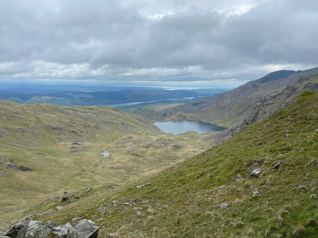
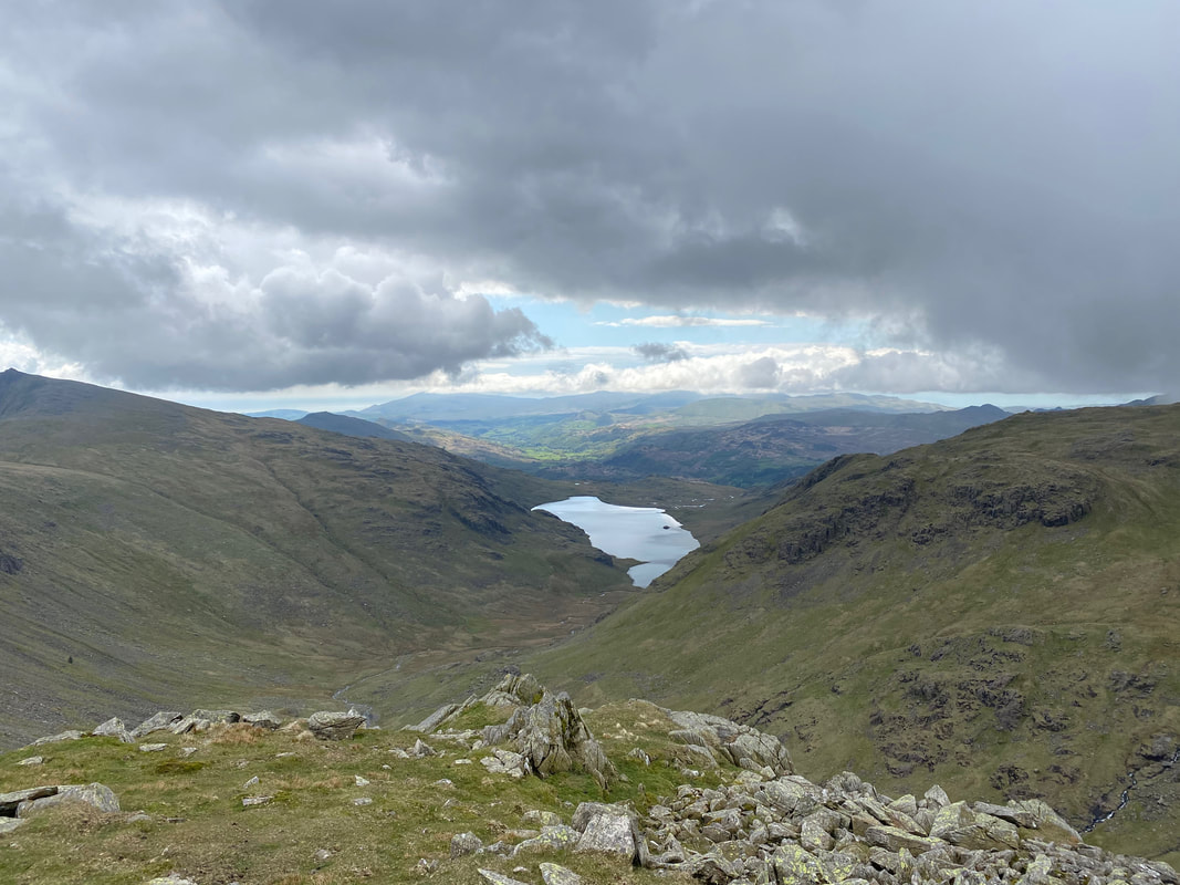
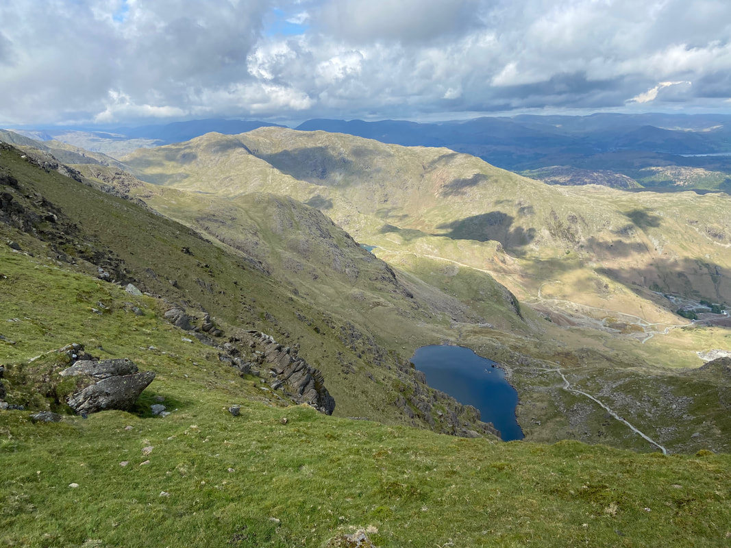
Looking down at the route from Swirl Hawse to Levers Water - the route heads to the left of the lake
"I just thought that I would remind you that I'm hungry"
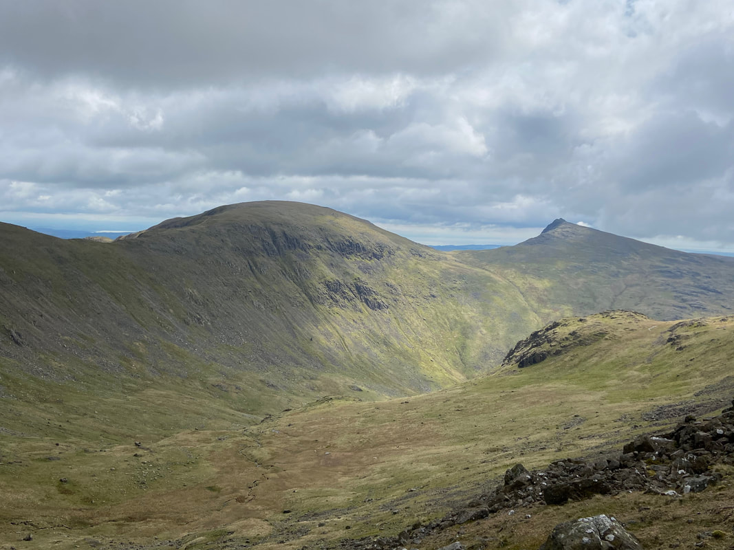
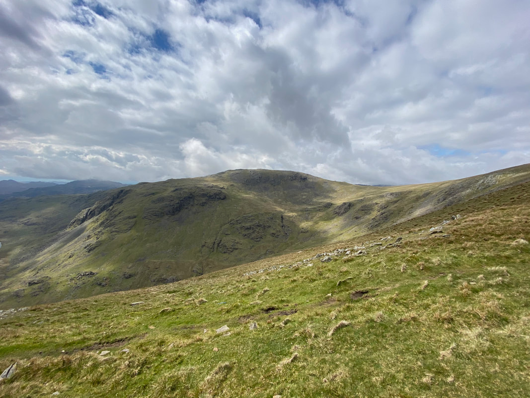
Wetherlam & Black Sails across Swirl Hawse - the path back to Coniston from the Hawse can be seen a bit clearer from here
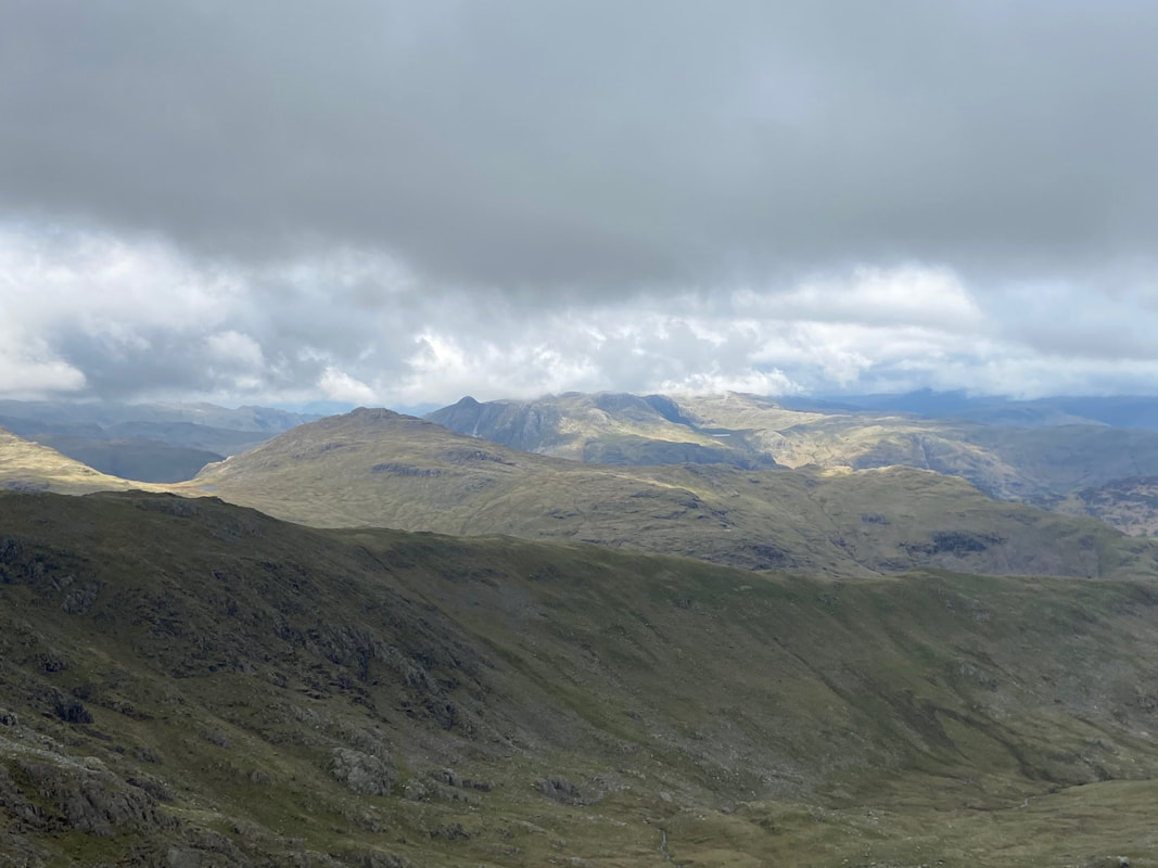
Things were looking up on the visibility front and I was pleased for Ian, our walking companion as he had driven all the way from Manchester to be with us today. Pike O'Blisco and The Langdale Pikes provide the view.
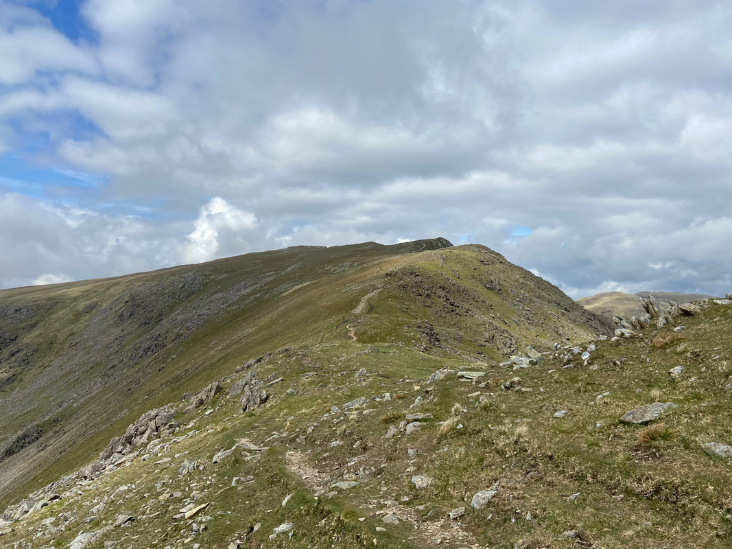
Another view of Black Sails & Wetherlam from Prison Band
The summit of Swirl How
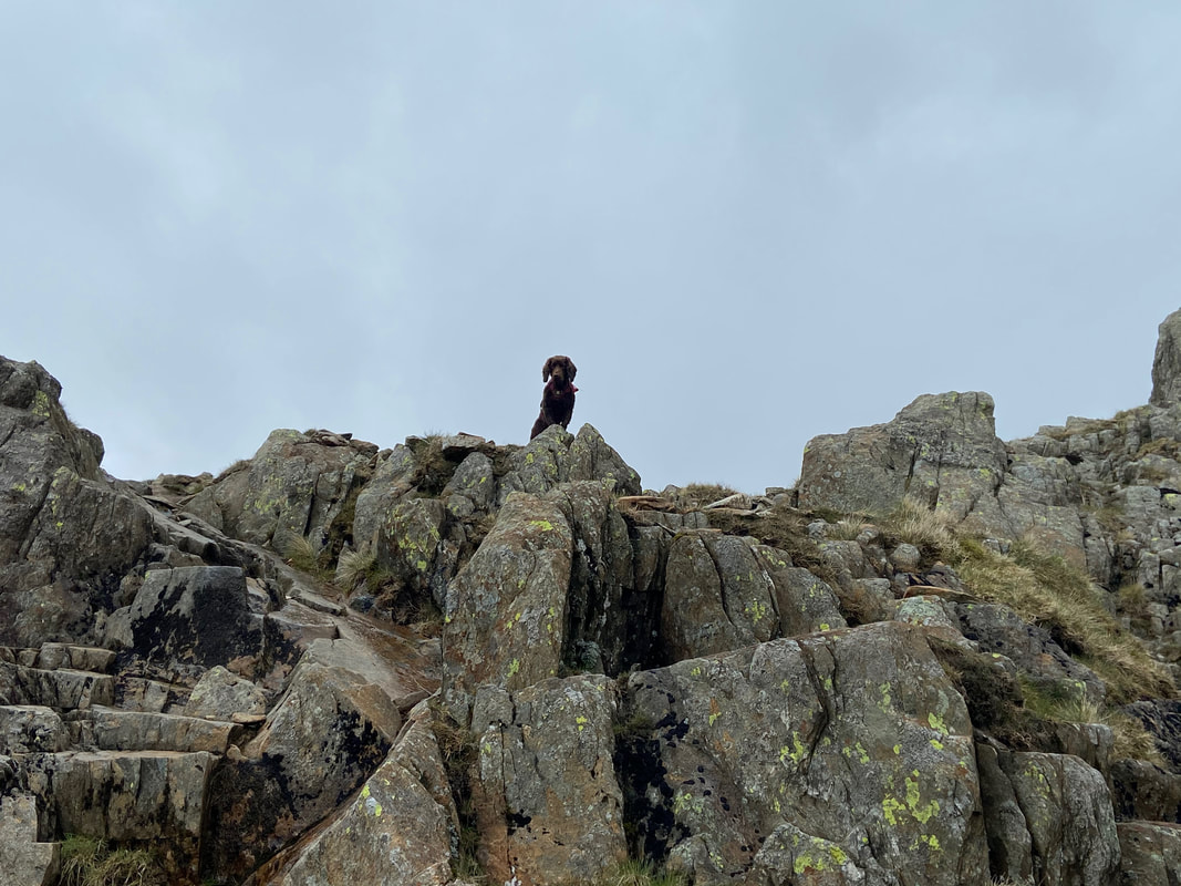
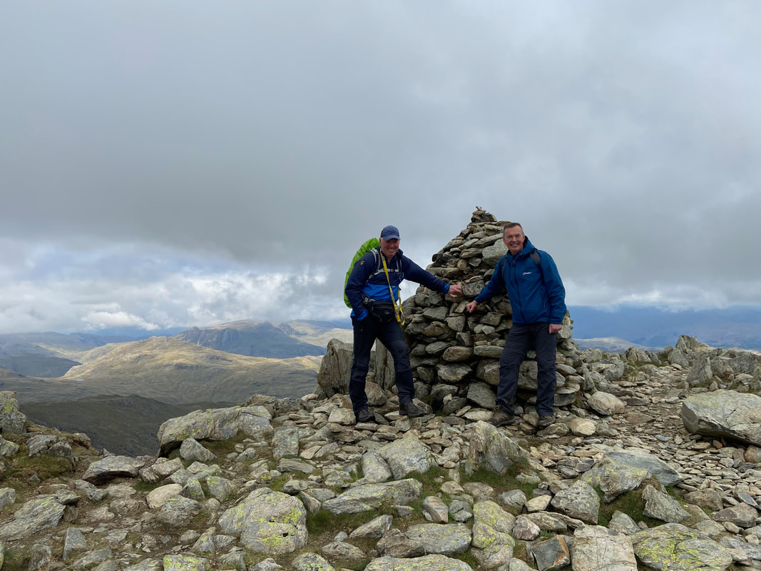
With Ian on the summit of Swirl How - as usual, the sight of a camera makes Fudge do a disappearing act.
Great Carrs across Broad Slack from Swirl How
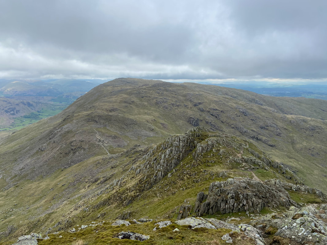
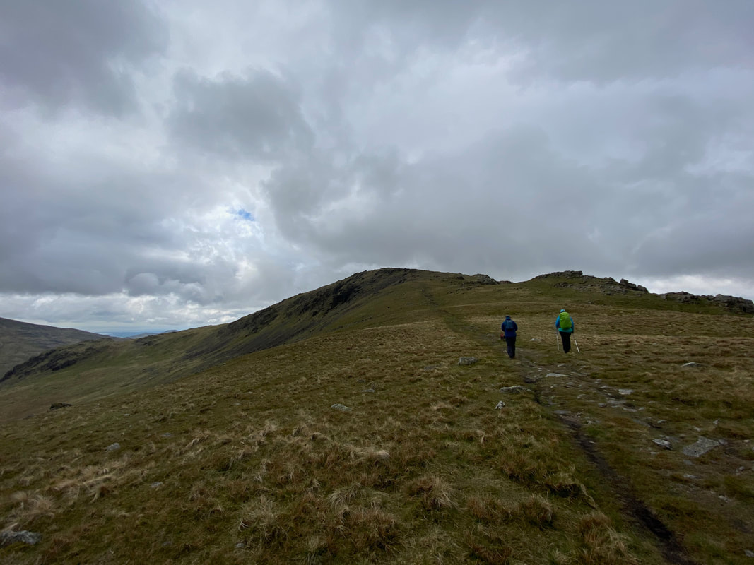
Swirl How from the walk over to Great Carrs
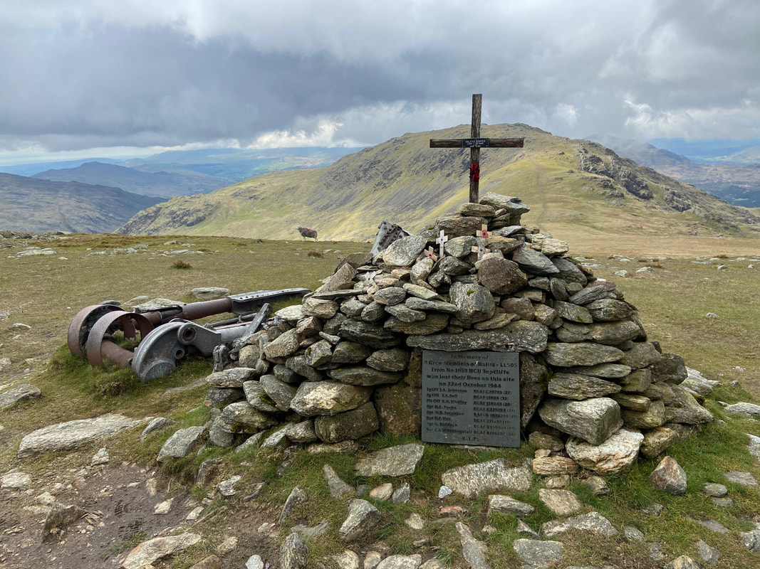
The memorial and wreckage on Great Carrs to the Canadian Bomber that crashed on the fell in 1944. All 8 Canadian crew were killed in making the ultimate sacrifice - they shall never be forgotten.
During a night time navigation exercise in 1944, the RCAF Halifax from RAF Topcliffe became lost in thick cloud while over the north west of England. In an attempt to wait out the blanket of grey, they circled in hope the cloud would clear, ultimately becoming hopelessly lost. To try to get a visual fix for the navigator, the pilot dropped the bomber out of the cloud base, with no knowledge of what was below him. Unfortunately, they were greeted by the great rising fells of Swirl How and Great Carrs. With no time to react, the aircraft hit the mountainside killing all on board. Despite the crew perishing in the impact, the bomber remained largely intact and, to prevent other aircraft from spotting it and reporting it repeatedly, the wreckage was cut into a number of smaller, moveable pieces and discarded down Broad Slack, where parts of it are still visible today. Over the years, two of the four Rolls-Royce engines were recovered from the crash site by an RAF helicopter, one of which is now on display at the Ruskin Museum in Coniston.
During a night time navigation exercise in 1944, the RCAF Halifax from RAF Topcliffe became lost in thick cloud while over the north west of England. In an attempt to wait out the blanket of grey, they circled in hope the cloud would clear, ultimately becoming hopelessly lost. To try to get a visual fix for the navigator, the pilot dropped the bomber out of the cloud base, with no knowledge of what was below him. Unfortunately, they were greeted by the great rising fells of Swirl How and Great Carrs. With no time to react, the aircraft hit the mountainside killing all on board. Despite the crew perishing in the impact, the bomber remained largely intact and, to prevent other aircraft from spotting it and reporting it repeatedly, the wreckage was cut into a number of smaller, moveable pieces and discarded down Broad Slack, where parts of it are still visible today. Over the years, two of the four Rolls-Royce engines were recovered from the crash site by an RAF helicopter, one of which is now on display at the Ruskin Museum in Coniston.
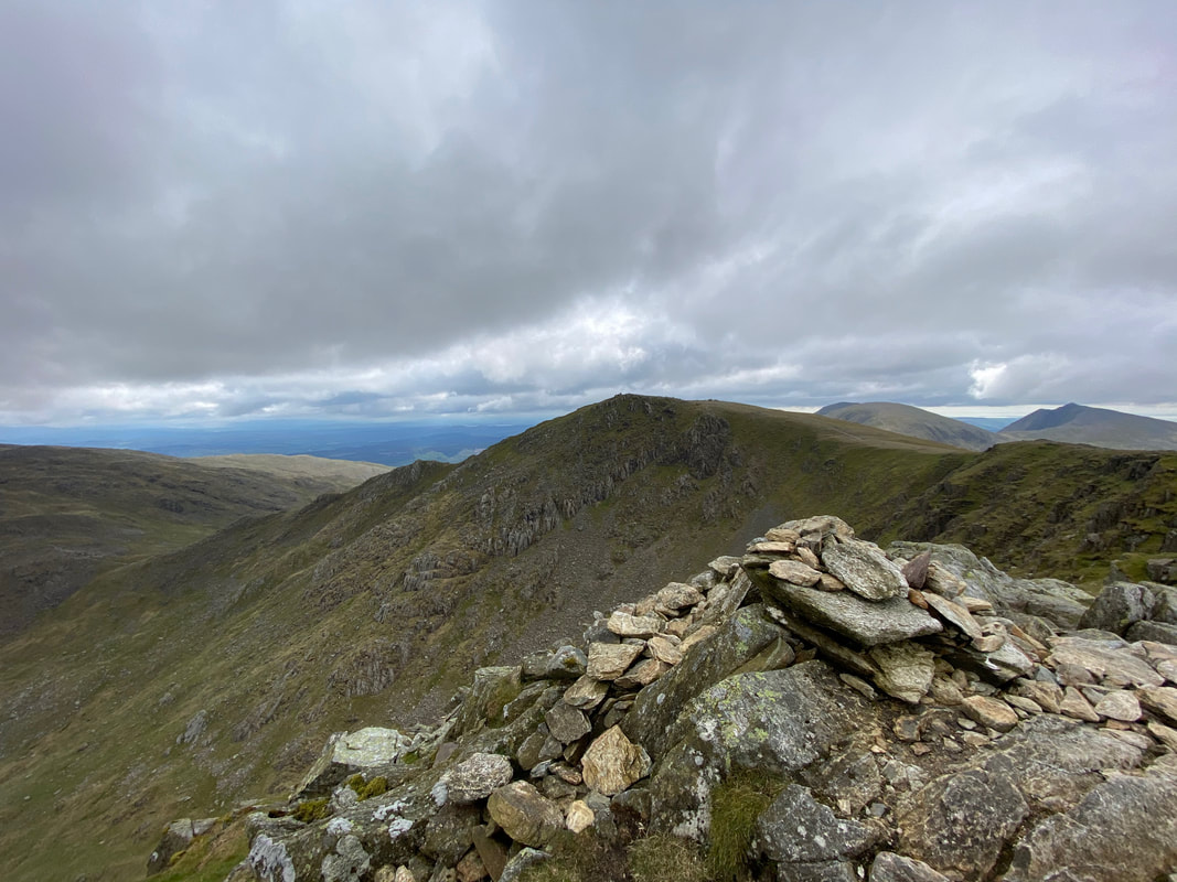
The summit of Great Carrs looking to Swirl How
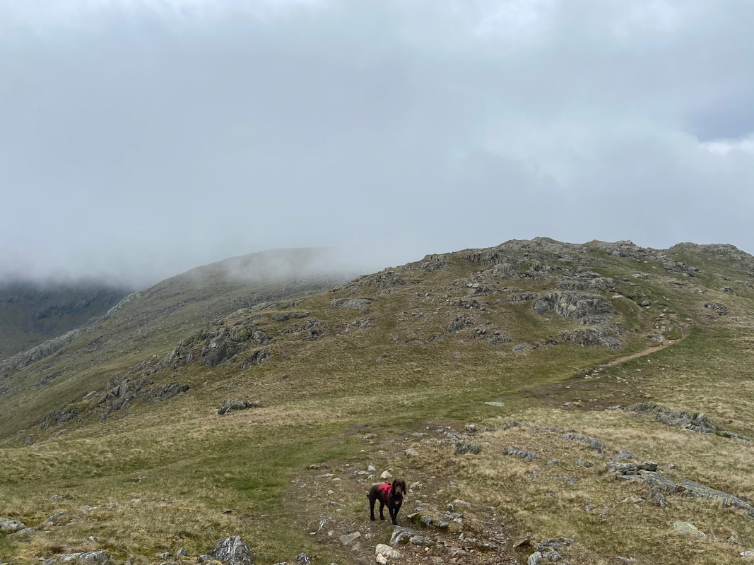
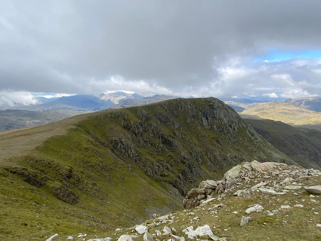
Approaching Grey Friar - it is still quite gloomy but at least the cloud has gone
Looking down Scarth Brow to Brim Fell & Dow Crag
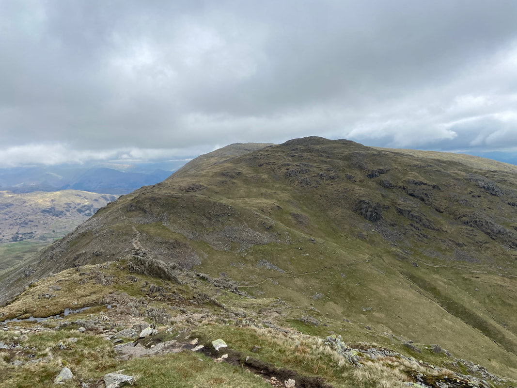
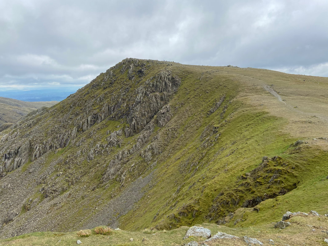
Looking back down to the col of Fairfield to Great Carrs & Swirl How from the ascent of Grey Friar. Our path to Brim Fell can be seen heading to the right.
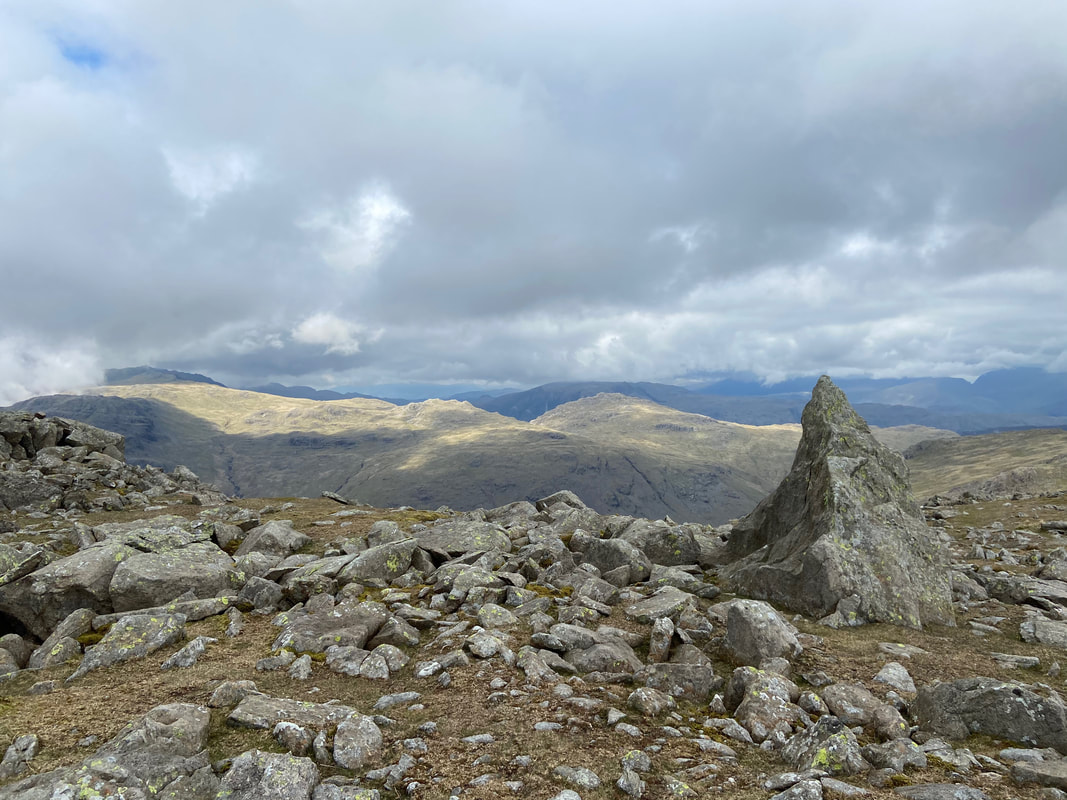
"The Matterhorn Rock" on the summit plateau of Grey Friar
The slightly lower northern cairn on Grey Friar looking to Harter Fell
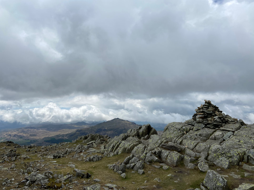
The summit of Grey Friar looking to Brim Fell, The Old Man of Coniston & Dow Crag
Harter Fell from the summit of Grey Friar
Grey Friar from the path to Brim Fell
Seathwaite Tarn
A somewhat brighter view of Levers Water
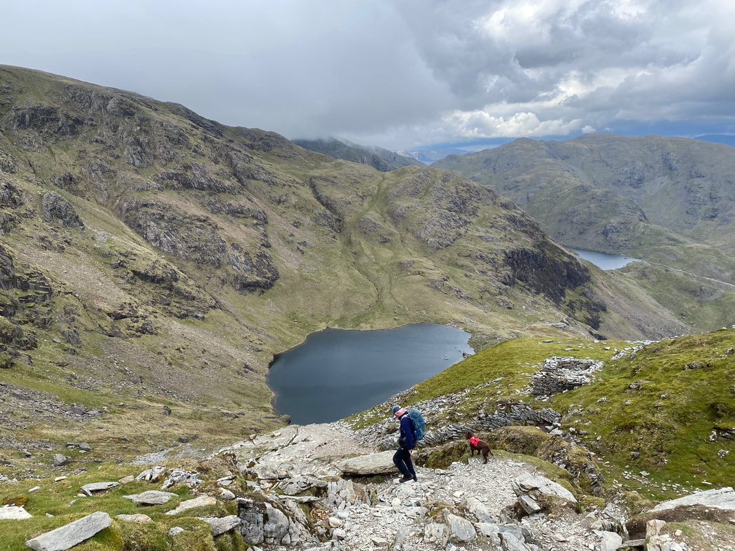
Levers Water & Brim Fell from Levers Hawse - we were now on the main ridge path that comes over from Swirl How to Brim Fell
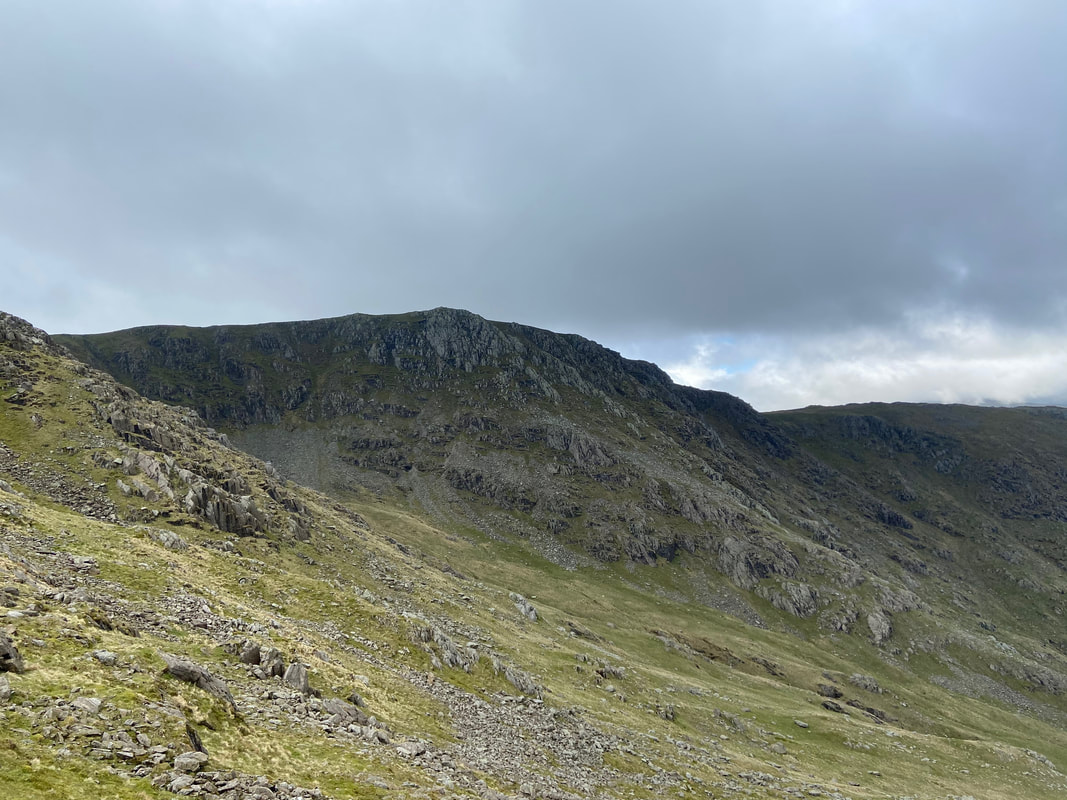
Grey Friar from Levers Hawse
Great Carrs & Swirl How from the main path to Brim Fell
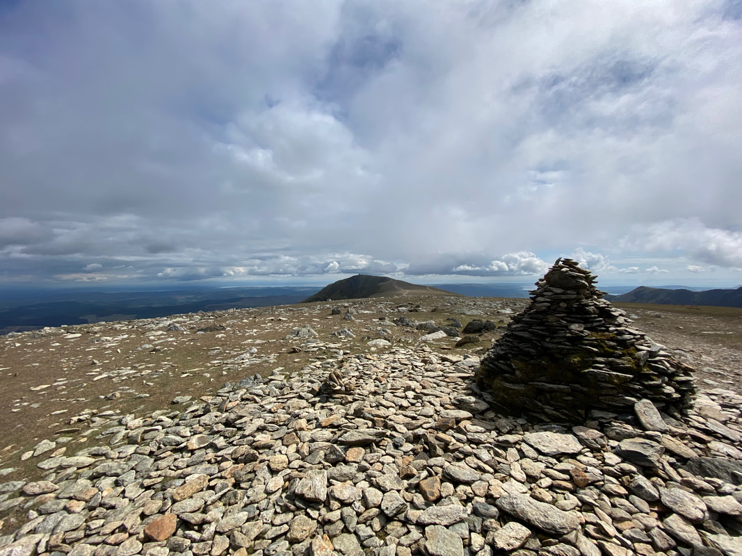
Approaching the large cairn that marks the summit of Brim Fell
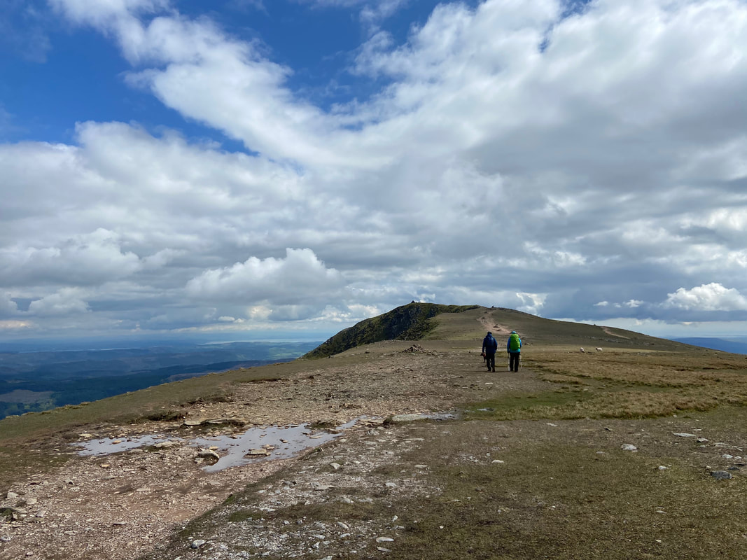
Angie & Ian approaching Brim Fell - and what a backdrop
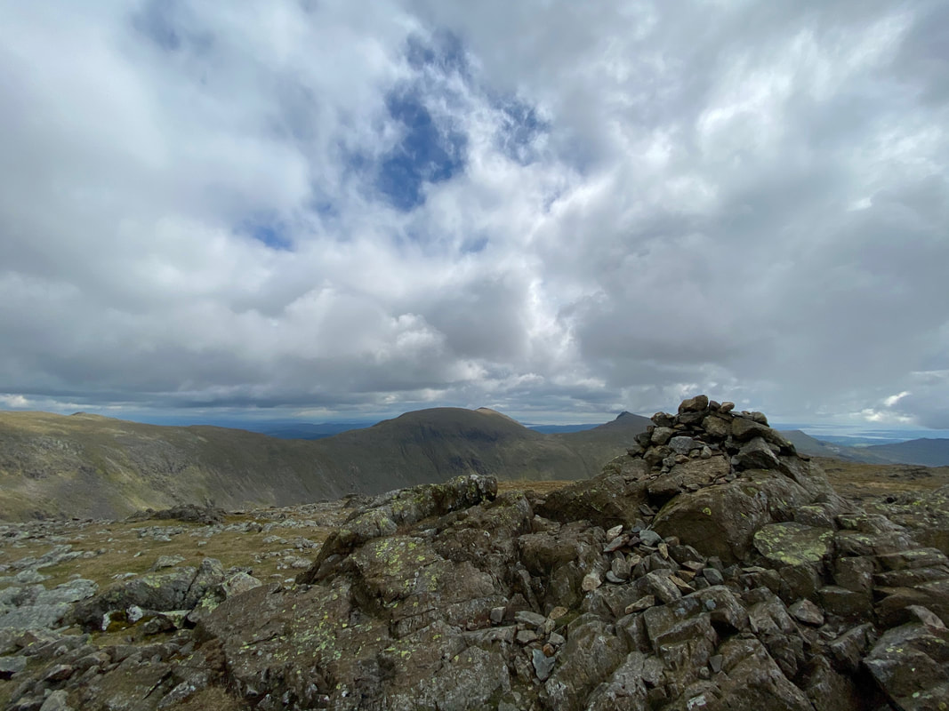
The summit of Brim Fell looking to The Old Man of Coniston
The route over to the Old Man is a steady, flat transit with only a gentle rise to reach the summit
Wetherlam centre left and looking a lot clearer from a few hours ago - Low Water sits below with our descent path to the right of it.
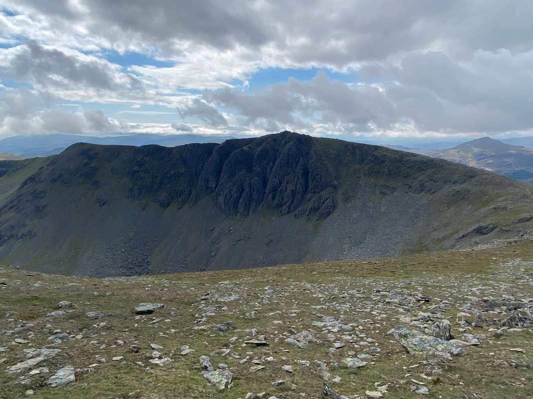
Dow Crag from the approach to The Old Man of Coniston - we didn't go over there today although it is a nice walk
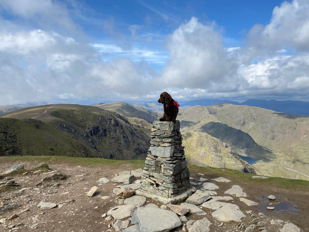
As is tradition - Fudge sits atop the Trig Point near the summit of The Old Man of Coniston with most of our route behind him
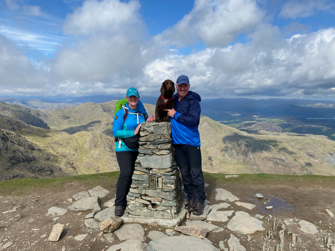
A rare family pic up on The Old Man
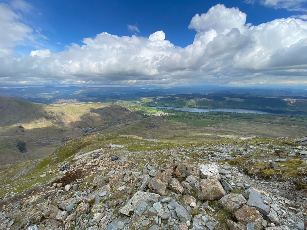
What a difference a few hours makes
Looking to The Duddon Estuary
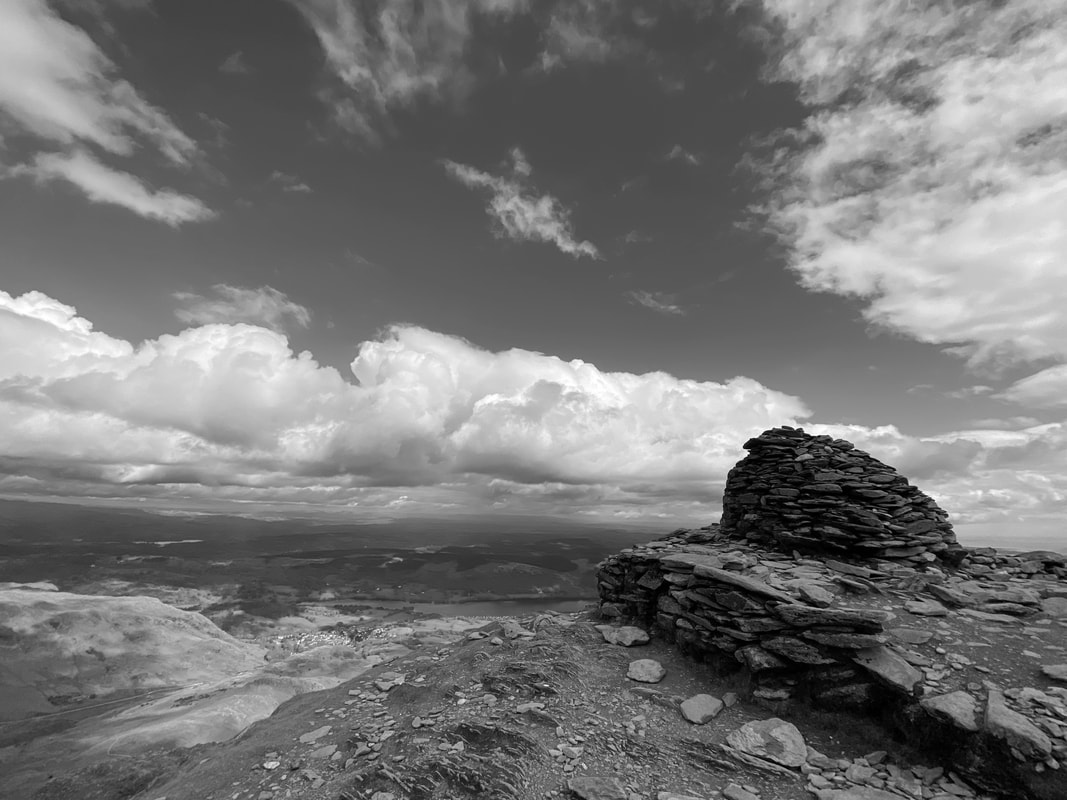
The summit of The Old Man of Coniston in mono
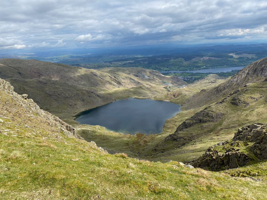
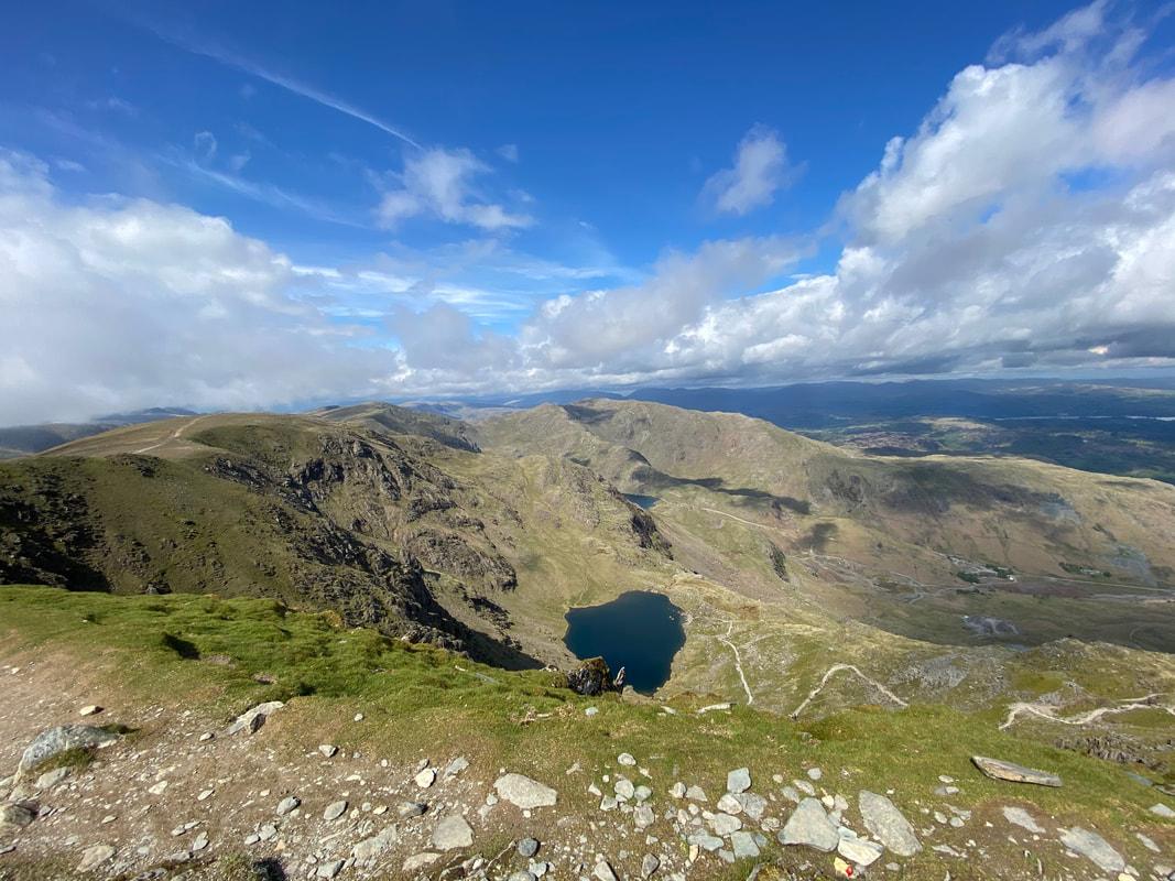
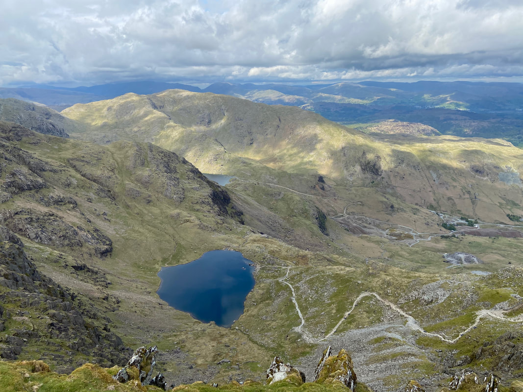
Low Water and our return route into The Coppermines Valley
The path down from The Old Man initially heads south east before turning back on itself to head north
Fudge & I descending to Low Water on the steep but fairly easy path. This path is the most popular route up and down the mountain and therefore at the weekend this would have a throng of people on it. However, late afternoon on a Wednesday and it was fairly quiet.
On easier ground now as we look back up to our route of descent
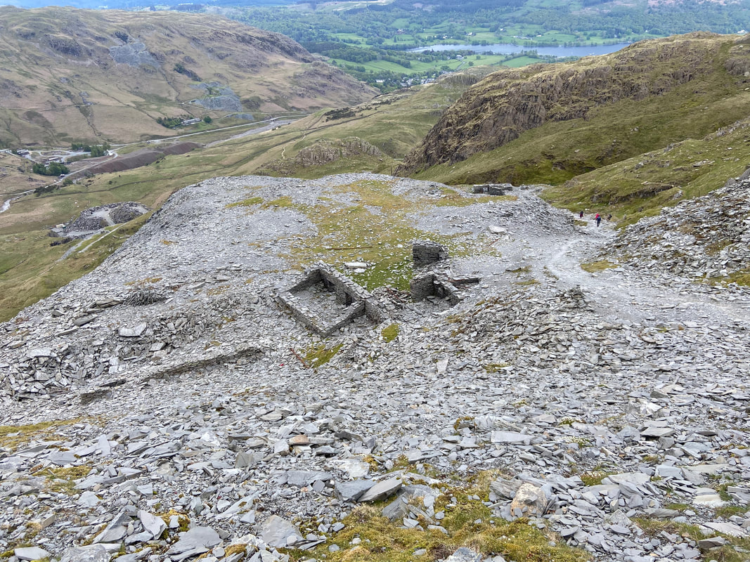
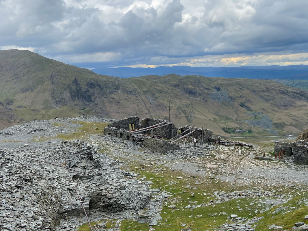
The route descends through Saddlestone Main Bank which was the main processing area and offices for the slate mines and quarries on this side of The Old Man of Coniston.
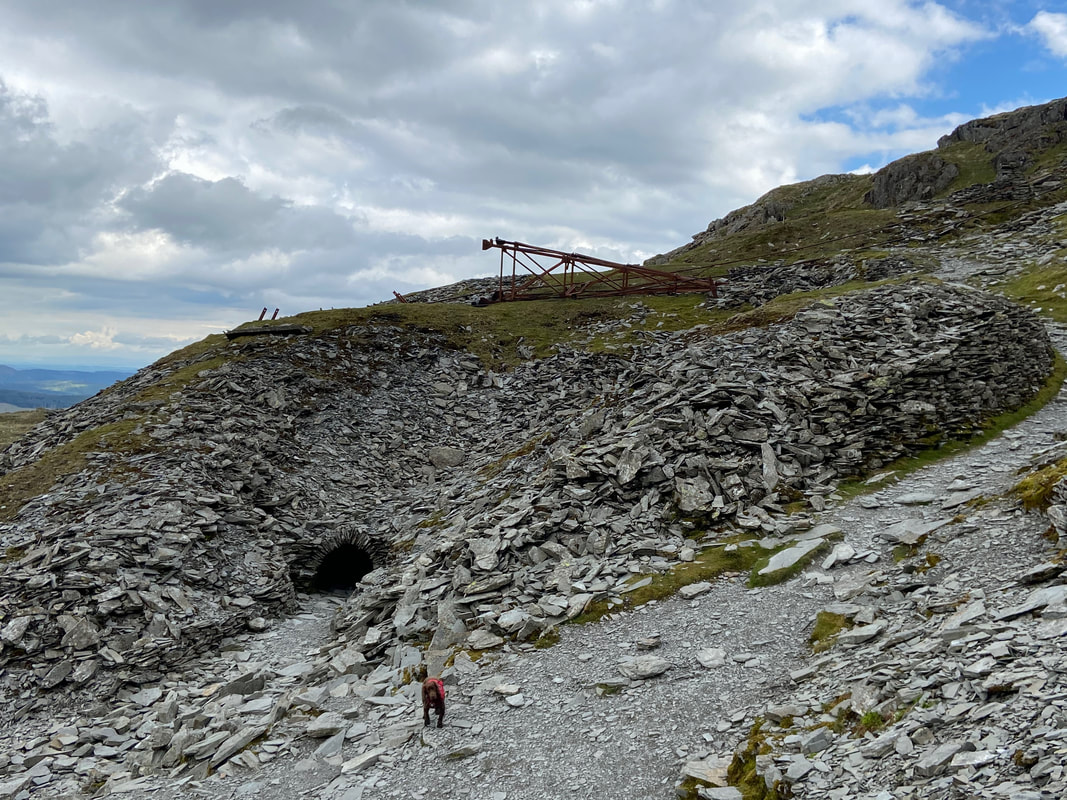
Fudge waits impatiently as we pass through the quarry - above him is some of the old winding gear used for transporting the slate from Moss Head to Saddlestone Main Bank for processing. There is evidence and relics dotted all over the place - it is such an interesting area to spend a few hours.
The remains of the old quarry site offices at Saddlestone Bank
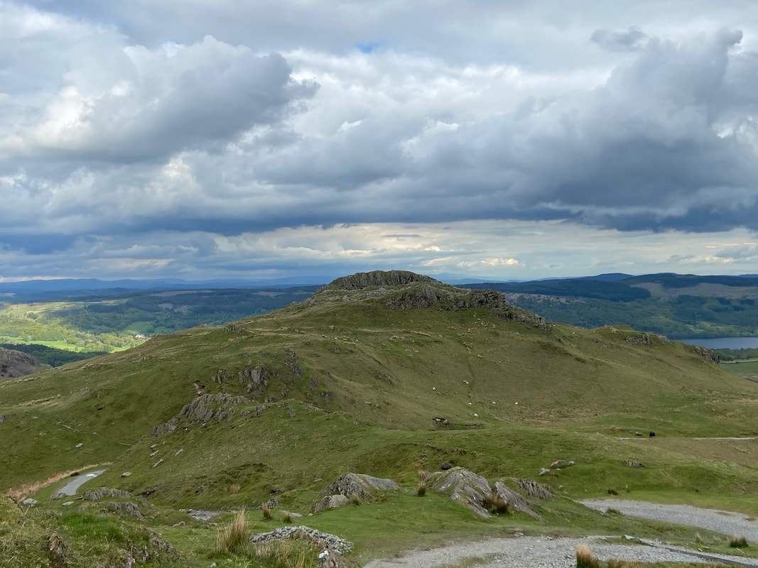
Looking to The Bell as we continue our winding descent back to Coniston
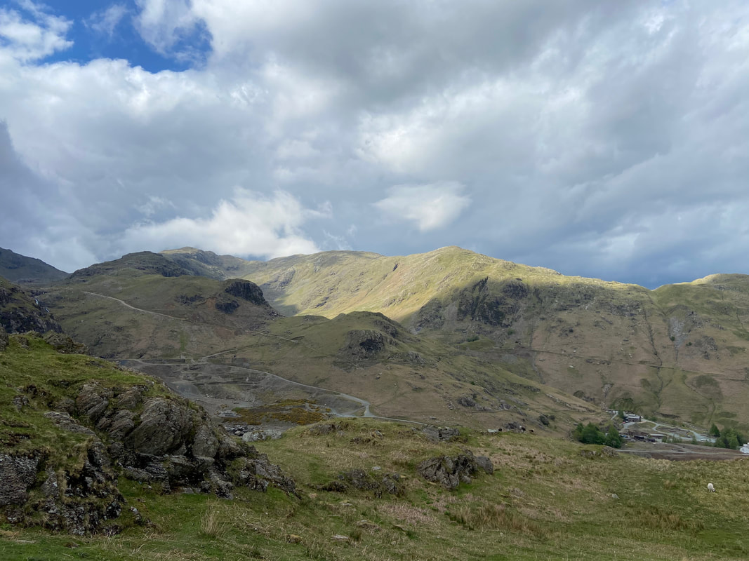
A last look at Wetherlam over The Coppermines Valley
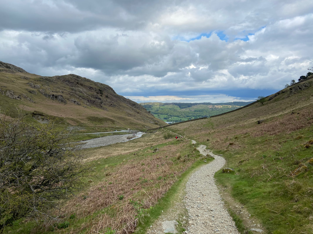
Dropping down the final part of today's route to The Miners Bridge
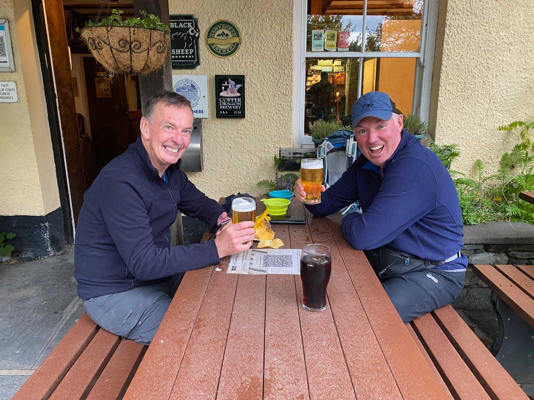
Silly not to I suppose......................
Cheers Ian - always good to walk with you even though you support Man City!
