Pillar, Scoat Fell & Steeple - Wednesday 8 July 2020
Route
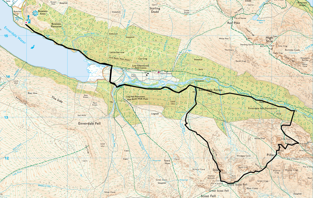
Bowness Knott Car Park - Ennerdale Water - Woundell Beck - Ennerdale Forest - Robinson's Cairn - High Level Traverse - Shamrock Traverse - Pillar - Wind Gap - Black Crag - Scoat Fell - Steeple - Long Crag - Low Beck - Ennerdale Forest - Woundell Beck - Ennerdale Water - Bowness Knott Car Park
Parking
Bowness Knott Car Park (Free) - Grid Ref NY 1094 1541 (Nearest postcode is CA23 3AU).
Mileage
13.4 miles
Terrain
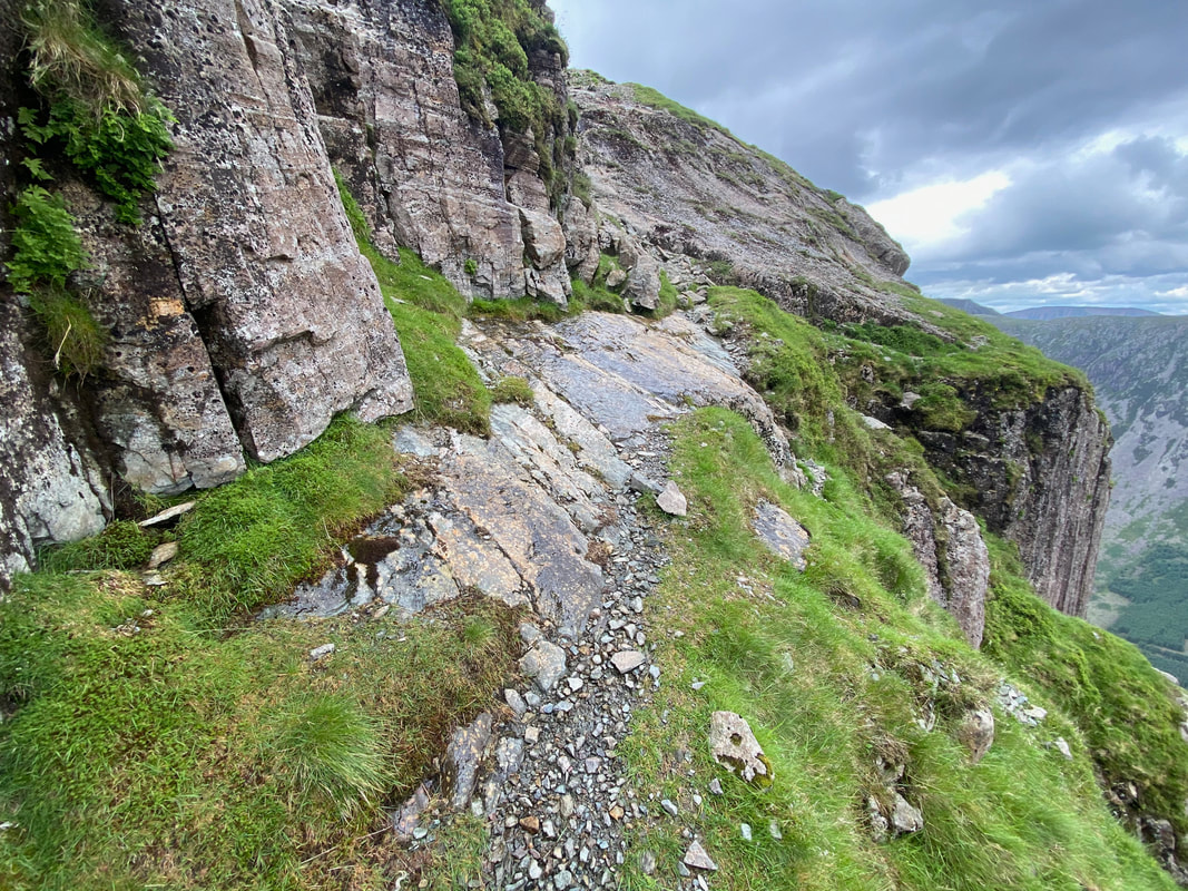
Mountain paths & forest tracks for the most part. There are some parts of this walk where route finding via paths is intermittent - particularly the section leaving the forest track in Ennerdale to Robinson's Cairn therefore ensure you are able to navigate. Additionally, the transit across the High Level Traverse from Robinson's Cairn to the foot of Pillar Rock via the Shamrock Traverse is over boulders, a scree slope and an exposed path along a narrow shelf. Don't let this put you off as this is a cracking walk but be prepared to get your hands on rock.
The areas highlighted above are shown below in the walk photographs.
Weather
A game of two halves - sunny in the morning turning overcast in the afternoon.
Time Taken
9hrs
Total Ascent
3900ft (1189m)
Wainwrights
3
Map
OL4 - The English Lakes (North Western Area)
Walkers
Dave, Angie & Fudge
|
GPX File
|
| ||
If the above GPX file fails to download or presents itself as an XML file once downloaded then please feel free to contact me and I will send you the GPX file via e-mail.
Route Map
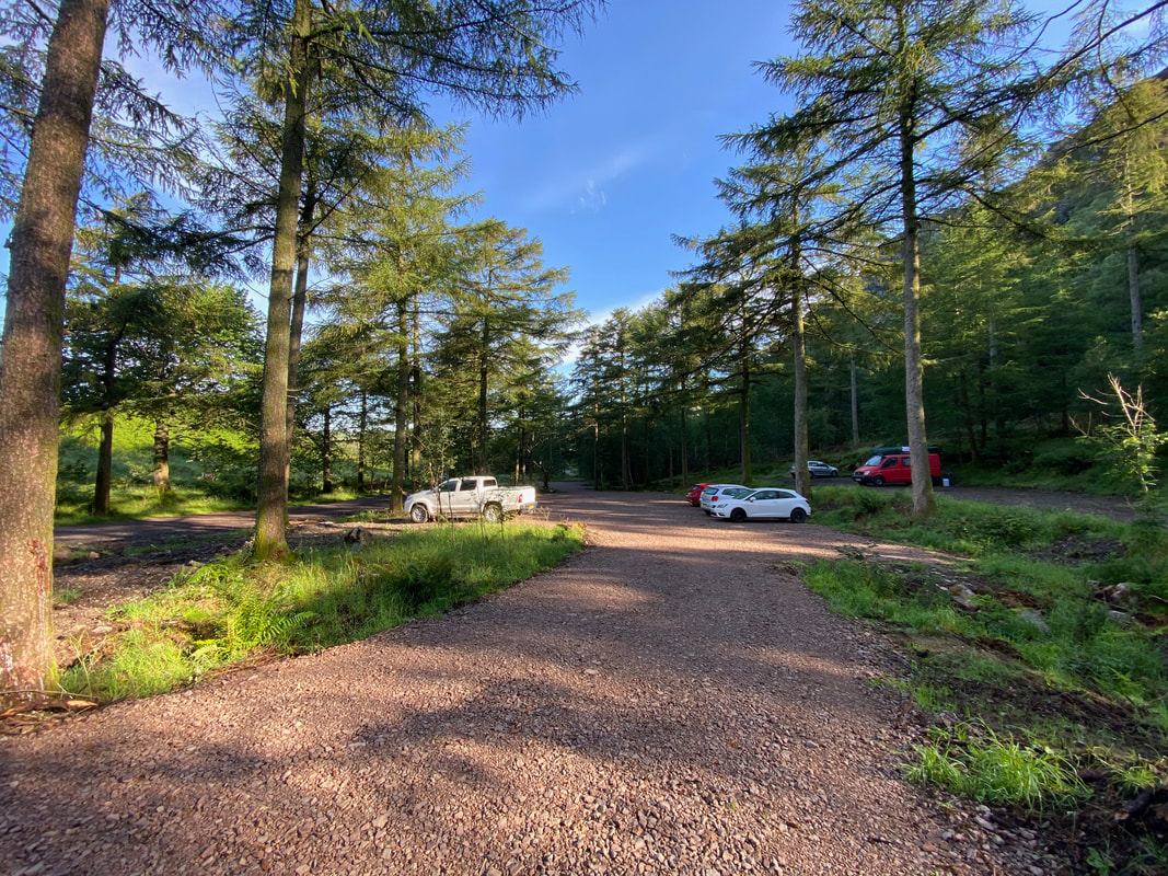
The large Car Park at Bowness Knott. There is plenty of parking here but at the weekend it fills up pretty quickly therefore the earlier you get here the better.
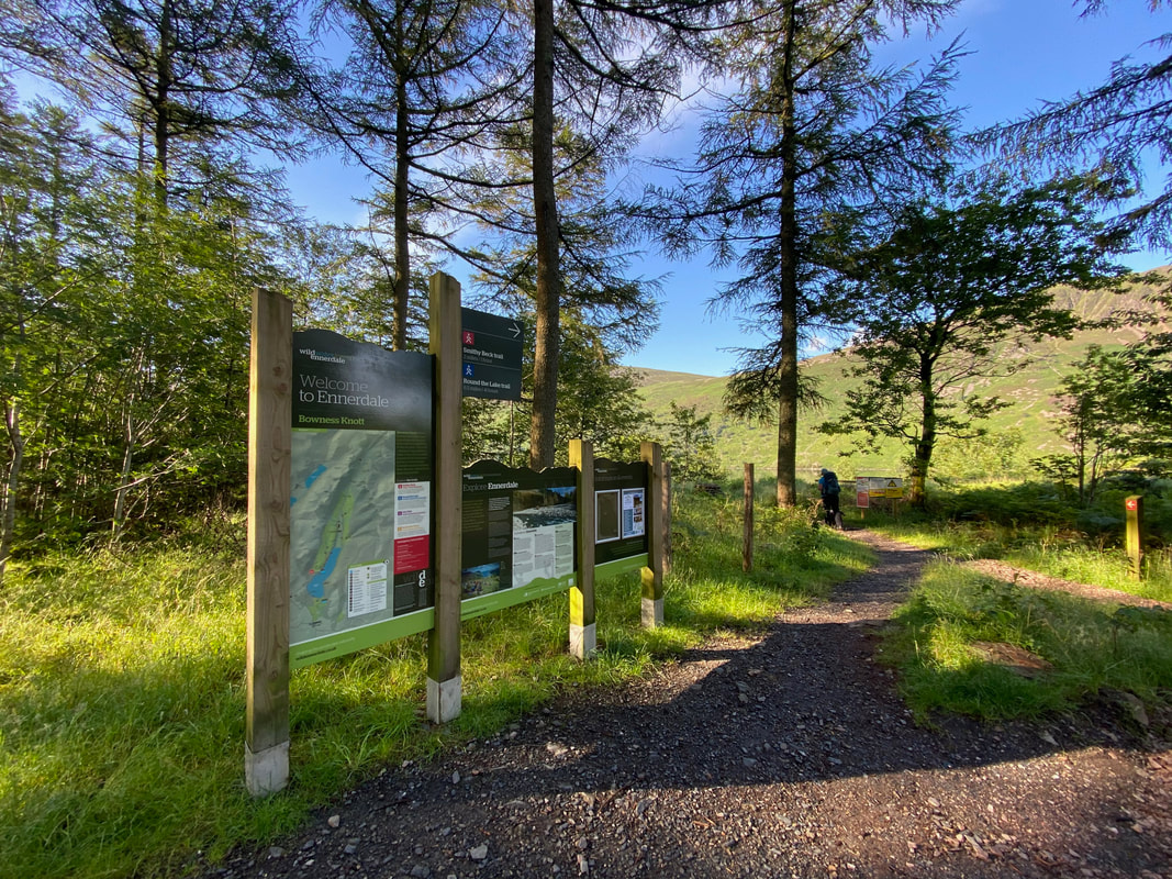
The lakeshore path is joined from the south east corner of the Car Park
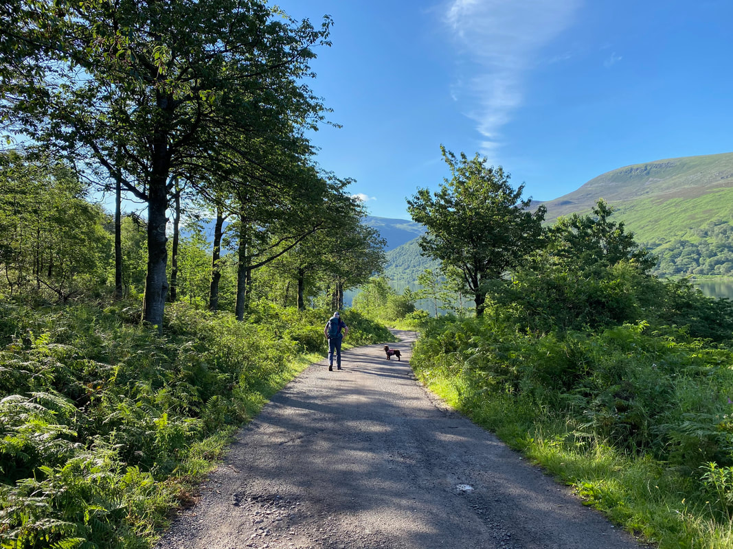
Heading along the lakeshore path and it looks like we are in for a good weather day
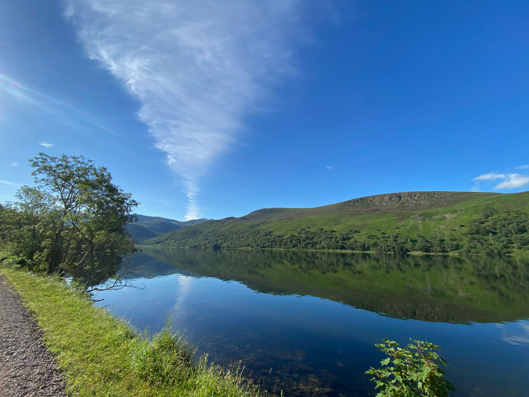
Looking over Ennerdale Water and it looks like we have a cloudy Tornado directly over Haycock. Boat How is to the right.
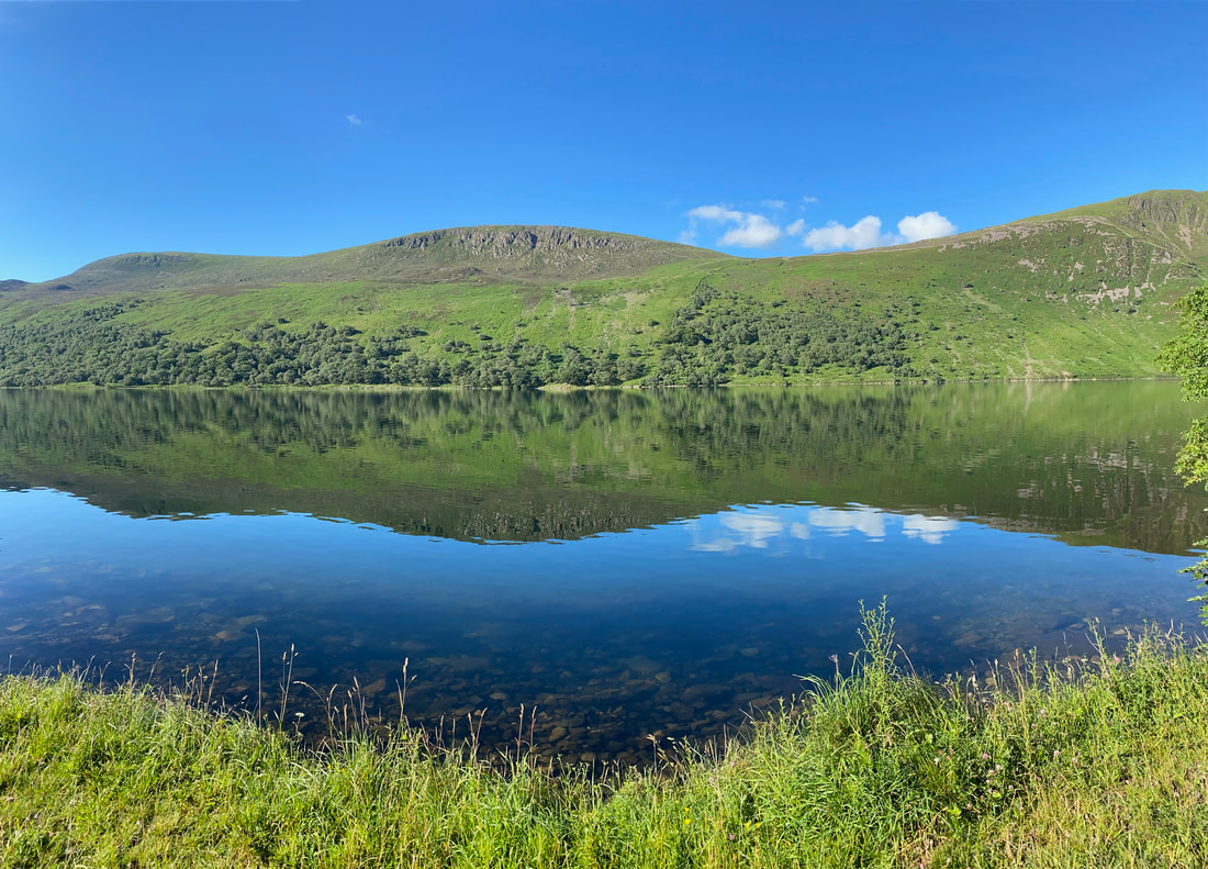
The lake was as flat as a millpond today which meant great reflections on the water
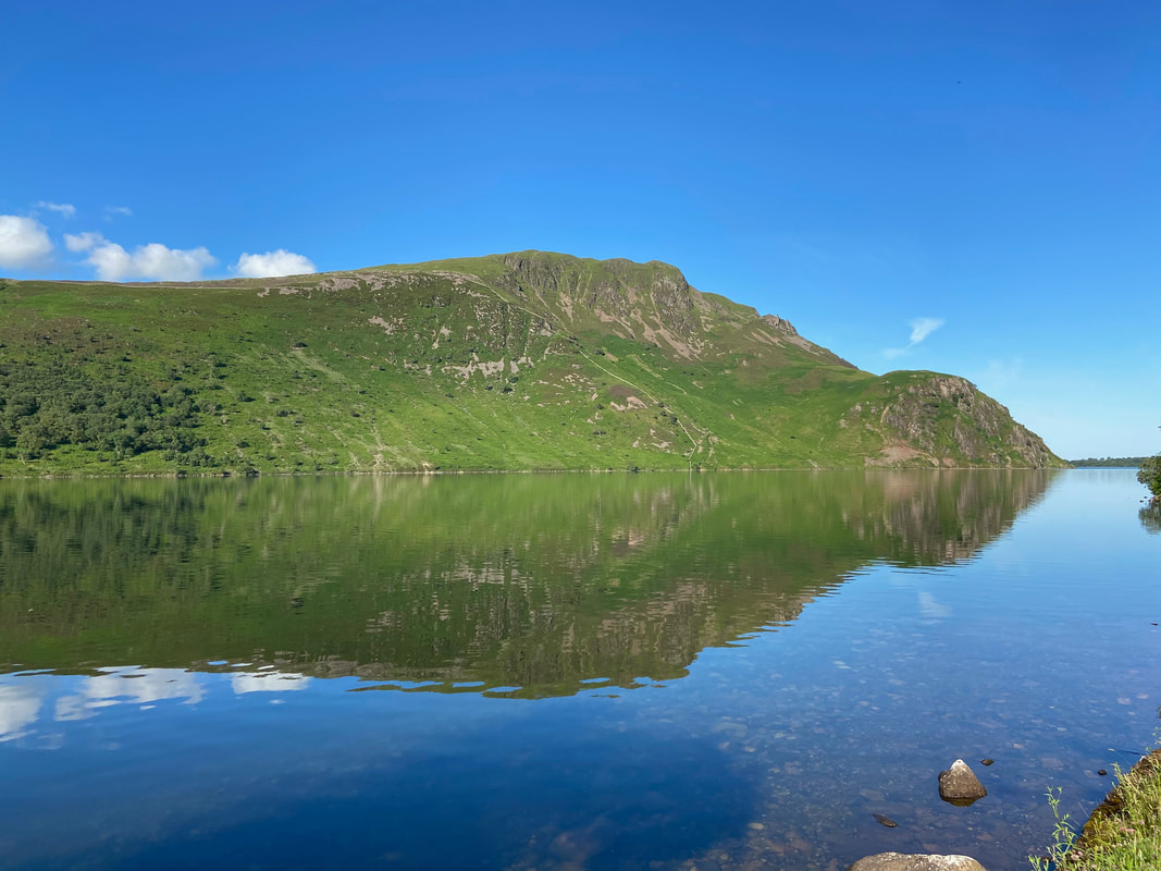
Crag Fell & Anglers Crag over Ennerdale Water
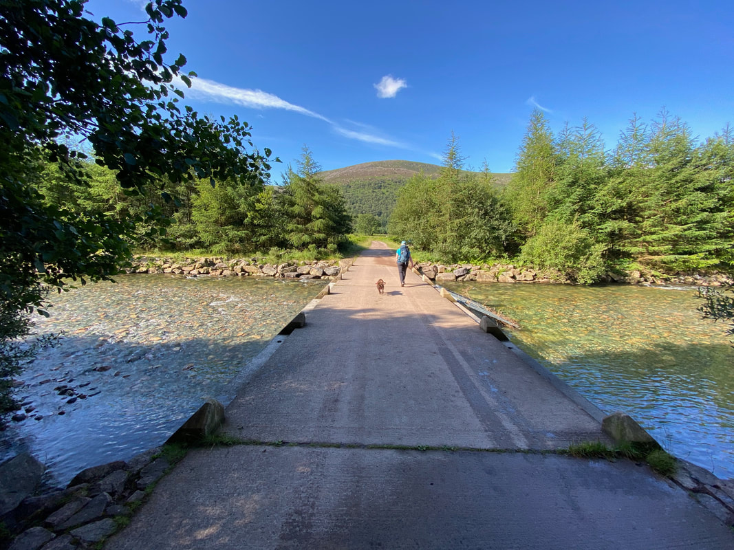
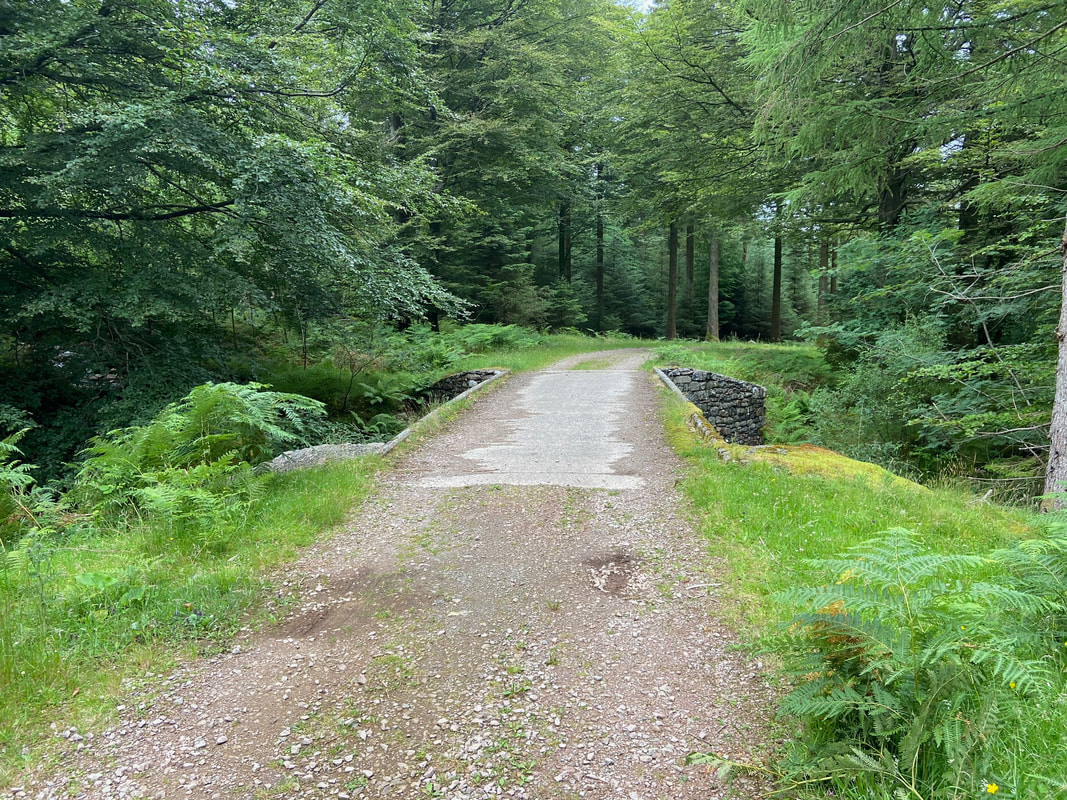
Crossing the River Liza via the Irish Bridge
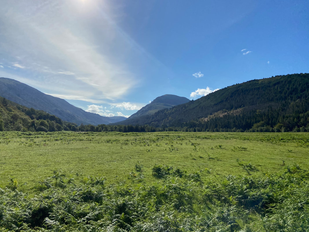
Looking into the sun down the Ennerdale Valley with White Pike & Pillar in the centre
From the bridge over the River Liza a farm track is followed to the right hand edge of the Lingmell Plantation ahead. This track is on the Coast to Coast route and is followed ahead to a gate giving access to the forest track that runs along the south side of the Liza.
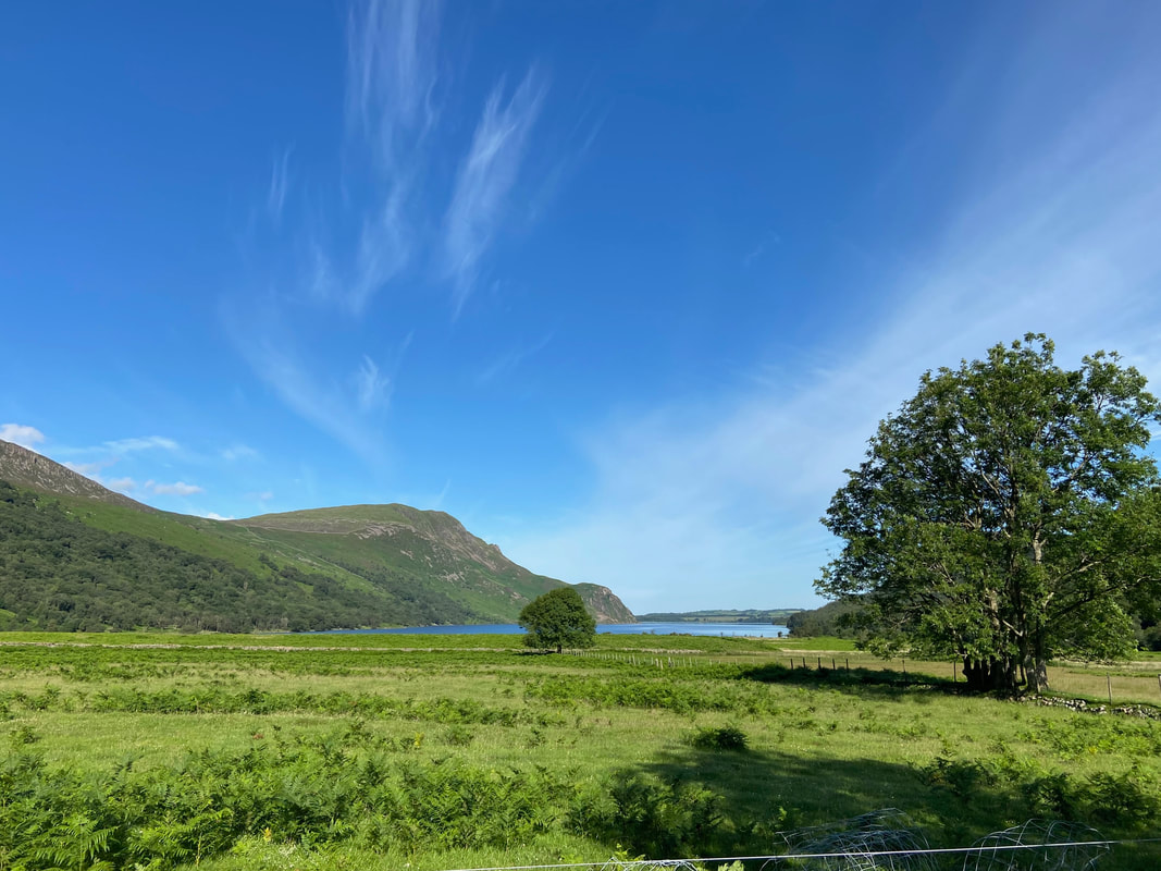
Ennerdale Water & Crag Fell from the path
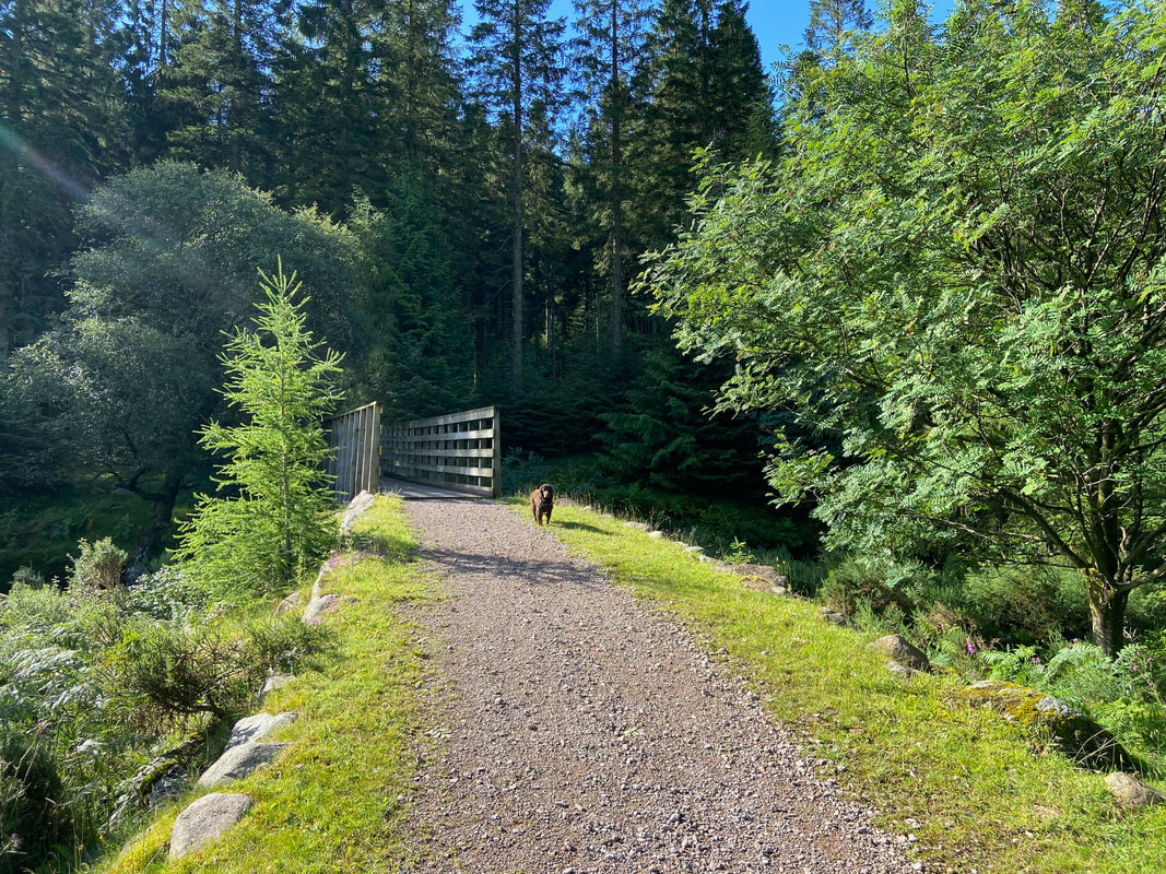
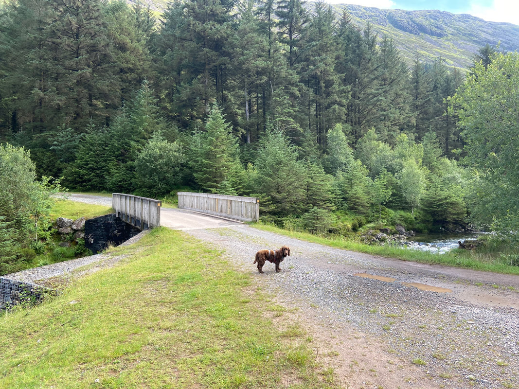
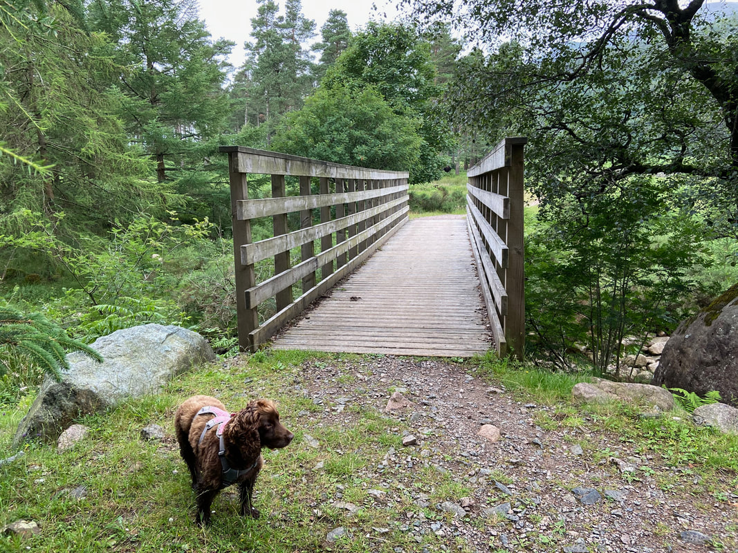
The bridge over Woundell Beck. There used to be a similar Irish Bridge here but this has recently been replaced by this wooden footbridge.
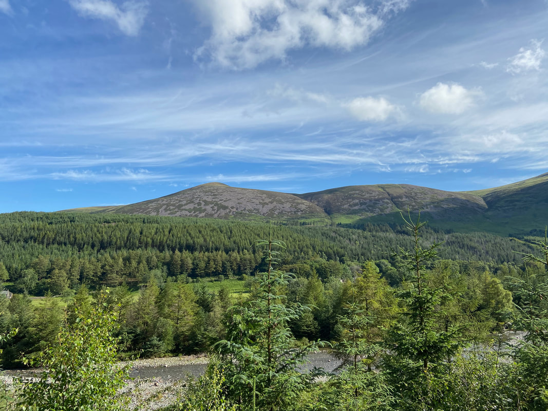
Starling Dodd & Little Dodd over the River Liza
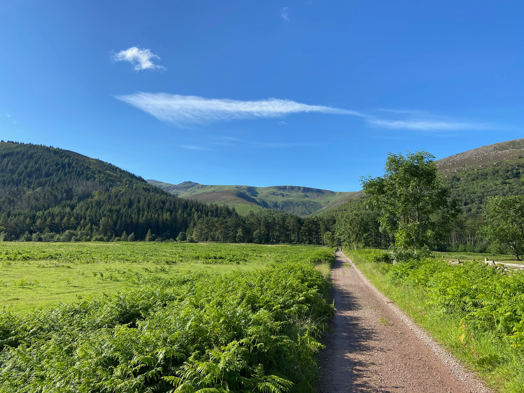
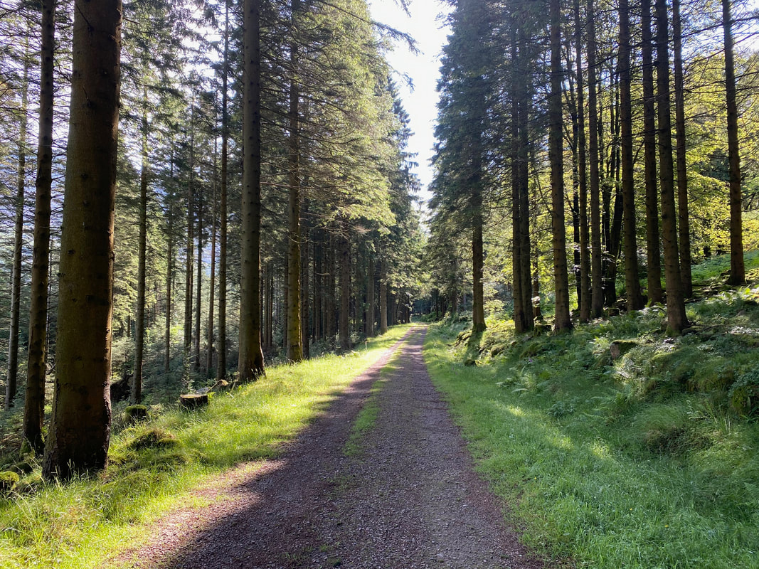
The forest track on the southern side of the River Liza. In my opinion this is a much gentler transit on the feet than the track to the north.
A Fudge plunge pool
The High Stile Ridge from near the concrete road bridge over the River Liza
The concrete road bridge over the River Liza - no we are not going that way Fudge.
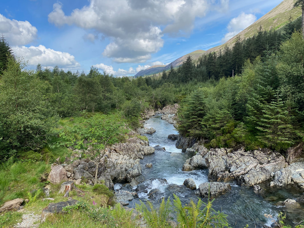
The River Liza from the road bridge
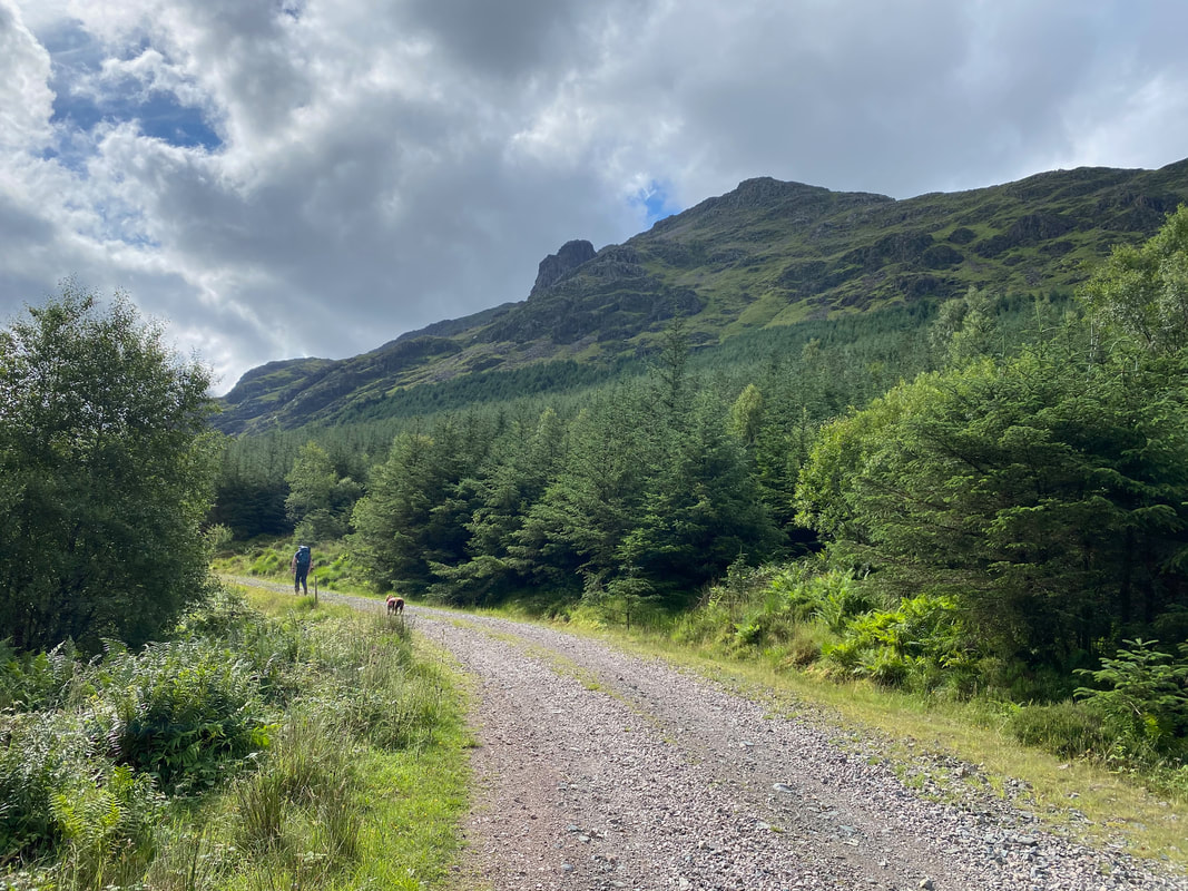
From the road bridge the forest track continues to the east. Pillar Rock gets ever closer.
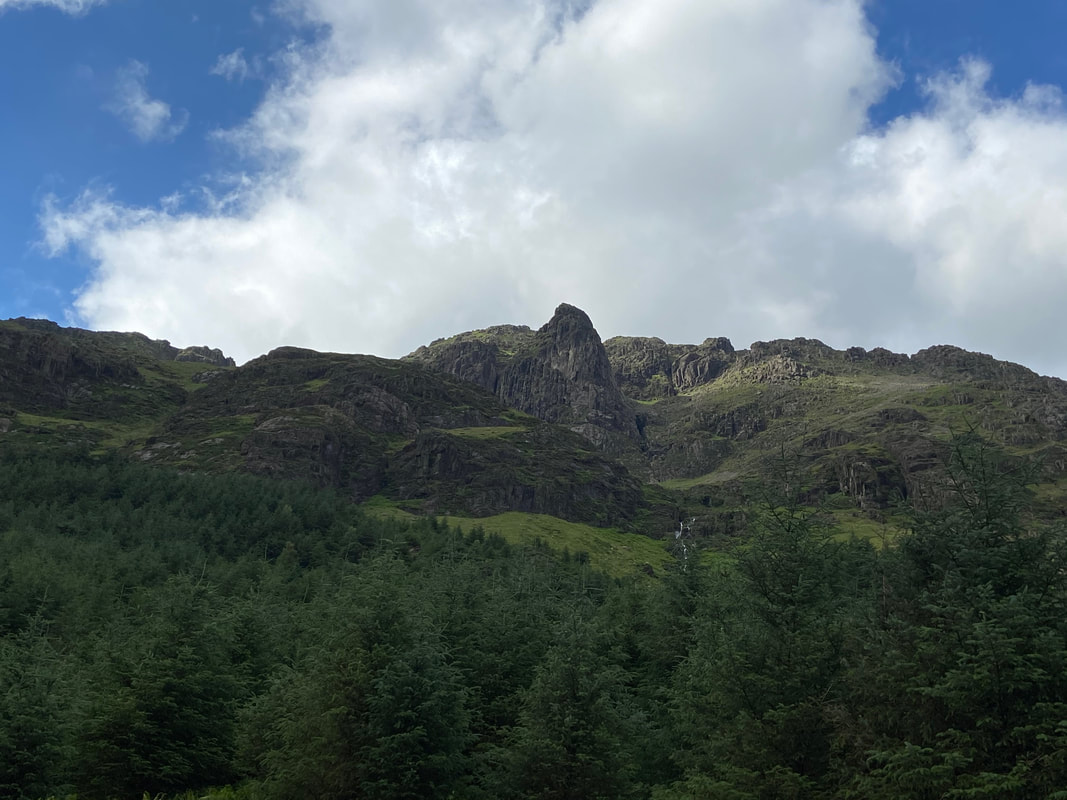
Looking directly up to Pillar Rock from the forest track
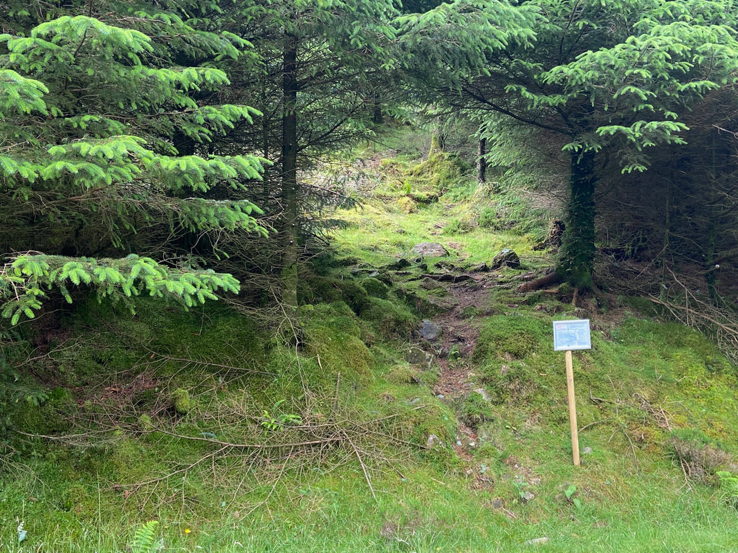
Blink and you will miss it. This is the path opposite the Memorial Bridge which we took in order to access the route to Robinson's Cairn. It should be noted that the sign advises of forthcoming forestry operations and therefore would not normally be there. The path can be located at Grid Reference NY 17549 13142.
Looking down to The Memorial Bridge from the forest track. The bridge crosses the River Liza over to the northern bank to give access either back to Bowness Knott or on to Black Sail Youth Hostel.
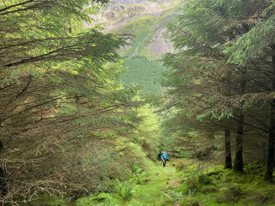
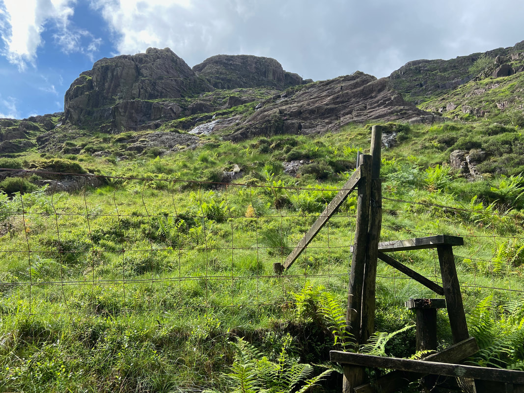
The path is readily apparent and climbs steeply up through a break in the trees.
Approaching the end of the steep path through the trees
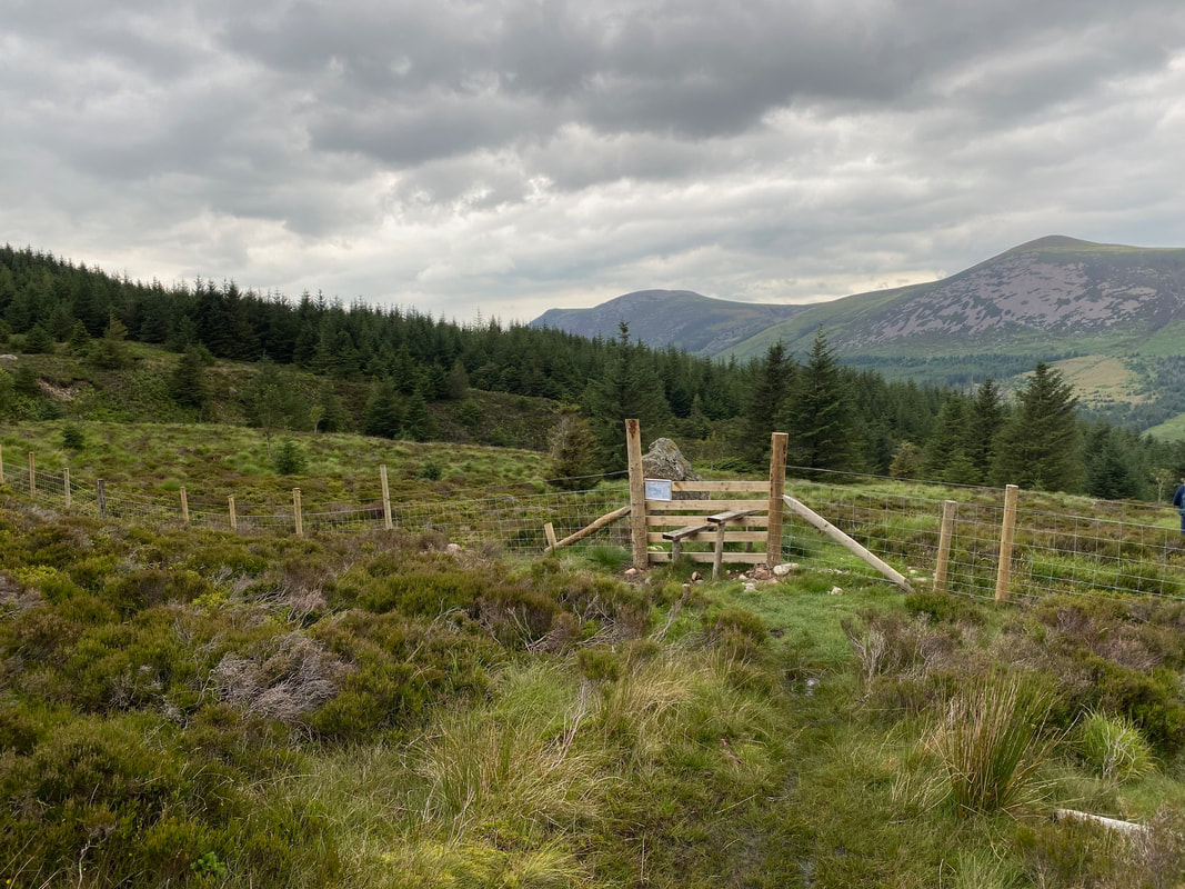
At the top of the tree line a stile is crossed to give access to the open fell side. The path is still readily apparent but you do need to concentrate in order to follow it.
Looking to High Crag & Gamlin End with Seat to the right
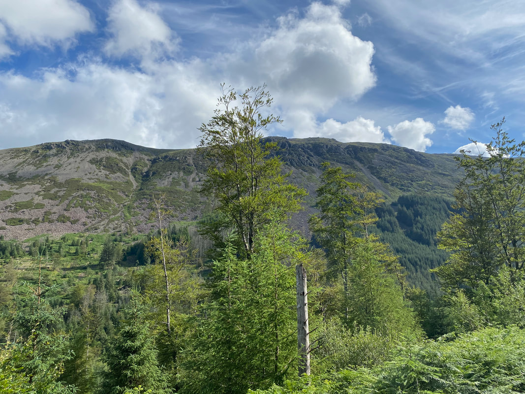
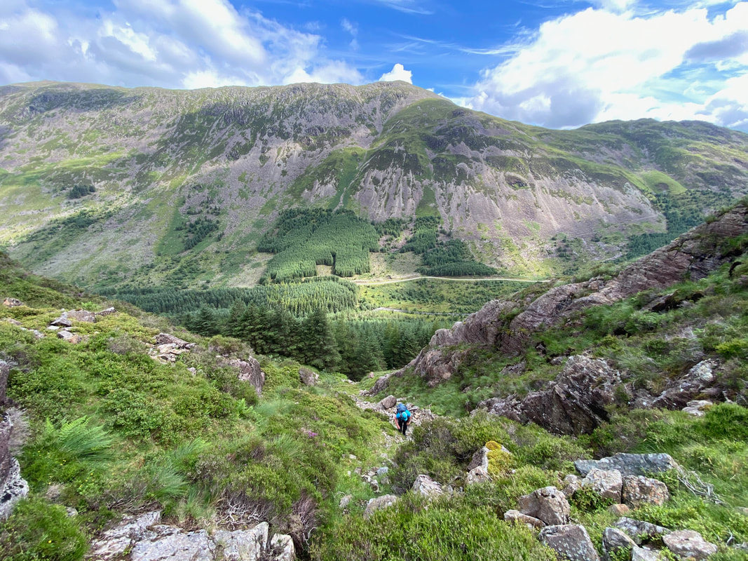
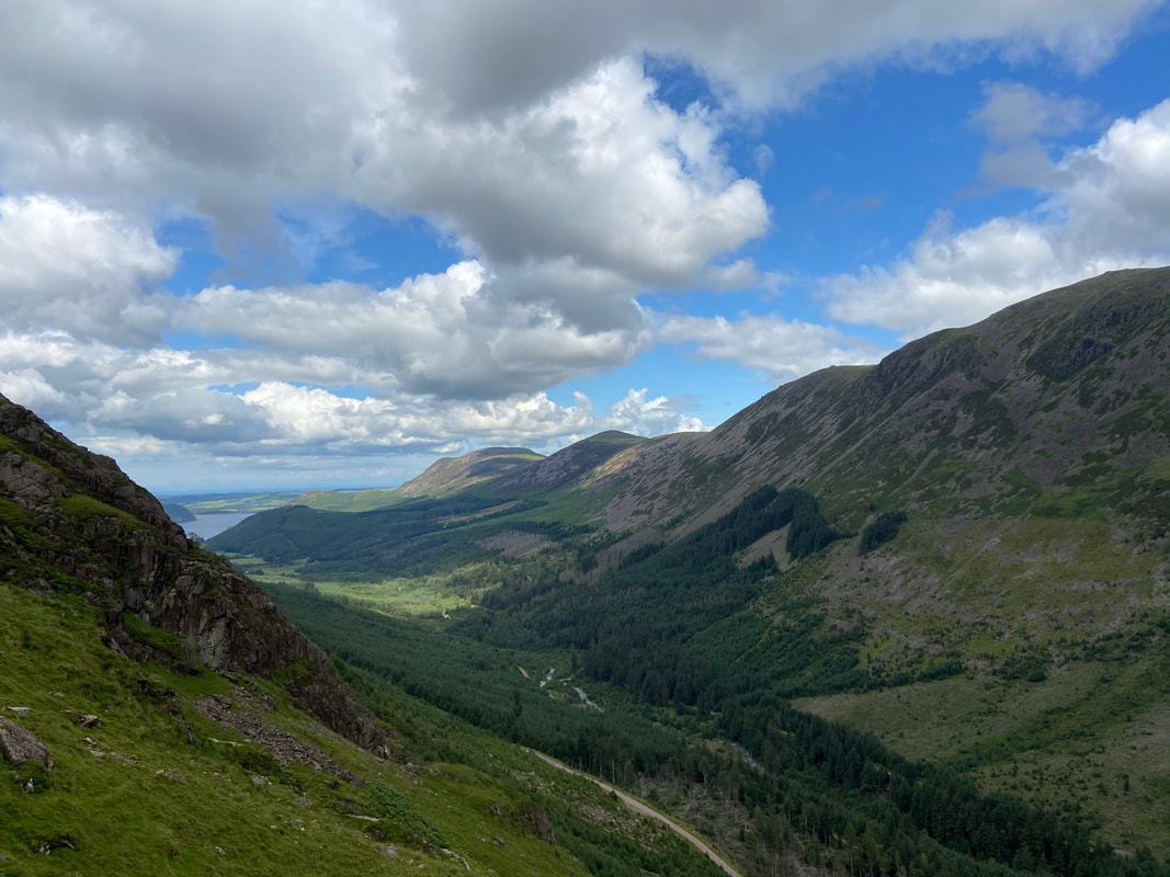
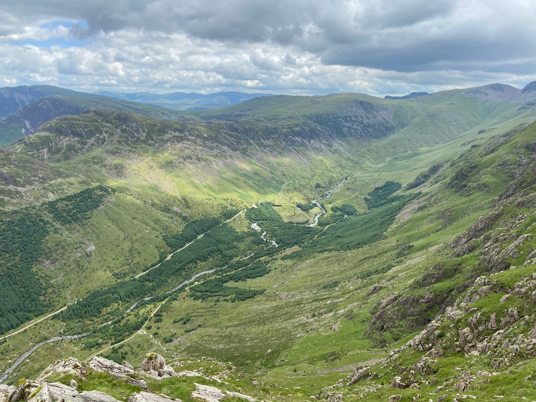
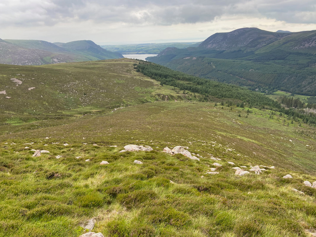
The Ennerdale Valley looking to Herdus, Great Borne, Starling Dodd, Red Pike & High Stile
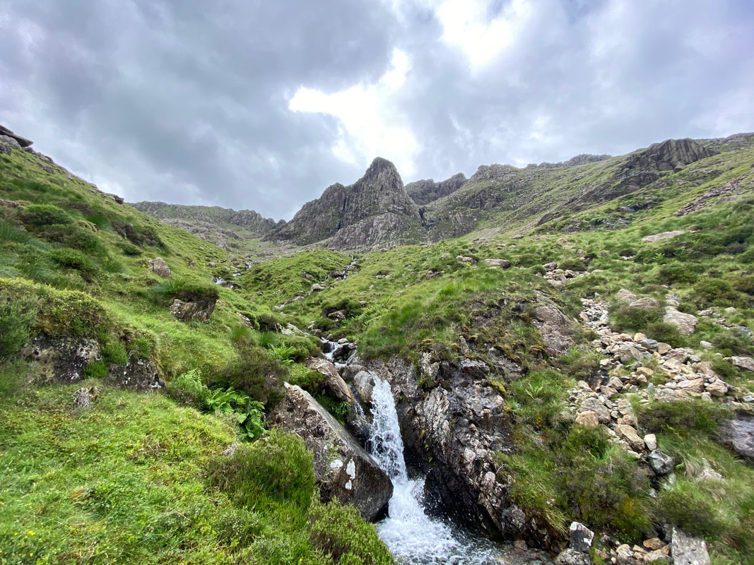
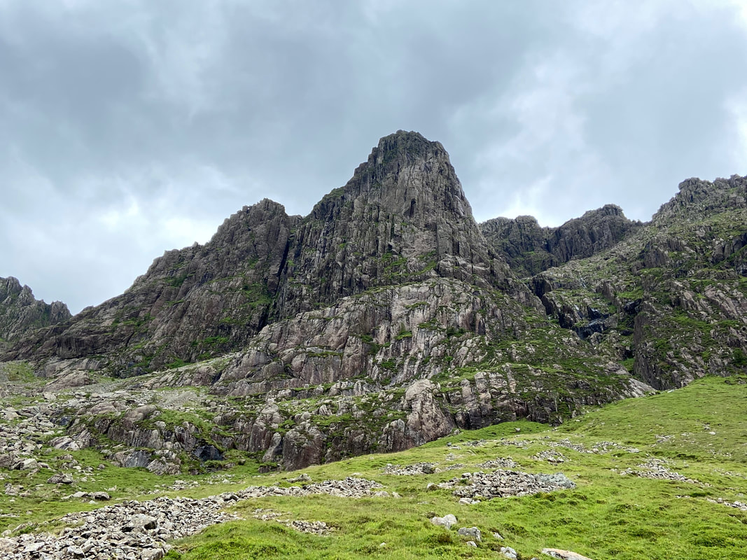
Pillar Rock as we arrive at Pillar Cove. The beck ahead is unnamed and is followed virtually all the way to Robinson's Cairn.
A closer view of Pillar Rock as we transit through Pillar Cove. This really is a fantastic place to be with the added bonus that nobody else is here.
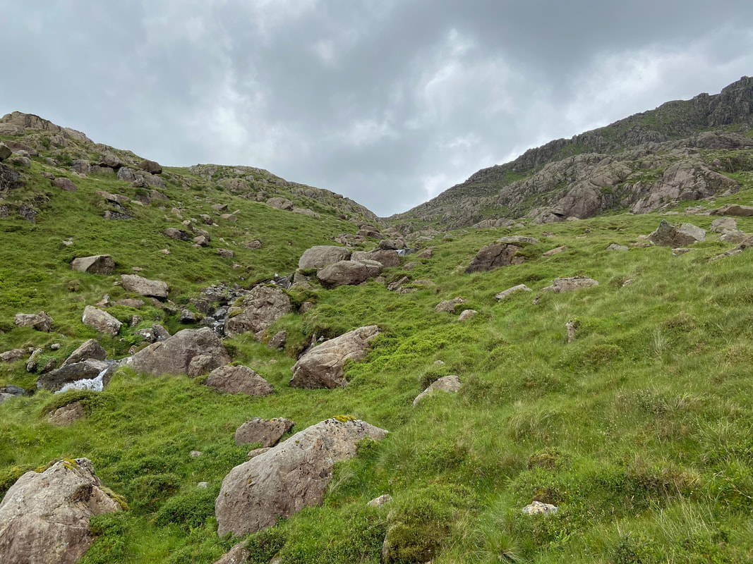
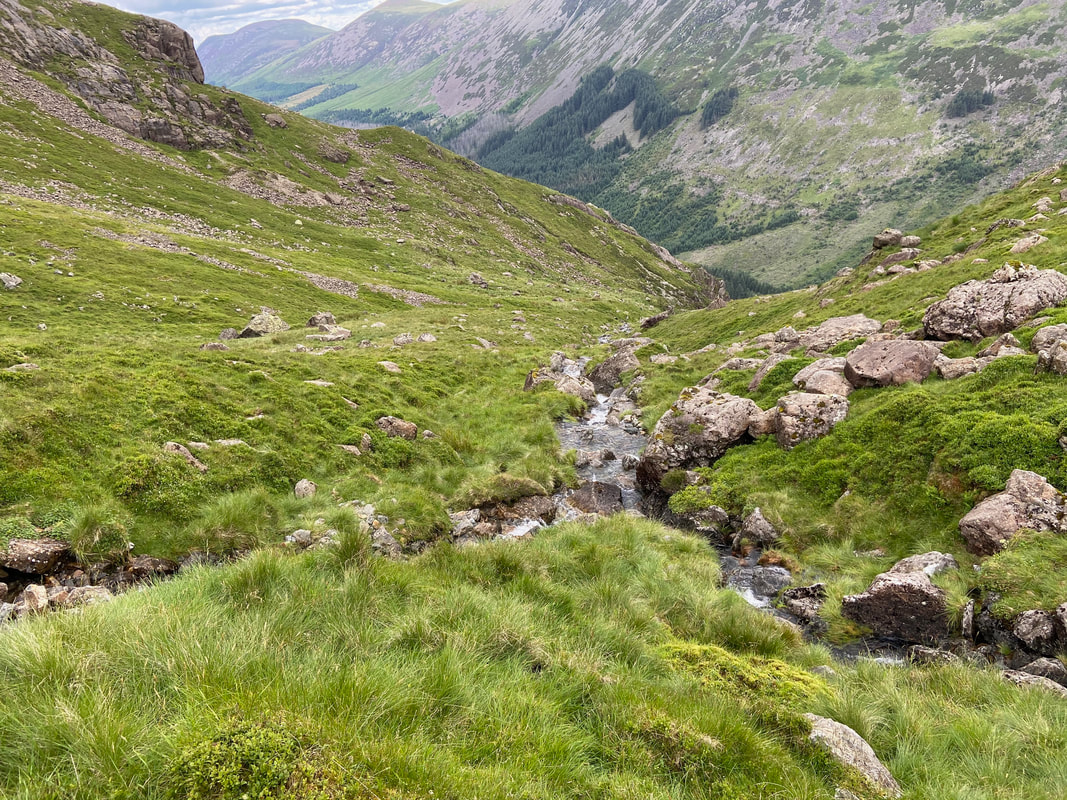
As we head through Pillar Cove we continued to handrail the beck as by this time the path had virtually disappeared.
At Grid Reference NY 17318 12594 the beck splits. To reach Robinson's Cairn we needed to follow the left hand beck (the right hand side as seen from the photo)
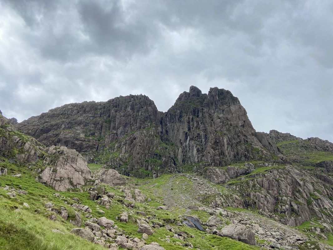
We really took our time transiting through Pillar Cove as the views over to Pillar Rock changed with every step.
Once through the cove we followed a grassy incline to reach Robinson's Cairn
The magnificent view into the Ennerdale Valley from Robinson's Cairn
A little further around to the east looking along the High Level Traverse below Pillar's northern face. Great Gable is left of centre with Kirk Fell & Looking Stead directly below it. Green Gable and Windy Gap are to the left of Great Gable.
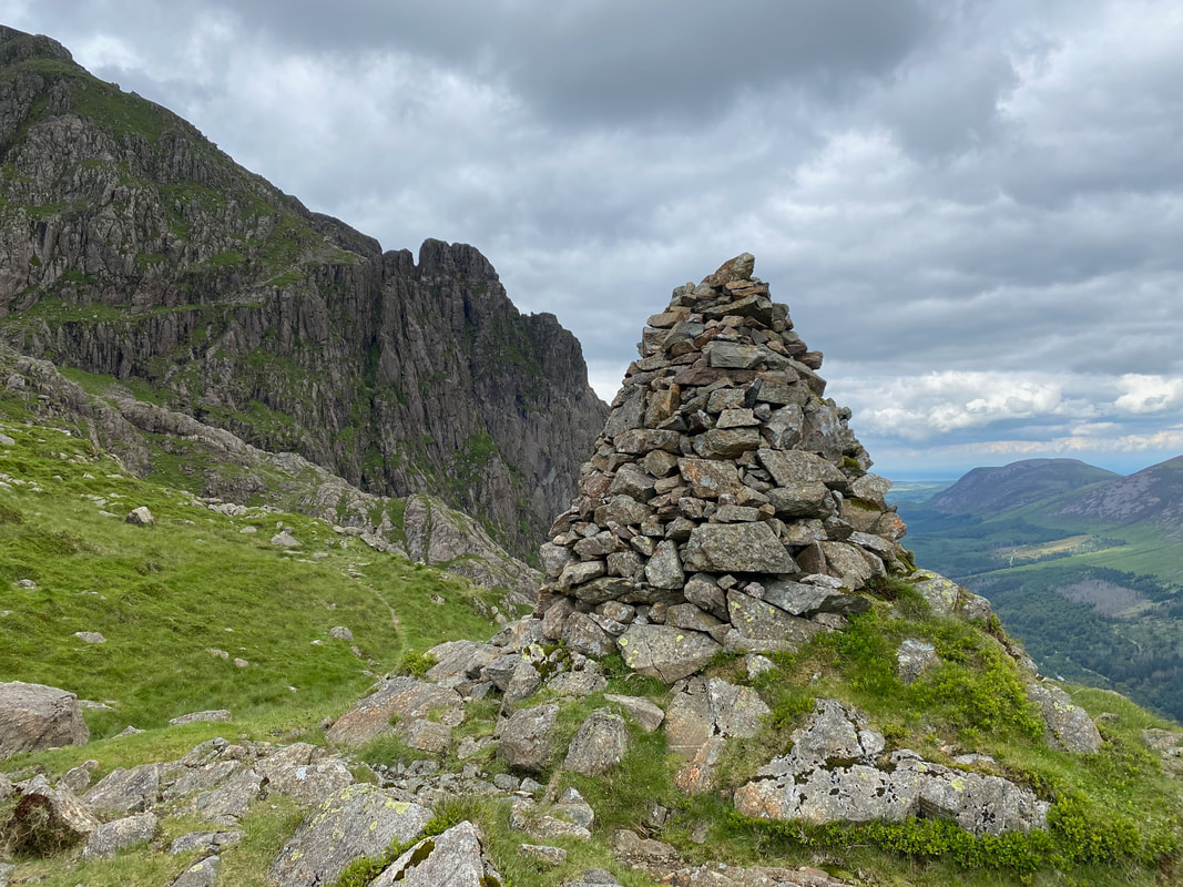
Robinson's Cairn looking to High Stile
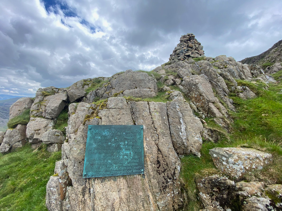
The memorial plaque below Robinson's Cairn. The cairn is a memorial to John Wilson Robinson, a pioneering rock climber and founder member of the Fell & Rock Climbing Club. The lower part of the inscription reads:
"We climb the hill from end to end
Of all the landscape underneath
We find no place that does not breathe
Some gracious memory of our friend"
"We climb the hill from end to end
Of all the landscape underneath
We find no place that does not breathe
Some gracious memory of our friend"
Robinson's Cairn looking to Pillar Rock. The continuation of the High Level Traverse path can be seen heading away and this would be our route to the Shamrock Traverse. The High Level Traverse starts near Looking Stead and is a fantastic transit to Pillar - a link to a walk along this route can be found here.
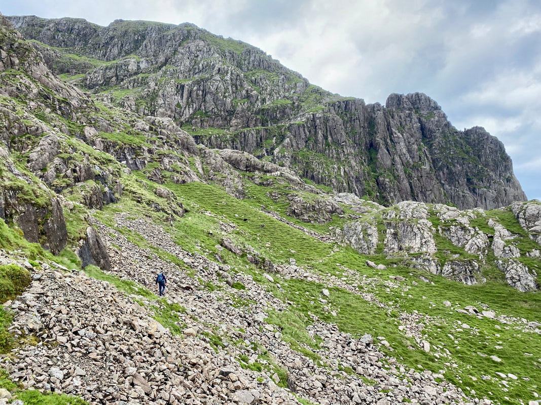
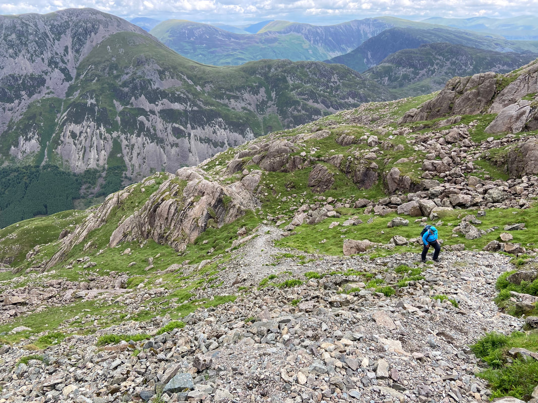
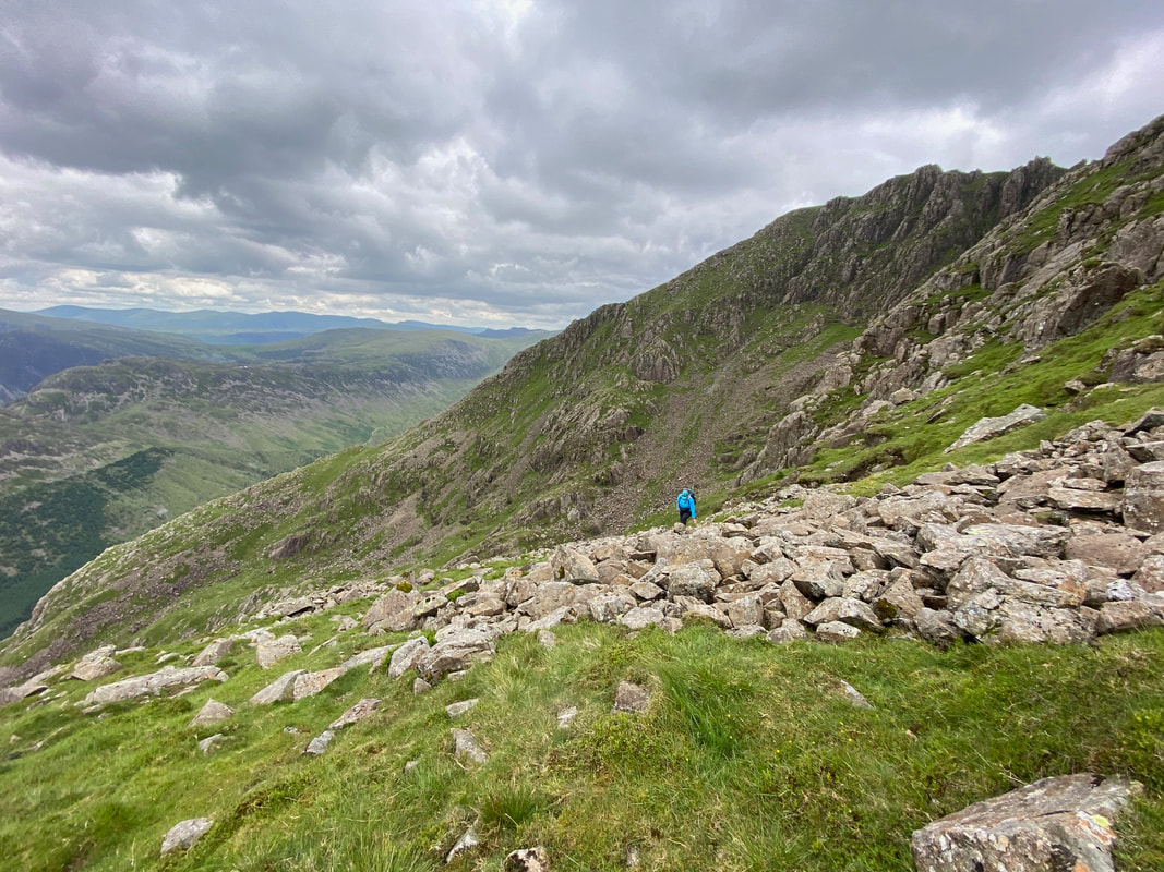
Heading across the latter part of the High Level Traverse towards the Shamrock Traverse. The terrain is bouldery but not overly difficult to cross.
Looking back along the bouldery transit from Robinson's Cairn
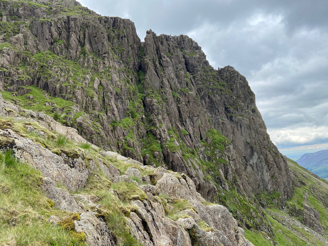
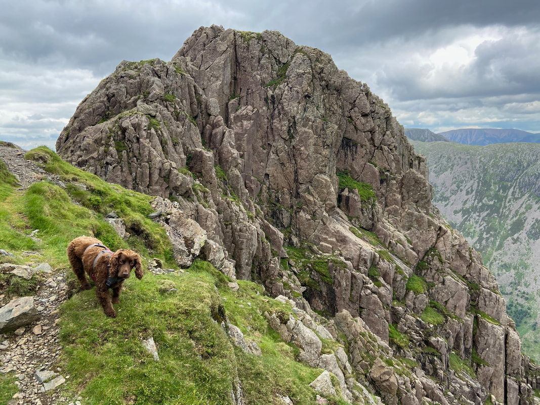
A closer look at the magnificence of Pillar Rock from the start of the Shamrock Traverse. The route from here headed left of shot and then cut back along a shelf across Shamrock Crag to reach Pillar Rock.
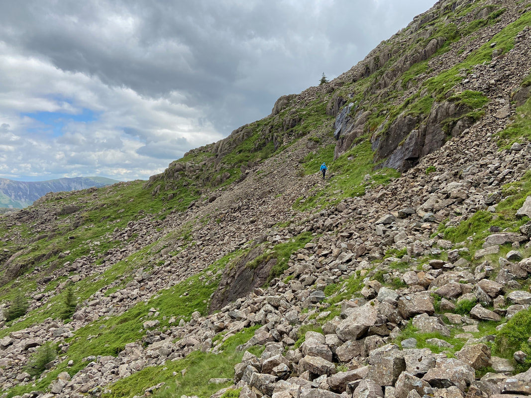
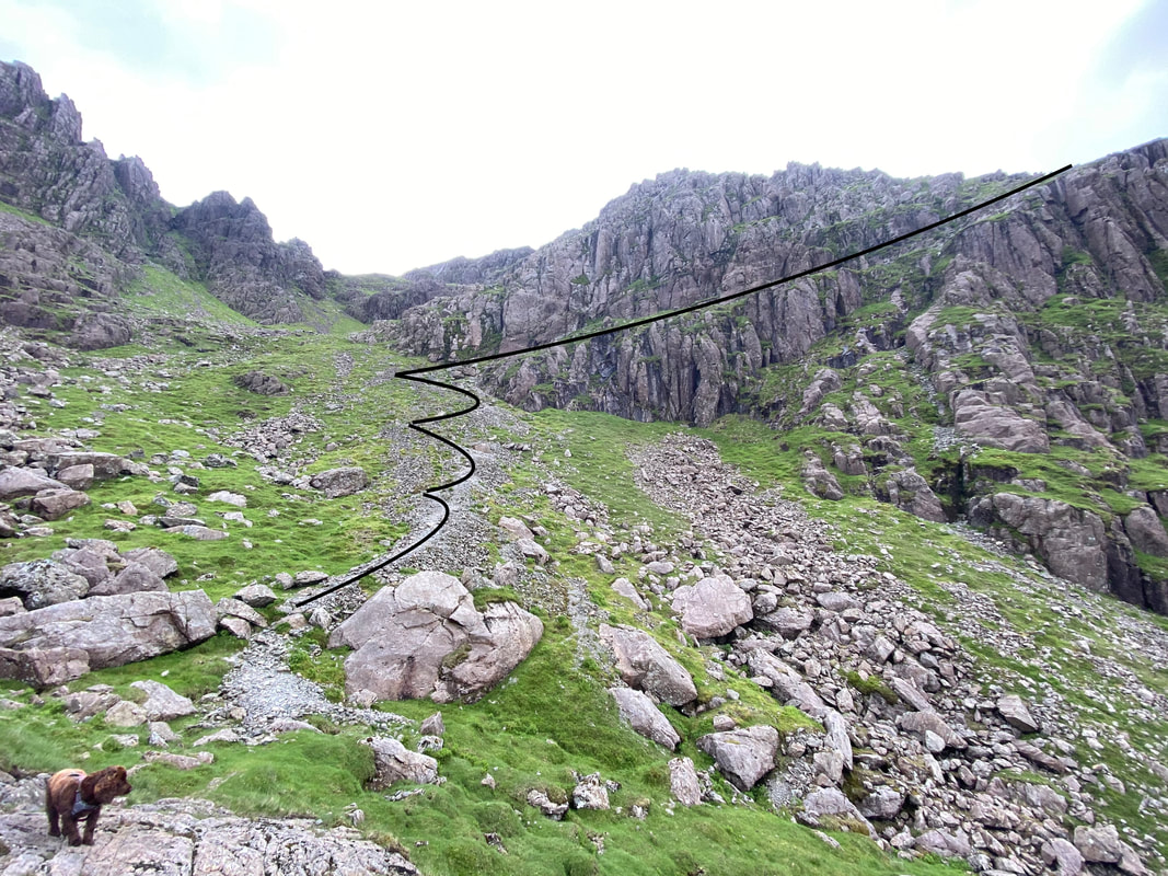
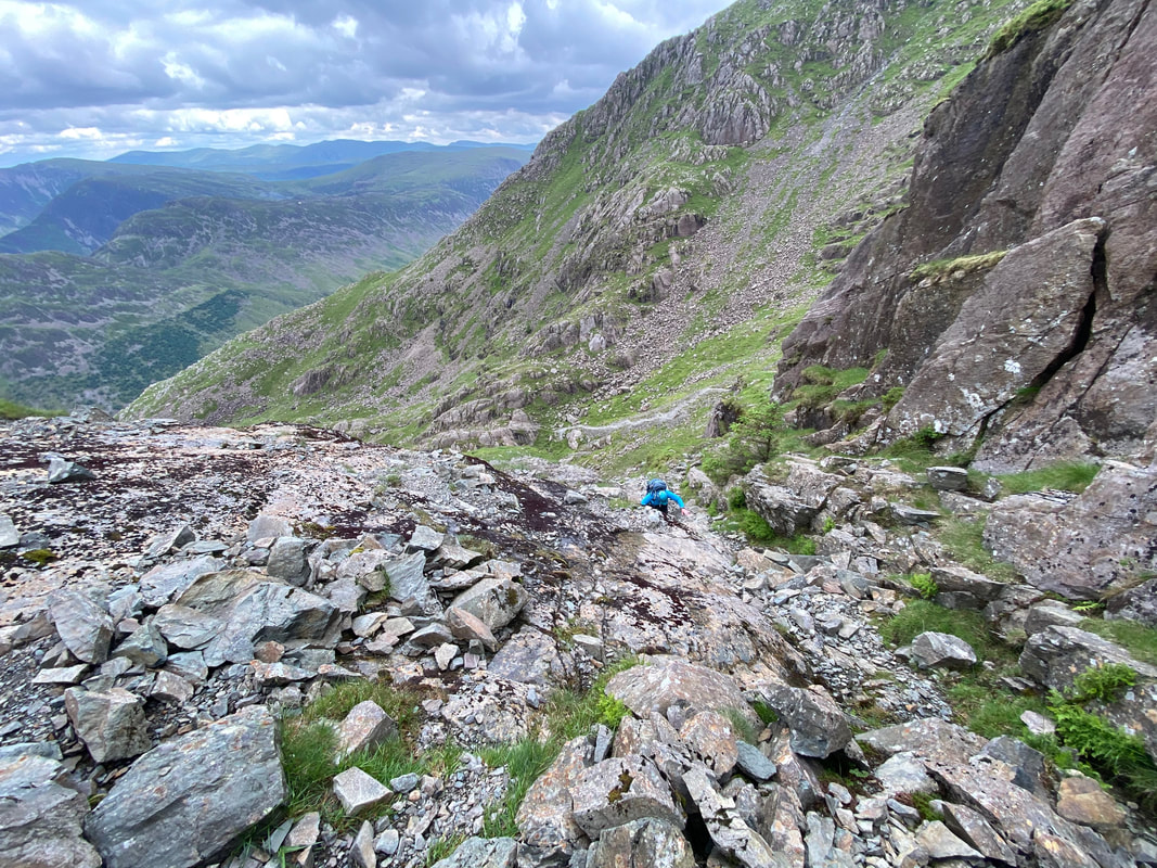
The scree path leading to the start of the Shamrock Traverse. The zig zag route up to the narrow shelf is highlighted as is the transit along the path once up on the traverse. Poor old Fudge looks like he is wondering who has put horrible black paint all over the path.
Angie on the scree path
Whilst the shelf is narrow in part it is not overly difficult to cross. However this sloping section of tilted slabs requires great care if the rock is wet (as it was today).
Once the tilted slabs are negotiated there is a short scramble up a narrow gully.
There is another short transit across a small boulder field before the final part of the walk to the base of Pillar Rock
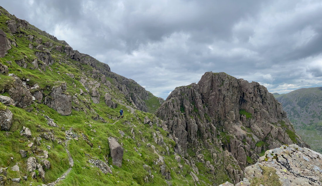
The final part of the transit on the Shamrock Traverse is along another narrow path.
The end of the Shamrock Traverse at Pillar Rock. This really is an amazing sight when you are stood right by it. As Wainwright stated in Book 7, Pillar Rock is "a conspicuous feature on the north face directly below the top, the most handsome crag in Lakeland" (Pillar 2)
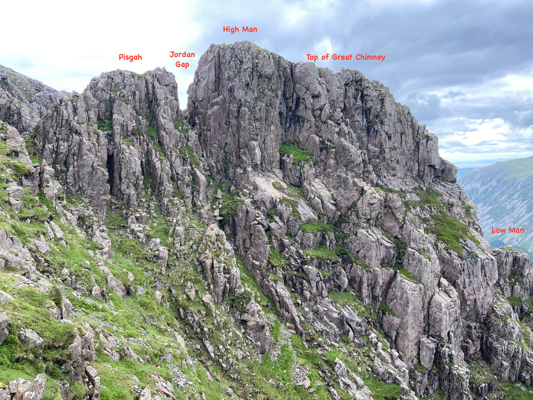
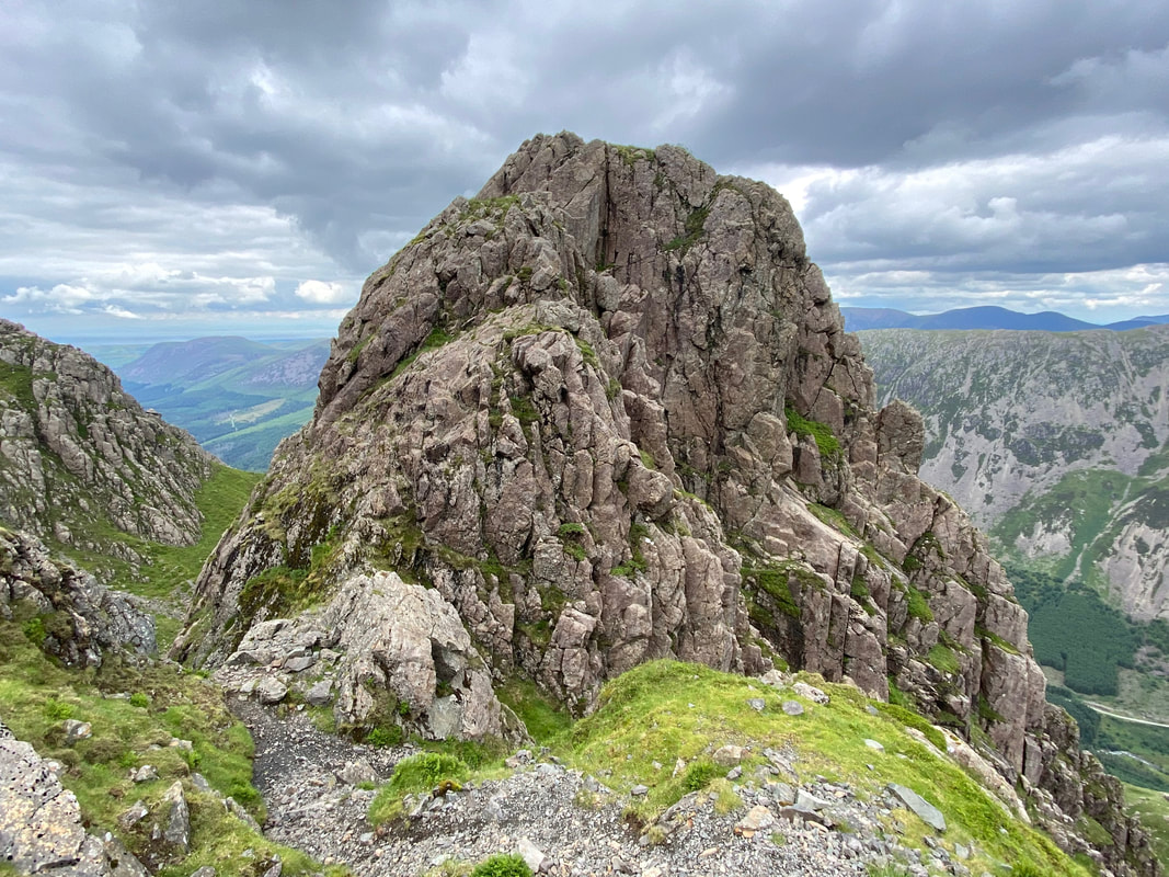
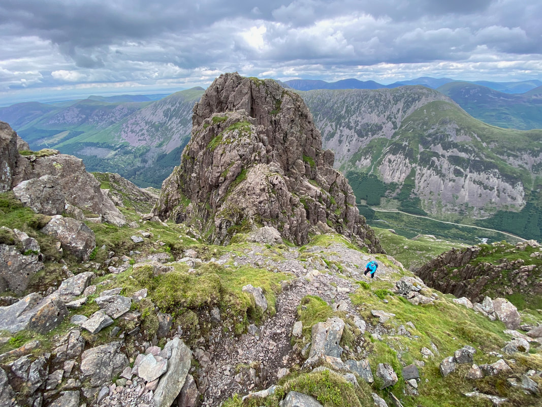
Looking to Pillar Rock from the base of the Shamrock Traverse. The picture makes the route over to the summit on High Man look an absolute doddle. However, Pillar Rock is strictly off limits to walkers and should only be attempted by experienced climbers with the correct equipment.
A view of Pillar Rock from a little further up as we ascend the last 300 yards to the summit of Pillar. Pisgah is to the front with High Man behind. The sloping slab of the climbers popular "Slab & Notch" route can be seen a bit clearer on the right.
It is almost 200 years since Pillar Rock was first climbed by Ennerdale man John Atkinson in 1826. Prior to that it had been deemed inaccessible. In the early 19th century it became widely known as one of the wonders of the Lake District, chiefly due to it featuring in William Wordsworth's poem "The Brothers"
You see yon precipice, it almost looks
Like some vast building made of many crags
And in the midst is one particular rock
That rises like a column from the vale
Whence by our Shepherds it is call'd, the Pillar
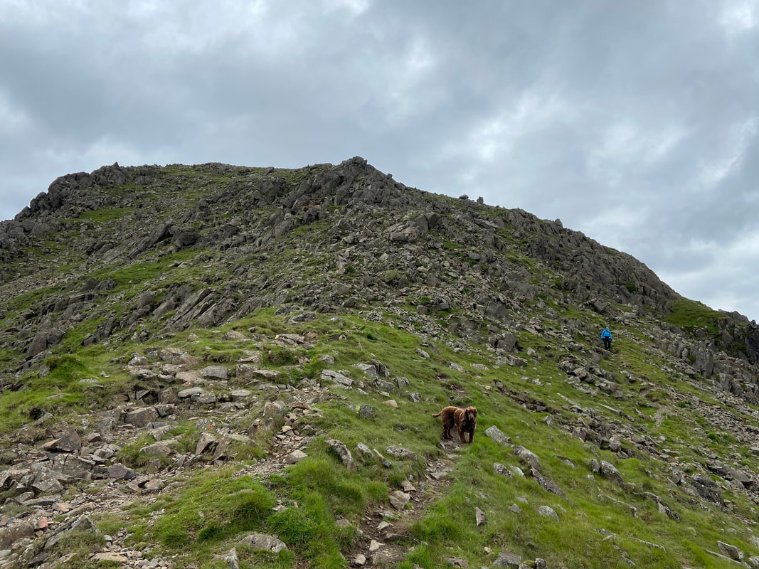
The final 300 yards or so from Pillar Rock to the summit of Pillar are on a steep and stony path
Looking back to the final part of the Shamrock Traverse
At last the steepness gives way to a gentle incline as the summit plateau of Pillar is reached
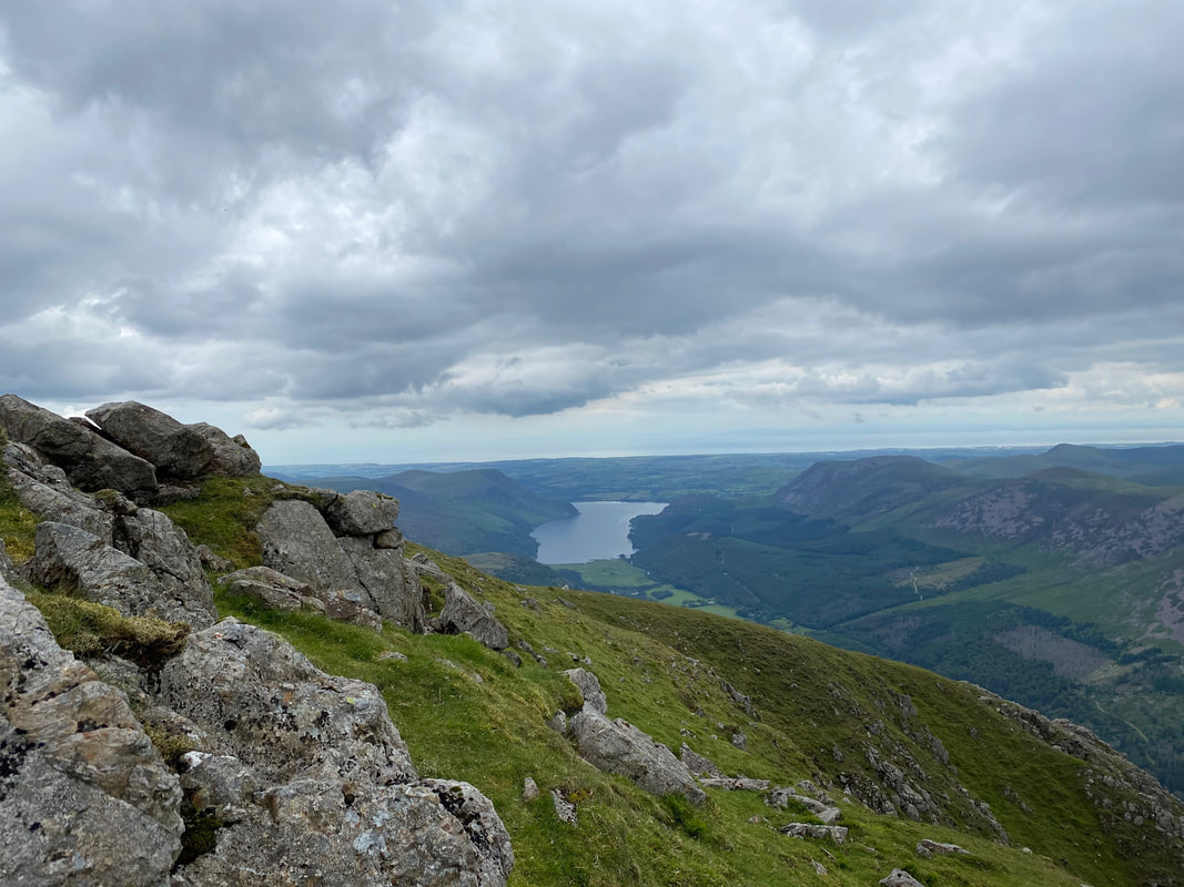
Ennerdale Water. The start of todays walk, Bowness Knott Car Park is at the far end of the lake on the right
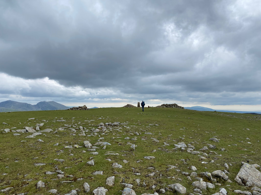
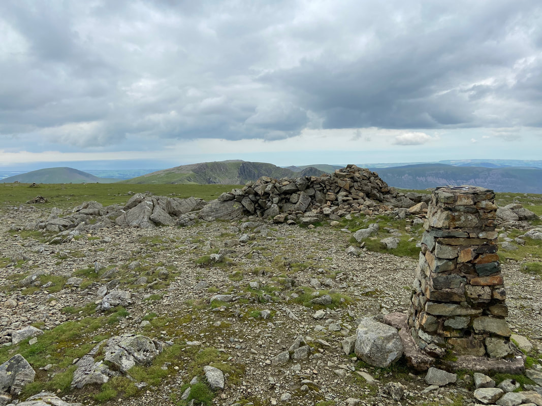
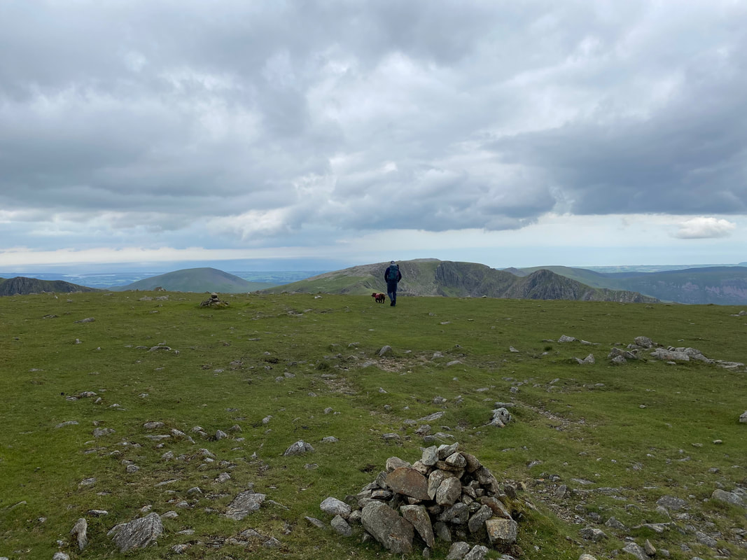
The vast grassy summit of Pillar. For first time visitors this must be a puzzling sight as when viewed from afar the mountains rugged appearance suggests the top to be much craggier than it actually is.
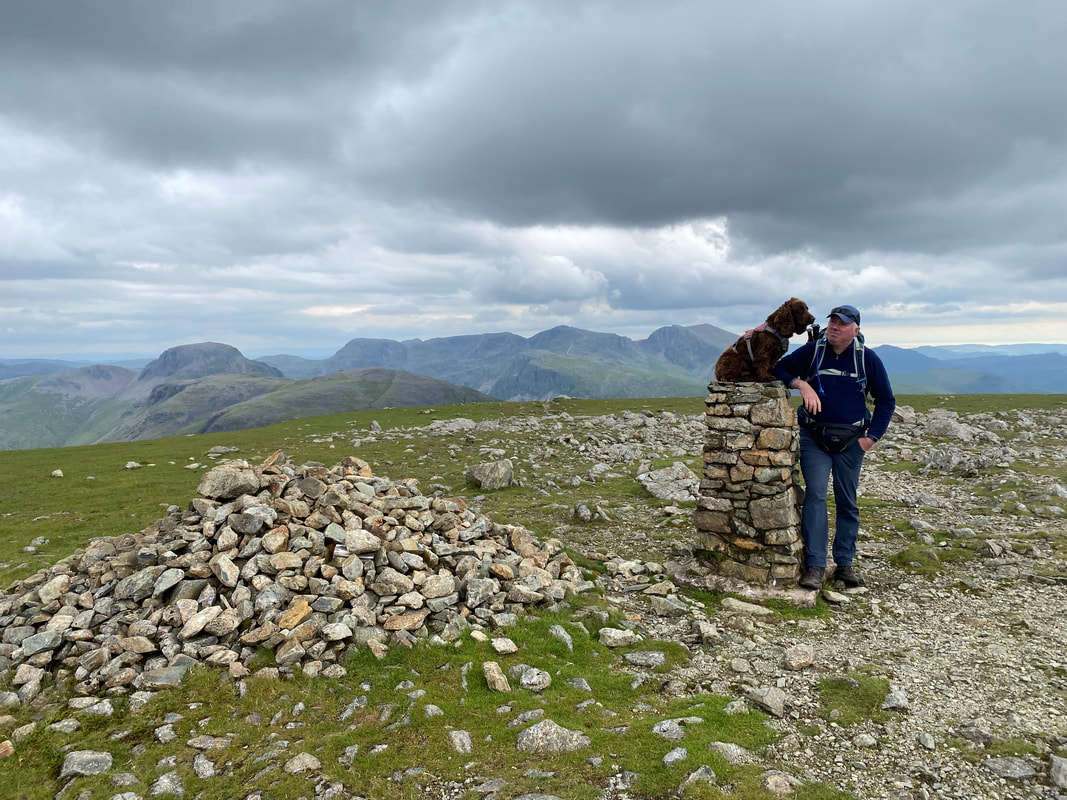
With my mate on the summit of Pillar
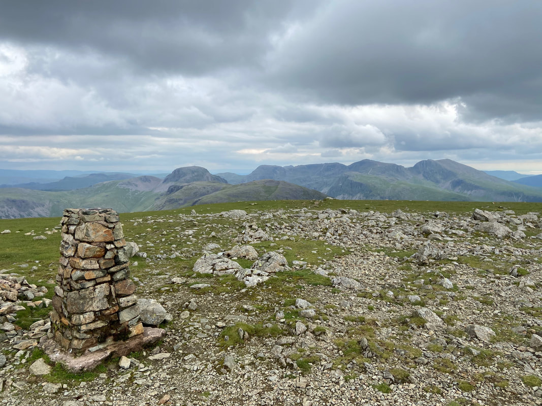
The summit of Pillar looking over to the Scafells to the right with Great Gable centre left
The summit of Pillar looking to Seatallan, Scoat Fell & Steeple
We were now off to Scoat Fell via Wind Gap & Black Crag.
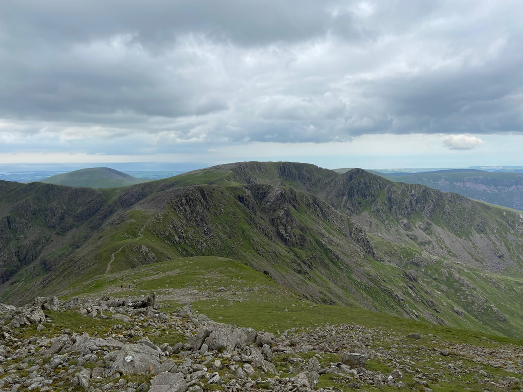
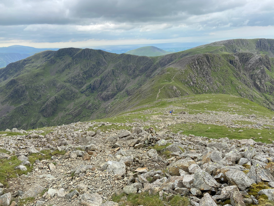
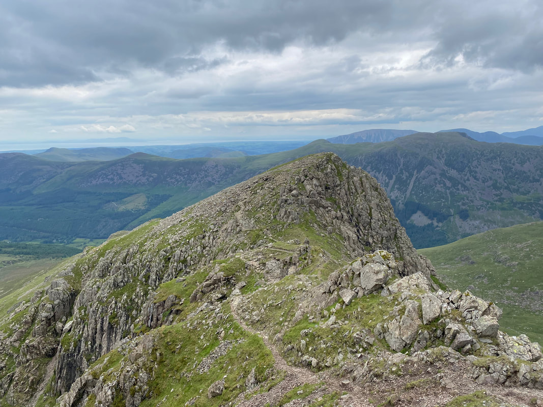
Descending to Wind Gap is extremely rocky but gives great views to Black Crag, Scoat Fell & Steeple
The Wind Gap descent from Pillar looking to Black Combe, Red Pike, Seatallan, Black Crag & Scoat Fell
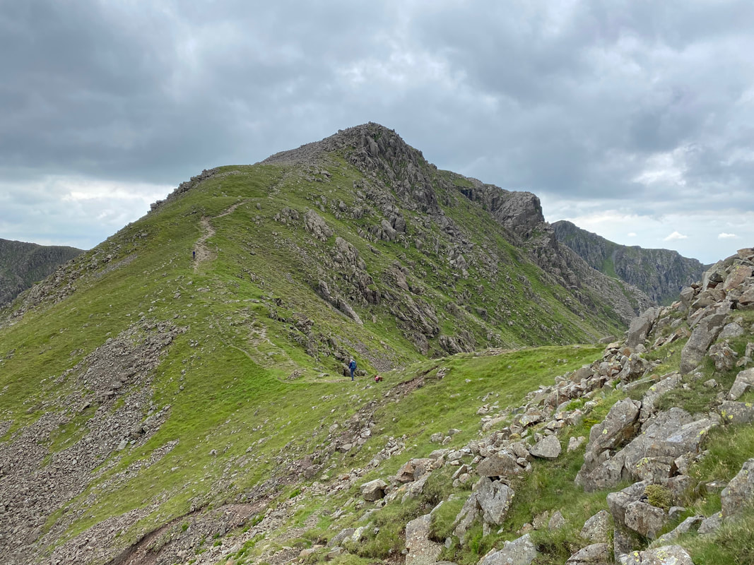
Wind Gap and the short but steep ascent to Black Crag
The rocky descent to Wind Gap from Pillar
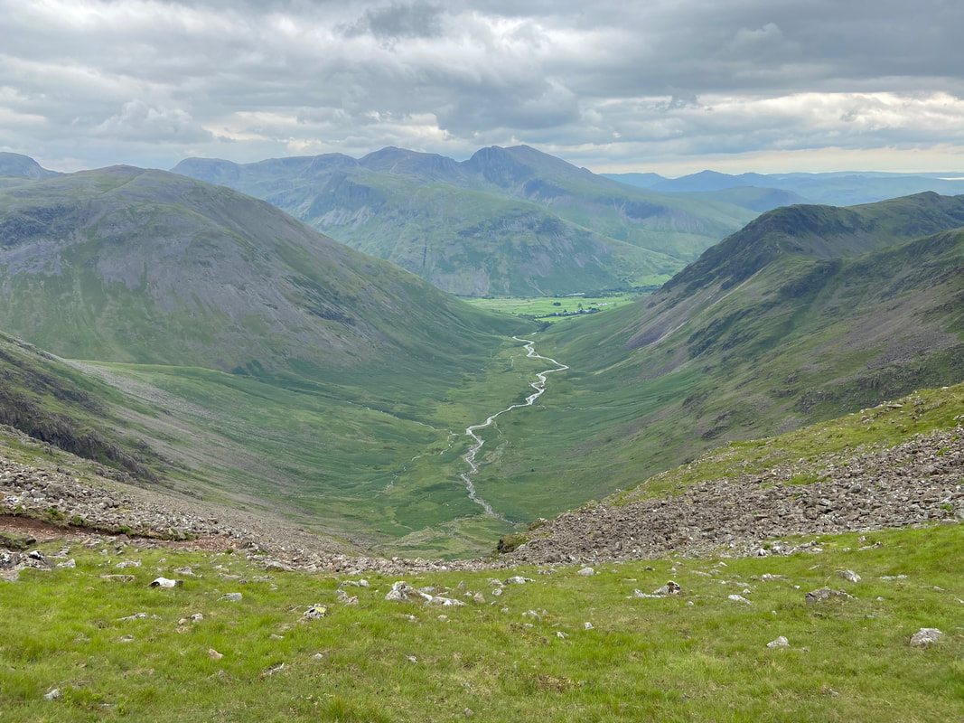
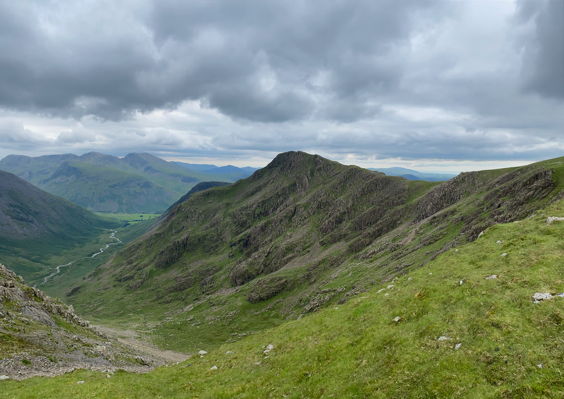
Mosedale from Wind Gap. To the left is Kirk Fell with the Scafells in the centre and Yewbarrow to the right.
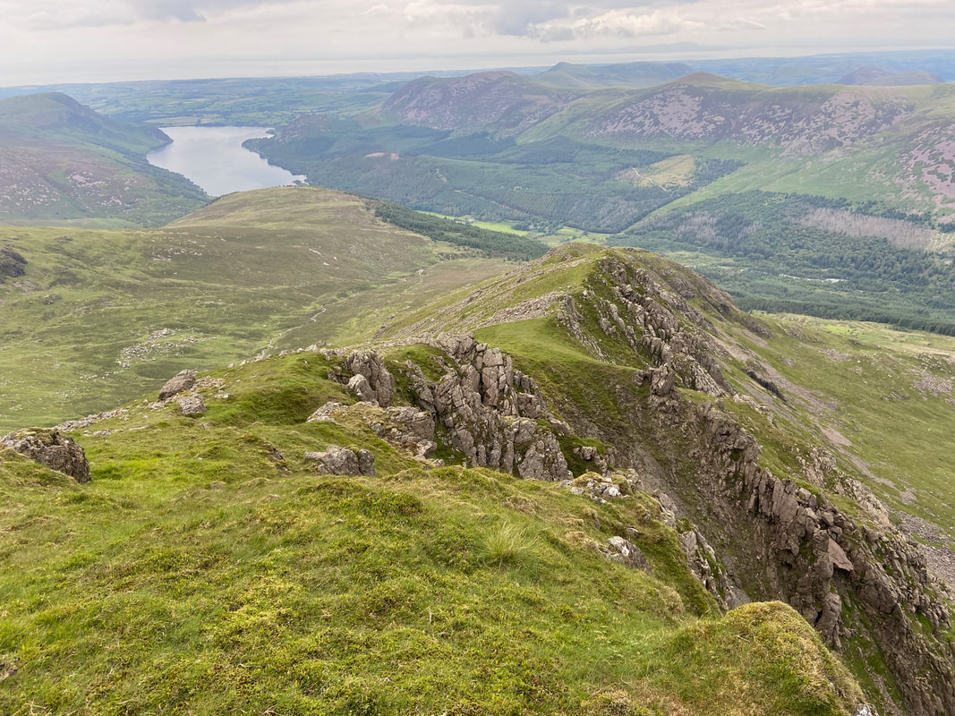
Our descent from Pillar from the ascent of Black Crag
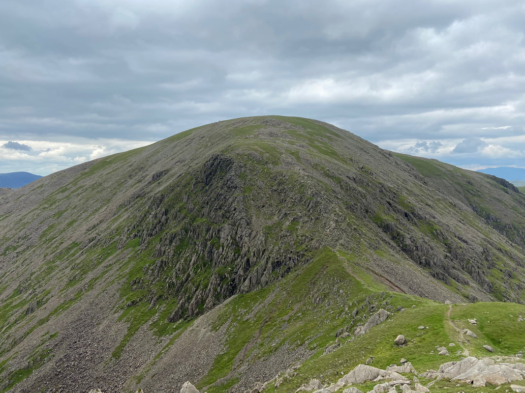
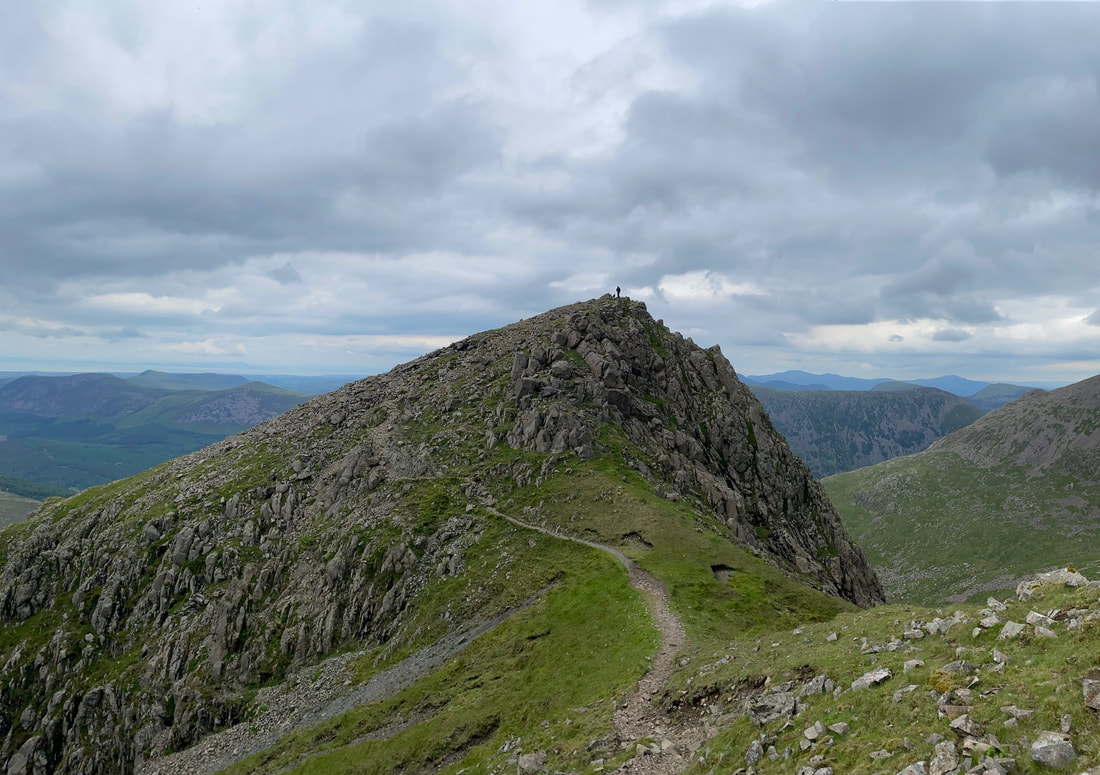
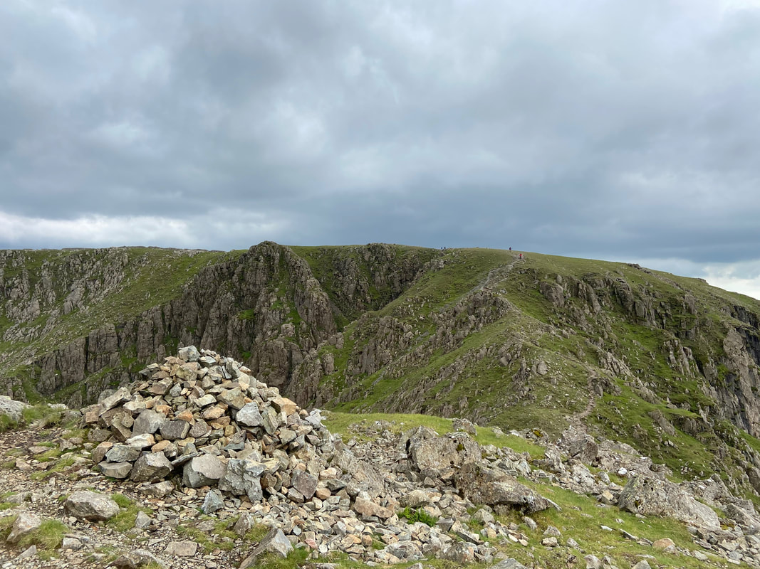
The summit of Black Crag
From Black Crag to Scoat Fell is via a carpet of grass to just before the summit when the final few yards are over large boulders
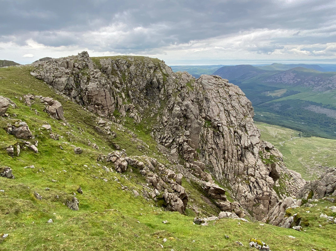
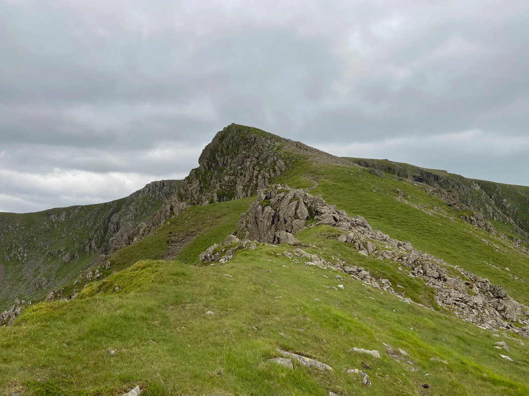
A craggy outcrop on Black Crag
Red Pike above Mosedale
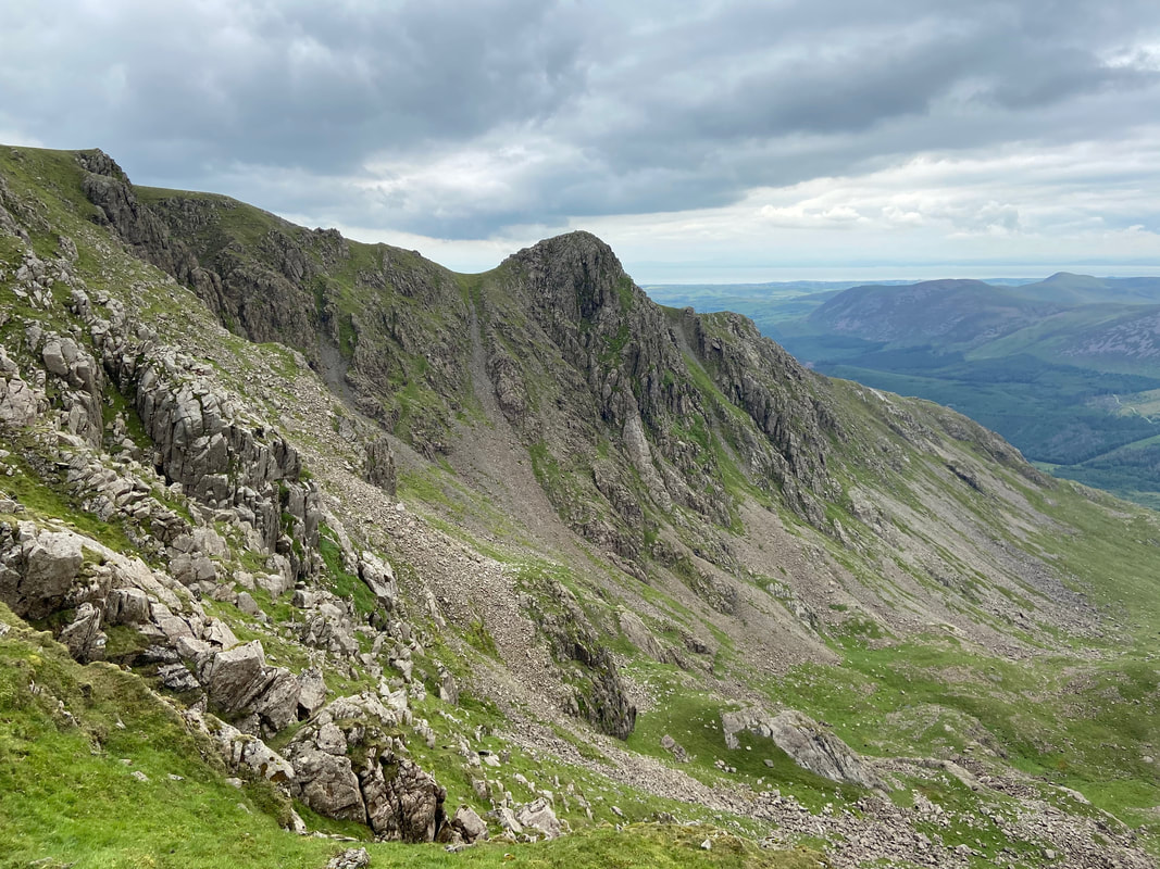
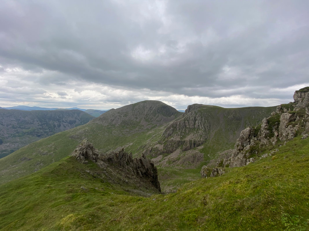
Steeple across Mirk Cove
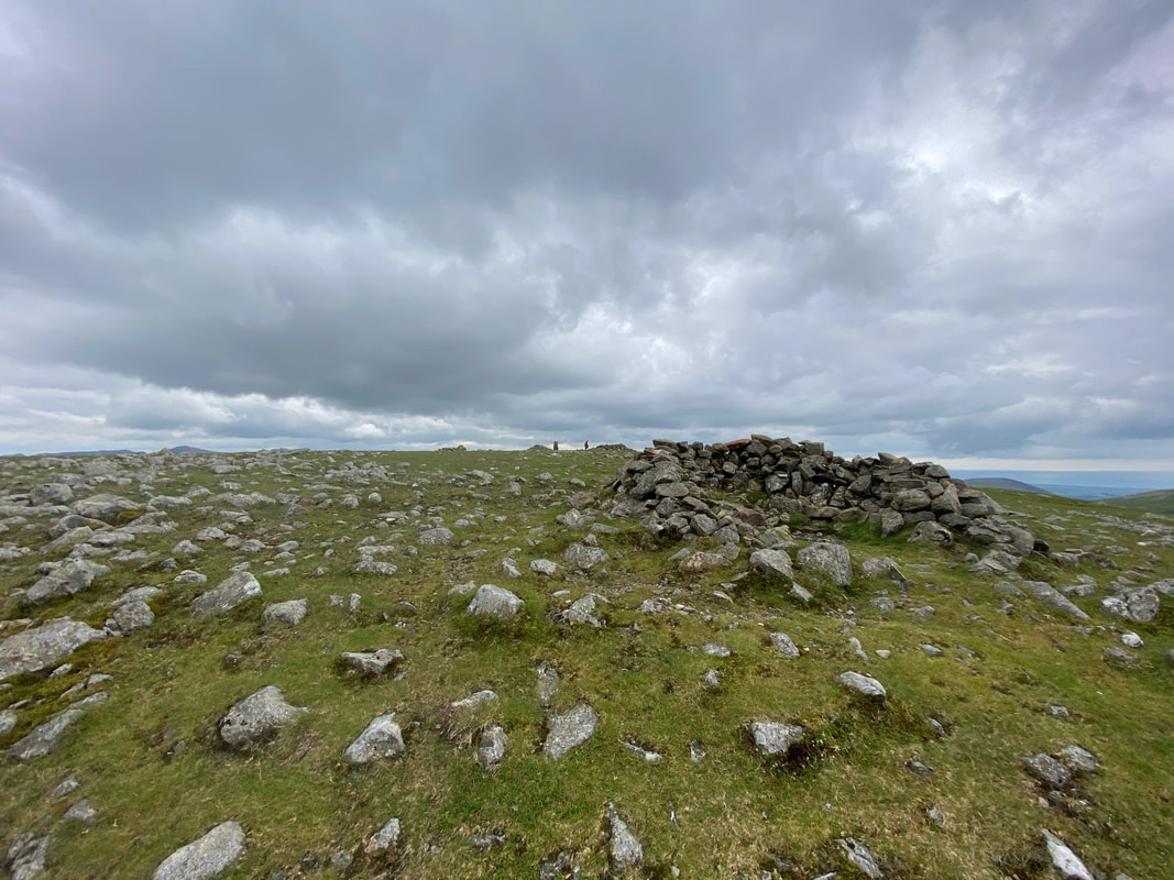
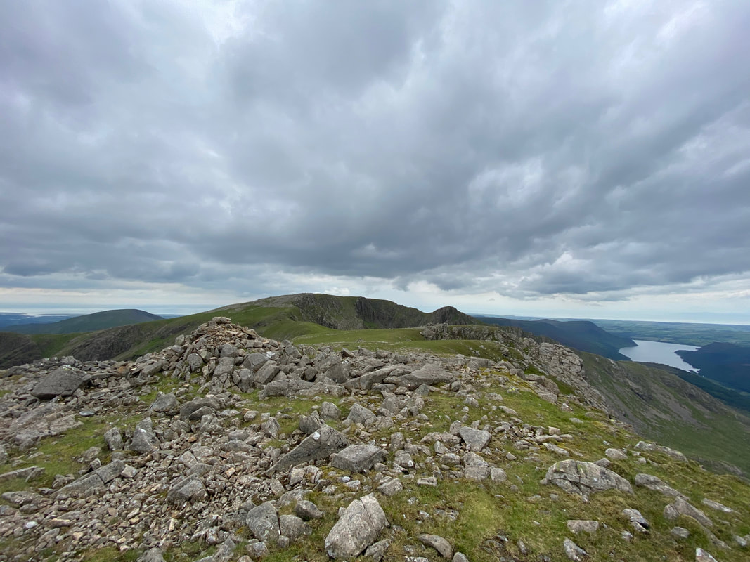
The summit of Scoat Fell
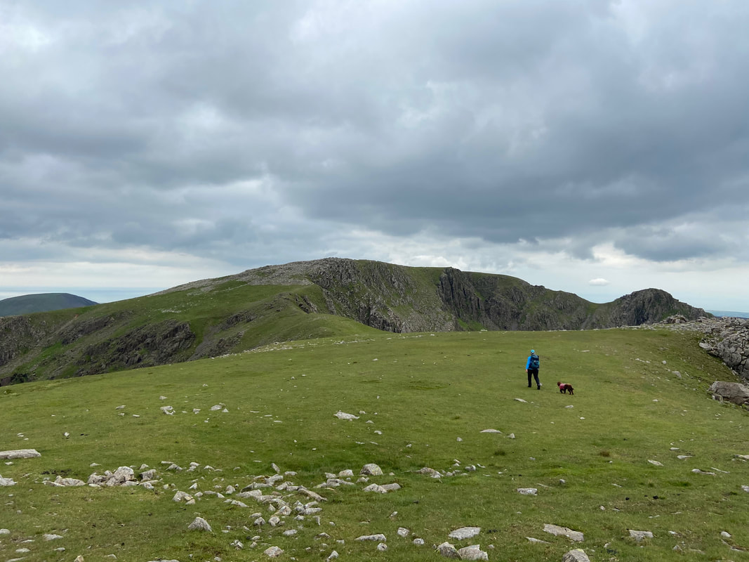
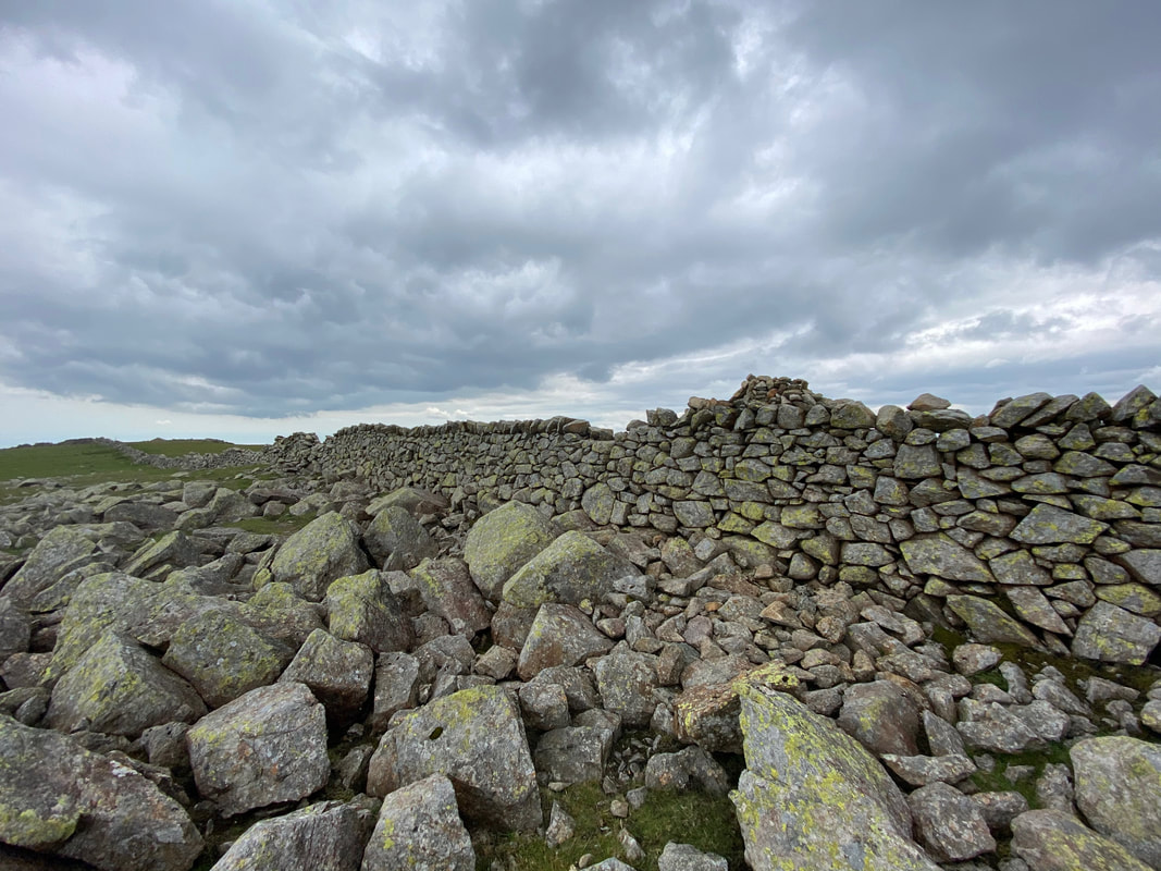
From Scoat Fell the wall is crossed and a path heads around to the right to reach Steeple. Later we had a chat with the couple who can just about be seen on the summit of Steeple - they were off to Pillar next which held special memories for them as that's where he proposed to her a few years ago - awwwwww!
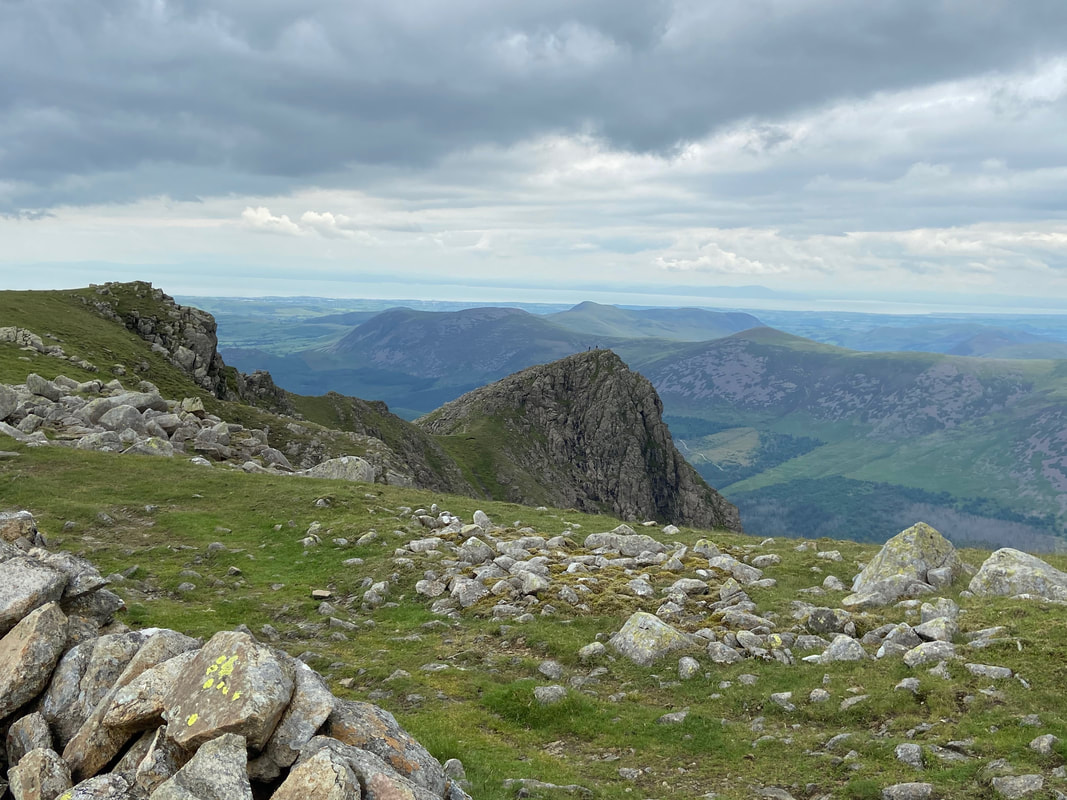
Steeple. From Scoat Fell the path looks pretty daunting but it is easy enough
With Fudge on the summit of Steeple - Angie would join me shortly
Looking back to Scoat Fell from Steeple's summit as Angie makes her way over to me
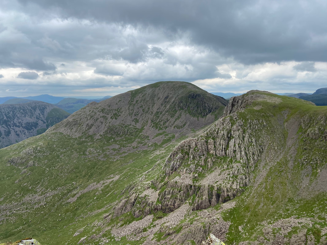
Pillar & Black Crag across Mirk Cove from the ascent of Steeple
The summit of Steeple looking to Scoat Fell. Wainwright said of the summit in Book 7 - "This is a thrilling spot. One's feet are on the ground but one's eyes see as from a cloud in the heavens" (Steeple 6)
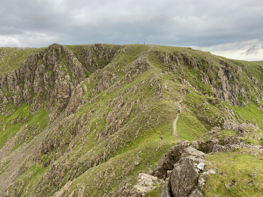
Only one way off unless you are going back they way you came and that is down to Ennerdale via the north ridge
Pillar from Steeple's north ridge on Long Crag
Steeple from Long Crag
Descending Steeple back to Ennerdale. Whilst the going is steep at the start, the gradient does ease for the last two thirds of the descent. Just before Low Beck we turned to the right to locate a stile into Ennerdale Forest which would take us down the eastern side of the beck back to the forest track.
And here it is - the stile enabling access into Ennerdale Forest and our path back to the valley floor. The stile can be located at Grid Reference NY 14892 12930.
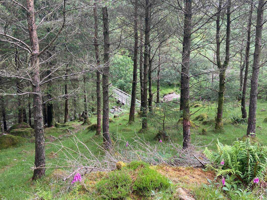
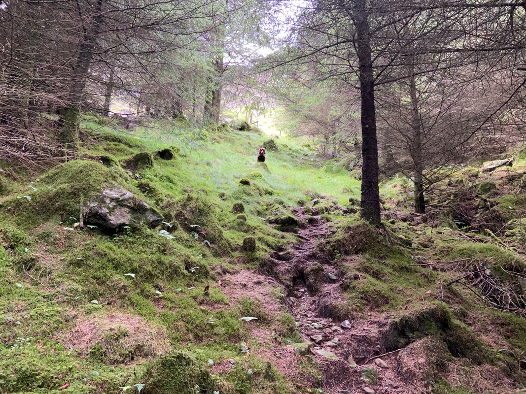
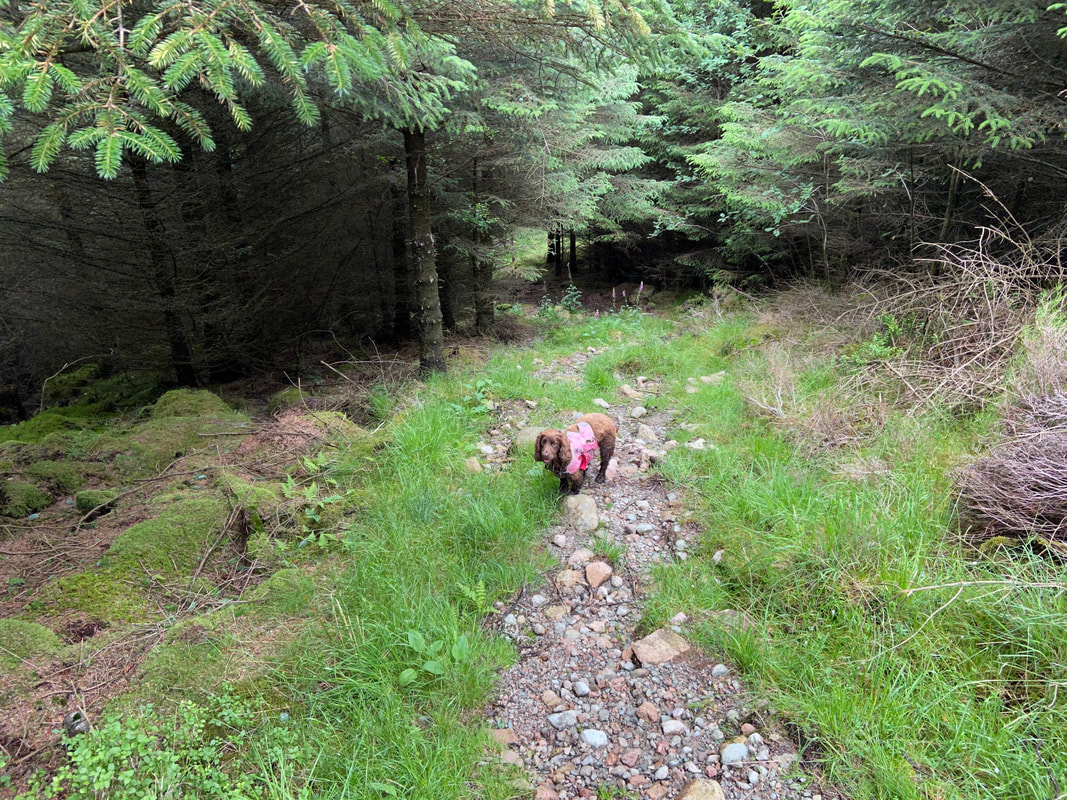
On the forest path - the going was steep but on a good path for the most part with a few boggy sections
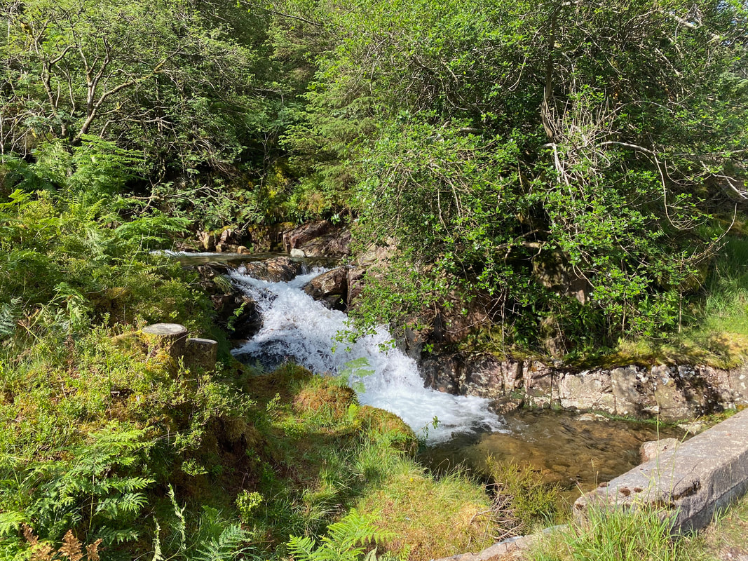
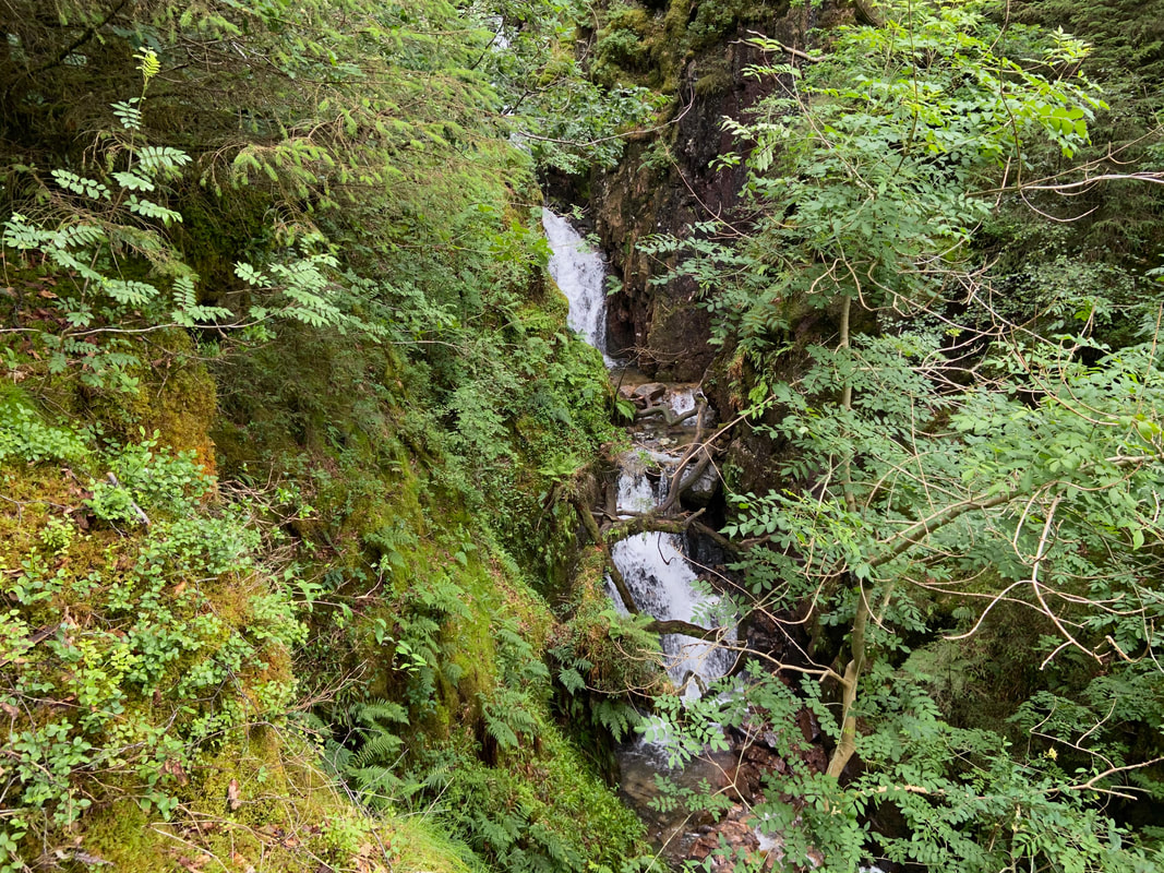
As we handrailed the path alongside Low Beck a slight detour gave us a view of this beautiful waterfall
Emerging from the forest at last we were now back on our outward route. The path exits the forest at Grid Reference NY 15142 13732.
Fudge still fresh as a daisy as we cross Woundell Beck on our way back to Bowness Knott Car Park
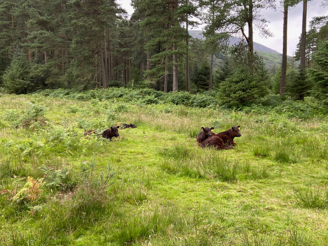
Cow creche
