Blencathra & Mungrisdale Common - Tuesday 18 October 2022
Route
Blencathra Centre - Blease Fell - Knowe Crags - Gategill Fell - Blencathra (Hallsfell Top) - White Cross - Atkinson Pike - Foule Crag - Mungrisdale Common - Cloven Stone - The Stake - Cumbria Way - Roughten Gill - Blencathra Centre
Parking
Parking Area (Free) just north of the Blencathra Centre - Grid Ref NY302257 (Nearest Post Code CA12 4SG).
Mileage
8.4 miles
Terrain
Good mountain paths throughout. The transit over Mungrisdale Common has a reputation to be extremely boggy - in my opinion this is vastly over egged. It can be slightly squelchy but nothing more than that.
Weather
Mild, light breezes and very good visibility for the most part.
Time Taken
6hrs 30mins
Total Ascent
2221ft (677m)
Wainwrights
2
Map
OL5 - The English Lakes (North Eastern Area)
Walkers
Dave, Angie & Fudge with Jessie Lee
|
GPX File
|
| ||
If the above GPX file fails to download or presents itself as an XML file once downloaded then please feel free to contact me and I will send you the GPX file via e-mail.
Route Map
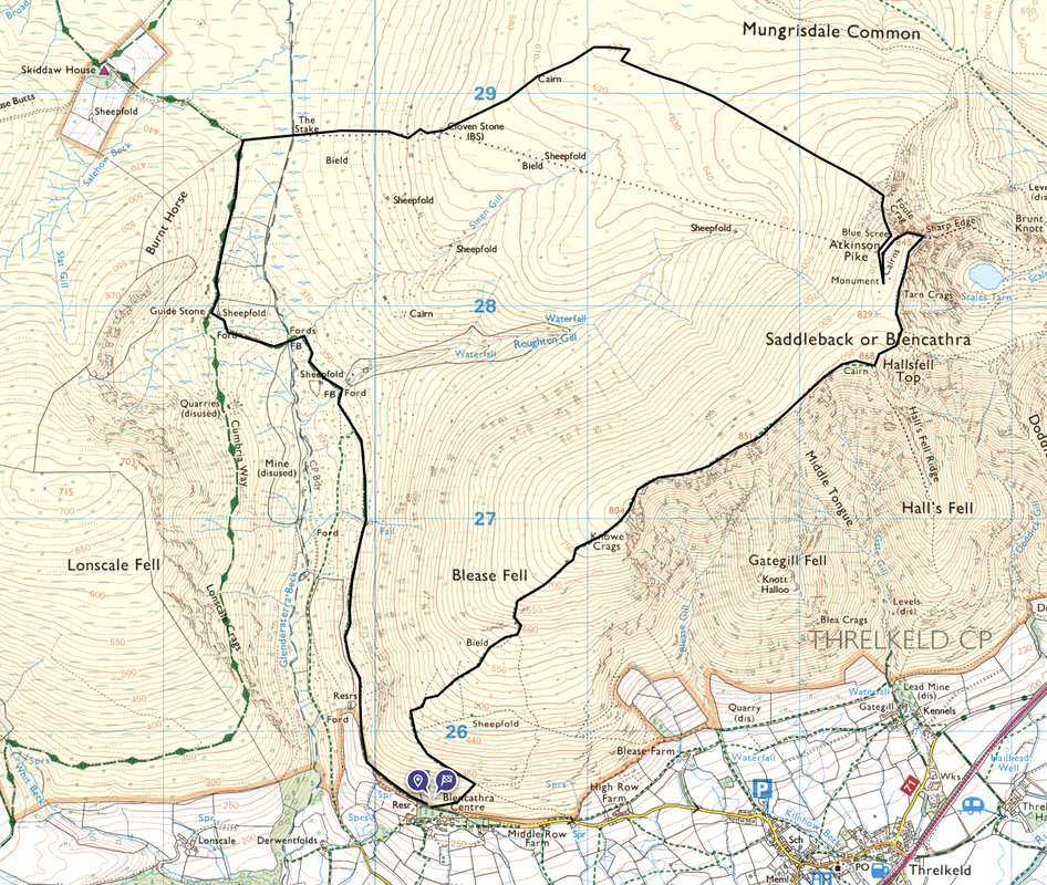
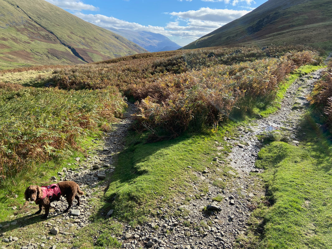
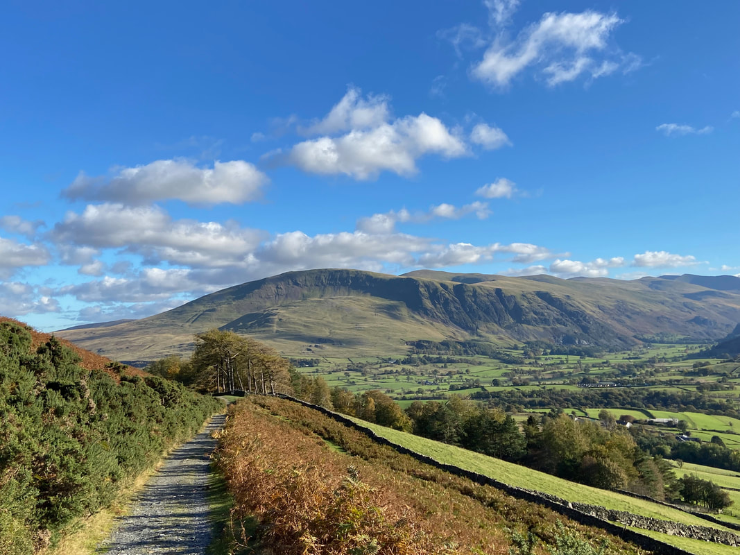
We were out today with our friend Jessie who was over visiting the UK from her home in the States. The picture is taken to the left of the parking area which can be found above the access lane to the Blencathra Centre.
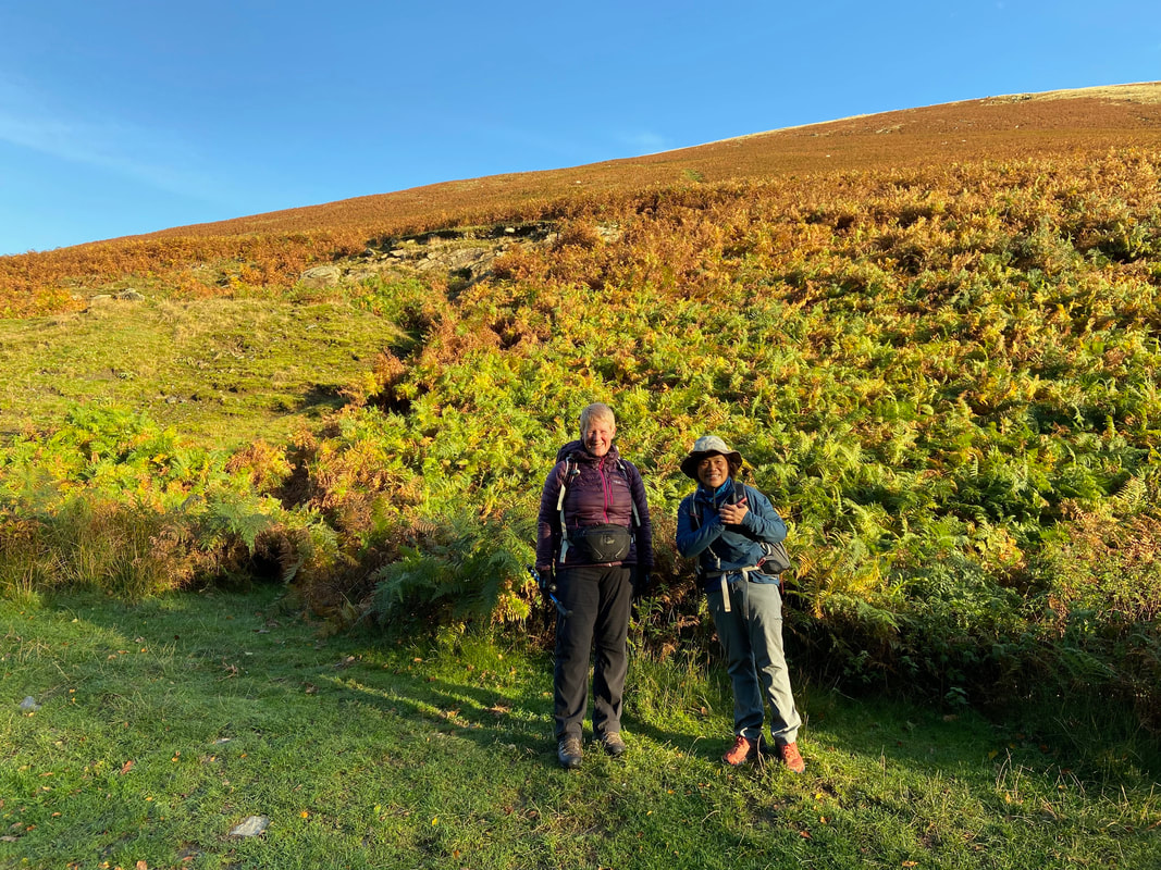
Lonscale Fell & Pike from the ascent of Blease Fell
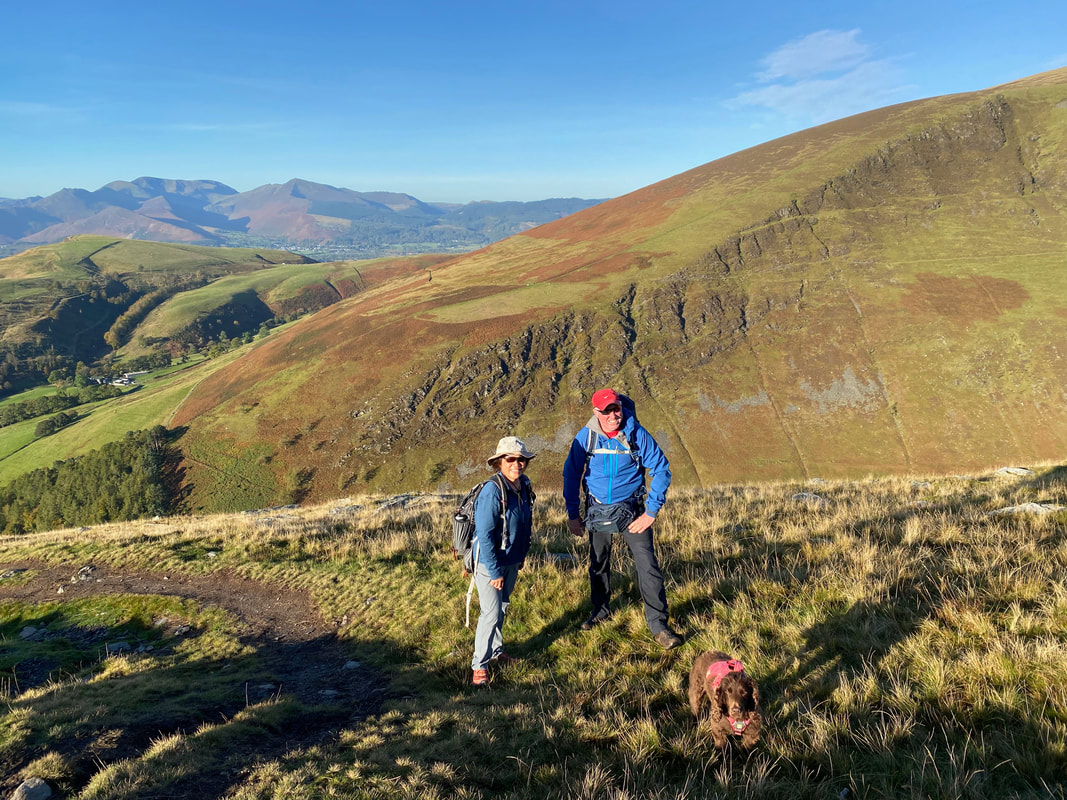
With Jessie as we ascend Blease Fell - it was a beautiful day as we made the long but gradual climb
Skiddaw comes into view over Lonscale Fell as we gain height
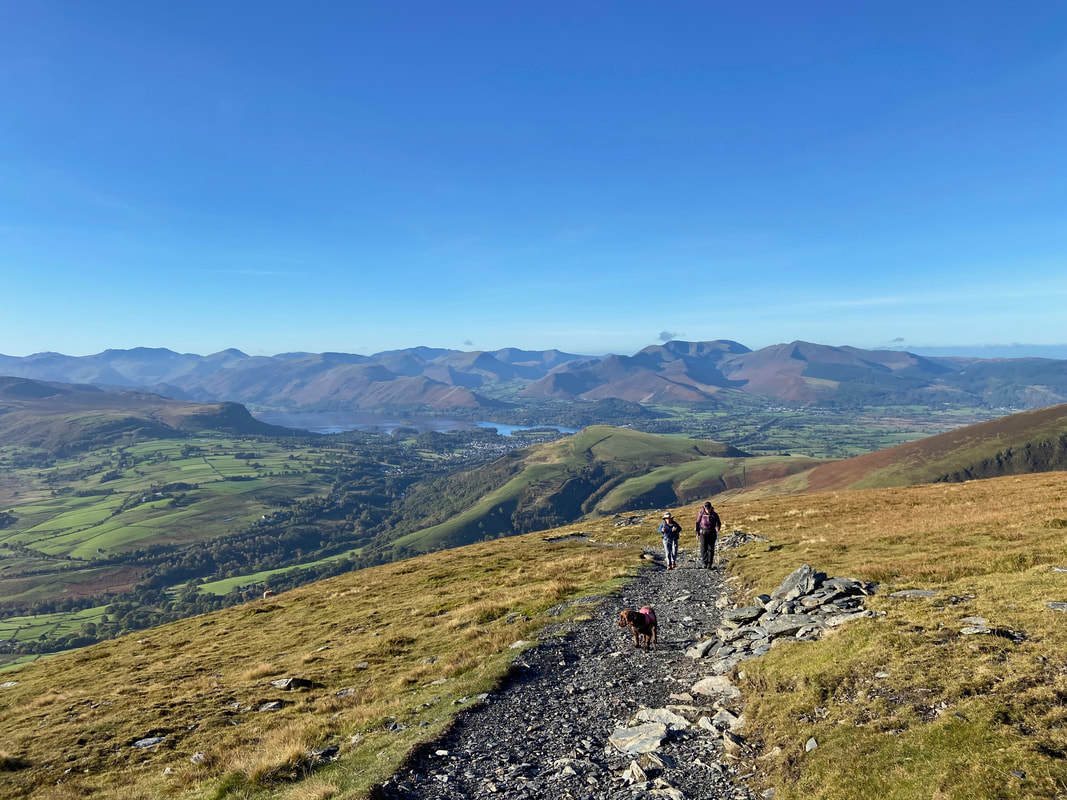
Keswick and Derwentwater with the beautiful backdrop of the North Western Fells
Approaching the summit of Blease Fell. After a zig zag approach the gradient eases and a line of cairns points the way. It is easy to say this but cairns should not be relied upon as an aid to navigation - who knows where they lead, particularly on popular routes with a myriad of paths.
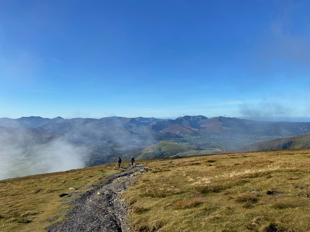
Low cloud passes through the valley as we near the summit of Blease Fell
The summit of Blease Fell
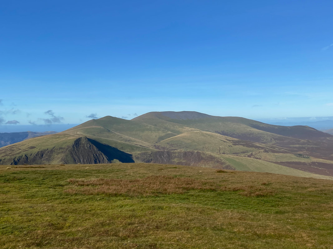
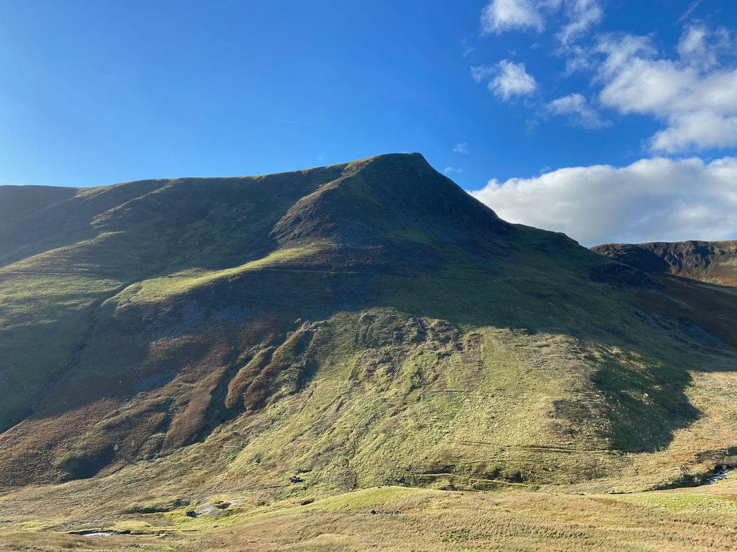
From Blease Fell there is a superb view along the ridge to Gategill Fell, Hallsfell Top (Blencathra's summit) & Atkinson Pike
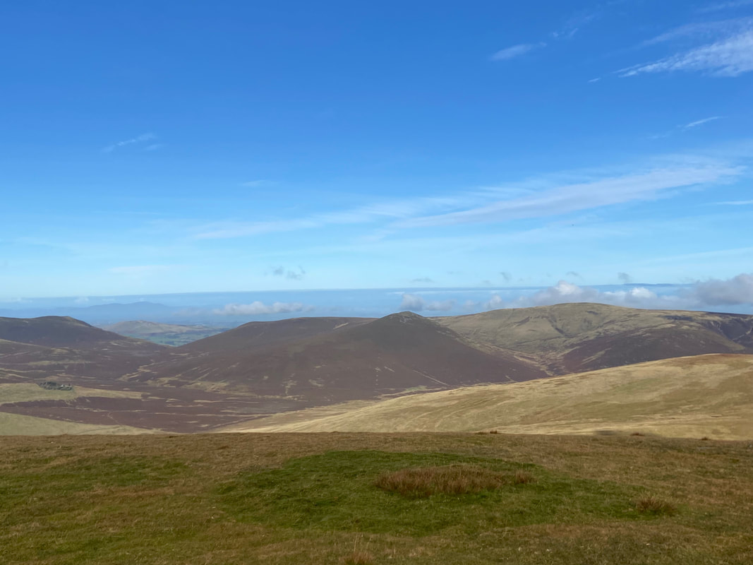
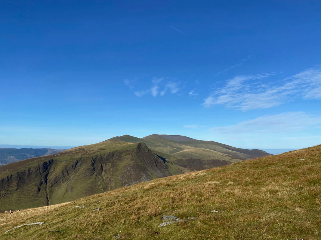
Bakestall, Little Calva, Great Calva & Knott from Blease Fell
Skiddaw from Blease Fell with Lonscale Fell to the left foreground and the ridge of Burnt Horse to the right
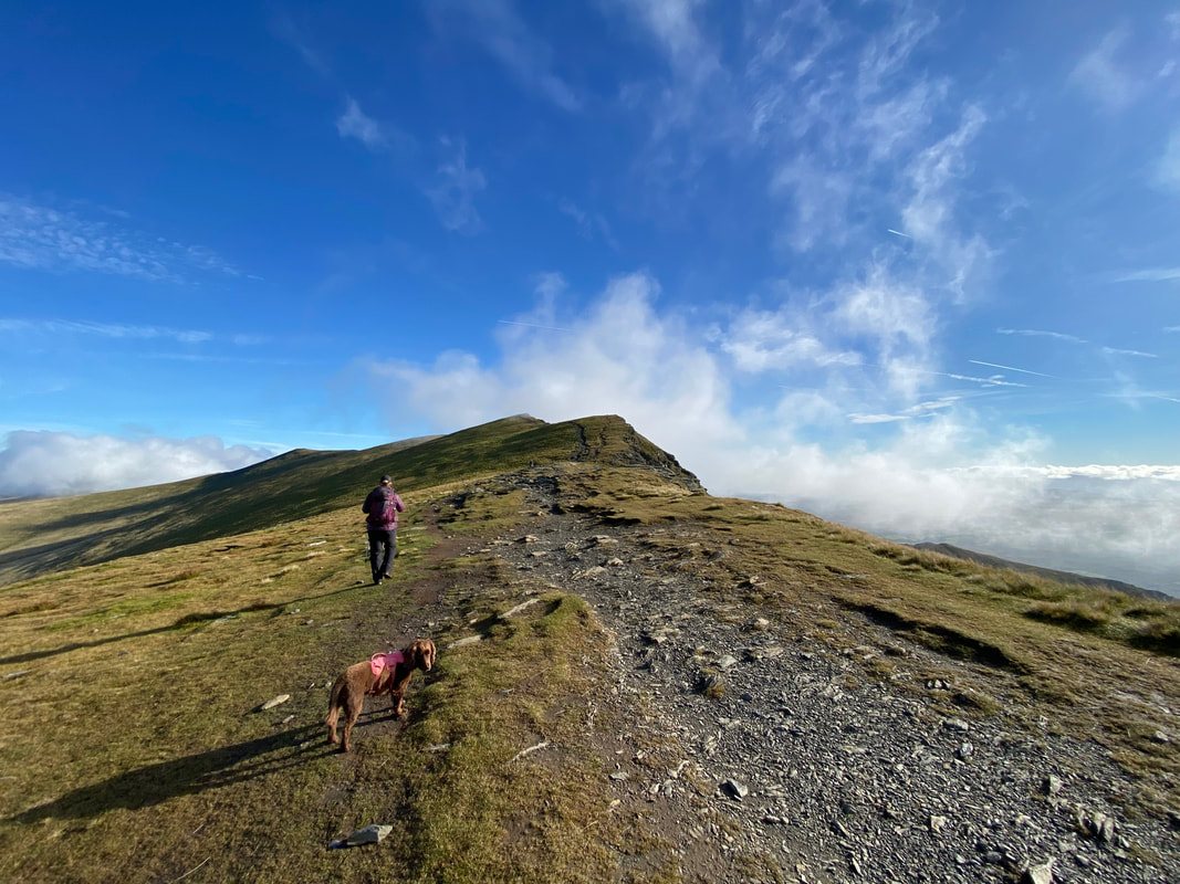
Heading along Blencathra's summit ridge to Gategill Fell
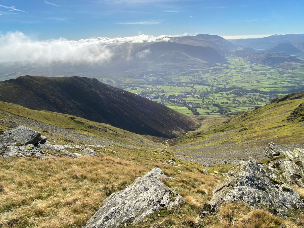
Threlkeld below with St John's in the Vale beyond and the Helvellyn range centre right. The body of water in the distance is Thirlmere.

The approach to Gategill Fell
The summit of Gategill Fell
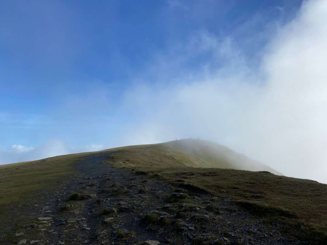
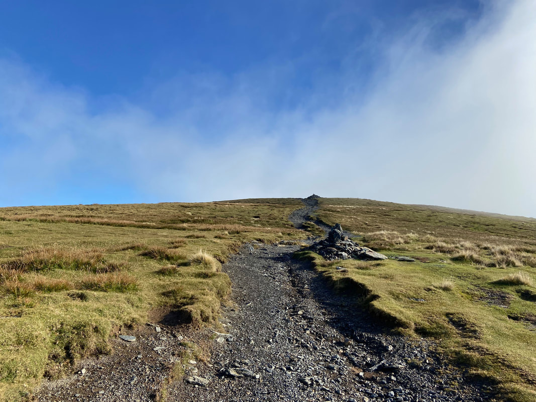
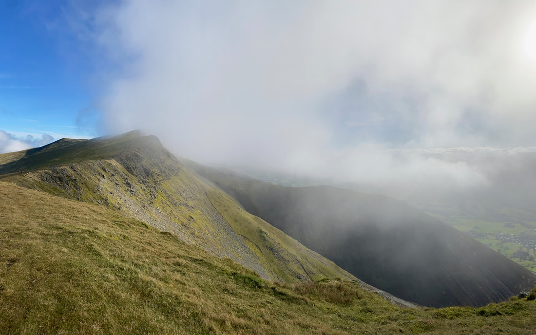
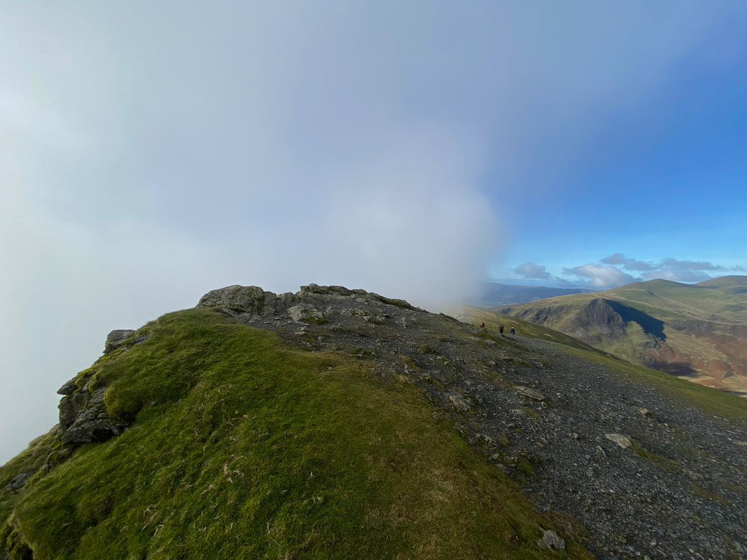
Low cloud passes over the summit of Blencathra as we make our approach
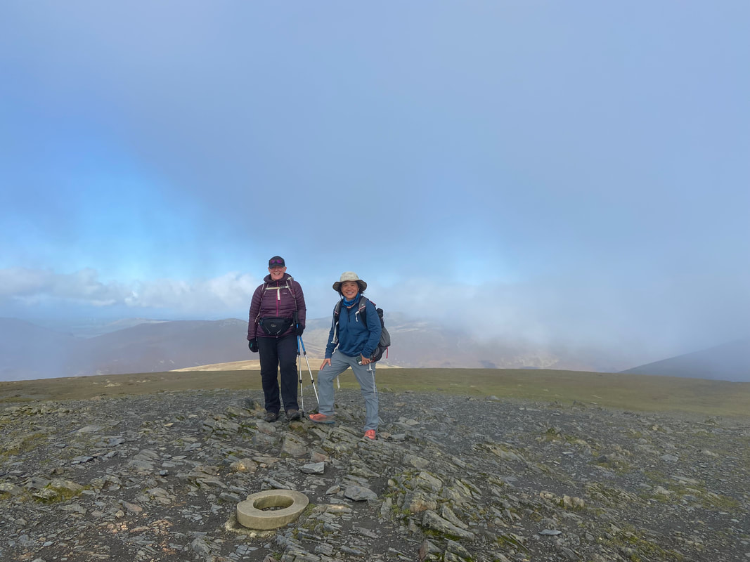
Angie & Jessie on Hallsfell Top, the summit of Blencathra
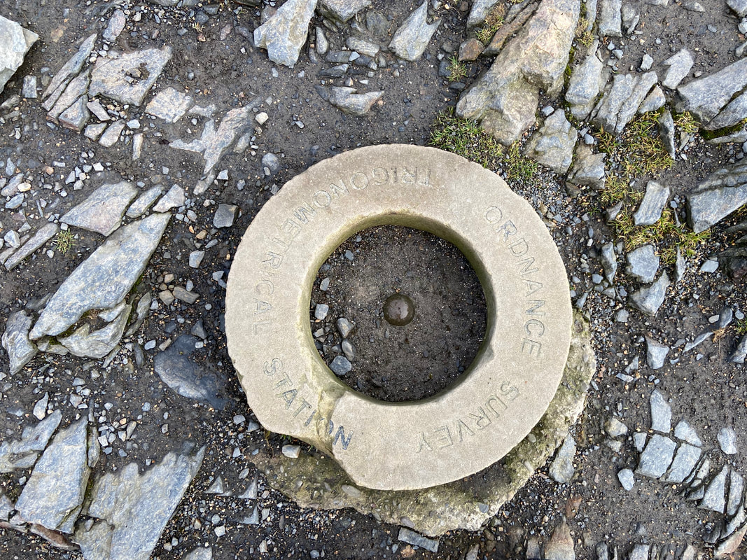
The Trigonometrical Ring on the summit of Blencathra. The original ring was vandalised a few years ago and sadly the replacement is suffering a bit. Maybe if people stopped standing on it then it would possibly not get damaged. The same applies to Trig Points - best just enjoy them for what they are and keep off.
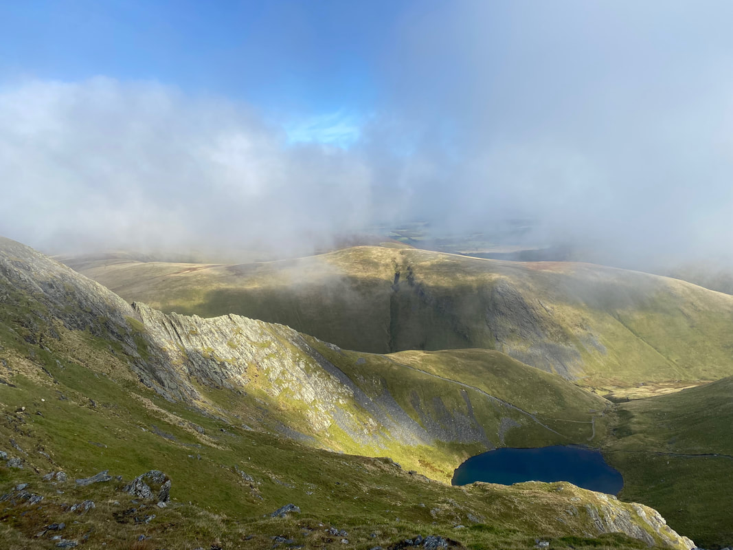
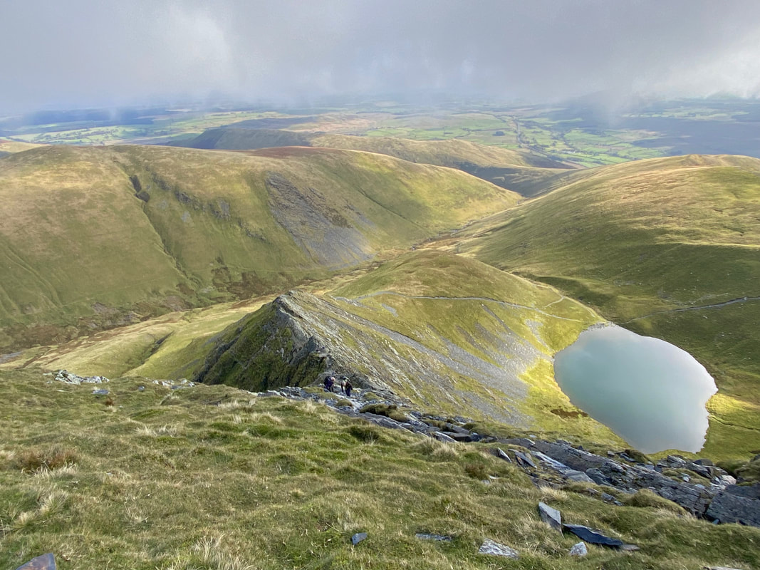
Looking down on Scales Tarn and the lower section of Sharp Edge. The fell to the rear is Bannerdale Crags.
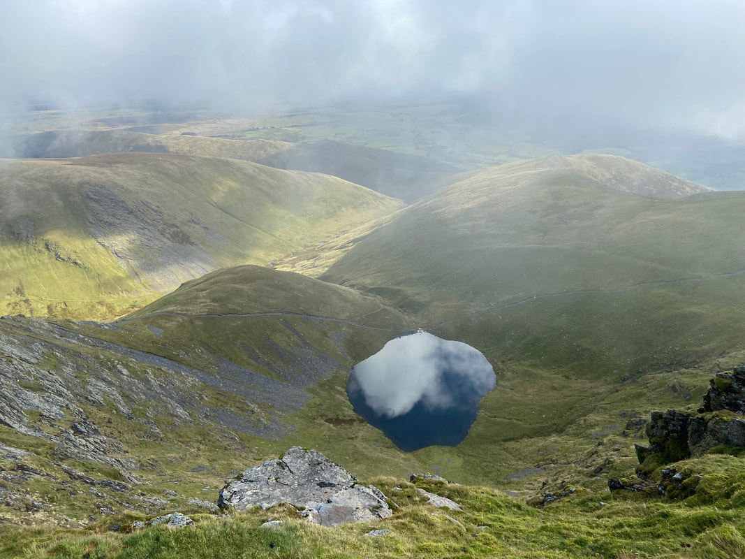
Cloud reflections in Scales Tarn
Looking down Sharp Edge
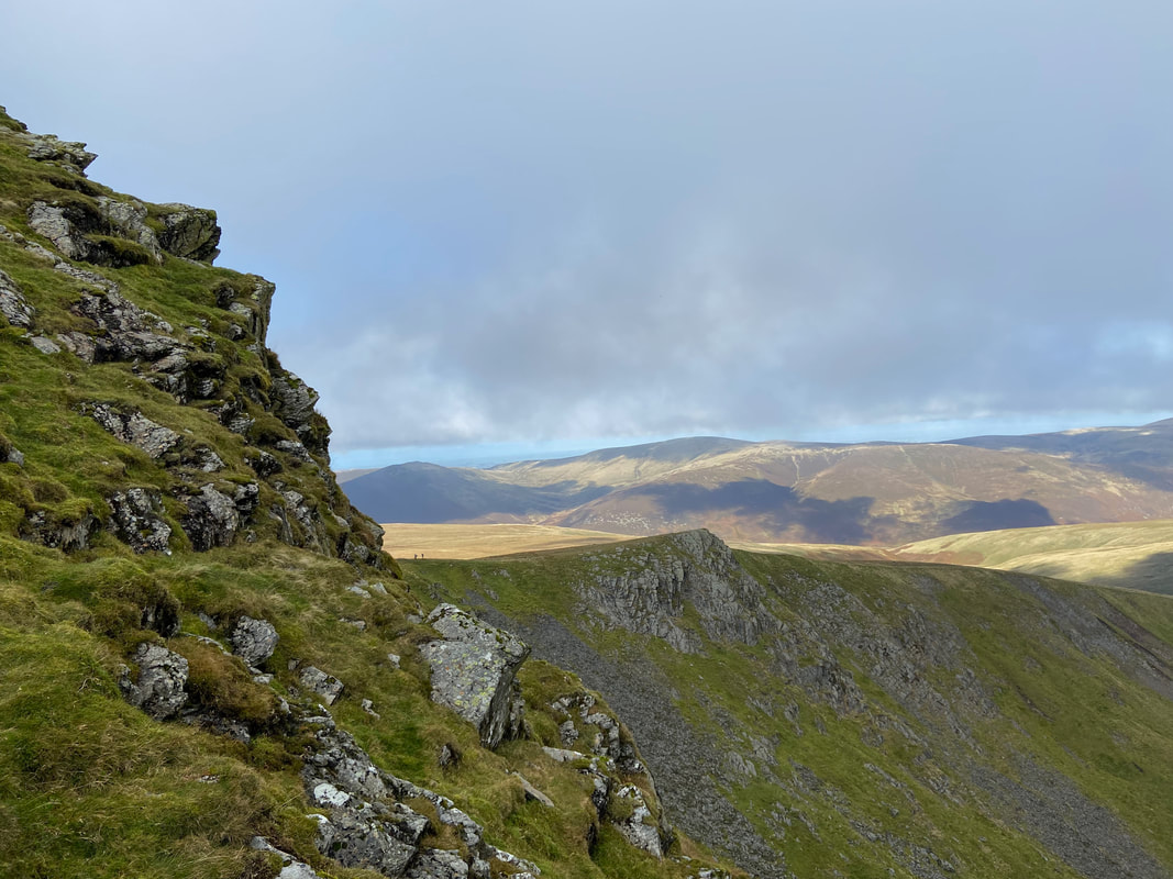
Looking to High Pike from Foule Crag
Another view of Sharp Edge - it is an exhilarating walk over the arête
Jessie on Foule Crag with Bannerdale Crags & Sharp Edge providing the backdrop
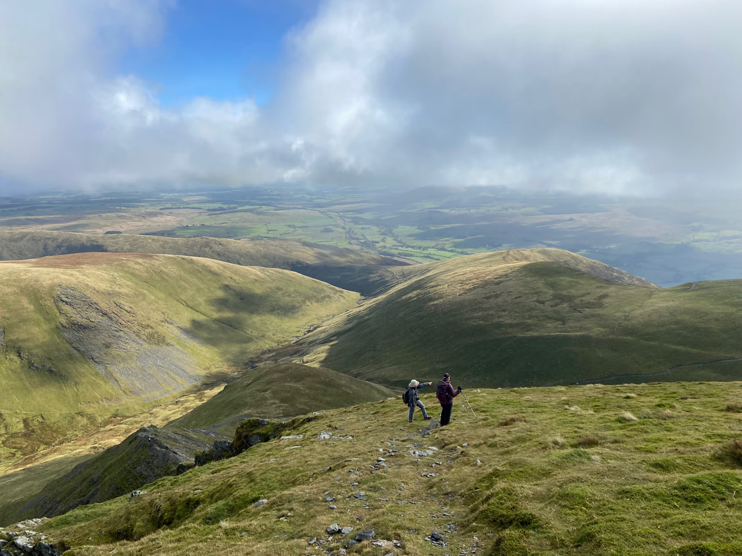
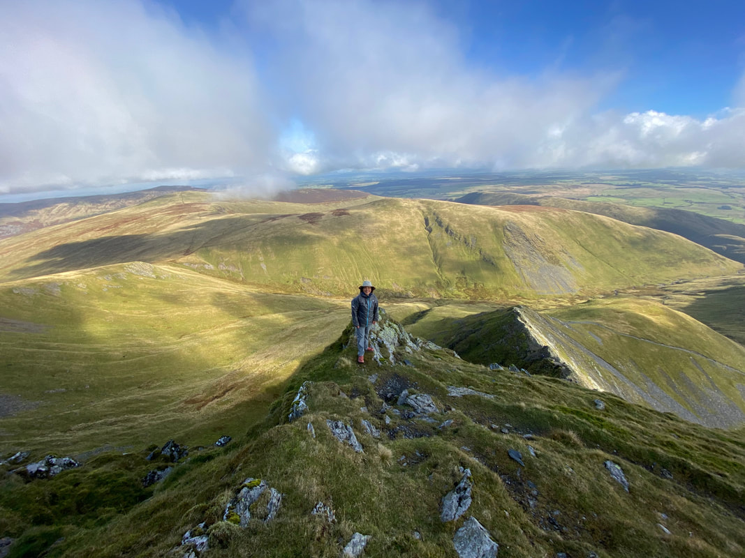
From Foule Crag it was now time to make our way up to the summit of Atkinson Pike which is behind me
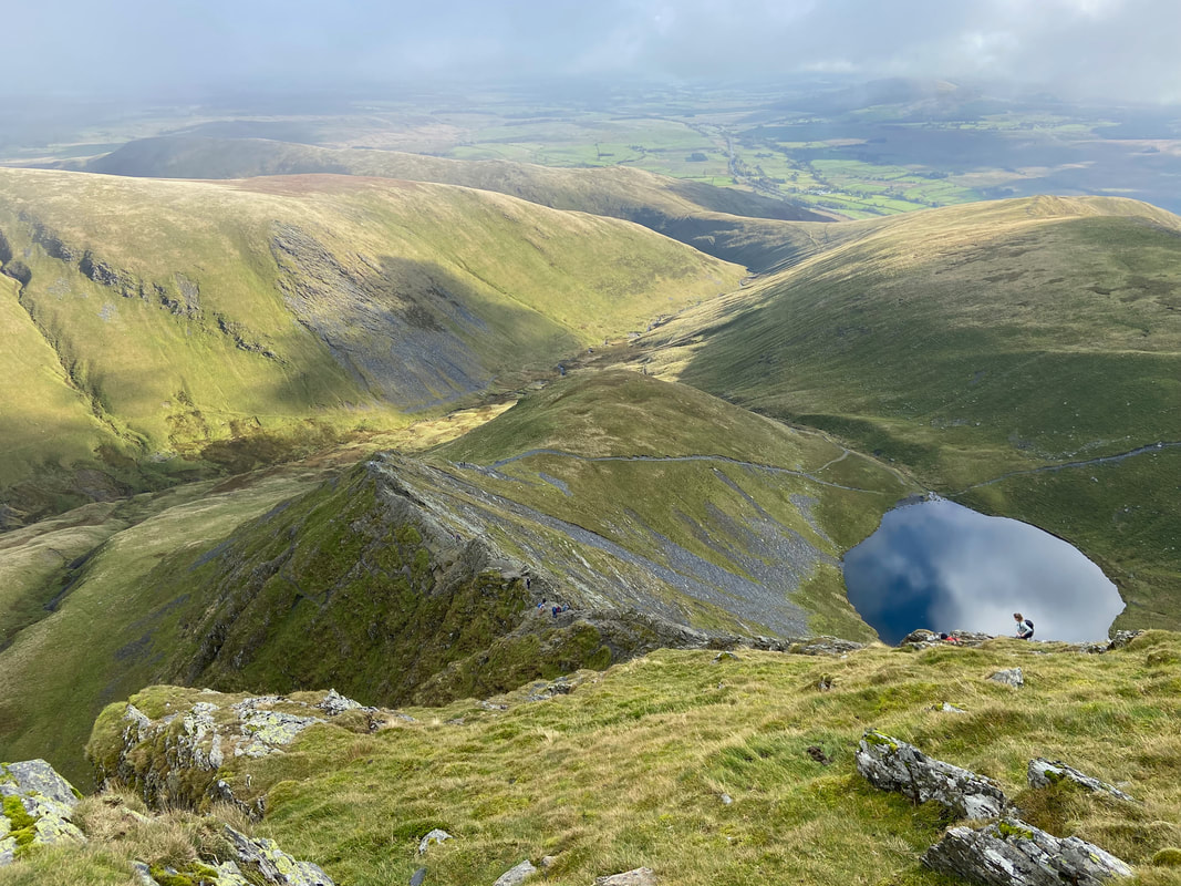
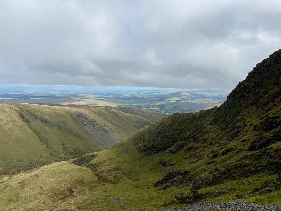
Our route of descent from Atkinson Pike and the clear path over to Mungrisdale Common
Angie & Fudge on the summit of Atkinson Pike
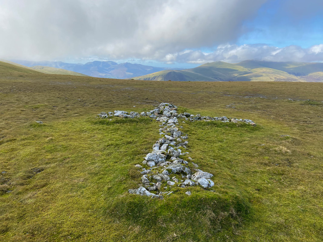
From Atkinson Pike I made the short walk over to the white cross which sits in the saddle between the fell and Blencathra's summit. According to Wainwright (Blencathra 33), the cross was built by one Harold Robinson of Threlkeld who was a frequent visitor to the summit and added stones during a period of successive visits from 1945 onwards.
Looking across to Sharp Edge from our descent - if you look closely you can see the ants making their way up.
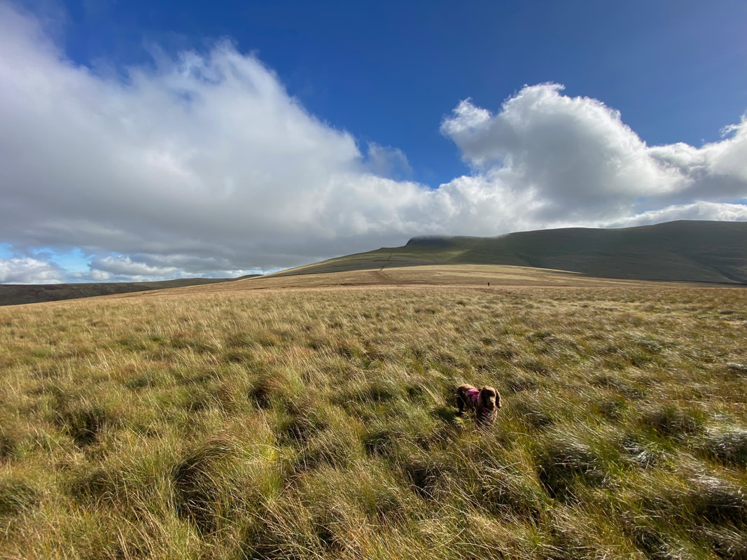
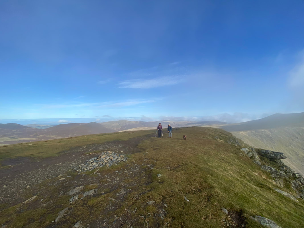
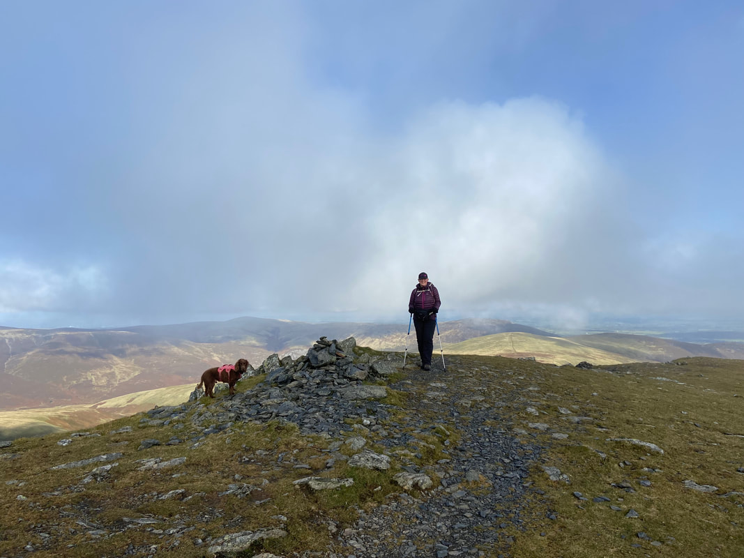
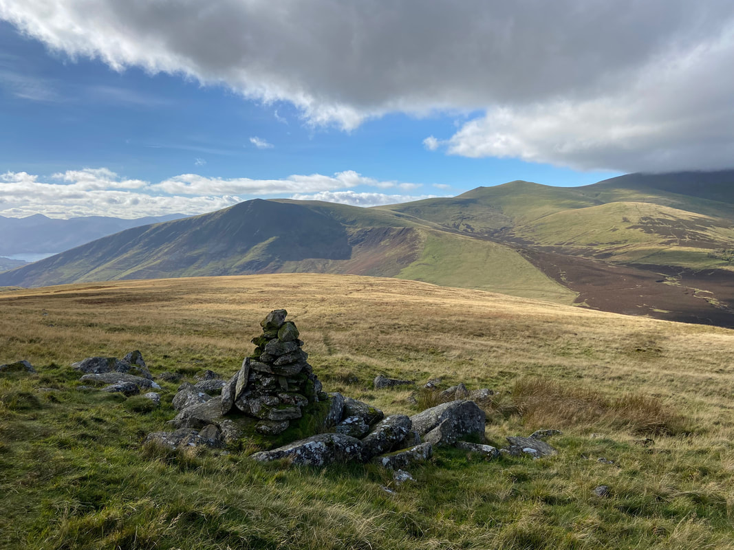
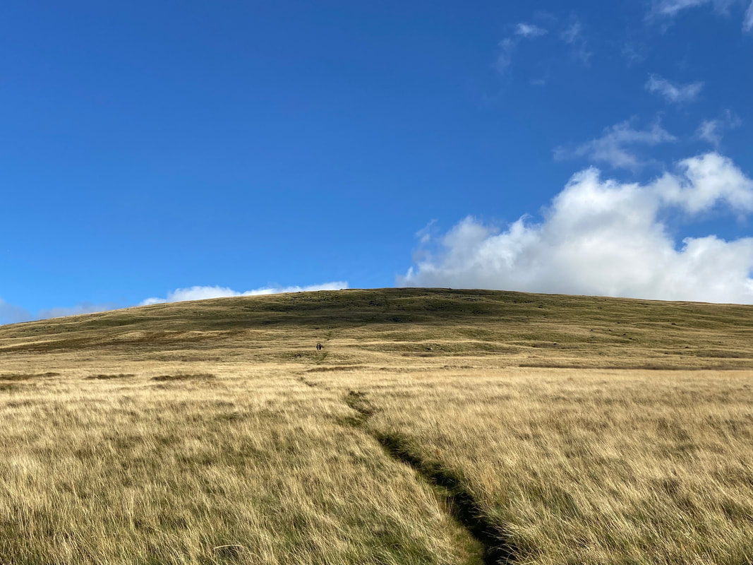
Fudge cleverly marks the summit of Mungrisdale Common at the spot height of 633m.
Wainwright said of Mungrisdale Common as a whole that "To add to its other failings, Mungrisdale Common does not lend itself to illustration. Most fells have at least one good aspect, but the Common, from whatever side it is seen, has no more pretension to elegance than a pudding that has been sat on" (Mungrisdale Common 1)
Wainwright said of Mungrisdale Common as a whole that "To add to its other failings, Mungrisdale Common does not lend itself to illustration. Most fells have at least one good aspect, but the Common, from whatever side it is seen, has no more pretension to elegance than a pudding that has been sat on" (Mungrisdale Common 1)
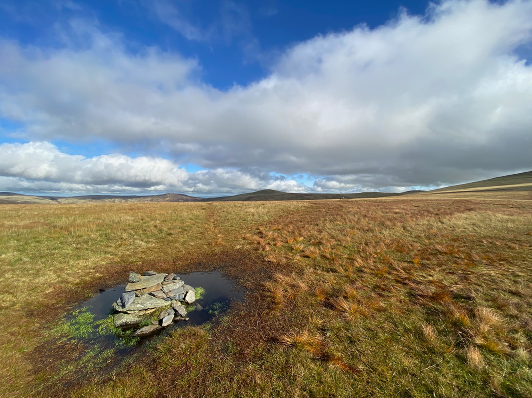
Approximately a 100 yards or so from the highest point is a small cairn.
Much is made of why Wainwright included Mungrisdale Common in his 214 fells. Did he include it to promote discussion? Maybe he wanted one bad egg that people could complain about. Despite the fact that a lot of people despise this fell, we love it up here. The views to Blencathra & Skiddaw are wonderful - people need to just simply open their eyes and see the fell as a place of solitude and not somewhere to simply pass through and "bag" its top. It also has a reputation as being a boggy trudge from any direction - again I think this is unfair as whenever we have visited (in all conditions) there has been a bit of surface water but nothing out of the ordinary and can easily be side stepped. Wainwright himself was not a fan of the summit stating that "A thousand tufts of bent and cotton grass crown the plateau forming the summit, yet not one can be comfortably reclined upon, this being a summit that holds indefinitely all the water that falls upon it." (Mungrisdale Common 5)
Much is made of why Wainwright included Mungrisdale Common in his 214 fells. Did he include it to promote discussion? Maybe he wanted one bad egg that people could complain about. Despite the fact that a lot of people despise this fell, we love it up here. The views to Blencathra & Skiddaw are wonderful - people need to just simply open their eyes and see the fell as a place of solitude and not somewhere to simply pass through and "bag" its top. It also has a reputation as being a boggy trudge from any direction - again I think this is unfair as whenever we have visited (in all conditions) there has been a bit of surface water but nothing out of the ordinary and can easily be side stepped. Wainwright himself was not a fan of the summit stating that "A thousand tufts of bent and cotton grass crown the plateau forming the summit, yet not one can be comfortably reclined upon, this being a summit that holds indefinitely all the water that falls upon it." (Mungrisdale Common 5)
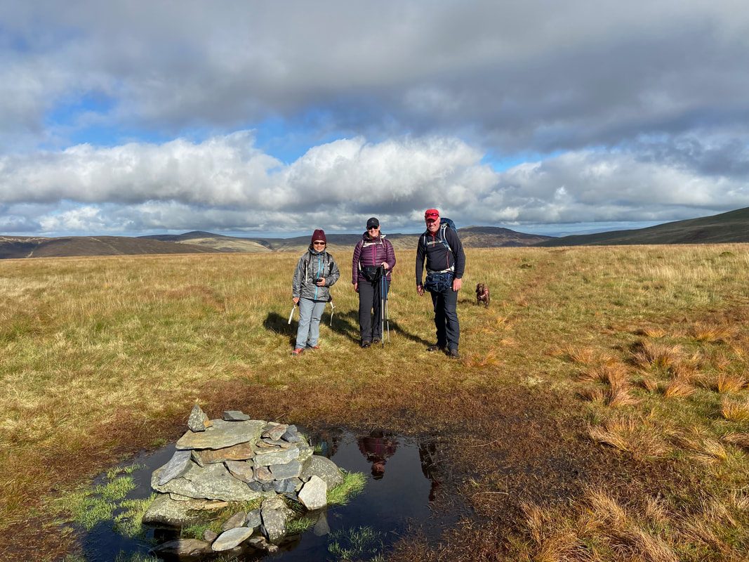
A group photo at the cairn on Mungrisdale Common. Fudge is clearly impatient to crack on but he is heading the wrong way.
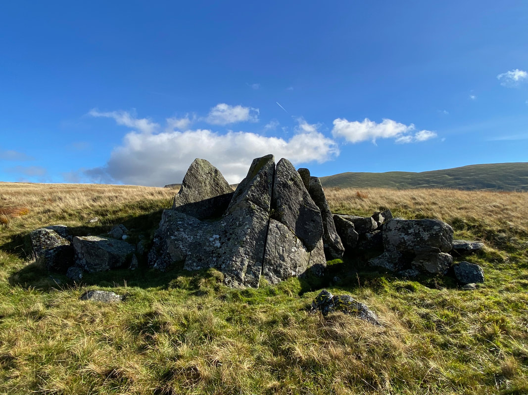
One of Wainwright's two "stone men" (Mungrisdale Common 4) affording a fantastic view to Lonscale Fell & Skiddaw
The Cloven Stone. The stone is marked on the 1:25 OS Map and the name is due to the shape of the rock having the appearance of the foot of a cloven (split) hoofed animal such as a cow or sheep.
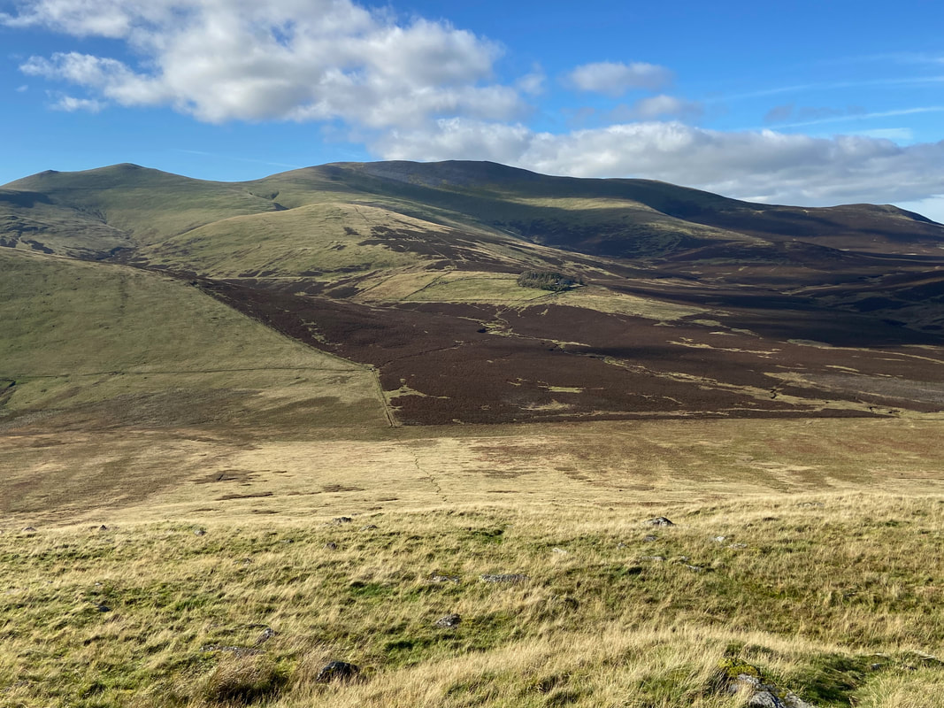
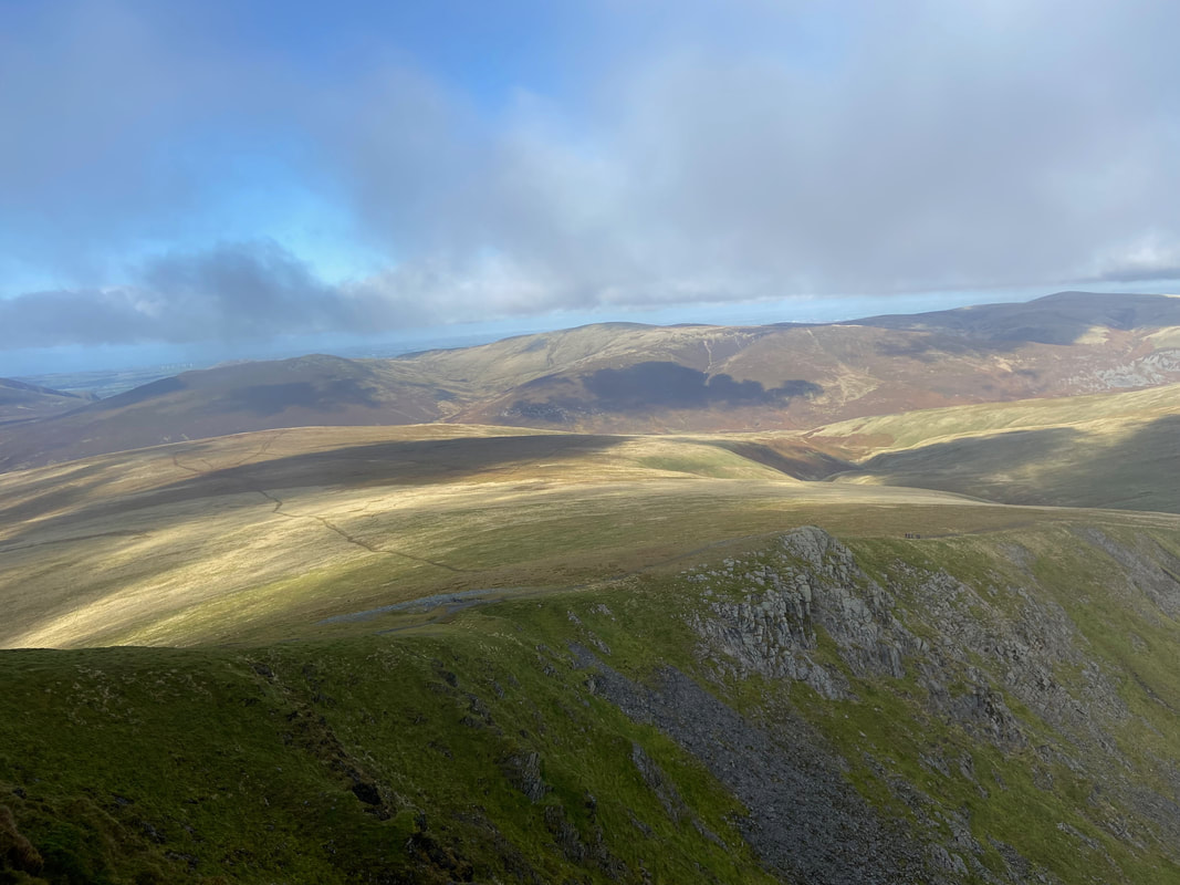
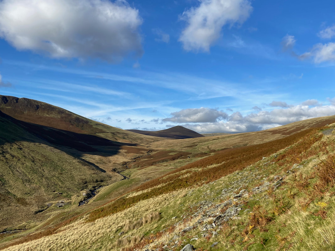
The descent from Mungrisdale Common to the junction with The Cumbria Way. Skiddaw House is in the group of trees to the centre right.
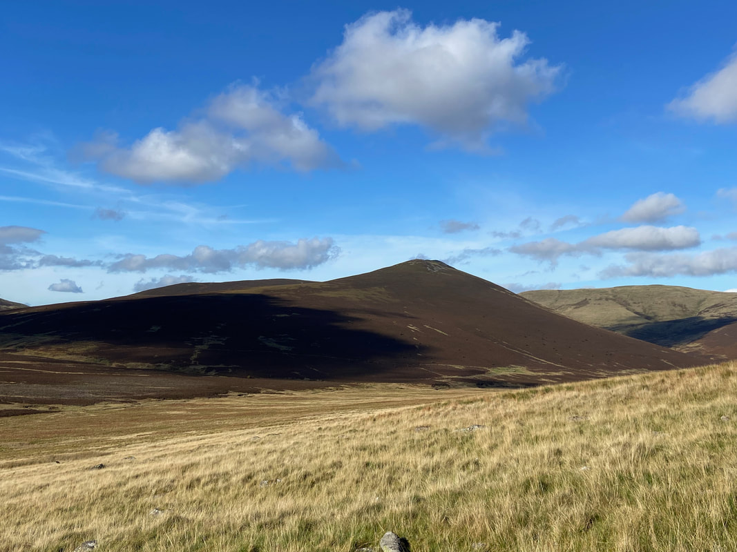
Little & Great Calva with Knott to the right
Looking back up to our descent from Mungrisdale Common
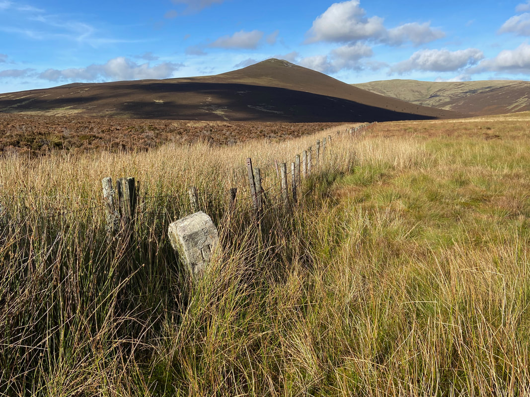
The Boundary Stone known as "The Stake" (Mungrisdale Common 5) - also marked on the 1:25 OS Map.
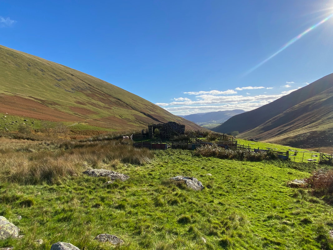
The path over to the Hostel at Skiddaw House which sits in the trees ahead. We were heading a different way today.
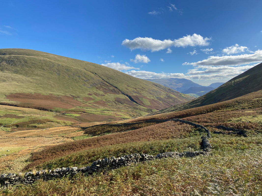
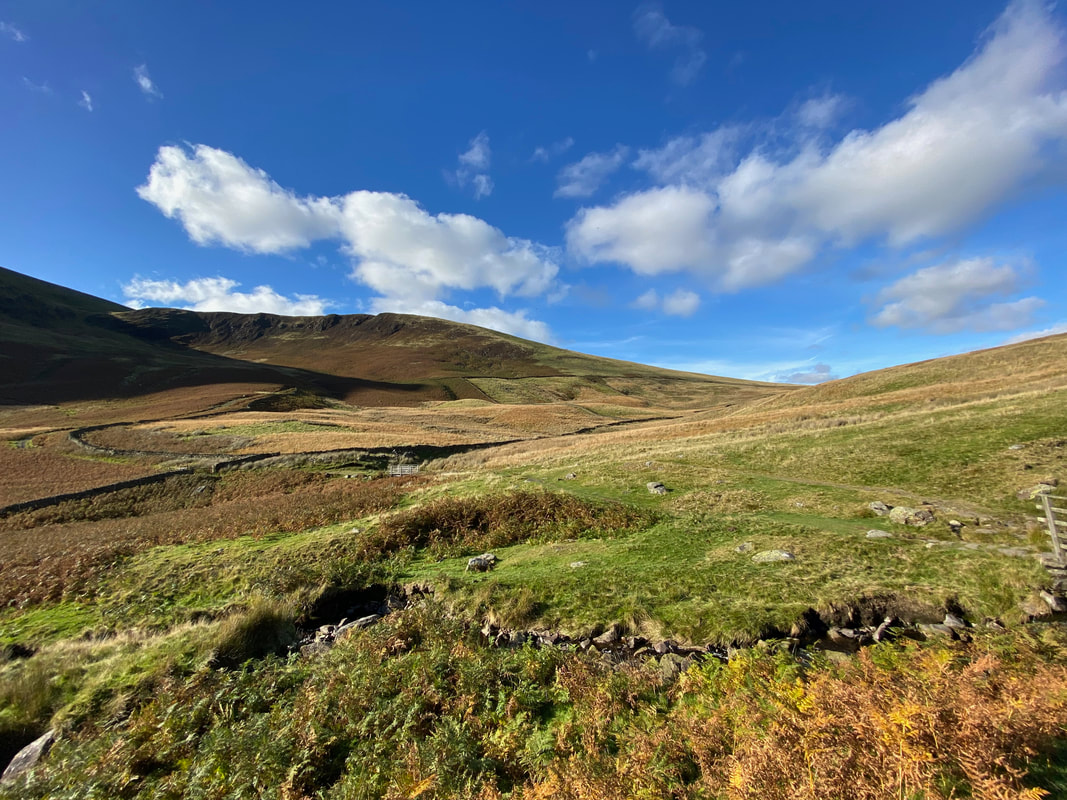
The beautiful Glenderaterra Valley - our route back to the start can be seen heading over the lower slopes of Blease Fell
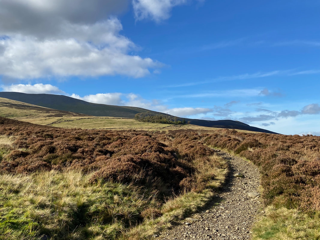
At Grid Reference NY 29217 27982 the path splits - we would be heading to the left with The Cumbria Way heading right to pass along the slopes of Lonscale Fell on its way to Keswick.
Looking to Burnt Horse
The route passes a prominent sheepfold as it nears Roughten Gill
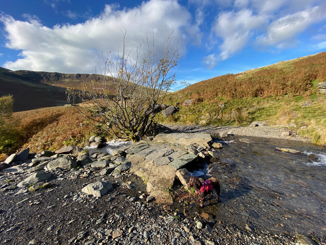
The slate slab bridge over Roughten Gill - this is a lovely spot for a paddle as can be seen by our wet pooch
The huge bulk of Lonscale Fell across the Glenderaterra Valley
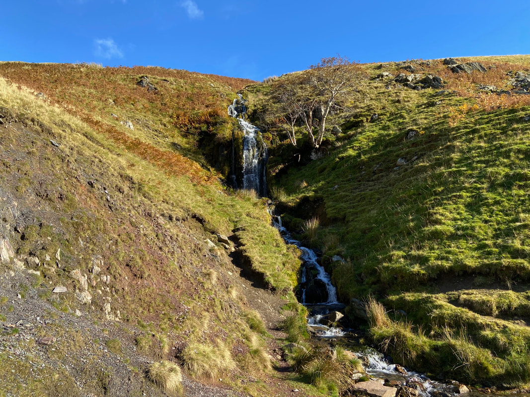
The path passes to the right of a lovely unnamed waterfall
Looking down the Glenderaterra Valley to Great Calva
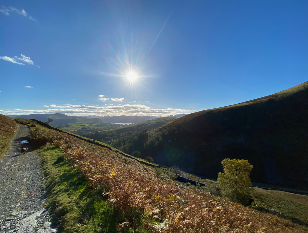
Derwentwater comes into view as we near the final turn towards the Blencathra Centre
Threlkeld Knotts, Clough Head and The Dodds as we near the finish