Fleetwith Pike, Grey Knotts, Brandreth & Haystacks - Tuesday 8 January 2019
Route
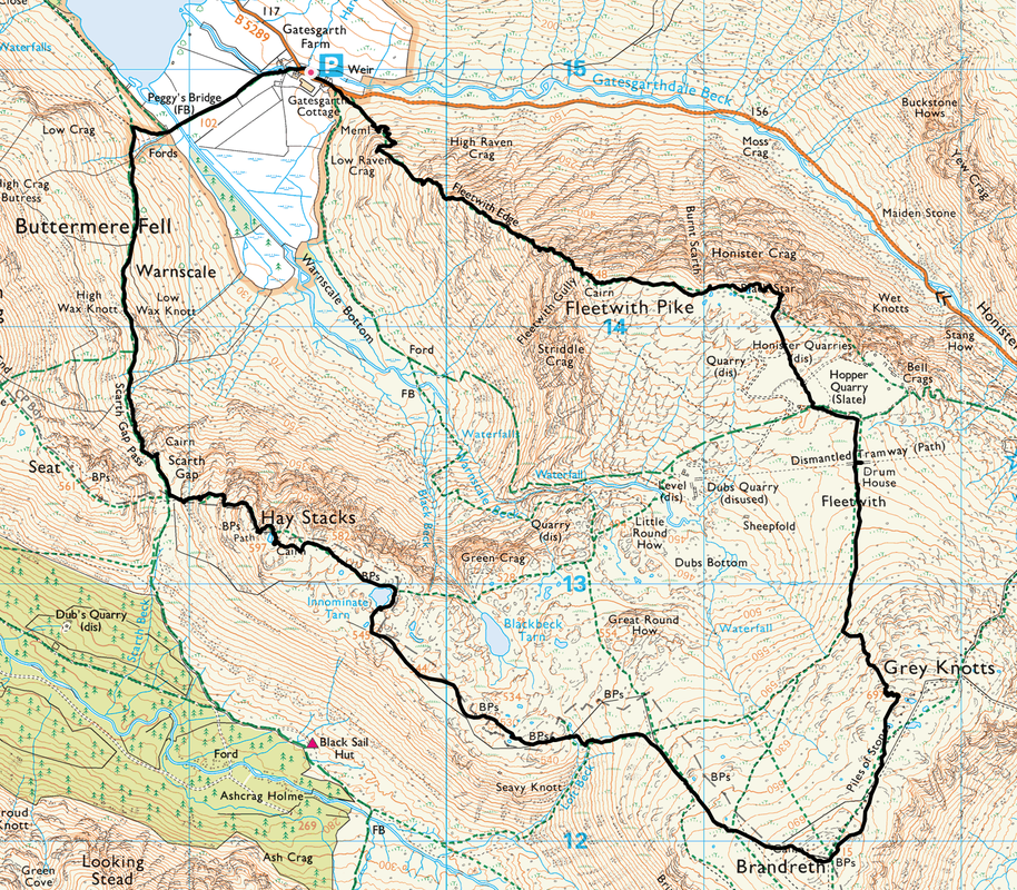
Gatesgarth - Low Raven Crag - Fleetwith Edge - Fleetwith Pike - Black Star - Honister Quarry - Drum House - Grey Knotts - Brandreth - Innominate Tarn - Haystacks - Scarth Gap - Scarth Gap Pass - Peggy's Bridge - Gatesgarth
Parking
Gatesgarth on the north side of the B5289 (Charge) - Grid Ref NY 1954 1498 (Nearest Postcode is CA13 9XA)
Mileage
7.6 miles
Terrain
Good mountain paths for the most part. The descent from Haystacks to Scarth Gap is steep and care needs to be taken in a few places, particularly if the rock is wet or icy.
Weather
Extremely cold on the ridges, sunny spells with good visibility.
Time Taken
6hrs 30mins
Total Ascent
2716ft (828m)
Map
OL4 - The English Lakes (North Western Area)
Walkers
Dave, Angie, Stu, John, Amber & of course Fudge (this was a walk I led for Lakeland Meet Ups)
|
GPX File
|
| ||
If the above GPX file fails to download or presents itself as an XML file once downloaded then please feel free to contact me and I will send you the GPX file via e-mail.
Walk Description
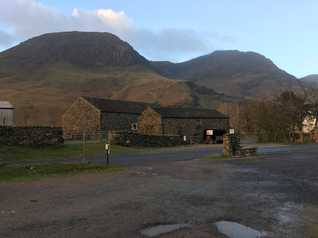
The parking area at Gatesgarth opposite the farm.
High Crag and its buttress are behind with High Stile to the right
High Crag and its buttress are behind with High Stile to the right
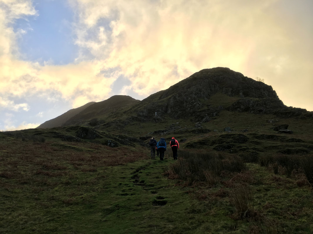
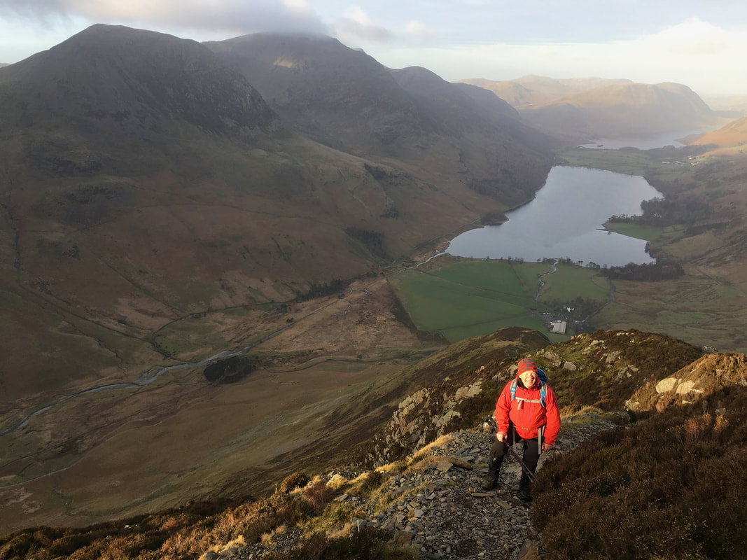
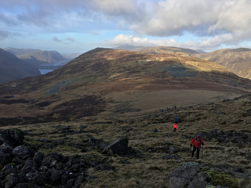
Early morning and so it begins - no matter how many times we have climbed up Fleetwith Edge it never gets any easier.
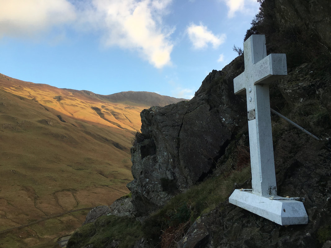
We were aiming left of the White Cross ahead then on to Low Raven Crag which is to the right
We were aiming left of the White Cross ahead then on to Low Raven Crag which is to the right
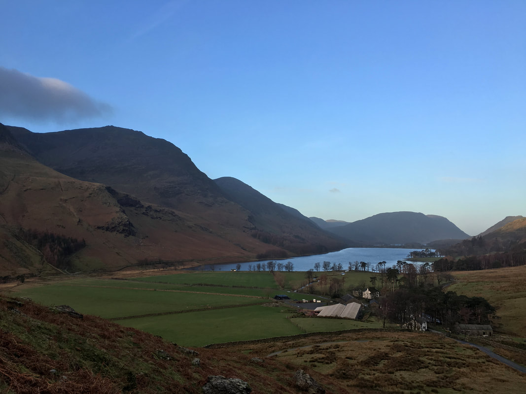
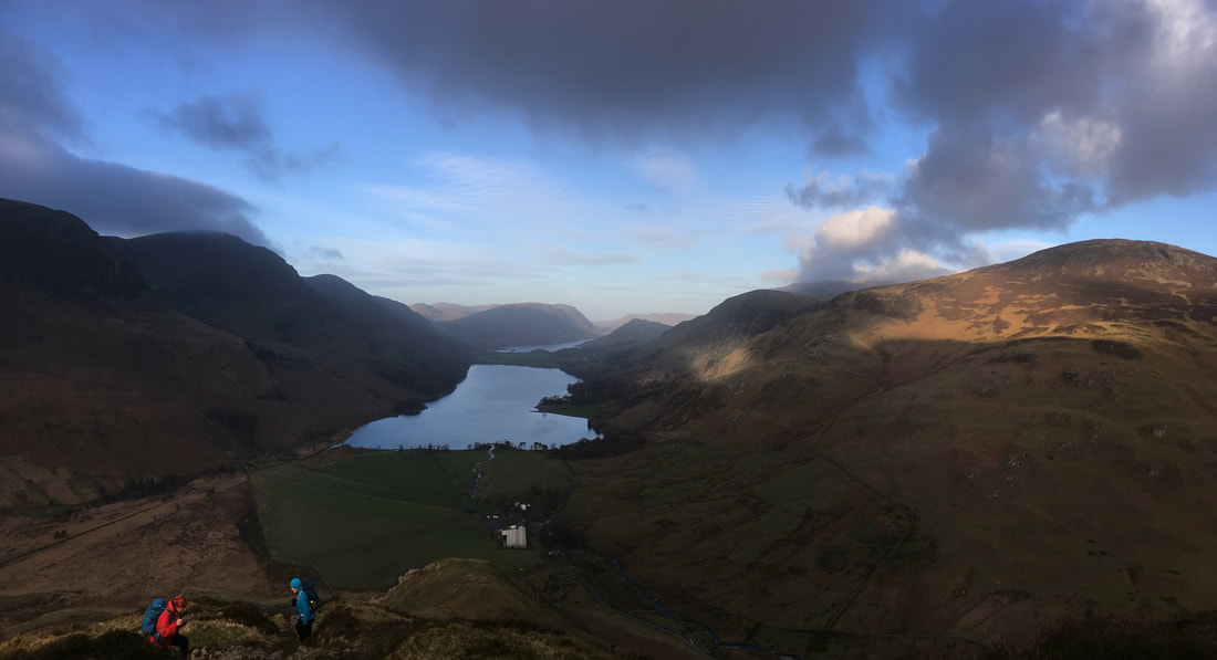
Looking back over Buttermere from the lower slopes of Low Raven Crag.
High Stile is to the right with Dodd centre of shot (Dodd is often mistaken for Red Pike when looking up from Buttermere). Mellbreak is to the centre right above Crummock Water which can just about be seen.
High Stile is to the right with Dodd centre of shot (Dodd is often mistaken for Red Pike when looking up from Buttermere). Mellbreak is to the centre right above Crummock Water which can just about be seen.
The Memorial below Low Raven Crag
The cross was erected in memory of Fanny Mercer. Fanny was an 18 year old servant visiting the lakes with the family of her employer. On the day of the accident Fanny and two other servants were given the day off and set out for a walk over the fells. Eventually they arrived on Honister Crag and decided to return to Buttermere via Fleetwith Pike and Fleetwith Edge. It was on their descent, as they neared the road, that the accident happened. Fanny, who was at the rear, apparently jumped off the ledge on which she was standing, using her alpenstock (an iron tipped stick) for support. The effect was to propel her upwards and outwards, falling a considerable distance and unfortunately striking her head on a rock. Fanny suffered severe head wounds and was carried down to Gatesgarth, alas to no avail. A messenger was sent for a doctor from Cockermouth but, by the time he arrived several hours later Fanny had died.
The cross was erected in memory of Fanny Mercer. Fanny was an 18 year old servant visiting the lakes with the family of her employer. On the day of the accident Fanny and two other servants were given the day off and set out for a walk over the fells. Eventually they arrived on Honister Crag and decided to return to Buttermere via Fleetwith Pike and Fleetwith Edge. It was on their descent, as they neared the road, that the accident happened. Fanny, who was at the rear, apparently jumped off the ledge on which she was standing, using her alpenstock (an iron tipped stick) for support. The effect was to propel her upwards and outwards, falling a considerable distance and unfortunately striking her head on a rock. Fanny suffered severe head wounds and was carried down to Gatesgarth, alas to no avail. A messenger was sent for a doctor from Cockermouth but, by the time he arrived several hours later Fanny had died.
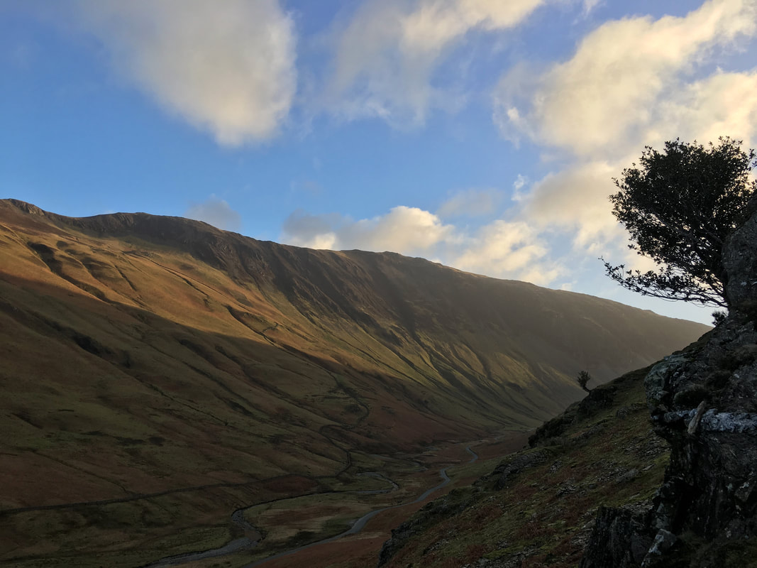
Looking across the Honister Pass to Hindscarth Edge
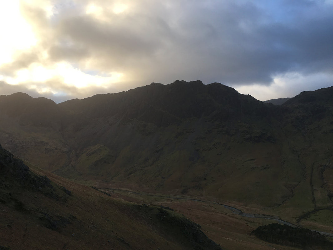
Haystacks & Scarth Gap over Warnscale Bottom
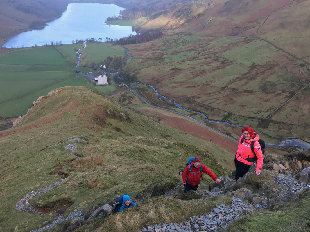
Ascending Fleetwith Edge with Low Raven Crag, Buttermere & Gatesgarth Farm below - at least they are still smiling!
For views Fleetwith Edge takes some beating.
The High Stile Ridge & Mellbreak are to the left with Buttermere & Crummock Water below. To the right are Rannerdale Knotts, High Snockrigg & Robinson
The High Stile Ridge & Mellbreak are to the left with Buttermere & Crummock Water below. To the right are Rannerdale Knotts, High Snockrigg & Robinson
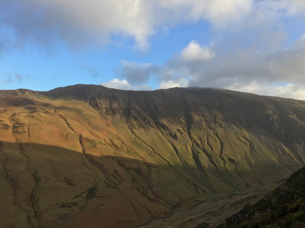
Hindscarth Edge & Dale Head across the Honister Pass
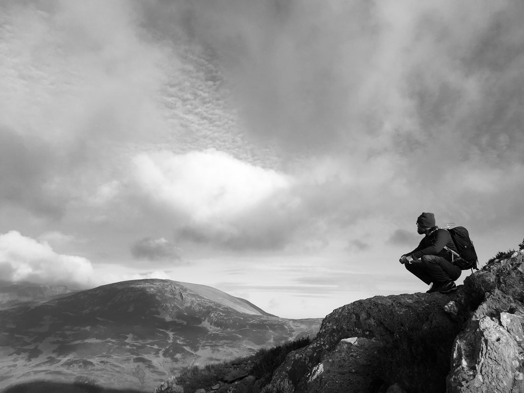
Stu in pensive mood (and mono) as he looks over to Robinson
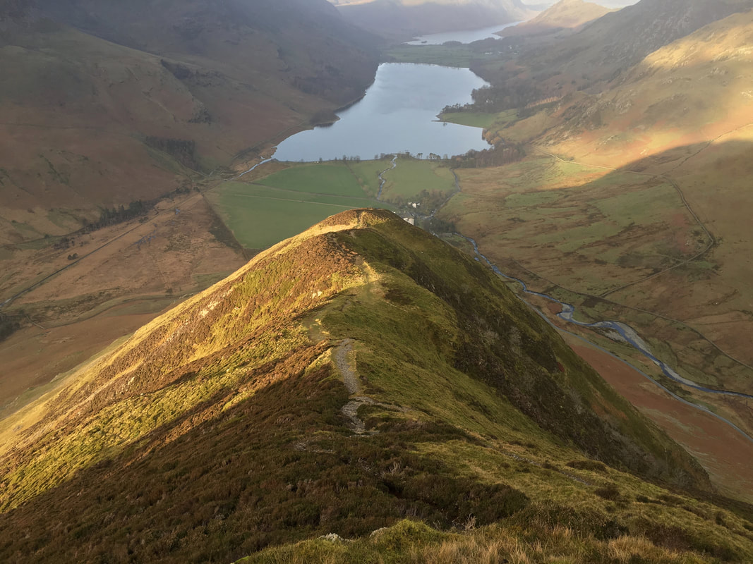
Looking back down Fleetwith Edge from a bit further up
John on Fleetwith Edge with the magnificent High Stile ridge to the left
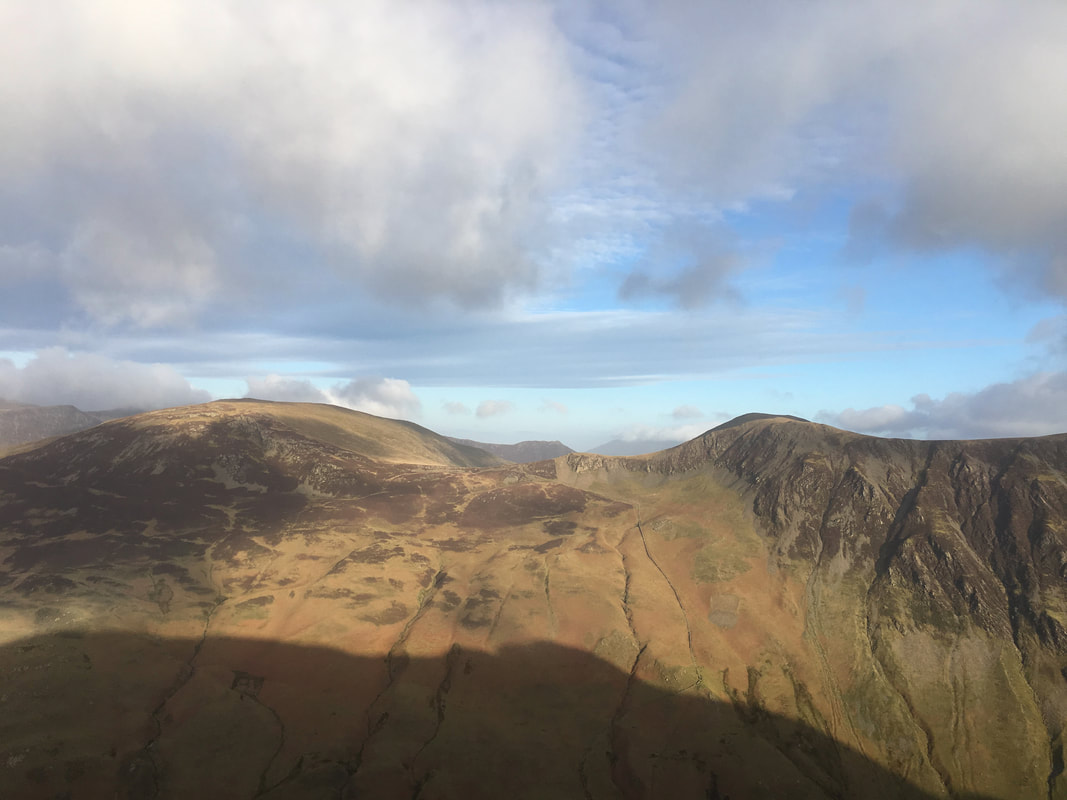
Robinson to the left, Littledale Edge centre, Hindscarth to the right with Causey Pike in the centre far distance
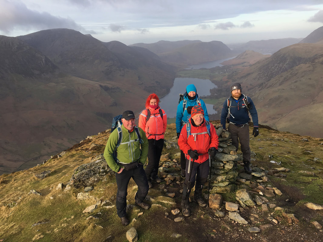
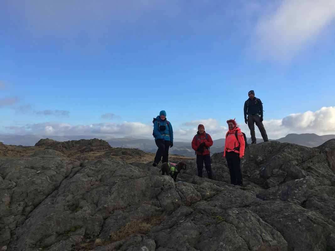
With the group on the summit of Fleetwith Pike (l-r myself, Amber, Angie, John & Stu). Fudge is probably out of shot sniffing something.
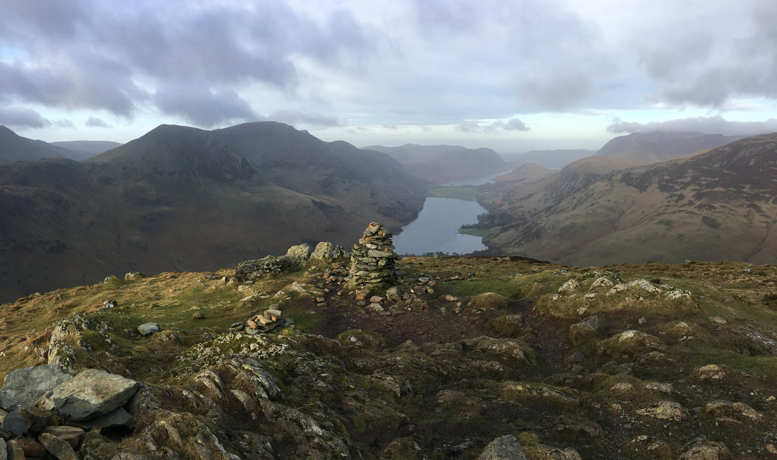
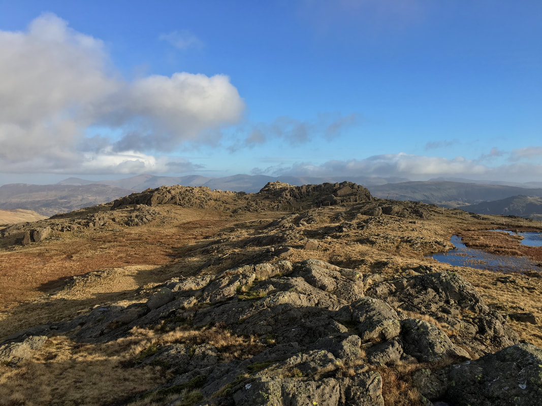
The summit of Fleetwith Pike - one of the best views in the Lake District in my humble opinion
From Fleetwith Pike's summit we now head over level ground to Black Star (aka Honister Crag) which is ahead.
Another view of Robinson, Hindscarth & Dale Head from near Black Star
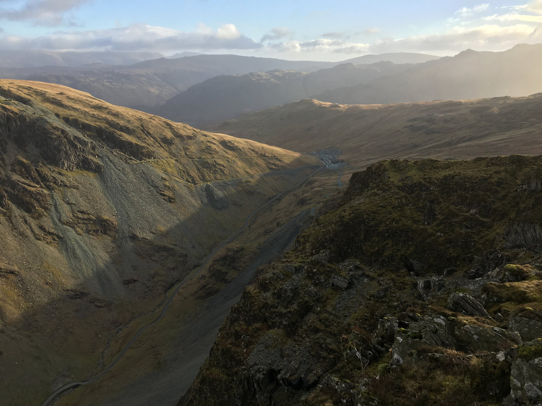
Looking down to Honister from Black Star
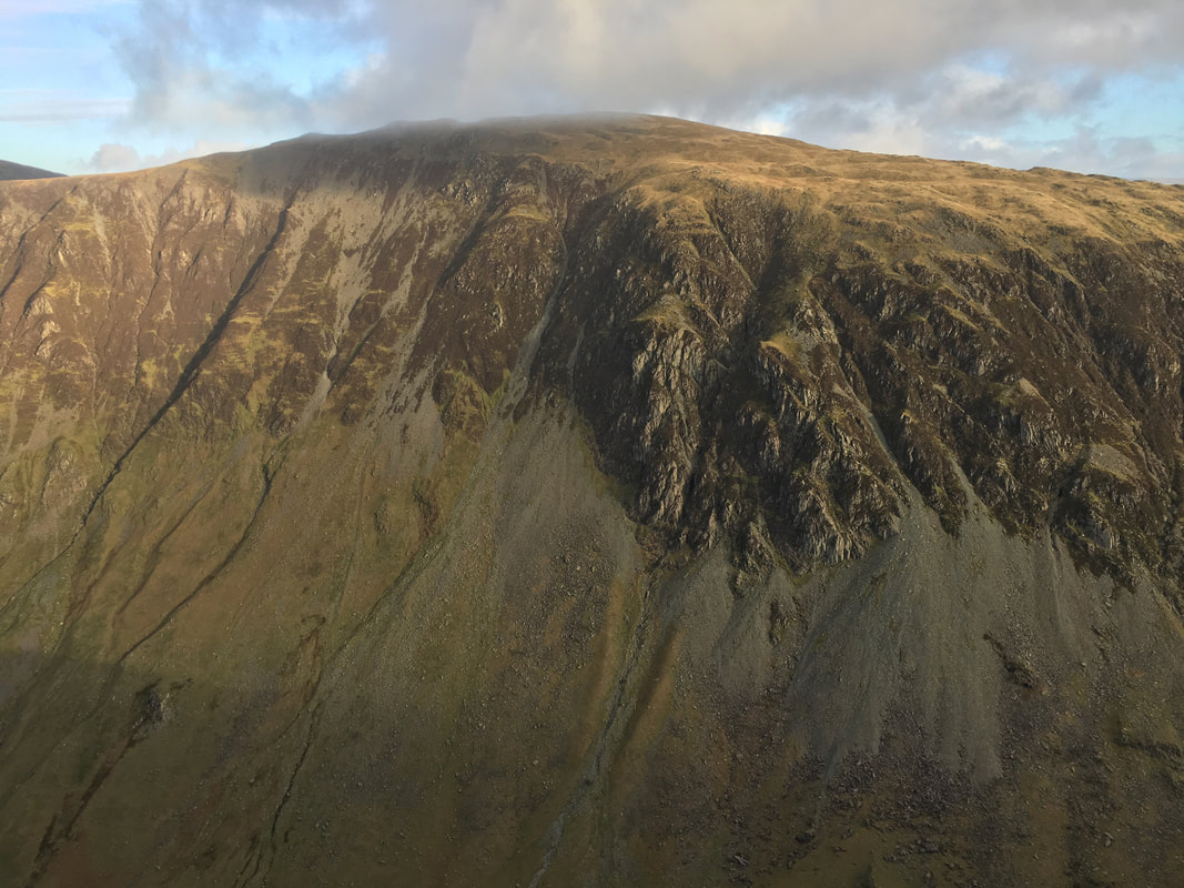
Dale Head
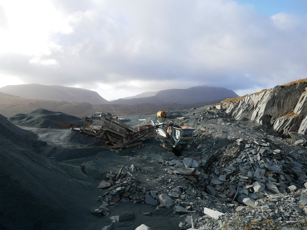
Passing through the Hopper Quarry at Honister
The Honister Slate Mine is the last working slate mine in England. Quarrying for the Westmorland green slate has been taken place in the area since 1728. The mine is well worth a visit and more information on the mine and other activities can be found here
The Honister Slate Mine is the last working slate mine in England. Quarrying for the Westmorland green slate has been taken place in the area since 1728. The mine is well worth a visit and more information on the mine and other activities can be found here
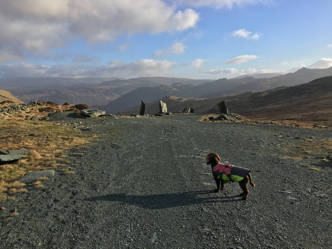
Fudge contemplates my next navigational move - straight on little chap, bear right and down to the Drum House
At the Drum House (the remains of which are behind Angie who is taking the photograph)
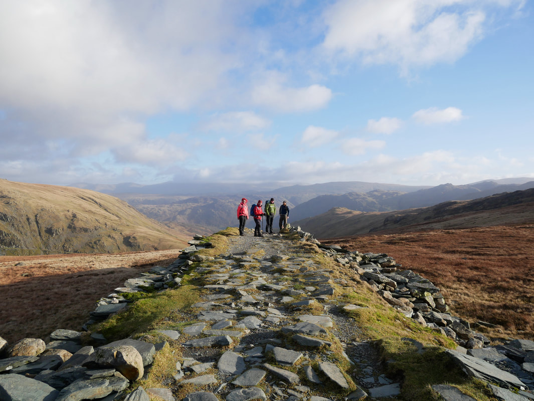
Wainwright called the path from the quarry buildings at Honister to Dubs Quarry "the straightest mile in Lakeland". The path we are stood on was once the permanent route for trucks conveying stone from the quarry back down to Honister. (Fleetwith Pike 4)
Wainwright called the path from the quarry buildings at Honister to Dubs Quarry "the straightest mile in Lakeland". The path we are stood on was once the permanent route for trucks conveying stone from the quarry back down to Honister. (Fleetwith Pike 4)
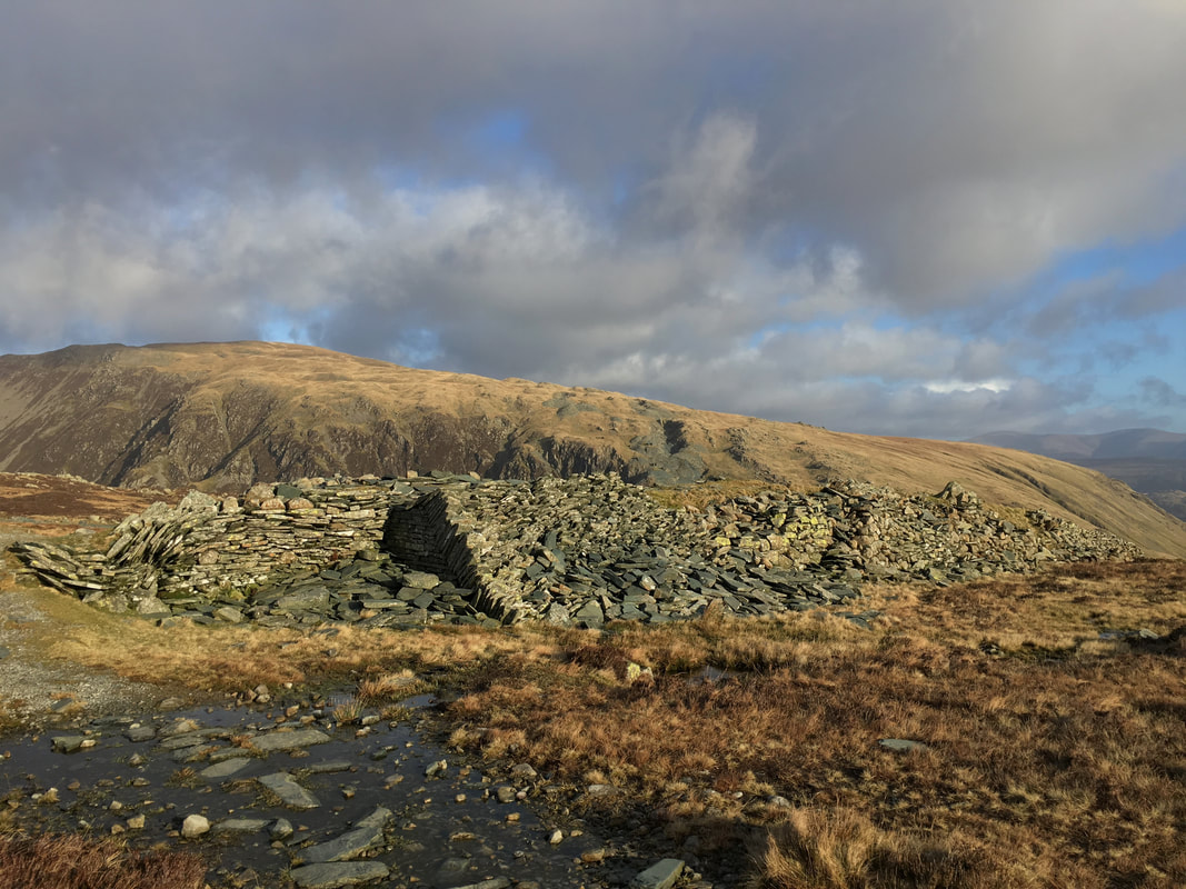
The remains of the Drum House with Dale Head behind.
The highest point on the "straightest mile", the building once housed the winding gear to pull up & wind down the trucks to/from the quarry & Honister.
The highest point on the "straightest mile", the building once housed the winding gear to pull up & wind down the trucks to/from the quarry & Honister.
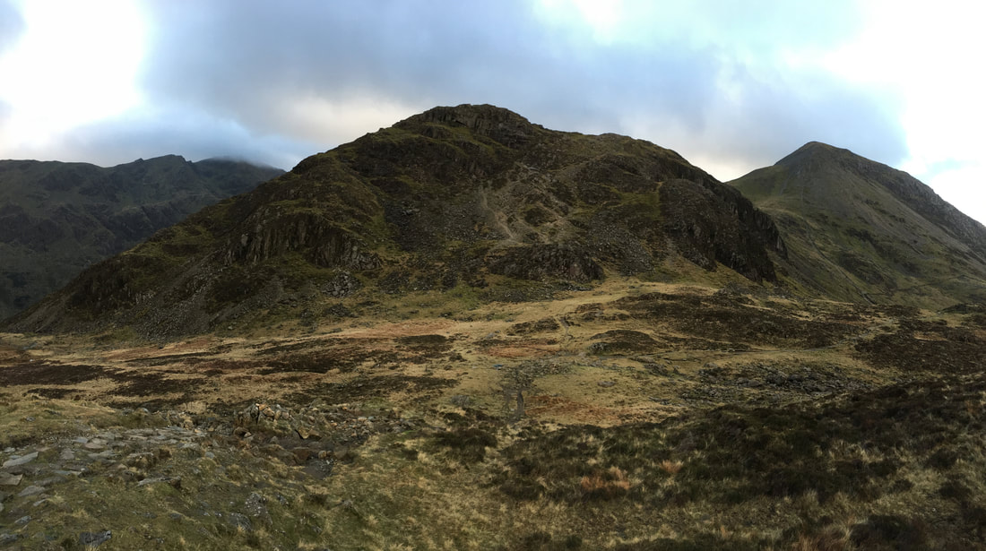
The transit to Grey Knotts from the Drum House which is to the right.
The route follows the Coast to Coast path and breaks off from this thoroughfare to gain the summit of Grey Knotts at Grid Reference NY 2154 1282
The route follows the Coast to Coast path and breaks off from this thoroughfare to gain the summit of Grey Knotts at Grid Reference NY 2154 1282
The group up on the summit of Grey Knotts
Looking north east along the ridge of Grey Knotts - this route leads directly back down to Honister
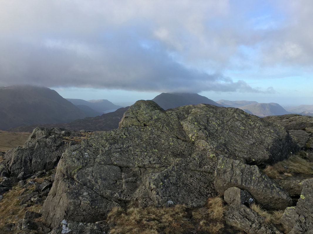
The summit of Grey Knotts
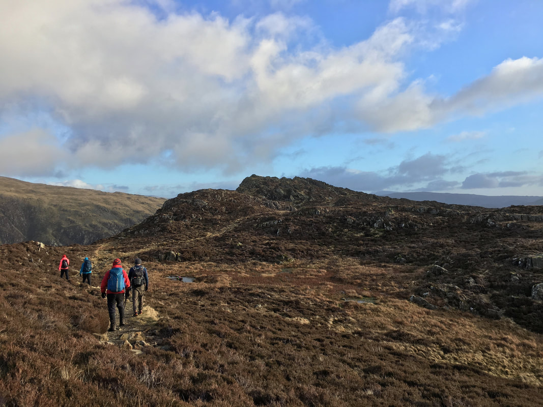
Heading for Brandreth
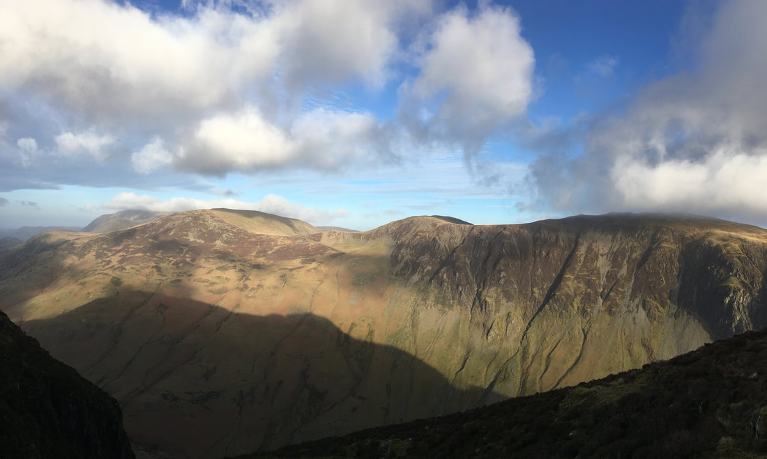
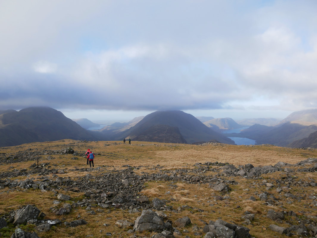
Looking to Glaramara over Base Brown from Brandreth
Green Gable with Great Gable in cloud from Brandreth
The summit of Brandreth
It was a while ago now but I think Amber was celebrating her 100th Wainwright and Stu his 114th thereby he had 100 to go.
It was a while ago now but I think Amber was celebrating her 100th Wainwright and Stu his 114th thereby he had 100 to go.
Leaving Brandreth to head down to the north west towards Innominate Tarn.
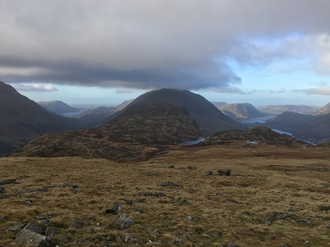
Ennerdale Water can be seen to the left with Buttermere & Crummock Water to the right.
Ennerdale Water can be seen to the left with Buttermere & Crummock Water to the right.
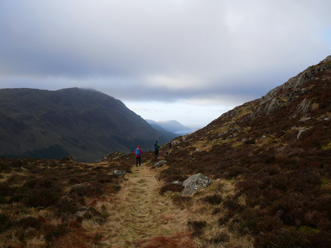
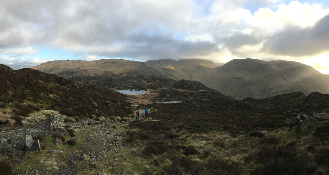
Heading down to Haystacks
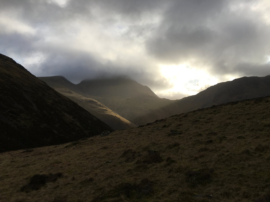
Looks a bit tasty over on Great Gable.
Windy Gap can now be seen between Great Gable & Green Gable.
Windy Gap can now be seen between Great Gable & Green Gable.
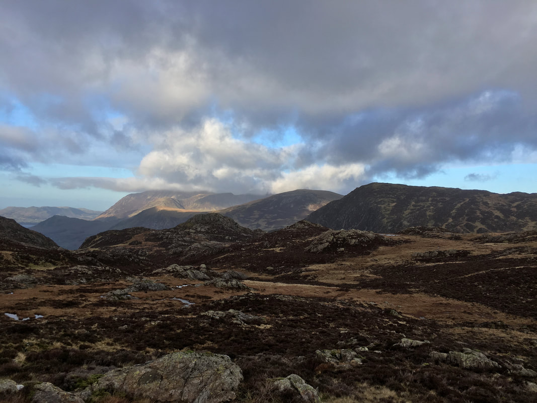
Grasmoor in the far distance with Fleetwith Pike to the right
Handrailing the fence on Seavy Knott as we head towards Innominate Tarn
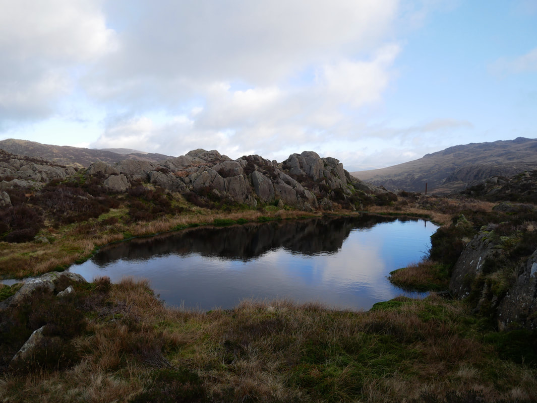
Tarns aplenty here but not the one we were looking for
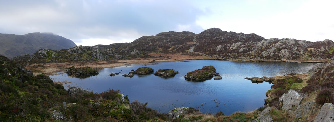
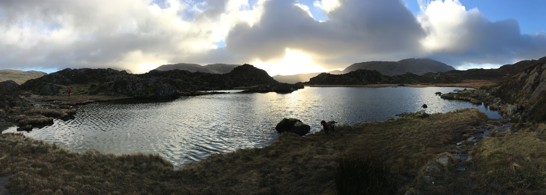
A panorama of Innominate Tarn below Haystacks.
This is a special place for many lovers of the Lakeland Fells and in particular Alfred Wainwright (1907 - 1991) who drew up the famous 7 pictorial guides describing the 214 "Wainwright" fells of the Lake District. Innominate Tarn (nameless tarn) is the place his ashes were scattered below his beloved Haystacks.
This is a special place for many lovers of the Lakeland Fells and in particular Alfred Wainwright (1907 - 1991) who drew up the famous 7 pictorial guides describing the 214 "Wainwright" fells of the Lake District. Innominate Tarn (nameless tarn) is the place his ashes were scattered below his beloved Haystacks.
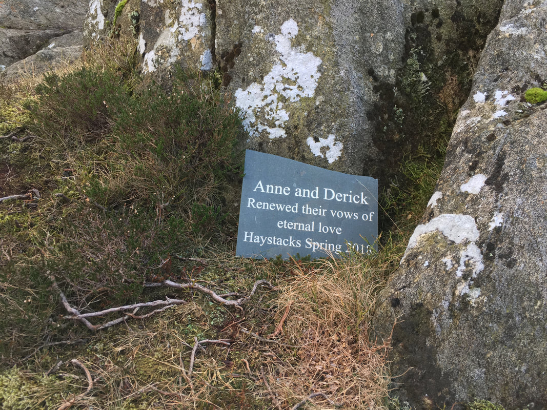
All very well but I do wish people would not leave this sort of stuff up here - what if everybody did it?
An atmospheric panorama of Innominate Tarn
Leaving Innominate Tarn it was now time to make the final ascent up to the summit of Haystacks
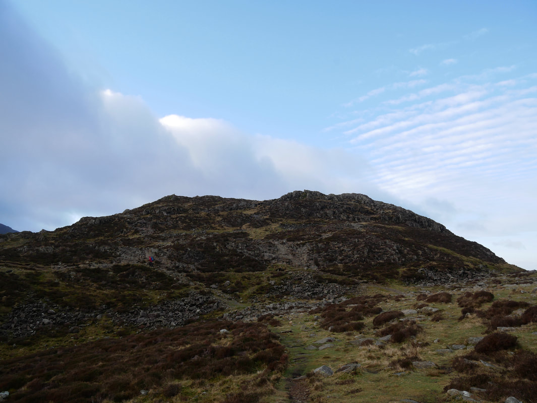
Almost there now - just the final few hundred yards
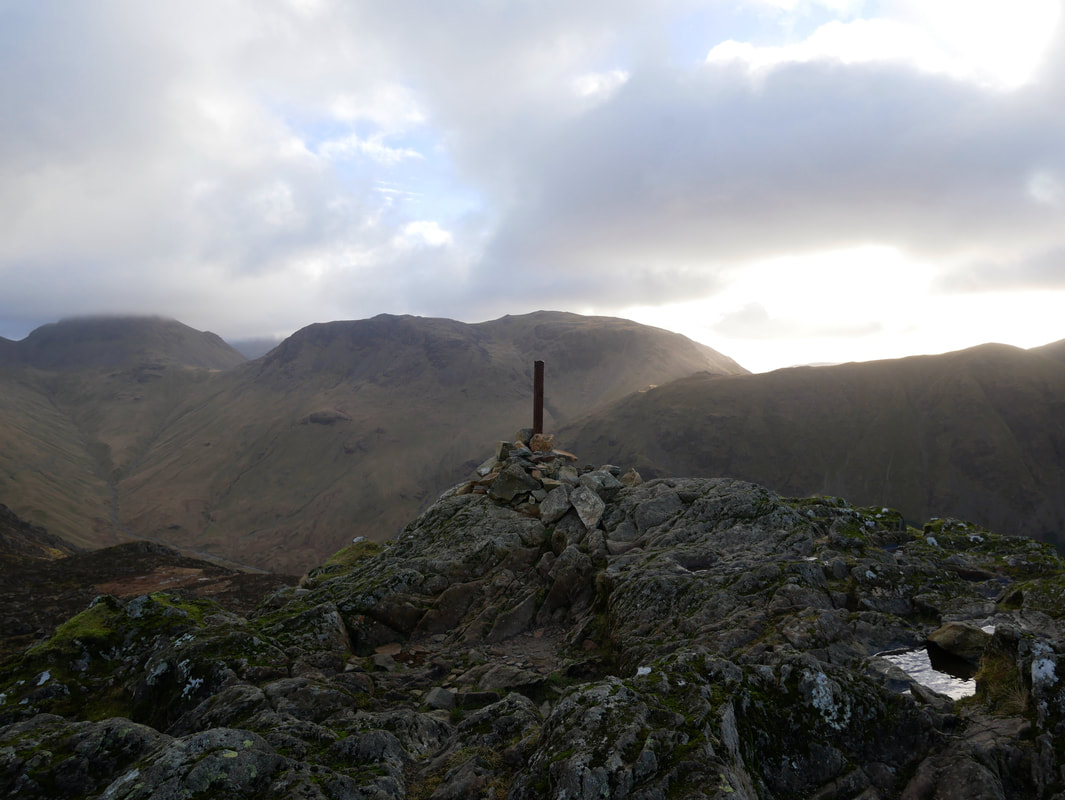
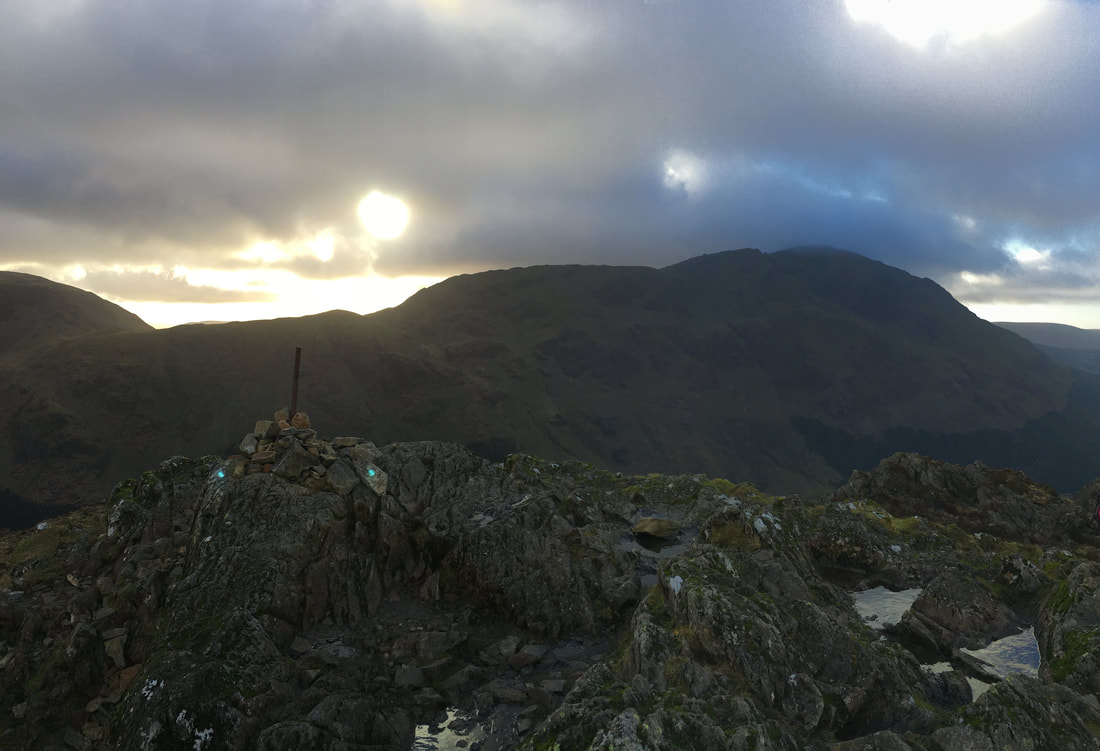
The south cairn on the summit of Haystacks looking to Great Gable & Kirk Fell
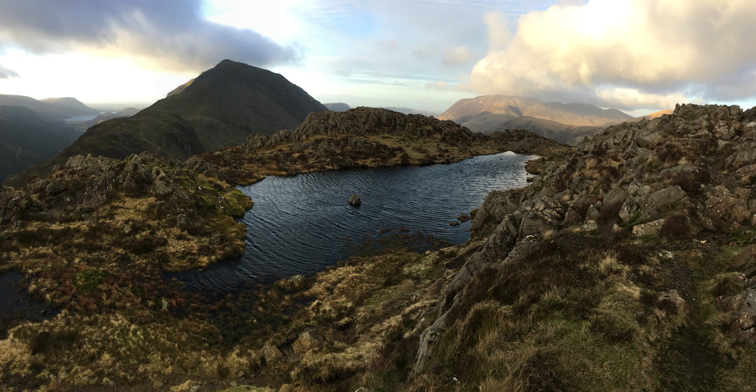
The beautiful and idyllic tarn on the summit of Haystacks. Ennerdale Water can be seen in the distance to the left with Seat & High Crag centre left. The bulk of Grasmoor dominates to the rear right.
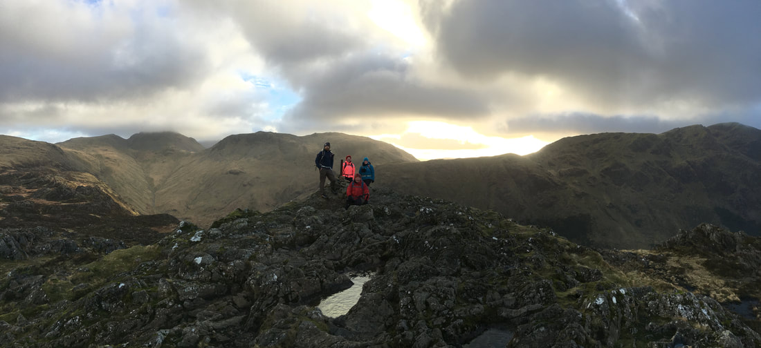
The group on the southern summit of Haystacks
Haystacks southern summit looking to Pillar
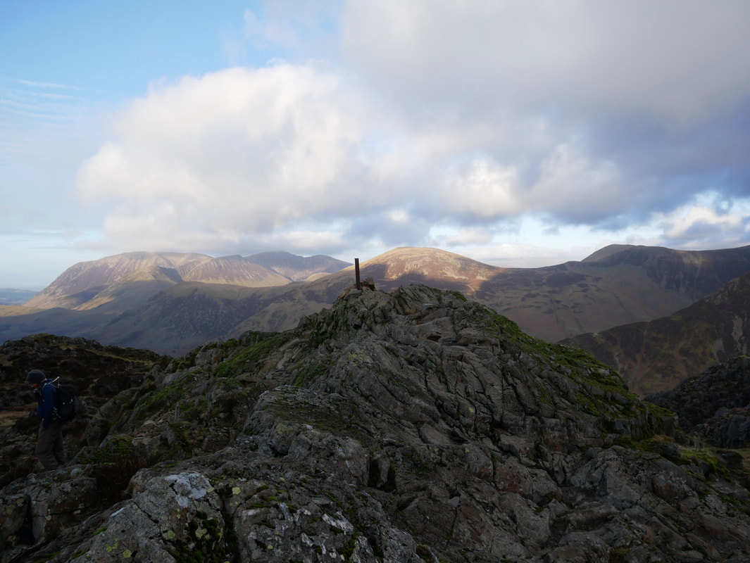
The northern summit on Haystacks.
Both cairns on the summit ridge are at roughly the same height, however Wainwright states "that the north one, lying on the line of the path across the top of the fell is usually regarded as the true summit" (Haystacks 9).
Both cairns on the summit ridge are at roughly the same height, however Wainwright states "that the north one, lying on the line of the path across the top of the fell is usually regarded as the true summit" (Haystacks 9).
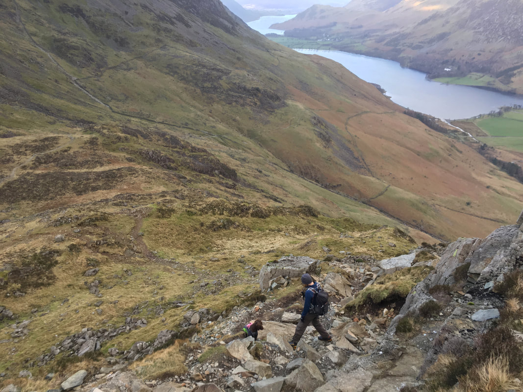
Descending to Scarth Gap from the summit of Haystacks.
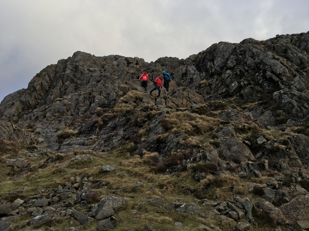
Care should be taken making this descent - it is not as easy as it looks and there are several places where you need to concentrate.
Care should be taken making this descent - it is not as easy as it looks and there are several places where you need to concentrate.
Looking down to the top of the Scarth Gap Pass from the descent of Haystacks
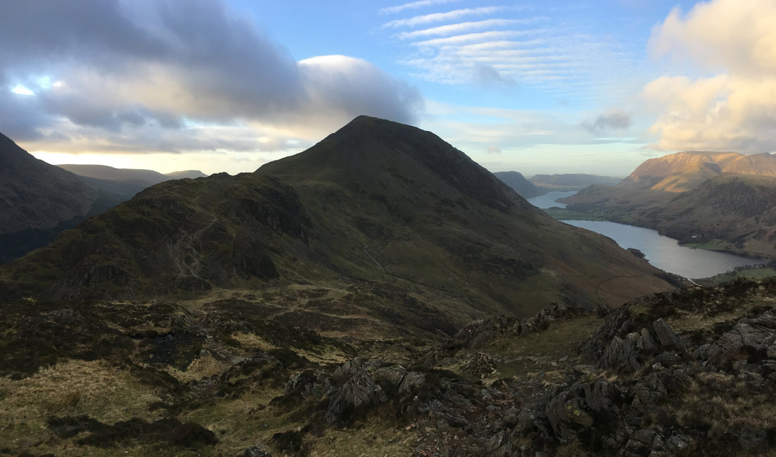
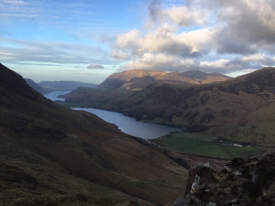
Seat is in the foreground with Gamlin End on High Crag centre. Buttermere & Crummock Water are to the right. The sun shines on Grasmoor.
Seat is in the foreground with Gamlin End on High Crag centre. Buttermere & Crummock Water are to the right. The sun shines on Grasmoor.
Fudge supervises Stu as we near the bottom of the descent from Haystacks
Grasmoor in the sunshine above Buttermere
The top of the Scarth Gap Pass - left into Ennerdale, straight on for Seat & the High Stile ridge and turn right for Buttermere
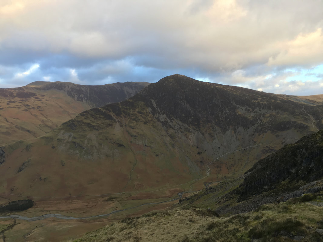
Fleetwith Pike & Warnscale Bottom
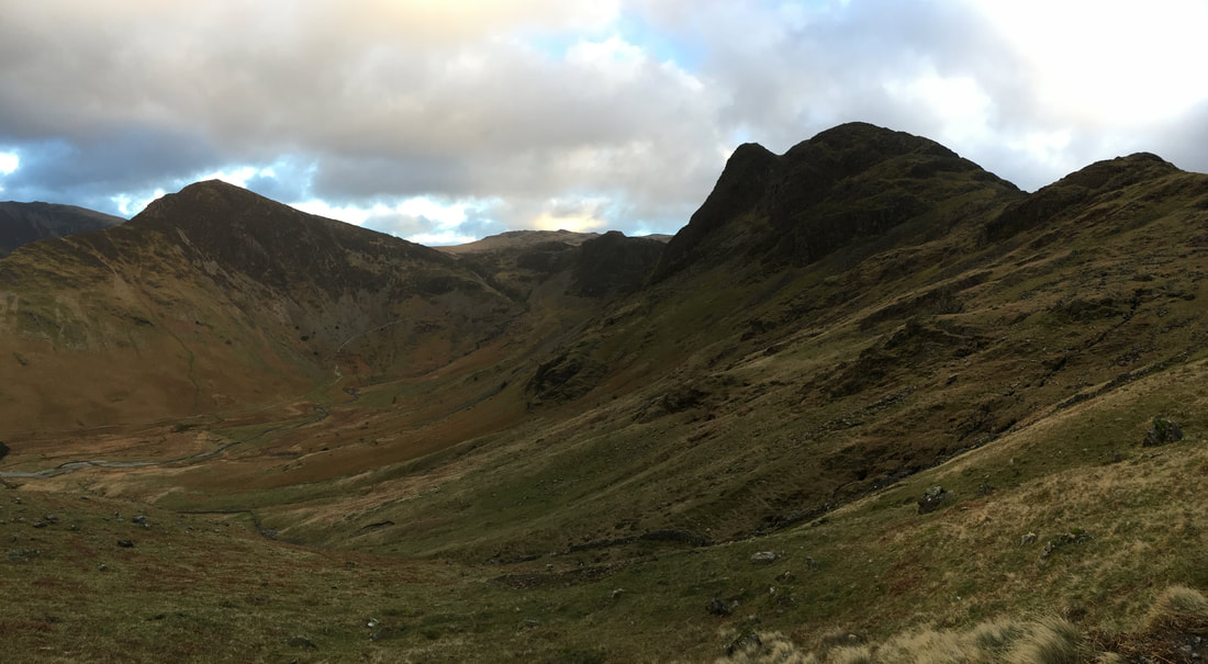
Fleetwith Pike & Haystacks from the Scarth Gap Pass
