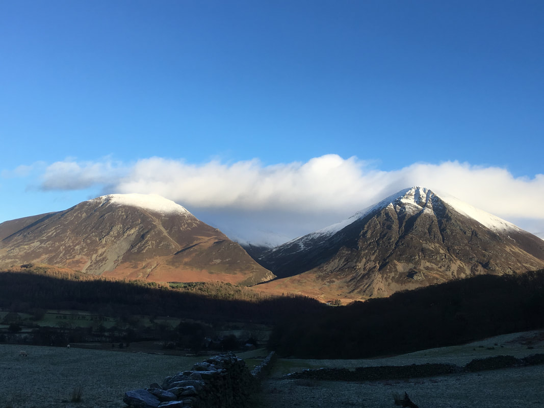
Mellbreak - Wednesday 27 December 2017
Route
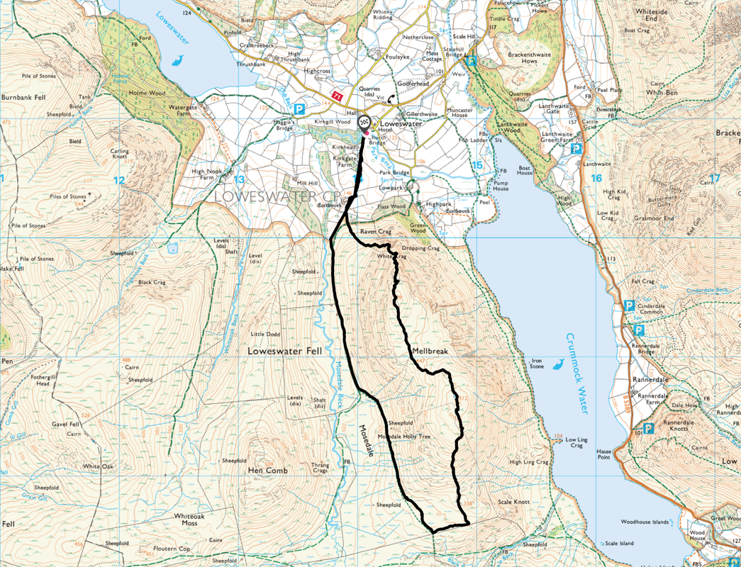
Church Bridge - White Crag - Mellbreak North Top - Mellbreak South Top - Mosedale - Church Bridge
Parking
Church Bridge near The Kirkstile Inn (Free) - Grid Ref NY142209
Mileage
5.5 miles
Terrain
Mountain paths for the most part with some road walking at the start & finish. The ascent of Mellbreak from the North appears daunting at first but is on a generally good path. There is some scree to negotiate on the early part of the ascent.
Weather
Mainly sunny but extremely cold, particularly on the summit ridge.
Time Taken
3hrs 50mins
Total Ascent
1856ft (566m)
Wainwrights
1
Map
OL4 - The English Lakes (North Western Area)
|
GPX File
|
| ||
If the above GPX file fails to download or presents itself as an XML file once downloaded then please feel free to contact me and I will send you the GPX file via e-mail.
Walk Description
Over in the Western Fells today not that far from home. It was an icy road and therefore a careful drive that delivered us to The Kirkstile Inn at Loweswater to the start of todays walk. We parked just below the inn at Church Bridge where there is room for 4 or 5 properly parked cars although there are also a few spaces near the phone box and also at The Kirkstile Inn but please make sure you ask the pub staff first. Today we would be climbing Mellbreak via its Northern face and descending to the south to walk back along the valley of Mosedale. The fell sits on its own above the Western shores of Crummock Water and when viewed from the east is a wonderful sight, almost inviting you to come on over and climb it - as Wainwright described it 'Mellbreak is like the keel of an upturned boat that has collapsed in the middle".
The route today is probably the most popular and well-trodden way up the fell. From Church Bridge the path follows a walled farm track to pass Kirkgate Farm to then arrive at a gate that provides direct access to the open fell side. From the gate there is a path to the right, which is the returning Mosedale path however we took the path straight ahead through a firebreak that splits a small group of larches. Once through the firebreak the path to the foot of the fell is clear enough but it is difficult to see a way up beyond this. A chap passed us and asked whether this was the right path to take up Mellbreak - we assured him it was and on he went.
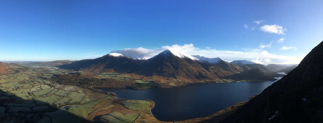
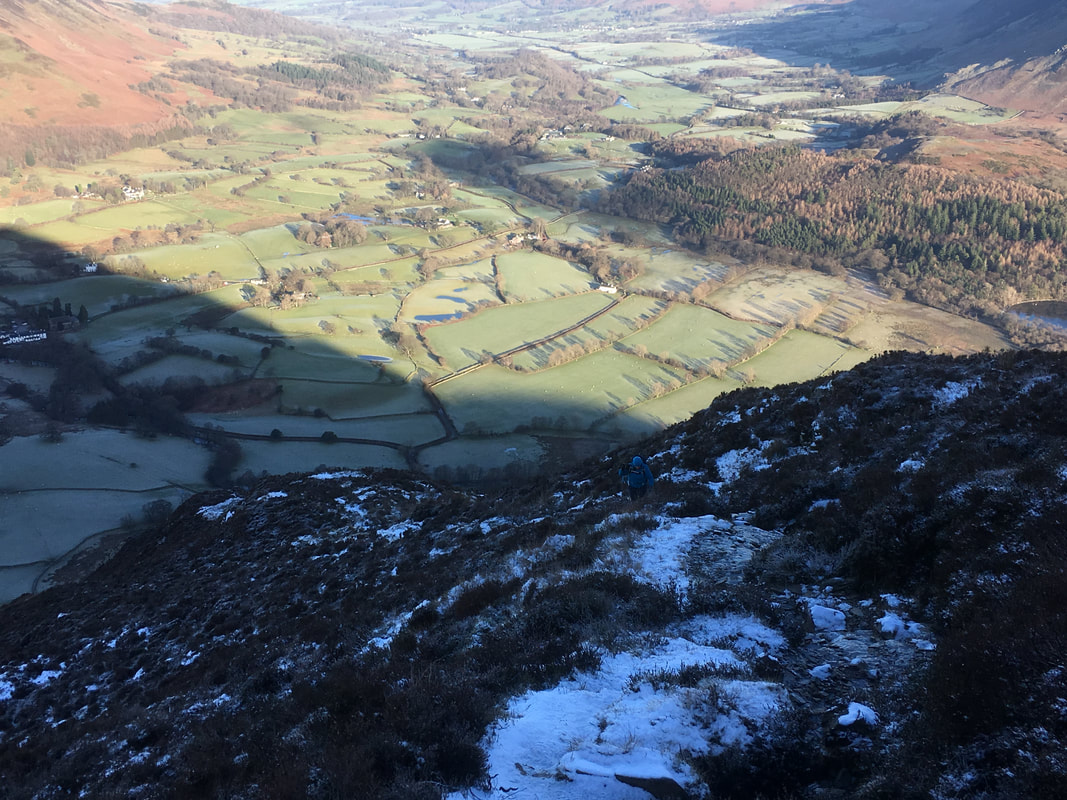
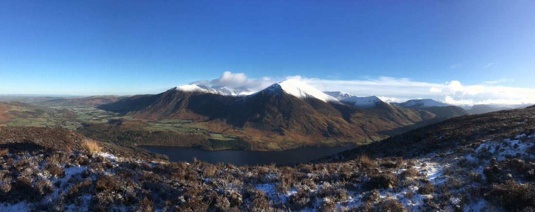
From the foot of the fell the loose stone path becomes evident and it is just a question of taking your time to negotiate this zig zagging route for about 400 metres or so to reach a rocky gateway. At this point the path becomes more solid & distinct yet maintains its steepness, soon arriving near Wainwright's "a lovely peep around a corner' viewpoint. It is worth seeking out this viewpoint - it grants a fantastic view down Crummock Water, Buttermere and across to the North Western Fells. Returning to the path, the gradient is maintained before it levels out to leave a short transit to Mellbreak's north summit. It is worth lingering here for a while as there are far ranging views to the north, east & west, particularly over to Grasmoor, Whiteside and the Vale of Lorton.
From the North summit, the South top is reached by way of a large wide depression and once attained there are fantastic views down over Buttermere and the High Stile ridge. Descending to the south, many paths appear near the bottom but it is just a question of aiming for the boundary fence to follow this west to where the path to Mosedale appears coming up from Scale Force. There now begins a delightful transit back along the valley floor to reach the farm gate that leads back to Loweswater.
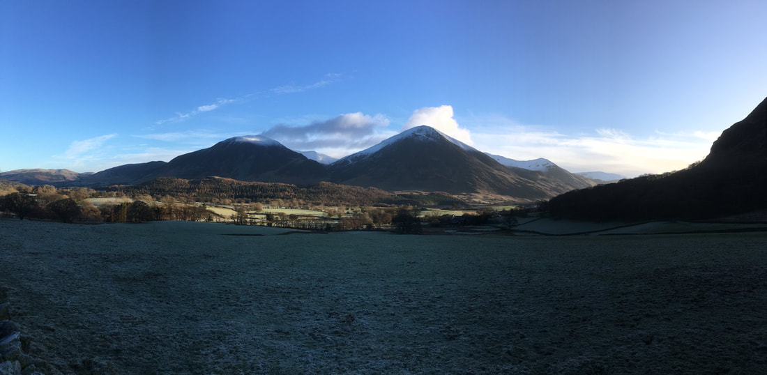
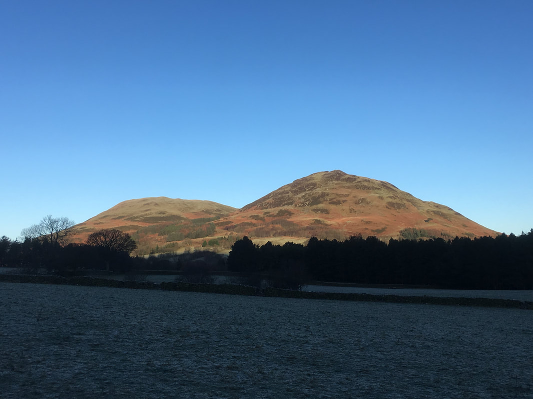
Carling Knott with Burnbank Fell to the right
An early view of Whiteside & Grasmoor
Grasmoor
Darling Fell & Low Fell
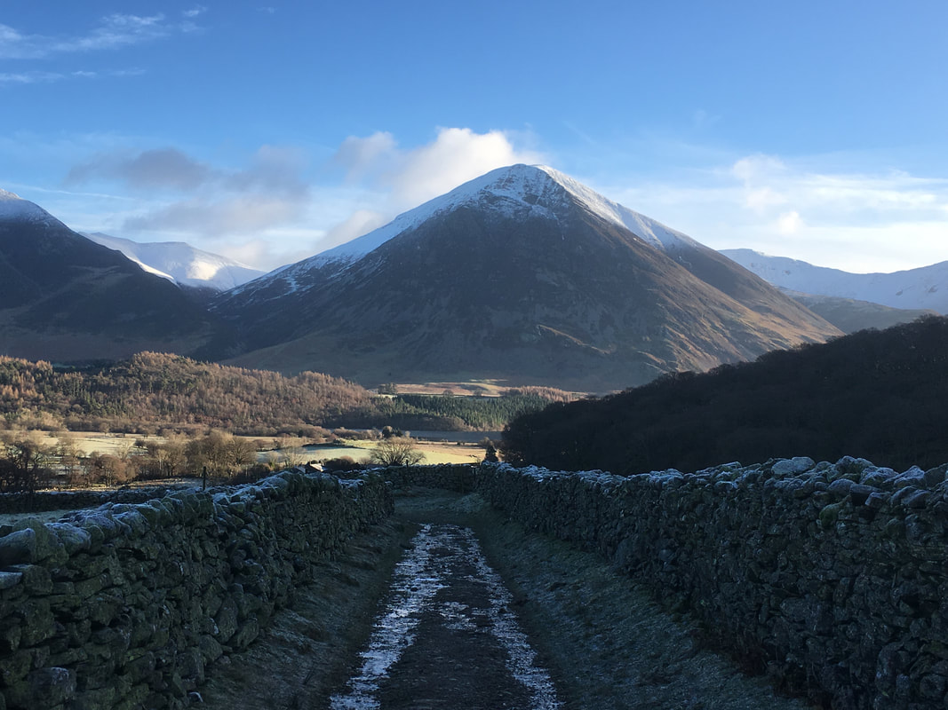
From the start at Church Bridge the route travels along a walled farm track passing Kirkgate Farm.
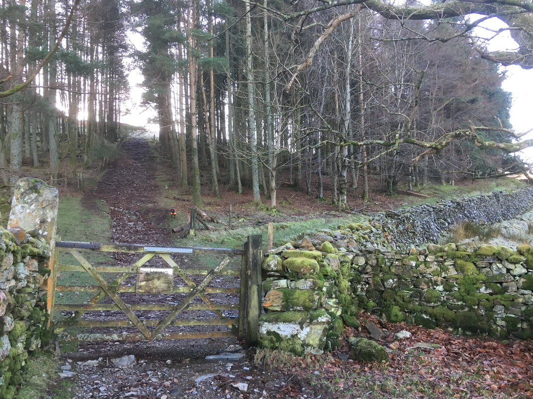
At the end of the track this gate gives access to the open fellside. Straight on for Mellbreak - the path to the right leads to Mosedale.
The path straight ahead is an old firebreak and heads up through a small plantation for about 100 yards or so.
At the end of the track this gate gives access to the open fellside. Straight on for Mellbreak - the path to the right leads to Mosedale.
The path straight ahead is an old firebreak and heads up through a small plantation for about 100 yards or so.
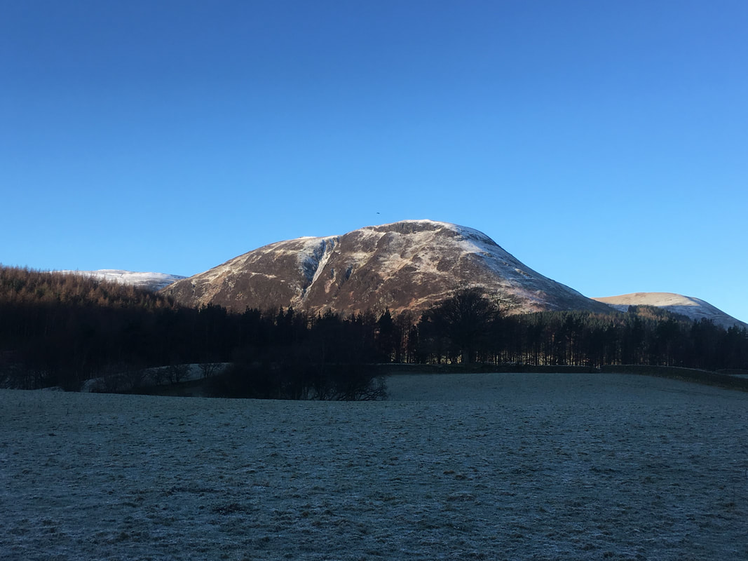
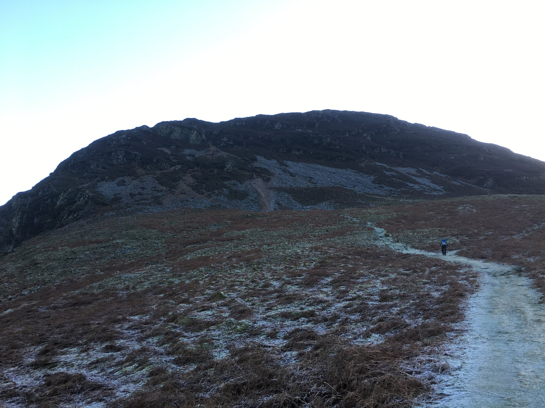
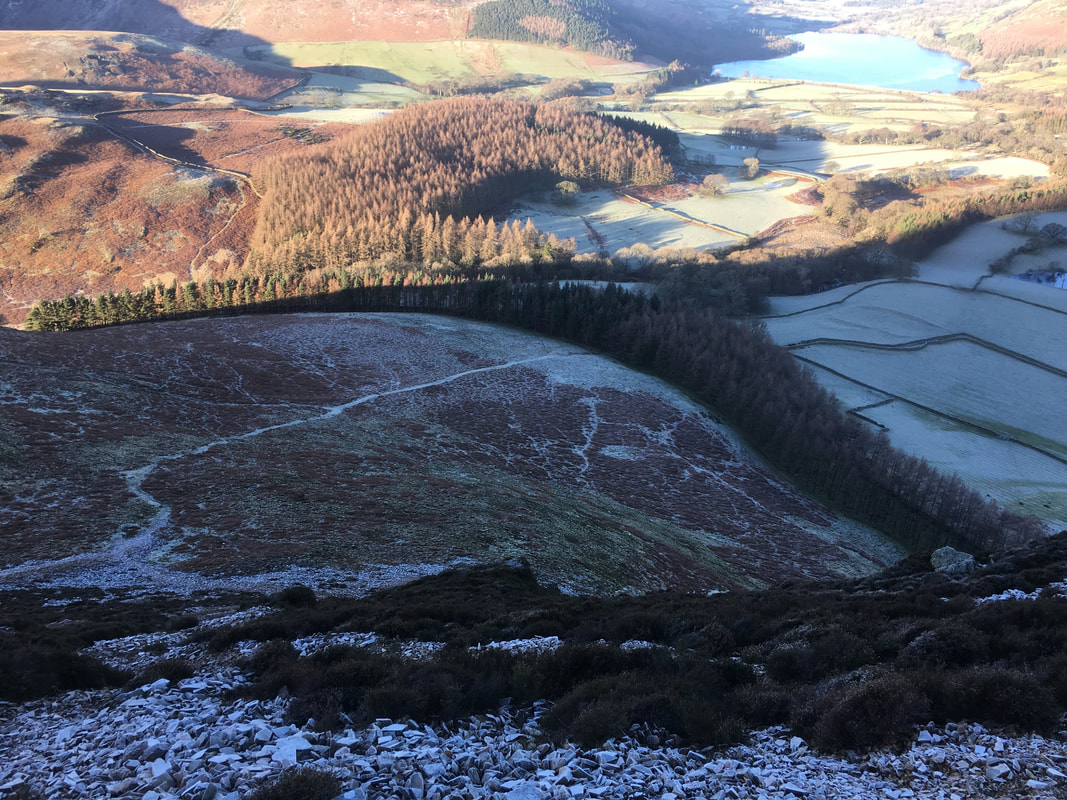
Mellbreak in early morning shadow. The first scree section can be seen clearly and the route zig zags up the scree to reach a rock gateway where the terrain becomes easier to climb. Whilst it does not look like it from here, there is a path to be followed all the way to the top.
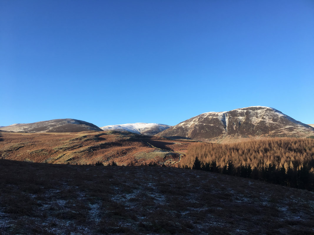
Blake Fell centre with Carling Knott to the right
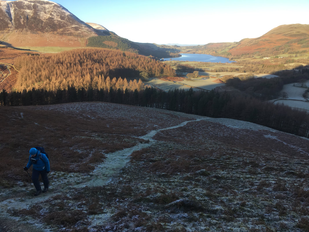
Still in shadow as we make our way up to the start of the scree part of the ascent. Loweswater comes into view.
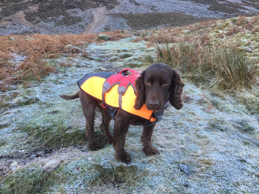
Although it does not look like it, Fudge was excited to be back on the fells
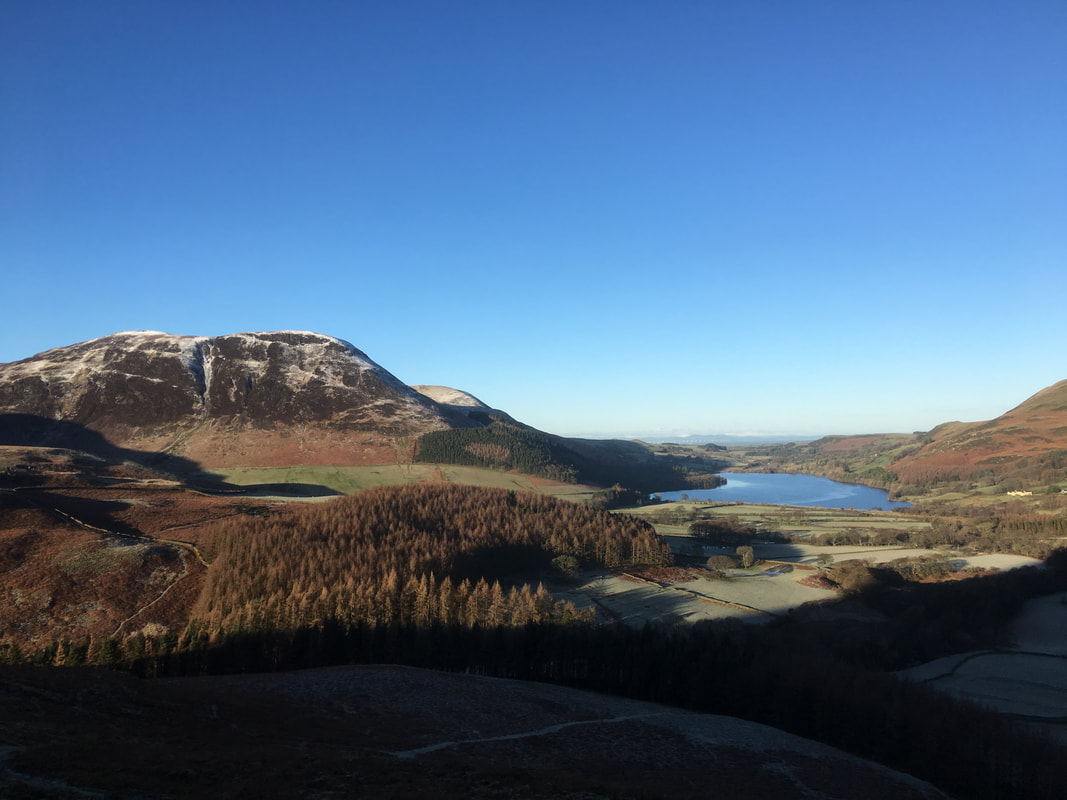
Carling Knott, Burnbank Fell & Loweswater from further up the ascent
A Mellbreak ascent panoramic
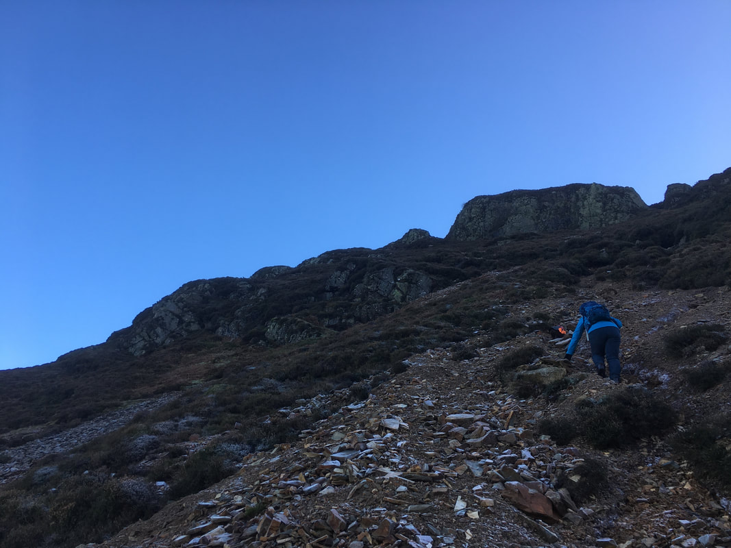
Up on the scree now as we head for the rock gateway ahead
The path up the scree from above. The route of ascent from the plantation can also be seen.
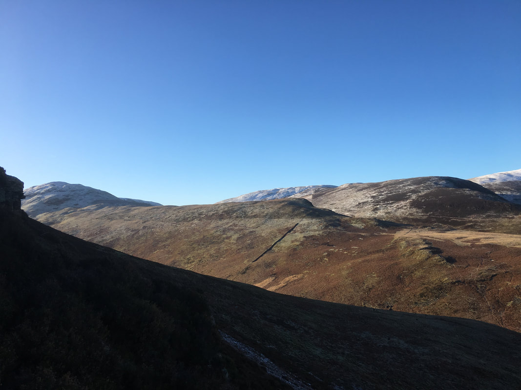
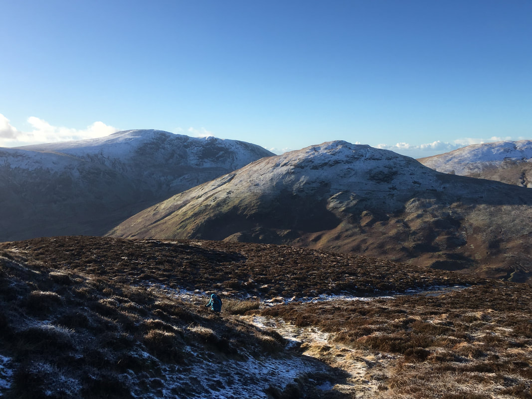
Hen Comb, Little Dodd & Gavel Fell across Mosedale
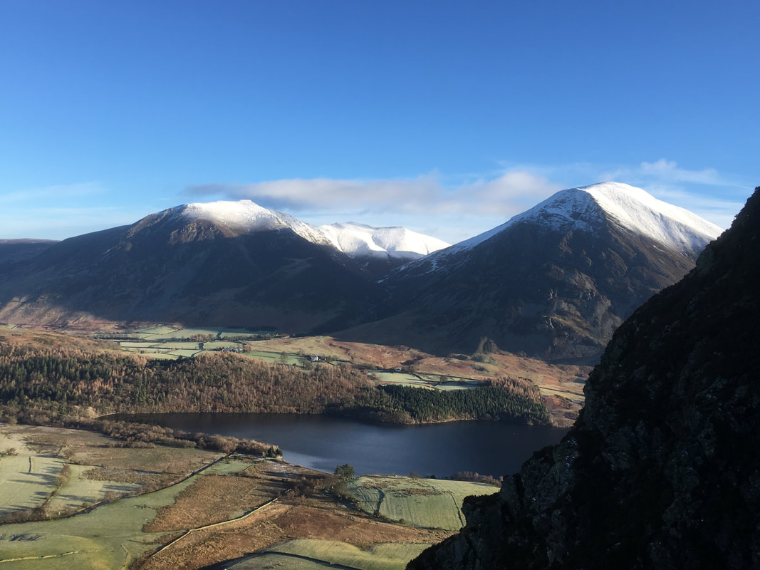
Whiteside, Hopegill Head & Grasmoor from near the rock gateway. Crummock Water sits below.
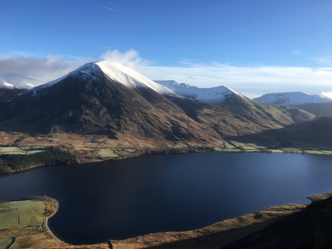
Grasmoor, Whiteless Pike & Crummock Water from Wainwright's 'a lovely peep around a corner' (Mellbreak 4 & 5).
From the main path up Mellbreak, a vague path veers slightly left to visit this lovely spot that gives a fantastic vista down to Crummock & Buttermere
From the main path up Mellbreak, a vague path veers slightly left to visit this lovely spot that gives a fantastic vista down to Crummock & Buttermere
A panoramic from the 'a lovely peep around a corner' spot
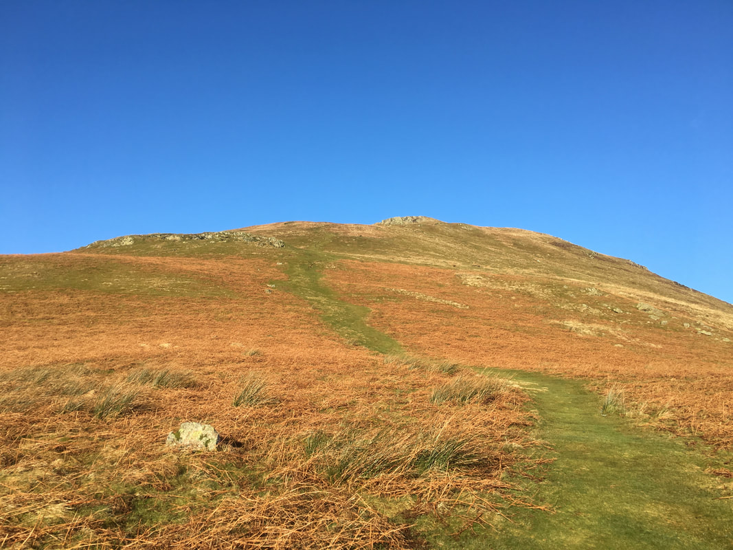
With the scree safely negotiated the path steepens but improves in terrain and ease of transit
A North Western Fells panorama from Mellbreak's North Summit Ridge
The gradient eases as we make our way over to Mellbreak's North Summit.
The short rise to gain Mellbreak's North Summit. Great Borne & Hen Comb provide the backdrop
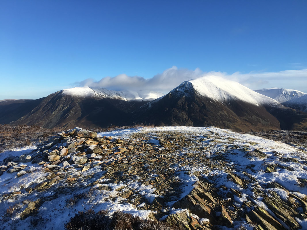
Mellbreak's North Summit looking over to Whiteside & Grasmoor
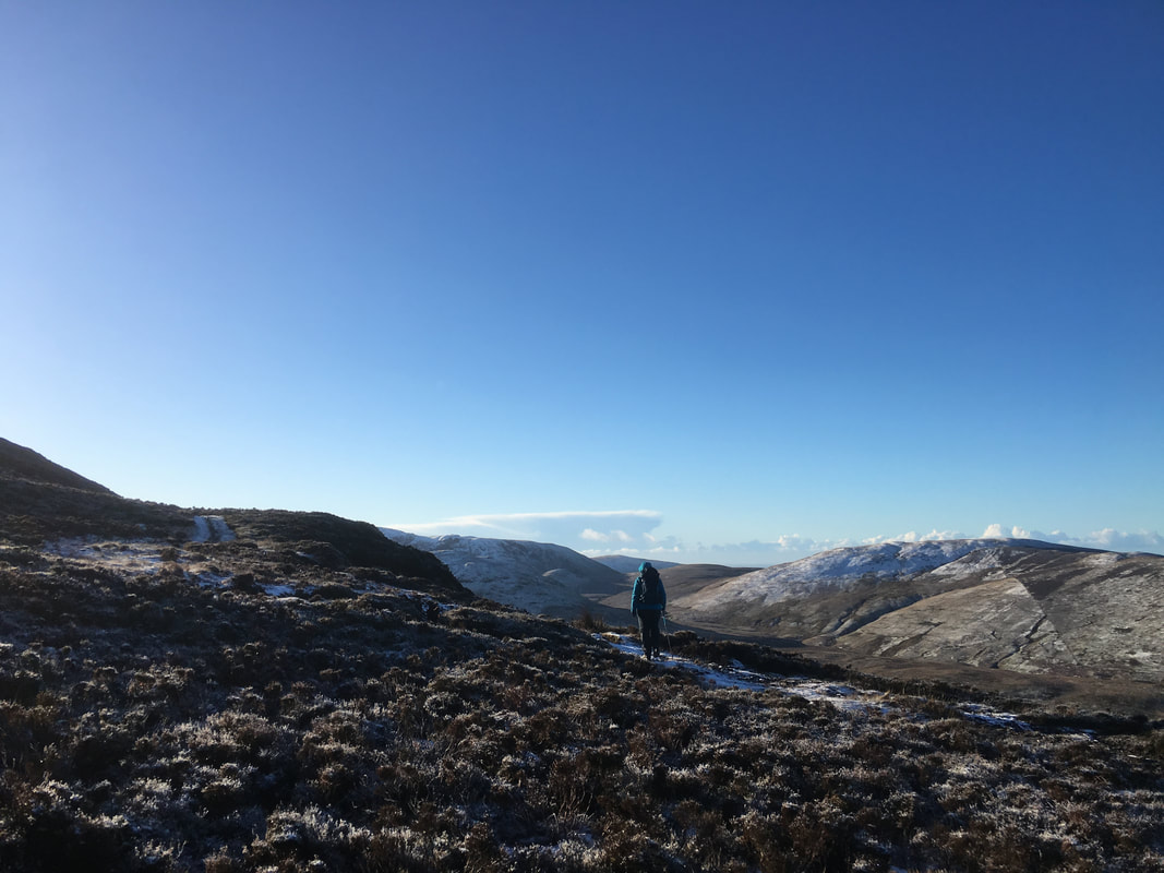
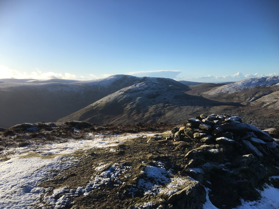
Looking south west to Great Borne, Hen Comb & Gavel Fell
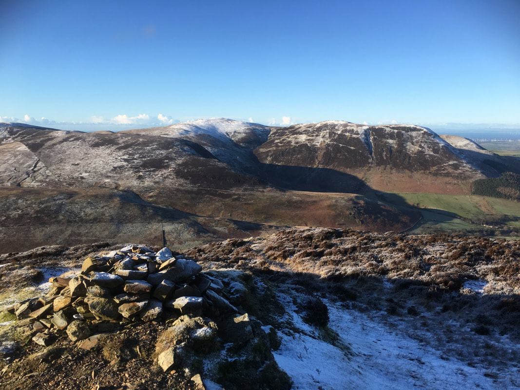
Little Dodd, Gavel Fell, Blake Fell, Carling Knott & Burnbank Fell from Mellbreak's North summit
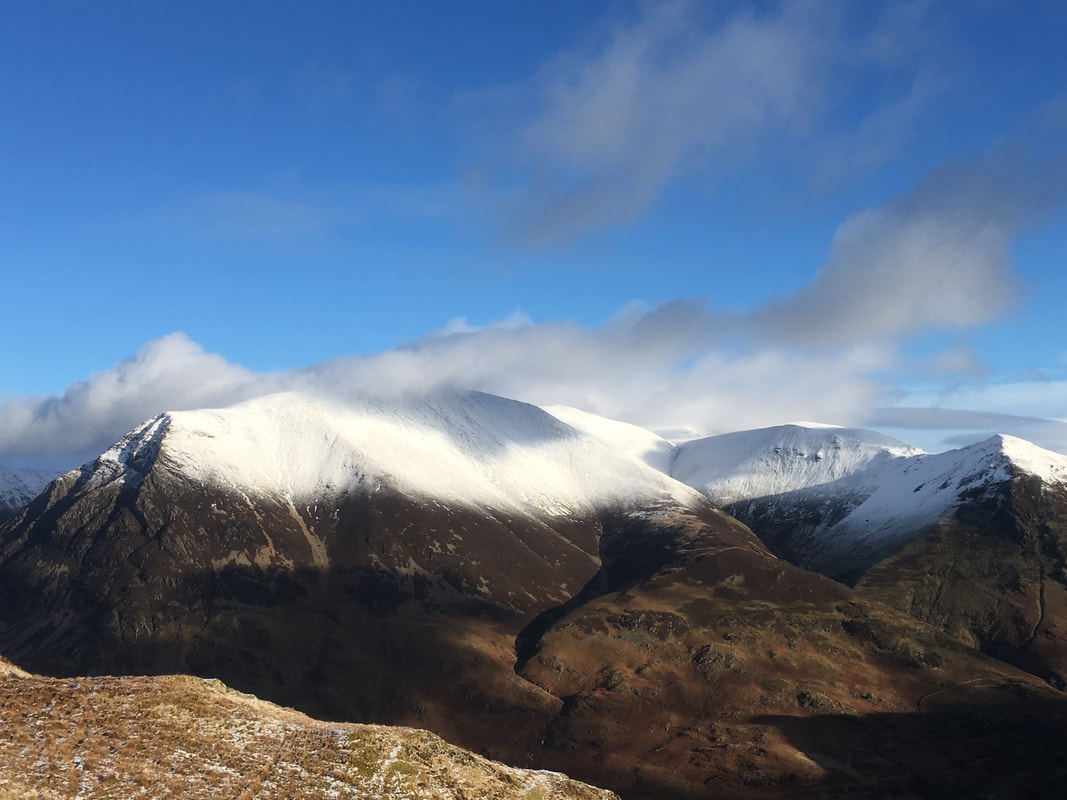
The huge bulk of Grasmoor dominates with Crag Hill, Wandope & Whiteless Pike to the right
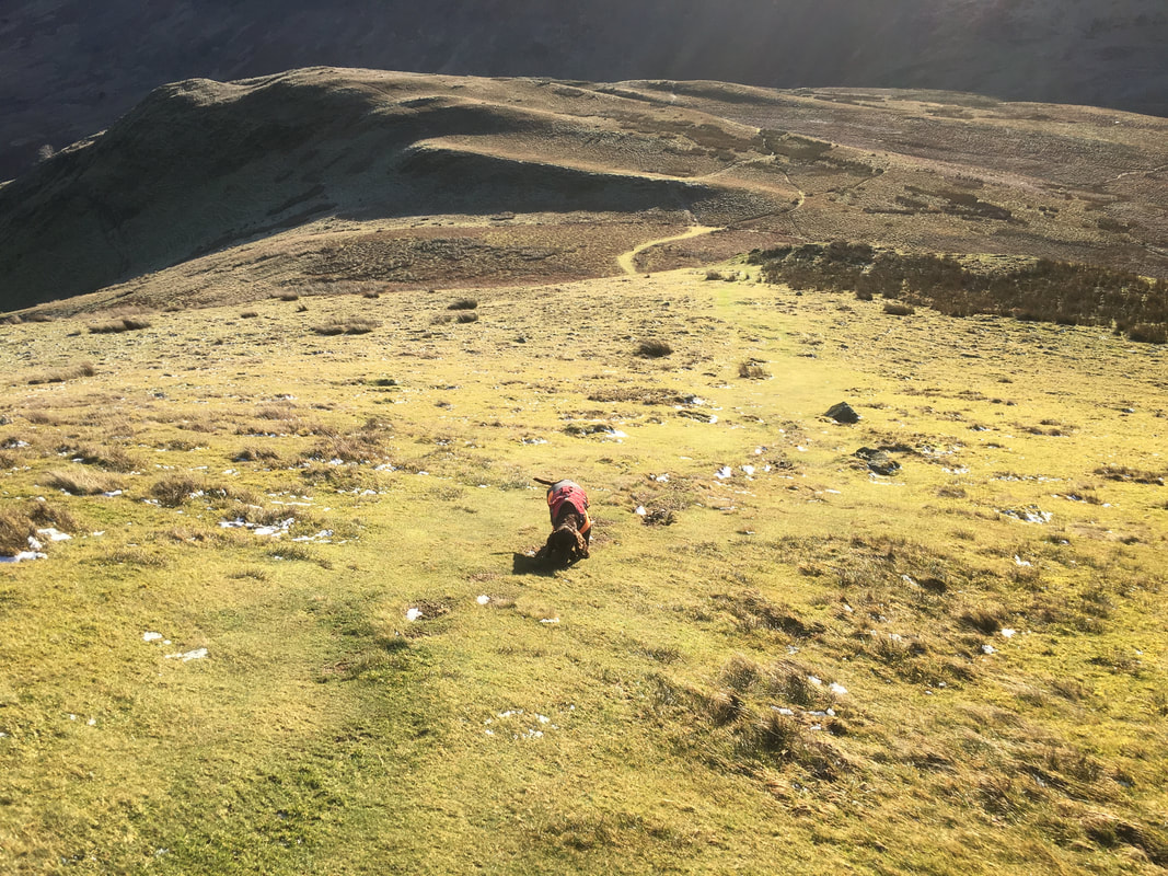
Looking back up to Mellbreak's South summit from our descent to the fence
The gradual descent from Mellbreak - lots of paths here going all over the place
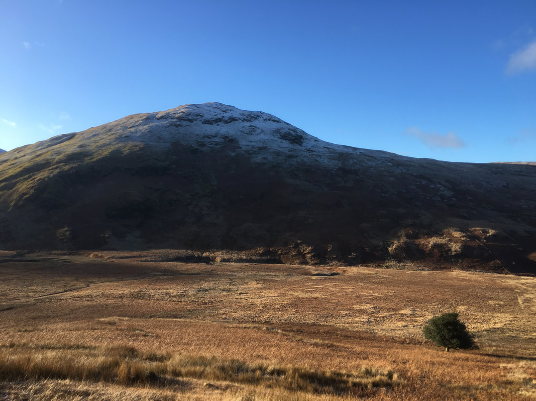
Hen Comb & the Mosedale Holly Tree which is actually marked on the OS Map
A final look at Whiteside & Grasmoor from the path back to Church Bridge
