Fairfield Horseshoe - Wednesday 23 January 2019
Route
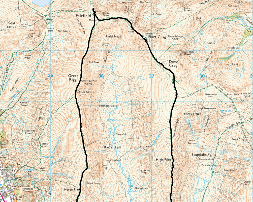
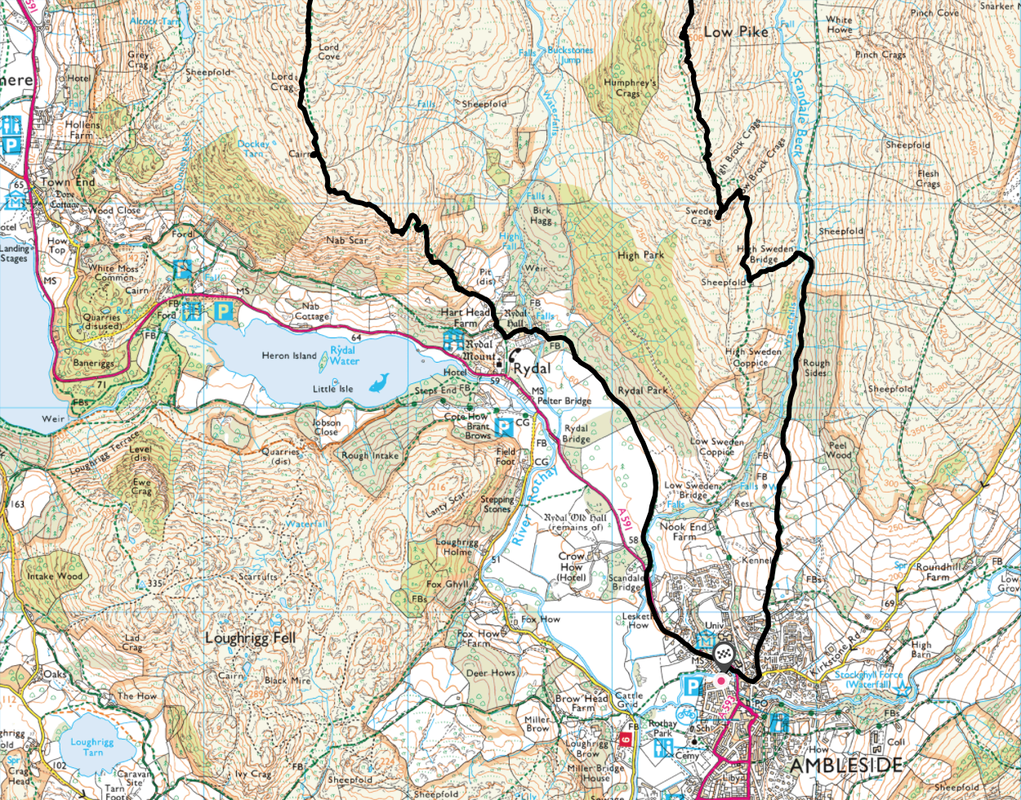
Ambleside - Rydal - Nab Scar - Heron Pike - Heron Pike North Top - Great Rigg - Fairfield - Link Hause - Hart Crag - Dove Crag - High Pike - Low Pike - Sweden Crag - High Sweden Bridge - Ambleside
Parking
Rydal Road Car Park (£7 All Day) - Post Code LA22 9AN
Mileage
12.2 miles
Terrain
Pathless for the most part due to snow. Whilst full winter kit was carried it was not deployed due to the snow being very soft. It should be noted that the summit of Fairfield can be a very confusing area in mist therefore ensure you are on top of your navigation when arriving at the summit.
Weather
As the snow covered most of the paths it was imperative to keep on top of the navigation today although the visibility was excellent throughout. Wall to wall sunshine for most of the day, bitingly cold but very little wind.
Time Taken
8hrs 20mins
Total Ascent
3212ft (979m)
Wainwrights
8
Map
OL5 - The English Lakes - North Eastern Area
OL7 - The English Lakes - South Eastern Area
|
GPX File
|
| ||
If the above GPX file fails to download or presents itself as an XML file once downloaded then please feel free to contact me and I will send you the GPX file via e-mail.
Walk Description
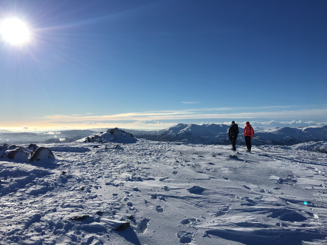
Days like today do not come around very often therefore in the preceding days when you are watching the various weather reports and you see the forecast to be the big sun staring back at you, no wind and lots of snow on the ground you know you have to get out there. Today was such a day therefore having seen the forecast I put the event up as a meet with Lakeland Meet Ups just in case anybody else wanted to join us. Because of the short notice we had one taker therefore Angie and I met up with Amber in Ambleside to walk another of those classic Lakeland routes, the Fairfield Horseshoe. I reckoned that with the deep snow that was undoubtedly waiting for us up there, that an early start would be required in order for us to get back before sunset therefore after being fleeced for £7 in the Car Park we departed Ambleside at 0830 just as the sun had risen.
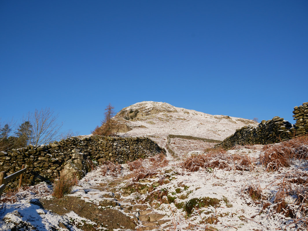
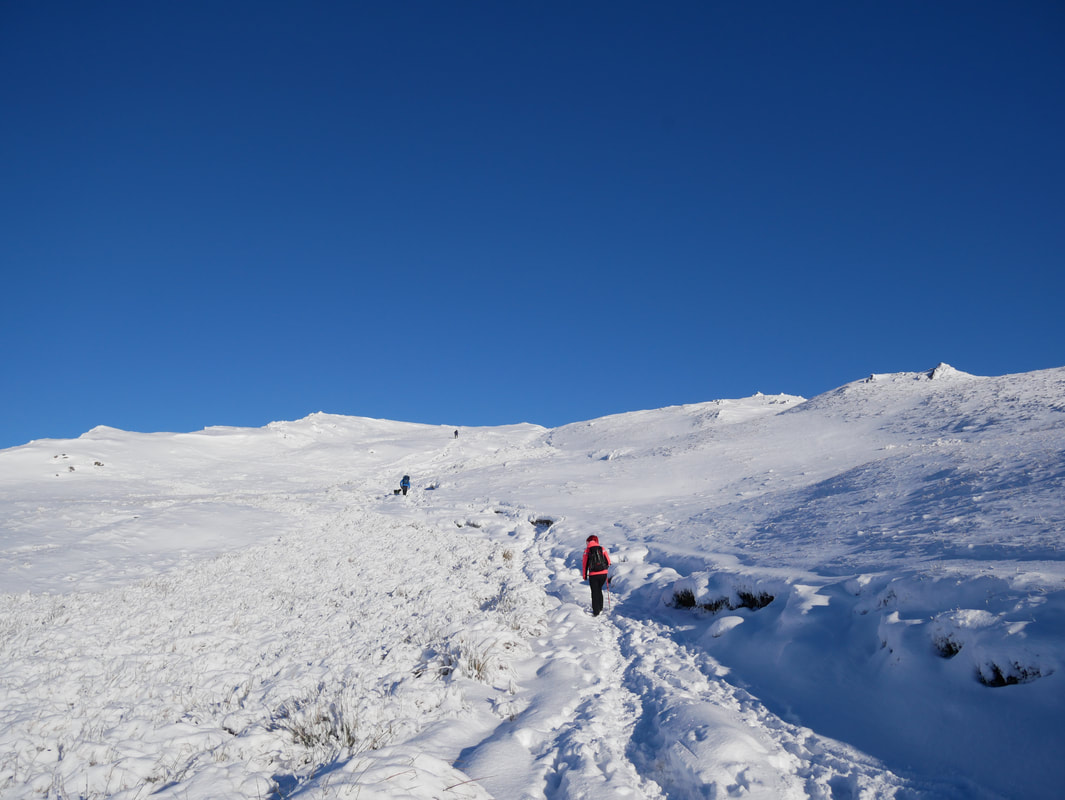
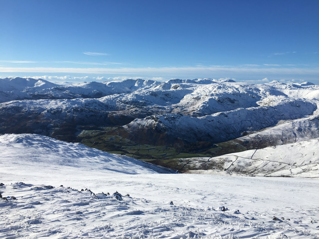
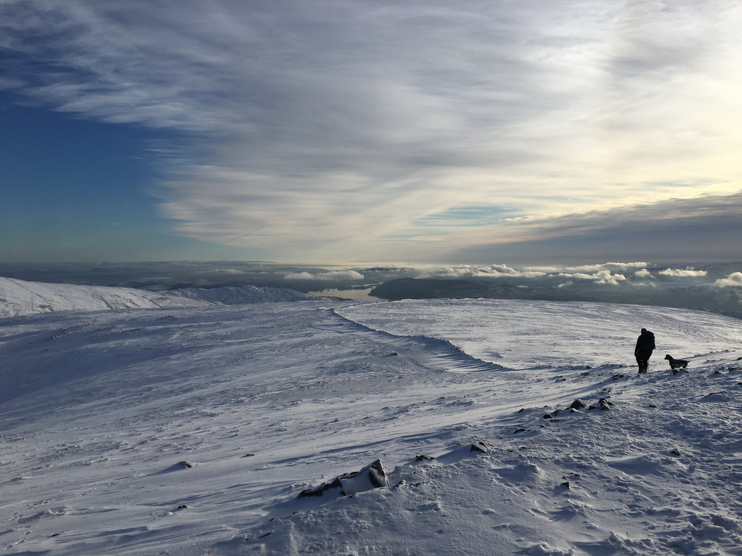
This route is one Angie and I have done several times now and today we intended to make a clockwise circuit of the Horseshoe. Leaving Ambleside in the direction of Grasmere, we walked a short distance alongside the A591 to reach the entrance to the Rydal Estate where we turned off past the Park Gates Lodge. The route then meanders gently along a fenced track to reach the Christian Hospitality Centre of Rydal Hall - there is a cafe here also. Leaving the village of Rydal a gate leads on to the open fell side and the steep ascent of Nab Scar begins. At first the path is stepped making progress fairly easy however as height was gained then the depth of the snow increased however the views over to the return route and across Rydal Water to the Coniston Fells were simply superb. From Nab Scar our route all the way to Fairfield stretched out ahead of us - indeed the entire route could be seen such was the excellent visibility we had today - it was a sea of white.
The route then makes an undulating transit over Heron Pike, its North Top and then Great Rigg to eventually arrive on the summit of Fairfield. The going on the entire outward route to Fairfield was a mixture of shallow and deep snow and I was conscious of maintaining the right navigational track in order to avoid moving off path and into even deeper snow - it was difficult enough as it was. Arriving at Fairfield there were a few people about and we settled into one of the snowy shelters for a bit of lunch but did not hang around too long as it was fairly chilly on the top. Lunch over we explored the summit, taking the opportunity to look down to Cofa Pike, St Sunday Crag and over to the Helvellyn Range before moving off on the path towards Hart Crag. As I have said above, on a day like today the route ahead was never really in doubt however it is well known that Fairfield is a very confusing place to be in mist. It requires navigational nous to ensure that in poor visibility you exit the mountain on your intended route therefore be careful to ensure you have taken the right bearing or you could end up walking further than originally intended.
From Fairfield the path heads south initially before sweeping around to the east to visit Scrubby Crag to then drop steeply into Link Hause. From the Hause it is a short, steep pull up onto Hart Crag to then follow the wall all the way to Dove Crag - this particular section was hard work yet enjoyable as the terrain changed often from shallow to deep snow resulting in some comedy moments. Reaching Dove Crag the route continued to follow the wall to our left to firstly High Pike then Low Pike - again the terrain proved challenging because of the deep snow. With the climbing over with for the day it was now time to make our descent back into Ambleside and south of Low Pike near Sweden Crag we had a decision to make - either continue alongside the wall to Low Sweden Bridge or turn east at Low Brock Crags to reach High Sweden Bridge - we chose the latter.
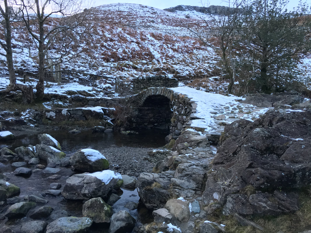
From the very picturesque High Sweden Bridge all that was left was to follow the track for a mile and a half to reach Ambleside where we arrived at dusk - perfect timing although it does stress the importance of carrying a head torch when up against the lack of daylight hours. Today was an absolutely fantastic days walking - views to die for and the clarity of the light was just fantastic.
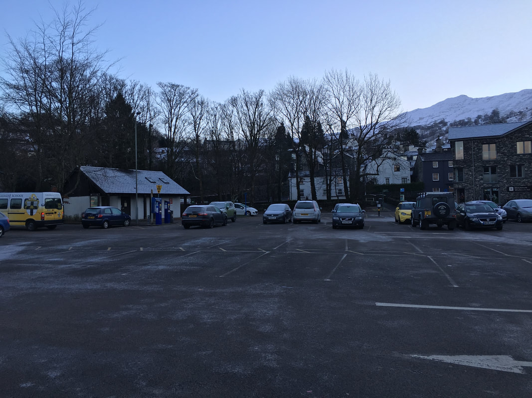
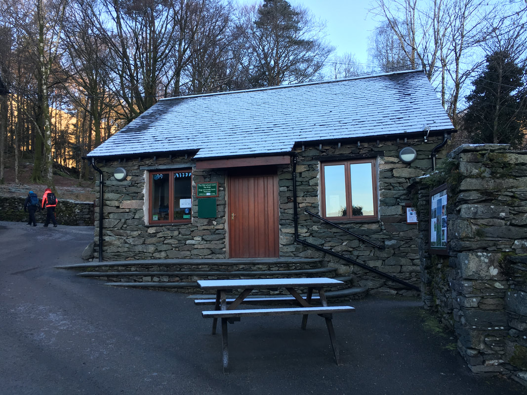
Rydal Road Car Park in Ambleside - the start for today's walk
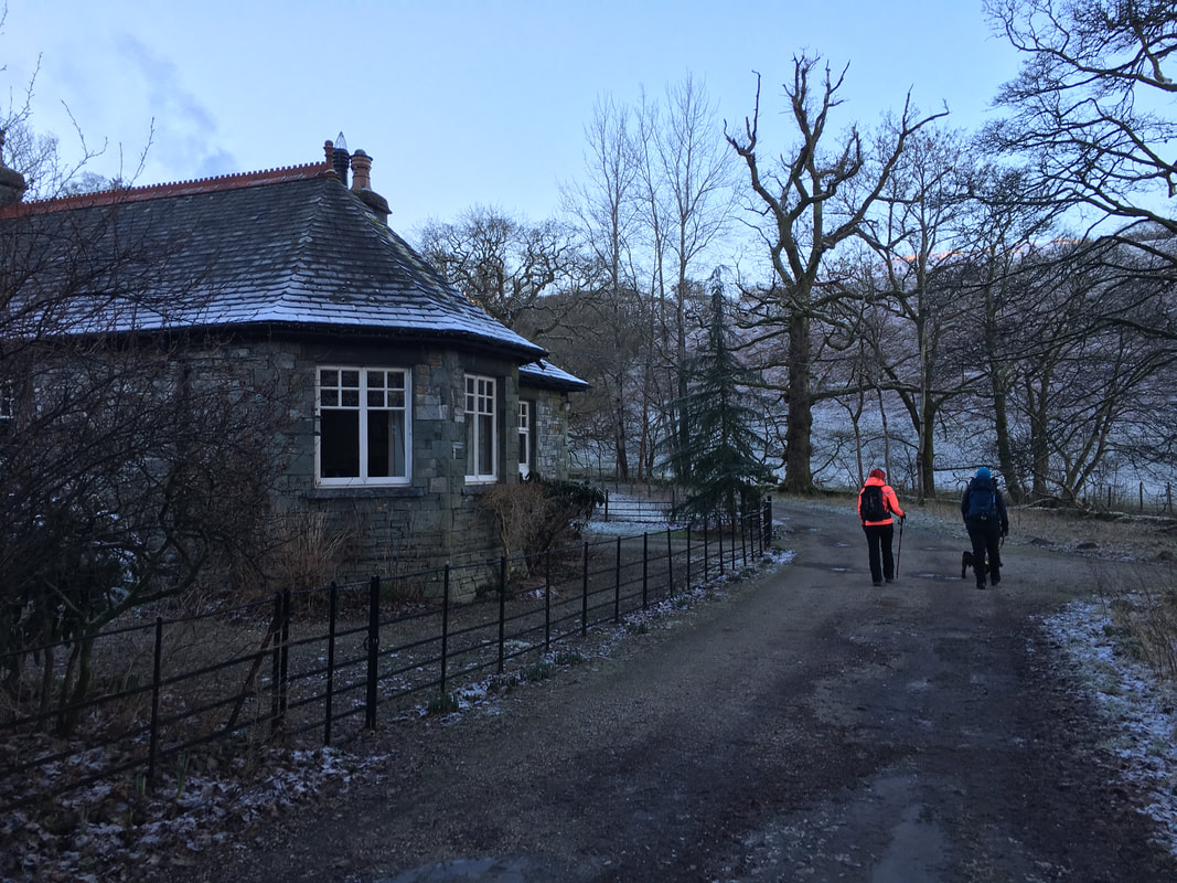
From the A591 towards Grasmere the route turns off the main road onto the Rydal Estate to pass Park Gates Lodge
The cafe near Rydal Lodge - and a very good one it is too. Unfortunately we were a bit too early.
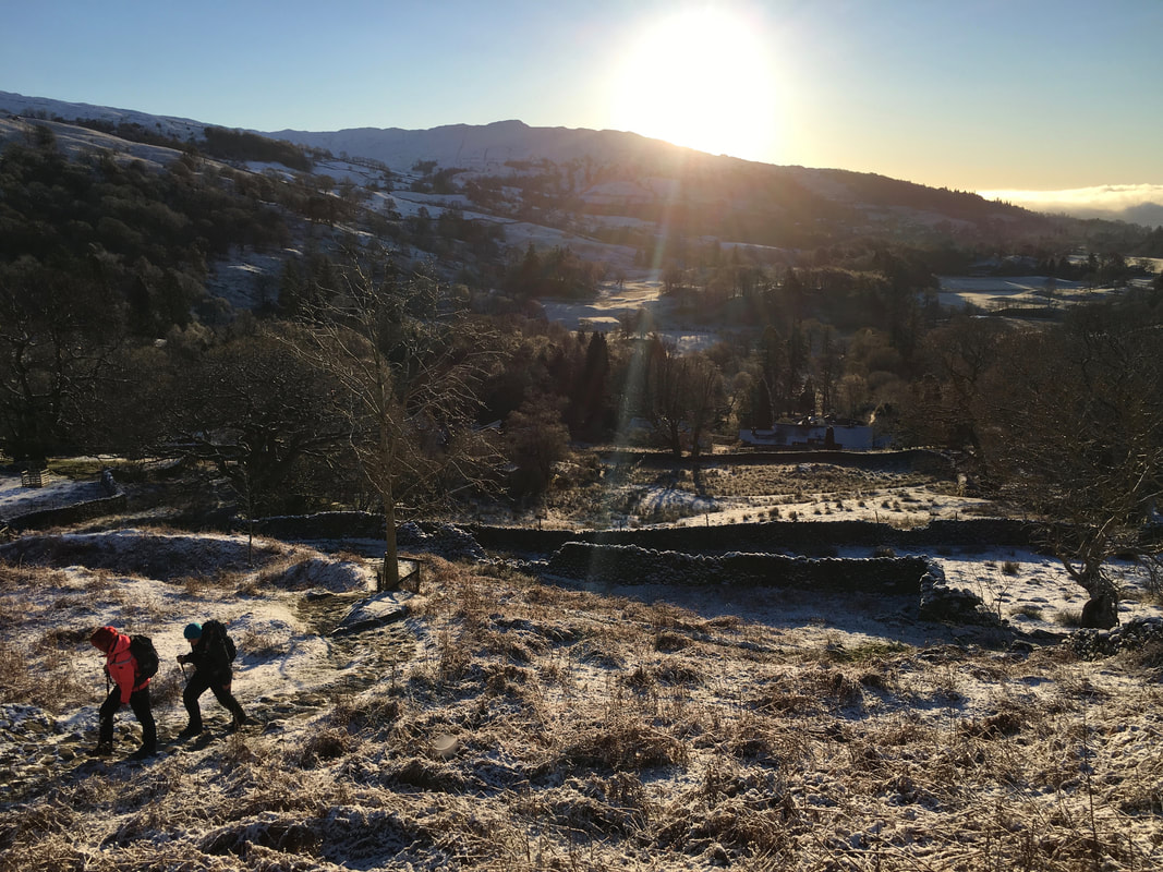
Sunrise over Wansfell as we start the climb towards Nab Scar
As we climb our return journey comes into view - High Pike & Low Pike
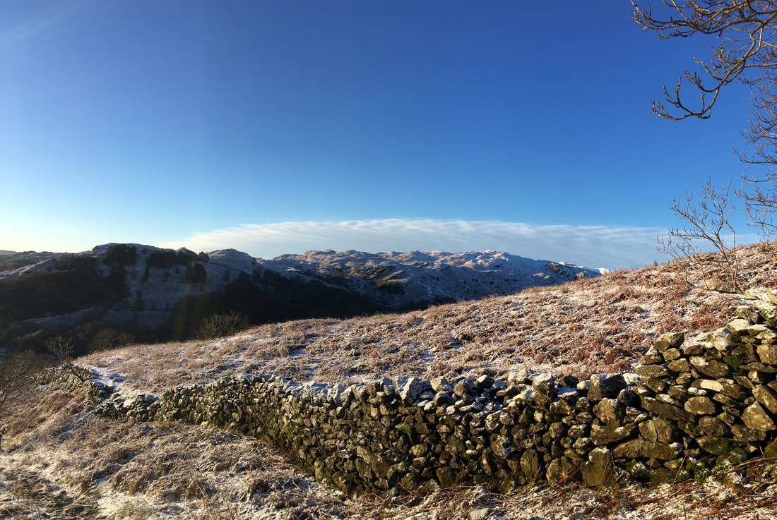
Looking to Loughrigg Fell from the ascent of Nab Scar
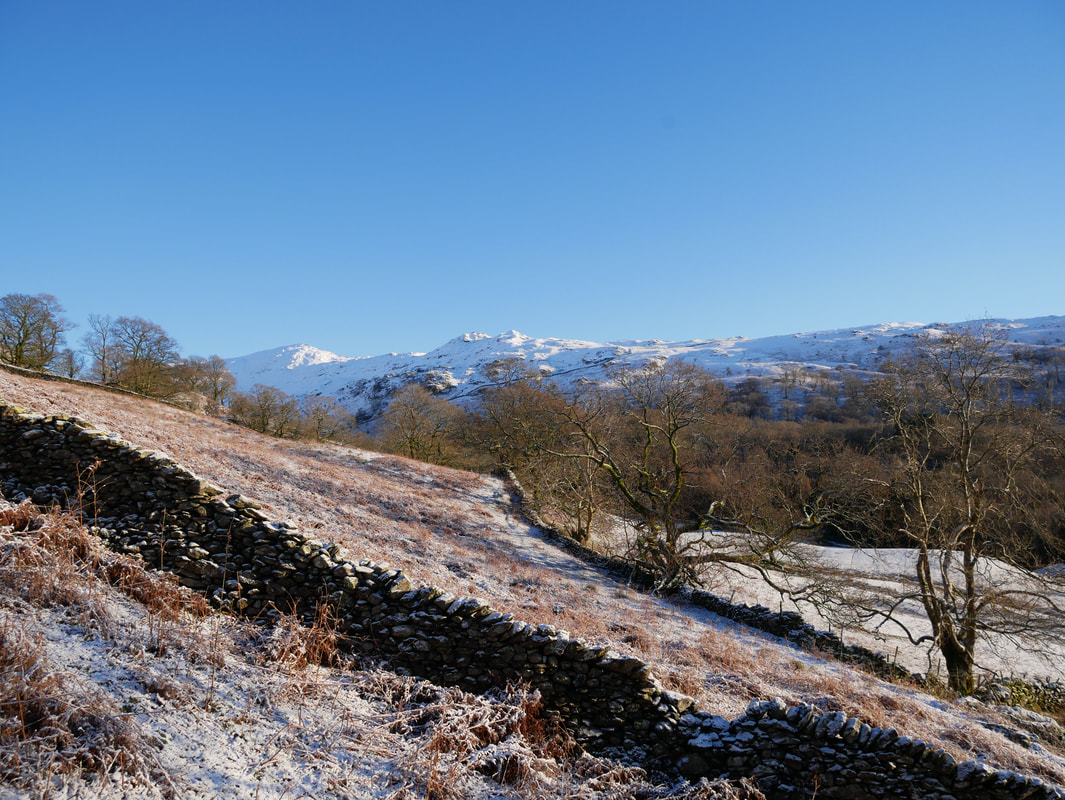
As we climb Nab Scar comes into view
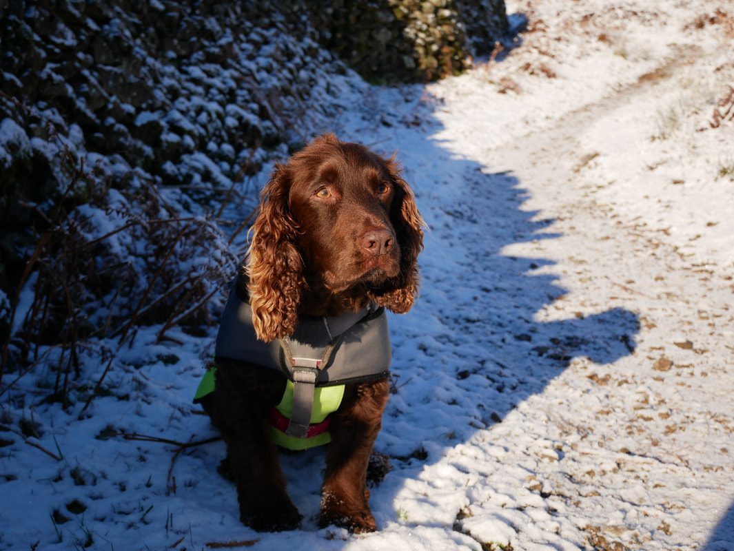
Fudge with his "can we get on with the walk" gob on him
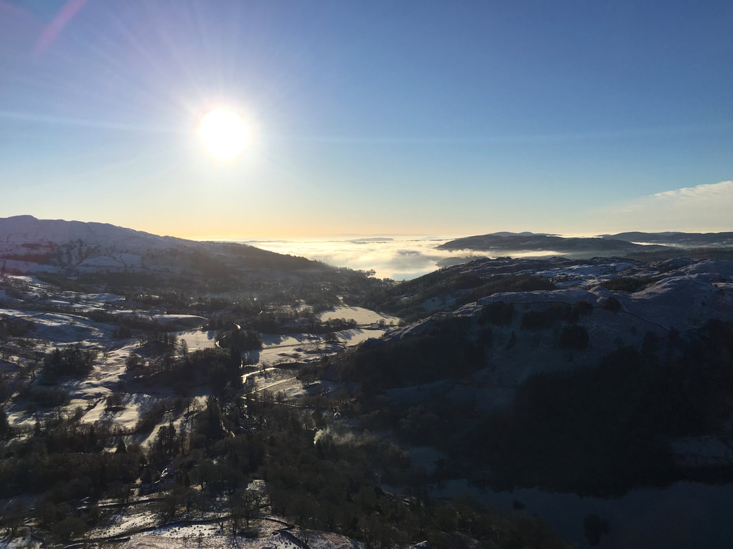
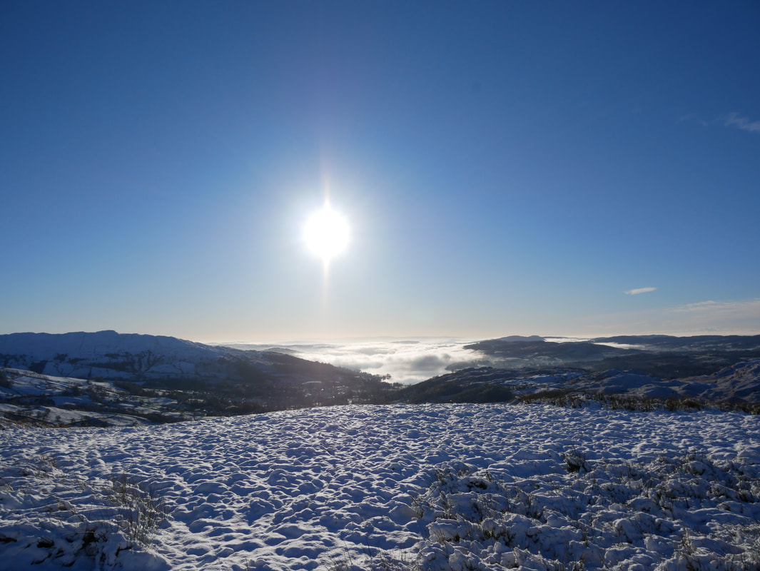
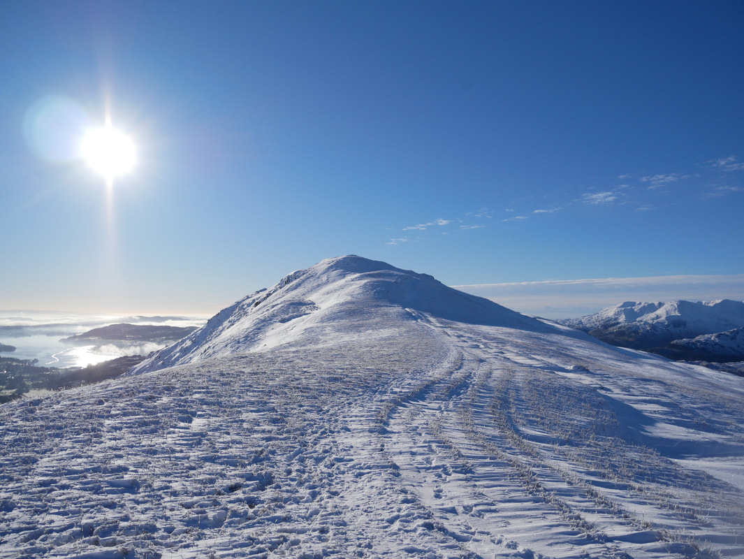
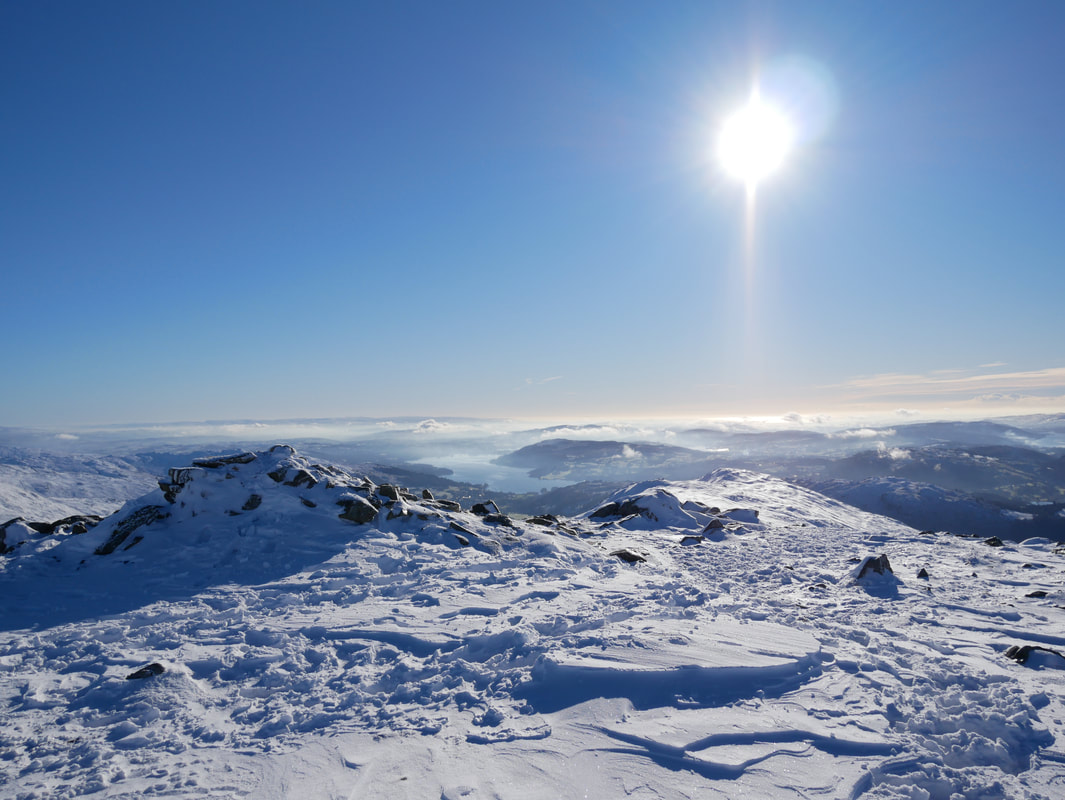
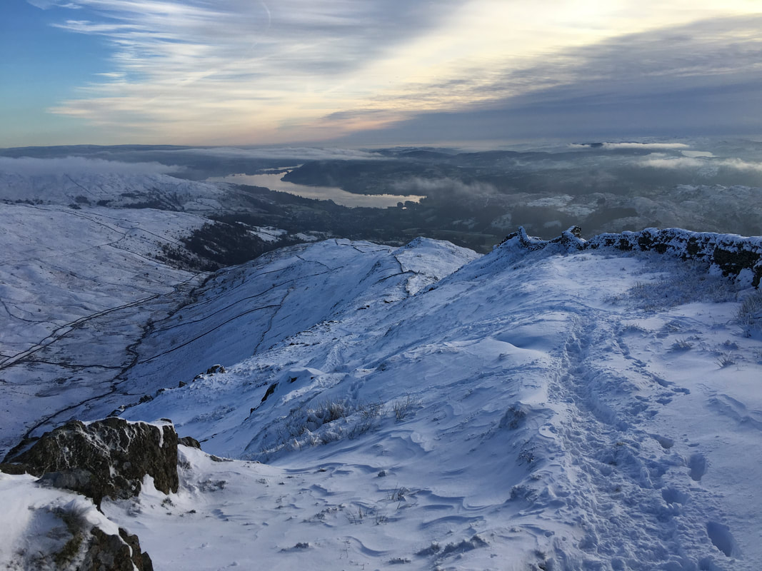
An inversion over Windermere
Looking to the Coniston Fells from Nab Scar
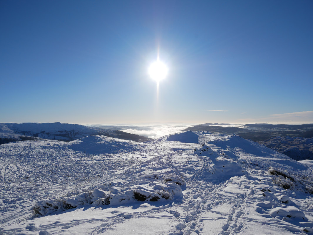
Up on Nab Scar and the view over to the inversion above Windermere just gets better
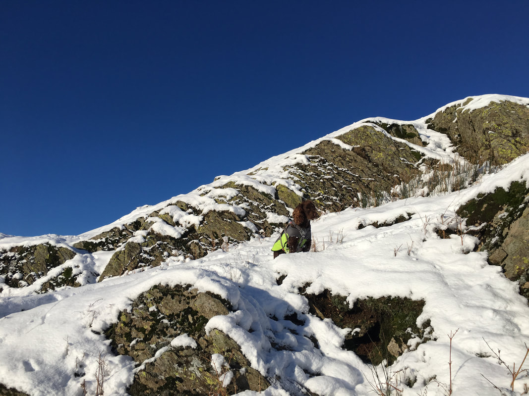
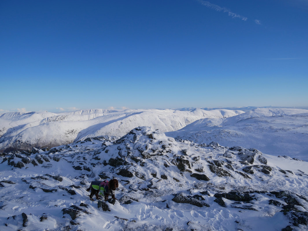
Snow dog on Nab Scar
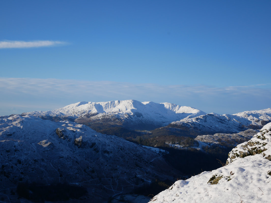
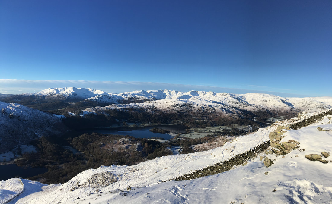
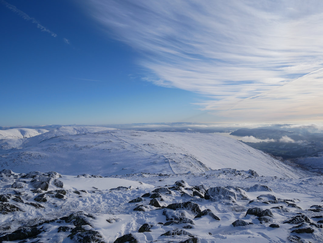
Just off the path near the summit of Nab Scar - an awesome view over to the Coniston Fells and the Langdale valley
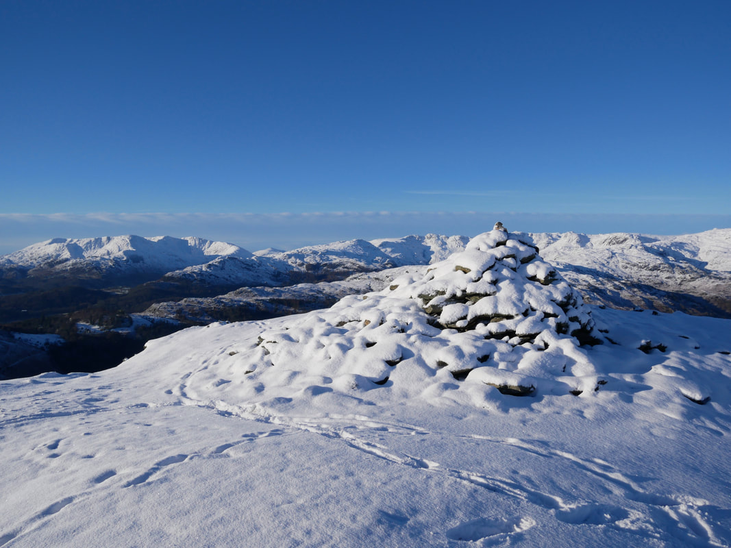
The summit of Nab Scar
Leaving Nab Scar for Heron Pike
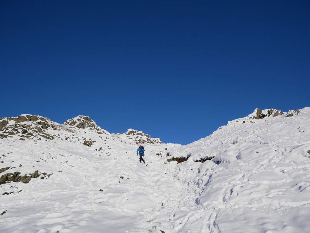
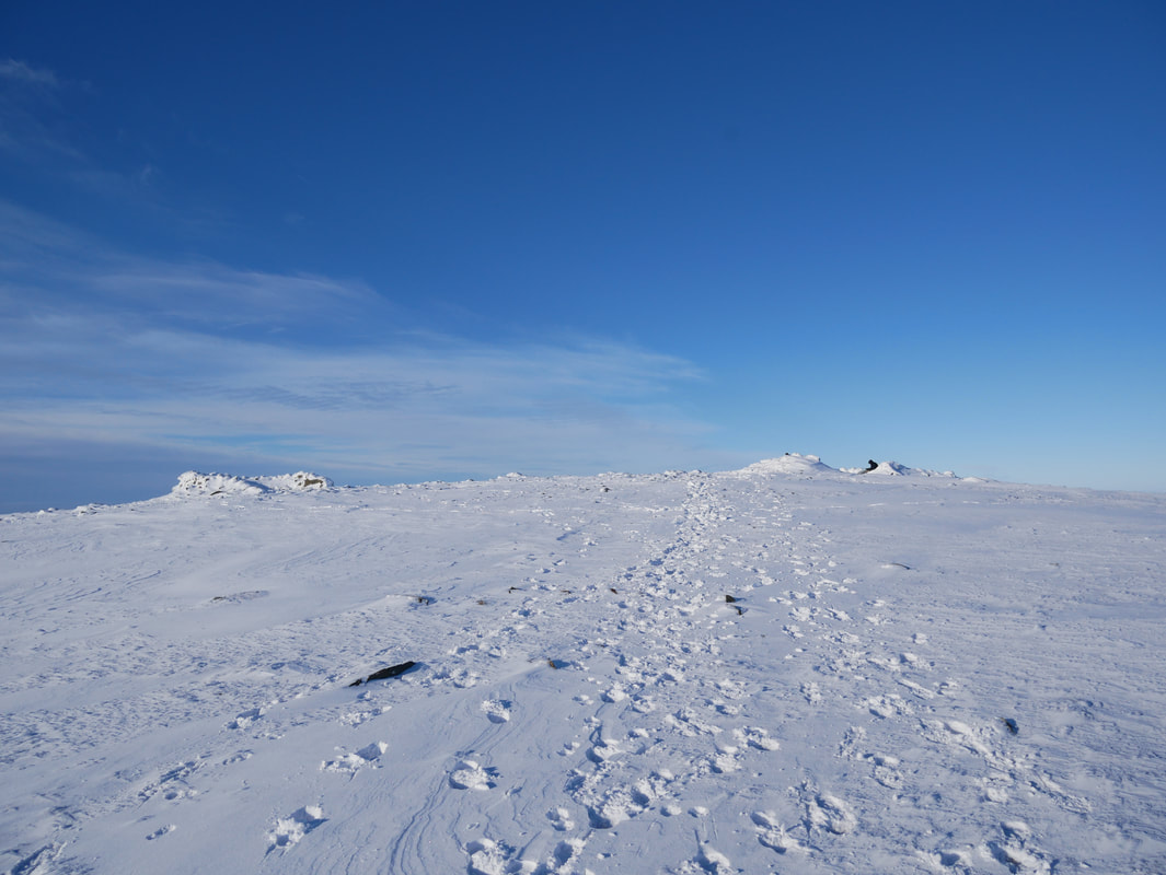
The transit to Heron Pike. To say the snow was challenging is an understatement - it was hard going in many places today.
Looking back to Nab Scar from near Heron Pike
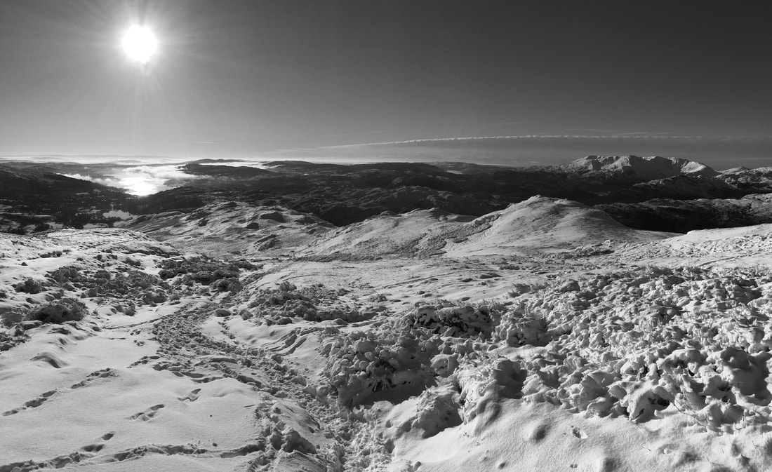
Nab Scar, Windermere & the Coniston Fells in mono
Continuing the transit to Heron Pike
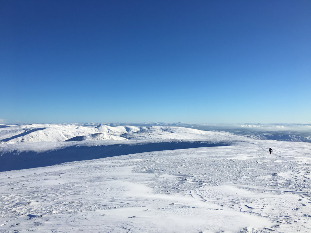
The summit of Heron Pike looking to the head of Rydal - a walker can just be seen approaching our next goal of Heron Pike North Top
What a view - looking back to Heron Pike
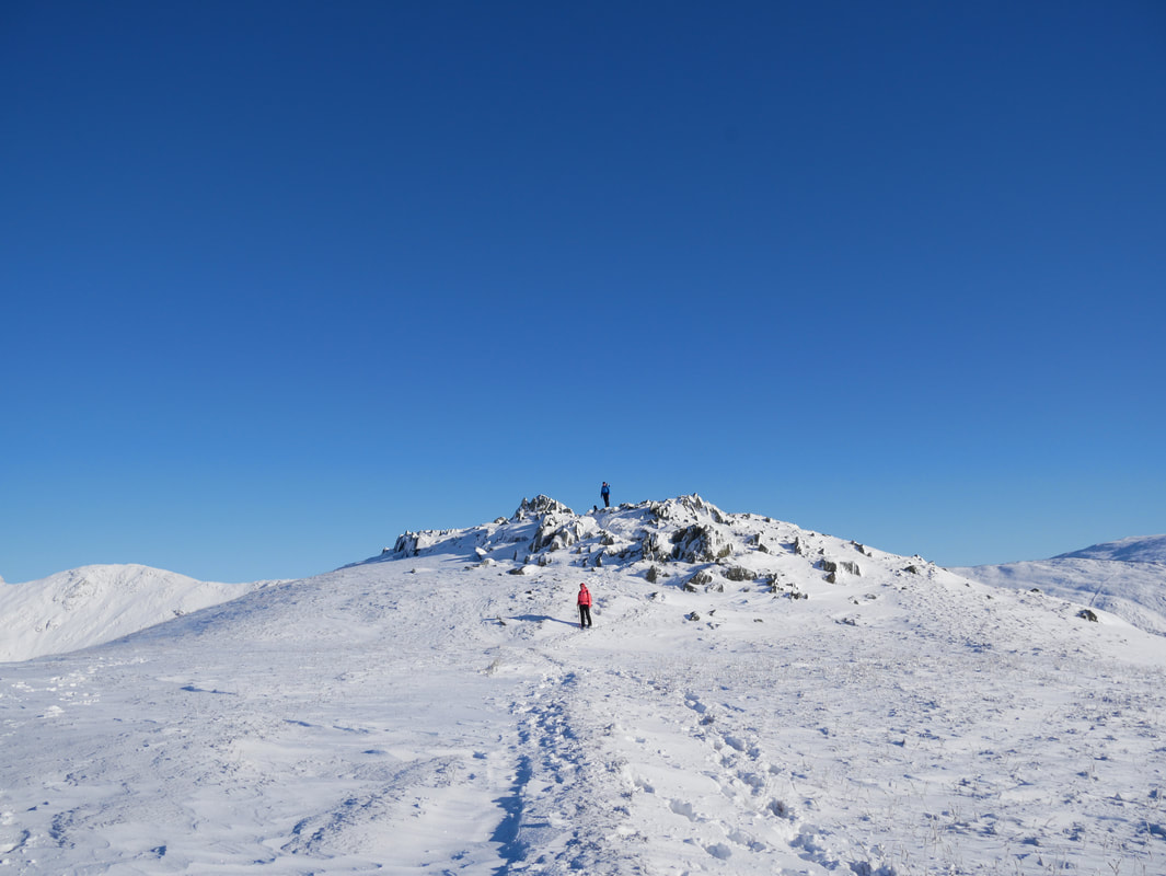
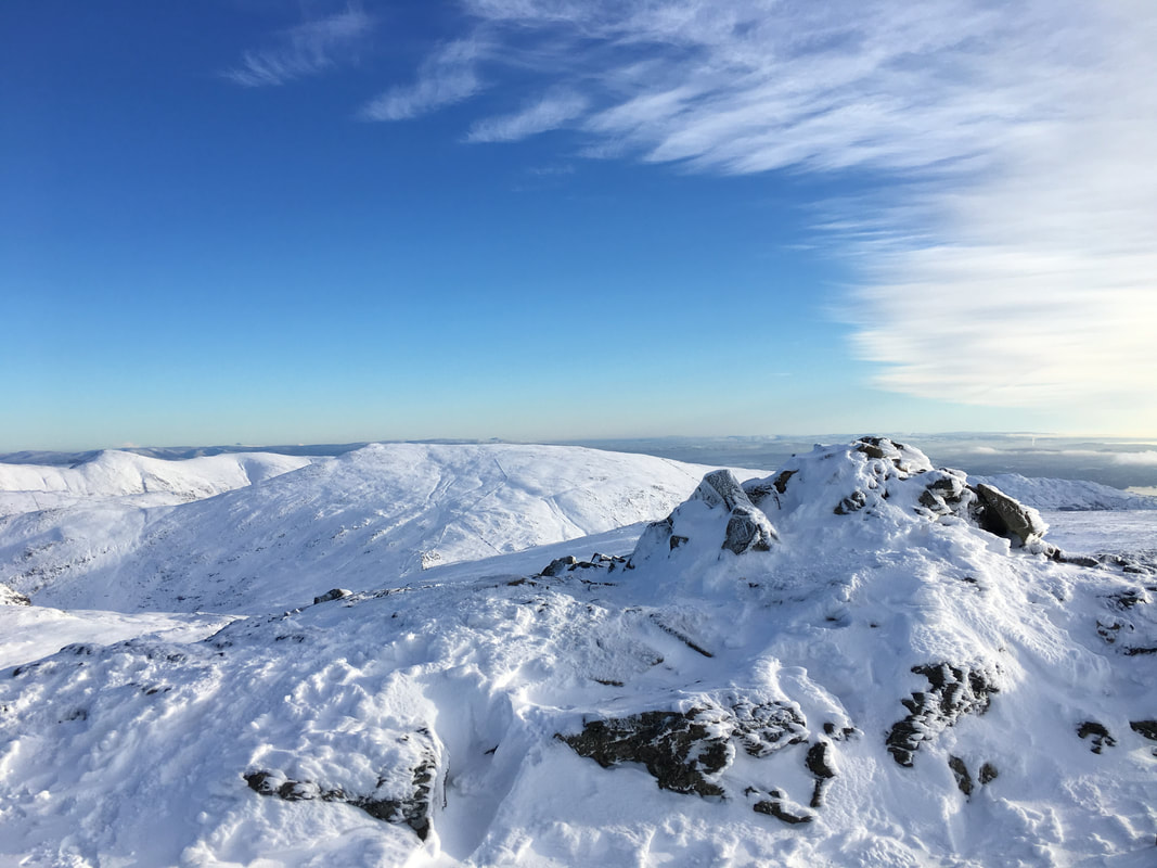
Heron Pike North Top
The summit of Heron Pike North Top looking back to Heron Pike
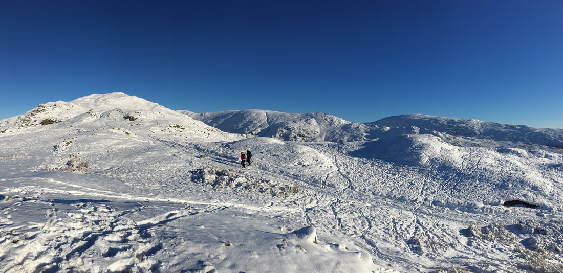
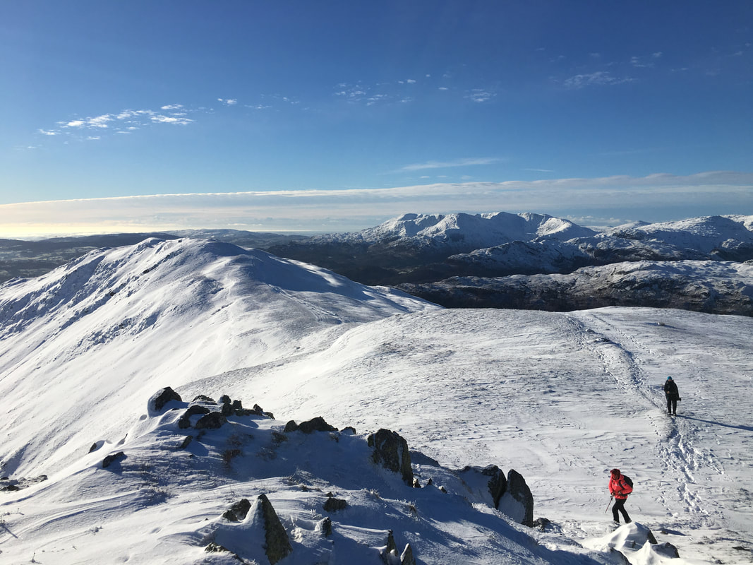
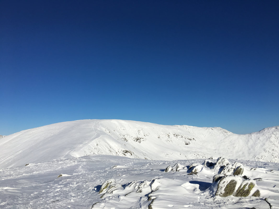
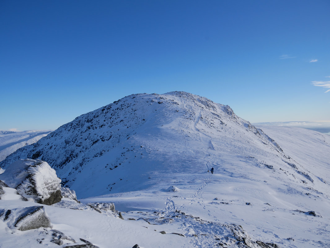
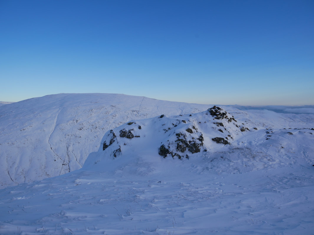
Our route ahead - firstly to Great Rigg and then to Fairfield
Approaching Great Rigg
The flat (ish) section between Heron Pike & Great Rigg - despite this section looking easy it was not.
The snow was thigh deep in places and made walking extremely tiring.
The snow was thigh deep in places and made walking extremely tiring.
Layers and layers of fells with Helm Crag in the foreground
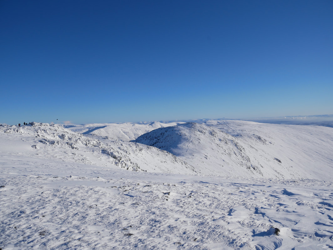
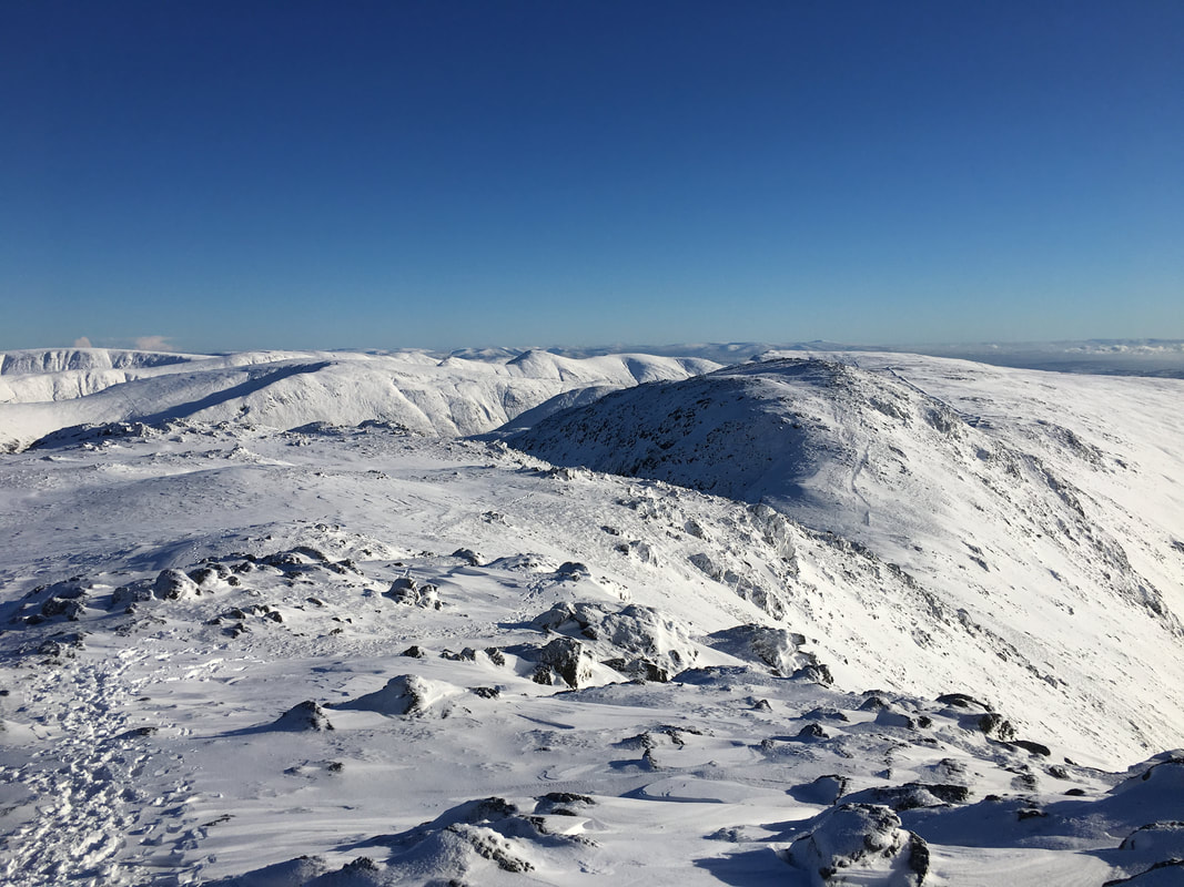
On the summit of Great Rigg looking to Fairfield, Scrubby Crag & Link Hause
The summit cairn on Great Rigg
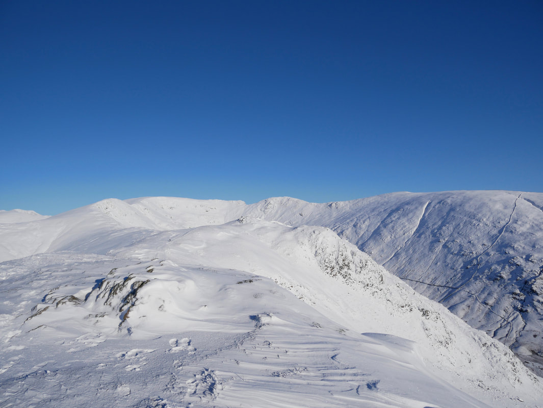
Looking to the Helvellyn Range from Great Rigg. Seat Sandal is to the left with Grisedale Hause & Tarn centre. Dollywagon Pike is centre with Helvellyn to the rear - Striding Edge can be seen coming in from the right behind Fairfield's western flank.
Another view of the summit cairn on Great Rigg
The summit of Great Rigg looking to Dove Crag - Ill Bell and Red Screes can be seen to the right
Heading for Fairfield
Seat Sandal
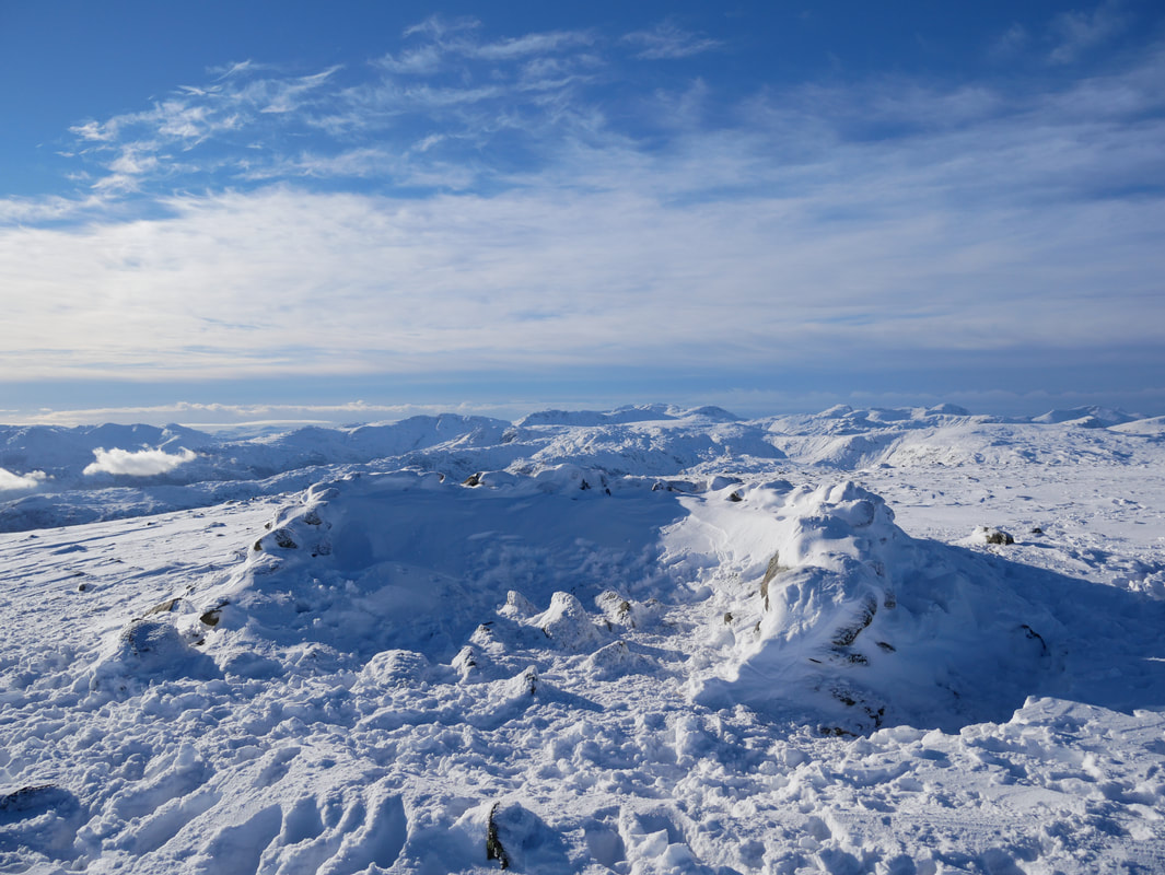
One of a few summit shelters on Fairfield
Dollywaggon Pike, Nethermost Pike, Helvellyn & Striding Edge from Fairfield's summit
The Helvellyn Range, Cofa Pike & St Sunday Crag amongst many others
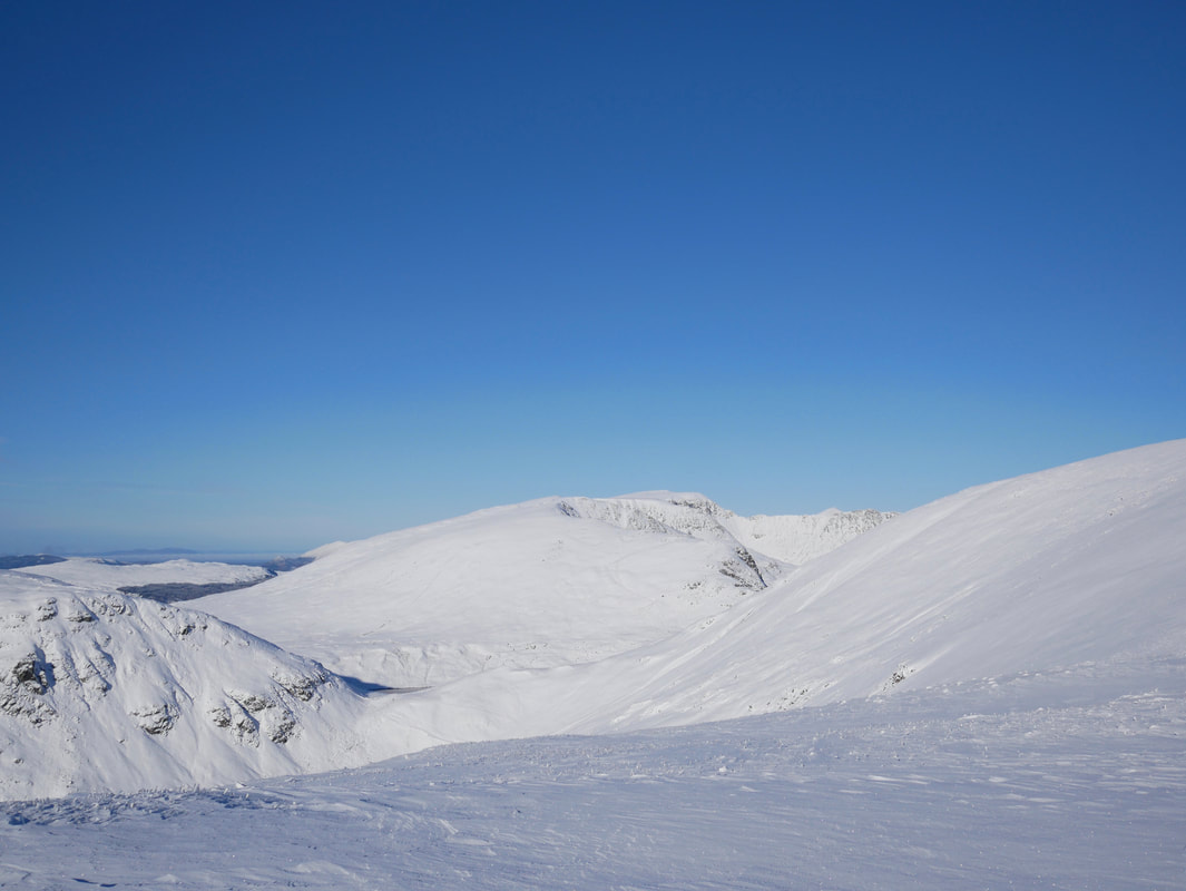
Heading for Hart Crag - the path initially heads south but then sweeps east (left) to Hart Crag which can be seen centre left.
Route finding was fairly easy today but in mist Fairfield can be a very confusing place.
Route finding was fairly easy today but in mist Fairfield can be a very confusing place.
Fairfield's summit plateau
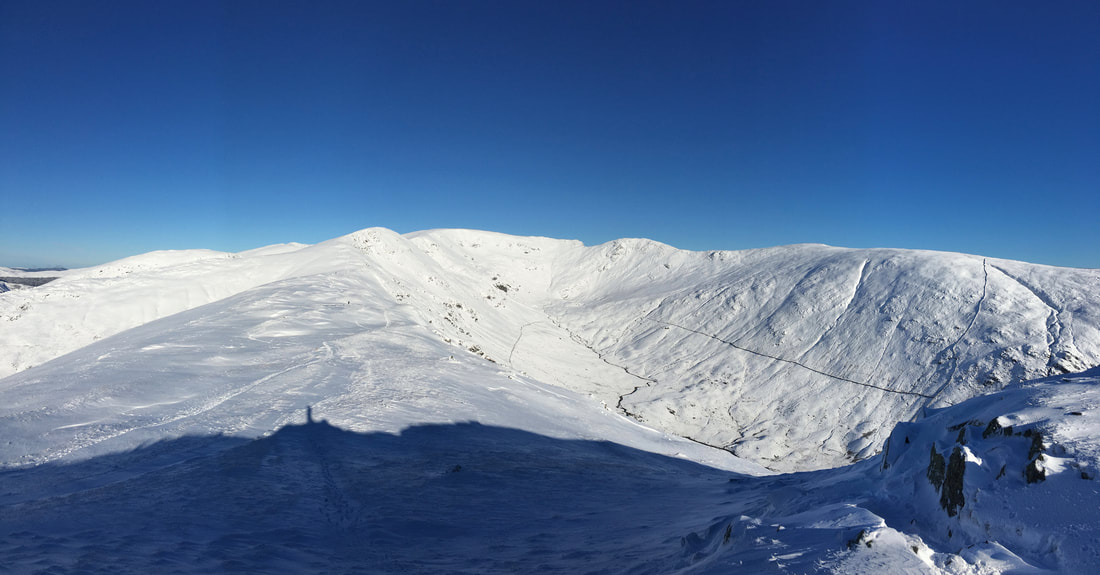
Our onward route to firstly Scrubby Crag and then Hart Crag
Looking back to Heron Pike & Great Rigg on our outward route
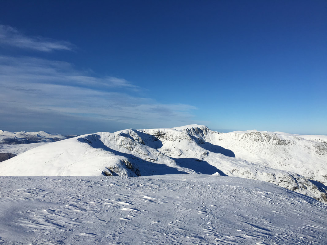
Scrubby Crag, Link Hause and the ascent to Hart Crag
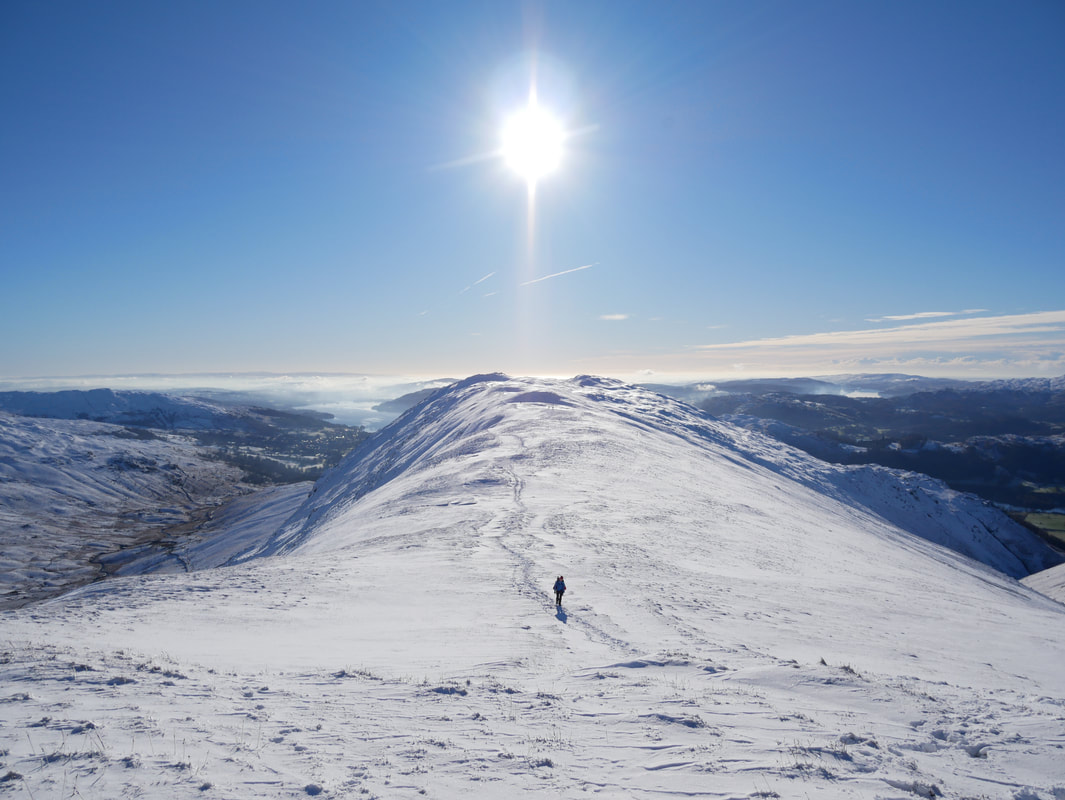
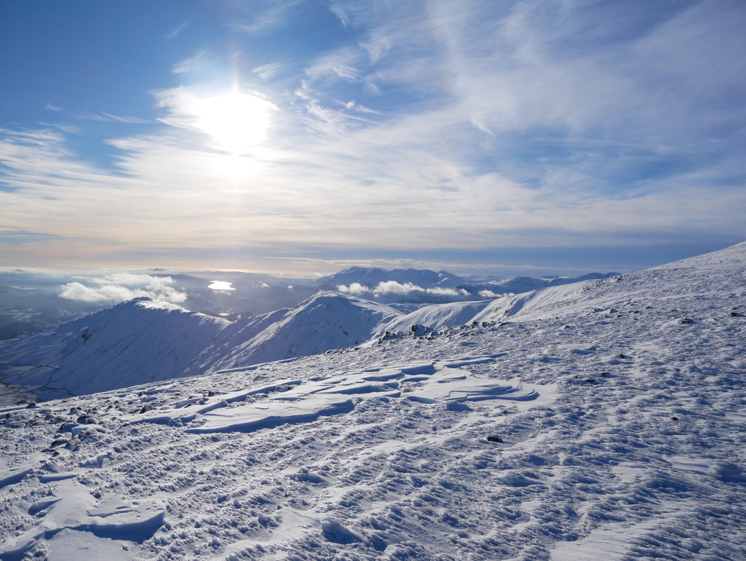
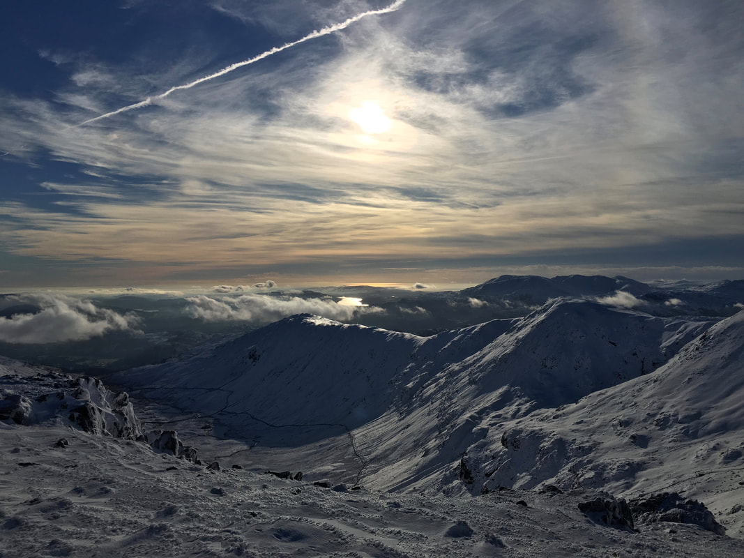
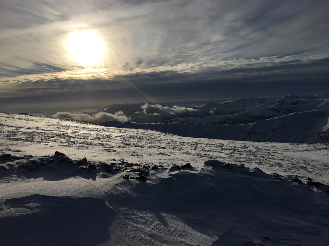
The ever changing light gave us some super photographic opportunities today
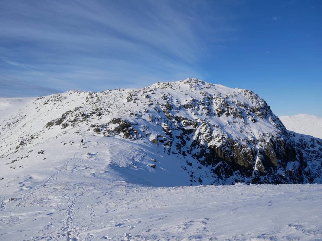
Hart Crag
Fairfield, Link Hause & Scrubby Crag from the ascent of Hart Crag
Scrubby Crag across Link Hause
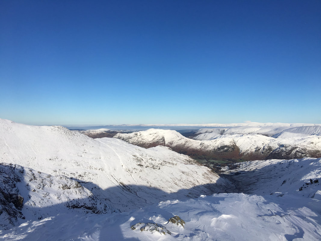
Birks, Arnison Crag & Place Fell from Hart Crag
The summit of Hart Crag
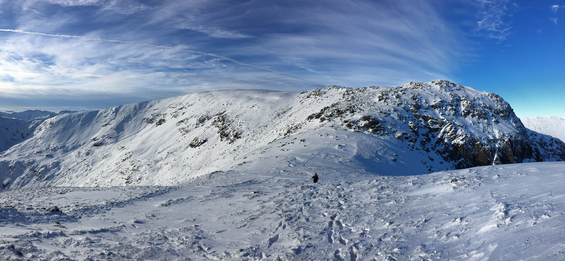
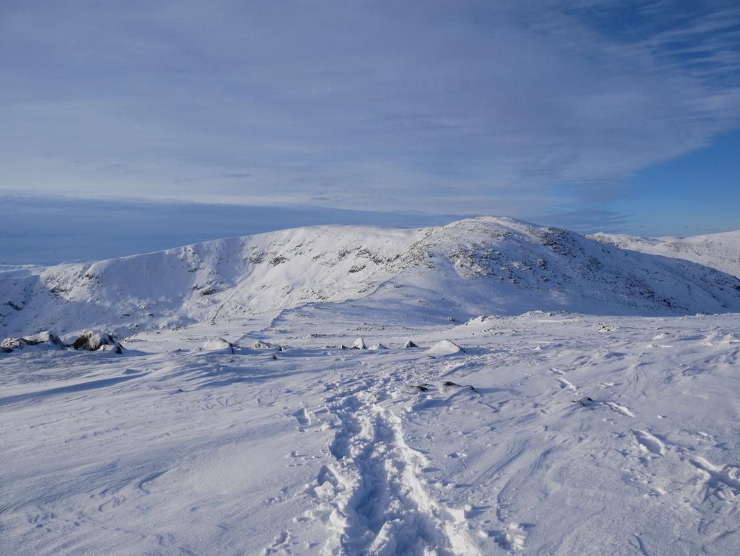
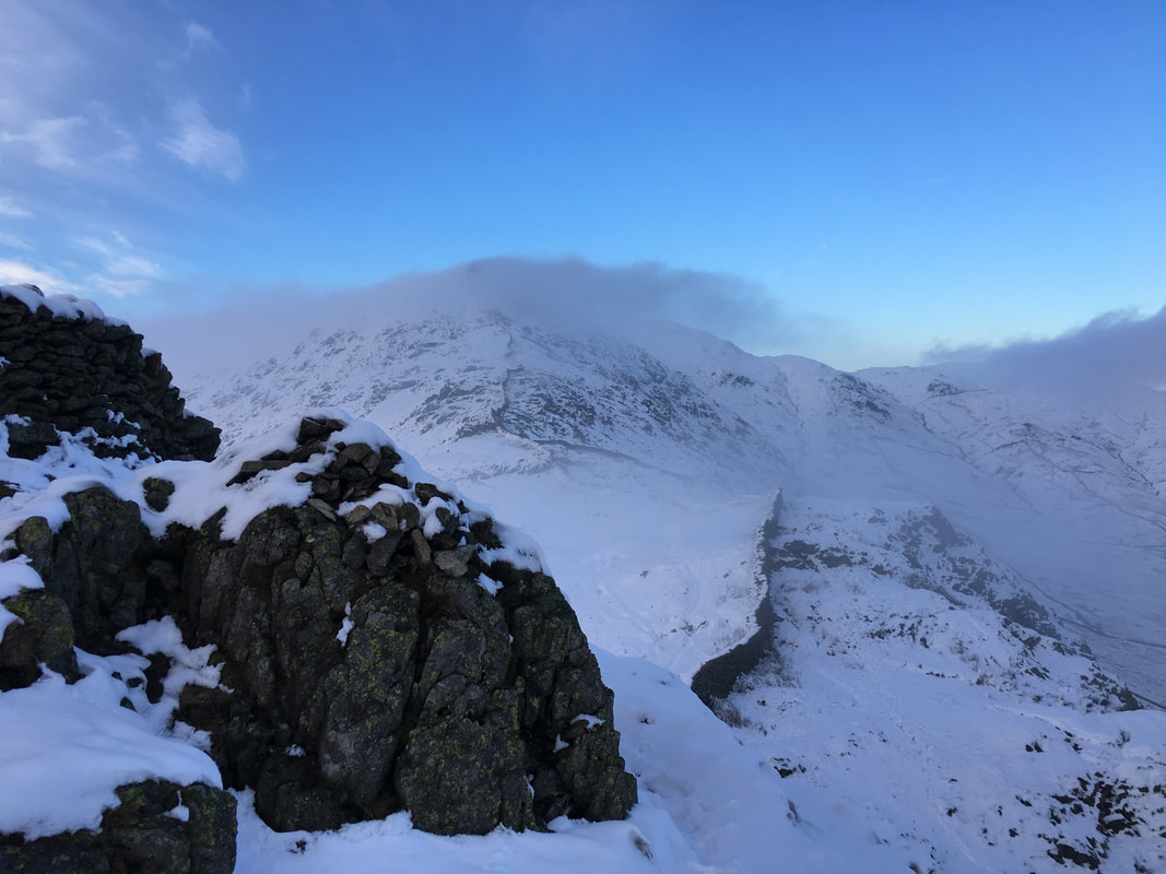
Our onward route to Dove Crag - again this would be hard work in the deep snow
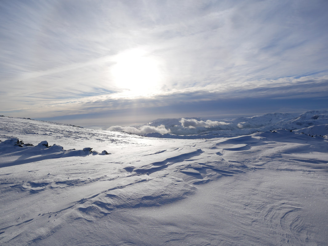
Sastrugi - parallel wave-like ridges caused by winds on the surface of hard snow
A final look back to Fairfield as we near Dove Crag
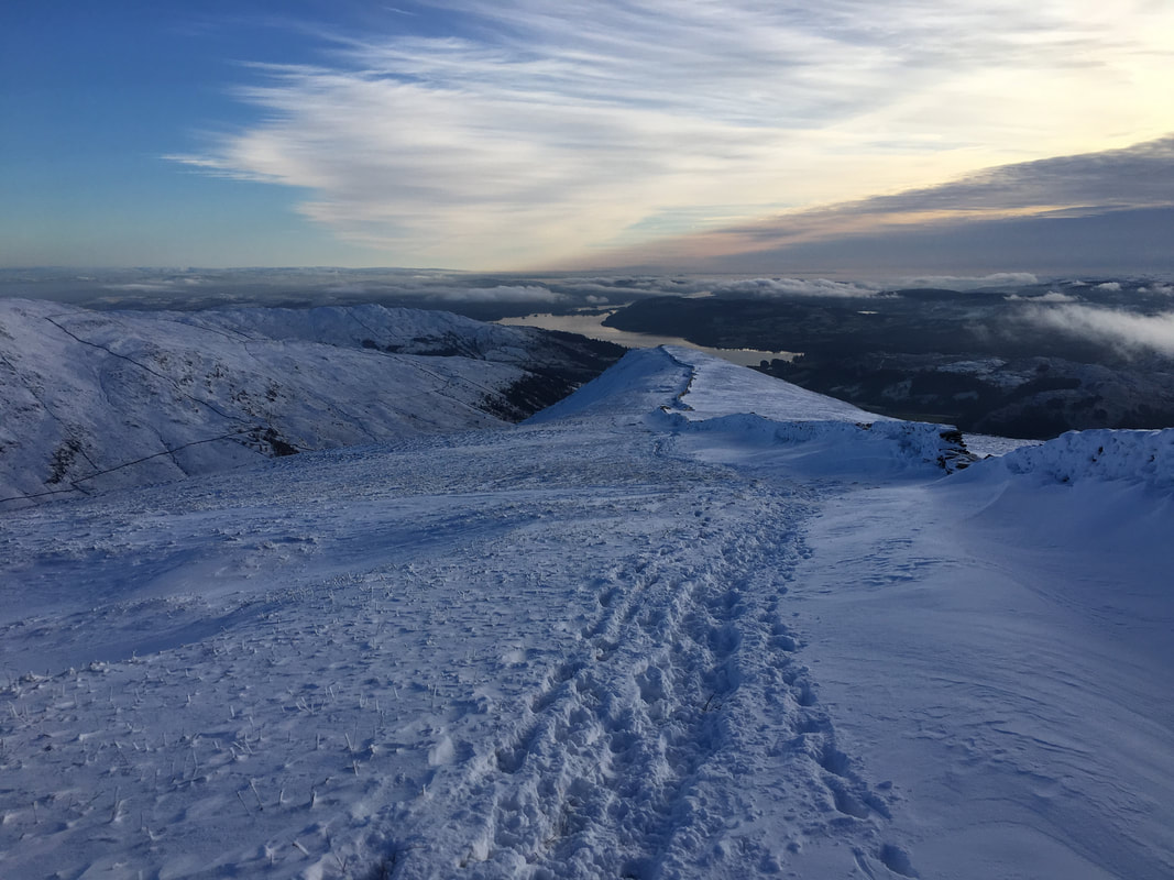
This was turning into an epic walk as once again the light grants another great photographic opportunity.
The summit of Dove Crag looking to Red Screes
Another deep snow transit ahead - this time to High Pike
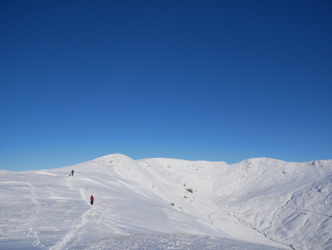
High Pike ahead - just follow the wall
The summit of High Pike with Red Screes beyond
The tricky transit to Low Pike - this is quite an undulating section and needed a bit of care
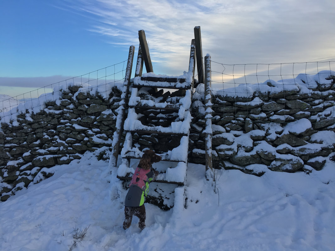
Well! I'm waiting for my bunk up!
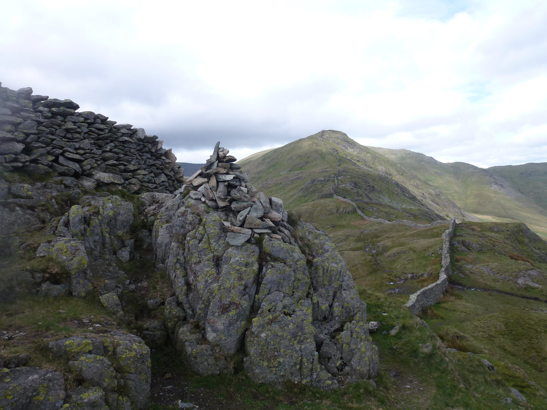
The summit of Low Pike looking to High Pike......................
...................and a photo taken from exactly the same spot on our last visit here in 2014 - this time without the snow
High Sweden Bridge
