Newton Dale & Levisham - Friday 21 January 2022
Route
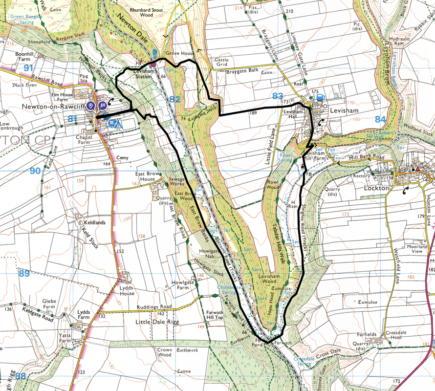
Newton-on-Rawcliffe - Newton Dale - Levisham Station - Keldgate Slack - Levisham - Sleights Road - Farwath - Bottom's Road - Brow Wood - Newton-on-Rawcliffe
Parking
Roadside parking in Newton-on-Rawcliffe next to the White Swan Pub - Grid Ref SE 812905. The nearest postcode is YO18 8QA. This walk can also be started from Levisham Station where there is roadside parking available - Grid Ref SE 818911, postcode YO18 7NN.
Mileage
6.5 miles
Terrain
Field paths and farm tracks with some road walking on minor lanes. Some sections can be muddy, particularly after rain.
Weather
Crisp sunny day with excellent visibility.
Time Taken
3hrs 25mins
Total Ascent
1095ft (334m)
Map
OL27 North Yorks Moors Eastern Area
Walkers
Dave, Angie & Fudge
|
GPX File
|
| ||
If the above GPX file fails to download or presents itself as an XML file once downloaded then please feel free to contact me and I will send you the GPX file via e-mail.
Route Map
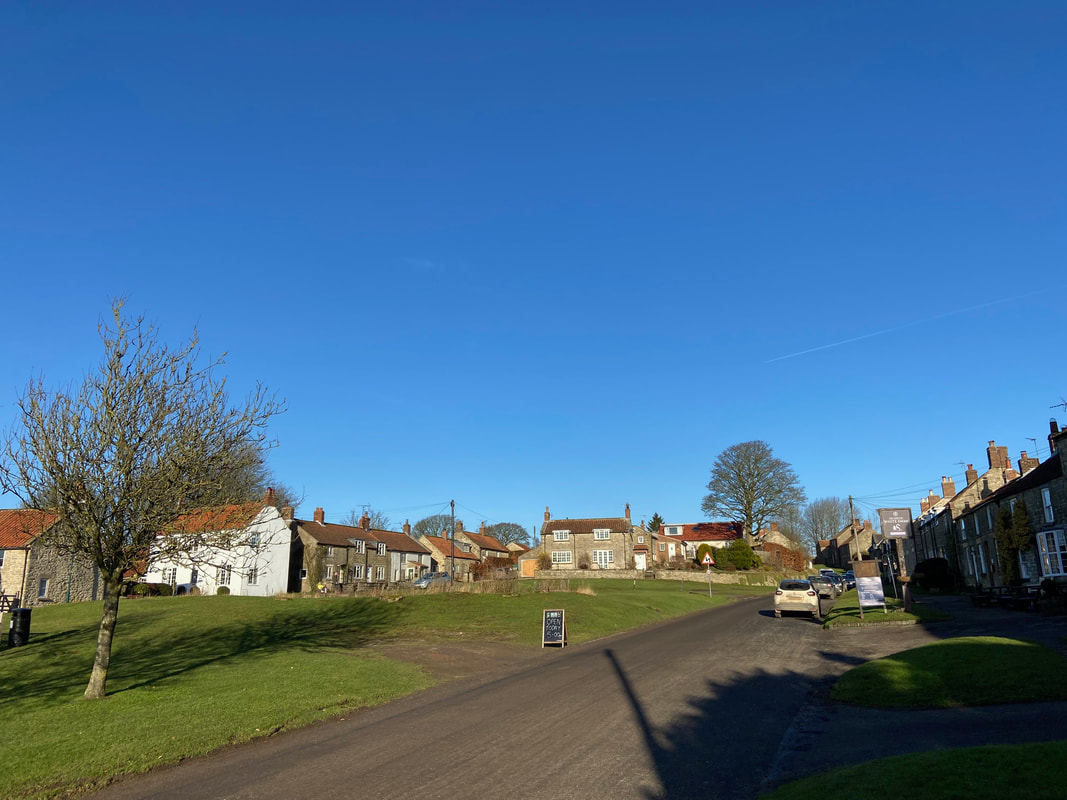
A beautiful, crisp winter morning as we park up in Newton-on-Rawcliffe. There is plenty of roadside parking in the village therefore just park sensibly.
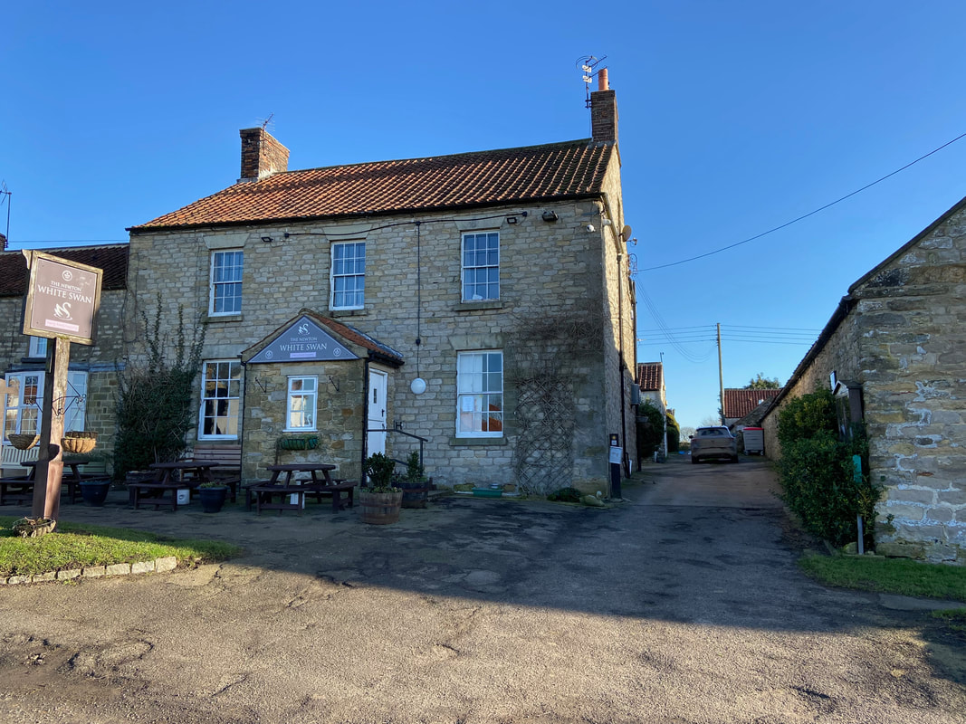
The White Swan Pub in Newton-on-Rawcliffe. We passed through the village in 2018 whilst walking The Cleveland Way & Tabular Hills. A link to the walk report can be found here. The route today started by heading up the path to the right of the pub.
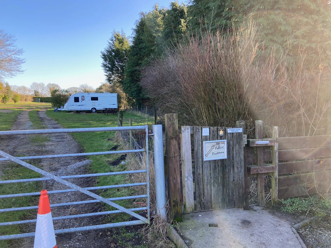
Once clear of the pub, the route joins a path to the right of a small Caravan Site
Turning left past the Caravan Site, an area known as Newton Banks is reached
Leaving Newton Banks the route heads across farmland towards Keldgate Slack
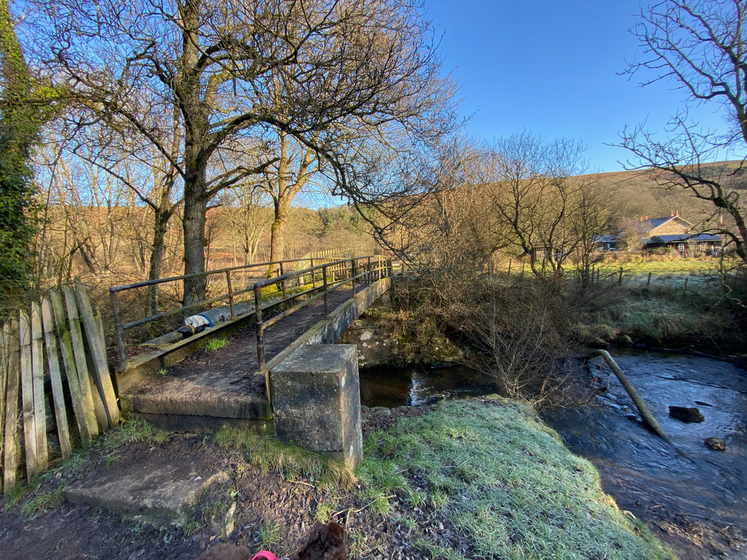
With Levisham Station ahead, the route crosses Pickering Beck via a footbridge
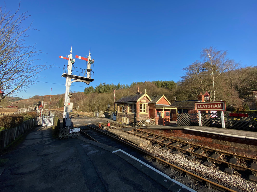
Levisham Station. The station dates back to 1836 and became part of the North York Moors Railway when it re-opened in 1973. The station is not located in the village but is approximately 1 mile to the west (as the crow flies).
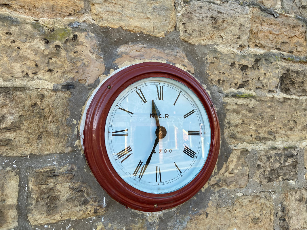
The station clock at Levisham Station. The station became part of the North Eastern Railway (NER) in 1854 which then became the London & North Eastern Railway (LNER) in 1923.
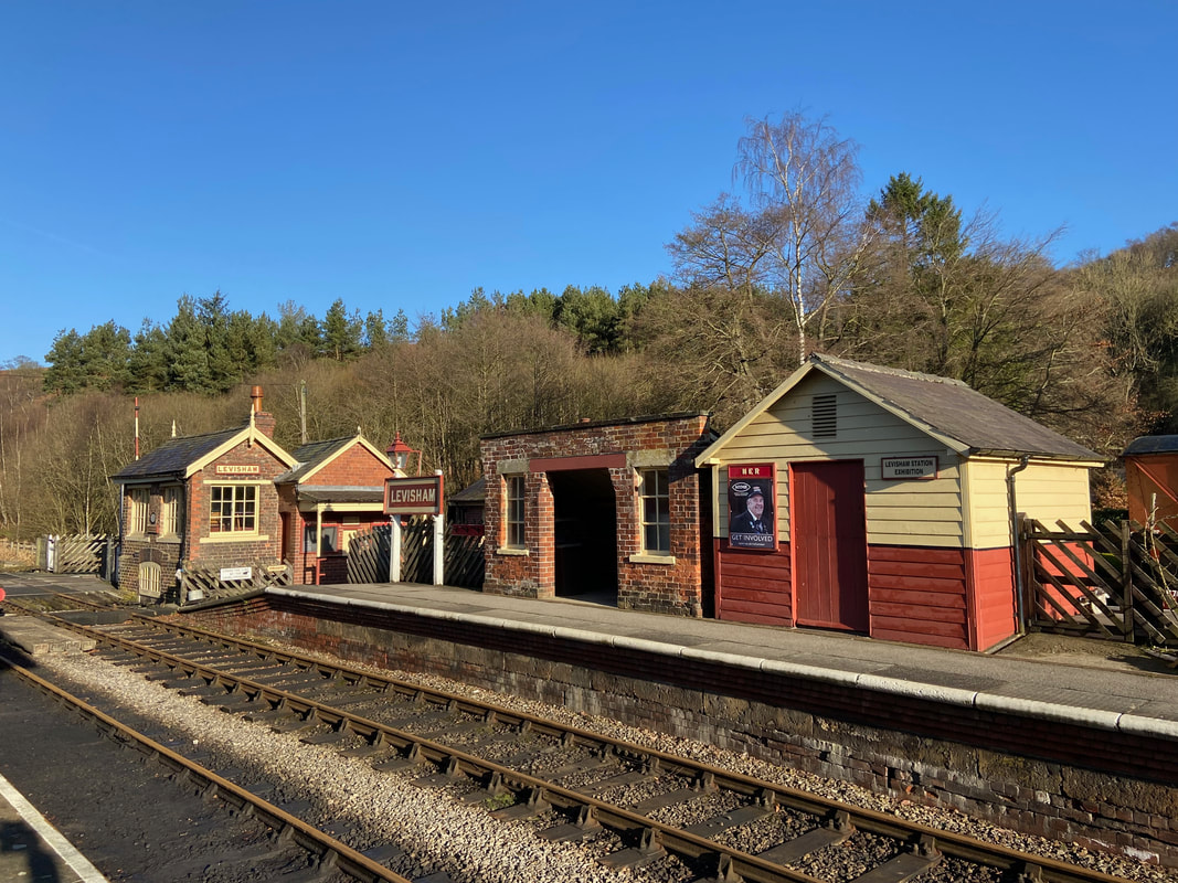
A wider view of Levisham Station from the opposite platform. The station, as with all the stops on the North Yorkshire Moors Railway is beautifully preserved and clearly well looked after.
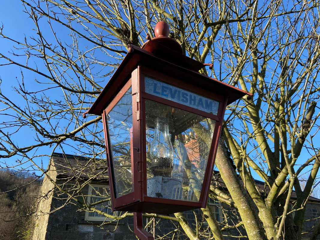
A beautifully preserved platform lamp at Levisham Station
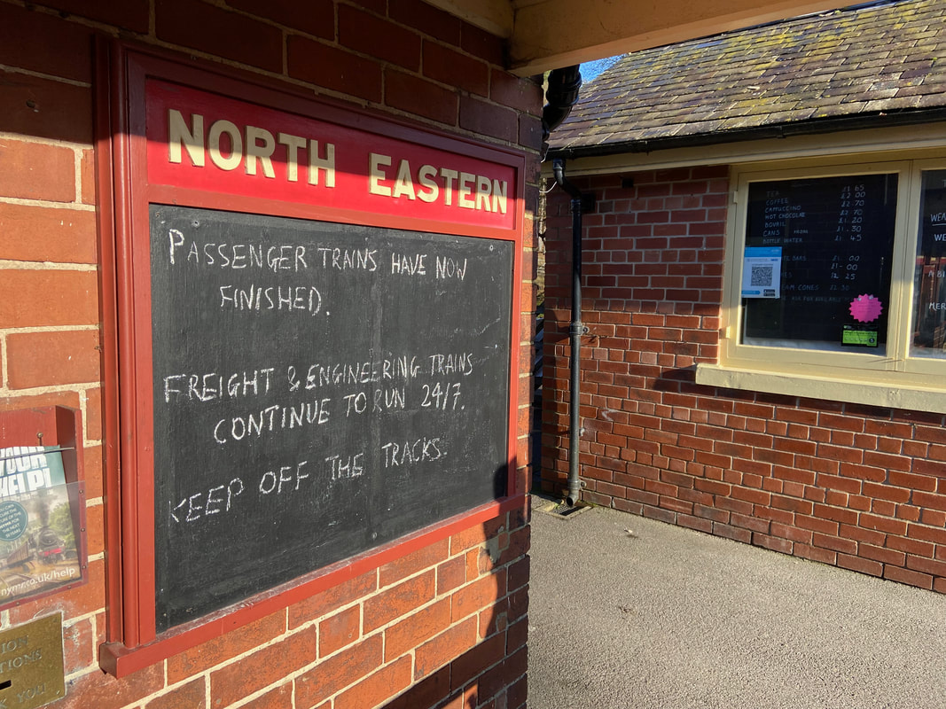
No electronic noticeboards here thank goodness - good old blackboard and chalk
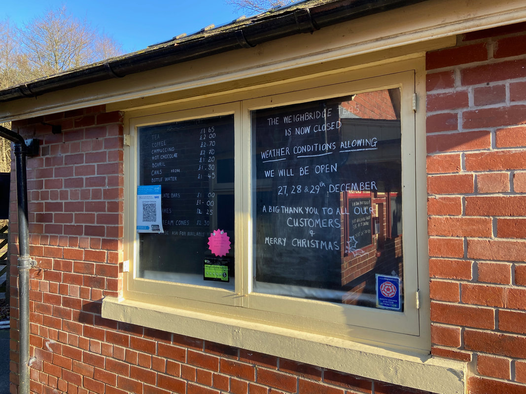
We were just over 3 weeks too late in order to grab a cup of tea
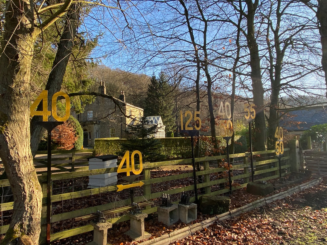
Railway paraphernalia at Levisham Station - to the rear is Grove House.
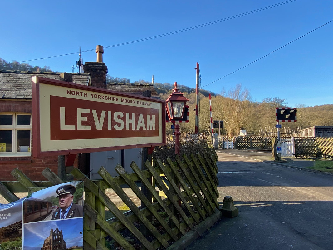
The opposite side of the level crossing at Levisham Station
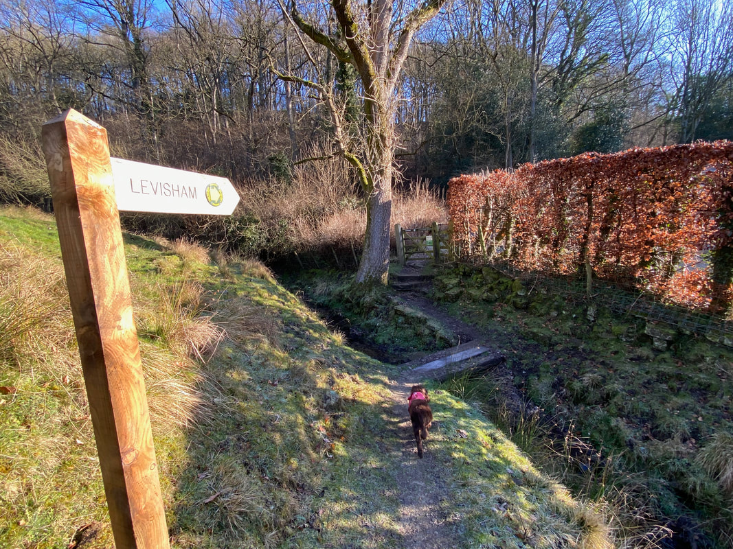
From the station we passed to the left of Grove House to cross a small beck
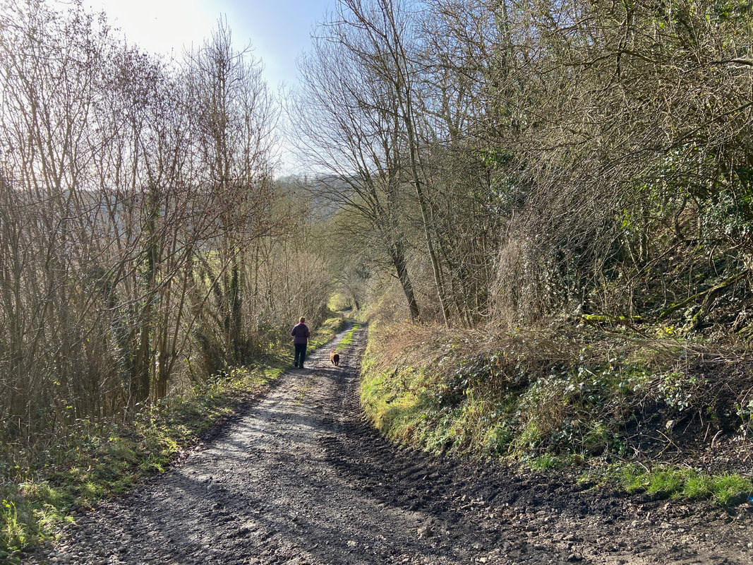
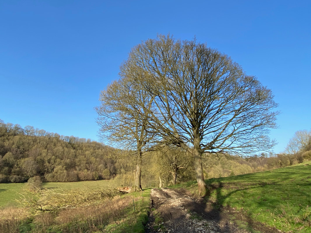
Autumn leaves adorn the ground as we begin the climb up Keldgate Slack
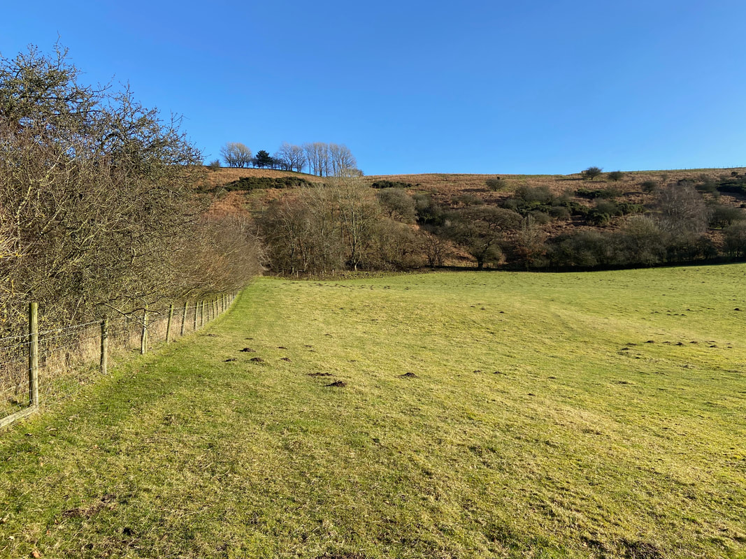
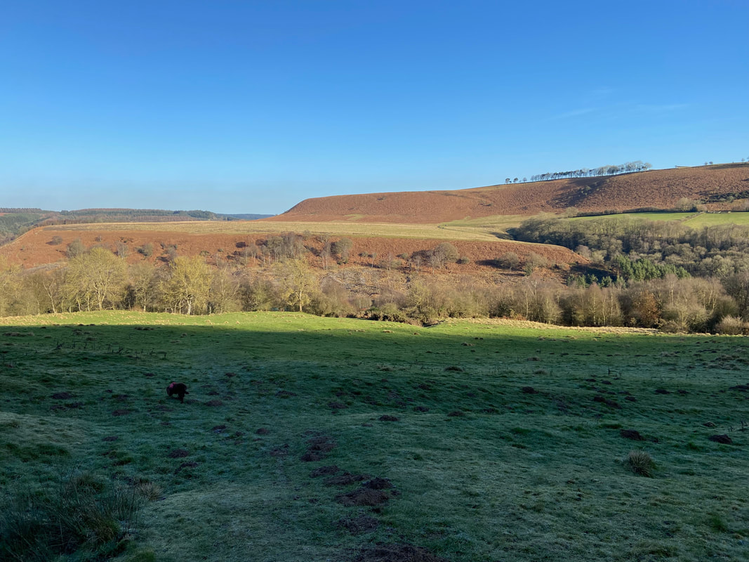
The route continues to climb gently giving lovely views over the lush farmland
The path up Keldgate Slack
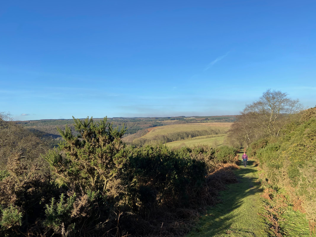
Looking back down the path up Keldgate Slack
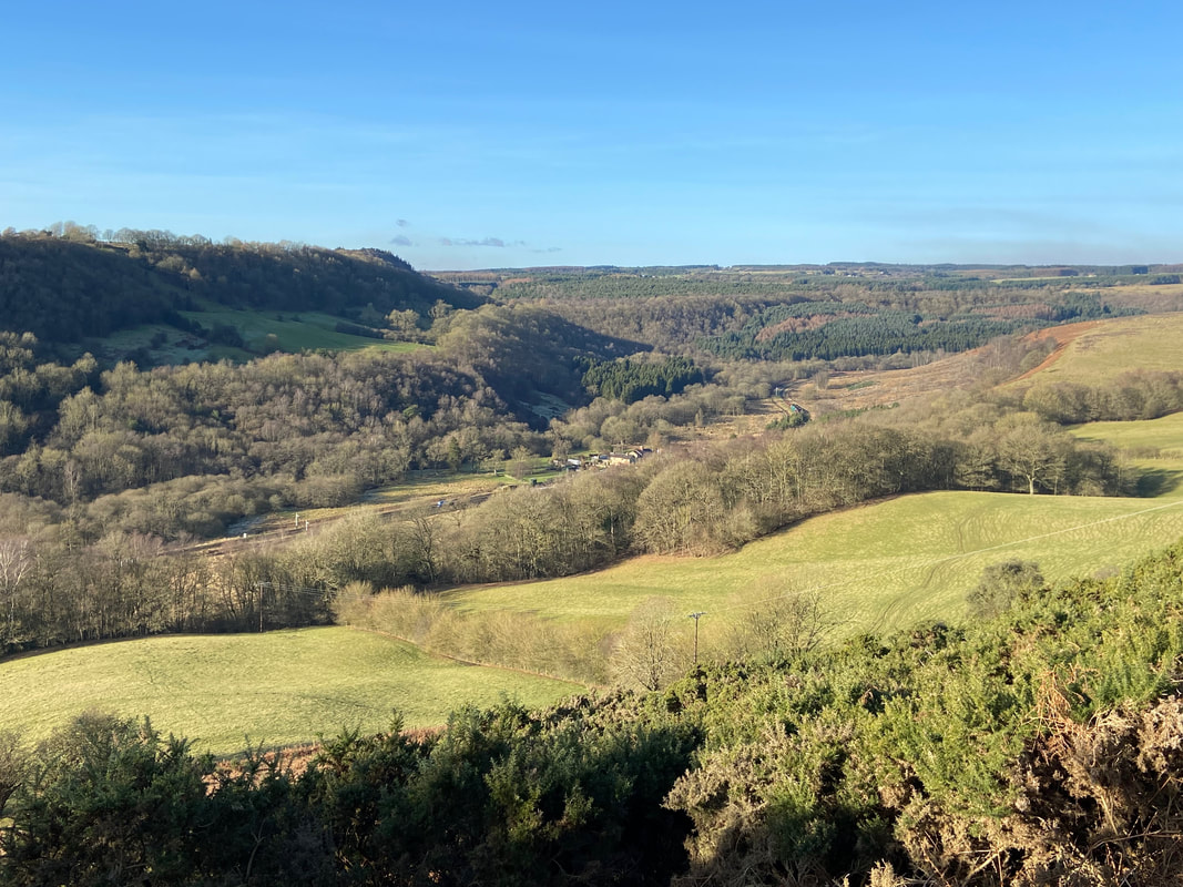
Levisham Station below with Newton Banks providing the backdrop
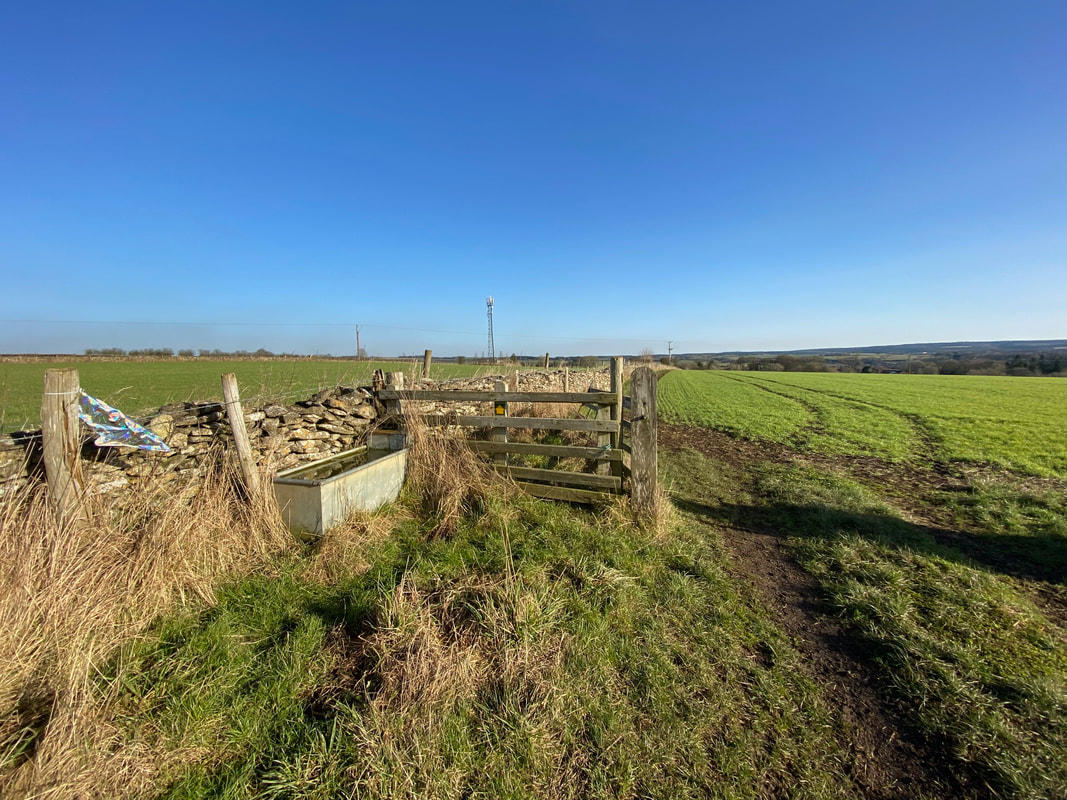
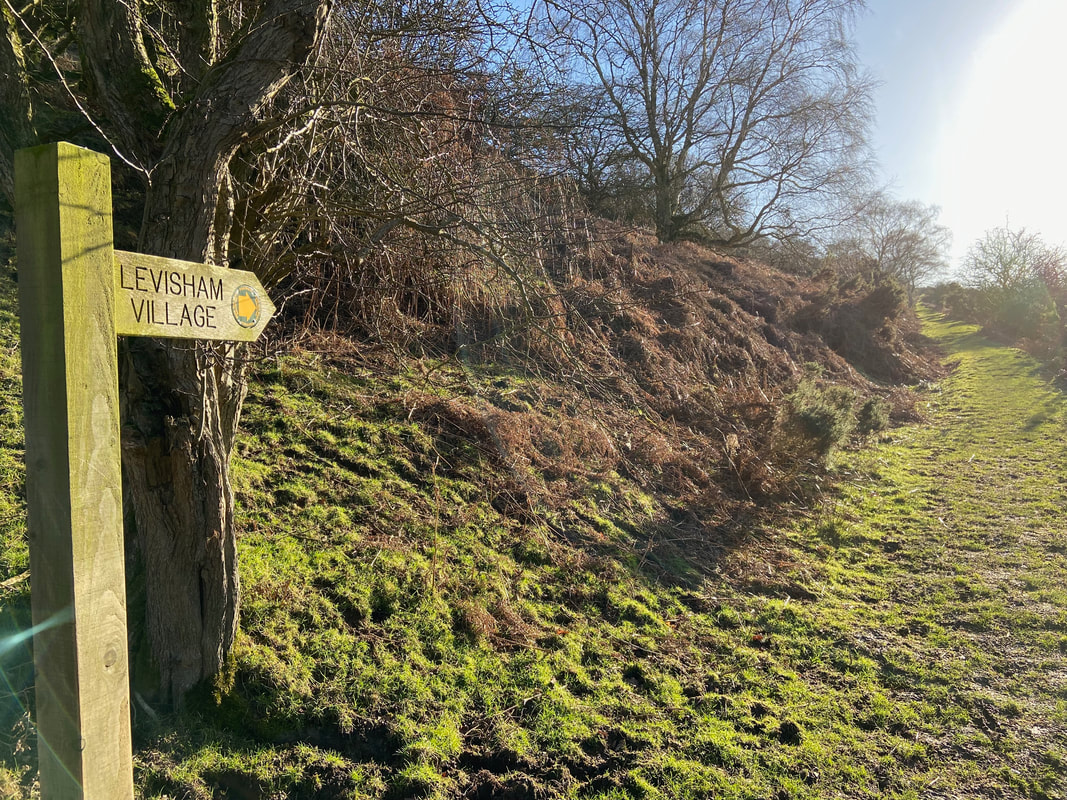
At the top of Keldgate Slack the path turns to the east to make the gentle descent into Levisham Village. To the left hanging on the fence are the remains of a helium balloon that some bright spark has let go into the sky. We placed the remains in a bin in the village - the damage they can do to wildlife doesn't bear thinking about.
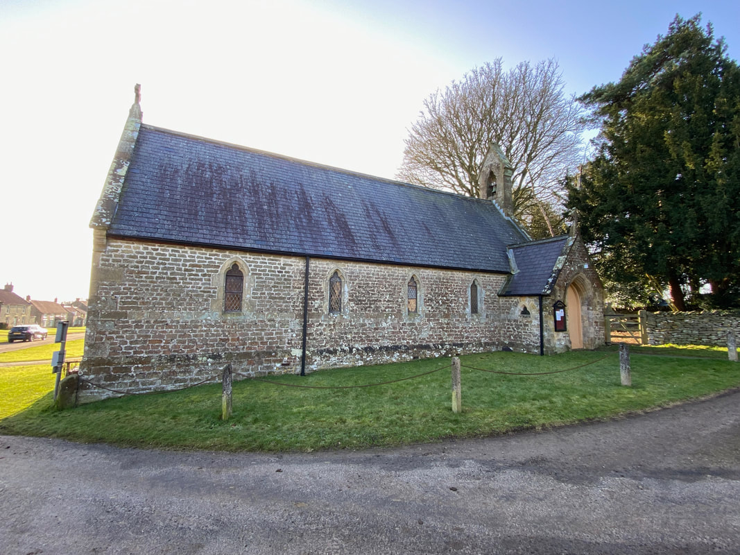
St John the Baptist Church, Levisham. The church dates from 1884 with the chancel added in 1900.
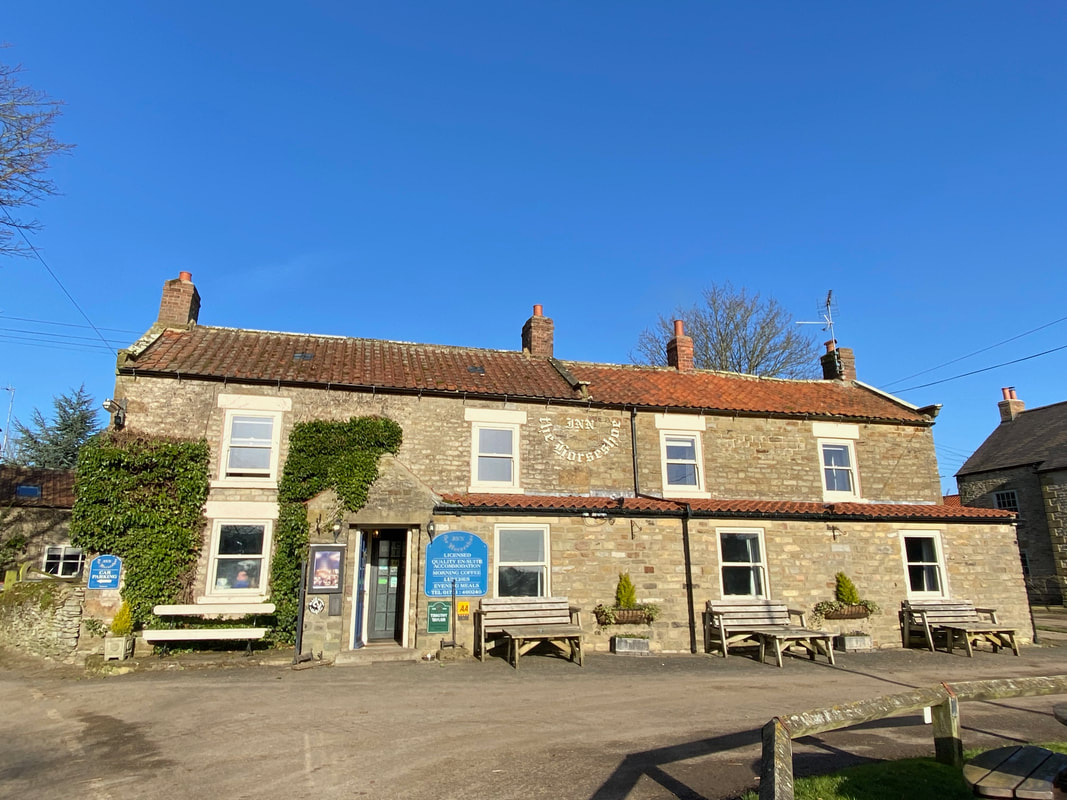
The excellent Horseshoe Inn at Levisham. We stayed here in 2018 and very nice it was too.
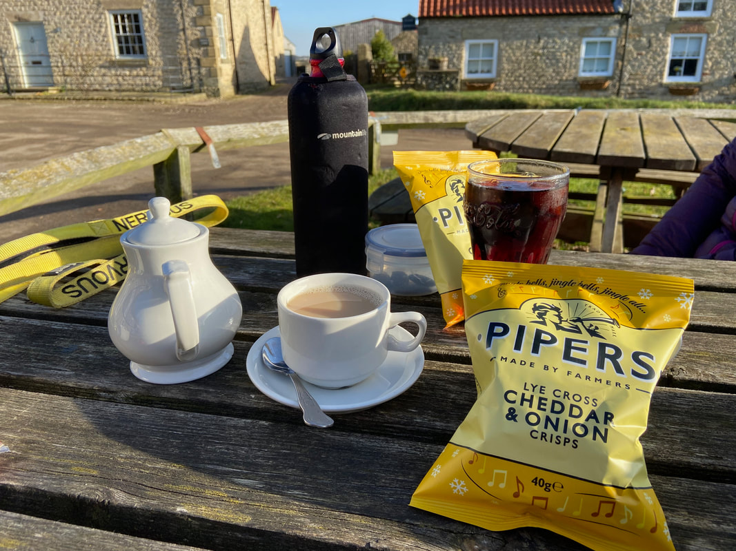
Time for lunch outside The Horseshoe
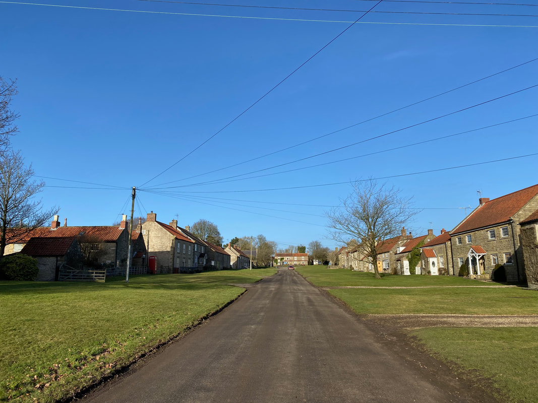
Levisham's main thoroughfare - it really is a delightfully unspoilt village although it was used in April 2021 as a filming location for Mission Impossible - Dead Reckoning Part One.
Time to leave Levisham and head on back to Newton-on-Rawcliffe
From Levisham the route drops down to the valley floor via a farm track
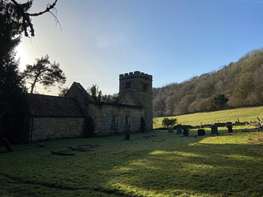
The derelict 12th Century medieval church of St Mary the Virgin, Levisham. The church was declared redundant in 1976 and was last used for worship in the 1950s. In 2004 an investigation was carried out to clarify why the church was so far from the village (about 1/4 of a mile) and findings indicate that the original village may have been sited within close vicinity of the original church.
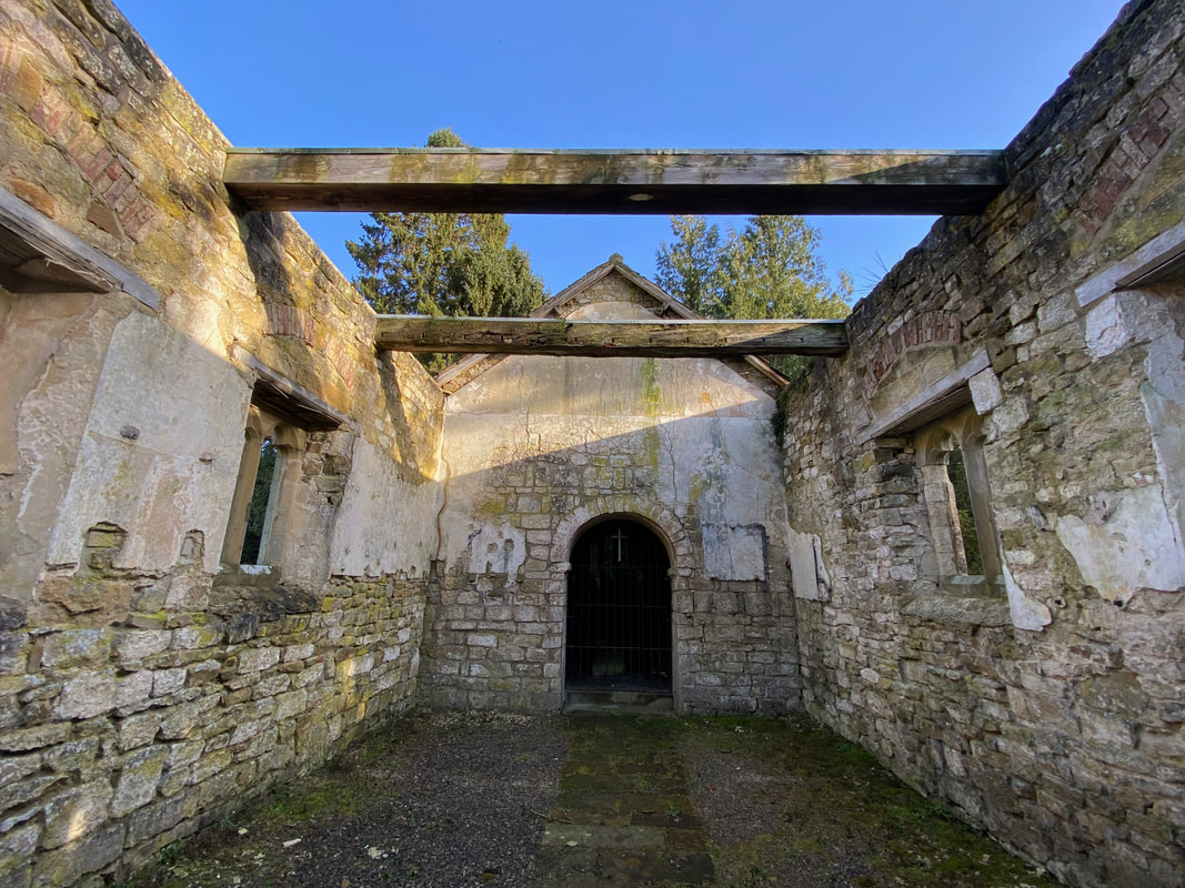
The Chancel Arch is all that remains of the original medieval church and is sited at the eastern end of the building.
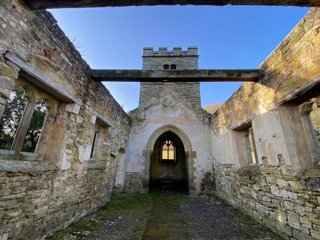
The church nave is at the western end of the building. The entire building is in a sorry state and surely deserves better?
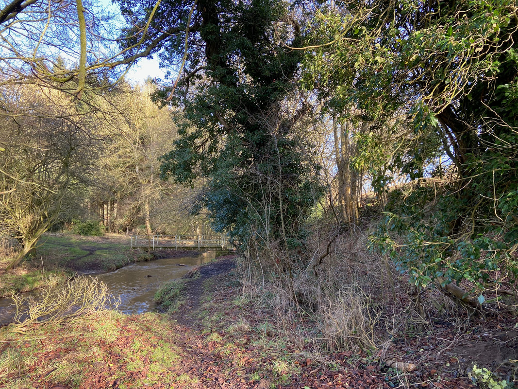
The footbridge over Levisham Beck leading to Sleights Road
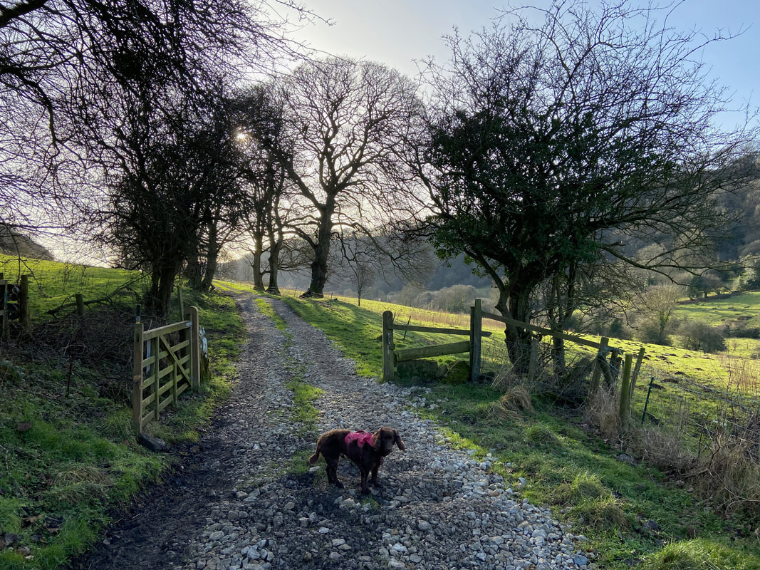
Heading along the track known as Sleights Road. The track links Levisham Mill Farm with Farwath.
Continuing along Sleights Road in the direction of Farwath - this section was extremely muddy in places
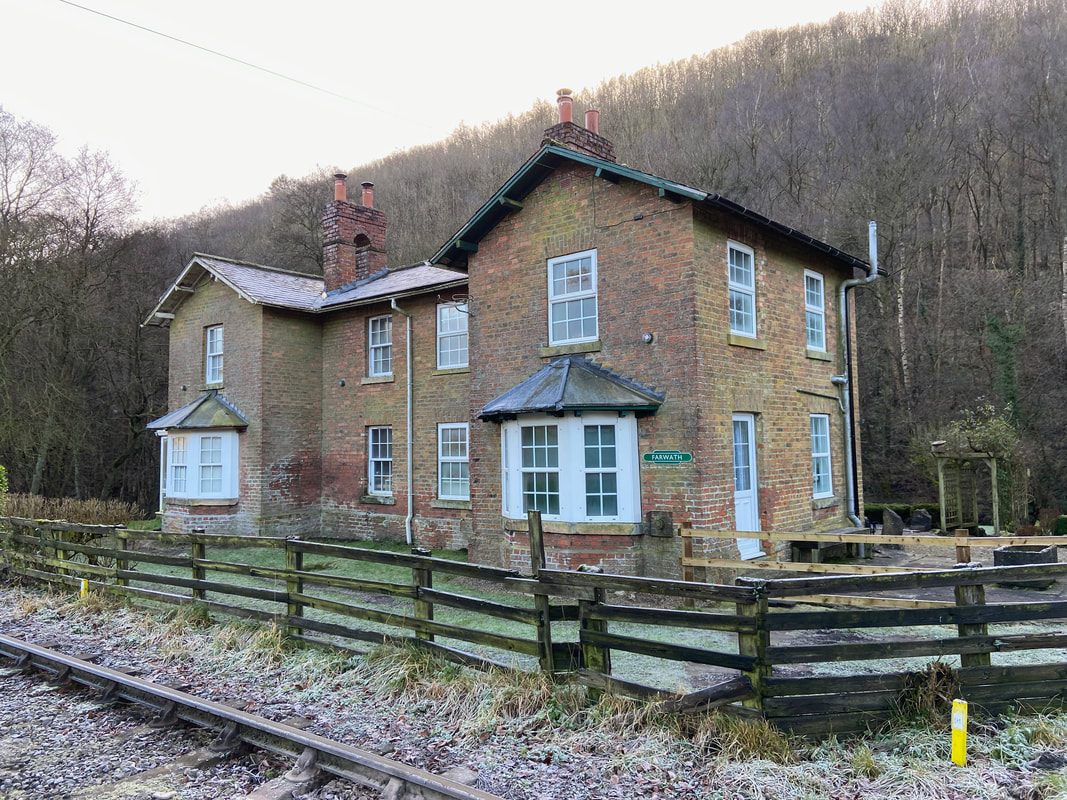
The railway cottages at Farwath. Farwath Station was a small railway halt located between Pickering and Levisham, however the halt was subsequently closed and demolished in 1917.
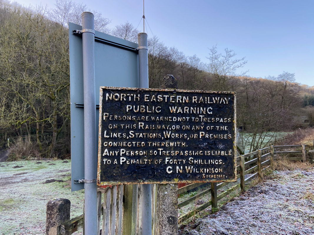
The pre decimalisation trespassing sign at Farwath.
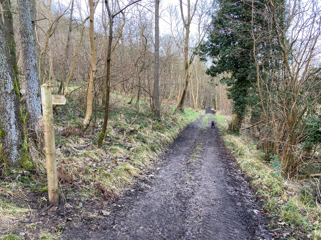
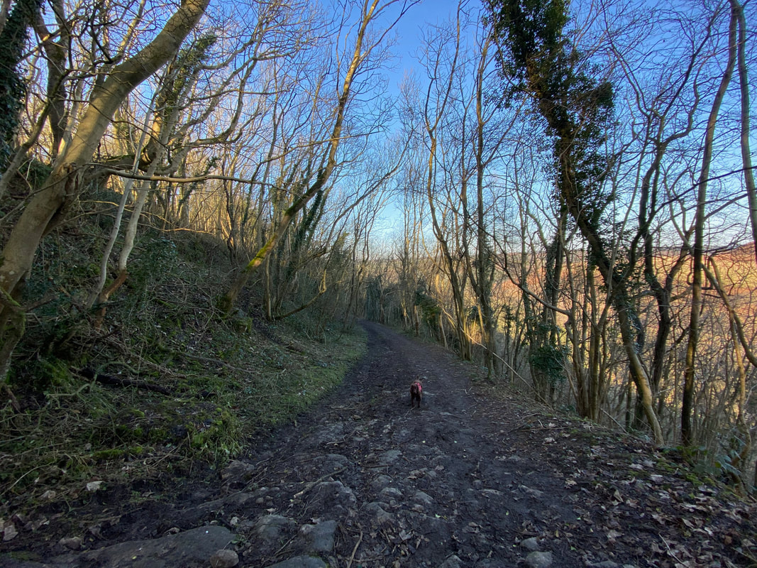
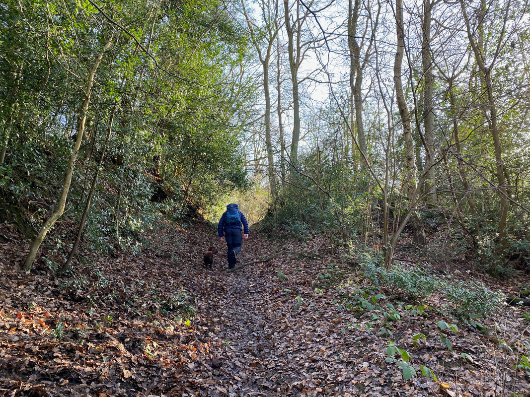
From Farwath the route joins a muddy track known as Bottom's Road
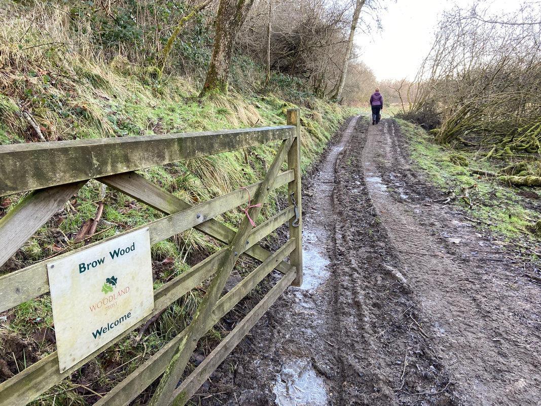
Entering Brow Wood and more mud
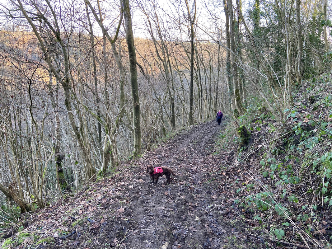
From Brow Wood a steep path rejoins our outward route near Newton-on-Rawcliffe
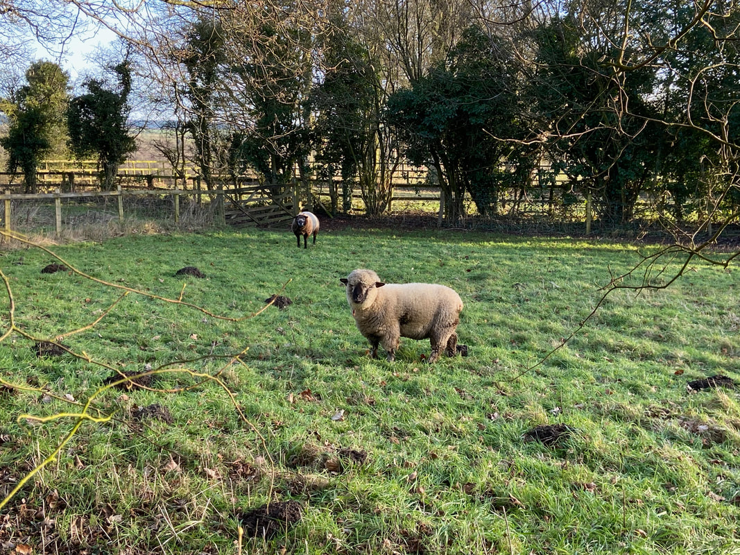
Ryeland Sheep