Scafell & Scafell Pike via Lord's Rake, West Wall Traverse & Deep Gill - Tuesday 9 May 2023
Route
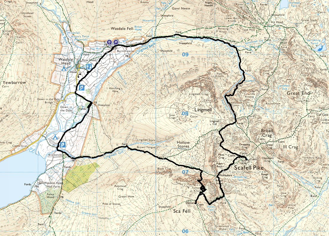
Burnthwaite Farm - St Olaf's Church - Wasdale Head - Brackenclose - Lingmell Gill - Brown Tongue - Lord's Rake - West Wall Traverse - Deep Gill - Scafell Pinnacle - Symonds Knott - Scafell - Foxes Tarn - Foxes Tarn Gully - Mickledore - Scafell Pike - Lingmell Col - Piers Gill - Lingmell Beck - Moses Trod - Burnthwaite
Parking
I started the walk from our accommodation at Burnthwaite Farm however there are various parking options at Wasdale Head including the Village Green (free). The Grid Reference is NY 18682 08508 and the nearest postcode is CA20 1EX.
Mileage
9 miles
Terrain
Whilst a Grade 1 Scramble, both the ascent of Lord's Rake & Deep Gill are steep, over loose scree and require concentration. The West Wall Traverse is exposed in places and needs careful negotiation.
Climbing Scafell via this route is not recommended in ice and snow unless equipped and experienced in these conditions.
Weather
Mixed. In the early afternoon I had low cloud as I ascended Lord's Rake. From Scafell onwards I had bright blue skies and excellent visibility with no wind.
Time Taken
6hrs
Total Ascent
4107ft (1252m)
Wainwrights
2
Map
OL6 - The English Lakes (South Western Area)
Walkers
Dave
|
GPX File
|
| ||
If the above GPX file fails to download or presents itself as an XML file once downloaded then please feel free to contact me and I will send you the GPX file via e-mail.
Route Map
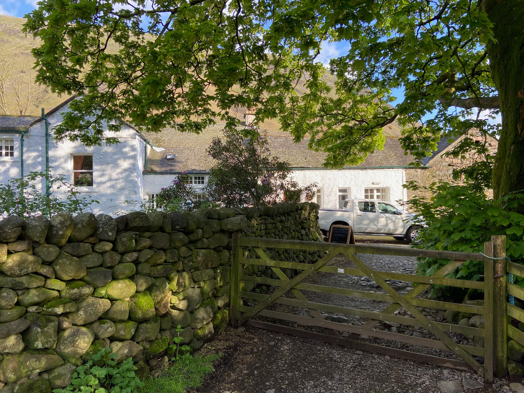
The holiday cottage at Burnthwaite Farm, Wasdale Head. We were staying here therefore started the walk from the front door. Georgina & Andrew are fantastic hosts and also provide excellent B&B hospitality. Once you arrive, there is walking direct from the door which means that you do not need to leave the valley until you are going home. A link to their website is here
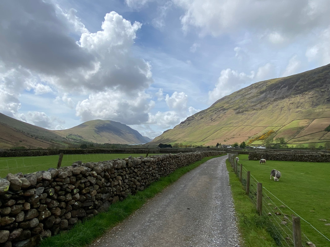
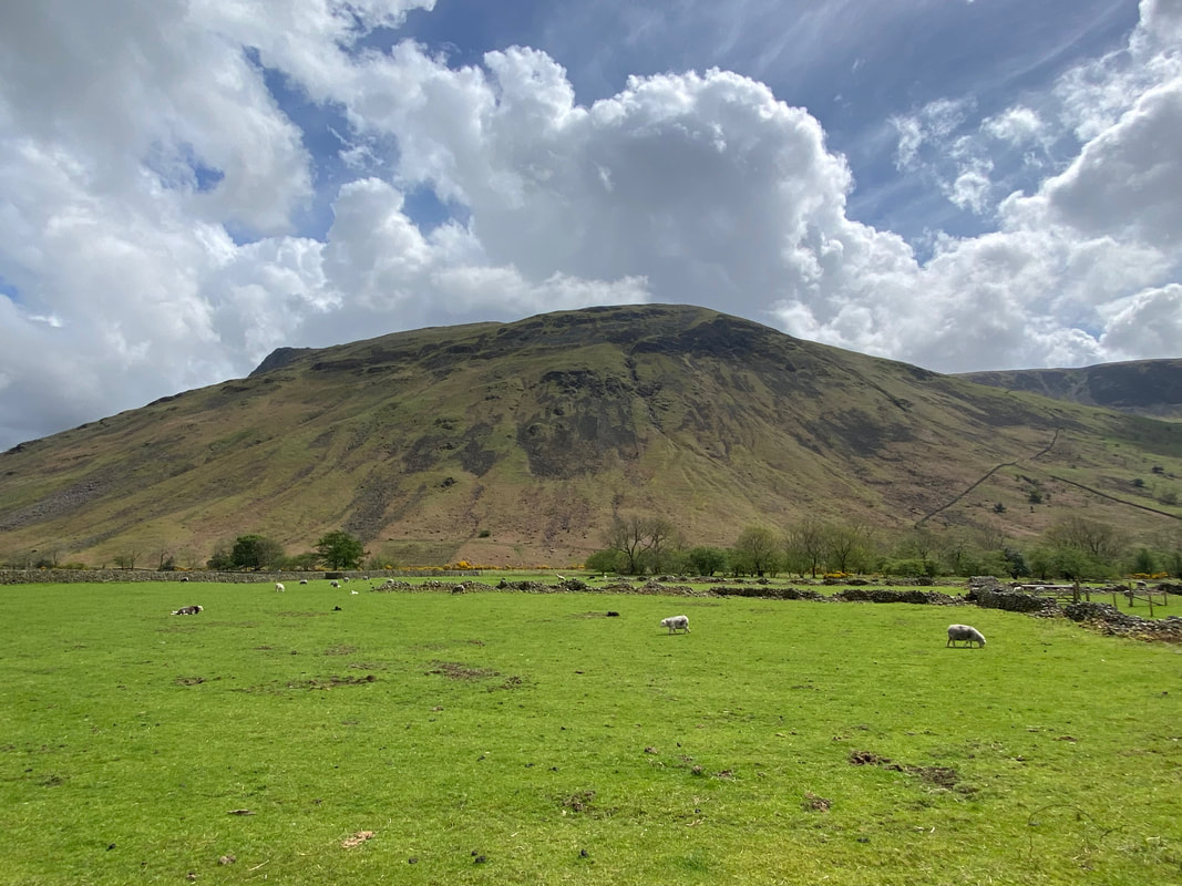
Heading along the lane from Burnthwaite Farm towards Wasdale Head. Illgill Head is to the left with the slopes of Yewbarrow to the right.
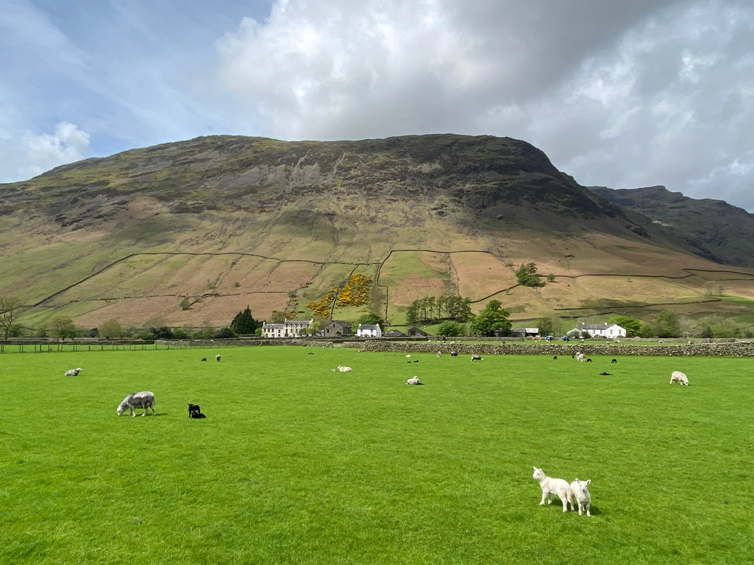
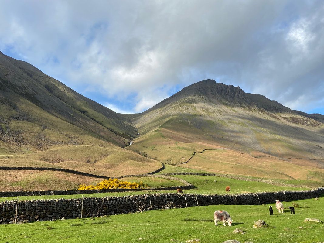
Yewbarrow rises above Wasdale Head
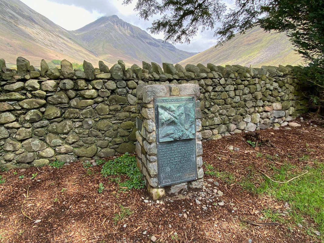
The churchyard of St Olaf's in Wasdale Head contains a memorial to those members of the Fell & Rock Climbing Club who made the ultimate sacrifice during the First World War. There is a similar memorial up on the summit of Great Gable.
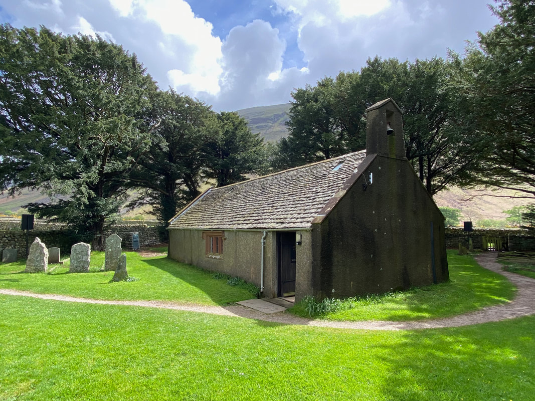
St Olaf's in Wasdale Head which is England's smallest parish church. It sits just 35 people. The church is always worth a visit and we have wandered inside many, many times. Wasdale Head was originally a Norse settlement, its first settlers being 2nd and 3rd generation Norse explorers who became farmers after landing on the west coast from Ireland and the Isle of Man around 1000 AD, bringing Christianity with them.
St Olaf (995 - 1030) was the King of Norway and is widely credited with uniting his country with a widespread adoption of Christianity. Before inheriting the throne he took part in a raid on London in 1014 and helped depose King Canute and restore Ethelred the Unready back to the English throne. However in 1028, Olaf himself was overturned by Canute and was killed at the Battle of Stiklestaad in 1030 as he attempted to regain his throne. He was eventually canonised by Pope Alexander III in 1164.
St Olaf (995 - 1030) was the King of Norway and is widely credited with uniting his country with a widespread adoption of Christianity. Before inheriting the throne he took part in a raid on London in 1014 and helped depose King Canute and restore Ethelred the Unready back to the English throne. However in 1028, Olaf himself was overturned by Canute and was killed at the Battle of Stiklestaad in 1030 as he attempted to regain his throne. He was eventually canonised by Pope Alexander III in 1164.
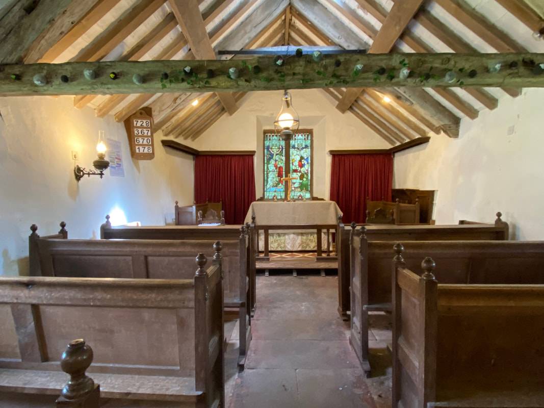
The interior of St Olaf's Church, Wasdale Head
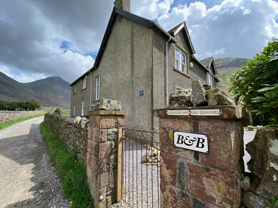
The Lingmell House B&B in Wasdale Head - the property is a former vicarage and bookings are managed by the nearby Wasdale Head Inn. Apparently "Kipper" is the dog in residence.
Lingmell
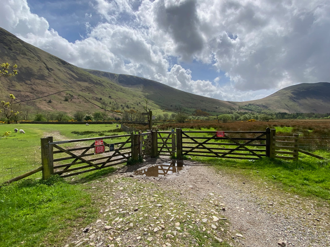
As the road leaves Wasdale Head a pair of double gates appear on the left. The path from either gate can taken as they both provide routes to the campsite at Brackenclose which is where I was heading. I would be taking the left hand gate which leads to the bridge over Lingmell Beck.
Looking back to the road and the double gates
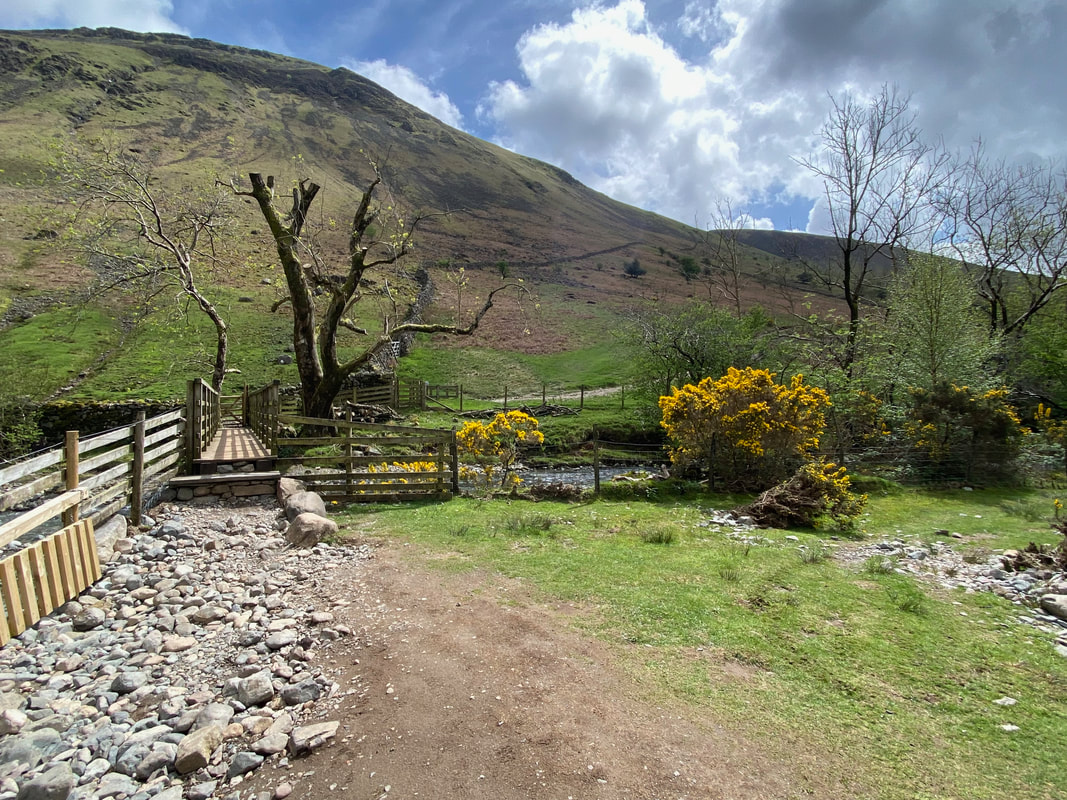
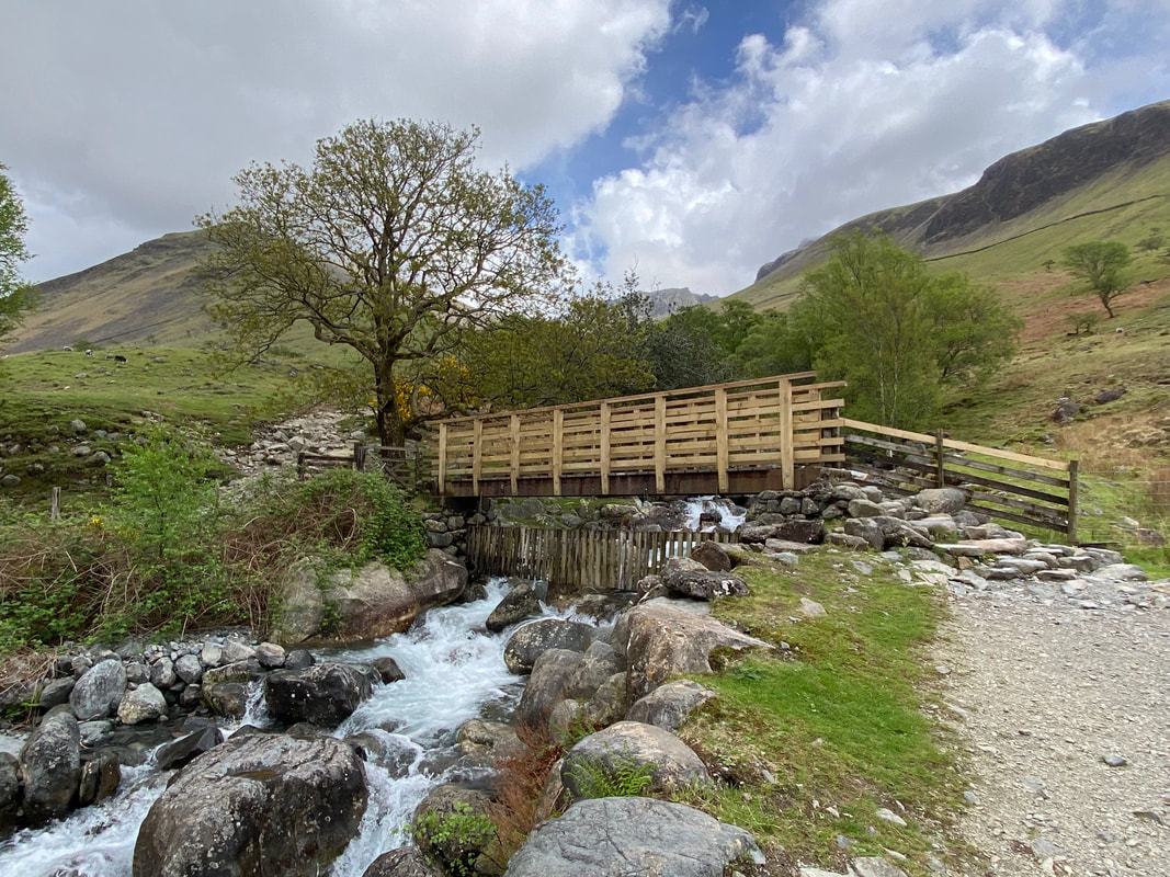
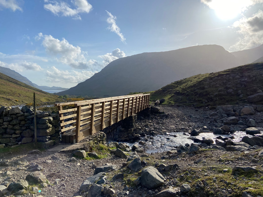
The footbridge over Lingmell Beck.
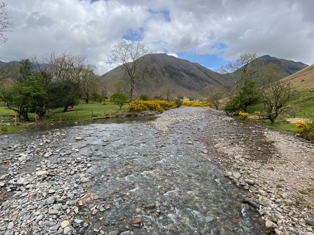
Crossing Lingmell Beck looking to Kirk Fell & Great Gable
After crossing the footbridge two paths head off to the right. I could have taken either path however I opted for the lower of the two as I wanted to walk alongside the beck. The upper path heads across the south western slopes of Lingmell to join the Hollow Stones path coming up from Brackenclose. This made my walk a little longer but not by much.
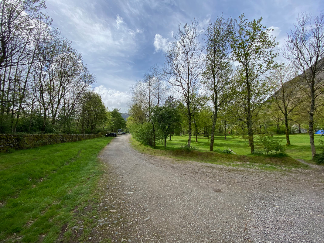
The route reaches and passes through the National Trust Campsite at Brackenclose
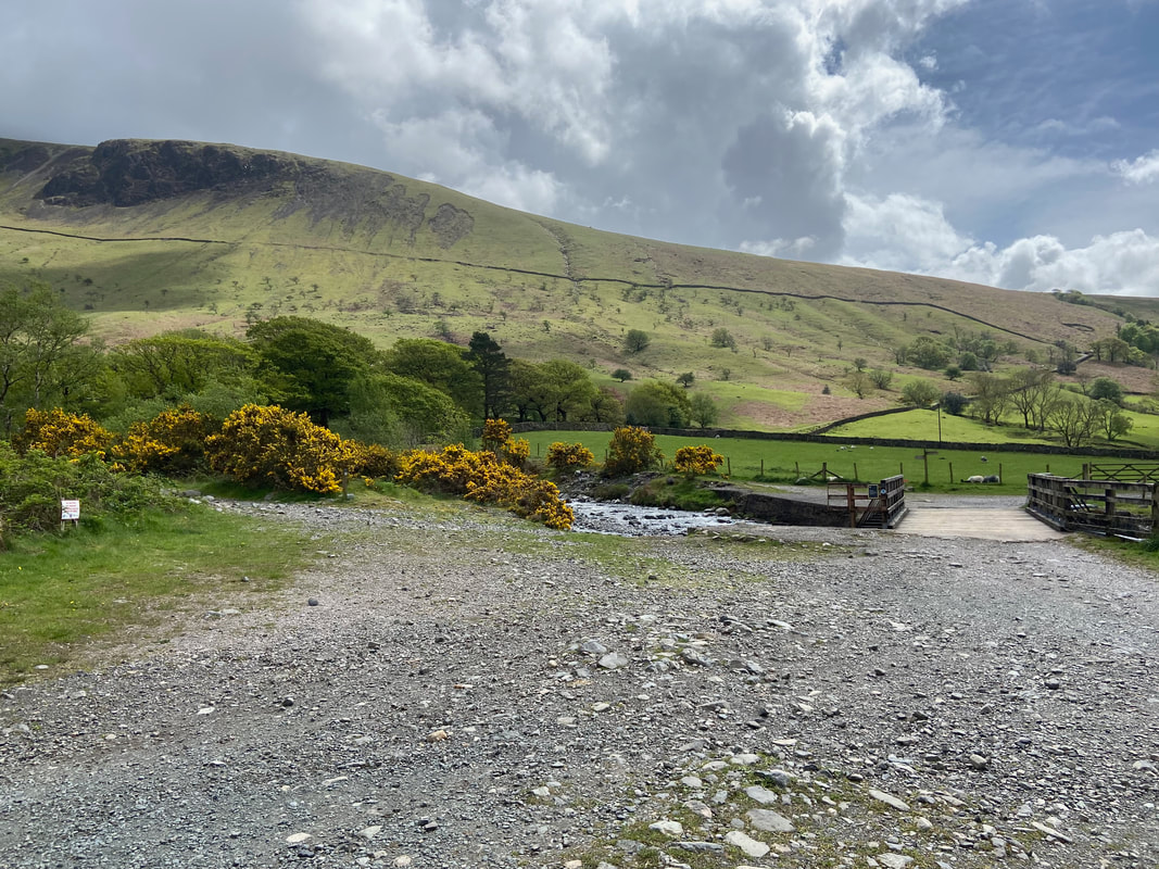
Exiting the campsite, shortly after the route crosses a concrete bridge to head alongside the gill towards The Fell & Rock Climbing (FRCC) hut at Brackenclose. The sign on the left warns that this parking area is for Mountain Rescue vehicles only.
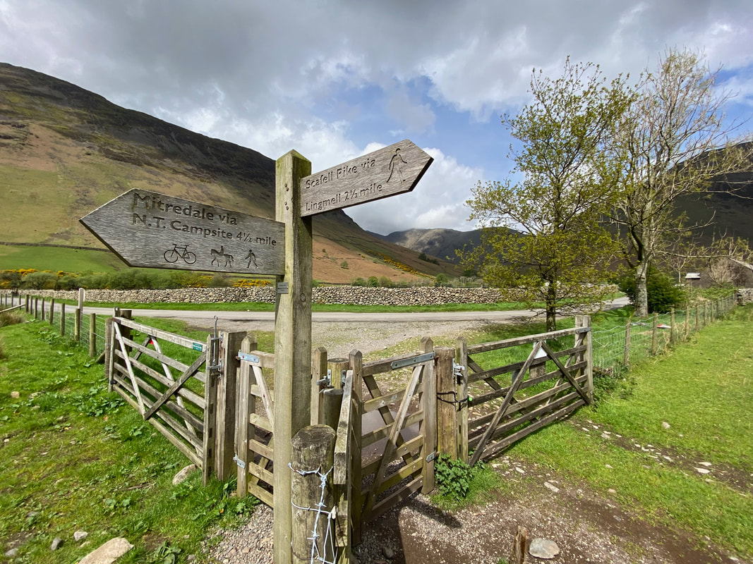
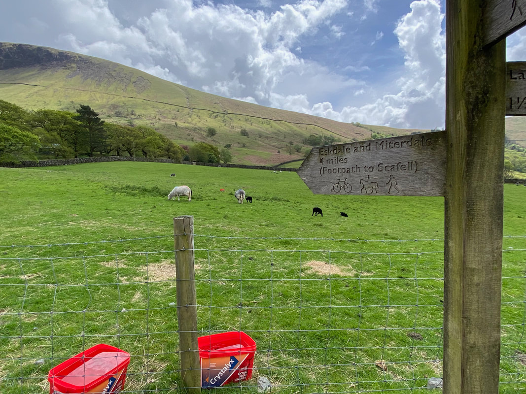
I was heading to neither Eskdale nor Miterdale however I was on my way to Scafell
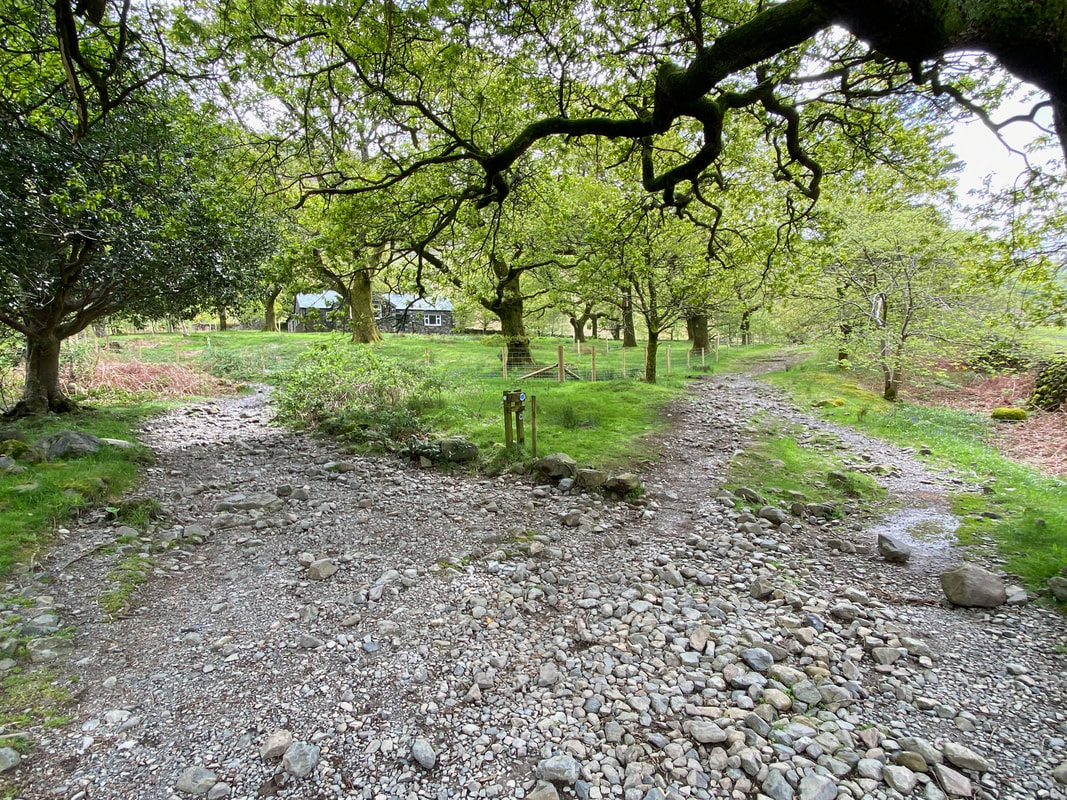
With the FRCC hut ahead, the path splits once more - the route to Scafell Pike & Scafell is to the left with Eskdale & Miterdale to the right. The path to the right also grants access onward to both Illgill Head & Whin Rigg.
The lovely sounds of Lingmell Gill (click Play to view)
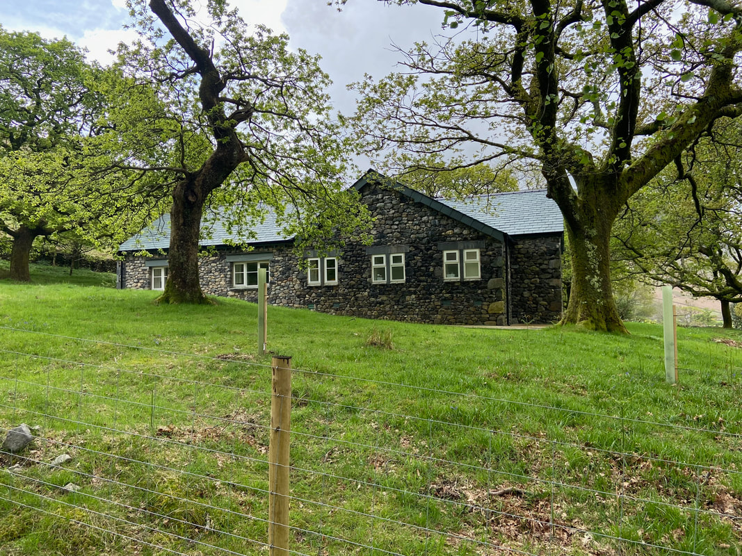
The FRCC hut at Brackenclose
The hut was officially opened in October 1936 and by today’s standards the amenities were very basic. There was no electricity, showers were cold only, cooking was by primus stoves, lighting by oil lamps or Tilley lamps and heating came from the open fire in the Common Room. In due course, Calor gas and some form of water heaters were installed but electricity did not arrive until 1977 when it became possible to upgrade all facilities to today’s high standards. Tragedy struck in April 2019 when a devastating fire destroyed much of the building, and following a major rebuilding programme Brackenclose was reopened for bookings on 20 June 2022.
The hut was officially opened in October 1936 and by today’s standards the amenities were very basic. There was no electricity, showers were cold only, cooking was by primus stoves, lighting by oil lamps or Tilley lamps and heating came from the open fire in the Common Room. In due course, Calor gas and some form of water heaters were installed but electricity did not arrive until 1977 when it became possible to upgrade all facilities to today’s high standards. Tragedy struck in April 2019 when a devastating fire destroyed much of the building, and following a major rebuilding programme Brackenclose was reopened for bookings on 20 June 2022.
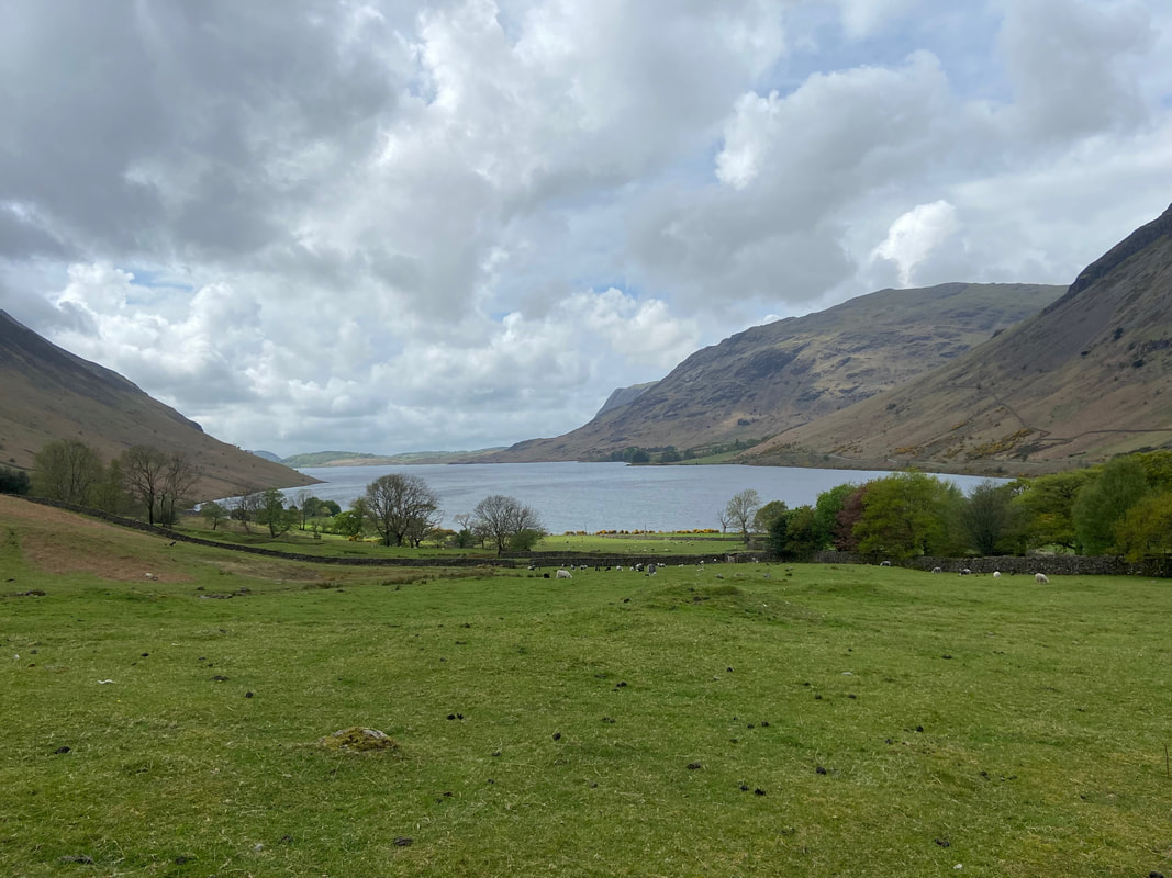
Looking down Wastwater
The poet William Wordsworth described Wastwater as “long, stern and desolate”. This dramatic lake is 3 miles long, half a mile wide and 260 feet deep and the deepest of all of England’s lakes.
The poet William Wordsworth described Wastwater as “long, stern and desolate”. This dramatic lake is 3 miles long, half a mile wide and 260 feet deep and the deepest of all of England’s lakes.
The footbridge over Lingmell Gill
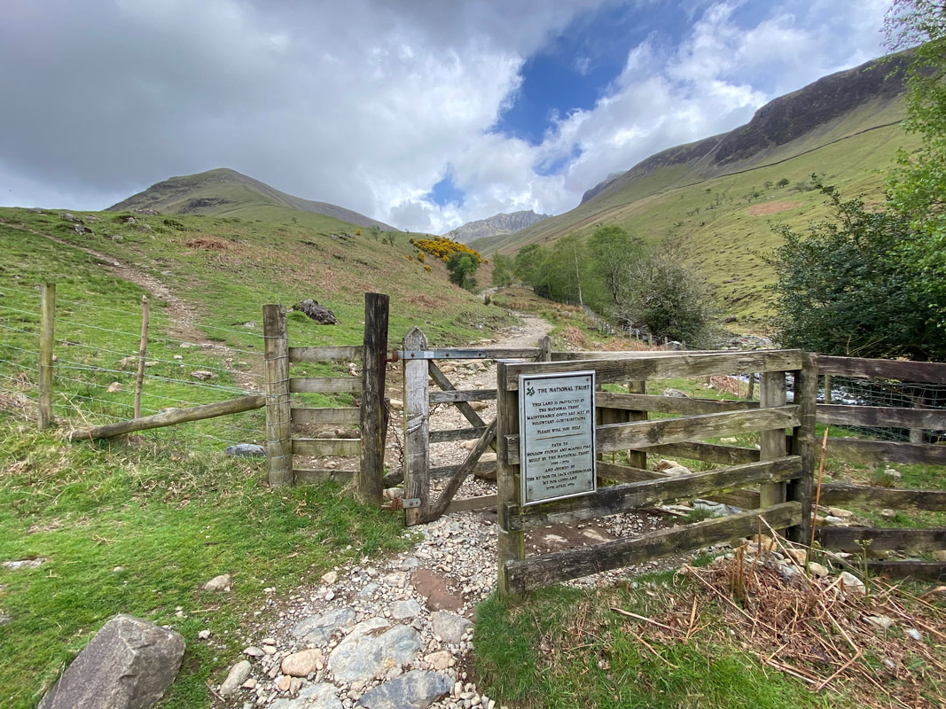
Through a gate the right hand path is taken to continue alongside Lingmell Gill. The path to the left heads to Lingmell.
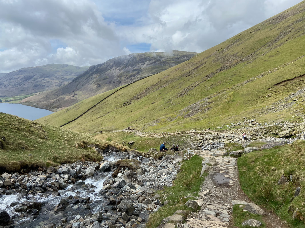
Looking back towards Wastwater from the path junction. I had come up the left hand path - the right hand path is the one I could have taken from the footbridge over Lingmell Beck earlier.
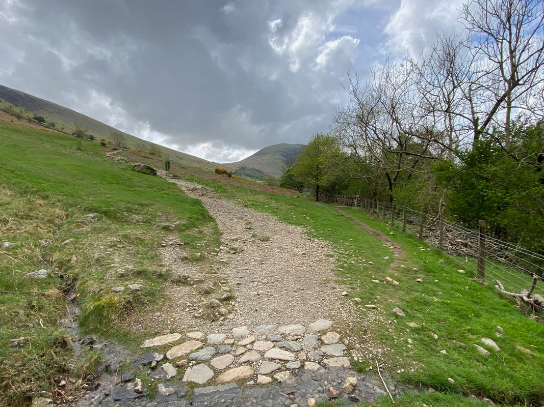
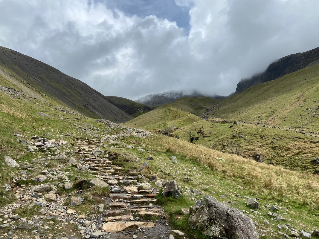
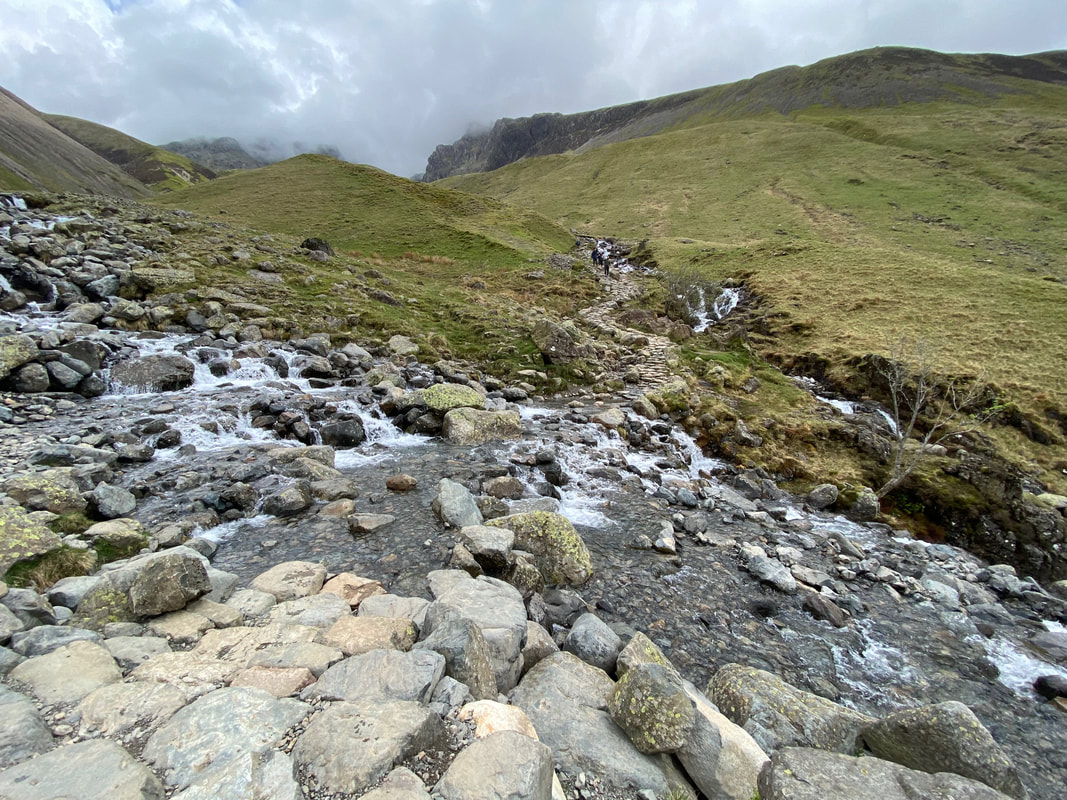
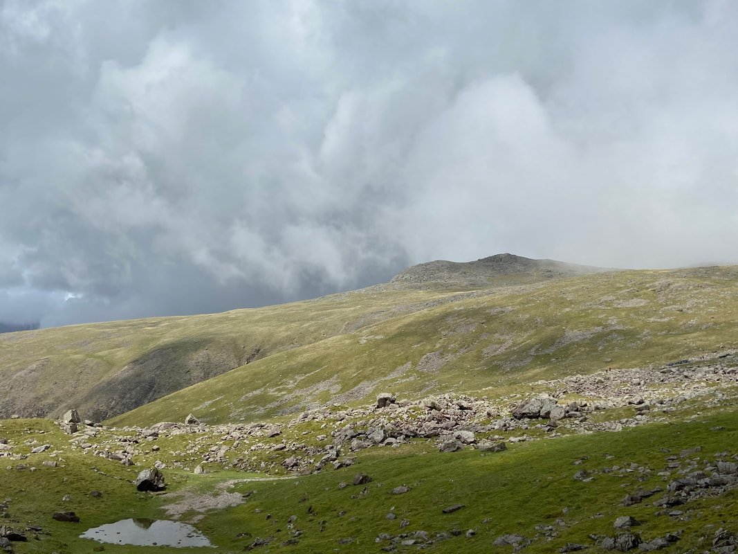
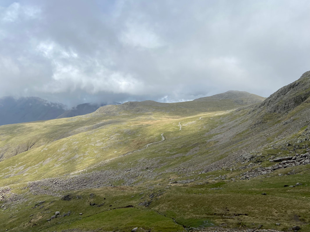
I was now on the main tourist path to Scafell Pike with Brown Tongue ahead of me & Hollow Stones beyond centre right. Scafell Pike is also up ahead but in cloud with Scafell over to the right.
The ford over Lingmell Gill. When the gill is in spate (as it was today) the crossing can be tricky. I just took my time and managed to keep my feet dry.
Looking back to the ford over Lingmell Gill and the ascent path
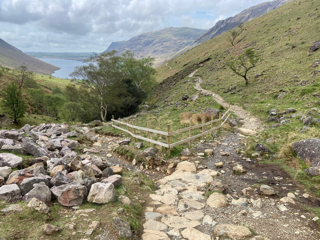
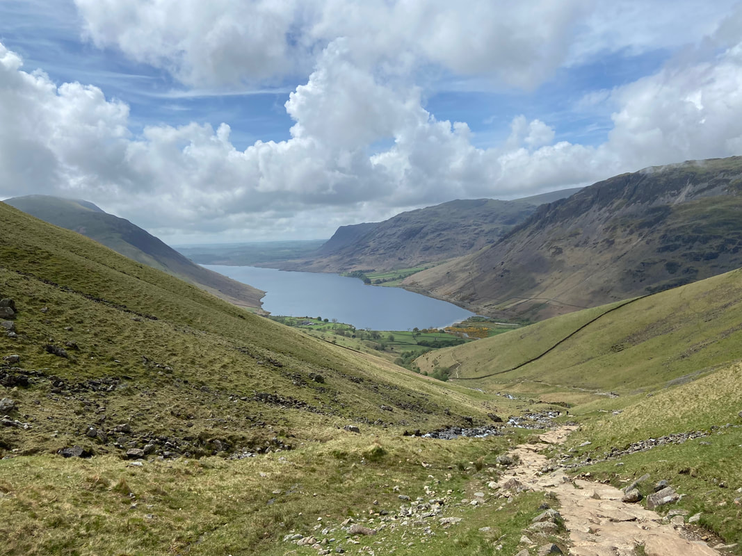
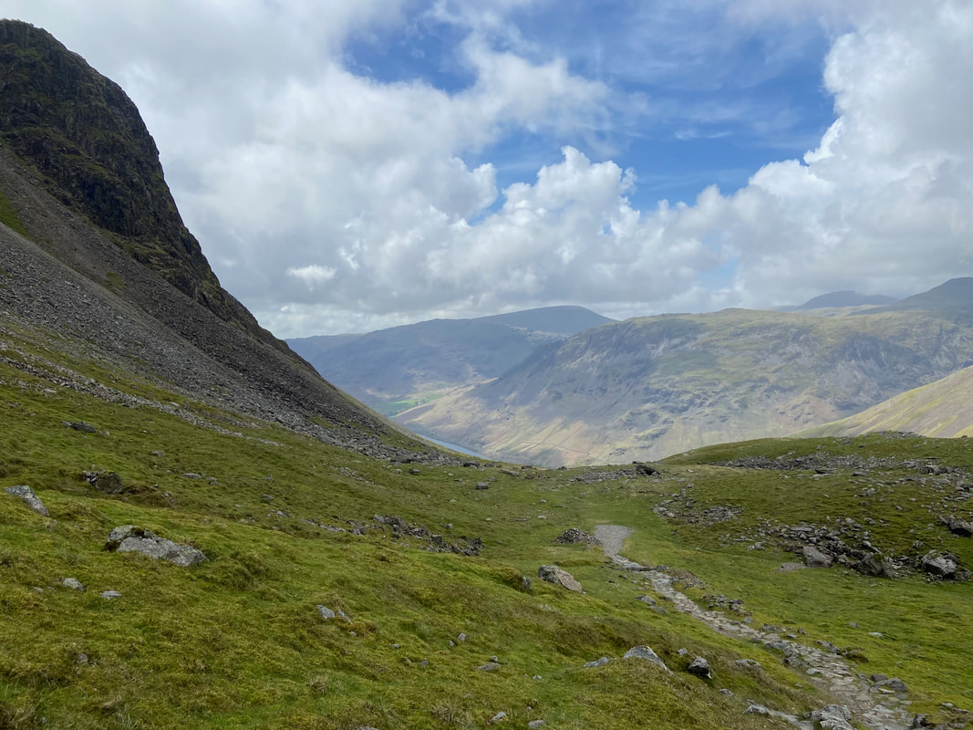
A little higher up and Wastwater reveals more of itself
At Grid Reference NY 20157 07230 the main path splits. Going left continues to Scafell Pike via Hollow Stones however I would be heading to the right on the Mickledore and Lord's Rake path.
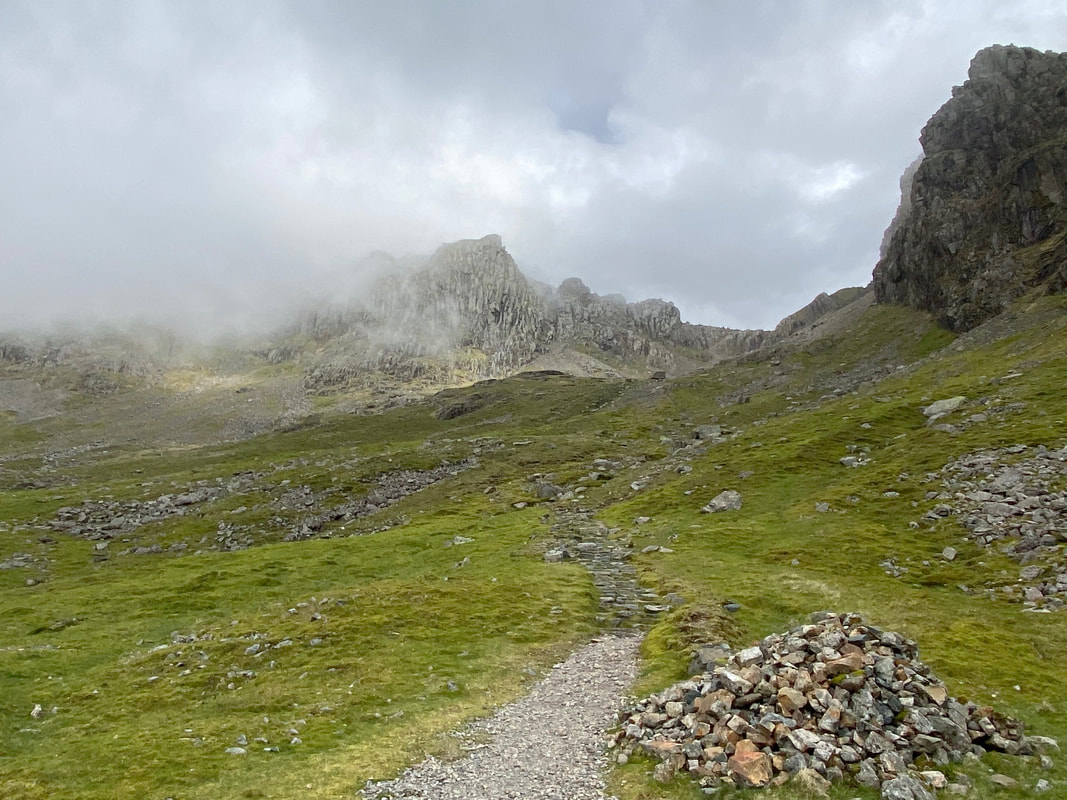
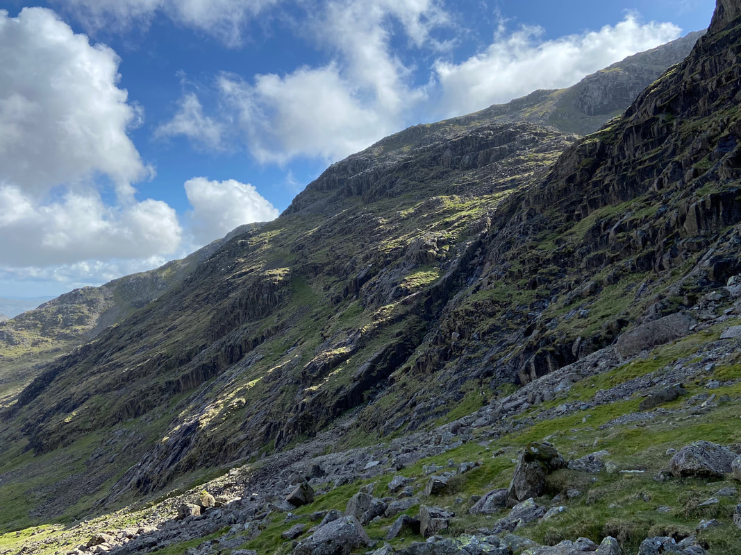
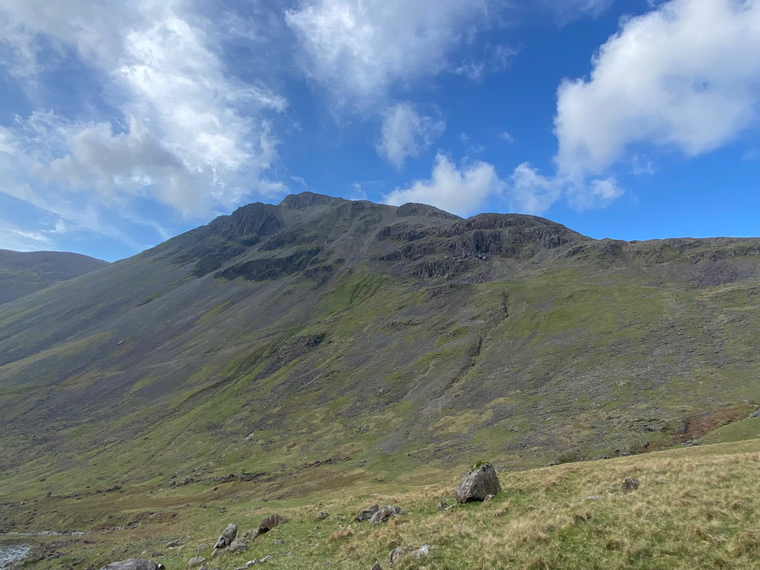
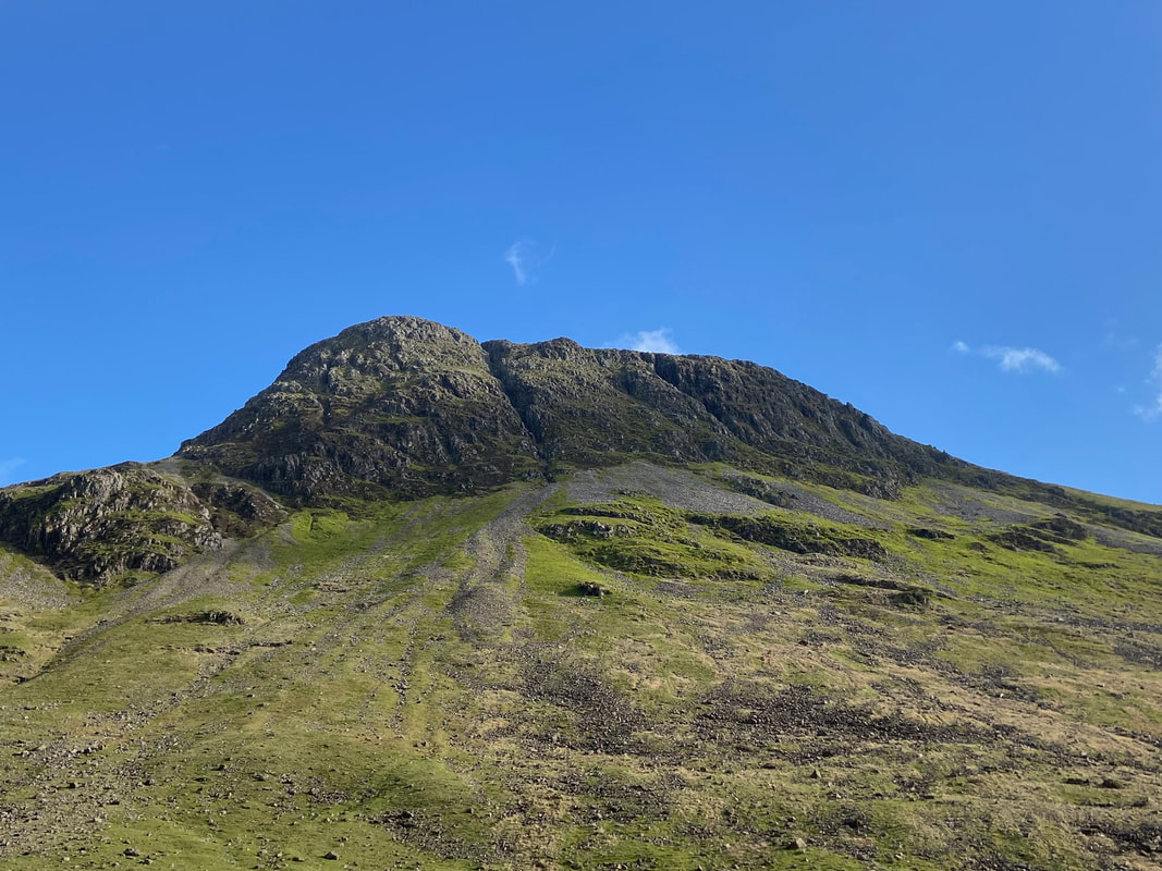
Black Crag towers above me to the right as I head towards Lord's Rake
Shamrock & Scafell Crag to my right as I continue along the Mickledore path
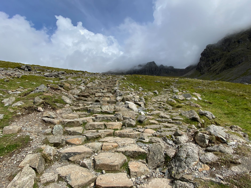
Looking over to the zig zags on the Hollow Stones path to Scafell Pike which is known as the "tourist route".
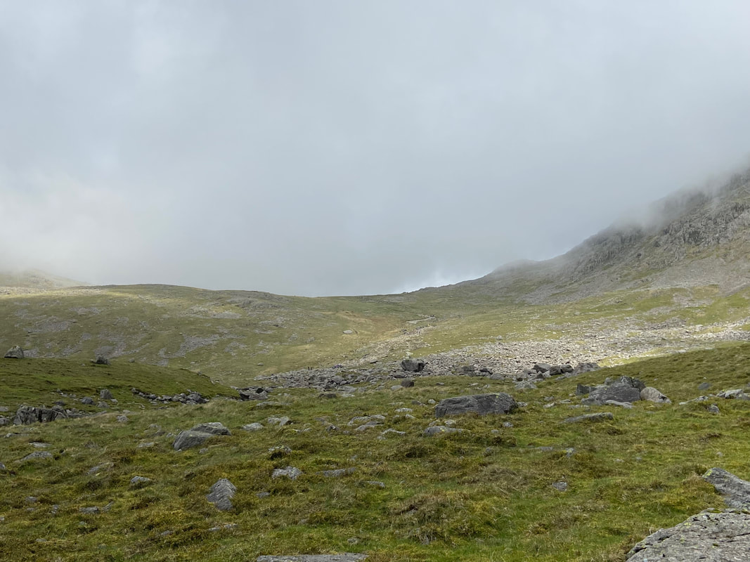
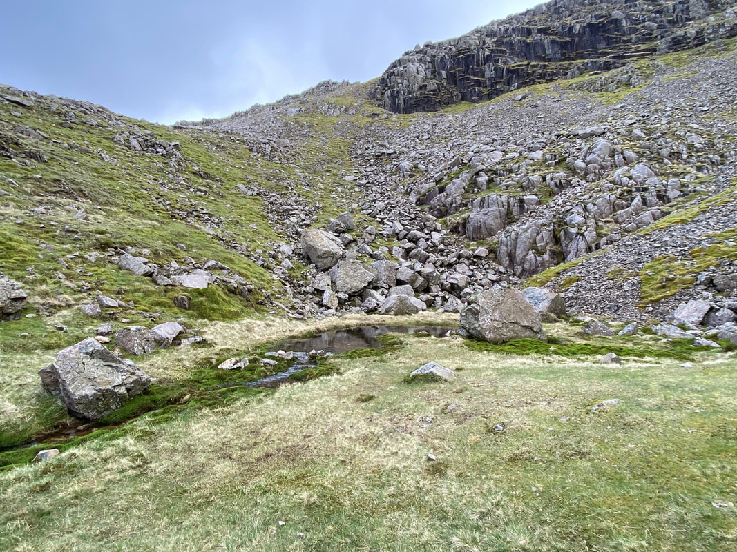
The path levels out slightly as it crosses a grassy depression
Looking over to Hollow Stones with Lingmell's west ridge beyond
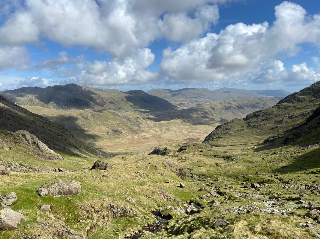
Looking back to my route of ascent with Seatallan in the centre distance
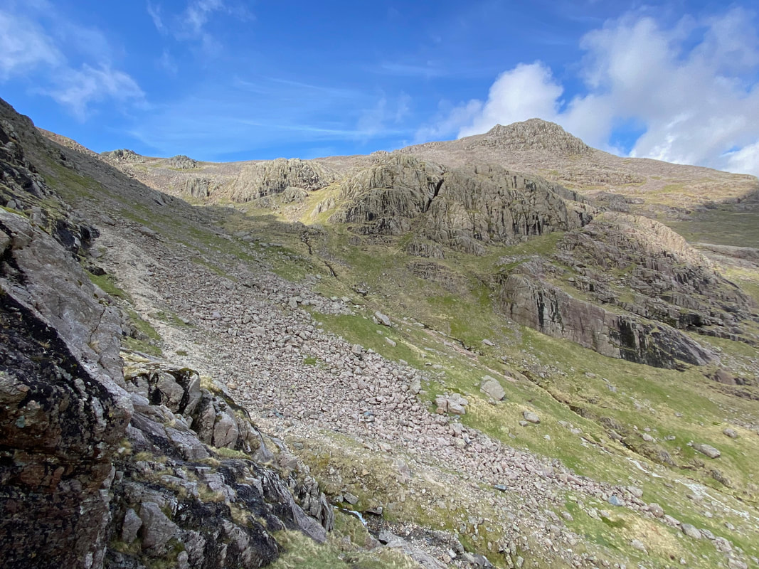
At Grid Reference NY 20786 07021, a loose scree path heads off to the right and leads to the foot of Lord's Rake
Pulpit Rock & Mickledore Buttress
Another view of the Hollow Stones path to Scafell Pike
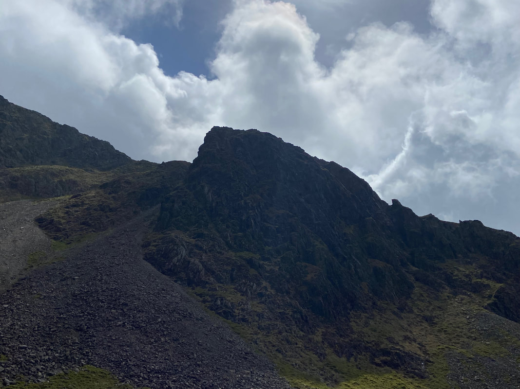
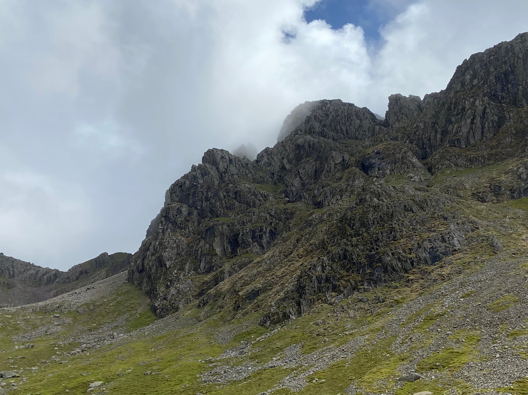
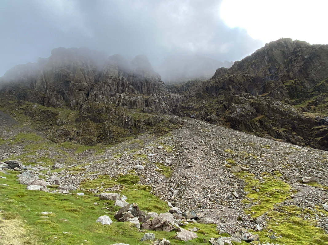
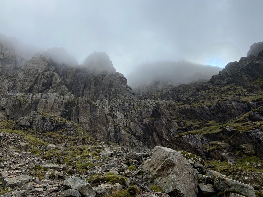
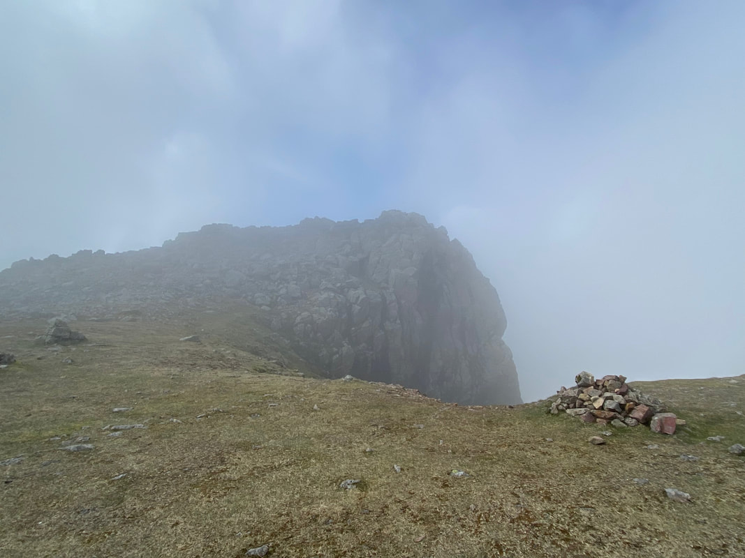
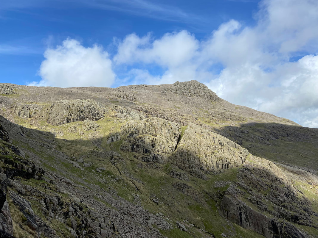
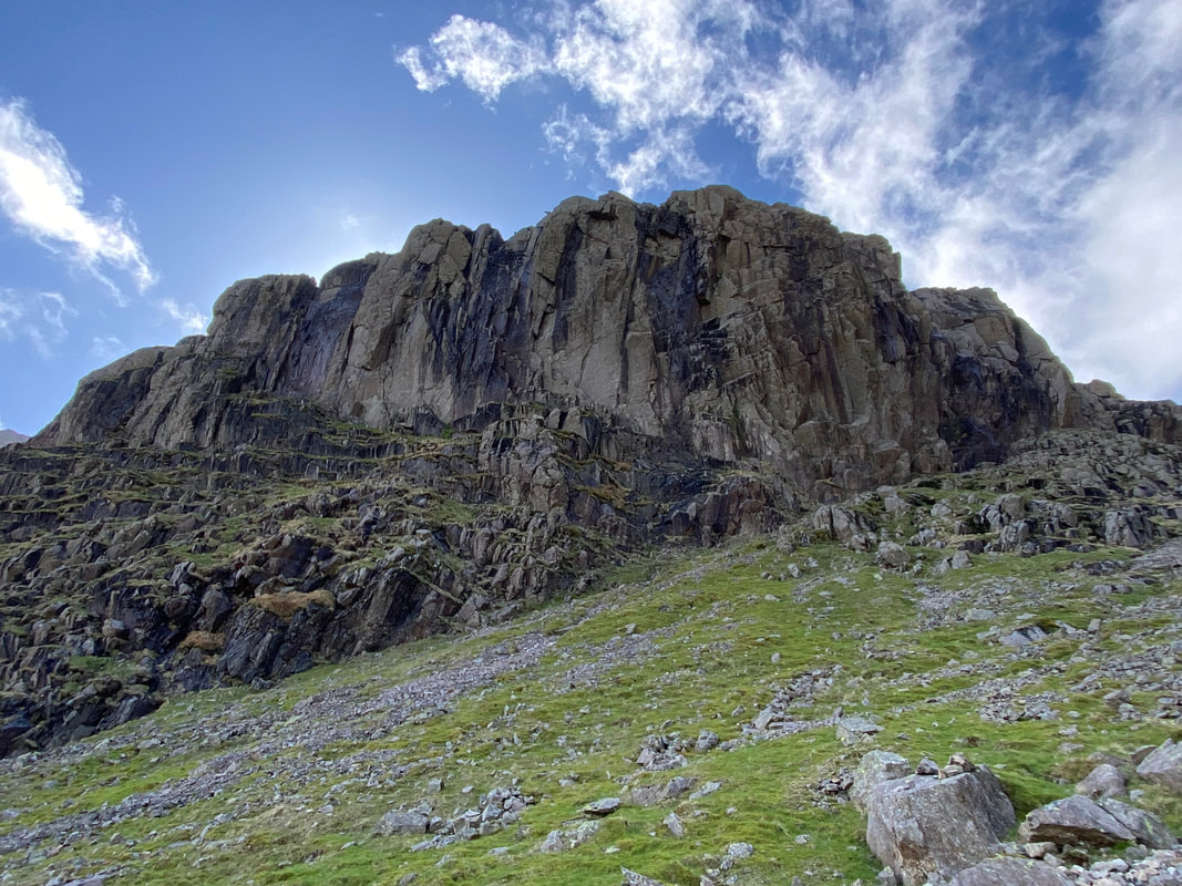
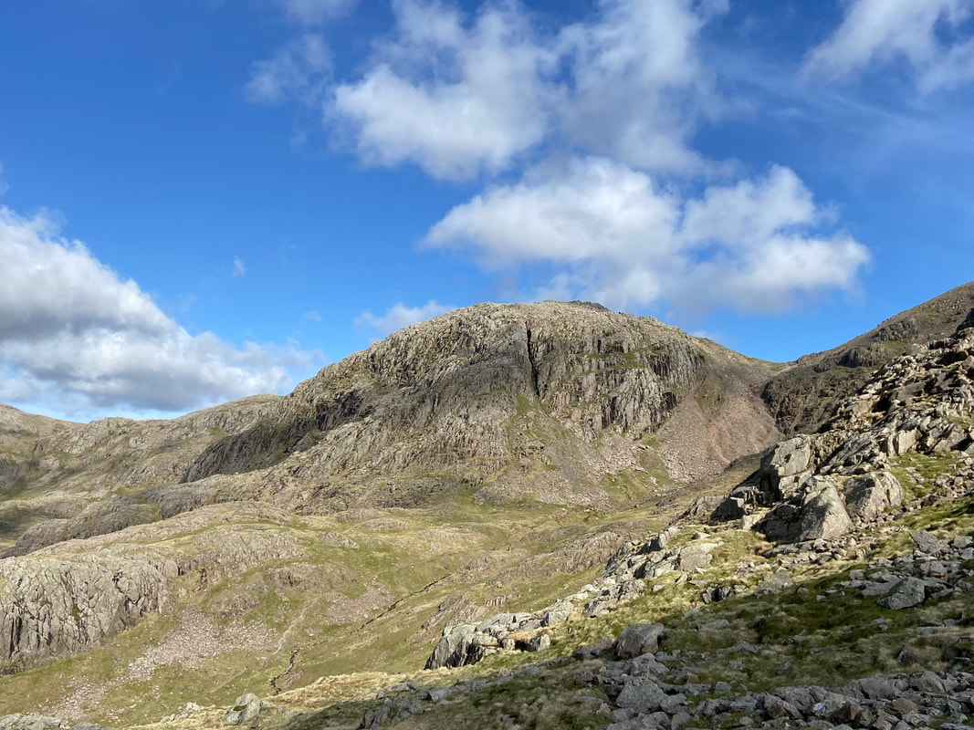
Scafell Crag now rises menacingly above me with Scafell beyond clouded in mist
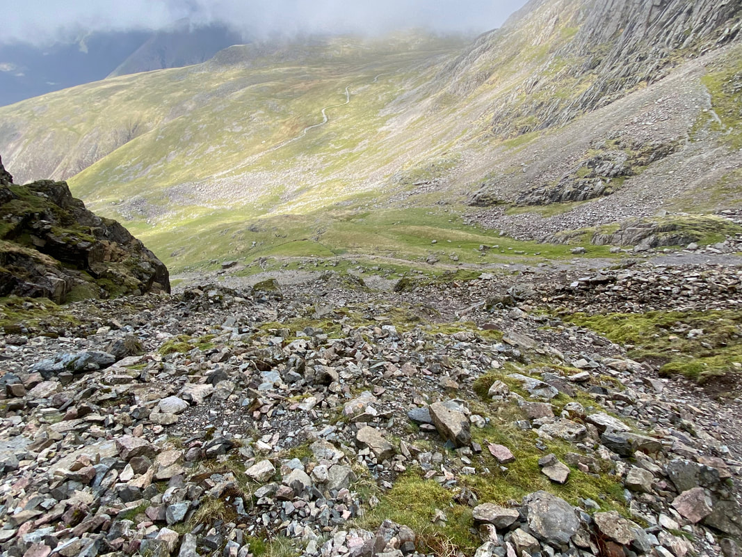
Looking back down at my route up the scree path
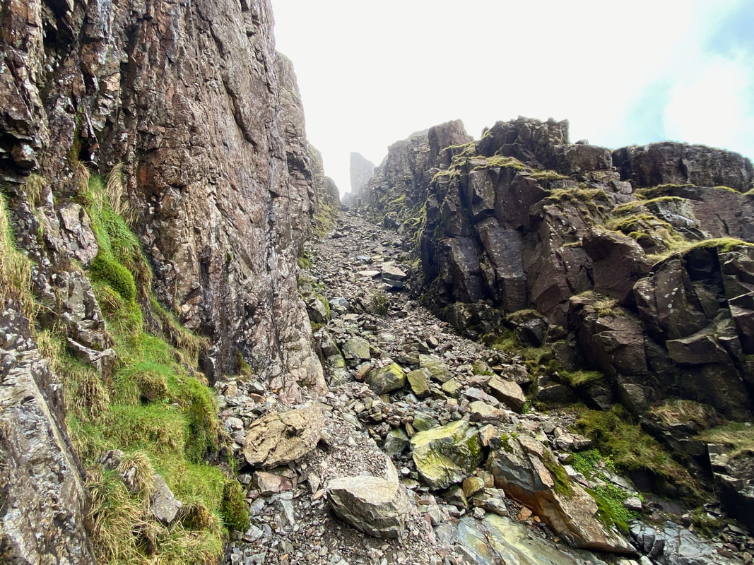
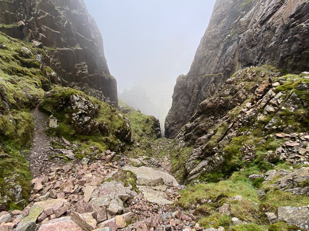
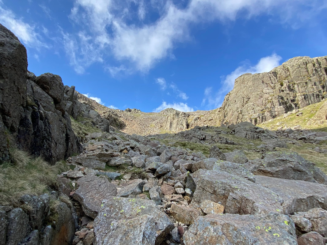
The start of Lord's Rake. To the left here is a cross cut into the rock face which commemorates a tragic accident which occurred in 1903. Sadly, four climbers fell to their deaths while attempting to make a new route up on to Hopkinson's Cairn on Scafell Pinnacle.
It is worthy of note that when making an ascent of Lord's Rake in a group of 2 or more then it is important to be wary of loose stone cascading down on unsuspecting walkers behind.
It is worthy of note that when making an ascent of Lord's Rake in a group of 2 or more then it is important to be wary of loose stone cascading down on unsuspecting walkers behind.
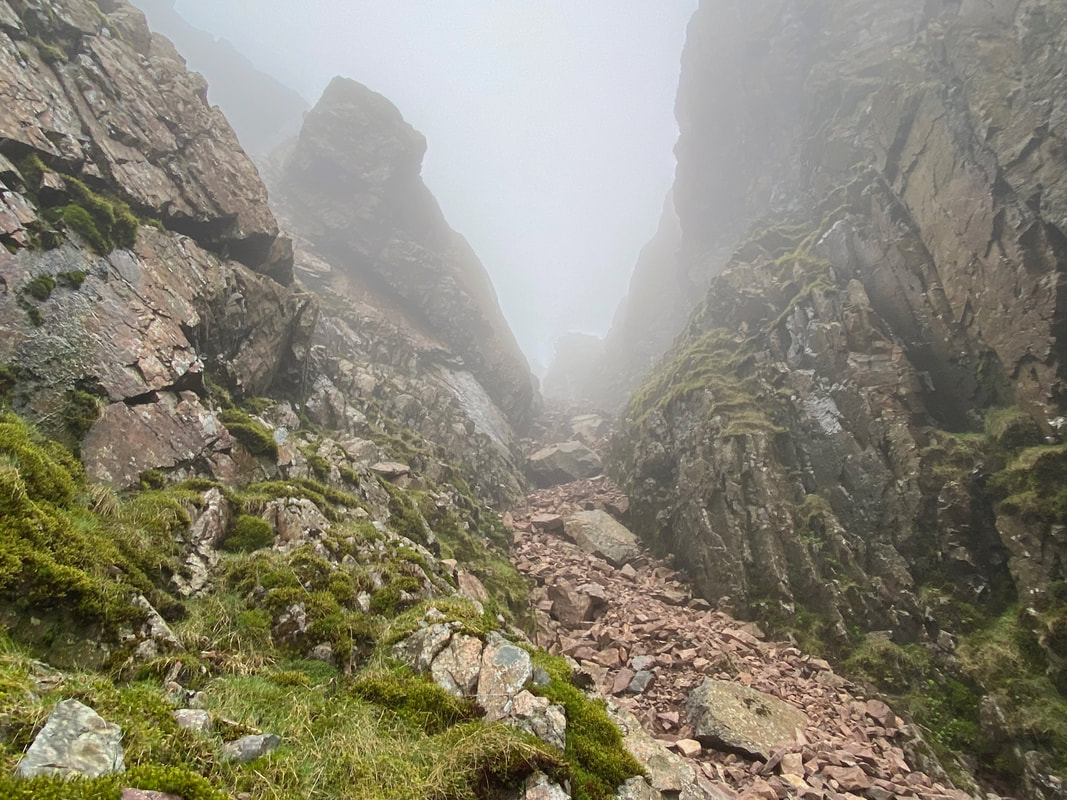
Looking down from the top of the first section of Lord's Rake. In 2002 there was a serious rockfall which left a massive block of stone balanced precariously across the first col at the top of the rake (just above the path to the West Wall Traverse). Walkers and climbers were advised not to use the rake or the West Wall Traverse while it remained in situ as it was badly cracked. The block finally collapsed in 2016 and broke into several pieces which now lie in the bed of the rake.
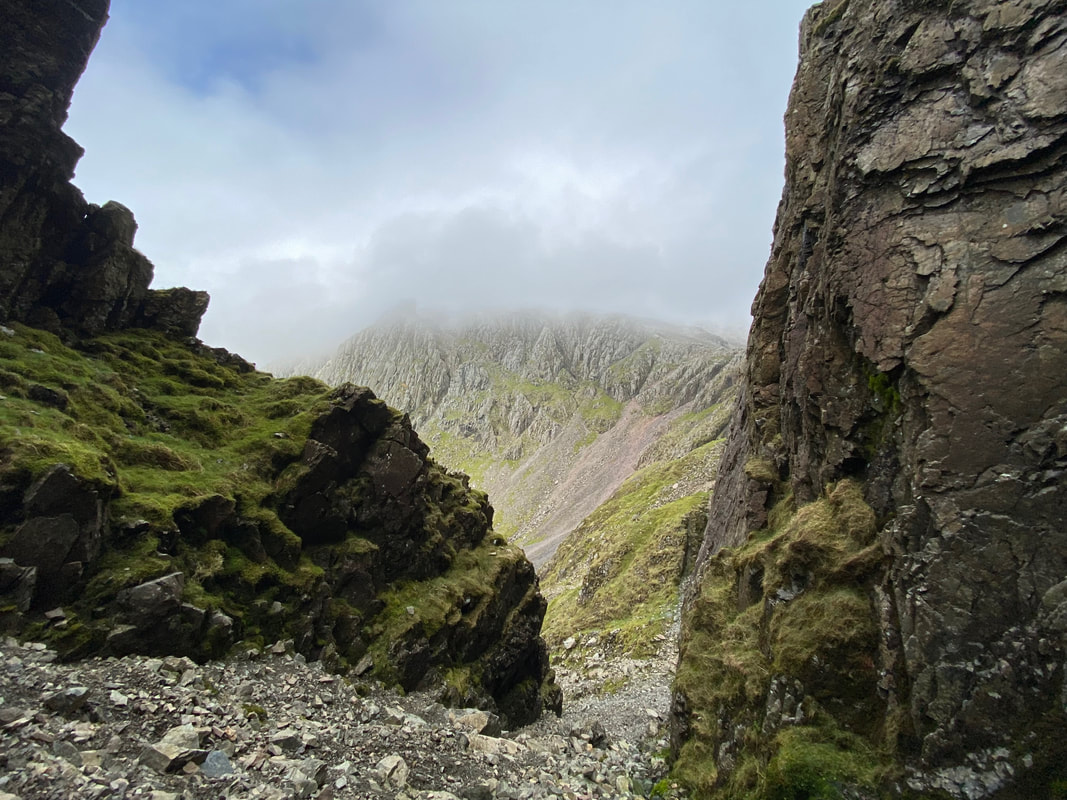
Mickledore and its buttress from Lord's Rake. It was at this point I felt that the weather may improve and that the low cloud would soon lift.
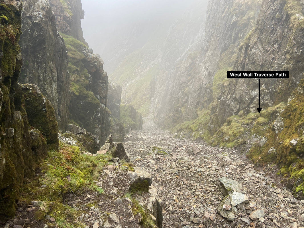
Looking down Lord's Rake from the col. I have highlighted the start of the West Wall Traverse which is at Grid Reference NY 20715 06859. The exit (which will be on the left as Lord's Rake is climbed) is easily missed.
If the West Wall Traverse is not to your liking then continue on past the first col. As Wainwright stated on page Scafell 4 in Book Four of his Pictorial Guides, "the great thing to remember is that Lord's Rake has 3 ups and 2 downs, and maintains a straight course throughout"
If the West Wall Traverse is not to your liking then continue on past the first col. As Wainwright stated on page Scafell 4 in Book Four of his Pictorial Guides, "the great thing to remember is that Lord's Rake has 3 ups and 2 downs, and maintains a straight course throughout"
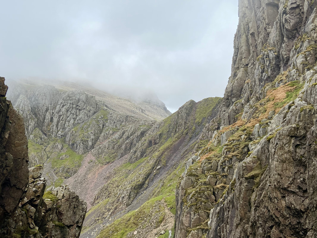
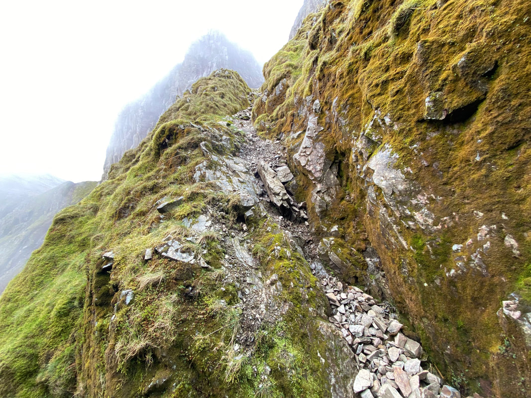
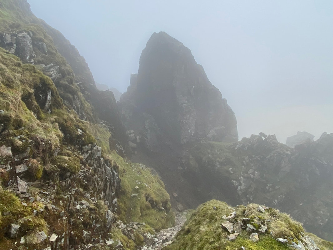
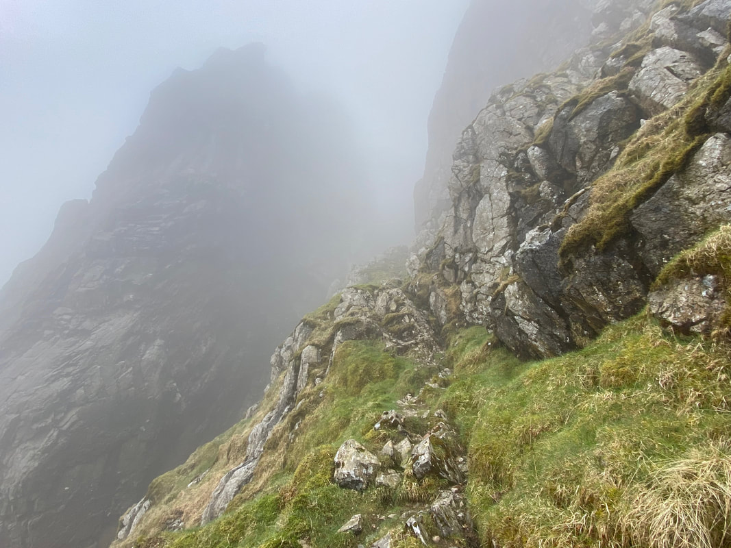
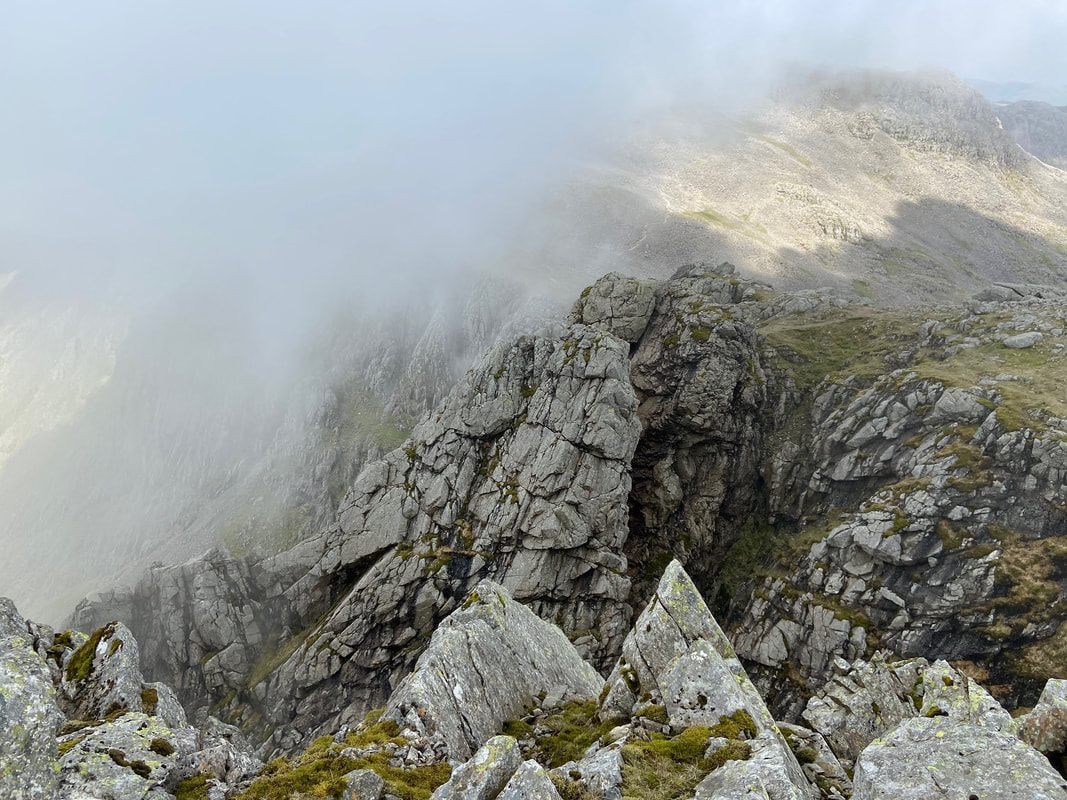
Looking up the West Wall Traverse path from the start of the exit from Lord's Rake. Whilst it looks exposed, when making my transit it never really felt like it. Above the path in cloud is Knife Edge Arete which connects Low Man to High Man on Scafell Pinnacle.
Looking back to the col on Lord's Rake and the beginning of the West Wall Traverse
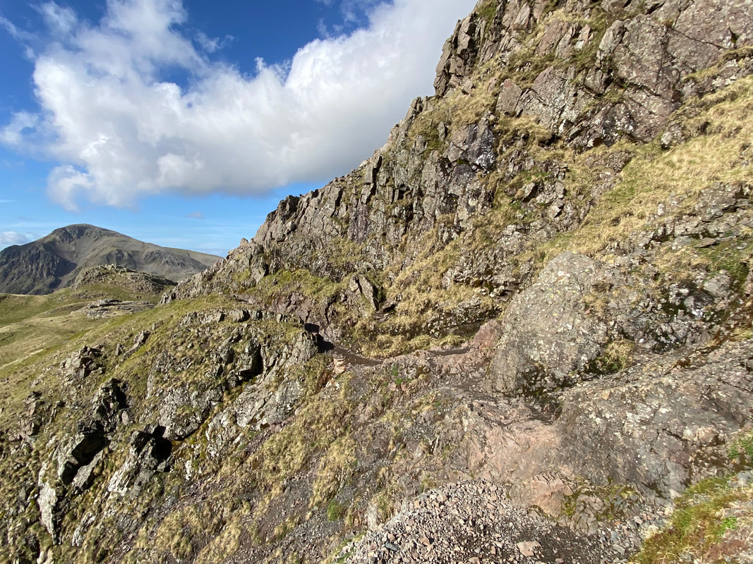
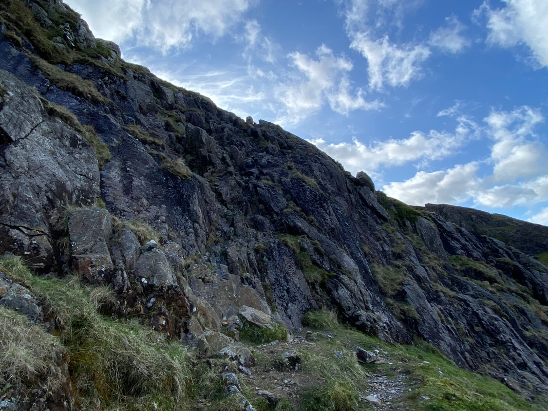
As the path contours around Deep Gill Buttress the going became a bit more exposed but not dangerously so. The Knife Edge Arete on Scafell Pinnacle was still covered in cloud and I was a bit miffed I was not seeing it at its best today.
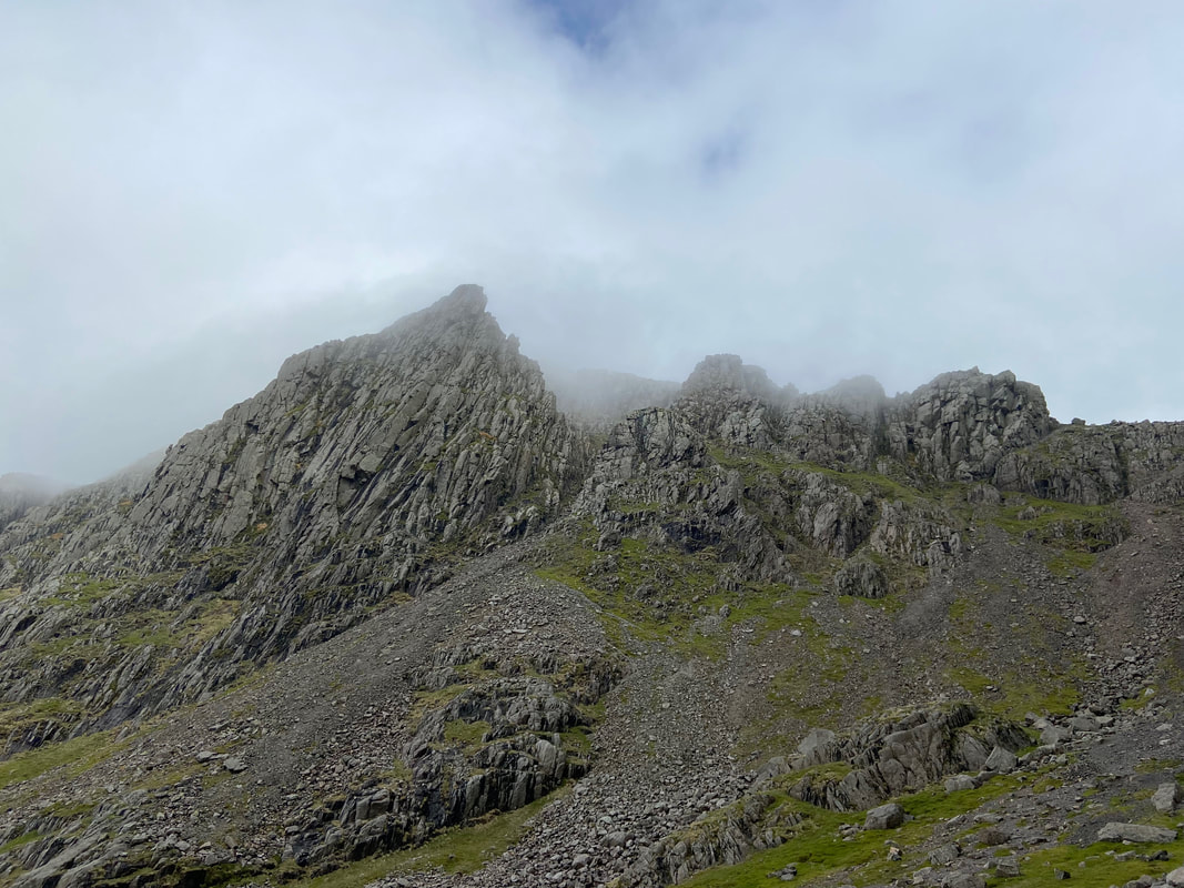
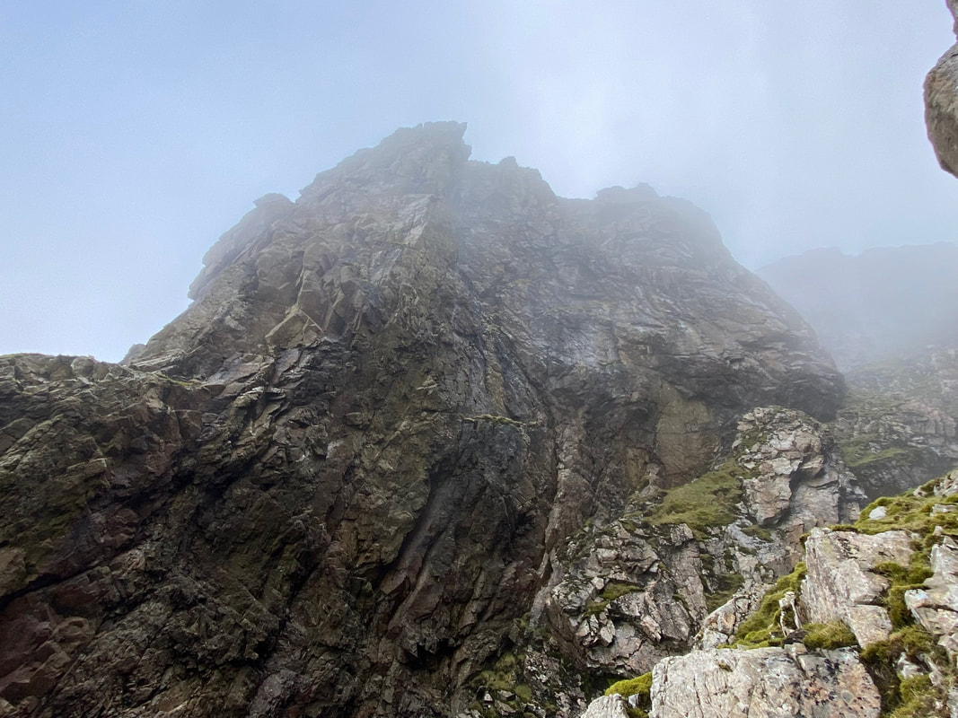
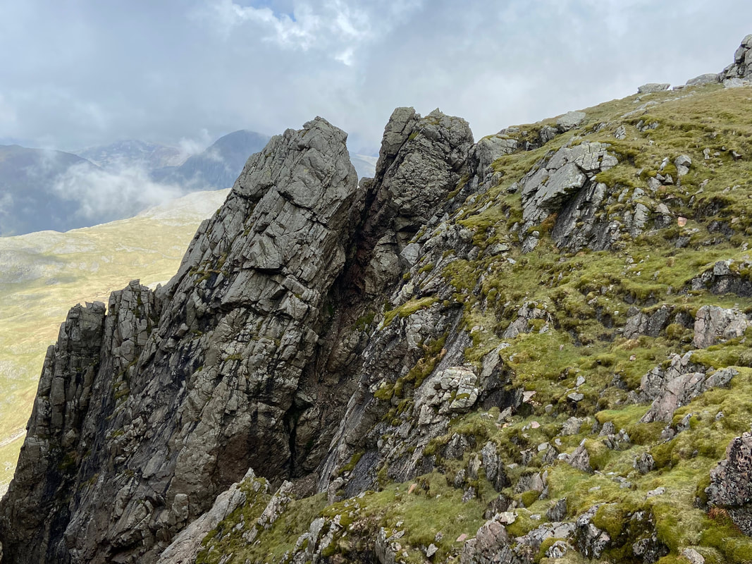
Entering Deep Gill with the Knife Edge Arete towering above me - this was absolutely superb scenery
The start of my ascent up Deep Gill. Whilst steeper than Lord's Rake, the going is easier with regard to loose rock.
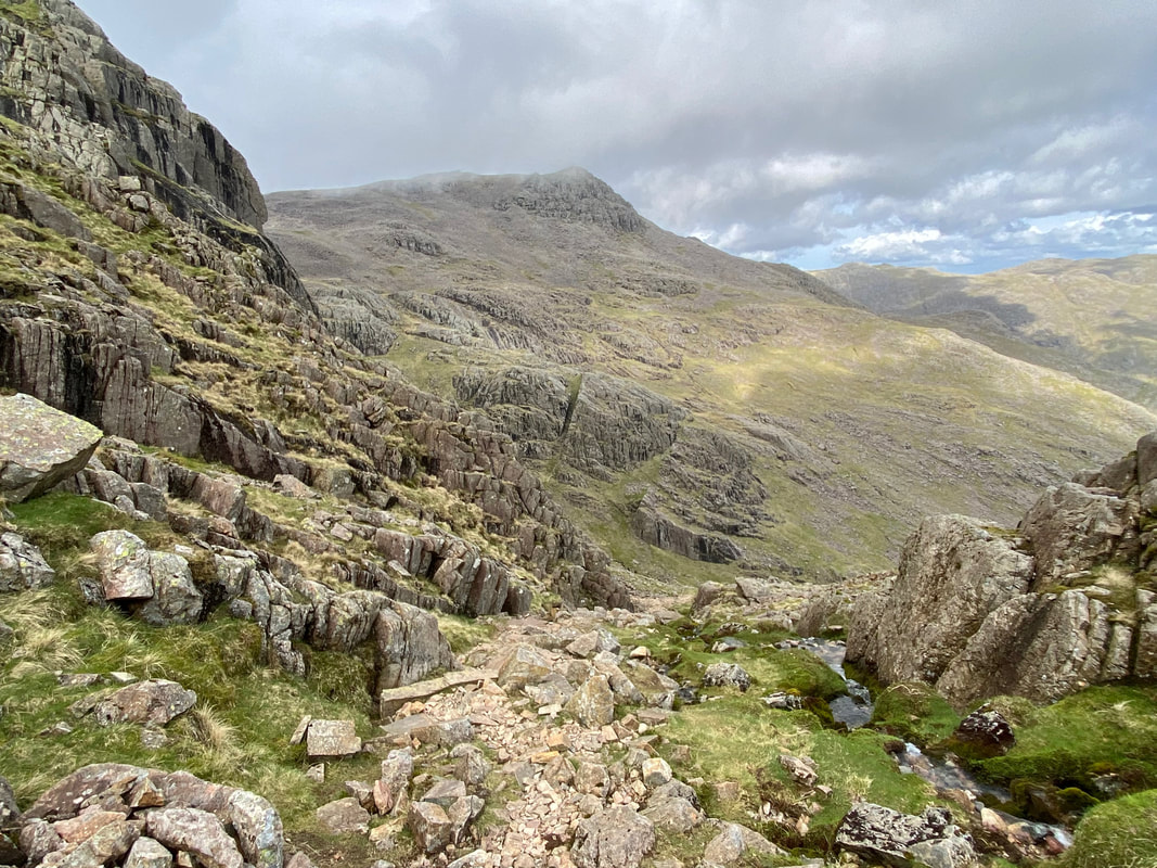
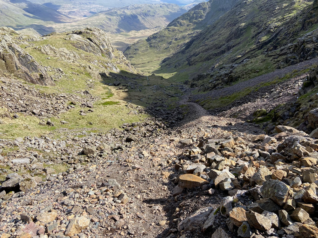
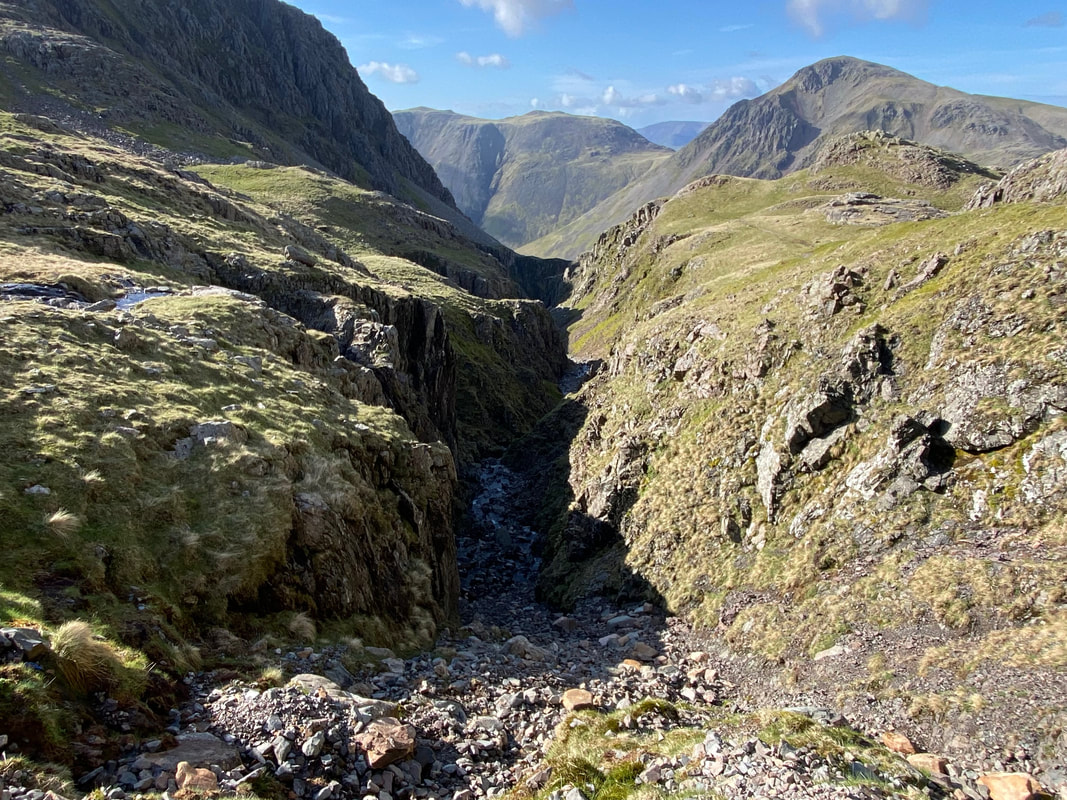
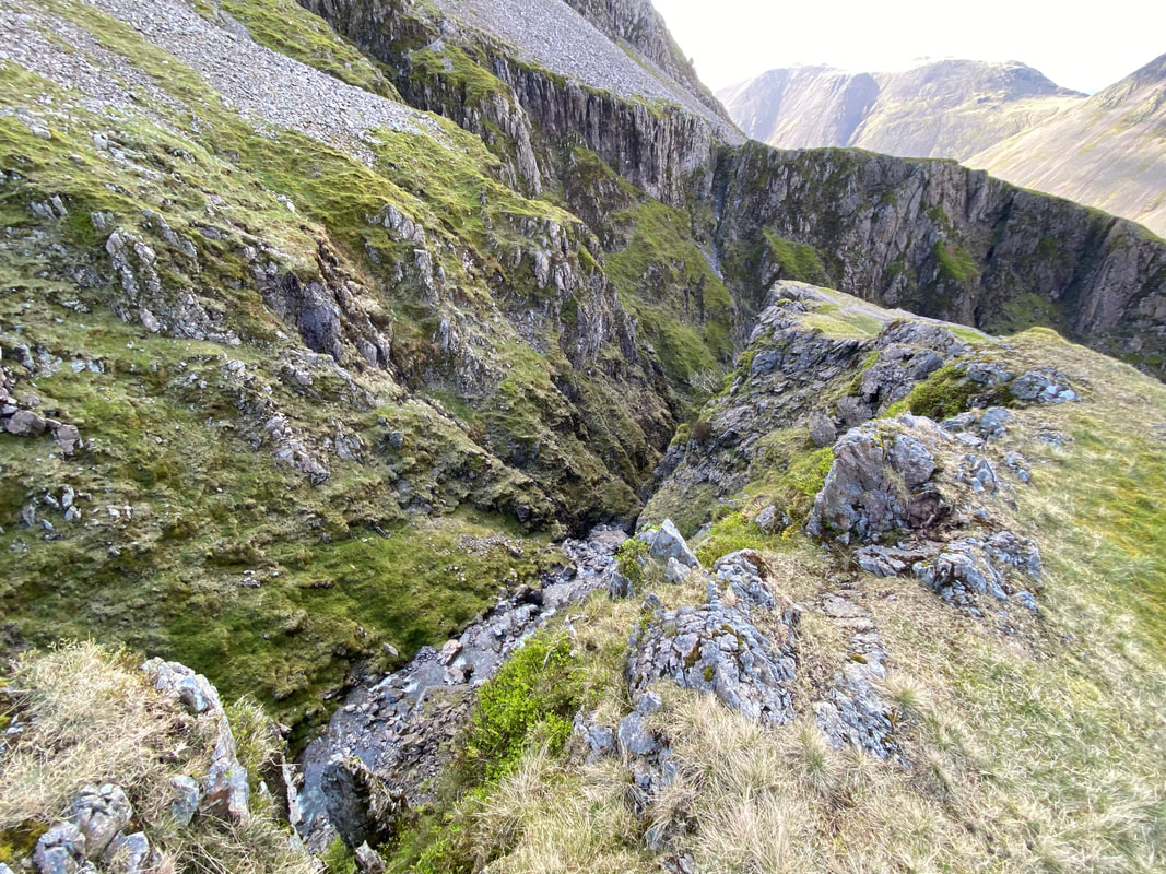
Looking down Deep Gill from just after the end of the West Wall Traverse
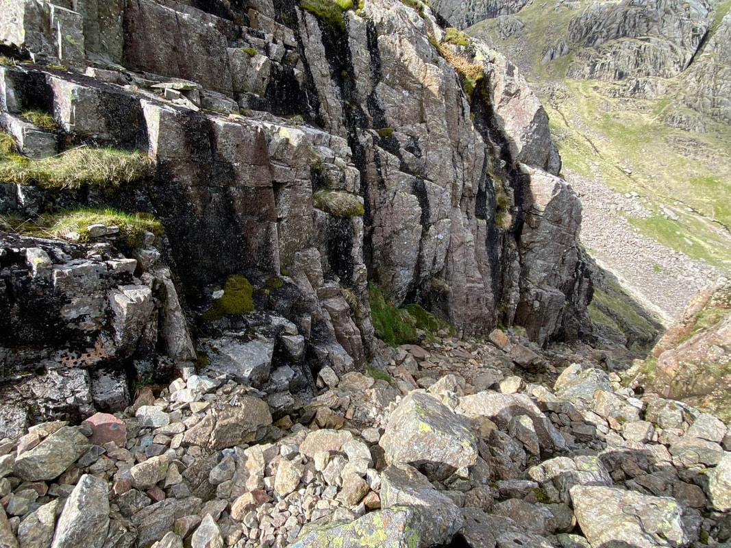
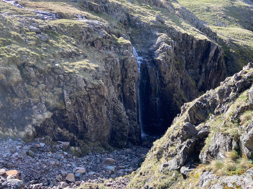
If descending via Deep Gill then this is as far as walkers can go. For those wishing to descend this route, the rough path to the left leads up to the Traverse. It has been said that there needs to be some sort of marker cairn here as the loose path can easily be missed if you are unaware of its existence. Dropping into Deep Gill past this point is not recommended as the lower section is full of chock stones and steep rock pitches. Roughly centre right and perched on a ledge is Hopkinson's Cairn. The cairn was placed there by Edward Hopkinson and his brothers when they tried to descend the Pinnacle in 1887 and it marks the lowest point they reached before abandoning their attempt.
If descending via Deep Gill then this is as far as walkers can go. For those wishing to descend this route, the rough path to the left leads up to the Traverse. It has been said that there needs to be some sort of marker cairn here as the loose path can easily be missed if you are unaware of its existence. Dropping into Deep Gill past this point is not recommended as the lower section is full of chock stones and steep rock pitches. Roughly centre right and perched on a ledge is Hopkinson's Cairn. The cairn was placed there by Edward Hopkinson and his brothers when they tried to descend the Pinnacle in 1887 and it marks the lowest point they reached before abandoning their attempt.
My climb up Deep Gill from near the West Wall Traverse exit
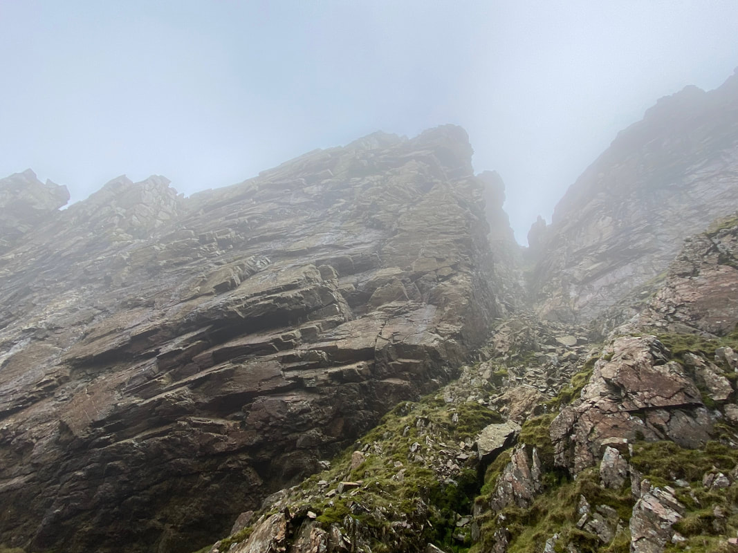
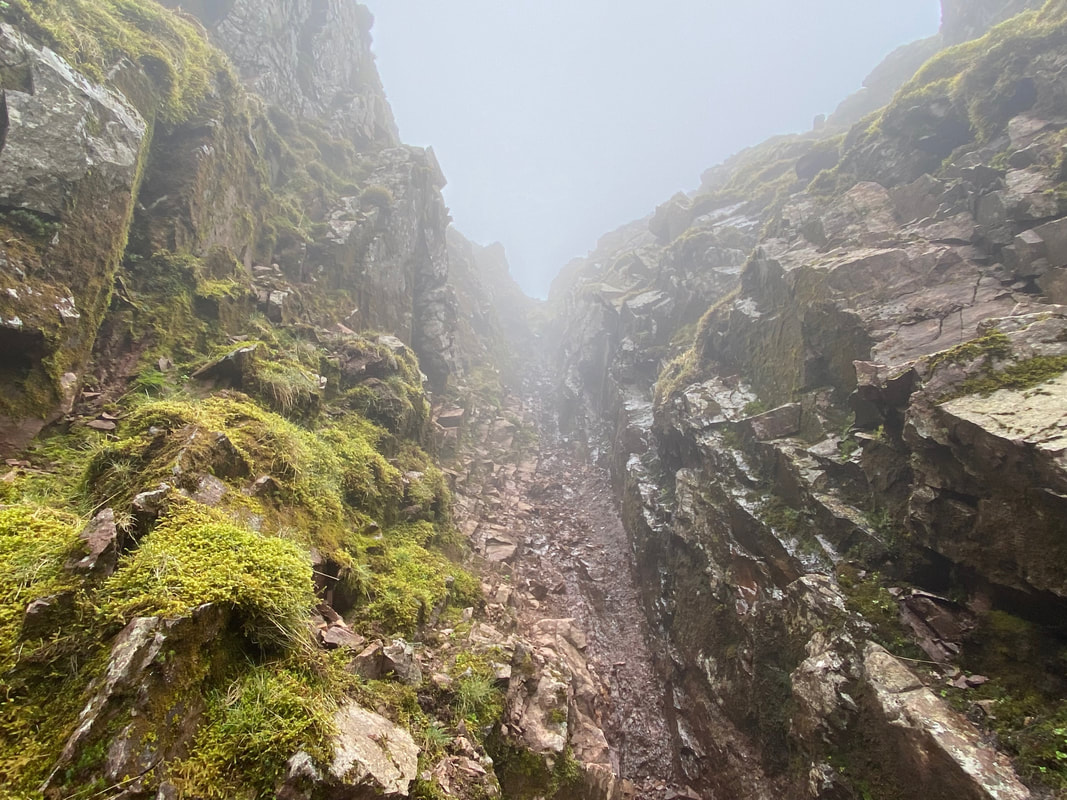
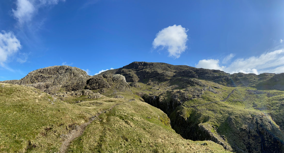
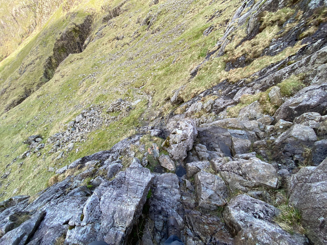
The upper reaches of Deep Gill with the exit up ahead. From here the ascent looks impossible but appearances can be deceiving. I meandered from left to right picking the easiest route as I made my ascent. This was great fun.
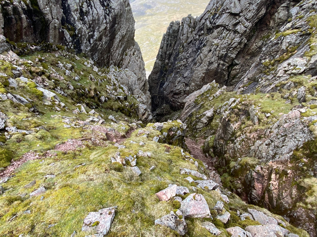
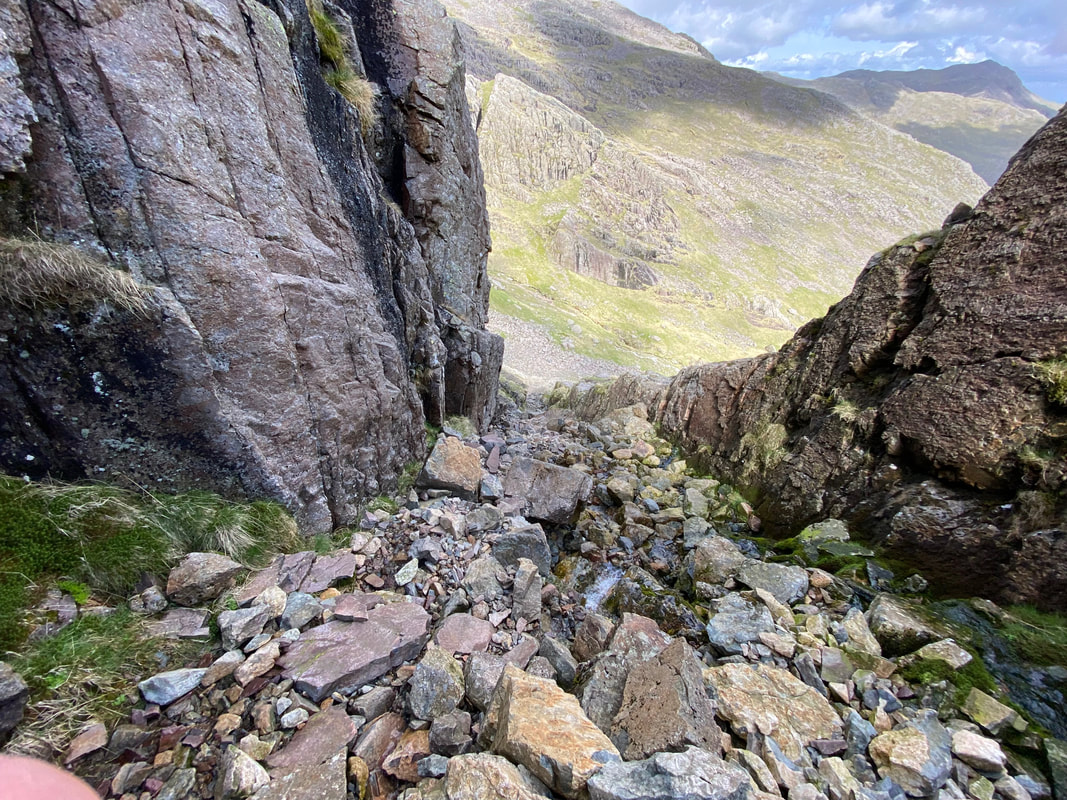
Looking down Deep Gill from my exit point.
From below, when the exit is reached there are two choices of route. I chose the left hand exit (on the right here) as whilst extremely steep, it had better hand holds. The right hand exit (to the left here), whilst wider is over loose earth and rock.
From below, when the exit is reached there are two choices of route. I chose the left hand exit (on the right here) as whilst extremely steep, it had better hand holds. The right hand exit (to the left here), whilst wider is over loose earth and rock.
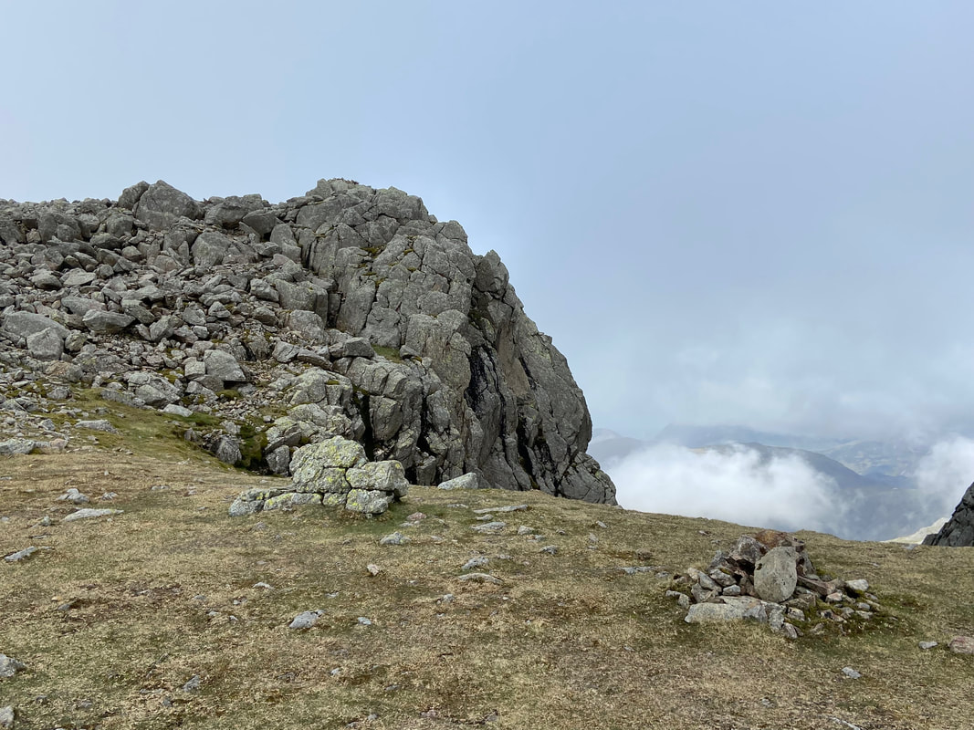
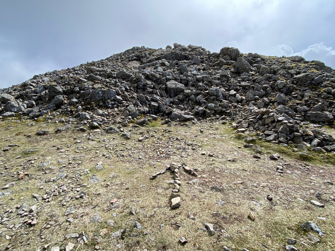
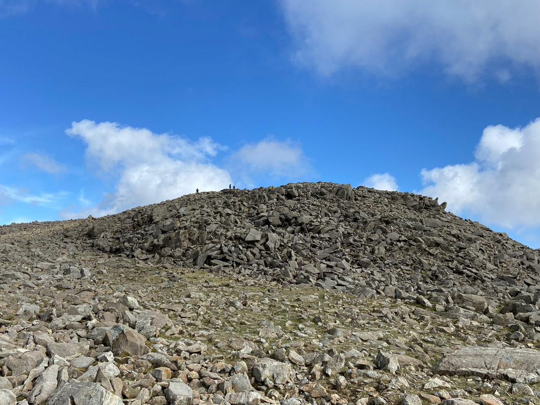
The cairn that marks the entrance/exit into (and out of) Deep Gill with Symonds Knott to the right. It was out this point I was extremely hopeful that the cloud was going to do one and give me some views......................................
.............. and BOOM, so it did!
High Man on Scafell Pinnacle to the left with Pisgah to the right - taken from the head of Deep Gill
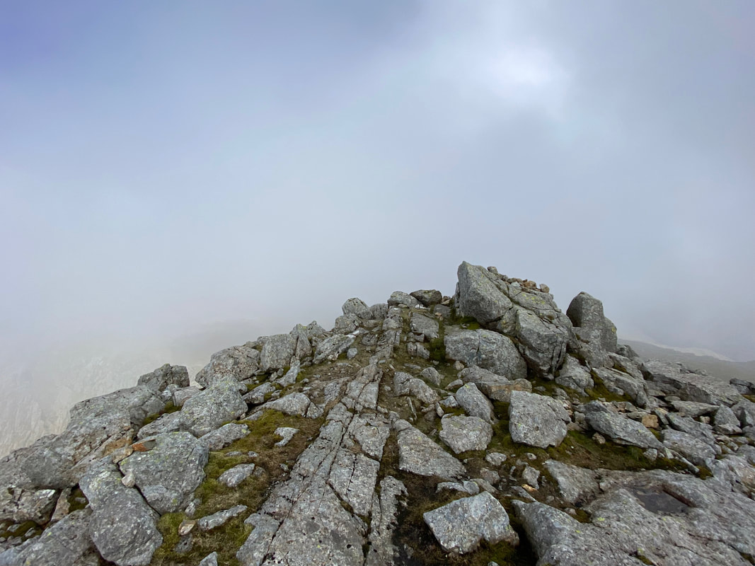
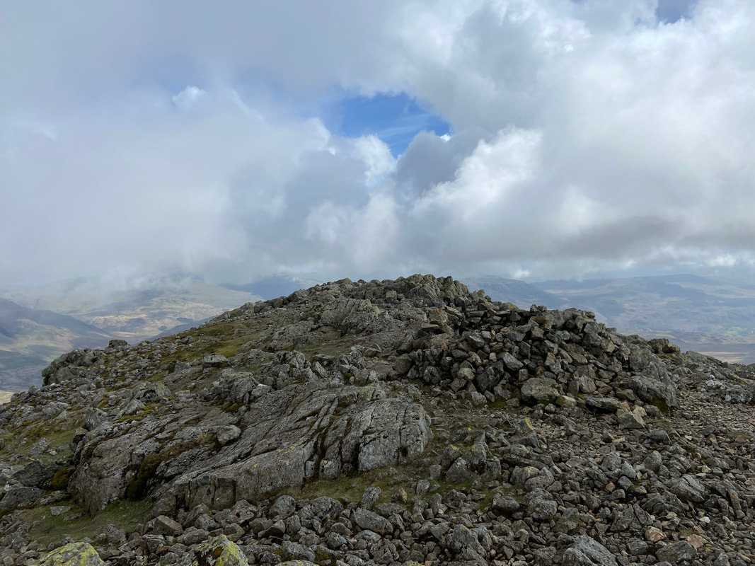
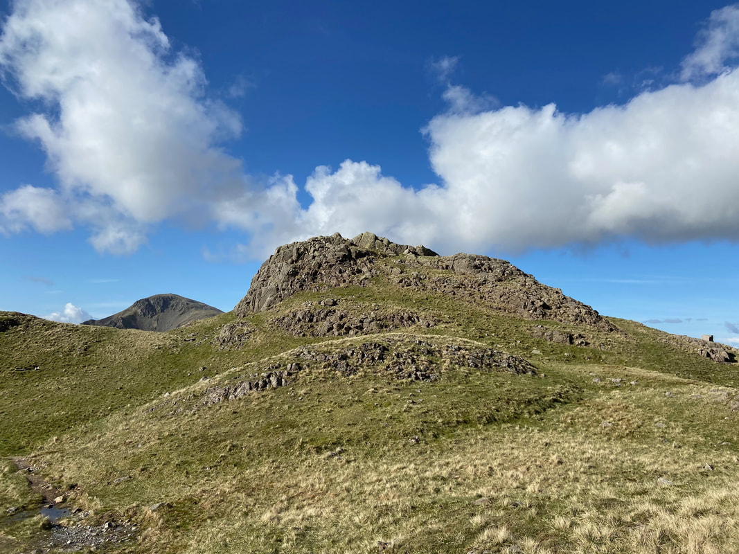
From the head of Deep Gill I climbed the short distance to the summit of Symonds Knott
Looking across to Scafell Pinnacle & Pisgah with Scafell Pike beyond - the cloud was just about to leave for good
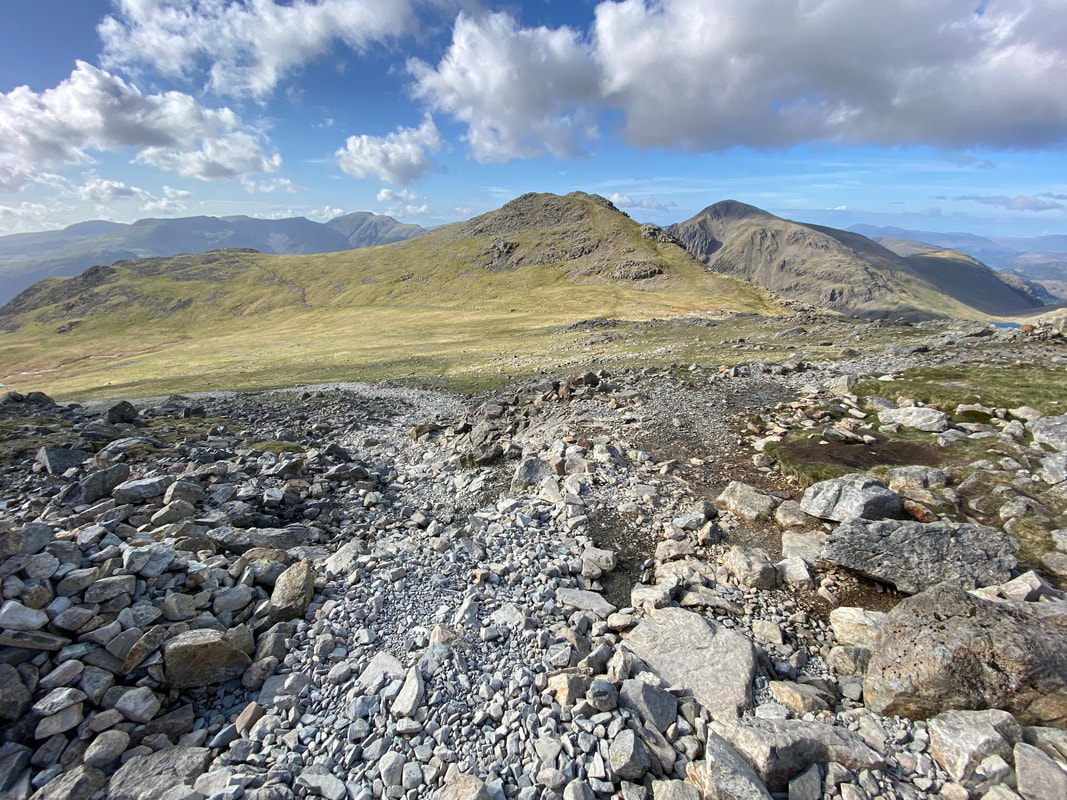
Having descended from Symonds Knott I was now off to Scafell which was accessed via a grassy depression. To the left is my route to Scafell Pike via Foxes Tarn and to the right is the path coming up from the top of Lord's Rake.
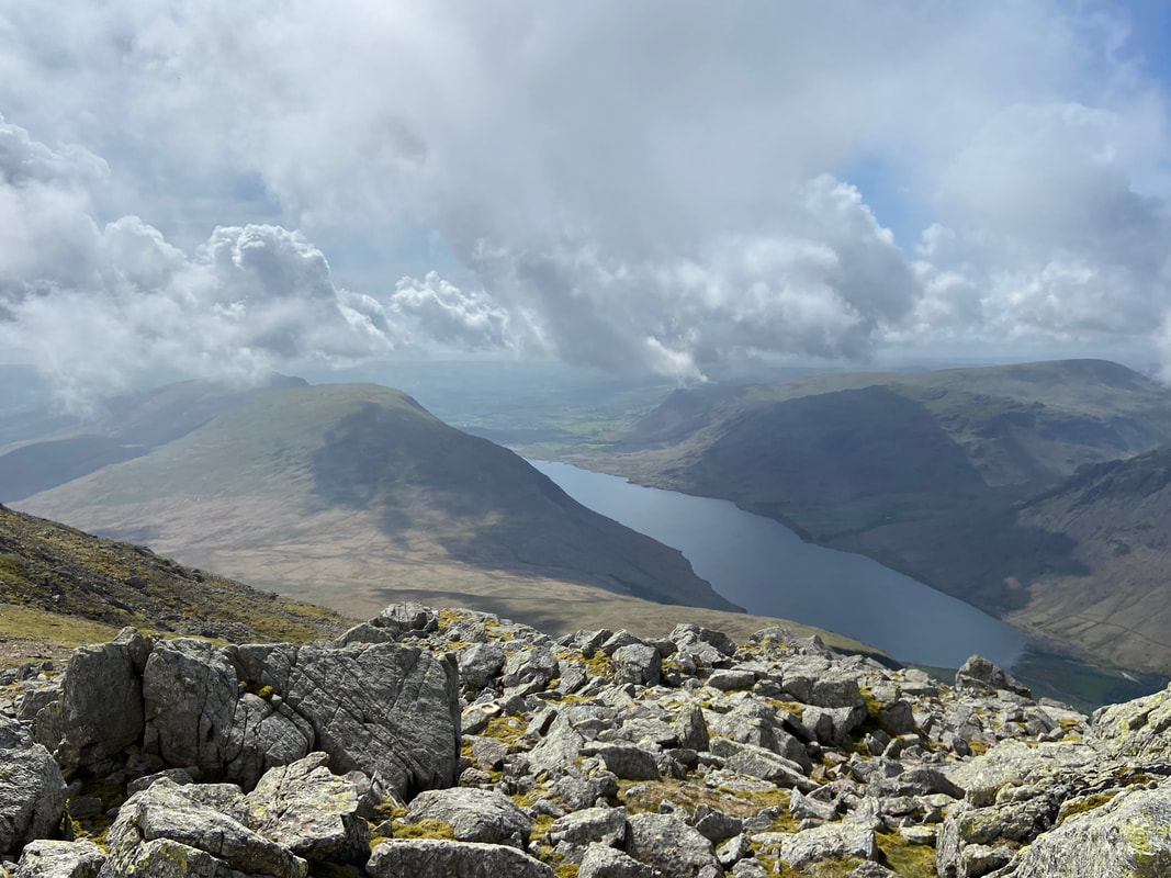
Whin Rigg, Illgill Head, Wastwater, Buckbarrow, Middle Fell & Seatallan from the approach to Scafell
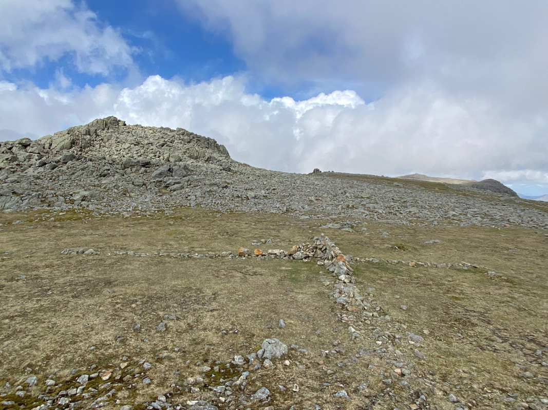
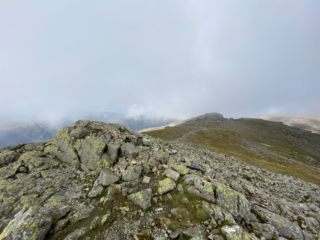
Looking back to Symonds Knott and the cross of stones in the col below Scafell
Some kind soul has aided my navigation as I approach Scafell
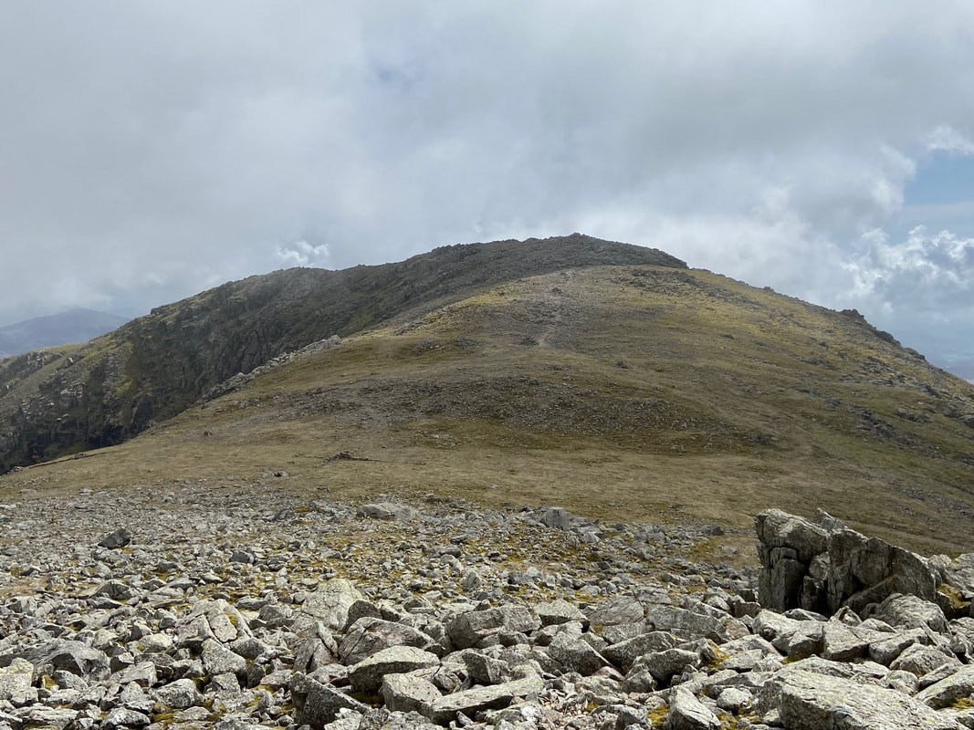
Scafell's summit ahead
Up on England's Number 2, the 3162ft summit of Scafell - second only to its near neighbour Scafell Pike, a mere 47ft higher
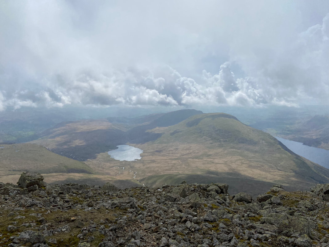
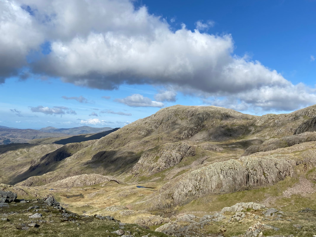
Burnmoor Tarn below Scafell with Whin Rigg & Illgill Head to the centre right
Back at the col it was now time to head over to Scafell Pike via the path to Foxes Tarn. The top of the path can be located at Grid Reference NY 20782 06630.
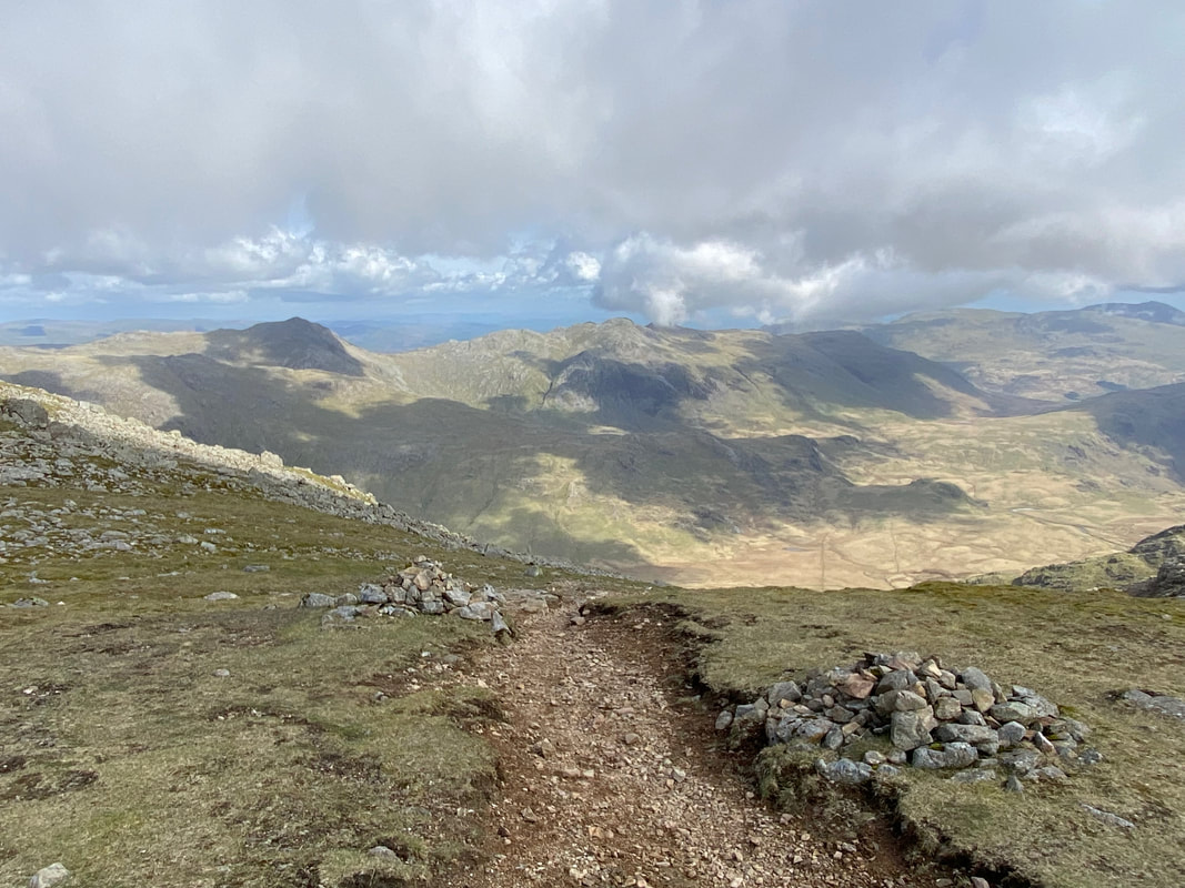
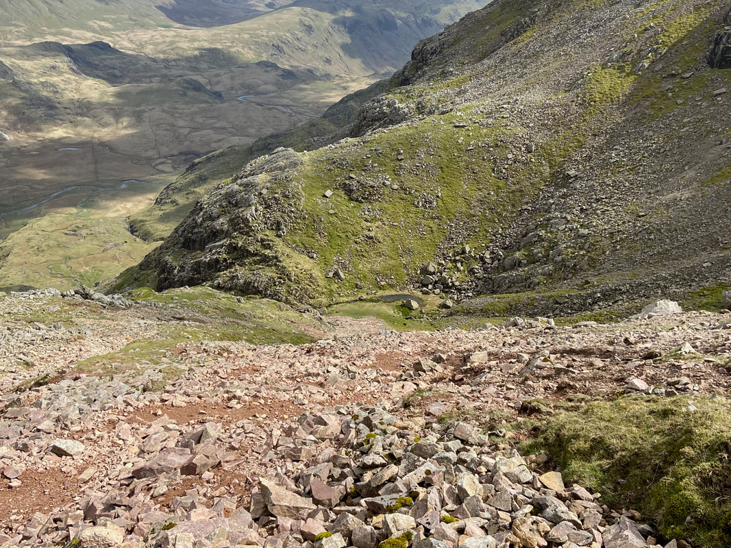
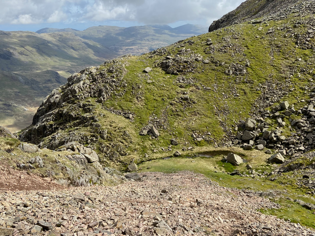
The descent to Foxes Tarn which can just about be seen below. The path is steep and over loose stone and therefore care needs to be taken. Having now done both ascent & descent, I certainly prefer coming up from Foxes Tarn rather than descending to it.
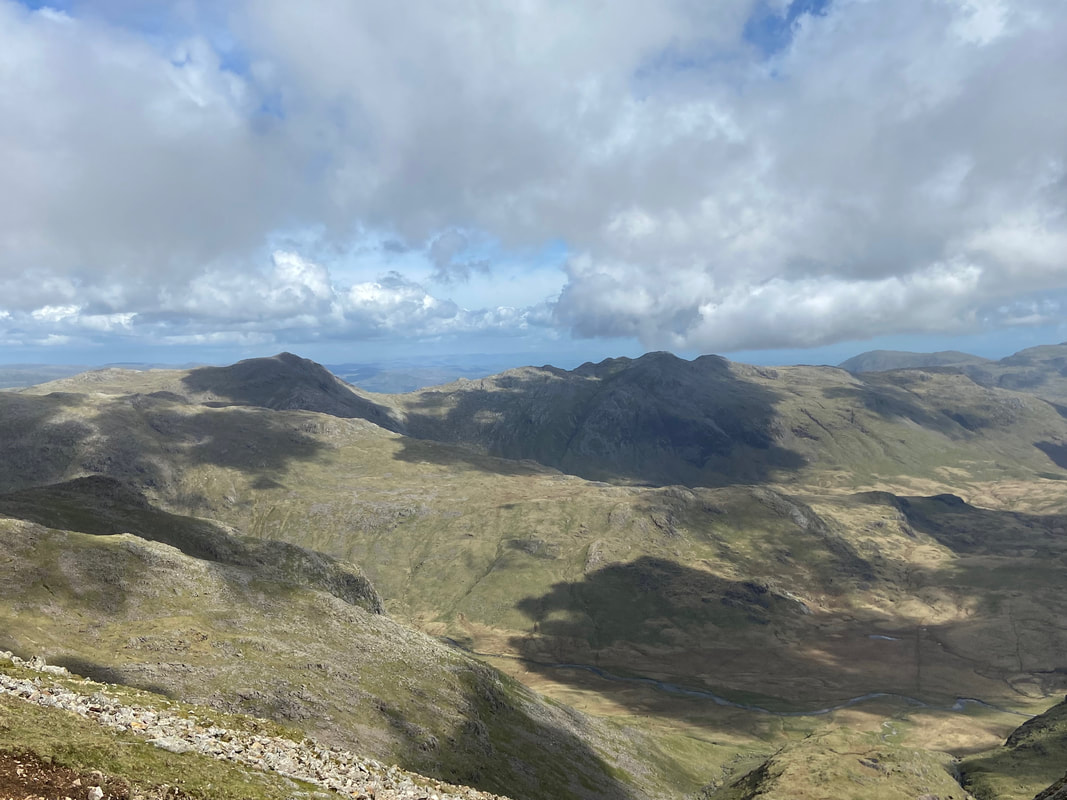
As I descended I looked over Eskdale to the east where Bowfell & Crinkle Crags were now in view
Halfway down the descent and the path became extremely loose. I therefore took the steepness out of it by zig zagging my way to the bottom.
Safely down at Foxes Tarn - more of a puddle if I'm honest
From Foxes Tarn I would now descend steeply to below Mickledore. This is achieved by negotiating the steep ravine of Foxes Gully. Whilst again it looks precarious, it is just a case of not rushing the descent and simply taking your time.
The mid point of my descent via Foxes Gully
Not far to go now - this was so steep that I was forced into using my "arse crampon"
Looking to Scafell Pike across the lower slopes of Mickledore
As I neared the foot of Foxes Gully I could see Mickledore above me to my left with Scafell Pike over to the right. There are two options to gain the path coming up from Eskdale - either the scree path on the left or head across rough, gently sloping ground to reach the main path at the right hand lower corner of shot. I chose the latter and made sure I did not lose any height.
Looking back down the path towards Great Moss & Upper Eskdale with the top of Cam Spout in the lower centre of shot.
The ravine of Foxes Gully hides itself and can just about be seen in the centre sloping left to right
Broad Stand - a route definitely not for walkers in either ascent or descent although unfortunately it doesn't stop people trying.
One famous person who tried to descend Scafell via Broad Stand was the poet Samuel Taylor Coleridge. In descending from the summit of Scafell on August 5, 1802 to Mickledore, he is thought to have descended Broad Stand, "dropping by the hands" down the smooth vertical walls and finally sliding down a "chasm" to the foot of the cliff. This was 60 or 70 years before the beginning of rock climbing as a sport. Broad Stand is still classified as a rock climb, although only a moderate one with one slightly awkward pitch. Certainly, ordinary walkers should not go this way - or shouldn't - as there have been many accidents here.
One famous person who tried to descend Scafell via Broad Stand was the poet Samuel Taylor Coleridge. In descending from the summit of Scafell on August 5, 1802 to Mickledore, he is thought to have descended Broad Stand, "dropping by the hands" down the smooth vertical walls and finally sliding down a "chasm" to the foot of the cliff. This was 60 or 70 years before the beginning of rock climbing as a sport. Broad Stand is still classified as a rock climb, although only a moderate one with one slightly awkward pitch. Certainly, ordinary walkers should not go this way - or shouldn't - as there have been many accidents here.
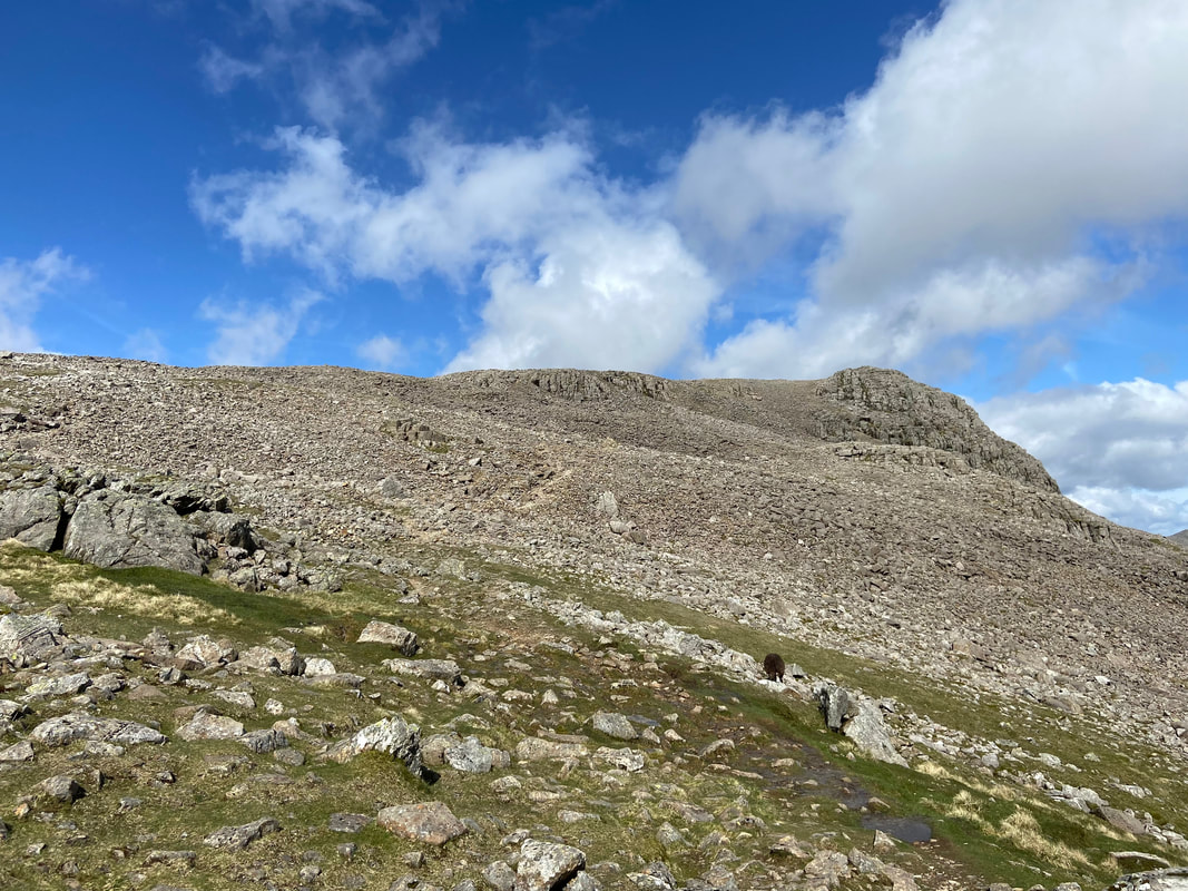
Mickledore ahead - this was a steep climb but in wonderful surroundings
Looking back down my route of ascent to Mickledore
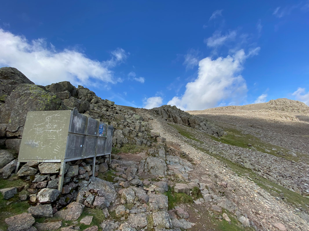
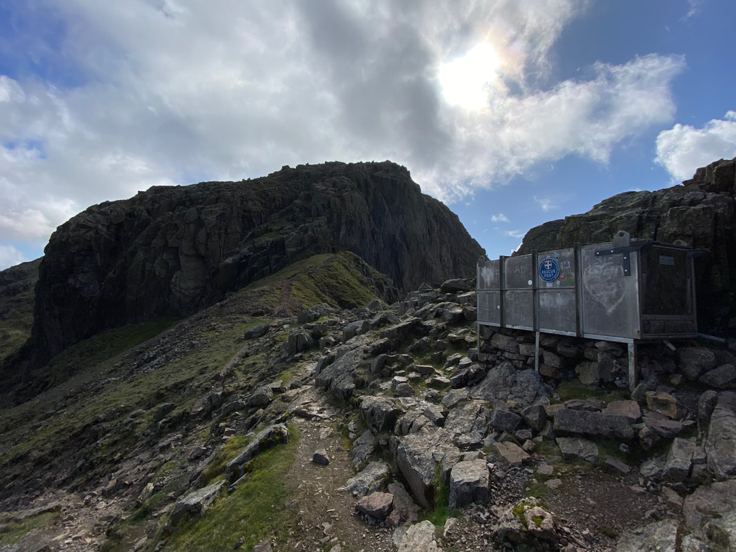
At last, the col of Mickledore is reached as I arrive at the Mountain Rescue Stretcher Box. It is incomprehensible to believe that 3 weeks after my walk here over the May Bank Holiday, the Stretcher Box would be ransacked and kit stolen.
Broad Stand from the Mountain Rescue Stretcher Box on Mickledore
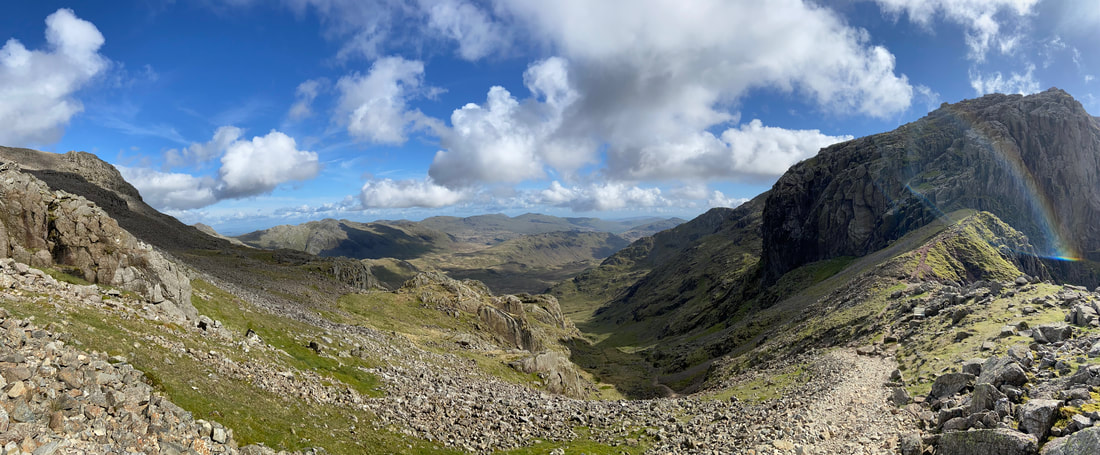
A panorama from Mickledore looking to Upper Eskdale
The superb view from Mickledore (click Play to view)
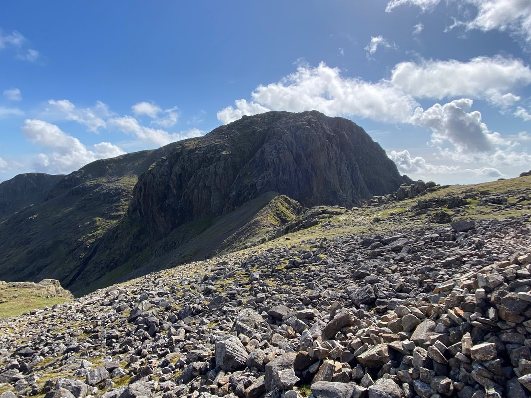
From Mickledore it was now time to head over to Scafell Pike which is via a cairned and rough path
One last close up look at Broad Stand & Mickledore before I head on over to the Roof of England
Approaching Scafell Pike - the path heads around to the left
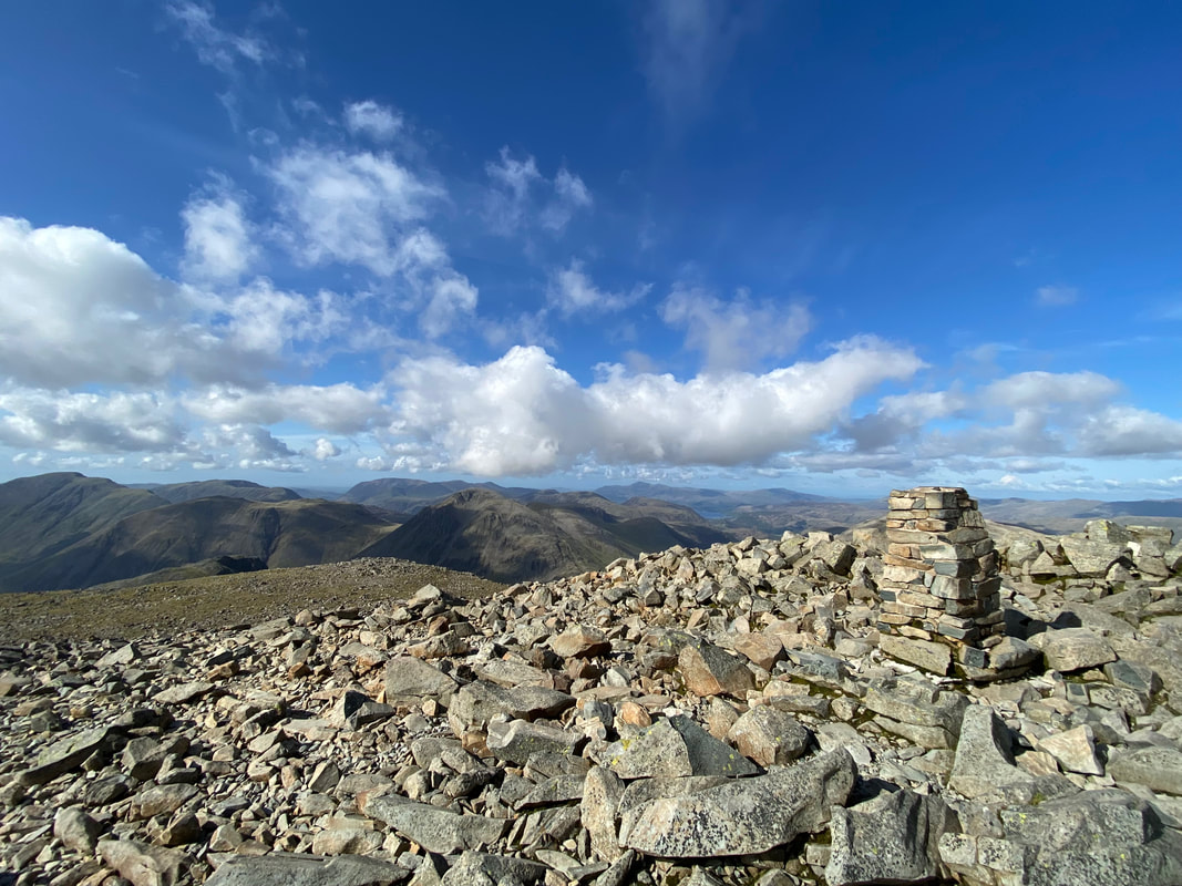
The Trig Point near the summit of Scafell Pike - and what a view as I look over to Great Gable, Kirk Fell & Pillar
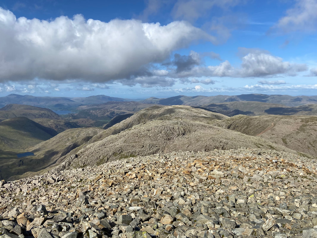
Looking north east to Broad Crag & Great End with the path to Ill Crag over to the right. In the left far distance is Derwentwater, Skiddaw & Blencathra.
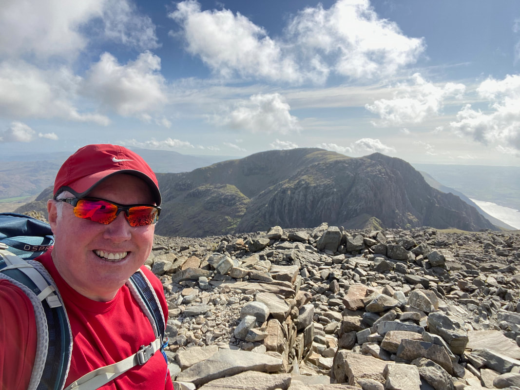
A summit selfie on the Roof of England. It was now almost 1800 and everyone had gone home leaving me with the summit all to myself - just how I like it.
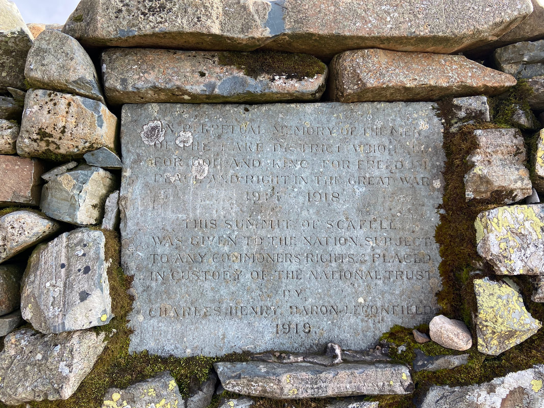
The large cairn that marks the summit of Scafell Pike has a plaque inserted into the stonework. The inscription reads:
'In perpetual memory of the men of the Lake District who fell for God and King, for freedom, peace and right in the Great War 1914 - 1918. This summit of Scafell was given to the nation subject to any commoners rights & placed in custody of the National Trust by Charles Henry, Baron Leconfield"
'In perpetual memory of the men of the Lake District who fell for God and King, for freedom, peace and right in the Great War 1914 - 1918. This summit of Scafell was given to the nation subject to any commoners rights & placed in custody of the National Trust by Charles Henry, Baron Leconfield"
From Scafell Pike I made my descent to Lingmell Col - what a view
Continuing my descent to Lingmell Col as the main path swings right a little further down. The valley ahead of me is Mosedale with Yewbarrow, Red Pike, Scoat Fell, Pillar & Kirk Fell encircling it.
The path I was descending on meets the tourist path coming up from Hollow Stones and therefore leads back to Wasdale by heading to the left once the col is reached. However I was going to return to Wasdale via Piers Gill and would therefore turn right.
Reaching Lingmell Col I arrived at the path junction at Grid Reference NY 21078 07688. Left for Wasdale, straight on for Lingmell and turn right for Piers Gill, the Corridor Route (Seathwaite) and Broad Crag Col.
Broad Crag with the col of the same name to the right
A little further round to the left and Great End comes into view
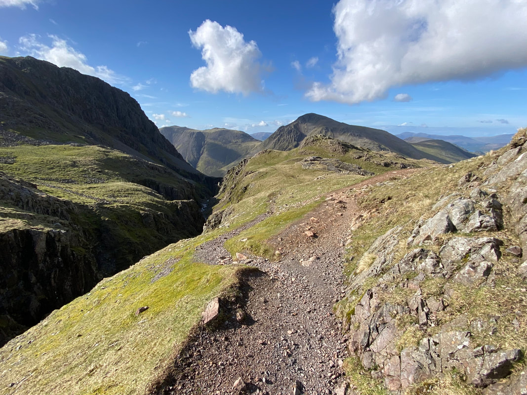
The head of Piers Gill - there is no short cut here and the bed of the gill is no place to be
From the head of Piers Gill my route contoured around the base of steep crags to head towards the Corridor Route/Piers Gill path junction which was just a few yards ahead
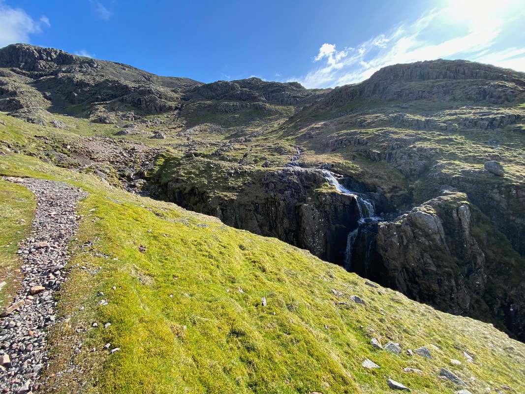
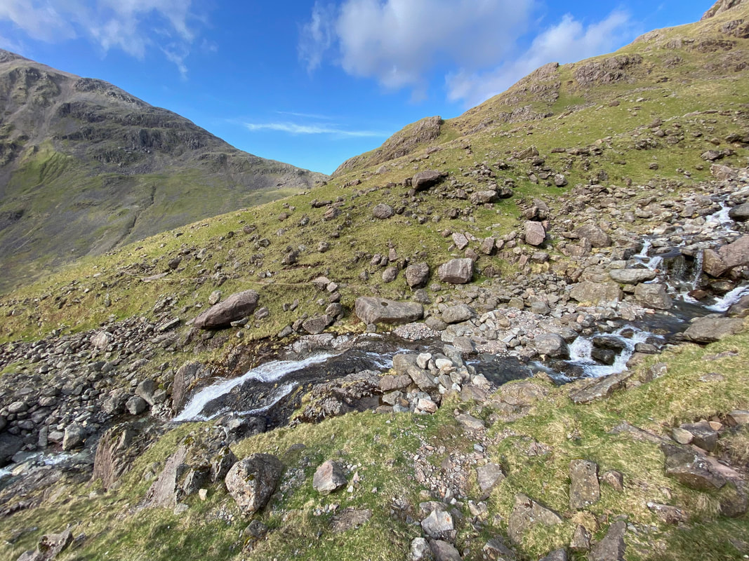
A small waterfall cascading down into Piers Gill
The waterfall at the head of Piers Gill (click Play to view)
Right opposite the waterfall at Grid Reference NY 21359 07885 is a path junction. Left heads to Wasdale by walking above Piers Gill and the path to the right is the Corridor Route which leads to Sty Head for the onward route to Seathwaite.
Looking back to the head of Piers Gill
The Nuttall of Middleboot Knotts - ordinarily I'd have popped up there but a pint was waiting for me at Wasdale Head
A panorama of Broad Crag, Scafell Pike & Piers Gill
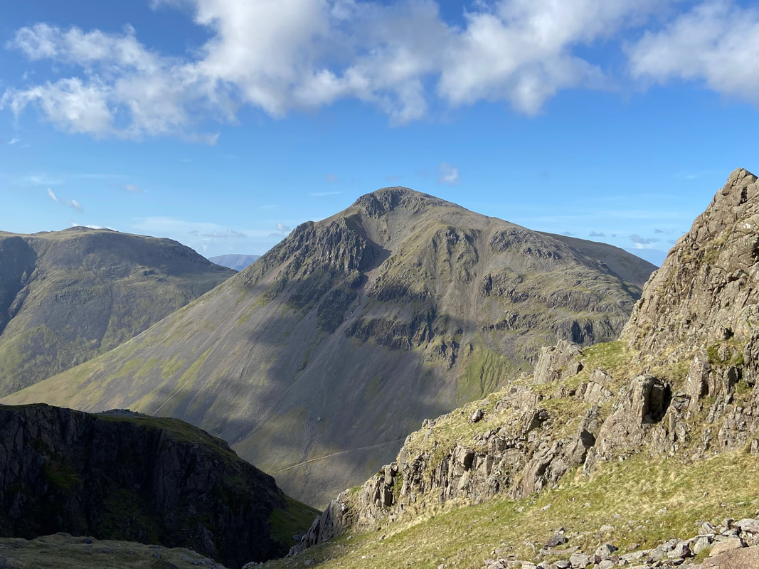
Magnificent Great Gable over Piers Gill with Kirk Fell to the left
My path continues above Piers Gill as I continue my descent to the valley floor
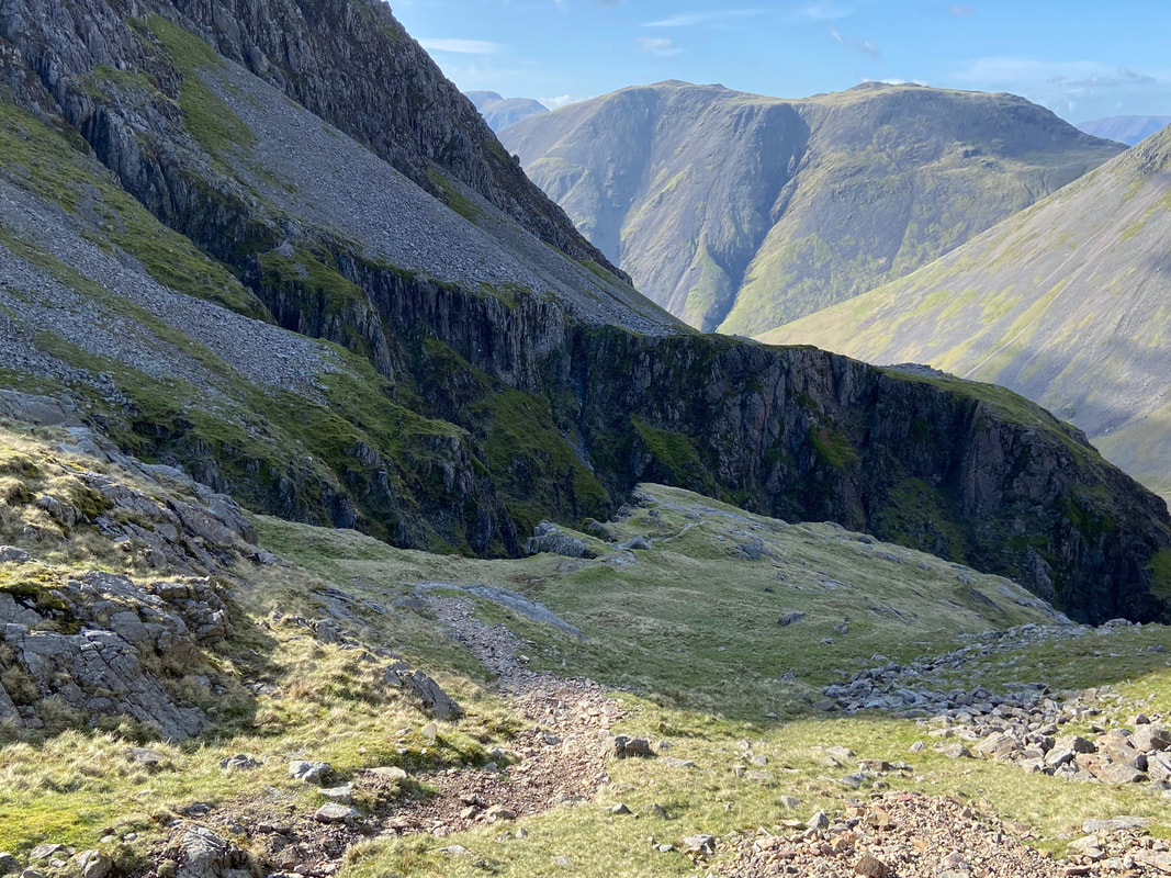
Looking into Piers Gill
Looking down a section of steep rock which meant I had to reach for the arse crampon again. To be honest this was not that bad and once again, as usual I just took my time.
The steep rock wall from below - great fun once again
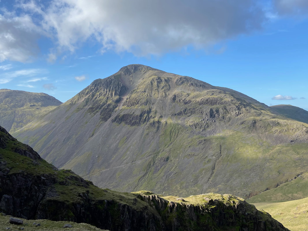
Another fantastic view of Great Gable
The gradient started to ease now as the route crossed a small ford across an unnamed beck
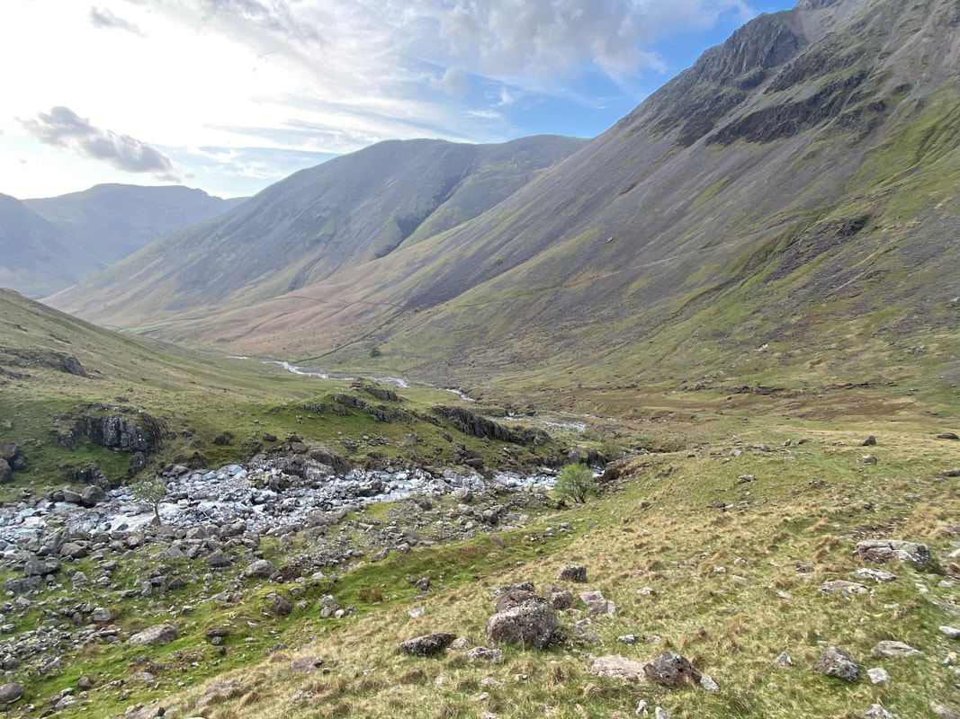
The bottom of Piers Gill - all I needed to do now was cross Lingmell Beck to reach the path that would take me back to Wasdale Head
Great Gable takes on a slightly different shape now that the valley floor is reached
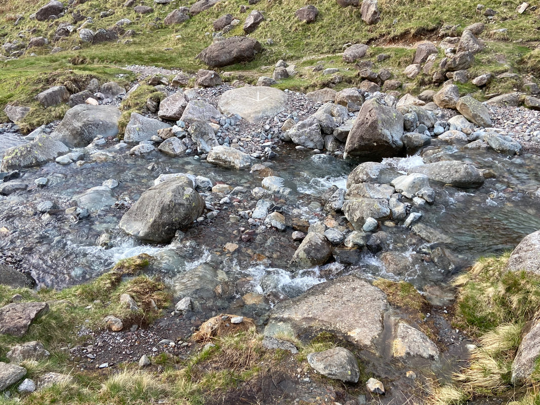
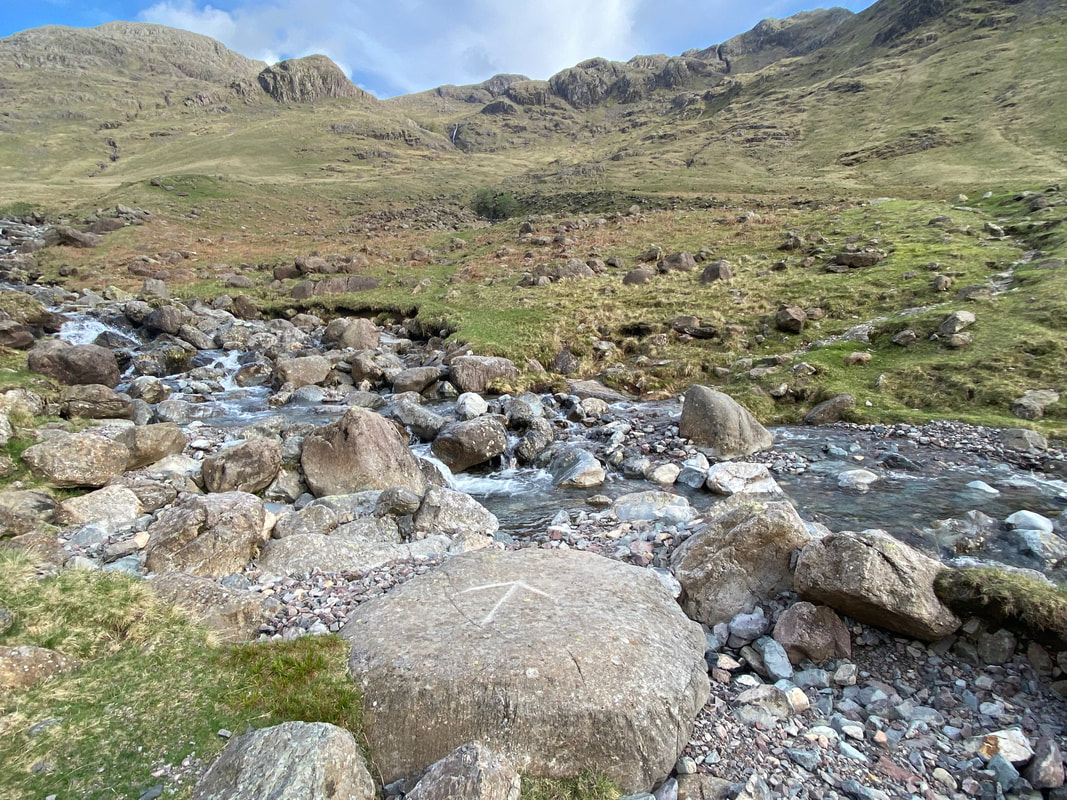
My crossing point over Lingmell Beck at Grid Reference NY 21249 09167 suitably marked by an arrow
The crossing point from the northern side of Lingmell Beck
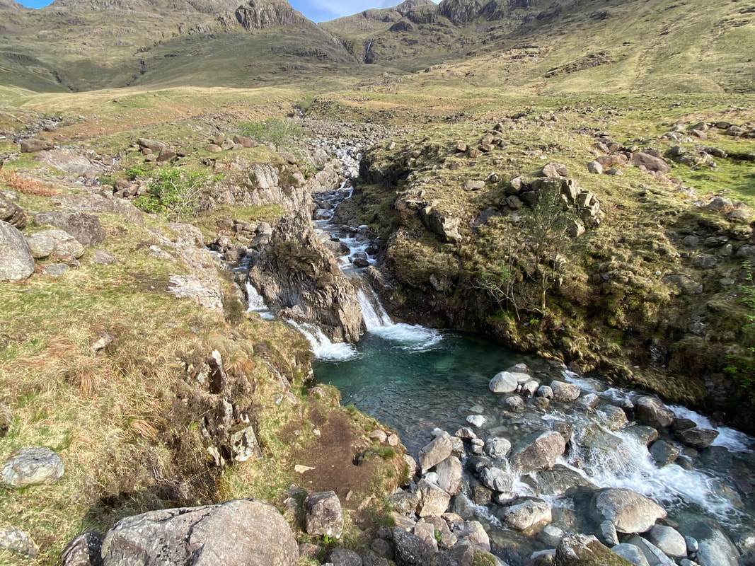
The upper Emerald Pool
Looking to Great Napes on Great Gable
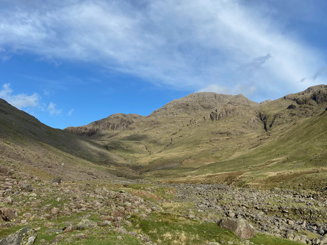
The view to Sty Head
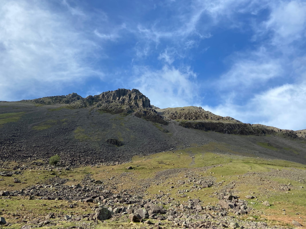
Lingmell
Almost there now as I cross the footbridge over Gable Beck
Gable Beck, Gavel Neese & Great Gable from near Burnthwaite Farm.
This was an absolutely fantastic day out on a classic route - one which any serious fell walker should definitely undertake.
This was an absolutely fantastic day out on a classic route - one which any serious fell walker should definitely undertake.
