Langdale Pikes, Sergeant Man, High Raise & Thunacar Knott via Jack's Rake - Friday 8 April 2022
Route
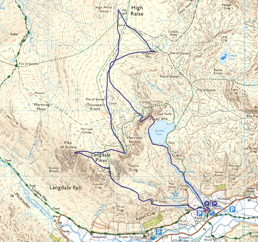
New Dungeon Ghyll (NDG) - Stickle Ghyll - Stickle Tarn - Jack's Rake - Great Gully - Pavey Ark - Sergeant Man - High Raise - Thunacar Knott - Harrison Stickle - Pike O'Stickle - Loft Crag - Mark Gate - NDG
Parking
National Trust Car Park at NDG, Great Langdale (Charge) - Grid Reference NY 294 064. The nearest postcode is LA22 9JX.
Mileage
8 miles
Terrain
Generally good mountain paths throughout - the terrain between Thunacar Knott and Harrison Stickle is boggy in places.
For those people wishing to climb Pavey Ark via Jack's Rake please be aware that this route is a Grade 1 Scramble and is dangerous in the wet, ice and high winds. The grooves of the Rake form a natural drainage channel and will therefore be extremely wet after rain. On a dry day it is a challenging scramble of about 675ft (205m) up a narrow rock trench, cutting diagonally across one of England’s most imposing cliff faces. It is a mountain route with just about everything: spiky rock, exposure, superb views and a fair amount of adrenaline. If you are not confident with climbing Jack's Rake there are alternative paths to Pavey Ark to the left & right of Stickle Tarn or scrambling up via Easy Gully.
As Wainwright himself said "Jack's Rake is just about the limit that the ordinary common or garden fell walker reasonably may be expected to attempt" (Pavey Ark 5)
Weather
Sunny with light breezes. The visibility was excellent.
Time Taken
6hrs 50mins
Total Ascent
2778ft (847m)
Wainwrights
7
Map
OL6 - The English Lakes (South Western Area)
Walkers
Dave, Angie & Fudge with Lucy Dockeray
|
GPX File
|
| ||
If the above GPX file fails to download or presents itself as an XML file once downloaded then please feel free to contact me and I will send you the GPX file via e-mail.
Route Map
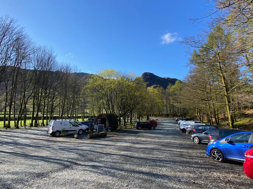
The National Trust Car Park at New Dungeon Ghyll, the start of today's walk. There is another Car Park just over the road to the left.
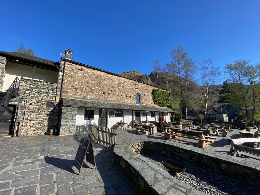
The Sticklebarn at New Dungeon Ghyll - perfect for a post walk beer. You can access the path to Stickle Ghyll either direct from the Car Park or to the right of Sticklebarn.
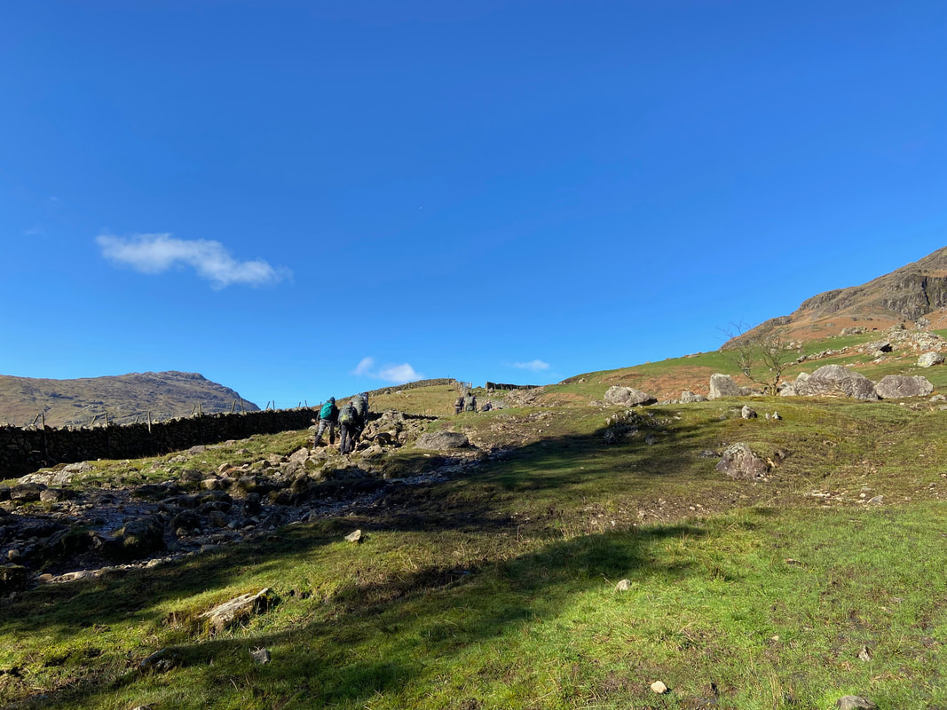
Walkers leaving NDG on their way up the valley of Mickleden - this would be our return route once we descended from Mark Gate
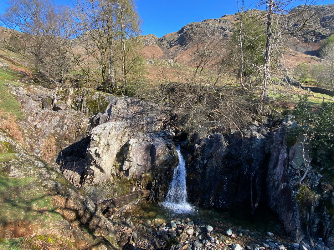
Leaving the NDG, the route handrails to the left of Stickle Ghyll which contains lots of lovely cascades and waterfalls
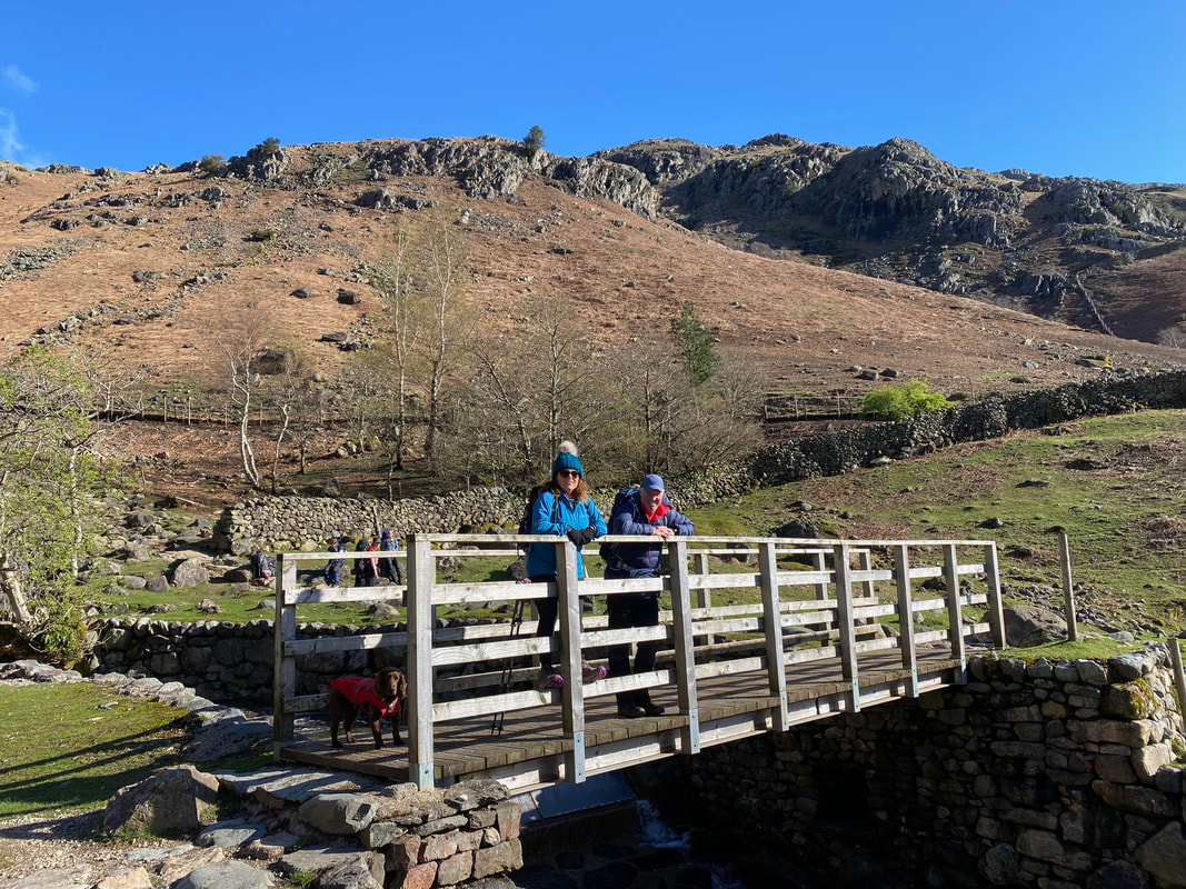
With Lucy & Fudge on the bridge over Stickle Ghyll - we crossed here to continue up the right hand side of the Ghyll. There is also a path up the left hand side.
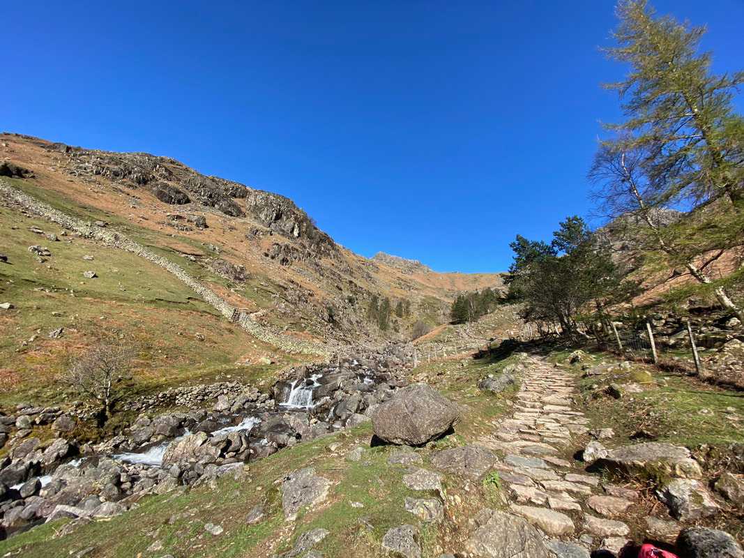
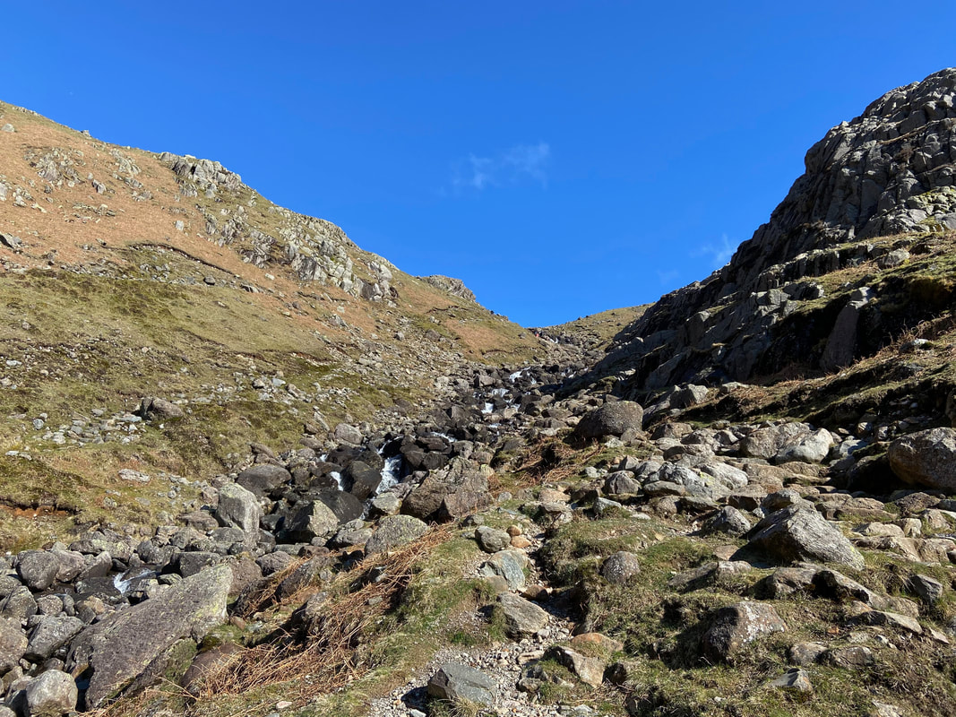
Ascending Stickle Ghyll - it is a beautiful ascent, especially on a day like today
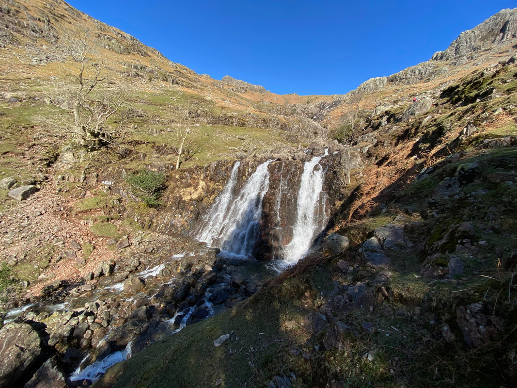
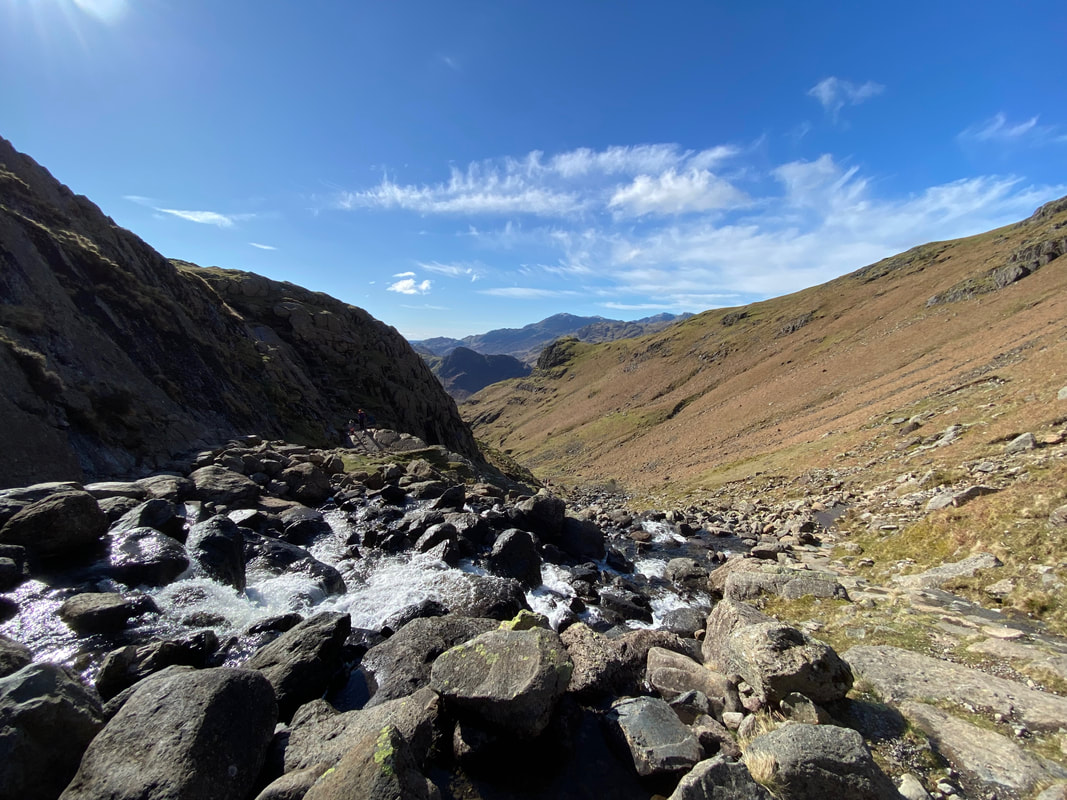
Waterfalls aplenty as we continue our ascent
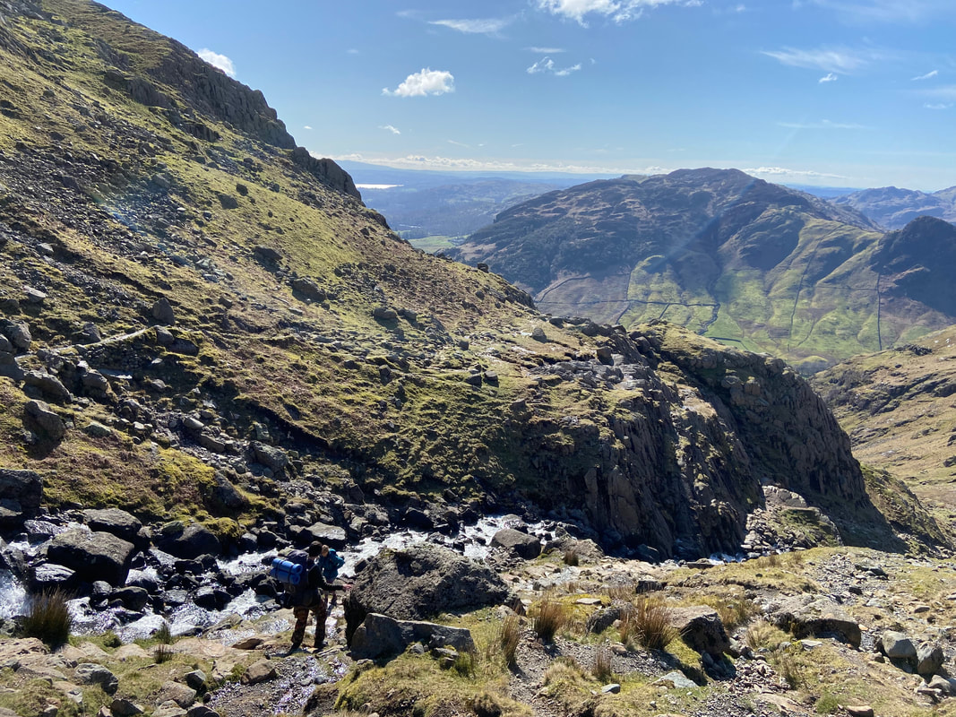
Continuing the ascent up Stickle Ghyll with Pavey Ark now in view centre of shot
Looking to the left we can see Pike How
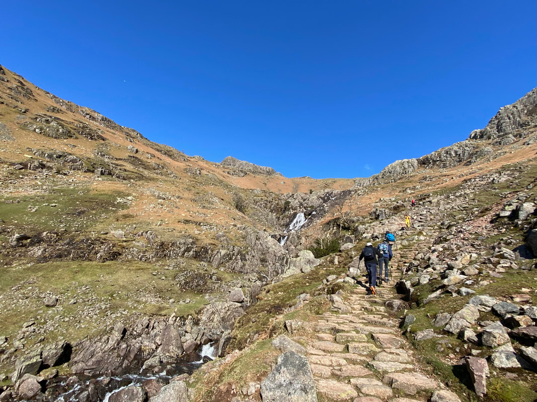
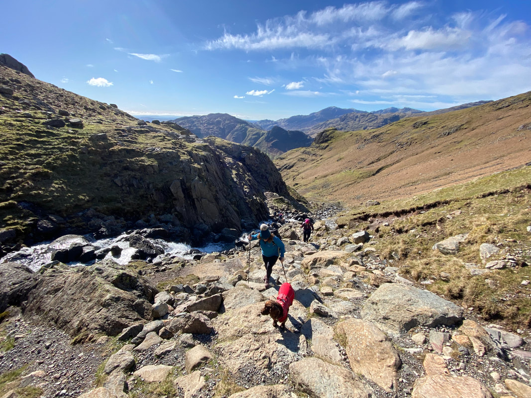
The gradient steepens as height is gained with Tarn Crag now in view to the right
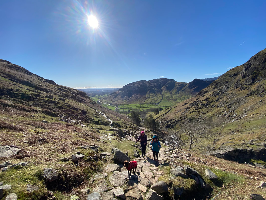
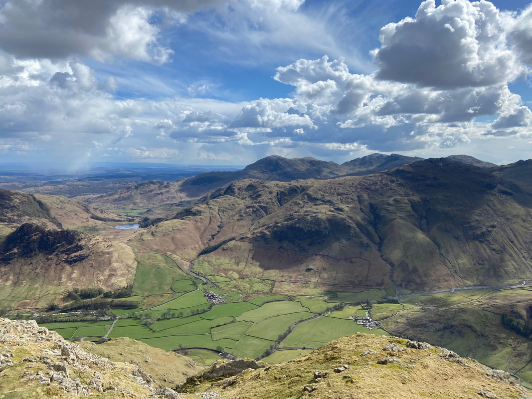
Looking back to Langdale with Lingmoor Fell & Side Pike to the rear
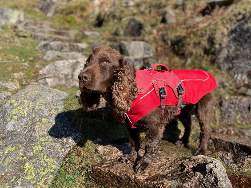
It's hard to tell but Fudge was really enjoying himself
As the gradient levels out it was time to cross Stickle Ghyll to join the path on the left hand side of the Ghyll. The crossing point is at Grid Ref NY 28861 07341 and needs a bit of care over large boulders which are sometimes wet.
Looking back to the crossing point from the left hand side of the Ghyll. The fell in the far distance is Wetherlam.
Once the Ghyll is crossed the path steepens again for 150 yards or so before levelling out when Stickle Tarn is reached
Gaining height we could now look back and enjoy a fantastic view to the Coniston Fells over the top of Pike O'Blisco
Another great view back to our route of ascent with Lingmoor Fell to the rear and Side Pike to the right
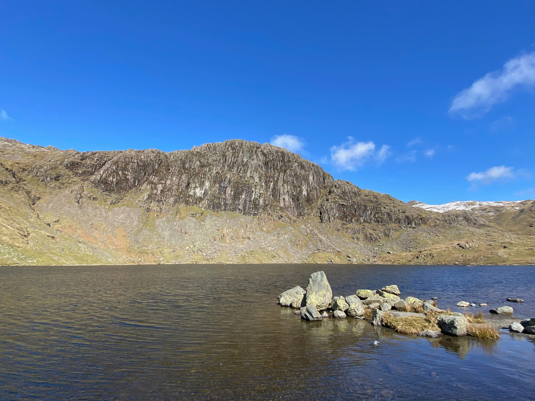
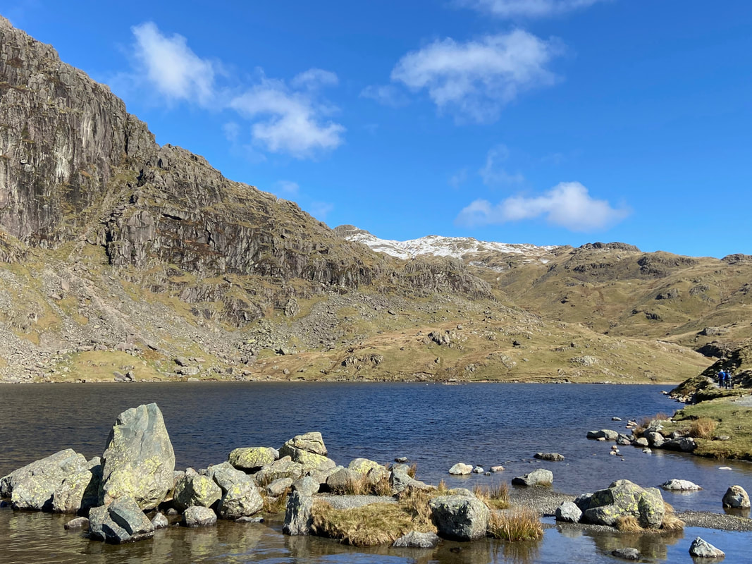
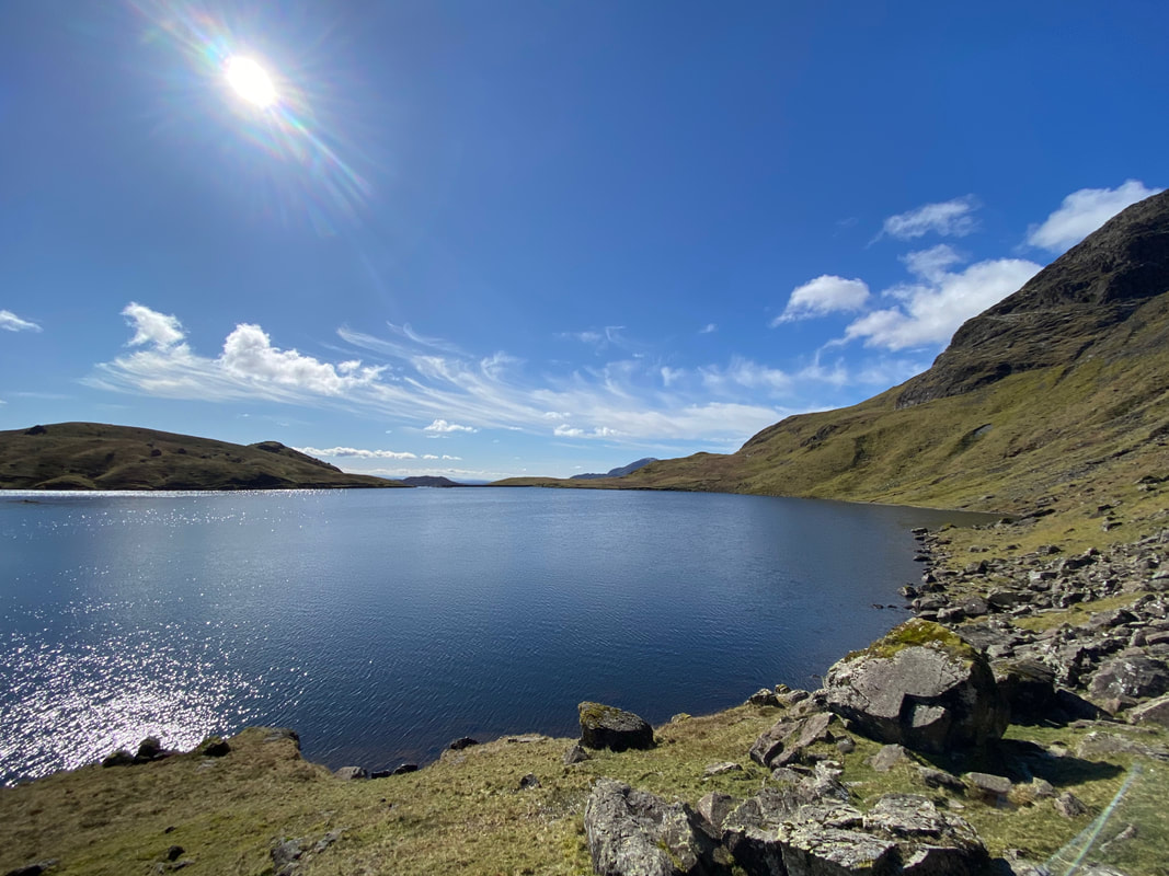
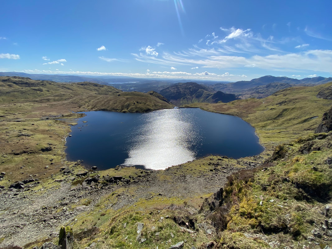
The wonderful sight of Pavey Ark over Stickle Tarn
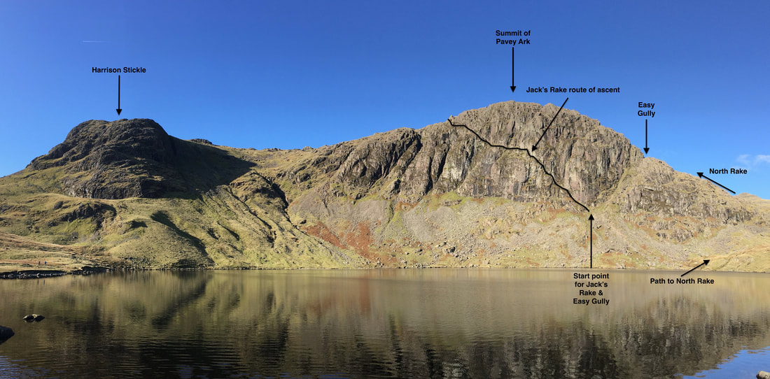
To climb Pavey Ark from Stickle Tarn there are several options which can be reached by either walking to the right or left around the shoreline. We would be heading to the left today and walking to the start point for Jack's Rake whilst Angie & Fudge would be climbing up via the North Rake as the ascent of Jack's Rake is no place for a dog. Pavey Ark can be reached via Easy Gully and also by climbing Harrison Stickle first. Detailed instructions for all routes can be found in Book 3 (The Central Fells) on the relevant pages for both Harrison Stickle & Pavey Ark.
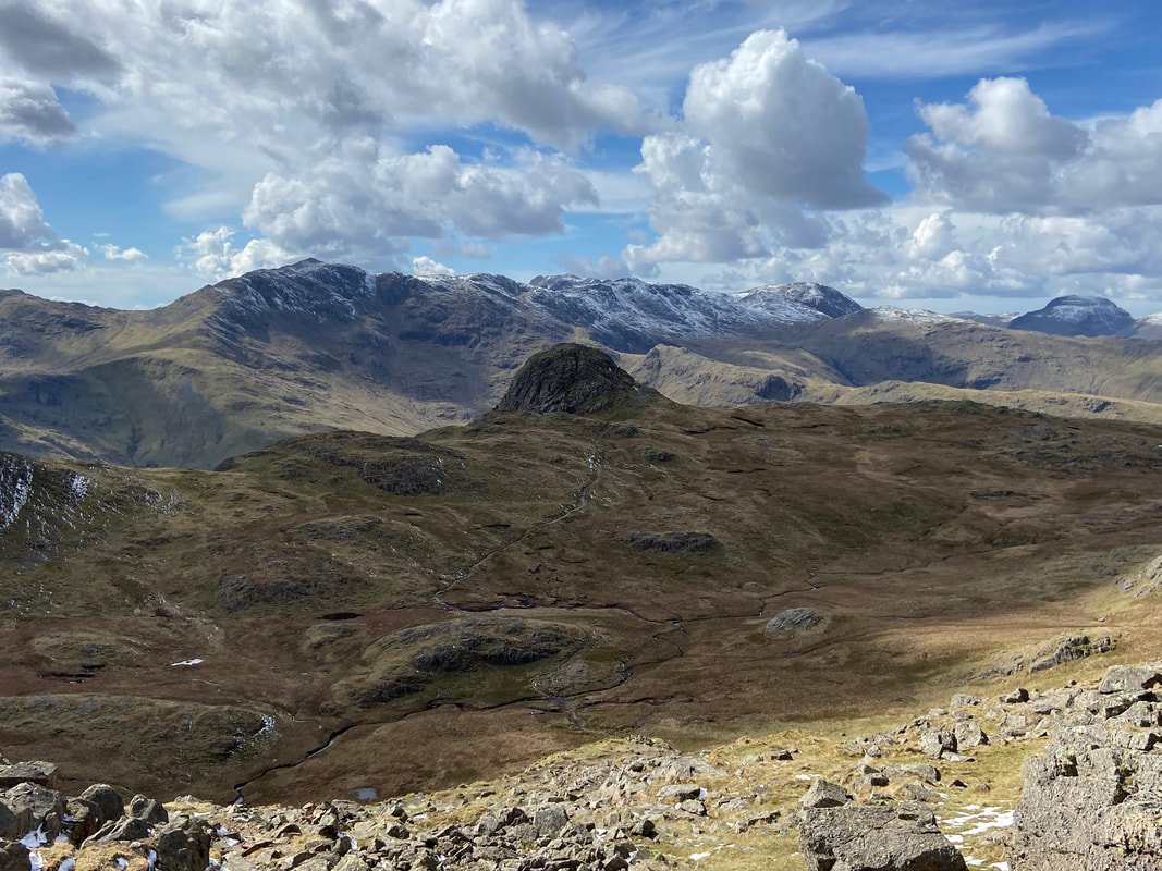
Looking across Stickle Tarn to Easy Gully and the path to the North Rake. The domed mountain in the centre of shot is Sergeant Man.
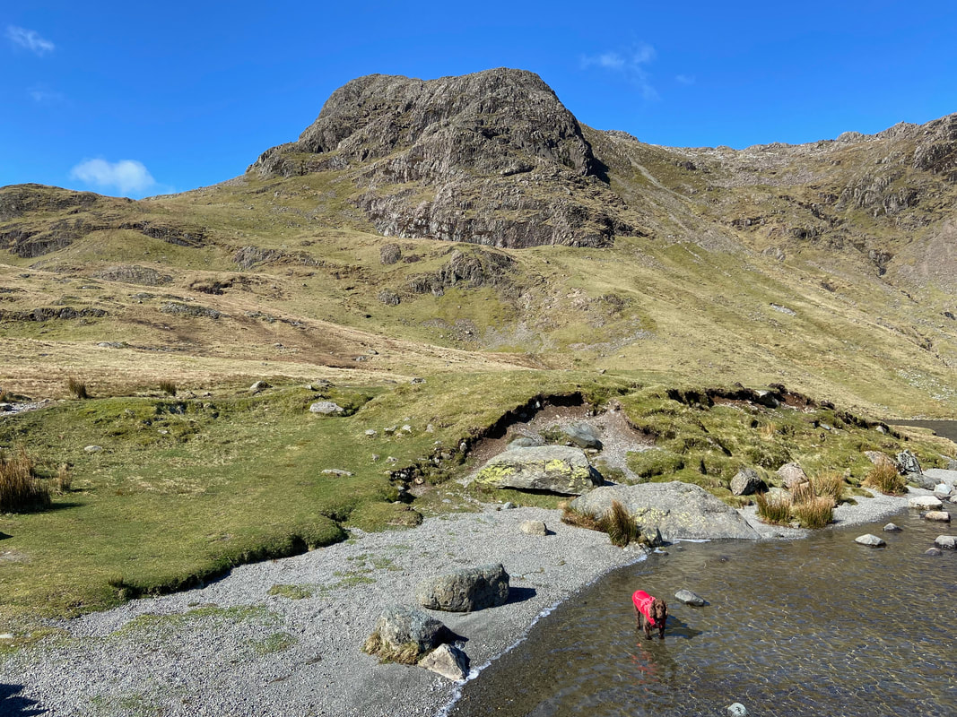
To the left of the tarn is Harrison Stickle and a dog desperate for me to arse about with him in the water
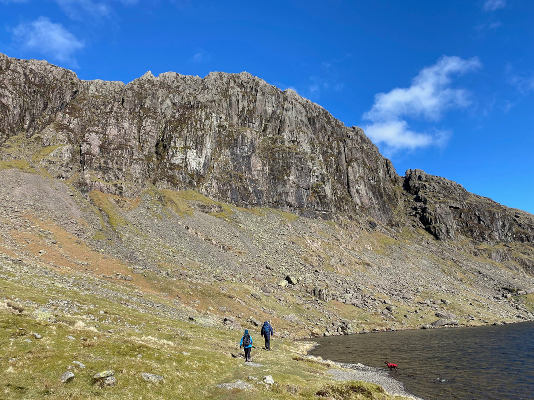
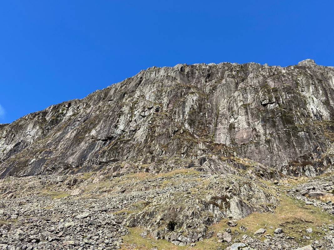
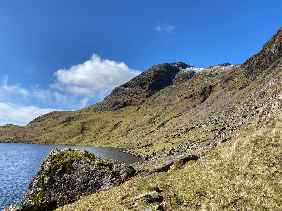
Pavey Ark from the shoreline path with Jack's Rake & Easy Gully clearly visible
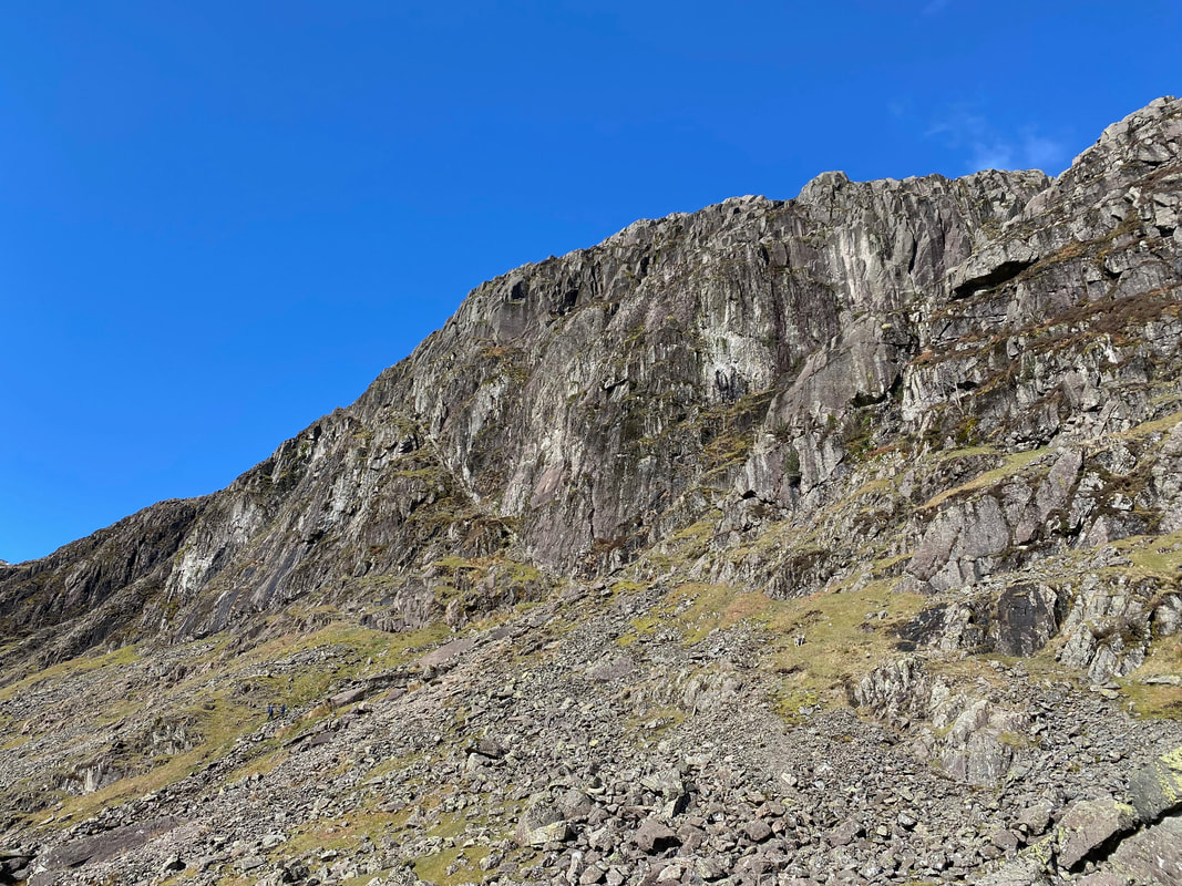
A little further around the shoreline path Jack's Rake is much clearer and to the first time visitor must look quite off limits
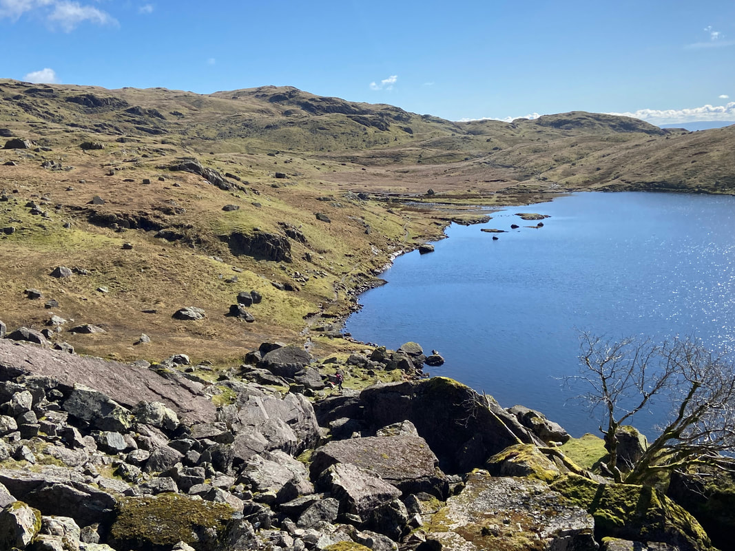
Stickle Tarn from the North Rake path. We now parted company with Angie & Fudge and would meet them on the summit later.
Harrison Stickle from the northern shoreline
And so it begins, the ascent of Jack's Rake. The North Rake path can be seen below continuing on around the edge of the shoreline before it heads left. Just out of shot to the immediate left is the route up Easy Gully - a stony rake that involves a bit of scrambling to eventually join up with the North Rake path. From the start of the ascent until we reached the summit of Pavey Ark we saw nobody.
Lucy and I are now on the climb but are out of view as Angie takes a photo of Jack's Rake from the North Rake path
The scramble up Easy Gully
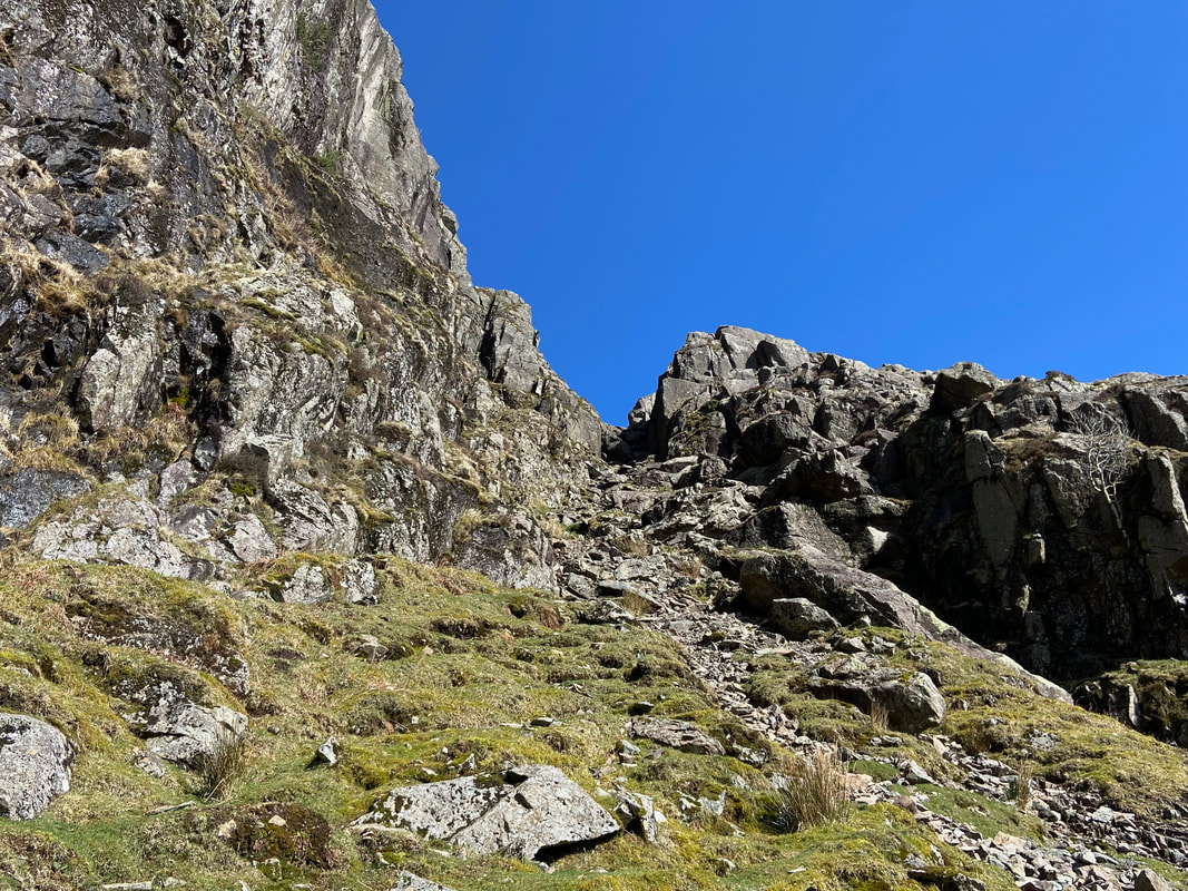
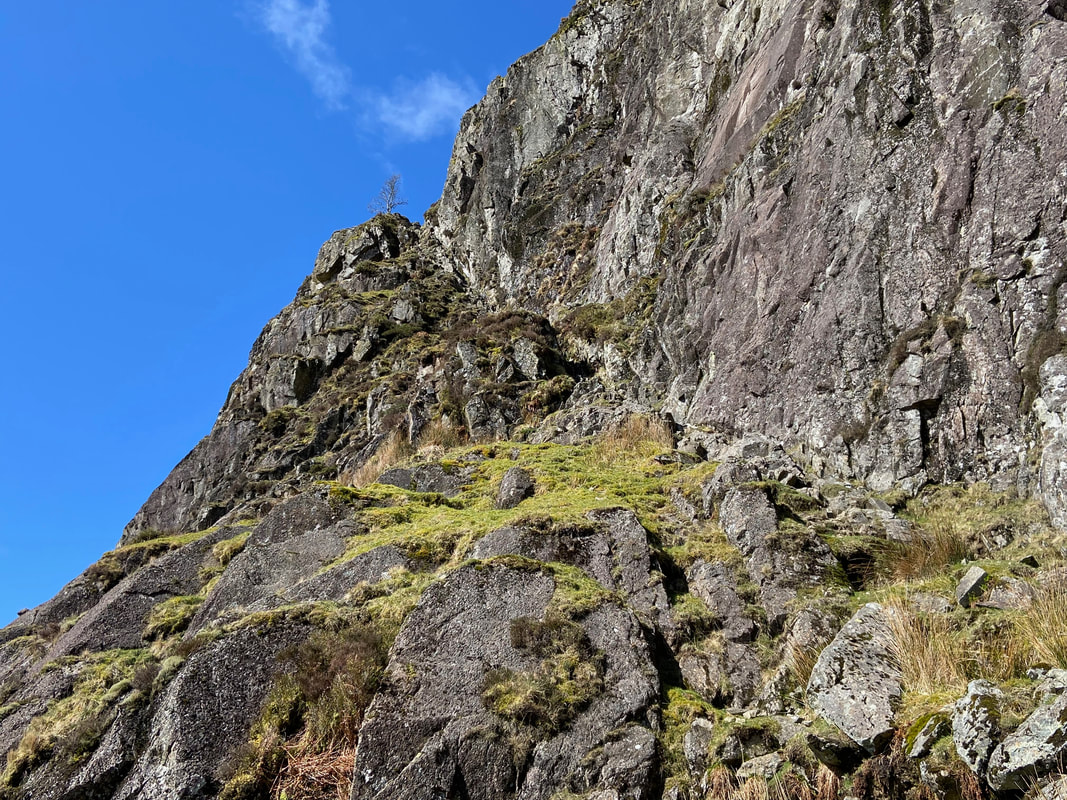
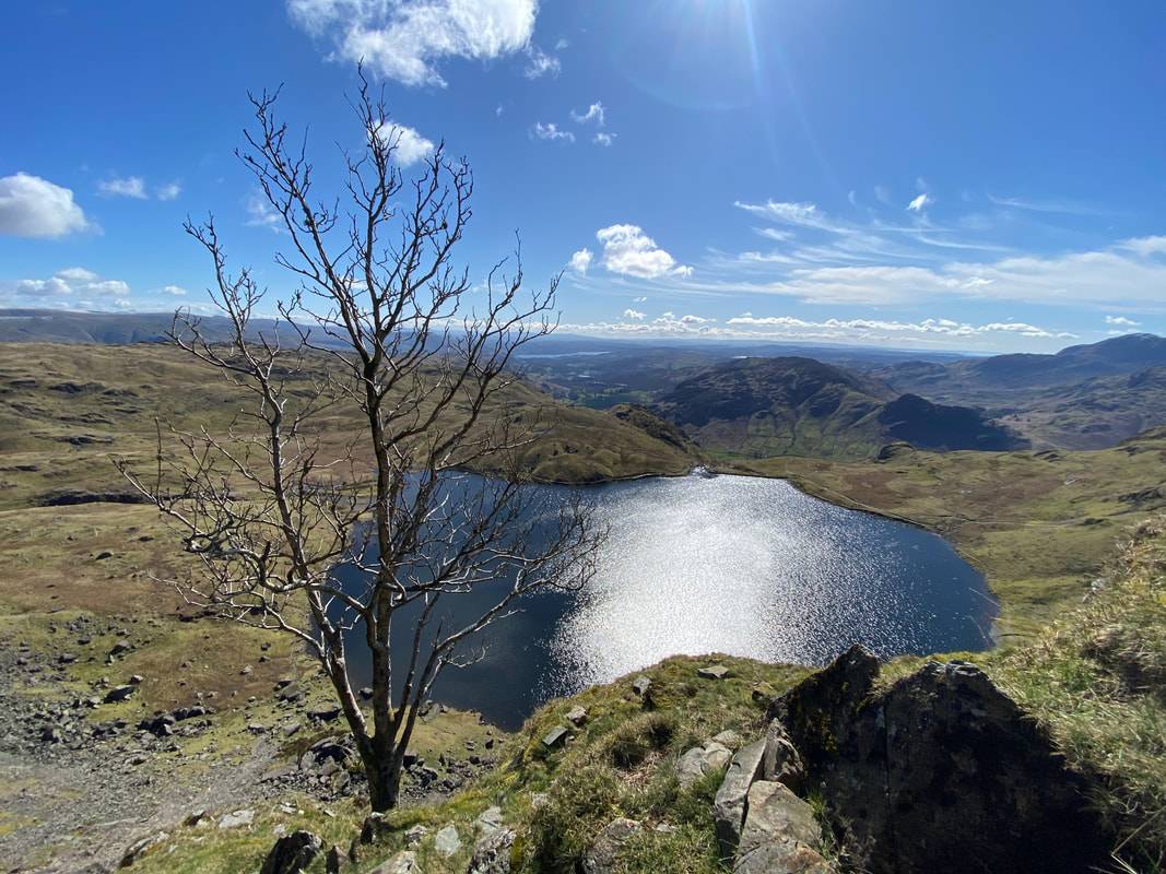
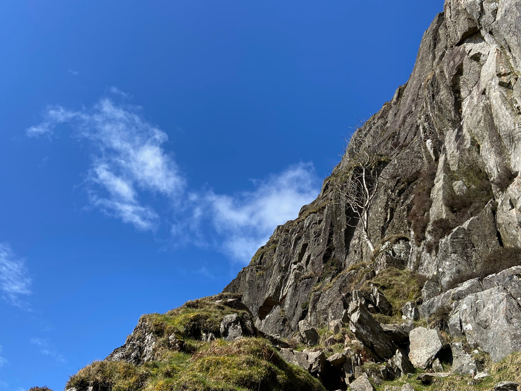
A view of our ascent up the first steep rock groove from the start of Jack's Rake - the beginning of the climb is at Grid Ref NY 28587 07915. The tree up ahead is one of 3 Ash Trees that are visited whist climbing Jack's Rake (Pavey Ark 6).
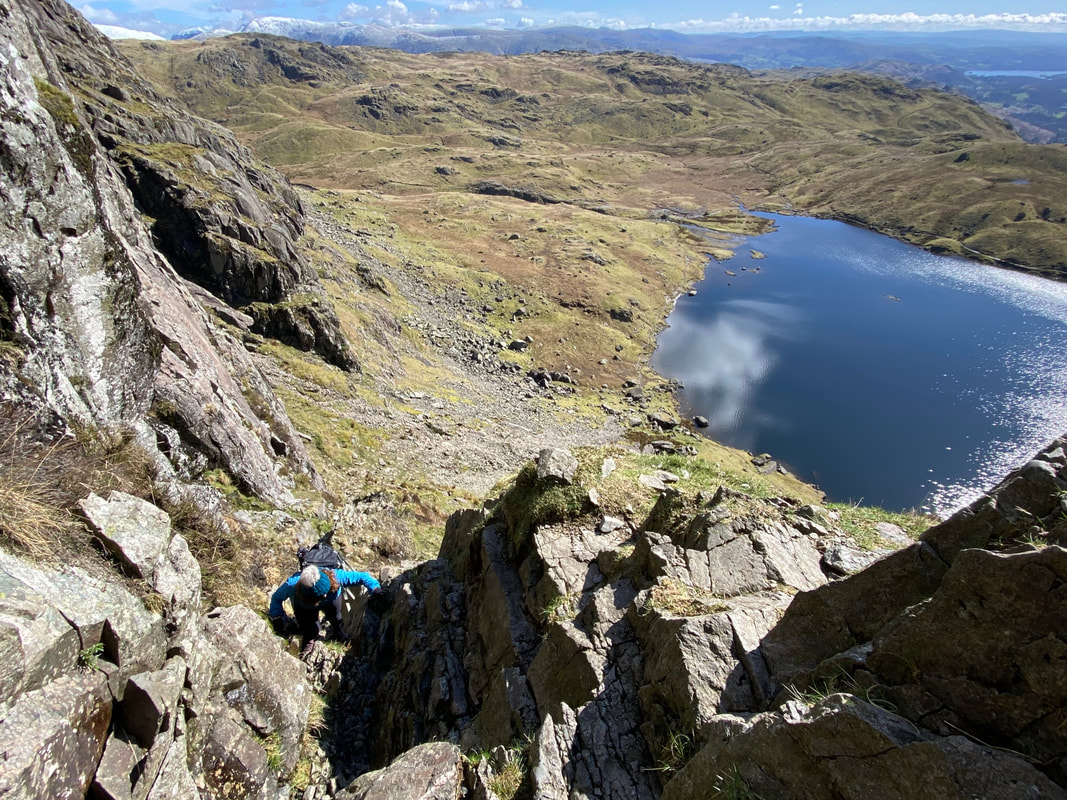
A close up of the first section of scrambling - plenty of foot and hand holds and it is just a question of not rushing and just taking your time
Looking back down the steep rock groove which is a nice lead in to what lies ahead
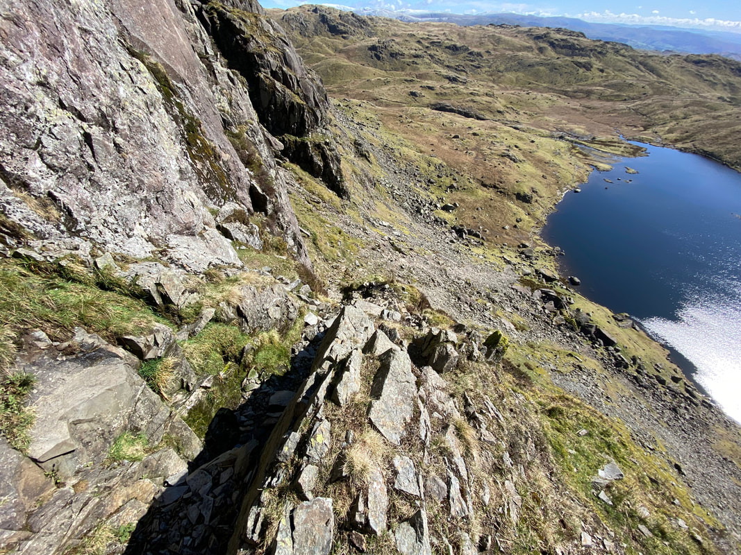
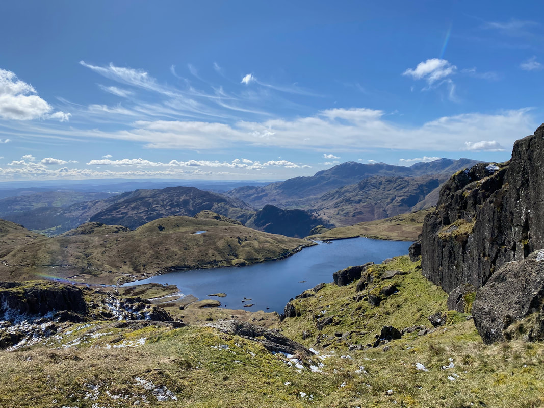
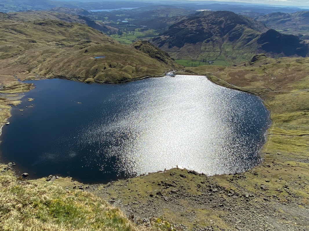
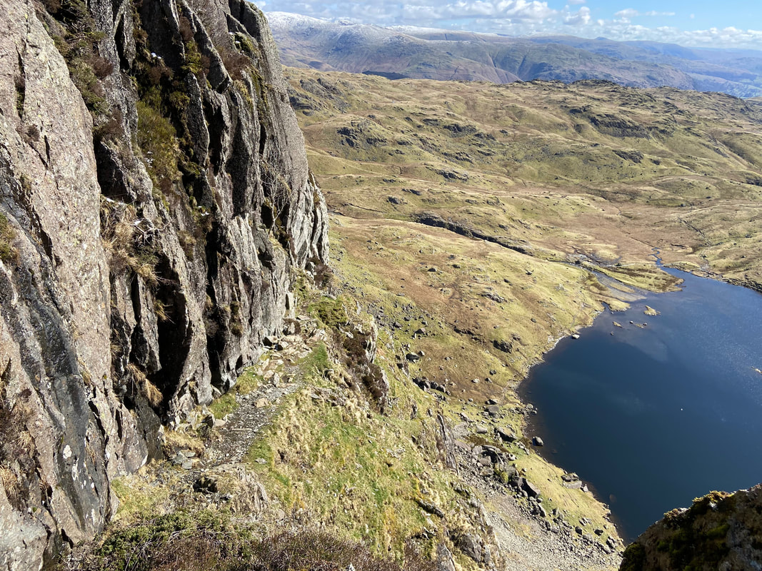
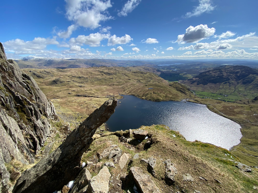
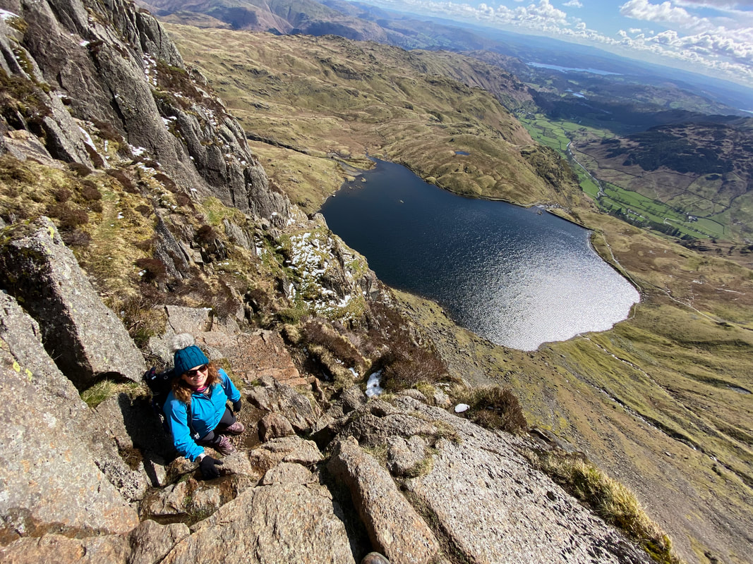
The glorious view over Stickle Tarn from the ascent of Jack's Rake - whilst it is good to enjoy a bit of scrambling it is also important to remember that you have to pause now and then to enjoy views such as this.
The final section of scrambling to reach the first Ash Tree
Which is here - and what a view
Meanwhile Angie & Fudge were making their way up the North Rake path and enjoying views like this
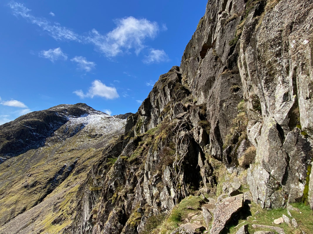
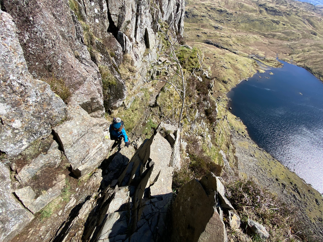
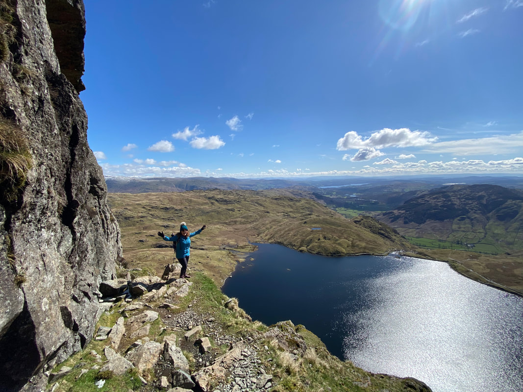
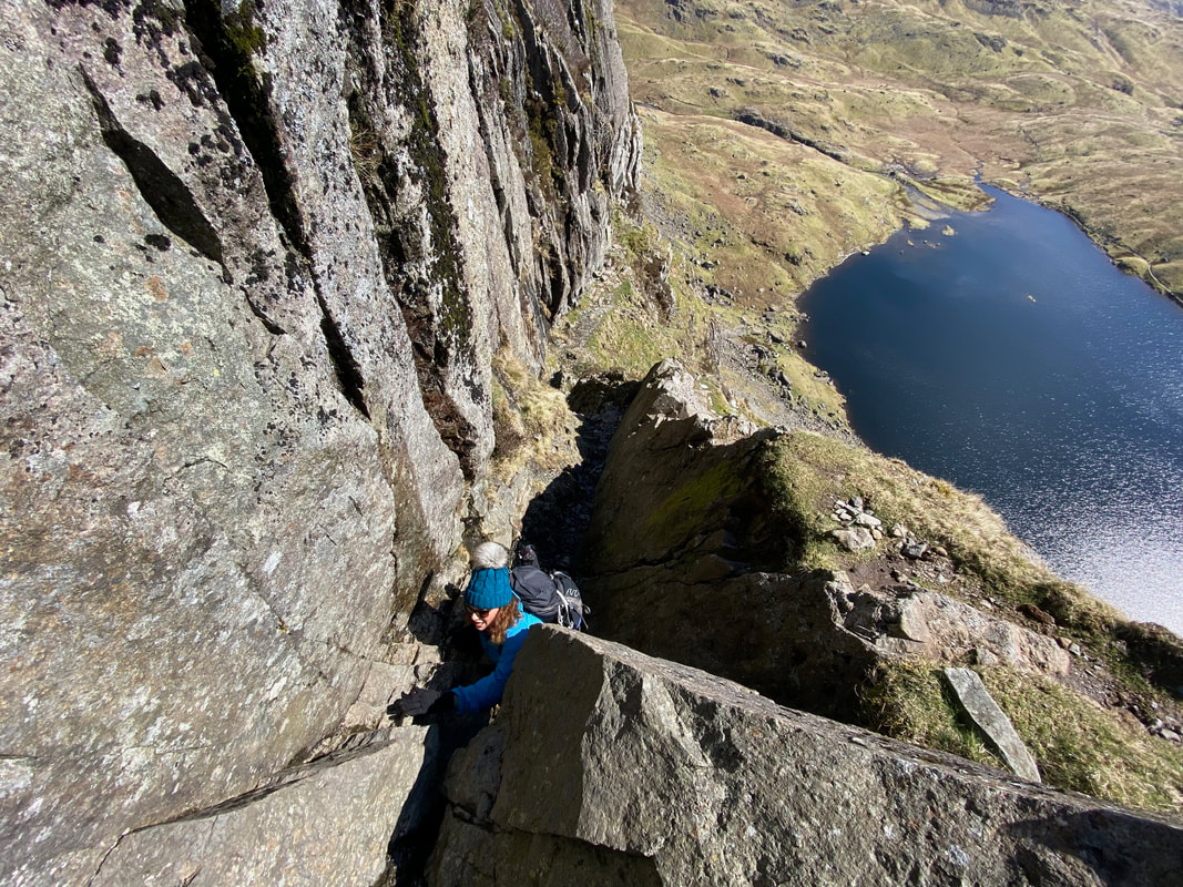
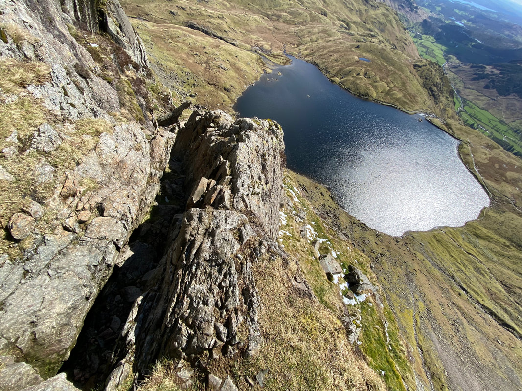
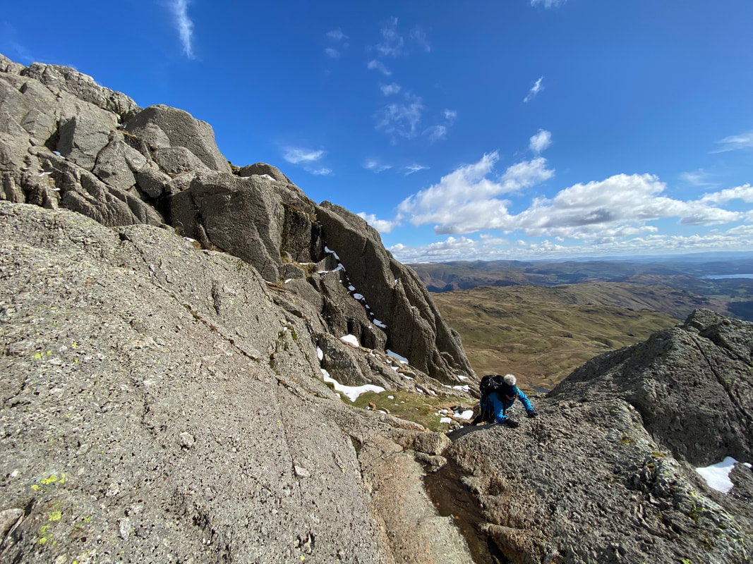
The scrambling continues and there is a real feeling of exposure as height is gained - the key is to simply concentrate on the terrain and not worry about it.
The scrambling just gets better & better and was so enjoyable
Another cracking view down to Stickle Tarn whose outflow is just right of centre
Lucy continues to follow me up Jack's Rake - at this point we were roughly half way
Meanwhile Angie & Fudge had reached the perched boulder just below the summit of Pavey Ark
A short scramble would see us reach a small sloping shard of rock which can just about be seen at the top of the climb
Sergeant Man from the North Rake path
Lucy is all smiles as we reach the rocky platform below the sloping shard of rock - little did she know but we were about to climb the most difficult section for people with short legs!
The not so wide platform is easy enough to cross and looks worse than it is
To reach the shard of rock requires a scramble through a thin rock groove. Whilst it may look as though there is a way up to the right as we look, this way is not recommended. Lucy particularly enjoyed this section!!
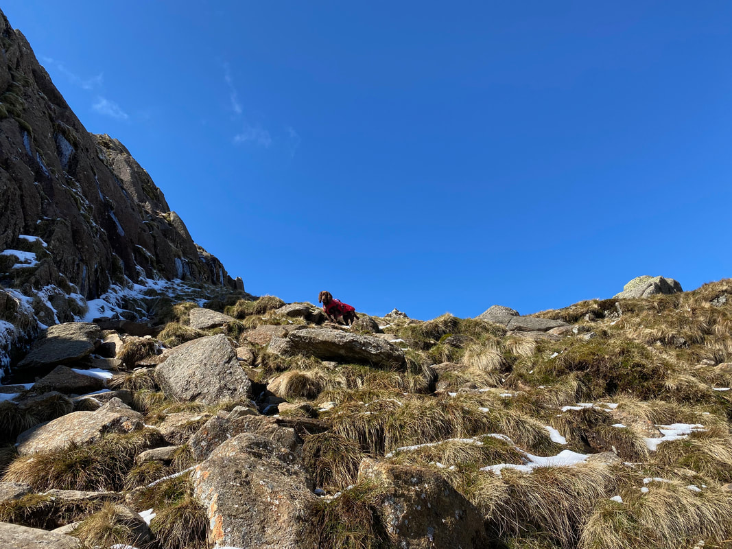
Meanwhile Fudge was wanting to crack on and reach the summit of Pavey Ark
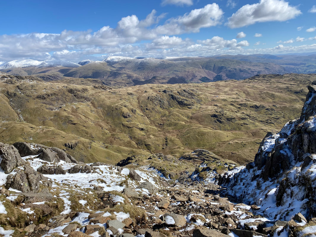
The glorious view to the East from the top of North Rake
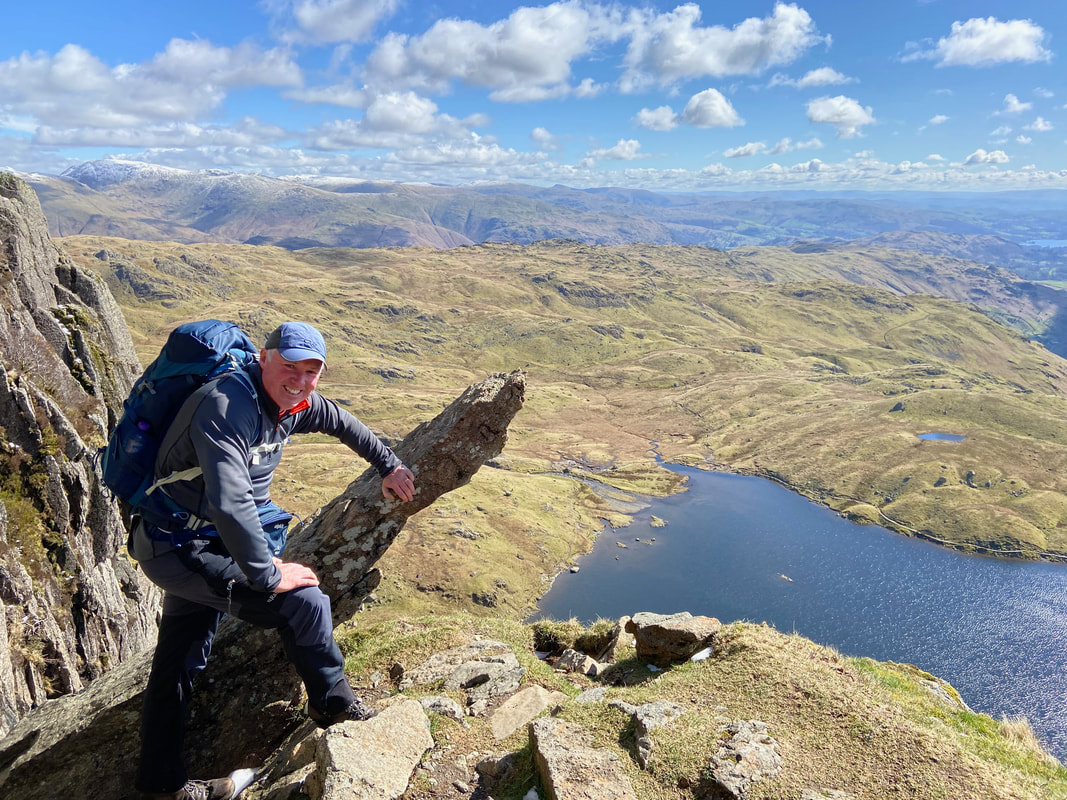
At last - the sloping shard of rock is reached and what a view
I have been here many times (once dressed as an Oompa Loompa) and it never fails to take my breath away
Angie & Fudge had now reached the summit plateau of Pavey Ark
From the shard another rock groove needs to be negotiated in order to reach the entrance to Great Gully
Despite it being the beginning of April it was still extremely cold at the top of Pavey Ark - the summit rock plateau is just behind
Harrison Stickle from the entrance to Great Gully
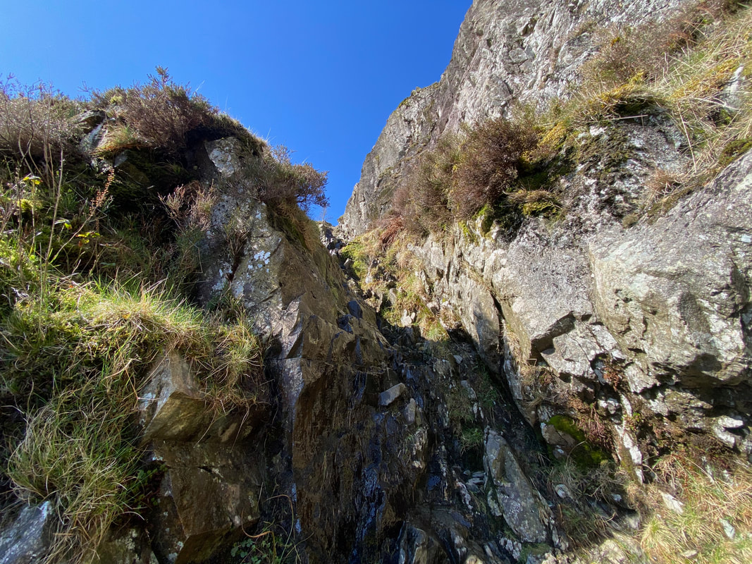
It was now time to enjoy the scramble up Great Gully - a really enjoyable climb
All smiles again as we start to climb Great Gully - most of the hard work had now been done
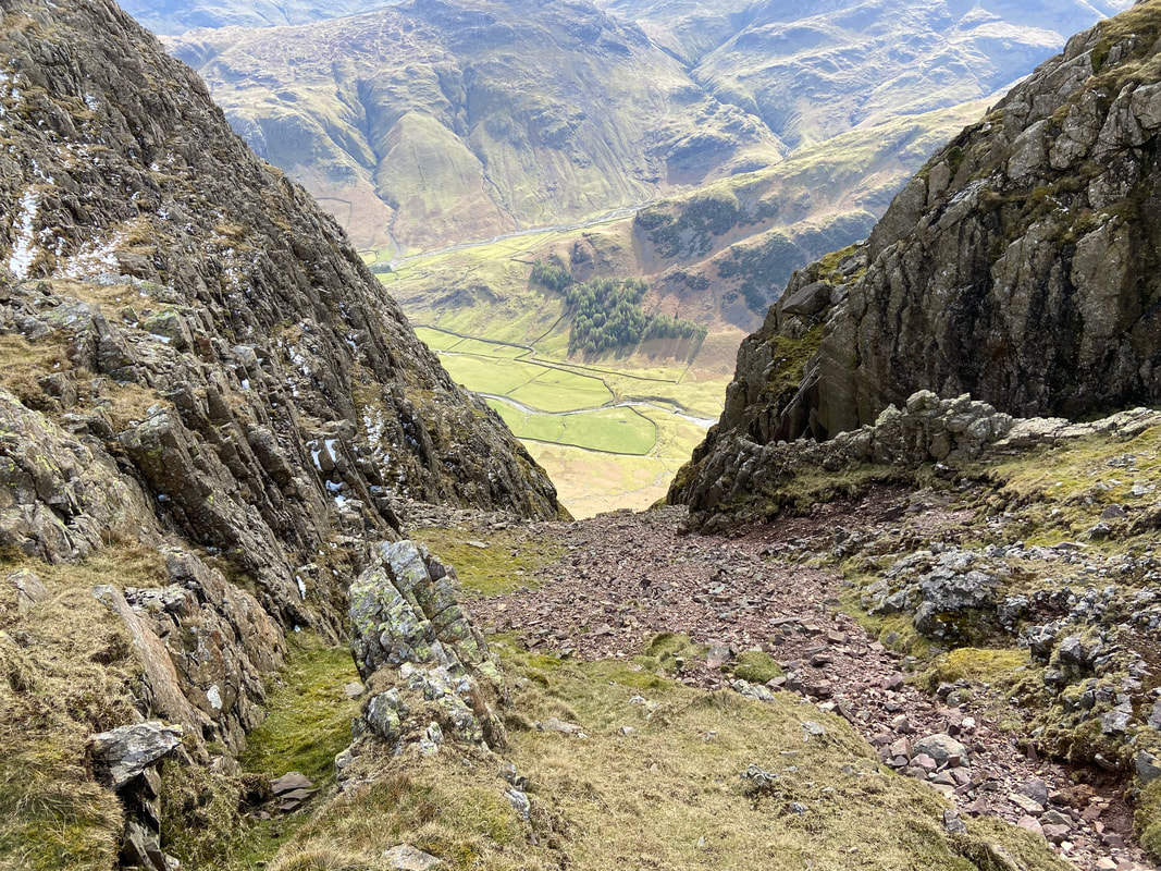
After the scramble up Great Gully a horizontal path leads away to the left - all that remains is 50 or so yards of easy climbing to reach the point where Lucy is.
From the broken wall at the top of the Rake it is a simple walk of 100 yards or so to the right in order reach the summit of Pavey Ark where Angie & Fudge were waiting for us.
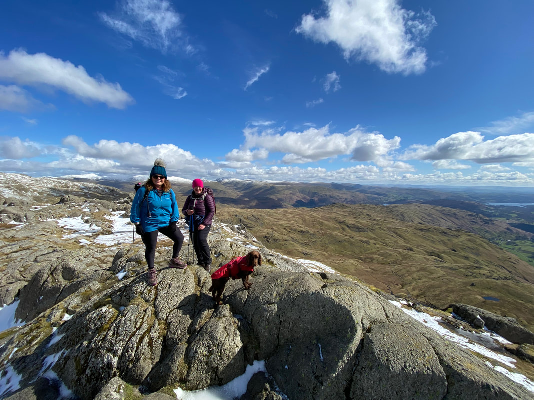
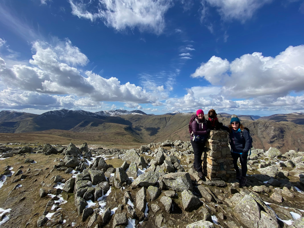
Lucy, Angie & Fudge on the summit of Pavey Ark
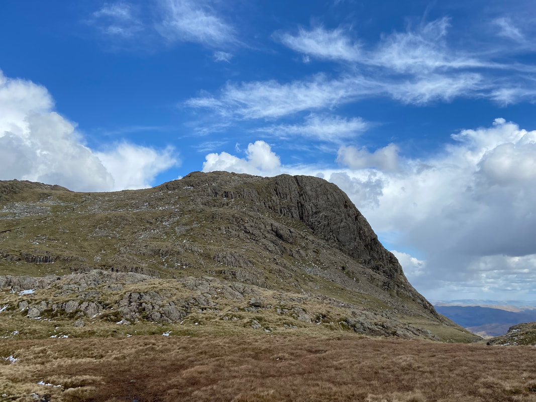
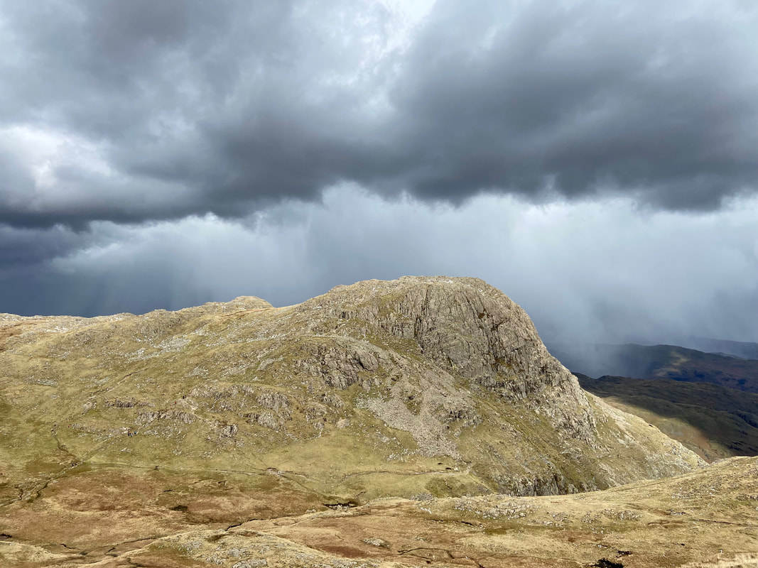
Leaving Pavey Ark we headed north firstly to the right over to Sergeant Man then to High Raise (centre of shot)
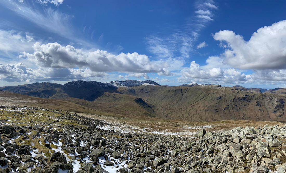
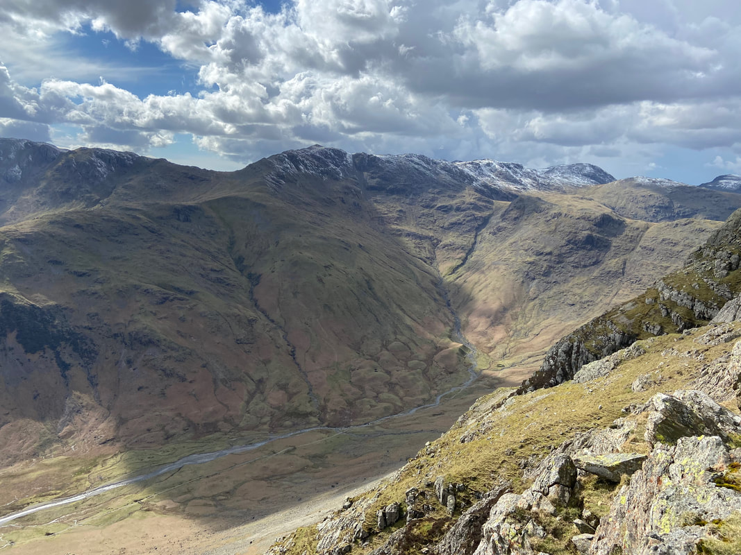
Looking to the South West over to Crinkle Crags, Bowfell, Esk Pike, The Scafells & Great End
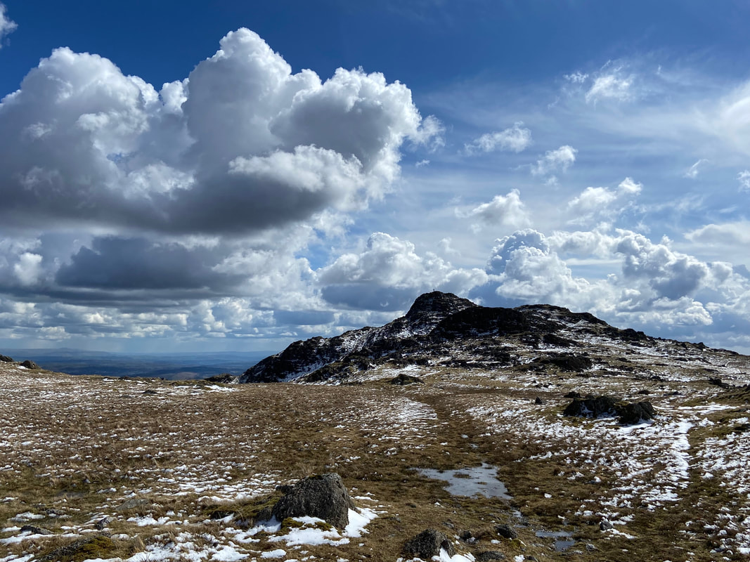
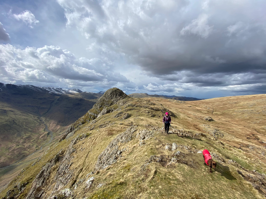
Approaching Sergeant Man
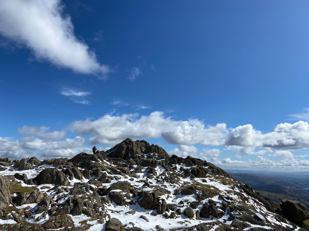
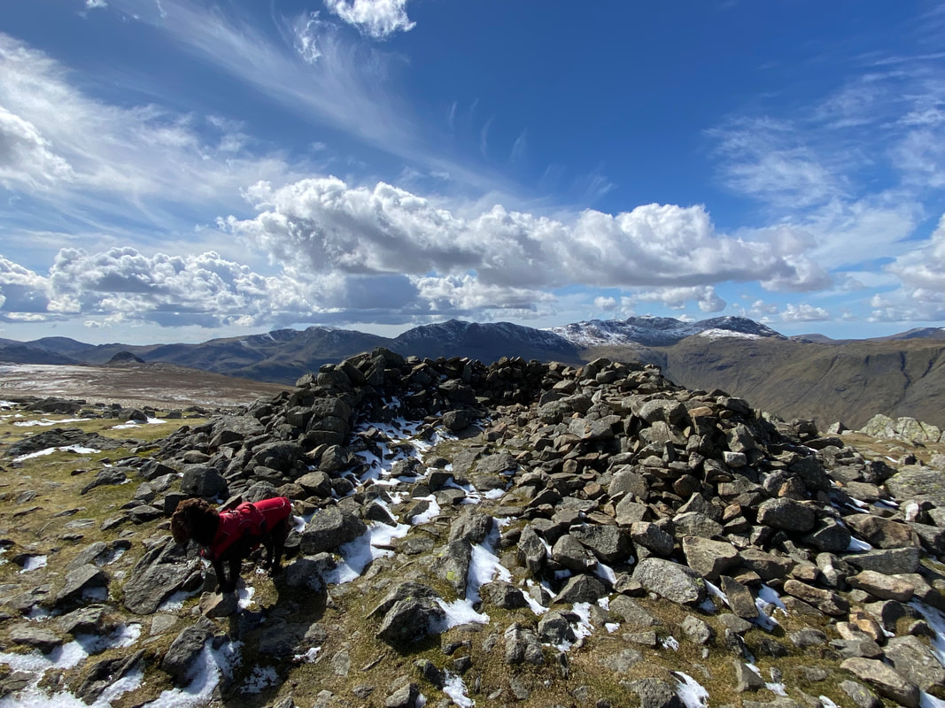
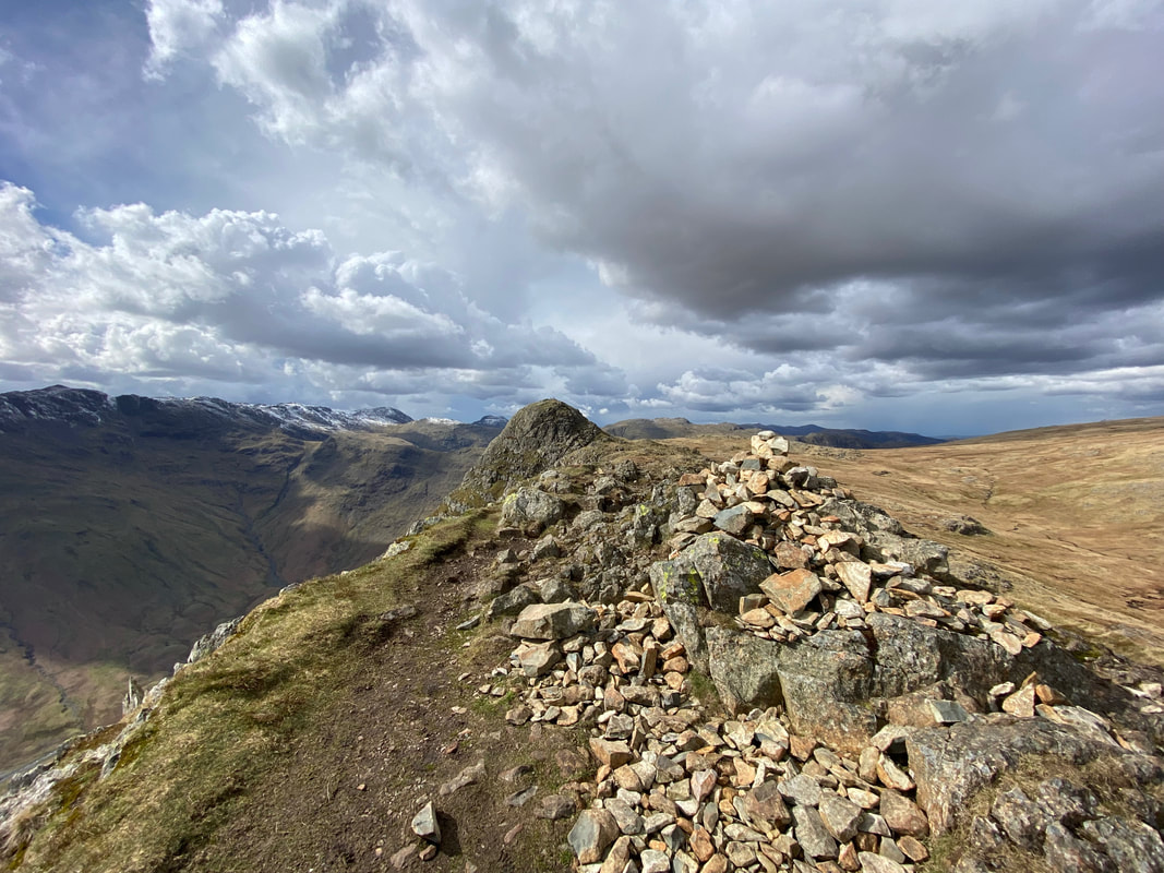
The summit of Sergeant Man
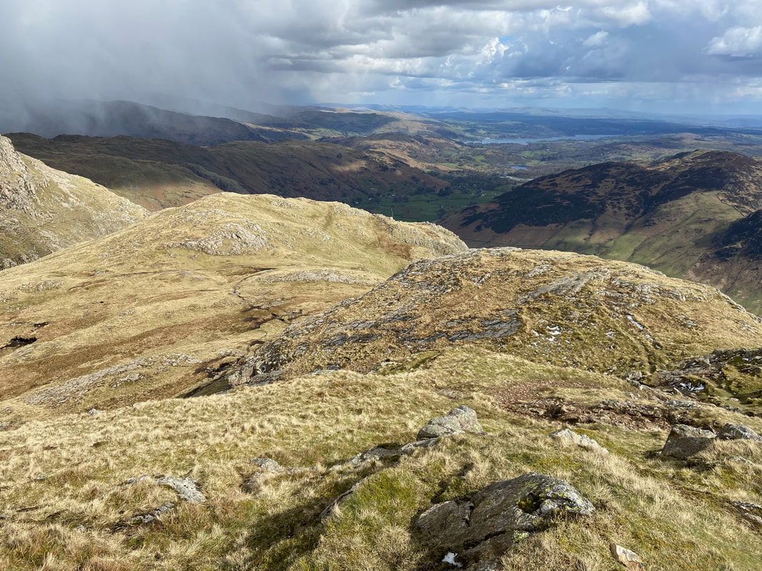
Pavey Ark & Harrison Stickle from Sergeant Man with the Coniston Fells beyond
Looking back to Sergeant Man as we approach High Raise - just look at that sky
The Trig Point on the summit of High Raise looking to Glaramara - the highest point is a rock 15m SSE of here
My walking companions on the summit of High Raise
As is tradition
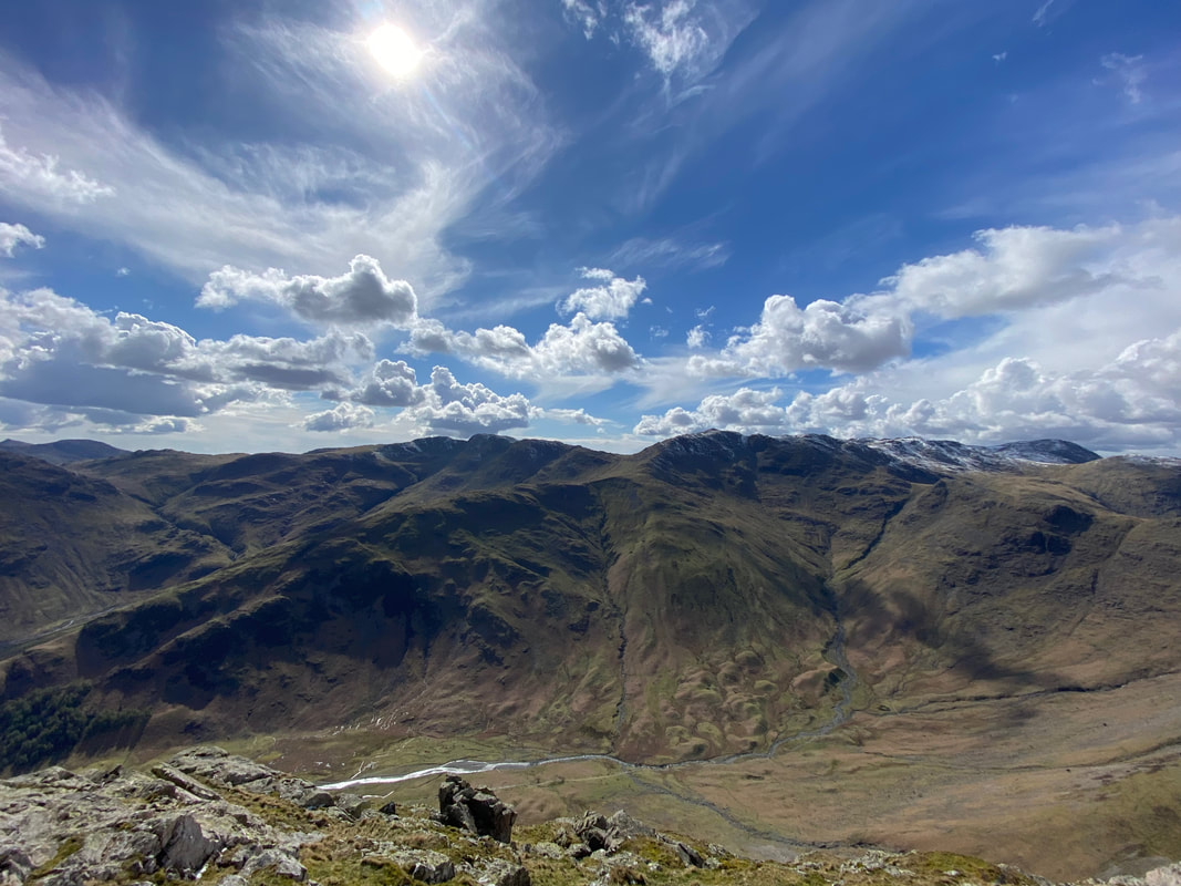
Looking across Langstrath to Crinkle Crags, Bowfell, The Scafells, Great End & Great Gable from High Raise
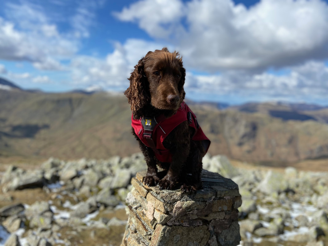
Fudge at one of his early crime scenes. The shelter on the summit of High Raise where, in his younger days and before he knew it was really naughty he had helped himself to the sandwiches of two walkers whilst they were not looking.
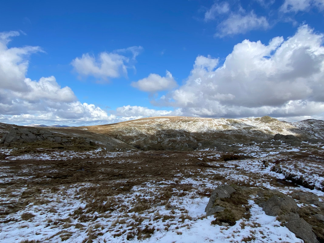
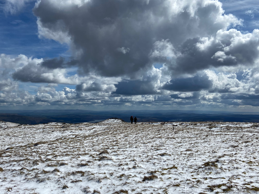
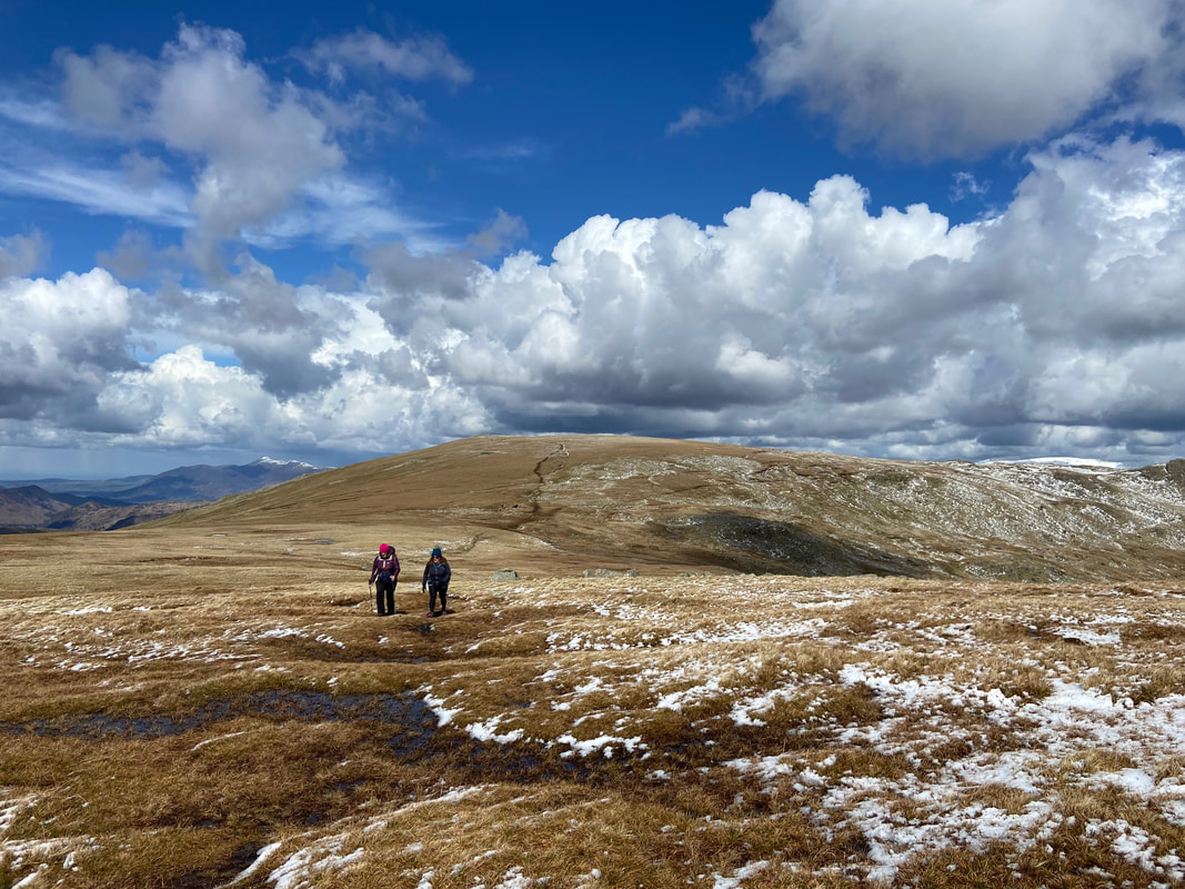
Heading to Thunacar Knott from High Raise
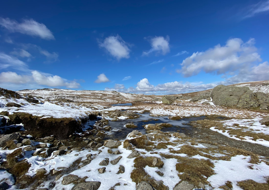
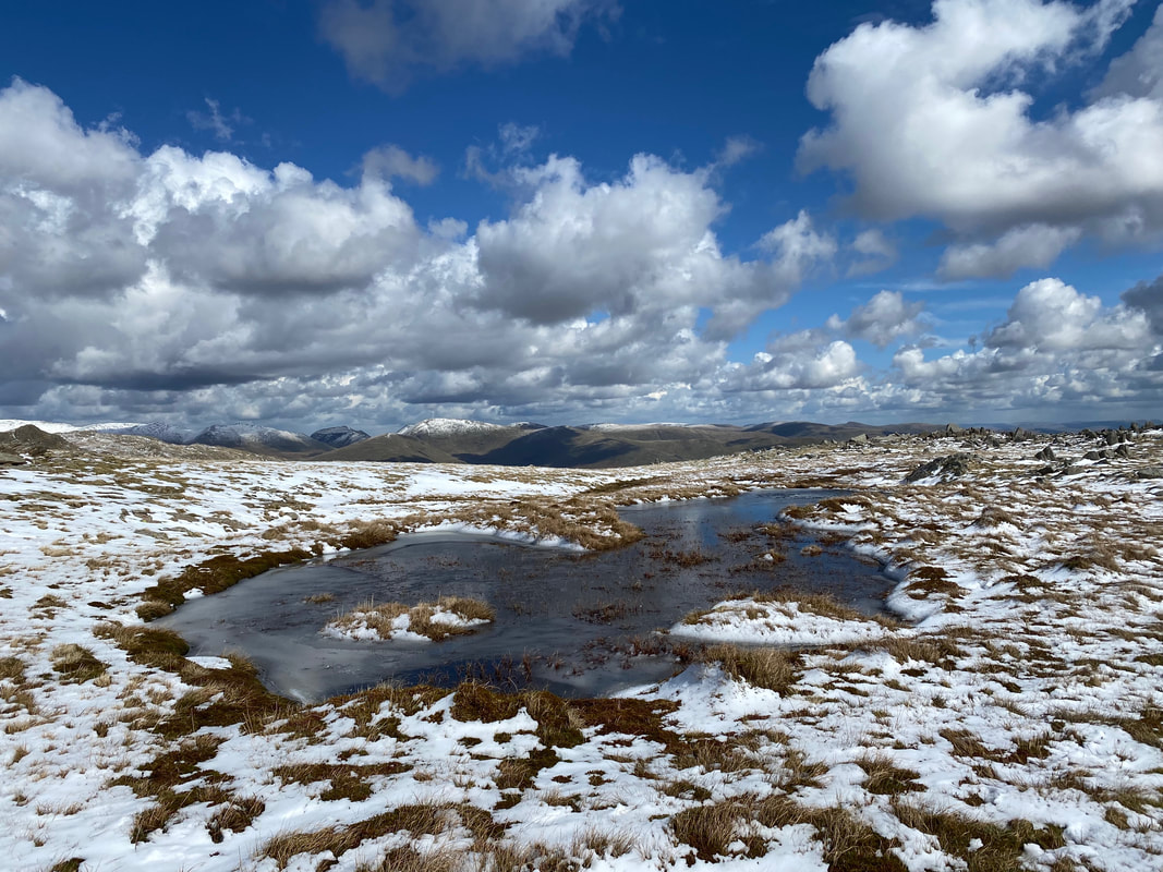
Not quite frozen but almost
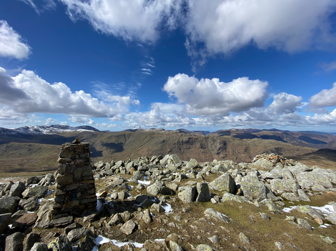
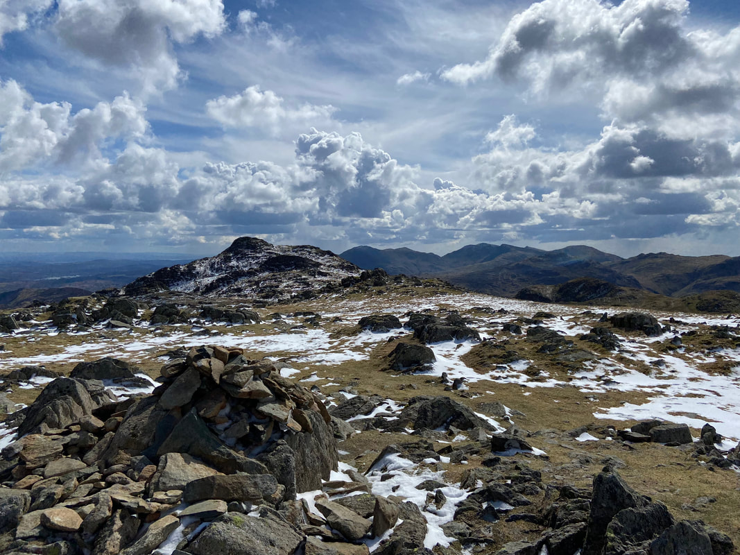
The summit of Thunacar Knott looking to Harrison Stickle
Approaching Harrison Stickle
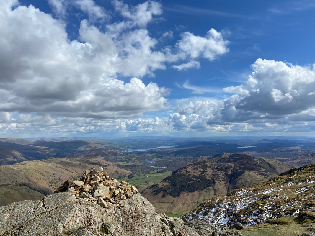
The summit of Harrison Stickle with Windermere distant
From Harrison Stickle there is a steep descent into Harrison Combe to reach Pike O'Stickle ahead
Harrison Stickle from below Pike O'Stickle
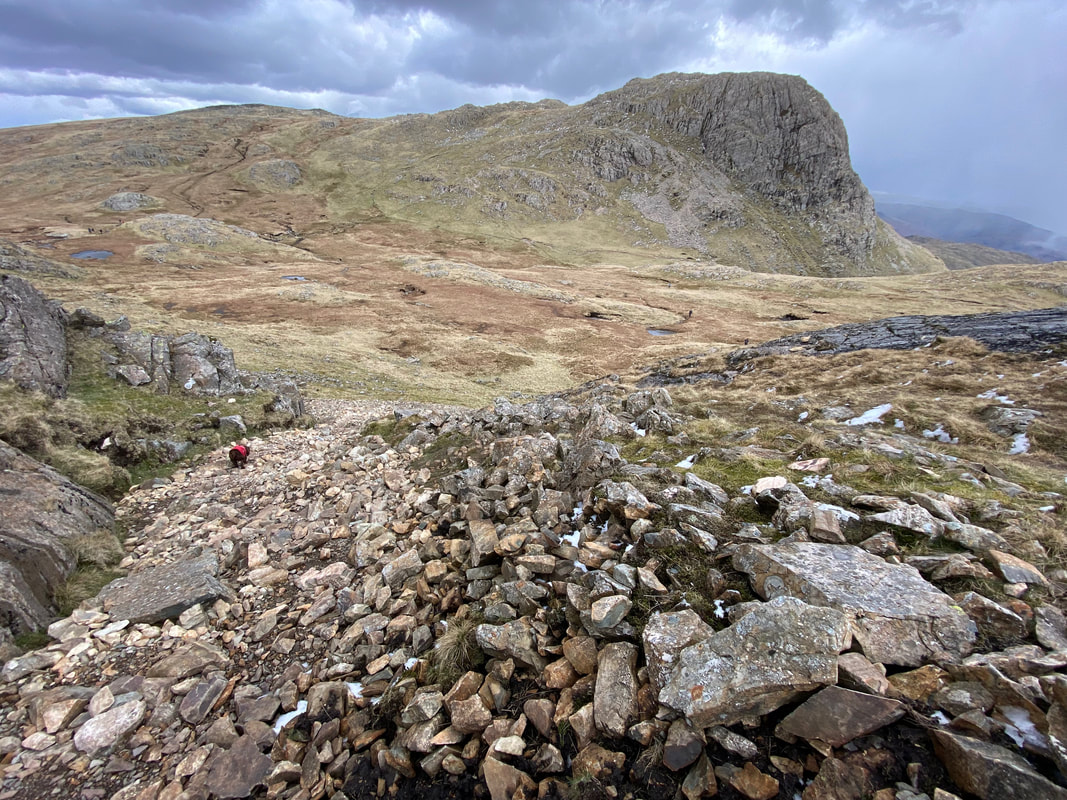
The steep scree drop into Mickleden between Loft Crag & Pike O'Stickle
Pavey Ark, Harrison Stickle & Loft Crag from the ascent of Pike O'Stickle
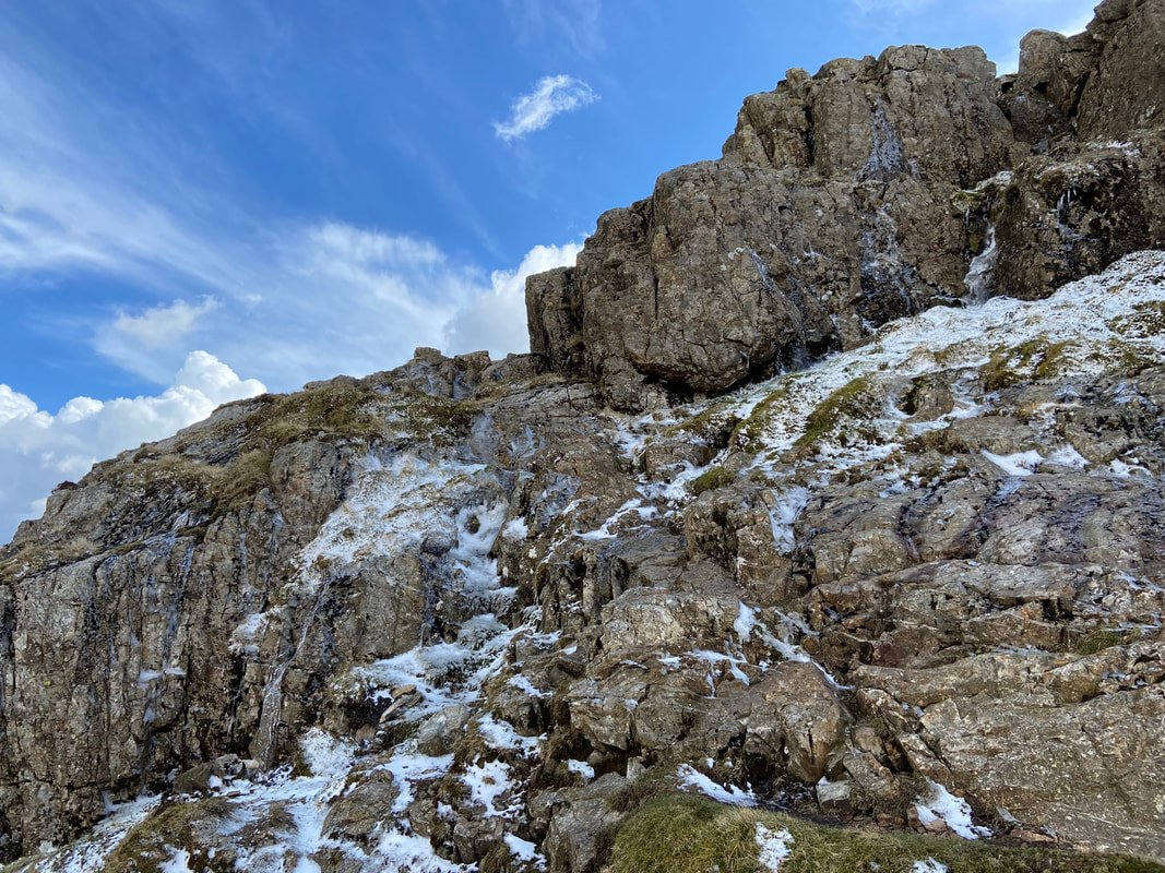
The icy ascent to Pike O'Stickle - not quite microspikes conditions but not far off
After the icy ascent to Pike O'Stickle I was glad to reach the summit - and what a view
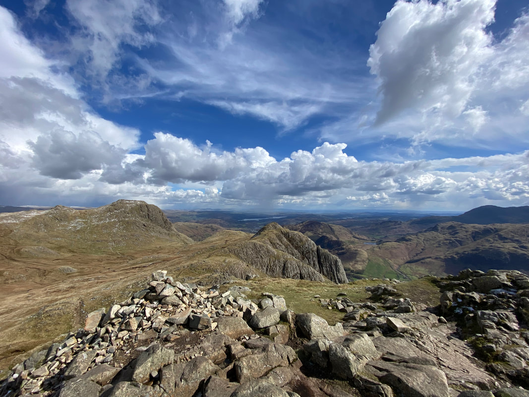
Looking west to the Crinkles, Bowfell & The Scafells
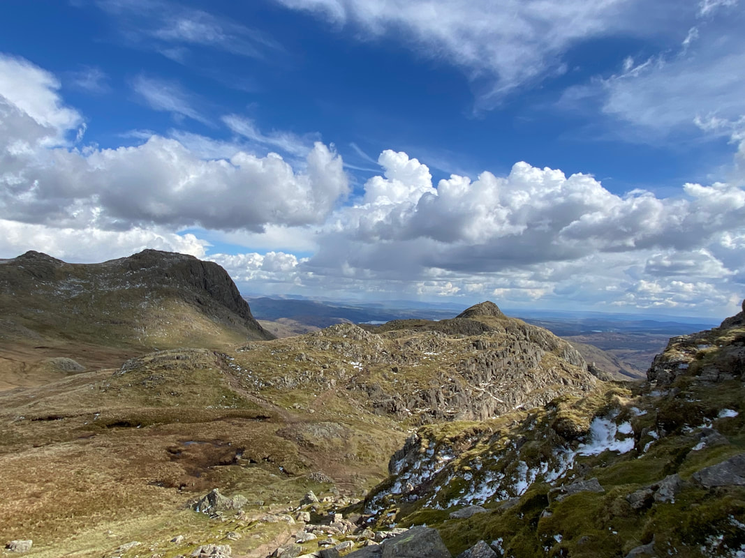
Having descended from Pike O'Stickle it was now time to make our way over to today's final climb, Loft Crag which is to the right
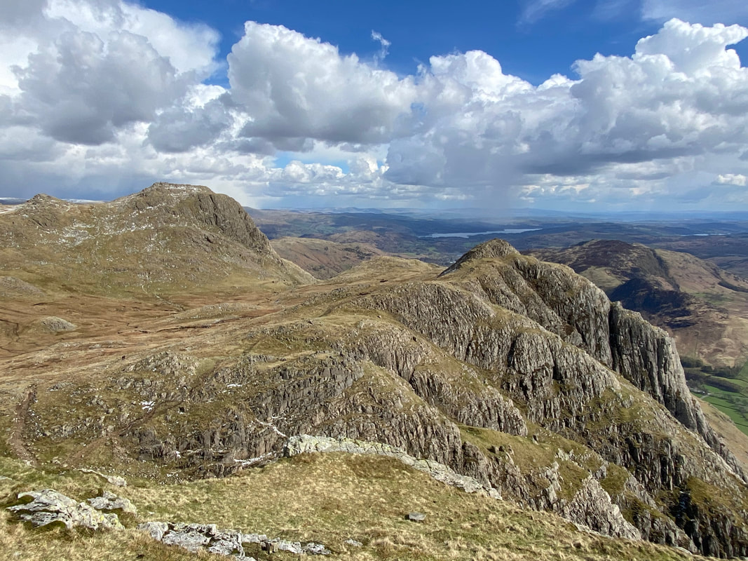
Looking back to Pike O'Stickle from the ascent of Loft Crag. This is one of our favourite views in the Lake District. The walkers on the summit and the one ascending the mountain add scale to the photograph.
Harrison Stickle from the ascent of Loft Crag
Angie & Fudge approaching Loft Crag's summit. Clearly Fudge has his game face on.
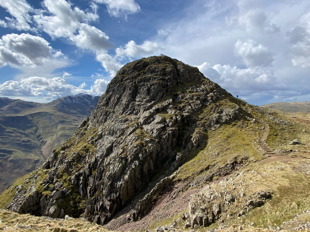
The summit of Loft Crag
Our route of descent back to Langdale from Loft Crag would be via the Mark Gate path
The Conston Fells & Pike O'Blisco from Mark Gate - the body of water is one of the many Blea Tarns in Lakeland
Looking across the head of Mickleden to Bowfell
The Band in the foreground looking to Crinkle Crags
Fudge trundles down the stony path on our way to Mark Gate
The steepest part of the descent down Mark Gate - although if you have 4 paw drive it is easy enough
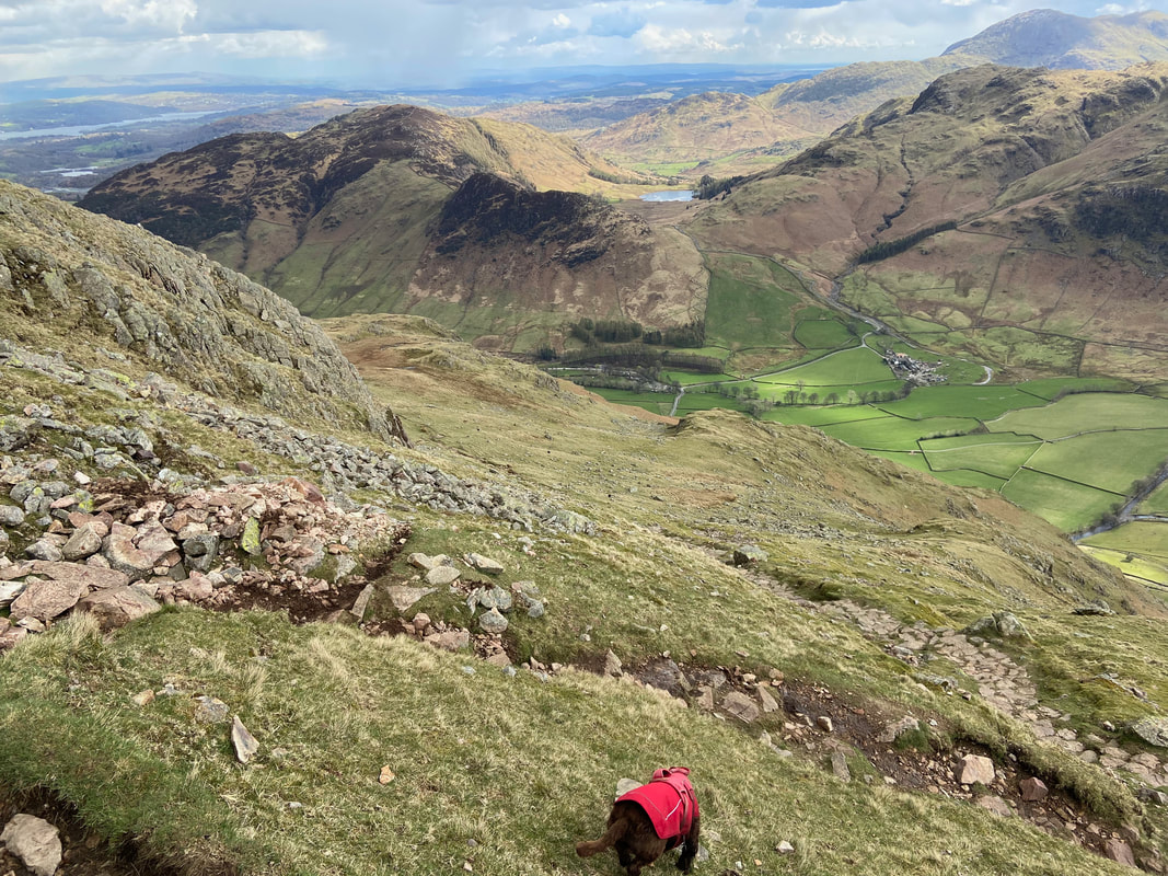
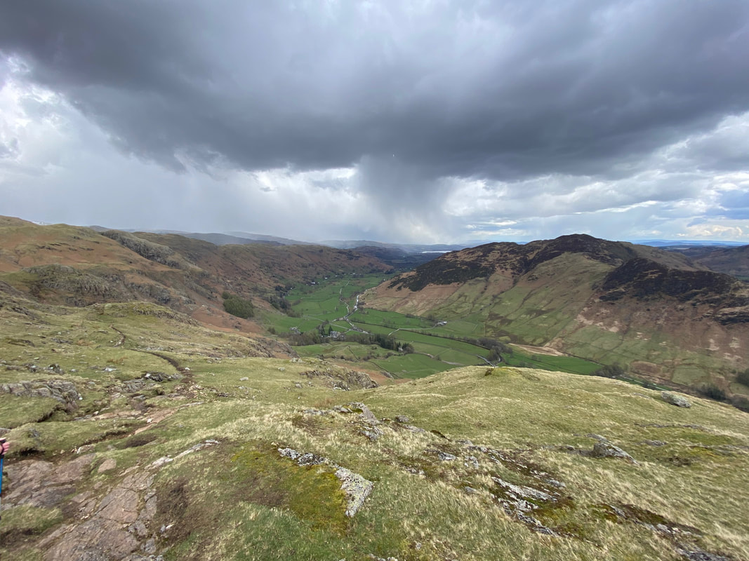
Levelling out a bit now as we approach Langdale
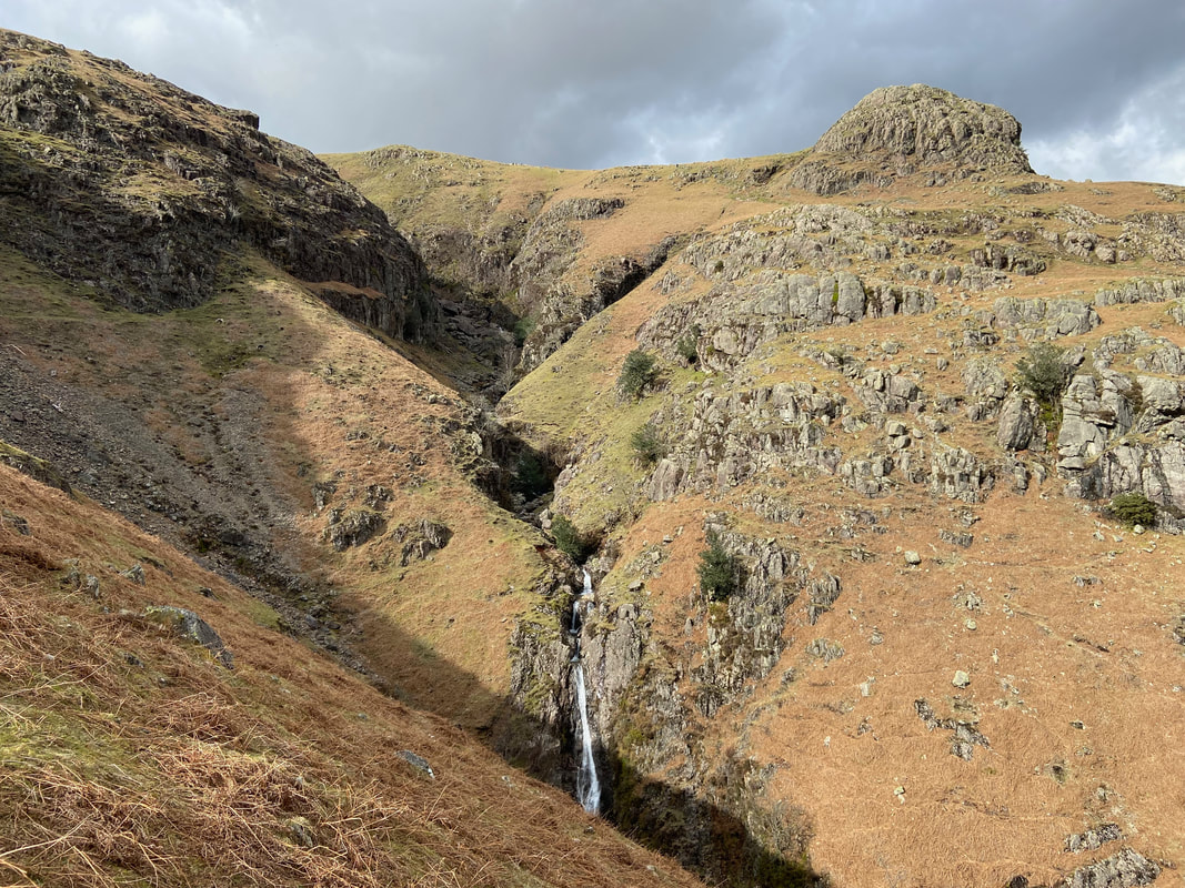
Dungeon Ghyll
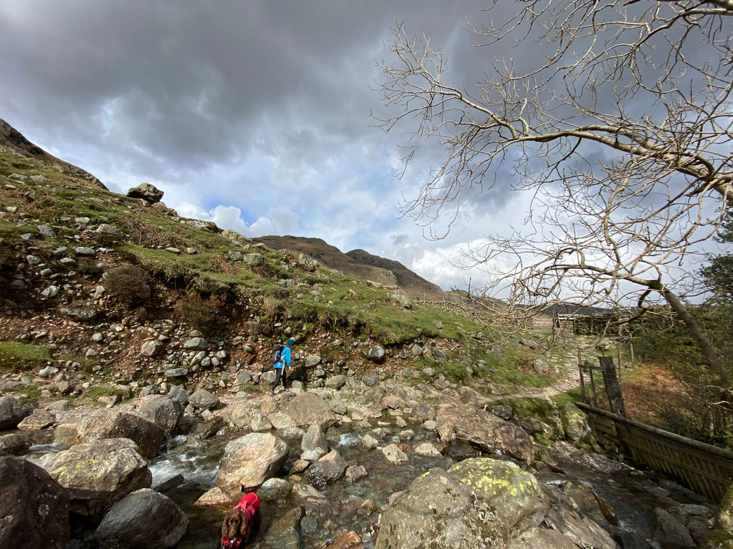
Crossing Dungeon Ghyll at the end of what was a fantastic day out
