Brading & Culver Down - Wednesday 7 February 2018
Route
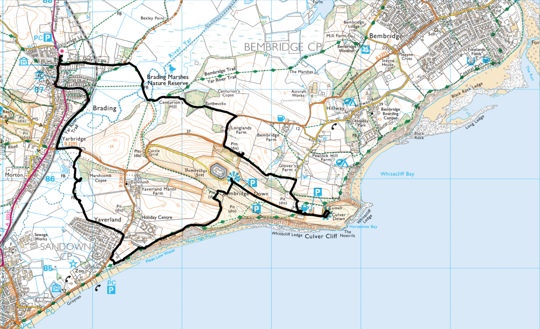
Brading - Brading Marshes - Centurion's Hill - Culver Down - Culver Cliff - Bembridge Down - Red Cliff - Yaverland - Yarbridge - Brading Station - Brading
Parking
Brading Town Car Park, High Street (A3055) (Charge) - Grid Ref SZ 6064 8743. Nearest postcode is PO36 0DH.
Mileage
7.7 miles
Terrain
Good paths throughout. The terrain from Yaverland to Yarbridge had some boggy sections.
Weather
Cold & sunny with very good visibility.
Time Taken
4hrs
Total Ascent
1440ft (439m)
Map
OL29 Isle of Wight
Walkers
Dave, Angie & Fudge
|
GPX File
|
| ||
If the above GPX file fails to download or presents itself as an XML file once downloaded then please feel free to contact me and I will send you the GPX file via e-mail.
Walk Description
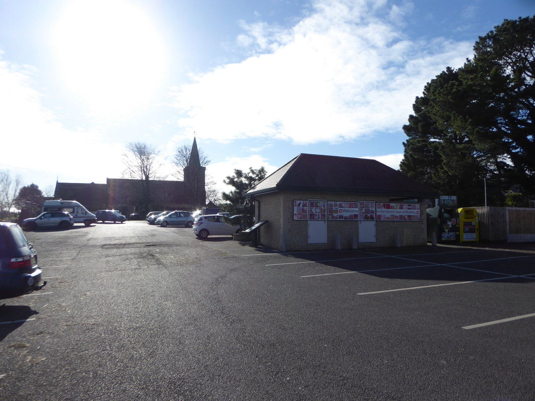
The large Car Park in Brading which was the start of todays walk
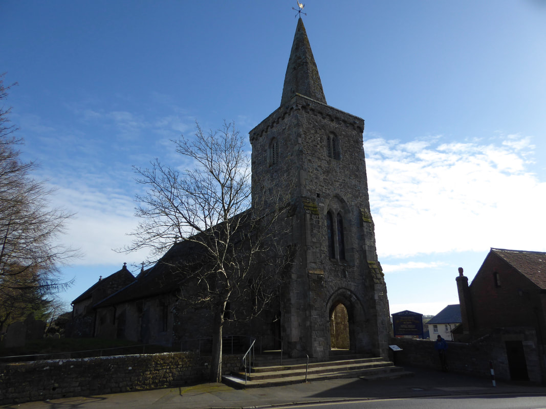
The 12th Century St Mary's Church in Brading
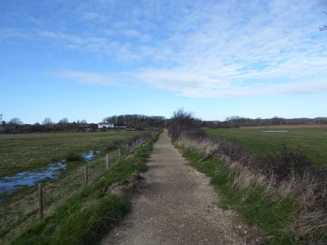
The route heads east along Quay Lane to then join a rough path between fields through Brading Marshes.
The Nature Reserve is the only Royal Society for the Protection of Birds reserve on the Isle of Wight. It was acquired in 2001 and is a mix of lagoons and ditches, reed beds and meadows, with a fringe of ancient woodland.
The Nature Reserve is the only Royal Society for the Protection of Birds reserve on the Isle of Wight. It was acquired in 2001 and is a mix of lagoons and ditches, reed beds and meadows, with a fringe of ancient woodland.
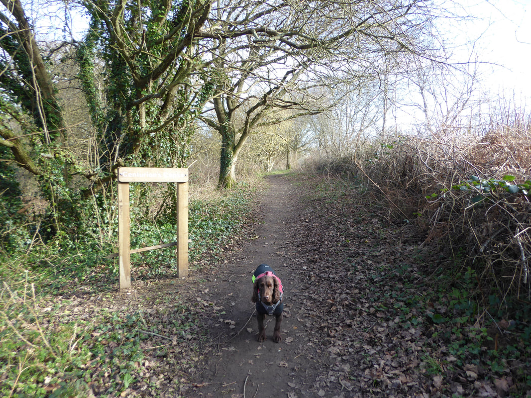
Leaving the marshes the walk enters Centurion's Copse
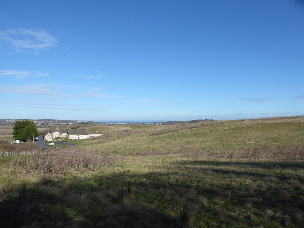
Exiting the copse the route emerges on to Sandown Road the other side of Longlands Farm (seen here).
There is a wide verge to walk on as the road is followed for a short distance.
There is a wide verge to walk on as the road is followed for a short distance.
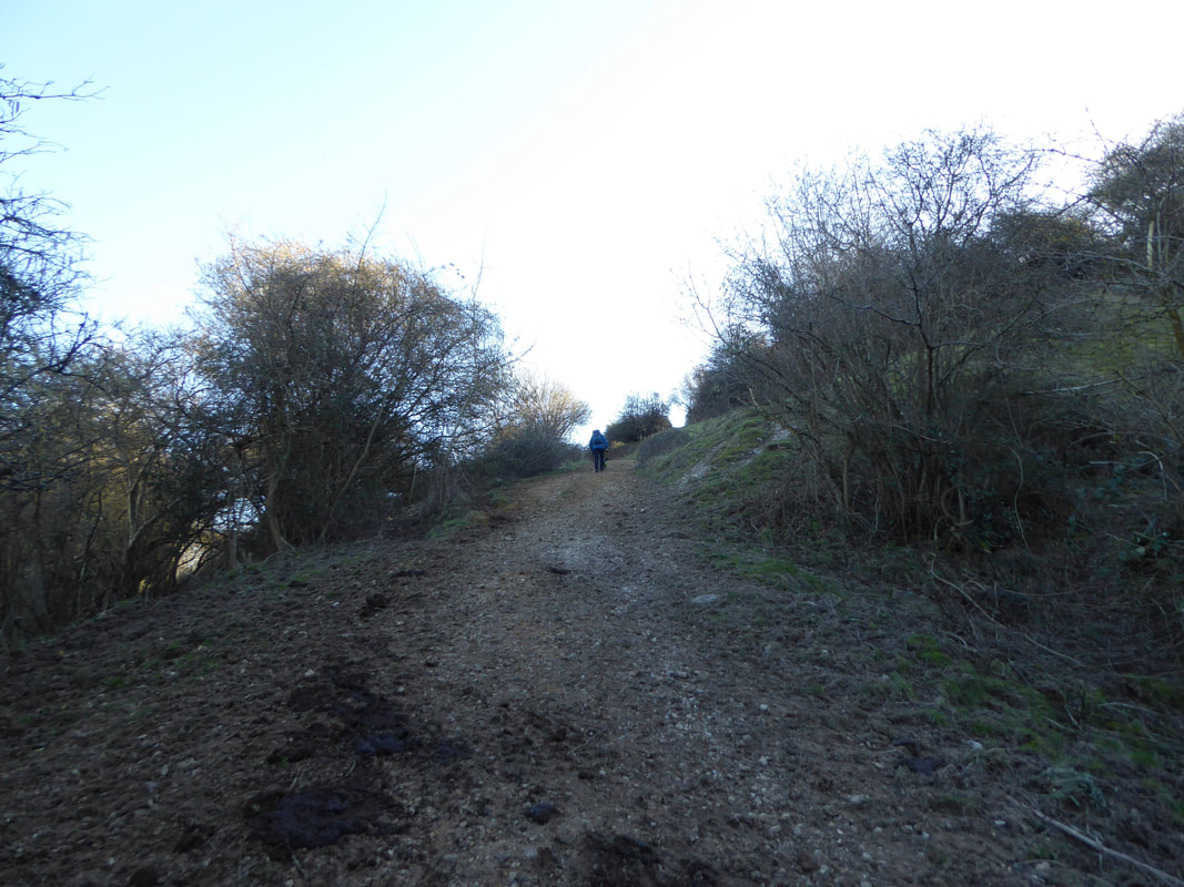
From the road the route starts to climb towards Culver Down
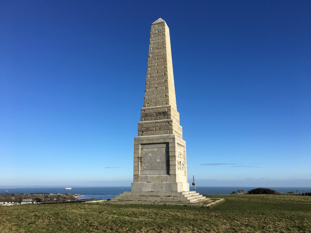
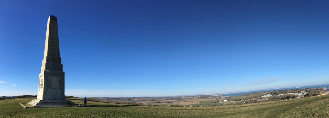
The Yarborough Monument on Culver Down
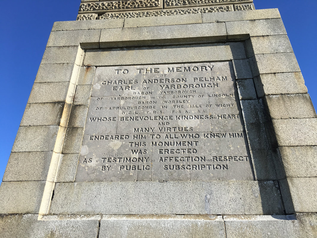
The inscription on the Yarborough Monument.
The monument was originally erected in 1849 on the highest point of Bembridge Down, 3/4 mile to the west and was moved to its present position in the 1860s when its former site was used for the construction of one of the Palmerston Forts. Charles Pelham, Earl of Yarborough was one of the founders of the Royal Yacht Squadron and its first Commodore. Judging by the wording he was clearly well thought of by the people of this area.
The monument was originally erected in 1849 on the highest point of Bembridge Down, 3/4 mile to the west and was moved to its present position in the 1860s when its former site was used for the construction of one of the Palmerston Forts. Charles Pelham, Earl of Yarborough was one of the founders of the Royal Yacht Squadron and its first Commodore. Judging by the wording he was clearly well thought of by the people of this area.
A panorama on Culver Down
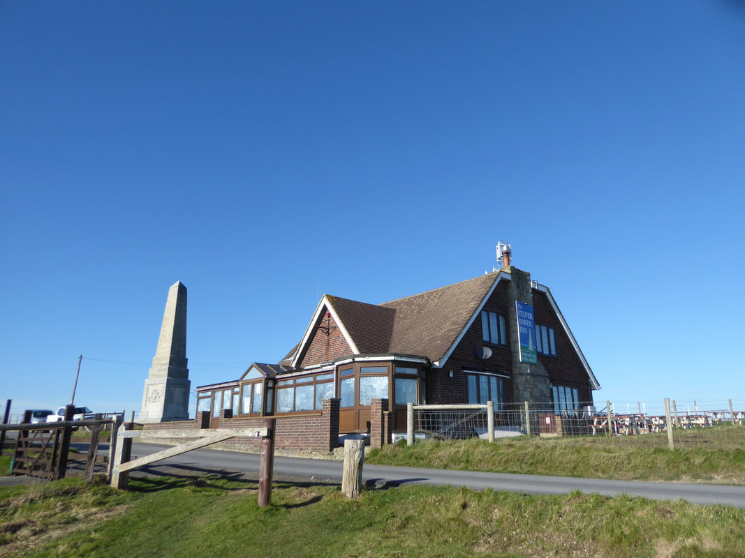
The Culver Haven Inn on Culver Down.
We were going to stop and have a drink but unfortunately it was shut.
We were going to stop and have a drink but unfortunately it was shut.
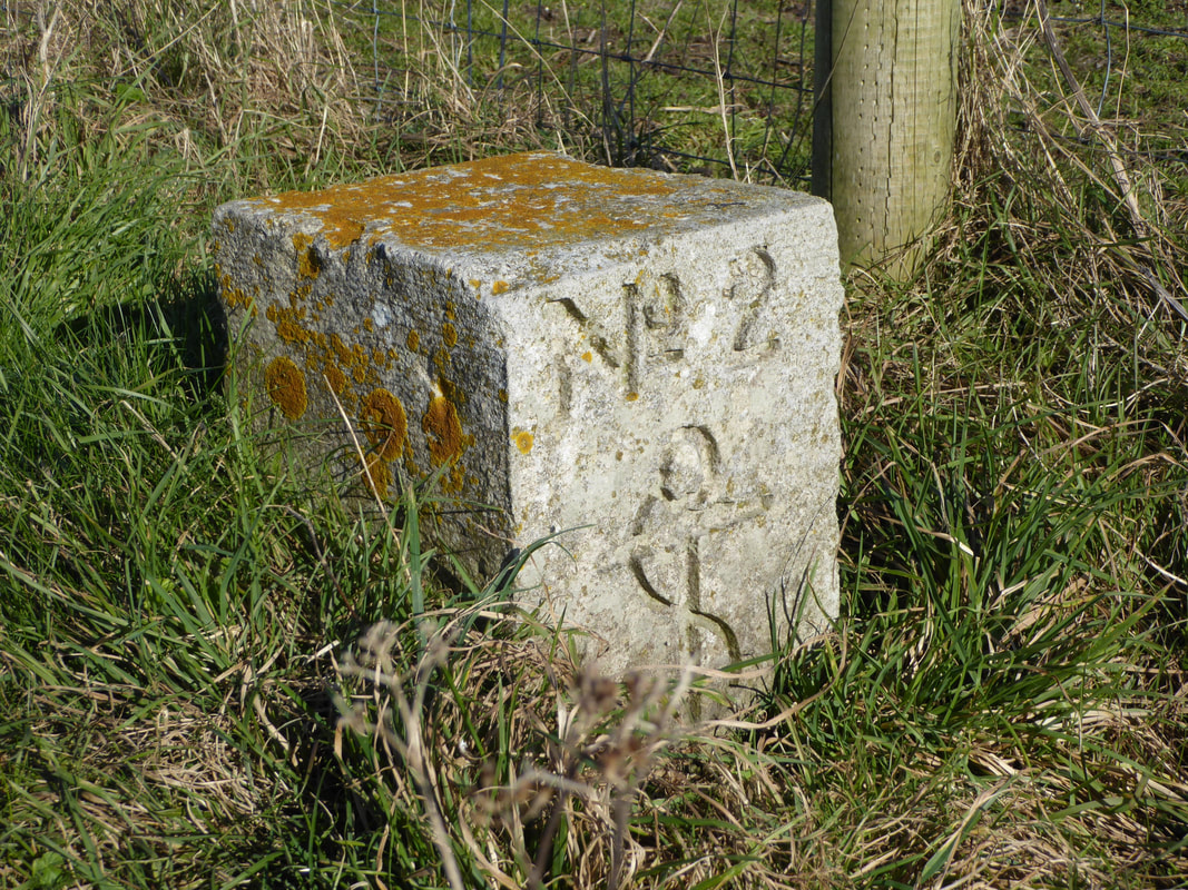
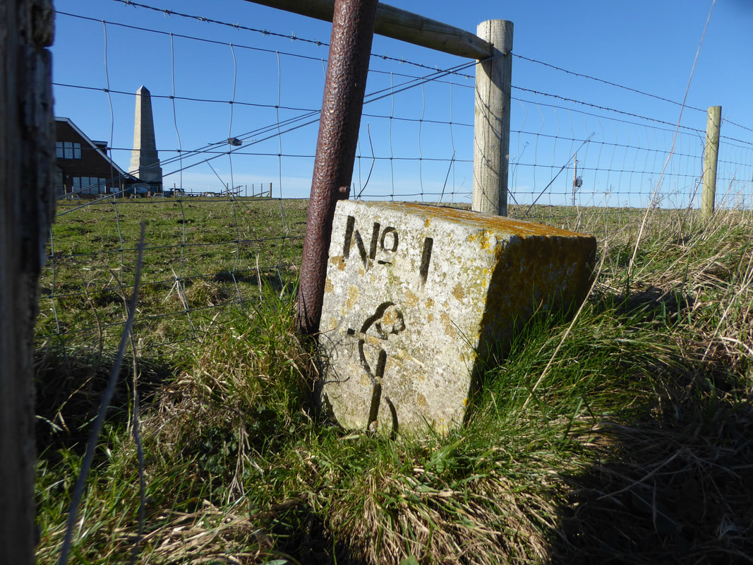
These two stones were not that far from Culver Battery and could be either anchor stones for the radar mast or War Department Boundary Stones
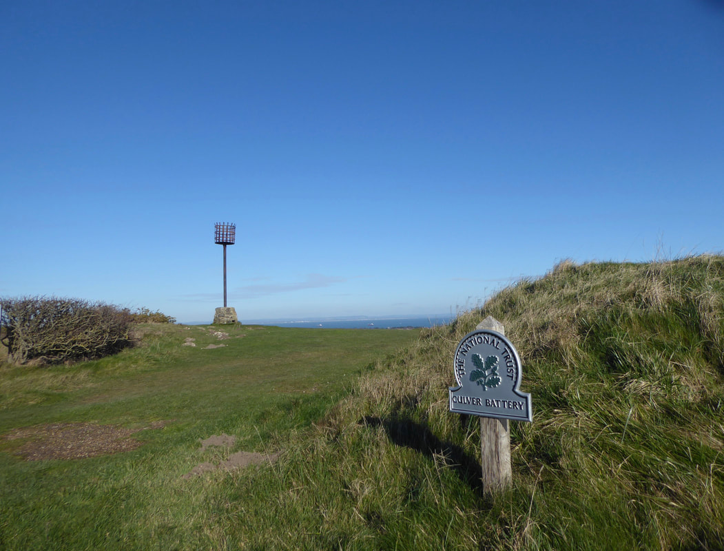
Near Culver Beacon is the National Trust sign for Culver Battery
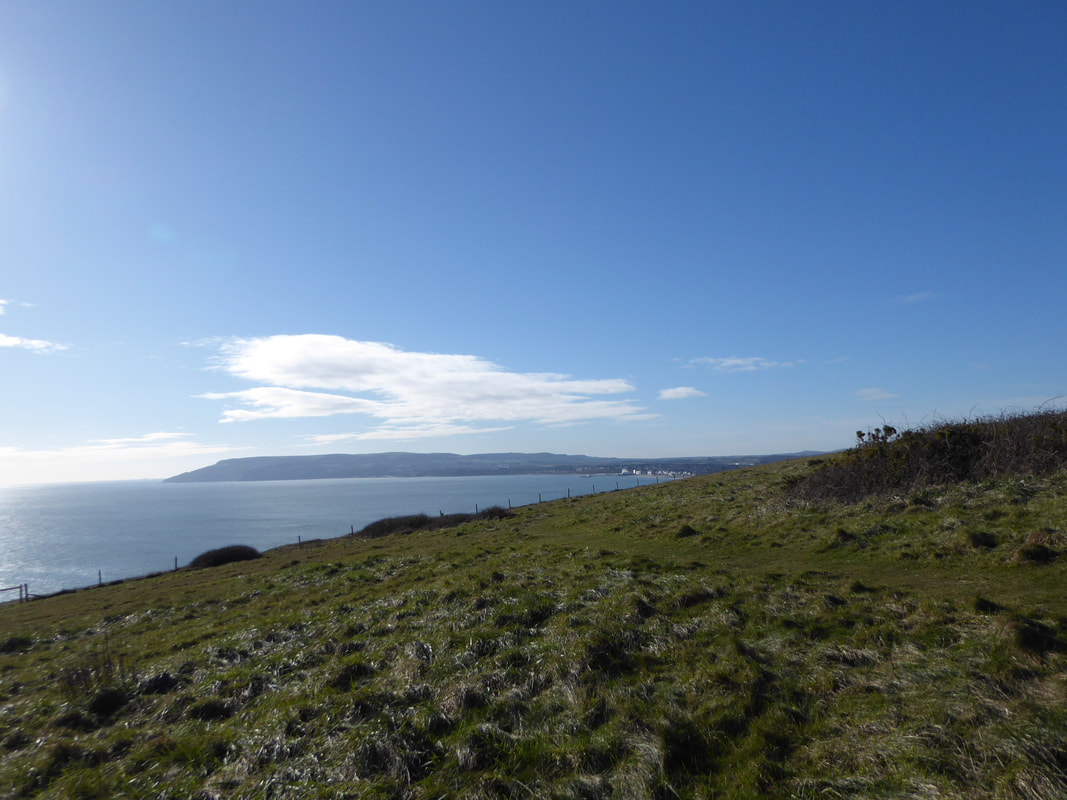
Looking south west down the coast from Culver Down to Shanklin & Ventnor
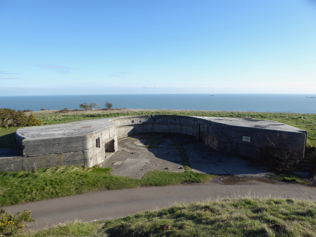
One of the two gun emplacements at Culver Battery.
The Battery was completed in 1906 and was used extensively in both World Wars with the HQ for the Home Guard at nearby Bembridge Fort. By 1924 the guns had been upgraded to MkVI mountings with a range of almost 1 mile. When they fired, the noise & vibration was so great that nearby residents had to be warned beforehand.
The Battery was completed in 1906 and was used extensively in both World Wars with the HQ for the Home Guard at nearby Bembridge Fort. By 1924 the guns had been upgraded to MkVI mountings with a range of almost 1 mile. When they fired, the noise & vibration was so great that nearby residents had to be warned beforehand.
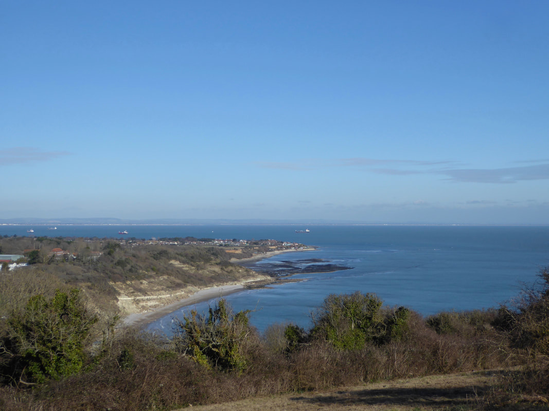
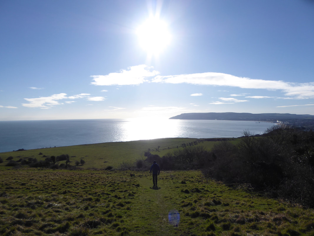
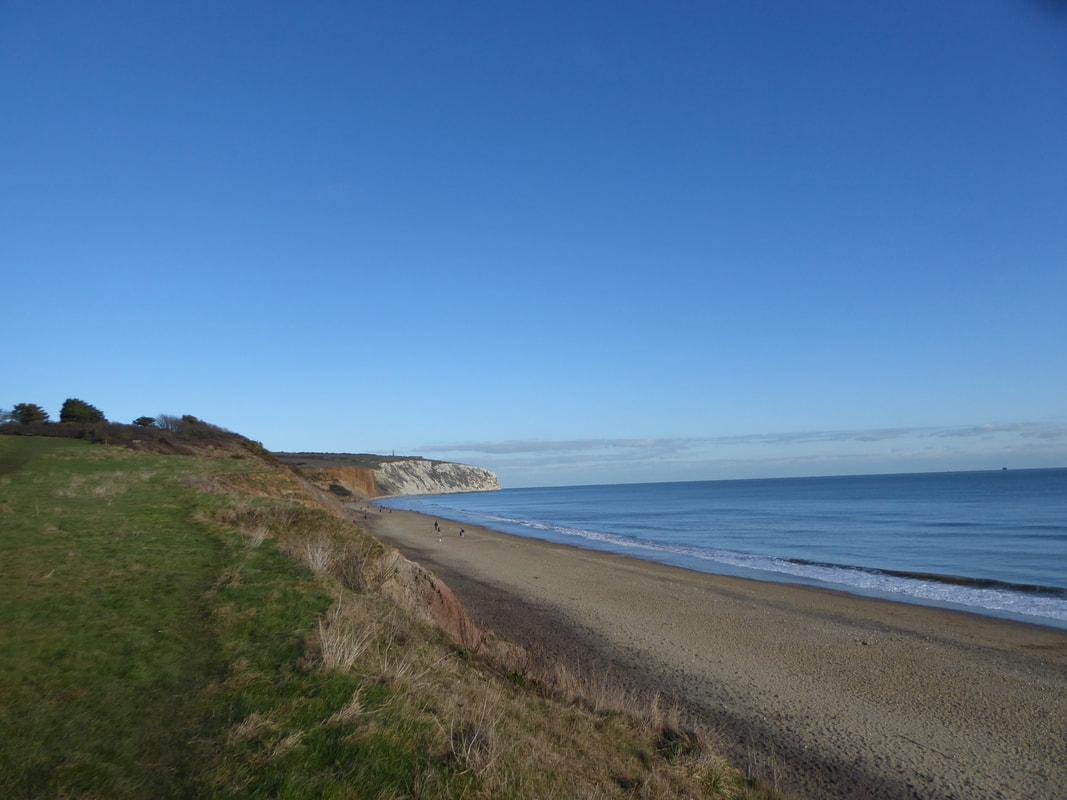
Whitecliff Bay & Bembridge from Culver Cliff
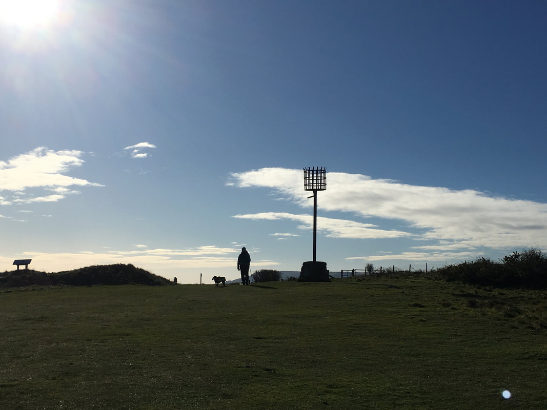
Culver Cliff Beacon
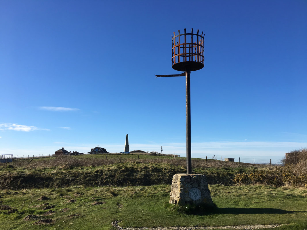
Culver Cliff Beacon & The Yarborough Monument
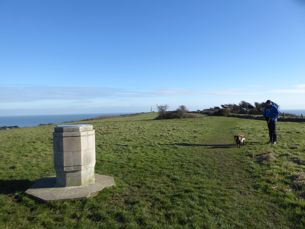
The Toposcope on Culver Down
After a quick walk out to Bembridge Fort there was nothing really to see there unfortunately therefore we made our way over Bembridge Down back towards the coast.
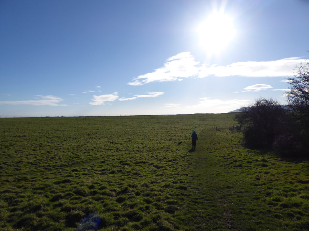
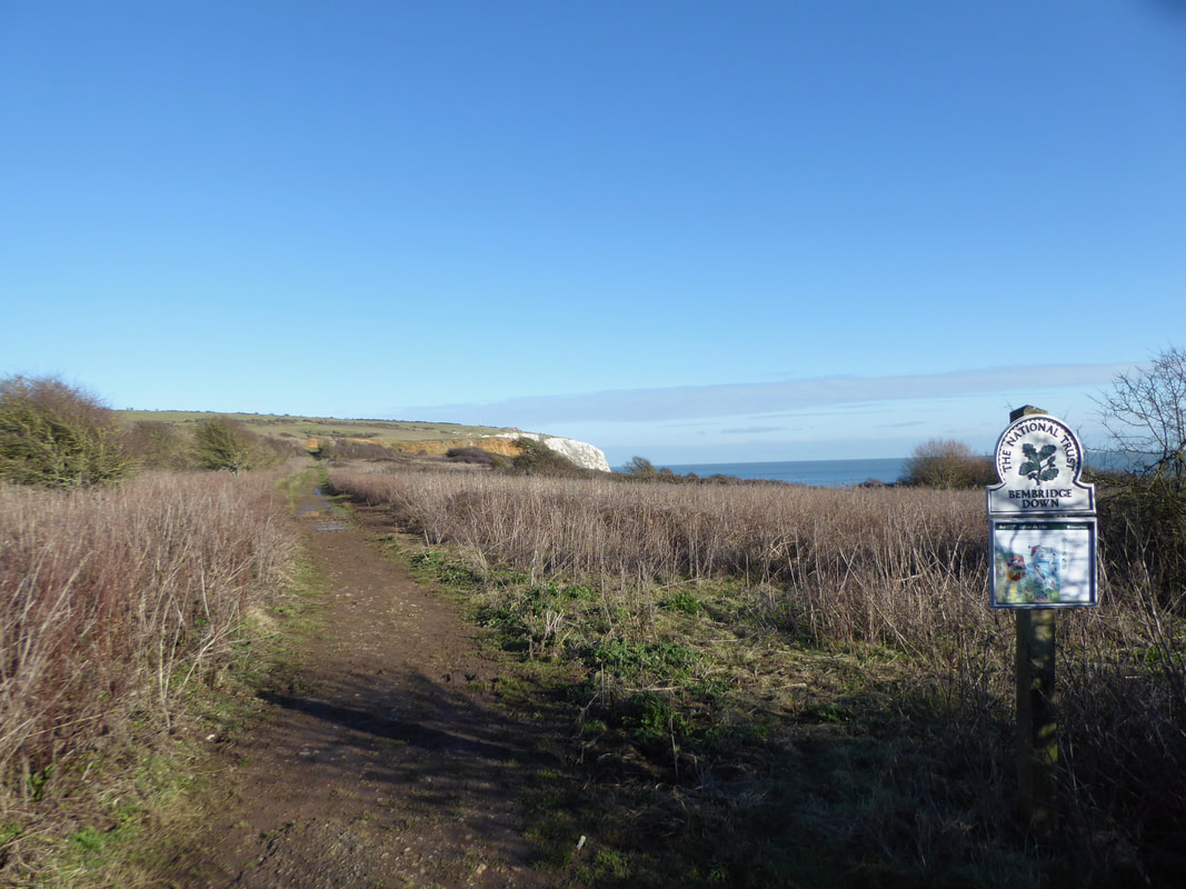
This was a nice stretch over Bembridge Down
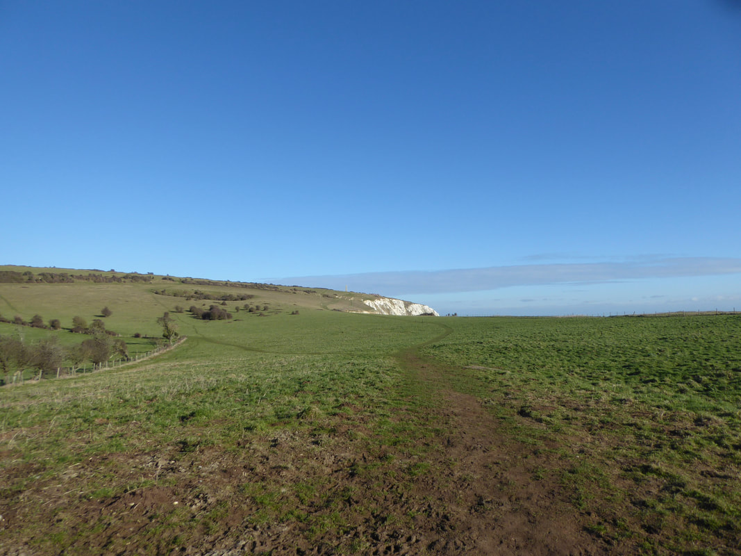
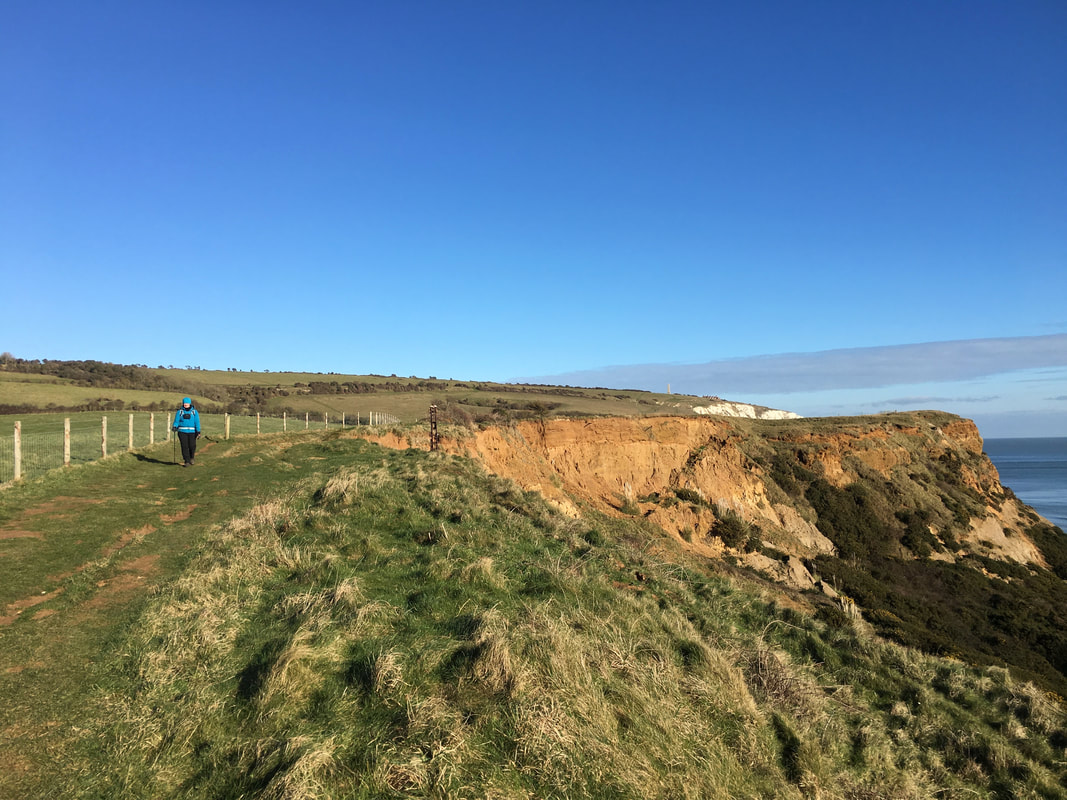
Looking back to Culver Cliff from Bembridge Down
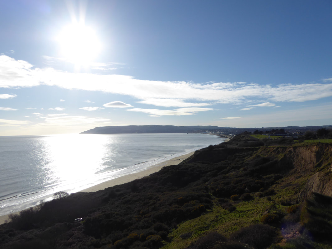
Above Red Cliff looking to Sandown, Shanklin & Ventnor
Above Red Cliff - again, another lovely section of walking
Leaving Bembridge Down
Yaverland Beach
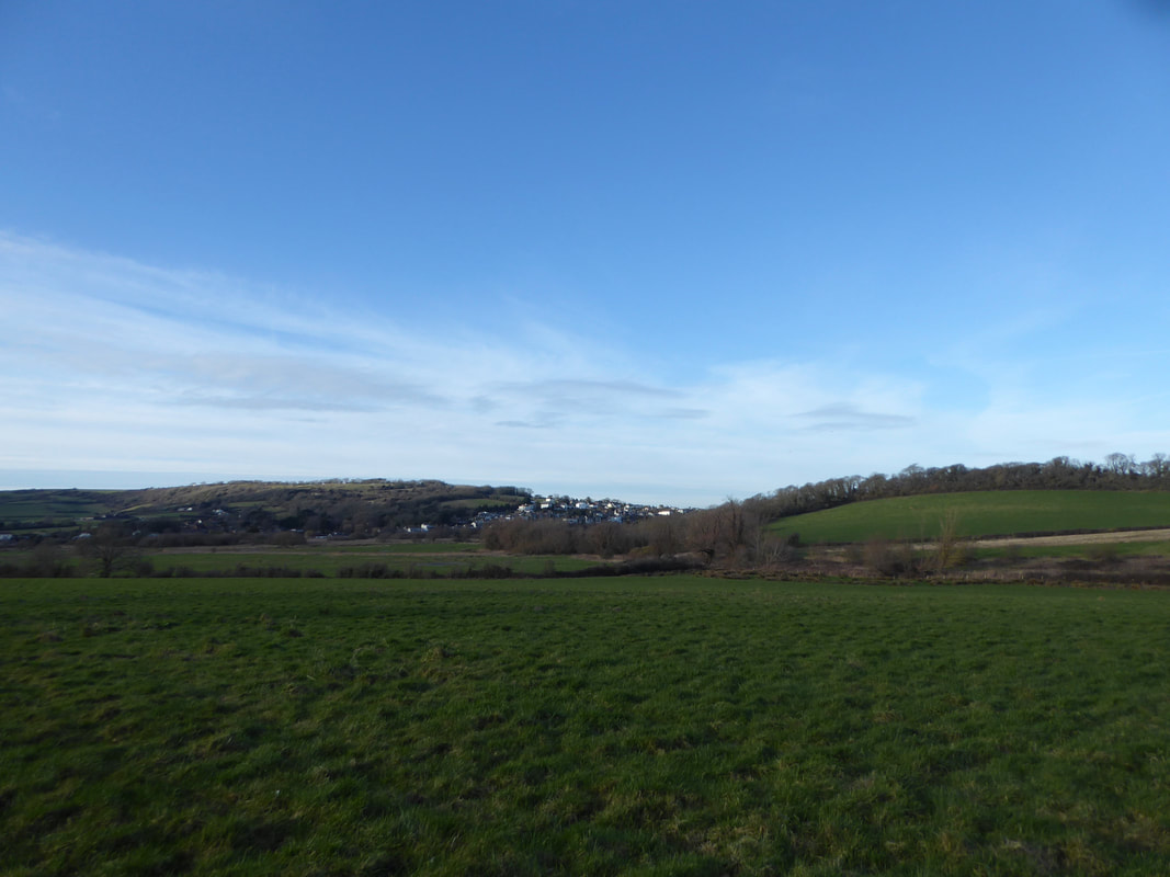
Brading from the boggy area between Yaverland & Yarbridge
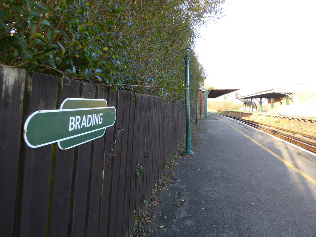
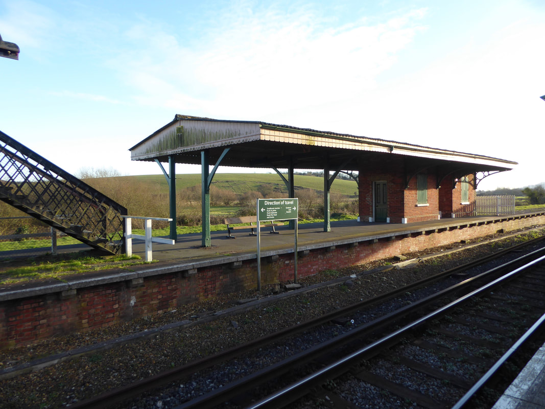
Brading Station
The station is Grade 2 listed station on the Island Line between Ryde & Shanklin. Owing to its secluded location and single operational platform, it is one of the quietest stations on the island.
The station is Grade 2 listed station on the Island Line between Ryde & Shanklin. Owing to its secluded location and single operational platform, it is one of the quietest stations on the island.
It was clear to see that the station needed a fair amount of tender loving care - it was in a bit of a state.
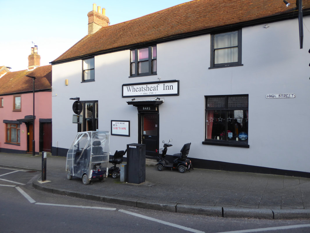
Possibly the home base of the infamous Isle of Wight Mobility Scooter Bandits. Hopefully they weren't holding the place up or going to drive home after having a skinful.
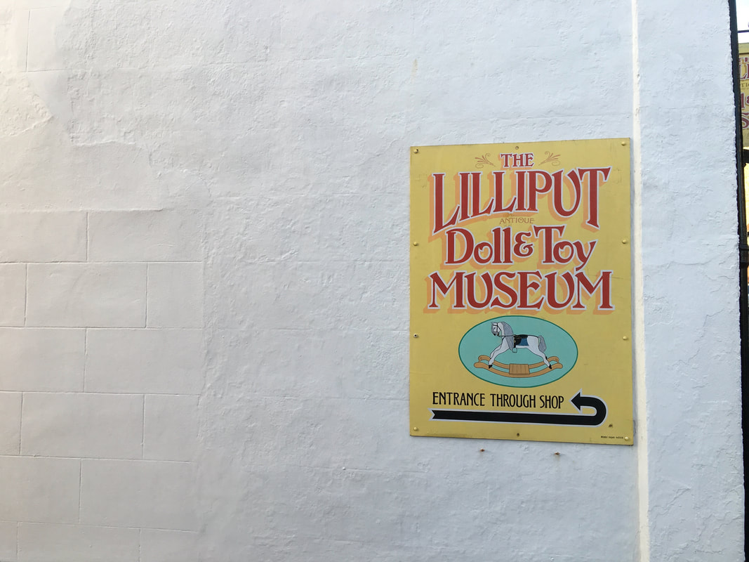
We were going to visit but had no small change (dah dum tiisshhhh)
