Angletarn Pikes & Brock Crags - Thursday 5 March 2020
Route
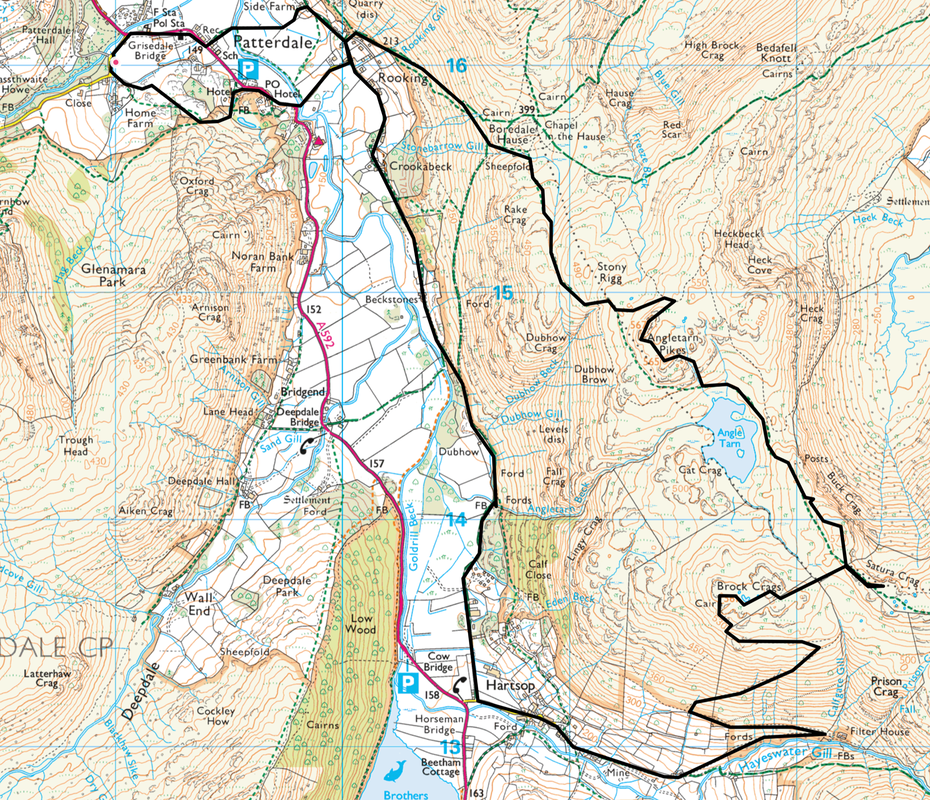
Patterdale - Rooking - Boredale Hause - Angletarn Pikes (North Top) - Angletarn Pikes (South Top) - Angle Tarn - Buck Crag - Satura Crag - Brock Crags - Filter House - Hartsop - Dubhow - Beckstones - Crookabeck - Side Farm - Patterdale
Parking
Patterdale where it is £3 all day (2020) at King George V Car Park (opposite Patterdale Hall) - Grid Ref NY390160 (Nearest Postcode is CA11 0PX)
Mileage
9.6 miles
Terrain
Good mountain paths with some rocky sections but nothing too onerous. The descent from Brock Crags to the Filter House is over steep & sloping ground therefore take care in wet or icy conditions.
Weather
Whilst cold, we had sunshine for the majority of the walk with some overcast spells. Visibility was very good.
Time Taken
6hrs 30mins
Total Ascent
2116ft (645m)
Wainwrights
2
Map
OL5 - The English Lakes - North Eastern Area
Walkers
Dave, Angie & Fudge with Janet, Geoff, Roxy & Ada
|
GPX File
|
| ||
If the above GPX file fails to download or presents itself as an XML file once downloaded then please feel free to contact me and I will send you the GPX file via e-mail.
Route Map
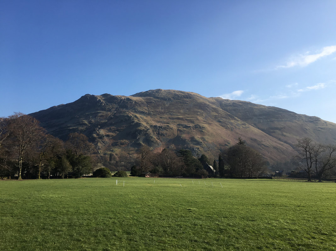
Place Fell from the Car Park. It looked like we were in for a promising day with the weather.
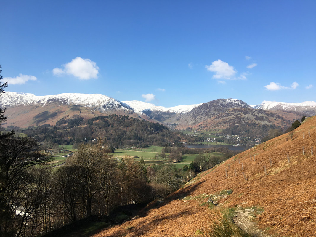
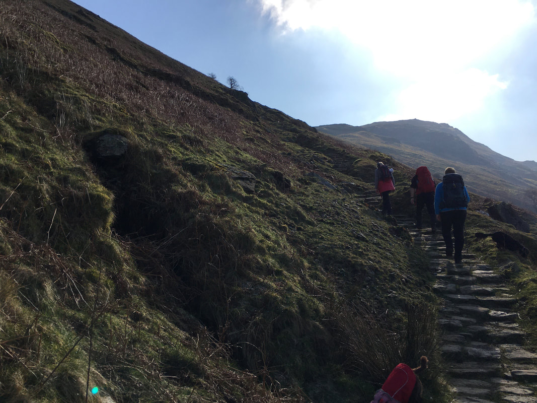
The ascent to Boredale Hause looking to Patterdale, Ullswater & Glenridding.
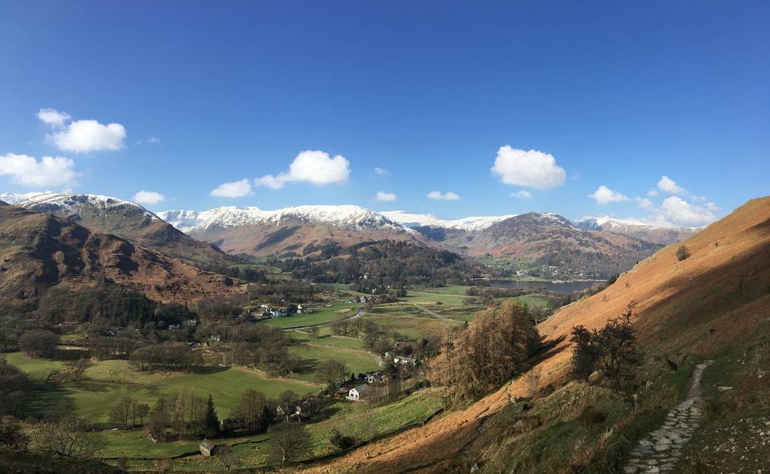
Birkhouse Moor is to the left with Raise centre - Glenridding Dodd & Sheffield Pike are to the right. I have made this ascent of Boredale Hause many, many times and never tire of this view - if you do this route make sure you look back and over to your right often.
Birkhouse Moor is to the left with Raise centre - Glenridding Dodd & Sheffield Pike are to the right. I have made this ascent of Boredale Hause many, many times and never tire of this view - if you do this route make sure you look back and over to your right often.
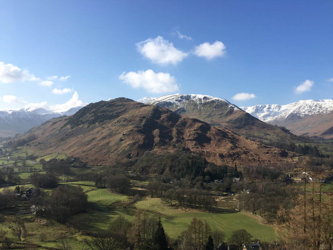
As height is gained the views just get better & better. Arnison Crag & Birks tower above Patterdale.
Over the years Fix the Fells have done a lot of work on the path to Boredale Hause.
It gets quite a lot of footfall as it is on the main Coast to Coast path.
It gets quite a lot of footfall as it is on the main Coast to Coast path.
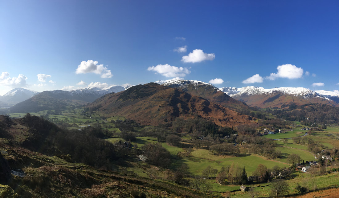
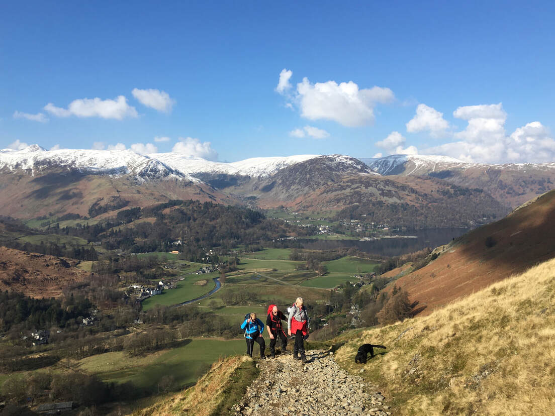
As height is gained the views really do open out with the Helvellyn range and The Dodds coming into view
The panorama to the south is equally as impressive as we look to the Fairfield Range
The head of Ullswater is like a millpond as we continue to climb
Boredale Hause
Boredale Hause below us now as we look to Place Fell.
The summit of Place Fell is a little further on - the lump in the centre of shot is Round How.
The summit of Place Fell is a little further on - the lump in the centre of shot is Round How.
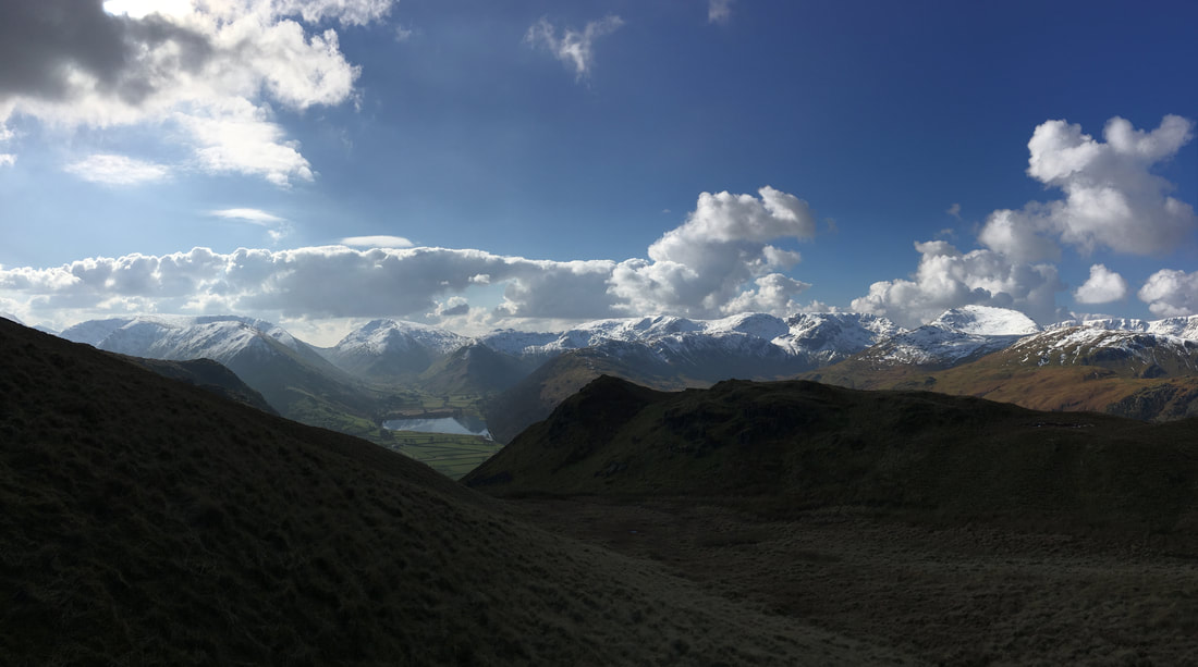
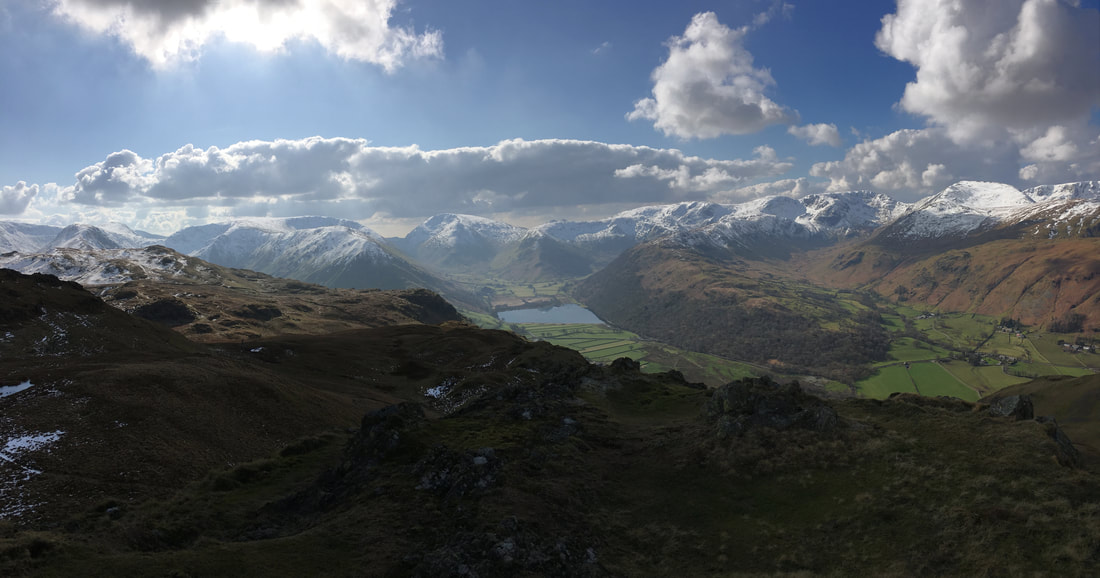
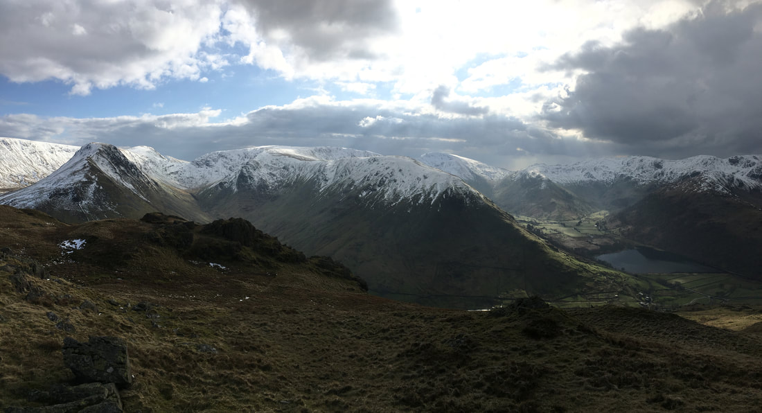
We were now in the shade as we approached the turn off for Angletarn Pikes. Brothers Water is now in view.
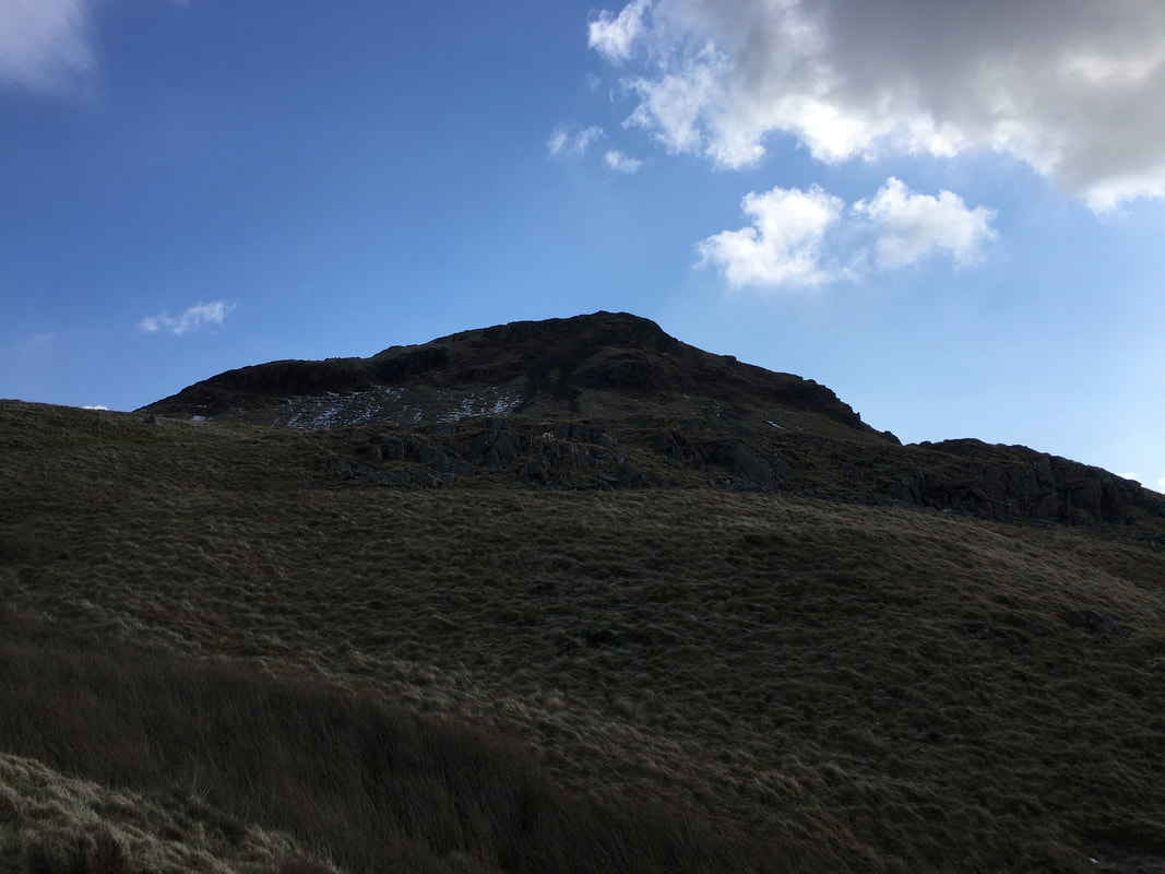
Angletarn Pikes North Top.
There are various ways to the top - today we approached from the left hand side.
There are various ways to the top - today we approached from the left hand side.
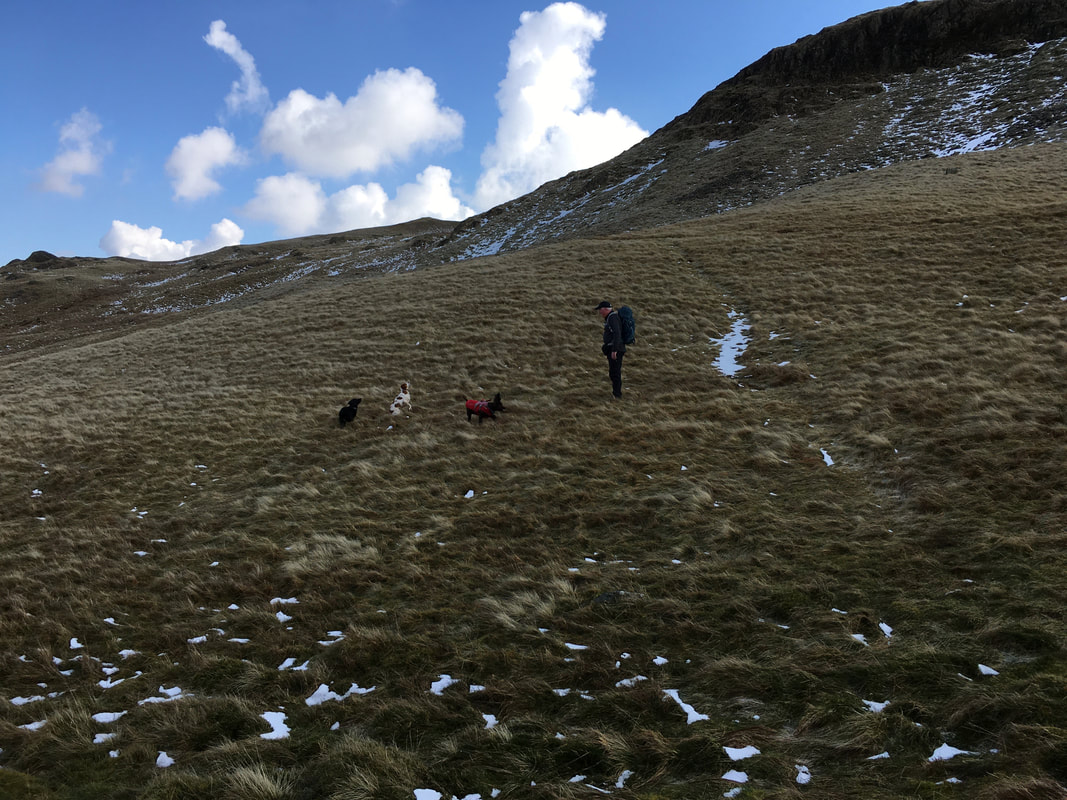
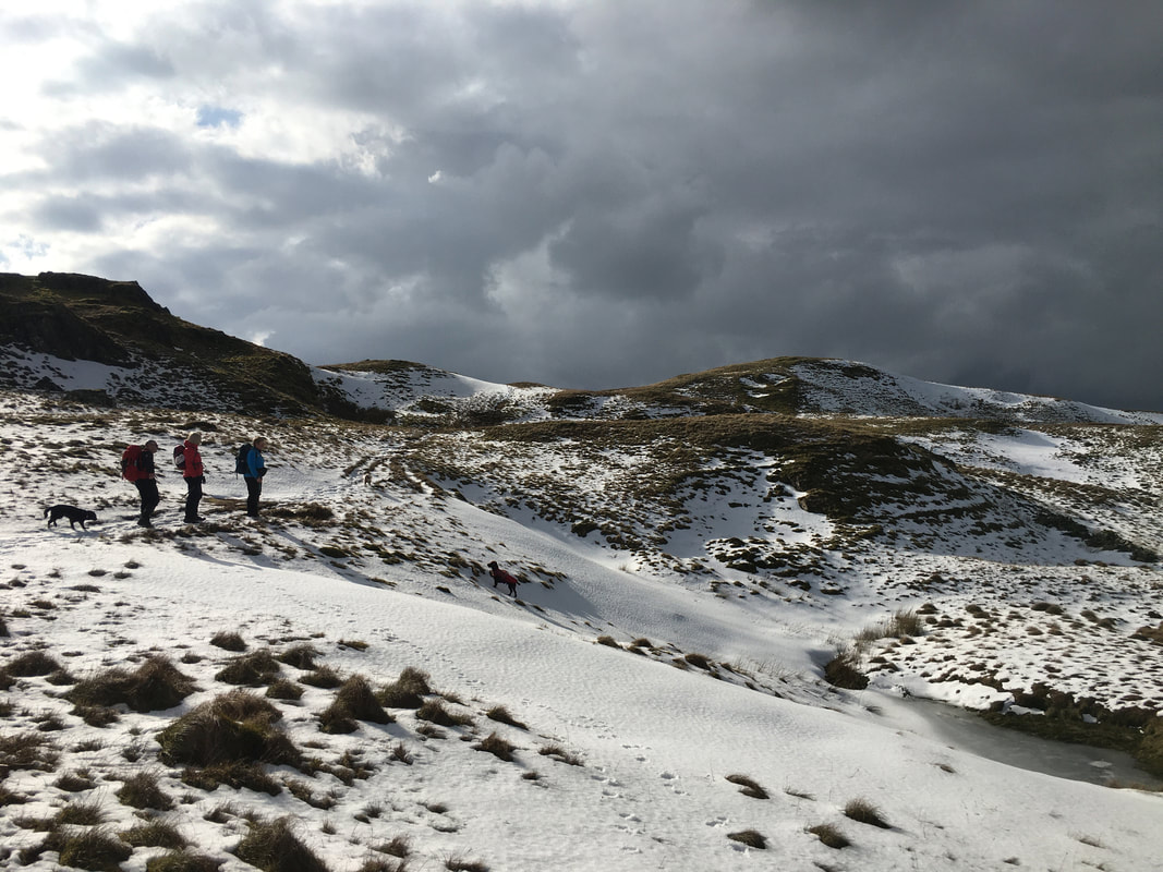
With there being a bit of snow about it was time to give the dogs a bit of fun with some snowball catching practice
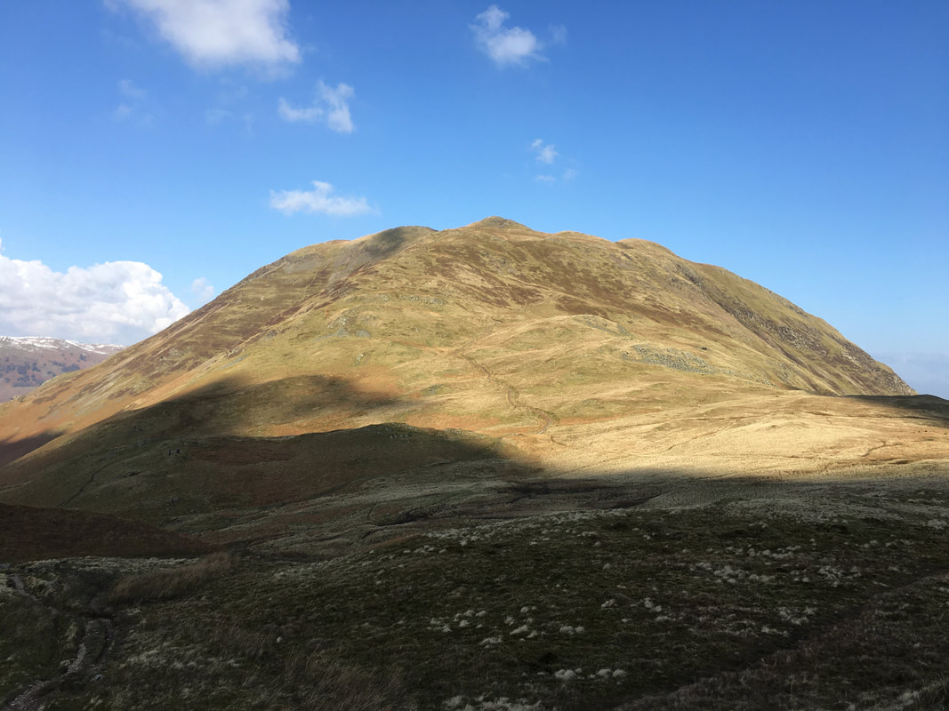
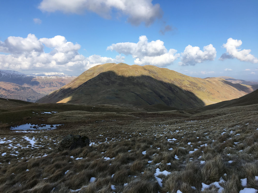
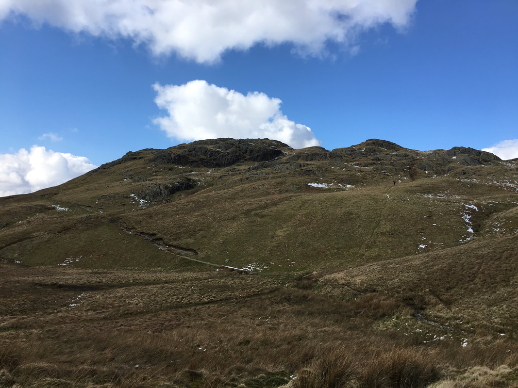
Another view of Place Fell this time from the slopes of Angletarn Pikes
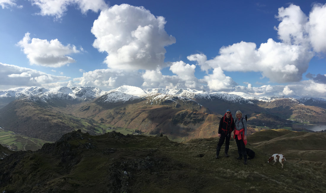
The Wainwright summit of Angetarn Pikes North Top - what a view that is!
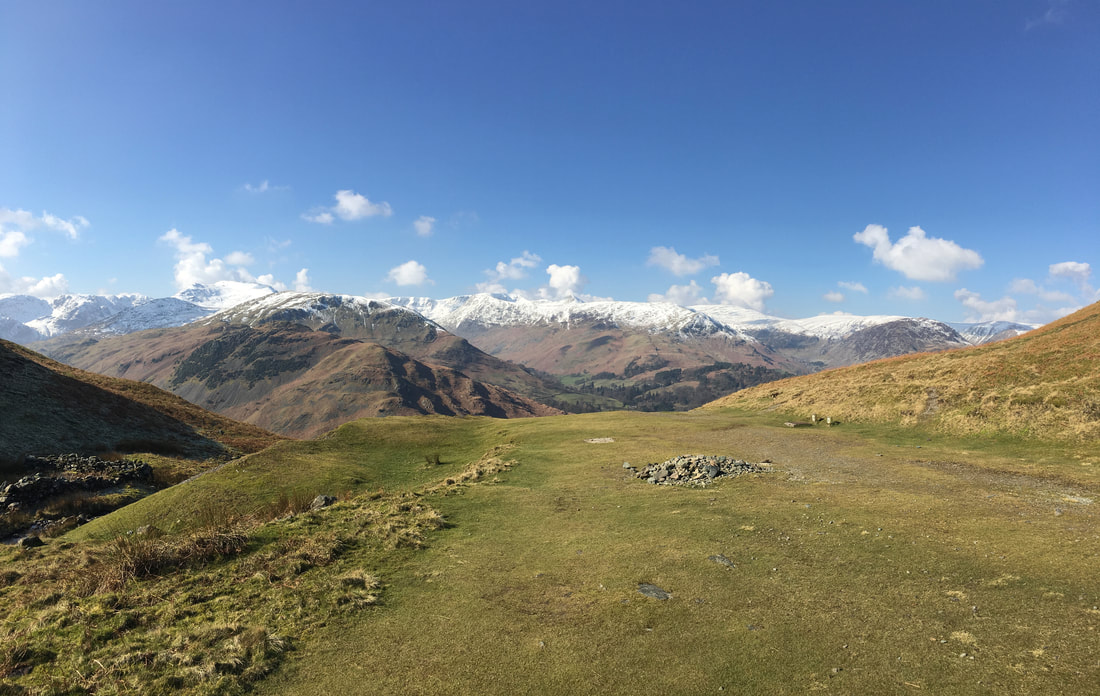
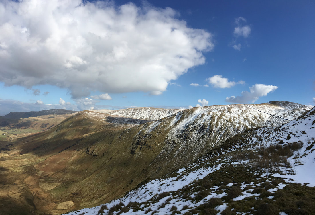
Looking to Angletarn Pikes (South Top) from the North Top. There is perhaps a 6ft difference in height between the two tops and whilst the North Top is higher, the views from the South Top are considered by many to be better, particularly to Angle Tarn. In the distance from left to right are High Raise, Rest Dodd, Rampsgill Head, The Knott, High Street, Gray Crag & Thornthwaite Crag
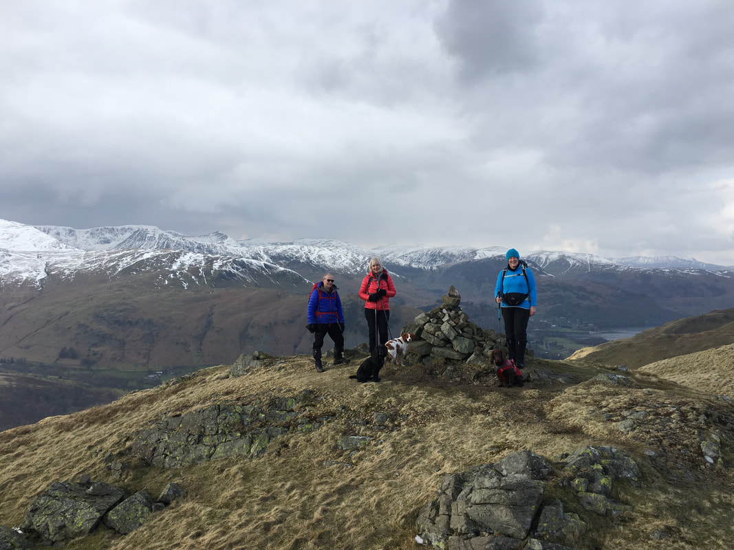
Janet, Geoff plus pooches on the summit of Angletarn Pikes North Top
From Angletarn Pikes there is a connecting ridge to Beda Fell which makes a delightful out and back walk from here.
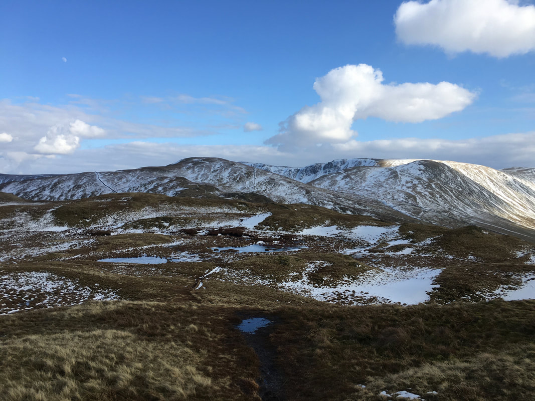
To the right of shot are Bonscale Pike & Loadpot Hill
To the right of shot are Bonscale Pike & Loadpot Hill
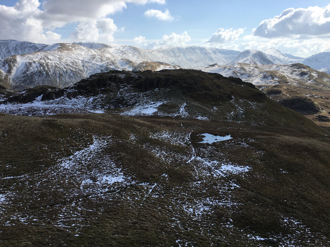
The route to Angletarn Pikes South Top is across a grassy depression.
The summit is reached via a short scramble, the start of which can be seen left of centre.
The summit is reached via a short scramble, the start of which can be seen left of centre.
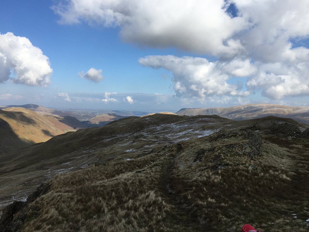
Looking back to the North Top from the ascent of the South Top
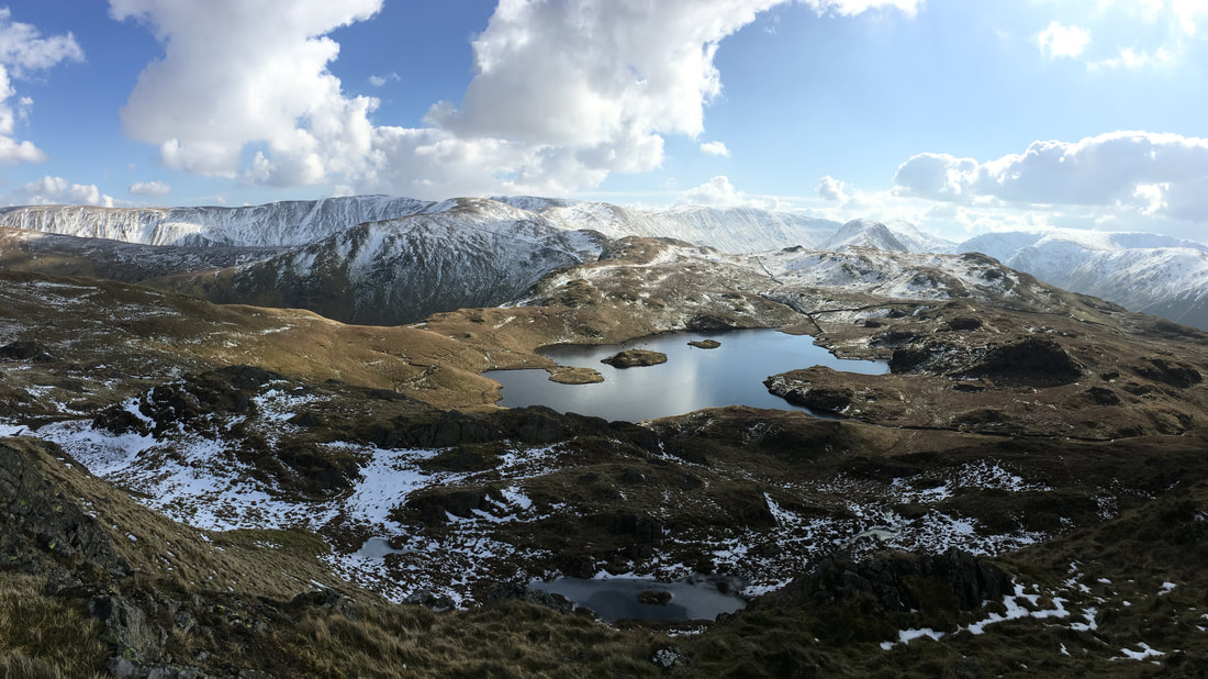
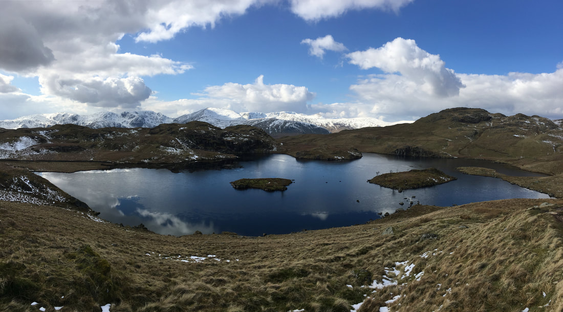
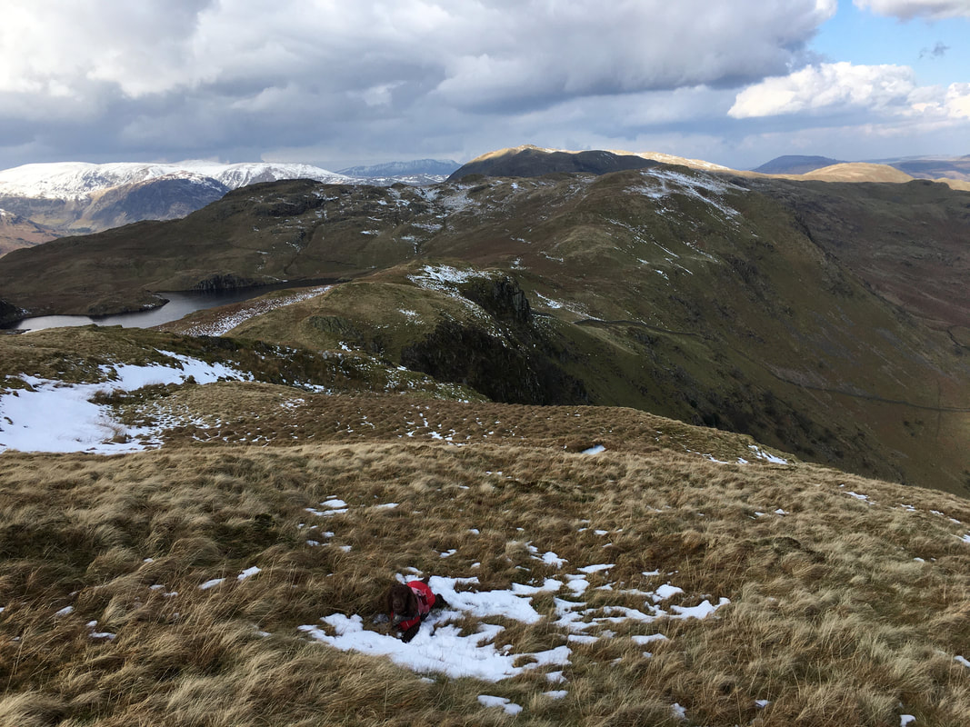
Angle Tarn from the summit of Angletarn Pikes South Top
Looking back to the South Top from the shores of Angle Tarn.
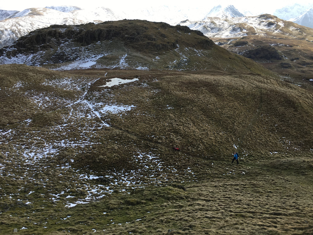
A walker can be seen on one of the many paths that can be used by way of descent. We descended via a good path which heads down from the centre of shot to regain the main Coast to Coast path coming in from the left.
A walker can be seen on one of the many paths that can be used by way of descent. We descended via a good path which heads down from the centre of shot to regain the main Coast to Coast path coming in from the left.
An Angle Tarn panorama - it was just stunning here today
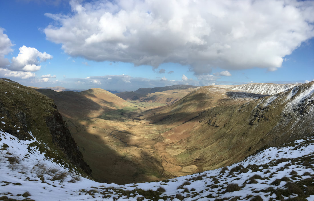
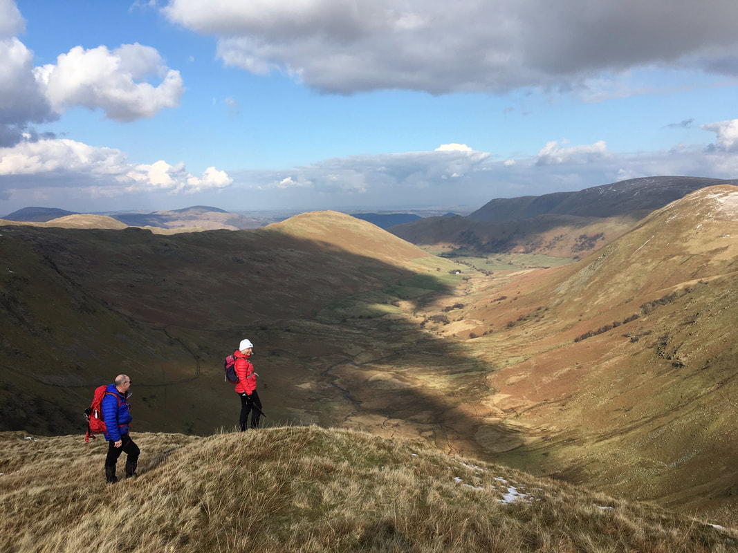
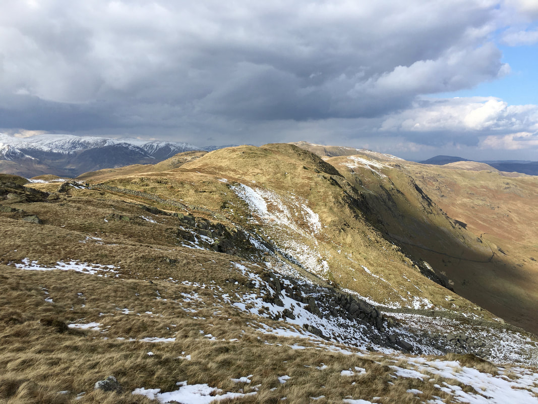
Looking into Bannerdale from near Buck Crag with Beda Fell to the left and The Nab to the right
Bannerdale, The Nab & Rest Dodd
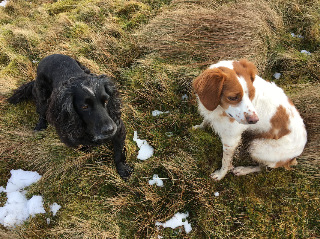
Roxy & Ada - sat still for once!
Looking back to Angletarn Pikes with Blencathra in the far distance
We left the main Coast to Coast path and headed for Buck Crag - it is worth the slight detour
Another shot of The Nab & Rest Dodd.
The ridge to Rest Dodd can be seen running from right to left and is one of a few ways up on to the summit. The wall running between Rest Dodd & The Nab provides access on to the latter (see here)
The ridge to Rest Dodd can be seen running from right to left and is one of a few ways up on to the summit. The wall running between Rest Dodd & The Nab provides access on to the latter (see here)
The view into Bannerdale from Buck Crag
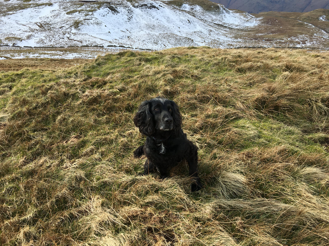
The gorgeous Roxy........................
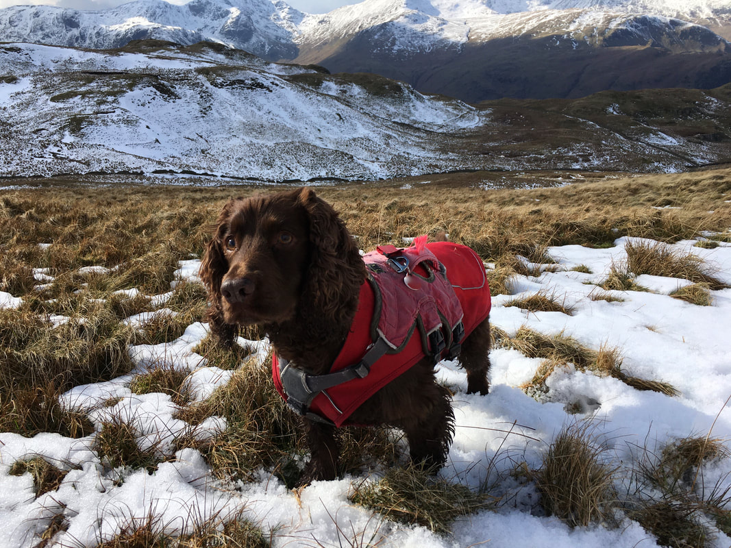
...........and the equally gorgeous Fudge
Back on the main Coast to Coast path having dropped down from Buck Crag.
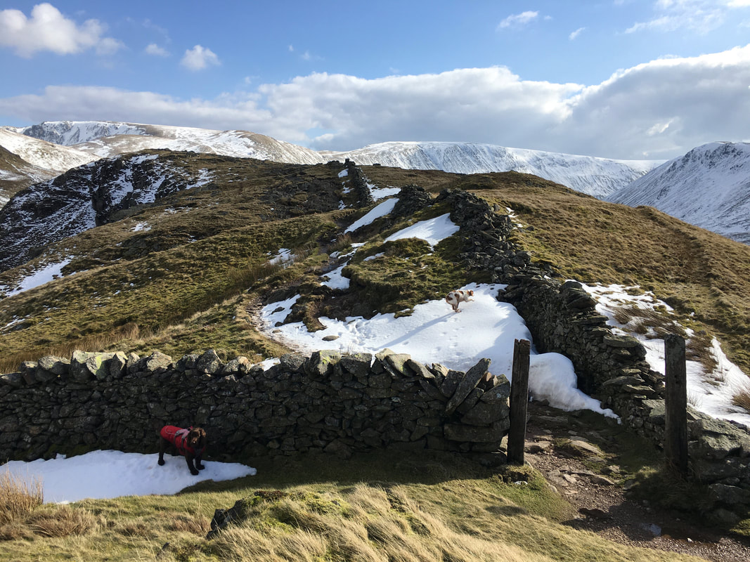
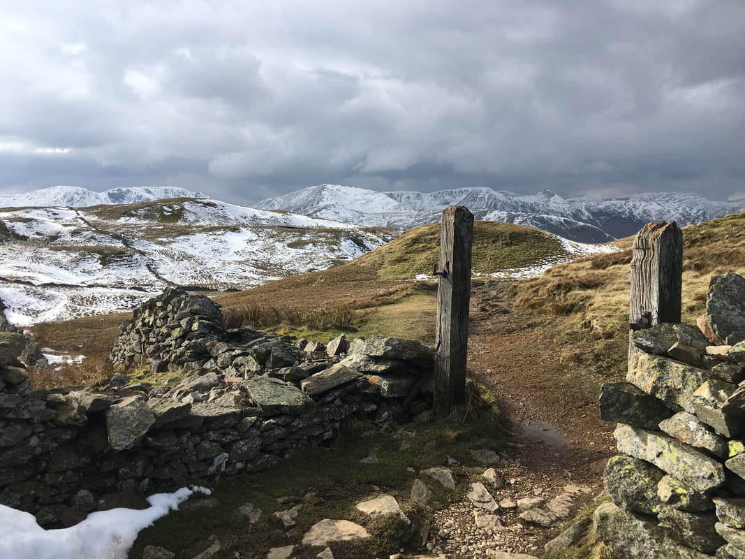
The wooden gateway (minus gate) marks the point at which people bound for Brock Crags would normally turn to the right just before passing through the gateposts. We would come back here shortly but first we intended to do a quick out and back to Satura Crag.
The wooden gateway (minus gate) marks the point at which people bound for Brock Crags would normally turn to the right just before passing through the gateposts. We would come back here shortly but first we intended to do a quick out and back to Satura Crag.
Buck Crag from Satura Crag
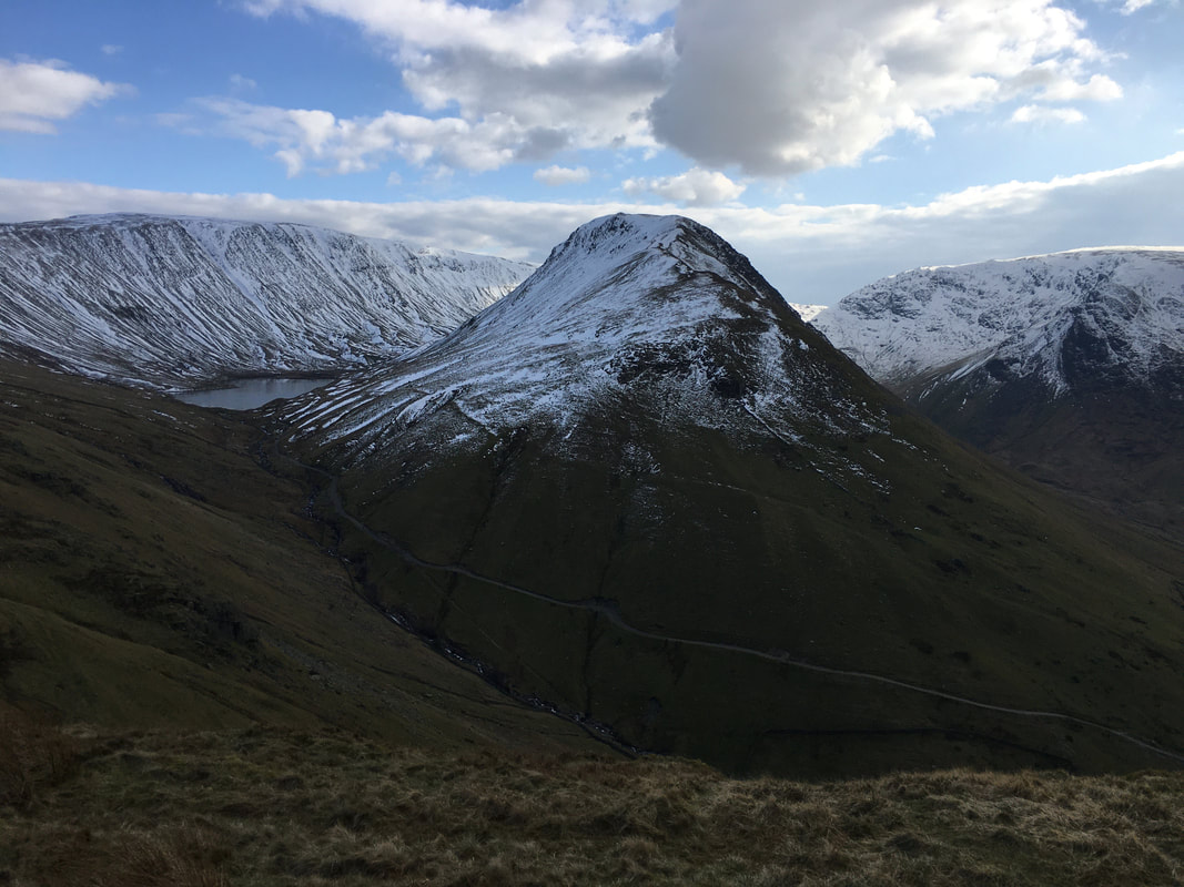
The summit of Satura Crag looking to Rest Dodd
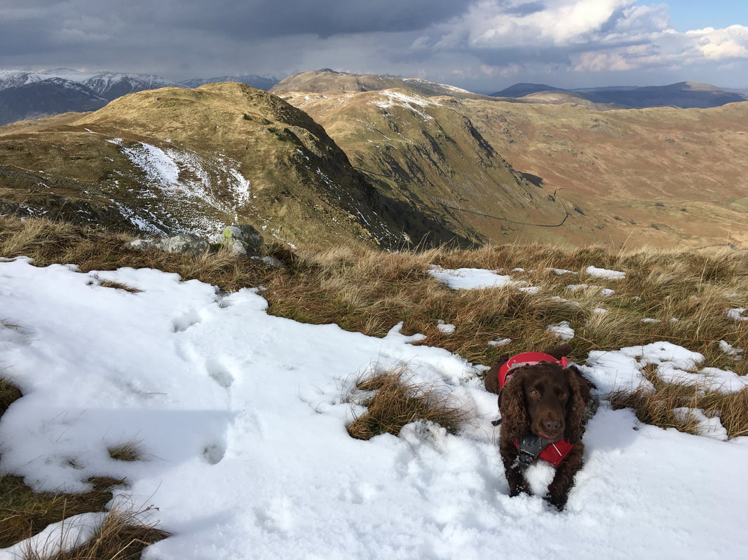
Ready for an arse about in the snow eh Fudge?
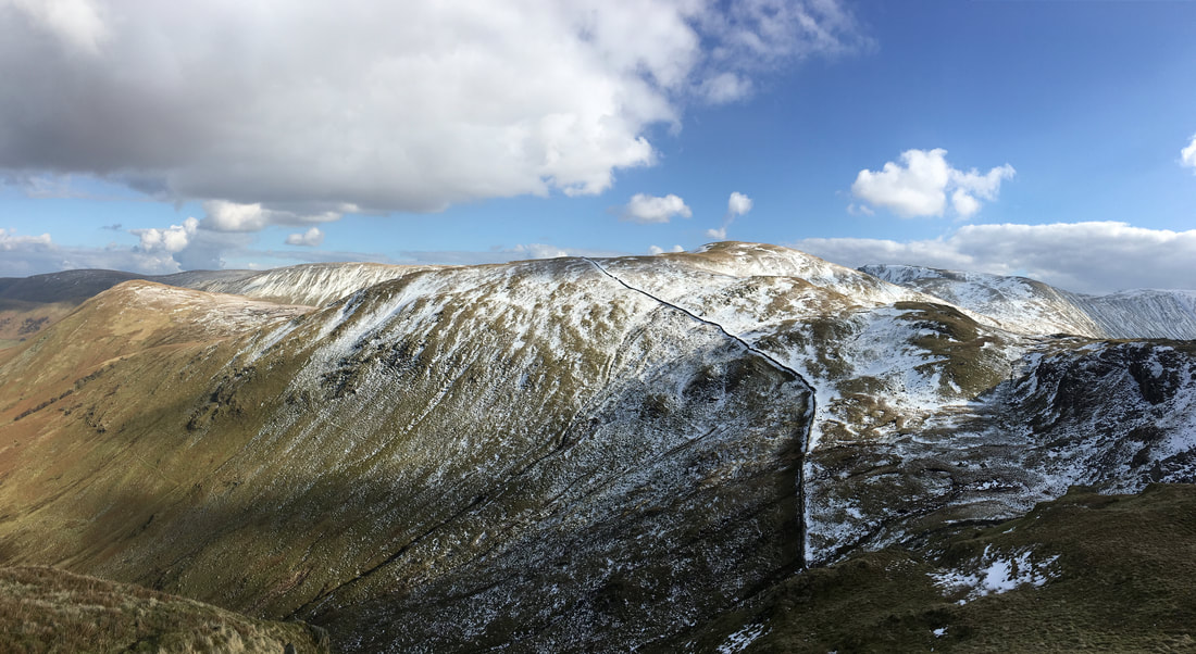
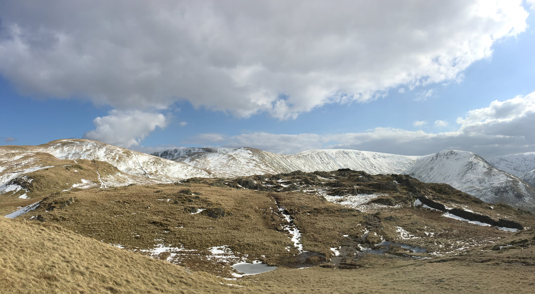
A panorama from near Satura Crag.
Rest Dodd is to the left with the High Street range behind and Gray Crag to the right
Rest Dodd is to the left with the High Street range behind and Gray Crag to the right
Back at the gate posts - the route to Brock Crags follows the wall to the left
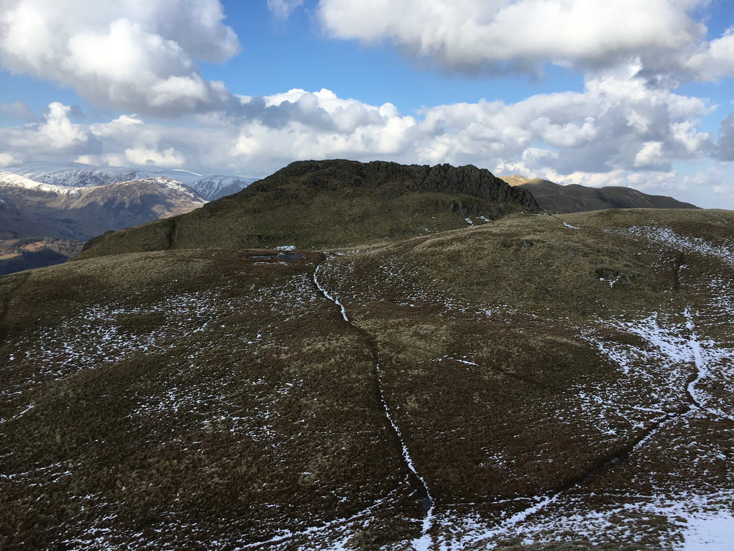
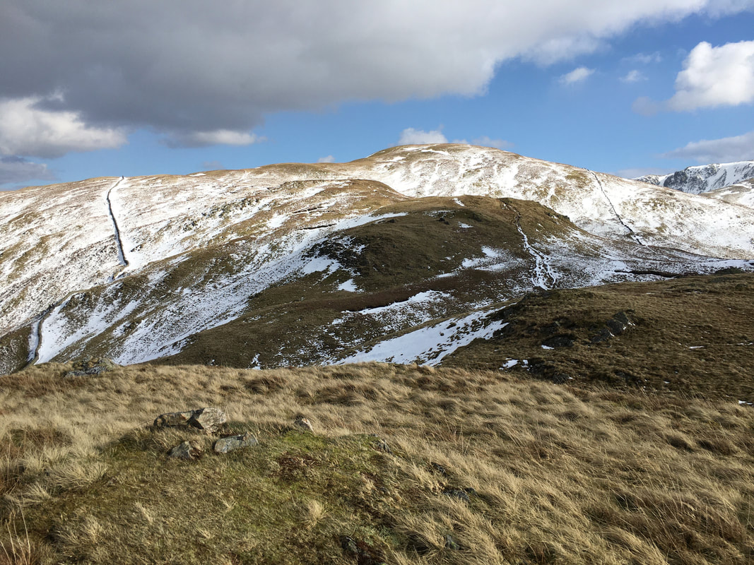
Brock Crags ahead
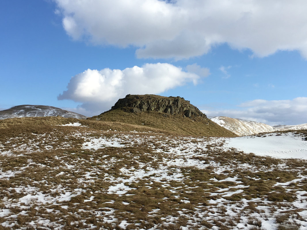
Whilst not marked on the OS Map this lovely rocky outcrop sits east of the summit
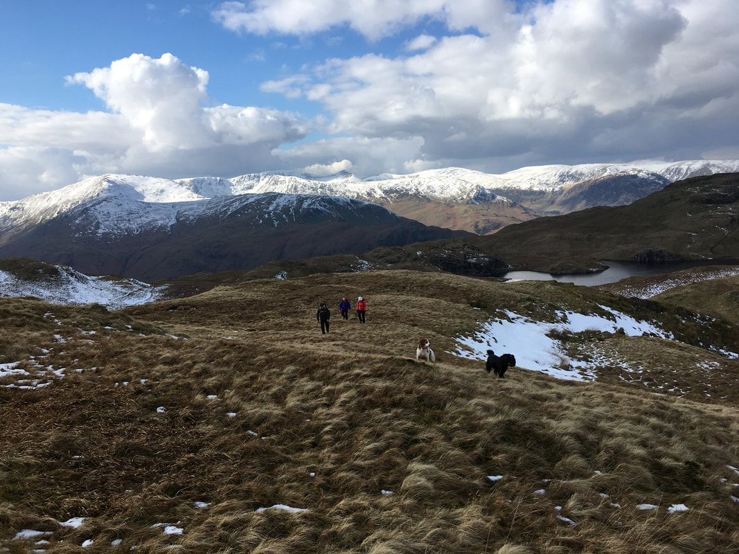
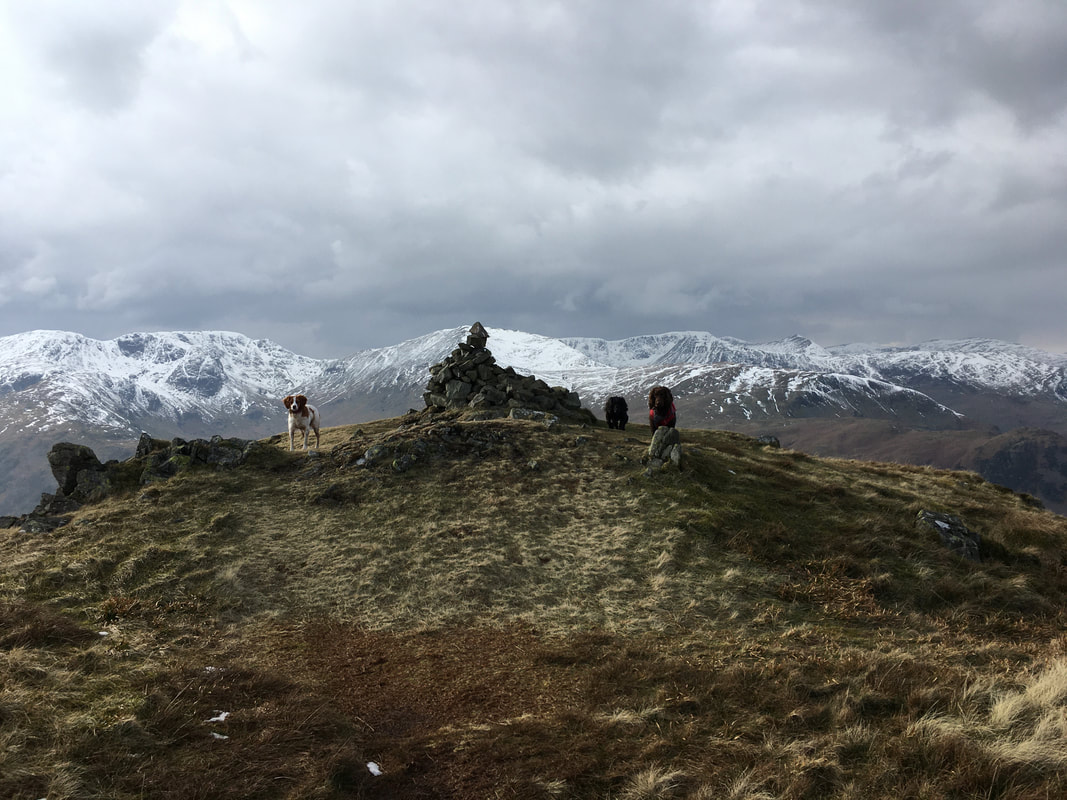
Three pooches guarding the summit of Brock Crags
Looking to Gray Crag, Caudale Moor, Hartsop Dodd, Red Screes and the Fairfield range from the summit of Brock Crags
A look back at our out & back transit to & from Brock Crags
The summit of Brock Crags
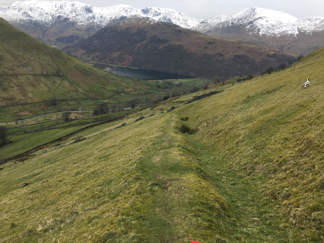
Hayeswater & Gray Crag from our route of descent
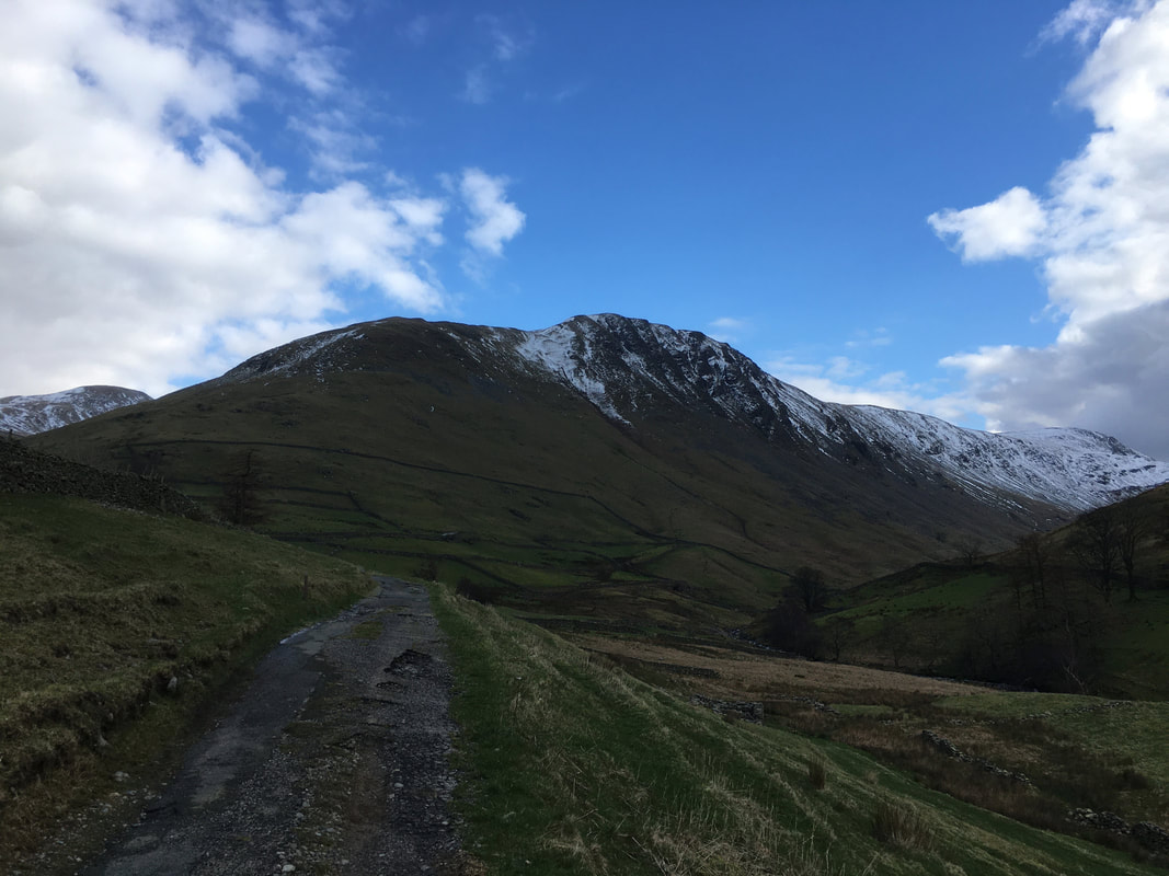
The weather continued to hold as we neared Hartsop
The steep zig zagging descent down to the Filter House
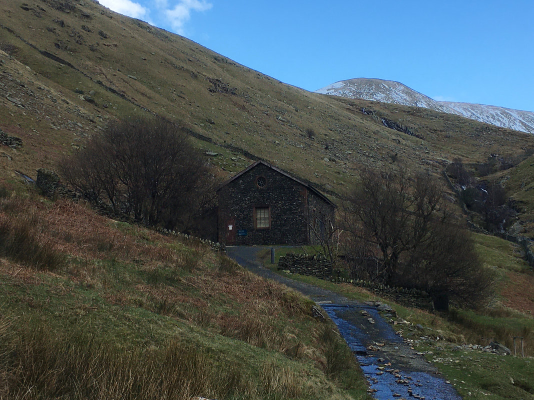
The Hayeswater Filter House
The building housed the equipment used for filtering the water that was abstracted from Hayeswater. The lake stopped being used as a water source in 2005 and the dam was dismantled in 2014 therefore the building is now redundant.
The building housed the equipment used for filtering the water that was abstracted from Hayeswater. The lake stopped being used as a water source in 2005 and the dam was dismantled in 2014 therefore the building is now redundant.
Gray Crag from the Filter House access road
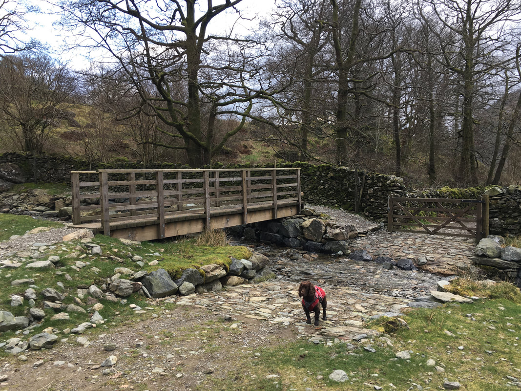
The wooden footbridge at the foot of Angletarn Beck - Fudge looks annoyed at the lack of water
Evening all
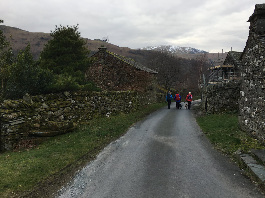
Heading into Hartsop
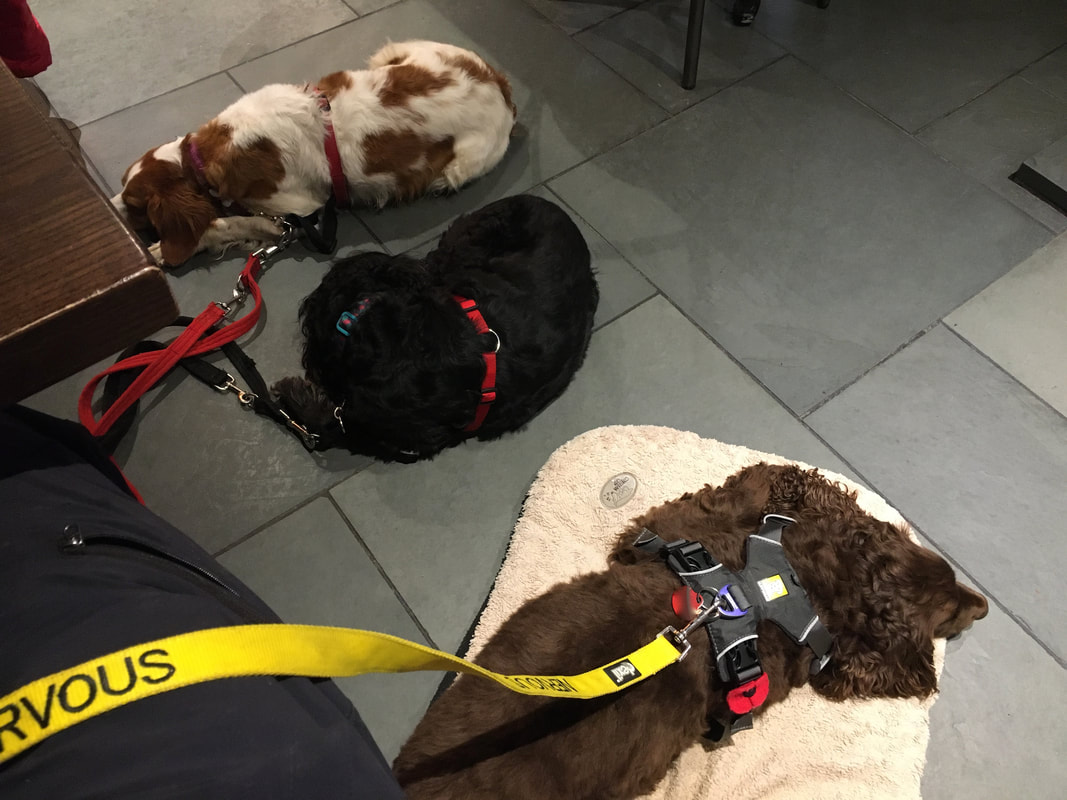
Who had a good day today then? I think we tired them out!
