Conwy Mountain & the Sychnant Pass - Wednesday 6 October 2021
Route
Conwy - Cadnant Park - Conwy Mountain (Mynydd y Dref) - Sychnant Pass - Pensychnant Nature Reserve - Mount Pleasant - Conwy Castle - Conwy
Parking
Parking area (Free) on Morfa Drive opposite Aberconwy School. The nearest postcode is LL32 8QL.
Mileage
6.6 miles
Terrain
Forest tracks, farmland and mountain paths.
Weather
Sunny with light breezes
Time Taken
3hrs
Total Ascent
1105ft (337m)
Map
OL17 Snowdon (Yr Wyddfa)
Walkers
Dave, Angie & Fudge
|
GPX File
|
| ||
If the above GPX file fails to download or presents itself as an XML file once downloaded then please feel free to contact me and I will send you the GPX file via e-mail.
Route Map
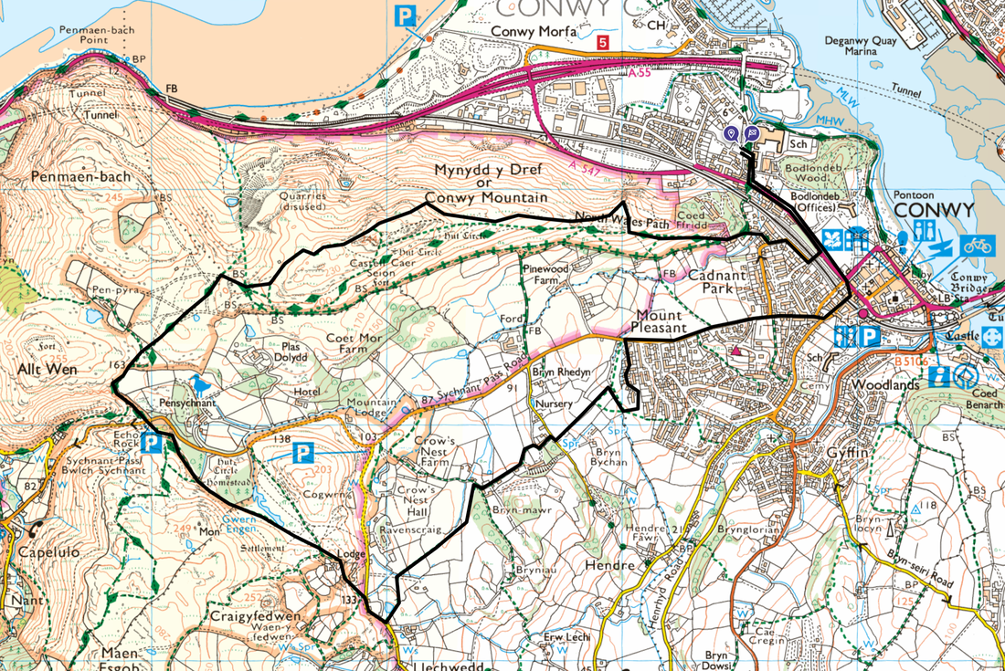
Parking in Conwy is plentiful however we decided to park where it was less busy (and free) just outside the main part of town opposite Aberconwy School.
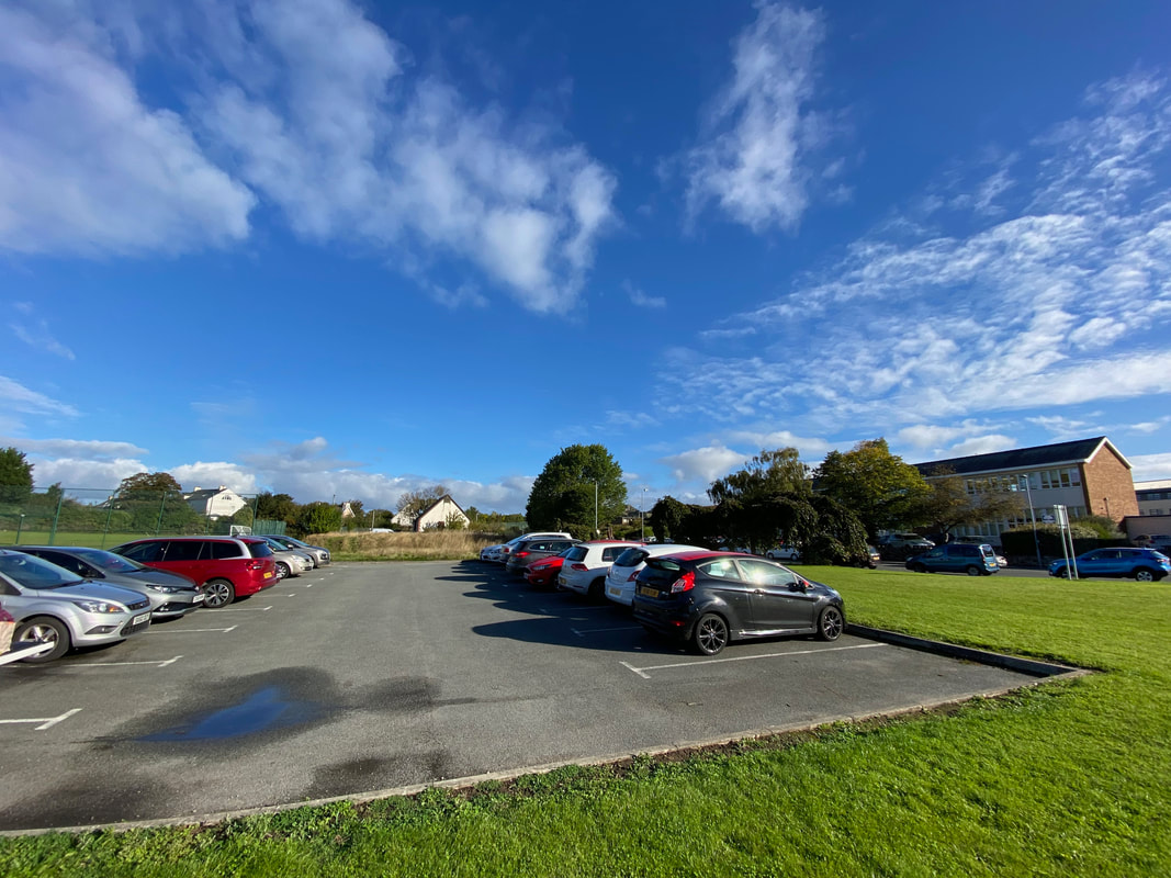
From the parking area the route heads along the A547 towards Conwy and then turns right to pass over the railway via this bridge into an estate called Cadnant Park
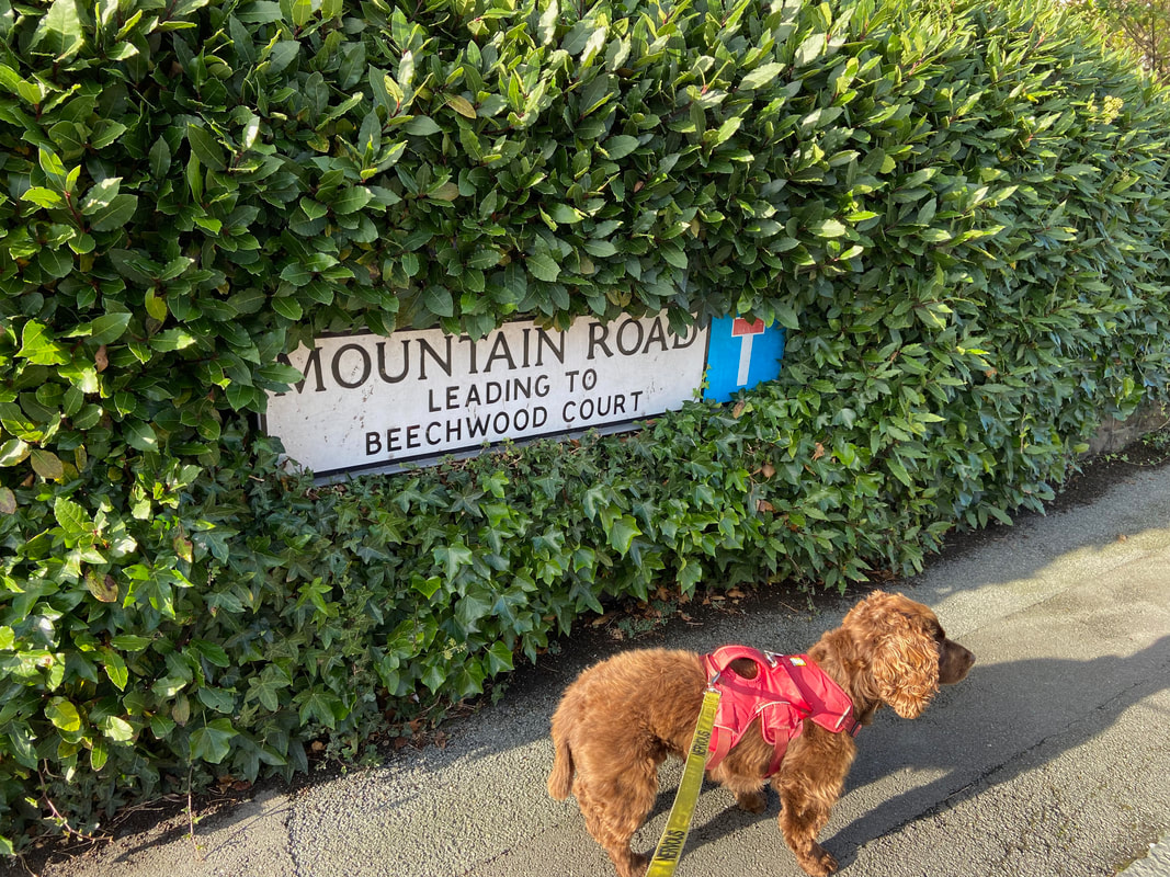
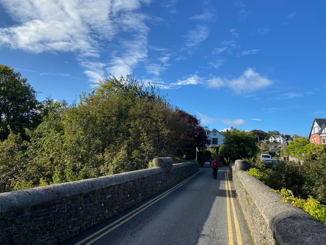
Crossing the bridge we turned right along the appropriately named Mountain Road
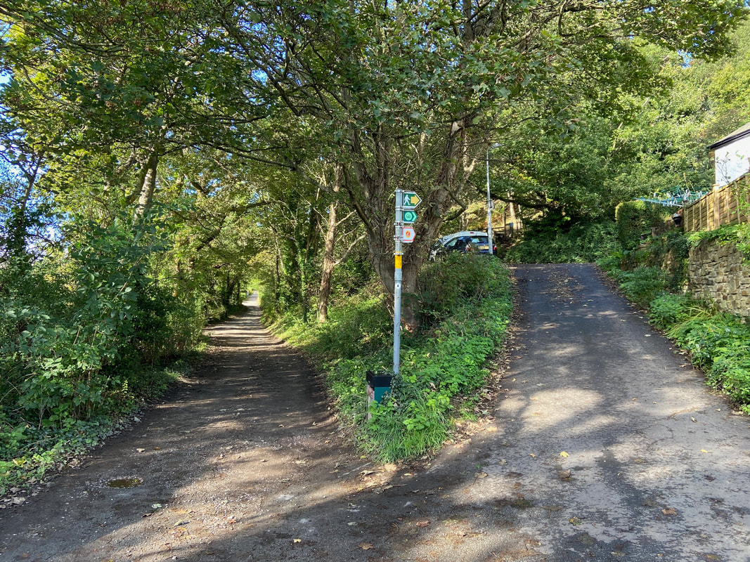
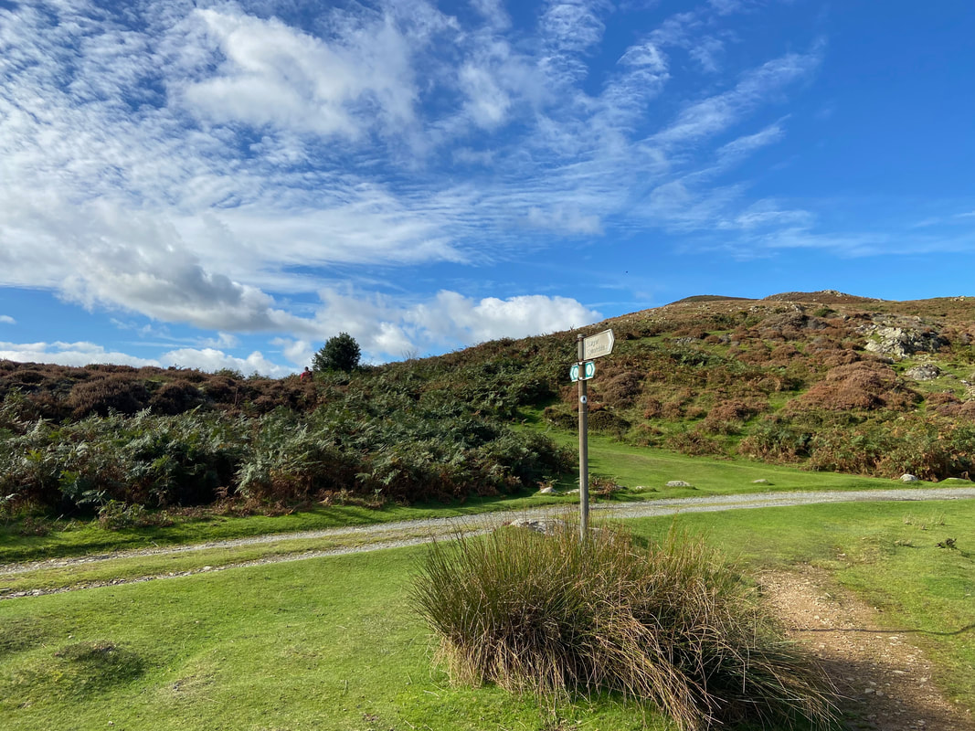
At the end of Mountain Road the route takes the right hand fork and after a few yards reaches a stile
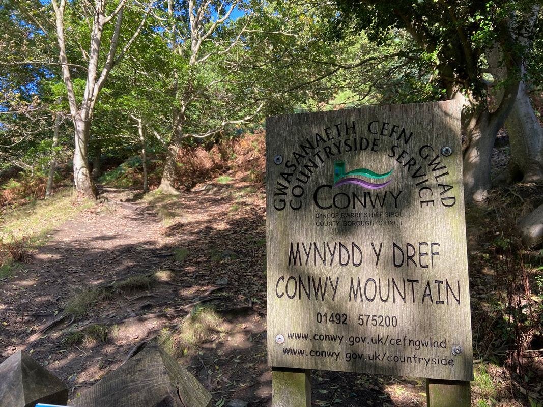
Crossing the stile a sign is reached confirming we were on the right track. Mynydd y Dref translates as "Town Mountain"
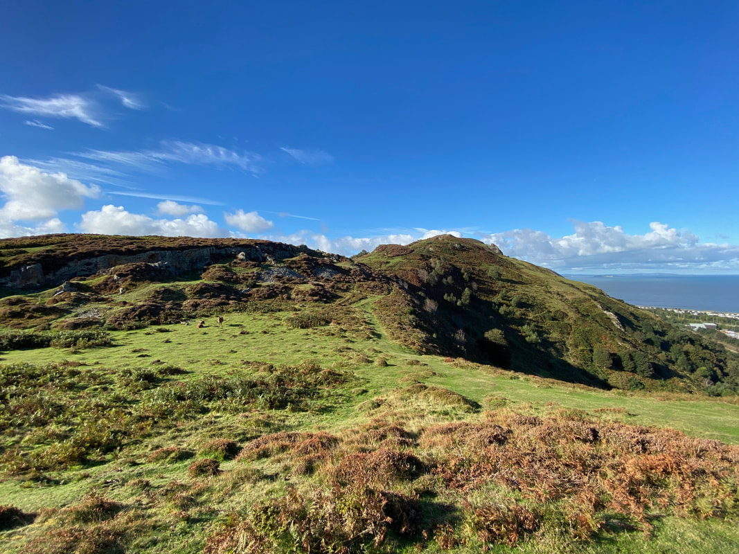
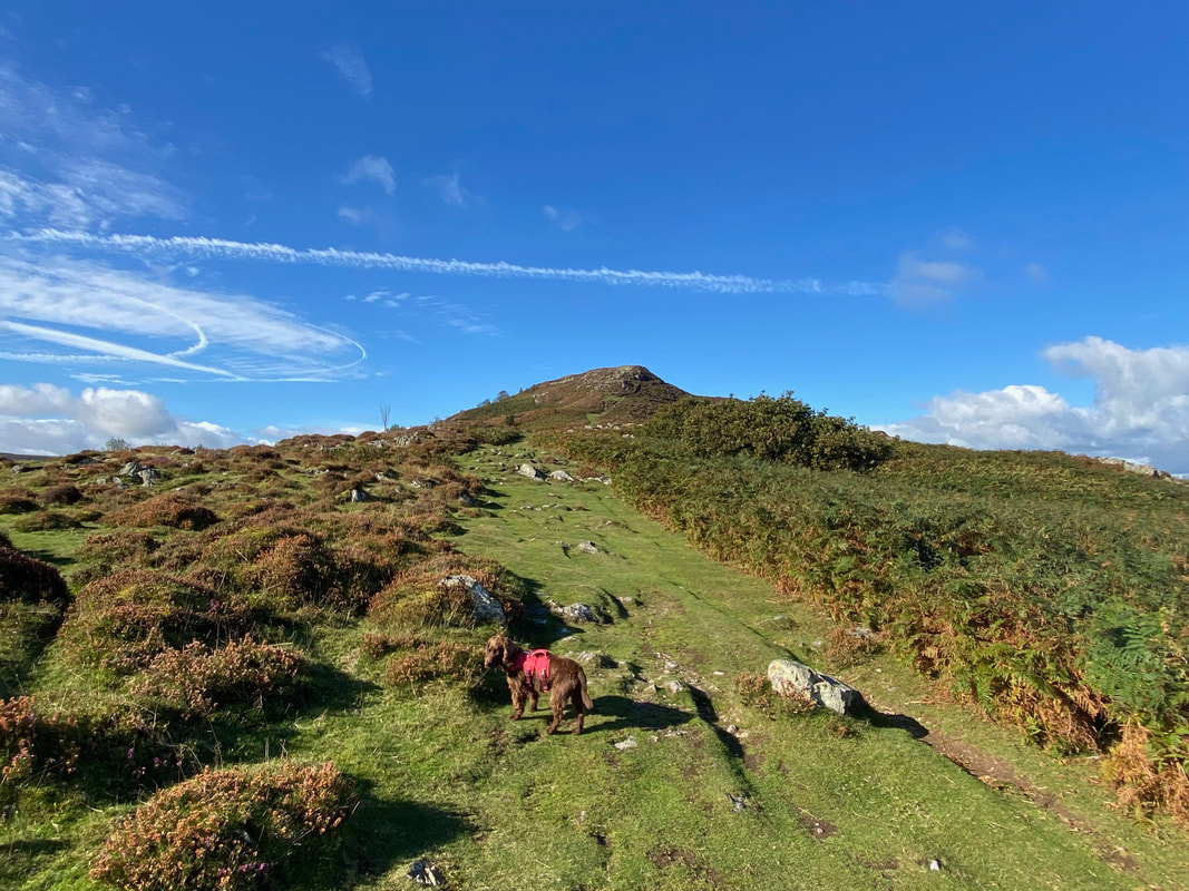
After a short walk through woodland we arrived at the start of the ridge
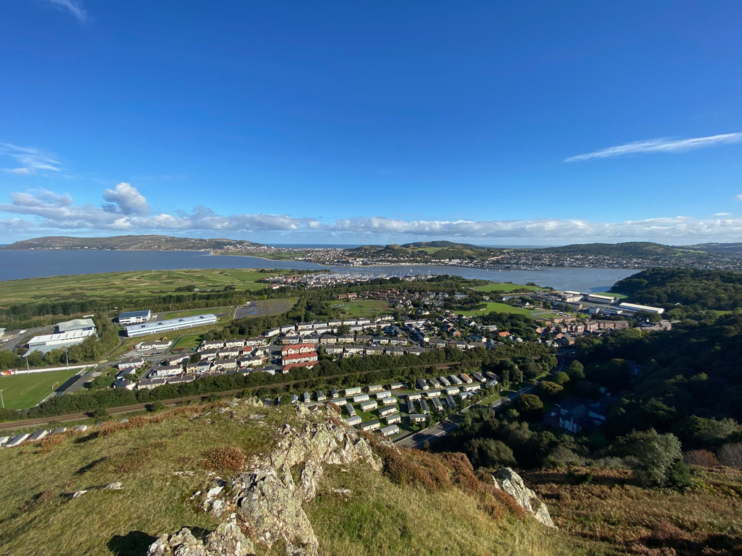
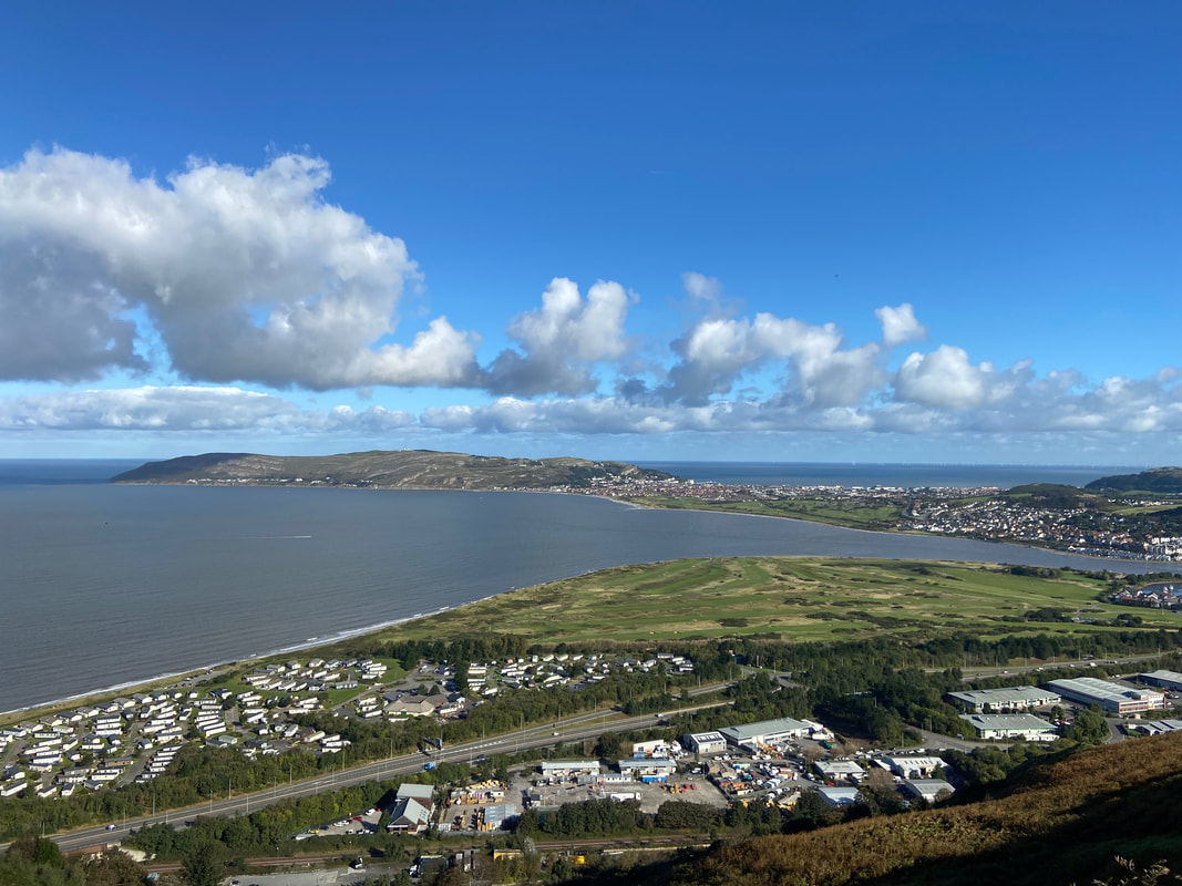
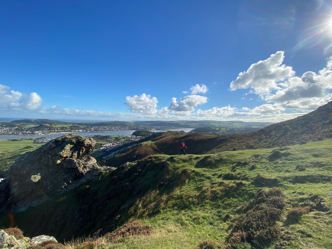
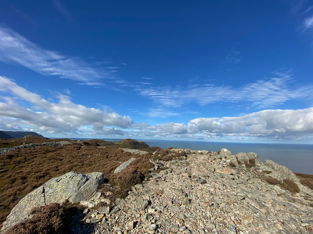
As expected, once up on the ridge the views really open out. Here we are looking down on Conwy Morfa with Conwy Golf Club to the left. In the far distance is the Great Orme & Llandudno with Llandudno Junction to the right.
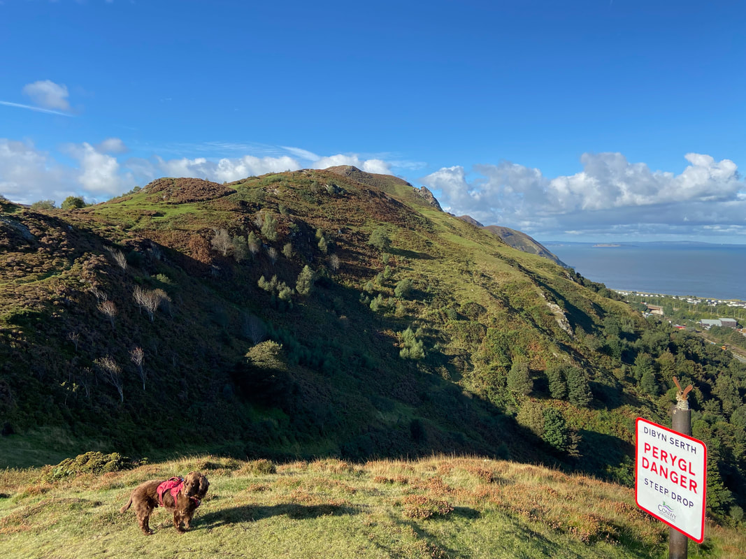
Care needs to be taken on the transit as there are many places where the hillside just falls away however these are clearly signed.
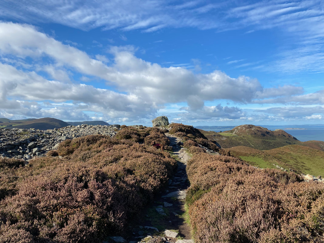
Making our way along the crest of Conwy Mountain. There are different paths along the ridge however they all end up in roughly the same place. The route to Conwy Mountain forms part of The Cambrian Way - a 298 mile walk from Cardiff Castle to Conwy Castle.
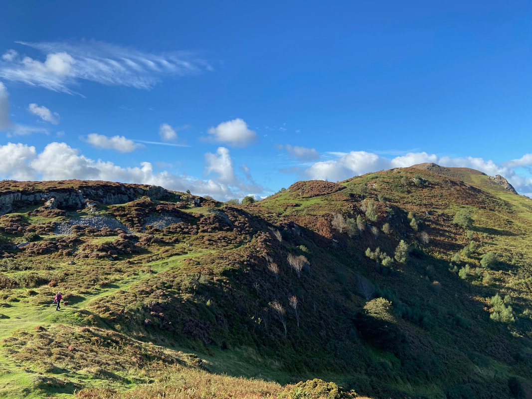
Continuing along the crest - despite the modest height this was a fantastic walk with superb views
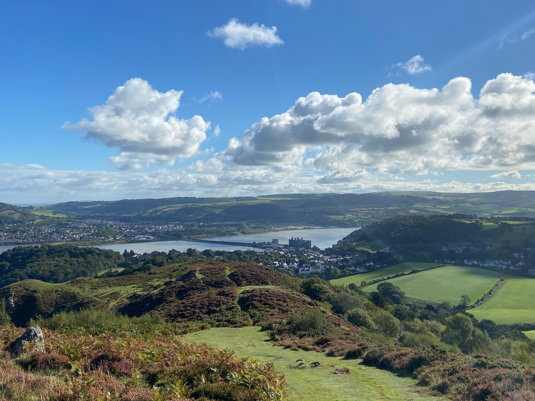
The sun hits the lens as Conwy Castle and the town comes into view
As ever, Fudge was the sceptic when it came to my navigating
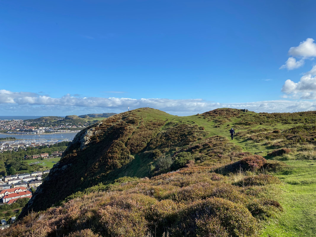
Further along the ridge the view over to the Great Orme really opens out
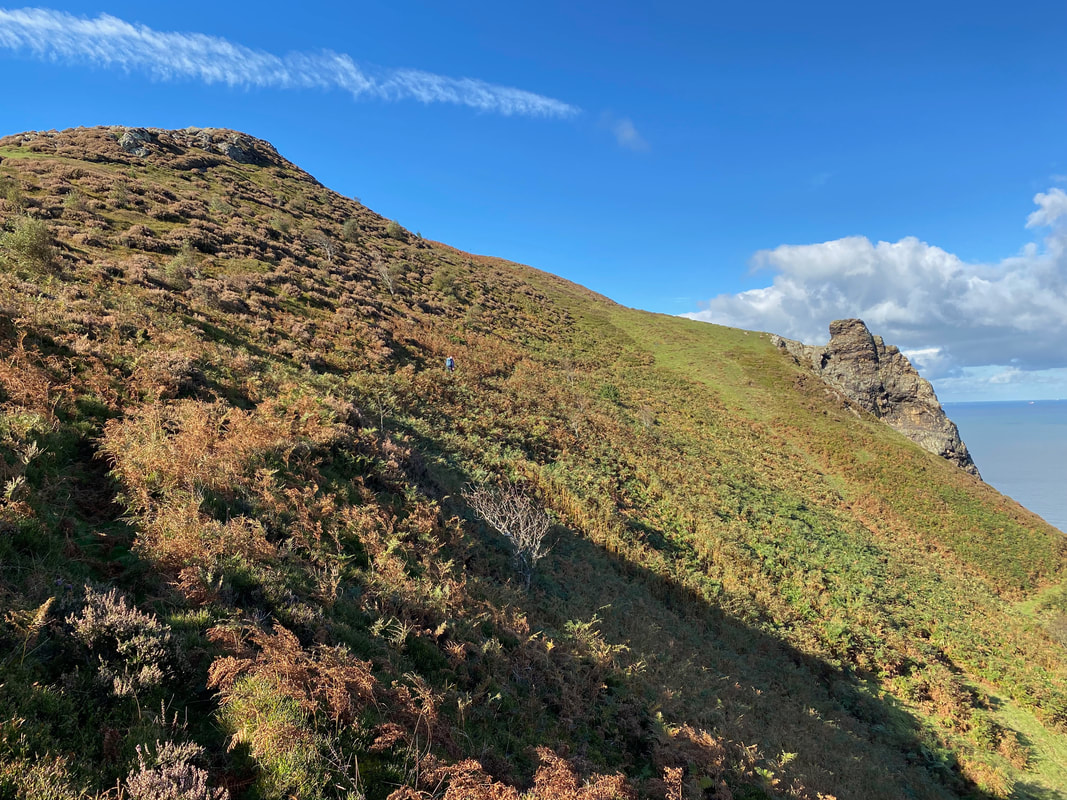
The ridge undulates therefore now and again we had a steep climb to negotiate
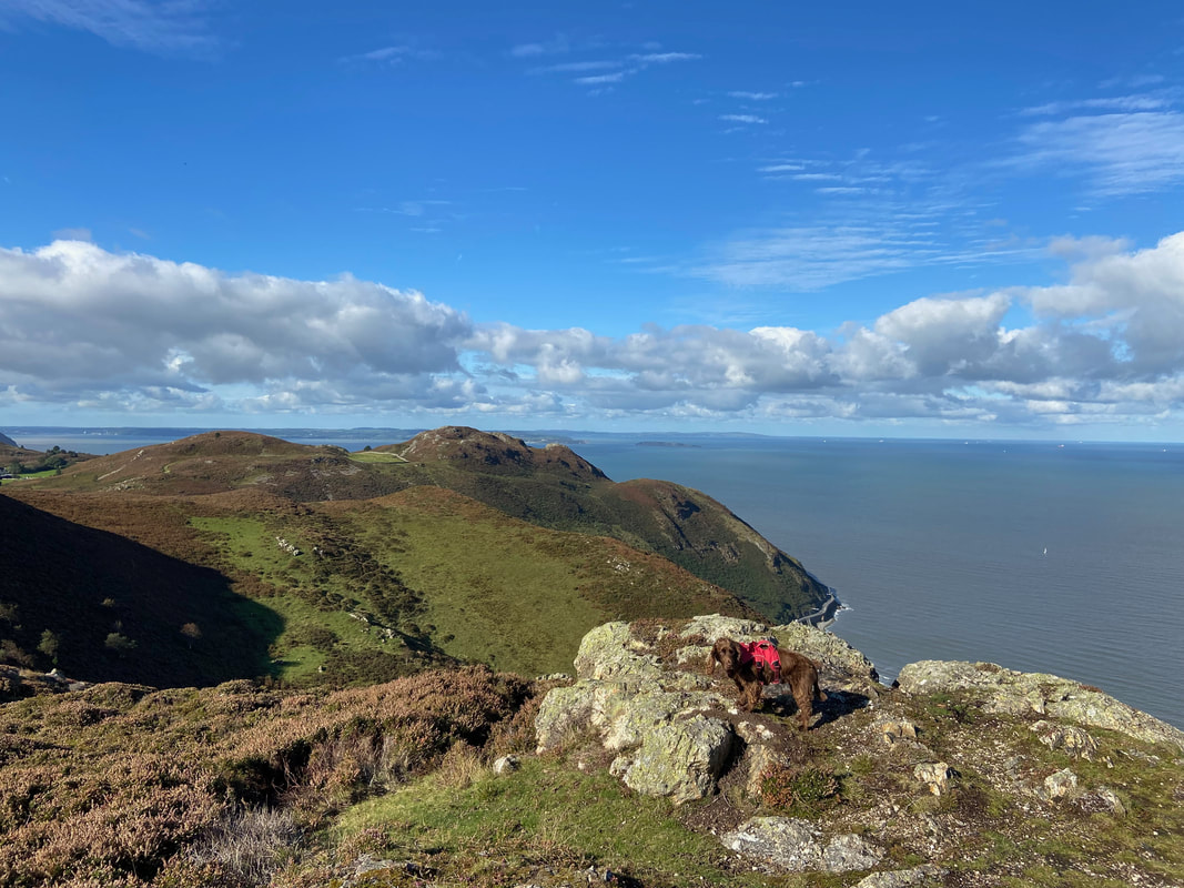
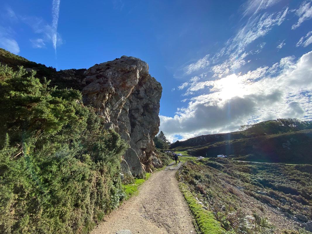
Slightly off route is this rocky promontory which is worth making the ever so slight detour over to
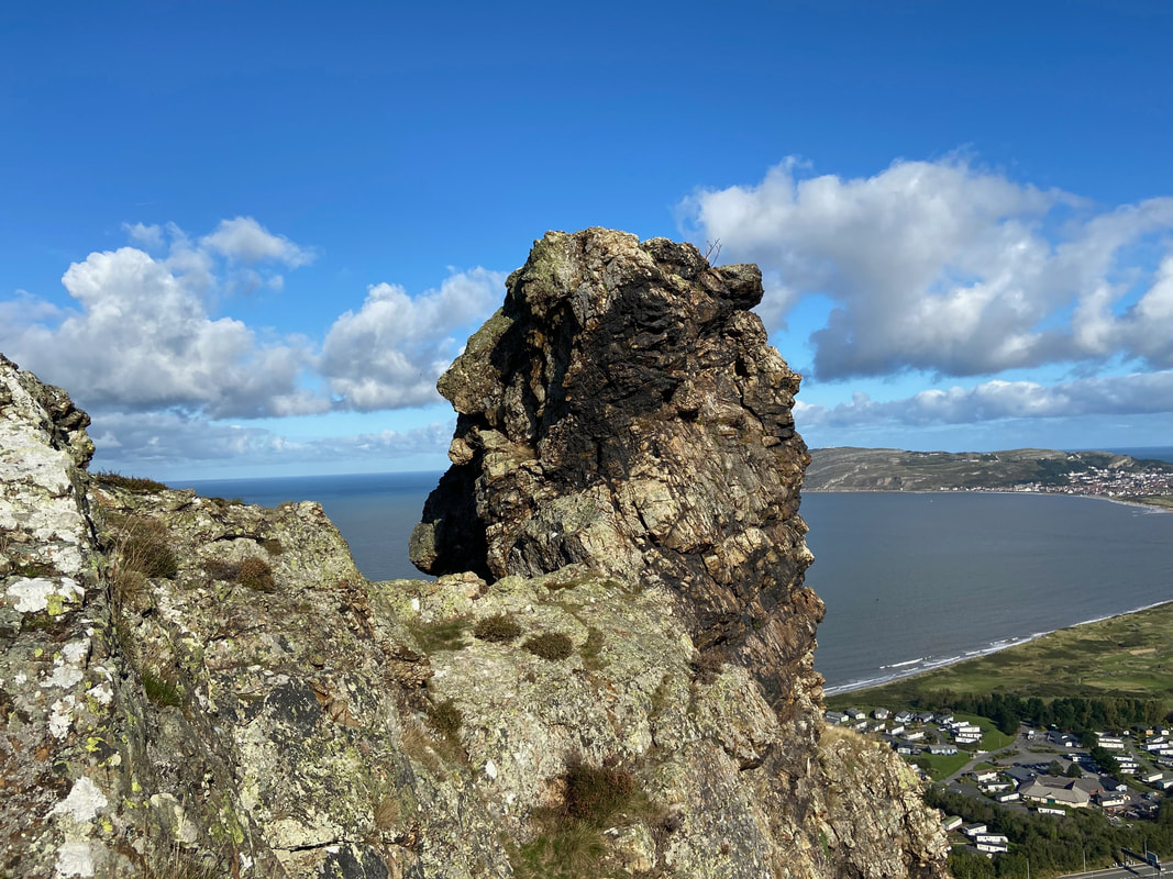
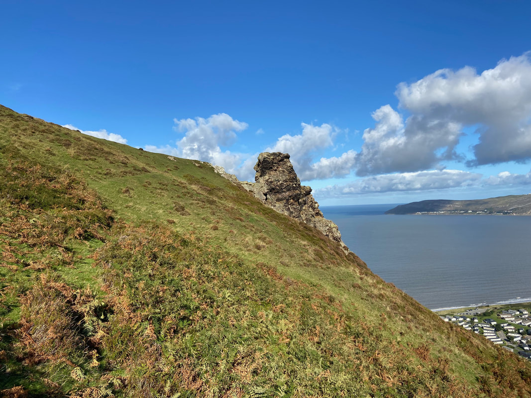
The rocky promontory - complete with a couple of profiles
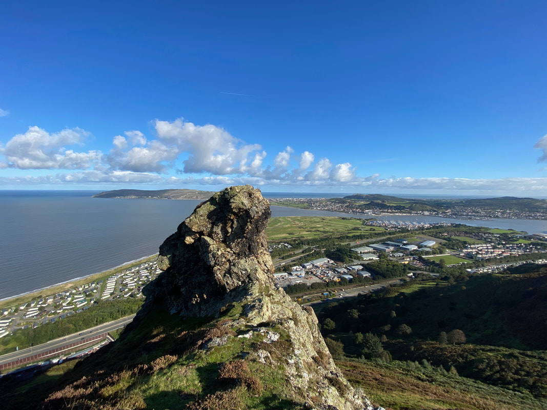
As can be seen, the view from the promontory is superb
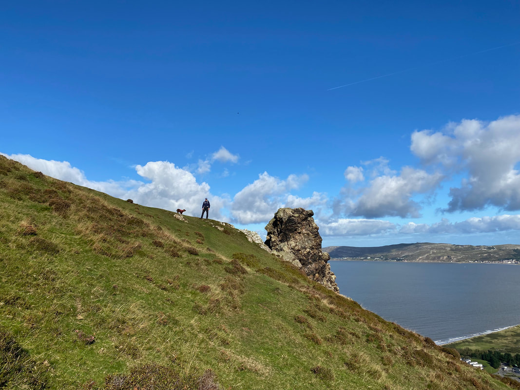
Fudge and I near the rocky promontory
The view west from the promontory along the A55 to Penmaen-bach
Time to head away from the promontory and continue along the ridge
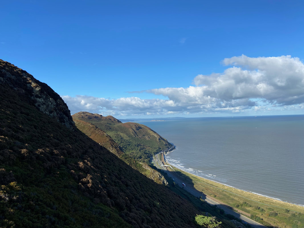
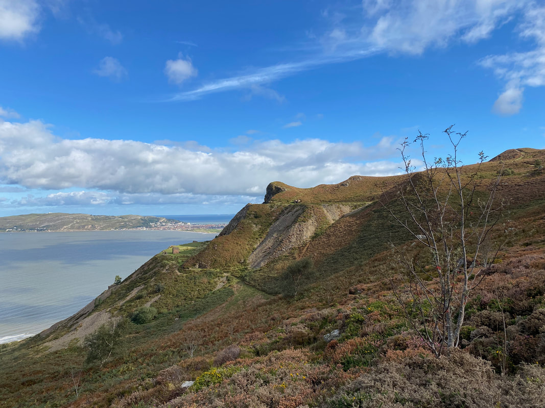
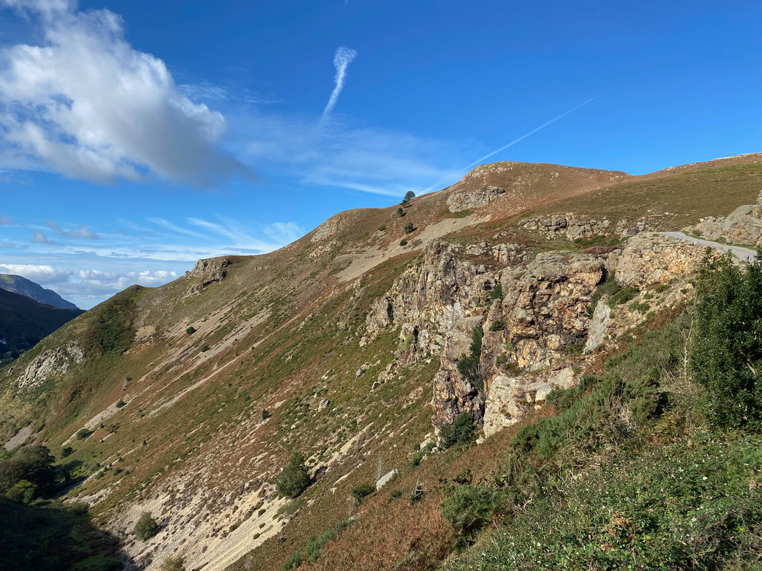
Looking to Allt Wen and Penmaen-bach
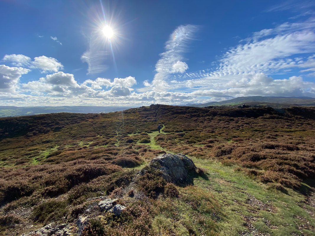
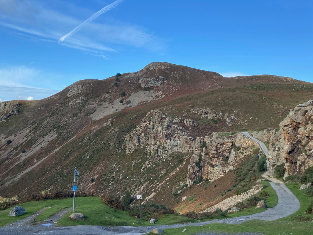
It was now only a short distance to reach the summit of Conwy Mountain
Up on the summit of Conwy Mountain
According to my GPS this was the actual summit of Conwy Mountain
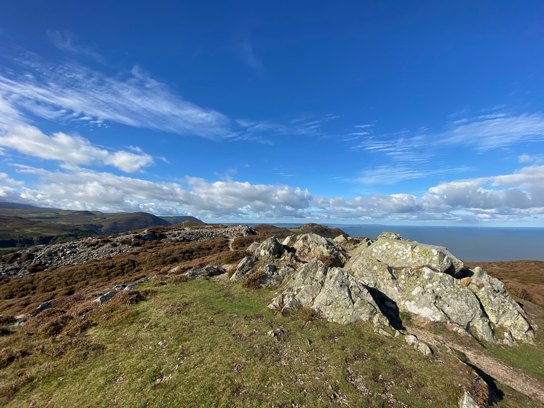
The summit of Conwy Mountain is also an Iron Age Hill Fort called Castell Caer Seion. The construction date of the original fort is still unknown but recent excavations have revealed evidence of occupation as early as the 6th century BC.
Beneath Conwy Mountain are disused quarries which mainly quarried Millstone
Having dropped down from the ridge we would now turn left at a seat to reach a track
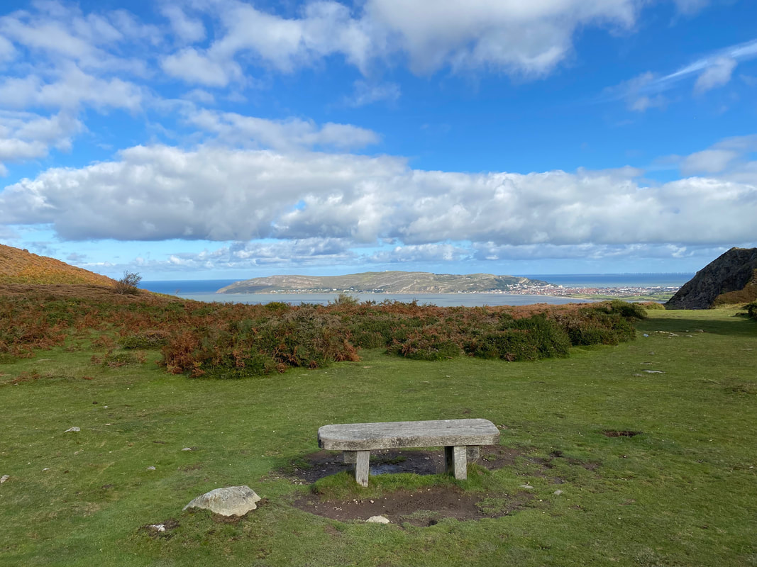
A seat to relax & sit down on to take in that view
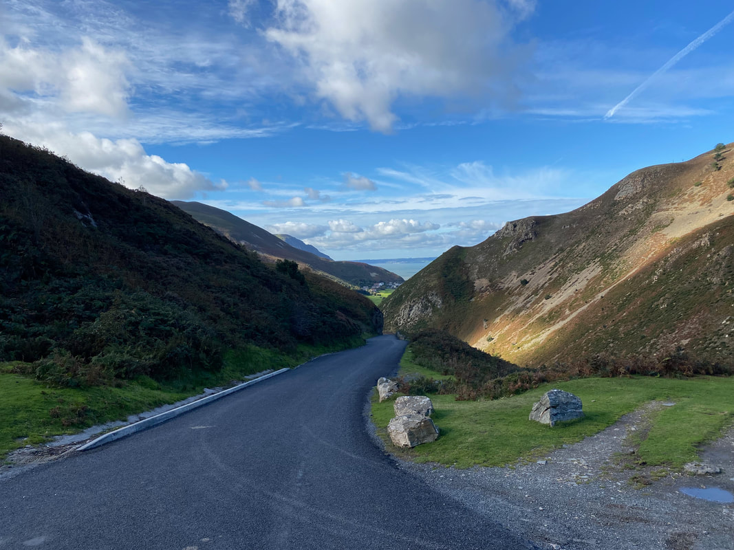
The track below Allt Wen - we would cross over the track and head towards the Sychnant Pass
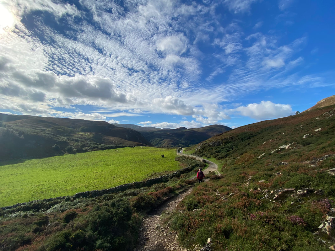
Dropping down to the Sychnant Pass
Looking up to Allt Wen as we round the hillside on the northern end of the pass
Nearing the top end of the pass as the sun once again hits the lens

The Sychnant Pass now in full view
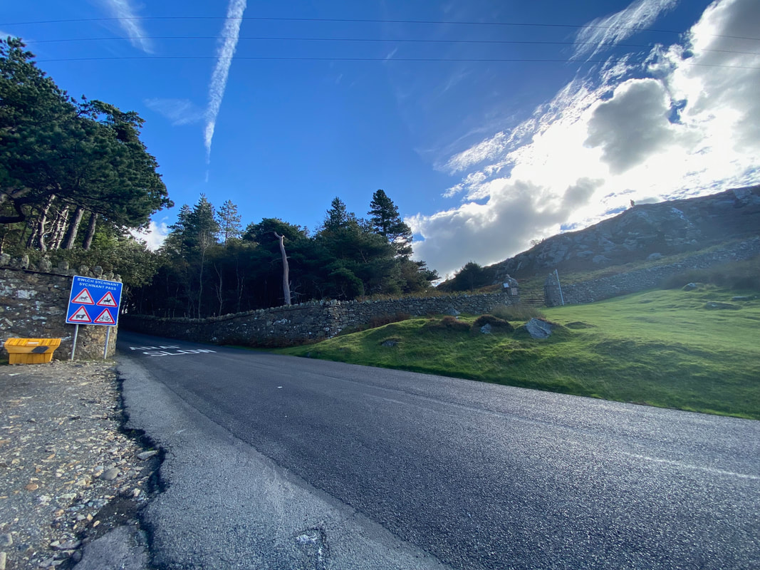
The top of the Sychnant Pass - we would be crossing the road to enter the Pensychnant Nature Reserve
Looking down the Sychnant Pass.
Before the coming of the railway to the North Wales coast, the road through the Sychnant Pass was the route of choice for mail coaches at high tide when the faster and safer route along the sands was unusable. After leaving Conwy, the route runs westward through the valley on the south side of Conwy Mountain.
Before the coming of the railway to the North Wales coast, the road through the Sychnant Pass was the route of choice for mail coaches at high tide when the faster and safer route along the sands was unusable. After leaving Conwy, the route runs westward through the valley on the south side of Conwy Mountain.
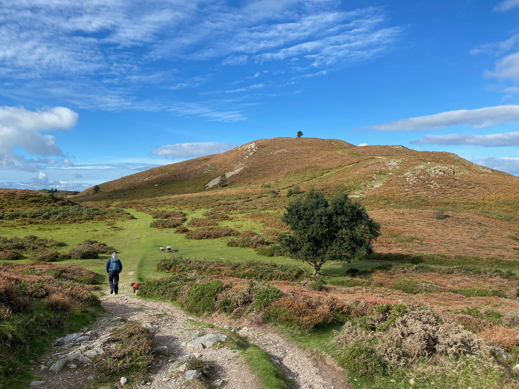
Allt Wen from the top of the Sychnant Pass - our approach was via the path to the right.
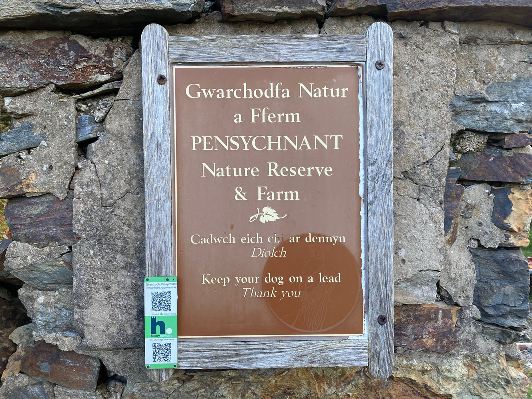
Entering the Pensychnant Nature Reserve
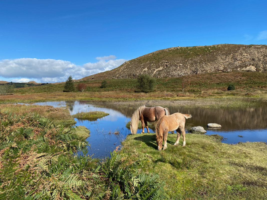
The walk through the Nature Reserve is delightful - plus you get to see these wonderful chaps having their lunch
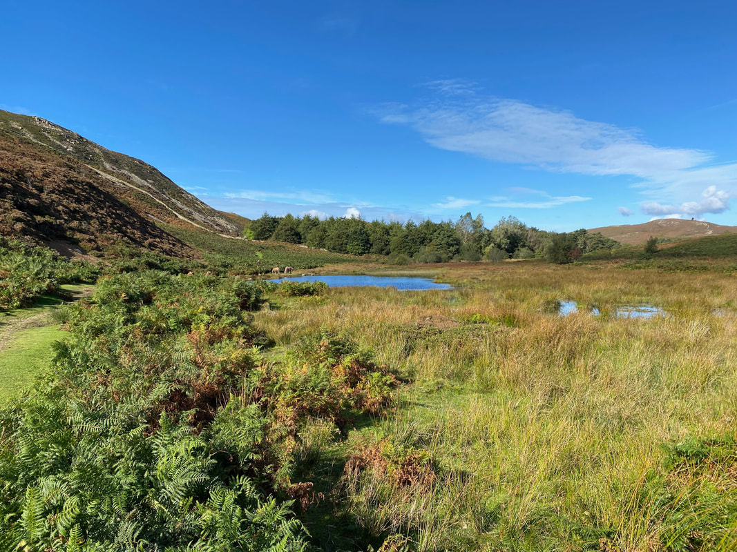
Looking back to our route from the entrance gate
Once clear of the Nature Reserve the route passes by some cottages to head down a footpath beside one of them
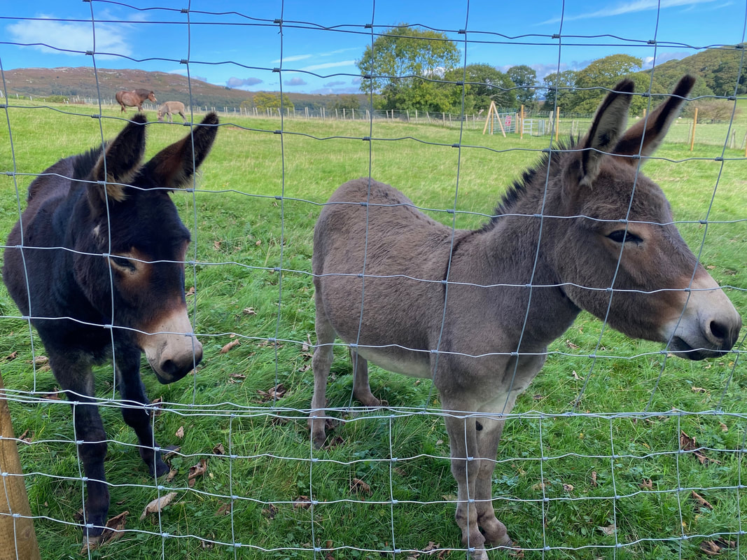
These two beauties came over to say hello as we were passing through........
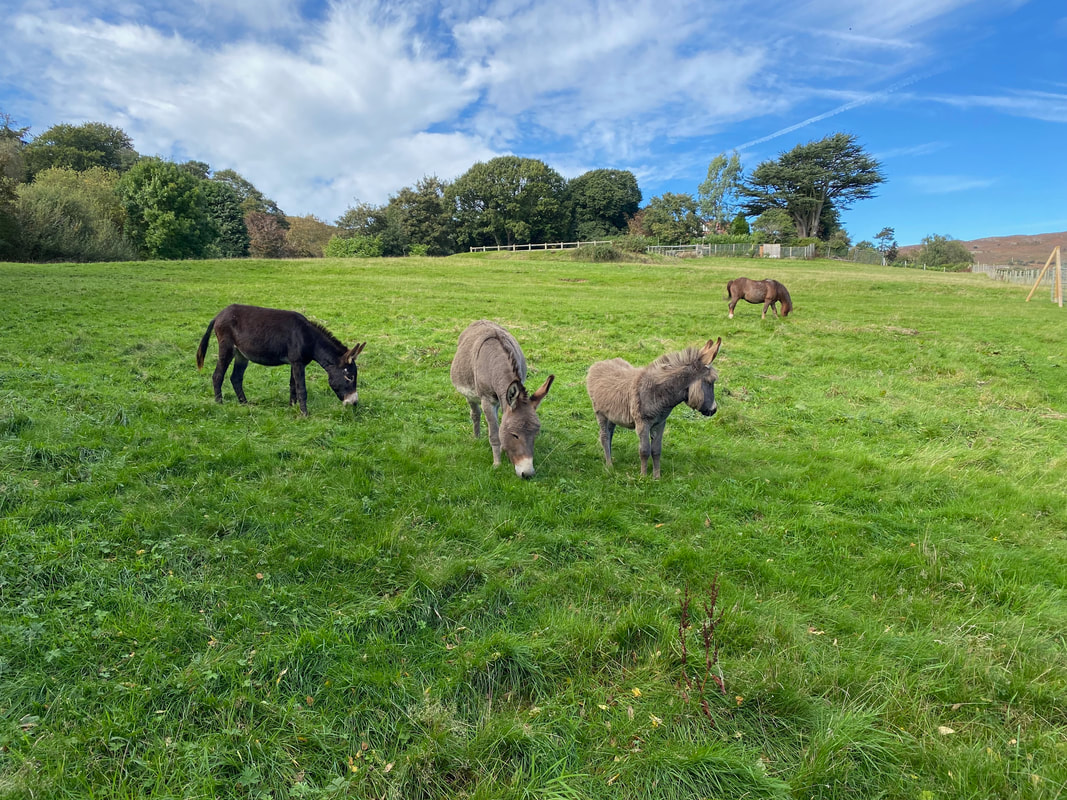
...... and we were soon joined by a few more
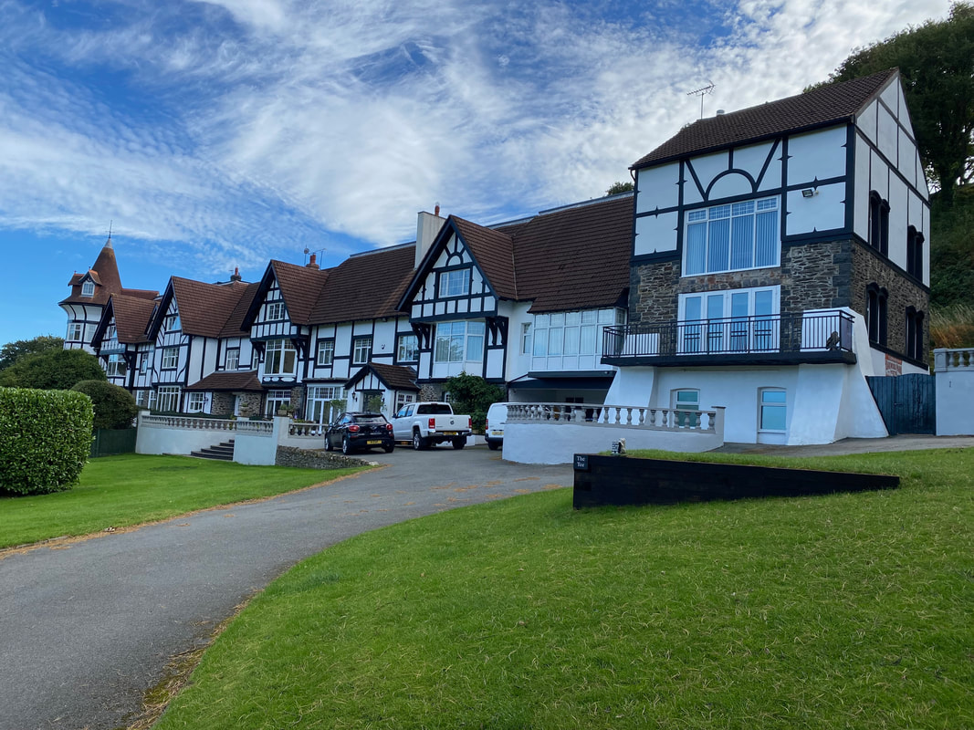
Peacock House
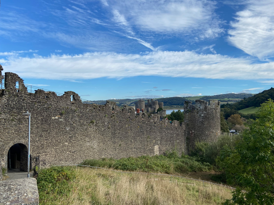
Now back in Conwy, the route reaches the town via the impressive castle walls......
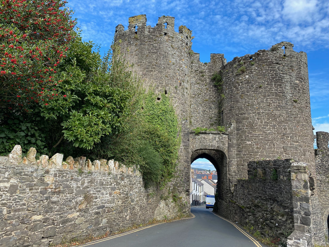
..... to pass through the South West Tower
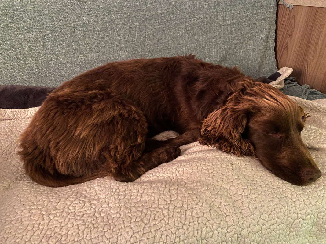
Another great day for the little chap