Robinson, Hindscarth & Dale Head - Monday 27 March 2023
Route
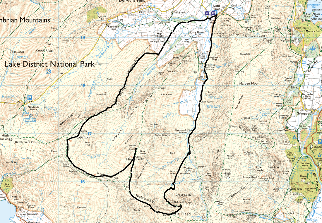
Chapel Bridge - Newlands Church - Low High Snab - High Snab Bank - Blea Crags - Robinson - Littledale Edge - Hindscarth - Hindscarth Edge - Dale Head - Dalehead Crags - Far Tongue Gill - Newlands - Castlenook Mine - Chapel Bridge
Parking
The small Car Park (Donation) at Chapel Bridge which is 1/4 mile south west of Little Town. The Grid Reference is NY 232 194 and the nearest postcode is CA12 5TU. When using this Car Park in the summer months you are advised to arrive early as it fills up quickly.
Mileage
9.2 miles
Terrain
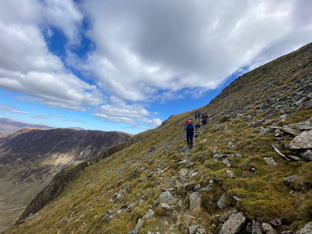
Good mountain paths throughout. The ascent of Robinson between Blea Crags and the summit ridge contains some easy scrambling. From just above Dalehead Crags to Far Tongue Ghyll is a steep descent on a narrow path therefore care needs to be taken.
Weather
Gloriously sunny with light breezes - perfect conditions.
Time Taken
6hrs 45mins
Total Ascent
2824ft (861m)
Wainwrights
3
Map
OL4 The English Lakes - North Western Area
Walkers
Dave, Angie & Fudge accompanied by members of Lakeland Meet Ups
|
GPX File
|
| ||
If the above GPX file fails to download or presents itself as an XML file once downloaded then please feel free to contact me and I will send you the GPX file via e-mail.
Route Map
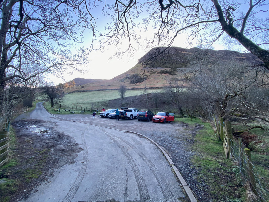
The parking area at Church Bridge. The road heading away on the left is the access from Little Town whilst the lane behind me comes in from Stair.
Newlands Church
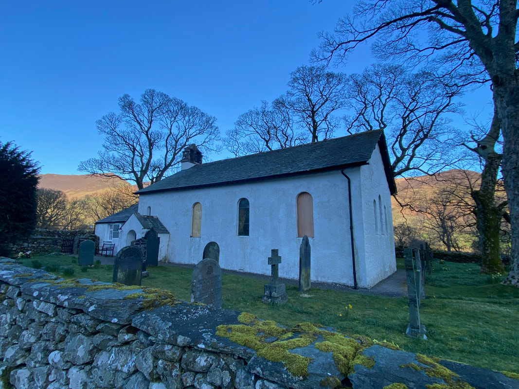
The building at the far end of the church on the west side is the former Newlands School and despite a plaque on the external wall stating it was built in 1877, records confirm it was constructed in 1841 at a cost of £37. With regard to the missing stain glass windows, they were being repaired.
The building at the far end of the church on the west side is the former Newlands School and despite a plaque on the external wall stating it was built in 1877, records confirm it was constructed in 1841 at a cost of £37. With regard to the missing stain glass windows, they were being repaired.
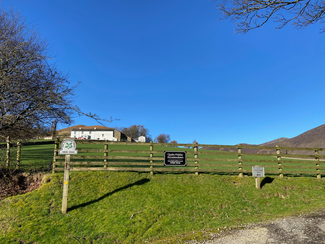
From Newlands Church the route continues along a lane below the farm at High Snab
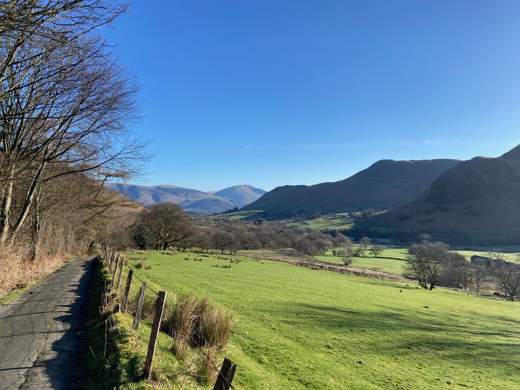
Looking back along the lane to Lonscale Fell, Blencathra, Skelgill Bank & Cat Bells
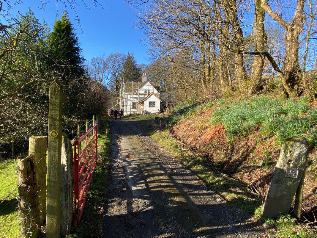
The lane ends and becomes a rough track leading to the cottage at Low High Snab
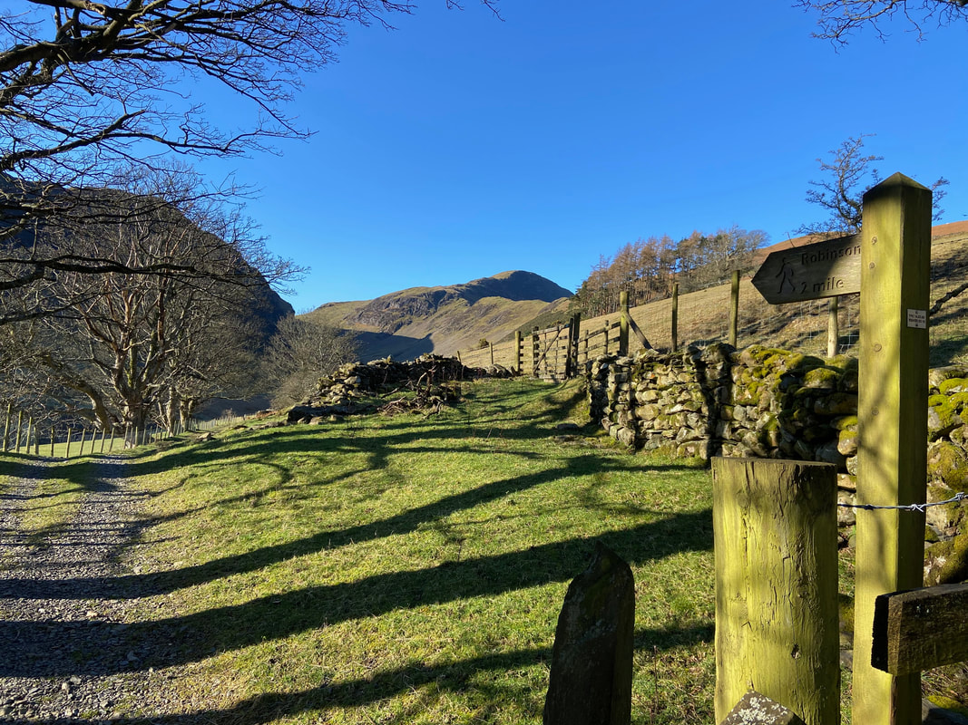
Once clear of the cottage a sign points the way to Robinson which can be seen in the distance beyond High Snab Bank
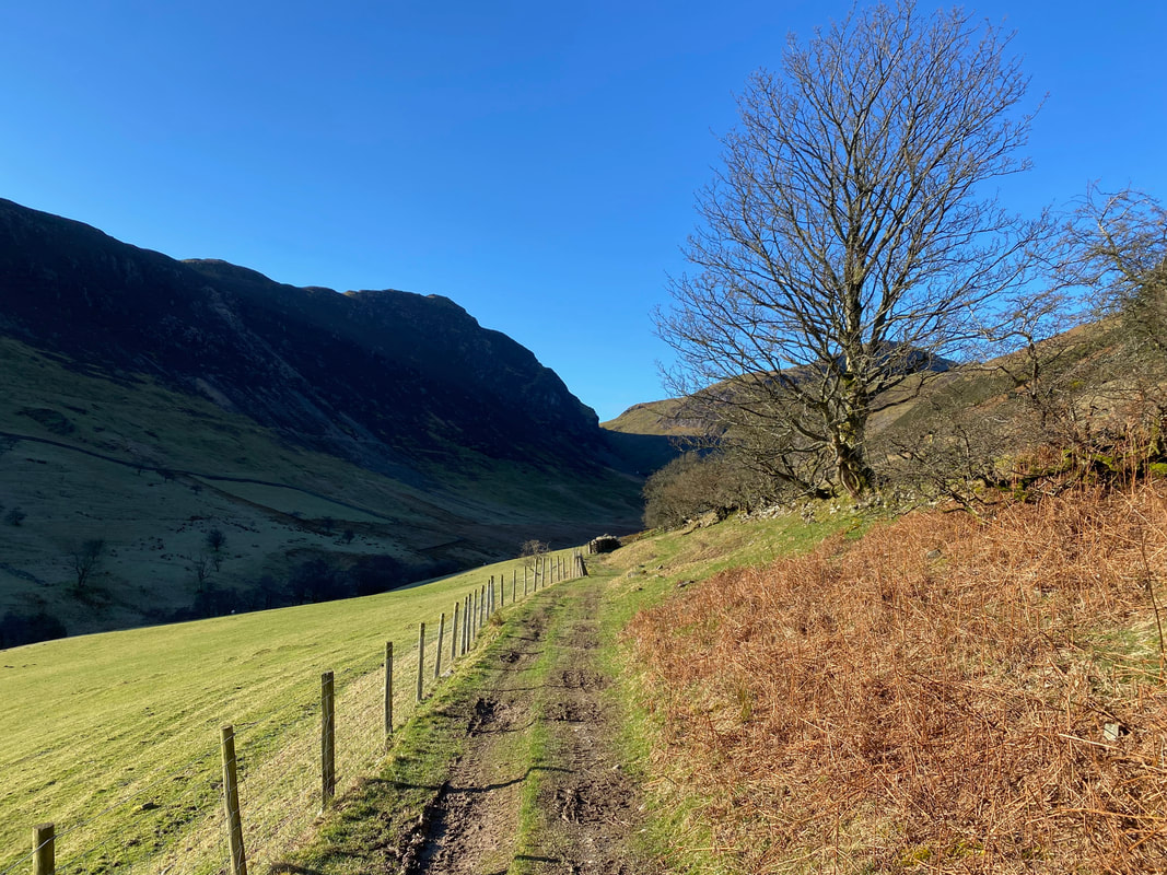
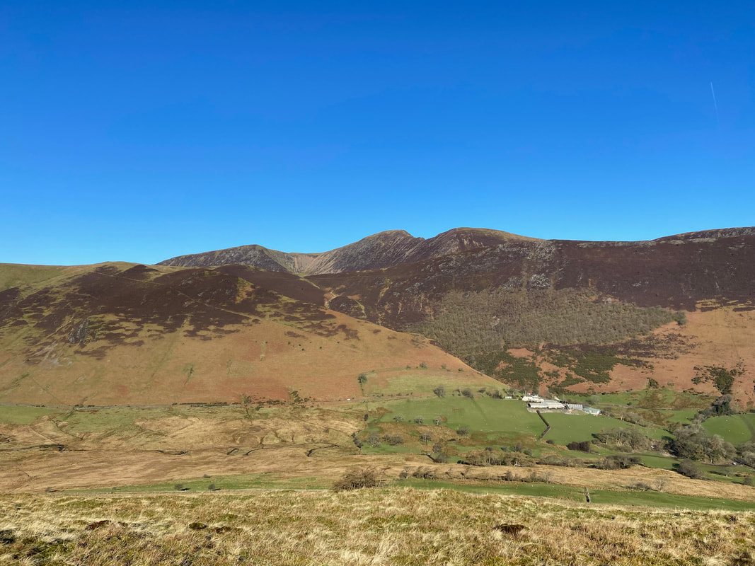
The path hugs a fence line below a wall with High Crags and Robinson ahead
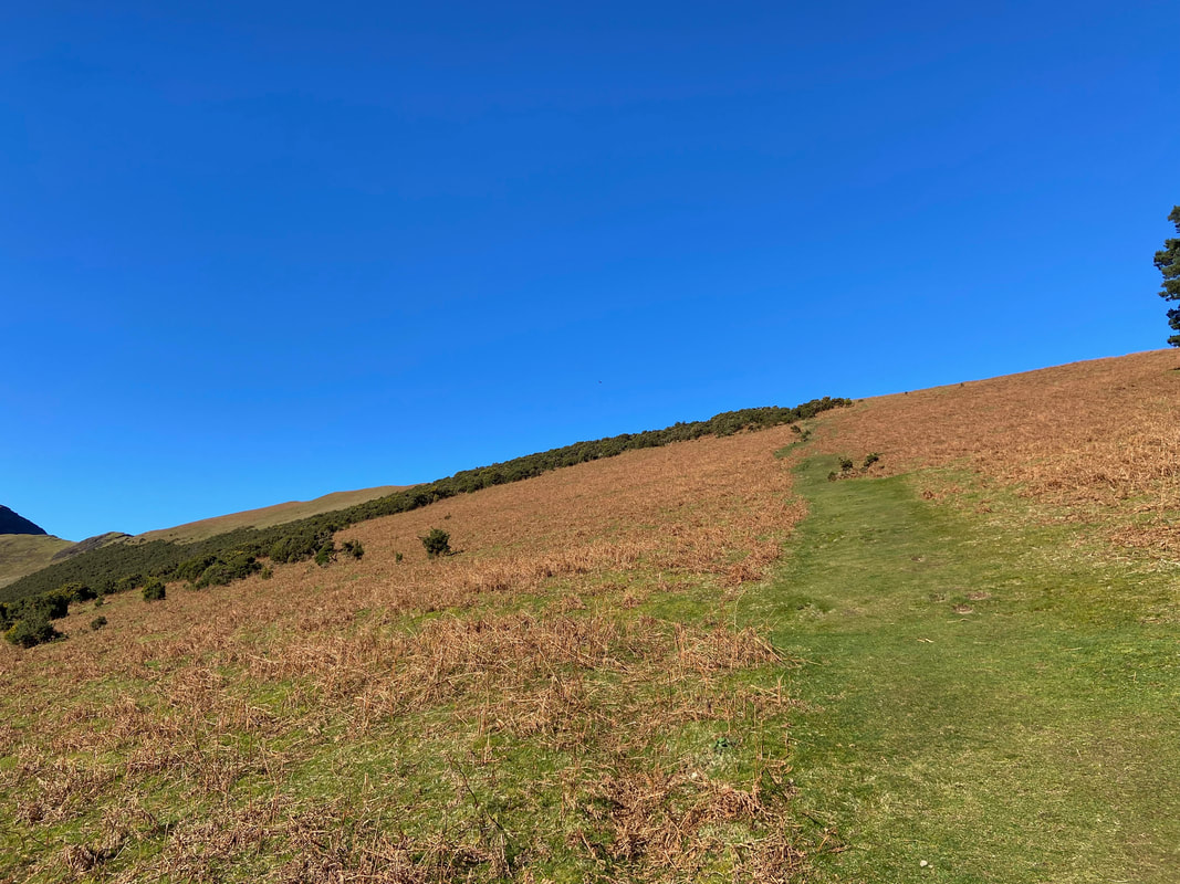
The wall above the valley path suddenly turns to the right (out of shot) and a grassy path appears that slopes steeply uphill towards a patch of gorse and on to the High Snab Bank ridge
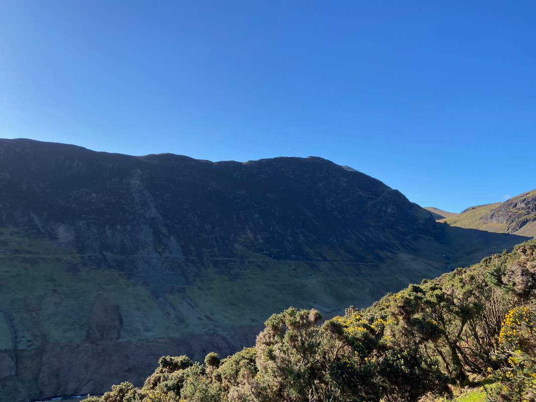
High Crags across Scope Beck
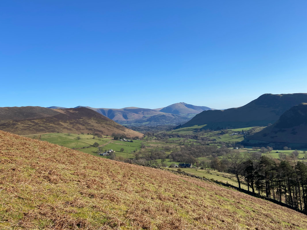
Looking down to Newlands with Blencathra beyond from the climb to the ridge line
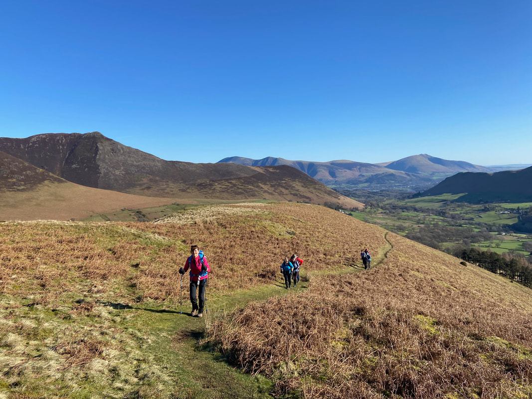
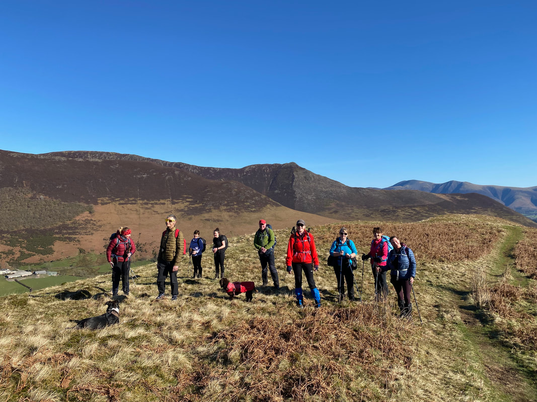
Happy smiling faces from my walking companions as we head along High Snab Bank. Causey Pike is over to the left with Rowling End in the centre foreground. Skiddaw now comes into view in the centre distance with Blencathra to the right.
Keskadale from High Snab Bank looking to Knott Rigg, Wandope, Addacomb Hole, Crag Hill, Sail, Ard Crags & Scar Crags
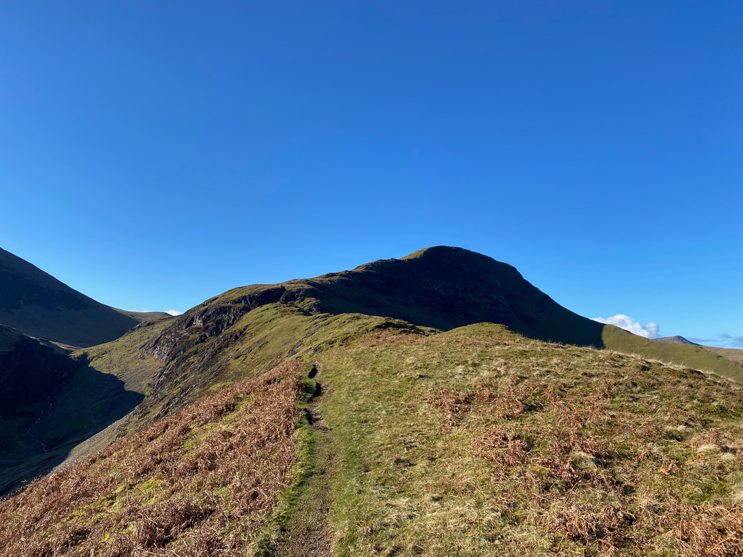
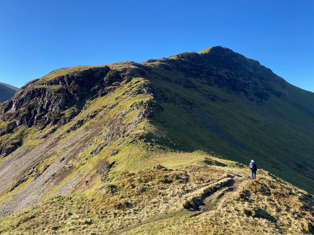
The end of the High Snab Bank ridge which leads on to Blea Crags with the summit plateau beyond. It is here that the terrain switches from an airy ridge to rocky terrain with some mild scrambling required.
With my walking companions at the end of High Snab Bank
Scope Beck
The transit over the rocky outcrops of Blea Crags which leads to the summit of Robinson
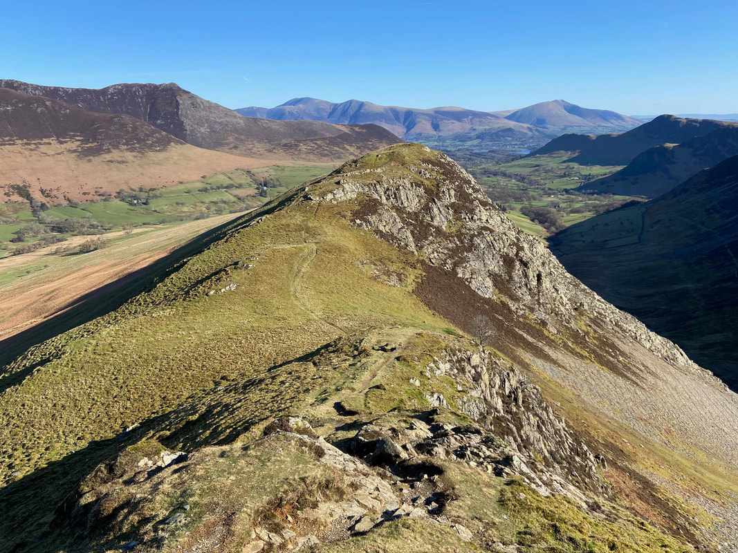
Whilst it is a good idea to keep an eye on your route ahead, it is always worth pausing and having a look behind you
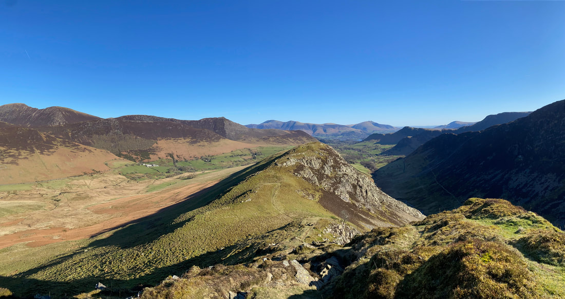
A wider panorama looking back to the first rocky outcrop at the start of Robinson's north ridge
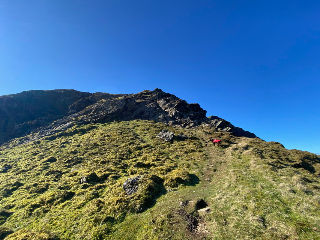
Looking up to the ascent of the next rocky outcrop. In the conditions we had today this was a delightful scramble but care would need to be taken if the rock was wet or icy.
Looking down our route of ascent from the mid point of the scramble
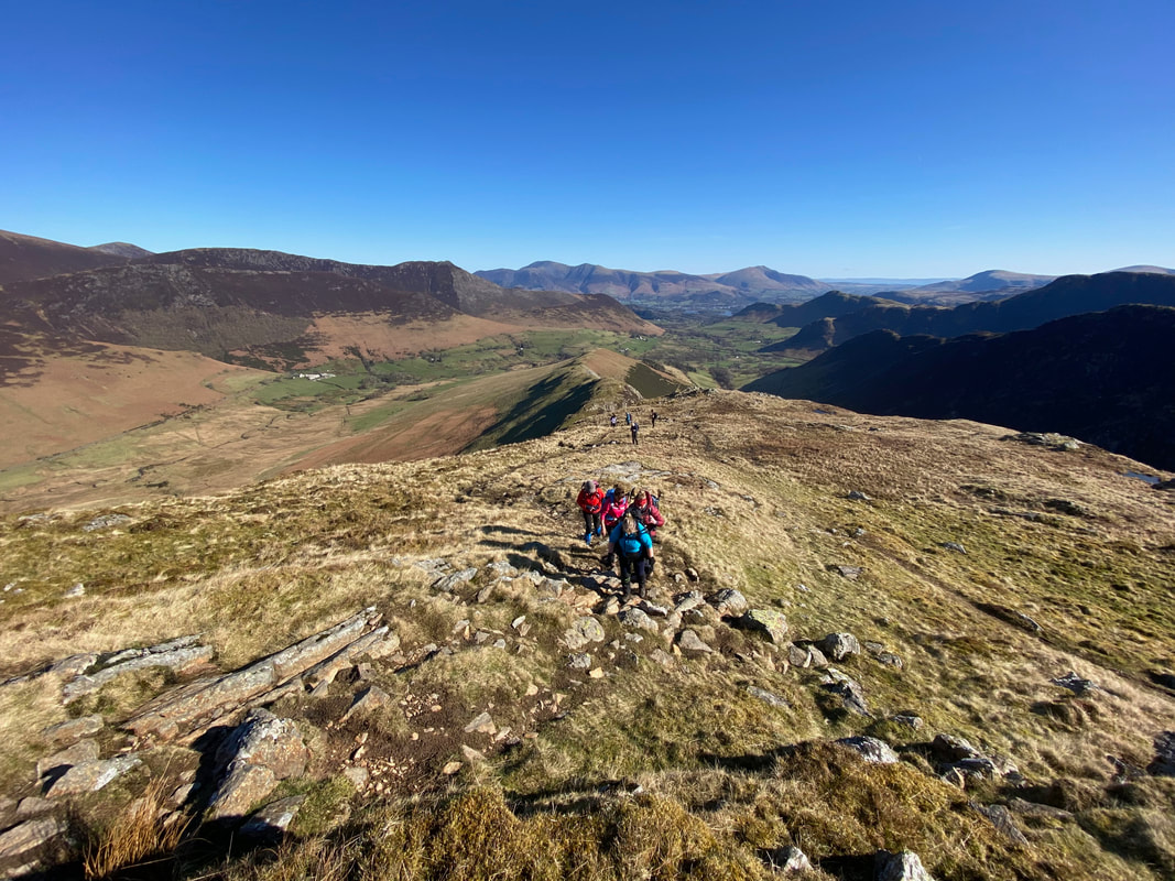
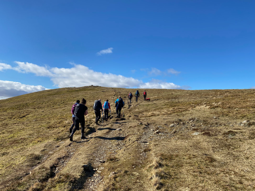
From the top of the scramble the gradient eases as we make our way up a rocky path
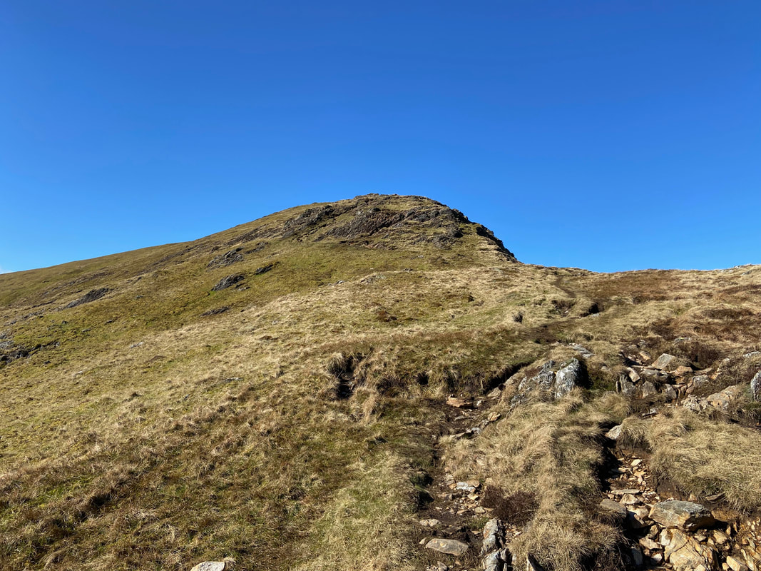
The final part of the ascent to Robinson's summit
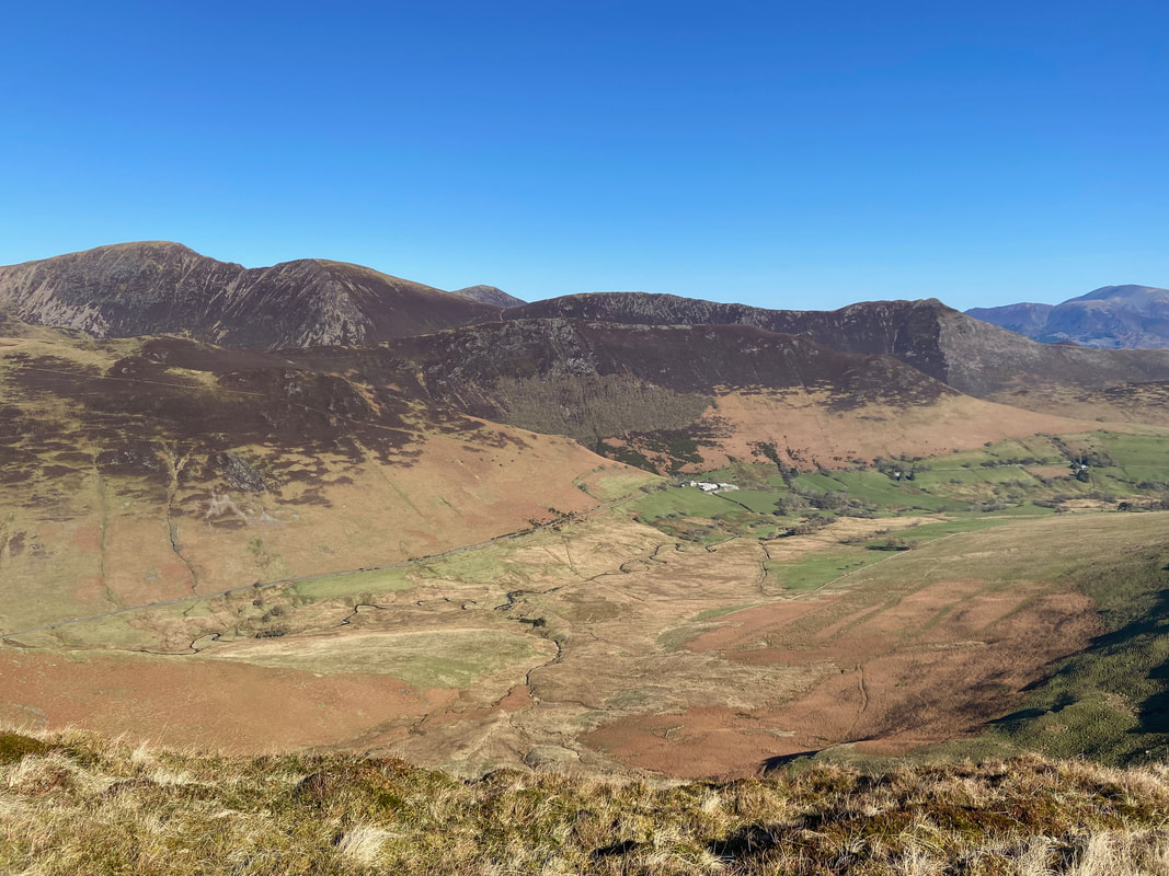
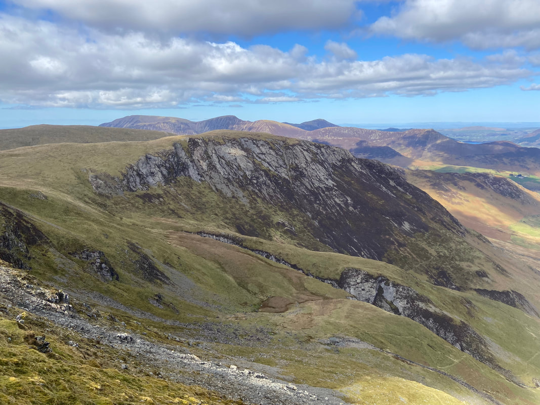
Another look into Keskadale and the North Western Fells
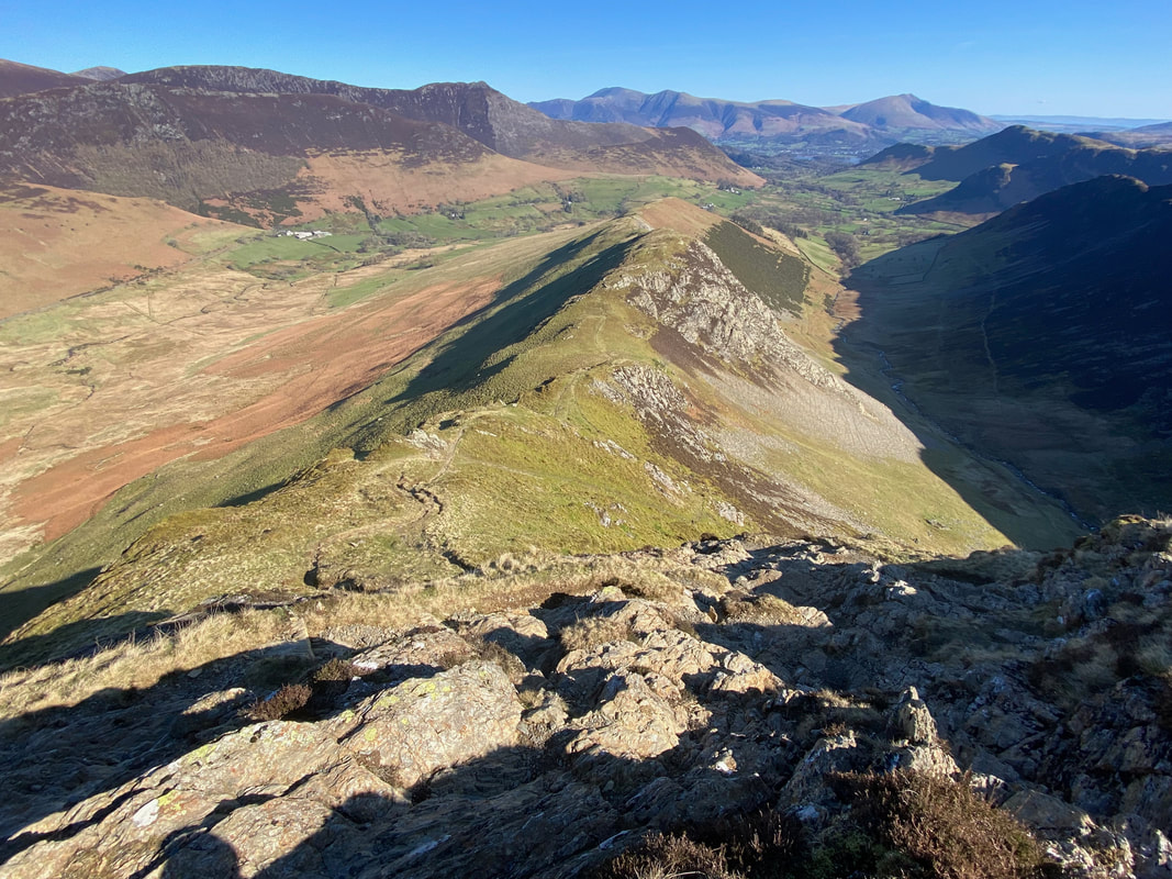
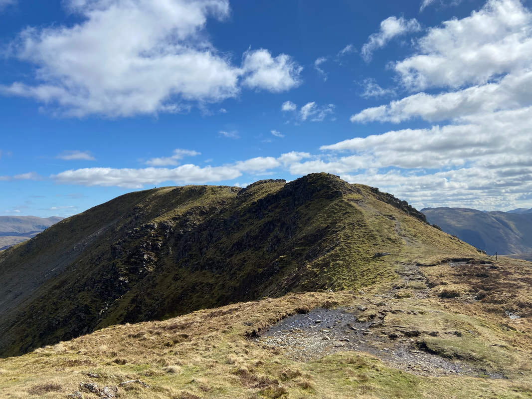
Looking back along the ridge line from near the summit - this really is a fantastic route to climb Robinson
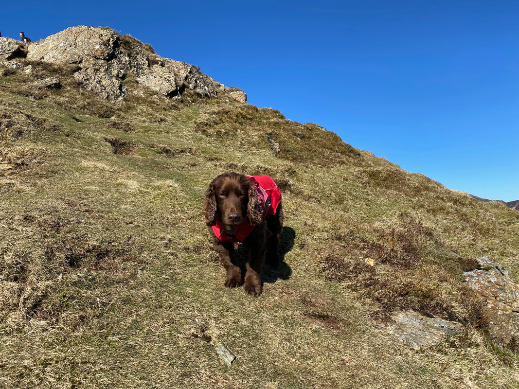
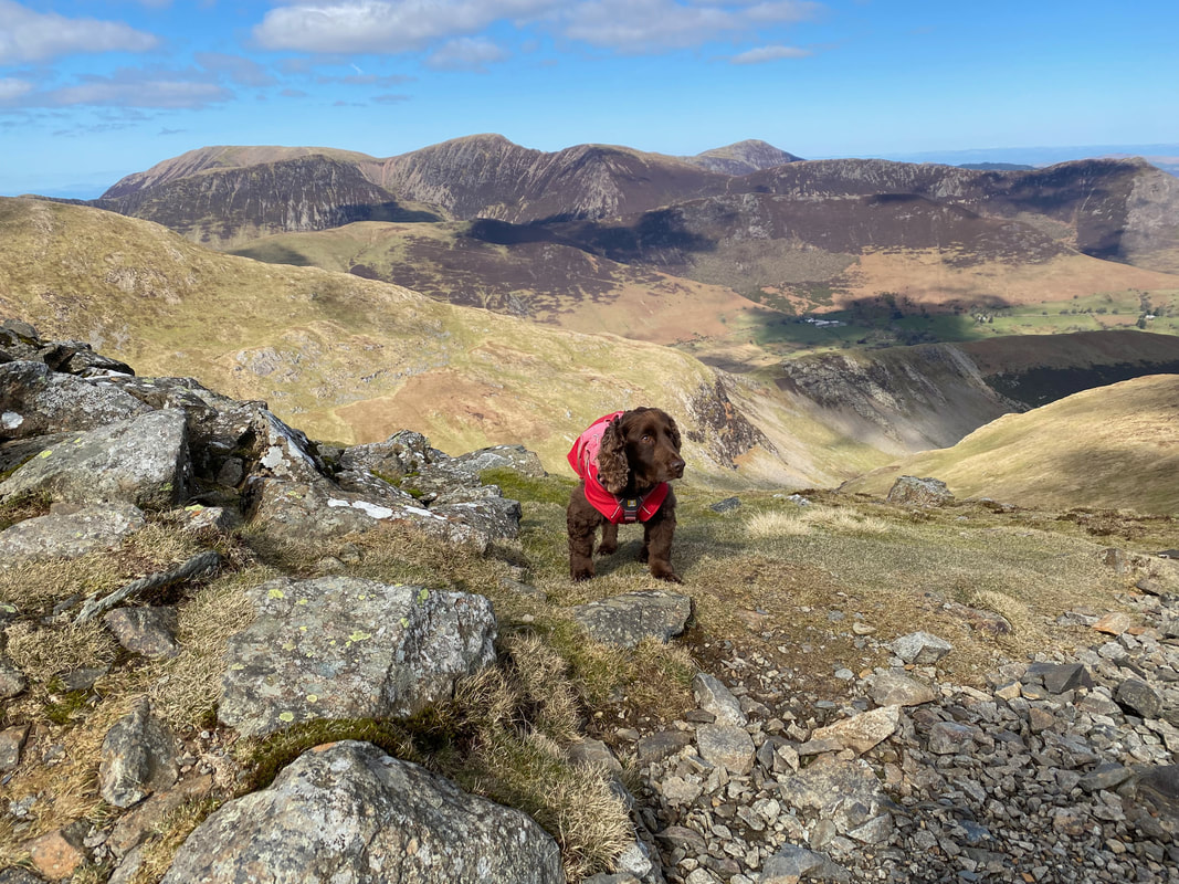
Fudge meanwhile was taking it all in his stride and gave me a quick reminder that he hadn't eaten anything for at least 15 minutes
The final approach to the summit of Robinson
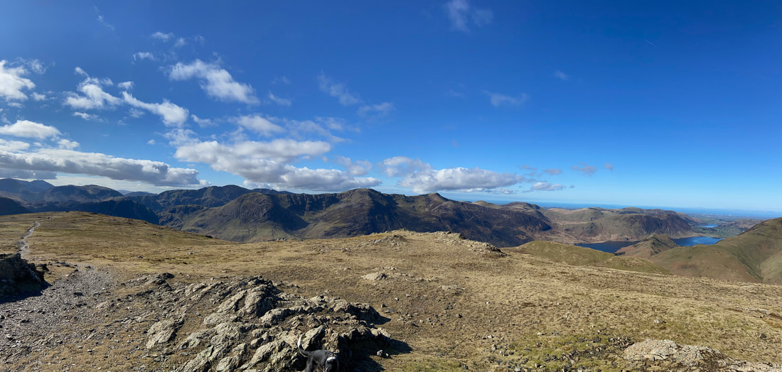
The superb panorama over to the Western Fells from the summit of Robinson
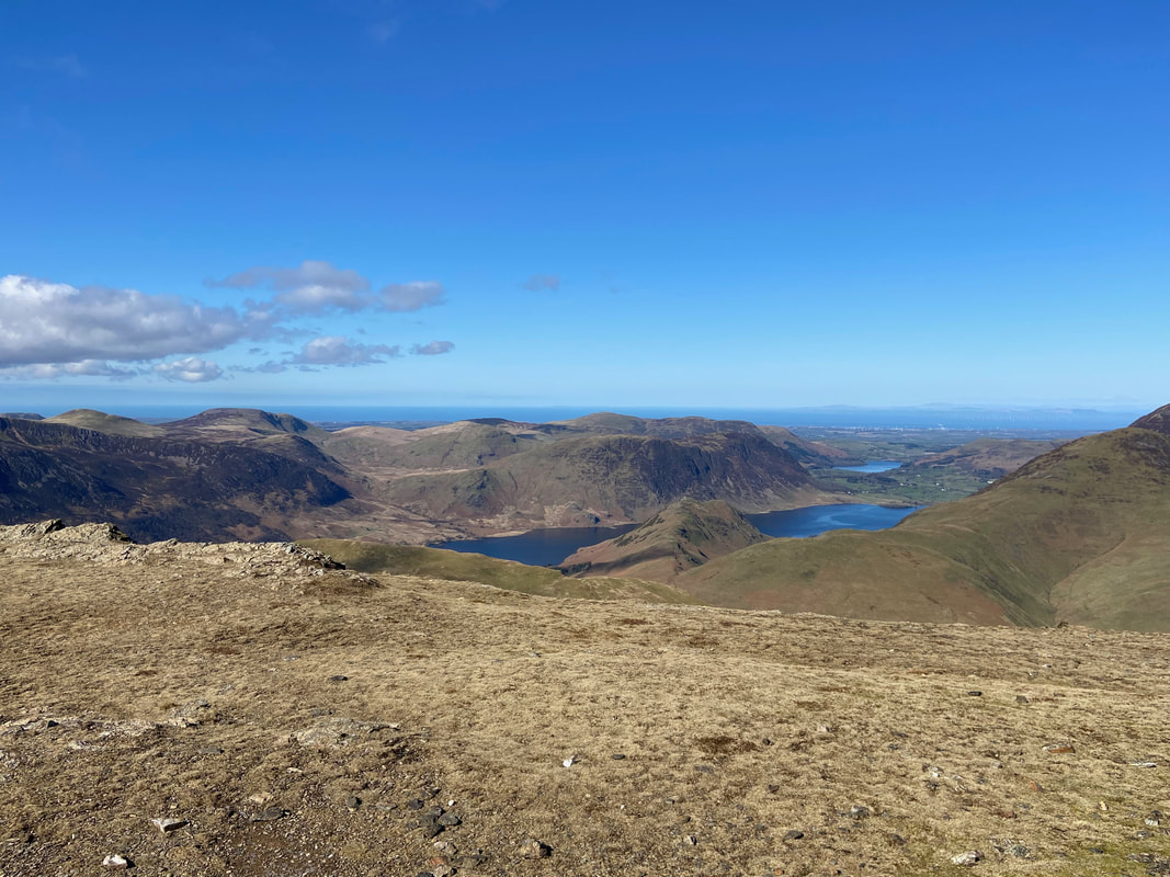
Starling Dodd, Great Borne, Hen Comb, Gavel Fell, Mellbreak, Blake Fell, Carling Knott & Burnbank Fell from Robinson's summit. The bodies of water are Crummock Water & Loweswater with High Snockrigg & Rannerdale Knotts in the foreground.
The view to the north west from the summit of Robinson - Whiteless Pike, Grasmoor, Thirdgill Head Man, Wandope, Crag Hill, Knott Rigg & Sail
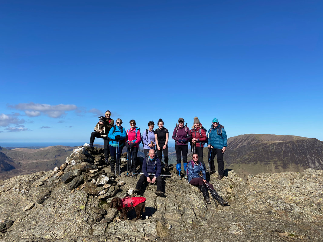
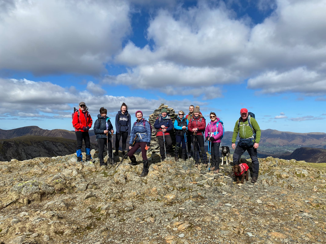
The group on the summit of Robinson
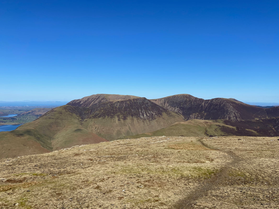
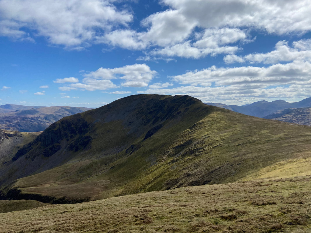
With Little Dale below us to the left it was time to leave Robinson's Summit and head over to Hindscarth which is ahead. Our route would be via Littledale Edge and we would climb up to Hindscarth via the sloping path going from right to left. The fell in the distance to the right is Dale Head.
Heading down Littledale Edge with the Honister Pass to our right
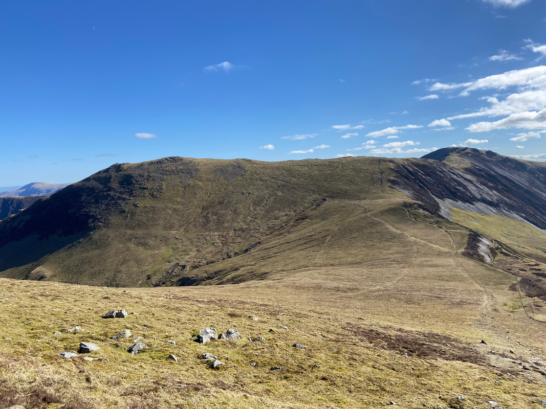
Looking back to our descent of Robinson from Littledale Edge
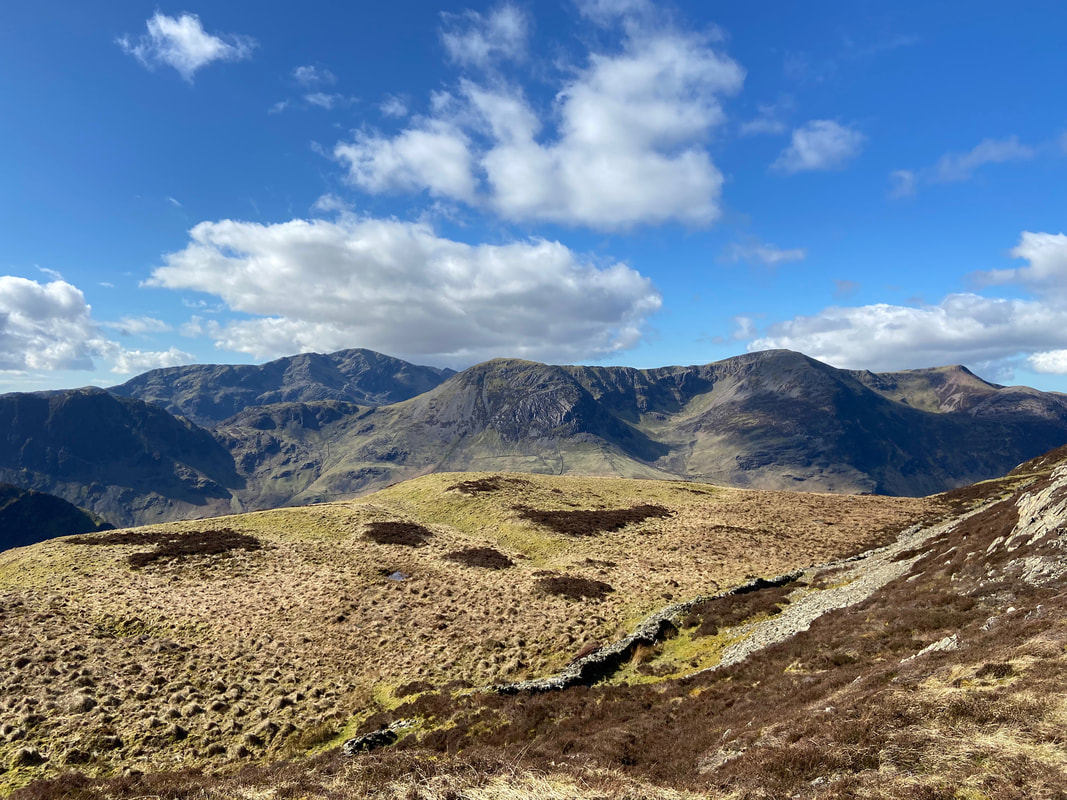
Haystacks, Pillar, Seat, High Crag, High Stile, Red Pike & Dodd from Littledale Edge
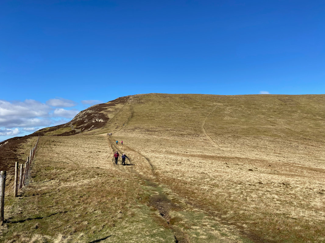
The transit to Hindscarth via the sloping path from Littledale Edge
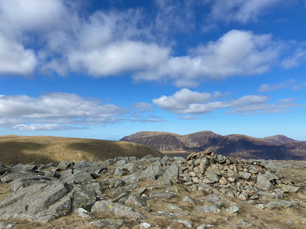
The summit cairn on Hinsdcarth looking to the North Western Fells
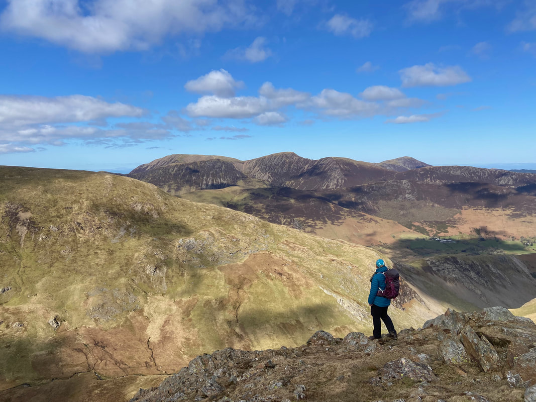
Angie drinks in the view from the crags just below Hindscarth's summit
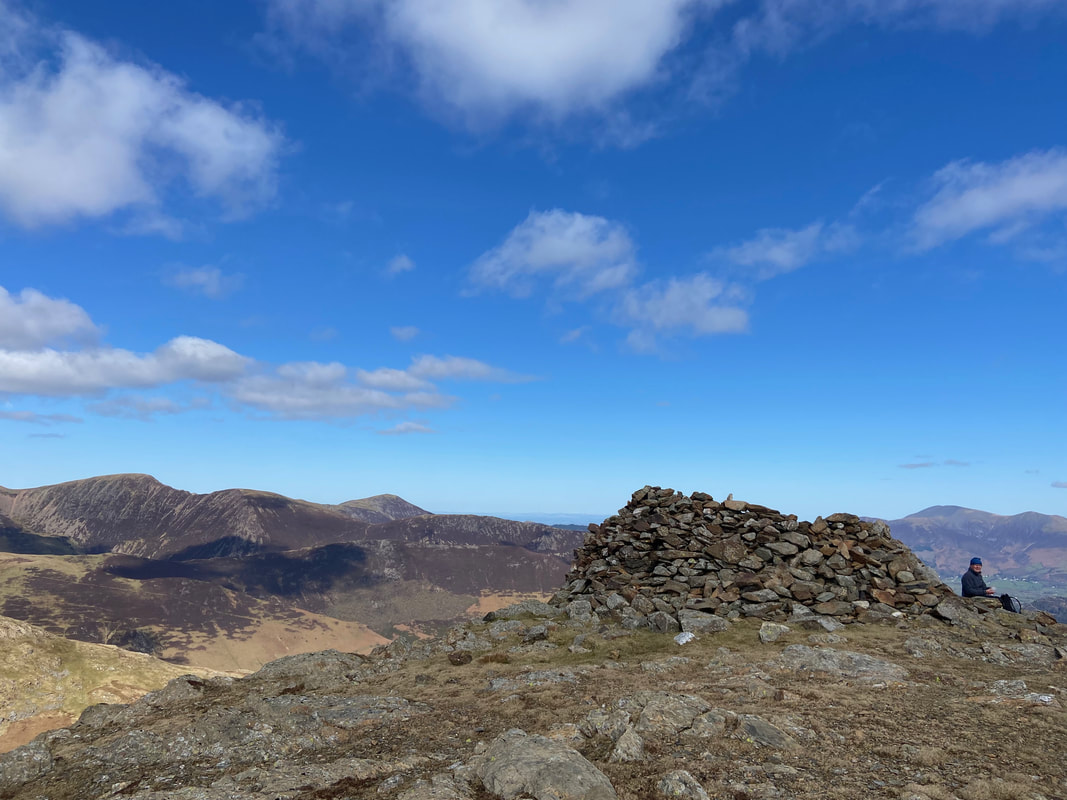
The north east cairn shelter on Hindscarth - approximately 200 yards away from the main summit and our lunch stop today
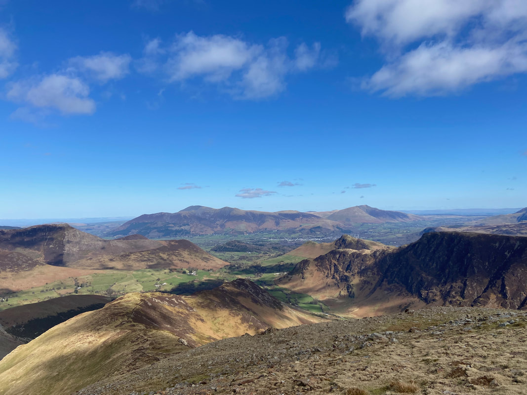
The Scope End & High Crags ascent of Hindscarth that starts from Newlands. Skiddaw & Blencathra are distant with Cat Bells & Maiden Moor over to the right.
Fudge at the north east cairn on Hindscarth with our outward route to the rear
Our route to Dale Head from Hindscarth
Maiden Moor & High Spy from the path to Dale Head
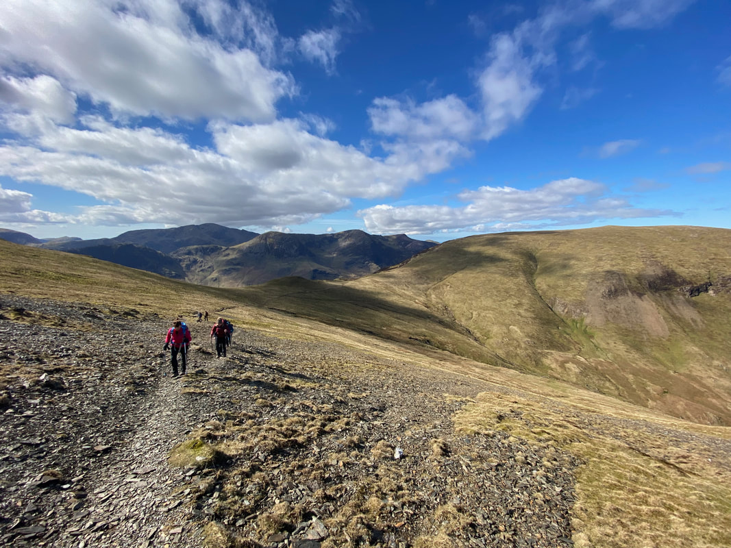
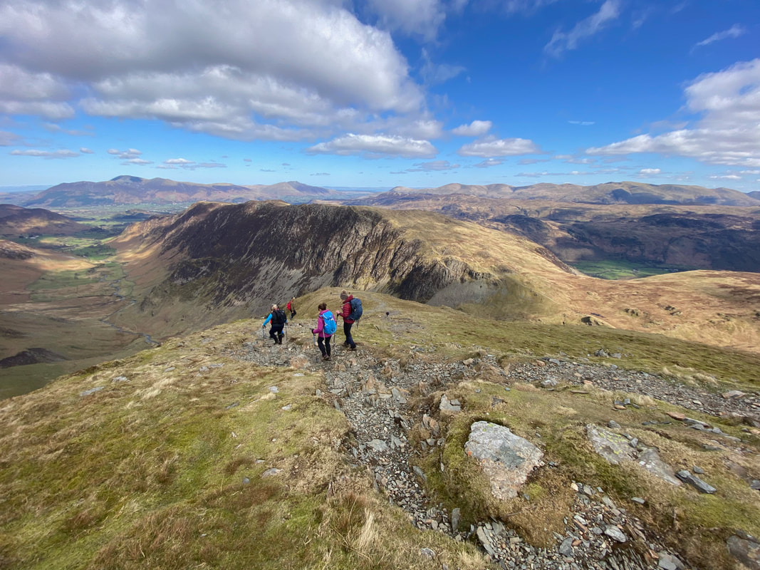
Heading along Hindscarth Edge to Dale Head
Fleetwith Edge to the left over the Honister Pass with Buttermere now in view
Fleetwith Pike with Kirk Fell & Pillar beyond
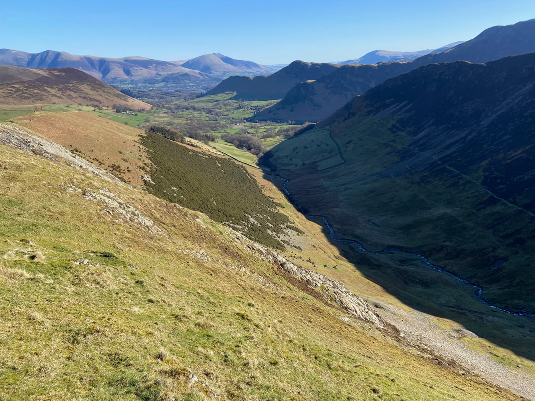
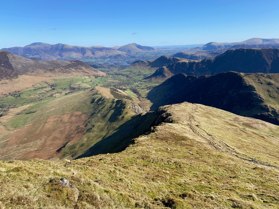
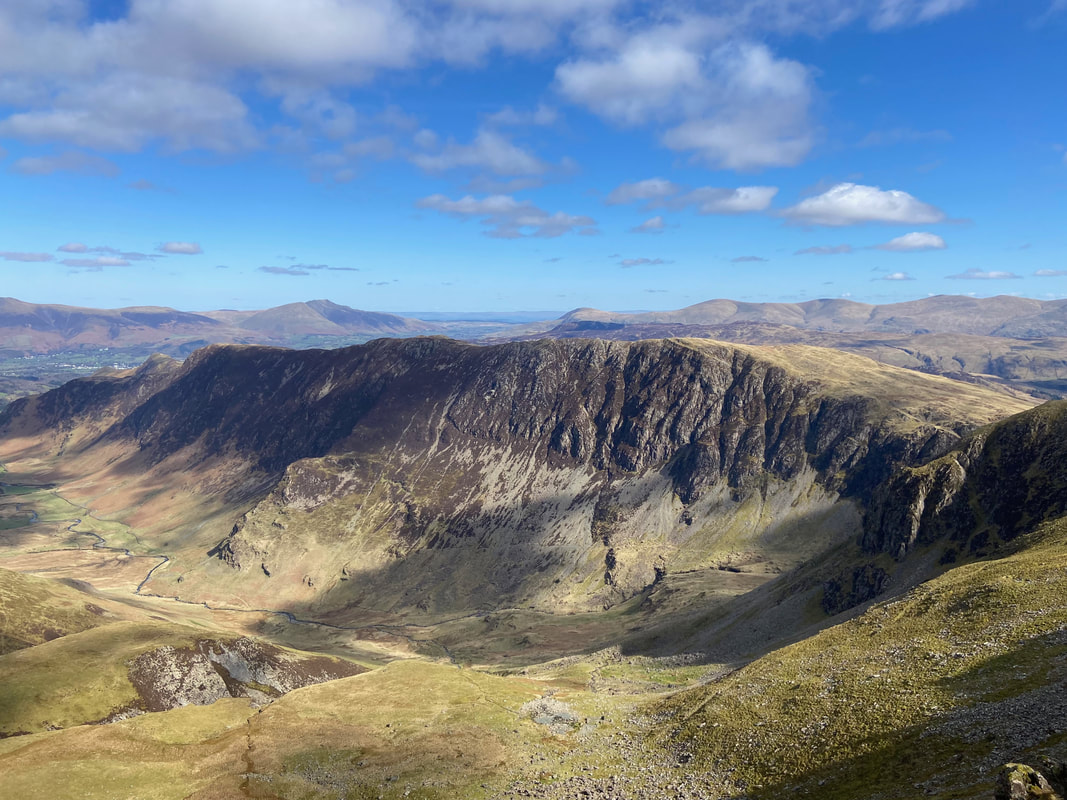
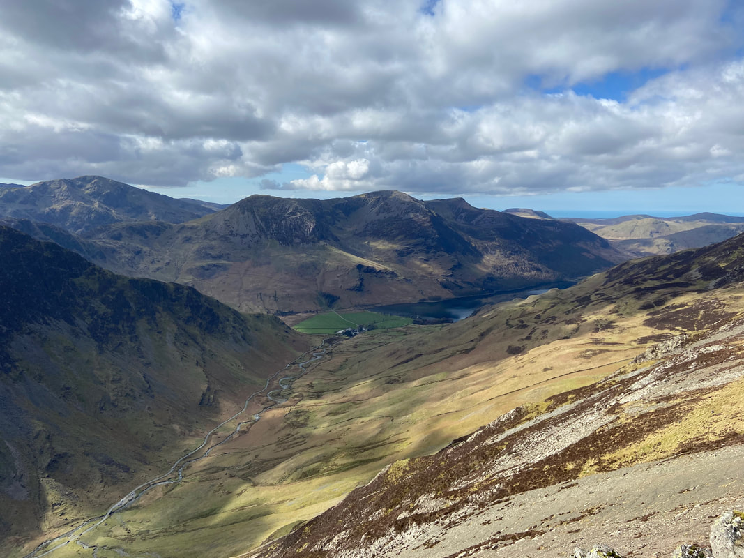
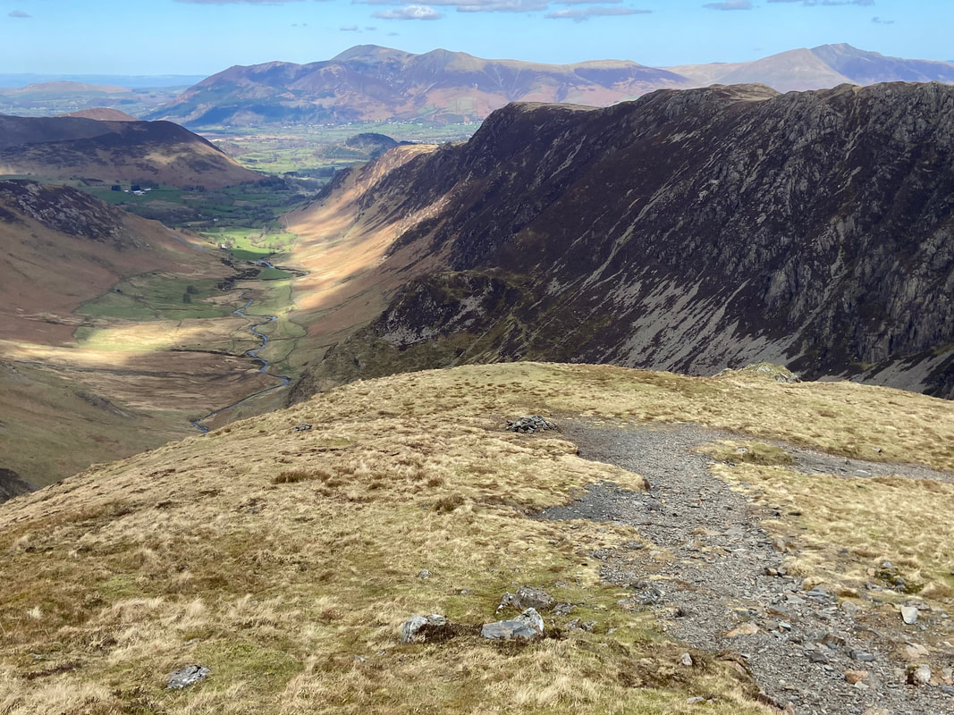
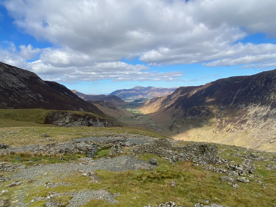
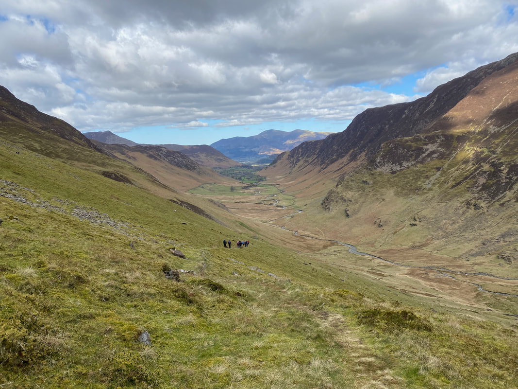
Looking into Newlands from Dale Head - our route back to the start is down below
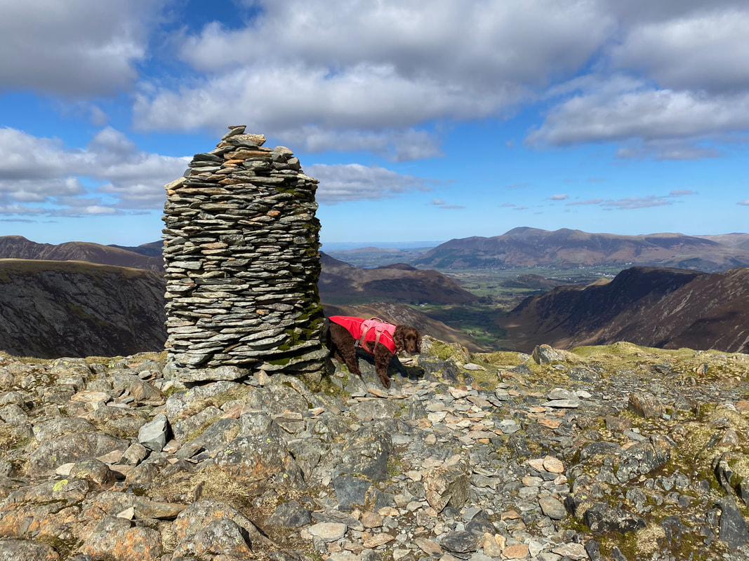
The fine cairn on the summit of Dale Head
It had been a great day thus far and the group were all smiles as we pose on Dale Head
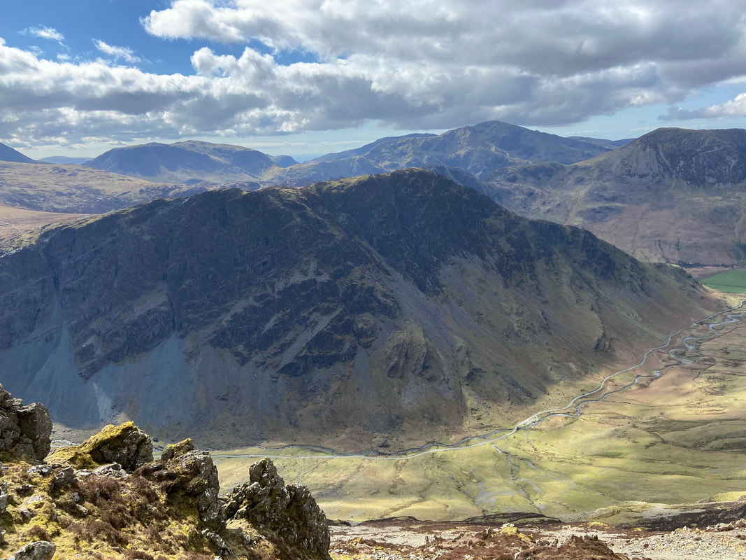
Hindscarth over Far Tongue Gill from Dale Head
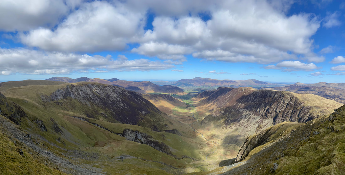
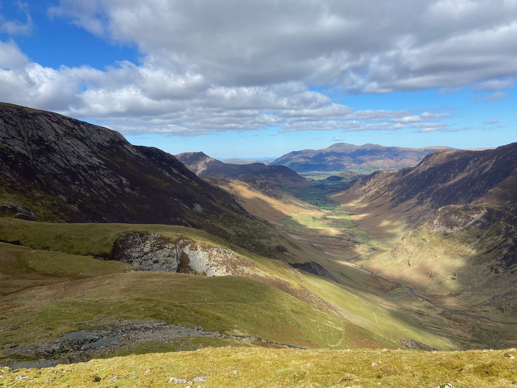
A Newlands panorama from Dale Head
From Dale Head's summit we followed the route towards Dale Head Crags which is the path to Dalehead Tarn & High Spy
A small cairn marks the point at which the path splits - turning to the right leads to Dalehead Tarn whilst our route to the left would return us to Newlands via Dalehead Crags and above Great Gable (the other one).
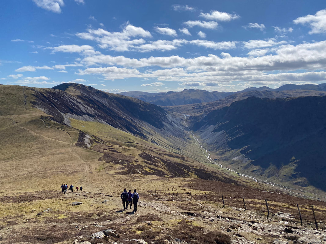
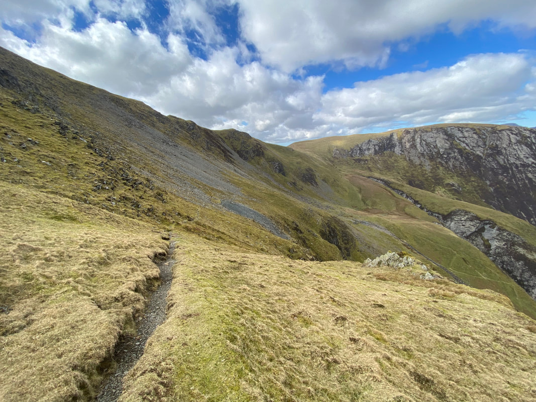
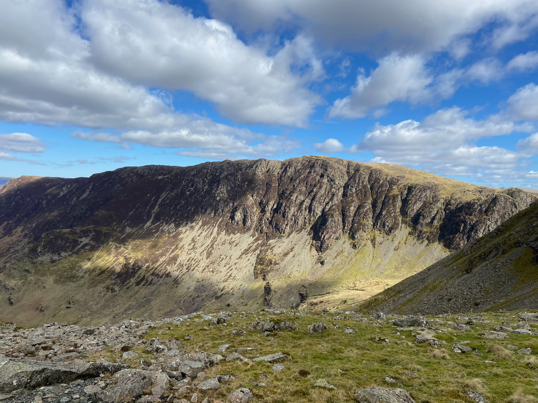
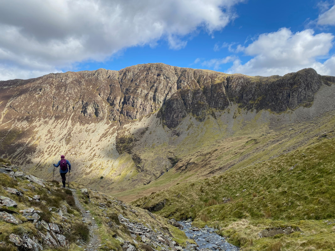
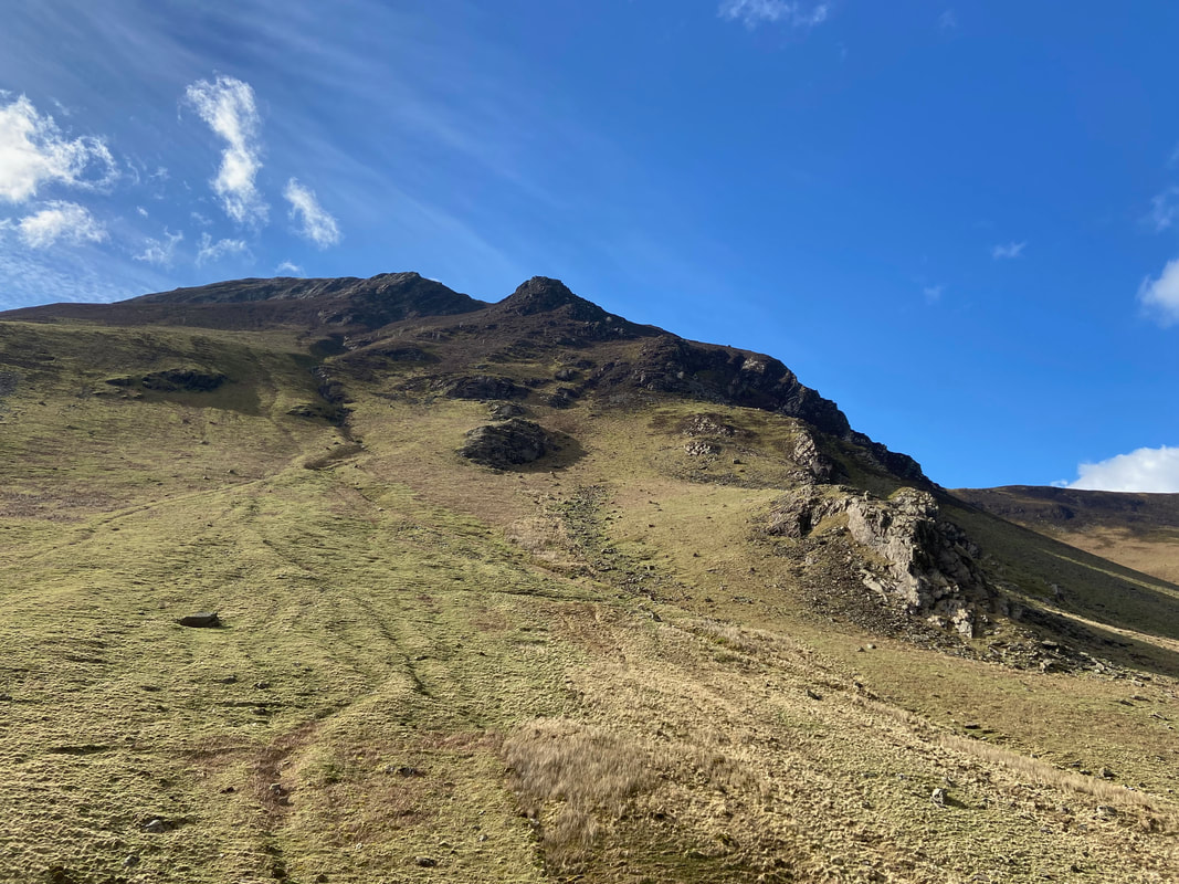
The path below Dalehead Crags. The route traverses across the face of Dale Head, crosses the scree ahead, curves around to the right and then zig zags down the slope.
Crossing the scree - the path is quite thin on the ground but the way ahead is never in doubt
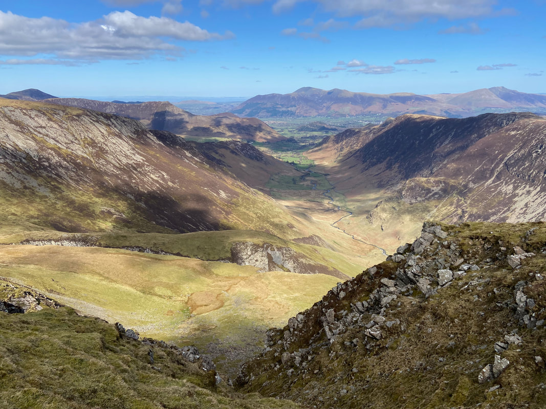
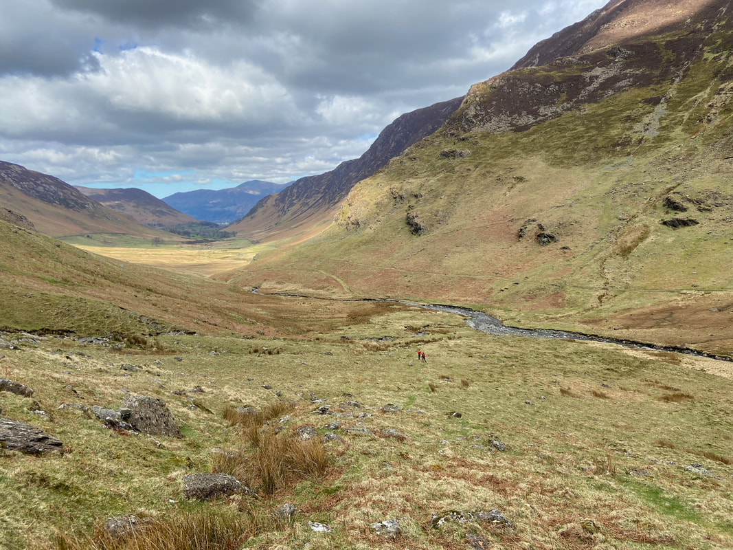
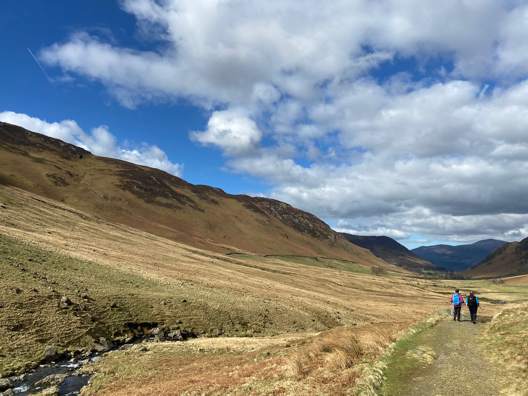
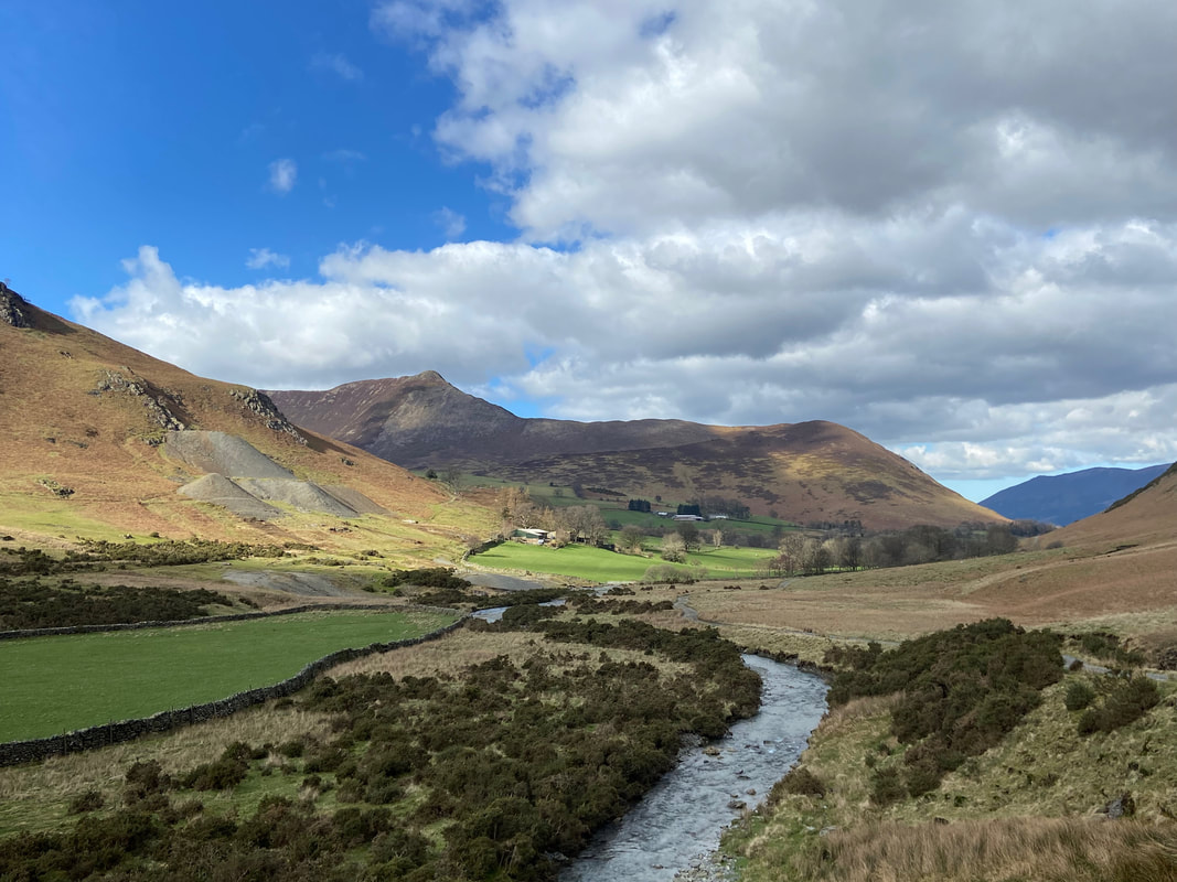
Looking into Newlands with Far Tongue Gill to the left below Hindscarth
A ruined mining hut at Dale Head Mine
Dale Head Mine was a copper mine worked by small groups of men in about 1570 for a short time and subsequently abandoned for 100 years. No records exist for a further 100 years or so until in 1805 it started up again and produced outputs of about 150 tons per year until 1833, when the venture ran out of money. Further ventures were undertaken but the difficulties of working for poor returns were too great and the mine closed for good in 1848.
Dale Head Mine was a copper mine worked by small groups of men in about 1570 for a short time and subsequently abandoned for 100 years. No records exist for a further 100 years or so until in 1805 it started up again and produced outputs of about 150 tons per year until 1833, when the venture ran out of money. Further ventures were undertaken but the difficulties of working for poor returns were too great and the mine closed for good in 1848.
High Spy across the head of Newlands
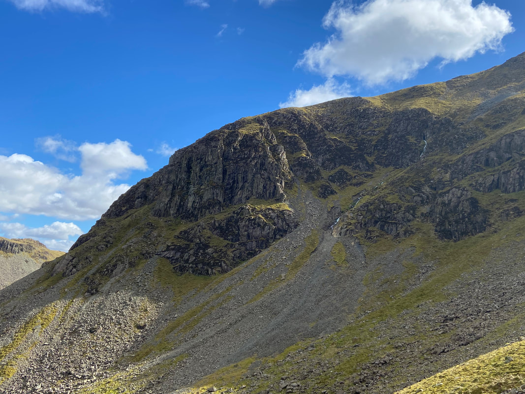
Looking up to Great Gable below Dale Head
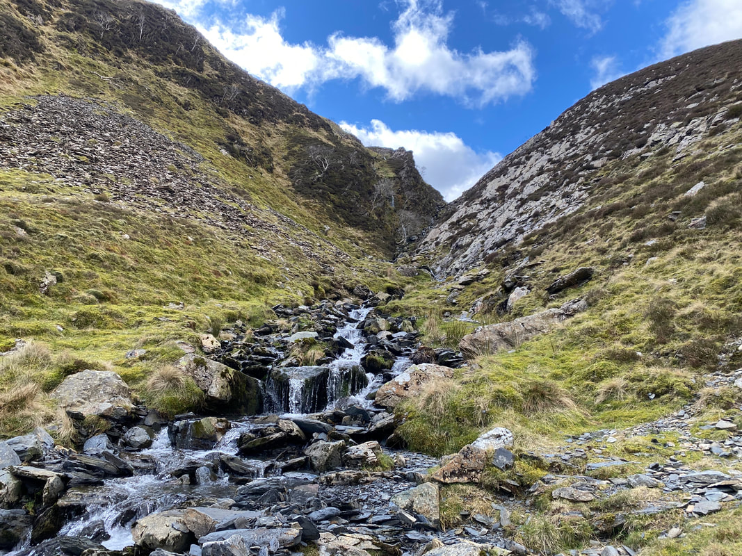
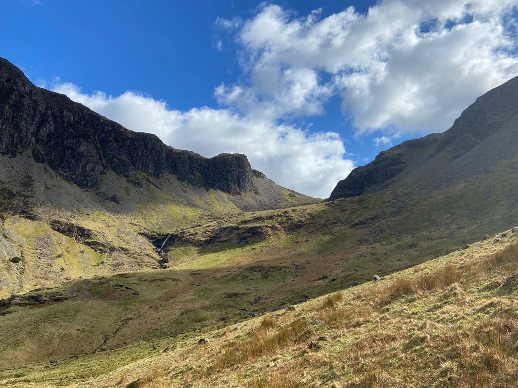
The cascades of Far Tongue Gill
Far Tongue Gill (Click Play to view)
Before dropping down into the valley, the route continues along the northern bank of Far Tongue Gill
Leaving Far Tongue Gill, the path drops gently down to the valley floor at Newlands Beck
Looking back up towards the col at Dalehead Tarn between High Spy & Dale Head
Almost down now as we approach Newlands Beck
Squat Knotts
Having crossed Newlands Beck we joined the Dalehead Tarn path back towards Chapel Bridge
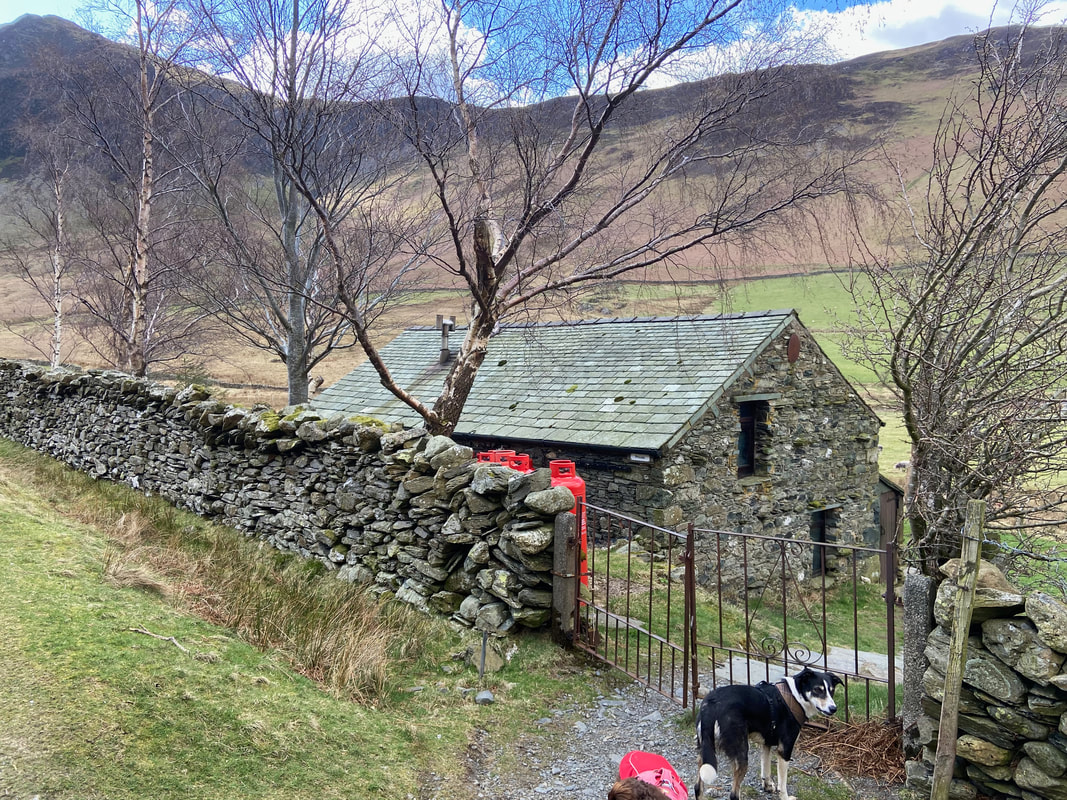
Cookie stands outside the entrance to a Climbing Hut. The hut belongs to the Carlisle Mountaineering Club and can be hired by the general public. Further information can be found here.
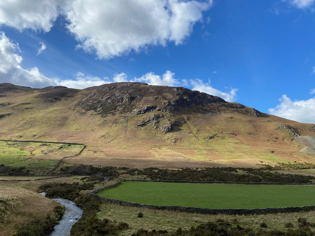
Scope End
Causey Pike & Rowling End over Newlands Beck
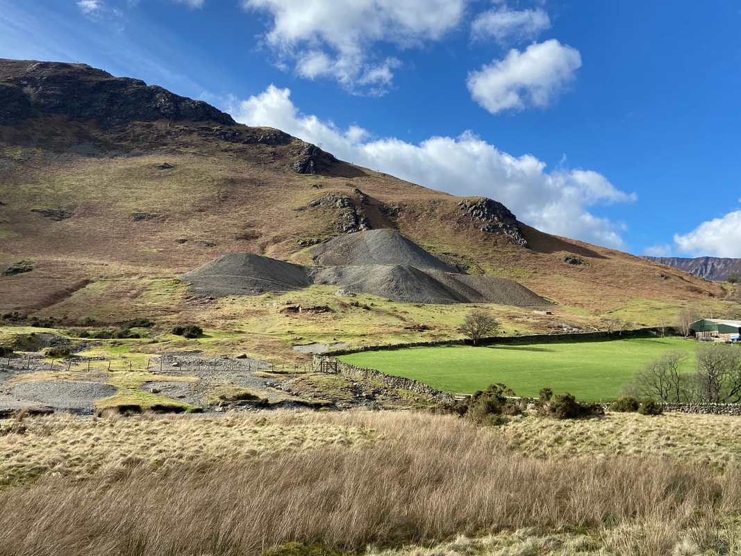
The spoil heaps of the former Goldscope Lead Mine. The mine dates back to the reign of Elizabeth the First.
Scar Crags & Causey Pike
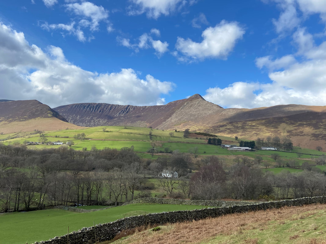
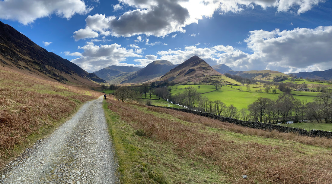
A last look down Newlands as we near Chapel Bridge
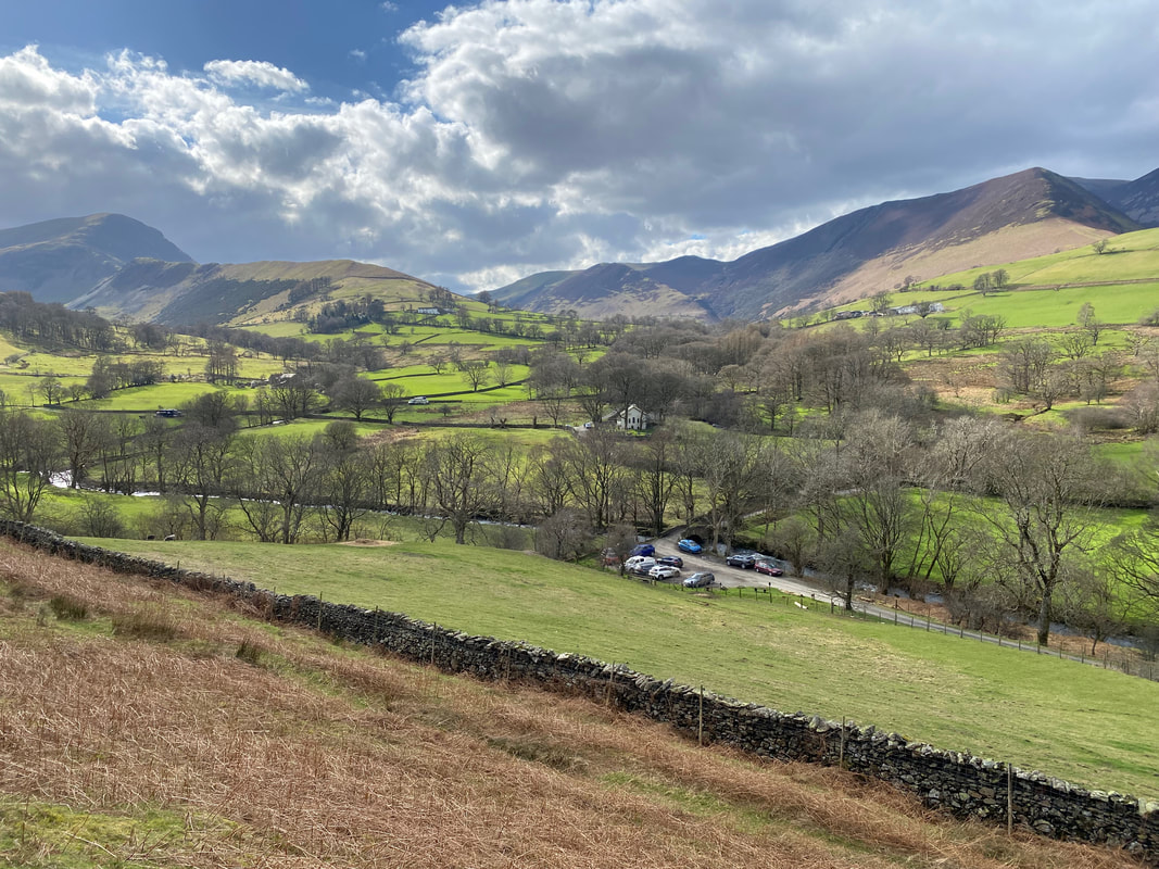
Chapel Bridge Car Park below - the route drops down to the road shortly
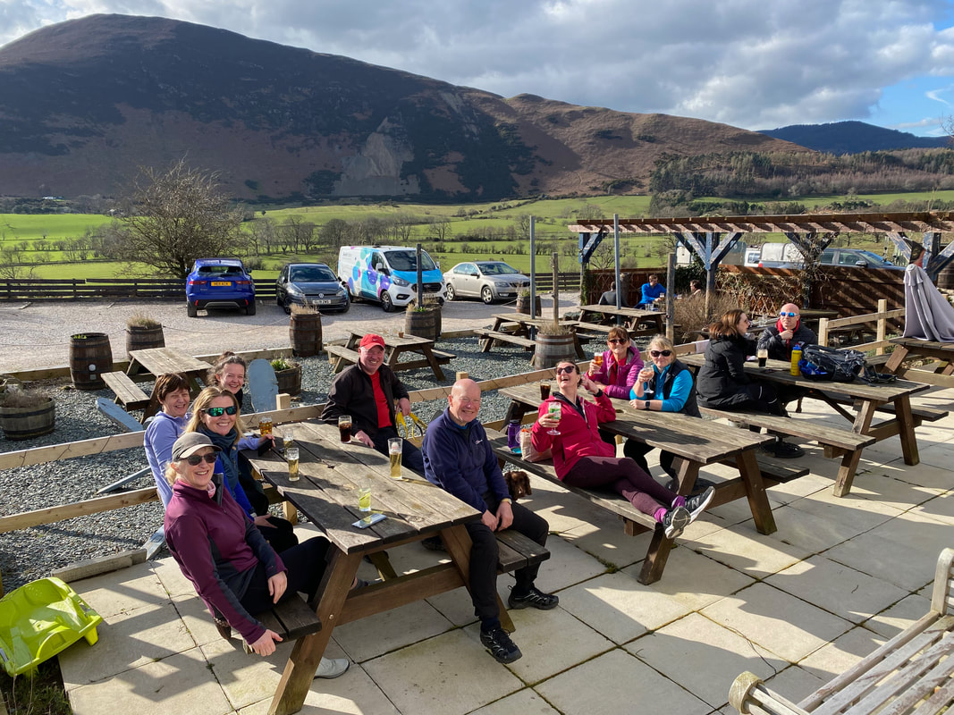
Silly not to really - the group enjoy our customary "Debrief" this time at The Swinside Inn. What a cracking day!
