Whinlatter - Thursday 27 January 2022
Route
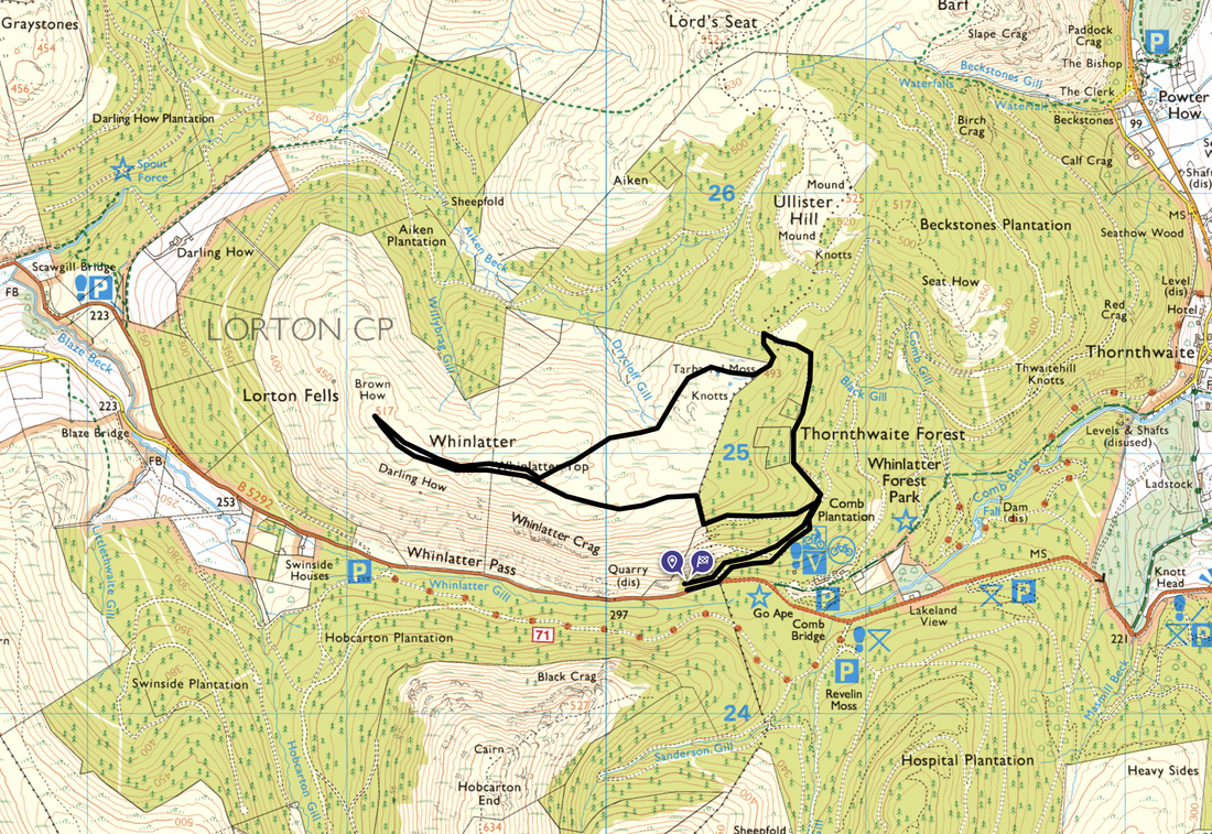
Whinlatter Pass - Horsebox Crossroads - Comb Plantation - Whinlatter Top - Brown How - Whinlatter Top - Tarbarrel Moss - Comb Plantation - Horsebox Crossroads - Whinlatter Pass
Parking
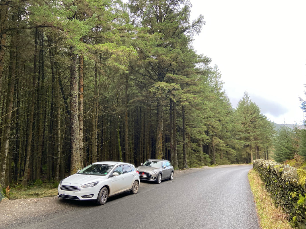
Verge parking (Free) on the B5292 Whinlatter Pass at Grid Reference NY 20264 24468. The nearest postcode is CA12 5TW. If these spaces are not available then there is plentiful parking (Charges apply) at the Whinlatter Forest Visitors Centre which is 500 yards to the east along the B5292.
Mileage
4.1 miles
Terrain
Forest tracks and mountain paths
Weather
Drizzly at first then overcast with some sunny spells near the end of the walk.
Time Taken
2hrs 10mins
Total Ascent
1286ft (392m)
Wainwrights
1
Map
OL4 - The English Lakes (North Western Area)
Walkers
Dave, Angie & Fudge
|
GPX File
|
| ||
If the above GPX file fails to download or presents itself as an XML file once downloaded then please feel free to contact me and I will send you the GPX file via e-mail.
Route Map
As I am a professional tight arse I made sure we parked at the free verge parking at the top of the Whinlatter Pass on the B5292. Approximately 500 yards behind me is the Visitor Centre where there is an abundance of Pay & Display parking. If you are going to park on the pass then please make sure your car is completely off the road thus enabling other cars to pass safely.
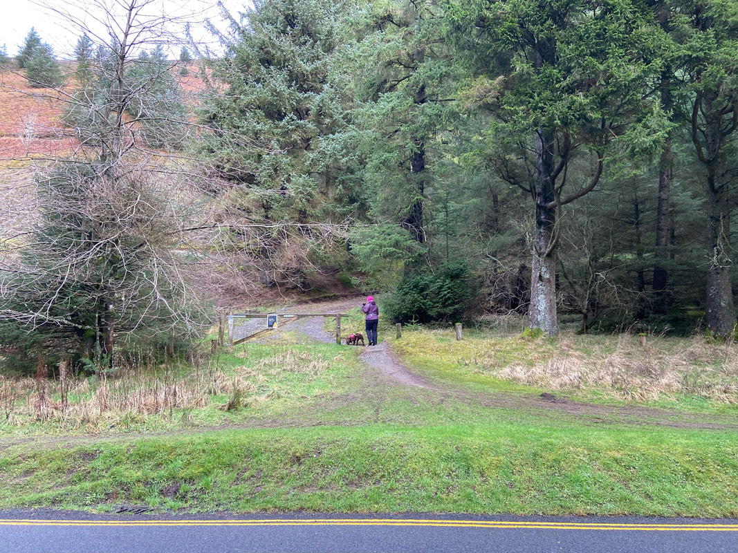
Across the road from the verge parking is a path that enters Whinlatter Forest. The path leads to a forest road.
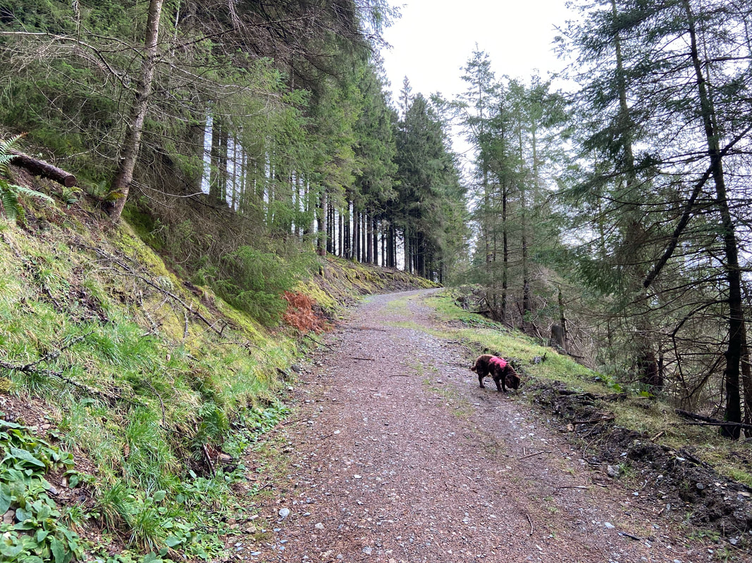
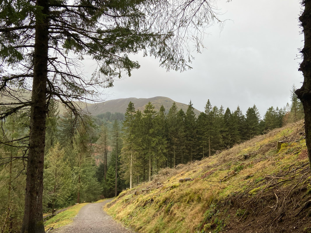
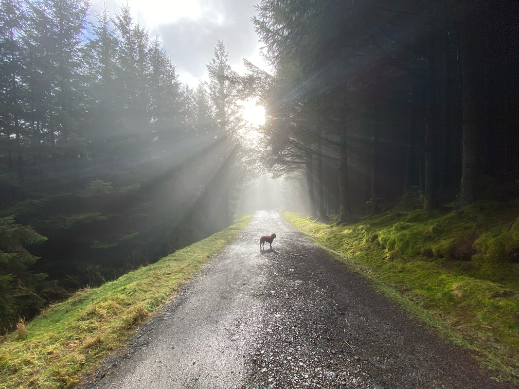
The forest road rises on a gentle gradient in the direction of the Horsebox Crossroads
Looking back to Hobcarton End from the forest road
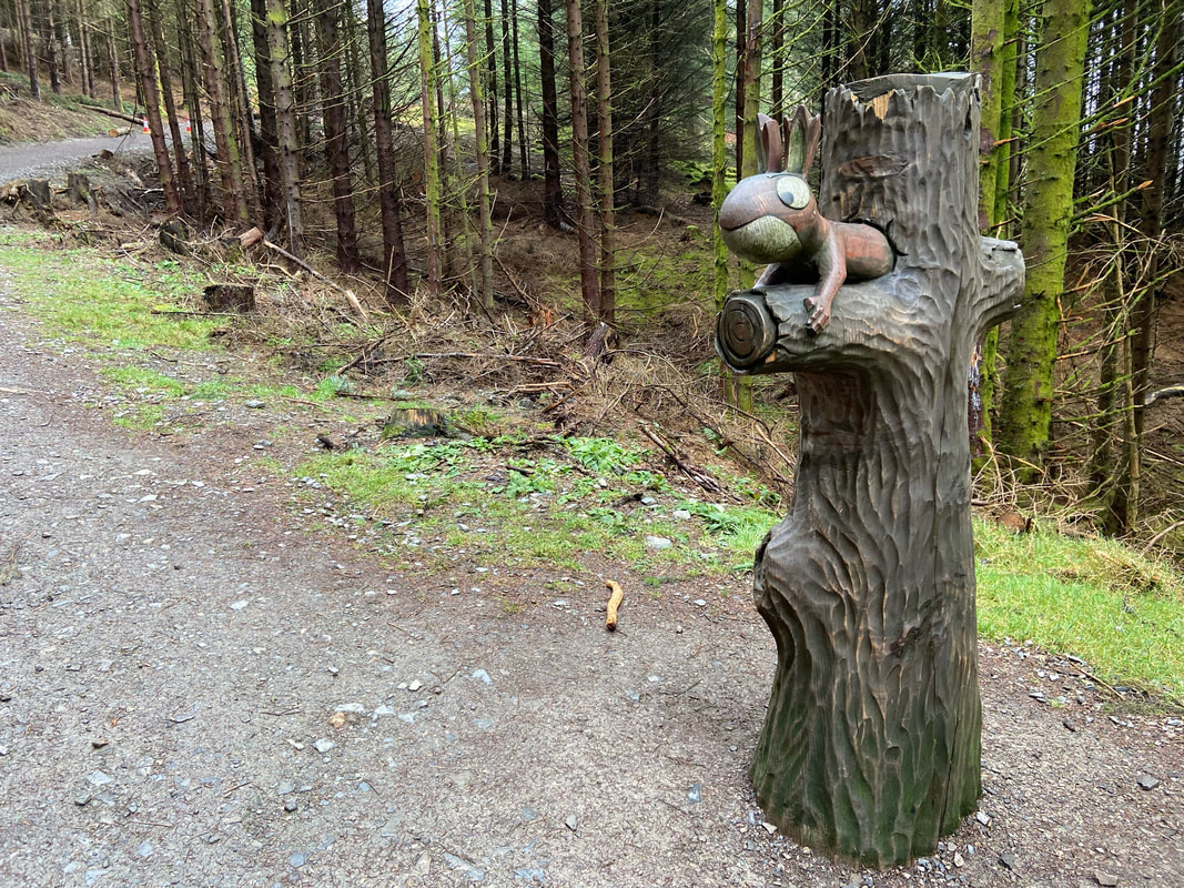
"The Mother Squirrel" - one of 12 sculptures in and around Whinlatter Forest from the book "The Gruffalo" by Julia Donaldson. The sculptures form a navigational challenge around the forest using a simple map to find the 12 Gruffalo markers hidden in the deep, dark wood. Would we find The Gruffalo himself? Read on and find out!
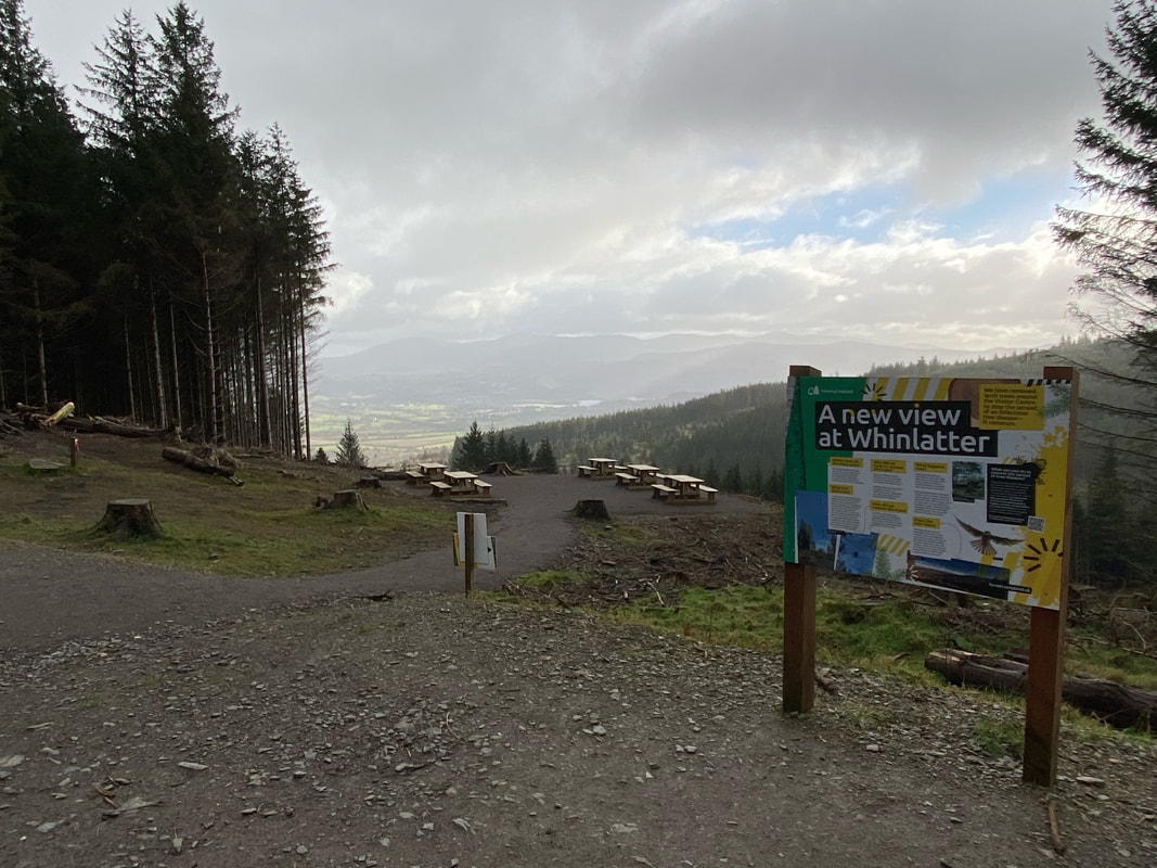
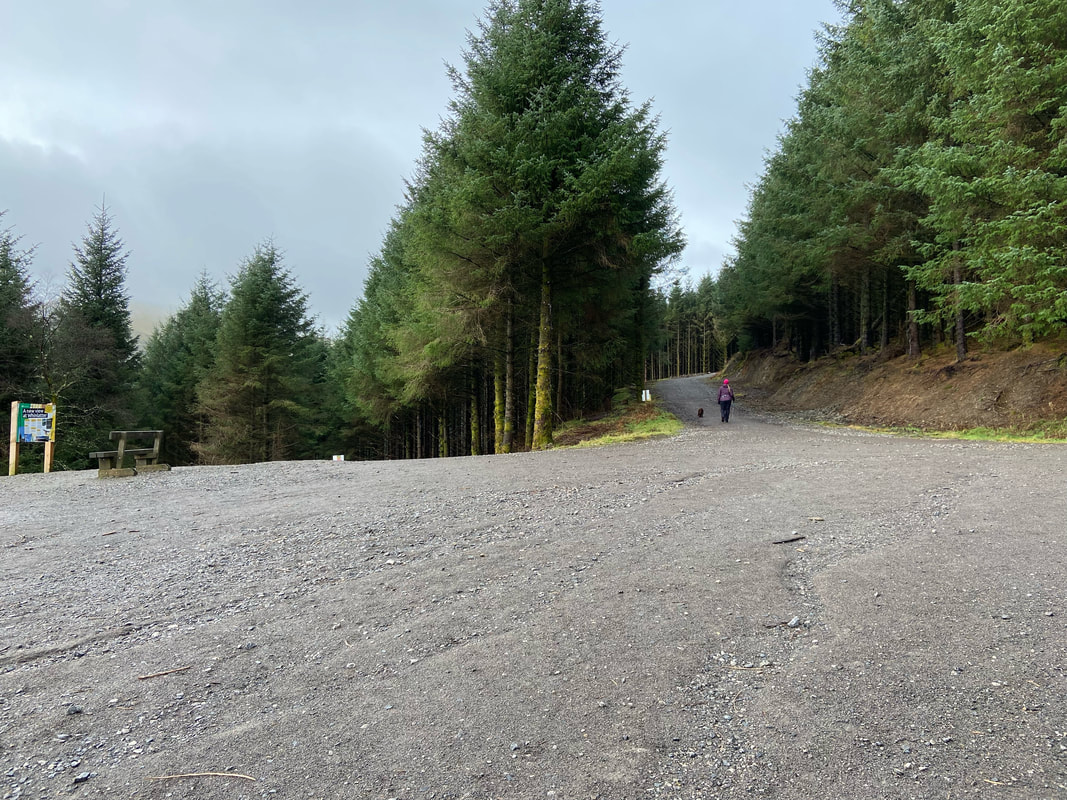
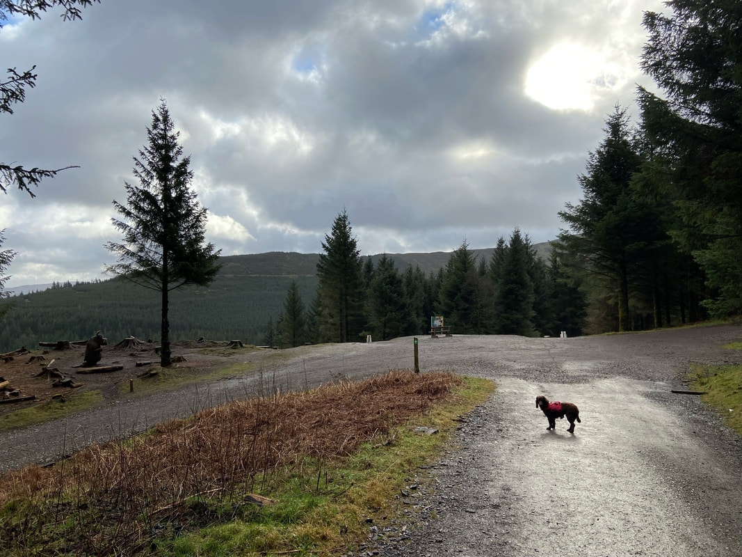
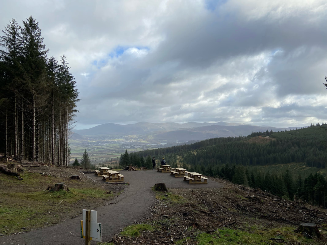
The new viewing area at the Horsebox Crossroads. The viewing area was not planned as the information board pictured explained. The trees in and around this area were felled to stop the spread of Phytophthora Ramorum - a fungal-like organism that causes the death of a wide range of trees and shrubs.
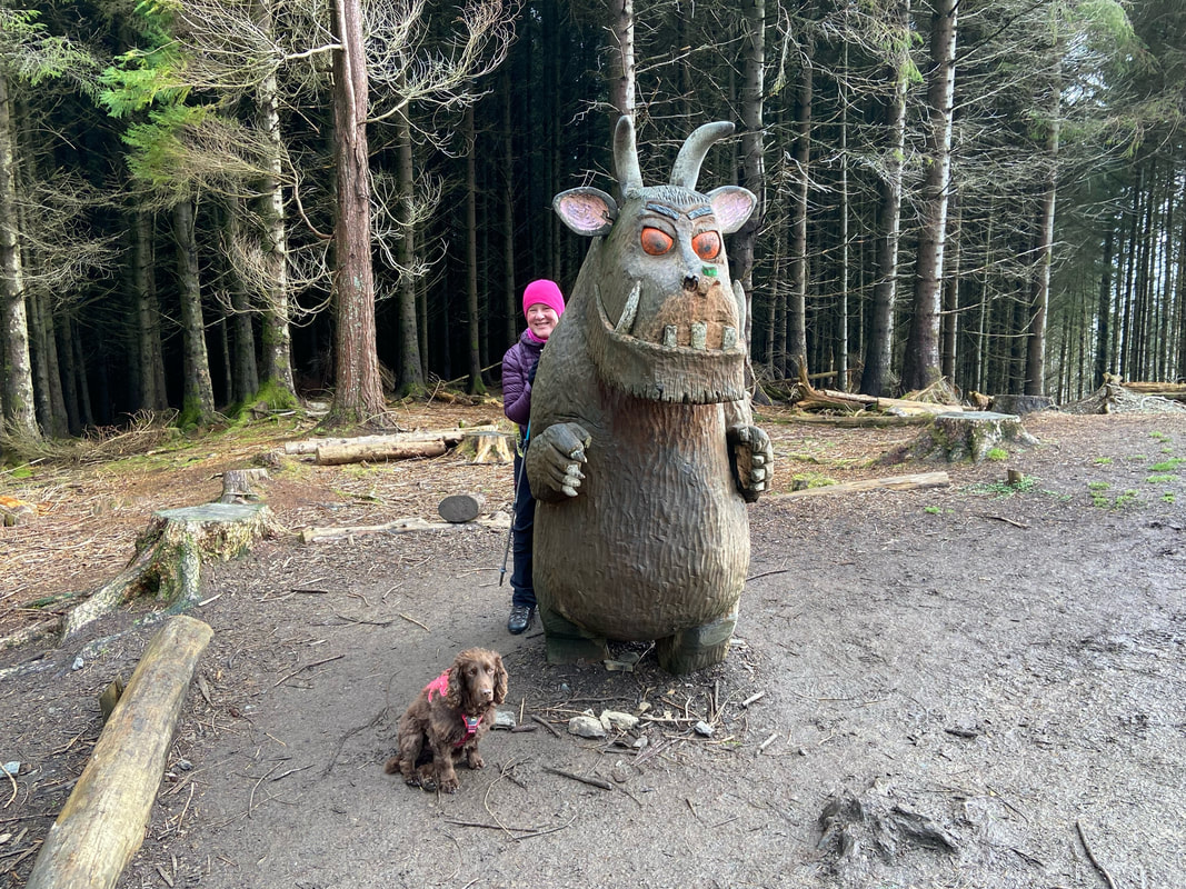
Just to the left of the viewing area is The Gruffalo. For those of you who have never seen it before, The Gruffalo is the one on the right.
The path makes a sharp left turn back on itself and then heads west
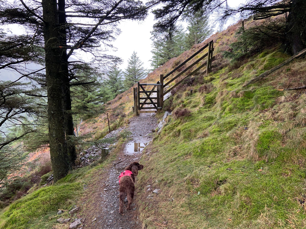
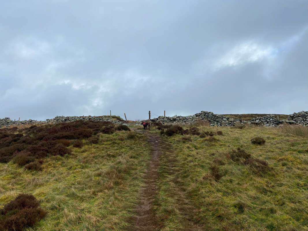
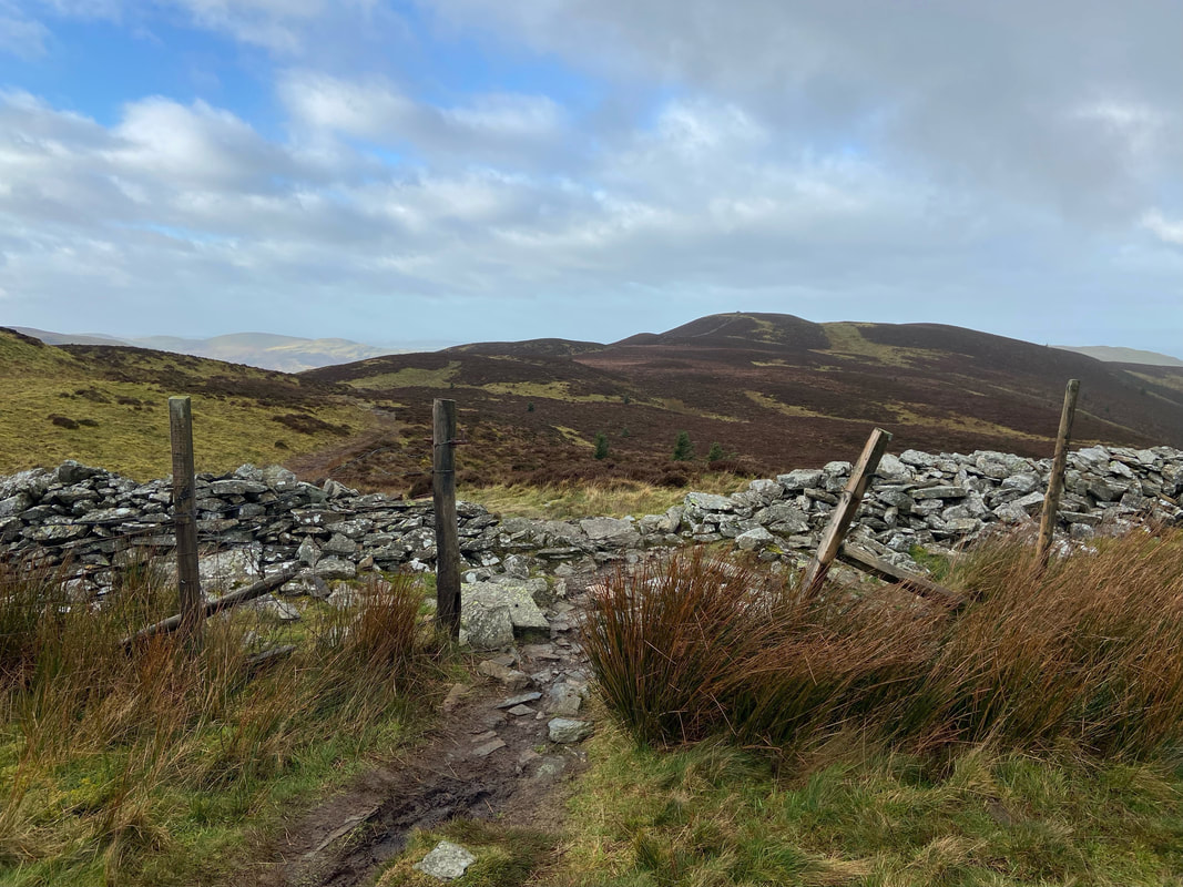
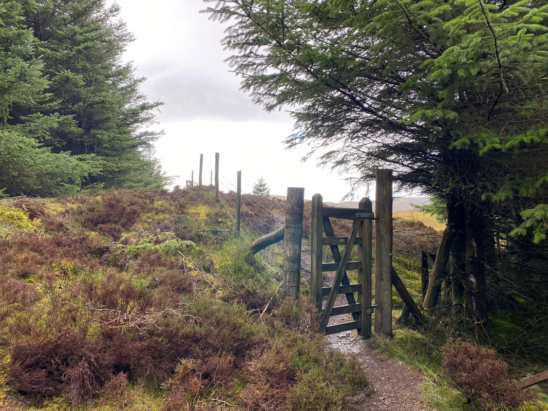
The forest track peters out to become a thin path and reaches a gate which gives access to the open fell side
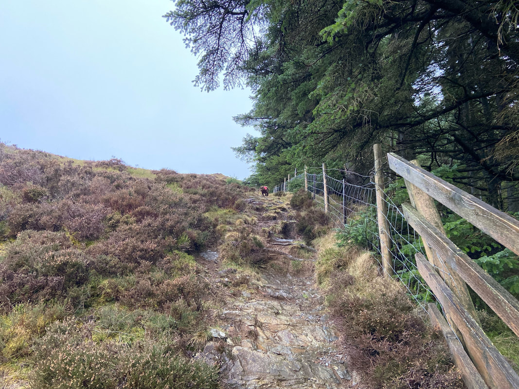
Once through the gate the route turns immediately right to handrail the fence line
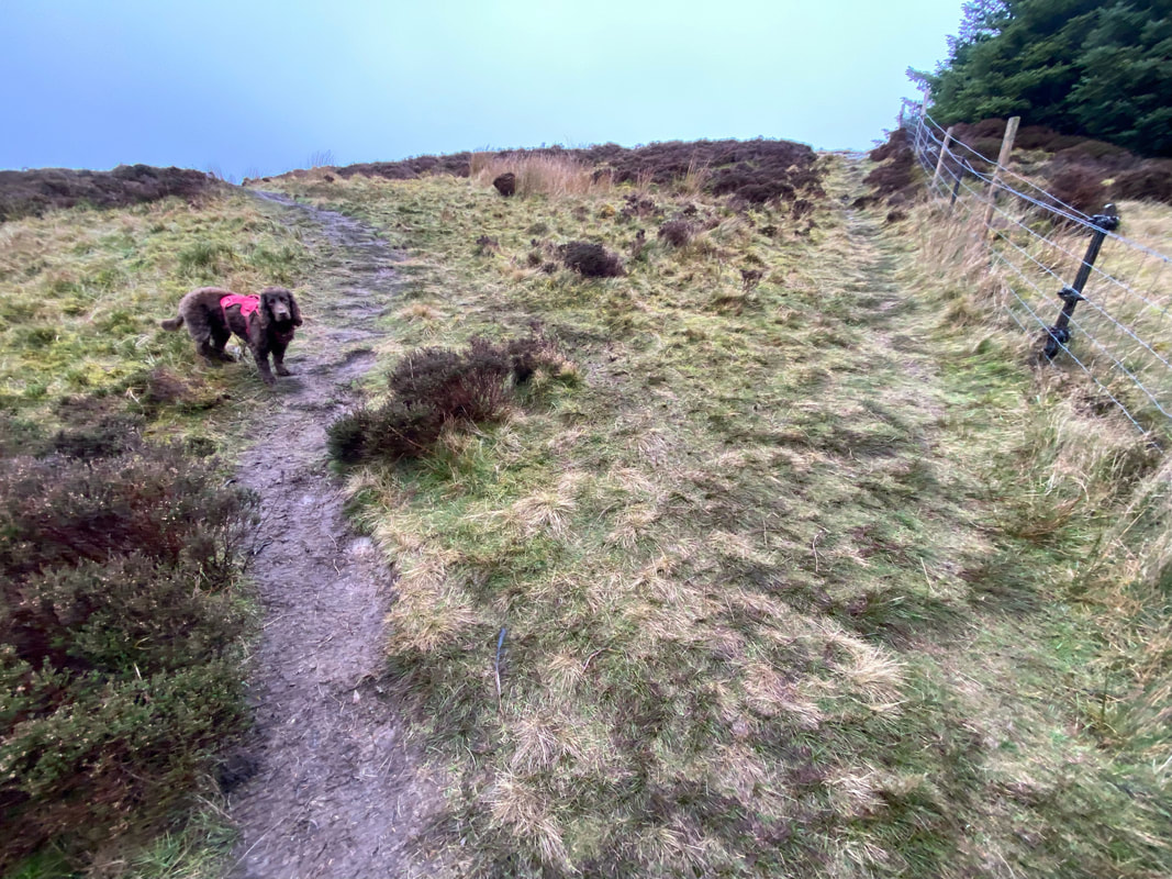
After approximately 150 yards and just before the gradient eases the path forks. We took the left fork which is the start of Whinlatter's east ridge with the right hand fork continuing up the fence line to Tarbarrel Moss. The fork is at Grid Reference NY 20365 24827.
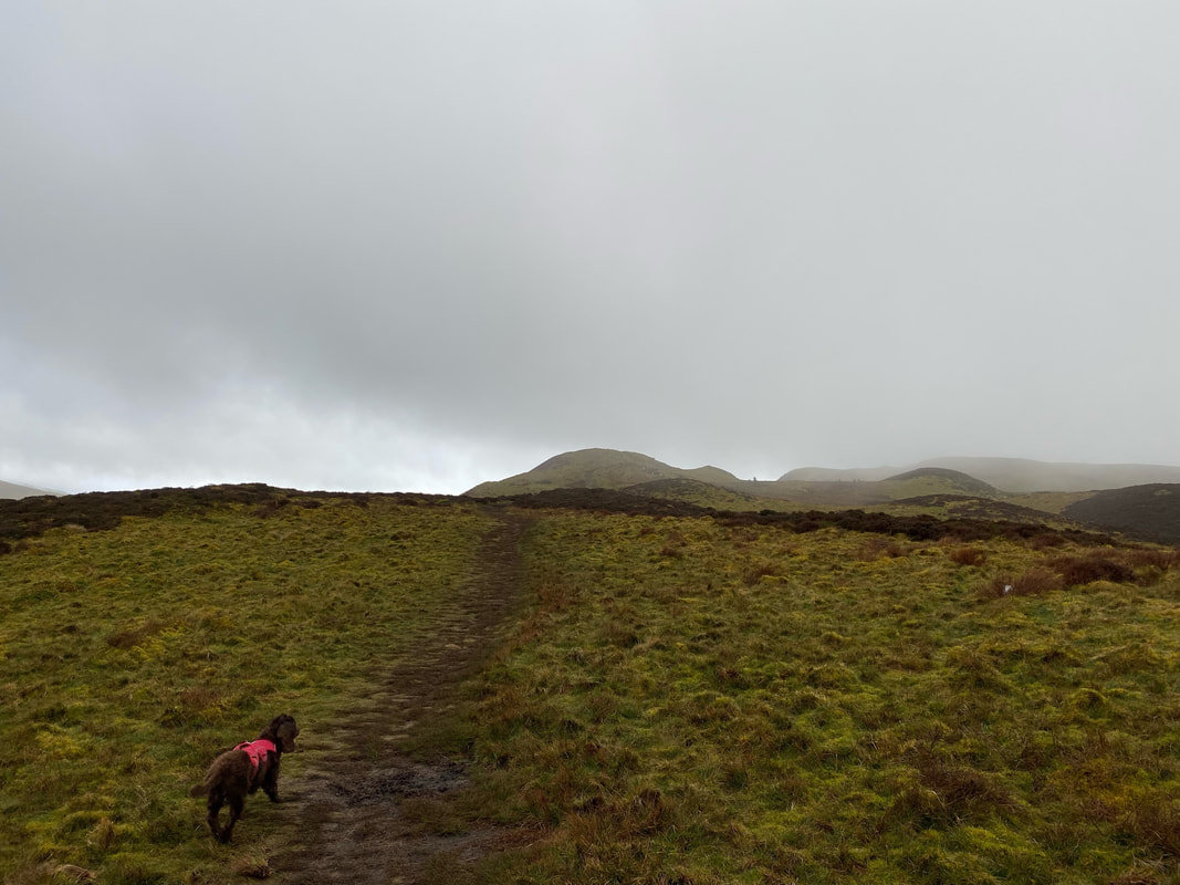
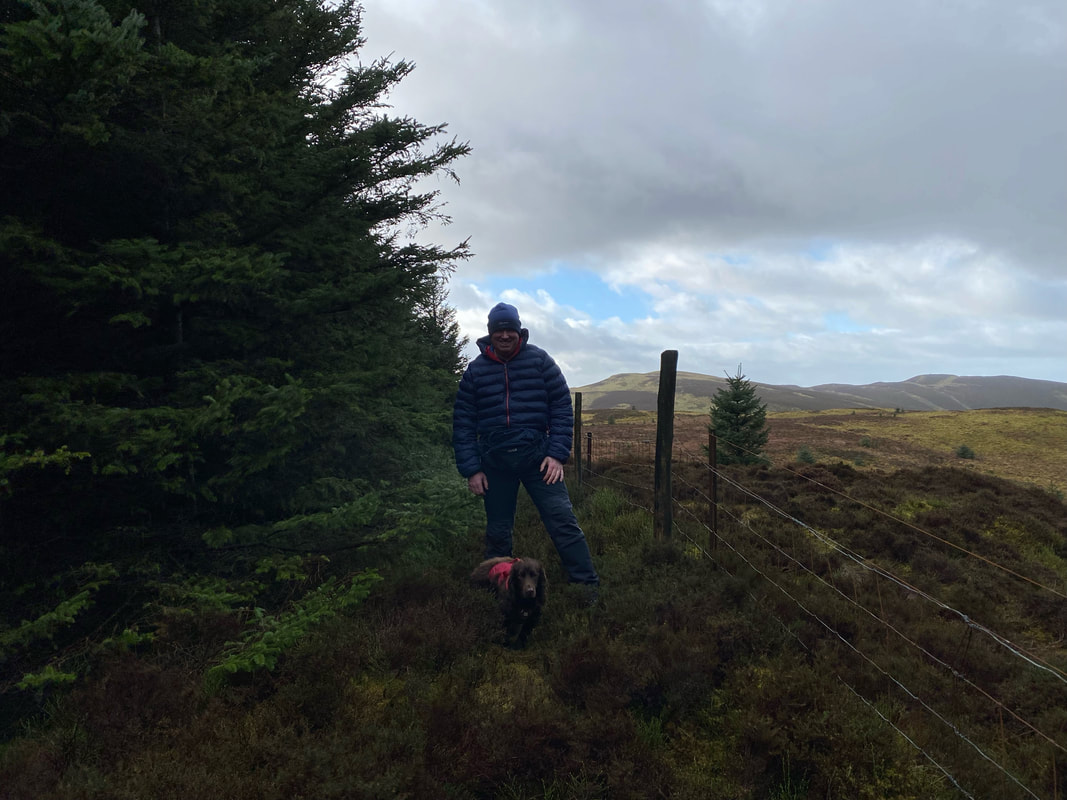
Fudge looks ominously at the incoming low cloud as we commence the walk along the east ridge
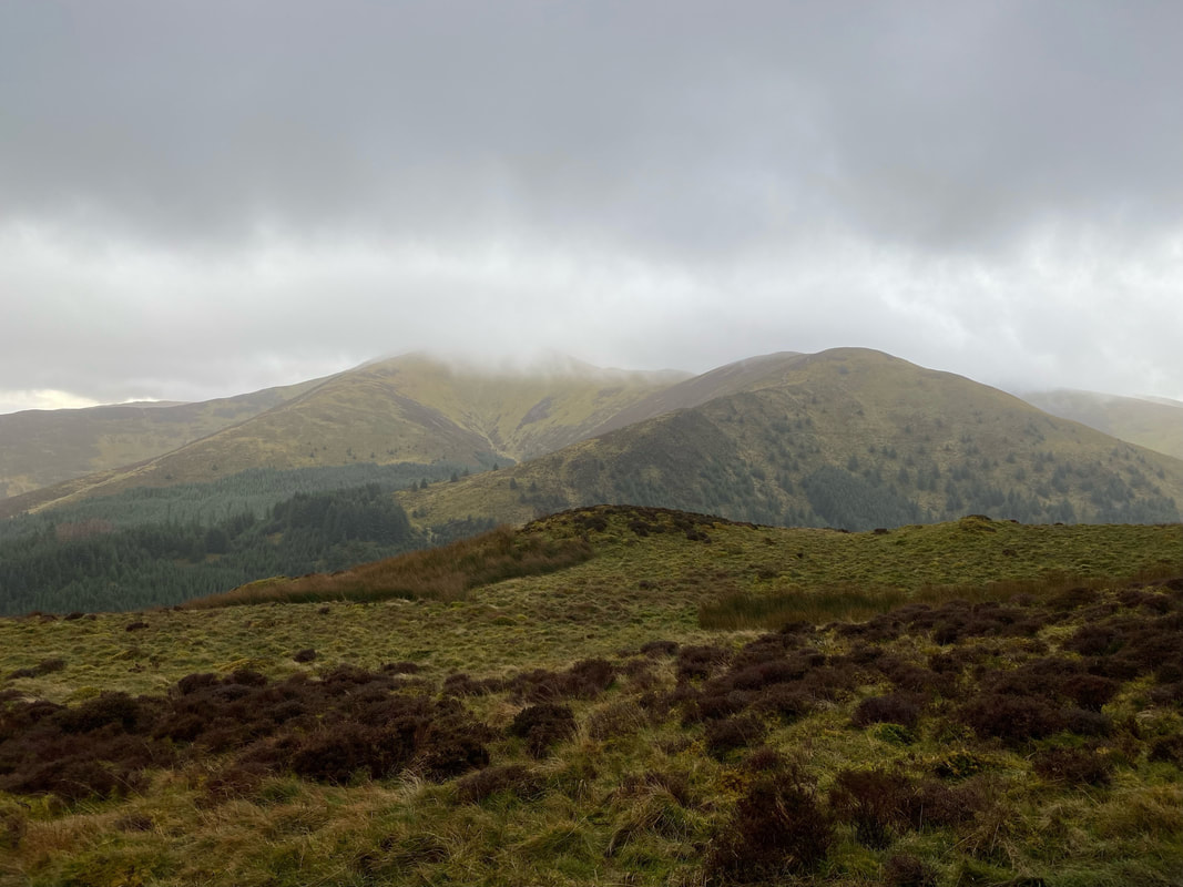
Yuk! Looking over to Hobcarton End with Grisedale Pike in cloud.
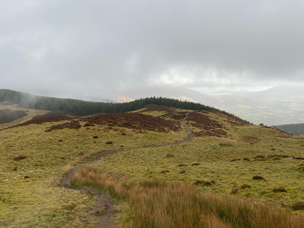
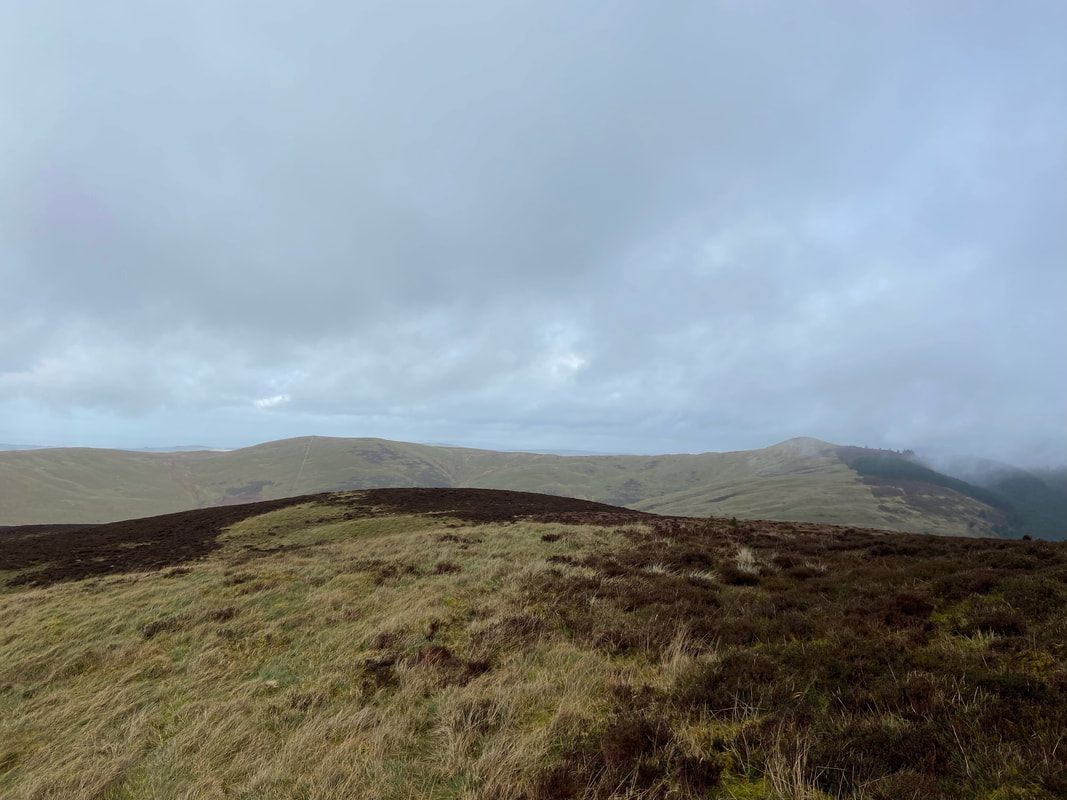
Tarbarrel Moss from Whinlatter's east ridge
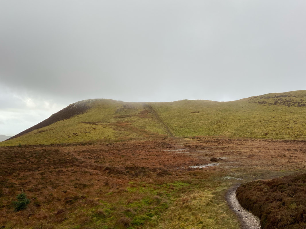
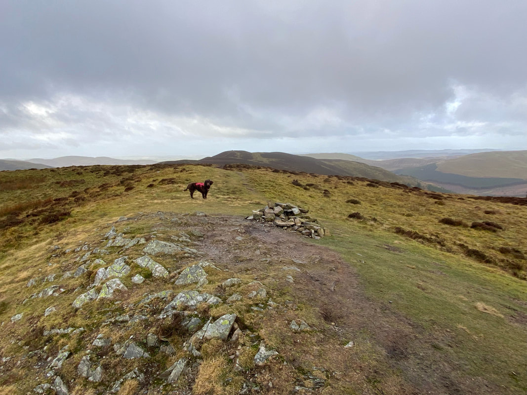
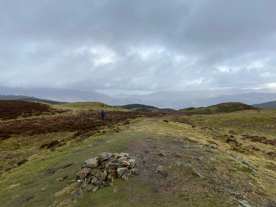
The path transits through a marshy depression below Whinlatter Top. The bog can be avoided via paths to the left & right.
The summit of Whinlatter Top. At 1722ft, it is 26ft higher than Brown How (seen ahead) which is regarded as the summit of Whinlatter. In times gone by, the Ordnance Survey did not regard Whinlatter Top as higher than neighbouring Brown How and Wainwright wasn't convinced they were right. Subsequently over the years after several measurements having taken place, the east top is now recognised as the highest part of the fell although Brown How is still regarded as the summit.
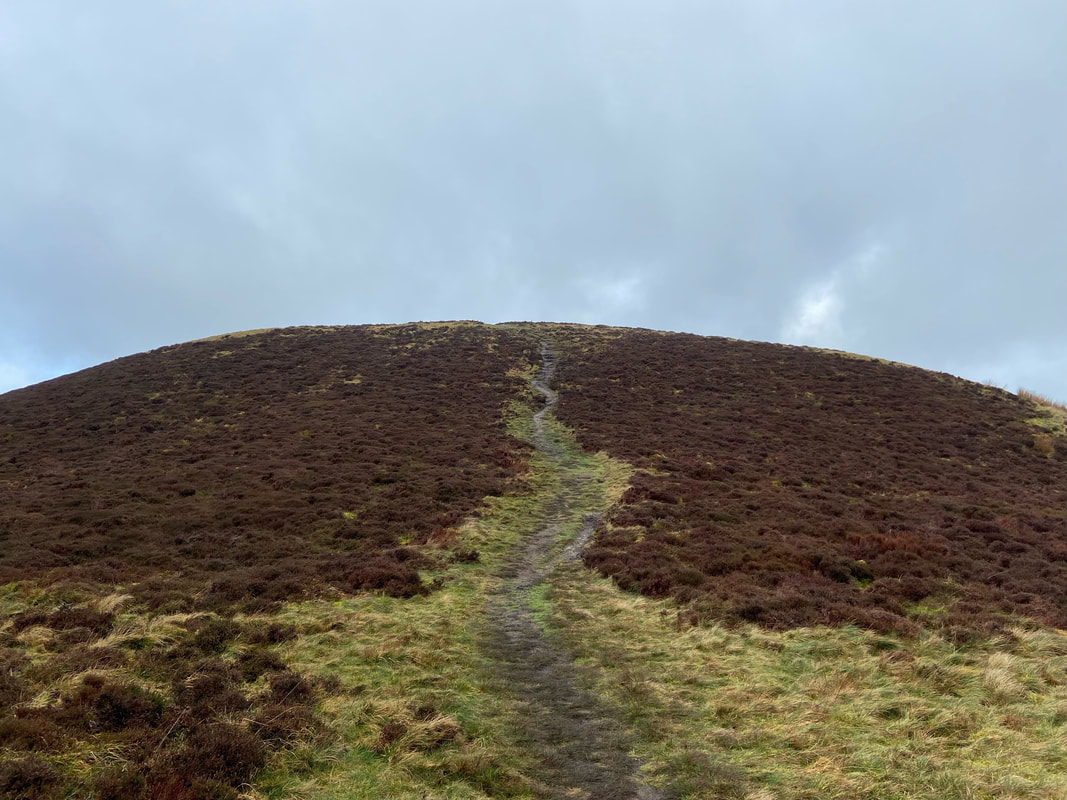
The final push to Brown How
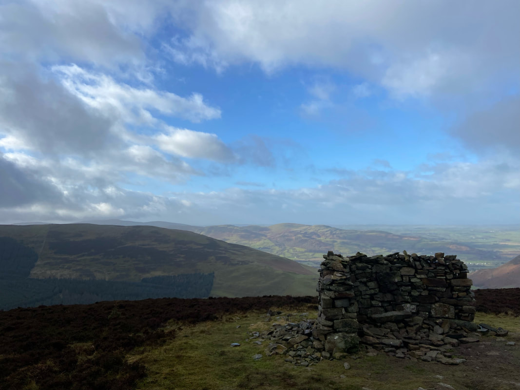
The stone shelter that marks the summit of Brown How on Whinlatter. Behind and to the right is the ridge of Swinside with Gavel Fell, Blake Fell & Burnbank Fell beyond.
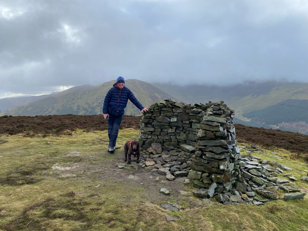
With Fudge on the summit of Whinlatter - the fell to my rear is Hobcarton End with Grisedale Pike in cloud beyond.
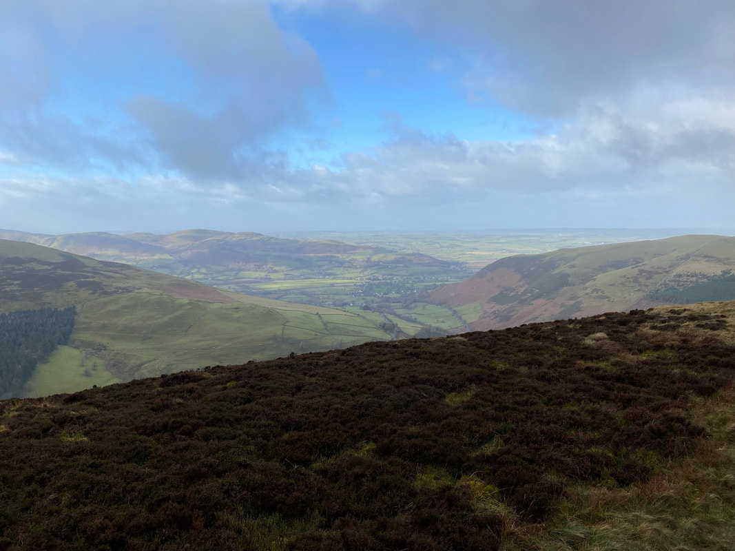
The Vale of Lorton
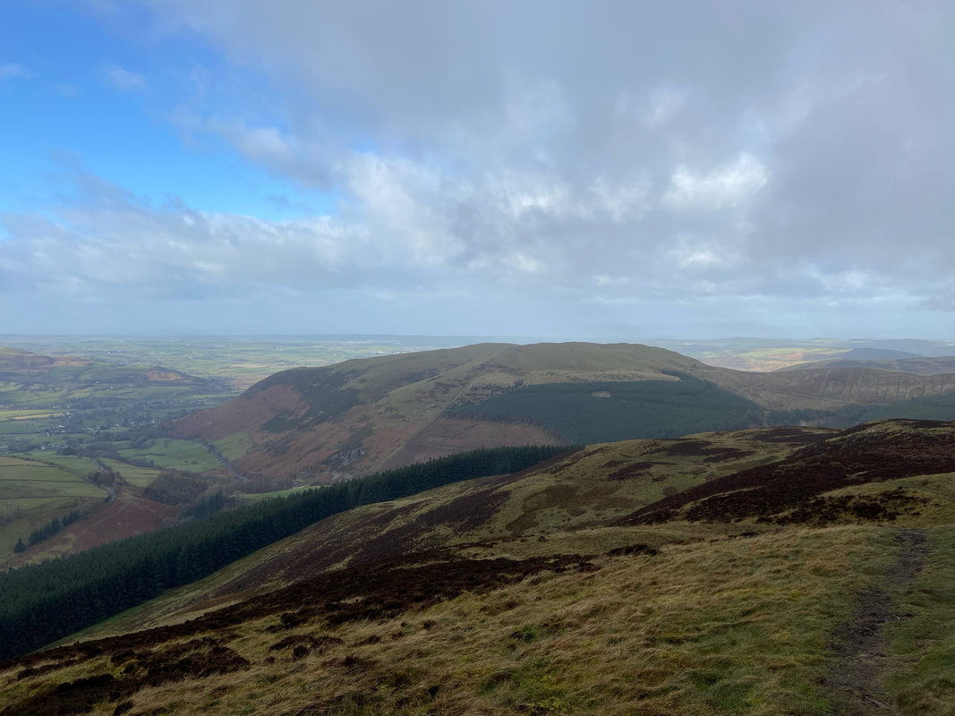
Graystones from Brown How
A little further around and Broom Fell & Lord's Seat come into view
We retraced our steps back to Whinlatter Top and once more crossed the broken wall that runs north to south over the ridge
Looking back to Brown How from the ridge wall
Whinlatter Top once more. We were now off to Tarbarrel Moss via the path to the left - the path to the right is our original route from the forest gate.
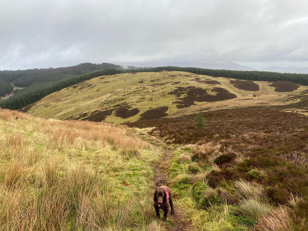
Several paths lead off in varying directions in the col below - our destination is in the centre of shot. Meanwhile Fudge gives me his "not another photograph" look.
Tarbarrel Moss ahead
The path reaches a gate near the summit of Tarbarrel Moss
With Fudge on the summit of Tarbarrel Moss. The hill is a Birkett with the summit described as "no feature 2m from fence".
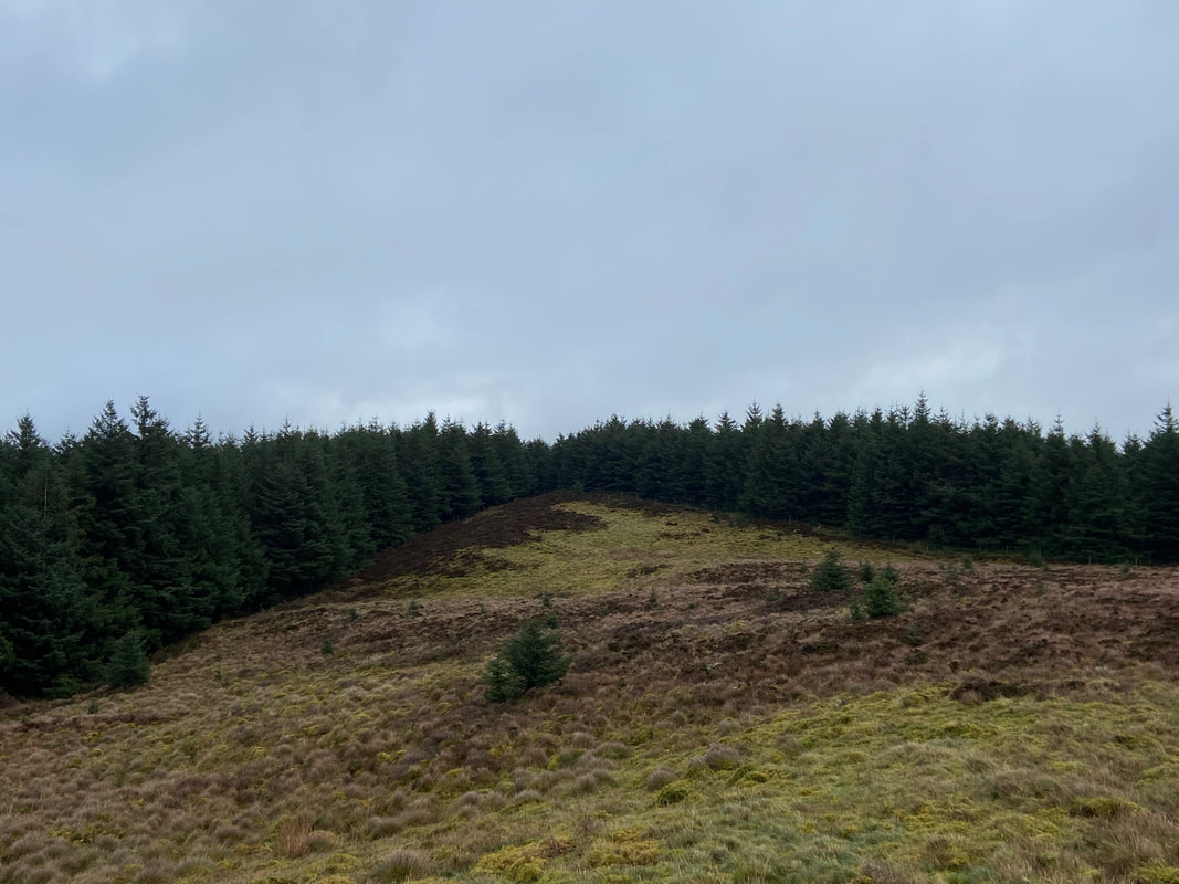
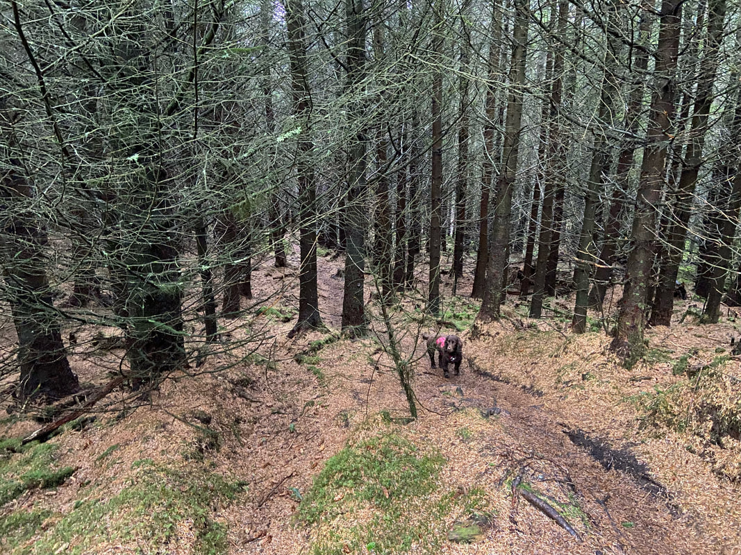
From Tarbarrel Moss the path drops down quite steeply through the forest
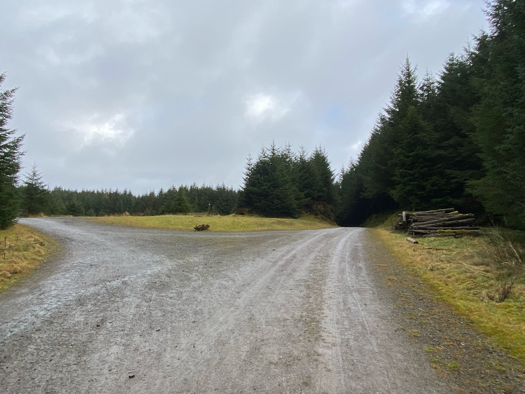
Clear of the trees, the route reaches a clearing - we would be taking the forest track on the right
The sun shines on the righteous as we continue on to the Horsebox Crossroads
Once again at the Horsebox Crossroads with The Gruffalo on the left
A closer look at the newly created viewing point near the Horsebox Crossroads. The fells in the far distance are The Dodds and the Helvellyn Range.
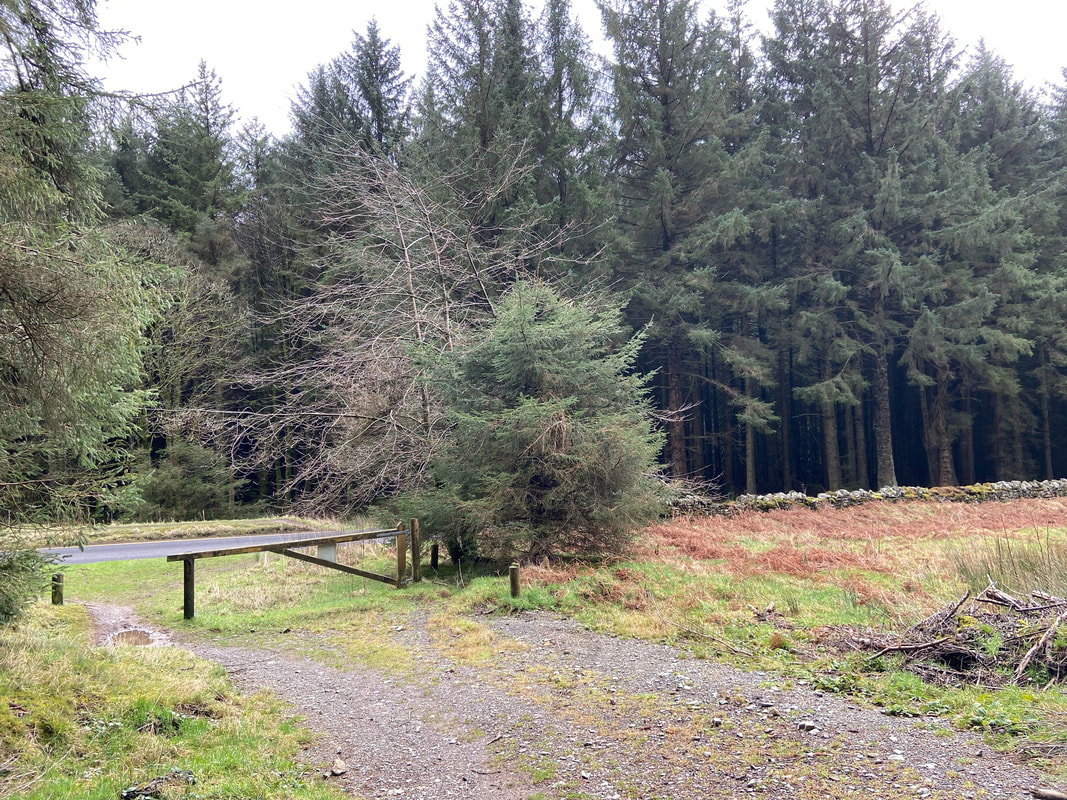
Back at the start - just a case of crossing over the B5292 to reach the parking area
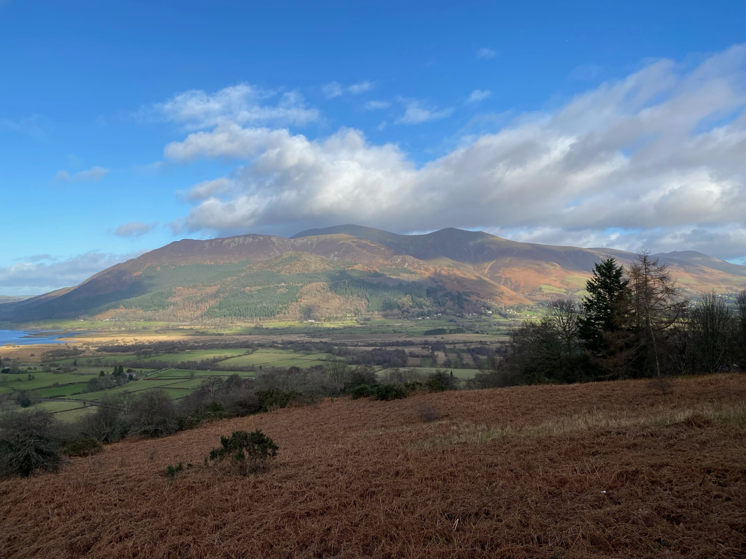
Once back at the car we headed back home. On the way down the Whinlatter Pass we pulled in at the viewing point just before Braithwaite to capture this lovely view of the Skiddaw Range
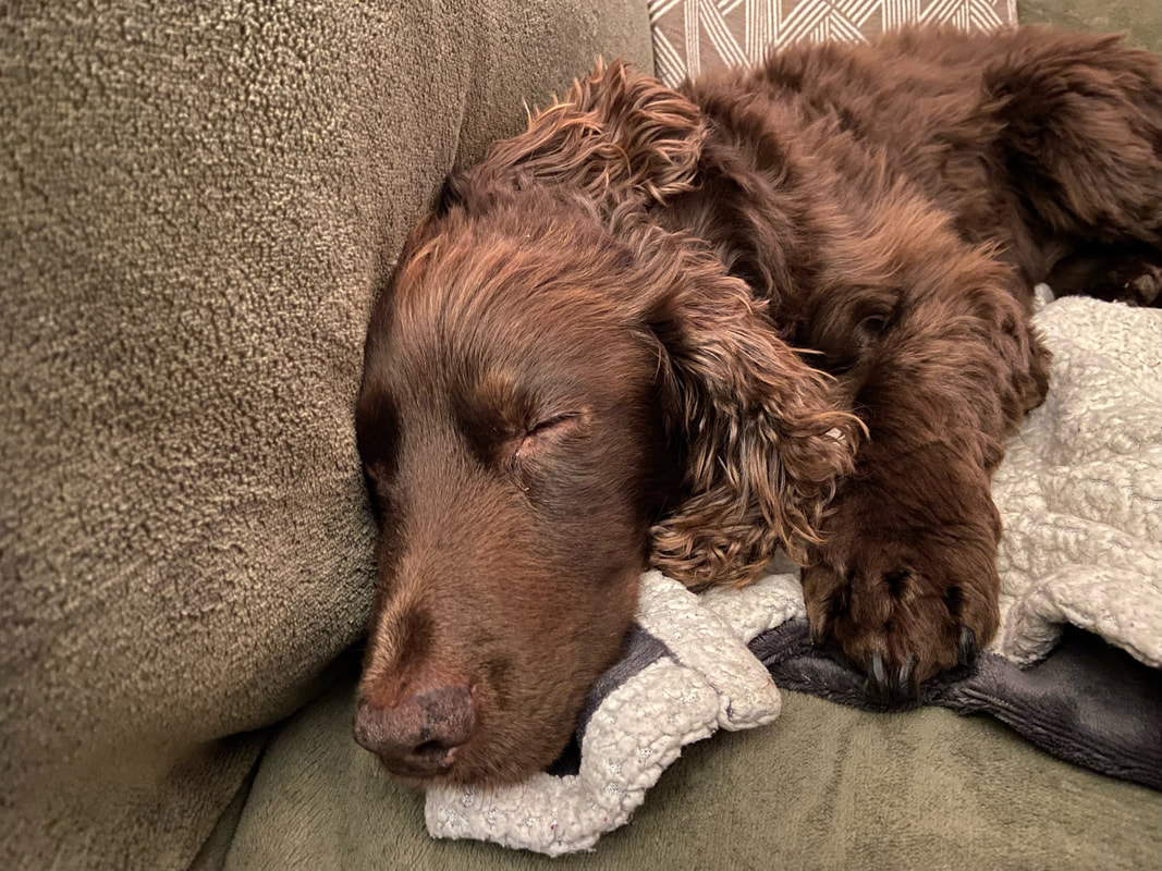
Tea scoffed it was time for Fudge to get some well earned zeds in - zzzzzzzz
