Glaramara, Allen Crags & Great End - Friday 27 August 2021
Route
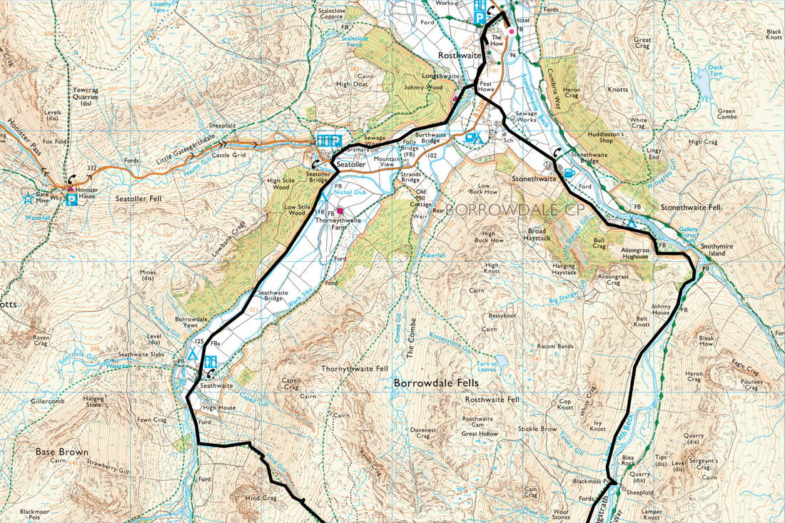
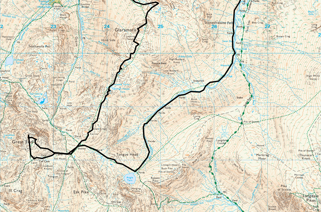
Rosthwaite - Peat Howe - Johnny Wood - Seatoller - Seathwaite - Hind Gill - Combe Head - Glaramara - Looking Steads - Red Beck Top - High House Tarn Top - Allen Crags - Esk Hause - Great End - Esk Hause - Angle Tarn - Langstrath - Tray Dub - Blackmoss Pot - Stonethwaite - Peat Howe - Rosthwaite
Parking
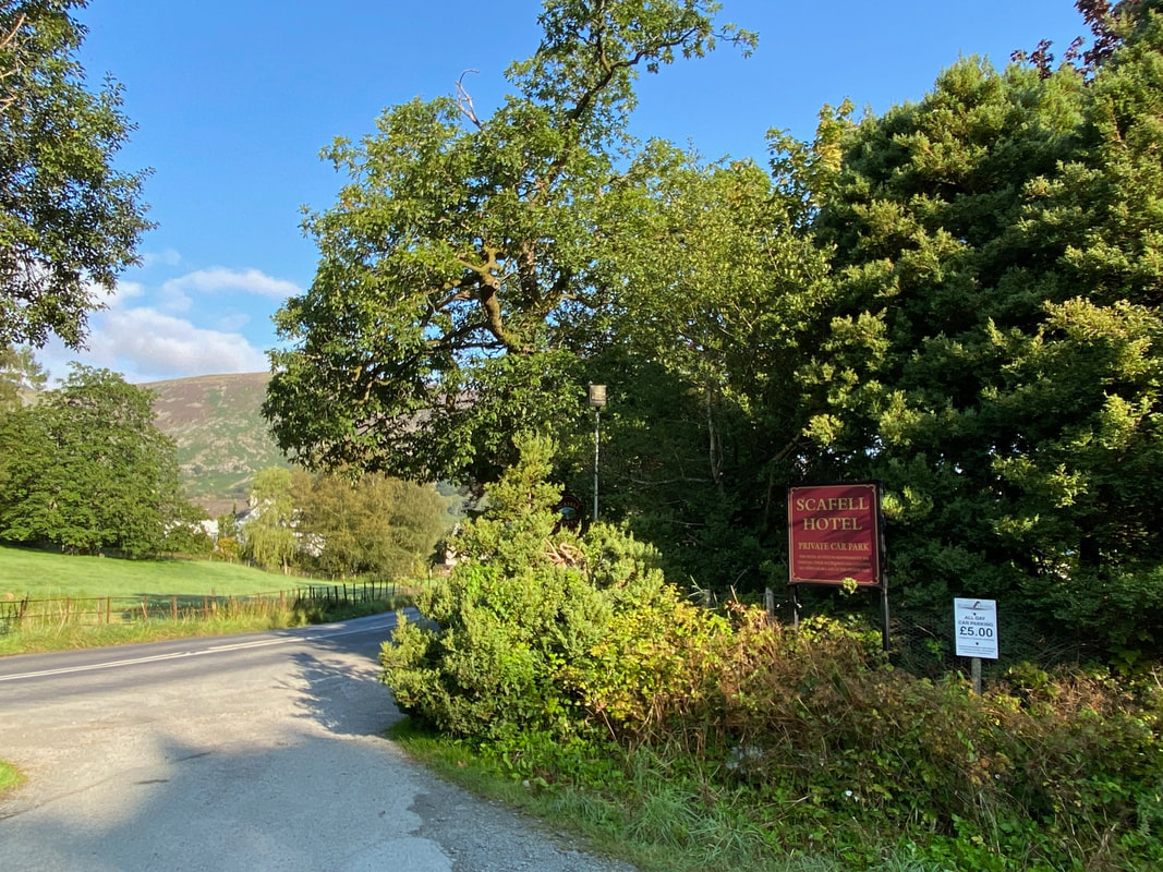
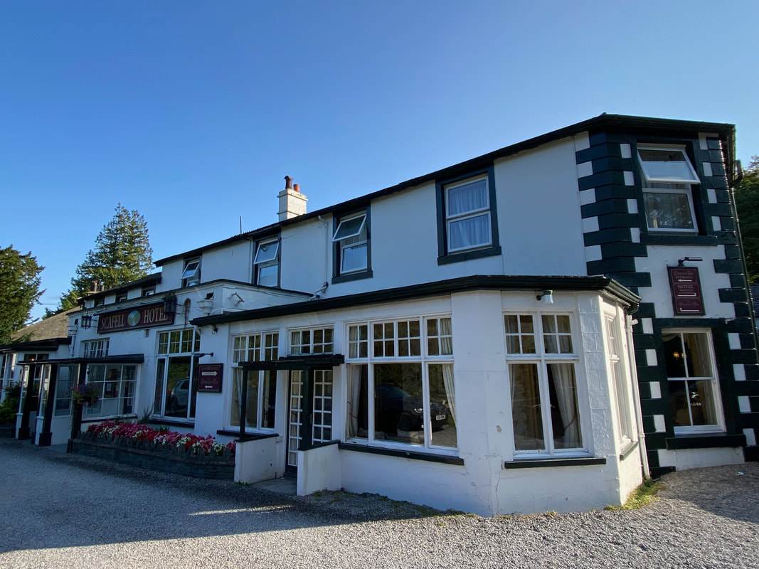
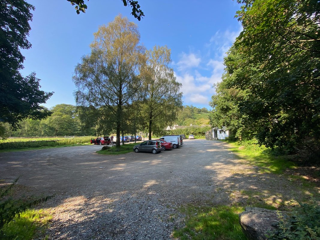
Car Park next to The Scafell Hotel in Rosthwaite. The Car Park is owned by the hotel and as at 2022 was £5 all day payable in Reception. The Grid Reference is NY 25906 14766 and the nearest postcode is CA12 5XB.
Mileage
16.3 miles
Terrain
Good mountain paths for the most part with some road walking along quiet lanes. The path ascending Hind Gill is steep and intermittent however the route is never in doubt.
Weather
Perfect - sunny, excellent visibility with welcome light breezes.
Time Taken
11 hrs
Total Ascent
4035ft (1230m)
Wainwrights
3
Map
OL6 - The English Lakes (South Western Area)
Walkers
Dave, Angie & Fudge
|
GPX File
|
| ||
If the above GPX file fails to download or presents itself as an XML file once downloaded then please feel free to contact me and I will send you the GPX file via e-mail.
Route Map
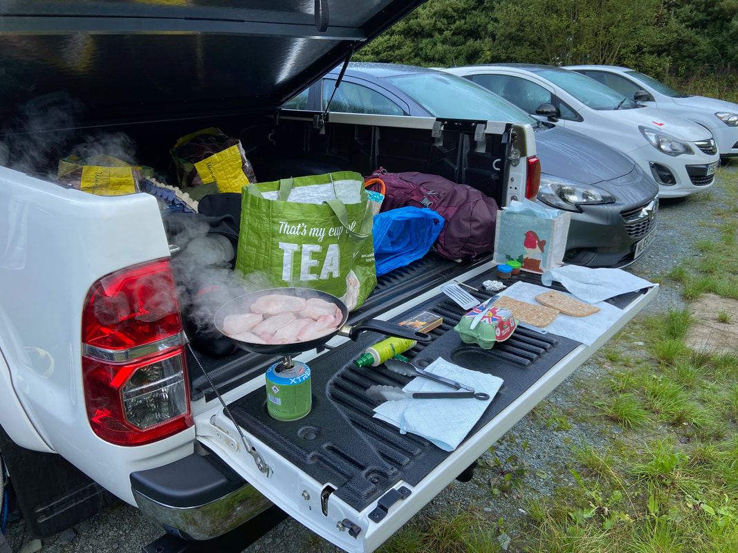
A long day out on the fells today therefore before starting the walk we enjoyed the food of the Gods - a Bacon Sarnie
The walk started from the Car Park that is adjacent to The Scafell Hotel in Rosthwaite - £5 all day payable in Reception. We were here pretty early but even in the height of Summer there is more often than not a space here.
The Scafell Hotel. I stay here when guiding on the Coast to Coast Route at the end of Day 2 and very nice it is too - especially when someone else is paying.
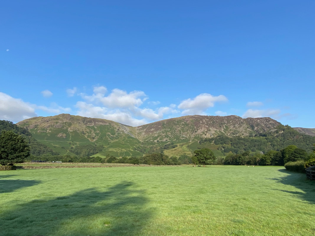
Dale Head, High Scawdel & High Spy from Rosthwaite
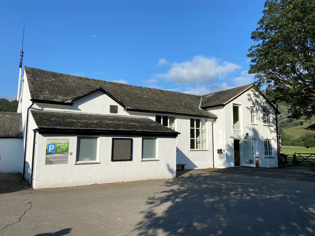
The Borrowdale Institute in Rosthwaite where there is additional parking if you are early enough (donation). The National Trust Car Park is right next door.
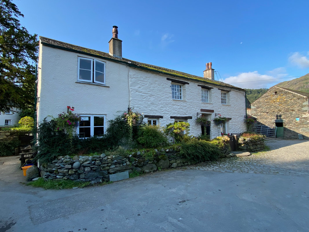
Yew Tree Farm in Rosthwaite. The Flock Inn Cafe is out of sight to the right, just across the farm access lane - we were a bit early.
Passing through Rosthwaite we then joined the Coast to Coast Route and headed towards Borrowdale YHA
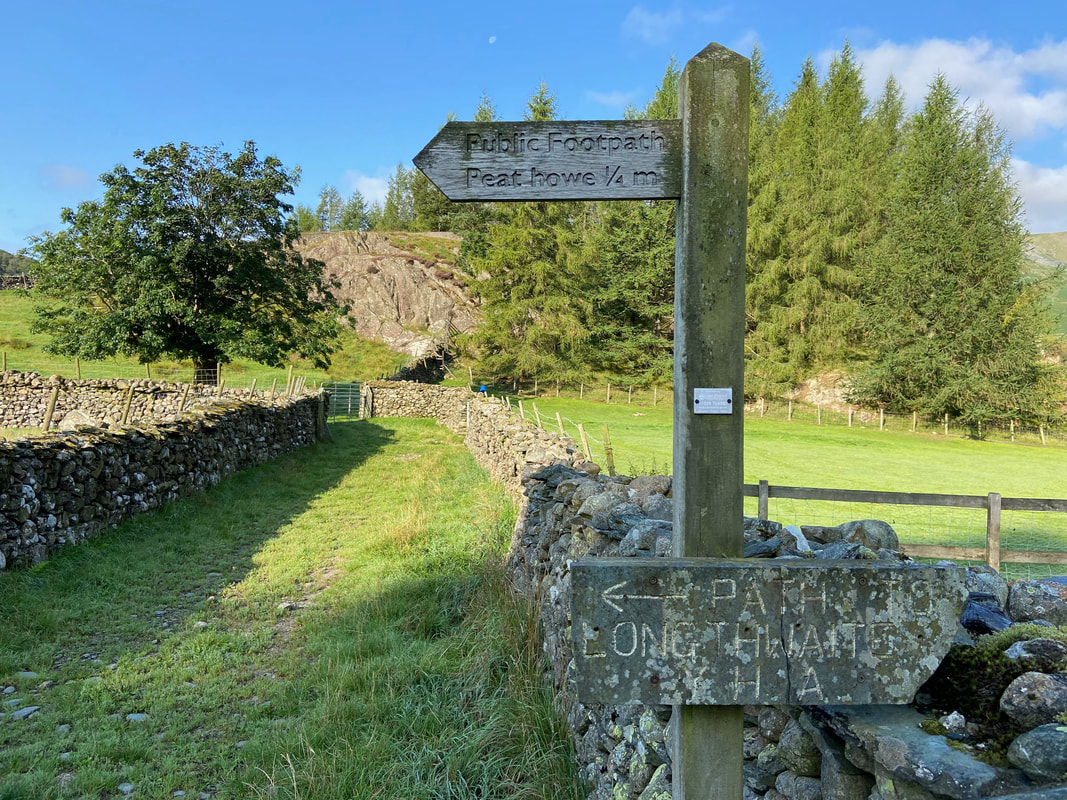
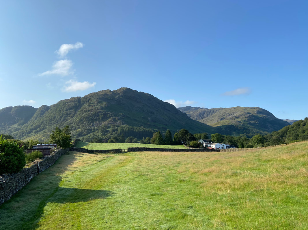
Heading for Peat Howe with a fine view of the Borrowdale Fells
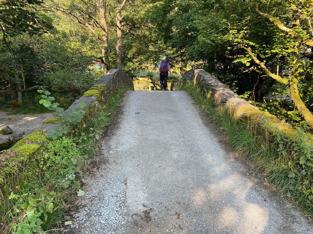
Crossing the River Derwent via Longthwaite Bridge
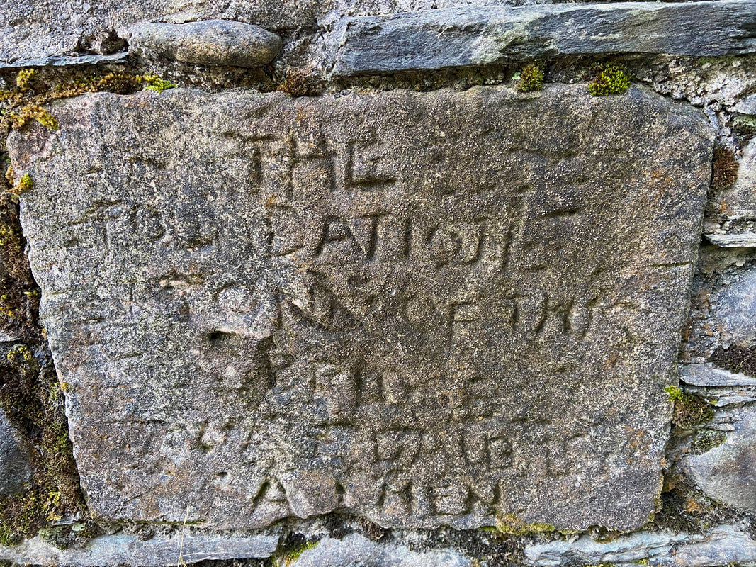
The foundation stone of Longthwaite Bridge. The wording is not the easiest to decipher but says "The foundation stone of this bridge" with the penultimate line unreadable followed by "Amen"
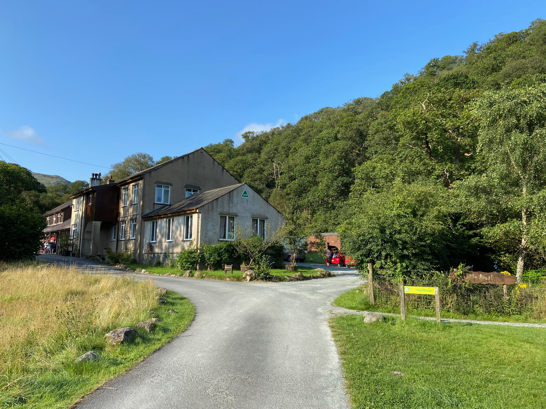
The route passes through Borrowdale Youth Hostel
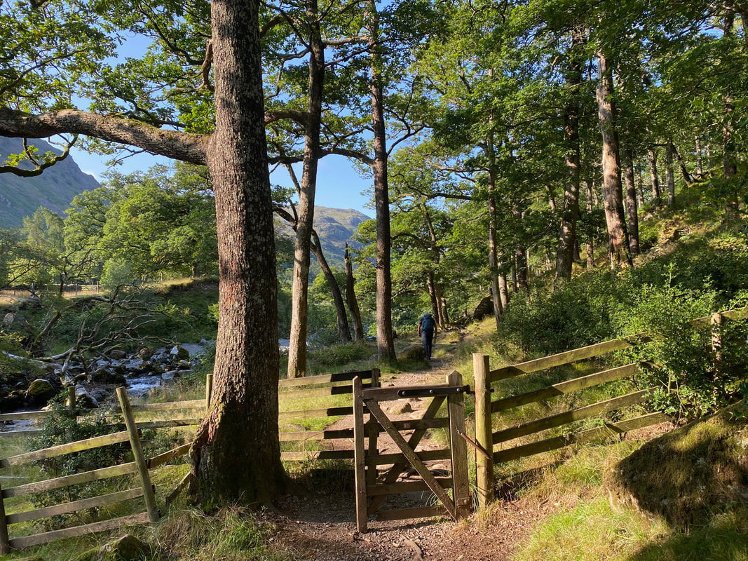
Just after the Youth Hostel the path enters Johnny Wood via a hand gate
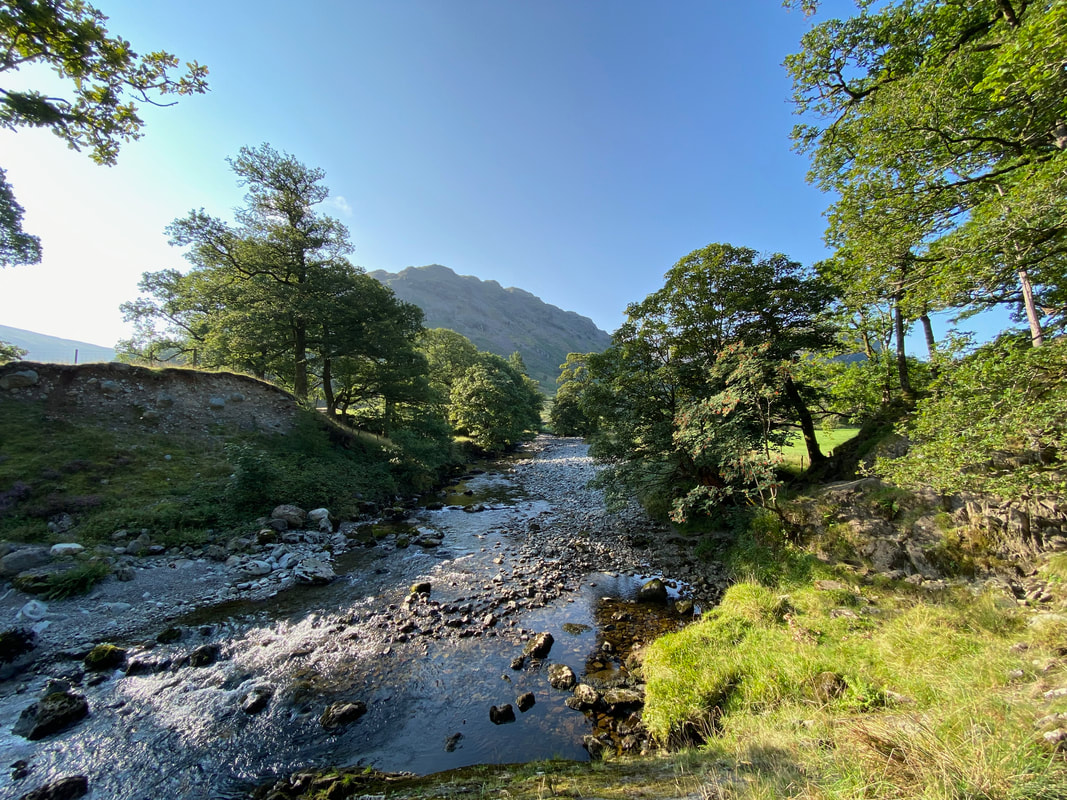
The path continues on through the woodland hand railing the River Derwent
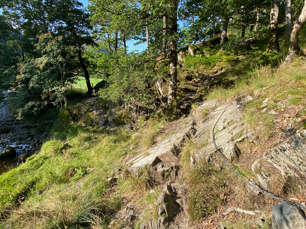
Chains help the walker transit across a rocky section - the path heads to the left to the river bank and around the tree far left
The National Trust Car Park at Seatoller
Passing through Seatoller we would now head along the lane towards Seathwaite
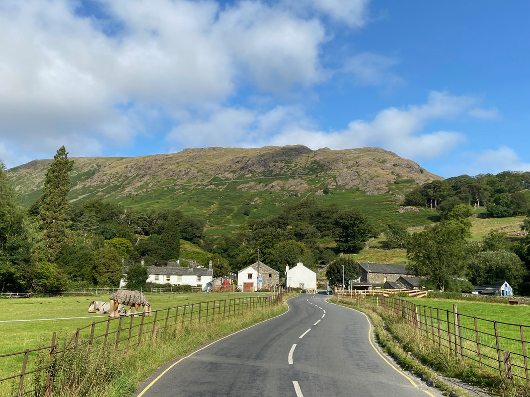
Looking back to Seatoller and a horse with a trendy coat
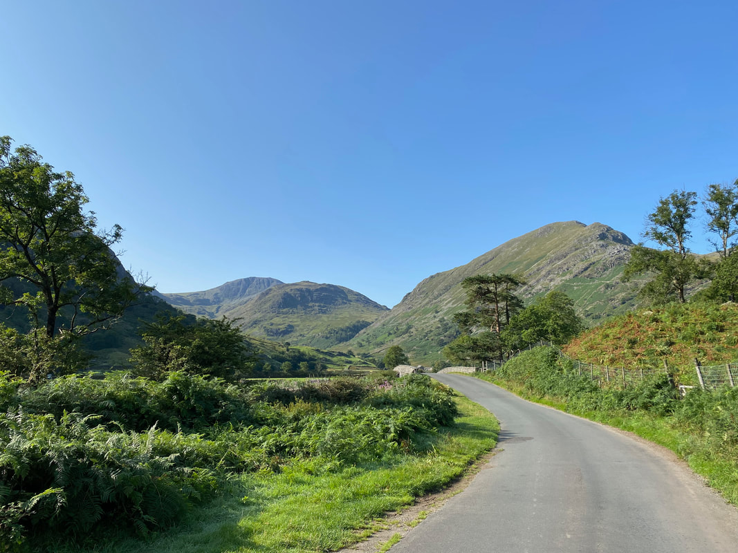
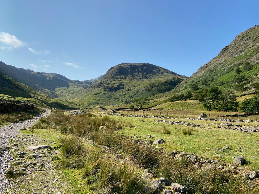
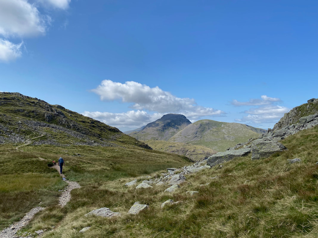
Heading along the quiet lane to Seathwaite with Great End in the far distance, Seathwaite Fell centre left & Base Brown to the right. There are two other options to reach Seathwaite Farm - either to the left via Strands Bridge or to the right alongside Nichol Dub.
Looking over to the ‘Fraternal Four’ Yew Trees immortalised by Wordsworth. The trees are collectively known as "The Borrowdale Yews" and are believed to be well over 1500 years old and sit on the fell side below Base Brown.
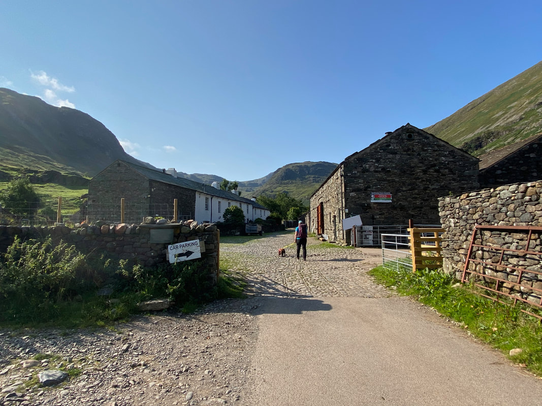
Passing through Seathwaite Farm - a popular starting point for Scafell Pike
Continuing through the farmyard we pass the turn off for Sourmilk Gill, Gillercomb & Base Brown
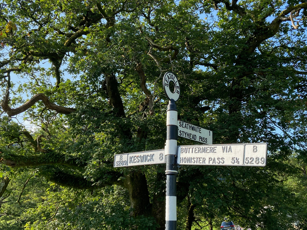
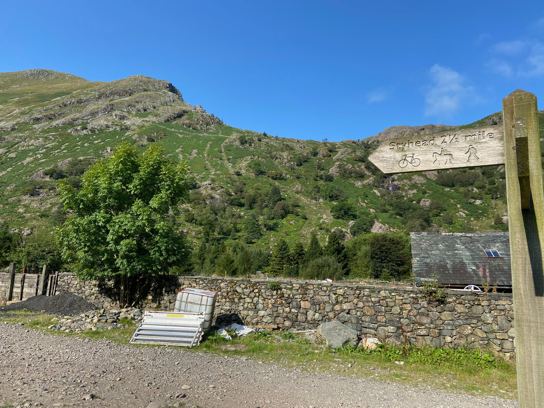
Once clear of the farm a sign points the way towards Styhead - we would follow this path however would not be on it for long as we would be turning off to climb Glaramara via Hind Gill.
The path to Styhead stretches away with Seathwaite Fell centre
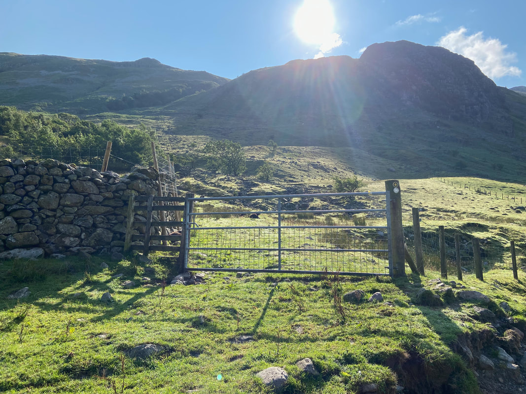
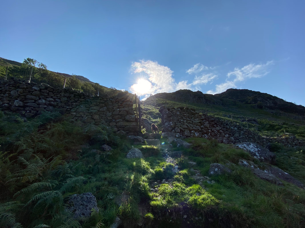
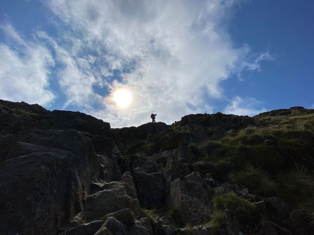
Looking into the sun as we turn off to the Hind Gill path via this farm gate - the sun is popping out behind Hind Crag
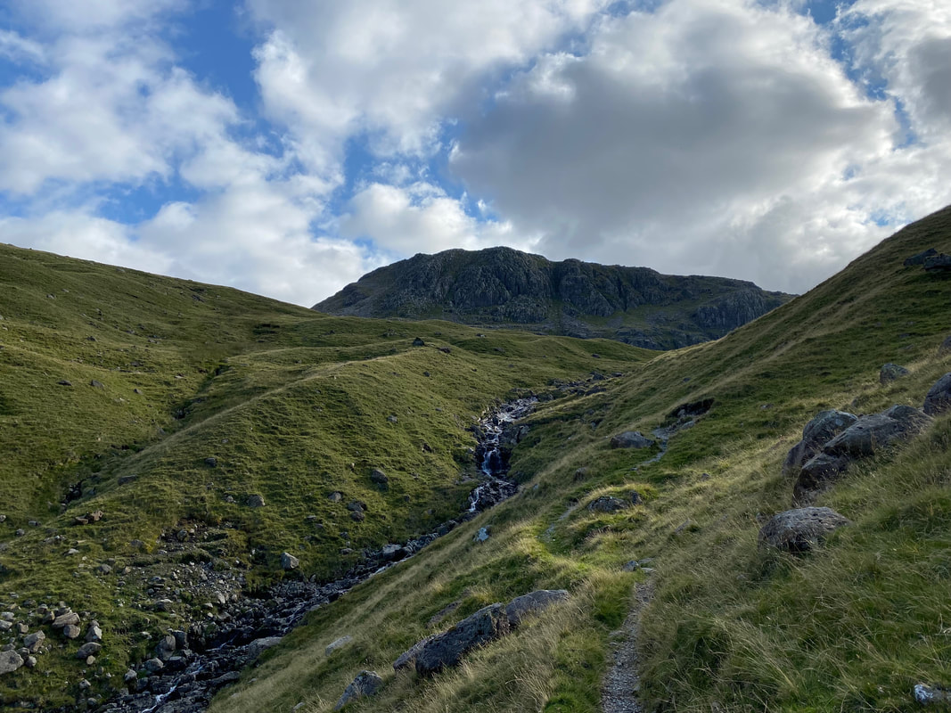
The initial ascent of Hind Gill looking to Great End, Seathwaite Fell & Taylorgill Force
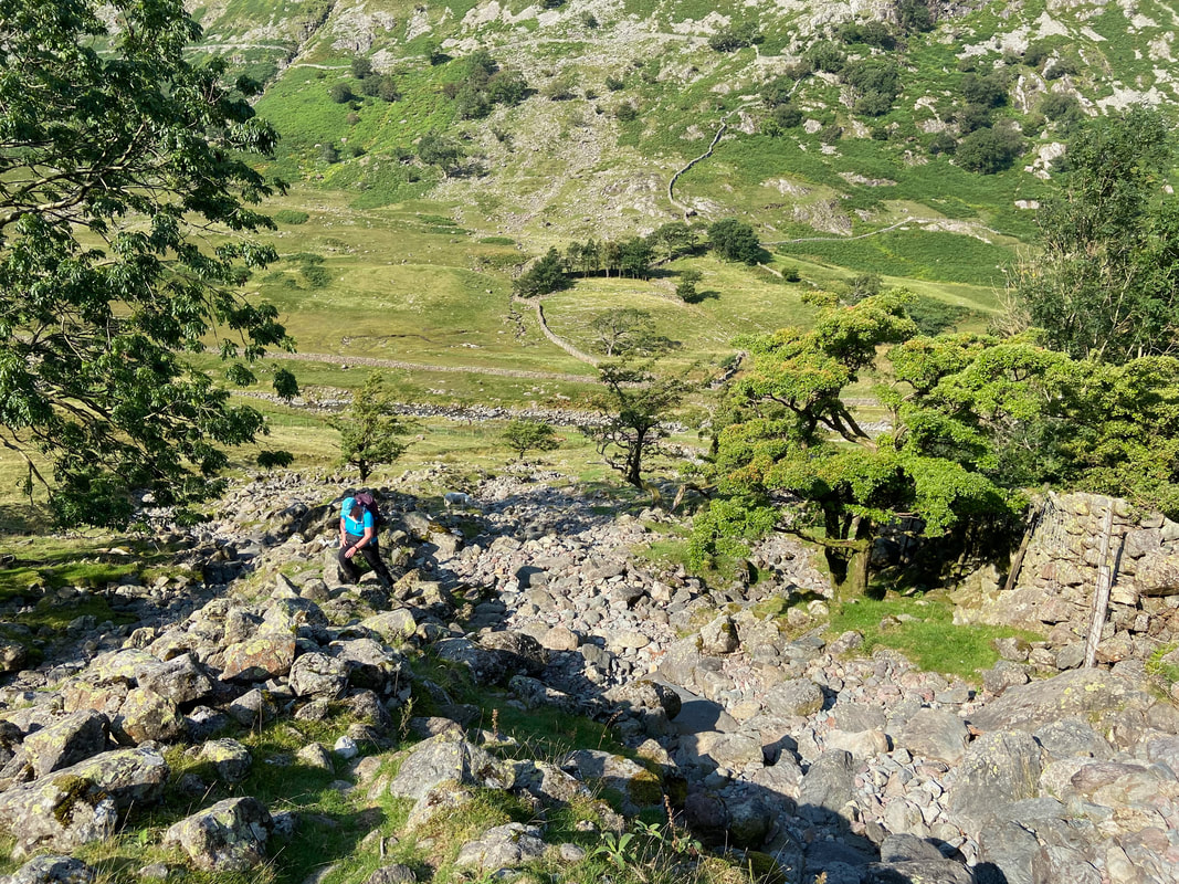
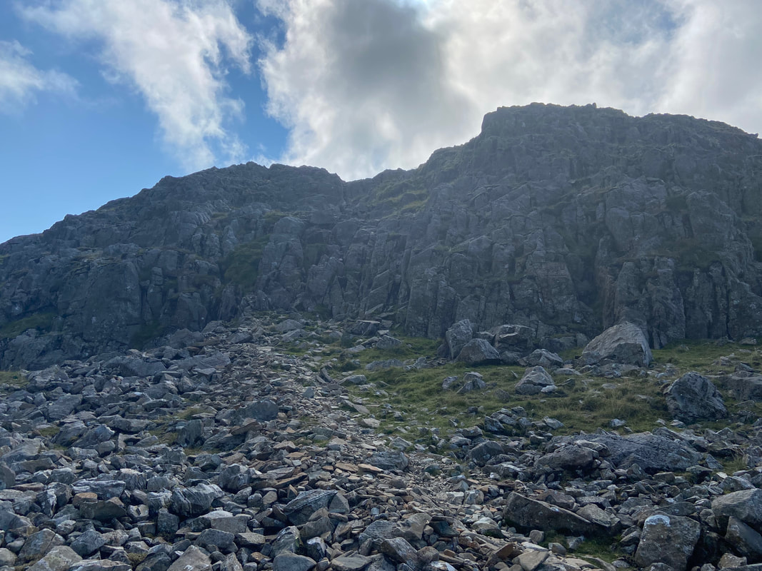
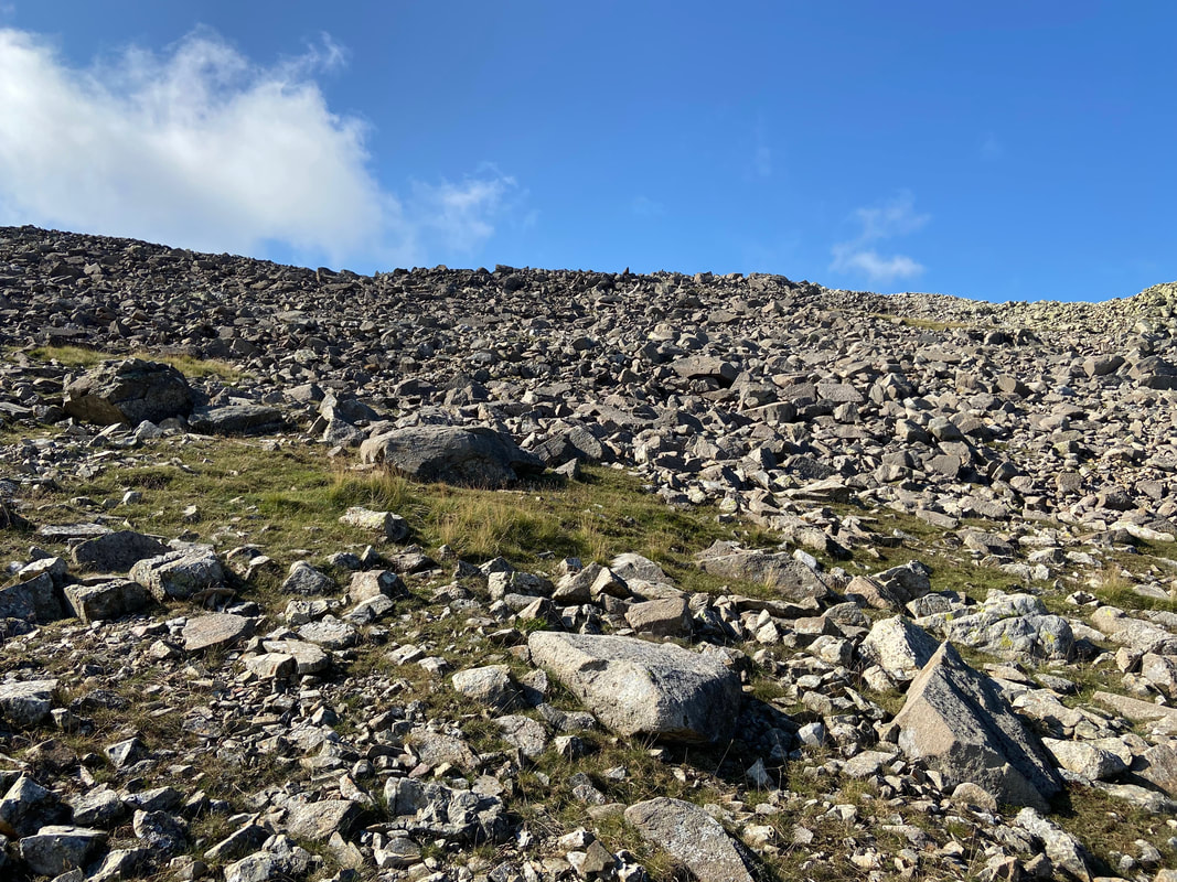
It was a bit dry in Hind Gill today as we continue the extremely steep ascent
Well they do say the sun shines on the righteous
Height is gained extremely quickly with Seathwaite Farm below and Grey Knotts to the left
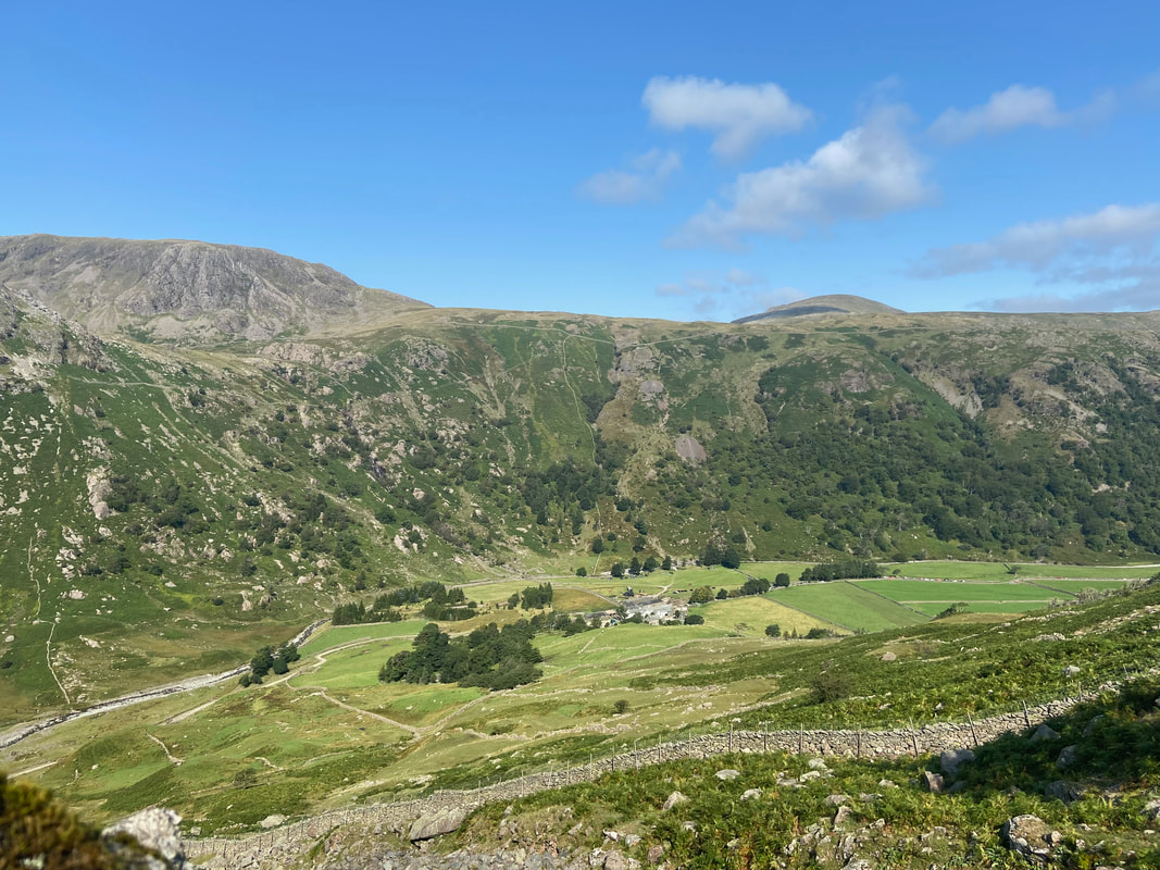
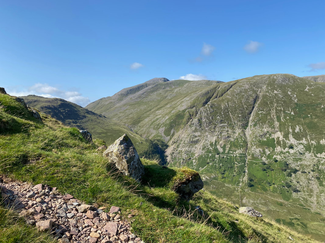
The glorious panorama from Hind Gill with Base Brown holding centre stage
Above Hind Gill
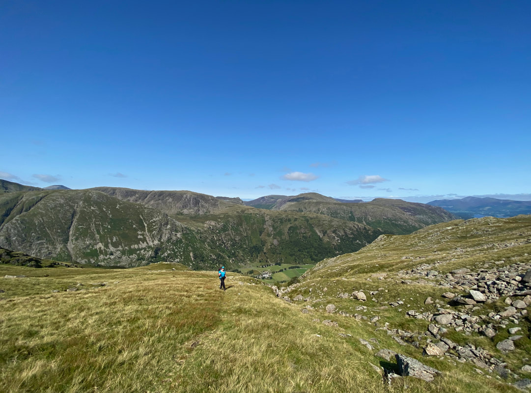
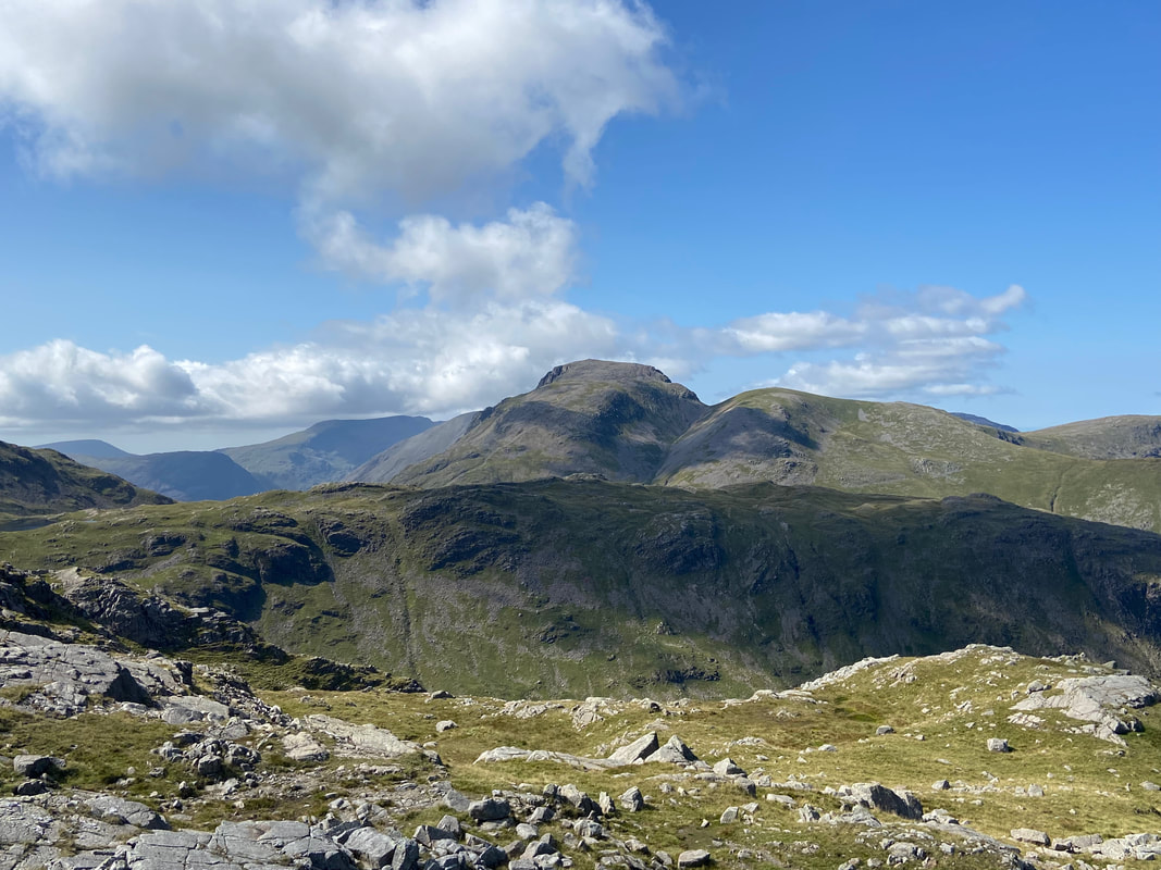
After climbing steeply for a while, we topped out onto a more level gradient where Great Gable & Green Gable came into view
The superb view from the Hind Gill path to Great & Green Gable (click Play to view)
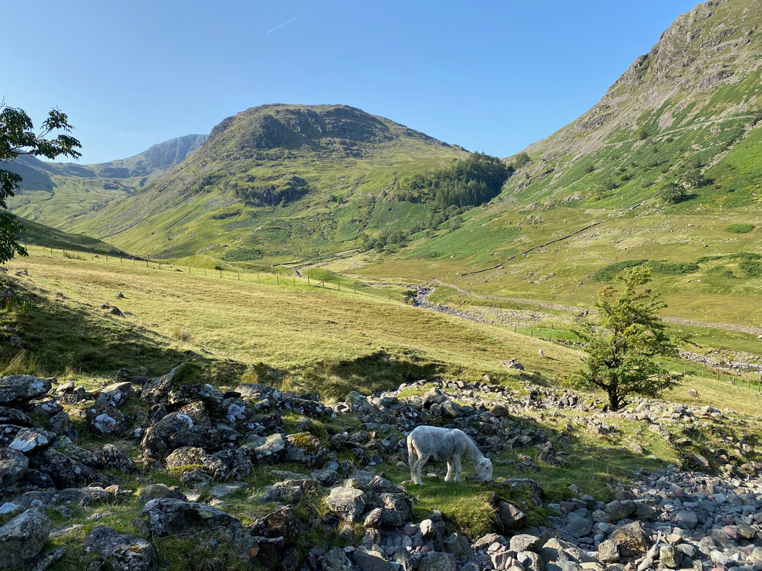
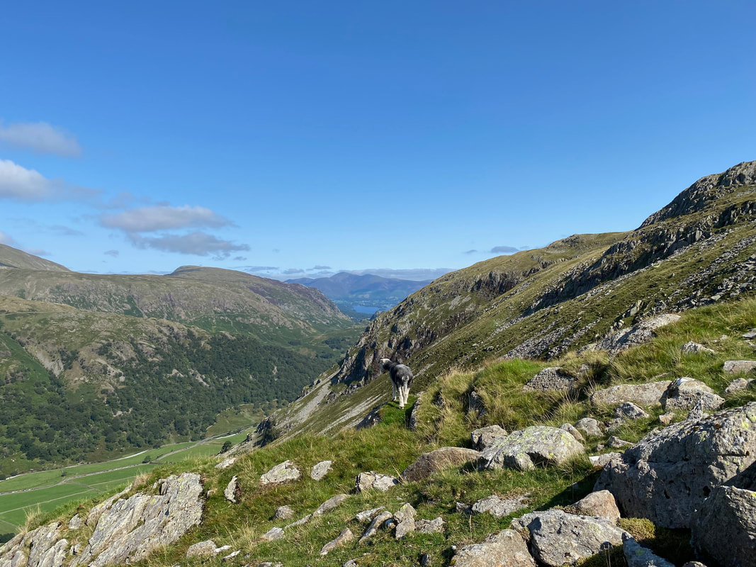
A Herdwick showing us his best side as we look back to Skiddaw over Derwentwater
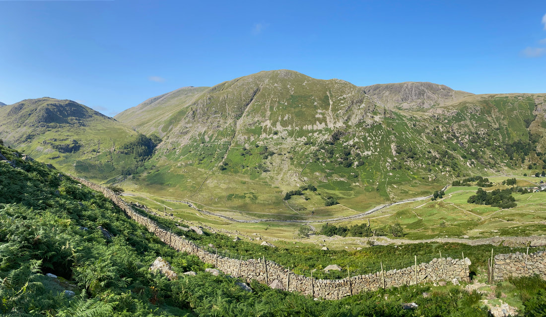
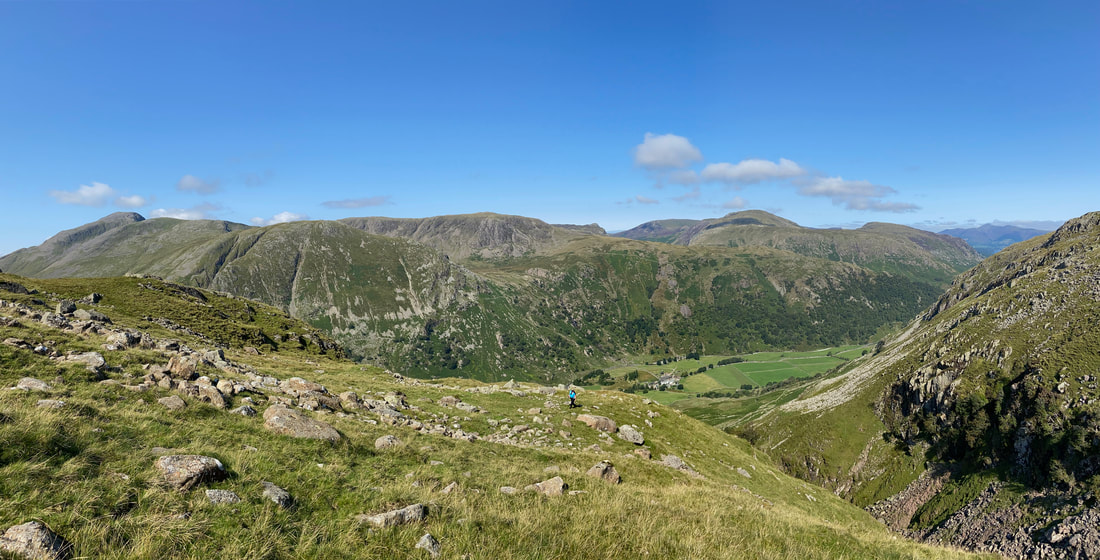
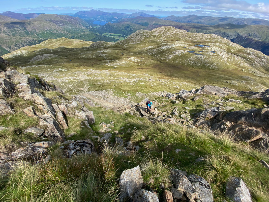
Another superb panorama from the top of Hind Gill
The view from the top of Hind Gill (click Play to view)
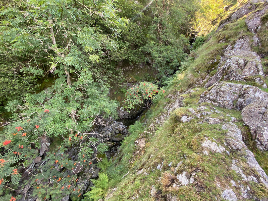
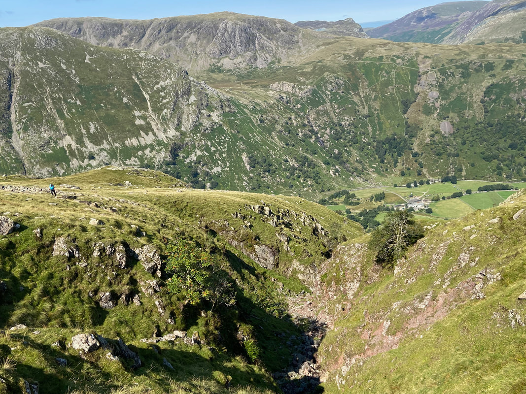
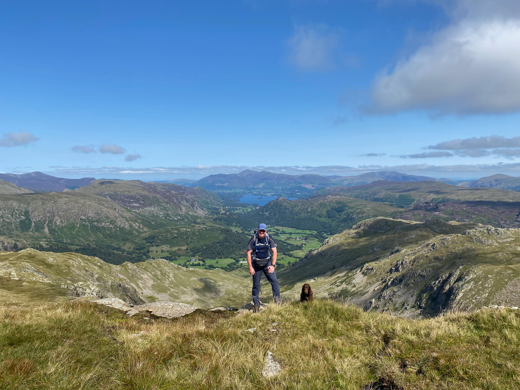
Looking into Hind Gill from the top of the ravine as Angie continues to make her way up to join me
And here she is - what a day this was turning out to be
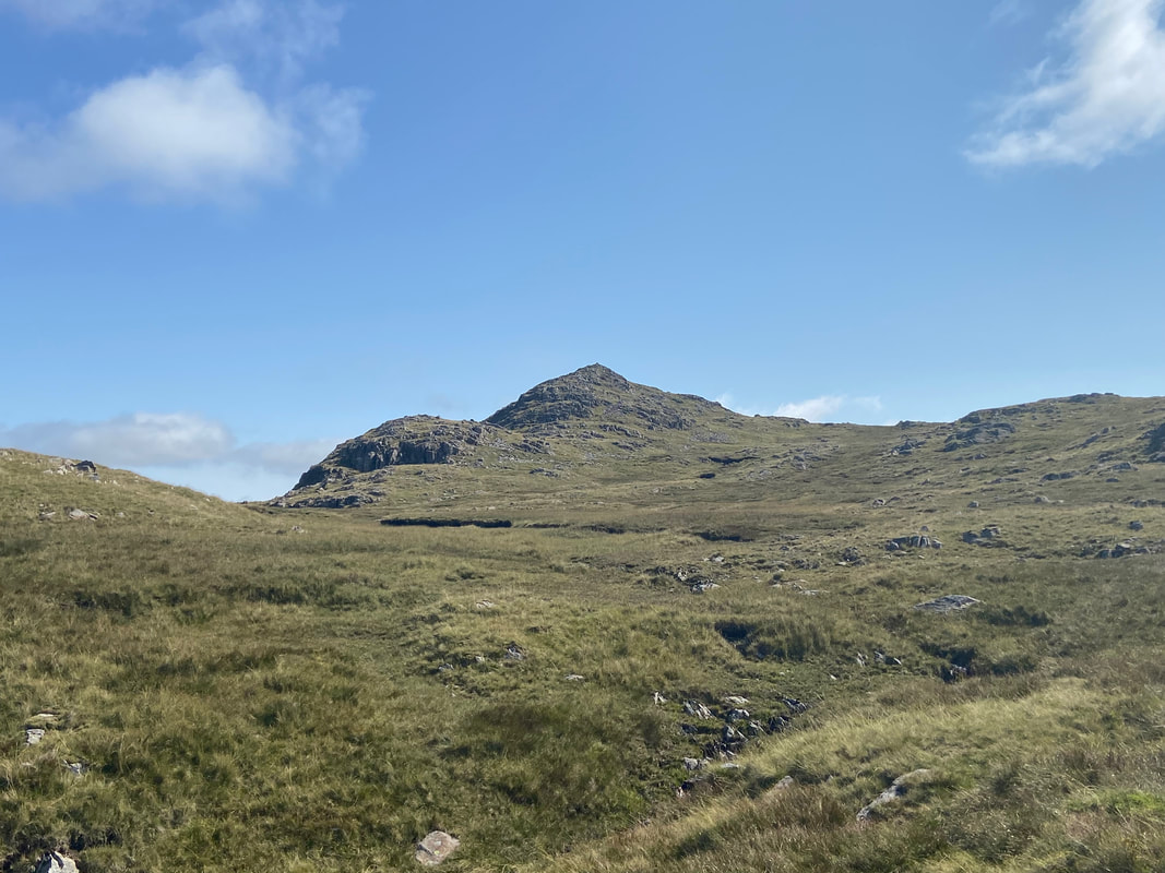
A path of sorts as we head over to Combe Head - ordinarily people would head over to the right to Glaramara but Combe Head is always worth a visit as you will see why in a minute.
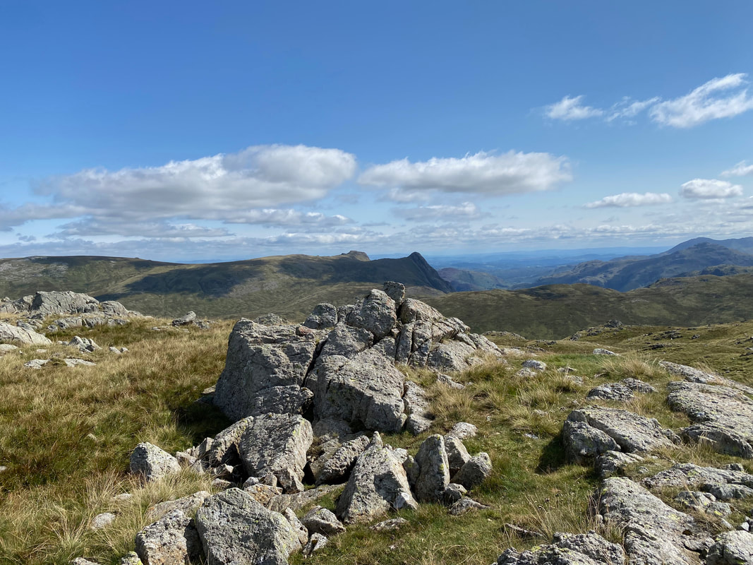
The Langdale Pikes and the Coniston Fells from near Combe Head with Bowfell over to the right
Another fantastic Lakeland panorama - this time from Combe Head (click Play to view)
The superb view to Dovenest Crag, Rosthwaite Cam & Rosthwaite Fell (Bessyboot) from Combe Head. In the far distance are Skiddaw, Blencathra, The Dodds & the Helvellyn Range.
The summit of Combe Head looking to Great Gable, Pillar & High Stile amongst others
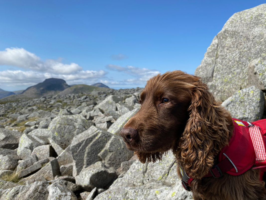
With Fudge on the summit of Combe Head
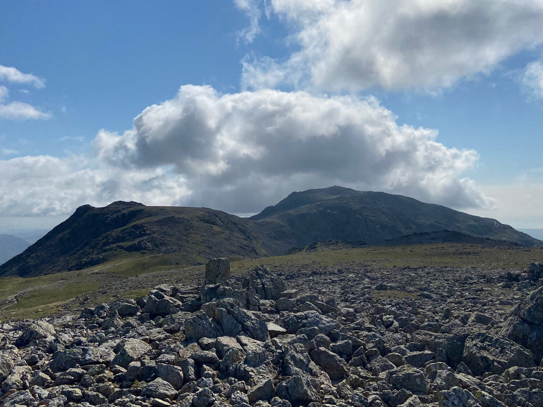
Looking to our route over to Glaramara from Combe Head - the path can be seen over to the right
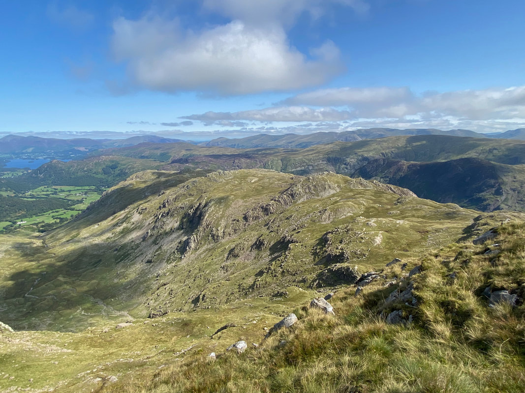
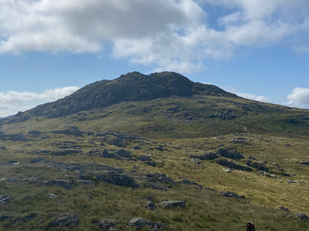
Combe Head from the ascent of Glaramara
The path comes to a steep 25ft scramble which leads to the summit of Glaramara. It is a relatively easy climb but like any vertical scramble, polished and wet rock waits to catch the unwary. It can be avoided via a path to the right and this is the path Angie & Fudge took whilst I undertook the scramble.
Looking to the top of the rock scramble as I reach to crest near the summit
Angie makes her way up the alternative path which accesses the summit via a stony rake
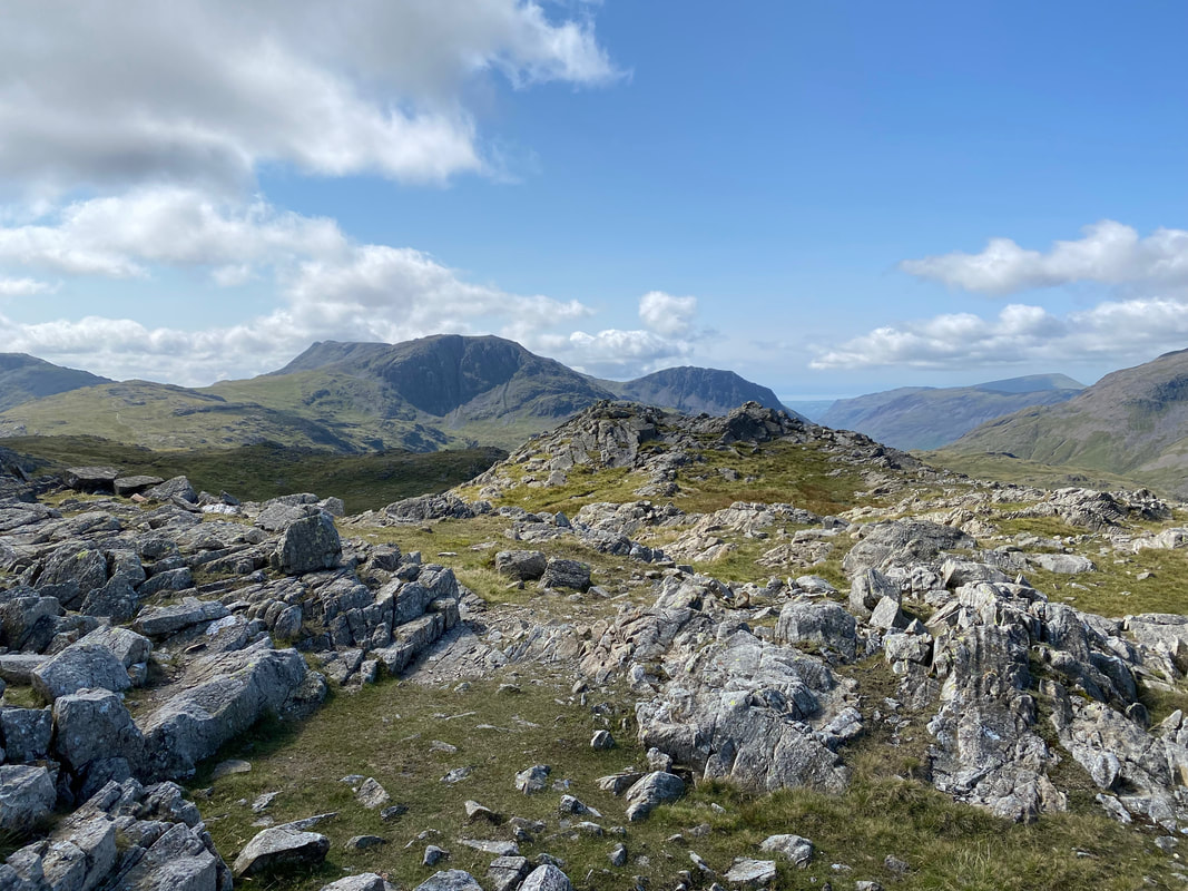
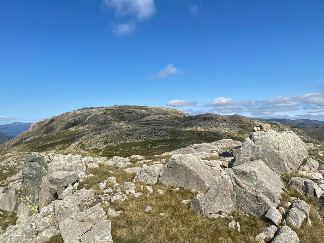
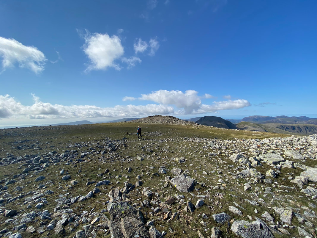
Up on the summit plateau of Glaramara and what a view
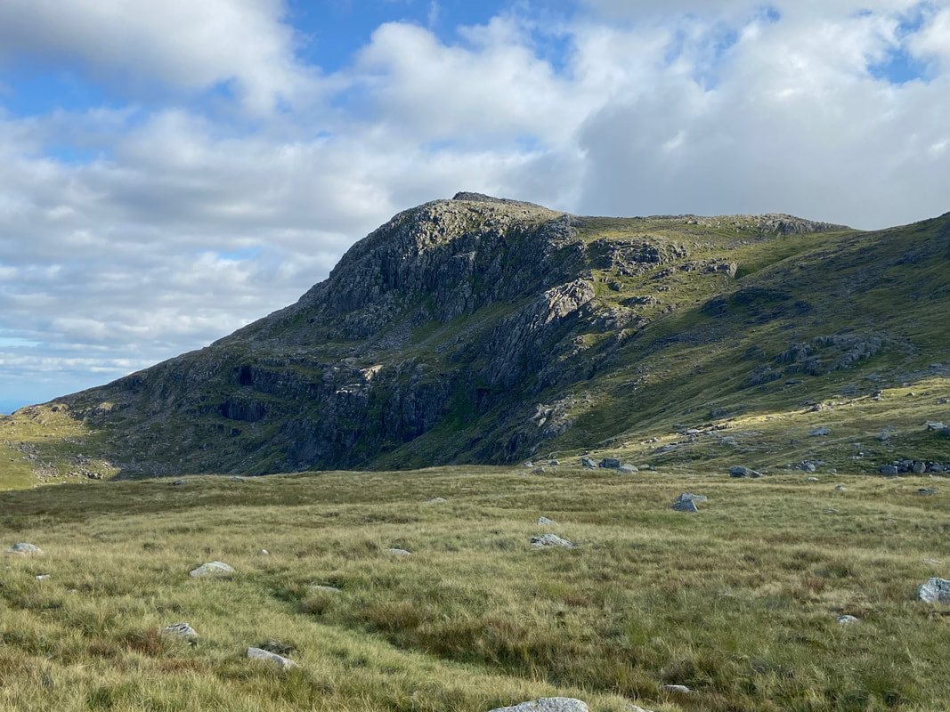
The summit of Glaramara with a fine view to Ill Crag, Great End & Lingmell
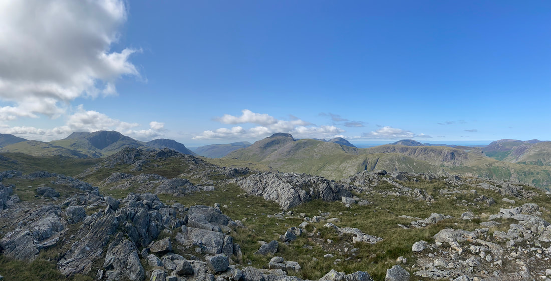
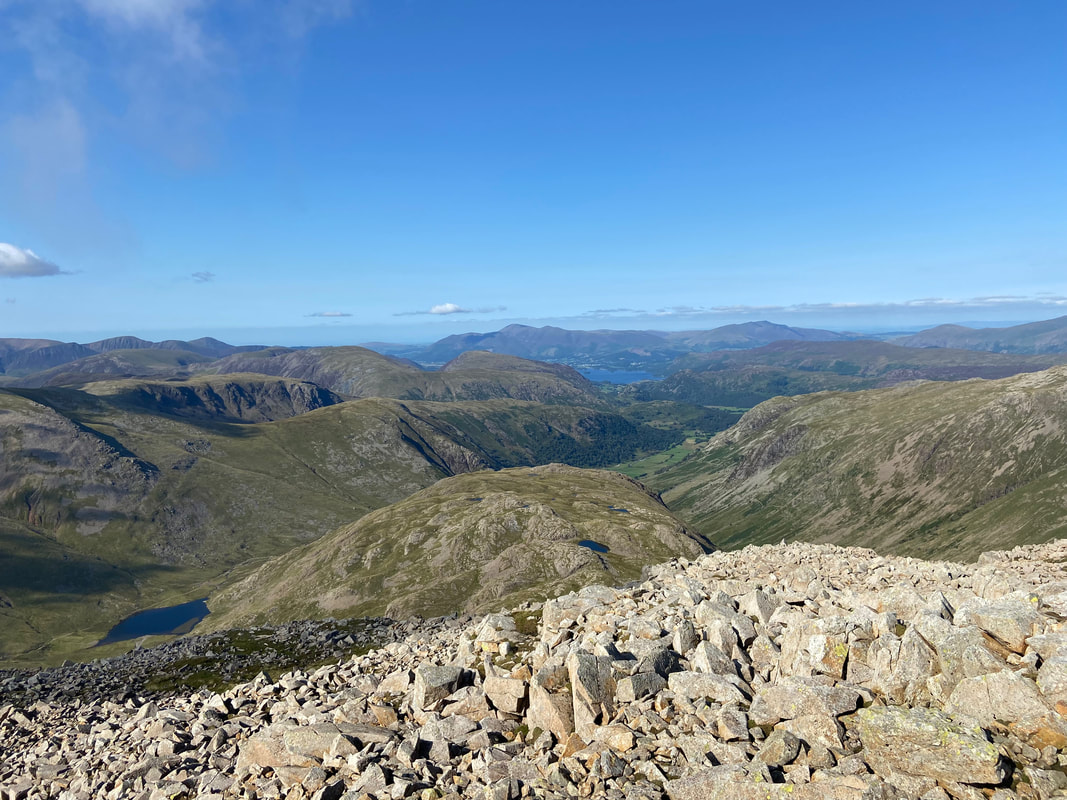
A fine panorama from the summit of Glaramara. Wainwright said of Glaramara "that the ancient and beautiful name really applies only to the grey turret of rock at the summit but happily has been commonly adopted for the fell as a whole" (Glaramara 2)
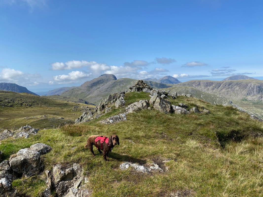
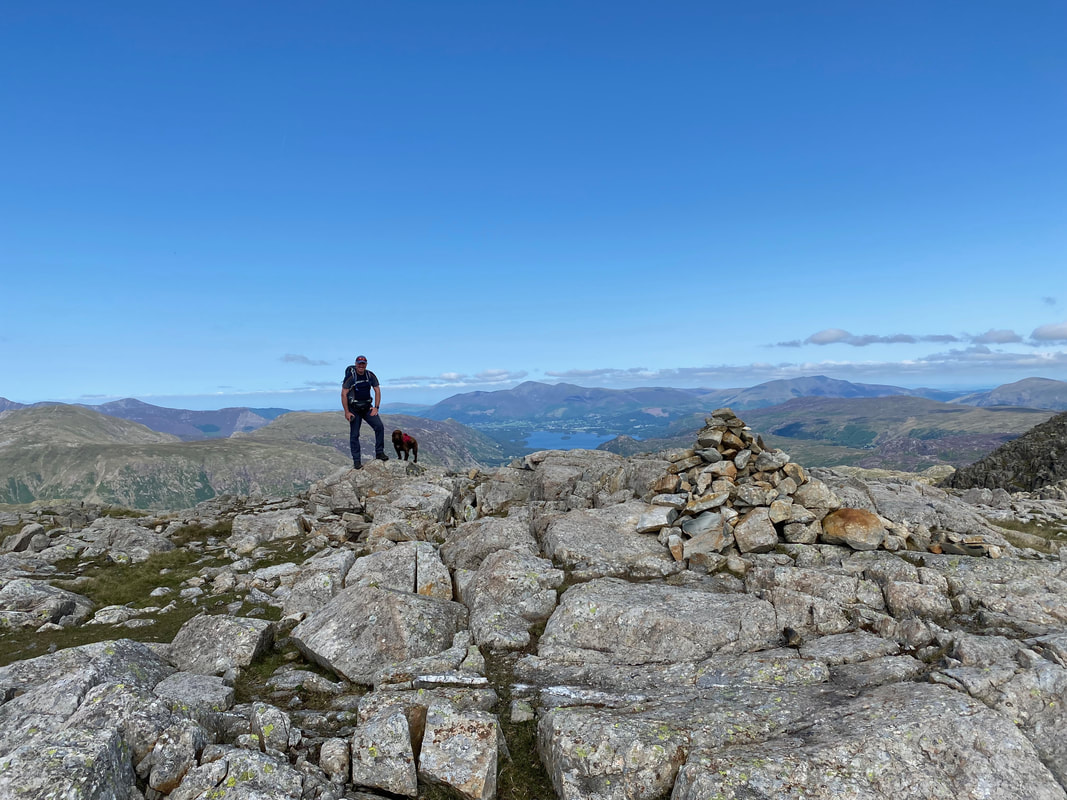
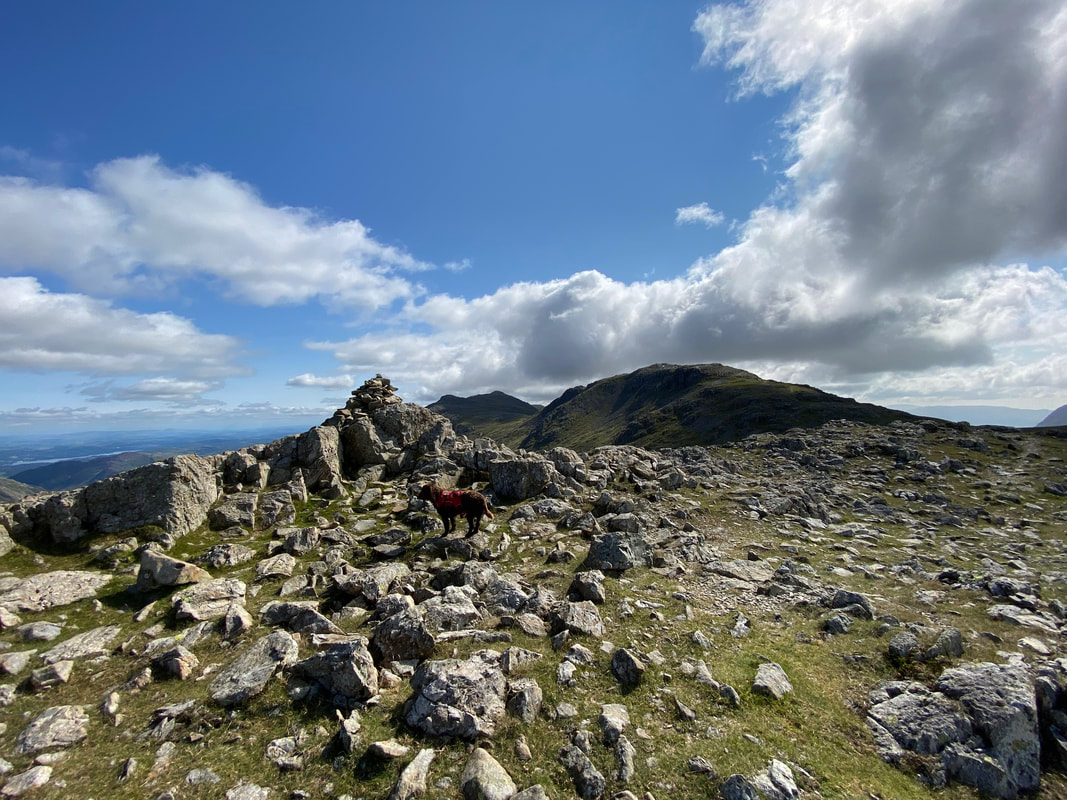
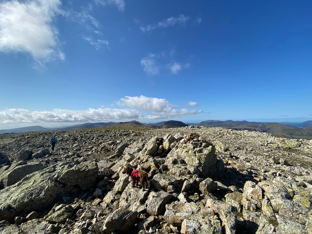
With Fudge on the summit plateau of Glaramara - and what a view
From Glaramara we made the short walk over to the summit of Looking Steads
Descending Looking Steads it was clear to both of us that Fudge was starting to think about how empty his stomach was
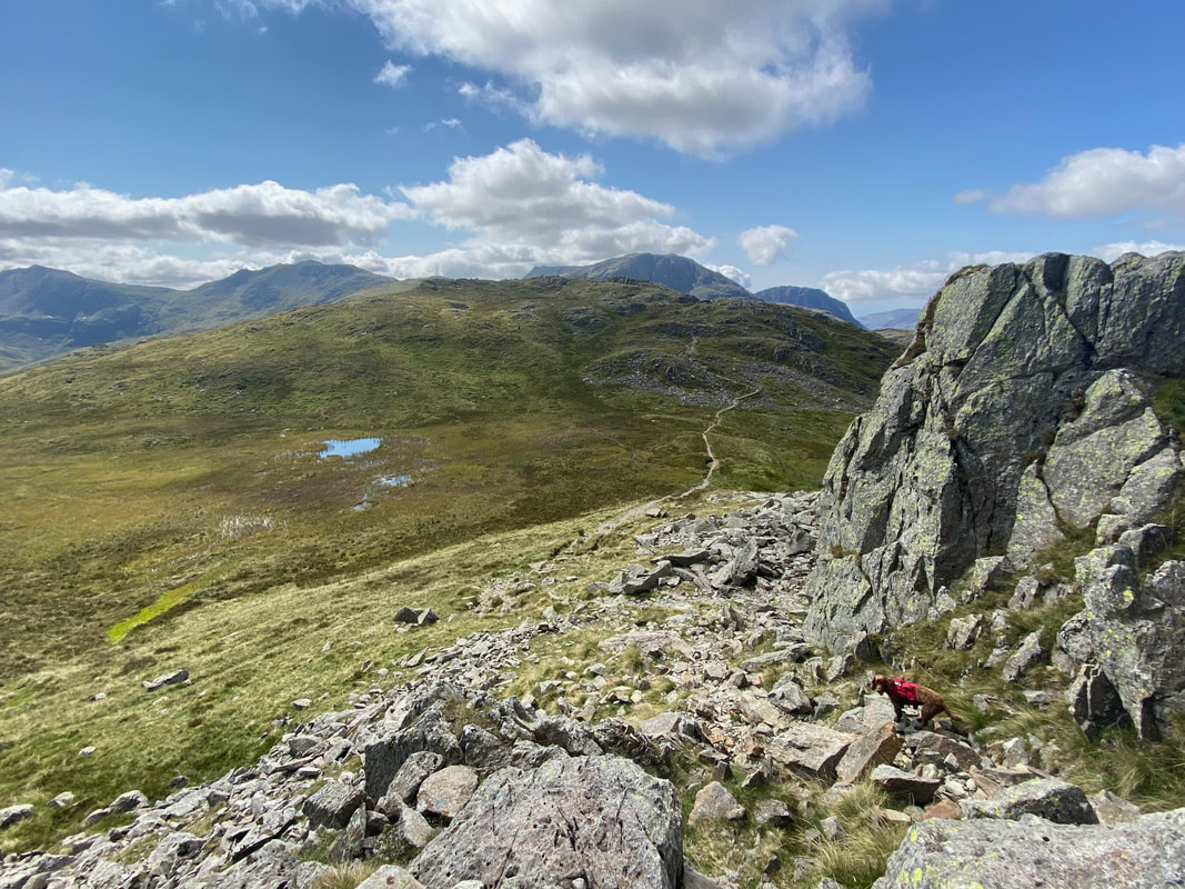
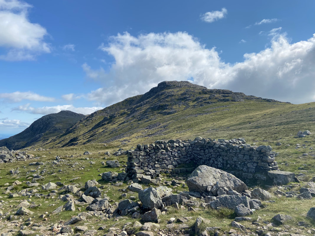
The descent from Looking Steads is via a steep rocky path. We were now off to Red Beck Top which is ahead.
Ascending Red Beck Top with a lovely view of Great & Green Gable
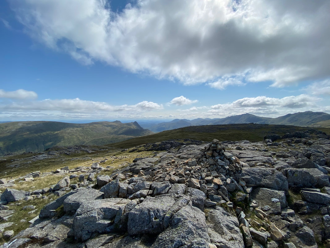
The summit of Red Beck Top
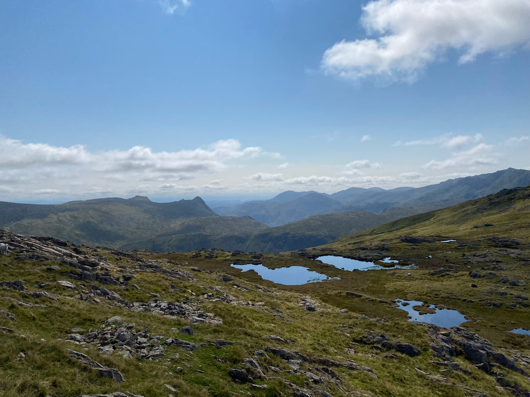
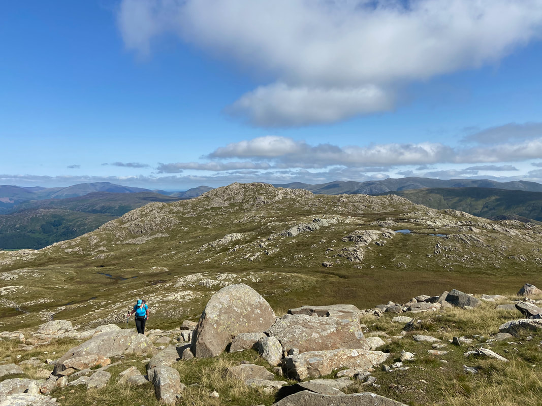
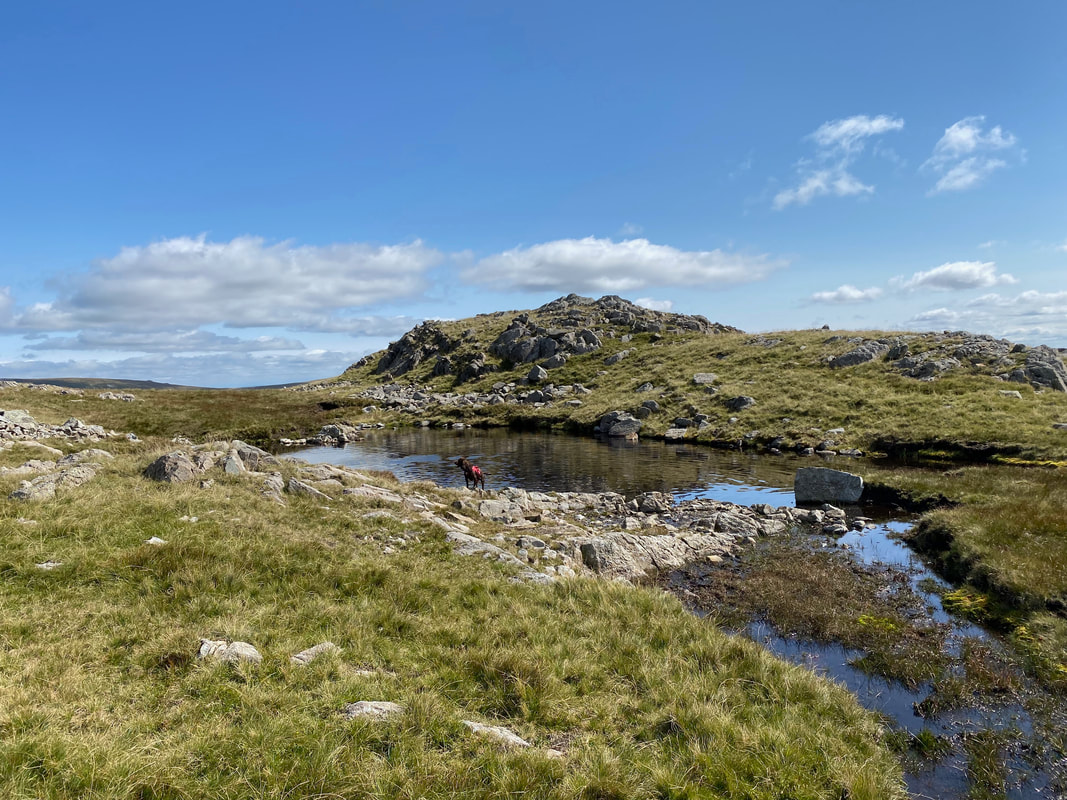
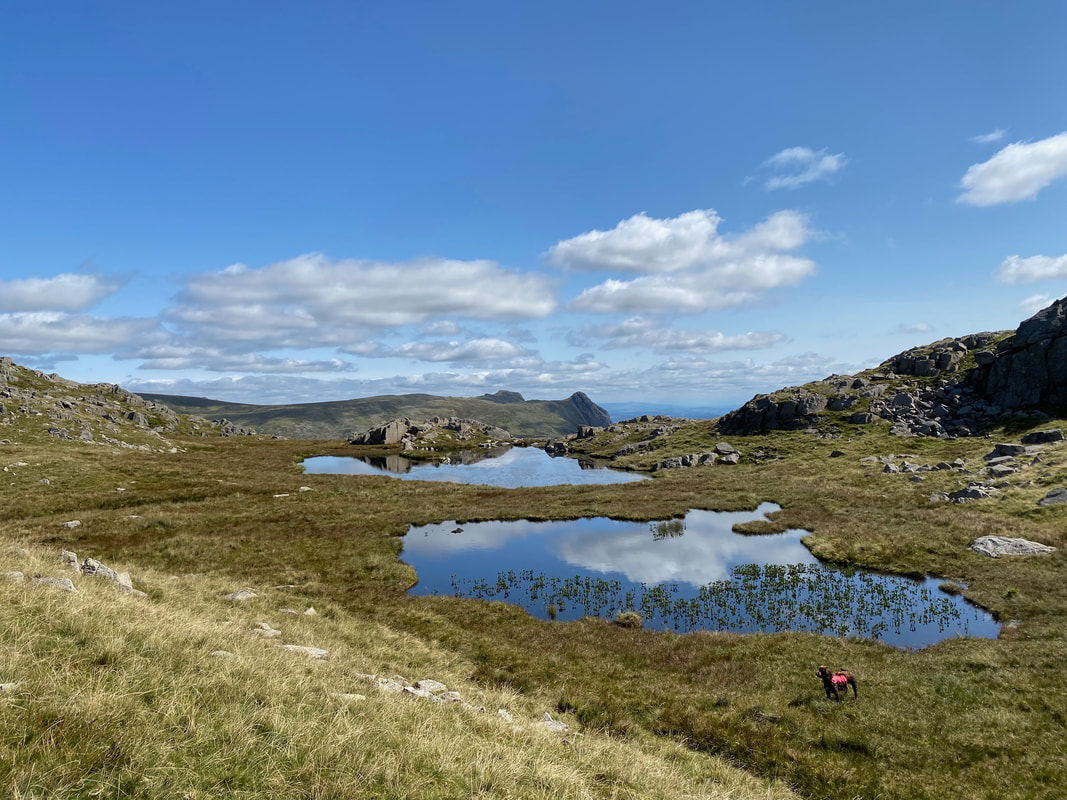
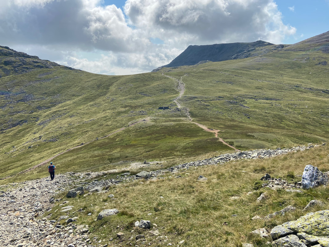
Continuing along the Glaramara ridge towards Allen Crags. The route passes by several pools which are known as The Lincomb Tarns and as you can see Fudge was extremely pleased to see them.
The furthest tarn in this image is High House Tarn and is the only one of the Lincomb Tarns which has been given a name
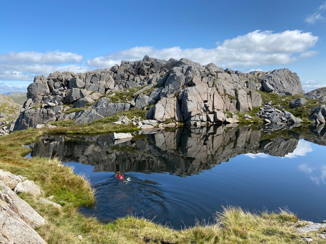
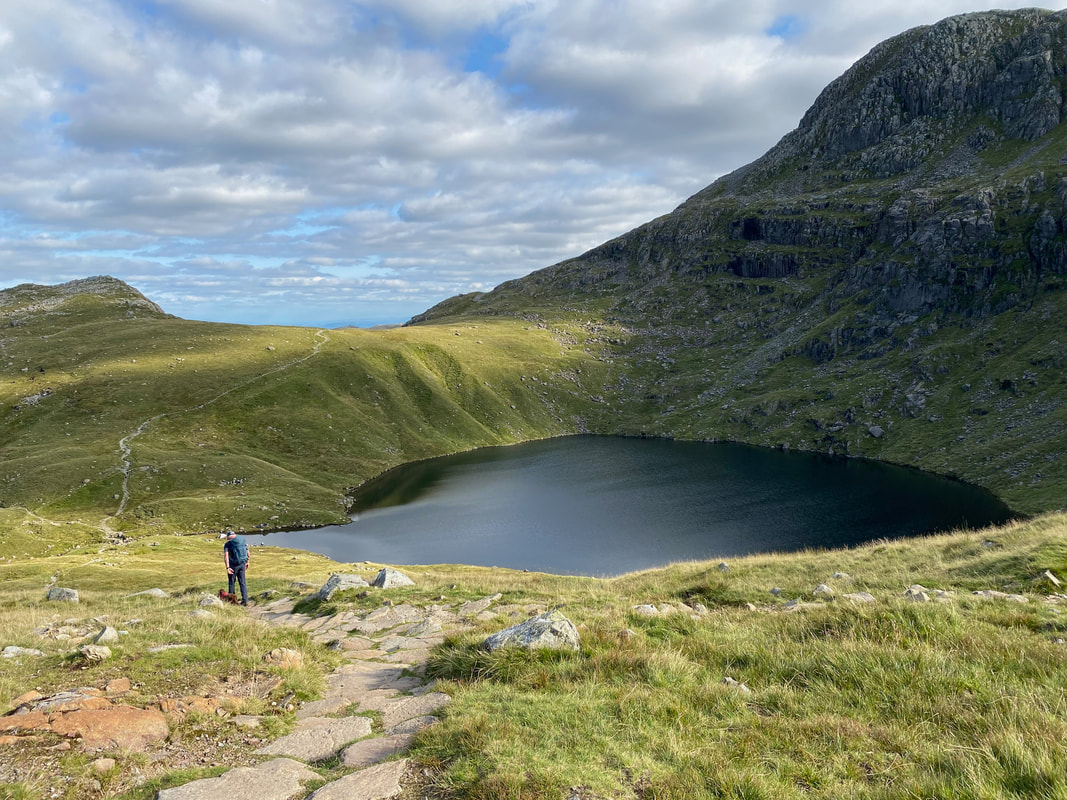
Fudge has a welcome dip in Wainwright's "perfect mountain tarn". He clearly liked this spot and said that it would be "a splendid subject for an artist's canvas" and that "only the very brave will attempt the full circuit of this tarn at the waterline" (Allen Crags 7)
Fudge having a dip in the "perfect mountain tarn" (click Play to view)
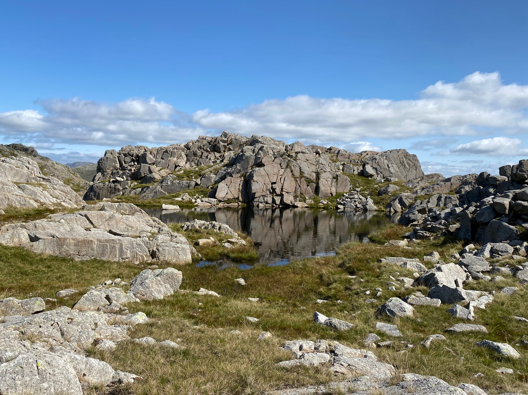
The tarn from a little further back. When coming from the direction of Allen Crags the tarn is easily missed as it is set back from the path.
The summit of High House Tarn Top looking to Glaramara
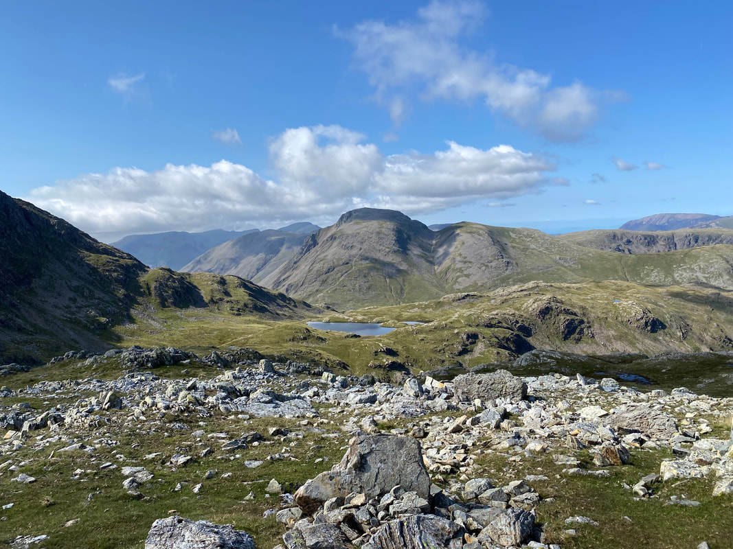
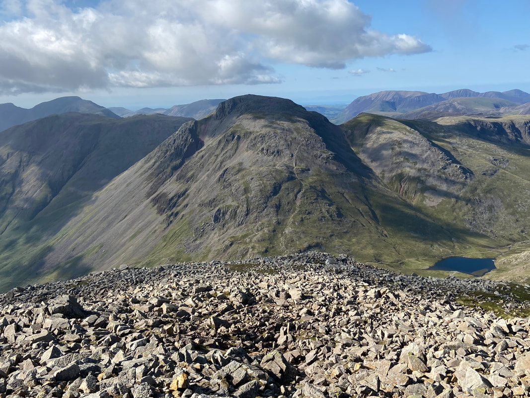
Looking over Seathwaite Fell to Great Gable & Green Gable with Seatallan, Yewbarrow & Red Pike to the left
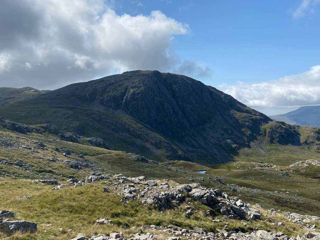
Great End from near Allen Crags - we would be over there soon
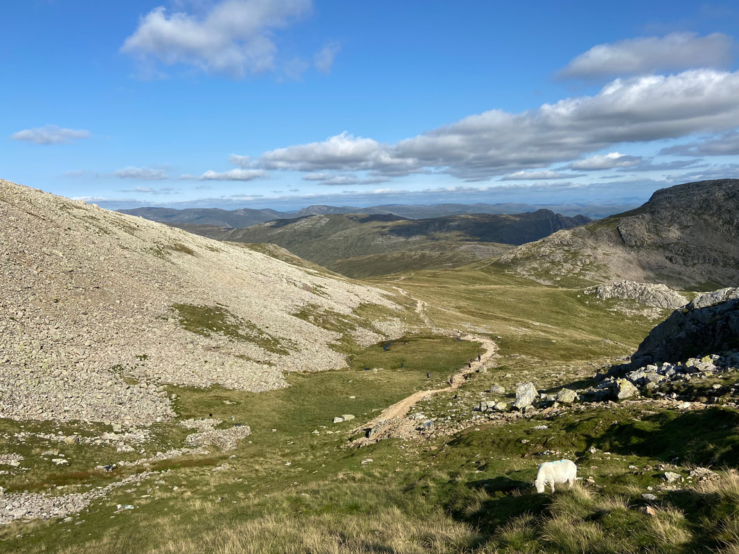
Sprinkling Tarn sits below with the path from Esk Hause to Styhead to the left of it
The summit of Allen Crags looking to Esk Pike
The view from the summit of Allen Crags (click Play to view)
Leaving Allen Crags for Esk Hause via the cross shelter which can be seen halfway up the slope ahead. Ill Crag is the mountain to the centre right.
Looking to Esk Pike from the cross shelter
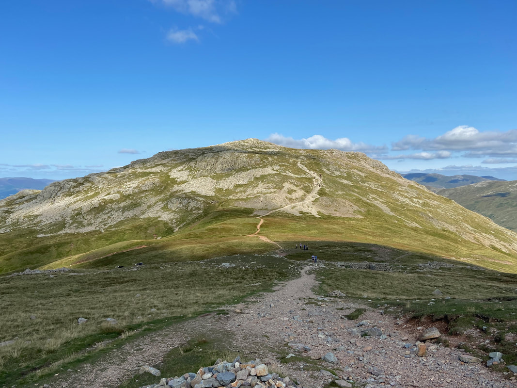
Allen Crags from Esk Hause
Another view of Esk Pike this time from Esk Hause
Our route to Great End which is to the right
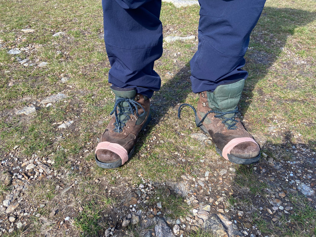
Just as we were heading to Great End we got chatting to a chap who was off to Scafell Pike. His boots had given up on him and the soles were flapping about therefore I used some of the tape in my First Aid Kit to make a temporary repair.
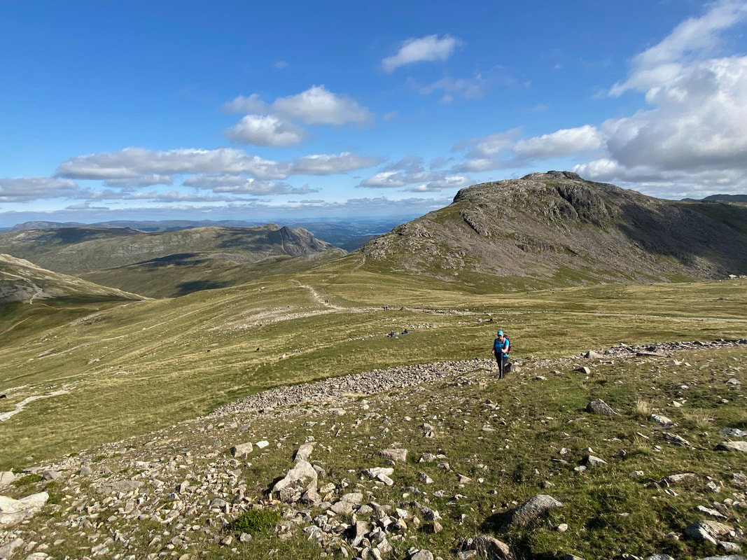
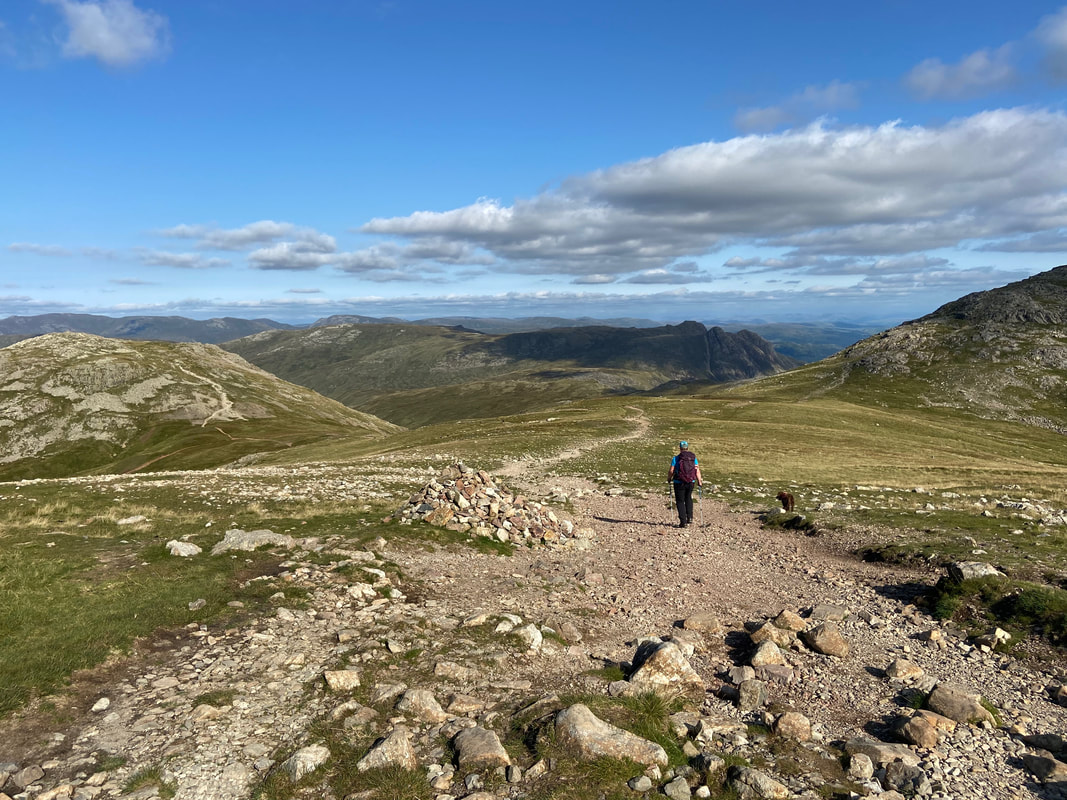
The ascent of Great End with the Langdale Pikes centre left, Esk Hause and Esk Pike to the right. The path going from left to right is the popular transit to Scafell Pike and is the route we would return to Esk Hause by.
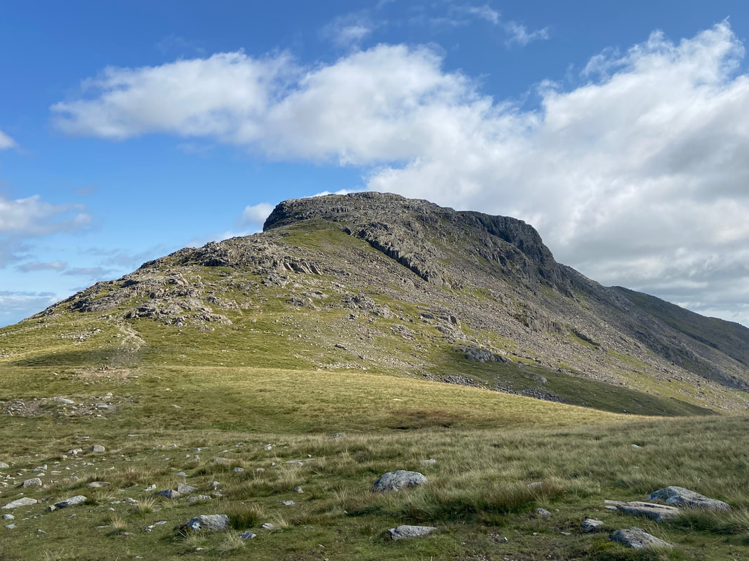
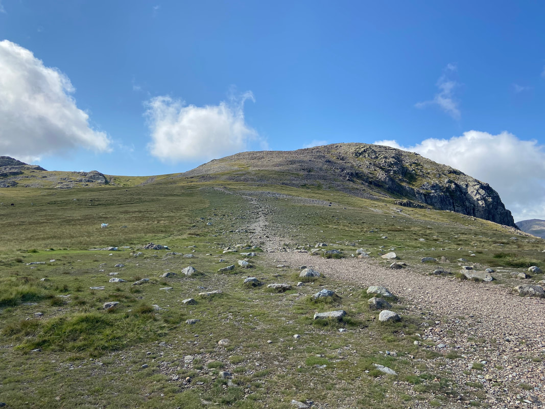
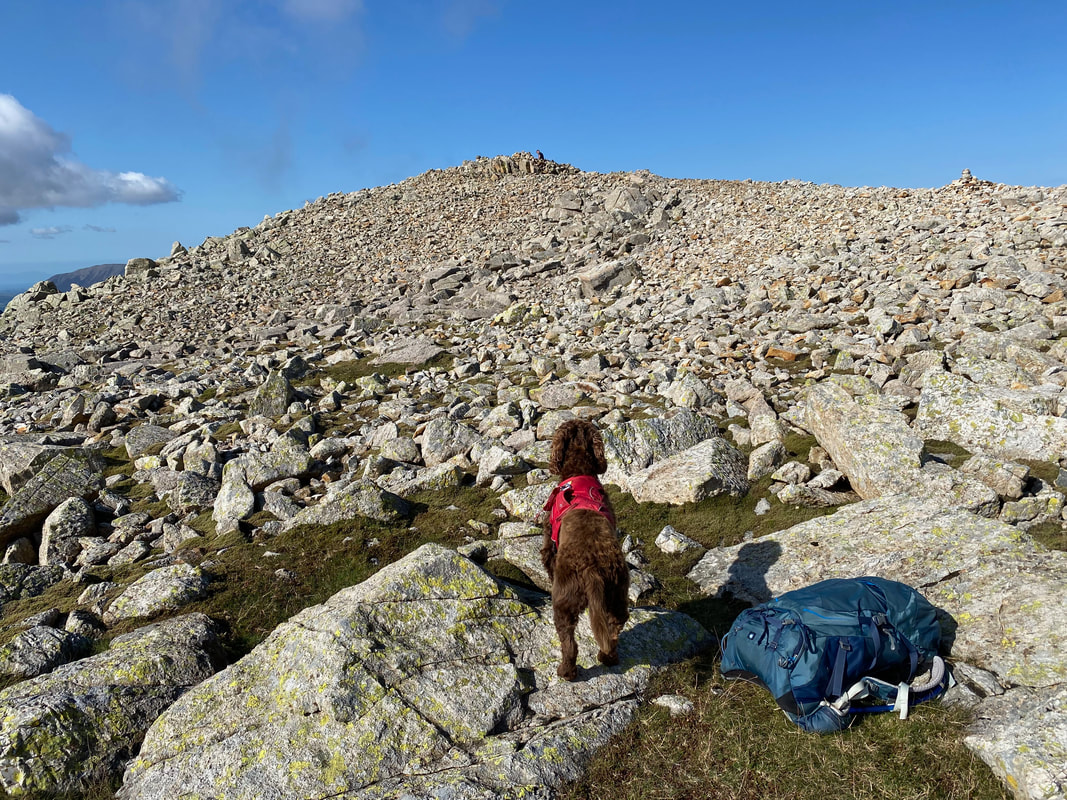
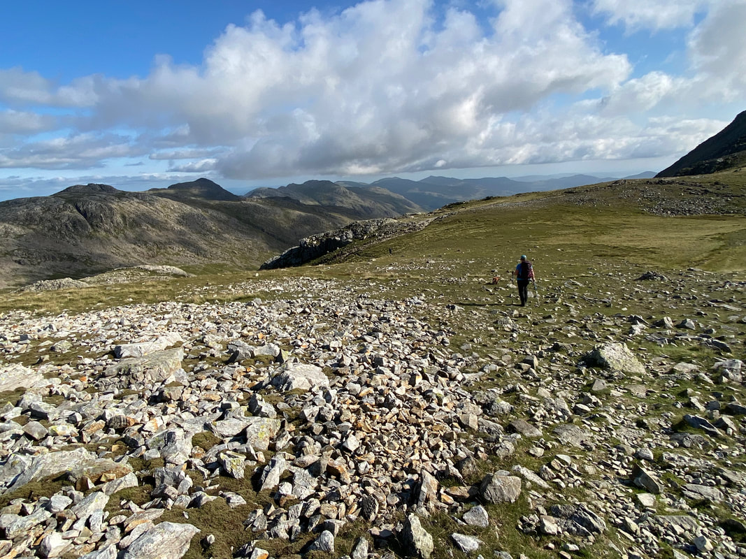
The final few yards to Great End are over boulders but is not too onerous a walk
Ill Crag, Scafell Pike & Broad Crag from near the summit of Great End
The summit of Great End
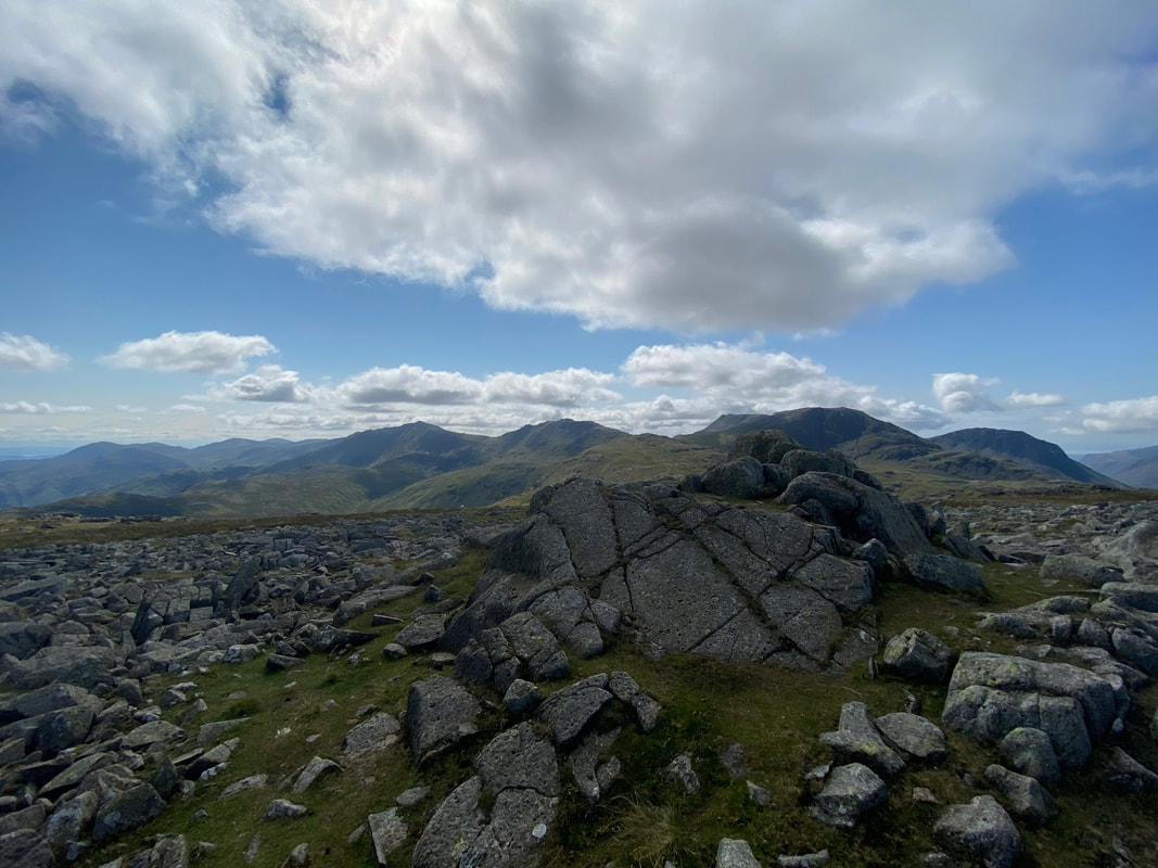
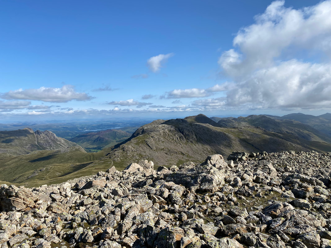
The Langdale Pikes, Esk Pike, Bowfell & Crinkle Crags from the summit of Great End
From Great End's summit it is worth making the short walk over to the north western cairn
Fudge eyes me suspiciously as I almost disappear from view on to the top of the north western cairn
I told you it was worth making the short walk over to here - just look at that view to Great Gable and beyond........
........ and also north to Skiddaw & Blencathra
From the north western cairn we headed to the top of Calf Cove to join up with the Esk Hause path
The top of Calf Cove looking down to Esk Hause
Back at Esk Hause again. We would now be heading back down to the path below Allen Crags then turning right.
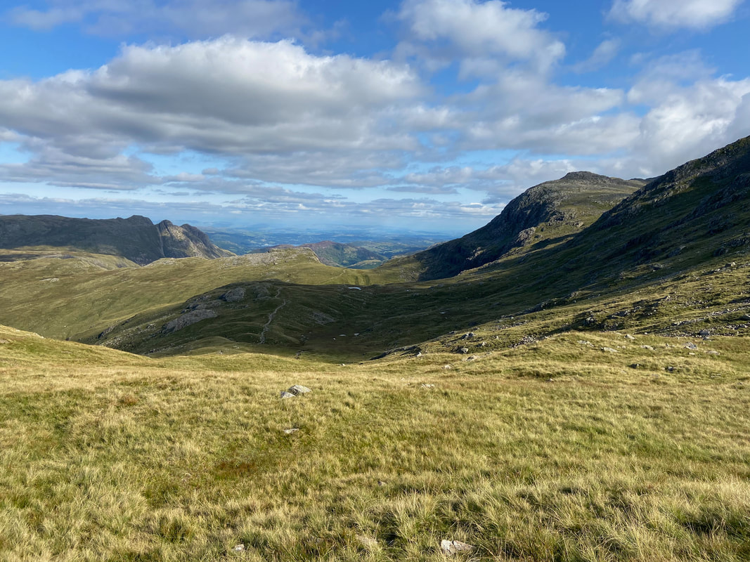
The route now headed south east in the direction of Rossett Pike which is centre left. Our path to Langstrath is to the left with the Langdale Pikes above it. Hanging Knotts on Bowfell is to the right with Angle tarn sitting unseen in the bowl below.
A closer view of Hanging Knotts. Angle Tarn is still a little shy.
Ah there it is with our path down the Langstrath Valley heading off to the left
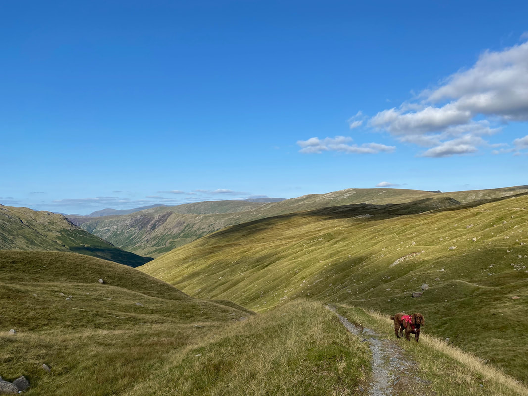
The start of our descent into Langstrath - the path junction is at Grid Ref NY 24516 07790
Looking back up at our descent into Langstrath with Angletarn Gill cascading down
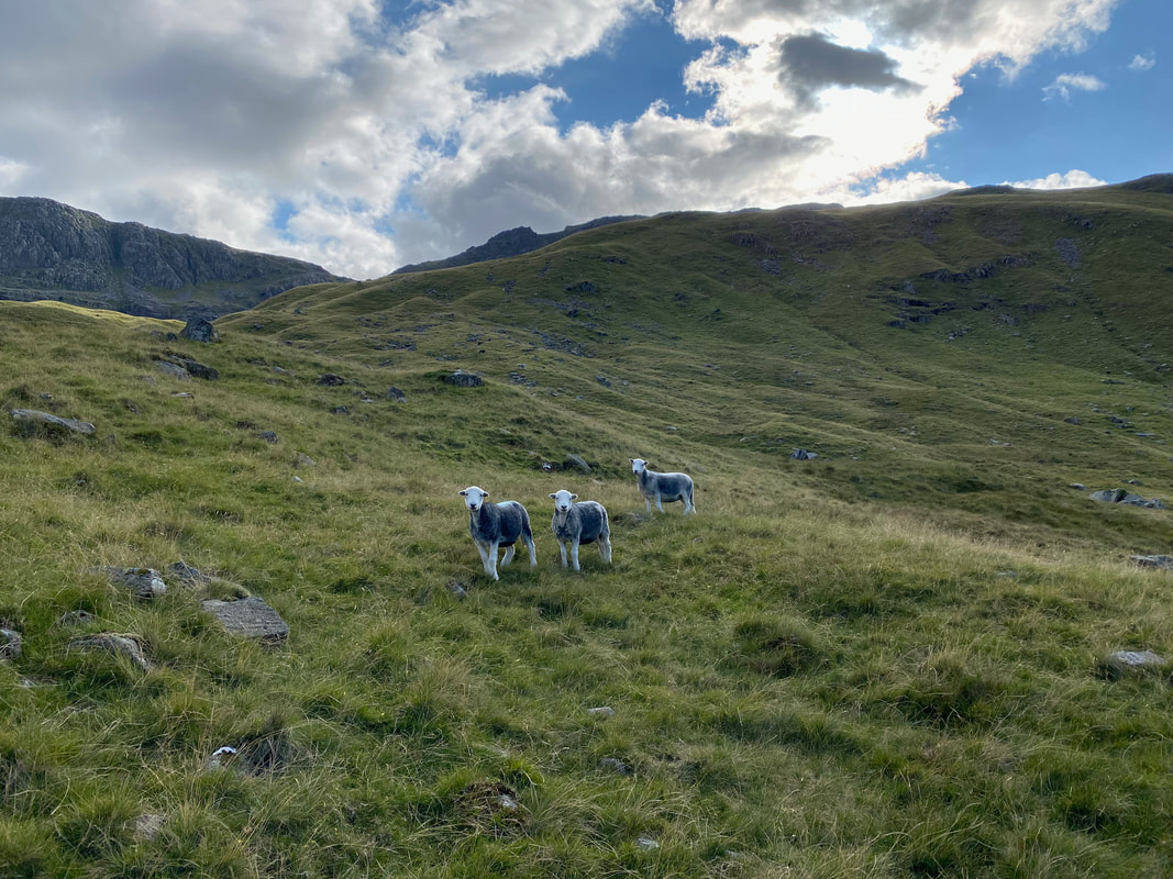
Curious young Herdwicks
Down on the valley floor at Langstrath Beck with Eagle Crag & Sergeant's Crag now in view
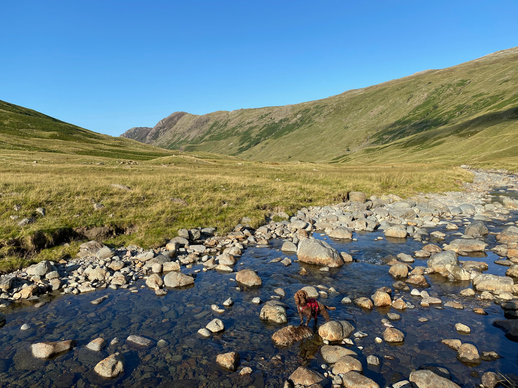
Fudge in Langstrath Beck near Tray Dub (click Play to view)
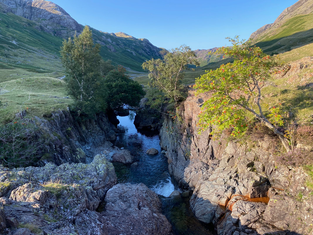
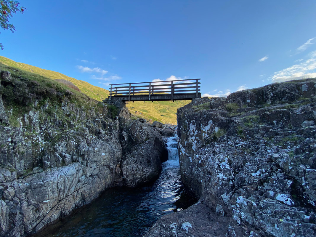
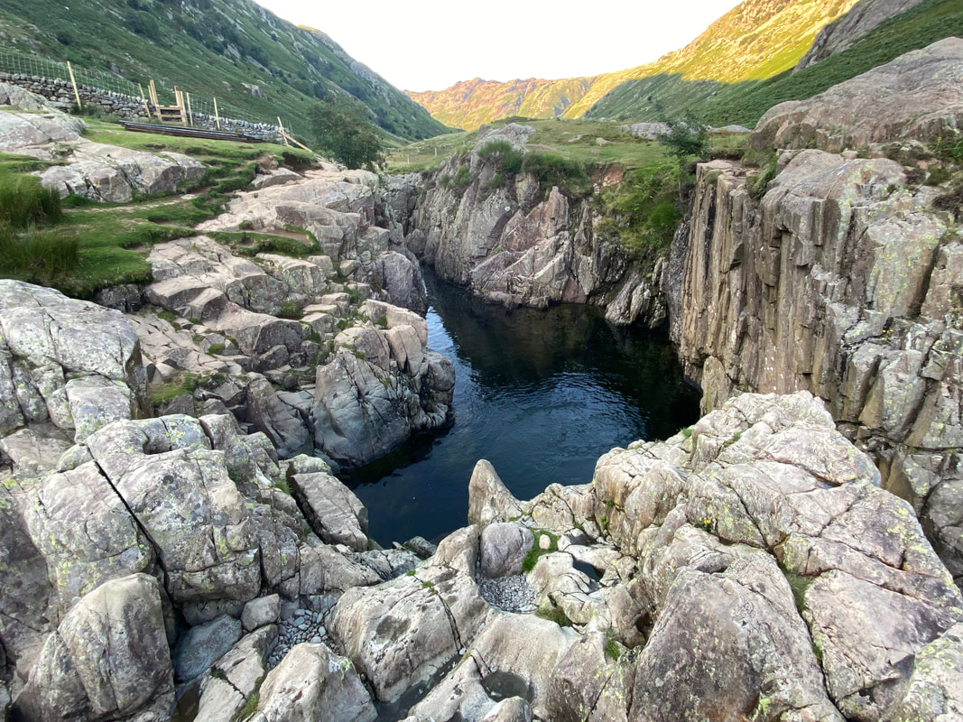
Tray Dub from the footbridge over Langstrath Beck
Looking back at our route of descent from Tray Dub
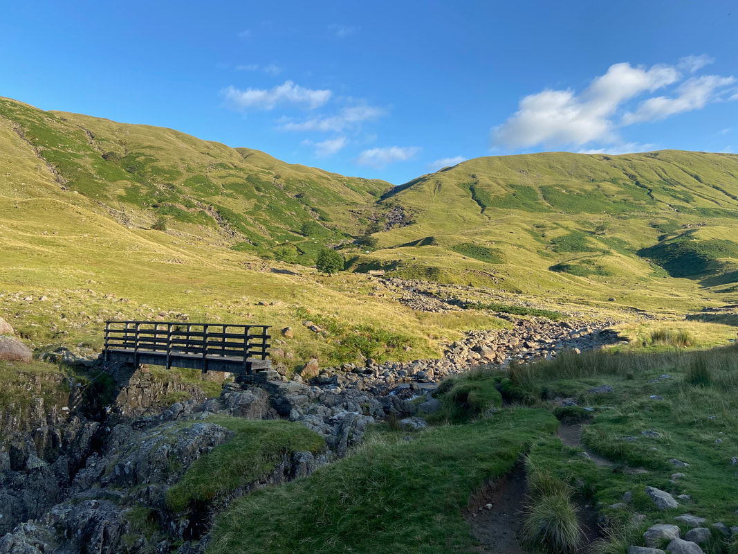
The footbridge over Tray Dub & Langstrath Beck
The very popular Blackness Pot - empty of visitors now as it was nearing dusk
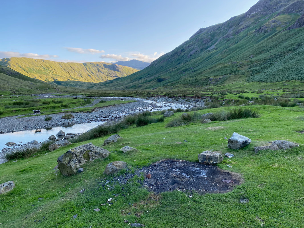
I really wish people would not do this
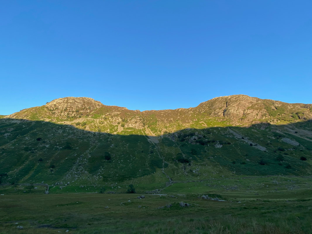
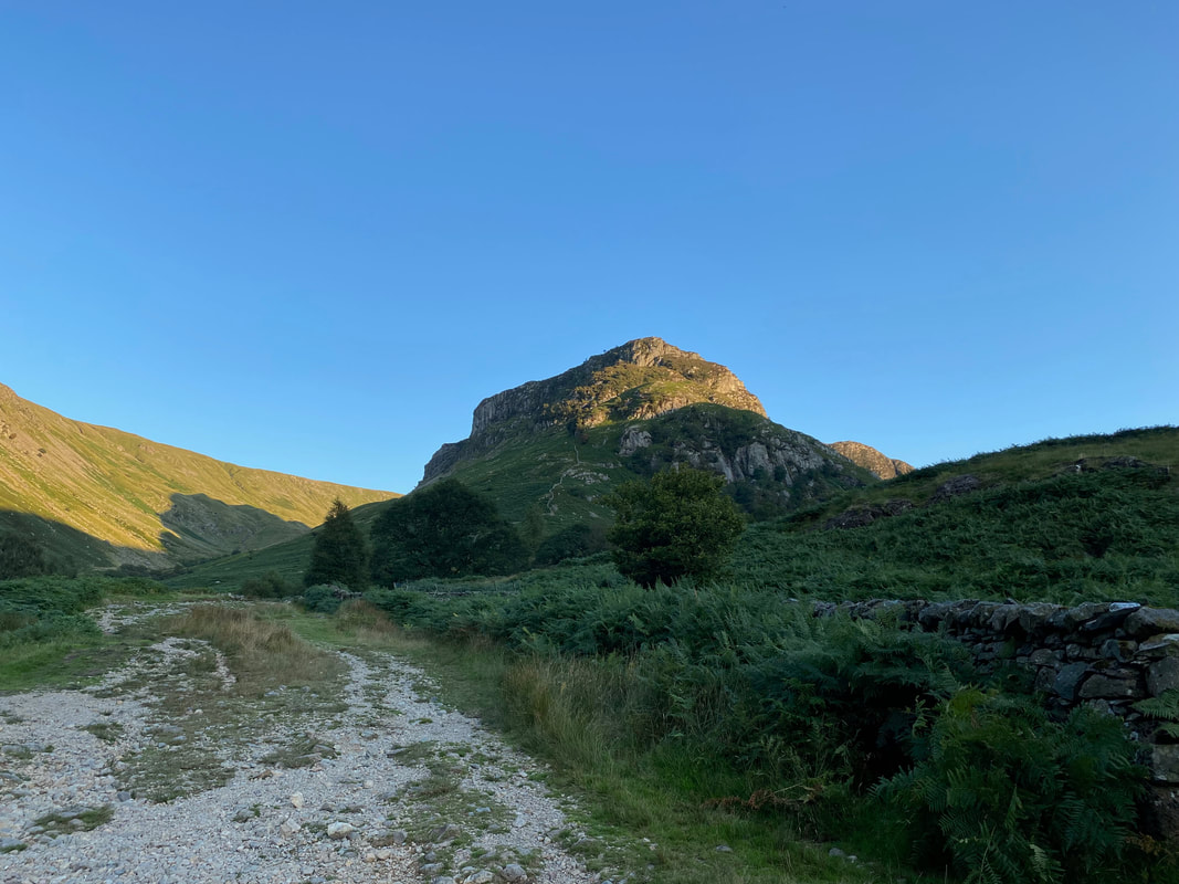
Eagle Crag & Sergeant's Crag
Ssshhh Fudge and don't sneeze
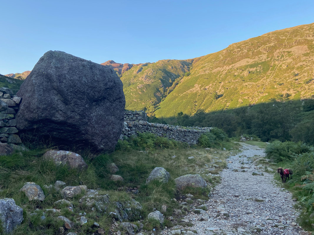
Eagle Crag from the path back to Stonethwaite
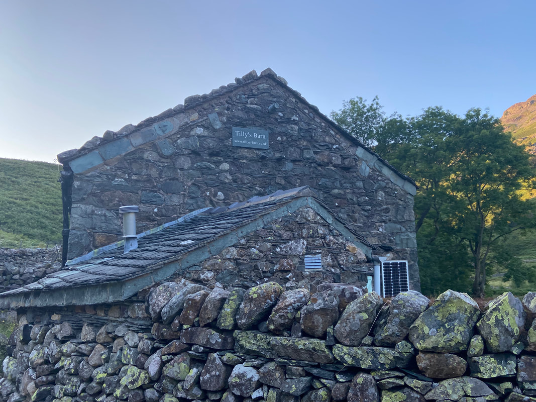
Passing Tilly's Barn
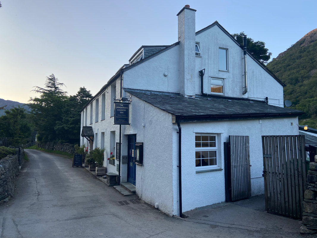
The Langstrath Country Inn in Stonethwaite - unfortunately we had a bad experience here as we passed through. Just wanted a cool drink and to sit in the empty Beer Garden - flat, expensive Diet Coke and grumpy staff therefore shall not darken their doors again.
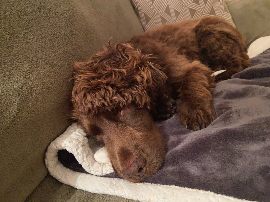
A tired and contented pooch after a long but fantastic walk on the fells
