Black Fell & Holme Fell - Friday 2 June 2023
Route
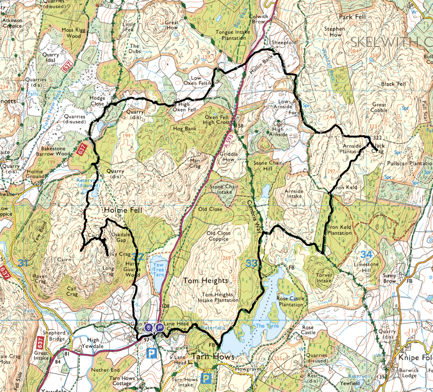
Glen Mary Bridge - Lane Head Coppice - Tarn Hows - Iron Keld - Black Fell (Black Crag) - Low Arnside - Hollin Bank - A593 - High Oxen Fell - Hodge Close - Holme Fell - Ivy Crag - Uskdale Gap - Harry Garth Woods - Glen Mary Bridge
Parking
National Trust Car Park at Glen Mary Bridge (Charge but free for NT Members). The Grid Reference is SD 32144 99876 and the nearest postcode is LA21 8DP.
Mileage
7.5 miles
Terrain
Good paths with some road walking on quiet lanes.
Weather
Gloriously sunny & warm with the odd light breeze.
Time Taken
4hrs 50mins
Total Ascent
1528ft (466m)
Wainwrights
2
Map
OL6 - The English Lakes (South Western Area)
Walkers
Dave, Angie & Fudge with members of Lakeland Meet Ups
|
GPX File
|
| ||
If the above GPX file fails to download or presents itself as an XML file once downloaded then please feel free to contact me and I will send you the GPX file via e-mail.
Route Map
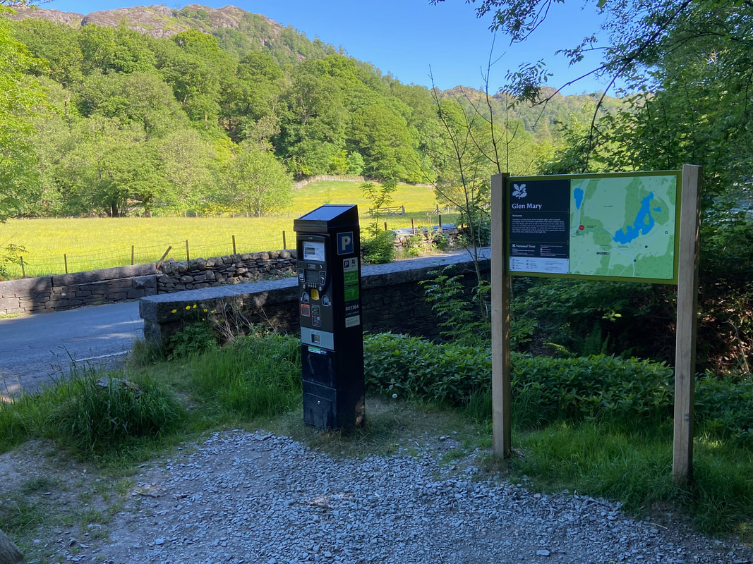
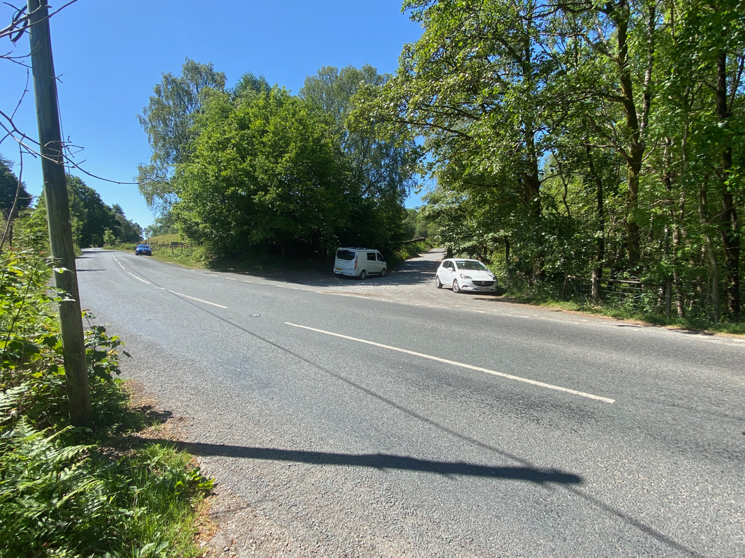
Today's walk started from the National Trust Car Park at Glen Mary Bridge on the A593. The Car Park has room for approximately 12 cars and is 2 miles north east of Coniston and 3 miles south west of Skelwith Bridge.
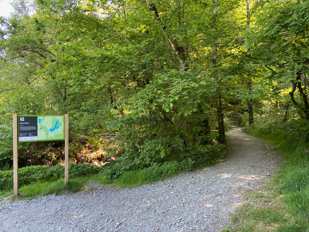
From the Car Park a forest track heads east in the direction of Tarn Hows
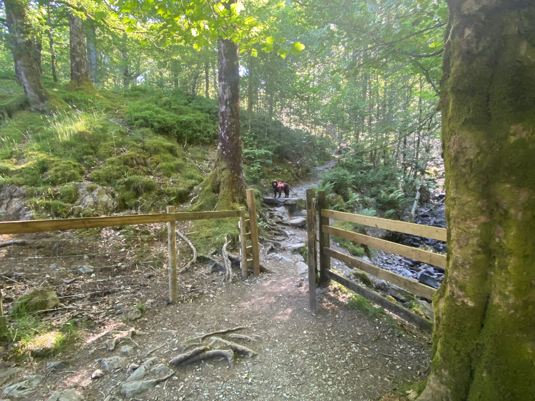
After a short while the track passes through a hand gate and becomes a rough path through Lane Head Coppice. Fudge gives me a curious look and clearly wants to crack on so he can get to Tarn Hows quicker and commence arsing about.
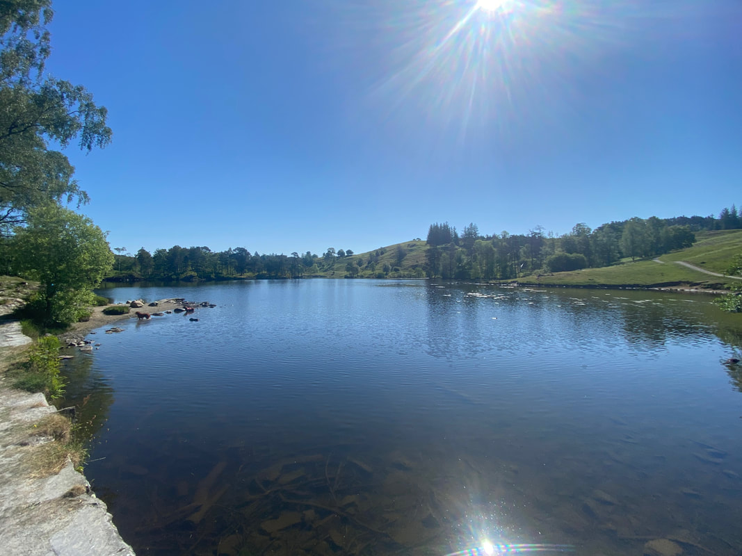
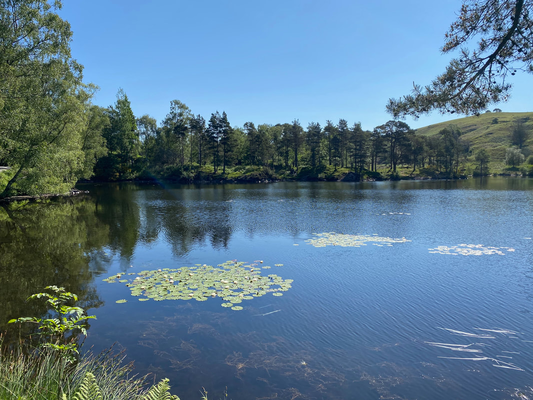
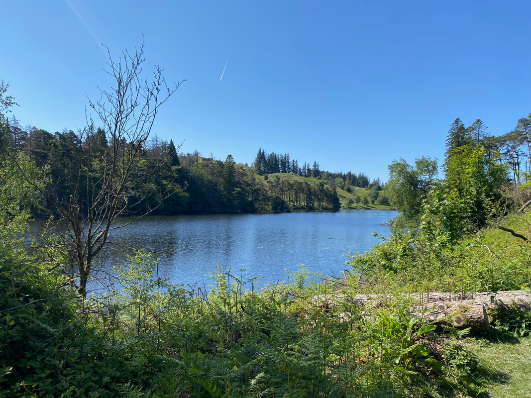
Tarn Hows
This idyllic area was put up for sale in 1929 and was bought by none other than the author Beatrix Potter who then sold the half containing Tarn Hows to the National Trust. The tarns were once three separate bodies of water and were joined together during the 19th century.
This idyllic area was put up for sale in 1929 and was bought by none other than the author Beatrix Potter who then sold the half containing Tarn Hows to the National Trust. The tarns were once three separate bodies of water and were joined together during the 19th century.
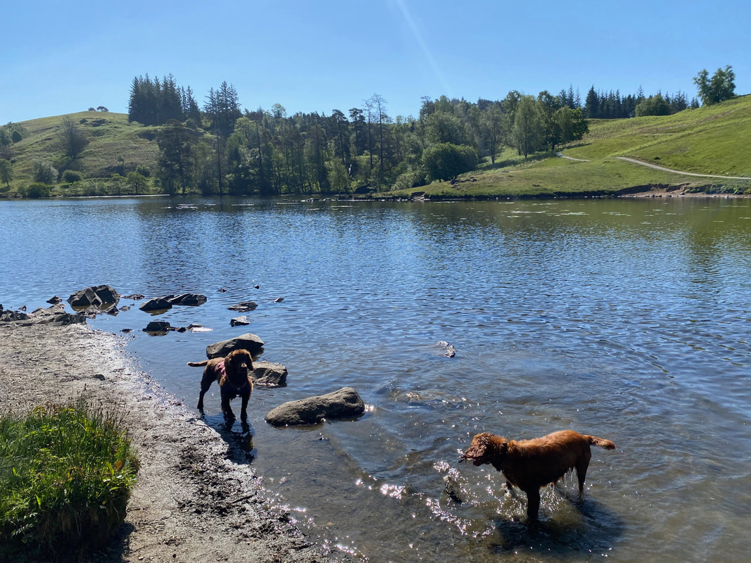
Cue arsing about in the tarn
It goes without saying that Tarn Hows is a beautiful place and consequently attracts many visitors. It is best visited out of season and during the week.
Looking over Tarn Hows to Limestone Hill
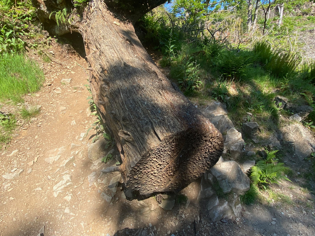
Try as I might, I couldn't prise any coins out of the tree in order to fund my post walk pint
Looking down Tarn Hows from the northern end
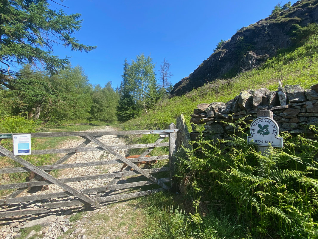
After just over half a mile the route enters the Iron Keld Plantation
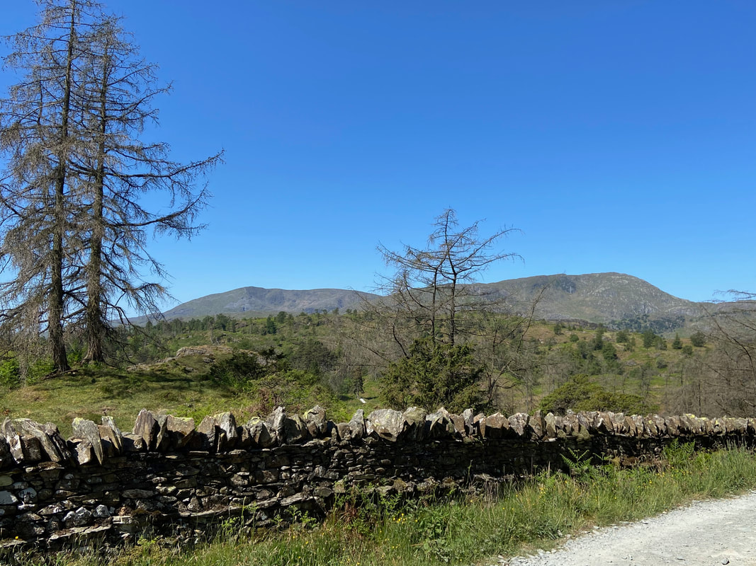
Coniston Old Man & Wetherlam from the track leading to Iron Keld
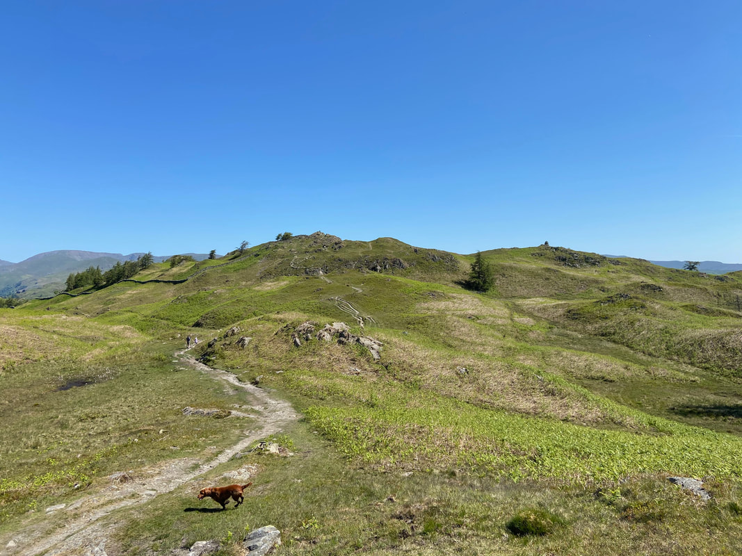
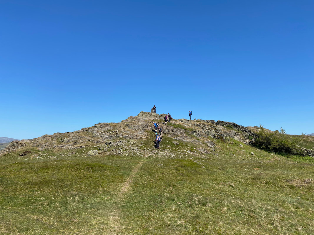
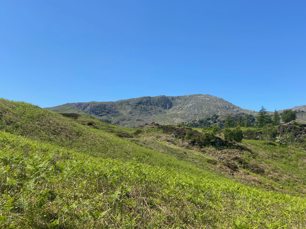
Black Fell now in view as we cross Iron Keld. The summit Trig Point is just left of centre with a large cairn marking a subsidiary summit over to the right.
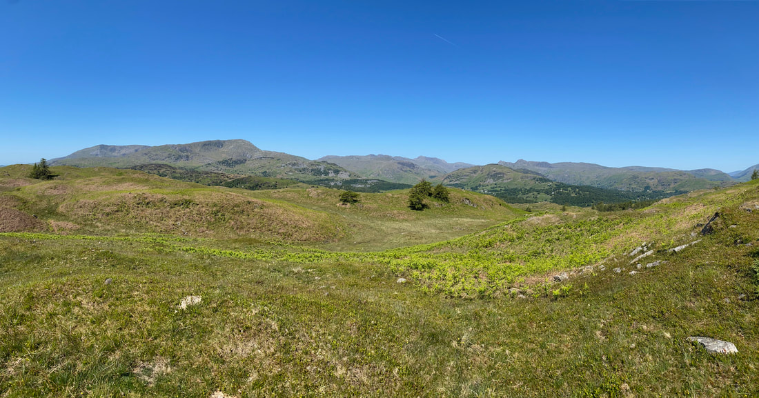
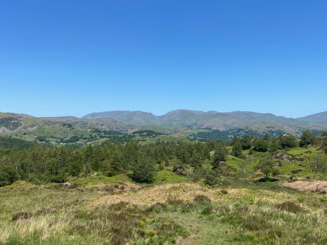
A panorama from the path to Black Fell with the Coniston range to the left, Crinkle Crags & Bowfell centre with the Langdale Pikes over to the right
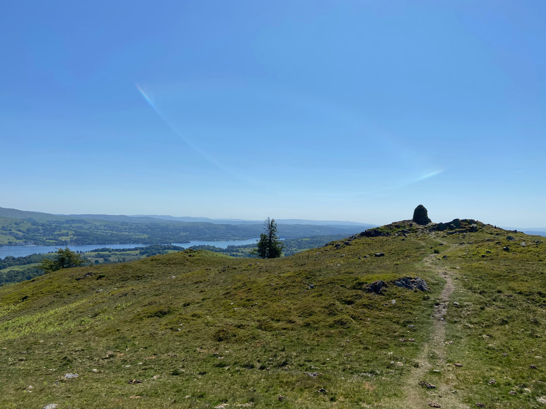
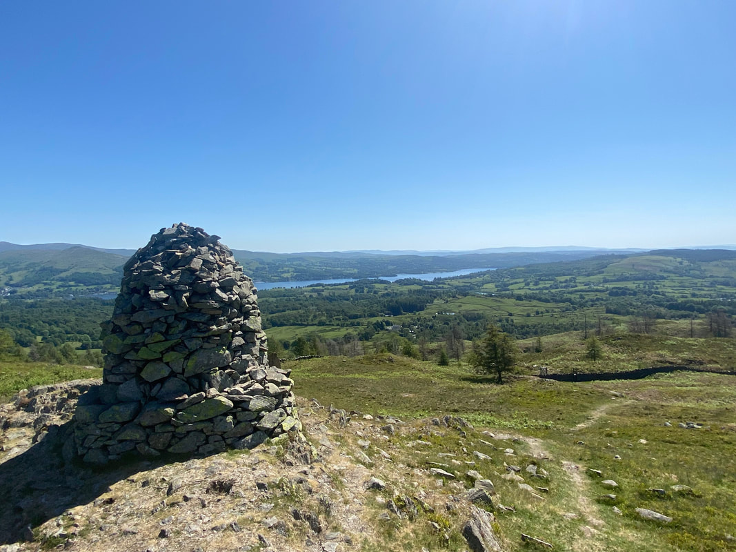
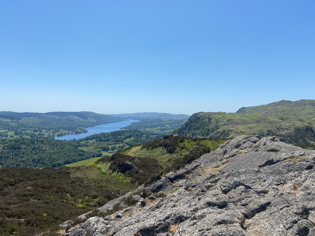
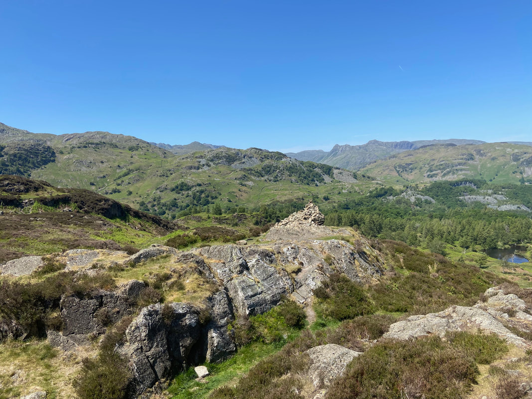
Looking south east to the large cairn from Black Fell's summit with Windermere stretching away into the distance. The cairn is also known as "the Windermere Cairn".
It is worth wandering over to the cairn if only for the views down over Windermere
Black Fell's summit from the Windermere cairn
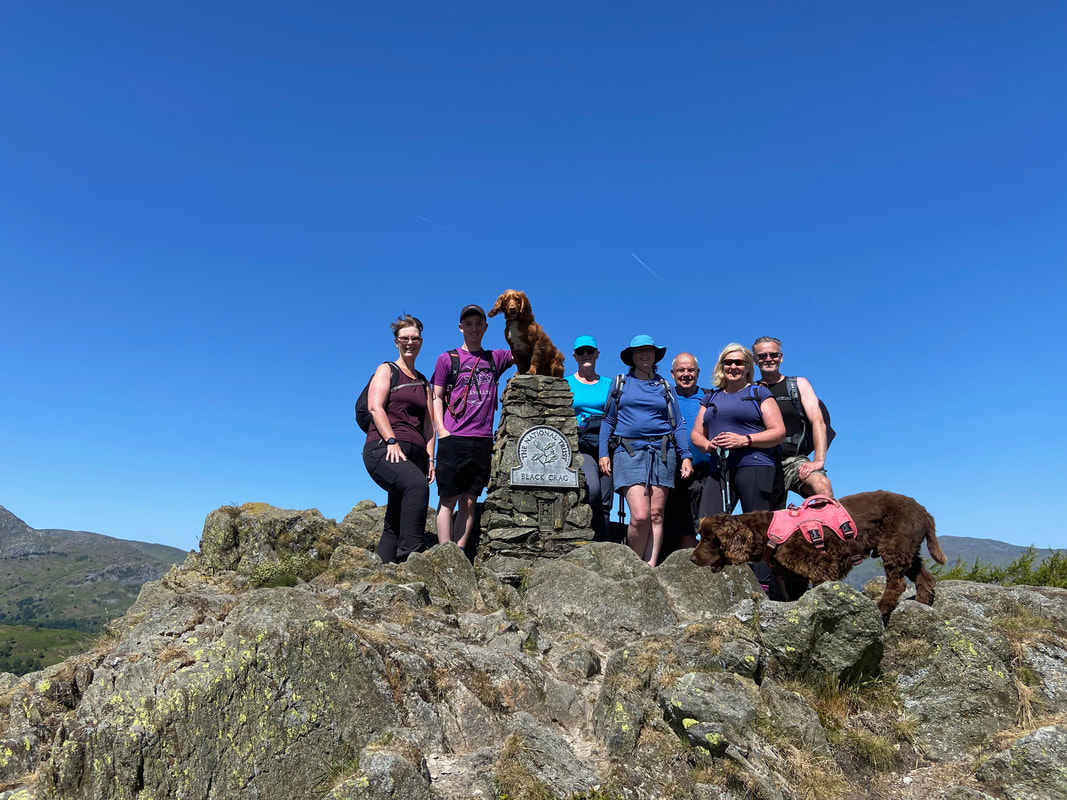
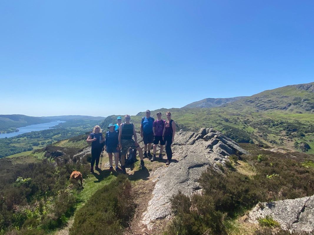
The group (and pooches) on the summit of Black Fell
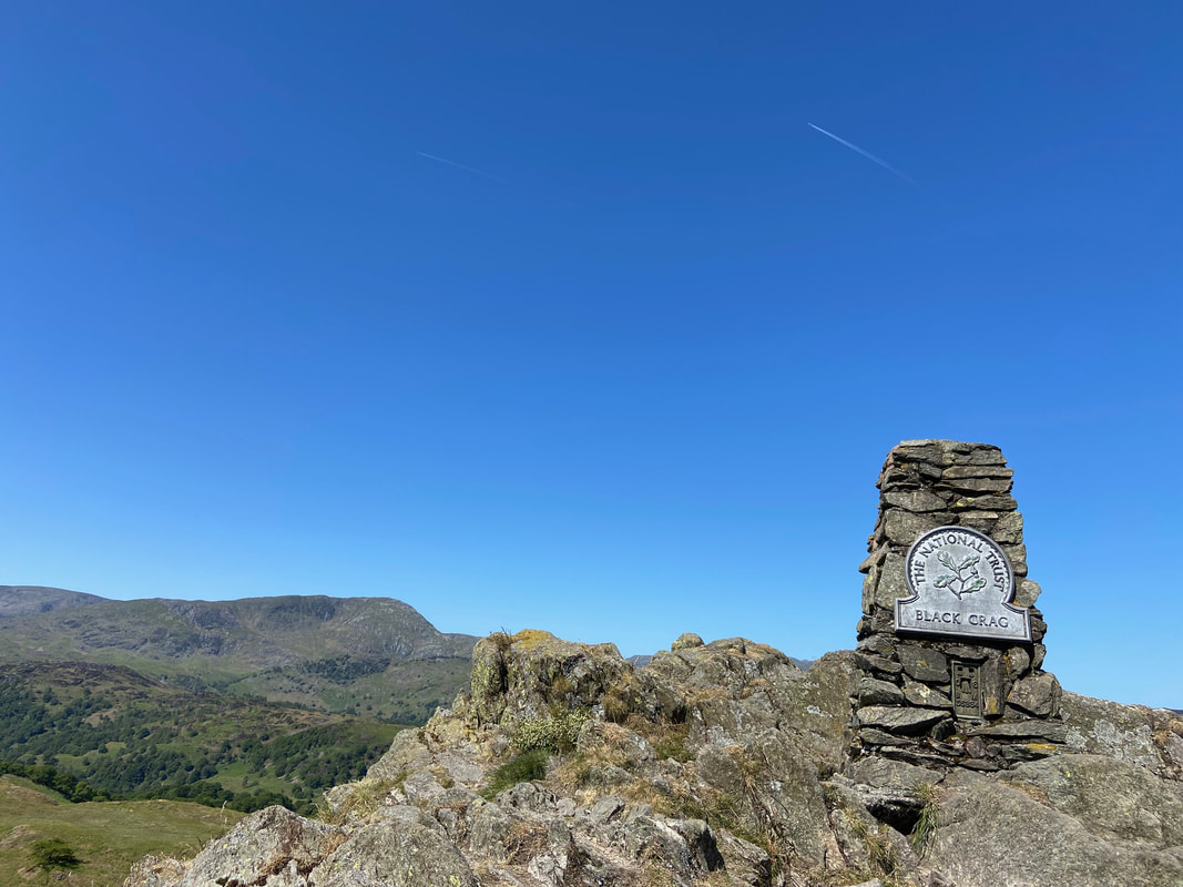
The keen eyed among you have probably noticed that I have been referring to the area as "Black Fell" and that the sign on the Trig Point says "Black Crag". To simplify, Black Crag is the name of the rocky outcrop above while the fell as a whole is called Black Fell.
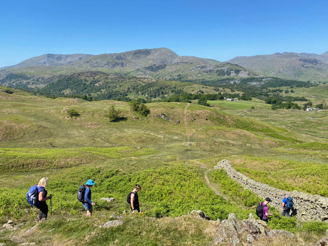
From the summit it was time to descend to Low Arnside
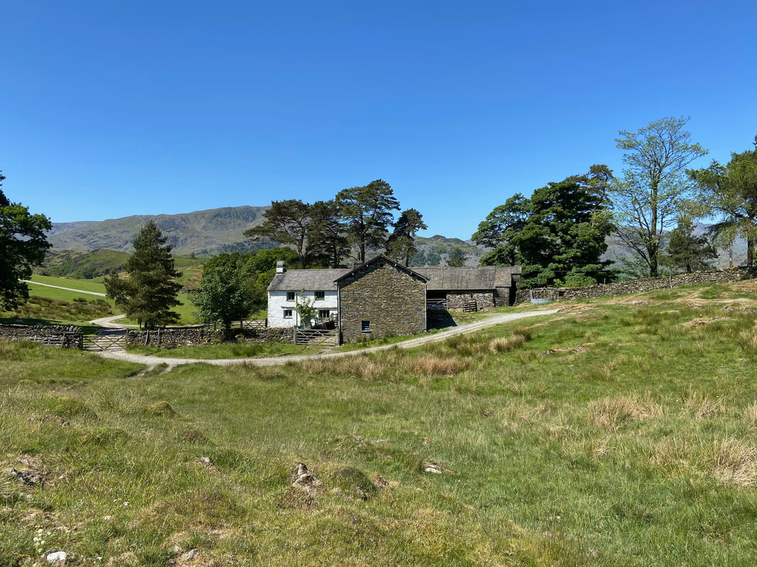
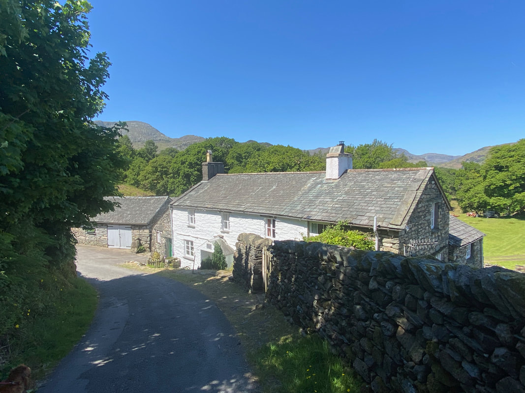
High Arnside Farm
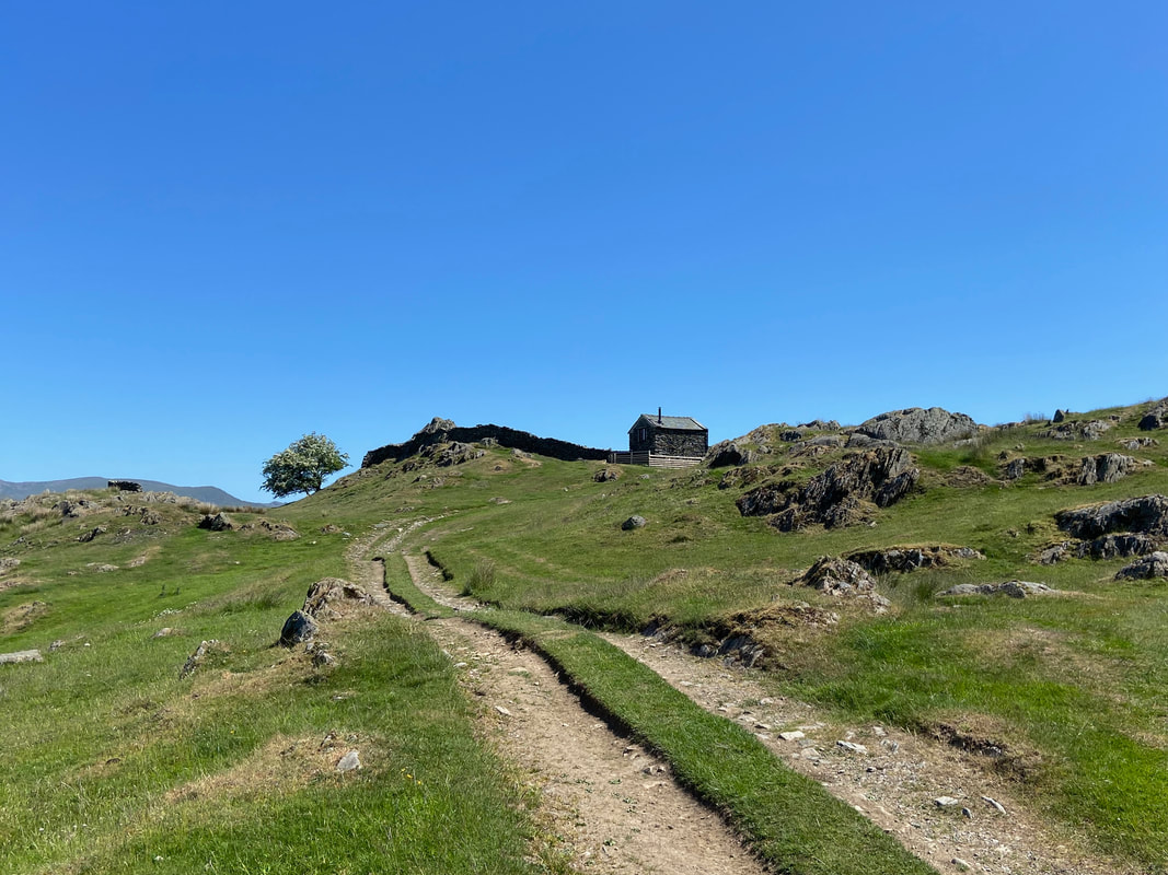
The Hog House
Just off the path and near High Arnside Farm is The Hog House. After a year of renovation the building was completed in October 2022 having previously sat empty and used only as a shelter for sheep and cattle during the wild winter months. The building is now a holiday let and a link to the website is here
Just off the path and near High Arnside Farm is The Hog House. After a year of renovation the building was completed in October 2022 having previously sat empty and used only as a shelter for sheep and cattle during the wild winter months. The building is now a holiday let and a link to the website is here
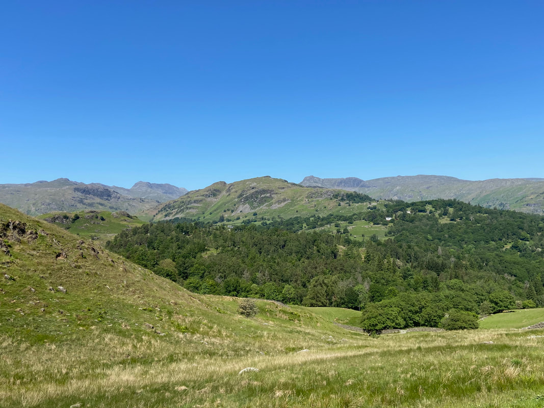
Lingmoor Fell & Side Pike holding centre stage among the loftier Pike O'Blisco, Crinkle Crags, Bowfell & the Langdale Pikes
Below Hollin Bank the route reaches the A593 with the path continuing across the road to Oxen Fell
High Oxen Fell Farm
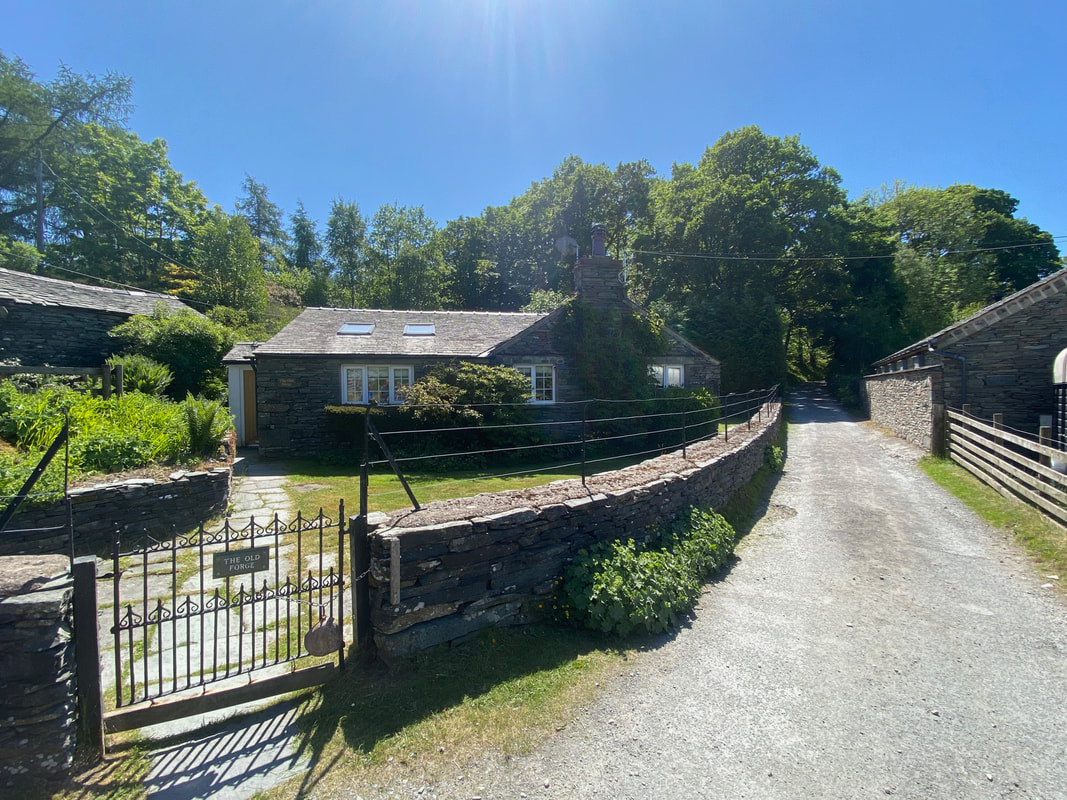
The Old Forge near Hodge Close
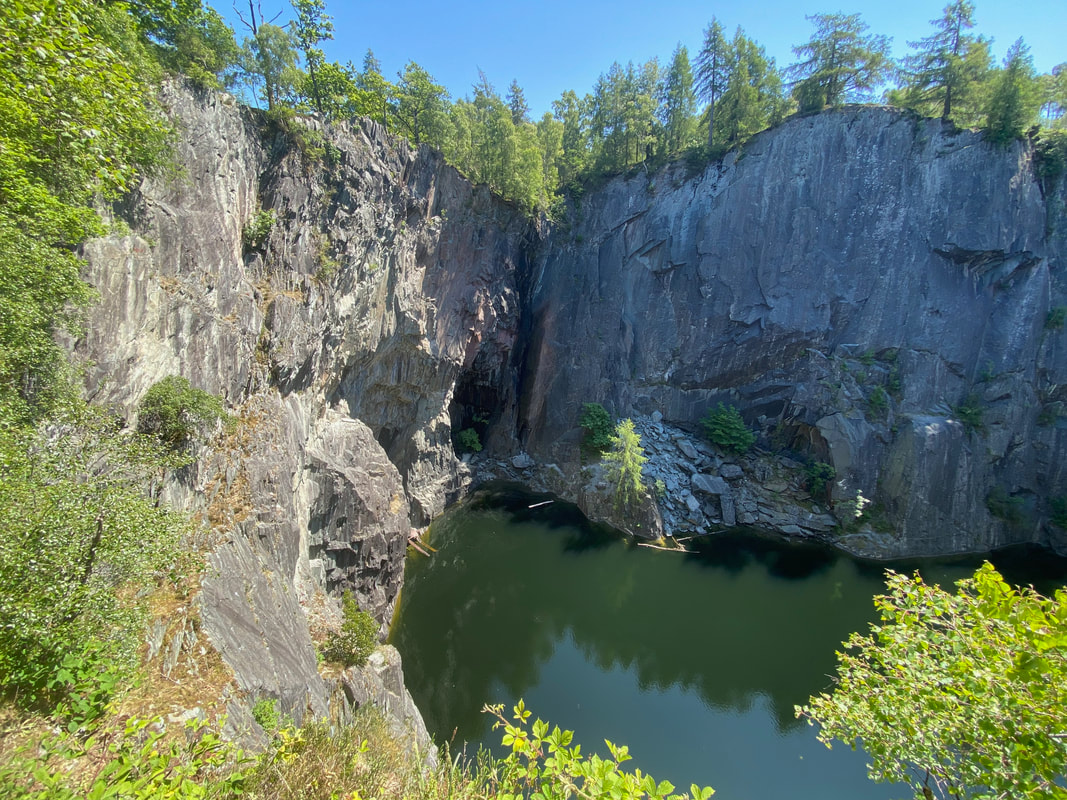
Hodge Close Quarry
Hodge Close Quarry is just one of many slate workings in the Tilberthwaite Valley, between Langdale and Coniston. This was worked on a large scale from the 19th century to small scale in the early 1960s. The quarry is a massive excavation of light green coloured slate, sheer-sided and unfenced, with an original worked depth from ground level of about 100m (300 feet). The 150 feet deep face is a favourite with abseilers, while the 150 feet deep flooded workings which extend below the surface are popular with divers.
Hodge Close Quarry is just one of many slate workings in the Tilberthwaite Valley, between Langdale and Coniston. This was worked on a large scale from the 19th century to small scale in the early 1960s. The quarry is a massive excavation of light green coloured slate, sheer-sided and unfenced, with an original worked depth from ground level of about 100m (300 feet). The 150 feet deep face is a favourite with abseilers, while the 150 feet deep flooded workings which extend below the surface are popular with divers.
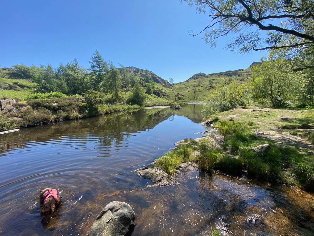
Fudge has a splash about in one of the two disused reservoirs near Hodge Close. The reservoirs would have once provided water power for the quarries.
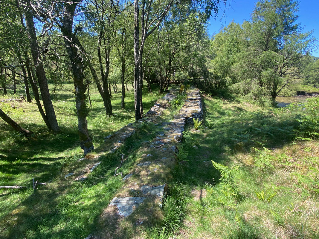
The remains of the dam wall to the smaller of the two reservoirs
Wetherlam
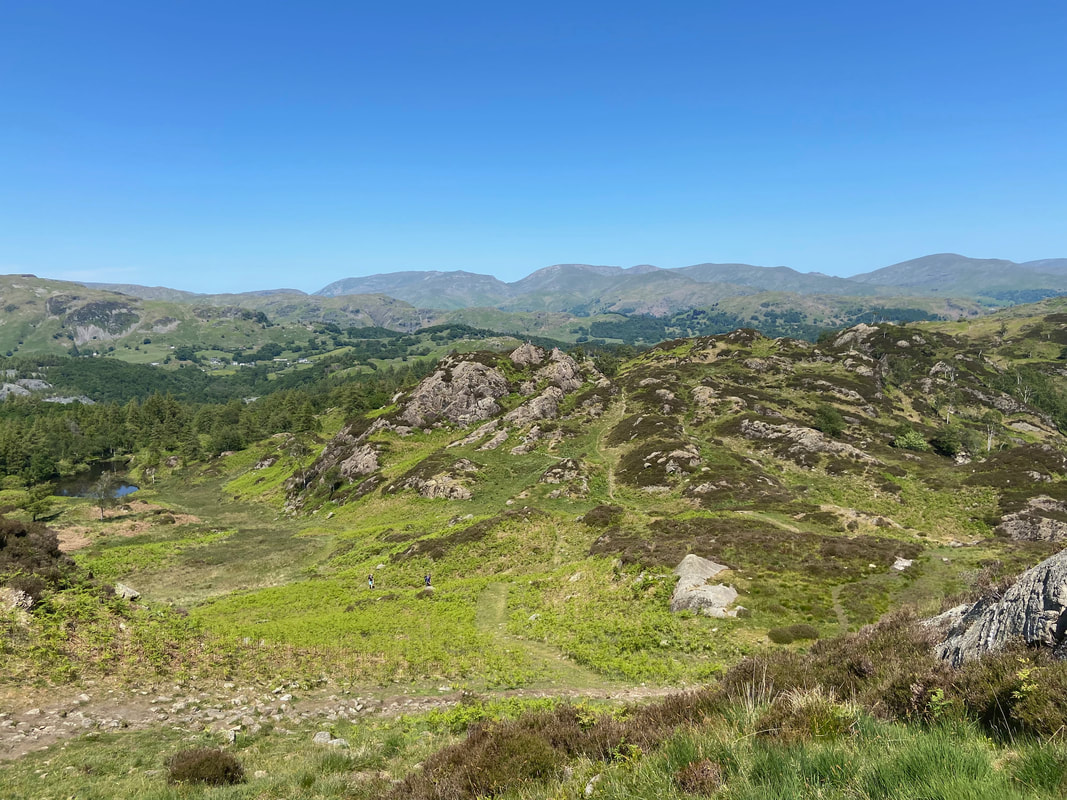
Looking back from the approach to Holme Fell with the Helvellyn range in the far left distance, Grisedale Hause centre and the Fairfield range to the right
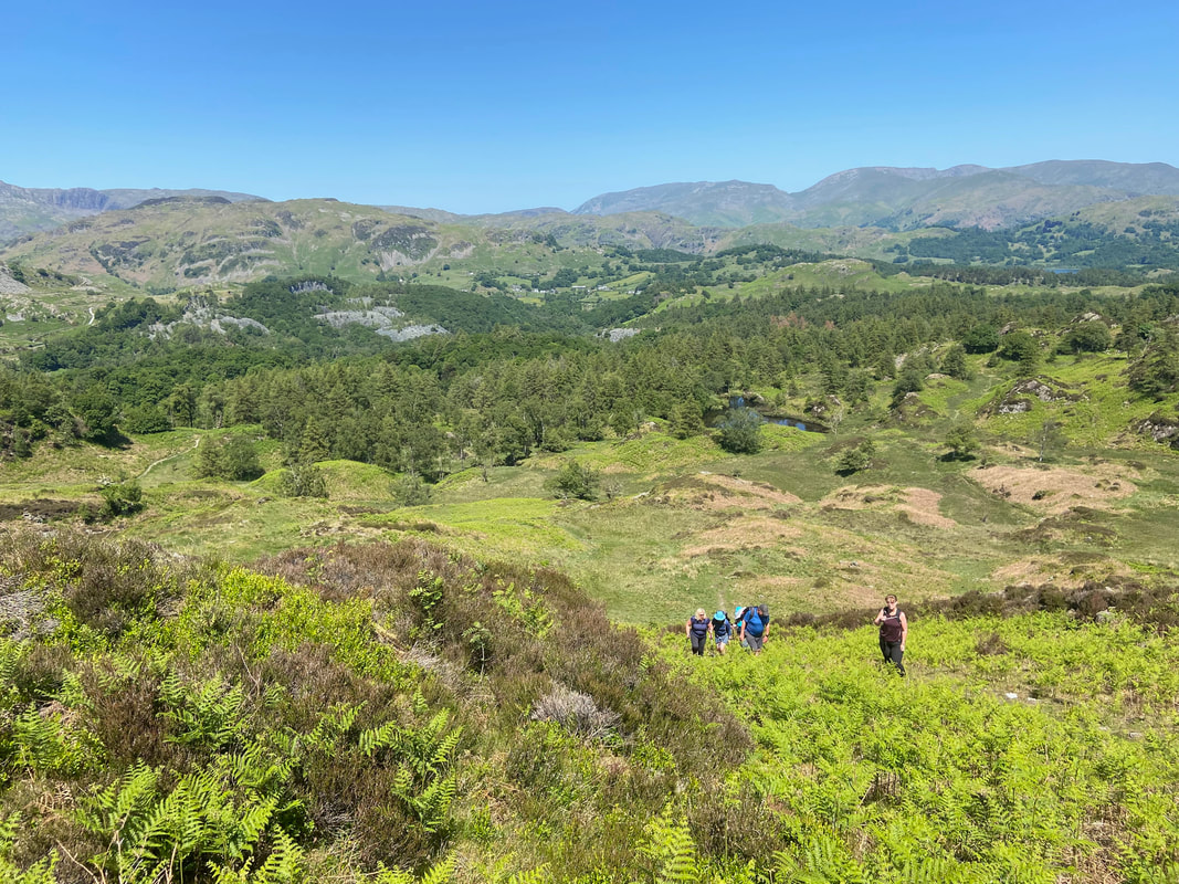
My walking companions making their way up to Holme Fell with Hodge Close over to the left
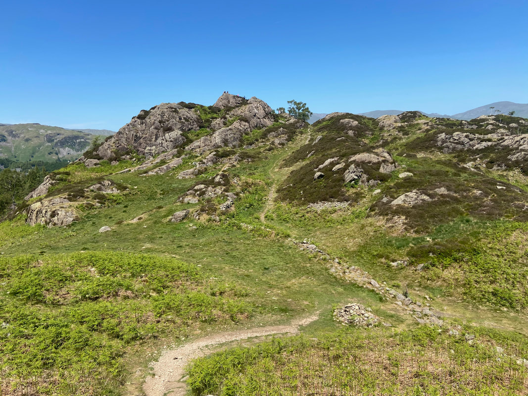
The sloping rock outcrop that marks the summit of Holme Fell - the rock is 60m SSW of the summit cairn
The group on the summit of Holme Fell
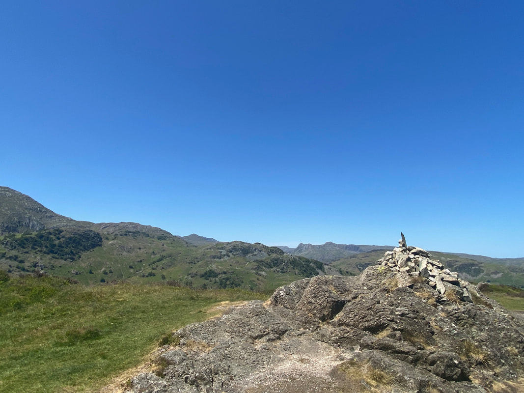
The summit cairn on Holme Fell
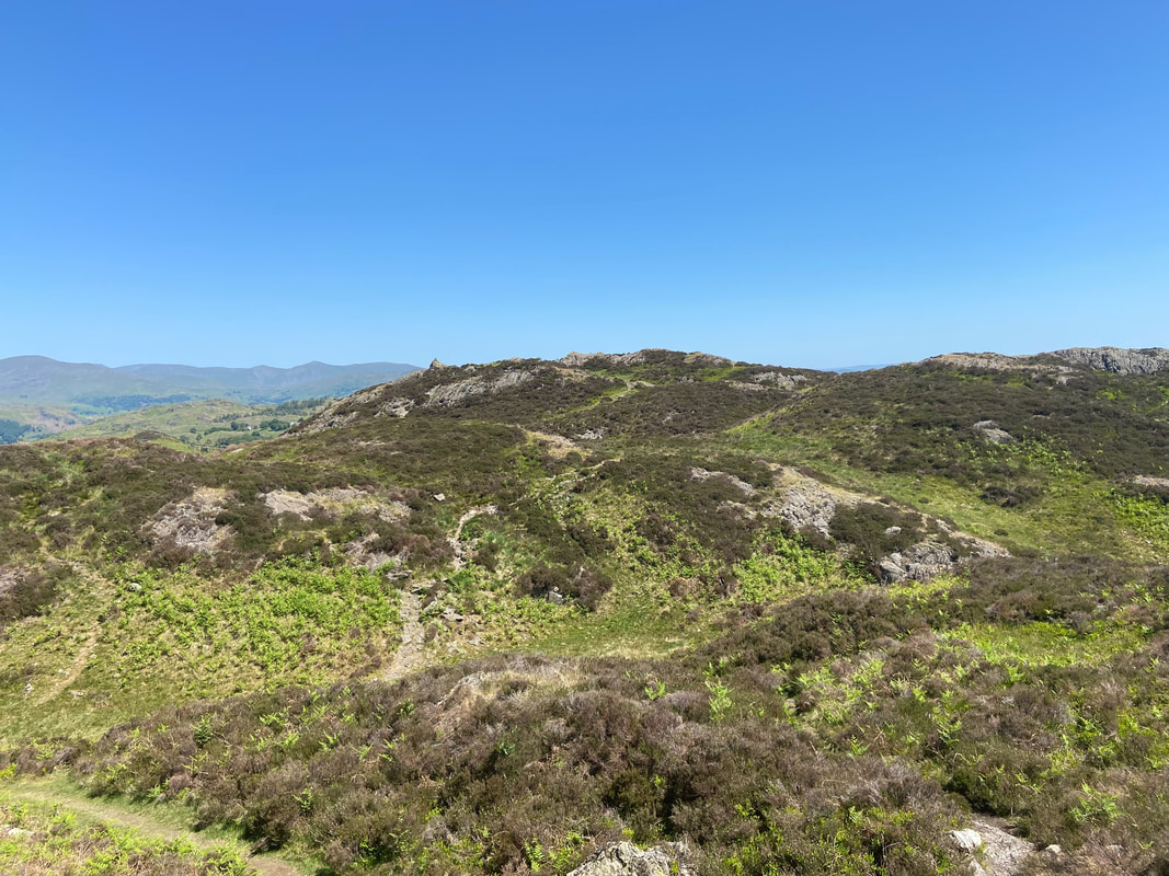
Across a depression is Ivy Crag which we would head over to next
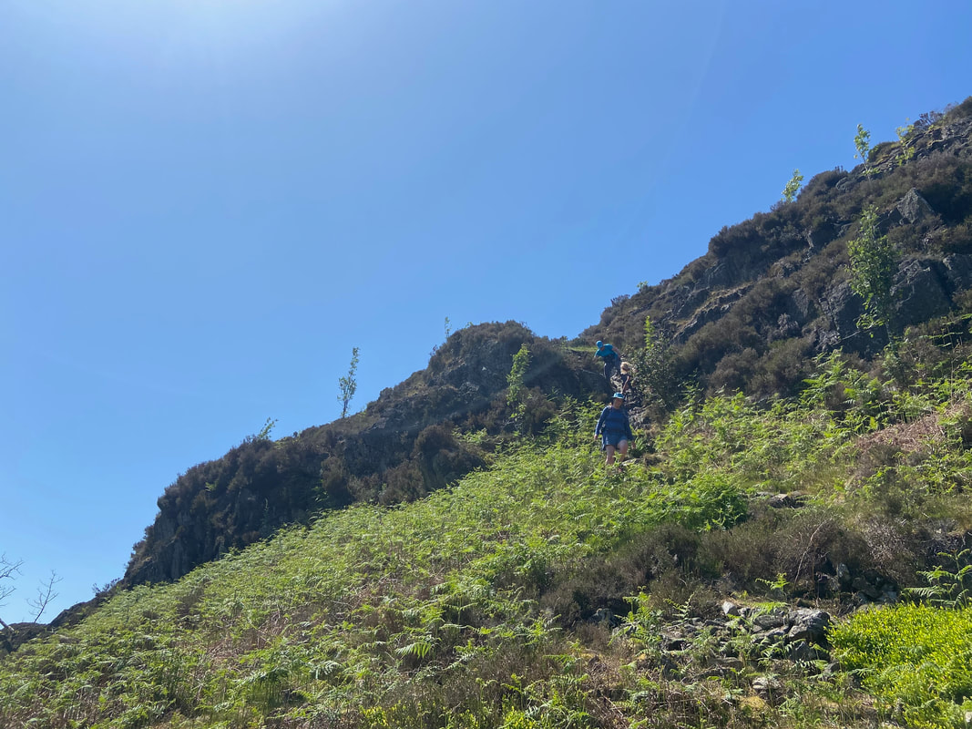
The route down to the depression is via a steep, stony rake
The summit of Ivy Crag looking to the Langdale Pikes
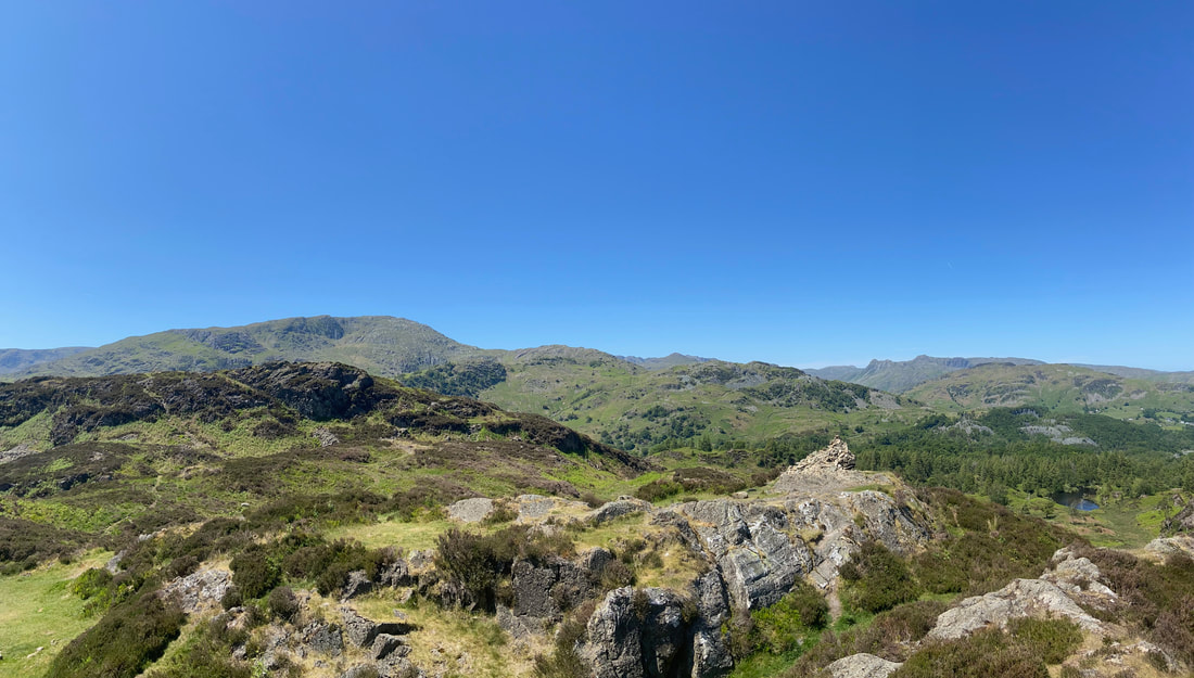
A panorama from the summit of Ivy Crag
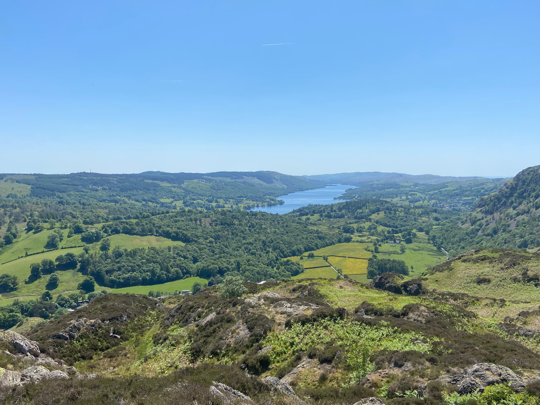
Coniston Water from Ivy Crag
From Ivy Crag the route descends steeply to the junction of paths at Uskdale Gap
Uskdale Gap - from the cairn below we would be heading to the right
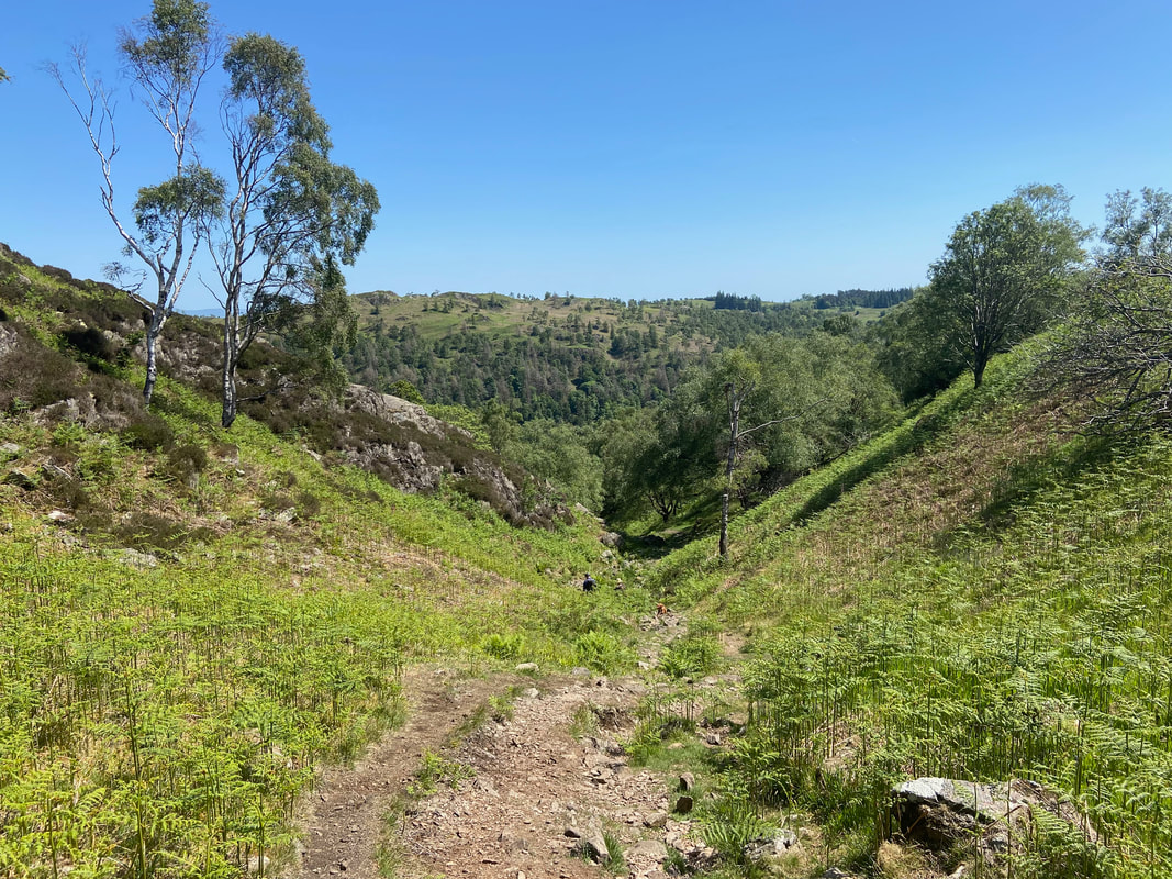
The path down Uskdale Gap is steep and stony but not onerous
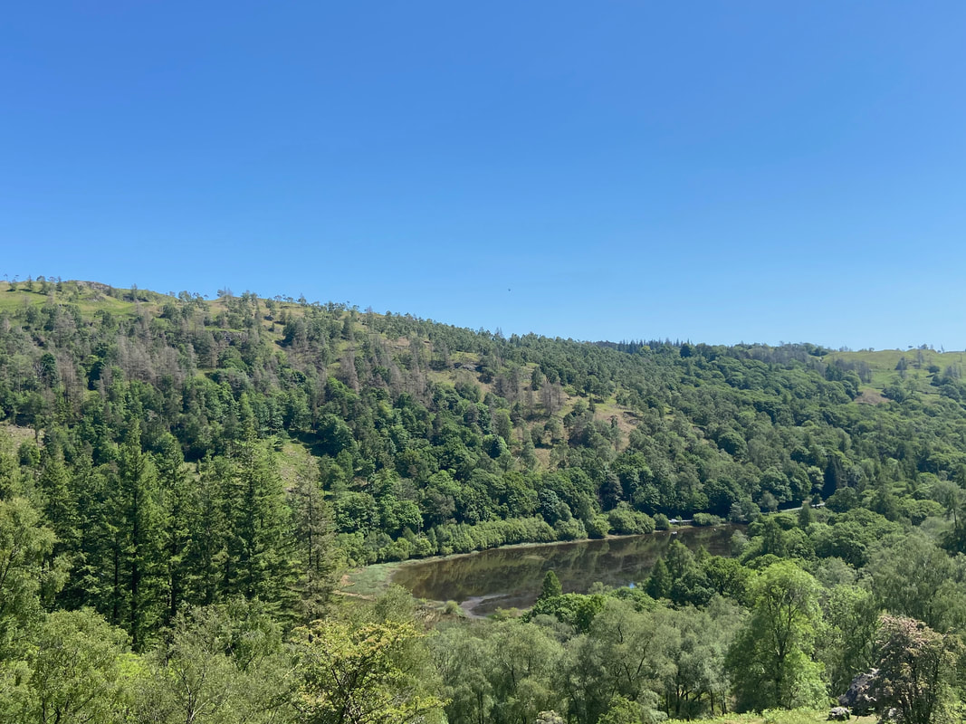
Yew Tree Tarn from the bottom of Uskdale Gap
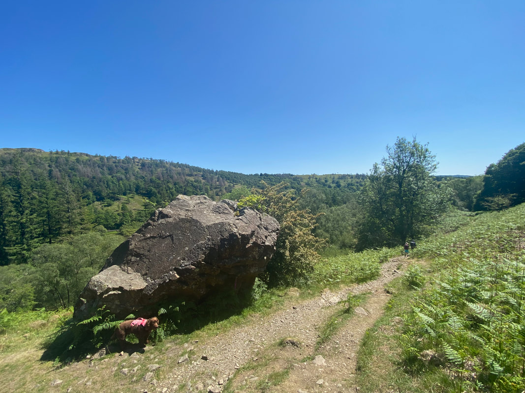
Don't bark or anything like that Fudge or you'll have that erratic boulder over
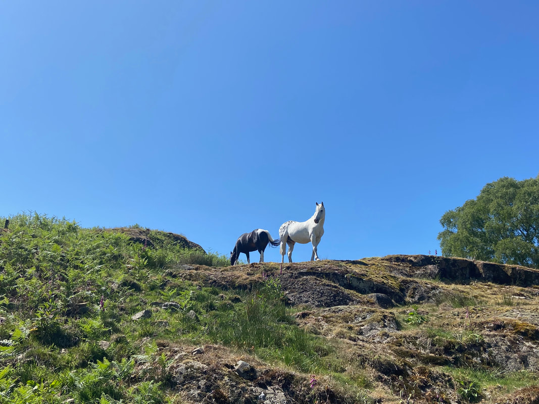
A couple of locals watch our descent with interest (well one of them does)
