Burn O'Vat, Cambus O'May & the Muir of Dinnet - Monday 7 May 2018
Route
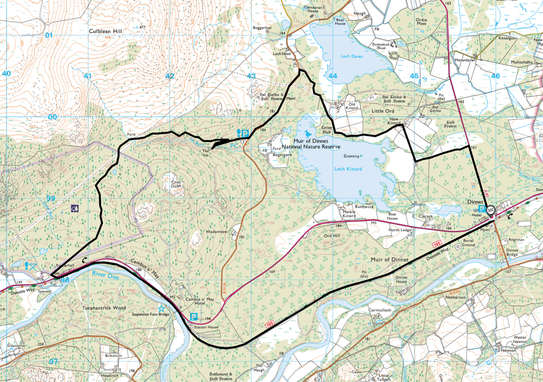
Dinnet - New Kinord - Loch Kinord - Muir of Dinnet Nature Reserve - Burn O'Vat - Turnerhall - Cambus O'May - Deeside Way - Muir of Dinnet - Dinnet
Parking
Dinnet (Charge) - Grid Reference NO459988 (Postcode is AB34 5LW). The Car Park is situated on the junction of the A93 & A97.
Mileage
10.2 miles
Terrain
Good paths throughout with a small amount of road walking on quiet lanes.
Weather
Warm & sunny with no wind - perfect conditions.
Time Taken
4hrs 15mins
Total Ascent
2148ft (655m)
Map
OL54 Glen Esk & Glen Tanor
Walkers
Dave, Angie & Fudge
|
GPX File
|
| ||
If the above GPX file fails to download or presents itself as an XML file once downloaded then please feel free to contact me and I will send you the GPX file via e-mail.
Route Map
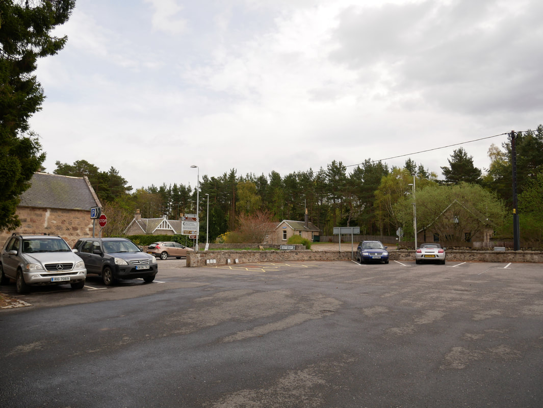
The Public Car Park at Dinnet - the starting point for today's walk
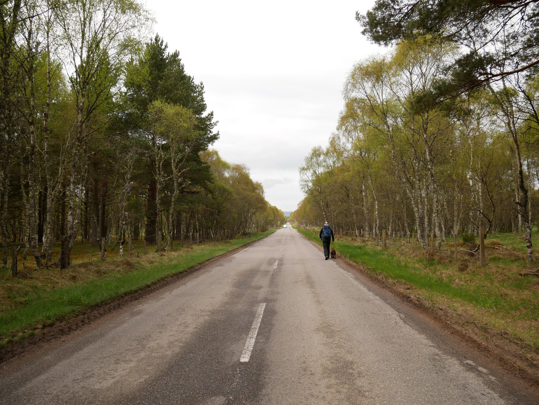
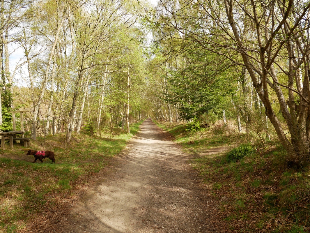
The first part of the walk is along the A97 for just under a mile - it is a fairly quiet road to be honest with a grass verge.
There are a couple of other paths over to New Kinord but we elected to just stay on the road as it was quiet.
There are a couple of other paths over to New Kinord but we elected to just stay on the road as it was quiet.
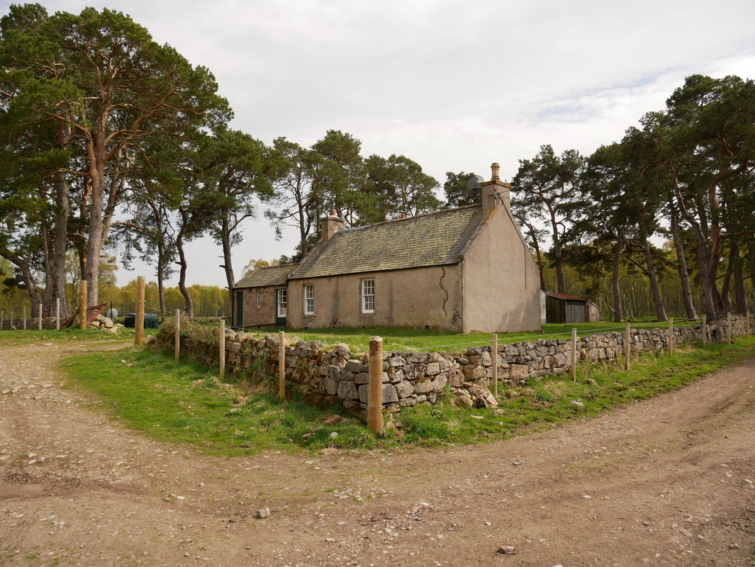
New Kinord
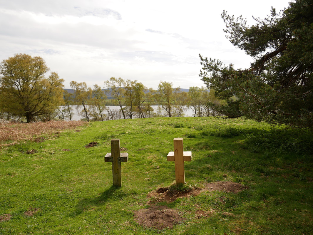
Wooden seats for 2 overlooking Loch Kinord
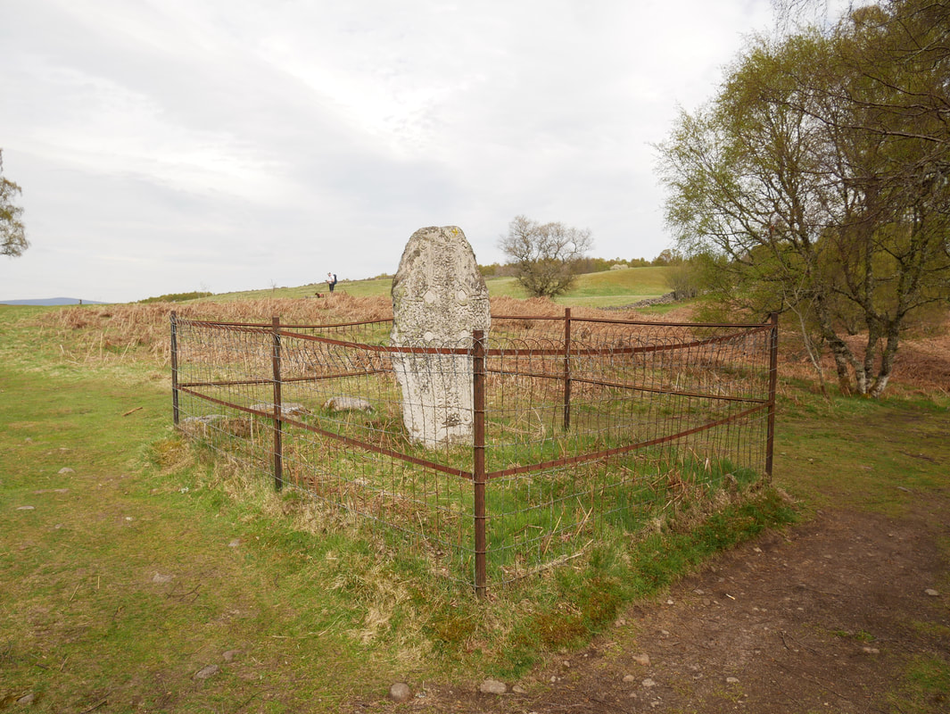
The Kinord Cross
The cross is a beautifully carved cross slab which dates to the end of the Pictish era, most likely sometime in the 9th century. One side of the kite-shaped stone slab is carved with a relief of an ornate cross, filled with interlace designs. The cross was once thought to be associated with the chapel of nearby Kinord Castle. In the late 19th century the cross was removed to Aboyne Park some 5 miles to the east, but in 1959 it was returned to the shores of Loch Kinord, as near as could be determined to its original location.
The cross is a beautifully carved cross slab which dates to the end of the Pictish era, most likely sometime in the 9th century. One side of the kite-shaped stone slab is carved with a relief of an ornate cross, filled with interlace designs. The cross was once thought to be associated with the chapel of nearby Kinord Castle. In the late 19th century the cross was removed to Aboyne Park some 5 miles to the east, but in 1959 it was returned to the shores of Loch Kinord, as near as could be determined to its original location.
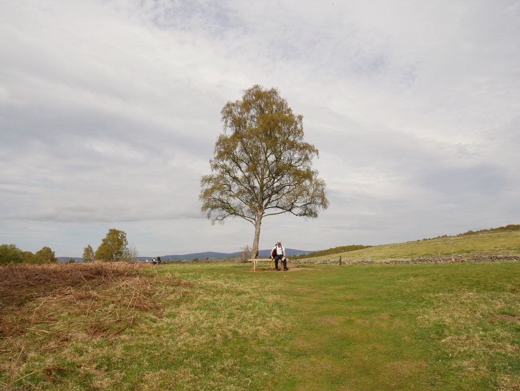
A quick break at New Kinord - it is a lovely area to stop and relax in
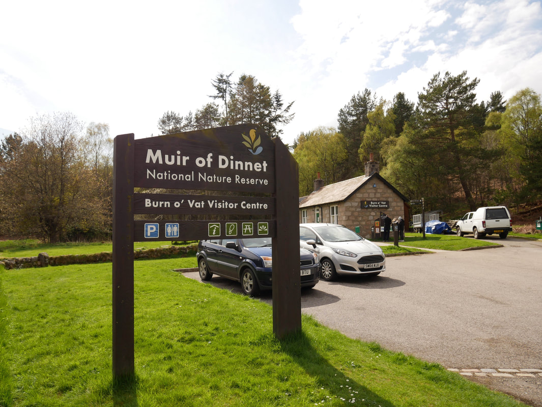
Once we left the Cross Slab the route followed a good track to reach the Burn o'Vat Visitor Centre in the Muir of Dinnet
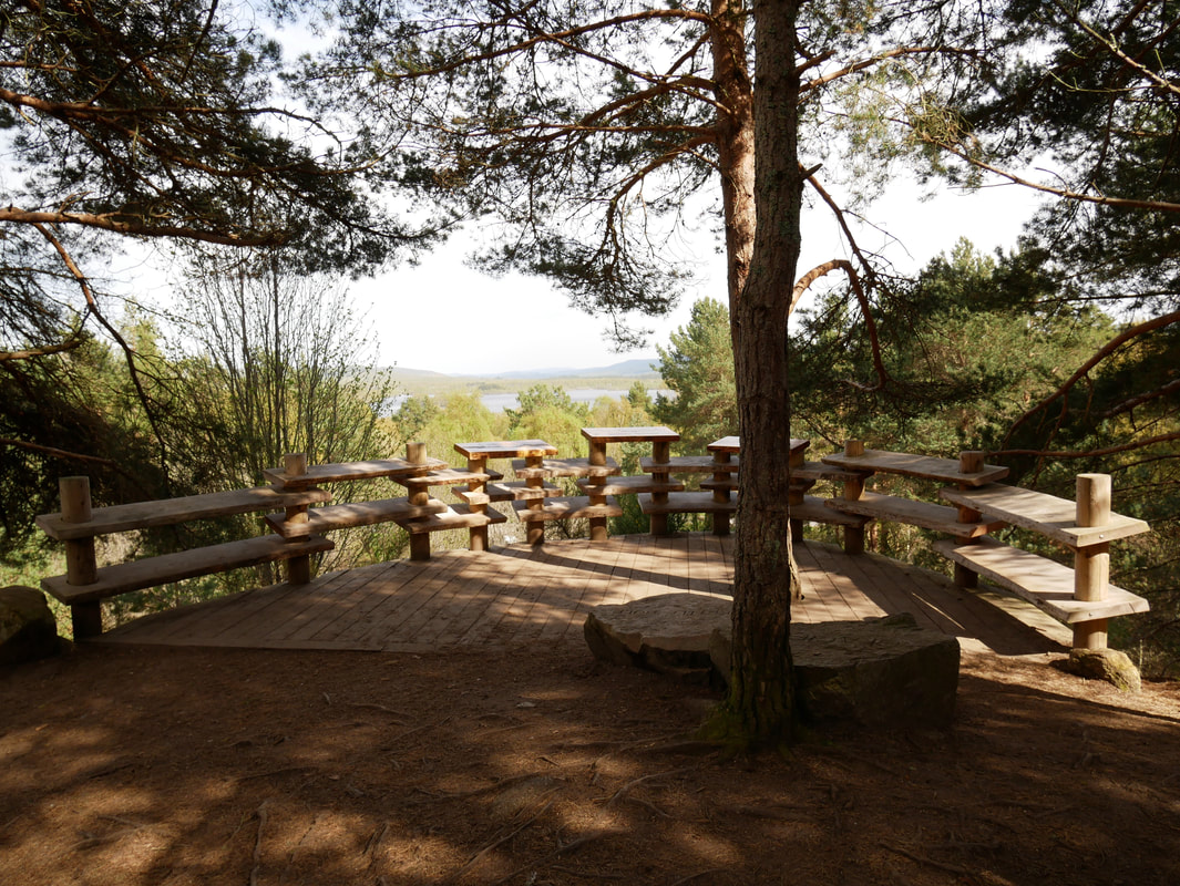
Near the Visitor Centre is a superb viewpoint over Loch Kinord
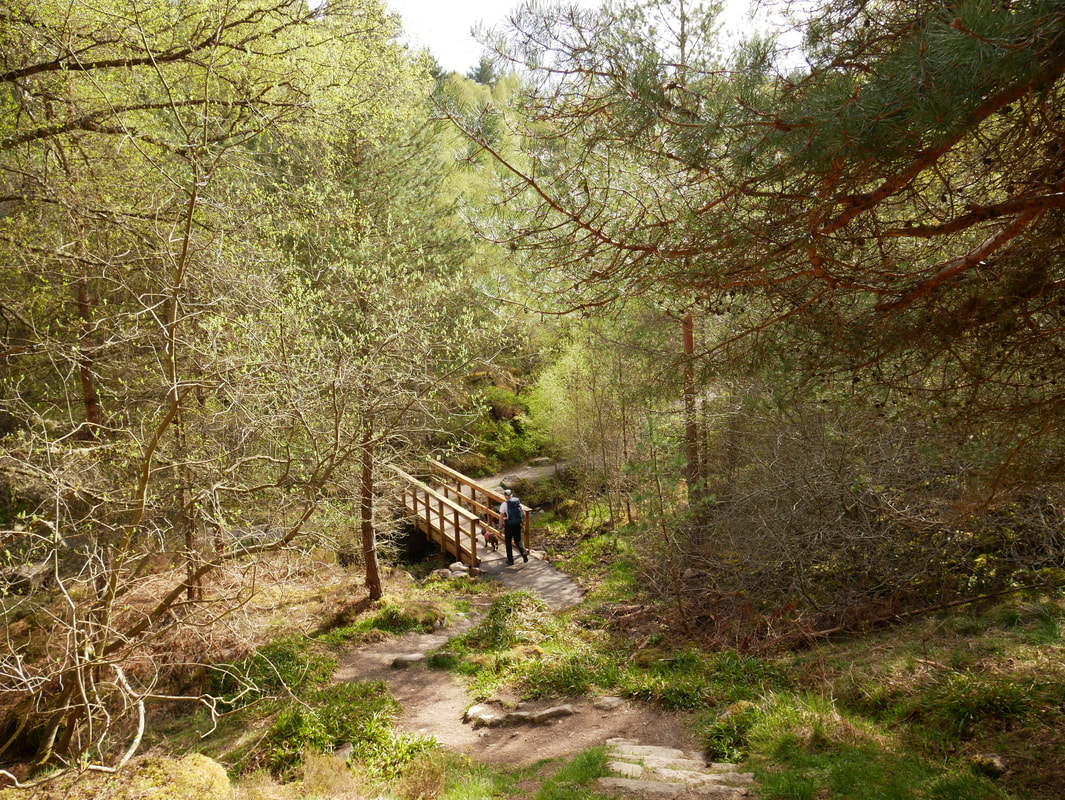
Descending to cross the Vat Burn
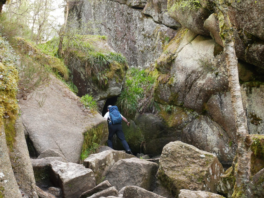
Having a bit of an Indiana Jones moment as I enter the Burn o'Vat
The Vat, also known as Macgregor's Cave is basically a large pothole measuring 18m metres across and is 13 metres high. According to local folklore, the cave behind the waterfall in the vat was used by Rob Roy a notorious outlaw in order to hide from the authorities. This however is not true although it was used as a hiding place for Patrick Gilroy Macgregor, an outlaw renowned for his exploits in Deeside during the 17th century and a possible relative of Rob Roy.
The Vat, also known as Macgregor's Cave is basically a large pothole measuring 18m metres across and is 13 metres high. According to local folklore, the cave behind the waterfall in the vat was used by Rob Roy a notorious outlaw in order to hide from the authorities. This however is not true although it was used as a hiding place for Patrick Gilroy Macgregor, an outlaw renowned for his exploits in Deeside during the 17th century and a possible relative of Rob Roy.
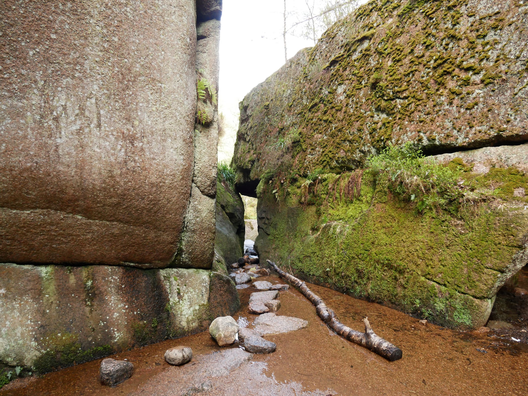
Looking back to the entrance of the Burn o'Vat
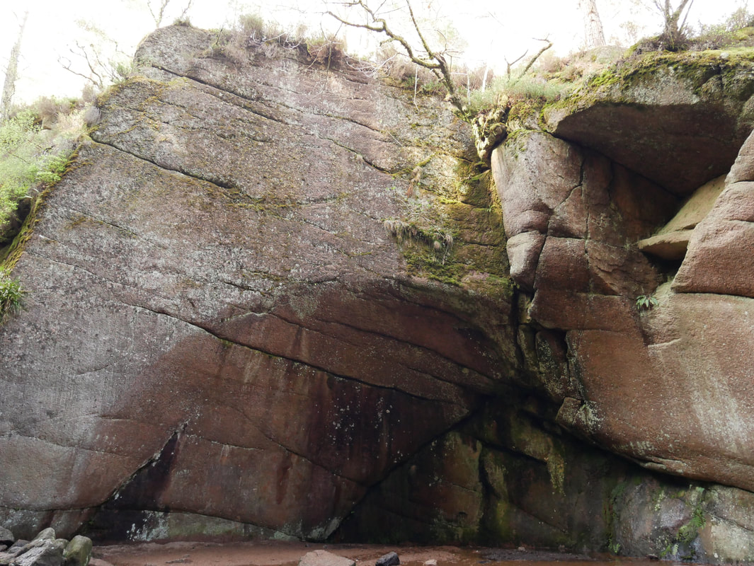
The steep sided rock walls of the Burn o'Vat
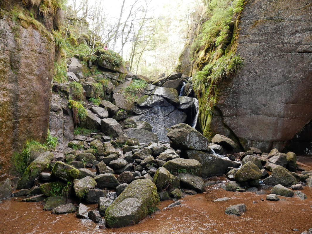
The waterfall at the far end of the Burn o'Vat
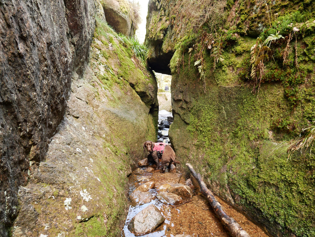
Can we go now?
Climbing out of the Burn o'Vat, we were now off to the Cambus O'May Forest
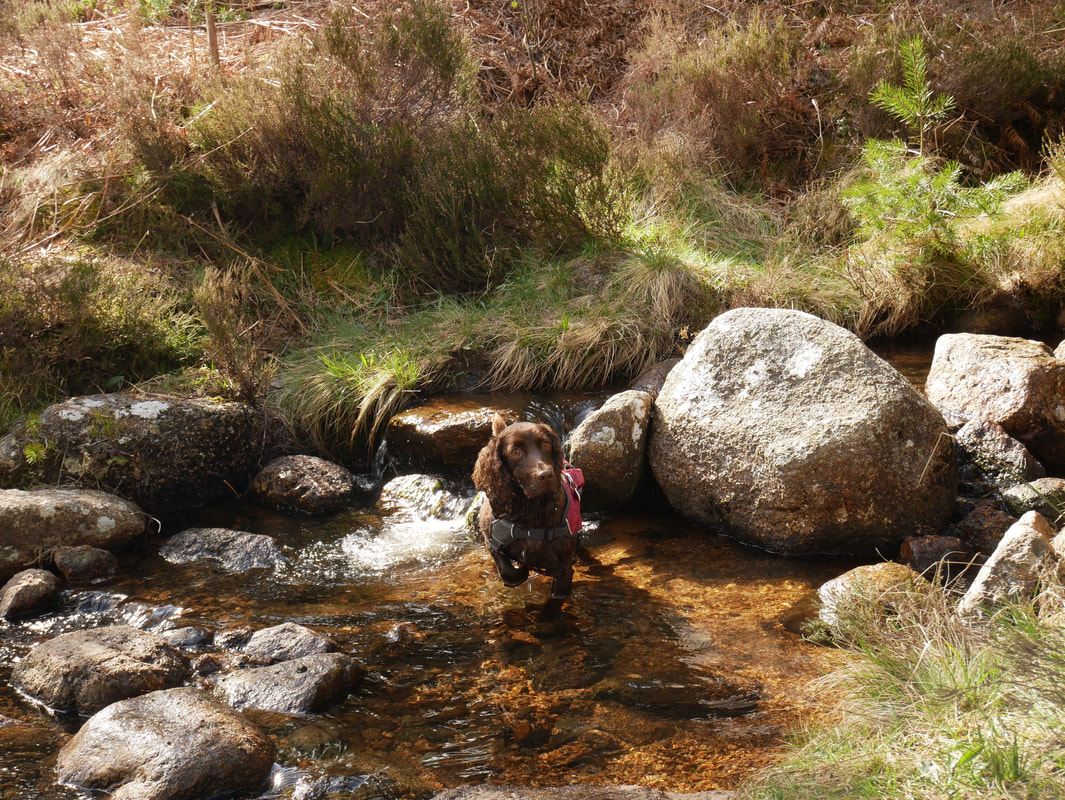
But first stopped off in order that Fudge could do a bit of messing about in the water
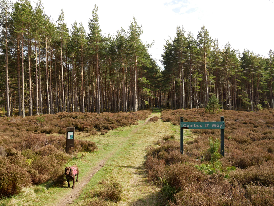
Entering the Cambus O'May Forest.
The name Cambus O'May is Gaelic and means 'Crook in the Plain' referring to the tight bend in the River Dee near the old station.
The name Cambus O'May is Gaelic and means 'Crook in the Plain' referring to the tight bend in the River Dee near the old station.
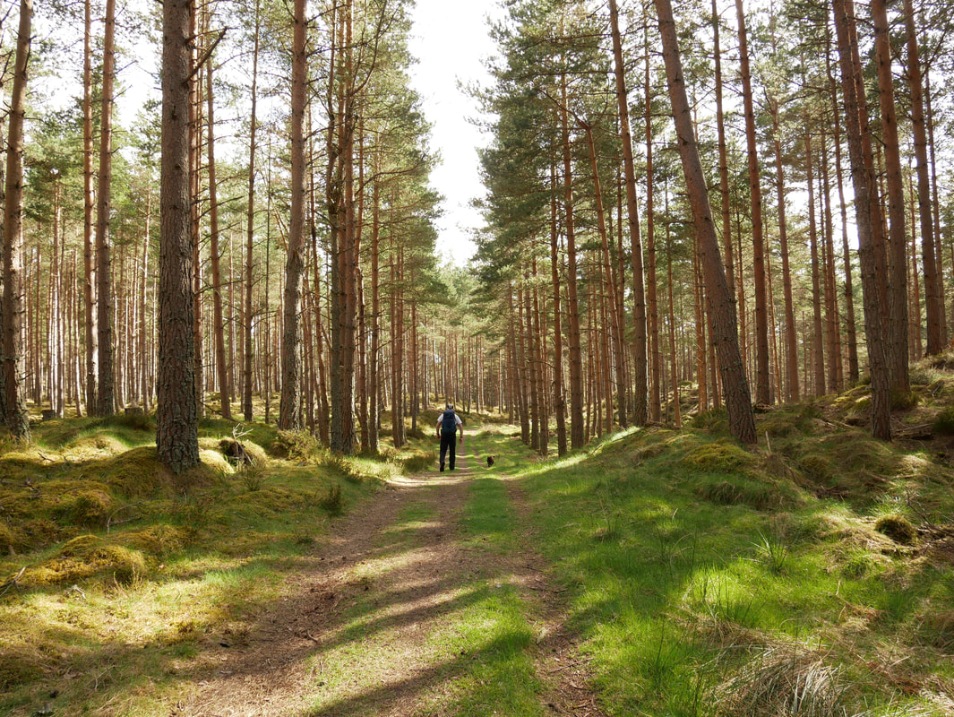
This was glorious and solitary walking - we saw absolutely nobody
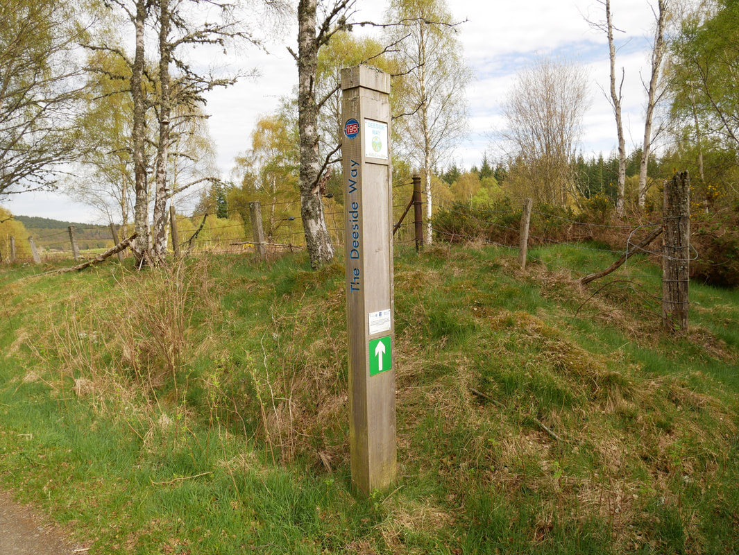
Joining The Deeside Way at Turnerhall.
The route of The Deeside Way runs from Aberdeen to Ballater, a distance of 41 miles.
The route of The Deeside Way runs from Aberdeen to Ballater, a distance of 41 miles.
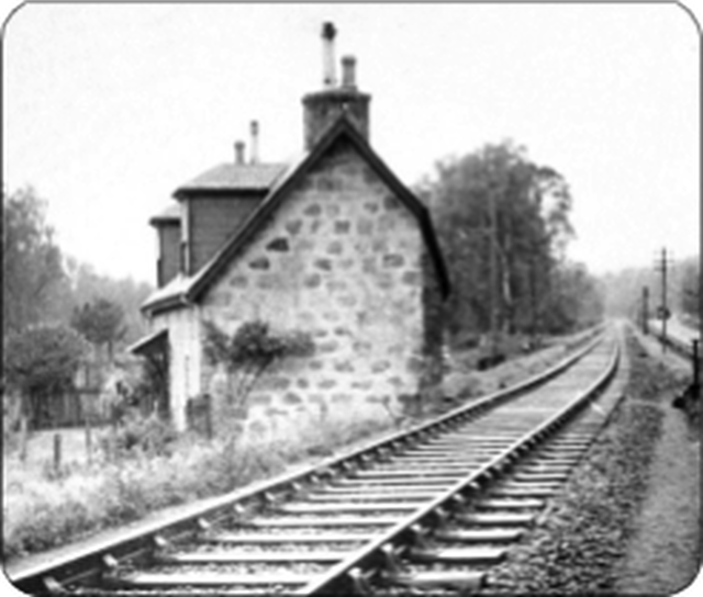
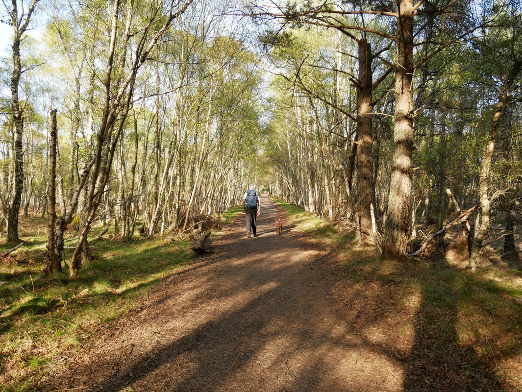
We were now following the old trackbed of The Deeside Railway
The Deeside Railway was a passenger and goods railway between Aberdeen and Ballater. It opened in 1853 to Banchory and an extension reached Aboyne in 1859. A separate company, the Aboyne & Braemar Railway, built an extension to Ballater and this opened in 1866. By 1855 there were five services a day over the 43 1⁄4-mile (69.6 km) long line, taking between 1 hour 50 minutes and 2 1⁄2 hours. The line was used by the Royal Train of Queen Victoria for travel to and from Balmoral Castle from 1853 and a special 'Messenger Train' ran daily when the Royal Family was in residence.
The Deeside Railway was a passenger and goods railway between Aberdeen and Ballater. It opened in 1853 to Banchory and an extension reached Aboyne in 1859. A separate company, the Aboyne & Braemar Railway, built an extension to Ballater and this opened in 1866. By 1855 there were five services a day over the 43 1⁄4-mile (69.6 km) long line, taking between 1 hour 50 minutes and 2 1⁄2 hours. The line was used by the Royal Train of Queen Victoria for travel to and from Balmoral Castle from 1853 and a special 'Messenger Train' ran daily when the Royal Family was in residence.
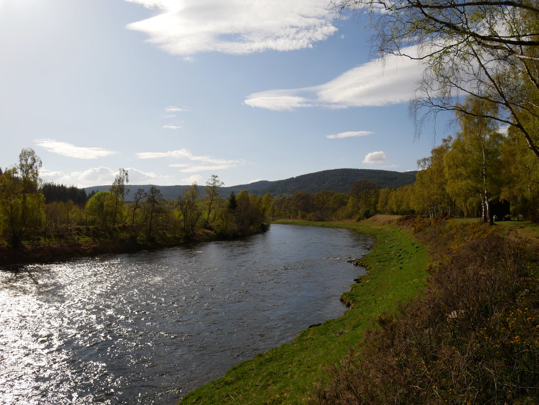
Walking alongside The River Dee
Cambus O'May Bridge & the River Dee
The Ferry Inn - sadly no longer a pub and is now a private dwelling called Cutaway Cottage. Before the Cambus O'May bridge was built in 1905 a ferry used to operate close to the building. The cottage is so named because when the Deeside Railway was being built a corner of the gable end (back right as we look) had to be cut away from the building in order to facilitate sufficient clearance for the railway track.
Cutaway Cottage and the old Deeside Railway track - the 'cut away' can be seen on the right hand edge of the gable end
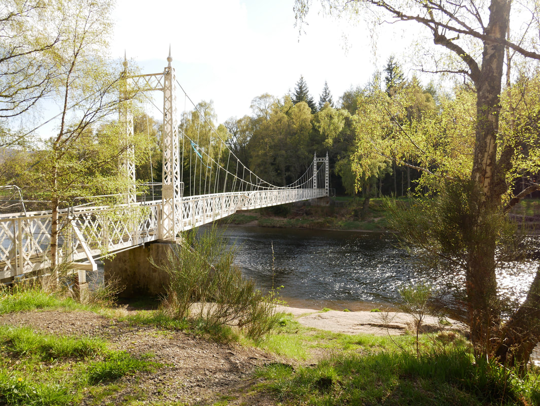
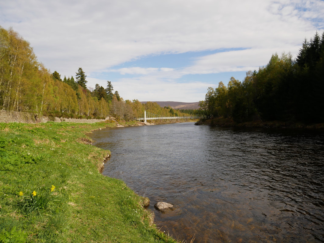
Cambus O'May Bridge
The bridge is currently closed off due to suffering significant damage when the fast-flowing River Dee battered the historic structure during Storm Frank in December 2015. As well as the torrent of water, much debris and even caravans smashed into it.
The bridge is currently closed off due to suffering significant damage when the fast-flowing River Dee battered the historic structure during Storm Frank in December 2015. As well as the torrent of water, much debris and even caravans smashed into it.
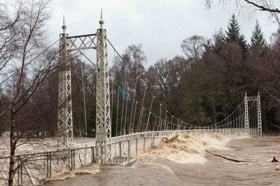
How it looked in December 2015 taken from almost the same spot as the picture above this one
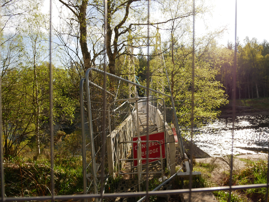
The closed off entrance to the bridge on the eastern bank of the River Dee.
It is hoped that the bridge can be restored and there is currently an appeal ongoing to raise funds to repair the damage. Prince Charles has donated a significant sum to the cause.
It is hoped that the bridge can be restored and there is currently an appeal ongoing to raise funds to repair the damage. Prince Charles has donated a significant sum to the cause.
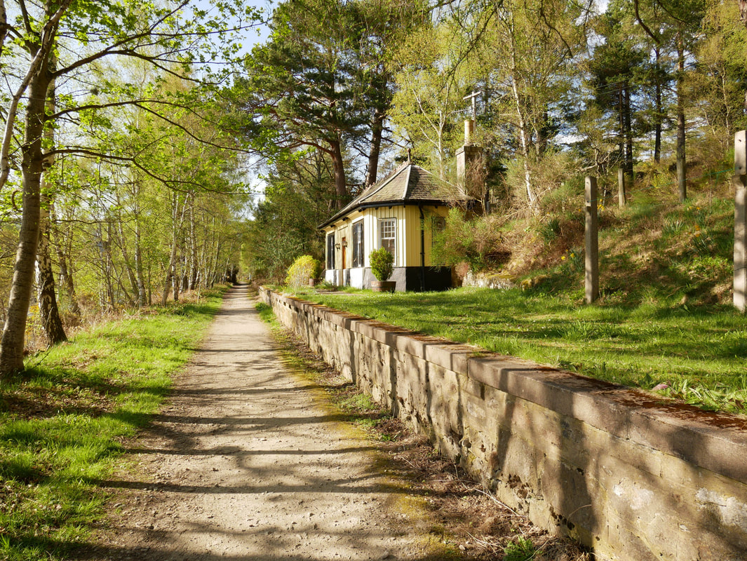
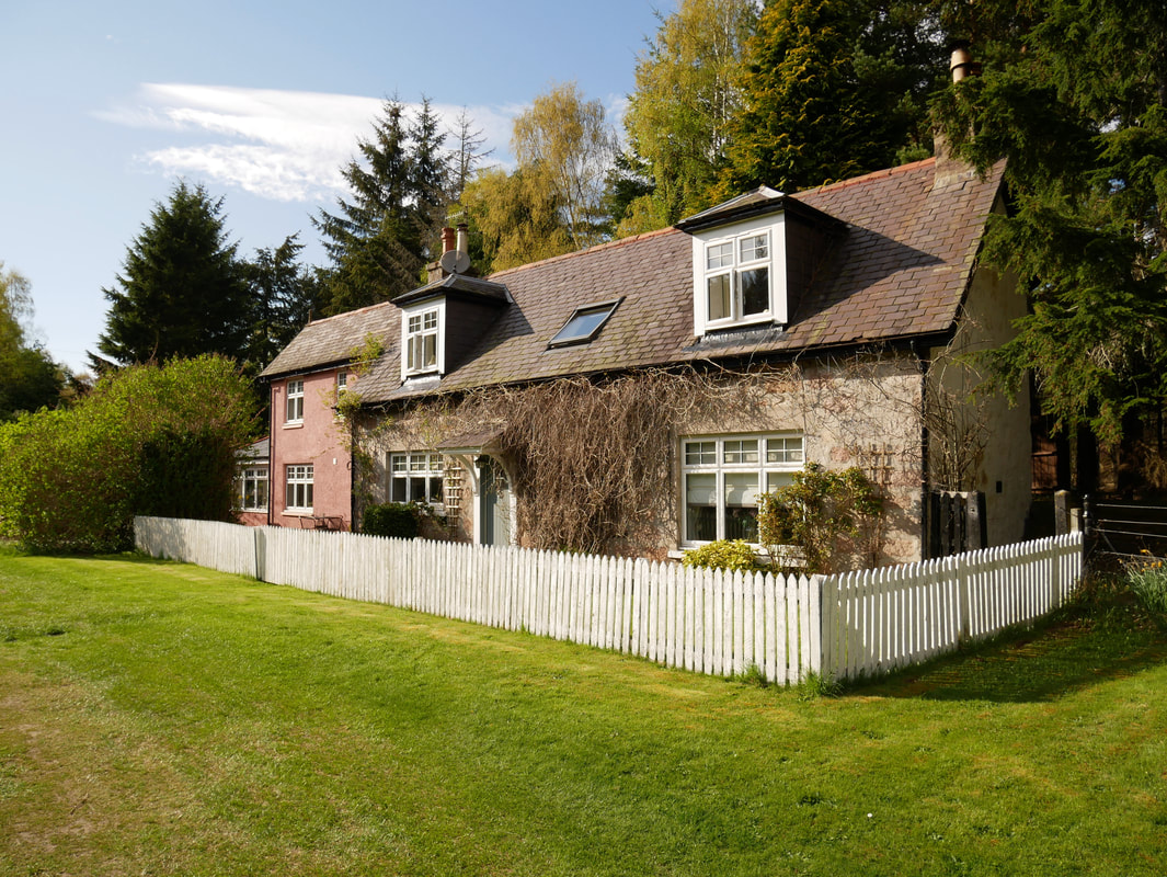
The former Cambus O'May Station complete with platform. The building is now a private dwelling.
Nice walk that Fudge - time for a beer I think
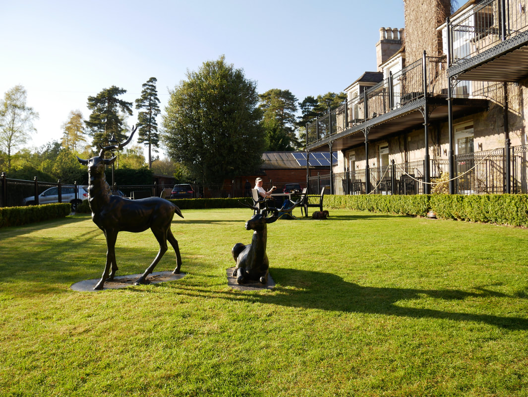
The Loch Kinord Hotel in Dinnet - cheers!