Day 3 - Monday 17 April 2023
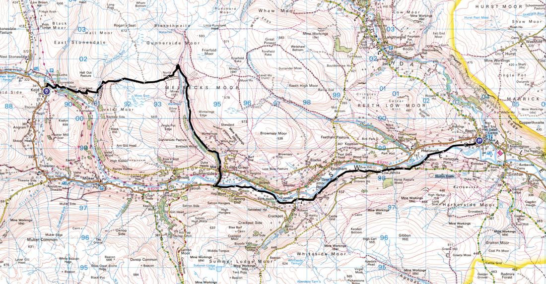
Keld to Reeth (13.2 miles)
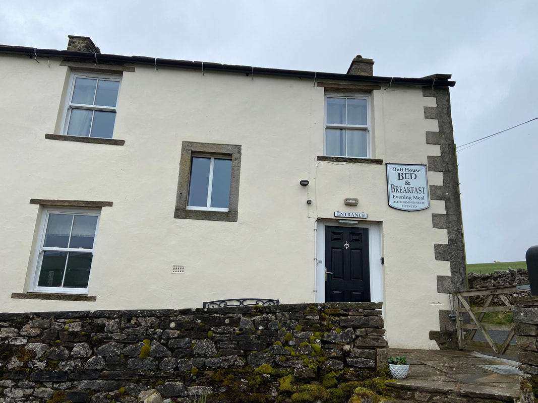
Walking from the door today - Jacqui would pick us up later from Reeth. Today was a route we have done many, many times however we were still really looking forward to it.
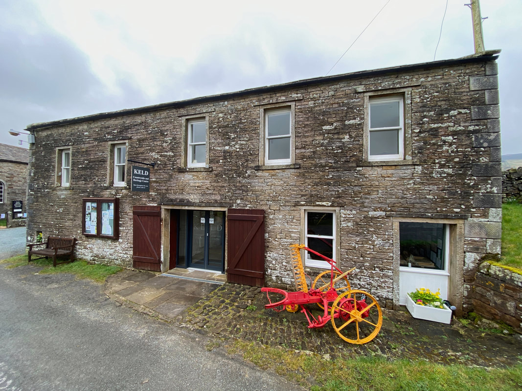
The Keld Countryside & Heritage Centre
The Centre tells the story of the village including hill farming, local people, lead mining, vernacular architecture, wildlife conservation and the history of the chapel buildings. The Centre occupies the former horse stables and coach room in the Grade II listed Literary Institute Building which has been sensitively restored for this purpose. It is the base for a programme of activities and events which include craft demonstrations, guided walks and farm visits. The Centre is free and open to the public between 0800 and 2100 (summer) and 0830 to 1700 (winter).
The Centre tells the story of the village including hill farming, local people, lead mining, vernacular architecture, wildlife conservation and the history of the chapel buildings. The Centre occupies the former horse stables and coach room in the Grade II listed Literary Institute Building which has been sensitively restored for this purpose. It is the base for a programme of activities and events which include craft demonstrations, guided walks and farm visits. The Centre is free and open to the public between 0800 and 2100 (summer) and 0830 to 1700 (winter).
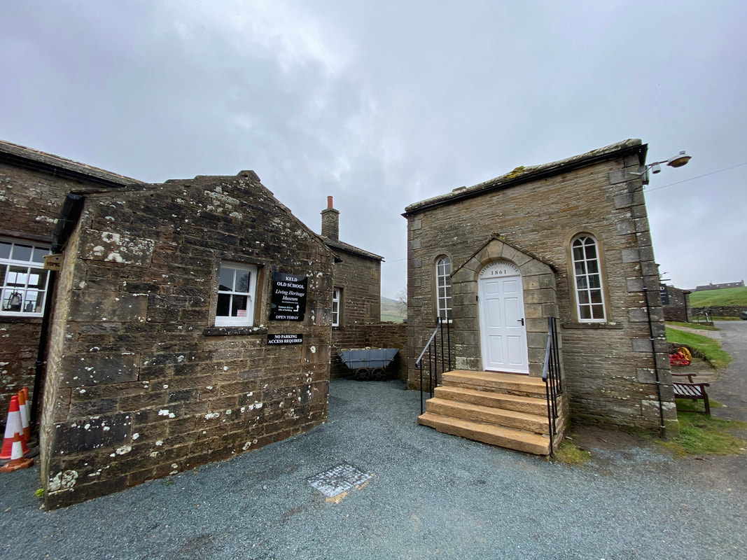
Keld Literary Institute
The Institute was the vision of the Reverend James Wilkinson, Vicar of the parish between 1838 - 1866 and provided a reading room and self-improvement educational facilities for the miners of Keld. The Institute finally closed in 1970 but has been resurrected by a local community charity in partnership with the church.
The Institute was the vision of the Reverend James Wilkinson, Vicar of the parish between 1838 - 1866 and provided a reading room and self-improvement educational facilities for the miners of Keld. The Institute finally closed in 1970 but has been resurrected by a local community charity in partnership with the church.
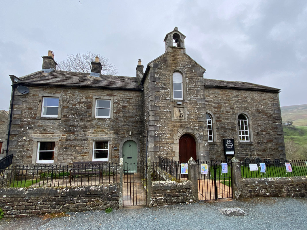
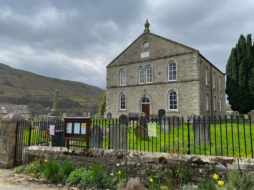
The United Reformed Church in Keld complete with a state of the art method of displaying the time. Wainwright said of Keld "a sundial records the hours but time is measured in centuries.”. The building to the left of the church entrance is the former Minister's Residence, Keld Manse and is now a holiday cottage. We have stayed in The Manse and can heartily recommend it.
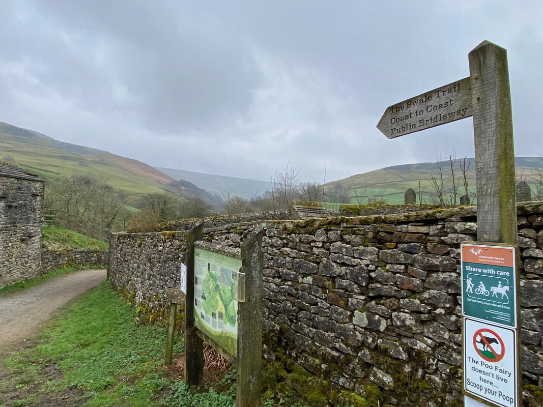
A sign points the way to the Coast to Coast path - a route we would be following for a few miles. The village of Keld is a junction for 3 of Alfred Wainwright's long distance paths - The Pennine Way, Coast to Coast & Pennine Journey.
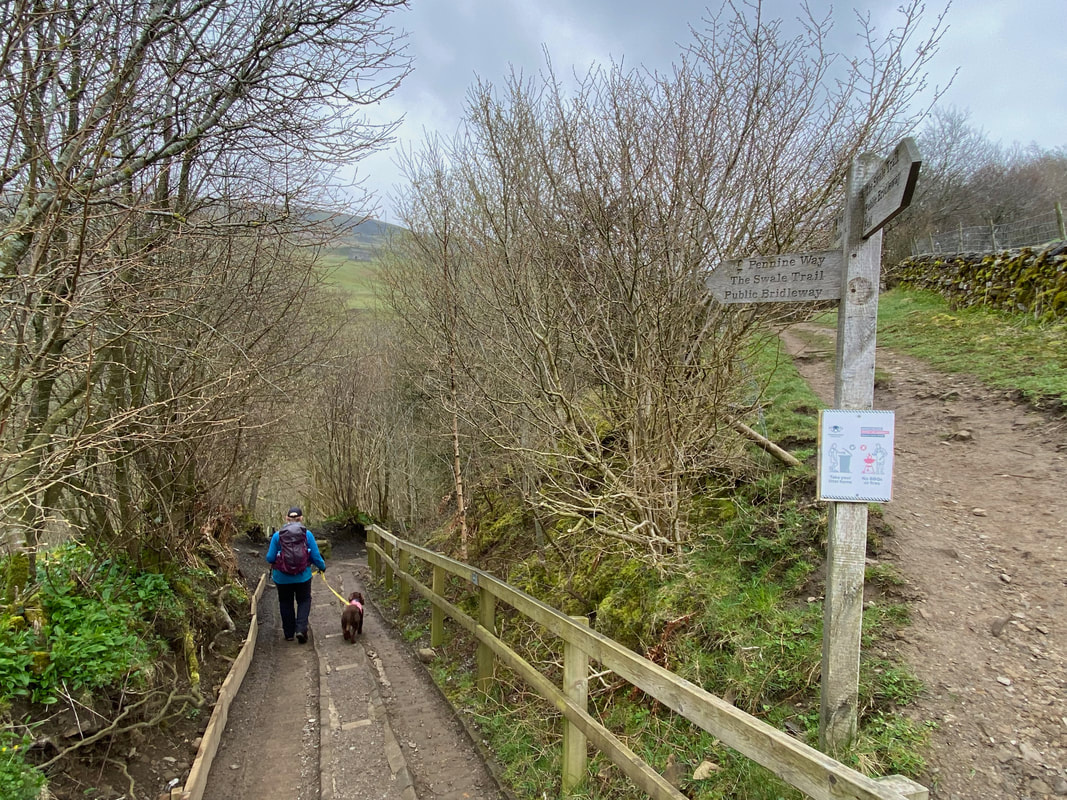
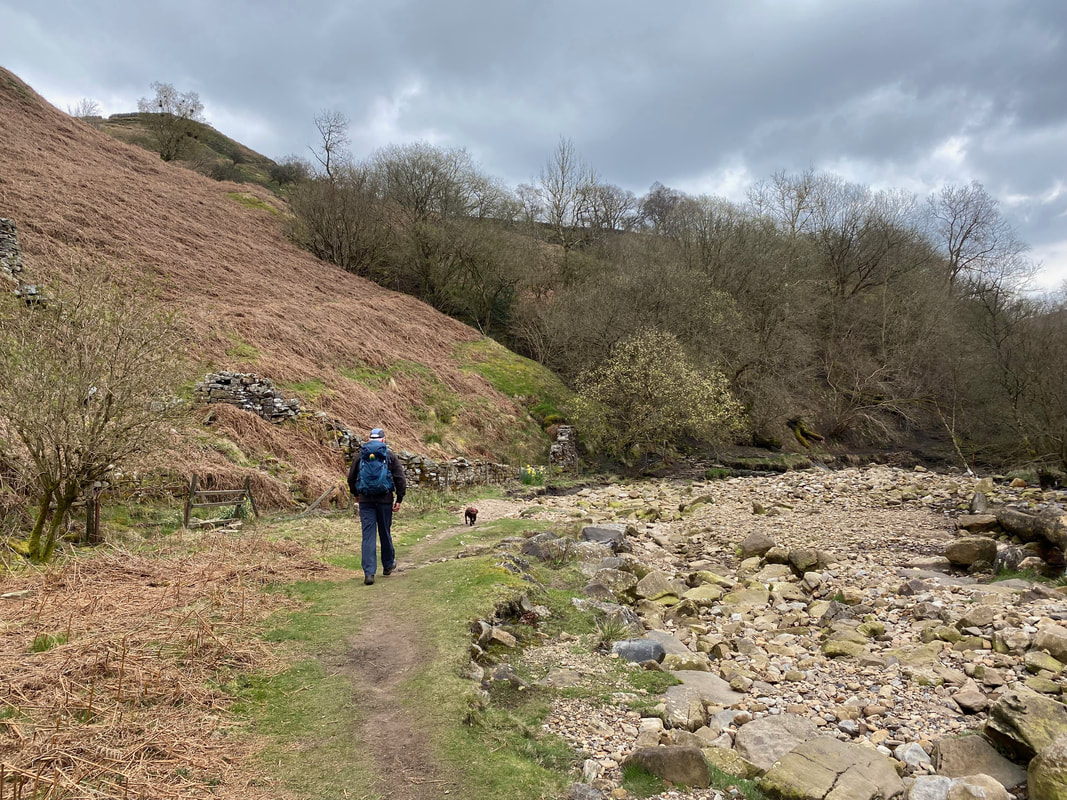
Dropping down to the Swale - we were now on the path of all 3 routes
The River Swale
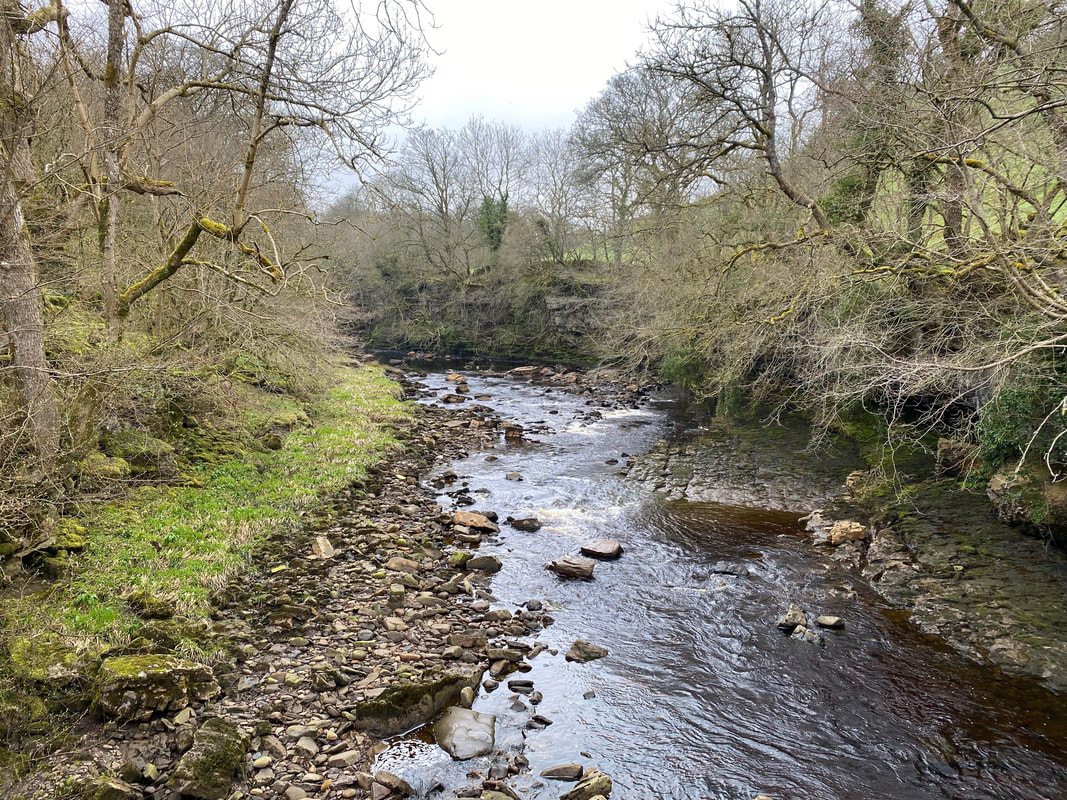
The Swale is the northernmost tributary of the River Ouse, rising on the slopes of High Seat and Nine Standards Rigg near Keld, then flowing southeast across North Yorkshire for 60 glorious miles. The Swale is one of the fastest rising spate rivers in England and people used to say that the Swale 'rusheth rather than runneth'. The name 'Swale' is from the Anglo-Saxon word 'Sualuae' meaning 'rapid and liable to deluge'.
The Swale is the northernmost tributary of the River Ouse, rising on the slopes of High Seat and Nine Standards Rigg near Keld, then flowing southeast across North Yorkshire for 60 glorious miles. The Swale is one of the fastest rising spate rivers in England and people used to say that the Swale 'rusheth rather than runneth'. The name 'Swale' is from the Anglo-Saxon word 'Sualuae' meaning 'rapid and liable to deluge'.
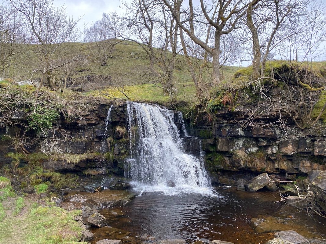
East Gill Force
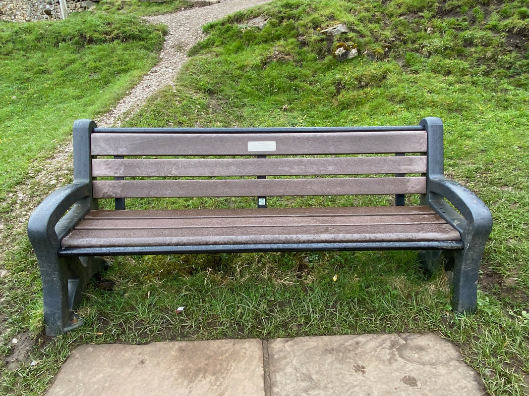
The Pennine Journey Commemorative Seat near East Gill Force. The seat was provided by the Pennine Journey Supporters Club in 2013 to commemorate the 1938 journey undertaken by Alfred Wainwright. We walked the Pennine Journey in 2019 and a journal of our walk can be found here
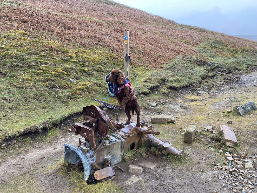
The remnants of an old tractor near Crackpot Hall - no matter how much you try Fudge I don't think it will start
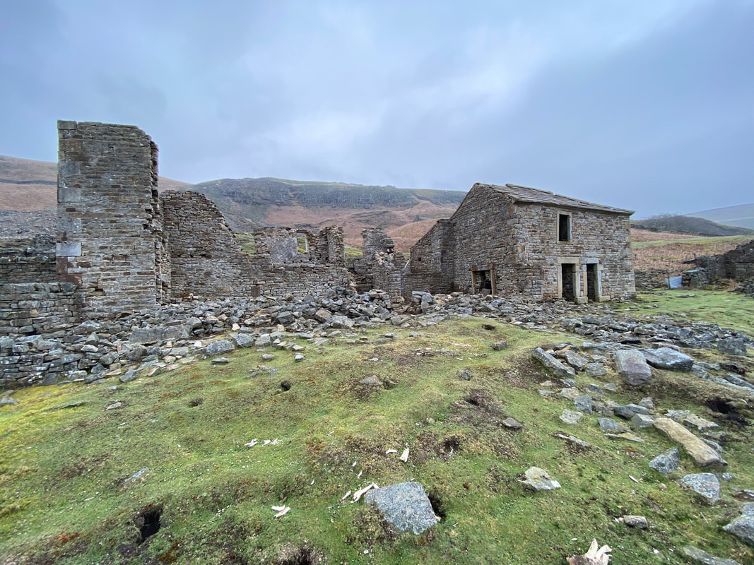
Crackpot Hall
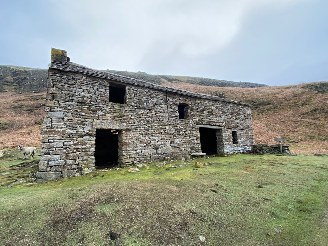
Originally built as a farmhouse, Crackpot Hall became the office for the local lead mine right up until the late 1800’s. When lead mining tailed off the building became a farmhouse once more. It was eventually abandoned in the 1950s due to subsidence. An article explaining more about the history of the building can be found here
Originally built as a farmhouse, Crackpot Hall became the office for the local lead mine right up until the late 1800’s. When lead mining tailed off the building became a farmhouse once more. It was eventually abandoned in the 1950s due to subsidence. An article explaining more about the history of the building can be found here
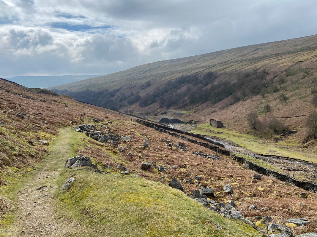
Once past Crackpot Hall the path rises to pass The Old Mine Smithy
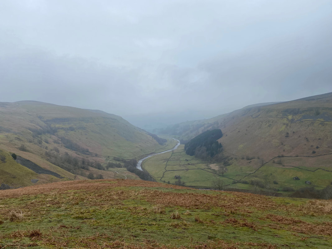
Looking down Swaledale towards Muker from above Crackpot Hall
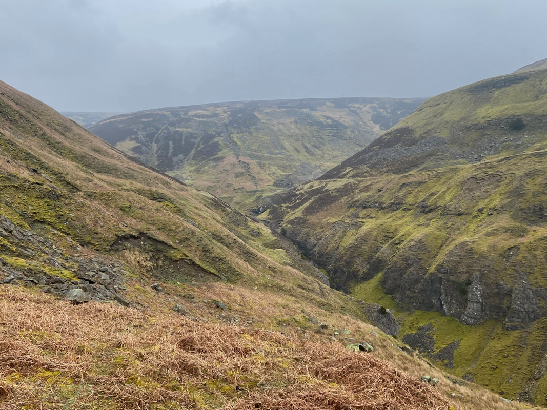
Swinner Gill. The path here becomes quite narrow and rocky in places therefore care needs to be taken as it slants across the face of the hill to the left.
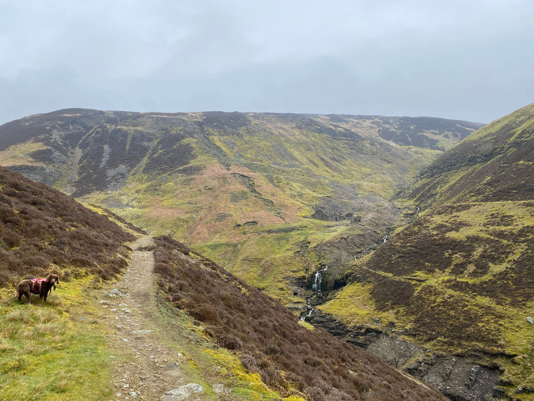
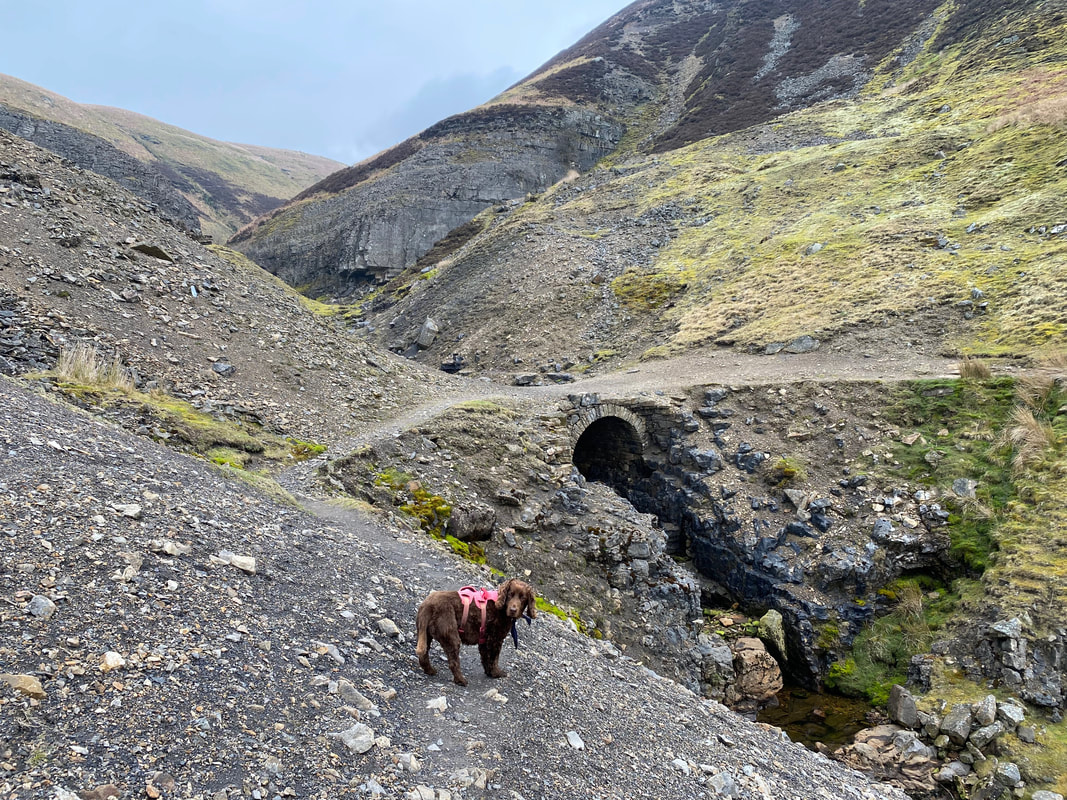
Approaching Swinner Gill Lead Mine - an impatient Fudge wonders why we are hanging about
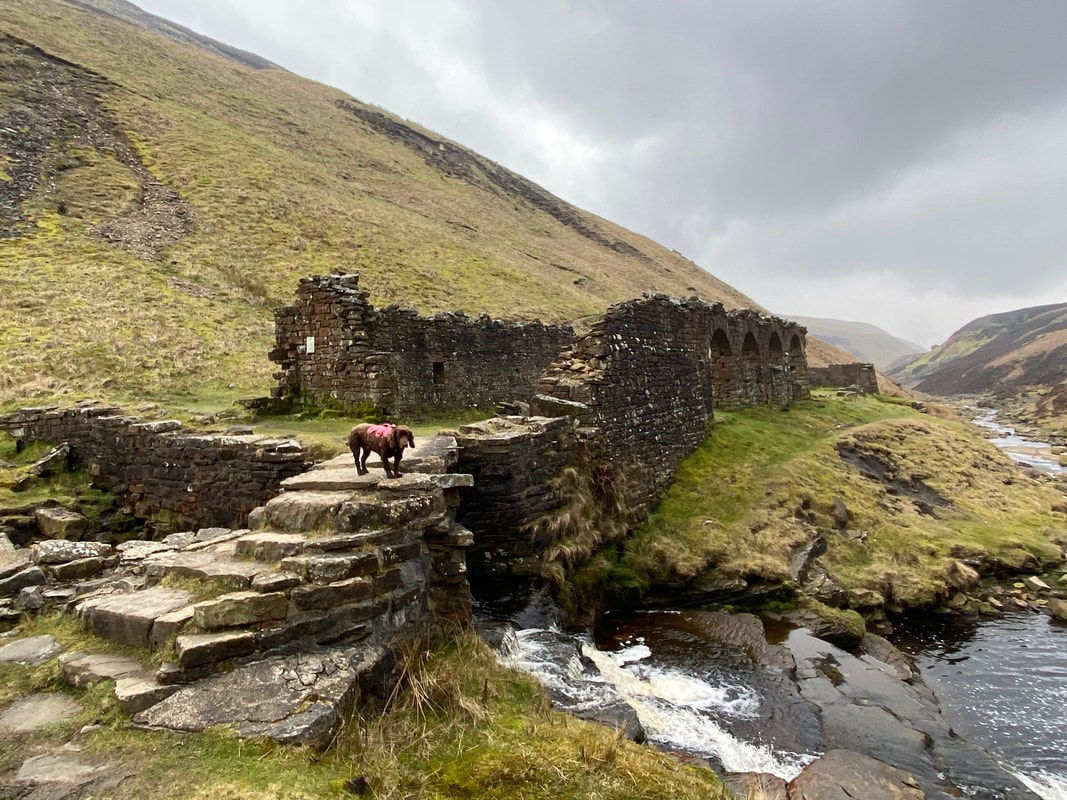
Swinner Gill Lead Mine - our route crosses the bridge ahead to head to the right
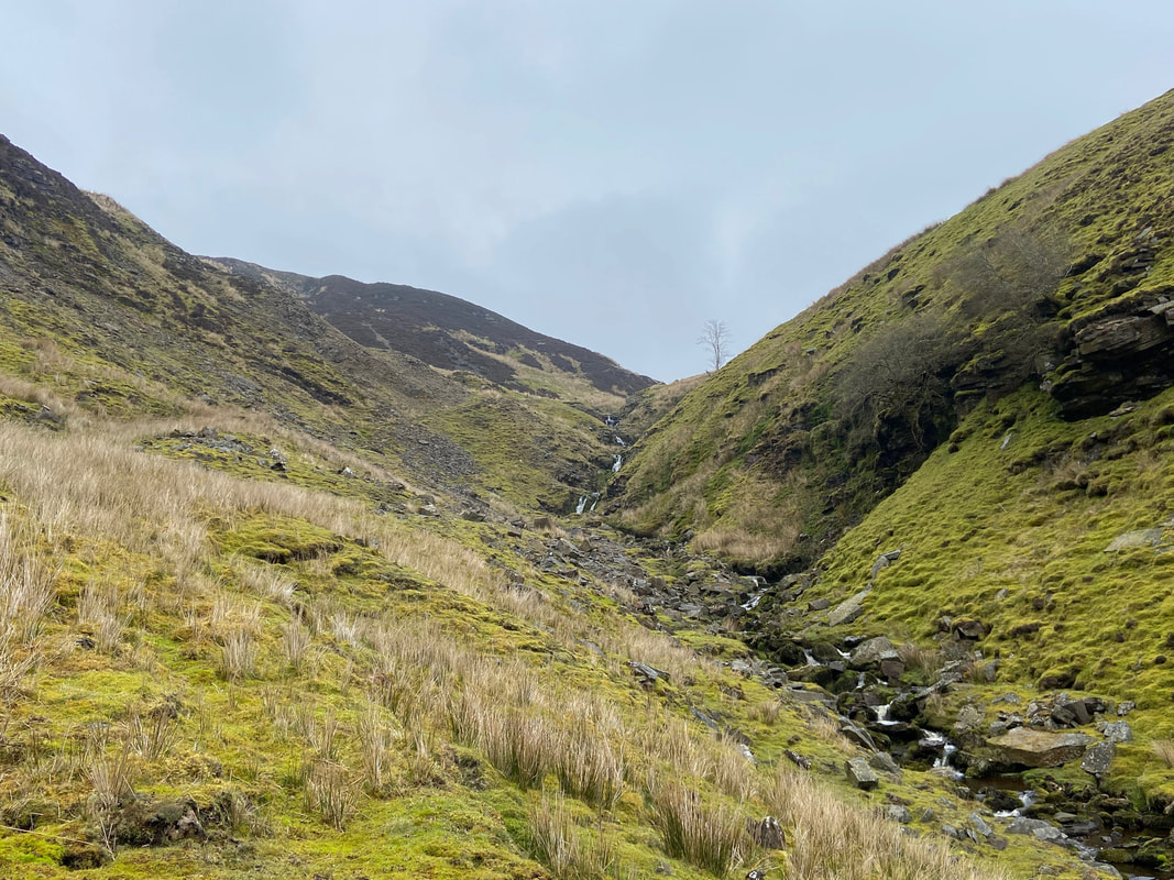
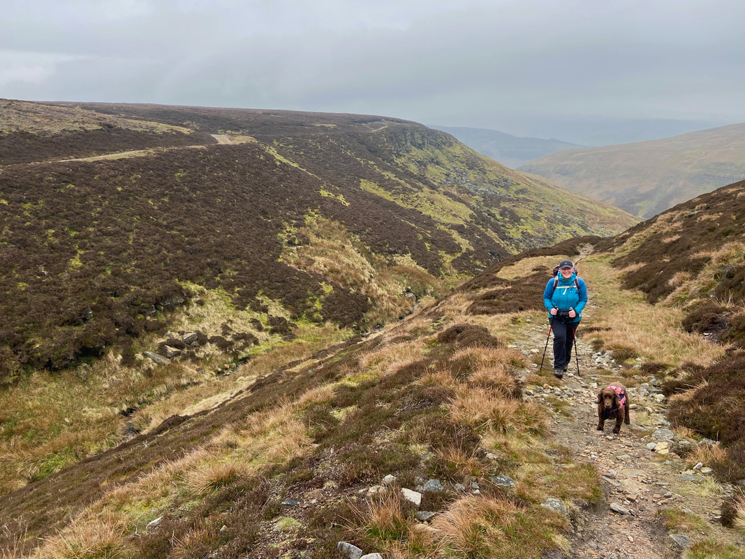
Looking up East Grain with our path to the left
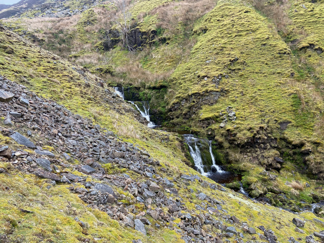
The cascades of East Grain
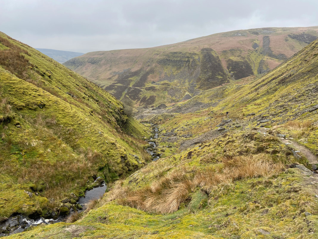
Looking back down to Swinner Gill from East Grain
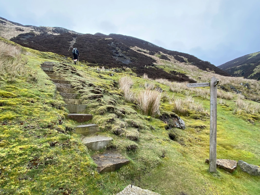
About half way up the ascent of East Grain a signpost points left to a stepped path. This path was built in 2018 and is a fantastic improvement on what was once a boggy and badly eroded path. At this point we surmised that the chap ahead of us was more than likely walking the Coast to Coast.
The top of East Grain
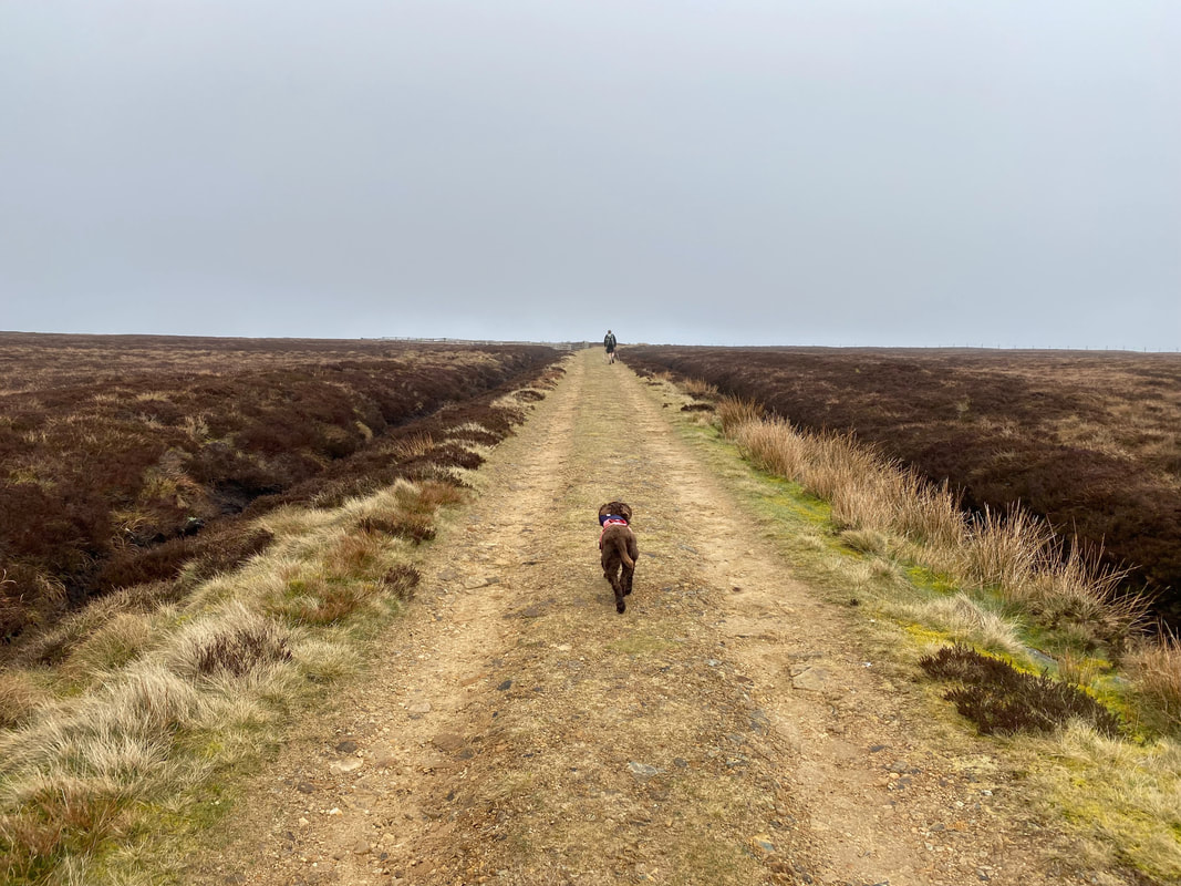
At the top of East Grain the route joins a 4 wheel drive track. Fudge was now transfixed on the chap ahead and was entirely convinced the he was a mad axe murderer.
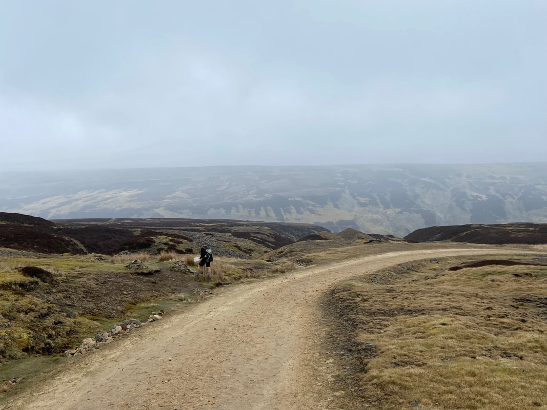
As the track turns sharply to the right two cairns and a finger post head off to the left - this is the turn off to Blakethwaite Mine. The mad axe murderer continues on his way. The Grid Reference for the path (which is easily missed) is NY 93189 01310.
Looking into North Hush
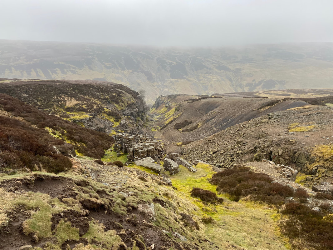
The word "Hush" is an abbreviated of "hushing" which was a mining method by which mineral veins were able to be discovered. The method was quite simple - at the top of the hush would be a large tank or reservoir with a sluice gate. The gate would be opened and the onset and power of the water would strip away the soil and vegetation to reveal the bedrock and any veins.
The word "Hush" is an abbreviated of "hushing" which was a mining method by which mineral veins were able to be discovered. The method was quite simple - at the top of the hush would be a large tank or reservoir with a sluice gate. The gate would be opened and the onset and power of the water would strip away the soil and vegetation to reveal the bedrock and any veins.
Heading down to Blakethwaite and Fudge is still transfixed on the mad axe murderer.
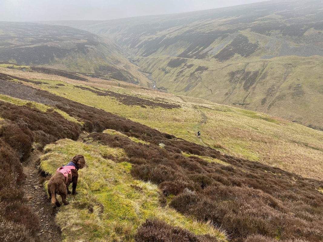
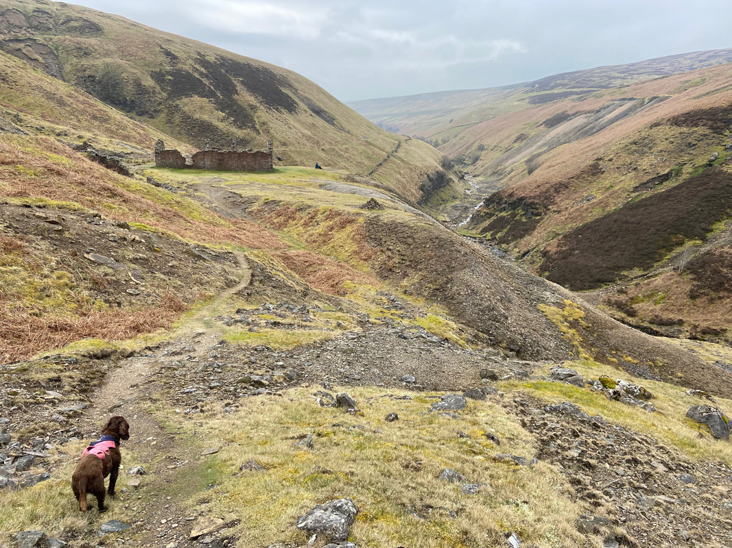
Descending to Blakethwaite Mine. Care needs to be taken on this path as it is quite badly eroded in places
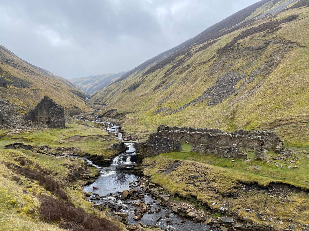
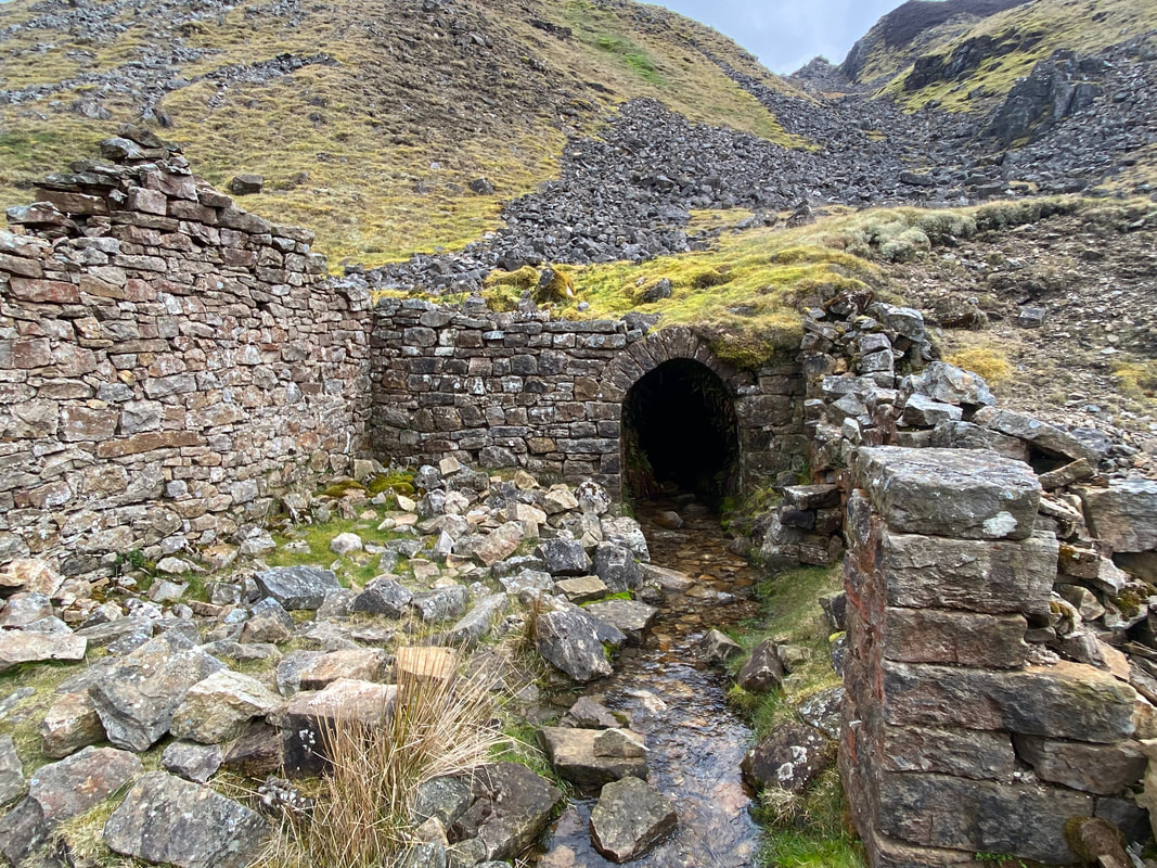
The arched building of Blakethwaite Peat Store
The Smelt Mill to the left would burn peat mostly and this would be cut from the nearby hillside and stored in buildings like this in order to dry out.
The Smelt Mill to the left would burn peat mostly and this would be cut from the nearby hillside and stored in buildings like this in order to dry out.
A small stone bridge is used to cross Gunnerside Gill to reach both the peat store and the onward path
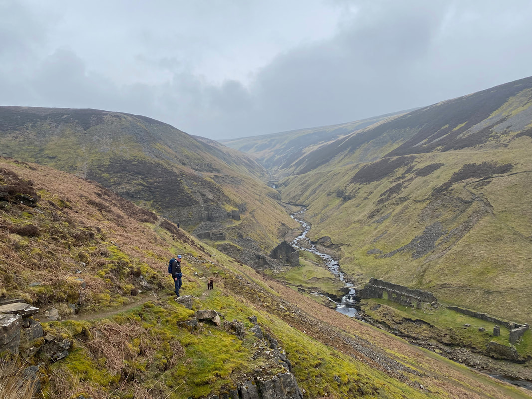
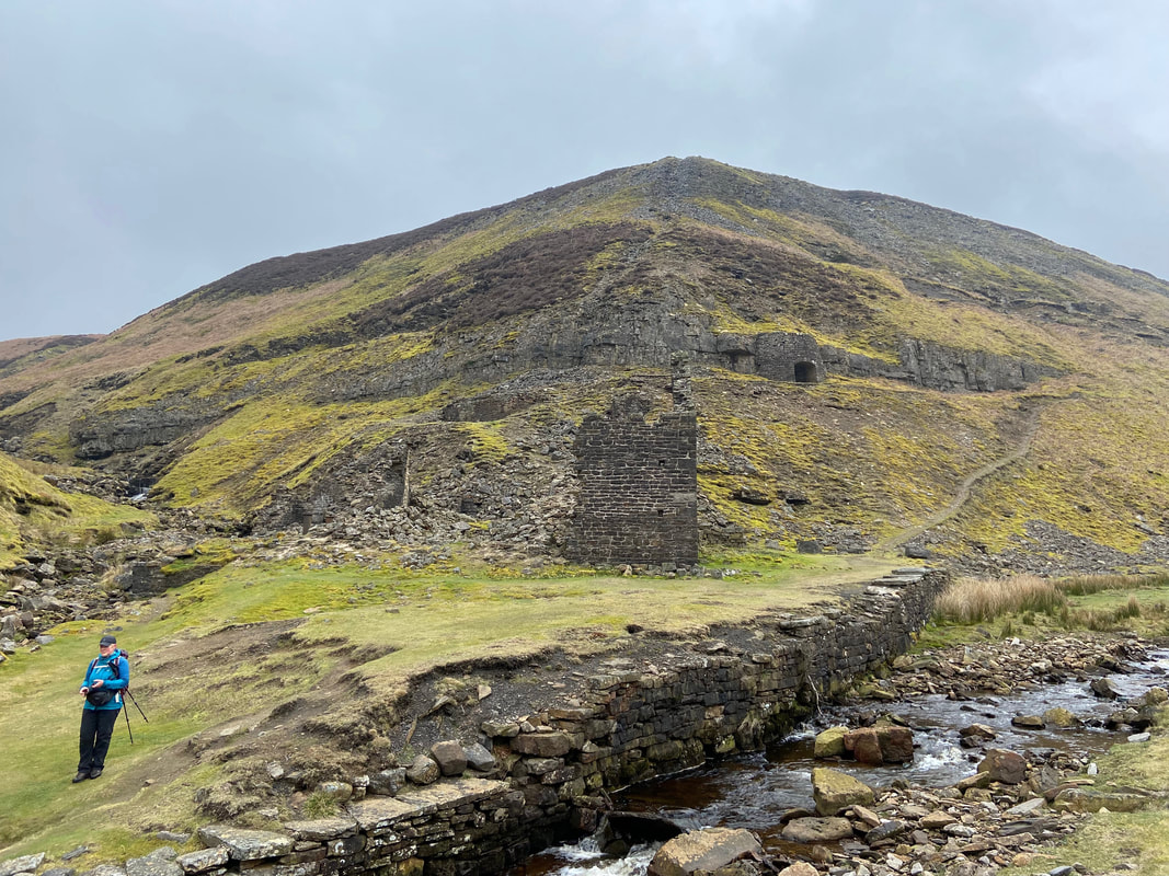
Looking back to the ruins of Blakethwaite Mine
The Herriot Way continues on to follow the route of the Coast to Coast however we would be heading down to Gunnerside and would rejoin The Herriot Way below the village of Healaugh.
The Herriot Way continues on to follow the route of the Coast to Coast however we would be heading down to Gunnerside and would rejoin The Herriot Way below the village of Healaugh.
Bunton Mine ahead as Fudge continues to monitor the mad axe murderer whilst he stops to eat his sandwiches
An entrance to one of the levels at Bunton Mine
Bunton Hush (Click Play to view)
Continuing on through Bunton Mine. The building below on the western bank of Gunnerside Beck is known as Bunton Mine Shop
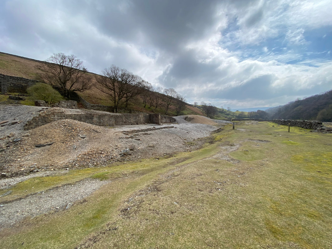
The area known as the "Sir Francis Dressing Floor" at the Sir Francis Mine Level.
This level was a major venture started in 1864 with the encouragement of the mine owner, Sir George Denys. It was named after his son and was an attempt to tap deep lying deposits. Work went on until the early 1880s but the venture was never commercially successful.
The dressing floor was the area where lead ore was crushed and sorted before being sent to be smelted into lead. The stone chambers were used to store the ore-rich material before it was dressed.
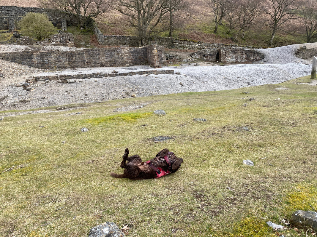
Fudge cares not a jot for the dressing floor preferring to arse about on it instead
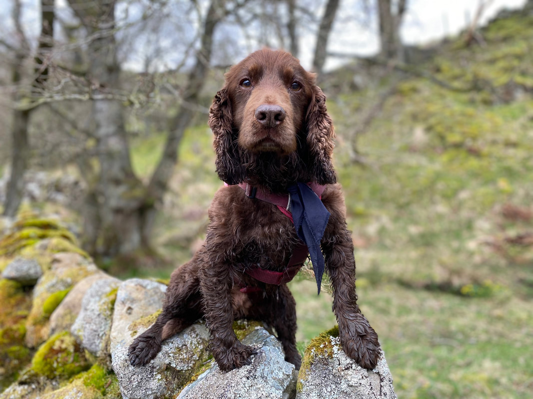
A post arsing about shot of Fudge - despite him being a first class knobhead we love him dearly
Nearing Gunnerside at Birkbeck Wood
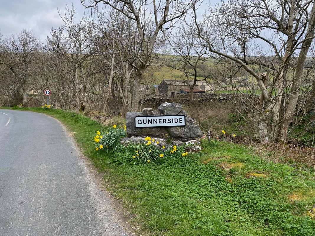
Gunnerside with accompanying artwork to remind people of the areas history
Clearly shut on a Monday - never mind
Gunnerside Literary Institute
The path heads through Gunnerside...........
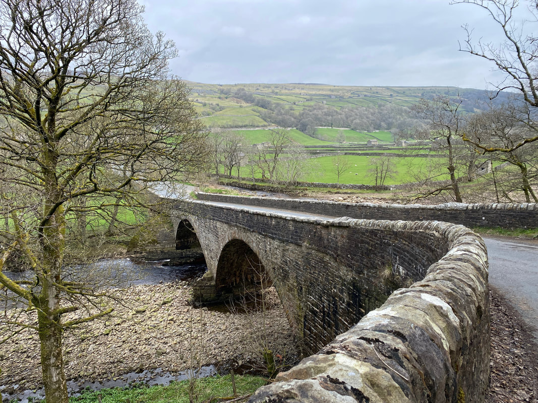
....... to cross the Swale via Gunnerside New Bridge. We would now walk along the southern bank of the river along The Swale Trail.
Good job we didn't stand on him or he would have been hopping mad
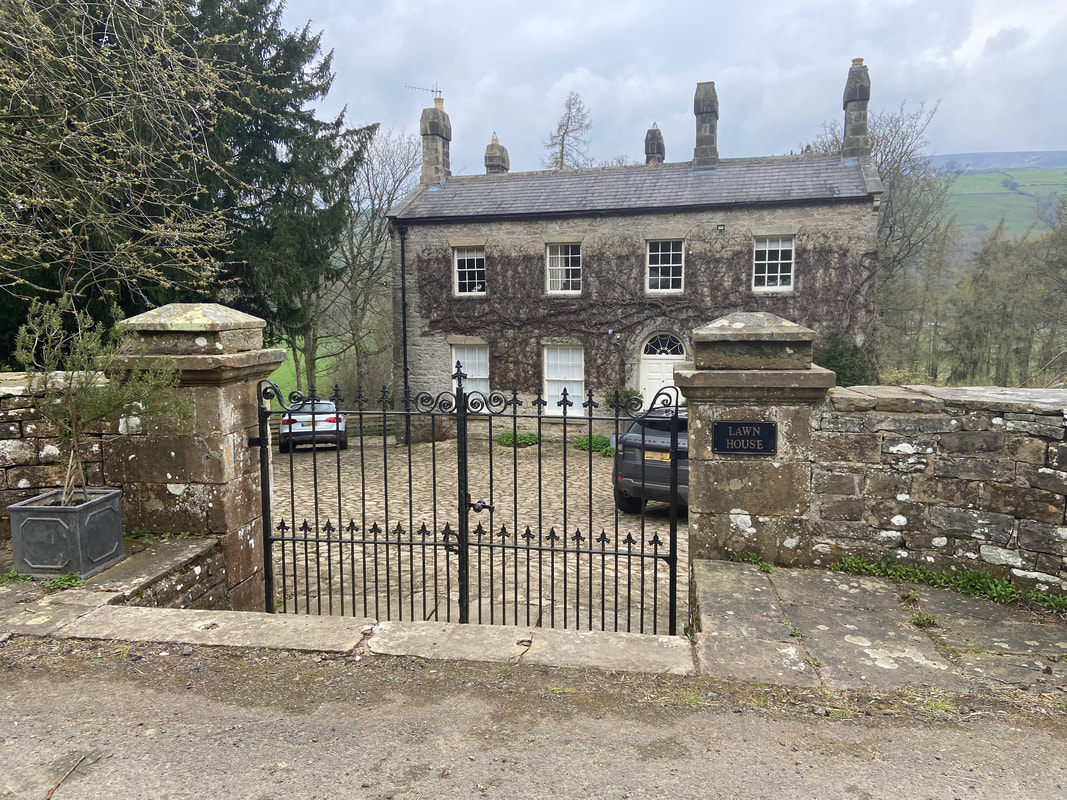
Once over the bridge the route hugs the Swale to pass through a small hamlet called Low Houses and the delightful Lawn House
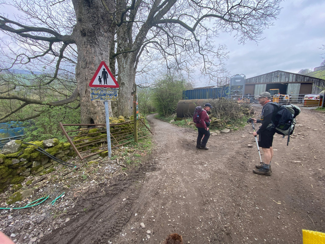
Angie shares a joke with the mad axe murderer near Low Houses as Fudge continues to keep his distance. All joking aside, we had a chat with this chap as we were leaving Keld and advised him of the route via the Swale Trail. The path heads to the left here and heads along a track called Low Lane.
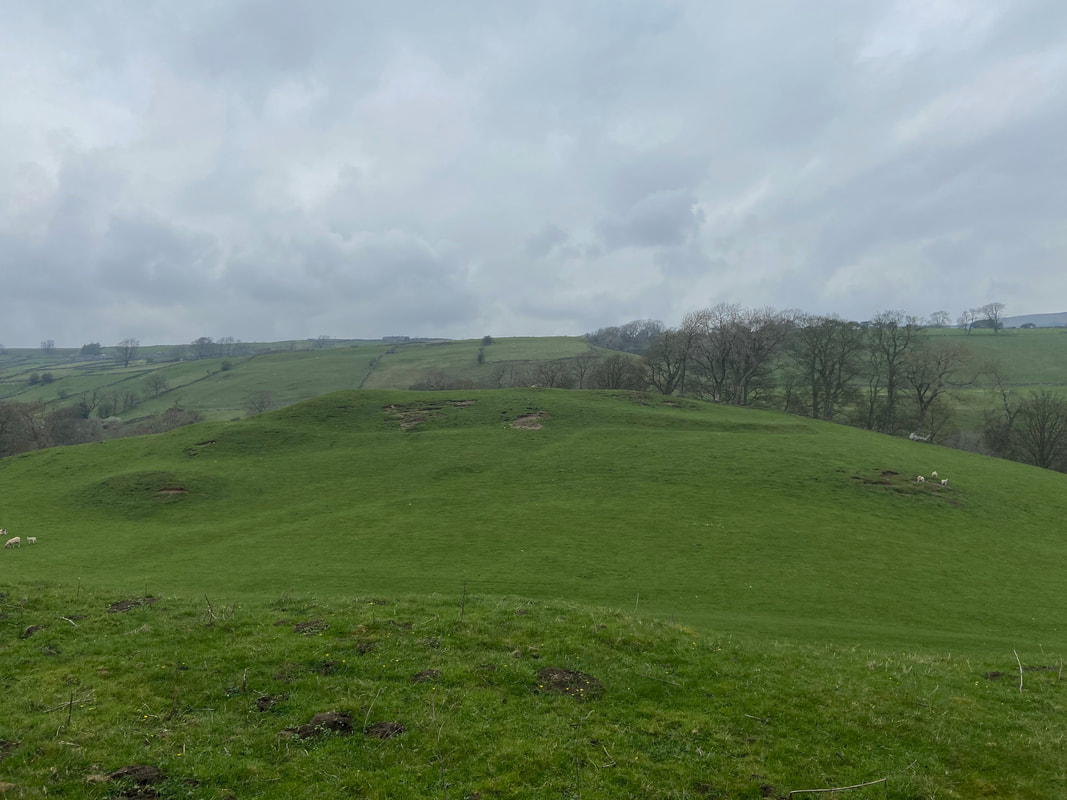
How Hill Iron Age Hillfort
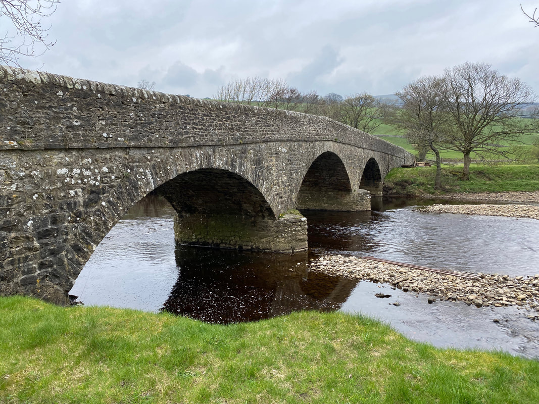
Scabba Wath Bridge over the River Swale
Scabba Wath is thought to be the name given to a foot ford used by Roman Soldiers travelling from their fort in nearby Bainbridge to their camp at Greta Bridge
Scabba Wath is thought to be the name given to a foot ford used by Roman Soldiers travelling from their fort in nearby Bainbridge to their camp at Greta Bridge
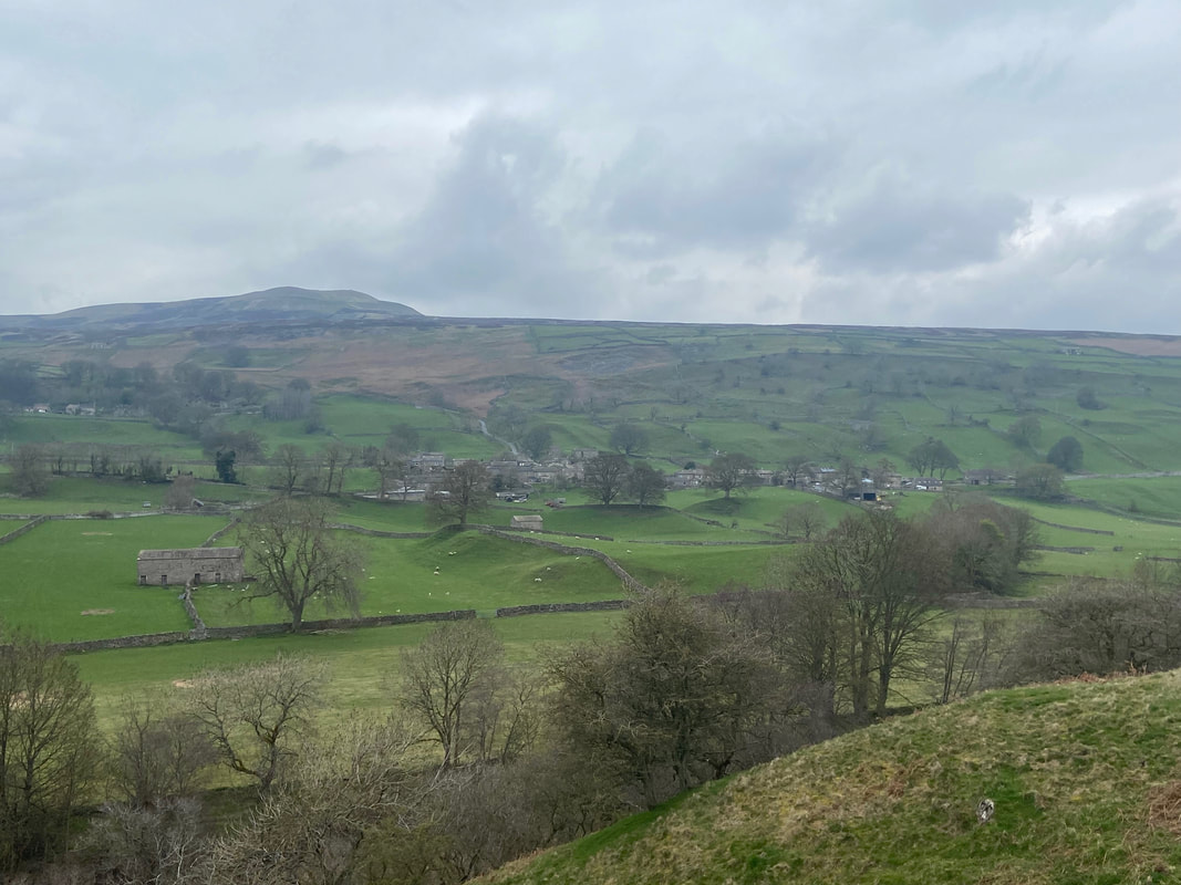
Looking over to Healaugh
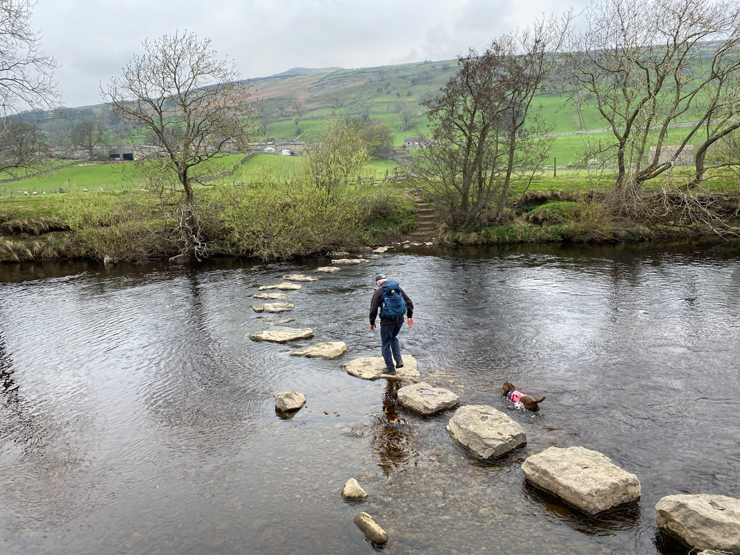
It was now time to cross the Swale and rejoin The Herriot Way - I take the easy route over the stepping stones whilst Fudge swims across. The Stepping Stones are located north east of Stubbin Farm at Grid Reference SE 02088 98749.
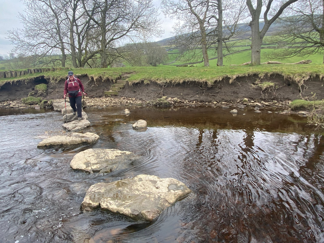
Angie carefully makes her way over the Stepping Stones. If the river water level is high or the stones are wet and greasy then it is best to continue along the southern bank of the Swale and cross the river via the Suspension Bridge.
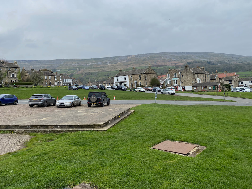
From Healaugh it is a delightful walk along the Swale to reach the village green in Reeth and the end of this leg of The Herriot Way
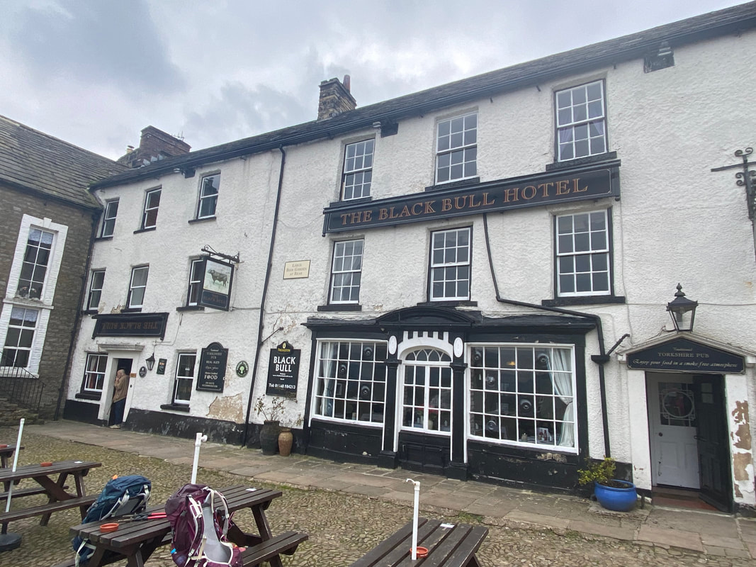
Whilst we waited for our transport back to Keld it was only right to partake of a beverage in The Black Bull.
The keen eyed amongst you may spot that the pub sign to the left is upside down. Apparently the pub had featured this whitewashed front for many years however the landlord decided it was time for a change and faithfully restored the building to its original Yorkshire Dales stone. It is said that the National Parks did not like this and informed him he would be required to restore it back to the original whitewash. This was despite almost all the villagers signing a petition agreeing that the natural Yorkshire Dales stone was much nicer. The landlord could not win against the large and powerful Parks Board, and so re-whitewashed his pub. In a final act of defiance he hung his sign upside down in order that anyone who walked into his pub will ask, "Why is your sign hanging upside down?" and of course, he is only too willing to tell the whole story.
The keen eyed amongst you may spot that the pub sign to the left is upside down. Apparently the pub had featured this whitewashed front for many years however the landlord decided it was time for a change and faithfully restored the building to its original Yorkshire Dales stone. It is said that the National Parks did not like this and informed him he would be required to restore it back to the original whitewash. This was despite almost all the villagers signing a petition agreeing that the natural Yorkshire Dales stone was much nicer. The landlord could not win against the large and powerful Parks Board, and so re-whitewashed his pub. In a final act of defiance he hung his sign upside down in order that anyone who walked into his pub will ask, "Why is your sign hanging upside down?" and of course, he is only too willing to tell the whole story.
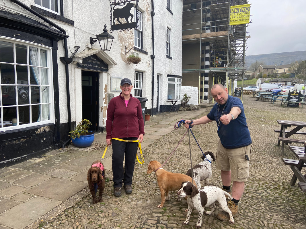
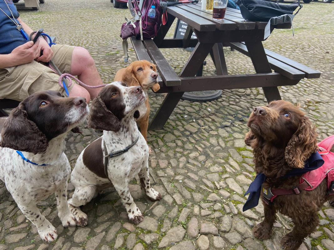
At Reeth we were joined at The Black Bull by Darren and his 3 failed foster Spaniel Aid Dogs - Dave, Vinnie & Wilson. Darren kindly donated £50 to Spaniel Aid plus £20 from his work colleagues at Yorchem Ltd. The three dogs are a classic example of what Spaniel Aid are all about - giving dogs a second chance.
Treats inbound for the 4 chaps - and gorgeous boys they are too
GPX Files - if these are required then please use the Contact Form to let me know and I will gladly forward them on
| herriot_way_day_3_actual.gpx |
Day 3 Data
|
Mileage
Cumulative Mileage Time Total Ascent |
13.2 miles
37.8 miles 6hrs 15mins (5hrs 45mins actual walking) 1663ft (507m) |
