Cautley Spout, The Calf, Calders, Arant Haw & Winder -
Monday 11 May 2015
Route
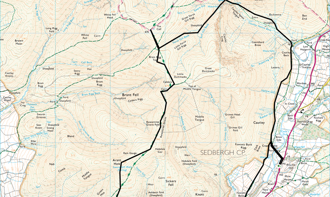
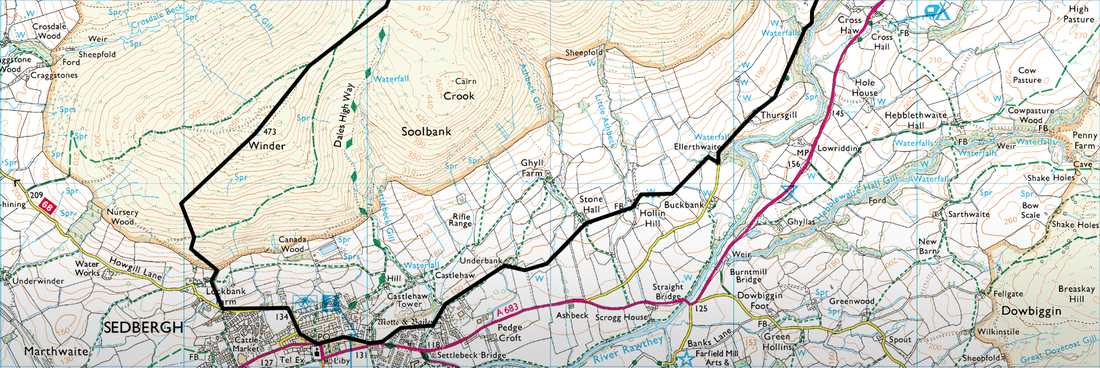
Cautley - Cautley Spout - Red Gill - Force Gill - The Calf - Bram Rigg Top - Calders - Arant Haw - Winder - Sedbergh - Cautley
Parking
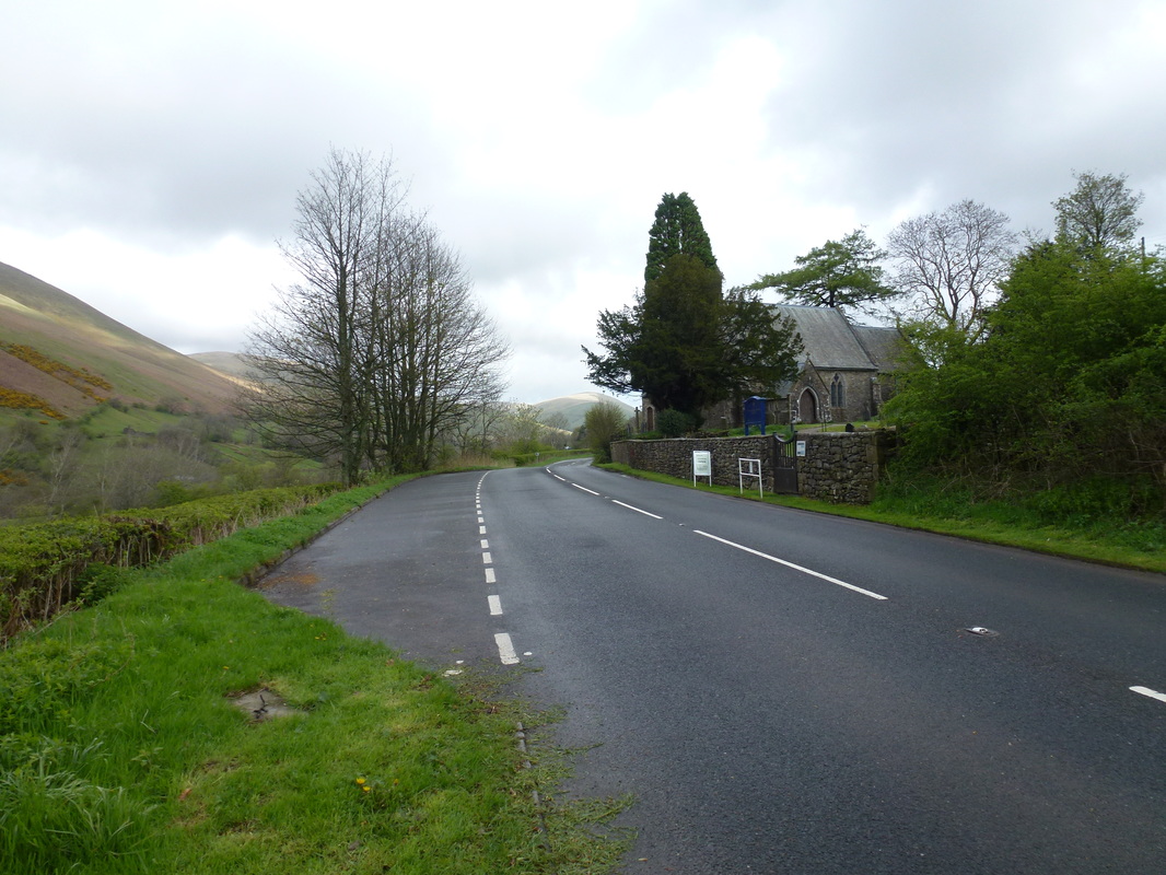
Lay by in Cautley near St Mark's Church (Free) - Grid Ref SD691946
Mileage
11.7 miles
Terrain
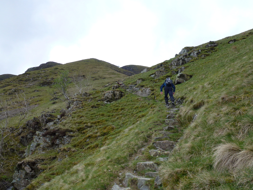
Mostly good paths, both grassy and stony. The path up the side of Cautley Spout is steep but firm underfoot.
Weather
Overcast with very strong winds on the tops, particularly on the summit of The Calf
Time Taken
6hrs
Total Ascent
3300ft (1006m)
Map
OL19 - Howgill Fells & Upper Eden Valley
|
GPX File
|
| ||
If the above GPX file fails to download or presents itself as an XML file once downloaded then please feel free to contact me and I will send you the GPX file via e-mail.
Walk Description
Sitting on the eastern side of the M6 and away from their more illustrious neighbours in the Lake District, The Howgills are considered a walkers delight. This walk takes in the better-known hills and what a nicer way to spend our 24th Wedding Anniversary than walking in this beautiful part of Cumbria. The walk started from the small hamlet of Cautley which to be honest is just a couple of houses on the A683. There is free parking at a lay by opposite St Mark's Church.
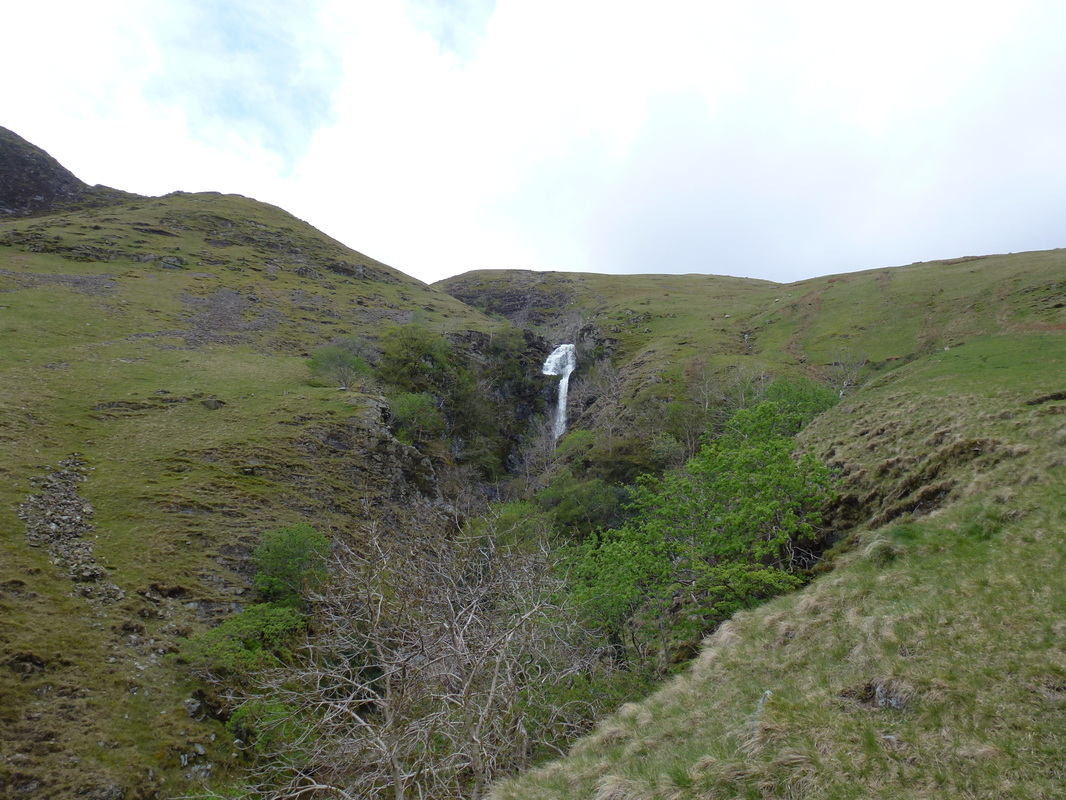
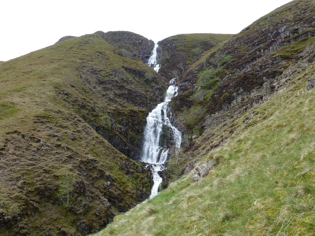
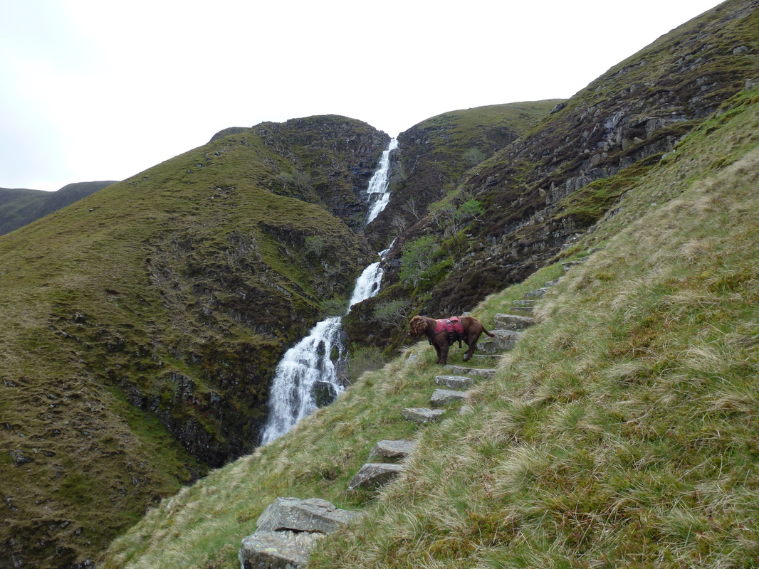
From the lay by we headed north along the A683 for about 200 metres before a turning on the left led to a path past some farm buildings and a bridge over the River Rawthey. From here the path made its way along the valley bottom to another ford and footbridge before turning left to give us our first view of Cautley Spout. There was now a long walk along the valley floor alongside Cautley Holme Beck to the foot of Cautley Spout before a steep, zig zagging climb up along the side of the Spout. The waterfall is classed as England's highest cascade above ground and tumbles around 650 feet from the plateau of The Calf.
Reaching the top of the Spout there are several options to The Calf but we chose to follow firstly Red Gill and then Force Gill to reach a junction at a wide path. We then turned right to head up the gentle rise to the hurricane like environs of The Calf from where there are wide ranging views over the Howgills and the Lake District. Leaving the summit we had the wind at our backs thankfully and headed along the wide stony path, leaving this momentarily to bag Bram Rigg Top before returning to the path to reach the summit of Calders.
From Calders there was now a superb sweeping ridge path to our next summit of Arant Haw and this was a delightful amble over steady ground. On reaching the summit the views were quite extensive looking back over the route and also over to Winder. The sweeping ridge path continued and we were soon at the summit of Winder that sits above the lovely town of Sedbergh. Leaving the summit it was just a question of picking one of the many paths that drop quite steeply off the hill and we soon reached Lockbank Farm from where Sedbergh is easily reached via lanes and roads. Pausing all too briefly at The Dalesman pub, there was still about 3 or so miles to go to reach Cautley and this route is another delightful amble over field paths and a couple of quiet lanes and we were soon back at Crook Holme before heading back over the Rawthey to the lay by at St Mark's Church.
This was our first time walking in The Howgills and we were smitten by them - they are full of interest and walking up Cautley Spout was super. There is lots to see here and they should be visited - have a day off from the Lake District and hop over the M6 to see them, you will not be disappointed.
St Mark's Church in Cautley - there is parking here in the lay by
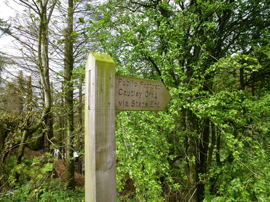
Heading along the A683 to the North this sign is reached which points the way
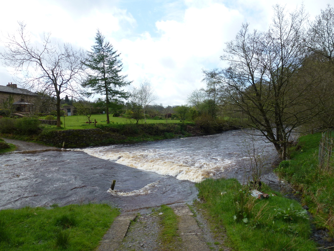
The River Rawthey - it was flowing pretty strong past here today
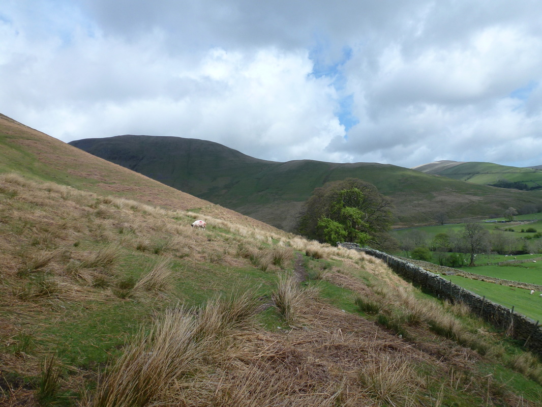
Yarlside to the left and Ben End to the right
This was a lovely stretch to the Spout with Cautley Holme Beck for company
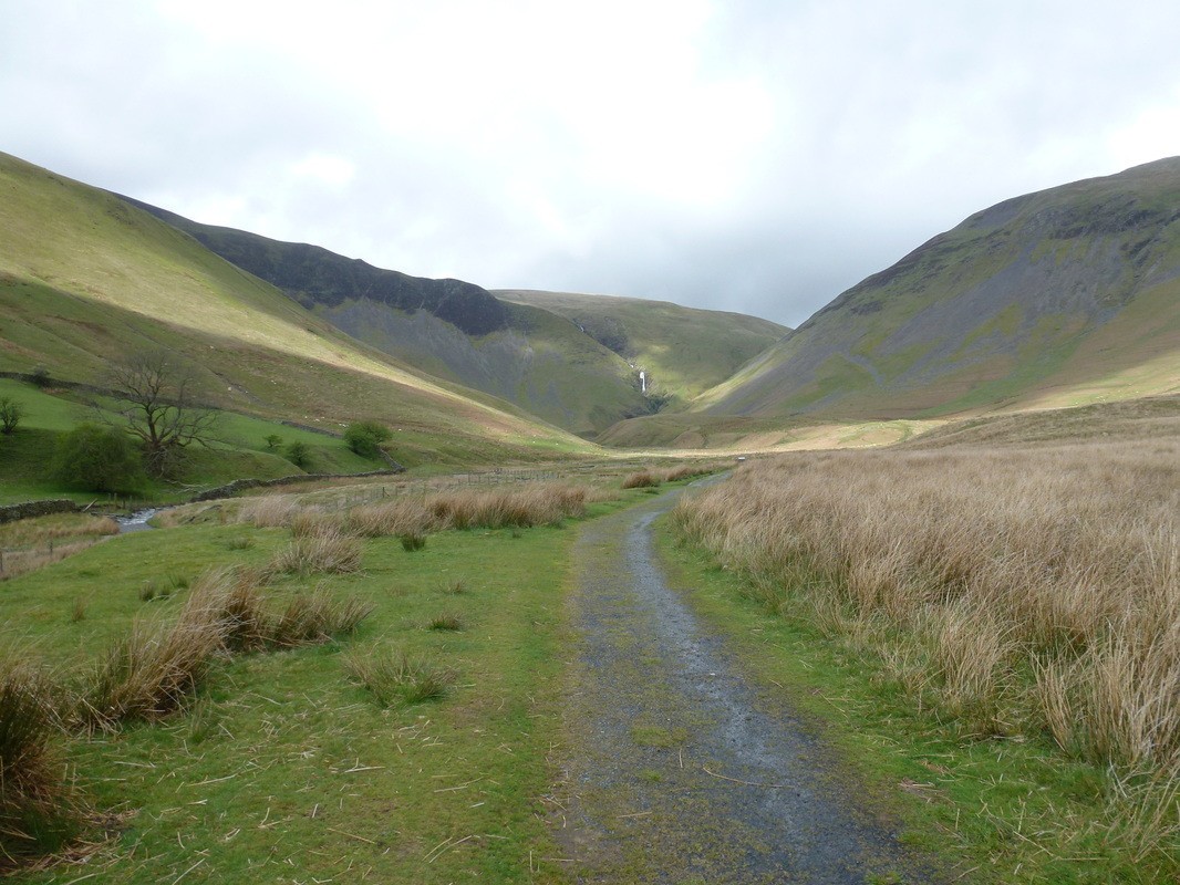
Heading up the valley floor as Cautley Spout gets nearer
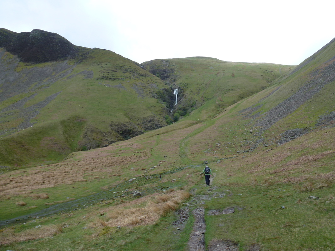
Climbing steadily, the lower reaches of the Spout are soon reached
As we climbed, the Spout went out of sight for a short while .......
.... only to reappear again
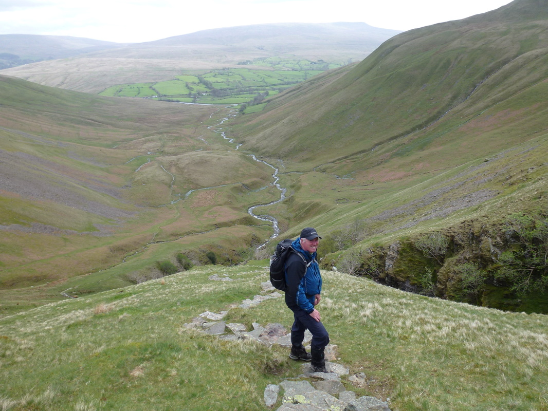
Always remember to look back when climbing or you will miss views like this
Fudge contemplating whether he should get a closer look at the Spout - he decided against it
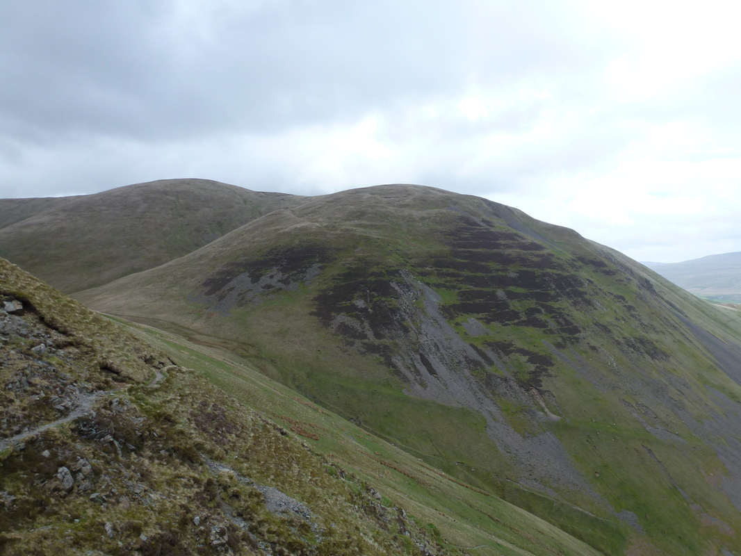
Yarlside
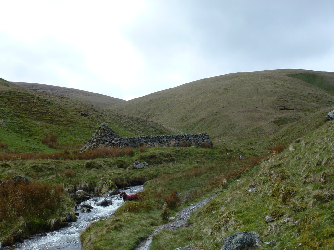
Andy Goldsworthy's sculptured stone obelisk and sheepfold enclosure at Red Gill Beck.
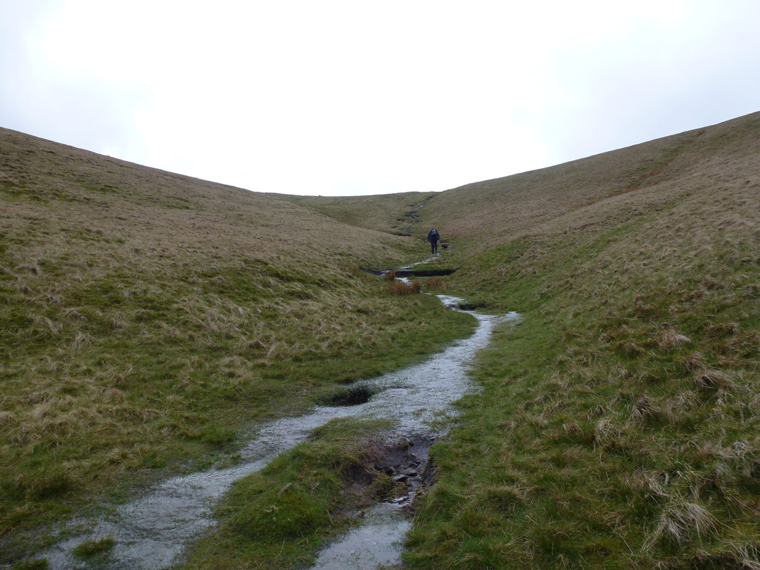
From Force Gill the path heads gently up to the wide path junction
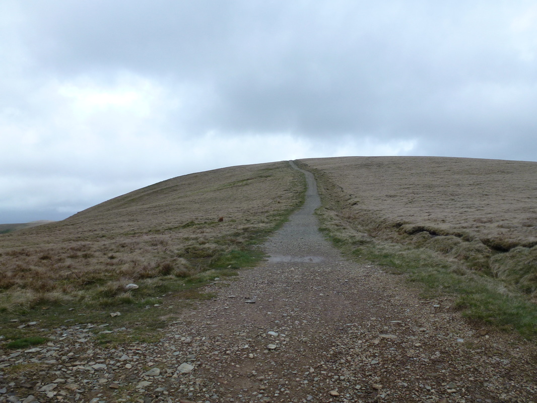
The wide path junction - the summit of The Calf is at the top of the rise
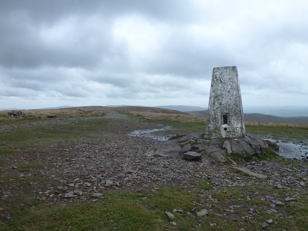
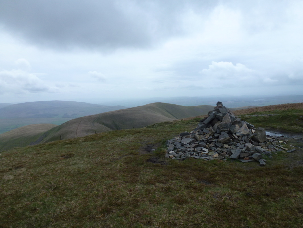
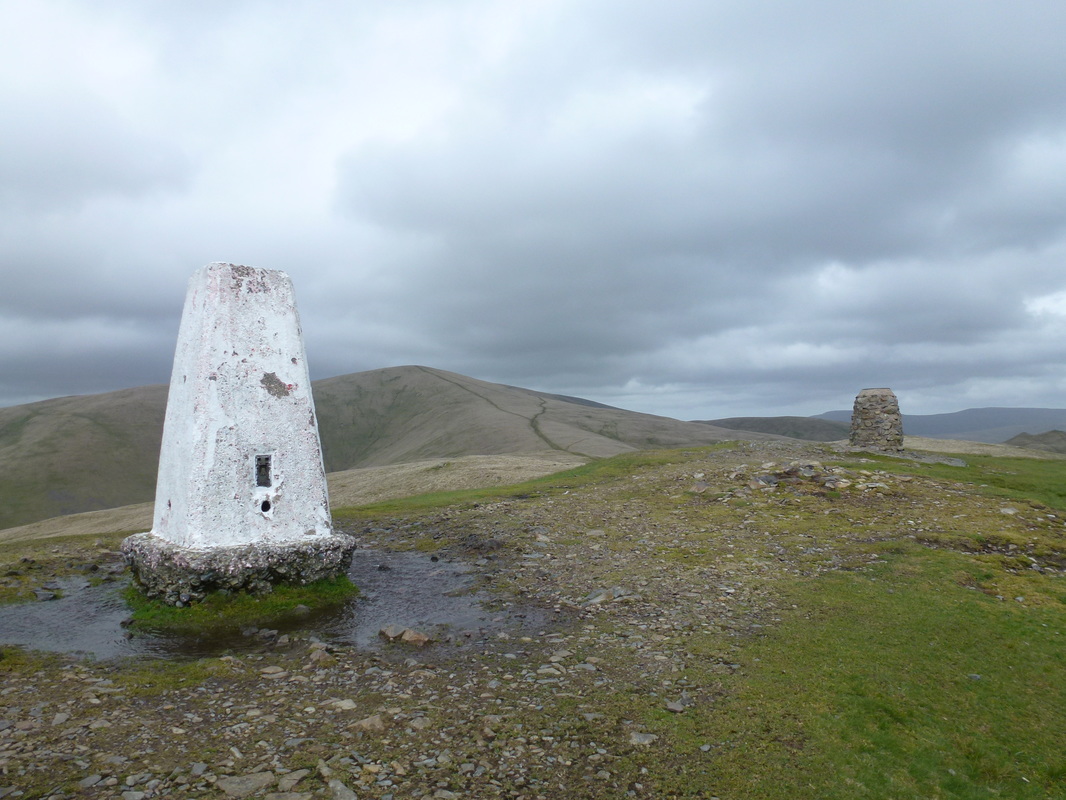
The summit of The Calf
Looking North from the summit of The Calf - it was so windy up here today
The wide path from The Calf - Calders is right centre with Bram Rigg Topp far right
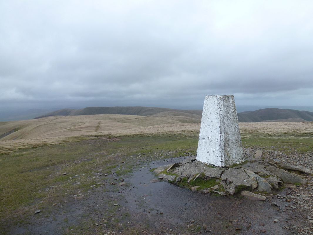
The summit of Calders
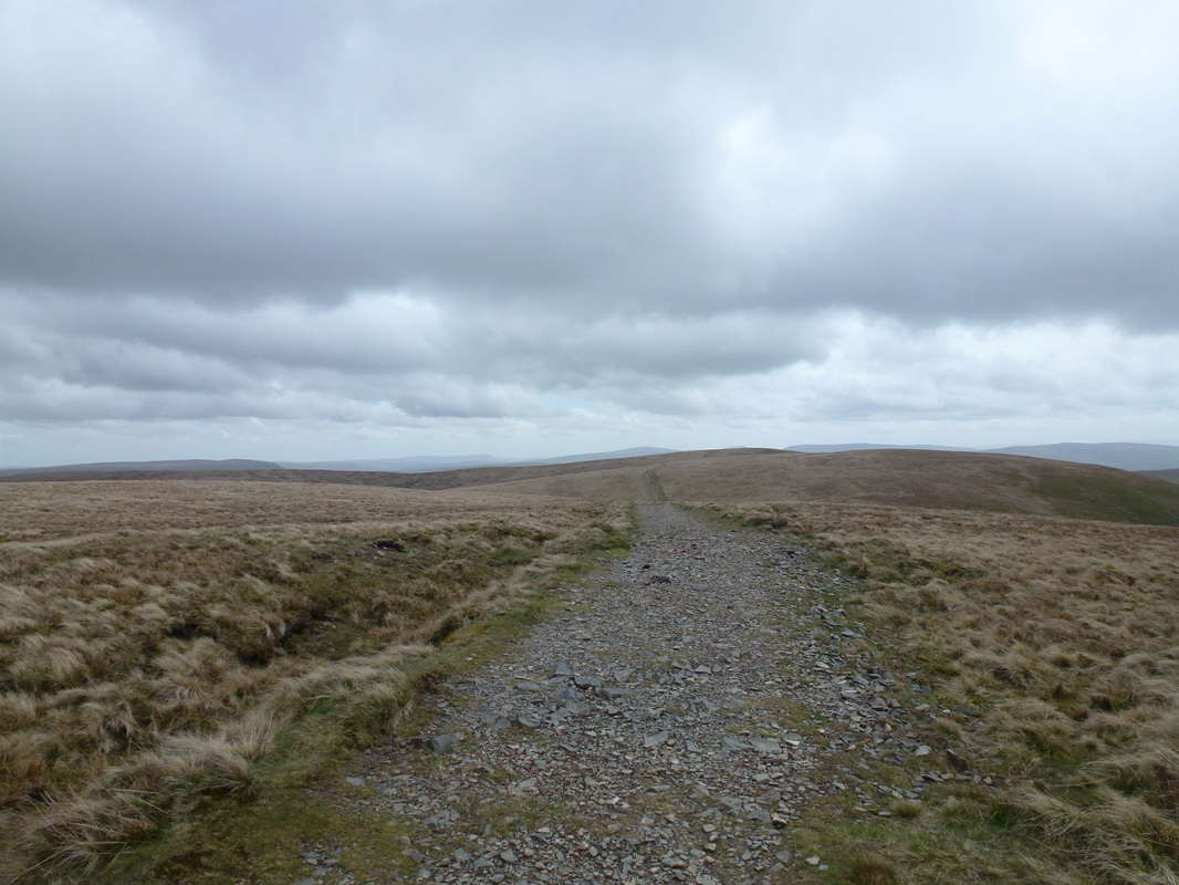
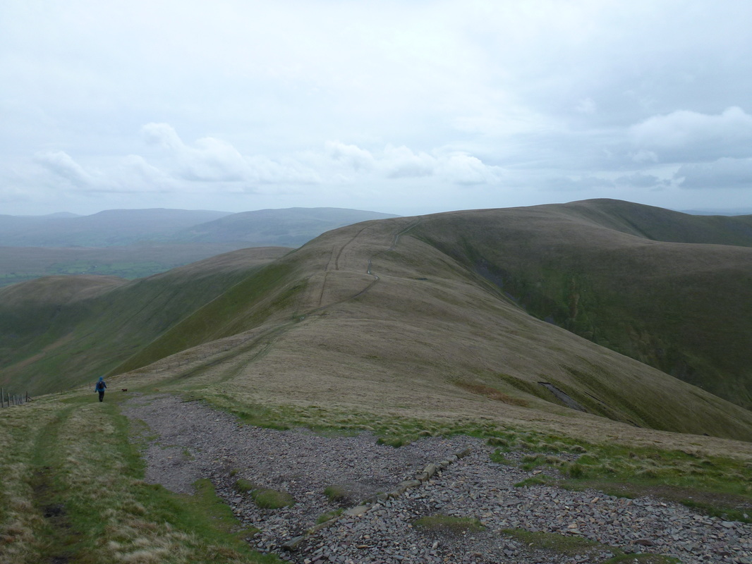
The long and sweeping path to Arant Haw
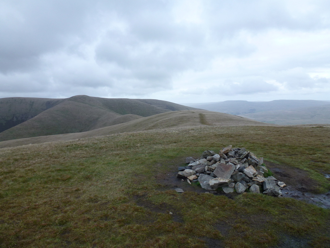
The summit of Arant Haw looking back to Calders
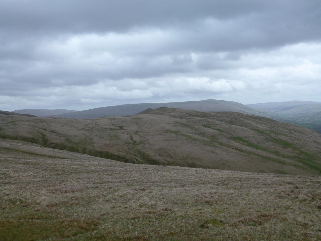
Looking to Crook from Arant Haw
The summit of Winder looking to Arant Haw
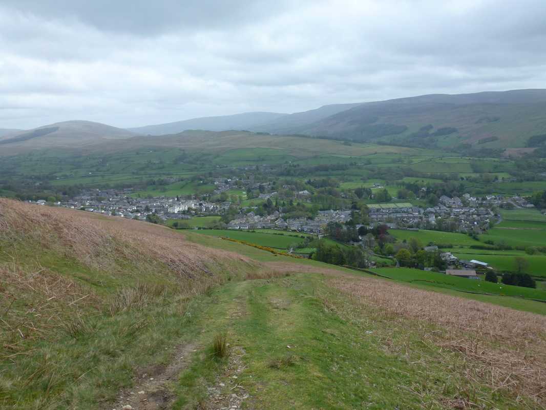
Dropping down into Sedbergh
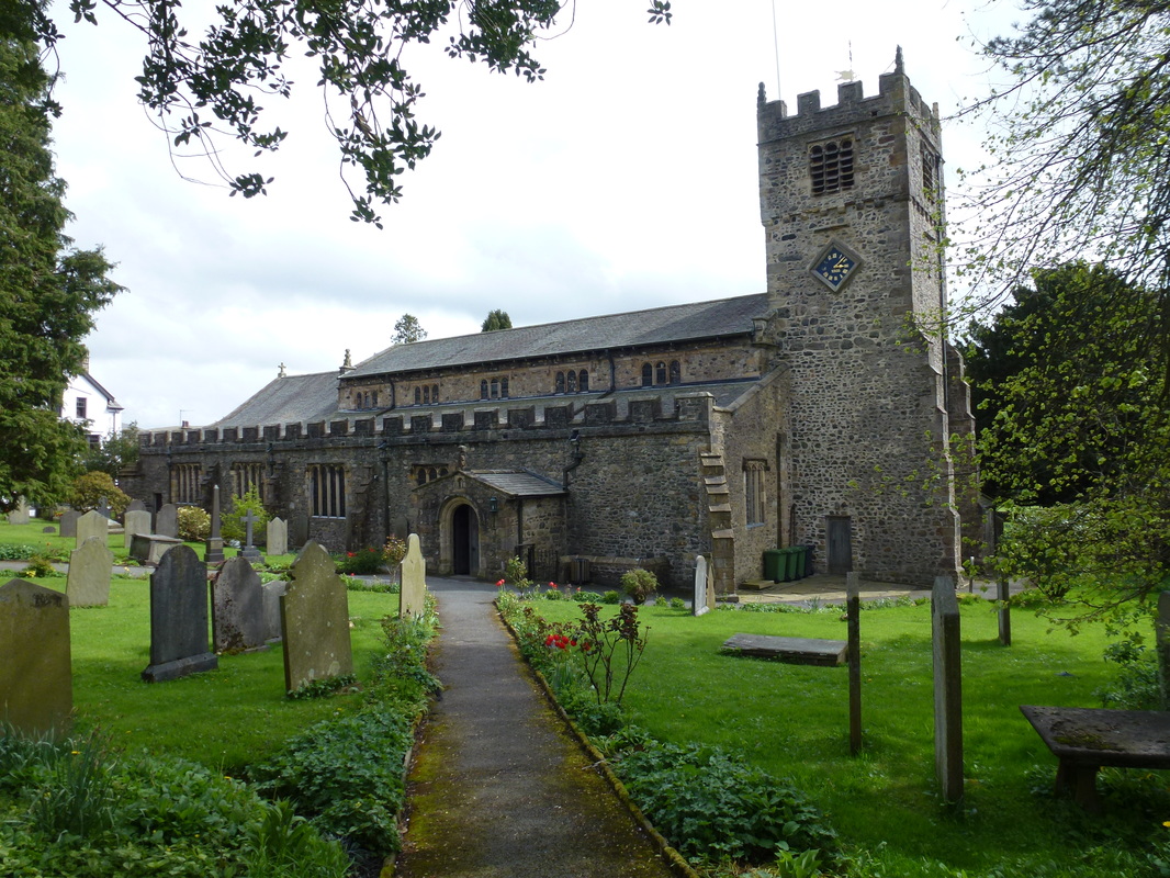
St Andrew's Church in Sedbergh
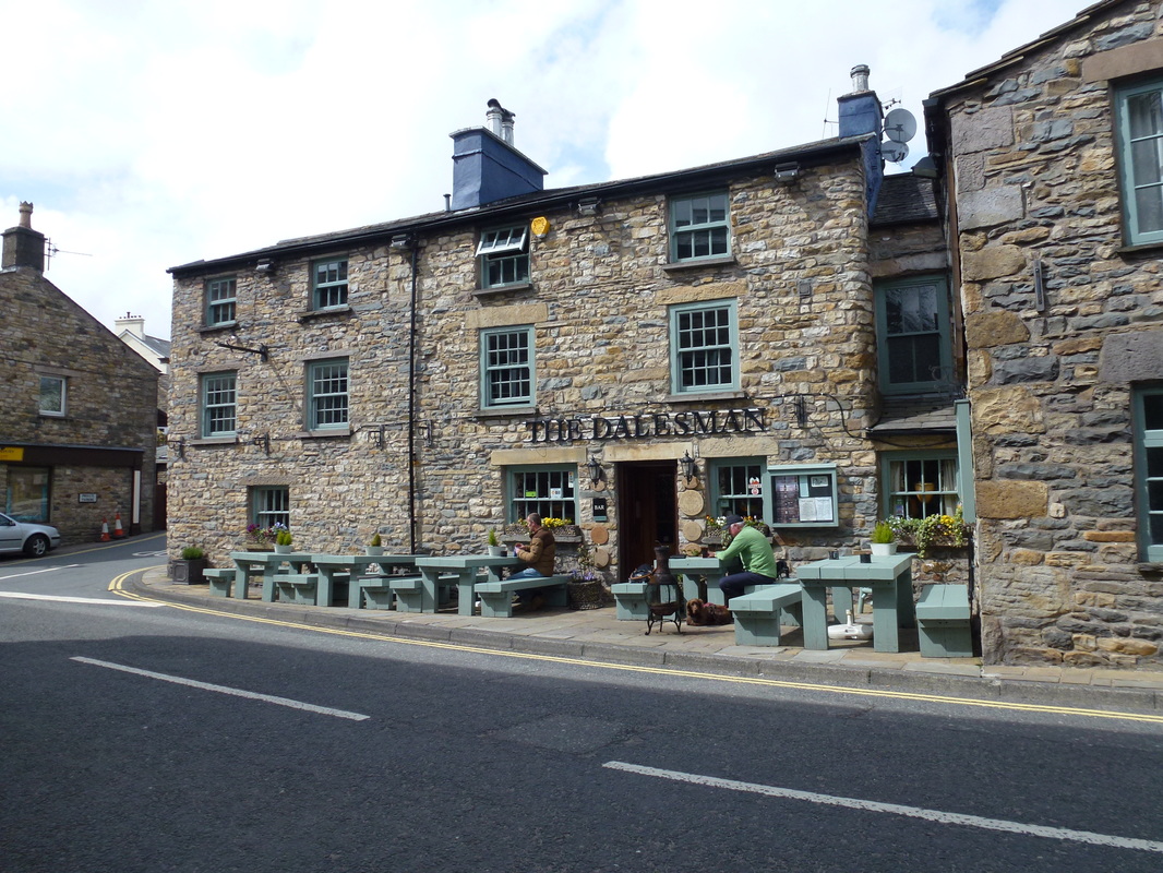
Well - it would be rude not to wouldn't it?
