Grasmoor Wild Camp Day 1 - Monday 28 June 2021
Route
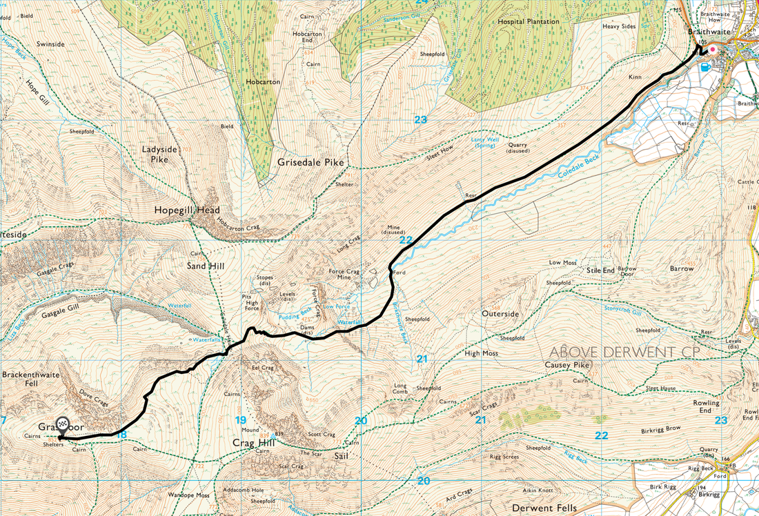
Braithwaite - Coledale Beck - Force Crag Mine - Coledale Hause - Grasmoor
Parking
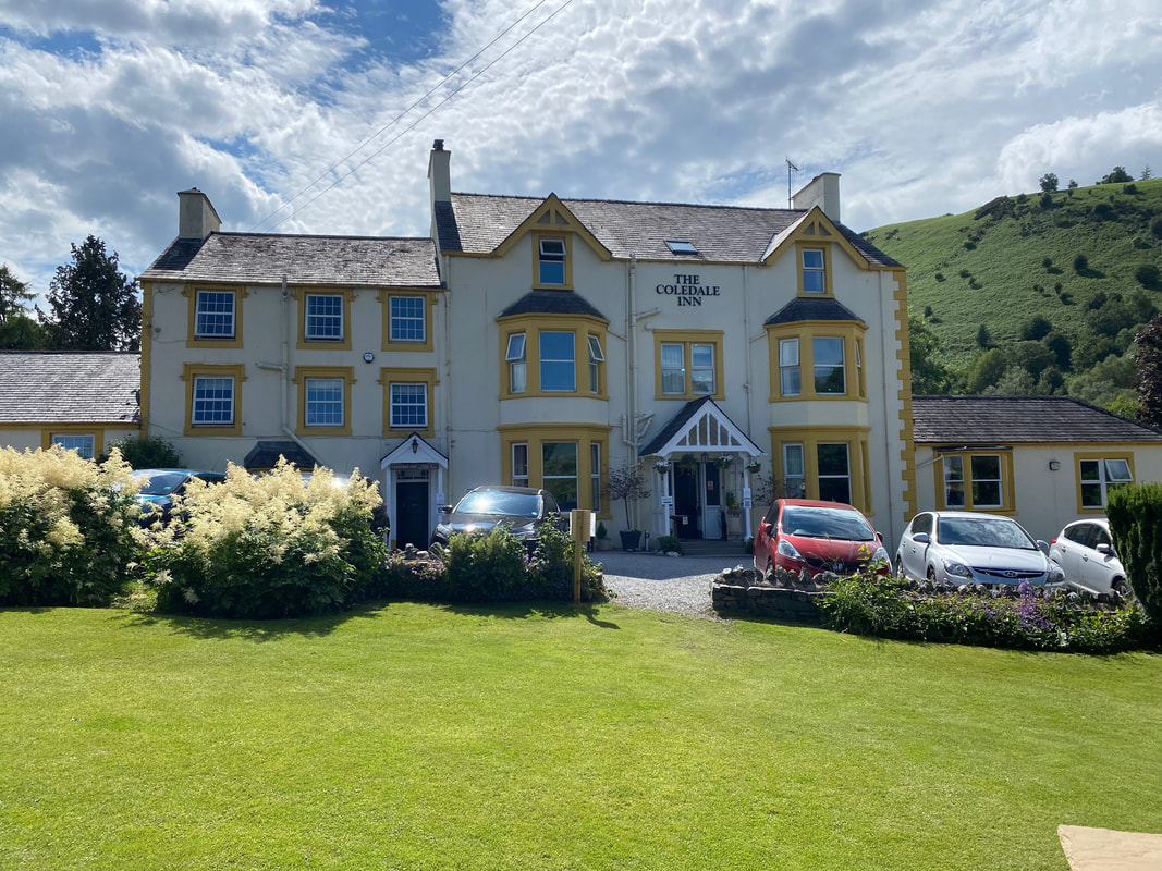
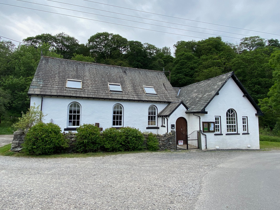
Plenty of options for parking in Braithwaite. We parked overnight to the left of Braithwaite Chapel (Grid Ref NY 229236, nearest postcode CA12 5TL) just a few hundred yards from The Coledale Inn. Please park sensibly in the parking area to the left of the church in the designated section and not on grass verges.
Mileage
4.7 miles
Terrain
Good mountain paths and access tracks.
Weather
Warm & humid for the walk, becoming cooler as we reached the summit of Grasmoor.
Time Taken
2hrs 50mins (we took our time)
Total Ascent
2506ft (764m)
Wainwrights
1
Map
OL4 - The English Lakes (North Western Area)
Walkers
Dave, Angie & Fudge
|
GPX File
|
| ||
If the above GPX file fails to download or presents itself as an XML file once downloaded then please feel free to contact me and I will send you the GPX file via e-mail.
Route Map
Rather than carry an evening meal up on to Grasmoor we ate Dinner here before setting off - and very nice it was too.
The Old Methodist Chapel in Braithwaite. In 2017 the Orthodox Church of St Bega, St Mungo and St Herbert purchased the chapel. The parking area is to the left where there is room for about 5 cars.
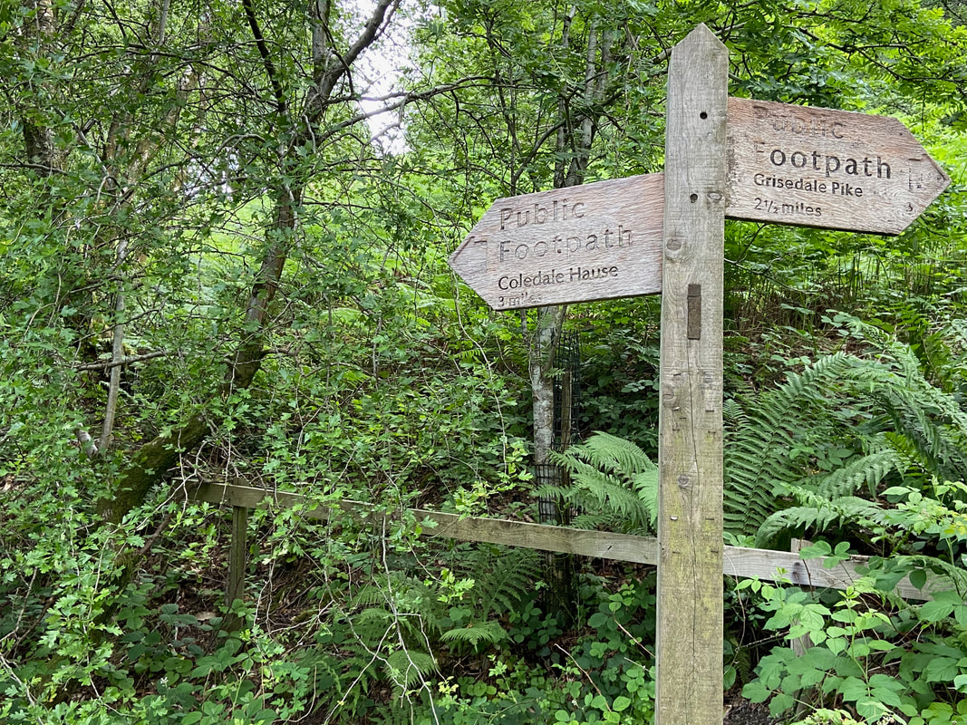
From the village there are two options to reach this signpost - either walk along the B5292 (Whinlatter Pass) or continue along the lane next to the Chapel and cross Coledale Beck via the footbridge. We were off to Coledale Hause.
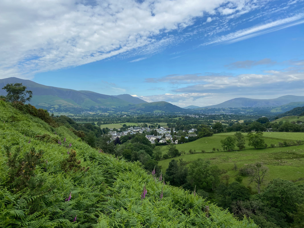
To reach the Force Crag Mine road involves a short excursion through a bracken covered path - however it does provide a superb view back to Braithwaite, Skiddaw & Blencathra
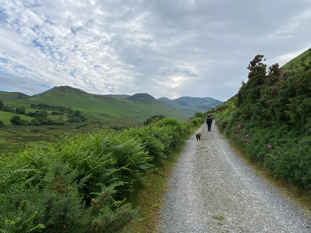
With the bracken safely negotiated it was time to wander along the access road to Force Crag Mine
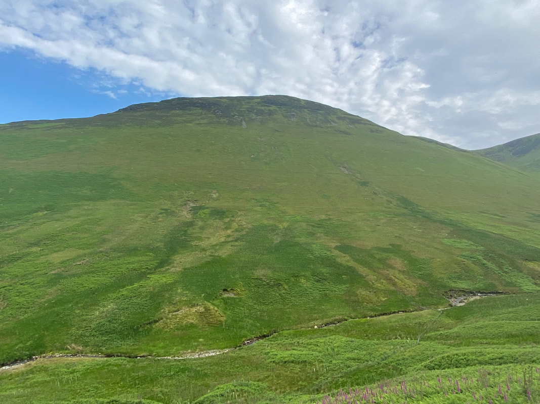
Looking across to Outerside
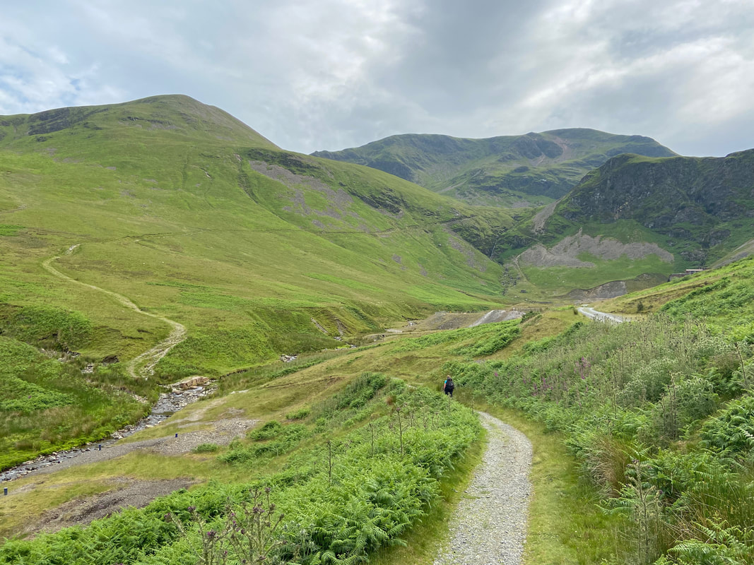
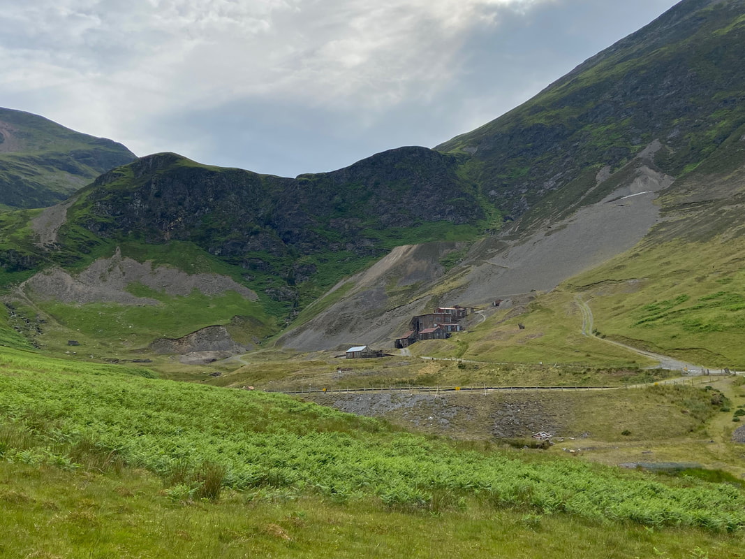
After 2 miles we left the Force Crag Mine Road to drop down to cross Coledale Beck via a ford. Force Crag and the mine buildings are extreme right.
Force Crag Mine
Force Crag Mine was the last working metal mine in the Lake District, prior to its final abandonment in 1991. The site was mined for lead from 1839 until 1865, and for zinc and barytes from 1867. The job of the mill to the right was to separate these minerals from each other, and from any other minerals and the country rock. It is a Scheduled Ancient Monument, and a geological SSSI (site of special scientific interest). The mine occupies a spectacular location at the head of the Coledale Valley. The mill buildings were built in 1908-9 and redesigned in 1939-40. The mill contains the ore-refining machinery that was in use during the 1980s. It is the only former mineral mining site in the country that has retained its processing equipment in something approaching complete order. The National Trust now owns the site and access to the processing mill buildings and machinery was restored in 2004. Visitors can discover what was mined and follow the processing of the minerals through the mill plant.
Force Crag Mine was the last working metal mine in the Lake District, prior to its final abandonment in 1991. The site was mined for lead from 1839 until 1865, and for zinc and barytes from 1867. The job of the mill to the right was to separate these minerals from each other, and from any other minerals and the country rock. It is a Scheduled Ancient Monument, and a geological SSSI (site of special scientific interest). The mine occupies a spectacular location at the head of the Coledale Valley. The mill buildings were built in 1908-9 and redesigned in 1939-40. The mill contains the ore-refining machinery that was in use during the 1980s. It is the only former mineral mining site in the country that has retained its processing equipment in something approaching complete order. The National Trust now owns the site and access to the processing mill buildings and machinery was restored in 2004. Visitors can discover what was mined and follow the processing of the minerals through the mill plant.
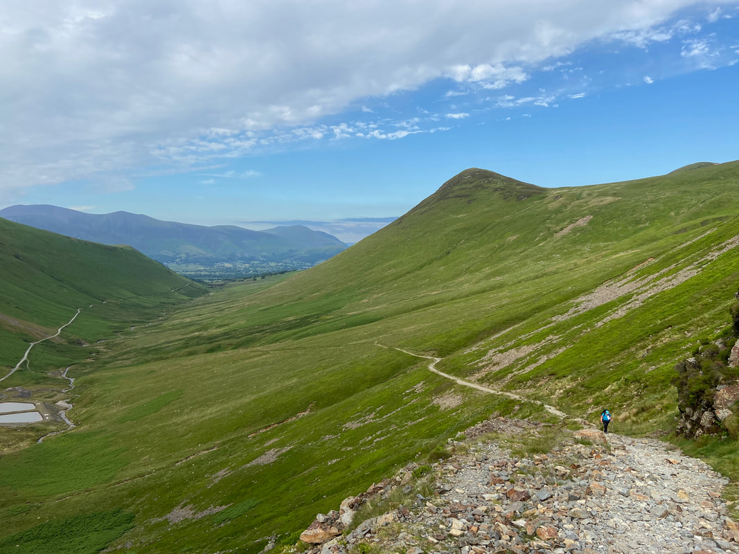
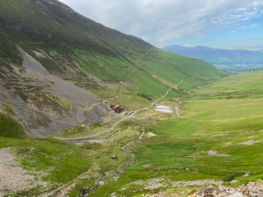
Our outward route along the Force Crag Mine road can be seen to the left as we head to Coledale Hause with Outerside to the right.
Another view of our outward route and Force Crag Mine
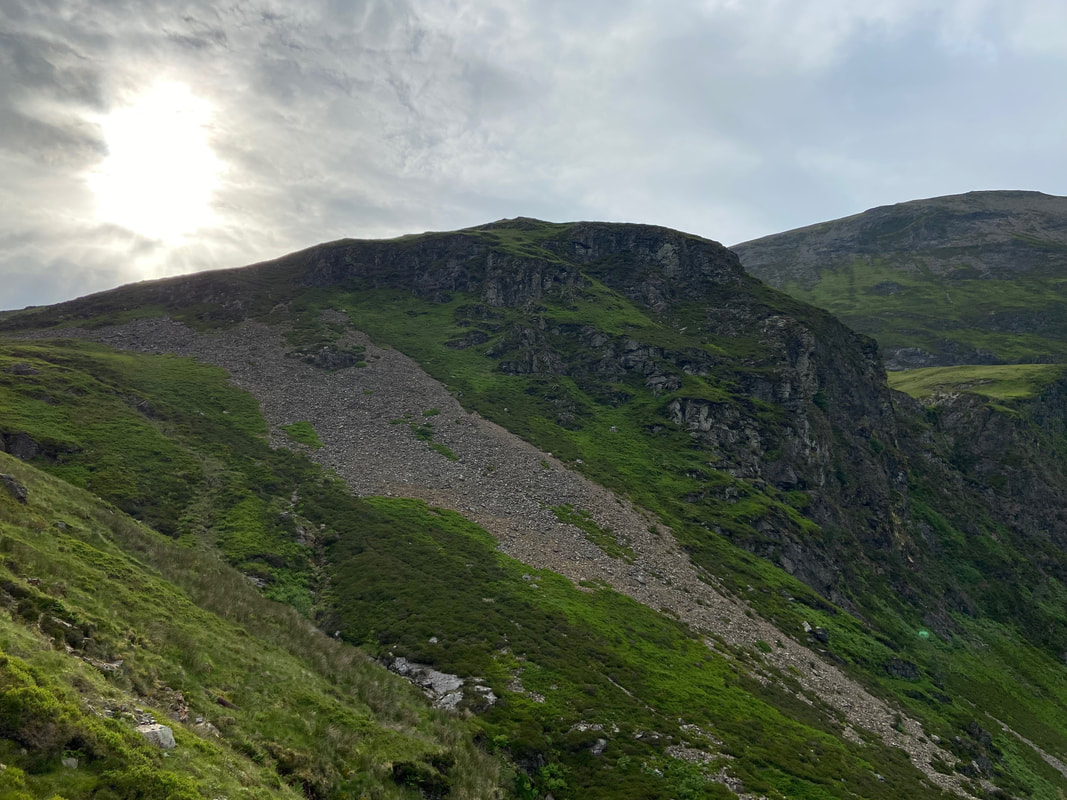
Force Crag with Hobcarton Crag to the rear
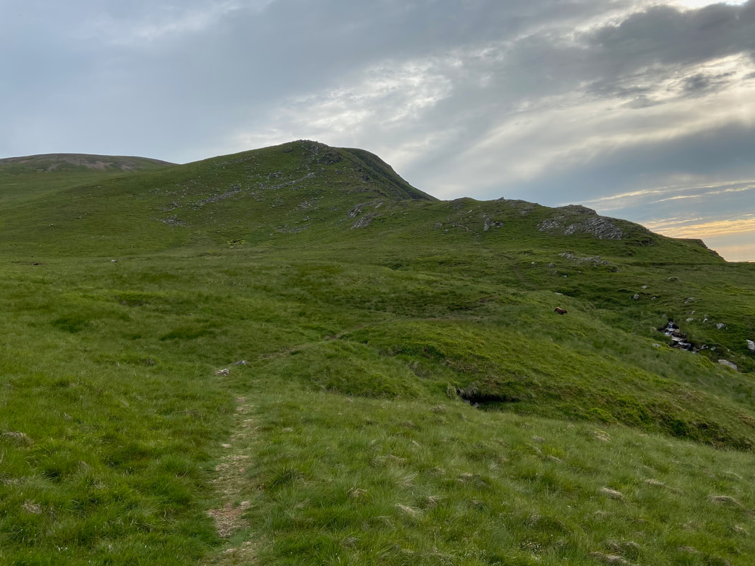
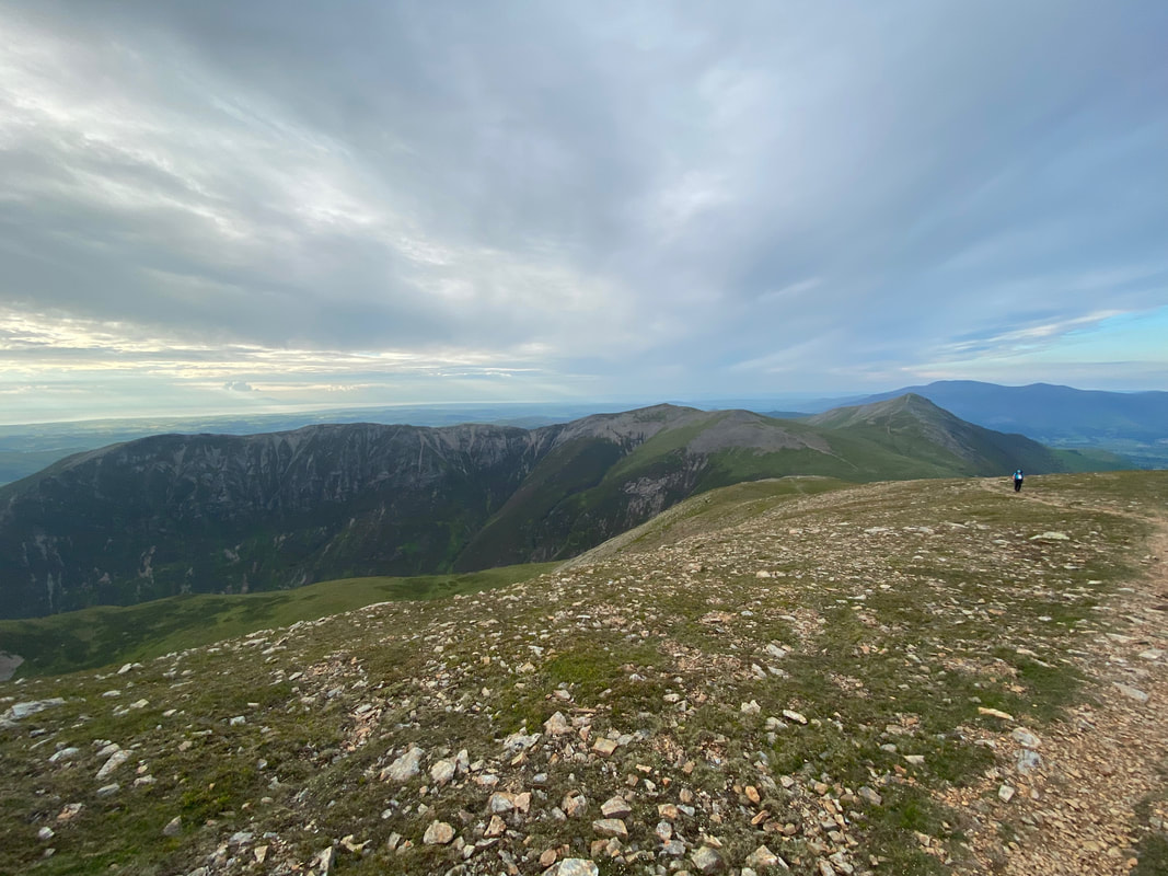
Reaching Coledale Hause it was time to start the ascent of Grasmoor. The ridge in the distance is what we are aiming for but first we climbed the one in the foreground. Usually people do not ascend Grasmoor this way, preferring to handrail the beck heading south from Coledale Hause and climbing up the easy path from the col. Having now done both, I prefer the route we did today.
Sand Hill & Grisedale Pike across Coledale Hause from the ascent of Grasmoor
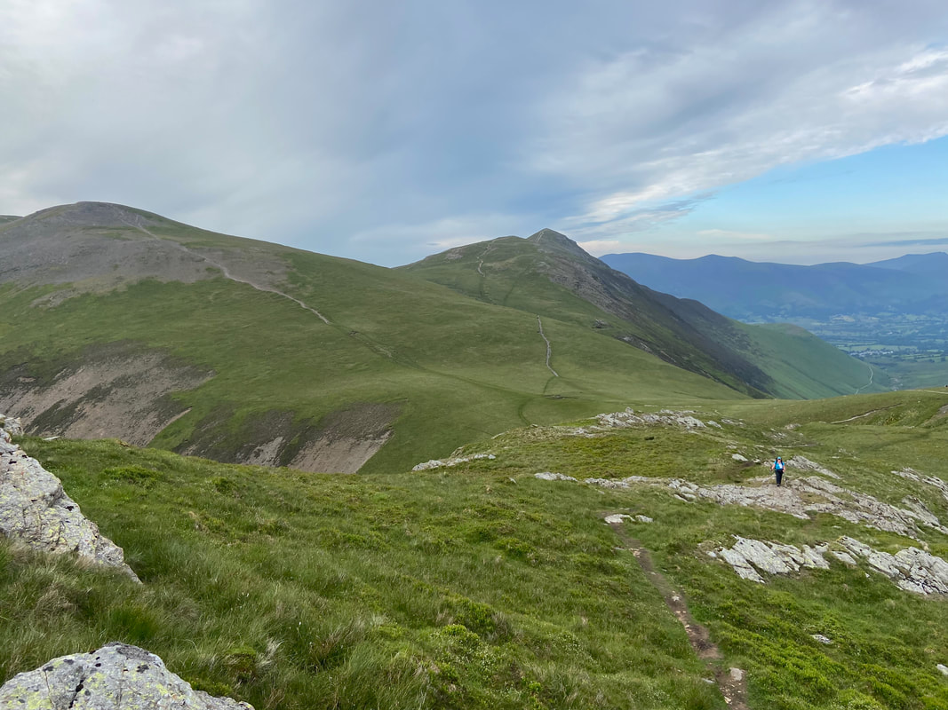
After an initial steep section, the gradient relents - Grasmoor's summit is to the right
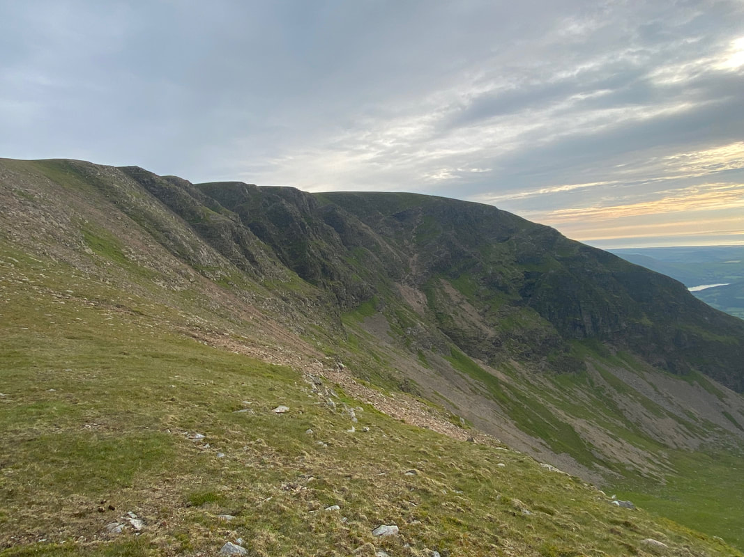
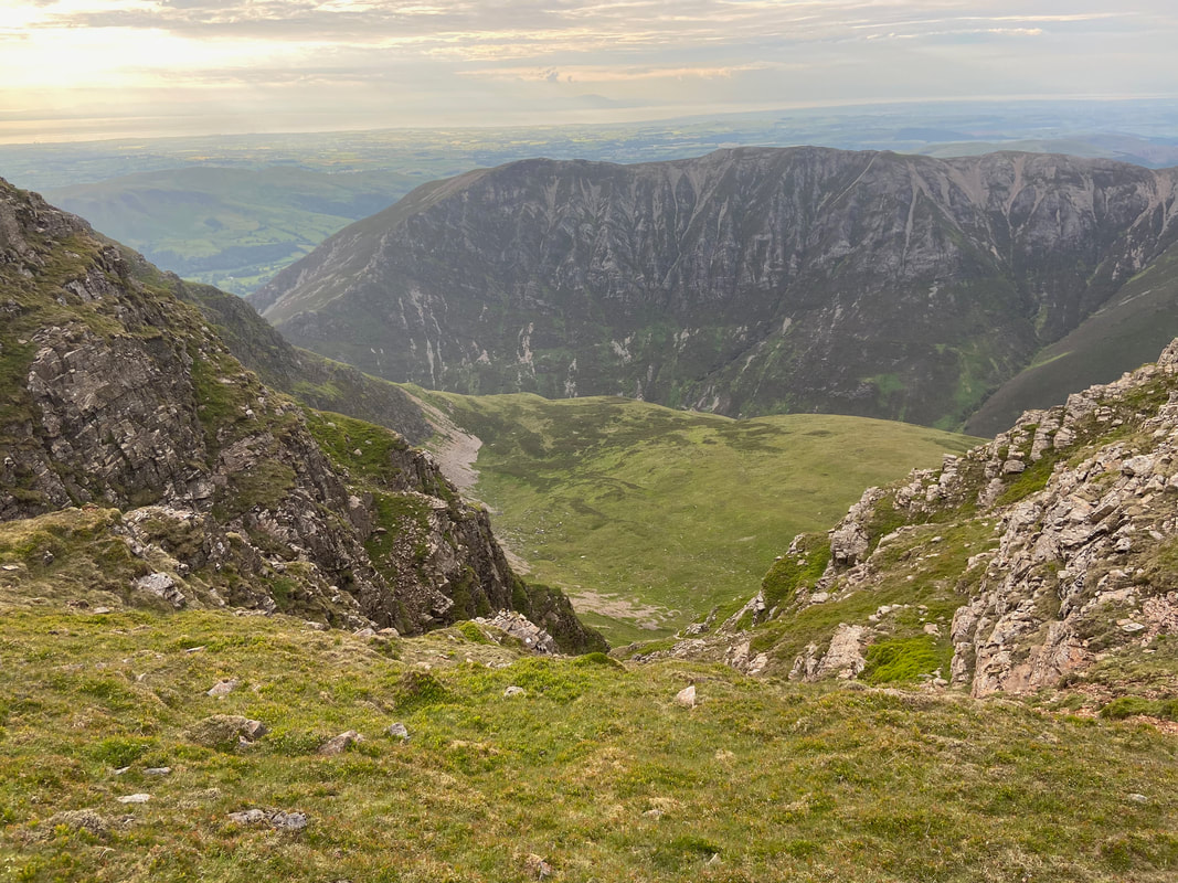
Dove Crags on Grasmoor
As height is gained the view opens out to one of the finest ridge walks in Lakeland - Whiteside (left) from Hopegill Head (centre right).
Dove Crags, Gasgale & Whiteside
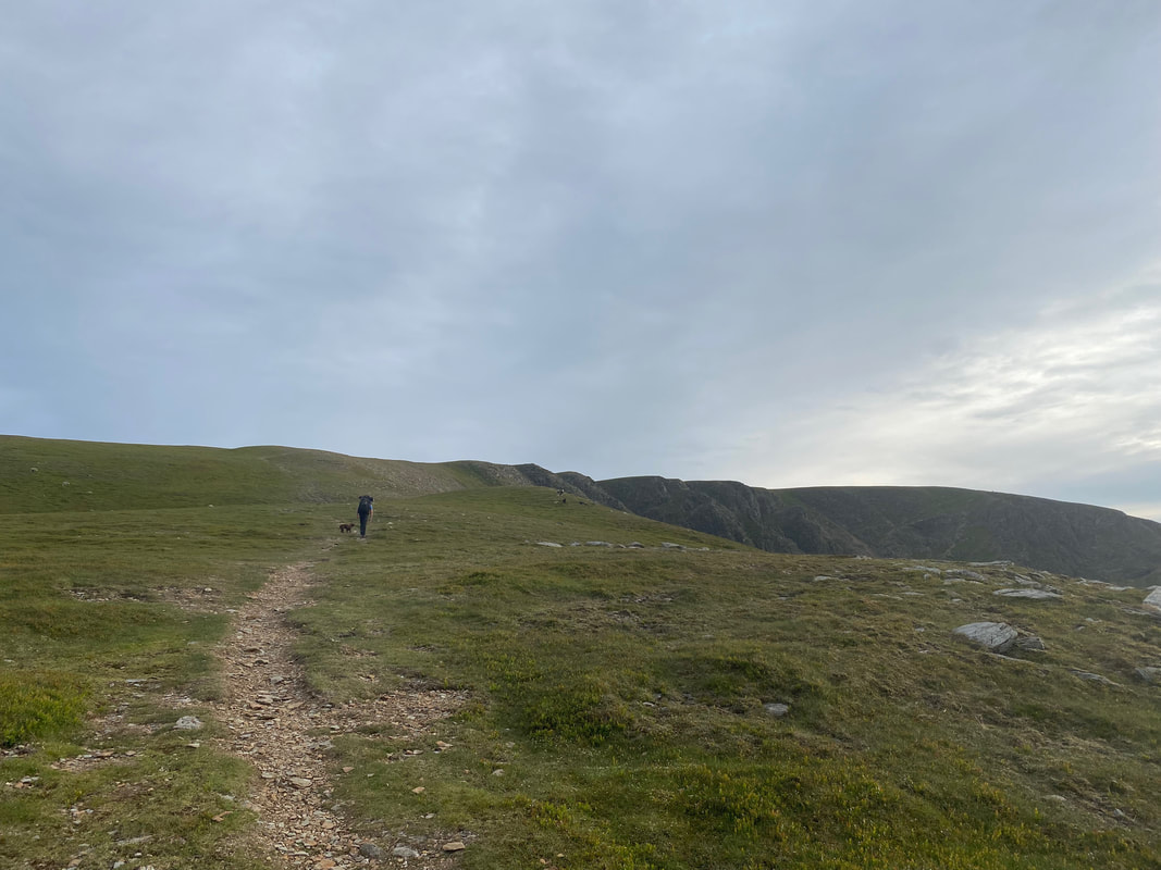
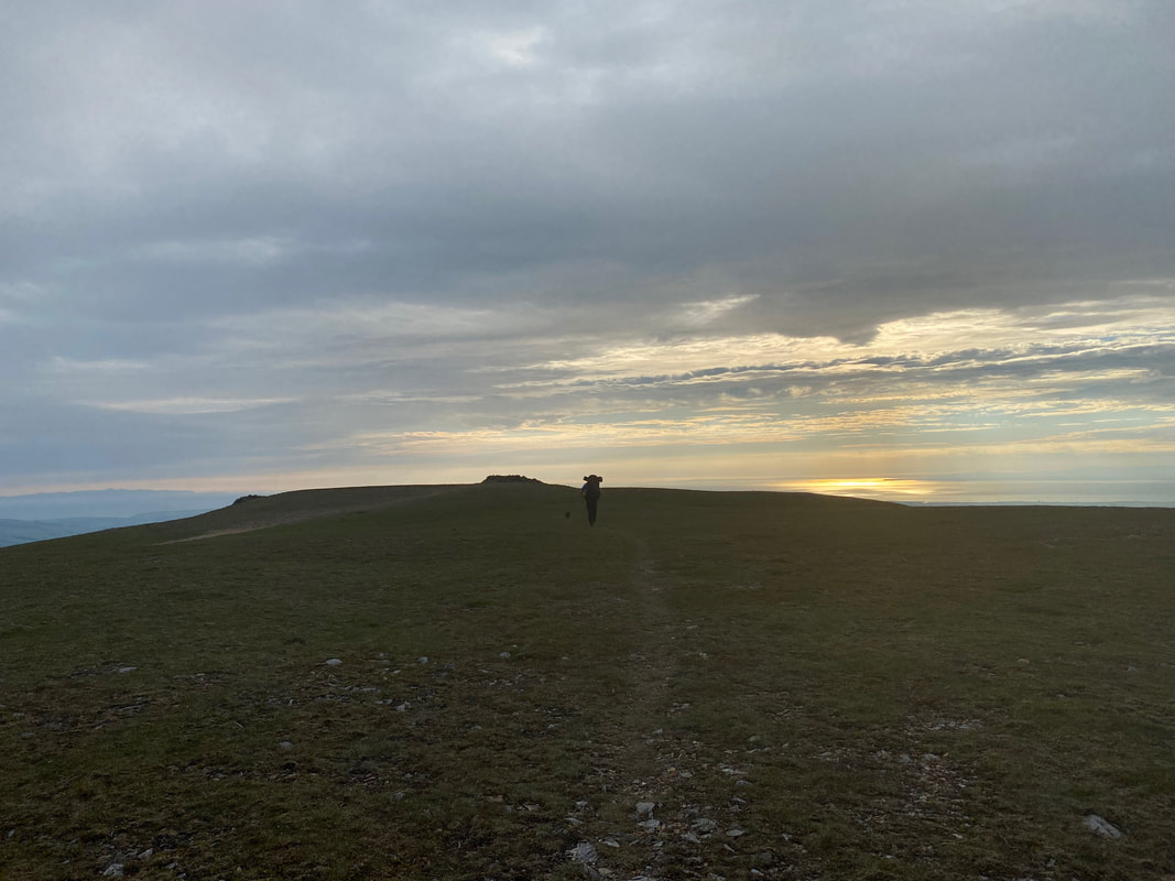
Approaching Grasmoor's summit
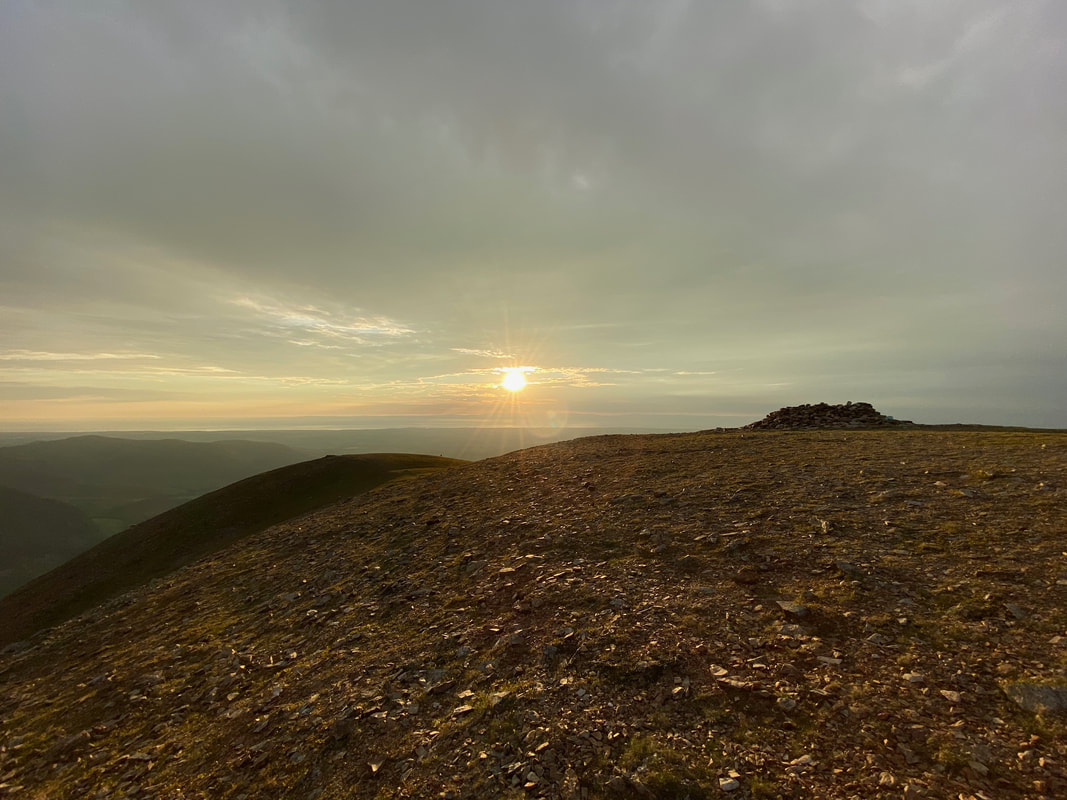
The summit of Grasmoor as sunset approaches. In the next hour the light conditions were constantly changing. It was just beautiful and as usual the camera never does it justice - you just have to be here.
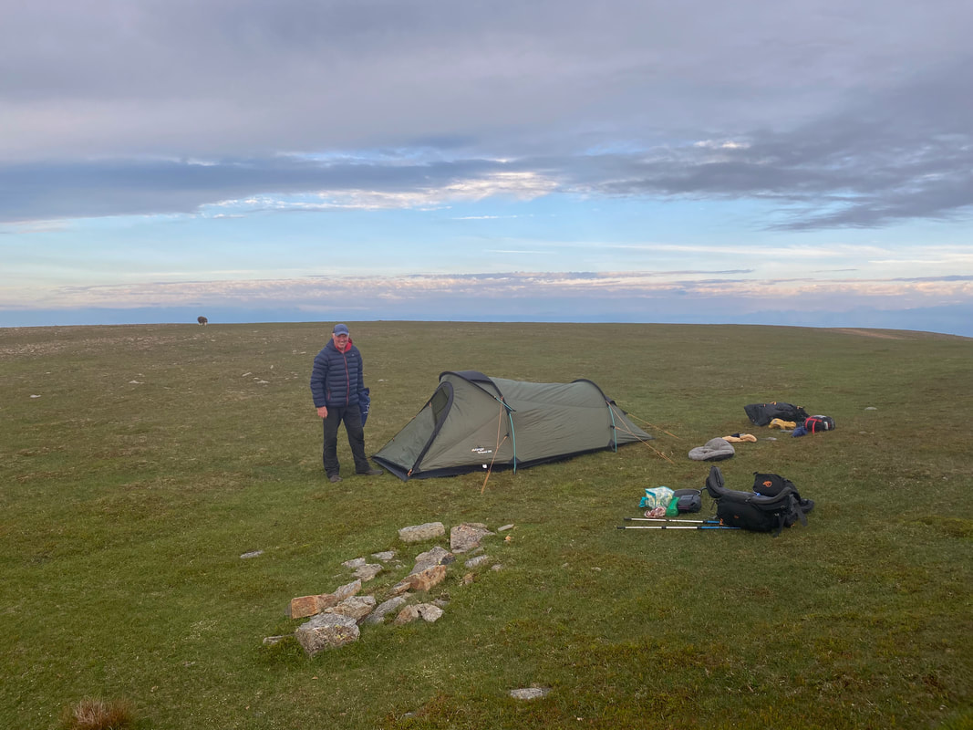
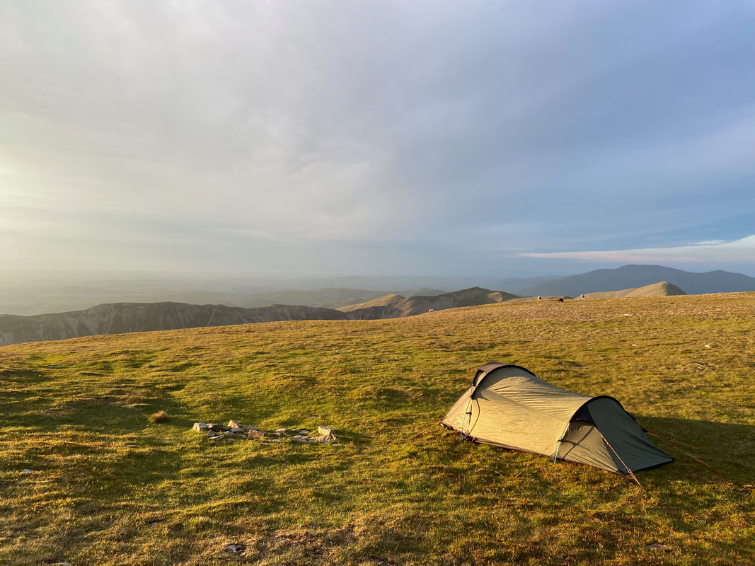
With sunset approaching it was time to put up our accommodation for the evening. Not a breath of wind although by now it was starting to get a bit nippy hence the donning of down jackets. We pitched about a 100 yards from the summit shelter and only saw 2 other people whilst we were there - two ladies who wanted to know how long it would take them to descend to Buttermere via Lad Hows.
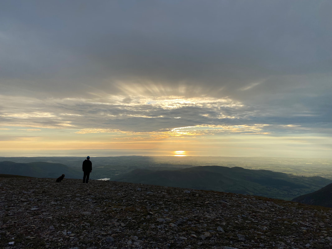
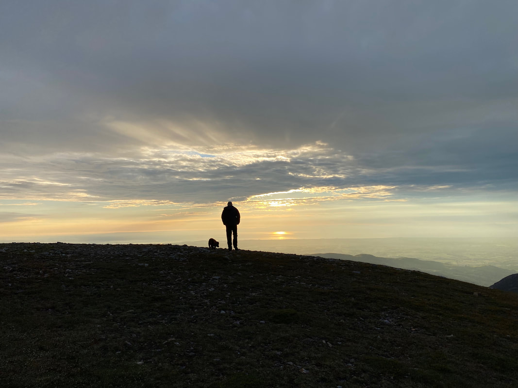
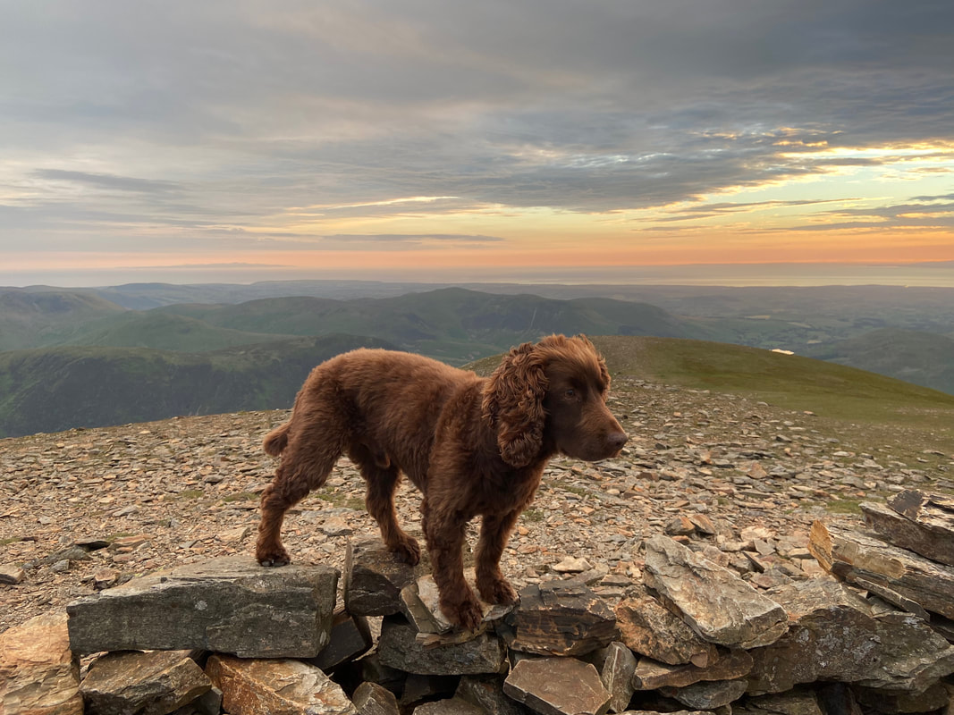
Fudge sits patiently whilst I take an arty farty sunset shot
Just a little further around to the left and Grasmoor's western cairn comes into view. The fells to the left are Blake Fell & Burnbank Fell with Loweswater centre and Darling Fell, Low Fell & Fellbarrow to the right.
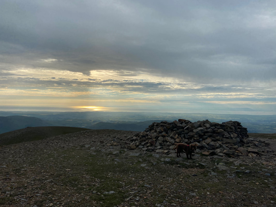
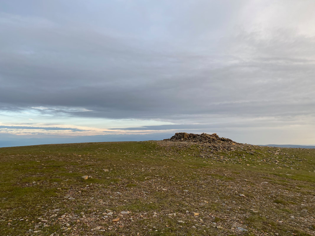
Amazing how the light can suddenly change - Grasmoor's summit shelter
No better place to be - away from the madness below
Another view of our home for the night - it's not a bad view to wake up to I suppose
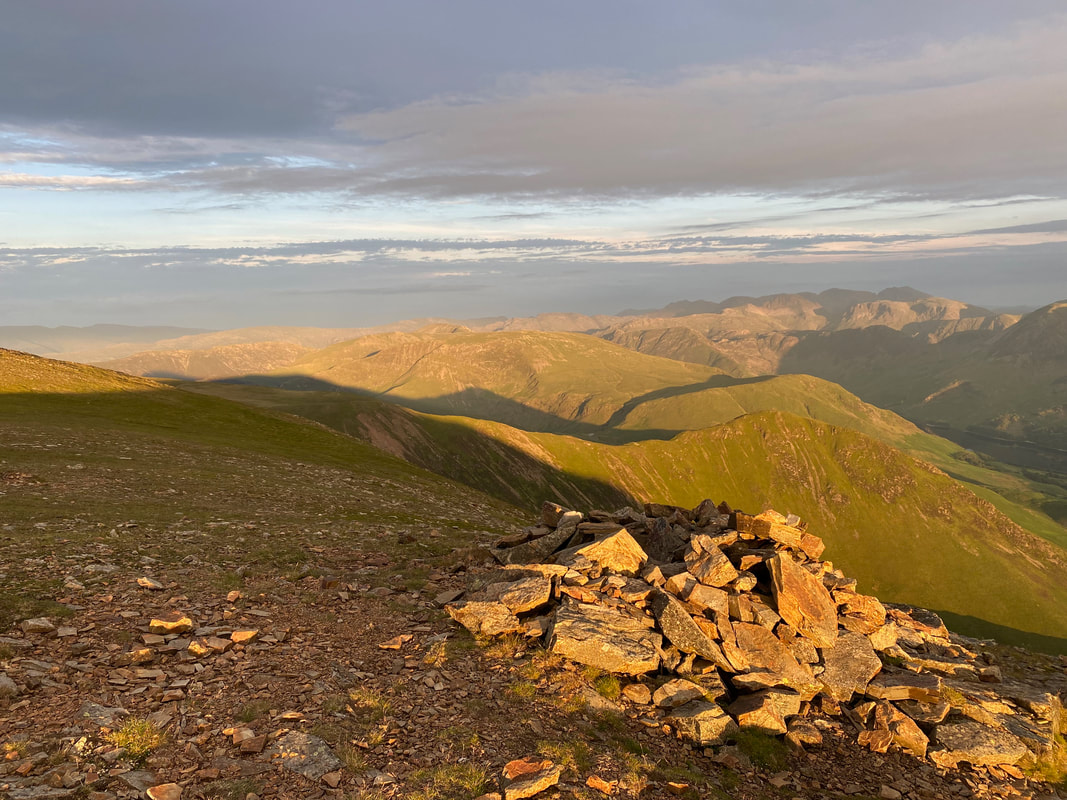
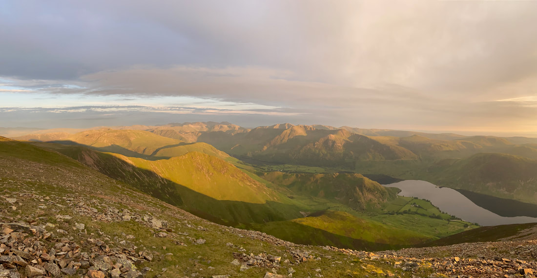
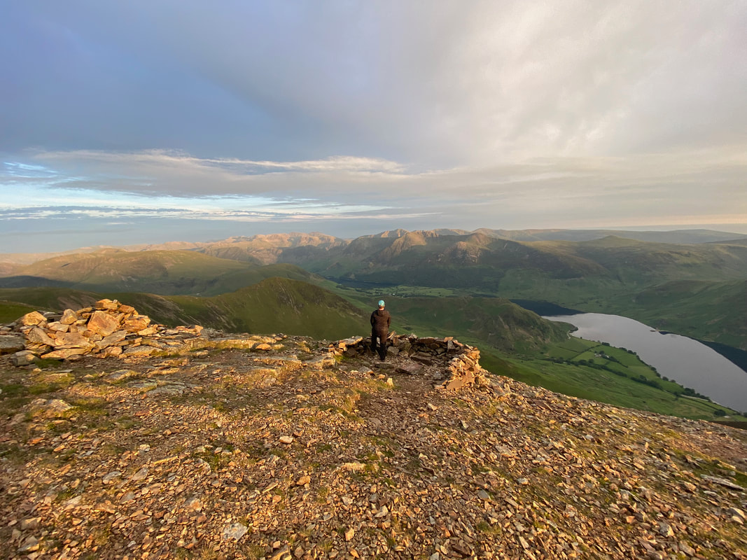
There are a few cairns & shelters on Grasmoor's summit and this one lies about 50 yards south of the summit shelter - as you can see it provides an exceptional view. The fells are too many to mention however the Scafell group are to the right in the far distance.
Grasmoor's summit shelter and western cairn (Grasmoor End) at sunset
A panorama of the view to the south
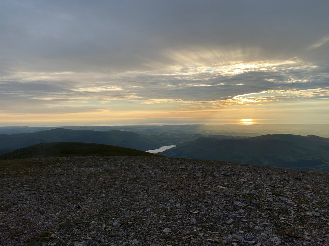
Another view south with Crummock Water below
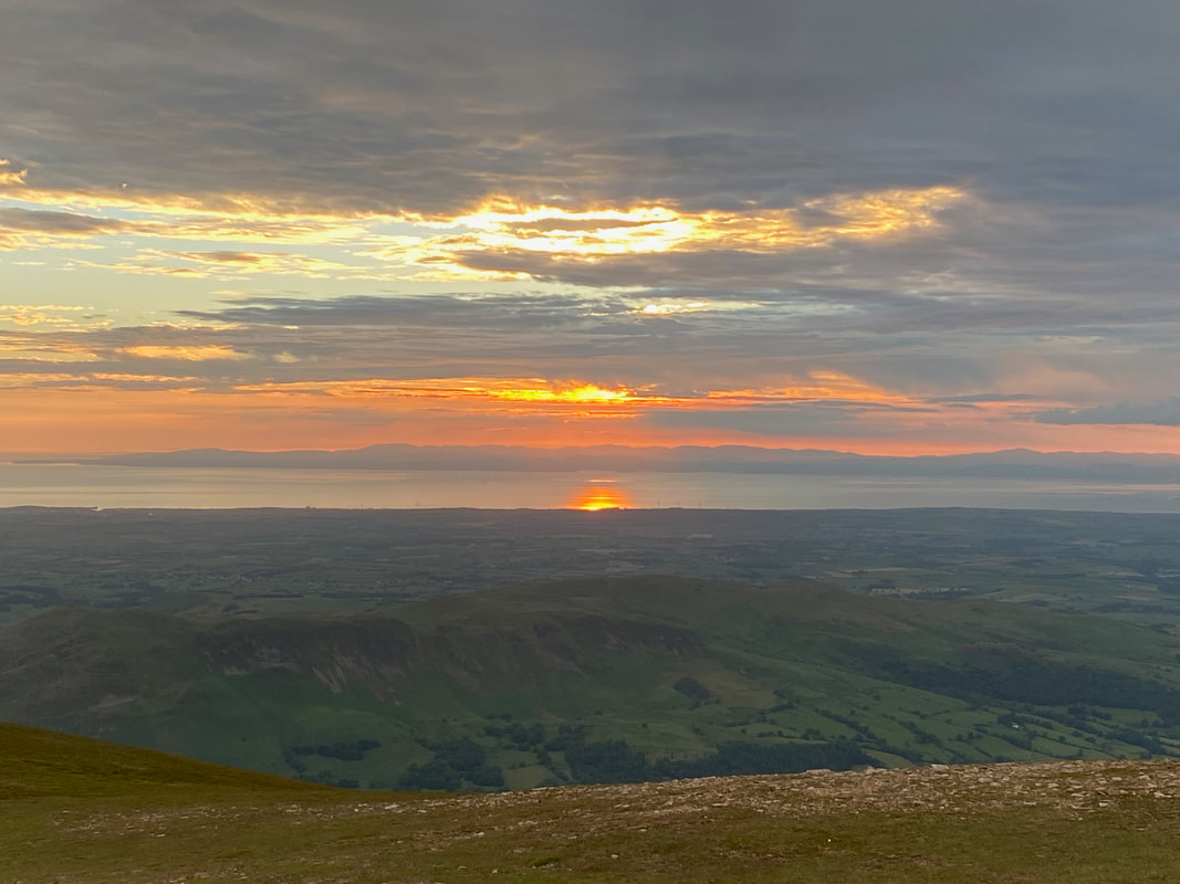
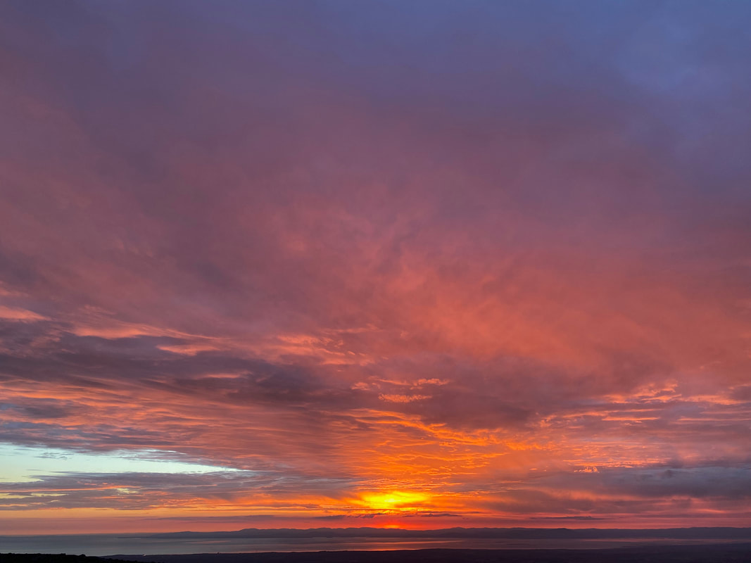
The sun sizzles across the Solway Firth with the Scottish Hills clearly visible
Time for bed little chap with absolutely no arsing about inside the tent
The sky on fire as we say goodnight
The blog of the second day on our Grasmoor Wild Camp can be visited at the link below:
